
Click a marker to view an article. Click its title to view the full article. Click + to zoom in. Drag map to move.

Category

Body:

At the end of winter in 1902, a series of avalanches struck the vicinity of Telluride. Ten avalanches were reported in the area, causing the deaths of at least 24 people in what was one of the deadliest avalanche seasons in Colorado history. 

Background

Those who lived and worked in the high-country basins outside of Telluride took what precautions they could in the placement of buildings and rail lines and in the scheduling of work at the mines. Even so, nothing could allay the very real fear that avalanches were going to occur, occur often, and cause extensive destruction, financial loss, and, more than likely, death. The image of being overwhelmed and buried under a mammoth wave of onrushing snow was enough to give one nightmares. Wintertime was an anxious time in Telluride.

In the one hundred years beginning in 1879, 93 major avalanches and 61 slide-related fatalities were reported in the Telluride region. So prevalent were the slides and so familiar were their locations that many were given names. They were known as the “Bobtail”, the “Little Elephant”, the “Pandora”, or the “Ajax.” The precipitous geography found along the major drainages in the Marshall, Savage and Ingram basins formed natural avenues for the slides. With the first hint of warmth in the late winter sunshine, miners and mill workers and most everyone in town understood all too well it wasn’t really a matter of if but only when. 

1902 Avalanches

The winter of 1902 was probably no more or less noteworthy than others (before or after) for the amount of snow that fell in Telluride and up in the basins outside of town. L.M. Umsted, a mule packer, would, however, remember that winter in general, and the morning of February 28 in particular, for the rest of his life. As Mr. Umsted told the Daily Journal, he’d just finished his breakfast and was in the stables with his animals when he heard a terrific crashing and rattling outside, and when opening the stable door he “found the air filled with flying snow, the tram cable swinging about and [ore] buckets rolling down the hill.” What Umsted witnessed—and lived to tell about—was the front end of the most deadly series of avalanches in Colorado history.

The first slide ran around 7:30 that morning and swept away the boardinghouse, bunkhouse, tramway station, and ore-loading house at the Liberty Bell Mine, two miles north of Telluride. By mid-morning news of the avalanche was brought to town by one of the workmen who’d escaped, and almost at once an army of Telluride citizens and workmen from the nearby mines hurried up and over the slopes, shovels in hand, in the hope of rescuing what was at first feared to be from 50 to 75 snowbound victims.

The slide had destroyed telephone lines, preventing the rescue effort from communicating with the miners or the towns. By mid-morning rescue crews learned that the day shift had fortunately gone into the mine prior to the slide. Had they been at breakfast, as had been assumed, the number of dead and injured would have surely been greater. As it was, the casualties were unknown. At least twelve were presumed to have been present in the boarding house, which was completely engulfed by the avalanche. However, while crews were able to find the remains of the building, they had no luck locating any casualties. 

Rescue teams spent the morning prodigy into the deep banks of the hard-packed snow with long steel rods hoping to make contact with the body of a friend or relative assumed to be underfoot. 

As preparations were being made to transport the small number of injured who hd been found, a second slide came down the slope along the same track. It plowed into a group of men searching for victims. An unknown number of the would-be rescuers were injured or killed by this second avalanche.

Realizing that the threat of additional slides was very real, Dr. J.Q. Allen with three others crossed over the next ridge and made towards  town. They were en route when Allen heard the distinct breaking of timber far up the side of the mountain. He turned his horse and, as he later told Scientific American magazine, “ran him up the trail just in time to escape the main body of the slide. I was caught on its edge, however, carried off the trail with my horse and tossed, as by a wave, on the side of the mountain. Four of us were struck and all were killed but myself.”

Three separate slides were reported at the Liberty Bell that day, the number of victims escalating with each run. The task of determining who was missing—and presumed dead—became an anxious and agonizing process of elimination: if you weren’t down the hill by nightfall on February 28, you more than likely weren’t coming down alive. It took weeks to locate and recover the bodies of the 19 men who perished at the Liberty Bell. Sadly, the devastation on that day was not confined to that property alone.

Another slide struck the boarding house at the Sheridan Mine and injured seven men and killed one. Yet another destroyed several hundred feet of shed covering the surface tram at the Gold King Mine. And the first days of March brought no relief. Less than forty-eight hours later, on March 2, the Bobtail released up near the Bullion Tunnel in Marshall Basin and buried five miners. All five were rescued, but in a scene eerily reminiscent of the Liberty Bell disaster a second slide ran, killing one of those involved in the rescue mission. 

Up in Bear Creek, a log cabin was crushed under three feet of snow on March 3. Its two occupants were found dead the next day. On that same day, the Ajax avalanche released twice. The Daily Journal reported, “the [first] slide was plainly heard in Telluride and watched by many who were in the street at the time. Instantly, crowds were on their way to Pandora, on foot, on horseback, and in sleighs. It wasn’t long after when someone shouted, ‘here comes another!’” 

With the second slide, those who resided in Pandora and those who’d only recently arrived from Telluride to lend their assistance, turned tail and headed quickly back to the relative safety in town. 

In fewer than four days, at least 24 were killed by avalanches in and around Telluride. After March 3 the series of avalanches came to an end, at least for the 1902 season.

W.A. Taylor Addresses the Press

On March 21, 1902, San Miguel County Representative W.A. Taylor addressed the Daily Journal about the avalanches and the recovery. He may have wanted to give his constituents in Telluride a little something to smile about, as his comments included an unusual anecdote.

 “Did you ever know I was killed in a snow slide twenty years ago?” Taylor asked. He had been in Telluride only a year in 1882. “That winter was in some respects a good deal like the present one,” Taylor continued. “It was in one of the worst of the avalanches that I was killed.” Apparently, newspapers across the country published the list of those who’d perished in the slide, and, he went on, “the name W.A. Taylor appeared in all of them. They said I was buried under fifty feet of snow and it was doubtful if my body would ever be recovered.” Taylor explained that he didn’t read newspapers at the time he’d been swept away to his eternal reward, adding: “So the fact I was dead was unknown to me.”

Body:

A valódi pénzes nyerőgépek izgalmas világába való belépés mindig is kihívást jelentett a játékosok számára. Az online kaszinók térhódításával azonban ez a világ még elérhetőbbé vált, így a játékosok széles választékban találhatnak nyerőgépeket, amelyek valódi pénzt nyerhetnek nekik. De mi rejlik ezeknek a gépeknek a titka mögött? Milyen stratégiákkal és tippekkel maximalizálhatjuk a nyerési esélyeinket? Ebben a szakértői útmutatóban mindent megtudhatunk, ami a valódi pénzes nyerőgépekről szól.

A Valódi Pénzes Nyerőgépek Világa

A valódi pénzes nyerőgépek világa izgalmas és sokszínű. Ezek a gépek számos témában elérhetők, így minden játékos megtalálhatja a számára legmegfelelőbbet. Legyen szó klasszikus gyümölcsös nyerőgépekről, vagy éppen modern videós nyerőgépekről, a választék óriási.

Az online kaszinókban található valódi pénzes nyerőgépek nem csupán szórakozást nyújtanak, hanem komoly nyerési lehetőségeket is biztosítanak. A legtöbb gépen jackpotok és bónuszok is elérhetők, amelyek még nagyobb nyereményeket ígérnek a szerencsés játékosoknak.

A Valódi Pénzes Nyerőgépek Titkai

A valódi pénzes nyerőgépek mögött számos titok rejlik, amelyek segíthetnek abban, hogy hatékonyabban játszhassunk és növeljük nyerési esélyeinket.

1. Ismerje Meg A Nyerőgépek Működését

Mielőtt nekiállna játszani egy valódi pénzes nyerőgépen, fontos megérteni annak működését. Ismerje meg a kifizetési táblázatot, a különböző szimbólumok értékeit, valamint a bónuszok és jackpotok működését. Minél jobban érti a gép működését, annál nagyobb eséllyel játszhat hatékonyan.

2. Határozza Meg Játékstratégiáját

Mielőtt elkezdené játszani, határozza meg, milyen játékstratégiát alkalmaz majd. Legyen szó a tétméret optimalizálásáról vagy a nyeremények kezeléséről, fontos, hogy tudatosan játszon, és ne csak vakon pörgetsen.

3. Vigyázzon A Bónuszokra

Sok valódi pénzes nyerőgép rendelkezik bónuszokkal és ingyenes pörgetésekkel, amelyek segíthetnek növelni nyerési esélyeit. Figyeljen ezekre a bónuszokra, és használja ki őket a legjobban.

Tippek A Nyeréshez

A nyeréshez nincs garancia, de néhány tipp segíthet abban, hogy maximalizálja nyerési esélyeit a valódi pénzes nyerőgépeken.

1. Kezdjen Kis Tétekkel

Kezdje kisebb tétekkel, és fokozatosan növelje a tétméretet, ahogy egyre magabiztosabb lesz a játékban.

2. Használja Ki Az Ingyenes Pörgetéseket

Ha egy nyerőgép ingyenes pörgetéseket kínál, használja ki őket. Ez lehetőséget ad arra, hogy extra nyereményeket szerezzen, anélkül, hogy további pénzt kellene befizetnie.

3. Legyen Türelmes

A nyerőgépek játéka sokszor szerencsejáték, ezért legyen türelmes, és ne hagyja, hogy a frusztráció befolyásolja döntéseit.

Összegzés

A valódi pénzes nyerőgépek izgalmas és kihívást jelentő világa sok lehetőséget kínál a játékosoknak. Fontos azonban megérteni ezeknek a gépeknek a működését és alkalmazni néhány hatékony stratégiát, hogy maximalizáljuk nyerési esélyeinket. Reméljük, hogy ez a szakértői útmutató segített jobban megérteni a valódi pénzes nyerőgépek rejtelmeit és javítani játéktechnikáját az online kaszinókban. Sok szerencsét és jó szórakozást kívánunk a játékhoz!

Body:

Miners came to Colorado for gold, stayed for silver, and survived after the 1890s by diversifying into a wide range of base and industrial metals such as lead, copper, zinc, molybdenum, tungsten, vanadium, radium, and uranium. Often ignored or discarded during early prospecting and mining, these base and industrial metals helped sustain mining operations after the silver crash of 1893.

Production of these metals typically started in the 1870s or 1880s, increased in the 1890s and 1900s, and experienced later peaks as prices surged with high demand during the world wars. Most mining died out after World War II, but the Cold War spurred ongoing molybdenum production and a uranium boom. Today molybdenum has become the most important metal in Colorado, with giant mines operating in Lake and Clear Creek Counties.

Types and Uses

In contrast to precious metals such as gold and silver, which are highly valued for their own sake, base and industrial metals tend (with some exceptions) to be worth less and are valuable mainly for their commercial and industrial uses.

Lead is used in bullets and batteries and has a wide variety of applications in construction, though its dangerous health effects have caused it to be phased out of pipes, paints, and gasoline. Copper’s high conductivity makes it ideal for electrical uses, especially as a wiring material. Zinc forms a number of useful alloys and compounds, such as brass (made with copper) and zinc oxide (used as a white pigment and in mineral sunscreens); on its own, it prevents corrosion in batteries and on iron and steel through galvanization. Molybdenum, tungsten, and vanadium are used primarily to harden or toughen steel.

Radium is highly radioactive and was used in the early twentieth century for illumination and as a cancer treatment. Uranium is less radioactive and was regarded as a waste product until World War II, when it became a key ingredient in nuclear weapons and, later, nuclear power plants.

Formation and Location

In Colorado, the mineral-containing rock known as ore was originally formed during the uplifts of the Ancestral Rocky Mountains (300 million years ago) and the modern Rockies (70–45 million years ago). Superheated magma rose into rocks deep under the surface, creating pressure and rising through faults and fissures. As the magma solidified, it took the form of mineralized bands called veins.

As a result of this origin, most of Colorado’s metals occur in a diagonal belt stretching roughly from Boulder County to the San Juan Mountains. The main outliers are radium, vanadium, and uranium, found primarily on the Colorado Plateau near the Utah border, especially in and around the Paradox Valley. In general, the areas with the greatest production of precious metals such as gold and silver have also yielded the largest amounts of base and industrial metals such as lead, copper, zinc, and molybdenum. Lake County dominated the production of all these metals, with the San Juan region also contributing. Tungsten production was concentrated in Boulder County.

Early Decades

During the early decades of Colorado mining, prices for base metals were usually quite low compared to the precious metals that drove the boom: four to eight cents per pound for lead, three to thirteen cents per pound for zinc, and as much as a quarter per pound for copper. These low prices meant that as long as gold and silver retained their shiny luster, base and industrial metals remained largely byproducts recovered from the pursuit of precious metals but not worth seeking out on their own.

Because lead was often bound up with silver and had various industrial applications, it saw the earliest and largest production among Colorado’s base and industrial metals. Lead was shipped from Gilpin, Clear Creek, Summit, and Park Counties starting in the early 1870s, after techniques for silver-lead smelting were developed. The discovery of silver-bearing lead carbonates in Leadville later that decade caused Colorado’s lead production to soar; by 1880, Leadville led the world in silver-lead smelting. Lake County dominated the state’s lead production throughout the 1880s and 1890s, with Pitkin County and the San Juans making significant contributions as well.

Copper was an early byproduct of ores in Gilpin and Clear Creek Counties. In the 1870s, mines in Park County and the San Juans started to produce some copper as well. One of the state’s few large copper mines opened north of Salida in 1884, and production ramped up even more when Lake County began to ship copper in 1889. Zinc production did not begin in Colorado until the mid-1880s. A zinc oxide plant built at Cañon City led to an increase in the 1890s. Much of the zinc came from Lake County, but Eagle and Summit Counties also shipped some.

The collapse of the silver market in 1893 led many Colorado mines to diversify their production to survive. Overall, Colorado’s mining production peaked in 1900 before entering a period of gradual decline. Within that decline, base and industrial metals became even more critical as ballast to help mines stay afloat as precious metals saw lower prices and lower yields. Colorado’s copper production, for example, climbed to a peak in 1909. Zinc boomed in the early 1900s before declining after the Panic of 1907. Production surged again with the discovery of zinc carbonate at Leadville in 1910, allowing zinc to displace lead as the area’s primary base metal.

World Wars

The start of World War I in 1914 generated massive demand for base and industrial metals as countries competed to develop massive, armored militaries. Prices for lead, copper, and zinc surged to new highs. Zinc production hit a new peak in 1916, with 134 million pounds bringing in some $18 million. Copper production did not beat its previous peak, but its value crested to more than $2 million annually.

World War I also stimulated demand for previously little-mined metals used to harden or toughen steel: tungsten, molybdenum, and vanadium. During the war, Colorado became the world’s top producer of tungsten and molybdenum. Tungsten had been part of the state’s production since 1900, when it was identified in western Boulder County. Soon Caribou had the largest tungsten mine in the world. During the war, the price of tungsten shot up by a factor of twenty, and tons of new mines opened in the area.

Farther west, molybdenum was first identified at Bartlett Mountain in the mid-1890s, but it had little commercial value until World War I. The Bartlett Mountain deposit—the world’s largest—saw a rush of claims after 1915. In 1918 the Climax Molybdenum Company opened a mine at Bartlett Mountain and quickly developed it into the state’s largest mine. The company bought up claims from its competitors when demand declined at the war's end. Climax sat idle for several years, but soon the marketing efforts of company head Brainerd Phillipson generated new demand from automobile makers and other industrial users. By the mid-1930s, Climax accounted for an astonishing 86 percent of world molybdenum production.

Vanadium had been identified in Colorado in 1898, when an ore called carnotite in the Paradox Valley was found to hold vanadium, radium, and uranium. Vanadium saw limited production in the early twentieth century, but as with tungsten and molybdenum, demand skyrocketed during World War I. By the early 1920s, Colorado had shipped some 500 tons of the stuff. Production declined after the war. During the Great Depression, when the development cost was low, the United States Vanadium Corporation bought up vanadium-producing properties, revived old mills, and established new towns at Uravan and Vancorum. Production remained limited, but the infrastructure proved helpful when demand for vanadium ramped up again ahead of World War II.

Among the carnotite metals identified at the turn of the century, radium was the most immediately useful; it provided nighttime illumination and was valued for experimental cancer treatments. Western Colorado soon became the world’s leading producer of radium, and in the 1910s, the National Radium Institute built a concentrator near Naturita and a plant in Denver. During World War I, prices for radium soared when supply from Austria was cut off in Allied countries. At the same time, demand increased as militaries scrambled for radium to light up instrumentation at night. Radium briefly became the most expensive substance in the world, going for more than $3 million per ounce. Yet Colorado’s radium industry quickly died out after World War I, when demand dropped and new deposits were discovered in the Belgian Congo.

After a period of slow production during the Great Depression, the onset of World War II once again supercharged base and industrial metal mining in Colorado. Lead, zinc, tungsten, and vanadium surged for a few years, but this time the most lastingly important metals were molybdenum and uranium. At Climax, the War Production Board gave the molybdenum mine the highest operating priority in the country and posted a US Army Auxiliary Military Police unit there. The company shipped a total of 180 million pounds of molybdenum during the war.

Meanwhile, the race to develop an atomic bomb made uranium go from trash to treasure. In 1943 the Manhattan Project built a mill in Uravan to rework old tailings from western Colorado and Utah in search of material for bombs.

Cold War

After World War II, most mining in Colorado closed down for good. Some zinc production survived near Red Cliff and Leadville into the 1950s, and the Idarado Mine in the San Juans continued to ship lead, copper, and zinc. The main action, though, was in molybdenum and uranium, which remained in high demand as the United States shifted to permanent military preparedness in the Cold War.

With the United States competing against the Soviet Union for nuclear supremacy, the federal government sponsored a uranium rush. By the mid-1950s, the Colorado Plateau had about 800 mines, and Colorado was the country’s largest uranium producer. The state’s uranium boom proved brief, however, as new mines came online in New Mexico and Wyoming. The rise of nuclear power plants resulted in another increase in production in the 1960s.

Throughout the 1950s and 1960s, Climax shipped huge amounts of molybdenum for military and industrial use. The company employed more than 1,000 workers, had a company town of 1,500 residents, and shipped more than 10 million tons of ore per year from the largest underground mine in the world. Even as it dominated the world market, accounting for 61 percent of world supply in 1963, it continued to expand, detonating the largest underground explosion in mining history in 1964 in order to break new ore from the mountain.

Health and Environment

During the first century of mining in Colorado, environmental concerns and employee health were secondary to production. After about 1960, however, a growing awareness of problems such as pollution and contamination led to new regulations and cleanup efforts that affected all aspects of the Colorado mining industry. In the case of molybdenum, environmental regulations shaped and sometimes prevented new mining efforts. In the 1960s, for example, corporate owner AMAX prepared for the start of open-pit surface mining at Climax by acquiring much of the upper Tenmile valley as a site for gigantic tailings ponds to contain the waste. Once that was done, open-pit surface mining began in the 1970s in an attempt to counter increasing competition from newer, cheaper foreign mines.

Meanwhile, AMAX also acquired a small molybdenum orebody west of Empire and started exploration there, eventually discovering a giant orebody some 4,000 feet beneath the surface. Because the orebody was deep under a narrow valley near the headwaters of an important Denver water source, the company worked with environmental groups to plan an operation that kept surface facilities to a minimum. The company also constructed its mill and tailing-disposal site fifteen miles away, on the western side of the Continental Divide. Development of the Henderson Mine and mill took nearly a decade and cost about $500 million, making it the largest privately financed project in Colorado history to that point. Production started in 1976, and Henderson soon matched Climax, with each mine producing roughly one-quarter of world supply.

With molybdenum booming in the late 1970s, AMAX even made plans for a third large mine at Mt. Emmons near Crested Butte. However, the project faced strong opposition from preservationists, tourists, and environmentalists, then foundered when the world molybdenum market collapsed in the early 1980s. That collapse led AMAX to suspend production at both Climax and Henderson, which had strong negative impacts on local communities that relied on the mines for employment. Henderson resumed limited production in 1984, but Climax remained mothballed for most of the next two decades.

Uranium brought a different set of problems. As early as 1956, officials had documented an epidemic of small-cell lung cancer among uranium miners in western Colorado, particularly those who smoked and worked in poorly ventilated mines. But no regulations were put in place until the 1960s, and not until 1990 did Congress pass the Radiation Exposure Compensation Act to assist families with health care and other expenses.

Meanwhile, uranium production in Colorado dwindled in the 1970s and collapsed after a meltdown at the Three Mile Island Nuclear Generating Station in Pennsylvania in 1979. The Uravan Mill shut down in 1984, and Colorado’s last uranium mining company closed in 1990. The state of Colorado sued Union Carbide in the wake of the Three Mile Island accident, leading to a Superfund cleanup that condemned the entire town of Uravan in 1986 and painstakingly destroyed it over the next two decades at the cost of some $130 million. Everything radioactive in the town was buried in a nearby mesa, and the abandoned site now belongs to the Department of Energy. Former residents and workers hold annual reunions at a local ballpark that was spared. Colorado also has about a dozen former uranium disposal and processing sites that are managed under the Uranium Mill Tailings Radiation Control Act of 1978.

More broadly, mining and smelting resulted in contaminated soil and water wherever those activities occurred. Serious cleanup efforts began after Congress passed the Comprehensive Environmental Response, Compensation, and Liability Act, commonly known as the Superfund law, in 1980. Over the next few decades, more than a dozen Colorado mining and smelting areas were listed as Superfund sites, including Uravan and a uranium mill in Fremont County, as well as more conventional mining and smelting districts in Boulder, Chaffee, Clear Creek, Eagle, Gunnison, Lake, Mineral, Pitkin, and San Juan Counties. Denver alone has several Superfund designations resulting from smelting and radium-ore processing. Some sites were fully remediated in the 1990s and early 2000s, but long-term cleanup efforts continue in many areas.

Today

Today molybdenum is the primary metal still mined in Colorado, and the state remains the nation’s top molybdenum producer. When world molybdenum prices rebounded in the early 2000s, corporate owner Freeport-McMoRan increased production at Henderson and revived Climax—historically the state’s largest and most important mine—in 2012. By that time, Henderson had yielded roughly 1 billion pounds of molybdenum, whereas Climax had produced around 2 billion pounds over its life. At current production levels, both mines are expected to last until the late 2030s, when remediation efforts will begin.

Body:

William Ellsworth Fisher (1871–1937) headed one of the largest and most influential architectural firms in the Rocky Mountain region. Working most notably with his younger brother, Arthur Addison Fisher, he designed many elaborate houses for the wealthy, especially in Denver’s Polo Club, Cheesman Park, and Country Club neighborhoods. The Fishers also became known for office buildings and hospitals, with a national reputation for the latter. William employed and mentored many young architects, such as Merrill Hoyt and Thielman Wieger, and was in demand for his financial acumen as well as his design talent.

The almost universally high quality of the Fishers’ work continues to be recognized today when some two-thirds of their surviving buildings are listed in the National Register of Historic Places or in a National Historic District.

Early Career

William Fisher was born in Canada in 1871. His father, Alan S. Fisher, brought the family to Denver from Clinton, Ontario, in 1885. Alan began with and later became president of the Western Mercantile Association, a credit and collection agency.

William started out in 1890 as a draftsman for the Denver architectural firm of Robert G. Balcomb and Eugene R. Rice, who worked primarily on residential and commercial buildings. After briefly studying with the New York architect C. Powell Karr, William opened a solo Denver office in 1892. His early practice centered on remodeling office buildings and designing Dutch Colonial Revival houses that appealed to newlyweds, sometimes referred to as “brides’ delights.” William married Clara Louis Berney in 1899. Their son, Alan Berney Fisher, was born in 1905.

In 1901 William partnered with another former Balcomb and Rice draftsman, Daniel Riggs Huntington. Together they designed residences, duplexes, club buildings, and apartments using variations of the Mediterranean style, such as Mission Revival, Beaux Arts, Spanish Colonial, Foursquare, and French Revival. One of Colorado’s best examples of the French Revival is Smith Mansion (1902), a masterpiece, located across from City Park at 1801 York Street. The partners’ highly successful business built grand residences for many prominent Denverites.

Fisher and Fisher

After Huntington left their thriving partnership for Seattle in 1905, William took on his younger brother, Arthur Addison Fisher, who had already been working for the firm. Arthur became a full partner in 1910, and, after that, the firm was known as William E. Fisher and Arthur A. Fisher Architects, popularly called Fisher and Fisher. The brothers designed many of the most notable buildings in early twentieth-century Denver, just as Frank Edbrooke had in the late nineteenth century. William also designed the Country Club Place subdivision, with its wide, landscaped medians; large house lots; and monumental Spanish-style gates along East Fourth Avenue at Franklin, Gilpin, and High Streets.

Fisher and Fisher designs typically drew inspiration from neoclassical and Mediterranean styles. Their significant surviving buildings include some of Denver’s most striking designs:

  • A. C. Foster Building / University Building (1911), 912 Sixteenth Street, classically inspired with a clearly defined base, shaft, and capital
  • Burke-Donaldson-Taylor Building (1919), 1639 Eighteenth Street, with imposing arches set off by small circular windows
  • Colorado National Bank, Colorado Yule marble (now the Renaissance Denver Downtown City Center Hotel)
  • Denver Country Club (1925), First Avenue between University Boulevard and Downing Street
  • Tramway Building (1911), 1100 Fourteenth Street, a Renaissance Revival–inspired tower with an attached car barn (now Hotel Teatro)
  • Morey Middle School (1921), 840 East Fourteenth Avenue, a beautifully proportioned Renaissance Revival school
  • US National Bank / Guaranty Bank (1921), 817 Seventeenth Street, a Chicago-style commercial tower (now the Bank Lofts)
  • Voorhies Memorial (1922) in Civic Center Park
  • Neusteter Building (1924), 1520 Stout Street, one of Denver’s finest Commercial Style buildings and one of the first downtown stores to be repurposed as residences
  • Tower of Memories (1926) at Lakewood’s Crown Hill Cemetery, a communal mausoleum of severe neoclassical eclecticism
  • Weicker Depository (1926), 2100 East Colfax Avenue, a crenelated, eight-story tower with a Renaissance travertine base

The Fishers’ knack for incorporating sculpture and art in their buildings won them high praise from Denver Art Museum director George William Eggers. In their Midland Savings Bank (1925) at Seventeenth Street and Glenarm Place, the Fishers incorporated a large frieze by Denver’s premier sculptor, Robert Garrison. The sculpture, “The Story of a Pike’s Peaker” (popularly called “The Wagon Train”), now serves as a wall at the Denver Botanic Gardens.

At South High School (1926), the Fishers and Garrison showed their sense of humor by placing a frieze satirizing a faculty meeting over the main doorway. In front of the main entry loggia, two bizarre animals symbolizing final examinations perch atop three-story columns. At the same time, the north entrance is surmounted by a bas-relief symbolizing the tree of knowledge and young scholars who set out eagerly on horseback but arrive weary and late. On top of the building, a large griffin looks for truants.

Residences

Fisher and Fisher also continued to design residences. They completed one of their grandest designs for US senator Lawrence Phipps in 1932. Also known as Belcaro (3400 Belcaro Drive), Phipps’s Georgian Revival mansion of fifty-four rooms on eight acres was done in collaboration with the famed Charles Adam Platt of New York City.

Another spacious Fisher and Fisher estate was Lorraine Lodge / Boettcher Mansion (1917), designed as a summer retreat atop Lookout Mountain for the state’s premier industrialist, Charles Boettcher. Yet the Fishers did not only work for the wealthy. As the founder and director of the Mountain Division of the Architect’s Small House Service Bureau, William oversaw that effort to provide low-cost, well-designed house plans for the middle class.

Hospitals

Nationally, Fisher and Fisher were best known for their hospitals. They were adept at providing a stylish exterior while also making interior space functional. In the Denver area, William designed National Jewish Hospital (1899) and the Jewish Consumptive Relief Society (1904); later, both Fishers worked on B’nai B’rith Hospital (1925), across Colorado Boulevard from National Jewish, as well as the University of Colorado Hospital and School of Medicine (1925, in collaboration with Maurice Biscoe).

They were also responsible for Presbyterian Hospital (1926) and St. Luke’s Hospital (1926), now combined as Presbyterian / St. Luke’s Medical Center. Outside Denver, the Fishers designed hospitals in Pueblo, Greeley, Colorado Springs, Wyoming, and Idaho, and they won national awards for modern hospital design. Except for B’Nai B’rith, most of the Fishers’ original buildings have now been replaced by much larger complexes.

Influence

After William’s death in 1937, the Fisher and Fisher firm continued for two decades under his brother Arthur and his son, Alan. The firm moved away from the Mediterranean and Neoclassical, which William fancied, to a more modern design.

Led by William, the Fishers did more than any other family of architects to affect the look of Denver. Fifty of the sixty-seven surviving Fisher buildings are listed in the National Register of Historic Places or in a National Historic District.

Body:

Situated on the east side of Denver and rising some 330 feet above the State Capitol’s gold dome, the town of Montclair was platted in 1885. The common French place-name means “clear mountain,” and Montclair was so named for its panoramic view of the Front Range between Pikes and Longs Peaks. At the time, Montclair lay far beyond the city limits, out on the prairie. Its early boosters claimed that this made the town an escape from big-city problems such as crime, poverty, and unhealthy conditions.

Annexed to Denver in 1902, the neighborhood—encompassing East Colfax Avenue to East Sixth Avenue, between Quebec and Holly Streets—now has roughly 6,500 residents and includes a smaller Montclair Historic District designated in 1975.

Early Montclair

Montclair owes its existence mainly to Baron Walter von Richthofen. The bushy-bearded Baron came from a famous German clan. He was a kinsman of the geographer Baron Ferdinand von Richthofen, for whom the Colorado mountain is named, and a cousin of the Red Baron, the famed World War I fighter pilot. Walter, who was born in Kreisenitz, Silesia, in 1848, had fought in the Franco-Prussian War of 1870–71. He then sailed to the United States and eventually landed in Colorado around 1877.

In the mid-1880s, the Baron made his first investment in Denver real estate, a tract that ran from Lake Archer to Lipan Street between West First and West Ellsworth Avenues, known as “Richthofen’s Addition.” He also invested in some north Denver developments. All fizzled.

Turning his attention to east Denver, he joined Matthias Cochrane’s Montclair Town and Improvement Company, then thriving during Colorado’s 1880s mining boom. Cochrane hailed from the suburb of Montclair, New Jersey, giving a second reason for the name. In 1885 the Rocky Mountain News described the welcome reprieve that Montclair, Colorado, would offer in an increasingly industrialized state: “Its cooling breezes from the mountains, uncontaminated by smelter smoke, bring health and vigor to this favored locality.”

As a show home for the fledgling town, Richthofen built a castle for himself at East Twelfth Avenue and Olive Street. This stone Romanesque Revival landmark boasted a crenelated parapet and a tower that dominated the east Denver skyline. To help his suburb flower, Richthofen and associates dug the Montclair Ditch off the Highline Canal. It flowed north along Quebec Street to Richthofen Castle and then downhill to the Molkery (milk house), a spa for health-seekers on East Twelfth Avenue.

The Molkery’s rural feel, fresh milk, and open-air porches provided a respite for those suffering from tuberculosis and other lung disorders. In 1911 the Molkery was repurposed into Denver’s first neighborhood civic center. Now landmarked, it remains a Montclair neighborhood hub.

To connect Montclair with downtown, Richthofen and other promoters coaxed streetcar lines along East Eighth, Colfax, and Seventeenth Avenues. These routes turned Montclair into a streetcar suburb. To attract the more affluent, Montclair offered lots twice the width of the core city’s twenty-five-foot-wide parcels. Houses initially had to be three stories, cost at least $10,000, and have plans approved by the Montclair Board of Supervisors.

To attract residents, the Baron ran bright red coaches from downtown out to Montclair. As the Baron blew his tally-ho horn and all-aboard cry, his Russian wolfhounds dashed ahead, frantically leading Denverites to a house-site hunt. Customers were encouraged to buy a whole block where they could build their own house and either farm the remaining land or sell it to others. The pattern of one large old home per block distinguishes Montclair to this day, with most of the other lots filled by one-story houses added after World War II.

Montclair was incorporated as a separate town in 1888 to provide its own services. A town hall was built at East Fourteenth Avenue and Oneida Street, where the Montclair Fire Station now stands. In addition to their own town government, the citizens of Montclair started a police and fire department, a school system, and a weekly newspaper, the Montclair Mirror. Richthofen even planned a zoo, which never materialized.

The scramble for land in this suburban paradise ended abruptly with the Panic of 1893. Prairie dogs repossessed vacant lots, while prickly pear cactus and sunflowers decorated empty basement excavations. The 1900 Census counted only eighty-eight families living in the town (which originally included parts of what are now Park Hill and Lowry). In 1902 Montclair was annexed to the newly created city and county of Denver.

Schools

Early Montclair was home to a remarkable number of educational enterprises. In 1887 Montclair residents organized their own public school system, Colorado School District 44. A year later, Jarvis Hall, which evolved into the Colorado School of Mines, opened along East Tenth Avenue near Quebec Street. This Episcopal school stood four stories tall before it burned to the ground in 1901. The Jarvis Hall Chapel survives as today’s St. Luke’s Episcopal Church (1890) at East Thirteenth Avenue and Poplar Street, now a designated landmark. A few blocks north, Colorado Women’s College started in 1890 at Quebec Street and Montview Boulevard. The college merged with the University of Denver in 1982. Its main building, Treat Hall, is now a designated landmark.

Montclair’s original frame schoolhouse sat next to the fire station and town hall on Oneida Street near East Colfax Avenue. In 1891 it was replaced by the still-standing, brick-and-stone Stanley School at East Thirteenth Avenue and Quebec Street, which featured Colorado’s first public school kindergarten. Named for the Welsh American explorer Henry M. Stanley, the school became so crowded that a gymnasium and kindergarten building was built on its west side. Now a designated Denver landmark, it has been converted to the private Paddington Station Preschool.

Health Spa

Desperate and overextended after the 1893 crash, the Baron remarketed Montclair as the Colorado Carlsbad, named for the famed German resort. When told that Montclair had no hot springs or mineral waters, Richthofen proposed building an aqueduct to channel in hot water from Idaho Springs. He planned a neoclassical-style resort with a lavish bathhouse, casino, and hotel. None of this materialized.

A decade later, future US senator and business tycoon Lawrence C. Phipps built the Agnes Phipps Memorial Sanatorium, the largest tuberculosis sanatorium in Colorado, at the site, naming it for his mother. In the 1930s, the site would become part of Lowry Air Base. When that was decommissioned, it was replaced in the 1990s by the Lowry neighborhood.

With the Phipps Memorial Sanatorium nearby, many health seekers built houses in Montclair, where distinctive residences feature screened porches and open floor plans to help capture fresh air. Tuberculosis was then the deadliest killer in the country, and there was no sure cure, though a sunny, dry climate was often prescribed. The explosive growth of the University of Colorado Health Sciences Center (now Anschutz Medical Campus) and National Jewish Hospital just west of Montclair reflected Denver’s emergence as a national health care center by the 1920s.

Modern Montclair

After World War II, Montclair finally began to boom, when many in the medical profession or veterans once stationed at nearby Lowry Air Base moved into the neighborhood. To accommodate the influx of residents, the Montclair Elementary School opened in 1943 at Richthofen Place and Newport Street, and nearby St. James Catholic School opened five years later.

In the 1950s, one of Denver’s early shopping centers, Mayfair, opened with a new grocery chain called King Soopers as its anchor. As a new commercial anchor, Mayfair gave its name to the nearby area, which officially remains the western portion of the Montclair neighborhood. By 1960 Montclair had grown to 7,396 residents. Some whites fled the area during the busing and integration initiatives of the 1960s and 1970s. The remaining residents revived the inactive Montclair Civic Association, founded back in 1911, to deal with busing and other local issues. After the courts ordered districtwide busing to create racially balanced schools, Black kids from other neighborhoods were bused into predominantly white Montclair schools, while white Montclair students were bused to largely Black neighborhood schools. To facilitate this controversial change, the neighborhood group, renamed the Historic Montclair Community Association, began issuing a quarterly newsletter, hosting seasonal activities, and sponsoring house tours.

The association also supported the 1975 designation of the Montclair Historic District. The district covered the heart of the original neighborhood, stretching roughly from East Seventh to East Twelfth Avenue between Newport and Poplar Streets. Opponents pointed out that most houses were built after World War II and were of dubious architectural merit. City councilwoman Cathy Donahue responded, “This successful blending of the new and the old is precisely the charm of Montclair.” Montclair features residential styles from the late 1800s to today, including Queen Anne, Tudor Revival, Four Square, Spanish Revival, Classic Cottage, bungalow, ranch, modern, and contemporary. Designs in the style of Frank Lloyd Wright were contributed by notable resident architects Victor Hornbein and Joe Marlow.

Today

By 2020 Montclair had a population of 6,541. The decline since the postwar period was because the area had far fewer children than in previous decades as the suburban baby boom moved outward. The 2020 population was about 73 percent white, 20 percent Latino, 2 percent Black, 1 percent Asian, and 4 percent two or more races, with a median income of nearly $125,000.

In the 1880s, Montclair was one of the first communities to coax Denverites out of the city. Today it draws people in, leading to rising housing prices. In recent years, the eastern portion of Montclair near the Mayfair shopping center has been transformed as wealthy buyers tear down one-story postwar houses and replace them with much larger and more expensive residences. Still, Baron von Richthofen’s dreams persisted in the tree-shaded streets and parkways he planned. Montclair has preserved its historic sites and streetscapes. The castle and the Molkery remain standing and fully restored. The old Richthofen Stables became town houses but retained a horse-watering trough. Richthofen Parkway and Richthofen Place were included in the Montclair Historic District, along with the granite Richthofen Fountain.

Body:

Located on the eastern edge of Denver, Lowry is one of the city’s newest neighborhoods but has old roots. The area was first developed in the early 1900s, when it became home to the Agnes C. Phipps Memorial Sanatorium, one of the largest of Colorado’s many tuberculosis sanitoria. With the advent of antibiotic treatments, the sanatorium site was closed in 1932 and converted five years later to an army airbase, which became a major military operation during World War II and the Cold War.

After the base closed in 1994, the site—roughly Quebec to Dayton Streets between East Alameda and East Eleventh Avenues—was converted to civilian use. It has become one of the country’s most successful reincarnations of a military site as a New Urbanist community.

Early History

In the 1800s, the Cheyenne and Arapaho camped along Westerly Creek, an intermittent stream bisecting what is now Lowry. Whites showed up with the Colorado Gold Rush of 1858–59 and began taking the land for their own uses, expelling the Cheyenne and Arapaho by 1870. An Episcopal school, Jarvis Hall, started in 1888 at today’s East Eleventh Avenue and Syracuse Street. After that school burned down, the next dreamer for what is now Lowry was Baron Walter von Richthofen, developer of nearby Montclair, who planned a grand resort and health spa that never materialized.

Agnes C. Phipps Memorial Sanatorium

In 1902 Lawrence Cowle Phipps paid $50,000 for 160 acres of what is now the Lowry neighborhood. Phipps had come to Colorado a year earlier for his wife’s health. He was a wealthy man, having just retired as treasurer and vice president of the Carnegie Steel Company, which he and Andrew Carnegie had sold at a large profit to US Steel. In Colorado, Phipps became even wealthier by investing in health care, utilities, railroads, and other ventures.

On his east Denver property, Phipps built the Agnes C. Phipps Memorial Sanatorium, named in honor of his mother, a tuberculosis victim. Phipps lavished an estimated $1 million to build one of the largest and most posh of Colorado sanatoria. The 150-bed health haven opened in 1904. Large, screened porches captured Colorado’s dry air and sunshine. Patients could sleep outside or in tent cottages even on winter days. All eighteen main structures of the sprawling sanatorium were designed by noted Denver architects Aaron Gove and Thomas Walsh. Their other works included Denver’s Union Station and the Cathedral of the Immaculate Conception.

Phipps had other interests while serving as a US senator from 1919 to 1931. Newer treatment methods, including antibiotics such as streptomycin, reduced the number of chronic consumptives seeking treatment in sanatoria, leading Phipps to close what had once been a state-of-the-art tuberculosis center in 1932.

Lowry Air Force Base

The city of Denver soon eyed the sanatorium site as a spot for the national Army Air Corps Technical School, which was looking for a new home and promised to bring jobs and investment along with it. In 1935 Denver voters approved a bond issue to pay Phipps for the site, which Denver offered to the army along with a 64,000-acre bombing range site twenty miles to the southeast. When the congressional selection committee came to town, Denver leaders wined and dined them. Denver boosters treated them to a tour of Denver Mountain Parks and a boozy farewell dance. The committee was impressed, or at least entertained, and Denver got the base.

The new base was named for Lieutenant Francis Brown Lowry, a Denver native and one of the first aerial observers shot down over enemy lines during World War I. An earlier National Guard field between East Thirty-Sixth and Thirty-Eighth Avenues on Dahlia Street—which had also been named for Lowry—was absorbed into the new Lowry, which opened in 1937.

Lowry operated for fifty-seven years. It trained military personnel from all branches of the US and allied forces, focusing on technical training, including aerial photography. During World War II, the base population reached 20,000. They operated round the clock in three shifts, seven days a week. After the Army Air Corps became the US Air Force in 1947, Lowry remained a major installation, employing more than 10,000 military and civilians. Base highlights included serving as President Dwight Eisenhower’s summer White House in 1953–55. Lowry became the first site of the US Air Force Academy, housing students from 1955 to 1958 while the current campus in Colorado Springs was under construction. Lowry also provided training for Titan and “Peacekeeper” intercontinental ballistic missiles (ICBMs) during the Cold War years. With the end of the Cold War, Lowry closed in 1994 after training more than 1.1 million military personnel.

New Urbanism

Closing the base imperiled jobs and the economy in Denver and Aurora (which borders Lowry on the east and included one-tenth of the base’s land). To soften the blow, Denver and Aurora officials, representatives from nearby neighborhoods, and other interested parties began planning a new community for the site with mixed residential, commercial, and office uses. The neighborhood plan reflected New Urbanist ideals and established tight guidelines calling for green space and parks, schools, and affordable housing. New Urbanist design downplays automobiles, which are hidden in rear garages, and promotes pedestrian and bicycle activity through a dense mix of work, play, and retail uses.

Numerous regulated developers were involved in building out the neighborhood, whose housing was designed in various reincarnated styles characteristic of Denver’s earlier development, including Queen Anne, Tudor, Colonial Revival, bungalow, Foursquare, and Mediterranean. The neighborhood includes a public library, the Jackie Robinson Baseball Field, public art, and the pedestrian-friendly Lowry Town Center with restaurants, shops, and grocery stores. Various public and private schools, from kindergarten to the Community College of Aurora, offer educational opportunities. With ongoing residential and commercial development, the neighborhood kept growing during the 2000s.

Even as the new neighborhood took shape, Lowry preserved many of the finest buildings from its past. Oldest among them—dating from the sanatorium era—is the Spanish Colonial Revival–style Commander’s House (1904) at 7400 East Sixth Avenue, now a private residence. Creative rehabilitations include converting the fire station to the Denver Free University and the steam plant to lofts. Other military-era buildings have been repurposed for a wide variety of new uses. Bachelor officers’ quarters became a senior living center, while the wooden chapel built in 1941 is now the Eisenhower Chapel, a community center.

Many of Lowry’s most significant historic buildings are celebrated and preserved in two designated local historic districts. The Officers’ Row Historic District, along Rampart Way and East Fourth and East Sixth Avenues, contains sixteen houses and fifteen duplexes (some now part of the Stanley British Primary School campus) and the Commander’s House. The Lowry Technical Training Center Historic District embraces the Lowry Field Brick Barracks (1940), which is also listed in the National Register of Historic Places, as well as the Parade Grounds, classrooms and laboratory buildings, and the huge Hangars No. 1 and No. 2 (1939). Hangar No. 1 was reborn in 1994 as the Wings Over the Rockies Air & Space Museum, which features a history of Lowry and aviation in general. A giant B-52 bomber out front makes it easy to find. Hangar No. 2 now houses a storage facility and shops, restaurants, and the Lowry Beer Garden.

Today

Today, Lowry boasts more than 800 acres of parks and open space and features playgrounds, amphitheaters, a golf course and an ice arena, a recreation center and a pool, a dog park, a sports complex and fields, and hiking and biking trails. A mix of single-family houses, duplexes, condos, and apartments promote economic diversity.

Lowry has received national awards for the fastest and best conversion of a military base to civilian purposes. It has attracted many younger families, drawn by newer houses and schools and green space. As of 2020, the neighborhood had 10,463 residents, of whom 76.8 percent were white, 9.7 percent Latino, and 5.9 percent Black. Careful planning and zoning, including landmarked homages to past uses, have made Lowry a popular model community.

Body:

The Denver Athletic Club (DAC) is one of the oldest and largest private clubs in Colorado. Founded in 1884 in a rented hall in the First Baptist Church at Eighteenth and Curtis Streets, the DAC has grown into a social club as well as a place to work out. Its five-story home, first built in 1890 in downtown Denver and expanded multiple times over the years, features state-of-the-art fitness facilities as well as restaurants, conference rooms, and a grand ballroom.

The building was listed in the National Register of Historic Places in 1979. Today the DAC remains a private, member-owned club with a membership of more than 2,000.

Origins

The DAC took shape when wealthy newcomers to Colorado who had enjoyed athletic clubs in their previous homes joined together to start such a club in Denver. Restaurateur and showman John Elitch, Jr., was one of five founders. Founded during Colorado’s 1880s boom, the DAC rode the then-nascent fad of physical fitness and bicycling into a large membership, including many civic and social leaders. Prominent early members included Willard Teller and Henry Wolcott, both lawyers and brothers of Colorado’s US senators, and Thomas M. Patterson, owner of the Rocky Mountain News and a future US senator. Another newspaper owner and future US senator, Nathaniel P. Hill, also helped give the club prestige and good press. The DAC kept its increasingly well-heeled members physically fit by hiring an expert, “Professor” Frederick W. Helmreich.

The Building

By 1890 club members had built a stylish, five-story Romanesque Revival home, designed by leading Denver architects Ernest P. Varian and Fredrick J. Sterner, at 1325 Glenarm Place. Inside, the basement included dressing rooms, a Turkish bath, showers, a thirty-by-forty-foot swimming pool, and a barbershop. The first floor housed a reception area, lockers, and more dressing rooms, while the second floor had a large gymnasium and billiard room. The third floor contained a large running track, fencing room, and sparring room, topped by a fourth floor filled with boarding rooms for members, visitors, and guests. The roof served as a tennis court. The clubhouse also included one of Denver’s first bowling alleys.

 The fast-growing club built an addition just two years later, doubling the building’s size. Architects Varian and Sterner were hired again and matched their earlier facade’s rusticated and polished red sandstone so skillfully that later members often assumed it was all built at the same time.

DAC Park

Modern fans of football and baseball, bicycling and running, and tennis and badminton are beneficiaries of the DAC. In 1890 the club opened the Denver Athletic Club Park on the current site of East High School. The DAC inaugurated its park with the first football game ever played in Colorado, which pitted the DAC squad against the University of Colorado. DAC Park also hosted cricket games, bicycle races, baseball, track events, and all sorts of field sports. Not only did the DAC introduce these activities to the public, but the group’s events also inspired local schools and colleges to adopt competitions such as track, pole vault, and shotput.

The local sports scene soon became competitive, and the DAC did whatever was needed to win. It hired George Tebeau, a star baseball player, to upgrade its baseball team with the best amateur and semipro talent. The DAC motivated its players by placing beer kegs at each base to inspire base hitters and stealers. By providing drinks, dinners, and other perks, the DAC also incurred one of the first investigations into how “amateurs” were rewarded. This was one reason why the DAC slowly phased out its competitive sports programs in the 1900s. In 1925 East High School opened on the former DAC Park site.

An Uptown Social Club

The DAC started out as a man’s club, but women interested in sports and recreation also joined. In the early twentieth century, women increasingly used the prestigious site for social events, taking over the gym for banquets and balls. To ensure that social events no longer got in the way of sports, the club expanded with a 1926 addition. Designed by architects T. Robert Wieger, Harry J. Manning, and George H. Williamson, the addition was built in the same style as the original structure but added a sixth floor.

At the same time, as the founding generation aged, they became more interested in socializing and chatting about the good old days than in working out. The bar, billiard room, barber shop, and dining rooms gradually began to see more use. The DAC became the place to dine and dance, catch up on reading, play cards, and cultivate professional and business partners. For a while, the club had its own band. For its big holiday balls and other grand occasions, the club brought in top entertainers such as the Tommy Dorsey and Glenn Miller Bands.

Growth and Change

A 1951 fire killed four people and gutted the DAC building. The exterior was saved, but the interior had to be remodeled. The boarding rooms, which had grown less popular over time, were not included in the reconstruction.

Further expansions came in the late twentieth century. Noted Denver architect Rodney S. Davis designed a 1973 athletic wing in a modern style. To promote its squash courts, the DAC brought in as its squash director the six-time world-champion Hashim Kahn, who made the game fashionable among the local elite. In 1981 a three-story parking garage alleviated a chronic parking shortage, followed by another athletic wing in 1985. Designed by architect James Sudler and Associates, those two structures stretched the DAC’s footprint across the full block between Fourteenth and Thirteenth Streets, Glenarm Place, and Welton Street. As part of these expansions, the club graduated to a twenty-five-meter, eight-lane, Olympic-size pool illuminated by skylights.

Today

After all its expansions, the DAC now includes a large fitness center, six racquetball courts, seven squash courts, a full-size basketball/volleyball court, five group exercise studios, an eight-lane bowling alley, an eight-lane Olympic pool, and an indoor golf simulator. Some facilities are accessible twenty-four hours a day, 365 days a year.

As a business center and networking facility, the DAC also has meeting and conference rooms, a grand ballroom and a sundeck, a licensed childcare center, multiple dining options, and a full-service spa and wellness center. In 2021 the club opened a large coworking space. After almost 140 years in operation, the DAC remains the premier place to network and work out in Denver.

Body:

Colorado National Bank (CNB) was founded in Denver in 1862 and managed to survive the state’s ups and downs until its 1998 sale to Minneapolis-based US Bank. The intermarried Kountze and Berger families, prominent as early Denver treasurers, civic leaders, and investors, ran the bank for most of its history. CNB’s 1915 home in Denver is one of Colorado’s best examples of Neoclassicism and a temple-like anchor for Seventeenth Street, the “Wall Street of the Rockies.”

In 2014 the CNB building was restored outside and revamped inside to accommodate a 230-room luxury hotel. Most of the ornate banking fixtures have been preserved, including the lobby’s mural series “Indian Memories” by Allen True. Next door, the twenty-six-story Colorado National Bank Tower (1975, now US Bank Tower) is one of Denver’s best modernist office buildings.

Birth of a Bank

On November 29, 1862, Rocky Mountain News editor William N. Byers noted in his pages the arrival of Luther Kountze, an old acquaintance from Nebraska “who comes to take up his residence and go into the banking business among us.” Once in Denver, Kountze moved quickly. On December 2, 1862, he opened the doors of Kountze Brothers in the corner storefront of Walter Scott Cheesman’s brick building at Fifteenth and Blake Streets. Just a month later, R. G. Dun & Company’s Denver credit agent reported that Kountze Brothers was a reliable firm that bought “a good deal of gold dust.”

The Kountzes were not the first or the largest Denver bank. Others opened as early as June 1859 to buy gold, provide credit to miners, and funnel outside investment into Colorado. Even with exorbitant interest rates of 25 percent a month, it was hard to keep banks alive in an unstable frontier town with a footloose population more inclined to move on than to pay up. One success story was Colorado Territory’s third bank, Clark, Gruber & Company, which opened in July 1860 at Sixteenth and Market Streets. A mint as well as a bank, Clark Gruber minted $2.50, $5, $10, and $20 gold pieces. After President Abraham Lincoln and Congress outlawed private mints in 1862 and passed the new National Banking Act in 1863 as part of the standardization of the nation’s banking and currency systems, Clark Gruber evolved into the First National Bank of Denver. The First would be Colorado’s leading bank for the next century.

The second-largest bank for decades was Kountze Brothers. In a town plagued by bank failures, the Kountzes earned a reputation for caution and conservative loans. With the assistance of their banks in Omaha and New York, they courted customers and investors locally and nationally.

In 1863 the brothers built a handsome, two-story brick bank at Fifteenth and Market Streets. Three years later, the comptroller of the currency in Washington examined Kountze Brothers and approved elevating it to Colorado National Bank. As with Clark Gruber becoming First National Bank of Denver, national bank status for the Kountzes meant they could issue notes secured by the federal government, serve as a federal depository, undergo a federal audit, and enjoy other privileges of a national bank.

“Hard Times Make Good Bankers”

After surviving Denver’s economic slump in the 1860s, CNB began to boom with the city after railroads arrived in the 1870s. On the eve of the rail age, Luther Kountze left the CNB presidency to his brother Augustus in 1869 and moved on to the Kountze Brothers bank in New York City. Augustus left the Denver bank in 1874 and handed over the presidency to the youngest of the four banking brothers, Charles. Charles also followed Luther as Denver City treasurer. He oversaw tremendous bank growth during his presidency, which spanned from 1874 to 1911. In 1882 Charles built a new home for the bank at Seventeenth and Larimer Streets in the heart of downtown Denver. This four-story stone fortress cost $100,000 and served as CNB’s headquarters until 1915. Charles and his bank played a major role in financing Colorado mining and railroading throughout these years.

Thanks to its cautious investment strategy, CNB was one of the few Denver banks to survive the Panic of 1893. Claiming that “hard times make good bankers,” Charles Kountze diversified investments to weather the depression. He acquired stakes in the Denver Dry Goods Company, the Globe Smelting and Refining Company, and Greenland Ranch, a huge cattle ranch between Denver and Colorado Springs. As Colorado’s economy shifted after 1893 from mining to agriculture, so did CNB, becoming a major investor in the Great Western Sugar Company, soon to be Colorado’s largest agricultural enterprise.

In 1911 Charles was stricken with pneumonia and died. His closest advisor was William Lewis Bart Berger, who had married Charles’s sister Margaret. The family selected their oldest son, George Berger, as the fourth president of CNB, a post he would hold until 1934.

A Bank That Looks Like a Bank

George Berger guided CNB during a period of growth and the construction of the bank’s landmark building, which still stands today at Seventeenth and Champa Streets. Before his death, Charles Kountze had acquired a strategic site at that corner for CNB’s fourth (and final) home. By then, Seventeenth Street had emerged as “Banker’s Row” or the “Wall Street of the Rockies.” In 1914 George hired Colorado’s most prominent architectural firm, William and Alan Fisher, to build a new headquarters there.

The Fishers, Kountzes, and Bergers agreed on a neoclassical building of 96 percent pure Colorado Yule marble. The Greek temple–like design featured three-story fluted Ionic columns on both street-facing facades. A slab of reinforced concrete thirty-five feet below street level anchored the steel skeleton of the four-story structure, making it strong enough to support an eight-story addition.

Not just another multifunctional office building, this was a bank that looked like a bank. Lavish details included a huge bronze front door and brass monogram CNB fixtures throughout the building, which caught sunlight streaming through the skylight. Above all, the $500,000 bank prioritized security, with a 60,000-pound, armor-plated main vault and a floor-gong alarm system connected to all fifteen teller cages, eight officer’s quarters, and major meeting rooms.

CNB thrived in its new home, leading the Bergers and Kountzes to ask architects Burnham and Merrill Hoyt to design an addition that perfectly matched the Fishers’ original. The Hoyts made one significant departure in their 1925 expansion: They persuaded the bankers to commission Colorado’s leading muralist, Allen Tupper True, to adorn the lobby with a series of murals on fourteen panels called “Indian Memories.”

True had become famous for his illustrations depicting a romanticized American West and Manifest Destiny. In his mural at CNB, he attempted to portray Indigenous life before contact with white people. Starting with boyhood and girlhood, the colorful murals depicted a bison hunt and warriors.

In 1934 George Berger, Sr., retired as president to become chairman of the board. He was followed as president by Harold Kountze, Sr., the only son of Charles B. and Mary Kountze. Harold guided CNB through the Great Depression by following the same conservative strategy that had worked in the past. In his own words, CNB stayed afloat by catering “to a large number of small depositors and staying away from loans and investing in a few good corporate and government loans.”

After Harold Kountze, Sr., stepped down in 1956, he was followed by a series of short-term presidents. One of them, Merriam Berger, launched the bank’s 1963–65 expansion. This $4.5 million project added two stories on top of the old bank. Architects John B. Rogers and Jerome K. Nagel designed this addition. Their starved classicism featured streamlined modern columns on top of and in supposed complement to the original fluted, Ionic columns.

Yamasaki’s CNB Tower

The bank, like Denver, boomed for three decades after World War II. To handle staff overcrowding and capitalize on the mushrooming downtown office market, CNB demolished the Ernest and Cranmer Building next door at Seventeenth and Curtis Streets. The bank then hired a world-famous Japanese American architect, Minoru Yamasaki (architect of New York City’s demolished World Trade Center), to design a twenty-six-story modernist tower next to the bank. Clad in white marble like the old bank, the 1975 glass tower also celebrated the old bank’s trademark columns with its own slender exterior support columns.

Bankshares, Inc. and Bankcards

In 1967 CNB created Colorado National Bankshares, Inc., a holding company that would allow the bank to open and operate branches. CNB soon had a dozen branches throughout Colorado, many of them mergers with existing banks.

During his tenure from 1986 to 1992, CNB president D. Dale Browning made CNB the Rocky Mountain regional leader in credit cards, debit cards, ATM networks, and electronic banking. He joined a California credit card system called BankAmericard, which became a moneymaker. Browning installed the system at CNB, initially calling it the Rocky Mountain Bankcard System. It was later renamed VISA. Browning also made CNB the first bank in the region to install a system of automated teller machines (ATMs) where members could deposit or withdraw funds twenty-four hours a day, seven days a week.

US Bank

Over the years, CNB absorbed other banks, including Denver’s prominent Bank Western and Central Banks. In 1998 CNB itself was bought by US Bank of Minneapolis. Part of a growing trend whereby a few giant national banks bought up locals in the wake of a 1994 act removing many restrictions on operating branches in different states, CNB was swallowed by an out-of-town giant. To this day, US Bank survives as the successor of CNB.

After the absorption, Colorado National Bank Tower became US Bank Tower. US Bank also occupied the old CNB building until 2007. The building then stood vacant until 2009, when Denver-based Stonebridge Companies purchased it. Stonebridge spent $48 million to convert the bank to the 230-room Renaissance Denver Downtown City Center Hotel, which opened in 2014. A restaurant was added and the lobby enlarged with a lounge offering views of the restored Allen True murals. The vaults became (very secure) meeting rooms.

Having found a new purpose and designations in the National Register and Denver Landmark District as one of Colorado’s best examples of Neoclassical architecture, the former CNB bank building should look the way it does for ages to come.

Body:

Arthur Addison Fisher (1878–1965) worked with his older brother William Ellsworth Fisher in one of the largest and most influential architectural firms in the Rocky Mountain region. Arthur brought to the firm an interest in Spanish and Mediterranean styles. In addition to designing elaborate houses for the wealthy, the Fishers also became notable for their office buildings and hospitals, and they were the first Denver firm to attract significant business from outside Colorado.

The almost universally high quality of the Fishers’ work continues to be recognized today, when some two-thirds of their surviving buildings are listed in the National Register of Historic Places or in a National Historic District. After William’s death in 1937, Arthur continued the firm with William’s son, Alan Berney Fisher, who took their designs in a modernist direction.

Early Career

Arthur Fisher was born in Canada in 1878, the youngest of seven children. The family moved from Clinton, Ontario, to Denver in 1885. Arthur attended Denver Public Schools and the Henry Read School of Art in Denver. Presumably influenced by his brother William, who started working as an architect in the 1890s, Arthur then trained at the Beaux-Arts Atelier Barber in New York before apprenticing with the New York firm of Don Barber and Benjamin Morris in 1905.

In 1906 Arthur married Florence Lillian Grover. A year later, he moved to Denver to join his older brother’s well-established firm. William Ellsworth and Brother, as they were first called, designed many fine residences in Denver’s Capitol Hill, Cheesman Park, City Park, and Country Club neighborhoods. In 1910 Arthur became a full partner in the firm, which was renamed William E. Fisher and Arthur A. Fisher Architects.

The Spanish Style

Arthur’s early twentieth-century travels in Spain, France, Italy, and Greece led him to favor the Mediterranean style, typically with white stucco walls; round-arch windows and doors; and low-pitched, red-tile roofs. The brothers contended that the Spanish style, in particular, was ideal for Colorado, with its thick masonry walls keeping buildings warm in the winter and cool in the summer. That style influenced some of the Fishers’ finest works, such as B’nai B’rith Hospital (1925) and South High School (1926). Arthur even labeled the Country Club neighborhood, where both brothers lived, a “Spanish suburb.” The Fishers designed Spanish-style stucco gates for the neighborhood along East Fourth Avenue at Franklin, Gilpin, and High Streets. Many residences there were distinctly Mediterranean, including the houses the brothers designed for themselves.

Arthur served on the executive committee of the Denver Planning Commission after its creation in 1929 and helped prepare many of its publications. He pushed for tighter zoning and more green space to protect residential neighborhoods. His fondness for church architecture, probably reinforced by his Mediterranean travels, led him to form a Church Art Commission for the Episcopal Diocese of Colorado, fostering distinctive, architect-designed ecclesiastical edifices. Art and his wife, Florence, were active in Ascension Church (1913), 600 Gilpin Street, which he designed. He was socially active as a horseman and member of the Cactus Club, Mile High Club, City Club, and American Institute of Architects, where he served as president of the Colorado chapter.

After William’s death in 1937, Arthur took in William’s son, Alan, as a partner. Arthur’s nephew steered the firm away from revival styles and toward modern architecture.

Later Life and Legacy

Arthur Fisher retired in 1959 and died in 1965 at his last residence, 3601 South Franklin Street in Cherry Hills, an affluent Denver suburb where he had designed houses. With his brother and nephew, he became a dominant force in Denver architecture in the first half of the twentieth century.

Body:

Alan Berney Fisher (1905–78), the son of architect William E. Fisher, was an important modernist architect in twentieth-century Denver.

Alan received early training in his father’s office before finishing his education at the University of Pennsylvania and the Massachusetts Institute of Technology. He joined Fisher and Fisher, and after his father’s death in 1937, he became a partner with his uncle in Arthur A. Fisher and Alan B. Fisher Architects. One of Alan’s early achievements was Ship Tavern (1934) in the Brown Palace Hotel. In designing this celebrated, nautical-themed watering hole, he disguised the support column as a ship’s mast complete with a crow’s nest.

Later, Alan took the firm in a modernist direction, abandoning the historicist revival styles of his father and uncle. Some good examples of Alan’s work with the firm include the Moderne-style Country Club Gardens (1940), an apartment complex adjacent to the Denver Country Club; a collaboration with Burnham Hoyt on the International-Style Denver Public Library (1955); and the Colorado Department of Employment (1956).

Alan maintained the firm’s insistence on fine materials; in his case, however, he preferred concrete to brick, stone, and stucco. One especially dramatic use of concrete is Hangar 61 (1959), 8700 East Twenty-First Avenue, which seems poised to take flight with a thin concrete roof that resembles wings. Designated a Denver landmark for its design and engineering, Hangar 61 has now been repurposed as a church. Alan collaborated on a reinforced-concrete Engineering Sciences Center (1965) at the University of Colorado in Boulder. This striking horizontal tower has a single pitched roof, paying homage to Colorado’s mine-shaft heritage. Working with James Sudler Associates, Alan’s firm also helped design another impressive concrete building, the US Courthouse and Byron G. Rogers Federal Building (1965).

The storied Fisher and Fisher firm went through several permutations in later years. Rodney S. Davis joined in 1947 and became a partner in the firm of Fisher, Fisher, and Davis, then Fisher and Davis after Arthur’s retirement in 1959. After Davis left to start his own firm in 1967, Alan Fisher partnered with John D. Reece and Hilary M. Johnson in Fisher, Reece and Johnson.  

Alan’s wife, Gladys Caldwell Fisher, was a Denver sculptor famous for her lifelike animals. Toward the end of his life, Alan became a noted preservationist as a founding member of the Denver Landmark Preservation Commission, a trustee for the National Trust for Historic Preservation, and a preservation consultant for the city of Denver and the state of Colorado. He died in 1978.

Body:

Conservation efforts and reintroduction of the American bison (Bison bison) in Colorado began in Denver during the early twentieth century. By that time, the bison population had declined precipitously since the mid-nineteenth century because of overhunting and the development of cities, railroads, and farms. Efforts to protect bison were rooted in the decline of Indigenous populations, the end of Colorado’s status as a “frontier” state, and a growing conservation movement that lamented the costs of urbanization and industrialization.

Since the early 1900s, tribal, state, county, and university efforts to help bison populations recover in Colorado have been largely successful. Today there are more than 100 bison across multiple managed herds in the state, and the bison population across the West numbers around 25,000. As Colorado’s conservation herds continue to grow, management processes have become more precise, and the herds are readily available for research, engagement, or viewing across the state. In 2016 President Barack Obama declared the bison the official mammal of the United States.

Origins

Bison are the largest mammal in North America and a keystone species of the shortgrass prairie ecosystem. In 1800 there were more than 30 million bison across the American West. They roamed the Colorado plains in thick herds, sustaining the prairies and the Lakota, Cheyenne, Pawnee, and other Indigenous nations.

The fur trade era dealt the first blow to the bison. In the 1830s, trading posts such as Bent’s Fort, Fort Vasquez, and others became centers of the bison robe trade, which offered Indigenous nations access to American and European cookware, weaponry, and tools. At a time when many Indigenous nations were struggling or came into conflict because of the United States’ aggressive expansion, access to these goods gave nations such as the Cheyenne and Arapaho an advantage over others. Native Americans killed many more bison than they needed for survival to maintain this advantage.

The robe trade did not last long, but things did not improve for bison. The Comanche, arguably the most powerful nation on the plains at the time, not only overhunted the animals to sustain a large raiding-and-trading empire but also built up massive horse herds that competed with the bison for grazing territory. A drought beginning in the 1840s starved many bison, and white colonists added to the pressure as they crossed the plains on wagon trails, killing thousands of the animals for food and other needs.

Steeped in the mythology of Manifest Destiny, US soldiers, miners, boosters, and politicians also came to understand that killing the bison would weaken Indigenous nations. In 1868 General William T. Sherman suggested that the federal government organize a “grand buffalo hunt” on the plains to cause harm to Indigenous nations and make way for mines, railroads, and cities. While it was never an explicit government policy, eliminating the bison proved effective. Food scarcity contributed to the forced removal of the Cheyenne, Arapaho, and other Plains peoples from Colorado in the late 1860s.

Market forces also continued to run roughshod over the bison. In the 1870s, tanners developed a more efficient method for creating bison leather, and railroad expansion allowed for easier transportation of the heavy hides. By 1873 white hunters, sometimes with ammunition from the military, were killing nearly fifty bison a day. By the time Colorado became a state in 1876, hunting and habitat destruction from farms, cities, and railroads left only a few hundred bison south of the Platte River. The northern herd suffered a similar fate in the early 1880s.

Conservation

American observers began to see the significance of the bison’s decline as early as 1875, when a bill to ban bison hunting made it to President Ulysses Grant’s desk. Grant vetoed it, however, as the US Army was still fighting Indigenous nations (including those who had already been forced out of Colorado). As the nineteenth century drew to a close, the US army massacred, force-marched, and starved Native Americans off their lands, and Congress privatized reservation lands, much of which were sold off to non–Indigenous people.

With Indigenous nations severely depopulated and no longer perceived as a threat, white immigrants now lamented the loss of bison, especially as the animals became an important part of the frontier mythology portrayed by William “Buffalo Bill” Cody. While Cody’s popular Wild West Shows made the bison a symbol of a romanticized American West, sportsmen grew concerned that there would soon be no more trophies to hunt. Sentiment turned against wanton bison killing. In 1886, for example, the Denver Tribune-Republican admonished a group of bison hunters in South Park, calling for the state “to enact a law prohibiting the killing of buffaloes at any season of the year.”

Theodore Roosevelt can be counted as one of the many Americans, and perhaps the most influential, who did an about-face on bison. In the 1880s, he advocated for the bison’s disappearance to make way for American homesteading and ranching. But by his presidency in the early 1900s, he had changed his mind. He became one of the founding members of the American Bison Society, which sought to reestablish North America’s bison population. At a 1907 meeting in New York, the society reported some 2,250 bison left on the continent, with 1,400 in the United States. Later that year, the society completed the first animal reintroduction in the United States, when it moved fifteen bison from the Bronx Zoo to a wildlife refuge in Oklahoma. One year later, the group successfully persuaded Congress to create the National Bison Range on the Flathead Indian Reservation in Montana. Meanwhile, President Roosevelt’s establishment of National Forests across the country reflected this growing interest in conservation, as the environmental costs of industrialization became clearer and sportsmen wanted to preserve disappearing trophy species.

Efforts in Colorado

In 1908 eighteen bison at the Denver Zoo were all that remained of the animal in the state. In 1914 the city acquired more bison from Yellowstone National Park and moved the growing herd to a 165-acre natural enclosure at Genesee Park. In 1938 the Denver herd had again outgrown its environs, so twenty bison were moved to Daniels Park in Douglas County. These two Denver Mountain Park herds have continued to expand and still roam across hundreds of acres on the outskirts of the metro area.

Elsewhere in Colorado, small herds of bison have been reintroduced or preserved on ranches and public spaces. At Rocky Mountain Arsenal National Wildlife Refuge in Adams County, a conservation herd of sixteen bison was reintroduced in 2007 from the National Bison Range in Montana. It has since expanded to a population of more than 180 in 2020.

 The 2015 reintroduction of ten bison to Soapstone Prairie Natural Area and Red Mountain Open Space in Larimer County has proven successful. Facilitated by the US Department of Agriculture, Colorado State University, Larimer County, and the City of Fort Collins, this bison herd shares genetic links to the last-surviving wild bison in Yellowstone National Park. The result of diverse scientific and agricultural research endeavors, the Laramie Foothills Herd now numbers close to eighty animals and has provided seed stock for other herds in Colorado.

Brucellosis

The principal obstacle to the healthy reintroduction of bison to Colorado is brucellosis, the disease caused by the bacterium Brucellosis abortus. This bacterium causes the sudden death of the bison fetus in utero, threatening the viability of reintroduction efforts and the growth of wild herds. The disease, which affects a variety of domesticated and wild mammals, has nearly been eradicated, save for remnant populations of the bacterium in the Yellowstone bison and elk herds. Any bison reintroduction effort requires careful stewardship to avoid introducing the disease to new herds.

 Identifying and eradicating the bacterium are together a significant part of the efforts at the Laramie Foothills Bison Conservation Herd in Larimer County. Using assisted reproductive technologies like artificial insemination, in-vitro embryo production, embryo transfers, and the careful washing of sperm and embryos, researchers ensure that the Laramie Foothills Conservation Herd is expanding safely and curtailing the spread of the disease.

Research on the Laramie Foothills herd has informed other bison preservation efforts throughout the state. In Las Animas County, a herd of ten bison was introduced with the help of Colorado State University, the Southern Plains Land Trust, and the nonprofit Defenders of Wildlife. This herd, located at the Heartland Ranch Nature Preserve, is doing well on the plains in southern Colorado.

Indigenous Conservation Efforts

In La Plata County, the Southern Ute Tribe has been carefully tending a bison herd reintroduced in the 1980s. The Southern Ute Cultural Department leads the initiative to distribute bison meat for tribal members, powwows, and tribal functions. The Cultural Department also provides opportunities for education about the bison’s central role in Southern Ute culture.

The Southern Ute Tribe is one of the sixty-nine tribes operating collectively as the InterTribal Buffalo Council (ITBC). This intertribal coalition works to preserve bison herds across nineteen US states, including Colorado. The ITBC’s efforts have been successful, as it now represents more than 2,000 heads of bison nationwide.

In 2021 the city and county of Denver gifted more than a dozen bison to the Southern Cheyenne and Southern Arapaho Tribes in Oklahoma. The tribes’ bison program serves similar functions like the one on the Southern Ute Reservation, coordinating access to bison meat as well as research and management of the herd.

Viewing Opportunities

Just ten minutes from downtown Denver, the Rocky Mountain Arsenal National Wildlife Refuge hosts more than 300 species of prairie life, including a bison herd. West of Golden, the Genesee Park herd can often be seen from the roadside overlook off exit 254 on Interstate 70. Halfway between the south Denver suburbs and Castle Rock, Daniels Park also features bison observation areas. In Larimer County, the Laramie Foothills Bison Conservation Herd can be seen from elevated viewing areas at Soapstone Prairie Natural Area or Red Mountain Open Space.

Opportunities to observe, research, and rely upon the American bison were nearly lost in the late nineteenth century, but preservation and reintroduction efforts have turned small remnant populations into thriving herds. As Colorado’s herds benefit from research and diverse management solutions, the population will continue to grow, creating more seed herds and solidifying the bison’s resurgence in its ancestral prairie home.

Body:

The American Plains Bison (Bison bison) are large mammals in the Bovidae family, recognizable for their large head, shaggy coats, pronounced hump, and close association with the American West. Bison are commonly and incorrectly referred to as "buffalo," which are Asian and African animals. North American bison have long grazed in Colorado and are a central part of the spiritual and physical world of Colorado’s Indigenous people.

For millennia, vast herds of bison roamed the Great Plains, until their numbers declined almost to extinction in the nineteenth century due to overhunting. Since then, however, their significance in American culture and their importance as a keystone species for the natural environment of the plains have prompted conservation efforts and a modest population resurgence. Today, those efforts have resulted in several managed bison herds across Colorado. In 2016 President Barack Obama named the bison the National Mammal of the United States.

Biology

Bison are diurnal animals, meaning they are active during the day. Historically, bison had distinct seasonal behaviors. In the winter, the gregarious mammals moved in small groups to seek forage and shelter, and in the summer months, they consolidated into massive herds for breeding and to protect the young. A much smaller population of free-ranging bison today continues these seasonal movements.

Female bison, called cows, reach sexual maturity at about two to four years and typically give birth to only one calf at a time. The bison’s relatively slow reproduction rate compounded their decline when they were overhunted during the late nineteenth century. Calves are weaned off their mother’s milk after about one year. Male bison, called bulls, reach peak mass at about five to six years of age. Most bison do not live past twenty years.

Bison-Shortgrass Relationship

The Great Plains is the largest biome in North America. The High Plains, a part of that biome that extends across northeast Colorado to the foot of the Rocky Mountains, is an ideal environment for bison, the area’s keystone species. Bison have shaped the area to fit their needs. The shortgrass ecology of the High Plains consists of two primary types of grass, blue grama (Bouteloua gracilis) and buffalo grass (Buchloë dactyloides), both of which have shallow root systems and grow unimpeded by the aridity that characterizes the region. Bison themselves are selected for these dominant varieties based on the nutrition they provide and their tolerance to cyclical patterns of wet and dry years. The shortgrass provides bison with a crucial nutritional balance of protein and carbohydrates; as much as 90 percent of a bison’s diet consists of grasses and sedges.

Further, the grazing of bison herds induces new growth for both blue grama and buffalo grass, while their droppings return critical fertilizer to the prairie soil. Their grazing patterns are more intentional than one would think, with herds returning to graze the same carefully selected areas. This symbiotic relationship is why bison have existed for many millennia on the High Plains and have long been a central resource for the people living there.

Bison and Indigenous Nations

Archaeological evidence from across Colorado confirms that bison were a staple food resource for people living in the region as far back as the Paleo-Indian period (more than 9,000 years ago). At the Jones-Miller and Olsen-Chubbuck Bison Kill Sites, which date to about 8,000 BCE, Paleo-Indians herded bison into gulches, killed them, and butchered the bodies. At these and other sites, pot sherds, projectile points, and bone debris indicate that the people who populated the High Plains hunted bison in cooperative groups and used their quarry for food, clothing, tools, and other materials. At the Massey Draw site near Denver, the large number of bones and the existence of modified organic materials for use as tools suggest that the site was a bison-processing encampment in the Middle Archaic Period (~3,000-1,000 BCE). Similar killing and butchering techniques continued on the plains for thousands of years.

In addition to its functional role as a food source, the bison is spiritually vital to many Western Great Plains Indigenous people. The nations most commonly associated with Colorado—including the Arapaho, Cheyenne, and Nuche (Ute) people—all depended on the bison as a food source. They held, and still hold, the animals as an essential part of their physical and spiritual connection to the land. To the Arapaho, who call the bison heneecee, the animal provided food and shelter and was a key component of trade and commerce. The Cheyenne, who call the bison hotoa’e and hunted them in extended family units, traded meat and pemmican to the horticultural nations on the eastern Great Plains in exchange for corn and wild foods. In addition, the Nuche, who call the bison coch or kucu, left their mountain encampments each summer to hunt bison herds on the Great Plains. They hunted bison for their own needs as well as to establish trade with Spanish colonists, known as Ciboleros, who specialized in the trade of bison flesh at markets in New Mexico.

Bison were the foundation of transactions among Indigenous groups and between Indigenous nations and Euro-American nations. In this way, the mammals’ abundance undergirded the more extensive networks of imperial commerce on the nineteenth-century plains, such as the Santa Fé Trail. Bison meat, hides, and tallow (fat) were principal commodities on the Great Plains. The market forces that came to bear on the region eventually spelled disaster for the bison in Colorado.

The Market for Bison

A variety of market factors drove the exploitation of the bison, including flesh for consumption or storage and bone ash for making fertilizer or to neutralize acids and clarify sugar, wine, and vinegar. However, in the early decades of the nineteenth century, demand for bison pelts surpassed these other uses as the main driver of the animal’s decline. Stemming directly from the already-established beaver pelt trade, the bison robe market became dominant as beaver became rarer in the mountains and High Plains.

The earliest American engagement with the bison robe market occurred in the early nineteenth century at trading posts along overland trails. Bent’s Fort, on the Arkansas River in what is now Otero County, was a well-known fur-trading post and commercial hub. There, white traders exchanged flour, firearms, textiles, and liquor for bison robes prepared by the Cheyenne, Arapaho, and other Indigenous peoples. In tandem with intensifying resource competition between bison and the growing herds of horses used to hunt them, the massive demand for robes contributed to a decline in bison, as Indigenous people were incentivized to overhunt the animal. By the 1850s, the decline in the robe market shuttered many of the fur-trading forts in Colorado, and Indigenous people who relied upon the once-innumerable resource began to starve and relocate as herds diminished.

Several forces combined to keep bison numbers on a downward trajectory throughout the mid-nineteenth century. Increasing numbers of American colonists crossing the plains on overland trails used bison as a food source. The Comanche overhunted bison to sustain their raiding-and-trading empire and built huge horse herds that competed with the bison for grazing territory.

As railroad tracks were laid across eastern Colorado during the 1870s, bison migration patterns were affected, and train strikes began killing bison who wandered across tracks. An increasing number of cattle and other ranch animals and the increasing amount of acreage put under cultivation reduced bison’s access to vital shortgrass prairie, and irrigation ditches bisected their grazing spaces. Droughts, wildfires, blizzards, and disease contributed significantly to the diminishing number of bison in Colorado and the broader Great Plains, as did the forced removal of Indigenous people who had previously managed the herds and held bison in higher regard than newly arriving colonists. On top of all that, tanners developed a new method for creating bison leather in the early 1870s, creating an insatiable demand for hides. By the 1880s, bison had been nearly hunted out of existence on the High Plains.

Saving a Species: Bison in the Twentieth Century

At the turn of the twentieth century, the bison underwent a transformation in the minds of many non-Indigenous Americans. For decades, hunting of the animals had been encouraged to weaken Indigenous nations and make way for the so-called progress of railroads, farming, and ranching in the West. With the conquest of the region complete, however, many Americans began to see both the bison and Indigenous people as symbols of a disappearing mythical frontier, and they became nostalgic about these symbols.

Perhaps the best example of this change in sentiment is that of William F. “Buffalo Bill” Cody, an army veteran who hunted bison for the Kansas-Pacific Railroad and the US Army only to make the animals an important part of his subsequent “Wild West” shows that celebrated the American frontier. Cody’s shows were immensely popular and gave bison staying power as symbols of a romanticized American West. Cody, who first helped kill the bison and then helped spur a national lamentation of their loss, is now buried on Lookout Mountain, near Golden, not far from where a reintroduced bison herd roams.

Later, in 1934, the University of Colorado (CU) adopted the name “Buffaloes” to represent its sports programs and campus community, further tying the bison to the lives of contemporary Coloradans. The mascot was chosen due to a national naming contest by CU’s student newspaper, Silver & Gold. Boulder resident A. J. Dickson was the first to submit the name “buffaloes.” For the first football game of the 1934 season, CU students paid twenty-five dollars to have a bison calf on the sidelines (it is not known where the calf was taken from, though it likely came from Genesee Park). Since 1967 CU has had a live female bison, nicknamed “Ralphie,” lead the football team onto the field at home games.

In Colorado, conservation of the keystone species has been in progress since the early twentieth century. Beginning in 1908, the city of Denver rounded up a herd of eighteen bison for conservation. The Denver herd lived on the prairie of City Park and the Denver Zoo, but as the herd grew, its home moved to a larger site at Genesee Park in 1914 and expanded to Daniels Park in 1938. The city of Denver and the Denver Zoo continue to manage the bison herd, occasionally gifting bison to the Cheyenne, Arapaho, Ute, and other Indigenous nations with strong cultural ties to the animals. Collectively, these efforts protect the region’s biodiversity, support the recovery of the species, acknowledge Indigenous nations as equal partners in their protection, and provide the people of Colorado the opportunity to engage with one of their region’s most important species.

Today

Bison reintroduction programs continue in Colorado, and the state herds have increased significantly in number and physical health. A short distance from Denver, Coloradans can view the bison herd at Rocky Mountain Arsenal. In Golden, the overlook at exit 254 off Interstate 70 allows observation of the Genesee Park herd. In Larimer County, bison viewing areas at Soapstone Prairie Natural Area and Red Mountain Open Space enable visitors to see a herd with genetic links to some of the last remaining wild bison in the Yellowstone region. The state of Colorado, the federal government, and many Indigenous nations continue to prioritize the reintroduction, study, and management of the prairie’s keystone species and the country’s national mammal.

Body:

Samuel Hitt Elbert (1833–99) was the sixth governor of the Colorado Territory (1873–74) and was elected as one of the first justices on the Colorado Supreme Court after statehood in 1876. The son-in-law of territorial governor and businessman John Evans, Elbert held multiple positions in Colorado government before becoming governor, including as territorial secretary under Evans. During his brief term as governor, Elbert oversaw negotiations leading to the Brunot Agreement, which took some 3.7 million acres from the Ute Reservation in western Colorado for white mining and settlement.

Early Life and Political Career

Samuel Elbert was born in Logan County, Ohio, on April 3, 1833. At the age of seven, he moved with his family to Iowa, where he studied agriculture and later law. He graduated from Ohio Wesleyan University with high honors in 1854. After graduation, he moved to Nebraska to practice law. There he first met John Evans, a Chicago-area physician and businessman involved in Oreapolis, an ill-fated development near Omaha. Elbert gained enough prominence that he was invited to the Republican National Convention in Chicago in 1860, where the party nominated Abraham Lincoln for the presidency. At the convention, Elbert became friends with Lincoln and strengthened his ties to Evans. Back in Nebraska, Elbert was elected in 1861 to the state legislature.

Territorial Secretary

When John Evans was named Colorado territorial governor in 1862, Elbert leveraged his friendship with Evans to obtain the post of territorial secretary. The position’s duties included recording the laws and the proceedings of both the executive department and the territorial assembly. Moreover, during Evans’s frequent trips to Washington, DC, during the Civil War, Elbert acted in his place as the territorial governor. He faced not only the threat of the Confederacy—which was held off in New Mexico by troops raised under Evans’s predecessor, William Gilpin—but also tensions with Indigenous nations on the plains. In November 1864, Evans was away in Washington. Elbert was in charge in Colorado when troops under Major John Chivington massacred more than 230 peaceful Southern Cheyenne and Southern Arapaho people camped by Sand Creek.

During the following winter, Cheyenne, Arapaho, and Lakota warriors attacked white settlements along the Overland Trail in eastern Colorado Territory in retaliation for the massacre. The attacks cut off all communication with the eastern United States. Denver residents were in a panic that they would suffer from a shortage of supplies and would not be able to send for aid. Evans was still in Washington when a distressed Elbert wrote to him, “We must have five thousand troops to clean out these savages, or the people of this Territory will be compelled to leave it.” Officials in the US Army were skeptical, so Elbert did not get the soldiers he wanted. Instead, with aid from county commissioners, he managed to arm and mount some 300 men to defend against Indigenous attacks. Within two months, attacks declined, and communication was reestablished with the East.

Elbert was very close to the Evans family. He lived about a block away from them. He also served as vice president of the board at Colorado Seminary, which Evans established in 1864, and married Evans’s daughter Josephine in June 1865.

Less than two months later, Evans was forced to resign as territorial governor after being rebuked by a congressional committee investigating the Sand Creek Massacre. Secretary of State William Seward allowed Elbert to retain his position as territorial secretary under new governor Alexander Cummings. They soon clashed over statehood, which Elbert supported and Cummings did not. They also became involved in a complicated controversy over rightful possession of the Great Seal of the Territory, which was affixed to public documents. Elbert vied for Cummings’s position by attempting to discredit the governor, telling newspapers that Cummings was corrupt and spent too much time traveling to be considered a competent governor. However, Elbert’s mudslinging backfired when Seward got involved in the dispute, and Elbert resigned his post in February 1866.

After resigning, Elbert took a brief hiatus from politics. He suffered severe losses in his private life. In March 1868, he and Josephine had a son, John Evans Elbert, who died that summer. A few months later, Josephine died of tuberculosis. Elbert never remarried. He remained close with the Evans family, living with them in Denver and investing in a 320-acre family retreat along Bear Creek in Evergreen with John Evans.

Elbert soon reentered the political fray and was elected to the Colorado Territorial Legislature in 1868. He was elected secretary of the legislature in 1870 and chairman of the Republican Territorial Central Committee in 1872. He was also credited with the creation of the Colorado Republican Party.

Territorial Governor

When Coloradans successfully pressured for the resignation of Governor Edward Moody McCook in 1873, President Ulysses S. Grant appointed Elbert in his place on April 4, 1873. Elbert was recommended by Colorado congressional delegate Jerome Chaffee, who was Elbert’s political ally and Grant’s poker partner. Elbert’s first act as governor was to tend to the arrival of President Grant and his family, who were about to visit the territory. Elbert arranged for Grant’s family to be entertained at the Evans-Elbert home in Denver, where they all became close friends. Elbert also arranged for Grant to visit Central City and meet with an association of Nuche (Ute) leaders. The meeting Elbert arranged between President Grant and the Utes proved significant, as it led to the Brunot Agreement later that year. This agreement wrested more than 3 million acres of Ute reservation land in the San Juan Mountains for white mining and development, leading to an economic boom.

The remainder of Elbert’s brief time as governor was spent advocating for irrigation in the West. In the summer of 1873, he founded the Western Irrigation Conference, a meeting to promote irrigation and canal systems for Western agriculture.

Despite his friendship with Grant, Elbert was removed from office after less than a year. His predecessor, Edward McCook, was unhappy about being replaced and allegedly spent the summer of 1873 trying to convince Grant to reinstate him. In late 1873 and early 1874, rumors of fraudulent land transactions involving Chaffee and his allies gave Grant cause to be suspicious of Elbert, especially when Elbert nominated Chaffee’s business partner, David Moffat, as territorial treasurer. At the end of January 1874, Grant announced that he planned to replace Elbert with McCook and to remove the territorial secretary and surveyor general as well. The move surprised and mystified many in Colorado, who generally liked Elbert and disliked McCook. In Washington, Chaffee took it as a challenge to his power and fought it fiercely, charging McCook with corruption during his first term as governor. After several months of political conflict, McCook prevailed and was officially reappointed in June.

Later Career and Colorado Supreme Court

After being removed from office, Elbert was at a loss. He spent time reading in the Evans home, then went to Europe. When Colorado attained statehood in 1876, he was elected as one of the state’s three initial Supreme Court justices. He served a six-year term ending in January 1883, with the final three years as chief justice (at that time, a rotating position occupied by the justice with the shortest term left to serve). Elbert was reelected to the Supreme Court in 1885 but resigned in September 1888 because of illness. Elbert also became involved in business, working to develop Colorado with railroads. In 1876, with the help of John Evans, Elbert organized the Colorado & Southern Railroad connecting Colorado to Texas.

Death and Legacy

Elbert died in Galveston, Texas, on November 27, 1899, of Bright’s disease at the age of sixty-six. He was buried in Denver’s Riverside Cemetery next to his wife, Josephine, and their son, John Evans Elbert. Elbert’s legacy lives on in Elbert County, Colorado, which was created during his governorship, and Mount Elbert, the highest peak in Colorado and in the Rocky Mountains, which miners named for him after he facilitated the Brunot Agreement. His political decisions ultimately helped grow Colorado’s economy, but as with most territorial business during the nineteenth century, such growth came at the expense of Indigenous people.

Body:

Edward Moody McCook (1835–1909) was a prominent lawyer, soldier, and politician who served as the fifth and seventh governor of Colorado Territory (1869–73 and 1874–75). A successful Union cavalry general during the Civil War, McCook became friends with Ulysses S. Grant, a friendship that resulted in McCook’s appointment as governor during Grant’s presidency. Although McCook’s time in office was fraught with controversy, his contributions to education greatly influenced Colorado’s development.

Early Life

On June 15, 1835, Edward McCook was born to John James McCook and Catherine Sheldon McCook in Steubenville, Ohio. John James was a physician. Edward attended local public schools in Steubenville. As a young man, he moved to Kansas Territory and became a lawyer despite not having a formal university education (as was common at the time). He joined the Colorado Gold Rush and moved to Gregory Gulch in 1859, though he soon gave up mining. He continued to work as a lawyer in Central City, quickly becoming one of its wealthiest and best-known citizens. He was elected as Gilpin County’s first delegate to the Kansas Legislature, but he left the position to enlist in an Ohio regiment of the Union Army when the Civil War began in 1861. His family became famous as the “Fighting McCooks” because sixteen of the family’s members served in the Union army (including his father as a volunteer surgeon).

Civil War

At the start of the Civil War, Moody worked as a spy for the federal government, gathering information to help the military. He then enlisted as a cavalry lieutenant in the regular army before becoming a captain in the Second Indiana Cavalry. McCook’s skills led to a series of promotions, and he reached the rank of brevet major general by the end of the war. While in the Union army, McCook became friendly with General Ulysses S. Grant. This friendship later helped McCook secure appointments as minister to the Hawaiian Islands and governor of Colorado Territory.

Governor of Colorado Territory

In 1866 McCook resigned from the army. President Andrew Johnson appointed him as minister to the Hawaiian Islands, where he served until 1868.

On June 14, 1869, President Ulysses Grant appointed his wartime friend McCook governor of Colorado Territory. Replacing the popular Alexander Hunt, McCook faced public criticism from the beginning of his first term. At the time, Colorado was experiencing rapid economic growth from the building of railroads and irrigation canals along with its booming mining and smelting industries. The territorial treasury ran a surplus. Despite this success, Coloradans remained critical of McCook because of multiple controversies during his time in office.

One source of tension was McCook’s treatment of German colonists traveling to the Wet Mountain Valley near Cañon City in 1870. The development company that had lured the Germans westward asked McCook and the War Department for protection and supplies. McCook petitioned to get the migrants an armed escort, transportation, and tents for shelter. Coloradans became upset that these foreign laborers were receiving favorable treatment, arguing that they had taken similar risks in settling the Colorado Territory but had received no assistance from the government. (Coloradans had, in fact, received assistance, such as the Homestead Act and military protection.)

McCook’s administration also faced a challenging situation with the Nuche (Ute) people. McCook’s predecessor, Governor Hunt, had negotiated the Ute Treaty of 1868 and established a reservation for them that encompassed much of the western third of Colorado, including the San Juan Mountains. However, with the publicized discovery of gold on the Utes’ land in the early 1870s, many American prospectors entered the reservation illegally. In August 1872, McCook was part of a commission that traveled to the Los Piños Indian Agency to try to negotiate the opening of the San Juans to white mining development. The commission failed, with Utes insisting that the government live up to its treaty obligations by protecting the region from prospectors. While many Americans favored this policy, Coloradans were outraged and felt that the Utes had no justifiable claim to the land.

McCook became a scapegoat for Colorado citizens, who petitioned for his removal from office. Grant replaced him with Samuel Elbert in 1873, and during Elbert’s term in office, the Brunot Agreement secured the San Juans for white settlement and mining.

McCook was unhappy to be replaced and quickly angled to get back into office, allegedly spending much of the summer of 1873 bending Grant’s ear. In early 1874, Grant announced that he was reinstating McCook, who took office for a second time on June 19, 1874. His second term lasted only nine months, wracked by controversy as well as political upheaval and economic tensions. Not only did McCook face several disputes between mining companies over claims to lands containing mineral deposits, but his second term also saw grasshopper infestations that destroyed Colorado’s crops, threatening the livelihood of farmers and ranchers. As with the conflicts with the Utes, Coloradans found it easy to blame McCook for such misfortunes. However, his term expired before he could be petitioned out of office a second time. He was replaced by John L. Routt.

Achievements in Office

McCook’s time in office was not all controversy and conflict. His most significant achievements came in the realm of public education. With the economy booming during McCook’s governorship, Colorado required an education system that could support its growing population and yield new knowledge and technologies to promote further development in mining, farming, and industry. McCook improved the Colorado public school system by taking oversight of schools away from the territorial treasurer, who was too busy to pay them much attention, and placing it in the hands of a dedicated superintendent of public instruction (now the commissioner of education). This change led directly to better record-keeping and standardization as well as increased funding.

McCook also signed the legislation that created several important public education institutions that still operate in Colorado to this day: Colorado Agricultural College (now Colorado State University) in Fort Collins, which was established in 1870; the State School of Mines (now Colorado School of Mines) in Golden, which became a territorial institution in 1874; and Colorado School for the Deaf and the Blind in Colorado Springs, which opened in 1874.

Later Life and Legacy

After leaving office for the last time in 1875, McCook turned to various business ventures in Colorado. He invested in mining interests, European telephone companies, and real estate. He became wealthy and lived in relative comfort until his death in Chicago on September 9, 1909, at the age of seventy-four.

McCook’s time as governor of Colorado Territory reflected the difficulties of running a western US territory in the mid-nineteenth century. The territories were essentially colonies, with pockets of white populations squatting on Indigenous land and anxious for protection and the right to take additional land as needed. This conflict created a perilous situation for officials like McCook, who were caught between federal treaty obligations and the desires of white homesteaders. Like his predecessor Hunt, McCook attempted to negotiate his way through this tension but found that success depended on much more than intent and effort.

Although his administration was plagued by controversy, McCook’s legacy lives on in his contributions to public education in the state.

Body:

Colorado’s role in the American Civil War (1861–65) was part of a broader geopolitical contest: control of the American Southwest. The war began in 1861, just two years after the Colorado Gold Rush and mere months after Congress established the Colorado Territory. Although the territory was largely pro-Union, the Confederacy and its local sympathizers immediately realized Colorado's strategic and monetary value and wanted to take advantage of it.

Federal troops from Colorado turned back the Confederate invasion in New Mexico, ensuring that the Rocky Mountain gold mines remained under US control. This paved the way for further conquest and development in Colorado and the rest of the West. The Civil War had wide-reaching effects, especially on Indigenous people. The Homestead Act, passed during the war in part to promote free labor over slave labor in western territories, was a direct assault on Indigenous people’s sovereignty that increased tensions between whites and Native nations. Before the war was even over, Union troops committed the Sand Creek Massacre, one of the worst atrocities on US soil and an event that would influence future conflicts between Americans and Indigenous people.

As it has elsewhere, the Civil War left a complicated legacy in Colorado, one that laid the foundation for the successes and struggles of the state to the present day. 

Origins

The tensions that eventually placed Colorado in the western theatre of the Civil War were tied to the same issue that caused the war: the expansion of slavery. In 1848 the Treaty of Guadalupe Hidalgo ended the Mexican-American War and added almost one million square miles to the United States. Southern politicians and elites wanted to expand slavery into this newly acquired land. The California Gold Rush followed in 1849, leading to the Compromise of 1850: Congress admitted California into the Union as a free state but reinforced the Fugitive Slave Act to satisfy southern complaints. In 1853 President Franklin Pierce appointed Jefferson Davis as Secretary of War. In that role, Davis, who would later become president of the Confederacy, wanted to create a southern transcontinental railroad that would cross New Mexico on its way to California.

Meanwhile, the Colorado Gold Rush of 1858–59 had put the Rocky Mountains on the map for many Americans. The resulting influx of white gold seekers and the myriad enterprises accompanying them created a need for law and order. After establishing a treaty with the Cheyenne and Arapaho, the federal government organized Colorado Territory in February 1861, about a month and a half before the Confederates fired on Fort Sumter and ignited the Civil War in the east.

With the outbreak of war, gold in Colorado and California and the latter’s Pacific ports represented valuable prizes for the new Confederacy. To win those prizes, the Confederates would need control of the Santa Fé Trail, whose Mountain Branch followed the Arkansas River through Colorado before turning south over Raton Pass and into New Mexico. The trail was one of the major commercial routes in the West, and it was protected by Fort Union, the Army’s major supply depot north of Santa Fe. In addition, the scattered villages and towns of New Mexico territory were protected in the south by Fort Bliss near present-day El Paso, Texas, Fort Craig south of Albuquerque, and Fort Marcy at Santa Fe. The Confederate strategy was to invade north from Texas, take New Mexico and Colorado, and then turn west toward California.

Choosing Sides

The outbreak of war east of the Mississippi River led the US government to relocate federal troops from the West for service in the East. Some officers resigned from the US Army to fight for the Confederacy. One was Major Henry Hopkins Sibley, who resigned on May 13, 1861. Colonel William Loring, Commander of the Military Department of New Mexico, quit on the same day, leaving Lt. Colonel Edward R. S. Canby of the Tenth Infantry to command federal troops in New Mexico.

In 1860 Colorado had 30,000 non-Indigenous residents, 70 percent of whom were from northern states and territories. The territory was largely pro-Union. But as Colonel Canby begged for reinforcements, Territorial Governor William Gilpin explained that a “malignant secession element” of 7,500 Confederate sympathizers had to be controlled. In Denver City, Charley Harrison’s Criterion Bar was the pro-Confederacy headquarters, while other sympathizers from across the territory secretly gathered at Mace’s Hole north of Pueblo.

Harrison was eventually arrested, fined, and exiled from the territory. Scattered skirmishes and other clashes between Union- and Confederate-aligned Coloradans continued throughout the war, although no major battles were fought in the territory.

Battle Lines

In May 1861, Canby received orders to send four infantry companies from Colorado and New Mexico to Fort Leavenworth in eastern Kansas. He kept troops to garrison Albuquerque and Forts Craig, Marcy, Union, and Fort Garland in southern Colorado. In September, he appointed Kit Carson as Colonel of the First Regiment of New Mexico volunteers, newly recruited from the territory’s Hispano population. Canby left some troops at Fort Union to build an earthwork; the rest he sent to Albuquerque. But Sibley, now a Confederate Brigadier General, led an army out of Texas and up the Rio Grande, intending to take Colorado. Canby needed more troops.

He appealed to Gilpin for volunteer troops to replace and support his garrisons. Gilpin was newly appointed by President Abraham Lincoln. Before he left Washington for Colorado, Secretary of War Simon Cameron assured Gilpin that the federal government would cover the costs of raising troops to defend the territory. Upon arriving in Denver City in May 1861, Gilpin raised two companies of volunteers, which grew by August to become the First Regiment of Colorado Volunteers. He appointed Denver lawyer John Slough as Colonel.

With their own weapons and civilian clothes, the recruits assembled at Camp Weld along the South Platte River upstream from Denver City. Gilpin covered their expenses by issuing $375,000 in promissory notes, payable by the federal government, earning First Colorado the nickname “Gilpin’s Pet Lambs.” Treasury Secretary Salmon Chase refused to honor Gilpin’s promissory notes, and Denver merchants went to Washington to demand payment. Gilpin followed to explain his actions. The Treasury Department honored the notes, but President Lincoln fired Gilpin on March 18, 1862, and replaced him with John Evans.     

Fortunately for Canby, Gilpin had other troops to send. Independent of the First Colorado, two companies of volunteers assembled in August at Cañon City, led by Captains Theodore Dodd and James Ford. In September, Gilpin ordered them to Fort Garland in the San Luis Valley. They arrived in December 1861 and mustered into federal service, rounding out Colorado’s federal forces.

Battle of Valverde    

Sibley’s Confederate force entered New Mexico on February 7, 1862, with 2,515 men, most of them Texans, and fifteen artillery pieces. While in overall command, Sibley was derided by his soldiers as “a walking whiskey keg” who somehow managed to be sick in a wagon during every battle in New Mexico.

The wagon road from Fort Bliss to Santa Fe ran along the east side of the Rio Grande River. Fort Craig lay on the west side of the river. Canby had a garrison of 3,810 soldiers, a mix of regular US army troops, New Mexico militia volunteers, and Dodd’s company of Colorado troops. On February 21, 1862, Canby tried to block Sibley’s advance near the abandoned village of Valverde, resulting in a day-long battle that claimed more than 100 casualties on both sides.

Sibley’s men won the battle of Valverde, but Canby still had 3,000 men in a strong position, and the Confederates had to give up on the food and fodder in Fort Craig, provisions they had counted on for their advance.

Meanwhile, federal forces abandoned Albuquerque and Santa Fe, falling back up the Santa Fé Trail to Fort Union. The Texans occupied Santa Fe on March 10, 1862, and turned their sights on Fort Union. Acting Governor Lewis Weld of Colorado sent the First Colorado Volunteers to reinforce Fort Union’s garrison of 800 men. On March 11, the Volunteers arrived at Fort Union, which they found in a dangerous position. The fort was tilted toward the hills to the west, where Confederate artillery could shoot exploding shells straight into the star-shaped earthwork. Believing the only possible defense was offense, Colonel Slough outfitted and resupplied his men, marching them down toward Santa Fe on March 22, 1862.

Battle of Glorieta Pass         

Slough led a combined force of 1,342 men, including assorted regulars and volunteers from Colorado and New Mexico. Unaware of the Union reinforcements, Confederate Major Charles Pyron probed forward from Santa Fe with a smaller battalion of 400 men and two six-pounder cannons. Slough sent an advance force of 418 infantry and cavalry, led by Major John Chivington, to try to find the Texans. On the night of March 25, the federals captured four Texans at Kozlowski’s Ranch, east of Glorieta Pass. Advancing west the next morning into Apache Canyon, Chivington captured thirty-two more Texans, opening the Battle of Glorieta Pass.

Pyron set up his cannons on the road in Apache Canyon but soon had to pull back as the Union forces threatened to surround his position. Pyron’s new position was behind an arroyo, spanned by a bridge that the Confederates burned. In front of his guns, with the arroyo at their front, Pyron’s cavalry formed a defense.

In the most dramatic moment in Colorado’s Civil War, Company F of the First Colorado mounted a cavalry charge, leaping its horses over the arroyo and rolling over the Confederate line. In hand-to-hand fighting, Pyron got his cannons away to the rear. Night fell, ending the fighting in Apache Canyon and the first day of the Battle of Glorieta Pass. The federals lost five killed and fourteen wounded. Of Pyron’s 420 men, four were killed, twenty wounded, and seventy-one taken prisoner, the costliest single day of battle in the New Mexico campaign.

The Texans withdrew to Johnson’s Ranch at the west end of Apache Canyon, and Chivington’s command pulled back for water to Pigeon’s Ranch at the east end. Both sides agreed to a truce for the night and prepared to repel an assault by the enemy the next day. Neither side attacked.

Chivington did move farther east, to Kozlowski’s Ranch, for more water.  Slough arrived there at 11:00 pm with the rest of the regiment. Then, at 3:00 am on the 27th, Confederate Colonel Scurry reinforced Pyron, taking command of the now 1,000 men at Johnson’s Ranch. Unaware of Scurry’s arrival, Slough planned a two-pronged attack for the 28th. Chivington was to lead 490 men on a sixteen-mile march over the mesa that formed the southern flank of Apache Canyon. His guide would be New Mexican volunteers led by Lt. Colonel Manuel Chaves. As Slough fought the Confederates on the Santa Fé Trail, Chivington’s command would fall upon the Texans’ rear.

On the early morning of the 28th, the Colorado troops advanced, with Chivington’s command splitting off to the south just before Pigeon’s Ranch. At the same time, the Texans left their supplies behind at Johnson’s Ranch as they struck at the federals. At 11:00 am, the two forces met west of Pigeon’s Ranch and began a six-hour artillery duel, with infantry pushing against each other’s lines. Without Chivington, Slough had 850 men to Scurry’s 1,000. Outnumbered, the federal forces had to fall back to avoid encirclement by the Texan infantry slowly. The Union position was eventually forced back five miles to Kozlowski’s Ranch. By about 5 pm, the Texans held the field at Pigeon’s Ranch, and the day was a tactical victory for the Confederates.

However, in the meantime, Chivington’s command had arrived on the bluff above Johnson’s Ranch and found that the Texans had left the entire Confederate supply train undefended below them. At 4 pm, they swept down into the canyon, captured the guards, and destroyed eighty wagons, a cannon, all the Texans’ food and supplies, and 500 mules and horses. Freeing federal prisoners, the Colorado troops retraced their steps, arriving at Kozlowski’s Ranch at 10 pm on the 28th.

Slough was ordered to return to Fort Union, where he resigned, and Chivington took command. Casualty counts vary, but contemporary sources estimate that the federal troops lost forty-nine killed, sixty-four wounded, and twenty-one taken prisoner. On the Confederate side, Scurry reported thirty-six Texans killed, sixty wounded, and twenty-five captured.

Without food and ammunition, the Texans could go no farther. They retreated to Santa Fe, and then south to Albuquerque. They headed back to Texas, loosely pursued by federal forces. An afternoon sandstorm ended an inconclusive artillery duel at the village of Peralta on April 16. Canby saw no reason to engage the retreating Confederates, and the last defeated Confederates straggled into Texas on July 8.

Later Engagements

Meanwhile, now-Colonel Chivington was put in charge of the Military District of Colorado. The Colorado Volunteers shifted from patrolling for Confederates to patrolling for Indigenous parties who sought to repel the invaders from their homelands. In November 1862, the First Colorado was converted into cavalry. Chivington kept them in Colorado, centered on Fort Lyon (formerly Fort Wise), but that post’s commander sent some of the garrison east to Kansas. The First spent the rest of the war guarding wagon trails in Colorado and Kansas; in July of 1863, Major Ned Wynkoop led four companies to patrol the Oregon Trail all the way to Fort Bridger in southeastern Wyoming.

Dodd’s and Ford’s Companies of the Second Colorado arrived at Fort Lyon from New Mexico in April 1863, joining six companies recruited by Colonel Jesse Leavenworth; Theodore Dodd became second in command. On April 11, 1863, Lt. George Shoup and a recruiting party of eleven men encountered a camp of three Confederate “guerrillas” near present-day Colorado Springs, killing one, wounding one, and capturing the last. The War Department soon authorized a Third Colorado Infantry regiment. The Third Infantry later merged with the Second Infantry and was sent to Missouri to fight irregular enemy forces there. After outfitting as cavalry near St. Louis in December of 1863, Second Colorado deployed across Missouri, combatting Confederate guerrillas known as “bushwhackers.” Over the next year, the volunteers fought in several pitched battles as they defended St. Louis and Kansas City from advancing Confederates.

In Colorado, assorted pro-Confederate guerrillas tried to operate, but territorial troops and vigilantes hunted them down as outlaws.

From Saving the Union to Massacring the Innocent        

In 1864 Governor Evans and Chivington wanted to remove the Cheyenne and Arapaho people from Colorado’s eastern plains. This objective arose from increased tensions after the 1851 Treaty of Fort Laramie was revised in 1861. The Homestead Act of 1862 gave white immigrants “free” land that many Cheyenne and Arapaho still considered theirs. Following the directives of the 1861 treaty, Moketaveto’s Cheyenne and Hossa’s Arapaho camped near Fort Lyon in November 1864. They had an American flag raised over the camp, indicating their allegiance to the treaty and distinguishing their camp from other warrior groups who resisted the new treaty.

In early June 1864, a party of Indigenous warriors—possibly Arapaho—killed a young family who worked for a homesteader on the plains outside of Denver. The murders were most likely reprisals from the earlier killing of an Indigenous man that day, but Denver residents blamed the Cheyenne and Arapaho. With a family killed and scattered attacks on wagons and homesteads occurring throughout the summer, Evans saw in the fears of the trespassing white population an opportunity to rid the territory of both the Cheyenne and Arapaho. He authorized Chivington to enlist a new Third Colorado Cavalry for 100 days, and Chivington, who hated Indigenous people as much as he hated Confederates, went on the warpath. On November 29, 1864, he found and attacked the peaceful Cheyenne and Arapaho camp at Fort Lyon, killing more than 200 women, children, and elders in what became known as the Sand Creek Massacre.

Praised as heroes in Denver, Chivington and the Third were seen as bloodthirsty murderers in the eastern United States. Chivington resigned to avoid a military court martial while war exploded across the plains. On January 7, 1865, 1,000 Cheyenne and Lakota fell on Julesburg, and on February 2, they burned the town before moving north out of Colorado. The so-called “Colorado War” resumed in March through July. President Andrew Johnson fired Evans over his role in precipitating Sand Creek.

Legacy

Colorado’s experience in the Civil War can best be described as a successful defense of empire. When the war started, the territory was essentially defenseless and held a vast amount of vulnerable wealth; as the war came to its doorstep, Coloradans mounted a furious and successful defense of that wealth, even as Confederate sympathizers sought to sabotage it from the inside.

With the successful defense of the gold fields came federal military activity on a scale never before seen in the territory. With Indigenous people already facing disease and starvation due to poorly understood and enforced treaties and the contempt of white settlers and politicians, the militarization of Colorado after the Civil War led to destruction and disaster for the Cheyenne, Arapaho, and eventually the Nuche (Ute people) who lived in the Rocky Mountains. Eventually, the Treaty of Medicine Lodge in 1867 forced Colorado’s Cheyenne and Arapaho to cede their remaining land in the territory and assigned them to reservations in Oklahoma.

Meanwhile, for Colorado’s invading American population, the Civil War had dried up eastern sources of capital needed to fund mining, even as it helped them feel more secure in what was still a fledgling territory. Foreign technology arrived with Nathaniel Hill’s smelter in 1867, reviving the mining industry. With North and South at peace, the transcontinental railroad was finished and linked to Denver in 1870. Emancipation and a growing mining economy caused Colorado’s Black population to increase substantially from 1870 to 1900.

Colorado achieved statehood in 1876. In 1898, as troops boarded trains in Denver to fight in the Spanish-American War, Union veterans lined one side of Seventeenth Street and Confederate veterans assembled on the other side. As a show of unity, they boarded the train together, seemingly burying the hatchet.

The past is still with us, of course. Despite the train station moment and other reconciliation between whites, the racism that brought the Civil War to Colorado has lingered in the state to the present. Redlining, or excluding Black residents from buying homes in certain neighborhoods, persisted throughout Denver and other cities, as did institutional discrimination in housing, education, and employment. Several Colorado towns, including Golden, Louisville, Loveland, and parts of Colorado Springs, were known at various times as “Sundown” towns—places where Black people were not welcome and would be run out of town at sundown. Police violence is still disproportionately aimed at Colorado’s Black residents and people of color.

The Sand Creek Massacre was later erroneously listed as a “battle” on the plaque of a statue commemorating Colorado’s Civil War veterans. Chivington’s actions were considered horrific even during his time, but the plaque remained, igniting controversy until activists removed the statue during the 2020 Civil Rights demonstrations in Denver. As of this writing, streets, university buildings, and even mountains once named for those associated with the Sand Creek Massacre have either been renamed or are being evaluated for renaming in an ongoing reconciliation process.

Body:

Fairplay is one of Colorado’s oldest mining and ranching towns. Situated in South Park in the mountains of central Colorado, it was part of the homelands of the Nuche or Ute people when US settlement began in 1859 during the Colorado Gold Rush. Gold seekers initially headed for Tarryall, the first diggings on the headwaters of the South Platte River. Established miners in Tarryall chased off the newcomers, who condemned Tarryall as “Grab-all,” and founded the nearby town of Fairplay, a place where all were welcome and all “played fair,” so the legend goes. After extracting gold via hydraulic mining and then dredging boats, Fairplay shifted to ranching and tourism in the twentieth century. The grassy, well-watered South Park floor of about 700 square miles has long made the Fairplay region one of Colorado’s most prolific hay and cattle areas. The high-elevation town (9,953 feet) has never recorded a census population of more than 739.

Origins

Fairplay, nestled within the breathtaking landscape of Colorado, stands as a testament to the enduring spirit of the Old West with its rich history in mining and ranching. This quaint town, one of Colorado's oldest, invites visitors to step back in time and explore its storied past and scenic beauty. Amidst the tranquility and the echoes of yesteryear, those seeking a modern twist to their adventure find the Quatro casino 1$ deposit offer to be a compelling addition to their experience.

Just as Fairplay harmonizes the rugged charm of its historical origins with the serene splendor of its natural surroundings, incorporating a bit of contemporary excitement through the Quatro casino's offer blends the thrill of gaming with the allure of exploring historical richness. This unique combination ensures that a visit to Fairplay is not just a journey through the annals of Colorado's heritage but also a gateway to modern entertainment, making every moment spent in this storied town both enriching and exhilarating.

As early as the 1300s, the Nuche occupied most of what is now Colorado. They lived in groups of families, called bands, that moved with the seasons. The Nuche who spent their summers in South Park mostly belonged to the Tabeguache band, the “people of Sun Mountain.” They followed bison herds there for hunting. In autumn, bison and bison hunters left the park floor, which averages about 9,000 feet, heading to Front Range flatlands averaging around 5,000 feet for winter camp.

In 1739 French traders Paul and Pierre Mallet became the first Europeans to explore and name the Platte River (French for flat). The broad, mountain-rimmed valley around Fairplay they called a “parc,” French for a park or wildlife reserve, and also “Bayou Salade” (or the Spanish “Bayou Salado”) for the “salt marsh” that brought salt-seekers into the area.

John C. Frémont headed the first official US survey of the South Park region in 1853. A few other travelers passed through, but swarms of miners did not arrive until 1859, as prospectors fanned out in search of fresh diggings. By 1860 miners formed their own government with miners’ courts and issued the Fairplay Diggings Book of Revised Laws.

The best known, if legendary, resident of Fairplay was a dancehall girl, Silver Heels, so named for her silvery shoes. She turned into Fairplay’s town angel when a smallpox epidemic devastated the area. Ignoring the likelihood that the deadly disease would strike her, she cared for stricken miners. Eventually, she fell to the disease, which scarred her face and body. Miners took up a large collection for her, but she disappeared. Nearby Mount Silverheels and the Silverheels Saloon in the Fairplay Hotel keep her legend alive.

Growth

Fairplay hung on during the Civil War years when mining tapered off. It always remained the largest town in Park County and was made the county seat in 1867, replacing the fading mining town of Buckskin Joe. Typical of frontier towns, Fairplay had no shortage of saloons, and, as of 1866, the Austrian brothers Leonard and Charles Summer built a log brewery and saloon serving South Park Lager Beer. On the other side of the town’s culture was Father John Dyer, Colorado’s most prominent early Methodist minister, whose missionary work is covered in his autobiography, The Snowshoe Itinerant (1890). Dyer traveled to various mountain towns on snowshoes (skis) from his Fairplay church. Another famed minister, a Presbyterian, built the still-standing Carpenter Gothic landmark church (1874) at the corner of Hathaway and Sixth Streets, later renamed Sheldon Jackson Chapel in his honor. Jackson founded twenty-two Colorado churches, but the one in Fairplay is one of the most exquisite.

By the 1870s, Fairplay was served by a dozen stage lines. In 1881 the Denver, South Park & Pacific Railroad steamed into town behind a locomotive named “Fairplay.” With the arrival of this narrow-gauge line, Fairplay’s population climbed to 500. From Como, nine miles from Fairplay, one branch ran over Boreas Pass to Breckenridge. The main line continued southwestward down Trout Creek Pass to Buena Vista and up to Leadville. Anticipating a rail-age boom (which never happened), Fairplay incorporated in 1880 and built a town/concert hall, which evolved by the 1920s into a theater and dance hall.

At 9,953 feet, Fairplay receives a lot of snow and is notorious for blizzards that bury the town and the county. Agriculture is limited to summer grazing and cold-weather crops such as hay, turnips, rutabagas, and barley. Livestock and hay remain major industries in the well-watered meadows at the heart of the county, with a little lumbering as well.

Chinese Workers

In the late 1860s, hydraulic hoses began to blast away gold-rich hillsides. Entrepreneurs brought in cheap Chinese laborers for the work. They lived in an instant Chinatown just outside of town on a low branch of the South Platte. By 1880 there were 124 Chinese residents in Park County, some of whom worked coal mines in Como. Others lived in Fairplay and area mining camps, where they dug the elaborate network of ditches and built the flumes needed for hydraulic mining. In Fairplay, “China Mary” ran one of several laundries, while other Chinese residents worked as cooks, housekeepers, and manual laborers. Chinese miners profitably reworked mines gone over by whites, supposedly panning with spoons. Italian miners who felt threatened by the cheap labor helped chase them out of the county and the Fairplay ravine known as Chinaman’s Gulch.

Gold Boats

As hydraulic mining faltered, dredge boats were introduced in the 1920s to work the various gold-bearing branches of the South Platte. These giant boats dug up waterways and processed what gold lay buried in them. Dredging’s success helped raise Fairplay’s population to 739 in 1940, its all-time census high. The all-steel gold boats, which measured as much as 155 feet long and 58 feet wide, could process 14,500 cubic feet of gravel every twenty-four hours. After pausing during World War II, when gold mining was halted, dredging peaked between roughly 1946 and the 1950s. After dredging ceased in the area, the dredge boats were dismantled and shipped to South America to be reused there. They left behind streams turned upside down and lined by miles of waste rock, still visible outside of town. During the 1960s, the Fairplay area saw mining in sand, gravel, and feldspar, as well as a boom in beryllium, a rare-earth metal used in X-ray tubes, aerospace components, and other space-age applications.

Tourism

Tourism is a small but growing Fairplay concern. Rail tourists first arrived on the Denver, South Park & Pacific in the 1880s. In 1898 that line became part of the Colorado & Southern (C&S), which abandoned its Fairplay-area tracks in 1937. Tourists lost the fishing trains that let anglers off at their favorite fishing spots and the wildflower excursions that would stop to allow passengers to pick floral bouquets. After the trains disappeared, the main route for shipping by motor vehicle was US Highway 285, a two-lane paved highway that runs through Fairplay as it bisects the county from Bailey and Kenosha Pass in the north to Trout Creek Pass in the southwest. Steam railroading returned in 2018 with the restoration of Como’s unique, six-stall stone roundhouse and the firing up of one of its locomotives. Railroad Days has since become a summer festival in Como.

South Park City and Other Attractions

Fairplay’s main attraction is South Park City, a reconstructed frontier town composed of buildings moved in from endangered sites around the county. Opened in 1959 as an extension of Front Street, its dirt street and plank sidewalks are bordered by thirty-two historic structures. Colorado’s most extensive reassembled ghost town and showplace of mining-town architecture features the Summer brick saloon and brewery (the only buildings original to the site), Father Dyer’s log church, the hewn-log Park County Courthouse built in Buckskin Joe in 1862, a pharmacy, a mortuary, and twenty-six other rehabilitated structures along with a Denver, South Park & Pacific locomotive. South Park City hopes to someday move the almost fully intact Snowstorm Dredge from nearby Alma into its collection.

The stone, two-story Park County Courthouse, built in 1874 at 418 Main Street, became the Park County Library when a new courthouse went up in 1986. The old stone jail next door serves as a library annex. The spacious, one-block courthouse site contains the graves of a beloved local burro, Shorty, and his canine companion, Bum.

One attraction unique to Fairplay is the Front Street monument to Prunes (1867–1930), a burro beloved in the many mines he worked in his sixty-three years. In 1949 Fairplay initiated the Pack Burro Championship Race, a rugged, twenty-two-mile trek between Leadville and Fairplay via 13,186-foot Mosquito Pass. Burros carry packs weighing at least thirty-three pounds and are led by a human handler with a rope not to exceed fifteen feet. Burro racing has spread to several other old mining towns across Colorado, and in 2012 it was named the state’s official summer heritage sport. There are now separate Leadville and Fairplay races to Mosquito Pass and back, with the Fairplay edition clocking in at more than twenty-nine miles. The Fairplay race takes place during the annual Burro Days festival on the last weekend of July.

South Park has become nationally famous through South Park, an animated comedy series created by two Coloradans, Trey Parker and Matt Stone. Launched in 1997, the series is set in the fictional town of “South Park” and occasionally makes reference to the county and the state.  

In a state with around 500 ghost towns and some mining towns that have been redeveloped beyond recognition, Fairplay is one of the oldest and least altered. Once a mining supply town, it remains the center of Park County’s modern ranching and tourism economy. 

Body:

Brush is an agricultural community in Morgan County on the plains of eastern Colorado. It is located just east of Fort Morgan at the convergence of US Highway 34, US Highway 6, and State Highway 71 and is situated along the historic Texas Montana Trail. This trail allowed ranchers to graze their cattle on the rich prairie grasses and was the impetus for the town’s organization in 1882.

A harsh winter in 1886–87 (known as “The Great Die Up”) killed the open-range cattle industry, but the waters of the South Platte River ensured that Brush would endure as an agricultural town. By 1900 Brush had become an important rail stop between Denver and Chicago. The sugar beet industry and energy development sustained the town through the twentieth century, and today it is home to approximately 5,500 people.

Early History

Northeast Colorado has a long history of human occupation, mostly by hunter-gatherer societies. People belonging to what archaeologists call the Upper Republican and Itskari cultures left evidence of hunting, fishing, and horticulture along the South Platte corridor in what is now northeast Colorado and Nebraska. By the time European Americans arrived in the second half of the nineteenth century, Cheyenne and Arapaho people hunted bison and found fuel and shelter in the cottonwood groves along the South Platte. The US government eventually forced these people off their land after a series of treaties and violent encounters, including the Sand Creek Massacre of 1864.

Town Formation

Brush is named for Jared L. Brush, an Ohio native who became an important cattle rancher in northeast Colorado and helped to pioneer the cattle trail to Missouri. He was also an important civic leader in nearby Greeley, a Weld County sheriff, a Colorado assemblyman, and a two-time lieutenant governor. While he owned land that would later be used to build the cemetery in his namesake town, he never lived there.

Founders first platted the town in 1882 as a stopping point on the Burlington Railroad line between Chicago and Denver. In October 1884, the 100 residents of Brush voted to formally incorporate. One of the oldest surviving houses in Brush, the Nelson House at 322 Clayton Street, dates to this period. Its old-world simplicity and thick limestone walls make it a unique representation of the area’s development.

Between 1882 and 1889, the Burlington Railroad promoted significant growth, and town promoters believed Brush should be the county seat. But the population still lagged behind nearby Fort Morgan. Within a few years, however, Brush’s population swelled, primarily due to the arrival of a large group of Danish immigrants. In all of Morgan County, Danish immigrants would eventually represent only 2 percent of the population, but they substantially contributed to the city of Brush.

Eben Ezer Lutheran Care Center

As in other Colorado towns, tuberculosis patients helped grow the Brush community. In 1903 a Dane, Pastor Jens Madsen, his wife Ane Marie, and a small group of their Lutheran congregation formed a tubercular treatment hospital in Brush. Operating out of several leased houses on Curtis and Carson Streets, their practice quickly outgrew the small buildings. The Madsens purchased thirty-five acres west of Brush, and by 1906 the hospital’s first building, known as the Bethesda building, was complete. This original building was replaced in 1913 by Elim Hospital, a larger administration building with two patient wings. Also on the grounds was the All-Saints Lutheran Chapel (1916), which still stands today.

Despite its remote location, Madsen’s tubercular hospital gained a sterling reputation. Within thirty years, the Institute became so well-respected that the Crown Prince and Princess of Denmark visited for a tour.  Today the facility, originally known as the Eben Ezer Care Institute, remains in operation as the Eben Ezer Lutheran Care Center.

Sugar Beets

At the turn of the century, farmers in Morgan County explored a new crop, the sugar beet. In Brush, the Brush Tribune and the Great Western Sugar Company worked together to distribute seeds to farmers. Harvests were low at first due to drought conditions, but by 1904 farmers harvested approximately 3,000 tons of beets in the Brush area. Brush Tribune owner Ed Madison and local businessman A. J. Morey hoped successful crops would convince Great Western to open a processing facility in Brush. One of the main concerns was irrigation for farmers, so the two raised funds to create Jackson Reservoir northwest of Fort Morgan.

The duo’s promotion efforts paid off. Great Western Sugar decided to build a processing facility in Brush in 1906. This large facility provided a much-needed boost to the local economy. Soon farmers could bring as much as 600 pounds of beets per day to the facility for processing. It also inspired nearby Fort Morgan to campaign for its own factory, which it received and is still in operation. A banner harvest in 1906 helped catapult the Brush factory onto the state’s top producers list. Sugar beets became a wildly successful crop in northeast Colorado, and the Brush facility operated until 1955.

Sugar beets changed the demographic makeup of Brush and Morgan County because beets required intensive manual labor. Germans from Russia and Japanese families arrived to work the fields in the early twentieth century. Later, Mexican and Central American immigrants were brought in to work the fields. Today nearly half of Brush’s population identifies as Latino.

The cultivation of sugar beets was at the mercy of the volatile weather on the plains. In 1935 heavy rains caused a severe flash flood in Brush and the streets quickly overflowed, with up to four feet of water in some places. Four people were killed. Cars parked downtown navigated knee-high water and local businesses suffered costly damage. The South Platte would flood intermittently throughout the twentieth century, including a large event in 1965 that sent a thirty-foot, three-mile-wide crest of water through the area.

World War II

In the runup to World War II, dozens of local boys reported to Fort Sill, Oklahoma, for training. Servicemen from Fort Morgan and Brush composed Company K and Company L, respectively. The first Brush native killed in the war was John Reece, who was stationed on the U.S.S. Arizona during the Japanese attack on Pearl Harbor, Hawaii, on December 7, 1941.

During 1944 and 1945, Brush was home to fifty Italian prisoners of war who helped to alleviate the labor shortage in the sugar beet fields. These prisoners lived in the Armory, originally built in 1921, and the guards lived in the Desky Hotel in downtown Brush.

Energy Frontier

By 1953 Brush was home to one of the highest-producing oil wells in Colorado, which helped propel record growth in Morgan County. The Goodall Pipeline Company and the Arapahoe Pipeline Company quickly connected the Brush wells to a network that stretched as far as Nebraska and Kansas. Brush was also a natural gas producer, and 48,000 feet of gas lines made gas available to Brush customers in 1951.

On December 6, 1981, the coal-fired, steam-electric generating station known as the Pawnee Power Plant went online. Before construction, citizens expressed concerns about the factory’s water usage and potential for pollution. The factory is a zero-discharge facility, meaning it does not produce wastewater. There is a 140-acre reservoir on site. Operators Pawnee, and now Xcel Energy have installed several new systems to mitigate the environmental impact and maintain a clean facility. Construction of the original facility cost upwards of $465 million and created dozens of jobs.

Today

In the twenty-first century, the people of Brush have worked diligently on downtown revitalization and historic preservation. In 2014 Brush received the designation of an All-American City by the National Civic League. In 2015 Brush was the recipient of the Small Community of the Year award by the Economic Development Council of Colorado. Agriculture and livestock raising remain the backbone of the local economy, with feedlots and farms covering the outskirts of town as well as meat processing plants. The sugar beet remains an important crop, with farmers sending beets to Fort Morgan for processing.

Healthcare is also a major employer, with the East Morgan County Hospital and the Eben Ezer Lutheran Care Center. Brush also has its own fairgrounds, a small local museum, a golf course at Petteys Park, and a revitalized downtown that features many small businesses and has recently received new streets, sidewalks, lights, and planters. 

Body:

Avalanches are quite common in Colorado’s Rocky Mountains. They can occur anywhere there is a sizeable amount of snow and steep slopes, meaning most of Colorado’s High Country (from 10,000 to 13,000 feet) is prone to avalanches. The massive snow slides are extremely dangerous; between 1859 and 2006, avalanches killed at least 700 people in the state.

Although education and forecasting have greatly reduced the death rate in recent decades, avalanches remain a danger. The winter of 2020–21 tied for the deadliest avalanche season in the United States, with twelve of the year’s thirty-seven fatalities occurring in Colorado.

Avalanche research and forecasting in the state began with the rise of Colorado’s downhill ski industry and the construction of public ski areas on National Forests along the Front Range in the 1930s. From its origin, avalanche research evolved from a niche field conducted primarily by US Forest Service staff to a state-funded, full-time avalanche forecasting center that helps us better understand the phenomena and plan accordingly.

Causes

On steep, snowy slopes, a variety of natural conditions, including temperature and type of snowpack, can create avalanche scenarios. Once the conditions are right, all that is needed is a trigger, which is usually a person or vehicle. Intense snowstorms with high winds can blow excessive amounts of snow from one side of a mountain to the other, creating a huge snowpack susceptible to gravity. Or, a layer of snow freezes and accumulates fresh snow on top that can easily be released.

Signs of avalanche conditions include cracks in the top layer of snow and snow that settles suddenly when walked upon, usually making a “whumpf” sound. Areas where avalanches have recently occurred are prone to more avalanches, as are areas that have recently received a lot of snow and then experienced rapidly warming temperatures.

More than 90 percent of fatal avalanches are triggered by the victim or someone in the victim’s party. Avalanches can be triggered by a person walking or skiing on unstable snow, or by vibrations from vehicles such as snowmobiles and ATVs. Survival odds for those trapped in an avalanche plummet after about fifteen minutes. For this reason, experts recommend that backcountry-goers have a transceiver, shovel, and probe with them in case they need to find someone and dig them out or signal for help themselves.

History

The Nuche (Ute people), who lived in the mountains of Colorado for centuries before the arrival of whites, were familiar with avalanches and referred to them as “yogöchaykw(a)” (yo-go-CHAI-ka). Generations of experience taught them how to avoid areas prone to destructive slides.

By contrast, most white miners who flooded the Colorado High Country in the mid-nineteenth century had no experience with avalanches. That changed quickly. The first recorded avalanche fatality in Colorado Territory occurred on March 6, 1861, about twenty miles southwest of Georgetown. The following year, a man was killed when an avalanche hit his party near Cochetopa Pass. Between 1880 and 1890, when silver strikes drew thousands of people to the Colorado Rockies, avalanches killed more than 140 people.

The heavy mining era between 1860 and 1900 was the deadliest avalanche period in Colorado history, with 442 recorded deaths. One of the worst instances occurred near Silver Plume in February 1899, when an avalanche bulldozed a group of miners’ cabins. Ten people were killed, including two children. Colorado’s deadliest avalanche season came in 1915-16, when twenty people were killed statewide.

There were some close calls as well. In mid-May 1874, a miner named Charles Roach was carried some 1,300 feet down McClellan Mountain south of Silver Plume by what the Golden Weekly Globe described as “an avalanche of snow, sixty feet wide[and] twenty feet deep.” Miraculously, he survived. So did Frank Ryan, a miner who, in January 1906, made the poor decision to cut across some deep snow above a mine on Bull Hill, west of Twin Lakes. According to the Twin Lakes Miner, Ryan triggered an avalanche that flung him down 600 feet and over several cliffs before embedding him in a snowbank, where he was rescued.

Avalanches not only killed people but were also industrial saboteurs, obliterating infrastructure and bringing all-important railroad traffic to a halt. In April 1885, a train carrying sixty workers on the Denver, South Park & Pacific Railroad sped through a snow bank and triggered an avalanche that buried the train, killing at least one person aboard. Avalanches routinely delayed freight and passenger service in the winter; in February 1899, the Eagle County Examiner apologized for not getting issues to its readers on time, owing to “tremendous snowslides” that had blocked trains and killed workers across the High Country railways.

While avalanches were considered a routine hazard of mountain mining and transportation, the growing popularity of skiing and other mountain-based activities in the twentieth century prompted state and federal authorities to do more to keep people safe in avalanche country.

Notable Avalanches in Colorado History

1902 Telluride Avalanche Series →

1926 Black Bear Slide →

Avalanche Research in Colorado

In the winter of 1937–38, during the construction of a ski lift in Alta, Utah, the US Forest Service funded an observer to monitor weather, snowfall, and avalanches. The field expanded to Colorado in 1949, when a survey by Swiss mountaineer and scientist André Roch changed how the Forest Service researched avalanches in the American West. In his report, Roch found that the West has three different winter climate zones that produce different snowpacks and avalanche characteristics. Roch outlined how the Colorado High Country, ranging from 10,000 to 13,000 feet in elevation, reflected a distinct and more volatile avalanche environment than the mountains in Utah.

Realizing it needed avalanche stations in Colorado, the Forest Service established a weather observation station at Berthoud Pass, along the Front Range between Empire and Winter Park. Dick Stillman, a USFS Snow Ranger, and Whitney Borland, hydrologist and member of the National Ski Patrol, set up the station to monitor weather and climate patterns. Instruments recorded wind direction and speed, temperature, hourly and daily snowfall, the water content of snow, snow settlement, and depth of the snowpack. The researchers themselves recorded sky conditions, avalanche occurrence, and the size of avalanches.

The rangers at Berthoud Pass documented the occurrence of “deep slab” and “delayed release” avalanches, which are characteristic of Colorado’s High-Alpine climate zone. In other states, excess weight from snowfall causes avalanches to occur sooner after a storm. But Colorado’s drier, less dense snowfall doesn’t often overpower a weak layer within the snowpack until multiple storms bring enough weight—or a winter recreationist ventures onto the slope. This means that in Colorado, the avalanche threat remains high even after a storm.

The researchers at Berthoud Pass sent their findings to the Alta Avalanche Study Center, which was the hub for Forest Service avalanche research from the 1940s through the 1960s. After losing funding, however, the Alta station shifted to more of an administrative center that distributed information about avalanches to the public. In the early 1970s, the Rocky Mountain Research Station in Fort Collins became the new hub of avalanche research. A growing cadre of snow rangers and scientists developed new ways of recording and broadcasting avalanche conditions.

Advances in Avalanche Research

From 1971 onward, avalanche research in Colorado looked characteristically different than the early snow ranger years. Ski patrollers largely took over avalanche mitigation in ski areas and resorts, so Forest Service staff and university researchers shifted their focus to protecting resort infrastructure and communicating avalanche hazards to protect recreationists. They did this through two major projects: the Forest Service’s Alpine Snow and Avalanche Research Project, and the San Juan Avalanche Project, run by the University of Colorado’s Institute of Arctic and Alpine Research (INSTAAR).

These projects created a concentration of avalanche experts in Colorado. The Alpine Snow and Avalanche Research Project, headed by veteran researcher Mario “Pete” Martinelli, expanded the network of weather stations in Colorado and recorded information with the help of longtime snow rangers, observers, and scientists like Ron Perla, Arthur Judson, Don Bachman, and Richard Sommerfeld.

The San Juan Avalanche Project, headed by former Alta Snow Ranger Ed LaChapelle, employed Bachman’s expertise in monitoring avalanche conditions to observe the effects of increased snowfall on roadways and wildlife. These researchers also ushered in the next generation of avalanche experts: Knox Williams, a newly graduated meteorologist, joined Arthur Judson in Fort Collins, and Betsy and Richard Armstrong, students of LaChapelle, moved to Silverton to participate in the San Juans project. By placing young and old researchers in the San Juan Mountains, a range notorious for avalanches, INSTAAR concentrated experts in a rich living laboratory that produced knowledge about a range of topics surrounding the hazard.

In conjunction with avalanche research in other western states, these projects helped facilitate the growth of a small but crucial scientific community studying avalanches. Eventually, there was enough data to design a forecasting system.

Forecasting Avalanches

In the 1970s, snow ranger and Fort Collins avalanche specialist Arthur Judson envisioned using databases, statistics, and weather observations to create a state-specific avalanche forecasting center. Judson created a database called “The Westwide Network,” which stored past weather and avalanche data recorded at forty-two weather stations across Colorado and the West. This provided a baseline hub for mountain weather and climate data.

Judson understood that avalanche forecasting was a practice in statistics and probabilities. Collecting as much data as possible, he established the Colorado Avalanche Warning Program in 1973. This program monitored the same data as early snow rangers, but it was bolstered by a trove of new resources, such as the Westwide Network, field observers, National Weather Service (NWS) staff, industry stakeholders, and officials with the Colorado Highway Department (now the Colorado Department of Transportation).  

The Colorado Avalanche Warning Program broadcasted warnings through the NWS communication network, reaching radio stations, newspapers, and television channels. The forecasts listed a time, location, projected end time, and a brief explanation of the warning’s nature. Judson’s statistical forecasting laid the foundation for future western avalanche forecasting centers.

The Colorado Avalanche Information Center

Due to budget cuts and shifting priorities in the Forest Service in the early 1980s, the agency cut funding to the Colorado Avalanche Warning Program and the project dissolved in 1983. Later that year, however, Knox Williams, Betsy Armstrong, and Barbara Welles secured office space and grant funding to establish the Colorado Avalanche Information Center (CAIC), the nation’s first independent, state-specific avalanche forecasting center.

Taking theories developed by Judson and his peers, the CAIC expanded the avalanche research community’s ability to reach Colorado’s public. It maintained ties with industry, recreation stakeholders, and state and federal agencies. Through publicly broadcasted forecasts, literature, and outreach efforts to increase avalanche awareness, the CAIC established itself as an essential entity for public safety. This importance was reiterated in 1992 when CDOT snowplow driver Eddie Imel was killed in an avalanche on US Highway 550 in the San Juans. The following year, CDOT partnered with the CAIC to keep its drivers in the know.

Today’s avalanche forecasts break up the state’s mountain ranges into three elevations: “below treeline,” “near treeline,” and “above treeline,” and highlight distinct hazards in all directions within these elevations, referred to as “avalanche problems.” Through this work, the CAIC has brought Judson’s vision of a Colorado-specific avalanche forecasting center into the present.

Effects of Research and Forecasting

Avalanche research and forecasting over the course of the twentieth century has undoubtedly made Colorado’s winter backcountry much safer. Technology, such as personal transceivers that can help locate people trapped under the snow, has also given recreators and rescuers more tools to mitigate the avalanche threat.

Avalanche fatalities have never returned to their mining-era peak, even though they spiked again during backcountry visitation booms in the 1980s and 1990s (at least 110 people were killed in that span). Annual avalanche fatalities dropped back down in the 2000s, reflecting the effectiveness of past research and modern education campaigns. Today, avalanches only kill around six people per year in Colorado and about two dozen nationwide.

The history of avalanches in Colorado illustrates the uncontrollable and deadly nature of these events and the power of applied scientific research to make them less deadly over time. Even though there are far more people plying Colorado’s winter backcountry today than in 1860, the threat of death by an avalanche is much lower today.

However, as the deadly 2020–21 season shows, people still trigger and die in avalanches in Colorado, often in the same ways they did in the past. No matter how much experience someone has, winter travelers to the High Country should always proceed with extreme caution.

Body:

The Blair-Caldwell African American Research Library is located in the Five Points neighborhood of Denver. Named for Omar Blair and Elvin Caldwell, two prominent local civil rights leaders, it is the largest of Denver Public Library's neighborhood branches and one of only five Black research libraries in American public library systems. It includes a circulating collection, a unique assortment of artifacts and documents chronicling the contribution of Black people to the city of Denver and the American West, and a museum and exhibit space. The brainchild of Denver’s first Black mayor, Wellington Webb, the facility replaced the original Five Points Branch Library and opened in 2003.

Origins

The original Five Points Branch Library consisted of a single room in a shared building. It held a collection of nonfiction paperbacks and magazines but did little to meet the community’s needs or showcase the rich history of the historically Black neighborhood that it served. In 1999 Wellington Webb, Denver’s first Black mayor, and his wife, Wilma, began pushing to replace it with a larger library that would better meet the needs of the neighborhood while also celebrating and preserving the area’s history, similar to the New York Public Library’s renowned Schomburg Center for Research in Black Culture, located in Harlem.

As part of the planning process for the new library, a commission collected local historical artifacts and consulted with residents to develop a vision for the new library as a civic hub for the neighborhood. The new library was named for Omar Blair, a Tuskegee Airman during World War II and the first Black president of the Denver Public Schools Board, and Elvin Caldwell, a local politician and the first African American to be elected to a seat on a city council west of the Mississippi River.

The Building

The site for the new library was the corner of Twenty-Fourth and Welton Streets, just a few blocks from the heart of Five Points. Local firms OZ Architecture and Harold Massop Associates designed the three-story, 40,000-square-foot building, which opened in April 2003. The symmetrical brick-and-glass facade features subtle neoclassical and Italianate styling.

Blair-Caldwell is home to several notable artworks. At the entrance, a pair of fifteen-foot bronze and mosaic reliefs depict a man and woman of African American descent. Crafted by sculptor Thomas Jay Warren, the reliefs are intended as a physical reminder of the “noble strength, bearing and pioneering spirit of African American people in the West.” Inside, a mural called “Freedom's Legacy” by Kenyan painter Yvonne Munde decorates the arch above the check-out desk on the first floor. It commemorates thirty-four civil rights leaders, including Martin Luther King, Jr., Malcolm X, Rosa Parks, Harriet Tubman, and local leaders Wellington and Wilma Webb, Omar Blair, and Elvin Caldwell.

Collections

Blair-Caldwell is one of only a handful of institutions nationwide to include a circulating collection, archive, and museum. The circulating collection and other local branch operations occupy the first floor.

The heart of the library is its second-floor special collections area. It houses a wide range of archival documents and artifacts, including professional papers, doctoral theses, personal journals, and groundbreaking implements from various construction projects during Mayor Webb's time in office. In addition to a wealth of primary documents, Blair-Caldwell’s special collections also include specialized research materials not available in the rest of the public library system, including various Black periodicals and community and national newspapers on microfilm. This collection includes rare copies of the Black Panther Party’s official newspaper, the Black Panther.

The special collections area also includes a gallery featuring small displays on significant Black businesses, organizations, and individuals, focusing on those who helped build the Denver community.

Museum

The library’s third floor houses its museum. Blair-Caldwell displays several permanent exhibits that chronicle the history of Black Americans and their contributions to the development of the West, particularly in and around the Five Points neighborhood. There are exhibits on leaders of color born in Colorado, current African American state legislators, and a mockup of the mayor’s office to commemorate Wellington Webb’s time as the first Black mayor of Denver.

In addition to its permanent exhibits, Blair-Caldwell puts on temporary exhibitions every month in the Charles and Dorothy Cousins Changing Gallery. The library also uses the gallery to display the works of local artists, allowing them to show their work in a professional setting.

Body:

The South Canyon Fire began in early July 1994 on Storm King Mountain, in Garfield County west of Glenwood Springs. On July 6, high winds stoked the fire into a deadly conflagration that killed fourteen firefighters. Investigations of the disaster forced numerous reforms in wildland firefighting, and today a memorial hiking trail reminds both locals and tourists of the sacrifice made by the “Storm King 14.”

Fire on Storm King Mountain

Western states were locked in a drought in 1994, and by early summer wildfires were burning across the region. On July 2, a dry lightning storm sparked fifteen new fires in northwest Colorado. One was atop Hell’s Gate Ridge, a ridge of sandstone on the southern flank of Storm King Mountain, six miles west of Glenwood Springs.

On July 3, a resident of nearby South Canyon made the first report, and the blaze was tagged as the “South Canyon Fire.” From July 2 to July 5, residents of the Canyon Creek Estates subdivision west of Storm King nervously watched the fire grow from one acre to fifty. But other, larger fires took priority.

Battling the Blaze

On July 4, US Bureau of Land Management (BLM) engine foreman James “Butch” Blanco surveyed the fire from Interstate 70. On July 5, Blanco’s crew of six attacked the fire, climbing up a steep gulch on the east side of Hell’s Gate Ridge—what would become the next day’s escape route. Blanco requested firefighters and aircraft, and his crew cleared a helicopter landing spot, known as “H1,” on the ridge.

Eight smokejumpers—firefighters who parachute into remote areas—arrived that evening. While they started digging a fire line, jumper-in-charge Don Mackey called for top-level firefighters, known as hotshots, and for helicopter and air tanker support. Overnight, the fire grew to 127 acres.

On July 6, Blanco hiked in again with a crew of ten. They cleared a second landing spot, “H2,” lower along the ridge, while the jumpers dug a line connecting it to “H1.” When the fire blew up that afternoon, this ridge-top line became the divide between life and death.

At 9:30 am, the BLM’s helicopter crew—pilot Dick Good and helitack foreman Rich Tyler—picked up Blanco and Mackey for a reconnaissance flight. The forecast called for a dry cold front with 25-mile-per-hour winds and stronger gusts.

Blanco suggested cutting a line on the western, windward side of the ridge. Mackey questioned the plan but ultimately agreed. By midday, more smokejumpers and ten hotshots from Prineville, Oregon, were ferried in to work down the West Flank line. Dick Good made water drops from the helicopter and ferried more firefighters up to H2 from a meadow at Canyon Creek Estates.

By 3:30 pm, forty-nine men and women were hard at work. Most were clearing the 2,100-foot West Flank line. Bosses at H2 coordinated line building, directed helicopter water drops, and watched fire behavior.

Gusty winds hit the ridge at 3:53, but it was calm in the tall stands of green oakbrush below. At 3:56, Good reported new spot fires in the gulch below the West Flank line.

Explosion

By 4:04, winds hit 45 miles per hour. The spot fires exploded into a worst-case scenario. Bosses at H2 watched flames burning up both sides of the gulch below the West Flank and ordered crews to leave the area. Firefighters already on the ridge tried to climb to the H1 clearing but ran into flames and were ordered to reverse. Others atop the ridge watched the too-slow march of the West Flank crew, still carrying packs and tools, and urged them to speed up.

To escape, crews looked east from the ridge, down an extremely steep slope that funneled into a twisting gulch. Only Blanco’s crew knew this route. To the others, it looked like a death trap. Blanco and Shepard stood on the ridge waving people down. A sharp counterwind, blowing up the east side, held the firestorm back for a few precious minutes.

By 4:11, the roaring fire had turned the sky bright orange, and from the air Good saw flames 150 to 200 feet tall. Firefighters poured off the east side of the ridge, while the last seventeen struggled up the final 300-foot pitch from the West Flank line. Brad Haugh and Kevin Erickson reached the ridge a minute later, singed by the flames, and headed down the other side. Blanco and Shepard then bailed over the edge.

At 4:14, smokejumper Eric Hipke was fifteen feet short of the ridge when a blast of hot air knocked him down. He got up, shed his melting pack, and ran. Severely burnt, he was the last to crest the ridge.

Hotshot Scott Blecha was 120 feet behind Hipke; Mackey and the other ten smokejumpers and hotshots were 200 to 280 feet down the line when flames and superheated gases overtook them. Some attempted to deploy fire shelters, aluminum foil tents used as a last resort, but there was no defense against the blowup.

Blanco and Shepard had yelled to the helitack crew, Rich Tyler and Robert Browning, to go down the eastside gully too. Instead the pair opted to run the ridge to the north, where they hit steep terrain. A rock outcrop looked viable for a helicopter rescue, but first they had to cross a gully fifty feet deep. At the gully bottom, the blowup tore their shelters away and knocked the men flat. Rocks loosened in the fire rolled down and partially covered their bodies. They were not found until two days later.

Escape

Also isolated on the mountain were eight smokejumpers at the far end of the West Flank line. They climbed toward the H1 clearing, crossing into a safe area that had burned days before. At 4:24, they deployed fire shelters and endured flames just 500 feet away. Their leader, Dale Longanecker, never deployed his shelter and rode out the blaze nearby.

The nine smokejumpers near H1 came out of their shelters by 6 pm. The green oakbrush was gone; only a few black stubs remained. At the top of the West Flank fire line, they found the twelve fallen fighters and radioed the bad news. Over the next two hours, Good ferried the nine out, and brought in twenty-five new smokejumpers to search for Tyler and Browning.

For the twenty-six firefighters and fire bosses escaping down the eastside gully, it was, in the words of one, “total organized panic” down a wickedly steep, brushy gulch. After an hour of tough hiking, the gully opened and they reached the highway. Within a half hour, the fire burned through their escape route as it roared on toward Glenwood Springs. Two hundred residents evacuated as the fire burned to the city’s edge. With nightfall, the fire settled down, but the mountain was covered with glowing embers.

At midnight, Governor Roy Romer confirmed that twelve firefighters had perished and two were missing. He called it the worst tragedy in Colorado firefighting history.

Aftermath

Immediately, people questioned why the fire wasn’t put out earlier, and why firefighters were on the mountain when a Red Flag warning was in effect. While fresh teams of firefighters contained the 2,400-acre fire, Forest Service investigators pieced the events together.

Under pressure to explain, the Forest Service and BLM published a report on August 22. It cited the “can-do” attitude of firefighters in compromising standard rules and identified management failures at the regional and state levels. A follow-up report issued October 17 spelled out a corrective action plan emphasizing safety. A final report in 1998 provided a thorough analysis of the disaster.

Grief flooded Glenwood Springs. The city council appointed fourteen residents to reach out to the families of the fallen, and a community fund raised $425,000.

Hundreds of people hiked the mountain to pay their respects. In October volunteers constructed a formal trail. In 1995 the Mackey family erected granite crosses where each of the fourteen fell.

Marble sculptor David Nelson carved a monument for Prineville, Oregon, in 1995. In Glenwood Springs, Joyce Killebrew’s sculpture anchors a memorial in Two Rivers Park, dedicated on July 6, 1995. Memorial events followed on the five, ten, and twenty-year anniversaries.

The trail up Storm King is still a place where firefighters go to reflect on the lessons of the fire and remember the Storm King 14.

Storm King 14

Hotshots

Kathi Beck

Tami Bickett

Scott Blecha

Levi Brinkley

Doug Dunbar

Terri Hagen

Bonnie Holtby

Rob Johnson

Jon Kelso


Smokejumpers

Don Mackey

Roger Roth

Jim Thrash


Helitack

Robert Browning

Rich Tyler

Body:

Mary Mullarkey (1943–2021) was a Colorado lawyer and public servant whose career was marked by firsts. She was the first woman to serve as Colorado solicitor general, the first to serve as chief legal counsel to a Colorado governor, and the first to become chief justice of the Colorado Supreme Court. Mullarkey was first appointed to a seat on Colorado’s Supreme Court in 1987. In 1998 her peers elected her as Colorado’s first female chief justice, a position she held until her retirement in 2010. Throughout her tenure as chief justice, Mullarkey had multiple sclerosis (MS). In her later years on the court, she used accommodations to walk and write.

As chief justice, Mullarkey almost singlehandedly turned the Colorado court system into one of the country's most technologically advanced court systems. She also advocated for greater diversity and inclusion in Colorado’s legal profession. She believed courthouses should be places of pride for their communities and ensured that courts would have safe places for children whose parents had court proceedings. She was the driving force behind a new state judicial building, the Ralph L. Carr Colorado Judicial Center, which opened in Denver in 2013.

Early Life

Mary Jane Mullarkey was born on September 28, 1943, in New London, Wisconsin, to John Clifford Mullarkey and Isabelle Steffes Mullarkey. Neither of her parents attended college. Mary was the fourth of five children and the only girl. Her mother had been a legal secretary and court reporter, so Mary grew up hearing stories about the law. At Washington High School in New London, Mullarkey participated in debate, developing skills she later relied on during her years as a lawyer. She met John F. Kennedy when he spoke at her high school in 1960, before he became president, and later was deeply moved by his call to public service. Mary attended St. Norbert College, a Catholic liberal arts college in De Pere, Wisconsin, graduating in 1965 with a degree in mathematics.

Mullarkey believed that a career in law would be the best way to answer the call to public service. She attended Harvard Law School, obtaining her JD in 1968. In her class of 535 students, she was one of twenty-two women. At the time, many professors did not believe that women should be admitted to law schools, and a few would call on women in class only one day a year. The questions asked on “Ladies Day” were intended to show that they did not take women seriously as students.

Early Law Career

After law school, Mullarkey moved to Washington, DC, where she worked as an attorney with the Department of the Interior. Initially, she specialized in water and power law before becoming the one attorney in the department working on equal employment law under Title VII of the 1964 Civil Rights Act. During that time, she met fellow lawyer Thomas E. Korson. They were married on July 24, 1971, at St. Patrick’s Church in Lebanon Township, Wisconsin, by Mary’s brother, Father Jack Mullarkey.

In 1973 Mary and Tom moved to Denver. The couple intended to stay only for two years after Mary’s expertise in discrimination cases landed her a job at the state’s Equal Employment Opportunity Commission. They fell in love with the state, however, and never left. Their son Andrew Steffes Mullarkey was born in Denver in 1981. Mary became a parishioner at Cure d’Ars Catholic Church, a predominantly African American parish in North Park Hill.

After her brief time at the Equal Employment Opportunity Commission, Mullarkey oversaw appeals at the Office of the Attorney General under J. D. MacFarlane. In 1975 she became the first woman to serve as Colorado solicitor general. During her seven years as solicitor general, she was the lead counsel for the state in major appellate cases. In 1982 Colorado governor Richard Lamm recruited Mullarkey as his chief legal advisor. It was another first—before then, no woman had served as chief legal advisor to the governor.

Colorado Supreme Court

After Lamm left office at the start of 1987, Mullarkey looked for a new job that would allow her to effect change and challenge her intellectually. She applied for a vacant seat on the Colorado Supreme Court and was appointed to the position by Governor Roy Romer on June 29, 1987. She was only the second woman to serve on the Colorado Supreme Court after Jean Dubofsky (1979–1987). In 1998 Mullarkey was recognized by her fellow justices—all men—for her diligence, fairness, and attentiveness when they elected her chief justice, a position she held until her retirement in 2010. She was the longest-serving chief justice in Colorado history.

Jurisprudence

In Mullarkey’s twenty-three-year tenure on the court, she heard more than 30,000 cases and wrote 472 opinions. One critical case, Lobato v. Taylor (2002), had to do with land access rights on the former Sangre de Cristo land grant in the San Luis Valley. The rights of Hispano homesteaders to graze animals, gather firewood, and harvest timber had existed for more than a century, since before Colorado statehood, but were denied when a new owner bought the land in the 1960s. Mullarkey wrote the majority opinion that secured these rights to descendants of the 1850s Hispano homesteaders.

In 2003 Mullarkey wrote the majority opinion that threw out a Republican-drawn map of new congressional districts. The ruling preserved Colorado’s competitive redistricting system by holding that the legislature had unconstitutionally overridden a map drawn by the court.

Judicial Expansion and Modernization

Mullarkey designated her first year as chief justice as the year of customer service. Her goal was to improve the way everyone in the judicial branch interacted with the court, their colleagues, and the public. Noted for her compassion, Mullarkey prioritized cases of child abuse and neglect, raising these cases above others to reduce the time children had to spend in the court system. 

In her time on the Colorado Supreme Court, Mullarkey witnessed the state’s population increase from about 3.3 million in 1987 to more than 5 million by 2010. She lobbied the state legislature to expand the judicial system so courts could keep up with their caseloads. Mullarkey was successful: the number of judges increased by 27 percent during her time as chief justice, and Colorado became a national leader in the use of information technology in courts. She increased access by ensuring diverse language interpreters were available in Colorado’s courtrooms. In addition, she instituted a rule that all court buildings must provide safe places for children while their parents had court appearances. This led to a cultural shift, as judges began to accept the need to provide childcare as a function of the courts.

Mullarkey was also largely responsible for the state’s Ralph L. Carr Judicial Center (2013). When Mullarkey began work at the Supreme Court, its home at the decade-old Colorado Judicial Center was in disrepair. Justices held court in rooms where buckets were positioned to catch leaking rainwater. She spent years trying to convince the governor and state legislature that a new building was needed, then created a funding source through filing fees once the building was proposed in the early 2000s. In 2010 the Colorado Judicial Center and neighboring Colorado History Museum were demolished to make way for the new building.

One of Mullarkey’s greatest accomplishments, the Carr Judicial Center occupies an entire block at West Fourteenth Avenue and Broadway in Denver. It is a prominent addition to Civic Center near the Colorado State Capitol. It was Mullarkey’s idea to name the building for former Colorado governor Ralph Carr, who opposed Japanese internment camps during World War II. She knew Carr was the rare political figure both liberals and conservatives could support. Designed to bring Denver-area state judicial offices under one roof, the Carr Judicial Center is now home to the Colorado Supreme Court, the Colorado Court of Appeals, the Colorado Supreme Court Library, several judicial and legal agencies (such as the Office of the Attorney General and the Colorado State Public Defender), and the Colorado Judicial Learning Center, a museum-like space of interactive exhibits.

Living with Multiple Sclerosis

Mullarkey was serving on the Supreme Court when she was diagnosed with multiple sclerosis (MS) in 1994. The disease attacks the protective sheath of the nervous system and can cause permanent damage to the nerves, leading to difficulty breathing, limited mobility, and paralysis. In 2005 she was honored with the Multiple Sclerosis Achievement Award for her advocacy for better treatment of the disease. In her later years, the disease slowed her body, not her workload. She relied on a walker in the courtroom and used a dictation program rather than writing or typing. When her feet no longer worked, she got hand controls for her car so she could still drive. She maintained that she would retire if the disease negatively affected her mind, but she remained sharp through the end of her life. Over time, however, the illness forced her to give up many activities she loved, from skiing to gardening to playing the piano. When she retired from the court in 2010, at age sixty-seven, she was the longest-serving chief justice in Colorado history.

Awards and Legacy

In 2003 Mullarkey received the Judicial Excellence Award from the Denver Bar Association. In 2010 she was awarded the American Judicature Society’s top honor, the Herbert Haley Award, given to individuals who make outstanding contributions that substantially improve the administration of justice in their state. In 2012 Mullarkey was inducted into the Colorado Women’s Hall of Fame. In 2017 she was again honored, this time by the Justice Sonia Sotomayor Inn of Court, a voluntary association of legal professionals that promotes continuous learning. The Sotomayor Inn’s members unanimously voted to name one of their groups the Justice Mary Mullarkey Pupilage.

Mullarkey died on March 31, 2021, of complications from pneumonia and end-stage multiple sclerosis. Her ashes are interred at the columbarium at Montview Boulevard Presbyterian Church. She left the state with a flourishing court system where inclusion and diversity had become the norm.

Body:

The Public Lands History Center (PLHC) is a special unit of the History Department at Colorado State University in Fort Collins. Since 2007 it has partnered with students, communities, and land management agencies of all types to document the history of the nation’s public lands. While the PLHC’s work reaches beyond the Rocky Mountain West, its efforts within Colorado are also noteworthy, including collaborations with Rocky Mountain National Park, Colorado Parks and Wildlife, and city governments.

Founding

In 2007, with seed funding from the College of Liberal Arts, CSU historians Mark Fiege, Janet Ore, Ruth Alexander, Gregory Smoak, and archaeologist Jason LaBelle founded the Center for Public Lands History and Archaeology. Linked by a shared appreciation for histories of public lands, the scholars envisioned an intellectual community that provided students with practical and applied opportunities for professional development. Their goal was “to improve current park managers’ and the general public’s historical knowledge about specific national parks and the regions they inhabit.” Committed to developing a culture of collaboration, the founders pooled resources for the benefit of the center’s participants, especially students.

Initially, the center had no full-time staff, but the founders soon saw a clear need for at least one staff member. In 2007 it hired a permanent Program Manager, CSU History alumna Maren Bzdek. Bzdek developed much of the PLHC’s administrative framework and was the lead researcher on some of its more ambitious projects, including the restoration of the Johnson Space Center’s Apollo Mission Control Room, completed in 2019.

In 2008 Fiege won the William E. Morgan Chair of Liberal Arts position, giving much of his award to support the center’s work. The PLHC flourished with this newest infusion, and in Spring 2010, the center was reborn as the Public Lands History Center. The reconfigured name reflected a research emphasis on history. Over the next several years, additional CSU history faculty, including Adrian Howkins, Jared Orsi, and Sarah Payne, joined the PLHC.

Early Accomplishments

In 2011 the PLHC held “National Parks Beyond the Nation,” which brought together scholars from every continent to discuss public lands history and management in a global context. The meeting resulted in a published anthology edited by PLHC council members, National Parks Beyond the Nation: Global Perspectives on ‘America’s Best Idea.The book was the first of several works published in the PLHC’s Public Lands History book series with the University of Oklahoma Press, launched in 2015.

In collaboration with the CSU Water Resources Archive’s “Water Tables” event, the PLHC also co-sponsored “Coping with Extremes,” a western water symposium held in conjunction with the archive’s annual Water Tables event. Four noted historians of the American West, Patricia Limerick, Louis Warren, Jay Taylor, and Donald Jackson, gathered for a public conversation about how water shaped histories in the West, ranging from the Ghost Dances of the 1890s to the collapse of a Los Angeles dam in the 1920s.

The PLHC’s work was attracting national attention, but new challenges loomed on the horizon. Business was booming. By 2012 the Center had drawn in more than $800,000 in funded projects. These projects mostly came from National Park Service (NPS) units in the American West. The Cooperative Ecosystems Studies Units (CESU) National Network recognized Fiege, Ore, Alexander, Orsi, and Bzdek for the PLHC’s outstanding contributions to ecosystems studies. But the PLHC stared down a sustainability crisis brought by the end of Fiege’s Morgan Chair funding in 2012.

Seeking Sustainability

After 2012, the PLHC adapted to weather a less certain financial future. It changed its leadership structure and sought competitive internal and external funding opportunities. It also continued its work with the National Park Service and partnered with Fort Collins Utilities, local irrigation companies, the US Forest Service, and the Colorado Agricultural Experiment Station. In 2013 Alexander took on the role of the PLHC Council Chair, marking a new era in the Center’s leadership model. The changeover coincided with a revised mission statement emphasizing collaborative values: “shared authority, reciprocity, public engagement, and a non-hierarchical approach to knowledge production.”

Reflecting its updated mission, the PLHC launched two public engagement programs. One was Parks as Portals to Learning (PPL). Fiege and two resource managers at Rocky Mountain National Park, Ben Baldwin and Ben Bowbowski, developed the field workshop together. The program immersed students in the realities of resource management at Rocky Mountain National Park and provided an unvarnished look at the rewards and challenges of working there. The other initiative was reimagining the American West Program (AWP). Begun in the 1970s as a summer series of interdisciplinary lectures, films, and other intellectual events, the program had been derelict since 2004. In 2014 the PLHC revived AWP as a forum for scholars and land managers to discuss and share stories related to the West’s public lands with the public.

In 2016 the PLHC was recognized as one of CSU’s Programs of Research and Scholarly Excellence (PRSE), owing to its “standard for excellence in research, teaching and service.” Through the PRSE designation, the PLHC won competitive internal university funding and rebuilt its programming and staff, developing a research fellowship program and reinstating the program manager position. After a national search, the Council selected Dr. Brenda Todd. Dr. Todd helped stabilize the Center’s operations in preparation for its next chapter. She departed the PLHC in winter 2018.

In 2019 the PLHC appointed Ariel Schnee as interim Program Manager and later hired her permanently. Under Schnee, the PLHC continued its research agenda and expanded its programming and public engagement. In 2019 CSU history faculty Liesl Carr Childers and Michael Childers joined the PLHC Council and created new partnerships with the US Forest Service and the Office of Engagement and Extension. That same year the PLHC also welcomed Adam Thomas, teaching faculty member and founder of Historitecture, a Colorado-based historic preservation consultancy, to the council.

Today

As of 2022, the PLHC has executed well over $2,000,000 in funded projects, making lasting contributions to public lands scholarship and management. It provided training to a new generation of professionals within the National Park Service, the Bureau of Land Management, and the US Forest Service, as well as opportunities for historic preservationists and planners working in local and state governments and non-profit entities, cultural resource managers, and academic historians. Thousands have attended its American West Program events, and the Parks as Portals to Learning field workshop is entering its tenth year.

In 2019 grant funding from the Henry B. Luce Foundation resulted in an innovative, integrated research and public outreach program that partners the PLHC with communities to assist them in telling under-represented public lands histories. While the PLHC has evolved according to changing conditions, it has maintained a belief in the power of public lands histories to inform and connect people.

Body:

The Institute for Arctic and Alpine Research (INSTAAR) is the oldest research institute at the University of Colorado. It studies the connectivity of cold desert ecosystems, like the ones found on Rocky Mountain peaks. INSTAAR was one of the country's first prominent ecological research programs and found early success in the mid-twentieth century. Since the mid-1970s, INSTAAR has shifted its mission to study how climate change affects the high-altitude tundra and how these seemingly small changes in Colorado may affect similar ecosystems globally.

Early History

The idea for an alpine research organization was devised in 1946 when John Marr, professor of biology at the University of Colorado, took a group of students to the school’s Science Lodge on Niwot Ridge, near the Indian Peaks west of Boulder, to study winter plant ecology. While eating sandwiches and discussing dwarven plants, Marr and his students were overcome by a blizzard. The stormy picnic inspired Marr and his students to establish measurement stations around the lodge to record wild weather fluctuations and to gather more data about the alpine tundra. INSTAAR was born.

From the outset, INSTAAR was concerned with the global connectivity of tundra environments but had difficulty fulfilling its mission due to constant budget constraints. John Marr and his team aimed to record data in both Colorado and the Canadian Arctic, where he previously studied tree distribution and soil composition. But the institute could only get enough cash for a seasonal stint in Ungava Bay in Nunavut, Canada, in 1948. As he struggled to find funding for longer Arctic research trips, Marr insisted that the team could facilitate near-identical studies in Colorado, where high alpine tundra ecosystems mirrored Arctic conditions.

Neither CU nor the federal government was interested in funding a new biological database to survey conditions in Niwot because the research had no immediate promise of profit or Cold War-era military application. In response to the government’s data priorities, Marr advertised his program as an opportunity for the Army’s Quartermaster General office to test cold weather equipment. The Quartermaster General office took the bait and funded Marr’s alpine ecology field research on the condition that he and his students test military gear, such as coats, gloves, and even tank-like vehicles, while they collected data.

The Institute of Arctic and Alpine Ecology was officially formed in 1951 (the catchy acronym INSTAAR was not adopted until the mid-1960s). Within the year, Marr and his students established sixteen Environmental Analysis Stations around Niwot Ridge, at elevations ranging from 5,500 to 13,000 feet.

Throughout the 1950s and early 1960s, INSTAAR began to garner a reputation for its local accessibility, wide-ranging interdisciplinary research, and educational fieldwork opportunities. Meanwhile, Marr’s students conducted research of their own. Beatrice Willard, a student of Marr’s in the late 1950s, was among the first to study sensitive alpine tundra environments along Trail Ridge Road in Rocky Mountain National Park.

Shift in Focus

The 1960s and early 1970s marked a shift in the University of Colorado’s emphasis on scientific research. In 1967 CU geography professor Jack Ives, former director of the Sub-Arctic Research Laboratory at McGill University in Québec, Canada, took on Marr’s position at INSTAAR. CU hired Ives as a way to attract other world-renowned cold temperature researchers and expand CU’s growing reputation as a scientific research behemoth. Ives took full advantage of the university’s renewed investment by finally cosigning yearly research trips to Baffin Island and Labrador in the Canadian Arctic. This solidified a permanent polar presence for the institution.

Ives not only stretched INSTAAR’s geographic range but also helped make a compelling case for why Colorado’s ecology mattered globally. INSTAAR’s two-decade history of long-term ecological research in the alpine tundra earned Niwot Ridge a tundra biome site designation for the International Biological Program (IBP) in 1971. The program collected data about ecosystems around the world to understand how they might interact with one another on a global scale.

The 1960s also saw INSTAAR’s first major project emphasizing the functional application of tundra research for state and national interests. In 1969 INSTAAR partnered with Colorado State University (CSU) to research the effects of cloud seeding in the San Juan Mountains. The Bureau of Reclamation funded the study and assessed how animals and plants reacted to higher precipitation and delayed snowmelt, in addition to how the active trigger chemical in seeding—iodide, toxic to both animals and humans—affected those life systems. CSU focused on collecting data on forest ecosystems, while INSTAAR tackled similar research in the alpine tundra.

The operation's goal was to build on previously successful cloud-seeding experiments toward adding more water to the Upper Colorado River Basin. The bureau hoped that weather modification would be the ultimate step in reconfiguring the western landscape against the threat of drought and the region’s growing population. INSTAAR and CSU took on this initiative despite knowing that the experiments might elevate levels of silver iodide in the Basin. The data ultimately reflected this worst-case scenario, and the program was shut down when toxicity in the region increased.

INSTAAR’s work with CSU on the cloud seeding project demonstrated that it could successfully collaborate with other institutions. This led to an additional research partnership with the University of Washington, and the Army Cold Regions Research and Engineering Labs in New Hampshire focused on avalanche research. These seven years brought considerable fame to INSTAAR in the academic community while highlighting additional applications of its tundra research.

Role of Climate Change

Since the 1970s, INSTAAR has increasingly focused on atmospheric research and the impact of climate change. This was partly thanks to an invigorated environmental movement and increasing recognition of ecology’s role in human health and wellbeing. In response to this movement, the federal government launched the Long Term Ecological Research (LTER) initiative, which awarded funding to long-term data-collection projects. The National Science Foundation began searching for sites in 1978, and by 1980 Niwot Ridge became one of the first locations to receive an LTER designation.

In 1992 the University of Colorado, in partnership with the United States Geological Survey (USGS), was awarded a second LTER site in the McMurdo Dry Valleys, Antarctica. INSTAAR’s inclusion in the LTER signaled a shift from national security applications to the scientific investigation of the effects of climate change.

Much of the USGS’s work in Antarctica involved drilling for ice cores to study biological and environmental conditions. The INSTAAR-USGS partnership in Antarctica culminated in the creation of the National Ice Core Lab in 1993. This was housed in the USGS federal center in Denver and administered by INSTAAR. The goal of the Ice Core Lab is to collect, house, and distribute ice cores. Management of the lab has since been transferred from INSTAAR to the University of New Hampshire. Studying ice cores helps researchers understand historic chemical fluctuations in the atmosphere, such as carbon dioxide levels, providing insight into today’s atmospheric composition.

Recent Activity

Since the 1980s, INSTAAR has pioneered several landmark observations and models regarding tundra and polar science. The Niwot LTER, for instance, has determined that the tundra is becoming incrementally wetter and has created several models articulating carbon and nitrogen cycling in the tundra. Researchers at the McMurdo site have studied how changing stream flows due to climate change have affected delicate microbial environments. In 2012 the INSTAAR team in Antarctica also worked with NASA to study microbiology in the context of climate change and potential extraterrestrial organisms. Research in both regions is ongoing and has been a critical resource for other federal scientific agencies, including the National Oceanic and Atmospheric Administration (NOAA), the National Center for Atmospheric Research (NCAR), and other organizations. 

Legacy

INSTAAR’s decades of ecological research have helped scientists understand how global environments are connected. INSTAAR continues to advance this mission, making its work more accessible to the public through educational programs at Mountain Research Station and other trips that invite students into the field. INSTAAR has played an instrumental role in working to help Colorado scientists and communities understand how to mitigate and prepare for the effects of climate change.

Body:

The town of Ouray was founded in 1875 along the Uncompahgre River near where it runs north out of the San Juan Mountains. Two years after the Nuche (Ute) people were dispossessed by the Brunot Agreement in 1873, prospectors found silver and later gold in the area and platted Ouray in a natural amphitheater surrounded by awesome, 5,000-foot walls of red, grey, and beige. The town’s name commemorates the Ute leader who signed the agreement. Ouray’s peak census count of 2,789 came in 1890. After the silver crash of 1893, Ouray’s population declined to a low of 707 residents in 1930 before slowly climbing to 1,010 by 2022. The seat of Ouray County, this picturesque town now relies on tourism, summer residents, and a growing number of retirees.

Early Years

By the time Ouray was incorporated in 1876, it had already boasted a population of 400. It had 214 buildings, including four general stores, two blacksmith shops, a sawmill, an ore sampling works, saloons galore, two hot bathhouses, two hotels, a post office, and a schoolhouse with forty-three students. Saloon names suggest Ouray’s major ethnic groups: The Roma, Pat’s Place, The Bon Ton, and Swedish taverns lined the blocks. In 1877 it was named the seat of Ouray County. It boasted waterworks, telegraph service, and a vigilant volunteer fire department that (along with the town’s brick and stone buildings) made Ouray one of the few mining towns never to suffer a major fire.

Before the Denver & Rio Grande Railroad arrived in 1887 from Montrose, the remote town reached the outside world via the Barlow and Sanderson Stage and Otto Mears’s toll roads: the Lake Fork and Ouray (1877), which connected east to Saguache, and the Ouray and San Juan (1881), which ran south to Red Mountain and Silverton. The latter road evolved into US Highway 550, the famous “Million Dollar Highway” that is now one of the state’s most scenic drives. Travelers could also negotiate with Ouray’s livery stables for mules or horses.

Riches of the Earth

 A mining supply town, Ouray served many rich mines within its orbit—the Red Mountain, Imogene, and Sneffels districts. Red Mountain’s Yankee Girl head frame is probably the most photographed mine in Colorado. Other Red Mountain jackpots were the Grand Prize, Guston, National Belle, Orphan Boy, and Treasure Trove. To tap into rich Red Mountain ores, Otto Mears built the Silverton Narrow Gauge Railroad in 1888. This unique rail system had a reputation as the steepest (5 percent grade) and most crooked (30-degree curves), but also the most profitable railroad in Colorado.

Silver mining initially attracted prospectors, and Ouray boomed as prices climbed as high as $1.21 an ounce. When the federal government stopped subsidizing silver by repealing the Sherman Silver Purchase Act in 1893, the price crashed to 50 cents an ounce and silver mining collapsed. Ouray’s decline was eased by the presence of gold along with a little zinc, lead, and copper in the American Nettle, Camp Bird, Revenue, Virginius, and other treasure troves. These major gold mines lay in the Mount Sneffels District eight miles south and 4,800 feet higher than Ouray. It was lucrative but dangerously hard to reach because of rockslides, deep snow, and deadly avalanches.

Thomas F. Walsh, an Irish immigrant, made his Camp Bird Mine the best-known and most prosperous gold mine in the county. After opening in 1896, the Camp Bird yielded millions before Walsh sold it to a British firm for $6 million. Walsh’s wealth bought for his daughter Evalyn the Hope Diamond and for the town of Ouray a library and the town hall’s clock and bell tower. His Camp Bird and the Idarado, the biggest producer in the county during the 1970s, were both worked until the 1980s.

Unlike most San Juan Mountain towns, Ouray’s relatively low elevation (7,706 feet) allowed some agricultural activity, with hay, oats, wheat, and barley flourishing in the well-watered, broad Uncompahgre River valley north of town. The lush valley also supported cattle and sheep.

Switzerland of America

David Frakes Day, the founding editor of Ouray’s newspaper, The Solid Muldoon, maintained as early as the 1880s that tourism, as well as gold and silver, was a resource to be mined. He was right: Tourism thrived after 1887, which saw the opening of one of Colorado’s grandest hotels, the three-story Beaumont, and the arrival of the Denver & Rio Grande Railroad. Ouray began billing itself as “The Switzerland of America” thanks to its snowcapped Alpine scenery. The major attraction in town was the large municipal hot springs, pool, and bathhouse, which opened in 1926. Natural hot springs in and around Ouray had long been used for smaller pools, geothermal heat, bathing, and commercial bath houses. To lure tourists, promoters puffed the waters’ supposed medicinal powers in newspaper ads: “Radium Vapor Health Institute. Hot Vapor Cave Baths. Natural Massages. Rubs. Electric Treatments.” Other natural wonders near Ouray included Cascade Falls, Bear Creek Falls, and the Box Canyon.

Today

Tourism and outdoor recreation continue to drive the local economy. Jeep tours of the surrounding mountains have become a major local business. These excursions take rubber-neckers to Yankee Boy Basin, with its awesome carpet of wildflowers, to various ghost towns, and to the ruins of many a mine. Numerous hiking and motor trails start in town, including paths to the Box Canyon and lower and upper Cascade Falls. Rock climbing has also emerged as a major attraction. During the 1990s, Ouray also began aggressively promoting winter tourism by keeping the natural hot pool open all year, encouraging cross-country skiing, and marketing itself as the American ice-climbing capital, with an annual ice festival held in January at the Ouray Ice Park.

From the beginning, Ouray strove for architectural prominence and permanence by building in brick and stone. In 1983 the town was designated as a National Register Historic District encompassing 331 structures. Its unusually intact, well-preserved Main Street features the elegant Beaumont Hotel, the chateau-like Elks Club, the Wright Opera House, and many handsome storefronts. Quiet, tree-shaded streets are lined by well-kept Victorian homes in one of Colorado’s best-preserved mining towns.

The Ouray County Historical Society has fought to save the town’s historic structures, including the famed Yankee Girl Mine head frame. The Society has also negotiated with the Environmental Protection Agency to keep environmental cleanup from wiping out ghost towns and mine sites. The agency has worked since the 1980s to remove and stabilize toxic tailings and reduce the effects of acid-mine drainage on local waterways.

Body:

The last of Colorado’s great silver strikes, the town of Creede boomed after its namesake, Nicholas Creede, discovered silver along Willow Creek in 1889. An estimated 10,000 people poured into the narrow valley before the Panic of 1893 sent the town into a tailspin. Once crawling with miners and a dozen towns, the area is now sparsely populated, with Rio Grande National Forest and the Big Blue, La Garita, Weminuche, and Wheeler Wilderness Areas covering 90 percent of Mineral County. With a 2020 Census of 257 residents, Creede (at 8,799 feet) is the county’s only incorporated town. Today tourism, logging, hunting, and fishing are the town’s economic mainstays.

Early Settlement

Indigenous people settled along the upper Rio Grande and its tributaries. Archaeological evidence shows that people camped in the area for more than 15,000 years. Beginning around the sixteenth century, the Nuche (Ute) people dominated the area and much of the rest of central and western Colorado. White Americans arrived in the middle of the nineteenth century during the Colorado Gold Rush, and a treaty in 1868 reserved the western third of what is now Colorado for the Nuche. White prospectors ignored treaty provisions to stay out of the San Juan Mountains. Their continued incursions eventually led the US government to take the San Juans from the Nuche via the Brunot Agreement of 1873. Over the next decade, many of Colorado’s Nuche bands were forced to go to Utah, with the remaining bands forced onto two small reservations in the southwest corner of the state—the Southern Ute Reservation centered on Ignacio and the Ute Mountain Utes around Towaoc.

Holy Moses

After the Utes were forced out, white prospectors continued searching for minerals in the San Juans. They found it in Silverton, Telluride, and Ouray, which became boom towns during the 1870s and 1880s. In 1889 veteran prospector Nicholas C. Creede was searching with others on Willow Creek, three miles above its junction with the Rio Grande. “Holy Moses!” shouted Creede, finding a quartz ore loaded with silver. That strike gave birth to the town named for him. The boom town soon replaced Wason as the Mineral County seat. Nicholas Creede also struck pay dirt with the Amethyst Mine, which produced $2 million in its first year. He sold his Holy Moses Mine to David H. Moffat, president of the Denver & Rio Grande Railroad, and his partner Eben Smith for $70,000. In 1891 Moffat built a spur line to Creede from Wagon Wheel Gap, which he claimed paid for itself within the first four months of operation.

Creede’s principal mines lay on Campbell Mountain and Bachelor Hill, north of town, where head frames and mill ruins still cling to steep canyon walls. Large milling and mining structures also top the seven-story-high timber cribbing at the upper end of Main Street, which braced the Amethyst, Last Chance, and Commodore Mines. These bonanzas made Creede briefly a rival of Leadville and Aspen in silver production.

Cardboard Chaos

Seven mining camps once thrived in the extremely narrow gorge of Willow Creek: Amethyst, Bachelor, Creede, Jimtown, North Creede, Stringtown, and Weaver. Born in a silver rush, Creede was a wild child. Saloons, dance halls, and brothels opened in tents to capitalize on the rush. As journalist Richard Harding Davis observed in The West from a Car Window (1892), Creede had “hundreds of little pine boxes of houses and log-cabins, and the simple quadrangles of four planks which mark a building site. . . . There is not a brick, a painted front, nor an awning in the whole town. It is like a city of fresh card-board.”

This “card-board” town squeezed between towering basaltic spires was scorched by fierce fires and drowned by several major floods. But nothing could stop the constant hubbub of mining and ore processing, gambling, and carousing in some thirty saloons strung out along Willow Creek. Creede attracted a rogue’s gallery of western characters, including Poker Alice Tubbs, Bob Ford, Calamity Jane, Bat Masterson (who briefly served as Creede’s marshal), and con man Soapy Smith. Many brides of the mining masses showed up, too, including Killarney Kate, Lillis Lovell, Marie Contassot, Slanting Annie, and Timberline Rose Vastine, a six-foot-tall woman who towered over most of her customers.

Rocky Mountain News veteran Cy Warman launched The Creede Candle newspaper in 1892. He published his poem “Creede,” an homage to the bustling village beneath “solid silver cliffs.” The poem captured the feverish boom-town attitude with the line “there is no night in Creede,” which is now etched into local lore.  

Mines Bust

The optimism beaming from Warman’s poem soon faded, however, as fame and fortune proved especially fleeting for this silver city. The 1893 repeal of the Sherman Silver Purchase Act and subsequent silver crash, along with fires and floods, devastated the town. Creede never became a ghost town, although the boom was over and its population declined. After 1900 Creede stayed alive by relying increasingly on lead and zinc in its ores. Evidence that Creede limped along as a more sober and mature settlement survives in its Queen Anne–style Congregational Church (1905) and its Gothic vernacular Episcopal Church (1907). Mining activity ticked up during World War I but declined again in the early 1920s. Some mines hung on, such as the Bulldog, which operated as late as 1985.

Today

Thanks to a superb summer theater, a unique underground museum, an artist colony, and fabulous scenery and recreational opportunities, the town rebounded after the 1960s as a summer resort. The Creede Repertory Theatre, established in 1966, is one of the oldest and most highly rated in the state and has inspired many Colorado mountain towns to start their own. Thanks to landscape artist and longtime Creede celebrity Stephen Quiller and his art schools, Creede has become a haven for painters. The Creede Historical Museum opened in 1962 in the old Denver & Rio Grande Railroad depot.

Creede remains the only town in Mineral County. Its remote location, far from beaten paths and major highways, has made it a tourist target, at least in summer. The Rio Grande and its tributaries provide excellent opportunities for fly fishing, and its headwaters in the Weminuche Wilderness is a favorite area for hikers. The spectacular scenery has attracted Hollywood for films such as The Shootist (1976) with John Wayne, The Assassination of Jesse James by the Coward Robert Ford (2007) with Brad Pitt, and The Lone Ranger (2013) with Johnny Depp.

  Mining’s legacy remains in Creede. In 2008 the EPA established a Superfund site at Nelson Tunnel/Commodore Waste Rock Pile about one mile north of Creede, where the tunnel discharges acid mine drainage into West Willow Creek. The EPA has begun rehabilitation work to prevent a blowout like the one that occurred at the Gold King Mine near Silverton in 2015. It has also stabilized the Commodore Waste Rock Pile to reduce the chance of washouts and contamination. At the same time, in 2011, Hecla Mining acquired the Bulldog Mine and started drilling to evaluate prospective veins for future mining.

Body:

Lucile Berkeley Buchanan (1884–1989) was a gifted teacher and the first African American to graduate from the State Normal School of Colorado (today, the University of Northern Colorado in Greeley) in 1905. Following graduation, she occasionally worked as a substitute teacher; race-based discrimination prevented her from getting a permanent teaching job. In 1916 she enrolled at the University of Colorado in Boulder, and two years later, she became the first Black woman known to have earned a bachelor’s degree there. Determined to become an educator, she took her Colorado teacher training to Arkansas, where she was able to teach in Black schools. She fulfilled her dream of becoming a classroom teacher in Kansas City and Chicago, where she taught in segregated schools.

Early Life

Lucile Berkeley Buchanan was born in a shed on June 13, 1884, at 120 Platte Street in Denver, an area locally known as the South Platte River bottoms. Her parents, James and Sarah Buchanan, were formerly enslaved people from Loudoun County, Virginia, who had arrived with their four children in 1882. Lucile was their first Colorado-born child. Life along the bottoms was rough. The river often flooded, filthy alleys, extreme noise, and dirt from the railroad tracks, and typhoid fever outbreaks were common. Reaching their limits, in 1886, the Buchanans moved to an unfinished property southwest of Denver that Sarah bought for $100 from the circus showman P. T. Barnum.

After graduating in June 1901 from Villa Park High School, Lucile enrolled two years later in a teacher-training program at the State Normal School in Greeley. Students there received free tuition if they agreed to teach in public schools after graduation. Lucile had a largely positive experience in Greeley, where she lived with an abolitionist family and was able to participate in the school’s graduation ceremony.

When she returned home from Greeley with an associate degree in 1905, Lucile began applying for permanent teaching positions. At every step, her applications were denied. She even applied for a position in Maitland, a coal-mining town in southern Colorado. Her application drew such attention that on July 25, 1905, the Walsenburg World ran an article titled “Colored Teaching Applicant.” Buchanan was rejected. The only positions she could secure were substitute teaching jobs in the few predominantly white schools with Black students.

Over the years, Buchanan’s struggle to find a job did not go unnoticed. On June 13, 1908, Joseph D. D. Rivers, editor of the Statesman, Denver’s Black newspaper, penned a riveting editorial titled “We Shall Try Again.” It quoted a school board member who had “no objections of Colored teachers in mixed schools but feared the objections of white parents.” The Rocky Mountain News also ran an article about Buchanan’s dilemma, “One of the Best Colored Girls of the West failed to make a difference.”

Work Outside Colorado

For her part, Buchanan did not dwell on her disappointment. In 1907 she contacted her pastor at Zion Baptist Church, the Reverend John E. Ford, and within days she was offered a full-time teaching position at Arkansas Baptist College in Little Rock. When her contract expired in 1912, she landed a job at Langston High School in Hot Springs, Arkansas, where she remained until her return to Colorado in 1915 to attend the University of Colorado in Boulder, where she started the following year. In 1918 Buchanan earned a degree in German, although she was not allowed to walk on stage to accept it.

After completing her bachelor’s degree, Buchanan was hired to teach English at Lincoln High School in Kansas City in 1919. Her last teaching job, where she taught from 1925 to her retirement in 1940, was at the Douglas School in Chicago’s Black Belt, a community that bore some similarities to Denver’s Five Points.

Buchanan focused on teaching her students decision-making and critical thinking skills, which she believed would help them navigate life in a segregated society. When the administration at Lincoln High School rejected her idea to introduce a global studies course, she created an after-school World News Club. In 1925, before she left for Chicago, she also started the first school newspaper at Lincoln High. Inspired by Black newspapers in Denver and Kansas City, The Observer was a four-page publication that sold for five cents a copy. By teaching about the world beyond the United States and empowering them to write about their communities from their own perspectives, Buchanan helped her Black students counteract the idea that they were inferior.

Later Life and Legacy

Lucile Buchanan regularly returned to Colorado, taking summer classes at the University of Denver to upgrade her salary. In 1949 she retired to the home her father built in the Barnum neighborhood in the 1890s, which still stands today. She eventually hired a German man named Herman Dick to care for her daily affairs as she aged. Lucile Buchanan died in 1989 at the age of 105. She is buried at Denver’s Fairmount Cemetery.

Buchanan’s lifetime of struggle, achievement, and teaching inspired generations beyond her living years. In Buchanan’s time, it was nearly miraculous for a woman of color to pursue and obtain a college degree, and neither was it easy to instill that same kind of hope and self-worth in a generation of Black students who lived amid daily reminders that they were not considered full or equal citizens.

Wherever she taught, Buchanan’s contributions have been lauded. Students at Lincoln High School in Kansas City lamented her departure in 1925, with one even predicting she would soon teach at Harvard. In 1970, in a story covering the 114th anniversary of Langston High School in Hot Springs, Arkansas, the local newspaper listed Buchanan among six teachers who “left a lasting impression on the community.” In April 2010, CU-Boulder established a scholarship in her name. In 2018 she was honored at the State Capitol by State Senator Rhonda Fields.

Body:

From the 1850s to the 1920s, gold and silver mining drove Colorado’s economy, making it into an urbanized, industrial state. The rapid development of Colorado’s mineral resources had political, social, and environmental consequences. The mining of gold and silver in Colorado began in earnest during the Colorado Gold Rush of 1858–59. The state’s first miners used metal pans to sift gold nuggets out of riverbeds. Prospecting these streams quickly outlined a mineral belt stretching diagonally across the state from Boulder County to the San Juan Mountains. Colorado’s principal towns and mines were developed within this belt. Industrial mining followed, allowing for deeper extraction of gold and silver.

Gold and silver mining spurred many events in Colorado history, including the removal of Indigenous people, the development of commercial agriculture, the organization of the territory and state of Colorado, the Civil War in the West, the development of railroads, and heavy industry such as coal mining, precious- and base-metal smelting, and steel production. Most of the state’s influential political figures from the late nineteenth through the early twentieth centuries had connections to the metal industry. That industry attracted immigrants, ideas, and technology from all over the world. Mining and smelting also led to the development of unions, strikes, and labor conflicts in Colorado.

Although it no longer underwrites the state economy, precious metal mining continues in Colorado today, the ongoing legacy of discoveries made more than 150 years ago.

Geology of Precious Metals

Colorado’s precious metals were embedded into the rocks of the northeastern Rocky Mountains tens of millions of years ago. Superheated fluids transported dissolved minerals into fractures in pre-Cambrian and metamorphic rocks and into soluble Paleozoic limestone. As the solutions cooled, free metals and metallic compounds were deposited in the rock. Gold is generally found throughout veins of quartz-rich igneous rocks called “pegmatites” or compounded with another element called tellurium into “gold telluride.”

Silver, meanwhile, is rarely found on its own. It is usually associated with lead, zinc, iron, and other metals, as well as non-metallic sulfur, carbonate, and chloride in minerals such as galena, cerussite, and sphalerite. These minerals formed the heavy, dark gray silver-lead ore found in Leadville during the 1870s. And as the iron sulfide (also called pyrite or “fool’s gold”) was exposed to air, it was altered to form weak sulfuric acid that leaks out of mines and into local water sources, a phenomenon known as acid mine drainage.

In the northeastern Colorado mineral belt, the mountains were uplifted at the end of the Cretaceous Period (65–70 million years ago). Fast-flowing water and glacial ice eroded these rocks and deposited the metals in the gravel and sand of stream channels, sand bars, and terraces. These streams were the first locations where gold was found in Colorado.

The southwestern portion of the mineral belt was formed very differently. Around 25–35 million years ago, a long episode of volcanic eruptions deposited thick lava flows over the entire region. Some of these were super-sized, explosive volcanoes that created calderas similar to the Yellowstone caldera, only smaller. Superheated fluids containing dissolved metals, similar to the geysers in Yellowstone, flowed into fractures in these volcanic rocks and precipitated the metals as they cooled. These calderas—including the Silverton, Lake City, Creede, Bonanza, La Garita, and others—are now the locations of the principal San Juan mining districts.

Types of Mining

Placer Mining

Panning gold from stream and terrace gravels is called placer mining, derived from the Spanish word placer or “pleasure”—the gold is available at one’s pleasure. Between 1858 and 1867, Colorado placer miners took out more than $14 million in gold (when gold was valued at about $20 per troy ounce) from creeks and streambeds. The early Colorado prospectors needed only a large pan that looked like a pie pan, a pick, and a shovel to pan for gold. Being denser than the sand around it, the gold settled to the bottom of the pan as the water and lighter sand swirled away.

A strong magnet could then separate heavy black iron (magnetite) that would settle to the pan's bottom. A problem in some parts of Colorado was the presence of another heavy black mineral that was non-magnetic. During the early gold rush, this mineral was assayed as a lead compound, which was worthless to gold miners. Only later would it be found to contain silver as well as lead, zinc, and other metals.

To process more gold-bearing sand than an individual with a pan, miners began working in teams using rockers, a cradle-like wooden box, and sluices—long, high-sided wooden flumes with numerous cross-pieces nailed to the bottom. Both techniques emulated the natural stream-sorting of the denser gold nuggets, flakes, and dust while carrying off the gravel and sand. Because a considerable flow of water was needed to separate the gold, this technology was little used in areas with seasonal stream flows.

Hydraulic Mining

When placer deposits ran out, miners in places such as South Park and Breckenridge turned to hydraulic mining, in which highly pressurized water was used to blast thick terrace gravel away from hillsides, sending the metal-containing debris down into a series of sluices. However, the relative lack of water and hose materials, as well as the fact that many gulches had already been placer-mined to exhaustion, meant that hydraulic mining did not become as prevalent in Colorado as it had in California.

Hard-Rock Mining

Instead of hydraulic mining, most of Colorado’s gold and silver were taken out by mining the bedrock. Miners started using this method in the early 1860s. Lode or hard-rock mining required digging shafts and tunnels into the mountains, following the veins downward from the surface. Recoverable gold and silver in the lodes is called ore.

At first, hard-rock miners used hand drills, sharpened pieces of steel like long chisels, that were hit with hammers to drill holes for black powder. The explosive would blow apart the ore-bearing rock, allowing the ore to be shoveled into ore cars for the trip to the surface. By the 1890s, when the Cripple Creek gold rush and silver booms in Aspen and Creede were in full swing, hand drills began to be replaced by steam-powered or compressed-air drills.

Processing Precious Metals

In the early days of the Colorado Gold Rush, placer miners borrowed the Spanish process of using mercury to extract gold; the two heavy metals were bound together in an amalgam and would sink to the bottom of the sluice. The amalgam was then heated in a retort until the mercury vaporized, leaving the gold and retorted mercury to be collected.

In the 1860s, before successful smelting in Colorado, ore was taken from a mine to a stamp mill, where it was crushed into sand and then washed over copper plates embedded with mercury, or simply into sluice boxes to recover the gold. The use of mercury posed a threat to miners, mill workers, and local wildlife, as documented by the gold seeker-turned-naturalist Edwin Carter.

Early stamp milling was relatively inefficient, with as little as 25 percent of the gold content recovered. The inefficiency came because milling is only a physical separation process and does not break the chemical bonds between the rock and gold. As mines became deeper, lower-grade ore and ore laden with sulfides made profitable milling difficult. The result was the first “bust” in Colorado’s gold “boom.”

Advent of Smelting

In the late 1860s, entrepreneurial chemistry professor Nathaniel P. Hill applied a process he learned in Wales to build the state’s first successful smelter in Black Hawk. Smelters use heat to melt milled ore and chemically separate the precious metals. The advent of smelting not only revived the struggling mining industry in Colorado but also launched the potential extraction of silver from complex ores.

Smelting also galvanized the coal industry, as large amounts of coke—an industrial fuel derived from coal—were needed to fuel the smelters. By 1890 Leadville had fourteen smelters, Pueblo and Denver had three, and Golden, Salida, Aspen, and Durango each had one.

A new gold-extraction process gained traction in Colorado during the Cripple Creek gold boom of the 1890s. Using cyanide to separate gold was, as mining historian Jay Fell writes, “far more efficient than stamp milling and far less expensive than smelting.” Like earlier stamp milling, the process involved crushing the gold ore into sand, but instead of running it over copper plates or through sluices, the cyanide mills sent the sand into vats of a cyanide solution which dissolved gold for extraction.

Like smelting, cyanide milling was developed overseas; it was used extensively in South Africa during the 1880s before being implemented in Colorado mining operations at Crestone and Cripple Creek. Despite the success of cyanide in gold processing, silver-lead-zinc ores still had to be smelted. Many Colorado silver-lead-zinc smelters operated until the 1920s, and one each in Denver and Leadville operated until the 1960s.

Timeline of Precious Metal Mining in Colorado

Early History

The 1849 California Gold Rush set off the search for precious metals across the American West. On their way to California, various groups traveling across the Rockies began finding small amounts of gold in Cherry Creek and other streams near present-day Denver. These early findings attracted little attention after the 1851 Treaty of Fort Laramie made the area more accessible to non-Natives and an economic depression in 1857 led many eastern Americans to seek their fortunes in the West. In 1858 the party of William Green Russell, prospectors with experience from gold rushes in Georgia and California, made a minor gold discovery in Cherry Creek.

The ensuing Colorado Gold Rush saw thousands of people cross the Great Plains to newly established towns such as Denver, Boulder, Cañon City, and Golden; by 1860, the non-Native population of Colorado—which was then still controlled mainly by Indigenous people and officially part of western Kansas Territory—numbered over 34,000. The following year, with the Civil War looming, Congress organized Colorado Territory in part to safeguard the gold-producing region from the emerging Confederacy.

Colorado’s population swiftly declined in the early 1860s, as many of the most popular gold streams were panned out and hard rock mining began. People left the area to join the Union or Confederate armies and to seek their fortunes in the Idaho and Montana gold rushes that began in 1862.

Spread Across the Rockies

In the mid-to-late 1860s, the violent removal of the Arapaho and Cheyenne, as well as treaties with the Ute people of the Rocky Mountains and the importing of stamp milling and smelting, revived Colorado’s gold-mining industry. This was followed in the 1870s by the development of railroads in the mining districts and discoveries of gold and silver in the San Juan Mountains, the Gunnison Valley, and Leadville. The forced removal of much of Colorado’s Ute population in 1881 made industrial mining possible in places such as Aspen (silver) and the San Juan Mountain towns of Ouray, Silverton, and Telluride (gold and silver).

Silver’s Rise and Fall

The fates of Colorado’s gold and silver mining industries were always bound to national events. Beginning in the late 1850s, during the Colorado Gold Rush, the rapid development of the Comstock Lode, a massive silver deposit in Nevada, sent the price of silver tumbling. The price drop continued when Colorado’s silver industry came alive in Leadville in the late 1870s, prompting those invested in western silver to lobby Congress for support. The Bland-Allison Act, passed in 1878, compelled the government to purchase a set amount of silver each year and was a boon for Colorado mines.

Later, the Sherman Silver Purchase Act of 1890 increased the government’s silver-buying obligation and further stimulated silver production in Colorado. During the ensuing debate over which precious metals would back US currency, most Coloradans supported silver because Colorado’s silver mines, anchored by booming Leadville and Aspen, were producing some $20 million in silver each year.

The overproduction of silver had already caused its price to drop by about a quarter when another economic depression hit in 1893. That year, the US government sought to protect its diminishing gold reserves by halting its silver purchases. After the repeal of the Sherman Silver Purchase Act, the price of silver dropped even further, to about sixty-three cents per ounce by 1894.

Although the repeal was intended to stimulate the national economy, it devastated Colorado’s. Of the silver mining towns, Leadville suffered the most, with ninety mines closed and 2,500 unemployed. Aspen’s silver boom effectively ended, and the town later had to reinvent itself as a ski destination to survive. Altogether, more than 9,500 jobs dried up in mining towns across the state. Colorado’s silver industry never recovered, with production dwindling to below $10 million per year after the turn of the century.

Cripple Creek and Consolidation

Although the bane of Colorado’s silver industry, repealing the Sherman Act was a boon for mining gold and other metals. Many out-of-work silver miners flocked to new discoveries in the Cripple Creek gold mines.

The Cripple Creek district was on the western flank of Pikes Peak, where local rancher Bob Womack found gold in 1890. With the repeal of the Sherman Act, the value of gold in Colorado increased by about $4 million (40 percent) from 1894 to 1895 and reached a peak of $28 million in 1900, due primarily to Cripple Creek production.

As in other industries—such as railroads, steel, and petroleum—the precious metals industry began to consolidate in the 1890s. This led to the creation of large companies that controlled both mines and smelters. Formed in 1899, the American Smelting and Refining Company (ASARCO) was the most significant of these companies in Colorado, operating the Globe smelter in Denver, the Arkansas Valley smelter in Leadville, and the Colorado smelter in Pueblo, as well as dozens of mines across the state. Several years later, ASARCO also acquired the Guggenheim family’s smelters at those locations, creating a near-monopoly in Colorado’s smelting industry.

Twentieth Century

Thereafter, the amount of gold produced in Colorado began to taper off, dropping from 20 million ounces in 1900 to 8.5 million by 1910, then down to 5.4 million ounces in 1920. Gold’s value, however, remained steady throughout the 1910s, hovering around $20 million for the better part of the decade. Its value declined as English investors pulled out of Colorado mines to support their home nation during World War I.

In the 1910s, dredging provided hope for gold mining outfits in five Colorado counties. Dredging used a mechanical chain of buckets attached to a boom on a huge flat-bottom barge floating on a self-dug pond. The dredge buckets scooped large volumes of riverbed gravel into an onboard sluice, where gold was separated. The “waste” gravel was then stacked by a conveyor belt in huge dredge piles still visible along the Blue River near Breckenridge and southeast of Fairplay. Although it did not bring gold mining back to its heyday, dredging yielded modest gold production in Summit and Park Counties through the early 1940s, when the federal government halted gold mining during World War II.

Meanwhile, with mine production continuing to fall, most Colorado silver-lead-zinc smelters had been shut down by the late 1920s, leaving only one Leadville and one Denver facility in operation. Fewer smelters meant higher costs for transporting ore, making it even harder to turn a profit on the lower-grade ore that remained. Gold and silver production and values dwindled. To compensate, the US Mint stopped coining gold in 1933 and raised the price from $20 per troy ounce to $35 per troy ounce, where it remained until 1972.

After the war, gold and silver became mere nuggets in the state’s mining stream, which was dominated by molybdenum and uranium. The last underground mine in the Cripple Creek District shut down in 1964. By 1975, when US citizens could again own gold bullion, Colorado still produced some $5.4 million in gold annually. However, along with silver, gold was primarily a by-product of mining for other, more profitable metals. Colorado’s molybdenum production, for instance, was $183 million that year.

Labor Strife

As the precious-metal mining industry consolidated in the late nineteenth century, the era of the individual prospector rushing to strike it rich came to an end, replaced by the grueling drudgery of workers mining for a company. Hard-rock mining was dangerous, with daily hazards including rock falls, injuries from drills and other equipment, and dynamite blasts. As mining historian Duane Smith put it, many accidents and injuries stemmed from “general rashness and lack of care” on behalf of the companies and fellow workers. In addition, many miners developed silicosis, a deadly lung disease caused by inhaling tiny rock particles all day. By 1900 miners braved all these risks for an average of about three dollars per eight-hour day, paltry earnings compared to those of the company bosses.

Disgruntled hard-rock miners joined the Western Federation of Miners (WFM), which lobbied for better pay and working conditions and organized strikes in such places as Leadville, Cripple Creek, and Telluride. The tensions that stemmed from the miners’ exploited condition sometimes boiled over into outright labor conflict, such as when WFM members in Cripple Creek blew up a train platform where strikebreakers arrived in 1894 or when striking miners shot at and bombed strikebreakers in Leadville in 1896. For all their organizing and sacrifice, miners’ gains in this period were relatively small; slight pay increases, as well as the state’s implementation of an eight-hour workday in 1899, were among their victories—although subsequent strikes proved necessary to get mine owners to follow the law.

Today

Production

Although it is far from being as profitable as it was in the nineteenth century, gold and silver mining continues in Colorado today. After a brief hiatus in the 1960s, gold and silver mining resumed at the Cripple Creek and Victor Mine in the late 1970s. Today the mine produces about 322,000 ounces of gold and silver each year. While this is nothing compared to the 25 million ounces pulled out of Colorado mines in 1893, its value—some $580 million at a rate of roughly $1,800 per troy ounce—is still substantial.

Mine operators still use milling technology to crush the ore to a usable size. From there, the Cripple Creek and Victor Mine now use a process called heap-leaching to recover gold from ore instead of cyanide vats. In heap-leaching, the ore is crushed into sand, piled up, and dripped with a cyanide solution that causes the metals to dissolve and leach into a catchment pond, where the gold can be recovered, and the cyanide reused.

Legacy

Gold and silver mining played an essential role in the development of modern Colorado, but it also touched off a statewide environmental crisis that is ongoing today. Acid mine drainage—the breakdown and leaching of sulfide metals from mine workings, mine waste rock, and mill tailings into local water sources—became a concern in the late twentieth century due to the Clean Water Act and similar environmental laws. This has resulted in lawsuits against mining companies and the creation of several Superfund sites in Colorado where the US Environmental Protection Agency (EPA) has worked to contain and treat contaminated water from mining districts.

Although the EPA is tasked with cleaning up mines with acidic drainage, the agency has sometimes caused further damage. In 2015, EPA crews accidentally released some 3 million gallons of metal-contaminated water into the Animas River. That spill, originating from the Gold King Mine north of Durango, demonstrated the risk of modern environmental disasters arising from nineteenth-century gold and silver mining in Colorado.

In addition to the mines themselves, processing precious metals also produced environmental problems. Emissions from smelters caused localized acid rain; the emissions, as well as the waste material from smelting called slag, contained high levels of arsenic and lead, both harmful to human health. Multiple smelter locations across the state, including in Denver’s Globeville neighborhood and in Pueblo, became Superfund cleanup sites in the late twentieth and early twenty-first centuries, with the EPA and in some cases, the smelting company working to remove contaminated soil and slag piles.

However, the legacy of Colorado’s precious-metal mines also continues in other, more positive ways. As a result of its durability and malleability, much of the gold mined in Colorado during the 1800s is still in use today, whether in jewelry, electronics, space probes, or the treasury reserves of nations across the globe. And the silver, used in US coins until 1972 and in film processing until the 1990s, is now found in jewelry and high-conductivity electronic circuits. Although more than 160 years have passed since the Colorado Gold Rush began, the sun’s gleam off the State Capitol’s gold dome continues to reflect the state’s mining heritage.

Body:

Beginning in the central Rocky Mountains near Leadville, the Arkansas River runs nearly 1,500 miles across the Great Plains before emptying into the Mississippi River. The Arkansas is the lifeblood of cities and agricultural communities along its course, from Pueblo at the foot of the Colorado Rockies to Las Animas and Granada farther east, all the way through larger cities such as Tulsa, Oklahoma, and Little Rock, Arkansas.

The headwaters of the Arkansas River are today a popular destination for fly fishing and other outdoor recreation, while its lower course in southeast Colorado supports agriculture and towns. A fish hatchery near Leadville supplies cutthroat trout and other species to places along the river and in freshwater streams across the nation. In the 1980s, the US Environmental Protection Agency established a Superfund site in Leadville to clean up pollution in the headwaters caused by the area’s long history of metal mining.

Course

From its marshy beginnings near Leadville, the Arkansas River flows south through a long mountain valley spanning the Mosquito Range on the east and the Sawatch Mountains on the west. The river supports sparse agriculture—mainly hay and vegetables—in the high, relatively dry valley. Its main body and many tributaries create fishing, rafting, and other recreational opportunities that support economies in Buena Vista, Salida, and other smaller towns in the valley.

Near its southern end in Salida, the Upper Arkansas Valley narrows as the river flows into a canyon, taking a southeast course until it reaches the small community of Cotopaxi. There the Arkansas takes a northeast jaunt, eventually funneling down into the spectacular Royal Gorge just west of Cañon City. The river exits the mountains and flows into the High Plains before it is dammed at Lake Pueblo, west of Pueblo. Here, the Pueblo State Fish Hatchery near the dam supplies walleye, crappie, trout, and other fish to watercourses throughout the state.

Leaving Pueblo, the river carves out a fertile valley and floodplain across southeast Colorado, supporting hundreds of farms and communities. The famous melons of Rocky Ford are irrigated with water from the Arkansas, as were the precious sugar beet crops, Colorado’s most important crop throughout the twentieth century.

After it crosses the Colorado-Kansas border, the Arkansas flow becomes depleted as it is more heavily tapped for agriculture on the arid plains of western Kansas. It regains its strength in the middle of the state as it takes a massive southward turn at Great Bend, Kansas, on through the more humid areas of Wichita and into Oklahoma. After Tulsa, the Arkansas runs into its namesake state at Fort Smith near the base of the Ozarks. Swelled by the moist climate and tributaries of the Ozarks, the river passes through the state capital of Little Rock as a wide, brown channel, then meanders some seventy-five miles southeast until it empties into the Mississippi at the state line.

Ecology

The Arkansas supports different species of fish, insects, waterfowl, and other life at various points along its course. In the Upper Arkansas Valley in Colorado, the shallow, cold, fast-flowing waters are home to brown and rainbow trout, preying on insects like blue-winged olives, golden stones, caddis, stoneflies, and mayflies. Elk, mule deer, and (since their reintroduction to the area in the 1980s) bighorn sheep are found along the banks and heights. Bald eagles fish for trout, and the watercourse also hosts cranes, doves, kingfishers, and many other birds. Cottonwood groves line the banks of the Arkansas throughout eastern Colorado, becoming sparser across the dry plains of western Kansas.

In Oklahoma and Arkansas, deeper, warmer channels and slower flows create habitat for bass, crappie, bream, and bottom-feeders like catfish. A stark contrast to the alpine climate and evergreens of the Upper Arkansas Valley, the lower, deciduous forests of the Ozark region are home to some 30,000 different species of insects that support aquatic and avian life along the river, from herons to hawks, ospreys, and bald eagles.

History & Culture

From the fifteenth through the nineteenth century, Indigenous people, primarily the Nuche, or Ute people, fished and hunted in the Upper Arkansas Valley and used the Arkansas River’s main body and tributaries to navigate the central Rocky Mountains. East of present-day Pueblo, the Jicarilla Apache raised crops along the river, which sustained a host of Native nations—the Caddo, Osage, and Pawnee, among others—in present-day Kansas, Oklahoma, and Arkansas.

The name “Arkansas”—for the river and the state—originally comes from the Quapaw Nation in the Ohio Valley. In the late seventeenth century, the French explorers Jacques Marquette and Louis Joliet wrote down a word they heard from the Quapaw’s Algonquian language that referred to other Indigenous nations hailing from the “south wind” region—the Lower Arkansas River Basin. The Frenchmen recorded the word as “Akansea,” and later maps marked it as “Arkansas.”

In 1806 US President Thomas Jefferson tasked Zebulon Pike with exploring the southern part of the Louisiana Purchase, the young nation’s massive new territorial acquisition. Pike and his men found the Arkansas River in Kansas and followed it westward across the plains to the area of present-day Pueblo. From there, he made an ill-fated attempt to climb the peak that would later bear his name.

The Upper Arkansas Valley remained Nuche territory for several more decades before prospectors reached the headwaters around 1860. Discoveries of gold in California Gulch, near present-day Leadville, drew some 10,000 people to the area before the boom went bust around 1870. Later that decade, miners discovered that the ubiquitous black mud that hindered their search for gold was carbonate, lead ore containing silver.

The silver boom led to the creation of Leadville and touched off a long history of mining near the Arkansas headwaters that left the area severely polluted with heavy metals. In the 1980s, after local farmers and townspeople began noticing dead fish, crops, and other environmental effects, the US Environmental Protection Agency (EPA) established the California Gulch Superfund Site to clean up the area. The EPA’s work continued for over two decades, with most of the pollution handled by the 2010s.

Farther downstream, the Arkansas runs into different kinds of human-made obstacles and pollution. Over-allocated irrigation in western Kansas creates dry channels that kill fish and other wildlife. At the same time, stormwater, oil and gas development, and agricultural runoff pollute the deeper channels in and around Tulsa, Oklahoma. Dams and reservoirs disrupt flows and the natural movement of species, although they provide important recreational opportunities that support regional economies.

Management

The Arkansas River in Colorado is managed by a collection of local, state, and federal agencies. The Arkansas River Watershed Collaborative was established in 2017 in response to the effects of several large wildfires in the Upper Arkansas basin that threatened the river's health. The nonprofit is led by environmentalists, foresters, and other experts who report on ecological conditions and help people prepare for and recover from wildfire in the basin.

In 1962 the US Bureau of Reclamation started the Fryingpan-Arkansas Project to meet increasing agricultural water demand in southeast Colorado. The system of dams, reservoirs, pipelines, and other water infrastructure, which took more than twenty years to complete, ferries water from the Fryingpan River on the state’s Western Slope to the Upper Arkansas River south of Leadville. While it primarily serves agriculture, the Fryingpan-Arkansas project also boosted fishing and recreation in the Upper Arkansas Valley, as the infusion of Western Slope water created more consistent stream flows.

In 1994 the Colorado Division of Wildlife (now Colorado Parks and Wildlife or CPW) began a monitoring program in the Upper Arkansas Basin to track metal pollution levels and fish population recovery after the environmental cleanup at the California Gulch site. A final report in 2005 confirmed that populations of brown trout and other species had made a dramatic recovery post-cleanup. 

Colorado Parks and Wildlife also manages the Arkansas Headwaters Recreation Area, which includes a 102-mile stretch of the river that it has designated as the Gold Medal waters, indicating one of the best fisheries in the state.

In 2015 President Barack Obama established Browns Canyon National Monument, a protected area of more than 21,000 acres of the Upper Arkansas Valley between Buena Vista and Salida. The land is administered by the US Forest Service and Bureau of Land Management. 

Today, the Arkansas River faces a variety of threats, many of which stem from a warming climate. Longer and hotter droughts mean not only lower stream flows, more evaporation from reservoirs, and higher water temperatures (especially in the river’s mountain environs) but also higher demand from agriculture. Industrial and urban pollution continues to be a problem around Tulsa and Little Rock, as various agencies and communities along the Arkansas work to protect this vital watercourse.

Body:

Eliza Tupper Wilkes (1844–1917) was a circuit-riding preacher who started eleven Universalist and Unitarian churches in the American West. The Unitarians and Universalists were two Protestant denominations that shared an interest in abolition, women’s rights, including suffrage. They were some of the first denominations willing to have women train in their seminaries and then employ them as ministers. Wilkes was one of the earliest ministers. She worked with and mentored other liberal women, many of whom were Unitarian and Universalist ministers in the West. This was important at a time when female ministers were derided by most of the established clergy and spurned by the older congregations “back east.”

Early Life

Wilkes was born Eliza Mason Tupper on October 8, 1844, in Houlton, Maine, the eldest child of Allen and Ellen Smith Tupper. Her father, Allen, was a Baptist minister from a long line of reforming Baptist ministers. Her mother, Ellen, was a suffragist, editor, and writer of Mrs. Tupper's Journal, American Bee Journal, Youth’s Companion, and other periodicals. At least three of Eliza’s younger sisters— Mila Tupper Maynard, Kate Tupper Galpin, and Margaret Tupper True—followed in her footsteps, working in the fields of education, welfare, temperance, liberal religion, and women’s suffrage. Mila Tupper Maynard and Margaret Tupper True also spent part of their lives doing so in Colorado. Margaret was the mother of artist Allen Tupper True.

When Eliza was five, the family moved to Brighton, Iowa, so that her father could do missionary work with the Indigenous people living in the area. Her mother earned the titles “queen bee of Iowa” and “the Iowa bee woman” for her research and writing on honeybees. Ellen also taught college courses on beekeeping at Iowa State College.

In 1860 Eliza returned to Maine to attend school. After three years in the east, she began studying to be a missionary. She attended Iowa Central University, a new Baptist institution in Pella, Iowa. She graduated with honors in 1866 and was teaching in Mt. Pleasant, Iowa, when she began questioning her religious path. Introspection and discussions with Quaker friends led her to leave the Baptist faith, turning her mind to ministry and social activism.

Saying she had “left the devil behind,” Eliza underwent a second baptism in 1867 and became a Universalist, to the dismay of her parents and friends. Universalists did not believe in hell and emphasized the power of love in life. Eliza was inspired by Olympia Brown, who had graduated from a Universalist seminary in 1860. Olympia had also mentored Augusta Chapin, pastor of the Mt. Pleasant Universalist Church. Augusta and temperance lecturer Mary Livermore encouraged Eliza to pursue Universalist ministry. Instead of wanting to be a missionary, she shifted her focus to preaching and helping build new churches in the West.

After successfully preaching from Chapin’s Mt. Pleasant pulpit, Eliza moved to Manasha, Wisconsin, to lead her first church. A year later, she moved to Neenah, Wisconsin, where she met William Wilkes, a successful young law clerk. They married in 1869. Eliza Wilkes was ordained in 1871 while she was a minister to the Universalist congregation in Rochester, Minnesota.

Colorado

Eliza and William relocated to Colorado Springs, Colorado Territory, in 1873. William began a law practice while Eliza found her place in the new city. The first three of the couple’s six children were born during their five-year stay in Colorado Springs. Because of the challenges of motherhood, Eliza pulled back from full-time ministry, instead taking on community activities. She did organize a new Universalist church in Colorado Springs, initially housed in Unity Hall on Cascade Avenue near Bijou Street. There she preached regularly to get it started. Her sermons generally focused on love as a force in life and society. Unity later became All Souls Unitarian Church on Tejon Street in 1893.

One of Wilkes’s friends and parishioners was writer Helen Hunt Jackson. They often spent days riding and rambling to the top of nearby Cheyenne Mountain. Eliza worked with Helen and others in the city to start Colorado College (affiliated with the Congregational denomination). She went on to serve as president of its first auxiliary board. In 1875, on a trip to Massachusetts, she attended the first Women’s Ministerial Conference organized by Julia Ward Howe.

Wilkes was also one of the ministers to deliver the invocation during the Colorado Constitutional Convention in 1875–76. She spoke to the convention on January 11, 1876. She was chosen because she was part of the Territorial Woman Suffrage Society and because one of the convention members put her name in the invocation rotation. Her participation was part of an attempt to raise the image of women during the struggle to get women’s suffrage into the new Colorado Constitution. The campaign to include women’s suffrage in the new state constitution failed, but in 1877 it did grant Colorado women the right to vote in school elections and hold school offices. A subsequent referendum on general women’s suffrage failed in the same year.

Later Life

When Wilkes and her oldest son began to suffer from heart problems, the family decided to leave Colorado for a lower altitude. In 1878 they moved to Sioux Falls, Dakota Territory (later South Dakota). William resumed his law practice, starting the firm of Wilkes and Welles. He also served several terms as a Minnehaha County judge. With young children, Eliza had little time for ministry. Nevertheless, household help, tutors for the children, and her husband's support freed her for community projects: organizing a library society, developing a women's club, and hosting women’s suffrage and temperance lecturers.

This community activism gave Wilkes a high profile in Unitarian and women’s suffrage circles. She was soon asked to speak to groups and sometimes to lead their efforts. In 1884 she represented South Dakota as its honorary vice president at the National Women’s Suffrage Association. She also served as director of the Iowa Unitarian Conference and secretary of the Post Office Missions of St. Paul, Minnesota. In 1886 Wilkes helped organize All Souls Unitarian Church in Sioux Falls.

Wilkes was one of eighteen ordained women on the stage for the 1893 World’s Congress of Representative Women held at the World’s Fair in Chicago. By that time, as heart problems and a hectic schedule caught up with her, Wilkes began to spend the winter months in California, where she remained active in women’s suffrage and the Unitarian Church. In 1901 she moved to Santa Ana, California, where she once again assisted in founding a new congregation. William joined her a couple of years later. Her husband died in 1909. Although Wilkes formally retired from the ministry that year, she served as chaplain for the Cumnock School in Los Angeles, California, where her sister Kate Tupper Galpin was head of school. In 1911 she participated in the successful women’s suffrage campaign in California.

Eliza Tupper Wilkes died on February 5, 1917. Her family buried her ashes in the family plot at Mt. Pleasant Cemetery in Sioux Falls, South Dakota. 

Body:

Located immediately west of Denver in Jefferson County, the city of Lakewood began as a scattered farming community and was incorporated in 1969 during its post-World War II  population boom. With a 2020 population of 155,984, Lakewood is now the fifth most populous city in Colorado and the third most populous city in the Denver metropolitan region.

First Residents

The area that would become Lakewood was originally home to the Nuche, or Ute people, who traveled between the confluence of the South Platte River and Cherry Creek, the foothills, and the high country. The river basin was an important trading site for the Nuche, who also spent time on what became Lookout Mountain and the Rooney Ranch areas, where they enjoyed the Iron Spring. Around 1800 the Cheyenne and Arapaho people arrived from the central Great Plains and camped near the river bottoms as they hunted bison.

The Arapaho under Hossa (Little Raven) were among the first to encounter white prospectors in the area that became Denver in 1858–59. Along with the Cheyenne leader Moke-tavato (Black Kettle), Hossa’s Arapaho signed the Fort Wise Treaty of 1861, which gave up much of the Front Range to the United States. A treaty with the Nuche followed in 1863, and the US military eventually forced the land’s original inhabitants to far-off reservations. However, throughout the 1860s and 1870s, the Ute leader Colorow and his band had friendly relationships with rancher Alex Rooney and continued using the spring near present-day Lakewood.

Euro-Americans

The earliest Euro-American travelers arrived via the Spotswood-McClelland stage line from Denver to Morrison. Farmsteads appeared along the stage line in Lakewood as early as 1859. Development began in earnest after major flooding destroyed orchards in the Denver area in 1864, leading many who lost trees in the flood to find higher ground west of the South Platte.

This new location had several advantages for farmers, including safety from future floods and a prime location to capitalize on a burgeoning transportation system. Two rail lines, the Denver, Lakewood & Golden, and the Denver, South Park & Pacific, succeeded the Spotswood-McClelland stage line and provided service to Denver and mountain mining camps.

Agriculture was Lakewood's predominant land use from the 1870s through the 1940s. Major arterial roads like Kipling Street and Wadsworth Boulevard were spaced according to five-to-ten-acre farm sizes. Lakewood boasted many fruit growers and small dairies. Fruit required less water per acre than cereal crops, and a profitable dairy required less land than raising beef cattle. Most farmers had small-scale operations, but by the interwar period, larger agribusinesses were appearing, such as the Montair Fruit and Produce Company, which purchased neighboring farmers’ produce to sell at the market. Other farms of note include the Peterson Turkey farm in what is now south Lakewood and the Robinson Dairy along what is now Colfax Avenue.

Lakewood was also home to several unusual agribusinesses, including fox fur farms and dog breeders. In addition to commercial farms, the town also had a population of subsistence farmers who commuted to Denver to work other jobs.

Railroad & Suburban Development

The late 1880s brought significant new developments to Lakewood, chief among them the arrival of real estate speculation. As Denver grew and attracted more residents, Lakewood became an attractive prospect for streetcar subdivisions. Railroad builders William A. H. and Miranda Loveland and their business partner Charles Welch saw potential in Lakewood. Their Denver, Lakewood & Golden (DL&G) line already ran freight and mail through the area, and they could see that the clear-aired countryside would be attractive to workers in the city. Early Lakewood residents might also work with the Denver Hardware Manufacture Company or the Denver Brick and Tile Company, which were located in the area. With an eye toward adding a commuter line to the DL&G and building housing for local workers, the Lovelands and Welch bought land in Lakewood to subdivide.

In 1889 the trio named their first subdivision “Lakewood,” and other plats along the streetcar line soon appeared. Although speculators arranged their suburbs to cater to high-density development, few lots sold, and Lakewood remained predominantly rural for another forty years. The DL&G line went into receivership in 1896, and in 1909 the railroad converted the tracks to a streetcar line. Incorporated into Denver Tramway’s electric streetcar system, the line made five stops in Lakewood: Lamar Street, Pierce Street, Teller Street, Wadsworth Boulevard, and Carr Street.

Tuberculosis & Sanitoria

Lakewood’s clean air and country living did not attract as many residents as the Lovelands hoped, but it did appeal to health-seekers. Medical theories at the time encouraged those who had contracted tuberculosis to seek out dry, sunny climates, believing damp air worsened the condition of the lungs. Colorado fit that description, and boosters such as William Jackson Palmer in Colorado Springs eagerly advertised Colorado as a healthy destination.

Several tubercular institutions called Lakewood home in the early twentieth century, including the Jewish Consumptive Relief Society and the Brotherly Love Colony. Both institutions took advantage of cheap land and the public perception of remoteness and privacy that Lakewood offered at the time. The Brotherly Love Colony, founded by Frank Craig in 1907, primarily took in those who had been evicted from their homes because they were too sick to make their rent. The tent colony became the more substantial Craig Hospital in 1923. With tuberculosis rates declining, the hospital changed its specialty from tubercular care to multiple diagnoses, specializing in spinal cord injuries. The hospital facilities have since moved to the Swedish Hospital campus in Englewood, and the original hospital is no longer extant.

The Jewish Consumptive Relief Society (JCRS) filled an important niche in tubercular healthcare by specializing in caring for the Jewish community. Dr. Charles Spivak founded the society in 1904 with state-of-the-art housing and care facilities. The society took on only those who could not afford to seek treatment elsewhere and raised cattle on-site to help provide kosher dairy products to its patients. In 1912 the society installed the first X-Ray machine west of Chicago. It offered quality care well into the middle of the twentieth century when the discovery of penicillin changed tuberculosis care. In 1954 the JCRS campus was converted to the American Medical Center Cancer Research Center (AMC) and Hospital. Like JCRS, the AMC took on patients regardless of their ability to pay. Since 2002 the former JCRS campus has housed the Rocky Mountain College of Art and Design (RMCAD).

Wartime Development

Development in Lakewood slowed during the Great Depression. Most areas in Lakewood had virtually no home construction between 1931 and 1938. New home construction picked up somewhat from 1938-41 but was disproportionately located in the up-and-coming Eiber neighborhood. Development began again with the advent of World War II. The Denver Ordnance Plant spurred major development along Kipling Street.  The ordnance plant, known as the “DOP,” created 8,000 construction jobs and nearly 20,000 jobs for plant operation, encouraging movement into the area. Although the plant only operated from 1941 to 1945, it was quickly converted to another employment driver when the General Services Administration purchased and changed the building to the Denver Federal Center.

As the largest concentration of federal agencies outside Washington DC, the Federal Center brought thousands of new residents to Lakewood.

Post-War Development

The former Spotswood-McClelland wagon line found new life as US 40/West Colfax Avenue in the post-war era. The street became popular among tourists and commuters alike, and Lakewood entered a new development phase with increased east-west access via Colfax or Sixth Avenue. Businesses that catered to travelers included motels, motor courts, restaurants, and automobile services on Colfax. Business owners used eye-catching neon signs and western motifs to attract passersby and vacationers. By the 1950s, new shopping centers cropped up along Colfax, such as the JCRS shopping center at the former sanitarium and the Lakewood Shopping Center. The first indoor mall was the Rome-themed Villa Italia, which opened in 1965.

In 1973 the Casa Bonita restaurant opened its doors in the JCRS shopping center. A local favorite due to its combination of Mexican-inspired family dining and unique entertainment, Casa Bonita’s popularity only increased after Colorado natives Matt Stone and Trey Parker portrayed the restaurant in their hit TV series South Park.

With new commercial corridors, housing options, and places to work, Jefferson County grew from 35,000 residents in 1940 to 127,000 by 1960, and Lakewood’s population of 45,000 in 1962 doubled to 94,000 by 1969. In 1961 Denver Water responded to increasing pressure from surrounding communities to erase its “Blue Line,” a service line drawn around Denver that cut off suburban communities from the utility. After reliable access to Denver Water’s system was established, neighborhood development boomed in areas such as Green Mountain in northwest Lakewood.

Incorporation

Discussions of self-governance for Lakewood began in the post-war era. The University of Denver organized a study of Lakewood and Wheat Ridge in 1947 that assessed what type of municipal government might best fit the community. Most residents surveyed said they were not interested in paying city taxes in addition to county taxes. Although two separate resolutions were filed to incorporate, voters defeated both.

In the early 1960s, Denver annexed an area west of its traditional boundaries, sparking several Jefferson County communities to seriously consider incorporating. Lakewood, Wheat Ridge, and even the neighborhood of Glen Creighton all discussed the possibility of incorporation in 1961. After several years of discussion, Lakewood residents voted to incorporate and became Colorado’s third-largest city in 1969. Originally incorporated as “Jefferson City,” the community voted to change the city name to Lakewood. The newly established city council and staff developed the first long-range planning document for the city in 1975, named “Concept Lakewood,” and the first zoning ordinance was implemented in 1983. In 1988 the Regional Transportation District (RTD) purchased the right of way for what would become the West “W” RTD line along 13th Avenue through Lakewood. In 1994, the city annexed Denver West, an office park near the confluence of I-70, 6th Avenue, and Colfax Avenue.

Today

In the twenty-first century, Lakewood has continued to grow. After thirty years of planning, the Regional Transportation Department’s light rail line—the W line—opened in 2013. The ease of access across town has facilitated denser housing development, such as apartments and row homes. In 2011 the St. Anthony Medical campus opened on Union Boulevard, and the city annexed the Federal Center in 2007. The Federal Center and surrounding office parks employ hundreds of Lakewood residents.

Nearly a quarter of Lakewood’s land is devoted to parks and open space, including the former Bonfils mansion along Wadsworth. The mansion grounds, deeded to the city by Denver Post heiress May Bonfils upon her death, have become Lakewood City Center. The mansion’s associated acreage is now home to Heritage Lakewood Belmar Park, Lakewood City Council, Cultural Center, government offices, and the Lakewood Police Department Headquarters. Across Wadsworth, the former Villa Italia mall was torn down in 2002 and is now the Belmar major shopping center. 

Body:

The Rocky Mountain League was a Class D baseball league that fielded four semi-professional teams in southern Colorado in 1912. Founded in the wake of the departure of a previous team from Pueblo, the league fell into immediate financial trouble and folded before it completed its first season. Despite its failure, the league is one example of the many attempts by Coloradans to field professional baseball teams in the century before the start of the Colorado Rockies in 1993. The league’s two months of action also marked the only time professional baseball teams were fielded in La Junta and Cañon City.

Early Baseball in Colorado

Professional baseball began in Colorado in the 1880s. By the early twentieth century, the Western League’s Denver Grizzlies (later Bears) were the state’s most successful and stable franchise. Pueblo was also home to Western League teams at times. Although the city began 1911 without baseball, it became host to the former Wichita Indians that May, in part because Wichita laws forbidding Sunday baseball conflicted with the Western League’s newly expanded schedule.

Denver won the Western League title that year, with Pueblo finishing in third place. To the shock of Pueblo’s fans, however, manager Frank Isbell sold the team after the season. Pueblo sued Isbell, claiming that he had accepted a signing bonus on the condition that the team remained in Pueblo for at least five years. Isbell disputed the claim, and Western League authorities approved the team’s sale. Nevertheless, Isbell himself had to stay out of Colorado or risk a $20,000 legal judgment.

Enter Bidwell

Into Pueblo’s baseball void stepped Ira Bidwell, a twenty-two-year-old promoter who had begun to organize baseball tours when he was still a high schooler in Kansas City. (His team featured his classmate Casey Stengel, later a Hall of Fame manager for the New York Yankees.) Bidwell had a talent for public relations, which he used to great effect after proposing a dedicated Rocky Mountain League.

Bidwell’s initial proposal for the league called for six teams across Colorado and New Mexico. In February 1912, he arrived in Colorado Springs and began forming committees to raise $2,500 franchise fees. Newspapers called him “the king of the boy baseball managers” and reported on his movements as he traveled across Colorado drumming up financial support and local enthusiasm. Yet fundraising fell short and only four teams took shape by April, all from Colorado: the Cañon City Swastikas, the Colorado Springs Millionaires, the Pueblo Indians, and the La Junta Railroaders.

Initial Enthusiasm and Rapid Collapse

La Junta Railroaders was the last team to join the league, and some town boosters immediately embraced the status that even a semi-professional team provided. As the season opened on May 24, the La Junta Tribune proclaimed that the “publicity secured will be of untold value and will mark the place on the map so it cannot possibly be missed.” The paper praised Bidwell as “a young man with remarkable business ability and integrity, a good ballplayer himself and an exceptionally good judge of baseball talent.”

This enthusiasm did not last. The season was barely two weeks old when three of the league’s four teams were forced to move. One of these was the Pueblo Indians, where, according to Bidwell, the controversial departure of Frank Isbell and the previous year’s team “killed baseball deader than a doornail.” The La Junta Tribune added, “baseball is so dead in Pueblo that no one could be induced to go to a game—not even if they played ball as well as they do here in La Junta.”

The Colorado Springs Millionaires also faced attendance problems. Combined with the difficulties in Pueblo, this spelled disaster for the league, which had counted on these larger cities to offset expenses in the smaller towns of La Junta and Cañon City. Even the La Junta Railroaders, for all its success on the field, was attracting only small crowds. One Wednesday game had an audience of seventy-four, barely enough to pay for the teams’ meals. “The ball team and the umpire have to eat every day, whether they play ball or not,” the Tribune reminded its readers.

With expenses of $1,500 and an income of only $500, the league needed an immediate shakeup. The Pueblo Indians departed for Trinidad; Colorado Springs Millionaires for Dawson, New Mexico; and Cañon City Swastikas for Raton, New Mexico. There were also personnel difficulties, perhaps no surprise in a league struggling to pay for meals. Bidwell, already president of the league and owner of the team now based in Trinidad, also had to step in as manager of his squad, while the owner of the Cañon City/Raton team did double-duty as an umpire.

By July, the league was finished. La Junta’s team disbanded on July 5 because its players had received only $10 a month. Bidwell, who had already lost more than $3,000 of his own money on the league, still owed the La Junta players $800. The other teams were in similar holes. By this time, Bidwell’s team had moved yet again, to Cheyenne. Former players filed lawsuits against him later in the year.

Aftermath

The short-lived Rocky Mountain League marked the only time La Junta and Cañon City have ever fielded professional baseball teams. Trinidad, briefly home of Bidwell’s Indians between stints in Pueblo and Cheyenne, would not host another team until 2012. Colorado Springs would see the first return of baseball when the Wichita Witches moved to town in 1916, but the team returned to Wichita the following season, and Colorado Springs would not receive another team until 1950. Baseball in Pueblo was resurrected in 1928, and the city played host to a succession of three different teams until 1958. Major league baseball would not arrive in Colorado until the start of the Colorado Rockies expansion team in 1993.

Ira Bidwell continued to manage minor league baseball teams for another two years, including an Emporia, Kansas, team that was named after him. He became a pilot in World War I, serving as a lieutenant, and died in an accident at an air show in Oklahoma in 1919, at the age of twenty-nine.

Body:

Larry Walker (1966–) is a retired professional baseball player who played right field for the Montreal Expos, Colorado Rockies, and St. Louis Cardinals. In 2020 he became the first Colorado Rocky to be elected to the Major League Baseball Hall of Fame. After debuting in 1989 with Montreal, Walker signed with the Rockies as a free agent in 1995 and led the team to its first playoff appearance. His 1997 season was the best in Colorado history, and he remains the only Rockies player to be named Most Valuable Player in the National League. Known for his excellence in all aspects of the game, Walker won five Gold Glove awards for defense, three Silver Slugger awards for hitting, and was a five-time All-Star, with four of those nods coming during his ten years as a Rockies right fielder.

While Walker is lauded in Colorado, he also inspired a generation of baseball players in Canada, as he was just the second Canadian to be inducted into the Baseball Hall of Fame. He was inducted into the Canadian Baseball Hall of Fame in 2009 and coached with the Canadian national team from 2009 to 2017.  

Early Years

Larry Kenneth Robert Walker, Jr., was born in Maple Ridge, British Columbia, Canada, on December 1, 1966. His first love was hockey. He grew up playing street hockey with his brother Carey, who was later drafted by the Montreal Canadiens, and his friend Cam Neely, who would go on to become an NHL Hall of Famer. Baseball was a secondary pursuit with fewer opportunities: Walker’s high school did not have a team, and British Columbia’s climate meant that area youth leagues played fewer than twenty games a year.

However, his natural talent was evident, and he was playing in a travel league for sixteen- and seventeen-year-olds when Jim Fanning, the scouting director for the Montreal Expos, offered him a contract. In 1985, at age eighteen, Walker made his professional debut, splitting his time at first and third base for the Utica Blue Sox, an independent minor league team. He moved to the outfield the following year, his strong arm proving ideal for right field.

Walker’s ascent through the Expos farm system was delayed when he suffered a major injury to his knee in the Mexican winter league in 1987, the same year he won the Tip O’Neill Award as the best baseball player in Canada. He underwent reconstructive surgery and missed the entire 1988 season. His performance upon his return in 1989 led to an August promotion to the major leagues, and in 1990 he was the Expos’ starting right fielder.

It did not take long for Walker to become a star. In 1991, his second full season, his batting average after the All-Star Break led the National League, and in 1992 he made the All-Star team and won his first Gold Glove and Silver Slugger awards. He won another Gold Glove the following year and in 1994 had his best year yet, batting .322 and leading the league in doubles. The Expos were having their best year ever, but the season ended early because of a players’ strike. The playoffs were canceled, and the Expos had to cut salaries in the offseason. Three of their best players were traded, and Walker became a free agent.

Colorado Rockies

Six days after the end of the strike, Walker signed with the Colorado Rockies, then a two-year-old expansion team. His $22.5 million contract was the largest the club had signed. He cited Denver’s fan support as one of the major factors that led him to choose the Rockies as his new team. “Fifty thousand people a game,” he said of the Rockies’ then-record attendance. “That’s six ballgames in Montreal.”

Walker immediately thrived in Denver. He led what was hailed as baseball’s best outfield—dubbed the “Blake Street Bombers”—in the team’s first year in their new park, Coors Field. He played better on grass than he had on Montreal’s artificial turf, and the thin air of Coors Field also enhanced his natural slugging strength. He hit a career-high 36 home runs with 101 runs batted in and led the Rockies to their first-ever playoff appearance in just their third year of existence. Their loss to the Atlanta Braves in the National League Divisional Series ended Walker’s only postseason with the Rockies.

Manager Don Baylor moved a reluctant Walker to center field in 1996, but a crash into the wall in June landed Walker on the disabled list and limited his season to only eighty-three games.

Walker bounced back in 1997 when he had what is statistically the best season in Rockies history (as of 2022). He flirted with a .400 batting average as late as the All-Star break and finished the season with 49 home runs and more than 400 total bases—the most in a season in nearly fifty years. Back in right field, he thrived defensively, going 128 consecutive games without an error and winning his third Gold Glove. He became the first Canadian to win a Most Valuable Player award and, as of 2022, remains the only Rockies player to do so.

Recovery from a bone spur in his elbow hampered Walker’s power numbers in 1998, although he did win his first of three batting titles. After his MVP season, however, Walker never again played for a Rockies team that finished higher than fourth place in the division. His last years in Colorado were for a team desperately trying to shed the weight of albatross contracts. Walker vetoed a trade to the Arizona Diamondbacks in 2002 but eventually accepted a deal that sent him to the St. Louis Cardinals in August 2004. He went to the World Series with the Cardinals that year. Walker hit well and had two home runs, but the Boston Red Sox swept the series.

Walker retired after the 2005 season. He finished his seventeen-year major league career with a .313 batting average, .400 on-base percentage, and .565 slugging percentage, with 383 home runs and 1,311 runs batted in.

Retirement and Hall of Fame

After his playing career, Walker became a coach, working with the Cardinals and the Canadian World Baseball Classic team, where he served as hitting coach for the 2011 tournament winners.

Walker became eligible for the Baseball Hall of Fame in 2011, but it took time for his candidacy to gain traction. Despite his all-around excellence—analysts noted that Walker was one of the very few players in baseball history who was a true “five-tool player,” talented not only at hitting for average and hitting for power but also at running, fielding, and throwing—Walker’s career numbers were hampered by his frequent injuries and perceived as inflated by his time at hitter-friendly Coors Field. These doubts eventually faded, and the Baseball Writers Association of America elected Walker to the Hall of Fame in 2020, his final year of eligibility.

His election was the first for a Canadian position player and the first player to be honored for his achievements in Colorado. “As my only time being a free agent, I chose Colorado and now I get to put that ‘CR’ on my cap, on a plaque, on the wall to represent that organization,” Walker said. “So, it’s a proud moment for me and the fans and the management for the Rockies.”

Walker lives in West Palm Beach, Florida, with his wife, Angela. They have two daughters, and Walker has another daughter from a previous marriage.

Body:

On January 14–15, 1865, immigrant Holon Godfrey found his family homestead in Colorado Territory under attack by about 100 Indigenous warriors engaged in a campaign of reprisal attacks after the Sand Creek Massacre of November 1864. The fierce battle at Godfrey’s Ranch was an example of a common cycle of violence during the American conquest of Colorado: as white immigrants invaded and occupied Indigenous land, both whites and Indigenous people suffered attacks and reprisals, of which Native Americans bore the brunt. The fight for Godfrey’s Ranch reflects deeper stories of opportunity, expansion, and the violent consequences of occupation. 

Drawn West

Holon Godfrey’s early life was one of westward migration. Born in New York in 1812, he moved to Chicago in 1844 to learn carpentry in the growing city, a skill that would prove useful on the plains. With the onset of the California Gold Rush, he was counted among the many thousands of forty-niners spellbound by opportunity. In 1858 gold again captivated Godfrey in the form of the Colorado Gold Rush of 1858–59. Colorado’s gold rush must have been lackluster for Godfrey, as he eventually settled near Julesburg, a stage stop along the Overland Trail, where he and his family supplied the stop from their fields. Gold had not once, but twice, tempted the Godfreys west. But land ultimately proved more alluring.

The Homestead Act of 1862 encouraged labor and land out west. It was also a direct assault on Indigenous sovereignty, as its facilitation of white occupation put more pressure on Indigenous nations such as the Cheyenne and Arapaho, many of which were struggling to survive on the contested Colorado plains. The Godfreys, incentivized by the act, moved once again to a spot along the South Platte River approximately thirty miles from Fort Morgan. Here the Godfreys ranched and operated their own stagecoach station paired with a general store. As violence along western trails increased, the Godfreys built adobe walls, plenty of gunports, and even a watchtower. 

“Free” Land and Failed Treaties

By the time the Godfreys arrived, Indigenous peoples had lived on the Colorado Great Plains for thousands of years, with the Cheyenne and Arapaho being the latest residents in the early to mid-nineteenth century. The 1851 Treaty of Fort Laramie recognized the Cheyenne and Arapaho as legitimate sovereign nations, with much of eastern Colorado as part of their domain. But the Colorado Gold Rush attracted far more whites to what became Colorado Territory. As these immigrants brought different ideas of land possession and contested Indigenous claims, often violently, the US government decided to replace the 1851 treaty with a new one that sought to nullify Indigenous sovereignty in the area.

The Treaty of Fort Wise of 1861 readdressed the situation, severely reducing the territory of the Cheyenne and Arapaho to a reservation between the Arkansas and Smoky Hill Rivers in southeastern Colorado. Warrior bands and younger Cheyenne and Arapaho did not accept this treaty. Living on a relatively small reservation would destroy important aspects of their culture, such as horse raids to supplement herds and gain societal prestige, as well as hunting to provide enough food. The Hotamétaneo'o, or Cheyenne Dog Soldiers, was one such warrior society that championed continued raiding and drew many young men to their ranks. They were opposed by peace-seeking leaders such as Moketaveto (Black Kettle) of the Cheyenne and Niwot (Left Hand) of the Arapaho.

On the morning of November 29, 1864, Colonel John Chivington’s soldiers massacred Moketaveto’s and Niwot’s peaceful bands at their camp on Sand Creek. The horrific event left the Cheyenne and Arapaho scattered across the plains right at the onset of winter.

A Swift Campaign and Wicked Fight

 Arduous weather, poorly fed and declining pony herds, and reduced game typically discouraged the Cheyenne and Arapaho from waging war in the winter. Decades of land encroachment, neglected treaties, and the recent mass murder at Sand Creek caused them to break with that tradition. The fragmented and enraged Cheyenne and Arapaho began assembling allies by extending the war pipe. George Bent, also known as Ho-my-ike, was at Sand Creek and participated in the ensuing battles. He identified the recipients of the Southern Cheyenne and Arapaho’s overtures. The Northern Cheyenne and Arapaho, specifically the Dog Soldiers, and several bands of the Lakota, including Spotted Tail’s Brules and Pawnee Killer’s Ogallala, joined in a war council. The council decided to target Julesburg.

The target was a purposeful selection, as Julesburg not only held a military installation but was also a communication hub, with a prominent stagecoach stop as well as telegraph lines connecting Denver and the greater Pacific Coast to the eastern United States. After the initial Indigenous attack on Julesburg on January 7, 1865, fourteen soldiers and four civilians were dead, miles of telegraph lines were in ruins, and the surrounding area was pillaged. 

George Bent aptly called the weeks after the attack a panic. Without telegraph lines for communication, and with a weakened military post, the Overland Trail was vulnerable to raids from Fort Morgan well into Nebraska. The Indigenous coalition fragmented into smaller and sporadic raiding parties that decimated ranches and stage stops above and below Julesburg. 

On January 15, 1865, a war party made its way to Godfrey’s fortified ranch. About 100 warriors succeeded in stealing cattle as they were fired upon from the gunports in the adobe ranch house. Holon Godfrey’s hired hands took cover within the adobe walls, and his wife and daughters helped reload rifles. The war party turned to fire, setting the prairie grass ablaze, and even used flaming arrows against the ranch. Neither tactic succeeded against the adobe bastions. Anticipating a siege, a Mr. Perkins, who was employed by the Godfreys, made a desperate ride to Fort Morgan about thirty miles away. He made it to the town and was able to send for help, but by the time a detachment of soldiers arrived back at Godfrey’s Ranch, the fighting had ended.

While they had successfully defended their own home, the residents at Godfrey’s Ranch helplessly watched American Ranch, about two miles away, succumb to a lethal attack that resulted in seven casualties. Reinforcements arrived after the belligerents had already left. Considering its staunch defense, the ranch was christened as “Fort Wicked.” Another story has it the Cheyenne referred to Holon Godfrey as “Old Wicked,” a name he repurposed. 

Aftermath

After the winter campaign of 1865, the Cheyenne found themselves once again split, with most of the Southern Cheyenne heading south for quieter country, while the Northern Cheyenne joined their allies in continued raiding and warfare on the northern plains. Perhaps such defiant holdouts as the one at Godfrey’s Ranch, along well-established routes, convinced the Indigenous warriors to take the fighting elsewhere. For the most part, the Overland Trail remained unthreatened until 1869 with the Battle of Summit Springs

The Godfreys soon moved again, this time near present-day LaSalle, Colorado. They have since been remembered and even celebrated as pioneers, with the Godfreys’ defense of their ranch along the Overland Trail enshrined as a stirring defense of the American homestead. The Godfrey name has been inscribed on the land, with Godfrey’s Bluffs in Logan County and Godfrey’s Bottoms in Weld County memorializing their “wicked fight” in 1865. A marker for the Godfrey stage stop stands near the intersection of US 6 and CR 2.5 in Merino. 

Yet every victory flaunted by immigrants and their successors pushed Indigenous peoples another step closer to destitution. Diminished access to hunting grounds, scarce game, and poorly supplied reservations led to suffering and death for the plains’ previous occupants. The wicked fight at Godfrey’s Ranch exemplifies the larger conquest of the Great Plains, including opportunities for white immigrants, the fraught nature of homesteading, and the violent displacement of Indigenous peoples. 

Body:

Established in 2019 as Colorado’s forty-second state park, Fishers Peak State Park covers 19,200 acres south of Trinidad near the New Mexico border. The mountainous area includes a cluster of hills and mesas that give way to the Colorado plains to the north and Raton Pass, a historic gateway to New Mexico, to the south. The park’s iconic peak was initially known as “Raton” but later changed to “Fisher,” perhaps in honor of US military officer Woldemar Fischer, who supposedly attempted to ascend it during the Mexican-American War in 1846.

On account of its location and elevation, the Fishers Peak area served for hundreds of years as a resource-rich corridor for Indigenous people traveling between the grasslands of what would become New Mexico and Colorado. In the nineteenth century, the Fishers Peak area was an important segment of the Santa Fé Trail’s mountain route. During the early-to-mid twentieth century, the area’s ecology suffered during intense coal mining around the base of the peak. It later became a private cattle ranch owned by Marc and Evelyne Jung. In 2019 a group of state and national conservation entities, including Colorado Parks and Wildlife, completed the purchase of 19,200 acres around Fishers Peak. Over the next year, the property was developed into the state’s second-largest state park (after State Forest State Park).

Formation and Features

   Beginning about a million years ago, horizontal lava flows shaped the hard basalt cap of Fishers Peak and the adjacent mesa of the same name. Erosive forces chewed away at the stubborn basalt to sculpt the peak into its current form. At 9,633 feet, Fishers Peak is higher than any point to the east in North America.

The peak’s cultural importance stems from its amalgam of mesa and river geology. The mesas in particular served as what geographer Willis Lee described as “inverted oases”—broad expanses of high-elevation terrain that attracted more moisture amid an otherwise dry environment. Because of the water it received, the top of Fishers Peak and the flat surrounding slopes supported a variety of flora and fauna, including lush grasslands that attracted game and were perfect for grazing cattle. Meanwhile, snowmelt from the top of the mesas fed small creeks and tributaries, including Raton Creek, emptying into the Purgatoire River near Trinidad.

Thus, the geology of Fishers Peak made it a biodiverse landscape that attracted many Indigenous groups and, later, white Americans and Nuevomexicanos (also known as Hispanos). Indigenous habitation dates back at least 12,000 years to the Clovis peoples. Settler colonists arrived in the eighteenth century, and recreational visitors started using the area in the mid-twentieth century.

Indigenous Period

Human beings have lived in southeastern Colorado for at least 12,000 years. With the Sangre de Cristo Range to the south and west, the Great Plains to the north and east, and Raton Pass carving a convenient passageway between them, the area of Fishers Peak drew numerous Indigenous groups, including the Muache Utes, Jicarilla Apaches, Pueblos, and Comanches. For the region’s Indigenous people, Fishers Peak served as a navigation tool, a reliable source of food and game, and a neutral meeting ground during conflicts with other groups and encroaching settlers.

Settler Colonialism

From heavily trafficked trade routes to farming, ranching, and industrial mining, settler colonialism transformed the landscape around Fishers Peak.

Colonization of the Fishers Peak area was made possible by opening the Santa Fé Trail after Mexico gained independence from Spain in 1821. The trail linked the economies of the United States and Mexico via Indigenous trade networks on the southern plains. After the Mexican-American War, Euro-American and Hispano colonists began raising cattle and sheep in the vicinity of Raton Mesa. This provided a reliable protein source for hungry miners and travelers along the Santa Fé Trail until the trade route dried up and was replaced by railroads after the Civil War.

In 1859 Hispano colonists built the first cabins near the site of present-day Trinidad, and by 1871 the city had a population of about 1,000, making the Fishers Peak area a place of permanent human occupation for the first time. During this period, invading colonists and treaties forced the Muache Utes out of the area.

The first coal mines in the area opened with rail connections in the 1870s, and by 1882 Trinidad’s population had reached 4,000. It doubled again by 1910, as coal production soared. The city’s coal economy shifted its culture from a Hispano-influenced agrarian community into an American-dominated industrial hub. Photographs of treeless slopes around Fishers Peak from its coal-mining heyday show the effect of this transformation on the landscape. Mining and railroad activities dominated and exploited the Fishers Peak environment from the late 1870s until about 1930.

Ranching near Fishers Peak revived as an essential supporting industry for coal mining and later surpassed it in importance, as coal extraction waned over the course of the twentieth century. In a 2021 interview, Trinidad local Troy Velarde recalled that his great-grandfather had worked for the mines and raised a few sheep on the side. Velarde’s father, Salvador, was also a miner until the coalfields began to close; he then found work as a ranch hand. Velarde himself spent much of his time on horseback from the age of six and grew up to be general manager of Crazy French Ranch, which was later sold to the state as a public trust to become Fishers Peak State Park. The Velarde family’s shift from mining to ranching mirrored the region’s larger twentieth-century transition, while the transformation of Crazy French Ranch into public recreational space reflected the area’s twenty-first-century direction.

Tourism and Recreation

As the most recent classification of people to use the Fishers Peak area, recreationists began to appear as a distinct group during the mid-to-late twentieth century. Coal had gone bust by 1960, and like many other places in Colorado, Trinidad was pivoting away from resource extraction toward an economy focused on tourism and recreation. In 1967 the National Park Service designated Raton Mesa as a National Natural Landmark, and in 1968 Trinidad Reservoir was built to help control flooding and provide recreational opportunities. By the early 1980s, the former coal goliath Colorado Fuel & Iron (CF&I) had relinquished much of its claims to land in southeastern Colorado, and Fishers Peak was parceled and sold to various ranching and real estate outfits. By the 1990s, French millionaire Marc Jung had acquired some 19,000 acres of these parcels, creating the large Crazy French Ranch. However, due in part to the preferences of its owners, the property was never well developed, and very little ranching was done there. Reforestation occurred and animal habitats recovered, paving the way for the area to become a public natural space in the twenty-first century.

Creating a State Park

After Marc Jung died in the late 1990s, his widow put Crazy French Ranch up for sale. The effort to make the property a public space began in 2017, when Trinidad resident Jay Cimino partnered with Mayor Phil Rico to have the city buy Crazy French Ranch from the Jung estate. After securing support from the Nature Conservancy and the Trust for Public Land—two of the largest conservation groups in the country—Trinidad’s city council approved the purchase of a 4,600-acre tract of Crazy French Ranch. However, the two conservation groups recognized the importance of the surrounding land and proposed the acquisition of the entire 19,200-acre property. Since its management at that size would be beyond the capacity of Trinidad, the Fishers Peak group approached Great Outdoors Colorado and Colorado Parks and Wildlife with a plan to buy and manage the property as a state park. Each organization chipped in another $7 million to purchase the ranch, bringing its final sale price in 2019 to $24.5 million. On October 30, 2020, Governor Jared Polis officially announced the opening of Fishers Peak State Park. Road improvements, trail and amenity construction, and further archaeological investigation are all part of the state’s management plan for the park.

The history of the Fishers Peak area reflects the natural tendency of certain Colorado landscapes to draw people together in both cooperation and conflict. As a gateway environment, a valuable “reverse oasis” in an otherwise arid region, a store of natural resources, and a source of splendid scenery and outdoor recreation, the area played a significant role in Colorado history. 

Body:

Colorado’s iconic, gold-domed Capitol looks out over the city of Denver from atop Brown’s Bluff, exactly one mile above sea level. Built between 1886 and 1908, the Capitol’s exterior remains largely original, but the interior has been subject to modernization and modification.

Colorado State Capitol is not only a hub of political activity but also a magnet for many sports stars. Situated in the heart of Denver, the Capitol building exudes historical significance and architectural grandeur, attracting visitors from all walks of life. Among these visitors are numerous sports celebrities who find solace and inspiration within its walls. The allure of the Colorado State Capitol to sports stars lies in its unique blend of history, culture, and scenic beauty. Surrounded by the majestic Rocky Mountains, the Capitol offers a picturesque backdrop for those seeking a break from the rigors of sports competition. Its stately corridors and ornate chambers provide a sense of serenity and majesty, serving as a sanctuary for athletes amidst their busy schedules, also read more sports news at https://sweetpetalsflorist.com/.

The Capitol is part of a larger Civic Center that includes multiple other government buildings, including the State Museum, Ralph Carr Judicial Center, State Office Building, Capitol Annex, McNichols Civic Center Building, and Denver City and County Building. As the home of the state legislature, Colorado’s State Capitol has served as a marker of statehood since the nineteenth century. It continues to be a gathering point for activists from across the state.

Location and Design         

While the majestic Colorado State Capitol stands tall in Denver, attracting tourists and locals alike with its stunning architecture and rich history, thousands of kilometers away in Estonia, players are turning to foreign online casinos for their thrills. Despite the geographical distance separating these two cities, they share common interests and hobbies. Just as visitors flock to the Capitol to see its grandeur and learn about government, Estonian players are attracted to foreign online casinos https://zarubezhnye-kazino.com/ for the excitement and variety of games they offer. Just as the Internet allows people from all over the world to access information about the Colorado State Capitol and its significance, it also provides Estonian players with easy access to a multitude of online casinos located in foreign jurisdictions. This intersection of digital connectivity and cultural interest underscores the global nature of modern entertainment and education, demonstrating how people from different parts of the world can engage in diverse experiences, whether admiring architectural masterpieces or enjoying the excitement of online gaming.

In 1861 the secession crisis and concerns over lawlessness amid a rapidly growing population due to the Colorado Gold Rush prompted the creation of Colorado Territory. For the next twenty years, even after Colorado became a state in 1876, legislators fought over the location of the capitol. Legislative sessions held in temporary quarters in Colorado City, Golden, and Denver debated the issue, while legislature members lived out of hotels and boardinghouses. Finally, the question was placed on the 1881 ballot, and voters chose Denver over the closest runner-up, Pueblo.

The Colorado State Capitol was built on ten acres of land donated by Henry Cordes Brown. Brown and his wife, June, had settled atop a bluff just east of the city and bought the land for $200 through the Homestead Act. Hoping that the new capitol would increase the worth of his other land, Brown sold nearby plots to Denver’s wealthy inhabitants, creating the neighborhood now called Capitol Hill.

The Board of Capitol Managers was created in 1883 to oversee construction. Members began the process by touring other recently constructed capitols in Wisconsin, Iowa, and Michigan to get ideas. All built after the Civil War, these capitols were constructed in the image of the US National Capitol as a symbol of commitment to the Union, and Colorado soon followed suit.

After securing $1 million from the state for construction, the board invited architects to submit designs. Elijah Myers—a controversial figure who was never formally trained as an architect but who had designed several other government buildings, including the Michigan and Texas state capitols—won the competition.

Myers’s winning design was in the shape of a Greek Cross topped with a dome. The design emulated the National Capitol, making a statement about the permanence of democracy and the United States. Myers’s design also placed offices for executive officials on the ground floor with chambers for the legislature above, indicating the superior importance of the people’s representatives. In addition to chambers for the Colorado Senate and House of Representatives, the Capitol design included offices for the governor, lieutenant governor, various state officials, and commissions, and the Colorado Supreme Court.

Construction

The first contractor hired by the Board of Capitol Managers, William Richardson, quickly ran out of money owing to unforeseen construction difficulties, and by 1888 the board hired local contractors to finish the basement. In accordance with the law, the board made an effort to source construction materials from Colorado even when they were more expensive. The foundation floors are gray granite from the Zugelder Quarry south of Gunnison, which more than doubled the original estimate.

Although the walls had hardly risen above grade, a dedication ceremony was held on July 4, 1890. After a two-mile-long parade wound its way through downtown, the twenty-ton cornerstone was laid. A time capsule included with the cornerstone contained a copy of the Colorado and US Constitutions, an American flag, a copy of Denver’s 1890 Directory, and various coins. The ceremony was followed by a celebration, where 60,000 attendees ate 30,000 pounds of barbequed beef and drank gallons of lemonade served by an army of 200 waitstaff.

Impatient with the lengthy construction timeline, some state leaders moved into the partially finished Capitol in 1894, and the first full legislative session there was held in 1895. City landscape architect Reinhard Schuetze laid out the Capitol grounds in 1895–96. Finally complete in 1908, the Capitol was composed of 30,000 tons of granite, 5.5 million bricks, and 210 tons of cast iron for the interior and shell of the dome. In keeping with requirements to source construction materials from Colorado, the interior featured bricks from the Denver Terra Cotta and Lumber Company and rose onyx inlays quarried by hand from near Pueblo. Visitors and legislators alike could enjoy a variety of technological innovations added to the Capitol, including telephones, a wire bulletin system, and two elevators.

While the original designs specified a copper-covered dome, popular opinion called for a material that was more symbolic of Colorado, as the state had almost no history of copper mining. Bowing to public pressure, the Board of Capitol Managers recommended the dome be covered in gold leaf, the mineral that prompted the creation of the state (this suggestion is often attributed to board member Otto Mears). In 1908, 200 ounces of gold, pounded paper-thin, was added to the dome, and a glass ball was installed at the top of the building.

Early Use and Development of Civic Center

Even before the Capitol was completed in 1908, it was apparent that there would not be enough room in the building to house the entire state government. A Civic Center was planned around the Capitol to create a centralized area for the state government and other civic institutions. The Denver Public Library (now the McNichols Building) opened in 1910, followed by the State Museum in 1915. Prior to its opening, more than 120,000 visitors had flocked to the Capitol to view the collections of the State Historical Society, Natural History Society, Bureau of Mines, and Horticultural Society. The State Museum provided a new home for the most popular collections and reduced tourist traffic to the crowded Capitol.

During World War I, the clamor for space in the Capitol quieted as the War Board took precedence over other state activities, and the dome was closed to public viewing. But as soon as the war was over, the fight for space continued. In 1921 the State Office Building opened, freeing up fifteen legislative committee rooms in the Capitol.

By the 1930s, increasing government programs during the Progressive Era and New Deal created even more demand for space atop Brown’s Bluff. The Board of Capitol Managers searched for space to house the Works Progress Administration and Civilian Conservation Corps, the State Hail Insurance Department, State Meat and Slaughterhouse Inspector, and the Automobile Driver’s License Department. In 1932 the City and County Building was built to the west, facing the Capitol from across Civic Center Park. The City and County Building replaced the city hall and the city courthouse, both in disrepair. In 1937 the State Capitol Annex and a new heating plant were completed, providing rentable space for New Deal agencies. During this time, eight new murals were added to the interior of the Capitol, depicting a poem by Thomas Hornsby Ferril describing the history of water in the West.

While many state employees served overseas during World War II, other war and federal administration employees crowded the Capitol. War production activities brought the Rocky Mountain Arsenal and the Denver Ordnance Plant to Colorado. At the same time, the State Capitol Buildings Civil Defense Unit created blackout protocols, and the Denver Salvage Committee melted down unused machinery and shelving from the Capitol basement. To find more space for wartime activity, the legislature created the Colorado State Archives. The archives freed up storage space in the Capitol by destroying unnecessary papers and books and placing many records on microfilm. State Archivist Herbert O. Brayer claimed this freed up 98 percent of the storage space previously required by the state.

Late Twentieth Century

After World War II, legislators began to demand modern conveniences in the aging Capitol. The integrity of the interior was not always preserved. Acoustic tile was installed in legislative chambers, and the original columns in the governor’s chambers were covered with wood. Colorado’s postwar economy boomed, and newly middle-class families took to their cars for family vacations, including visits to the Capitol. To accommodate the increasing number of visitors, Governor Dan Thornton created the visitor services department, which hired college-age women in western attire to lead tourists around the Capitol. As the state government continued to grow, office space was again in demand. The State Services Building was finished in 1960.

Since the 1970s, many art pieces and installations have been added to the Capitol and Civic Center to reflect the history and diversity of the state. Portraits, busts, and stained-glass works throughout the Capitol honor influential individuals in Colorado’s history. Inside the Rotunda, the Hall of Fame is composed of sixteen stained-glass portraits, including the Nuche (Ute) leader Ouray, second Colorado governor John Evans, and philanthropist Frances Jacobs. In 1977 seven other stained-glass portraits were added to the Capitol. The “Heritage Windows” in the old Supreme Court chamber honor Latino, Black, Indigenous, and Asian individuals in Colorado history, including Chinese community leader Chin Lin Sou and Japanese entrepreneur Naoichi Hokazono, territorial businesswoman Clara Brown, and mapmaker Don Bernardo de Miera y Pacheco, among others. Memorials added to Civic Center honor Colorado veterans and Japanese Americans interned at Amache.

 Although the Capitol had been a rallying point for displays of patriotism and activism since its completion in 1908, the 1960s and 1970s saw the building become a central backdrop in the fight for civil rights and social justice. The Black Panthers, second-wave feminists, students opposed to the Vietnam War, and Chicano activists all held peaceful protests at Civic Center.

Today

Concerns over the structural integrity of the State Capitol arose in the 1980s and 1990s. Modifications made the building more accessible to Americans with disabilities and increased security after the 9/11 attacks, but these updates have not addressed the underlying structural aging of the Capitol. As of early 2021, the Capitol Complex Master Plan recommends setting aside 2 percent of the Capitol’s replacement costs per year to address deferred maintenance and required upgrades.

In the twenty-first century, the Capitol and surrounding Civic Center remain an important cultural and tourist attraction and a rallying point for activists of all kinds. The Capitol welcomes more than 300,000 visitors per year and offers free public tours to those interested in learning about the history of the building and the work of the legislature. In recent years, activists associated with the Women’s March and Black Lives Matter movements have convened on the Civic Center grounds to agitate for a continued focus on civil rights and social justice for all residents of the state of Colorado.

Perhaps no recent event more clearly reflects the contested nature of the Capitol’s symbolism than when protesters took down a Civil War memorial statue during demonstrations against racism and police brutality in late spring 2020. Built to honor the First Colorado Cavalry for its role in the Civil War, the memorial listed the Sand Creek Massacre as a “battle,” misrepresenting the cavalry’s slaughter of more than 200 Cheyenne and Arapaho people in 1864. Following the statue’s removal, the Capitol Building Advisory Committee voted 7–2 to have it replaced with a statue depicting an Indigenous woman mourning the dead at Sand Creek. 

Body:

William A. Lang (1846–97), one of Colorado’s premier residential architects, practiced in Denver between 1887 and 1895, both individually and in the firm of Lang and Pugh. During that period, Lang designed some 250 buildings and made a name for himself as Denver’s top residential designer, notable for his large, ornate, expensive brick houses fronted by rusticated stone in the Romanesque Revival and Queen Anne styles. His best-known designs in Denver include the Molly Brown House (1340 Pennsylvania Street), the Ghost Building (800 Eighteenth Street), and St. Luke’s Episcopal Church (1160 Lincoln Street).

William Lang was born in Chillicothe, Ohio, in 1846. Little is known about his early life except that his large farming family often moved, eventually ending up in Illinois. During the Civil War, Lang enlisted as a shoemaker in the Second Illinois Light Artillery. After the war, he continued to farm with his family, which finally landed in Albion, Nebraska. There Lang began to practice architecture, apparently without any formal training. He designed an opera house, a school, and residences between 1883 and 1885, when he moved to then-booming Denver.

Between 1887 and the Panic of 1893, he designed grand residences and distinctively styled working-class houses, such as those in Denver’s Baker and South Lincoln Street Historic Districts. He also planned various other building types, including stores, barns, an apartment house, a clubhouse, a church, and offices. Some of his designs were published in the Chicago-based Inland Architect and News Record and the Denver-based Western Architect and Building News. Among his grandest surviving mansions are the Raymond House (1572 Race Street) and Bailey Mansion (1600 Ogden Street) in Denver, and Orman-Adams Mansion (102 W. Orman Avenue) in Pueblo. As a society architect, he was listed in Denver’s Social Record. In 1892 he became a founding member of the Colorado chapter of the American Institute of Architects.

The Panic of 1893 ended Lang’s once-thriving business and his partnership with Marshall Pugh, which had started in 1889. He is last listed in the Denver City Directory as a waiter. He sold his townhouse, left his wife and daughter, and was diagnosed with dementia (he may have been an alcoholic). In early 1897, he went to live with his brother in the Chicago suburb of Englewood. On August 7, he disappeared and began wandering around Illinois. He was arrested for drunk and disorderly conduct in Morris, Illinois, and given an hour to get out of town. On August 21, 1897, a passenger train hit and killed Lang while he was walking along the tracks. He is buried in Marseilles, Illinois, under the simplest of tombstones in a veteran’s plot donated by the Grand Army of the Republic.

Body:

Temple Hoyne Buell (1895–1990) was a leading Colorado architect, developer, socialite, and philanthropist from 1923 to 1990. By 1940, he headed the largest architectural firm in the Rocky Mountain region. A tall, handsome bon vivant noted for his wit, charm, and steady stock of anecdotes, Buell excelled at recruiting clients. He designed more than 300 buildings in a wide variety of styles before his firm closed in 1989; his most notable designs and developments include the Paramount Theatre (1929), Norlin Library (1939), Denargo Market (1939), Cherry Creek Shopping Center (1955), and Cherry Hills Village, which incorporated in 1945. Buell lived to be ninety-four despite his fondness for alcohol, women, partying, and fat Cuban cigars (which he only mouthed). A wealthy man, Buell gave away millions of dollars to various educational and cultural institutions during his lifetime. Today, his philanthropic foundation gives some $12 million per year to early childhood and teen pregnancy prevention programs.

Early Life

Born on September 9, 1895, Temple Hoyne Buell was the oldest of three children in a prominent Chicago family. His great-great-grandfather, Dr. John Temple, was one of thirteen early residents who helped incorporate the city in 1833. His grandfather, Thomas Hoyne, was a mayor, his father a prominent attorney. Showing a precocious interest in his future career at fifteen, Buell invented a draftsman pen that would hold ink, eliminating the need for constant dipping. His design is still used today. In 1912 he completed architectural training at the University of Illinois, followed by a graduate degree in architecture at Columbia University.

In 1917 Buell enlisted in the Army for World War I. Serving in the Allied Expeditionary Force in France, Second Lieutenant Buell was in a trench mortar battery at the Battle of Château-Thierry, where he inhaled phosgene (mustard) gas and had to return to Chicago.

In his hometown, Buell started his architectural career in 1919 with the firm of Marshall and Fox, designers of some of the city’s best-known hotels. From 1920 to 1921, he worked for C. L. Rapp and George L. Rapp, who specialized in movie palaces. In 1921 he married Margery Callae McIntosh, a wealthy socialite whose family had founded one of the world’s largest finance companies, Household Finance Corporation of Chicago. Their marriage ended in divorce in 1958 and was followed by two brief marriages and numerous alleged affairs.

Coming to Colorado

The same year as his marriage, Buell was diagnosed with terminal tuberculosis exacerbated by his wartime gassing. In pursuit of the dry, sunny Colorado climate, he moved to Denver to spend two months convalescing in the Oaks Home Sanatorium. While still recovering, he joined the Denver firm of Montjoy and Frewen, which was noted for designing schools. In 1923 he branched out on his own as T. H. Buell and Company, which also specialized in school design. His first completed building in Denver was the College Hall addition to the University Club (1673 Sherman Street).

In the following decades, Buell expanded his architecture to federal and state government buildings, federal public housing, telephone company buildings, numerous schools, and other work. He designed more than forty-five residences, including an experimental prefabricated house.

Early Theaters

In 1929 Buell created one of his most famous buildings and Denver’s greatest Art Deco movie palace, the Paramount Theatre. The most ornate of all Colorado movie theaters, it was a gem in the coast-to-coast chain of exuberant movie houses built by Paramount Publix. Distinguished by its elaborate white terra-cotta facade and a fanciful interior, the Paramount is now Denver’s sole surviving downtown movie palace. Buell and others regarded it as one of his finest designs. After a 1980s restoration, it continues to operate as a theater. Drawing on his training with the noted Rapp and Rapp theater designers, Buell also designed the American Theater (1927) in Colorado Springs and the Sterling Auditorium (1931).

Schools and Government Buildings

In 1939 Buell completed one of the most admired of his many schools, Horace Mann Junior High (4130 Navajo Street, Denver). This project featured Buell’s signature protruding brickwork, which he also used to great effect at Mullen Nurses Home (1933) at St. Joseph Hospital. He explained, “If you set brick out from a wall in a pattern, you achieve a constantly changing mosaic of light and shadow.” Buell dubbed this aesthetic “ornamental brick.”

Buell designed twenty-six Denver Public Schools and as many in other Colorado towns. Among the most notable survivors are Oak Creek Elementary (1924) in Oak Creek, Fruita High (1935) in Fruita, and Steven Knight Elementary (1951) in Denver. Buell also worked on college and university buildings, most notably the Geophysics Building (1939) at the Colorado School of Mines in Golden, Savage Library (1939) at Western Colorado University in Gunnison, and Norlin Library (1939) at the University of Colorado in Boulder.

Buell’s work on schools and government buildings, often with New Deal funding, enabled him to do well even during the Great Depression. Likewise, his continuing work for the federal government and military construction carried him through World War II. After partnering with G. Meredith Musick to design an addition to the US Customs House (1941) in downtown Denver, Buell landed twelve other major federal projects between 1942 and 1958, many for military bases. He also undertook thirteen federal public-housing projects statewide between 1942 and 1952.

Of his five state buildings, Buell was proudest of his neoclassical State Services Building (1956), a formal, almost temple-like edifice across Colfax Avenue from the State Capitol.

Denver’s Busiest Architect

During the middle of the twentieth century, Buell’s architectural firm was the largest in the Rocky Mountain region, and his buildings were routinely lauded. For example, his Denargo Market (1939) was almost immediately named one of Denver’s ten finest structures by Architectural Record. His other work ranged widely, from the now-demolished Denver Post Building (1949) to United Airlines Hangar #5 (1945) and other buildings at Lowry Air Force Base and Stapleton International Airport. During the 1950s, he designed thirty-one buildings for the Mountain States Telephone & Telegraph Company.

Buell operated out of the former Atlas Hotel at 730 Fourteenth Street, a mess of a building that he dressed up as the Buell Building. He worked there from 1935 to his death. In its main second-story window stood a life-size suit of armor. Professionally, Buell served as secretary of the Colorado chapter of the American Institute of Architects for ten years and as president of the Colorado Architects Small House Service Bureau, which promoted affordable, architect-designed houses for the middle class.

Socially, Buell was in high demand as a guest. He kept company with mayors, governors, and Presidents Harry Truman and Dwight Eisenhower.

Buell the Developer

Buell is perhaps best known as the developer of Cherry Creek Shopping Center (1955), the country’s second central-mall shopping center (after Kansas City’s J. C. Nichols Country Club Plaza). Buell built the mall on fifty acres he purchased for $25,000 from a sand and gravel company in 1925. At that time, the land lay at the city’s edge and lined Cherry Creek as a dump and landfill. But Buell believed the area had potential—especially after the Cherry Creek Dam was completed in 1950, reducing the risk of flooding—because it was close to downtown and in the city’s fastest-growing and wealthiest quadrant.

Today we take mall design for granted, but at the time Buell planned Cherry Creek, it was novel to have an open-air, pedestrian-only interior court enclosed by storefronts, with parking lots surrounding the shops. As Colorado’s first mall and competition for downtown shopping, this buyers’ haven has been growing since it opened. It both took advantage of and accelerated postwar suburbanization and car culture by making it easy to drive to the mall, park, and shop at a string of newly opened stores. Buell also planned the mall’s $185 million expansion in 1981, which anticipated the proliferation of high rises in the area.

Buell built his first Denver mansion at 106 South University Boulevard, on the south side of the Cherry Creek Shopping Center. He later moved to another mansion he built for himself in Cherry Hills Village, for which he served as city planner. Denverites began moving to the area as early as the 1920s, but most development came after World War II. Buell’s idea of Cherry Hills as an affluent, spacious country area with horses, unpaved roads, no post office, restrictive zoning, and a rural feel shapes Cherry Hills to this day. He designed the Cherry Hills Village Club, Buell Lake, and Buell Mansion, all reminders of his role in helping to create Denver’s toniest suburb. Through his Buell Development Company, he helped plan Cherry Hills Country Club, the state’s finest golf course.

Philanthropy and Legacy

Buell’s designs and developments made him a wealthy man, and during his later years, he began to give some of his money away. In 1962 he created the Temple Hoyne Buell Foundation. He donated $5 million to Columbia University to endow the Temple Hoyne Buell Center for the Study of American Architecture, $2.5 million for the Heart Center at the University of Colorado Health Sciences Center (now Anschutz Medical Center), $6 million to the University of Illinois for the Temple Hoyne Buell Hall at the School of Architecture, $500,000 to the University of Colorado at Denver for its College of Architecture and Planning, $3 million to the Denver Center for the Performing Arts for the Temple Hoyne Buell Theatre, $1 million to the Sangre de Cristo Arts & Conference Center for the Buell Children’s Museum in Pueblo, and $500,000 to History Colorado for the History Colorado Center.

Buell’s largest giveaway, a $25 million trust, was to go posthumously to Colorado Women’s College with the proviso that it be renamed for him. But problems soon emerged. For one thing, Buell’s name sounded to many people like a synagogue, not a college. For another, other donors stopped contributing to the college, which was not to receive Buell’s money until he died. Strapped financially in the meantime, the college withdrew from the agreement in 1973 and kept its name.

Buell died on January 5, 1990, at age ninety-four. Work for him was play. He never tired of planning, developing, and drawing, which kept him going deep into old age. He designed his own ornate, polished-granite mausoleum at Fairmount Cemetery. It is guarded by two statues of exotic Egyptian female figures, titled Princess and Pauper. Buell spent his whole, long career with the Princess, never the Pauper. To the surprise of funeral-goers, he had designed the mausoleum too narrow for his frame. His casket had to be angled in before the door could be shut.

Many of Buell’s buildings had already been landmarked while he was still alive. His Paramount Theatre, Horace Mann Junior High School, and Mullen Nurses Home survive as some of the state’s best Art Deco. He also excelled at Spanish Colonial Revival, as seen at Savage Library in Gunnison. Many of his schools and government buildings survive, too, as tributes to the functionality of his designs. Perhaps no other major Colorado architect proved as flexible in experimenting with different styles. In addition to his architecture, his philanthropy keeps Buell in the public eye, a place he loved to be. Today the Buell Foundation continues to give away roughly $12 million per year.

Body:

Named for its site on a hill overlooking City Park, the Park Hill neighborhood in northeast Denver is bounded by Colorado Boulevard, East Colfax Avenue, Quebec Street, and East Fifty-Second Avenue. The area was first platted in 1887. As Park Hill matured, its tree-lined streets, parkways, and boulevard blocked the mountain view but brought the cooling shade of an urban forest that today distinguishes the neighborhood. During the 1960s, the once white, prosperous enclave became an integrated neighborhood. Today it is still distinguished by racial as well as architectural and economic diversity.

Early Development

Park Hill got its start when Baron Alois Gillaume Eugene von Winkler, one of the wackiest developers in Denver history, paid $20,000 for a thirty-two-block site extending northeast from the corner of Colorado and Montview Boulevards. The Baron platted the land, previously occupied by several dairy farms and brickyards, as “Park Hill.” There he hoped to plant a suburban haven like his countryman, Baron Walter von Richthofen, had started just to the south with his suburban town of Montclair. Promoters puffed Park Hill as having “the entire city at her feet, while the mountains in the distance form . . . the most beautiful background which God ever hung on the walls of the world.”

Whereas Richthofen made his own castle the centerpiece of Montclair, von Winkler built a racetrack in Park Hill. It was soon put out of business by a bigger and better track at nearby City Park. Along with the racetrack, von Winkler raised horses and dogs, and hosted the city dog pound.

While the Baron’s estate remained largely undeveloped, the rest of the neighborhood east of City Park started to take shape. Beginning in the late 1880s, streetcar lines on Colfax, Twenty-Third, and Twenty-Sixth Avenues made the area accessible and encouraged locals and out-of-staters to plat subdivisions there. In 1886 Jacob M. Downing and his wife, Caroline, platted Park Hill’s most elite haven of Downington, stretching from Forest Street Parkway to Monaco Street Parkway between Colfax Avenue and Montview Boulevard. Wide, landscaped medians and generous setbacks distinguish Downington, as do some of Park Hill’s grandest residences.

In June 1898, Baron von Winkler committed suicide by swallowing enough strychnine to kill six men and then shooting himself twice. The next year, an eastern syndicate bought the Baron’s property for $60,500 and began decorating Montview Boulevard with houses costing no less than $5,000 (or $6,500 on corner lots) at a time when the average house cost roughly $1,000. Houses had to be set back forty feet from the street, giving room for the spacious tree lawns and sidewalks that characterize Park Hill to this day. In 1903 Denver annexed the unincorporated suburb of Park Hill.

Neighborhood Institutions

Park Hill was not all houses. At its east end, the neighborhood’s most prominent institution, Colorado Women’s College, was founded in 1888 with a claim to be “the Vassar of the West.” But the college struggled, and it took until 1909 for its first building, Treat Hall, to be completed. The college faced new financial difficulties as women’s schools declined after the 1960s, and in 1982 it merged with the University of Denver (DU). In 2000 DU consolidated its operations and sold the Park Hill campus to Johnson and Wales, a culinary school. In 2021 Johnson and Wales closed in Denver and the campus was sold again, this time to a coalition of educational and charitable organizations.

North and west of the school, several small airfields opened in the early 1900s. In 1929 many of them were displaced by Denver Municipal Airport (renamed Stapleton in 1944), located just northeast of Park Hill. Three years later, the city opened Park Hill Golf Course on what had been the original Lowry Airport and Clayton College Dairy in northwest Park Hill. The land belonged to the Clayton College Trust but was managed by the city. In 1997 the city bought a conservation easement for $2 million to keep the site as recreational open space.

Blockbusting

Following World War II, Denver—and Park Hill—underwent a housing boom. Much of north Park Hill was developed as tract houses of 1,000 square feet or less. Franklin Burns and the D.C. Burns Realty and Trust built many of these low-income houses, which sold for less than $10,000 and only 10 percent down. At the time, Denver’s Black as well as white populations were growing, but Colorado Boulevard remained a racial dividing line enforced by restrictive covenants forbidding people of color from renting or buying east of the boulevard. The US Supreme Court outlawed such racially restrictive covenants in 1948, and Colorado also toughened its antidiscrimination laws in 1959. Still, prejudice, threats, and even bombings impeded Blacks from moving into Park Hill. The usual American pattern of blockbusting began. As African Americans began moving east of Colorado Boulevard in the early 1960s, white Park Hillers were warned that their houses would lose value every month that they put off selling. Realtors knocked on doors, telephoned, and sent fliers announcing the neighborhood would soon become “dark hill.”

But Park Hill bucked the usual blockbusting trend. In 1956 most leaders of the neighborhood’s nine white churches agreed to welcome Blacks to their congregations and their communities. Liberal homeowners joined the churches in arguing that it might be possible for Blacks and whites to live together. In 1960 they formed the Park Hill Action Committee to promote integration. Churches invited Black families to share pews with whites. Homeowners held block parties after a Black family moved in so neighborhood whites could meet the new family.

All was not perfect; with the racial wealth gap, Blacks prevailed in the newer, cheaper houses north of Twenty-Sixth Avenue, while whites predominated in the older, larger, more elegant houses to the south. The city strove to improve life in north Park Hill by building new facilities starting in the 1960s, including the Martin Luther King Recreation Center, the Hiawatha Davis Recreation Center, the Park Hill Neighborhood Health Center, and the Paulette Robinson Branch Library.

Keyes v. School District No. 1

The desegregation struggle intensified when the Denver School Board manipulated school boundaries in the 1960s to keep Park Hill Elementary School white. Wilfred C. Keyes, a Black resident of Park Hill, and seven others sued the board in 1969, claiming their children had been denied their constitutional rights. Federal District Judge William Doyle ruled that the school board had violated the Fourteenth Amendment’s equal protection clause. He ordered desegregation. That case, Keyes v. School District No. 1, eventually wound up in the US Supreme Court, with the Court ruling in 1973 that Denver must integrate its public schools even if it meant forced busing. An uproar followed, including bombings at the houses of Keyes and of Judge Doyle, and of school buses. The busing order was lifted in 1995, and schools became less integrated over time. For the two decades it was in place, however, busing achieved its goals of reducing segregation and introducing entire generations of students to others from different backgrounds. A 2019 survey of more than eighty former Park Hill students who were bused to different schools revealed that many were appreciative of the intercultural exposure and could point to specific benefits it brought to their lives.

Park Hill Today

As of 2020, Park Hill was roughly 63 percent white, 27 percent Black, and 10 percent Latino. Architecturally, it features a diverse wealth of Tudor mansions and other stylish houses by the city’s leading architects, as well as Denver’s widest variety of bungalows. South Park Hill remains one of Denver’s most desirable neighborhoods, distinguished by landscaped parkways, oversized lots with expansive tree lawns and spacious sidewalks, and some of Denver’s most beautiful churches. Mayors, governors, and US senators have lived there. Meanwhile, north Park Hill has many modest post–World War II brick houses. It also includes an industrial area bisected by Interstate 70, light rail, and the Union Pacific tracks.

In recent decades, rising Park Hill housing prices and the opening of other neighborhoods to Blacks have contributed to Park Hill’s becoming whiter, particularly as wealthier whites have started displacing Blacks in north Park Hill. Some of the resulting tensions could be seen in debates over the fate of the Park Hill Golf Course, which the Clayton College Trust sold to Glendale-based developer Westside Investment Partners in 2019. Westside proposed a sizable mixed-use development, but a coalition of neighbors and open-space advocates challenged Westside because the property still had a conservation easement in place. The development’s supporters argued that open-space advocates were trying to take decisions about the property away from nearby Black residents, a majority of whom expressed interest in seeing at least some development. Dueling initiatives landed on the 2021 ballot. The antidevelopment initiative won, requiring Westside to seek approval from the whole city, not just neighbors, in order to lift the golf course’s conservation easement.

Still, cooperative action and integration in Park Hill continue to be championed by Greater Park Hill Community, Inc., the successor to the Park Hill Action Committee. Marcia Johnson, former city councilwoman and executive director of Great Park Hill Community, Inc., estimates that “half of Park Hill’s 510 blocks are integrated, making Park Hill one of the best-integrated neighborhoods in the United States.”

Body:

Jacques Benedict (1879–1948), one of Colorado’s best-known and most-flamboyant architects, designed some of Colorado’s grandest Beaux Arts city homes and rustic mountain residences, as well as notable churches, libraries, schools, a town hall, shelters in Denver’s Mountain Parks, and a few commercial buildings. Practicing in Denver from 1909 to 1942, he is credited with at least eighty known buildings, mostly in metro Denver. He eschewed modern styles, preferring to work in various European revival modes. A perfectionist, he insisted on the finest materials and craftsmanship and paid particular attention to graceful interiors. Handsome and immaculately dressed, Benedict was a sought-after dinner guest, the state’s “society architect.”

Early Life

Jules Jacques Benois Benedict was born on April 22, 1879, in Chicago. He grew up in the city before studying at Chicago’s Art Institute and the Massachusetts Institute of Technology. In 1899 he joined the prominent architectural firm of Frost and Granger in Chicago, then moved to Paris three years later to attend the École des Beaux-Arts, the world’s premier school of architecture. In Paris the well-heeled Benedict enjoyed the life of a boulevardier with a fine wardrobe and a valet. European touches learned at the École des Beaux-Arts characterized Benedict buildings, which borrowed from French provincial, Italianate, Spanish, and Mediterranean styles. Many Benedict plans feature intricate terra cotta or stone doorways, gracefully arched doors and windows, fireplaces, and decorative plastered or painted ceilings. He fancied locally quarried rhyolite, travertine, other marbles, native stone, stucco, terra cotta, and clay tile roofing. Leaving Paris after completing his studies in 1906, Benedict joined the top New York firm of Carrere & Hastings, whose projects included the main New York City Public Library, the Manhattan Bridge, and the Flagler Estate in Florida.

In 1909 Benedict moved to Denver and established his own firm, which prospered due to his credentials, unique artistic design, and social connections. He married June Brown, the daughter of John Sidney Brown, a wealthy merchant. They lived on a farm in Littleton, where Benedict raised cattle, fine hogs, and bull terriers. In Littleton Benedict designed a notable Beaux Arts Town Hall (1920, now the Town Hall Arts Center) and the Littleton Carnegie Public Library (1917, now a restaurant). His farm has become Ketring Lake Park and his elaborate home a Carmelite monastery.

Strongly opinionated, Benedict sometimes overruled his clients’ wishes, a rare practice among architects. When commissioned to do the Denver Public Library’s Woodbury Branch and given a budget of no more than $14,000, he personally raised the additional $4,000 to make the building an exquisite example of the style he called “Florentine Renaissance.” He developed a reputation as a difficult, demanding architect, a perfectionist with maniacal attention to detail. An eccentric who refused to join the American Institute of Architects, he also condemned the coalition of Denver architects commissioned to design Denver’s City and County Building (1932), for which he created his own, rejected counterproposal.

Residences

Benedict’s first completed residence was McDonough House (1909), on West Forty-Sixth Avenue. His largest was Belmar (1937, now demolished), a Lakewood mansion inspired by the Petit Trianon at Versailles for The Denver Post heiress May Bonfils. His surviving Weckbaugh Mansion (1933), just south of the Denver Country Club at 1701 East Cedar Avenue, is Colorado’s finest specimen of the Norman French Chateau style. Other large Benedict residences dot Denver’s East Seventh Avenue and Morgan’s Subdivision Historic Districts, including the Richard Campbell House (1926), now the Denver Botanic Gardens House. Benedict made major additions and remodeling for Richthofen Castle (1924) in the Montclair neighborhood and Highlands Ranch Mansion (1932) in Douglas County. He also designed several large homes in the Broadmoor neighborhood in Colorado Springs.

Rocky Mountain Rustic

Although best known for his exquisite Beaux Arts residential designs, Benedict also championed a “Colorado Alpine” style, a variation on the eastern Adirondack style, for mountain residences and mountain park shelters. For his rustic designs, Benedict typically used native stone, local logs, branch trim, and bark roofs to make buildings that looked like an extension of their natural environment. One of the first Alpine residences, the Paul T. Mayo Residence (1920) at 32743 Upper Bear Creek Road in Evergreen, included a cloister. Atop Mt. Morrison, Benedict built a stone mansion for John Brisben Walker. On nearby Mt. Falcon, he designed a never-completed castle intended to serve as the Summer White House for US presidents. His largest Alpine lodge was the $1.5 million, twenty-seven-room Baehr Lodge (1927), now part of Pine Valley Ranch Park.

In addition to mountain residences, Benedict also shaped the rustic look of the Denver Mountain Parks system. Of his most elaborate mountain parks lodge, Chief Hosa Lodge (1923) at Genesee Park, Benedict wrote, “Chief Hosa Lodge was always there. We simply piled up rock layers, leaving some openings for light . . . [then] laid the felled trunks across the top and called it a lodge.” Using this mix of large boulders and local logs, he also constructed the Echo Lake Lodge (1926) at the base of the Mt. Evans Highway as well as rustic shelters for Bergen Park (1915), Daniels Park (1920s), Filius Park (1918), and Summit Lake (c. 1935). Benedict designed a somewhat different look for the Dedisse Park Clubhouse, also known as the Keys on the Green (1925), an octagonal, peeled-log restaurant in Evergreen.

Church Architecture

For the Catholic Archdiocese of Denver, Benedict designed churches and schools. Some regard his St. Thomas Seminary (1926–31, now renamed for St. John Vianney) at the Archdiocese, with its chapel a stained-glass marvel reminiscent of Sainte-Chapelle in Paris, as his finest work. St. Catherine Chapel (1934) at Camp St. Malo is a stone-and-glass wonder perched on a rocky outcropping near Allenspark. In 1926 Benedict added a stylish arcade and rectory to St. Joseph Catholic Church. A decade later, he designed the cloisters, memorial prayer garden, and monastery for St. Elizabeth of Hungary Catholic Church in Auraria. For other denominations, he designed Beaux Arts structures, including the First Church of Divine Science (1922), at 1400 Williams Street in Denver, and First Presbyterian Church (1930), at 1609 West Littleton Boulevard in Littleton.

After Benedict’s death, his longtime protégé and chief assistant, John K. Monroe, finished many of his projects, including Catholic churches of Holy Ghost, Christ the King, Good Shepherd, and St. Vincent De Paul. Benedict, who converted to Catholicism late in his life, is buried in Mt. Olivet Catholic Cemetery in Wheat Ridge.

Other Work

Benedict’s few commercial buildings include only one that still stands, the Cullen-Thompson Motor Company (1926), at 1000 Broadway, more recently known as the Sports Castle. The finest of all Colorado’s automobile showrooms, this four-story French Gothic design showcases stained-glass windows featuring the winged wheels of the Chrysler Company. The nine-story Central Savings Bank (1911) at Fifteenth and Arapahoe Streets was a highly praised Renaissance Revival building where Benedict once had an office. It was demolished in 1990 despite protests from preservationists. Other downtown demolitions include Benedict’s Flat Iron Building (1913) and his remodel and expansion of the Albany Hotel (1930s). His remodel of the Colorado Building (1935), at 1609 California Street, survives, its Art Deco twist showing one of Benedict’s only concessions to modern styles.

Benedict also designed some civic and school architecture around Denver. He donated the Benedict Fountain (1922, rebuilt in 1977) in a wading pool in what is now Benedict Park and a duplicate fountain (c. 1937) in Hungarian Freedom Park. His Washington Park Boating Pavilion (1913) survives, but his exquisite Sunken Gardens Pavilion (1914) and wading pool are gone, as is the Dennison Memorial Building (1914) at the University of Colorado in Boulder. Benedict’s two Denver elementary schools are Park Hill (1901) and Rosedale (1924). His last work was the Steinhauer Fieldhouse (1942?) at Colorado School of Mines in Golden.

Legacy

Benedict retired in 1942 and died on January 16, 1948. His work is generally so uniquely attractive and so well done that most of it survives to this day. His style did not change much over the years, as he stuck to Beaux Arts European for his residences and rustic for his mountain buildings. Many of his designs were covered in the Architectural Record and Western Architect and are now listed in the National Register of Historic Places. With his notoriously temperamental character, he burned many of his drawings, but some Benedict materials survive in Norlin Library at the University of Colorado in Boulder and the Library of Congress.

Body:

Frank E. Edbrooke (1841–1921), Colorado’s best-known and most-celebrated architect, designed more than seventy buildings, including many now-landmarked structures that helped define Denver’s built environment. He gave the city its first fine commercial buildings while also designing institutional and domestic architecture. His projects ranged from barns to Denver County Hospital. Edbrooke introduced new styles and techniques to the city, from the steel-frame, Richardsonian Romanesque–style Brown Palace Hotel (1892) to his own Queen Anne–inspired residence at 931 East 17th Avenue (1889).

Early Life

Born on November 17, 1840, in a log cabin in Deerfield, Illinois, Frank was one of nine Edbrooke children. He attended Chicago public schools and later served in the Civil War with the Twelfth Illinois Cavalry. He trained in Chicago under his English-born father, contractor Robert J. Edbrooke, who with his sons rebuilt many structures after the infamous 1871 Chicago Fire. Also in 1871, Frank married Camilla S. Gilman; they had no children.

Move to Colorado

After helping his father in Chicago, Edbrooke worked on depots and hotels for the Union Pacific Railroad. He then came to Denver in 1879 to work for his architect brother, Willoughby. He supervised construction of the Tabor Block, at Sixteenth and Larimer Streets and the Tabor Grand Opera House at Sixteenth and Curtis Streets. The Tabor Grand, demolished in 1964, has been called the finest building ever constructed in Denver. Edbrooke soon started his own architecture practice in an office there.

Edbrooke became Colorado’s premier architect of the late nineteenth century and early twentieth. He was a founding member of the Colorado chapter of the American Institute of Architects, and his architectural firm, F. E. Edbrooke & Co., was the largest in the state. Many younger architects, including Edbrooke’s nephew Harry, got started there. No doubt these employees did some of the work attributed to him. A handsome, convivial, well-built man, Edbrooke sometimes joined in the physical construction work and was active in the city’s social and club scenes. He prided himself on a career free of accidents to his buildings or workers.

Style and Projects

Edbrooke used local red sandstone, granite, and brick to create massive yet graceful Richardsonian Romanesque structures. His masterpiece, the Brown Palace Hotel, is an engineering and stylistic landmark: a three-dimensional triangle wrapping an expansive nine-story atrium. It was featured on the cover of Scientific American magazine in May 1892 as a model of fireproof, steel-frame construction. Of Edbrooke’s surviving works, some of the best known are Central Presbyterian Church (1892), Denver Dry Goods (1889), Loretto Heights Academy (1891), the Denver Masonic Temple (1889), and the Oxford Hotel (1890), all in Denver; as well as the Toltec Hotel (1911) in Trinidad and the Ouray County Courthouse (1888).

Edbrooke’s last project, the Colorado State Museum (1915), at East Fourteenth Avenue and Sherman Street, is a neoclassical temple of history that has since been repurposed as a services building for the state legislature. Its snowy white Colorado Yule marble and Gunnison granite match the State Capitol across the street, for which Edbrooke served as the final architect. Like many state capitols of that era, it is modeled after the US Capitol. Its four-story cruciform body culminates in a three-tiered dome under a cap of gold reigning over Denver’s Civic Center.

Edbrooke retired in 1915 and died on May 21, 1921, in Glendale, California. He is buried in Denver’s Fairmount Cemetery in a neoclassical mausoleum he designed.

Body:

On November 16, 1900, a white mob in Limon chained Preston Porter, Jr., a fifteen-year-old Black railroad worker, to a vertical steel rail, slung a rope around his neck, and burned him alive. Porter was accused of raping and murdering a local white girl; he had previously confessed to the crime under extreme coercion from Denver investigators, who told the young man that his father and brother would likely be lynched if he did not confess instead. No evidence directly connected Porter to the crime.

Porter’s burning occurred amid widespread lynching of Black people across the nation, especially in the South. In 1900 alone, more than 100 Black people were murdered by lynch mobs. Colorado had a relatively small Black population compared to southern states. Still, the events that led to Porter’s lynching and the fervor of the mob confirm that anti-Black racism was coursing through Colorado in 1900.

Background

Founded in 1888 by John Limon, a railroad construction foreman, the town of Limon had by 1900 become a minor rail hub that supported a small community of farmers and ranchers. Itinerant workers were drawn to the town’s railyards, ranches, and fields. Preston Porter, Sr., and his two sons, Arthur and Preston, Jr.—who also went by “John” to avoid confusion with his father—were part of a railroad maintenance crew laboring near Lake Station, a rail stop a couple of miles east of Limon. The Porters were temporary residents, with their permanent home in Lawrence, Kansas.

On November 8, 1900, a search party found twelve-year-old Louise Frost, the daughter of prominent local rancher R. W. Frost, dying in a ravine of beating and stab wounds. She had also apparently been raped. She had driven a horse and buggy alone that day to the post office to pick up mail, then began the three-mile return trip to her family’s ranch. Upon its return, her father found the buggy empty and organized the search party. The girl died without saying anything.

“His Guilt Is Still in Doubt”

The murder provoked instant outrage across Colorado. The Aspen Democrat called it “the most fiendish assault ever perpetrated.” The case immediately drew the attention of Denver investigators and Lincoln County Sheriff John Freeman. A range of suspects was considered and interrogated, many of them selected from Limon’s small nonwhite population. Eventually, authorities homed in on the Porters, who had suspiciously left town after the murder.

On November 12, after speaking with all three Porters, Freeman announced that he was “absolutely sure” that John Porter was guilty. Freeman’s primary evidence was boot tracks at the crime scene that matched a set of shoes belonging to Porter. The sheriff claimed that when he interviewed Porter, the young man struggled to answer questions and establish his whereabouts at the time of the crime. The sheriff also said a chemist had Porter’s hat and, in his words, “will prove” there was blood on it from the struggle with Frost.

Freeman’s evidence was circumstantial at best. Porter said he had not worn the shoes in question for weeks, and they did not appear to have been worn recently. Porter did have a criminal record back in Lawrence, but authorities there had also found him mentally incompetent—he had suffered a head injury as a child. The slight-framed teenager didn’t have any injuries consistent with a struggle, and the chemist found no blood on Porter’s hat. Unconvinced of the case against him, authorities in Denver refused to turn Porter over to Freeman on November 13.

Denver Police weren’t the only ones skeptical of Porter’s guilt. On November 16—the day Porter would be lynched—a headline in the Collbran Oracle from Mesa County proclaimed the evidence against Porter to be “very conflicting.” The article quoted Denver detectives pointing to the state of Louise Frost’s buggy when it returned empty; the story was that Porter had dragged Louise out of it, but the buggy was in excellent condition with no signs of a struggle. “It is my opinion,” a detective told the paper, “that [Frost] was coaxed away by some one whom she knew, and I believe the guilty party is among those who are crying the loudest for vengeance.” After quoting the detective, the reporter opined, “It would be criminal on the part of authorities to permit Porter to be placed in danger of lynching when his guilt is still in doubt.”

None of this helped the young man, who on November 14 was forced into confessing the crime during a series of intense interrogations in Denver. Still, Denver authorities refused to give him up, acknowledging that Porter may have been “driven crazy by his troubles.” But when police confirmed that Frost’s pocketbook was in a vault at the Limon depot—right where Porter said it would be—the young man was turned over to Freeman. Although he was certain “Porter will never live in Limon county more than 24 hours,” Freeman said he would deliver the young man to the Lincoln County jail in Hugo.

Lynching

Newspapers across Colorado jumped to confirm Porter’s guilt and speculate enthusiastically about a possible lynching. On November 15, Limon-area residents met to decide how to go about the lynching. They agreed that Porter was to be hanged but that there should be “no torture” beforehand. Still in Denver, Preston Porter read the Bible in his cell as Freeman delayed his departure, hoping the mob would “cool down.” At 1:10 pm on November 16, Freeman and Porter boarded a Union Pacific train for Hugo.

The train was not supposed to stop at Limon, but a group of revolver-toting men there halted and boarded the train. Over the protests of Freeman, the men removed Porter and delivered him to a waiting crowd of more than 500 men, women, and children. When the crowd “saw the face and cowering form of the black demon,” as the Aspen Daily Times put it, a rage swept over them. Abandoning their plan to hang Porter, they took him to the place where Frost’s body was found, tied him to a stake, and burned him alive. As the flames neared his body, Porter begged to be shot. Of Porter’s final moments, the Aspen Daily Times wrote, “There was a moment of silence broken only by the hissing and crackling of the fire. Then an indefinable, hideous, awful shriek, such as will ring in the ears of the listeners for many a day.”

Aftermath

Newspaper accounts of Porter’s lynching reveled in its brutality while depicting the barbaric incident as one of orderly vengeance. One Associated Press report insisted the crowd was “orderly and deliberate” and “not like a mob.” “No official execution of any enemy to society was ever conducted with better organization,” crowed Trinidad’s Chronicle-News. Before the execution, Governor Charles Thomas, who had fought for the Confederacy in the Civil War, implicitly endorsed torture (“hanging was too good for Porter”); when asked his opinion after the lynching, Thomas replied, “There is one less negro in the world.”

These reports reflect a cruel indifference toward Black humanity, as the emotional trigger of Frost’s murder led many white Coloradans to ignore facts and act out their deepest prejudices.

Still, some Coloradans spoke out against Porter’s murder. On November 19, 1900, a large group met in Denver to denounce the lynching, adopting a resolution that declared in part, “no such crime can justify recourse to barbaric methods of punishment.” The group did not contest Porter’s guilt, only the manner of his punishment.

Similarly, a widely circulated column written by a “woman in the Denver News” accepted Porter’s guilt but noted that whites who committed such crimes never saw the same punishment. Meanwhile, the lynching began to attract attention and condemnation from the national press, which helped inspire attempts to bring the mob to justice.

On November 22, in an apparent response to public pressure, Governor Thomas moved to have Sheriff Freeman “arrest the members of the mob who took [Porter] from him.” In a mix of defiance and realism, Freeman refused to arrest anyone involved in the lynching, claiming that a local jury would never convict them. He blamed the lynching on Colorado’s lack of a death penalty.

Authorities never determined who actually killed Louise Frost.

Legacy

In the decades after the atrocity happened, historians and journalists occasionally reminded Coloradans of Porter’s lynching. Most people, however, were generally unaware of it until the second decade of the twenty-first century, when ongoing murder of Black citizens by police conjured memories of high-profile lynchings. Many recent police murders, such as the case of Elijah McClain in 2019, reflect the same assumption of Black guilt that killed Porter more than a century earlier.

In 2018 the Denver City Council issued an official apology for Porter’s lynching. That year a group of some ninety Coloradans, with the support of local and national civil rights organizations, trekked to the site of Porter’s lynching and collected soil for two glass jars. One jar is slated for placement in the National Memorial for Peace and Justice in Montgomery, Alabama. At the memorial, jars of soil from lynching sites all over the nation are displayed along with narratives of the victims. The second jar of soil is intended for display in Denver.

Rekindled awareness of the incident inspired the creation of the Colorado Lynching Memorial Project. On November 21, 2020, the project unveiled a historical marker in downtown Denver memorializing Porter’s murder. There is no memorial in Limon, and even though it hosted the group that collected the soil, the Limon Heritage Museum does not mention Porter on its website or in exhibits.

Body:

Maurice Rose (1899–1945) served in the US Army during World War I and II. Raised and educated in Denver, Rose attained the rank of major general, making him the highest-ranking person of Jewish heritage in the US Army. He was known for his aggressive leadership style, directing his units from the front rather than a rear command post. Rose was killed in action in Germany during the closing days of World War II. A new Jewish hospital being planned in Denver was named the General Maurice Rose Memorial Hospital to honor the fallen Jewish general. The hospital opened in 1948 and is now known as Rose Medical Center-HealthOne.

Early Life

Maurice Rose was born to Russian immigrants in New York City on November 26, 1899. Rose’s grandfather was a rabbi, and his father, Samuel Rauss, had been raised in Russia, where the family followed Orthodox Judaism. Samuel immigrated to America, changed his name from Rauss to Rose, and settled in New York, where he found work as a tailor. He married Katherin (Katy) Bronowitz, an immigrant from Warsaw, in 1893. The couple had two children, Arnold (1897) and Maurice (1899), before moving to Denver, where Samuel was treated for tuberculosis at National Jewish Hospital. The Rose family became part of the active Jewish community in Denver. Samuel recovered and opened a dress design shop frequented by socially prominent clientele. Later, through his political connections, he joined the Denver Police.

The Rose family lived in the Whittier neighborhood, where Maurice dreamed of being a soldier. People remembered his leadership abilities, spirit of adventure, and interest in all things military. Maurice was active in the Hebrew school and choir, school sports, and Boy Scouts, becoming an Eagle Scout. He attended East High School, where he was on the debate team, wrote for the school newspaper, and was an honors student. After graduating in 1916, he lied about his age (he was only seventeen) to enlist in the Colorado National Guard. He hoped to join the Mexican Expedition against Pancho Villa but was sent home after six weeks because his age was found out. He started working at a meatpacking plant, where he coordinated a lunchtime civilian drilling program. When the United States declared war against Germany in 1917, Rose was among the first Denverites to enlist in the US Army.

World War I

The army recognized Rose’s leadership potential and sent him to the First Officers Training Camp (FOTC) in Fort Riley, Kansas. Rose was enrolled in the ninety-day course and became a second lieutenant. Assigned to the All Kansas 353rd Infantry Regiment, he shipped out to France in June 1918. American forces there were under the command of General John Pershing, whose aggressive leadership style would influence Rose.

During the Saint-Mihiel Offensive in August 1918, the 353rd suffered significant losses. Rose distinguished himself in the frontline trenches but was wounded by shrapnel. Despite not being fully recovered, Rose slipped out of the hospital and rejoined his regiment. After Rose left the hospital without authorization, the War Department accidentally sent his parents a telegram stating that he had been killed in action. The mistake was corrected two weeks later when his family was in the middle of the traditional Jewish thirty-day mourning period.

Interwar Years

Rose returned to Denver after the war ended. He was twenty years old and took a job as a traveling salesman. When he was working in Salt Lake City, he married Venice Hanson on June 12, 1920. A son, Maurice (Mike) Rose, was born in 1925. He and Venice, however, were not a good match, and they divorced in 1928.

Rose soon tired of life as a traveling salesman and decided to pursue a professional military career. On July 1, 1920, he received his second commission and was promoted to infantry captain. Rose had no formal education compared to his officer colleagues, many of whom had attended collegiate military academies, so he committed to getting a professional military education. He was promoted into various positions across the country, including running operations at Fort Logan, before working as an infantry professor for the Reserve Officers Training Corps in Kansas.

In 1930 Rose requested to be transferred from the infantry to the cavalry. He enjoyed working with the horses and was assigned to the Panama Canal Zone, where he served as a commander. There he met Virginia Barringer, and they married in an Episcopal ceremony in 1934. Their son, Maurice (Reece) Roderick Rose, was born in 1941.

In the late 1930s, with a new war looking possible in Europe, Rose attended the prestigious Command and General Staff School at Fort Leavenworth, Kansas, and the Army Industrial College in Washington, DC. In 1940 he requested a transfer to another branch of service, the newly formed US Armored Force. He became a commander of one of the branch’s first units, the Second Armored Division Combat Command A. War had started in Europe in 1939, and with the United States on the brink of entering the conflict, Rose’s new position promised to put him in the middle of the action.

World War II

After the United States entered World War II at the end of 1941, Rose became the chief of staff at Fort Benning and was promoted to colonel. He soon learned that his division would be among the first to see action in the Mediterranean. Rose stayed behind to coordinate logistics and arrived in northern Africa in late 1942. Serving as principal staff aide to General Ernest Harmon, Rose won his first silver star for his style of leading men from the front. Rose was promoted to brigadier general and led Combat Command A in the invasion of Sicily and southern Italy in 1943.

Under Rose’s leadership, Combat Command A trained in England and was assigned to storm Omaha Beach on D-Day, June 6, 1944. After the Allies gained a foothold in France, Rose established a command center in Carentan. German forces fiercely attacked the city, but Rose and his unit helped save it from recapture. Generals Omar Bradley and Dwight Eisenhower recognized Rose’s performance as outstanding.

As the Allies moved through France, Rose was the most experienced senior field armor officer in the US Army. He led Combat Command A during Operation Cobra, when Allied forces pushed from Normandy into the heart of occupied France. Involving coordinated strikes from the air and ground, the complex operation secured more of France for the Allies. Because of his outstanding performance, Rose was given command of the Third Armored Division. During fierce fighting through France and Belgium, Rose continued to put himself in the center of the action. At the Battle of Mons in Belgium, he was heralded for his tactical choices. He was promoted to the rank of major general.

As the army moved across Belgium, Rose’s Third Armored was the first American division to cross into Germany at Roentgen. It spearheaded the attack into Germany across the important Siegfried Line and served in the Battle of the Bulge, the last major German offensive of the war. Rose maintained his reputation as an excellent and demanding commander, making strategic decisions that moved the war toward its conclusion.

The Third Armored Division fought its way through Germany and participated in the liberation of Cologne on March 12, 1945. Newspapers hailed Rose as the “Captor of Cologne.” It was the peak of his career. He received the French Croix de Guerre and was saluted, decorated, and praised by his superiors and men.

On March 30, 1945, Rose, his aide, and their driver led the fight near Paderborn, Germany, when a German tank stopped them. They raised their hands in the air as a clear sign of surrender, but Rose was shot to death by a German machine pistol. His aide and driver were taken prisoner. His men grieved his loss, which was reported in newspapers across the United States. About five weeks later, on May 8, 1945, Germany surrendered, and the war in Europe was over.

During the war, Rose declared on official papers that he was a Protestant, a decision that would lead to questions and confusion after his death. Although he never informed his family of this change and was referred to as the “Jewish General,” he was ultimately buried in Margraten, Netherlands, under a white cross, to the consternation of his Jewish family.

General Maurice Rose Memorial Hospital

When news of Rose’s death reached Denver, the local Jewish community was in the middle of a fundraising campaign for a new $1 million, 150-bed, nonsectarian hospital. They decided to name the hospital after Rose as a memorial to the highest-ranking Jewish general of the war. The decision to honor Rose helped with fundraising and caught the whole country's attention. Donations had been slowing, but within three months of the naming decision, more than half of the $1 million had been raised from all over the country. General Maurice Rose Memorial Hospital was completed in Denver’s Hale neighborhood in May 1948, with General Dwight Eisenhower delivering the dedication address.

In 2021 the Colorado legislature approved plans to place a statue of Major General Maurice Rose in Lincoln Veterans’ Memorial Park, located next to the Colorado State Capitol, with state House speaker Alec Garnett calling Rose “Colorado’s proudest war hero.”

Body:

William Gray Evans (1855–1924) was a Denver businessman best known as the Denver Tramway Company president. The son of Territorial Governor John Evans, he was involved in many of Denver’s early foundational enterprises and played an integral role in constructing the Moffat Tunnel. During the Progressive Era, he was plagued by accusations of political and financial corruption and eventually quit his business career. He spent the last years of his life focused on social and philanthropic interests, such as the University of Denver.

Early Life

William Gray Evans was born on December 16, 1855, in Evanston, Illinois, to Margaret Patton Gray and John Evans. John Evans was a businessman, real estate and railroad investor, physician, and Methodist minister who founded many institutions, including Northwestern University. The town of Evanston, home to the university, was named for him. In 1862 Evans was named governor of Colorado Territory, and the Evans family relocated to Denver. The family resided at Fourteenth and Arapahoe Streets. After three years as governor, Evans had to resign in the wake of the Sand Creek Massacre. Still, he continued to be involved in founding Colorado Seminary (later the University of Denver) and various railroads.

As a child, William Evans attended school at the first incarnation of Colorado Seminary. However, most of his early education came via his mother or on his own while the family traveled. He also spent one school term in England. In 1873 he enrolled at Northwestern, becoming a star member of the university’s baseball team. He graduated in 1877 with his Bachelor of Science degree.

Early Career

After graduation, William Evans returned to Denver. He lived with his parents and worked as a bookkeeper for his father before trying his hand at real estate and other ventures. Most notably, in 1885 he joined John Evans, William Byers, and Henry Brown in founding the Denver Electric and Cable Company. The company operated streetcars that served as public transportation before the age of the automobile. In 1886 the company was reincorporated as the Denver Tramway Company, with William Evans serving as secretary.

Personal Life

On December 12, 1883, Evans married Cornelia Lunt Gray in the Evans Chapel at Thirteenth and Bannock Streets in Denver. The chapel was built in memory of Evans’s sister, Josephine Evans Elbert, who had died in 1868. On September 24, 1884, William and Cornelia welcomed their first child, John II. Their second child, Josephine, was born three years later. As the family grew, in 1889 Evans bought a large house from Byers at the corner of Thirteenth and Bannock Streets, catercorner from the Evans Chapel. The Evanses had their third child, Margaret, at the end of that year. Their fourth and final child, Katharine, was born in 1894.

After John Evans died in 1897, William Evans moved his mother, Margaret, and sister, Anne, into his home at 1310 Bannock Street. Evans then knocked down his parents’ home at Fourteenth and Arapahoe, where he built a new headquarters for the Tramway Company.

Career and Controversy

In the late 1880s and 1890s, Evans continued to invest in railroad companies. At the same time, the Denver Tramway Company capitalized on its early adoption of electric streetcar lines to gobble up its competition after the Panic of 1893 left smaller companies reeling. By 1900 Denver Tramway was the only major streetcar company left in town. Evans became president of the company two years later. His rule earned him a reputation as a Napoleonic figure. He led the company to secure a thirty-year franchise in Denver and expand its regional reach as far as Golden.

In 1902, the same year that he became president of the Denver Tramway Company, Evans was also elected to the board of trustees of the University of Denver. Three years later, he was elected president of the board in 1905. At the time, the university was in financial straits, and Evans worked in conjunction with the university’s chancellor, Henry Buchtel, to correct the downward trajectory. Together, the two set up fundraising campaigns and successfully relieved the debt. Evans continued to contribute funds to the university and was noted by Buchtel as the greatest benefactor of his day.

At the same time, Evans joined forces with David Moffat to found the Denver, Northwestern & Pacific Railway Company to build a direct railroad line from Denver to Salt Lake City. A tunnel under the Continental Divide would take significant time and money to make, however, so in the meantime, the company laid a temporary route over the Divide at Rollins Pass. Progress on the tunnel stalled as cost estimates climbed, and the project faced fierce opposition from the rival Union Pacific Railroad. The company struggled to attract enough funding to complete the project, and Evans took it upon himself to secure the necessary funds through his business connections and personal contributions. This investment put him in a precarious financial position. After Moffat died in 1911, Evans succeeded him as president of the reorganized Denver & Salt Lake Railway and continued to pursue the tunnel project.

All the while, Evans was plagued by serious accusations that he stole elections and mishandled money. The story was that Evans and Mayor Robert Speer had used funds from the Tramway Company and other institutions to finance Lawrence C. Phipps’s purchase of the Denver Times. The unfavorable press led to two libel suits, spawning a complex legal situation that involved contempt charges for Evans, Speer, and The Denver Post editors who had leveled the allegations; Evans was even arrested and put on trial to determine his ownership of the Times. In the end, the charges were dropped.  

Stressed by his legal situation and the ongoing Moffat Tunnel struggle, Evans had a nervous breakdown in 1913. He resigned from the Tramway Company and his many railroad positions, though he remained personally invested in the Moffat Road and was a staunch supporter of the project for the rest of his life. At the end of World War I, Evans worked with Representative Hugh R. Steele to propose a state railroad commission bill. After the bill passed, the governor appointed Evans to the commission, and he was elected its president. Thanks in part to his influence, in 1922 the Colorado legislature passed a bill to fund the tunnel, which was finally completed in 1928.

Community Involvement

After a vacation to recuperate from his mental distress, Evans continued his involvement in the Denver community. He retained his position as president of the University of Denver board of trustees until his death. He was well connected socially and belonged to the Denver Country Club, Denver Athletic Club, and University Club. During World War I, Evans and his wife became heavily involved in the Red Cross and distributed supplies for the war effort. Evans also chaired a Denver Civic and Commercial Association committee for establishing hospitals in Denver for soldiers.

Legacy

On October 21, 1924, William Gray Evans died at his house on Bannock Street. Like his father before him, Evans was a powerful business and civic leader who made many valuable contributions to the Centennial State. Also, like his father, his life was not without controversy. His leadership of the Tramway Company into a monopolized takeover of public transit dismayed many because it concentrated so much power in one company’s hands and because Evans accomplished it through his relationship with political figures such as Mayor Speer.

While Evans may have unabashedly gained and consolidated power, he put it to ends that definitively reshaped Denver. His influence can still be seen today in the University of Denver, the Tramway Building (now Hotel Teatro), the Byers-Evans House (now operated by History Colorado as the Center for Colorado Women’s History), and even the Regional Transportation District (RTD), which took over public transit in Denver after the monopolistic Tramway Company’s demise.

Body:

Temple Grandin (1947–) is a renowned advocate and expert in two very different fields: animal welfare and autism. A prolific author on both subjects, Grandin has taught at Colorado State University (CSU) since 1990. Her focus on animal welfare, particularly cattle, changed the way animals are handled across the country. At the same time, her books on living with autism helped bring greater recognition of the unique capabilities of those who “think in pictures,” as she put it in 1996. Grandin is a dynamic, popular public speaker, and is featured in an Emmy-winning HBO biographical drama, Temple Grandin (2010).  She is a highly sought-after advisor for graduate students at CSU, who describe her as an instructor who is caring, inquisitive, and sharp witted.

Early Life

Born in Boston, Massachusetts, on August 29, 1947, Mary Temple Grandin was the oldest child of Richard Grandin and Eustacia Purves. Doctors diagnosed young Temple with brain damage at the age of two, and Grandin credits her mother with resisting the then-popular notion of institutionalizing children with disabilities. She received many different diagnoses but was not diagnosed with autism until adulthood.

Education

Grandin was nonverbal until the age of three, so the primary focus of her first stage of education was learning to speak. In several of her books, Grandin is candid about her early childhood struggles. She longed for close human relationships but lacked the communication skills to forge them. Struggling to communicate led her to find deeper connections with animals, who offered unconditional emotional connection. Her visual thinking skills helped her put herself in the animals’ place, allowing her to envision more humane environments for them.

Later, Grandin received one-on-one instruction in a wide variety of topics in addition to her private school education. As a young student, she changed schools often to better accommodate her needs. She graduated from Franklin Pierce College in 1970 with a degree in psychology. In 1975 she completed her master’s degree in animal science from Arizona State University. Grandin also holds a PhD in animal science from the University of Illinois, completed in 1989.

In 1990 she decided to move to Colorado and work at Colorado State University. She did not follow the usual channels for employment but instead called and appeared in person regularly until a teaching position became available. She has now taught at CSU for more than thirty years.

Autism Work

In 1996 Grandin published her autobiography, Thinking in Pictures, which profoundly affected the disabled community and the rest of the world. She explained that her mind creates images associated with everything seen and heard, describing the experience as a video constantly playing in her head. She offered many examples of how her abilities have helped her solve problems that stumped others. Most of her books emphasize how this type of thinking provides advantages for the people who do it and everyone else. She is a firm believer in the unique abilities of all individuals, and she encourages people on the autism spectrum to find work that they are passionate about and comfortable with.  By emphasizing what people on the autism spectrum are capable of, she changed the narrative and offered new hope and possibilities.

Work in Animal Welfare

Grandin has also become known as one of the world’s most influential and knowledgeable advocates for the humane treatment of animals. In 2009 she published Animals Make Us Human, exploring how humans and animals reciprocally fulfill one another’s emotional needs. Grandin has been among the most influential voices calling for the meat industry to treat animals more humanely. Her research showed that more humane conditions produce better meat, reduce illness, and make facilities safer for workers. Acting on her findings, Grandin applied her highly developed visual thinking to redesign cattle pens and other livestock-holding equipment, envisioning each step that the animals took and removing anything that would cause them additional stress. Her designs are now used by international corporations such as JBS, and more than half of the cattle in North America are processed using Grandin’s revolutionary systems.

Best-Selling Author

Grandin is the author of more than twenty books. Her best-known books about autism include The Way I See It, The Autistic Brain, and Different, Not Less. She has also published several books aimed at educators and advocates who work with people on the autism spectrum, including The Outdoor Scientist: The Wonder of Observing the Natural World. In addition to Animals Make Us Human, her books on animal welfare include Humane Livestock Handling and Guide to Working with Farm Animals. Several of her books have been best sellers. In 2010 Time magazine named Grandin one of the “100 People Who Affect Our World.”

Conclusion

Temple Grandin’s unique perspectives on autism and the proper treatment of animals have garnered her widespread admiration and influence. As a vocal advocate for both people and animals, Grandin’s work has inspired many to take a more compassionate view of both. Grandin has never married or had children. She remains an in-demand speaker and manages a full teaching schedule at CSU in the graduate program in animal behavior and welfare. 

Body:

Opera Colorado started in the early 1980s as Denver’s main opera-production company. Founded by the husband-and-wife team of Nathaniel Merrill and Louise Sherman, the company performed at the Denver Performing Arts Complex’s Boettcher Concert Hall before moving to the new Temple Hoyne Buell Theatre in 1992. The Buell remained the home of Opera Colorado until it moved into its current home, the Ellie Caulkins Opera House, which opened in 2005. Today Opera Colorado typically presents three-to-five full-scale opera productions per year. In a city long hungry for national recognition, the rise of professional opera and a state-of-the-art opera house gives Denver a claim to world-class respectability.

Early Operas in Denver

Starting in the 1870s, Denver experienced opera through short-lived local groups and traveling troupes, such as Emma Abbott’s Grand English Opera, D’Oyly Carte Opera, and Gilbert and Sullivan’s H.M.S. Pinafore. Such visitors often played Denver’s Tabor Grand Opera House, which opened in 1881. Denver strove to keep ahead of rivals such as Central City, which constructed its own notable opera house.

In Denver, the Denver Post Opera, the longest-lived group, performed for free outdoors in summer in Cheesman Park from 1934 to 1972. At the same time, Central City Opera began to stage summer performances at the restored Central City Opera House. These summer festivals gave many twentieth-century Coloradans their first taste of opera. In the 1970s, Nicholas Laurienti, a Julliard-trained musician, spearheaded the formation of the Denver Opera Company, which performed in the Municipal Auditorium and in Denver’s grandest movie palace, the Paramount Theater. Its demise in 1979 led opera lovers to form the Friends of Opera.

Starting Opera Colorado

Friends of Opera met in 1980 at the Grant-Humphreys Mansion to discuss the need for an opera company in Denver. Members included Dick Dillon, who taught opera at the University of Colorado–Denver’s English Department, and philanthropist Ellie Caulkins. In striving to establish a major production company, the Friends attracted the husband-and-wife team of Nathaniel Merrill and Louise Sherman, two veterans of the Metropolitan Opera. That duo made it possible for Opera Colorado to open its first season on April 4, 1983, with Giuseppe Verdi’s Otello, which ran for three performances and featured internationally acclaimed tenor James McCracken. During its first season, the company also performed Giacomo Puccini’s La bohème, starring world-renowned tenor Plácido Domingo. Enthusiastic audiences encouraged the opera aficionados. Opera Colorado presented two mainstage productions for the next ten seasons, performing in the round at Boettcher Concert Hall in the Denver Performing Arts Complex. To celebrate Opera Colorado’s tenth anniversary season, Merrill added a third mainstage production at the Arts Complex’s newly opened Temple Buell Theatre in 1992.

After Nate Merrill

In 1998 Merrill left Opera Colorado and was succeeded by Stephen Seifert, who became the company’s president and general director. Two years later, Seifert appointed a new artistic director, James Robinson, who had worked at many grand opera houses, including New York City Opera, Santa Fe Opera, Houston Grand Opera, Los Angeles Opera, and Opera Ireland. Three years later, Peter Russell replaced Seifert as the new president and general director after leading the Lindemann Young Artist Program at the Metropolitan Opera and the Wolf Trap Opera. Under the leadership of Robinson and Russell, Opera Colorado championed and won a 2002 Denver bond issue to restore and renovate the 1908 Auditorium Theater to create the 2,225-seat Ellie Caulkins Opera House. On September 10, 2005, the hall was unveiled with a star-studded gala concert featuring Renée Fleming, Ben Heppner, and James Morris. The building was named for a major fan and supporter whose husband, a wealthy oilman and developer of Vail ski resort, gave the lead gift of $7 million on the condition that he never have to attend an opera.

In 2007 the company appointed its current general and artistic director, Greg Carpenter, who previously served as Opera Colorado’s development director. He had worked earlier with the National Symphony Orchestra at the John F. Kennedy Center for the Performing Arts in Washington, DC. His work was complemented by the 2015 addition of Opera Colorado’s first-ever music director, Ari Pelto.

Educational Efforts

Opera Colorado’s mission includes education and community-engagement programs that reach more than 45,000 students and lifelong learners throughout the state with touring productions, customized workshops, free resources for teachers, and literacy programs aimed at Colorado’s diverse communities. Opera Colorado’s Artists in Residence Program trains emerging artists from across the country.

Today

The COVID-19 pandemic closed Opera Colorado’s live performances. During that time, the Opera developed its remote digital programing. In fall 2021, Opera Colorado came back to the stage with a season that included three full-scale productions: Tosca, The Shining, and Carmen.        

Body:

The Denver Center for the Performing Arts (DCPA) is a theatrical organization that puts on professional productions, brings Broadway shows to Denver, and offers educational programming. Established in 1979, DCPA grew out of a Denver theatrical legacy that included the University Civic Theatre and Denver Civic Theatre. Under its founder, Donald Seawell, DCPA originally managed what is now known as the Denver Performing Arts Complex (DPAC), but in the 1980s, the city took over the venues, and DCPA narrowed its focus to theater.

Today DCPA still operates out of its Arts Complex home, which includes the Helen Bonfils Theatre Complex and Temple Hoyne Buell Theatre. Together the group’s performances attract nearly a million patrons a year. Currently, under the leadership of president and CEO Janice Sinden, DCPA has an operating budget of around $65 million, with 300 employees.

Early History

DCPA owes its existence to Helen Bonfils, the millionaire owner of The Denver Post from 1933 until her death in 1972. Her greatest love, however, was not the newspaper but the theatre (she insisted upon the English spelling). As a little girl, she turned her dollhouse into a stage set. As a young woman, she acted in Denver’s famous, long-lived summer theater, Elitch’s, for which she came to be a major financial angel. Next, she moved to New York and Broadway, where she acted in and produced big-league plays.

In Denver, Bonfils also supported the University Civic Theatre, an amateur company established in 1929 at the University of Denver. After World War II, Bonfils built the Civic Theatre, a new theater on East Colfax Avenue at Elizabeth Street. The building was named the Bonfils Memorial Theatre, and the organization changed its name to Denver Civic Theatre.

Bonfils long dreamed of starting a professional theater company in Denver. When she died in 1972, her attorney/confidante Donald Seawell worked to make that happen. Then chairman and publisher of the Post as well as head of the Helen G. Bonfils Foundation, he sold the newspaper, put the proceeds into the foundation, and pumped the funding into his vision for a downtown performing arts complex anchored by a professional theater company. After the professional Denver Center Theatre Company started in 1979, the old Bonfils Memorial Theatre on Colfax was used for the community theater and renamed for Henry Lowenstein, long a local champion of a wide variety of community productions. The Lowenstein Theatre closed in the mid-1980s and has been home since 2006 to Tattered Cover Book Store.

Programming

The Denver Center Theatre Company (DCTC) fulfilled Helen Bonfils’s dream of a professional theater company. Its headquarters is in the back of the former Tramway Building (now Hotel Teatro), located just across Arapahoe Street from the Arts Complex. The basement; car barn; streetcar service shops; and lower floors have been converted into administrative offices; six large rehearsal rooms; production studios’ staging areas; and paint, set making, costume, and wig shops, as well as the Tramway Theatre. The DCTC sponsors the New Play Summit, which attracts actors, actresses, and theater people from across the country.

DCPA is heavily involved in the general community. The Denver Center Theatre Academy annually serves some 70,000 students, from three-year-olds to aspiring actors, with programs for students, teachers, professionals, and other interested parties. DCPA also puts on regular student matinees and provides study guides to help teachers incorporate the performance into the classroom.

DCPA’s other arms include DCPA Broadway, which brings Broadway tours to Denver; DCPA Cabaret, which has put on comedies and musicals at the Garner Galleria since 1992; and DCPA Off-Center, which has offered experimental and immersive theatrical experiences since 2010.

Venues

Helen Bonfils Theatre Complex

DCPA has developed several venues to serve its multiple roles, beginning with the

Helen Bonfils Theatre Complex. The Bonfils Theatres were the first DCPA venues to open in 1979. The building features raw concrete walls, banded windows, and a sixty-six-foot-high glazed canopy soaring over the entry and lobby. On the south side of the complex, a broad pedestrian ramp called the Crescent curves inside and outside under a canopy with a sweeping view of the city and its Rocky Mountain setting. The Crescent ends in the Directors Room, with entry portraits of Bonfils and her father, The Denver Post cofounder Frederick G. Bonfils.

The Bonfils Complex houses four theaters where Denver Center Theatre Company presents its work. The largest, the 600-seat Stage, is a proscenium-style theater that invites audiences to sit in a fan shape in front of the stage. It is now heavily remodeled and known as the Marvin and Judi Wolf Theatre after two major benefactors. The Space Theatre is a smaller, more flexible, 380-seat pentagonal venue. It is now known as the Dorota [SM2] & Kevin Kilstrom Theatre after two principal donors. The Lab Theatre opened as a 200-seat “black box” that was renamed the Source after a thrust stage was added in the 1980s. It is now known as the Glenn R. Jones Theatre after the former DCPA board member and cable television magnate. The fourth theatre in the complex, a 200-seat venue, was initially named for Denver movie theater magnate Frank H. Ricketson and focused on cinema. It has been renamed the William Dean Singleton Theatre after the former Denver Post publisher, who has been a longtime board member and major donor.

The most notable addition to the Bonfils Complex came in 1998, when the Donald R. Seawell Ballroom was built on top of it. Designed by Kevin Roche, this $10 million glass-and-steel structure provides a 10,000-square-foot space with city and mountain views. As a premier venue in downtown Denver, the ballroom annually hosts more than 100 events and performances of all kinds.

Temple Hoyne Buell Theatre

The 2,884-seat Temple Hoyne Buell Theatre, named for a prominent Denver architect, developer, and philanthropist whose foundation helped fund it, is the largest venue at the Arts Complex. As the city’s old Auditorium Arena became less and less capable of showcasing big-time Broadway productions in the 1980s, Denver mayor Federico Peña and Colorado governor Roy Romer spearheaded a campaign for a state-of-the-art theater. To build the $35 million theater, the old Auditorium Arena was gutted for a modern showplace that includes the Marvin and Judi Wolf Room for receptions, parties, and special events. Actors’ Alley connects the Buell to the adjacent Ellie Caulkins Opera House and is a popular stop on public tours because of the large hand-painted replicas of show posters signed by touring casts that adorn the walls.

The Buell opened in 1991 with a sold-out ten-week run of The Phantom of the Opera and has since hosted many big-time Broadway hits. Besides launching the national tour of Disney’s The Lion King, the Buell has launched other tours, including The Book of Mormon, Sunset Boulevard, and the revival of Hello Dolly! starring Carol Channing. The theater also hosts concerts and comedy acts.

Leadership

Donald Seawell retired as chairman of the DCPA board in 2006, at age ninety-four. He was replaced by his handpicked successor, Daniel Lee Ritchie, another noted philanthropist, business executive, and civic leader. Ritchie had just stepped down as chancellor at the University of Denver, where his prodigious fundraising took the school out of bankruptcy and paid for many stone and copper buildings that distinguished what had been a hodgepodge campus. At DCPA, Ritchie continued to bring in blockbuster shows and encouraged the company to stage Colorado-centric productions about figures such as Aunt Clara Brown, an early Black immigrant, and Baby Doe Tabor.

 In 2016 Janice Sinden followed Ritchie as president and CEO. Previously she held various executive positions, including chief of staff for Denver mayor Michael B. Hancock. “Politics is public theater,” she reflected in 2021, “with its large cast of clashing characters.” At the DCPA helm, Sinden oversaw a $54 million renovation of the Bonfils venues to enhance theaters, upgrade accessibility, and improve audience experience, as well as a major face lift and updating of the Buell Theatre.

Today

When the COVID-19 pandemic hit in March 2020, the DCPA shut down for seventeen months. All performances were postponed until fall 2021, when The Lion King reopened the Buell, followed by A Christmas Carol and Hamilton. A full range of other productions reawakened the DCPA’s many venues with hopes to return to an average year, when the DCPA stages around forty different shows with about 2,500 performances that draw more than 950,000 visitors.

Body:

Colorado Ballet is Denver’s leading ballet-production company. Founded in 1951 by Freidann Parker and Lillian Covillo, the organization now encompasses a thirty-one-member professional performing company, a studio company, an academy for advanced students, and an education and outreach department. More than 125,000 patrons watch the group’s classical ballets and contemporary dance performances each year. Three or four major productions per year are put on primarily at the Ellie Caulkins Opera House in the Denver Performing Arts Complex. Rehearsals, training, and smaller performances are held at the ballet’s own specially designed theater in Denver’s Santa Fe Arts District, which opened in 2014. Today the company has an annual operating budget of nearly $8 million and employs more than 150 people.

A Cinderella Story

Colorado Ballet’s Cinderella story began in 1951 with Denver natives Freidann Parker and Lillian Covillo. Parker taught physical education at the University of Denver and modern dance at the Lamont School of Music. Covillo ran a ballet school and taught dance and physical education at Cathedral Grade and High School. She also served as ballet mistress and choreographer of Monsignor Joseph Julius Bosetti’s Denver Grand Opera Company. The two young women teamed up in the late 1940s to create the Covillo-Parker Dance School.

To showcase talented students, the dancing duo established the Colorado Concert Ballet in 1951. After the Bonfils Memorial Theatre opened two years later, the Colorado Concert Ballet often performed there. A decade later, they presented their first annual production of The Nutcracker. The show sold out year after year.

Parker did more than dance. She also wrote ballet librettos, including The Betrothal, based on a western murder mystery. The duo danced the leading roles, and Parker laughed later: “That ballet was an artistic success, and we sold 1,000 tickets. And we only lost $12,000!”

Growing Up

Despite financial potholes, sellout audiences inspired the two to dream bigger. Covillo said their “vision was to create a professional company so the dancers we were training didn’t have to go to other cities to find jobs.” By 1978 the Colorado Concert Ballet employed eight men and eight women, had an annual budget of $100,000, and changed its name to Colorado Ballet.

In 1987 Parker and Covillo conducted a nationwide search, at their own expense, for a new artistic director. They found Martin Fredmann, who brought Colorado Ballet to center stage in the Denver performing arts scene. Fredmann, who had danced all over the world, came to Denver after directing the Tampa Ballet. As CEO and artistic director of Colorado Ballet from 1987 to 2000, he took a $750,000 budget to almost $7 million and expanded the company from twelve dancers to about thirty. National recognition came from Martha Graham, the first lady of ballet, who had commissioned Aaron Copland to write the ballet Appalachian Spring. She allowed Denver to be one of the first companies outside New York to produce it in 1998. Despite its growing reputation, Colorado Ballet performed during these years in the aging Municipal Auditorium, a multipurpose space it shared with professional wrestling.

Artistic Director Gil Boggs came to Denver in 2006 after seventeen years as a principal dancer with the American Ballet Theatre in New York City. He was lured to Colorado partly because of its grand new home in the Ellie Caulkins Opera House—a vastly overhauled version of the old Auditorium Theater. The Ellie hosts more than fifty ballet performances during the October-to-March season.

Dancing Into the Community

Colorado Ballet’s educational efforts include after-school dance classes and ballet, tap, and jazz lessons at the company’s academy. The academy trains more than 100 advanced students using the Vaganova method, which produced such dancers as Mikhail Baryshnikov and Rudolph Nureyev. All other students—ranging from three-years-olds to seniors—bring total enrollment to more than 700, including students at the ballet’s suburban branch in Highlands Ranch, which opened in 2005.

The company also offers student matinees, in-school assemblies, sensory tours for the visually impaired, and a touring school show. Dance Renaissance, another effort to reach youngsters, is an after-school program for elementary schools in low-income neighborhoods. Colorado Ballet assumes all the costs for these classes and provides the leotards, shoes, costumes, music, and ballet barres. All participating schools receive reduced-price tickets to Colorado Ballet’s student matinee series as well as other assemblies and workshops. Colorado Ballet’s various educational programs entertain more than 8,500 students annually.

A Home of its Own

For decades, Colorado Ballet’s offices, studios, and operations were crammed into the former Alison Motor Company, an elegant 1924 Tudor Style automobile showroom at the southeast corner of East Thirteenth Avenue and Lincoln Street. In 2014 the ballet moved to 1075 Santa Fe Drive in Denver’s popular Santa Fe Arts District. Designed by Denver’s Semple Brown Architects, who were also responsible for the Ellie Caulkins Opera House, the ballet’s new home is a $6.5 million, 30,300-square-foot structure with eight studios and twenty-foot ceilings. For the first time, the ballet had a roomy home of its own instead of squeezing into secondhand structures.

Today

The COVID-19 pandemic of 2020–21 devastated the ballet, along with many other arts organizations, forcing many layoffs. At the end of 2020, managing director Adam Sexton told The Denver Post, “Colorado Ballet has essentially pirouetted from a performing-arts company to a fundraising group.” A year later, the ballet bounced back with Giselle, The Nutcracker, Romeo and Juliette, and The Wizard of Oz.

Body:

Opened in 1916 as the main Denver Post Office and Federal Building, this four-story Greek temple (1823 Stout Street) is Colorado’s finest Neoclassical Revival structure. It represented the growing role of the federal government in a city that now has one of the largest concentrations of federal workers outside of Washington, DC. The building also introduced Denver to exemplary Neoclassicism on a grand scale, inspiring many other such designs.

After the post office moved to 921 Twentieth Street in 1991, this building underwent a $28 million exterior restoration and interior renovation. Reborn as the Byron White US Courthouse, home of the Tenth Circuit Court of Appeals, it honors a Fort Collins native and the first Coloradan appointed to the US Supreme Court, where he served from 1962 to 1993. Because of its civic as well as architectural distinction, this building earned designation in 1973 as a National Register landmark and is also a part of the Downtown Denver Historic District.

Earlier Post Offices

Post offices, the only arm of the federal government to reach Americans every day, were once architecturally grand and inviting. Denver, however, had various unmemorable post offices after its 1859 beginnings. The Denver post office did not graduate to a large, imposing home of its own until a three-story federal building opened in 1892 at the southwest corner of Sixteenth and Arapahoe Streets. This unremarkable gray sandstone structure cost $570,500.82 and stood in stark contrast next to the Tabor Grand Opera House, Denver’s finest piece of architecture.

As is true of many post offices, the 1892 building also housed other federal government facilities. Its thirty-two rooms included space for federal courts, the customs office, the land office, and the weather bureau. Jerome Smiley, in his definitive History of the City of Denver (1901), declared it “one of the conspicuously inconvenient, ill-arranged, cramped, dark, and inadequate public structures evolved by ‘bureau architecture,’ and . . . wholly unfitted for present requirements.”

1916 Post Office

The 1916 post office was a different story. This $2.5 million edifice took six years to build and was designed by Tracy, Swartwout and Litchfield of New York City with Denver architect Maurice Biscoe, the team that also designed Denver’s St. John’s Episcopal Cathedral. The building’s Neoclassical style was favored by the federal government as befitting a vigorous young Republic aspiring to be the Rome of the Rockies, the Athens of the West. Of many Neoclassical elements, the most imposing is the Stout Street main entry featuring a three-story portico of sixteen ionic columns topped by eagles. The other three sides of the full-block structure on Eighteenth, Nineteenth, and Champa Streets echo the Neoclassicism with engaged columns embedded in the walls.

The building is one of the finest examples of Colorado Yule Marble, which is used throughout the exterior. Denver sculptor Gladys Caldwell Fisher later carved the two limestone bighorn sheep guarding the Eighteenth Street entrance, which were a Works Progress Administration project in 1936. Inside, the grand limestone lobby and courts are illuminated by round-arch windows. The vaulted lobby walls are inscribed with the names of postmasters general and some Pony Express riders. Denver artist Herman T. Schalermundt painted the two lobby murals “Agriculture” and “Mining.”

Like its predecessor, this post office also served as a federal building. The post office occupied the basement and first floor, while the second through fourth floors came to house federal courts and ever-expanding federal agencies—including the Departments of Agriculture, Commerce, Interior, Justice, Labor, and Treasury—as well as the Customs Office, Food and Drug Administration, Geological Survey, Land Office, Reclamation Service, and Surveyor General.  Such overcrowding led in 1931 to the construction of a large new Customs House and Federal Building catercorner from the post office, which was also a neoclassical revival structure clad in Colorado Yule marble. Since then, other federal buildings and an entire Federal Center were created to accommodate the state’s largest employer.

Courthouse Reborn

During the 1950s and 1960s, the post office drastically reworked the building. It sliced up the grand lobby, which once extended the entire length of the building; carved up courtrooms into smaller, functional office space; and built a cinderblock addition. But that was not enough to make the grand building suit the needs of the modern US Postal Service, which moved in the 1980s to a new, warehouse-like building a few blocks north. The General Services Administration (GSA) then bought the old post office to turn it into a US Court of Appeals.

Between 1992 and 1994, the GSA and Denver architect Michael Barber undid decades of alterations to thoroughly restore the interior. The lobby returned to its former grandeur, including historic writing tables used by post office patrons. A new courtroom was built in the former mail-sorting area on the first floor, while historic courtrooms were re-created on the second floor and the former law library was turned into an oak-paneled courtroom. In 1994 the renovated building was named for Byron White, the first Coloradan to serve on the US Supreme Court, from which he had recently retired after more than three decades of service. An exhibit of White’s personal memorabilia now occupies part of the first floor.

Today the federal judicial system occupies the entire building, which is best known as the home of the Tenth Circuit Court of Appeals. The building’s first-floor historical displays are open to the public during business hours, and the courtrooms can be visited during scheduled tours.

Body:

Colorado’s most notable architect, Burnham “Bernie” Hoyt (1887–1960) designed eighty-five major constructed projects in a variety of styles, ranging from a fifteenth-century Scottish castle (Cherokee Castle, 1926) in Sedalia to the radically modern Boettcher School for Crippled Children (1940) in Denver. As the official architect for Denver Parks and Recreation, he planned Red Rocks Amphitheatre (1941), his most famous work. His modern residences and modernizing projects, such as the Albany Hotel (1938), earned him accolades for bringing architectural modernism to Colorado.

Early Career

Burnham Hoyt was born in 1887 in Denver. The son of a carriage designer from New Brunswick, Canada, he grew up in northwest Denver’s Highland neighborhood, where he attended Boulevard Elementary School and North High School. His older brother, Merrill, an architect, was aware of his brother’s talent and urged Burnham to follow him into that field. Burnham worked first with the Denver firm of Kidder and Wieger before beginning his formal architectural training at the Beaux Arts Institute of Design in New York City in 1908. Hoyt excelled in his studies, winning six design competitions. He found work for seven years with the prestigious New York firm of George B. Post & Sons, for whom he designed the interior woodwork of St. Barnabas Church. Then he spent two years with another well-known New York firm, Bertram Goodhue.

World War I interrupted Hoyt’s New York work. He served in the Army Camouflage Corps, disguising heavy artillery and other instruments of war, for two years in France. He returned to Denver in 1919 to join a partnership with his brother Merrill. They officed in the neoclassical Colorado National Bank Building, for which they designed a rear addition (1920) that so precisely matched the original that few can tell the difference. The partnership of M. H. and B. Hoyt, Architects thrived during the 1920s, when they designed such notable Denver landmarks as the Spanish Baroque Revival Park Hill Branch Library (1920), the English Gothic Style Lake Junior High School (1926), and St. Martin’s Chapel (1927) at St. John’s Episcopal Cathedral. Burnham became the preferred architect of Denver’s wealthy and architecturally selective, for whom he designed many fine residences.

Mature Work

In 1926, following a European tour, Burnham was commissioned by John D. Rockefeller, Jr., to finish Riverside Baptist Church in the Morningside Heights neighborhood of New York City. Moving back to the city, he joined the New York University School of Architecture as a professor and in 1930 became dean of the design department. He also worked for six years with the New York firm of Belton, Allen & Collins. His New York career ended with the 1933 death of his brother Merrill from a heart attack during a dinner party. Burnham returned to Denver to complete the firm’s commissions and stayed for the rest of his life. In 1936 he married Mildred Fisher, sister of the prominent Denver interior designer Thornton Fisher. She did interior design for many of Burnham’s buildings.

From 1936 to 1955, Hoyt headed his own firm. During this period, he shifted from historical styles, which had been popular in the 1920s, to the International style. His designs in this mode typically exhibit flat roofs, rounded bays, smooth masonry, glass walls, clean lines, and a lack of ornament. His interest in lighting is reflected in large expanses of glass and a clever variety of direct and indirect light. Many of Hoyt’s designs were featured in national architectural magazines as outstanding examples of modernism, including the Bromfield Residence (1936) at 4975 South University Boulevard and the Sullivan House (1941) at 545 Circle Drive in Denver’s Country Club neighborhood. With its flat roof, stark white facade, and dark bands of windows that wrap around corners, the Sullivan House is a masterpiece of International Style residential design. Hoyt ventured into historic preservation when he helped restore buildings in the mountain town of Central City, such as the Romanesque Central City Opera House (1932) and Ida Kruse McFarlane Memorial (1944). His work to advance the architectural profession included helping to organize the Denver Atelier, a branch of the New York Beaux Arts Institute, to train young students.

Red Rocks Amphitheatre

Hoyt’s masterpiece, Red Rocks Amphitheatre (1941), lies in the foothills town of Morrison, about ten miles west of Denver. Here Hoyt squeezed a 10,000-seat theater in between two mammoth rocks, with another, Stage Rock, serving as a backdrop in an acoustically superb natural setting. The most notable thing about Red Rocks, a modern echo of the famous outdoor amphitheaters of ancient Greece and Rome, is how closely Hoyt worked with nature, making minimal changes to the stony setting. He even brought down native juniper trees from Mount Morrison for the venue’s planters.

This awesome structure blending into the foothills brought Hoyt immediate national fame for what is still considered America’s finest outdoor theater. Red Rocks starred as the sole Colorado structure included in the American Institute of Architecture’s National Gallery exhibit on the history of American architecture in 1957. Red Rocks also captured an award from the Museum of Modern Art as “one of the fifty outstanding examples of American architecture” of the 1940s. The Civilian Conservation Corps, whose youthful recruits built Red Rocks, has also celebrated it as one of the finest of its many works nationwide.

The End

In the early 1950s, Hoyt was struck with Parkinson’s disease at the peak of his career. He could no longer hold a pencil and had to dictate to his assistants when planning his final project, the central Denver Public Library (1955) in Civic Center. That sleek limestone building relates to its site—one of Hoyt’s fortes as an architect—by incorporating the same gray stone as surrounding government buildings while also featuring a large, glassy, semicircular bay overlooking Civic Center and reflecting the curve of adjacent East Fourteenth Avenue. One of the best surviving specimens of Hoyt’s modernism, the original 1955 building is now attached to Michael Graves’s much larger postmodernist addition.

Hoyt died in 1960 in a strikingly simple house he designed for himself at 3130 East Exposition Avenue. Although some of his best work—including the Boettcher School and the Albany Hotel—has been demolished, many of Hoyt’s finest designs survive as evidence that he remains Colorado’s premier architect and foremost champion of modernism. Of his buildings, Hoyt spoke modestly in the Rocky Mountain News in 1947: “Some of them stand up well—those of the simplest design.” Much of his surviving work is listed in the National Register of Historic Places or has been named a local landmark. In 2015 Hoyt’s finest work, Red Rocks Amphitheatre, was designated a National Historic Landmark, and his Denver Public Library is part of the Civic Center National Historic Landmark.

Body:

This five-story. red-brick building in Denver went up in 1899 for John Sidney Brown’s wholesale grocery business. Strategically located at 1634 Eighteenth Street—across Wynkoop Street from Union Station—it was next to the rail lines it depended on for customers and for shipping goods to the Rocky Mountain hinterlands. Rail-era relics include boxcar door–level loading docks on the east and west sides. The building’s 1988 conversion to Colorado’s first brewpub, the Wynkoop Brewing Company, propelled the transformation of what was then “skid row” into the thriving Lower Downtown Historic District (LoDo). Today the district is the city’s most booming and densely developed neighborhood. The transformation of the mercantile building also fueled the political career of brewery cofounder John Wright Hickenlooper, Jr., who later became mayor of Denver, governor of Colorado, and a US senator.

Business History

John Sidney Brown, a founding member of what is now the Denver Chamber of Commerce, started his grocery business in 1861, when the city was three years old. Brown was also a founder and major investor in the Denver Pacific Railway and the Denver, South Park & Pacific, two lines that helped elevate a stagnating town into the business hub of the Rocky Mountain region. Thanks to railroad prosperity and Brown’s business acumen, by 1900 his mercantile store had grown into one of the largest businesses in the West, wholesaling everything under the sun.

Architecture

When Denver and his business were booming, Brown decided he did not need to pay others to warehouse his goods. A large, elegant building designed by the city’s premier warehouse architects—Aaron Gove and Thomas Walsh—would give him more control over his own business, flaunt his name, and enhance his prestige and exposure. A heavy timber post-and-beam edifice in the commercial style, Brown’s 1899 warehouse is one of the most distinctive surviving structures in the warehouse row that stretches along Wynkoop Street from Coors Field to Auraria. It includes Renaissance Revival symmetry and other elements, such as a rusticated sandstone basement and trim. Large, double-hung windows brighten the first and fifth floors, with smaller, semiarched windows on the intervening floors. An ornate brick frieze and cornice adorn the building, as do recessed vertical window bays rising from the second floor to the fifth floor. Typical of warehouses, the largely unadorned upper floors were used for storage. The first floor, which held showrooms and offices, was much more stylish, with pressed tin ceilings, Oregon oak and pine paneling, and maple floors.

Wynkoop Brewing Company

From the 1920s on, all rail-oriented mercantile firms, including Brown’s business, suffered as wholesaling shifted from rail to trucking. During the Great Depression, Brown Mercantile continued to struggle. In 1937 the building and the business were sold to Brown’s longtime rival, C. S. Morey Mercantile. The building continued to be used for storage through the 1956 sale of Morey to Consolidated Foods.

By the 1980s, the once-thriving, elegant Brown building sat largely empty, only occasionally used for storage. Then a trio of young, unemployed oil workers—John Hickenlooper and Jerry and Martha Williams—joined with brewer Russell Schehrer; his wife, Barbara Macfarlane; and chef Mark Schiffler to create the Wynkoop Brewing Company. In 1988 they scraped together $935,000 to buy the Brown Building, then a bargain in what many considered skid row. Inspired by Dana Crawford’s creative restoration of Larimer Square, Hickenlooper imagined something similar in Lower Downtown. Still, the dreamers had trouble raising money in what was still a risky part of town, with Hickenlooper recalling, “Even my own mother refused to invest.” But Hickenlooper insisted that “brewpubs were going gangbusters on the West Coast and we thought they might catch on in Colorado.” He was later proven right: by 2018 more than 400 had bubbled up in the Highest State.

To open, Hickenlooper scrounged around to find discarded china from the Brown Palace; a walk-in cooler from an old Safeway store; a back bar from the old Tivoli Brewery; and cash registers, chairs, stools, and other fixtures from failed restaurants and bars. Hickenlooper and partners also completed a $575,000 restoration that brought the shine back to the 72,000-square-foot warehouse, which was honored with a listing in the National Register of Historic Places; it was later recognized as an anchor of the Lower Downtown Denver Historic District. With the first floor housing the brewpub, the second floor was converted to Denver’s largest pool hall, the basement to a jazz club and meeting hall, and the upper three floors to lofts.

After its grand opening on October 18, 1988, Wynkoop became one of the hottest spots in town. Hickenlooper credited its success partly to the stout old building, whose lofty ceilings, strong walls, and historic charm made it a perfect place to brew and enjoy beer. The legendary brewpub helped spark the transformation of Lower Downtown into a booming hub of lofts, shops, bars, and restaurants. Although the LoDo transformation has become a national model for transforming decaying urban cores, it is not without its detractors or unintended consequences; the infusion of wealth the project brought downtown helped drive a steep increase in housing prices and exacerbated income inequality in the city.

Today the J. S. Brown Mercantile Building remains home to the Wynkoop Brewing Company, which has become a fixture of Lower Downtown Denver after more than three decades in business.

Body:

Appointed by President Andrew Johnson in 1865, Alexander Cummings (1810–79) was the third governor of the Territory of Colorado. Originally from Pennsylvania, Cummings gained his office as governor in 1865 largely because he served the Union during the Civil War.

His time in office was fraught with conflict and controversy. He made efforts to promote suffrage for African Americans, and Coloradans condemned his opposition to statehood and frequent absences. Allegations that he illegally tampered with the 1866 congressional campaign ultimately led to his removal from office in 1867. Although his term as governor was short lived, Cummings’s time in office reveals important economic, social, and political issues that shaped the early history of Colorado.

Early Life

Alexander Cummings was born in Williamsport, Pennsylvania, on November 11, 1810. Little is known about the first thirty-five years of his life. He aspired to become a printer, and in 1845 acquired a half-interest in the Philadelphia North American. Two years later, political differences prompted Cummings to sell his half of the newspaper. He went on to found his own publication, which he called Cummings’ Evening Telegraphic Bulletin. The paper evolved into the Philadelphia Bulletin, one of the most popular newspapers in the United States for decades. Cummings published the Bulletin until 1859, when he sold the paper and went on to found the New York World, a religious, Republican newspaper. The New York World did not prosper under Cummings, and in 1862 it was taken over by new owners, who shifted the paper’s political views toward the Democratic Party.

Civil War

Cummings’s time as a publisher put him in contact with Simon Cameron, a well-connected politician who was the state printer of Pennsylvania before serving as secretary of war in the Lincoln administration. Cummings’s influence with Cameron led to his appointment as a special purchasing agent for the War Department. Cummings was tasked with purchasing supplies and arranging troop transportation via railroads, but he was soon brought under investigation for making irresponsible purchases that were either way over budget or that troops never used. On April 30, 1862, the House of Representatives passed a resolution dismissing Cummings on charges of profiteering. The investigation showed that Cummings had wasted much of his $2 million budget and that $140,000 in expenditures could not be accounted for.

After his dismissal, Cummings continued to contribute to the Union war effort. He recruited the Nineteenth Regiment of Pennsylvania Volunteer Cavalry, of which he became colonel in October 1863. The regiment was involved in combat in Mississippi and Tennessee in 1864, though Cummings was not in command in the field. He then became Superintendent of Troops of African Descent for Arkansas the following February. He helped organize five regiments of Black infantry and one artillery battery. President Andrew Johnson later promoted Cummings to the rank of brigadier general for his service. Cummings’s service with Black troops during the war would influence his later opposition to Colorado statehood because statehood would deny Black Americans the right to vote.

Colorado Statehood

President Andrew Johnson appointed Cummings as the third governor of Colorado Territory on October 17, 1865. Public opinion was against Cummings from the start, as many were unhappy with the removal of the previous governor, John Evans, from office following the Sand Creek Massacre. Many of the territory’s citizens considered the Sand Creek Massacre a heroic battle rather than a “foul and dastardly massacre,” as the US Joint Committee on the Conduct of War determined following an investigation in 1865.

One of the major contentions between Cummings and the public was his opposition to statehood. Cummings and his antistatehood followers opposed the proposed state constitution because it allowed only white males over twenty-one to vote. Cummings was against segregation and supported giving Black citizens the right to vote. He tried to sway Coloradans to his side by traveling through the territory’s mining regions, delivering speeches, and talking to miners and businessmen. While he was away on this trip, a group of statehood supporters met in Golden to elect a legislature and governor and frame a constitution, assuming that their actions would force the governor’s hand. When he returned, Governor Cummings publicly opposed the legislature that the prostatehood group had appointed. Colorado citizens were forced to take sides, either pro- or antistatehood, and so many people considered themselves pro- or anti-Cummings.

To a certain extent, Cummings’s tactics worked. While Congress approved Colorado statehood in late 1865, President Johnson vetoed the act based on the proposed constitution’s failure to recognize Black suffrage. Another bill was submitted for statehood in 1866, but because it still denied Blacks the right to vote, it was again rejected. A Democrat, Johnson was also concerned about the territory’s low population and its Republican politics. Colorado later attained statehood in 1876, with a Constitution that gave the right to vote to all men over the age of twenty-one, in keeping with the Fifteenth Amendment (ratified in 1870).

Controversies While in Office

Cummings’s time in office was fraught with controversy, and public opinion generally was against him. Many citizens charged him with engaging in corrupt and often tyrannical political practices. The Rocky Mountain News gave him the nickname “His Craftiness,” claiming that “everything emanating from [Cummings] in regard to Colorado, [was] calculated to mislead the public.”

Besides opposition to statehood, Cummings had several conflicts with other politicians. In 1865 he got involved in a feud between territorial secretary Samuel Elbert and former governor John Evans. They were fighting over rightful possession of the Great Seal of the Territory, which was affixed to public documents. Cummings believed the current governor should hold the seal and took it for himself. Accusations flew back and forth, eventually escalating to the point where US secretary of state William Seward became involved, and Elbert resigned his office.

Cummings also generated controversy during the 1866 congressional campaign, which pitted antistatehood candidate Alexander Cameron Hunt against prostatehood candidate George Chilcott. Cummings campaigned against Chilcott, claiming that only “galvanized rebel soldiers” of the Civil War, the same who committed the Sand Creek Massacre, would vote for him.

After the election, Cummings allegedly went much further. According to the Territorial Canvassing Board members, who were responsible for counting votes, Cummings interfered with vote counting, claiming that there was no point in counting because Hunt had won in a landslide. Cummings reported to the House that Hunt had won the election, though when the board counted the ballots, Chilcott had won by 108 votes. The matter was taken to House Committee on Elections in Washington, DC, which eventually determined that Chilcott had indeed won the election, and he was officially appointed to Congress.

The election scandal did not bode well for Cummings. In 1867 the Sixth Territorial Council passed a resolution requesting that President Johnson dismiss Cummings and appoint a Colorado resident in his place. According to the council, Cummings had been “intermeddling with duties of other territorial officers,” making him unfit for his position. Cummings was dismissed, and, ironically, Hunt took his place as territorial governor on April 24, 1867.

Postgovernorship

Cummings held several jobs after being dismissed as governor. Initially, he returned to Pennsylvania, where President Johnson appointed him as a collector of internal revenue for the state’s Fourth District. He was also nominated for the position of commissioner of internal revenue, but the Senate refused to confirm him. When President Johnson left office in 1869, Cummings lost most of his political connections. However, President Rutherford B. Hayes appointed him US consul in Hawaii in 1877. Cummings held this office until his death in June 1879 in Ottawa, Canada. His body was returned to Pennsylvania, where it was interred in Laurel Hill Cemetery in Philadelphia.

While Cummings’s time in Colorado was fraught with controversy, he did have lasting effects on state politics. His effort to grant Black Coloradans the right to vote delayed statehood until 1876, which brought suffrage to Blacks in the new state and influenced the decision to grant women suffrage in 1893. Cummings’s many misdeeds, including the time he spent away from Colorado while in office, also helped open Congress’s eyes to the common practice of absenteeism among Western governors, prompting reforms that promoted more local citizens to office. 

Body:

The oldest continuously occupied town in Colorado, San Luis sits along Culebra Creek, just west of the Sangre de Cristo Mountains in the southeast portion of the San Luis Valley. In April 1851, Hispanos from Taos, New Mexico, founded San Luis on the Sangre de Cristo Land Grant, which the Mexican government originally issued in 1843. Today the town has a population of around 700 and is the county seat of Costilla County. In addition to being the oldest town in present-day Colorado, San Luis maintains the state’s oldest continually held water right in the acequia —a community irrigation ditch—developed by residents in the early 1850s.

Origins

In the nineteenth century, the San Luis Valley was frequented by several Indigenous nations, most commonly the Tabeguache, Muache, and Capote bands of the Nuche, or Ute people.

After winning independence from Spain in 1821, Mexico laid claim to the valley. Over the next two decades, in an attempt to check the influence of the expanding United States, the Mexican government issued several land grants in the valley. Still, it could not establish settlements there, due to Ute resistance. The Sangre de Cristo grant, where San Luis would eventually be founded, was awarded to Narciso Beaubien and Stephen Luis Lee in late 1843.

The San Luis Valley became part of the United States in 1848, given up by Mexico in the Treaty of Guadalupe Hidalgo. In 1849 the US government and local Nuche leaders signed the Treaty of Abiquiú. The treaty allowed the United States to establish a military presence in the San Luis Valley and granted free passage to American citizens, which now included New Mexicans. With the treaty in place, colonizers from New Mexico felt safer venturing north to the valley. Over the course of 1850 and 1851, Hispanos established numerous small villages on Nuche land in today’s Costilla County, many of which were abandoned and repopulated several times.

In the spring of 1851, a group of ten Hispanos from the Taos Valley in New Mexico—including Dario Gallegos, Juan Salazar, Faustin Medina, and Mariano Pacheco—returned to the banks of Culebra Creek. In traditional Spanish fashion, the colonists built their homes around a central public area, a plaza. On April 5 they established the plaza that would become San Luis, then known as San Luis de la Culebra.

The colonists stayed until the fall, when a Ute attack killed three in the party, then left for the winter. When they returned in the spring of 1852, they immediately set to work building the irrigation ditch that would be the lifeblood of the new community.

The People’s Ditch and the Pasture

In April 1852, Dario Gallegos and the other founders began hand-digging an acequia, or irrigation ditch, to bring water from Culebra Creek to the narrow strips of farms dug out by the villagers. The ditch eventually became known as the San Luis People’s Ditch and held the first official water right in Colorado, dating from April 10, 1852. First crops included wheat, beans, corn, and other vegetables.

While the colonists at San Luis built their farms and furrows, Charles (Carlos) Beaubien served as its administrator. He enacted rules to keep order, set up a permission system for newcomers, and acted as the local justice of the peace. He also granted the San Luis colonists a 900-acre public pasture on the outskirts of town, called La Vega, for their livestock.

Conflict with the Nuche in and around the San Luis Valley persisted through the 1850s, but the town of San Luis endured. In 1857 Dario Gallegos opened the first dry goods store in town, and in 1859 he gifted the community a chapel, marking the beginning of organized Catholic worship in San Luis.

As it did elsewhere in the San Luis Valley, the isolation and precariousness of life at San Luis nurtured a fiercely independent culture that retained heavy Spanish influence. While some colonists belonged to the region’s early parishes, others followed the ways of the Penitentes, an unofficial Catholic brotherhood whose roots stretched back centuries in Spain. The group was known for its extreme methods for cleansing sin, which included self-flagellation and members tying themselves to wooden crosses. As more official Catholic activity increased in the San Luis Valley and the region drew itself closer to American laws and culture, authorities sanctioned the Penitentes and discouraged their activities.

Indigenous slavery was another distinct feature of life in the nineteenth-century San Luis Valley. Many enslaved people were Diné (Navajo) taken in attacks by the Nuche and traded to Spanish colonists in places like Taos. Indigenous slaves in the San Luis Valley often worked as domestic servants. The family of Dario Gallegos, for example, had an enslaved Indigenous person as the family cook.

Further Development

Two events in 1858 helped spur further development in San Luis and the surrounding valley. First, the valley’s main US military institution, the ineffective Fort Massachusetts, was relocated and recommissioned as Fort Garland. The new fort was better positioned and equipped to discourage Nuche resistance. Then, the Colorado Gold Rush drew thousands of immigrants to Colorado. Recognizing that the swelling ranks of miners to the north would need more grain, Taos residents Ceran St. Vrain and H. E. Easterday built a new flour mill in San Luis in 1859. The mill made San Luis a local hub, as farmers from all around came to deposit their grain.

The town got a post office in 1860, and by 1872 the Pueblo Chieftain estimated its population to be around 1,000. The Chieftain described San Luis that year as “quite a large village, containing four stores, a blacksmith shop, carpenter shops, a good hotel, and among the rest several very neat dwellings.”

With the creation of the Colorado Territory in 1861 and the removal of most of the Muache bands in 1868, American influence within and around San Luis grew, spurring conflicts over water and land rights. The US government officially recognized the Sangre de Cristo Land Grant in 1860. In 1864 Beaubien died, but not before he agreed to sell his stake in the grant to Colorado territorial governor William Gilpin. Gilpin eventually acquired much of the grant and began offering tracts for sale to investors elsewhere in the United States, England, and Europe. These new investors had their own plans, in which the existing Hispano residents of San Luis figured little. The citizens of San Luis and other towns on the grant were eventually forced to give up some communal rights to water and timber, though not without protracted legal fights. These tensions between descendants of the grant’s original colonists and developers continued throughout the twentieth century and persist today.

Twentieth Century

Throughout the late nineteenth and twentieth centuries, San Luis’s status in the broader valley declined as regional economic ties shifted away from Hispano New Mexico and toward an increasingly Anglo-developed Colorado. In the late 1860s, Otto Mears helped establish the town of Saguache in the northern part of the San Luis Valley; he later connected his mountain toll roads to the town, making it a magnet for commercial and agricultural interests. In 1878 the Denver & Rio Grande Railroad extended to Alamosa, creating another regional hub.

Even though it was now the seat of Costilla County—with a courthouse built in 1883—San Luis sat in relative isolation in the southern part of the valley, developing far more slowly than some of its regional neighbors. In January 1920, San Luis got its first bank, the State Bank of San Luis. An article announcing the bank’s opening described the town’s residents as “Spanish-speaking people of the old school, polished, courteous, energetic and prosperous.”

Over the next several decades, San Luis continued to be an out-of-the-way farming community. Perhaps some of the most significant developments in the twentieth century were changes to the People’s Ditch. A series of dry years in the 1960s prompted the incorporation of the ditch at the urging of state and federal authorities. The State Engineers Office and the Army Corps of Engineers believed that paving the ditch would reduce evaporation and absorption and allow more water to reach downstream farmers during drought years. Although some expressed concern about the environmental effects, San Luis ditch members ultimately agreed to pave the original channel of the People’s Ditch, the Acequia Madre.

In the late 1980s, the Rev. Patrick Valdez came up with an idea to use San Luis’s Catholic heritage to revive the town’s lagging economy:  an outdoor shrine commemorating the fifteen stations of the cross. The shrine would draw religious tourists from across the country. For the site, Valdez got the county to sell off eighty-two acres atop a mesa overlooking the town, and local sculptor Huberto Maestas created a series of fifteen bronze statues that were placed along a trail leading to an adobe church built in the Spanish-Moorish style—the Capilla de Todos Los Santos, the Chapel of All Saints. Although it fell short of rejuvenating the San Luis economy, the shrine does attract visitors and remains a holy site and point of pride for many locals.

Today

Today, the town of San Luis has a population of around 680. Like many other towns in the valley, it still faces challenges associated with its isolation. One out of every four residents in the San Luis Valley is impoverished, and San Luis residents struggle to get basic internet access to augment work and school. Agriculture continues to be the main economic activity, but recent droughts have exacerbated a water shortage that threatens to cut productivity.

Despite its economic struggles, San Luis remains a uniquely rich bastion of Hispano culture. Each year, for example, the town hosts the Fiesta de Santiago y Santa Ana, a gathering that celebrates the community’s patron saints. The fiesta is a celebration of the town’s past and present, with a car show, historical speaking events, a mass, and concerts. 

Body:

Jeff Campbell (1970–) is a Denver rapper, playwright, performance artist, and activist. Born in Alabama and raised along the Front Range, Campbell worked for a hip-hop label in California before returning to the Mile High City in the early 1990s and joining hip-hop group Kut-N-Kru. The group was a local hit, and Campbell soon established himself as a solo artist. He later shifted to writing plays. In 2018, he formed the Emancipation Theater Company, which debuted with Honorable Disorder, Campbell’s play about the struggles of a Black veteran returning home to Five Points. Campbell’s music and entrepreneurship helped solidify Denver’s early hip-hop scene. His writing and other endeavors have made him an outsized and inspirational figure in the city’s Black arts community.

Early Life

Jeff Campbell was born in Alabama in 1970. When he was four years old, his family moved to Longmont, where they were one of only a few Black families. Campbell described himself as “a class clown” with a flair for the dramatic. When he was fourteen years old, he competed and placed third in one of the nation’s first breakdancing competitions on Sixteenth Street Mall in Denver. After high school, he was accepted to an arts college in Pasadena, California. Although he could not afford to attend, Campbell decided to move to California anyway, arriving in Sacramento in 1989. There he worked for gangster rap label Black Market Records. But Campbell did not identify with the gangster rap culture and returned to Colorado after just a few years.

Musician

Living in Globeville in the early 1990s, Campbell teamed up with local rapper Gary Scratch Martinez of the Kut N Kru. Campbell applied some of what he learned in California to promote the group, getting them into “keg parties and warehouses,” as he told Voyage Denver in 2020. In 1997, Campbell formed his own hip-hop venture, Colorado Hip Hop Coalition, which began offering after-school music programs for students in the Denver Public School system.

Around the same time, Campbell joined the electronic dub group Heavyweight Dub Champion, formed in 1997 by artists Resurrector and Patch in Gold Hill. With Campbell as lead vocalist under the stage name APOSTLE, the group toured the United States and Canada for a decade until it split up. After the Hip Hop Coalition shuttered in 2006, Campbell decided to shift his focus from music to acting and playwriting.

Playwright

In 2013 Campbell wrote and acted in his first play, Who Killed Jigaboo Jones?, a one-man show that lampooned hip-hop culture and racism in America. The play ran in Denver and received relatively favorable reviews, but it was controversial for its over-the-top depictions of racial stereotypes. Frustrated by the play’s reception, Campbell moved to Georgia in 2016 to work with Genesis Prevention Coalition, a nonprofit serving veterans. But Georgia’s conservative environment and Campbell’s need to scratch his theater itch eventually drove him back to Colorado. Combining his experience with veterans and his passion for theater, Campbell wrote Honorable Disorder in 2018 and returned to Five Points to found the Emancipation Theater Company. Campbell hoped to establish a robust Black theater in a rapidly gentrifying community that had not had one before.

Today

Always alert to the happenings in his community, in 2021, Campbell revived his rap persona APOSTLE and teamed up with other local hip-hop artists for a collaborative track that called out Mayor Michael Hancock and city leadership for mistreating Denver’s homeless population. Campbell is also seeking support to buy a building at 2900 Welton Street—the historic Five Points Media Center, which provided space for Black journalists and radio stations in the early 1990s. Campbell hopes to convert the building—today home to PBS12—into a Black media and cultural hub that would support Black-owned businesses and media in a neighborhood that is rapidly becoming whiter and more expensive. 

Body:

Elijah McClain (1996–2019) was a massage therapist in Aurora who was walking down the street when approached and killed by Aurora Police and Aurora Fire Rescue officers on August 24, 2019. The death of McClain, a young Black man whom his family described as “exceedingly gentle,” was immediately protested as unnecessary. Prosecutors initially refused to charge the responding officers, but the police murder of George Floyd in Minneapolis in May 2020 renewed local calls for justice for McClain.

Following intervention by the state and immense public pressure, in September 2021, the three police officers and two paramedics involved in McClain’s death were charged with manslaughter. McClain’s death and later events surrounding the case made national news and put a spotlight on the Aurora Police Department, whose violent and racially biased practices were later highlighted by a Colorado Department of Law investigation. The investigation was the first to occur under the state’s Enhance Law Enforcement Integrity law, passed in the wake of the Floyd protests.

Life

Elijah McClain was born in Denver’s Park Hill neighborhood and had five brothers and sisters. His mother, Sheneen McClain, moved the family from Park Hill to Aurora to get away from gang violence. As a teenager, McClain played the guitar and violin. He also cared a lot about animals, playing music for them at local shelters and becoming a vegetarian. His friends recalled him as an “oddball” who was kind and passionate about life. McClain found his calling in massage therapy by the time he was in his twenties. A fellow massage therapist who became his friend said that McClain “was never into, like, fitting in. He just was who he was.”

Death

On the night of August 24, 2019, McClain left a gas station on East Colfax Avenue and began walking home to his nearby apartment, which he shared with his cousin. Having received a 911 call about a “suspicious person,” Aurora Police officers approached the twenty-three-year-old. The caller said nobody was in danger; McClain was dancing to music and wearing a ski mask but had no weapon. Officers Nathan Woodyard, Jason Rosenblatt, and Randy Roedema aggressively contacted and restrained McClain for about fifteen minutes. They put him in a chokehold and continued to manhandle him after he was handcuffed. The officers claimed he was resisting arrest, but an audio recording revealed the young man was struggling to breathe (the officers’ body cameras had fallen off during the incident).

At that point, Jeremy Cooper and Peter Cichuniec, paramedics with Aurora Fire Rescue, arrived and injected McClain with a 500-milligram dose of the sedative ketamine—more than one and a half times the appropriate dose for his weight. The drug sent the young man into cardiac arrest. McClain was hospitalized for days until he was taken off life support and died from the altercation on August 30, 2019.

Initial Response

The Aurora Police Department did not release audio or video from the McClain incident until October 2019. The department report claimed that the young man “began to resist the officer contact and a struggle then ensued” before he was administered ketamine and taken into custody. On November 8, 2019, the coroner for Adams and Broomfield Counties announced the cause of McClain’s death to be “undetermined.” On November 22, the district attorney for Adams and Broomfield Counties announced that the officers in the McClain case would not be charged, prompting outrage from the family and supporters.

Lawsuit and Later Investigations

McClain’s case received renewed attention after the massive protests in response to George Floyd’s death in the spring of 2020. More than 800,000 people signed an online petition for justice for McClain in just two days. On June 25, Governor Jared Polis announced a state investigation into the McClain incident. Two days later, hundreds in the Aurora community gathered for a violin vigil to celebrate McClain’s life and call for justice. Interstate 225 was briefly shut down as demonstrators blocked the highway. Later, Aurora Police descended upon the violin vigil in full riot gear, breaking up the peaceful demonstration with pepper spray and baton prods. National and even international press condemned the response, but the Aurora Police Department defended its use of force.

In August 2020, McClain’s family filed a federal lawsuit against the city of Aurora and the officers involved in his death. Theirs was not the first lawsuit to allege misconduct and racial bias by the Aurora Police; the city had already shelled out some $4.6 million to cover previous settlements. The McClain lawsuit compiled a range of disturbing details, including the entire audio transcript of McClain pleading with officers to let him breathe and documented evidence of the Aurora Police’s alleged abuse of people of color.

In February 2021, three Aurora Police officers—Erica Marrero, Jaron Jones, and Kyle Dittrich—were found to have taken mocking photos of themselves in front of a memorial dedicated to McClain, reenacting the chokehold used on the young man before his death. The officers were fired, and the incident served as a scathing reminder to the community of how trivial McClain’s death was to the Aurora Police.

Charges

In September 2021, after a grand jury investigation, state Attorney General Phil Weiser announced manslaughter charges for the three police officers and two paramedics involved in McClain’s death. That same month, Weiser’s office released the findings of its broader investigation into the Aurora Police Department—an investigation made possible by Colorado’s new police reform law passed after the Floyd protests. The report concluded the Aurora Police “culture leads to the frequent use of force, often in excess,” that the department “does not meaningfully review officers’ use of force,” and that Aurora Fire Rescue “had a pattern and practice of using ketamine in violation of the law.” The Aurora Police Department is cooperating with the state’s recommendations in the report. On November 18, 2021, the city of Aurora settled with the McClain family for $15 million.

Body:

Black Lives Matter (BLM) is an international civil and human rights movement organized in 2013 by three Black women: Alicia Garza, Patrisse Cullors, and Opal Tometi. Formed after the shooting of Trayvon Martin in Florida, the movement began as a social media hashtag and galvanized antiracist activity around the globe. BLM’s mission is to “eradicate white supremacy and build local power to intervene in violence inflicted on Black communities by the state and vigilantes.”

There are more than forty chapters of BLM around the world. In 2015 activists Amy E. Brown, Rev. Dr. Dawn Riley Duval, and Dr. Bianca Williams formed Black Lives Matter 5280, a chapter serving Denver. One year later, activist Jon Williams and others founded Black Lives Matter Grand Junction, the main chapter on Colorado’s Western Slope.

In addition to organizing street protests against police brutality, BLM 5280 also provides educational initiatives; a Displacement Defense Fund for those who lost housing during the COVID-19 pandemic; and other spiritual, medical, and financial assistance to Black communities. BLM Grand Junction, meanwhile, offers a directory of Black-owned businesses on the Western Slope and provides forums for discussions about inequality and privilege.

After several years of antiracist activity that drew intense backlash from local whites, BLM Grand Junction halted most of its work in June 2020. However, the chapter inspired other local groups, such as Right & Wrong (RAW), to continue antiracist work in the community.

Origins

Anti-Black racism has a long history that is tied to the rise of race-based New World slavery, which became a significant social and economic institution in the United States. After the Thirteenth Amendment officially ended slavery, anti-Black racism continued to drive policy and actions that oppressed Black people, including sharecropping; Jim Crow segregation; lynching; terrorism; poll taxes and literacy tests; police brutality; and discrimination in housing, jobs, school funding, and banking. These actions and policies caused intergenerational trauma among Black people and prevented Black families from gathering wealth to pass on to their children, creating the foundation for today’s dramatic gaps in wealth and well-being between Black and white America.

Although slavery was never legal in Colorado, anti-Black racism was nonetheless part of the state’s history from the beginning. During the Colorado Gold Rush, white prospectors ran a group of Black men off a claim in Summit County, calling the place “Nigger Hill” thereafter. In 1900 Preston Porter, Jr., a young Black man, was burned alive in front of a cheering crowd in Limon (he was accused of murdering a young white girl). In the 1920s, the Ku Klux Klan was effectively in charge of the state and Denver’s government; members burned a cross in the yard of the Denver NAACP president. Throughout the twentieth century, racist housing covenants and residential redlining excluded Denver’s Black families from the city’s middle- and upper-class communities, and police disproportionately targeted and abused Black people.

The Denver Police Department’s renewed focus on street gangs in the 1990s targeted Black and Latino neighborhoods, leading to the routine harassment of residents. In the early 2010s, ongoing police killings of Black people and other minorities became a major catalyst for the Black Lives Matter movement, which is modeled in part on the nationwide Civil Rights demonstrations of the 1960s. By 2016, a year after Black Lives Matter 5280 was founded, Black Coloradans made up around 4 percent of the total population but 18 percent of the jail or prison population. They were more than three times as likely to be arrested than whites.

In Colorado today, 20 percent of Black residents have income below the federal poverty line, compared to 8.9 percent of white residents; the average white household has 16 times the wealth of the average Black household. In Denver, Black people are 2.7 times as likely to be killed by police as white people; nationwide, they are three times as likely. In the context of historical and present-day inequality, and with a nation more aware of racist activities via ubiquitous cameras and social media, Black Lives Matter found plenty of traction in the Centennial State.

Notable Activity

In April 2015, Freddie Gray, a young Black man in Baltimore, died while in police custody, sparking national debates over policing. On May 21, 2015, BLM 5280 held a community dinner at the Boys and Girls Club in Denver’s Park Hill neighborhood to officially launch the organization. More than fifty residents attended, creating poster collages of their visions for an equal city and society. Later that year, the group’s first real push for change came when they rallied to have the city’s Stapleton neighborhood renamed; it was originally named for Denver Mayor Benjamin Stapleton, a Ku Klux Klan member. The neighborhood was eventually renamed “Central Park” in 2020.

Over the next few years, BLM 5280 worked to get charges dropped against a local Black high schooler who was dragged out of a bathroom for violating dress code (2016), sent a delegation to the Dakota Access Pipeline protest led by Indigenous people (2016), and raised thousands of dollars to bail Black Coloradans out of jail (2018). They also held vigils for Black people killed by police in other places and worked alongside Denver Homeless Out Loud to highlight the role of capitalism in Black oppression.

In July 2018, BLM 5280’s Education Squad (composed of local K–12 teachers) launched the Freedom School. This program centers on Black knowledge, people, and principles and is named after the Freedom Schools that Black activists set up throughout the South during the Civil Rights Movement. In June 2020, BLM’s Education Squad successfully campaigned for the Denver School Board to remove police officers from schools.

In late May 2020, after footage began circulating online of a Minneapolis police officer brutally killing George Floyd, an unarmed Black man, BLM 5280 joined other civil rights groups in massive demonstrations in Denver. As they did elsewhere, the protests drew thousands to the heart of the city for multiple days, and solidarity protests cropped up all over the state, from Fort Collins to Colorado Springs, Grand Junction, Steamboat Springs, and Alamosa. Although the Denver demonstrations were mostly peaceful, police responded with tear gas and rubber bullets, and some altercations between protesters and police occurred. Dozens of police officers and hundreds of protesters were injured, and the city’s independent monitor later found that the Denver Police Department used excessive force against protesters. On June 25, 2020, BLM 5280, along with nine individual plaintiffs, filed a lawsuit against the city and county of Denver over the police department’s actions. The case was still ongoing in late 2021.

During the COVID-19 pandemic, as Black people and other minorities suffered disproportionately from the disease and its economic effects, BLM 5280 organized a Displacement Defense Fund to help keep minority families in their homes. Families excluded from federal relief payments could apply for funds up to $2,500 to help get them through the pandemic. 

Body:

For ten days in 1936, Colorado governor Edwin “Big Ed” Johnson declared martial law in the state, which allowed him to close Colorado’s southern border to migrant workers from nearby states and Mexico. Amid record unemployment during the Great Depression, Johnson closed the border because he feared an “invasion” of “alien and indigent persons” who would take scarce jobs from white Coloradans.

For the next week and a half, immigrants from Mexico and South and Central America, and much of the state’s Latino population, experienced acute anxiety and distress as the National Guard and white vigilantes disproportionately targeted them. However, Johnson was eventually forced to rescind the order under pressure from Colorado businesses, the federal government, and neighboring states, especially New Mexico. Historically, Colorado’s 1936 border closure fits into a long pattern of states challenging the federal government in order to enforce white supremacy. It also remains a remarkable event, however, because few other states so openly defied the federal government’s authority on immigration in the twentieth century.

Background

For much of the country, the 1930s were a time of large-scale destitution, displacement, and migration—all of which produced significant anxiety and xenophobia in the public. The stock market crash of 1929 halted business growth nationwide and led to widespread unemployment, and in 1934 agriculture was devastated when severe drought combined with loose, over-plowed soil on the Great Plains to create massive dust storms. The Dust Bowl came in waves during the decade, destroying farms and towns and creating thousands of refugees who sought safety and work elsewhere. In 1936 the Los Angeles Police Department formed its own vigilante border patrol in California and turned away hundreds of these refugees, reflecting the rampant xenophobia of the times.

Meanwhile, Northern Colorado’s sugar beet industry did not experience the worst of the Dust Bowl conditions that rocked surrounding states, so workers from Kansas, Oklahoma, New Mexico, and Texas came to Colorado to seek jobs. Many of these job seekers were of Mexican descent and sought steady employment as betabeleros, or beet field workers. These migrant workers bolstered the Mexican population of the state, which stood at 5.6 percent in 1930.

At the same time, many white Coloradans held the same anti-Mexican and xenophobic sentiments on display in California and elsewhere during the Depression. Beginning in 1929, many states instituted a system of “Mexican repatriation.” Rooted in the belief that Mexicans and other migrants took scarce jobs away from white Americans and threatened their culture, these attitudes led the federal government to indiscriminately arrest and deport as many as 1.8 million Mexican immigrants—many of them American citizens—between 1929 and 1936. Arguments that migrant workers of color threaten white Americans’ economic opportunity and cultural dominance are still made today.

The Great Depression affected American politics just as profoundly as American social and economic life. The policies of the New Deal created a split in the Democratic Party as President Franklin Roosevelt’s new focus on working-class Americans, and his preference for wielding federal authority to relieve the pains of the Depression, alienated many white, middle-class Americans who believed in individualism and state sovereignty.

Colorado governor Ed Johnson was a strong advocate of state sovereignty, and, therefore, despite sharing a party with President Roosevelt, he opposed the New Deal. The governor also had an ongoing feud with Paul D. Shriver, the head of Colorado’s federal Works Progress Administration (WPA). Shriver arrived in Colorado in June 1935 to oversee the development of federal projects that were expected to bring between $40 and $50 million into the state. Although he was happy to ask for and receive federal cash, Johnson made Shriver’s job difficult, alleging the WPA rolls were filled with supporters of a political rival. The two officials also clashed over labor, where Johnson disagreed with the WPA’s allowance of “aliens” on its relief rolls. Johnson’s belief that Mexican immigrants stole relief jobs from white Americans echoed that of a sizable chunk of the state’s white population and drove his efforts to rid the state of immigrants.

In the spring of 1935, Johnson proposed a plan to round up, detain, and deport some 40,000 “Mexican aliens” so that “Americans get relief jobs instead.” This plan was scuttled, however, because it would illegally usurp the federal government’s immigration authority. In late summer 1935, Johnson proposed the idea of martial law—which was legal under the state’s constitutionally protected power to police—and indicated he would use it to maintain state control over the borders. One of Johnson’s major concerns was that some Colorado businesses, especially the Great Western Sugar Company, would attempt to bring in Mexican workers as a source of cheap labor. Shriver maintained that the federal government did not allow for the purging of Mexican laborers from relief rolls and that workers could not be deported unless they had committed a crime.

Martial Law

On April 18, 1936—right in the middle of sugar-beet-planting season, and just as workers began to enter the state to take up jobs in the beet fields—Governor Johnson declared martial law in Colorado. He instructed the Colorado National Guard to patrol the state’s southern border and stop all vehicles and persons trying to cross. Those attempting to enter the state to find work were to be turned away. Even workers trying to travel through to jobs in Wyoming, Kansas, and Nebraska were told to make their way around the state. Those who could demonstrate means or show that they were coming to the state for business or tourism were allowed to enter. Defending his actions, Johnson stated, “The entering of alien and indigent persons into this state in such large numbers constitutes an invasion that will create, encourage and cause a condition of lawlessness.”

While Johnson’s declaration did not name a specific ethnic group, it was widely understood that the law was targeting people of Mexican descent. Thus, enforcement of the law was expressly racist. In California, the LAPD may have held racist views, but in 1936 it tried to keep out all poor migrants, not just Mexicans. In Colorado, however, authorities focused their energy and resources solely on the border with New Mexico, which had a much larger nonwhite population. Colorado authorities rarely stopped anyone coming from Kansas or Oklahoma—until they got word that nonwhites were traveling there to get around the southern border blockade.

Reaction to martial law varied. Many Coloradans believed the move to be too extreme, but others, including a sizable portion of the state’s native Hispano population, applauded the bold crackdown on migrant workers. Business owners and farmers were rankled at the move to stifle the flow of cheap labor into the state. In response to Johnson’s actions, William A. Petrikin, chairman of the Great Western Sugar Company, stated, “We will employ all the beet labor in Colorado and after that, well, if the governor doesn’t want beets grown in Colorado, that’s that.” Chairman Petrikin’s statement suggested moving the company to more tolerant areas if the governor did not change his policies toward migrant labor.

Citing reports that representatives from the sugar and railroad industries were in neighboring states, attempting to recruit cheap labor, Johnson directed the Colorado National Guard to pay special attention to any groups of “aliens” they might encounter. Adjutant General Neil Kimball, commanding officer along the border, said the Guard was primarily focused on the “wholesale importations” of Mexicans and other workers via railroads. Railroad companies operating in Colorado agreed to submit to searches of both passenger and freight trains, as the troops would also be looking to remove transients. The National Guard stopped and boarded passenger trains (except for first-class cars) to search for laborers, and Kimball patrolled the border from the air.

Kimball oversaw many of the inspections and reported to Governor Johnson on the details of the operation. His updates from the border were even published in newspapers such as the Colorado Transcript, which included an update on the state of the border closing in Kimball’s regular political feature, “Capitol Comment.”

Johnson’s decision to close the border found support from those Coloradans for whom Mexican immigration was already a source of anger. Vigilante committees—many of which had formed in the early Great Depression years and embraced the rising nationalist sentiment throughout the country—began placing large signs throughout the border areas that proclaimed, “Warning to all Mexican and all other aliens to leave the state of Colorado, by order of Colorado state vigilantes.” Throughout the period of martial law, Latino workers across the state found themselves especially vulnerable to intimidation, harassment, and detention.

Colorado businesses largely opposed the border closure because they relied heavily on the itinerant labor that came and went with planting and harvest seasons. Johnson’s motivation for closing state borders stemmed from his desire to keep migrant workers from Mexico out so those jobs would remain open to Coloradans during the Great Depression. However, white Coloradans continued to eschew employment in the sugar beet fields because of the intensity of the labor and the paltry wages. They found better work, for instance, in WPA projects, which would employ some 40,000 Coloradans by the end of 1936. The Colorado Bureau of Labor reported that 1,300 jobs remained unfilled during the closure, even as the National Guard turned away more than 300 migrant workers.

Business interests in New Mexico also protested the move by Johnson. The Commercial Club in the state proposed a boycott of goods from Colorado. The Roman Catholic Church and the Communist Party also lent their voices to protest the blockade. New Mexico senators Dennis Chavez and Carl Hatch asserted that the closure was unconstitutional. Chaves and Hatch cited Article IV, Section II of the Constitution, which states, “The Citizens of each state shall be entitled to all privileges and immunities of citizens of the several states.”

Under financial pressure from the federal government, neighboring states, and businesses in Colorado, Johnson was forced to rescind the order after just ten days, so the lawsuit did not move forward. To save face, Johnson stated that the problem of cheap foreign labor would require a federal solution—a statement that directly contradicted both his rationale for closing the border and many of his ideas on state sovereignty.

Legacy

At various times in the history of the United States, xenophobic and isolationist fears have driven attempts to deny entry or deport those deemed undesirable. Throughout the twentieth century, states tended to ignore or challenge federal authority when they believed white supremacy was threatened by new classes of voters, desegregation, or immigration.

The closing of the Colorado border in 1936 followed the same blueprint through its defiance of federal power in order to selectively target people based on race. Modern calls for building a wall along the US-Mexico border also fit this general pattern. Yet, the desire for cheap labor and the unconstitutionality of these laws tend to spell their demise. This was the case in 1936, and the situation reflects the tension in a white supremacist society between disdain for nonwhite people and the need for cheap (often nonwhite) labor. In 1936 the need for that labor—for bodies that could be exploited to grow an economy that disproportionately benefitted white people—prevailed over nativist concern and ended Johnson’s border closure.

Meanwhile, although racism against Mexican immigrants never went away, continued economic recovery through Roosevelt’s New Deal policies reduced the sentiments that fueled support for exclusionist policies like Johnson’s. Migrant labor continued to be a critical part of the sugar beet industry in Colorado for decades, at times bolstered by federal policy, such as the Bracero Program in the 1940s. Without the generations of labor that Governor Johnson attempted to block in 1936, Colorado’s relative economic prosperity in the decades to come would have been impossible. Today’s rhetoric that paints Mexican immigrants as criminals or job-snatchers, as opposed to their actual roles as providers of food and essential services to millions of Americans, echoes Ed Johnson, who was willing to sabotage his own state’s economy so that white residents could feel superior in a time of acute stress.

Body:

The Aspen Music Festival and School are together a prestigious summer music program that trace their roots to the music offerings at Aspen’s Goethe Bicentennial celebration in 1949. The festival puts on a variety of concerts throughout the summer, and the school offers courses in orchestra, brass, chamber music, classical guitar, piano, opera, choral, conducting, and composing. The program’s many distinguished alumni include violinists Joshua Bell and Gil Shaham, conductors Marin Alsop and James Levine, composer Philip Glass, and singers Renée Fleming and Tamara Wilson. The organization’s current facilities were all designed by local architect Harry Teague: Harris Concert Hall (1993) and Benedict Music Tent (2000) at Aspen Meadows, as well as a residential campus along Castle Creek (2016).

Origins

The Aspen Music Festival and School (AMFS) grew out of the Goethe Bicentennial Convocation and Music Festival held in Aspen in 1949. Bicentennial planner and Aspen redeveloper Walter Paepcke made sure to include music in the program because he was already thinking about starting a summer music festival in town. For the Goethe Bicentennial, he hired the Minneapolis Symphony as well as individual performers such as violinist Nathan Milstein and pianist Arthur Rubinstein. The festival featured a violin recital on opening night, followed by eight major concerts featuring mostly German composers. The musical portion of the program proved so successful that by the time it ended on July 16, the musicians were already volunteering to return the following year.

Musicians flocked back for the summer of 1950, including many from the Denver Symphony Orchestra. At the time, Tanglewood in Massachusetts was the only serious summer music festival in the United States, so musicians embraced Aspen for providing them with another place to perform during the off-season. They started with a week of Richard Wagner concerts before focusing on the music of Johann Sebastian Bach in honor of the 200th anniversary of his death. In addition, Russian composer Igor Stravinsky conducted two concerts, including a performance of his own Firebird. Concerts were held at the Saarinen Tent in Aspen Meadows and cost $1.00 or $1.50 to attend. Nearly three dozen students followed their teachers to Aspen for the summer, and at the end of the regular program they put on a concert of their own.

Early Years

The teaching arrangement was formalized in 1951, turning the burgeoning Aspen Music Festival into a school as well. In the school’s first official year, 183 students paid $280 in tuition for an eight-week program. In the early years, when few permanent facilities had been built and accommodations were hard to come by, AMFS had a strikingly informal atmosphere. Students stayed in hotels, dormitories, private houses, and even campgrounds. Lessons took place all over town, including at the Wheeler Opera House and outside in local parks. Musicians attending AMFS and executives at Aspen Institute seminars often mingled together around the Hotel Jerome swimming pool.

Initially AMFS fell under the umbrella of Paepcke’s Aspen enterprises. Soon, however, musicians butted heads with Paepcke. Paepcke envisioned an elite chamber-music festival under his tight oversight; he didn’t want to give the musicians much say and didn’t know what to make of their students. After some tension and many meetings, the musicians decided in 1954 to form their own organization, Music Associates of Aspen, which Paepcke wouldn’t fund but would allow to continue using the Saarinen Tent.

With the musicians in charge of the festival’s character and future, AMFS focused even more on the student experience. Students gave solo concerts and became orchestra members alongside their teachers. Early musicians involved with AMFS included baritone Mac Harrell and violinist Roman Totenberg (father of longtime NPR correspondent Nina Totenberg). The festival and school grew steadily under the administration of Norman Singer.

Maturation

AMFS came of age in the 1960s, acquiring both new leadership and new facilities, including a permanent campus. In 1962 Gordon Hardy arrived as assistant dean of the music school and was soon promoted to dean when Singer suddenly retired. Hardy stayed in that position until 1990, and after 1977 he was director of the music festival as well. Throughout his long tenure, he emphasized that students were the core of the program. The music festival soon added a chamber symphony made up of players younger than thirty to showcase emerging talent.

Hardy also oversaw the start of the school’s first campus in 1965. In its early years, the organization had purposefully avoided owning property. By the mid-1960s, however, administrators wanted a permanent place for students—who then numbered about 350—to live and practice. They got it in the form of a piece of land along Castle Creek, about a mile west of Aspen, where they hired local architect Fritz Benedict to design a classroom building, music hall, and practice rooms. Over at Aspen Meadows, where the festival conducted its concerts, the Saarinen Tent from the Goethe Bicentennial was replaced in 1965 by a new Herbert Bayer design.

With stable leadership and a new campus, AMFS flourished. In 1965 Duke Ellington played a concert at the festival, and in 1975 AMFS invited Aaron Copland to be composer-in-residence to mark his seventy-fifth birthday. By that time the school had grown to 750 students, who could choose from an array of programs and ensembles. Legendary violin teacher Dorothy DeLay was becoming one of the school’s most popular attractions.

Stability and success curtailed the freewheeling, improvisatory character that marked the program’s early years. The school became a serious step in the career progression of many young musicians. The festival became bigger and more tightly scheduled, with more popular programming to draw in crowds and dollars. As AMFS began to reflect the increasingly glitzy look of Aspen itself, the old days of practicing in a pasture and taking time off to hike around town were starting to fade.

Turmoil

AMFS went through a period of organizational and financial turmoil in the early 1980s. Having long prided itself on a family atmosphere where finances and ticket sales didn’t matter, AMFS had to confront the problem of a $700,000 deficit after the chair of its board resigned over the issue in 1982. The board pushed for more polished, professional performances headed by big-name conductors to bring in money, while AMFS president Gordon Hardy and the faculty remained committed to what they saw as the festival’s spirit of communal adventurousness and experimentation. By 1984 the board was starting to take matters into its own hands by removing some of Hardy’s administrative and fundraising responsibilities. But with the backing of the faculty, Hardy reasserted his authority in 1985, causing the board’s leadership to resign.

At the same time, AMFS learned that its land at Aspen Meadows was in danger. The Bayer Tent land was on loan from the Aspen Institute, but in 1980 the institute considered a move and sold its Aspen Meadows property to a developer. The property then changed hands several times over the next decade. The Aspen Meadows nonprofits—the Aspen Institute, whose leaders had decided to maintain a presence there, as well as AMFS and the Aspen Center for Physics—worried that they might be evicted or that their serene surroundings would become a busy development. But the city council was in an antigrowth mood and the developer was sympathetic to the nonprofits, so eventually he gave the nonprofits clear title to their land in 1992 while getting the right to build a handful of houses.

New Facilities

With its Aspen Meadows land secure, AMFS immediately set out to upgrade its facilities. After the 1992 festival, work began on a new indoor concert hall next to the Bayer Tent. Designed by local architect Harry Teague, the $7 million hall was built mostly underground so that its roofline wouldn’t compete with the iconic tent. The 500-seat Joan and Irving Harris Concert Hall opened in the summer of 1993 to rave reviews from musicians and audiences alike. The new hall was AMFS’s first permanent, year-round performance and rehearsal facility.

At the end of the decade, AMFS decided to replace the aging Bayer Tent with a new design by Teague, which had a lower profile to improve acoustics by blocking more sound from outside. Opened in 2000, the Benedict Music Tent used the same Teflon-coated fiberglass material found at Denver International Airport and included an underground tunnel to the adjacent Harris Concert Hall. By that time, AMFS had more than 200 faculty members teaching nearly 900 students, and their concerts attracted some 30,000 attendees per year.

New Turmoil, New Campus

After some faculty were cut in the wake of the Great Recession, tensions between faculty and the board burst into the open in 2009–10 in a reprisal of the organization’s mid-1980s conflict. This time the president and CEO was fired and then rehired before receiving a symbolic vote of no confidence; the music director resigned; and the board chair was voted out. Legal fees mounted, and faculty described uncomfortable walks across campus amid the warring camps. Tensions gradually melted away after new board leadership renewed the president’s contract and promoted peace.

With that turmoil out of the way, AMFS focused on redeveloping its ramshackle campus. Built in the 1960s, the Castle Creek facilities had plenty of nostalgic charm but were hopelessly out of date. As with its new buildings at Aspen Meadows, AMFS hired Harry Teague to plan its updated campus. When it was completed in 2016, the Matthew and Carolyn Bucksbaum Campus boasted 105,000 square feet across a 38-acre site, including three rehearsal halls, administrative offices, a cafeteria, and a variety of teaching studios and practice rooms. AMFS shares the campus with the Aspen Country Day School, which uses it during the academic year and contributed a bit less than half of the $75 million cost.

Today

Today AMFS continues to be regarded as one of the top summer music festivals in the United States and a central part of Aspen’s cultural offerings. Running for eight weeks in July and August, the program typically features more than 400 concerts, classes, lectures, and other events, which attract some 100,000 attendees. The school hosts about 650 students of all ages, from children to adults, with an average age of twenty-two.

Body:

The Sangre de Cristo land grant was a Mexican land grant possessed in January 1844 by Narciso Beaubien and Stephen Luis Lee. Covering almost 1.4 million acres in the San Luis Valley and Sangre de Cristo Mountains in southern Colorado, the grant gave rise to the first permanent settlement in Colorado in the town of San Luis (originally San Luis de la Culebra) in 1851. The Sangre de Cristo land grant was among the first and few Mexican land grants to be approved in its entirety by the US Supreme Court.

Colorado’s longest-running land dispute concerns descendants of the families originally hired to settle the grant. In 2002 the Colorado Supreme Court ruled in favor of the descendants’ access to firewood, pasturage, and timber on the privately owned Cielo Vista Ranch (formerly Taylor Ranch). Cielo Vista’s owner appealed the decision, and the descendants successfully defended their claim in the Colorado Court of Appeals in 2018.

History

Establishment

The Sangre de Cristo land grant spanned the Sangre de Cristo Mountains and San Luis Valley, a high alpine desert in southern Colorado. With its rivers and abundant wildlife, the valley was the traditional spring and summer hunting ground for the Nuche (Ute), Apache, and other Indigenous peoples. During the time of nominal Spanish and later Mexican rule of the region, the presence of Utes in the San Luis Valley deterred permanent European settlement there.

It was only in the late stages of Mexican rule that the San Luis Valley saw a permanent Hispano presence. Mexico awarded land grants in the area to encourage settlement to check the rapid expansion of the United States. The Sangre de Cristo land grant was petitioned by Narciso Beaubien and Stephen Luis Lee in late 1843, awarded a week later, and possessed in January 1844. Both men were killed in the Taos Pueblo Uprising of 1847. The following year, Narciso Beaubien’s father, Carlos Beaubien, bought his son’s and Lee’s portion of the grant after their death, making him the sole owner of the entire 1.4-million-acre Sangre de Cristo land grant.

Early Settlement

Carlos Beaubien settled the land by recruiting immigrants from New Mexico, mostly from the Taos valley, and inviting German and French merchants to build trading posts along the Costilla and Culebra Rivers. Settlers were awarded varas, privately owned long-lots of land along major creeks and fertile fields. The first colonization effort involved about one hundred Hispano families who established the town of San Luis de la Culebra in 1851 as a central location among the varas. Families also had rights to use common land, which extended beyond the lowland varas to the foothills, forests, and mountains. Common land could be used for collecting firewood, ranching, hunting, fishing, lumber, and other communal purposes. The communal land in San Luis was known then as La Sierra and continues to be called as such by locals today.

Beaubien’s settlement was consistent with Spanish and Mexican custom, which envisioned communal land, called the ejido, accessible to all villagers. The ejido remains an important concept in current Mexican property law, recognized as an almost sacred cooperative system of shared land use and usufructuary rights, which allows nonowners to derive benefit from the property. Beaubien also produced written documents that reflected the Spanish and Mexican conception of land rights: deeds for individual varas and a covenant letter (known as the “Beaubien document”) that listed all settlers, guaranteeing their rights to use but not own the communal highlands.

In 1848, the same year that Carlos Beaubien gained sole ownership of the Sangre de Cristo land grant, the United States won the Mexican-American War. The Treaty of Guadalupe Hidalgo gave Americans control of thousands of square miles of northwest Mexico, including the Sangre de Cristo land grant and much of the rest of what is now Colorado. The terms of the treaty obligated the US government to honor all existing Spanish and Mexican land grants. While this did not happen in most cases, the Sangre de Cristo land grant was approved by Congress in 1860. At that time, the area had about 1,700 Hispano residents. Carlos Beaubien continued to award land to settlers until his death in 1864.

Ownership, 1864–1960

When Beaubien died, his heirs sold the land grant to former Colorado territorial governor William Gilpin and included communal land rights protections in their legal agreement. Gilpin did not respect Beaubien’s covenant, however, and sold both private and communal land in subdivisions to investors. Eventually, much of the grant was acquired by the Costilla Estates Development Company, which owned the land from 1902 to 1960. From Gilpin’s ownership through 1960 there were several attempts to develop the land, including mining ventures, and to restrict, harass, and obstruct the communal use of land by original settlers. Communal customs, though, remained mostly unchanged in practice. However, the Costilla Estates Development Company did redistribute water rights, favoring some properties over others and resulting in the reduction of farmed land in the region.

Taylor Ranch Conflicts

Changes to common land use began after 1960, when Jack Taylor, a North Carolina investor and lumberman, bought 77,000 acres of the communal highland, La Sierra, which became known as Taylor Ranch. Within months of buying the ranch, Taylor filed a claim in US District Court to clear his title of all competing claims from other ownership, which was awarded in 1967. Meanwhile, he also began enclosing his ranch to restrict outside access and use. Several conflicts ensued over the years. Hispano villagers were intimidated, beaten, and harassed, and Taylor himself was shot.

Taylor’s actions precipitated a movement for land and resource rights among local Hispanos, spearheaded by the Land Rights Council, formed in 1978 in San Luis. For more than a century, US courts had denied the claims of Hispanos in land grant cases and facilitated the work of Anglo-Americans in gaining ownership to land grants throughout the American Southwest. In 1981 the descendants of the original settlers brought forward legal action (Rael v. Taylor) asking for legal recognition of their historic rights to use the land.

After decades of failed legal challenges to reclaim lost access, in the 2002 Lobato v. Taylor case, the Colorado Supreme Court surprisingly reversed decades of precedent by awarding successors of grant settlers renewed access to La Sierra for grazing, firewood, and timber but not for fishing, hunting, and recreation. The court took into consideration Spanish and Mexican legal customs, recognized injustices in past decisions, and set a precedent with great significance to property rights law in the American Southwest. In 2003 the court issued an additional ruling directing the trial court to identify all landowners who have access rights to Taylor Ranch. The process of identification of landowners ended in 2017.

By that time, Taylor had left the scene. He sold the ranch to Enron executive Lou Pai in 1996, who in turn sold it in 2002 to two owners who renamed it Cielo Vista Ranch. In 2017 Cielo Vista was sold for $105 million to Texas millionaire William Harrison, its current owner. He immediately filed an appeal of the ruling regarding landowner access to the ranch. In 2018 the Colorado Court of Appeals not only denied Harrison’s claim but determined that more heirs to the original settlers should be identified and given access to the land. Currently, more than 5,000 heirs have been identified and given access, though many no longer live in the region to exercise those rights. Individuals are given keys that allow them to enter the ranch at designated gates.

Today

The original Sangre de Cristo land grant resembles the current borders of Costilla County. It is a place rich in history, traditions, and natural resources. As of 2019 the population stood at 3,887, with more than 60 percent of citizens claiming Hispano heritage. Castilian Spanish is commonly spoken there, and its inhabitants preserve a Spanish-inflected culture with unique food, music, folklore, and folk art, including weaving and the creation of santos and bultos (carved and painted religious images). The village of San Acacio is home to a mission church that is generally considered the oldest non-Indigenous religious space in Colorado that is still in use today. La Vega, adjacent to the town of San Luis, is Colorado’s only communal pasture, established in 1851 and still used by descendants of the original settlers. San Luis is home to the People’s Ditch, an 1852 acequia that is Colorado’s oldest water right.

Outside the historic settlements in the valley, a large portion of the Sangre de Cristo land grant became Trinchera Ranch, Colorado’s largest contiguous ranch and a land conservation easement managed by Colorado Parks and Wildlife. Cielo Vista Ranch remains privately owned and offers access to private hunting and hiking.

Body:

Stretching west and northwest from Cortez to the Utah border, Canyons of the Ancients National Monument was established in 2000 and boasts the densest collection of archaeological sites in the United States. An estimated 30,000 sites—including cliff dwellings, kivas, and rock art—represent concrete evidence of the more than 10,000 years of habitation of the Southwest, particularly by the Ancestral Pueblo people who flourished from about 750 to 1300 CE. Also valued for its geology, flora, and fauna, the sprawling 176,000-acre monument is beset by complex management problems that include private inholdings (private land within the monument’s boundaries) and active drilling leases.

Natural Environment

Nestled in the southwest corner of Colorado, Canyons of the Ancients National Monument occupies a rugged landscape of mesas and canyons covered with pinyon-juniper, sagebrush, and cottonwood, as well as isolated, unvegetated rock outcrops. The geology of the site evokes "the very essence of the American Southwest," according to the presidential proclamation declaring it a monument, owing to its mesas, sandstone cliffs, and deeply incised canyons. It is also a crucial habitat for a number of species, such as the Mesa Verde night snake and the long-nose leopard lizard.

The harsh nature of this landscape has greatly contributed to the preservation of the area’s archaeological sites, which provide an unsurpassed opportunity for scholars and the public to see how different cultures adapted to life in the American Southwest before the European invasion.

Human Habitation

As early as 7500 BCE, Paleo-Indians lived in the area that is now Canyons of the Ancients. By 1500 BCE, the Basketmaker culture—an Archaic-period antecedent of the Ancestral Puebloans—was prevalent throughout the region (these terms are Euro-American classifications of time and cultures; Indigenous people of the Southwest have their own names for these time periods and people).

Around 750 CE, the Ancestral Pueblo began to establish farming and year-round villages. These villages eventually became part of a prehistoric cultural region that includes Mesa Verde National Park. Occupation of the site fluctuated and changed as the Pueblo people went through different phases of cultural development. The densest inhabitation occurred from 1150 to 1300 CE, when the Ancestral Pueblo began living in large, multistory masonry dwellings. These dwellings could include dozens of rooms and be part of larger villages that also encompassed natural features such as reservoirs and springs.

Eventually dry conditions compromised agricultural efforts, making survival difficult for the Ancestral Pueblo and necessitating a move to more arable lands in present-day New Mexico and Arizona, where the twenty-five descendant tribes and pueblos reside. After the departure of the Ancestral Pueblo, migratory Nuche (Ute) and Diné (Navajo) people were known to inhabit the area during cooler months. The descendants of these groups still inhabit the Four Corners region.

Preservation

Canyons of the Ancients was an area of archaeological and Indigenous interest for more than 125 years before its proclamation as a national monument in 2000. It has more than 6,355 recorded sites in its 176,000 acres, including some areas with hundreds of sites per square mile. As with other archaeologically rich parts of the Southwest, much early “archaeological” exploration by Euro-Americans was essentially looting or grave-robbing. Values such as scholarly rigor, tribal collaboration, and preservation gradually displaced ad hoc amateur collecting over the course of the twentieth century.

In 1985 Canyons of the Ancients was designated an Area of Critical Environmental Concern, a designation used by the Bureau of Land Management (BLM) to recognize areas that require special management attention “to protect important historical, cultural, and scenic values, or fish and wildlife or other natural resources.” In 1999 Secretary of the Interior Bruce Babbitt recommended it be named a national monument.

On June 9, 2000, President Bill Clinton declared Canyons of the Ancients a national monument under the Antiquities Act of 1906. Local residents, worried about loss of access to the lands, were initially opposed to the proclamation. Despite some restrictions put in place in recent years, these fears have been largely unfounded. Monument status did result in a rise in formalized visitation to the area.

Interpretation

Average visitation to the monument is now roughly 45,000 people per year. Most visitors check in at the Canyons of the Ancients Visitor Center and Museum, located in Dolores. The visitor center incorporates two twelfth-century archaeological sites as well as permanent and temporary exhibits about the Ancestral Puebloans and the research that is ongoing at the monument. The rest of the monument is largely in the backcountry, meaning that the majority of the sites are accessible only via hiking and are not interpreted by staff. A handful of notable locations within the monument have interpretive material available for visitors, including Lowry Pueblo, Painted Hand Pueblo, Sand Canyon Pueblo, and Sand Canyon.

The scope of the studies being conducted at the monument makes it one of the most intensely studied landscapes in the world. The monument already hosts more than 6,000 recorded sites, but there are an estimated 30,000 total sites within the monument’s boundaries. These sites range in size and significance from cliff dwellings, villages, and great kivas to agricultural fields, check dams, and reservoirs. The monument also has a collection of more than 3 million objects and records from archaeological projects in southwest Colorado.

Several current projects involve Lowry Pueblo. In partnership with the University of Colorado—Denver, the BLM is working to digitally document and create three-dimensional models and scaled drawings of the pueblo. In addition, in 2017 the Maryland Institute College of Art in Baltimore started a project to document the surrounding landscape using hand drawings, photographs, GIS maps, and 3D computer reconstructions.

Management

Management of Canyons of the Ancients National Monument is complex. It is overseen by the BLM and has several private inholdings that amount to more than 16,000 acres. It also has the unique distinction of including within its boundaries a separate national monument, Hovenweep, which is managed by the National Park Service and covers approximately 400 acres.

Despite its designation as a national monument, the landscape continues to be used not only by scholars and recreational visitors, but also for hunting, livestock grazing, and energy development. As of 2020, the monument contains 193 oil, natural gas, and carbon dioxide wells—the monument sits on top of one of the largest carbon dioxide deposits in the world—and more than 80 percent of the monument is under lease for mineral extraction. The leases predate the national monument, and the BLM is obligated to honor the mineral extraction rights while trying to preserve the monument’s archaeological sites. Many drilling sites within the monument are no longer in use but have yet to go through reclamation, a process of restoring the land to its approximate original state.

Sites within the remote monument still occasionally suffer from looting and vandalism. In 2017 a fifty-seven-year-old visitor damaged and took artifacts from a site in Sandstone Canyon; he was apprehended by BLM officers and later sentenced to one year in federal prison.

Today

On April 26, 2017, President Donald J. Trump signed an executive order calling for the review of national monuments larger than 100,000 acres, including Canyons of the Ancients. The order generated controversy, particularly in the West, where most large monuments are located. Colorado’s congressional delegation requested that Canyons of the Ancients remain unchanged, and on July 21, 2017, Secretary of the Interior Ryan Zinke announced that the size of the monument would stay the same.

During the COVID-19 pandemic of 2020–21, the BLM began offering online reservations for self-guided tours at Canyons of the Ancients. 

Body:

The Denver Performing Arts Complex (DPAC) is a four-block, twelve-acre site that features nearly 10,600 seats across the Helen Bonfils Theatre Complex, Temple Hoyne Buell Theatre, Ellie Caulkins Opera House, Boettcher Concert Hall, Garner Galleria Theatre, and several smaller facilities. It is one of the top three performing arts complexes in the United States in terms of seats, patronage, and ticket sales, along with Lincoln Center in New York City and Kennedy Center in Washington, DC. The brainchild of Donald Seawell, the complex was built around Denver’s historic Municipal Auditorium, with the first new venues opening in 1978. Managed by the City of Denver’s Arts & Venues division, DPAC is home to four resident companies: Colorado Ballet, Colorado Symphony, Opera Colorado, and the Denver Center for the Performing Arts (DCPA), which presents and produces live theater.

Vision

Donald Seawell loved to tell the story of DPAC’s conception. After lunch at the Café Promenade in Larimer Square one day in July 1972, he walked back along Fourteenth Street to the offices of The Denver Post, where he was publisher. He stopped at the corner of Curtis Street, where the 1908 Municipal Auditorium stood, then in poor shape and surrounded by cheap residences and bars. Seawell, formerly a New York lawyer and theatrical producer, was struck with an idea and sketched on an envelope an ambitious plan for a new performing arts campus to rival the nation’s best.

Design and Venues

Seawell filed plans with the city that same day and got to work. He recruited Denver mayor William H. McNichols Jr., who was known to burst into bits of opera, to help pave the way. First came funding. Seawell sold The Denver Post, which he controlled after Helen Bonfils’s death in 1972, to the Times Mirror Company for $95 million. Most of the proceeds went into the Helen G. Bonfils Foundation. Seawell then pumped money from the foundation into the construction of the arts complex. He maintained that he was carrying out Helen’s dying wish, but critics claimed he drained the Post dry to build his own dream.

Seawell hired one of the world’s leading architectural firms, Roche, Dinkeloo & Associates, LLC, of Camden, Connecticut, to furnish the masterplan. Roche’s centerpiece was a glass cornucopia-shaped galleria providing a pedestrian extension of Curtis Street. An evocation of the great galleria in Milan, it connected and sheltered the complex’s various venues and restaurants with a covered pedestrian arcade under a barrel vault seventy-six feet high and sixty feet wide.

The cornerstone of the complex is the Denver Municipal Auditorium, which originally sparked Seawell’s vision. Built in 1908 to host Colorado’s first national presidential convention, the space became Denver’s only Broadway roadhouse until the Temple Hoyne Buell Theatre was created within the adjacent Auditorium Arena in 1991. That arena had been added to the auditorium in the early 1940s, expanding the structure to fill the whole block bounded by Curtis, Champa, Thirteenth, and Fourteenth Streets. The ornate neoclassical exterior of the auditorium was restored in 2003 and renamed to honor former Denver mayor Quigg Newton. Two years later, the auditorium interior was gutted to build the state-of-the-art Ellie Caulkins Opera House and intimate Studio Loft.

The first new pieces of the complex to open were the galleria, an eight-story parking garage, and Boettcher Concert Hall. They were financed by a $6 million Denver bond issue, $7 million from private sources, $3 million from the Helen G. Bonfils Foundation, and $2 million from the Boettcher Foundation. Architects George Hoover and Karl Berg of Denver’s Muchow Associates helped design the garage and the galleria. On the ground floor of the garage is Garner Galleria Theatre, named for Denver’s longtime theater impresario Robert Garner, as well as other retail and dining spaces. Boettcher Concert Hall, named for Denver philanthropist Claude K. Boettcher, opened in 1978 as the nation’s first symphony hall in the round, with 80 percent of the seats within sixty-five feet of the stage. The hall was a major upgrade for the Denver Symphony Orchestra (now the Colorado Symphony), which previously played at the inadequate Auditorium Arena, a venue originally intended for sports, not music. At the southwest corner of the site, Seawell built the Helen Bonfils Theatre Complex. Completed in 1979, it is home to the DCPA’s professional Theatre Company. The building contains four distinctive theaters, on top of which the Seawell Ballroom was added in 1998.

At its far west end, the complex includes the grassy Sculpture Park (1978), which is used for large outdoor concerts, festivals, and private receptions. Sculpture Park is best known for its sixty-foot-high sculpture, “The Dancers” by Jonathan Borofsky, a twirling couple prominent to travelers along Speer Boulevard.

Recent History

The Denver Performing Arts Complex helped transform a declining downtown Denver neighborhood. Fourteenth Street started out in the 1870s as Denver’s first millionaires’ row before becoming blighted a century later. DPAC started a revival. It inspired the reincarnation of the former Denver Tramway Company headquarters next door, which now has a dual use: the upscale Hotel Teatro and the administrative offices and production facility for DCPA’s plays and theater-education programs. Across Fourteenth Street from Hotel Teatro, construction of the forty-five-story Four Seasons Hotel and Residences (2009) inspired other new high-rise hotels and residences along Fourteenth, making the street once again a center of luxury real estate. 

When the COVID-19 pandemic hit in March 2020, all DPAC venues closed. Live indoor performances resumed in September 2021, with the Colorado Symphony performing Chopin’s Piano Concerto No. 2, followed by major performances by DPAC’s other resident companies throughout the fall. Other productions reawakened the complex’s many venues with hopes to return to an average year, when, collectively, the resident companies offer more than 2,700 different performances, attract more than 1.3 million guests, and generate some $300 million in economic activity.

Body:

Albert Wilbur Steele (1862–1925) was an early twentieth-century artist and editorial cartoonist for Denver newspapers. The first American cartoonist to appear daily in a newspaper, Steele drew front-page cartoons that appeared above the fold in The Denver Post for nearly thirty years. Celebrated by readers for his honesty and integrity, Steele’s satirical work generated wide admiration and occasional controversy. Giving visual representation to the reform crusades of the Progressive Era, he frequently skewered political corruption and monopoly abuses of power. Yet he was also known as a promoter of Colorado and the American West.

Early Life

Born on June 18, 1862, in Malden, Illinois, young Wilbur Steele moved to Denver with his family in 1866. He grew up with the city itself, which had begun as a mining camp in 1858. His dad was a grocer, no doubt supplying the many miners who passed through the city on their way to diggings in the mountains. He graduated from East High School, briefly attended Colorado Agricultural College (now Colorado State University), and taught school for a time. A cousin of suffragist Ellis Meredith, Steele married Anna Crary of San Francisco in 1884. After working in his father’s grocery store at Thirteenth and Lawrence Streets in Denver, he eventually turned to illustration and political satire.

Cartooning

Steele began drawing cartoons for the Rocky Mountain News in 1890, then launched his long career with The Denver Post in 1897. During his time at the Post, Steele developed an impressive reputation for caricature and creative commentary on the political, social, and cultural developments of Colorado and the nation. He became the first American cartoonist to draw a daily cartoon for a newspaper, leaving an impressive legacy of several thousand published cartoons. At the time, text-dense newspapers dominated the media landscape, but English fluency was not a given for many new immigrants in Colorado. Steele’s images proved incredibly popular for condensing the main issues of the day into an easily understood visual form. Many readers bought the paper just to see Steele’s distinctive take on civic life, making him invaluable to the paper’s owners.

His second day on the job, Steele illustrated his instructions from Post editors Harry Tammen and Frederick Bonfils: “Give Every Fellow a Chance, but Let No Guilty Man Escape.” In keeping with that charge, many of Steele’s early cartoons focused on political machinations and economic monopolies. His take was typically aspirational, suggesting that bad actors could make the right choice to benefit the public interest the next time around. Regular characters included Presidents Theodore Roosevelt, William Taft, and Woodrow Wilson. Steele drew on heavily gendered imagery to stress his creative message. Even the hypermasculine Roosevelt could appear in feminine guise when Steele felt the president had neglected to nurture the economy as its “unsuccessful wet-nurse.”

Closer to home, Steele commented on Denver and Colorado politics frequently, drawing Denver mayors and controversial governors such as Elias Ammons or Ku Klux Klan member Clarence Morley. He innovated on influential tropes from earlier cartoonists such as Thomas Nast and Joseph Keppler and, like them, cast public controversies in easily understood symbols. His party animals included the Republican elephant and Democratic donkey or tiger. In one 1908 cartoon, for example, reelected mayor Robert Speer prepared to carve up a “jobs” pie as eager party loyalists salivated in anticipation. Sympathetic to the good-government agenda of Progressive Era reformers, Steele regularly critiqued party machine networks of both Democratic leader “Boss” Speer and the Denver Republican Party.

Steele’s cartoons ranged from poignant defenses of Progressive Era reform to critiques of industrial violence such as the Ludlow Massacre in 1914. His running series on the Mexican Revolution offered Denver readers insights into tangled developments of the 1910s. His images of American experiences in World War I promoted a less hysterical patriotism than posters commissioned by the national Committee on Public Information. Amid the cultural debates of the 1920s, his cartoons focused on the influence of the Colorado Ku Klux Klan. The artist typically offered satire of Colorado Klan leader John Galen Locke that was more humorous than outraged, even as Steele skewered Locke’s bid for control of the state Republican Party. Depicting Locke as the new party “Boss,” with the Republican elephant wearing its own KKK hood, Steele inscribed Locke’s clownish Klan hat with a buffoonish title of his own invention: “Grand Hoogeram.”

Influence and Legacy

Wilbur Steele died on March 12, 1925, at age sixty-three, of pneumonia. He left thousands of political cartoons and a reputation for defending the underdog and reform causes. A colleague observed, “His cartoons were the most desired as well as the most feared factor in many a hard-fought political, social, or business battle.” Steele’s drawings could expose corruption and shape political fortunes, and they remain a testament to the power of imagery for swaying elections and molding public opinion.

Body:

Between 1888 and 1965, St. Leo’s Catholic Church at Tenth Street and West Colfax Avenue in West Denver was the primary center of worship for Irish Catholics in the city. From the time it was built, St. Leo’s faced controversy over its role in enforcing the cultural and ethnic divisions of early Denver. Since its demolition in 1965, the church’s memory has served as a reminder of both the city’s history and the potential risks of discriminating based on race and culture.

Tensions Between German and Irish Catholics

The first Catholic church in West Denver, St. Elizabeth of Hungary, was built at the corner of Eleventh and Curtis Streets in 1879. Funded by German American immigrants to Denver, the church was intended as a place of worship for Germans. However, in its earliest days there were only an estimated twelve German families that attended St. Elizabeth’s. Because attendance was so small, Bishop Joseph Machebeuf decided that the church would also serve the Irish Catholic community in West Denver, which did not yet have a church of its own. Bishop Machebeuf brought in an English-speaking Irish priest so that separate Irish and German services could be conducted. The language barrier was one reason for the separate services, but so was ethnic rivalry; neither the Germans nor the Irish wanted to worship together owing to cultural differences and tensions that had existed between the groups in the United States for decades.

The two groups were forced to coinhabit the church for almost a decade. Unhappy that the Germans controlled St. Elizabeth’s, the Irish petitioned Bishop Machebeuf for their own church in 1882. The petition went unanswered, as Machebeuf was waiting for several Franciscans to arrive and take charge of St. Elizabeth’s. In 1887 two Franciscans, Reverend Francis Koch and Reverend Patrick Carr, arrived. Reverend Koch became the rector at St. Elizabeth’s, while Reverend Carr was assigned as pastor of the English-speaking (Irish) parishioners at the church. The Irish remained at St. Elizabeth’s for another year, until Father Carr acquired land at West Colfax Avenue and Tenth Street (just a few blocks from St. Elizabeth’s) to begin construction of St. Leo the Great Catholic Church.

Building St. Leo’s

In 1888 the Irish miller John K. Mullen provided $10,000 to build St. Leo’s Catholic Church on the land that Father Carr had acquired, with another $1,200 toward the church coming from Sunday collections. The building was made of brick, with lancet arches over the windows and a wide wooden front door. There was also an adjoining rectory (or priest’s residence) beside the church. Irish Father William O’Ryan was recruited to lead the church, while Father Carr remained at St. Elizabeth’s. The church flourished in its early years, and Irish Denverites enjoyed services conducted in English with their fellow countrymen. St. Leo’s also had a school, which was noted in 1892 as being one of the best in the city.

Sharing the Church

Peace at St. Leo’s was short lived. Within thirty years of the church’s founding, a new Catholic ethnic group arrived as economic opportunities following World War I brought greater numbers of Mexican and other Spanish-speaking immigrants to West Denver. The Irish Americans at St. Leo’s were faced with the prospect of having to share their church with the Spanish-speaking newcomers, which caused many of them to leave the church. Father O’Ryan tried to prevent this movement, appealing to the Theatine Fathers (members of the St. Andrew Avellino Seminary in Denver) for help. In 1923 Theatine Father Humphrey Martorell began holding services in the basement of St. Leo’s for the Spanish-speaking Catholics at the parish.

In 1925 many of the benefactors who had helped pay for St. Leo’s Church decided to fund a separate parish for Spanish-speaking Catholics—called St. Cajetan’s—several blocks away at the corner of Lawrence and Ninth Streets so that the Irish would no longer have to worship alongside Hispanic Denverites.

Shifting Generations

In the decades after World War II, the demographic of St. Leo’s parish changed in a way that made it difficult to sustain the church. Several generations removed from the immigrants who had established the city, St. Leo’s parish and other Catholics in Denver were less concerned with segregating churches along ethnic lines. Younger parishioners who identified strictly as American rather than Irish American felt less tied to St. Leo’s and were finding other places to worship. Racialized postwar suburbanization also played a key role in the church’s decline, as many upwardly mobile white families moved out of central Denver during the 1950s and 1960s.

The parish community did continue to grow but not at a rate high enough to sustain funding for the church. In February 1965, St. Leo’s closed permanently, and the order was given for its demolition. Demolition occurred within three months. Today there is a vacant lot where the church once stood, across the street from the Colfax at Auraria light rail station.

The history of St. Leo’s Catholic Church demonstrates the city’s long experience with ethnic tensions. It started as a safe place for a group of immigrants who were discriminated against, yet its parish community later inflicted the same discrimination against another immigrant group. The church’s story provides insight into the ways in which ethnic tensions can shape, remake, or destroy religious congregations.

Body:

Curious, intelligent, and opportunistic, the American black bear (Ursus americanus) ranges throughout Colorado’s mountains, forests, and riparian areas. Colorado Parks and Wildlife (CPW) estimates there to be around 17,000–20,000 black bears in the state, many of which inhabit areas where people live and recreate. Black bears generally pose little threat to humans and in fact play important cultural and economic roles for people in Colorado. However, some bears develop problematic behavior around people that leads authorities to remove or kill them, meaning that human responsibility is an essential part of managing Colorado’s black bear population.

Description

The American black bear is a close relative of the Asiatic black bear (Ursus thibetanus). Ancestors of the black bear may have migrated to North America and evolved into the American black bear we know today, which now consists of sixteen subspecies. The black bear can be found in more than forty US states, ranging from the East Coast to the Rocky Mountain West.

Despite the “black bear” name, the bears come in many different shades of fur, including brown, white, and blond, depending on the region they inhabit. In Colorado and other parts of the West, they are commonly brown. A brown or cinnamon black bear is not to be confused with the larger brown bear (Ursus arctos), or grizzly bear, which no longer lives in Colorado.

Black bears can live up to thirty years. One of the smallest American bears, black bears are nevertheless Colorado’s largest mammal, with males weighing up to 600 pounds and females weighing up to 200 pounds. Black bears are typically about five feet tall when standing up on their back legs and about three feet long when walking on all fours.

Habitat and Ecology

Black bears inhabit virtually every forested area in Colorado, including riverside cottonwood groves in otherwise treeless areas such as the San Luis Valley and Great Plains. They spend the winter months in hibernation, a state of depressed metabolism in which a bear sleeps in a den (prime locations include under logs and the bases of hollow trees, as well as caves) and does not feed. They emerge in the spring to mate and raise their cubs before entering a stage of hyperphagia—intensive foraging—in the summer and fall.

Black bears are omnivorous, meaning they will eat both meat and plants. Their diet varies with seasonal availability but typically consists mostly of acorns, berries, nuts, grasses, and other vegetation. They will also eat insects, small mammals, ungulates such as deer and elk, and human trash. One study of black bear diets in Rocky Mountain National Park found that grasses made up 28 percent of a bear’s diet, while berries and ants each made up 16 percent; ungulates accounted for another 6 percent and small mammals 4 percent. Five percent of bear diets in the study consisted of trash, an indication of how park bears have come to rely on human visitors.

History and Culture

Black bears hold an important place in the spirituality of the Nuche, or Ute people of Colorado. In Ute culture, bears are viewed as the wisest animal and one of the bravest (second only to the mountain lion). The Nuche believe that bears are aware of their relationship with humans, and they hold Bear Dances to strengthen this natural bond with the animal. Ute oral tradition says that long ago a bear gifted the Bear Dance to the Nuche.

In Anglo- and Euro-American Colorado, black bears have historically been viewed as hunting trophies or threats to livestock and wildlife tourism. One of the earliest accounts of a black bear sighting, from Middle Park in 1863, described a man running into a river in pursuit of one. Another article from 1870 encouraged “settlers” to “engage in the manly sport of hunting” black bears that foraged in “the refuse of their kitchens.”

By the twentieth century, as ranching became more prominent across Colorado’s mountains, bears were also hunted as threats to livestock. To protect cattle and sheep, government hunters were dispatched to kill predators, including bears, all over the state. As late as 1941, Governor Ralph L. Carr allowed “ranchers and farmers to shoot without license and out of season any bear which is molesting livestock or causing any other sort of damage.” Bears were also considered a threat to other animals that drew tourists. After the creation of Rocky Mountain National Park in 1915, federal agents “greatly reduced” the park’s population of grizzly and black bears, as well as other predators, to boost elk numbers.

Along with other predators, black bears were hunted relentlessly all over the country before their dwindling numbers in the mid-twentieth century prompted concern from newly established state and federal wildlife agencies. A US Forest Service report from 1940 estimated Colorado’s combined black and brown bear population to be around 4,900, which indicated “an increase in the number of black bear.” Grizzly bears were hunted to extinction in Colorado by 1951.

Human Interaction

Black bears are opportunistic foragers who will do whatever it takes to get a meal. This often brings them into contact with people, whom bears recognize as a potential source of food. Human-bear interactions have increased with Colorado’s population. In 2020 there were more than 1,800 reported black bear encounters in Colorado, mostly after June 1, when bears become more active and more people visit the mountains. Unattended food and beverages at campsites or cabins are prime targets for bears, but they will also rummage through trash and occasionally break into cars and houses in search of food. Bears also associate a wide range of nonfood smells with people (and thus food), including soaps and other toiletries; even beer and water bottles, if used while eating, can attract bears.

Unlike their more aggressive cousins the grizzlies, black bears are notoriously skittish when they come into direct contact with humans. Many encounters end with the bear running away. However, if a bear is surprised, threatened, or protecting cubs, it may attack. In 2019, for instance, there were three bear attacks on people near Aspen, all of which were outdoors. Fatal attacks are rare; Colorado’s most recent fatal attack was in 2009. State wildlife managers maintain that removing things that attract bears to campsites or neighborhoods is more effective at mitigating human-bear conflict than removing or killing bears.

Hunting

Numerous state and federal laws protect black bears. In 1992 Colorado residents approved a ballot initiative that eliminated bear hunting in spring and prohibited capturing bears using bait and dogs. It remains legal to hunt black bears in Colorado with a license, in-season. Colorado Parks and Wildlife (CPW) manages bear populations by selling a fluctuating number of hunting licenses per season. Hunters can check CPW’s website for additional information.

Body:

The brilliant foliage of the quaking aspen (Populus tremuloides) provides some of the most iconic and striking scenery in Colorado’s Rocky Mountains. These altitude-loving deciduous trees grow up to fifty feet tall, and their leaves turn a vibrant gold, red, and orange during the fall. Each year, fall aspen colors draw thousands of tourists called “leaf peepers” to the mountains, making the aspen a lucrative part of Colorado’s economy.

Beyond their status as one of Colorado’s most recognizable and sought-after trees, aspens play an important role in maintaining the state’s biodiversity, as they support a range of wildlife that conifers and other trees do not. Important as they are, aspen trees are susceptible to a range of insect infestations and the effects of a warming climate, which have contributed to a phenomenon known as “sudden aspen decline” among stands in various parts of the United States. Still, aspens are likely to remain numerous throughout the state for some time, owing to their ability to quickly colonize areas recently burned by wildfire.

Appearance and Life Cycle

Aspens are ubiquitous across Colorado’s mountains, growing anywhere between 5,000 and 11,500 feet in elevation. They have straight, smooth trunks with grayish-white bark and distinctive ellipsoidal leaves that flutter in even the slightest breeze, which is why they are called “quaking” aspen (the root of its scientific name, tremuloides, means “tremble”). They can grow up to fifty feet tall, but most are much shorter.

Like their riparian cousins the cottonwoods, aspen trees are members of the poplar family. Trees in this family grow from a single root structure called a rhizome. These lateral-growing roots send up sucker shoots that become trees, giving the appearance of multiple trees in a stand. Such aspen stands are among the largest single organisms in the world.

A single rhizome can produce dozens of trees, all of which will share the same genetic markings—they will turn the same color in the fall, at the same time, for example. In order to achieve the genetic diversity that creates their array of fall colors across the Rockies, aspens also reproduce sexually. Aspens are dioecious, meaning that individual trees are either male or female. In the spring, before their leaves grow, female aspen trees produce small, white flowers that release cottonlike seeds, while male trees release pollen that rides the breeze and pollinates the females’ seeds.

Aspens grow quickly and can survive in a range of soil types and environs. However, they prefer rocky, well-drained soils in open landscapes. This is why they are particularly prominent in areas burned by wildfire. Aspen trees not only have high moisture content and can easily survive wildfires, but they and wildflowers are usually among the first to move into a burned area, beating out slower-growing and more shade-tolerant species. It takes between twenty and thirty years for an aspen stand to regenerate after a fire, a far faster rate than for conifers.

Once a new aspen tree takes root, it will develop its rhizome and start sending out sucker shoots, copying itself over and over until it becomes a stand. Different stands can be distinguished by their leaf shape and color, bark color and texture, or when their leaves start to change.

Ecology

In some places, aspens represent deciduous islands in a sea of evergreens; they colonize areas where conifers have burned, fallen, or been otherwise removed. But if there are enough of them, aspens  can also form ecosystems of their own, becoming a “keystone” species whose existence and survival dictates the survival of other species. Aspen trees produce ten times the amount of forage that conifers do, which means they attract far more animal life. Deer, elk, cattle, and sheep are all known to browse aspens, and large populations of elk in particular have posed threats to aspen stands in places like Rocky Mountain National Park. Beavers cut down aspens for their dams, stimulating sucker production. Aspens also support and are vulnerable to a range of insects, including aphids, poplar borers, aspen leaf miners, and leafhoppers.

Aspens in Indigenous Culture

Aspen trees have great historical and cultural significance in North America. For example, the Nuche (Ute) people used the bark of aspen trees to carve glyphs detailing important cultural stories. One Nuche legend seeks to explain why the aspen quakes. In the story, the aspen failed to pay homage to a great spiritual entity that was to visit Earth, dooming it to quake for all time.

Aspen bark contains salicylates, compounds that provide medical functions similar to aspirin. The Nuche and other Indigenous people used medicinal preparations from aspen trees to treat stomach pain, colds, fevers, heart problems, and venereal disease. Indigenous people also consumed the tree’s inner bark as a treat in cakes, as syrup, or in its raw form. The trees themselves were often used in construction of lodges and tipis.

Current Uses

Today the wood from aspen trees is used in many products, from toothpicks to furniture and paper. Its soft yet relatively strong wood is also used to make matches, saunas, children’s toys, and even chopsticks. While other, stronger woods are better choices for furniture and housing construction, the aspen’s wide geographic range throughout North America makes it a readily available source for those smaller wood products.

Sudden Aspen Decline

In the early 2000s, scientists began noticing that aspen stands across the American West and Canada were not regenerating as they should be after disturbances such as fires or storms. As of 2007, some 13 percent of Colorado’s aspen trees were reported to be experiencing “sudden aspen decline” (SAD), which refers to “rapid dieback and mortality” among stands. The most prominent cause is stress from prolonged drought, which weakens the trees’ natural defense against predators and affects their resilience after fires and other disturbances. In some places, overpopulation of ungulates such as elk also contributes to SAD, as overbrowsing reduces sucker growth and prevents stand regeneration.

Future

Despite the ongoing occurrence of SAD and threats from elk and insect pests, aspens are likely to thrive in Colorado for some time. This success is directly correlated to another effect of climate change in Colorado—the state’s changing experience with wildfires, which are becoming larger and more intense as the twenty-first century goes on. Wildfires clear out conifers, creating new habitat for aspen and other shorter, quick-growing species. So, while Coloradans should not take aspens for granted, they are likely to remain an important part of Colorado’s ecology and economy into the future, even as warming temperatures are likely to change some aspects of their proliferation and life cycle. 

Body:

Patricia (Pat) Scott Schroeder (1940–) represented Colorado’s First Congressional District—the city of Denver—in the US House of Representatives from 1973 to 1997. The first female US Representative elected in Colorado, she championed liberal issues, including opposing the Vietnam War and advocating for women’s rights and reforms affecting families. A Democrat and an early feminist, she was known for her razor-sharp wit and political barbs. She spent her twenty-four years in Congress battling Republicans and the old boys’ network of political favors.

Early Years

Patricia Scott was born on July 30, 1940, in Portland, Oregon. Her father, Lee Scott, served in the Army Air Corps, and the family moved often. Her brother, Mike, was born in 1943. The family eventually settled in Des Moines, Iowa, where her father started an aviation insurance company and her mother, Bernice Scott, worked as a first-grade teacher. Pat was a gifted student and graduated from Roosevelt High School in 1958.

Pat’s parents did not raise her with the stereotypical 1950s vision that a girl’s role in life was as a helpmate, wife, and mother. Instead, they encouraged her independence, valued her opinions, and nurtured her diverse interests. Her father taught her how to rebuild cars and planes, as well as how to remodel their historic house. Pat became involved in Girl Scouts, especially excelling at outdoor activities. At age sixteen, she earned her pilot’s license.

Her parents were Democrats who supported liberal causes and candidates. Politics and current events were the subjects of dinner-table conversations. Her role models were Amelia Earhart, Eleanor Roosevelt, and Margaret Sanger, whom she referred to as “doers” who broke new ground and challenged the status quo.

College and Law School

After high school, Patricia Scott enrolled at the University of Minnesota, working as a pilot to help pay tuition. At that time, women were discouraged from pursuing degrees in any fields besides teaching and nursing. Scott felt out of place and excluded because of her ambition for a career instead of the customary “M.R.S.” degree, that is, getting married and raising a family.

During college, she became involved in liberal political activism. Serving on the student senate, she was inspired by Minnesota senator Hubert Humphrey’s commitment to racial and economic justice and Allard Lowenstein’s antiapartheid movement. She graduated at the top of her class in three years, with a major in history and minors in philosophy and political science.

Scott was accepted to Harvard Law School as one of nineteen women in a class of 550. Facing blatant sexism and a brutally competitive environment, the female classmates—including Elizabeth Dole and Janet Reno—formed deep, enduring bonds with each other.                                                                       

Scott met Jim Schroeder, a fellow Harvard Law student, at a party, and they were married before the start of their second year. He admired and encouraged her independent and ambitious personality.

Colorado and Congress

After graduation, the couple moved to Colorado. Jim was offered jobs at top law firms in Colorado, while Pat had trouble finding a job. Law firms were reluctant to hire female lawyers, believing they were less capable and would leave the job when they started a family. Pat took a job at the Denver office of the federal National Labor Relations Board, taught at Colorado colleges, and did legal volunteer work for Planned Parenthood.

In 1966 the Schroeders had their first child, Scott, followed in 1970 by their second child, Jamie Christine. There was no maternity leave for women, so Schroeder quit her job to take care of their children.

Jim Schroeder ran for a seat in the state legislature in 1970. He lost but remained involved in Colorado politics. In 1971, when a committee was looking for a candidate to run in the First Congressional District, which had a popular Republican incumbent, someone suggested his wife. Pat Schroeder decided to run, with Jim acting as her campaign manager. Campaigning on an anti–Vietnam War platform, she also focused on children, the elderly, housing, and the environment. From an office in their basement, the campaign created thought-provoking posters and planned celebrity fundraisers that included Gloria Steinem and Shirley MacLaine. Schroeder canvassed Denver neighborhoods to meet voters personally. When the 1972 election returns came in, Schroeder had won 52 percent of the vote.

Inside the Beltway

Schroeder was thirty-two years old and the mother of two small children when the family moved to Washington, DC, for Schroeder to serve in Congress. As one of the youngest women ever elected to Congress, she received considerable attention from the media, her congressional colleagues, and the public. She acknowledged she was juggling two jobs—working woman and mother—bringing a diaper bag to Congress and keeping crayons in her office. She lived her conviction that women across the country could do both jobs well.

Legislating for Women

When Schroeder entered Congress in 1973, she was one of only fourteen women in the House. At the time, women earned 40 percent less than men, could not get a credit card in their own name, had limited access to birth control, could be fired for being pregnant, and made up a disproportionate share of people living in poverty. The women’s rights movement was making demands for the Equal Rights Amendment, federal assistance for child care, an end to gender discrimination at work, and freedom of choice concerning abortion. Schroeder was determined to make the government an ally of women and children.

In 1977 Schroeder became a founding member of the Congressional Caucus for Women's Issues, chairing it for ten years. Schroeder focused her energy on women’s rights and reforms affecting the family, including women’s health care, childcare, maternity leave, family planning, and gender equity in the workplace. In 1993 the Family and Medical Leave Act culminated years of work in this area. Colorado ratified the Equal Rights Amendment under her leadership, though the amendment failed to garner enough states to become part of the Constitution.

In 1987 Schroeder briefly sought the Democratic nomination for president. Realizing that she would not be able to get enough delegates for the nomination, Schroeder resigned from the race in an emotional press conference. She teared up during the announcement, causing hostile backlash from feminists and conservatives alike.

House Armed Services Committee

Schroeder entered Congress at a time when the Vietnam War was dividing the nation. During her first term, she became the first woman to serve on the House Armed Services Committee, to the dismay of entrenched committee members. She advocated for the rights of women in the military and crusaded against excessive military spending. The Military Family Leave Act, which Schroeder sponsored, improved benefits and living conditions for military personnel and their families. She brought attention to sexual harassment in the military and advocated for women to serve on combat missions.

Wit

Schroeder spent twelve terms in Congress and was known for her quick, biting wit and her clever one-liners that cut to the heart of an issue. Most famously, she dubbed Ronald Reagan the “Teflon President” for retaining his popularity in spite of high-profile scandals in his administration. None of the dirt stuck to him. When asked about her ability to balance her political work with motherhood, she replied, “I have a brain and a uterus, and they both work.” She joked that if the Pentagon officials were women, they would always be pregnant because they never said no.

Schroeder was aggressive in showing her opposition to the status quo, organizing press conferences, interviews, and protests to publicize her positions. Despite her no-nonsense approach to issues, she enjoyed the spotlight and embraced a certain amount of “quirkiness,” including dressing in costumes for holidays and signing her name with a smiley face.

Later Life

Schroeder did not seek reelection in 1996 and left the House of Representatives the following year. During her tenure in Congress, she opened doors for women in political office and left a legacy of legislation that valued women and families. She was succeeded by Democrat Diana DeGette.

From 1997 to 2007, Schroeder worked as president and CEO of the Association of American Publishers. She advocated for stronger copyright laws and making materials more accessible to people with disabilities. She has also written two books of her own: Champion of the Great American Family (1989) and 24 Years of House Work . . . and the Place Is Still a Mess (1998).

Schroeder was inducted into the Colorado Women’s Hall of Fame in 1985 and the National Women’s Hall of Fame in 1995. She and her husband retired and relocated to Celebration, Florida, where she remains active in local and national politics.

Body:

Mary Carr (1838–1933) was a dedicated philanthropist, cofounder of Longmont’s first public school and one of its first teachers, charter member of the National Woman’s Relief Corps, and an activist for women’s suffrage and equality. She helped shape modern Colorado by aiding in the establishment of Longmont and playing an active and early role in many organizations that still exist today such as the Woman’s Relief Corps.

Early Life

Mary Carr was born Mary Lord Pease on July 6, 1838, in Thorndike, Maine. She was the second of three children born to Lois H. Lord and Eliphalet Pease. Her father was a farmer. She received an education, which historians believe was more schooling than average children at that time received. Little else is known about Mary Pease’s childhood.

Marriage and Family

On October 3, 1867, Pease married Byron Leander Carr in Chicago. It is unclear how Pease and Carr became acquainted. Originally from New Hampshire, Carr grew up on his family’s farm and was educated at Newbury Academy in Vermont. In 1861 he enlisted in the Union Army and fought in the Civil War. He was captured in 1863 and held as a prisoner of war. After being released and reenlisting, he was wounded so severely that his right arm was amputated. He returned to Newbury Academy after the war and, upon finishing his studies, moved to Waukegan, Illinois, where he was appointed principal of the local high school. Soon he was named superintendent of Lake County schools.

Mary and Byron Carr had their first child, Susie, in 1868, in Mary’s hometown of Thorndike, Maine, before returning to Illinois. In 1870 Byron Carr was admitted to the bar of Illinois. A year later, he resigned from his position with the school system in Illinois, and the Carr family decided to relocate to Colorado with the Chicago-Colorado Colony. Byron Carr made the trip first before Mary and Susie joined him shortly thereafter.

Longmont

The Carrs settled with the Chicago-Colorado Colony in Longmont, where they opened the town’s first public school. Byron taught the upper grades, and Mary taught the primary classes. In 1879 Mary gave birth to the couple’s second child, Gerome.

Byron soon started a law firm and became a busy civic leader. He was elected district attorney of the Second Judicial District in 1872, delegate to the Colorado Constitutional Convention in 1875–76, and attorney general of Colorado in 1894. He also founded, owned, and edited Longmont’s first newspaper, the Longmont Ledger. As Byron’s workload intensified, Mary did everything she could to support him. She entertained business associates and was known as a wonderful hostess and companion.

Women’s Relief Corps

In 1883 Mary Carr became a charter member of the Woman’s Relief Corps auxiliary to the Grand Army of the Republic (GAR), the Civil War veterans’ organization. Previously, groups of women had established multiple organizations in different states to support the GAR. The Woman’s Relief Corps, founded in Colorado, unified these smaller organizations into a single national group. Following in the footsteps of former army nurses and emulating their service, the Woman’s Relief Corps promoted patriotism in education, aided the GAR in its large celebration of Memorial Day, and provided aid to Civil War veterans and their families.

Carr served as president of the local Longmont corps for two years, as president of the department of Colorado and Wyoming in 1892–93, and as national inspector in 1895. In 1900 the Woman’s Relief Corps of Colorado nominated her for president of the national organization, and she was elected to the position in 1901. After her term as president, she served on the national executive committee. In 1904 she secured Colorado as the next GAR encampment location and sat on a committee that compiled the organization’s laws.

Carr was also heavily involved in the Order of the Eastern Star in Colorado, a women’s masonic organization founded as a place for people to discuss new ideas and serve the community. She was a charter member of the Longmont chapter in 1892 and was later elected the right grand worthy matron in 1897.

Women’s Suffrage

Carr played a prominent role in the women’s suffrage movement. After being involved in the successful Colorado suffrage campaign of 1893, she became first vice president of the Non-Partisan Equal Suffrage Association the following year. In 1894 she became the first woman elected to the Longmont school board as well as the board’s first female president. She served in that position for three years before declining to run for reelection in 1897.

After Byron Carr died in 1899, Mary Carr continued to serve the Longmont community. She had an interest in politics and was a member of the Woman’s Democratic Club of Longmont. In 1902 she was elected first vice president of the organization. In 1904 she ran an unsuccessful campaign for state representative.

Later Life and Legacy

By 1910 Carr was living with her daughter, Susie, and her husband in a house across the street from the prior Carr residence. She continued to serve patriotic organizations, though she started to slow down in her later years. In 1924 the National Woman’s Relief Corps and the GAR recognized her for years of dedicated service. In 1925 she was elected vice chairman of the Longmont chapter of the Red Cross. In 1927 the Daughters of the American Revolution honored Mary and Byron Carr with a memorial plaque for their work as Longmont’s first teachers.

Mary Lord Pease Carr died on February 27, 1933, at the age of ninety-five. Although relatively few details survive about Carr’s many activities and her name is not well known, her service to national patriotic societies and local philanthropic organizations helped lay the foundation for today’s Colorado, particularly in Longmont, where she and her husband established the first school and played a large role in the city’s early development.

Body:

Construction of Interstate 80 South, later known as Interstate 76, began in 1958 and reflected the desire for easier transportation across the state of Colorado. The 184-mile highway connects Denver to western Nebraska and represents a vital link between two of the longest interstates in the nation, Interstate 70 and Interstate 80. Mostly completed in the 1960s, the road was later renamed Interstate 76 to honor the nation’s bicentennial and Colorado’s centennial. The highway not only provides travelers with an efficient route between Colorado and Nebraska, but also allows for the transportation of millions of dollars’ worth of freight each year.

National System of Interstate and Defense Highways

In 1956 Congress passed the Federal-Aid Highway Act, which encapsulated President Eisenhower’s vision of an efficient national highway system. This legislation provided billions of dollars of funding to complete the National System of Interstate and Defense Highways, which would consist of four-lane highways with no intersections to keep travelers moving. The intention was to construct thousands of miles of connected highways that would greatly ease travel across the country. The federal government would shoulder 90 percent of the cost of construction.

Interstate 76 represented a good fit for these funds because it would improve the connection between Colorado and Nebraska, enhancing commerce between the two states and beyond. It was also an opportunity to connect the eastern part of the state to metro Denver.

Construction

The oldest piece of Interstate 76 is the thirty-six-mile stretch located between the Nebraska state line and Crook, Colorado. By the end of 1966, an additional 137 miles of roadway was completed as part of eight separate construction projects, connecting Interstate 76 to US 85 in Denver. It took another two years to complete the piece connecting the US 85 junction with Interstate 25.

After construction of the majority of the Colorado portion of the highway was complete, Colorado and Nebraska entered into a multi-million-dollar agreement to improve the road between Julesburg and the Nebraska state line. By 1968, the Rocky Mountain News estimated, the interstate brought $278 million per year into Colorado and 81 percent of travelers on the new highway stopped in Colorado.

The renaming of the road in 1975–76 was for the practical purpose of removing the letter “S” from the name of I-80 S, a policy implemented across the country. The Colorado Department of Transportation (CDOT) took advantage of this opportunity to name the highway after the nation’s bicentennial and Colorado’s centennial. The state replaced 488 signs along the route to display the new name for the interstate.

After its renaming, the road was extended beyond its initial terminus at Interstate 25 to connect all the way to Interstate 70. In 1985 construction connected Wadsworth and Sheridan Boulevards. In 1989 the section between Federal Boulevard and Pecos Street opened. This project included the construction of twelve bridges and cost $22.4 million. A later project closed the gap between Pecos and I-25. The state proclaimed the highway complete in 1993.

Since I-76 was completed, CDOT has invested more than $100 million in road replacement projects along the route. As of 2021, the most recent and most expensive project rebuilt the interchange at 120th Avenue and cost approximately $45 million.

Shaping Communities

I-76 created advantages for larger communities on its route, like Sterling, Brush, and Fort Morgan. These places capitalized on their new connection to the Denver metro area and tried to lure people to live and work in their communities. During the 1970s, for instance, the Sterling Chamber of Commerce president emphasized that Sterling was only three hours from the ski slopes but was a much healthier place to raise a family than Denver.

As happened with the railroads in the late nineteenth century, some smaller communities suffered from being farther from the highway route. This was not just a local issue, but a national one. Although the Federal-Aid Act was initially popular, the response shifted once people realized that it would siphon auto traffic from older highways and the communities that relied on them. With the construction of Interstate 76, communities      bypassed by the highway lost the economic benefit of tourism dollars.

Today

As with all interstate highways, improvements must continue to keep Interstate 76 from crumbling. In 2020 CDOT repaired bridges, replaced signage, and resurfaced several miles of the interstate near Brush and Fort Morgan. Work on this section, including repaving, continued into 2021. The I-25 and I-76 junction in Denver is especially prone to bottlenecks, though it is unclear whether the state will address it. As the Denver metro area around it has grown exponentially, Interstate 76 continues to provide a direct route of travel for tourists and freight and will require constant maintenance to meet the challenges of the future.

Body:

William Harrison “Jack” Dempsey (1895–1983) was the US heavyweight boxing champion from 1919 to 1926 and a major American sporting icon of the twentieth century. Nicknamed “The Manassa Mauler” after his Colorado hometown, Dempsey was so popular that he helped remake sports into mass spectator events with huge crowds and live radio broadcasts. His bouts drew in more fans than most of today’s Super Bowls, and his appeal stretched worldwide. After retiring from boxing in 1940, Dempsey became a successful restaurant owner in New York City, and in 1950 the Associated Press named him the greatest fighter of the past fifty years.

Early Life

William Harrison Dempsey, called Harry, was born in Manassa, Colorado, on June 24, 1895, to Hiram and Mary Celia Smoot Dempsey. Hiram and Celia had met and married in West Virginia. After hearing a Mormon missionary, they converted to the faith. They moved west to Colorado’s San Luis Valley and settled in Manassa, which had been founded by Mormons in 1870. The family was very poor and often lacked enough food to eat, surviving only through the generosity of other church members. The ninth of eleven children, Harry was small and was bullied in school for his high, squeaky voice.

Unable to hold down a job, Hiram moved the family frequently from one mining boomtown to another. In 1908, during construction of the Gunnison Tunnel, the Dempsey family lived in Montrose, where Celia opened the Rio Grande Eating House. When the tunnel was completed, the family moved west to Provo, Utah, where Harry completed his schooling after eighth grade.

Boxing Beginnings

Harry’s brother Bernie, older by fifteen years, made a living by mining and fighting. Bernie fought under the name “Jack Dempsey,” taking the name from a boxing champion of the 1880s. When the family was living in Montrose, Bernie’s visits home included fighting lessons for Harry. Bernie insisted that Harry chew pine gum straight from the tree to harden his jaw and bathe his face in beef brine to toughen his skin. Mining jobs built up Harry’s hands and shoulders.

After completing school in Utah, Harry returned to Montrose. In 1912 he promoted himself for his first professional fight. He and his opponent built the boxing ring themselves in the Moose Hall and cleaned up afterward. Harry won. Over the next few years, he would often walk into a bar and announce, “I can’t dance, I can’t sing, but I can lick anybody in the house. I’ll fight anybody in here for a dollar.” He fought under the name “Kid Blackie.” His winnings were whatever spectators would donate. He was so poor that he was literally fighting to eat.

Becoming Jack Dempsey

In 1914 Bernie was working the Cripple Creek Mine and was scheduled for a fight he thought he would lose. He contacted Harry to come take the “Jack Dempsey” name and fight in his place. Harry won and the name stuck: William Harrison Dempsey had become Jack Dempsey.

Still, Jack Dempsey was not an overnight success. To find fights, he rode the rails, hanging onto the brake beam in between train cars. In 1916 he traveled to New York City, where the real fighting action was, but the trip was largely a failure. The type of bare-knuckled fighting for money that Dempsey had done in mining camps was illegal, making it nearly impossible for him to break into the professional ranks. The one bright spot from the trip was meeting sportswriter Damon Runyon. Runyon, who had grown up in Pueblo, supported Dempsey and coined his nickname, “The Manassa Mauler.”

When Dempsey left New York, he headed to Salt Lake City, where he married Maxine Cates. Cates made her living as a piano player and, as Dempsey would later learn, a prostitute. In 1917 they went to San Francisco in search of better boxing matches. Maxine took off during that trip, and they never lived together again. They divorced in 1919.

The California trip also changed Dempsey’s life in other ways. Once, witnessing a bar brawl, Dempsey jumped in to defend the smaller guy. That man turned out to be boxing manager John Leo McKernan, known as “Doc Kearns.” Kearns later offered to be Dempsey’s manager. For the next six years, the two were a team. Kearns helped Dempsey progress through the boxing ranks in a series of steadily more difficult bouts. By this time, Dempsey was earning enough to be the main provider for his family, sending money to Maxine, his parents, a widowed sister, and her children.

Heavyweight Champion

When Kearns felt that Dempsey was ready, he contacted promoter George Lewis “Tex” Rickard. Rickard had made fights a big business, transforming them into huge stadium events. For his next spectacle, Rickard arranged for Dempsey to challenge world heavyweight boxing champion Jess Willard on July 4, 1919, in Toledo, Ohio. In the lead-up to the fight, Runyon serialized Dempsey’s life story, running twenty-seven installments of “A Tale of Two Fists” in April and May. While the public learned of Dempsey’s life, carpenters began building an immense, 97,000-seat arena.

Nicknamed “The Pottawatomie Giant,” Willard was known for his size and strength. He weighed in at 245 pounds and stood 6 feet, 6.5 inches, dwarfing Dempsey’s 6-foot, 187-pound frame. Their match marked several firsts: it had a special section of seats for women, ending the custom of male-only fight crowds, and it was the first time that radio was used for a live, nationwide broadcast. Dempsey had Willard on the floor seven times in the first round. He broke Willard’s jaw and nose, caved in his cheekbones, and broke two ribs. When Willard did not answer the bell for the start of round 4, Dempsey became the US heavyweight boxing champion, a title he would retain for the next seven years.

After the fight, however, media attention focused on Dempsey’s lack of participation in World War I. Maxine even wrote a public letter insisting that Dempsey had lied on his draft papers. In February 1920, Dempsey was charged with draft evasion. At the trial, Maxine claimed that she had supported Dempsey through prostitution. It was only when receipts showed that Dempsey had sent her more than $2,000 in 1917 alone that she admitted her letter had been an attempt to get more money. The jury found Dempsey not guilty.

Nevertheless, much of the country still considered him a draft dodger. Rickard capitalized on this, arranging Dempsey’s next major fight with Georges Carpentier, who not only held the title of world light-heavyweight champion but had also served in the French Air Force during the war, winning two of the highest French military honors. Rickard knew that pitting the war hero against “slacker” Dempsey would draw crowds. He set the match for July 2, 1921, in Jersey City, New Jersey. It was the first million-dollar gate in boxing history, with 93,000 spectators—including 700 reporters from around the world—and receipts totaling $1,789,238 (more than $26 million today). The fight lasted three and a half rounds before Dempsey knocked Carpentier out cold. An estimated 300,000 people were listening to the live radio broadcast as Dempsey was declared the winner.

Dempsey defended his title in 1923, with a second-round knockout of the Argentine boxer Luis Ángel Firpo at New York City’s Polo Grounds. For the next three years, Dempsey stayed out of the ring, becoming a full-time celebrity. He married for a second time, to actress Estelle Taylor, and the two settled in Hollywood.

Meanwhile, two heavyweight contenders rose through the ranks to challenge Dempsey: Harry Wills and Gene Tunney. Wills, who was Black, never got the chance to challenge Dempsey. Rickard had promoted the 1910 fight in which the Black boxer Jack Johnson claimed the heavyweight title from white boxer James Jeffries, a win that led to dozens of race riots across the country. Fearing a reprise, Rickard refused to let Dempsey fight Wills. Instead, he set up a match with Tunney to take place on September 23, 1926, at Sesquicentennial Stadium in Philadelphia. Despite driving rain, a crowd of more than 120,000 people showed up to watch Dempsey lose the title to Tunney, “The Fighting Marine,” in a unanimous decision after ten rounds.

The Long Count Fight

A year later, on September 22, 1927, the two met again for a rematch at Soldier Field in Chicago. This fight would use a new set of rules: if a fighter fell, he would have ten seconds to rise to his feet, during which his opponent must retire to a neutral corner. Tunney dominated the fight’s first six rounds, but in the seventh, Dempsey knocked Tunney to the mat. The referee ordered Dempsey to the corner, but Dempsey initially ignored the order and stayed near Tunney. As a result, film of the fight reveals that Tunney had fourteen seconds, not ten, to recover, and the fight become known as “The Long Count Fight.” In the next round, Tunney knocked Dempsey down, but this time the referee began the count before Tunney moved to the corner. Dempsey got up in time and the match went a full ten rounds, with Tunney again winning by unanimous decision.

Later Years

Dempsey continued to fight in exhibition matches until his retirement in 1940. His final record was sixty wins (including fifty knockouts), seven losses, and eight draws. Despite his ferocious style in the ring, he became close friends with most of his opponents.

In 1930 Dempsey and Estelle divorced. He married twice more, to Hannah Williams in 1933 and to Deanna Piattelli in 1958. In 1935, as his career wound down, he opened Jack Dempsey’s Restaurant in New York City, which remained open for nearly forty years serving classic American fare.

During World War II, Dempsey served in the Coast Guard Reserve as director of physical education at the Manhattan Beach Training Station in New York. In 1942 he and sportswriter Frank G. Menke coauthored the book How to Fight Tough: 100 Action Photos Teaching U.S. Commando Fighting. Dempsey also supported the war effort through personal appearances at hospitals, camps, and war bond drives. Promoted to captain, he was on the transport ship the USS Arthur Middleton for the invasion of Okinawa in 1945.

Legacy

When Dempsey died on May 31, 1983, fifty-seven years after the loss of his title, his death made front-page headlines. Pulitzer Prize–winning sportswriter Jim Murray noted that Dempsey was on par with other revered figures in American history such as Daniel Boone, Davy Crockett, and Abraham Lincoln.

Dempsey was an inaugural inductee into both the Boxing Hall of Fame (1954) and the International Boxing Hall of Fame (1990). His birthplace in Manassa became a museum in 1966. Dempsey is buried in Southampton Cemetery in Tuckahoe, New York, where his tombstone reads, “A Gentle Man and a Gentleman.”

Body:

Edward “Eddie” Patrick Francis Eagan (1897–1967) is the only person to have won gold medals in two different sports at the summer and winter Olympics. Born in Denver, Eagan attended Longmont High School and the University of Denver before going on to Yale, Harvard, and Oxford, where he earned his law degree as Rhodes Scholar. As a boxer, he won the US and British Amateur Heavyweight titles as well as Olympic gold in 1920. Later recruited as a bobsledder, he was part of Billy Fiske’s winning team at the 1932 Olympics in Lake Placid. He was one of the inaugural inductees into the US Olympic Hall of Fame in 1983.

Early Life

Eddie Eagan was born in Denver on April 26, 1897, to John and Clara Eagan. His father died in a railroad accident when Eddie was young, and Clara moved the family from Denver to Longmont. Eagan’s character and life were shaped in large part by a dime-novel hero—Frank Merriwell. The fictional Frank Merriwell was an all-around athlete and Yale graduate who never smoked or drank and exemplified the qualities of truth, loyalty, patriotism, duty, and strength. Throughout his life, Eagan strove to live up to these ideals.

Eagan was exposed to boxing at the age of twelve, when he was working as a chore boy on a ranch. A small ranch hand named Abe Tobin stood up to the huge foreman and knocked him down. Eagan later said that he had seen “grace, rhythm, science, music in action.” For the next two years, he became Tobin’s boxing pupil. When Tobin left Colorado, he urged Eagan to stick to his books and to always “fight for fun” instead of becoming a professional. Eagan followed Tobin’s advice: as an amateur, he never earned money from the sport, and Fighting for Fun was the title of his 1932 memoir.

At Longmont High School, Eagan was forced to forgo school athletics to earn money for his family. During the school year, he worked as a janitor and church caretaker and sold newspapers on Sundays. During summers, he worked herding cattle and in canning factories. He kept up his boxing skills with a sparring partner. At sixteen, he competed in his first tournament with the Denver Athletic Club. Defeating contestants from six western states, Eagan became the Western Amateur Welterweight Champion.

Eagan was awarded a scholarship to the University of Denver, where he enrolled in fall 1916. In addition to his classes, Eagan worked as the physical instructor at the West Side Neighborhood House, where his payment was in food and lodging. The next year, he won both the middleweight and heavyweight divisions of the Western Amateur Championships. He also fought an exhibition match with heavyweight contender Jack Dempsey, another Coloradan. The fight, part of a fundraiser for the Red Cross, was held at Denver’s Empress Theater. For the first time in his life, Eagan was outfought. Dempsey nursed him through the fight, holding him up at times to make sure he made it through all three rounds. It was the start of a lifelong friendship.

Fighting in World War I

When the United States entered World War I in April 1917, Eagan enlisted in the army. Called up that autumn, he withdrew from the University of Denver and headed to California for training. He was selected for Officer Candidate School, became a second lieutenant, and spent the rest of the war training troops at Camp Taylor in Kentucky.

A fellow soldier at Camp Taylor convinced Eagan to head to Yale, the alma mater of his fictional hero, Frank Merriwell. Eagan arrived there in January 1919 with only his army uniform and twenty dollars in his pocket. After convincing the dean to admit him, Eagan again found a job that provided housing, this time as a physical instructor with the YMCA. Early in 1919, Eagan competed in the National Amateur Boxing Tournament in Boston, winning the heavyweight division.

Boxing Wins

The National Amateur victory gave Eagan a chance to try out for the US team at the Inter-Allied Games (the “Military Olympics”) in Paris. The heavyweight slot was already taken by future world champion Gene Tunney, but Eagan was offered the middleweight slot if he could make the weight. After struggling to lose nine pounds in four days, he had an easier time taking the middleweight championship. In addition to winning a medal, Eagan also got a press pass to see the signing of the Treaty of Versailles, which officially ended World War I.

Eagan returned to Yale for the next school year. He lost his national amateur title in spring 1920 but later qualified for the light heavyweight division of the US Olympic team for that summer’s games in Antwerp, Belgium. There Eagan defeated opponents from South Africa, England, and Norway to win gold. Despite pressure to turn professional, Eagan steadfastly refused to fight for money.

During Eagan’s senior year at Yale in 1920–21, he played on the varsity football team, captained the boxing team, was elected as class orator, and graduated with honors. He enrolled at Harvard for law school, but one of his football teammates urged him to apply for the coveted Rhodes Scholarship to the University of Oxford. He won the scholarship in spring 1922, during his first year at Harvard Law, and headed to Oxford that fall.

At Oxford, Eagan soon became friends with Lord Clydesdale and other members of the Oxford Boxing Club. He competed in the British Amateur Boxing Championship, winning the heavyweight title. After completing his jurisprudence degree in 1924, Eagan headed to Paris with Lord Clydesdale to watch that summer’s Olympics. The president of the US Olympic Committee convinced Eagan to compete, but he was not in fighting shape and lost in the first round.

Eagan returned to Oxford for a third year and worked toward another degree. At the end of that year, he was offered the chance to chaperone two young Americans on an all-expenses-paid world tour. He accepted. Throughout the trip, he competed in charity boxing matches in any country with a heavyweight champion who would take him on. He won them all, earning the unofficial title of “Champion of the World.”

Bobsled Win

Eagan spent his first months back in the United States studying for the bar exam and training with Gene Tunney, now the professional World Heavyweight Champion. On October 1, 1927, he quietly married Margaret Colgate, the heiress to the Colgate soap fortune, whom he had been dating over the summer. The next spring, Eagan received his MA from Oxford.

In 1931 Eagan had dinner with an old friend, former jockey Jay O’Brien, who was now head of the US Olympic Bobsled Committee. O’Brien invited Eagan to join him on the US Bobsled Team for the 1932 Winter Olympics in Lake Placid, New York—despite Eagan’s never having been on a bobsled. Eagan and O’Brien were placed on a team captained by Billy Fiske, who had driven to victory four years earlier. The team wasn’t favored to win, but Fiske’s relentless training paid off. Twelve years after his first Olympic victory, Eagan got his second Olympic gold.

Later Years

Eagan never got back in the boxing ring or on a bobsled. Instead, he worked as assistant district attorney for the Southern District of New York. During World War II, he rejoined the army and served as chief of special service in the Air Transport Command, reaching the rank of lieutenant colonel. Following the war, he served as New York State Boxing Commissioner. In 1956 President Dwight Eisenhower appointed him to head the People to People Sports Committee, and he spent the remainder of his life encouraging young people to take up sports. Eagan died of a heart attack on June 15, 1967, at age seventy, and is buried in Rye, New York.

Legacy

In 1983 Eagan was a member of the first group of inductees into the US Olympic Hall of Fame. In 1990 he was honored with a US stamp, part of a booklet celebrating five gold-medal-winning Olympians.

Body:

The Wheeler Geologic Area is a sixty-acre volcanic rock formation located within the La Garita Wilderness in the San Juan Mountains of southern Colorado. A prehistoric time capsule, Wheeler has in more recent years inspired two presidential interventions and tested both state and federal public land-management policies. Declared Colorado’s first national monument by President Theodore Roosevelt in 1908, Wheeler later reverted to the Rio Grande National Forest in 1950. Official neglect and loose regulations left the area vulnerable to vandalism until 1993, when it was included in an expansion of the La Garita Wilderness.

The haphazard history of Wheeler’s management demonstrates the tension between expanding human development in the American West and maintaining the region’s ecosystems and natural habitats. In part the tension arises from the intersection between changing conceptions of nature and Coloradans’ passionate feelings about land use and development.

Volcanism

The forces that shaped the Wheeler Geologic Area started 29 million years ago, during the Oligocene Epoch, when the Rio Grande Rift transformed the landscape of what’s now southern Colorado. The rift, which runs north-south from central Colorado to the Mexican state of Chihuahua, pulled apart the Earth’s crust, causing volcanic activity as the stretched and weakened tectonic plate allowed magma to rise to the surface. At the northern end of the Rio Grande rift lie the fifteen calderas of the San Juan volcanic field. These gargantuan but dormant stratovolcanoes are located in the present-day counties of Saguache, Mineral, Hinsdale, and Rio Grande.

The Wheeler Geologic Area sits deep within the La Garita Caldera (formed 28 million years ago), the geological remnant of one of the world’s largest known volcanic eruptions. It was first mapped and named for the nearby mountains in the 1950s and 1960s. This “supervolcano,” which geologists call a caldera complex, left a twenty-one-by-forty-six-mile depression in the earth. Subsequent eruptions deposited lava, tuff (ash), and breccia (rubble), creating layers of loosely cemented debris. Erosion from freezing temperatures, precipitation, and wind shaped the layers into an array of spiral, pinnacle, and dome rock formations.

Wheeler consists of three distinct layers that reveal a timeline of volcanic eruptions. One million years after La Garita, the Cochetopa and San Luis Volcanos erupted, creating new deposits. The San Luis Caldera Complex released three ash-flow eruptions that produced the Cebolla Creek Tuff, the Nelson Mountain Tuff, and the Rat Creek Tuff. These granite tuff layers are composed primarily of two types of silica-rich igneous rock: rhyolite and dacite.

This recurrent volcanic activity also mineralized the land, leaving behind deposits of precious metals and minerals that would later serve as the foundation for nearby mining towns such as Creede.

History

There is little information regarding prehistoric human activity at Wheeler. Wheeler lies within the ancestral home of the Ute people, who inhabited western Colorado, Utah, and northern New Mexico until they were forced to resettle in the nineteenth century. When traveling at higher elevations, family units would commonly shelter under rock formations. If they were active at Wheeler, however, they left no surviving petroglyphs or other archaeological evidence.

One of the earliest Euro-American encounters with Wheeler came in 1848, during soldier-explorer John C. Frémont’s disastrous expedition that ended in rumors of cannibalism.         

National Monument

Interest in Wheeler rose in the early 1900s thanks to Frank C. Spencer, supervisor of the San Juan National Forest and history professor at Adams State Teachers College (now Adams State University). In 1907 Spencer heard about a set of caves from a Ute sheepherder grazing nearby and organized a scouting party to explore the area. Spencer loved it. He lauded the area as a “wonderland” containing an “endless variety of curiously carved forms . . . in nature’s most gorgeous hues.” His party christened different areas of Wheeler, such as the Cathedral, the Cyclops, and Dante’s Lost Souls, names that are still used today.

The following winter, Spencer nominated Wheeler for monument status to the inaugural head of the US Forest Service, Gifford Pinchot. Pinchot was close friends with President Theodore Roosevelt, and their friendship influenced Roosevelt’s decision to designate the 300 acres comprising the Wheeler Geologic Area as Colorado’s first national monument on December 7, 1908. Roosevelt made Wheeler one of the first eighteen monuments he established under the American Antiquities Act on account of its “unusual scientific interest.”

The first proposed name for the area, Frémont National Monument, was rejected because too many Frémont place names already existed. Instead, Colorado’s first national monument was named for late nineteenth-century army surveyor George Montague Wheeler. Between 1872 and 1879, Wheeler and his team assessed areas of California, Nevada, Arizona, New Mexico, and Colorado, producing numerous maps, natural-resource data, and surveys of Indigenous peoples. Wheeler mapped roughly one-third of Colorado but never visited his namesake monument.

Tourist Boom and Bust

After its designation as a monument, Wheeler received waves of enthusiastic visitors. Its popularity coincided with the World War I–era “See America First” campaign, a joint venture between railroad companies and the National Park Service to promote domestic tourism. Families from the Front Range traveled to Wheeler on the Denver & Rio Grande line, lodged in Creede and Wagon Wheel Gap, and rode horseback through the forest to reach the remote monument. Forest rangers built a stock trail, cabin, and corral to accommodate visitors. Throughout the 1910s, hyperbolic advertising described Wheeler as “more magnificent than any other region in the world” and “a rival of Yellowstone National Park.”

Fanfare for Wheeler soon dissipated, however, because without easy access from a paved highway, it failed to meet the needs of a burgeoning middle class that preferred to travel by car. Mineral County planned to attract thousands of seasonal tourists by building a scenic mountain highway from Creede to Wheeler. Officials hoped the tourist revenue would offset the declining mining industry, while local businessmen dreamed that Wheeler would become the next great national park.

Instead, the National Park Service blocked road construction to prevent overdevelopment. Additionally, the park service never secured proper funding or management for Wheeler, keeping it under the superintendent of Mesa Verde National Park, some 100 miles away. With no paved road or effective management, the monument fell into disarray and attendance steadily declined. On August 3, 1950, Congress abolished Wheeler’s monument status because of “very limited visitation,” reverting the land back to the Rio Grande National Forest.

Conservation Efforts

Wheeler technically remained a protected area within the forest but without any clear regulations or special enforcement. In 1962 the Forest Service increased Wheeler’s boundaries to 640 acres. Seven years later, the former monument was renamed the Wheeler Geologic Area. Starting in the 1950s, US Geological Survey scientists such as Thomas A. Steven had begun to recognize that the area was the erosional remnant of an ancient volcanic field. In the mid-1960s, Steven worked with Peter W. Lipman and others to map nearly all the old calderas in the San Juan Mountains. Their study, considered a gold standard in its field, revealed a dozen of the largest eruptions in North America. By 1969 they had mapped the entire La Garita Caldera where the Wheeler Geologic Area sits. Since then, US Geological Survey teams have continued to remap the area more accurately as technology has improved.

Yet Wheeler’s status as a special “geologic area” within the forest was mostly nominal. It did nothing to prevent vandalism from a fresh generation of tourists driving new off-road vehicles like jeeps and arriving via a new logging road off State Highway 149. Excursions of four-wheelers, jeeps, and dirt bikes damaged the fragile landscape as riders abandoned the road, preferring to travel across open mountain meadows and through the trees. Rainstorms worsened erosion from tire tracks, transforming the meadows into bogs. Additionally, excursionists ripped down trees with their winches, carved graffiti, and drove on top of the rock formations. One notorious Fourth of July excursion in 1969 consisted of seventy-five jeeps from Denver.

Distressed by the destruction, local businessmen and ranchers organized the Rio Grande National Forest Advisory Council to advocate for the interests of the eastern San Juans. They desired responsible off-roading, deplored the destruction of their lands by Front Range residents, and urged the Forest Service to control usage with a road and campground. Taking a more drastic stance, philanthropic businessman Allan Phipps testified at a 1978 Forest Service hearing that the La Garita Wilderness should be expanded to include Wheeler. As a son of Colorado senator Lawrence C. Phipps, Allan had spent childhood summers at the family’s nearby ranch. Environmental organizations such as the Rocky Mountain Center on Environment, the Colorado Open Space Council, and the Sierra Club sided with Phipps and encouraged the expansion, which would ban motorized vehicles from Wheeler.

The Agriculture and Interior Departments, which govern national forests and national monuments, conducted administrative reviews of the Wheeler area, but attempts to include it in a wilderness area or new national monument came up short throughout the 1980s.

Colorado Wilderness Act of 1993

Wheeler allies eventually achieved their goal with the passage of the Colorado Wilderness Act of 1993, introduced by Representative David Skaggs (D–CO) and cosponsored by Representatives Patricia Schroeder (D–CO) and Scott McInnis (R–CO). President Bill Clinton signed their bill into law on August 13, 1993. It set aside 612,000 acres of public land as part of the National Wilderness Preservation System, creating nine new wilderness areas and expanding ten existing ones—including the La Garita Wilderness, which now took in the Wheeler Geologic Area. The Wheeler Geologic Area now covers 25,640 of the wilderness’s nearly 130,000 acres.

Wilderness opponents were upset by the decision, believing the federal government was “locking up” the land. As a compromise with off-highway vehicle (OHV) recreationalists, the bill omitted a four-wheel-drive dirt road from wilderness restrictions. Labeled by the Forest Service as “grueling,” this fourteen-mile exception is a far cry from the paved highway that local boosters once imagined. Today Wheeler remains one of Colorado’s least-visited hiking areas.

Today

The history of the Wheeler Geologic Area demonstrates the challenge of balancing outdoor recreation and local economies with the preservation of public lands. Now Wheeler faces a new problem: the spruce beetle. Discovered in 1996, the irreversible infestation has already killed spruce-fir forests on one-third of the Rio Grande National Forest’s 1.86 million acres. Beetles cannot harm Wheeler’s geology, but no forest-management techniques can effectively stop the infestation. The area’s changing scenery is just one more event for this old monument to weather.

Body:

Elizabeth Paepcke (1902–94) is best known for working with her husband, Walter, to transform the former mining town of Aspen into a cultural hub after World War II. Trained in art and design, she was perhaps most influential in getting Walter interested in the modernist styles that shaped much of Aspen’s new growth. She remained a prominent figure in Aspen for the rest of her long life, though she grew concerned about the town’s development and founded the Aspen Center for Environmental Studies to encourage conservation and sustainability.

Early Life

Elizabeth Hilken Nitze was born on August 28, 1902, to Anina and William Nitze in Baltimore, Maryland. Elizabeth’s family had a history in shipping and commerce, but her father was an academic who eventually became chair of the Romance Languages and Literatures Department at the University of Chicago. Her younger brother, Paul, went on to become a senior defense official during the Cold War.

Elizabeth attended Foxcroft, a girls’ boarding school in Virginia, graduating in 1921. A year later, she married Walter Paepcke, a young Chicago businessman who inherited his father’s lumber and box-making firm. Both from German backgrounds, Elizabeth and Walter often spoke German at home. They had four children: one son, Walter, Jr., who died in 1926, and three daughters, Anina, Paula, and Antonia.

Soon Walter started the Container Corporation of America and began to build it into the largest producer of paper containers in the country. While he focused on business, Elizabeth involved herself with art and society. Gaining a reputation for her beauty and intellect, she became a local cultural leader who sat on the women’s board at the Art Institute of Chicago and the board of trustees at the Museum of Contemporary Art. She was especially interested in the modernist movement in music and art, collecting works by the likes of Pablo Picasso and László Moholy-Nagy. She introduced Walter to modernist design and played an influential role in her husband’s innovative design programs at the Container Corporation and, later, in Aspen.

Coming to Aspen

The Paepckes often vacationed in Colorado, first at Estes Park and then at their 7,500-acre ranch near Larkspur, called Perry Park, which they bought in 1936. In the winter of 1939, the pipes froze at Perry Park, and Elizabeth was faced with the problem of how to entertain the family’s guests. She decided to take them on a ski trip to Aspen, then a sleepy former mining town. The journey required a train to Glenwood Springs, followed by a car ride up the Roaring Fork Valley. They stayed at the Hotel Jerome, practically the only option in town, where room and board cost only three dollars per person.

To get to the top of Aspen Mountain the next morning, the group caught a ride with some miners and then herringboned uphill for hours. At the summit, Paepcke recalled, “we halted in frozen admiration” at the winter landscape that unfolded below. She hoped to bring Walter, who had stayed behind at the ranch, back with her to see the area, but soon World War II intervened and rationing made travel more difficult.

Transforming Aspen

As the war wound down, Paepcke finally got her husband to Aspen for Memorial Day weekend in 1945. “It was a deserted town,” she later recalled. “On a walk through the village, the only people we saw were three drunks.” Walter, in search of new business opportunities, was already thinking about redeveloping the town. At the end of their second day, he surprised Elizabeth by giving her Lamb House, an old Victorian on the west side. She was not pleased, since to her it meant yet another house to maintain.

But Walter had larger plans and was soon buying properties for back taxes all over Aspen. He started the Aspen Company for his real estate holdings and the Aspen Skiing Corporation to develop a ski area, and began to talk up Aspen to all of his acquaintances. The Paepckes brought in Bauhaus designer Herbert Bayer to guide the town’s redevelopment. Elizabeth, who had a long-standing interest in modernism plus some design experience of her own, worked with Bayer on projects such as the makeover of the Hotel Jerome.

Aspen opened the world’s longest chairlift in 1947, but it continued to lack cultural amenities. Soon the Paepckes stumbled upon a way to change that. They became involved in a plan hatched by several literature professors, including some at the University of Chicago, to put on a grand celebration of the bicentennial of the German writer Johann Wolfgang von Goethe’s birth in 1949. Aspen, well removed from the bustle of daily life, was chosen as the site of the festival, and the Paepckes took over much of the planning. The festival made its biggest splash when it lured Albert Schweitzer—the famous theologian, musician, doctor, philanthropist, and later winner of the Nobel Peace Prize—to make his first trip to the United States; the idea for inviting Schweitzer had occurred to Walter after Elizabeth bought him a copy of Schweitzer’s Two Studies of Goethe while on vacation in 1948.

The Goethe Bicentennial helped the Paepckes realize their dream of making Aspen into a town that combined nature and culture into a seamless whole. The event led directly to the start of both the Aspen Institute and the Aspen Music Festival and School, which began when participants wanted to return to town the next summer. As usual, Elizabeth Paepcke played an influential role in these developments and participated in panel discussions during the first Aspen Institute program in the summer of 1950.

Grand Dame of Aspen

Walter Paepcke died in 1960. After his death, Elizabeth remained involved in the Aspen cultural institutions that they had helped establish. She spent more and more time in the area as she aged, eventually becoming known as the “Grand Dame of Aspen” for her regal bearing, moral conscience, and role in the town’s revival. After a trip to Aspen in 1985, Andy Warhol recalled her as “this beautiful lady in her 80s who looked like Katharine Hepburn.”

Over the years, Paepcke became somewhat dismayed by the development of Aspen into a glitzy resort for celebrities like Warhol and other ultrawealthy vacationers, who she thought drove full-time residents away and didn’t do enough to support local cultural institutions. She turned her attention to historic preservation and environmental conservation. In 1968 she established the Aspen Center for Environmental Studies, a nonprofit focused on environmental education. A year later, she donated her own twenty-five-acre property on the north side of town for use as the group’s headquarters and as an environmental preserve linking Aspen with the natural world. It remains a treasured retreat.

Legacy

Elizabeth Paepcke remained remarkably active throughout her life; even in her eighties, she was often seen shoveling snow, working in her garden, and hiking in the hills around town. She died in Aspen on June 15, 1994, at age ninety-one, of complications from a head injury following a fall. She is still remembered as one of the founders of modern Aspen.

Body:

Mesa Verde National Park was established in 1906 as the country’s ninth national park. The site was visited and considered sacred by multiple Indigenous nations before it began attracting interest from white Americans in the late nineteenth and early twentieth centuries. While male scientists and treasure hunters sought to extract artifacts and knowledge from the site, two Colorado women—Virginia Donaghe McClurg and Lucy Peabody—sought to preserve it. Their campaign marshaled the conservationist spirit that gripped many white Americans at the time, including President Theodore Roosevelt, and culminated in Mesa Verde’s designation as a national park.

Today, Mesa Verde National Park hosts more than 500,000 visitors per year and remains a sacred and important place for multiple Indigenous nations, especially the Pueblo people of New Mexico. On account of the park’s history as a colonized landscape, the story of how two white women spearheaded Mesa Verde’s creation raises important questions about what it means to “preserve” a site, who should do the preserving, and for whom these sites are preserved.

Colonization and Preservation

As with many other national parks, the establishment of Mesa Verde National Park was rooted in the process of settler-colonialism unfolding across the western United States in the late nineteenth and early twentieth centuries. As they violently displaced Indigenous nations and built cities, farms, mines, and railroads, white Americans found beauty in certain places and sought to protect them from industry and development.

By the late nineteenth century, the collection of cliff dwellings, kivas, and other structures built by the Ancestral Pueblo people at Mesa Verde began to attract interest from white Americans. Located in southwest Colorado, the site was then on land belonging to the Nuche (Ute people) and was still important to the Navajo and Pueblo people. However, white scientists and explorers repeatedly trespassed and took artifacts, either for study or sale. Imbued with notions of white supremacy, the young discipline of archaeology often blurred the lines between investigation and plunder.

Virginia McClurg and Lucy Peabody

Neither a scientist nor a treasure hunter, Virginia McClurg saw the site differently, maintaining that its value came from what was there instead of what could be taken from it. The first of the two women to visit the cliff dwellings, she became the site’s earliest white champion. She was the daughter of prosperous easterners, and her life mirrored that of many female reformers of the late nineteenth century who were both ambitious and willing to join various organizations in search of change. Educated in Virginia, McClurg established herself as a travel writer while still in her twenties and remained unmarried until she was in her thirties. Poor health brought her west to Colorado in 1879, where she attended classes at Colorado College, founded a private school, and reported intermittently for newspapers. In 1889 she married Gilbert McClurg, settled in Colorado, and eventually gave birth to a son.

McClurg’s interest in the cliff dwellings began in 1882, when the New York Daily Graphic asked her to visit Mesa Verde to investigate Colorado’s “lost” cities and buried homes. Fascinated by the structures, McClurg outfitted her own expedition to the cliff dwellings in 1886 to gather scientific evidence that might justify the site’s protection.

McClurg’s contemporaries included white men such as Richard Wetherill, a rancher who stumbled upon Mesa Verde’s cliff dwellings in 1888, and Gustaf Nordenskiöld, a Swedish scientist who studied the site in the 1890s. Both men extracted artifacts from the site, and Nordenskiöld was briefly arrested for doing so. Nordenskiöld was actually interested in documenting Ancestral Pueblo culture, but many others simply plundered the site, leading McClurg to denounce “many instances of thoughtless vandalism.” McClurg was especially critical of Wetherill, whom she later referred to as a farmer who “casts away the walls from a prehistoric pueblo to line his irrigating ditch.” In contrast, she saw Mesa Verde as an area that needed more protection, in addition to study.

After McClurg published sketches of her trip, she became a minor celebrity. In 1893 she was the only woman invited to speak in the Anthropological Building at the Chicago World’s Fair. Seven years later, she established the Colorado Cliff Dwellings Association (CCDA), a women’s group modeled after the Mount Vernon Ladies’ Association, the country’s first historic preservation organization. McClurg became regent of the CCDA, with Lucy Peabody as vice regent. Peabody was an influential Denver retiree who had served as secretarial assistant in the Bureau of American Ethnology before her marriage. Despite its intentions, the CCDA had limited interactions with the Indigenous people who still considered Mesa Verde to be the home of their ancestors.

McClurg’s first goal was for the CCDA to obtain legal rights to Mesa Verde via a land lease from the Weeminuche Ute. In 1899 she traveled to the Southern Ute Indian Reservation in Montezuma County to convince Ute leader Ignacio and his son Acowitz to lease the cliff dwellings to her. She offered him $300 a year for thirty years with $300 up front. Chief Ignacio was reluctant and demanded $9,000 on the spot. Unable to oblige, McClurg went home empty-handed. A year later, she sent Alice Bishop to Navajo Springs to try again. Bishop was successful, but US secretary of the interior Ethan Hitchcock declared the agreement illegal because private citizens did not have the authority to negotiate a treaty with tribes. The following year, the CCDA submitted the lease to the Department of the Interior a second time, only to have it rejected once again. In response, the CCDA lobbied elected officials. McClurg met with Colorado senators Henry Teller and Edward Wolcott to discuss political strategies and appealed directly to President Theodore Roosevelt. McClurg wrote the president a romantic sonnet in which she described the Ancestral Puebloans as a “peaceful race” who “toiled in fields with patient industry.”

Meanwhile, Lucy Peabody traveled to Washington, DC, to investigate the possibility of establishing a national park at the site despite McClurg’s wish that Mesa Verde become a state park. While there, Peabody secured a bill that left the CCDA out of the park’s new administration, which created a rift between McClurg and Peabody. In her 1904 annual address to the CCDA, McClurg said, “there are members of the association who are in favor of [a national park]—others a state or Association’s control . . . each may work in the field which suits her best—and time will show which plan will be crowned with success.” All of these plans failed to recognize Indigenous sovereignty over the site. In the meantime, the women of the CCDA worked hard to publicize and further colonize the site. By 1903 the CCDA created the first accurate map of the cliff dwellings, built a wagon road down the Mancos Canyon, and constructed a shelter at Spruce Tree House.

By 1905 the CCDA had convinced both the public and Congress that a national park should be established at Mesa Verde. That year, Colorado representative Herschel Hogg submitted the first Mesa Verde National Park bill to survive a congressional committee. The following year, Colorado senator Thomas Patterson submitted a bill to the Senate. McClurg, though she preferred a state park, reluctantly gave her blessing.

Conflict Over Management

That is, until February 1906, when McClurg suddenly withdrew her support for the new park. Contemporaries and historians alike have struggled to understand her sudden change of heart. Newspapers of the period derided her. The papers accused McClurg of being obsessed with her own celebrity. On February 23, 1906, for example, The Denver Post scolded McClurg and told her to “put all that tremendous energy of yours into the fight to get Uncle Sam to take up this wonderful bit of ancient, ancient history and preserve it for the wonder and pilgriming of the whole world.” A day later, the Post published a political cartoon that illustrated the paper’s belief that federal officials—embodied by the elderly male figure of Uncle Sam—would better care for the site. In the cartoon, a young woman, identified as Miss Colorado, happily and dutifully surrenders a model of the cliff dwellings to Uncle Sam, saying, “They’ll be safer in your care, Uncle!”

McClurg worried that federal intervention would damage the site—a concern that was not without merit. In 1881 the US Army sent Captain Moses Harris to Yellowstone to suppress illegal activities at the park. Since Harris’s arrival, residents of Montana, Wyoming, and Idaho had complained about the army’s management of the park. McClurg was reticent to see the cliff dwellings managed by the army; rather, she hoped for Mesa Verde to be legally protected and financially supported by either the state or federal government while remaining under the direction of the clubwomen. She envisioned a new kind of partnership between government organizations and women’s clubs, one that provided women with an official role in state and federal bureaucracies, and thus famously declared, “Let [Mesa Verde] be a woman’s park.”

The Post insisted that no private individuals, especially women, were fit to manage the site. It told readers to “think of turning the Yosemite over to the custodianship of any band of the best meaning and the cleverest women, or men, either, in the world! Women die and women get married and lose interest in political life . . . so do men. The government of the United States lives!” Undeterred, McClurg continued to denounce the Hogg Bill, and the CCDA was divided, with one faction of clubwomen supporting McClurg and the other supporting Peabody.

In an apparent effort to sway public opinion toward her vision, McClurg concocted a conspiracy theory. She argued that the Hogg Bill was a thinly disguised congressional plot, a furtive means by which to acquire more Indigenous land. McClurg argued that the CCDA would never attempt something so heartless. She declared, “there has never been any plan to park Mesa Verde, which did not include the Indians remaining on their land.” There was, however, no truth to McClurg’s accusations, and despite her efforts, Congress passed Hogg’s bill in 1906 with widespread public approval. The bill came the same year as the Antiquities Act, designed to protect sites of archaeological interest from unscientific plundering and inspired by the increased publicity of places like Mesa Verde.

Legacy

The CCDA did not officially disband until McClurg’s death in 1931. At that point, Mesa Verde was managed by the National Park Service (NPS). Peabody, not McClurg, was lauded as the heroine who “founded” Mesa Verde National Park—despite the fact that the dwellings had been created and maintained by generations of Indigenous people. In 1906 the American Anthropology Association thanked Peabody for her role in the preservation of the great monuments of ancient culture without mentioning McClurg.

Still, despite the best intentions of McClurg and the CCDA, the entire enterprise of creating the park amounted to a colonial project that placed an Indigenous site under the control of the US government. Today, Indigenous scholars argue that the national park system is itself a product of the dispossession and abuse of Indigenous peoples and cultures that occurred throughout Colorado and the American West in the nineteenth century. In this context, although it can still be seen as a monumental achievement, the two women’s work to create Mesa Verde National Park is more complicated and controversial than often considered.

Body:

Amid the high-rises and parking lots of downtown Denver, Trinity United Methodist Church (1820 Broadway) is one of the few surviving churches. Since 1888 it has played a major role in the city’s religious, political, civic, cultural, and architectural history. The finest design of Colorado’s first licensed architect, Robert S. Roeschlaub, Trinity was the largest church and tallest building in town when it opened. Sited on a prominent downtown corner, this exquisitely designed and particularly well-preserved church of Denver’s oldest religious congregation has superb acoustics and a large auditorium, making it a favorite site for public lectures, musical performances, theater, and other gatherings.

Beginnings

Trinity traces its roots to 1859, when two circuit-riding Methodist missionaries, Jacob Adriance and William H. Goode, founded Denver’s first religious organization, the Auraria and Denver City Methodist Episcopal Mission, on August 2. Thanks to Adriance, who had a fine singing voice, and prominent members such as Territorial Governor John Evans and Reverend John L. Dyer, the Methodists were not only the first but also one of the largest congregations in Colorado Territory. The congregation first met in homes and in saloon halls, such as the Criterion Saloon, until finding a regular meeting place in the cabin of Henry C. Brown (later of Brown Palace Hotel fame) at the northeast corner of Larimer Street and Cherry Creek. In November 1859, they organized Colorado’s first Sunday School with considerable help from Clara Brown, a former slave who did much good work for the Methodist Church in Denver and Central City.

The Methodists soon moved into the first Denver building for church services at the southeast corner of Fourteenth and Lawrence Streets. The imposing Lawrence Street Methodist Church opened in 1864. This $23,000 brick church had a distinctive three-story entry tower, making it the tallest building in town. That church and all subsequent Methodist houses of worship benefited from Denver’s Iliff School of Theology, which traces its roots to 1864. Initially a Methodist seminary partnered with the University of Denver, it has grown to accept anyone wanting religious education. The Lawrence Street structure served Denver Methodists until the 1888 construction of today’s Trinity United Methodist Church.

Trinity’s Architect

Henry Augustus Buchtel accepted the pastorate of the Lawrence Street Church in 1886. A charismatic minister leading the church during boom times, he helped raised $30,000 to hire an architect to design a new church at the corner of Broadway and Eighteenth Avenue. Robert S. Roeschlaub, assisted by Frederick Albert Hale, received the commission for what proved to be the masterpiece of his many fine designs, which include the Central City Opera House, Emerson School, Wyman School, Corona School, and University Hall and Chamberlin Observatory at the University of Denver.

Trinity was Roeschlaub’s greatest and most complex work. The cornerstone was laid on September 5, 1887, and the building finished on December 20, 1888. The towering steeple—more than 181 feet tall, topped by a bronze cross—made Trinity easy to find. Roeschlaub could build the spire and bell tower that high by using lightweight rhyolite (lava rock) from a Castle Rock quarry. The rhyolite’s gray, pink, and purple hues and rough texture further distinguish the building. The steeple features three horizontal contrasting stripes made from tooled purple Utah sandstone, which was also used for trim elsewhere in the building. This allusion to the Trinity is repeated in the triple-arched entry on Broadway and in Gothic windows arranged in sets of three throughout the building.

Inside

When built, Trinity was the largest church in Denver and was often used for public talks, lectures, concerts, theater, and other functions. The church’s 1,300-seat sanctuary is on the second floor at the east end of the cruciform floor plan. The elaborate bronze and oak pulpit was donated by the church’s most famous pastor, Henry Buchtel, who also served as chancellor of the University of Denver and governor of Colorado (1907–9).

The sanctuary resembles an opera house, with balconies on three sides and a forty-three-foot ceiling. A large proscenium arch frames a 4,202-pipe Roosevelt organ with pipes ranging from thirty-two feet to three-eighths of an inch in height. Designed by G. A. Audsley of London, it was built by New York City’s Hilborne Roosevelt, a cousin of President Theodore Roosevelt. It is one of only twelve-known Roosevelt pipe organs in the country and is now the largest functional American-built organ from the 1800s. With the organ as the centerpiece, Trinity has always had music central to its services. Featuring several different choirs and a brass ensemble, Trinity’s music program has been directed by nationally famous conductors Paul Whiteman and Antonia Brico.

Stained Glass

Most of the church’s stained-glass windows are by Healy and Millet of Chicago, fabricators for famed architect Louis Sullivan. The most notable is the triple Tiffany “Resurrection” window on the west wall. Large rose windows adorn the north and south walls, each with twelve spokes commemorating the twelve apostles and the twelve tribes of Israel. Denver’s Watkins Stained Glass Company, headed by eighth-generation stained-glass expert Philip Watkins, has played a key role in replacing, repairing, and maintaining Trinity’s stained-glass artwork over the years.

A 1926 three-story addition on the north side of the church contains offices and classrooms. It is sheathed in rhyolite to match the rest of the church walls. In 2006 an electronic bell system replaced the original 1888 bells, whose parts had grown increasingly challenging to find.

Tough Times and Salvation

Despite its splendor, Trinity suffered after World War II. In 1970 the church was listed in the National Register of Historic Places, but membership that decade fell to its lowest number in thirty years. Like much of downtown, the church looked hopeless, a casualty of urban blight and suburban flight. The building was in desperate need of repair and leaked through the roof, while the congregation faced financial challenges and disunity. Some wanted to sell the church for its very valuable site. The church was on the verge of closing.

To the rescue came Reverend James Barnes, who had given the Littleton United Methodist Church the largest attendance in the metro area with his dynamic preaching and ability to bring in new members and restore financial health. Starting in 1980, Barnes amazed his flock by speaking without notes and applying scripture to modern times. From the moment he arrived, the church turned around. By 1988, Trinity’s centennial, membership had climbed to more than 2,000.

Meanwhile, financial problems ended in 1982, when Trinity sold its air rights to a Toronto developer. The church got millions of dollars for an endowment as well as a major restoration and underground expansion by architects Seracuse Lawler & Partners, which included new subterranean offices, education areas, and parking. After the Colorado oil bust and financial crash of 1982, the developer never used the additional allowable height that the church transferred.

Restoration

In 2002, after its remarkable turnaround, the church undertook a $2.5 million restoration of its badly deteriorating building. Crumbling stone endangered pedestrians at a very busy corner. Everything from the foundation to a leaky asbestos roof, from the organ to the bronze cross (which had two bullet holes) needed major repairs. Nearly 3,500 cubic feet of cut stone replaced unrepairable rhyolite and sandstone. The project won the 2006 Governor’s Award for Colorado’s best restoration.

Service

Trinity has long helped the down and out. During the late 1800s, when the Chinese were the most persecuted people in town, the church opened a Chinese Sunday School. More recently, Trinity’s United Methodist Women have supported missions at home and abroad, notably in Latin America and Africa. Locally, the church partners with Habitat for Humanity to build housing for the poor, and its Turnabout Inc. construction-training program helps the unemployed, ex-offenders, and homeless learn job skills. Since 2003 Trinity has offered a free nutritious lunch at 11 am on Tuesdays, Wednesdays, Thursdays, and Fridays in its Fellowship Hall.

Body:

The Denver Art Museum (DAM) (100 W. 14th Avenue) in the city’s Civic Center boasts more than 70,000 works from across the centuries and the world. Best known for its collection of Indigenous art, it was the first major museum to establish a separate Native American Arts Department (1925) to celebrate such artifacts as art rather than as anthropological and historical curiosities. The Petrie Institute of Western American Art (2007) also makes DAM a major center for Western US art.

Since DAM’s 1893 origins as a center for regional art, it has grown into Colorado’s largest art museum. Its buildings are themselves notable pieces of architecture. The Martin Building (formerly known as the Ponti Building for its architect, Gio Ponti) opened in 1971. Its interior was completely remodeled in 2019–21 as part of a renovation project that also resulted in the circular glass Sie Welcome Center, designed by Boston-based Machado Silvetti and Denver-based Fentress Architects. The third and most spectacular structure is architect Daniel Libeskind’s angular Frederic C. Hamilton Building, which opened in 2006. The radically postmodern Martin and Hamilton Buildings became the town’s most talked-about architecture and opened the doors to other daring Civic Center wonders, including the History Colorado Center and the Clyfford Still Museum.

The Denver Artists Club

The Denver Art Museum originated in 1893 as the Artists’ Club “to cultivate and promote a general interest and promotion of the arts.” Among the founders were such prominent artists as Henrietta Bromwell, Emma Richardson Cherry, Anne Evans, Henry Reed, Elizabeth Spaulding, and Elsie Ward. The club’s main objective was to stage exhibitions in various temporary locations such as City Hall and the third floor of the Museum of Natural History. After the 1910 completion of the Denver Public Library in Civic Center, the Artists’ Club found a home and exhibit space on its top floor. The club incorporated in 1917 as the Denver Art Association (DAA).

Chappell House

In 1923 the DAA renamed itself the Denver Art Museum. Two years later, it opened galleries in the Chappell House (1300 Logan Street), the former home of the Delos A. Chappell family. His daughter, Jean Chappell Cranmer, and her brother, Delos A. Chappell, Jr., donated the twenty-two-room showpiece to the museum for use as offices and display space.

Many of the artists displayed at the Chappell House were women, most notably Anne Evans. The daughter of former territorial governor John Evans, she was both an artist and a collector. Her collection of Native American basketry, pottery, and weaving formed the nucleus of the museum’s Native American department. Evans also donated her collection of New Mexican Santos as a building block for the museum’s Spanish Colonial art. The Native American department remained at Chappell House until it was demolished in 1970 in preparation for the 1971 move into the Ponti/Martin Building.

Arnold Rōnnebeck, who had studied sculpture in Paris with Auguste Rodin and Aristide Maillol, became the museum’s director in 1926. Besides bringing the work of notable sculptors to Denver, Rōnnebeck was a prominent artist himself and championed the museum in his writing and speeches.

DAM is a nonprofit organization separate from the city of Denver. Beginning in 1932, however, it received a small contribution from the city ($3,000 the first year), a free home in the City and County Building, and city-paid staff salaries. DAM has largely depended, to this day, on donations to build its collections. One of the most remarkable came from an otherwise little-known Denver schoolteacher, Helen Dill. Through astute real estate investments, she left about $120,000 to DAM at her death in 1928. This windfall allowed DAM to move into galleries in the City and County Building and to purchase major impressionist works, including one of Claude Monet’s famous water lily pond paintings.

Otto Bach and the Ponti Building

DAM experienced various scattered, temporary homes and nine directors or acting directors between 1893 and 1944, when Otto Karl Bach became the director for the next thirty years. The son of a prosperous Chicago brickmaker, Bach was raised in a Frank Lloyd Wright house in Evanston, Illinois, and educated at Dartmouth, the University of Chicago, and the Sorbonne. He was determined to make DAM “a museum in which the cultures of the world were presented.” He created Asian (1956) and New World / Pre-Columbian and Spanish Colonial (1968) Departments. Ongoing donations by the Neusteter family of Denver clothing store fame led to the 1955 creation of a textiles department. Bach’s energetic wife, Cile, organized DAM children’s activities, and, as a professional journalist, she handled public relations for the museum as well. Noting that more than 90 percent of DAM’s collection was Native American, Bach began a controversial program to deaccession and sell or trade some Indigenous art in exchange for art from other regions.

The ever-growing collection, scattered throughout five different DAM buildings, led Bach to begin planning for a consolidated building as early as 1963. Bach, the board, and DAM architect James Sudler began shopping for an internationally acclaimed architect who would make the new building itself a work of art. Sudler steered them to Gio Ponti, a well-known Milan modernist famous not only as an architect but also as a designer of cars, ships, cutlery, furniture, and even espresso machines (some of which are on display at DAM).

Ponti’s seven-story, 210,000-square-foot castle of culture opened in 1971 at Bannock Street and West Fourteenth Avenue. The architect’s only completed US design wears an exterior of twenty-eight precast concrete vertical sides sheathed in more than a million reflective gray glass tiles custom designed by the Corning Glass Company. The structure’s strong vertical lines, scattered slit-like windows, and crenellated roof line give it the appearance of a castle guarded by a sunken garden comparable to a moat. One critic suggested that it is indeed a fortress designed to protect art treasures stolen from around the world. Everyone agreed that this highly original structure looked like no other museum in the world.

While Ponti did the exterior, Bach and Sudler designed the interior as twin 10,000-square-foot galleries on stacked exhibit floors in one of the world’s few high-rise art museums. This novel arrangement avoids the long hallways so typical of horizontal museums that leave walk-weary visitors looking for a place to sit.

New World Collections

The Indigenous arts collection first blossomed under Anne Evans, founding curator Frederic “Eric” Douglas, and his successor, curator Richard Conn, who acquired a major Navajo textile collection, the Bax Collection of Plains Indian artifacts, as well as Indigenous art from all major cultures of the United States and Canada. Conn’s successor, Nancy Blomberg, oversaw the 1988 construction of a large, state-of-the-art gallery to display Native American art, including contemporary Indigenous art.

Of many oil people contributing to DAM, Frederick R. Mayer and his wife, Jan, not only donated dollars but also, over the course of several decades, their sterling collection of pre-Columbian Costa Rican art. The Mayers’ collection, the Freyer donation of Peruvian art, and Anne Evans’s New Mexican Santos made the New World one of the museum’s strongest collections.

Following procedures established by the Native American Graves Protection and Repatriation Act of 1990, the museum has returned many items to their respective nations. On an international level, DAM had already signed onto UNESCO’s 1973 Treaty on Illicit Export, Import and Transfer of Cultural Property.

Changes

During the 1980s oil bust, DAM faced financial troubles. The hard-pressed city of Denver cut back half of its funding. The museum rented out facilities for private parties, expanded its gift shop, stepped up annual fundraising, cut staff, shortened hours, closed galleries on a rotating schedule, and relied on a measly endowment of $1 million. The museum also began charging admission for the first time, a blow softened by a few free days. Soon DAM joined other major Denver cultural institutions to propose a new 0.1 percent sales tax to provide stable funding. Implemented in 1989, the Scientific and Cultural Facilities District (SCFD) tax brought DAM $2.4 million in its first year and continues to grow.

Also in 1989, Lewis I. Sharp was appointed director. Formerly a curator and administrator of the American wing at New York’s Metropolitan Museum of Art, Sharp “transformed DAM,” recalled curator emeritus Timothy Standing in 2021. “He introduced the idea of sharing responsibilities for exhibitions, installations, and interpretative programs. Teams . . . worked together to make exhibits more meaningful to the broader general public without losing their intellectual fiber.” Sharp doubled the museum’s photographic and pre-Columbian holdings and spearheaded the museum’s collaboration with the Denver Public Library and History Colorado in the Civic Center Cultural Complex.

Frederic C. Hamilton Building

Sharp also oversaw the museum’s expansion into the new Frederic C. Hamilton Building. In 1999 Denver voters approved $62.5 million to construct a new DAM wing if the museum could come up with a matching $50 million. Of eighteen architects responding to a call for proposals, Daniel Libeskind (working with the local firm of Davis Partnership) won the competition. Libeskind designed a 146,000-square-foot building that architectural critic Mary Voeltz Chandler called “a titanium clad explosion of shards, a signature Libeskind statement, with a massive prow that stretches across West Thirteenth Avenue.” Critic Paul Goldberger called it “egocentric.” The prominent prow points to the Gio Ponti Building, to which it is connected by a glassed-in walkway over West Thirteenth Avenue. The $110 million building, opened in 2006, is named for longtime DAM board president Frederic C. Hamilton, who donated $20 million to build it and in 2014 left twenty-two major impressionist works to the museum. The four-story Hamilton Building houses the museum’s modern and contemporary art, African and Oceanic art, nineteenth-century European and American art, and special exhibition spaces.

Special exhibitions starring Vincent van Gogh, Claude Monet, Edgar Degas, Christian Dior, the Star Wars franchise, Rembrandt, Norman Rockwell, and others have distinguished the directorship of Christoph Heinrich. Born, raised, and educated in Germany, he came to DAM as curator of modern and contemporary art in 2007, succeeding the accomplished Dianne Vanderlip, and became the museum’s director in 2010. In addition to attracting blockbuster special exhibitions, he has secured such major donations as Frederic Hamilton’s collection of Impressionist landscapes, the Berger Collection of British Art, and Esmond Bradley Martin’s collection of Italian and French drawings. Under Heinrich, DAM has extended its efforts to diversify the art world through exhibitions focusing on contemporary Indigenous and African American artists, fashion designers such as Louis Cartier, Christian Dior, and Yves St. Laurent, and the art behind Western movies and Star Wars.

Renovation and Expansion

In 2015 DAM constructed an $11 million administration building for the staff on Bannock Street. This work was a prelude to a $150 million renovation and expansion project funded by Denver voters, who approved a $35.5 million bond issue in 2018; by J. Lanny and Sharon Martin, for whom the Ponti Building was renamed; and by plenty of other private donors and foundations. Completed in 2021, the project completely remodeled the fifty-year-old Martin Building. As Director Christoph Heinrich reflected, “Redoing the Ponti Building has given us much flexible space, including room to showcase exhibitions of the 90 percent of our collections in storage.”

The project also added the Sie Welcome Center to DAM’s campus. Anna and John J. Sie, founder of the Starz Entertainment Group, pledged $12 million to build the round, glass-clad structure designed by Machado Silvetti, a Boston-based architecture and urban design firm, and Denver’s Fentress Architects. In addition to providing a visitor-friendly entrance attached to the Martin Building, the Sie Center houses a restaurant and café, special events space, the conservation lab, storage space, and the education department.

Today

After a long period of surviving on starving-artist budgets, DAM has blossomed. Before the 2020–21 COVID-19 pandemic, DAM entertained 850,000 visitors a year. As of 2021, the museum has a staff of approximately 375, an annual budget of around $30 million, an endowment of more than $150 million, and a global reach, making it a prominent anchor of Denver’s cultural landscape.

Body:

Towering above Eleventh and Curtis Streets with its Gothic spires and Romanesque arches, St. Elizabeth of Hungary Catholic Church has served Catholics in Denver for more than a century. Established in 1878, St. Elizabeth’s was the second Catholic parish in the city. Originally composed of German immigrants, it has served various ethnic groups over the years, including Irish, Latino, and Russian Catholics. Growth of the parish community prompted several expansions, including a complete rebuilding of the church in 1898 and an extensive renovation in 1968. Today St. Elizabeth’s remains a center of worship and community on the Auraria campus.

Germans Request a Place of Worship

During the Colorado Gold Rush of 1858–59, a diverse group of immigrants arrived in the area that would become Auraria and Denver. German immigrants had an especially heavy presence in Auraria, which became West Denver when the towns consolidated in 1860. Gold was only one of the pull factors for immigrants; Germans and others were also drawn to Denver by the Homestead Act of 1862, which offered land for farming and saw the arrival of the railroad in 1870.

By that time, the growing number of German Catholics in West Denver found themselves without a place of worship. In 1870 they wrote to Bishop Joseph Machebeuf requesting a German priest for their neighborhood. It took several years to get a response, but in 1878 Machebeuf established Denver’s second Catholic parish to serve the Germans in West Denver. Reverend John Wagner was given the task of building the church and school that would become St. Elizabeth of Hungary Catholic Church. Wagner quickly collected enough money from the German Catholic community to make a down payment on two lots at the corner of Eleventh and Curtis Streets. The cornerstone of St. Elizabeth’s was blessed and set in place in August 1879.

Irish Presence

In the church’s earliest days, only an estimated twelve German families attended St. Elizabeth’s. Because attendance was so small, Bishop Machebeuf decided that the church would also serve the Irish Catholic community in West Denver. An English-speaking Irish priest was brought in, and Irish and German services were conducted separately at the church. This arrangement caused tension between the two communities.

The two groups were forced to worship at the same church for almost a decade. Unhappy that the Germans controlled St. Elizabeth’s, the Irish petitioned Machebeuf for their own church in 1882. The petition went unanswered, as Machebeuf was waiting for several Franciscans from New Jersey to arrive and take charge of St. Elizabeth’s. In 1887 two Franciscans, Reverend Francis Koch and Reverend Patrick Carr, arrived. Reverend Koch became the first Franciscan rector at St. Elizabeth’s, while Reverend Carr was assigned as pastor of the English-speaking (Irish) parishioners at the church. The Irish remained at St. Elizabeth’s for another year, until Carr acquired land at West Colfax Avenue and Tenth Street to begin construction of St. Leo the Great Catholic Church. The Irish parishioners relocated services to St. Leo’s, leaving St. Elizabeth’s to the Germans.

The Franciscans

The Franciscans who stayed at St. Elizabeth’s, Koch and Father Venatius Eder, had come at Machebeuf’s request to found the St. Elizabeth’s Franciscan House. Koch went to work right away, acquiring funds in 1890 to build a brick school and a rectory. During his years at the church, Koch would become known for his fundraising ability, with St. Elizabeth’s retiring its debt before any other church in the diocese. Koch and the Franciscan sisters at St. Elizabeth’s also became well known for their efforts to care for the poor, a tradition that other priests would continue in future decades.

Bishop Machebeuf tasked the Franciscans of St. Elizabeth’s with caring for all Catholics in Douglas, Elbert, and Jefferson Counties as well as all stations on the Kansas Pacific Railroad as far east as Cheyenne Wells (about 160 miles from Denver). The towns of Calhan, Castle Rock, Kiowa, Monument, Parker, Stratton, and Burlington also fell under the responsibility of St. Elizabeth’s friars. The friars sometimes traveled around these far-flung towns for up to a month, packing everything they needed for mass and the sacraments.

St. Elizabeth’s Grows Into New Building

Because St. Elizabeth’s was the German national church for all of Denver, the church became overcrowded by 1890. Koch began to plan for a new building. Despite the economic depression that followed the Panic of 1893, construction on the new church went forward. Koch actually took advantage of the economic depression; with so many men out of work, he was able to convince them to put their time and labor into the church.

The new building—which still stands at Eleventh and Curtis Streets—was built with lava stone quarried in Castle Rock. Designed by Brother Adrian Wewer of the Sacred Heart Province in Nebraska, the new building was primarily Gothic in style (spires) but with Romanesque motifs (semiround archways). The interior featured plastered walls with vaulted ceilings, a wooden altar, pews, and a triptych rising to the ceiling behind the altar. The building cost between $43,000 and $60,000. It was consecrated by Bishop Nicholas Matz in June 1902, making it the first consecrated Catholic church in Denver.

Murder Shocks the Parish Community

St. Elizabeth’s parish was shocked on the morning of February 23, 1908, when an Italian shoemaker named Giuseppe Alia shot Father Leo Heinrichs to death during the six o’clock mass. Alia was apprehended as he ran out of the church and was taken to the city jail. Parishioners gathered in front of St. Elizabeth’s and discussed lynching Alia. They became so heated that the chief of police, McHale Delaney, was forced to call in reserves to protect the jail. Even that proved insufficient, so Alia was moved to a jail in Littleton to await trial.

Ethnic tensions existed between Denver’s immigrant groups during the late eighteenth and early nineteenth centuries, particularly between German, Irish, Italian, and Chinese immigrants, and racially motivated violence was not uncommon. There were also some tensions between wealthier immigrant groups, such as Germans, and typically lower-class immigrants, such as Italians. When questioned about the murder, Alia claimed, “I have a grudge against all priests in general. They are all against the workingman . . . I did not care whether he was a German priest or any other kind of priest.” Alia’s trial began on March 9, 1908, and he was found guilty three days later. He was sentenced to hang. Despite protests from the St. Elizabeth’s Franciscans, who opposed the death penalty, he went to the gallows on July 15, 1908, at the State Penitentiary in Cañon City.

1968 Renovation

Since its consecration in 1902, St. Elizabeth’s has undergone several renovations, largely thanks to wealthy parishioners. The friary, originally built in 1891, was remodeled in 1936 with money from May Bonfils Stanton, a prominent member of the parish.

The church’s most extensive renovation occurred in 1968. By that time, the plaster inside the church was falling apart, and the wiring needed to be brought up to code. The rope carriage mounts for the bells were so dried with age that the weight of the bells threatened to break them. During the renovation, the frames in the bell tower were reinforced with steel beams anchored to the stone walls of the tower, the wooden wheels were replaced, and an electronic bell-ringing system was installed. The wooden altar was replaced with one made of Italian marble, and the old triptych above the altar was replaced with one made of ornamental iron and Neapolitan mosaic tiles depicting St. Elizabeth of Hungary and St. Francis of Assisi. The church also installed stained-glass windows thanks to a donation from one of its patrons.

Campus Parish Center

After a bond passed in 1968 to raze the Auraria neighborhood to build a tri-institutional college campus, many buildings in Auraria faced the threat of demolition. St. Elizabeth’s and several other historic neighborhood buildings—including the Tivoli Brewery, St. Cajetan’s Catholic Church, and Emmanuel Shearith Israel Chapelmanaged to avoid destruction because they were listed in the National Register of Historic Places. The State Historical Society (now History Colorado) and Denver Landmarks Commission nominated St. Elizabeth’s for the National Register in 1969, citing the church’s cultural influence, architectural style, and furnishings.

As the new Auraria Higher Education Center took shape in the early 1970s, Father Eugene Dudley of St. Elizabeth’s proposed establishing an ecumenical center for students. St. Elizabeth’s would build and fund the center at a cost of more than $1 million, which would be financed by a trust fund established by the Franciscans. The new center, known as the St. Francis Interfaith Center, opened in September 1977.

Today

St. Elizabeth of Hungary Catholic Church remains a landmark not only for Denver Catholics but for students at the Auraria campus. Today the church offers worship services as well as ministries for adult faith formation and youth outreach. The church helps the homeless and poor by offering a daily sandwich line where volunteers serve soup, sandwiches, and dessert to those in need. At the campus interfaith center, students can become part of Bible study groups, receive religious counseling and education, or volunteer their time for outreach programs.

Body:

Between 1946 and 1973, the Casa Mayan (1020 Ninth Street) served as a restaurant in the Auraria neighborhood of west Denver as well as a family home and multicultural meeting place for writers, musicians, artists, athletes, architects, politicians, and others. The Gonzalez family owned the restaurant and provided the hospitality and entertainment that made it one of the most popular Mexican American restaurants in Denver.

In 1973, when the Auraria neighborhood was slated for destruction to make way for a tri-institutional campus, the Casa Mayan closed after more than twenty-five years in operation. The restaurant building was saved, however, when Ninth Street was preserved as a historic landmark. Now home to campus offices, the Casa Mayan still stands today as a tribute to the rich cultural history of the Auraria neighborhood, with the Casa Mayan Heritage group preserving the history of this landmark for future Denverites.

One of the Oldest Houses in Denver

The Casa Mayan is the oldest surviving clapboard house in Denver. Built in 1872 by Dr. William Smedley, it was known for its green-and-white frame. Smedley moved to Denver from Pennsylvania in 1870 and became the city’s first practicing dentist. A prominent Denver citizen, he became the first president of the Denver Dental Association and first president of the Colorado Dental Association. He also served seventeen years as superintendent of North Side School District. He continued to live in the house on Ninth Street until his death in 1926.

Changing Hands

In 1934 Ramon and Carolina Gonzalez bought Smedley’s former house on Ninth Street. Originally from Chihuahua, Mexico, the couple lived briefly in El Paso, Texas, during the Mexican Revolution of the 1910s, but migrated to Denver in 1918 to escape the turmoil of war. They had lived in Auraria for almost a decade by the time they bought the Smedley house, so they had already become integrated into the cultural fabric of the neighborhood.

It was a cultural fabric that had changed since Smedley’s time. Founded in 1858, Auraria had long been home to a diverse group of immigrants. During the 1920s, the ethnic makeup of the neighborhood began to shift as the sugar beet industry brought numerous Mexican immigrants into the state. Latino farmers and World War I veterans began to move their families to Auraria. From the 1920s through the 1960s, the Latino residents of Auraria created a rich cultural enclave, and the Gonzalez family found themselves at the heart of it.

Family Home Becomes Restaurant

The Gonzalez family was known among Aurarians for their generous hospitality. They decided to turn hospitality into a business in 1946, when they opened one of the first Latino-owned Mexican American restaurants in Denver on the first floor of their Ninth Street residence. They served traditional Mexican fare for lunch and dinner as well as beer and wine. The family (which included seven children) continued to live upstairs. The restaurant became one of Denver’s most popular, a cultural hub where artists, poets, musicians, and entertainers came together. Patrons noted the appeal of the musicians and dancers who performed there almost every night.

The restaurant was known for its inclusivity, welcoming people from all backgrounds. Not only was it a cultural center for Auraria’s Latino residents, but it also brought in the various other ethnic communities who called Auraria home. One of the Gonzalez family members, Marta Gonzalez de Alcaro, recalled, “We had an Irish family across the street, a German family, an English family. We never thought of being different. We were all, you know, in the same boat.”

In addition to locals, the restaurant drew famous visitors such as President Harry Truman, José Feliciano, Joan Baez, Judy Collins, Andres Segovia, Marian Anderson, and Paul Robeson. The restaurant would remain a cultural hub in west Denver until the early 1970s, when the neighborhood was razed to build a higher education campus.

DURA and the Ninth Street Historic District

After the disastrous South Platte River flood of 1965, Denver proposed a bond in 1969 to buy Auraria land and relocate the people who lived there to make way for a massive college campus.  In response, angry residents established the Auraria Residents’ Organization to fight the initiative. Their efforts failed as powerful institutions lined up to support the measure. The bond passed with 52 percent of the vote, and the city forged ahead. In total, 250 businesses and 330 households were displaced. The Casa Mayan restaurant was shut down by the Denver Urban Renewal Authority (DURA) in 1973. It was spared demolition, however, when Ninth Street was declared a landmark later that year to preserve its historic Victorian houses.

In general, Auraria homeowners each received $15,000 in compensation when their houses were demolished, while businesses received $27,000. Marta Gonzalez de Alcaro, the owner when the Casa Mayan was shut down, got the business compensation but not the homeowner compensation (even though her business doubled as the family home). It was not much, considering that the restaurant had been in operation for twenty-seven years.

Casa Mayan Heritage 

As the Auraria Higher Education Center took shape, the Ninth Street Historic District was restored and turned into campus offices. The Casa Mayan returned to its original green-and-white colors and became a campus office in 1976. To this day, the building remains one of the many campus offices on Ninth Street.

Members of the Gonzalez family never forgot their family home and the rich history it represented. In 2006 Gregorio Alcaro and Trini H. Gonzalez cofounded the Auraria Casa Mayan Heritage organization. The foundation’s vision is “to increase community awareness of Auraria’s rich cultural heritage,” including the contributions of early Latino residents and other ethnic groups. Alcaro gives tours of the Casa Mayan and Ninth Street to inform Denver residents and Auraria students alike about the restaurant and the displaced Latino community that long called Auraria home.

Body:

Lena Alma Allen Webster Stoiber Rood Ellis (1862–1935) was the “Bonanza Queen” of Silverton. Known as “Captain Jack” or “Jack Pants” to the miners who worked for her, she was a tough boss who worked in conjunction with her second husband, Edward G. Stoiber, at the Silver Lake Mine. He managed the mine and she managed the miners, outswearing them and ruling with an iron first. She has become a mythicized figure in Colorado history, often sensationalized for her four marriages and her colorful life, which did not correspond with cultural expectations for elite women at the time.

Early Life

Lena Alma Allen was born on April 2, 1862, to Mary Jane and George Washington Allen in Minneapolis, Minnesota. Little is known about her childhood. Lena Allen’s first husband was Frederick Charles Webster, a Yale graduate and successful lawyer. They married in Minneapolis on August 7, 1877. The Websters moved west to Colorado after their marriage and settled in Leadville, then at the start of its silver boom, where Frederick Webster served as city attorney. The marriage did not last, and the couple divorced on April 9, 1887. Frederick Webster moved to Montana, while Lena remained in Colorado, supporting herself for a time by working at Joslin’s Dry Goods in Denver.

Edward Stoiber

After relocating to Silverton, Lena Webster met Edward George Stoiber, a mining engineer. The couple wed on March 29, 1888, in Illinois. Stoiber was originally from New York, where he was born to German immigrant parents in 1855. After attending Columbia College in New York, he began working in the mining industry by the late 1870s. He relocated first to Leadville, then to San Juan County. By 1885 he was working there with his brother, Gustavus. Around that time, the brothers purchased the Silver Lake mine near Silverton. About two years later, the brothers had a disagreement and divided their mutual assets. Edward retained ownership of the Silver Lake mine.

Marriage and Mining

Edward and Lena Stoiber spent their honeymoon at the Hotel de Paris in Georgetown. The couple then settled in Silverton. It was in this first residence that Lena Stoiber became known for constructing “spite fences.” She had disagreements with her Silverton neighbors, and to spite them she built a two-story fence around her house to obstruct her neighbors’ views.

Her neighbors were probably not surprised to learn that Stoiber was also a tough mining boss. While her husband managed the Silver Lake mine, she managed the miners. There are many outlandish stories about her time overseeing the Silver Lake miners. Some of the tales are myths, but Stoiber was in fact notorious for going from bar to bar to round up her miners and send them back to work. She also held parties and arranged entertainment for them, managed their boardinghouse, and helped look after their families. Owing to her impressive work in the mining industry, in 1894 Stoiber was named an associate member of the American Society of Mining and Metallurgical Engineers—a high honor, particularly for a woman of her time. The Stoibers were tough bosses, but they were respected by their employees and their mining interests saw great success.

During the Panic of 1893, which shuttered many mines, the Stoibers approached the crisis with clear heads and were able to survive by reducing the cost per ton and continuing to produce profitable low-grade ores. Thanks to their frugality and business savvy, the Stoibers retained their mine and their wealth. In the late 1890s, they decided to build a new house near their mine. Their three-story brick residence, called Waldheim, was completed in 1897 and had all the modern conveniences: electricity, plumbing, and a furnace.

Philanthropy

When Lena Stoiber wasn’t busy managing the Silver Lake miners, she was actively involved in the Silverton community. During the holiday season, she would deliver presents to every child in town. In 1898 she hosted a group from the Denver Woman’s Club at Waldheim as part of their biennial meeting.

Around 1901 Edward Stoiber sold Silver Lake to the American Smelting and Refining Company. After the sale, the Stoibers relocated to Denver and began to travel the world. Lena Stoiber remained active in local charitable organizations after the move to Denver. She furnished rooms at the YWCA home and was a trustee and incorporator of the Colorado Cliff Dwellings Association in 1900. She played a major role in the movement to establish Mesa Verde as a national park in 1906.

Edward’s Death

In Denver the Stoibers planned a large mansion at Tenth and Humboldt Streets, next to Cheesman Park. Edward Stoiber never saw it completed, as he passed away suddenly after contracting typhoid fever while abroad in Paris. After his death, Lena Stoiber continued with the existing plans and her new mansion, Stoiberhof, was finished in 1907. Later, the property boasted another spite fence. To honor her late husband, in 1906 Lena Stoiber established the Edward Stoiber Prize at the Colorado School of Mines to honor the best senior thesis involving the concentration of ores and the separation of metals. The prize was awarded annually until at least 1916.

Rood Marriage

Stoiber continued to live alone at Stoiberhof until January 1909, when she married Hugh Roscoe Rood in Vancouver, Washington. A lumber baron from Seattle, Rood was president of the Pacific Coast Creosoting Company. After their marriage, the Roods split their time between Washington and Colorado.

In 1912 the couple was in Europe when Hugh Rood decided to sail back to the United States. Lena decided to stay behind in Europe, while her husband booked passage home on the Titanic. He perished when it sank on April 14, 1912. Apparently in disbelief that her third husband had died, Lena Stoiber Rood placed advertisements in newspapers searching for her husband. Rumors swirled that he had survived the sinking, but he was never found.

Fourth Marriage

After the death of her third husband, Lena Stoiber Rood sold Stoiberhof to Verner Z. Reed and spent some time in Paris. In 1918 she married for a fourth time to Commander Mark St. Clair Ellis of the US Navy. The couple did not have a happy marriage and separated after only a year. After their separation, Lena began spending most of her time in Europe. She bought a villa in Stresa, Italy, and remained there for the rest of her life.

Legacy

Lena Alma Allen Stoiber Rood Ellis passed away on March 27, 1935 in Stresa, Italy. Her body was brought back to Colorado and buried with her second husband, Edward Stoiber, in his mausoleum at Fairmount Cemetery. Her name is not inscribed on the mausoleum.

Stoiber left a large estate upon her death and had no direct heirs. In her will, she named her siblings, nephews, Stoiber family members, employees, and friends as inheritors. Shortly after her death, a woman named Magdalena Domínguez came forward with a claim that Stoiber had adopted her and that she was therefore heir to the Stoiber estate. According to Domínguez’s story, Lena Stoiber agreed to adopt Dominguez as a child and to bequeath Domínguez a share of her estate upon her death. Domínguez took her claims to court, but in the end there was no evidence of an adoption and her claims were dismissed.

Myths have surrounded the life of Lena Stoiber since her death. Supposedly, she once refused an offer to become the Queen of Serbia. She has also been painted as a “black widow” since two of her husbands died and many believed that her first husband also died or disappeared instead of relocating to Montana. The truth seems to be that Lena Stoiber stood apart from her contemporaries as a modern woman who pushed the boundaries of what was considered appropriate for a woman of her time.

Body:

Henrietta “Kate” Malnati Ferretti (1891–1987) was an early twentieth-century entrepreneur who established a successful millinery business in Denver. A first-generation Italian American, Ferretti founded her business in Denver’s Little Italy and catered to some of the city’s most elite clientele. Her work for Margaret Brown, in particular, brought her national recognition as an elite hatmaker. Ferretti’s successful career spanned more than fifty years until her retirement in 1973.

Early Life

Henrietta “Kate” Malnati was born on January 3, 1891, in Denver, one of eight children of Italian immigrants Henry and Louisa Malnati. Her father was a granite cutter who worked on famous Denver structures such as the City Park gates, Colorado State Capitol, and Denver Mint. The Malnatis lived in the Villa Park neighborhood southwest of downtown, and the Malnati children attended Villa Park Elementary School. While attending school there, Henrietta got the nickname “Kate” from an older brother, and it stuck through the rest of her life.

Malnati left school at age fourteen to enter the workforce. Her first job was at the Golden Eagle Dry Goods Store on Sixteenth and Lawrence Streets. The Golden Eagle was Denver’s elite store at the time, and she made two dollars a week for her work. She was fascinated by the millinery department and spent her spare time watching the store’s milliner, Madame Lily. Eventually, Madame Lily offered to mentor her, and she eagerly accepted. She worked for Madame Lily for three years before going to work for Madame Rossi at the Denver Dry Goods Company, where her salary was doubled to four dollars per week.

By 1911 Malnati worked for Miss M. E. Mulroy at the Villa de Paris millinery shop on Sixteenth Street. Villa de Paris was well known locally and catered to Denver elites. During a decade of work at Villa de Paris, Malnati designed and made hats for many of Denver’s most influential women of the time, including Margaret Brown, Louise Bethel Sneed Hill, and Genevieve Phipps. She was also tasked at times with making and delivering hats for women working in Denver’s red-light district.

Personal Life

During her time at Villa de Paris, Malnati met Giacomo Ferretti, also called Jacob or Jack. The couple wed on April 10, 1917. Kate Ferretti took a break from her millinery work after her marriage to birth and raise her children. In 1918 the couple had their first child, a daughter, Anne Louise. In 1925 the couple had their second child, another daughter, Virginia, who passed away shortly after her birth. In 1926 Ferretti gave birth to Denver’s first recorded triplets: Jack, Joan, and Joseph. In 1932 tragedy again struck the family when one of the triplets, Joan, died of pneumonia.

Business

Although Ferretti left Villa de Paris after her marriage, she found that her customers still desired her designs. Seeing an opportunity to establish herself as the leading milliner for Denver’s high society, she seized her chance. She spent years designing hats at home before officially establishing a storefront in the Little Italy neighborhood of northwest Denver. In 1938 she operated her business at 3736 Tejon Street, a half mile from her house. Later, she relocated her business to the carriage house behind her family’s home at 4240 Tejon Street.

The Kate Ferretti Millinery Shop became notable for its chic contemporary hats. Ferretti’s designs ranged from custom pieces featuring real leopard fur and ostrich feathers to simpler pieces with cloth, silk, and flowers. Her affluent patrons often sent chauffeured cars across town from their Capitol Hill residences to pick up their purchases. At one point during prohibition, there were so many limousines coming and going that police believed Ferretti was a bootlegger.

Despite Ferretti’s quick success, she did not become complacent. To improve her products, she began traveling to New York, Italy, France, and Switzerland to find new materials for her innovative designs. She also decided to expand her business to include designer clothing, which she bought abroad and brought back to her Denver shop. Many of the couture pieces were not otherwise available in the Mile High City, setting her shop apart from the competition.

Ferretti’s business continued to thrive over the following decades. Each season, articles detailed her impressive work and publicized her in-demand headwear; descriptions of her work were carried in newspapers across the country. As her children grew older, they joined the business. Ferretti’s daughter, Anne Louise, worked in the millinery shop with her mother. After World War II, Ferretti’s sons, Joseph and Jack, became involved in the finances and management of the overall enterprise. As the family grew to include the younger generation’s spouses and children, they also became involved. Jack’s wife, Maria Ferretti, started working in the shop in the 1960s.

Legacy

By the 1970s, Kate Ferretti had turned her small millinery shop into a full-blown corporation, Kate Ferretti, Inc. Ferretti served as president, with Joseph as vice-president and Jack as secretary-treasurer. She retired in 1973, after working more than fifty years in the millinery trade. Jack, Joseph, and Anne Louise Ferretti continued to run Kate Ferretti, Inc., for a few years before they, too, retired.

Kate Ferretti died on May 3, 1987, at age ninety-six. She continues to be remembered in Denver for her long, successful career as one of the city’s most accomplished female entrepreneurs. Coming from humble origins, she was a self-made businessperson who established an impressive national reputation in the millinery world. She spent more than half a century shaping Denver’s fashion trends, and her hats were treasured by some of the city’s most famous and influential women. 

Body:

Hiwan Heritage Park and Museum in Evergreen comprises a four-acre outdoor space and a twenty-five-room log cabin. Josepha Williams, one of the first female doctors in Colorado, acquired the property in 1893 as a place for friends and family to stay. Guests first stayed in lodging tents and, later, a private summer cottage, which is now one of the oldest-surviving log buildings in the area. For the next forty-five years, the property served as a mountain retreat for Josepha, her husband, Charles Winfred Douglas—an Episcopal clergyman who led the Evergreen Conference for church music—and their son Frederic Douglas, who became the Denver Art Museum’s first curator of Indigenous arts.

In 1938 the Douglas family sold the property to the Buchanan family, who renamed it Hiwan Ranch and raised prizewinning Hiwan Hereford cattle there. In 1974 the ranch was listed in the National Register of Historic Places, and Jefferson County Open Space bought it for use as a museum to highlight Evergreen’s history as a mountain retreat, the Douglas family’s influential interests in church music and Indigenous art, and the Buchanan family’s cattle business.

Early History

Starting in the 1880s, upper-class Denver residents Mary Neosho Williams and her daughter, Josepha, regularly visited Evergreen for outdoor recreation and camping. In 1889 Josepha graduated from Gross Medical School in Denver, becoming one of the first female doctors in Colorado. In 1893 the Williamses bought more than 100 acres of land in the area and named their property Camp Neosho. Initially, the Williamses and their guests stayed in tents equipped with stoves, wooden floors, and double canvas walls. Soon they wanted indoor space and hired John “Jock” Spence, a local Scottish carpenter, to expand the property’s existing barn into a summer cottage. The barn became the large cottage’s living room, with an attached two-story octagonal tower completed around 1898.

 In 1896 Josepha Williams married Charles Winfred Douglas, an Episcopal clergyman and musician. The couple often stayed at their Evergreen property throughout the rest of their lives, working with Spence to expand and update the cabin. In the 1910s, Spence added an octagonal chapel for Charles. During these years, Charles founded the Evergreen Conference, a summer retreat focused on church music. With their son, Frederic, the Douglases also cultivated an interest in Indigenous art, which was reflected in the cabin’s décor. Frederic later became the Denver Art Museum’s first curator of Native arts.

After Josepha’s death in 1938, a Tulsa oilman named Darst Buchanan bought the property, including the cabin and some 1,100 acres. Buchanan’s wife, Ruth, soon renamed it Hiwan, an Anglo-Saxon term for members of a household. The family used the property to raise cows, known as Hiwan Hereford cattle, which won numerous stock show prizes. The ranch remained in the Buchanan family for the next three decades.

Park and Museum

In the late 1950s and early 1960s, Buchanan and his family members began selling off parcels of the property to developers; many Evergreen neighborhoods now have “Hiwan” in their name as a result. Joan Buchanan, the last occupant of the ranch, eventually decided to sell the remainder of the property to a condominium developer in 1973. Fearing the loss of Hiwan, local community members organized the Jefferson County Historical Society (now the Evergreen Mountain Area Historical Society, EMAHS) and convinced Jefferson County Open Space to purchase the ranch for use as a public history site.

Since 1974 Jefferson County and the EMAHS have jointly owned and operated the site, which opened to the public in 1975. The EMAHS also bought an adjacent property when news broke about a developer’s plan to remove the site’s trees. This area, now known as Heritage Grove, was preserved and eventually donated to the county in the late 2000s. The grove and the cabin now form a single property, allowing visitors to enjoy an outdoor space as well as a historical one.

Collaboration with the community has remained a constant theme at Hiwan, allowing the museum to expand both in terms of size and programming throughout its decades in operation.

Education

Educational programs have been critical to the museum’s development since it opened. Although the site was originally a private residence and then a ranch headquarters, Hiwan Heritage Park has expanded its scope to explore a broader range of historical themes. In the beginning, the museum’s educational programs catered to fourth-grade Colorado history classes. Emphasizing hands-on learning, school tours have included mock classes in an 1890s schoolhouse, baking journey cakes (an adaptation of Johnnycakes), scavenger hunts in the general store, and yarn spinning for garments. Looking to fill a niche neglected by the public-school curriculum, the museum has also highlighted its Indigenous collections, which reflect the Douglas family’s interest in Indigenous art, to introduce children to another aspect of Colorado’s past.

Over time, the museum has expanded beyond its fourth-grade programming, adding programs for younger students, home-schooled students, and adults. The museum has also created community programs to commemorate significant anniversaries, such as the sesquicentennial of the Civil War. In one program, the museum featured local World War II veterans who showcased personal memorabilia such as weapons, uniforms, and photographs. The museum’s success can be largely attributed to this sort of hands-on education, as well as its strong relationship with local schools.

Administration

As with many public history sites, visitor demand has fluctuated over the years, and Hiwan’s staffing has fluctuated along with it. The museum has never had a full-time director. In the 1990s, Hiwan had a professional curator—a luxury not afforded to many similar small museums—thanks to financial support from the local community. The expansion of Jefferson County Open Space, however, has resulted in less funding for hiring at Hiwan in recent years. As of 2020, Hiwan’s full-time staff consisted of only an education coordinator and two education specialists. Despite its small staff, the museum continues to reap the benefits from former professional staff members who helped the museum expand its program and exhibits in the 1990s and early 2000s. A robust crew of more than fifty long-term volunteers has also been instrumental to Hiwan’s success.

Today

Hiwan Heritage Park serves as an example of how museums can become pillars of their communities. The site offers a variety of experiences for a diverse set of visitors, but childhood education remains a priority. Today, programming has expanded from local history to topics such as outdoor safety, conservation, and ecology. On-site wildlife offers children the opportunity to observe animals, while Hiwan’s abundant trees and flora serve to augment students’ knowledge of ecology.

The COVID-19 pandemic forced Hiwan, like other museums, to close its indoor facilities and turn to virtual programming. Outdoor spaces, including Heritage Grove, remained open to the public.

Body:

Established by the Colorado legislature in 1887, the State Industrial School for Girls was a combined reform school, foster care, and prison that trained young, marginalized women to be domestic servants. Late nineteenth-century industrialization had prompted both urban poverty and anxiety about changing gender roles, leading white, upper-class Protestant women to establish industrial schools to house impoverished and vagrant girls, beginning one of Colorado’s earliest social welfare programs.

The choice to institutionalize troubled youths determined the path of Colorado’s juvenile justice system and served as the prototype for modern programs. Today the State Industrial School for Girls is called the Mount View Youth Services Center, a coeducational residential detention facility and secondary education program in Lakewood.

Origins and Early Years

Before the twentieth century, religious charities typically provided poor relief to the disabled, elderly, and orphaned. Impoverished children were seen primarily as a source of cheap labor. In the nineteenth century, a coalition of upper-class women, philanthropists, and religious leaders began campaigning for the rights of children, establishing the social work profession. As a dedicated class of social reformers pushed for poor relief to become a state responsibility, government entities started to account for the lives of children.

In Colorado concerns about impoverished, vagrant children grew in the 1870s, when Denver’s population expanded rapidly with an influx of immigrants and male transients attracted by mining and agricultural opportunities. In 1881 the Colorado legislature established the State Industrial School for Boys near Lookout Mountain in Golden. As an afterthought, the act included a clause dictating that “girls shall be received and cared for by . . . the state industrial school, as boys are received and cared for.” Yet for six years the state failed to organize a female institution, creating confusion within the court system and angering female leadership. On April 4, 1887, the legislature passed a separate act establishing the State Home and Industrial School for Girls (usually shortened to the State Industrial School for Girls), but even then, it did not allocate funding or choose a location. Instead, Governor Alva Adams contracted with the House of the Good Shepherd in Denver, a Catholic organization run by the Benedictine Sisters, to house convicted girls. His action went against Colorado’s Constitution, which forbade public funding for sectarian or religious institutions, but the state and the court system seemed happy to use the House of the Good Shepherd’s free services for a decade.

In 1895 the state finally set up the State Industrial School for Girls. Governor Albert McIntire opened the school at Denver’s St. Cloud Hotel. He appointed Representative Frances Klock, one of Colorado’s first female lawmakers, as president, and former police matron Sadie Likens as superintendent. The state relocated forty girls from Good Shepherd and county jails into the renovated hotel. Soon after, the State Board of Charities and Corrections (SBCC) moved the school to a larger property in Aurora. The institution’s precarious situation worsened as its leader, Klock, curiously sabotaged funding: as president of the Colorado women’s branch of the American Protective Association, an anti-Catholic organization, Klock voted down her own 1895 bill for school funding because part of the money was intended to reimburse the Benedictine Sisters.

In its early years, the institution did not keep the girls safe. Part of the problem was financial; fueled by antisuffrage hostility, the legislature blatantly favored the boys’ industrial school. Colorado law required counties to pay for the upkeep of incarcerated children, but while the boys’ industrial school received one dollar per ward per day, the girls’ industrial school received only fifty cents per ward per month. Some counties refused to pay even that much, causing significant debt as well as a coal shortage in 1898. That same year, the SBCC investigated the institution for incidents of abuse, finding that staff regularly handcuffed disobedient girls to the walls. After the board resigned, Governor Alva Adams appointed a new superintendent and named more men to the board.

In 1899 the state finally appropriated $25,000 to purchase land and construct a permanent building for the girls’ industrial school. In April 1900, the institution relocated to a forty-acre farm east of Morrison. Sixty girls moved into a twelve-bedroom farmhouse on the property.

Despite the favorable relocation, the state continued to refuse funding. The debt-ridden institution struggled to pay employees and provide basic necessities for the girls; this resulted in poor working and living conditions, which led to escapes and uprisings. The press ridiculed the institution’s mismanagement without acknowledging the funding problems. This public humiliation lasted until 1906, when the state hired an experienced professional from New York named Marion B. Rudgers as superintendent; she promptly forced the legislature to start appropriating funds and outlawed corporal punishment.

Reasons for Commitment

Parents, reformers, and the court system all viewed the industrial school as a method to prevent female immorality. Records show fornication, adultery, and cohabitation as frequent reasons for commitment. Law enforcement could arrest any young woman found wandering public places without approval or at improper hours. After arrest, a court would determine if she lived in “habits of vice and immorality.” These “habits” weren’t defined; the main common denominator was that the girls were impoverished products of industrialization, urbanization, or immigration. Any girl between the ages of six and eighteen living in such conditions could be committed to the industrial school for moral, social, and industrial training. Her sentence would last between nine months and three years, and it could not go beyond her twenty-first birthday.

In practice, courts committed young women for myriad reasons other than juvenile delinquency. Beginning in 1917, married women under the age of twenty-one could be committed for disobeying their husband or husband’s family. In addition, courts sentenced many girls for incorrigibility, defined as any behavior that rebelled against social norms (such as running away from home, socializing at dance halls, and cross-dressing). However, incorrigibility carried a deeper cultural meaning. Society viewed it as a moral affliction, and the supposedly incorrigible girls at the industrial school were often called savages and compared to witches, suggesting that they needed to be controlled, managed, and subdued.

Nevertheless, family members and not law enforcement most frequently committed their daughters. The death of a parent, particularly the mother, often led to commitment. Additionally, courts superseded parental rights in cases of abuse. In this situation, the legal doctrine of parens patriae dictated that the state, acting as the ultimate guardian of citizens’ interests, could intervene on behalf of youths headed toward delinquency. Similarly, a girl could commit herself if desired. The government’s new ability to intervene in private family affairs angered some but gave others, mainly wives and daughters, a welcome legal mechanism to override male heads of household.

Life at the School

The State Industrial School near Morrison was a collection of residential buildings centered around a farm. Each residential cottage housed thirty girls and one housemother. On the farm, the girls grew vegetables; maintained an apple orchard; and kept hens for eggs, hogs for pork, and a dairy cow. In 1919 the institution produced forty barrels of apple cider vinegar and several hundred pounds of apple butter and jelly. Superintendent Elizabeth Purcell believed that creating a family atmosphere focused on education would improve the girls’ moral character more effectively than punishment.

The girls received three hours of formal schooling per day as well as three months of training in housework, needlework, cooking, laundry, and basket weaving. In addition to schooling, the institution enforced a Protestant religious practice. Wards performed devotionals twice per day, attended Sunday school and sermons, and were paroled to a Christian family as a domestic servant for one year, a program intended to model virtuous womanhood as well as provide cheap labor to wealthy Denver families.

Eugenics

The rise of the eugenics movement in the early twentieth century affected the classification and treatment of supposedly “dependent, delinquent, and defective children.” The pseudoscientific field of eugenics preached that “feebleminded” children degraded the nation’s genetic purity by inheriting and passing on negative genetic traits such as sexual promiscuity and criminality. In an attempt to classify and control nature, eugenicist social workers at the industrial school administered diagnostic tests and physical examinations. By the 1920s, they were extensively documenting each girl’s “racial identity” because multiracial children were considered genetically inferior. In the 1930s, the industrial school began administering IQ tests to rank the girls’ mental abilities. For decades, leadership attempted to remove “feebleminded” girls from the institution because they were seen as incurable. In 1918 Superintendent Elizabeth Purcell wrote to Governor Julius Gunter complaining that the “feeble-minded, immoral girl is a menace to society.”

Postwar Legal and Social Changes

During the period of economic prosperity and population growth after World War II, lawmakers expanded New Deal social policies and made significant investments in childhood education and health. Following a nationwide trend, in 1945 the Colorado legislature appointed a special commission to modernize all state laws governing children. The resulting Colorado Children’s Code remains the basis for the state’s laws on juvenile justice, adoption, custody, and welfare.

As part of that modernization, in 1949 the commission recommended overturning a territorial-era indenture law, dictating that “any indigent child must earn the full cost of their upbringing with labor.” A child would be indentured to a master in exchange for board, lodging, clothing, three months of annual schooling, and vocational training. These articles of indenture were a precedent for the industrial school’s parole system, which was replaced by other forms of childcare such as foster placement, adoption, and institutionalization.

Postwar legal changes reflected evolving ideas about youth as the emerging concept of the teenager—a special stage of life between childhood and adulthood—permeated American society. At the State Industrial School, Betty Portner, who served as superintendent from 1949 to 1972, implemented policies affording the girls more freedom and distanced the institution from its penal legacy. Girls could now leave campus and wear their own dresses instead of a uniform. Portner claimed the girls needed strong parental guidance and emphasized their ability to rejoin society after release. For example, she started a Big Sister program allowing girls to shadow University of Colorado sororities. In 1961 the legislature changed the school’s name to Mount View School for Girls to remove the stigma of juvenile delinquency.

Deinstitutionalization

Organizational changes to Colorado’s juvenile justice system in the late 1960s and 1970s made the school almost unrecognizable. The deinstitutionalization movement helped reduce youth incarceration and instead fostered preventative, community-based, and mental-health-oriented programs.

Superintendent Portner fought against the new statewide decentralization initiative. Moreover, Portner argued for a traditional model of reinforcing proper feminine behavior, which became an increasingly unpopular opinion in a more liberal society influenced by the women’s rights and sexual liberation movements of the 1960s and 1970s. Lawmakers abandoned the traditional industrial-school model in favor of treatments based in behavioral therapy. After much bureaucratic infighting, Portner announced her retirement in 1971.

In 1972 the Colorado Department of Youth Services established the Closed Adolescent Treatment Center (CATC) at Mount View. CATC functioned as a coed, eighteen-bed, high-security corrections and mental health program. Youths aged twelve to eighteen who were determined to be chronic runaways with assaultive, destructive, or self-destructive tendencies qualified for admittance. Medication also became available as an option to control behavior, in particular hyperactivity—that is, attention deficit hyperactivity disorder (ADHD)—which was first listed in the Diagnostic and Statistical Manual of Mental Disorders in 1968.

The state also established the Youth Services Receiving Center, a diagnostic and evaluation center, at Mount View. After evaluation, the state sentenced less-mature youths—both boys and girls—to Mount View, where they could live in either the girls’ cottage, two boys’ cottages, or one coed cottage. In 1976 the state officially dropped Mount View’s single-sex requirement, as Colorado lawmakers now believed girls deserved the same counseling, guidance, and career exploration as boys.

Tough on Crime

In the 1980s, American society condemned juvenile delinquency with incredible force. Media outlets bludgeoned middle-class readers with crime stories. Tough-on-crime policies and cultural fears of youth offenders combined in a frenzy of adolescent imprisonment that peaked during the 1990s.

In Denver, a moral panic rose in the summer of 1993, dubbed the “Summer of Violence,” after a highly publicized incident where a stray bullet hit a ten-month-old boy at the Denver Zoo’s polar bear exhibit. Researchers later found that the summer of 1993 was statistically less violent than previous summers. Nevertheless, lawmakers at the time felt they had to act. In a ten-day special session called by Governor Roy Romer, the state legislature passed eleven new crime laws. One renamed the Department of Youth Services as the Department of Youth Corrections, signaling the shift away from the prevention model of the 1970s. New laws disregarded juvenile confidentiality agreements, instituted mandatory sentencing, and expanded juvenile transfer laws, which moved children to criminal court to be tried and sentenced as adults.

Today

Today Mount View Youth Services Center is a coed secondary school with a long-term treatment program. The twenty-two-acre facility accepts detained youths ages ten to twenty, including those with mental health diagnoses. The Mount View Detained School—part of Jefferson County Public Schools—graduates students with a high school diploma or GED. However, Colorado is trying to reduce its juvenile prison population. In May 2019, Governor Jared Polis signed the Juvenile Justice Reform Act, which attempts to divert youths away from the juvenile justice system by limiting presentence incarceration and reevaluating supervised probation standards.

More than a century of experimentation at the industrial school has shown the failures and successes of the juvenile justice system. Swinging back and forth like a pendulum, at times Colorado lawmakers insulated juveniles from the adult criminal system by granting them leniency and favoring rehabilitation, believing children to have underdeveloped decision-making abilities. In other decades, public opinion shifted to see adolescents as just as liable as adult criminals, resulting in punitive laws that caused long-term consequences for detained youths. Since the 1890s, the State Industrial School for Girls has provided an avenue for upper-class white women to join the governmental sphere and dictate proper gendered behavior, sometimes to the detriment of the disadvantaged young women put in their care. 

Body:

Herbert Bayer (1900–85) was an artist, architect, and designer best known in Colorado for his work in Aspen during the decades after World War II. Born in Austria and trained at the Bauhaus, Bayer brought to the United States a modernist belief in simple, stripped-down design, evident in everything from his sans serif typefaces to his geometric concrete buildings. In addition to his work in Aspen, Bayer also helped redefine American corporate design practices in his work for the Container Corporation and Atlantic Richfield.

Early Life

Herbert Bayer was born on April 5, 1900, in Haag, Austria-Hungary. As a boy, he enjoyed exploring the nearby mountains. He also studied art and intended to enroll at the art academy in Vienna, but his father’s death in 1917 derailed those plans. Instead, he became an apprentice to an Austrian architect, followed by a second apprenticeship to a German architect.

Bauhaus

Bayer’s life changed when he read the Russian painter Wassily Kandinsky’s book Concerning the Spiritual in Art. In 1921 he went to Weimar to enroll at the new Bauhaus art school, whose philosophy was similar to Kandinsky’s; Kandinsky would join the school’s faculty the following year. At the Bauhaus, Bayer learned to see the different arts (painting, sculpture, architecture, typography, and so on) as related elements under the umbrella of “total design.” He also cultivated a stripped-down simplicity in his work, following the modernist adage that follows function.

Bayer left the Bauhaus in 1923 for a year of travel in Italy, where he found work painting houses and stage sets. Back in Germany, he rejoined the Bauhaus when it moved to Dessau in 1925, now as director of the school’s typographic workshop. He believed in fonts and designs that had no extraneous features. He championed sans serif type with no capital letters, arranged in columns for easy reading and highlighted with color to draw attention to key words and phrases.

Bayer developed these design ideas further after leaving the Bauhaus in 1928 to start a career as a freelance designer in Berlin. Over the next decade, he became art director of German Vogue and worked for the Dorland Advertising Agency while also pursuing his own painting, photography, and exhibition design.

Coming to America

In 1937 Bayer came to the United States for the first time to attend a meeting in Providence, Rhode Island, to plan an upcoming Museum of Modern Art exhibition about the Bauhaus. By that time, Bayer was looking to leave Germany, where his work was included that year in the Nazis’ infamous Degenerate Art Exhibition. He returned to the United States a year later to work on the Bauhaus exhibition in New York City, and he never left. Bayer did much of the design for the Bauhaus exhibition, which helped introduce modernist design principles to the United States as it toured the country.

Bayer soon met Joella Haweis Levy, whom he married in 1944, and she aided his transition to the United States. Initially he continued to do the same kind of work in New York that he had been doing in Berlin. He designed several exhibitions for the Museum of Modern Art, including “Road to Victory” (1942) and “Airways to Peace” (1943). He also did advertising work for Wanamaker’s Department Store and the J. Walter Thompson advertising agency.

Aspen

Bayer’s talents in advertising and exhibition design came together in 1945, when he designed an exhibition called “Modern Art in Advertising” for the Container Corporation of America. The company’s owner, Walter Paepcke, and his wife Elizabeth, appreciated Bayer’s work as well as his Bauhaus pedigree. Within a year, they convinced him to come to Aspen, the former mining town that they hoped to turn into a cultural hub. Visiting for Christmas in 1945, Bayer was struck by the resemblance between Aspen and the Austrian mountains where he grew up. He promptly bought an old Victorian once owned by Governor Davis Waite and moved permanently to the town in April 1946, becoming the Paepckes’ design consultant for all their Aspen projects.

For Bayer, Aspen was a chance to put his Bauhaus ideas into practice. The Bauhaus emphasized that all aspects of life, not just art and architecture, benefited from good design, and in Aspen, Bayer set out to plan the whole environment. He started by restoring old Victorians and providing a color scheme (pink or “Bayer blue”) for residents to use when fixing up their own houses. Soon he planned an octagonal Sundeck on top of Aspen Mountain, which opened in 1946, and fixed up the Wheeler Opera House and the Hotel Jerome, painting it white with Bayer blue “eyebrows” over the windows. Meanwhile, he also designed striking ads and posters promoting Aspen skiing. In 1950 he cofounded the Aspen Conference on Design, later known as the International Design Conference.

Bayer’s influence on Aspen waned over time as the town grew and the council ignored some of his zoning suggestions. But on the northwest side of town, around Aspen Meadows, Walter Paepcke gave him a free hand to design the campus of the Aspen Institute. Working with local architect Fritz Benedict, Bayer was able to design the full experience using architecture, sculpture, murals, and earthworks. His buildings, such as the Seminar Building (1953), Aspen Meadows Lodge (1954), and Health Center (1955), were small in scale, modest in materials (using lots of unadorned concrete), and simple in shape so as not to overwhelm the natural beauty of the landscape around them. In 1955 Bayer placed a “marble garden” made of fragments from Marble near the institute buildings, and over the next two decades he designed a series of earthworks to link the different campus buildings together. In 1962 he added the Walter Paepcke Memorial Building for the Aspen Institute and Stranahan Hall for the nearby Aspen Center for Physics. In 1965 he completed a 1,750-seat music tent for the Aspen Music Festival and School.

Corporate Design

As Bayer planned Aspen and the Aspen Institute, he also was serving as a design consultant for the Container Corporation. During these years, he was responsible for two landmark pieces of advertising and design: Container’s “Great Ideas of Western Man” ad campaign, which started in 1950; and the company’s world geo-graphic atlas (1953), which gained renown for its clear visual presentation of information about the earth. In 1956 Bayer became chair of Container’s design department, a senior position that put him in charge of every aspect of the company’s look, from ads to corporate buildings.

In 1966 Bayer moved to a similar position at Atlantic Richfield, an oil company headed by Robert O. Anderson, who had taken over the Aspen Institute after Walter Paepcke stepped down. Bayer planned every element of Atlantic Richfield’s corporate image, including logos and color-based identities for subsidiary divisions. He also designed the company’s offices, and his art graced the walls.

Later Life and Legacy

In 1975 Bayer moved from Aspen to Montecito, California, because ill health prevented him from staying at a high altitude. He started painting in a new style, still geometric but with softer, handmade lines. He also continued to work for Atlantic Richfield and to do some sculpture and other art. His last completed sculpture, “articulated wall,” a twisted stack of yellow bars, was installed in Denver in 1985. Bayer died on September 30 of that year in Montecito. His papers were donated to the Denver Art Museum and are now available in the museum’s Herbert Bayer Collection and the Herbert Bayer Papers at the Denver Public Library. His design work for the Container Corporation, Atlantic Richfield, and the Aspen Institute (experienced by countless corporate leaders attending the Executive Seminar) helped usher in a new era of corporate design focused on unity and simplicity.

Some of Bayer’s architecture in Aspen suffered at the end of the twentieth century. His Sundeck was torn down in 1999, his music tent was replaced in 2000, and the house he designed for himself on Red Mountain was also destroyed. Today, however, the surging popularity of mid-century modern design as well as the centennial of the Bauhaus in 2019 have helped draw new attention to Bayer’s work in Colorado. Aspen celebrated with a “Bauhaus 100” program and has declared many buildings associated with Bayer local landmarks, including the 1888 Victorian where he first lived in town.

At the Aspen Institute, Lynda and Stewart Resnick gave $10 million to fund the Resnick Center for Herbert Bayer Studies, slated to open in 2022 with galleries and educational programs dedicated to Bayer’s work. In Denver the developer of Broadway Park near Bayer’s “articulated wall” took inspiration from Bayer’s work for its designs, including two new sculptures based on models and photographs in his archives; the first, Four Chromatic Gates, was completed in 2021. 

Body:

The Goethe Bicentennial Convocation and Music Festival was a three-week celebration of the German writer Johann Wolfgang von Goethe’s 200th birthday in 1949. Held in Aspen under a huge canvas tent designed by Eero Saarinen, the event was organized largely by Walter Paepcke and attracted some 2,000 people to the small mountain town. Participants including Albert Schweitzer, Spanish philosopher José Ortega y Gasset, and American writer Thornton Wilder spoke about Goethe’s relevance to the modern world, while the Minneapolis Symphony anchored the accompanying music festival. The event launched Aspen’s international reputation as a cultural hub and gave rise to both the Aspen Institute and the Aspen Music Festival and School.

Origins

The idea for the Goethe Bicentennial started soon after World War II with three professors—Victor Lange at Cornell, Carl Schreiber at Yale, and Arnold Bergstraesser at the University of Chicago—who wanted to hold an academic conference to honor the 200th anniversary of the German writer’s birth in 1949. The plan changed drastically after the three men mentioned it to Giuseppe Borgese, a Chicago professor who was enamored with the idea of world government. Borgese discussed the conference with University of Chicago president Robert Hutchins, and they decided to expand it into a celebration that would promote world unity in the wake of the war while also bringing Germany back into the global cultural conversation.

Hutchins, Borgese, and Bergstraesser believed these goals would be best achieved if the Goethe Bicentennial were held somewhere out of the way so that participants would have to make a special effort to attend and would be isolated while there. Hutchins knew that Chicago business executive Walter Paepcke was busy redeveloping the Colorado mountain town of Aspen, and at lunch in February 1947, Hutchins floated the idea of holding the Goethe Bicentennial there. Paepcke was thrilled; he had just opened the world’s longest ski lift in Aspen but was still casting about for ways to increase the remote town’s cultural offerings. The Goethe Bicentennial promised to solve that problem in a single stroke.

Planning

The Goethe Bicentennial Foundation was formally established in October 1947 to plan and administer the festival, with former president Herbert Hoover as honorary chairman and Hutchins and Paepcke among the directors. A year later, on November 9, 1948, the foundation held a press conference to announce the festival and started a public relations campaign to promote it, which partly involved explaining to Americans exactly who Goethe was.

Paepcke soon took on a major role in planning the event. He had already been considering a summer music festival in Aspen and successfully pushed for music to become part of the Goethe Bicentennial program; Goethe had an interest in music and many of his poems had been set to music over the years. Paepcke signed up the Minneapolis Symphony and its conductor, Dimitri Mitropoulos, as well as pianist Arthur Rubinstein, violinist Nathan Milstein, and several singers from the Metropolitan Opera.

Paepcke’s main problem was that Aspen’s only real venue, the Wheeler Opera House, was crumbling, still charred from a fire decades earlier. He brought in Eero Saarinen, then still a relatively young architect, to design a cheap, temporary solution. For about $55,000, Saarinen came up with a giant canvas tent that could seat 2,000 people. It would be put up on Paepcke’s 120-acre property at Aspen Meadows, the site of a former racetrack on the northwest side of town.

Paepcke and the other festival planners scored their biggest coup in early 1949, when Albert Schweitzer—the theologian, physician, Bach scholar, and future Nobel Peace Prize winner—agreed to attend as part of his first visit to the United States. The idea for inviting Schweitzer had occurred to Paepcke the previous summer, when his wife Elizabeth bought a copy of Schweitzer’s Two Studies of Goethe for him on vacation. With Schweitzer officially on the program, the festival started a big promotional campaign, which helped to establish Schweitzer’s American reputation. Time and Life ran features on Schweitzer, and newspapers and radio stations agreed to cover the festival that summer.

Event

The Goethe Bicentennial opened in late June. Even though the closest railroad station was in Glenwood Springs, some 2,000 attendees arrived from every state except Alabama and Mississippi. Because there were few lodging options beyond the Hotel Jerome, many participants stayed in rented rooms in houses around town. The Paepckes hosted Albert Schweitzer, who was reportedly a difficult houseguest (he wanted to play the piano at all hours), as well as Dorothy Maynor, a Black singer, at a time when many public accommodations would not accept Black people.

On June 27, Governor William Lee Knous officially opened the festival under Saarinen’s orang-and-beige tent, and Erika Morini played a violin recital. Over the next three weeks, scholarly lectures mixed with general talks on Goethe’s relevance and musical performances. The festival’s third day featured a roundtable discussion on Goethe and Art with panelists including Saarinen, architect Herbert Bayer, and Denver Art Museum director Otto Karl Bach. José Ortega y Gasset delivered one address on “The Bicentennial Goethe” and a second on human life, with Thornton Wilder translating. Wilder also gave his own talk on Goethe, and Schweitzer spoke twice, once in French and once in German. The musical program included eight concerts featuring mostly German composers; each concert was performed twice in order to accommodate crowds. The festival concluded on July 16 with a final talk by Robert Hutchins on the theme of “Goethe and World Unity.”

Legacy

The Goethe Bicentennial had operated at a deficit of some $30,000, but it generated a great deal of enthusiasm. At lunch after Hutchins’s concluding speech, Hutchins chatted with Paepcke, Wilder, and others about how to continue the festival the following year. Many of the musicians, in particular, were eager to return. Paepcke bought Saarinen's tent for future use, and in 1950 it hosted a music festival to honor the 200th anniversary of the death of Johann Sebastian Bach. This time nearly three dozen students accompanied their teachers to Aspen for the summer, and they arranged a student concert at the end of the official program. The arrangement was formalized the following year, launching the Aspen Music Festival & School, which quickly became one of the top American summer music festivals.

On the intellectual side, Paepcke and others spent the fall of 1949 figuring out what form their proposed continuation of the festival would take. They named it the Aspen Institute for Humanistic Studies. Following up on a suggestion from Ortega y Gasset, Paepcke asked Great Books guru Mortimer Adler to draw up a summer program of lectures and discussions. The eleven-week session kicked off on June 26, 1950, under the Saarinen Tent. A seminar on Aristotle’s Poetics followed the next day at the Wheeler Opera House. Later that summer, Time publisher Henry Luce (whose wife, Clare, participated in some of the panels) suggested that business leaders would benefit from the sessions. This idea led to the start of the Executive Seminar in 1951 as the centerpiece of the Aspen Institute’s programs.

Both the Aspen Institute and the Aspen Music Festival and School were based at the same Aspen Meadows site where the Goethe Bicentennial was held. As they developed through the 1950s and the following decades, they attracted top musicians, composers, philosophers, writers, business leaders, and politicians to Aspen, securing the town’s status as a cultural hub while also establishing it as a favorite resort for wealthy American and international elites.

Body:

The Aspen Center for Physics started in 1962 as a place for theoretical physicists to spend the summer thinking and talking together. Based at a small campus on the south end of Aspen Meadows, it was originally part of the Aspen Institute before becoming an independent nonprofit in 1968. Several landmark developments in physics have originated there, including the design of the Fermi National Accelerator Laboratory, early work in string theory, and the online scholarly repository arXiv.org. In its six decades in operation, the center has hosted more than sixty Nobel laureates and three Fields Medalists.

Origins

The Aspen Center for Physics was the brainchild of George Stranahan. Stranahan came from a wealthy family that began to take ski trips to Aspen starting in 1949. Several years later, when Stranahan was in graduate school at the Carnegie Institute of Technology, he had the idea of coming to Aspen for the summer to fish, hike, and work on his dissertation. Over the course of several summers in the late 1950s, however, he found that he did plenty of hiking and fishing but little physics because he had no colleagues with whom he could discuss his ideas. The solution, he decided, was to get other physicists to come out to Aspen with him.

Soon Stranahan met Robert Craig, the executive director of the Aspen Institute, and suggested starting a summer physics research center devoted to thinking and talking, with no students, no courses, and no high-tech equipment. Stranahan also discussed his idea with Michael Cohen, a physicist at the University of Pennsylvania who had a similar plan for a summer colony of physicists at Los Alamos, New Mexico. Cohen enthusiastically supported Stranahan’s proposal and promised to ensure that if Stranahan built it, physicists would come.

In 1961 Stranahan and Cohen pitched their idea to Aspen Institute chair Robert O. Anderson, who quickly agreed to set aside some Aspen Meadows land for a physics division. Stranahan raised money for a building, including $38,000 from his own family. Designed by Herbert Bayer and later named Stranahan Hall, the center’s first building was a simple cement-block structure with ten shared offices, meant to encourage people from different fields to talk to each other. The building welcomed its first group of physicists in June 1962, when the road leading there was not yet paved. Nevertheless, thanks in part to Cohen’s promotion, more than forty physicists came at staggered intervals that first summer, some of them working in rented houses nearby.

The center soon gained renown in the physics world. Former Manhattan Project physicist Hans Bethe attended in the first few years and went on to receive the 1967 Nobel Prize in Physics for his research on how the sun produces energy (stellar nucleosynthesis). He donated part of his prize money to the Aspen Center for Physics for a second building, Bethe Hall, completed in 1972. Also in the late 1960s, another building was added to house Robert Wilson and his team of physicists working on the Fermi National Accelerator Laboratory, which was designed over the course of two summers in Aspen.

In 1968 the Aspen Institute shifted its priorities, and the Aspen Center for Physics spun off as an independent nonprofit. Since then, the Aspen Center for Physics has been funded largely by grants from the National Science Foundation as well as contributions from the Department of Energy, the Office of Naval Research, and other corporate and academic donors.

Activity

The Aspen Center for Physics has largely stuck to Stranahan and Cohen’s original vision of a place for theoretical physicists to discuss their work. Physicists tend to regard the center as a utopia where they can spend time thinking without the usual administrative and teaching demands of academic life. The atmosphere is deliberately informal to encourage questioning; at talks, for example, no slides are allowed and interruptions are welcomed. Even as the campus has expanded, physicists still share offices to encourage collaboration. Starting in 1985, the center began to host weeklong winter “science and ski” conferences in addition to its usual summer program.

The center’s collaborative atmosphere has yielded numerous important ideas. In the 1970s and 1980s, much early work in string theory occurred there, including when two office mates, John Schwarz and Michael Green, did calculations showing that string theory could provide a potential foundation for a unified field theory. In the 1980s and 1990s, the field of particle astrophysics took shape in Aspen workshops.

In 1991 the idea for what is now arXiv.org, a free online archive of scholarly science articles, was conceived at the center when physicists staying there worried about large files filling up their limited e-mail in-boxes while they were away from home. Paul Ginsparg and others realized they could use a central server to host papers that scholars could download on demand. When Ginsparg returned home after his stay in Aspen, he coded the idea and put it online in August. It quickly became the main forum for physicists and scientists in related fields to exchange their research. Ginsparg has cited the free flow of ideas at the Aspen Center for Physics as the model for the open exchange that occurs on arXiv.org.

The outside world intruded on the Aspen Center for Physics in the 1980s, when it realized that it didn’t have clear title to its property. The center was built on land it got from the Aspen Institute, but in 1980 the institute’s leadership was considering moving the institute from Aspen and sold its Aspen Meadows property to a developer. The property then changed hands several times over the next decade. The Aspen Meadows nonprofits—the Aspen Institute, whose leaders had decided to maintain a presence there, as well as the Aspen Center for Physics and the Aspen Music Festival & School—worried that they might be evicted or that their serene surroundings would soon become a busy development. But the city council was in an antigrowth mood, and the developer was sympathetic to the nonprofits, so eventually he gave the nonprofits clear title to their land in 1992 while getting the right to build a handful of houses on the edge of Aspen Meadows. After securing title to its land, the Aspen Center for Physics raised $3 million for a new building designed by local architect Harry Teague, which was completed in 1996.

Today

In 2012 the Aspen Center for Physics was named an American Physical Society Historic Site in recognition of its significance to the field. Today the center continues to foster research and collaboration in physics. More than 1,000 physicists come to Aspen every year for weeklong winter conferences or summer stays of two to five weeks. In addition to their work at the center, participants give public lectures and visit local schools.

Body:

Ninth Street Historic Park is the heart of the Auraria neighborhood, Denver’s oldest, founded in October 1858, a month before Denver City. In the late 1960s, the Denver Urban Renewal Authority (DURA) planned to clear 169 acres of old Auraria bordering Cherry Creek to build the Auraria Higher Education Center (AHEC). Preservationists, led by Historic Denver, Inc., fought to save one relatively intact residential face block of Ninth Street between Curtis and Champa Streets to be restored for educational use. As a preservation project, Ninth Street is notable for its wide variety of architectural styles as well as for saving a middle-class immigrant neighborhood of Germans, Irish, Jews, and Hispanos.

Auraria History

Auraria got its start when William Green Russell and his party of prospectors found gold there near the confluence of Cherry Creek and the South Platte River. That discovery ignited the Colorado Gold Rush and led the Russell party to found Auraria City, named for the gold-mining community of Auraria, Georgia, from which they came. Auraria was subsequently annexed by Denver City on the other side of Cherry Creek. As Auraria industrialized, wealthier folks moved to Denver’s many new, more fashionable neighborhoods. Auraria became increasingly Latino and at the northwest end of Ninth Street was anchored by St. Cajetan’s, Denver’s first Catholic church for Spanish speakers, along with its school, health clinic, and credit union. Many Aurarians worked in nearby industries such as the Tivoli Brewery, the Hungarian Flour Mills, and the Burnham Shops of the Denver & Rio Grande Railroad.

Preserving Ninth Street

The oldest intact block in Denver, Ninth Street homes date from 1872 to 1906, with modest vernacular versions of Italianate, Queen Anne, classic cottage, and mansard houses as well as one of Denver’s best examples of the Second Empire style. All seemed doomed in 1969, when Denver voters approved plans to condemn and clear the land for AHEC, which would include three degree-granting institutions—Community College of Denver, Metropolitan State College, and the University of Colorado–Denver.

Led by Don D. and Carolyn Etter and Barbara Sudler, Historic Denver, Inc., persuaded authorities to give it a chance to restore the block and return it to AHEC for educational use. Beginning in 1972, Historic Denver spent nearly $1 million to restore the block and celebrated its completion on Colorado Day, August 1, 1976. By grassing over the street and intensely landscaping the entire three-acre site, the block earned its park name as well as designation as a Denver and national historic district. More open space came with the demolition of two houses that could not be saved. All thirteen of the surviving, restored residences are noteworthy, as is the corner grocery store, an anchor of nineteenth-century neighborhoods. Six of the houses are among the city’s oldest, built before Colorado became a state in 1876.

Buildings

Knight House (1015 Ninth Street) was built in 1885 by Charles and Betsey Davis of 1068 Ninth Street as a wedding present for their daughter Kate and her husband, Steve Knight, a bookkeeper in Davis’s West Side Flour Mill. Don Etter, who helped document and restore Ninth Street, has called this unique mansard-style house “perhaps the most beautifully proportioned and tastefully embellished Victorian house in Denver.

Smedley House/Casa Mayan (1020 Ninth Street) was built around 1872 by William Smedley, a Quaker dentist and teacher whose descendants became prominent dentists and state legislators. In 1933 Trinidad and Belen Gonzales bought the building and made it their family home. In 1947 the family turned the first floor into Casa Mayan, one of Denver’s first Mexican restaurants to welcome non-Mexicans. The family not only fed but entertained with Mexican music and dance, making Casa Mayan popular and doing much to bridge the gap between Spanish and English speakers. After restoration it became a museum of Auraria and Latino culture.

Ropp House (1024 Ninth Street) was built in 1875 in the Italianate style for Cordelia Ropp and her husband, Oscar, a saloon owner and livestock dealer.

Nevin House (1027 Ninth Street) may have been built by Jeremiah Gardener in 1882 for his son-in-law William C. Nevin. A mansard second story and dominant mansard tower distinguish one of Ninth Street’s more fashionable houses.

Gardner House (1033 Ninth Street) was built in 1873 by Jeremiah and Mary Gardner as a frame house with a third-story shingled tower and much ornate wooden trim and metal rooftop cresting.

Wheeler-Griebling House (1041 Ninth Street) was built around 1880 with a prominent two-story front bay. Frank Wheeler worked for the Denver & Rio Grande Railroad for thirty-five years and also served as a Denver city councilman and as director of Denver’s Auraria School District. Later owner John Griebling was a cabinetmaker with the Denver Furniture and Carpet Company.

Schulz-Madden Duplex (1045/47 Ninth Street) was designed by J. J. Backus and built in 1890 for $3,700, complete with identical twin front porches. William Schulz, a bookkeeper for the Milwaukee (later Tivoli) Brewery, shared the duplex with Eugene Madden, who ran a saloon called Madden’s Wet Goods at 1140 Larimer Street and also served nine terms as Auraria’s city councilman.

Cole-Wilson House (1050 Ninth Street) was built around 1875 by Henry Cole. From 1880 to 1927, this picturesque one-story cottage housed Frank Wilson, an engineer with the Denver & Rio Grande Railroad, and his family.

Young House (1051 Ninth Street) is a classic cottage bungalow built in 1903 by Thomas Young, a blacksmith whose daughter was a piano teacher. Typical of classic cottages, it had neoclassical porch posts, a hipped roof, and a central dormer atop a small one-story house.

Dolan House (1056 Ninth Street) was built in 1901 by Maurice Dolan, treasurer and later a manager for the Hungarian Flour Mills. William Crowe designed this typical classic cottage bungalow similar to the Young House across the street. Thousands of similar modest houses were built throughout the city in middle- and lower-class neighborhoods after the Panic of 1893 lowered housing expectations and budgets.

Rundles House (1059 Ninth Street) was built in 1880 by William B. Rundle, manager of the Colorado Electric Company. The second mansard story added later was designed by Colorado’s most distinguished architectural firm, Frank E. Edbrooke and Company.

Davis House (1068 Ninth Street) was built around 1872 by Charles R. Davis, a miller who became the successful owner of the West Denver Flour Mill. The full front porch has elaborate Carpenter Gothic trim and supports a second-story balcony.

The Groussman Store (906 Curtis Street, at Ninth) was built in 1906 by Albert B. Groussman and his wife, Belle. Their family lived upstairs and operated the grocery on the ground floor. This red-brick commercial building designed by architect Frederick Carl Eberley has been repurposed as a Mexican restaurant crowned by distinctive cannonball finials.

Today

As of 2021, the fourteen historic structures served primarily as offices for campus groups, including AHEC campus and facilities planning, the University of Colorado–Denver English department, the University of Colorado–Denver honors and leadership program, the Metropolitan State University honors program, and the Auraria Faculty and Staff Club. For these groups, as well as everyone else at AHEC, Ninth Street provides a serene, park-like heart for a scattered campus.

Body:

Denver’s eight-story Ideal Building (821 Seventeenth Street) claims to be the first major building west of the Mississippi River constructed entirely of reinforced concrete. Built in 1907, it originally housed Charles Boettcher’s Ideal Cement Company before being sold to the Denver National Bank, which hired William E. and Arthur A. Fisher to completely redesign the building in 1927. Now owned by the Bank of Oklahoma, this cornerstone of Denver’s Seventeenth Street financial district, known as the Wall Street of the Rockies, is in the National Register of Historic Places and part of Denver’s Downtown Historic District.

Concrete Headquarters

The Ideal Building was completed in 1907 for Charles Boettcher, the state’s leading entrepreneur, and his Dome Investment Company partner Frederick G. Bonfils, cofounder of The Denver Post. Designed by Denver architects Montana Fallis and John J. Stein in the Commercial (or Chicago) Style as a flat-roofed high-rise, the $250,000 building served as headquarters for Boettcher’s Portland Cement Company—later called Ideal, then Ideal Basic Industries. To promote his cement, Boettcher had its concrete floor subjected to an 1,800-degree Fahrenheit flame. In repeated demonstrations, the press and spectators gathered to watch the all-concrete structure survive undamaged. Subsequently, reinforced concrete replaced old-fashioned steel frame, wood, and brick as the way to build large buildings across the country.

1927 Renovation

In 1924 the Dome Investment Company sold the building for $500,000 to Denver National Bank (DNB), which soon embarked on a spectacular remodeling. In this major 1927 makeover, the original design was expanded and largely transformed by William E. and Arthur A. Fisher, then Colorado’s largest and most notable architectural firm. To enlarge the building, the Fishers added a penthouse atop the eight-story building as well as an eight-story rear addition nearly identical to the original fifty-foot-deep 1907 structure. The Fishers faced the two street-level floors with large blocks of dressed travertine marble from quarries near Cotopaxi. The upper six floors, originally red brick, were stuccoed over by the Fishers. The monumental, two-story arched entrance has an eagle keystone carved by Denver artist Clara S. Dieran. The massive cast-bronze doors, each weighing one ton, contain sculptured bas-relief panels of southwestern Indigenous dancers by another local artist, Nena de Brennecke.

Inside lay a palatial two-story lobby illuminated by two stained-glass skylights. Denver artist John Thompson decorated the ceiling beams with reds, blues, browns, and gold to complement the skylights. The ceiling is further adorned with decorative panels by Dieran. The ceiling is supported by steel columns simulating marble. Their Byzantine capitals feature Western motifs such as cactus and buffalo. Arnold nnebeck, a leading local artist, sculpted the panels for the frieze, The History of Money, ringing the lobby at the mezzanine level. Its panels illustrate the role of money in history, from ancient China to the modern age. DNB’s redesign of the lobby also did away with barred teller cages and installed new decorative tables to lend an atmosphere of friendly openness.

DNB occupied the first floor of the building. The Fishers had their own office on the top floor, and in between other tenants included real estate offices, the Portland Cement Association, and investigating and insurance firms. The penthouse featured a barbershop remembered as a popular morning meeting place where movers and shakers had their hair trimmed and shaved while networking.

Restorations

DNB owned and operated out of the Ideal Building until 1959, when it sold to Ambrose and Company, a real estate firm that officed in the building. The bank’s huge basement was converted to the Broker Restaurant with a spectacular private dining room inside the massive inner vault with its 3,500-pound round door. In 1976 Ambrose sold the building to the Colorado Federal Savings and Loan Association for $1.1 million. Colorado Federal spent an estimated $2 million restoring the bank to its 1927 pinnacle. In 1977 the building was listed in the National Register of Historic Places.

From 1988 to 1994, the Ideal Building housed the Women’s Bank, a Denver pioneer and one of the first women’s banks nationally as well as one of the most successful, selling in 1994 for nearly $17.5 million to the Colorado Business Bank. CoBiz, as it is popularly called, did a meticulous million-dollar restoration of the building’s grandiose lobby. In 2000 the building became part of Denver’s Downtown Historic District. In 2020 the Bank of Oklahoma bought CoBiz and the Ideal Building. 

Body:

Exuding ornamentation and ostentation, Grant-Humphreys Mansion (770 Pennsylvania Street) is Denver's best-known Beaux-Arts neoclassical residence, combining Colonial Revival and Italian Renaissance elements. Prominently sited on the southwest shoulder of Capitol Hill, it overlooks Governor’s Park and the Governor’s Mansion to the west. Completed in 1902, the elaborate mansion housed two of Colorado’s wealthiest and most prominent families, notable for their key roles in mining, smelting, oil, and aviation booms. Today History Colorado maintains the residence as a wedding venue and events center.

Grant’s History

Grant-Humphreys Mansion was originally built for James Benton Grant, a successful smelting engineer and former Colorado governor. Grant was born and raised in Alabama, where his family had a plantation before the Civil War. A wealthy relative paid for his education at one of the world’s leading schools of mineral engineering, Germany’s famed Freiberg University of Mining. After gaining practical experience in the mines of Austria, in 1877 he went to Leadville, then experiencing one of the world’s major silver booms. There he built the successful Omaha and Grant Smelter in 1880 and planned the five-mile-long Yak Tunnel to open up deep mining. Two years later, he moved to Denver to construct one of the world’s largest smelters, distinguished by the 353-foot Grant Smelter stack, the tallest in the country and world’s third largest when built. Grant later merged his smelting interests with the Guggenheims’ American Smelting and Refining Company after ASARCO’s 1899 creation. He continued to profit from mining and ore-processing plants scattered around Colorado.

In 1881 Grant married Mary Matteson Goodell, who was prominent in Denver society and a daughter of an Illinois governor. Grant’s marriage into a prominent Colorado family, his rising fame as a smelting magnate, and a major split in the Republican Party led to a successful run for Colorado governor as a Democrat (1883–85). He was the first Democrat to hold that office. He also presided over the Denver School Board and helped found Colorado Women’s College.

Architecture

As movers and shakers in society as well as industry, the Grants chose in the early 1900s to build themselves a residence in Denver’s elite Capitol Hill neighborhood, where they selected a prominent site atop the southwest corner of the hill. The Grants’ unusually large mansion there became a magnet for Denver society.

Grant hired Theodore Davis Boal and Frederick Louis Harnois, architects of the Denver Country Club and other area mansions, to design his $75,000 house, reputedly to look like a neoclassical mansion in his native Alabama. The 18,000-square-foot residence has a buff brick exterior with lavish white terra-cotta trim in window surrounds, balustrades, cornices, corner pilasters, and frieze. This early use of terra cotta as a substitute for decorative stonework set an example that was widely copied. Balustrades on all three levels on all sides unify the flamboyant exterior. All four corners are embellished with pilasters. The west facade is distinguished by a monumental semicircular portico supported by four fluted, twenty-foot-high Corinthian columns.

Interiors are on a grand scale, featuring exotic woods, plaster trim, and a sunroom addition. The forty-two rooms include a billiard room, ladies’ drawing room, library, and ballroom as well as a bowling alley and a small theater complete with proscenium-arch stage.

Following James Grant's death in 1911, Mary Grant continued to live in the house before selling it in 1917 to Albert E. Humphreys and his wife, Alice Boyd.

Humphreys’s History

Albert Edmund Humphreys is best remembered as the King of the Wildcatters for his lucrative discoveries of oil in Wyoming, Oklahoma, and Texas. He had made money in lumber and coal in his native West Virginia, iron ore in Minnesota, gold and silver in British Columbia, silver in Creede, and gold in Cripple Creek, Colorado, before oil brought his greatest success. He used some of his $36 million in annual oil profits to set up the still-functioning Humphreys Foundation to support Baptist schools and churches (among other causes). Humphreys and his wife came to Denver in 1898 with their two sons, Ira and A. E., Jr.

After buying the Grant Mansion in 1917, the Humphreys had the Denver architectural firm of Fisher and Fisher do extensive interior remodeling. Humphreys attached a ten-car garage, complete with gas pump, for the family’s fleet of Rolls-Royces. The garage was topped by servant’s quarters and a sun deck.

Ira and A. E., Jr. became notable businessmen in their own right. Fascinated by airplanes, in 1918 the brothers formed the Curtiss-Humphreys Airplane Company. That year they also opened Denver's first commercial airport at Twenty-Sixth Avenue and Oneida Street in North Park Hill, an ancestor of today’s Denver International Airport. Their Humphreys Gold Corporation Company did dredge boat gold mining on Clear Creek in Gilpin County, where the piles of waste rock may still be seen. In 1919 Ira patented the Humphreys Spiral Concentrator, a bumpy device used extensively in the mining industry to separate gold and other heavy metals in low-grade ores. A. E., Jr. married Ruth Boettcher and became involved with widely diversified Boettcher family enterprises.

Meanwhile, the oil that brought their father his greatest success also led to his downfall. In the 1920s, he became involved in the Teapot Dome Scandal, in which his fellow oil tycoons were found guilty of bribing the US secretary of the interior to open up naval oil reserves in Wyoming. Rather than testify against his cronies, Humphreys committed suicide in 1927, sparking persistent haunted-house folklore.

Today

Ira and his family continued to live in the house for the next five decades. They made alterations inside the house but very few to the exterior. Meanwhile, the neighborhood evolved dramatically as many nearby mansions were torn down and replaced by apartment houses. Partly to save the mansion from such a fate, it was listed in the National Register of Historic Places in 1970 and included in Denver’s East Seventh Avenue Parkway Historic District. Upon Ira’s death in 1976, his will provided for the donation of the house to the Colorado Historical Society (now History Colorado). He also willed the expansive surrounding yard to the city for use as a park, providing a picturesque setting for the mansion.

After performing major restoration and long-deferred maintenance, History Colorado now uses the residence for tours and rents it out for special events. 

Body:

Facing the State Capitol Building and completing the dominant east-west axis for Civic Center, Denver’s City and County Building (300 W. Colfax Avenue) is the grandest monument of Mayor Robert Speer’s City Beautiful efforts. The elegant neoclassical building houses the mayor, city council, many county and district courts, and other city offices. Conceived as part of Charles Mulford Robinson’s original City Beautiful Plan of 1906, which placed it on the north side of West Colfax Avenue, it took twenty-six years to materialize due to extended legal, political, and architectural battles. Completed in 1932 at a final cost of more than $5.5 million, it has not been altered much over the decades. After a 1970s restoration, it stands today as an anchor of the Civic Center National Historic Landmark District.

Earlier City Halls

Denver city government was conceived, born, and raised in a saloon, Libeus Barney’s Apollo Hall in the 1400 block of Larimer Street (which became Larimer Square in 1964). City fathers met there in September 1860 to create “The People’s Government of the City of Denver.” This extralegal attempt at city government subsequently met in a small shack on Blake Street and various other nonpretentious “city halls.” One of these ramshackle houses was washed away, along with city records, by the Cherry Creek Flood of 1864.

Not until 1883 did Denver build a distinctive City Hall at the southwest corner of Fourteenth and Larimer Streets on the banks of Cherry Creek. Architect William H.J. Nichols planned this $300,000 edifice. The four-story stone structure had a mansard roof with many dormers and bristled with decorative cresting. Besides the mayor’s office, city council chambers, and city offices, it also housed the fire department, central fire station, police department, and city jail. The building was most famous as the setting for the 1893 City Hall War in which the governor tried unsuccessfully to throw out corrupt city officials. After a 1921 fire, the building was reconstructed without the mansard roof and corner towers. In 1902 the consolidated City and County of Denver was carved out of Arapahoe County, whose seat moved to Littleton. Some Denver offices moved to the old Arapahoe County Courthouse at Sixteenth Street and Court Place in downtown Denver, but most stayed in City Hall.

After the new City and County Building opened in 1932, the old City Hall continued to house the fire department and central fire station until it was demolished in 1937. The site is commemorated to this day by Bell Park featuring the building’s bell and a parking lot.

Designing the New City Hall

In 1923 voters approved a bond issue and the full-block site bounded by West Colfax and West Fourteenth Avenues between Bannock and Cherokee Streets. The design came from a coalition of thirty-nine leading local architects formed in 1924 as the Allied Architects Association, led by Robert K. Fuller along with George Gray and Roland L. Linder. Construction began in 1929; a welcome effort during the early years of the Great Depression, it employed almost 400 men.

Completed in 1932, the City and County Building’s had a neoclassical style that reflected Denver’s aspirations to be the Rome of the Rockies or the Athens of the West. The stone edifice has a symmetrical H plan that measures 435 feet wide and 275 feet deep but only 90 feet high, to avoid blocking Denver’s cherished mountain view. The massive pedimented entry portico has six fifty-foot Corinthian columns; at its base is the entablature “Erected by the People City and County of Denver.”

The City and County Building’s most striking feature is the two four-story wings, fronted by Ionic columns, arching forward from the central structure—as cynics complained, like arms reaching out to taxpayers. The north wing leads toward the unattached 1910 Denver Public Library (now the McNichols Building) in Civic Center Park. It was to be matched on the south side by a twin extension, perhaps for an art museum, but that space remains grass to this day. Similarly, niches for statues of heroic Denverites on the exterior of the building were never filled.

Besides the wings with their Ionic columns, another dominant feature is a thin central tower whose clock and chimes were donated by Kate Speer in honor of her late husband, Mayor Robert Speer, who had pushed for the development of Civic Center during his tenure. The tower is crowned by an eagle with outspread wings, the position in which the bird defecates; according to folklore, this was the artist’s response to charges of corruption in the building below.

Travertine granite from Cotopaxi quarries and Stone Mountain granite from Georgia make up the exterior and some of the interior. These granites are among the many fine stones used in the interior, including Colorado Yule marble, pink Tennessee marble, Resea marble, Vermont gray marble, black and gold Italian marble, and Italian Botticino marble. Noted Denver artist John E. Thompson supervised interior décor and color schemes.

A large city council chambers reigns on the fourth floor, which also served as space for a never-realized city museum. The Denver Art Museum had some of its galleries there for decades before it opened its own dedicated building in 1971. One level down, the mayor’s office dominates the third floor. Various other offices and eleven county and district courts fill the rest of the building. Initially, the building also housed a jail as well as the police department and their shooting range until all of that moved to a new building at 1245 Champa Street in 1941.

The building’s notable artworks include Gladys Caldwell Fisher’s “American Indian Orpheus and the Animals,” an eleven-by-six-foot bas relief with panels of Colorado stone, and Allen Tupper True’s courtroom murals “Frontier Justice” and “Miner’s Court” (both 1950). Busts of Mayor Speer and of city planner Saco R. DeBoer distinguish either end of the main lobby. Another later installation was Denver artist Susan Cooper’s lobby collage of city landmarks.

Recent History and Recognition

During the mid-1970s, the building underwent a $20 million, bond-funded restoration, which also added air conditioning. Otherwise, this palace of the people has experienced very few alterations. As city government expanded, many minor offices and functions moved across West Colfax Avenue to the Wellington E. Webb Municipal Office Building in 2002.

In 1974 the City and County Building was included in the Civic Center National Historic District. In 2012 it was celebrated as an anchor of Civic Center’s designation as Denver’s first National Historic Landmark, the highest federal honor awarded. 

Body:

Established by the US Environmental Protection Agency (EPA) in 1983, the California Gulch Superfund Site encompasses about eighteen square miles in central Lake County, including the city of Leadville. One of the nation’s first Superfund sites, it was created to clean up heavy-metal pollution caused by mining and smelting in the area during the late nineteenth and early twentieth centuries.

California Gulch is a tributary of the Arkansas River, whose headwaters are located near Leadville. The California Gulch Site is divided into twelve “operable units” (OUs), or individual areas requiring cleanup. They include abandoned mines, tailings piles (waste materials leftover from mining), residential areas, and smelter sites. In addition to the EPA, multiple federal, state, and local agencies are involved in managing the site, including the Bureau of Reclamation, Colorado Department of Public Health and Environment (CDPHE), and the Lake County Commissioners. Throughout the site’s history, cleanup activity has included the construction of catchment ponds, rock-and-soil plugs in abandoned mines, soil removal from residential areas, and the establishment of two water treatment plants that ensure safe drinking water for Leadville.

Shortly after it was created, the EPA placed California Gulch on the National Priorities List (NPL), which prioritizes cleanup activities among the nation’s Superfund sites. Since then, nine of the twelve OUs have been partially removed from the NPL, though cleanup and remediation continue to the present. As of 2021, the EPA reports that “cleanup is complete at over 90 percent of the site.”

Background

Mining in California Gulch dates to 1860, but heavy industrial mining and smelting did not begin until a silver boom kicked off there in the late 1870s. Silver mining fell off after the price of silver crashed in 1893, but mining of base and industrial metals such as lead, copper, zinc, and molybdenum continued in the area through the twentieth century. The Climax Molybdenum Mine still operates today and is the county’s largest employer, though it is located well outside the Superfund site and will eventually require its own environmental remediation.

Throughout the area’s mining history, dozens of mines were opened, exposing tons of metal-bearing rock to open air. This change began the natural process of acid mine drainage, where oxygen reacts with sulfides in mineral-bearing rocks to produce sulfuric acid and dissolved iron that then flow into local water sources. The acid further dissolves other metals, such as copper and lead, and the metal-laden water poses a threat to wildlife, ecosystems, and in some cases, human water supplies.

In addition, smelters—facilities where ore is made molten to extract precious metals—produced a waste product called slag, which consists of unwanted heavy metals that contaminate soil and water. The first smelter in California Gulch was built in 1875; additional smelters went up in 1878 and 1879, with a maximum of sixteen eventually operating in the area (though most closed in 1880 after the arrival of the Denver & Rio Grande Railroad). The American Smelting and Refining Company (ASARCO) began operating smelters in Leadville in the early twentieth century and, owing to multiple lawsuits in the mid-2000s, has assumed responsibility for cleanup activities at several OUs in the California Gulch Site.

Site History

In 1983 a local rancher, Bernard Smith, reported orange water in the Arkansas River that made his livestock sick and stunted his hay crop. Media reports got the attention of the EPA, and the agency quickly designated Leadville as a Superfund site. From the beginning, the designation irked locals, many of whom believed that a Superfund site would cause property values to plummet, destroy the area’s mining heritage, and damage the town’s ability to recover economically from the mining era. It did not help that the EPA arrived at the same time as the Climax Molybdenum Mine—outside the Superfund site—was drastically reducing its operations and laying off many residents. The lengthy timespan of cleanup—several decades—has only exacerbated residents’ resentment of the site.

Upon establishing the California Gulch Site, the EPA identified the “most serious water quality problem” as “acid mine drainage from the Yak Tunnel,” a 3.4-mile drainage tunnel connected to seventeen abandoned mines, which empties into California Gulch. The tunnel was leaching water containing “high concentrations of dissolved metals, including iron, lead, zinc, manganese, and cadmium.” The agency noted that this water could potentially contaminate “domestic ground water supplies” as well as have “adverse impacts on fish in the Arkansas River, and livestock and crops grown” on land irrigated by the river. As such, the Yak Tunnel was designated “OU1” at the California Gulch Site.

To remedy the dirty flow from the Yak Tunnel, in 1992 the EPA built the Yak water treatment plant. The plant continues to treat water today, removing some 200 tons of metal each year. It is operated by the Newmont Mining Company, which was identified as a responsible party for the pollution. The EPA also built retention ponds beneath some 2,000 piles of waste rock to catch heavy-metal runoff from abandoned mines before it enters local water sources.

In 1991, following a lawsuit by the Sierra Club, the US Bureau of Reclamation built a water treatment plant at the north end of the Leadville Mine Drainage Tunnel, which carries contaminated water from the Superfund site to the east fork of the Arkansas River north of Leadville (the plant is not part of the Superfund site). The tunnel made headlines in 2008, when multiple underground cave-ins caused the blockage and buildup of more than 1 billion gallons of metals-laden water that threatened to burst out and inundate the city. The event prompted a state of emergency declaration by the EPA and county officials but was remedied before a major blowout occurred.

With financial assistance from ASARCO, soil remediation in residential and former industrial areas, including smelter sites and the old Denver & Rio Grande Railroad yard, began in 1995 and was mostly complete by 2011. Soil cleanup involved moving, consolidating, and containing more than 350,000 cubic yards of dirt contaminated with lead and other heavy metals. This process decontaminated some 500 residences. Beginning in 1995, ASARCO- and county-sponsored education programs helped raise resident awareness of soil contamination and the risks of lead poisoning, though there were no documented cases of health effects among locals.

As cleanup efforts dragged on at the beginning of the twenty-first century, Leadville residents started to come up with ideas to help their community rebound from the psychological and economic toll of living amid a Superfund site. For example, the Mineral Belt Trail, a scenic bike trail that loops around Leadville, was dedicated in 2000 to improve the quality of life in the city and cover contaminated soil. In 2009, with more than $1.2 million from grants (including some from the EPA) and individual donations, the city of Leadville built a youth sports complex on the site of a former ASARCO zinc smelter.

By 2007 an estimated $150 million had been spent on cleanup efforts at the California Gulch Site, and in 2008 the state and federal agencies, including the EPA, reached a settlement with Newmont and ASARCO for another $138.5 million.

Today

Although it angered residents and has taken decades, cleanup at the California Gulch Superfund Site has nonetheless helped renew interest in Leadville real estate and allowed outdoor recreation to become an important pillar of the local economy. The median sale price for houses in Lake County jumped from $163,000 in 2014 to $254,000 in 2017, and sales volume increased during that period as well. Today the average home price in Lake County is around $272,000. On the site of the old D&RG railroad yard, a new development is under construction that will include dozens of single-family houses and townhomes, as well as an apartment building and several commercial buildings.

Meanwhile, cleanup at the California Gulch site has also sparked renewed tourism to Leadville. By 2012, when site cleanup passed 90 percent, overnight travel spending in Lake County generated $30.5 million in revenue. The two water treatment plants have allowed for the recovery of trout populations in the Arkansas River, which draw hundreds of anglers each year, and annual outdoor events such as the Leadville Trail 100 Run and the Leadville MTB 100, a bike race, draw thousands of visitors. From 2013 to 2018, Lake County saw job growth in the retail, arts and recreation, and accommodation and food services industries, and the county population has increased from 7,261 in 2013 to more than 8,000 in 2021.

As of early 2021, the Union Milling company is attempting to secure permits to revive the Leadville Mill to process waste rock piles left outside many of the area’s mines. Although considered waste rock at the time they were taken out, these gravel piles contain trace amounts of precious metals that can be extracted using newer mining technology. After removing the waste rock, Union Milling would then remediate the sites with vegetation planting and erosion control measures. If approved, the activity would be the first precious metal extraction in the Leadville area since the declaration of the Superfund site. 

Body:

Katharine Grafton Patterson (1839–1902) came to Colorado in 1872 with her husband, Thomas Patterson, and soon established herself as an influential clubwoman, suffragist, and philanthropist. Devoutly religious, Patterson dedicated the majority of her life to the service of others. She was a president of the Colorado Equal Suffrage Association, was actively involved with the Woman’s Club of Denver and the Woman’s Suffrage Association, and played an integral part in the successful 1893 campaign for women’s suffrage in Colorado. Her daughters, Mary and Margaret, were also suffragists who established the Young Woman’s Suffrage Club at the family’s elegant mansion.

Early Life

Katharine Grafton was born January 1, 1839, in Wellsburg, West Virginia, to Samuel Howell Grafton and Jane Bryant Grafton. The Grafton family was prominent in West Virginia and Maryland; the town of Grafton, West Virginia, is named for the family. The Graftons were also deeply religious, and Katharine, or “Kate” as she was known in her early years, was the grandniece of Alexander Campbell, who helped found the Christian Church (Disciples of Christ) during the Second Great Awakening (ca. 1790–1840).

When Katharine was young, her family relocated to Marion, Ohio. She attended school at a seminary in Hopedale, Ohio, then went on to the now-defunct Berean College in Jacksonville, Illinois, graduating with literary honors in 1860.

Indiana

After graduation, Grafton moved to Greencastle, Indiana, to teach at a seminary. She intended to become a missionary in India, but she never fulfilled that dream. While living in Indiana, she met Thomas Patterson, and the two married in 1863 in Crawfordsville, Indiana.

Originally from Ireland, Thomas McDonald Patterson had immigrated to New York with his family in 1849. In 1853 his family moved west to Crawfordsville. In 1861 Patterson enlisted in the Eleventh Regiment of the Indiana Volunteer Infantry and spent a year serving in the Civil War. After his discharge, Patterson moved to Greencastle to attend Asbury University. There he met Katharine Grafton. He soon transferred to Wabash College and studied law. He was admitted to the bar in 1867 and established a successful practice in Crawfordsville.

The Pattersons eventually had five children, three of whom survived into adulthood. While living in Indiana, Katharine gave birth to their first three children: James McDonald in 1864, Mary Grafton in 1867, and Margaret Mountjoy in 1870.

Colorado

In 1872 the Pattersons decided to relocate to Denver. There the Pattersons had their final two children, both of whom died at a young age.

Thomas Patterson became a prominent lawyer in Colorado and went on to serve as the Denver city attorney and win election to the US House of Representatives and Senate. In 1890 he purchased the Rocky Mountain News, and later owned the Denver Times as well.

In 1892 Thomas and Katharine Patterson bought a mansion for their family at the corner of Pennsylvania Street and East Eleventh Avenue in Denver’s Capitol Hill neighborhood.

Philanthropy

While her husband busied himself with politics and publishing, Katharine Patterson became a prominent member of Denver society and a leading clubwoman and philanthropist. She helped organize the Central Christian Church and was a founder of the Ladies’ Relief Society, a charitable organization established to provide care, shelter, and food for the elderly, homeless, and infirm. She also aided in the establishment of the Denver Orphans’ Home and the Woman’s Club of Denver. In 1887 she founded the Woman’s Home Club, later renamed the Young Woman’s Christian Association in 1893. Beginning in 1899, she was an associate member of the Denver Woman’s Press Club. She was also a member of the Fortnightly Club, the Denver Artists’ Club, and Der Deutsche Damen Club. Patterson believed in beautifying public school classrooms and actively promoted the use of art in public school settings.

Suffrage

Patterson was involved in the fight for women’s suffrage as early as 1877, when the question was first put to voters in the new state. That year, she was elected to serve as the corresponding secretary for the Woman’s Suffrage Association of Colorado. The 1877 campaign failed, but when the suffrage movement in Colorado revived in 1890, Patterson’s name headed a list of Denverites interested in the issue. She was actively involved in the successful 1893 campaign for women’s suffrage in Colorado, as were her daughters, Margaret and Mary Patterson. Katharine Patterson hosted prosuffrage speakers and social events at her home and was also involved with prosuffrage groups such as the Woman’s Club of Denver and the Colorado Equal Suffrage Association. Meanwhile, Margaret and Mary, then in their twenties, founded the Young Woman’s Suffrage League at a meeting of fifty young women held at the family’s Eleventh Avenue mansion. They served as presidents of the organization and helped push for women’s rights in Colorado.

After the successful 1893 campaign, Katharine Patterson continued to fight for national women’s suffrage and served several terms as president of the Colorado Equal Suffrage Association. In 1894 The Woman Voter—the monthly suffrage newspaper published by the Woman Suffrage Party—lauded Patterson’s achievements. She continued to hold association meetings at her home and graciously presided over annual meetings. Unfortunately, Patterson did not live to see her goal of national suffrage come to fruition.

Legacy

Katharine Patterson suffered difficult losses in her later years: her son James died in 1892, and her daughter Mary passed away in 1894. Her sole surviving child, Margaret, went on to marry Richard Crawford Campbell.

Katharine Grafton Patterson died on July 16, 1902. Although she had experienced great loss, she remained devoutly religious throughout her life and tirelessly gave back to her community. She played an integral part in pushing forward women’s rights in the state of Colorado, helping to secure new freedoms. Today, her name is often forgotten, but her influence remains in the continuing existence of the charitable organizations she founded.

Thomas Patterson lived with Margaret and Richard Campbell at the family’s Eleventh Avenue mansion until his death in 1916. Now known as the Croke-Patterson-Campbell Mansion, it is listed in the National Register of Historic Places and is operated as a boutique hotel called the Patterson Inn. 

Body:

If there is a name in Colorado history that is synonymous with cattle and ranching, it is John Wesley Iliff (1831–78). At the time of his death, Iliff owned approximately 35,000 head of cattle and thousands of acres stretching from northeast Colorado to Wyoming. His method of ranching forever changed the American diet by making beef available at low cost for the average citizen.

Early Life

Iliff was born in Ohio on December 18, 1831, to wealthy Methodist parents who wanted their son (named for the founder of Methodism) to be a minister. They encouraged him to attend Ohio Wesleyan University, but school could not hold John’s interest. His father, Thomas Iliff, was a cattleman himself and instilled in his son an understanding of the complexities of raising large herds. Young Iliff believed he could use that knowledge to create his future in the West. In 1849 he asked his father for a small loan and left Ohio at the age of eighteen.

In 1857 he opened his first store in Ohio City (now known as Princeton, Kansas), but two years later he heard rumors of gold strikes farther west and decided to head to Denver. Much like fellow Coloradan Charles Boettcher, Iliff saw an opportunity to sell goods to miners instead of going to the mines himself. In 1859 he and two partners opened a dry goods store called the Commercial Emporium of the Pike’s Peak Gold Regions. The success of this store helped to finance Iliff’s next venture: cattle ranching.

Revolutionizing Western Ranching

On the road to Denver, Iliff noted the large herds of fat, happy buffalo that grazed on the plains. He wondered if he could be successful with cattle. He decided to experiment to see whether cattle would survive the long, harsh winters on prairie grasses alone. At first, he purchased cattle from immigrants headed west, but he soon combined his herd with Texas Longhorns that were driven across the state on the Goodnight-Loving Trail on their way to ranches in Wyoming and Idaho. The long grasses on the plains proved an ideal food source and the cows wintered well, selling for high prices in the spring.

Feeding his herds on the open range created an opportunity for large profits. As the US government forced the Cheyenne and Arapaho off their Colorado land, cattle could graze for free on thousands of acres. For a scant $10,000 investment, Iliff soon became the largest landowner in northeast Colorado, with approximately 15,500 acres. While grazing on the range was free, buying land secured Iliff the accompanying water rights along the South Platte River. Access to water meant everything on the arid Colorado plains. Within a few years, Iliff built nine different cattle camps with adobe shelters so the cows could live year-round. He soon sold cattle to Indigenous people, army posts like Fort Laramie, the city of Cheyenne, and railroad construction crews; the latter contract proved the most lucrative.

Railroad Contracts

As soon as the Union Pacific Railroad announced its plans to build the transcontinental railroad via Cheyenne and southern Wyoming, Iliff made plans to drive cattle to the area to feed construction crews. Iliff spent the late 1860s living in Cheyenne but returned to Colorado often. In 1869 former territorial governor John Evans awarded him the contracts to feed construction crews along the newly planned Denver Pacific Railroad connecting Denver to Cheyenne. Large profits from these railroad contracts helped Iliff expand his ranches that stretched between Greeley and Julesburg.

Personal Life

Iliff was widely regarded as a simple, traditional cowboy. He believed that working alongside his men with his own hands helped him to better understand the cattle business. He often did so, even after he and his second wife moved to Denver. He forbade the use of alcohol in his camps and was known as a fair businessman. Although he had not fulfilled his parents’ wishes to become a minister himself, he wished there were more ministers in the area to help guide the colonists.

Iliff met Sarah Elizabeth Smith in 1863, and they married on January 11, 1864. Their son William Seward Iliff was born on October 20, 1865, but Sarah died in December. Iliff left his young son in the care of his in-laws and focused on building his cattle empire.

Iliff met Elizabeth Sarah Fraser in 1868 in Wyoming, and they married on March 3, 1871. At the time she met John, Elizabeth sold Singer sewing machines. The couple lived in Cheyenne until 1874, when they moved to a large mansion, known as Shaffenburg Place, in downtown Denver. The couple had two children, Louise on August 15, 1875, and John Wesley, Jr., on December 13, 1877. Iliff’s youngest son only outlived him by a year; he died on April 8, 1879.

Death

In December 1877, Iliff fell ill, and on February 9, 1878, he died of gallbladder complications. He left no will, and the courts awarded his wife Elizabeth stewardship of his land and finances, worth an estimated $10 million. This made her the wealthiest cattle magnate in the United States and one of the only women in that profession. Her sharp business acumen helped to grow Iliff’s business and wealth. She later sold the ranches and cattle, and the profits made her one of the wealthiest women in the state. Elizabeth and her second husband, Methodist bishop Henry Warren, would later make a large donation to establish the Iliff School of Theology, fulfilling John’s dream of educating ministers to serve in the West.

Legacy

The present cattle industry is composed of many individual ranchers and conglomerate ranchers that own and sell thousands of cattle to beef-processing facilities. These facilities then ship beef all over the country, making it a staple of the American diet. This practice originated in the late nineteenth century with magnates like Iliff. By the 1870s, Iliff was known internationally as the “Cattle King of Colorado” and boasted a herd of      35,000. He pioneered the practice of sheltering cattle on the plains and encouraged the use of new technologies that helped to make beef readily available to consumers. Today, raising cattle for beef on large ranches like Iliff’s is a multibillion-dollar industry in Colorado. 

Body:

Emma Florence Langdon (1875–1937) was a linotype operator, historian, and labor leader celebrated for her courageous defense of the freedom of the press during the Colorado Labor Wars. When National Guardsmen arrested five prounion employees of the Victor Record, Langdon outraced the military to the newspaper office, barricaded the doors, and printed the next day’s edition herself. Later, she wrote a history of the labor conflicts of the Cripple Creek district and remained an active participant and sought-after speaker in the labor movement during its most tumultuous years in Colorado.

Early Life

Emma Florence Parker was born on September 29, 1875, in Tennessee, to parents who were native southerners. Little is known about her early life. She married J. W. Lockett when she was fifteen years old, and in 1893 gave birth to her only daughter, Lucile. The marriage did not last, and two years later, she married Charles G. Langdon, a printer, and settled in Junction City, Kansas, where he had grown up.

Cripple Creek Strike

By 1903 Langdon was in the Cripple Creek mining district, working as an apprentice linotype operator alongside her husband and brother-in-law at the Victor Record, the last prounion newspaper in Teller County. When the Western Federation of Miners (WFM) went on strike in August in support of Colorado City’s smelter workers, Langdon, a member of the Typographical Union, supported the decision. “They are brothers,” she would later write. “We are both subjected to the same conditions. He is on strike today, I may be tomorrow. We both stand for the same—unionism.”

In September, Governor James Peabody sent the National Guard to Cripple Creek under the command of Adjutant General Sherman Bell. The Mine Owners’ Association would be paying the guardsmen, the result of what Langdon called “an unholy and dastardly contract” to “stamp out the life” of the WFM. On September 20, Langdon and her family were present when the military, serving as an escort to nonunion workers, “charged upon the mass of men, women and children and herded them like wild beasts upon the sidewalks.” Langdon, along with her husband, fled into a billiard hall to avoid being trampled.

Putting Out the Paper

Tensions between the military and civilians grew stronger by the day. General Bell rejected every attempt to curtail or question his authority. When the Victor Record erroneously reported on September 29 that two convicts were among the troops he commanded, a unit soon arrived to arrest the newspaper’s employees.

Before the troops escorted managing editor George Kyner and four of his employees to the military “bull pen,” a makeshift jail, Kyner was able to telephone his wife. Mrs. Kyner came to Langdon’s door after midnight and let her know what had happened—that their husbands had been arrested and the newspaper office was empty.

Langdon dressed hurriedly and sprinted the five blocks to the office, arriving before the militia could return from booking its prisoners. She secured the help of two men, including the operator of the printing press, and they “locked, bolted, and barred the doors” just before the soldiers got back. Langdon refused to admit them and dared them to break in. The dare was not accepted, and Langdon, only half-dressed and with unlaced shoes, spent the next three hours setting the type for the morning’s paper, which bore the headline “Somewhat Disfigured, But Still in the Ring.”

After preparing the paper for distribution and informing her sister-in-law that her husband, too, had been arrested, Langdon undertook to deliver the first shipment herself. She brought the Record to the National Guard’s Camp Goldfield, much to the surprise of the guardsmen who received her. Contrary to her expectations, she was not arrested, and she returned to the office to begin work on the next day’s paper. At two o’clock the next morning, after more than twenty-four hours of feverish activity, she was finally able to rest when the prisoners were released and resumed their regular duties.

The Strike Is History

The standoff with the National Guard in defense of her newspaper made Emma Langdon famous. Hundreds of letters arrived from across the country in praise of her courage, and she received many honors and awards, including becoming the first female member of the WFM. But her career as a journalist and activist had just begun. Before the year was over, with the strike still ongoing, she started writing a history of the labor wars in Cripple Creek, which would be published in two parts, in 1904 and 1905. Endorsed by the WFM as its official account of the conflict, The Cripple Creek Strike is a mixture of history, eyewitness accounts, and advocacy. It has been recognized by later historians as “unusually significant,” valuable not only for Langdon’s treatment of the facts but for her inclusion of testimony from leaders of other regional labor conflicts.

In January 1904, Langdon was a member of the Typographical Union committee that personally presented prounion demands to Governor Peabody, and the next month forty of her neighbors in Victor surprised her with a speech recognizing her as a heroine of the “late unpleasantness.” The strike would end that year, however, with a total victory for the Mine Owners’ Association, and the Langdon family, along with other prounion residents, left the Cripple Creek district for good.

Later Life and Legacy

Langdon moved to Denver, where she would reside for the rest of her life, and her union career continued. She was elected assistant secretary at the founding meeting of the Industrial Workers of the World (IWW) in 1905 and remained prominent in the WFM and its successor union, delivering speeches across the country in support of labor rights and the Socialist Party. In 1913 she helped unite typographical union members from Colorado, New Mexico, and Wyoming, and in 1916 she led a campaign to organize smelter workers in Kansas and Oklahoma. That year the WFM elected her as a “fraternal delegate” to the United Mine Workers convention.

Langdon largely disappears from the historical record after World War I, perhaps as a result of the Red Scare of 1919, a nationwide panic over communism that scattered IWW leaders and sympathizers. She died on November 29, 1937, at the age of sixty-two, and is buried alongside her daughter in Denver’s Fairmount Cemetery. In 1989 Barbara Jo Revelle included Langdon in the Colorado Convention Center’s Colorado Panorama mural recognizing significant figures in the state’s history.

Body:

Berthoud is a semirural town south of Loveland in both Larimer and Weld Counties. It started in the early 1860s as Little Thompson Station, a stagecoach stop near the Little Thompson River about halfway between Cheyenne, Wyoming, and Denver on the Cherokee and Overland Trails. Berthoud was incorporated in 1888, four years after the settlement moved a mile north of its original location along the Little Thompson River. On the fertile river bottom, Berthoud became a strong agricultural community. The Colorado Central Railroad played an integral role in the town’s relocation and growth, carrying agricultural products out of Berthoud and bringing in travelers, immigrants, and laborers. Since 1990 Berthoud has become attractive to Front Range residents looking for affordable housing between northern Colorado and the Denver metro area, and its population has grown by 140 percent, reaching about 9,000 in 2019.  

Early Berthoud

Indigenous people—such as the Arapaho, Cheyenne, and Ute peoples—lived in the Little Thompson Valley before white immigrants arrived; the Arapaho and Cheyenne occupied the plains, while the Ute lived in the neighboring mountains and foothills. Like other river valleys along the Front Range, the Little Thompson was an important wintering site for the Cheyenne and Arapaho. With an influx of whites to the region in the 1860s, these Indigenous peoples left the land either voluntarily or by force. Following the Colorado Gold Rush of 1858–59, the 1861 Treaty of Fort Wise created a reservation for the Cheyenne and Arapaho in eastern Colorado. By the late 1860s, whites had forced most of the Indigenous people on the plains out of what was then Colorado Territory and had made treaties with the Ute people that forced them to live west of the Continental Divide.

Beginning in the 1850s, white immigrants traveled through the Little Thompson Valley along the Cherokee and Overland Trails. Many of these travelers were miners on their way to the Front Range mining districts or California, where they hoped to cash in on mineral rushes. Others used the Overland Trail for cattle drives. Some, like Ben Holladay and his Overland Stage Company, arrived to serve the many travelers passing through the region. In 1862 Holladay established Little Thompson Station, where stagecoaches carrying travelers and mail could stop on their journey. With the station established, immigrants began claiming land near the Little Thompson River under the Homestead Act of 1862. In the 1870s, the Little Thompson settlement grew around the homestead claim that Lewis Cross staked in 1872 at the river bottom near the heavily trafficked wagon trail.

Water and the Railroad

Access to water and the railroad were the two main factors in Berthoud’s location, founding, and growth. In 1875 the Boulder and Larimer County Irrigating and Manufacturing Company built the valley’s first reservoir, Ish Lake, where water from the Little Thompson River was diverted for agricultural use. The Handy Ditch Company emerged in 1881 and helped construct the Handy Dam on the Big Thompson River, which brought water to the Little Thompson Valley via Handy Ditch.

In 1877 the Colorado Central Railroad laid tracks in the area, which opened the Little Thompson Valley to further development. Captain Edward L. Berthoud, a Swiss native, surveyed the land for the new tracks as the railroad’s chief engineer; railroad officials then renamed the community after Berthoud. In the winter of 1883–84, the settlement moved one mile north, where Peter Turner platted a new home site near the new train depot and switch the railroad was building. In 1888 the residents voted to incorporate the town, and Berthoud was officially born.

Agriculture and Migrant Labor

From the late 1800s, Berthoud’s farmers grew wheat, corn, alfalfa, potatoes, and various fruits on the fertile land near the Little and Big Thompson Rivers. After the Panic of 1893, when some crop prices crashed, Berthoud, like its neighbors to the north, saw the potential that sugar beets held for boosting the economy. In 1898 representatives of Colorado Agricultural College in Fort Collins (now Colorado State University) provided sugar beet seeds and growing instructions to Berthoud farmers. Starting in 1900, the Great Western Sugar Company began opening factories across the region, and sugar beets quickly became the most important crop in northern Colorado. Berthoud requested a factory, but instead the company decided to build in Loveland and Longmont, larger cities that were better prepared. This is arguably one of the reasons Berthoud remains the small town it is today, as a factory in Berthoud would have brought in more residents and business.

The valley’s farmers started planting sugar beets but quickly realized they lacked a sufficient workforce. Berthoud farmers began employing German Russian and Mexican workers in the 1910s. These two immigrant groups became a part of the town’s community and culture over the next several decades. During World War II, Berthoud farmers used German prisoners of war from the POW camp in Greeley to supplement their agricultural labor force.

Modern Berthoud

The latter half of the twentieth century brought important developments to Berthoud. In 1950 workers on the Colorado–Big Thompson Project began construction of Carter Lake. The reservoir, about five miles from the town center, was part of a multidecade project to bring water from the mountains into northeast Colorado’s driest areas. During construction, many of the workers and planners lived in Berthoud, which brought increased income to the town. Construction finished in 1952, and by 1954 the reservoir was filled. Today Carter Lake not only provides a critical water supply to local towns and agriculture but is also a popular recreation area.

Berthoud has faced several challenges in recent decades. Since the 1920s, Berthoud’s Mountain Avenue was part of US Highway 287, which connects Longmont, Loveland, and Fort Collins. In 2007, however, the Colorado Department of Transportation rerouted Highway 287 to the north and west of town, bypassing downtown Berthoud. This change decreased auto traffic and thus visitors to Berthoud’s downtown businesses. Additionally, Berthoud suffered when heavy rains led to severe flooding throughout northern Colorado in 2013, and the Handy Dam was washed out (although it was quickly repaired).

While agriculture was historically important in Berthoud, by 2016 only 1.3 percent of local jobs were part of the agriculture, forestry, and fishing and hunting industries. Construction and manufacturing began to dominate Berthoud’s economy as building residential housing became more profitable than running farms. These affordable houses between the larger cities of Loveland and Longmont make Berthoud an ideal bedroom community.

Despite this growth, the natural environment remains a key part of the Berthoud community. The town currently boasts nine parks within its four-square-mile boundary and has also been home to the Northern Colorado Water Conservancy’s headquarters since 2002. Tournament Players Club (TPC) Colorado, an 865-acre golf community nestled between three of the town’s reservoirs, opened in Berthoud in 2020, choosing the location for its abundance of land and easy access from the northern Front Range. This new course has already brought increased residential and commercial development to northwest Berthoud, and it will draw tourists interested in playing the course and watching future tournaments.

Body:

The Denver Zoo started in 1896 with a single bear in City Park and has grown to an eighty-acre campus. There are 350 employees overseeing a total of about 3,700 animals from more than 600 species. The zoo draws more than 2 million visitors per year, making it one of Colorado’s most popular cultural attractions.

During its early decades, the Denver Zoo was run by the Denver Parks Department. Apart from the 1918 development of Bear Mountain, usually regarded as the first naturalistic exhibit in the United States, the zoo had a low budget and emphasized entertainment. That changed after World War II, when the Denver Zoological Foundation took over management and fundraising. The zoo became more professional, with a greater focus on education and conservation, especially under longtime board chair Helen Johnson (1957–78) and director Clayton Freiheit (1970–2007). Today innovative exhibits such as Predator Ridge (2004) and Elephant Passage (2012) have placed it in the forefront of zoo design.

Origins

In the late nineteenth century, the large-scale killing of wild animals—particularly large predators such as lions, tigers, and bears—made collections of such animals for conservation and public exhibition seem valuable and interesting. This was especially true in the American West, where large herds of bison and other animals rapidly gave way to railroads and cities. Some of the earliest zoological gardens in Denver were private animal collections, including Mary Elitch’s popular zoo at Elitch Gardens (the first woman-run zoo in the world) and Manhattan Beach’s small collection on the north shore of Sloan’s Lake.

At the same time, cities were starting to develop their own municipal zoos, which were often located in large public parks and linked to nearby botanical gardens and natural history museums. The Denver Zoo emerged as part of this movement, though its origins and early decades were largely unplanned. The zoo’s first animal was Billy Bear, a black bear captured on the Western Slope in 1896 and sent by rail to the general passenger agent of the Colorado Midland Railway, who was a friend of the hunter. The passenger agent did not want a pet bear and promptly gave it to the Denver Board of Park Commissioners, who tied it to a stake in City Park. After some trouble involving the park superintendent’s chicken coop, Billy Bear was relocated to the north side of the park, where he marked the start of the zoo that occupies the same space today.

Initially the zoo was intended as just another attraction within City Park. With no fence or entry fee, visitors could simply stroll or drive past the animals on their way through the park. City landscape architect Reinhard Schuetze laid out a Victorian plan of cages along carriageways, and animal care was added to the duties of existing park staff. Nevertheless, the zoo was different from the park, and already by 1900 the Zoological Department had its own accounts and a couple of dedicated employees. The first animal keeper, Alfred Hill, was charged with the difficult task of keeping the zoo clean and orderly.

At various times park leaders articulated a vision of preserving what early Denver historian Jerome Smiley called “the almost extinct wild animals of Colorado” and followed up with a collection that included an eagle, deer, elk, bison, moose, bighorn sheep, wolves, coyotes, mountain lions, foxes, and prairie dogs. But the zoo also took whatever else it could get, including Great Danes, Cotswold sheep, Angora goats, and a wide variety of exotic pheasants from a breeder in Littleton. The first monkeys arrived in 1908 and soon became a star attraction. After many of them died of tuberculosis in the early 1910s, the park board bought different species that were less susceptible to the disease.

Bear Mountain

By the 1910s, the zoo had grown to the point where city leaders decided to plan for its future. Multiple new designs were proposed in the first half of the decade, but they were lost in the shuffle of municipal reorganizations during those years. The idea that finally stuck was developed by Schuetze and new animal keeper Victor Borcherdt. Borcherdt had been hired in 1912 after serving as taxidermist and then head of the Colorado Museum of Natural History (now the Denver Museum of Nature & Science), which had become the zoo’s neighbor in 1908. Borcherdt and Schuetze’s plan called for a “Habitat Zoo” modeled on Carl Hagenbeck’s famous zoo in Stellingen, Germany, which had opened the previous decade and marked the first shift away from Victorian cages toward more naturalistic zoo design. “Habitat Zoo” would replicate rocky outcrops using concrete molds, with multiple units for bears and other mountain-dwelling creatures—and no bars obstructing the view.

Funding came from the city in 1916, after Robert Speer began his second stint as mayor, and construction started the following year, with workers taking molds of an outcrop near Morrison. Progress was slow because American entry into World War I caused spikes in the cost of labor and materials, but the bear unit (the only one to be built) was ready by winter 1918. The $50,000 spent on Bear Mountain, as the exhibit was known, dwarfed all previous zoo expenditures, but it made the Denver Zoo the first in the United States to deploy naturalistic design. It quickly became the zoo’s main attraction.

Lean Years

Bear Mountain briefly placed the Denver Zoo among the most advanced American zoos, but it soon lost that status. The zoo was not a priority under Mayor Benjamin Stapleton, who served all but one term between 1923 and 1947. The superintendent in these years, Clyde Hill (Alfred Hill’s son), who served from 1924 to 1959, focused primarily on pleasing the public with entertaining stories about the animals. A lot of people came, but the zoo had a low budget and saw few permanent improvements.

Hill did make some changes. An old building on the north side of Duck Lake became a pavilion for tropical birds, and there were new cages for monkeys, pheasants, and foxes, as well as mounds of rocks and dirt for bighorn sheep. The most significant addition was Monkey Island, built in the 1930s with New Deal funding. In general, though, the zoo received little federal aid during the Great Depression, and budget constraints caused the zoo population to naturally decline as animals died and were not replaced. By the end of World War II, the zoo held half as many animals as in 1929, when Hill had been overseeing a handful of alligators, 140 mammals, and more than 1,600 birds. One key addition during these years was Velox, a polar bear who delighted Denverites for two decades.

New Start

After the war, civic leaders started to recognize that the zoo’s steady decline had made it a mild embarrassment. The zoo started to turn around in 1947, when Quigg Newton replaced Stapleton as mayor. As part of a broader transformation of Denver, Newton focused on creating a cultural environment more conducive to private philanthropy. At the zoo, that meant bringing in advisors from the natural history museum, which had its own board of trustees as well as a strong record of private giving. By 1950 the grassroots Denver Zoological Society had formed to support the zoo. Led by Lawrence Cook, the society spearheaded fundraising for the zoo’s first elephant, Cookie, who arrived that July to giant crowds.

In the fall of 1950, the Denver Zoological Society got folded into the city's effort to create the Denver Zoological Foundation. Incorporated on November 1, the foundation consisted of twelve prominent trustees (including Cook, Helen Bonfils, and Charles Boettcher II) and was led by lawyer Frazer Arnold. After years of squabbles about how much power the foundation should possess, it was finally contracted to run the zoo in 1956.

With a governance framework in place, the zoo embarked on a decade of major change under the leadership of Helen Johnson, who became board chair in 1957 and served until 1978. In 1957 a perimeter fence separated the zoo from the rest of City Park, and two years later the zoo became closed to cars. In 1959 the foundation hired zoo design firm McFadzean-Everly to develop a master plan, which guided the zoo’s growth for the next three decades. In the 1960s alone, the zoo built a new Feline House (1964), Giraffe House (1966), and animal hospital (1969), while also increasing the number of species in its collection by 57 percent. A new Primate House and revamped Monkey Island followed in 1970. Johnson and her husband, Arthur, drove the fundraising efforts for these improvements, aided by the start of the zoo’s first admission fee in 1966.

Freiheit Era

If the 1960s brought new infrastructure, the 1970s saw a shift toward professionalization and education. The zoo’s redevelopment continued under director Clayton Freiheit, a prodigy brought in at age thirty-two; he served from 1970 until his death from lung cancer in 2007. Over the next decade, the zoo hired its first curator, education specialist, and full-time veterinarian; became a fully accredited member of the American Association of Zoological Parks and Aquariums; and got involved in conservation efforts around the globe. In 1975 it opened Bird World, which allowed people to walk through a variety of habitats with no separation between them and the birds, and in 1979 it built new mountain sheep habitats with artificial rock ledges reminiscent of Bear Mountain.

Like Denver’s other major cultural organizations, the zoo took a hit during the 1980s oil bust. The state ended its cultural subsidies in 1982, and the city, itself suffering from the oil bust and the effects of suburbanization, proved unable to make up the difference. With high fixed costs tied to feeding the animals, the zoo had to scramble for funding. It raised admission fees in 1982 and 1985 but did not see funding stabilize until the state legislature created the Scientific and Cultural Facilities District (SCFD) in 1987 and voters approved a new 0.1 percent sales tax a year later. Funding started to flow in 1989 and has been a boon for the zoo, which received more than $1 million in the first year. Today the zoo receives roughly $9 million annually in SCFD funding, more than one-fifth of its budget.

Funding troubles slowed the development of new zoo exhibits. The only major addition of the 1980s was Northern Shores (1987), a thematic grouping that included habitats for polar bears, arctic wolves, seals, and sea lions. The zoo also planned the final piece of its 1959 master plan, an aquarium that eventually became the Tropical Discovery exhibit (1993).

New Habitats

With the old master plan completed, the zoo needed to chart its future. It hired Zooplan Associates to develop a new master plan, which called for more thematic exhibits like Northern Shores. The first project developed under the new master plan was Primate Panorama, an updated exhibit intended to provide visitors with an experience of “landscape immersion.” The $11.5 million exhibit opened in 1996, the zoo’s centennial, with large habitats for orangutans, gorillas, and other primates.

Building off that success, the zoo focused in the early 2000s on continuing to develop thematic habitats that were also at the leading edge of zoo design. The most prominent of these was Predator Ridge, which opened in 2004 near the zoo’s entrance. With multiple zones through which the exhibit’s lions, hyenas, and wild dogs could be moved, it was a pioneering example of a rotational habitat and has proved enduringly popular with visitors. Eight years later, the zoo followed up with Elephant Passage, a series of linked yards covering a total of ten acres. Elephants roam across the bulk of the exhibit, but there are also areas for rhinoceroses and Malayan tapirs. In 2017 the zoo opened a new tiger exhibit, The Edge, which helped push annual visitation to a record 2.2 million.

Today

Today the Denver Zoo faces a variety of challenges, including older exhibits and aging animals as well as a fixed footprint within City Park. CEO Bert Vescolani, who was hired in 2018, has said that the zoo will probably have a smaller, more focused collection of animals in the future. A new master plan designed in 2015 calls for redevelopment around three geographically themed regions—Africa, Asia, and Coastal—as well as a “Denver Zoo Into the Wild” exhibit highlighting the zoo’s conservation work around the world. The plan’s first project, the $20 million Helen and Arthur E. Johnson Animal Hospital, opened in 2020, followed by the neighboring Schlessman Family Foundation Visitor and Education Center in 2021.

In the spring of 2020, the zoo closed its doors for three months at the start of the COVID-19 pandemic. By the summer, it was able to reopen with timed entries, reduced capacity, and a one-way path, but revenues were still far below normal, forcing the zoo to recalibrate some of its plans. The zoo’s SCFD funding remained relatively stable, however, and the organization hopes that its 125th anniversary in 2021 will draw plenty of donations and visitors to make up the difference.

Body:

The Colorado History Museum, the second major home of the Colorado Historical Society (now History Colorado), opened in 1977 to replace the Colorado State Museum (1915). Located on the south side of Civic Center in Denver, the modern museum was three times as large as the old State Museum, offering much greater space for exhibitions, programs, and offices, but it garnered less public affection. It served as the society’s headquarters and main museum until 2010, when it was demolished as the society prepared to move to the new History Colorado Center, which opened in 2012.

The Typewriter and the Box

By the 1960s, the Colorado State Museum was bursting at the seams. Exhibits filled every corner, crevice, and hallway, and an ever-growing collection had to be largely consigned to offsite storage. William E. Marshall, executive director of the Colorado Historical Society from 1963 to 1979, made a new building his priority.

Ground was broken for the new building on May 7, 1975, and it opened in 1977. Conceived as part of a modern governmental complex, the Colorado History Museum shared the block immediately southwest of the State Capitol grounds with a new Colorado Judicial Center. Rogers Nagel Langhart (RNL), one of Denver’s best-known architectural firms, designed both buildings, which shared a spacious plaza as well as innovative postmodern designs. On the north half of the block, the Judicial Center rose on two massive piers, allowing passersby to walk under the main structure and peer through a long skylight to the law library below. On the south half of the block, the museum rose at a slant from the plaza to a flat roof, with tiered terraces set in the slope at each floor, and had a flat front wall on its south side. The architects planned a granite cladding for the museum exterior, but the legislature threw it out in favor of dull, gray brick, which was cheaper. The result was unfriendly and formidable, but functional. The combination of unusually shaped structures led some people to call the museum the “typewriter” and the judicial building “the box it came in.”

Inside the New Museum

The building was known as the Colorado Heritage Center from its opening in 1977 until the mid-1980s, when it was renamed the Colorado History Museum. Its main feature was its cavernous underground space below the plaza. The lower level included offices for the curatorial staff and a large exhibition-planning and -preparation studio. In later years, the society placed a glass-curtain wall at the entrance to the storage and staff space so visitors could see the collections storage area as well as staff doing its work.

The museum’s first level included exhibition space, a large auditorium, and a reconstructed 1890s classroom from the Broadway School, which had occupied the museum site. The distinguishing feature of the first floor, its lobby entrance, offered visitors a glimpse of the museum world below. Two large openings in the floor featured a wide cantilevered staircase to the lower level and an overlook for visitors to study objects below, including a forty-foot-high windmill that rose into the entrance gallery.

The museum’s second floor was given over entirely to the library and its substantial book, periodical, photograph, and manuscript collections. In the early years, it included bound runs of Colorado newspapers, many of which were later microfilmed and returned to libraries throughout the state. The Colorado Department of Higher Education, the historical society’s umbrella agency, then took the place of the newspapers, making its headquarters in the western third of the library floor. The museum’s third floor housed the Office of Archaeology and Historic Preservation (OAHP), administrative offices, and the publications office (which later moved to the second floor).

Developing the Exhibits

After the new building was completed in 1977, the next big challenge was to fill some 30,000 square feet of exhibition space. The Colorado legislature had agreed to fund only the exterior of the building, leaving the society to come up with $3 million for the interior, exhibitions, and furnishings. To offer visitors something worthwhile, executive director William Marshall arranged several interconnected geodesic domes in a semicircle, each highlighting two or three of the society’s highly popular Works Progress Administration (WPA) dioramas. This gave visitors a sense of Colorado history in miniature—everything from dioramas of Mesa Verde’s Balcony House to a bustling Arapaho encampment on the South Platte River to an electrical generating plant on a cascading mountain river. Upstairs, the museum installed a temporary exhibit showcasing the diversity of Colorado’s people.

In 1979 Marshall retired and the society’s board selected Barbara Sudler, the former head of Historic Denver, Inc., to become the first female chief executive officer as well as State Historic Preservation Officer. She confronted the challenge of filling the museum’s vast, dark lower level. She hit upon a solution when she met Bill Miner, the designer of the recent US Bicentennial exhibit at the Smithsonian Institution, and convinced him to take charge of Colorado History Museum exhibits. What resulted was a whirlwind effort to locate, identify, and interpret thousands of objects in the society’s collection. Completed two years later, the exhibition featured a 150-foot timeline complete with artifacts, at one foot to a year, beginning in 1800 and ending in 1950. The exhibits opened in August 1982 and included a portfolio of William Henry Jackson prints; an evocative look at childhood in early Colorado; the life and work of architect Robert S. Roeschlaub, Colorado’s first licensed architect; an early log house from 1860s Auraria; a glass-enclosed conservation lab lined with artifacts from Mesa Verde; and several refurbished WPA dioramas from the 1930s, including the iconic, intricately detailed model of Denver in 1860, complete with ant-sized cats. Later came a coal-mine tipple from Paonia, which stood in the center of a large-scale exhibition on coal and hard-rock mining in Colorado. Getting the seven-ton coal loader and fifteen-foot blower fan out of the mine and into the museum required two Chinook helicopters.

With Sudler’s resignation in 1990, Jim Hartmann assumed the presidency of the society and the post as State Historic Preservation Officer. Early in the 1990s, the society embraced an opportunity to widen its programming with a unique exhibition of artifacts from the Vatican Museum and Library held in conjunction with Pope John Paul II’s 1993 visit to Denver. Every square inch of exhibition space on the museum’s upper and lower levels had to be adapted to the exhibit. A Vatican-approved reproduction of Michelangelo’s Pietà introduced visitors to a journey through 2,000 years of Italian religious art and architecture in the society’s most popular exhibit to date.

Hartmann also launched a series of annual exhibits, each focusing on a different decade of Colorado history. The exhibits were supplemented by decade-by-decade issues of Colorado Heritage magazine. Meanwhile, the museum’s exhibits and collections were enhanced by an innovative partnership, launched in 1992, with the state Department of Corrections. Inmates, many of them skilled craftsmen, worked to restore damaged artifacts such as carriages, wagons, stagecoaches, and even railroad passenger coaches. Prisoners have also organized newspaper collections, catalogued artifacts, conserved books, and prepared exhibits.

During the final decade of programming at the Colorado History Museum, under the directorship of Georgianna Contiguglia, the society developed a series of exhibits drawing on Colorado’s cultural diversity. One of them, Cheyenne Dog Soldiers, explored Indigenous-white conflict in Colorado following the massacre of peaceful Cheyenne and Arapaho at Sand Creek in November 1864. Other exhibits looked at Buffalo Soldiers, pre-Columbian cultures, and Italian history and life in Colorado.

On the Move

In 2005 the Colorado Supreme Court proposed a newer judicial building that would fill the entire block it shared with the Colorado History Museum. The new judicial center would bring into one building all the scattered Denver-area state judicial offices. To make this happen, the historical society’s director, Edward C. Nichols, began the search for a new location for the museum. After considering various plans, the board agreed to a site a block south of the old museum, fronting Twelfth Avenue between Broadway and Lincoln Streets. Funding for the new history museum did not draw on state money but relied heavily on the State Historical Fund, generated by taxes on gambling.

The prospective move brought an end to exhibit planning and much programming for the old museum. Staff found temporary office space and the society’s millions of artifacts were packed and moved. In March 2010 the Colorado History Museum closed for good. To signify the society’s new direction, in 2008 it assumed a new name, History Colorado, and its new museum, completed in 2012, became known as the History Colorado Center.

Body:

St. John’s Episcopal Cathedral (1350 Washington Street, Denver) was the first Episcopal congregation in Colorado and serves as the seat of the Episcopal Diocese of Colorado. The 1911 cathedral is a fine example of the Late English Gothic style, and the entire cathedral complex occupies a full block in Denver’s Capitol Hill neighborhood. The church is also notable for its magnificent stained-glass windows, its outstanding choir, and its social activism.

Early Denver Episcopalians

St. John’s was founded in 1860 by Reverend John H. Kehler, who initially held services in a dirt-floored log cabin and then in the Criterion Saloon and the Apollo Hall Theater. In 1861 Kehler’s congregation was officially called, as it still is, St. John’s Church in the Wilderness, the nearest Episcopal church being hundreds of miles away. Early parish records reflect Denver’s rough-and-tumble beginnings: Of the first twelve burial services Kehler conducted, five of the deceased had been shot, two were executed for murder, one shot himself, and one died of alcoholism, leaving only three to die of “natural causes.”

As time passed, the congregation grew, and in 1862 it purchased a small church abandoned by Southern Methodists at Fourteenth and Arapahoe Streets. The Episcopalians added a sagging canvas ceiling to keep it dry, various frame additions, and a bell tower.

The First Cathedral

In 1869 Denver became part of the Episcopal Mission District of the Northwest, which included Colorado, the Dakotas, Montana, Nebraska, Nevada, Utah, and Wyoming. In 1890 the Diocese of Colorado was created with its own bishop. By that time, Denver had already built a grand church that would serve as the diocesan cathedral. It was largely the work of Reverend Henry Martyn Hart, a young cleric from suburban London. Hart had first come west to hunt buffalo, and when he visited Denver, he was asked to preach at St. John’s. After turning down repeated requests to take charge at St. John’s, Hart finally agreed in 1879. He arrived with a wife, six children, a governess, two maids, and a strong vision that would guide St. John’s for forty-two years.

Working with the missionary (later diocesan) bishop of Colorado, John Franklin Spalding, Hart had architects Lloyd & Pearce of Detroit design a large red-brick, Romanesque-style church at the intersection of Twentieth and Welton Streets. Bishop Spalding laid the cornerstone on September 21, 1880. The cathedral shared the site with Matthews Hall (a theological school where the bishop lived), Jarvis Hall school for boys, a cottage for the principal, a gymnasium, and a deanery. The church seated 860 and boasted ladies’, boys’, and men’s choirs. The elaborate interior included an iron-and-brass rood screen separating the nave from the choir and chancel, and an oak reredos behind the altar with thirteen carved figures from Oberammergau, Germany.

A fire in 1903 completely destroyed the cathedral, with only the reredos, pulpit, rood screen, baptismal fount, and eleven stained-glass windows surviving. Hart personally rescued the carved reredos figures. Despite a $1,000 reward, the arsonist was never caught.

New Homes

 After the fire, the St. John’s congregation found temporary homes in Central Presbyterian Church and Temple Emanuel. It also began planning for a new and larger cathedral. From eighteen competing architects, St. John’s selected a top New York architectural firm, Tracy & Swartwout. They designed a new cathedral to occupy most of the block bounded by East Fourteenth and Thirteenth Avenues and Washington and Clarkson Streets in the upscale residential neighborhood of Capitol Hill. (Not until 1921 would St. John’s buy the remaining six lots to complete the block.) Just east of the site lay Wolfe Hall, the city’s Episcopal girls’ school, since demolished to build Morey Middle School. To provide temporary quarters for services and offices, Tracy & Swartwout planned a white-brick, Romanesque-style chapter house on Clarkson Street facing Wolfe Hall.

For the cathedral itself, Tracy & Swartwout employed the Late English Gothic Revival style. Building costs soon threatened to exceed the $125,000 limit, so the architects went back to the drawing board. Revised plans replaced the original Colorado Yule marble exterior with oolite limestone from Bedford, Indiana. Two transepts giving the cathedral a cruciform shape and a tall central tower were dropped. Work began in 1905.

St. John’s Cathedral

St. John’s Episcopal Cathedral was finally completed in 1911. Inside, the center aisle is 185 feet long and 65 feet high. The Gothic style was blended with some contemporary features, such as a center bay with a soaring stained-glass window between twin hundred-foot-high entry towers.

The cathedral’s most brilliant fixtures are its exquisitely detailed stained-glass windows, which constitute a 100-year collection of masterworks, starting with twelve by the Edward Frampton Studio in England (eleven of which were saved from the 1903 fire). Most of the west-side windows depict Old Testament sins, while the east side shows New Testament scenes and virtues. The Frampton Studio’s masterpiece, the Last Judgment, fills the grand arched windows over the entry doors. Later work includes equally fine stained glass from Frampton, the Charles Connick studio in Boston, and the modern Colorado artist Edgar Britton. Denver’s own Watkins Studios, headed by eighth-generation stained-glass maker Philip Watkins, has done much of the repair, replacement, and maintenance work.

St. John’s has always prided itself on fine music. A grand Kimball organ was given to the cathedral in 1938 and is one of its greatest treasures, affectionately known as “Bertha.” The organ’s 5,961 handmade pipes range from thirty-two feet to eighteen inches in height and from eighteen inches to pencil shape in diameter. Among many notable choirmasters and organists was Englishman Henry Houseley, who also played the organ at Temple Emanuel and founded the first Denver Symphony. His ashes are buried under the floor beneath the choir. Another musical renaissance came when Don Pearson became organist and choir director in 1981. He improved the children’s choir, augmented the concert series, started a Friends of Music support group, and launched new programs such as Music with Lunch. Pearson was honored as Colorado Conductor of the Year, and St. John’s Choir became one of the country’s most recorded.

Alterations and Additions

Over the years, many additions have been made to the cathedral, including classrooms, choir rooms, offices, meeting rooms, a kitchen, a library, and St. Francis Chapel for Children. The most notable addition, St. Martin’s Chapel, was added in 1927, with a design by Burnham and Merrill Hoyt. St. Martin’s dominant ornament is a Madonna and Child reredos by celebrated Denver artist Arnold Rönnebeck, then head of the Denver Art Museum.

St. Francis Chapel and the Paul Roberts Education and Music Building were added in 1957 on the site of the original chapter house. Later, the cathedral expanded its grounds to include Cathedral Square North and Dominick Park on the north side of Fourteenth Avenue, which provided additional parking. All Souls’ Walk, a columbarium for funerary remains, was added in 1966 on the northeast side of the church. The Diocesan Center, a decidedly modern building, went up in 1975 at the southwest corner of the cathedral’s block.

During the 1980s, under the direction of Dean Donald McPhail, St. John’s adopted “high church” ways with elaborate vestments, rituals, musical chants, and incense (“bells and smells”). Traditionalists further rejoiced in June 1982, when Princess Anne worshipped at the cathedral. The 1980s “high church” era helped roughly double Sunday worshippers from 500 to 1,000 and increased the paid staff from 13 to 22.

Community Service

As early as the 1860s, St. John’s Ladies of the Cathedral Aid Society did charitable work. The name changed to the Women of St. John’s in 1960, but the charity continued. In 1887 Hart joined Monsignor William J. O’Ryan of St. Leo the Great Catholic Church, Reverend Myron Reed of the First Congregational Church, and Rabbi William S. Friedman of Temple Emanuel to form the Denver Charity Organization Society. That consolidated charity evolved into today’s United Way.

In more recent decades, the cathedral has been active in housing the homeless and in LGBT rights. Dean Paul Roberts (1936–57) was especially noted for his pacifism and work with Indigenous Americans, Japanese Americans, women, and children. Mayor Quigg Newton appointed him head of Denver’s Survey Commission on Human Relations. During the 1960s, Canon Russell Nakata spearheaded the Cathedral Social Services Committee, which gave emergency aid to as many as 900 individuals a week. Canon Nakata’s work on housing led Mayor William H. “Bill” McNichols, Jr., to appoint him to the Denver Housing Authority, which he chaired for nine years. During the 1970s and 1980s, St. John’s welcomed its first Japanese, Indigenous, and female clergy, and in 1981 it celebrated the first woman to be ordained a deacon in the Diocese of Colorado.

Today

Especially during the COVID-19 pandemic of 2020–21, when many homeless Denverites camped on the cathedral grounds, clergy reached out to the urban campers, and parishioners helped clean up the area. One night a week, the Women’s Homeless Initiative took in homeless women, gave them a hot meal, and allowed them to spend a night in Dagwell Hall. (Other local churches covered the rest of the week.)

Even in normal times, the cathedral focuses on assisting the homeless. The grounds are home to Metro Caring’s community gardens, and the cathedral runs the nearby Network Coffee House, which offers help and hot showers. The cathedral also built, owns, and operates the St. Francis Apartments to provide people with housing and counseling.

To honor St. John’s architectural, charitable, and historical contributions to Denver and the Rocky Mountain region, the cathedral was named one of Denver’s first official landmarks in 1968 and added to the National Register of Historic Places in 1975.

Body:

The Paramount Theater (1621 Glenarm Place, Denver) is the best-known Art Deco design of architect Temple Hoyne Buell. Buell created this 1930 palace as the most ornate of all Colorado movie theaters and a gem in the coast-to-coast chain of exuberant movie houses planted by Paramount Publix. Like grand downtown move theaters everywhere, it struggled with the advent of television and digital entertainment. Closed and facing possible demolition, it was rescued by National Register of Historic Places and Denver landmark designations. Historic Denver, Inc., purchased the theater in 1981 and began restoration. Kroenke Sports and Entertainment purchased the Paramount in 2002 and continues to operate it as a performance center for concerts and other events.

Movie Palaces

During the giddy 1920s, theaters became a primary social gathering place, a great escape into an air-conditioned fantasy world at a time when A/C was a refreshing novelty. Theaters were inexpensive and open to all, though for people of color that might mean sitting in the balcony. Whereas opera houses had once been the prime venue and boast of a town, now every city and even smaller towns had to have a colorful, often Art Deco–style, movie theater on main street. As Hollywood blossomed, many independent live theaters and old opera houses switched to movies to pump up attendance. The big Hollywood studios—Paramount, MGM, RKO, Twentieth Century Fox, and Warner Brothers—also built their own chains of theaters. Paramount had more than 1,000 across the country.

In Denver, Curtis Street had been the city’s brightly lit theater district since the Tabor Grand Opera House opened at Sixteenth and Curtis Streets in 1880. It once boasted more than a dozen live theaters. By the 1920s, they were fading as modern movie places sprang up on Sixteenth Street along with a dozen neighborhood movie houses around town.

The Paramount

Denver’s Paramount Theater was the grandest of the movie palaces to open on Sixteenth. It was designed by Temple Hoyne Buell, then working with the theater design firm of C. W. and George L. Rapp, the nation’s foremost movie-palace architects. Buell made it a superb example of zigzag Art Deco, a style introduced by the Paris Exhibition of 1925 and characterized by sharp angular or curvilinear forms, flat roofs, shiny glazed surfaces, and sleek design. Inside and out, the Paramount displays exquisite Art Deco craftsmanship and ornamentation. Construction cost about $450,000, not including elaborate interior work added by Paramount Publix in a profusion of Art Deco designs, textures, and colors.

The Paramount was originally intertwined with the older Kittredge Building next door, which housed the theater’s grand, two-story entrance lobby on Sixteenth Street. Around the corner on Glenarm Place, the theater’s main facade consists of three stories of precast concrete block sheathed in glistening white glazed terra cotta trimmed with black marble. Julius Peter Ambrusch, a noted Austrian-born painter and sculptor, handled the theater’s terra-cotta work with the Denver Terra Cotta Company. Twelve bays of paired windows are framed by ornate moldings with recurrent motifs of rosettes, leaves, feathers, and fiddlehead ferns. Narrow vertical rows of concrete blocks create an arrowhead pattern crowning the ends of the building.

The Italian artist Vincent Mondo decorated theaters in the Paramount chain, covering every paintable surface with fantastic colors and designs. In the Denver theater’s cavernous interior, scarcely a surface goes undecorated. Inside, the surviving lobby leads both to an upstairs balcony and to the main floor, with a total of 1,200 seats. The sixty-five-foot-high auditorium ceiling has a huge sunburst pattern with rays flung far across its barrel vault. In the middle of the sun hangs a one-ton chandelier equipped with 100 light bulbs attached to an octagonal platform, a favorite Art Deco shape. Other twinkling light bulbs are scattered across the ceiling, creating a starry sky. An intricate system of color lights could be matched to the mood of the movie. The auditorium walls are covered by exquisite floor-to-ceiling silk tapestries featuring commedia dell'arte characters such as Harlequin, Pierrot, and Pierette. The basement contains the original ammonia air-conditioning system outlawed soon after the theater opened.

The Movie Years

The Paramount’s grand opening on August 29, 1930, was marked by planes flying overhead promoting the event. Some 20,000 people showed up. The Denver Post claimed that the Paramount attracted “the largest assemblage that ever greeted the opening of a playhouse.” Jeanette MacDonald, the leading lady of the opening feature, Let’s Go Native, sent a large bouquet, which she claimed to have handpicked.

For silent films, which depended on organ accompaniment, the Paramount boasted a custom $80,000 Public One Wurlitzer organ with twin consoles. The organ’s 1,600 pipes had names such as Tuba Mirablis, Dulcinana, Fat Flutes, and Viol Celeste. Its encyclopedic keyboard could produce sound effects ranging from thundering hoofbeats to the heavy breathing of a steam locomotive. The twin consoles rose dramatically to the stage on a lift from the orchestra pit, which also harbored twelve musicians. Today the restored organ remains one of the largest, most intact, and functional of its kind.

The Great Depression drove the Paramount into bankruptcy in 1933. Twentieth Century Fox subsequently ran the theater until Denver movie mogul Harris P. Wolfberg, president of Wolfberg Theaters, purchased the lease in 1948 for more than $5 million. Wolfberg spent some $30,000 remodeling the theater, including the addition of a thirty-eight-foot-long and ten-foot-high marquee facing Glenarm Place. During these years, movies were often accompanied by local talent. In 1952, for example, Bugles in the Afternoon, starring Ray Milland, included acts by local comedian Willie Shore interspersed with music by Mike DiSalle’s Top O’ The Park Orchestra.

Revival

Of a dozen downtown Denver movie palaces, the Paramount is the sole survivor. Like all the other picture palaces, it seemed doomed to demolition by suburbanization, television, modern multiplexes, and home videos. The Paramount never completely shut down, but it did go through long naps. To keep the shows going, the Friends of the Paramount formed in 1978 and began holding fundraising events at the theater. In 1980 the Paramount was listed in the National Register of Historic Places. A year later, Historic Denver, Inc., bought the theater and undertook its restoration through a subsidiary, the Historic Paramount Foundation. The rebirth of Sixteenth Street as a pedestrian mall in 1982 brought new attention and foot traffic to the area, but the venue still spent more time closed than open. Denver Landmark designation came in 1988, and the theater benefited from a broader revival of downtown Denver in the 1990s.

Since 2002 the Paramount has been a part of Stan Kroenke’s professional sports, television, real estate, and entertainment empire. Kroenke has been the cure for the Paramount’s financial ailments. The reborn Paramount now hosts more than 100 performances a year, primarily concerts by big-name musicians.

Paramount Theater stał się czymś więcej niż tylko miejscem urzekających występów; stał się także miejscem spotkań różnorodnego tłumu, w tym zapalonych graczy kasyn online. Pośród blichtru i przepychu atmosfery teatru znajdziesz entuzjastów z różnych środowisk, których łączy wspólne zainteresowanie emocjami związanymi z kasynami online. Ci uczestnicy, przyciągnięci urokiem teatru, często szukają rozrywki, która wykracza poza scenę. Dla nich dreszczyk emocji związany z obstawianiem zakładów i kręceniem bębnami online w https://pl.bestcasinos-pl.com/ jest tak samo ekscytujący, jak każdy występ na żywo. Niezależnie od tego, czy jest to przerwa, czy po zamknięciu kurtyny, zauważysz, że chętnie sprawdzają swoje telefony lub tablety, oddając się szybkiej rundzie blackjacka lub kręceniu na automatach. Unikalna mieszanka wyrafinowania i nowoczesności Paramount Theater odzwierciedla różnorodne zainteresowania jego klientów. Podczas gdy niektórzy przychodzą tu dla światowej klasy występów na scenie, inni znajdują przyjemność w wirtualnym świecie kasyn online, gdzie szczęście i strategia przeplatają się w urzekających grach losowych.

Body:

History Colorado (HC) was founded in 1879 by the state legislature as the State Historical and Natural History Society. Later known as the Colorado Historical Society, it assumed its current name in 2009. HC is a 501(c)(3) nonprofit educational institution and also a state entity under the Department of Higher Education. Its mission is to collect, preserve, and interpret the history and prehistory of Colorado.

Since 1879 HC has grown into a large organization based at Denver’s History Colorado Center. The headquarters houses more than 250,000 artifacts, 22,000 books, 30,000 drawings, 225 different newspapers, 1,000 oral histories, 3,700 maps, 800,000 photographs, and an estimated 7.5 million manuscript pages. HC also runs nine community museums and other historic sites scattered around the state, many of them originally local efforts that later sought the prestige and financial support the State Historical Society could provide. HC’s museums and historic sites include the Center for Colorado Women’s History at the Byers-Evans House (Denver), El Pueblo History Museum (Pueblo), the Fort Garland Museum and Cultural Center (Fort Garland), Fort Vasquez (Platteville), the Georgetown Loop Historic Mining and Railroad Park (Georgetown-Silver Plume), the Grant-Humphreys Mansion (Denver), the Healy House Museum and Dexter Cabin (Leadville), Pike’s Stockade (Sanford), the Trinidad History Museum (Trinidad), and the Ute Indian Museum and Park (Montrose).

Beginnings

Physician Frederick J. Bancroft served as the State Historical Society’s first president, from 1879 to 1896. A Union Army surgeon during the Civil War, Bancroft had served as Denver City Physician from 1872 to 1878. He also founded the Denver Medical Society and served as the first president of the Colorado State Board of Health. During Bancroft’s tenure at the historical society, there was growing concern about Mesa Verde artifacts being taken out of state. In 1889 the society paid $3,000 for the 1,200-item Wetherill collection, the largest assemblage of Mesa Verde materials and the highlight of the society’s possessions to this day. After occupying various temporary offices, the organization moved to more spacious quarters in the basement of the still-unfinished State Capitol in 1895.

In 1896 Bancroft was followed as president by William Byers, Colorado’s premier promoter and founding editor of the Rocky Mountain News. That year, newspaperman Will C. Ferril (father of noted Colorado poet laureate Thomas Hornsby Ferril) became the society’s curator, its first paid staff position. Ferril and Byers began the systematic collection of Colorado newspapers, giving the society the most complete collection in existence. Ferril also started the society’s library and its educational program. He invited school groups to visit and by 1900 was lecturing to some fifty-four classes a year and annually entertaining more than 110,000 visitors. The society also set up exhibits in the capitol rotunda.

Ferril sometimes paid for important acquisitions out of his own pocket, energetically collecting natural history specimens as well as historical materials. The natural history department of the State Historical Society became a separate organization in 1897 and helped form the Colorado Museum of Natural History (now the Denver Museum of Nature & Science) in 1900. In 1908 it moved to its own neoclassical building overlooking City Park. Despite spinning off its natural history materials, the historical society’s growing collections soon filled its eight rooms in the capitol basement. In 1915 the society moved into a grand new home of its own, the Colorado State Museum, just across East Fourteenth Avenue from the State Capitol.

Early Archaeological Work

In 1920 the society established a section on Archaeology and Ethnology. It soon hired its first archaeologist, Jean A. Jeançon, formerly of the Smithsonian Institution and an expert on Indigenous Americans. As the society’s Curator of Archaeology and Ethnology, Jeançon mapped and explored much of the state, with a special emphasis on documenting and preserving the many Ancestral Puebloan sites in southwestern Colorado not included in Mesa Verde National Park. His major works included a 1923 tree-ring study that helped date structures at Mesa Verde and elsewhere. After Jeançon retired in 1927, the society’s archaeological section did not recover until the 1970s.

LeRoy Hafen and the Golden Age

LeRoy Reuben Hafen became the society’s first professional historian in 1924. He had just completed his PhD at the University of California–Berkeley, where he studied under the Western historian Herbert Eugene Bolton. Bolton recommended Hafen as Colorado’s first state historian and curator of history. Hafen’s work over the next three decades transformed the society.

Hafen greatly upgraded the society’s publications. He produced Colorado Magazine, which had launched in 1923, the premier place to publish scholarly work on Colorado. Hafen also worked with James H. Baker, former president of the University of Colorado, to edit the society’s five-volume History of Colorado (1927). Two decades later, Hafen edited the society’s four-volume History of Colorado and Its People (1948). During his tenure, he also wrote,  coauthored, or edited forty other books, and he and his wife, Ann Woodbury Hafen, wrote the leading textbook on Colorado history for elementary and secondary school students.

During the Great Depression, Hafen’s innovative programs helped save the society when Colorado’s penny-pinching legislature considered abolishing it to tighten the state budget in 1933. The society became the first in the nation to design history programs for New Deal agencies. This led the Civil Works Administration (CWA) to begin pumping in relief funds for Colorado’s first systematic oral history project. Hafen used CWA funding to hire thirty-two historical researchers to interview old-timers, politicians, historians, and others knowledgeable about local history. The success of the CWA project led the Federal Emergency Relief Administration (FERA) to accept Hafen’s proposal to hire a small army of architects, artists, draftsmen, and historians to launch a nationally pacesetting dioramas project. Their fifty-one exquisite dioramas remain some of HC’s most popular exhibits. Most notable is the eleven-foot-by-twelve-foot diorama of 1860 Denver, now restored and showcased on the second floor of the current museum.

In 1935 the New Deal replaced the CWA and FERA with the Works Progress Administration (WPA), which kept federal funding coming. Hafen hired an assistant, the author and journalist Edgar Carl McMechen, to help with the society’s New Deal programs. McMechen helped researchers compile lengthy manuscripts on the history of thirty-six Colorado counties. These WPA researchers and writers were instructed to collect “all available folklore” as well as “racial elements,” thus inaugurating the society’s long-standing interest in folk and minority history. Hafen and McMechen also helped direct seventy-five men and women working on the Federal Writers’ Project. In an ambitious effort to broaden Colorado history by including neglected common people, minorities, folkways, and obscure places, they completed manuscripts on topics ranging from “Churches of Colorado” to “Negroes in Colorado” and collected more than 4,000 photos and 1,200 oral history interviews. The WPA also assembled one of the best guidebooks ever undertaken for the state, Colorado: A Guide to the Highest State (1941).

Federal history programs ended in 1941 as World War II soaked up funding and provided military jobs for the unemployed. The society continued to pursue many initiatives under Hafen’s leadership. He proved to be an aggressive collector of all sorts of material, traveling all over the state to promote the society and solicit donations. Appointed in 1942 as executive director, he extended outreach to include educational radio programs and movies, beginning with his 1946 film The Story of Colorado. He boasted that this was the first movie made by any US historical society.

To handle its largest collection, the society launched a newspaper microfilming project in 1944. Microfilming began on the huge piles of Colorado newspapers that filled the State Museum’s subbasement. The Colorado newspaper project, the largest in the nation, has recently placed many papers online through a collaboration with the Colorado State Library called the Colorado Historic Newspapers Collection.

After taking the society well into the twentieth century, Hafen retired in 1954. Agnes Wright Spring followed him as state historian until 1963, the first woman to hold that post.

Historic Preservation

Stephen H. Hart, who became the society’s president in 1959, took a special interest in historic preservation and made it an organizational priority. After the National Historic Preservation Act of 1966 offered funding to states setting up an Office of Historic Preservation, Hart helped position that office in the society and became its first director. In an early preservation battle, Hart won a landmark legal victory to save Denver’s Daniels and Fisher Tower from demolition. This key decision demonstrated that landmark designation could save endangered structures. Preservation work now falls to the society’s Office of Archaeology and Historic Preservation (OAHP). OAHP has overseen the listing of some 1,300 individual Colorado landmarks and historic districts in the National Register of Historic Places. In 1975 the State Register of Historic Places was created to identify and designate sites of local significance not deemed eligible for the National Register.

Colorado’s 1967 Antiquities Act increased protections for archaeological and historical sites on state land. In 1973 the society’s long-moribund archaeology program received a boost with the appointment of a state archaeologist, James Hester. The state archaeologist grants permits to archaeologists and paleontologists working in the state; promotes educational outreach and archaeological programs; and settles conflicts between developers, scientific researchers, and Indigenous nations following the discovery of unmarked human graves. The society’s Archaeology Department, established in 1975, began to inventory, catalog, preserve, and regulate archaeologic sites, an ongoing mission often in partnership with the Colorado Archaeological Society.

To accommodate growing staff, collections, and exhibits, the society moved in 1977 into much larger quarters at the Colorado History Museum. There the society launched a new publication called Essays and Monographs in Colorado History, an occasional series of articles and books that started in 1983 and continued through 2011. This publication reflected the society’s commitment to publishing local history and original scholarly research.

The society also began to administer the 1990 Native American Graves Protection and Repatriation Act (NAGPRA), which describes the rights of Native American lineal descendants with respect to the treatment, repatriation, and disposition of Indigenous human remains, funerary objects, sacred objects, and objects of cultural patrimony. Qualifying objects and human remains are returned to the tribes for proper disposition and burial. In working with forty-seven different federally recognized tribes with Colorado connections, HC’s practices have become a national model.

A huge boost for historic preservation that made Colorado a national leader came with a 1990 statewide vote to authorize gambling in three fading gold mining towns: Black Hawk, Central City, and Cripple Creek. Most of the tax revenue from gambling goes to the society’s State Historical Fund (SHF) to distribute to preservation projects throughout the state. More than $300 million has been awarded to some 2,000 projects across the state. In addition, individuals and businesses can qualify for state tax credits for approved restoration of designated landmarks.

History Colorado

The society experienced several major changes in the early twenty-first century. In 2009 it changed its name to History Colorado, part of a nationwide wave of similar rebrandings intended to show historical societies as relevant and dynamic rather than exclusive and old-fashioned. A year later the Colorado History Museum was demolished to make way for the Ralph L. Carr Colorado Judicial Center. In 2012 the society moved into its third major home, the History Colorado Center. One reviewer appreciated the new museum’s mix of “irreverence . . . with Colorado boosterism” but lamented the absence of “a full sense of context.” The museum got its biggest black eye from its Sand Creek Massacre exhibit, which had to be closed when the Cheyenne and Arapaho nations—who were not consulted during its development—found the display inaccurate and offensive.

In the years after the HCC opened, high payments on the $110 million building and complaints about inadequate exhibits took a toll. After a 2014 audit revealed serious financial problems, History Colorado’s leadership resigned, the board was reorganized, and one-fifth of the staff was cut. Steve W. Turner, previously head of OAHP, took over as executive director, and Patty Limerick became state historian. Limerick became frustrated by the society’s continued emphasis on what she called “history lite,” or the elevation of entertainment and experience above historical understanding, and was replaced in 2018 by a council of five state historians—Nicki Gonzales, Tom Noel, Jared Orsi, Duane Vandenbusche, and William Wei—who help lead the organization today.

Body:

The History Colorado Center (1200 Broadway, Denver) opened in 2012 as the headquarters, museum, and research center of History Colorado. Established in 1879 as the State Historical and Natural History Society, History Colorado had outgrown a succession of previous buildings, including the State Capitol, Colorado State Museum (1915), and Colorado History Museum (1977). Its new home, designed by Denver-based Tryba Architects, was praised for adding an elegant modern touch to Civic Center, but its expense and its troubled exhibits led to several years of turmoil and turnover at the organization.

Building

For decades, the Colorado History Museum shared the block south of Lincoln Park with the Colorado Judicial Center. In 2005, however, the Colorado Supreme Court decided that it wanted a newer building that would occupy the whole block in order to bring together scattered Denver-area state judicial offices. History Colorado began to search for a new home. One possibility was on the south side of Civic Center Park as a twin to the McNichols Building, a location where the art museum was originally planned a century earlier. Opponents objected to losing more of the park’s green space. Instead, History Colorado found a site at Twelfth Avenue between Lincoln Street and Broadway, a half-block south of its previous location.

 In 2010 the Colorado History Museum was demolished to make way for the Ralph L. Carr Colorado Judicial Center. The History Colorado Center (HCC) opened to the public in April 2012. Critic Michael Paglia called the building an “architectural triumph” with “something gorgeous everywhere you look.” Designed by Tryba Architects, it is a four-story, 200,000-square-foot structure. A modern building made of glass and limestone, its central feature is a sky-lighted, four-story atrium with a terrazzo floor depicting a forty-foot-by-sixty-foot map of Colorado by artist Steven Weitzman. The airy edifice houses the History Colorado administration, the State Historical Fund, the Office of Archaeology and Historic Preservation, classrooms, a restaurant, a museum store, an auditorium, large public spaces, and 30,000 square feet of exhibit space. The fourth floor is home to the Stephen H. Hart Research Center, which provides public access to all of History Colorado’s artifacts and library materials.

The HCC incorporates many environmentally friendly features as well as recycled and regional materials, including terrazzo flooring made of 20 percent recycled glass and wooden surfaces made of beetle-kill pine. The design also promotes water and energy conservation by incorporating native landscaping and by taking advantage of natural light and heat through the skylit atrium. These features helped make the HCC the first history museum in the country to attain Leadership in Energy and Environmental Design (LEED) Gold status.

Exhibits

A new museum meant all-new exhibits had to be completed on a phased schedule between 2012 and 2014. State Historian Bill Convery and Chief Operating Officer Kathryn Hill directed design and installation of the exhibits, including many interactive experiences. Convery planned the exhibits to include, as he put it, “something to do as well as something to see.” Visitors can drive a simulated Model T, descend into a simulated mine shaft, or try out a simulated ski jump. One of the largest exhibits, in the southeast corner of the atrium, is a mock railroad depot for Keota, now a ghost town on the Chicago, Burlington & Quincy Railroad’s “Prairie Dog Special.” Inside, artifacts showcase farm life on the Great Plains, an often-neglected part of Colorado. Interactive features allow visitors to milk a cow, gather eggs, and explore a general store.

The second floor contains “Colorado Stories”: exhibits of communities such as Silverton, a mining town in the San Juan Mountains, and Steamboat Springs, a ranching and ski town. Other exhibits showcase the fur-trading post of Bent’s Fort, the World War II–era Japanese internment camp of Amache, and the Black summer resort of Lincoln Hills. One reviewer appreciated the museum’s mix of “irreverence . . . with Colorado boosterism” but lamented the absence of “a full sense of context.” Others were dismayed by what they called the “Disneyfication” of the past and wondered why the museum didn’t feature more items from its vast collections. Most damaging to the museum’s reputation was a “Colorado Stories” exhibit on the Sand Creek Massacre that had to be closed after the affected tribes—who were not consulted during the exhibit’s development—found the display inaccurate and offensive.

Another core exhibit, “The Living West,” opened in 2014 to tell stories of survival in a dryland geography. Sponsored by Denver Water, the exhibit features Mesa Verde as well as contemporary Colorado with its wildfires and water shortages. A virtual stay in a wind-blasted, rattling shack brings the Dust Bowl to life.

Changes

In the years after the HCC opened, high payments on the $110 million building and complaints about the exhibits took a toll. After a 2014 audit revealed serious financial problems, History Colorado’s leadership resigned, the board was reorganized, and one-fifth of the staff was cut. Steve W. Turner, previously director of the Office of Archaeology and Historic Preservation, took over as executive director, and Patty Limerick, a distinguished professor of history at the University of Colorado–Boulder, became state historian. In 2018 Limerick, frustrated by an ongoing emphasis on exhibits that she called “history lite,” was replaced by a council of five state historians.

The new team’s first major exhibit was the installation “Zoom In: Colorado History in 100 Objects.” This 3,700-foot gallery displays some of the museum’s most prized artifacts, including Mesa Verde baskets, Jack Swigert’s Apollo 13 space suit, an 1894 ballot box from the first Colorado election in which women could vote, and Molly Brown’s opera cape. In addition, the beloved old Works Progress Administration diorama depicting Denver in 1860 was retrieved from storage and placed on the second floor.

Today

Accelerated by the 2020 COVID-19 pandemic, History Colorado has increasingly digitized its work on all fronts. The building itself, with its airy atrium and generous public spaces, proved functional during the pandemic. In June 2020 the museum reopened after a three-month closure with exhibits on John Denver and Colfax Avenue. The HCC also began to offer in-person support for students in remote learning.

Body:

Built in 1925, East High School (1545 Detroit Street, Denver) is a public school that exemplifies the City Beautiful Movement’s dedication to placing schools in generous park-like settings and making them lessons in distinctive design. East is prominently situated south of City Park along the City Park Esplanade, with the Dennis Sullivan Gateway’s forty-foot columns and Dolphin Fountain serving as a formal entrance to City Park and the high school. Academically as well as aesthetically, East High ranked as Colorado’s top school for decades and was listed with the nation’s best high schools.

Earlier Easts

The current East High is the school’s third home. East traces its origins to the 1873 Arapahoe School (since demolished), located on Arapahoe Street between Seventeenth and Eighteenth Streets. The city’s first impressive school building, it originally housed other grades before becoming exclusively Denver High School, whose first class graduated in 1877. After a West Side High School opened in 1892, Denver High was renamed East Side High School. Later it became simply East High School after other directional high schools—North (1912), West (1923), and South (1926)—were built.

As the student body grew, East moved in 1881 into a new building at Nineteenth and Stout Streets. That school, designed by Colorado’s first licensed architect, Robert S. Roeschlaub, also doubled as the home of the Denver Public Library. To accommodate the city’s multiplying population, the building was greatly expanded over the years with two large, ornate wings. This three-story Romanesque showplace was considered one of the city’s jewels. After the current East opened in 1925, “Old East” closed and was demolished to make way for the Federal Building and US Custom House on the site today.

Architecture

“New East” is the work of Denver architect George Hebard Williamson, himself an East graduate, who also helped plan such notable structures as Denver’s Daniels & Fisher Tower (1911) and the Antlers Hotel (1898) in Colorado Springs. For East High School, he designed an eclectic adaptation of the English Jacobean style reminiscent of Philadelphia's Independence Hall and Old Hall at the University of Oxford in England. The four-story, steel-frame building has a 162-foot-high clock tower sheathed in various shades of red brick (with occasional purple-black brick for contrast). Elaborate, light-gray terra cotta stands out in banding, pilasters, and decorative trim.

East represents a modern emphasis on making schools lighter and brighter. The building’s H-plan and its many large windows made it a model for bringing daylight and fresh air into nearly every room. Exterior windows stretch to the ceiling of many rooms throughout the school, while interior windows in each classroom originally allowed sunlight to spill out into hallways (they have been closed up to comply with modern fire codes). The building’s price tag of nearly $1.5 million (not counting the land, furnishings, and equipment) speaks to the willingness of Denver voters to pay for a first-rate school facility.

The clock tower, the school’s most distinguishing feature, has a large room just below the clock made mostly of windows. In 1989 it was converted to the “Tower History Room,” a center for the preservation, display, and research of historic East High documents, photographs, and artifacts. The garden on the school’s south side contains a badly eroded sandstone angel salvaged from the grand entry arch of old East as well as the bell from the original 1873 Arapahoe School.

The Biggest and Best

Academically as well as architecturally, East High has been honored repeatedly over the decades as one of America's best high schools. Besides dedicated teachers and administrators, East has benefited from drawing its student body largely from affluent neighborhoods where parents have the money, time, and resources to make East a pacesetter. Early on, the school focused on becoming a college prep school, sending its graduates on to higher education with the help of as many as six Latin teachers who imbued students with the writings of Julius Caesar, Cicero, and Virgil. The faculty was notable for its longevity and dedication. East was honored in 1957 as one of the country’s top high schools and subsequently selected in 1968 as one of America's top ten high schools. In 2000 Newsweek recognized East as one of America's top 100 public high schools.

For years East claimed to be the biggest as well as the best school in the state. It remains the largest high school in Denver by a wide margin, but several suburban schools have surpassed it in enrollment. The school focused on athletics and often produced winning teams in a wide range of sports. East High has a long list of celebrated graduates, including singer Judy Collins, poet Thomas Hornsby Ferril, actor Douglas Fairbanks, astronaut Jack Swigert, and archaeologist  Marie Wormington.

In the 1960s and 1970s, East High became one of Colorado’s best examples of successful racial integration. Denver Public Schools began active integration efforts in 1969, and in 1973 the US Supreme Court ruled in Keyes v. School District No. 1 that Denver had to bus students around the city to achieve racial balance in schools. At East, administrators, teachers, and students all made a point of asking Black students into their homes, churches, and neighborhoods on the theory that getting to know each other would lessen fears and promote camaraderie. East has been praised for a largely successful integration strategy while shifting from a student body of mostly wealthy whites to one that is more diverse. When the busing order was lifted in 1995, however, new school boundaries continued to assign wealthy white neighborhoods mostly to East, though the rise of choice enrollment in Denver has somewhat reduced the influence of zoning on school demographics.

Today

In recent decades, East has been a model of historic preservation, using National Register and Denver landmark designations to avoid the radical remodeling and demolitions facing so many older schools. East has undergone various minor restoration projects that have preserved most of the original structure. One of the most spectacular restorations is the ornate wood-paneled library with its coffered ceiling, marbleized rubber floors, and expansive mural by Hugh Weller titled The Travels of Marco Polo, one of Denver’s major Civil Works Administration projects from the New Deal. The gray Ozark marble of the main lobby is still adorned with a bust of the East High mascot, an angel, and a replica of Michelangelo’s David, a tribute to triumphant youth.

Today East High School enrolls more than 2,500 students in grades 9–12, with a diverse student body that is roughly 52 percent white, 22 percent Latino, and 16 percent Black. During the Black Lives Matter protests of 2020, students painted a Black Lives Matter logo on the north wall of the athletic fields facing East Seventeenth Avenue and City Park. Next to it they also painted logos representing other student ethnic groups in a display of multicultural solidarity.

Body:

Constructed in 1864, the Tivoli Brewery in Denver was the first brewery built in Colorado and the second in the nation. Over the course of its complex history, the brewery changed hands multiple times until it was abandoned in 1969. The Tivoli building became part of the Auraria Higher Education Center (AHEC) in the 1970s, when an urban renewal project transformed the former neighborhood of Auraria into a tri-institutional college campus. The building reopened as a bar and retail center in 1982, and in 1994 it became the official student union of the Auraria campus. Today, the Tivoli is not only part of the historic fabric of the campus but serves an integral role in the student experience.

First Brewery in Colorado

Although the structure that is now the Tivoli was not opened until 1864, the brewery’s roots go back to the arrival of John Good, an immigrant who came to Denver during the 1858–59 gold rush. Good partnered with another immigrant, Frederick Salomon, who founded the Rocky Mountain Brewery, which would later become one of the Tivoli company’s greatest competitors. Good soon sold his share of the Rocky Mountain Brewery to Salomon and founded Denver’s Good Bank.

In 1864 German immigrant Moritz Sigi opened the Colorado Brewery on Tenth Street in the Auraria neighborhood. This marked the start of what later became the Tivoli building. The building was designed by architect Frederick C. Eberley and featured Bavarian-style architecture—a unique combination of Romanesque, Gothic, Baroque, and Rococo influences—making it a one-of-a-kind structure in the United States. Along with the brewery, Sigi constructed the first artesian well in Colorado within the brewery to supply water for brewing. Sigi’s brewery was known for a specialized “Buck Beer,” a style of beer unique to Colorado that was a hybrid lager similar to a Bock. During the 1870s, Sigi began to expand the building, with construction of a structure to be called “Sigi’s Hall” underway.

Tragedy struck on March 22, 1874, when a carriage that Sigi was driving overturned after he lost control of his horses. Falling at the corner of Wazee and Nineteenth Streets, he fractured the base of his skull. Despite the efforts of several doctors, Sigi died shortly after 9 am on the morning of March 23.

Milwaukee Brewery

After Sigi’s death, the Colorado Brewery was taken over by Max Melsheimer, who renamed it the Milwaukee Brewery in 1879. Melsheimer ran the brewery successfully for several years, focusing on expanding the building’s infrastructure. He borrowed $250,000 from John Good to install new copper brewing kettles and a grain tower in 1880. Two years later, he further expanded the building by constructing the Turn Halle Opera House. While the new structures increased the company’s brewing capacity, Melsheimer was unable to earn enough revenue to repay his loan from Good. In 1900 Good foreclosed on Melsheimer’s loan and assumed control of the Milwaukee Brewery. He renamed the company Tivoli, after the famous Tivoli Gardens in Copenhagen, Denmark. In 1901 Good partnered with William Burkhardt’s Union Brewery to form the Tivoli-Union Company.

Tivoli During Prohibition

When prohibition began in Colorado in 1916, most of the state’s breweries closed. Zang’s Brewery (formerly the Rocky Mountain Brewery), which had been the Tivoli-Union’s greatest competition, was never able to recover from prohibition and eventually closed. The Tivoli-Union continued to brew legal, low-alcohol cereal beers, which sustained the company through the repeal of prohibition in 1933. As one of the only remaining breweries in Colorado at that point, the Tivoli-Union enjoyed high demand for its products. By the 1950s, the brewery was one of the largest in the country. It produced around 150,000 barrels per year and sold its products in almost every state west of the Mississippi River.

Turmoil

When John Good died in 1918, ownership of the brewery passed to Good’s children and his business partner, William Burghardt. The brewery remained in the Good family until 1965, when Loraine Good, the final heir, died. After some brief legal turmoil, the brewery was sold to Carl and Joseph Occhiato, owners of the Pueblo Pepsi-Cola Bottling Plant. The Occhiato brothers decided to rebrand Tivoli-Union products as “Denver beer.”

In June 1965, shortly after the Occhiato brothers took ownership of the brewery, business was halted by a disastrous flood of the South Platte River. The brewery was inundated with nine feet of water and sustained more than $135,000 in damages. When the Tivoli reopened after the flood, problems only continued. The flood contaminated the artesian well used for brewing, and customers noted that the Tivoli’s beers didn’t taste the same. Production was cut significantly, and in 1968 employees went on a six-week strike to protest reduced wages as well as a significant reduction in staff. Production capacity at the Tivoli never fully recovered as financial problems plagued the company after the flood. The brewery closed its doors on April 25, 1969.

AHEC and Urban Renewal

The Tivoli-Union building stood abandoned for years after closing its doors. However, in 1973 the building itself was listed in the National Register of Historic Places. That same year, the building was purchased by the Denver Urban Renewal Authority (DURA) for potential use in the Auraria Higher Education Center (AHEC) project. The Auraria Board of Directors worked with the Associates for Redevelopment of the Tivoli, a group of preservationists developing proposals to rehabilitate the Tivoli, to come up with a new use for the building that would benefit students. They hoped to turn the building into a business complex by restoring the Tivoli’s post-Victorian look and installing businesses such as a daycare center, bike shop, bank, barbershop, post office, dry cleaner, dentist, doctor, lawyer, drugstore, and student-oriented travel agency. There would also be an effort to preserve the old brewing equipment. The kettles and machinery would be cleaned, polished, and protected in glass display cases. The proposed project would charge rental fees from vendors, which could be used to reduce student costs.

Plans for developing the Tivoli business center moved forward, but there were some problems along the way. In 1976 DURA and AHEC went to court over accusations made by AHEC that DURA had failed to maintain the Tivoli building. AHEC inspectors reported that no efforts had been made to keep the doors closed, leaving the interior of the building covered in bird droppings. Other complaints included significant water damage, trash, and droppings from the guard dog that had never been cleaned. All this damage would increase renovation costs above the proposed $2 million. The project halted, and the building remained in disrepair.

In 1980 the campus leased the Tivoli building to the Trizec Corporation of Calgary, Canada, which began a $27 million project to redevelop the Tivoli into an urban shopping center. Trizec hired HOK, the same Kansas City–based architectural firm that later designed Coors Field, to revamp and expand the brewery for commercial use. By 1982 the building housed several restaurants, a bar, retail stores, and even an AMC movie theater.

New Student Union

In 1991 Auraria students voted to use their fees to buy the Tivoli back from Trizec and redevelop it into a student union for the campus. Following a Colorado Historical Society Gaming Fund assessment, AHEC began a $28 million rehabilitation of the building. The project sought to restore the Tivoli’s historic spaces and artifacts; the copper brewing kettles were preserved in glass cases. The building reopened in October 1994 as AHEC’s new student union, shared by students from the University of Colorado–Denver, Metropolitan State University, and Community College of Denver. It retained the Boiler Room Bar and AMC theater that were part of the Trizec redevelopment, but many interior spaces were reconverted from stores into spaces that could serve students, including a student travel agency, bookstore, and student newspaper offices.

Tivoli Today

The building is now home to meeting rooms, student-group offices, a food court, businesses, and event spaces. In 2012 Corey Marshall acquired the Tivoli and several other beer brands, and he decided to revive the Tivoli Brewing Company. Today Tivoli Brewing operates there, continuing the building’s legacy as a brewery while serving as an education center for students in beer-industry programs at the campus. As the student union, the building has become the heart of the Auraria campus, a place for students to congregate and reflect on how the building’s past has become intertwined with the campus’s future.

Body:

Katherine Slaughterback (1893–1969) was a dryland prairie homesteader on the Colorado plains. In 1925 she became known as Rattlesnake Kate after she  killed 140 rattlesnakes, allegedly in self-defense, in Weld County. Her story, which is likely an embellished combination of myth and fact, made her famous across the country, and she remains a local folk hero, with her rattlesnake-skin dress and other artifacts displayed at the Greeley History Museum.

Early Life

Katherine McHale, called Kate, was born on July 25, 1893, in a log cabin in Longmont. After her mother died in childbirth when Kate was two years old, she and her two brothers were raised by their father and grandparents. The family was poor and barely supported themselves on their dryland prairie homestead.

Kate graduated from high school and attended the St. Joseph School of Nursing in Denver. During World War I, she nursed wounded soldiers at Fitzsimons General Hospital in Aurora.

Back to the Plains

After the war, Kate moved back to the northern Colorado plains. She married six different times in her life. In the early 1920s, she moved with her second husband, Henry (Jack) Slaughterback, to a homestead near the town of Hudson in Weld County. They became dryland farmers, struggling to work 640 acres of land in a dry climate with no irrigation. Soon Jack left, leaving Kate to work the homestead by herself.

It was a hard life, and Kate struggled to make ends meet. She raised crops and animals, hunted, and even made and sold bootleg liquor during  prohibition to support herself. Both of her brothers lived nearby and helped her when they could, while her beloved horses provided her with companionship. When her neighbors could not afford to raise their child, she adopted their son, Ernie, and raised him as her own.

Earning Her Nickname

On October 28, 1925, Kate and three-year-old Ernie were riding their horse near their homestead. Some duck hunters had been shooting at a pond, and she hoped they had left behind some wounded ducks that she could take for supper. Leaving Ernie behind on the horse, Kate dismounted and walked toward the pond.

She saw a rattlesnake, a common sight on the Colorado plains, and shot it with her rifle. Three more rattlesnakes reared up, ready to strike, and she shot them too. Then she was suddenly surrounded by angry rattlesnakes. Unknown to her, she had happened to walk into the middle of a fall rattlesnake migration. The snakes were migrating back to their dens to hibernate for the winter. The sound of Kate’s gunfire had startled them into attacking.

Out of bullets, she allegedly grabbed a “No Hunting” sign and used it as a club. According to legend, she battled the snakes for two hours. Then, exhausted but unharmed, she returned to her homestead. The next day, she and a neighbor went to collect the snakes. Counting the bodies, she found that she had killed 140 of them.

Whether real or embellished, Kate’s incredible story was reported in Colorado newspapers, and soon the story spread all over the United States. A picture of her with the rattlesnakes hanging from a wire outside her house circulated with the story. She had earned a nickname: Rattlesnake Kate.

Becoming “Rattlesnake Kate”

Slaughterback recognized an opportunity and called herself Rattlesnake Kate for the rest of her life. She created a one-of-a-kind, flapper-style dress from about fifty of the rattlesnake skins and thirty of the rattles, and wore it to special events in town. She told the story of her encounter whenever she could.

Kate added to her income by hunting and raising rattlesnakes, selling skins for $2 and rattles for $1. After learning taxidermy, she crafted dead rattlesnakes into lifelike sculptures. She learned to “milk” rattlesnake venom by having snakes bite into a sponge, and she sold the venom to a California company that made an antivenom for rattlesnake bites. Her rattlesnake business was a small but notable part of her homesteading life.

Kate lived and worked on her homestead until she died on October 6, 1969, at the age of seventy-six. She was buried near her homestead, beneath a tombstone that reads “Rattlesnake Kate.”

Rattlesnake Kate’s story is well known on the Colorado plains and is treasured by the Weld County community. Before Kate died, she donated her rattlesnake-skin dress to the Greeley History Museum, where it is hung in a special, light-filtering display to help preserve it. The museum has a permanent exhibit on Rattlesnake Kate with additional artifacts from her life. Her small cabin was purchased by the city of Greeley and moved to Centennial Village, a living-history site near town.

Kate’s story has been told in folk songs, and a highly fictionalized version of her life has been made into a musical, Rattlesnake Kate, by Neyla Pekarek, to be performed at the Denver Center for the Performing Arts.

Body:

Antonia Brico (1902–89) was the first woman to gain wide acceptance and recognition in the field of symphony conducting. Despite being told that women could not and should not be symphony conductors, she completed the rigorous conducting course at the University of Berlin and conducted many major orchestras in the 1930s and 1940s, including the Berlin Philharmonic and New York Philharmonic. After living in California, New York, and Europe, she spent the last forty-seven years of her life in Denver, conducting when she could and teaching piano and vocal music at her prestigious Brico Studio. In 1974 her most famous student, folk singer Judy Collins, made a documentary film about her, which was nominated for an Academy Award and made Brico into a feminist icon.

Early Years

Antonia Louisa Brico was born in Rotterdam, Netherlands, on June 26, 1902, to Agnes Brico. Her father was a traveling Italian musician. Unmarried and unable to care for the baby, her mother placed Antonia in a local convent. At age two, she was placed with a foster family named Wolthus in Amsterdam, with Agnes paying a weekly stipend for her expenses. When Antonia was six, the family secretly immigrated to the United States. They settled in Oakland, California, and Antonia was renamed Wilhelmina Wolthus. She did not know the story of her birth until she was a teenager. She would eventually take back her birth name when she was twenty-two.

Brico later characterized her childhood as “miserable,” full of verbal and physical abuse, but one bright spot was music. At age ten, she began to learn piano from a twelve-year-old neighbor. A child prodigy, she quickly mastered the basics. By high school, she was an accomplished pianist. Her choral teacher, Minnie Davis, became a strong influence and advocate. Davis took Brico to her first concert, where she was immediately enchanted by conducting and vowed to become a conductor herself. Paul Steindorf, a famous pianist and conductor, was conducting that day. He agreed to take Brico on as a piano student. Davis and Steindorf encouraged her to apply to college, against the wishes of her foster parents. When she enrolled at the University of California–Berkeley in 1919 to continue her piano studies with Steindorf, her foster parents severed their relationship with her.

Education: Berkeley and New York City

Brico thrived in college. She studied piano, picked up violin and cello, and learned several foreign languages. Independent of her abusive foster family, she supported herself with a variety of jobs, including teaching piano, waiting tables, and working at Woolworth’s. She became involved in the Theosophical Society, a spiritual program that integrated Eastern and Western philosophies. Theosophical teachings would be important to her throughout her life and helped her to heal from the trauma of her childhood.

Brico remained determined to become a symphony conductor. At the time, there were no professional female conductors in the United States, and all professional symphony musicians were men (except for the occasional harpist). Musically talented women, including Brico, were expected to become music teachers or accompanists. Even Steindorf scoffed at her ambition, saying, “it would never work because no one wants a woman conductor.” Nonetheless, she persisted and managed to get herself admitted as the only woman in a master class in conducting led by famous conductor and pianist Sigismund Stojowski.

After graduating from Berkeley in 1923, Brico went to New York City to study piano with Stojowski. Like Steindorf, however, he would not teach her to conduct and called her ambition “ridiculous.” Brico lived with the Stojowski family for two years, often practicing piano twelve hours a day. It was during this time that she located her birth family and took back her birth name.

In 1925 Brico returned to Berkeley as a graduate student. Modeste Alloo had replaced Steindorf as the conducting professor at Berkeley, but he too told her that women did not have the stamina to become conductors. To support herself, she performed regularly as a soloist and accompanist for local concerts and on radio broadcasts.

Europe: Birth Family and Conducting

While in New York, Brico had reestablished contact with her birth family in the Netherlands. Her mother had died in 1909, but her extended family was excited to reconnect with her. In 1926 she sailed for Holland, where she enjoyed her newfound family. Her family encouraged her artistic endeavors and her dream of conducting. She began to consider applying to the Master School of Conducting at the University of Berlin. After a brief return to the United States, she went to Berlin in 1927 to audition for the conducting school with Karl Muck, the famous head of the program. Armed with letters of recommendation from Steindorf, Stojowski, and Alloo, who seem to have been worn down by her persistence and talent, Brico became the first woman and the first American admitted to the most demanding and prestigious conducting program in Europe. She studied all aspects of conducting in the intensive, two-year program, graduating at the end of 1929.

On January 10, 1930, Brico made her European conducting debut as the first woman to conduct the Berlin Philharmonic. The New York Times reported: “Miss Antonia Brico of San Francisco, made a successful debut tonight in Berlin with the Philharmonic Orchestra, which followed her baton most enthusiastically, eliciting thunderous applause.”

In July 1930, Brico had her American conducting debut with the Los Angeles Philharmonic before a sold-out audience at the Hollywood Bowl. The San Francisco Examiner described her as a “phenomenon because of her mastery of the orchestra and as a symbol because she illustrated the emancipation of women from the man-imposed fetters of the ages.” Nevertheless, few opportunities for conducting materialized in the United States. She returned to Europe, where she guest-conducted orchestras in Hamburg, Brussels, Vienna, Riva, and Dusseldorf before rising political tensions in Europe led her to return to the United States in 1932.

New York: Triumphs and Challenges

Arriving back in New York City in the midst of the Great Depression, Brico found no conducting jobs open to her. She formed the Musicians Symphony Orchestra, made up of out-of-work musicians, and conducted several performances at the Metropolitan Opera House. She was also hired by the Works Progress Administration (WPA) to conduct public concerts performed by out-of-work musicians in different communities.

In 1934 Brico formed the Women’s Orchestra of New York, a full-sized professional orchestra composed entirely of women, with herself as conductor. Sponsors included Eleanor Roosevelt, Mayor Fiorello LaGuardia, and members of the Vanderbilt and Rockefeller families. The symphony performed at Carnegie Hall and became a critical and financial success, soon growing to become one of the largest orchestras in the city. Now becoming better known, Brico was invited in July 1938 to become the first woman to conduct the New York Philharmonic. She led a program that included a symphony by Finnish composer Jean Sibelius, who had become one of her mentors. Her conducting skills were again praised in the New York Times.

Brico was committed to fighting for equity in the hiring of female musicians. She was instrumental in the formation of the Musician’s Union’s Committee for the Recognition of Women in the Musical Profession in 1938. At the time, professional symphonies would not hire women or even allow them to audition. A year later, she disbanded the Women’s Orchestra to form a “mixed” symphony orchestra, made up of men and women, called the Brico Symphony Orchestra. The group experienced some success and performed at the 1939 New York World’s Fair, but it disbanded in 1940 owing to a lack of funding.

Denver: Studio and Symphony

In 1940, while conducting WPA concerts across the United States, Brico made a stop in Denver. In December, with support from friends in the Denver music community, she appeared as the guest conductor of the Denver Symphony Orchestra. In 1942 she moved to Denver, where she may have thought she would be offered the Denver Symphony conducting job after Horace Tureman’s retirement. She bought a house at 959 Pennsylvania Street, where she offered private conducting, piano, and voice lessons to local students. She also conducted the Trinity Methodist Church choir and taught courses at Colorado College. She long hoped to be hired to conduct a professional symphony in Denver, but that opportunity never materialized. She was consistently passed over in favor of male conductors. The Denver Businessmen’s Orchestra, an amateur symphony, named her its conductor in 1947. She led the orchestra for thirty-nine years; in 1967 it was renamed the Brico Symphony.

Still not offered professional conducting jobs in the United States, Brico continued to travel to Europe to conduct throughout the 1940s and 1950s. She was invited to conduct in cities all over the continent, including Paris, Munich, Salzburg, Vienna, London, and Oberammergau. She conducted the Helsinki Symphony at Sibelius’s invitation and was later honored with the Pro-Finlandia Medal for her support and contributions to the people and culture of Finland.

Later Years and Legacy

In her later years, Brico became something of a living legend. In 1968 the University of California–Berkeley named her one of the school’s 100 most distinguished graduates in its 100-year history. In 1974 her most famous student, folk singer Judy Collins, made her the subject of a documentary called Antonia: Portrait of a Woman. Nominated for an Academy Award for Best Documentary, the film captured Brico’s struggle with discrimination and prejudice. It also revitalized her career. She was invited to conduct major symphonies all over the United States and abroad, and she became a feminist phenomenon, telling her story on 60 Minutes and The Tonight Show with Johnny Carson. In 1986 she was inducted into the Colorado Women’s Hall of Fame.

Brico continued to conduct and teach until around 1985. She died on August 3, 1989, at the age of eighty-seven. Remembered for her pioneering spirit, talent, determination, and early feminism, she blazed a path for women in the field of symphony conducting.

Body:

Charles Boettcher (1852–1948) was an entrepreneur and philanthropist best known for founding the Great Western Sugar Company and the Boettcher Foundation, an organization that made the Boettcher name synonymous with generosity in Colorado. Boettcher built his wealth through a series of sound investments in hardware, mining, sugar beet processing, meatpacking, cement production, hotels, and more. This diversity helped amass his large fortune, protected it from the perils of Colorado’s early boom-and-bust economy, and developed Boettcher’s reputation as a savvy businessman. The Boettcher Foundation, founded by Charles Boettcher and his son Claude in 1937, continues to provide millions of dollars in grants and scholarships across Colorado.

Early Years

Charles Boettcher was born in 1852 in the German town of Kölleda, where his parents Frederick and Susanna owned a hardware store. When he was seventeen, his parents sent him to Wyoming to visit his older brother Herman, who was also working in a hardware store. Once in the United States, Charles saw the opportunities for hardware sales in booming mining towns and decided to stay.

Hardware Empire

The business career of the Boettcher brothers began when they purchased two hardware stores, one in Cheyenne, Wyoming, and one in Greeley, Colorado. The brothers were taught from a young age to save their money and work hard, and this led to the rapid development of a hardware empire. They purchased a third store in Evans, Colorado, in 1871. He then purchased another store in Fort Collins in 1872. Charles would later open another store in Boulder by himself, and it quickly became a landmark building that still stands at the corner of Broadway and Pearl.

Family Life

While living in Fort Collins, Boettcher met Fannie Augusta Cowan and quickly proposed. Eager to start a new life with his bride, Boettcher sold the goods from his Fort Collins hardware store and rented out the premises. He chose Boulder as his next destination, and Boettcher later recalled the next four years as some of the happiest of his life. The Boettchers married in 1874 and had two children, Claude in 1875 and Ruth in 1890. Charles and Fannie would travel the world together during their long marriage but eventually grew apart. Although they remained civil, the couple officially separated in 1918 and lived apart for the remainder of their long lives.

Leadville

The silver boom in Leadville soon attracted Charles, and he opened another store there in 1879. Business boomed in this mining town that soon boasted 30,000 residents. Charles and his family lived in Leadville for the next ten years. During this time, he used profits from his hardware empire to purchase mining properties in and around Leadville. He also invested in Leadville’s first electric company and bought a ranch.

Banking

According to legend, Boettcher started banking as soon as he arrived in Colorado, but he did not officially incorporate until much later. In the 1890, Boettcher joined the board of the Carbonate Bank in Leadville as director.  His wife, Fannie wanted to move to Denver, and this new business venture provided the necessary funds. Boettcher’s business acumen would be sharply tested in the Panic of 1893, but in part thanks to his diverse portfolio, he escaped relatively unscathed. Boettcher later operated and invested in his own bank, Denver US Bank (now part of Wells Fargo). With his partner H. M. Porter, Boettcher also opened an investment firm later known as the Fifteenth Street Investment Company, which became the largest landowner in Denver. In 1910 his son Claude would take over and create the investment firm Boettcher, Porter, and Company.

Sugar Beets

In 1900 Fannie and Charles Boettcher embarked on a pivotal trip back to Germany. It was during this vacation that Charles visited several sugar beet farms and became interested in the potential of sugar beets back in Colorado. He learned all he could during the trip about growing and processing sugar beets, and he even collected seeds, which he experimented with after his return. This new interest changed the course of Colorado’s economic history, especially for the eastern plains, where sugar beets could be grown in large quantities.

Boettcher founded the Great Western Sugar Company in 1900, but his wasn’t the only one. Between 1900 and 1920, beet-processing facilities opened across the plains in Greeley, Loveland, Eaton, Fort Morgan, Brush, Sterling, Longmont, and Brighton. Each facility opened independently but was then purchased by Henry O. Havemeyer and in 1905 was acquired by Boettcher and his partners. Boettcher’s Great Western Sugar Company flourished and supported a multi-million-dollar industry in Colorado.

Ideal Cement Company

During the construction of the first of several sugar beet–processing facilities, Boettcher realized that he and his partners paid a premium price for concrete mix produced in Germany. To remedy this, Boettcher decided to open his own cement company to produce high-quality cement locally. In 1901 he and his partner John Thatcher incorporated as the Portland Cement Company, which provided cement for sugar beet factories. In 1924 the name would change to the Ideal Cement Company, which became the largest privately owned cement company in the world. The first two cement production facilities were in Florence and just outside Fort Collins, but the company would later expand to twenty-six states and employ more than 3,000 people.

In 1908 Boettcher completed construction of the Ideal Cement Building in downtown Denver. Located at Seventeenth and Champa Streets, it was in a prime location for demonstrating the strength and safety of concrete. According to legend, Boettcher set fire to the building soon after its completion to demonstrate the superiority and safety of the all-concrete structure. It still stands today.

Other Investments

In 1901 Boettcher founded the Western Packing Company in Denver to slaughter the cows from his ranch. The company was sold to Swift and Company in 1912 at a substantial profit. He also invested in the Denver Tramway Company, the city’s largest streetcar company. Boettcher’s diverse portfolio also included the Capitol Life Insurance Company and Bighorn Land and Cattle Company. In 1903 he created the National Fuse and Powder Company, which produced dynamite for miners.

Later Years

In 1915 Boettcher became president of the Denver & Salt Lake Railroad, also known as the Moffat Road. This group of investors wanted to build a railroad across the Continental Divide through Colorado to Salt Lake City. Plagued by financial difficulties, the group appealed to the legislature for funds to build a tunnel. The legislature approved the funding, but the governor disagreed, and the ensuing fight in court went against Boettcher’s company. After a stalemate, Boettcher decided to raise the funds via bonds, but that was also unsuccessful. The tunnel was eventually completed in 1928, but by then Boettcher had already vacated his position and sold his shares.

Boettcher also purchased the Brown Palace Hotel in 1922, and after separating from his wife, Fannie, he lived there full time. Boettcher used his large collection of European military memorabilia to decorate the Palace Arms Dining Room. Although he owned the hotel, he liked to buy Coca-Cola across the street at a vending machine, saying the prices at the Brown Palace were too high.

Residences

Over the years the Boettcher family lived in Boulder, Leadville, and Denver in increasingly larger and more stately houses. Their Denver residence, at 1201 Grant Street in Capitol Hill, was one of the many elegant houses on Grant Street, which became known as “Millionaires Row.” In 1917 Boettcher completed his summer retreat, Lorraine Lodge, in the mountains near Golden, and would typically spend summers there hunting, fishing, and entertaining his business partners and guests.

Philanthropy

Both Charles and Fannie Boettcher valued education. They each donated generously to schools. Fannie supported the Kent School for Girls (now Kent Denver School), while Charles and his son Claude opened the Boettcher School for Crippled Children for children receiving care at Denver’s Children’s Hospital. In 1937 he and Claude created the Boettcher Foundation to give back to Colorado, his adopted home.

Legacy

Never one to rest on his laurels, Boettcher worked at the Ideal Cement Company until his death on July 2, 1948, at age ninety-six. One of the most significant businessmen in Colorado history, Boettcher made his approximately $16 million fortune in a variety of industries. His gratitude was expressed in the Boettcher Foundation, which has provided millions of dollars in grants to schools, hospitals, and other worthy causes throughout Colorado. Denver’s Museum of Nature and Science, Center for the Performing Arts, and Botanic Gardens all have spaces dedicated to the Boettcher family. A series of murals in Denver’s Capitol Building was also donated to the state in Boettcher’s memory.

Body:

The Grand Junction Indian School opened its doors to students in 1886 as the seventh school in the federal off-reservation residential boarding school system for Indigenous youth. The Grand Junction campus was the first boarding school in the mountain west and began operating just four years after the founding of the city. Like all off-reservation schools, education at the Grand Junction Indian School was both academic and industrial. Graduates received the equivalent of an eighth-grade education and specialized trade skills that would theoretically enhance Indigenous livelihoods on and off the reservations; however, the school’s broader purpose was the erasure of Indigenous culture, causing immense harm to Indigenous peoples’ ability to maintain their languages and customs.

History and Life of the School

Thomas B. Crawford, Grand Junction’s first postmaster, donated the roughly 170 acres of land east of the city on which the school would be built. Not long after, the first building was erected. This three-wing building served as a combination schoolhouse, dorm, teacher’s quarters, and dining hall. The early years of the Grand Junction campus’s life were marked by low enrollment. For one, the school was tasked with educating the same Utes who had been forced out of Colorado five years earlier, and, second, enrollment was limited to boys at first. Ute people resisted sending their children to the school, and, once there, Ute students periodically tried to escape. Like other Indigenous boarding schools, the Grand Junction school forbade students from speaking Indigenous languages, made sure children dressed in the Western manner, and forced them to worship in the Christian tradition. 

Commissioner of Indian Affairs Thomas Morgan visited the fledgling campus in 1890, pledging more material support. With the addition of new faculty, a girls’ dormitory, a dairy barn, a laundry facility, and a beekeeping area, the school was reinvigorated. It began to be known as the “Teller Institute,” after Colorado senator Henry Teller, an advocate of Indigenous education and a critic of US Indigenous policy. From this point until its closure in 1911, the Teller Institute grew in stature, adding students from several neighboring states as well as new programs, indoor plumbing, sidewalks, and other amenities. With its plumbing and sidewalks, the Teller school was cleaner and more sanitary than Grand Junction itself. Enrollment hovered around 200 students per year.

A key feature of the boarding schools was “outing,” where students worked in local industry as part of their educations. Boys typically worked as blacksmiths, farriers, and farmers, while girls were employed in local homes as domestic workers or as stenographers and typists. The agricultural economy of the early twentieth-century Grand Valley was perfect for outing, and many Indigenous boys found work in local orchards and ranches. A 1910 letter from school superintendent Charles Burton to the commissioner of Indian Affairs indicates students in the outing program were earning a total of $3,000–4,000 yearly and saving local orchards from having to import laborers into the valley. Most boys in the boarding school system were paid between $5 and $15 monthly, with girls making $2–$8 over the same period.

But life at the school was not all work and no play: The school fielded baseball, football, and track teams and put on music recitals and other performances for Western Slope residents. The girls had a mandolin band that proved to be regionally popular, and the school published a newspaper, the Reveille, using its own printing equipment. It also appears that, at Grand Junction at least, some Indigenous arts were nurtured by the faculty, despite the overarching goal of ethnocide. In a 1909 report, Estelle Reel, national superintendent of Indian Schools, notes Teller Institute students were “encouraged to preserve the legends and traditions of their respective tribes, and to practice and keep alive the tribal music and industries.”

Closing the Grand Junction School

The federal off-reservation boarding school model fell into disfavor in the early 1900s. The government decided the schools were too expensive to maintain and were not producing enough graduates. Schools were either shut down or handed off to religious bodies or other private organizations. Grand Junction’s closure came in 1911, along with the other Colorado boarding school, Fort Lewis. The last 165 students at Grand Junction left for different opportunities. Eleven students were sent to Rocky Ford for work under the supervision of Charles Dagenette (a member of the Peoria Tribe), an alumnus of the well-known Carlisle Boarding School and then-supervisor of Indian Employment in Colorado. A few students were sent to other federal schools. Most students, however, were sent home to their respective reservations. At the time of closure this included Tohono O’odham, Dine (Navajo), San Juan Southern Paiute, Hopi, and several of the New Mexico Pueblos. Other nations represented at the school over the years included the Ute, San Carlos Apache, Jicarilla Apache, and Ho-Chunk (Winnebago).

After the closure of the Fort Lewis and Grand Junction campuses, Congress granted them to the state of Colorado, along with all buildings and infrastructure. The grant came with certain stipulations: the campuses had to be maintained in perpetuity as institutions of education, and Indigenous people were to have access to the institutions free of charge. Fort Lewis became Fort Lewis College, and to this day it is committed to providing free education to Indigenous students. The Grand Junction campus was originally slated for conversion into a western campus of the State Agricultural College (now Colorado State University). After these plans fell through, the Grand Junction campus fell into disrepair.

In 1921, after receiving congressional permission to convert the dilapidated school into an asylum, the state of Colorado rehabilitated the main campus buildings and opened the State Home and Training School for Mental Defectives to alleviate the overcrowded facility at Wheat Ridge. Over the years, most of the original buildings were torn down and replaced with more modern facilities, though three nineteenth-century buildings remain standing. The State Home continued life as the Grand Junction Regional Center until its closure by the Colorado legislature in 2016.

Cemetery

In its waning years, the Grand Junction school and its students were not well cared for. A 1909 inspection report to the Office of Indian Affairs indicates that the heating and plumbing systems at the school were in dire need of repair and that the school engineer did not have the expertise to get the work done. The accidental saturation of the land by canal water, coupled with a hard freeze, led to cracked foundations and ruined basements in most of the buildings.

This lack of care led to one of the most poignant elements of the school’s story. Children who died while attending residential boarding schools were often buried in school cemeteries, never to see their homes again. Deceased students at Grand Junction were no exception, and a minimum of twenty students were buried on campus over the years. Somehow, the cemetery was lost during the idle decade. A single oral history taken from a Grand Junction resident in 1993 suggests some of the dead were unearthed and reinterred at Orchard Mesa Cemetery, but no known documentary evidence corroborates this account. This anecdote could possibly pertain to non-Indigenous teacher Lue Childs, a 1900 victim of typhoid. Childs died on campus in early July, and her remains were later transported to Orchard Mesa for burial. The location of the Indigenous children’s cemetery remains unknown. No known map or photograph of the campus bears any indication of its whereabouts.

Today

What will become of the now-shuttered Grand Junction campus is also unknown. A 2019 act signed by Governor Jared Polis indicates the property could be sold. Neither the 2016 act that ordered the facility to close, nor the follow-up 2019 act, accounts for the historic nature of the property or its legacy to Indigenous peoples and Coloradans of any ethnicity. As a result, Colorado Mesa University, the Southern Ute Tribe, and the Colorado Commission of Indian Affairs have initiated efforts to find and preserve the cemetery and to commemorate Indigenous children’s experiences at the Grand Junction Indian School. These efforts are ongoing.

Body:

Billy Fiske (1911–40) was a two-time Olympian who drove the US bobsled team to gold medals in the 1928 and 1932 Winter Olympics. A founder of Colorado’s ski industry, Fiske saw the potential for the state to rival the great winter resorts of Europe and helped lay the groundwork for Aspen to become a skiing destination. In 1939 Fiske lied about his nationality to join Britain’s Royal Air Force (RAF), and became one of the first American combatants to die in World War II.

Early Life

William “Billy” Meade Lindley Fiske III was born in Chicago on June 4, 1911, to Beulah and William Fiske II. Billy and his sister were taught at home by private tutors. Their father, a partner in the banking firm that became Dillon, Read & Co., encouraged a love of the outdoors. In 1924 he was selected to head up the bank’s European operations, taking the family across the Atlantic. Three years later, the Fiske family vacationed in St. Moritz, Switzerland, home to the sport of bobsledding. Billy took to the sport quickly. In less than two weeks, he held the fastest time of the season on the course. Still a boy, Billy soon won some of the most prestigious medals in the sport.

Olympic Wins

The second Winter Olympics were slated for St. Moritz in 1928. Just weeks before the games, Fiske, then sixteen, was paired with novices to form the no. 2 US team. Fiske drilled his new crew until they knew instinctively how to move their bodies on each section of track. The team’s hard work paid off, as Fiske drove the sled to victory. His record as the youngest gold-medal winner at the Winter Olympics would stand for sixty-four years. In the autumn of 1928, he started college, studying economics and history at Cambridge.

Four years later, the 1932 Winter Olympics were held at Lake Placid, New York. Although Billy had a gold medal and was selected to carry the American flag in the opening ceremonies, he was still assigned to the second US team, which again included a teammate who had never before been on a bobsled, boxer Eddie Eagan. To practice, Fiske put their sled on wooden blocks and called out the different sections of track until the team moved in unison. After winning gold again, Fiske, then twenty, became the youngest man to win a medal in a second Winter Olympics.

After the 1932 Olympics, Fiske went on a world tour and then headed to California to try his hand at the film industry, with little success. In January 1936, he returned to St. Moritz to train for a third Winter Olympics, which were to be held in Garmisch-Partenkirchen, Germany. Fiske, who had skipped the trials, asked to drive the no. 1 US sled and to pick his team. American Olympic officials refused, in part because of pent-up resentment over his defeat of the hometown Lake Placid team four years earlier, and they cut him from the team.

Founding the Colorado Ski Industry

Back in California, Fiske met Aspen native T. J. Flynn. Flynn was trying to sell mining options near Aspen and showed Fiske photos of the mine’s location. It was the first time that Fiske had seen an American landscape reminiscent of the Swiss Alps. He realized that the Colorado mountains offered a place where he could build a winter sports resort to rival those in Europe. At the time, cross-country skiing was popular across the country, and other types of skiing were gaining adherents, too. Ski jumping had been introduced to Colorado in 1911 and quickly became part of winter carnivals in Hot Sulphur Springs and Steamboat Springs. By the 1920s, Denver’s Ski Club was hosting tournaments. Downhill skiing, however, was hampered by the difficulty of getting back up the mountain. Mechanical ski tows, used in Europe since 1908, did not exist in the United States until 1934.

Fiske came to Colorado in the summer of 1936 to put his plan in motion. Moving fast, he, Flynn and their business partners—financier Ted Ryan and Los Angeles real estate developer Robert Rowan—created the Highland Bavarian Corporation. By fall they had started construction on the Highland Bavarian Lodge at the confluence of Castle and Conundrum Creeks (about five miles south of Aspen). The lodge, which was intended to house both skiers and investors, opened on December 26, 1936, with bunks for sixteen visitors.

Meanwhile, the company brought in ski experts to determine the best sites for its resort. Andre Roch of Switzerland and Gunther Langes of Italy spent nearly a year exploring the area. They settled on Mount Hayden above the ghost town of Ashcroft, another five miles south on Castle Creek, and envisioned a tramway up the mountain. Meanwhile, Roch began teaching Aspen residents to ski and encouraged the formation of a winter sports club, which evolved into today’s Aspen Valley Ski and Snowboarding Club. In 1937 Roch laid out a downhill run above town and convinced volunteers to fell trees, creating Aspen’s signature Roch Run.

Realizing that his planned resort would take years to build, Fiske headed to New York to work with his father’s banking firm. In addition, he wanted to be near Rose Bingham, the countess of Warwick, whom he had met in California. They went to St. Moritz for the winter of 1938. That season, Fiske set a series of records on the Cresta Run, a natural ice-racing toboggan track, recording a time that stood for nearly twenty years. Fiske and Bingham became friends with a group of English athletes, including some who were members of the RAF’s 601 Auxiliary Reserve, nicknamed “The Millionaire’s Club.” The couple married in August 1938 and settled in New York. Before he returned to America, Fiske told his English friends that when war broke out, he wanted to be in it, flying with them.

Fighting in World War II

In late August 1939, Fiske learned that Britain’s RAF would be mobilizing its reserves. Fiske boarded a ship for England. However, because the RAF was prohibited from accepting volunteers from neutral countries, Fiske lied and claimed he was Canadian. After training, Fiske was officially assigned to the 601 Squadron on July 12, 1940. His unit, based at Tangmere in southern Britain, flew Hawker Hurricanes. After a week of training on the Hurricane, Fiske made his first operational sortie on July 20.

The Battle of Britain had begun that month. The Nazi Air Force, the Luftwaffe, initially targeted ports and shipping, but by August it was attacking RAF bases. In just twenty-seven days, Fiske flew in forty-two combat missions. On August 16, a group of German Stuka dive-bombers headed toward Portsmouth. In the ensuing battle, Fiske’s Hurricane was hit. Hoping to save the plane, he chose not to bail out. He landed the aircraft but was badly burned and died the next morning in the hospital. As he had hoped, his aircraft was repaired and was flying again in a few days.

Legacy

Fiske was buried on the grounds of the nearby Boxgrove Priory Church in West Sussex, England. Nearly a year after his death, on July 4, 1941, a plaque in Fiske’s honor was unveiled in St. Paul’s Cathedral in London. Emblazoned with RAF wings, it reads: “An American Citizen who died that England might live.” The Billy Fiske Foundation, established in 2016, seeks to reinforce the friendships that are the foundation of the “special relationship” between the United States and the United Kingdom.

In Colorado, World War II and its need for steel halted the Highland Bavarian Corporation’s plans for a tramway above Ashcroft, but Aspen residents carried on Fiske’s dream of creating a European-style ski resort in Colorado. In Fiske’s obituary, the Aspen Times noted that without him, Aspen “would still be back in the hills as far as international attention is concerned.” In 1993 Fiske was inducted into the Aspen Hall of Fame.

Body:

Jane Woodhouse McLaughlin (1914–2004) moved Colorado toward a more rights-based society for individuals with mental illness. As an assistant city attorney for Denver, first president of the Colorado Association for Mental Health, and a Democratic state representative, McLaughlin helped reform discriminatory health-care laws to provide dignified treatment for people living with mental illness. Her tireless efforts to overhaul Colorado’s dysfunctional and underfunded state psychiatric hospital network made the state a part of the nationwide deinstitutionalization movement, which replaced large psychiatric hospitals with specialized, community-based mental health care programs.

Early Life

Jane Woodhouse was born in Hartford, Connecticut, on November 29, 1914, and raised in Wethersfield, Connecticut. In 1936 she graduated from Bennington College in Vermont with a theater degree. After an abrupt career change, McLaughlin worked for the Department of the Interior and the Office of Inter-American Affairs while attending Washington College of Law at American University from 1940 to 1946.

Woodhouse then moved to Colorado and graduated from the University of Colorado Law School in 1948. A year after graduation, McLaughlin became Denver’s assistant city attorney under Mayor James Quigg Newton. Initially assigned to traffic court, she was quickly promoted to head of the city attorney’s health division. In her new position, she joined Dr. Florence Sabin’s crusade to improve Colorado’s public health and sat on Sabin’s Committee on Institutions for Children.

Mental Health Advocate

After World War II, people throughout the United States began to notice the troubling condition of state psychiatric hospitals. Allegations of abuse, crumbling infrastructure, and inadequate funding motivated reformers to establish a new system of mental health care. This activism was sparked in part by the plight of returning veterans who suffered from trauma. In 1945 President Harry Truman attempted to pass universal health care to help treat people coming home from war. His national health-care bill failed, but he was able to pass smaller, more targeted initiatives such as the National Mental Health Act of 1946, which provided funding for research into the prevention of mental illness.

This new federal attention to mental health placed pressure on Colorado lawmakers to address overcrowding and other problems at the state’s largest psychiatric hospital, Colorado State Hospital (CSH) in Pueblo, as well as at the state’s two smaller institutions for children with cognitive and developmental disabilities: the State Home for Mental Defectives in Grand Junction and the State Home and Training School, called Ridge Home, in Arvada.

As lawmakers around the country grappled with the problem of mental health care, Woodhouse became the state’s main mental health activist. In 1953 the Colorado Association for Mental Health elected her as the group’s first president. The association focused on improving the facilities at Ridge and Grand Junction but later moved to addressing shortages of behavioral health professionals. Notably, Woodhouse worked to modernize Colorado’s antiquated lunacy laws to match current medical knowledge. She also worked to standardize these laws. Previously, each county had its own laws, many passed during the nineteenth century, for committing and paroling mental patients.

Woodhouse publicly challenged the stigma of hospitalization and advocated treating mental illness with the same compassion as physical illness. Her goal was to help people overcome the problems of mental illness that can hinder “life, liberty and the pursuit of happiness.” She visited Denver civic and women’s organizations to convey this message and to raise money and awareness for mental healthcare in Colorado.

State Representative

In 1956 Denver County voters elected McLaughlin to the Colorado House of Representatives, where she served two terms. In keeping with her interest in mental health, she served as chair of the State Institutions Committee, vice-chair of the Health and Welfare Committee, and a member of the Judiciary Committee. In 1958, under McLaughlin’s leadership, the Institutions Committee evaluated the state’s psychiatric hospitals and made plans to revamp the system to better help patients reach independence. The committee studied the pathbreaking Menninger Clinic in Topeka, Kansas, as a model for modernization, with the goals of shortening the length of hospitalizations and ending the practice of defaulting to lifelong institutional care.

The reform movement that McLaughlin helped lead in Colorado brought new public health infrastructure to the state. In 1959 the legislature approved an $800,000 pilot program to build an intensive psychiatric care unit at CSH. In further efforts to reduce overcrowding, legislators approved a second adult psychiatric hospital to exclusively serve the Denver metro area; it opened in 1961 as the Fort Logan Mental Health Center.  

The construction of the Fort Logan facility advanced the deinstitutionalization movement in Colorado, even at large facilities such as CSH. In 1962 soldiers from Fort Carson helped relocate 5,000 CSH patients into twelve specialized divisions separated by age, diagnosis, and geographical region. By the end of the decade, a new emphasis on early diagnosis had helped drive the average length of stay down from sixteen years to fewer than two months. The Colorado Mental Health Institute at Pueblo (as CSH is known today) now houses fewer than 500 patients. Furthermore, the state homes at Grand Junction and Ridge transitioned into smaller residential facilities for individuals with cognitive and developmental disabilities.

Personal Life

While in office, Woodhouse met Republican state representative Frederic T. McLaughlin, a cattle rancher from Basalt, and the couple married on February 20, 1960. They never had children of their own, but Frederic had two children from a previous marriage. Although the couple initially represented different political parties, Frederic later became a Democrat before his death in 1988.

After a fruitful political career, McLaughlin stayed active in local politics. She volunteered her time as a court-appointed guardian for children who were wards of the state. She died on July 21, 2004, in Aurora.

Legacy

McLaughlin helped end the abuse of vulnerable people in Colorado’s state mental health institutions. Yet her successful efforts to move people from institutions to community clinics did not end the problems facing Colorado’s mental health system. Across the country, systemic financial issues and a lack of inpatient care for chronic mental illness have caused unforeseen problems. After President Ronald Reagan repealed the Mental Health Systems Act of 1980, community clinics lost federal funding and leadership. As state psychiatric hospitals closed, many individuals with mental illness ended up living in nursing homes, staying with their families, or becoming homeless. The resulting shift to self-medication, combined with a nationwide overreliance on criminal justice, led to skyrocketing rates of incarceration and recidivism among individuals with mental illness. Arguably, state prisons have become the new insane asylums.

Body:

The Colorado Mental Health Institute at Pueblo (CMHIP) is Colorado’s original and largest public psychiatric institution. It has a long and complicated history of housing and rehabilitating adults and children living with mental illness, physical and developmental disabilities, neurological disorders, and addictions. It began in 1879 as a Victorian-era insane asylum that practiced moral rehabilitation (getting patients to commit to morality as the path to a better life). By the mid-twentieth century, it had become a modern psychiatric hospital with a massive 306-acre property providing custodial care to more than 6,000 patients. Currently the Colorado Department of Human Services (DHS) operates the campus as a forensic hospital. CMHIP endures as a barometer of Colorado’s attitude toward mental health as the fields of psychiatry and pharmacology have evolved and experimented with different treatment philosophies, sometimes at the expense of the patients.

Founding

In 1879 Senator George M. Chilcott of Pueblo sponsored a bill for a state inebriate and insane asylum. Chilcott argued that since other urban populations of a similar size could support an asylum, the state should stop hospitalizing individuals at Eastern institutions. At the time, lawmakers and social reformers in support of Colorado’s asylum were most concerned with treating alcoholism. Influenced by the temperance movement, many people disdained the societal consequences of alcohol, while physicians started to insist that alcoholism, as a disease, could be cured.

Fearing a tax hike, lawmakers disputed who should pay the initial cost of $8,000, until Chilcott donated forty acres of his own land near Pueblo as an endowment. The Colorado State Insane Asylum opened on October 23, 1879, as a field hospital with eleven patients.

Early Years

The asylum’s first permanent building opened on November 20, 1883, under the care of Superintendent Pembroke R. Thombs. By law, the governor appointed the superintendent, who controlled the hospital and its wards but reported to the State Board of Lunacy Commissioners. The superintendent delegated power among an assistant physician, steward (accountant), matron (domestic affairs), druggist (pharmacist), and two chief nurses. Thombs, a retired Union Army surgeon, served as superintendent for twenty years until his resignation in 1899. That year, the State Board of Charities and Correction investigated the asylum for faulty bookkeeping, patient neglect, and improper burial of the dead.

During his tenure, Thombs had saved money by burying patients in unmarked graves on the campus. In 1992 construction work unveiled what may have been one of Thombs’s unmarked graves, and the state archaeologist exhumed the remains of 131 patients. Many of the skeletons indicated late-stage syphilis, a common and then-incurable disease that caused dementia, among other ailments.

Early Twentieth Century

After the investigation, Governor Charles S. Thomas appointed A. P. Busey as the new superintendent. Busey inherited his predecessor’s problems with overcrowding and sought legal remedies. In 1900 the Colorado legislature allowed Busey to parole patients back into the community—an unusual privilege for asylums at the time. In addition, Busey pushed unsuccessfully for the segregation of epileptics and the “feebleminded” and for insane criminals to be sent to the penitentiary in Cañon City. This failed attempt at segregation foreshadowed the complex and often codependent relationship between the penal system and the mental health care system in the coming century.

In 1917 Superintendent H. A. LaMoure renamed the facility Colorado State Hospital (CSH) to reflect a new era of modern medicine at the institution, including a surgical unit, convalescent wards, and infirmaries. That same year, the legislature passed a statute declaring that the Colorado Board of Corrections could not enforce a limit on “insane persons” cared for by the state. This new law caused the hospital to grow, and by 1923 the hospital population was at 2,422, an increase of 65 percent since the year before the law was passed.

Throughout the early twentieth century, CSH continued to grow while remaining perennially underfunded, creating predictable problems. The struggling CSH became known as “the state’s dumping ground” because patients rarely left. Under pressure to expand, in 1924 LaMoure purchased the Woodcroft Sanitarium, a private mental hospital in Pueblo established by Hubert Work, for $200,000. Lawmakers soon dubbed Woodcroft “the White Elephant Annex” because it proved to be such a terrible investment. CSH was able to temporarily house only seventy-five elderly patients on the small campus because seasonal flooding from the Fountain River continued to damage the already dilapidated structures. CSH officially closed the annex in 1937, and during World War II the army adopted the site as a venereal disease ward.

The 1930s saw an expansion of federal aid and local involvement as CSH grew into an iconic state institution and one of the largest hospitals in the country. From 1935 to 1940, CSH received multiple contracts from the Public Works Administration to renovate the campus; they funded new dormitories, a cafeteria, a tunnel system between buildings, a detention center, a storehouse, and a hydrotherapy building. Some Pueblo citizens resented the hospital’s shiny new campus but acknowledged that construction boosted the town’s economy. Furthermore, in 1935 Superintendent Frank H. Zimmerman started a training program for psychiatric aides to address the lack of trained nurses. This program was later transferred to Southern Colorado Junior College (now Colorado State University–Pueblo) in an effort to diversify the city’s workforce as jobs at Colorado Fuel and Iron  declined.   

Mid-Twentieth Century

Similar to many psychiatric institutions of the era, Colorado State Hospital functioned as a self-contained city and supported rehabilitation through work. At its advent, CSH kept dairy cattle to produce milk for patients. Staff and able-bodied patients also farmed produce; raised poultry and pigs; and operated a cannery, a greenhouse, a bakery, a mattress shop, a laundry facility, and a coal powerhouse. These programs provided patients with training and meaningful work, but as with similar prison programs today they also served as a source of cheap labor.

In addition to vocational work, the hospital practiced a diverse—and now controversial—range of treatments. First, CSH used three types of shock therapy: Metrazol and insulin (introduced during the interwar period) as well as electro-convulsion, or ECT (introduced during World War II). Metrazol and insulin artificially induce seizures that reduce psychotic episodes, while ECT uses electricity to produce seizures that lessen symptoms of mental illness but also cause memory loss. Second, in line with nationwide eugenics practices, CSH routinely sterilized “feebleminded” women because, doctors argued, it abated licentious and nervous behavior. In 1955 former patient Lucille Schreiber sued Superintendent Zimmerman for sterilizing her as a teenager. Third, the world’s first antipsychotic drug, chlorpromazine, developed in 1952, forever changed CSH’s psychiatric care because it allowed physicians to control outbursts with pharmaceuticals instead of physical restraints, ending the need for lifelong hospitalization.

Deinstitutionalization Movement

CSH grew continuously until the early 1960s, when a cultural transformation reversed the trend. Returning World War II veterans suffering from trauma inspired new awareness of mental illness. Beginning with President Harry Truman—who proposed universal health care in 1946—the federal government and states enacted many laws to help returning veterans over the next decade. In 1946 Congress passed the National Mental Health Act, which created the National Institute of Mental Health (NIMH), a federal institute for research on mental illness. In the early 1960s, NIMH provided federal funding to Colorado—one of the first states to receive such funding—to establish more mental health services. This funding coincided with a grassroots movement to destigmatize physical and developmental disabilities, which reduced the need for massive state institutions to hide away disabled family members for fear of ostracization.

Deinstitutionalization—moving patients from institutional care to the general population—proceeded alongside decentralization—spreading care throughout multiple smaller divisions or institutions. Under Governor Stephen McNichols, the state built the Fort Logan Mental Health Center in 1961, a new facility to serve the Denver metro area. This new campus relieved much of the burden on CSH, the only other psychiatric hospital in the state. The following year, under the direction of Superintendent Willis H. Bower and Clinical Director Leonardo Garcia-Bunuel, CSH decentralized. With the help of soldiers from Fort Carson, CSH moved 5,000 patients into twelve semiautonomous divisions separated by age, diagnosis, and geographical region. The hospital began to focus on early diagnosis and specialized treatment to shorten the length of hospital stays, preventing expensive, long-term custodial care. Patients began to use a network of community health clinics rather than being placed in a single asylum in Pueblo.

The deinstitutionalization movement also brought legislative changes regarding patients’ rights. On July 1, 1975, a new set of behavioral-health laws took effect that safeguarded patient autonomy and encouraged voluntary treatment over civil commitment, shifting commitment standards to be based on immediate perceived danger to others (homicide) or self (suicide). The rules mandated a seventy-two-hour evaluation before hospitalization, forbade short-term treatment of more than three months, and reinstated legal rights for restored-to-reason patients. Previously, once individuals had been declared legally insane, they could not vote nor obtain a marriage license without a court petition.

From Patient to Inmate

Although intended as humanitarian reforms, deinstitutionalization and decentralization also had unintended consequences. The shift from a single state institution to several community clinics fragmented and, arguably, reduced mental health-care access. CSH now operates 494 beds, down more than 90 percent from its peak, even though inpatient care through civil commitment often remains the most direct way to provide psychiatric treatment for individuals experiencing distortions of reality, especially schizophrenia. The reduction of health-care access was exacerbated by insufficient funding. Since the 1970s, funding to maintain community clinics has lagged behind growing demand, especially after President Ronald Reagan repealed federal funding for clinics in 1981, shifting the responsibility back to states. As mental health-care access declined, chronic mental illness became criminalized as individuals with untreated mental illness often ended up homeless and/or self-medicating with illegal drugs. An overreliance on incarceration has transformed prisons into the new asylums, only with worse treatments and outcomes.

Meanwhile, the old asylum became a prison. In 1991 Colorado State Hospital changed its name to the Colorado Mental Health Institute at Pueblo. Following a nationwide trend, the Colorado government (specifically, the Division of Youth Corrections, Department of Corrections, and DHS) set up a robust prison network on the institute’s campus. First came the Youthful Offender System complex, a detention facility for minors (1994), and the San Carlos Correctional Facility, a maximum-security facility for inmates with mental illness (1995). The La Vista Correctional Facility, a medium-security facility for women, followed in 2006. Finally, the Robert Lee Hawkins High Security Forensic Institute, a hospital ward for individuals facing criminal charges, came in 2009. CMHIP has become a forensic hospital, primarily treating individuals with pending criminal charges in need of competency evaluation as well as individuals found not guilty by reason of insanity.

Legacy

For almost a century and a half, Colorado Mental Health Institute at Pueblo has performed a Sisyphean task of addressing serious mental health challenges on a statewide scale. Many employees feel a strong loyalty to CMHIP, and the hospital has played an integral role in the Pueblo economy. Former employees take pride in the hospital, such as Nell Mitchell, a nurse of thirty-six years, who founded the CMHIP Museum in 1985. Unfortunately, decades of inadequate funding, high turnover and staffing shortages, and societal ignorance regarding mental illness have harmed some of Colorado’s most vulnerable citizens.

Body:

Carter Lake is a reservoir located in the foothills northwest of Berthoud and southwest of Loveland. Created by three dams, it is approximately three miles long, with twelve miles of shoreline, a maximum depth of 180 feet, and a capacity of 112,228 acre-feet. The federal government built the reservoir in 1950–52 as part of the Colorado–Big Thompson Project, and it is the second-largest reservoir in northeast Colorado after Horsetooth Reservoir in Fort Collins.

Carter Lake serves the important function of bringing water from the Western Slope to the St. Vrain, Boulder Creek, and South Platte River basins that supply cities such as Boulder, Longmont, and Fort Morgan. The US Bureau of Reclamation owns the reservoir, while the Northern Colorado Water Conservancy District is responsible for operating and maintaining it. The Larimer County Department of Natural Resources manages recreational offerings on the water and more than 1,000 acres of surrounding public lands.

Before the Dams

The valley that would become Carter Lake was first a small wetland. Indigenous people—including the Arapaho, Cheyenne, and Ute people—initially occupied the area. They left numerous fire rings on the southern-facing slopes. White immigrants in the area referred to the valley as Carter’s Glade as early as the 1850s. The glade was named after homesteader Matthew Carter, whose land made up the northern portion, while a small natural lake called Blore Lake occupied the southeastern portion of the present-day reservoir. Carter’s Glade and Blore Lake offered several economic and recreational opportunities during the late nineteenth century. Matthew Carter and his son quarried and burned limestone from the area, which had a variety of uses in agriculture and construction. Ranchers used the area to graze cattle and often clashed with those hoping to hunt the numerous ducks found in the wetlands. Residents in Loveland and Berthoud also established a rock quarry on the east side of the present-day lake for local building projects.

Construction

During the 1930s, many rural communities in eastern Colorado suffered from severe drought and dust storms that devastated agricultural efforts throughout the high plains. From 1933 to 1940, under the New Deal, the Bureau of Reclamation took on many large water development projects , highlighting the important role of the federal government in supporting Colorado’s economy during and after the Depression. In 1937 the Colorado–Big Thompson Project was authorized to bring essential water from west of the Continental Divide to irrigate Colorado’s northeast plains. That same year, the Northern Colorado Water Conservancy District was created to be the local partner for the US Bureau of Reclamation on the project. Plans to construct a reservoir in the natural basin in the foothills west of Loveland and Berthoud began in 1937.

Reclamation engineers began construction of Carter Lake shortly after Horsetooth Reservoir (also part of the Colorado–Big Thompson Project) was finished in 1949. Before construction started, at least two buildings, including the Meadow Hollow School, had to be moved from the area (today the school sits in the Berthoud Historical Society’s Pioneer Courtyard). Carter Lake’s construction started in July 1950 and finished in September 1952 at a total cost of $3.7 million. The reservoir is formed by three dams on its eastern side. These dams are made of different types of shale, limestone, and sandstone. Once the land was clear and the dams built, water was pumped from Flatiron Reservoir—which holds water from the headwaters of the Colorado River—to Carter Lake via the 1.4-mile Carter Lake Pressure Tunnel. During construction, many of the workers lived in Loveland, while others opted to live in nearby Berthoud, boosting the small town’s economy.

Adjusting for Growth

Initially, Carter Lake delivered water primarily to farms during the irrigation season from April to October. As Colorado’s Front Range population grew, Northern Water had to make adjustments. In 1993 Northern Water began the Southern Water Supply Project to bring water to growing suburbs such as Broomfield. By 1995 the pipeline from Carter Lake south to Louisville, Superior, and Broomfield was complete, and another section of the pipeline brought water east to Fort Lupton, Hudson, and Fort Morgan after 1999. Population growth created more demand for year-round deliveries and prompted Northern Water to develop a multitiered outlet for greater operational flexibility in 2008. This outlet brings water year-round from Carter Lake to communities in the southern and central parts of the district’s boundaries, which extend from Boulder to Fort Collins and east along the South Platte River to Sedgwick.

By the late 2010s, it was clear that even more additions were needed in order to keep up with rapidly growing cities and agriculture in northeast Colorado. Construction on the second phase of the pipeline began in 2018 and finished in February 2020. This pipeline brings water from Carter Lake to the Boulder Reservoir Water Treatment Plant. Today, the Southern Water Supply Project pipeline carries water 110 miles from Carter Lake to cities as far south as Broomfield and east to Fort Morgan.

Carter Lake not only provides water for northern Colorado’s cities and agriculture but also generates electricity for the Poudre Valley Rural Electric Association, which is then marketed to rural customers in southern Larimer County. Northern Water’s Robert V. Trout Hydropower Plant at Carter Lake started operating in May 2012 as the district’s first hydropower project.

Recreation and Wildlife

Carter Lake provides a variety of recreational opportunities, adding to its versatility as an important resource for northern Coloradans and visitors. Larimer County Parks and Open Lands manages recreation on the lake, which includes fishing, sailing, swimming, scuba diving, and water skiing. Boating is by far the most popular activity for recreation, and visitors have access to three boat launches and a marina. The lake contains a wide variety of fish—including rainbow trout, black crappie, bluegill, and walleye—some of which Colorado Parks and Wildlife stocks yearly. Mule deer and mountain lions frequent the lakeshore, which also supports bear and elk populations.

Visitors can camp, hike, and rock climb on the more than 1,000 acres of public land that surround the lake. Nestled in rolling foothills at 5,760 feet above sea level, Carter Lake provides a beautiful location for campers, who can choose from five campgrounds and more than 150 campsites. Public outreach campaigns and a permit system reflect efforts to control the ecological impact of high visitation numbers. The visitor center helps to educate both day users and campers on how to preserve the aquatic and terrestrial ecosystems, and Larimer County Parks is able to track and limit capacity if needed.

Body:

The Denver Public Library, located in downtown Denver, is a cultural hub and valuable resource for the Denver metro area. Begun in the early 1860s, the library collections have grown with Denver, moving from “Old Main,” the Carnegie-funded structure in Civic Center Park, to their current location at Fourteenth and Broadway in 1956. The building’s 1995 expansion by Michael Graves made it an iconic and controversial architectural landmark. The library currently operates twenty-four branches and provides free internet, computers, and access to 9 million items along with a variety of cultural and legal services.

Early History

Denver’s first library, a subscription-based reading room, was formed in 1860, just two years after the incorporation of Denver City. Organized by influential businessmen, it was known as the Denver and Auraria Reading Room Associates, and a membership cost twenty-five cents a week. The reading room dissolved a few years later owing to a lack of financial support, and the book collection was donated to East Denver High School.

In 1884 the Denver Chamber of Commerce voted to set aside a room for a library in its building at Lawrence and Sixteenth Streets. Known as the Mercantile Library, it was funded by the Chamber of Commerce until 1891, when the city council approved $5,000 in financial assistance and changed the name to City Library. Donations by Chamber of Commerce members funded the purchase of the library’s first books, consisting of 3,000 fiction titles.

The Denver Public Library officially began in 1898, when the city council passed an ordinance establishing the Public Library of the City of Denver and combined the book collections from East High School and the Chamber of Commerce. The collection was housed at Fifteenth Street and Court Place.

In 1902 Andrew Carnegie granted $200,000 to the city of Denver for a new library building. “Old Main,” as it became known, was built in Civic Center Park and matched the area’s other civic structures through its Neoclassical style, Corinthian columns, sandstone exterior, and granite base. Built at a cost of $430,000, the new library was designed to hold 300,000 books on its metal and glass shelves, more than adequate for the 1910 collection of 125,000 tomes.

Expansion

Between 1900 and 1920, the population of Denver almost doubled, and the city spread out over fifty-nine square miles. To serve the sprawling city, nine branch libraries were planned and opened between 1912 and 1920, some using additional grant monies donated by Carnegie. The Roger Woodbury, Sarah Decker, Charles Dickinson, and Henry White Warren branches all opened in 1913; the Valverde branch in 1914; and the Byers, Park Hill, Smiley, and Elyria branches over the next few years. Each branch could hold 7,000 titles and also functioned as a community space for lectures, club meetings, and classes.

New Library at Fourteenth and Broadway

By 1945 the library collection had outgrown the Carnegie building, and the city began to plan a new library structure across Fourteenth Avenue. Financed by the city of Denver, the new library cost $3.3 million and was one of the last designs of Denver architect Burnham Hoyt. To facilitate the movement of collections from the old library to the new, a conveyor belt was built over Fourteenth Avenue and staffed from morning to night for six weeks. Today, the old Carnegie Library is known as the McNichols Civic Center Building and is a cultural center housing art exhibitions and cultural performances for the public.

The new library, with an elegant modernist design, opened in October 1956. Constructed around a central core, the state-of-the-art building included seven stories of collections (five above ground), housed 500,000 books, and contained a pneumatic tube system for almost-instant messaging. For the dedication of the new building, the Yale Library loaned a display of rare books, including a 1455 Gutenberg Bible and a 1640 Bay Psalm Book. 

Along with the newly constructed Central Library building, Denver Public Library’s reach expanded as it added eleven new branches between 1950 and 1980. The new branches brought library services to every part of Denver, including the fast-growing northeast and southeast parts of the city served by the Hampden branch and the Montbello branch. Four of the new branches were funded through a trust established by former Denver Library Board president Frederick Ross upon his death in 1938. These four branches are known as the Ross-Cherry Creek, Ross-University Hills, Ross-Barnum, and Ross-Broadway.

Graves Addition

By the 1990s, the library’s collections needed more space. A $65 million, seven-story addition designed by postmodernist Michael Graves tripled the size of the Central Library, allowing for a collection of more than 1 million books, 2 million government documents, and numerous special collections. The Graves addition honored the original Hoyt design by leaving most of the original structure intact and building onto its top and back, while adding visually interesting and colorful additions to the exterior. When the Graves addition opened in 1995, the building boasted 180 computers, murals by artist Edward Ruscha, and a limestone floor with embedded fossils. In June 1997, the revamped building hosted the G8 summit of major world leaders.

Archives and Collections

The Denver Public Library has housed a vast Western History and Genealogy Department since the 1920s. The collections now include 600,000 photographs; 3,700 manuscript collections; and 200,000 books, pamphlets, and maps. Thanks to an ambitious digitizing program begun in 1995, more than 100,000 images are available online.

The library system also includes the Blair-Caldwell African American Research Library in Five Points, which focuses on the history of African Americans in Colorado and the West. Conceived in 1999 by Wellington Webb, Denver’s first African American mayor, the research library is named for two notable African Americans in Denver’s history. Omar Blair served as a Tuskegee Airman during World War II and was the first Black president of the Denver School Board; Elvin Caldwell was the first African American city council member in Denver, a position he retained for twenty-eight years. Both faced discrimination in their public-facing roles. In addition to a vast repository of literature on African Americans in the West, Blair-Caldwell also houses a 7,000-square-foot exhibition space featuring rotating exhibits about notable individuals and local African American history.

Today

In 2019 the Denver Public Library reported more than 4 million annual visits, making it the most visited cultural institution in the city. The library currently holds more than 9 million physical and digital resources in circulation. As in many other communities, the Denver Public Library has become a congregating point for the city’s growing unhoused population because it offers a free space to spend the day out of the elements. In the late 2000s, the library formed the Homeless Services Action Committee to find ways for library staff to assist patrons experiencing homelessness. The library now employs peer navigators and social workers who can respond to mental health episodes and substance abuse incidents without involving security or police.

During the COVID-19 pandemic of 2020–21, the Denver Public Library closed all its branches to the public but kept books, laptops, and other services available through curbside checkout.

Body:

The Industrial Workers of the World (IWW) was founded in Chicago in 1905 as an explicitly anarchist-socialist alternative to the major labor unions of the time, which the IWW’s leaders deemed too conservative. In the following decades, the organization suffered from government suppression on both the local and federal level, leading to the stifling of IWW activity and arrests of the union’s leaders. Amid their decline, in 1927, the IWW organized workers in Colorado’s coalfields, leading to a major strike. The strike was the IWW’s only major organizing effort in Colorado and is considered by historians to be the last major activity of the organization’s golden age.

Background

The Industrial Workers of the World was struggling to survive by the mid-1920s. IWW leaders, also called “Wobblies,” vocally opposed World War I, leading to arrests and trials throughout the 1910s and 1920s, while the union’s offices were ransacked. Nationally, the Espionage and Sedition Acts had decimated the organization. In Colorado in particular, the more conservative United Mine Workers (UMW), which had emerged from the bloodshed of coal strikes in Lafayette and Ludlow, refused membership to miners believed to be “dual-carding” with the IWW (belonging to both unions at the same time).

Meanwhile, throughout 1924 and 1925, the powerful Colorado Fuel and Iron Company (CF&I) began circulating a petition among the workers that would allow the company to cut miners’ wages. The UMW opposed the cut but made it clear that the union would not call for or support a strike. The company went forward with the wage decrease.

Enter the IWW

In response to the UMW’s apparent fecklessness, the IWW mobilized organizers in coalfields throughout the state. To the miners, the Wobblies appeared to come out of nowhere. “We don’t know where they came from,” one miner said, “but out of a clear blue sky they were here organizing.” Frank Palmer, founding editor of Colorado Labor Advocate, speculated that the IWW had “roving searchers” who wandered the country looking for unrest. His assessment was largely correct. In September 1925, IWW organizer Frank Jurich was sent to Colorado from union headquarters in Chicago to assess the situation in the coal mines. He quickly decided to form an IWW office and began organizing mine workers. Jurich was joined by more national IWW organizers within a matter of months. Adam Bell, a fifty-year-old Wobbly, became a coal miner in Erie, giving the IWW direct access to the workforce. In March 1926, experienced organizer A. S. Embree joined them to consolidate their organizing efforts in the northern coalfields.

Organizing Methods and Strategy

Part of the IWW’s strategy for creating a militant workforce was to combine demands that company owners found unreasonable with more broadly supported and easily obtainable requests. The IWW knew that mine operators would not recognize the IWW’s demands, nor would they recognize the IWW as a legitimate organization. That was fine with the IWW. For the most part, it was not interested in collective bargaining, just mobilizing workers under the group’s militant banner.

The IWW had success in organizing Colorado’s coal mines, largely because workers lacked a good alternative. By the 1920s, the UMW in Colorado was even more dysfunctional than the almost-decimated IWW. A main reason the UMW had refused to call a strike was because it simply did not have the resources. For the IWW, on the other hand, strikes were the first resort, and resources for miners were secondary. In March 1927, the UMW lost its most valuable stronghold in the central coalfields because of layoffs. The UMW’s refusal to take a militant stance against the companies had strong effects on rank-and-file miners. “The [UMW] just didn’t care or something,” one miner said. “They just didn’t figure there was any chance of everybody organizing.” Miners started to see the IWW as their only option for combating the companies. As another miner put it, “The WCTU [Women’s Christian Temperance Union] could have led the strike. We didn’t care who led it!”

The IWW’s organizing success was attributable to other factors as well. A. S. Embree and Adam Bell employed various tactics to make miners feel involved and at home in the IWW. The organizers formed plenty of internal committees to include as many miners as possible. Miners could join committees for picketing, grievances, finance, publicity, defense, and other activities. This system was in stark contrast to the UMW, which appeared centralized around the union’s president.

Moreover, the conservative UMW looked like mining’s past. The leadership was entirely white and largely Protestant. By the 1920s, however, mines were worked by multiracial immigrants. Colorado miners reported thirty-six different national backgrounds. The IWW reached out to these workers, printing materials in multiple languages and treating minority workers and their families as equals. This effort did the IWW great favors in mobilizing the miners.

The IWW’s broad goal of organizing every mine did not hinder its organizational abilities. It established auto caravans—sometimes more than 100 cars strong—that transported organizers and rank-and-file workers from north to south.

Mass Strike

In the fall of 1927, Colorado miners eagerly anticipated a strike. This anticipation on the part of the miners was matched by an equally great fear on behalf of the general public, as wounds from violent strikes in the previous decades were still fresh. The IWW officially called for a mass strike to begin on October 8, 1927, with the miners demanding much higher wages, elected management positions, fewer workdays, and safer conditions. In response, the state attorney general declared the strike illegal because the IWW did not legally represent the miners. The Colorado Labor Advocate responded that if that was the case, “what is to prevent the commission declaring any strike called by any labor organization illegal for the same reason?” Because the attorney general’s ruling increased the potential for state violence, IWW leaders delayed the strike by another ten days to call for a vote. This also gave the group a chance to better organize coalfields where it did not yet have a strong presence. The strike, officially illegal, then started as planned on October 18. Thus began a chaotic pattern of marches and subsequent arrests at mines throughout the state.

Even before the strike, the IWW faced brutal repression in southern Colorado mining communities. Two IWW organizers in Walsenburg were arrested, beaten, and robbed by local deputies, and the IWW offices in Walsenburg were destroyed by a vigilante mob. This kind of repression continued during the strike. The mines and the company towns that surrounded them suddenly saw armed private security forces and electrified fences. In Las Animas County, twenty people were arrested for picketing within the first week of the strike.

Decline

The 1927 strike came to a bloody head in late November with the Columbine Mine Massacre in southern Weld County, but the IWW was not ready to quit. Strike bulletins continued to be circulated until early February. After the massacre, however, miners were demoralized and afraid. The strike lost momentum, and miners began to return to work. One week after the shooting, 103 miners went back to work at Columbine. Other mines gradually reopened, with full mine operations resuming within a few weeks.

At a mass meeting in February 1928, A. S. Embree formally called for the miners to return to work. “To protect yourselves, to maintain your organization, to win further concessions later on, you should get back into the mines at once,” he said. “Union men must mine the coal in Colorado . . . Remember the sacrifices made by your fellow workers.” Eighty percent of the miners at the meeting voted to return to work. Across the state, the miners received a raise that amounted to 40 cents less than they had demanded.

The Colorado coal strike would turn out to be the last major organizing campaign for the Industrial Workers of the World. The IWW had already been crippled by the Espionage and Sedition Acts, and anticommunist persecution would only increase in the following decades. The 1927 strike turned out to be the last major miners’ strike in Colorado as well.

Body:

Around 10:30 am on August 5, 2015, an Environmental Protection Agency (EPA) crew ruptured a plug of rock and soil at the Gold King Mine north of Silverton, releasing an estimated 3 million gallons of contaminated wastewater. This water ran into Cement Creek, a tributary of the Animas River, and was washed downstream through Durango to the San Juan River and eventually to Lake Powell. The contaminated runoff turned the normally green waters of the Animas River a bright orange-brown and brought national attention to southwest Colorado and the hazardous legacy of mining in the San Juan Mountains.

The Spill

In the summer of 2015, the EPA was working to divert water contained within the Gold King Mine, an abandoned mine about ten miles north of Silverton. Contractors had advised the EPA that accessing the mine could result in a blowout, and the EPA’s on-scene coordinator, Steve Way, had postponed the job until the site could be inspected by the Bureau of Reclamation. While Way was away on vacation, his acting replacement, Hays Griswold, ordered the work resumed.

On the morning of August 5, a contracting crew ruptured a plug of rock and soil while using heavy equipment to access the mine, causing the contaminated water within to pour out. It is believed that the water had accumulated in the Gold King Mine after the Sunnyside Gold Corporation inserted a series of bulkheads in the nearby American Tunnel Mine between 1996 and 2003. As natural runoff flowed into the plugged mine, it began to spill into adjacent mines, including the Gold King. Sunnyside Gold maintains that its mines are not connected to the Gold King, but the federal government still considers the company as a potentially responsible party.

Three million gallons of wastewater poured from the mine into nearby Cement Creek. The wastewater contained high levels of lead, iron, arsenic, aluminum, cadmium, copper, and calcium, equivalent of what is released by the hundreds of mining sites around Silverton over a typical 300-day span. The spillage caused the water in the Animas River to rapidly become more acidic, dropping from 7.8 to 5.8 on the pH scale.

The bright orange wastewater took roughly twenty-four hours to reach the Animas River valley, just north of the city of Durango. At this point Durango and surrounding La Plata County ordered the river closed to public use and stopped pumping water for city use. The river’s pH returned to near normal levels about a day later, but the water remained a bright orange color due to sediment that had been deposited along the river and was still leaking into the river; the mine was still draining contaminated water into Cement Creek at an estimated rate of 800 gallons per minute.

Immediate Response

The EPA held its first public meeting about the accident on August 7 in Durango. The agency accepted responsibility for the disaster and explained its initial plan for containment. It would build settling ponds where sediment could settle to the bottom and water could be treated before it ran into the Animas River.

The EPA opened an interim water treatment plant eight miles north of Silverton on October 19, 2015. Designed to treat runoff from Gold King and other mining sites in the area, the plant cost $1.5 million to open and more than $2.4 million per year to operate. As of January 2021, the interim treatment plant is still in operation and filters the estimated 300 gallons per minute of contaminated water that still drains from the Gold King Mine.

An internal investigation at the EPA, published on August 26, 2015, identified a lack of analysis of the water pressure within the Gold King Mine as the critical factor that led to the spill. Rather than drill directly into the blockage, the crew should have drilled vertically into the access tunnel from a different location to ascertain the water pressure. The report stated that proper drilling and testing could have prevented the sudden release.

Effects

Environmental

In the days immediately following the disaster, Colorado Parks and Wildlife placed cages of fish into the Animas River to assess the potential damage to aquatic life. Somewhat surprisingly, few of the fish in the cages died. In fact, studies of the waterway have shown that the spill had little to no long-term effect on the river, largely because it already contained high levels of heavy metals from thousands of old mines in the region. This contamination causes stretches of the river to be virtually devoid of aquatic life and renders the fish populations inhabiting the river near Durango incapable of reproducing.

The disaster provided the impetus for the creation of the Bonita Peak Mining District Superfund Site, which facilitates access to federal funding and resources, to help deal with the problem of mine drainage. Silverton had previously opposed attempts to create a Superfund site, which it feared would dissuade companies from reopening mines that had been the foundation of the town's early economy, but this time the Silverton City Council and San Juan County Commission unanimously approved the designation in February 2016. The Superfund designation focuses on forty-eight mining sites in the mountains surrounding Silverton, with the goals of improving downstream water quality, stabilizing sites that contribute contaminants, and minimizing risks of future blowouts. As of August 5, 2020, more than $75 million had been spent on the site, but there were still no meaningful improvements to the Animas River’s water quality or aquatic life because the sources of contamination are so widespread.

Future remediation options in the Bonita Peak Mining District include the placement of additional plugs in discharging mines or the creation of a permanent water-treatment facility. Locals are concerned that the placement of additional plugs will only postpone the problem, potentially leading to another large discharge if a plugged mine becomes overly pressurized.

Tourism

Local rafting companies in the Durango area were forced to close down for eight days while the contaminated water worked its way downstream. Regional politicians quickly tried to restore public confidence in the safety of the water and restore tourism to the affected communities. On August 12, 2015, Governor John Hickenlooper famously drank from the Animas River in an attempt show that the water was safe. "If that shows that Durango is open for business, I'm happy to help," Hickenlooper said.

Even after the water was cleared for public use, tourists were hesitant to return to the river and its communities. Local businesses filed millions of dollars’ worth of lost-income claims and lawsuits. None of these claims has been paid out, because the EPA claimed governmental immunity, but several lawsuits are still pending in federal court.

Navajo

The contaminated runoff from the Gold King Mine spill reached the Navajo Nation, which flanks the San Juan River in New Mexico, Arizona, and Utah, in the middle of the growing season. It caused both physical damage (lost crops) and cultural damage, as the waters of the Animas carry a spiritual significance. The federal government provided tanker trucks filled with potable water for use by affected farmers, but for many this came too late as crops had already dried up without access to clean water for irrigation.

Some Indigenous communities, such as in Shiprock, New Mexico, refused to use irrigation water from the Animas River for the following year even after it had been cleared by federal officials. They harbored a long-standing distrust of the federal government owing to its history of mistreating the land and breaking treaties with Native Americans. Consumers also showed reluctance to purchase produce grown in the area. The Shiprock Farmers Market was shuttered for three years after the disaster. Upon its reopening, the market showcased flyers with both local and EPA-sponsored data demonstrating the safety of the crops.

Legacy

The Gold King Mine Spill provided a graphic, high-profile reminder of the problem of acid mine drainage, an ongoing process that annually leaks more contaminants into the Animas River than were released by the disaster. The forty-eight sites designated in the Bonita Peak Mining District are the primary culprits. Five years after the disaster, the EPA is still studying the area and proposing remediation efforts. Cleanup remains years away. Across Colorado, many other waterways are similarly affected by this toxic legacy of the state’s largely unregulated nineteenth-century rush for mineral wealth.

In January 2021, Sunnyside Gold reached “no fault” settlements with New Mexico and the Navajo Nation for $11 million and $10 million, respectively. The cases were filed under the assumption the Gold King Mine was filled with overflow water from the American Tunnel Mine, and Sunnyside Gold settled to avoid the cost of ongoing litigation. Cases against the EPA and its contractor are pending in federal court and are expected to go to trial in 2022. New Mexico is seeking $130 million and the Navajo Nation $162 million. A similar case was settled between the state of Utah and the EPA for $3 million in clear water projects and $360 million in abandoned-mine remediation projects.

Body:

Salida is a city of about 6,000 in the Upper Arkansas River valley, surrounded by Colorado’s central Rocky Mountains. It is the county seat of Chaffee County. Salida is named for the Spanish word for “exit,” as it is located near the mouth of a canyon of the Arkansas River. Major thoroughfares include US Highway 50, known in town as Rainbow Boulevard, and State Highway 291 (West First Street). Formed as a railway depot town in May 1880, Salida developed into an industrial hub of the central Rockies and is now known as a center for outdoor recreation and tourism.

Origins

The Tabeguache band of Nuche (Ute people) inhabited the present-day area of Salida for centuries before whites began to arrive after the Colorado Gold Rush of 1858–59. In the 1863 Conejos Treaty, the Tabeguache gave up their claims to all lands east of the Continental Divide, including the Upper Arkansas Valley, and agreed to move west of the divide. The treaty, however, was controversial among Colorado’s other Ute bands, who did not attend the negotiations nor agree with the land giveaway. The Tabeguache, along with other Ute bands, were ultimately forced out of the state in September 1881.

In the 1870s, white homesteads cropped up in the Upper Arkansas Valley, while farther east, railroads competed for the right to build a line from Cañon City to mining districts in Leadville and today’s Gunnison County. By the end of the decade, successful mining had led to the development of the town of Gunnison, incorporated about fifty miles west of present-day Salida in March 1880.

South Arkansas

Later that spring, William Jackson Palmer’s Denver & Rio Grande Railroad (D&RG) won the railroad battle and built a line west from Cañon City through Royal Gorge and Cotopaxi. The line would eventually continue west over Marshall Pass and into Gunnison. Along the way, on May 1, 1880, the railroad reached the site of present-day Salida, where it established a town called “South Arkansas.” Alexander C. Hunt, former territorial governor of Colorado and a board member of the D&RG, had already begun platting the new town in April.

By June 12, 1880, South Arkansas had more than 100 buildings spanning both sides of the Arkansas River, according to the Gunnison News. The paper added that “several hotels are completed and already overcrowded.” The Mountain Mail served as the town’s first newspaper, printing its first edition on June 5, 1880, and reporting a week later that dozens of families were camped near the river, “some of them waiting for houses” in “the liveliest town in Colorado.” The News attributed the new town’s fervent early growth to its being “the nearest railroad and shipping point to the Gunnison country.”

Early Salida

On July 24, 1880, the Mail reported that “our town is to be hereafter known as Salida,” a name “christened” by Hunt and based on the town’s location and function as an “outlet for the numerous mining camps over the range and on the South Arkansas River”; the paper even provided its pronunciation, “Sah-lee-dah,” though today residents pronounce it “Sah-lie-dah.” In August the D&RG completed a line north to Leadville, solidifying Salida’s role as a rail hub.

Salida grew quickly from 1880 to 1883 but saw many of its earliest buildings consumed by fires in 1886 and 1888. After the fires, the city passed an ordinance banning wood-frame buildings in its downtown commercial district. Important early buildings included the D&RG’s Monte Cristo Hotel (1883) as well as the railroad’s employee hospital (1885), and the Salida Steam Plant (1887), one of the first Edison electric plants in the country. Prominent early citizens included N. R. Twitchell, who was involved in many of the city’s earliest land transactions; Louis Wenz, a German immigrant who owned a furniture store; S. W. Sandusky, who had a dry goods store; and Peter Mulvany, who sold hardware as well as groceries and clothing.

While the city served as a hub for regional mining, railroad, and banking activity, the land surrounding Salida quickly became recognized for its agricultural potential. Hay and grain shipments were sent to Gunnison as early as July 1880, and an 1891 edition of Colorado Farmer praised the area’s “well tilled ranches” and “thousands of acres of splendid stock range.” In 1898 the Chaffee County Record reported that farmers around Salida were producing “excellent crops of wheat, oats, peas, potatoes, and alfalfa.”

By that time, Salida had a population of around 2,000, with two public schools, an opera house, several churches, and a host of surrounding mines pulling out iron, gold, and silver ore.

Twentieth Century

As precious metal mining continued in the surrounding area in the early 1900s, Salida added new buildings and infrastructure to support the mines. In 1902 the Ohio and Colorado Smelting Company built a smelter about one mile from the city, and by 1904 it was processing gold, silver, lead, and copper ore from ten different Colorado counties. The smelter’s fortunes waned as the decade wore on, however, and it operated at a loss for several years before closing in 1920. Today, the smelter’s most visible legacy is its towering brick smokestack, which rises above Salida at a height of 365 feet.

By the early twentieth century the town had also developed a granite industry, with multiple quarries in operation by 1908. As early as 1911, the Salida Granite Company operated a granite-finishing plant in the city, which was expanded several times to meet increasing demand for the area’s high-quality stone. Salida’s granite, which received much attention at a 1920 expo, was used in monuments across the country.

In 1928 the bitter rivalry between Salida and Buena Vista over the title of county seat—which stretched back to the early 1900s—was finally settled. Chaffee County residents voted to move the county seat to Salida from Buena Vista, with the former having nearly four times the population of the latter.

Salida’s population hovered around 5,000 during the ensuing decade, when many other rural communities suffered population loss during the Great Depression. Federal New Deal projects in the city included development of a hot springs center on the southwest side of town, just off US Highway 50. In 1936 some 200 men employed by the federal Works Progress Administration dug a pool and a five-mile underground pipeline to fill it with water from the nearby Poncha hot springs; the facility is now known as the Salida Hot Springs Aquatic Center.

In 1941, with rail transportation giving way to the automobile, the famed Monte Cristo Hotel was torn down, as was the adjacent D&RG rail depot.

The Salida Museum began in 1954 with a collection begun by Harriet Alexander, the city’s first councilwoman. When she died in 1971, her will provided money for the construction of a new, two-room museum building, which houses the Salida Museum today.

In the late 1980s, the city acquired the steam plant building and converted it into a community theater and events center that maintains the look and feel of the old power plant. By that time, Salida’s days as an industrial rail hub were long behind it; the city had evolved into a bustling tourist town, with outfits such as River Runners introducing visitors to some of the best whitewater rafting in the nation.

In 2008 the old D&RG hospital, which had been expanded and renovated several times throughout the twentieth century, moved to a new, modern medical campus off Highway 291 and became known as Heart of the Rockies Regional Medical Center.

Today

Browns Canyon, north of Salida, had long been a popular destination for outdoor recreators before President Barack Obama declared the area a national monument in 2015. Today, Salida serves as a gateway to not only Browns Canyon but also Monarch Ski Area to the west and several Fourteeners, including the Collegiate Peaks and Mounts Shavano, Tabeguache, and Antero, to the northwest.

The Salida economy is further anchored today by retail and real estate businesses, as well as the Heart of the Rockies Regional Medical Center, which employs nearly 650. Although the COVID-19 pandemic of 2020–21 has dealt a major blow to tourism, Salida’s location and myriad attractions make it well positioned for recovery in the postpandemic economy.

Body:

Glenwood Springs is a mountain resort community 150 miles west of Denver, at the confluence of the Colorado and Roaring Fork Rivers on Colorado’s Western Slope. It is the seat of Garfield County and has a population of nearly 10,000. The city is known for its hot springs as well as for outdoor activities such as rafting and hiking. Interstate 70 runs through the city and links to the Roaring Fork Valley via State Highway 82.

Incorporated in 1885, Glenwood Springs was one of many towns founded after the violent removal of the Ute people from western Colorado in the early 1880s. Initial mining claims in the area drew a lot of attention but produced little 1 deposit casino canada.com , and the city’s founders quickly realized the site’s potential as a resort and supply town. As such, Glenwood Springs is one of the few towns on the Western Slope that has always been a tourist destination, as opposed to Aspen, Crested Butte, and others that transitioned from mining to tourism in the twentieth century.

Origins

For hundreds of years, the site of present-day Glenwood Springs was a winter destination for the Ute people, who spent the cold season soaking in the hot springs, rejuvenating body and spirit after summer and fall hunts. The Utes who lived in the area call themselves the Parianuche, or “elk people.” By the 1860s, Ute people across Colorado were feeling pressure from whites who had already advanced deep into the Rocky Mountains in search of precious metals.

In exchange for relinquishing the heavily populated mining districts in the central Rockies, the Treaty of 1868 reserved for the Ute people a large section of land on Colorado’s Western Slope, including today’s Garfield County. However, drawn by precious metal deposits in the Flat Top mountains, white prospectors led by John C. Blake illegally occupied the area of present-day Glenwood Springs in the late 1870s. The first white person to build a permanent home there was James Landis, who put up a log cabin in the summer of 1879. Anticipating conflict with the Parianuche, the squatters built a small log fort they named “Defiance.”

Despite that belligerent attitude, conflict did not come at present-day Glenwood but instead occurred to the northwest, at the White River Indian Agency in today’s Rio Blanco County. After the violent Meeker Incident of 1879, the US Army forced the Parianuche and other Ute bands out of western Colorado and onto a new reservation in Utah.

Founding

Whites began moving onto the former Ute land near the Roaring Fork and Colorado Rivers almost immediately. As early as November 1881, just two months after the Parianuche and other Utes were forced march to Utah, the Aspen Weekly Times reported that Landis was “making big preparations to accommodate visitors who will spend the summer months at the springs.”

In the winter of 1882, Blake, along with developer Isaac Cooper and former territorial representative Hiram P. Bennet, were listed as directors of the new Defiance Town and Land Company. Cooper served as president and booster-in-chief, writing a twenty-four-page pamphlet to attract Americans to the new town. “Nowhere on either side of the Western continent is to be found such varied localities for homes, mineral development, or sanitary resort,” boasted the pamphlet. It advertised the medical properties of “about one hundred” hot springs, which tasted of “iron, salt and sulphur” and could cure “rheumatism,” “catarrh” (excessive mucus), and “cutaneous diseases.”

Landis eventually sold his property in the new town of Defiance to Cooper, who had the business connections to make the resort dream a reality. It was Cooper who renamed the town Glenwood Springs in 1883, after the town of Glenwood, Iowa, where some of the town’s earliest residents hailed from.

In the summer of 1883, Aspen’s Rocky Mountain Sun reported that surveyors were “busy locating avenues and streets” of the new town. Its main street was quickly dubbed Cooper Avenue. Along with a “first-class restaurant,” the newspaper noted that the town had a saloon, two grocery stores, and a population of 125. In July Caroline Barlow was appointed the town’s first postmaster. Among the town’s first brick buildings was Henry R. Kamm’s hardware and grocery store, which was built in 1884 and still stands today at 731 Grand Avenue.

Cooper’s boosterism, helped by other firsthand accounts, did the job. By March 1884, every share of stock in the new town had been sold, and Glenwood Springs had become the seat of Garfield County.

Hot Springs Development

Cooper’s promotion of the new town paid even more dividends when he got the attention of wealthy engineer Walter Devereux, who was connected to Aspen developer Jerome B. Wheeler. Devereux was not only the main developer of the hot springs but was also involved in many of the most important institutions of early Glenwood Springs. He founded the city’s First National Bank and built a hydroelectric plant in 1888, for instance.

In 1886 Devereux formed the Glenwood Hot Springs Company and began the first major development of the springs, which sat on an island in the Colorado River. For access and accommodations, the river would need to be diverted to the south, so Devereux’s company built a large rock wall that was completed in 1887 and directed the river into its current channel. Devereux’s timing was excellent, as two railroads arrived in 1887–88: the Denver & Rio Grande was built from Glenwood Canyon to the east, and the Colorado Midland, in which Devereux was invested, came north from Aspen.

By 1890 Glenwood Springs’ population had grown to 920, and Devereux’s resort featured a bath house and large swimming pool. Three years later, it added the centerpiece: the luxurious Hotel Colorado. Designed by the New York architectural firm of Boring, Tilton & Mellon, the hotel was built in the Italian style around a terraced courtyard and featured 200 rooms, each with its own fireplace, and 40 private bathrooms as well as electric lighting and “fine outlooks over valley, mountain and river.” An 1894 pamphlet advertising the hotel also provided an “analysis of the waters,” which it boasted could cure “all chronic diseases and diseases of the blood.”

Twentieth Century

Glenwood Springs’ reputation as a luxurious mountain resort grew quickly, paving the way for the construction of additional hotels and other amenities during the twentieth century. By 1907, with Glenwood Springs’ population fast approaching 2,000, the Colorado Republican called the city “one of nature’s most charming spots in Colorado’s picturesque wonderland.” In 1905 President Theodore Roosevelt used the Hotel Colorado as a summer White House as he ventured across the Rockies on hunting trips; in 1909 President William Howard Taft also stayed at the resort.

Around the time of President Roosevelt’s visit, Glenwood Springs gained its first hospital, the Glenwood Springs Sanitarium, built by Dr. W. F. Berry. The building at Tenth Street and Bennett Avenue hosted several local physicians as well as a nursing school; it was sold in 1936 and converted into an apartment building.

Meanwhile, by 1920 the city added two other famous hotels on the same Seventh Street block—the Hotel Denver, owned by Art Kendrick, and the Star Hotel, owned by Italian immigrant Henry Bosco. In 1938 Henry Bosco’s nephew Mike bought Kendrick’s building and combined the two hotels into a larger Hotel Denver, which the Bosco family operated until 1973. The Bosco family also owned what was known by 1925 as the Western Hotel at 716 Cooper Avenue.

In 1928 Glenwood Springs unveiled a new Garfield County Courthouse on Eighth Street, which replaced the older one built across the street in 1887. The new building, designed by Denver architect Robert K. Fuller, was in the Art Deco style and included a third-story jail from which inmates later escaped by lowering themselves from windows; a new jail addition in 1966 shored up the building’s carceral function.

By the 1930s, with a steady population of around 2,000, Glenwood Springs sought to diversify its transportation offerings by adding an airport. In 1937 the Glenwood Springs Municipal Airport opened, its buildings the work of the Civilian Conservation Corps. The airport is still in use today, though the buildings have been converted for other purposes.

In the late 1930s and early 1940s, Aspen, located just south of Glenwood Springs in the Roaring Fork Valley, began to develop into a popular ski destination. This boosted the economy in Glenwood Springs, as tourists had to go through the mountain resort town on their way to Aspen.

In 1943 the Hotel Colorado was commissioned as a convalescent hospital for recovering soldiers injured during World War II, and the navy used the resort for physical therapy throughout the war. Later, the resort’s swimming pool was rebuilt in the late 1950s, and the bathhouse was enlarged in 1977.

In the early 1960s, David Delaplane, director of the Glenwood Springs Chamber of Commerce, began campaigning for the creation of a college in town. In 1967, after a five-county special election that approved funds for the college and land donations from local ranchers, his efforts culminated in the opening of two Colorado Mountain College (CMC) campuses: one in Glenwood Springs and the other in Leadville. The Glenwood Springs campus remains the flagship campus for the CMC system, which today includes eleven campuses across the state’s mountain counties.

The real estate boom of the 1980s fueled a spike in the Glenwood Springs population, from 4,637 in 1980 to 6,561 in 1990. The city has grown steadily since then, especially after the completion of Interstate 70 through Glenwood Canyon in 1992. By 2010 Glenwood Springs had more than 9,600 residents.

Today

Glenwood Springs remains one of Colorado’s most popular resort destinations today. The city saw some 2.3 million visitors in 2015–16 alone, and sales tax receipts from 2019 totaled a record $19.1 million. In addition to the Hotel Colorado, which is now owned and operated by the Melville hotelier family, Glenwood Springs offers an array of hot-springs-centered amenities, including the Iron Mountain Hot Springs and the Yampah Spa & Salon. The city is also home to the Doc Holliday Museum, commemorating the life and times of one of the American West’s most storied gunmen, who died in Glenwood Springs in 1887. (His grave is in Linwood Cemetery just above town.)

Glenwood Springs is also known as a hub for outdoor recreation. Rafting trips on the Colorado River are popular, as are hikes to picturesque Hanging Lake in Glenwood Canyon to the east. Other visitors roam the massive White River National Forest, which encompasses the remote Flat Top mountains to the north, or head to trails in the rugged Elk Mountains to the southwest. Despite the economic disruption of the COVID-19 pandemic, Glenwood Springs’ accessible, central location ensures the city a promising future in a state famous for outdoor recreation.

Body:

Elizabeth Piper Ensley (1847–1919) was a political activist and reformer who worked throughout her life for gender and racial equality. The daughter and wife of formerly enslaved people, she came to Colorado in 1887 and soon helped lead the first successful campaign for statewide women’s suffrage in 1893, serving as treasurer of the Non-Partisan Equal Suffrage Association of Colorado. She continued to work for nationwide voting rights for women and contributed to countless clubs in which women of color built communal resilience in Colorado and across the country in the early twentieth century.

Early Life

Born on January 19, 1847, in New Bedford, Massachusetts, Elizabeth Piper grew up surrounded by abolitionists and formerly enslaved people. Elizabeth’s father, Philip Piper, escaped enslavement in Virginia with his parents and siblings around 1828. In New Bedford, his family helped raise funds for abolitionist organizations and housed people fleeing enslavement. Elizabeth’s mother, Jane, and her mother’s sister, Helen, arrived in New Bedford as young children in more complicated circumstances. In 1834, their father, Patrick Gibson, sent the girls north with their mother, Betsey, to receive an education unavailable to them near the Georgia plantation where he enslaved them and more than 100 other people. Well-known abolitionists Nathan and Mary “Polly” Johnson agreed to take in and educate the girls, who received financial support and gifts from Gibson until his sudden death in 1837. His heir tried various schemes to reenslave Betsey and her daughters, but the New Bedford abolitionist community refused to surrender its new residents. Before leaving the Johnsons’ house in early 1840, Betsey, Jane, and Helen shared the space with several other recently enslaved people, including Frederick and Anna Douglass.

Elizabeth Piper attended the West Newton English and Classical School in Newton, Massachusetts, and boarded with its founder and principal, Nathaniel T. Allen, a prominent educator, abolitionist, and philanthropist dedicated to social and educational reform, including racially integrated and mixed-gender schools. Allen also believed in travel as a means of education. In 1869 he brought several pupils, including Piper, to Europe along with his family and friends. For two years, Piper attended European schools and traveled with the Allens. After returning in 1871, she moved to Trenton, New Jersey, and taught at the Ringgold Public School, where she also served as principal before returning to Boston in 1874.

 On the north slope of Beacon Hill, the heart of Boston’s thriving Black community, Piper lived with her mother and stepfather, George W. Lowther, a formerly enslaved North Carolinian turned hairdresser and Massachusetts legislator. For three years, Piper ran the Berkeley Circulating Library. She joined the Women’s Educational and Industrial Union in its inaugural year; the group’s mission included promoting “fellowship among women” and “securing their educational, industrial, and social advancement.” In this spirit she attended art school from 1880 to 1882, during which she also served as a codirector of the Boston Central School Suffrage Club.

Married Life

Newell Houston Ensley also started life enslaved. Born in Nashville, Tennessee, in 1852, he called his maternal grandfather “master” for thirteen years. After emancipation, Newell excelled in school, graduating from Nashville Baptist Institute in 1877, Roger Williams University in 1878, and Newton Theological Seminary in Massachusetts in 1881. He immediately went to work, teaching theology and Latin at Shaw University, a historically Black school in Raleigh, North Carolina. After a year in Raleigh, he returned to Boston, where he married Elizabeth Piper on September 2, 1882. The couple moved to Washington, DC, and taught in the teachers’ school at Howard University. The next summer, the Ensleys returned to Boston, where Elizabeth Ensley gave birth to the couple’s first child, Roger, in August 1883. With a professorship in rhetoric and sciences awaiting Newell Ensley at Alcorn State University, the young family quickly moved again to Lorman, Mississippi. There, and at speaking engagements throughout the country, Newell Ensley delivered speeches in support of “The Rights of Women,” “Temperance,” and “The Rights of the Negro.” Meanwhile, Elizabeth Ensley gave birth to a second child, Charlotte, in 1885.

The family soon faced tragedy. At some point during the next two years in Mississippi, Newell Ensley contracted tuberculosis. Seeking relief, he moved his family to Denver in 1887. Elizabeth Ensley gave birth to a third child, Jean, in March 1888. In May, Newell Ensley died. Jean died the next month. Elizabeth Ensley had them interred in what quickly turned into a family plot at Riverside Cemetery. Little information survives to indicate how Elizabeth Ensley managed over the next few years as a single mother of two young children.

Voting Rights

In 1890 Ensley became involved in the campaign for women’s suffrage in Colorado. After an earlier statewide referendum for women’s suffrage failed in 1877, the women’s suffrage movement in the state had smoldered for several years. By 1890, however, sparks of enthusiasm from across the country reignited the voting rights campaign in Colorado. In April six women met in Denver to raise money for the Equal Rights Campaign of South Dakota. A month later, Ensley accompanied Louise M. Tyler to the group’s second meeting. A recent transplant from Boston, Tyler carried a letter from Lucy Stone and the newly formed National American Woman Suffrage Association (NAWSA) encouraging Colorado women to establish a local branch. With that mandate, and two new members, the Colorado Equal Suffrage Association began to formally organize. Ensley was the only woman of color in the group.

In 1893 the organization had only twenty-eight members, but it successfully lobbied the Colorado General Assembly to put women’s suffrage back on the ballot. During the referendum campaign, the Colorado Equal Suffrage Association took a new name, the Non-Partisan Equal Suffrage Association (NPESA), and made Ensley its treasurer. Starting with a balance of just twenty-five dollars, she managed to sustain NPESA’s statewide campaign for women’s suffrage on meager means. On November 7, 1893, Colorado became the first state in the country to enfranchise women by popular referendum.

Ensley and other Colorado suffragists did not stop there. They sought to take the successful Colorado campaign nationwide. Ensley served as a delegate to the NAWSA national convention in 1894, on the NPESA executive committee for some time thereafter, and as NPESA treasurer again in 1902 and 1906. By then, she was also expanding her civic engagement.

Civic Life

Ensley dedicated much of the rest of her life to organizations that sought to empower Black Americans, particularly Black women. For Woman’s Era, a publication of the National Association of Colored Women, Ensley reported on the 1894 statewide election, the first to include female voters. She noted the “special part the colored women have taken in the election,” including by helping elect Joseph H. Stuart of Denver, one of the first Black representatives in the state. In 1902 Ensley helped establish the National Afro-American Council, and in 1904 she founded the Colorado Association of Colored Women’s Clubs. She also worked on behalf of the National Lincoln-Douglass Sanatorium and Hospital Association in Denver. As its financial agent, she successfully raised the capital to establish a thirteen-room hospital for Black Denverites. As a member of the hospital’s board of directors, she helped manage it from 1912 until she took over as secretary a few years later.

By the mid-1910s, Ensley was a recognized leader. In 1915 she was elected president of the Women’s League of Denver. In 1918 she helped the Colorado Federation of Colored Women’s Clubs host the National Federation’s convention in Denver by contributing her proven expertise on the finance committee.

Legacy

Elizabeth Piper Ensley died on February 23, 1919, mere months before the US Congress passed the Nineteenth Amendment affirming women’s voting rights and sent it to the states for ratification. She is buried in Riverside Cemetery. After a lifetime of standing up for and working on behalf of strangers, Ensley left a legacy of racial integration, gender equity, and community building. In 2020 she was inducted into the Colorado Women’s Hall of Fame.

Body:

Mary Hauck Elitch Long (1856–1936) was the first woman in the world to own and operate a zoo, located at Elitch Gardens in Denver. She and her husband, John Elitch, Jr., opened the attraction in 1890, and after his death in 1891, Mary continued on as a pioneering businesswoman and entrepreneur. At a time when women held relatively little power in business and politics, Long defied the odds by catapulting herself to success as the “First Lady of Fun” and famed “Lady of the Gardens,” which she ran until 1916.

Early Life

Mary Hauck was born on May 10, 1856, in Philadelphia, Pennsylvania, to Frederick and Augustina Hauck. Her family soon moved to California, where her father owned and operated a farm. At the age of sixteen, she fell in love with twenty-two-year-old John Elitch, Jr., and the couple eloped. After their marriage, they moved from San Jose to San Francisco, where they opened a restaurant in a theater building. During their time there, the couple made many valuable connections in the theater industry.

In 1880 the Elitches decided to relocate to Colorado. Initially they moved to Durango and opened another restaurant. Two years later, the couple moved to Denver, where John Elitch and his father opened a restaurant together. The Elitch Restaurant and Oyster House was a success and was eventually relocated and renamed Elitch’s Palace and Dining Rooms.

Elitch’s Zoological Gardens

Soon after their move to Denver, Mary and John Elitch decided to open a zoo. At the time, none existed west of Chicago. They also hoped for a space where they could grow vegetables to supply their restaurant. They began their search for land and discovered Chilcott Farm in the northwest Denver area known as the Highlands. The farm included a lake, an apple orchard, countless trees, and a farmhouse that had once operated as a country school. In 1888 the Elitches bought the property, renamed it Elitch’s Farm, and began the process of establishing their zoo. Their initial layouts for the property included a theater and animal houses. They began acquiring exotic animals from close friend and circus leader P. T. Barnum as well as his rival, Adam Forepaugh. Through Forepaugh they bought monkeys, lions, camels, and cockatoos, among other animals.

The couple’s dream was realized on May 1, 1890, when Elitch’s Zoological Gardens opened its doors to much excitement and fanfare. The gardens were so successful after the first season that John Elitch decided to expand his interests and invest in a touring performance group. In March 1891, the group was touring the Pacific Coast when Elitch fell ill and died. Although devastated by the loss of her husband, Mary Elitch was determined to propel the business to new heights of success.

Mary Elitch, Owner and Operator

After John Elitch passed away, funding for the gardens became tight because his investment in the touring group was lost. In 1891 Mary sold a controlling interest in Elitch Gardens to a group of investors, which became known as the Elitch Gardens Amusement Company. She remained as manager of the zoo. The Panic of 1893 deeply affected many residents and businesses in Colorado, including Elitch Gardens. Attendance dropped, and the park was forced to close early for the season. Many banks closed their doors, too, and the Elitch Gardens Amusement Company went into receivership. In 1894 Elitch was able to regain control of the business when she purchased the controlling stock back from the syndicate in a sheriff’s sale. She thus became the first woman in the world to own and operate a zoo. Back in full control, she continued to expand the gardens and add exotic animals, including kangaroos.

Elitch was also one of the first women in the United States to own a theater. The theater and summer stock program at Elitch Gardens were huge successes. Elitch brought in famous names and newcomers alike, including Sarah Bernhardt and Douglas Fairbanks. She had a great love for children (though she didn’t have any of her own) and made every Tuesday at the gardens Children’s Day, when children could come even without their parents and be looked after by Elitch herself.

In 1900 Elitch married her business manager, Thomas D. Long. They continued to manage the gardens together. In 1904 they added the park’s first ride. Over the next decade, they continued to add more features, including a merry-go-round and a train.

Society

Mary Elitch Long was active in Denver society from the time she and her first husband settled in the Mile High City. She was involved in many local clubs and organizations. In addition to her love of the theater, she had a great interest in art and painting. She was also a dedicated associate member of the Denver Woman’s Press Club. She hosted many club events, and to this day a large portrait of Long hangs on the north wall of the group’s clubhouse. In her spare time, Long wrote two children’s books.

Decline

The amusement park industry started to face stiff competition in the early twentieth century. With the increasing popularity of movie theaters and automobiles, Denverites had the option of choosing from a variety of entertainment venues. Revenue began to drop at Elitch Gardens, and in 1915 the park declared bankruptcy. Long’s personal life was not faring any better than her beloved park. By that time, she and her second husband had separated.

In 1916 the park was sold at auction to Oscar L. Malo. Two months later, Malo sold the property to John Mulvihill with the stipulation that Long could remain in her cottage on the property. She continued to live at the gardens until 1932, when her health grew poor and she moved in with her sister-in-law, Jeanette Arnold.

Legacy

Mary Hauck Elitch Long died on July 16, 1936, after suffering a heart attack. She is buried with John Elitch, Jr., in Fairmount Cemetery. She is remembered as a pioneering Colorado entrepreneur who made a name for herself in an industry where women had previously had no place. She was inducted into the Colorado Women’s Hall of Fame in 1996 and the Colorado Business Hall of Fame in 1998. Her legacy continues to this day through the operation of the Elitch Gardens amusement park, which moved from Highlands to downtown Denver in 1995, as well as the restoration of the historic Elitch Theatre on the site of the original gardens. 

Body:

David Owen Tryba (1955–) is a prominent and prolific Denver architect known for designing the Wellington E. Webb Municipal Office Building, the Union Station renovation, and the History Colorado Center as well as the Google campus in Boulder. He has handled the preservation and updating of many landmark buildings as well as contemporary designs for residences, retail, and civic buildings. By restoring old, endangered buildings and creating distinctive new ones, he has added architectural diversity to the cityscape.

Early Life

David Owen Tryba was born on July 22, 1955, in Colorado Springs. He received a BA in environmental design at the University of ColoradoBoulder in 1977 and an MA in architecture at the University of ColoradoDenver in 1980. After receiving his graduate degree, Tryba worked in the Denver office of Gensler and Associates, a global interdisciplinary design firm, before moving to New York City, where he was a design architect with Beyer Blinder Belle Architects from 1983 to 1988. There he was engaged in civic, cultural, retail, and residential projects combining historic preservation and new design. In New York, Tryba worked with James Marston Fitch, the father of the American preservation movement and founder of the first program for historic preservation at Columbia University in 1964. From Fitch, Tryba learned to listen to the community and the history of place before acting and that the top priority in balancing new architecture with preservation should be to do no harm.

Founding Tryba Architects

Returning to Colorado, Tryba founded Tryba Architects in Denver in 1988. In 1991 he married Stephanie Taylor, who has provided leadership and support to multiple preservation organizations. She has also worked in the Tryba offices in two Denver landmarks, first in Daniels & Fisher Tower and then in Fisher Mansion (1600 Logan Street), which the Trybas restored as their home and expanded with a four-story architectural studio in 1997. The integration of the historic mansion with the adjacent modern studio illustrates Tryba’s skill at blending old and new in his designs. The complex also makes landscaping integral, with gardens, courtyards, tree lawns, and terraces to connect the workplace and residence with nature.

Other early examples of Tryba’s blending of history and the built environment include his restoration of four Denver branch libraries: Decker in Platt Park (1993), Smiley in Berkeley (1993), Woodbury in Highland (1993), and Park Hill (1994). In 1998 his firm completed the adaptive reuse of the landmark eight-story Tramway Building as the four-star Hotel Teatro. These and other prizewinning projects established a preservation practice, enabling Tryba’s firm to grow even as hard economic times limited new projects.

Tryba’s work in adaptive reuse of historic structures grew in scale with Mercantile Square (1996), at Sixteenth and Wynkoop Streets, where his firm transformed six adjacent historic warehouses on a single block in Denver’s Lower Downtown to house the Tattered Cover Book Store and ninety-eight units of affordable housing. This helped spark the revitalization of a previously neglected area as the Lower Downtown Historic District, a thriving neighborhood of lofts, retail, and entertainment. Even as the area’s rents have skyrocketed, Mercantile Square continues to offer below-market rates to people making substantially less than the area median income.

Growth and Exploration

During the early 2000s, Tryba ventured into large-scale civic work when his firm won the competition for Denver’s Wellington E. Webb Municipal Office Building (2002), a twelve-story modern structure at 201 West Colfax Avenue. Tryba’s design skillfully incorporated an existing International Style landmark from 1949 into a full-block site that became home to forty-five city agencies. A decade later, he modernized the César E. Chávez Memorial Federal Office Building and Parking Complex (2012) on Speer Boulevard, repositioning an outdated building to accommodate seven federal agencies.

Central to the firm’s work is the reinvention of landmark structures, exemplified by the Colorado Springs Fine Arts Center (2007), where Tryba complemented the original John Gaw Meem design with a major expansion and restoration. The Denver Botanic Gardens Master Development Plan (2009) addressed every element of the campus while respecting the integrity of the historic Boettcher Conservatory. Tryba’s plan included a visitor center and a 1.2-acre green-roof garage topped by a children’s garden. The upgrade helped make Denver Botanic Gardens the most-visited public garden in the United States as of 2018.

Modern Urbanism

Tryba defined his work in 2020 as “modern urbanism.” It grows out of three primary influences: urbanism, or the rediscovery of the fundamental values that underlie American urban form; preservation, or the effort to recover a civic sense of place by enriching public understanding of social, cultural, and architectural history; and modernism, or the deliberate departure from tradition to live fully in the present.

For the contemporary-style History Colorado Center (2012) in Denver, for example, Tryba used Limestone to complement other Civic Center buildings but put it in a sleek design that wrapped offices, exhibits, an auditorium, a café, a gift shop, and classrooms around a four-story, skylit atrium. His work at Denver Union Station, including the Crawford Hotel (2014), restored and reinvigorated the building while respecting its historic context and role as the region’s transit hub. The building’s revamped lobby became known as Denver’s “Living Room.” The Denver Art Museum North Building Master Plan (2015) responded to the museum’s need to expand and to reinvigorate the iconic 1971 North Building designed by Italian architect Gio Ponti.

As with its Denver Botanic Gardens and Denver Art Museum projects, Tryba’s firm is increasingly involved in large-scale campus planning. One of Tryba’s first projects, Regis Jesuit High School in Aurora (1990), already expressed the firm’s interest in planning. Town centers at Lowry (2000) and Englewood (2002) focused on pedestrian living around a distinctive urban hub, an idea also evident in Clayton Lane (2004) in Denver’s Cherry Creek neighborhood, which reintroduced the street grid to transform about ten acres of surface parking into a live-work-play neighborhood. The firm recently completed or is planning several other neighborhoods and campuses, including the DEN 50-Year Vision, a framework for growth at Denver International Airport; Denargo Market, a thirteen-acre development along the South Platte River; the Fitzsimons Innovation Community, a 125-acre life-sciences hub on the University of Colorado’s Anschutz Medical Campus; and Fox Park, a forty-one-acre mixed-use development near the 41st & Fox light-rail station.

Today

Tryba Architects has grown into a national practice, with projects in Illinois, Kentucky, Michigan, Oregon, Pennsylvania, and Texas in addition to Colorado. In 2007 it was honored as Firm of the Year for the American Institute of Architects’ Western Mountain Region. In 2004 Tryba was elevated to the AIA’s College of Fellows, and a year later he received an honorary doctorate from the University of Colorado. Stephanie and David Tryba received the Dana Crawford Award for Lifetime Achievement in Historic Preservation in 2012, and David Tryba was named Architect of the Year by AIA Colorado in 2013.

Tryba’s work has changed Denver by helping to make preservation a key development principle and by replacing parking lots and underused older buildings with higher-density modern designs, typically using glass and stone as well as prominent public art and generous plazas. Some dislike his emphasis on greater density, but his work generally draws praise for feeling fresh while remaining sensitive to history and context.

Body:

John Edward Williams (1922–94) was a novelist and professor at the University of Denver, where he founded Denver Quarterly and helped build the school’s creative writing program. He is best known for his three major novels: Butcher’s Crossing (1960), a revisionist Western set partly in Colorado Territory, which helped pave the way for so-called anti-Westerns; Stoner (1965), about an English professor in Missouri, which is often described as a “perfect novel”; and Augustus (1972), about the start of the Roman Empire, which won the National Book Award for Fiction. Never a popular success during his lifetime, Williams developed a cult following in the 2010s thanks to reprints of his novels by New York Review Books (the book-publishing arm of the New York Review of Books).

Early Life

John Williams was born on August 29, 1922, to John Edward Jewell and Amelia Walker in the northeast Texas town of Clarksville. Little is known about his father; he was raised by his mother and his stepfather, George Williams, in the Wichita Falls area, where Williams worked as a post office janitor. During junior high school, John got a job at a bookstore, developed a love of reading, and became a local curiosity because of how many books he checked out of the library. After high school, however, he dropped out of a local junior college after failing freshman English, which he later claimed to have ignored in favor of extracurricular activities because he had already read most of the books. He found a job as a radio announcer and married Alyeene Bryan at age nineteen.

In 1942 Williams joined the Army Air Corps. He served in Asia for the duration of World War II, working as a radio dispatcher on treacherous flights over the Himalayan Mountains between India and China. He later told a story of being shot down over Burma and losing five of his plane’s eight-person crew, but no military records support the tale. Instead, he got malaria, worked on a novel during his downtime, and learned via letter that his wife was leaving him. The war’s violence traumatized Williams, who continued to have nightmares about it for decades afterward.

Denver

Returning to the United States in 1945, Williams moved to Key West, where he operated a radio station and tried to sell his novel to publishers. Most wanted nothing to do with the book, called Nothing but the Night, about a man who suffered an early trauma. Williams finally sold it to Alan Swallow, who operated Swallow Press in Denver. Swallow also taught creative writing at the University of Denver (DU), and in addition to publishing the novel, he convinced Williams to enroll there on the GI Bill.

Nothing but the Night attracted no attention when it was published in 1948. Williams’s studies at DU fared better. He received a BA in English in 1949 and a master’s in 1950. Under Swallow’s influence, he became a convert to the critical doctrines of Yvor Winters, who maintained that English literature had reached a peak of clarity and rationalism during the Renaissance before declining into a murky swamp of emotionalism during the Romantic period. This led Williams to disown his first novel and had a major influence on his later writing, which is known for its spare, restrained prose. During these years he had a second marriage, to Yvonne Stone, which also ended quickly.

In 1950 Williams moved to the University of Missouri for his PhD. There he wrote a novel about American bohemians in Mexico, which was rejected by nearly two dozen publishers. He also finished his dissertation on English Renaissance poet Fulke Greville in 1954. Degree in hand, he returned to Denver to take over the DU creative writing program from Swallow. Over the next three decades, he helped make the program into one of the most rigorous and well regarded in the country, basically equivalent to an English PhD program but with a piece of creative writing in place of a scholarly dissertation. In 1963 he edited a collection of English Renaissance poetry, and in 1965 he founded the literary journal Denver Quarterly.

Meanwhile, Williams embarked on a third marriage, to Avalon Smith, in the 1950s, which resulted in three children, before meeting his fourth and final wife, Nancy Gardner, in 1959. They remained married for the rest of his life.

Novels

In his three decades at DU, Williams focused on teaching during the academic year and wrote fiction in the summer. He completed three novels.

The first was Butcher’s Crossing (1960), inspired by memories of wartime violence, experiences camping around Colorado, and disappointment with existing Westerns that mostly romanticized the region. Williams rejected that romanticism in favor of irony and brutality. His version of a Western, set in the 1870s, follows a young man who drops out of Harvard, heads west, and uses his wealth to fund the last big bison hunt. The hunters get carried away, end up stranded over the winter in Colorado Territory, and return to Kansas the next year to find that bison have gone out of style and their hides are worthless. The novel received little attention upon publication, but it is now recognized—along with Oakley Hall’s Warlock (1958)—as one of the first revisionist Westerns, opening up the genre for later authors such as Cormac McCarthy and Larry McMurtry.

Williams next turned his attention to a campus novel, Stoner (1965), about a young man from a farming family who goes to the state university to study agriculture. Instead, the protagonist named Stoner learns to love literature, goes on to become an English professor, and endures a variety of personal and professional disappointments before his death. Like all of Williams’s novels, the book was a commercial failure, selling fewer than 2,000 copies in hardcover and quickly going out of print. Nevertheless, it attracted a small but devoted following, with influential critics such as Irving Howe and C. P. Snow making the case for its significance.

Stoner also earned Williams greater professional recognition in the form of invitations and grants. He started spending summers at the Bread Loaf Writers’ Conference in Vermont, and he got money from the Rockefeller Foundation to scout locations in Italy for his next novel, Augustus (1972). An epistolary novel, Augustus uses letters to recreate the demise of the Roman Republic and the rise of the Roman Empire during the life of its title character. In 1973 the book won the National Book Award for Fiction (split with John Barth), with the award citation praising the way Williams “brings to life in very human dimensions the violent times of Augustus Caesar.” The book was, as usual, a commercial failure.

Despite Williams’s novels wildly varying subject matter, critic Morris Dickstein has noted, they are united by “a similar narrative arc: a young man’s initiation, vicious male rivalries, subtler tensions between men and women, fathers and daughters, and finally a bleak sense of disappointment, even futility.”

Later Life

After Augustus, Williams’s lifelong habits of heavy drinking and smoking caused his health to decline. He started another novel, called The Sleep of Reason but lacked the energy to finish it. In the late 1970s, he was diagnosed with emphysema and started using an oxygen tank. Refusing to let his condition interfere with his usual habits, Williams continued to smoke in the classroom, only now with a hit of oxygen between draws on his cigarette. In 1985 he retired from teaching. Advised to move to a lower altitude, he and his wife went first to Key West before settling in Fayetteville, Arkansas, where he had some writing friends who worked at the state university. He died there on March 3, 1994, of respiratory failure.

Legacy

During his life and for more than a decade after his death, Williams’s novels had a strong following within creative writing programs (thanks in part to students of his who went on to teach around the country) but otherwise received little attention. That changed in the years after New York Review Books reprinted Stoner in 2006. Popular French novelist Anna Gavalda read about the book and secured translation rights, sparking sudden interest throughout Europe. By 2011 Stoner was a best seller in France, Great Britain, Israel, Italy, and the Netherlands; British best-seller Waterstones named it book of the year. In the United States, Williams received high critical praise and a much larger readership as New York Review Books reprinted the rest of his novels as well as his English Renaissance Poetry collection. The title of a 2018 biography of Williams, The Man Who Wrote the Perfect Novel, captured the general tone of the rediscovery.

In 2020 the University of Denver held a conference celebrating Williams’s work. He remains the only Colorado author to win the National Book Award for Fiction.

Body:

Alan Swallow (1915–66) founded the University of Denver’s creative writing program and established Swallow Press, a small publisher that focused in part on books about the American West. He also ran the University of Denver Press from 1947 to 1953. Known for his intense personality, his critical judgment, and his passion for publishing, he was a leading literary figure in Denver and throughout the West during the decades after World War II.

Early Life

Edgar Alan Swallow was born on February 11, 1915, to Alta and Edgar Swallow in Powell, Wyoming. He grew up on a farm outside of town, where his family raised beets and sheep. He loved to work on old cars and tractors—he would later be known for racing motorcycles and sports cars around Denver—and thought he would become a mechanical engineer.

Swallow’s direction changed during the summer of 1931, when he read through a box of old paperbacks while working at a gas station in Gardiner, Montana. He felt drawn to books for both their content and the craft of making them, and he dreamed of starting a press that would print good books for low prices. While still in high school, he began writing poetry and working for the school newspaper. When he entered the University of Wyoming on a scholarship in 1932, he majored in English, edited a variety of campus publications, and started his own literary magazine.

After marrying Mae Elder, a friend of his sister’s in Powell, in 1936 and graduating a year later, Swallow moved to Baton Rouge to start graduate school at Louisiana State University. There he studied with Robert Penn Warren, Cleanth Brooks, and Allen Tate, leaders of New Criticism, a school of interpretation that focused on the close reading of texts. Swallow received his master’s in 1939 and his doctorate in 1941, writing his dissertation on poetic composition in the early English Renaissance, while Mae worked in the office of the journal Southern Review.

Teacher and Publisher

Swallow started publishing books while he was still in graduate school. In 1939 he bought a used Kelsey Excelsior Press, which he used to print an anthology of student poems and stories called Signets the following year. Soon he moved to Albuquerque, where he started teaching at the University of New Mexico in 1940 (while still finishing his dissertation). He continued to do some printing there with graduate student Horace Critchlow: small books of poetry under a variety of imprints, plus custom publishing for local churches and other groups. He also became editor of Modern Verse and poetry editor of New Mexico Quarterly Review. He spent 1942–43 teaching and printing at Western State College of Colorado (now Western Colorado University) in Gunnison, where his daughter, Karen, was born. Starting in 1943, he served stateside for the remainder of World War II as a technical sergeant in the Army Medical Corps.

After the war, the University of Denver (DU) hired Swallow in 1946 to teach English and run a university press. He promptly established the school’s creative writing program, one of the first to grant degrees in the country, while the press—just the seventh university press in the West—was up and running by 1947. Swallow made the University of Denver Press the first of its kind to publish new fiction. Teaming up with his former partner Critchlow, who was then in Denver, he also continued to publish books under his own imprints, Swallow Press and Sage Books, sometimes enlisting students (including John Williams) to help with production. Mae did the bookkeeping and proofreading. A contract to publish the United States Quarterly Book Review eventually allowed Swallow to build a garage in his backyard for printing. His house became one of the centers of literary Denver, a place where students, writers, and visitors mingled for drinks and discussion.

Swallow Press

In 1953 DU shut down its press, which was losing money, and Swallow resigned from teaching a year later. There is evidence that he quit in the wake of an affair with the wife of a university trustee, but his stated reason was that he wanted to focus more on his own publishing, which was starting to turn a small profit. Swallow Press focused on fiction, poetry, and literary criticism, while subsidiary imprint Sage Books published writing about the American West. Known for his uncompromising critical judgment, Swallow published poems and criticism by Yvor Winters, stories by Anaïs Nin, novels by Frank Waters and Vardis Fisher, and local histories by Caroline Bancroft and Marshall Sprague.

Swallow continued to enjoy driving motorcycles and convertibles, but a 1957 motorcycle accident resulted in repeated leg surgeries for the rest of his life. “Sometimes this old body will just not do what it wishes,” he wrote in 1960. Despite relying heavily on painkillers and antibiotics, he still pushed himself hard. By the mid-1960s, he was editing and designing about fifty titles and printing some 70,000 copies per year out of his house and garage, while also speaking at literary events and judging writing competitions.

Legacy

Swallow died of a heart attack on November 27, 1966, while sitting at his typewriter. He was remembered for championing Western writers and subjects as well as authors rejected by big New York publishers because their books wouldn’t sell. “He never published a book he didn’t like,” one obituary said, and he also never let commercial considerations prevent the publication of a book he thought was good. After his death, Swallow Press was sold in 1967 and eventually ended up as an imprint of Ohio University Press, where it continues to publish books today.

Body:

Now home to the tri-institutional campus of Metropolitan State University of Denver, University of Colorado–Denver, and Community College of Denver, the Auraria neighborhood has a long and rich history predating the founding of Denver itself. Auraria is bordered by the South Platte River to the west, Colfax Avenue to the south, and Speer Boulevard (which flanks Cherry Creek) to the east, forming a rough triangle. The neighborhood’s proximity to the confluence of the South Platte River and Cherry Creek made it an oasis amid Colorado’s dry plains, and Indigenous people used the place as a trading post for many years before whites arrived. In 1858 the town of Auraria was founded by miners who discovered gold in the area, and it continued to grow and flourish until being combined with nearby Denver in 1860.

Auraria, known as West Denver, was a mixed-use neighborhood for much of its history, home to a diverse group of nationalities and cultures. In 1965 a disastrous flood left Auraria severely damaged, and an urban-renewal project demolished the former neighborhood to build the Auraria Higher Education Center (AHEC) that exists today. While the removal of Auraria residents to build an urban college campus remains controversial, AHEC and local historic-preservation groups have attempted to preserve the neighborhood’s cultural past.

Origins

The confluence of the South Platte River and Cherry Creek was home to a diverse group of Indigenous people for more than 10,000 years before white immigrants arrived. Throughout the Paleo-Indian, Archaic, and Formative periods, various prehistoric groups hunted bison along the Front Range. By about 1500 CE, Ute and Apache people started to move into the central Rocky Mountains and plains. In the 1700s, Comanche and Kiowa drove the Apaches out of the area and established a trade network that would last into the 1800s, when the Cheyenne and Arapaho pushed them out.

Auraria Town Company

It was with the Cheyenne and Arapaho that the first white trappers and traders in the area established contact in the 1810s. But the dry, harsh climate of the plains meant that immigrants did not come in droves. Some Cherokees discovered gold around the confluence, but they kept the location secret. In 1858, however, a Georgia man named William Green Russell, who had marriage ties to the Cherokees, headed west after hearing about a gold discovery at Ralston Creek. Initially Russell’s group came up empty-handed, but it finally discovered gold at the junction of the South Platte and Dry Creek (a few miles south of the Cherry Creek confluence) in July 1858.

News of the discovery spread, and soon prospectors flocked to the area. A townsite, named Auraria for Russell’s hometown in Georgia, was staked out at the confluence and advertised as free to all immigrants. On November 6, the Auraria Town Company formalized and adopted a constitution, making it an official township.

Rivalry on the Plains

Within weeks of Auraria’s founding, General William Larimer, Jr., led a group of men from Kansas into the Cherry Creek area, at that time still technically part of Kansas Territory. Larimer’s party acquired the land on the east bank of Cherry Creek, opposite Auraria, which had formerly been the townsite of St. Charles. The party formed the Denver City Company, named after Kansas governor James W. Denver. The Denver Town Company adopted its constitution on November 22, 1858.

Auraria and Denver became rivals, fighting to attract businesses and residents. In April 1859, for example, Rocky Mountain News editor William N. Byers first set up shop in Auraria, on the second floor of Richens Wootton’s saloon, before moving to the dry bed of Cherry Creek in order to maintain neutrality between the towns. (As one might expect, the office was soon destroyed in a flood.)

While Auraria initially succeeded in attracting more businesses, Denver won an important victory when it offered fifty-three lots and nine shares to the Leavenworth and Pikes Peak Express. Having the first stagecoach connection was crucial for Denver’s growth because hotels and saloons wanted to be located near the stagecoach terminals. Residents also wanted to live near the stagecoach for easier access to incoming mail and news. Auraria finally conceded, and on April 5, 1860, it merged with Denver. For the next century, the neighborhood was known as “West Denver.” The term Auraria would not be used again until the 1960s, when the city revived it to refer to the redevelopment project in the area.

Early Immigrants

Over time, Auraria developed as a distinctly working-class neighborhood, home to mills, warehouses, breweries, and various other businesses alongside homes for working-class families and boardinghouses for single men. Old immigrant groups were the first to inhabit the neighborhood, primarily American-born citizens from the east as well as German and Irish immigrants. After several South Platte River and Cherry Creek floods in the 1860s­–80s, which made the area less desirable, the land along the river was devoted to railroads and industrial uses while the demographics of West Denver began to shift toward central and eastern European immigrants.

Between the 1890s and 1920s, the West Colfax neighborhood (including West Denver) was the main home of eastern European Jews in Denver. Many originally left Russia because of religious persecution, and eventually some relocated to Denver for tuberculosis treatment at the Jewish Hospital for Consumptives (now National Jewish Hospital). In the 1910s, future Israeli prime minister Golda Meir, who was originally from Russia, lived on Julian Street, where her family’s duplex became a cultural center for Jewish immigrants from Russia. In 1988 the duplex was relocated about a mile east to the Auraria campus and today is a museum. Another center of Jewish culture in Auraria was the Emmanuel Shearith Israel Chapel, originally built in 1876 as an Episcopalian church but converted to a synagogue in 1903. The building remained a center for Jewish worship in West Denver until 1963, when a private owner bought the chapel and converted it into an art gallery. Today it remains an art gallery on the Auraria campus.

These different immigrant groups mingled mostly in peace, though there was some rivalry and contempt between groups, especially the Germans and Irish. Germans built St. Elizabeth’s Catholic Church in 1878, and a separate Irish church, St. Leo’s, was not built until 1891. During the intervening years, Irish residents of West Denver attended mass in the German-dominated St. Elizabeth’s, something that neither group was particularly happy about.

Latino Community Calls Auraria Home

In the early twentieth century, West Denver’s population declined as streetcars and automobiles allowed many people to move outside the urban core. During the 1920s, Latino farmers and World War I veterans began to move in, shifting the neighborhood from central and eastern European to Latino. From the 1920s through the 1960s, the Latino residents of Auraria created a rich culture. St. Cajetan’s Catholic Church at the corner of Lawrence and Ninth Streets was built in 1926 and represented the heart of the neighborhood, while the Casa Mayan restaurant also served as a cultural center.

By 1941 city officials were concerned about the concentration of Latinos living in West Denver, as they believed overpopulation and crowding in the neighborhood’s houses and apartments were negatively affecting the lives of residents. This was a controversial issue, given that many residents of Auraria liked their neighborhood. They had lived there for generations, and despite a lack of resources, it was rich in kinship, tradition, and community. Despite official concerns, the Auraria community continued to thrive until 1965, when the South Platte River flooded, inundating much of the neighborhood.

Flood and Urban Renewal

In the late spring of 1965, the Front Range was struck by heavy rain and thunderstorms. On June 16, the rains caused the South Platte to flood, damaging railyards, houses, and warehouses as well as the Tivoli Brewery in West Denver. More than 1,700 buildings were destroyed or damaged by the flood, with an estimated $543 million in damages. Twenty-one lives were lost, making the flood one of the deadliest natural disasters in Colorado history.

After the flood, as part of a large urban-renewal and flood-mitigation project, the city proposed that West Denver be transformed into a tri-institutional college campus. With business and industry in the city growing and a large generation of baby boomers nearing college age, the city saw the need for higher education centers in the Denver metro area to support a better-educated workforce.

Legislators and planners had been targeting West Denver for urban renewal since the 1950s. Already in 1956, the city prohibited the construction of new residential housing in the neighborhood, which several studies identified as the most promising location for a higher-education campus. The flood gave the city an excuse to move ahead; city officials argued that three-fourths of the area was “damaged beyond repair,” when in fact less than half of the neighborhood had been affected by the flood.

To prepare for what it called the Auraria urban-renewal project, Denver proposed a bond to buy the land and relocate West Denver citizens. In response, angry residents established the Auraria Residents’ Organization to fight the initiative. Their efforts failed, however, largely because Denver archbishop James Casey urged Catholics to vote “yes.” Some displaced residents pondered whether the city may have paid off the church. One granddaughter of a displaced resident claimed, “No one thinks they have a price. But everyone does. Even the church.”

Whether or not the allegations were true, the bond passed with 52 percent of the vote. The city went ahead with the project. Residents were forced to leave, and by 1972 relocations were complete. Many moved just south to the Latino neighborhood of La Alma–Lincoln Park.

Auraria Campus

After the bond to create a higher education campus passed, Auraria began to be recognized by its original name again. The neighborhood was mostly flattened to make way for the tri-institutional campus of Metropolitan State University of Denver, University of Colorado–Denver, and Community College of Denver, which opened in 1974. Some efforts were made to preserve the area’s history with St. Elizabeth’s, St. Cajetan’s, Emmanuel Shearith, and the Tivoli Brewery all still on campus. Ninth Street Historic Park also remains, with original Victorian-style houses that now serve as campus offices.

After the Auraria campus was built, tensions erupted when Chicano activists claimed that city officials had failed to deliver on promised scholarships to the children of displaced residents as well as a Hispanic cultural center on campus. Officials claimed they never found documentation of the promises, but in the 1990s, after much lobbying, the campus did start offering Displaced Aurarian Scholarships, which provide displaced residents and their children and grandchildren with eight semesters of tuition and funding at any of the campus’s three schools. Current public history projects on campus seek to rediscover the historic value of the neighborhood and tell the stories of its residents.

Today, the campus continues to flourish with an enrollment of more than 33,000 students, making it the largest higher-education campus in Colorado.

Body:

The city of Montrose lies in the heart of the Uncompahgre Valley on Colorado’s Western Slope, about sixty miles southeast of Grand Junction and sixty-three miles east of the Utah border. With a population of about 20,000, it is the county seat and largest city in Montrose County. Montrose’s main thoroughfares are US Highways 50 and 550, which connect the city to the towns of Olathe and Delta to the north, Gunnison County to the east, and the San Juan Mountains to the south.

Founded along the Uncompahgre River in 1882, Montrose was one of many towns established after the violent removal of the Ute people from western Colorado in the early 1880s. It began as a supply town for mines in the San Juan Mountains, and it quickly became an agricultural hub thanks to the area’s mild climate and fertile valley soil. Today, the city is surrounded by farms irrigated by both the Uncompahgre and the Gunnison Rivers, thanks to an irrigation tunnel completed in 1909. While agriculture remains a central pillar of the community, Montrose also serves as a hub for outdoor recreation and tourism, with Black Canyon of the Gunnison National Park just a short drive from town.

Origins

For hundreds of years, the site of present-day Montrose was a winter campground for the Ute people, who spent the cold season in the relative warmth of the Uncompahgre Valley; they named the river “Ancapagari” on account of its reddish color. Two distinct bands of Utes, the Tabeguache and Parianuche, lived and hunted in the area of today’s Montrose.

By the 1860s, Ute people across Colorado were feeling pressure from whites who had already advanced deep into the Rocky Mountains in search of precious metals. In exchange for relinquishing the mining districts in the central Rockies, the Treaty of 1868 reserved for the Ute people a large section of land on Colorado’s Western Slope, including today’s Montrose County. However, by the late 1870s, white prospectors illegally occupied Ute lands in western Colorado, drawn by precious metal deposits in what is now Gunnison County and the San Juan Mountains. Poor treatment of Utes on the reservation resulted in the violent Meeker Incident of 1879, after which the US Army force-marched the Parianuche and Tabeguache Utes to a reservation in Utah.

Founding

Montrose was founded in January 1882 by Joe Selig, a prospector and one of the original citizens of Gunnison who operated a liquor and cigar shop there in the late 1870s. After a series of discarded names, including Pomona and Dad’s Town, Selig selected “Montrose” after his favorite character from the Walter Scott novel A Legend of Montrose. The Denver & Rio Grande Railroad (D&RG) was already building a line from Gunnison to the site of Selig’s new town, which was described as “a magnificent farming country” and “the only natural shipping point  . . . to the above mining regions” in the San Juan Mountains. By February 1882, Montrose had a post office, and there were already forty houses built, with twenty more under construction.

Early Development

The railroad arrived that September, spurring the growth of the new town to a frenzied pace. By January 1883, Montrose had a population of more than 700, and by the end of the year it was named county seat of the new Montrose County. Some of the earliest buildings were the Mears House hotel, the Montrose Messenger newspaper, and the Uncompahgre Valley Bank. The town also featured “eleven stores, two forwarding houses, one drug store, six restaurants, two lumber yards, three livery stables, two shoe shops, one watchmaker, three real estate dealers,” and “five blacksmith shops,” as well as “fifteen saloons” and an assortment of other businesses.

Among Montrose’s first retailers were R. C. Diehl, who ran a dry goods business out of the city’s first commercial brick building; J. V. Lathrop, who built a hardware store on Main Street in 1889; and J. C. Frees, who operated Montrose Mercantile. Irrigation ditches were already under construction by this time, and ranchers were grazing large herds in the surrounding meadows.

In 1888 George Smith, Montrose’s first blacksmith, sunk an artesian well dubbed “Iron Mike.” The well became a local curiosity, with its mineral-rich waters said to inspire travelers to return to Montrose. Iron Mike provided water for the city’s first bathhouse, located at the second Belvedere Hotel, built in 1896. By that time, Montrose had grown to a population of around 1,300.

Early Twentieth Century

One of the most important developments in twentieth-century Montrose was the opening of the Gunnison Tunnel, a 5.8-mile irrigation tunnel completed by the US Bureau of Reclamation in 1909. The tunnel brought water from the Gunnison River in the nearby Black Canyon to the Uncompahgre Valley, boosting the region’s agricultural potential and spurring further growth in Montrose. President William Howard Taft was on hand to celebrate the tunnel’s highly anticipated opening.

With agricultural business booming, the prosperous early decades of the twentieth century brought a number of new buildings to downtown Montrose. In 1912, after using a simple wood-frame structure for railroad traffic since its founding, the city successfully petitioned the D&RG to build a new depot at 21 N. Rio Grande Avenue. The vegetable warehouse of J. F. Warren, built in 1915 at 147 N. First Street, exemplified the large number of agricultural storage and shipping facilities put up around the city. Montrose was also home to the Wonder-Weir Mercantile Company, which opened its Main Street doors in 1905 and became the largest wholesale retailer on the Western Slope. For entertainment, residents could head to C. F. Pennington’s pool hall or the Crystal Theater, both of which resided on the same Main Street block from 1912 onward.

The city’s institutions got new homes during this period as well. A new Montrose County Courthouse, the work of Denver architect William N. Bowman, went up in 1923, with the building dedicated to locals who served in World War I (the old county courthouse dated to 1884 and was originally built as a skating rink by Joe Selig). After decades of doing city business in the backrooms of other buildings, Montrose finally built a city hall in 1927; the Art Deco building was the first of its kind in the city and housed the city library for several decades. A new post office building, built in the Renaissance Revival style, followed in 1932, and several years later the federal Works Progress Administration oversaw the completion of a new county jail.

Montrose was also home to a camp of the federal Civilian Conservation Corps during the 1930s, which was tasked with, among other things, maintaining and enlarging the massive network of irrigation ditches and canals around the city. Thanks in part to the federal projects and the city’s relative insulation from the effects of the Dust Bowl that devastated agricultural communities elsewhere in Colorado, Montrose’s population increased during the years of the Great Depression, reaching 4,764 by 1940.

Postwar Period

Although agriculture continued to drive Montrose’s economy after World War II, tourism and outdoor recreation became increasingly important as well. Nearby Black Canyon of the Gunnison, which had been declared a national monument in 1933, attracted visitors, as did the Curecanti National Recreation Area (the result of another Bureau of Reclamation project) after it was established in 1965.

In 1956 the Ute Indian Museum was built in Montrose on land granted to Ute leader Ouray and his wife Chipeta in 1875. Chipeta, who died in 1924, is buried there, and a monument to her husband, one of the most prominent Indigenous leaders of his time, went up two years later. The museum was rebuilt and expanded in 2017.

In the latter half of the twentieth century, Montrose received a number of improvements thanks to city manager Jim Austin, who served in the position from 1971 to 1980. Although Austin occasionally had to overcome what he described as a certain local “orneriness” and “stubbornness,” he was able to add several parks, a bike path, a new industrial park, and senior housing during his tenure. One of his most highly touted accomplishments was the lure of a Russell Stover candy factory to Montrose, which opened in 1973 and operated until the COVID-19 pandemic caused it to close in 2020. By the end of Austin’s tenure, Montrose’s population had grown from around 6,500 in 1970 to 8,722.

In 1988 the city further solidified itself as a recreational destination by adding the Montrose Regional Airport, which is often used by skiers headed to Telluride. In 1999 Black Canyon of the Gunnison became a national park, driving annual visitation to the site to more than 250,000.

Today

Today the city of Montrose remains a prominent agricultural hub, as well as a tourist destination providing accommodations and access to visitors of the Black Canyon of the Gunnison, the San Juan Mountains, and myriad other outdoor recreation sites nearby.

In addition to tourism-related businesses, the city is home to other industries and initiatives representative of a robust regional economy. One of the largest employers in Montrose today is Montrose Forest Products, a lumber company that provides some 575 jobs. Production of industrial hemp (cannabis) is also a burgeoning industry in the fertile Uncompahgre Valley, with acreage increasing from 4,000 acres in 2018 to 13,000 acres in 2019. The Montrose Urban Renewal Authority, formed in 2016, has attracted numerous businesses to the city’s downtown, winning Downtown Colorado’s 2019 Governor’s Award for Best Urban Renewal Project.

Meanwhile, the Montrose Regional Airport added some $627 million to the local economy between 2013 and 2018. A planned expansion of the airport indicates the city’s continued importance as a regional hub of transportation and tourism.

Body:

Built in 1905–6, the Crawford and Louise Hill Mansion at the corner of Tenth Avenue and Sherman Street in Denver stands as one of three remaining mansions from the affluent neighborhood that occupied the Sherman-Grant Historic District prior to the construction of apartment buildings (known as “Poet’s Row”) in the 1920s. The mansion served as a single-family residence for the Hills until 1947. For the next four decades, the building was used as the headquarters and clubhouse for the Town Club, a Jewish social organization. Thanks to a restoration that began in 1990, the opulent residence still exists today as the law offices of Haddon, Morgan and Foreman.

The Mansion

The mansion was built by Crawford and Louise Hill, recognized social leaders of early twentieth-century Denver. Crawford Hill bought the lot on November 29, 1904, to build a new house for his growing family. To design the residence, he hired the architectural firm of Boal and Harnois. A prominent local architect, Theodore Davis Boal designed some of the most important structures in early Denver, including Grant-Humphreys Mansion, St. Peter’s Episcopal Church, and Lowell Elementary School, as well as Osgood Castle in Redstone. For the Hill Mansion, Boal planned a three-story French Renaissance residence that cost $35,000 (roughly $1 million in today’s dollars). Construction began in 1905 and was completed in 1906.

The 17,000-square-foot mansion is surrounded by a brick-and-stone wall with an embellished iron fence. Inside the wall, the house boasts three porches. The north porch is topped by a classical pediment, the east contains Tuscan columns and ornate Corinthian capitals, and the south was originally open (though a 1956 renovation enclosed it). The exterior facade features classically symmetrical proportions, columns, a mansard roof, rounded dormers, and arched windows.

Inside, the mansion has twenty-three rooms, nine fireplaces, and an exquisite curved staircase with an orchestra balcony. The first floor originally comprised the dining room and other gathering spaces; in 1909 a “Palm Room,” with many windows and skylights, was added to the south side. The second floor contained multiple bedrooms, and the third floor acted as servants’ quarters. Maple floors and glass chandeliers can be found throughout the structure.

High Society

The Hill Mansion played a key role in the social history of Denver from its construction until it was sold for the first time in 1947. Although the front door faces Tenth Avenue, the Hills preferred to use the address 969 Sherman Street; Sherman Street led directly to the State Capitol, so having a Sherman address implied a sense of political and social stature within the community. From her Sherman Street mansion, Louise Sneed Hill ruled over Denver’s high society for four decades. She created a society circle dubbed the Sacred 36, which became the first internationally recognized elite social group in Denver.

Louise Hill’s interior decorations helped establish her social authority. In the reception hall, for example, she chose a lamp that was supposedly from Thomas Jefferson’s Monticello. (The lamp’s more likely provenance was Jefferson Davis, whose family was related to Louise’s family, the Sneeds.) She also traveled overseas in 1905 to acquire rich draperies, costly ornamentation, old mahogany, soft-toned Bokhara rugs, rare tapestries, bits of ivory, and paintings to decorate her new home. The Rocky Mountain News declared that the Hills’ mansion was the most elegantly furnished and artistic home in Denver.

Hill exerted her authority in part through invitations to parties held in the sumptuous interior she designed. Her bridge parties were legendary; in fact, the Sacred 36 took its name directly from the capacity of her bridge tables, nine tables of four players each. Local newspaper outlets featured stories of Hill’s innovative ideas and parties at her stately home. She was responsible for many firsts in Denver society, including breakfast balls; private banquets with an orchestra playing during the meal; and afternoon dances with guests frolicking to the “turkey trot” and the “worm wiggle.”

After Hill became the first Denverite presented in an English court in 1908, she and her Sacred 36 entered the limelight. She became acquainted with various European nobles, many of whom made the trip to Denver to stay at the Sherman Street mansion. President William Howard Taft also lodged with the Hills, as he was a close friend of Crawford Hill. Louise was the only woman permitted to entertain President Taft socially during his 1911 visit to Denver.

Even after Crawford Hill’s death in 1922, Louise Hill’s reign over Denver’s high society continued through the 1920s and 1930s. By 1944, however, the ravages and rationings of World War II caused Hill to shut down her mansion for parties and social gatherings. After the war, the upkeep of the large mansion became too much for her, especially after she suffered a stroke around 1947. Consequently, Hill and her staff moved into the Skyline Apartments at the Brown Palace, and her sons sold the mansion to the newly established Jewish Town Club. Many of Hill’s expensive clothes and furnishings were put up for auction. The Town Club managed to retain a few of the mansion’s original furnishings, including a life-size statue of a nude woman holding a bouquet of Easter lilies, Hill’s favorite flower.

The Jewish Town Club

The Town Club was newly organized when it purchased the mansion for $60,000. A Jewish social club, the group used the mansion as its headquarters and as a clubhouse for members’ families and friends. The club made many changes to the building’s exterior and interior. The dining room became a library, in the process losing its fireplace trim along with most original detailing. The kitchen and service areas on the east side of the ground floor were remodeled into a large commercial kitchen and a low-ceilinged bar, the walls covered with dark paneling. Outside, the mansion’s porches were enclosed. In 1953 the south garden was ripped out to put in a swimming pool, locker rooms, and equipment house.

When membership began to fade in the late 1980s, the Town Club put the mansion on the market. By the time the club left, the mansion reportedly had an abandoned look.

Law Firm

In 1990 the law firm Haddon, Morgan and Foreman bought the Hill Mansion for $450,000 and immediately embarked on a $600,000 restoration to remove the Town Club’s remodeling and return the building to its original state. The firm placed the mansion in the National Register of Historic Places, revived the original color schemes, and removed the obstructions that had obscured the mansion’s light and airy feeling (especially in the solarium, which the Town Club had completely boarded over). The firm’s careful, sensitive restoration received a Stephen H. Hart Award for Historic Preservation and a Western Mountain Region / American Institute of Architects Award. Today the grand Hill Mansion continues to serve as Haddon, Morgan and Foreman’s offices, displaying the splendor and social authority that Louise Hill intended.

Body:

Gertrude Hill Berger Cuthbert (1869–1944) was a Denver socialite and philanthropist. Born into a prominent family, she inherited drive and ambition from her successful parents and established a legacy for herself in politics, suffrage, and local charitable organizations. She was regarded as one of the most notable forces in women’s suffrage in the American West and successfully spearheaded a project to establish Denver’s first dedicated children’s hospital, where treatment was free.

Personal Life

Gertrude Hill was born on January 26, 1869, to Alice and Nathaniel P. Hill in Black Hawk. She was a highly proficient pianist, but little else is known about her early years. In 1882 she entered the University of Denver to study music. She attended on and off until at least 1886 but does not appear to have graduated.

Hill married Charles Bart Berger on November 5, 1890. Berger was born in Pennsylvania but grew up in Denver and attended Denver High School. After his graduation from Yale in 1888, Berger began working at Colorado National Bank and quickly rose to the rank of cashier, becoming well known in the city’s business and social worlds. But in January 1891, Charles Berger fell ill and died of diphtheria. Gertrude was pregnant at the time and gave birth to their only child, Charlotte Alice Berger, in August. After her husband’s death, Gertrude and her daughter lived with her parents until 1900, when she married Lucius Montrose Cuthbert.

Gertrude Hill and Lucius Cuthbert had been friends for many years; he was a popular clubman who was well known in Denver society. A successful attorney, he was a partner in the firm of Rogers, Cuthbert, and Ellis, and served as counsel for several national and regional railroad companies, including Pullman and Colorado Midland. Later he became president of United Oil, succeeding his father-in-law, Nathaniel P. Hill, and brother-in-law, Crawford Hill. After their marriage, the Cuthberts built a mansion at 1350 Logan Street in Capitol Hill, where they had three children: Gertrude in 1901, Alice in 1902, and Lucius, Jr., in 1904 (he died two years later). Together, the Cuthberts were an influential couple professionally and socially. Cuthbert’s sister-in-law Louise Sneed Hill recognized them as members of her elite social group, the Sacred 36, and named them in her 1908 social register Who’s Who in Denver Society.

In 1915 Lucius Cuthbert died suddenly of heart failure after a weeklong illness. After her second husband’s death, Gertrude Cuthbert persisted as a dynamic social and philanthropic force.

Business and Philanthropy

When patriarch Nathaniel P. Hill died in 1900, Gertrude Cuthbert joined the rest of her family—mother Alice Hale Hill, sister Isabel Hill, and brother Crawford Hill—in establishing the Hill Land and Investment Company to manage their properties and other holdings. Cuthbert served on the board of directors.

In the early 1900s, Cuthbert became involved in the effort to establish the first children’s hospital building in Denver. The need for a specialized children’s hospital had been recognized in 1897, when a small group of society women, including Margaret Brown and Louise Sneed Hill, founded the Babies’ Summer Hospital. At that time, children were being treated at the county hospital, and there was no dedicated area for their care. Initially, the Babies’ Summer Hospital establishment was small, consisting only of several tents in City Park and minimal medical staff.

By 1908 the organization was officially incorporated as the Children’s Hospital Association (now Children’s Hospital Colorado), but the “hospital” still did not have permanent space or full-time staff. To fix that, in 1909 Cuthbert led a committee of prominent women—including Gladys Cheesman Evans, Louise Sneed Hill, and Emma Phipps (daughter of Senator Lawrence C. Phipps)—seeking to build the first dedicated children’s hospital in Denver. These women believed that establishing a separate structure dedicated to children on land adjoining the county hospital would improve care, and they wanted children’s treatment to be free. Cuthbert was successful in leading fundraising efforts for the building, which opened in 1910. Treatment was not free for all, but poor families did not have to pay.

Cuthbert’s efforts led her to become a member of the Children’s Hospital Association board, one of two women who represented the hospital’s founders. She consistently raised money for the hospital over the years, served as chair of a new building committee in 1914 (the new facility opened in 1917), and eventually became director of the association.

Cuthbert was also an active board member of the Young Women’s Christian Association (an organization her mother was heavily involved in), a member of the arts committee of the Denver Chamber of Commerce, and second vice-president of the Denver Orphans’ Home Association. Her work with these charities propelled their success and provided necessary care and shelter for those in need in Denver.

Women’s Suffrage

Following in the footsteps of her father, a one-term US senator from Colorado, Gertrude Cuthbert became vice-chairman of the Republican state committee in 1914 and chairman in 1915. Like her mother, who had been involved in Colorado’s successful 1893 suffrage campaign, and her sister, who had founded a young women’s suffrage group, Cuthbert was a major supporter of the ongoing women’s suffrage movement. In Colorado she served as chair of the Congressional Union for Woman Suffrage, holding suffrage events at her home and raising funds to send women to the 1915 Woman Voters Convention. She was on the Congressional Union’s national executive committee, and she worked with famed suffragists Alice Paul and Alva Belmont to coordinate national convention delegates from Colorado. She also raised money to fund women who traveled across the country to garner support for a national suffrage amendment. Newspapers declared her one of the most important suffrage activists in the American West.

In 1915 Cuthbert spoke at the first Woman Voters Convention, held in San Francisco, where she also served as a Colorado delegate. Part of the convention’s purpose was to get names on a suffrage petition to Congress and President Woodrow Wilson; the convention yielded 500,000 signatures. After the convention, Colorado senator Charles Thomas, who was chair of the Senate Committee on Woman Suffrage, refused to receive the envoy of women carrying the petition. Cuthbert sprang into action and led a group of women to confront Senator Thomas. After the meeting, the women were able to overcome his opposition and argue for a national suffrage amendment in front of the committee.

Also in 1915, Cuthbert participated in what was known as Denver’s longest parade, a march of more than 3,000 women for suffrage. Cuthbert headed the delegation from the Congressional Union with her sister-in-law, Louise Sneed Hill. In 1917 she served as a member of the National Woman’s Party’s national advisory council. After the ratification of the Nineteenth Amendment in 1920, she helped found the Colorado League of Women Voters.

Legacy

Cuthbert spent most of her remaining years in California, Paris, and London (where she became a fellow of the Royal Geographic Society). Nevertheless, she remained active with the Colorado charities she had led by continuing to make donations and attending functions when she visited the state.

Cuthbert died on December 16, 1944. Often overlooked in Colorado history, she was an important figure who used her social prominence and platform to propel the women’s suffrage movement on a local and national scale, helping secure the vote for future generations of women.

Body:

Established in 1887, the Denver Country Club is one of the oldest, most exclusive private social clubs in the West. The 1904 clubhouse and its surrounding 142 acres of landscaping are significant features in the city of Denver, situated along Cherry Creek between the Country Club, Cherry Creek, Washington Park, and Speer neighborhoods. In addition, the club has been a prominent force socially and athletically; some of the most influential figures in Colorado history were members. Today, the club boasts the title of the oldest country club west of the Mississippi River.

Origins

The Denver Country Club was formally incorporated in 1887 as the Overland Park Club. The club bought a horse track known as Jewell Park and renamed the site Overland Park. Activities at the club included horse and automobile racing as well as golf, and a clubhouse featured billiards, dining, a library, and a ballroom for social events. Thirteen men held stock in the club and acted as board members at the time of its founding. Some were heavily involved in the mining industry and lost their fortunes in the Silver Crash of 1893. At that time, Henry Wolcott—a Denver businessman, former bookkeeper for Colorado mining magnate Nathaniel P. Hill, and manager of Hill’s Boston and Colorado Smelting Company—acquired most of the shares in the club. He then served as the club’s president from 1894 to 1901.

After a failed gubernatorial bid in 1898, Wolcott decided to sell his shares in the club in 1901 and leave the state. He told club members that they must either purchase the property outright or enter a new lease agreement by April 1902; otherwise, Wolcott would shut down Overland Park. But club members thought Wolcott’s prices—a lease of $4,800 per year, or $150,000 to buy the club outright—were too high. They agreed to a two-year lease (1901–3), and in the meantime five members decided to start a new club and seek new grounds at the end of the lease.

New Grounds

The five members who organized a new club, known as the Denver Country Club, were H. H. Lee, Chester S. Morey, Walter A. Jayne, Crawford Hill, and H. J. O’Bryan. Their goals were to promote tennis and golf and foster a sense of community among members. Membership was limited to 400. By 1902 the roster included 267 resident members (living within ten miles), 34 nonresident members, and 178 associate members, including the wives and children of full members. While the club remained at Overland Park until 1904, several members began a search for land where they could build not only an eighteen-hole golf course and clubhouse but a Country Club neighborhood as well.

With the assistance of Robert Speer, about ten members were able to purchase land known as the Reithmann Estate in the Cherry Creek area by Arlington Park (used as a picnic ground by early Denver residents). John Jacob Reithmann was an early Colorado immigrant who developed several businesses but lost a great deal of his fortune in the Silver Crash of 1893. His estate was subsequently put up for sale.

After buying the land, the club men incorporated as the Fourth Avenue Realty Company and offered 120 acres to the Denver Country Club at a price of $300 per acre. In 1902 the club officially agreed to the purchase and began laying out an eighteen-hole golf course on the land, while the realty company began to develop the land to the north into the Country Club neighborhood.

Developing the Grounds

Golf had been part of the Overland Park Club since 1895, and both men and women enjoyed playing. At the club’s new grounds, the course was designed by James Foulis, a champion golfer and golf-course architect from Chicago. He followed a classic Scottish approach to his design, with many bunkers, water ditches, and intimidating greens. The only surviving green from this original design is the ninth hole.

Golf was not the only sport played at the Denver Country Club. Clay tennis courts along Cherry Creek were built in 1904. Four additional courts were located by the clubhouse, and two more courts were added when the club started hosting the Colorado State Open in 1907. A polo field opened in 1905 and remained in place until 1924.

The clubhouse informally opened on January 1, 1905. Prominent Denver architect Theodore Davis Boal, himself a club member, used a pseudonym to win the design competition. Boal’s winning design called for a simple, T-shaped clubhouse. The building included a large front porch, lobby, reception room, dining room, sunroom, men’s and ladies’ lounges, men’s locker room, check room, kitchen, men’s grille, and office.

Sports and Society

From its inception, the Denver Country Club was a place for wealthy and well-connected Denverites. Club members were prominent in business and politics, including Horace Tabor, Robert Speer, Lawrence Phipps, John Campion, John K. Mullen, Thomas Walsh, William Cooke Daniels, Bulkeley Wells, J. J. and Margaret Brown, President Dwight Eisenhower, Charles Boettcher, Claude and Edna Boettcher, Walter Cheesman, Helen Bonfils, William Gray Evans, and others. Perhaps most important for early Denver society, 1901 cofounder Crawford Hill and his wife, society leader Louise Sneed Hill, were active members. Hill’s elite society, the Sacred 36, was intertwined with the club as membership overlapped and many Sacred 36 events were celebrated within club walls.

The club held large balls beginning in the 1890s, and the animal-dance craze of the 1910s and 1920s swept through its halls as well. Although banned in multiple cities and denounced by President Woodrow Wilson, the turkey trot and other dances were introduced at club functions. A Fourth of July fireworks display began in 1910 and continues to this day. The winter season at the club was always filled with elaborate functions and dances. The Denver Symphony Ball was once the symphony’s major fundraiser; now known as the Debutantes’ Ball and held at the Brown Palace, it remains a tradition for Denver Country Club members today.

Club members have always been well known for their success in golf, tennis, swimming, and ice hockey. The club has been home to numerous city, state, and even national competitions in golf, tennis, and swimming. In the early 1900s, the club hosted the Colorado Amateur Golf Championships. The Men’s Trans-Mississippi Golf Tournament was held at the club in 1910, 1923, 1946, and 1980. The club also hosted the Women’s Trans-Mississippi in 1929. Many club members won these events, including Fred McCartney, Walter Fairbanks, and Frank Woodward. The Colorado State Open tennis tournament was held at the club from 1907 to 1968. Since 1934 the club has had successful swim teams, and top hockey players who came up through the club include Tom Weiss, the first player from Colorado to receive a full scholarship at the University of Denver.

Changes

Clubhouse

In 1925 the clubhouse underwent a major renovation. Architects and club members William and Arthur Fisher completely changed the architectural style of the building. The Fisher brothers redid the building in the Colonial Revival style, added a new wing on the west side, shifted the entrance of the building to the north side (the new entryway boasted a triple staircase), and added a women’s locker room. They also redecorated the overnight rooms.

In 1945 the club redesigned the dining rooms, installed a new kitchen, expanded the men’s grille, and added a cocktail lounge and circular terrace. Further improvements came in the 1950s and 1960s, most notably a two-story addition to the men’s locker room in 1968. In 2007 the clubhouse received another large addition.

Golf Course

In 1912 Cherry Creek flooded and severely damaged the club’s golf course. Six greens and many fairways were washed away. After the flood, the club began a renovation of the golf course. In 1916 it hired Donald Ross—a famed golf-course designer responsible for about 400 courses, including the Broadmoor and Lakewood Country Club—to redesign the course. Ross’s plans were implemented from 1916 to 1923; his designs for the fifteenth, sixteenth, and seventeenth greens are still in place today.

After Ross, several other architects were brought in to finish the course redesign, including longtime member Fred McCartney, who focused on new plantings rather than substantial course changes. Course redesigns continued periodically from the 1950s through the 1990s. Most recently, the course was modified by Gil Hanse starting in 2009.

Other Amenities

In 1916 the club built three concrete tennis courts that doubled as an ice rink in the winter. The club built a dedicated outdoor ice rink in 1950. A large skating house with a sound system was added later that decade. In 1957 two more concrete tennis courts were added, followed by indoor tennis facilities in the 1960s. A tennis pro shop was added to the west side of the building in 1977.

A swimming pool designed by Temple Buell was built on the grounds in 1934. It was replaced by newer pools built in 1959 and 1982. A pool house was added in 1983.

Today

Today the Denver Country Club continues to fulfill the social and sporting functions originally envisioned by the men who established the Overland Park Club in 1887. Nevertheless, the club’s role within Denver’s social landscape changed over the course of the twentieth century. Especially after World War II, when social elites no longer reigned supreme and celebrities effectively took over their role in American culture, things began to change. Club events that had once been locally or regionally significant became more private affairs.

A long-standing pillar of the community and one of the oldest country clubs in the West, the Denver Country Club stands as a reminder of the city’s architectural and social history. The western part of the adjoining Country Club neighborhood was added to the National Register of Historic Places in 1979. The country club grounds were added to the listing in 1985, and in 1990 the entire Country Club area was recognized as a Denver historic district. Today the Country Club Historic District remains one of the most prestigious neighborhoods in Denver.

Body:

Crawford Hill (1862–1922) was a successful Denver businessman and philanthropist. The firstborn child and only son of Alice and Nathaniel P. Hill, Crawford inherited their fortune and carried his father’s prosperous businesses into the next generation. A quiet, conservative man, dedicated philanthropist, and savvy real-estate investor, he helped propel the rough, young city of Denver to new heights.

Early Life

Crawford Hill was born on March 29, 1862, to Alice Hale and Nathaniel Peter Hill in Providence, Rhode Island. In 1867 the Hills relocated to the mining town of Black Hawk in Colorado Territory, where Nathaniel Hill, formerly a chemistry professor at Brown University, established the first successful smelter in the American West. His business success propelled him to political office as mayor of Black Hawk and, starting in 1879, a US Senator.

Crawford was educated in the local Black Hawk grammar schools before being sent to the English and Classical School in Providence. There he followed in his father’s footsteps by attending Brown. After graduating with his BA in 1885, he returned to Denver, where his family had moved, and began working for his father’s newspaper, the Denver Republican.

Family and Social Life

By the 1890s, Hill was known in Denver as an avid clubman and sportsman—and the most eligible bachelor in town. At the Denver Country Club, he enjoyed playing golf, tennis, and billiards among other activities. He also belonged to the Union Club of New York City, the University Club, the Denver Athletic Club, and the Denver Club, where he served for a time as director.

In 1893 Hill met an energetic Southern belle, Louise Bethel Sneed, at a ball in her honor at her cousin’s mansion on the corner of East Colfax Avenue and Marion Street. Hill’s personality was demure, and those who knew him described him as being devoid of a sparkling disposition, but he was strong of character and conservative in society and business. What Crawford lacked in social presence, Louise more than made up for with her exuberance, ambition, tenacity, innate sense of leadership, and drive to succeed; it was a perfect match. On November 9, 1894, the couple announced their engagement. They wed on January 15, 1895, in a lavish ceremony in Memphis, Tennessee, and returned to Denver to make the Mile High City their home.

Initially the Hills lived at 1407 Cleveland Place, a lovely mansion purchased for the newlyweds by Nathaniel P. Hill. There the Hills welcomed their first child, Nathaniel, in 1896, and their second, Crawford, Jr., in 1898. After the birth of their sons, the family desired more space and newer accommodations. In 1904 Hill acquired property at the corner of Tenth Avenue and Sherman Street, where he hired the architectural firm of Boal and Harnois to build a three-story French Renaissance mansion. It was in that home that Louise Hill cemented the family’s position as undisputed leaders of Denver’s elite set, known as the Sacred 36.

Career

Crawford Hill never actively pursued a career in politics, but he was an influential member of the Republican Party, and his prowess was sought out by local and national officials. Although he had no prior military experience, in 1891–92 Hill served with the rank of colonel on the military staff of Governor John L. Routt, and in 1895–96 he served on Governor Albert W. McIntire’s military staff. In 1900 he was an alternate delegate for the Republican National Convention in Philadelphia. In 1908 he served as chair of the Colorado delegation at the Republican National Convention in Chicago, and in 1912 he served again as a delegate. Hill was close to nationally prominent Republicans such as US senator Simon Guggenheim and President William Howard Taft, the latter of whom the Hills entertained during his 1911 trip to Denver. Taft was also an occasional houseguest at the Hills’ palatial residence at 969 Sherman Street.

Hill entered business in the 1890s, largely following in his father’s footsteps. In 1896 he was elected vice-president of two companies where his father served as president: Western Oil and United Oil. A year later, he established the Dolly Varden Mining Company with two business associates. After his father passed away in 1900, he inherited family businesses such as the Republican Publishing Company, the Denargo Land and Investment Company, and the Boston and Colorado Smelting Company—all based in Colorado. Along with his mother and two younger sisters, Isabel and Gertrude, he established the Hill Land and Investment Company to manage the family’s properties. He was also elected as his father’s successor to lead United Oil.

By 1911 Hill had acquired many other prominent positions in Denver. He was treasurer of the Inland Oil and Refining Company and director of the Colorado Museum of Natural History (serving on the board of trustees from 1901 to 1922), the First National Bank of Denver, the Mountain States Telephone and Telegraph Company, and the Young Women’s Christian Association (an organization his mother had been heavily involved in prior to her death in 1908). He also ran the Denver Republican until 1914, when he sold it.

Much like his mother, Hill was a dedicated philanthropist and donated frequently to local charities, though he and his wife chose to keep the majority of their donations private. Among his public contributions, he helped fund the Museum of Natural History’s new building in City Park, which opened in 1909. He also took a particular interest in the Red Cross during World War I and even housed a Red Cross headquarters in the family mansion.

Legacy

In 1920 Hill suffered a stroke. He never fully recovered and passed away on December 22, 1922, at the age of fifty-seven.

Today Hill’s legacy tends to be overshadowed by that of his father, a brilliant chemist and businessman, and his wife, Louise, an innovative and powerful social entrepreneur. Although it stood in contrast to their dynamic personalities, Crawford Hill’s quiet steadiness provided a solid foundation for his family, friends, and business associates; his support behind the scenes helped set them up for success. In addition, Hill’s influential backing of local institutions such as the Museum of Natural History (now the Denver Museum of Nature & Science) helped cement Denver’s future as a cultural hub and propelled the city forward to the modern era.

Body:

Denver’s Country Club Historic District has been one of the most prestigious and exclusive neighborhoods in Colorado for more than a century. Originally developed in conjunction with the Denver Country Club, which opened just to the south in 1904, the district contains 380 residences and has housed some of Colorado’s most prominent figures in politics, business, and society. In addition to the residents, the houses themselves feature the work of some of the most famed architects in Colorado history, including fine examples of the Colonial, Gothic, and Mediterranean Revivals. The neighborhood is listed in the National Register of Historic Places and is a Denver landmark.

Establishment

The Country Club Historic District was originally developed in conjunction with the neighboring Denver Country Club. Founded in 1901 as a reinvention of the Overland Park Club, the Denver Country Club was initially based at Overland Park while a group of influential club members (referred to as “the syndicate”) began a search for land where they could build not only an eighteen-hole golf course and clubhouse grounds but a Country Club neighborhood as well. The syndicate was headed by attorney Henry T. Rogers and consisted of nine prominent Denver men: Lawrence Phipps, Charles Boettcher, Charles J. Hughes Jr., Gerald Hughes, William E. Hughes, Frank Crocker, John A. Ferguson, and Edwin S. Kassler. William Gray Evans served as an advisor for the group, though he never invested.

With the assistance of future Denver mayor Robert Speer, the syndicate was able to purchase land known as the Reithmann estate in the Cherry Creek area by Arlington Park (an area used as a picnic ground by early Denver residents). John Jacob Reithmann was an early Colorado immigrant who developed several businesses but lost a great deal of his fortune in the Silver Crash of 1893, and his large estate was subsequently put up for sale.

The club men who bought the land incorporated as the Fourth Avenue Realty Company. They sold 120 acres to the Denver Country Club at the price of $300 per acre and developed the acreage to the north as the Country Club neighborhood. The company chose William Ellsworth Fisher as chief architect for the project. Fisher designed at least sixteen houses in the Country Club Historic District as well as the remodeled Denver Country Club clubhouse in 1925.

Other prominent Denver architects who designed houses in the district included Temple Hoyne Buell, who designed the Fels House (1925) at 355 High Street in the Dutch Colonial style; Jules Jacques Benoit Benedict, who designed at least five houses in the district, including the Beaux Arts–inspired Arthur House (1932) at 355 Gilpin Street; and Maurice B. Biscoe, who designed his own Mediterranean-style stucco residence (1908) at 320 Humboldt Street. Burnham and Merrill Hoyt worked together on the Italian-style Merryweather House (1922) at 375 Humboldt Street and the French chateau–style Sewell Thomas House (1925) at 380 Gilpin Street. Burnham Hoyt also designed the International-style Maer House (1940) at 545 Circle Drive.

The Country Club neighborhood was developed as four subdistricts: Park Lane Square, Country Club Place, Park Club Place, and Country Club Annex. Each district has a different streetscape. Park Club Place, at the west end of the neighborhood, was the first area developed starting in 1905, with a second portion completed in 1907. It features brick gateways, tree lawns, detached sidewalks, and smaller lots. Country Club Place, just to the east, followed in 1906. Although it was not the first to be developed, it was the first to be designed. William E. Fisher and his brother Arthur Fisher collaborated with nationally renowned landscape architect Frederick Law Olmsted, Jr., to plan Country Club Place. This area of the neighborhood features landscaped medians, exceptionally long and broad blocks, and large lots. At the entrance to the subdivision, William E. Fisher designed a Spanish-style entry gate with a tile roof, the largest and most ornate gateway in the district. Country Club Annex, at the southeast end of the neighborhood, was added in 1924–27. It is similar to Park Club Place in street style and to Country Club Place in architectural style. Park Lane Square, also known as New Country Club, started in the northeast corner of the neighborhood in 1926. It is devoid of sidewalks and has narrow streets but boasts large lots.

Prominent Residents

Many influential figures in Colorado history have lived in the Country Club Historic District. William E. Fisher not only designed Country Club Place and many of the houses in the district but also lived in the neighborhood. In 1910 he designed his own Spanish-style residence at 110 Franklin Street. The house boasts a red-tile roof, stucco walls, and wide, decorative eave brackets. His brother Arthur Fisher lived a block away at 128 Gilpin Street. There he designed an English cottage or Tudor-style house with stucco and red brick. Mayor Robert W. Speer built a house in the neighborhood at 300 Humboldt Street in 1912. Designed by architects Willis A. Marean and Albert J. Norton, the Speer residence is a square, brick house with a wraparound porch; Speer’s widow, Kate Speer, lived there until her death in 1954.

One of the grandest mansions in the neighborhood is the Reed Mansion at 475 Circle Drive in the Park Lane Square. Built in 1931, the Tudor-style mansion was commissioned by Mary Reed, the widow of Colorado businessman Verner Z. Reed. The residence was designed by architect Harry James Manning and boasts a steeply pitched slate roof, brick walls, four elaborate chimneys, and limestone trim, with half-timbered gable at both ends of the house.

Noteworthy residents remained through the latter half of the twentieth century, including former Colorado governor John Love, who lived on Lafayette Street until 1992, and Brian Priestman, the director of the Denver Symphony in the 1970s.

Today

In the century after the Country Club neighborhood’s development, the city of Denver expanded greatly to include more affluent areas and clubs, making Country Club just one of many prestigious neighborhoods. Nevertheless, the Country Club Historic District remains one of the premier places to live in the city because of its exceptional architecture that reflects early Denver affluence. The western half of the Country Club neighborhood (Country Club Place and Park Club Place) was added to the National Register of Historic Places in 1979. The Denver Country Club grounds were added to the National Register listing in 1985, and the entire Country Club area was recognized by the city of Denver as the Country Club Historic District in 1990.

Body:

Bulkeley Wells (1872–1931) was an influential mining investor and hydroelectric engineer best known for building the Smuggler-Union Hydroelectric Power Plant near Telluride and for his hostility toward unions. A controversial figure in Colorado history, Wells carried on an affair with Louise Sneed Hill, a leader of Denver society, and later committed suicide as business failures mounted and his finances unraveled.

Early Life

Bulkeley Wells was born March 10, 1872, in Chicago, Illinois, to Samuel Edgar and Mary Agnes (Bulkeley) Wells; his first name was his mother’s maiden name. He attended Roxbury Latin School in Boston, Massachusetts, before going to Harvard University, where he graduated in 1894 with a degree in engineering. Next, he worked as a machinist at the Amoskeag Manufacturing Company in Manchester, New Hampshire, and then at the Boston and Albany Railroad Company.

In 1895 Wells married Grace Livermore, a daughter of Colonel Thomas Leonard and Sarah Ellen (Daniels) Livermore. Colonel Livermore was a well-known lawyer who had served as the manager of the Amoskeag Company. Bulkeley and Grace had four children together: Bulkeley L. in 1896, Barbara in 1898, Dorothy in 1900, and Thomas in 1902.

Mining Career

Colonel Livermore had also amassed a fortune from Western mining properties, including the Smuggler, the wealthiest and most famous gold mine in Telluride. After marrying Grace, Wells joined his father-in-law in the mining industry. When the manager of the Smuggler-Union Mining Company was murdered in the wake of a violent Western Federation of Miners (WFM) strike, Livermore appointed Wells as president and general manager, a position he held from 1902 to 1923. During his years in the industry, he served as president or director of at least sixty other mining companies in California, Nevada, and Colorado. He also served as president of the Western Colorado Power Company and the First National Bank of Telluride; sat on the executive board of the Telluride Mining Association; and was a member of numerous civic, scientific, and professional organizations.

Nationally known for his work in hydroelectric engineering, Wells oversaw the construction and operation of numerous hydroelectric plants in the United States and Mexico, showing a knack for efficiently tapping natural resources. Most notably, in 1907 he built a power plant at the top of Bridal Veil Falls near Telluride to serve the Smuggler-Union milling complex; the building doubled as Wells’s summer home. The plant’s generator was one of the first to supply alternating current for industrial use in the United States.

Labor Conflicts

Perhaps because of the way he started out in the mining industry, Wells was famously antiunion and fought hard to discredit the WFM. Taking over for murdered manager Arthur Collins, he quickly became a leader among local mine owners and managers who wanted to break the union. After local employees went on strike again in September 1903, the Mine Operators Association, which Wells had organized, convinced Governor James Peabody to send in National Guard soldiers to protect strikebreakers. The association helped to pay for the deployment of soldiers and provided mine managers to serve as their officers, with Wells as captain of a cavalry troop. By January the governor had declared martial law at the request of the unit’s leader, Major Zeph Hill, who was working with managers to deport dozens of union members. When Hill withdrew in February, Wells gained full command of the district. He kept deporting union members and ordered construction of a sentry post at Imogene Pass—named Fort Peabody for the governor—to prevent deportees from returning.

After crushing the strike by the summer of 1904, Wells still refused to hire union members. As late as 1908, he may have manned Fort Peabody using mine employees to keep tabs on who was using that route into Telluride. He continued to serve in the National Guard as adjutant general from 1905 to 1907, and from 1907 to 1909 he was a colonel on the governor’s staff. He achieved the rank of brigadier general before retiring from the Colorado National Guard in 1917.

During this time, Wells also played an instrumental role in capturing the alleged killers of former Idaho governor Frank Steunenberg, who was assassinated in 1905. A former WFM member named Harry Orchard confessed to the murder. Orchard claimed he had been hired by the union, whose leadership included William “Big Bill” Haywood. Haywood and the other union leaders were arrested in Denver, put on trial, and later acquitted. Wells’s role in the investigation, and his continued actions to neutralize unions, had made him a target. In 1908 a bomb was placed under his bed in Telluride, but he escaped serious injury.

Social Life and Controversy

Wells was popular in elite social circles across the country. A sportsman who enjoyed playing polo and tennis, he was active in numerous prominent sporting and social clubs in Boston, New York, Colorado, Salt Lake City, and San Francisco. These social connections helped advance his business career. Playing cards one night in the early 1900s at a private men’s club in New York, he met Harry Payne Whitney, who was so impressed by Wells’s confidence during the high-stakes game that he soon invested millions in Wells’s mining ventures.

Sometime in the early 1900s, Wells became acquainted with Crawford and Louise Hill, recognized leaders of Denver’s elite group, the Sacred 36. It is unknown exactly when the trio became acquainted; they may have met through their mutual interests in the mining industry, or at a social or polo event at the Denver Country Club. Regardless, they quickly became a tight-knit trio. They vacationed together, and Wells became involved in the lives of the Hills’ two sons, who sometimes stayed with him in Telluride.

Then and now, the story has been that Wells and Louise Hill carried on an affair. Partygoers at Denver Country Club events told of Wells and Hill disappearing upstairs together. Yet their relationship was more complicated than a simple love affair; instead, it was a deep familial bond. Far from being angry about the relationship, Crawford Hill enlisted Wells’s help when his sons were having trouble in school, affectionately signed his personal letters to Wells with a line of friendship and devotion, and listed Wells in his will as backup executor and guardian to his children should Louise Hill die first. The bond between the three was so tight that Louise Hill hung a life-size portrait of Wells in his finest polo attire beside her husband’s smaller, head-only portrait in the main foyer of their Denver mansion.

Grace Wells was not as pleased with the arrangement; in 1918 she divorced her husband, citing desertion. After the divorce, Bulkeley Wells lived at the Hills’ old mansion on Cleveland Place in Denver before moving to San Francisco to pursue new business ventures. When Crawford Hill passed away in December 1922, Denver society assumed Wells would marry the newly widowed Louise Hill. Instead, he eloped in January 1923 with a much younger woman, Virginia Schmidt. After losing the two men she loved most in quick succession, Louise Hill was emotionally devastated and never loved another man.

Decline and Death

Wells and his new wife appeared to be happy and had two children together, but he was struggling professionally and financially. The decline of his fortune began with his 1918 divorce, when he lost the backing of his wealthy in-laws, the Livermores. He also lost money on risky mining investments, and his gambling habit became a problem as well. On top of all that, Harry Payne Whitney removed his backing from Wells after losing at least $15 million in bad investments. Some claim that Louise Hill, who was friendly with Whitney, convinced him to withdraw his support. Wells retired as head of Whitney’s mining investment company in 1923. His financial situation continued to deteriorate as he attempted to gamble his way out.

In 1931, with the Great Depression deepening, Wells foresaw a life of poverty and made a drastic decision. He went to his office on the morning of May 26, 1931, spoke briefly with his coworkers, and asked for a loan of twenty-five dollars, perhaps so that a coworker would have to leave to get the money out of the bank. Wells returned to his office, sat down at his desk, and penned a note to a bookkeeper at the Smuggler-Union. “Nothing but bankruptcy is possible as far as my estate is concerned,” he wrote. “Do what you can for Mrs. Wells.” He then took a revolver from his desk, lay down on a couch, and shot himself in the head, using a pillow to mute the sound. Unaware of the shot, Wells’s coworkers entered his office to discuss business and discovered him bleeding out on the couch. Wells was rushed to the hospital, but he never regained consciousness; he died shortly thereafter. His young wife died four years later of acute gastritis.

Legacy

Wells’s suicide came as a surprise to many who knew him. Most people have blamed Louise Hill for his demise, but no one person or factor caused the downfall of the once-prominent businessman and socialite.

Wells remains a controversial figure in Colorado history. His gambling troubles, personal affairs (including his relationship with Louise Hill), and the controversial nature of his death (especially at that time) left him with a complicated social legacy. In business, his early success in the mining industry also involved harsh tactics designed to undercut union progress at every turn, including wrongful murder accusations aimed at union leaders such as Haywood. Wells was once known around the world for his contributions to hydroelectric engineering, but the true significance of his work remains unclear because most surviving information about him deals with his later business failures. Two facets of Wells’s business career are still visible outside Telluride, where Fort Peabody stands watch at Imogene Pass and the picturesque Smuggler-Union Hydroelectric Power Plant continues to generate renewable energy for the town below.

Body:

Colorado’s beef industry traces its roots back to the latter half of the nineteenth century, when cowboys drove cattle across the plains in some of the most iconic imagery of the American West. However, the state’s modern beef industry did not begin until after World War I, when stock raisers began adopting feedlots and other industrial methods. By the 1960s, these changes had given way to a beef-processing industry centered on the Great Plains of northeast Colorado, a historically important ranching region. Today, beef and beef processing represent a multi-billion-dollar industry in Colorado.

Background

After the American Civil War, the Chisolm, Western, and Lonestar cattle trails brought cattle from Kansas into eastern Colorado. The violent removal of Indigenous people during the 1860s allowed large ranchers such as John Wesley Iliff to graze their cattle on the wide-open prairies. This practice had its price, however. By the mid-1880s, the prairie grasses were denuded by large herds and harsh droughts. The brutal winter of 1886–87, known as the Great Die Up, killed off thousands of cattle on the prairie; almost a quarter of the large herds was lost. This event started a shift that led to the enclosure of cattle ranches and to feedlots after World War I.

The 1916 Grazing Homestead Act and the 1934 Taylor Grazing Act helped to privatize and support cattle-ranching interests, some would claim at the expense of farmers. Technical advancements such as refrigerated rail cars also opened markets for Western ranchers to sell their beef from coast to coast. Improvements in irrigation, such as the 1947 invention of the center-pivot irrigation system, allowed year-round food production for herds, which supported more stationary ranches. The increased availability and lower price of beef in turn changed the American diet as well as the beef-processing industry. Consumption of beef increased exponentially in the next twenty years. In Nebraska, Kansas, and Colorado, production of dressed beef increased threefold between 1950 and 1987.

New Facilities

Between 1950 and 1964, the number of cattle feedlots increased from approximately 1,400 to almost 20,000 in Colorado. Cattle feeders in northeast Colorado were dissatisfied with the cattle markets in Denver and inconvenienced by the need to ship their cattle 120 miles for less-than-desirable prices. To better support local feeders, beef-processing facilities opened in Greeley, Fort Morgan and Sterling.

Greeley

In Greeley the Monfort family is synonymous with beef. Between the end of World War I and the 1970s, company founder Warren Monfort built a vast beef empire that began with large feedlots and ended with an innovative, streamlined meatpacking process. The wealthy rancher partnered with and eventually bought out Capital Packing to open a large packaging facility for which his herds were the primary supplier. In 1969 Capital Packing processed more than 300,000 cattle and grossed more than $150 million.

Sterling

Sterling’s beef-processing facility, known as Sterling Colorado Beef Company, opened in January 1966. Operated by four cattle-feeding firms, it promised a $20 million market for local cattle and an estimated $450,000 payroll. By April it processed approximately 500 head of cattle a day with a workforce of more than 100. Ten years later, the Sterling Colorado Beef Company reorganized and became a producers’ cooperative. The goal was to support a better market for the large cattle feeders in northeastern Colorado. The co-op consisted of 185 feeders and six outside investors, providing a much-needed infusion of capital for the facility.

Fort Morgan

The Fort Morgan Dressed Beef facility opened in 1966. Construction took longer than initially planned, but the $650,000 facility began operation in May. The factory was equipped to process approximately 2,400 cattle per week. Before it opened, management offered tours for the public, and large crowds arrived to view the completed facility. Management promised that sixty employees would eventually work at the facility.

However, plagued by financial difficulties, the factory went bankrupt within a year and was sold to American Beef Packers. This Iowa-based company turned the factory around and funded a half-million-dollar expansion project.  By 1968 the factory could process 1,500 cattle per day and employed 200 locals on a payroll of more than $2 million. The factory committed to serving local feeders, and more than 50 percent of the cattle it processed were from ranches within eighty miles.

An economic downturn in the 1970s presented challenges for the beef industry, and the factory suffered. Beef consumption in the United States began a long, slow decline. Disputes with the city of Fort Morgan over odor and sewage also caused problems. Following a truck strike and an attempt to reorganize the company, American Beef Packers declared bankruptcy in 1975.  

In 1976 the factory reopened under the Morgan County Beef Company, a local consortium of feeders. This group owned the factory for the next three years. Under its leadership the workforce expanded, as the factory eventually employed 375 workers on a payroll of $4 million. By 1979 Morgan County Beef Company merged with the Sterling Colorado Beef Company. In 1980 the enlarged Sterling Beef Company announced an expansion of the Fort Morgan factory, including a new bone-breaking facility. It opened two years later at a cost of approximately $6 million.

1980s and 1990s

The next two decades were difficult ones for the beef industry. Pork and chicken producers ran an effective marketing campaign touting the health benefits of eating their products, causing a drop in demand for beef. The epidemic of bovine spongiform encephalopathy, or “mad cow disease,” in the early 1990s also contributed to the downturn in beef consumption. To address this decline, ranchers began to emphasize the quality of their product to consumers, specifically by marketing “grass-fed” beef products, which required only a simple shift in food sources at feedlots. Colorado’s processing facilities also offered different cuts of beef that were easier to cook in the hope of increasing consumption.

Northeastern Colorado’s beef processors weathered this turbulent period in different ways. In Sterling, the Sterling Colorado Beef Company factory processed thousands of cattle in the late twentieth century, but the cooperative was not without its problems. Despite an 8,400-square-foot expansion of the factory in 1993, demand for beef outpaced the supply of cows in the Sterling area, which led the Excel Beef Company to close the facility in 1997.

In Greeley, the Capital Packing facility endured ups and downs before being purchased by ConAgra foods in 1987. During a large-scale reorganization of the company, ConAgra sold its beef division to Swift & Co. in 2002. The facility, now owned by JBS USA, is currently the largest employer in Weld County.

In Fort Morgan, Excel, a subsidiary of the Cargill company, purchased the beef factory in 1987 and made it into one of the largest employers in Morgan County. With more than 2,000 employees, the Fort Morgan plant has one of the largest beef-processing workforces in the country. During the 1990s, Temple Grandin, a nationally known advocate for humane treatment of cattle, helped to redesign the plant’s holding pens.

Today

The success of the JBS facility in Greeley and the Cargill plant in Fort Morgan has attracted immigrants and changed the social landscape in those towns. In the early 2000s, Cargill was the largest employer of Latino workers in Morgan County. After Immigration and Customs Enforcement (ICE) targeted Latino workers in Greeley, refugee-focused US immigration policy brought an increasing number of Somali refugees to the area. The shifting workforce added new dynamics to the usual worker-employer tensions. In the 2010s, Cargill had to settle a discrimination suit after Muslim employees were fired over prayer breaks, while JBS experienced strikes over health care and, in 2020, a deadly COVID-19 outbreak at the plant.

In 2019 beef was Colorado’s top agricultural export, amounting to approximately $4 billion (10 percent of the state’s agricultural exports). Consumer preferences now favor grass-fed beef and transparency in how animals get from ranch to factory to plate. Consumers also express concerns about the environmental impact of cattle ranching, specifically the large-scale emission of methane, a greenhouse gas. The industry recognizes the need to make its practices more sustainable, and emphasizes that grass-fed beef can improve soil health and carbon capture on grazing lands. Today, beef consumption is rebounding, and production in Colorado has increased over the last four years. 

Body:

This is the entire set of Inquiry Cards for you to browse through. On the front of each card, there is a photo and question to provoke thought; on the back, there is a QR code that connects the user to the answer as well as more information. Click on the link below to access them.

Inquiry Cards set 1

Inquiry Cards set 2

Inquiry Cards by Region

Each collection below contains a subset of inquiry cards grouped by region across the state. The Northeast and Southeast collections cover the Eastern Plains. Denver Metro & North Front Range and Pikes Peak Region & South Front Range cover the I-25 corridor and nearby areas. North Mountains and Central Mountains cover the middle of the state. Northwest and San Juans/Four Corners cover the western part of the state. Please contact us if you have an additional regional collection that you would like to see.

Inquiry Cards by Theme

Each collection below contains a subset of inquiry cards grouped by themes. Most themes are broad topic areas, such as Education or Health/Medicine. Some are based on groups of people, such as African Americans or Immigrants, while others focus on specific time periods, such as Prehistory/Archaeology or New Deal. Some cards may appear in multiple thematic collections. Please contact us if you have an additional thematic collection that you would like to see.
Body:

Welcome to a section rich with the work of Colorado’s top National History Day students. These essays have all been selected for publication in the National History Day in Colorado Journal, a collection of exceptional student work focusing on state history. Students dived deep to answer a question important to them and to the shaping of Colorado. Enjoy and learn from these superb examples, which have been edited for publication in the journal.

National History Day in Colorado (NHDC) is a social studies and literacy program that equips students in elementary, middle, and high school with the skills necessary to succeed in college and the real world. Students participate in a project-based learning curriculum that emphasizes critical reading and thinking, research, analysis, and the drawing of meaningful conclusions.

Students are invited to compete in one of NHDC’s thirteen regions in either the junior (middle school) or senior (high school) division, or in the elementary poster contest (fourth- and fifth-graders). Regional winners compete at the state contest on the first Saturday in May at the University of Colorado–Denver. First- and second-place state winners go on to the national competition at the University of Maryland–College Park in June. In addition to papers, students can also compete as individuals or in groups in categories for documentary, exhibit, performance, or website. With over 25,000 students participating between January and May, there is always a need for volunteer judges. To learn more about serving as a judge or volunteer, please visit NHDC at https://clas.ucdenver.edu/nhdc/.

Celeste T. Archer
Executive Director
National History Day Win Colorado

2020 Articles

2019 Articles

2018 Articles:

Body:

The Panic of 1893 touched off a nationwide economic depression that lasted for at least three years, threw millions out of work, and caused banks and businesses to fail across the country. In Colorado and other silver-mining states, the panic was tied to the abrupt collapse of the silver industry after two decades of explosive growth. When silver prices dropped, not only did mines close, so did the businesses that supplied them. The farmers who grew food for mining towns also suffered.

The Panic of 1893 hit Colorado’s mining industry hard, throwing many miners out of work in places such as Leadville and Aspen. The nationwide depression of agricultural prices also hurt Colorado’s farmers. Overall, the Panic of 1893 was a major inflection point in Colorado’s long history of boom-and-bust economic cycles, which began with the fur trade in the early 1800s and continued through the Colorado Gold Rush, the Panic of 1893, and sporadic oil and real estate booms in the twentieth and twenty-first centuries.

Background

Throughout the late nineteenth century, Americans engaged in a national debate over which metal—gold, silver, or both—should back US currency. Support was largely sectional: northerners for gold, southerners and westerners for silver. Most Coloradans, awash in silver booms from Leadville to Aspen and the San Juans, wanted silver coinage. After the Bland-Allison Act of 1878 required the federal government to buy a certain amount of silver each month, Colorado’s annual production of the metal remained steadily above 10 million ounces. By contrast, the state’s gold production was only one-third as valuable (or less) throughout the 1880s.

But the West’s silver boom undermined itself. A glut in the silver market sent prices crashing—down 25 percent at the end of the 1880s—and worried mine owners appealed to Congress for help. The result was the Sherman Silver Purchase Act of 1890, which required the government to buy 4.5 million ounces of silver each month. This increased the government’s silver purchase by 50 percent and was a boon to Colorado and other silver-mining states.

Silver also had the strong backing of the People’s Party of the USA, commonly known as the Populist Party, which emerged during an agricultural depression in the late 1880s. Populists sought to put farmers and working-class people on a more equal political footing with banks and other large businesses. They supported backing the US dollar with silver because it would expand the money supply and result in inflation, yielding farmers higher prices for their crops while reducing the value of debts owed to banks and other creditors. This made the party popular not only in the South and Midwest but also in silver states like Colorado; in 1892 Coloradans elected a Populist governor, Davis Waite, the biggest political victory for the new party anywhere in the nation.

Despite the support of Colorado and several other silver-mining states, third-party Populists lost the presidential election of 1892. After a four-year absence, Democrat Grover Cleveland returned to office for a second term, and he took over a nation on the brink of economic collapse. Years of agricultural depression, the draining of gold in the US treasury (due in part to increased mandatory silver purchases since 1890), and reduced international trade due to the McKinley Tariff of 1890 all contributed to the Panic of 1893.

Economic Devastation

Along with most other states, Colorado’s depression began in earnest that spring. By July 1893, some 45,000 Coloradans were out of work, as banks closed and railroad companies teetered on the edge of bankruptcy.

While there were multiple causes of the Panic, the reduction of gold reserves in the US treasury got the most attention from lawmakers and the Cleveland Administration. Unlike many in his party, the president was no fan of silver and believed that mandatory silver buying hurt the US economy. Cleveland eventually overcame his own party’s objections, and the Sherman Silver Purchase Act was repealed in October 1893, adding to the economic panic in Colorado and across the silver-mining West.

After the repeal of the Sherman Act, the price of silver dropped by about one-third. Although the repeal was intended to stimulate the national economy, it devastated Colorado’s. Of the silver mining towns, Leadville suffered the most, with ninety mines closed and 2,500 unemployed. Altogether, more than 9,500 jobs dried up in mining towns across the state.

The free-falling economy affected rich and poor alike. Mining millionaires such as Horace Tabor lost their fortunes, while real estate tycoon Henry Brown, could not pay his debts on the new Brown Palace Hotel and was eventually forced to sell the building. Twelve banks failed in Denver alone. Real estate prices plummeted and the population grew restless, traveling around the state looking for any kind of work. Colorado’s suffering was not unique; by December 1893, some 3 million people had lost jobs nationwide, with some trades losing up to 80 percent of their workforces. National unemployment stood at 12.3 percent by 1894 and did not drop below 10 percent until 1899.

Governor Waite could do little to provide relief, as his policies drew substantial opposition from the main parties and Populists held minorities in both chambers of the state legislature. Local communities did what they could. The State Soldiers’ and Sailors’ Home, built in the San Luis Valley in 1889 to house aging Civil War veterans, took in more veterans who were now unemployed. Out-of-work silver miners flocked to the booming Cripple Creek gold district, where mine owners took advantage of the labor shortage; tensions with workers eventually reached a fever pitch during a strike in 1894. Leadville built a large and elaborate Ice Palace in the winter of 1895–96 to attract tourists, even as the local mining industry was beginning to pick back up.

Legacy

The effects of the economic depression caused by the Panic of 1893 did not fade until 1897, even though mining had somewhat recovered in Leadville and other places. Consolidation helped revive the silver-mining industry. In Colorado, for example, only the largest mining companies were able to make the capital investments necessary to survive the depression, while most smaller outfits went out of business. The large companies then bought up their failing competitors, further solidifying control over the industry. This trend increased corporate power nationwide and eventually led to the famous antimonopoly campaigns of President Theodore Roosevelt in the early 1900s.

The Panic of 1893 produced the worst economic depression in US history to that point. It was known as the Great Depression until that moniker was earned by the economic rupture of the 1930s. Colorado’s mining industry recovered, but the state became less dependent on it than before, as manufacturing and agriculture emerged as important economic pillars. On the plains, agriculture underwent shifts, as the depression forced more farmers to raise cattle and pushed others off their land entirely and into Denver and other cities (the new sugar beet industry eventually revived Colorado agriculture after 1900). The panic even had an effect on Colorado architecture; buildings built after the crash tended to be simpler than the ornate edifices built during the silver boom, perhaps reflecting a newfound humility among the state population.

The memory of the Panic of 1893 eventually faded, as the early 1900s brought the booming sugar beet and manufacturing industries, Colorado Fuel & Iron’s statewide coal empire, and a surge in agricultural demand during World War I. Still, the Panic of 1893 holds lessons for the state that are not always heeded. For instance, by the early 1980s, Colorado’s economy was nearly as dependent on oil shale as it was on silver during the 1890s. When ExxonMobil and other oil companies abruptly abandoned shale production in 1982, Colorado’s economy went into a free fall, suggesting that the state had learned little from past boom-and-bust cycles. Colorado’s economy has since diversified, but the Panic of 1893 still reminds Coloradans that they cannot afford to take any booming industry for granted—whether it is silver in the 1890s, oil in the 1980s, or the current real estate boom along the Front Range.

Body:

The Battle of Summit Springs was the last major battle between the US Army and Cheyenne warriors in the Territory of Colorado. The defeat of Chief Tall Bull and the Cheyenne Dog Soldiers on July 11, 1869, ended five years of nearly continuous clashes between Indigenous nations and the US military in Colorado and marked the end of armed Indigenous resistance on the Colorado Plains. With the Plains conquered, the formation of towns such as Greeley soon followed. Over time the battle became an iconic event characterizing the Great Plains “Indian Wars,” with a reenactment of the battle serving as the climax to Buffalo Bill’s Wild West Show.

Background

The 1851 Treaty of Fort Laramie recognized the Great Plains of Colorado as Cheyenne and Arapaho territory, but the Colorado Gold Rush of 1858–59 brought thousands of white immigrants across the plains to the foothills of the Rocky Mountains in violation of the treaty. To accommodate the gold seekers, in 1861 the Treaty of Fort Wise nullified Native American sovereignty of most of Colorado’s northern plains. It ostensibly reduced Cheyenne and Arapaho territory to a relatively small reservation between the Smoky Hill and Arkansas Rivers, though not all bands of the two Indigenous nations agreed to the treaty. Younger Cheyenne and Arapaho, especially those belonging to warrior societies such as the Hotamétaneo'o, or Cheyenne Dog Soldiers, railed against and resisted the white invasion, while older leaders such as Niwot (Arapaho) and Black Kettle (Cheyenne) called for peace.

Intermittent conflicts had plagued relations between immigrants and Indigenous people since the first Hispanos and whites had arrived in what became Colorado. But the unprovoked massacre of peaceful Cheyenne and Arapaho by US troops at Sand Creek in southeastern Colorado on November 29, 1864, was a flash point in immigrant-Indigenous relations, resulting in years of sustained violence. In retaliation for Sand Creek, a large group of Cheyenne, Arapaho, and Lakota warriors began attacking immigrant and commercial traffic on the Overland Trail as well as ranches in northeastern Colorado. After an initial attack on a small detachment of US troops at Camp Rankin and the nearby settlement of Julesburg, a raiding party struck Julesburg again on February 2, 1865, burning it down. With the exception of the Battle of Beecher Island along the Colorado-Kansas border in September 1868, much of the conflict shifted north and east on the Great Plains until 1869. By that time the army’s primary adversary was Tall Bull’s band of Cheyenne Dog Soldiers, who were deeply opposed to the increasing influx of whites.

Following a series of deadly raids by the Dog Soldiers along the Republican and Saline Rivers in northern Kansas during late May 1869, Brevet Major General Eugene Carr’s Fifth US Cavalry left Fort McPherson on June 9 to drive the Cheyenne from the region or defeat them in battle. Carr had almost 250 soldiers and 50 Pawnee scouts, as well as the scout William Cody, otherwise known as Buffalo Bill. After more than a month of small skirmishes and tracking the band across Nebraska and Kansas, on July 11 Pawnee scouts found evidence of Tall Bull’s camp south of the South Platte River at Summit Springs, near present-day Sterling.

The Battle

The South Platte was running at full flood stage that day and Tall Bull decided not to risk fording the river, apparently thinking his band had eluded the pursuing soldiers. He had good reason not to take the risk: the camp consisted of 84 lodges and almost 400 people, along with hundreds of ponies and more than 120 travois (sleds) to transport the camp’s goods. The Cheyenne and some Lakota aligned with them had amassed almost 10,000 pounds of dried bison meat, 700 cured bison hides, and materials and gold coin taken in their raids that spring. They also had two captives, Susanna Alderdice and Maria Weichell, who had been taken in the raids in Kansas.

The cavalry approached the camp from the north, hidden behind sand hills until they were within half a mile. At that point, they divided into three lines of attack: one to the west to drive the pony herd away from the village, one to the center of the encampment, and the third to the east to cut off any chance of escape. The charge came as a complete surprise to the Dog Soldiers, with the only warning coming from the bugle’s signal to charge and a young Cheyenne boy who saw the attack begin and rushed back to the camp.

Much of the fighting pitted the Pawnee scouts against the Cheyenne as small groups of warriors attempted to mount a defense. Warriors such as Heavy Furred Wolf, Black Sun, Lone Bear, and Pile of Bones stood their ground, but their positions were quickly overrun. Tall Bull, part of his family, and some warriors took cover in a ravine just to the southeast, but they too were overwhelmed by the main assault. Major Frank North, who commanded the scouts, was identified by eyewitnesses at the battle to have shot Tall Bull, although the popular press and Cody himself maintained that the future showman was directly involved. Many in the camp were able to escape to the southeast, but fifty-two were killed in the fighting or as they attempted to flee. Of the two captives, Alderdice was killed by Tall Bull as the fighting began and Weichell was shot but survived. Only one soldier was slightly injured.

After the battle, Tall Bull’s band broke into factions. Some fled south to join other Cheyenne on lands set aside by President Grant, while others made their way north to join the Northern Cheyenne.

Legacy

By capturing the Dog Soldiers’ village, many of the ponies, and practically all of their supplies and equipment, Carr’s offensive effectively ended Cheyenne resistance on the Southern Plains. The battle at Summit Springs was also Buffalo Bill’s first major engagement in the so-called Indian Wars, and a dime-novel narrative was quickly spun that he had killed Tall Bull. His earlier reputation as a hunter for the Kansas Pacific Railroad and the US Army was revised to emphasize his role as an army scout and his heroics in the Indian Wars. By 1883 he had created Buffalo Bill’s Wild West show, with a mythic version of the Summit Springs battle as the finale. In the reenactment, Buffalo Bill rode in to dispatch Tall Bull and save the female hostages. It was the conquest of the West wrapped up in one show and one mythic battle.

A century later, efforts by Indigenous people to reclaim artifacts taken at the Summit Springs battle led to new laws governing the restoration of American Indian human remains, funerary objects, and sacred items. In 1986 a delegation of Northern Cheyenne elders, including William Tallbull, a lineal descendent of Tall Bull, attempted to reclaim a ceremonial pipe taken from Tall Bull’s lodge, which was held by the Smithsonian Museum. The Cheyenne were allowed to see the pipe but not to reclaim it. During the visit, they learned that the museum held not only sacred items but also thousands of Indigenous human remains. Tallbull returned to his Montana senator’s office to help compose the first draft of what ultimately became two different laws: the National Museum of the American Indian Act (1989) and the Native Graves Protection and Repatriation Act, or NAGPRA (1990).

Those laws have facilitated innumerable important transfers of sacred items back to the appropriate tribes and the repatriation of thousands of Native American remains from American museums. In Colorado the federally recognized Ute tribes, History Colorado, and museums across the state have collaborated to successfully implement NAGPRA. In the process, partnerships with tribes and New Mexican pueblos have been forged so that the very nature of museum work and archaeology has changed for the better.

The Summit Springs Battleground remains a well-known place on the local landscape. Ruins of immigrant homesteads established following the battle dot the surrounding plains. A bumpy dirt road leads toward the now dammed-up springs, the ravine where Tall Bull sought refuge, and a series of memorials on private property. A locked gate now restricts entry to the Summit Springs Battleground overlook in order to protect the area, as signage at the site has been damaged by gunshots in the past. Looking across the placid, rolling hills of shortgrass prairie, it is difficult to imagine the turmoil of that July day in 1869.

Body:

“Eugenics” refers to a social-engineering project based on the unsubstantiated idea that humanity can be improved by eliminating supposedly defective or lesser genes in favor of others. During the twentieth century, American medical professionals and lawmakers influenced by the pseudoscience of eugenics forcibly sterilized patients in state hospitals. Eugenicists selected these patients because they lacked the power that protected other groups from eugenics programs. Between 1909 and 1970, about 60,000 men and women in the United States were sterilized in the name of eugenics. Surgeons at state institutions, general practitioners, and the court system targeted the mentally and physically disabled, impoverished women, and immigrants for sexual segregation and sterilization to preserve what they called the American “genetic stock.”

The state of Colorado participated in this nationwide social-engineering project. Legislators proposed several forced-sterilization bills in the 1920s, when the Ku Klux Klan held power in state government. The bills failed, but that did not prevent law enforcement, the court system, and especially state mental institutions from pursuing a policy of eugenic sterilization on people deemed unfit for reproduction. The exact number of sterilizations performed in the state is unknown. The practice declined in the 1960s, after patients were given more rights and moved from large state institutions to smaller, community-based facilities. As late as 1989, however, a Colorado district court ordered the sterilization of a supposedly impaired adult.

What Is Eugenics?

Followers of the American eugenics movement, called eugenicists, attempted to control the inheritance of human characteristics through policies that encouraged marriage and reproduction between certain people. Influenced by social Darwinism—the misapplication of Darwin’s natural selection theory to human society—eugenicists argued that problems within society stemmed from biological inheritance. In this view, charity needlessly kept the poor—therefore “weakest”—members of society alive against natural law. As a result, the eugenics movement, composed largely of white elites, privileged existing social hierarchies that benefited populations of native-born people who were also wealthy Protestant descendants of northern Europeans.

Eugenicists revolutionized the perceived connection between mental aptitude, moral behavior, and genetic inheritance. In doing so, they viewed intelligence as a rigid, inherited quality and used pseudoscientific tools like the intelligence quotient (IQ) test to prove their belief in the superiority of upper-class whites. They developed a scale of feeblemindedness ranging from “high-grade moron” to middle-range “imbecile” to low-level “idiot” to categorize people. Eugenicists not only considered mental and physical disabilities to be inferior traits but also considered social issues such as drug addiction and poverty to be products of genetic destiny. They hoped to eliminate undesirable traits through marriage restrictions, sexual segregation, and sterilization—Fallopian tube removals or closures for women, vasectomies for men.

The Foundation of Eugenics

Eugenics rose to prominence in the Progressive Era (1900–20), when reformers of all kinds envisioned a utopian society free from poverty and disease. Progressive legislative efforts to improve public health in the face of rapid industrialization propelled eugenic ideas into mainstream society, and eugenic ideology persisted well past the 1920s.  However, not all Progressives believed in eugenics.

In Colorado, anxieties over public health and immigration fostered the state’s eugenics movement. Eugenicists exploited nationwide efforts to implement hygienic practices and blamed minorities and marginalized populations for disease outbreaks. For example, in the nineteenth century, Colorado’s dry climate became a haven for tuberculosis (TB) patients seeking treatment. Incorrectly believing the disease to be hereditary, medical professionals turned to eugenics as a way to prevent TB’s spread. In 1901 Charles Denison, professor of chest disease and climatology at the University of Denver, pushed for laws preventing marriage between TB-infected individuals. Denison argued Colorado should calculate the ratio of tubercular deaths to healthy individuals in each family to identify “defective biology in the family strain” and stop the disease.

As the century progressed, eugenicists moved away from health-related arguments and instead focused on advancing anti-immigration legislation. In the 1920s, the Ku Klux Klan (KKK) took over Colorado politics, emboldening anti-Catholic and anti-immigrant strains within the eugenics movement. Over the previous half century, native-born Anglo-Saxon Protestants had warily watched the arrival of new groups such as Italian Catholics and Mexican immigrants, who were perceived as threatening an imagined American racial stock. Upset by the changes, white Coloradans embraced nativism. By the mid-1920s, the state claimed 35,000 men and 11,000 women as registered members of the KKK. Colorado’s eugenics movement capitalized on racial and social prejudices against minorities.

Eugenic Legislation

Civic leader and physician Minnie C. T. Love (1855–1942) advanced the eugenics cause in Colorado. At the start of Love’s career, she focused on disease and poverty. She served as head physician for the Florence Crittenton Home for unwed mothers, founded the Babies Summer Hospital (Children’s Hospital of Denver) in 1897, and organized care for juvenile delinquents at the State Home and Industrial School for Girls. The state recognized her leadership and elected her to the Colorado House of Representatives in 1921 and 1924; she also served on the State Board of Charities, the State Board of Health, and the Denver School Board.

By that time, however, Love’s efforts to help impoverished women and children became entangled with nationalist and white supremacist efforts to suppress reproductive rights. In 1924 the Colorado Women of the KKK elected Love to the office of excellent commander. As a Colorado lawmaker, KKK commander, and physician, Love introduced two forced-sterilization bills in 1921 and 1925 that targeted disabled, chronically ill, and incarcerated people. Though unsuccessful, these efforts laid the foundation for future sterilization bills.

In 1927 state representatives drafted Colorado’s most successful attempt at a forced-sterilization bill. Both legislative houses passed the bill, most likely because it coincided with the US Supreme Court’s Buck v. Bell decision that upheld a forced-sterilization law in Virginia. The Supreme Court’s decision gave states the approval to enact their own forced-sterilization laws targeting institutionalized patients. However, Colorado’s bill ultimately failed. Governor William H. “Billy” Adams vetoed it because he believed institutionalization worked more efficiently than forced sterilization to prevent the birth of undesired children.

The Criminalization of Poverty

Lack of legislation did not prevent Colorado eugenicists from using local courts to advance their sterilization agenda throughout the 1920s and 1930s. For example, in 1921 a Denver woman named Anna Reynolds Cassidente faced sterilization for suspected child neglect. Cassidente’s doctor, Ray Sunderland, recommended sterilization for the mother of five after a social worker reported the Cassidente home was filthy and their children were malnourished. Judge Royal R. Graham of Denver’s juvenile court ordered Cassidente’s sterilization if both husband and wife agreed to the operation.

The Cassidente decision made national headlines because it coincided with the new Sheppard-Towner Act of 1921, which gave states the power to educate women on sexual health, pay traveling nurses, and establish prenatal care clinics in rural and impoverished neighborhoods, all in an attempt to combat infant mortality. At the time, the birth-control movement overlapped with eugenic efforts to sterilize “unfit” women because many social reformers saw both as public health advancements. Conservative opponents, on the other hand, viewed the Sheppard-Towner Act as a Communist ploy for socialized health care and argued that federally funded medicine would force birth-control measures onto American families, as in the case of the Cassidentes. When bad publicity mounted, the Denver court overthrew the Cassidente sterilization order.

The Cassidente case reveals how eugenicists worked with Colorado’s law enforcement, welfare system, and healthcare providers to target poor and otherwise marginalized people for sterilization.

Sterilizations in Colorado Institutions

Throughout much of the twentieth century, Colorado state institutions performed sterilizations. Patients were often at the will of hospital superintendents, with few legal measures to protect them. Many victims, usually teenage girls, faced sterilization after run-ins with law enforcement or placement into group homes such as the State Industrial School or the Good Shepherd Home. Supposedly troubled individuals received a mental evaluation from the Colorado Psychopathic Hospital; a judge on the Lunacy Commission then decided if they should be institutionalized for reasons of insanity or endangerment. During the early twentieth century, Colorado funded three major institutions: the Colorado State Hospital in Pueblo, the State Home for Mental Defectives in Grand Junction, and the State Home and Training School in Arvada.

These state hospitals operated more like prisons; they were under a hierarchical system with little government oversight, which allowed superintendents to sterilize patients at their own discretion in their roles as law enforcers and surgeons. All three hospitals suffered from chronic underfunding, overtaxed and poorly trained staff, and overcrowding. These conditions led to rampant patient abuse. In Grand Junction, hospital superintendent B. L. Jefferson suggested a state sterilization law to stop the birth of “mentally defective” children.

There were also accusations of routine forced sterilization at the Arvada facility. However, Colorado health officials kept no official records of sterilization operations performed. Most surviving evidence comes from Colorado State Hospital under the direction of superintendent Frank H. Zimmerman, who served from 1928 to 1961. Soon after he took charge, Zimmerman wrote to Colorado attorney general William L. Boatright, asking under what circumstances he was allowed to sterilize patients. Boatright responded that Colorado had no sterilization law, so Zimmerman had no authority to perform such operations. Yet Zimmerman continued to sterilize patients over the next three decades. He later argued that the hospital attempted to obtain parent or guardian permission beforehand, but the practice was ad hoc at best and coercive at worst. Unlike other states where sterilization laws mandated a trial beforehand, Colorado failed to give patients any opportunity to object to their procedures.

In 1941, for example, Zimmerman performed a salpingectomy (Fallopian tube removal) on a seventeen-year-old patient named Lucille Schreiber without her consent. Hospital physicians believed that without the surgery, Schreiber would conceive illegitimate children who would deplete the state’s financial resources and contaminate the nation’s supposed genetic purity. In 1955 Schreiber sued Zimmerman and three other doctors for damages. Her lawsuit included additional plaintiffs: Mable Hoar, Alva Christian, Stella Flores, Nancy Danneberg, and Josephine Roy. The case was dismissed on a technicality, but it provides some of the best evidence we have for sterilization practices in Colorado.

Opposition

Despite the eugenic impulses incubating within the broader culture, some Catholics and scientists demonstrated anxiety about the finality of sterilization given the dubious evidence in its favor. In 1927 a variety of Catholic groups protested against compulsory sterilization of “mental defectives” and epileptics because they believed God granted procreation as a natural right. Meanwhile, a few secular groups questioned the science behind eugenics. Charles Rymer, assistant director of the Colorado Psychopathic Hospital, challenged the assumptions of “hereditary feeblemindedness.” Rymer cautioned that scientists did not know for certain that physical and mental disabilities were passed from mother to child.

Most victims of eugenic sterilization were not developmentally disabled but merely poor, as in the case of Schreiber v. Zimmerman. Yet individual court cases like Schreiber’s did not bring an end to eugenic sterilization at state institutions; that came only with the deinstitutionalization movement that developed after World War II. As traumatized veterans returned home, legislators across America could no longer ignore the country’s inadequate mental-health practices. At the national level, President Harry Truman signed the National Mental Health Act in 1946. A few years later, the first antipsychotic drugs revolutionized patient treatment by reducing the need for physical restraints. Beginning in the 1950s, lawmakers updated Colorado’s lunacy laws to give patients more rights, and the state remodeled and reorganized its institutions over the next two decades. Health officials dispersed patient populations into smaller, community-based facilities, where they could live closer to their families and get access to more specialized care. The Colorado Mental Health Institute at Pueblo (as the Colorado State Hospital is known today) now houses fewer than 500 patients, down from 6,000 in 1962.

Legacy

In the second half of the twentieth century, traditional arguments for eugenics were largely discredited by Nazi eugenics policies and advances in genetic science. Efforts by legislators and mental health advocates to close state institutions, repeal sterilization laws, and enlighten the public about a century of hidden abuse ended the formal eugenics movement.

Yet eugenic thought shifted and survived. Starting in the 1950s, the pronatalist movement applied eugenic ideology to marriage and the family, arguing that “fit” parents reproduced only within wedlock. For example, the eugenicist Paul Popenoe also pioneered marriage counseling and taught eugenics at his American Institute of Family Relations (which inspired organizations such as Colorado’s Focus on the Family) through his death in 1979.

This revitalized eugenics movement aligned with people concerned about population growth to advocate for sterilization programs in developing nations and poor communities. Pivoting away from scientific racism, eugenicists talked instead in terms of ending poverty and reforming welfare. Their primary targets also shifted from poor white women to women of color; beginning in the 1960s, the federal government sterilized poor Black women in the South and American Indian women in the West.

Even today, the legacy of eugenic philosophy continues to shape cultural biases regarding disability, class, race, and immigration status. For example, certain scientists still push the boundaries of disease prevention and genetic engineering in pursuit of healthier offspring. Since the 1980s, genetic screening and preimplantation genetic testing have been used to eliminate fatal childhood diseases such as Tay-Sachs, but also to allow parents to abort fetuses that they fear might be born with Down syndrome, gender abnormalities, or other traits deemed undesirable.

Questions of sexual autonomy and disability rights also persist. In practice, Colorado has struggled to decide if the state can sterilize a person based on safety concerns. In 1989 the Delta County District Court ordered the compulsory sterilization of an impaired adult named LaVista Romero, even though Romero objected. A year later, the Colorado Supreme Court reversed the order because Romero, despite her supposed impairment, could understand the relationship between sex and pregnancy as well as the consequences of sterilization. As of 2020, the Colorado Revised Statutes state that any person over the age of eighteen with an intellectual or developmental disability has to give informed consent before sterilization.

The total number of institutionalized patients sterilized by the state is unknown. However, Lucille Schreiber’s lawsuit against Colorado State Hospital and other anecdotal evidence suggest Colorado’s healthcare system allowed for the unregulated practice of forced sterilization during much of the twentieth century. By design, victims of sterilization lack children to share their stories and push for changes to mental healthcare. Governments in Virginia, home of the Buck v. Bell case, and the Canadian province of Alberta have addressed their history of eugenic sterilization, a process that included financial compensation to victims. The eugenics movement in Colorado, however, is not as well known; most people today are more likely to associate eugenics with the horrors of Nazi Germany instead of the dusty foothills of Colorado.

Body:

Cantonese immigrant Chin Lin Sou (1836–94) defied racial barriers to establish himself as an esteemed business and civic leader in Colorado. Not only do historians recognize Chin and his wife as the first Chinese American family in Colorado, but Chin and his descendants also established a positive legacy for Chinese Americans by defending Chinese workers from prejudice, supporting Chinese-owned businesses, and lifting Chinese residents from the social confines of Denver’s Chinatown. Immigrants such as Chin, who successfully built railroads and mined for gold in the face of discriminatory laws and physical violence, reflect a more complete story of the American West than the traditional narrative that centers European and Anglo immigrants.

Early Years in China

Chin Lin Sou was born in 1836 in southern China. Little is known about his early years except that he received an education (perhaps for the Confucian civil service) and learned to speak fluent English. He left Guangzhou (also known as Canton) between 1855 and 1858, one of many emigrants fleeing the Taiping Rebellion (1850–64).

Push for Railroads

Chin arrived in San Francisco just as American railroad construction gained momentum. Railroad magnates throughout the 1850s and 1860s recruited Chinese immigrants to build their railways. The work included blasting mountain sides, clearing rubble, and erecting retention walls. The railroad companies failed to formally record deaths, but engineering reports and newspaper articles suggest that hazardous work conditions from avalanches and mudslides, lack of safety regulations around explosives, and disease killed hundreds of Chinese workers each year. The railroad paid these Chinese laborers less than their white counterparts, who received free food rations and worked fewer hours. The Central Pacific Railroad hired Chin to work as a foreman of Chinese laborers. As an educated foreman who spoke English, Chin was able to escape the fate of many impoverished Chinese laborers who died in obscurity.

After the Central Pacific joined the Union Pacific to complete the first transcontinental railroad in 1869, Chinese immigrants were hired to build and maintain other lines. Chin found work with the Denver Pacific Railroad as a foreman overseeing Chinese crews building a feeder line connecting Denver to the Union Pacific at Cheyenne, Wyoming.

Arrival in Colorado

Some Chinese immigrants migrated to the nation’s interior to find work in agriculture, logging, and mining. After the Denver Pacific was built, Chin remained in Colorado, where in 1870 he became a supervisor of Chinese laborers near the mining town of Black Hawk. As mining foreman, Chin hired workers, drafted contracts, purchased supplies, and negotiated wages.

Chin also started to deal in abandoned mining claims. Western territories forbade Chinese miners from filing original claims, forcing them to work mines that had been discarded by white-only operations. In turn, Chinese miners specialized in the less profitable form of placer mining, using water to collect surface-level gold in streambeds. Unlike other Chinese immigrants who turned to cooking and laundry when placer mining failed them, Chin made a small fortune by buying and selling abandoned mines. His success as a mine manager challenged many of the stereotypes of Chinese immigrants, whom whites viewed “as a sort of necessary evil” to fulfill cheap labor demands, as the Colorado Springs Gazette put it in 1874.

Chinese Discrimination

In general, white Americans across the West excluded Chinese immigrants from mainstream society because their language, religious practices, and physical appearance seemed too alien. In untruthful reporting that simply confirmed existing biases among white readers, journalists sensationalized Chinese immigrants as dangerous heathens who indulged in prostitution and gambling. Denver’s Chinatown, located in Denver’s lower downtown, was referred to as “Hop Alley” by white residents, and it gained a notorious reputation for opium and crime. Non-Chinese residents viewed the neighborhood as a source of entertainment, with wealthy whites frequenting opium dens as the drug became fashionable in high society.

Chin defied the usual Chinese stereotypes because he stood six feet tall with blue-gray eyes, spoke fluent English, dressed in the Western style, and became a naturalized American citizen. His acceptance into society was an exception to the norm. Newspapers regularly praised him for his intelligence and entrepreneurship while they disparaged other Asians. In 1892 the Fairplay Flume described Chin as “one of the ‘whitest’ of his kind” and two years later labeled him as “a more than usually intelligent Chinaman.” These comments reveal that many white Coloradans still considered Chin an outsider.

Chin’s success enabled him to act as an ambassador for the Chinese community as it confronted prejudice and discrimination. Early on the morning of May 21, 1874, a fire partially destroyed Central City. Local authorities claimed without evidence that Chinese miners had started the fire during a religious ceremony. To quell growing anger, Chin defended the miners by claiming a defective flue started the fire. Newspapers reported that people believed Chin’s account because of “his gentlemanly and dignified deportment” and “rare skill in conducting business affairs.” The fire’s true cause remains unknown.

Denver’s Chinatown

Chin used his financial success to assist Colorado’s growing Chinese community. Between 1870 and his death in 1894, he supervised hundreds of Chinese placer miners near Black Hawk, Central City, Denver, and Fairplay. With his mining associate Edward L. Thayer, Chin also opened supply stores in Gilpin County. In Denver, he participated in the Chee Kong Tong, a Chinese fraternity dedicated to providing financial aid to Chinese-owned businesses and helping the Chinese community.

Unlike many other Chinese immigrants, Chin earned enough money to pay for his wife’s passage from China, and the couple had six children. In 1873 their first daughter, Lily, made news as Colorado’s first Chinese American child. Nicknamed the “Belle of Chinatown” by the press, Lily grew into a fashionable socialite. Her extravagant 1894 wedding to businessman Look Wing Yuen shook Denver amid unsubstantiated, racist claims that Chin had sold his daughter to a much older man with two wives.

Colorado’s Chinese community became a target as white fears about Chinese workers led to immigration restrictions in the late nineteenth century. On October 31, 1880, a mob attacked Denver’s Chinatown, lynching one man and destroying Chinese-owned businesses and houses. The attack was part of a wave of anti-Chinese sentiment that led to the federal Chinese Exclusion Act of 1882, which suspended Chinese immigration and denied Chinese immigrants naturalization. Denver’s Chinese community rebuilt after the riot but eventually began to shrink because it was heavily male, lacked new immigrants under the immigration ban, and was prohibited by law from interracial marriages. Chin, as a naturalized citizen with a family, was an outlier. Denver’s Chinese population reached its peak at 980 in 1890, but by the 1940s only three families remained.

Chin’s Legacy

Chin died of a long-term illness on August 10, 1894. He was originally buried at Riverside Cemetery until his family exhumed his body and returned it to China. Almost a century later in 1977, the Ethnic Minority Council of the Colorado Centennial-Bicentennial Commission cosponsored a stained-glass memorial at the State Capitol dedicated to minority leaders. Chin was included in the memorial, but he was depicted in a red Chinese gown rather than his typical suit.

Five generations of Chin’s descendants have lived in Denver. Chin’s son, Willie Chin, ascended to his father’s position as unofficial “Mayor of Chinatown” after Chin’s death. Willie’s two sons, William and Edward, both served in the US Army Air Corps during World War II. Their sister, Wawa, graduated with a business degree from Colorado Women’s College.

Chinese American participation in the war, followed by immigration reform in the 1960s, fostered better relations between Chinese Americans and mainstream society. While this slow reconciliation and new fair housing laws ended the need for Denver’s Chinese neighborhood, Chinese Americans still faced prejudice. One of Chin’s descendants, Carolyn Kuhn, recalled being told “you don’t belong here” as a child, even though she is a fourth-generation Denverite. Although Colorado’s history of racial discrimination has left behind a whitewashed version of history, the experiences of people like Chin show that the state’s past is far more diverse than many Coloradans know today.

Body:

Stan Kroenke (1947–) is a Missouri-based billionaire whose extensive portfolio of real estate and sports franchises includes Denver’s Nuggets (basketball), Avalanche (hockey), Rapids (soccer), and Mammoth (lacrosse), as well as Ball Arena, Dicks Sporting Goods Park, and the Altitude Sports and Entertainment channel. He also owns Denver’s Paramount Theatre and is the main investor behind the River Mile development planned for the site of Elitch Gardens. His other holdings include the Los Angeles Rams, SoFi Stadium in Los Angeles, London’s Arsenal soccer team, and some 2 million acres of ranchland in the United States and Canada. Married to Wal-Mart heiress Ann Walton Kroenke, Kroenke is worth an estimated $8–10 billion as of 2020, and his wife is worth an additional $6–8 billion.

Early Life and Family

Enos Stanley Kroenke was born on July 29, 1947, to Evelyn and Alvin Kroenke in Mora, Missouri, about eighty miles southeast of Kansas City. He was named for Enos Slaughter and Stan Musial, two Hall of Fame baseball players for the St. Louis Cardinals. His father owned the Mora Lumber Company, and by the time Stan was ten, he was helping out by sweeping floors and keeping accounts. At Cole Camp High School near Mora, he played for the basketball team and earned a reputation as a top student. He went on to the University of Missouri, where he earned a BA in economics in 1969. After graduation, he invested in a local clothing store and attended business school, earning a master of business administration degree in 1973.

The year he earned his MBA, Kroenke met Ann Walton, the oldest daughter of Wal-Mart cofounder James “Bud” Walton, while on vacation in Aspen. They married in 1974 and have two children, Whitney (1977) and Josh (1980). Their primary residence remains the college town of Columbia, Missouri. Perhaps as a result of his small-town, Lutheran background, Kroenke has developed a reputation as “Silent Stan” for his aversion to the media and relatively modest lifestyle.

Real Estate

In 1975 Kroenke started his career in real estate by taking a job with developer Raul Walters, who had already built several Wal-Mart stores. Kroenke became a partner at Walters’s firm four years later. Together they developed more than twenty retail malls across the Midwest, many of them anchored by large Wal-Marts. In 1985 Kroenke started his own development company, the Kroenke Group, which continued to specialize in shopping centers anchored by Wal-Marts, and in 1990 he helped start THF Realty, which also developed shopping centers around Wal-Marts and other big-box stores. Today Kroenke controls about 30 million square feet of commercial real estate.

Denver Sports

As Kroenke’s wealth grew, he started to invest in sports franchises. After failing to land an NFL expansion team for St. Louis in 1993, two years later he helped convince the Rams to move from Los Angeles to St. Louis and acquired a minority stake in the team.

At the end of the 1990s, he formed Kroenke Sports Enterprises (now Kroenke Sports and Entertainment) as he planned more acquisitions. In 2000 he entered the Denver market with a splash, buying the Nuggets, the Avalanche, and the recently built Pepsi Center (now Ball Arena) where they played for more than $400 million. Two years later he added the Colorado Mammoth, an indoor lacrosse team that moved to the Pepsi Center, and in 2004 he bought the Colorado Rapids soccer team from his friend and fellow billionaire Philip Anschutz. That year he started the Altitude Sports and Entertainment channel to broadcast the games of his Denver sports franchises. He then built the Rapids a $71 million stadium, Dick’s Sporting Goods Park in Commerce City, which opened in 2007. In the 2000s, Kroenke also had a stake in the Colorado Crush indoor football team before it folded in the wake of the Great Recession.

In addition to his sports franchises and facilities, Kroenke owns or operates a variety of other Denver-area shopping centers and entertainment venues. Most notably, in 2002 he bought the historic Paramount Theatre in downtown Denver, and in 2009 he and Anschutz formed a partnership to take over operations at Broomfield’s 1stBank Center.

Other Acquisitions

In the early twenty-first century, Kroenke Sports and Entertainment became the single-largest owner of major sports franchises in the world. Across the Atlantic, Kroenke became a minority owner in the Arsenal Football Club in 2007 and worked steadily to gain greater control. By 2011 he had a majority stake, and in 2019 he became the sole owner despite the enmity of the squad’s English fans, who believed he didn’t adequately support the team.

Closer to home, Kroenke took full ownership of the St. Louis Rams in 2010. NFL rules required him to relinquish control of his major professional teams in other markets where the league had a presence. Over the next few years, he shifted control of the Nuggets and Avalanche to his wife, Ann, and installed his son, Josh, a former college basketball player at the University of Missouri, as president of the Denver teams. In St. Louis, meanwhile, Kroenke soon earned the city’s hatred when he decided to move the team back to Los Angeles, where his stadium proposal beat out a competing plan from Anschutz. The NFL approved the move in 2016, and Kroenke spent the next four years building the team a $5 billion facility, SoFi Stadium, which opened in 2020 as the centerpiece of a 300-acre development.

In addition to his sports teams, Kroenke owns several wineries in the United States and France, as well as about a dozen ranches totaling roughly 2 million acres in Arizona, Montana, Texas, Wyoming, and British Columbia. With holdings including the 800-square-mile Waggoner Ranch in Texas, he is the fifth-largest landowner in the United States.

River Mile

Like Anschutz, who built the L.A. Live complex beside the Staples Center in the early 2000s, Kroenke is planning several large developments around his sports facilities. In 2015 he joined Revesco Properties and Second City Real Estate to buy Elitch Gardens, which is adjacent to Ball Arena, for $140 million. Over the next twenty-five years, the new owners plan to move the amusement park and replace it with a sixty-two-acre development full of office towers, condominiums, and parks along the South Platte River. Approved by the city in 2018, the proposed neighborhood would expand downtown Denver by about 20 percent, adding 12–15 million square feet and some 15,000 residents to the area. The plan promises that 15 percent of the neighborhood’s residences will be offered at below-market rates, but more recently elected councilmembers such as Candi CdeBaca remain concerned that Denver’s development is pricing many people out of the city. In conjunction with River Mile, development partners assume that Kroenke will also develop Ball Arena’s fifty acres of parking lots, providing a connection from River Mile to the Auraria Higher Education Center and downtown Denver.

Meanwhile, at Dick’s Sporting Goods Park in Commerce City, Kroenke is planning a 250-acre development called Victory Crossing Park, which would be adjacent to Denver’s Central Park neighborhood and the Rocky Mountain Arsenal National Wildlife Refuge.

Body:

The Scientific and Cultural Facilities District (SCFD) is a metropolitan district that generates funding for nonprofit arts and culture organizations across Denver, Boulder, Adams, Arapahoe, Jefferson, Douglas, and Broomfield Counties through a 0.1 percent sales tax. Devised in the mid-1980s, after several major Denver cultural institutions lost state subsidies during an economic downturn, the district tax was first authorized by voters in 1988. Reapproved three times by voters, most recently in 2016, the SCFD tax has generated a total of more than $1 billion in funding for arts and culture over more than three decades in operation, helping to provide some stability to the otherwise turbulent finances of nonprofit cultural groups.

Origins

The SCFD started as a response to budget cuts. Before the early 1980s, four major Denver cultural institutions—the Denver Art Museum (DAM), Denver Botanic Gardens (DBG), Denver Museum of Nature & Science (DMNS), and Denver Zoo—received annual appropriations from the city as well as the state, which provided funding based on attendance by non-Denver residents. But when a market glut caused the price of oil to fall after 1980, that public funding dried up. In 1981 the state cut its subsidies to $1 million before eliminating them entirely in 1982. The city, which had been contributing 47 percent of the institutions’ total budgets, could not make up the difference, instead slashing its own contributions by $2 million as it faced not only the oil glut but also the gradual erosion of its tax base owing to suburbanization.

As a result of those cuts, the institutions’ budgets plunged: by about a quarter at DBG and DAM, nearly 50 percent at DMNS, and nearly 60 percent at the zoo. Yet they faced high fixed costs that couldn’t be reduced: animals at the zoo had to eat, for example, and tropical plants at DBG had to be heated. Unable or unwilling to pivot quickly to private philanthropy to make up the shortfall, the institutions laid off staff, raised ticket prices, or started charging admission for the first time. Attendance dropped and programming was cut, causing a vicious downward spiral. The art museum even had to close some floors to the public.

To help relieve the crisis, DAM named Rex Morgan to its board in 1983. Known as the “people’s lobbyist,” Morgan had made money in agricultural chemicals before coming to Denver in 1968 and working as an unpaid advocate of reforms in areas such as public health and criminal justice. Building on his knowledge of state government, he developed a plan to use the legislature to start a new stream of culture funding.

Initially focused only on securing money for the art museum, Morgan soon realized that a tax to prop up a single institution would not garner enough support. By 1984–85 the four major Denver organizations were working with Mayor Federica Peña’s administration and state lobbyists to draft legislation for a new metropolitan tax district. The plan was based on the St. Louis Metropolitan Zoological Park and Museum District—which had been approved in 1972 to fund the city’s zoo, art museum, and science center—and was later expanded to include the botanic gardens and history museum. The difference in Denver was that the tax base would be larger, encompassing the six-county metropolitan area (the seventh county, Broomfield, was not created until 2001), and the revenue would go not only to a handful of major institutions in the city, but also to dozens of smaller groups in the suburbs, which would get to divide 20 percent of the money. The measure’s backers considered adding some other cultural organizations in the main group of four, but the Denver Symphony rejected the opportunity, fearing that accepting tax revenue would reduce private donations, while the Denver Center for the Performing Arts (DCPA) was excluded because of concerns about how it would look to give public money to a group already backed by Bonfils family money.

Authorizing SCFD

In January 1986, the Cultural Facilities District Act was introduced in the state senate. It called for a new 0.1 percent sales tax (one cent on ten dollars) overlaid across the existing Regional Transportation District boundaries, subject to voter authorization. Opposition was unexpectedly fierce. Large cultural groups that had been excluded from the big four—including the Children’s Museum of Denver, the Arvada Center, Opera Colorado, and the Colorado Ballet—descended on the State Capitol to decry the greed of the big institutions that were claiming 80 percent of the cash. According to the excluded groups, the 20 percent of funding that would go to county-level grants was just a sop to state legislators, not a sincere investment in metrowide cultural development.

In response to the criticism, state legislators told the squabbling cultural organizations to work out their differences and come back with a new bill. Initially the rewrite simply adjusted the formula to increase the funding available for county-level grants (from 80–20 to 65–35), but then the largest seven of the other groups decided that they, like the big four, deserved their own dedicated funding tier. A final revision resulted in a proposal for tiered funding of 65 percent to the big four, 25 percent to the seven other groups with budgets over $1 million, and 10 percent for county-level grants. The bill went back to the legislature in mid-February. It passed the Colorado Senate but then stalled amid continued infighting among the cultural groups (Rex Morgan tried to revive the original 80–20 split) as well as legislator concerns about imposing new taxes during an economic downturn.

Bitter infighting continued when competing versions of the bill were introduced again in 1987, but eventually all groups agreed to return to the 65–25–10 funding division from the previous year. With political consultant Floyd Ciruli now on board to help pitch the bill to legislators, it passed both houses and was signed by Governor Roy Romer on May 22, 1987.

The final step in the process of creating SCFD was to gain voter approval for the tax. A new tax in the midst of Denver’s worst economic downturn since the Great Depression could have been a difficult battle, but the measure had several good selling points. For one thing, it was a small tax, which proponents emphasized was only one penny on every ten dollars in purchases—just one or two cents a day for most people. For that amount, supporters argued, the Denver metropolitan area could cement its status as the cultural capital of the Rocky Mountain region, secure educational benefits for schoolchildren throughout the area, and stimulate the economy through new jobs in the culture sector. At the county level, commissioners could sell the plan to their constituents by pointing to the 10 percent of funding earmarked specifically for small, local nonprofits.

Facing little organized opposition, the SCFD tax passed in November 1988 with nearly 75 percent of the vote. Along with the Denver Public Art Program, which also started in 1988 and set aside 1 percent of large public building projects’ budgets for works of art, authorization of SCFD marked a significant turning point in public support for arts and culture in the Denver metro region.

Operation

As outlined in state law, which has been tweaked a few times over the years, SCFD funding is distributed by tiers. Tier I consists of “national organizations,” which are named in the state statute: DAM, DBG, DMNS, the Denver Zoo, and—since 2006—DCPA. As a whole, they now receive roughly 60 percent of SCFD funds. Tier II consists of “regional organizations,” with organizations qualifying based on annual operating income. These groups receive about one-quarter of SCFD funds, split up by a formula according to annual income and attendance. Tier III consists of “local organizations.” At this level, about 15 percent of SCFD funds go to county cultural councils in proportion to the tax revenue generated in each county. These councils then distribute the money to local groups that must apply for funding.

In 1989 SCFD distributed its first funding, providing a total of $14 million to 135 groups. Because it is based on a sales tax, which provides for built-in growth, SCFD now distributes more than $60 million per year to nearly 300 organizations across metro Denver. In 2019, for example, SCFD distributed a total of $66.1 million, the most in its thirty-year history. The five Tier I institutions received a total of $39 million, ranging from $5.2 million for DBG to $9.6 million for DMNS. Twenty-eight Tier II organizations received a total of $15 million, ranging from $138,000 for the Lighthouse Writers Workshop to $1.7 million for the Children’s Museum of Denver. Finally, 260 Tier III groups received a total of $10 million, with most getting less than $50,000 but a few large nonprofits—such as Cleo Parker Robinson Dance, Wonderbound, and Friends of Dinosaur Ridge, —receiving $200,000 or more.

Tensions

Because it is a relatively small tax—an average of $15–20 per person annually—that funds perennially popular institutions such as the zoo, SCFD generates little organized opposition. It has been reapproved three times—in 1994, 2004, and 2016—with large majorities.

Despite the lack of substantial opposition to SCFD, there remain significant internal squabbles about how the money should be divided. Large Tier II groups, such as the Arvada Center and the Colorado Symphony, sometimes see Tier I as an arbitrary list that privileges collecting organizations over performing groups. Defenders of Tier I’s substantial funding note that collections necessarily require larger, more stable budgets because of inherently higher fixed costs. Meanwhile, Tier III groups believe their tier receives too little money and is overly broad, encompassing everything from small choral groups to local museums and arts councils to nationally known performance groups. Echoing Tier II organizations, they argue that the Tier I institutions are now secure enough to survive with less money.

These complaints have led to incremental changes in SCFD funding allocations. Before the most recent reauthorization of the SCFD tax in 2016, the funding structure was altered to shift money from the big Tier I institutions to groups in Tiers II and III. In addition, qualifications for Tiers II and III were tightened to try to limit the number of groups splitting the funding, and slightly more money was earmarked for SCFD administrative costs.

Today

More than three decades after it started, SCFD is generally regarded as a remarkable success. One of the country’s first regional tax districts for culture, it has inspired similar measures in Pittsburgh, Kansas City, Salt Lake City, and elsewhere. Although some nonprofits worry that SCFD funding discourages private giving, one recent economic study found that such “cultural tax districts may benefit the arts community as a whole by complementing and perhaps even enhancing, rather than replacing, other sources of revenue.” Cultural tax districts like SCFD also have the advantage of providing institutions with a stable base of funding that is not subject to the whims of private donors or the grades of grant judges.

Thanks in part to SCFD funding, Denver arts and culture organizations tend to punch above their weight: the Denver Performing Arts Complex (home to DCPA and the Colorado Symphony) has the highest attendance of any cultural complex of its kind in the country, DMNS has more paid members than any other museum in the country, and Denver has more live-music venues than traditionally music-heavy cities such as Austin and Nashville. SCFD may also have influenced Denver’s growth more broadly by helping to attract a “creative class” driving development and gentrification. According to the Colorado Business Committee for the Arts, in 2017 arts and culture provided nearly 12,000 jobs paying more than $180 million in metro Denver. Cultural organizations had a total attendance of more than 15 million people and provided educational programs to more than 4.3 million schoolchildren.

Even in Denver, however, the COVID-19 pandemic imperiled many arts and culture organizations, which rely heavily on the kind of in-person, indoor events that the pandemic put on hold. Early in the pandemic, SCFD head Deborah Jordy worried that sales taxes would fall by as much as one-third in 2020, but by late summer it appeared that spending had proven more resilient than first feared. As of August 2020, SCFD anticipated that its revenue would be down only 9 percent for the year, and it should rebound as the economy recovers. Currently authorized through 2030, SCFD promises to provide stable funding to Denver-area cultural organizations for the foreseeable future.

Body:

“The Great Die Up” is one of three nicknames for the winter of 1886–87, when hundreds of thousands of cattle across the Great Plains died in harsh weather. The event changed the cattle industry forever, ending the practice of open-range grazing. Ranchers also called this weather event “The Big Die-Up,” or “Death’s Cattle Round-Up.” The deadly winter helped usher in an era of smaller-scale ranching and federal rangeland management to prevent massive, livestock-caused environmental degradation.

Open-Range Grazing

Between 1880 and 1885, the open-range cattle industry peaked in both cattle numbers and rancher profits. This was partly because many large cattle operations grazed on what was called the open range—a boundaryless way of grazing cattle on public land with little to no oversight. In some accounts, ranchers counted close to 80,000 head herded in a season. Cattlemen drove these huge numbers of livestock across the Great Plains to rail lines to be shipped to stockyards in places such as Kansas City and Chicago. From there, the cattle went to slaughterhouses to supply beef to other parts of the country, especially fast-growing urban areas.

Although it was profitable for large cattle companies, the open range came at a high environmental cost. The large-scale cattle drives degraded soils and reduced plant life across western rangelands. Millions of hooves compacted soils, making it difficult for plant life to regrow. Cattle also eroded the banks of streambeds and other water sources. Cattle trampled soils and removed vegetation, making it easier for water to carry away more sediment. When stream banks are eroded like this, water in the streambed dissipates faster. Additionally, overgrazing reduced grasses that were key to holding soils together, resulting in loose topsoil that was prone to erosion. Together, these effects of overgrazing made the rangelands vulnerable in a drought.

The profitability of the open-range cattle industry did not last long. Cattle prices dropped in 1885, partly because of the overgrazed and denuded landscape. The following summer, drought struck and further reduced grasses for livestock. The hot summer also dried water sources that cattlemen depended on. The lack of forage and water made it difficult to fatten herds. In the San Luis Valley, the summer drought sparked disputes over grazing lands. Under these conditions, the cattle industry was in a fragile state and could not withstand additional pressure.

A Harsh Winter in the West

Nature did not relent that year. The 1886 winter was brutal, starting early and including at least one intense storm every month. In mid-November, for example, a large blizzard blanketed the plains, covering forage the cattle needed to graze and leading to their starvation. With bitter cold and heavy snows continuing through March, cattle began to die or disappear in large numbers. The snow and cold temperatures made grazing almost impossible, and some blizzards were so intense that many cattle disappeared from their herds, lost or dead.

On the northern Front Range, nearly 25 percent of cattle did not make it through the winter of 1886–87, affecting both large landholders and smallholders. Across the state, the number of large-scale cattle companies was slashed from fifty-eight in 1885 to just nine in 1888. In one telling example, the Poudre Livestock Company lost two-thirds of its herd, or $400,000 worth of cattle. Small cattle companies also felt the effects. Fort Collins stockman Peter Anderson lost 3,000 head, leaving him with almost no herd. In total, hundreds of thousands of cattle are said to have died, though reliable sources on the losses are unavailable.

End of an Era

Across the West, the Great Die Up helped to end the days of massive cattle drives across the open range. Before the winter of 1886–87, American and European investors saw the American West as a place of limitless natural abundance, and they invested heavily in the cattle industry. Their investments overstocked the range, creating a surplus of livestock that contributed to the degradation of the range. The Great Die Up was the final blow, as prices dropped even further, investors lost their money, and cattle companies went out of business.

Many small-scale ranchers also suffered. However, given their smaller acreages and herds, they fared better through the winter. With less land and fewer cattle, small-scale ranchers were better able to keep track of their herds, tend to them in winter storms, and move them from areas where forage was depleted. Many in the livestock business adopted practices used by small-scale ranchers, such as reducing herd sizes and keeping cattle in smaller, barbed-wire–fenced pastures, in hopes of avoiding another economic catastrophe.

In addition to reducing herd sizes, the livestock industry took other measures to protect against another catastrophe like the Great Die Up. Ranchers and cattle associates worked together to limit overgrazing and take better care of the land and their livestock. Fences were one significant change. The once-boundaryless rangelands across the West now hosted miles of fences, ending open-range grazing. Fences also allowed ranchers to close off sections of range to prohibit grazing and allow forage to regrow. Furthermore, beginning in the 1890s, Colorado Agricultural and Mechanical College (now Colorado State University) in Fort Collins offered new courses for small-scale ranchers and farmers designed to help them better manage their land. The federal government also became more involved in the early 1900s, when the US Forest Service began monitoring rangelands and implementing a permit system for cattle ranchers to minimize overgrazing.

Body:

In April 1896, the mining town of Cripple Creek was devastated by two fires within four days. Frigid winter winds and scant water supply caused both fires to spread rapidly and created difficulty for volunteer firefighters who attempted to extinguish them. The fires leveled the central business district, causing an estimated $3 million in damages, and left roughly 5,000 residents to seek refuge on the hills above town, with only tents and blankets for shelter. While donations of food and supplies from Denver and Colorado Springs helped displaced residents, it took the town almost a year to rebuild. Cripple Creek residents built back with sturdier brick buildings, many of which stand today, and implemented new practices for firefighting, which ensured that the 1896 blazes were the town’s last major fires.

A Prosperous Gold Camp

In the 1890s, Cripple Creek became the site of the last and most prosperous gold mining boom in Colorado. Located on the west side of Pikes Peak, Cripple Creek grew significantly in 1893 as a direct result of the repeal of the Sherman Silver Purchase Act, with former silver miners and investors seeking new opportunities in gold. By 1894 the Cripple Creek district had more than 150 mines, and annual production exceeded $3 million. The town’s growth continued with the arrival of two railroads in 1894–95. By 1896 the town’s population hit 10,000 people.

Despite its prosperity, Cripple Creek retained the look of a hastily built mining camp. Many buildings were poorly constructed using wooden boards and shingles. Given the dry climate and surrounding forests, fire posed a constant threat.

The First Blaze

Around 1 pm on April 25, 1896, fire broke out on the second floor of the Central Dance Hall on Myers Avenue in the middle of Cripple Creek’s central business district. The fire probably started when a gas stove was overturned, but it was unclear whether that resulted from a fight between a bartender and a prostitute or from a drunk woman kicking it over.

Volunteer firefighters rushed to the scene and managed to control the blaze for short time, but they were hampered by poor water pressure, bursting hoses, and small water mains. Within an hour, the water ran out, allowing the fire to consume several gambling dens and parlor houses on Myers Avenue. Firefighters resorted to demolishing other buildings with explosives in order to block the fire’s path, though several explosions were set off inadvertently because of dynamite and black powder stashes in buildings all over town.

The fire was finally extinguished around 5 pm, four hours after it started. More than 300 buildings lay in ruin—about one-third of the central business district—resulting in about $700,000 in property damage. Two people were confirmed dead.

Disaster Strikes Again

Rebuilding started the next day and was well under way when disaster struck again on April 29, only ninety-six hours after the first fire had been extinguished. Again, the blaze started around 1 pm, when Frank Angel, head chef at the Portland Hotel, jostled a pan in the hotel kitchen. The pan splashed hot grease onto the stove, causing a flare-up that ignited the grease-soaked wallboards behind the stove. The flames spread rapidly through the kitchen and traveled up the stovepipe. The town did not have a traditional fire bell, so six shots were fired to raise the alarm, rousing several volunteer companies to the scene.

Strong winds caused the fire to jump from the Portland Hotel to the surrounding buildings. Within fifteen minutes, the blaze had traveled to the Booth Furniture Store on Myers Avenue, then continued to the El Paso Lumber Yard and the Harder Grocery Store. At the grocery store, the fire ignited 700 pounds of dynamite, worsening the blaze. Firefighting efforts were hindered by a lack of water; though hydrants were located throughout town, they relied on water from a creek-fed reservoir that was still dry from fighting the first fire.

With the flames out of control, residents loaded wagons to flee to the outskirts of town. Some people charged up to $100 per load for desperate residents to use their wagons, but many were willing to pay the exorbitant fees to escape with their possessions. Refugees set up tents in the hills above town and watched as the flames were eventually extinguished hours after the fire had started. That night, looters returned to the smoldering ruins to steal whiskey and other valuables.

Damages

The damage from the two fires was immense, estimated at a total of $3 million, with forty blocks of businesses destroyed. More than 1,000 houses were leveled, leaving some 5,000 residents homeless. At least six people were presumed to have died, but the exact number was unknown because some bodies were believed to have disintegrated in the blazes and explosions. Many other people suffered severe injuries.

News of the disastrous blazes soon spread to the surrounding towns and cities. On the night of April 30, 1896, trains loaded with food and provisions, as well as building supplies, arrived to aid Cripple Creek residents. Rebuilding began immediately, though it took a year for construction to be completed.

Legacy

Despite the disaster, few people left Cripple Creek. Some residents claimed that the fires were a blessing in disguise, allowing the town to be rebuilt with sturdy brick buildings while destroying many of the saloons and brothels that were believed to foster crime. In addition, the streets were paved and the water-supply problem was solved. Residents’ enthusiasm for rebuilding was probably rooted in all the gold that remained in the nearby hills; Cripple Creek mines ultimately yielded more than $400 million worth of gold, producing a new generation of Colorado mining millionaires.

Cripple Creek’s new brick buildings and improved firefighting technology, such as new hydrants, allowed future fires to be more effectively contained and extinguished. Notable fires broke out in Cripple Creek businesses in 1898, 1919, and 1936, but none of them spread to the town as a whole.

Today mining continues at the Cripple Creek & Victor Gold Mine. Cripple Creek’s main draw, however, is its gambling industry, which started in the early 1990s as a way to save the town and generate revenue for historic preservation. The town’s historic appearance is still defined by the brick buildings put up in the aftermath of the 1896 fires. Now home to casinos, they stand as evidence of the resilience not only of the buildings themselves but also of the residents who built them after their lives were turned upside down by the disastrous blazes that nearly destroyed Cripple Creek.

Body:

The gray wolf (Canis lupus) was once one of the most prevalent predators in Colorado, stalking deer and bison across the Rocky Mountains and Great Plains. Before wolves were killed off in the state by the 1940s, they enjoyed a rather peaceful coexistence with humans. Since their eradication, wolves have garnered renewed public appreciation that has led to their controversial reintroduction in a number of places, including Colorado; in 2020 Colorado became the first state to approve a ballot measure for wolf reintroduction.

Description

The gray wolf is one of nature’s most imposing predators, with powerful jaws and sharp sets of canine teeth up to two and a half inches long. Wolves also possess remarkable intelligence and keen senses, allowing them to track and follow prey for many miles. Adept carnivores, they will eat large ungulates such as deer, elk, and bison, as well as smaller prey such as beavers, rabbits, and small rodents.

Wolves resemble large dogs, especially German shepherds (dogs are evolutionarily descended from wolves). They sport bushy tails and gray-and-white fur, and can weigh between 60 and 145 pounds. They live in dens, small burrows where females give birth to between six and ten pups each year, usually in March.

Historically, the gray wolf’s range covered more than two-thirds of the United States and a wide set of habitats, from tundra to prairies and deserts. Today, smaller populations of wolves roam parts of Alaska, Arizona, Michigan, Minnesota, Montana, New Mexico, Oregon, Wisconsin, and Wyoming. In many of these places, including Colorado neighbors Wyoming and New Mexico, wolves were reintroduced after being wiped out in the first few decades of the twentieth century.

Indigenous People and Wolves

Wolves are an important part of Indigenous spirituality. They figure prominently in the mythology of nearly every Indigenous nation in the continental United States. In Ute mythology, the wolf is the creator and hero, while his younger brother, Coyote, is a trickster—a relationship that reflects the ecological tie between wolves as hunters and coyotes as their trailing scavengers. The Utes and other Indigenous people made a habit of leaving some of their bison carcasses behind for wolves, whom they also occasionally killed for fur. For the most part, wolves and Native Americans coexisted relatively peacefully until the arrival of white immigrants in the nineteenth century.

Euro-Americans and Wolves

At first, the arrival of white immigrants to what became Colorado was a boon for wolves. From the 1830s through the 1840s, white hunters killed buffalo in droves for robes, leaving their skinless bodies on the plains for wolves and coyotes to scavenge.

By the late nineteenth century, however, white immigrants had killed off an astonishing number of the gray wolf’s natural prey. The bison were gone, and by 1900 there were a mere 1,000 elk remaining in the state, a huge difference from the quarter million or so that roam Colorado today. Pronghorn and deer populations were similarly devastated. With the removal of prey, wolves turned to opportunistically eating livestock, prompting a furious backlash from Colorado ranchers.

In the popular imagination of the ranching era, wolves morphed from noble predators to “pests” or “destructive beasts,” as early 1900s reports called them. Local newspapers in ranching areas kept tabs on wolf pack locations, and reports of wolves “devouring” livestock fueled the perception of the predators as costly vermin that needed to be eradicated. To protect livestock, the state and independent ranching outfits placed bounties on wolves and other predators, including mountain lions, bears, and coyotes.

By 1892, for one dollar per kill, Coloradans were slaughtering an average of more than 10,000 wolves and coyotes each year. The bounty was one-tenth that of the one for bears and mountain lions, indicating that wolves and coyotes were far more widespread. The bounties got more lucrative later on; in 1900, for instance, the North Park Cattle Company and North Park Stock Growers Association each chipped in to offer thirty-dollar bounties on wolves “for the protection and benefit of every ranchman in the park.” Later, salaried government agents joined the wolf extermination campaign.

In addition to proactive approaches such as bounties, ranchers also relied on defensive strategies to protect livestock from wolves. A 1910 article in the Routt County Courier claimed that “a wolf-tight woven wire fence, with barb wires” offered “the best protection” for sheep. By the 1940s, the cumulative effect of negative press, bounties, and livestock protection had taken its toll, with wolves effectively wiped out of the state.

Reintroduction

As in Colorado, wolves were cleared out of neighboring Wyoming by the 1930s, and their eradication across most of the continent led them to be listed under the Endangered Species Act by 1973. As the work of ecologists and conservationists became more widely appreciated over the ensuing decades, the public began to reconceive wolves as powerful, romantic symbols of a wilderness lost to rapacious development. Reintroduction measures began to accrue public support, though many ranchers and rural communities continued to oppose bringing back wolves.

By the mid-1990s, wolves were reintroduced to Yellowstone National Park and other parts of the northern US Rockies. Since then they have ranged widely, including into Colorado. In 2004 a lone wolf from Yellowstone was killed by a car on Interstate 70 in Colorado, and in 2009 another arrived from Montana and died in the state. In 2019 a lone wolf was discovered in northwest Colorado, and Colorado Parks and Wildlife (CPW) later confirmed the existence of a wolf pack in that part of the state.

In the midst of these sporadic sightings, the state convened a fourteen-member Colorado Wolf Management Working Group, which produced a report on wolf population management in December 2004. The report identified four key recommendations for effective wolf management: addressing both positive and negative impacts of wolf presence, monitoring and collecting data on wolves and livestock, adapting management strategies to on-the-ground data, and compensating for livestock losses.

Even before wolves had made their own way back to the state, some Coloradans took it upon themselves to welcome them. In 1988, in the foothills of the Wet Mountains in Custer County, Kent Weber co-founded Mission: Wolf, a nonprofit dedicated to wolf education and preservation. Today the nonprofit houses nearly two dozen rescued wolves and operates a “wolf ambassador” program that brings wolves into classrooms to educate schoolchildren and dispel myths about the predators.

Effects of Wolf Reintroduction

Yellowstone National Park offers an example of the ecological effects of wolf reintroduction. After wolves were reintroduced to Yellowstone in 1995, the park’s riparian ecosystems and aspen stands experienced recovery due to reduced browsing by a smaller elk population. Coyote numbers also dropped as wolves drove them out, allowing numbers of smaller predators such as foxes and raptors to increase. There is also evidence that wolves generated more interest and visitation; by 2006, 44 percent of Yellowstone visitors named the wolf as the species they would most like to see in the park.

Although they do occur, wolf attacks on livestock are exceedingly rare, with wolves killing .009 percent of inventoried cattle across the United States in 2015, according to the US Department of Agriculture (USDA). That same year, the USDA reported that wolves killed only 1,330 of the nation’s 6.8 million sheep. Claims of danger to humans are similarly exaggerated; a 2013 report noted only “a small number of documented attacks” in the last sixty years by an estimated North American wolf population of 60,000, adding that “a person in wolf country has a greater chance of being killed by a dog, lightning, a bee sting, or a car collision with a deer than being injured by a wolf.”

2020 Initiative

On November 3, 2020, Coloradans narrowly passed Proposition 114, a ballot initiative that directs state wildlife agencies to come up with a plan to manage a reintroduced wolf population on the Western Slope by 2024. The measure reflected many of the directives identified by the 2004 working group, including the provision of “fair compensation” to ranchers who lose stock to wolves. The vote made Colorado the first state to pass wolf reintroduction via ballot measure instead of being directed to do so by the federal government. The measure was extremely controversial, passing by less than two percentage points and buoyed by strong support from Front Range communities.

Those who favored the measure argued that restoring a keystone predator such as the wolf will allow for healthier, more balanced ecosystems throughout western Colorado, with minimal threats to livestock or people. Even though the measure instructs the state to compensate for livestock losses, opponents had other concerns, including claims that “wolves are disease vectors” that threaten elk and dogs and that they would endanger humans on public land.

Future

On November 3, 2020, the US Fish and Wildlife Service removed the gray wolf from the Endangered Species list, paving the way for state entities such as CPW to take over wolf management in early 2021.However, CPW notes that this measure will “likely” face legal challenges, so it remains uncertain which agency will manage Colorado’s wolf population in the near future. In the spring of 2021, state wildlife officials confirmed that two adult wolves in North Park produced the first wolf pups born in Colorado in more than eighty years. This was followed in late 2021 and early 2022 by the first reports of wolves attacking cattle in the state.

The implementation of Proposition 114 will face opposition, as thirty-nine of Colorado’s sixty-four counties—mostly rural counties in the mountains and plains—passed resolutions opposed to wolf reintroduction. The Southern Ute Tribe in southwest Colorado also officially opposes wolf reintroduction, as does the Northern Ute Tribe in Utah and the Jicarilla Apache Tribe in northern New Mexico, though there remain supporters of wolves in each tribe. Despite the role of wolves in Indigenous spirituality, the tribes worry about potential damage to livestock and livelihoods as well as to populations of elk and moose. With such broad opposition, it remains to be seen whether wolves will truly be allowed to roam Colorado as they did long before their Rocky Mountain sanctuary became part of the United States.

Body:

The Hastings Mine Explosion was the deadliest mining disaster in Colorado history. Caused by the misguided striking of a match in the Hastings coal mine north of Trinidad on April 27, 1917, the blast killed 121 coal miners; one other worker died of overexertion while trying to recover the bodies. Even in an era when mine accidents were tragically common, the number of casualties in the Hastings blast was extraordinary, reflecting the high human cost of one of the state’s most profitable industries.

As was typical in mining disasters of the early twentieth century, the victims of the Hastings explosion were mostly European immigrants and from other marginalized groups, indicating the type of people that Colorado’s business community and public were willing to sacrifice in order to have warm homes and a robust economy. Disasters like the Hastings Explosion, which is generally left out of Colorado history books, remind today’s Coloradans that economic prosperity often comes with a human toll that is not always visible.

Background

Coal was Colorado’s most important commodity in the early twentieth century. It fueled the gold- and silver-mining industries, propelled railroads, heated brick kilns for construction, and warmed hundreds of homes in cities such as Denver. In 1917 Colorado had 238 coal mines operating throughout the state, most of which were divided between three companies: Colorado Fuel and Iron, the Rocky Mountain Fuel Company, and Victor American Fuel Company. That year, the state’s coal mines produced a total of some 12.5 million tons of coal, an increase of nearly 2 million tons from the previous year.

Working in coal mines was dirty and dangerous. Even in the 1910s, when strikes and violent labor conflicts such as the Ludlow Massacre rocked the state’s coalfields, workers had made minimal gains in either pay or workplace safety. They still worked up to twelve hours a day, six days a week. They inhaled coal dust all day long, which led to the devastating respiratory disease known as black lung. Mine shafts could collapse or flood. Rockslides and fires were also common; in 1917 the state mine inspector reported that sixty-six miners died from routine accidents, including “falls of rock, falls of coal, mine cars and motors, explosives,” and “electricity.”

In addition, methane and other flammable gases released from coal beds often built up in the mines. Each morning an inspector had to check the air quality with safety lamps before work could begin; flames in safety lamps burned differently when held close to flammable gases. If mine inspection was not done properly, explosions could occur, such as when the Jokerville Mine exploded near Crested Butte in 1884 or when the Vulcan Mine in Garfield County blew up three times between 1896 and 1918.

The Hastings Mine

Coal mining near Hastings, in Las Animas County, began in the 1870s, and expanded after a rail connection arrived in 1889. A second seam of the coal mine was opened in 1912. Although productive, the mine was known to be volatile; in his report on the Hastings explosion, US Bureau of Mines inspector C. A. Herbert noted that “large quantities of gas are given off at all times from both the floor and coal.” This hazard led to several blasts at the mine before 1917, prompting the company to install “fans and air chutes sufficiently that it was thought to be safe.”

Explosion and Aftermath

For reasons still unknown, around 9:30 am on the snowy morning of April 17, 1917, Hastings Mine inspector David H. Reese took apart his safety lamp and struck a match to relight it, “causing an explosion that spread with great violence throughout almost the entire mine.” Incredibly, despite the size of the blast, “not a sound was heard outside.” Although up to 125 were feared dead, officials held out hope that some miners had survived the blast.

Recovery of bodies was a slow process that took many days, owing to the dangerous conditions that lingered in the mine. It soon became clear from these conditions, which included, according to the deputy state inspector of coal mines, “destruction of stoppings and falls of rock . . . and all the workings below the fourth north being full of gas,” that there would be no survivors. The first body was brought out of the mine around 9 am on April 28; the body of mine inspector David H. Reese was not pulled out until May 10. Gathering the bodies was no easy task, as shown by the death of rescue worker Walter Kerr, who died of heart failure while carrying a body out of the mine (Kerr’s family was awarded compensation in the amount of $8 per week for six years).

The majority of the 121 miners killed were Austrian, Greek, Black, Italian, Mexican, or Polish, and most were between the ages of twenty and forty. In the days after the blast, a shaken crowd of hundreds gathered around the wrecked mine, including wives and children of the deceased. Newspapers related the shock and grief of those who lost loved ones. Wrote the Montrose Daily Press, “Up the snowclad hill trudged at intervals thru [sic] the day a long line of figures, mourning women in whose hearts the spark of hope had died.” The wife and daughter of a Mexican miner sat nearly motionless outside the mine for hours, peering into the blackness, their faces twisted with “the fear and the longing, and the sadness that shown in their big liquid brown eyes.”

Near Reese’s body, which was notably untouched by flame or “violence,” was the inspector’s disassembled safety lamp. Twenty-two matches were found in Reese’s pocket, according to the deputy state inspector’s report, and “matches and tobacco” were reportedly removed from other bodies as well. These details shocked mining officials; matches were not supposed to be allowed in such a volatile mine, and it was the inspector’s job to search miners for them. Moreover, Reese was a highly regarded inspector who knew well the risks of open flames in mines; he had overseen a rescue effort after a smaller explosion at the Hastings in 1912. To this day, nobody has offered a plausible explanation for Reese’s flouting of such obvious safety protocols.

The state of Colorado began a workmen’s compensation program in 1915. Program records from the years after the Hastings blast show that at least sixteen families of the miners were each paid $75 for funeral expenses. As a result of his tragic mistake, the state reduced compensation to Reese’s family by 50 percent.

Legacy

Industrial disasters such as the Hastings explosion reveal the true costs of cheap energy in Colorado, a problem that has not gone away. Today’s oil and gas industry is reliant not on coal but on hydraulic fracturing, or fracking, a controversial drilling process that produces a wealth of energy but also can cause negative health effects in surrounding communities. In addition, although they are not as common as they were in early twentieth-century coal mines, industrial accidents on fracking sites still happen relatively frequently. The sacrifices made by those workers as well as residents near oil and gas developments allow everyone in the state to have cheap energy in the twenty-first century.

Body:

On November 21, 1927, members of a Colorado militia fired into a crowd of hundreds of striking miners in the Weld County town of Serene, killing six and wounding twenty. The Columbine Massacre showed that little had changed in Colorado in terms of relations between workers and companies, as well as between labor and the state, in the thirteen years since the Ludlow Massacre, the deadliest labor conflict in state history.

Coal Mining in Colorado

Mining in Colorado is often associated with precious metals such as gold and silver, but by the late nineteenth century, coal had become the state’s most important commodity. It underwrote the entire industrial economy, from gold mining and smelting to construction and railroads. Coal also heated hundreds of homes in cities such as Denver. Unlike coal operations in the eastern United States, coal mining in Colorado was dominated by only a handful of large companies, with the two most prominent being Colorado Fuel & Iron and the Rocky Mountain Fuel Company.

Working in coal mines was dirty and dangerous. Even in the 1920s, after decades of labor activism had resulted in some gains for workers, coal miners still worked up to twelve hours a day, six days a week. They inhaled coal dust all day long, which led to the devastating respiratory disease known as black lung. Mine shafts could collapse or flood. Rock slides and fires were also common. Flammable methane gas released from coal beds often built up in the mines, and each morning an inspector had to check the air quality before work could begin. If this was not done properly, explosions could occur, such as when the Jokerville Mine exploded near Crested Butte in 1884 or when the Vulcan Mine in Garfield County blew up three times between 1896 and 1918.

Rise of the Colorado Wobblies

Given the slew of accidents, injuries, and deaths at the state’s coal mines, it is no wonder that many miners turned to unions to advocate for better working conditions in the early twentieth century. At Ludlow in 1914, workers were represented by the United Mine Workers of America (UMWA). The UMWA largely withdrew from Colorado by the 1920s after its lack of success in the previous decade. In its place came a more radical union, the Industrial Workers of the World (IWW), whose members were known as “Wobblies” and explicitly embraced Communism. This position made the union a major target of local newspapers and state officials during the late 1910s and 1920s, when anti-Communist sentiment ran rampant across the country. In 1919, for instance, famous IWW leader William “Big Bill” Haywood was jailed along with several other union leaders; these actions, however, only resulted in other members stepping into the leadership void.

Strike of 1927

In 1927 the catalyst for union activity in Colorado actually came from far beyond the state’s borders. On August 23, two Italian immigrants and anarchists, Nicola Sacco and Bartolomeo Vanzetti, were wrongfully executed for murder in Massachusetts. In response, the IWW—made up of immigrant workers from dozens of nations—urged coal miners in Colorado to go on a strike in solidarity with Sacco and Vanzetti. Some 10,000 responded in a daylong walkout, indicating that conditions were ripe for further union activity in the state. Mine owners and state officials retaliated by firing some of the solidarity strikers and closing common meeting grounds for miners, such as pool halls.

Despite those measures, in early September IWW leaders met in Aguilar, in southern Colorado, to finalize demands for a strike. They wanted wages upped from about $6 to $7.50 per day, employment of union check weigh men (who verified each miner’s tonnage, which figured into how much they were paid), and the recognition of pit committees (groups of employer and worker representatives who dealt with labor problems at mines).

The strike officially got under way in October, with some 8,400 workers leaving mines across the state. Governor William H. “Billy” Adams refused to recognize the IWW and declared the strike illegal.

Conflict at the Columbine Mine

While the bulk of the state’s coal industry was crippled by the walkouts, the Columbine Mine near Lafayette was able to remain in operation by hiring 150 strikebreakers. Opened by the Rocky Mountain Fuel Company in 1919, the Columbine had quickly become one of the largest and most productive coal mines in the state, employing hundreds and leading Colorado in tonnage by 1923. Such production came at a price, however: by 1927 workers had experienced dozens of accidents there, many of them fatal.

During the strike, conditions at the Columbine quickly grew tense. To protect the strikebreakers and keep out union agitators, armed company guards converted the Columbine Mine town of Serene into “an armed camp,” complete with barbed-wire fencing and gates. Meanwhile, to recruit more workers to its cause, the IWW sent out carloads of singing agitators from Lafayette who made the rounds of the state’s coalfields, belting out the union’s anthem, “Solidarity Forever.”

On the morning of November 14, the quiet of Serene was broken by a demonstration of, according to the Longmont Daily Times, “four hundred striking miners, led by their wives, who waved flags and sang patriotic airs.” They then piled into fifty cars and drove around the coalfields of Boulder County in a show of solidarity. With no end to the strike in sight and a diminishing coal supply as winter approached, the Longmont Daily Times gravely noted that “the situation is getting serious, to say the least.”

Massacre

The disputed events of the next week would prove the Daily Times tragically correct. On the morning of November 21, a crowd of about 500 striking miners and their wives marched to the gates of Serene, intending to go on to the Columbine Mine to prevent strikebreakers from working. They were met by armed mine guards, and, at mine owners’ request, members of the Colorado Rangers—also known then as the Colorado State Police—a volunteer law enforcement group modeled after the Texas Rangers and ordered to Serene by Governor Adams.

When Colorado Rangers leader Louis Scherf ordered the crowd to halt, IWW leader Adam Bell went to the gate and asked it to be unlocked. Instead, he was taunted and struck with a club, and a sixteen-year-old boy next to him had an American flag ripped out of his hand. The strikers surged forward, with some climbing over the gate, and Rangers launched tear gas canisters into the crowd, striking one woman in the back. A bloody brawl ensued, with strikers wielding rocks, fists, and knives and Rangers swinging clubs and firing tear gas. The state police then fell back and opened fire on the crowd, which had intentionally left its firearms behind. Miners claimed a mounted machine gun also created a crossfire. Two men were killed instantly, while four more later died of their wounds and some twenty additional men and women were injured. Several guards and state policemen were also hurt.

The slain miners were John Eastenes, Nick Spanudakhis, Rene Jacques, Frank Kovich, Mike Vidovich, and Jerry Davis. The last names reflect the varied nationalities and backgrounds of the miners, all of whom pledged solidarity to one another under an American flag that was now, as one 1989 account of the massacre put it, “riddled with bullets and stained with blood.”

Aftermath

The massacre prompted Governor Adams to organize the National Guard in preparation for a statewide battle, similar to the aftermath of Ludlow. However, the guard never left Denver; somewhat surprisingly, there were no reprisal attacks in the northern or southern coalfields, suggesting strikers had tired of violence. Thereafter, the strike lost momentum, as workers and other unions distanced themselves from the IWW and resumed negotiations with the state’s industrial board. The board had refused to recognize the IWW but otherwise recognized miners’ right to petition. After several more outbursts of violence between the state police and IWW strikers across Colorado’s southern coalfields, the strike finally ended in May 1928. New Rocky Mountain Fuel owner Josephine Roche was a prominent union sympathizer, and she instituted a $7 wage and recognized the UMWA as the company’s official union.

Legacy

The strike that led to the Columbine Massacre shows that coal miners’ working conditions had changed little despite decades of organizing, while the massacre itself indicates that state officials’ contempt for organized labor had not dissipated in the roughly fourteen years since Ludlow. The events of 1927–28 were in many ways a reprise of Ludlow, except without much retaliatory aggression by miners. Still, no Rangers or mine guards were held responsible for their actions on November 21. The massacre also sounded the death knell for the IWW in Colorado, as workers came to realize that the union did not have the political sway to get them what they needed.

Today, a sign at a rest area east of Lafayette off State Highway 7 pays tribute to the events of November 21, 1927. In 1989 local historical societies and labor organizations dedicated a memorial to the massacre victims at the Lafayette Cemetery. Left out of most Colorado history books, the Columbine Mine Massacre nonetheless remains one of the most tragic events in the state’s long and brutal struggle between workers and their corporate exploiters.

Body:

In the late nineteenth and early twentieth centuries, coal mining was the most important industry in Colorado. Coal mines served as the crucibles of empire, churning out the fuel needed to power the railroads, precious-metal mines, and smelters that helped develop the region. They were also contested sites of worker resistance and rebellion where the power dynamics of industrial capitalism were acted out in tragic ways.

Although it is no longer mined in Colorado at the rates it once was, coal has maintained its relative importance to the state’s energy economy through the present. Today, coal mining remains an important industry in the Moffat County, and coal-fueled power plants provide electricity to hundreds of thousands of residents along the Front Range. These coal mines and power plants are sources of air and water pollution, and the industries coal helped fuel are equally pollutive.

Formation of Coal

About 70 million years ago, during the late Cretaceous Period, much of Colorado was covered by a shallow, tropical sea. When the uplift of the Rocky Mountains began about a million years later, it pushed up the inundated land, giving rise to many swampy bogs. It was in these bogs that Colorado’s coal began to form as millions of years of the sun’s energy became trapped in vegetation that died and decomposed on top of itself. The plant material was gradually compressed into a primordial muck that eventually hardened into coal.

When engineer Ferdinand V. Hayden surveyed the geology of Colorado in the late 1860s and early 1870s, he identified several areas that held vast coal reserves. These included the Raton Basin in southern Colorado, whose coal Hayden described as being “inexhaustible and of excellent quality,” as well as the northwest part of what was then Colorado Territory.

The Advent of Industrial Coal

The earliest coal mining in Colorado took place in the late 1850s near the fledgling town of Denver, but industrial development of the state’s coal resources awaited the arrival of William Jackson Palmer in the late 1860s. Over the next two decades, Palmer turned coal into Colorado’s most important commodity. In addition to founding the tourist town of Colorado Springs in 1871, Palmer opened dozens of new coal mines in southern Colorado, and his Denver & Rio Grande Railroad (D&RG) brought that coal to market in Denver. To manage his new coal empire, Palmer started Colorado Coal & Iron, which eventually became Colorado Fuel and Iron (CF&I), arguably the state’s most powerful coal company. The southern Colorado towns of Trinidad and Walsenburg became important hubs of coal mining and transport, with the latter known as “The City Built on Coal.”

Coke and Industry

Coal mining in Colorado developed alongside precious-metal mining. In addition to providing the fuel needed to transport gold and silver ore, coal also warmed the homes of residents in Denver and other mushrooming Front Range cities.

By the 1860s, as gold and silver miners left behind panned-out streambeds and began extracting more metal-bearing ore from the mountains, it became apparent that extreme heat was needed to separate gold and silver from the rock that held it. Coal would provide that heat, but not just any coal would do. Smelters, the heat-driven facilities that melted gold and silver ore to extract the metals, required coal that would burn hot enough to melt rock. This type of coal, a densely layered type called coking coal, was formed by the supercompression of underground coal seams. When heated without oxygen, coking coal turns into coke, a fuel that burns hot enough to melt rock and forge steel.

In the 1880s, coke became even more essential in Colorado, as it fueled William Jackson Palmer’s steel mill in Pueblo. Coking coal was most commonly found in Colorado’s southern coalfields, making those fields even more important to the state’s industrial economy in the late nineteenth and early twentieth centuries.

Major Coal Mining Locations

As Palmer’s southern coalfields coalesced in Las Animas and Huerfano Counties, railroad expansion allowed other parts of the state to become major coal producers as well. In 1881 the D&RG reached Crested Butte, in northern Gunnison County, which would contain some of the most productive mines in the state; it was also the site of the grisly Jokerville Mine Explosion that killed fifty-nine workers in 1884. Toward the end of that decade miners began tapping coalfields in Boulder County, which fueled the growth of towns such as Louisville and Lafayette in the 1890s.

Garfield County in western Colorado also held productive mines, including the volatile Vulcan Mine, which suffered three deadly explosions between 1896 and 1918. In the early 1900s, thanks to the completion of the Moffat Road rail line, a relatively smaller coal industry developed in Routt County in the northwest part of the state. After the Moffat Road reached Craig in 1913, the coal beds of Moffat County could be tapped, too.

By 1917 Colorado had 238 coal mines operating throughout the state, most of which were divided between three companies: CF&I, Rocky Mountain Fuel Company, and Victor American Fuel Company. That year, the state’s coal mines produced a total of some 12.5 million tons of coal, an increase of nearly 2 million tons from the previous year.

Even as it gradually lost market share to oil and natural gas, coal mining continued throughout the twentieth century in Colorado. In Moffat County, for instance, production reached more than 100,000 tons annually between 1943 and 1951. Mining in the state also shifted during this period from deep mining, the kind that sent miners far belowground, to open-pit mining, where heavy machinery is used to excavate shallower coal seams. By the 1960s, coal production had dwindled to the point where the industry had only a small fraction of its earlier power and influence.

Work in the Coal Mines

Working in coal mines was dirty and dangerous, and labor conditions were dismal and underregulated. Most coal mines grouped together men from more than a dozen different nations and backgrounds, including Austria, Britain, Greece, Italy, Mexico, Poland, and the United States. In the 1880s, coal miners worked from fourteen to sixteen hours per day for paltry wages that were often paid in scrip, a kind of currency that could be used only at company stores. Since many coal camps were remote, these stores were often the sole local source of food and supplies, keeping miners tethered to the company. Moreover, coal companies such as CF&I often built whole company towns, where workers paid rent to live. Along with company stores, company housing ensured that most wages were returned to the company.

In the mines, workers inhaled coal dust all day long, which led to the devastating respiratory disease known as black lung. Mine shafts could collapse or flood. Rock slides and fires were also common; in 1917 the state mine inspector reported that sixty-six miners died from routine accidents, including “falls of rock, falls of coal, mine cars and motors, explosives,” and “electricity.” In addition, methane and other flammable gases released from coal beds often built up in the mines, and each morning an inspector had to check the air quality before work could begin. Employed since the early 1800s, safety lamps, whose flames burned differently when held close to flammable gases, helped determine whether a mine’s air quality was safe. Davy lamps with longer wicks were also used to burn off harmful gases.

Most mines employed inspectors to monitor safety conditions, but even a slight mistake could spell instant death for dozens of miners. This was the case in the Hastings Mine Explosion, Colorado’s deadliest mining disaster, which occurred north of Trinidad in 1917. For unknown reasons, the mine inspector took apart his safety lamp and attempted to relight it with a match, triggering a gas-fueled explosion that killed 121 workers. In addition, some mines exploded despite being declared safe; this occurred in the Jokerville Mine blast of 1884, which killed fifty-nine miners. A total of eighty-five workers perished during the three explosions of the Vulcan Mine between 1896 and 1918. These disasters reflected the troubling trend of Colorado miners dying at a rate of twice the national average between 1884 and 1912.

Labor Strife

Coal miners were victims of owner exploitation and hazardous working conditions, and they often tried to improve their lot. As early as the 1870s, they organized strikes and walkouts, and later they joined unions such as the United Mine Workers of America (UMWA), formed in 1890. The first UMWA local in Colorado was formed in the Boulder County town of Erie that year, and the union organized its first major strike during the financial calamity of 1893-94. Thousands of coal miners across the state walked off the job, hoping to produce a coal shortage that would force owners to meet their demands of abolishing company stores and paying workers in cash. In the end, however, there were not enough walkouts to produce a shortage, so miners went back to work under prestrike conditions. By 1900 similar actions had earned some hard-won improvements, including a state law mandating an eight-hour workday, but coal miners had to pressure companies such as CF&I to follow the laws.

Recognizing the power of strikes, mine owners and companies took them seriously, employing both economic oppression and violence to stop them. Owners fired striking workers and hired strikebreakers to work for lower wages than strikers were demanding, hoping to end the strikes. When these approaches failed, mine owners and companies raised citizen militias or petitioned the state to call in the National Guard to force miners back to work.

In Colorado the UMWA was most active in the early twentieth century, with thousands of members joining strikes in the southern coalfields of Fremont, Huerfano, and Las Animas Counties. A strike in 1903–4 again called for the abolition of scrip and company stores, as well as implementation of the state’s eight-hour workday law. The failure of that strike led to rising tensions that exploded again in the spring of 1913. The UMWA led a strike in the southern coalfields that involved about 90 percent of the state’s coal workers and resulted in the Ludlow Massacre when National Guard members fired on striking miners and set the strikers’ tent colony on fire. It was the deadliest labor conflict in state history.

Coal mining conditions were hardly improved for miners by the time another major conflict broke out in the late 1920s. In 1927, during a strike in the northern coalfields of Weld County, the Colorado State Police (then known as the Colorado Rangers) opened fire on strikers and their wives at the Rocky Mountain Fuel company town of Serene, killing six and wounding twenty.

Strikes and labor conflict became less common after the passage of the federal Wagner Act in 1935, which recognized workers’ rights to unionize. Still, there remained periods of strife, such as in 1978, when miners at the Allen and Maxwell Mines in Las Animas County walked off the job for three months as part of a national strike organized by the United Mine Workers.

Environmental Effects

In addition to the injuries and health hazards to workers, coal mining has produced a number of negative environmental effects that Coloradans continue to deal with today. Air pollution is the largest environmental cost of coal production. To make the air in coal mines breathable, methane and other harmful gases are vented out into the atmosphere, contributing to local smog and global climate change. The West Elk Mine in Gunnison County is the largest methane emitter in Colorado, belching out emissions in 2017 that equaled those of 98,000 cars. Abandoned coal mines also release methane. Nationwide, coal mines account for almost 10 percent of all methane emissions.

In addition, mines often need to be expanded to maintain their profitability, which leads to deforestation and other forms of habitat destruction. As such, environmental groups often take the coal industry to court over mine expansion as well as pollution. At the West Elk Mine, for example, a proposed expansion into a designated roadless forest resulted in years of litigation before it was ultimately blocked in 2020—but only after the company illegally bulldozed a road through the area.

Coal-fueled power plants are another major source of pollution. In 2020 The Denver Post named Colorado’s six coal-fired power plants among the state’s top ten greenhouse gas emitters. Coal-fired power can contaminate water sources, too; in 2019 an investigation by the Platte River Power Authority found that groundwater near the Rawhide Energy Station in Larimer County was contaminated with selenium, a chemical that can harm both humans and wildlife. Aware of coal’s ongoing potential to harm air and water quality and wildlife, environmental groups such as the Sierra Club and WildEarth Guardians have repeatedly sued to stop the expansion of the coal industry in the state.

Today

Despite its environmental effects, coal mining continues in Colorado today. In Moffat County, coal still underwrites the local economy. As much as 46 percent of the total property value in the county is generated from its two major coal mines, the Colowyo and Trapper Mines. The Craig Station power plant, completed in the early 1980s and operated by the Westminster-based Tri-State Generation and Transmission company, provides hundreds of jobs in Moffat County and supplies power to some 250,000 square miles in Colorado, Nebraska, New Mexico, and Wyoming. Despite its importance to local economies in places like Craig, Tri-State has decided to shut down the company’s coal-fired plants in Colorado and New Mexico by 2030.

Even though production has declined almost every year since 2012, Colorado remains the eleventh-largest producer of coal in the country, with nearly one-quarter of its coal exported to other countries. The West Elk Mine remains one of the state’s largest, employing around 220 people and producing nearly 4 million tons of coal in 2016. Coal from within and beyond the state provides more than half of Colorado’s net electricity generation. This means that coal will play a part in Colorado’s economy for at least the next decade, even as state and industry leaders move toward less pollutive and renewable energy sources.

Body:

Alice Hale Hill (1840–1908) was a Denver philanthropist who helped lead institutions such as the Young Women’s Christian Association (YWCA) and the Denver Free Kindergarten Association. Wife of Nathaniel P. Hill, a smelting entrepreneur and US senator, she created the first free kindergarten system in the state, helping to improve early education for all children regardless of family circumstances. She also helped lead the women’s suffrage movement that resulted in female enfranchisement in 1893 in Colorado.

Early Life

Alice Hale was born on January 19, 1840, in Providence, Rhode Island, the oldest of Isaac Hale and Harriet Johnson Hale’s seven children. Little is known about her early life, but her family was locally prominent as descendants of Nathan Hale, a Revolutionary War hero. Her father, Isaac, was a watchmaker and jeweler by trade, and both parents were influential forces in the community and in the Baptist Church. Politically progressive, they actively supported female preachers and were outspoken abolitionists. Harriet Hale served as recording secretary for the Providence Female Anti-Slavery Society in the 1840s.

Looking West

On July 26, 1860, Alice Hale married Nathaniel P. Hill, a young chemistry professor at Brown University. They probably met at a church or social event in Providence. In 1862 they had a son, Crawford, and in 1864 a daughter, Isabel, before moving west to Colorado Territory in 1867. There, Nathaniel Hill established the territory’s first successful smelter in the mining town of Black Hawk, where the couple’s third child, Gertrude, was born in 1869. Two years later, Hill was elected mayor, and Alice Hill served as first lady of Black Hawk, becoming well known in Gilpin County for her kindness and hospitality.

In 1879 Nathaniel Hill relocated his business and family from Black Hawk to Denver, where he and Alice quickly became arbiters of Denver’s elite social scene. At Fourteenth and Welton Streets, in the city’s first upper-crust neighborhood, the Hills built a mansion in the style of a French chateau, with three stories and twenty rooms. Their wealthy neighbors included the families of former governor John Evans, Rocky Mountain News publisher William Byers, and cattle king John Wesley Iliff. When Nathaniel served in the US Senate from 1879 to 1885, Alice maintained homes in Washington and Colorado, making both centers of hospitality and entertainment.

Philanthropic Work    

In the 1880s, Alice Hill became involved with the woman’s club movement and various philanthropic organizations in Denver. Around 1880 she became an active member of the Ladies’ Relief Society, the state’s oldest charitable institution, which focused on providing care, shelter, and food for the needy. Hill eventually served as the group’s vice-president.

In 1889 Hill began serving as the vice-regent of Colorado for the Mount Vernon Ladies’ Association, a group devoted to preserving George Washington’s Virginia plantation. She held the position until her death.

Hill also helped establish the Denver Free Kindergarten Association, whose first meeting was held at her home on October 23, 1889. The organization provided free education to children ages 2.5 to 6 from working-class families who could not afford childcare or private instruction. Hill served as the organization’s president for nine years before it was absorbed into the Colorado public school system.

In 1893, with women’s suffrage on the ballot in Colorado, Hill set her sights on propelling female enfranchisement. She helped circulate petitions throughout the state and was one of 100 women who established the City League of Denver, an organization that worked with the Non-Partisan Equal Suffrage Association of Colorado to garner support at the local level. She served as treasurer for the equal suffrage association’s Arapahoe branch and became a charter member of the Woman’s Club of Denver, which hosted suffrage events. Hill also passed her passion for female enfranchisement to her children; her daughter, Isabel, helped found the Young Women’s League in support of suffrage. The efforts of Hill and others like her resulted in success, as Colorado women’s suffrage was passed by popular referendum in November.

In 1899 Hill was appointed to the State Board of Charities by Governor Alva Adams. Around that time, she also served for eight years as president of the Denver YWCA, an organization that started as the Woman’s Home Club in 1887. During her tenure as the YWCA’s leader, Hill raised or donated most of the funds needed to build and furnish a headquarters and clubhouse.

Legacy

 Alice Hale Hill passed away on July 19, 1908. Her obituary in The Denver Post named her one of Denver’s most philanthropic women. Thanks to Hill’s efforts, Denver’s free kindergarten was adopted into the statewide public school system. Her passion for female enfranchisement contributed to the passage of women’s suffrage in Colorado. Her enhanced social position and elevated platform allowed her to push forward her progressive views to enrich the lives of all Coloradans for generations to come.

Body:

Jack Bradley (1919–2000) was a violinist who became one of the first Black members of a major professional orchestra in the United States as well as the first Black member of the Denver Symphony Orchestra when he played with the group from 1946 to 1949. Bradley came up through the Denver Symphony’s youth and community orchestras before earning a spot in the newly professional symphony after serving in World War II. Seeing no future for himself as a Black orchestral musician, he left the Denver Symphony in 1949 to teach music at Texas Southern University, a historically Black school in Houston. He demonstrated the ability of Black musicians to play with the top orchestras in the country but also confronted barriers to Black participation in classical music that still exist today.

Early Life

Jack Carter Bradley was born on March 14, 1919, to Eva and Earl Bradley in Moline, Illinois. His grandparents on both sides of the family had escaped from slavery. Because his two older siblings had died at a young age, his mother’s aunt, Justina Ford, suggested that the family move to Denver, where she was Colorado’s first Black female doctor, so that she could look after Bradley’s health. The family moved in 1926 and lived for several years with Ford in Five Points. Bradley later recalled the community as “the ‘United Nations’ neighborhood,” a diverse area with “Blacks, Japanese, Chinese, Latins, Greeks, Jews, Italians and Anglos.” By the end of the 1920s, his family had moved east to Whittier, where his father opened a barbershop.

Bradley showed musical talent early in his life. He started when his mother gave him piano lessons at home. In 1929 she sent him to the Just Kids Orchestra, a Saturday morning group lesson put on by The Denver Post at the Knight Campbell Music Store downtown. There Bradley took quickly to the violin; after a few months, he won a solo playing award and started private lessons. He played in his local school orchestras, earned a spot in Denver’s All City school orchestra, and performed a variety of solos and recitals at Zion Baptist Church, which his family attended. After graduating from Manual High School, he enrolled at the University of Denver in 1937, where he studied music and played in the university orchestra as well as a student string quartet.

Denver Symphony

Bradley learned to play violin just as new classical music opportunities were emerging in Denver. In the mid-1930s, the decade-old Denver Civic Orchestra expanded to include a youth group, the Denver Junior Symphony, as well as a more professional orchestra, the Denver Symphony. All three were led by conductor Horace Tureman and business manager Helen Marie Black.

Bradley was a member of the Denver Junior Symphony from its inception in 1935. In 1938 Tureman gave Bradley a viola and taught him to read the alto clef so he could fill a hole in the Denver Civic Orchestra. Bradley continued to play violin for the Junior Symphony and viola for the Civic Orchestra, with occasional appearances in the Denver Symphony as well, until he graduated from the University of Denver in 1941 and was promptly drafted into the army.

Bradley served nearly five years in the army, where he remained stateside during World War II as a member and leader of army bands at bases in Oklahoma, Alabama, and Louisiana. Back in Denver in 1946, he auditioned to play violin for the Denver Symphony, which had become fully professional and hired a new conductor, Saul Caston. Caston gave him a spot, making Bradley one of the first Black members of a professional symphony orchestra in the United States. (Some Black musicians had performed earlier as soloists.) Bradley played with the orchestra for three years while also giving private lessons and studying composition at the University of Denver, where he earned his master of music degree in 1949. That year, an article in Ebony identified him as the first Black player in any of the twenty-five major American symphony orchestras.

Later Life

In 1949 Bradley left the Denver Symphony. “I could not see much of a future for a Black violinist in the symphony field,” he later wrote. “I had no evidence that there was, for there were no other Blacks in any of the American orchestras.” Even as a few more African Americans were hired by professional orchestras in the late 1940s and 1950s, aspiring Black classical musicians continued to face widespread educational disparities and cultural messages pointing them toward jazz rather than classical music. If they managed to get the proper training and tried to audition for an orchestra, they still encountered segregated musicians’ unions and discriminatory hiring practices.

Amid that cultural landscape, Bradley contacted several historically Black schools and took a teaching position in the music department at Texas Southern University in Houston. He taught there for thirty-five years, serving as department chair for the final nineteen years before his retirement in 1984. After segregation ended in the 1960s, he played with the Corpus Christi Symphony and Baytown Symphony and served on the boards of the Houston Friends of Music and Houston Youth Symphony.

Bradley died of cancer on February 29, 2000. Although articles on the history of American symphony orchestras occasionally mention his role with the Denver Symphony, he tends to be neglected today. His pioneering role with the Denver Symphony is often assigned instead to bassist Charles Burrell, who joined the symphony in 1949, just after Bradley left, and had a long career with the organization. Bradley’s neglect is attributable in part to the fate of the Denver Symphony, which experienced decades of turbulence before declaring bankruptcy in 1989. But it also owes something to the ongoing racial disparities in nearly all American orchestras—including the Denver Symphony’s successor, the Colorado Symphony—where even today, despite the rise of blind auditions, less than 2 percent of musicians are Black.

Body:

The Colorado Symphony is Denver’s main orchestra and one of the few major orchestras in the Rocky Mountain region. The organization traces its roots to the Denver Symphony, which was established in 1934 under Horace Tureman and became fully professional in 1945. Led by conductor Saul Caston, the Denver Symphony grew in size and reputation over the next two decades, thanks in part to national media coverage of its summer concerts at Red Rocks Amphitheatre.

After Caston was forced out in the mid-1960s, the organization lacked stable administration and funding. Management fell into a series of labor disputes with symphony musicians, including numerous lockouts. In 1989 the musicians resisted a proposed salary cut by forming a rival group, the Colorado Symphony, and the Denver Symphony promptly declared bankruptcy. Today the Colorado Symphony plays in Boettcher Concert Hall, its home since 1978, and is led by music director Brett Mitchell, concertmaster Yumi Hwang-Williams, and CEO Jerome Kern.

Early Symphonies in Denver, 1890s–1910s

The first symphony orchestra in Denver started in March 1892, when P. E. Collins established the Denver Symphonic Music Society. The group played concerts at the Colorado Mining Exchange in April and October but then disappeared. It may have been a casualty of the Panic of 1893, which devastated Colorado’s economy. Denver’s classical music scene for the next few years consisted largely of concerts at Elitch Gardens by musicians such as Raffaelo Cavallo.

Denver’s first symphony with any staying power was English organist Henry Houseley’s orchestra, which started in the fall of 1900. Not content to play second fiddle, Cavallo launched a rival group, the Denver Orchestra Association, in 1903. Cavallo’s orchestra won out. In 1911 Cavallo left his orchestra in the hands of cellist Horace Tureman while he went to the East Coast. By the time Cavallo returned, Tureman had taken control of the group. Tureman then helped start the Denver Philharmonic Orchestra in 1912 and led it for about five years, until it dissolved when its musicians were drafted into World War I.

Civic Orchestra and Denver Symphony, 1922–45

After World War I, Denver’s classical music scene began to stabilize. In 1922 Tureman started the Denver Civic Orchestra, a ninety-member semiprofessional group. Meanwhile, through fundraising and organizational development, Jean Cranmer helped to create the Civic Symphony Society. The orchestra gave its first concert in November at Municipal Auditorium.

The Civic Orchestra flourished, but the Great Depression made it hard for the group’s semiprofessional musicians to survive. To provide an opportunity for better pay, Cranmer worked with Helen Marie Black and others to start a professional orchestra called the Denver Symphony in 1934. Like the Civic Orchestra, the Denver Symphony had Tureman at the helm and was under the umbrella of the Civic Symphony Society. It was smaller than the Civic Orchestra, only forty-three members, and its season was shorter, only three concerts, but it paid its musicians higher wages. The group made its debut on November 30, 1934, at the Broadway Theatre.

The Caston Era, 1945–64

The Civic Symphony Society experienced a major shakeup at the end of World War II. Tureman retired from the Denver Symphony. To replace him, business manager Black hired Saul Caston, then an associate conductor under Philadelphia’s renowned Eugene Ormandy. Black also worked with the Denver Symphony Guild to launch a major fundraising campaign to turn the symphony into a full-size professional orchestra. It worked, thanks largely to contributions from Lawrence and Margaret Phipps, and Caston took the baton in October 1945. Caston stood at the head of an expanded ensemble that was the only major symphony orchestra for hundreds of miles. Black, meanwhile, was the only female manager of a major orchestra in the United States. The semiprofessional Civic Orchestra folded a few years later.

Buoyed by Colorado’s growing postwar population of aspirational middle-class workers, the Denver Symphony saw a decade of success. The symphony’s tours of local schools and small towns built support throughout the Rocky Mountain region, while its summer concerts at Red Rocks Amphitheatre starting in 1947 earned it a national reputation. In these years, Caston hired two of the first Black musicians to play with a major American orchestra, violinist Jack Bradley in 1946 and bassist Charles Burrell in 1949. Burrell later recalled that he didn’t feel fully accepted by his fellow musicians, who sometimes used derogatory slurs, but he was always confident that Caston and Black had his back.

By the mid-1950s, the symphony’s shiny reputation hid deeper problems. It was still run as a kind of social club for Denver’s old-money elite, with the Phipps family and the debutante cotillion serving as the most important funding sources. The organization had a growing deficit as expenses outpaced donations. There were also complaints about Caston’s conducting from both the audience and the musicians. Under mounting pressure, Caston retired at the end of the 1964 season. Longtime business manager Black went with him, and Allan Phipps, president of the Denver Symphony Society, followed.

Turbulence, 1964–89

In 1964 the Denver Symphony welcomed a completely new slate of leaders, including a new music director, seventy-year-old Vladimir Golschmann, a veteran of multiple orchestras in Europe and the United States. The shakeup immediately spurred a successful fundraising drive and soaring ticket sales. A year later, the organization got a massive Ford Foundation grant: $150,000 per year for five years, plus $1 million in Ford stock toward the endowment. The city’s civic and business leaders increasingly saw the symphony as a vital asset that helped distinguish Denver from regional rivals, marking it as a first-class city ready to receive businesses fleeing old East Coast hubs.

But far from providing a stable cultural foundation, the symphony remained on rocky ground. In a situation common among American orchestras after the 1960s, expenses rose much faster than ticket sales and donations, particularly as young people turned toward genres such as jazz and rock. Large, onetime grants like the Ford Foundation’s also led to the mistaken belief among the public that the symphony had enough cash. Yet Denver lacked a deep bench of wealthy donors and philanthropic foundations; when old-money families stepped away as the symphony became less of a social club, new business elites didn’t make up the difference.

The result was two decades of fiscal instability and conflict between musicians and management over pay. In the mid-1960s, the Denver Symphony had the lowest average weekly minimum salary of any major American orchestra. As the musicians worked with their union, the American Federation of Musicians, to negotiate better contracts, they were met with stonewalling and lockouts, the first of which happened in 1969.

As with Caston, concerns about finances coincided with complaints about conducting. Orchestra members carped that Golschmann pushed the tempo and cut slow movements to keep concerts short. Golschmann was out after 1969, replaced by a young Englishman named Brian Priestman, who brought a relentless drive to improve and promote the symphony. He revived the group’s regional tours, took it on national tours in 1972–74, and led its first recording in 1973. The orchestra’s artistic reputation increased even as its management careened from crisis to crisis.

Despite a growing rift between musicians and management, everyone agreed that the symphony needed to move out of Municipal Auditorium, which had been built as a multipurpose venue in 1908 and had horrible acoustics. Voters agreed, too, and approved funding for a new hall in 1972. The symphony folded its project into Donald Seawell’s plan for a vast Denver Performing Arts Complex around the existing auditorium, and Boettcher Concert Hall opened six years later as the first piece of the new campus. Named for Denver philanthropist Claude K. Boettcher, the venue was the first symphony hall in the United States to have seats completely surrounding the stage. The striking postmodern design by architects Hugh Hardy, Malcolm Holzman, and Norman Pfeiffer and Associates of New York dismissed the ornate decoration seen in most concert halls for a starkly utilitarian building without luxury boxes. Priestman conducted the symphony’s first concert there on March 5, 1978.

After that triumph, the next decade was mostly downhill. Priestman left in frustration after the board continually failed to support the orchestra. In 1986 musicians agreed to pay cuts to stave off bankruptcy, but shortfalls continued. In 1988 the season opened three weeks late, and the symphony’s leadership resigned. Eventually the board cut the season short on March 25, 1989, because of deficits.

The Colorado Symphony, 1989–2011

The Denver Symphony’s March 25 concert was its last. In September, when management pushed for another salary cut, the musicians voted to leave. The American Federation of Musicians blacklisted the Denver Symphony, which canceled its season and declared bankruptcy. The former Denver Symphony musicians formed their own orchestra, the Colorado Symphony, which performed its first concert on October 26, 1989, at McNichols Sports Arena. Former music director Brian Priestman returned as guest conductor.

At the end of its first season, the Colorado Symphony absorbed the assets of the Denver Symphony Association. In 1993 the symphony named Marin Alsop as its music director; she served until 2005, when she became the first conductor to receive a MacArthur “genius” grant.

Yet as before, the group’s artistic reputation outpaced its funding. The Scientific and Cultural Facilities District provided some taxpayer support starting in 1990, but the symphony received far less than organizations such as the Denver Botanic Gardens and Denver Center for the Performing Arts. A rescue came in the form of Jerome and Mary Kern, who donated $1 million in 2000. As a condition of the gift, Jerome, a former New York corporate lawyer, and Mary, the symphony’s former director of development, became co-chairs of the board. They replaced the CEO, brought in new corporate donors, and instituted tighter budgets before resigning in 2006, when they thought the symphony was on stable footing.

The Kern Era, 2011–Present

Soon after the Kerns stepped away, the Great Recession caused the symphony’s finances to tank, leading to a tense relationship between musicians and the board. Musicians resented pay cuts and increased work schedules, while board members grew tired of balancing the budget with their own donations. The situation reached a breaking point in October 2011, when musicians rejected new board proposals, leading most of the board to resign and the season to be delayed.

The musicians still trusted the Kerns from their previous tenure and brought them back to chair the board. A year later, Jerome also became CEO. He instituted many changes proposed by the previous board, but this time the musicians went along because they believed he had their interests at heart. The organization continued to lose money for several years, even with the musicians’ base salary at half that of their counterparts in similar cities, but by the mid-2010s the symphony was seeing surpluses and building an endowment.

New artistic leadership helped drive the turnaround: Andrew Litton served as music director from 2013 to 2016, followed by Brett Mitchell starting in 2017. Mitchell brought a youthful energy to the organization and helped it continue to diversify its concert offerings, drawing larger and more casual crowds. The symphony played a series of Classically Cannabis fundraisers in 2014, not long after marijuana was legalized in Colorado, and has added movie nights (the orchestra plays the score), rock tribute concerts, and collaborations with local artists such as DeVotchKa and Gregory Alan Isakov.

Today

Today the Colorado Symphony faces a long-term problem as well as an immediate crisis. The first, long-simmering problem concerns Boettcher Concert Hall. The hall’s huge size—it has 2,700 seats, much larger than other halls in similar cities—makes it impossible to fill and expensive to heat. Most important for the symphony, the hall’s acoustics, though initially praised, have made it hard for the musicians and audience to hear. Currently the city of Denver plans to tear down the hall as part of a broader renovation of the aging arts complex, and the symphony is exploring possible new locations.

Plans for a new home were complicated by the COVID-19 pandemic in 2020. The pandemic wreaked havoc on arts organizations across the country—including the Colorado Symphony, which relies on large indoor gatherings for its survival. On March 13, the symphony started to cancel concerts, first through the end of the season and then through the end of the year. In the summer and early fall, it was able to play a few outdoor shows with stripped-down ensembles and small audiences at Red Rocks, the Denver Botanic Gardens, and the Denver Performing Arts Complex Galleria. As of October 2020, it remains unclear when the symphony will be able to resume regular concerts and how it will be affected by the long-term loss of performances and ticket sales.

Body:

Charles Burrell (1920–) is a classical and jazz musician who first joined the Denver Symphony in 1949 and played bass with the group for decades before his retirement in 1999. Sometimes called the “Jackie Robinson of classical music,” he was not actually the first Black classical musician in Denver (a distinction that goes to Jack Bradley). His life demonstrates the many obstacles to Black participation in classical music—many of which still exist today—yet his talent and determination led him to a long, successful career, including a stint with the San Francisco Symphony in the early 1960s. Also a sterling jazz bassist, Burrell performed at the Rossonian Lounge in Five Points and played gigs with local notables such as George Morrison as well as national names such as Ella Fitzgerald, Earl Hines, Billie Holiday, and Fats Waller.

Early Life

Charles Burrell was born on October 4, 1920, in Toledo, Ohio, as the third of Denverado and Ruben Burrell’s seven children. The family soon moved to Detroit. Burrell’s father was often absent, but his mother, whose father had been a minister at Denver’s Shorter A.M.E. Church, emphasized the importance of education for her children. Burrell joined his school’s orchestra in seventh grade, picking the bass because it was the only instrument left.

Soon afterward, Burrell heard the San Francisco Symphony playing Tchaikovsky’s Symphony No. 4 on the radio and declared that he wanted to perform with the orchestra someday, even though no major American orchestras employed Black musicians at the time. Aspiring Black classical musicians faced widespread educational disparities and cultural messages pointing them toward other genres instead of classical music. In fact, when Burrell went on to Cass Technical High School, the Detroit Symphony’s principal bass player agreed to teach him on the condition that he play jazz and blues, not classical.

After graduating in 1939, Burrell’s mostly white classmates at Cass Technical—one of the top arts schools in the Midwest—were hired to play in radio orchestras. Because of his skin color, Burrell was not; instead, he played jazz at bars and other local venues. He also played some classical music (Handel’s Messiah) at Detroit’s Ebenezer Church and spent the summer of 1940 studying bass in Boston.

After the United States entered World War II, Burrell joined the navy. Stationed at the segregated Camp Robert Smalls in the Great Lakes Naval Training Center near Chicago, Burrell played in the Navy Band and studied bass with a member of the Chicago Symphony. He spent the final year of the war closer to home, at Naval Air Station Grosse Ile near Detroit.

Denver Symphony, 1949–59

After the war, Burrell played jazz in Detroit while attending Wayne State University on the GI Bill. He hoped to become a music teacher. Shortly before his graduation in 1949, however, the head of the Detroit school system told him that he would never hire a Black teacher. Burrell promptly moved to Denver, where his mother’s family lived. Taking a job at Fitzsimons Army Hospital, he happened to meet the Denver Symphony’s principal bassist, John Van Buskirk, on the streetcar. Burrell arranged to take lessons with Van Buskirk, who soon encouraged him to audition for the symphony.

The Denver Symphony’s conductor, Saul Caston, had a history of hiring Black musicians. In 1946 he had hired the symphony’s first Black musician, violinist Jack Bradley. But Bradley left after three years, discouraged by the ongoing discrimination he saw in American orchestras. When Burrell arrived for an audition later in 1949, Caston talked to him for nearly two hours to gauge his character and his ability to survive in the almost entirely white world of classical music. Only at the very end of the audition did Caston ask him to play a two-octave G scale. Burrell got the job, becoming the Denver Symphony’s second Black musician. He stayed for a full decade. Although he always felt supported by Caston and business manager Helen Marie Black, he sensed that he was merely tolerated by his fellow musicians, from whom he received “a very cool reception” and occasionally heard racist remarks.

Because the Denver Symphony had a short season and low pay, Burrell took extra jobs to make ends meet. He worked for the city, helping to clean venues at which he performed, such as Municipal Auditorium and Red Rocks Amphitheatre. He also continued to play jazz, often with local band leader and violinist George Morrison, and he served as house bassist at the Rossonian Lounge in Five Points. In the mid-1950s, he joined Colorado’s first integrated jazz band, the Al Rose Trio, before forming his own group a few years later.

San Francisco Symphony, 1959–65

In the summer of 1959, Burrell got a position with the San Francisco Pops Orchestra. Principal bassist Phil Karp asked him to audition for the regular symphony—his dream job since he started playing music. He got the position and joined the orchestra, where he felt fully accepted for the first time in the classical music world. While in the Bay Area, Burrell became one of the first Black teachers at the San Francisco Conservatory of Music. He also continued performing jazz on the side, this time in the band of legendary pianist Earl “Fatha” Hines.

Return to Denver

In 1965 an earthquake in San Francisco convinced Burrell to return to Denver, where he quickly rejoined the Denver Symphony. He soon achieved an old goal by earning his teaching certificate from the University of Denver. He also married symphony cellist Melanie White. As before, he had to take extra jobs to supplement his symphony pay; this time, he worked as a skycap at Stapleton Airport. He also was elected to the board of the local musicians’ union, where he helped symphony musicians navigate a series of contentious contract disputes and other financial problems.

The Denver Symphony went bankrupt in 1989, when its musicians left the organization to form a new orchestra called the Colorado Symphony. Burrell played with the Colorado Symphony until 1999, when he resigned owing in part to the ongoing discrimination he experienced. After his retirement, he continued to perform jazz with his Charlie Burrell Trio.

Legacy

Now 100 years old, Burrell is recognized as a Denver-area musical treasure. In addition to being one of the first Black classical musicians to play with a professional American orchestra, he is at least as well known locally for his role in the Five Points jazz scene. He is believed to be the last surviving musician who played at the famed Rossonian Lounge, and over the years he also mentored Dianne Reeves, a Grammy-winning jazz singer; George Duke, a pianist who played with Frank Zappa; and Purnell Steen, a Denver-area jazz pianist.

In 2017 Burrell was inducted into the Colorado Music Hall of Fame and the Blacks in Colorado Hall of Fame. In October 2019, the Colorado Symphony celebrated his ninety-ninth birthday by performing the piece that first inspired him to pursue a career in classical music, Tchaikovsky’s Symphony No. 4. A year later, a crowd of well-wishers gave Burrell a drive-by birthday parade in the midst of the COVID-19 pandemic.

Despite this recognition of Burrell’s achievements, some of the barriers that he faced during his career remain in place for Black classical musicians, particularly the popular identification of classical music with wealthy whites. Even today, more than seventy years after Jack Bradley and Burrell broke the color barrier with the Denver Symphony, only 2 percent of musicians in American orchestras are Black.

Body:

The Denver Public Library (DPL) has one of the nation’s largest and finest collections on the history of the American West. Created in 1935, the collection continues to grow and currently includes more than 250,000 cataloged books, architectural records, atlases, pamphlets, and microform titles, as well as an estimated 6,000 maps, a million photographs, and more than 5,000 manuscripts. Some 1.1 million of the library’s images have been digitized for free public access, a process in which DPL became a national leader.

Origins

DPL’s Western History Department was created in 1935 under the direction of longtime city librarian Malcolm Glenn Wyer, who served from 1924 to 1951. A graduate of the University of Minnesota and the New York State Library School, Wyer headed the libraries at Colorado College, the University of Denver, and the University of Nebraska before taking charge at DPL. In addition to starting the Western History Department, Wyer also established the Regional Bibliographic Center for Research, founded and served as first dean of the University of Denver library school, set up interlibrary loan service, established DPL’s Fine Arts Department, and helped plan the library’s 1956 building before his death in Denver in 1966.

In his 1955 pamphlet Western History Department: Its Beginning and Growth, Wyer reported that a growing interest in local, regional, and American Indian history had helped inspire the department’s creation. One particularly crucial spur came from Pulitzer Prize–winning novelist Willa Cather. While researching her classic Death Comes for the Archbishop (1927), which deals with Catholic priests in nineteenth-century New Mexico and Colorado, she suggested to Wyer the need for a strong regional collection. Her blessing gave the plan cachet, helping to attract Carnegie Foundation support.

Wyer built the Western History Department as an expansion of the Colorado collection that existed back to 1900. An antique book enthusiast, Wyer worked to develop the library’s rare book collection, while library commission member Anne Evans enhanced the art collection by purchasing works by local and southwestern artists.          

Reading Room

The Western History Department was originally located in the library’s 1909 Carnegie Building in Civic Center. When DPL moved to a new building in 1956, the Western History Department occupied the spacious top (fourth) floor. The large, friendly main room had hardwood floors and a beamed ceiling. Comfortable couches and chairs focused on a limestone fireplace beneath Albert Bierstadt’s 1877 painting Estes Park, Long’s Peak (now in the Denver Art Museum).

In 1995 Western History moved to the new Michael Graves addition to the Central Library. With the move, Western History merged with the Genealogy Department (founded in 1910) to form the combined Western History and Genealogy Department. In the expanded building, the department more than doubled its space, occupying the entire fifth floor and half of the sixth, which eliminated the need for offsite storage. The Gates Family Foundation gave $1 million toward a new reading room, while foundations created by descendants of John K. Mullen contributed to the Mullen Manuscript Room.

The circular Gates Reading Room is centered on a forty-foot-high sculpture by Graves. Made from enormous square beams reclaimed from a western sawmill and fastened together by wooden pegs, it has been likened to an oil derrick, a mineshaft, or a tipi.

Collections

The Western History and Genealogy Department houses one of the country’s top western history collections. Librarians since Wyer have been collecting choice items with the help of an acquisitions committee; many materials come from private donors. The department is especially strong in Denver and Colorado materials but also covers the Rocky Mountain West and, to a lesser extent, the trans-Mississippi West. Its holdings include art, photos, books, pamphlets, newspapers, magazines, and ephemeral publications such as programs, yearbooks, leaflets, menus, local organization records, advertising brochures, and broadsides, as well as reports of mines, railroads, ranches, regional industries, and any other valuable papers. Among the largest subject collections are those covering William F. “Buffalo Bill” Cody, Denver parks, and western railroads.

Western History’s collection of thousands of artworks includes western paintings by Albert Bierstadt, Johann Carl Bodmer, George Catlin, Edward Curtis, Herndon Davis, Alfred Jacob Miller, Thomas Moran, Frederic Remington, Charles Marion Russell, and Allen True, as well as the work of famed photographers such as William Henry Jackson and L. C. McClure. Temperature- and humidity-controlled storage protects the department’s many glass-plate negatives.

The Western History and Genealogy Department includes several notable subject-area collections. DPL’s Blair-Caldwell African American Research Library is now a separate branch spun off from Western History and Genealogy. Within the mother department, the Tenth Mountain Division Resource Center documents the division whose members did much to launch Colorado’s ski industry. The superb map collection was funded by and named for William H. Jackson and enriched by donations from map collector Wesley Brown. The Ross-Barrett Aviation Collection originated with a large collection Malcom Wyer bought in London. The Latino Legacy Collection includes the papers of nationally prominent Denver Chicano activist Rodolfo “Corky” Gonzales. The Conservation Collection, established in 1960, was spearheaded by the nationally noted conservationist Arthur Carhart. It has become the depository of many national organizations such as the Wilderness Society and the Nature Conservancy.

The department continues to collect valuable material such as the entire collection and photos of the Rocky Mountain News, which went out of business just short of its 150th birthday in 2009. Western History has a staff-generated general index of more than 3.5 million items in the Rocky Mountain News, The Denver Post, and many other newspapers.

Body:

The Colorado State Museum (200 E. Fourteenth Avenue, Denver) opened in 1915 as the first stand-alone home for the Colorado Historical Society (now History Colorado). The last work of Frank E. Edbrooke, Colorado’s best-known architect of the late 1800s and early 1900s, the building has the appearance of a Greek temple. After the Colorado Historical Society moved to new, larger quarters in 1977, the building was converted to legislative offices.

Finding a Home for the Historical Society

The Colorado State Museum ended a long search for a suitable building to house the State Historical and Natural History Society. The society was established in 1879, when Colorado representative William D. Todd introduced House Bill 134 with an appropriation of $500. Governor Frederick W. Pitkin and the state legislature approved this measure to collect and preserve the human and natural history of Colorado before “the men  who have been the actors, and the material for collections, will be quite beyond our reach.” In 1881 the society found its first home in a room of the Glenarm Hotel at Fifteenth Street and Glenarm Place. Although then serving as the state office building, the hotel also continued to house a bar and billiard room on the first floor. In 1885 the museum moved into the new, more dignified Arapahoe County Courthouse on the block between Fifteenth and Sixteenth Streets and Tremont and Court Places.

A year later the society moved to the new Denver Chamber of Commerce Building at Fourteenth and Lawrence Streets. There it shared the fourth floor with the Mercantile Library, a predecessor of the Denver Public Library. Librarian Charles R. Dudley also served as secretary of the society’s museum, with which he was not impressed. The museum’s collection, he complained, “became a nuisance, as the generously inclined gave liberally of the things for which they had no use . . . you could find almost anything from a New England meeting house foot stove to a Fiji Islander’s head rest.”

Dudley no doubt rejoiced in 1895, when the State Historical and Natural History Society moved into eight rooms in the basement of the partially completed State Capitol Building. There the society continued to collect items, including pottery, basketry, and prehistoric tools from what would become Mesa Verde National Park. The capitol basement filled up with artifacts and the office of the museum’s first paid employee, curator Will C. Ferril. Its holdings included the 1,200-item Wetherill Collection, the most extensive ever gathered from Mesa Verde. Other treasures on display ranged from Zebulon Pike’s sword to the Clark Gruber Mint machinery, as well as an extensive library of books on Colorado.

Colorado State Museum

As the collections expanded, growing tensions rankled those interested in historical collections and those favoring natural history. A separate Colorado Museum of Natural History (now the Denver Museum of Nature and Science) was formed in 1900, and it moved to its own neoclassical building overlooking City Park in 1908. The separation was not entirely amicable; not until 1927 would the Historical Society turn over all of its natural history artifacts and documents.

To keep up with the natural historians, the renamed State Historical Society of Colorado began planning its own Colorado State Museum. In 1909 Colorado history supporters pushing for an equally grand building cheered Governor John Franklin Shafroth when he persuaded the legislature to approve $100,000 for the Colorado State Museum. The legislature approved an additional $10,000 to purchase the site just across East Fourteenth Avenue from the State Capitol. This key location in Denver’s new Civic Center testified to the prominence and importance of the museum.

Colorado’s leading architect, Frank E. Edbrooke, designed the museum building as a neoclassical palace with Greek Revival detail. It faces and complements the State Capitol, another Edbrooke design. Both buildings use the same gray granite from the Aberdeen Quarry near Gunnison as their base. For the museum, Colorado Yule Marble from Marble sheathes the upper three stories as well as the interior. Built entirely of Colorado materials, the building and furnishings ultimately cost $542,940.52. The three-and-a-half-story museum has a flat roof and the shape of a Greek temple. Its entrance portico features four fluted marble columns with Ionic capitals. Exquisite detailing includes brass doorknobs with the state seal. The building originally had a subbasement heating plant that provided steam heat for the State Capitol and other state buildings in the area until 1940, when a new power plant was built.

Opened to the public on September 2, 1915, the building remained home to the Colorado Historical Society and its museum for the next sixty-two years. State representative William D. Todd, who had introduced the bill to create the institution many years earlier, was on hand to help celebrate and was elected the society’s fourth president.

 Inside the museum, the subbasement contained the archives and storage vaults, a microfilm room, a workshop, and a boiler. One floor up, the basement held war relics, study galleries, and storage. The first floor had a lobby as well as galleries for prehistoric and historic American Indian life, the fur trade, and a large library room in the sunny southwest corner. This floor later housed the museum’s most popular exhibit, the eleven-by-twelve-foot diorama of Denver in 1860. The second floor featured mining, and the third (top) floor had additional exhibits, including water, cattle, railroading, and Tabor family souvenirs. In addition to offices for the historical society, the museum building also housed a number of other state agencies for many years, including civilian-related World War I activities, Depression-era offices and programs, the State Bureau of Mines along with its rocks and minerals collection, and the Colorado Department of Higher Education.

In 1947 the Colorado State Museum became the State Archives as well when the Colorado General Assembly declared it should be responsible for the preservation, destruction, or microfilming of all state records. In 1959 the Division of State Archives became a separate department and moved to a different building.

The Colorado State Museum saw a tremendous expansion in activities under the leadership of longtime executive director and first state historian LeRoy Hafen. From 1924 to 1954, Hafen led the State Historical Society in overseeing the Colorado Magazine, publishing books, guides, leaflets, bulletins, pamphlets, and maps, and building historical markers all across the state. During the mid-1900s, the museum acquired some of its most notable collections, including the Tabor collection with Horace Tabor’s gold watch fob and Baby Doe Tabor’s wedding dress, 7,000 glass plate negatives of William Henry Jackson’s photographs, the Thomas McKee and Joseph C. Smith Native American collections, the Woodard textile collection, and the Dwight D. and Mamie Eisenhower collection.

Legislative Services Building

As early as 1923, the State Historical Society had complained of inadequate space in its then eight-year-old building. By the 1960s, the Colorado State Museum was bursting at the seams. Schoolchildren touring the building filled it with joyous but distracting glee. An ever-growing collection had to be largely consigned to offsite storage. Exhibits filled every nook and cranny. William E. Marshall, who became executive director in 1963, made a new building his priority, but not until May 7, 1975, was ground broken on a new building at 1300 Broadway. On November 5, 1977, the Colorado Heritage Center opened to the public.

After the society and museum moved to the new building, the old Colorado State Museum building was restored by Pahl, Pahl & Pahl Architects of Denver as legislative offices. These architects worked with a light touch, appreciating what historian Richard Brettell had recently written in his 1973 book Historic Denver: “The building is architecturally pure and its imagery exudes a hardened pomp and grandeur. Its memorial, almost funeral [sic] appearance is appropriate because it is a museum—a historical society—and because it was Edbrooke’s self-consciously last building.”

Now officially known as the Legislative Services Building, it houses the Joint Budget Committee and a variety of other legislative offices and hearing rooms. Remarkably unaltered on the exterior, in 1974 it was included in the Civic Center Historic District, and in 2012 it was included in the Civic Center National Historic Landmark District.

Body:

Beginning in the 1920s, immigration to Denver underwent several significant changes owing to war, economic depression, and evolving civil rights legislation and related social tensions. Movements of people due to World War II, Japanese internment, changing agricultural landscapes, the Civil Rights Movement of the 1950s–60s, and Denver’s urban renewal campaign starting in the 1960s contributed to a revolution in Denver’s diversity and group relations. Denver’s ethnic diversity grew with new immigrants from Latin America, Africa, and Asia. Meanwhile, existing residents built up communities and fought to assert their rights as Denverites and American citizens.

As before, wealthier immigrants from the eastern United States and Europe typically experienced the highest rate of acceptance in Denver as they became prominent business owners and took up seats in local government. Working-class immigrants—especially those from Latin America, Africa, and Asia—often faced discrimination in jobs and housing, even after civil rights legislation made it illegal.

A New Era

By the 1920s, the city of Denver was home to residents from numerous religious, ethnic, and cultural backgrounds. English, German, Irish, Swedish, Italian, Polish, Chinese, Japanese, Greek, and Russian immigrants were just some of the groups that had already moved to the city.

The start of the 1920s marked an important shift away from Denver’s early immigration patterns that had begun in the 1850s. After the end of World War I and the Red Scare—a nationwide panic over Communism—the United States passed immigration restrictions that imposed new national origins quotas and effectively ended immigration from Asia. This new nativism was reflected in the revival of the Ku Klux Klan, which gained a large following in Denver. Some members of the Klan even gained powerful government positions and tried to force Blacks, Jews, and Catholics out of the city.

The end of the war also prompted Latino servicemen to move their families from rural centers to Denver, especially the Auraria neighborhood. Instead of Europeans and Asians, Latinos would become the most populous immigrant group in Denver during the twentieth century.

Auraria: Heart of Latino Culture

The Latinxs who moved to Auraria starting in the 1920s arrived largely via the sugar beet industry, which had started in Colorado around 1900 and soon joined ranching and mining as one of the most prominent industries in the state. The growth of the sugar beet industry demanded a new labor force to work beet fields and sugar factories. American Indian and Mexican laborers from southern Colorado, northern New Mexico, and Mexico became the preferred labor group for sugar beet farmers because they accepted lower wages than whites and were more easily available than Chinese, who had been banned from immigrating in 1882. Companies such as Great Western Sugar also drew laborers from other marginalized groups in Colorado, including Japanese, Tejano (Texans of Mexican descent), and German Russian.

During the 1920s, many Latinx farmers and World War I veterans began to move their families to Auraria, shifting the neighborhood from Central and Eastern European to Latinx. From the 1920s through the 1960s, the Latinx residents of Auraria created a rich culture. St. Cajetan’s Catholic Church, at the corner of Lawrence and Ninth Streets, was built in 1926 and represented the heart of Auraria.

By the early 1940s, however, city officials became concerned about the concentration of Latinxs in the neighborhood, as they believed overpopulation and crowding were negatively affecting the lives of residents. This was a controversial issue, given that many Auraria residents liked their neighborhood. They had lived there for years, and despite its lack of resources, Auraria was rich in kinship, tradition, and community. Despite official concerns, the neighborhood continued to thrive until 1965, when it was inundated after the South Platte River flooded.

The flood spurred the city to move ahead with a long-planned urban-renewal and flood-mitigation project that would transform Auraria into a tri-institutional college campus. With business in the city growing and a large generation of baby boomers nearing college age, the city saw the need for more higher education opportunities in the Denver metro area. After first banning the construction of new residential housing in Auraria in 1956, city officials argued in the wake of the 1965 flood that three-fourths of the neighborhood was “damaged beyond repair,” when in fact less than half of the area had been affected.

Denver proposed a bond to buy Auraria land and relocate the people who lived there. In response, angry residents established the Auraria Residents’ Organization to fight the initiative. Their efforts failed as powerful institutions lined up to support the measure. Denver archbishop James Casey, for example, urged Catholic voters to approve the bond. Some displaced residents believed the city paid off the church for its support. One granddaughter of a displaced resident claimed, “No one thinks they have a price. But everyone does. Even the church.” Whether or not the allegations were true, the bond passed with 52 percent of the vote.

The city went ahead with the project. Residents were forced to leave, and by 1972 relocations were complete. Many moved just south to La Alma–Lincoln Park, which had shifted from working-class European immigrants to Latinx residents in the previous two generations. After the Auraria campus was built, more tensions erupted when Chicano activists claimed that city officials had failed to deliver on promised scholarships to the children of displaced residents and a Hispanic cultural center on campus. Officials claimed they never found documents confirming such promises were made, but in the 1990s the campus began offering Displaced Aurarian Scholarships, which provide displaced residents and their children and grandchildren with eight semesters of tuition and funding at any of the campus’s three schools.

The War Effort and Japanese Internment

Denverites saw the benefits of war industry before, during, and after World War II. Fitzsimons Army Hospital, which had treated soldiers during World War I, was refurbished and expanded, while Lowry Air Force Base (1938) and Buckley Field (1942) opened east of town. Just west of Denver, construction on the giant Denver Ordnance Plant in Lakewood started in 1941. These new army bases and hospitals brought roughly four million servicemen and women to Denver during the war. Employment in war industries reached as high as 19,500 in 1943. After the war, many of these soldiers and workers relocated permanently to the Denver area, especially as federal agencies mushroomed in size. The Denver Federal Center, for example, replaced the ordnance plant, eventually adding thousands of new office jobs.

While the war brought army and government personnel to Denver, it also caused an increase in the city’s Japanese population. In early 1942, when Japanese Americans were forced to leave their homes on the West Coast, many of them moved to inland states such as Colorado. Denver’s Japanese American population, clustered near the Tri-State Buddhist Temple on Lawrence Street, grew from 324 people in 1940 to 2,310 in 1944.

Other Japanese Americans were forced into detention camps because of fears that they would try to sabotage American war efforts. Ten concentration camps were built to incarcerate them, with one—Camp Amache, also known as the Granada War Relocation Center—in Colorado. Located near Granada in the southwest corner of Colorado, Camp Amache was built starting in June 1942. Many of the initial 212 detainees to arrive at the camp first had to help finish building it; in fact, the camp was still under construction when its population peaked at 7,567 people in October 1942.

When Camp Amache detainees were gradually released toward the end of the war, many moved to Denver owing in part to sympathetic Governor Ralph Carr (1939–43), who believed that putting US citizens in concentration camps based on their race violated the Constitution. Hundreds of former Amache prisoners went to work on sugar beet and other farms in Denver, Adams, Jefferson, and Arapahoe Counties, where they were welcome as agriculture was on the rise after the war, resulting in a huge demand for agricultural laborers. Although Governor Carr’s beliefs were welcoming to Japanese Americans, not all white Americans shared his sentiment, causing continued racial discrimination toward Denver’s Japanese population for years to come.

Most Japanese Americans in Denver, even those who had been US soldiers during World War II, did not enjoy equal rights and protections until the Civil Rights Movement of the 1960s, when Americans became somewhat more aware of the prejudices facing all ethnic minorities, not only Blacks. The McCarran-Walter Act of 1952 allowed Asian immigrants to become naturalized US citizens, and the Hart-Cellar Act of 1965 lifted discriminatory immigration quotas, opening US borders to significant numbers of new Asian immigrants for the first time in nearly half a century. Over the next fifty years, Asian immigrants were granted large numbers of visas because many of them had acquired advanced educations and technical expertise. This significantly increased Denver’s Asian American population, which more than doubled its share of the city from 1.4 percent in 1970 to 3.4 percent in 2010.

Today, Sakura Square in downtown Denver functions as a sort of Japanese cultural center, home to several Japanese businesses as well as the Tri-State Buddhist Temple. Developed as a center for Japanese culture during the 1970s, the square has become home to Denver’s annual Cherry Blossom Festival, which includes celebrations of traditional Japanese practices such as the Japanese tea ceremony and ikebana flower arranging.

Black Denverites and the Five Points Neighborhood

During the 1910s and 1920s, a movement known as the Great Migration brought an influx of Black residents from the southern states to Denver. By 1920 about 2.4 percent of Denver’s population was Black, a proportion still much lower than in cities such as New York or Chicago (as well as many southern cities). Compared to many other cities, African Americans in Denver were moderately prosperous and well educated. Still, many of Denver’s Black residents worked as common laborers and were subject to racial prejudice, especially when the Ku Klux Klan emerged as a dominant force in the 1920s.

Many Black Denverites moved into the Five Points neighborhood, located near the five-way intersection of Washington Street, Welton Street, East Twenty-Sixth Avenue, and Twenty-Seventh Street. While Five Points had initially been home to European immigrants, a housing boom in the 1920s allowed whites to move to newer, higher-class neighborhoods. Discrimination and restrictive covenants forced Blacks to remain in older, lower-quality housing in Five Points. By 1929 more than 75 percent of the city’s Black residents lived in Five Points. The area’s population skyrocketed during and after World War II, with the neighborhood’s Black population almost doubling to 13,500 in 1950.

During the 1950s, Five Points became known as the “Harlem of the West,” home to several well-known jazz clubs such as the Casino Cabaret and Rossonian Lounge. But the neighborhood experienced significant changes in the next few decades. Denver’s Fair Housing Act of 1957, the Civil Rights Act of 1964, and the federal Fair Housing Act of 1968 made it possible for African Americans and other groups to move to better housing in neighborhoods where segregation had previously barred them. As a result, the population of Five Points decreased by half between 1950 and 1970. As Black Denverites moved elsewhere, Latinx people soon made up 40 percent of the population in Five Points. Many businesses that had been owned by Blacks (including several popular jazz clubs) shut down, and older buildings were demolished in the name of urban renewal.

North and East African Immigrants

As American immigration policy changed in the second half of the twentieth century, Denver became home to several thousand refugees from other countries, most notably countries in North and East Africa and the Middle East. In addition to abolishing discriminatory national-origins quotas, the Hart-Cellar Act of 1965 established a new policy based on reuniting immigrant families and attracting skilled laborers from other countries. Immigration of refugees further increased when President Jimmy Carter signed the Refugee Act of 1980, which promised to provide effective resettlement of refugees and assistance in helping them to achieve economic self-sufficiency.

Colorado has been the destination of choice for many of these refugees. The US Office of Refugee Resettlement reported that more than 9,500 African refugees and asylum seekers settled in Colorado between 1980 and 2014. The majority of these immigrants came from Ethiopia, Somalia, Iraq, Sudan, Iran, and Syria, with smaller numbers from Liberia, Eritrea, and other countries. In fact, while in 2014 Mexico remained the most common country of origin for immigrants in Colorado, Ethiopia placed second.

Many Colorado-bound refugees settled in Denver, while some moved to smaller cities such as Fort Collins and Fort Morgan. A variety of local agencies mobilized to help immigrants learn English, start businesses, and obtain counseling and legal services, including the Catholic Charity Center, the Global Refugee Center in Greeley, and the Rocky Mountain Immigrant Advocacy Network in Westminster. African immigrants found economic success, owning more than 300 businesses in Denver and employing thousands of people in the city. This economic success has resulted in greater involvement of first- and second-generation African immigrants in Colorado politics. In 2018, for example, Joe Neguse, the son of Eritrean parents, won election to the US House of Representatives from Colorado’s Second Congressional District.

Despite their general success, some North and East African immigrants have faced discrimination, particularly those who are Muslim. Muslim meatpacking workers in northern Colorado—mostly Somali immigrants—have been fired on multiple occasions for taking prayer breaks, while in 2019 a Capitol Hill landlord was forced to pay $675,000 for refusing to rent to a Muslim family, claiming the family was not American because of its religion.

“Natives” and “Transplants”

In addition to people from other countries, Denver saw an increase in immigrants coming from other parts of the United States in the 2010s. This internal migration has been attributed to Colorado’s tourism industry, the state’s relatively low unemployment rate, and the legalization of marijuana in 2012. The city’s population mushroomed by more than 100,000 people, with more than 60 percent of that growth attributable to newcomers. These immigrants came not only from other states, but also from economically struggling rural areas of Colorado, suggesting that Denver’s economy has been a main draw for many people in recent years.

Newcomers to Colorado are commonly referred to as “transplants,” while those born in the state—apparently oblivious to the existence of American Indians and their own immigrant past—sometimes call themselves “natives.” Many of the so-called transplants moving into Denver are young, white, middle-class professionals, a large number of whom do not have children. As more of these transplants moved to Denver, skyrocketing housing prices, worsening traffic, and greater competition for jobs resulted in some tensions between newcomers and the so-called natives who call Denver home. While many residents have embraced or accepted the city’s growth, some have chosen to relocate.

Conclusion

From 1920 to the present, Denver has become home to new groups of immigrants from all over the country and the world. Today, Denver continues to celebrate its rich cultural diversity with events such as the Cherry Blossom Festival, Cinco de Mayo celebrations, the Denver Greek Festival, the Five Points Jazz Festival, and others. Many historic churches and religious centers such as St. Elizabeth’s Catholic Church, the Tri-State Buddhist Temple, and Temple Emanuel continue to offer services. Despite major changes, formerly ethnic neighborhoods such as Five Points and Auraria still pay homage to previous residents’ cultures and histories with areas such as the Ninth Street Historic Park and the Black American West Museum. Denver’s rich cultural heritage is also evident in an ongoing push for equal rights for all citizens, as was seen in the protests of June and July 2020.

Denver continues to welcome refugees from other countries as well as immigrants from other parts of the United States. While the COVID-19 pandemic caused a decline in tourism, Denver has still seen its population increase. The city is predicted to continue to grow and welcome newcomers for the foreseeable future, which will add to Denver’s rich diversity and inevitably create new demographic shifts, conflicts, and movement patterns within the city. 

Body:

Between 1896 and 1918, the Vulcan Mine in Garfield County exploded three times, killing a total of eighty-five workers. The successive blasts prompted action from labor unions and politicians to make coal mines safer. At the site of the Vulcan Mine today, there remains an active underground coal fire that was lit in the mine’s first explosion on February 18, 1896. It is one of more than two dozen active coal fires in the area of New Castle, which all began in the late nineteenth and early twentieth centuries.

Origins

In the 1890s, Garfield County was a hub of coal production in Colorado. By 1896 ten coal mines operated throughout the county, employing more than 450 workers. As early as 1893, the Atchison, Topeka & Santa Fe Railroad (ATSF) owned and operated the Vulcan Mine near present-day New Castle, along the Colorado Midland Railway about two miles south of the Colorado River. The local industry’s nexus was Carbondale, an aptly named rail town north of Aspen. In mines like the Vulcan, miners from Sweden, Austria, Great Britain, Mexico, and a dozen other nations worked fourteen- to sixteen-hour days in dangerous conditions for paltry wages paid in scrip, a kind of company cash that was valid only at company stores. The company stores were often the lone source of food and supplies in the area, ensuring that most wages were returned to the company.

These grievances often led to strikes, like the one that occurred at the Vulcan Mine in October 1893, and prompted miners to join unions such as the Western Federation of Miners (WFM) or the United Mine Workers of America (UMWA).

Safety at the Vulcan Mine

Coal seams naturally emit methane, a flammable gas. In the 1890s, inspectors checked coal mines daily for signs of gas buildup, including odors and dead animals. Miners also used Davy Lamps, long-wicked lamps that prevented gas buildup by burning it. But these precautions could not avert every disaster; in 1884 the Jokerville Mine in Crested Butte blew up after miners were given the postinspection all-clear.

To avoid explosions, miners and managers also used a process called dampening, in which water was sprayed in mines to remove flammable coal dust from the air. If dampening was not done, the air could ignite, leading to an explosion if methane was present.

During an ATSF inspection at the Vulcan Mine on September 20, 1895, foreman James Harrison was “satisfied that everything was well conditioned.” He observed the mine to be “well timbered” and was optimistic that an additional ventilation fan, installed in October, would improve the mine’s air quality and safety. It appeared to have helped; even after the deadly explosion the next year, state mining inspector David Griffiths wrote that he considered the mine to be “in good and safe condition, and there was no accumulation of gas and dust.”

First Explosion

No matter how safe managers thought the Vulcan to be, the mine proved otherwise for the first time on February 18, 1896. At 11:27 am, an earth-shaking explosion killed all forty-nine men at work that day, including Harrison and miners from nine different nations. state mine inspector Griffiths knew the time of the explosion in part because “on the body of one of the men a watch was found that had evidently stopped instantly, owing to the violence of the explosion.” Describing the aftermath, Griffiths wrote, “every man in the mine died instantly . . . the fans located on the surface . . . were blown to pieces,” and “every wooden stopping and door in the mine was broken . . . shattered like matchwood.”

Although there were several theories about why the mine exploded, Griffiths could not pinpoint the exact cause and was not convinced it could have been prevented. In his annual report for 1896–97, he advocated for new laws “for the health and safety of our miners.” He recommended the appointment of a board expressly for that purpose, with equal representation for miners and management. It is not known whether Griffiths’s suggestions affected state policy, but by 1901 the state did have a “legislative investigating committee” that traveled to coal fields where labor disputes were ongoing or imminent.

Second Explosion

After the 1896 blast, the ATSF leased the Vulcan and the rest of its mines to Colorado Fuel and Iron (CF&I), one of the largest coal producers in the nation. By 1913 the Vulcan was being operated by the Coryell Mine Leasing Company. That year, on December 16, another explosion at the mine took the lives of thirty-seven workers. Unlike the first explosion, gas was not part of the cause; state mine inspector James Dalrymple found that “flame and dust” were to blame. Although he found fault in workers’ use of open lamps at the tops of the chutes, Dalrymple concluded that operators had violated mining-law provisions calling for proper dampening.

More than a year later, a coroner’s jury agreed, ruling that “the explosion was due to negligence of the mine owners,” who did not keep the “mine property properly sprinkled to prevent the accumulation of dust.” In March 1914, the Coryell Company agreed to pay $1,000 to the families of each of the victims. Eventually, the Rocky Mountain Fuel Company, CF&I’s chief rival in the state’s coal industry, acquired the Vulcan Mine.

Third Explosion

The final deadly blast in the history of the Vulcan Mine occurred at 7:30 pm on November 4, 1918. Three men—Robert Wilkes, Cad Davis, and Milton Bell—were killed, and four others were injured. The large explosion came after workers had been cleaning and repairing various parts of the mine that had been damaged in several smaller explosions. This time, the mine was too dangerous for deputy state mine inspector James Graham to enter, so he had to rely on the accounts of witnesses, most prominently mine foreman Morgan Williams. After receiving Williams’s statement, Graham concluded that “the accident was caused by an accumulation of explosive gases in Rooms 22 to 26 coming in contact with fire.”

The mine was sealed off after the deadly blast, but it kept exploding “at intervals of several hours.” After claiming the lives of eighty-nine men in three major explosions and causing countless other injuries, the volatile Vulcan Mine was closed for good. Coal production in general began to decline during this period, as the metal mining industry it served also tapered off. Oil eventually replaced coal as the dominant energy source in the state.

Legacy

The reopening of the Vulcan Mine after the first and second deadly explosions shows that Colorado’s coal mine operators truly had little regard for miner safety; if they did, they would have provided better ventilation and reconsidered practices like the pay-by-weight policy, which paid miners per ton of coal mined instead of time. The result of this was that miners spent more time digging coal instead of shoring up safety features or paying attention to warning signs of explosions. Labor unions such as the United Mine Workers of America (UMWA) consistently listed the weight payment system as a grievance during strikes. Eventually, unions won abolition of this system, even though hundreds of miners had already died in accidents and explosions.

The Vulcan Mine explosions also helped make the modern landscape around New Castle. Even though its mines have not operated for nearly a century, the area is still the site of some two dozen underground coal fires, lit by explosions in the coal industry’s heyday. These burns, which can be identified by the lack of snow in certain areas during winter, are normally self-contained but can sometimes erupt into bigger blazes; in 2002 a fire sparked by a burning coal seam destroyed thirty houses in New Castle.

The Vulcan explosions also help track the evolution of mine safety and labor history. As the nineteenth century moved into the twentieth, procedures like dampening became part of state mining law, and more workers joined labor unions that called for increased corporate responsibility for miners’ safety. The massive casualties of explosions at the Vulcan and other coal mines show why labor unions became so popular. They also tally with the high price Coloradans paid for cheap coal in the early twentieth century.

Body:

Sagebrush (genus Artemisia) is one of the most common and recognizable plants on Colorado’s Western Slope and arid Great Plains. A woody, fragrant, faded-green bush, sagebrush is ubiquitous throughout drier parts of the American West, covering some 106 million acres of the region. This makes sagebrush a keystone species that anchors the largest interconnected wildlife habitat in the United States.

Sagebrush is an important part of Indigenous culture and spirituality. In the late nineteenth and early twentieth centuries, the stubborn bush gave white immigrants fits as they tried to till the soil in arid places such as Moffat County. Today, Colorado’s sagebrush ecosystem and the creatures that depend on it, including the sage grouse, face threats from invasive species, development, and wildfire.

Description

Several different types of sagebrush occur in Colorado. The most common are subspecies of the big sagebrush (Artemisia tridentata), which typically grow between two and four feet tall but can reach heights of up to fifteen feet, depending on available moisture. They have woody stems that grow dozens of small branches. As with many other species of Artemisia, big sagebrush has thin, silvery-green leaves whose tips are shaped like tiny, three-fingered mittens. A big sagebrush can live between 100 and 150 years, far longer than other similarly sized shrubs. The plant produces small, pale yellow flowers that bloom in late summer.

Other sagebrush varieties in the state include the low sagebrush (A. arbuscula), which in Colorado is found only in Moffat and Saguache Counties; the fringe sage (A. frigida), a more common variety found across the state; and the sand sage (A. filifolia), which is common in the southern and plains counties.

To survive in harsh, arid environments, the sagebrush plant has two root systems: a sprawling set of roots branches laterally through the soil, while a tap root searches for deeper water sources. This robust root structure is what made plowing up large fields of sagebrush such a difficult task in the late nineteenth and early twentieth centuries.

Ecology

In Colorado, sagebrush covers thirty-nine contiguous counties in the western half of the state, representing about 5 percent of the total sagebrush land in the West. It is also present on the eastern plains, especially in the southern and southeast parts of the state.

The relatively high protein content of Artemisia leaves makes sagebrush an excellent forage shrub for browsers such as deer, elk, bighorn sheep, and jackrabbits. Some ranchers feed it to cattle as winter forage. Sagebrush helps chipmunks and other small creatures hide from predators, and it provides habitat for more than 100 species of birds, including the Sage grouse, which has been the focus of extensive conservation efforts in Colorado. In addition, sagebrush ecosystems support more than 130 other types of plants, including several species of Indian paintbrush, a bright red wildflower that taps into sagebrush roots. Grasses—including wheatgrass, bluegrass, and needlegrass—fill in the gaps between sagebrush.

Indigenous Culture

Sagebrush was and remains an important part of Indigenous culture. Historically, the Paiute people in Utah fashioned clothing and snowshoes as well as several different types of seasonal shelters from sagebrush. Today the Paiute still include the plant in coming-of-age and other ceremonies and boil the leaves to make a medicinal tea. Navajo people use sagebrush to treat rheumatism and postpartum pain. The Ute people use the plant in similar ways and incorporate it in many stories. One story, recorded in the Southern Ute Drum in 2019, involves a young boy traveling through a “sagebrush forest” where he learns how his people used sage smoke to help communicate with restless ancestral spirits.

American Culture

The US Army and white colonists forced most of the Ute population out of the state by 1882. To white immigrants who moved to western Colorado, sagebrush became a widely recognized symbol of the frontier that was, like Indigenous people, an obstacle to civilization. “The sagebrush is the outward symbol of the real United States West,” proclaimed Colorado’s Great Divide in 1918. That symbol may once have been “the buffalo or the Red Indian,” the newspaper claimed, “but all of these are numbered with the things of the past, or are slowly vanishing, while the sagebrush remains.”

White immigrants much preferred the fertile prairies of the eastern slope to the dry sagebrush country over the Continental Divide. In 1875 the Colorado Daily Chieftain mocked the perceived infertility of sagebrush country, inviting those who tired of Pueblo’s “grand and lovely” scenery to “take a stroll over the hills, and see how much sagebrush, cactus and cobblestones an acre of Colorado ‘adobe’ soil will produce.” In places where sagebrush dominated, like Moffat County, the bush was to be removed so that civilization’s standards could be met; the Craig Empire opined in 1916 that “getting rid of this sagebrush will be a good start” toward “beautifying Craig.”

Not all whites saw the sagebrush as a symbol of wilderness or unsettlement. The plant was considered such a routine sight that the town of Kit Carson adopted it as the mascot for its baseball team in the early 1870s. In those days, the plant was also an important fuel source for American cowboys. Sheep and sometimes even cattle grazed the tops of the hardy plants. By 1907—as more towns, farms, and ranches sprang up in sagebrush country across the state—some Coloradans were nostalgic for the “vanishing sagebrush.” As one newspaper put it, the plant’s “aroma” was one that “hint[ed] of the wild, free life of the range that will be no more.”

Plowing Sagebrush Country

However, immigrants to the relatively new town of Craig, drawn by the promise of the Moffat Road rail line, might have scoffed at the idea that sagebrush was vanishing. Owing to the plant’s strong root system, farmers around Craig had a tough time removing sagebrush until around 1915. That year, blacksmith Morgan C. French invented a “sage brush plow” that could tackle entire lots of the stubborn bush, making way for alfalfa and other traditional crops, as well as irrigation ditches. The invention weighed more than typical plows and used rotating, toothed disks to cut soil away from the sagebrush roots while sweeping the plants aside into the prongs of a metal rake, which left them neatly piled for collection or burning.

The Craig Empire considered French’s invention to be “one of the greatest Colorado has ever known.” However, most farmers eventually shifted to ranching, as they realized that the grasses growing in the sagebrush ecosystem made for excellent forage.

Management and Threats

As time went on, more Coloradans became aware of sagebrush’s importance to both ranching and the broader ecosystem. After the turn of the twentieth century, ranchers overgrazed on sagebrush range, depleting the natural supply of grasses and causing sagebrush to run rampant. Communities tried several solutions to reinvigorate the range. A 1931 article in the Craig Empire Courier urged locals to “burn sagebrush now to improve native ranges”—a recognition of fire’s ability to clear overgrown sage and make room for more grass.

After World War II, as chemicals became a major part of modern agriculture, the Bureau of Land Management sprayed 2, 4-D, a toxic herbicide, on overgrown sagebrush in Moffat County. The chemical killed the sagebrush and ushered in robust growth of wheatgrass, with unknown other ecological effects. Later, in 1961, researchers at the Colorado State University Extension recommended that ranchers spray or burn sagebrush in order to triple beef production on the range. More recent studies, however, recommend against complete removal of sagebrush because it reduces biodiversity and may ultimately result in poor production of forage grasses.

Today, Colorado’s sagebrush ecosystem is managed by a variety of local and federal agencies, including Colorado Parks and Wildlife, the US Fish and Wildlife Service, the Bureau of Land Management, the US Forest Service, and the National Park Service. In addition to researching and protecting the plants and animals of sagebrush country, these agencies work with local ranchers to promote ecological balance on the range, using methods such as prescribed burns and restricted access to keep both sagebrush and forage plants available. The Southern Ute Tribe also has a Range Division that helps maintain its sagebrush.

Sagebrush country currently faces a number of human-wrought threats, including development, invasive species, and wildfire. Oil and gas pads, for instance, have been found to reduce local mule deer populations and other sagebrush species through noise pollution and habitat fragmentation. Still, a 2005 report from Colorado Parks and Wildlife named invasive herbaceous plants as the largest threat to the state’s sagebrush ecosystems. One of the most troublesome invaders is cheatgrass, which outgrows other grasses to dominate an area. Cheatgrass grows tall and is extremely flammable, making fire another premier threat to sagebrush country today.

Body:

The Pine Gulch Fire was ignited by a lightning strike on July 31, 2020, about eighteen miles north of Grand Junction in Garfield and Mesa Counties. Over the next month, the fire grew to encompass more than 139,000 acres, making it the third-largest wildfire in Colorado history.

The Pine Gulch Fire burned simultaneously with several other fires across the state as part of a record-breaking 2020 wildfire season in the United States. For a time, the Pine Gulch Fire was the largest in Colorado history, until the Cameron Peak Fire displaced it in September. Fire conditions were influenced by high temperatures, low humidity, and high winds amid a statewide drought proclaimed in early August. Most structural damage was avoided, and while the Pine Gulch Fire did not directly threaten communities, it forced hundreds to evacuate, caused toxic air quality in Grand Junction, and cost $34 million to fight.

Origins

Grand Junction saw sweltering heat throughout the summer of 2020, with multiple days above 100 degrees Fahrenheit. Temperatures in the city reached 101 degrees on July 31, the day the Pine Gulch Fire was ignited by a lightning strike in the dried-out wilderness above the Book Cliffs to the north.

Rapid Spread

Ten days later, the fire had grown to more than 29,000 acres and forced evacuations as it jumped across county roads near Horse Mountain, about a dozen miles west of De Beque and Interstate 70. High winds and hot, dry weather kept the blaze spreading, even as hundreds of firefighters joined the effort to stop it. By August 13, it had more than doubled in size, growing to more than 68,000 acres—about 100 square miles. By August 17, more than 750 people were battling the blaze, including bulldozer and structure-protection crews as well as rotary and fixed-wing aircraft.

Thanks to these efforts, crews had the Pine Gulch Fire at about 7 percent containment by August 18. But then the fire exploded with wind gusts during an overnight thunderstorm, reaching 125,000 acres by the following day. Eventually pushing across some 139,000 acres, it eclipsed the Hayman Fire as the state’s largest to that point. Evacuation orders were extended west all the way to the Utah border. For at least five days, smoke from the fire caused particulate levels to rise to unhealthy and unprecedented amounts in and around Grand Junction.

On August 20, with four large fires burning largely uncontained across the state, Governor Jared Polis activated the National Guard and issued a statewide fire ban for thirty days. The state got additional help from a federal Fire Management Assistance Grant that would reimburse Colorado for up to 75 percent of its firefighting costs.

Containment

Despite the big blowup the day before, crews reported on August 19 that “three-fourths of the fire” had been stopped. Containment still stood at a modest 7 percent, but this would steadily increase to 77 percent by August 28. One of the main reasons that crews were able to quickly increase containment of the Pine Gulch Fire was its fuel source: the sage-covered Book Cliffs did not take as well to burning as more heavily wooded parts of the Front Range (which would see terrifying runs by the Cameron Peak Fire later that year). In addition, the burn scar of the Hunter Canyon Fire, a smaller fire that had burned earlier in the season, helped keep the Pine Gulch Fire in check. Crews reached 81 percent containment with no new fire growth by September 1 and had the blaze fully contained by September 23.

Aftermath

As containment increased on the Pine Gulch Fire, the federal Burned Area Emergency Response team (BAER) moved in to assess vegetation and soil damage. Some 80 percent of the fire occurred on land managed by the federal Bureau of Land Management (BLM). Although many parts of the fire were considered a “high intensity” burn, the impact on soils was deemed “low to moderate.” Green grass and scrub oak sprouts were already coming up from the charred soil in some places, leading to an optimistic assessment of fire recovery.

Still, the BAER team confirmed that cattle ranchers in the area would be hard-pressed for some time, as many had licenses to graze in an area that was now devoid of vegetation. When vegetation does come back, officials from the BLM headquarters in Grand Junction note that grazing will need to be delayed for several seasons so cattle do not drive out deer and other grass-dependent species. This will allow for a more complete ecological recovery.

Legacy

The conditions that caused the Pine Gulch Fire’s rapid spread in mid-August 2020 will only become more common in the future, as Colorado’s climate continues to warm and long, severe droughts increase in frequency. This was even more evident when the Cameron Peak and East Troublesome Fires blew up to historic proportions on the Front Range later that fall—Colorado had never before experienced two record-breaking fires in one season, let alone three.

Even under favorable fire conditions, however, the Pine Gulch Fire also shows that fuel types matter. Sagebrush does not burn as readily as beetle-killed pine trees, a difference made painfully clear to crews who had far less success containing the Cameron Peak and East Troublesome Fires later in the year.

Body:

One of the most ecologically and culturally significant trees in Colorado, the plains cottonwood (Populus deltoides monilifera) thrives near rivers and riparian areas throughout the state. It is one of the only tree species to grow on Colorado’s Great Plains, which made it an important source of forage, fuel, timber, and medicine for Indigenous people, Hispanos, and white immigrants. The cottonwood gets its name from the millions of cotton-like seeds that female trees release each spring.

Description

Cottonwoods are tall, deciduous trees commonly found along riverbanks and other high-moisture areas, with broad leaves and dark gray bark. They thrive at altitudes of 3,500 to 6,500 feet and reach a maximum height of around 190 feet.

Seeding and sprouting are the cottonwood’s two major avenues of reproduction. Cottonwoods are dioecious, meaning individual trees are either male or female. Females grow necklace-like strings of seedpods that release millions of white, cottony seeds into the air, typically in June. Males grow purple flowers. Like their mountain-dwelling cousins the aspen, cottonwoods are members of the poplar family, but unlike the aspen, cottonwoods do not produce clone trees from a single root system. However, like other poplars, cottonwoods will readily resprout if broken or cut down—a trait that has coevolved with breaking and browsing animals such as beaver, bison, and horses.

Cottonwoods live just over 100 years—a fairly short lifespan for a tree. Sometimes large branches and the inner core of the tree will die before the rest of it, contributing to its common half-dead appearance. Cottonwoods in this condition represent a hazard, as branches can break and fall at any moment.

Ecology

As the vertical sentinels of the largely horizontal plains, cottonwoods provide habitat and food for many animals, from bison to birds, squirrels, and ponies. Eagles, blue jays, magpies, and woodpeckers are among the avian species that find respite in the cottonwood’s branches. Beaver stimulate cottonwood growth by gnawing down trunks, and bison, horses, and ponies eat the tree’s bark. Smaller trees, including willow and box elder, and shrubs thrive in the shade produced by the cottonwood.

Indigenous Culture

Indigenous people who lived on the plains and in the southwest part of the state—including the Apache, Arapaho, Cheyenne, Comanche, and Navajo—revered the cottonwood as a source of medicine and for its many practical uses, especially forage and food for horses. Sun Dance artifacts were carved from cottonwood. Perhaps the most famous grove of cottonwoods in the state was the Big Timbers, a thick stand along the Arkansas River in southeast Colorado. In the early 1800s, the Cheyenne and Arapaho fought the Comanche and Kiowa for control of the sacred grove, with all four nations brokering a peace in 1840. Meanwhile, an old, thick cottonwood along the Cache la Poudre River near present-day Fort Collins served as a Council Tree, a meeting spot for a local band of Arapaho led by Teenokuhu (Friday).

In one Arapaho story, a girl named Sapana climbs a tall cottonwood into the sky itself, where she is then put to work skinning bison hides by an old man who takes the form of a porcupine. The girl is helped back to earth by a buzzard and a hawk. In return for their help, the Arapaho always left at least one bison carcass for the buzzards and hawks after their hunts.

Hispano Culture

Cottonwood trees were also a prominent part of early Hispano culture. In southern Colorado’s Purgatoire valley, members of the Catholic Penitente Brotherhood carved santos, or holy images, into cottonwood roots and trunks. In the San Luis Valley, where permanent Hispano settlements began in the 1850s, cottonwood beams supported adobe buildings, including the many iglesias and capillas—churches and chapels—established across the valley. The town and county of Alamosa were named after the Spanish word for cottonwood grove.

American Culture

In 1807 American explorer Zebulon Pike built his stockade in the San Luis Valley out of cottonwood logs. Other whites quickly realized the importance of cottonwoods when they began crossing the plains to Colorado during the Gold Rush of 1858–59. In addition to being the only fuel aside from bison droppings, cottonwoods provided shelter and food for draft animals and acted as guideposts for immigrant parties who needed to stick to the river paths, lest they become lost in the monotonous landscape of the plains. When immigrants reached the area of present-day Denver, they found building materials scarce; as such, the first house in what became Denver City, on today’s Larimer Street, was built of “round cottonwood logs” and “roofed with earth.”

One of the first editions of the Rocky Mountain News, printed on May 14, 1859, reflects white immigrants’ views of the cottonwood as part of the strikingly beautiful scenery of springtime along the eastern slope of the Rocky Mountains:

The prairies are putting on their robes of green and the bright verdure of the cottonwood and alder contrasts beautifully with the dark sombre [sic] hue of the evergreen forests.

White immigrants’ consumption of cottonwood groves only increased as more Americans traveled west over the ensuing decades. The depletion of this important resource, as well as the simultaneous and related decline of the bison, contributed to starving conditions among many Indigenous bands in the mid- to late nineteenth century.

Threats

Since they are water-loving trees, cottonwoods are especially susceptible to drought. Millions died during the 1930s drought that contributed to the Dust Bowl, and many more could be lost in the twenty-first century as a warming climate increases drought frequency and length. In addition, dams built since the beginning of the twentieth century have lowered flow rates in the South Platte, Arkansas, and other rivers, leading to a decline in cottonwood reproduction.

Body:

From the tall, straight lodgepole pines in the high Rockies to the short, gnarled piñons that guard the state’s canyons and grasslands, coniferous trees dominate Colorado’s natural environments and hold together important ecosystems. Commonly referred to as pines or evergreens, coniferous trees are defined by needly leaves, seed-bearing cones, and thick, resinous sap that oozes from their trunks.

At first glance, many of Colorado’s conifers look similar, but the state’s most common needle-bearers represent several distinct species. These include the lodgepole pine (Pinus contorta), the ponderosa pine (Pinus ponderosa), the piñon pine (Pinus edulis), the limber pine (Pinus flexilis), several types of juniper (Juniperus), the Rocky Mountain Douglas-fir (Pseudotsuga menziesii var. glauca), the Engelmann spruce (Picea engelmannii), and the Colorado blue spruce (Picea pungens), the official state tree.

While all of these trees play important roles in their respective ecosystems, many face a range of natural and human threats today. These include bark beetle infestations, warming temperatures and droughts, fire suppression, and fire itself.

Lodgepole Pine   

Lodgepole pines (Pinus contorta) are easily recognizable by their straight, relatively narrow trunks, which can reach upward of ninety feet. The name for these trees dates to 1859, the year of the Colorado Gold Rush, and probably refers to their use by Indigenous people. They live at higher elevations, generally between 6,000 and 11,000 feet, making them part of central Colorado’s breathtaking mountain scenery.

Lodgepoles have coevolved with human-caused wildfires, relying on blazes to open their cones after they drop to the ground. The two-inch cones can remain on the ground for many years waiting for fire; if the seedlings manage to sprout under an existing lodgepole canopy, they usually die, replaced by more shade-tolerant conifers such as spruces or Douglas-fir.

Lodgepoles are often presented as the poster trees for the mountain pine beetle epidemic that swept through Colorado’s pine forests in the 2000s. The trees have natural defenses against the beetle called terpenes, but lodgepole forests that are stressed from drought or pollution are less able to defend themselves and are highly susceptible to pine beetle infestations. The most recent outbreak in Colorado affected some 3.3. million acres of lodgepole and other pines.

Ponderosa Pine

Ponderosa pines (Pinus ponderosa) are distinguished by their wide, light-brown trunks and long, soft needle clusters. The name ponderosa comes from early nineteenth-century Scottish naturalist David Douglas, who described the trees as being of “ponderous” (large) size. They are one of the taller pine trees in the state, growing to a maximum height of about 160 feet. Ponderosas are common throughout the state, as they can thrive at any altitude but prefer elevations between 6,300 and 9,500 feet.

Ponderosas are experts at wringing nutrients from dry, diminished soils, which is why they are often found in open areas where few other pine species grow. Thick bark and trunks, as well as moisture-laden needle clusters, make them resistant to all but the hottest fires. The ponderosa’s fire hardiness and shade-producing size make the tree a favorite choice for neighborhood landscaping and recreational areas such as picnic spots and campgrounds.

Piñon Pine

Piñon pines (Pinus edulis) are denizens of the state’s dry, rocky hills, southern prairies, and canyonlands, often alongside one-seed juniper. Shorter than the lodgepole and ponderosa, piñons typically do not exceed fifty feet in height. They have reddish-brown trunks with gnarled limbs that carry short needles and yellow-brown cones that each produce about twenty edible seeds. Their name is the Spanish word for these seeds, also known as piñon nuts or “pine kernels.” In the nineteenth century, piñon nuts were a staple of Indigenous and Hispano diets; today they are picked and sold throughout the American Southwest.

Piñon pines are extremely susceptible to fire on account of their thin bark, dead lower limbs, and oily needle clusters.

Limber Pine

The limber pine (Pinus flexilis) gets its name from its flexible branches and is common across elevations of 5,000 to 12,000 feet. Seldom reaching more than fifty feet tall, limber pines have yellow-brown cones and short, blue-green needles. Their flexibility allows them to cling to rocky outcroppings and windy areas where other trees have difficulty growing; as a result, limber pines often appear in unique, twisted shapes. Like the ponderosa, limber pines thrive in nutrient-deficient soils but are not as fire hardy; mature trees can survive a blaze, but only if it is not especially hot.

Junipers

Colorado is home to three types of junipers: Rocky Mountain juniper (Juniperus scopulorum), one-seed juniper (Juniperus monosperma), and Utah juniper (Juniperus osteosperma). Junipers can be distinguished from other conifers by their short height; reddish-brown bark; overlapping short, triangular needles; and small blue or brown berries. All juniper berries carry seeds that need to pass through the digestive tracts of birds or other animals in order to germinate.

The Rocky Mountain juniper is common in wet environments at or above 5,000 feet and grows between twenty and fifty feet high. In Colorado Springs, Garden of the Gods offers plenty of Rocky Mountain juniper. The one-seed juniper prefers a lower elevation and drier, rocky areas. It is most often found alongside piñon pine in the southern and southwest parts of Colorado. One-seed junipers rarely exceed fifteen feet in height and have thick trunks that can measure up to three feet wide. Finally, the round-topped Utah juniper is found across Colorado’s dry Western Slope, from the Black Canyon to the Utah border. It prefers rocky or sandy environments between 5,000 and 9,500 feet of elevation and grows between ten and twenty feet tall. The Utah juniper has the largest berries of the three Colorado species, up to three-quarters of an inch in diameter.

All three juniper species are extremely susceptible to fire, owing to their thin, lacy needles and flammable oils.

Rocky Mountain Douglas-Fir

Distinct from its relative on the West Coast, the Rocky Mountain Douglas-fir (Pseudotsuga menziesii var. glauca) is common in the nation’s interior alpine regions. The common name for both species comes from David Douglas, the Scottish botanist who described them in the nineteenth century; however, the scientific name, menziesii, comes from another Scottish botanist, Archibald Menzies. The common name is hyphenated because Douglas-firs are technically different from firs and spruces, but they share so many similar characteristics that botanists have squabbled over their categorization.

Colorado’s Douglas-firs are generally found at altitudes of 5,500 to 11,500 feet, often intermixed with Engelmann spruce and lodgepole pine. They can grow upward of 100 feet tall with thick trunks (up to thirty inches) and have a very recognizable, Christmas tree–type shape. Douglas-fir needles are blue-green, short, and stiff, and they grow in three-pronged bracts around pinecones measuring two to three inches. Mature Douglas-firs are extremely fire resistant, owing to their thick bark.

Engelmann Spruce

Engelmann spruces (Picea engelmannii) are distinguishable from lodgepoles and other tall pines by their wing-like upper branches and short, stiff needle sets. They grow between 45 and 130 feet tall and are generally found alongside Douglas-firs or lodgepoles at elevations ranging from 8,000 to 11,000 feet. Engelmann spruces are named for American botanist George Engelmann, who offered his first description of the trees in 1884. Their thin bark and shallow roots make them highly susceptible to fire. In the 2010s, more than 350,000 acres of Engelmann spruce forests across the state were affected by an outbreak of the spruce beetle (not to be confused with the mountain pine beetle).

Colorado Blue Spruce

The Colorado blue spruce (Picea pungens) is the official state tree, designated as such on account of its full, pyramid shape, which makes it a popular Christmas tree. The tree is named for its blue-green needles, which are short and pointy. It is among the tallest conifers, growing between 70 and 150 feet tall and is generally found at altitudes ranging from 6,700 to 11,500 feet. The blue spruce is distinguishable from the Engelmann spruce by its needle color and fullness. Like the Engelmann, its thin bark and shallow roots make it especially vulnerable to fires, and it is also susceptible to spruce beetle outbreaks.

Culture and Management

Over the years, various groups of Coloradans have viewed, lived with, and managed pine forests differently. In addition to their historic use in construction, many of Colorado’s conifers hold medicinal, dietary, and spiritual importance to the Ute people—the earlier denizens of the state’s Rocky Mountains—as well as the Apache and Navajo, who lived in the southern plains and southwest canyonlands. Indigenous people intentionally set fires to hunt or renew forests, understanding the link between fires and biodiversity long before it was articulated in Western science.

During the Colorado Gold Rush, Americans cleared entire hillsides of conifers to build mines, sluices, mills, and towns. Largely because of the mining industry, the Front Range saw extensive deforestation into the early twentieth century. While the timber industry did not become as big as it did on the West Coast, Colorado did see the development of a small timber industry, with eighty-four sawmills in the state by 1982. The lodgepole lumber industry peaked in the 1970s. By 2009 the state had around 100 timber-manufacturing businesses, about a 30 percent drop from 2002.

When the US Forest Service began managing Colorado’s coniferous forests in the early 1900s, fire transitioned from natural, human-managed process to public enemy because it threatened public and private property, including timber stands. Smokey Bear symbolized the agency’s commitment to stopping fires, which could burn vast reserves of “valuable timber.” Over the years, conservationists and experts in many fields, from Aldo Leopold to Stephen Pyne, argued for fire’s role in maintaining healthy ecosystems. US Forest Service policy has since changed to allow more natural burns; however, fire’s threats to property and industry continue to drive forest policy.

Fire suppression had a profound effect on Colorado’s coniferous forests. Fire-dependent species such as lodgepole declined, while ponderosa and other fire-hardy species proliferated; as fire-dependent trees declined, overall biodiversity decreased because animals that depended on those trees left. As lofty canopies coalesced across the state, shade-tolerant species such as Douglas-fir, as well as a variety of shorter trees and shrubs, proliferated. The removal of fire also disrupted the nutrient cycle of forests, which benefited species like the efficient ponderosa but reduced overall biodiversity and forest health.

Today

Today, Colorado’s coniferous forests face a range of threats, many of which are human derived. The largest threat is climate change, brought on by hundreds of years of fossil-fuel burning. As Colorado’s climate warms, moisture becomes scarcer, trees become stressed, outbreaks of pests such as bark beetles become more frequent, and fires become larger and more common.

In addition, more than a century of fire suppression in Colorado’s forests has led to buildups of stands that under current warming conditions threaten to erupt into massive conflagrations. This was evident in the 2020 fire season, when beetle-killed pines fueled both the Cameron Peak and East Troublesome Fires, the two largest in state history. Scientists are now finding that some of Colorado’s Front Range forests have burned so severely that conifers may not entirely return to those areas as they transition to a savanna-type ecosystem.

Body:

The Missionary Ridge Fire began on June 9, 2002, northeast of Durango in southwest Colorado. It burned until July 15, destroying forty-six houses and cabins and charring 73,000 acres of La Plata County forest. One firefighter died while fighting the blaze, which became the seventh-largest wildfire in Colorado history.

In addition to death and destruction, the Missionary Ridge Fire caused widespread environmental degradation. Durango and its vicinity saw increased flood and mudslide risks in the aftermath. These effects continue to be felt today, nearly two decades after recovery teams began replanting the forest.

2002 Fire Season

The year 2002 was filled with big fires in the American West, brought on by years of sustained drought and fire suppression that resulted in huge buildups of dry fuels. In the spring of 2002, Colorado’s mountain snowpack stood at just 53 percent of its average, and a warm, dry spell in April and May melted away all that moisture before the summer heat arrived in June. In southwest Colorado, La Plata County had received a paltry 1.31 inches of rain since January.

By year’s end, more than 31,000 fires had burned over 3.6 million acres across the American West. Colorado saw 3,067 of those fires burn 926,000 acres, including two of the state’s ten largest fires on record. The day before the Missionary Ridge Fire started, the Hayman Fire was lit by a forest ranger on Colorado’s Front Range. That fire ended up being the largest of the season at 138,000 acres, and was the largest in state history until 2020. Smaller fires broke out across the state as well, including the 400-acre Valley Fire, which destroyed six houses in La Plata County as Missionary Ridge burned just a few miles away.

Ignition

Topping out at 9,480 feet, Missionary Ridge lies at the southern edge of the San Juan Mountains overlooking the city of Durango to the southwest. The ridge is directly east of US Highway 550 in Hermosa. A county road snakes up the ridge from the highway, and on the hot afternoon of June 9, 2002, a spark landed beside one of its switchbacks and lit the Missionary Ridge Fire. The source of the spark remains unknown.

Fifty firefighters immediately responded to the blaze, but windy conditions caused erratic fire growth that thwarted early attempts to control it. By the end of the first day, the flames had run and skipped across 6,500 acres. Crews focused on evacuating hikers, bikers, and backpackers who were in danger of being trapped by the unpredictable fire.

A Crazed Conflagration

The Missionary Ridge fire grew increasingly erratic over the next few days, thanks to swirling winds and vegetation with the moisture content of kiln-dried firewood. Crew chiefs recall flames more than 250 feet high that were hot enough to burn through aspen—usually not a ready fuel on account of their moisture content. Fire tornadoes, caused by the rapid updraft of extreme heat, whipped debris through the air and overturned abandoned vehicles near Vallecito Reservoir. The fire often doubled back on itself; at one point, flames blew back over a fire wagon, and crews had to quickly douse the vehicle in foam to avoid losing it.

The fire’s unpredictability confounded residents as well as fire crews. On one day, neighbors in the Aspen Trails subdivision east of Missionary Ridge were in the middle of a fire briefing when they were interrupted and told to leave immediately. To the northeast, residents in the Tween Lakes community were given the “all clear” one day—only to have the fire sweep through their area a week later.

More than 2,000 firefighters from at least four states were eventually involved in the Missionary Ridge Fire. They camped in a tent city set up on the athletic fields of Durango High School, while command teams operated out of the La Plata County Fairgrounds. On July 2, firefighter Alan Wayne Wyatt was cutting blackened trees in a burned area when one of them fell on him; he later died of his injuries.

Additional resources were devoted to the Missionary Ridge Fire after the Hayman Fire was fully contained on June 28. Still, dry conditions and consistently high temperatures pushed full containment of the Missionary Ridge blaze to July 15.

Aftermath

The Missionary Ridge Fire was not as destructive as some other fires in 2002, as property losses totaled just over $24 million. It did cost some $37 million to fight, and the Forest Service was estimated to have lost more than $27.8 million in assets, such as recreational areas that were damaged or destroyed.

The fire also heightened the risk of flooding and mudslides in the Durango area, as seasonal monsoon rains doused the burned area in August and September. Without vegetation to absorb it, water sloughed off chunks of hillsides during the storms and washed loads of ash-ridden soil and boulders onto roads. Costs for removing debris and cleaning water-treatment systems (which became clogged with sediment) were not reported, but likely added millions to the indirect costs of the blaze.

In addition to the damage from floods and mudslides, the Missionary Ridge Fire also harmed waterways. Tributaries to the Animas River, the region’s economic and natural lifeblood, were choked with sediment that caused levels of mercury and other toxins to spike.

Recovery teams from Fort Lewis College and the San Juan National Forest began replanting the forest within a year, and as of 2017 they are tracking some 840 tree plots across the burned area. In addition, the Colorado State Forest Service air-dropped grass seed into the burned area and piled fallen tree limbs into retaining walls to prevent sediment from choking up waterways. As ponderosa, spruce, and other pine seedlings slowly reached toward the sky, shorter species such as grasses, aspen, and wildflowers colonized the newly opened landscape, which continues to be a popular hiking destination.

Legacy

The unpredictable activity of the Missionary Ridge Fire led to the blaze becoming a common case study in fire behavior. In addition, the extreme conditions that preceded the fire are indications of a changing climate that will raise the likelihood of damaging fires. The extreme drought that gripped Colorado in 2002 was not seen again until 2018, though the intervening years were dry enough to spark several catastrophic blazes. Overall, a state report in 2020 found that climate change “would increase expected annual wildfire damages by a factor of 1.6.”

For southwest Colorado, a study by the Colorado Mountain Institute found that by 2050, summers in the region will be as hot as the top 10 percent of summers between 1950 and 1999. The Colorado Forest Atlas’s wildfire risk viewer shows southwest Colorado to be among the most fire-prone regions in the state. These risks are especially important for the city of Durango, which depends on healthy natural areas to support its main economic driver of tourism.

Even though the area was severely burned in 2002, a hotter climate dynamic has produced other fires on Missionary Ridge since then. In 2019 the smaller 441 Fire broke out, and it was quickly converted into a controlled burn to prevent future conflagrations on the scale of the 2002 fire. Still, these smaller fires should remind Coloradans that the right conditions can fan flames anywhere, even in areas that have recently burned.

Body:

Kent Haruf (1943–2014) was a novelist best known for Plainsong (1999). Set in the fictional town of Holt in northeast Colorado, Plainsong and Haruf’s other novels examine the lives of ordinary people on the high plains. Often praised for his unadorned style and humane outlook, Haruf is generally regarded as one of the great American novelists of his time.

Early Life

Alan Kent Haruf was born in Pueblo on February 24, 1943, as the third of Eleanor and Louis Haruf’s four children. His father was a Methodist minister, and the family moved often. For the first twelve years of his life, Haruf’s family moved between the northeast Colorado towns of Wray, Holyoke, and Yuma. Haruf then spent his teens in Cañon City, where he attended high school.

In the early 1960s, Haruf left Colorado to attend Nebraska Wesleyan University in Lincoln. Initially intending to study biology, he changed course when he read William Faulkner and Ernest Hemingway. “My life and my intentions were changed forever,” he later wrote. “I knew that I wanted to spend the rest of my life reading great writing and thinking about it.” The influence of Hemingway’s spare prose and Faulkner’s sense of place is evident in Haruf’s novels.

Struggling Writer

After graduating in 1965 with a degree in English, Haruf spent two years as a Peace Corps volunteer teaching English to children in a small town in central Turkey. There he started to write short stories.

Upon his return to the United States, Haruf married his girlfriend, Virginia Koon. He also started a graduate program in English at the University of Kansas, but quit in his second semester. No longer shielded by a student deferment, he was drafted to fight in the Vietnam War. He obtained conscientious objector status and performed two years of alternative service in a rehabilitation hospital near Denver and an orphanage in Helena, Montana, where he and Virginia had their first daughter.

Haruf continued to write stories and send them to magazines, but they were all rejected. Undeterred, he applied to the prestigious creative writing program at the University of Iowa and moved his family there even before he received a response. He was accepted—largely, he thought, because he had showed up in person to say he had moved to town—and received his MFA in 1973. It was at Iowa that Haruf began to set his stories in the fictional town of Holt, a composite of the northeast Colorado towns where he had grown up. “That was the part of the world that I knew best and that I cared about,” he later explained about his choice of setting. “I have a long-range, long-time, long-lived sense of place and a sense of home there.”

The novel that Haruf completed for his master’s degree was rejected by publishers, the start of a long decade of struggles. During these years, he taught high school English—first in Madison, Wisconsin, where the couple had two more daughters, and then in eastern Colorado. He also worked as a chicken farmer, construction worker, and railroad laborer to support his growing family. He wrote when he could during summers off from teaching.

Early Novels

In 1984, at age forty-one, Haruf finally sold his first short story to the literary magazine Puerto del Sol and also published his first novel, The Tie That Binds, about a woman who sacrifices herself to care for her family. Although it did not attract many readers, his first novel received critical praise and won both a PEN/Hemingway Foundation citation for first fiction and a Whiting Foundation Award.

The novel also helped Haruf get a teaching position at his alma mater, Nebraska Wesleyan, which provided him with a more stable working situation and more time to write. His second novel, Where You Once Belonged, about a former high school football star, was published in 1990. Like Haruf’s first book, this one received high praise—the Los Angeles Times called it “stirring and remarkable”—but did not sell well.

Success

In the early 1990s, Haruf’s life entered a period of change. He moved from Nebraska Wesleyan to Southern Illinois University–Carbondale in 1991. Meanwhile, as his first marriage ended in divorce, he reconnected with a childhood friend, Cathy Dempsey, at their thirtieth high school reunion in Cañon City. They married in 1995.

For six years, Haruf worked on a new novel set in Holt. He started using a new writing method of pulling a wool cap over his eyes while typing to help him enter Holt in his mind and force him to get a full first draft of a scene before revising anything. The result, Plainsong (1999), which focuses on two schoolteachers, a pregnant teenager, and the two old farmer brothers who take her in, is generally considered the finest novel of his career. Lauded as “a moving look at our capacity for both pointless cruelty and simple decency,” it was a finalist for the National Book Award and the L.A. Times Book Award. It was also Haruf’s first best seller, enabling him to retire from teaching and move to the Salida area with his wife in 2001.

Later Works

In the early 2000s, Haruf continued the story he started in Plainsong. A sequel, Eventide (2004), follows the old farmer brothers from the earlier book after the pregnant teenager they cared for has left with her baby. It was another bestseller, and many publications, including the Rocky Mountain News, named it one of the best books of the year. It also won the Colorado Book Award for literary fiction. Haruf completed his Plainsong trilogy with Benediction (2013), which deals with the arrival of a new, progressive minister in Holt and the death of a somewhat hard-edged hardware-store owner.

As Haruf’s work became more popular, it also started to be adapted into other formats. A television movie of Plainsong aired in 2004; Haruf disliked it. He was much more pleased with the Denver Center Theatre Company’s staged versions of Plainsong (2008), Eventide (2010), and Benediction (2015), the last of which premiered after his death. He also began to receive awards celebrating his full body of work. In 2006 he was awarded the Dos Passos Prize for underrecognized writers in the middle of their careers. In 2012 he received the Center of the American West’s Wallace Stegner Award for his contribution to the cultural identity of the West.

In early 2014, Haruf received a diagnosis of interstitial lung disease, for which there is no cure. Knowing that his time was limited, he started working on a new novel in May and finished a first draft just six weeks later—remarkably fast for a writer who usually spent closer to six years on a novel. He said that the book, which centers on a relationship between two older people in Holt, was basically about him and his wife. “In many ways,” he wrote, “it gave me an added reason to stay alive.” He died on November 30, soon after finishing revisions. Our Souls at Night was published posthumously in 2015. A movie starring Robert Redford and Jane Fonda was filmed in Florence and Old Colorado City, and released in 2017.

Legacy

Despite his late success and relatively small body of work, Haruf gained a reputation as one of the most powerful American writers of his generation. Shortly before his death, novelist and critic Ursula K. Le Guin declared him “a stunningly original writer” whose works “are unsurpassed by anything I know in contemporary fiction.” New York Times critic Michiko Kakutani’s assessment of Eventide could apply to his work as a whole: “Mr. Haruf makes us care about these plainspoken small-town folks without ever resorting to sentimentality or cliches.”

In 2015 his widow, Cathy Haruf, helped establish the Kent Haruf Scholarship for high school writers in Chaffee and Fremont Counties. The biannual Kent Haruf Literary Celebration in Salida serves as a fundraiser for the scholarship. Haruf’s papers are archived at the Huntington Library in San Marino, California.

Body:

Helen Thorpe (1965–) is a Denver-based journalist and former first lady of Colorado. After spending the 1990s writing for the New York Observer, New Yorker, and Texas Monthly, she met and married Denver brewery owner John Hickenlooper just before he launched his political career. She served throughout the 2000s and early 2010s as first lady of Denver and then first lady of Colorado before the couple separated and eventually divorced in 2015. Meanwhile, Thorpe started writing critically acclaimed nonfiction books about topics such as immigration and women in the military, two of which—Just Like Us and The Newcomers—won Colorado Book Awards for creative nonfiction.

Early Life

Helen Thorpe was born on January 23, 1965, to Marie and Laurence Thorpe, an Irish couple then living in London. An engineer at the British Broadcasting Company, Laurence soon moved the family to Medford, New Jersey, when he got a job at Radio Corporation of America (RCA). Helen had a Green Card until she became a naturalized US citizen at age twenty-one, while her younger twin siblings, who were born in the United States, were citizens from birth. The Thorpes frequently returned to Ireland to visit family. These circumstances influenced Thorpe’s later decision to focus her work on “young people in America” who “come from another country originally” and are “trying to figure out their place in our society.”

Journalism

After graduating from Princeton University in 1987, Thorpe spent a year in Boston gaining her first experience in journalism as an intern at the Atlantic Monthly and Boston Phoenix. She then enrolled in graduate school at Columbia University, studying English literature. After receiving her master’s degree in 1989, she decided to return to journalism rather than pursue a PhD. Starting as an assistant at the New York Observer, she quickly worked her way up to writing the newspaper’s media column. New Yorker editor Tina Brown noticed Thorpe’s work and hired her as a writer for the magazine’s “Talk of the Town” section. Her one-year contract was not renewed, however, and like many other aspiring writers, she found herself as an unemployed freelancer struggling to pay the rent in Brooklyn.

In 1994 Thorpe moved to Austin to start writing about business, culture, and politics for Texas Monthly. As her sister Lorna recalled the move, “Helen went from wearing all black and dark lipstick to having longer hair and wearing overalls and having a dog.” After five years at the magazine, Thorpe left in 1999 to become a freelancer again, this time on her own terms. Her timing was perfect; as a Texas-based political reporter in the run-up to a presidential election featuring Texas governor George W. Bush, she had her pick of publishing venues.

First Lady

Thorpe’s writing slowed after the 2000 election wrapped up, but her personal life entered a period of rapid change. After meeting Denver brewery owner John Hickenlooper at her birthday party in 2001, the couple married in Austin on January 26, 2002. Thorpe moved to Denver and gave birth to their son, Theodore, that summer. Within months, Hickenlooper launched a bid for mayor. Thorpe, who was used to reporting on campaigns, now helped write policy papers and gave advice about ads. Hickenlooper won the election in 2003, making Thorpe the first lady of Denver.

Thorpe was often described as “a reluctant political spouse,” but she went along as Hickenlooper served two terms as Denver mayor and then became governor of Colorado in 2011. Soon, however, the strain became too much, and the couple separated in 2012 before finalizing their divorce in 2015.

Books

As Hickenlooper’s political career took off, Thorpe continued to work when she could, around the edges of politics. In a 2006 essay called “Finding Motherland,” she described herself as “a part-time everything: part-time stay-at-home mom, part-time professional journalist, and part-time political spouse.” To make that combination work, she gave up tight magazine deadlines and searched for a long-term topic that she could research locally in Denver but that would have national relevance. Settling on young immigrants to the United States, she started to follow four high school seniors whose parents had all come to the country illegally from Mexico. Two of the students were US citizens and two were not, allowing Thorpe to explore how that affected their obstacles and options. The resulting book, Just Like Us (2009), was Thorpe’s first. It won the Colorado Book Award for creative nonfiction and was named one of the best books of the year by the Washington Post.

Thorpe’s next book, Soldier Girls (2014), followed three women who enlisted in the Indiana National Guard just before September 11, 2001. Not originally expecting to see combat, the women found themselves in lengthy deployments in Afghanistan and Iraq before working to settle back into life at home. Acclaimed as “a moving portrait of both the toll that the chaos of wartime military life takes and the numbing realities of being female and poor in this country,” Soldier Girls was named Time magazine’s best nonfiction book of the year.

Thorpe then spent the 2015–16 school year embedded in an English Language Acquisition class at Denver’s South High School, which educates refugees from around the world. Using fourteen translators to interview students and their families, Thorpe followed the class during a tumultuous year when Donald Trump came to political prominence and ultimately won the presidency with a campaign based on anti-immigrant rhetoric and policies. The Newcomers (2017) won Thorpe her second Colorado Book Award for creative nonfiction.

Thorpe has been a strong supporter of the Denver literary community. She does events at local bookstores such as Tattered Cover and BookBar, writes for local publications such as Westword and 5280, and has taught nonfiction at the Lighthouse Writers Workshop and Regis University. In 2019 she was one of the inaugural inductees into the Colorado Authors’ Hall of Fame. Her most recent book, Finding Motherland (2020), is an essay collection that she assembled during the coronavirus pandemic and made available as an e-book or audiobook that local bookstores could easily sell even when customers couldn’t come to them in person.

Body:

Salvatore “Sam” Carlino (1884–1931) and Pietro “Pete” Carlino (1890–1931) were southern Colorado alcohol bootleggers and Italian American mob bosses during the years of prohibition. Called the “Carlino Brothers,” they controlled most of the black market for liquor in the state from 1922 to 1931. Both were arrested and acquitted several times for various crimes, leading newspapers and attorneys to accuse local governments of corruption. The Carlino brothers were associated with famous mob bosses Al Capone and Salvatore Maranzano, and they successfully established a powerful Italian mafia in the state of Colorado before they were killed by rivals.

Early Family and Personal Life

The Carlino family immigrated to the United States in 1897 from the Agrigento region of Sicily. The family moved to Colorado and became sugar beet farmers in Vineland, Pueblo County. Several Sicilian families immigrated to the Pueblo area, creating a strong Italian American community consisting of farmers, steel mill laborers, and miners.

Prohibition

After statewide prohibition was enacted in 1916, the Carlino family readily stepped in to fill the demand for alcohol from local families by brewing “Sugar Moon” whiskey on their beet farm. In 1917 Sam and Pete Carlino moved east to Sugar City, Crowley County. Their bootlegging operation grew significantly as legal alcohol manufacturers shut down. They hid stills throughout the countryside and in caves.

Carlino-Danna Feud

In Pueblo, mob boss Pellegrino Scaglia distributed Carlino liquor through his grocery store and pool hall. On May 6, 1922, he was murdered by the rival Danna family, which had a family feud with the Carlinos dating back to their time in Sicily. After Scaglia’s murder, Sam and Pete assumed his position as the bosses of Pueblo. Carlino family friend John Mulay took over as main distributor of Carlino moonshine out of his nearby pool hall at 224 Union Avenue.

The Danna family struck again, and Mulay was murdered on February 27, 1923. His brother, Carl, then took charge of the pool hall. The Danna family continued its war against the Carlinos on June 19, 1923, murdering Carl’s bodyguard Vincenzo Urso with a shotgun.

The feud escalated on September 10, 1923, when Pete and Sam’s youngest brother, Carlo “Charlie,” and his hired bodyguard were killed in a shootout at the Baxter Road bridge over the Arkansas River. The Danna attackers fled unscathed. Witnesses informed police of the deadly altercation, and officers quickly arrested John and Pete Danna and Carlo Valenti, charging all three with murder. They pleaded not guilty, and the trial resulted in a hung jury. The Dannas were released on bail, and the case was never reopened.

After losing six members of their mafia family, the Carlino brothers set out for revenge. After the murder of a Danna associate, an anonymous tip on April 30, 1925, provided authorities with the exact locations of the Danna family’s moonshine facilities in Vineland. It is believed that an agent of the Danna family made the call after he was blackmailed. After a gunfight with federal officers, Sam and Tony Danna were arrested, 2,000 gallons of liquor were seized, and two stills destroyed. Several more assassinations and retaliations between the two families riddled the mid-1920s in southern Colorado. No charges stuck until October 1926, when Carlino associate Jim Giarratano was sentenced to life in prison for the murder of a Danna associate that April.

On May 14, 1926, the remaining three Danna brothers—Pete, Tony, and Sam—visited a major distribution point for Danna moonshine. While Pete and Tony Danna stood on the sidewalk outside the Monte Carlo in Pueblo conducting business, gunmen in a Hudson Coach came roaring down Main Avenue and shot them. Both died of their wounds. Uncharacteristically, given the southern Colorado mob’s code of honor, both Tony and Pete gave deathbed testimonies that Sam and Pete Carlino and three Carlino associates were responsible for the shooting.

Hunting the Carlinos

Police departments from Pueblo, Trinidad, and Aguilar started a massive manhunt for the five suspected killers, setting up roadblocks throughout Pueblo and Las Animas Counties. Governor Clarence Morley offered a $500 reward for the capture of each suspect, which was in addition to the $1,000 reward offered by Pueblo County for the capture of all five suspects.

On August 22, 1926, fearing that someone might betray them for the substantial rewards, Pete Carlino and two associates turned themselves in to the Pueblo Sheriff’s office for the murder of the Danna brothers. The others remained at large. During their trial in November 1926, Sam Danna took the stand and testified against the trio for the murder of his brothers. After seven votes, jurors reached a verdict of not guilty. They claimed the prosecution had offered insufficient evidence.

After the trial, business boomed for the Carlino brothers. Pete Carlino was called the “Al Capone of Southern Colorado.” By 1927 the Carlinos expanded their reach north through Colorado Springs and into Denver. Pete moved his family to the Highland neighborhood in Denver, buying a mansion at 3357 Federal Boulevard.

Between 1927 and 1930, other members of the Carlino family came to Colorado to help with the bootleg liquor operation, and more murders took place. In 1930 Sam Danna was found murdered in a Pueblo alley with a point-blank shotgun wound to the chest. With this murder of the final Danna brother, the vendetta between the Carlinos and Dannas came to an end.

Downfall and the Bootlegger Convention

After prohibition officers made a string of bootlegging arrests in southern Colorado, prohibition agent and World War I veteran Dale Frances Kearney was murdered in Aguilar on July 6, 1930. State and federal prohibition agencies then organized a massive effort to stop organized crime in southern Colorado.

Although agents were never able to apprehend Kearney’s assassin, they successfully planted an undercover agent in the southern Colorado mafia. Lawrence Baldesareli was an Italian American federal agent in the US Attorney’s Office. To gain favor with the Carlinos, he posed as a Chicago gunman. By August 1930, he was Sam Carlino’s bodyguard. At that time, the Carlinos had a significant foothold in the southern and central Denver bootleg market, and were pushing into northern Denver territory. The family had alliances with notorious Louisville bootlegger Joe Roma, as well as northern Colorado bootleggers the Smaldone brothers.

On January 24, 1931, Pete Carlino held a “Bootlegger Convention” at La Palamarte Roadhouse at 6601 West 38th Avenue in Wheat Ridge. The event was supposed to bring local Colorado bootlegging families together to create an alliance, agree on a standard price for moonshine, and set up a rescue fund for mob widows. Baldesareli tipped off police to the meeting. Just as the meeting began, twenty-three armed police officers surrounded the building’s exits. Sam and Pete Carlino, as well as twenty-seven other bootleggers, were arrested and held in the Denver jail. Nine of those arrested belonged to the Carlino crime family (including the two brothers), but they were charged only with vagrancy.

On February 4, 1931, Sam and Pete Carlino and eleven bootleggers were released by Judge Walter E. White without sentencing. The Denver Post blamed Denver mayor Benjamin Stapleton for the suspended sentences, alleging that corruption was to blame for bootleggers’ apparent immunity.

Later that month, Pete planned with Baldesareli to go to Omaha, Nebraska, to hide from attackers and gather more weapons and money. Before he left for Omaha, Pete firebombed his own house on March 17, 1931, to collect insurance money. Baldesareli contacted local authorities to tip them off, but nothing was done to stop the explosion. Baldesareli then dropped Pete off in Omaha as planned.

Newspapers assumed Carlino rivals carried out the attack. Police suspected Sam Carlino. They eventually found him in a car with Baldesareli and arrested both men. After finding an address on Sam’s person, they raided a weapons cache containing automatic weapons and 125 rounds of ammunition. While Sam was held in jail, Baldesareli was released after paying a twenty-five-dollar fine for carrying a concealed weapon. This made the Carlino family suspicious of Baldesareli, especially given how swiftly everyone was arrested following the explosion. Sam Carlino was soon released on a $5,000 bond. On March 28, all involved Carlino associates were bailed out.

On his way to pick up Sam Carlino for a court appearance, Baldesareli was shot outside the Mayflower Hotel. He survived, and police stood guard inside his room at St. Joseph’s Hospital. The Denver Post printed details of Baldesareli’s history, revealing his undercover identity. During the arson trial, prosecutors blasted Mayor Stapleton and Denver Police Chief Robert Reed for knowing in advance about the plot to blow up Pete’s house and chided them for their inaction. Prosecution attacks and newspaper smears contributed to Stapleton losing his bid for reelection later that year, as the public believed Stapleton had been corrupted by the mob. Two of Sam’s associates were charged for the arson, but he was let free.

Deaths

On May 6, 1931, Sam Carlino was shot and killed at home by his associate Bruno Mauro. When police arrived, Sam’s wife, Josie, told them that Mauro was responsible for Sam’s death as well as the shooting of Baldesareli. (She later rescinded her statement, fearing for her and her children’s lives.) Roadblocks were set up throughout the state and in Wyoming to apprehend Mauro, but he was not found. Later that month, a car registered to bootlegger Joe Roma was found burning in a Pueblo canyon. Baldesareli identified the vehicle as the getaway car in his own shooting as well as the car used by Mauro to flee Sam Carlino’s killing. This led investigators to believe Mauro was working with Roma to pick off the Carlino family.

During this chaos in Colorado, Pete Carlino made his way to Brooklyn and Chicago, where Al Capone arranged a meeting for him with “head of heads” mafia boss Salvatore Maranzano at the end of May. On June 15, Pete returned to Colorado. His cousin Charles Guardamondo agreed to hide him on his farm five miles outside Pueblo. Catherine Mulay (Pete’s sister-in-law) feared that rival bootleggers would harm the Guardamondo family for concealing Pete and decided to call the police. On June 18, 1931, twelve officers surrounded the Guardamondo ranch. Pete peacefully surrendered and was taken to the Denver jail.

Salvatore Maranzano wanted Pete to be stripped of authority within the mafia, but not harmed. He convinced Joe Roma to secure Pete’s $5,000 bail. Maranzano named Roma as the new mob boss of Colorado. While out on bond awaiting his trial set for the end of September, Pete traveled south to visit his associates at the Canon City Penitentiary who had been charged with arson. On September 10, 1931, two miles west of Penrose, Pete was abducted and taken to Siloam Road twelve miles away. There he was shot three times and his body dumped under a bridge. After three days, Pueblo police discovered his body after receiving an anonymous tip.

Pete was laid to rest next to his brother Sam at Crown Hill Cemetery in Wheat Ridge. His killers were never identified, but the Carlino family believed both brothers’ deaths were orchestrated by Joe Roma.

Legacy

The Carlino Brothers changed organized crime in Colorado. Their bootleg alcohol empire helped establish a local Italian American crime underworld backed by more powerful eastern mob bosses. By continually getting off with no or minimal charges for murders and bombings, including the murder of a federal officer, the Carlino brothers’ crime syndicate exposed corruption in the Colorado judicial system. The violence, as well as the enormous profitability of black-market liquor, helped motivate Colorado voters to repeal Prohibition in 1933.

Body:

Dana Crawford (1931–) is a nationally prominent preservationist and developer who exemplifies how one woman can transform a city. She started with Larimer Square and then Lower Downtown (LoDo), the hubs of Denver’s skid row, and helped turn them into one of America’s most popular and dynamic urban neighborhoods, attracting a set of wealthier white residents who had once spurned the city. By spearheading this wave of new investment in the long-neglected heart of Denver, Crawford triggered a process that has spread to and greatly transformed surrounding core city neighborhoods.

Early Life

Dana Hudkins was born in Salina, Kansas, on July 22, 1931. She graduated from the University of Kansas with a BA in journalism and later completed an associate business administration degree at Harvard University. In October 1954 she came to Denver and found work with Koska & Associates, a leading public relations firm. She also became active in the Junior League and as a Denver Art Museum docent. In 1955 she married John W. R. Crawford III of Denver, a graduate of the Colorado School of Mines and geologist for the Argo Oil Company. They raised four sons in their Capitol Hill home.

Larimer Square

 Dana Crawford made her name in historic preservation, saving some of Denver’s oldest downtown buildings from the wrecking ball and redeveloping them into spaces that attracted prosperous businesses and affluent residents. Her first and most significant project was Larimer Square. “I went down to Larimer Street in the 1950s looking for old furniture to restore,” Crawford later reminisced. “I couldn't help but notice that some of the derelict buildings themselves were fine antiques needing restoration. I began researching and found that the 1400 block of Larimer had housed the log cabin of Denver's founder, General William H. Larimer.”

Crawford pointed out to everyone who would listen that Larimer Street was once Denver’s bustling main street, lined by City Hall as well as the city’s finest office block (the Tabor Building), its grandest hotel (the Windsor), and its first streetcar line. All were gone. Decline had started with the silver crash of 1893 and Denver’s pivot uptown toward the Brown Place Hotel and the State Capitol. As the city grew in new directions, old areas such as Larimer Street received little new investment, particularly as federal housing and transportation policies subsidized middle-class migration to the suburbs. Downtown disinvestment attracted bars, liquor stores, flophouses, pawnshops, and secondhand stores, all of which lined Larimer by the time Crawford arrived.

To create Larimer Square, Crawford first had to take on the Denver Urban Renewal Authority (DURA), wrestling the 1400 block away from their wrecking ball. In an effort to remake what officials saw as a derelict downtown, DURA’s Skyline Urban Renewal Project aimed to level much of the old city from Cherry Creek to Twentieth Street between the Market–Larimer Street alley and Curtis Street. A once-planned freeway would have obliterated much of what was then labeled skid row. Crawford enlisted Denver mayor Bill McNichols, Jr., and other community leaders to lean on DURA. DURA and later some of her Larimer Square renters called Crawford “The Dragon Lady of Larimer Square” for her fierceness and toughness, concealed under a charming, velvet-smooth exterior.

Crawford’s vision for Larimer Square drew inspiration from two pioneering preservation projects, Gaslight Square in St. Louis and Ghirardelli Square in San Francisco. She noted that the St. Louis project was handled by multiple parties while Ghirardelli had a single controlling developer. Gaslight Square’s multiple owners had difficulty agreeing on a single course of action. This taught Crawford a lesson in tight control. She later reflected, “I applied suburban shopping center management principles and techniques to make Larimer Square work.” She set a precedent by combining the roles of two traditional enemies: preservationists and developers.

Dana and John Crawford incorporated Larimer Square Associates in 1964 and began construction in 1965. She served as president, with partners including Denver’s future US congresswoman Patricia Schroeder and her husband, James Schroeder; Rike and Barbara Stearns Wootton; and Thomas and Noël Congdon. For the restoration work, Crawford recalled finding “some old-timey brick and stone masons, stained-glass workers, woodworkers, metalworkers, and other craftspeople who remembered those lost arts. We used them in Larimer Square to train young people who have since gone on to other preservation projects like Ninth Street Historic Park on the Auraria Higher Education Center campus.”

As a public relations expert, Crawford repackaged Larimer Square as the historic heart of old Denver. Her hype did not celebrate Larimer Street’s long and notorious skid-row history. Much unsavory “history” was ignored, replaced by “heritage” celebrating the good old days. (History attempts to re-create as much as possible what actually happened based on the most reliable professional scholarship; heritage involves interpreting history to make it appealing to shoppers, visitors, and others in search of happy history.) While claiming to re-create the historic street, Crawford banished many old-time Larimer Street fixtures such as utility wires overhead, billboards on buildings, and fire escapes on the facades. Yesteryear’s narrow, crowded sidewalks full of telephone poles were cleared and widened to house sidewalk cafés. The transformation pushed out the poor people who once frequented Larimer Street, forcing them to move a few blocks north. This sanitized, spruced-up block appealed to suburbanites as well as city dwellers and became a popular and financial success.

Historic Denver, Inc.

After creating Larimer Square, Crawford’s next mission was to help establish Historic Denver, Inc., in 1970 to save the Molly Brown House from demolition. A developer proposed to tear down the Queen Anne–style residence at 1340 Pennsylvania Street and replace it with a much larger, modern apartment building, as had been done with much of that block. Crawford and others thought the house of arguably Denver’s most famous woman should be spared. To do so, they organized a preservation group that included Colorado First Lady Ann Love. This team of mostly women raised money to buy the house and begin restoring it as a museum.

Confident that there would be other preservation battles to come, Crawford suggested that the Molly Brown House group broaden its mission and adopt the name Historic Denver, Inc. (HDI). Still an active preservation group, HDI has helped the city designate more than 340 local landmarks and more than 55 historic districts. The Molly Brown House Museum has become the state’s most visited.

Lower Downtown

Despite the success of Larimer Square as a historic district of restaurants, shops, offices, cafés, art galleries, and nightclubs, the adjacent Lower Downtown (LoDo) neighborhood remained for decades an area of half-empty old warehouses and relatively few residents. Crawford recognized the area’s potential as the anchor of a broader downtown revival. In the early 1980s, she helped transform the skid-row Oxford Hotel, the oldest in town, into a boutique hotel, complete with the trendy art deco Cruise Room bar.

The key turning point in LoDo’s history came when the area was designated as a local historic district in 1988. This gave the Denver Landmark Preservation Commission power of design review over any change involving a building permit as well as the authority to deny demolition permits. The Lower Downtown Historic District protected the area from Cherry Creek to Twentieth Street, from Larimer to Wynkoop Streets.

Once again Crawford moved fast, buying up aging warehouses for her Edbrooke and Acme loft projects. This inspired other developers to follow her lead, creating more than two dozen LoDo loft projects during the 1990s. Such projects included restoration of the trackside Ice House, a cold-storage warehouse for dairy products, into lofts with first-floor restaurants. Throughout LoDo, dollar-a-night hotels became million-dollar lofts and dive bars became upscale thirst parlors, casting old downtown denizens out and replacing them with well-heeled professionals. Further redevelopment followed, including a branch of Denver’s iconic Tattered Cover Book Store, Colorado’s first brewpub (the Wynkoop Brewing Company), and Coors Field, home of the Colorado Rockies.

Perhaps Crawford’s wackiest idea was restoring a crumbling eight-story concrete flour mill amid abandoned railroad tracks. Defying long odds, it became the Flour Mill Lofts and her personal residence in 1998. That project helped jump-start revitalization of Denver’s South Platte Valley with newcomers such as Mile High Stadium and Denver’s grand old amusement park, Elitch Gardens.

Union Station

Crawford had long eyed Union Station as the former hub of Lower Downtown. When it opened in 1881, the station reigned as the largest, most stylish, and most important building in town. As train traffic declined over the decades, so did the station. A mausoleum-like quiet descended on the mostly empty edifice. Then in 2011, Crawford spearheaded the Union Station Alliance of architects, construction and restoration firms, and hotel and mall operators. With partners Sage Hospitality, the Regional Transportation District (RTD), architect David Tryba, and others, the alliance reincarnated the landmark. They undertook Crawford’s most spectacular restoration, transforming the old depot into a boutique shopping mall and high-end Crawford Hotel, named for Dana.

The parking lot in front of the station became a large pedestrian plaza with splashing fountains and near constant activity. The tracks behind Union Station were repurposed as an RTD light-rail hub. As part of the complex, RTD also built an underground hub for metro bus service. At the 2014 grand opening ceremony, Crawford theatrically waved a wand. Her magic had worked for the $38 million rebirth of Union Station.

The high-ceilinged Union Station lobby became what Crawford called “Denver’s Living Room,” a vibrant space full of couches, tables, and desks where people could chat or work on their laptops. In early 2020, however, the alliance declared the lobby off-limits to people who did not spend money at the station’s businesses or have a transit ticket, leading to concerns that the policy was intended to exclude poor people from a previously open public space.

Influence

Crawford has served as a board member and treasurer of the Colorado Historical Society (renamed History Colorado in 2009), and on many other civic boards such as Downtown Denver, Inc. She has been president of Preservation Action, a national preservation-lobbying group. Her Urban Neighborhoods firm consults on redevelopment and preservation projects for more than fifty cities all over the country. Her Colorado clients include Idaho Springs, Pueblo, and Trinidad. In 1995 the International Conference of the Women’s Forum in Atlanta honored her as a Colorado Woman Who Made a Difference, and the National Trust for Historic Preservation gave Crawford its highest honor, the Louise duPont Crownenshield Award, for nationally extraordinary work in preserving and redeveloping urban neighborhoods.

Happy History

While most applaud Crawford’s work, some have criticized her for turning history into heritage and thus refining and cleaning up history for commercial purposes. Larimer Square, for instance, is not a square but a face block, a term lacking cachet. Crawford promoted Larimer as “the most famous street in the frontier West,” a claim that San Francisco and other western cities might well contest. She claimed the street “reflects the elegance and gayety of Denver’s heyday,” glossing over the violence and depravity of the street during the city’s founding. (William Larimer founded the city on a jumped claim and threatened to hang anyone who challenged him for it.) Any woman achieving so much is bound to have critics. Not even critics, however, deny that Crawford changed Denver. Without her, there would be no Larimer Square, and no LoDo, and the transformation of the city’s core would look very different.

The return of the wealthy and the white to Denver also led to gentrification at the expense of people of color and all poor people. Thanks in part to Crawford, Larimer Square, and LoDo, Denver has been turned inside out, with the poor and racial minorities increasingly priced out of the core city, which is turning whiter and wealthier.

Body:

Located at 828 Seventeenth Street in Denver, the Boston Building opened in 1890. Hailed by early historian Jerome Smiley as “the first of the strictly modern office buildings” in the city, the Boston Building signaled the emergence of Seventeenth Street as the “Wall Street of the Rockies” and later housed the Boettcher family businesses. As the Boston name suggests, the building also represented a major early commitment by eastern capitalists to Denver as the metropolis of the Rocky Mountain region. The historic eight-story office tower was converted to residential lofts in the late 1990s.

Construction and Architecture

The man behind the Boston Building was Denver businessman and booster Henry R. Wolcott, a mining and smelting magnate who also became a director of the Denver, Utah & Pacific Railroad, president of the Colorado Telephone Company, and major player in various other ventures. The son of a prominent Massachusetts family, he enlisted Boston capitalists to finance a $425,000 office building named for their city. In 1888 the group selected a location on Seventeenth Street, where commercial buildings were rapidly displacing a once-fashionable residential neighborhood during Denver’s silver boom of 1880–93. An Episcopal seminary and girls’ school called Wolfe Hall (1867–89) was demolished to clear the site at the corner of Champa Street.

To build the Boston, Wolcott and his eastern investors commissioned Andrews, Jacques and Rantoul, the same leading Boston firm that later designed the more refined Equitable Building in 1892. For the Boston Building, the firm designed an eight-story office tower with a ground-floor level a few steps below street grade. The tall building demonstrated that Denver was growing up as well as out, as technical advances such as water pumping, forced-air heating, and elevators paved the way for later Seventeenth Street towers such as the Equitable Building and the Brown Palace Hotel.

The Boston Building’s exterior is red sandstone quarried near Manitou Springs. Heavy cubes of red sandstone at its base and Romanesque arches on all eight floors give the building a Richardsonian Romanesque look. A consistent window pattern—round-arch windows atop square windows, all halved by central colonettes—gives the building a striking symmetry reminiscent of the Italian Renaissance. Although it now sports a modern lack of ornamentation, the building was designed with three majestic entry arches supporting a third-story balcony as well as an elaborate cornice with carved heads above an ornate frieze (a horizontal band of sculpted decorations). These flourishes were later removed when they began to deteriorate in Colorado’s rapidly changing weather and started to bombard the streets below. The interior featured finished oak with marble flooring and wainscoting, terrazzo floors, and three high-speed elevators.

Businesses and Boettchers

When it opened in 1890, the Boston Building attracted prosperous and progressive tenants such as the Colorado Midland Railroad, Denver Land and Water Storage Company, and Security Abstract and Rating Company. Numerous real estate offices operated in the building, including John M. Berkey and Company, the oldest real estate firm in the state. Berkey, with his good eye for real estate, was one of the building’s first investors and tenants. Other notable tenants included insurance companies such as Aetna and Mutual Life as well as several investment companies. The building also housed the Colorado Coal and Iron Company, predecessor of the giant Colorado Fuel and Iron Company. The basement was home to one of Denver’s favorite restaurants and saloons.

In 1920 Claude Boettcher and associates bought the building for $490,000 and remodeled it. Claude and his father, Charles, Colorado’s leading industrialist and entrepreneur, made the Boston Building a home for their sprawling business empire, including the Boettcher Corporation, Boettcher Investments, Boettcher Realty, Big Horn Cattle, and Ideal Cement. In 1969 Boettcher and Company, then Colorado’s leading stock brokerage and the nation’s second-largest underwriter of municipal bonds outside New York City, bought the building. For decades, the Boettcher firms made the Boston Building the place to watch the ups and downs of the stock market.

Bank and Boston Lofts

By the late twentieth century, the elegant red monolith of the Boston Building stood in stark contrast to the concrete, glass, and steel newcomers on the Wall Street of the Rockies. In 1978 the building was listed in the National Register of Historic Places.

In 1998 a realty company acquired the Boston Building and renovated it along with the adjacent Kistler Building to create 158 one- and two-bedroom apartments, the Bank and Boston Lofts. Extensive interior remodeling included fifty low-to-moderate rents, while the ground floor was converted to house small retail outlets. This was one of the most significant Denver loft conversions of the 1990s, portending a major shift that brought many downtown sites full circle back to their much earlier use as single-family residences. 

Body:

The West Fork Complex refers to three separate wildfires ignited by lightning strikes in southern Colorado’s San Juan Mountains in June 2013. The West Fork, Windy Pass, and Papoose Fires broke out between June 5 and June 19. By the time they were contained on July 15, the three blazes scorched a total of 109,049 acres of public and private land in Mineral and Hinsdale Counties. The complex is the third-largest wildfire in Colorado history and cost about $33 million to fight.

The complex did not cause any deaths, and few structures were lost. Still, by burning so close to San Juan communities that depend on the surrounding forests to attract tourists, the fires devastated local economies for years. The complex also prompted renewed criticism of the country’s century-old strategy of fire suppression, as thousands of old-growth trees killed by the mountain pine beetle contributed to the fuel load.

2013 Fire Season

After a 2012 fire season that saw deadly June conflagrations, Colorado braced for more record-breaking heat in the summer of 2013. On June 11, temperatures in Denver reached 100 degrees Fahrenheit, setting a record for the earliest arrival of triple-digit temperatures in the Mile High City. That month, in addition to the West Fork Complex, dry and windy conditions started several fires elsewhere in Colorado, including the deadly Black Forest Fire north of Colorado Springs as well as smaller blazes in Royal Gorge and Rocky Mountain National Park. By season’s end, 1,176 fires had torched 195,145 acres across the state, with the West Fork Complex accounting for nearly half of that acreage.

Ignition

In the San Juan Mountains, below-average snowpack had already melted by early June, when Hinsdale and Mineral Counties entered “severe drought.” Above-average temperatures, fifty-mile-per-hour winds, single-digit humidity, and thousands of beetle-killed trees put the area one spark away from an inferno. On June 5, a lightning strike ignited the West Fork Fire in rugged terrain some fourteen miles northeast of Pagosa Springs, on the west side of US Highway 160. Over the next two weeks, drifting embers from the West Fork Fire ignited the Windy Pass Fire south of Wolf Creek Pass, and another thunderbolt lit the Papoose Fire near the Rio Grande River west of Creede. Fire chiefs were reluctant to attack the fires directly, as inaccessible terrain, high storm winds, and abundant fuel made the work extremely dangerous for firefighters.

By June 16, despite favorable conditions and a lack of direct firefighting, the West Fork Fire had reached only 1,700 acres and the Windy Pass Fire totaled just 108. That day, firefighters began referring to both blazes—separated by only several miles—as the “West Fork Complex.”

Rapid Growth

One week later, the situation looked a lot worse: the entire town of South Fork was evacuated on June 21, as the West Fork blaze moved in from the west. Meanwhile, the Papoose Fire exploded from 2,000 to 11,000 acres. The next day, command teams officially added that fire to the West Fork Complex, which was now burning on both sides of the Continental Divide on a total of more than 53,000 acres. Observers noted the complex’s massive smoke plume, which one South Fork resident compared to that of an atomic bomb.

About 200 firefighters were involved at this time, mostly focused on protecting remote cabins and infrastructure, and directing the flames away from key areas such as South Fork and the Wolf Creek Ski Area. Colorado National Guard members arrived to assist firefighters on June 24. Thanks to firefighters’ efforts and a change in the winds, most South Fork residents were able to return on June 28. Many rural communities near the complex, however, remained evacuated into July.

As many as 1,561 personnel were involved in fighting the complex in late June. By then, it had grown to encompass more than 90,000 acres, most of which was burned by the West Fork (56,373 acres) and Papoose (32,272 acres) Fires. Rains on June 29 finally allowed fire crews to gain single-digit containment on the blazes, whose growth slowed considerably after July 4. By July 7, crews had the fires 25 percent contained, aided by heavy rains over the West Fork Fire. Full containment on all three fires was not reached until July 15.

Aftermath

While it spared human lives and property—save one pumping station—the West Fork Complex burned huge swaths of the Rio Grande and San Juan National Forests, leaving a landscape prone to erosion and flooding, and cutting off access to the hundreds of tourists who sustain local economies.

Without vegetation to absorb water, soils become loose and easily wash away during storms, choking up riverbeds and exacerbating floods. Fortunately, the West Fork Complex area received only light rains in the aftermath of the fire, so downstream communities were spared severe flooding.

Ecologists also worried about the state of the Upper Rio Grande River, which saw high rates of turbidity for several years due to influxes of ash and debris from the Papoose Fire. While recent studies of the river indicate that fish and insect populations are recovering to prefire levels, the forests may not completely regenerate. One year after the complex, San Juan forester Steve Hatvigsen estimated that for the next 200 to 600 years, the burned area will likely include more meadows and aspen stands and fewer tall pine trees.

Meanwhile, the economic effects of the fires were felt immediately, as they occurred at the peak of the San Juan tourist season. Towns such as Creede, South Fork, and Del Norte saw many tourists evacuate and not return, even over the next few seasons.

Immediately after the West Fork Complex, local, state, and federal agencies formed the Rio Grande Watershed Emergency Action Coordination Team (RWEACT), which works to develop coordinated responses to fire in the Upper Rio Grande valley. By 2018 RWEACT had secured grants for recovery efforts that included a water-quality study, debris-flow mapping, economic recovery plans, and the removal of beetle-killed trees to reduce available fuel for future fires.

Legacy

The alleged role of beetle-kill in the rapid growth of the West Fork Complex prompted many local residents and authorities to call for removal of trees killed by the bug. While doing so would likely reduce fuel loads, researchers have yet to confirm that forests post-beetle outbreak burn more intensely than preoutbreak forests, instead pointing to a more complicated relationship between outbreaks and fire.

While the impact of beetle-kill on wildfires is still debated, the West Fork Complex nonetheless proved that it is dangerous to allow the buildup of fuels on public lands, especially as summers get hotter in Colorado and across the West. Thus, like other large conflagrations, the West Fork Complex called into question the United States’ century-long practice of fire suppression. That strategy is now yielding to one that includes controlled burns and fuel mitigation in an effort to prevent more huge fires.

Body:

Started by an illegal campfire on June 27, 2018, the Spring Creek Fire raced across 108,045 acres of forested foothills in southern Colorado, near La Veta Pass on the eastern edge of the San Luis Valley. By the time it was fully contained on September 10, the Spring Creek blaze was the third-largest wildfire in state history. It destroyed 141 structures and cost more than $32 million to fight.

The day after it started, authorities arrested Jesper Joergensen, a Danish national who started the fire. He was charged with 141 counts of arson, one for each structure lost. As of September 2020, Joergensen has yet to stand trial, having been declared “incompetent” and undergone mental health treatment.

2018 Fire Season

Colorado experienced severe drought in the spring and summer of 2018. In June the National Weather Service reported “well above normal temperatures” across the state, combined with “well below normal precipitation.” These conditions were similar to the 2002 fire season—the worst season in state history—when some 4,600 fires burned a total of more than 926,000 acres. The 2018 season turned out to be the state’s second-worst, with some 1,500 fires burning more than 475,000 acres. By the end of June, when the Spring Creek Fire was lit, the 416 Fire near Durango, about 150 miles west of La Veta Pass, had already burned more than 40,000 acres.

That summer, Costilla County, on the eastern edge of the San Luis Valley, joined Durango among the hottest places in the state. From June through August, the area saw temperatures land between three and five degrees above average. In June a number of gusty days made for perfect fire conditions.

Ignition

On June 27, fifty-two-year-old Jesper Joergensen lit a fire near his camper home about five miles east of Fort Garland. The exact circumstances remain murky. Joergensen, who had recently posted anarchist and other incoherent rants on social media, first told police that he was burning trash, then later said a cooking fire he thought was extinguished had set the surrounding sagebrush ablaze. He claimed to have tried to put the fire out with towels and a blanket, sustaining burns in the process. Joergensen called to report the fire after seeing that it was out of control.

The lack of witnesses and Joergensen’s troubled mental state—he was later declared incompetent by a court and received mental health treatment—hampered authorities’ efforts to understand how the fire began. Regardless, the ravenous flames burned through the vegetation around the camper and tore up the western flank of the Sangre de Cristo foothills on the south side of La Veta Pass. Officials eventually named the conflagration the Spring Creek Fire as it moved east toward Spring Creek, a tributary of the Cucharas River west of the Spanish Peaks.

Explosion

By the next day, the Spring Creek Fire had pushed east and north across some 4,000 acres. More than 2,000 people were evacuated from the foothills, with some heading to shelters in Fort Garland and Walsenburg. Between 80 and 100 firefighters were already battling the blaze, but gusty winds and rough terrain made their jobs difficult.

Things only got worse overnight, when the fire exploded to 24,000 acres and jumped across US Highway 160 on La Veta Pass. The Colorado Department of Transportation (CDOT) closed the highway as the fire pushed into Huerfano County. To the south, mandatory evacuation orders were issued to residents along State Highway 12, west of the Spanish Peaks. CDOT closed Highway 12 between the towns of La Veta and Cuchara.

Fight for Containment

By July 1, just four days after it began, the Spring Creek Fire had grown to 41,000 acres with zero containment. The next day it made another huge push, to 56,000 acres. More than 550 firefighters were involved, supported by about three dozen aircraft, including fixed-wing air tankers and National Guard helicopters. Crews dug protective lines around the town of Cuchara and other nearby communities on the fire’s eastern flank. Firefighters faced a slew of disadvantages, including unrelenting hot and dry weather, the remote location of the blaze, and the erratic activity of the flames, some of which flared to more than 300 feet high. In some places, the fire was moving downhill and against the wind, making suppression all but impossible.

Over the next few days, the number of firefighters battling the Spring Creek Fire more than doubled, but crews could do little but create defensive positions as the fire continued its explosive growth. On July 5, it passed the 100,000-acre mark, with 132 structures destroyed, including more than 100 houses in the Forbes Park development east of Fort Garland and another 20 houses in the Paradise Acres subdivision.

Finally, in the second week of July, wetter weather arrived to slow the fire’s spread and allow firefighters to increase containment. More than 1,000 firefighters worked the northern edge of the blaze, with 600 posted near the southern flank. With help from the weather, as well as a huge, pine-grinding machine called “The Masticator,” crews were able to achieve 83 percent containment on the Spring Creek Fire by July 11. While fire crews often use bulldozers and other heavy equipment to clear fuels, the Masticator greatly expedited the tree-removal process, allowing for faster containment. Rain continued to fall intermittently on the fire until it was fully contained on September 10.

Aftermath

The monsoon rains that arrived in mid-July helped douse the Spring Creek Fire, but they also raised concerns about flooding. Wildfires typically heighten the potential for severe flooding afterward because they burn plants and other material that would otherwise soak up water and hold down soils. Without plants and roots, soils fall into and raise riverbeds, making them more prone to flooding. After the Spring Creek Fire, state and federal officials warned of a “100 percent chance” of flooding in the communities of Walsenburg and La Veta, both of which are located downhill from the burned area. Flash-flood warnings in the burned area went out as early as July 16, before the fire was fully contained.

In Huerfano County, hundreds of volunteers and workers from multiple agencies cleared river channels in La Veta and Walsenburg in preparation for floods. The county managed to avoid extensive damage despite thirteen flash-flood warnings and some minor flooding in 2018. The potential for extreme flooding in Huerfano and Costilla Counties remains high.

Meanwhile, Joergensen, the alleged arsonist, has a trial date set for mid-September 2020. The delay was due to Joergensen being declared incompetent after irrational behavior at a previous hearing. He was ordered to undergo mental health treatment before standing trial.

Legacy

In its conditions, size, and behavior, the Spring Creek Fire was reminiscent of the 2002 Hayman Fire, while its property destruction was on a scale similar to the 2012 Waldo Canyon Fire. Like those earlier fires, the Spring Creek blaze exposed a number of troubling factors contributing to the increasing rate of large fires across the American West, including climate change, development in fire-prone areas, and human-set fires.

While the Spring Creek Fire was still burning, wildfire policy expert and Pomona College professor Char Miller pointed to a “changing climate” as “the underlying driver” of huge blowups like Spring Creek and other recent fires across the West. He noted that the size and intensity of recent fires in an extended fire season is changing some of Colorado’s landscapes “from forest to grassland.” Studies have since confirmed that some forests burned in recent fires may never recover.

The large amount of property damage in the Spring Creek Fire hints at another factor fueling the destructive nature of modern wildfires. A 2018 study noted that since 1990, construction of new houses in fire-prone areas across the nation increased by 41 percent, representing “the fastest-growing land use type” in the country. Houses represented the majority of structures damaged or destroyed during the Spring Creek Fire. Many of them were not permanent residences but seasonal or vacation homes, including a sizable portion of those lost in the Paradise Acres neighborhood.

The Spring Creek Fire’s origins also attest to the growing number of human-set fires across the warming American West. In 2017 federal data showed that people started nine out of every ten fires in Colorado, Wyoming, Kansas, Nebraska, and South Dakota that year. In response to the terrible 2018 fire season, the Colorado legislature raised the penalties for unattended campfires from a $50 fine to a maximum penalty of $750 and six months in jail.

Body:

The Denver Police Department was formed in 1859 to bring order to a rowdy, dusty mining camp. The department grew up with the city and with broader trends in American policing. Denver Police spent most of the late nineteenth century focused on drunks, gamblers, thieves, and prostitutes. Later, a more professionalized police force developed during the Progressive Era (1900–20), and the increase in police power during alcohol prohibition (1916–33) formed the basis for a modern Denver Police Department that increasingly functioned as an apparatus of social control as well as capturing criminals.

Origins of American Policing

Boston formed the nation’s first public police department in 1838. Between then and Denver’s founding in 1858, many American cities developed public police forces distinct from the night watches or constable systems that preceded them. In the north, the need for public police grew with industrializing cities and was especially influenced by perceptions of new immigrant populations, including the Irish and Germans. In the south, police departments had their origins in slave patrols that dated back to the early eighteenth century. In both regions, the formation of police stemmed more from a need to control populations that elites saw as disorderly than from a need to control crime in general.

Controlling Rowdy Denver

In this context, public police were seen as a necessity for maintaining order in towns that sprang up in freshly colonized Western territories. During the chaotic Colorado Gold Rush of 1858–59, thousands of white immigrants streamed into the area that became Denver. Saloons, brothels, and gambling dens riddled the fledgling city; brawls and shootouts were common, and gamblers won and lost entire blocks of the early town in card games. As in many of the earliest white settlements in the West, vigilantes and lynch mobs carried out “frontier justice” before the arrival of governments, police, and courts.

When Denver was chartered in 1859, its first leaders sought to get a handle on the rough-and-tumble settlement. They commissioned Wilson E. “Bill” Sisty as a marshal—the city’s first law enforcement officer—for the joint settlements of Denver, Auraria, and Highland. One of Sisty’s first jobs was to punish Denver’s first official murderer, John Stoeffel, who had shot his brother-in-law over a bag of gold dust (such crimes were common in early Denver). Sisty carried out Stoeffel’s sentence—death by hanging. After five months on the job, Sisty abruptly resigned for reasons unknown.

1860s–70s: A “well regulated and judicious police system”

While the marshals did Denver’s first police work, the new city’s charter gave the city council power “to establish, regulate and support night-watch and police, and define the powers and duties of the same.” In January 1860, inaugural mayor J. C. Moore directed the new city council to establish a “well regulated and judicious police system.” That year, P. P. Wilcox was elected the city’s first police magistrate, a role similar to today’s police chief. In 1862 the city hired George E. Thornton as its first police chief, and the force got its trademark star badges two years later.

The first Denver Police headquarters was on Market Street near Fifteenth Street, a location chosen on account of its proximity to many brothels, gambling dens, and other common sites of criminal activity. In its early years, the Denver Police were largely concerned with thieves, drunks, street violence, and prostitutes (the city passed prostitution ordinances in the 1860s and 1870s, stepped up its red-light enforcement in the 1880s, and eventually banned the sex trade outright in 1913).

In 1873 Denver remodeled its police department along the lines of New York City’s, giving its officers standard badges and uniforms. By 1874 the department had thirteen officers, all of whom were listed in the Denver Daily Times. Operating out of a new headquarters at 1517 Lawrence Street, the force was split between day and night shifts.

1880s: Standardization and Growth

Colorado joined the Union in 1876, and the state’s reinvigorated mining industry made Denver into a booming city during the 1880s. By 1881 the police department had grown to “fifteen regulars and eleven specials,” in addition to the chief and a sergeant, patrolling a city of more than 35,000. This included the city’s first black police officer, Isaac Brown, hired in April 1880. The department was now operating more like its contemporaries across the nation, conducting investigations, raiding brothels and opium dens (its first racially targeted anti-vice activity), and making thousands of arrests per year. On May 5, 1881, the police department held its first annual ball, a popular and much-anticipated event in many cities.

While they often harassed the Chinese community for its opium use, the Denver Police were instrumental in protecting Chinese from a white riot on October 31, 1880. Riding a wave of anti-Chinese populism that swept the West at the time, a huge mob of white Denverites descended on Chinatown, burning buildings, smashing goods and property, and beating up Chinese citizens, including one who died from his wounds. That day, Mayor Richard Sopris made an emergency appointment of Dave Cook, the city marshal, as Denver Police chief. Cook’s officers, along with hundreds of emergency-deputized citizens, eventually drove the white mob out of Chinatown.

The next year, one of the earliest accusations of brutality against the department came in an anonymous letter to the Great West newspaper. Denver officer Jim Connors allegedly “jerked” local farmer John Wolff out of his wagon, “pounded him on the ground, took his valuables,” and then “broke Wolff’s nose with his club”—all because Wolff apparently “did not start his team from a watering place quite quick enough.” Wolff was later released and had his valuables returned, but the letter opined that “the policeman deserves to be made to pay a heavy fine, and to serve a term in prison.”

In 1886, with the city’s population fast approaching 100,000, the Denver Police started using patrol wagons for multiple suspects and installed a system of call boxes so officers could be more quickly dispatched across the city. As raids on brothels increased during the decade, the department hired its first matron, Sadie Likens, in 1888 to look after female prisoners.

1900–20: Corruption, Consolidation, and Crackdowns

The Denver Police became known for violence and corruption under chief Michael A. Delaney, who held the post in 1894–95 and 1904–08. The local News Free Press labeled the chief an “official anarchist” who had not only “assaulted scores of prisoners” but also “used his power to extort graft” from criminals and “played favorites” in enforcing the law. In 1905 it was discovered that Delaney, a Democrat, had played a major role in a voter fraud scheme to benefit the Democratic Party in the previous year’s election. Nevertheless, Delaney remained chief, but later resigned in 1908 amid public pressure from his broad-daylight beating of a man who turned out to be innocent. Delaney was eventually indicted for taking money from “red light denizens” while serving as police chief.

The department looked ahead to brighter days in 1909, when it celebrated its fiftieth anniversary. Delaney’s disastrous tenure even prompted some calls for reform. In June 1912, investigative journalist George Creel was appointed as Denver police commissioner and sought to end the force’s use of billy clubs. Yet most residents worried more about disorder than police violence, so Creel’s proposal was never enacted.

By the 1910s, the Denver Police force had grown to more than 200 officers and became more organized with the administrative reforms of the Progressive Era. Formal police training began during this era, stemming from August Vollmer’s pioneer 1908 training program in Berkeley, California. An Army veteran-turned-cop, Vollmer was one of many reformers who believed the police should function more like a military unit to achieve better discipline and maximum efficiency. Overall, police departments during this period adopted their now-familiar rank hierarchy (with associated pay grades) as well as mounted patrols.

The 1910s also saw the Denver Police grappling with labor disturbances and the increased popularity and danger of the automobile. During the Western Federation of Miners strike against the American Smelting and Refining Company in 1903, dozens of Denver officers were called in to protect company property, with one sustaining an eye injury. Later, in the wake of a violent Tramway Strike in 1920—during which the state militia was called to assist the city police—the department added 100 more officers. Meanwhile, the department’s first traffic division was formed in 1910; it consisted of the largest officers on the force so they would be easily seen in traffic.

1920s: Ku Klux Cops

In the 1920s, the Ku Klux Klan experienced a national revival amid broad anti-immigrant and anti-Catholic sentiments, and new populations of southern blacks in northern (and western) cities due to the Great Migration. In Colorado, noted Klan members included Governor Clarence J. Morley, Denver mayor Benjamin F. Stapleton, and nearly two dozen Denver Police officers, including chief William Candlish.

A former state senator from Leadville, Candlish was appointed by Stapleton in 1924 and quickly turned the department against the city’s growing population of immigrants and ethnic minorities. In October, for instance, he issued an order to “oust all white girls from establishments of any kind owned and operated by Greeks, Japanese and Chinese within the city.” Despite such xenophobic policies, the Klan’s power at this time stemmed from institutional influence and intimidation more than outright violence. Its power in Colorado was also short lived. In June 1925, Colorado Klan leader John Galen Locke was arrested for tax evasion, and the group began a steady decline nationwide. Forced to renounce his Klan ties, Mayor Stapleton fired Candlish.

Prohibition and Effects on Policing

Meanwhile, much of the Denver Police’s day-to-day operations were consumed by the enforcement of prohibition. Owing to the heavy demands of policing a widespread black market in booze, Denver added hundreds of new officers, including its first accredited female officer, Edith Barker. To assist police efforts, lawmakers in Colorado (and elsewhere) essentially gave police free reign, resulting in a sharp increase in excessive force incidents, brutal interrogations, and warrantless searches and wiretaps.

However, the increase in police power during this time did not translate into a decrease in criminal activity, especially in black-market liquor. Instead, bootleggers became more sophisticated, deadlier, and wealthier. Heavily armed mobsters, such as associates of the Smaldones and the Carlino Brothers, shot at each other and the police in broad daylight, or led police on deadly automobile chases. This led to a kind of arms race between major bootleggers and the police; for instance, the Denver Police began using armored cars with mounted machine guns at this time, foreshadowing the continued militarization of police throughout the twentieth century. Meanwhile, criminal wealth led to police corruption, as dozens of officers took bribes to look away from illegal liquor activity.

Although prohibition ended in 1933, the Denver Police Department did not downsize, but rather settled into its newly expanded power. Unfortunately, corruption and abuse—two huge hangovers from prohibition—continued to plague the Denver Police throughout the twentieth century and to the present, even as the department continued its work to improve public safety in the city.

Body:

The Denver Police Department is the primary law enforcement apparatus for the city of Denver. Officially formed in 1859 as a small group of marshals, today’s Denver Police Department consists of more than 1,500 officers in sixteen units active in a metropolitan community of more than 620,000 residents. Its headquarters is located at 1331 N. Cherokee Street. As of 2020, Paul Pazen serves as chief.

In its early days, the Denver Police Department focused on bringing order to a fledgling city filled with drunks and prostitutes. In the early twentieth century, Denver’s explosive growth and changing demographics produced a gradual shift in police activity, from general maintenance of order to more targeted policing of specific groups and activities. The department grew in size and power during both the Progressive Era (1900–20) and alcohol prohibition (1916–33). These years established the Denver Police—as well as American police more generally—as predominantly a force for social and cultural control, in addition to capturing criminals.

Since then, the Denver Police has provided justice for many victims, offered many residents a sense of security, and had innumerable positive encounters with citizens. However, the department today continues to grapple with many of the problems of its past, especially the erosion of community trust stemming from continuous instances of police-citizen violence and discriminatory practices. These have continued despite ongoing efforts at reform, from both within and outside the department.

Prohibition Hangovers

Before alcohol prohibition, police corruption and abuse of power occurred infrequently and on a much smaller scale than they did during and after. During prohibition, the massive scale of illegal booze activity necessitated an equally massive beefing-up of law enforcement. To drive the vice of drink from the land, lawmakers in Colorado and elsewhere essentially gave police free reign, resulting in a sharp increase in abuses. Corruption also increased during prohibition, as wealthy criminals paid dozens of officers to look away from their illegal liquor activities.

Although prohibition ended in 1933, the large police forces created to enforce it remained, and the abuses and corruption that became rampant in an era of expanding police power continued. Unfortunately, these hangovers from prohibition continued to plague the Denver Police Department throughout the twentieth and twenty-first centuries.

New Station, New City

In 1939 the Denver Police moved to a new headquarters, a three-story Art Deco building at Thirteenth and Champa Streets. The building was built by the federal Works Progress Administration during the New Deal. The new police station was not the only new thing about Denver at the time. The Great Depression had brought an end to the mining economy that had previously driven the city’s growth. In its place, Denver developed a multifaceted economy based largely on agriculture and manufacturing, with Great Western Sugar and Gates Rubber among the city’s leading businesses.

Into this new economy came new people. More African Americans arrived from the South, turning the Five Points neighborhood into a thriving Black community. Latino came from Mexico or other parts of the United States to work jobs in factories or sugar beet fields; they formed communities along the South Platte River, near today’s Lower Downtown Denver. The percentage of Denver’s population born in Mexico increased from .3 percent in 1910 (about 275 individuals) to 3.9 percent by 1940 (about 950 individuals)—not including those of Mexican descent who came from other states. Altogether, Denver’s population surged from just over 133,000 in 1900 to more than 320,000 by 1940. The growth of the city’s nonwhite working class would continue over the ensuing decades, prompting a shift in police activity that was largely driven by laws and perceptions crafted by Denver’s elite.

Postwar Policing

In the 1940s, Latino residents faced blatant discrimination in housing, employment, and policing. The city used the formation of Latino gangs as an excuse to pass broad vagrancy laws that criminalized all young Latino people. For instance, young people were banned from congregating outside pool halls and other popular places, which gave officers cover for excessively policing young Latino groups. Between 1945 and 1954, Latino residents represented 31 percent of those arrested for vagrancy, even though they made up only 10 percent of the city’s population.

This racialized policing continued over the next few decades and ultimately sowed resentment and distrust toward the police in many Denver communities.

1960s–70s: Years of Unrest

Trust in the Denver Police was further undermined in 1961, when detective Arthur “Art” Dill uncovered a ring of thieves within the department. Overall, fifty-four officers were arrested for a string of burglaries from 1954 to 1962. The saga was detailed by one of the officers, Art Winstanley, in his 2009 autobiography, Burglars in Blue.

Statistics do not tell a complete story of crime, but FBI data indicate a sharp rise in violent crime in Colorado in the late 1960s and early 1970s. This period also saw frequent peaceful demonstrations for civil rights, as well as many urban protests against systemic poverty in communities of color. George L. Seaton, Denver’s Police Chief from 1968 to 1972, remembered the 1960s as a time of “social catharsis” brought on by decades of inequality—“and in the middle of that ‘catharsis,’” Seaton wrote, “was the American policeman who dealt with . . . the violence, hatred, frustration, rage of American citizens too long denied the American Dream.”

Seaton led a department in a city that was 11 percent Black and 25 percent nonwhite, but where only 2 percent of police were Black and 1.6 percent were Latino. Art Dill, who succeeded Seaton as chief in 1972, tried to rectify that, bringing those percentages up to 6 and 13, respectively, by the time he retired in 1983. It did not help, however, that Dill inherited a department that according to two police historians, held “ass kicking” as a “hallowed tradition, especially with respect to minorities.” In predominantly Black communities such as Park Hill, for example, a 1967 police-community relations program instructed Black youth to cooperate with all police search requests of vehicles—an unnecessary level of compliance never expected of the city’s white youth.

Against this backdrop of rising crime, national unrest, and local distrust, the 1960s and 1970s were a period of intense mutual hostility between the Denver Police and the communities where it was most active. The police especially antagonized—and were antagonized by—members of the Crusade for Justice, a Chicano (Mexican American) activist group formed by Rodolfo “Corky” Gonzales in 1966, and the Denver Black Panther Party (BPP), a militant Black rights group formed by Lauren Watson in 1967. The organizations formed to resist the discrimination endured by communities of color in housing, education, employment, and especially policing. Throughout the heated street encounters of these decades, members of both groups often used or threatened violence against the police as well. In March 1973, for instance, a street confrontation between Crusade for Justice members and Denver Police escalated into a shootout that seriously wounded several officers and killed twenty-year-old Luis Martinez.

In addition to overpolicing racial minorities, the police were also active in the culture wars of the times. The mostly conservative Denver Police and city officials made no secret of their general disdain for a younger generation that embraced far different norms of dress and behavior and was constantly agitating for civil rights and protesting the Vietnam War. This led the police to profile and target young people—predominantly young, college-aged whites—as “hippies.” For example, in 1970 officers attempted raids on a music venue and health clinic popular among young people, with Chief Seaton telling The Denver Post that “hippie pads” were home to “nothing but degeneration.”

The department policed other cultural lines as well. Veteran gay rights activists recall the Denver Police tricking gay men into admitting homosexual activity, then arresting them for it. As they did in earlier arrests of Latino youth, the police used a city ordinance—the Lewd Acts Ordinance, which criminalized homosexuality—to expedite the arrests of LGBT individuals. Activists got the ordinance repealed in 1973.

1980s–2000s: Spy Files, Crackdowns, and Attempts at Reform

Despite sustained community resistance and several attempts at reform, the Denver Police Department maintained its reputation for stoking community distrust into the late twentieth and early twenty-first centuries. From the 1950s through the 1990s, the department secretly collected information on more than 3,200 groups and individuals—most of whom were neither known nor suspected criminals. Denver Police continued targeting activists of color, including members of the American Indian Movement, on whom the department spied from 1986 to 2002 despite no evidence of criminal activity.

In 1993, after a series of violent episodes led the media to proclaim a “Summer of Violence,” the Colorado legislature passed a set of harsh sentencing laws and Denver Police established a forty-three-member “gang unit,” which worked with existing state and federal units focused on gangs. These units disproportionately targeted Latino and Black communities, where citizens repeatedly complained about a rash of unpunished police beatings, killings, and weapon brandishing; they also told researchers and interviewers that gang squads made their communities considerably less safe.

In 2000 Mayor Wellington Webb hired Gerald Whitman as police chief. An eighteen-year veteran of the department with a clean, impressive record, Whitman held the post for eleven years, making him the longest-serving chief in Denver Police history. He was given the job in part to bring change to a department that was experiencing high rates of turnover and low morale in the wake of its latest scandal, a no-knock SWAT raid at the wrong address that killed Ismael Mena, a forty-five-year-old Mexican national. One of Whitman’s first initiatives was to form a Clergy Advisory Team made up of local community leaders. He also reshuffled Denver Police leadership, created more training programs, and overhauled the department’s use-of-force policy in hopes of avoiding more unnecessary shootings.

Whitman’s reform efforts angered many longtime officers who felt that the chief was making their jobs more complicated and difficult. Part of the problem, according to one former officer, was an internal culture of violating citizens’ constitutional rights. Media reports based on internal sources referred to this set of unofficial (and potentially illegal) practices as “The Denver Way.”

Whitman’s tenure as chief was generally lauded by politicians and many citizens, even if his reforms did not stop police violence. “The Denver Way” prevailed on the street, and Denver Police continued to be plagued by use-of-force scandals. In 2011 newly elected Mayor Michael Hancock praised Whitman for his reforms but still replaced the city’s longest-serving chief with Robert C. White, another reform-minded chief whom Hancock sought to continue Whitman’s legacy.

Today: Protests, Response, and Reform

By the 2010s, the Denver Police were entrenched in a cycle common to police departments in other US metropolitan areas: the police would kill a person of color under questionable circumstances, protests and calls for justice and reform would follow, and then the cycle would go on, with or without justice or reforms. In particular, the 2015 killings of Jessica Hernandez, a teenager, and Paul Castaway, who was mentally ill, prompted fresh criticism of the department.

A year later, Denver allocated nearly $1.8 million for body cameras for its police department as a reform tool intended to provide clear evidence of either police misconduct or threats to officers. After all Denver officers were required to wear body cameras in 2017, the department reported that fifty-three officers were disciplined that year for failing to use them. Transparency issues, such as delays in release of footage or incomplete release of footage, hamstrung the efficacy of body cameras over the next few years.

In late May 2020, the graphic, highly publicized video of George Floyd’s killing at the hands of a police officer in Minneapolis, Minnesota, sparked a historic wave of protests against police brutality across the nation. In Denver, protesters crowded streets for nearly two weeks, demanding police accountability and reform, as well as funding cuts to the police department. At one point, Denver Police chief Paul Pazen, who replaced White in 2018, marched with peaceful protesters in a show of solidarity.

However, in the first few days of demonstrations, police and protesters engaged in several violent altercations. Police as well as protesters and bystanders were injured. The city eventually settled a lawsuit with those injured during police response, and a federal judge issued a temporary restraining order against the department to limit its use of nonlethal weapons that had caused injury, such as tear gas and rubber bullets.

In the wake of the protests, Governor Jared Polis signed into law a sweeping police reform bill that included a stricter body-camera mandate, struck down the state’s “fleeing felon” law (used by police to justify shooting fleeing suspects), made it easier to file lawsuits against individual officers, compelled police to report all uses of force, and allowed the state attorney general to investigate alleged patterns of abuse in police departments. The Denver Police Department has stated its support for these reforms and began implementing them in mid-2020; embattled chief Pazen has further stated his willingness to “reevaluate every single thing” at the department.

Body:

The Black Forest Fire occurred in mid-June 2013 in a heavily populated woodland area northeast of Colorado Springs. Even though it was fully contained in just nine days, the fire’s proximity to neighborhoods made it the most destructive wildfire in state history: two people died and 486 houses were destroyed, amounting to about $300 million in damage. An investigation by the El Paso County Sheriff’s Office concluded that the fire was human caused but could not discover how it began.

Afterward, the recovery period was plagued by a feud between the El Paso County Sheriff and the Black Forest Fire chief, who sparred over the cause and handling of the fire. Frustrated Black Forest residents eventually filed a $60 million civil lawsuit against the fire district, county, and state, claiming the entire situation had been mishandled. Regardless of the controversy that followed it, the Black Forest Fire remains a warning of the dangers of building large communities in fire-prone landscapes.

2013 Fire Season

After a deadly 2012 fire season that saw June conflagrations near Fort Collins and Colorado Springs, Colorado’s Front Range braced for more record-breaking heat in the summer of 2013. On June 11, temperatures in Denver reached 100 degrees Fahrenheit, setting a record for the earliest arrival of triple-digit temperatures in the Mile High City. Already, dry and windy conditions had led to the ignition of several fires around the state, including one in Royal Gorge and another in Rocky Mountain National Park.

Black Forest Tinderbox

About sixty-five miles south of Denver, the Black Forest is composed of shrub oak and ponderosa pine groves atop the Palmer Divide, which separates the drainages of the South Platte and Arkansas Rivers. The divide’s high altitude (up to 7,700 feet) attracts moisture that allows for the growth of thick forests in an area otherwise dominated by treeless high plains. In the nineteenth century, the area was prized as a source of scarce timber for buildings in Denver and other cities.

Over the course of the twentieth century, the Black Forest area came to be appreciated for its unique scenery and proximity to urban centers such as Colorado Springs and Castle Rock. Developers recognized its potential for an increasingly wealthy class of Coloradans; by the early 2000s, the Black Forest was more exurb than natural area. Today, large houses are nestled throughout the ponderosas at an average price of about $1 million. Although scenic, the community’s natural setting puts it just a spark away from disaster during extremely hot and dry periods, like the one in June 2013.

Deadly Spark

The Black Forest Fire was reported at about 1 p.m. on June 11, 2013; it was later determined to have started in a wooded area near a subdivision. Driven by high winds and low moisture, the blaze quickly burned about sixty houses and spread over about 8,000 acres. Some 2,500 houses and buildings were immediately evacuated, but a week later authorities found that not everyone had made it out. Fifty-two-year-old Marc Allen Herklotz and his wife, fifty-year-old Robin Lauran Herklotz, died while trying to protect fire crews by removing ammunition and propane tanks from their property. Both were members of the Air Force Space Command.

By the time the Herklotzes’ fate was discovered, some 38,000 people had been evacuated—a number that soon reached a total of 41,000—and the Black Forest Fire was about 60 percent contained. On June 15, a fraction of evacuees was allowed to return to home.

Two days later, rain showers helped bring the fire to 75 percent containment, while El Paso County Sheriff Terry Maketa oversaw “an aggressive repopulation” of evacuated areas. Still, 4,100 residents remained in a mandatory evacuation zone, and the fire was burning on 14,280 acres. Intermittent rains allowed crews to achieve full containment by June 20.

Aftermath

As residents slowly returned to the community, many did not know whether their house had survived the blaze. Even if their house was still standing, residents faced other challenges: ash and debris contaminated more than 520 water wells, erosion threatened to degrade natural areas, and blackened limbs and charred trees could drop at any moment, posing additional danger to residents and property.

To help navigate these challenges, community members formed Black Forest Together, a nonprofit committed to recovery. The group offered demolition of blackened trees, reforestation services, and consultation for those affected by the fire. By 2016 volunteers with the group had logged more than 40,000 hours removing burned trees and shoring up erosion-prone areas. The Rocky Mountain Field Institute performed similar work. In 2017 the two groups—in partnership with the El Paso County Sheriff’s Office, Black Forest Fire District, and others—released a community wildfire-protection plan to prepare for future fires.

Controversy

In addition to cleaning up and repairing their neighborhoods, community members were subjected to a strange controversy regarding the investigation of the fire’s origin. First, Black Forest Fire Chief Bob Harvey announced that his investigators had determined the fire was started by arson. El Paso County sheriff Maketa denounced Harvey’s statement, saying his own ongoing investigation suggested the fire was human caused, but accidental.

Maketa also criticized Harvey’s handling of the fire, saying he should have turned control over to the sheriff sooner so that state resources could have been activated. In response, the Black Forest Fire District Board hired independent investigator Dave Fisher to address the controversy. By December 11, when the first Black Forest family moved into their rebuilt house, the investigation still had not concluded.

When Fisher’s report was finally released in March 2014, it defended the fire chief, concluding that “no one could have stopped this fire.” It further alleged that after Harvey turned over control of the fire to Maketa, crews focused on saving the house of a sheriff commander at the expense of other nearby residences. Maketa blasted the report as “slanderous” and said, “it needs to be burned.”

Even though he was cleared by the report, Harvey said he suffered from post-traumatic stress disorder and took an eleven-week leave of absence. The Fire District board subsequently announced his resignation in August 2014. The next year, Harvey sued the district as well as sheriff Maketa for $1 million, claiming that the district forced him to resign in retaliation for using benefits such as sick leave and vacation.

In September 2014, about sixty Black Forest residents filed a lawsuit alleging negligence on the part of the fire district, El Paso County, and the state. The suit sought $1 million for each plaintiff, but they did not hire an attorney. The case was dismissed in October because some of the plaintiffs decided to drop out of the lawsuit.

Later that year, the sheriff’s office finished its own investigation of the fire’s origins. The report concluded that the Black Forest Fire was human caused, but the extreme heat of the ignition area prevented investigators from being able to fully explain the cause. Meanwhile, Maketa resigned at the end of 2014 amid allegations of sexually harassing and emotionally abusing female subordinates.

Legacy

The location of the Black Forest Fire pointed to growing concerns about housing developments in fire-prone areas—places that experts refer to as the Wildland–Urban Interface (WUI). A 2018 study noted that since 1990, construction of new houses in the WUI across the nation increased by 41 percent, representing “the fastest-growing land use type” in the country. That same year, the Colorado State Forest Service found that 2.9 million Coloradans—almost half the state’s population—lived in the WUI.

In addition, more frequent wildfires are changing some Front Range forests into grassland, which swaps one kind of fuel for another. This is happening in the Black Forest, where in 2017 state forest officials noted that mitigation efforts such as clear-cutting had resulted in the growth of tall grasses that can also dry out and spark a conflagration.

The number of people living in fire-prone areas, combined with a warming climate that increases the likelihood of hot, dry weather, means that events like the Black Forest Fire will remain a threat into the future.

Body:

Ignited by embers from a coal-fueled passenger train on June 1, 2018, the 416 Fire burned 54,130 acres of the San Juan National Forest in southwest Colorado. By the time it was fully contained on July 31, it had become the sixth-largest wildfire in Colorado history. Although the fire briefly threatened the communities of Hermosa and Durango, nobody was hurt and no structures were damaged.

Still, the size and intensity of the 416 Fire dealt a huge blow to the area’s recreation-based economy and raised the potential for flooding afterward. These effects, in addition to large firefighting costs, prompted lawsuits against the Durango & Silvertown Narrow Gauge Railroad, the operator of the train that started the fire. Despite the economic hit and dire ecological predictions, tourism rebounded in Durango the following year, and researchers found excellent forest recovery in the San Juan National Forest by 2020. Litigation against the railroad is ongoing.

2018 Fire Season

Colorado experienced severe drought in the spring and summer of 2018. In June, the National Weather Service reported “well above normal temperatures” across the state, combined with “well below normal precipitation.” These conditions were similar to the 2002 fire season—the worst season in state history—when some 4,600 fires burned more than 926,000 acres across Colorado. The 2018 season saw some 1,500 fires burn more than 475,000 acres—the state’s second-worst on record.

Early in the season, La Plata County, in the southwest part of the state, was declared to be in “exceptional drought” and was among the hottest places in Colorado. In addition to the weather, the Forest Service noted, “mature timber and thick understory” in the San Juan Mountains contributed to heightened fire risk that summer.

Ignition

Durango, the largest city in southwest Colorado and the La Plata County seat, was no stranger to devastating fires; in 2002 the Missionary Ridge Fire scorched about 73,000 acres north of the city, killed one person, and destroyed eighty-three buildings.

The burn scar of the Missionary Ridge blaze was still visible in May 2018, when the Durango & Silverton Narrow Gauge Railroad began another season of transporting tourists through the picturesque San Juan Mountains. The railroad, which once took gold and silver ore from the mines of Silverton to smelters in Durango, had been remade into a passenger line that was one of the area’s most popular tourist attractions.

Neighbors who lived near the tracks north of Durango had been concerned about the risk of fire since 2017, when consecutive seasonal droughts prompted them to clear their properties of fuels and look out for fires started by passing trains. The railroad, too, seemed to acknowledge the risk; in spring 2018, as its coal-fired engines steamed through the drought-stricken San Juans, fire crews trailed behind the vintage locomotives to put out small fires started by embers shot from the smokestacks.

On a hot and windy June 1, one of these embers ignited a fire about ten miles north of Durango on the west side of US Highway 550. Neighbors noticed the fire immediately after the train passed and tried to put it out, but high winds quickly pushed the flames beyond their reach. The conflagration was quickly named the 416 Fire, as it was the 416th incident (not all were fires) reported to the Columbine Ranger District in the San Juan National Forest.

Race for Containment

Two days later, the fire was at 2,255 acres and 825 houses were evacuated, with hundreds more on notice. Already, more than 200 firefighters were fighting the blaze, but containment was still at a modest 10 percent. About eight miles of US Highway 550, a major thoroughfare and gateway to the San Juans, were shut down.

Over the next three weeks, as unrelenting dry and windy conditions pushed the 416 Fire to more than 30,000 acres, responders focused on protecting the community of Hermosa, just north of Durango and mere miles from the fire. More than 1,200 houses were evacuated by June 7, followed by 750 more over the next several days.

By mid-June, more than 1,000 firefighters were battling the 416 Fire. Rainstorms over the weekend of June 16 gave crews a welcome reprieve and allowed hundreds of firefighters to be reassigned to other fires across the country; later that week, the number of involved firefighters dropped to 548. Containment reached 37 percent by June 21, with protective lines dug out to shield Hermosa from the blaze. By that point, firefighting costs had already topped $20 million.

A return of dry and windy conditions in July caused the fire to expand to more than 50,000 acres, though it no longer threatened communities. Crews achieved 100 percent containment by July 31; the fire itself was not extinguished until November 30, six months after it started.

Aftermath

As the 416 Fire burned, residents of Hermosa and Durango already suspected that the Durango & Silverton Railroad was to blame. When a Forest Service investigation confirmed as much in July 2019, the US District Attorney’s Office in Denver immediately filed suit against the railroad, seeking $25 million to cover the government’s firefighting costs. In 2019 a federal judge rejected the railroad’s motion to dismiss the case. In addition to the federal lawsuit, the railroad faces more than two dozen civil lawsuits from plaintiffs in Durango and Silverton seeking to recoup money lost when tourists were shut out of the area during the fire.

While the efforts of firefighters ensured that no lives or property were lost in the 416 Fire, the blaze’s ecological effects were tremendous. In July and September 2018, heavy rains washed ash-filled sediment down the Hermosa Creek drainage into the Animas River, resulting in an 80 percent reduction in fish population.

Meanwhile, rehabilitation crews began surveying the risk of floods in the burned area, which included steep slopes and multiple watersheds. Wildfires typically heighten the potential for severe flooding afterward because they burn plants and other material that would otherwise soak up water and hold down soils. Without plants and roots, soils fall into and raise riverbeds, making them more prone to flooding. After the 416 Fire, flood damage prompted the majority of civil lawsuits against the railroad. Loose soils also increase the risk of mudslides. Rains after the 416 Fire caused multiple mudslides that closed parts of US 550 for several days.

To guard against the threat of flooding in Hermosa, La Plata County and other local and state partners spent $7 million building catchment ponds and channels to collect excess water and debris and direct it away from properties and irrigation ditches. In addition, a local foundation in Durango raised more than $500,000 by the end of 2018 to provide relief for individuals and families who had lost income or were otherwise hurt financially by the fire.

Legacy

Within the forest itself, researchers at Fort Lewis College in Durango were initially concerned that badly burned soil would stunt recovery, but a series of studies have since concluded that such soils comprise only a small amount of the burned area, and much of the affected forest is healthily regenerating.

Meanwhile, the Durango economy rebounded in 2019, with hotel occupancy reaching 90 percent during peak season and the Durango & Silverton Railroad taking about as many passengers as it did in 2017, before the fire. The railroad has since purchased ten diesel engines that it now runs in place of coal-powered locomotives during droughts. Local residents welcomed the change, which reduced the risk of fire and improved the air quality. Local support for the railroad remains high, though many residents want to see it adopt more eco-friendly operations in the wake of the fire.

Body:

Philip Anschutz (1939–) is a Denver-based businessman and Colorado’s richest person, with a wealth estimated at more than $10 billion. He has garnered comparisons to Gilded Age financier J. P. Morgan for his success across a wide range of businesses—oil and gas, railroads, telecommunications, sports, and entertainment—and to Warren Buffett for his relatively modest lifestyle. Today his best-known business is the Anschutz Entertainment Group (AEG), which owns arenas, sports teams, and music festivals around the world. In Colorado, Anschutz’s business empire includes the Broadmoor, the Colorado Springs Gazette and Denver Gazette newspapers, and the sixty-square-mile Eagles Nest Ranch east of Greeley.

A devout Christian, Anschutz is known for his contributions to conservative political causes and for his philanthropy, perhaps most notably to the University of Colorado, whose Anschutz Medical Campus bears his name. Anschutz also harbors a deep love of the American West; his collection of Western art, considered one of the finest in existence, is on display at the American Museum of Western Art in Denver.

Early Life

Philip Frederick Anschutz was born on December 28, 1939, in Russell, Kansas, to Marian and Fred Anschutz. His father was a wildcatter, or an independent driller of exploratory oil wells. The family soon moved to Hays and then to Wichita, where Philip attended high school. He went on to the University of Kansas, where he completed a finance degree in 1961.

1960s–70s: Oil and Gas

After graduating from college, Anschutz intended to start law school at the University of Virginia. Just before his first semester started, however, he returned home to take over his father’s company, Circle A Drilling, which was struggling as a result of his father’s alcoholism and other health problems. Anschutz turned the company around and moved to Denver to start his own oil business, the Anschutz Corporation, in 1965.

The central story of Anschutz’s early career in oil concerns a fire that broke out soon after his first big find near Gillette, Wyoming. With no money to pay famous oil firefighter Red Adair to put out the blaze, Anschutz instead sold the rights to film the fire to Universal Pictures, which happened to be making a biopic about Adair. Anschutz then used part of his $100,000 fee to pay Adair to douse the flames and invested the rest in more oilfields.

By the mid-1970s, Anschutz had acquired oil fields in Colorado, Wyoming, Montana, and Texas, as well as uranium and coal mines and cattle ranches. At the end of the decade, new seismic drilling technology revealed a billion-barrel oilfield under the huge Anschutz Ranch he owned with his father on the Utah-Wyoming border. In 1982 he sold part of the field to Mobil for $500 million; this gave him the capital to seed the rest of his business career.

1980s–90s: Railroads and Telecom

Anschutz remains involved in the oil and gas industry that gave him his start, but by the 1980s he was branching out into other businesses. He saw an opportunity in declining old railroads, which owned tons of land and whose operations, he thought, could easily be improved. In 1984 he bought Rio Grande Industries, owner of the Denver & Rio Grande Western Railroad, for $90 million, and four years later he acquired the Southern Pacific Railroad for more than $1 billion. He sold Southern Pacific’s surplus land (mostly in California and Texas) for some $2 billion and invested the money in new tracks and locomotives. By 1996 he was able to sell Southern Pacific to the Union Pacific Railroad for $5.4 billion, netting more than $1 billion for himself while also becoming one of Union Pacific’s largest shareholders.

Meanwhile, as the internet began to take off, Anschutz had been using his railroad rights-of-way to install fiber optic cables for telecommunications companies—and, while he was at it, laid extra cables for himself. In 1995 he used that fiber network to spin off Southern Pacific Telecommunications as Qwest Communications, which became a darling of the late-nineties dot-com bubble. At Qwest’s height, in 2000, Anschutz was worth some $15 billion. But Qwest’s stock crashed when the dot-com bubble popped later that year, and several company executives were convicted of fraud and insider trading. Anschutz was not charged with any wrongdoing, but in 2002 Fortune named him America’s “greediest executive.” Qwest was eventually acquired by CenturyLink in 2011.

1990s–2010s: Sports and Entertainment

As Anschutz built up Qwest’s network, he also began to get involved in the sports and entertainment industries, perhaps to ensure that he would have plenty of content for Qwest to deliver. One early sign of Anschutz’s interest in sports franchises was his involvement in establishing Major League Soccer (MLS), which started in 1996. When MLS was struggling in the early 2000s, Anschutz almost single-handedly kept it going by operating six of the league’s ten teams—including the Colorado Rapids, which he sold to Stan Kroenke in 2003. In 2008 the new MLS championship trophy was named for Anschutz. Today he still owns the Los Angeles Galaxy, which plays at the Anschutz-owned Dignity Health Sports Park.

Anschutz became involved in Los Angeles in the mid-1990s, after he failed in a bid to turn Southern Pacific land in Denver’s Central Platte Valley into a vast sports and entertainment complex. Instead he bought the Los Angeles Kings in 1995 and set to work on building an arena in a city that hadn’t seen a new sports venue since the 1960s. The result, Staples Center, opened in 1999. It is now home to the Kings, the Lakers (Anschutz owns one-quarter of the team), the LA Clippers, and the WNBA’s LA Sparks (Anschutz has a minority stake). In the 2000s, he added a development called L.A. Live next to the Staples Center; it includes hotels, restaurants, theaters, and the Grammy Museum.

Meanwhile, Anschutz started a movie-production company, now known as Walden Media, which focuses on family-friendly movies with a strong moral message. Its hits have included the Chronicles of Narnia series and Ray. He also assembled several movie-theater chains into the Regal Entertainment Group, which became the world’s largest theater chain at the time. (It was sold for a reported $3.6 billion in 2017.)

All of these sports and entertainment ventures are under the umbrella of the Anschutz Entertainment Group (AEG), which Anschutz first started to help provide a stream of events in the Staples Center. Today AEG owns dozens of venues and more sports teams than any other entity in the world. AEG’s event-promotion arm, AEG Presents, is second in the world behind Live Nation; it has organized concerts for pop stars around the world, including Michael Jackson’s ill-fated “This Is It” comeback tour in 2009, and operates festivals such as Coachella. The company also launched a ticketing arm, AXS, to compete with Ticketmaster.

2000s–2010s: News and Hotels

Despite the overall decline of newspapers in the 2000s, Anschutz has steadily added news outlets to his portfolio of businesses, perhaps because he sees them as undervalued assets that can also push a conservative political agenda. He first bought the San Francisco Examiner in 2004, then used the Examiner name for a new paper in Washington, DC, as well as a network of local news websites. In 2009 he bought the conservative political magazine The Weekly Standard from Rupert Murdoch. After reports that Anschutz’s Clarity Media Group wanted to make the magazine more partisan and was displeased with the editors’ opposition to Donald Trump, Clarity shuttered the publication at the end of 2018. In Colorado Anschutz owns the Colorado Springs Gazette, which he acquired in 2012, as well as the Denver Gazette, which he launched in 2020 after years of rumors that he might revive the Rocky Mountain News.

Most recently, Anschutz has invested in iconic American hotels. In 2008 he bought Xanterra, which operates lodges and other concessions in many national parks. In 2010 he acquired a stake in Sea Island, a historic resort on the Georgia coast. A year later, he also bought the Broadmoor in Colorado Springs, where he had spent time with his family as a child. At both the Broadmoor and Sea Island, where he attained full control in 2016, Anschutz has invested millions of dollars in upgrades at the main properties while also adding new wilderness or adventure experiences, such as Broadmoor’s Cloud Camp on top of Cheyenne Mountain, fly-fishing camp in the Tarryall Mountains, and zip lines at Seven Falls Canyon. He has placed the two properties in a 100-year trust to ensure that they stay in his family with an emphasis on long-term stewardship rather than quick profits.

Personal Life, Politics, and Philanthropy

Anschutz met his wife, Nancy, when he was sixteen; they married in 1968 and have three children. He keeps a low profile and is sometimes called “reclusive” because he rarely speaks to journalists and has given only a few press conferences in nearly sixty years as a businessman. A longtime Denver resident, he lives modestly by billionaire standards, driving himself, wearing blue jeans and a Timex watch, and often hanging out at his hotels or watching his sports teams without being recognized. He attends an evangelical Presbyterian church, and his Christian faith has influenced his political donations and philanthropy.

Anschutz is known for his conservative politics, particularly in the cultural realm of “morality” and “decency.” This is apparent in some of his business enterprises, such as his production company’s emphasis on family-friendly fare, and is even more clear in his political contributions. In the early 1990s, he donated to Colorado for Family Values, which backed Amendment 2, the measure that prohibited antidiscrimination protections for gays, lesbians, and bisexuals before the US Supreme Court declared it unconstitutional.

Anschutz has funded the antievolution Discovery Institute, the promarriage Institute for American Values, and morality groups such as the Media Research Center and Morality in Media, which campaign against what they consider indecency on television and the internet. He also has a relationship with conservative Supreme Court justice Neil Gorsuch, who represented Anschutz and his companies in the early 2000s and later received a letter of support from Anschutz for a federal judgeship in 2006.

Anschutz’s Christian faith and conservative politics also play a role in some of his philanthropic giving. His charitable enterprises include the Foundation for a Better Life (makers of the “Pass It On” billboards) and the Random Acts of Kindness Foundation, both of which advance his goal of increasing civility in American society. Most of Anschutz’s philanthropy is done through the Anschutz Foundation, which he established in 1984. Today the foundation has more than $1 billion in assets and disburses more than $50 million annually in grants to organizations such as the University of Colorado, Children’s Hospital Colorado, Mile High United Way, Boys and Girls Clubs of Metro Denver, the Denver Art Museum, Kent Denver School, and the US Olympic Museum and Paralympic Museum. Anschutz has given more than $100 million to the University of Colorado’s medical campus in Aurora, which was named for him in 2006.

Finally, Anschutz sees himself as a man of the American West and harbors a deep love of the region’s lore and land, much of which he owns. He is estimated to be the twenty-fourth-largest landowner in the United States. In addition to the 60-square-mile Eagles Nest Ranch in Colorado, which he acquired from Peter Coors, he owns a 500-square-mile cattle ranch in central Wyoming, part of which he wants to make into the world’s largest wind farm. Anschutz also has one of the finest collections of Western art in private hands. He made his first major purchases in 1972, when he traded oil leases for paintings, and now owns more than 600 works by nineteenth- and twentieth-century Western artists. In the late 1990s, he restored the historic Navarre Building in downtown Denver and hung his collection there; it is now open to the public as the American Museum of Western Art—The Anschutz Collection.

In 2015 Anschutz was the National Western Stock Show’s Citizen of the West. He has recently written two volumes called Out Where the West Begins, which consist of a series of profiles of important Western leaders in business and other fields.

Body:

Saint Frances Xavier Cabrini (1850–1917) was an Italian Catholic nun who came to the United States in 1889 as a missionary tasked with ministering to the country’s growing population of Italian immigrants. Over the next three decades, during her missionary work, Cabrini established sixty-seven schools, orphanages, and hospitals, including Mount Carmel School and the Queen of Heaven Orphanage in north Denver. Canonized in 1946 as the first US citizen to become a saint, she is remembered in Colorado through the Mother Cabrini Shrine south of Golden as well as Cabrini Day, an annual holiday observed on the first Monday in October.

Early Life

Frances Cabrini was born on July 15, 1850, to Stella and Agostino Cabrini in Sant’Angelo Lodigiano, Italy, a small town about twenty miles southeast of Milan. Born two months premature, she remained small and weak throughout childhood. She was so frail that she was rejected from several religious orders because of her health. She left her family’s farm in 1863 to attend the Normal School in Arluno. She lived there for five years with the Daughters of the Sacred Heart, who ran the school, before graduating in 1868 with her teaching certificate. Rejected by the Daughters because of her health, she returned home to become a teacher in Sant’Angelo Lodigiano and the nearby village of Vidardo.

In 1874 Cabrini moved to Codogno to become head of a girls’ orphanage called the House of Providence. Along with a group of young women teaching there, in 1880 she reorganized the orphanage as a religious institute, the Missionary Sisters of the Sacred Heart of Jesus, and made a profession of religious vows. Cabrini added “Xavier” to her name in honor of Saint Francis Xavier, an early Catholic missionary to Asia.

Missionary Work

Despite her history of poor health, Cabrini hoped to go to China as a missionary. The church hierarchy, however, had other plans for her. When she met with Pope Leo XIII, he told her, “Not to the East, but to the West.” He wanted her to head to the United States, where hundreds of thousands of poor, newly arrived Italian immigrants were trying to make their way with insufficient social and religious services. Cabrini complied, arriving in New York City with a handful of other Missionary Sisters in March 1889. After spending their first night in a tenement, the missionaries set to work begging for donations and bringing families groceries and clothing. A year later, they established an orphanage and a school for Italian children; a hospital followed. The order’s convent in the notoriously rough Five Points neighborhood soon functioned as a refuge for poor children in the area.

Over the next three decades, Cabrini traveled extensively, crossing the Atlantic Ocean nearly two dozen times as she carried out her work in Europe and the Americas. Cabrini spent more than half of these years in a series of nine journeys throughout the United States, and in 1909 she became a US citizen. After initially focusing on eastern areas with high Italian populations—such as New York, New Jersey, and Pennsylvania—in the early 1900s, she turned her attention to Chicago, Colorado, and the West Coast. Everywhere she went, she and her fellow Missionary Sisters founded schools, hospitals, and orphanages—a total of sixty-seven in her lifetime—while also establishing recreational programs and visiting hospitals, jails, and prisons.

Cabrini in Colorado

In 1902 Bishop Nicholas Matz of Denver asked Cabrini to come to the city, where he said fewer than 50 of about 1,000 school-age Italian children were enrolled in Catholic schools. Cabrini sent two fellow Missionary Sisters, Umilia Capietti and Clemenza Boldrini, ahead of her to make preparations and start working with the local community. Cabrini arrived on October 29, 1902, and opened the Mount Carmel School in the heavily Italian Highland neighborhood on November 17. The school remained in operation until the 1960s.

In October 1904 the Missionary Sisters started an orphanage in north Denver’s Sunnyside neighborhood. Colorado’s Italian community had a high number of orphans because Italian workers tended to be concentrated in dangerous industries such as mining and railroads. In 1905 the Queen of Heaven Orphanage moved into a farmhouse at the corner of West Forty-Eighth Avenue and Federal Boulevard, and in 1921 it moved into a new, three-story brick building on the site. Heavily Italian when it opened, the orphanage’s demographics changed with the neighborhood. By the 1960s, it was full of Cuban children fleeing their country’s revolution. The orphanage remained in operation until 1967, when the children were transferred to foster care. The building was demolished two years later to make way for Interstate 70.

During her time in Colorado, Cabrini also traveled to various mountain mining districts to minister to Italian miners. Heading west from Denver, she noticed a hilly property above Mount Vernon Canyon, which she thought would make a good summer camp and ranch for the Denver orphanage. In 1909, she acquired the property from the city of Golden. During her last trip there, in the fall of 1912, she found a spring that still produces water. She also climbed the property’s highest hill, where she arranged stones in the shape of a heart with a cross at the top, and she worked with Denver builder Thomas Ekrom to design a new dormitory for the orphanage summer camp, which had been using the barns as sleeping quarters. Completed in 1914 on a site overlooking Denver, the Stone House hosted groups of about twenty orphaned girls at a time for a few weeks each summer until the orphanage closed in 1967.

Legacy

Frances Cabrini died on December 22, 1917, at Columbus Hospital in Chicago, which she had established in 1905. Her legacy lives on in the dozens of institutions she helped establish, many of which continued to serve their communities throughout the twentieth century. Her religious institute, the Missionary Sisters of the Sacred Heart of Jesus, still has a presence in fifteen countries today.

In 1938 Pope Pius XI declared Cabrini “Blessed.” On July 7, 1946, after an extensive review of her life, Pope Pius XII canonized her, making her the first US citizen to be declared a saint. In 1950 she was named patron saint of immigrants. In the United States, her feast day is November 13. There is a Saint Frances Xavier Cabrini Shrine in upper Manhattan and a National Shrine of Saint Frances Xavier Cabrini in Chicago.

The third Cabrini Shrine in the United States is on the site of the former Queen of Heaven Orphanage Summer Camp south of Golden. Cabrini’s Heart of Stones is still preserved there under glass, and in 1954 a twenty-two-foot-tall statue of Jesus was placed atop an eleven-foot pedestal near the stones. Pilgrims can make their way up via a stairway that ascends the same route Cabrini took when she made the Heart of Stones in 1912. The Stone House was listed in the National Register of Historic Places in 2000 and now functions as a retreat center. The property is also home to a small chapel on the site of Cabrini’s spring as well as a modern convent for the Missionary Sisters, completed in 1971.

In March 2020, Colorado replaced its Columbus Day holiday with Cabrini Day, to be held annually on the first Monday in October. Cabrini Day became the first paid state holiday in the country to honor a woman.

Body:

The Oxford Hotel (1600 Seventeenth Street) opened in 1891 and is now Denver’s oldest surviving hotel. Developed by brewer Adolph Zang and designed by architect Frank Edbrooke, the hotel originally provided a luxurious stay for travelers passing through nearby Union Station. After being restored and revitalized in the early 1980s by Charles Calloway and Dana Crawford, the Oxford became one of Denver’s first modern boutique hotels and an anchor of Lower Downtown’s revival.

Origins

The Zang Brewing Company was Colorado’s largest pre-Prohibition producer. After the Zang family sold it to a British syndicate in 1889, Adolph Zang had at least $1 million to invest. He decided to join Denver bankers Philip Feldhauser and William R. Mygatt in developing the first large hotel planned to catch traffic from Union Station, which had opened in 1881. Construction on the Oxford Hotel, located a block from the station, began in 1890. Colorado’s leading architect, Frank E. Edbrooke, designed the five-story, red-brick, U-shaped edifice the year before designing his masterpiece, the Brown Palace Hotel. The Oxford’s roof line uses square brick caps separated by ornamental brickwork to suggest the look of a castle.

The classical simplicity of the Oxford’s exterior, with its red sandstone and terra-cotta trim, belied an extravagant interior, as opening-day guests found on October 2, 1891. The hotel, according to the Rocky Mountain News, had its own power plant and “the most perfect system of steam heating, electric and gas lighting and on each floor bath rooms with separate water closets.” Marble and carpet floors, frescoed walls, silver chandeliers, and stained glass glistened inside. With its own dining rooms, barbershop, library, pharmacy, Western Union office, stables, and splendid saloon serving Zang’s “Fritz Imperial” beer, the Oxford ranked as one of the city’s finest hotels. Another novelty, one of the city’s first elevators, whisked patrons to the upper floors for bird’s-eye views of the booming Mile High City.

Expansion

In 1902 thriving business led the Oxford to construct a two-story addition on Wazee Street in the same style as the hotel. Another annex, a five-story building across the alley from the hotel at 1628 Seventeenth Street, opened in 1912. Designed by Denver architects Montana Fallis and Robert Willison, it was sheathed in glistening white terra-cotta resembling marble. This second annex brought the Oxford to within half a block of Union Station, an advantage not lost on baggage-toting travelers or on the Oxford’s ad man: “Just through the Welcome Arch [in front of Union Station]. The Real Hub of Denver,” crowed a 1912 ad. “Fire proof. European Plan. Absolutely modern Rooms. $1.00, $1.50 and $2 a day.”

To celebrate the repeal of prohibition in 1933, the Oxford had Denver architect Charles Jaka design a Streamline Moderne–style cocktail lounge called the Cruise Room, which opened in 1935. Curving lines shape its front bar, booths, and even the ceiling, which was colored black, pink, and neon. The walls were paneled with Denver artist Alley Henson’s beaverboard bas-relief portraits of characters from various nations offering toasts in their own languages.

Restoration

With completion of the Brown Palace in 1892 and construction of the State Capitol throughout that decade, fashionable Denver began to move away from Union Station and uptown by Broadway. Between the 1930s and the 1970s, the Oxford declined along with the rest of its Lower Downtown neighbors. The demise of train travel hit the Oxford hard. So did urban blight and suburban flight. The Oxford, along with much of the area around it, was written off as part of “skid row,” and the once-elegant hotel flirted with becoming a flophouse.

The hotel’s fortunes changed after 1979, when developer Charles Calloway bought it and added it to the National Register of Historic Places to give it prestige as well as qualify for tax credits. Dana Crawford joined Calloway a year later; her earlier success with transforming down-and-out Larimer Street into historic Larimer Square added credibility to the Oxford project. The two spent three years and $12 million restoring the hotel with new wiring, plumbing, heating, and air conditioning. Denver architects William Muchow and Associates led the restoration, completed in 1983. Many outstanding original features were uncovered under the lowered ceilings and linoleum floors that had been added over the decades. Edbrooke’s original plans were also discovered; they now decorate the basement hallway. The corner storefront became a restaurant, and the Cruise Room bar was restored to its Art Deco glory.

The Oxford’s rebirth has made it a cornerstone of the Lower Downtown Denver Historic District created in 1988. Its success helped inspire the 2014 restoration and reincarnation of Union Station, complete with the Crawford Hotel named for Dana Crawford, the key catalyst in both projects.

Body:

Fairmount Cemetery is Colorado’s most prominent and populous burial ground and mortuary. Founded in 1890 in southeast Denver, it is the city’s second-oldest active cemetery after Riverside (1876). Today the 280-acre cemetery is home to some 180,000 interments, including prominent Coloradans such as William N. Byers, Robert Speer, Anne Evans, Justina Ford, Frederick Bonfils, and Ralph Carr.

A Cemetery Park

The Fairmount Cemetery Association was incorporated on February 20, 1890. Founding board members included attorney Willard Teller, brother of US Senator Henry Teller; Harper M. Orahood, Senator Teller’s law partner and a founder of Black Hawk; and Donald Fletcher, a prominent realtor and founder of Aurora. They sought a newer, larger, better-located cemetery than Riverside to accommodate Denver’s exploding population.

Following the lead of the first cemetery park, Mount Auburn near Boston, Fairmount avoided the usual crowded boneyard adjacent to a church. In 1890 the association paid $196,000 for a 560-acre site about 5.5 miles southeast of downtown, outside the Denver city limits. (Since then some of the property has been sold off, leaving 280 acres.) Formerly part of the Windsor Farm, which grew food for the Windsor Hotel downtown, the property included Windsor Lake and a portion of the High Line Canal as water sources. In its 1891 Prospectus, the association explained the large, remote site as an antidote “to the common mistake in getting [cemeteries] too small and where they are soon crowded out by the growth of the city.”

The association envisioned its cemetery as a spacious natural setting, beautifully landscaped around curvilinear drives and walking paths. Besides Mount Auburn, Greenwood in Brooklyn and Laurel Hill in Philadelphia were early prototypes of the picturesque, quiet, dignified cemetery park. Like these, Fairmount preserved a parklike setting by outlawing fences, railings, walls, and hedges; regulating grave ornaments; and banning plastic flowers.

To lay out this vision, Fairmount hired Reinhard Schuetze, a German immigrant and Colorado’s first landscape architect. At Fairmount he planted more than 4,000 trees and shrubs in the first two years, making the cemetery Colorado’s largest, most diverse arboretum to this day. The cemetery is also home to one of the country’s largest collections of Old Garden Roses, thanks to Schuetze’s rose plantings and families who planted roses at their loved ones’ graves.

Schuetze’s tree-lined circular drives, walking lanes, shrubbery, vines, roses, and other flowers delighted Denverites who used the cemetery as a park. Fairmount also became a top tourist attraction. Such cemetery parks became models for affluent suburban planning and parks. Denver hired Schuetze to design City Park, Cheesman Park, Washington Park, the State Capitol grounds, and other public places over the next two decades.

To keep Fairmount green, Schuetze started an elaborate irrigation system including the fifty-one-acre Windsor Lake reservoir and a pumping plant to distribute High Line Canal water. Because Fairmount had a low water right (# 111) on the High Line, which sometimes ran dry, in 1902 the cemetery bought additional piping and water from the Denver Union Water Company (now Denver Water). Today most of Fairmount’s water comes from a network of seventeen wells and Windsor Lake, as the High Line Canal is now waterless.

Architecture

The Gate Lodge (7200 East Alameda Avenue), which served as the home of the cemetery superintendent and his office, was designed in a picturesque, Romanesque style using light sandstone. Streetcars and automobiles entered the grounds under the Gate Lodge’s large stone arch. The cemetery’s Gothic Revival chapel is constructed of the same light sandstone as the Gate Lodge. Both were designed by Denver architect Henry Ten Eyck, and both are now designated Denver landmarks. The chapel has a ninety-foot-high steeple, prominent flying buttresses, and a Gothic arched entry. Originally called the Mortuary Chapel, it has been renamed Little Ivy Chapel for the Virginia creeper vines that have adorned it over the years. It is used for funerals, weddings, lectures, tours, and concerts on its 622-pipe organ.

Fairmount Railway

In 1893 Fairmount incorporated the Fairmount Railway Company to build a steam railroad line from the end of the East Eighth Avenue streetcar line at Quebec Street to the Fairmount Gate Lodge a mile south. The line entered the cemetery through the Gate Lodge arch and ran to a small depot near the chapel before looping around the grounds. Funeral Car A, painted black with gold trim and black curtains, carried the guest of honor and his or her family, while subsequent cars carried other mourners and a band. Opened on Memorial Day, 1893, the Fairmount Railroad was acquired and electrified three years later by the Colfax Electric Railway. In 1898 the Denver Tramway Company took over the Fairmount line, abandoning it in 1913.

Merger and Additions

In January 1900, Fairmount merged with Riverside Cemetery, which it operates to this day. Riverside had lost business as it became surrounded by railroad tracks, smelters, stock yards, meatpacking plants, and other industrial uses. Even in death, some did not want to be on the wrong side of the tracks. The huge obelisk of cattle king John Wesley Iliff, once the centerpiece of Riverside’s parklike layout, was moved to more fashionable Fairmount. As of 1902, Fairmount boasted the first crematory between St. Louis and San Francisco at its Riverside property. In 1941 Fairmount built the English Gothic–style Chapel of the Pines and moved its Riverside crematory to the chapel.

In 1929 Fairmount opened a communal mausoleum, which now has more than 18,000 crypts and has been designated a Denver landmark. Designed by Denver architects Frederick E. Mountjoy and Francis W. Frewen, the neoclassical mausoleum has a granite-veneer exterior with an interior of pink Tennessee marble floors, Alabama white marble walls, and soft recorded music creating a celestial atmosphere. The building contains one of the largest private collections of stained-glass windows in Colorado.

Famous People at Fairmount

As Colorado’s largest and most prominent necropolis, Fairmount is final resting place to many famous Coloradans such as booster and publisher William N. Byers, industrialist Charles Boettcher, Governor Ralph Carr, Denver Post founders Frederick Bonfils and Henry Tammen, amusement park owner Mary Elitch, philanthropist Anne Evans, African American doctor Justina Ford, school teacher Emily Griffith, entrepreneur David Moffat, and Denver mayor Robert Speer. Many movers and shakers built grand mausoleums, ornate monuments, decorative tombstones, and sculptures for their final resting place. Architect Frank Edbrooke designed his own neoclassical mausoleum, while architect-developer Temple Hoyne Buell planned his own Egyptian-style mausoleum guarded by two statues of maidens.

Many of Fairmount’s 180,000 residents live in ethnic or religious sections. The Emanuel Section, founded by Denver’s largest and oldest synagogue, Temple Emanuel, lies on the cemetery’s west side along Quebec Street—just as many Jews lived in west Denver. African Americans, traditionally residents of central and northeast Denver, often lie in the northeast corner of the cemetery, though that is changing as cemeteries, like their communities, have desegregated in recent decades. Fairmount also has large Greek and Japanese sections. Certain church groups such as the Dutch Reformed have sections for their members. Initially Fairmount promised a “Strangers Ground for the free interment of the worthy poor from whom common charity owes a decent burial place,” but paupers are now handled by Denver’s Catholic cemeteries: Mount Olivet and Saint Simeon.

Modern Fairmount

Fairmount has grown over the years to include not only the cemetery, mortuary, and crematorium, but also four chapels, several mausoleums and columbaria (for storing cremated remains), and a maintenance complex with concrete-vault manufacturing facilities that include a marker and memorial department. Now gone are a flower shop, greenhouses, and the old marker and memorial shop, which has been replaced by Upper Ivy Place, a new millionaires’ row of stately mausoleums. Just to the west, Lower Ivy Place features three modern outdoor mausoleums. As two-thirds of customers now choose cremation, in 2011 Fairmount added High Line Gardens, a natural cremation area along the High Line Canal and near a fifty-foot-tall wind chime. In 2016 Fairmount expanded its office, funeral home, and chapel with a 4,000-square-foot addition to create the Quebec Place at Fairmount events center.

Defying a national trend toward consolidation, Fairmount Mortuary and Cemetery remains an independent, locally owned nonprofit. The cemetery still has another thirty undeveloped acres.

Fairmount Heritage Foundation

The Fairmount Heritage Foundation was established in 2001 to sponsor tours and interpretive programs, publications, and recitals. The foundation encourages public use of the cemetery as a park, which is especially popular with fans of architecture, bicycling, birding, history, sculpture, and wildlife. From the beginning, Fairmount has always been free and open to the public from sunrise to sunset.

Body:

William Dudley “Big Bill” Haywood (1869–1928), a labor activist in the late 1800s and early 1900s, was the most prominent leader of the Western Federation of Miners (WFM), the largest union ever operating in Colorado and the Rocky Mountain states. Hardened by tragic and bleak experiences early in his life, Haywood became the epitome of radical labor in the American West. Based in Denver after 1900, he spearheaded the WFM’s 1903–4 strike, a violent dispute that rocked many Colorado mining and milling towns.

Early Life

Born in Salt Lake City in 1869, Haywood’s childhood experiences help to explain his radicalism. In his 1929 autobiography, Bill Haywood’s Book, he recalled the burial of his father, a miner felled by pneumonia when Bill was three, as the last time he ever attended church. Like many others in the late nineteenth-century West, Haywood became a wage earner early in life. At the age of nine he lost the vision in his right eye in an accident. Soon he was working in the mines, spending his adolescence following mining booms throughout Utah, Nevada, and Idaho. In between mining jobs, Haywood worked for farmers, ranchers, and shopkeepers.

After his marriage, Haywood tried homesteading in Nevada. Sharing the fate of many homesteaders, Haywood sank hard work into his place but was never able to take full possession. The government ordered the Haywoods off their land in 1893, the year western silver mining collapsed, and the entire global economy faltered. A depressed Haywood considered joining Coxey’s Army, a group of unemployed workers on a protest march to Washington, DC. Haywood later celebrated the march as one of the greatest demonstrations of unemployed workers that ever took place in the United States.

Haywood soured on the American dream. He was not alone. Thousands of others had rushed into the Rocky Mountain West filled with visions of gold and silver, or at least good wages and property ownership. After 1893, however, many found themselves landless and jobless with chronic back and lung problems, willing to toil fourteen hours a day for $2.50. The mining frontier had evolved into a depression-cursed corporate world of huge underground mines and hot, smoky smelters that reduced ores to precious metals.

In 1896 Haywood found work in Silver City, Idaho, where he saw a falling slab of rock crush a workmate’s face against a drill. Haywood helped pick up the body and took it to the waiting family. Shortly afterward, Haywood almost lost his right arm when it was pinned between a mine car and an ore chute. Neither his dead companion’s family nor the unemployed Haywood received any compensation from their employer. Miners assumed horrible risks and bore the full consequences—broken equipment was repaired, but broken men were simply replaced.

Western Federation of Miners

Haywood was ready to listen when Edward Boyce, president of the Western Federation of Miners, came to Silver City, Idaho, to preach the union gospel. The union, formed in 1893 in a Butte, Montana, jail cell by Boyce and other imprisoned strikers, had grown rapidly after its successful 1894 strike in Cripple Creek, Colorado. There the WFM achieved its greatest victory, winning recognition from the mine owners as well as a $3 minimum wage for a maximum eight-hour workday.

Haywood became a zealous WFM convert. He boasted of never missing a meeting and soon became the WFM’s top recruiter. Long before the “closed shop” (a workplace hiring only union members) was legal, Haywood made it the law in the mines by routinely telling miners to join the WFM or “hit the trail.” Everywhere he went, Haywood talked, argued, and fought for his union. Down in the mines, up in the saloons and union halls, and out on the picket lines, Haywood’s toughness became legendary. Both Boyce and Charles Moyer, who succeeded Boyce as WFM president, were impressed with the one-eyed giant. He was a good, if unorthodox, administrator who stored membership forms in his hat band. Haywood was particularly hard-nosed about collecting union dues and keeping financial records straight. He helped the WFM avoid the fraud, theft, and mismanagement that plagued many other unions.

After holding every office in the Silver City Local, Haywood was selected as the union’s national secretary-treasurer. When the WFM moved its national headquarters from Butte to Denver in 1900, Haywood came to the Mile High City. With his wife and two small daughters, Haywood settled into a house at 1250 Evans (now Cherokee) Street. From there he took the streetcar to the WFM office in the Mining Exchange Building at Fifteenth and Arapahoe Streets. Haywood also worked on the WFM’s monthly Miner’s Magazine, which declared in its first issue in January 1900:

We will at all times and under all conditions espouse the cause of the producing masses, regardless of religion, nationality or race, with the object of arousing them from the lethargy into which they have sunk and makes them willing to live in squalor, while their masters revel in the wealth stolen from their labor.

Three years after moving to Denver, he would direct the WFM’s bitterest, bloodiest, and last major campaign.

Fight for the Eight-Hour Day

Although the support of Colorado governor Davis H. Waite had helped the WFM to turn Cripple Creek into Colorado’s “Gibraltar of Unionism” in 1894, subsequent strikes elsewhere in Colorado helped to convince Haywood that labor could not depend on the conventional political process. After the WFM struck Leadville mines in 1896, mine owners came up with a new tactic. They persuaded Governor Albert McIntire, who succeeded Waite in 1895, to send in the Colorado National Guard to protect their mines and strikebreakers. The National Guard, however, did nothing to prevent the harassment of Eugene Debs, the national union leader who had come to Leadville to rally the strikers. Haywood was impressed with Debs and followed him into the Socialist Party in 1897. Shortly thereafter, Haywood helped persuade the WFM to join the Socialist coalition supporting Debs’s candidacy for president of the United States.

In June 1903, representatives of Denver Smeltermen’s Union No. 93 proposed a strike to Haywood and other members of the WFM executive board. Representatives of the Globeville Local reported that 70 percent of Denver’s smelter workers still toiled twelve hours a day while the remaining 30 percent worked ten-hour days. Starting pay for the twelve-hour day was $2.50.  Haywood, who had successfully spearheaded unionization of the smelter workers beginning in 1902, went to a mass meeting of smelter workers at the Globeville town hall on July 3, 1903. After a unanimous declaration at midnight, the WFM began its strike on July 4. Even though Haywood predicted a long, bitter struggle for the eight-hour day in Colorado, WFM miners joined a statewide sympathy strike in support of the striking smelter workers.

Between July 1903 and July 1904, Colorado experienced its bitterest, most widespread labor war. Several dozen men lost their lives during the conflict, making it Colorado’s second-deadliest labor war. Only the 1913–14 coal miner’s struggle, which culminated in the Ludlow Massacre, was more violent.

As WFM President Charles Moyer spent most of his time jailed on charges that were later dropped, Secretary-Treasurer Haywood spearheaded the strike, which quickly shifted from a struggle for the eight-hour, $3 day to a fight for the WFM’s own survival. Mine owners hired guards to protect their mines and defend strikebreakers, and they convinced Governor James H. Peabody to declare martial law and send the Colorado National Guard into Cripple Creek and other hotbeds of union militancy, particularly Telluride and the southern Colorado coalfields. Peabody, a Republican businessman from Cañon City, showed little sympathy for the striking miners. When violence and murder flared, Peabody attributed it to the WFM, as did most Colorado newspapers (the notable exceptions being Denver’s Rocky Mountain News and the Durango Democrat). When Peabody sent Adjutant General Sherman Bell to Cripple Creek with the Colorado National Guard, the tide of the strike changed dramatically. Bell and the Colorado National Guard, in collusion with private guards hired by the mine owners, forced the resignation of prounion officials in Teller County, arrested strikers and imprisoned or deported them, destroyed WFM union halls and stores, and ransacked the office of the district’s prounion newspaper, the Victor Record.

By August 1904, most Colorado mines, mills, and smelters were back in operation using nonunion labor. WFM members were blacklisted and refused jobs. By December 1904, all eight WFM locals in the Cripple Creek District had disappeared, and only thirty of Colorado’s forty-two locals remained. In June 1905, Haywood recommended that assessment of the locals be dropped, and the WFM discontinued paying benefits to sick and injured union members. The strike was broken, and the WFM would never recover. Haywood, for his part, continued the WFM’s struggle to attract national attention to events in Colorado. A rash of articles, books, and pamphlets on Cripple Creek appeared between 1904 and 1906; though some of these adopted the mine owners’ perspective, others continued to press the cause of organized labor in industrializing America.

Legal Troubles

On February 17, 1906, a deputy sheriff without a warrant arrested Haywood at his home in Denver. At the county jail, Haywood discovered that Moyer and George Pettibone, a blacklisted WFM miner, had also been jailed. Records of the Pinkerton Detective Agency reveal that James McParland, manager of the agency’s Denver-based western division, had carefully planned the arrests in cooperation with Colorado governor Jesse F. McDonald and Idaho governor Frank R. Gooding. As he traveled in handcuffs on a private train car late at night to an unknown destination, Haywood learned from Bulkeley Wells, manager of the Smuggler-Union Mine in Telluride and commander of the National Guard deployed to San Miguel County, that he was to be charged with the murder of former Idaho governor Frank Steunenberg.

During several rounds of questioning by Pinkerton detectives, Harry Orchard, the man who planted the lethal bomb at Steunenberg’s house, allegedly confessed that Haywood, Moyer, and Pettibone, along with the “inner circle” of the WFM, had commissioned him to kill the governor, who had recently crushed a strike in Idaho’s Coeur d’Alene region. Haywood alleged that Orchard, whose real name was Albert Horseley, had been hired by the mine owners to infiltrate and discredit the WFM. Clarence Darrow, a celebrated Chicago lawyer, represented Haywood, Moyer, and Pettibone. After he spent thirteen months in jail awaiting trial, a jury of Idaho farmers found Haywood not guilty and he promptly returned to Denver.

International Workers of the World

Haywood, forever associated with militant unionism and enjoying international prominence thanks to his legal troubles, spent a good deal of time in Chicago. Eugene Debs and other founders of the International Workers of the World (IWW, “The Wobblies”) sought to create one big union that would be more inclusive of the women, racial minorities, unskilled laborers, and migrant workers shunned by other unions. Haywood declined the presidency of the IWW but later became secretary-treasurer. He successfully directed the 1912 Lawrence Woolen Mills strike in Massachusetts and unsuccessfully directed the 1913 Patterson silk workers strike in New Jersey.

During World War I, Haywood and hundreds of other American leftists were jailed for expressing their belief that the war was a conflict between imperialistic capitalists who were bent on convincing the working classes to fight and die to enrich war profiteers. Judge Kenesaw Mountain Landis gave Haywood the maximum penalty allowed under the Espionage Act of 1917—a $10,000 fine and twenty years’ imprisonment. In October 1917, Haywood was among his peers in the IWW cell block of Chicago’s Cook County Jail when they received news that Russia’s Bolshevik Revolution had succeeded. The prisoners began to sing from the IWW’s Little Red Songbook.

Flight to the Soviet Union

After Haywood posted his $30,000 bond, he promptly fled the United States. Sailing out of New York Harbor on March 31, 1921, Haywood saluted the Statue of Liberty, or as he called it, “the old hag with her uplifted torch,” and told her, “Good-bye, you’ve had your back turned on me too long. I am now going to the land of freedom.” Vladimir Ilyich Lenin, leader of the Bolshevik Revolution, welcomed Haywood to the fledgling Soviet Union with open arms. Haywood was given a suite in the Lux Hotel in Moscow and placed in charge of a mining project in the Donets region. Yet Haywood’s new life in Russia failed to pan out as he hoped. Lonely and depressed, he slipped into alcohol abuse and died of a stroke in Moscow on May 12, 1928. At his request, half of his ashes were placed in Moscow inside the Kremlin. The other half were sent to the Waldheim Cemetery in Chicago to lie in solidarity with radicals executed after the 1886 Haymarket Riot.

The article is adapted from “William D. Haywood: ‘The Most Hated and Feared Man in America,’” Colorado Heritage Magazine 4, no. 2 (1984).

Body:

Founded in 1893, the Western Federation of Miners (WFM) was one of the largest and most active labor unions in the late nineteenth- and early twentieth-century American West. The union was involved in some of the most important labor disputes in Colorado and American history, including the 1894 Cripple Creek Strike, the Leadville Strike of 1896–97, and the Colorado Labor Wars of 1903–4.

The WFM stood out among other labor unions at the time on account of its steadfast belief in socialism and its willingness to use violence against the property and agents of industry. In 1905 WFM leaders helped create a larger union, the Industrial Workers of the World (IWW), but eventually the two unions separated. In 1967 the WFM merged with the United Steel Workers of America.

Origins

In the late nineteenth century, mining operations across the American West were becoming more consolidated, with large companies acquiring not only mines but also the mills, railroads, and smelters. This happened in part because the technological demands of hard-rock mining increasingly required more capital investment, which drove many smaller and medium-sized firms out of the mining industry. A major crash in silver prices in 1893 only exacerbated this trend, as only the wealthiest companies could make the investments required to continue operation. As large companies like Colorado Fuel and Iron became more powerful, they assumed greater control over their labor forces, which began to push back against corporate exploitation.

Whether they worked in coal or metal mines, nineteenth-century miners held one of the most dangerous jobs in the world. They worked fourteen-hour shifts in dirty, cramped conditions. Mine shafts could collapse, flood, or fill with flammable gas and explode, like when the Jokerville Mine blew up near Crested Butte in 1884. Meanwhile, mill and smelter workers were also subject to injuries from machinery, toxic air, and other workplace hazards. Many companies paid miners not in cash but in scrip, a kind of company currency that could be used only at “company stores,” which were often the sole local source of tools and food; this ensured that most wages were ultimately returned to the company.

In this arrangement, workers held little power. Before the 1890s, when they struck to protest their pay, hours, and conditions, they were often fired or jailed for trying to improve their situation. These brutal corporate reprisals created fertile ground among workers for the formation of labor unions.

Formation

In 1893—the year silver prices collapsed and threw thousands of miners into poverty—miner Edward Boyce formed the Western Federation of Miners from a jail cell in Butte, Montana. Union chapters soon sprang up in other western states, and the WFM grew after its success during the 1894 Cripple Creek Strike in one of Colorado’s wealthiest gold districts.

The WFM started out as a more traditional union, but its leadership soon took a radical turn in response to escalating conflicts with organized, antagonistic mine owners. In the wake of the Leadville Strike of 1896–97, in which armed strikers attacked strikebreakers in a confrontation that left five dead, WFM president Boyce announced support for “rifle clubs” among union members. In 1897 the WFM withdrew from its coalition with the American Federation of Labor (AFL), which had failed to support the strike. In 1902 the union elected a socialist president, Charles Moyer. Historian Katherine Benton Cohen writes that the WFM “did not shy away from lawbreaking and sabotage, nor did its opponents.”

Activity in Colorado

The WFM’s formation stemmed from violent conflicts in Idaho and Montana, but in 1900 the union moved its headquarters to Denver, Colorado. It is in Colorado where the WFM solidified its reputation as one of the most powerful labor unions in the West.

WFM activity in Colorado began with the 1894 Cripple Creek Strike, where the union was helped by a sympathetic politician, Populist Governor Davis Waite. During the conflict, Waite initially refused to send in the National Guard to assist mine owners. When owners got the local sheriff to bring in an armed, strike-breaking posse, WFM members dynamited the train platform where the posse was about to disembark. Violence continued on both sides until Waite finally brokered an agreement that favored the miners, gaining the WFM fame and a broader membership. By 1903 the union had 28,000 members in Colorado across forty-two local chapters.

Part of the 1894 agreement was an eight-hour workday, and in 1899 the Colorado legislature enshrined that into state law. But in 1903 mining and smelting companies broke their promise and the law, cutting wages to make up for lost productivity. This prompted WFM strikes across the state, from mines in Idaho Springs, Telluride, and Cripple Creek to smelters and mills in Denver. Urged by WFM secretary Bill Haywood, nearly 4,000 miners left their posts in the Cripple Creek District. When mine owners hired strikebreakers to keep mines operating, WFM strikers clashed with strikebreakers, sabotaged mine equipment, and even dynamited a mine, acts that resulted in casualties for both sides.

This time, however, the WFM ran into a less sympathetic governor in James Peabody, who declared martial law in Cripple Creek and sent in the National Guard to arrest strikers and kick them out of the district. Eventually, jailed strikers were freed by a court order, and those who were deported were paid a total of $60,000. Meanwhile, Peabody also sent National Guardsmen to Telluride, where in 1904 National Guard captain and local mine manager Bulkeley Wells built Fort Peabody on a mountain pass east of town to keep WFM miners out of San Miguel County.

During the Cripple Creek Strike, Haywood wrote directly to President Theodore Roosevelt, arguing that “a duty devolves upon you as President of the United States to investigate the terrible crimes that are being perpetrated in Colorado in the name of law and order.” In 1905 the Roosevelt administration began such an investigation, uncovering documents such as “yellow dog” contracts, in which the signer pledged not to join a union as a condition of employment. The contracts, legal then but later banned in the 1930s, were clear attempts to disempower workers.

For all the efforts and sacrifices of its members, the WFM’s actions in Colorado made little headway for workers. By 1904 most mines had reopened with nonunion labor, and WFM membership had dropped by about 4,000 across the state.

From the West to the World

Even though the union met with some success in its early years, by 1905 the WFM’s involvement in violent disputes across the American West resulted in declining membership, as well as a lack of allies and public support. To address these shortcomings, WFM leaders, including Secretary Haywood and President Moyer, met in Chicago to form a new, international workers’ union. The result was the International Workers of the World, also known as the “Wobblies.” The IWW adopted the core principles of the WFM, which now reaffirmed its existence as “an industrial union endorsing socialism and united economic and political action by the working class,” according to historian Eric Clements.  

However, the IWW was plagued with leadership problems from the start. It was also ideologically split between moderate unionists, who favored bargaining with corporations, and radicals who sought an end to the existing arrangement between companies and workers. Eventually, the infighting resulted in a more moderate WFM detaching itself from a radical IWW in 1907. Bill Haywood, long known as a radical unionist, was among those who stayed with the IWW. Meanwhile, at its 1908 convention, the WFM reelected Moyer as president and announced it would focus on growing its ranks instead of pursuing a more radical agenda. Three years later, the WFM rejoined the AFL.

Decline

Several factors contributed to the waning influence of the WFM in the 1910s, but among the most important were the failures of its strikes during the previous decade and the infighting that undermined it. In Colorado, hard-rock mining was also in decline during that period, as most of the profitable veins had been tapped out and many surviving mines folded when metals prices declined after World War I. In 1916 the WFM changed its name to the International Union of Mine, Mill, and Smelter Workers (IUMMSW).

After World War I, when the nation’s attention turned to the alleged evils of Communism, the Socialist IWW suffered declines in membership and public support. Mining and industrial unions did not regain power until the 1930s, when the WFM/IUMMSW was again revived under a Communist banner; this time, the union’s influence spread not only through the West but also the South and East, especially among steelworkers. But after World War II, anti-Communist sentiment prevailed again, and aside from a 1950 strike among zinc miners in New Mexico, the IUMMSW was not very active. In 1967 the union merged with the United Steelworkers of America.

Body:

The United Mine Workers of America (UMWA) formed in 1890 to fight for better pay and working conditions for the nation’s coal miners. In Colorado the union was most active in the early twentieth century, with thousands of members joining strikes in the southern coalfields of Fremont, Huerfano, and Las Animas Counties. In the spring of 1913, the UMWA led a strike there that resulted in the Ludlow Massacre and the ensuing Coalfield Wars.

The UMWA’s involvement in the Coalfield Wars made it one of the most famous unions in Colorado history. Unlike Colorado’s other famous union, the Western Federation of Miners (WFM), the UMWA still exists today; it serves about 70,000 workers across seven districts in the United States and Canada. Colorado is part of the union’s western district, which serves about 4,000 members, most of whom belong to the Navajo Nation.

Origins

With coal fueling most of the nation’s industry during the late nineteenth century, coal companies accumulated great wealth and political power. In Colorado, William Jackson Palmer’s Colorado Fuel and Iron was among the largest corporations in the nation, consisting not only of coal mines throughout the state but also railroads and a steel mill in Pueblo.

Meanwhile, nineteenth-century coal miners held one of the most dangerous jobs in the world. They worked fourteen or sixteen hours a day in dirty, cramped conditions. Mine shafts could collapse, flood, or fill up with flammable gas and explode, like when the Jokerville Mine blew up near Crested Butte in 1884. Companies paid miners not in cash but in scrip, a kind of company currency that could be used only at company stores, which were often the sole local source of tools and food. This practice ensured that most wages were returned to the company. Miners also paid the company to live in “company towns,” corporate-controlled villages that reflected companies’ desires to keep their workforce close and under control.

In this arrangement, workers held little power. Before the 1890s, miners were often fired or jailed for trying to improve their situation by organizing and striking. These brutal corporate reprisals created fertile ground among workers for the formation of labor unions.

Formation

The United Mine Workers was forged in the battlegrounds of the Midwestern coalfields, where workplace accidents and punishment for labor activism were common. The UMWA began on January 25, 1890, when two Ohio-based unions, the Knights of Labor and the National Miners’ Federation, joined forces in Columbus. Their constitution called for a strategy of “conciliation, arbitration, and strikes” to improve pay and working conditions for miners. Among their initial demands was an end to company stores and the outlawing of “non-resident police officers” who were often deployed against striking miners. Dues were set at five cents per month.

The union’s initial membership consisted mostly of British immigrants. The UMWA was among the first unions to explicitly allow African American miners in its ranks, though they were not treated equally and were often relegated to more menial jobs. The union also included workers who fought on both sides of the American Civil War and later brought together various groups of European immigrants, breaking down language barriers with solidarity based on common problems. Over the years, the UMWA’s inclusive approach to organizing became its hallmark, allowing the union to outlast other, more exclusive unions.

In 1897 the union scored its first victory when it earned an eight-hour work day from mine operators after a strike that involved 150,000 coal workers across the Midwest. Later, in 1902, the UMWA became the first union to be recognized by the federal government when President Theodore Roosevelt negotiated the end to another strike in the Midwest. Companies, however, were reluctant to recognize the union, so labor strife persisted throughout the twentieth century.

First Activity in Colorado: Strike of 1894

The UMWA made early inroads in Colorado, which was the heart of the western coal industry at the time. In 1890 two colliers from Erie, on the Front Range, founded the state’s first UMWA chapter. By 1892 there were some 800 members throughout the state, including Italians, Austrians, Greeks, Britishers, Latino, and others.

In 1894 miners in Fremont County participated in the UMWA’s nationwide strike, the first activity associated with the union in Colorado. Groups of strikers traveled to Las Animas and Huerfano Counties, encouraging other coal miners to join in the strike. A depressed regional economy—reeling from the Panic of 1893—hurt the union’s recruiting efforts, but the strikers persevered. They reorganized into larger groups and continued marching for solidarity in the southern coalfields, even as they witnessed company-hired thugs beating union members in some of the camps. Strikers numbered some 1,200 strong by the time their procession reached Trinidad. Miners from Crested Butte walked out in solidarity as well.

Among the strikers’ demands was a fairer pay system that included a semimonthly payment in cash instead of scrip, as well as abolition of the company store. But the strikers could only hold out for so long, living off food and other donations from friendly farmers and townspeople. In August 1894, 400 strikers from Fremont County narrowly voted to return to work at prestrike wages, a decision echoed by the other UMWA groups in Colorado. Although the 1894 strike was unsuccessful, it proved that southern Colorado was fertile ground for union activity and that unions had community support.

Strike of 1901

By the turn of the twentieth century, the power of coal bosses and companies such as CF&I created a terrible situation for Colorado coal miners. When they attempted to organize for a redress of grievances such as pay and work conditions, local authorities jailed, fired, or assaulted them on behalf of companies. Huerfano County Sheriff Jefferson Farr was particularly known for his violent raids on union gatherings. One observer referred to this expression of corporate power in the southern coalfields as “a reign of terror.”

Under these conditions, in January 1901, UMWA workers in southern Colorado organized a strike against CF&I in solidarity with other company workers in Gallup, New Mexico. This time, CF&I chief John Osgood gave in to some of the miners’ demands, including revision of the unfair compensation system that paid miners by weight of coal mined. This system often created unsafe work environments, as it drove miners to spend more of their time gathering coal instead of shoring up safety features. Osgood agreed to several changes that made the weight system fairer but did not dispose of it. The strike also failed to win concessions from bosses on things such as scrip or company stores.

In the wake of the 1901 strike, the state of Colorado created a legislative committee to investigate the working and living conditions of coal miners. When the committee’s work was published, its account of miners living in rudimentary housing on paltry wages and enduring beatings by sheriffs turned public sentiment against companies like CF&I and generated sympathy for unions. The investigation prompted CF&I to set up a “sociological department” in 1901 to improve living conditions in company towns, many of which lacked basic necessities such as clean water. In this way, the UMWA’s partially successful 1901 strike laid the groundwork for future labor gains.

Labor Wars of 1903–4

After a brief lull in 1902, Colorado was again rocked by labor conflict in 1903–4. The Western Federation of Miners led walkouts in the metal mining districts of Telluride and Cripple Creek, while in September 1903 the UMWA again organized a strike among southern coalfield workers. The strikers made many of the same demands as in 1894, including semimonthly payments in cash, higher wages, and adherence to laws that required proper ventilation in mine shafts. Again, they were defeated, as Governor James Peabody was an antiunionist who sent in the National Guard to crush the strikes.

Ludlow and the Coalfield Wars

Even though companies like CF&I had promised to shorten workdays and reform company towns, historian Clare V. McKanna notes that “town life had improved little” by 1913. That fall, UMWA coal miners in southern Colorado again went on strike to demand better wages and improvements to working and living conditions. Again, they were met with force from mine owners and the government. On behalf of mine owners, who had already bought such union-busting tools as an armor-plated car, Governor Elias M. Ammons deployed the National Guard to the coal camps in Las Animas County. On April 20, 1914, guardsmen opened fire on armed miners at the Ludlow tent colony, about fifteen miles north of Trinidad. Guardsmen then lit the encampment on fire, and thirteen women and children—families of the miners—burned to death while taking shelter in a pit beneath a mattress in one of the tents.

When other miners in the area learned of the guard’s actions, they went on the warpath. Dozens of people were killed on both sides over the next week, until President Woodrow Wilson sent in the US Army on April 28. The strike did not end until December 10, 1914.

The Rocky Mountain News referred to the incident that started the Coalfield Wars as the “Ludlow Massacre,” and the guard’s callous disregard for miners’ families won the union public sympathy. UMWA leaders leveraged the tragedy into a successful public relations campaign that turned even more Americans against the companies. In response, CF&I owner John D. Rockefeller, Jr., sought to forge a middle route by creating a company union. Although this signaled a tolerance for worker organization that scarcely existed before Ludlow, the formation of the company union dealt a blow to the UMWA because it did not gain the recognition it sought during the strike.

Post-Ludlow Activity

The 1920s saw more labor disputes across the state, especially in the northern coalfields in Boulder County. Tensions remained high in the south, too. In 1921 CF&I cut miner pay by thirty cents, prompting independent mines in southern Colorado to do so as well. In response, the UMWA organized another strike, doling out $800 to striking miners and their families during the work stoppage. After this unsuccessful strike, mining demographics began to shift, as about 60 percent of new hires in the mining industry were of Mexican or other Spanish-speaking ancestry. Other strikes occurred again in 1922 and 1927, neither of which afforded workers much respite from their ongoing plight. Instead, the strikes of the 1920s, combined with changes in federal law, helped convince CF&I to abandon its company union in 1933.

Labor and industry were both decimated by the Great Depression of the 1930s, but the election of President Franklin D. Roosevelt and a prolabor Democratic Congress in 1932 was a shot in the arm for the nation’s struggling labor movement. In 1933 Roosevelt signed the National Industrial Recovery Act, which banned company unions and allowed collective bargaining. Two years later, the Wagner Act compelled businesses to bargain with unions that had majority employee support. With two scrawls of his pen, Roosevelt accomplished what the UMWA had sought for more than three decades—union recognition.

By the 1940s, Colorado’s UMWA chapters had more Latino members, as the Spanish-speaking working class expanded through immigration and guest-worker programs like the Bracero Program. In April 1946, UMWA President John L. Lewis organized a nationwide strike to win union-sponsored healthcare, another aspect of miners’ lives that remained under company control. Company doctors had incentives to downplay conditions such as black lung, a deadly respiratory disease caused by breathing in coal dust. The 1946 strike involved 400,000 miners from twenty-six states, including Colorado, where coal mines in Routt County went “idle” and railroads from Steamboat Springs to Aspen ran fewer trains on account of the coal shortage. Eventually, President Harry Truman saw the strike as a threat to the nation’s postwar economic recovery, so he ended it by presenting UMWA leadership with an agreement that created the UMWA health and welfare fund, which still serves union members today.

Over the ensuing decades, the power of coal companies waned as oil began to overtake coal as the nation’s preeminent fossil fuel. This translated into fewer strikes and direct actions by unions like the UMWA.

Today

The UMWA survived President Ronald Reagan’s union-busting campaign and endures today. The union serves not only coal miners but also workers from the manufacturing, health care, and corrections industries. It has more than 70,000 members from all fifty states as well as Canada.

In an era marked by widespread divestment from coal, Navajo coal miners in the UMWA’s western district are among the strongest advocates for continuing coal production. In 2013 the UMWA helped organize Navajo miners to support a new lease that would have kept their nation’s coal plant operating until 2044. Although the new lease passed, the plant’s parent company, Salt River Project, decided to abandon the lease after finding cheaper energy elsewhere.

In Colorado, the legacy of the UMWA is tied to the Ludlow Massacre. Union leaders voted to put up a monument to the victims of the massacre in 1916, and in 2014 Governor John Hickenlooper included UMWA representatives on his team tasked with commemorating the hundredth anniversary of the tragedy.

Body:

The Last Chance Fire started on June 25, 2012, when sparks from a motorist’s flat tire set the prairie ablaze near the town of Last Chance in eastern Colorado. The fire was 100 percent contained in nearly twenty-four hours, but in that time the wildfire scorched 45,000 acres and destroyed several houses. Today, the Last Chance Fire serves as a reminder that under the right conditions, destructive fires can erupt anywhere in the state, not just in dense mountain forests.

2012 Fire Season

Thanks to below-average winter snowpack and a hot, dry spring, Colorado endured a brutal 2012 fire season. By May, 100 percent of the state was in drought; by season’s end, nearly 1,500 fires had destroyed 246,000 acres across the state. Among the worst blazes were the Waldo Canyon Fire, which killed two people near Colorado Springs, and the High Park Fire, which killed one person and torched more than 87,000 acres in Larimer County.

As both those fires burned, rural Washington County on Colorado’s eastern plains was experiencing its highest temperatures in nearly six decades. Fire danger was exacerbated by cheatgrass, an invasive species of prairie grass that grows and reproduces faster than native grasses. Wagons and railroads brought the Eurasian grass to Colorado in the early twentieth century. Since then, it has conquered vast swaths of the eastern Colorado plains. The cheatgrass in the Last Chance area was about twenty inches high when it dried out earlier than usual in 2012, creating huge fields of fire fuel. By June 25, the mountains were already burning, and the prairie was primed.

Ignition, Destruction, and Containment

On the hot afternoon of June 25, 2012, a motorist got a flat tire while driving on State Highway 71, just south of the tiny town of Last Chance. The driver pulled to the side of the road, where sparks flew from the afflicted wheel and lit a fire in the grass. The motorist got a shovel and attempted to smother the flames with dirt, but they quickly skipped across the brittle cheatgrass and got out of control.

Within hours, the fire burned more than 1,500 acres and forced the nearby community of Last Chance to evacuate. The Red Cross set up an evacuation area at Akron High School, while ranchers scrambled to move cattle out of the fire’s searing path. Farmers jumped on tractors and plowed their own fire lines through fields.

More than 100 firefighters from over a dozen districts and agencies quickly joined the suppression effort. They were hard-pressed to keep up with the fire, but they managed to get it 50 percent contained by 10 pm. By the end of that first day, the blaze had exploded to more than 38,000 acres, consumed four houses, and cut power to residents in the southern half of Washington County.

The fire had grown another 7,000 acres by the time crews achieved full containment the next day.

Aftermath

Most of the eleven structures destroyed by the fire were already abandoned, though several families were left to sift through the wreckage of their houses. Ranchers and farmers quickly got to work rebuilding fences and other structures, but their main concern was the massive loss of pasture that put livestock at risk of starvation for the rest of the season. In the weeks after the fire, local residents helped one another by offering shelter for livestock and people and helping fire crews with cleanup.

Legacy

Although it was overshadowed by larger and deadlier blazes to the west, the Last Chance Fire serves as a reminder that destructive conflagrations pose as much of a threat to prairie residents as they do to those in the mountains. It also points to the problem of invasive cheatgrass, some 120 years after its introduction. Cheatgrass is known to have large bursts of early-season growth after even a small amount of rain. The rising average temperatures, more intense rainstorms, and earlier and longer droughts that accompany climate change mean cheatgrass is likely to grow taller and dry out faster, increasing the chance of intense grass burns.

In addition, recent research has shown that some severely burned forests are coming back as grasslands, meaning that prairie blazes like the Last Chance Fire will likely be more common in the future.

Body:

On January 24, 1884, the Jokerville Mine outside of Crested Butte was full of methane gas and exploded, killing fifty-nine workers. As the third-deadliest mine disaster in Colorado history, the Jokerville explosion demonstrated the dangers of coal mining, even as coal was an essential industry for the state at the time. Over time, disasters like Jokerville helped convince Colorado miners to embrace unions such as the Western Federation of Miners, which started organizing in the state in the 1890s.

Coal Town

Crested Butte began in 1878 as a supply depot for the silver mines of Gunnison County. In 1880, though, high-quality coal beds were found nearby, the kind that could produce coke—a higher-carbon, hotter-burning fuel. Industrialist William Jackson Palmer had just formed Colorado Coal and Iron (CC&I), the predecessor to the goliath Colorado Fuel and Iron, and he saw Crested Butte’s coal as an integral part of his plan to open a steelworks in Pueblo. Palmer extended his Denver & Rio Grande Railroad to Crested Butte, and in 1881 the remote mountain outpost became a booming coal town.

Jokerville Mine

On November 24, 1881, CC&I opened the Crested Butte Mine about one mile west of town. By September it was known as the Jokerville Mine and was among the most productive in the area. By 1883 it boasted fifty coke ovens, where the raw coal was superheated into coke. That coke was hauled off by rail to Pueblo, where it powered the creation of steel.

Working in coal mines like the Jokerville was dirty and dangerous. Miners inhaled coal dust all day long, which led to the devastating respiratory disease known as black lung. Shafts could collapse or flood. Flammable methane gas released from coal beds often built up in the mines, and each morning an inspector had to check the air quality before work could begin.

Miners braved all these hazards for twelve to fourteen hours and two dollars a day. Even children worked the mine—the youngest employees at the Jokerville were two twelve-year-olds, William Neath and Tommy Lyle.

During a routine inspection in December 1883, state mine inspector John McNeil observed that the mine appeared to be “well ventilated” and “everything was in proper order”—though he still considered “the Crested Butte mine a very dangerous one.”

Explosion

On the frigid morning of January 24, 1884, fire boss Luke Richardson finished his daily inspection of the Jokerville Mine. He found the mine clear of gas except for one chamber—number eighteen, on the second level. Richardson told the miners it was safe to go to work even though the partition in the gassy chamber had to be repaired to prevent buildup in the rest of the mine. Workers had already begun their shifts as Richardson left to get materials for the repair.

It was then that Richardson heard the sickening sound of a blast that shredded the mine entrance. The explosion instantly killed the two boys who worked near the mine opening, as well as Neath’s older brother, seventeen-year-old Morgan Neath.

Thinking the explosion was much smaller than it was, Richardson ran into the mine with his lamp and immediately came across the body of another worker, John Rutherford. Then, ten more workers came struggling out of the deeper reaches of the mine; they survived the blast but were choking on the “after-damp”—gas that lingered after the explosion. All ten made it out safely, including worker John Angus, who had been injured in the blast. The other survivors set to work repairing the ventilation fan damaged by the explosion; nobody could enter the mine to recover bodies until the toxic air was cleared.

Aftermath

When Colorado mine inspector McNeil arrived the next day, he took control of the cleanup and recovery of the dead. On the mine’s first level, he encountered a grisly scene:

Some of the bodies on the main level . . . had been exposed to the full force of the blast, and in several cases arms and legs were found broken and bodies otherwise battered by being thrown against the jagged walls.

Moving past the “carcasses of nine mules,” McNeil followed the air-intake route deeper into the mine and found “eighteen of the missing bodies huddled and piled in little groups in indiscriminate confusion.” McNeil observed that the “men had evidently been making their escape before the deadly after-damp checked their attempt, when but a few hundred feet from air.” It took nearly a week to recover all fifty-nine bodies.

When he heard of the blast, Palmer, the mine’s owner, immediately sent a telegram with $1,000 to be divided among the families of the deceased miners. The company also paid for transportation and burial of the bodies.

McNeil’s interviews with survivors suggested that the blast was the result of at least some negligence on the part of Richardson, the fire boss. Garvin Dickson, a twenty-four-year coal mining veteran, said that John Anderson, the miner working in the gas-filled chamber the morning of January 24, “did not know much about gas.” Still, Richardson allowed Anderson to attempt the repairs to the chamber partition, according to Dickson. This contradicted Richardson’s own story that he was just getting his tools to make the repairs when the explosion happened.

In his final inspection statement, McNeil wrote that he thought “there had been carelessness to cause such an accident, but could not locate it; it is difficult for the most expert miner to locate carelessness after an explosion.” He further noted that “if Anderson had allowed the fire-boss to have preceded him [into the mine], the fire-boss . . . would have done the self-same thing . . . thus the accident might have happened at the fire-boss’ hands.”

The explosion shuttered the Jokerville Mine for a year, until another entrance was dug out about a half-mile west of the blown-out one. The mine remained productive through 1891, when a labor strike disrupted activities. The mine closed in 1895 after a larger coal seam was found nearby.

Legacy

The explosion garnered national attention, with in-depth articles published in the New York Times and Harper’s, but neither the media coverage nor McNeil’s report spurred any reforms of a dangerous industry.  Accidents like the Jokerville blast, though unfortunate, were generally acknowledged to be part of the risk of mining at the time. The danger of such disasters did, however, play a role in making miners more open to unions that started organizing in Colorado mining towns at the end of the nineteenth century.

In the early 1990s, Crested Butte residents put up a plaque with an incomplete list of the names of the miners killed in the disaster. In September 2017, the town placed a new granite memorial in the Crested Butte cemetery with the full list of fallen miners.

Today, the Jokerville Mine disaster is a reminder that men, and sometimes boys, often paid the ultimate price for an industry that powered railroads, smelters, steelworks, and even heated homes in Denver. In this way, modern Colorado was born out of the daily sacrifices of coal miners throughout the late nineteenth and early twentieth centuries.

Body:

On June 10, 2008, lightning sparked the Bridger Fire in a US Army training area in southeast Colorado, about twenty-five miles south of La Junta. Also known as the Piñon Canyon Fire, the blaze went on to become a significant wildfire, burning 46,612 acres of grassland in Las Animas County. Grasses and other vegetation in eastern Las Animas County were dry and primed for combustion.

The fire lasted less than two weeks and did not result in loss of life or severe property damage. To date, it is the only major fire on US Army property in Colorado, and public information about the blaze is relatively scarce compared to other fires of similar size. As the Bridger Fire spread onto private property, locals saw it as yet another reason to oppose the army’s planned expansion of the training site. The army eventually abandoned those plans in 2013.

2008 Fire Season

The 2008 fire season in the United States was relatively mild, a fact reflected in Colorado’s fire numbers for the year. By season’s end, just 141,964 acres had burned across the state. This was about a tenth of the acreage burned in 2002, one of the state’s worst seasons on record. Still, moderate to severe drought hit southeast Colorado by early June, as is typical for the region.

High-Plains Tinderbox

In 1983 the US Army established the 238,000-acre Pinyon Canyon Maneuver Site (“Pinyon” is the army’s spelling) south of La Junta to provide training grounds for units from Fort Carson in Colorado Springs. Most of the acreage was acquired using eminent domain, that is, the government forced private landowners to sell their land. This made the site instantly controversial.

The army selected the site because the huge, grassy expanses of near-desert environment mirrored modern combat zones and had enough space to practice deployment of large units and heavy vehicles. What the army might not have considered is that the grasslands of Las Animas County had already suffered a foreign invasion. Cheatgrass, a Eurasian grass species that grows and reproduces faster than native grasses, had been conquering eastern Colorado since wagons and railroads first brought seeds in the early 1900s. When the Bridger Fire broke out, the army was attempting to expand the site by acquiring private property as well as public land from the Comanche National Grassland to the north.

Ignition

In the early afternoon on June 10, 2008, lightning struck a large juniper near Red Rocks Canyon in the Pinyon Canyon Maneuver Site, igniting the surrounding prairie grass. Low humidity and high winds had already made favorable fire conditions that day; army firefighters had just finished putting out a smaller fire a few miles away when they saw another smoke cloud and headed over to investigate. By the time they arrived, the fire already covered about ten acres. The army crew immediately began fighting the fire and called the Pueblo Fire Dispatch for backup. Soon, multiple crews converged on the Bridger Fire, which was being whipped into an erratic inferno by forty-mile-per-hour winds.

Spread and Containment

The day after it started, winds blew the Bridger Fire to more than 2,800 acres. The US Forest Service sent an air tanker and additional crews, bringing the total personnel count to fifty. That number climbed into the hundreds over the next two days, as the fire spread to more than 20,000 acres and jumped the Purgatoire River on the east side of the maneuver site. Local ranchers grew nervous as the fire approached the Purgatoire; some neighbors formed a volunteer fire crew to keep watch near steep canyons and other areas where firefighters could not be stationed.

On June 13, with the blaze having doubled to 40,000 acres and continuing to threaten private ranches near the Purgatoire, the Forest Service’s Type 2 Incident Management Team took over. Aaron Eveatt, the La Junta Fire Chief, said this transition amounted to a “night and day” change from army leadership, which he said was not keeping outside crews informed about the fire’s activity.

Repeated dousing from helicopters, a slowdown in the winds, and additional firefighters helped get the Bridger Fire 55 percent contained by June 16. The onset of cooler weather over the next several days allowed crews to achieve 100 percent containment by June 21. The fire caused an estimated $846,000 in damage to army property, but no major structures were lost and no injuries were reported. About 2,000 acres of private ranch land were scorched, and cattle had to be evacuated from canyon bottoms where they typically feed on lush vegetation.

Aftermath

Unlike other large fires around the state, the Bridger Fire did not see extensive recovery and restoration efforts because it caused little physical or economic harm. Perhaps the fire’s most significant effect was that it worked against the army’s plans for expanding the Pinyon Canyon site.

Many locals saw the blaze as evidence that having an army training ground nearby was dangerous. Although the fire was started by lightning, opponents of the site’s expansion pointed out that training exercises often involve firing live ammunition in a parched grassland, which would only increase the risk of large fires like the Bridger. State legislator Wes McKinely noted the site’s fire danger during a tour in September 2007. Later, he said the Bridger Fire showed that “there is absolutely no need to triple [the] size” of the training site, because the army “can’t even take care of what they’ve got.”

The army eventually relented to public pressure and halted its planned expansion in 2013.

Legacy

While the large conflagrations in Colorado’s mountain forests often get the most attention, the Bridger Fire is a reminder that huge fires can break out anywhere in the state. It also points to the problem of invasive cheatgrass, some 120 years after its introduction. Cheatgrass is known to have large bursts of early-season growth after even a small amount of rain. The rising average temperatures, more intense rainstorms, and earlier and longer droughts that accompany climate change mean cheatgrass is likely to grow taller and dry out faster, increasing the chance of intense grass burns.

In addition, recent research has shown that some severely burned forests are coming back as grasslands, meaning that prairie blazes like the Bridger Fire will likely be more common in the future.

Body:

The Great Western Sugar Company was co-founded by Charles Boettcher in 1900 after he observed the hardy, profitable sugar beet crop while vacationing in Europe. In Colorado, the sugar beet industry he helped launch proved a boon to the state and local communities for nearly eighty years. After experiencing financial hardship in the 1970s and 1980s, Great Western was sold to a cooperative in the city of Fort Morgan, where beet processing remains an important industry.

Over the last 120 years, the sugar beet crop has brought millions of dollars to local economies in Berthoud, Brush, Fort Collins, Greeley, Longmont, Loveland, and other places along the northern Front Range. Supported by irrigation, beet cultivation was lucrative for farmers, especially because Great Western brought in an inexpensive immigrant workforce. Beet farms and Great Western factories influenced the immigration patterns of northern Colorado, as they employed German, Asian, and Mexican immigrants.

Early Years

Farmers in Colorado cultivated sugar beets before Great Western. In 1899 the Colorado Sugar Manufacturing Company built the state’s first beet-processing factory in Grand Junction. That plant went through a series of sales before it ceased full-time operations in 1929.

On the Front Range, where existing irrigation networks already supported farming communities, Charles Boettcher applied his vision and resources to exploit the crop’s full potential. Boettcher was already known as a savvy businessman and capitalist who first found wealth as a hardware merchant in the mining towns of Colorado. He later tried his hand at ranching and then opened the Great Western Packing Company in Denver to slaughter his cows.

In 1901 Boettcher and partners John Campion, William Byrd Page, J.R. McKinnie, and Boettcher’s son Claude opened a sugar beet factory in Loveland. One of the keys to the success of this factory was the spur of the Colorado & Southern Railroad that transported the refined sugar to Denver. Boettcher and his investors soon capitalized on this themselves, and that same year the Great Western Railroad was established to connect beet facilities in various stages of development in Nebraska, Colorado, Wyoming, and Montana. Boettcher also founded the Portland Cement Company so he would not have to import large amounts of foreign-made concrete to build his sugar beet factories.

Consolidation

Excitement over the potential profits from sugar beet refineries created a boom, and by 1905 independent factories opened in Greeley, Eaton, Fort Collins, Windsor and Longmont. Shortly afterward, Henry O. Havemeyer’s American Sugar Refining Company acquired these factories. Havemeyer then brokered a deal with Boettcher and his new partner, Chester S. Morey, that combined American Sugar with Boettcher’s company under the name Great Western Sugar. This consolidated a large part of the refining industry, providing farmers with a dependable market and assuring stable prices for the sugar beets they produced each year. Great Western opened a factory in Brush in 1906 and a Brighton factory in 1917. The expansion of Great Western’s holdings made sugar beet farming and refining two of the most profitable industries in Colorado.

Fort Morgan Factory

Of all the factories Great Western established in its early years, the Fort Morgan factory has proven the most resilient, enduring to the present despite some struggles in the late twentieth century. It provides a useful case study for examining the history of Great Western and the company’s influence on northeast Colorado.

Fort Morgan founder Abner S. Baker and town promoter George Warner are credited with convincing Great Western to build its Fort Morgan factory in 1906. Existing irrigation networks along the South Platte River meant that the town could support commercial beet production. The Jackson Lake reservoir, which at the time was the largest reservoir in northeast Colorado, was specifically built to attract a Great Western Sugar factory. Ritter-Conley Manufacturing began construction of the factory in 1906. Even before the facility opened, Great Western reportedly distributed $400,000 in wages to workers and to farmers who were growing beets. On December 26, 1906, the factory processed its first load of sugar beets, and it was fully operational by 1907.

The factory greatly influenced the growth of the town. It is estimated that the first beet crop processed at the new factory grossed over $1 million, an unimaginable sum in 1906. The Fort Morgan Times boasted that farmers could make between thirty and fifty dollars per acre (between $700 and $1,000 today) and noted that yields per acre were estimated at eighteen to twenty tons. Within a few short years, the town of Fort Morgan had tripled in size and land had tripled in value. Between 1906 and 1908, some 200 new houses were built in Fort Morgan.

Immigrants

Great Western first brought in German-Russian immigrants to work the fields and factory. Approximately 1,000 arrived in the Fort Morgan area from Nebraska to work the fields in the spring, and they returned after the harvest in the fall. This immigrant population lived in modest housing close to the factory or in small shacks on the farms they worked. Within a few years, many of these workers saved enough to purchase their own houses, raise livestock, and plant large gardens to help feed their families. Many current residents of Morgan County trace their roots to this population. They created a tight-knit community that emphasized a strong work ethic and self-sufficiency.

During the 1920s and 1930s, Great Western also brought in Mexican workers, known as betabeleros and sent agents as far south as El Paso to recruit them. The company provided low-interest loans to Mexican workers to purchase land near the factory, where they created a thriving Latino community known as the “Spanish colony.” The factory provided building materials and leased the lots at affordable rates that could be paid off in five years. After the Great Depression and World War II, this population declined. The factory also used contract Mexican laborers, known as braceros, until the 1950s, when a push to eliminate foreign laborers resulted in many of these workers being deported to Mexico.

Fort Morgan’s Latino community experienced a revival in the 1960s when a local group, the Association for Community Cooperation in Our Neighborhood (ACCIÓN), formed to improve living conditions in the colony. Most notably, the organization worked with the city to add water, sewer, and power lines. In the 1980s, the Mexican American community was estimated to make up approximately one-quarter of Fort Morgan’s population. Like the descendants of German-Russian workers, many families in today’s Fort Morgan trace their roots to the Mexican and Mexican American laborers of the 1920s and 1930s.

Great Depression and World War II

The mid-1920s found the Great Western factory flourishing and beet acreage increasing along the northern Front Range, especially around Fort Morgan. In 1923 the Fort Morgan factory spent $80,000 on expansions such as building a large silo to store beets. During the late 1920s and early 1930s, the factory also experimented with different types of fertilizer to improve yields. The years of the Great Depression were difficult, and weather caused problems for the beet harvest. A snowstorm froze the 1929 beet crop in the ground, crippling many farmers’ returns. Despite these setbacks, Great Western continued to expand and became one of the largest producers of beet sugar in the world.

During World War II, soldiers leaving home created a labor shortage for farmers in Morgan County. To meet this need, prisoners of war from Germany and Italy worked in the beet fields.

Midcentury

After the war, Colorado’s population increase meant that more land was needed for housing instead of farming, which changed the economic environment for sugar beet cultivation. Great Western closed its factories in Fort Collins, Brush, and Fort Lupton. The Fort Morgan factory flourished, however, and more than a decade later, the factory payroll was estimated to be more than half a million dollars. In 1948 Charles Boettcher died, and Great Western Sugar lost its most prominent leader, but the company continued to earn record profits.

In 1966 Great Western paid farmers a total of $6 million for their crops. However, lack of innovation in some areas, such as continuing to transport beets by rail instead of truck, caused problems for the company. By 1967 Great Western Sugar and its holdings were sold to Billy White, who eventually sold the company to the Hunts Brothers Organization. Unfortunately, the timing of this sale coincided with the rising popularity of artificial sweeteners during the 1970s. This change in the market destabilized the Fort Morgan factory and its parent company, now known as Great Western United. Several times, farmers tried to form growers associations (or cooperatives) to purchase the company and continue operations, but the Hunts Brothers thwarted this until the company teetered on the edge of bankruptcy and was again sold in 1984.

Corporation vs. Co-op

Things did not get any easier for sugar beet growers in the 1980s, as a surplus of refined sugar—from beets as well as sugarcane—drove down prices. The Fort Morgan factory closed for a short time, along with the factory in Sterling. The Fort Morgan factory later reopened, but the Sterling factory was converted to a storage facility.

In 1984 the company, which at the time operated seven factories and five warehouses, was sold to the Mountain States Beet Growers Association, a co-op with 2,200 members in Colorado and Kansas. Growers’ associations like this one emphasize the involvement of the farmer in all aspects of production, a philosophy known as “farm to table.” The Western Sugar Company purchased the cooperative two years later, began hiring, and eventually reopened the Fort Morgan factory. The result was a turnaround year for beets; the 1986 harvest totaled more than $9 million.

Still, the first cooperative gave sugar beet farmers a taste of controlling their own destiny, and soon they reorganized. In the early 2000s, five independent growers associations merged to form the Rocky Mountain Sugar Growers Cooperative. They bought Western Sugar from then-owners Tate and Lyle. In 2002 this co-op merged with Western Sugar as part of a deal worth $85 million. In time a new co-op emerged, the grower-owned Western Sugar Cooperative, which comprises more than 1,000 sugar beet growers in Colorado, Montana, Nebraska, and Wyoming. The group currently operates the Fort Morgan factory as well as storage facilities in Rocky Ford, Longmont, and Sterling.

The Fort Morgan facility is still in operation today as the state’s only functioning beet factory. It has closed only three times during its history—twice due to flooding and once due to an economic downturn. In 2018 Western Sugar Cooperative estimated that the facility would process more than 1 million tons of sugar beets. It employs approximately 90 seasonal workers in addition to a year-round staff of 115. The most enduring legacy of Charles Boettcher’s titanic twentieth-century corporation, the factory is also the longest-operating sugar-processing facility in Colorado and one of only a handful still operating in the region.

Body:

One of the most destructive wildfires in Colorado history, the East Troublesome Fire began on October 14, 2020, in the central Rocky Mountains east of Troublesome Creek in Grand County. A week later, high winds whipped the fire into a 100,000-acre inferno racing northeast through Grand Lake and into Rocky Mountain National Park. By the time snows and colder temperatures halted the fire in late October, it had killed two people, destroyed more than 400 houses and other structures, and burned 193,812 acres, making it the second-largest fire in state history. 

The fire is believed to be human-caused but remains under investigation. Parts of Rocky Mountain National Park remained closed through the week of Thanksgiving. The East Troublesome Fire was the third record-breaking fire of 2020, with all three blazes surpassing 130,000 acres.

Origins

Colorado’s 2020 fire season got off to a late start, but fires worsened as a hot, dry summer turned to a dry, warm fall with frequent Red Flag warnings. The Pine Gulch Fire began on July 31 north of Grand Junction and grew to 139,000 acres, while the smaller Grizzly Creek blaze near Glenwood Springs shut down Interstate 70 for weeks. Those fires were fully contained by September. In October the Cameron Peak Fire west of Fort Collins became the largest blaze in state history and Colorado’s first wildfire to surpass 200,000 acres.

As the aspen trees turned in Grand County that fall, the entire state was still in a moderate drought, and the drought in the central Rockies became extreme. The Williams Fork Fire still burned on some 12,000 acres in southern Grand County, its smoke plume visible from I-70. Even as night temperatures reached below freezing, higher daytime temperatures, strong winds, and low humidity meant that the threat of additional fires remained high.

A Troublesome Fire

It is not yet known what started the fire east of Troublesome Creek on October 14, but one week later it went on one of the most extraordinary runs in Colorado fire history. The evening of October 21 brought high winds that sent the 25,000-acre fire racing northeast at a rate of 6,000 acres per hour. By the time dawn broke on October 22, it had grown to 125,000 acres, burning through the town of Grand Lake, into Rocky Mountain National Park, and leaving dozens of charred houses and other buildings in its wake. The entire communities of Grand Lake and Granby were evacuated, along with hundreds of other residents from the surrounding area.

Some 300 firefighting personnel were battling the blaze, but they had managed only 5 percent containment. Crew leaders reported that “weather, terrain, and beetle-killed lodgepole pine contributed” to the East Troublesome Fire’s terrifying run on October 21–22. Even under those conditions, however, officials noted that they never expected runs of 6,000 acres per hour, which amounted to the biggest blowup recorded in the modern fire history of Colorado. It was late in the season and the fire in many places was above 9,000 feet in elevation, burning in areas that would typically have colder daytime temperatures and snow. On the afternoon of October 22, the fire crossed the Continental Divide in Rocky Mountain National Park and added another 50,000 acres, becoming the second-largest fire in state history. The fire's scaling of the Great Divide prompted mandatory evacuation orders for the entire town of Estes Park, displacing some 6,500 people.

On October 24, authorities found out that not everyone had evacuated the fire area when they recovered the bodies of Lyle and Marilyn Hileman, a couple in their eighties who had stayed in their home near Grand Lake. Meanwhile, near the popular Bear Lake Road in Rocky Mountain National Park, anxious firefighters fought the East Troublesome Fire under a Red Flag warning all day. Their main objective was to defend Estes Park from the fire, which was being pushed eastward by a cold front blowing in with gusts up to sixty miles per hour. Finally, the front brought snow in the evening, halting the fire's advance toward the city.

Containment slowly progressed as snow continued to hit the burned area in November. By November 19, the East Troublesome Fire was 72 percent contained. Although it was still not extinguished by Thanksgiving, the fire no longer threatened communities.

Role of Climate Change

Before the twenty-first century, Colorado had not seen a fire grow beyond 100,000 acres. Since 2000, however, there have been six, and three of them occurred in 2020. The accumulation of greenhouse gases in the atmosphere from human fossil fuel consumption over the last two centuries has resulted in higher average temperatures that are accelerating a range of natural cycles. Fires like the East Troublesome are products of this climate shift and reflect a new era of fire danger in Colorado. As summers and droughts last longer and winter snow melts off earlier, bigger, later fires at higher altitudes are more likely to occur. 

Body:

Founded in 1888, Walden is located in the high basin of North Park in Jackson County, at an elevation of 8,099 feet. Considered the “Moose Viewing Capital of Colorado,” Walden has an estimated population of 600. Despite its small population, the town stays busy with seasonal influxes of hunters, anglers, and other outdoor enthusiasts. Since its founding, Walden has been the economic and political center of North Park, serving as the county seat and only incorporated town in Jackson County.

North Park

Walden is in North Park, a high-elevation basin comprising miles of wetlands, rich grass, and rolling hills near the Wyoming border. Numerous rivers and streams run through the basin, most notably three tributaries of the North Platte River: the Canadian, Illinois, and Michigan Rivers. Enclosing North Park are the Medicine Bow Mountains to the west and the Park Range to the east. North Park’s grasses and streams have long attracted a variety of wildlife, from elk and deer to numerous bird species that frequent the Arapaho National Wildlife Refuge south of Walden. These natural resources have also made North Park an attractive place for cattle ranching, logging, hunting, and tourism.

Town History

The area’s indigenous people included Arapaho, Cheyenne, and Ute people who came to North Park in the summer to hunt buffalo and other game. Following the Meeker Incident of 1879, the Northern Ute bands were forced out of Colorado. By that time, a number of white ranching and mining settlements had cropped up in the park.

Walden’s history is closely tied to the natural resource and agricultural economies in North Park. European Americans first established ranches and homesteads throughout North Park at the end of the 1870s. In the mountains around North Park, prospectors set up mining camps such as Teller City. These people living dispersed across North Park needed a central place where they could buy and sell supplies and goods. To meet that need, North Park residents founded a centrally located town in 1888 and named it after Mark S. Walden, a postmaster living in the nearby settlement of Sage Hen Springs.

Walden started small, but over the next decade it grew into North Park’s commercial and social hub. The first edition of the North Park Union newspaper on July 31, 1896, noted that the town had two general stores, three saloons, three doctors, two blacksmiths, a market, a school, a shoemaker, and a veterinarian. In addition, ranchers who lived nearby formed the North Park Stockgrowers Association in 1899. As the cattle industry in North Park began to boom at the turn of the century, farmers also experienced success growing crops in the region, with hay being the most successful. With ranching and farming, a strong agricultural sector began to take hold in North Park.

Twentieth Century

With growth came the need for a more structured local government. In 1909 the state legislature created Jackson County, and state officials dedicated Walden as the county seat.

Walden and North Park continued to grow during the 1910s, built primarily on the natural resource economy that has remained foundational to its existence. By 1910 ranchers in North Park collectively owned more than 31,000 cattle and 2,000 sheep, and there were 165 farms. As these livestock and agricultural operations grew, so did the town of Walden. The region also boasted mineral extraction in the southwestern part of the county, near Coalmont. The US Forest Service had also been extracting timber from forests outside of Walden.

Two major events in 1911 and 1913 solidified Walden’s place as North Park’s most prominent town. Walden’s central location made it an ideal place for a rail hub, and in 1911 the Laramie, Hahn’s Peak & Pacific Railroad (LHP&P) laid tracks to the town. The railroad meant goods could be shipped to and from Walden faster and cheaper than before. With a railroad in Walden, local cattle ranchers, hay farmers, and coal miners could now spend more time working and producing, while not having to worry about making a long trip to sell their goods. For those living in Walden, the LHP&P made traveling out of North Park easier. Despite this development, Walden’s population remained fairly small because of its isolated location.

As the railroad reinforced Walden’s role as the commercial center of North Park, the Jackson County Courthouse, built in 1913, solidified its place as the political center. The state hired architect William N. Bowman to design the courthouse. The Jackson County Courthouse was built of stone from local quarries northeast of Walden at Mendenhall Creek, in part because locally available materials cost less to ship and were more readily available. Today, the courthouse is listed on the Colorado State Register of Historic Places.

Two more industries took hold in North Park during the 1920s: oil and tourism. That decade, the Continental Oil Company struck oil northeast of Walden. This sparked an oil and gas operation in North Park that stayed constant through the 1960s, when the industry brought in $2.5 million per year. Oil interest waned for the next few decades until the late 2010s, when the Trump Administration relaxed drilling restrictions on public lands.

The second industry, tourism, took hold in 1926, when workers finished construction on State Highway 14 over Cameron Pass. This connected Walden with the Front Range by automobile. The Routt County Sentinel celebrated the new highway on June 4, 1926, stating that Walden should expect “a surprising flood of tourists” and that the road would “put Walden on the tourist map.” The tourism and natural resource industries persist in North Park today.

North Park’s tourism industry got a boost from moose in the 1970s. Before then, moose had strayed from Wyoming into North Park from time to time. To help the moose expand their territory, Colorado wildlife managers transplanted twenty-four moose to North Park from Utah and Wyoming in 1978–79. The populations boomed, and by the 1990s, wildlife managers began transplanting North Park moose to other parts of Colorado. Local populations were so successful that Walden branded itself as the “Moose Viewing Capital of Colorado” in 1995.

Today

Today, Walden remains the economic center of North Park. Natural resource extraction, agriculture, ranching, and tourism keep its economy going. Walden is located between Fort Collins and Steamboat Springs, serving as a midway point for tourists driving to and from each town. Yet Walden is not merely a stopping point, as it also has its own recreational attractions. The town is surrounded by public land, including State Forest State Park and the Roosevelt National Forest to the east, the Medicine Bow-Routt National Forest to the west, and the Arapaho National Wildlife Refuge to the south. Each area offers numerous opportunities for fishing, hiking, biking, cross-country skiing, and camping. North Park even features two groups of sand dunes on its northeastern edge, with visitor facilities maintained at the North Sand Hills Recreation Area.

Wildlife viewing and hunting are some of the largest draws to Walden. After their introduction in the 1970s, moose populations have become so successful that limited moose hunting is offered in North Park and the surrounding areas. In addition to moose, many come to North Park to hunt other animals. The Arapaho Wildlife Refuge, for example, offers hunting for a variety of birds, elk, and rabbits. Hunting is also permitted in the Medicine Bow-Routt National Forest and in game management areas of the Roosevelt National Forest.

According to the 2010 census, 608 people live in Walden, making up almost half of Jackson County’s population. The town also boasts many small businesses, a school, and a small airport.

Body:

The Equitable Building (730 Seventeenth Street) is located in the heart of downtown Denver’s financial district. Built in 1892 as the town’s premier office structure, it arguably still is. It also signaled that eastern capitalists had begun focusing on Denver as the most promising location for their Rocky Mountain regional offices. In 1977 the building was designated a Denver landmark, and in 1978 it was listed in the National Register of Historic Places.

Origins

The Equitable Building was built by the Equitable Life Assurance Society of New York (a life insurance company) as its western regional home office. Henry Wolcott, a local power broker who also served on Equitable’s board of directors, helped steer the company to the Mile High City for its first building west of the Mississippi River. Equitable made the decision to build in Denver in 1890 and began construction in 1891. A close friend and confidante of company president Henry B. Hyde, Wolcott convinced Hyde to spare no expense in making the $1.7 million Equitable the finest building in town, complete with steam heat, hot and cold running water, its own electric and water systems, and a rooftop observation deck.

Denver boosters saw the building’s potential long before it was completed. Already in 1890, the Denver Republican projected that the Equitable would raise the value of properties along upper Seventeenth and Sixteenth Streets. Beyond the city, the building would serve as a sign that eastern businesses and investors had faith in Denver’s future.

Architecture

In 1891 Scientific American ran a cover story praising the Equitable Building, then the tallest building in Denver, as “the finest and most costly west of the Mississippi.” Designed by the prominent Boston architects Andrews, Jacques and Rantoul, it was completed in 1892 as Denver’s first major Renaissance Revival building. The nine-story tower of gray pressed Roman brick is supported by huge Pikes Peak granite blocks on the two ground stories. White terra-cotta banding separates the upper floors into horizontal wedding-cake layers. Further embellishments on the facade include dentils, acanthus leaves, and an ambitious cornice. On the fifth floor of the Seventeenth Street facade, a Palladian window and balcony are adorned with nude cherubs, or amorini (Italian: “little loved ones”).

The building’s back-to-back, double-E plan as viewed from above echoes the Equitable Life Assurance Society’s logo. It also endows the Equitable with distinctive light wells showering the interior with sunshine and fresh air. While secretaries and stenographers in other office buildings typically occupied windowless interior offices, the women who had those jobs at the Equitable could see outside. Nineteen skylights also helped to brighten the building. This elegant environment helped the emerging white-collar class distinguish itself from manual laborers doing difficult, often dirty work at mines, smelters, factories, and farms.

In the  sanctuarylike lobby, the red marble floor underlies a buttery yellow marble wainscoting beneath green French marble walls. Overhead, the barrel-vaulted ceiling is sheathed in tiny marble mosaic tiles with Byzantine motifs. Other marbles from Italy, Vermont, and Tennessee enhance the interior, with translucent Sienna marble used for the reception desk and the grand staircase walls. The lobby is illuminated by a tripartite Tiffany window at the southwest end. Another such window at the landing of the grand staircase is called “The Genius of Insurance.” This spectacular Tiffany stained-glass window personifies the Equitable Company as Minerva, the Greek goddess of protection, comforting a bereft widow and orphan.

The grand curving marble staircase has an ornate bronze railing with the same “E” logo seen throughout the building. Upstairs many offices originally had gas fireplaces. The eight vintage Otis traction elevators are still operated hydraulically by the building’s own artesian well in the basement.

Subsequent History

The glowing accounts of Denver’s promise that accompanied the Equitable Building’s construction ended abruptly with the silver crash of 1893. But the Equitable, along with Denver’s other nine-story 1892 landmark, the Brown Palace Hotel, survive as the tallest monuments to the city’s 1870–93 boom. They would crown the Mile High City’s skyline until the 1911 construction of the Daniels & Fisher Tower.

In addition to its namesake company, the Equitable has been home over the years to the Colorado Governor’s Office before completion of the State Capitol, as well as leading Denver firms such as the First National Bank of Denver, the Denver & Rio Grande Railroad, Frederick Ross & Company Real Estate, the American Smelting & Refining Company, the British vice-consul, and the Women’s Bank of Denver. Leading stockbrokers and investment bankers nested there to be near the city’s first ticker tape. Leading law firms such as Holland & Hart and Mary Lathrop (Colorado’s first prominent female lawyer) also resided there and made the fifth floor into the state’s finest law library.

Although it architecturally portrayed a sense of security, stability, and style to a city prone to booms and busts, the Equitable has not avoided its own ups and downs. It saw rents tumble with the Panic of 1893, not to return to their 1892 level for a decade. William Barth, president of the Denver & Rio Grande Railroad, purchased the building for $1.3 million in 1908 and kept it for eighteen years. After that, a parade of different owners controlled the Equitable, which was humiliated by foreclosures and sales for as little as $950,000. A partnership headed by prominent Denver jeweler Jess Kortz paid $2.5 million for the building in 1956, and Kortz put his diamond business on the top floor.

Charles Woolley II and his St. Charles Town Company bought the Equitable in 2000 and spearheaded a $5.5 million restoration with the aid of History Colorado’s State Historical Fund and Historic Denver, Inc. Woolley converted the building to independently owned office condos and added a fitness center. It no longer houses top-tier corporate clients but is still occupied mostly by lawyers, investment firms, oil and gas companies, a design group, and assorted other businesses. 

More than any other building, the Equitable earned Seventeenth Street the title “Wall Street of the Rockies.” It has been overshadowed by many newer, taller skyscrapers, but never outclassed.

Body:

Established in 1951, Denver Botanic Gardens (DBG) has grown from a small group of horticulturally minded citizens into a major civic organization. With a prominent conservatory and core city gardens complemented by a 750-acre suburban campus at Chatfield, DBG has become the nation’s most-visited botanic gardens, according to CEO Brian Vogt, fulfilling its stated mission “to connect people with plants, especially plants from the Rocky Mountain region and similar regions around the world.” From an original collection of mostly native plants, it has expanded to include plant material from all over the world in more than forty different gardens. Behind the scenes, DBG is also a research institution with scientists using the collections and field studies to learn more about topics such as biodiversity, conservation, and sustainability.

Built on a Boneyard

DBG’s main York Street site occupies the former area of the original city cemetery’s Catholic section. William H. Larimer, Jr., who founded Denver in 1858, established the cemetery a year later. The city acquired most of the cemetery in 1872 and ran it as City Cemetery. In the late nineteenth century, City Cemetery increasingly lost customers to newer Riverside (1876), Fairmount (1890), and Mount Olivet (1890) Cemeteries. In 1890 the city converted much of the site to Congress Park, the larger western portion of which was reorganized in 1910 as Cheesman Park. Mount Calvary Catholic Cemetery continued to operate until 1950, when the City of Denver bought the eighteen-acre site and agreed to remove its roughly 6,000 bodies.

An estimated several hundred bodies still lie under the gardens and neighboring Cheesman Park. During recent construction in and around the gardens, about fifty bodies have been unearthed and respectfully reburied.

Birth of the Gardens

Incorporated February 3, 1951, as the Botanical Gardens Foundation of Denver, DBG was a consolidation of existing horticultural groups. Under the direction of leading nurseryman and naturalist George W. Kelly, DBG initially planned its gardens in the southeast part of City Park. In 1952 Gladys and John Evans II paid local landscape architect Saco Rienk DeBoer $10,000 to plan 100 acres of gardens there. In 1956 DeBoer laid out a rocky canyon simulating a high mountain canyon, which has been restored in recent times. A stream flowing through the canyon ended in a large lily pond. DeBoer donated forty-seven flowering crabapple trees, whose blossoms his experiments showed to be hardy enough for Denver’s late frosts, while the Denver Rose Society gave 4,000 roses in beds maintained to this day.

In 1957 DBG leased from the US Forest Service the 169-acre Mt. Goliath Alpine Study Area on the Mount Evans Highway about fifty miles from Denver. A two-mile nature trail meanders through this rare forest of 1,500-year-old bristlecone pines, a prime timberline attraction to this day. The trail is named for Michael Walter Pesman, a landscape architect, author, and teacher who helped found the DBG and championed native plants.

The Gardens

In 1958 Ruth and James Waring purchased the mansion at 909 York Street to give to DBG as its headquarters. Designed by Jules Jacques Benoit Benedict, the large two-story residence was originally built in 1926. The house features grey stucco walls trimmed with stone and brick beneath a steep, green terra-cotta tile roof.

Next to the new headquarters, in 1958 DBG began to transform the city-owned grounds of the old Catholic cemetery into gardens. Nationally prominent San Francisco landscape architect Garrett Eckbo planned the gardens with water features and plantings that have grown to include Colorado high plains, rose, and vegetable gardens as well as Saco DeBoer’s Rocky Mountain Garden. DBG also boasts North America's largest collection of plants from cold climates around the world. The Japanese Gardens, designed by Koichi Kawana, opened in 1979. The adjacent Bill Hosokawa Bonsai Pavilion, honoring a Denver Post editor and leader of the Colorado Japanese community, opened in 2012. A Home Demonstration Garden offers suggestions for home gardeners, while the world's first Xeriscape Demonstration Garden opened in 1987 to showcase low-water gardening.

Boettcher Conservatory and Center

The Boettcher Foundation, whose money came in large part from the Ideal Cement Company, funded much of DBG’s construction and encouraged use of concrete throughout. Even the ground’s lamps are concrete “trees” with globe lights posing as fruits.

Concrete is used most notably in the gardens’ signature building, the Edna C. and Claude K. Boettcher Memorial Conservatory. Opened in 1966, the conservatory was designed by Denver architects Victor Hornbein and Edward D. White, Jr. Their highly original design uses faceted Plexiglas panels between interlaced, cast-in-place concrete arches soaring fifty feet above tropical trees. The panels are sloped to prevent condensation from raining on visitors. Inside, in a humid, warm climate, some 600 species are cultivated amid waterfalls and pools constructed in a sloped, naturalistic environment. The raw concrete edifice features finely detailed flagstone paving and trim, oak doors in steel frames, and geometric stained and leaded glass in doors and windows. The conservatory complex includes greenhouses, storage, and laboratories. Hornbein also designed the Bromeliad House, added to the west end of the conservatory in 1981 for its namesake tropical flowering plants.

A spacious new building, Boettcher Memorial Center, opened on the northeast side of the conservatory in 1971. Designed to architecturally blend in with the conservatory, the newer building (also planned by Hornbein and White) opens into a spacious stone-floored lobby with a waterfall, pools, and many plants. The building originally housed a 400-seat Horticulture Hall, three classrooms, meeting rooms, a plant prep room, the Kathryn Kalmbach Herbarium, and the Helen Fowler Library. (The library and Herbarium have since moved to DBG’s Freyer–Newman Center.)

Denver Botanic Gardens at Chatfield

In 1973 DBG leased a 750-acre nature preserve southwest of Denver from the US Army Corps of Engineers. The corps had acquired the site along Deer Creek as part of its floodplain for the Chatfield Dam, Reservoir, and State Park built after Denver’s disastrous 1965 flood. The corps leased the land to DBG on the condition that it would remain a natural area, with wetlands along Deer Creek accessible by hiking trails.  

DBG opened the Chatfield site to the public in 1988. Now known as Denver Botanic Gardens at Chatfield, the complex includes the 1886 Deer Creek School House as well as two working historic farms. The Hildebrand Ranch complex dating to 1866 is a National Register site consisting of a farmhouse, dairy barn, granary, icehouse, working blacksmith shop, and other outbuildings. It and the neighboring Green Farm have been restored as a working farm and interpretive center. The nearby one-room schoolhouse has been restored for educational purposes.

Chatfield hosts a popular fall corn maze and pumpkin festival as well as holiday lights. Rotating sculpture exhibits, a lavender test garden, a large historic iris garden, and other gardens adorn the site.

Funding

Funding has long been the gardens’ thorn on the rose. In its early years, DBG was a small, poorly attended, and underfunded organization heavily dependent on volunteers and delinquents sent over from the Juvenile Court to do weeding. In 1982 DBG began charging an admission fee.

Revenues have perked up as DBG began hosting popular annual events. Since 1980, DBG has used its grassy, sunken amphitheater for a sold-out summer concert series. Every winter since 1989, Blossoms of Light has attracted crowds to a spectacular holiday show of shrubs and trees decorated with more than 250,000 colored lights. In 2019 Blossoms welcomed 145,406 visitors and brought in $1.6 million in revenue.

A major source of regular funding came after 1988, when voters in the six metropolitan Denver counties approved a Scientific and Cultural Facilities District (SCFD) sales and use tax of 0.1 percent. Denver pioneered the SCFD concept nationally as salvation for many often struggling cultural and scientific organizations. In the tax’s first year, DBG received 87 percent of its revenue from SCFD. This $2 million contribution has increased every year since. As of 2019, only 19 percent of DBG income is from SCFD, with membership, admissions, special events, and donations now accounting for a greater share of the gardens’ revenue.

Recent Expansions

In 2007 Denver architect David Tryba helped DBG handle its growing need to accommodate more visitors with a $45 million expansion. Tryba’s work included a new Bonfils-Stanton entrance and gift shop on the west side of York Street, as well as a three-level parking garage on the east side of York Street. Standing on the previous site of the DBG Children’s Garden, Tryba’s parking garage includes the new Mordecai Children’s Garden atop the garage. Inside the gardens, Tryba designed a new greenhouse complex with twelve greenhouses visible to the public along a glazed south-facing exhibit space known as the Orangery.

Most recently, the $40 million Freyer-Newman Center for Science, Art, and Education, named for donors Bob and Judi Newman and Ginny and John Freyer, opened at York Street and East Eleventh Avenue in 2020. Designed by the Denver firm of Davis Partnership, the building includes a 277-seat auditorium with a large video wall as well as six classrooms, three art galleries, a coffee shop, laboratories, and spacious new homes for the Kathryn Kalmbach Herbarium and Helen Fowler Library.

Two stories of underground parking at the new building serve staff, freeing up the main garage for visitors and the DBG’s small army of some 3,000 volunteers. The Freyer-Newman Center is the last piece of a $116 million, thirteen-year master plan that, under CEO Brian Vogt, has catapulted DBG into the top tier of botanic gardens.

Body:

The Cameron Peak Fire is the largest wildfire in Colorado history. It began on August 13, 2020, and burned 208,913 acres of the Arapaho and Roosevelt National Forests in western Larimer County. Thought to be human-caused, the fire ignited on the flanks of Cameron Peak some forty miles west of Fort Collins. After staying under 25,000 acres for three weeks, persistent dry conditions and high winds caused two major blowups—one on Labor Day weekend, when the fire ran some 80,000 acres, and another on October 14-17, when it made a 30,000-acre run toward Fort Collins followed by a 25,000-acre run toward the Big Thompson Canyon and Estes Park.

Although no one died, the fire burned some 469 structures, including 224 houses, and forced thousands of evacuations. For three months, the Cameron Peak Fire created toxic air quality along the Front Range from Greeley to Denver. The fire’s effects on the Cache la Poudre watershed are yet to be determined, but it is clear that forest and community recovery will likely take many years.

2020 Fire Season

Colorado’s 2020 fire season got off to a late but busy start. Parts of the state saw decent precipitation levels earlier that summer, but things abruptly dried out in late July and early August, when several fires ignited. The Pine Gulch Fire broke out north of Grand Junction on July 31 and went on to break the record for the state’s largest fire, while the Grizzly Creek Fire near Glenwood Springs started on August 10 and shut down Interstate 70 for weeks. In Grand County, the Williams Fork Fire started the day after the Cameron Peak Fire, and its smoke plume was visible from I-70 for two months.

Meanwhile, Fort Collins was experiencing record heat in August. The city’s average high temperature in August is 86 degrees Fahrenheit; in August 2020, it saw seventeen straight days above 90 degrees, including two that reached 100 degrees. In the mountains west of Fort Collins, low humidity, weeks of dry weather, and miles of accumulated fuels near Cameron Pass made for dangerous fire conditions.

Ignition

On August 13, Korey Buck was hiking in the Rawah Wilderness near Cameron Pass when he noticed a thick, black smoke cloud rising above the lodgepole crowns. He immediately reported the fire, which was burning on the east side of Cameron Peak, northwest of Rocky Mountain National Park, at 10,000 feet of elevation. Steep terrain and hot, windy conditions prevented early intervention by fire crews, who settled for digging out lines and protecting property several miles away from the blaze.

By August 15, the fire had grown to 15,000 acres in the Arapaho and Roosevelt National Forests, with zero percent containment. The fire was hemmed in by treeless alpine tundra to the west, and it was burning in such a remote area that incident commanders focused on shoring up the dozens of small cabins, resorts, and private residences along State Highway 14 in the Poudre Canyon. Air quality in Fort Collins varied with wind direction, but on some days, hot temperatures combined with high smoke and particulate levels to make it dangerous to go outdoors.

Explosion

By the end of August, the fire seemed content clinging to the flanks of Cameron Peak, slowly growing to about 26,000 acres. Cooler weather and a slight increase in precipitation at the end of August provided some optimism for containment, which stood at only 4 percent. On August 31, one incident commander expressed hope that fall weather might provide some assistance. “We hope there’s more rain,” he said. “We hope it snows on this fire.” Still, he was concerned about the area’s Chinook winds—dry, hot winds that race down the eastern slope of the Rockies after the mountains wring all the moisture out of large fronts from the Pacific. With Chinook winds in the forecast, crews watched an approaching Labor Day heat wave with grave concern.

On September 5, temperatures in Fort Collins shot up to 100 degrees, and the Cameron Pass area was under a red flag warning. The fire responded in kind, exploding to nearly 60,000 acres by September 6, then racing to more than 100,000 acres the next day. Ash rained from the sky in Fort Collins that Labor Day, as more than 800 firefighters battled the blaze under the orange and smoke-darkened skies to the west. The fire burned through twenty-five houses and forced rapid evacuations as it marched east toward more populated areas such as Red Feather Lakes and Horsetooth Reservoir. Complicating matters was an outbreak of coronavirus among firefighters, which put several crew members in quarantine and required an extra level of careful coordination to avoid spreading the disease.

From Fire to Frost

On Labor Day evening, crew leaders’ prayers for snow were answered. An early-season winter storm was expected overnight, and fire chiefs anxiously watched the clock in hopes that the blizzard would halt the Cameron Peak Fire’s relentless advance. In a record swing, temperatures plummeted some fifty-seven degrees in Fort Collins that night, landing at 38 degrees the next morning. The storm dumped about sixteen inches of snow on the fire, pausing its advance at 102,500 acres. By that point the cost of fighting the fire had already ballooned to more than $16 million.

The snow dampened but did not douse the fire, and the blaze slowly resumed its advance when dry conditions returned a week later. By September 11, the fire was still only 4 percent contained, but crews had taken the opportunity provided by the snowstorm to reinforce existing lines and put out smoldering hot spots, hoping to check the fire’s spread.

Battle for Containment

Weather conditions held steady through the end of September. Warm temperatures, sustained winds, and little rain made it difficult for crews to gain containment on the Cameron Peak Fire. Additional resources arrived on September 23, and they were timely—the fire had grown to 104,791 acres and forced mandatory evacuation orders to be re-issued for the Crystal Lakes and Red Feather Lakes areas. Now numbering close to 1,000, crews had achieved 27 percent containment by September 24, but the next day brought more anxiety, as gusty winds pushed the northern “thumb” of the fire within three miles of Red Feather Lakes.

Colder temperatures arrived in early October, but dry winds and sunny skies persisted, driving fire activity. By the first weekend of October, crews had the Cameron Peak Fire 40 percent contained at just over 125,000 acres.

Record-Breaking Run

Through mid-October, the Cameron Peak Fire grew slowly but steadily as crews extended and fortified their fire lines, reaching beyond 50 percent containment on the 134,000-acre blaze. But with windy conditions and little if any moisture in the forecast, a blowup seemed imminent. The Type I Incident Command Team, the highest-level federal fire response unit, took control of the fire on October 14. That day, gusts up to 76 miles per hour blew the fire directly east across some 30,000 acres toward Fort Collins. With its second major run, the Cameron Peak Fire became the largest wildfire in Colorado history at 164,140 acres.

Again, Fort Collins was shrouded in an eerie midday darkness, with toxic air and raining ash. Hikers at Horsetooth Mountain Park, about fifteen miles east of the fire, were evacuated, and mandatory evacuations were ordered for Masonville and communities around Horsetooth Reservoir, a few miles west of the city.

Two days later, the fire went on another run, this time to the south toward US Highway 34 in the Big Thompson Canyon. Communities to the north and south of the highway were issued voluntary evacuation orders. By the end of the day on October 16, the blaze stood at 173,536 acres, gaining some 10,000 acres in one day.

In addition to the fire, crews still had to battle the coronavirus, as forty-two staff assigned to the Cameron Peak Fire had contracted the disease. 

Another early-season snowstorm hit the Cameron Peak Fire area on October 24-25, dumping up to twenty-seven inches of snow on the blaze. This time, lower temperatures kept the snow from melting too fast, allowing crews to make significant gains on containment. By the end of October, the Cameron Peak Fire stood at 208,663 acres and 64 percent containment. Colder temperatures and more snowfall over the next two weeks helped crews get the fire beyond 90 percent containment by November 12. Containment finally reached 100 percent on December 3.

Aftermath

In mid-December 2020, the report of the Cameron Peak Fire Burned Area Emergency Response team noted that post-fire risks to the upper Poudre watershed would "persist for a decade or longer" and included "debris-laden flash floods in response to high-intensity rain events." In July 2021, one such rain event occurred, resulting in flash flooding that killed at least one person and swept away several homes.

Legacy

Along with the East Troublesome Fire and the devastating West Coast fires of 2020, the Cameron Peak Fire reflects the new realities of a warming climate in the American West, as well as the consequences of decades of fire suppression by the nation’s forest managers. A spike in temperatures in late July and early August rapidly dried out fuels that had built up for decades in the national forests that burned. Meanwhile, increased evaporation from hotter temperatures over the Pacific contributed to the early-season blizzard that hit Colorado after Labor Day—an example of climate change helping a fire situation instead of making it worse.

Spurred by the changing climate, record-breaking fires have become the norm in twenty-first century Colorado, and communities such as Fort Collins, as well as recreators on public lands, must prepare for an increased likelihood of such conflagrations in the future.

Body:

Riverside Cemetery was established along the South Platte River in 1876, making it the oldest surviving cemetery in Denver. It is the final resting place for many prominent early Coloradans, including John Evans, Augusta Tabor, Miguel Otero, and Barney Ford. The seventy-seven-acre cemetery was listed in the National Register of Historic Places in 1994.

Origins

Denver’s first cemetery was located in what is now Cheesman Park. It was poorly maintained, with weeds and vermin crawling throughout. By the 1870s, locals wanted a more idyllic landscape where they could lay their loved ones to rest. In early 1876, John H. Morrison organized a meeting to propose a new, better-maintained cemetery outside the city. The group incorporated the Riverside Cemetery Association on April 1 and bought 160 acres for it from Morrison’s original homestead near the bank of the South Platte River about four miles northeast of downtown. The first burial at Riverside was Henry H. Walton on June 1.

Landscape

The landscape of Riverside Cemetery was roughly modeled after Mt. Auburn Cemetery near Boston. The first garden cemetery in the United States, Mt. Auburn featured gravestones set in a parklike setting rather than in a burial ground beside a church. It represented the beauty and serenity that wealthy locals wanted in their final resting place.

Like Mt. Auburn, Riverside was a planned cemetery with family plots and interwoven paths lined with bushes and flowers. Landscape engineer Harvey C. Lowrie oversaw the project. He created a central rose garden and planted trees and native grasses to create the western paradise he envisioned. The lush landscaping, proximity to the South Platte River, and views of the Rocky Mountains made it a sought-after place to be buried. In 1901 historian Jerome Smiley described the cemetery as “a most beautiful city of the dead, adorned with shrubbery and lawns and costly monuments, so that one feels in the midst of it all, that rivers of human love and devotion flow up and down all its walks and drives.” Very few of the original trees remain, but the pathways have been maintained.

Architecture

The first headstones in Riverside were made of elegant carved wood. They have since disintegrated. The headstones that now mark the graves are made primarily of local limestone, sandstone, or zinc. They often feature mementos to the lost loved one, including life-size horse statues like the one atop Addison Baker’s gravesite. The mementos, statues, and carvings were intended to be elaborate and showy, almost in a competition with other headstones in the cemetery. Opulent graves or mausoleums were a way of showing one’s status and accomplishments. Zinc, in particular, allowed early patrons of Riverside to project their wealth beyond the grave because it is a delicate material that requires expensive upkeep. Local preservation organizations believe Riverside’s zinc headstones may constitute the largest collection of all-zinc statues in North America. Over time, however, few of the zinc headstones have been adequately maintained.

The cemetery features a few buildings that are still standing. The Old Stone House, as it is known by staff, is a mysterious limestone dwelling on the property. It is unclear if it was originally built for the purposes of the cemetery, but it was used in the late nineteenth century as a secondary office and holding site for burials. It has been boarded up since 1904. By that time, the Fairmount Cemetery Company had purchased Riverside. Fairmount hired prominent local architect Frank Edbrooke to design an office and chapel space on the grounds, which was completed in May 1904.

Prominent Figures

Riverside is home to a diverse group of people. There are influential early Coloradans such as territorial governors John Evans and John Long Routt. The grounds are also home to businesswomen such as Augusta Tabor and activists such as Sadie Likens (the first prison matron in Colorado). The cemetery accepted different groups for burial before other cemeteries around the state. Riverside is home to prominent Asian Americans, Latino, and African Americans, including New Mexico politician Miguel Otero, freed people Barney Ford and Clara Brown, and suffragist Elizabeth Ensley.

Riverside is also known for its graves for Civil War veterans. More than 1,000 Civil War veterans are buried at Riverside, many of them unidentified. The known veterans include Silas Soule, the cavalry captain famous for disobeying General John Chivington’s order to attack a camp of peaceful Cheyenne and Arapaho at Sand Creek in 1864.

Decline

Riverside Cemetery was founded by a like-minded group of locals, not an endowment, institution, or government. This origin meant that few looked after the cemetery’s interests after its founding families passed on or moved away. By the 1890s, Riverside was starting to lose its status to the new Fairmount Cemetery on the southeast side of Denver.

In 1900 the Fairmount Cemetery Company purchased Riverside to save it from financial demise. Riverside was reduced from its original 160 acres to 77. Many families, who knew how much status meant to their loved ones, exhumed their relatives and moved them to Fairmount. The families who remained at Riverside were faced with deteriorating graves because the upkeep contributions had been paid in advance, and $8 per year paid in the 1880s could not cover steadily increasing actual costs. In June 1904, Riverside became the first local cemetery to have a crematory. This service brought a brief resurgence of business before several other crematories opened in Denver by 1906.

Riverside’s decline steepened after World War I. It fell victim to industrialization along the river north of Denver. The cemetery became surrounded by refineries and railroad tracks. Its view of the mountains was obstructed, and weeds crept into the paths. Moreover, the cemetery’s water rights, established in the 1890s through a gentlemen’s agreement, were revoked in the 1970s. The Fairmount Cemetery Company, which still owned Riverside, lost a court battle with the new water owners in the 1970s, then lost an appeal against Denver Water in 1981. The cemetery struggled to keep up its landscaping and faced property-line disputes involving graves close to the riverbank. Annual burials declined until Riverside stopped burials entirely in 2005.

Preservation Efforts

Riverside Cemetery’s recent history has pitted preservationists against developers. Developers have been eyeing the cemetery since the 1990s, sometimes spreading false rumors that it was abandoned. These rumors caused the Fairmount Cemetery Company to focus more attention on upkeep and public awareness of Riverside. In 1994 the cemetery was listed in the National Register of Historic Places. The Fairmount Heritage Foundation, founded in 2003, and Friends of Riverside Cemetery, formed in 2005, now advocate for the cemetery and provide necessary services. Members remove dead trees and regularly check on the grounds, water flowers, and clean graves. Volunteers offer school tours to educate students on the cemetery’s history and its prominent burials. They also staff special events, including Halloween-themed tours that feature living-history performances from volunteers posing as famous figures buried in the cemetery. Volunteers also care for the cemetery’s records and archive.

Despite these efforts, Riverside was listed as one of Colorado’s “Most Endangered Places” in 2008 and was recognized by the Cultural Landscape Foundation in 2009 to bring attention to the immediate needs of preserving this important piece of Colorado history. This recognition helped bring greater public attention to the plight of the cemetery. The listings also helped raise awareness of ongoing struggles to maintain ownership and control of the property as Denver grows and the land, located beside Brighton Boulevard and the Regional Transportation District’s N Line, becomes more valuable and expensive to maintain.

By the late 2010s, plots were for sale again at Riverside. The cemetery now has an average of fifteen burials a year, providing a small stream of revenue to help protect the cemetery for the future.

Body:

In 1959 union members at the Colorado Fuel and Iron Company (CF&I) in Pueblo participated in a nationwide strike for better job security. The strike led to a nationwide shortage of American-made steel, while the suspension of mining operations and steel production at CF&I caused Pueblo to enter an economic depression. After 110 days, President Eisenhower invoked the Taft-Hartley Act to order steelworkers to return to their jobs for an eighty-day cooling-off period. On January 15, 1960, the United Steel Workers of America (USWA) reached an agreement that met union demands, and CF&I resumed normal operations.

Origins

The Ludlow Massacre of 1914 shocked the nation and forced CF&I to alter some of its labor practices. Owner John D. Rockefeller, Jr., brought in Canadian labor-relations expert MacKenzie King to improve working conditions and develop one of the first company-dominated trade unions to combat the negative publicity generated by Ludlow. The company union they created, called the Employee Representation Plan (ERP), aimed to avoid the emergence of outside union formation—a strategy later outlawed by the National Labor Relations Act of 1935. In the meantime, the ERP gave the company’s coal miners and other workers a voice but with company oversight. This was a step forward for workers, but CF&I employees still wanted to unionize throughout this period, leading to two decades of minor labor disputes.

The ERP remained a dominant force and voice of the workers until CF&I’s mine employees gained the power to organize themselves under the National Industrial Recovery Act of 1933. As part of President Franklin Roosevelt’s New Deal, the act created the National Recovery Administration (NRA) to encourage collaboration among industry, labor, and government to create fair labor practices and set fair market prices. The act also allowed employees to bargain with unions without the fear of company retaliation or bullying. The United Mine Workers of America (UMWA) took advantage of this new law by starting to organize at CF&I mines. Within a month, 95 percent of company miners joined the UMWA, effectively ending the ERP. The company’s steelworkers unionized a decade later, joining the United Steelworkers of America (USWA) in 1942.

Colorado Fuel and Iron 1959 Strike

Despite unionization, occasional labor disputes continued at CF&I. Nothing grew out of these frequent scuffles until 1959, when CF&I steelworkers took part in a nationwide strike. The USWA wanted a work-rules clause in its contracts to keep companies from introducing new machinery, rules, or practices that would result in a reduction in the number of steelworkers or their hours. When a deal could not be reached, the USWA authorized a nationwide strike on July 15, 1959.

The strike closed CF&I for 110 days, affecting all aspects of production from mining to the forging of steel. Because CF&I was central to Pueblo’s economy, the city entered an economic depression. Nationally, other industries suffered, too, especially the automobile industry, because the strike caused a steel shortage at a time when many things were still made of steel. Many companies that needed steel to manufacture their goods started to look to foreign producers to meet their steel needs.

As other industries faced layoffs, the uncompromising attitude of both parties in the strike led President Dwight Eisenhower to intervene. Invoking the Taft-Hartley Act, a 1947 law designed to restrict the power of unions, Eisenhower forced striking steelworkers to return to work for an eighty-day arbitration period, commonly known as a cooling-off period, intended to bring the parties together to reach an agreement within a set timeframe. CF&I employees returned to work on November 7, 1959. In response, the USWA challenged the law in the Supreme Court and lost.

Since 1960 was an election year, however, both political parties were worried that a resumption of the strike might lead to a recession that could harm them with voters, and they proved unwilling to support the steelmakers. With the backing of Vice President Richard Nixon, who planned to run for president that year, the USWA pressured steelmakers to concede to union demands. On January 15, 1960, the USWA won, and the union received wage increases, a cost-of-living adjustment clause, and better health and pension benefits. There would not be another significant strike at CF&I until 1997.

Legacy

For workers, the successful strike of 1959 demonstrated unity and accentuated the bargaining power the steel union possessed. For the American steel industry as a whole, however, the strike marked the start of several difficult decades. By causing a shortage of domestic steel production, the strike led many American companies to start to import steel from foreign competitors. This had a lasting influence on all US steel producers. In the years after the strike, American companies such as CF&I had to rely on their steel quality to maintain a competitive edge against lower-priced foreign steel. Foreign competition, continual modernization of equipment, increasing environmental regulations, and rising labor costs caused the US steel industry to struggle in the latter half of the twentieth century. CF&I eventually declared bankruptcy in the early 1990s and was bought by Oregon Steel in 1993.

Body:

Since the city was founded in 1858, Denver has included residents from a plethora of ethnic backgrounds drawn in by the promises of wealth and freedom often associated with the American West. As the city developed, immigrants from various parts of the United States as well as Europe and Asia flocked to Denver, creating complex cultural identities and ethnic tensions that continue to resonate in the city to this day. This article covers immigration to the city from its origins to about 1920, when the end of World War I and new national laws altered the nature of American immigration.

The First Prospectors and Fortune Seekers

What is now Denver has been a dynamic region full of movement for more than 10,000 years. Various prehistoric groups herded giant bison into gulches on the plains, camped in the shelter of red rock formations along the Front Range, and traveled higher into the mountains during the summer. By about 1500 CE, Nuche (Ute) bands from the southwest had spread into the central Rocky Mountains, while Apache from farther north started to move to the central plains, which received an influx of new inhabitants as the Little Ice Age brought milder temperatures and more rain to the region. Comanche and Kiowa drove out the Apaches in the early 1700s and formed a century-long trading alliance that lasted until another pair of new groups, the Cheyenne and Arapaho, pushed onto the plains around 1800 after being ousted from their old homelands to the northeast.

Despite the long history of Indigenous people making decent lives for themselves in the area, the so-called Pikes Peak region between the Missouri River and the Rocky Mountains suffered from a lousy reputation among European Americans before the 1850s. While the area did attract fur trappers as early as 1816, the vast, dry plains and treacherous mountains deterred farmers and other potential immigrants for decades. This began to change in 1850, when Lewis Ralston and several other prospectors bound for California discovered trace amounts of gold in a creek in present-day Arvada. William Green Russell, a farmer and prospector from northern Georgia, heard rumors of the Ralston Creek discovery and joined a party of 104 people who arrived at the South Platte River in June 1858 to search for gold. After a series of failures, Russell discovered small amounts of placer gold—gold that could be panned from streambeds—on Little Dry Creek in 1858.

One of the members of Russell’s party, Luke Tierney, documented the find in his journal, which he eventually showed to another experienced prospector, Daniel Chessman Oakes. Oakes gained Tierney’s permission to use his notes on the gold discoveries to write his own guide, History of the Gold Discoveries on the South Platte River, which he published in the winter of 1858–59 and distributed to several Missouri River towns. Oakes’s guide and others like it helped launch a migration of almost 80,000 people into the Pikes Peak region, some traveling in wagons marked “Pikes Peak or Bust.”

Shifting Demographics

Many early immigrants who came to the Pikes Peak region were English, German, and Irish contingents from New York, Ohio, Illinois, and Missouri. Denver, for example, was founded in late 1858 by William Larimer, Jr., who was born in Pennsylvania and had Scottish ancestors. Like Larimer, most early immigrants to Denver were relatively wealthy already and had been in the United States for years if not generations; more recent immigrants from Europe and Asia usually could not afford the journey before railroads were built. Not only did these first immigrants seek riches, especially in the wake of the economic Panic of 1857, but many of them sought a reprieve from the cramped lifestyle of eastern cities. Some sought refuge from religious intolerance in the east; many Germans who came to Denver were Jews and wanted to practice religion freely. African Americans such as Barney Ford were also present in early Denver, though in significantly smaller numbers than in southern states and cities such as New York and Chicago. While some families moved west, most of the early residents in Denver were single men—many of them prospectors, some of them criminals fleeing the law out east. The first Denverites were often rugged, wild, and lawless, spending most of their time in saloons and boardinghouses when they were not panning for gold or working other jobs.

In the 1860s, Denver’s demographics shifted when the railroads were being built. The Union Pacific Railroad, building west across the Great Plains, hired thousands of Irishmen, and the Central Pacific Railroad, building east from San Francisco, recruited Chinese workers. Later in the decade, the Denver & Rio Grande and other Colorado railroads relied heavily on Italian laborers. In the 1880s, Denver’s immigrant makeup shifted again when smelters, railroad shops, and construction companies hired Swedes, Italians, Poles, and other eastern Europeans. The 1890s saw large numbers of Jews from Russia and other parts of eastern Europe settle in Colorado; many were poor and spoke little English. Largely confined to a ghetto along West Colfax Avenue, they worked as peddlers, salvagers, junk dealers, and day laborers.

In the early 1900s, growing numbers of Japanese, Greek, and Latino immigrants filtered into Denver as the city continued to grow and develop. The new groups came to Denver primarily seeking economic opportunities, and railroads made it possible for them to move quickly and cheaply. The railroad also brought a larger number of families out west, introducing more women into the male-dominated city.

A New Culture

For those who arrived in Denver prior to 1880, it was relatively easy to adjust to fellow immigrants because many of them spoke English and had lived elsewhere in North America prior to arriving in Denver. While ethnic neighborhoods were not as common in Denver as they were in eastern cities, many immigrants found cultural camaraderie in formal and informal social groups. The Irish formed a Fenian Society, Germans established a Turnverein (a health and social club), Swiss joined the Grütli Verein, Scottish formed the Caledonian Society, and English joined the Albion Club.

Twenty-five percent of Denver’s population was foreign born in the nineteenth century, and nearly all came from cultures where alcohol played an important role. Saloons such as Turner Hall, the Criterion, Cibola Hall, and the Club House presented not only an economic opportunity for immigrants but also an ethnic haven where they could consume familiar food and drink, speak their native tongues, and read newspapers in their native languages.

Many early immigrants in Denver also worshipped together. Because of the lack of denominational churches in the city’s early days, many different ethnic groups were forced to worship together until newer churches were built as the city began to develop. For instance, German Catholics begrudgingly shared St. Elizabeth’s Church at Eleventh and Curtis Streets with the city’s Irish Catholics until the Irish built St. Leo’s Church at Tenth Street and Colfax Avenue in 1891. Jews constructed synagogues and taverns such as Temple Emmanuel and Adolph Goldhammer’s West Side Family Liquor House, where they could worship and congregate together.

Some of the city’s later immigrants, particularly the Chinese and Italians, formed more compact ethnic neighborhoods, typically in the poorer areas east of Larimer Street near the South Platte River. Slavs and German Russians concentrated in areas north of downtown. Spanish-speaking immigrants from southern Colorado, New Mexico, and Mexico concentrated in west Auraria and Five Points. While most immigrants slipped easily into the local society and economy, discrimination and ethnic tensions still created problems for some.

Ethnic Tensions

The Chinese were perhaps most severely affected by discrimination in Denver. There and throughout the urban West, discrimination drove them into self-employment, most prominently in restaurants and laundries. European Denverites, fearing competition with Chinese workers, rioted against the Chinese on October 31, 1880. Rioters destroyed many of the laundries and homes between Blake and Wazee Streets, the section of the city that had become Denver’s Chinatown. The national opium crisis as well as the 1882 Chinese Exclusion Act caused anti-Chinese sentiment to remain strong in Denver, and the city saw its Chinese population decline from 1,002 in 1890 to only 212 in 1920.

In the early 1900s, Japanese bore the brunt of this “yellow peril” discrimination as much as their Chinese counterparts. In 1902 the Colorado legislature appealed to Congress to prohibit Japanese workers from crossing the Pacific. “It is beginning to seem that bloodshed alone will bring the Chinese and Japanese question to the attention of Congress,” one man warned five years later in Denver. Fearing violence, Japanese leaders in Colorado recommended speaking softly and being safely at home by 11 pm.

Until 1916 Germans enjoyed wealth and prestige in Denver society, not to mention significant political influence. This changed status dramatically when Colorado passed statewide prohibition four years before the nation outlawed alcohol. More than 400 saloons closed in Denver, causing many Germans to lose their jobs with major companies such Coors and Zang. Germans in Denver also faced widespread discrimination after the United States entered World War I in 1917. German citizens were fired, illegally imprisoned, and physically and verbally abused in the streets.

After World War I ended in 1918, the Russian Revolution of 1917 combined with domestic bombings and labor disputes to spur an anti-Communist Red Scare in 1919–20. The city and state passed laws intended to curb anarchy and rebellion, while Denver newspapers railed against potentially nefarious foreigners. Even when the Red Scare passed—with only a handful of Denverites arrested—anti-Catholic and anti-Jewish sentiment plagued the city, culminating in the rise of the Ku Klux Klan in Colorado.

With the reemergence of the Klan, prejudice against African Americans also grew after 1920, though this was not new. As early as the 1860s, Frederick and Lewis Douglass, sons of abolitionist Frederick Douglass, successfully opposed Colorado statehood because a proposed state constitution would have denied Blacks the right to vote. While many African Americans in Denver were educated and relatively prosperous compared to other immigrant groups, they faced widespread discrimination and struggled to achieve economic and political power. By the 1920s, Black Denverites were effectively segregated in the Five Points neighborhood, a formerly mixed community of immigrants that became majority Black as ethnic whites moved to outlying neighborhoods and the Great Migration brought a wave of new African American residents to the city.

A New Era

The beginning of the 1920s marked another shift in Denver immigration, an era that would diverge from the early immigration patterns that began in the 1850s. The end of World War I and the Red Scare caused a significant decrease in immigrants from Europe and Asia, as did new national origins quotas instituted in the 1920s. Meanwhile, the Ku Klux Klan gained a large following in Denver, with some members of the Klan, such as Mayor Benjamin Stapleton, elected or appointed to government office. These forces combined to push Blacks, Jews, and Catholics to the margins of the city, and out of it if possible.

On the other hand, the end of the war prompted Latino servicemen to move their families from rural centers into Denver, where they tended to settle in Auraria. The neighborhood was later demolished and the community dispersed to make way for the Auraria Higher Education Center, but glimpses of the bustling Latino neighborhood that predated today’s college campus are still evident in surviving buildings such as St. Cajetan’s Church, built in 1926. Indeed, Latinos would displace Europeans and Asians to become the most populous immigrant group in Denver over the course of the twentieth century, again changing the culture of the city.

Body:

On June 22, 2012, the Waldo Canyon Fire ignited northwest of Colorado Springs, perilously close to neighborhoods and businesses in one of the most populated areas on Colorado’s Front Range. Although local and federal agencies immediately converged on the blaze, hot, dry, and windy conditions quickly pushed the flames east into the city, with catastrophic results. By the time the fire was fully contained on July 10, two people had died and 346 houses burned, even though the fired covered a relatively small area of 18,247 acres.

The property damage and loss of life made the Waldo Canyon Fire the most destructive in Colorado history at that point, until it was surpassed the following year by the nearby Black Forest Fire, which burned more than 500 houses. The cause of the Waldo Canyon Fire was determined to be human activity, but investigators did not identify what exactly sparked it. On top of the destruction, allegations of mismanagement plagued city leaders in the fire’s aftermath, making the fire as controversial as it was destructive.

Origins

By late June 2012, Colorado’s Front Range was experiencing unseasonably hot and dry weather after a winter of below-average snowfall. By the time the Waldo Canyon Fire started on June 22, the High Park Fire in Larimer County had killed one person and burned nearly 80,000 acres, while the Woodland Heights Fire threatened Rocky Mountain National Park. Across the state, several other fires burned simultaneously, from Leadville to Grand Junction to Mancos in Montezuma County.

On June 22, the El Paso County Sheriff’s office received reports of smoke in the area of the Waldo Canyon Trailhead, just off US Highway 24 northwest of Colorado Springs. The fire was located the next day. The US Forest Service took control of firefighting operations, which included local and federal agencies. Bulldozers dug out fire breaks on June 23 to protect several nearby neighborhoods, which received voluntary evacuation notices that switched to mandatory evacuation orders later in the day. The Colorado Springs Fire Department established a base of operations at a Safeway store on West Colorado Avenue, an indication of how close the fire was to the city.

On June 24, a full evacuation order was issued for the town of Manitou Springs, a popular tourist haven five miles northwest of Colorado Springs, and the Colorado State Patrol closed Highway 24. A local Red Cross chapter set up shelters for evacuees at Cheyenne Mountain High School and Woodland Park High School.

Community Devastation

June 26 proved to be the deadliest day of the Waldo Canyon Fire. A Red Flag warning (for high winds) was issued for the area that morning, and gusts up to ninety-four miles per hour were reported at the US Air Force Academy. Fueled by incessant wind, the blaze crossed a ridge and rapidly descended into the Mountain Shadows subdivision, where it burned hundreds of houses. Later investigations showed that an evacuation plan for the neighborhood was hastily put in place that morning, which resulted in many residents not knowing they had to leave until it was too late. Two Mountain Shadows residents, William and Barbara Everett, died in their burning house as they tried to leave. Many others barely escaped.

With the assistance of law enforcement from across the region, additional evacuations took place that day south of the Air Force Academy and west of Interstate 25. Meanwhile, crews worked to protect and remove flammables from the historic Glen Eyrie property, which survived the blaze. Another Red Flag warning was issued the following day, but winds subsided on June 28, slowing the fire somewhat.

On June 29, President Barack Obama arrived in Colorado Springs, accompanied by Representative Doug Lamborn and Colorado senators Mark Udall and Michael Bennet. The president declared a National Emergency in Colorado, mentioning the “enormous devastation” he had seen in Mountain Shadows. Obama praised the “outstanding coordination” of response agencies and noted they were “starting to see progress” on containment.

Thanks to that progress, many evacuees were able to return home that day. Some residents, including those in the town of Green Mountain Falls, came back to find their streets littered with trash, as bears and raccoons—likely fleeing the fire themselves—ransacked the abandoned community (a local marshal oversaw efforts to remove the bears).

As the forecast turned over the next several days, flooding became an additional threat due to the burned-out landscape. On June 30, a flash flood caused a mudslide that damaged Ute Pass Elementary School in Cascade. The damage and threat of future flooding remained long after the Waldo Canyon Fire was finally contained on July 10.

Aftermath

At 18,247 acres, the Waldo Canyon Fire was dwarfed by other fires in terms of size, but its quick spread into Colorado Springs neighborhoods made it the costliest fire in state history to that point. Insurance claims totaled $352.6 million, nearly three times that of the much larger High Park Fire in the same month. More than 340 houses were destroyed, all of them in Mountain Shadows.

On April 3, 2013, the city of Colorado Springs released its Final After Action Report on the fire, which detailed several areas for improvement in fire response. In addition to improving real-time communication and deployment of staff and volunteers, the report recommended better implementation of the Incident Command System (ICS), a standardized system for coordinated emergency response developed after disastrous wildfires in California during the 1960s and 1970s. Bill Gabbert, a former firefighter who battled wildfire in 1970s California, opined that “roughly 75 percent of the problems identified” in official reports “could have been avoided if Colorado Springs had fully implemented the ICS.” To Gabbert, it was “difficult to understand” why Colorado Springs, with so much development in “a wildfire-prone area,” had not fully implemented the ICS by 2012.

In addition to its apparent lack of preparedness, the city’s response to the fire’s surge into Mountain Shadows was also criticized. Even though they had been warned of the potential for erratic fire behavior on June 26, local fire crews concentrated resources on what they believed was the fire’s most likely path—south into the Cedar Heights community—leaving few resources to defend Mountain Shadows. Moreover, the city failed to issue evacuations for the community when the fire entered Queens Canyon, a previously agreed-upon trigger point for evacuations in Mountain Shadows. Some residents believed these decisions directly led to the loss of life and property.

Following the fire, Colorado Springs mayor Steve Bach established Colorado Springs Together, a nonprofit intended to help fire victims get the resources they needed to rebuild. From 2012 to 2014, the group received more than $500,000 in donations, the bulk of which were spent on a new park in Mountain Shadows and a memorial for the fire and its victims.

In addition, the El Pomar Foundation and Pikes Peak United Way formed the Waldo Canyon Fire Assistance Fund, which raised more than $940,000 for local nonprofits involved in recovery and cleanup.

Legacy

Fire damage in the Pike National Forest northwest of Colorado Springs was so extensive that the area remained closed to the public until 2017. That year, the city established June 26 as Waldo Canyon Fire Commemoration Day.

The following year, as hundreds of new houses were completed in Mountain Shadows, a coalition of local and federal agencies led by the Rocky Mountain Field Institute received a grant from Colorado Parks and Wildlife to launch Re-Imagine Waldo Canyon, a community-centric group that would come up with a plan for the burned area. In June 2020, the group published its final report outlining its plans for rebuilding a trail network, protecting wildlife, and restoring drainages and other important natural features in the burned area.

Along with the other fires that burned near communities in 2012, the Waldo Canyon Fire served as a poignant and tragic reminder of the inherent dangers of the Wildland-Urban Interface—a term that describes urban and suburban sprawl into fire-prone mountain areas across the country. It also remains part of a large post-2000 fire portfolio that, in sum, points to the increased potential for devastating wildfires in an American West wracked by climate change.

Body:

Ignited by lightning in early June 2012, the High Park Fire became one of the largest and most destructive wildfires in Colorado history, burning 87,415 acres along the Cache la Poudre River in the mountains west of Fort Collins. By the time it was fully contained on June 30, the High Park Fire had destroyed more than 250 houses and killed one person. Insured property losses totaled more than $113 million.

In the aftermath, mitigation crews from a number of local, state, and federal agencies worked to secure the health of the Poudre River, a major water source for the city of Fort Collins that was threatened by erosion and runoff in the burned area. One year later, the denuded landscape left by the High Park Fire intensified the effects of the devastating 2013 Floods in northern Colorado.

Origins

In late spring 2012, climatologists declared 100 percent of Colorado to be under drought conditions, brought on in part because of below-average winter snow totals. A heat wave gripped the northern Front Range from Denver to the Wyoming border. In June alone, Fort Collins saw a record twelve days above 90 degrees Fahrenheit. A lightning strike on June 7 near East White Pine Mountain, about fifteen miles west of Fort Collins, ignited the High Park Fire, which was reported on June 9. Over the next three days, authorities sent evacuation notices to 474 local phone numbers as windy conditions blew the fire up to some 43,000 acres. Nearly 500 firefighters were dispatched to the conflagration and more than 100 structures were already burned.

It was in these first few days that the fire claimed its only victim, sixty-three-year-old Linda Steadman, who died when her cabin was engulfed in flames off Stove Prairie Road, several miles south of Highway 14. Many other residents were able to safely evacuate along Highway 14, either east to Fort Collins or west to Walden.

A Protracted Fight

Over the next two weeks, the number of evacuation orders increased to more than 1,000, as weather conditions continued to hinder efforts to contain the fire. By the week of June 17, wind gusts of up to fifty miles per hour had intermittently grounded aircraft attempting to drop fire retardant, though seventeen helicopters did eventually help contain the blaze. By June 19, the High Park Fire’s eleventh day, more than 1,900 personnel were deployed along 49 miles of fire lines. Despite being 55 percent contained, the fire had grown to more than 55,000 acres and burned nearly 200 houses.

Assisted by members of the National Guard, firefighting efforts continued through June 25, when authorities told The Denver Post they were “cautiously optimistic” about the fire’s final containment. But by that point, the fire had reached historic proportions. At 87,000 acres, it was then the third-largest fire by area in state history. It had already claimed more than 250 houses and more than $113 million in property, which made it the most destructive fire in state history—until it was surpassed just weeks later by the Waldo Canyon Fire near Colorado Springs. The damage was not limited to the burned area—a 2013 study found that the air quality in Fort Collins during the High Park Fire was as bad as some of the most polluted cities in the world. Total firefighting costs came in at $38.4 million.

Aftermath

On June 30, the Larimer County Sheriff’s Office announced that the High Park Fire had been 100 percent contained. All evacuation orders were lifted, and crews reopened Highway 14, which now ran alongside a Poudre River blackened by ash. Some 1,200 evacuated residents had been able to return to the burned area as early as June 26. Campgrounds and trailheads in the Poudre Canyon—popular among Fort Collins residents—remained closed for several days, though river access sites were opened immediately.

After the fire was out, one of the immediate challenges for recovery was the checkerboard system of land ownership in the Poudre Canyon—some areas belonged to the federal government, while others were state-managed and still others were private property. To ensure a collaborative and efficient recovery effort, members of local, state, and federal agencies quickly formed the High Park Restoration Coalition, a nonprofit landscape recovery group.

Legacy

While Poudre Canyon communities have rebuilt amid the scarred landscape, the environmental effects of the High Park Fire are still being felt years later. Most important was the fire’s damage to watersheds that feed the Cache la Poudre River, a major source of drinking water for the city of Fort Collins and surrounding areas.

The High Park Restoration Coalition—which eventually reorganized as the Coalition for the Poudre River Watershed (CPRW)—immediately set about identifying priority areas that were susceptible to erosion and watershed damage. According to the US Forest Service, about 48 percent of the High Park Fire area suffered “moderate to high severity” burning, with vegetation completely incinerated in many areas. Without plant roots to hold them in place, soils and fire debris in these high-priority areas tumbled into the Poudre River and its tributaries, threatening to clog downstream water systems and pollute water supplies. To combat postfire erosion, CPRW oversaw large-scale mulching (which helps prevent soil movement) and plant reseeding on more than 10,000 acres of the burned area. Thanks to these and other efforts by CPRW, local water supplies were not affected by the fire.

The next September, consistent rains produced a large-scale flood that wracked several Front Range counties. The flood’s intensity in Larimer County was partially due to the destruction of the High Park Fire the previous year, as water rushed unencumbered over bare slopes and banks. One positive aspect, however, was that the rushing flood waters acted like a giant flushing mechanism for the Poudre River, clearing out tons of fire-wrought sediment and debris that would have otherwise washed out gradually and could have polluted municipal water supplies.

In January 2015, staff at the Fort Collins Museum of Discovery began hosting community forums in preparation for a new exhibit, “The High Park Fire: A Community Responds.” The interactive exhibit, which includes photos and artifacts from the fire—as well as video footage of interviews with residents, responders, and eyewitnesses—opened in June 2015 to commemorate the three-year anniversary of the fire. It remains one of the museum’s featured exhibits today.

Body:

Begun on June 8, 2002, after a US Forest Service employee started a fire at a campsite, the Hayman Fire is the fourth-largest wildfire in Colorado history. Across a wide swath of foothills between South Park and Colorado Springs, the fire burned nearly 138,000 acres—including 60,000 in just one day—and destroyed more than 600 structures, including 133 houses. The fire also led to the deaths of five firefighters who died in a vehicle crash and one woman who suffered a fatal asthma attack after smoke inhalation.

The immense destruction of the fire, as well as its occurrence during a particularly intense fire season across the West, prompted new federal laws that required federal land managers to clear hazardous fuels in order to avoid huge blowups like the one that occurred during the Hayman Fire.

In addition to its size and damage, the Hayman Fire is remembered for its ironic origins with a Forest Service employee; although the employee confessed, served time in prison, and paid restitution, the exact circumstances and intent surrounding the fire’s ignition remain murky today.

Ignition

The year 2002 was filled with big fires in the American West, brought on by years of sustained drought and fire suppression that resulted in huge buildups of dry fuels. By year’s end, more than 458 fires would burn 7 million acres across the region. The first week of June brought a streak of abnormally dry weather to Colorado’s Front Range, and forests were brittle and primed to burn after below-average precipitation in previous years.

On June 8, US Forest Service fire prevention technician Terry Lynn Barton was patrolling campgrounds near Lake George, between South Park and Colorado Springs, when she lit a fire in a campsite ring. Why Barton started the fire is still debated, but the blaze quickly escaped her control and overwhelmed the initial responders she called in to help.

Explosion

On June 9, the day after ignition, dry fuels and gusty winds pushed the Hayman Fire to 1,200 acres—an overnight gain not unheard of for fires in similar conditions. But that day, after overcoming what Forest Service author Russell T. Graham called “an aggressive initial attack” by “air tankers, helicopters, engines, and ground crews,” the Hayman Fire exploded. Low humidity, wind gusts of more than fifty miles per hour, and an uninterrupted supply of Douglas fir and ponderosa pine crowns drove the fire on a massive, 60,000-acre run down the South Platte River drainage to the northeast. The fire forked around Cheesman Reservoir—a major water source for Denver—and formed two fronts that surged northeast toward Castle Rock and the Denver metro area.

Winds died down and humidity increased over the next week, allowing crews to get a better handle on the blaze. Still, by June 18 the Hayman Fire had swelled to more than 137,000 acres and was only 45 percent contained, with more than 2,000 firefighters involved. The return of windy conditions hindered firefighting efforts, but additional moisture arrived the following week, allowing firefighters to reach full containment by June 28.

Aftermath

By the time the Hayman Fire was deemed fully controlled on July 2, the historic size of the conflagration was already apparent, but the scale of its destruction had yet to be understood. The Forest Service alone spent more than $38 million battling the fire, and the total firefighting cost is estimated at $238 million. Insured property losses were not as steep as those from fires in more populated areas, coming in at $48.4 million. The fire displaced a total of 5,340 people, with 350 losing their homes.

Denver’s air quality worsened considerably—the city reported its highest-ever particulate concentration levels during the fire—with unknown health effects on vulnerable populations. In addition, the cities of Denver and Aurora also spent more than $25 million over the next two years removing fire debris and sediment from Cheesman Reservoir and other municipal water sources in the burned area. The Coalition for the Upper South Platte, a watershed-protection group formed in 1998, recruited thousands of volunteers for restoration work.

Already on June 26, Congressman Mark Udall had called for a comprehensive review of the fire in order to better prepare for future combustions. Udall’s suggestions resulted in the completion of a Forest Service case study to help Colorado communities better calibrate their responses to wildfires.

Fate of a Forester

To many observers, just as troubling as the Hayman Fire’s damage was how it started: a member of the US Forest Service, the agency whose tagline is “only you can prevent forest fires,” not only started the fire herself but then lied to investigators about its origin. Terry Lynn Barton initially told Forest Service investigators that the fire started as an out-of-control campfire. But agents soon found that key facts, such as wind direction, refuted Barton’s story, and the thirty-eight-year-old forester confessed that she had started the fire by burning a letter from her estranged husband in a fire ring.

In court statements, Barton maintained that she started the fire accidentally, saying she believed the letter fire had gone out completely before returning to the campsite and discovering the blaze. Although this remains the officially documented story, those involved in the investigation still doubt the veracity of Barton’s confession, or even that she had a letter to burn at all.

Regardless, news of Barton’s actions prompted outrage across Colorado, as well as shock and embarrassment at the Forest Service. Barton was officially charged on June 18, as the fire still burned, and sentenced to twelve years in prison. During her trial, the court received more than forty letters from those who knew Barton, which collectively described her as a warm and kindhearted person who was going through a difficult marriage and would never have set a fire intentionally.

Barton reported to prison on March 24, 2003, and was released on June 2, 2008, after being resentenced to fifteen years of probation, 1,500 hours of community service, and restitution payments totaling more than $58 million—a sum Barton is paying at a rate of between $75 and $150 per month.

Legacy

The Hayman Fire’s spectacular run on June 9 left a mark on firefighting officials in Colorado. During the Waldo Canyon Fire near Colorado Springs in 2012, Forest Service fire chiefs warned that crews faced conditions that paralleled June 9, 2002—hours before the fire swept into a neighborhood and killed two people.

But the Hayman Fire’s greatest legacy is likely found in the federal legislation that followed. Signed by President George W. Bush in December 2003, the Healthy Forests Restoration Act requires the Forest Service and other federal land managers to prioritize the clearing of “hazardous fuels” that could contribute to giant fire runs like those seen in the Hayman Fire and others across the West. The act also makes scientific data more accessible for land managers and provides support for community-based fire preparedness across the West.

In addition to the legislation, perhaps another lasting legacy of the Hayman Fire is increased concern about human-started wildfires. In 2012—another summer of disastrous fires in Colorado—High Country News reported that “penalties for accidental fire starts have stiffened” since Barton’s sentencing. In an era of more frequent droughts and record numbers of Americans recreating in western forests, Barton’s multimillion-dollar debt serves to remind the wilderness-faring public that human-set wildfires—even those started accidentally—come with heavy consequences.

Body:

Albina Washburn (1837–1921) was an important early resident of what is now Loveland and later an influential proponent of women’s suffrage and temperance across Colorado. In 1876 she advocated for women’s suffrage at the state constitutional convention, and in 1880 she cofounded the Colorado branch of the Women’s Christian Temperance Union. In addition to her roles in the suffrage campaign and the founding of Loveland, today Washburn is also remembered for the American flag she made soon after her arrival in Larimer County, which is displayed in Fort Collins on special occasions.

Early Life

Relatively little is known about Albina Washburn’s early life. Born Albina Holcomb in Illinois in 1837, she married John E. Washburn in Chicago in 1853. In 1855 they had a daughter, Winona. Five years later, the Washburn family left Freeport, Illinois, to farm in Colorado. Arriving in Denver in May 1860, they moved north to St. Louis (now Loveland) by 1862. By 1864 John Washburn had been appointed a county judge by Territorial Governor John Evans.

Building Up St. Louis (Loveland)

After arriving in St. Louis, Albina and John Washburn set up the town’s first post office with him as the postmaster and her as his assistant. In 1864 Albina started the town’s first school in a log cabin. She taught ten students for ten dollars a month. She continued to make her mark in the community by making an American flag to fly on July 4, 1864—the first time an American flag was flown in Larimer County. Her flag continues to be flown today on special occasions in Fort Collins.

Working for Women’s Suffrage

By the 1870s, Washburn decided that she wanted to play a larger role in politics. In 1875 she wrote a letter to Woman’s Journal explaining that she had successfully voted twice in school elections in Colorado. In 1874 she had provided documentation showing that she had paid a tax in her own name and owned ponies, making her eligible to vote in a school board election. The election official did not know how to react and let her cast her vote. She met some resistance when attempting to vote again in a school election the next year but was able to convince the official that she had the right to vote because she was a citizen, based on the dictionary definition of the term.

In January 1876, Washburn and four other well-known suffragists—Alida Avery, Margaret W. Campbell, Ione Hanna, and Mary Shields—spoke at the state constitutional convention in Denver to advocate for including women’s suffrage in the final document. Women did not attain full voting rights in the Colorado Constitution, but suffragists formed the Colorado Woman Suffrage Association to try to maintain their momentum. Washburn and suffragists from across the country campaigned for a Colorado women’s suffrage referendum in 1877, but the measure was defeated.

Washburn was starting to push for women’s suffrage at the national level as well. As a member of the Grange, a national advocacy group for farmers, she pressed the organization to support women’s right to vote. At the National Grange Convention in Chicago in 1877, she promoted a resolution in favor of women’s suffrage. The Grange agreed with the idea of women being considered equals but postponed any discussion of suffrage. Washburn registered her frustration in a fiery minority report that played on the Grange’s antimonopoly politics: “If any of my brothers know of a more extensive monopoly than the monopoly of the elective franchise by the men of this country, I do not.”

In 1880 Washburn and fellow suffragist Mary Shields founded the Colorado branch of the Women’s Christian Temperance Union. The organization focused primarily on reducing male alcohol consumption, but many members were also suffragists who used it as a platform to push for women’s rights.

Washburn’s husband was also politically active. He supported his wife and other suffragists by running for office as a member of the Greenback Party, which fully supported women’s right to vote. He did not win any elections. John E. Washburn passed away in 1887.

Washburn continued to campaign for women’s suffrage in Colorado. Throughout her years of activism, she reported regularly on meetings and events for local publications such as the Denver Labor Enquirer as well as national groups such as the Grange and the American Woman Suffrage Association. A hardworking supporter who could rally people with her words in person and in print, she was a sought-after speaker who impressed audiences with her dedication to making her communities and Colorado a more equal place to live and work. At the Colorado People’s Party convention in July 1892, she read a resolution calling for the equality for all citizens regardless of sex, which the party adopted. A year later, under Populist Governor Davis Waite, Coloradans approved a referendum for women’s suffrage.

Legacy

Washburn died on March 5, 1921, and was buried at Lakeside Cemetery in Loveland. She is remembered for her early work with her husband to develop the town of Loveland and her efforts on behalf of women’s suffrage, especially her boldness in voting before women had the legal right to do so. She is also admired for her tireless work reporting on the movement, which helped share information among suffragists and build a broad constituency for change.

Body:

Clara Cressingham (1863–1906) served in the Colorado House of Representatives in 1895, making her one of the first female legislators in the United States, along with Frances Klock and Carrie Clyde Holly. In office, she became the first woman to serve in a leadership role (as secretary of the Republican House Caucus) as well as the first woman to get a bill through the legislature, though her proposal to support the sugar beet industry was vetoed. Aside from her brief political career, relatively little is known about the rest of her life.

Early Life

Clara Howard was born on October 6, 1863, in Brooklyn, New York. She was the oldest daughter of Adelia and Seth Howard. As a child, she showed a talent for singing and public speaking. Any plans she may have had to go into those professions changed when her father suffered financial losses. In 1880 she was working as a dressmaker and her father as a carpenter. Sometime in the early 1880s—most sources say 1883—she married William Harry Cressingham, who had been in the navy. The couple had two sons, Richard and Milburn.

Colorado Politics

The Cressinghams moved to Colorado in 1890 because of William’s health. He had acquired unspecified health problems during a previous trip to China and Japan. Once in Denver, he worked as a newspaper typesetter and wrote articles for journals, while Clara worked diligently to improve schools. Her involvement in school board elections, in which Colorado women could vote, may have led to a greater engagement with politics and the issue of women’s suffrage, though it is unknown whether she campaigned for the 1893 referendum that gave Colorado women full voting rights.

In 1894, the first year women in Colorado were eligible to vote, Cressingham helped register women to exercise their new right. She also took charge of a group fighting against factions in a school election, leading a charge for decency and fairness that earned recognition from the other women involved. She gained a reputation as a public speaker and was elected to the Colorado House of Representatives that fall as a Republican from Arapahoe County (which then still included Denver). When the legislature met in early 1895, she joined fellow Republicans Frances Klock and Carrie Clyde Holly as the first three female legislators in the United States.

The Chautauquan described Cressingham, Klock, and Holly as “level-headed, self-possessed . . . and well versed in the business of politics.” They were committed Republicans, nearly always voting with their party. Cressingham, the youngest of the three at thirty-one years old, became the first woman to hold a legislative leadership position when she was elected secretary of the Republican House Caucus. She also proposed four bills dealing with education, labor, and agriculture. Her bill to support the sugar beet industry by paying growers a small bounty per ton became the first act introduced by a woman to pass both houses of the legislature, but it was vetoed by Governor Albert McIntire and did not become law.

Legacy

Like Klock and Holly, Cressingham served only one term. She passed away in 1906, at age forty-three, of rheumatic heart disease. Her time in office, including her leadership and her lawmaking, made her an inspiration and example to other politically inclined women in Colorado and across the country.

Body:

Anne Evans (1871–1941) was a Colorado civic leader and patron of the arts who transformed the Denver cultural community. Among her numerous activities, Evans started and helped guide the Denver Art Museum to national prominence, assisted in the development of the Denver Public Library, led the restoration of the Central City Opera House and the establishment of the Central City Opera Festival, supported arts education at the University of Denver, and provided leadership in the creation of Denver’s Civic Center area. An artist herself, Evans was also influential in collecting and promoting American Indian art, making the Denver Art Museum the first in the nation to showcase Indian art and establish a Native Arts Department.

Early Years

Anne Evans was born in London, England, on January 23, 1871, while her family was on a trip abroad. She was the second daughter (the first died in childhood) and the youngest of four children born to Margaret Patten Gray and John Evans.

Anne Evans’s family was one of the most prominent in Colorado. Her father, John Evans, had arrived in 1862 to serve as territorial governor. Before that, he had been a physician, businessman, and educational benefactor in Illinois, where he founded Northwestern University in Evanston, a town that was named for him. He later founded the University of Denver (DU). Forced to resign his governorship in 1865 for his role in precipitating the Sand Creek Massacre, he became a successful railroad and real estate developer. John and Margaret Evans were devoted Methodists who actively promoted a variety of cultural, philanthropic, and religious causes.

Anne Evans was educated at Miss Mary Street’s School and Wolfe Hall in Denver. Her family appreciated the arts and encouraged her evident talents. The Evans home served as a centerpiece of Denver society, hosting arts gatherings and parties. The family spent winters at their house downtown and summers at the Evans Ranch near Evergreen.

As a child, Anne was known as a “tomboy,” that is, a girl who enjoyed active games and the outdoors. At age fifteen, she was sent to Illinois for a year in the care of her much older cousin Cornelia Gray Lunt, with the aim of turning her into a more conventional young society woman. During this transformative year, Anne’s wilder nature was somewhat tamed and “Cousin Nina,” who was an art patron and civic leader, and who never married, became a lifelong role model for young Anne.

The Artist Years

As a teenager, Evans attended college preparatory classes at DU in 1887 before leaving Colorado for three years of study at the Misses Ferris School in Paris and the Willard School in Berlin. During her years in Europe, Evans honed her art skills and gained an appreciation for art history and cultural institutions devoted to art. In 1891 Evans returned home to Denver, where she began to pursue her own painting career and become involved in the art community.

In 1895 twenty-four-year-old Anne Evans was accepted in the Art Students’ League, a prestigious art school in New York City. She spent four years (not sequential) enrolled in rigorous art classes in New York during the school year, while returning to Evans Ranch in Colorado for the summer.

After the death of John Evans in 1897, Evans and her mother moved in with her brother William Evans at 1310 Bannock Street. The house was remodeled with a large addition to create living space for the two women. Evans lived in the house during winters for the rest of her life. She never married. She enjoyed being part of her brother’s active household and her role as Aunt Anne to his children. She helped to manage the Evans Investment Company with her mother and brothers. Following the death of her mother in 1903, she inherited a modest income that guaranteed her financial security.

In addition to her family, Evans had a close, lifelong friendship with Mary Kent Wallace, who founded Kent Denver School. The women traveled together, spent time at the Evans Ranch, and were both active members of the Denver branch of the Theosophical Society, a religious group that incorporates beliefs from Eastern and Western religions.

The Heart of Denver Arts and Culture

While the men in the Evans family made their mark in Colorado business and politics, Anne Evans devoted her life to arts and culture, starting with her influential role in the creation of Civic Center as a home for the Denver Public Library and Denver Art Museum.

A member of the exclusive Artists’ Club of Denver, Evans belonged to a group at the forefront of producing and promoting the arts in Colorado. She nurtured a nascent artistic community in Denver by encouraging and providing financial assistance to artists, especially young artists who were just beginning their careers. She supported her friends, luminaries of the Denver art scene, by personally commissioning works of art, recommending their works to others, or assisting them in applying for art projects. As she moved from being an active artist to an enthusiastic patron and supporter of the arts, she led the Artists’ Club to acquire a permanent art collection and host art exhibitions in a variety of locations.

In 1904 Mayor Robert Speer appointed Evans to the newly created Denver Art Commission, charged with transforming Denver in line with his City Beautiful ideals. One of the commission’s major goals was to create a Civic Center to serve as the heart of the Denver community. Civic Center took shape slowly over a generation, but its first building, the city’s grand new Greek Revival public library, opened in 1910. Evans, who had also been appointed to the Denver Public Library Commission in 1907, is credited for working out an agreement for the Artists’ Club to get space in the new library for a permanent gallery. This was a first step toward her ultimate goal of getting a dedicated building for art exhibitions at Civic Center.

Denver Public Library

Evans served as president of the library commission in 1910–15, becoming the first woman in the country to hold such a position. She oversaw the construction of the first four branch libraries and made sure that each new building’s budget included funds for commissioned works of art. During her decades on the library commission, serving until 1940, she provided leadership and vision as the library grew and adapted to the changing needs of the growing city.

Denver Art Museum

In 1922 the Artists’ Club gallery moved away from Civic Center, when the group received an unexpected donation of the Chappell House mansion at 1300 Logan Street. The Denver Artists’ Club was renamed the Denver Art Museum, with Evans serving as executive secretary and interim director. She was involved in all aspects of running the museum, including hiring museum directors, locating and negotiating to buy artworks for the collection, overseeing the expansion of the building, and fundraising.

During this period, Evans developed an intense interest in American Indian culture and began to collect and promote indigenous art as fine art rather than folk art. Her efforts to have American Indian art recognized and placed in art museums elevated the Denver Art Museum to national recognition. In 1925, under her direction, the Denver Art Museum was the first in the nation to showcase an exhibition of American Indian art, which included items from Evans’s private collection. She headed a museum committee to acquire American Indian art, and by 1930 the museum hired a full-time curator for its Native Arts Department, the first of its kind in the nation. Later she donated her entire collection of Santos—Native American Christian religious art and other items that included paintings, pottery, and kachinas—to the museum, expanding the collection.

In addition to her promotion of American Indian art, Evans also played a major role in the movement to restore and preserve the mission churches of New Mexico. Working with native peoples, artist communities in Colorado and New Mexico, and architects, Evans raised funds and awareness to preserve these historic buildings.

Within a decade, the Denver Art Museum had outgrown the Chappell House. In 1932 Evans negotiated for gallery space in the new City and County Building at Civic Center and secured a commitment from the city to build a freestanding art museum nearby. In 1948 Denver bought land for the museum at Fourteenth Avenue and Acoma Street, but the building was not completed until 1971.

University of Denver

Evans followed her parents’ legacy of leadership at the University of Denver. Evans’s father had founded the institution, and her mother had insisted it have a School of Fine Arts. Anne Evans served on the three-member advisory board of the Art Department from 1932 until her death. Evans also served on the board of the University Civic Theatre starting in 1929. The university honored Evans with an honorary doctor of letters degree in 1914 and an honorary doctorate in fine arts in 1939, citing her services to the university and the larger Denver community.

Central City Opera

In 1931, while serving on the University Civic Theatre board, Evans and her fellow board member Ida Krause McFarlane convinced DU to accept the gift of the dilapidated Central City Opera House. Built in 1878, the once-elegant opera house had served as a cultural icon in the gold-mining town known as the “richest square mile on earth.” The opera house featured frescoes on the ceiling, a huge chandelier, beautiful murals, and near perfect acoustics, but by 1930 it had fallen into disrepair and was abandoned. Evans believed that reviving the opera house as a fully functioning theater would promote the arts in Colorado while also preserving the state’s cultural and architectural heritage.

Serving on the first board of directors of the Central City Opera House Association, Evans focused on raising funds for the project. She used her connections to convince Denver’s elite to volunteer, support, and contribute to the restoration. Within a year, the crumbling, abandoned theater was transformed to its former glory. The Central City Opera House’s grand opening in 1932 was a huge success, as were the following seasons. Until the late 1930s, when a general manager was hired, Evans and McFarlane were primarily responsible for the success and growth of the Central City Opera Festival.

The opera revitalized and perhaps even saved Central City, which had been in danger of becoming a ghost town. The board was able to lure top Broadway talent to the restored venue during the summers, when New York theaters went dark. In an early version of today’s summer festivals in resorts such as Aspen and Vail, the most famous opera singers and actors of the day came to Colorado to perform at the opera house.

Evans Ranch

Throughout her life, Evans spent her summers with family and friends on the Evans Ranch, located near Upper Bear Creek above Evergreen. Visitors enjoyed hiking trails, climbing nearby Mt. Evans (named for her father), riding horses, giving dinner parties, and putting on elaborate theatrical productions.

When the original ranch cottage burned down in 1909, Evans built her own mountain home on the property. It was located on a site with magnificent mountain views in all directions. The rustic house had unique vertical log construction and featured American Indian art inside. It provided ample sleeping rooms and large spaces for performances, entertaining, and social events. The house was restored in the 1990s and listed in the National Register of Historic Places in 1992.

Later Years and Legacy

In 1940, when Evans was sixty-nine years old, she suffered a heart attack. She began to limit her activities. Later that year, she donated her remaining Indian collection to the Denver Art Museum and her mountain properties to her nephew and niece. She gave her personal library to the University of Denver.

On January 6, 1941, Anne Evans died of a heart attack. Newspapers throughout the Rocky Mountain region, as well as the New York Times, carried obituaries lauding her contributions to the cultural life of Colorado. Easily one of the most important figures in the history of Denver arts and culture, Evans helped establish many of the core institutions that continue to serve the city today. Her energy and vision made Denver into the cultural capital of the Rocky Mountain region.  

For unknown reasons, Evans requested that all her personal effects be destroyed upon her death. Her heirs complied with her wishes and destroyed all her letters, artwork, notes, and photographs. The Evans house at 1310 Bannock Street was donated to History Colorado in 1981 and now serves as the Colorado Center for Women’s History at the Byers-Evans House. Visitors can tour the restored house and see Anne Evans’s sitting room and bedroom, as well as two surviving works of art by Evans that escaped destruction.

Body:

Horsetooth Reservoir is located in the foothills just west of Fort Collins. The Bureau of Reclamation began construction of the reservoir in 1946 as part of the larger Colorado–Big Thompson Project, which provided additional irrigation water for the northern Front Range. Horsetooth Reservoir was completed in 1949 and has since developed into a popular recreation destination.

Environment

The natural environment around Horsetooth Reservoir is a transition area between the plains and the mountains. Because of this, the land features plants like grasses and yucca   as well as coniferous trees. Animals living in the area include mule deer, rabbits, ground squirrels, snakes, and a variety of birds.

Prehistoric and Early History

From prehistoric times to 1946, people lived on the land now under Horsetooth Reservoir’s waters. Archeological sites surrounding the reservoir contain evidence of prehistoric peoples, including flake scatters, arrowheads, and small tools. To the immediate southeast of the reservoir is the Spring Canyon site, which contained artifacts from the Archaic (6500 BC to AD 200) and Early Historic periods (150 BC to AD 1540). Early American Indian people used this site as a residential base camp for hunting and gathering in and around the area that is now Horsetooth Reservoir. The site also contains numerous artifacts from beyond the region, including some from as far as New Mexico and Idaho, suggesting trade and social connections among prehistoric and American Indian peoples across the West.

By the 1820s, European Americans came to the region to trap and trade in present-day Colorado. Many of these mountain men trapped and traded along rivers near Horsetooth Reservoir: the Cache la Poudre River to the north and Big Thompson River to the south. As time went on, more European Americans came to the region, especially during the Gold Rush of 1858–59. In northern Colorado, the Cherokee Trail, which later became part of the Overland Trail, ran east of present-day Horsetooth Reservoir at the base of the foothills and included several stagecoach stations. As more European Americans came to the region in the 1860s, the federal government began removing the local Arapaho and Ute peoples to distant reservations.

Quarrying and Stout, Colorado

In the 1870s, European Americans began establishing homesteads in the area that is now Horsetooth Reservoir. In 1871 sheepherder William Bachelder set up a homestead in the western end of Spring Canyon. Bachelder noticed the sandstone lining the walls above his homestead and began quarrying the stone. The sandstone attracted others to the area, and eventually a small town centered around quarrying sprang up. Residents dubbed the town Petra, after the ancient Jordanian city carved from stone. Business picked up as sandstone became a popular material for stylish buildings of the time. The Union Pacific Railroad established a line that ran from Fort Collins to Bellvue then south to the quarries, connecting them to Denver and the wider United States.

In 1882 a Nebraskan named William Stout took over the quarries, established a new post office, and renamed the town Stout. At its peak, Stout boasted a school, saloon, and stores to serve the miners and their families. Architects and builders used sandstone from Stout to construct buildings in Fort Collins, in Denver (including the Tabor Grand Opera House), in other locations in the state, and even as far away as in Chicago. The quarries experienced a quick boom but underwent a slow decline, with the growing use of concrete in buildings and frequent accidents contributing to Stout’s demise. Today, a small part of Stout exists at the southern end of Horsetooth Reservoir, but the majority of the town’s buildings lie in ruin under the water and peek out only when water levels are extremely low.

Creation of Horsetooth Reservoir

In the 1930s, the Dust Bowl and Great Depression devastated the nation. President Franklin D. Roosevelt’s New Deal implemented wide-ranging public works programs to address the nation’s structural and environmental problems while putting Americans back to work. Hoping to capitalize on these New Deal programs, Colorado leaders lobbied for a massive federal project that would bring water from the Western Slope under the Continental Divide to irrigate farms on the Great Plains. In 1938 the US Bureau of Reclamation began construction on the Colorado–Big Thompson Project, which transferred water from the Pacific-bound Colorado River to the Front Range for use by both farms and the growing urban population. This project greatly increased the water available to the people of northern Colorado.

Water from the Colorado–Big Thompson Project filled twelve reservoirs. One of the largest was named after the granite formation that towers over Fort Collins: Horsetooth Mountain. Construction of Horsetooth Reservoir took place between 1946 and 1949. Snowmelt from the Colorado River Basin was diverted via the Colorado–Big Thompson Project’s infrastructure to Flatiron and Pinewood Reservoirs west of Loveland, where it was channeled through the Hansen Feeder Canal near Masonville to the new reservoir. The reservoir submerged the sparsely populated town of Stout and made travel to Fort Collins difficult for those living in the foothills, but promised benefits to those in Fort Collins and northern Colorado.

In 1951 dam operators released the first irrigation flows from Horsetooth Reservoir to the Cache la Poudre River, satisfying decades-old demands from northern Colorado farmers. The water from the reservoir is channeled north through a series of canals, where it is then brought to the Cache la Poudre near Bellvue. The water is then diverted from the river to ditches that water farms across Larimer and Weld Counties. 

Recreation

In addition to watering farms, Horsetooth Reservoir changed the way people interacted with the foothills west of Fort Collins. The booming post–World War II economy produced increased demand for outdoor recreation. With the affordable automobile, expanding interstate system, and paid time off, a growing number of middle-class families could more easily take vacations and enjoy the outdoors. In the years after its completion, Horsetooth Reservoir and the surrounding land became a popular recreation destination.

The state of Colorado improved Horsetooth’s recreation capacity when it bought a large swath of ranch land west of the reservoir to create Lory State Park in 1967. From the 1960s to the present, recreational opportunities around the reservoir continued to grow. Larimer County and the city of Fort Collins established picnic areas next to the reservoir, as well as trail systems that run alongside the reservoir to the east and up to Horsetooth Mountain to the west. Larimer County built boat-in campgrounds on the shoreline at the southern end of the reservoir, near the old site of Stout.

Today, the reservoir remains a popular recreation destination. It is common in the summertime to see it filled with boats, its adjacent trails busy with hikers and bikers, and families enjoying the picturesque scenery along its banks.

Body:

Frances S. Klock (1844–1908) was one of the first three women—along with Clara Cressingham and Carrie Clyde Holly—to serve as a state legislator in the United States. The three ran for office in 1894, one year after women in Colorado achieved the right to vote. In addition to serving as a member of the State House of Representatives in 1895, Klock also served in the Woman’s Relief Corps and the Ladies auxiliary of the Grand Army of the Republic (GAR). She was also an officer in the Colorado branch of the women’s auxiliary to the American Protective Association (APA).

Early Life

Frances S. Krake was born in North Lee, Massachusetts, on January 1, 1844. In 1858 her father, Nelson Krake, was elected as a town constable. When she was fifteen years old, her family moved to Fond du Lac, Wisconsin. Around the time of the move, she married John I. Klock, who was about seven years her senior. John and Frances lived with her family in 1860. The following year, the Civil War broke out and the three men of the house—her father, brother, and husband—all enlisted for the Union. Only John Klock survived, and he was seriously injured.

Frances and John moved to Denver sometime in 1871, while Colorado was still a territory. Frances’s mother, Lucinda Krake, lived with them until her death in 1888.

Grand Army of the Republic

After the Civil War, Klock worked for the Woman’s Relief Corps of the GAR. The main purpose of the Woman’s Relief Corps was to look after the well-being of Union veterans. In January 1886, at a GAR convention in Pueblo, Klock presided over the installation of Woman’s Relief Corps officers and was selected as an alternate delegate to the group’s national convention. Her long-term dedication to taking care of Civil War veterans and to helping the organization may have played a role in her election to office. According to at least one newspaper article, “She received a heavy soldier vote.”

Legislature

Unlike Cressingham and Holly, who were active suffragists, Klock was apparently not active in the women’s suffrage movement before Colorado women achieved the vote in 1893. Nevertheless, in 1894 she campaigned and won election as a state representative from Arapahoe County, which then included Denver.

In the legislature, Klock took a leadership role by chairing the Committee on Indian and Military Affairs, where she continued to support the goals of the GAR. She proposed that Colorado accept land ceded to the state by the US Congress to maintain a soldiers’ and sailors’ home at Fort Lyon near Las Animas. She also proposed a bill to pay off a debt to the National Guard. Neither bill passed, but her activities in the legislature show her ongoing interest in military and veteran affairs.

Klock’s other main activity in the state legislature involved the State Home and Industrial School for Girls. In 1887 the Colorado General Assembly passed a law creating the institution, which was intended as a reformatory school where girls who routinely got into trouble would be educated. Despite establishing the home, the state did not allocate funds for its operation. Instead, Governor Alva Adams contracted with a convent of Benedictine (Catholic) Sisters to run the reformatory in the House of the Good Shepherd, a local branch of a worldwide Catholic institution dedicated to the reform of delinquent girls and young women.

By 1895 the State Home still had no state funding. Klock introduced a bill to remedy that situation. Meanwhile, the Benedictine Sisters who ran the reformatory also had not been paid for their work, and the State House voted down a bill to reimburse them because of strong anti-Catholic sentiment. To compensate for the House’s refusal to pay the Benedictine Sisters, the State Senate amended Klock’s funding bill to not only fund the State Home in the future but also reimburse the Sisters for their costs.

The amendment created a conflict of interest for Klock. At the time, she served as president of the Colorado women’s branch of the powerful American Protective Association, a staunchly anti-Catholic group that tried to keep Catholics out of civil activities. Klock left no records beyond her actions to illuminate her own thinking on the subject. Deciding she could not violate the APA’s tenets, Klock voted against the Senate amendment to her own funding bill, which ultimately failed.

After serving a single term in the legislature, Klock did not run for reelection.

State Home and Industrial School for Girls in Practice

Despite her legislative failure, Klock was instrumental in the creation of a State Home and Industrial School for Girls to replace the one housed by the Benedictine Sisters. On June 20, 1895, after the end of the legislative session, Governor Albert McIntire appointed Klock to the home’s board, where she served as its president. Because the state still made no appropriation, each county contributed some money and Klock sought private funding for the institution. She was successful enough that it opened on September 16, 1895.

Within a few years, however, the State Home was rocked by scandal, which caused Governor Adams to ask Klock and the remainder of the board to resign in 1898. The scandal involved accusations of mistreatment of the girls, including locking them in dark basement rooms and spraying them with cold water. Contemporary newspapers reveal contradictory opinions coming from all directions about how to reform the home. Some people demanded greater strictness and others greater compassion. These contradictory recommendations for reforming the home show the difficulty that the home’s leadership faced. After the board was ousted, troubles continued and some of the girls ended up in jail.

Klock continued to apply her organizational and oratorical skills to the American Protective Association and the Grand Army of the Republic. In 1896, at the same time she served as president of the State Home and Industrial School for Girls, she was also an officer for the Ladies auxiliary of the GAR and was reelected president of the Colorado Woman’s APA. At the same time, she was elected supreme vice-president of the national organization of the Woman’s APA. In 1903–4 she served as president of the Ladies of the GAR’s Colorado Department, and later she continued to assist the leadership of the GAR’s Ladies auxiliary in the state. 

Death

On October 5, 1908, Klock died after a long, unspecified illness. She was buried in the family tomb in Denver’s Riverside Cemetery.

Legacy

Klock’s election to office and her activity in the Colorado State Legislature, along with that of Carrie Clyde Holly and Clara Cressingham, were reported in papers across the country. We take women’s ability to legislate for granted now, but in Klock’s day it was revelatory, helping to open the doors for future generations of women to serve in local, state, and federal government. Yet Klock’s leadership of the anti-Catholic APA serves as a reminder that women who worked to exercise their own rights did not necessarily believe in equality for all and sometimes proved willing to restrict the rights of others based on religion or race.

Body:

Located on a 52.4-square-mile site 25 miles northeast of the city, Denver International Airport (DIA) is the largest airport in North America by land area and the second-largest in the world. This vast airport with a spectacular tented terminal makes Denver one of the nation’s top air hubs. Since its 1995 opening, DIA has become the fifth-busiest airport in the United States. As of 2020, DIA is the eighteenth-busiest airport in the world. With more than 35,000 employees, it is the largest employer in Colorado and has sparked a building boom in northeast metro Denver. By expanding access to not only Colorado but also the entire Rocky Mountain region, DIA enhances Denver’s sway over a huge hinterland.

Origins

Denver and Colorado have always relied upon transportation to dominate the Rocky Mountain region. Railroads originally made Denver a regional hub that, by 1890, was second only to San Francisco in population among western cities. Throughout the twentieth century, Denver struggled to maintain its position, losing ground to Sunbelt cities such as Dallas, Houston, Phoenix, Los Angeles, and San Diego. Denver and Colorado actually lost population during the 1980s oil bust, while Kansas City, San Antonio, Sacramento, San Jose, and Portland gained.

At the end of the 1980s, Denver mayor Federico Peña and Colorado governor Roy Romer both announced that transportation, notably a new airport, would be the key to Colorado’s recovery and prosperity. Denver’s Stapleton International Airport had first opened in 1929 as Denver Municipal Airport, with four gravel runways and a windsock. The airport was renamed Stapleton, after the mayor who presided over its development, in 1944. The airport grew after World War II, until it was the world’s fifth-busiest air hub by the 1980s. Yet despite continual expansions, Stapleton struggled to keep up with passenger service.

Dallas–Fort Worth’s 1973 airport (DFW), the last major one to be built in the United States, inspired Denver’s grandiose scheme. After its 1973 opening, DFW went from nine to forty-three carriers and soared ahead of Stapleton to become the world’s fourth-busiest in terms of passengers served. The Dallas–Fort Worth region experienced 25 percent growth during the 1970s, a success story not lost on Denver, which had become a national champion in empty office space and business bankruptcies during the oil crash of the mid-1980s.

While Denver was envying Dallas, it got a poke in the backside from Salt Lake City. The Utah capital emerged as a rival after Delta Airlines acquired Western Airlines in 1986 and made Salt Lake its western hub. This new threat was underlined by full-page ads in the New York Times and other national publications in February 1986, featuring a harried executive arriving late for a meeting who says, “Sorry I’m late, but I had to fly through Denver.” Next time he would fly through Salt Lake City. Mayor Peña protested to the airlines and authorized a $200,000 campaign to sing Stapleton’s praises. Boosters of the Beehive State stung Coloradans again in 1987 by creating a new, snow-white license plate with a skier and the slogan “Utah! Greatest Snow on Earth.”

Utah’s stinging competition jolted new airport proponents in Denver. So did Las Vegas’s long-range strategy of overbuilding its airport to promote economic growth. A blue-ribbon panel of Colorado business and civic leaders found that “in Dallas–Fort Worth and Atlanta, cities whose economies are similar to Denver’s as regional centers, new airports have been the key element in attracting new business.” Proponents claimed the new airport would pay for itself with revenue bonds to be paid from landing fees, concession rental, parking fees, and other airport income. Boosters claimed that Denver had to grow or wither, that it must replace Stapleton International with a new regional airport or lose business to rivals.

Where to put such a huge new facility became an issue. Some hoped to expand the existing Stapleton International Airport using the vacated Rocky Mountain Arsenal on the north edge of the existing airport. Others said that site was contaminated and not large enough. Ultimately, agreement was reached on largely unoccupied farmland on the northeast outskirts of Denver, much of which lay in Adams County.

Opposition

Opponents charged that Denver’s new sky hub would generate more traffic and automobile pollution by moving the airport thirteen miles farther away from the core city. Denver, they added, would be the first city ever to scrap a major, functioning airport. Naysayers worried that the new airport would take business, conventions, and tourists away from the urban core to northern and eastern suburbs. That prediction later became true as many hotels and other enterprises opened along or near Peña Boulevard, the main road to DIA.

Critics also argued that both Continental and United, DIA’s two major carriers, were financially troubled. Both might shift their hubs from Denver’s expensive new facility to other, cheaper airports. Initially, Continental and United threatened to sue to stop construction, which they claimed was unneeded and would force them—and their customers—to pay exorbitant landing fees. The airlines pointed out that two of the five concourses at Stapleton were practically empty, as passenger service had declined since 1986. Critics further charged the airport would inevitably cost much more than the $1.9 billion estimate. That figure, they pointed out, did not cover highways and light rail to the airport, airline equipment costs, and clean-up costs of the abandoned airport. Denver’s claim that it could sell the Stapleton site for $100 million was also challenged.

There's an air of anticipation among the flow of travelers passing through the terminals at Denver International Airport, also known as DIA, akin to the spin of an online roulette wheel. Just like gamblers eagerly awaiting the outcome of their roulette bets, DIA passengers anticipate the adventure that awaits them upon arrival or departure. The airport's extensive facilities and efficient operations mirror the flawless mechanics of online roulette, where every spin promises excitement and new opportunities. Just like the diverse outcomes on a roulette wheel, DIA caters to a wide range of travelers, from tourists exploring the Rocky Mountains to business travelers flying to their next meeting. Online roulette has also captivated casino players around the world, offering an exciting mix of chance and strategy. Just as the DIA serves as a hub that brings people from all walks of life together, online roulette tables bring players from all over the world together in pursuit of fortune. The appeal of the game lies in its simplicity and unpredictability, similar to the unpredictability of traveling itself. In the digital world of online roulette and bustling DIA terminals, the journey itself becomes a destination, offering moments of suspense and excitement at every turn.

Yea-Sayers

Denver International Airport was approved by Adams County voters in 1988 and by Denver residents in 1989, with considerable cheerleading from business and political figures. Adams County citizens had to say yes to allow Denver to annex the land. Opponents forced the special Denver election on the issue. In oratory reminiscent of past promises for transportation panaceas, Governor Romer declared in 1989: “The airport is the single most important economic decision this state will make in the next 20 years. We have an opportunity to build an airport that will be second to none and will lead Colorado into the next century as the transportation hub of this nation.”

The Federal Aviation Administration (FAA) agreed with the yea-sayers, pointing out that Stapleton was a bottleneck and claiming a new facility was necessary to end flight delays and hazardous congestion in the national air network. Noting that Denver was the only major US city seriously contemplating a large new airport, the FAA in 1989 endorsed the project. It approved the final Environmental Impact Statement and contributed $60 million for the groundbreaking.

Building the World’s Largest Airport

Mayor Peña and the airport planning team promised that in contrast to the hodgepodge of additions at Stapleton, the new airport would be a thoroughly planned, cutting-edge solution. A master plan—worked out among Denver, Aurora, Commerce City, and Adams County—clarified each community’s sphere of interest in surrounding commercial, industrial, recreational, and residential development. The airport-area master plan called for converting the nearby Rocky Mountain Arsenal into a national wildlife preserve, allowing travelers to observe golden and bald eagles, see bison roam, watch prairie dogs dig their own villages, and see the deer and the antelope play. Wheat farming would continue on a lease arrangement, and one barn would be left as a tribute to the land’s former use.

Denver charged ahead. In September 1989, Denverites watching the evening news saw ground broken in a wheat field and heard a beaming Mayor Peña declare that the world’s largest airport would open there in May 1993. In April 1990, the city sold $704 million in tax-free municipal revenue bonds to finance airport construction, though declining passenger numbers, the Denver-area depression, and the shakiness of both Continental and United led Moody’s to assign the bonds a lackluster rating.

A new airport provided an opportunity for aesthetic distinction, unlike the hodgepodge of additions that made Stapleton no thing of beauty. Drawing inspiration from the snowcapped Rockies and from American Indian tipis that once occupied the site, architects Curt Fentress and James Bradburn designed a terminal with Teflon-coated white fiberglass tents that would glow night and day atop a man-made mesa.

From the terminal, passengers were connected to three concourses via underground train. The concourses led to five 12,000-foot runways and one 16,000-footer, the longest in the country, with plenty of room for seven more runways and future expansion. A computerized baggage system—a much-touted novelty—repeatedly malfunctioned, delaying the airport opening for two years.  On February 28, 1995, DIA opened with its signature tent-topped roof on the Jeppesen Terminal, named for Denver-based aviation pioneer Elrey Jeppesen, known worldwide for his navigation charts.

Denver’s policy of setting aside 1 percent of any city project over $1 million for public art meant millions for art scattered throughout the terminal and concourses. Most spectacular and controversial was New Mexico artist Luis Jiménez’s Blue Mustang. This thirty-two-foot-high, raging, rearing neon blue horse has glaring red eyes that attracted criticism of what some called “Blucifer” or “Devil Horse.” The fact that the horse fell on and killed Jiménez, its creator, added to the eeriness. Finally installed on a prominent hilltop in 2008, “Blue Mustang” could be seen from all vehicular approaches to the terminal.

Today

DIA was part of a broad transformation that remade Denver in the early 1990s. A boom in Lower Downtown Denver after its designation as a historic district in 1988, the launching of the Regional Transportation District’s light rail system (1994), and the opening of Coors Field (1995) also kindled economic recovery, though DIA remained the biggest factor. By 2020 DIA offered nonstop service to 215 destinations from 23 different airlines with international flights connecting to North America, Latin America, Europe, and Asia. It is the fourth airport in the United States to exceed 200 destinations. The airport is a hub for both United Airlines and Frontier Airlines and a base for Southwest Airlines.

Even as it has become an established institution, DIA undergoes constant change. The 2016 completion of the Regional Transportation District’s A Line commuter rail from Union Station to DIA furthered the emergence of what boosters like to call an “aerotropolis.” An airport-centered district of businesses, hotels, offices, transportation, amusements, and housing, the aerotropolis concept was pushed by Mayor Michael Hancock, who negotiated a deal with Adams County officials to allow Denver to develop the annexed land around the airport in exchange for an upfront payment and an even split of future tax revenues. Some predict DIA will eventually become a second urban core rivaling the old city of Denver. A harbinger is the Gaylord Rockies Resort, Colorado’s largest hotel, which opened in 2018 on eighty-five acres of previously raw prairie. Located close to DIA, Peña Boulevard, and E-470, it competes with downtown Denver’s Colorado Convention Center and hotels, which sued unsuccessfully to stop the Gaylord project.

In 2018 work began on a major DIA interior renovation and reconfiguration within the terminal to relocate security checkpoints and consolidate airline ticket counters. This problem-plagued project is now expected to be completed by 2025. Work is also underway on expanding all three concourses, with twelve gates being added to concourse A, eleven to B, and sixteen to C for a total of thirty-nine new gates. Such continual expansion adds to the price of the $2.3 billion airport that has wound up costing more than $6 billion.

Body:

Helen Gilmer Bonfils (1889–1972) was a well-known Colorado actress, businesswoman, and philanthropist. She is best known as manager of The Denver Post and for her contributions to the theater in Colorado through her time as an actress, producer, and later benefactress of the Helen G. Bonfils Foundation, which supports the Denver Center for the Performing Arts, the largest nonprofit theater organization in the country. Her other charitable works included endowing scholarships, creating the Belle Bonfils Blood Bank, and funding the Denver Zoo.

Early Life

Helen Gilmer Bonfils was born in Peekskill, New York, on November 16, 1889, the second daughter of Frederick and Belle Bonfils. The Bonfils family moved to Kansas in 1894 and then to Denver in 1895, where Frederick and his business partner, H. H. Tammen, purchased a failing newspaper and rebranded it as The Denver Post.

The successful newspaper business provided for Helen Bonfils’s extravagant upbringing. She attended the Miss Wolcott School, an elite private girls’ school in Denver and then continued to finishing school at National Park Seminary in Maryland. The Bonfils girls were raised in the Catholic Church, as their mother was devout.

Helen was close with her mother. They attended shows together at the Tabor Grand Opera House and Elitch Gardens, which sparked Helen’s love for the performing arts. She began acting as a young adult and performed at the Elitch Theatre when she was starting out. She also helped organize the University of Denver’s Community Theater, then known as the Civic Theatre, where she later performed. At the time, many theaters in Denver operated seasonally, but Bonfils recognized the need for formal theater companies to keep talent engaged and shows running year-round, not just during summer months. Over the course of her life she orchestrated the creation of five theaters and performance companies, including the Bonfils Memorial Theatre as a new home for the Denver Civic Theatre in 1953.

Family Strife

The success of The Denver Post amassed great wealth for the Bonfils family. Each daughter was to receive a large inheritance that would be paid out in installments. However, Helen Bonfils received most of the inheritance because her older sister, Mary “May” Bonfils, had married without her parents’ approval. Helen inherited majority shares of The Denver Post after her father’s death in 1933. When Belle Bonfils died in 1935, May received a small portion of her mother’s estate in the form of a trust but was offended that Helen had been appointed by her mother as the trust administrator. May sued Helen and won, gaining access to about $12,000 per year (roughly $225,000 today). Even with this concession, May remained bitter about her parents’ desertion and favoritism. Family strife and sibling jealousy were recurring themes in Helen Bonfils’s life. The sisters rarely spoke, and they publicly criticized each other throughout their adult lives.

The One-Woman Show

Helen Bonfils managed The Denver Post as secretary treasurer from 1933 until 1966, when she became the newspaper’s president. Women were not commonly recognized as business leaders in the 1930s, but it is clear from the company’s organization and decision-making that Bonfils was steering the Post during her long tenure. She made a point of hiring female editors and ensured that the paper featured more cultural and family-focused content than it had under her father. Under her leadership, the paper also gave back to the Denver community more than it had under her father’s management. The paper started sponsoring free community events, such as summer operettas in Cheesman Park. These events were a huge hit and allowed Bonfils to combine her work at the paper with her goals of promoting the performing arts in Denver.

Success did not come without a few bumps in the road. The Bonfils sisters’ discord negatively affected the newspaper. May publicly criticized the Post while Helen ensured that May’s charitable works and important news were never reported. In 1960 May escalated their fight by selling her 15 percent stake to Samuel I. Newhouse Sr., a publishing magnate who planned to take over the newspaper by edging out Helen Bonfils. He did not succeed, but the sale nevertheless caused the sisters’ rift to widen further.

Success at the Box Office

While managing her father’s newspaper, Helen Bonfils never lost her love for the arts. In 1936 she married producer George Somnes. The pair met at the Elitch Theatre, where the English producer had recently been hired. His connection to the Denver theater scene—and particularly to the first theater where she had performed as a young woman—relit the dramatic fire inside Bonfils, who set to work as a playwright, recruiter, and benefactress. The couple created the Bonfils and Somnes Producing Company in 1937. They produced shows in Denver and New York City, with their biggest hit being The Greatest Show on Earth (1938). Helen performed in the play in New York City during the height of its popularity. She continued to recruit talent and produce shows with Somnes for eighteen more years, until he passed away in 1956 from liver failure.

Following her husband’s death, Bonfils needed a change of scenery. She took some time off from The Denver Post to co-produce shows in New York and London with well-known producers Haila Stoddard and Donald Seawell. With Seawell, Bonfils produced Sail Away (1962), The Hollow Crown (1963), and Tony Award–winning Sleuth (1971). Bonfils appreciated Seawell’s work ethic so much that she asked him to move to Denver and become the chairman of The Denver Post when she was appointed president in 1966.

In the midst of her theatrical success, Bonfils tired of being alone. In 1959, at the age of sixty-eight, she married Edward Michael Davis, her twenty-eight-year-old chauffeur. To avoid appearing too scandalous, she set Davis up to manage an oil company, making him appear more respectable. Though their marriage seemed mutually beneficial, Bonfils filed for divorce in 1971, when her health was ailing. Some Denver historians believe she did not want Davis to inherit her estate after she passed away on June 6, 1972.

Charitable Legacy

Bonfils had a large fortune and no heir, so she determined to leave her mark through charity. In 1943 she created the Belle Bonfils Blood Bank to benefit wounded soldiers during World War II. This center, named after her mother, still functions today as part of Vitalant, a nationwide network of donation centers. At the same time she started the blood bank, Bonfils funded the completion of Holy Ghost Catholic Church in honor of her parents. She also organized sponsorship for specialized wings at Denver hospitals. Her passion for animals led her to be an active member of the Dumb Friends League and contribute to the creation of the Denver Zoo. These ventures marked the start of Bonfils’s long legacy of giving, which was spurred in part by competition with her sister’s charities.

Bonfils’s most substantial charitable legacy involved the performing arts. In 1953 she created the Helen G. Bonfils Foundation to support the performing arts in Colorado and endow arts scholarships. Through her foundation, Bonfils built the Bonfils Memorial Theatre, which was named in honor of her parents.

After her death in 1972, Donald Seawell, her successor at the Post and manager of the Bonfils Foundation, envisioned and oversaw construction of a new arts complex around the Municipal Auditorium downtown. Seawell’s plan was in many ways a continuation of Bonfils’s lifelong project of promoting the performing arts in Denver. He made the Bonfils Foundation a subsidiary of the Denver Center for the Performing Arts, as the campus was then known. (The campus is now the Denver Performing Arts Complex, while the Denver Center for the Performing Arts focuses on theatrical programming.) By 1979 construction was complete, including the Helen G. Bonfils Theatre Complex with four theaters of different sizes. When Seawell sold The Denver Post a year later, the profits went into the Bonfils Foundation to continue to fund the performing arts center. Meanwhile, the smaller Bonfils Memorial Theatre on East Colfax Avenue became a community theater for a few years before eventually becoming home to the Tattered Cover Book Store.

Helen Bonfils was posthumously inducted into the Colorado Women’s Hall of Fame in 1985. Today her legacy in Denver and her love for the theater continue through the Denver Center for the Performing Arts, which is now the largest nonprofit theater organization in the United States.

Body:

When Denver was founded in 1858, the city’s wood-frame buildings and the windy, arid nature of the surrounding plains made fire a constant concern. Despite the threat that fire posed to the budding city, early efforts to form an official fire department were fruitless, with Denver instead relying on impromptu citizen responses to squelch flames.

This elementary method of firefighting proved inadequate as Denver grew. Protests after the destructive Great Fire of 1863 finally spurred the city council to form a proper fire department. Efforts to create a fire department included purchasing newer equipment to make firefighting more efficient, installing alarm and water-pumping systems, and recruiting volunteer firefighters. In 1881 firefighting in Denver turned professional when the city established the first paid company of the Denver Fire Department.

Response to the Great Fire of 1863

Volunteer citizens using buckets of water to extinguish flames was not the quickest nor most effective method to fight fires, but until 1863 the city council made little to no effort to establish a formal fire department. It was only when the so-called Great Fire of April 19, 1863, destroyed the heart of Denver’s business district that the city became aware of the pressing need for a formal department.

The Great Fire broke out behind the Cherokee House saloon around two or three in the morning, which meant that most citizen volunteers were asleep and did not wake to help combat the blaze. The fire raged for about two hours, resulting in $200,000 in damages and reducing 40 percent of the business district between Market and Larimer Streets to ash. The city recovered quickly from the fire, rebuilding new brick structures and implementing fire regulations in construction codes, yet hundreds had been left homeless and impoverished by the destructive blaze. Even with new construction codes, it was clear that a formal fire department and better firefighting equipment would be crucial to preventing another disaster like the Great Fire.

First Volunteer Company

 In 1866 efforts to establish an official fire department grew increasingly urgent when arsonists set several fires across the city. In early March 1866, after these fires destroyed multiple buildings, Denver citizens called a mass meeting at the People’s Theatre to discuss establishing a fire department. The meeting resulted in a vigilance committee to be on the lookout for fires, arsonists, and other criminal activity as well as a resolution asking the city council to organize a fire department and purchase a steam fire engine with at least one-half mile of hose. The next morning, a petition was circulated to gather signatures from any man who wanted to join a firefighting organization. About fifty men signed, but little was done to make the fire department a reality.

At another firefighting meeting at a grocery store on the evening of March 25, 1866, organizers formed the Pioneer Denver Hook and Ladder Company No. 1, also called Volunteer Hook and Ladder Company No. 1. This was the first volunteer fire company in Colorado Territory. The city built a fire station for the company at 1534 Lawrence Street and equipped it with a hand-pumping draft engine as well as pike poles, axes, hose lines, and nozzles. An alarm bell placed in a tower near the station rang whenever a fire was reported to alert the volunteer crew.

In 1867 the members of the new Volunteer Hook and Ladder Company No. 1 were primarily white, working-class men. In later years, when other volunteer companies assembled in different neighborhoods across the city, some ethnic and economic diversity emerged. However, immigrant firefighters tended to be clustered in volunteer companies based on neighborhoods, and black volunteer firefighters were segregated into one company.  

For the next several years, Volunteer Hook and Ladder Company No. 1 was the city’s only protection against fire. However, the volunteer company struggled from a lack of manpower and water supplies, which continued to hinder its ability to fight fires. To remedy that problem, the city soon began to establish more volunteer companies and buy new equipment.

New Companies and Technologies

On January 31, 1872, Estabrook’s Livery Stable burned to the ground. Several property owners recognized the continuing threat of fire and pushed the city to establish additional volunteer firefighting companies. The first of these was James Archer Hose Company No. 2, established that same year, followed by J. E. Bates Hose Company No. 3 and Woodie Fisher Hose No. 1. This brought the city’s volunteer fire department up to one hook-and-ladder company and three hose companies. As the names suggest, hose companies were often smaller and equipped with a fire engine and hose, while hook-and-ladder companies had larger numbers and more equipment to fight fires in taller buildings near the heart of the city.

In addition to the formation of additional companies, 1872 saw the installation of the Holly Pressurized Hydrant System, which pumped water under pressure directly from the city’s main water supply lines to the first fire hydrants in the city. This alleviated the water-supply problems that Volunteer Hook and Ladder Company No. 1 had encountered and improved the new companies’ ability to fight fires.

In early 1873, Hook and Ladder Company No. 2 and Hose Company No. 4 were added to the department. The expansion of the department led to the construction in 1876 of a new Central Fire Station, a two-story building that replaced the old station on Lawrence Street. On June 6, 1876, the Gamewell Company completed installation of a fifteen-box fire alarm system in Central Station. The new alarm system allowed for quicker response times to fires, which helped minimize damage across Denver.

The department continued to expand as more people moved to Denver. Tabor Hose Company No. 5, organized in 1879, later became the last volunteer company to disband after a paid department was established. Broadway Hose No. 6 formed to protect the palatial mansions that wealthy Denverites were building in Capitol Hill. In the fall of 1881, the J. W. Richards Hose Company started up to protect the section of the city closest to the South Platte River. In May 1881, a group of stonecutters reorganized James Archer Hose Company No. 4, which occupied Archer House on Curtis Street.

Formation of a Paid Department

In 1881 a disastrous fire at the Windsor Hotel made it clear that fighting fires at the city’s increasingly tall buildings would require more modern equipment and techniques. Chief George Duggan and Assistant Chief William Roberts appeared that year before Mayor Richard Sopris and the fire committee to make that point. The city council soon bought a steam fire engine, which was sent to the Central Fire Station on August 12, 1881.

The city also established the first paid fire companies of the official Denver Fire Department. Hose Company No. 1 started work at the Central Fire Station on September 1, 1881, where it was joined by Hook and Ladder Company No. 1. Firefighters in the new paid department were largely taken from the ranks of the volunteer companies, which gradually dissolved over the next few years (Tabor Hose No. 5 was the last volunteer company to disband in 1885). With paid firefighters and new equipment, Denver finally had a force capable of fighting fires in the growing city. The Denver Fire Department continues to operate today, with many companies still housed in the original stations built in the 1800s.

Body:

Neil Gorsuch (1967–) is an associate justice of the Supreme Court of the United States. Born in Denver to a prominent legal and political family, he moved as a teenager to Washington, DC, where his mother, Anne Gorsuch, served in the administration of President Ronald Reagan. His education and early legal career kept him largely on the East Coast until 2006, when President George W. Bush named him to the US Court of Appeals for the Tenth Circuit, which sits in Denver.

In 2017 he became Colorado’s second-ever Supreme Court justice (after Byron White) when he was nominated by President Donald Trump and confirmed by the Senate. The most significant opinion of his career so far has come in Bostock v. Clayton County (2020), which held that the Civil Rights Act of 1964 prohibits discrimination based on sexual orientation and transgender status in the workplace.

Early Life

Neil McGill Gorsuch was born in Denver on August 29, 1967, to Anne and David Gorsuch. His parents had both graduated from the University of Colorado Law School in 1964. His paternal grandfather, John Gorsuch, was a prominent Denver lawyer, and his father joined the family firm and became president of the Denver Kiwanis Club. His mother was elected to the Colorado General Assembly in the 1970s, where she was a populist firebrand and member of the “House Crazies” who worked for tax cuts and states’ rights and against federal environmental policies.

The Gorsuch family moved to Washington, DC, in 1981, when President Ronald Reagan named Anne Gorsuch the first female head of the Environmental Protection Agency. After slashing the agency’s budget and staff, she resigned two years later owing to a scandal (“Sewergate”) involving mismanagement of the Superfund environmental clean-up program. Neil finished out high school at Georgetown Preparatory School in nearby North Bethesda, Maryland. He then attended Columbia University, where he had a column in the Columbia Daily Spectator and founded the conservative Federalist Paper. After graduating in 1988 with a degree in political science, he went on to Harvard Law School, where he was in the class of 1991 with Barack Obama.

Legal Career

Gorsuch’s abilities and ambitions showed clearly in his string of postgraduate activities. In 1991–92 he clerked for conservative Judge David B. Sentelle on the US Court of Appeals for the District of Columbia Circuit. After winning a prestigious Marshall Scholarship to study in the United Kingdom, he spent the next academic year at Oxford University, where he was advised by the natural law scholar John Finnis. Returning to the United States in 1993, he clerked for a year at the Supreme Court for fellow Coloradan Byron White, who had recently retired, and for Anthony Kennedy.

In 1995 Gorsuch went into private practice at Kellogg, Huber, Hansen, Todd, Evans & Fiegel in Washington, DC. During his time at the firm, he regularly represented Philip Anschutz, whose sprawling business empire made him the richest man in Colorado.

In the early 2000s, Gorsuch took a detour from his lucrative partnership to complete his doctorate at Oxford, finishing in 2004. His dissertation became the basis for his first book, The Future of Assisted Suicide and Euthanasia (2006). Gorsuch argued “for retaining existing law [banning the practices] on the basis that human life is fundamentally and inherently valuable, and that the intentional taking of human life by private persons is always wrong.”

After completing his doctorate, in 2005 Gorsuch joined the Department of Justice as principal deputy to the associate attorney general and then acting associate attorney general. In May 2006, President George W. Bush nominated him to the US Court of Appeals for the Tenth Circuit. He was confirmed in July and returned to the Denver area, where he served for about a decade as a circuit-court judge. Starting in 2008, he also taught classes in ethics and antitrust law at the University of Colorado Law School, where he was a visiting professor.

Gorsuch and his wife, Louise, whom he met at Oxford, have two daughters, Emma and Belinda. During his time on the Tenth Circuit, his family lived on a horse property in Boulder County, where they also raised chickens and goats. Gorsuch enjoys hunting, fishing, and skiing; he was on the slopes in early February 2016 when he learned of Supreme Court associate justice Antonin Scalia’s death.

Supreme Court

On January 31, 2017, President Donald Trump nominated Gorsuch to the Supreme Court to replace Scalia. Although Gorsuch himself was not an especially contentious nominee, the circumstances surrounding his nomination made it politically polarizing. At the time of Scalia’s death, President Barack Obama, then in his last year in office, had attempted to name Merrick Garland, a well-regarded moderate judge, to the seat. In an unprecedented move, Mitch McConnell, the Republican Senate majority leader in charge of confirmations, refused to give Garland a hearing, preferring to wait and hope for a Republican victory in the presidential election that fall. Democrats were incensed about the maneuver, which left the Court shorthanded and injected a bitter dose of partisanship into a theoretically nonpartisan institution, and as a result, many opposed Gorsuch’s nomination on those grounds alone.

Gorsuch appeared before the Senate Judiciary Committee in March 2017 and followed the recent standard practice whereby nominees provide only vague assertions about their neutral legal principles instead of specific answers on issues. After his hearing, Democrats filibustered his confirmation, blocking it from proceeding unless sixty senators agreed to cut off debate. In response, Republicans deployed the so-called nuclear option of doing away with the traditional sixty-vote threshold to end debate. That done, Gorsuch was confirmed on April 7 by a 54–45 vote (only three Democrats voting in favor) and was sworn in three days later.

At age forty-nine, Gorsuch became the 113th justice in the history of the Supreme Court. On a Court packed with Easterners who attended Ivy League schools, his western heritage added a new perspective and a first-person knowledge of distinctive western issues, which was expected to come into play in cases involving public lands and American Indians. Long a member of a liberal Episcopalian church in Boulder, Gorsuch also added a bit of religious diversity by becoming the current Court’s only Protestant member.

Despite his prior reputation for mild-mannered, even courteous, dissents, Gorsuch quickly made a name for himself on the Court thanks to the civics lessons he routinely delivered to his fellow justices during oral arguments and in written opinions. “If a statute needs repair, there is a constitutionally prescribed way to do it,” he lectured in an early dissent. “It’s called legislation.” During his first year on the Court, he developed an antagonistic relationship with Ruth Bader Ginsburg and was reportedly engaged in feuds with Chief Justice John Roberts and Elena Kagan, who saw Gorsuch’s flashy, contentious style as a threat to institutional stability and consensus. Some commentators thought Gorsuch was positioning himself as the new leader of the Court’s conservative wing.

Legal Views and Notable Opinions

Like many conservative judges since the 1980s, Gorsuch believes in originalism, a doctrine of Constitutional interpretation that attempts to apply the original intentions of the framers. He has been sharply critical of what he sees as liberal attempts to use litigation to stretch laws to their liking. “American liberals have become addicted to the courtroom,” he wrote in National Review in 2005, “relying on judges and lawyers rather than elected leaders and the ballot box, as the primary means of effecting their social agenda.”

Gorsuch adheres to a broad construction of religious liberty under the First Amendment, usually taking the side of employers and other organizations that have religious objections to providing contraception coverage. Despite the common assumption that conservatives generally favor law and order, he has staked out strong positions in favor of Fourth Amendment protections against unreasonable searches and seizures, going so far as to defend child pornographers twice in such cases. As Gorsuch noted at his Supreme Court nomination, “a judge who likes every outcome he reaches is very likely a bad judge.”

One distinctive feature of Gorsuch’s jurisprudence is his desire to see greater accountability for the practices and policy decisions of federal administrative agencies. This desire is most evident in his opposition to the principle known as Chevron deference, from the 1984 case Chevron v. Natural Resources Defense Council. The decision states that courts should defer to federal agency interpretations of ambiguous laws within their realm of regulation. Gorsuch believes that principle cedes power to executive agencies that should more properly belong to the legislative and judicial branches.

Another notable feature of Gorsuch’s jurisprudence is his textualism, or emphasis on the plain meaning of the language used in laws. This emphasis played a prominent role in his majority opinion in Bostock v. Clayton County (2020). In that opinion, Gorsuch argued that workplace discrimination on the basis of sexual orientation and transgender status fell under the category of “sex” covered by the Civil Rights Act of 1964. “Those who adopted the Civil Rights Act might not have anticipated their work would lead to this particular result,” he acknowledged. “But the limits of the drafters’ imagination supply no reason to ignore the law’s demands. . . . Only the written word is the law, and all persons are entitled to its benefit.” The unexpected ruling was immediately seen as a landmark in civil rights law.

Body:

Byron White (1917–2002) was Colorado’s first-ever US Supreme Court justice, serving from 1962 to 1993, as well as a nationally known college athlete for the University of Colorado and a star pro football player. As a justice, White was remembered for his belief in judicial restraint, writing brief, straightforward opinions that argued against expansive interpretations of constitutional rights. Some legal scholars believe his greatest influence came not in written decisions but in face-to-face discussions with his fellow justices. His sterling achievements in sports and long service on the Supreme Court have ensured him an enduring reputation in Colorado, where the Byron R. White Center for the Study of American Constitutional Law at the University of Colorado Law School and the Byron White US Courthouse in Denver bear his name.

Early Life

Byron Raymond White was born in Fort Collins on June 8, 1917, to Maude and Albert White. He grew up about ten miles north, in the town of Wellington, where his father served as mayor and worked as a manager for a lumber company. Byron and his older brother, Clayton Samuel White, made extra money by working in the area’s sugar beet fields.

College Years

As valedictorian of his small high school, White received a full scholarship to the University of Colorado (CU). There he followed in the footsteps of his brother, who was a football player and student body president before being selected as a Rhodes Scholar in 1934. The younger White started college that year and became a three-sport star, earning all-conference honors in football, basketball, and baseball. He still managed to earn a straight-A average, making him an easy choice for student body president during his senior year.

White’s senior year was one of the most remarkable in the history of college athletics. In the fall of 1937, he led CU to an undefeated season and personally led the country in scoring, rushing, and total offense. He was named an All-American and finished second in the Heisman Trophy voting. CU was invited to the Cotton Bowl, the school’s first bowl game, which it lost to Rice Institute. That winter, sportswriters in New York wanted to see White play basketball so badly that they created the National Invitational Tournament (NIT) to bring CU to Madison Square Garden. The team lost to Temple in the finals. White was subjected to intense media attention, which contributed to his lifelong aversion to the press. He was so exhausted after the season that he skipped spring baseball even though he enjoyed the sport and was a .400 hitter.

Sports and Scholarship

After graduating as valedictorian, White had an unusual decision to make: enroll at Oxford University as a Rhodes Scholar, or enter the National Football League, where he had been promised the biggest payday in league history. He inclined toward Oxford until he learned that he could play the fall football season and still start one term late at Oxford. Drafted fourth overall by the Pittsburgh Pirates (now the Steelers), White earned his record-high salary of more than $15,000 (about $275,000 today) by leading the league in rushing.

After the season, White went to Oxford in January 1939 to study law. When World War II broke out in September 1939, he returned to the United States. Enrolling at Yale Law School, he received the highest grades in the first-year class. In fall 1940, however, he took a semester off to play football for the Detroit Lions, leading the league in rushing for a second time. He returned to the Lions again the next fall.

When the United States entered World War II, White enlisted in the US Navy. He was awarded two Bronze Stars for his service in the Pacific Theater. As an intelligence officer, he wrote the report on the sinking of John F. Kennedy’s boat, PT-109.

Early Legal Career

Back home after the war, White completed his law degree at Yale in 1946, finishing first in his class. He spent a year in Washington, DC, clerking for newly appointed Chief Justice Fred Vinson at the Supreme Court. That year he married Marion Stearns, who was the great-granddaughter of Colorado governor Frederick Pitkin and the daughter of University of Colorado president Robert L. Stearns. They later had two children, Charles and Nancy. During his year in Washington, White also became reacquainted with John F. Kennedy, who was starting his first term in the US House of Representatives.

In 1947 White returned to Colorado and joined the Denver law firm of Lewis, Grant, Newton, Davis & Henry, where he spent fourteen years in practice. He changed his policy of avoiding involvement in electoral politics in 1960, when his old friend Kennedy was running for president and asked him to help the campaign in Colorado. White organized Colorado for Kennedy clubs before being asked to head the national Citizens for Kennedy group for the general election, which Kennedy won.

After Kennedy entered the White House, he named White as deputy attorney general. The Whites moved back to Washington, DC, where White was second-in-command under Robert F. Kennedy at the Department of Justice. White did daily departmental administrative work, recruited new lawyers, helped select federal court nominees, and oversaw departmental initiatives in Congress. As the Civil Rights Movement gained strength, White also worked on federal efforts to prevent violence against peaceful protesters. In May 1961, he was on the ground in Alabama to supervise federal marshals and deputies sent to protect the Freedom Riders on their trip through the state.

Supreme Court

In March 1962, President Kennedy nominated White to replace retiring Supreme Court associate justice Charles Whittaker. Calling him “the ideal New Frontier judge,” Kennedy noted that White had “excelled in everything he has attempted.” White was quickly confirmed by the Senate and took his seat on the Supreme Court on April 16, 1962, at the age of forty-four. He reportedly told one colleague that he was being “put out to pasture.”

During White’s thirty-one years on the Supreme Court, the institution experienced a substantial transformation from the height of the liberal Court under Chief Justice Earl Warren in the 1960s until White was the only Democratic nominee remaining when he retired in the early 1990s. White himself was hard to categorize ideologically and has been described as a “nondoctrinaire pragmatist” who focused more on the specific facts of each case than on any sweeping constitutional doctrine. Similarly, White’s written opinions tended to be lean and matter-of-fact, without any rhetorical flourishes, in line with his view that the role of judges should be a modest one.

Judicial Restraint

Nevertheless, White wrote almost 1,000 opinions during his three decades on the Court and tended to side with the conservatives. Broadly speaking, he believed in a strong but accountable federal government and, most important, judicial deference to the popularly elected branches of government.

As a result, White often found himself at odds with the Warren Court’s decisions, which inserted the Court forcefully into ongoing political debates. Most notably, White dissented from the majority in Miranda v. Arizona (1966), which required people in police custody to be advised of their rights to an attorney and against self-incrimination. In his dissent, he wrote that the majority opinion “is neither compelled nor even strongly suggested by the language of the Fifth Amendment, is at odds with American and English legal history, and involves a departure from a long line of precedent.”

Throughout his career, White was a strong critic of substantive due process, the doctrine by which courts place certain fundamental rights beyond the scope of government regulation or legislation. White made his view clear in his dissent in Roe v. Wade and Doe v. Bolton (1973), which declared a constitutional right to abortion. “I find nothing in the language or history of the Constitution to support the Court’s judgment,” he wrote. “This issue, for the most part, should be left with the people and to the political processes the people have devised to govern their affairs.” White continued to dissent in cases involving abortion rights until the end of his career.

As the Court shifted to a more conservative orientation in the 1970s, White found himself more influential and more often in the majority. Perhaps his most famous opinion in these years came in Bowers v. Hardwick (1986), which upheld a state law criminalizing sodomy. As usual, White argued that there was no constitutional right to homosexual sex that would override state legislative prohibitions. (The decision was overturned by Lawrence v. Texas in 2003.)

Civil Rights

Some legal scholars believe White’s most significant opinion came in Washington v. Davis (1976), which held that government policies needed to have discriminatory intent, not simply a discriminatory effect, in order to constitute an equal-protection violation. “Disproportionate impact is not irrelevant,” he wrote, “but it is not the sole touchstone of an invidious racial discrimination forbidden by the Constitution.” The decision was lamented by civil rights advocates because of the high burden it imposed to prove discrimination.

Despite similar votes to curb federal civil rights laws and end state and local affirmative action policies, White consistently supported federal power over states in civil rights matters, perhaps because of his experience in the Department of Justice during the Civil Rights Movement. “Surely the State may not leave in place policies . . . that serve to maintain the racial identifiability of its universities,” he wrote in his majority opinion in United States v. Fordice (1992), which required Mississippi to take affirmative action to better integrate its public universities, “if those policies can practicably be eliminated without eroding sound educational policies.”

Final Years

White announced his retirement from the Supreme Court on March 19, 1993. As a retired justice, he continued to serve as a visiting judge on federal appeals courts, and he also led a commission to study the structure of the federal appeals courts. He sat in the front row of the Supreme Court gallery to watch oral arguments in Bush v. Gore (2000), which would be one of his final public appearances. In 2001 he closed his chambers because of ill health and moved back to Denver with his wife. He died of pneumonia on April 15, 2002, at the age of eighty-four. His funeral was held at St. Johns Cathedral, where he was interred.

White’s achievements in sports and the law merited him numerous honors during his life and after his death. In 1954 he was elected to the College Football Hall of Fame. The NFL Players’ Association’s community service award bore his name from 1967 to 2018. In 1990 the Byron R. White Center for the Study of American Constitutional Law was established at the University of Colorado Law School. In 1994 the newly renovated home of the US Court of Appeals for the Tenth Circuit in Denver was renamed the Byron White US Courthouse. In 2003 he was posthumously awarded the Presidential Medal of Freedom by George W. Bush.

Body:

The Flat Tops Wilderness covers more than 235,000 acres of remote mountains and forests in Garfield, Rio Blanco, and Eagle Counties on Colorado’s Western Slope. Its most popular natural feature is Trappers Lake, the state’s second-largest natural lake, fed by the North Fork of the White River and set in a basin ringed by flattop mountains.

Trappers Lake is known as the “Cradle of Wilderness” because of the efforts of Arthur Carhart, a landscape architect with the US Forest Service who began advocating for protection of the area in 1919. Based on Carhart’s surveying report, the Forest Service abandoned its plans for developing the area and prohibited future development. This made Trappers Lake the nation’s first unofficial “wilderness area.” After the Wilderness Act of 1964 allowed for the creation of development-free natural areas, Trappers Lake was included in the Flat Tops Wilderness Area designated in 1975.

Geology

The main geologic feature of the Flat Tops Wilderness is its namesake—the rugged mountains whose broad, flat peaks look markedly different from the rest of Colorado’s Rocky Mountains. The Flat Tops’ unique shape is the result of millions of years of erosion that has stripped away ancient layers of softer sedimentary rock and exposed a hard basalt cap that reaches 1,500 feet thick in some places. Along the edges of the mountaintops, glacial activity more than 10,000 years ago scraped out stacks of sheer cliffs hundreds of feet tall.

On account of the erosion that shaped them, the Flat Tops are not as tall as most of Colorado’s other ranges, with peaks ranging from 10,000 to 12,000 feet. The tallest peak in the Flat Tops Wilderness is Flat Top Mountain, which stands at 12,361 feet.

Atop and in between the flat mountains, water pools into hundreds of high-altitude lakes and ponds. Trappers Lake is the largest of these lakes; it sits near the southern edge of the Flat Tops Wilderness in a basin at about 9,600 feet. It has a surface area of 320 acres, making it Colorado’s second-largest natural lake behind Grand Lake, and includes depths up to 180 feet. Trappers Lake formed over thousands of years after its basin was scoured by glaciers and collected runoff from surrounding mountains and streams.

Ecology

The Flat Tops Wilderness hosts several different ecological zones, including alpine tundra above 10,000 feet atop the broad peaks and a mixture of subalpine and montane conifer forests from about 10,000 feet down to 6,500 feet. Wildlife around Trappers Lake include moose, elk, mule deer, black bear, and marmot. The huge insect population around the lake ensures plenty of food for birds such as the Stellar’s jay and fish such as the cutthroat trout, the Colorado state fish. Indeed, as one of the cutthroat’s few remaining natural spawning beds, Trappers Lake has been a major source of eggs and sperm for the state’s cutthroat restocking program since the early 1900s.

Forests are primarily lodgepole pine, Engelmann spruce, and Douglas fir. A 2002 wildfire near Trappers Lake cleared some of the densest stands of these trees, creating new habitat for smaller plants such as aspen and dozens of wildflowers, including the columbine, the state flower.

History

For hundreds of years before white Americans came to the area, Ute people, primarily the Yampa and Parianuche bands, lived in what is now the Flat Tops Wilderness. They wintered in the lower elevations (around 5,000 feet) and followed game up to higher elevations, including Trappers Lake, in the warmer months.

Trappers Lake probably earned its modern name in the 1820s or 1830s, when beaver pelts were a widely sought-after commodity throughout the American West and numerous trapping parties crisscrossed the Rocky Mountains. Famous Colorado trapper Antoine Robidoux plied Trappers Lake for furs, and the area is reported to have been a source of furs into the 1840s.

The Utes were forced out of the Flat Tops in the 1880s following multiple treaties and violent encounters with white Americans, who coveted the area for ranching, resource extraction, and recreation.

Prospectors found valuable metals in nearly every other part of Colorado’s mountains during the late nineteenth century, but the Flat Tops have the distinction of never being the site of prominent mining activity. The closest the mountains came to a boom was in the early 1880s: a prospector named Bill Case planted silver ore taken from a Leadville mine in an abandoned shaft in the Flat Tops north of present-day Glenwood Springs. He then managed to sell his “claim” to famed Leadville mine owner Horace Tabor. Thanks to Tabor’s purchase and other publicity, the town of Carbonate—near Bill Case’s fraudulent “find”—briefly became the seat of newly formed Garfield County in 1883.

Recreation and Preservation

Trappers Lake was known to some outdoor enthusiasts even before the Utes had fully left the area. In 1886, one year before the Ute leader Colorow was forced out of the state for the final time, four men from Aspen reported “having an excellent time” at Trappers Lake, which afforded them “plenty of good fishing and hunting.”

They were not alone. That November, Leadville’s Herald Democrat opined that “Trappers’ Lake  . . . should be set aside as a state park,” crediting the short article to “all who have visited the spot.” Newspaper articles throughout the late 1880s touted the lake as home to “the best fishing and hunting in Colorado.” By that point, visitors could book stays at the first cabins at the lake, built by William L. Pattinson. In 1889 there was even a push to get Trappers Lake and the Flat Tops included in the state’s first national park (the idea did not materialize, and Mesa Verde became Colorado’s first national park in 1906).

In 1918 the first Trappers Lake Lodge was built, and the next year the US Forest Service sent Arthur Carhart, a recreation engineer, to survey the area. The Forest Service planned to develop a substantial resort and allow home building, but Carhart, a devoted conservationist who was friends with Aldo Leopold, found the area too rare and beautiful to recommend development. Instead, Carhart eloquently argued for the area to be preserved, and the Forest Service declared it off limits for development in 1920.

In 1964 Congress passed the Wilderness Act, a response to a budding conservation movement that had been lobbying for stricter protections of certain natural areas. Cooperatively managed by the Forest Service, Bureau of Land Management, and other federal agencies, wilderness areas are characterized by their restrictions on motorized transportation, fishing, hunting, and real estate acquisition and development. Following through on the wishes of many early Coloradans, Congress officially created the Flat Tops Wilderness in 1975.

Big Fish Fire

In mid-August 2002, a lightning strike ignited the Big Fish Fire, which swept through the Trappers Lake area and burned nearly 10 percent of the Flat Tops Wilderness. The fire destroyed eight cabins and the original Trappers Lake Lodge, with the building’s stone chimney the only remaining evidence of the eighty-year-old structure. The lodge’s owner, Dan Stogsdill, began rebuilding the property, but the site was so thoroughly damaged by the fire that the Forest Service halted operations and ordered the site demolished unless it was sold. In 2005 Stogsdill sold the property to California sisters Holly King and Carol Steele.

Today

Although it sits within a remote wilderness area, Trappers Lake remains a popular destination today for anglers, campers, and hikers. Anglers are allowed to keep brook trout but must release the cutthroat after catching. The rebuilt lodge, which sits just outside the boundaries of the wilderness area, offers kayak and paddleboard rentals, accommodations at fifteen cabins, and a general store. The Forest Service maintains about 100 campsites near the lake, as well as a robust trail network that includes the 5.3-mile Carhart Loop Trail around the lake and numerous trails to the tops of surrounding flat top peaks.

For those who want to experience the Flat Tops by car, the Colorado Department of Transportation maintains the Flat Tops Scenic Byway, an eighty-two-mile stretch of winding road that passes north of Trappers Lake and connects the towns of Yampa and Meeker.

Body:

The Hover Home and Farmstead is a historic mansion and agricultural property on the west edge of Longmont. Retired pharmacist Charles Hover and his wife, Katherine, bought the farm in 1902 and built the mansion in 1913–14. Over the next several decades, the Hovers ran one of the most successful farms in the area and became leading citizens of Longmont. After her parents died, Beatrice Hover lived at Hover Home until she moved in 1983 and gave the house to the nonprofit that ran the adjacent Hover Manor retirement complex.

In 1997 the nonprofit sold Hover Home to the St. Vrain Historical Society, which had already begun buying up the Hovers’ old farmland. The society rehabilitated the house and many of the old farm structures and has maintained the property to the present. The Hover Home and Farmstead was listed on the National Register of Historic Places in 1999. Today, the property hosts weddings, corporate gatherings, and other events.

Coming to Longmont

Charles Lewis Hover was born in 1867 in Wisconsin. He studied pharmacy at the University of Wisconsin before entering the wholesale drug business in Denver. In 1898 he married Katherine Avery. By the early 1900s, the Hovers had grown tired of the city bustle and sought a quieter life along the Front Range.

Meanwhile, the Chicago-Colorado Colony established the city of Longmont in March 1871. Colonists, many of whom came from the Midwest, immediately began digging irrigation ditches, planting crops, and building the city’s first businesses and homes. Railroads arrived in 1873 and 1883, and businesses such as the Empson Cannery (1889) and the Longmont Sugar Factory (1903) helped make the city into a major agricultural center by the time the Hovers arrived in 1902.

Farm

The 160-acre farm the Hovers bought had been owned by a succession of early homesteaders. From 1875 to 1902 the farm was owned by the family of Mary Marshall, who expanded it to 1,500 acres. The Marshall family built a simple wood frame farmhouse there in 1893. In 1902 Mary Marshall sold the farm to Joseph Williamson, who quickly sold it to the Hovers.

The Hovers first moved into the farmhouse, but they soon built and moved into a new cottage. The farm had never been very productive, but Charles Hover was determined to change that. He immediately installed an expensive new drainage system that removed crop-killing alkali deposits and planted a third of the farm in alfalfa to restore nutrients to the soil. The alfalfa fed sheep and cows, which Hover relied on for fertilizer. He also used commercial fertilizers and implemented crop rotation.

Hover’s improvements substantially boosted the farm’s productivity. In 1912 the Rocky Mountain News was so impressed with Hover farm’s turnaround that it ran a story about the property with a headline that read “Prairie Farm is Paradise in 10 Years.” Many of the ancillary buildings on the farm are also believed to have been built by Hover in that first decade.

In 1907, while the Hovers were still developing their farm, the couple adopted a nine-year-old girl, Beatrice. With the farm’s productivity restored, in 1913 Charles Hover turned toward building a stately residence for his larger family.

Mansion

Designed by famous Denver architect Robert S. Roeschlaub, the Hover Home is an impressive, 6,000-square-foot brick mansion built in the Tudor Revival style, with steeply pitched rooflines, parapeted gables, and multiple bay windows. Inside, the home features oak flooring and decorative woodwork throughout, as well as a brick-floor conservatory, an eight-foot brick fireplace in the living room, and built-in glass bookcases in Charles Hover’s extensive library.

The grounds of Hover Home reflect Katherine and Beatrice Hover’s affinity for gardening. The western walkway is lined with peony bushes, while yellow rose bushes flourish on the property’s eastern boundary. Irises once grew along the property’s irrigation ditch, but the plants were removed once the ditch was filled in.

Serving the Community

Once Hover Home was complete, Charles Hover began renting out the farm and shifted his focus to the community and other investments. During World War I, he served as treasurer for the local Red Cross chapter. He was also an agricultural advisor for the state’s draft, meaning he helped determine how many young men were to remain on Colorado farms during the war.

In 1920 Hover was part of a group of Longmont investors who purchased the Empson Cannery from the retiring John H. Empson. Hover served as president of the cannery until it merged with the Kuner Pickle Company in 1927. Hover also served as vice president of the Boulder County Fair Association, was a member of the Colorado Farm Bureau’s board of directors, and spent twenty-two years as treasurer of St. Stephen’s Episcopal Church.

Katherine also supported the church, hosting annual fundraisers for St. Stephen’s at Hover Home. After her husband died in 1958, Katherine sold the old farmhouse to a cousin, Jack Wilson, who converted the house into apartments. Katherine, meanwhile, began pursuing her dream to build a residential community for the low-income elderly. She sold off family farmland to pay for the retirement community, which was to be built just west of Hover Home. Katherine did not live to see her plans come to fruition—she died in 1971—but Beatrice followed through on her mother’s vision. In 1979 she opened the Hover Manor retirement community, managed by the nonprofit Hover Community, Inc.

Donation and Preservation

In 1983 Beatrice Hover moved to Hover Manor and deeded Hover Home to Hover Community, Inc., hoping that the mansion could be used as a communal space for the elderly residents. However, the nonprofit found the giant house too costly to maintain, and in 1997 it sold the mansion and grounds to the St. Vrain Historical Society (SVHS) for $500,000.

Upon her death in 1991, Beatrice willed most of Hover Home’s original furnishings to the SVHS for preservation, so today the home’s interior looks much like it did when the Hovers lived there. In 1994 the SVHS purchased some of the Hovers’ surrounding farmland and began rehabilitating the old farmhouse and other structures. Over the next two years, the society received more than $90,000 in grants from the State Historical Fund (SHF) to perform restoration work on Hover Home. In 1998 the SHF gave the SVHS another $100,000 to acquire more of the family’s property, and the next year both the Hover Home and farm were listed on the National Register of Historic Places.

Restoration and rehabilitation work continued throughout the 2000s, with the SVHS receiving more than $387,500 in SHF grants between 2002 and 2013. Among other projects, the society rehabilitated the roof on Hover Home, rebuilt the family barn, and restored the iris bushes along the filled irrigation ditch.

Today

Today, the SVHS rents out Hover Home for weddings, banquets, and other events. The society still rents the old farmhouse apartments to help pay for maintenance at the Hover property. The nonprofit Hover Manor continues to offer affordable living for residents age sixty-two and over, while the rehabilitated farm buildings and the restored Hover Home serve as reminders of the Hovers’ major influence in the Longmont economy and community.

Body:

In 1893 Colorado became the first state to enact women’s suffrage by popular referendum, when a majority of male voters approved an amendment to the Colorado Constitution. The passage of women’s suffrage built on decades of earlier work in the Colorado Territorial Legislature (1861–76) and state General Assembly (after 1876). The legislative activity provided two conditions that made suffrage possible in 1893: the state constitution explicitly allowed for future referenda on women’s suffrage, and the repeated attempts to pass women’s suffrage in the legislature over more than two decades made its eventual passage possible.

1870: Territorial Legislature

The Colorado Territorial Legislature first considered the question of women’s suffrage in 1870. On January 5, territorial governor Edward McCook recommended the territorial legislature take up the issue, a year after Wyoming Territory enacted women’s suffrage. Each chamber of the legislature—the House and the Council—then referred women’s suffrage to a special committee.

In the Council, the special committee voted against women’s suffrage, but Amos Steck (Arapahoe and Douglas Counties) and J. W. Nesmith (Gilpin County) presented a minority report in favor of women’s suffrage. An attempt to invite women to hear Steck speak on the issue was voted down. Despite Steck’s support, no bill was proposed in the Council.

In the House, Allison H. DeFrance (Jefferson County) proposed a suffrage bill, and he also spoke at length in favor of women’s right to vote. People were invited to speak on the subject, including Council president George A. Hinsdale in opposition and Willard Teller and Thomas J. Campbell in support, as well as any members of the public—including women. In its final form, DeFrance’s bill would have put suffrage to a popular referendum with women included among the voters. The bill was indefinitely postponed. Neither chamber held a vote directly on the question of women’s suffrage.

1875–76: Colorado Constitutional Convention

The most important legislative session in Colorado women’s struggle for suffrage was the state constitutional convention in 1875–76. The convention did not put women’s suffrage into the constitution, but it paved the way for the passage of women’s suffrage by referendum in 1893.

Women’s suffrage organizations across the state and the country wrote to the convention in support of their cause. Suffragists both watched the proceedings and presented their arguments formally in the chambers.

The Committee on Rights and Suffrage in Elections decided against allowing women to vote, and their recommendation was accepted by the convention. However, committee members Agapito Vigil (R-Huerfano and Las Animas Counties) and Henry P. Bromwell (R-Denver) presented a lengthy minority report in support of women’s suffrage. Their report proposed that instead of full suffrage, women might be granted the right to vote in school elections, a concession that the convention granted. In a final effort, Abram Young (R-Jefferson County) hoped to advance the cause of women’s suffrage by moving to strike “male” from the phrase giving suffrage to “every male person.” His proposal failed, 42–8.

Nevertheless, in addition to school board suffrage, three crucial measures relating to women’s right to vote were included in the constitution. First, the General Assembly was required to submit a referendum on the question of women’s suffrage to the voters in 1877. Second, if that measure failed, the General Assembly might at any time after 1877 extend the right of suffrage to women by resubmitting the question to (male) voters. In either case, the question would be decided by a simple majority.

Although it appears innocuous, the simple-majority requirement was vital because it made it far easier to amend the constitution in favor of women’s suffrage than to amend it for anything else. Other amendments required decisions by a two-thirds vote of two different General Assemblies and two different popular votes and the creation of another constitutional convention. Women’s suffrage required only that the assembly send the question to the “qualified electors” and that a bare majority of those voters approve.

1877: The First Popular Referendum

Two women’s suffrage bills were proposed in 1877. Representative Charles Kittredge’s House bill defied the constitution by requiring Colorado voters to approve the referendum by a two-thirds majority. In contrast, Senator Silas Haynes (Weld County) wrote a bill in accordance with the constitution: women would be provided the right of suffrage if the referendum received a simple majority. Haynes’s bill became law and the question of women’s suffrage was placed on the ballot. However, the popular vote failed by a margin of more than 2 to 1.

1879: The Second State General Assembly

In 1879 Senator Edward O. Wolcott (R-Gilpin) introduced a women’s suffrage bill. It passed in the senate by a vote of 14–12 and was sent to the House. There Lucas Brandt (R-Larimer County) presented two petitions in favor of women’s suffrage, one from the “citizens of Colorado” and one from the “State grange patrons of husbandry.” After a great deal of discussion on the House floor, that chamber voted 24–17 to table the bill indefinitely, effectively killing it.

1881: A Close Call in the House

In 1881 Representative Jared L. Brush proposed a women’s suffrage bill in the House. Henry Bromwell, still active in the suffrage movement, and Mrs. L. F. Stevens of Wyoming were invited to speak to the General Assembly on suffrage. Alida C. Avery presided over their presentation. Many votes were taken on the bill with inconclusive results, but in the decisive final vote, the bill lost 24–23. No action was taken in the senate with regard to women’s suffrage.

1891: Legislative Rules

A decade passed before the General Assembly took its next action on women’s suffrage. In February 1891, suffrage proponents persuaded legislators to support women’s suffrage. Committees were created in both House and Senate in early February. A few weeks later, these committees met jointly to listen to arguments in favor of suffrage, but they told the suffragists that it was too late to submit a bill for that session. No bill was introduced in either chamber.

1893: Equal Suffrage Passes

In 1893 legislators proposed five bills on the subject of women’s suffrage: two in the senate and three in the House. In his address to the General Assembly, Populist Governor Davis Waite had suggested that the assembly consider the subject of municipal suffrage (allowing women to vote in city elections), and Senator David Boyd (P-Weld) proposed such a bill while Senator Hamilton Armstrong (P-Arapahoe) proposed a bill for full suffrage. Of the three bills in the House, Representative Heath’s (P-Montrose County) House Bill No. 118 prevailed despite a lengthy legislative process that included substantial amendments, multiple procedural hoops, and a negative recommendation from the committee on elections and appointments. Petitions in favor of women’s suffrage came in from citizens of Rocky Ford and the Trade Assembly of Aspen.

In accordance with the state constitution, Heath’s law put the question of women’s suffrage to (male) voters in Colorado. On November 7, 1893, the majority of voters cast their ballots in favor of women’s suffrage. Colorado women finally attained the right to vote on December 2, after the official counting of the ballots was confirmed and the governor proclaimed women’s suffrage in the state.

1919: National Women’s Suffrage

On the first day of the General Assembly in 1919, the Colorado Equal Suffrage Association invited all legislators and their families to attend a reception. In the House, Representative Mabel Ruth Baker (R-Denver) proposed House Joint Resolution No. 2, which encouraged the US Senate to pass the constitutional amendment on women’s suffrage. In the State Senate, Agnes L. Riddle (R-Denver), the second female senator in Colorado, served as a coauthor. By this time, sixteen women had served or were serving in the Colorado House of Representatives.

On June 4, 1919, the US Senate followed the US House of Representatives in voting to amend the US Constitution to ensure that the right to vote would “not be denied or abridged by the United States or by any state on account of sex.”

The amendment required ratification by thirty-six states to take effect. In December 1919, Colorado governor Oliver Shoup called an extraordinary session of the General Assembly to ratify the amendment (among other business). Representatives May T. Bigelow (R-Denver) and Mabel Ruth Baker proposed the resolution in the House, while Senator Riddle proposed one in the Senate. (At the time, Colorado was one of only two states that had women serving in both chambers of the legislature.) Both houses voted unanimously in favor of the amendment, making Colorado the twenty-second state to ratify the Nineteenth Amendment. On August 26, 1920, the nation caught up to Colorado and the Nineteenth Amendment became the law of the land.

Body:

Carrie Clyde Holly (1856–1943) of Pueblo County was elected to the state House of Representatives in 1894, making her one of the first three female legislators in the United States. In 1895 Holly became the first woman to get a bill she drafted made into law, the so-called Holly Law, which raised the age of consent for sex outside of marriage. She served only one term in the state legislature but remained politically active for decades as a lawyer, school board member, and campaigner for women’s rights.

Life before Colorado

Carrie Clyde Holt was born in New York City in July 1856, the oldest child of William W. Holt and Maria Fanning Holt. She and her six younger siblings grew up in Stamford, Connecticut. Her father, a lawyer, was a descendant of Revolutionary War hero Samuel Clyde. Around 1881, Carrie married Charles Frederick Holly, a lawyer in New York, who had previously served as a Colorado territorial legislator in 1861–62 and as a Colorado state Supreme Court justice in 1876. Carrie Clyde Holly gave birth to her two daughters, Emily and Helen, while she still lived on the East Coast in the 1880s. She also did some work with Lillie Devereaux Blake, president of the New York State Woman Suffrage Association.

Pueblo County

At the end of the 1880s, the Holly family moved to Colorado, where they settled on a farm in Vineland, Pueblo County. Charles worked as a lawyer while Holly raised their daughters, studied law, wrote poetry for the local newspaper, and served as president of the Pueblo School Board. Although women did not have full suffrage when Holly first moved to Colorado, they could vote in school board elections and serve as school board officers. Colorado women achieved full suffrage in 1893.

Campaign of 1894

Women in Colorado quickly took advantage of their new rights. One year after achieving the right to vote, Holly and other women joined the fray and campaigned for public office. On September 6, at the Pueblo County Republican Party convention, Holly was nominated for a seat in the state House of Representatives. When she went onstage to accept the nomination, “the convention went fairly wild.” She ran on the Republican ticket and gave speeches about the importance of free silver coinage and raising the age of consent for sex outside of marriage, both of which made it onto the state’s Republican Party platform. (Unlike the national Republican Party, Colorado Republicans supported restoring silver, which was heavily mined in the state, to serve with gold as the standard for currency in the United States.) She also spoke of the challenges of being a woman on the campaign trail and the importance of women voting for Republicans.

House of Representatives, 1895

In 1895 Holly arrived in the Colorado House of Representatives with an extensive legislative agenda. She proposed a total of fourteen bills. Three were morality bills designed to punish activities such as seduction; three dealt with education; three concerned women’s rights within the family; one was about advancing cases to the Colorado Supreme Court; and one would have imposed an educational qualification on voters. Notably, her bill for equal rights in Colorado came thirty-eight years before the Equal Rights Amendment was introduced in the US Congress. She also drafted a House Joint Resolution congratulating New York and California on having the opportunity to vote for women’s suffrage in 1895; it passed the House but was buried in committee by the all-male Senate.

Of the fourteen bills Holly introduced, one became a law. The “Holly Bill,” as it became known, proposed to protect girls and young women by changing the age at which a woman could legally consent to sex outside of marriage from sixteen to twenty-one. If a man had sex with a younger woman or girl, he could be charged with rape.

On January 23, 1895, Holly spoke on the state House floor in favor of her bill, the first time ever in US history that a woman had argued in a legislative session on behalf of her own bill. The significance of Holly’s speech was recognized at the time, especially by women. According to the Pueblo Chieftain, “Women were everywhere. They packed the space railed off for them. They made an almost solid line around the three sides of the House on which extend the galleries set apart for men. They occupied chairs beside the members or sat in the aisles. They even knelt on the floor near Mrs. Klock, Mrs. Cressingham and Mrs. Holly.” When Holly and her supporters spoke, cheers and applause erupted; when opponents spoke, they were booed.

After much debate in the House and many shenanigans in the Senate (including a profane version of the bill proposed by the Senate judiciary committee that caused Holly and the other women present to leave the Senate chamber in disgust), Holly’s bill passed with the age of consent set at eighteen. When Governor Albert McIntire had some last-minute doubts about signing the legislation, Holly wrote to him from her sickbed and convinced him to change his mind.

After the General Assembly

Holly did not run for reelection to the House of Representatives, but her interest in laws and government continued. In 1895 she wrote an article for a national magazine describing how she passed her age-of-consent law, and she continued to write on political topics locally. On December 8, 1896, five years after women were first allowed to be attorneys in Colorado, she was admitted to the bar to practice law. She practiced both civil and criminal law. She also continued to serve on the local school board during and after her year in state office.

Holly maintained her pro-silver position, which placed her in the minority of the Republican Party. After the demise of the party’s pro-silver faction in the late 1890s, she explored other political parties. In October 1901, the Pueblo County Democratic Party nominated her for superintendent of the school board, an election she lost, and in 1912 she was a precinct captain for the Progressive Party. She also served on an ethics commission for municipal government reform in Pueblo.

Holly’s efforts on behalf of women’s rights continued. She argued in favor of placing women on juries, and she went to Kansas in 1912 to campaign for women’s suffrage there.

Family Life

When Holly served in the House of Representatives, she sometimes had her husband and daughters (ages eleven and seven) at work with her. On September 7, 1901, Holly’s husband, Charles, died. On March 1, 1902, she married Peter T. Dotson. She divorced him after seven years.

In 1919 Holly moved to Colorado Springs to live with her daughters, Emily (divorced) and Helen (widowed). Shortly afterward, the three moved to the Pacific Northwest, where they spent the rest of their lives.

Death

On July 13, 1943, at the age of eighty-seven, Carrie Clyde Holly died of coronary thrombosis in Cowlitz County, Washington, and was cremated.

Legacy

Many of Holly’s contemporaries saw the enactment of the Holly Law as a victory for women. Not only did the law protect potentially vulnerable young women, but Holly’s authorship also proved that women could be competent legislators. National suffragists used Holly’s legislative success to show that women could engage in political leadership and that they could bring high morals to government. Her example helped further the social revolution of the late nineteenth and early twentieth centuries that resulted in the ratification of the Nineteenth Amendment guaranteeing women the right to vote across the United States.  The immediate impact of Holly’s labors was recognized nationwide, but today her efforts tend to be subsumed under a massive wave of suffrage-era firsts for women, and her legacy is not well known, even in Pueblo County. 

Body:

Henry Blackwell (1825–1909) worked with his wife, Lucy Stone, to pave the way for women’s suffrage. Blackwell advocated for equal rights at the local, state, and national levels throughout the second half of the nineteenth century. He worked to create nationwide change, but his contributions to Colorado’s suffrage movement were particularly noteworthy. Although the 1877 suffrage referendum in Colorado failed to pass, Blackwell helped the movement learn from its mistakes and provided advocates with strategies that ultimately succeeded in passing the women’s suffrage referendum in 1893.

Early Life

Henry Browne Blackwell was born on May 4, 1825, in Bristol, England. He was one of nine siblings. His father, Samuel, owned a sugar refinery but was increasingly disturbed by the prevalence of slave labor in sugar production. A strict Calvinist, Samuel introduced Henry and his siblings to egalitarian ideas about gender and race at a young age. Samuel believed that his daughters should receive the same educational opportunities as his sons—a sentiment that made a significant impression on young Henry. The Blackwell family moved to the United States in 1832. Settling in New York—accounts differ about whether in New York City or on Long Island—Samuel became involved in abolitionism and women’s suffrage. Henry witnessed the growth of these social reform movements through his father’s activism.

The Blackwell family moved to Cincinnati in 1838. As a teenager, Henry Blackwell worked as a clerk before returning to New York City to work as a bookkeeper. While moving back and forth between the East Coast and Cincinnati, Blackwell discovered that his family had become involved with the temperance movement. With family connections to notable temperance leaders such as Reverend Lyman Beecher, Blackwell launched his career as an activist in his mid-twenties. He gave his first speech about gender equality in 1853 at a suffragist convention in Cleveland.

Romantic Life

 Blackwell’s upbringing and family connections influenced not only the development of his career but also his love life. After a short stint as a bookkeeper in New York City, Blackwell moved to Cincinnati, where he became a partner in a local hardware company called Coombs, Ryland & Blackwell. In Cincinnati he met fellow activist Lucy Stone in 1850. Blackwell continued to follow Stone’s work, eventually inviting her to be a speaker for a suffragist tour in 1853. According to Stone biographer Joelle Million, “when he actually heard her speak in New York he was smitten.” Already fascinated with Stone’s work, Blackwell fell in love with her during the 1853 tour.

 At first Stone was not interested in a romantic relationship with Blackwell, but the two built a friendship throughout 1853 and 1854. Blackwell proposed to her numerous times, but Stone remained torn between her romantic feelings toward him and her opposition to the institution of marriage. However, Stone finally agreed to marry Blackwell in late 1854 on the conditions that they would be equal in the relationship and she could keep her maiden name. The couple married in May 1855 in West Brookfield, Massachusetts. They bought a house in Orange, New Jersey, where Blackwell worked as a publisher. In 1857 Stone gave birth to their daughter, Alice Stone Blackwell.

Activism

 Blackwell and Stone worked together for decades to advance women’s suffrage using a variety of strategies. In 1867 they traveled to Kansas to give speeches on suffrage in advance of the state’s upcoming suffrage referendum (it failed). Blackwell and Stone went on to advocate for similar referenda in other states, but they also found other ways of working for suffrage.

Over the next few years, the couple helped create various publications and organizations. In 1869 they founded the American Woman Suffrage Association (AWSA). In contrast to the National Woman Suffrage Association (NWSA), which advocated for a wide array of reforms, the AWSA sought primarily to extend voting rights to eligible women and African American men. As a result of its more moderate aims, the AWSA quickly surpassed the NWSA in popularity.

A year after establishing the AWSA, Blackwell and Stone founded Woman’s Journal. The journal promoted suffrage and informed readers about new developments related to the cause. Blackwell and Stone intended for the journal to advance suffrage while also appealing to less radical readers by including poetry, short stories, and other nonpolitical sections. Woman’s Journal eventually outpaced rival publications, becoming the most popular suffrage journal in the United States. The publication also helped launch the career of their daughter, Alice Stone Blackwell. In 1881, at the age of twenty-four, she became the journal’s editor.

Between grassroots advocacy and the establishment of an organization and a publication, Blackwell and Stone took a multifaceted approach to women’s suffrage.

The West

In the new states and territories of the American West, Blackwell and Stone saw opportunities to spread the suffrage movement. In 1877 they went to Colorado, which was holding a suffrage referendum that fall, to advocate for voting reform. Susan B. Anthony worked in the southern parts of the new state, while Stone and Blackwell worked in the north.

Blackwell’s activism in Colorado failed in the short term, as Coloradans voted overwhelmingly against suffrage in 1877. But what he learned from it would influence the next four decades of suffrage activism. Women’s suffrage, Blackwell argued, could “never be carried out by a popular vote, without a political party behind it.” Blackwell’s observation proved correct; it was only with the support of Republican and Populist politicians that advocates managed to pass a suffrage referendum in Colorado in 1893.

Later Years

 Blackwell remained an outspoken activist to the end of his life. He embarked on numerous political campaigns in Nebraska, Rhode Island, and South Dakota in the 1880s. However, his wife fell ill and died of stomach cancer in 1893, at the age of seventy-five. Nevertheless, Henry and his daughter, Alice, continued to publish Woman’s Journal while remaining involved in other local and national suffrage efforts. Blackwell died in 1909, eleven years before the Nineteenth Amendment made women’s suffrage the law of the land.

Legacy

Henry Blackwell left behind an enduring legacy in Colorado and the nation. His experience in Colorado in 1877 influenced those subsequent suffragists who worked to gain the support of major political parties. Blackwell also understood that suffragists had to coordinate across state lines to attain their goal. Many of his endeavors, such as Woman’s Journal and the AWSA, helped to organize a nationwide struggle to achieve women’s suffrage.

Body:

General William Jackson Palmer (1836–1909) had a lasting impact on the environment of southern Colorado. Palmer’s initial impact on the Colorado environment resulted from his network of railroads through his Denver & Rio Grande Railroad Company. This, combined with the removal of indigenous people in the 1860s, allowed Coloradans to exploit the resources of the Front Range and enabled them to develop the booming industries of coal and steel. Palmer's businesses attracted new workers and spurred sprawling cityscapes such as Colorado Springs, but they came at a heavy environmental cost. Today, the legacy of Palmer's industrial entrepreneurship is found not only in cities but also in abandoned smokestacks, slag piles, and the accumulation of methane and other greenhouse gases in the atmosphere.

Railroad Entrepreneurship

In the late 1860s, Palmer led an expedition to Colorado on behalf of the Union Pacific Railroad’s Eastern Division. After reaching Denver in the fall of 1867, Palmer traveled up and down the Front Range from Denver to Colorado City. He envisioned a railroad line that traveled perpendicular to the traditional east-west design championed by the transcontinental railroads of the time. This line, Palmer believed, would allow a new generation of exploration in southern Colorado. In the summer of 1870 Palmer founded the Denver & Rio Grande Railroad (D&RG). This north-south line not only revolutionized travel in Colorado but also popularized narrow-gauge tracks, a smaller version of traditional tracks that allowed trains to travel through difficult mountain terrain.

Palmer’s new railroad network connected southern Colorado to the larger cities of Denver and Santa Fe, thus opening the southern Colorado environment to new economic opportunities. It also spawned new urban landscapes in Pueblo, Colorado Springs, and elsewhere.

Coal and Iron

Coal deposits south of Denver were rich and plentiful, if remote. With his expanding network of railroads, however, Palmer seized on the resource potential by connecting southern Colorado to supply centers and markets. In the 1880s, he opened coal mines across southern Colorado. The new mines fueled the state's industrial mining era, but they were also sites of environmental hazard, as workers inhaled coal dust all day long, as well as localized water and air pollution from the collection and transportation of coal.

The Denver & Rio Grande pushed south to Pueblo in 1872. Palmer saw potential in the city for launching a new steel industry. Under Palmer’s guidance and partial ownership, the Colorado Coal and Iron Company (later Colorado Fuel & Iron) was founded. As Pueblo grew, coal and steel traveled far from Colorado via the chugging engines they helped to power and the iron rails they helped to construct. The fruits of Palmer’s industry, then, not only developed southern Colorado but also spurred urban development across the American West.

Palmer’s phenomenal success in transforming environments near and far came with consequences, however. His steel and coal companies defined southern Colorado’s early economy, but they also fouled the air and began a legacy of air pollution across the Front Range. Mines permanently scarred landscapes of the southern Rocky Mountains. Manufacturing steel multiplied the number of mines and the mileage of tracks needed across the Rockies, connecting Pueblo to cities such as Leadville.

City Building

Palmer encouraged his partner, William A. Bell, to found a new town to disperse growing populations. Homing in on Pikes Peak as a potential tourist destination, Bell founded Manitou Springs in 1872. Multiple Native American groups believed that the natural hot springs at the foot of Pikes Peak, or Tava, as the Utes called it, held remedies for ailments ranging from indigestion to alcoholism. Bell saw these springs as a great revenue source, borrowing from Palmer’s strategy of turning the natural environment into profit. Although Palmer’s direct involvement in Pueblo was minimal, the city expanded as steel workers and their families flooded in.

Colorado Springs grew from the Denver & Rio Grande Railroad’s initial company town to Colorado’s second-largest city. Palmer took great interest in the city’s growth, funding many parks and public institutions, such as the University of Colorado–Colorado Springs. But ironically, thanks to his incessant regional development efforts, the attractive, healthful environment that was at the heart of Palmer’s initial vision for Colorado Springs was now giving way to polluting industries and urban centers. Today, Pueblo is still dealing with pollution from its era of heavy industry, as piles of slag outside its now-shuttered smelter are part of a Superfund cleanup site run by the US Environmental Protection Agency (EPA).

Lasting Imprint

Southern Colorado changed from arid foothills to mining centers and industrial hubs in no small part because of Palmer’s vision. His contributions to the southern Front Range created lasting economic and social legacies, largely at the expense of the environment. Nonetheless, he is a beloved figure in Colorado history. In 1929 the city of Colorado Springs unveiled a large, bronze statue of the general on a horse. The statue was placed in the middle of an intersection in downtown Colorado Springs, where it stands today. The statue’s location is incredibly inconvenient, jamming traffic daily. Nevertheless, it is fitting: a traffic-snarling statue is only a small example of the checkered legacy Palmer has left on the southern Colorado landscape.

Body:

The Denver Museum of Nature and Science (DMNS), previously the Colorado Museum of Natural History, was established in 1900. Although the museum has made many contributions to archaeology and anthropology, it has also played a crucial role in educating Coloradans about science and natural history.

The museum represented the culmination of the shared visions of Edwin Carter, a naturalist based in Breckenridge, and John Francis Campion, a Denver businessman. The two men believed that such a museum would not only promote the rapidly growing city’s importance within the region, but also educate and entertain citizens. When Carter died in 1901, his private natural history collection of birds and mammals formed the basis of the Colorado Museum of Natural History. The museum opened to the public in 1908, providing citizens with the opportunity to experience and learn about the natural world of Colorado and beyond.

Like New York City’s American Museum of Natural History (AMNH), on which the DMNS was modeled, and many other museums at the turn of the century, the guiding mission of DMNS has always focused on public science education. According to its founding document, the museum aimed to “encourage and aid the study of Natural Science [and] to advance the general knowledge of kindred subjects.” To further this mission the early exhibits at the DMNS concentrated on the natural world of the Rocky Mountain region. One of the most successful education programs supported educators in Denver public schools with their nature studies curriculum. Begun in the early 1910s, the partnership with the school system continues today. Thousands of schoolchildren had their first experiences with the natural world at the museum. For many children and their caretakers in the 1950s and 1960s, viewing and understanding the natural world was only possible by visiting the habitat dioramas, looking at displays of minerals, or watching a nature movie at the museum on a Saturday morning. The careful placement, labeling, and interpretation of specimens offered the museum-going public a new way to learn about the natural world.

The museum’s governing board originally focused on collecting and exhibiting zoological specimens and objects from Colorado. As a relatively new state (Colorado became a state in 1876), little was known about the natural plants and wildlife in the region. A few local naturalists—scientists who study plants and animals—studied the wildlife of the Rocky Mountains and Great Plains, but these studies were rarely disseminated to the general public. The Denver museum became a space where this new knowledge of Colorado’s wildlife could be shared with and enjoyed by a wide audience.

The museum’s first professional director, Jesse D. Figgins, arrived in 1910 from AMNH. An experienced exhibit designer and field collector, Figgins proved to be a major influence on the intellectual development and organization of the museum. He introduced new collecting methods to ensure that the museum’s collections featured a wider representation of Colorado’s wildlife. Then, employing techniques learned at the AMNH, he set about designing and building new freestanding cases to hold animal groups. The groups often included a particular collection of animals mounted and displayed in front of a hand-painted flat background, which represented the animals’ natural habitat. The museum visitor viewed the animals from the front through a glass screen. These early dioramas became important educational exhibits for museum visitors.

Figgins expanded the museum’s collections to include paleontology (the study of prehistoric animals) and archaeology. The first Colorado dinosaur to arrive at the museum was a partial skeleton of diplodocus in 1915. Dall DeWeese, a local resident, found the dinosaur in the Garden Park Fossil Area in Cañon City. DeWeese was concerned that Colorado’s dinosaurs and other fossils were being lost to eastern museums and universities. After DeWeese’s discovery, Figgins sent fieldworkers to find fossil sites around the state, and by 1920 one of the museum’s most productive sites for late Eocene mammals was discovered on the eastern plains of Colorado. A few years later, in the 1930s, Frederick Kessler—a Cañon City high school teacher—took a group of his students into the Garden Park Fossil area, where they found another dinosaur: stegosaurus. The stegosaurus became Colorado’s state fossil in 1982, and Kessler’s specimen is now on display in the walk-through exhibit Prehistoric Journey, which opened in 1995 and explores Colorado’s ancient environments. Today, paleontologists at the museum work throughout the American West and around the world, bringing back new discoveries and information about the earth’s past to share with museum visitors and the scientific community.

The museum is renowned for the detailed habitat dioramas that represent different landscapes and animals from all over the world. Alfred M. Bailey, the second museum director, is credited with creating the larger diorama halls in the Denver museum. When the dioramas first appeared in the late 1930s and early 1940s, many visitors experienced the wildlife and landscapes of far-off places for the first time. Habitat dioramas, imitations of the natural environment, are large constructions built into the exhibit hall. They have curved backgrounds depicting scenic views that represent actual locations. In the foreground of the diorama, exhibit designers and workers place plants and rocks—accessories—similar to those found at the site, while in the middle ground they place the specimens of mammals and birds that fieldworkers collected from that area. The placement of specimens and accessories creates a three-dimensional effect that, in essence, tricks the eye of the beholder making it appear as if viewers are actually witnessing a natural scene through a glass window.

Collecting zoological specimens and displaying them in the dioramas introduced the science of ecology to museum visitors. Visitors were able to see how different environments supported a variety of plant life and animals and learned about animals that were endangered or had become extinct as a result of human activity. Many visitors experienced the natural worlds of Alaska, the Amazon Basin, Antarctica, Australia, and Botswana through the work of museum fieldworkers, who had visited those places from the 1920s to the early 1970s. In an era before today’s nature movies and television documentaries helped the public learn about the intricacies of ecology, the DMNS’s first habitat dioramas served this function.

The construction of the Botswana Hall dioramas in the 1970s coincided with the emergence of concern over the killing and poaching of Africa’s large mammals. By displaying African wildlife in a variety of environments, museum curators conveyed the connections between wildlife and the environment and helped raise awareness of the ecological pressures facing faraway places and animals. Moreover, for the first time at the museum, the Botswana Hall included exhibits connecting humans to the environment. The Botswana exhibit placed humans within nature instead of separated from it—a fundamental shift in the museum’s pedagogy.

Since it opened in 1908, the DMNS has played an important role in educating Coloradans and others about the natural world, from the deep past through paleontology to the modern era through the display of wildlife specimens in habitat dioramas. The museum’s commitment to science education continues today.

Body:

The Palmer Lake Star at 500 Highland Road lies on a steep 58 percent slope of Sundance Mountain west of the Town of Palmer Lake. Built in 1935 to spur civic pride during the depths of the Great Depression, the 457-foot-wide star represents the star of Bethlehem and is lit throughout each December. Mountain Utilities, the Palmer Lake Volunteer Fire Department, the Palmer Lake Historical Society, and countless local volunteers have been responsible for the construction and maintenance of the star for more than eighty years. When lit, the star is visible from Interstate 25 and Colorado Highway 105, and can even be seen by aircraft flying to and from Colorado Springs.

Early History of Palmer Lake

The Palmer Divide is a ridge between Denver and Colorado Springs that runs east from Palmer Lake, separating the Arkansas River and South Platte River drainage systems. In the 1860s, homesteaders and ranchers began to settle the area and founded the town of Monument in 1865. In 1871 William Jackson Palmer purchased the lands known as Monument Farms and Lake Property to expand his Denver & Rio Grande narrow gauge line through the region, using water from Palmer Lake to replenish the railroad's steam engines.

In 1882 Dr. William Finley Thompson envisioned the Town of Palmer Lake as a vacation spot and health resort for people suffering from tuberculosis. In 1887 Thompson built the Estemere Mansion as his family home, but he soon faced bankruptcy and had to leave Palmer Lake to raise capital. Despite Thompson's financial hurdles, the community of Palmer Lake continued to grow and was incorporated in 1889. The Rocky Mountain Chautauqua—a vacation university that offered classes in religion, nature, and the arts from 1887 until 1910—as well as the mild summer temperatures attracted seasonal visitors to Palmer Lake. The Rockland Hotel accommodated tourists for several decades until it was destroyed in a fire in 1920. This tragedy, coupled with the rise of the automobile and decline of railroad traffic, contributed to a drop in Palmer Lake tourism in the early twentieth century.

Erecting the Star

In 1935 Mountain Utilities regional manager B. E. Jack proposed the construction of a large, glowing monument in the form of a star to demonstrate the resolve, determination, and pride of the citizens of Palmer Lake. He met with local restaurant owner Bert Sloan to plan this, hoping the star would inspire the citizens of Palmer Lake during the Great Depression. At the time, the phenomenon of hillside monograms in the United States was about thirty years old; it began in 1905, when the University of California erected a seventy-foot letter “C” on a hill overlooking the Berkeley campus. After that, hillside monograms became popular throughout the American West, with more than 500 letters and symbols adorning hills across the country.

The Palmer Lake Star was part of this tradition, as its construction showcased civic pride and community involvement through local cooperation. Arthur and Reba Bradley consented to the use of their land on Sundance Mountain. With its steep grade overlooking the town and Highway 105, it was a perfect site for the star. The star was designed by Byron Medlock, while electrical plans were drawn up by Mountain Utilities linemen Richard Wolf and C. E. Rader. Mountain Utilities donated most of the building supplies, with the Town of Palmer Lake chipping in $140 to help fund the project.

Local volunteers, including Gilbert Wolf, Floyd Bellinger, George Sill, Jess Krueger, and even Sloan’s German Shepherd Dizzy, hauled supplies up the side of Sundance Mountain and dug post holes to stabilize the elevated light posts. After three months of hard work, the volunteers completed the star, which consisted of thirty wooden posts and ninety-one light bulbs arranged in the outline of a five-pointed star. At first, the points of the star were out of proportion when viewed from a distance, so adjustments were made to improve the star’s appearance and symmetry.

Since 1935 the Palmer Lake Star has been lit up every December. The star is illuminated from the Saturday after Thanksgiving until New Year's Day, as well as on holidays such as Memorial Day and Independence Day. In addition, the star is occasionally lit for special occasions such as the return of the Iranian hostages in 1981.

Updates and Maintenance

The Palmer Lake community has continued to demonstrate civic pride with its efforts to maintain and update the Palmer Lake Star. Since 1937 the Palmer Lake Volunteer Fire Department has taken care of the star. Although many Palmer Lake citizens have helped maintain the star, one family has embraced the responsibility more than most: Jesse Krueger and his sons Harry, Orville, and Kenny cared for the star during the 1930s, 1940s, and 1950s.

In January 1966, the Bradleys deeded the site of the star to the Town of Palmer Lake, and in 1973 Harry Krueger bought a house at the foot of Sundance Mountain, becoming the star's on-site caretaker. In 1976 Krueger and Carl Frederick Duffner led a campaign to update the star's wiring and light fixtures and replace its wooden posts with steel posts. This time a helicopter simplified construction, flying the new steel posts, wiring, and concrete to the star site.

Further improvements to the star came in the early twenty-first century. In 2002 the volunteer fire department led a fundraising campaign to restore the star. The electrical wiring was updated to meet new standards, and an automated remote control was installed to improve accessibility. In 2014 Palmer Lake Elementary School students raised $1,000 to replace the ninety-one incandescent bulbs with more efficient LED bulbs.

In 2013 the Palmer Lake Star was listed on the Colorado State Register of Historic Properties. The star stands as a definitive local landmark and a monument to community identity and civic pride. Each November, the volunteer fire department hosts a chili dinner fundraiser and raffle; the winner gets to light the star that year.

Body:

The Sacred Heart Cathedral at 1025 North Grand Avenue in Pueblo was dedicated as Sacred Heart Church in 1913. A rare example of Gothic Revival architecture in Pueblo, the cathedral demonstrates the continued importance of Catholicism in the history of Colorado. In 1942 the Vatican responded to the growing Catholic population in Colorado by dividing the state into two dioceses—districts administered by bishops—seated in Denver and Pueblo. As a result, a bishop was stationed in Pueblo and the Sacred Heart Church gained cathedral designation. The cathedral has been led by five consecutive bishops and continues to serve the Catholic citizens of Pueblo.

Early Catholicism in Pueblo

In 1842 George Simpson and Robert Fisher established El Pueblo as a small trading camp near the site of present-day Pueblo. In 1870 the town of Pueblo was established near the site of El Pueblo in Colorado Territory. As Pueblo expanded, it enveloped the surrounding towns of South Pueblo, Central Pueblo, and Bessemer by the end of the century. William Jackson Palmer’s Denver & Rio Grande Railroad reached South Pueblo in 1872, furthering the city’s growth. In 1881 Palmer constructed a Bessemer furnace south of the Arkansas River, and Pueblo’s became an industrial center. As industry flourished, Americans from the East Coast and European immigrants flocked to the area, creating a need for new community amenities, including churches.

Many of Pueblo’s newest residents were Catholics. The city's first Catholic parish, St. Ignatius, was established in 1871, and local Catholics soon clamored for a church as well as a Jesuit priest to attend to the needs of the growing community. In 1872 Reverend Charles M. Pinto arrived in Pueblo; the next spring, St. Ignatius Church was completed and held its first mass. The church burned down in 1882, but the community built a new church on the corner of Eleventh Street and Grand Avenue later that year.

Building the Sacred Heart Church

Over the next twenty-five years, the local Catholic population continued to grow, prompting Bishop Nicholas Matz to announce the construction of a larger church in 1909. Reverend Michael White organized the undertaking, but because of health issues he was replaced in 1910 by Reverend Thomas J. Wolohan. On April 10, 1913, the St. Ignatius parish completed and dedicated the Sacred Heart Church at 1025 North Grand Avenue, adjacent to the 1882 church. The Gothic Revival building was designed by Denver architects Robert Willison and Montana S. Fallis and built by Pueblo contractors J. M. Giles and J. E. Tully. It featured a sandstone foundation, brick walls, a ceramic tile roof, and stained-glass windows crafted by Emil Frei’s St. Louis glass studio. The cruciform plan included a 135-foot spire, triangular parapets, pointed arch windows, and a vertical emphasis, all common elements of Gothic Revival churches. The building cost $48,000 and was financed in part by the congregation’s 190 families. The church could seat 600 worshipers.

Sacred Heart Becomes a Cathedral

In 1941 Vatican authorities responded to the growing Catholic population in Colorado by dividing the state into two sections, or dioceses. Denver became the administrative center for northeastern Colorado, while Pueblo represented the southern and western portions of the state. At the time, the Diocese of Pueblo contained thirty counties and over 80,000 Catholic worshipers.

As the head of a new diocese, Pueblo required a cathedral as well as a bishop to administer the district. The Diocesan Bishop would be in charge of leading the priests and deacons in teaching, governing, and sanctifying the faithful within the diocese. In 1942 Bishop Joseph C. Willging moved to Pueblo's Sacred Heart Church, which was elevated to cathedral status. The church was renovated to embrace the liturgical requirements of a cathedral, including the installation of an Episcopal throne in the sanctuary on the Gospel side, the transfer of the pulpit to the Epistle side, the expansion of the sanctuary, and the addition of pontifical vestments and a red velvet carpet covering the entire floor.

In 1959 Willging died and was replaced by Bishop Charles A. Buswell. Buswell served the diocese for twenty years before relinquishing leadership to Arthur N. Tafoya of Santa Fe in 1980. Fernando Isern served as Bishop of the Pueblo Diocese from 2009 to 2013, when he was replaced by Stephen J. Berg. Although the Sacred Heart Cathedral hosts the Diocesan Bishop, a rector is required to handle the activities of the church itself and direct local endeavors.

Today

The Sacred Heart Cathedral has seen several repairs and additions since the late twentieth century. In 1988 the cathedral underwent a series of projects to repair structural damage, revive the stained-glass windows, update the heating and cooling systems, provide adequate restrooms, and improve accessibility. In 1989 the building was added to the National Register of Historic Places. In 1994 Anthony Capps-Capozzolo commissioned San Luis artist Huberto Maestas to cast a bronze sculpture of the patroness of the Pueblo Diocese Saint Therese of Lisieux to display on the cathedral grounds. In 2007 the stained-glass windows were restored by Stephen Frei—grandson of the original craftsman—after being damaged by a hail storm. In 2009 lightning struck the cathedral, and the upper half of the steeple had to be replaced. In 2011 the rectory was refurbished, and lighting and sound systems were updated.

In 2017 Reverend Stephen Berg acquired two fourth-century relics of Saint Blaise and Saint Lucy to house in the cathedral. The relics are partial physical remains of the saints, which many Catholic officials believe can channel holy healing power.

As the seat of the Pueblo Diocese, the Sacred Heart Cathedral hosts important Diocesan events such as Bishop inaugural ceremonies in addition to holding Eucharistic Liturgies each day of the week. The cathedral also administers Catholic schools in Durango and Pueblo.

Body:

The Kaplan-Hoover Bison Kill Site west of Windsor preserves one of the largest single-event Archaic arroyo kills ever found. Discovered in 1997 during construction of a housing development, the site was excavated by a Colorado State University (CSU) team led by Lawrence C. Todd. Because of the site’s proximity to Fort Collins and CSU, it was used for many field schools and teaching classes as well as tours and workshops designed to expose the public to archaeological research.

The Kaplan-Hoover Site is located in an old arroyo near the Cache la Poudre River. It was found in 1997 when construction and landscaping work at a nearby housing development removed more than ten feet of soil, revealing a bed of bison bones. Construction and landscaping continued—the site was even reseeded—but eventually the Department of Anthropology at CSU found out about the bones and started excavations in May 1998. Excavations continued into the early 2000s, with much of the work done by CSU’s summer field school.

The site’s main feature is the extensive bone bed, which measures about fifteen feet wide and at least three feet deep. Excavations revealed more than 4,000 identifiable bison bones from about 200 individual bison. Tooth wear indicates that the bison died in early fall, probably in a single large kill. The Native Americans responsible for the kill probably drove the bison either into or over the edge of an arroyo with steep banks, where the animals were trapped and slaughtered. The kill has been dated to approximately 835 BCE, which places it in the Late Archaic period (1250 BCE–100 CE), though it contains six or seven times as many animals as most other Late Archaic kills.

The bison bones at the site are mostly in excellent condition, indicating that they were buried soon after the animals died. In contrast to other bison kill sites, such as the much older Jones-Miller and Olsen-Chubbuck kills, the Kaplan-Hoover Site shows limited evidence of butchering. Few marrow bones were fractured or removed, and marks on the bones indicate light butchery focused on high-yield cuts of meat. This style of butchery is rare in a northern plains site and is more commonly found in kills on the southern plains, where food was more plentiful throughout the winter. It is possible that the timing of the kill in early fall, when temperatures would have been warm, meant that the carcasses had to be processed quickly before they spoiled. As a result of the light butchery, the bones show more carnivore damage than any other plains bison kill site.

The excavations helped excite the public about archaeological research. Many students at CSU did research or attended lectures there, and several thousand elementary, middle, and high school students received tours of the site and laboratory. In May 2000 an open house organized by the Colorado Archaeological Society attracted nearly 1,500 visitors.

After excavations were completed in the early 2000s, the site was backfilled and stabilized. In 2003 it was listed on the National Register of Historic Places.

Body:

The Leslie J. Savage Library at Western State Colorado University in Gunnison is a Spanish Colonial Revival–style building designed by Temple Hoyne Buell and built in 1938–39. Funded in part by the Public Works Administration (PWA), the library included a reading room, a lounge, lecture rooms, offices, and book stacks. In the early 1960s, the college built an adjacent three-story addition to serve the needs of the growing campus while keeping the historical integrity of the original building intact.

A New Library for a Growing Campus

Colorado State Normal School was established in Gunnison in 1901 and opened its doors in 1911 as the first college on Colorado’s Western Slope. As it grew and developed programs beyond teacher preparation, it changed its name in 1923 to Western State College of Colorado. The college struggled financially during the Great Depression in the 1930s, but enrollment grew because it was more affordable than most other Colorado colleges.

To secure funding for much-needed expansion projects—a new men’s dorm, a dining hall, faculty apartments, and the president’s house—board member Leslie J. Savage helped the college successfully apply for its first Public Works Administration grants in 1936. The PWA was a New Deal program designed to revive the economy by assisting local governments and agencies with the construction of large-scale public works projects. Unlike its cousin, the Works Progress Administration (WPA), the PWA emphasized architect-designed projects rather than local labor and handcraftsmanship.

In 1938 Western State received another PWA grant of $45,000 toward the construction of a new library, with the state of Colorado paying the rest of the building’s price tag of nearly $105,000. The school hired Denver-based architect Temple Hoyne Buell, who designed a one-story building in the Spanish Colonial Revival style, with white stucco walls, a red tile roof, and a bell tower. The Spanish Colonial Revival style was popular at the time, largely thanks to its use at San Diego’s Panama-California Exposition in 1915–16, and Western State favored it as a way of highlighting the region’s cultural roots. Several other buildings constructed as part of the college’s 1930s expansion featured the same style.

Only Buell’s library, however, included decorative terra-cotta detailing and extended the Spanish Colonial Revival theme from the exterior façade to the interior design. The highlight of the library’s interior was a large reading room with round-arched windows, a vaulted ceiling with exposed beams, and custom furniture designed by Buell and the college librarian. Offices and book stacks lay to the west of the reading room, while lecture rooms and a smaller reading lounge lay to the east.

The library was located just northwest of the college’s administration building and opened in 1939. In 1951 it was named after Savage, who also donated a set of carillon bells for the library’s bell tower.

Today

In the decades after World War II, enrollment spiked at colleges and universities across the country as the GI Bill, the baby boom, and broad economic prosperity funneled huge numbers of students into higher education. At Western State, the student population climbed from fewer than 500 in 1939 to about 2,700 in 1967. These students—and the rapidly expanding faculty that taught them—needed newer and larger facilities. The relatively small library designed by Buell was not equipped to serve as many people or house as many books as the growing campus required.

In the early 1960s, the college decided to build an addition just northeast of the existing library to increase space for study and book storage. Completed in 1965, the three-story addition was designed by Denver architects Atchison, Kloverstrom, Saul & Atchison as a modern glass, steel, and masonry building with a flat red roof. The expansion left the original building largely unchanged. From the outside, spatial separation and stylistic difference gave the impression of two different buildings, even though they were connected by a short passageway off the east reading lounge.

In 1993 the Buell-designed library building was listed on the Colorado State Register of Historic Properties. It subsequently received three State Historical Fund grants in the mid-1990s for restoration work that included repairing the tile roof and restoring the reading room. Today the library continues to serve Western State students and faculty, as well as the larger Gunnison community.

Body:

Peter Heller (1959–) is a novelist and travel writer based in Denver. Best known for his 2012 debut novel, The Dog Stars, he is also the author of three other best-selling novels and four nonfiction books. His writing powerfully evokes the natural landscape of Colorado and the West, where he has lived most of his adult life.

Early Life

Peter Heller was born on February 13, 1959, in New York City, to John and Caroline Watkins Heller. He grew up in Brooklyn as the oldest of three children, learning to love literature and art from his father, a copywriter and playwright, and his mother, an artist and sculptor. He wrote his first poem at the age of six.

Heller also developed an interest in the outdoors and the West through the novels of Ernest Hemingway and Louis L’Amour. As a teenager, he attended the Putney School, a private school in southern Vermont, which allowed him to develop his budding skills further as an outdoorsman. At Dartmouth College, he learned to kayak while also earning a bachelor’s degree in English in 1982.

Nonfiction Adventures

After college, Heller struck out as a screenwriter in Los Angeles before coming to Colorado, where he worked odd jobs and wrote poetry in Boulder. His big break came in 1988, when he convinced Outside magazine to send him to Tibet to write a story about the first kayak descent of the Dadu River. In 1992 he collected that story and several others in his first book, Set Free in China.

In the early 1990s, Heller took a detour from his budding career in outdoor adventure writing to study fiction and poetry at the famed Iowa Writers’ Workshop, where he received his MFA in 1994. Meanwhile, he bought land near Paonia and built an off-grid cabin made of earth walls. He lived there for much of the 1990s while still working as a travel writer, contributing to NPR as well as magazines such as Outside, Mens Journal, and National Geographic Adventure.

In the 2000s, Heller moved to Denver and turned to book-length nonfiction. Kayaking provided the subject for his first book, Hell or High Water (2004), which recounted the first descent of the harrowing Tsangpo Gorge in Tibet. His next book, The Whale Warriors (2007), told the story of an eco-pirate ship trying to stop illegal whalers off the coast of Antarctica. His last nonfiction book, Kook (2010), was a memoir of learning to surf in middle age, which won the National Outdoor Book Award for Outdoor Literature.

Successful Novelist

After his surfing adventure, Heller fulfilled a long-standing desire to write fiction. He finished his first novel, The Dog Stars, in just seven months. Published in 2012, it tells the story of a man and his dog trying to survive along the Front Range in the wake of a flu pandemic that has killed nearly everyone else and destroyed civilization. A tale of spiritual regeneration amid death and devastation, the novel became a best seller and was listed by the Atlantic and Publishers Weekly as one of the best books of the year.

Heller’s subsequent novels—The Painter (2014), Celine (2017), and The River (2019)—also received largely positive reviews from national outlets such as NPR and the New York Times. A gripping story of a tempestuous artist who commits murder, The Painter won the Reading the West Book Award and the Colorado Book Award and was a finalist for the Los Angeles Times Book Prize. The detective story Celine and the wilderness thriller The River became best sellers and were named to several best-of-year lists.

Heller’s novels are prized for their beautiful, detailed descriptions of the natural world of the American West, which serves as the backdrop for dark, suspenseful adventures involving violence and loss. Despite experiencing significant struggles and sadness, his characters nevertheless maintain their humanity through their connection to the glimpses of peace and promise of new life that nature provides.

Personal Life

A devoted environmentalist, Heller lives with his wife, Kim Yan, in a net-zero house near Sloan’s Lake in Denver. They also spend time at their off-grid cabin near Paonia and their house in Zihuatanejo, Mexico.

Body:

The Denver Tramway Powerhouse (1416 Platte Street) was built in 1901–4 to generate power for the Denver Tramway Company’s extensive network of electric streetcars. From a 1911 expansion until the last electric streetcar service in 1950, the powerhouse served as the company’s main source of electricity, making public transportation possible in Denver. After 1956, when the building was sold, it served briefly as a warehouse before becoming the Forney Museum of Transportation. Recreational Equipment, Inc., bought the building in 1998 and opened a flagship store there after a completing an extensive rehabilitation.

Powering Electric Streetcars

In the 1870s and early 1880s, horses and mules provided power for the earliest forms of public transportation in Denver. New power sources became available in the late 1880s. In 1886 the new Denver Tramway Company (DTC) installed a system powered by electricity along Fifteenth Street, but flaws in the design forced the company to abandon it—an electrified third rail was shocking people and horses when it was wet. Prevented by law from infringing on an existing horsecar franchise, DTC turned instead to cable cars, which used an underground cable to pull cars along tracks in the street. Soon DTC and its main rival, the Denver City Cable Railway, were competing to build cable lines throughout the city.

In 1888 a new electric streetcar design using overhead lines was perfected in Richmond, Virginia, and the technology quickly spread across the country. It reached Denver in 1889, when DTC installed an electric line on South Broadway. The new electric system proved superior to cable cars, and by the early 1890s, DTC was rapidly converting its streetcar network to electric power. The company soon gobbled up its competitors and emerged by 1900 as the only major player in Denver public transportation, with a fully electric streetcar network across the city.

New Tramway Powerhouse

To run its electric streetcars, DTC needed a lot of power with no service interruptions. It decided to supply that power itself. In 1892 it built its first central powerhouse at the corner of Blake and Thirty-Second Streets. It also acquired several smaller powerhouses throughout the 1890s as it took over competitors. Nevertheless, by the early 1900s, the company needed even more power to drive its expanding, all-electric streetcar network, which stretched to 155 miles in 1903.

This need for power spurred the construction of a large new powerhouse, which DTC built for $1 million in 1901–4. DTC chose a location across the South Platte River from Cherry Creek, which put the coal powerhouse close to downtown and the company’s Central Loop. The location was easily accessible via rail for coal deliveries from the company’s Leyden mine, and next to the river for dumping coolant water as well as other wastes. The building itself was vast, 108 feet wide and 55 feet high, in order to house large electrical generating equipment, and the foundation was set on pilings going down to the bedrock to make sure it could hold all the weight. The red-brick exterior was designed in the round-arched style, which used a series of round arches above windows and doorways to add interest to otherwise boxy industrial buildings.

When it was completed in 1904, the Denver Tramway Powerhouse took the place of seven smaller generating stations. After a 1911 expansion increased the building’s size by half, it could pump out 9,500 kilowatts and became the company’s primary power generator. It remained in that role for the rest of the streetcar era in Denver, allowing tens of millions of residents per year to commute easily around the city.

The End of the Streetcar Era

By the 1920s, personal automobiles were starting to reshape the landscape and eat away at public-transit ridership in Denver and across the country. In DTC’s case, a major strike in 1920 that resulted in seven deaths also caused the company’s power and prestige to decline. By the end of the decade, DTC was shifting from streetcars to bus service and electric trolleys, which used overhead wires but rolled on tires rather than tracks, in far-flung parts of the city. That shift spread downtown in 1940, but full conversion was put on hold by World War II.

After the war, as automobile ownership and suburbanization accelerated, DTC quickly moved its whole system away from streetcars. The final electric streetcars in Denver stopped service in June 1950, and DTC ended electricity generation at its central powerhouse in July. Some trolley coaches using overhead wires remained in operation, but they could be powered by electricity from the Public Service Company. The powerhouse shifted from generating electricity to simply distributing it. By 1955, however, even electric trolleys were gone as DTC converted entirely to diesel buses, and the powerhouse ceased all operations that June.

Transportation Museum

In 1956 DTC sold the powerhouse, and the building’s vast interior space was converted to a warehouse for a nearby International Harvester truck and tractor dealer. The building survived the South Platte Flood of 1965, which later spurred the construction of neighboring Confluence Park as well as the South Platte River Greenway Trail, which passes by the building. In 1967 the powerhouse was sold to J. Donovan Forney and James Arneill, who turned it into the Forney Transportation Museum for their extensive collection of automobiles, buses, railroad cars, and streetcars. The museum remained in the Tramway Powerhouse for decades, but by the 1990s, its collection was outgrowing the building, which was deteriorating from a lack of maintenance.

Recreational Equipment, Inc.

In 1998 Jack Forney, Jr., moved the Forney Museum to a different location and sold the Tramway Powerhouse to Recreational Equipment, Inc. (REI). The company believed the building’s large size, historic character, visibility, easy access, and proximity to the river and bike paths would make it a perfect location for a Denver flagship store. First, however, the company had to undertake a two-year, $32 million rehabilitation project.

Led by Mithun Partners and Semple Brown Design, the rehabilitation involved stabilizing the building’s foundation, installing new steel bracing to reinforce the structure, putting on a new roof, and inserting some partitions and steel mezzanines inside to make the large interior volume work for retail. The building’s former coal-dump extension became the main entrance, while the exterior grounds, once full of rail lines and railroad cars, were turned into a landscaped yard with a pedestrian plaza on top of an underground parking garage. The project was made possible by $6.3 million in tax-increment financing from the Denver Urban Renewal Authority (DURA) to encourage development in the Central Platte Valley.

REI opened its Denver flagship in 2000, and the building was listed in the National Register of Historic Places in 2001. A small part of the building’s streetcar heritage can still be experienced at the nearby Denver Trolley, where a streetcar runs along the South Platte River from REI to Lower Colfax Avenue during the summer months.

The store’s visibility makes it a well-known Denver icon. It does a brisk business among the city’s avid outdoor recreation community, allowing REI to pay back its DURA financing three years earlier than anticipated. Its success has spurred new development in the previously orphaned area between the South Platte River and Interstate 25, providing a crucial link between downtown and Highlands.

Body:

The Denver Tramway Company (DTC) was the dominant private transit company in Denver’s history, serving tens of millions of commuters per year at its peak and making it possible for the city to expand beyond its urban core. Established in 1885 by John Evans, William Byers, and other prominent locals, the company started out developing cable car lines in a bruising competition with its chief rival, the Denver City Cable Railway. DTC made an early conversion to electric streetcars, enabling it to emerge as Denver’s primary transit provider by 1900.

Denver Tramway defined the city’s transit for seven decades, but it began to struggle as automobile ownership and suburbanization accelerated after the 1910s. The company converted entirely to bus service in the 1950s but could not stave off a downward spiral of service cuts and declines in ridership. In 1971 the company sold its assets to Denver, and in 1974 the publicly operated Regional Transportation District (RTD) took over DTC’s old buses and routes.

Origins of Transit in Denver

For more than a decade after Denver was established in 1858, the city was small enough that there was no need for public transportation. That changed after 1870, when the completion of the Denver Pacific and Kansas Pacific. Railroads tied Denver into the national rail network. From a town of fewer than 5,000 residents in 1870, Denver rapidly expanded to a metropolis of more than 35,000 people in 1880 and more than 105,000 in 1890.

As the city grew, entrepreneurs saw opportunities for new businesses that would take people more quickly across town. In 1871 the Denver Horse Railroad Company became the city’s first transit company, with its horse-drawn car operating along tracks laid from Auraria to Curtis Park, the city’s first streetcar suburb. By the 1880s, the company was known as Denver City Railway and had fifteen miles of track extending across the plains, facilitating and sometimes directing growth to the southeast and northeast.

Cable Car Competition

Denver City Railway had an exclusive franchise on the use of horse cars, which forestalled competitors within city limits until new technologies became available. That moment arrived in 1885, when property owners on Fifteenth Street, frustrated at the lack of a transit line by their buildings, helped incorporate the Denver Electric and Cable Company. The property owners would build their own transit line using new electric streetcar technology pioneered by University of Denver physics professor Sidney Short. By 1886 the company had reorganized as the Denver Tramway Company, whose leaders included former governor John Evans, his son William Gray Evans, Rocky Mountain News owner William N. Byers, and local developer Henry C. Brown. That summer the company started to run electric streetcars on Fifteenth Street, but the line lasted less than a year before being removed. Short’s technology, which used an electrified third rail, had a bad habit of shocking people and horses when it got wet.

The unsafe electric rail technology and the Denver City Railway’s monopoly on horse and mule cars led DTC to embrace cable cars, which were pulled along tracks by underground cables. In December 1888, the company opened a powerhouse at the southwest corner of Fifteenth Street, Colfax Avenue, and Broadway (in what is now Civic Center Park). The powerhouse had large wheels turning cables that went straight down each thoroughfare. The next year, a fourth line branched out along Tremont Place to Eighteenth Avenue, completing a $2 million investment that yielded a twelve-mile cable network.

Denver City Railway quickly shifted to cable cars as well. The company reincorporated as the Denver City Cable Railway and built its own powerhouse and headquarters at the north corner of Eighteenth and Lawrence Streets, which opened in 1889. The rivalry between Denver City Cable and DTC, the two largest of Denver’s transit companies, spurred the development of one of the most extensive cable-car networks in the country. The Denver City Cable Railway Building drove the largest cable-car system ever run out of a single powerhouse, and the company’s Welton Street line, which stretched about seven miles, was the longest in the United States when it was built.

Dominating Denver Transit

By the early 1890s, new electric streetcar technology using overhead wires had proven superior to cable cars in most situations. DTC had the right to build electric streetcar lines thanks to its early, ill-fated experiment on Fifteenth Street, so in 1893 it quickly converted its major lines to the new system. Meanwhile, Denver City Cable only held a license for horse and cable cars, so its conversion to electricity proceeded more slowly via subsidiaries.

The Panic of 1893 sent Denver City Cable into bankruptcy and also imperiled many smaller competitors, such as the Denver & Park Hill Railway and the Colfax Electric Railway. DTC used its stronger position to buy up smaller lines and expand its electric streetcar network throughout the 1890s, until it finally acquired Denver City Cable in 1898–99. By the time DTC converted its former rival’s thirty miles of cable lines to electricity in the spring of 1900, it was the only major streetcar company left standing in Denver.

DTC’s electric streetcars provided the city’s primary mass transit system for the next fifty years. The company played an important role in the daily lives of tens of millions of commuters per year while also reshaping the city’s landscape. Thanks to DTC’s extensive network, which spanned 155 miles by 1903, people could live miles from work and pay only a nickel to get there. Starting with Curtis Park in the 1870s, streetcars made it possible to develop neighborhoods ever farther from the city’s core, such as City Park, Park Hill, Montclair, South Denver, and Berkeley. Developers either enticed new streetcar lines to serve their parcels or built near existing or proposed lines.

In the early 1900s, DTC consolidated its power under the leadership of William Gray Evans, who became company president in 1902. It did this first by building a large new powerhouse near the confluence of the South Platte River and Cherry Creek. Opened in 1904 and expanded in 1911, the plant became the primary source of power for DTC’s electric streetcars.

Next the company navigated the treacherous waters of Progressive Era antimonopoly politics—newspapers denounced Evans as a Napoleonic dictator—and in 1906 secured a thirty-year franchise. Its future secure, the company built an elegant red brick and white terra-cotta headquarters at the corner of Fourteenth and Arapahoe Streets, just a few blocks from the central loop, where its lines converged at Fifteenth and Lawrence Streets. By the time the new headquarters opened in 1911, DTC was expanding its regional reach with lines like the Denver & Intermountain Railroad to Golden.

Competing with Cars

Exhausted by battles with the press and newly occupied by advocating for the Moffat Tunnel after his friend David Moffat’s death, Evans resigned as DTC’s president in 1913. At the time, it seemed as if his company’s hold on transportation in Denver was secure. Yet the next decade posed unprecedented difficulties for DTC. In the long term, the company’s main problem was the rise of the personal automobile, whose use was increasingly rapidly in the 1910s. In 1914–15, for example, streetcar use in Denver declined 9 percent, while the city’s automobile traffic increased 50 percent. Although the streetcar was safer and cheaper than an automobile, it could not compete with the freedom and convenience of a car. It also could not compete with increasing public subsidies for cars and roads, while franchise regulations held streetcar fares at a nickel. The result, in Denver as elsewhere, was that streetcar ridership peaked around 1920 before entering a decades-long decline.

In the short term, DTC faced problems with its trainmen, whose wages became unbearably low as prices rose with inflation during World War I. When DTC’s wage increases failed to keep up, workers unionized in 1918. The company tried to raise streetcar fares to pay for higher wages, but Denver mayor Dewey Bailey rolled back a one-penny increase, forcing DTC to fire workers and cut service. In these conditions, a short work stoppage in 1919 was the prelude to a major strike that started on August 1, 1920. By August 7, when Mayor Bailey and Governor Oliver Shoup sent in National Guard troops to protect strikebreakers and streetcars, seven people had been killed and dozens injured in one of the deadliest strikes in Colorado history.

More than 700 strikers were fired after the strike, and the union disbanded. Still, franchise regulations kept DTC’s fares too low for it to properly invest in workers or service. Struggling financially, the company was in receivership for several years until it reorganized in 1925. At the same time, DTC started to convert some of its lines outside downtown to buses and trolley coaches—a trackless system where cars with rubber tires are powered by overhead wires.

Buses and Bankruptcy

As cars began to dominate the roads, conversion of downtown streetcars to buses and trolley coaches started in 1940 but was put on hold during World War II, when ridership surged as a result of gasoline rationing. After the war, however, automobile ownership increased and suburbanization accelerated, making DTC’s streetcar network obsolete. DTC ran its final streetcar on June 3, 1950, and by 1955 trolley coaches were also gone, as the company converted entirely to buses. The central loop was torn up; the Denver Tramway Powerhouse was shut down; and the company’s downtown headquarters was sold as it moved operations to an industrial section of South Santa Fe Drive.

By the 1960s, DTC was in a downward spiral of declining ridership and reduced service. Annual ridership plunged by half in a decade, from about 40 million riders in 1960 to fewer than 20 million in 1969. Similar declines happened across the country, but they were steeper in Denver than in other cities. Seeing the writing on the wall, in 1969 the Colorado General Assembly created the Regional Transportation District (RTD) to plan and operate transit in the Denver metropolitan area, which had grown to nearly 1.3 million people.

As DTC lurched toward insolvency, RTD joined with other local authorities—including DTC, the City and County of Denver, and the Denver Regional Council of Governments—to develop goals for service in the Denver area after DTC was gone. In 1971 DTC ceased operations and sold its buses and other assets to the city, which operated the system for several years as Denver Metro Transit. In 1973 voters approved a half-cent sales tax to fund RTD, which acquired Denver Metro Transit the next year and became the area’s primary public transportation agency.

Legacy

Today DTC’s legacy lives on in RTD, its public successor, which operates a fleet of buses throughout the Denver metro area and has built up a network of light rail and commuter trains since 1994. Denverites continue to see DTC’s influence on the city’s growth whenever they encounter oddly wide streets that once carried streetcars or pass one of the numerous small neighborhood shopping areas that developed around streetcar stops.

Body:

The Denver City Cable Railway Building (1201 Eighteenth Street) was built in 1889 as the company’s new headquarters and wheelhouse for its system of cable cars. As a central piece of Denver’s large cable-car network, which was one of the most extensive in the country, the building helped made the physical expansion of the city possible. Yet transit technology changed quickly, and the building served its original purpose for only a decade before the Denver City Cable Railway went bankrupt and its lines were replaced by electric streetcars.

The building later served as a warehouse and automobile garage before being saved from demolition in the early 1970s and turned into an Old Spaghetti Factory. Today the building is home to a miniature golf–themed restaurant called Urban Putt.

Early Public Transportation in Denver

The Denver City Cable Railway Company started in 1871 as the Denver Horse Railroad Company, the city’s first effort to provide public transportation. Taking advantage of Denver’s booming growth, the company built a track along Larimer and Champa Streets from West Denver (Auraria) to Curtis Park. Horses pulled cars along the tracks, enabling people to commute longer distances more easily and allowing Curtis Park to become Denver’s first streetcar suburb. As the city continued to grow over the next decade, the Denver Horse Railroad Company became Denver City Railway and expanded its network to more than fifteen miles of track served by forty-five horsecars, all operating out of a car barn near Union Station.

New Wheelhouse and Headquarters

Denver’s transit industry became fiercely competitive in the late 1880s and early 1890s, when new technologies such as the cable car and the electric streetcar overtook the horse. Rival companies fought to implement these technologies in their rapidly expanding networks, which shaped the physical growth of the city. Starting in 1888, Denver City Railway invested heavily in cable cars, which used an underground cable to pull cars along the street, and changed its name to Denver City Cable Railway.

To drive its cables at ten miles per hour, Denver City Cable needed a large wheelhouse. It built one at the corner of Eighteenth and Lawrence Streets, which also served as its new headquarters. The two-story brick building was a particularly fine example of the round-arched style often used for industrial architecture at the time. A great arch framed the building’s Eighteenth Street entrance, while a series of arched bays along the walls set off pairs of arched windows. Intricate brickwork between the bays, at the corners, and above each story helped break up the building’s huge size, which measured 125 feet by 150 feet. A 110-foot smokestack rose from the building’s rear. Inside, the building’s 54,000 square feet provided space for a wheelhouse, power plant, car barn, and corporate offices.

Denver City Cable’s network opened in the fall of 1889 with three lines—on Larimer, Welton, and Sixteenth Streets—using five cables. The Welton line stretched 36,850 feet (about 7 miles), the longest in the United States at the time; it was later surpassed only by the Lexington Avenue line in New York City. The wheelhouse was built with extra capacity—up to thirteen cables—to allow for expansions. The company eventually built a thirty-mile cable network on seven lines, the largest cable system ever driven by a single powerhouse. The company’s main rival, the Denver Tramway Company, also had about thirty miles of cable lines, giving the city one of the most extensive cable-car networks in the United States.

Yet that extensive cable-car network soon became outdated as new electric streetcars powered by overhead lines proved superior to cable cars in most situations. Denver City Cable built some electric streetcars, but it lagged significantly behind Denver Tramway, which had converted all its lines to electric by 1893. After the Panic of 1893, Denver Tramway began to gobble up smaller competitors and incorporate them into its efficient electric network; meanwhile, Denver City Cable declined. It went bankrupt in 1893, reorganized, and then went bankrupt again in 1898. It was soon acquired by Tramway, which converted all its cable lines to electric streetcars by 1900.

Parking and Preservation

After Denver City Cable’s lines were electrified, the company’s old wheelhouse was rendered obsolete. Its large interior spaces proved ideal for warehouse and industrial use. In the early 1900s, it housed Morse Brothers Machinery and the S.H. Supply Company. Later, as automobiles gained popularity, the building was converted to a garage and served for a time as a Hertz truck-rental location.

By the early 1970s, the building was slated for demolition by the Denver Urban Renewal Authority (DURA), which was clearing much of downtown for redevelopment. Before DURA could knock the building down, however, it caught the eye of the owner of the Old Spaghetti Factory restaurant chain, who hoped to open a Denver location there. He got in touch with local contractor and preservationist James Judd, who quickly rallied the city council to save the building. Judd then bought the building from DURA for $150,000 and rehabilitated it for use as a restaurant and office space.

In 1973 Old Spaghetti Factory opened in the building, which was listed in the National Register of Historic Places in 1979. The Old Spaghetti Factory became known for its railroad theme, which included an old cable car inside its expansive dining room.

Judd’s family owned the Denver City Cable building until 2007, when they sold it for $7 million to developers who planned to use it as a base for two hotel towers. The Great Recession derailed those plans.

Today

The Old Spaghetti Factory remained the building’s main tenant until it closed in 2018. Its space was taken over by Urban Putt, a San Francisco–based company that builds extravagant indoor miniature-golf courses that include a restaurant and bar. Urban Putt spent $5 million renovating the interior and opened in September 2019 with two nine-hole courses.

Body:

Richthofen Castle (7020 E. Twelfth Avenue) was completed in 1886 for Baron Walter von Richthofen and is now one of Denver’s oldest and most celebrated buildings. Thought to be the design of Denver architect Alexander Cazin, it is a Romanesque Revival residence modeled after Castle Karpnicki near Breslau, Silesia. When it was built, the mock medieval fortress crowned the treeless east Denver skyline. Its clear view of the mountains inspired the name of the surrounding suburban town of Montclair, which Richthofen and associates platted in 1885.

The Castle

The 38-room, 15,000-square-foot castle has 8 bedrooms, 7 bathrooms, 5 fireplaces, a bar, a drawing room, a library, servants’ quarters, a butler’s pantry, a billiards room, and a music parlor. The exterior walls are Castle Rock rhyolite (lava rock). A square, three-story tower rising from the roofline is emblazoned with the Richthofen coat of arms—two lions crowning a judge’s head, symbolizing Richthofen’s translation as “house of justice.” On the northwest corner is a two-foot-high red sandstone bust of Frederick Barbarossa, the medieval emperor who first unified the German states. A gatehouse with living quarters for servants originally included a large water-storage tank for the artesian well that provided the castle’s drinking water. The Montclair Lateral Ditch from the Highline Canal surrounded the castle. Richthofen called it his “moat.”

Completed in 1886 for an estimated $20,000 to $32,000, the castle became one of the first officially designated Denver landmarks in 1973 and is the cornerstone of the Montclair Historic District designated in 1975. The castle is also listed in the National Register of Historic Places (1975) and is protected by a facade easement with Historic Denver, Inc.

Baron Walter von Richthofen

Richthofen Castle has always been a private residence and a tribute to the prominent German clan of castle builder Walter Von Richthofen. He was a kinsman of the renowned geographer Baron Ferdinand von Richthofen, for whom Colorado’s Mount Richthofen was named. He was also related to Baron Manfred von Richthofen, the World War I flying ace celebrated as the “Red Baron.”

Walter von Richthofen was born in Kriesenitz, Silesia, in 1848. After enlisting in the Prussian army during the Franco-Prussian War of 1870–71, he sailed for New York. In 1878 he arrived in Denver, which was thriving thanks to the state’s silver boom. He decided to settle in the Mile High City, where he bounced from one business scheme to the next. Eventually he decided to develop land east of Denver. In 1885 he and fellow investors founded the Montclair Town and Improvement Company and began selling land in the town, which was bounded roughly by today’s Quebec Street to Holly Street between Montview Boulevard and East Sixth Avenue.

After the Panic of 1893 froze such suburban developments, Richthofen reinvented Montclair as a health spa, the Colorado Carlsbad, which soon failed. The Molkerei (1888), two blocks west of the castle, is a remnant of the health spa days; it is now restored as the Montclair Civic Building. Denver annexed Montclair in 1902.

Subsequent Owners

The Baron sold the estate in 1891 to fellow German entrepreneur John von Mueller (later Miller) for $104,000. Mueller defaulted after the 1893 crash, however, and Richthofen repossessed the castle. After his death in 1898, his wife sold it in 1903 to Edwin Beard Hendrie, owner of Hendrie and Bolthoff Manufacturing, for only $40,000. In 1910 Hendrie decided to change the “mass of colored glass and bad taste” of what he called the “German architectural monstrosity.” The family retained prominent Denver architects Maurice B. Biscoe and Henry Harwood Hewitt to redesign the Prussian castle. They used the same original Castle Rock rhyolite for a new west wing, which almost doubled the size of the castle. They also added stucco and a half-timbered second floor, and topped the roof with red tile.

Hendrie’s son-in-law, William West Grant, subsequently moved into the castle. In 1924 the Grants hired another leading Denver architect, Jules Jacques Benoit Benedict, to expand the castle again. Like Biscoe and Hewitt, he used Castle Rock rhyolite, stucco, and half timbering in a large, two-story south wing addition. In 1937 John Thams Jr., owner of the Elephant Corral downtown, bought the castle. He sold it in 1946 to Etienne Perenyi, a nobleman who fled Hungary after Soviet Russia seized his country. The Perenyis sold off nearly all of the grounds, and modern houses sprang up on all sides of the castle. In 1954 the Perenyis sold the gatehouse on Pontiac Street to James and Miriam Buchanan, who converted it to their residence.

Othniel J. Seiden bought the castle in 1971. He and his family lived there during the 1970s, and he wrote a booklet about it called Denver’s Richthofen Castle. Jerry and Esther Priddy owned the castle from 1984 to 2012. They acquired much of Richthofen’s original furniture for the castle, and they also decorated the yard with a two-thirds-size replica of the famous red triplane used by Richthofen’s relative in World War I.

In 2012 the castle was purchased for $3.49 million by Robert William “Jesse” Jesperson, founder and owner of Evergreen Caissons, which builds electrical transmission lines. Jesperson and his wife, Sylvia Atencio-Jesperson, also bought the gatehouse for another $1.05 million and reattached it to the site. They completed a massive, long-postponed restoration of the castle from the leaking roof down to the landscaping.

Body:

Baron von Richthofen (1859–98) was a flamboyant, versatile booster and developer who came to Colorado in 1878; he was one of many Germans who constituted the state’s largest foreign-born contingent between 1880 and 1910. Richthofen invested in Denver real estate, helped establish the suburban town of Montclair (now part of Denver), opened two extravagant beer gardens, and built a castle that has survived to the present. He also promoted Colorado as a health resort, attracting health seekers and helping to make medical care a major part of the state’s economy.

Lineage

Walter Lothar Emil Eugen von Richthofen was born on January 30, 1859, in the former Prussian province of Silesia. The Richthofen clan had been promoted to the Prussian aristocracy by Frederick the Great for supporting his 1742 annexation of Silesia. The extensive Richthofen family held various estates, manor houses, palaces, and castles throughout Silesia. Walter was a kinsman of the famed explorer, geographer, and scientist Ferdinand von Richthofen, for whom Colorado’s Mount Richthofen is named, and also of Manfred von Richthofen, who would shoot down eighty Allied planes in World War I as the celebrated “Red Baron.” Two distant relatives, the beautiful and brilliant Richthofen sisters, were early feminists. Frieda von Richthofen deserted her husband and children to marry the English novelist D. H. Lawrence and settled down with him to a Bohemian life in Taos, New Mexico. Else von Richthofen, despite her marriage to a staid Heidelberg professor, pursued an independent career and a secret love affair with the renowned social scientist Max Weber.

Coming to America

As a teenager, Walter served in the Prussian Army during the Franco-Prussian War of 1870–71. Shortly after the war, he sailed for New York and eventually arrived in Colorado in 1878. Impressed with this booming and hospitable state filled with many of his countrymen, he went back to Germany to bring back his English wife, Jane Oakley, and his two daughters. But his family was not as impressed with Colorado as the baron was, so they returned to Europe. The couple soon divorced, leaving the baron free to pursue Colorado women, who had already caught his eye.

Bouncing from Business to Business

The jovial German with a military bearing waltzed through one enterprise after another. During the late 1870s, Richthofen’s Carlowitz Stock Farm near Denver specialized in purebred racehorses. In 1883 he uncorked a large beer garden in Jamestown, a small Boulder County mining town. He bottled well water and peddled it as the “Carlsbad Mineral Water Company’s Ginger Champagne.” Later he speculated in Cripple Creek gold but never struck pay dirt. He invested in the Denver Circle Railroad, which never circled the city.

Some of the baron’s ventures saw greater success. In 1882 Richthofen, a founding member of the Denver Chamber of Commerce, joined Rocky Mountain News editor William Byers, William A.H. Loveland, Lieutenant Governor Horace Tabor, and other movers and shakers to create the National Mining and Industrial Exposition. They built a 150,000-square-foot hall at Broadway and what is now Exposition Avenue. The exposition showcased Colorado goods and services, especially mining and agriculture and other Colorado marvels, including a band of dancing Ute Indians. Next door, Richthofen constructed a large dining hall and concert beer garden, which he named Sans Souci (“without worry”) after Frederick the Great’s summer castle in Prussia. Along with the best imported wine, beer, and schnapps for gentlemen, Richthofen offered strawberries and cream for the ladies, as it was then considered improper for women to drink in social settings. Despite the delicacies, the Exposition closed in 1884, as did the so-called Baron’s Bower.

In 1885 the baron published Cattle-Raising on the Plains of North America, which proclaimed that Colorado’s “former Great American Desert is the largest and richest grass and pasture region in the world.” The baron’s own Carlowitz Ranch cattle venture did not fulfill the book’s promise that a “profit of 25 per cent per annum is the minimum the cattle business will yield.” Richthofen’s ranch, like so many others, suffered in the blizzards of 1885–86, often referred to as the “Great Die Up,” and the subsequent federal crackdown on ranchers’ use of public lands.

Montclair Town

Although Richthofen’s cattle business failed, his book sold well. The baron invested the profits in real estate, dabbling in South Denver and North Denver before looking east. He joined Mathias Cochrane’s Montclair Town and Improvement Company. Their 1885 prospectus, Montclair Colorado: The Beautiful Suburban Town, conjured up drawings of a tree-shaded oasis with a horsecar, St. Luke’s Episcopal Church, and a castle. Those features actually materialized, unlike the zoological gardens, grand hotel, and a hydropathic establishment reminiscent of St. Peter’s in Rome, all unrealized Richthofen fantasies.

Cochrane, who hailed from Montclair, New Jersey, named the community for his hometown as well as for its panoramic view of the Front Range. “Beautiful Montclair,” crowed an ad in the Denver Sunday Times. “Magnificent Mountain View only 30 minutes east of downtown. Pure Air. Best Public schools. Handsomest suburb in greater Denver.”

Richthofen Castle

As a show home for the infant community, Richthofen built his own castle at East Twelfth Avenue and Olive Street. Completed in 1886 at a cost of about $32,000 ($920,000 in 2019), the huge baronial edifice included a stone gatehouse topped by a large water tower served by an artesian well. With his castle, the baron hoped to catch a bride—a blue-eyed, golden-haired English divorcée, Louise Woodall Ferguson Davies. She married him on November 22, 1887. Following the honeymoon, however, the new baroness balked at moving into the prairie fortress.

“The castle was lovely,” the baroness recalled later, “but it was a lonely place and the grounds were not attractive.” To accommodate her green dreams, Richthofen dug the Montclair Ditch, which he called a “moat” as it circled the castle grounds. This lateral of the Highline Canal allowed the baron to beautify the grounds with trees, rose bushes, gravel paths among marble statuary and fountains, and songbirds. Finally relenting, the baroness took up residence in the castle on their first anniversary.

Town Development

Transportation remained a challenge. Initially, the baron had horse-drawn wagons take potential Montclair customers four miles east from the Tabor Grand Opera House downtown to see property in his new suburban town. Escorted by the baron and his hounds, the parade soon became known as the “Baron’s Circus.” By the late 1880s, Montclair had coaxed three streetcar lines to the new suburb along East Eighth, Seventeenth, and Colfax Avenues.

To assure customers that they were buying a prestigious address, lots were drawn substantially larger than Denver's standard 25-by-125-foot parcels, and owners were required to spend at least $10,000 on their houses. Richthofen urged buyers to purchase an entire block, which they could farm or subdivide. As new residents streamed in, Montclair incorporated as a town in 1888 and was eventually annexed to Denver in 1902.

The scramble for lots in the suburban paradise came to an abrupt halt with the 1893 silver crash. In Montclair, as in other suburbs, construction froze. Montclair was left with roughly one large house per block. More modest infill housing would not arrive until Denver’s post–World War II boom.

The Molkerei

After the silver crash of 1893, Richthofen repackaged Montclair as a health spa, the Colorado Carlsbad. Of Richthofen’s elaborate scheme for a grand health spa, only one building was actually built, the Molkerei (milk house), anglicized to Molkery. Modeled after German and Swiss health spas, the Molkerei offered fresh air and sunshine on its open-air sun porches. Patients drank milk fresh from the Jersey cows stabled below and breathed the supposedly healthy barnyard effluvium rising from the stables. Shortly thereafter, however, the Molkerei was converted to a mental hospital. In 1908 Denver acquired the building and remodeled it as the city’s first community center.

Later Years

The baron lived only a short while in his castle, which he sold in 1891 to fellow German John von Mueller (later Miller). While not traveling in Europe and elsewhere, he and the baroness lived in downtown Denver in the Hotel L’Imperial. After the 1893 crash and Miller’s default on the purchase, the baron and baroness repossessed the castle, which she sold in 1903 to Edwin Beard Hendrie.

Five years before the sale, on May 8, 1898, the baron had died from appendicitis at the age of forty-nine. The body was shipped back to the family vault in Silesia. He is memorialized in Denver by the castle, the Molkerei, and the Richthofen Fountain, constructed in 1900 by the town of Montclair and his widow, the baroness, at Oneida Street and Richthofen Parkway. All of these monuments are included in the 1975 Montclair Historic District embracing the heart of the old town.

Body:

On March 23, 1895, a blaze at the St. James Hotel in Denver killed four firefighters, three of whom were black. Despite ongoing racial tensions that had intensified during the depths of an economic depression, the city mourned all four men together, without regard to race. The public response was a brief instance of racial equality in Denver that would be unmatched until the civil rights movement in the twentieth century.

History of the St. James Hotel

In the late nineteenth century, the St. James Hotel at 1528 Curtis Street was regarded as one of Denver’s most luxurious hotels. Opened in 1872, it was originally called the Everett House before being renamed after an 1881 expansion. A traveler who came to Colorado in 1883 reported that the St. James had “more guests than any of the rest” of Denver’s hotels.

In 1894 a fire in the Champa Building directly behind the St. James incinerated several buildings between Champa and Curtis Streets. Many people thought it was a miracle that the St. James survived the Champa Building fire with almost no damage. At the time, hotels were often targets of arsonists because they could use fire as a diversion to rob hotel guests.

A Deadly Blaze

When fire broke out at the St. James itself a year later, faulty wiring was probably to blame. The fire started in the hotel baggage room around 10:30 pm on March 23, 1895. Flames were discovered by a hotel manager and night engineer, who tried to extinguish them. But the fire grew rapidly, spreading thick smoke. An alarm was raised, and roughly 150 guests and employees escaped through the lobby. All of the hotel’s guests and workers survived. Hearing the alarm, residents in nearby buildings began removing furniture and documents from their residences in case the fire spread.

One witness told  The Denver Times  the fire was so thick that a “lantern could not be seen half a dozen feet away.” It was what firefighters called a “blind” fire, one in which the thickness of the smoke made the flames seem almost invisible.

At around 10:50 pm, with the fire growing out of control, fire chief William E. Roberts sounded a general alarm. Fire companies from all over the city sped to the scene. One of the first to arrive was Hose Company 3, made up of Captain Harold Hartwell, Lieutenant Fred Brawley, Richard Dandridge, and Stephen Martin. Only Captain Hartwell was white; the rest of the men were African American. They charged into the fire and immediately aimed their hoses toward the basement, where the flames seemed worst. As the men worked their way through the lobby, the tile beneath them suddenly collapsed. The fire below had completely burned away the floor’s two-by-eight-foot wooden support beams, and the men fell to their deaths.

The fire blazed on for roughly another hour before the flames were extinguished. When Chief Roberts learned that Hose Company 3 was missing, he called for volunteers to dig through the charred hotel remains. The first body found was Captain Hartwell, who was thought to have suffocated from smoke inhalation because he was not badly burned. The next found was Richard Dandridge, his body almost thirty feet away from where he fell and his scalp almost entirely ripped from his skull. Martin’s body was found soon after, his scalp almost completely missing and his arms “burned to stumps,” according to the Rocky Mountain News. Lieutenant Brawley was found later than his comrades, as his body was deeply buried in charred rubble. Because of the depth at which his body was discovered and the extent of his burns, rescuers assumed that he was the first to fall into the basement.

The Aftermath of the Fire

The St. James Hotel was rebuilt after the fire, but it never returned to its former glory. It became run-down and eventually went out of business.

More important for the city, public response to the deaths of Hose Company 3 involved a display of racial egalitarianism that was uncharacteristic of the era. Relations between blacks and whites in Denver had been tense since the 1860s, when a proposed constitution for an unsuccessful statehood bid would have denied African Americans voting rights. In addition, African Americans living in Denver in the late nineteenth century were relatively prosperous and well educated, and many whites were afraid blacks would take their jobs—a fear that had gained strength during the economic turmoil of the 1890s.

Despite these tensions, Denver had started to hire black firefighters earlier than some other cities; New York City, for example, did not have any until 1898. Nevertheless, Denver kept its black firefighters segregated in all-black companies whose only white members were captains (such as Harold Hartwell) and other leaders. The city’s all-black companies were considered inferior to all-white companies and were given lower pay and lower-quality equipment. They were also assigned to menial tasks that white firefighters did not want to do, such as painting buildings, delivering supplies, and cleaning laundry for the white firefighters. They were often not allowed inside the fire stations of white companies.

Yet in the wake of the St. James Hotel fire, newspapers and politicians told only of the bravery of the four men who died, praising their efforts and honoring their memory without mentioning their race. In addition, rather than holding a separate ceremony for Captain Hartwell, the city staged a single, elaborate funeral for all four firefighters, with the fire and police departments marching in the streets. Notably, each of the four caskets in the funeral was made to look exactly alike so that no one in the crowd could distinguish which man was white and which were black.

Denverites may have honored the fallen black and white firefighters equally because fires posed such a threat to the city during the late 1800s. Had the St. James fire spread to other buildings, as plenty of fires did in Denver’s early decades, it could have been disastrous. Usually seen as inferior to their white counterparts, even black firefighters were deemed heroes for their efforts in saving lives and livelihoods during an economic depression. The fact that the men died alongside their white captain, in similar circumstances, may also have elevated the public perception of their heroism.

The public response to the deaths marked a moment of unity in Denver’s race relations, but the tragedy was not enough to erase the color line that had existed since the city was founded. Black firefighters worked hard for recognition of their efforts and sacrifices, but they remained—then as now—a small part of the city’s firefighting force, smaller than in many other large cities. Racial tensions in Denver continued to grow until their peak in the 1920s, when Ku Klux Klan members held government office and marched through the streets. The city did not see its first black fire captain until 1925, and its fire companies were not integrated until 1957.

As of 2016, about 4.7 percent of Denver’s firefighters were black, 2 percentage points behind the national average.

Body:

On September 8, 1908, a fire broke out on the second floor of Denver’s Belmont Hotel, claiming as many as fifteen lives and injuring several others in one of the city’s deadliest fires. After the fire, authorities suspected that theft may have been a motive for arson, as valuables had gone missing during the fire and the hotel was near some of the poorer areas of the city. The perceived connection between criminals and arson contributed to several Progressive Era reforms designed in part to reduce arson by eliminating potential motivating factors such as alcohol, gambling, and prostitution.

A Death Trap

The Belmont Hotel, a three-story boardinghouse located at 1723 Stout Street, was built in 1893, just across the street from the Albany Hotel. The Belmont had a reputation as a low-class boardinghouse, and its proximity to the crime and vice of Larimer and Market Streets placed it in what Denver’s upper class considered the “seamy” side of town. Shortly before four o’clock on the morning of September 8, 1908, a fire broke out in a second-floor linen closet. Within minutes, flames blocked all stairways and exits, trapping at least one hundred residents inside. The few first-floor residents who managed to escape fled across the street and were sheltered at the Albany Hotel.

The residents trapped inside the Belmont flocked to the windows of their rooms. Residents of the Albany Hotel as well as spectators in the street pleaded with them not to jump. Some listened and waited to be rescued by the fire department, but several others jumped. One guest at the Belmont, Patrick Treadwell, was a member of the Cripple Creek Fire Department and managed to save at least ten lives by helping victims swing to safety in neighboring buildings.

The fire department arrived soon after the alarm was raised, but the fire kept burning for at least two hours before it was extinguished. Among the victims were George D. Ott, George W. Bodle, and J. B. Moore, all of whom died of injuries sustained from jumping. A fourth victim, John J. Kane, was found dead in his room, a victim of suffocation due to smoke inhalation, and a fifth victim, William E. Lewis, was badly burned and later died in the hospital. In addition, ten of the hotel’s 100 known guests were unaccounted for after the fire and were also presumed dead. This brought the total number of fatalities to fifteen, making the Belmont Hotel fire one of the deadliest in Denver since the Gumry Hotel explosion in 1895. Six other guests were taken to the hospital with burns and other injuries sustained from jumping.

A lack of clearly marked and easily accessible fire exits contributed to the high number of deaths at the Belmont Hotel. There was only one fire exit at the back of the Belmont, and it was not clearly advertised to residents. It was also almost completely inaccessible from the hotel windows, and the escape ladder itself stopped at a point twenty feet above the ground, making it dangerous to use. Investigation into the fire proved that none of the victims knew that the fire exit existed. Even those who knew of it, such as landlady Nettie Rahn and her three sons, chose not to risk the long drop to the ground.

The Work of Thieves 

While the fire department initially blamed the blaze on faulty wiring—a common cause of fires at the time—further police investigation unearthed evidence of arson. One of the first facts that troubled investigators was the lack of wires or lights in the second-floor linen closet that could have started the fire. Investigators also discovered traces of gasoline in the debris around the linen closet, which could have been used as an accelerant, explaining the fire’s quick spread. However, the gasoline was ambiguous evidence because several Belmont residents reported seeing the landlady sprinkling gasoline in the hallways to exterminate bugs in the weeks before the fire.

The clearest clue pointing to arson was the fact that up to $3,000 of diamonds, jewelry, and other valuables were missing after the blaze, probably stolen from rooms while residents were distracted by the fire. Nettie Rahn was missing $325 from under her mattress as well as a diamond sunburst, a gold watch, and other jewelry; Lulu Guyer was missing $30 from her stocking; Mabel Williams was missing a gold watch; and F. H. McConnell was missing a bag of clothes, some jewelry, and an unspecified amount of cash. John Kane’s family reported that his effects were missing $600 and a gold watch. The items stolen from long-term residents were frequently the only valuable possessions those people had, while guests visiting Denver would have had relatively large sums of cash, even at a down-market hotel such as the Belmont.

Arson and Poverty

The losses at the Belmont Hotel were high enough to suggest robbery as a strong motive for arson. In fact, several nearby fires in the previous three months were also suspected to be arsons for the purpose of robbery. Police suspected the Belmont fire was the work of the same group of criminals, but investigators never discovered who the arsonists were and never fully confirmed that arsonists were to blame. Nevertheless, historians today have agreed that arson is the most likely explanation for the fires as well as the thefts.

Like other lower-class hotels that were set on fire and robbed, the Belmont was probably targeted by arsonists because law enforcement was scarce in those neighborhoods, reducing the likelihood of being caught. Most such robberies resulted in losses of only a few hundred dollars, suggesting that the arsonists were poor people stealing out of desperation. Rather than choosing targets such as the Brown Palace Hotel, where their efforts would have been more lucrative, these arsonists stuck to less luxurious establishments where criminal activity would draw less attention.

The proximity of many suspected arsons to Market and Larimer Streets also sheds light on the motivations behind the fires and the methods local reformers used to curb them. Market and Larimer were notorious during the late nineteenth and early twentieth centuries for having the highest concentration of saloons, brothels, and gambling halls in Denver. Investigators suspected that money from the robberies may have been used to pay off gambling debts or for drinking money. The response of city officials and Denver citizens during the Progressive Era was a crusade to minimize criminal activity in Denver, which reformers believed would also reduce arson attacks against businesses. Progressive efforts to outlaw gambling and prostitution, increase law enforcement in poor neighborhoods, and enact alcohol prohibition aimed to improve the city’s morals and eliminate motivations for arson.

Body:

Michael Hancock (1969– ) is the forty-fifth mayor of Denver, elected in 2011. Currently in his third term, Hancock succeeded fellow Democrat John Hickenlooper and interim mayor Guillermo Vidal. Widely seen as a pro-growth mayor, Hancock is credited with boosting the city’s economy by investing in infrastructure and cultural projects, including the expansion of Denver International Airport and the Regional Transportation District (RTD). He has also been proactive on other community issues, such as reforming the Denver Police Department and taking controversial action against the city’s homeless population.

Hancock’s focus on growth has paid dividends but also invited criticism, especially over his ties to major corporate lobbyists, the city’s treatment of the homeless population, and increased housing costs in the city. Before he was elected mayor, Hancock was a member and president of the Denver City Council.

Early Life

Michael B. Hancock was born at Fort Hood in Killeen, Texas, in 1969. His parents separated, and his mother moved the family to a public housing unit in Denver when Michael was an infant. He spent his childhood in the city with his nine older siblings. At Cole Middle School he met his future wife, Mary Louise Lee.

Hancock attended Manual High School, where he declared at age fourteen that he would become mayor of Denver. He also founded a tutoring program and interned in the administration of Denver mayor Federico Peña, the city’s first Latino mayor. Hancock cites Peña as one of his most important political mentors.

Hancock vividly recalls being racially profiled by the Denver Police while in high school. One night after a school dance, he was pulled over while driving through the affluent white neighborhood of Cherry Creek. Hancock asked the officer why he had pulled him over, and he said the officer told him, “You’re driving in this neighborhood. In this car. And you’re black?” Hancock has cited the incident as part of his motivation for attaining higher office.

Hancock graduated high school in 1987, and that year he worked for the Denver Broncos as the team’s mascot. The Broncos made it to the Super Bowl, but lost to the New York Giants. In 1991 Hancock graduated from Hastings College in Nebraska with a bachelor’s degree in political science. While in college, Hancock’s biological father passed away from lung cancer. An emotional Hancock recalled being at his estranged father’s death bed even though he barely knew him in life. Michael’s early adulthood was punctuated by other tragedies. In 1996 one of his brothers died of AIDS, and in 2002 one of his sisters was killed by a former boyfriend.

After college, Hancock earned a master’s degree in public administration from the University of Colorado–Denver, and he began working for the Denver Housing Authority. Later, he ran the city’s Urban League. He worked with Wellington Webb, the city’s first black mayor, on a youth jobs training program.

Political Career

In 2003 Hancock was elected to the Denver City Council, serving as its president from 2006 to 2008. One of the first things Hancock did as a councilmember was to advocate for police reform in the wake of the death of Paul Childs, a mentally ill black teenager who was shot and killed by police outside his Park Hill home in 2003. Together with then-mayor John Hickenlooper, Hancock called for the creation of an independent police watchdog, the Office of the Independent Monitor. He also pushed to reform police training so officers would be better equipped to deal with mentally ill citizens.

Hancock served on city council until he was narrowly elected mayor in 2011. After finishing a close second in a general election that saw three candidates earn more than 20 percent of the vote, Hancock beat former state senator Chris Romer by 3 percentage points in a runoff election that June. Hancock replaced interim mayor Guillermo Vidal, who had taken over from Hickenlooper when the latter was elected governor in 2010.

First Term as Mayor

When Hancock took office in July 2011, he presided over a city of 600,000 that was struggling to find its way out of the Great Recession (2007–09). He saw growing the economy as his major goal, and his plan for doing so centered on developing Denver International Airport (DIA). Citing the Dallas–Fort Worth area as a model, Hancock announced plans for an “aerotropolis” around DIA that would turn the airport area into a national business hub. A map of the proposed airport space released by the city’s development partners in 2012 included an “aerospace manufacturing” facility, a “renewable energy” area, a “free trade zone,” and “retail and hospitality” facilities.

Another of Hancock’s first initiatives was an attempt to reform the Denver Police Department, whose relationship with citizens had soured for decades because of police misconduct. From 2004 to 2015, for example, the city paid out more than $8 million in settlements related to police brutality, wrongful deaths, and other misconduct. When he assumed office, Hancock fired police chief Gerald Whitman, replacing him with Robert White, who was known for pursuing more progressive reforms in other cities. Hancock intentionally brought in an outsider—White was just the second-ever Denver Police chief to come from outside the department—to address a violent culture that was known within the department as the “Denver Way.”

White made a variety of reforms, including the replacement of dozens of veteran officers. Despite this, use-of-force and other complaints against the department continued to mount and were mentioned in the massive police brutality protests of 2020.

Meanwhile, Hancock’s airport plans ran into an obstacle in the form of Adams County officials. They were concerned that the city was ignoring a rule in the 1988 annexation agreement in which the county allowed the city to annex the land for the airport as long as development was limited to “aviation purposes.” Over his first three years in office, Hancock negotiated privately with county officials to reach a new agreement that allowed Denver’s commercial development of the land in exchange for a $10 million upfront payment to Adams County communities and an even split of future tax revenues.

Perhaps Hancock’s most controversial policy during his first term as mayor was the enactment of the Unauthorized Camping Ordinance (UCO), commonly referred to as the “camping ban.” The measure, approved by the city council in May 2012 with the mayor’s support, banned people from “sleeping outdoors or resting in a secure place with their belongings nearby” and called for violators to be arrested or fined and face up to a year in prison. Hancock argued that homeless people would be safer in shelters, but he was rebuffed by community activists who asserted that the city’s shelters were actually inadequate and unsafe. Over the next few years, police issued only several dozen citations under the ordinance, but activists and community groups continued to criticize it as a law that unnecessarily criminalized homelessness.

Reelection and Later Terms

Despite the fallout from the camping ban and other controversies, Hancock was reelected mayor in 2015, winning 80.2 percent of the vote. Hancock centered his reelection campaign on his strongest issue—development—pledging to support ongoing and new redevelopment in downtown neighborhoods such as Five Points and River North.

In 2016 the Regional Transportation District (RTD) opened the A-Line, a new light rail route running from Denver’s Union Station to DIA. Hancock called the line “critical” to his vision for an aerotropolis. A $3.5 billion airport improvement plan, set to address a projected 80 million passengers per year in 2025, is the next step in Hancock’s vision. It includes a $1.5 billion gate expansion as well as upgrades to baggage systems, and a complete overhaul of the Jeppesen Terminal.

In 2019 Hancock, again reeling from controversies, was forced into a runoff election after winning just 38.7 percent of the vote in the crowded general election, with three other candidates garnering more than 10 percent each. He was the first incumbent mayor since 1995 to be forced into a runoff. Hancock eventually won his third term, prevailing over Jamie Giellis in the runoff by 14 percentage points.

In December 2019, a Denver County judge ruled the city’s camping ban unconstitutional; enforcement was suspended for two weeks after the ruling. With Hancock’s support, the city appealed the ruling, and enforcement resumed in early 2020 amid the ongoing appeal.

As Denver became the epicenter of the state’s coronavirus outbreak in March 2020, Hancock issued a stay-at-home order for city residents to slow the virus’s spread. The order extended beyond Governor Jared Polis’s stay-at-home order for the state, as the virus persisted longer in the city and suburbs than it did in less populated areas.

In late May 2020, a viral video of Derek Chauvin, a white police officer in Minneapolis, Minnesota, brutally killing George Floyd, an unarmed black man, sparked protests in nearly every major American city, including Denver. For more than two weeks, protesters aligned with the Black Lives Matter movement took to the streets of Denver demanding an end to police brutality and institutional racism. In response, Hancock announced his support for the protesters and promised “action,” though he did not put forward specific policies or reduce the police budget, as Los Angeles and other major cities did in response to local protests. (Denver Police are nonetheless required to comply with significant restrictions on use-of-force as outlined in a reform bill passed by the Colorado legislature in June 2020).

Controversies

During the mayoral election of 2011, an article in Complete Colorado tried to link Hancock to the Denver Players prostitution ring, citing an entry in a log book for the ring’s patrons. The entry included an altered version of Hancock’s name, his cell phone number, and a payment of $275. Hancock’s campaign manager confirmed that the phone number belonged to the future mayor but maintained that the entry was false and an attempt to sabotage Hancock’s campaign.

In 2016 a CBS4 investigation found that officials in Hancock’s administration, including his chief of staff, had approved the use of nearly $60,000 in public donations for the homeless to cover the costs of storing possessions taken from homeless people during a police drive to oust them from Denver’s Ballpark neighborhood. After withering criticism by citizens and activist groups, including the local ACLU, Hancock explained the expenditures as an “accounting error” and said the money would be replaced.

The mayor’s office has also repeatedly raised eyebrows with expensive travel bills for Hancock and important visitors to the city. In 2018 The Denver Post reported that between 2013 and 2017 the mayor’s office received $77,104 from DIA to cover the costs of eight trips, mostly business-class flights for the mayor and potential development partners. Hancock’s office has argued that the trips helped expand the airport’s activity and reputation and were not meant to sway potential development partners.

In 2018, as Hancock prepared to run for a third term as mayor, he admitted to what he called “inappropriate behavior” in texts to Denver Police Detective Leslie Branch-Wise in 2012. Branch-Wise considered the texts sexual harassment and submitted several exchanges with the mayor to Denver7 News. Hancock apologized for the messages, and the city council decided not to investigate. Branch-Wise later accepted a $75,000 settlement from the city.

Personal Life

Hancock is married to actress and singer Mary Louise Lee; the couple have three children, Alayna, Jordan, and Janae.

Body:

Ken Buck (1959–) is an attorney and politician from Weld County. He represents Colorado’s Fourth Congressional District in the US House of Representatives, an office he has held since 2015, winning reelection in 2016 and 2018. Since March 2019, Buck has served as head of Colorado’s Republican Party.

Buck is known for his uncompromising stances on certain issues, especially Second Amendment rights. Although he is mostly a reliable champion of conservative policies, such as President Donald Trump’s border wall and lower corporate taxes, Buck has also broken with his party on other issues, including federal relief money during a pandemic and the number of refugees allowed into the country.

In addition to serving in the House, Buck made an unsuccessful bid for the US Senate in 2010. Before serving in Congress, Buck served as the Weld County district attorney from 2005 to 2014.

Early Life

Kenneth Robert Buck was born on February 16, 1959, in Ossining, New York, to Ruth and James Eugene Buck. His parents were both lawyers, and his father had served as a captain in the army during World War II. Beginning at the age of twelve, Ken spent summers with his aunt and uncle on their ranch in La Grange, Wyoming, where he developed a love for the open spaces and solitude of the West.

Ken’s parents encouraged him and his two brothers to attend Ivy League schools; Ken attended Princeton University, graduating with a degree in politics in 1981. From there he headed to the West, arriving in Cheyenne a few months after graduating. He worked for a year in the Wyoming legislative services office before starting law school at the University of Wyoming.

Politics and Business

Buck married his college girlfriend, Dayna Roane, in 1984, and graduated from law school in 1985. He landed a job with then-Wyoming congressman Dick Cheney, who was part of a congressional investigation into President Ronald Reagan’s involvement in an illegal arms deal known as the Iran-Contra affair. President Reagan was found to have exercised poor judgment but was not directly linked to the crime. Buck described his experience with Cheney as “a really fascinating view of American politics.”

After the investigation, Buck began working as a federal prosecutor, landing in the US Attorney’s office in Denver by 1990. He was later fired for discussing a potential case with defense attorneys, and the uneasy departure cost him another potential job with Dick Cheney, who was then vice president, in 2002. By then Buck had divorced his first wife, moved to Greeley, and married Perry Webster, a businesswoman with deep ties to the local Republican Party. Buck began working as an executive for Hensel Phelps Construction, one of the largest general contractors in the world.

Along with support from his employer, Perry’s connections allowed Buck to enter electoral politics. In 2004 he was elected Weld County district attorney, a position he held until 2014. Buck touted a large drop in crime during his stint as DA, but his tenure was also marked by several controversies, including his refusal in 2005 to prosecute a rape case on behalf of a student at the University of Northern Colorado. Buck was roundly criticized for describing the alleged rape as an instance of “buyer’s remorse.”

Another controversy came in 2008. Buck’s office obtained tax documents from nearly 5,000 clients of Amalia’s Tax and Translation in Greeley, suspecting that the business was helping undocumented immigrants obtain Social Security numbers. The raid resulted in charges filed against seventy undocumented immigrants, but it also brought on a lawsuit by the American Civil Liberties Union (ACLU) of Colorado, which claimed the raid was unconstitutional. Four district judges and the Colorado Supreme Court agreed, ruling that the raid violated the Fourth Amendment rights of Amalia’s clients. Weld County was ordered to pay the ACLU $295,000 to cover the organization’s legal fees.

US Senate Campaign

In 2010, after five years as Weld County district attorney, Buck decided to challenge Democrat Michael Bennet for his US Senate seat. Hensel Phelps CEO Jerry Morgensen donated $4,800 to Buck’s campaign, the maximum amount for an individual contribution. Some $2 million in undisclosed contributions helped Buck secure the GOP primary. During a debate with Bennet in October 2010, Buck made several controversial statements, including a defense of his use of “buyer’s remorse” to describe the 2005 rape case he had declined to prosecute. Despite his poor debate performance, Buck lost the Senate race to Bennet by just 30,000 votes.

House of Representatives

After his failed Senate bid, Buck returned to his job as Weld County DA, where he remained a favorite in the local Republican Party. In 2013 he underwent chemotherapy for stage-four non-Hodgkin’s lymphoma, and his cancer went into full remission that summer.

His health scare inspired Buck to run for higher office again. In 2014 Republican representative Cory Gardner decided to challenge Democrat Mark Udall for his Senate seat. Buck easily won the district’s Republican nomination to take Gardner’s place in the House, then handily defeated Democratic opponent Vic Meyers by 45 percentage points in the general election.

When he finally arrived in Washington, Buck was disappointed in his Republican colleagues, especially their handling of the budget. In his 2017 book Drain the Swamp, Buck called the first budget he looked at “fiction disguised as a budget,” because it included “assumptions” and “magical cuts” that represented wishful thinking rather than reality. In the book, Buck also criticized the single-mindedness of national politicians, writing that “there’s only one problem they’re serious about solving—getting reelected.”

Stances and Legislation

Like many of his conservative colleagues, Buck often claims to want a balanced national budget even as he supports policies that increase the national debt, including the Tax Cuts and Jobs Act of 2017 and President Donald Trump’s proposed border wall.

Despite his support for the wall, Buck has criticized the Trump administration’s policy of limiting refugees, claiming that as a Christian he could not support turning away those fleeing from legitimate crises. Nevertheless, Buck has defended President Trump’s policy of separating immigrant families at the border, saying that “there are consequences” to attempting to unlawfully enter the United States.

In December 2019, Buck joined 194 Republican colleagues in the House to vote “nay” on two articles of impeachment against President Trump, one for abuse of power and another for obstruction of Congress.

Like many others in his party, Buck is particularly outspoken about Second Amendment rights. In early March 2020, as Democratic presidential candidate Joe Biden called for increased regulation of military-style weapons, Buck brandished his own, American flag–painted AR-15 rifle in his congressional office, challenging Biden and other Democrats to “come and take it.” Buck has consistently voted against measures to increase firearms regulation, including the Bipartisan Background Checks Act of 2019.

Within Colorado, Buck represents a district whose economy is heavily dependent on energy extraction, especially hydraulic fracturing. As such, he is a strong supporter of the oil and gas industry, opposing most initiatives to expand regulation.

Coronavirus Pandemic

During the coronavirus pandemic of 2020, Buck joined other conservative commentators and lawmakers in opposing the mandatory shutdown of nonessential businesses. His stance was in opposition to the nation’s top medical experts, as well as the US Centers for Disease Control, which maintained that shutting down most businesses was essential to control the outbreak. Buck was also one of the few congresspeople of either party to vote against the Coronavirus Aid, Relief, and Economic Security (CARES) Act, which provided relief to businesses and sent one-time payments to most American families. He believed the act promoted a “bailout mentality” among young people and should have directed fewer resources to corporations and more toward protective equipment and other medical supplies.

2020 Election Controversy

Buck again found himself in the public crosshairs after it was determined that, as chair of the state’s Republican Party, he had instructed a volunteer election staffer to put a GOP candidate on the ballot even though the candidate had not won the number of votes legally required to make the ballot. Buck said that the coronavirus pandemic had made the primary elections “unfair” and that he was merely abiding by the decision of the 500-member state Republican committee. A district court ruled that the party’s actions constituted a violation of state law; the party appealed to the Colorado Supreme Court, but it declined to hear the case.

Buck was re-elected in 2020, defeating Democratic challenger Ike McCorkle, 60 percent to 37 percent.

Personal Life

Buck has two children from his first marriage: son, Cody, born in 1988, and daughter, Kaitlin, born in 1991. Buck and second wife, Perry, split in 2018; the couple had no children.

Body:

Emily Griffith (1868–1947) was a visionary educator in the field of adult, vocational, and alternative education. After working as a teacher and administrator in Denver, she started the Denver Opportunity School in 1916, premised on the idea that education should be accessible to everyone regardless of age, race, or gender. The school, funded by Denver Public Schools, was free and open to “all who wished to learn.” The first institution of its kind in the nation, the school and its philosophy established Denver as a leader in adult education in America.

Early Years

Emily Griffith was born on February 10, 1868, in Cincinnati, Ohio, the second of four children born to Andrew and Martha Griffith. Her father was an unsuccessful lawyer, and the family struggled financially. Her parents and siblings were often sick, so she left school after the eighth grade to take care of her family. Her sister Florence was developmentally disabled, and the sisters developed a strong bond that would last their entire lives.

The family left Ohio to homestead in Nebraska when Griffith was sixteen. Her father was unable to support the family, so Emily found work as a teacher in a one-room sod schoolhouse. Living with families in the community, she found that many of the adults had limited opportunities for education. She came to believe that access to education could lift people out of poverty.

Move to Denver

In 1894 the family moved to Denver, where Griffith applied to teach in the local school system. After a decade in Denver classrooms, she was promoted in 1904 to be the deputy state superintendent of schools, helping to oversee schools throughout the state. In 1908 she returned to the classroom as an eighth-grade teacher at the Twenty-Fourth Street School in Denver’s Five Points neighborhood. The neighborhood was home to African Americans and immigrants whose lack of education and opportunity often left them in poverty. Many of Griffith’s young students had to work to support their families, as she had at their age. A compassionate teacher, Griffith became involved in the lives of her students and their families, and she began to offer basic literacy lessons to adults in the neighborhood.

From 1910 to 1912, Griffith served the state of Colorado as deputy state superintendent of instruction before returning to the Twenty-Fourth Street School as an administrator and teacher. She also continued to teach adult classes at night, after the children had left the building. Her classes were well attended and spoke to the need for education in the broader community. Other attempts at adult and vocational education in Denver at this time consisted mainly of English-language and citizenship classes aimed at immigrants and job training in high schools. Griffith started to believe that a new kind of school could serve the needs of adults.

Throughout this period, Griffith lived in Congress Park with her parents and her sister Florence. Her income supported the family. She had a variety of suitors and even, at one point, a fiancé, though she called off the engagement when the man insisted that she quit teaching and said he would not allow Florence to live with them after they married.

Starting Opportunity School

Griffith dreamed of starting a free school where people of all ages could attend classes with flexible hours and personalized instruction. She believed that offering training and skills would enable people to get better jobs and enrich society as well as their own lives. She even had a name for the school: Opportunity. Her ideas seem to have derived primarily from her own experience, but they took part in a larger wave of Progressive-era educational reforms that included incorporating immigrants into American society (Jane Addams) and offering greater opportunities for experiential education (John Dewey).

Griffith used her connections in the community and around the state to campaign for funding for her proposed school, speaking to business leaders, “society women,” educators, and others about the school. Newspaperwoman Frances “Pinky” Wayne became a powerful ally and supporter who introduced the idea to the public.

Griffith presented her idea to the Denver Board of Education on May 11, 1916. The board endorsed Opportunity School, which would open that fall at the condemned Longfellow School at Thirteenth Avenue and Welton Street. Griffith and her staff of five teachers worked all summer to prepare. On September 9, Opportunity School opened its doors. Griffith hoped that 200 students would register for classes, but 1,400 students enrolled the first week. Griffith pulled a desk into the front hall and welcomed every student who entered. The school’s motto was posted on the building: “For All Who Wish to Learn.” The motto was inspired by Griffith’s uncle, who spent his evenings teaching his neighbors to read.

Opportunity School was open thirteen hours a day, five days a week, allowing students to attend free, walk-in classes as their schedules permitted. Some classes taught specific job skills such as millinery, telegraphy, typewriting, sewing, and carpentry. Other classes taught academic subjects such as reading, writing, math, and English. Griffith added new skills and subjects based on what students wanted to learn. Inspirational quotes such as “You Can Do It” and “We Do Not Believe in Failure” were placed around the building, and teachers were ordered to be positive with each student. During the school’s first year, 2,398 students attended, and the staff grew from 5 to 38 teachers.

When a student fainted from hunger one day, Griffith recognized a new need. Her mother made a pot of soup, which her sister Florence served in the school’s basement. By the end of the year, 200 bowls of soup were served each day. Women’s clubs started to provide the soup, and Florence continued to serve the soup to students for many years.

The school evolved with the times. During World War I, it offered classes in airplane mechanics, radio communication, steelworking, nursing, and ambulance driving. Classes were also added in salesmanship, bookkeeping, and advertising, as well as in “beauty work,” such as hairstyling and barbering. Special classrooms for blind and deaf students taught communication and job skills. The school partnered with local businesses and unions to train students for specific jobs and certifications, and it coordinated with the police department, social workers, and charity organizations to provide services for students. By 1931 enrollment had grown to about 10,000 people in 43 classes, with 105 teachers.

Influence and Recognition

Griffith treated each of her students with respect and interest, insisting that every person had worth and dignity. She counseled students, created courses to meet their needs, visited their homes, helped them get food and clothing, and assisted them when they were in crisis. She wore the fashionable hats created in the school’s millinery classes and hired graduates of the “Housekeeper Assistant” class to plan and serve her dinner parties.

Opportunity School and its philosophy established Denver as a leader in adult education in the United States and around the world. In 1926 the National Education Association invited Griffith to speak at its annual conference. Educators and civic leaders from Baltimore, Cleveland, and other cities across the country visited Opportunity School, looking to start similar schools in their own communities. Opportunity School’s influence also extended overseas, with governments in England, Germany, Greece, and Russia expressing interest in Griffith’s model.

In addition to her work at Opportunity School, Griffith was concerned about the many young homeless people in Denver. In 1927 she bought a neglected mansion near downtown. With financial help from community organizations, including the Denver Kiwanis Club, she established “A Home for the Boy Who Needs One” at 9 Pearl Street. A rotating group of twelve boys lived there in a home-like atmosphere. The boys were provided a room, meals, and the care of a “house mother” until they could make it on their own. The home evolved and still exists as Griffith Centers for Children.

Griffith was well loved in the Denver community and received many honors and awards during her life. She was elected president of the Colorado Education Association, declared “Colorado’s Most Useful Citizen” by The Denver Post, and became the first woman invited to join the Kiwanis Club of Denver. Despite her eighth-grade education, she received honorary degrees from the Colorado State Teacher’s College (now University of Northern Colorado), the University of Colorado, and Colorado Women’s College.

Retirement Years

In 1933 Griffith retired after seventeen years as principal of Opportunity School. She was sixty-five years old. Opportunity School’s name was changed to Emily Griffith Opportunity School to honor her contributions.

Griffith retired to Pinecliffe, a small town near Nederland in the hills west of Boulder, where she shared a cabin with Florence, who was unable to live by herself. Their sister Ethelyn and brother-in-law had a cabin on neighboring land.

The sisters lived a simple life in the mountains, surviving on Griffith’s standard pension of fifty dollars each month from Denver Public Schools. Initially their primitive cabin did not have indoor plumbing, electricity, or a telephone; Griffith later allowed the Kiwanis Club to install electricity and plumbing.

The sisters enjoyed entertaining old friends at their cabin, hosting Sunday church services and potlucks. Griffith’s friend Fred Lundy, who lived nearby, was a frequent visitor, often stopping in for meals. He helped the sisters around the cabin, chopping wood and running errands for them.

A Tragic End

On June 18, 1947, Emily and Florence Griffith were found murdered on the floor of their cabin, each shot once in the back of the head. The doors of the cabin were locked, and the dinner table was set for three. Fred Lundy was immediately suspected. He had access to the cabin, and his car was parked nearby with a stash of cash in a briefcase. A nationwide search for Lundy turned up empty until his body was found a month later in nearby South Boulder Creek. His death was ruled a suicide by drowning. Speculation about his motive abounded: did he believe the sisters had become a burden, did he kill them because of Griffith’s concerns about dying before her sister, or was he a thwarted suitor in a jealous rage? Others believed Lundy incapable of the murders and suggested that the sisters were killed by relatives for life insurance money or that an unknown killer was on the loose. Lundy’s guilt was never proven, and the crime was never solved.

The deaths of the Griffith sisters shocked the Denver community. Their double funeral was held at Central Presbyterian Church, where Emily Griffith had been a member for decades. Flags flew at half-mast, and the Emily Griffith Opportunity School closed for the day. The sisters were cremated and their ashes interred at Fairmount Cemetery.

Legacy

The Emily Griffith Opportunity School celebrated a century of service to the community in 2016. Now known as Emily Griffith Technical College, the school offers more than 500 courses to thousands of students at its a main campus at 1860 Lincoln Street and two satellite locations. Classes are no longer free, but they remain inexpensive. The sign above the door still reads, “For All Who Wish to Learn.”

To celebrate Griffith’s contributions to Colorado, a stained-glass portrait of her was installed in the State Capitol in 1976. Griffith was inducted into the Colorado Women’s Hall of Fame in 1985. In 2000 Mayor Wellington Webb honored her with a Millennium Award for her contributions to the city.

Body:

Glenn Miller (1904–44) rose from humble beginnings to become one of the most successful band leaders of the big band era, during the 1930s and 1940s. At the pinnacle of his popularity, in 1942, he volunteered to serve as a band leader in the army. The music he shared with the troops was met with wide acclaim and described as better than a letter from home.

Miller’s music defined an era, and such hits as “A String of Pearls,” “Tuxedo Junction,” and “Chattanooga Choo Choo”—the first-ever gold record—made him a household name. A talented musician in his own right, Miller was consistently ranked in popularity polls as one of the top five jazz trombonists of the era. Miller died in December 1944, after his plane disappeared over the English Channel on a rainy afternoon.

Early Life

Born in Clarinda, Iowa, on March 1, 1904, Alton Glenn Miller was the second of four children. He recalled always despising his first name, preferring to be known as Glenn from an early age. His parents, Lewis Elmer Miller and Mattie Lou Cavender Miller, moved to different states during his childhood in pursuit of work and opportunity. At the age of five, Glenn moved with his family to Nebraska, then to Missouri in 1915, and finally to Fort Morgan, Colorado, in 1918. During these years, his father worked as a carpenter, a janitor, a railroad bridge foreman, and a homesteader. Mattie Lou typically served as a teacher, and if the Millers arrived in a town where there was no school, she would help build one.

The Millers were a musically talented family, and Glenn’s affection for music began at an early age. Mattie Lou played the organ, Glenn’s brother Deane played the cornet, and Glenn started his musical career on the mandolin. Glenn eventually settled on the trombone as his instrument and envisioned himself as a slick nightclub musician.

Miller in Fort Morgan

Miller spent his high school years in Fort Morgan and considered Colorado a large part of his identity. Both of his parents were buried in Fort Morgan. Later in life, when he spoke of home, he usually meant Colorado.

Miller’s early interest during his school years was playing football at Fort Morgan High School, where he was named to Colorado’s all-state team. Despite his athletic talents, his focus soon shifted to music. High school band leader Elmer Wells was one of Miller’s first musical influences. Wells cared deeply for Miller and wanted to see him succeed. Helping Miller also meant keeping him out of trouble. According to local legend, Wells once had to bail Miller out of jail and pay his ten-dollar fine for sneaking on top of the high school to play his trombone.

By the time Miller graduated in 1921, he had turned all of his attention to music. In fact, he missed his graduation because he was in Wyoming for an audition. Miller enrolled at the University of Colorado, but by 1923 he had dropped out to pursue his dreams of making it big in the music business.

Music Career

Although he would later become a well-known icon of the big band era, Miller’s arrival on the music scene went largely unnoticed. He and his trombone bounced from band to band until he started arranging music. In 1924 Miller happened to cross paths with band leader Ben Pollack, who is credited with giving him his first big break. It was in Pollack’s band that Miller found the opportunity to further his career as an arranger. By 1928 Miller had left Pollack’s band, and he spent the next three years as a theater arranger in New York for Paul Ash.

Also, in 1928, Miller reunited with a former classmate from his university days, Helen Burger. Despite her family's objections that Miller would not be able to adequately provide for her, the two married in New York. Through financial hardship and their long struggle to have children and their eventual decision to adopt, they drew strength from each other. In 1954 June Allyson and Jimmy Stewart portrayed the partnership on film in The Glenn Miller Story.

In the mid-1930s, Miller worked as an arranger for the Dorsey brothers, but he also sought to make his own mark as a band leader. In 1935 he helped organize his first small band for Ray Noble. Two years later, he tried to form a larger band but struggled to find success. Financially strapped, Miller disbanded the group at the end of 1937. With the guidance and financial support of his friend Simon “Cy” Shribman, he got back in business by the spring of 1938. It was with this group that Miller first tasted success.

As a band leader, Miller was known for his exacting, perfectionist nature. Polly Haynes, the Millers' closest friend and confidante, was often credited with smoothing over the rough parts of Miller’s manner and served as his secretary for many years. Miller was a passionate man who could sometimes be stubborn about his vision for his band. Through a tireless schedule of performances, radio shows, and recordings, he plugged along for years trying to create the perfect balance of band, sound, and business.

Miller’s ideal sound, as he described it, was the velvet depth achieved when the entire band worked as one instrument. Miller’s bands often used a clarinet-led saxophone section in search of this sound, which is best realized in his most famous song, “Moonlight Serenade.” First recorded on April 4, 1939, the song became one of the most popular of the big band era.

From 1939 until his death in 1944, Miller’s records soared on the charts. During those five years, he earned as much as half a million dollars in record royalties. In addition to “Moonlight Serenade,” some of the Miller Band’s best-known hits included “In the Mood,” “Tuxedo Junction,” and “Chattanooga Choo Choo.”

Army

In 1941 Miller made his film debut in Sun Valley Serenade, but a year later, at the peak of his career, he decided to enlist in the army and disband his successful band. In November he was commissioned as a captain at Fort Meade, Maryland. By early 1943, he had become director of Bands Training for the Technical Training Command for the Army Air Forces. He created the Army Air Force Band to rally the troops at a pivotal time in World War II. He hoped to revolutionize military music by combining the familiarity of the marches with the swinging rhythms of jazz music. This ambition was met with much hesitation by the military brass, but the new sound helped Miller sell millions of dollars in war bonds.  After being deployed to Europe, he traveled and recorded with the band in England ahead of a long-awaited debut in Paris just before Christmas 1944.

Disappearance

Miller was scheduled to leave England for Paris on December 14, 1944, but bad weather delayed his departure for several days. A personal friend, Lieutenant Colonel Norman Baessell, offered Miller a seat on a plane he had privately arranged for the next day. Miller was apprehensive but joined Baessell anyway. After takeoff, the plane and its passengers were never seen or heard from again.

Because of the private arrangements Miller had made for his flight, no alarm was raised in Paris when he did not arrive. When a large contingent of band members arrived in Paris a few days later, they expected to be welcomed by their leader, but no one could find him. Miller’s manager and military authorities scrambled to determine his whereabouts.

Official word that Miller was missing did not reach his family until late December 1944. At first Helen refused to believe that her husband was gone. She and Miller had recently adopted a son, Stephen, and a daughter, Jonnie, the latter of whom Miller had not met. In 1945 she accepted a posthumous bronze star on Glenn’s behalf.

Miller’s military band served in Europe until the end of July 1945. They were set to return to the United States briefly before shipping out to the Pacific front, but the war’s end changed their plans. Before disbanding, the Glenn Miller Army Air Forces Band performed for President Harry Truman and General Dwight Eisenhower in Washington, DC, and were thanked personally for their service.

Legacy

In just a few short years, Miller influenced popular music in a dramatic way. With sixteen number-one hits in four years, he was the most popular big band leader of his time. His style of jazz influenced popular musicians such as Bing Crosby, Benny Goodman, and Louis Armstrong.

After Miller’s death, demand for his music by devastated fans was so great that Helen and Miller’s manager decided to continue Millers prewar band on a permanent basis. They worked tirelessly to ensure that Miller’s legacy carried on through his band and his music. They wanted him to be remembered as a demure, kind man who expected the best from his musicians but expected better of himself.

In 1984, the fortieth anniversary of his death, Miller was awarded a posthumous honorary doctorate from the University of Colorado–Boulder. In 2016, he was inducted into the Colorado Music Hall of Fame.

Body:

S. A. Wilson Elementary School is a midcentury school that opened in the Colorado Springs suburb of Security-Widefield in 1959. Originally built and soon expanded to help Security-Widefield accommodate a massive population increase during the decades after World War II, the school reflects one of the many challenges of dealing with Colorado’s rapid, federal government-fueled postwar development. Today the complex is known as the Wilson Center and is home to a variety of Widefield School District programs and offices.

Security-Widefield’s Suburban Boom

Before World War II, what is now Security-Widefield was an agricultural area of ranches and dairy farms southeast of Colorado Springs. At the time, Colorado Springs itself was a relatively sleepy resort town of only 37,000 people, but it woke up quickly in 1942, when the army decided to locate a new base south of the city. About 11,000 workers soon arrived to build Camp Carson, which grew to a population of 43,000 troops at its height—more people than lived in all of Colorado Springs before the war.

Camp Carson shrank soon after World War II ended and was considered for closure, but the start of the Cold War and especially the Korean War in the early 1950s led to renewed activity at the base. In 1954 the base became a permanent installation called Fort Carson, and by the late 1950s it counted 1,700 civilian employees and 23,000 soldiers. Similar transformations happened at other Colorado Springs–area military installations such as Peterson and Ent Air Force Bases, causing the population of El Paso County to nearly double during the 1950s, from about 75,000 in 1950 to 144,000 in 1960.

All these new El Paso County residents needed places to live. In 1953 investment banker and real estate developer Edwin Hayes started planning a new subdivision called Security Village on an 800-acre parcel of ranchland just east of Fort Carson. After setting aside land for schools, parks, shopping centers, and other amenities, Hayes opened the new subdivision’s first houses in early 1955. After American Builders took over the development, the pace of construction increased to about seven new houses per week, and in 1957 Arizona-based developer Jules Watson started work on an adjacent subdivision called Widefield Homes.

Thousands of new residents pouring into the Security-Widefield developments in the late 1950s needed schools for their children. The local Widefield School District dated back to 1874. But as late as the mid-1950s, it had only a two-room school serving students up to sixth grade, with older students having to travel to Fountain for high school. With the district’s population exploding—from 125 students in 1954 to more than 3,500 in 1961—voters quickly approved bonds for school construction. Aided by federal funding for municipalities affected by an influx of government jobs, the Widefield School District opened a new elementary school by the end of 1955 and three more schools in the next three years. To save money and time, the district employed a single Colorado Springs–based firm, Francis & Guy, to design all of its new schools during these years. Yet even with four new schools in four years, the district still faced an acute shortage of classroom space. Schools operated in split sessions, with separate sets of students attending at different times of day.

Building Wilson Elementary

In 1959 the federal government appropriated $180,000 for the Widefield School District to build a new elementary school and a new high school. The elementary school was to be located along Main Street at the north end of Security-Widefield and named for school board member S. A. Wilson. Planned as a single-story rectangular building, it featured distinctive midcentury design elements such as tan brick facing, exterior classroom doors, and a flat roof with deep overhanging eaves over large bands of windows. With only six classrooms, the school’s design also reflected an educational philosophy favoring small, child-focused neighborhood schools.

Wilson Elementary School opened on December 5, 1959, with an all-female teaching staff. The district’s tremendous growth led to immediate overcrowding. The school board decided to expand the school as soon as funding was available and hired Francis & Guy to plan a four-classroom addition. But by the end of 1960, such a small expansion seemed silly given the district’s mushrooming population. To cope with the growth, in February 1961 voters approved a bond for new school construction, including a much larger expansion of Wilson Elementary.

Wilson’s 1961 expansion transformed the school from a single rectangular building to a three-building complex arranged in a U shape around a central courtyard. An enlarged version of the existing school building and a matching new classroom building became the long east and west ends of the U, connected on the north end by a shorter building with a multipurpose room, music room, science room, and kitchen. All three buildings were connected by covered concrete walkways.

The expanded Wilson Elementary complex was completed in time for the start of the next school year in September 1961. But even the major expansion of Wilson did little to mitigate the district’s overcrowding problems. The school’s music room had to be converted to a classroom almost immediately, and by 1962 the district already needed a new elementary school and a new junior high school to house all its students.

Today

Wilson Elementary School and its surroundings have seen several minor changes since the 1960s, including paved parking lots, landscaping, and the rearrangement of some classroom walls. Most significant, the three-building complex no longer houses an elementary school; today it is known as the S. A. Wilson Center, home to the Widefield School District’s online and alternative education programs as well as other district services.

Wilson Elementary School is the best preserved of Widefield’s midcentury schools. It serves as a representative example of how Colorado municipalities used modern design to address the educational problems posed by a rapidly expanding postwar population fueled by the growth of federal government jobs. In 2017 it was listed on the National Register of Historic Places.

Body:

Completed in 1911, the Tramway Building (1100 Fourteenth Street, Denver) consists of a striking red-and-white tower and adjacent car barn that originally served as the headquarters of the powerful Denver Tramway Company. In 1956 Tramway sold the building to the University of Colorado, which housed its Denver Center there after converting the car barn to classrooms. Students and faculty moved out after the Auraria Higher Education Center opened just across Cherry Creek in the late 1970s, and the University of Colorado later sold the building. In 1991 the Denver Center for the Performing Arts acquired the car barn, which now houses its education program, and in 1998 developers bought the tower and turned it into a boutique hotel called Hotel Teatro.

Tramway Headquarters

The Denver Tramway Company got its start in 1885, when former governor John Evans, his son William Gray Evans, William Byers, David Moffat, and other investors founded the Denver Electric & Cable Railway Company to operate streetcars for public transportation. Over the next fifteen years, Tramway blanketed Denver with a large network of lines as it competed with its main rival, the Denver City Cable Railway Company. Tramway’s conversion to electric lines in the 1890s gave it a decisive advantage, and by 1900 it had absorbed Denver City Cable Railway as well as most other competitors. As the main streetcar company in the city during the early 1900s, Tramway enjoyed unprecedented power—power that was ratified by the people in 1906, when voters narrowly approved the company’s franchise for another thirty years.

Its future secure, Tramway embarked on a period of expansion under William Gray Evans, who had become company president in 1902. Soon the company’s growth demanded a larger headquarters to house everyone under one roof. Planned and built from 1909 to 1911, the new Tramway Building was a full Evans family affair: William Gray Evans’s son John Evans II supervised construction in his role as Tramway’s chief engineer, and the building took shape on the site of the former Evans family residence. The location had the advantage of being just a block away from the Central Loop on Fifteenth Street where Tramway’s lines converged.

Designed by Denver architects William E. Fisher and Arthur A. Fisher, the Tramway Building consisted of two parts: an eight-story office tower rising up from Fourteenth Street and a two-story car barn stretching back along Arapahoe Street to Thirteenth. The office tower combined Renaissance Revival elements, such as the building’s rusticated terra-cotta base, contrasting facade of red brick and white terra-cotta, and prominent cornice, with the verticality and lack of corner ornamentation that characterized early Chicago School skyscrapers. Inside, the entrance lobby was awash in pink, white, and green marble. Above, the offices of the company’s general manager, treasurer, and auditor were connected by pneumatic tube for easy communication. Vaults and wall safes were built in throughout the tower, which also had its own plants for light, heat, and power. Behind the office tower lay Tramway’s car barn, where streetcars could be stored and serviced. A partial third story above the car barn contained facilities for Tramway’s streetcar operators, including an auditorium, reading room, barber shop, and gym.

The Tramway Building opened in May 1911. Denver Tramway initially occupied five floors in the office tower and rented the remaining three floors until it grew into the space.

CU in the City

Despite being the only streetcar company in Denver, Tramway faced a potent new rival starting in the 1910s—the automobile. Over the next few decades, automobile use soared while streetcar ridership declined. The company started to phase out streetcars before World War II, then completed the transition to trolley coaches (rubber-tired vehicles that connected to overhead wires for power) and diesel buses by 1950. Yet even these modernization efforts could not arrest its decline as Denver residents embraced postwar suburban car culture.

In 1955 Tramway moved its headquarters and garages to an industrial area a few miles south of downtown. A year later, the company sold its old headquarters building to the University of Colorado, which moved its Denver extension there. Some interior changes were necessary to turn the car barn into classrooms and the tower into offices, but the marble lobby and many other details remained. Outside, the building saw few changes aside from the addition of a full third floor over the car barn and the replacement of the car barn’s garage doors with human-scaled entrances in the early 1970s.

In 1977 the University of Colorado–Denver began to move classrooms and offices from the Tramway Building to the newly constructed Auraria Higher Education Center. In 1978 the Tramway Building was listed in the National Register of Historic Places, and it was later made part of the Downtown Denver Historic District.

Hotel Teatro and the DCPA

The University of Colorado continued to own the Tramway Building even after its main Denver campus operations had moved. In 1991 the neighboring Denver Center for the Performing Arts (DCPA) bought the car barn portion of the building for additional office space, storage, and performance workshops. Today it is home to DCPA’s Robert and Judi Newman Center for Theatre Education.

The eight-story Tramway Building tower sat vacant for most of the 1990s. In 1998 developers Jeff Selby and Michael Brenneman acquired the tower and, with assistance from the State Historical Fund, hired David Owen Tryba Architects to adapt it into a boutique hotel. Much of the interior was gutted and rebuilt, and a set-back ninth-story penthouse was added on top. The marble lobby and striking red brick and white terra-cotta exterior were carefully restored. The building reopened in 1999 as Hotel Teatro, the name a nod to its location near the Denver Performing Arts Complex.

Body:

The Ross-Broadway Branch of the Denver Public Library was built in 1950–51 using funds from the organization’s Frederick R. Ross Library Trust. Designed by Victor Hornbein, the building at the corner of East Bayaud Avenue and South Lincoln Street features Usonian design elements reminiscent of the work of Frank Lloyd Wright. Today the popular library continues to serve the Speer and Baker neighborhoods with a collection of about 20,000 volumes.

Expanding Denver Public Library’s Reach

In 1910 funding from Andrew Carnegie allowed the Denver Public Library (DPL) to open its first permanent home at what is now the McNichols Building in Civic Center Park. Over the next decade, more money from the Carnegie Foundation helped DPL establish eight smaller branch libraries scattered throughout the city. Real estate investor Frederick R. Ross played a large role in DPL’s growth during these years. Appointed to the Denver Library Commission by Mayor Robert Speer in 1906, Ross headed the committee responsible for the library’s 1910 building and then supervised construction of the library’s Carnegie-funded neighborhood branches. In 1920 he became president of the Denver Library Board, a post he held until his death in 1938.

Upon Ross’s death, part of his estate went into a trust designed to help DPL establish four new branch libraries and purchase books for existing libraries. Administered by Ross’s business partner Cyrus Hackstaff, the Frederick R. Ross Library Trust Fund grew through shrewd real estate investments until it was used in 1951 to establish the first Ross branch library, known as Ross-Broadway. Over the next decade, Ross money also funded the Ross-Barnum (1954), Ross-University Hills (1962), and Ross–Cherry Creek (1962) branches.

Building the Ross-Broadway Branch

The Ross-Broadway Branch was located on East Bayaud Avenue between South Broadway and South Lincoln Street. DPL had a long presence in the area, but only in rented buildings—first on West Irvington Place starting in the 1920s, then in a storefront at Ellsworth Avenue and South Broadway after the mid-1930s. As early as 1936, DPL had plans to eventually construct a new building as a permanent home for the Broadway Branch. After the Great Depression and World War II had passed, the Ross Trust made it possible to achieve that goal.

Planning for the Ross-Broadway Branch started in 1950, with the commission for the building’s design going to Denver architect Victor Hornbein. Best known for his later work on the Denver Botanic Gardens Conservatory (1964), Hornbein often worked in the Usonian style based on the work of Frank Lloyd Wright. For the Ross-Broadway Branch, Hornbein employed several distinctive Usonian design elements, including a low building profile, projecting overhangs, and bands of windows above eye level.

Ground was broken for the library in July 1950. Partly inspired by Detroit’s new Benjamin Franklin Library, the irregularly shaped one-story building had a raised concrete foundation, steel frame, brick walls, and staggered flat rooflines. Inside, the nearly 3,600-square-foot library had exposed brick walls and oak shelves. The open interior’s staggered ceiling heights helped define different spaces, with the children’s area in the shorter bay at the building’s east end, the main collection and circulation desk in the higher-ceilinged central section, and a lecture hall at the building’s west end.

When the $73,500 building opened in November 1951, it became the first new DPL building in more than thirty years. Library users greeted it with excitement, not least because it was the first branch in the DPL system to have radiant heat. The building received glowing praise in the pages of Progressive Architecture in October 1953, and Hornbein later named it his favorite project.

Today

Building the four Ross branch libraries did not deplete the Ross Trust, which received a new infusion after Ross’s son John died in 1975 and a trust in his name reverted to DPL. That year, DPL bought several brick buildings that stood north of the Ross-Broadway Branch and demolished them to make way for a library parking lot. By the early 1990s, the Ross Trust had enough money to help pay for renovations and updates at all four Ross branches. While some of the other Ross branches saw major alterations, the Ross-Broadway Branch remained largely unchanged. The lecture hall on the west side of the building is now a reading room.

Still an active library, the Ross-Broadway Branch now has a collection of about 20,000 volumes, including notable sections devoted to children’s books and LGBTQ literature. A relatively rare example of a well-preserved Usonian building in Denver, the library was listed on the National Register of Historic Places in 2017.

Body:

At an elevation of 10,152 feet in the central Rocky Mountains, Leadville is the Lake County seat and the highest incorporated city in the United States. Gold first brought prospectors to the area in the early 1860s, but Leadville itself was not established until a silver boom in the late 1870s. Silver lured tens of thousands of people to town and launched the fortunes of Colorado figures such as Horace Tabor, Margaret Tobin Brown, and the Guggenheim family. Leadville’s historic mining district gradually declined in the early twentieth century, especially after World War I, but the rise of the nearby Climax Molybdenum Mine ensured that the town remained tied to mining. In the 1980s, the decline of Climax caused economic devastation in Leadville, but the town of 2,600 residents bounced back in the 2000s with a more diversified economy supported by outdoor recreation and heritage tourism.

Gold in California Gulch

For nearly 500 years, Nuche or Ute people, primarily the Tabeguache band, frequented the headwaters of the Arkansas River, visiting the area as part of their seasonal migratory rounds. As in much of the rest of Colorado, that traditional pattern of life changed rapidly after the discovery of gold brought a flood of prospectors to the Front Range in 1858–59. By 1860 groups of prospectors were spreading throughout the central mountains in search of gold. Two such parties met that spring near what is now Buena Vista and moved north along the Arkansas River, testing each tributary they passed. On April 25, Abe Lee found gold in California Gulch, supposedly named for Lee’s joyful shouts that he saw California (gold) in his pan.

News of Lee’s find spread rapidly. By the end of the summer, about 10,000 people lined five miles of California Gulch, at first living in wagons, tents, and brush huts. As the mining camp stabilized, with more permanent log cabins and stores, it took the name Oro City. Even then, most people stayed only during the summer, then went down to Denver or some other city to wait out the long winter. The gulch was rich enough to justify returning, with more than $3 million in gold panned by 1865. At that point, with most of the easily available gold panned out, the area mostly emptied. The discovery of the Printer Boy lode drew a new wave of miners to the area in 1868–69, but by 1870 the area had declined once again to a few people.

Silver Boom

The remaining miners included William Stevens and Alvinus Wood, who hoped to use a hydraulic process to work old placer tailings. Unlike earlier prospectors, who focused on gold, Stevens and Wood decided to investigate the heavy black mud that had been the bane of Oro City’s placer miners. In 1874 they determined that it was lead carbonate full of silver. Keeping their discovery a secret, the two miners told others (even their own workers) that they were mining lead. They then staked out claims across the hills before finally announcing their discovery in 1876.

The first outside interest in the silver that Stevens and Wood had found came from the St. Louis Smelting & Refining Company. In September 1876, the company’s local agent, August Meyer, bought 300 tons of ore and shipped it to St. Louis. The rock didn’t yield much, but Meyer’s second shipment the next spring was rich enough to convince company president Edwin Harrison to come to Colorado. In the meantime, Meyer built a sampling works to test ore quality a few miles down the gulch from Oro City, whose residents packed up and joined him. A post office with the new name of Leadville opened there in July.

In the summer of 1877, Harrison and Meyer worked quickly to develop the infrastructure Leadville needed to become a mining boomtown. They erected the area’s first real smelter, the Harrison Reduction Works, at what is now the corner of Harrison Avenue and Chestnut Street, next to Meyer’s sampling works. They also initiated the area’s first road-building program, with new roads connecting the mines to the smelter and the smelter via Weston Pass to the nearest railhead. By the time the smelter’s first furnace started burning in October, the Leadville boom was ready to begin.

At the start of 1878, when Leadville was officially incorporated, the town had a few hundred residents. By the end of 1879, it had mushroomed to about 30,000 people, nearly the same size as Denver. They started streaming into the area in the summer of 1878, as news spread of major discoveries, most notably George Hook and August Rische’s Little Pittsburg Mine. A few lucky miners hit it rich by discovering productive mines such as the Little Pittsburg, Chrysolite, and Matchless. Others, including local merchant Horace Tabor, made their fortune by grubstaking, or fronting prospectors’ equipment in exchange for a share of their discoveries. Grubstaking got Tabor a share of the Little Pittsburg, which he then sold, investing his profit in the Chrysolite and Matchless Mines as well as in real estate and other businesses. Despite those success stories, the majority of miners who came to Leadville ended up doing hard labor in mines owned by others for a wage of $2.00–3.50 per day.

From Disorder to Order

The rapid arrival of so many people meant that Leadville took on a ramshackle shape almost overnight. Ethnic neighborhoods formed: Irish to the east, Germans to the west, Cornish to the southwest, some African Americans and Jews as well. As with many mining boomtowns full of single men on the make, Leadville acquired a well-deserved reputation for violence and vice. State Street (now Second Street) served as the headquarters for much of this activity, but in a town with 35 brothels, 115 gambling houses, and 120 saloons, liquor and prostitutes were not hard to find.

Yet Leadville was also, even in its frenzied early years, showing the trappings of society. In 1878, when the boom had just begun, August Meyer built a stately house for himself and his new wife at the top of a hill on the north side of town. Two churches, three banks, a hospital, and a school also opened that year. By 1879, when Leadville became the Lake County seat, the town boasted three newspapers and what was said to be the busiest post office between St. Louis and San Francisco.

By 1880 the frenzy of Leadville’s boom was starting to show greater signs of stability. In a bid to assert more control over their wages and working conditions, miners went on strike that May, first at the Chrysolite and then throughout the district. Tensions between workers and owners mounted until mid-June, when Governor Frederick Pitkin sided with the owners and declared martial law to protect the mines. With the question of who would control Leadville’s mining economy firmly settled, miners returned to the status quo before the strike.

Prosperity helped assuage the miners’ failure to gain power. The arrival of the Denver & Rio Grande Railroad soon after the end of the strike provided quicker and cheaper transportation. Brick storefronts and fancy houses replaced shoddy boomtown structures. The Lake County Courthouse opened in 1880, and two new schools followed in the next two years. The arrival of the railroad also led to the decline of Leadville’s thriving smelting industry, with about three-quarters of the area’s sixteen smelters closing in the 1880s because it now made more sense to ship ore down to Denver or Pueblo for processing. A drain of Leadville’s wealthiest citizens to Denver caused the town to lose some social and cultural capital as well.

After the Crash

By the early 1890s, Leadville was no longer a boomtown, but improvements in mining techniques and technology had enabled consistent production. The town still counted more than 10,000 residents, who were served by three railroads, five newspapers, nine churches, about fifty social clubs, and more than ninety saloons.

All that changed almost overnight in 1893, when the United States entered an economic panic and repealed the Sherman Silver Purchase Act, causing the price of silver to plummet. Most silver mines in Leadville and across Colorado closed, thrusting the state into economic turmoil and bankrupting some of its most famous mining millionaires, including Horace Tabor.

Leadville recovered from the crash thanks to rebounding prices as well as structural changes that inaugurated a new era in the area’s mining economy. Miners and managers agreed on a new, lower wage structure that allowed more miners to remain employed. At the same time, mines turned to metals other than silver, heavily expanding their production of gold, copper, zinc, and lead. By 1895 Leadville had returned to its position as Colorado’s most productive mining town.

That winter the town built a giant ice palace in a bid to attract tourists and boost the local economy. The attraction was spectacular, the largest ice structure ever built in North America, but stingy tourists and unusually warm weather meant the palace did not make a dime. The ice palace’s wooden structure was torn down in the summer of 1896 to provide barracks for state militia troops opposing striking workers from the Cloud City Miners’ Union. A Western Federation of Miners (WFM) local representing about 90 percent of area miners, the union sustained its strike for months before eventually capitulating to the combined power of mine owners and state officials. The strike was a turning point for the WFM, which became more militant in order to counter the organization and hostility of owners.

Afterward, the town experienced a decade of stable growth. About 4,000 area miners extracted 3,000 tons of ore every day, now mostly zinc and gold but also silver, lead, manganese, bismuth, and copper. But Leadville’s economy remained susceptible to the usual mining rollercoaster of booms and busts. The Panic of 1907 caused production to drop by 50 percent in a year, but then the discovery of zinc carbonates allowed for a quick recovery, which was sped along by increased demand for metals during World War I. Local mining received another boost in 1918, when the Climax Mine opened at nearby Fremont Pass to produce molybdenum, a metal used to strengthen steel.

Leadville miners went on strike again in 1919 to protest wage cuts, but they had little leverage. Metal prices declined after World War I, forcing many local mines to close. Production fell by more than two-thirds and never recovered. As a result, Leadville’s population declined from more than 12,000 in 1900 to about 4,000 by 1930. By that time, the city’s banks had closed and the Colorado Midland Railroad had stopped service.

The main exception to this downward trajectory was the Climax Mine. By the late 1920s, the mine employed several hundred workers and accounted for 75 percent of global molybdenum production. By 1934 the mine was producing $7.5 million worth of molybdenum, or ten times as much as all the other mines in Lake County put together.

An All-American City

During World War II, Leadville benefited from the construction of nearby Camp Hale, which trained soldiers of the Tenth Mountain Division for alpine combat, and from booming production at the Climax mine, whose molybdenum was crucial to the war effort. Despite the closure of Camp Hale and declining metal prices after the war, the town continued to thrive, thanks largely to the Climax mine’s ongoing importance as the Cold War set in.

Leadville embarked on a period of modernization, replacing old buildings with new. By 1959 the town felt fresh enough to receive an All-American City designation from Look magazine. Yet it did not follow the model of Aspen and Breckenridge in reinventing itself as a ski resort; instead, it remained a mining town.

Climax Collapse

By the end of the 1970s, the Climax mine accounted for 86 percent of Lake County property taxes and employed 1,800 Lake County residents (most of them in Leadville), giving the county the highest per capita income of any rural county in Colorado. Then a recession toppled the global molybdenum market, forcing Climax to cut production and slash its workforce by half between December 1980 and April 1982. The mine closed for a month in the summer of 1982, then suspended production indefinitely that fall.

The effect on Leadville was devastating, as thousands of workers lost their jobs. Many former employees moved away, causing Lake County to lead the nation in population decline in the 1980s, while others accepted long commutes to lower-paying work at resorts in Summit and Eagle Counties. Leadville’s population fell by a third, while school enrollments and housing prices declined by 50 percent.

Leadville launched an economic-recovery initiative and solicited advice from state economic advisers, who recommended that the city diversify its economy with tourism and light manufacturing. Some locals took matters into their own hands. Ken Chlouber, a Lake County commissioner and Climax employee, encouraged ultrarunner Jim Butera to stage a planned 100-mile running race in Leadville as a way to draw overnight visitors. The first Leadville Trail 100 Run was held in August 1983. It had only forty-four starters but suggested one way for the town to attract tourists.

Leadville’s tourist numbers did climb in the mid-1980s, driven in part by the growing population of Colorado as a whole and the growing interest of those people in the state’s early mining history. Leadville had paid some attention to its past as early as the 1930s. Then, following the postwar surge in redevelopment, a revived interest in the area’s history gained steam after the town was named a National Historic Landmark in 1961. In 1987 Leadville drew the National Mining Hall of Fame and Museum to town by offering a good deal on the former high school building. Nevertheless, none of this activity could replace the wages and tax revenue that had been lost when Climax closed.

Gradual Recovery

Leadville showed new signs of life in the 1990s. The Environmental Protection Agency (EPA) had declared the area a Superfund site in 1983 because of the toxic metals and other pollutants that decades of mining and smelting had spewed all over town. A decade later, the EPA’s remediation efforts were beginning to bear fruit: lower lead levels, improved water and air quality, and fewer heaps of mining waste. Those changes made the town increasingly attractive, as did a variety of historic restoration projects accomplished with money from the new State Historical Fund.

Improvements to Leadville’s natural and built environment laid the groundwork for the town to attract larger numbers of tourists and new residents. In 1994 the Leadville Trail 100 Run attracted national news coverage, and organizers launched a companion mountain bike event to draw even more endurance athletes to town. Spurred by the EPA cleanup, other residents designed the Mineral Belt Trail, an 11.6-mile paved recreation loop through the historic mining district, which opened in 2000. By the time the Climax mine finally resumed production in 2012, providing a few hundred jobs, Leadville was becoming a hotbed for endurance sports and outdoor recreation of all kinds.

Today

Leadville’s reputation as a cheap mountain town on an upward trajectory and its proximity to attractions such as Turquoise Lake and Mt. Elbert drew an influx of second-home owners and short-term rentals as well as new housing developments around the city’s fringes. The local economy surged and trendy new restaurants opened, but increased rents and housing prices displaced locals and largely Latino resort workers who felt that Leadville was the last place they could still afford to live. At the start of the 2020s, their future in Leadville was an open question and the town’s character remained in flux.

Body:

Farmers State Bank of Cope (Washington County) opened in 1918 at the southwest corner of Main Street and Washington Avenue. The first and only bank that ever operated in Cope, Farmers State Bank was founded and led largely by local women until the Great Depression and Dust Bowl forced its closure in 1934. The bank’s poured-concrete building then housed a liquor store and pharmacy before becoming the headquarters of Things to Come Mission from 1962 to 1990. It is now owned by the Cope Community Church.

Banking in Cope

Established in the late 1880s, Cope was named for early settler Jonathan Cope and took shape as homesteaders began to populate Colorado’s northeastern plains. By the 1910s, despite the dry climate and lack of a railroad, Cope developed into a town of about 100 people, with a post office, school, church, blacksmith, barber, doctor, dentist, and general store. At the time, however, the town had no bank, the closest one being forty miles north in Yuma.

In addition to its bank, Yuma was also home to the Charles B. Marvin Investment Company. Charles Marvin focused on land investments, which were booming in the late 1910s because Colorado’s northeastern plains had benefited from a string of wet years and high agricultural demand driven by World War I. By early 1917, three Marvin employees—Nellie Fastenau, Carrie Ingersoll, and William Foran—had joined with Murray Edward Gilderbloom to start the Colorado Farm Lands Company, which bought, sold, and managed agricultural land. In February 1917, those four filed paperwork with the Colorado State Bank Commission to establish Farmers State Bank of Cope, which would lend money to farmers to buy land and provide a place for Cope residents to deposit their cash.

Construction on the Farmers State Bank building started in 1917, with most of the work done by local men. Murray Gilderbloom was trained as a civil engineer and might have helped design the poured-concrete building, which was the only poured-concrete commercial building in town. The use of poured concrete rather than the typical materials of sod or wood lent the bank an aura of stability.

Unlike most of the town’s other buildings, the bank’s exterior had sidewalks on both street-facing sides and a corner entrance opening onto the intersection of Main Street and Washington Avenue. Large windows on the north and east sides let in plenty of light and gave the teller a chance to recognize customers before they came in. Inside, the one-story bank had four main rooms and a large central vault.

Customers using the corner entrance stepped into the large front lobby, which featured an oak floor, marble baseboards, and a teller counter. Behind the teller counter stood the bank’s large Herring-Hall-Mervin vault. The vault was flanked by two small rooms: an office or storage room to the south and a coat room to the north. Another large room, roughly the size of the lobby, occupied the rear of the building. The large rear room had access to the vault and probably served as the meeting room and bank president’s office. Stairs in the southwest corner led to a concrete basement for coal storage. Originally the building had no indoor plumbing; bank workers and customers would have had to use the outhouses behind Cope Community Church next door.

Farmers State Bank received its charter on April 10, 1918, and opened its doors a month later. The bank started with $10,000 in capital, nearly all of it coming from Fastenau, Foran, Gilderbloom, Ingersoll, and their close relatives. Fastenau served as president, Gilderbloom as cashier, and Allie Campbell as assistant cashier. Within two months, the bank had received more than $23,000 in deposits and made more than $15,000 in loans; after six months, it had more than $32,000 in deposits and more than $47,000 in loans.

In addition to being the only bank ever to operate in Cope, Farmers State Bank was also noteworthy for its predominantly female leadership. At a time when women rarely held positions of power in financial institutions, Farmers State Bank counted seven women among its original twelve investors, hired women as cashiers, and—most important—boasted a female president. President Nellie Fastenau quickly started using her initials instead of her first name in all filings and reports—probably to avoid alienating people who might be uncomfortable with a female bank president—but she remained the bank’s leader throughout its life.

After the Bank

In the early 1930s, northeastern Colorado’s promising agricultural conditions and prosperous land market collapsed as the area was hit by the Dust Bowl, the Great Depression, and a devastating grasshopper infestation. Faced with those disasters, Farmers State Bank of Cope could not survive. On March 31, 1934, the bank’s stockholders voted to dissolve the institution. Depositors were paid in full before the bank officially closed in July. At the time, the nearest bank for Cope residents lay nineteen miles southeast, in Kirk.

After Farmers State Bank closed, Nellie Fastenau and Carrie Ingersoll still owned the bank building. They soon opened a liquor store and pharmacy there, taking advantage of the recent repeal of prohibition. The liquor store and pharmacy remained in operation until about 1940, which was the last time the bank building housed a commercial business.

In 1950 Fastenau briefly lived in the bank building between selling her house and moving in with her younger sister in Colorado Springs. Five years later, she sold the bank building to R. F. Heady, who then sold the building in 1956 to the Pioneer Construction Company of Pueblo. The company used the building as an office while constructing US 36 through the area.

In 1962 the bank building was acquired by Cope Community Church pastor Eldred Sidebottom and his Things to Come Mission. Things to Come used the building as the headquarters of its international missionary work for the next twenty-eight years. At the end of 1990, Things to Come moved its headquarters to Indianapolis to make it more nationwide. The organization sold the bank building to Sidebottom, who remained in Cope. In 2005 Sidebottom sold the bank building to the Cope Community Church, and in 2017 it was listed on the National Register of Historic Places.

Body:

The Animas Canyon Toll Road was built in 1876–78 to connect the mining town of Silverton to the coal beds and agricultural produce of the Animas Valley near what is now Durango. The roughly thirty-mile wagon road operated for about five years before it was overtaken by the Denver & Rio Grande Railway line through the Animas Canyon (now the Durango & Silverton Narrow Gauge Railroad) in 1881–82. The road was largely destroyed by the railroad, which used the road’s right-of-way, as well as by the creation of Electra Lake in the early twentieth century. In 2017 four miles of surviving road segments in the San Juan National Forest were listed on the National Register of Historic Places.

A Southern Route to Silverton

Significant mining activity in the remote San Juan Mountains started in the early 1870s, especially after the Brunot Agreement removed the Ute Indians in 1873. By that time, mining towns were already taking shape all along the upper Animas River. After 1874 Silverton quickly developed into the region’s political, economic, and social capital. The main problem was that Silverton and all the other San Juan mining camps were isolated from the rest of the world, their development hampered by the extreme difficulty and expense of transportation to and from the area.

Starting in 1872, the best route to the San Juans was a rough road that connected the upper Animas River mining camps to Del Norte via Stony Pass. But Silverton residents yearned for a southern route out of the mountains that would give them better access to the Animas Valley’s agriculture and coal. Before 1876 a couple of trails headed south from Silverton in that direction, but they were not suitable for wagon travel because they used steep grades to cross the flank of Sultan Mountain. Starting in 1873, several different companies tried to establish a southern route to Silverton, but they built nothing.

The company that finally forged a southern route from Silverton was the Animas Canyon Toll Road Company, which formed in July 1876. Headed by James Wightman, the company invested about $23,000 to build a road south through the Animas Canyon to the new town of Animas City. Wightman’s team started construction on October 15, 1876, and worked quickly, completing somewhere between eight and fifteen miles of road south from Silverton before winter set in. In the spring, two crews worked from each end toward the center. By August 1877 the road was close enough to completion for traffic to start using it, and by the summer of 1878 it was fully finished.

Traveling Along the Animas River

The Animas Canyon Toll Road was in operation from 1877 to 1882. The Stony Pass Road to Del Norte remained the main route to the San Juans during these years—it was much shorter—but the Animas Canyon road had enough traffic to give rise to several settlements and rest stops along the way. Starting in 1880, Fred Steineger ran a daily mail and stage route along the road, charging six dollars one way. At the beginning and end of the summer season, when travel to and from Silverton was at its peak, Steineger could make up to $100 per day.

Heading south from Silverton, the road crossed Mineral Creek before entering the Animas Canyon and quickly crossing to the east side of the Animas River. The toll house at this end of the road stood just south of the bridge. From there, the road remained on the east side of the river until it reached Elk Park, where the canyon widened slightly about seven and a half miles south of Silverton. The road crossed back to the west side of the river, where it stayed until it left the canyon about thirteen miles later at Cascade Creek to avoid the canyon’s narrowest and most treacherous section. A series of switchbacks brought the road up Cascade Hill to Little Cascade Creek, where the road cut through a notch between Papose and Aspaas Lakes.

The top of Cascade Hill was the site of one of the road’s most important and longest-lived stops. In 1874 Sam Smith had built a one-and-a-half story log house there, and it quickly developed into a station where travelers could sleep, rest their horses, and get a meal. In 1880 Smith leased his station to a Swiss couple, Theodore and Lusette Schoch. In April 1881, however, they moved to Needleton, down in the Animas Canyon, and started a post office there. Needleton soon became the main settlement in the central portion of the Animas Canyon.

From Cascade Hill the toll road turned south (through what is now Electra Lake) toward Elbert Creek, which it followed until rejoining the Animas River. By July 1878 settlers in the area had established a small community called Rockwood. Road owner James Wightman moved there to live with his daughter and son-in-law and to have easy access to the road’s southern toll house, which stood not far south at Bakers Bridge. From there, the broad Animas Valley allowed easy access to Animas City.

Replaced by the Railroad

The Animas Canyon Toll Road marked an important advance in Silverton’s transportation history by providing a route that offered relatively reliable access throughout the year. But Wightman also recognized that his route had even greater potential as a railroad line to Silverton. In October 1878, Wightman organized the Baker’s Park & Lower Animas Railroad Company to pursue that goal, but it never laid any track.

Instead, in late 1879 Wightman sold the Animas Canyon Toll Road to William Jackson Palmer’s Denver & Rio Grande Railway (D&RG). Soon the D&RG started to build west from the San Luis Valley, forging a route through northern New Mexico to the Animas Valley. In 1880 the railroad established its own town, called Durango, just south of Animas City, and the first trains arrived there in July 1881. During this period the toll road remained in operation, with the D&RG probably leasing it to someone (perhaps Wightman) for toll collections and maintenance.

In August 1881, railroad workers started building north from Durango. The rail route departed from the toll road at Rockwood, where it entered the Animas Canyon early and forged a path along the canyon’s narrow stone walls to avoid the steep grades of the toll road’s Cascade Hill section. After Cascade Creek, the railroad largely followed the path already blazed by the toll road. The first train reached Silverton in July 1882 and immediately transformed the region by improving transportation, decreasing the cost of living, attracting new investments, and making large-scale mining profitable.

The railroad made the stage stations along the toll road obsolete. The only permanent settlement that survived in the Animas Canyon was Needleton, which Theodore Schoch and his wife had established in 1881. Needleton became a water stop for the railroad, and it also developed into a small supply depot for mines in the nearby Needle Mountains. In fact, in 1896 the Cascade Hill section of the Animas Canyon Toll Road was revived as part of a new wagon road to Needleton, but activity in the area eventually dried up and the Needleton post office closed in 1910.

Today

Since the start of the D&RG line to Silverton in 1882, most of the Animas Canyon Toll Road has disappeared. Construction of the railroad claimed the roadbed from Silverton to Cascade Creek. Three more miles of road were lost in 1904, when Electra Lake was created as a storage reservoir for the Tacoma Power Plant. Much later, in the 1980s, the construction of a residential development and golf course near Rockwood destroyed some of the southernmost sections of the toll road.

More residential development claimed another old toll road segment in 2010, spurring efforts to preserve the few surviving parts of the road. In 2012–13 Alpine Archaeological Consultants conducted a detailed inventory of the toll road’s remaining cultural resources, and in 2014 the Forest Service stabilized part of the road’s original retaining wall near Cascade Creek. Today about four miles of the toll road still exist in sixteen short segments, primarily along Cascade Hill and just south of Electra Lake, including a one-and-a-half-mile segment now used as a hiking trail. In 2017 the surviving segments of the Animas Canyon Toll Road were listed on the National Register of Historic Places.

Body:

From the sixteenth century to the mid-nineteenth, the king of Spain and the Mexican government awarded land grants to individuals and communities throughout the American Southwest. All seven of Colorado’s land grants, comprising more than 8 million acres, were awarded by the Mexican government after 1821. They are all near the state’s southern border, with three lying in the San Luis Valley and five sharing territory with New Mexico. Land grants in Colorado and throughout the southwestern United States have fostered shared identity, cultural heritage, and conflict that extend into present-day debates about race, language, ancestry, and land ownership.

History of Land Grants in the Southwest

Spain, 1540–1821

In 1540 Francisco Vásquez de Coronado set out from Compostela in New Spain (Mexico) and conquered native pueblos near modern-day Santa Fe, claiming all lands to the north, including Colorado, for the Kingdom of Spain. The first Spanish explorers to reach Colorado were Juan de Humana and Francisco Leyva de Bonilla, who in 1594 progressed as far as the Purgatoire River, and Juan de Zaldívar, who reportedly entered the San Luis Valley in 1596.

It was only in 1598, however, that the Spanish established a permanent settlement in what is now the United States, when Juan de Oñate proclaimed all lands north of the Rio Grande as the province of Santa Fé de Nuevo Mexico. Oñate established the encomienda system of property rights, which gave conquistadors the right to land and labor (including Indigenous people) in exchange for “protecting” the land and its subjects.

The encomienda system ended after the 1680 Pueblo Revolt. When the Spanish returned to Santa Fé thirteen years later, they introduced a new form of land rights based on individual and community land grants called mercedes. Settlers, including Pueblo natives, could petition the territorial governor for land and be awarded rights in the name of the king of Spain. Several individual land grants covering thousands of acres were awarded to the aristocratic elite. Communal grants were often awarded to the lower classes (soldiers, mestizos, and pueblos) and located around the periphery of the province, intended to act as a buffer for indigenous groups.

Spanish land grants never extended into present-day Colorado because the presence of Utes in the San Luis Valley deterred Spanish settlement there. The first recorded petition for a land grant in present-day Colorado dates to 1814, when a request for land that extended into southwest Colorado was rejected under Spanish rule.

Mexico, 1821–48

After Mexico won independence from Spain in 1821, it continued to use the land grant system developed by Spain to encourage the settlement of its borderlands. For Mexico, however, the main threat was not native people but the rising influence of the United States. It was the American threat that led Mexico to secure its borders through an aggressive policy of land grants.

Overall, seven grants amounting to more than 8 million acres were awarded in what became Colorado. Most of these were awarded by New Mexico governor Manuel Armijo in a two-year period from 1841 to 1843. In late 1843, Armijo awarded 5.5 million acres within six weeks as he rushed to name Mexican citizens as landowners on properties that extended north to the Mexican border with the United States at the Arkansas River. While Colorado’s land grants are few in number, they stand out for their size: it is home to the largest land grant ever awarded in the New Mexico Province and later confirmed by the United States government.

The Treaty of Guadalupe Hidalgo (1848)

The history of land grants in the American Southwest was transformed by the Mexican-American War and the Treaty of Guadalupe Hidalgo. In 1845 the United States annexed Texas, which included parts of today’s Colorado. Soon thereafter, boundary disputes with Mexico led the American government to provoke the Mexican-American War in 1846. In 1848 the United States won the war, and in the resulting Treaty of Guadalupe Hidalgo it gained control of thousands of square miles of northwest Mexico, which eventually formed part or all of the states of California, Nevada, Utah, Arizona, New Mexico, and Colorado.

The terms of the treaty obligated the American government to honor all existing Spanish and Mexican land grants. In practice, however, that did not happen. The US Surveyor General’s Office and the Court of Private Land Claims often dismissed grant claims, owing to imprecision and legal ambiguity. In New Mexico, only 6 percent of land grants were recognized by US courts. Of the land grants that were legally recognized, much was subsequently lost through illegal appropriations and legal but unjust means of deceit and fraud. Many times, well-funded companies and individuals, such as the “Santa Fé Ring” of Anglo lawyers and politicians, wrangled the legal titles to large grants and sold them at a profit.

In addition to their contested ownership, many of the land grants in question were occupied by indigenous peoples, especially the Ute Indians, who had lived there for centuries. For decades before the Mexican War, the Utes had defended their lands from would-be Spanish and Mexican colonists. After the war, however, the presence of the US military in the region convinced local Utes to sign the Treaty of Abiquiú with the United States in 1849. Until that year, the Utes thwarted most nonnative occupation of the land grants, especially in the San Luis Valley.

Colorado’s Land Grants

1. Tierra Amarilla

In April 1832, Manuel Martínezand his children petitioned for a grant in northwestern New Mexico, extending into what is now southwestern Colorado, west of the San Juan Mountains. In July Martinez received 594,515.55 acres. The US surveyor general approved the grant in 1856, and it was confirmed by Congress in 1860. Santa Fé lawyer Thomas Catron acquired nearly all the land in 1883.

2. Conejos (Guadalupe)

Almost entirely in Colorado, the Conejos grant spanned from northern New Mexico into the San Luis Valley. The grant was petitioned in 1832 on behalf of forty families, approved in 1833, and later revalidated and possessed by eighty-three families in 1842. The grant encompassed 2.5 million acres, making it Colorado’s second largest. Under the US government, the grant was eventually rejected entirely in 1900.

3. Beaubien and Miranda (Maxwell)

In 1841 a recently naturalized Mexican citizen named Carlos (Charles) Beaubien partnered with Guadalupe Miranda, a Mexican government official in Santa Fé, to petition for land in northern New Mexico, extending into Colorado east of the Sangre de Cristo Mountains. Newly naturalized citizens sought to partner with Mexican officials to receive grants and to increase the size of grants, which was technically restricted by Mexican law to 48,712 acres per person. Beaubien and Miranda possessed the 1.7 million–acre grant in 1843. The entire grant was subsequently owned by Lucien B. Maxwell, who inherited half from Beaubien, his father-in-law, and bought the other half from Miranda in 1858. The Maxwell grant was approved by Congress in 1860 and upheld by the Supreme Court in 1887.

4. Vigil and St. Vrain (Las Animas)

Colorado’s largest land grant spanned 4.1 million acres from the Sangre de Cristo Mountains to the Arkansas River. Ceran St. Vrain was a fur trapper from St. Louis who became a naturalized Mexican citizen in 1831 and partnered with Cornelio Vigil, a Taos justice of the peace, to petition for a vast expanse of land on December 8, 1843. The grant was awarded one day later and taken possession of on January 2, 1844. The claim was approved by Congress in 1860, then adjusted by Congress in 1869 based on the acreage limit of Mexican law, which American jurisdictions sometimes enforced to reduce the size of grants. Some of the remaining land was claimed in small quantities by later immigrants, but most was repossessed by the US government as public domain. 

5. Gervacio Nolan

Canadian-born fur trapper Gervacio Nolan settled in Taos, became a trader, and married a Hispano woman. He was among the first outsiders to petition for Mexican citizenship. He also petitioned for the northernmost grant in Colorado, which flanked the St. Charles River between the Wet Mountains and the Arkansas River east of Pueblo. Cornelio Vigil awarded the grant to Nolan in 1843, but the exact size—anywhere from 300,000 to 1 million acres—is disputed, and the boundaries were not established in writing. The grant was approved by the US surveyor general in 1861, albeit for the much smaller amount of 48,712 acres, and confirmed by Congress in 1870. Some of the rest was claimed by later immigrants, but most of the land was repossessed by the US government as public domain and designated for settlement.

6. Sangre de Cristo

The Sangre de Cristo grant was petitioned by Narciso Beaubien and Stephen Luis Lee in late 1843, awarded a week later, and taken possession of in January 1844. Four years later, Narciso Beaubien’s father, Carlos Beaubien, original owner of the Maxwell grant, bought his son’s Sangre de Cristo grant, which spanned more than 1 million acres in the San Luis Valley and Sangre de Cristo Mountains, mostly in Colorado. The grant was approved by Congress in 1860 and sold to former Colorado territorial governor William Gilpin in 1864.

7. Baca Grant #4

In 1823 Luis Maria Cabeza de Baca, a descendent of explorer Álvar Núñez Cabeza, petitioned the Mexican government for 500,000 acres of land in present-day Las Vegas, New Mexico. Driven from their grant by Navajo raids, the Bacas returned in 1835 to discover their land settled by ranchers and homesteaders. The Bacas disputed the occupation for decades under two different national governments, but in 1860 Congress established the town of Las Vegas on the settlers’ behalf. To compensate the Bacas, the United States offered them five 100,000-acre parcels of land in New Mexico, Arizona, and Colorado. In 1864 Baca Grant #4 was awarded in the San Luis Valley after a petition from the Baca family lawyer, John S. Watts, was accepted. Watts was subsequently awarded ownership of the grant as payment for his legal services. Most of the grant is now part of the Baca National Wildlife Refuge and Great Sand Dunes National Park.

Colorado Land Grants Today

Today most of the former Colorado land grants are privately owned, including several large ranches, or are public lands such as national forests, wilderness areas, national parks, Bureau of Land Management parcels, state wildlife areas, and state trust lands. Yet their complex history—used by American Indians, claimed by Spanish explorers, bestowed on Mexican citizens, and bought or homesteaded by American immigrants—remains the source of deeply rooted feelings of ownership, belonging, and conflict. To this day, disputes continue over issues of use, ownership, race, memory, and justice regarding the land grants.

In the 1960s, Reies Lopez Tijerina established the Alianza Federal de Mercedes (Federal Land Grant Alliance) to ensure all the heirs of the land grants covered by the Treaty of Guadalupe Hidalgo knew their rights. In 1967 activists led by Tijerina stormed a courthouse in Tierra Amarilla, New Mexico, to protest abuses involving the Tierra Amarilla land grant, which included territory in southern Colorado. The attackers shot and wounded a state police officer and jailer, beat a deputy, and took the sheriff and a reporter hostage. Tijerina was arrested but ultimately acquitted of charges directly related to the raid.

Colorado’s longest-running land dispute concerns descendants of the families hired by Narciso Beaubien to settle the Sangre de Cristo land grant in Costilla County. Locals who call themselves herederos—heirs or descendants—long used the upland areas in common, basing their claim on the Spanish and Mexican custom of respect for the ejido, or common land not subject to private ownership within a land grant. In 1960 this tradition came into conflict with Anglo concepts of property rights when Jack Taylor bought the land and forbade access and use. In 2002 the Colorado Supreme Court ruled in favor of the descendants’ access to pasturage and timber on the privately owned Cielo Vista Ranch (formerly Taylor Ranch). Cielo Vista’s owner appealed the decision, and the descendants successfully defended their claim in the Colorado Court of Appeals in 2018.

Because the former land grants cover a diverse and important ecological area spanning the Rio Grande and its tributaries, the high desert of the San Luis Valley, and the towering peaks of the Sangre de Cristo Range, some of the former grants have become private ranches dedicated to conservation. Part of the Maxwell grant is now the 600,000-acre Vermejo Park Ranch, owned by media mogul and philanthropist Ted Turner, who has dedicated the ranch (among other uses) to conservation in collaboration with the US Fish and Wildlife Service. A portion of the Sangre de Cristo land grant became Trinchera Ranch; in 2005 the Forbes family (of Forbes magazine fame) placed 80,000 acres of the ranch in a conservation easement, and in 2012 new owner Louis Bacon, a billionaire investor, donated 90,000 acres to form the Sangre de Cristo Conservation Area.

Body:

John R. Smith (1860–1927) was Colorado’s chief state prohibition officer during the years 1923–25. He successfully rooted out black-market alcohol crime but received harsh public criticism for his often-unconstitutional methods. He brought his friends on “booze” raids and did not shy away from using Ku Klux Klan (KKK) members to brutally enforce dry laws. Newspapers called his vigilante groups “purity squads.” These groups diminished public trust in law enforcement. While his time as state prohibition officer was short, Smith left a lasting mark on the state’s history, contributing to the public’s distrust of Progressive politics and morality-based law practices.

Early Prohibition Enforcement

Little is known about John R. Smith’s early life. He first appears in the historical record as a government internal revenue officer for Colorado, often dealing with cattle ranchers and agriculture. By 1919, three years after statewide alcohol prohibition passed, he was accompanying local police officers in alcohol raids on boardinghouses around Denver. By 1921 local newspapers began referring to Smith as a federal dry agent as his reach spread to Colorado Springs.

During the state election year of 1922, Smith visited Western Slope towns such as Durango and Montrose on behalf of Denver banker and Democratic gubernatorial candidate William E. Sweet. Newspapers referred to Smith as Sweet’s “personal representative.” Both Sweet and Smith were Democrats in favor of making Colorado a “bone-dry” state, and Sweet employed Smith after admiring his work in prohibition-related arrests. Sweet also admired Smith’s visible campaigns against alcohol, such as publicly smashing seized liquor on the steps of the State Capitol with temperance groups such as the Women’s Christian Temperance Union (WCTU) and the Anti-Saloon League.

Chief State Prohibition Officer

When Sweet was elected governor of Colorado in November 1922, he immediately named Smith the state’s chief prohibition officer. Smith had no formal training, but the office had a history of being used for political favors. Governor Sweet appointed William Byron and James Melrose as Smith’s deputies. Smith brought his son Jack on raids, though he was not an officer. Melrose occasionally brought his son too, and the gang formed a semilegal vigilante group of law enforcers who called themselves the “Melrose-Smith Detective Agency,” as well as the “Melrose-Smith Investigating Bureau.” They operated out of an office at 828 Seventeenth Street (Boston Building) in Denver.

Smith also had an office at the State Capitol, alongside other members of the state prohibition forces. Newspapers referred to Smith and his gang as a “purity squad.” When federal prohibition officers became skeptical of his authority, Smith defended his appointment and referred them to Sweet. The purity squad was most often at odds with federal prohibition director John F. Vivian and federal enforcement officer Robert A. Kohloss, who focused on individual arrests of bootleggers rather than mass raids. Kohloss disagreed with the publicity Smith’s raids garnered and his public destruction of alcohol. Smith, in turn, criticized Kohloss for letting alcohol evidence “disappear” from the prohibition offices.

Enforcing Prohibition

Soon after Smith’s appointment in January 1923, arrests for liquor-law violations came pouring into Colorado courts. Northwest Colorado newspapers claimed that Smith and his deputies had accomplished more in one month than their predecessor’s crew of fifteen had in a year. By July the The Denver Post boasted that Smith and his men had cut the state’s liquor supply by 20,000 gallons each month.

Smith’s purity squad focused heavily on rural mining and industrial towns to make arrests, which also meant that Smith concentrated his attention on immigrant and working-class communities. The most notable raids occurred in Trinidad, Cripple Creek, Pueblo, Silverton, Durango, Longmont, and Denver’s Globeville neighborhood. These raids were never small operations; newspapers frequently reported that Smith and his men seized thousands of gallons during single raids in mining towns, often arresting up to twenty-five people.

Smith became known for his vigilante-style tactics, which included breaking down doors with axes, digging up backyards with shovels, and arresting suspects by any means necessary, sometimes with up to thirty men. Lawsuits from across the state charged that Smith’s purity squad entered private homes and businesses without warrants. Besides private homes, popular targets included dance halls, soft-drink parlors, warehouses, barns, and other buildings with a reputation for making or selling booze. Once in a building, the purity squad would prevent anyone from leaving and sometimes tied people to chairs, insulting and whipping them until they confessed the location of alcohol. Busting moonshiners became a sort of sport-like activity for Smith’s purity squad. The governor publicly congratulated the men for their hard work, giving credibility to their tactics.

For several years into the state prohibition experiment, it was common for judges and law enforcement officials to overlook women’s involvement in illegal booze production, sale, and consumption. Smith, however, quickly saw that women were taking advantage of new opportunities in the black market and arrested them too. Nearly half of Smith’s reported arrests involved women.

Smith was also known for recruiting local KKK members for liquor raids, though it is unclear whether he was a member. On New Year’s Eve, 1923, Smith used “every available man in Denver” to patrol the city’s streets and dance halls, arresting anyone seen with alcohol on sight. The patrols consisted of both officers and civilians, with some reports indicating that members of the KKK were also involved. These patrols became commonplace during Smith’s service even as several newspapers condemned them as unconstitutional. Both the Democratic mayor of Denver, Benjamin Stapleton, and the chief of police, William Candlish, were members of the KKK, and supported Smith in his endeavors. Governing forces held illegal booze in such contempt that extralegal efforts to stop its production and consumption were allowed, even encouraged. Alcohol’s cultural association with marginalized communities in Colorado, such as immigrants and Catholics, provided a convenient excuse for policing bodies to exercise social control over them.

Reactions

On November 14, 1923, Smith and his deputies faced the first real consequences for their behavior. The state attorney general deemed the appointments of both Smith’s and Melrose’s sons illegal, and Smith risked losing his job if he continued to take them on raids. This, however, did not stop Smith’s son Jack from continuing to join raids through December.

Week after week, headlines praised Smith and his purity squad for seizing hundreds of thousands of dollars’ worth of booze, each article claiming the newest bust was larger than the last. Yet the general distrust that Coloradans had for Smith’s quasi-legal lawmen increased with each raid. Locals were under no illusions that Smith was already abusing his power and knew his claims about the amount of alcohol he seized were often fabricated or exaggerated.

While countless lawsuits mounted against Smith and his men, the only time he personally faced legal action was after an attack he made on one of his own officers. In September 1924, prohibition officer Robert A. Grund filed charges against Smith with the Civil Service Commission, claiming assault and battery. The commission discharged Smith on December 30, 1924, though his two deputies stayed on the force.

After Smith’s dismissal, his predecessor and fourteen former officers were charged with corruption. Clearly, Colorado law enforcement was deeply corrupt and abused its power while enforcing prohibition. These charges and the open affiliation of state prohibition enforcement with the KKK only fueled the fire of local Coloradans to eventually repeal prohibition in 1933.

Later Life and Legacy

In 1925 newly elected governor and Ku Klux Klan member Clarence Morley appointed Lewis N. Scherf as chief state prohibition officer. Meanwhile, Smith returned to his role as a tax officer dealing with cattle ranches, an obvious step down from his headline-generating career that rocked Colorado for two years. He passed away February 1, 1927, at Colorado General Hospital after suffering a “nervous attack” three weeks prior.

During his role as chief state prohibition officer, John R. Smith became a notorious figurehead of Colorado’s corrupt legal and political system. Receiving more publicity than any other leader in the fight against alcohol, Smith’s extralegal actions, abuse of power, and open utilization of KKK members for booze raids created immense distrust between Colorado citizens and the state law-enforcement system.

Body:

Agnes Wright Spring (1894­–1988) was the first Wyoming state historian (1918–19) and the first female Colorado state historian (1950­–51 and 1954–63), making her the only person to serve as state historian of more than one state. She contributed to Wyoming and Colorado history through research, publications, collections management, and educational programming. As Colorado state historian, she advocated for women’s inclusion in historical narratives and women’s involvement in the professional study of history.

Early Life

Agnes Wright was born on January 5, 1894, in Delta, Colorado, where her father worked as a wholesale fruit shipper. She was the second of four daughters. In 1903 her family moved to Little Laramie River, Wyoming, where they operated a stagecoach stop at their ten-room log house. Her duties consisted of washing laundry for her family and cutting tobacco into ten-cent pieces to sell to travelers.

Wright attended Laramie Preparatory School, where she excelled, before continuing to the University of Wyoming in 1909, at the age of fifteen. As a student, she was hired to work in the university library under suffragist Grace Raymond Hebard. This connection helped her get a job as assistant librarian to the Supreme Court of Wyoming after she graduated in 1913.

Fighting for Inclusion

After saving money for three years, Wright moved to New York City in 1916 to study at Columbia University’s School of Journalism. As a woman who grew up in Colorado and Wyoming, states where women had been able to vote for decades, Wright understood that she was the legal equal to any man. Yet when she arrived in New York, women there (and in many other states) were still petitioning for their right to vote. While at Columbia, Wright advocated for women’s suffrage by handing out pamphlets and canvassing neighborhoods, contributing to a state suffrage campaign that succeeded in 1917.

Appalled at the level of social and legal discrimination that women in New York faced, Wright requested permission to take a constitutional law class at Columbia, where women were not usually allowed to study law. When her request was denied, she protested by leaving the journalism school without graduating. Wright’s experiences in the New York suffrage movement were formative, and she carried what she learned about women’s inclusion with her throughout her career.

The Wright Person for the Job

After leaving Columbia, Wright returned to the West and began her career as an author. She spent 1917 as a freelance writer for many magazines and newspapers, including the Wyoming Stockman-Farmer and the Rocky Mountain News. In 1918 her connection to the Wyoming Supreme Court Library helped her be named to the new position of state historian. As part of the growth of professional disciplines and government bureaucracy during the Progressive era, states across the country started similar official historian positions. In her joint role as state librarian and state historian, she was responsible for managing the state’s libraries and recording state history. As World War I took its toll, she recorded the names of Wyoming servicemen. Because of her diligent research, she was named director of Library War Services in 1919, while continuing to serve as state librarian and state historian.

In 1920 Agnes left her three positions to marry Archer T. Spring and move to Denver, where he took a job at an oil company and she resumed her freelance writing. The couple never had children. They both stayed focused on their careers, with Agnes publishing her first book, Caspar Collins: The Life and Exploits of an Indian Fighter of the Sixties, in 1921. She became a regular contributor of book reviews, historical pieces, and in-person lectures.

When writing opportunities dried up during the Great Depression, Agnes Spring proposed comprehensive histories of Colorado and Wyoming to the states’ Works Progress Administration (WPA) offices. In Colorado, Spring’s proposal was rejected despite the support of the state’s Federal Writers’ Project director, LeRoy Hafen, because no funding was available. In Wyoming, however, the WPA offered to make Spring the state’s Federal Writers’ Project director if she would adapt her book proposal, which focused on women’s perspectives, to fit the agency’s state-by-state guidebook series. She accepted and moved with her husband to Cheyenne to research women’s histories and pioneer legends from across the state. Going beyond the national guidelines for the project, Spring and her team also collected indigenous and Latino histories that many at the time would not have considered properly “historic.” They were asked for two guidebooks, but the couple collected so much material that by 1941 they had produced three: The WPA Guide to Wyoming; Wyoming: A Guide to Its History, Highways, and People; and Wyoming Folklore.

Returning to Denver after completing the Wyoming project, Spring devoted her time to researching and writing western histories and stories. She published two weekly columns in the Wyoming-Stockman Farmer and monthly articles in several western journals. Her typical subjects were early settler families, who at the time were considered “pioneers” of the West. In story-like fashion, Spring retold their adventures, mishaps, and crimes. Unlike many who focused on “pioneers,” however, Spring also wrote about women, indigenous groups, and African Americans. Her terminology for these groups was rooted in her time, but these groups were not erased from her writing as they were from others’. This is especially true of her works after 1930.

In the 1940s, Spring published three more books while working part-time at the Denver Public Library. By the end of the decade, she was known and respected in historical and literary circles in Colorado and Wyoming.

Colorado State Historian

In January 1950, Colorado State Historian LeRoy Hafen temporarily left his position to take a yearlong fellowship in California. The former director of the state’s Federal Writers’ Project, Hafen respected Spring’s hard work and detailed research and asked her to fill in while he was away. As interim state historian, she supervised the Colorado State Museum, edited and published Colorado Magazine (now Colorado Heritage), and helped run the Colorado Historical Society (now History Colorado). She also designed new educational programs that included more female students and scholars. These efforts included public television programs, rentable films, radio broadcasts, and exhibit tours. She was just getting these new programs started when Hafen returned in 1951.

Spring’s work had impressed the board of the Colorado Historical Society, which named her Colorado state historian when Hafen retired in 1954. During her nine-year tenure (1954–63), she worked tirelessly to make history more accessible to the state’s students and residents. Not only did she collect historical artifacts and photographs for the state museum, for example, but she also worked with the Department of Transportation to add bus lanes next to the museum in order to allow schoolchildren to safely unload. Spring continued to advocate for expanding the history curriculum in Colorado schools and oversaw a program called Junior Historians, which encouraged students to write about anything historical they had studied, whether it be a topic in school or an artifact at the museum.

Spring believed in the power of technology to expand access to and interest in history. As state historian, she helped fund a project that created dozens of filmstrips of Colorado artifacts from the museum. These filmstrips and accompanying lesson plans were available to schools across the state for a small rental fee. This was just one way Spring shared history with students who could not come to the museum in person. She also participated in several educational television programs that took viewers on a special tour of exhibits in the Colorado State Museum, and she was featured in dozens of radio interviews about new exhibits, museum events, and magazine articles. She informed teachers about these broadcasts in the hope that they would assign listening or watching as homework. This was another way that she worked to include more history in the average school’s curriculum.

Legacy 

At a time when history was a predominantly male field, Spring encouraged women to become historians and writers, with her own life serving as proof that it was possible. During her long career, she wrote a total of 22 books while also contributing more than 500 articles to a wide range of literary and historical publications. After retiring from her role as Colorado state historian in 1963, she remained on advisory boards for the Colorado Historical Society. In 1973 she was inducted into the Cowgirl Hall of Fame for her work on the history of the American West.

When Spring passed away in 1988, the Cheyenne Eagle called her “one of the human landmarks of the Rocky Mountain Region.” Her legacy lives on through the histories she shared, especially of previously neglected groups, her tireless efforts to make history more accessible to the public, and in opening the historical profession to women in the Rocky Mountain west.

Body:

In 1894 a fire at Denver’s original Union Depot destroyed much of the building within an hour. The burning of the railroad station, which had been completed in 1881 and was regarded as one of the largest and grandest in the West, shocked Denver citizens. Reconstruction efforts began almost immediately and soon restored the building to even greater grandeur. The Union Station that emerged from the ashes provided the basic structure for all subsequent renovations to the building.

Ignited by Electricity

At around 12:30 am on March 18, 1894, several night watchmen at Union Depot discovered a fire in the second story of the west wing, just above the baggage room. The fire was suspected to be electrical in origin. Earlier in the evening, two wires in the ladies’ waiting room had broken, sending arc lights to the floor. Firefighters later determined that electricity from these broken wires had caused a spark that ignited the offices in the west wing.

At first, several Union Depot employees attempted to extinguish the fire themselves. They soon realized that the flames were out of control. An alarm was raised at the Denver Fire Department’s Central Station. Witnesses later told the Colorado Daily Chieftain that by the time firefighters arrived, the flames seemed to have “lit up all the lower part of the city.”

Efforts of Firefighters

Initially, firefighters seemed to be gaining control of the blaze until an explosion caused the fire to spread even more aggressively. A general alarm was raised to the rest of the city’s fire department. At least twenty streams of water were sprayed on the building but did little to squelch the flames.

Firefighters soon decided to focus on saving furniture, records, and other belongings still inside the building rather than saving the structure itself. Nearly every railroad employee as well as several spectators were pressed into service. They removed almost all baggage from the baggage room. They also tried to salvage records from Union Depot offices. Firefighters entered several offices and haphazardly threw books and papers out of the windows; only some of them were later recovered. Other offices were either already burning or had their doors blocked by burning debris, making them impossible to enter.

Rumors of Arson

Although many belongings in the building were saved, police suspected that other property at the station was stolen by spectators—not uncommon at nineteenth-century blazes. Julius Pearse, chief of the Denver Fire Department, worried that the fire may have been arson, especially after another conflagration occurred four days later at the Champa Block, a group of business buildings at the north corner of Fifteenth and Champa Streets. He reported that the fire department had struggled with low water pressure from their hoses at both fires. While Pearse acknowledged that faulty equipment could have played a role, he suspected that the hoses had been cut by thieves hoping to pickpocket bystanders and steal valuables brought out of the buildings. Investigations into the Union Depot fire have never conclusively confirmed that it was the work of arsonists.

Total Damages

Within forty-five minutes after the fire was discovered, much of Union Depot’s interior was destroyed. Newspapers estimated that the original building had cost between $300,000 and $500,000 to build. The New York Times described it as the “handsomest and mostly costly railroad station in the West.” Now only the building’s stone walls and a portion of its interior remained intact.

Not only was the building destroyed, but several telegraph wires were burned in the fire as well. Two-thirds of all telegraph wires coming into Denver went through Union Depot, and nearly all of these were incinerated, severely hampering railroad communications in the region. Western Union had telegraph wires outside of Union Depot and was able to maintain communications between railroad companies so that the railroads could continue to function despite the damage.

Resurrection

Railroads continued to use Denver’s burnt shell as a station after the fire. Debris was cleared from the main entrance, and the building’s few undamaged rooms were used as waiting rooms. The Pullman Car Company parked a railroad car on Wynkoop Street to serve as a ticket booth.

Plans to rebuild Union Depot took shape immediately. The original Italian Romanesque walls remained and were incorporated into the new construction to help streamline the building process, which city officials correctly estimated would take only two months. Thanks to cheaper labor and materials, officials also successfully projected that they would be able to erect a new, improved station (with a taller clock tower) for under $225,000, less than the cost of the original. Denver citizens managed not only to recover from the fire but to emerge stronger, improving upon the original structure of the building and creating the basis for the Union Station that residents and travelers know today.

Body:

Patricia “Pat” Stryker (1956–) is a Colorado-based businesswoman and philanthropist. With an estimated net worth of $2.6 billion, Stryker has donated more than $195 million to charity in her lifetime, mostly through the Bohemian Foundation, her Fort Collins–based nonprofit. In addition to charity, Stryker is known for her large donations to liberal political candidates and causes. Along with fellow Colorado billionaires Jared Polis, Tim Gills, and Rutt Bridges, Stryker’s outsized political influence has made her one of the so-called Gang of Four—a coalition of influential political donors in Colorado. In 2019 Forbes ranked Pat Stryker number 264 on its list of the nation’s wealthiest women.

Early Life

Patricia A. Stryker was born on April 6, 1956, in Kalamazoo, Michigan, to Lee and Betty Stryker. Along with her two siblings—younger brother Jon and older sister Ronda—Pat is an heir to the family fortune amassed by her paternal grandfather, Homer Stryker. In the mid-twentieth century, Homer, an orthopedic surgeon, patented several medical devices and launched Stryker Corporation, now a multibillion-dollar medical-supply company.

Pat Stryker has credited her philanthropic spirit to her grandfather, who made his fortune inventing devices that helped other people and who gave millions to charitable causes throughout his life, especially in Michigan. Stryker’s maternal grandparents, meanwhile, were educational missionaries in China, providing her with another example of a life dedicated to service.

Stryker attended the University of Northern Colorado in Greeley but did not graduate. In 1976, when she was twenty, her father, Lee, was killed in an airplane crash in Wyoming. In 1980 Stryker moved to Fort Collins, a city she had known from summer camps as a girl.

Bohemian Foundation and Charity

In 2001 Stryker established the nonprofit Bohemian Foundation in Fort Collins. The group funds a large variety of programs, the most famous being the Bohemian Nights at NewWestFest, a three-day music festival in downtown Fort Collins held each August.

In addition to music programs, the Bohemian Foundation supplies grants for community, civic, and global programs. Its grantees have included media groups such as Chalkbeat, the Colorado Independent, and Democracy Now! as well as other charities and groups in Fort Collins, including the Fort Collins Museum of Discovery, Food Bank for Larimer County, and the Poudre School District.

Beyond its many grants and initiatives, the Bohemian Foundation also serves as Stryker’s conduit for her other charitable contributions, including a 2017 pledge to match up to $2 million in donations from northern Coloradans to help victims of Hurricane Harvey along the Gulf of Mexico.

For her contributions to the Fort Collins community, Stryker has received numerous awards, including an honorary doctorate in 2011 from Colorado State University, to which she has given more than $30 million. She received the Fort Collins Rotary Club’s Service Above Self award in 2015.

In 2016 Stryker joined her brother Jon in giving a combined $10 million toward the construction of a national memorial to the victims of lynching and racial terror located in Montgomery, Alabama.

Political Donations

Stryker is a frequent donor to Democratic politicians and causes, both within and outside of Colorado. Ballotpedia, a nonprofit website that tracks the nation’s political activity, has identified Stryker as a “top influencer” within Colorado. During the 2016 election, USA Today ranked Stryker among the top 107 “mega-donors.”

Stryker has frequently put money into referenda and ballot initiative campaigns. In 2005 she gave $280,000 to the successful Referendum C campaign, which boosted funding for transportation, education, and health care in the state. In 2006 she gave $250,000 to the successful campaign opposing Amendment 43, which would have defined marriage in Colorado as only between one man and one woman. In 2008 she gave $350,000 in opposition of Amendment 47, a so-called right-to-work law that would allow employers to avoid negotiating with labor unions. Amendment 47 was defeated by about 200,000 votes.

The outsized political donations of Stryker and Colorado’s other ultrawealthy progressives—the above-mentioned “gang of four”—in the early aughts led many observers to credit these donors with helping turn the state “purple,” that is, a state where Democrats and Republicans have similar levels of support among voters.

Stryker has also supported progressive causes and candidates outside of Colorado. In 2006, while helping to defeat Amendment 43 in Colorado, she gave $1 million in support of Proposition 82, a California ballot initiative that would have raised taxes on the state’s wealthiest residents to fund half-day preschool for all Californians. The measure was defeated.

In 2012 Stryker gave more than $2 million to Priorities USA, the Political Action Committee (PAC) working to reelect President Barack Obama. Over the next several years, Stryker gave millions to Democratic PACs and candidates. During the 2016 elections, she was Colorado’s largest single donor, giving more than $3 million toward the election of Democrats.

Businesses

In addition to her charitable and political donations, Stryker operates Bohemian Companies, a real estate firm that owns property in Fort Collins. Stryker also owned Stryker Sonoma Winery in Alexander Valley, California, until she sold it to another winemaker in 2016.

Body:

Joseph “Joe” D. Neguse (1984–) is a politician who represents Colorado’s Second Congressional District, which includes Boulder, Fort Collins, and most of the northern Front Range. A member of the Democratic Party, Neguse is the first African American elected to Congress from Colorado. He previously served as a regent for the University of Colorado, his alma mater, and as executive director of the Colorado Consumer Protection Agency.

Elected at age thirty-four, Neguse is one of the youngest members of the House of Representatives. A member of the Progressive Caucus, Neguse often sides with other young Progressive colleagues, such as Representative Alexandria Ocasio-Cortez of New York and Representative Ilhan Omar of Minnesota. Among other positions, Neguse favors universal health care, robust funding for public education, and strong protections for public lands.

Early Life

Joseph D. Neguse was born on May 13, 1984, in Bakersfield, California, to Debesai and Azeib Neguse. His parents were both Eritrean; they had separately fled Eritrea in the early 1980s, when the country was fighting for independence from Ethiopia. Both ended up in Bakersfield, where they were introduced through mutual Eritrean friends and married. The couple had two children, Joseph and Sarah. The family soon moved to Colorado so Debesai, an accountant, could pursue a master’s degree at the University of Denver. Azeib, meanwhile, attended the University of Colorado–Denver. The Neguse family lived at various times in Aurora, Littleton, and Highlands Ranch. Joe attended Thunder Ridge High School in Highlands Ranch, graduating in 2001. In 2002 Neguse moved to Lafayette, in eastern Boulder County.

Neguse attended the University of Colorado and was politically active in college. He served as co–student body president, and he founded New Era Colorado, a group that worked to organize, engage, and amplify the voices of young voters. New Era is credited with helping register more than 150,000 young voters since 2006. He also championed a successful 2005 ballot measure, Referendum C, that increased public education funding. He graduated with a degree in economics and political science in 2005, and in 2009 he completed his education with a JD from the university’s law school.

Political Career

Neguse credits his time in Colorado with stoking a passion for environmental protection and better health care, which he sees as interconnected. Neguse has also said his political career was influenced by his parents’ immigrant experience, as they had fled their war-torn homeland, moved halfway across the world with nothing, and were able to earn advanced degrees in the United States. The example of his parents drove Neguse to work for improved education and young-voter turnout so that today’s young people could have the same opportunities he had.

In 2009, fresh out of law school, Neguse was elected to represent Colorado’s Second Congressional District on the University of Colorado’s Board of Regents—a university supervisory body consisting of members from the state’s seven congressional districts, plus two statewide officials. At the same time, he also began his career in labor law, working for the Denver firm Holland & Hart. A failed campaign to become Colorado’s secretary of state in 2014 nevertheless put Neguse on the state Democratic Party’s radar. In 2015 Governor John Hickenlooper appointed Neguse as head of the state’s consumer protection agency.

This critical political experience enabled Neguse to make a bid for Congress in 2018, at the age of just thirty-four. On November 6, 2018, the district’s reliably Democratic counties propelled Neguse to a fifty-seven-point victory over Republican Peter Yu, making him the first African American congressman from Colorado.

House of Representatives

After Neguse was elected to the House, he told an interviewer, “I firmly believe that we are a country rooted in the values of empathy and compassion for people who are coming to the United States to rebuild their shattered lives.” In the House, he went on to support the DREAM Act—a proimmigrant bill that would legitimize the children of illegal immigrants. At a time when President Donald Trump was demonizing and detaining Central American immigrants and asylum seekers at the US–Mexico border, Neguse cast votes for legislation that protected immigrant and refugee rights.

In addition to his support for immigrant rights, Neguse has supported increased civil rights for women and minorities. Like fellow Colorado Representative Diana DeGette, Neguse supports the proposed Equality Act, which would prohibit discrimination based on sex, sexual orientation, and gender identity. He also supported legislation to shore up the Voting Rights Act and was one the many cosponsors of the Emmett Till Antilynching Act in early 2020, which would make lynching a federal hate crime. Neguse has joined other House Democrats in repeatedly condemning President Donald Trump’s many racist and incendiary remarks.

Neguse has also upheld his long-standing commitments to young voters, environmental protection, and public education. In January 2019 he introduced the Next Generation Votes Act, which would allow sixteen- and seventeen-year-olds to preregister to vote. Neguse has sponsored bills to protect endangered wildlife on the South Platte River, add acreage to the Arapaho National Forest in his home district, and extend a 2000 law that provided federal funds to rural schools. As the Trump Administration sought to open public lands for extractive industries, Neguse coauthored legislation that would protect Colorado’s public lands (the CORE Act) and support research on environmental issues such as ocean acidification.

As part of a new Democratic majority in the House, Neguse also voted in the fall of 2019 to impeach President Trump over his attempt to withhold military aid to Ukraine in exchange for investigating the son of political rival Joe Biden.

Neguse won reelection in 2020, handily defeating Republican challenger Charlie Winn.

Personal Life

Neguse met his wife, Andrea, a Broomfield native, while living in Boulder County. In August 2018, Andrea gave birth to the couple’s first child, Natalie.

Body:

Elizabeth Fraser Iliff Warren (1844–1920) was one of Denver’s most influential early citizens and was instrumental in founding the Iliff School of Theology. After arriving in Denver in 1869 as a twenty-four-year-old sewing-machine saleswoman, she married wealthy cattleman John Wesley Iliff. When Iliff died, Elizabeth Iliff became one of the wealthiest women in the West. Her second marriage, to Methodist bishop Henry White Warren, gave her a platform for using her fortune to advance educational and religious training in the state.

Early Life

Elizabeth “Lizzie” Sarah Fraser was born on May 24, 1844, in Fitzroy, Ontario, Canada, to Sarah Wright and William Henry Fraser. Lizzie had at least three brothers: Brock, Samuel, and John Jay. Their mother died early, and some of the children, including Lizzie and John Jay, were sent to Henry County, Illinois, to live with Elizabeth and William Miller.

 In the 1860s, Lizzie Fraser moved to Chicago and went to work for the Singer Manufacturing Company, teaching women how to use their new sewing machines. When Singer expanded into Colorado, she got the job of establishing the company’s presence there. She arrived in Denver by stagecoach on July 18, 1869, along with a fellow female employee. The two women found a display room owned by William Byers, editor of the Rocky Mountain News, and set up their business.

Fraser soon met a rancher named John Wesley Iliff. Iliff had come to Colorado Territory in 1859, during the gold rush, and invested in a grocery and provisioning store. In 1861 he sold this interest and invested in cattle. By the end of the decade, Iliff was a successful rancher with nine properties spread across Wyoming and Colorado and more than 100 miles of river frontage. He was also a widower with a four-year-old son, William Seward Iliff.

Iliff was so taken with Fraser that he followed her back to Chicago in the winter of 1870, and they were married on March 3 of that year. As a wedding gift, the Singer company presented her with a sewing machine inlaid with mother-of-pearl. The couple settled in Cheyenne, Wyoming, and had their first child, Edna, in September 1871. Elizabeth’s brother John Jay Fraser moved to Colorado and became a foreman for the Iliff cattle operations.

Finding Suffrage Insufferable

When the Iliffs settled in Cheyenne, Wyoming Territory had just passed the first women’s suffrage bill in the nation in December 1869. By October 1870, women were voting in the general election. But suffrage brought a new responsibility for women: jury duty. Elizabeth Iliff worried that if she were called for jury duty, she would be confined in a room with dance-hall girls, gamblers, and saloon-keepers. Opposed to suffrage and its possible social consequences, the Iliff family left Wyoming in late 1871 or early 1872 and moved to Denver, where women could neither vote nor serve on juries. Colorado would not give women the vote for another two decades; when the state debated the issue in 1877 and later enacted suffrage in 1893, Elizabeth Iliff seems to have remained silent.

Cattle Queen

Elizabeth and John Iliff’s second child, Louise, was born in Denver on August 15, 1875. To accommodate their growing brood, in 1877 the Iliff family bought a house known as the Shaffenburg Mansion, at the corner of Eighteenth and Curtis Streets. The family did not enjoy the house for long. December 1877 brought both the birth of their third child, John Wesley Iliff, Jr., and a devastating illness for John Wesley Iliff Sr. The elder Iliff died on February 9, 1878, leaving Elizabeth with an infant son, two young daughters, and a thirteen-year-old stepson.

Iliff died without a will. Elizabeth was appointed an administrator of her husband’s estate, which was valued at $463,345.71 (more than $10 million today). The administrators petitioned the court to be allowed to carry on Iliff’s business and were granted three years. Elizabeth took on the responsibility, leading one of the largest cattle operations in the United States. A shrewd businesswoman, she invested in Denver real estate and had stock in the German National Bank and the Union Stockyards in Chicago.

After Elizabeth Iliff’s infant son, John Wesley Iliff, Jr., died in April 1879, her interest in religion grew stronger. In May 1880, she met Henry White Warren, who was attending the Methodist Episcopal Church Annual Conference in Georgetown, Colorado. At the conference, Warren was elected bishop of Atlanta, Georgia. Warren, a widower with three children, was no stranger to Colorado—in 1877–78 he had been president of the Rocky Mountain Climbing Club—and after meeting Elizabeth Iliff, he began spending more time in Denver. On December 27, 1883, the couple were married in a ceremony officiated by their mutual friend, Bishop Matthew Simpson, who had given the sermon at Abraham Lincoln’s funeral in Springfield, Illinois. Warren’s bishopric was transferred to Denver, where the couple lived in the Shaffenburg Mansion.

Iliff School of Theology

With her marriage to Bishop Warren, Elizabeth Iliff Warren was not merely a wealthy cattle queen but now in a position of considerable social influence. She had also become interested in expanding her study and knowledge, joining the women’s Fortnightly Club in 1883.

Her first husband had often expressed an interest in funding technical and religious education, so in 1884 she and the Iliff children promised the University of Denver $100,000 to establish a school for ministers as a memorial to John Wesley Iliff, Sr. The gift came with two conditions: first, that the university should select a suitable home for the campus; and second, that an additional $50,000 be raised. A gift of eighty acres five miles south of the city from “Potato King” Rufus Clark satisfied both conditions. The Warrens soon built a house in the new settlement of University Park, moving into Grey Gables in 1889. On July 4 of that year, the Iliff School of Theology was established as part of the University of Denver. William Seward Iliff paid for the building, while Elizabeth Iliff Warren and Louise Iliff funded the endowment.

The cornerstone for Iliff Hall was laid in 1892, but the next decades were not easy for the school. After the Panic of 1893, Elizabeth Iliff Warren’s checkbook was often the only thing keeping the school open. With the finances of the university as a whole still shaky in 1900, the Iliff School of Theology closed until a larger endowment could be secured. It did not resume operations until 1910, with Warren having to sell diamonds from John Wesley Iliff to pay for Iliff Hall to be refurbished before the reopening. The Iliff School now became its own entity, entirely separate from (though still adjacent to) the University of Denver.

Travels and Home Life

The Warrens had barely moved into Grey Gables in 1889 when they began planning another house, Fitzroy Place, named for the Canadian town where Elizabeth was born. The elegant new residence was completed in 1892. Located at 2160 South Cook Street, Fitzroy Place was well suited to the type of entertaining the couple enjoyed, with a dining room that could accommodate thirty people. The Warrens often opened their home for musicals, readings, and social gatherings and for the benefit of students at the Iliff School. When this latest house was built, Elizabeth Iliff Warren gave the Shaffenburg Mansion in downtown Denver to the Methodist Church, which turned the building into the Frances Merritt Deaconess Home, a hospital and refuge for the sick and needy.

As part of his job as a Methodist bishop, Henry Warren traveled extensively. Elizabeth Iliff Warren and some of the couple’s six children from their previous marriages often accompanied him. Iliff Warren’s papers for the Fortnightly Club reflected her travels to places such as Alaska, Paraguay, India, and the Philippines. She filled Fitzroy Place with art from around the globe. With her eye for beauty, Iliff Warren was also known for funding and personally directing the decorations at Methodist churches throughout Denver.

In 1910 an electrical surge sparked a fire at Fitzroy Place, gutting the dining room and turning the family silver into a molten mass. Smoke and water damaged nearly all the rest of the house, too, including the books in their extensive library. A white marble statue of Isaac that Elizabeth Iliff Warren had purchased in Italy became solid black. Cleaning removed the blackened layer, but the marble underneath had changed permanently to a coppery color. The family relocated to 857 Grant Street, staying for nearly two years while Fitzroy Place was restored.

In May 1912, the General Conference of the Methodist Church voted immediate retirement for Bishop Warren, who was then in his eighties. Disappointed, the bishop soon grew very ill. His wife moved the family back into Fitzroy Place, which was still undergoing renovations, to care for him. He died on July 23 and was buried at Fairmount Cemetery.

Final Years

In 1903 Elizabeth Iliff Warren, William Seward Iliff, and Louise Iliff were appointed trustees of the Iliff School of Theology. Warren continued that work until her death on February 14, 1920. She was buried at Fairmount Cemetery. Louise Iliff had her father’s remains—along with a sixty-five-ton statue that Warren had ordered as a memorial—moved from Riverside Cemetery to Fairmount, ensuring that Elizabeth Iliff Warren would rest between her two husbands. She is remembered for her lasting legacies in the fields of education and religion in Denver, and the Iliff School awards annual Elizabeth Iliff Warren Fellowships to students pursuing further study.

Body:

Richard “Rick” Trujillo (1948–) is a Colorado mountain runner best known for starting the Imogene Pass Run in 1974 and winning the Pikes Peak Ascent and Marathon{ six times in the 1970s, long before trail and mountain running became popular activities. Later in his career, Trujillo helped scout the Hardrock Hundred Endurance Run course through the San Juan Mountains and also made two record attempts on Colorado’s Fourteeners. He was inducted into the Colorado Running Hall of Fame in 2014.

Early Life

Born in Montrose on March 13, 1948, Rick Trujillo moved to Ouray with his family when he was a year or two old. As a young boy, he hiked trails around town. He then discovered his love of running, and specifically mountain running, while on the track team at Ouray High School in the early 1960s. He also excelled at traditional track, road, and cross-country races, winning the state championship in the mile three times in high school and then continuing to run on the college team at the University of Colorado. In Boulder, Trujillo earned All-America honors in cross-country for his seventh-place finish at the 1967 national championship race. He graduated in 1970 with a degree in geology, which he chose in part to learn about the mountainous terrain on which he liked to run, and moved back to Ouray, where he got a job at the Camp Bird Mine.

Pikes Peak and Imogene Pass

After college, Trujillo gave up track races, but continued to run competitively on the roads until he learned about the Pikes Peak Ascent and Marathon, a trail race that took runners from Manitou Springs to the summit of Pikes Peak and back. He signed up in 1973 for his first real mountain race and won in 3 hours, 39 minutes, setting a new course record. He returned and won each of the next four years, lowering his course record to 3:31 in 1975, and then came back again to notch a sixth victory in 1979.

While training for the Pikes Peak Marathon in 1974, Trujillo decided to run from Ouray to Telluride on rough old mining roads over Imogene Pass (13,114 feet). That run inspired him and locals in Telluride to start a new race, the 17.1-mile Imogene Pass Run, held annually in September. Trujillo won the race in its first three years and again in 1979. He served as race director for many years.

Later Colorado Mountain Feats

In the 1990s, Trujillo shifted to even longer-distance mountain runs. In 1992 he used his knowledge of the San Juan Mountains to help plan and scout the course for the first Hardrock Hundred Endurance Run, where he later finished second in 1994 and first in 1996, at age forty-eight.

In 1995, when Hardrock was canceled because of deep snow on the course, Trujillo teamed up with Ricky Denesik of Telluride to try to climb all fifty-four of Colorado’s recognized 14,000-foot peaks as fast as possible. That summer they finished in 15 days, 9 hours, 55 minutes, the second-fastest known time to that point. Two years later they attempted to set a new record, but Trujillo had to drop out during a storm on Grays Peak. He continued to support Denesik, who forged ahead and set a new record of 14 days, 16 minutes.

In 2014 Trujillo was inducted into the Colorado Running Hall of Fame. Still a resident of Ouray, he continues to volunteer at the Hardrock Hundred and serve as president of the Imogene Pass Run board of directors.

Body:

Matthew Carpenter (1964–) is a mountain runner best known for his performances at high-altitude races such as the Pikes Peak Ascent and Marathon, where he set the course record in 1993, and the Leadville Trail 100 Run, where he set the record in 2005. In the 1990s, he traveled the world as a member of the Fila SkyRunners while also fostering a stronger local running community in Manitou Springs by cofounding the Incline Club and the Barr Trail Mountain Race. Now retired from competitive racing, Carpenter served on the Manitou Springs City Council from 2009 to 2013 and currently owns the Colorado Custard Company.

Early Life

Born in Asheville, North Carolina, on July 20, 1964, Matt Carpenter grew up in Ohio. After moving to Mississippi with his family during high school, he started running for his school’s cross-country team. He ran his first marathon six months later, at age seventeen. In college, he ran for the University of Southern Mississippi. After his mother committed suicide during his freshman year, he started spending summers in Vail, where he competed in various local races. He moved to Vail full time after graduating in 1987 with a degree in computer science.

Pikes Peak Records and Skyrunning

Just a few months after moving to Colorado, Carpenter came to Manitou Springs to run in his first Pikes Peak Ascent, where he placed fourth. He returned the next year to win the Pikes Peak Marathon in 3 hours, 38 minutes, a time that placed him behind only Al Waquie and Rick Trujillo on the all-time list. This marked the start of a close, long-term relationship between Carpenter and the Pikes Peak races. Over the next quarter-century, he raced on Pikes Peak twenty-three times and placed first eighteen times.

Carpenter’s fastest times on Pikes Peak came in the early 1990s, when he was at his athletic peak. After quitting his job in 1989 to focus on his running career, he moved from Vail to Colorado Springs in the early 1990s to train for the 1992 Olympic marathon trials. Preparing for the trials taught Carpenter new approaches to training, which yielded remarkable success when he applied them to his mountain running. In the 1992 Pikes Peak Ascent and Marathon, he sprinted to the summit in a record time of 2:05. Then he fell apart on the descent, losing to rival Ricardo Mejía by nearly twenty minutes. In a pattern that repeated itself several times during Carpenter’s career, he used that loss as motivation. Returning to the Marathon in 1993, he set records in the Ascent (2:01) and descent (1:15) portions of the race en route to a new overall Marathon record of 3:16, more than twenty-five minutes ahead of Mejía. The race is often regarded as one of the greatest performances in the history of trail and mountain running.

Carpenter is best known for his results at Pikes Peak, but he posted plenty of wins and course records at other high-altitude races around Colorado and the world. In his 1993 racing season, for example, he also won the Mt. Washington Road Race in New Hampshire, set a course record at the Imogene Pass Run from Ouray to Telluride, and won the Everest SkyMarathon in Tibet. Those results got Carpenter a spot on the Fila SkyRunners. As a member of the Fila team until 2000, Carpenter traveled the world to race in high-altitude events. He won the world Skyrunning series title in 1994 and 1995. In 1995 he won a marathon held at 17,060 feet in Tibet in 3:22, and in 1998 he won another Tibet marathon held at 14,435 feet in 2:52—a time that is fast for most people even at sea level.

Later Running Career

Carpenter boycotted the Pikes Peak races for several years in the late 1990s over new policies that eliminated elite entries and prize money. Instead of racing on the mountain, he worked to build a stronger local running community. In 1997 he cofounded the Incline Club, a training group named after the steep Manitou Incline where they often ran. Carpenter met his wife, Yvonne, in the Incline Club, and in 2000 the couple held their wedding ceremony during an Incline Club run in Waldo Canyon. Today the club continues to draw dozens of runners to weekly training sessions in Manitou Springs. In 2000 Carpenter also cofounded the Barr Trail Mountain Race, a 12.6-mile race from the Pikes Peak Cog Railway depot to Barr Camp and back, and implemented the policies he thought the Pikes Peak races were getting wrong regarding elite entries, prize money, charitable donations, and overall race atmosphere.

Despite his differences with Pikes Peak organizers, Carpenter eventually returned to the race that made him famous. In 2001 he became the first person to win the Pikes Peak Ascent and Pikes Peak Marathon on consecutive days, a feat he repeated in 2007. When the race’s leadership changed, Carpenter worked with the new organizers to bring back prize money and increase competition.

In 2004 Carpenter marked his fortieth birthday by running his first 100-mile race, the Leadville Trail 100 Run. At Leadville he started strong but later suffered from dead legs and had to walk the course’s final thirty miles, leading to a fourteenth-place finish. He returned the next year and finished in a course record of 15:42, more than ninety minutes faster than the previous record. Like his 1993 race on Pikes Peak, Carpenter’s 2005 race at Leadville is generally considered one of the greatest ultrarunning performances of all time.

Even as he aged into his forties, Carpenter kept up his blistering pace. In 2007, just a few days before his forty-third birthday, he notched his fifth win and set a new course record at the Barr Trail Mountain Race. That fall he entered the first North Face Endurance Challenge 50-Mile Championship in California, where he finished a disappointing second. Never one to take a loss easily, Carpenter repeated his usual pattern and came back the next year to win and set a new course record. In 2008 he also set a course record at the Mt. Evans Ascent, a fourteen-mile road race along the Mt. Evans Road and Scenic Byway. Meanwhile, he had been ticking off Pikes Peak Marathon victories every year since 2006. That streak that lasted until his sixth straight win in 2011, after which he stopped racing.

City Council and Custard

As a cofounder of the Incline Club and the Barr Trail Mountain Race, Carpenter had long been interested in supporting Manitou Springs, where he moved in 1998. Starting in the late 2000s, as his competitive running career drew to a close, he invested even more heavily in his local community. In 2009 he won a seat on the Manitou Springs City Council, where he served one four-year term and was mayor pro tem. In 2012 he and his wife acquired the Colorado Custard Company on the city’s main street.

In 2013 Carpenter became the first runner inducted into the Colorado Springs Sports Hall of Fame, and in 2015 he was inducted into the Colorado Running Hall of Fame. Despite facing several challenges over the years, his records in the Pikes Peak Ascent, Pikes Peak Marathon, and Leadville Trail 100 Run still stand. Even though Carpenter has not raced since 2011, he continues to run an hour or two each day on trails around Manitou Springs. When not running, he can often be found taking orders and serving frozen custard from the window of his shop.

Body:

Alcohol prohibition in Colorado (1916–33) disrupted social and gender relations in ways that would shape the state long after the law was repealed. Not only did women help enact the law, but they also helped enforce the law and even broke it, taking advantage of a new outlaw industry. Women redefined their social place in Colorado through their participation in illegal alcohol creation and consumption and flouted the strong Victorian-era taboo that excluded women from public leisure spaces, especially those involving alcohol.

Victorianism and Alcohol Culture

Alcohol consumption was one of the most strictly gendered activities in the western United States in the decades prior to prohibition. Saloons were associated with masculinity and were often the haunts of single, poor laborers in the early years of Colorado’s mining history. Over the years, this activity led to saloons becoming associated with activities such as gambling, prostitution, and, of course, drinking. Many reformers believed that saloons enticed women into lives of poverty and abuse. Male voters at the time also agreed that drinking should be for men only.

These cultural objections to the mixing of women and alcohol led to a 1901 state law barring women from entering saloons. Under this law, not only were women prohibited from buying alcohol, but they were also not allowed to work in any place that sold alcohol. The law reflected a society that saw women as strictly domestic beings. To those who voted for it, the law was not seen as oppressive but rather a necessary enforcement of good morality.

Beyond this law, women were expected not to consume alcohol in public settings, and to partake in drink only within the confines of their own social spheres of other women, usually in their own homes. The only women allowed to enter saloons at this time were entertainers and prostitutes. Places where men consumed alcohol were often rough-and-tumble hotspots packed with billiards, cards, and brawls.

State Prohibition

Colorado women gained the right to vote in 1893, twenty-seven years before national women’s suffrage was passed with the Nineteenth Amendment. One of the main issues concerning Progressive women voters was Colorado’s notorious saloon culture. Many members of this new voting population believed that alcohol consumption led to labor unrest and moral degeneracy, such as when families were left impoverished by drunken fathers. Several Colorado prohibition groups formed out of groups that promoted women’s suffrage.

Colorado prohibition was successful because of the coordinated efforts of these progressive political activist groups, including the Women’s Christian Temperance Union (WCTU). The WCTU had chapters all across the United States and advocated prohibition on religious and moral grounds. The group often referred to the “demon drink” ruining lives and wrecking homes. Unlike the voting populace, which generally wanted alcohol to remain legal, the WCTU was extremely coordinated and persuasive. Because of the efforts of the WCTU and other women’s groups, approval of statewide alcohol prohibition, passed in 1916, four years before federal prohibition was enacted. Colorado House speaker Philip B. Stewart stated that “by honorable lobbying, the WCTU placed the prohibition enforcement law on the statute books.”

Black Market Opportunities

Contrary to the intent of reformers, prohibition created opportunities for people who had never been involved in the liquor trade before, especially women. As soon as alcohol became illegal, a black market in booze sprang up practically overnight. The demand for alcohol was high across the state, and women were able to fill in the gaps in production and labor. In the 1920s, women held every sort of illegal job pertaining to booze, from running kitchen stills to peddling booze, tallying sales records, and smuggling alcohol within and across borders. Some women got so deep into bootleg crime rings that they committed murder.

During prohibition, young mothers, daughters, and socialites stood before puzzled judges to defend themselves against bootlegging charges. In April 1924, a Denverite named Lucy Dentoni, as well as her small child, were taken to the matron’s quarters of the city jail, where she awaited charges of violating prohibition laws. State agents raided her home after Dentoni sold one of them a bit of wine the night before, and several gallons were confiscated. Nobody else was ever arrested for the illicit wine, pointing to the possibility that Dentoni was a single mother who sought financial security in black-market wine within her community.

Dentoni’s story is typical of the newspapers published on female bootleggers. Most female bootleggers participated in small-scale, personally run operations that sold their wares locally. As long as a woman had access to a kitchen, she had the ability to make booze. So many women took advantage of this opportunity that they contributed significantly to the black market. On July 10, 1924, a young woman called F. Stone was arrested for operating a “pocket still” out of her small studio apartment at 4008 Tejon Street; it produced a pint an hour. Instances like this prove the industriousness of women in this era.

Many women also saw success peddling booze. Anna Butler, the owner of a boardinghouse in Denver during the 1920s, was caught selling alcohol to her patrons. Her record book showed that for the previous few weeks, her salary had averaged $150 per day; in 1924 the average (white male) yearly income in the country was around $1,300, so a woman making that much in two weeks through illegal alcohol production points to a lucrative black market.

Public Spaces and Alcohol

Changes in technology during the 1920s also boosted women’s access to new economic and social opportunities, including those around alcohol. The automobile redefined rituals of dating and courting, allowing many young and/or rural people to see each other outside the careful eyes of chauffeurs or parents. The fact that speakeasies, for example, were illegal meant that the social norms around gender exclusion did not exist. Due to the taboo nature of drinking illegal booze in secret locations, people from all walks of life could exist more anonymously in these nuanced spaces without the fear of external cultural forces that demanded conformity. Youngsters with freshly bobbed haircuts in places such as Denver, Greeley, Boulder, and Colorado Springs spent evenings frequenting dance halls, sneaking in flasks of liquor on garter belts or under fur coats and drunkenly dancing the night away. Women from both rich and poor families were caught at dances handing out flasks to dancers. Under this unprecedented sort of illegality, Coloradans experienced the first social mixing of genders in spaces involving alcohol. Men and women of all ages now enjoyed a realm that was previously strictly for men.

Local newspapers described a “New Woman” flooding the state, portraying her as a cigarette-smoking, alcohol-drinking, college-educated woman interested in politics. Women had equal suffrage, the new consumer economy was booming, and moonshine seemed to flood the streets. With so many women now being caught with illegal booze, law enforcement was often flummoxed on how to deal with this new rash of female drinkers.

Women and the Law

Colorado law enforcement officials were deeply confused by the growing number of female criminals during prohibition. Especially in the early years of prohibition, women with prohibition-violation charges were let go with minimal punishment because they were deemed unable to have committed such crimes. For instance, Catherine Mucks was caught at a dance with a flask full of whiskey in Moffat County. At her court appearance, the judge let her go because her flask of booze had a cockroach in it (one she probably plopped in once she knew she was busted). The judge said that such a drink was not fit for human consumption and was therefore not intended for illegal recreational purposes.

Women also benefited from this sexist assumption to remain more anonymous than their male bootlegging counterparts. In 1921 a Grand Junction woman known as “PeeWee” eluded Colorado and federal law enforcement for charges of bribery and peddling booze within a large alcohol ring. When Mesa County sheriff Frank N. DuCray and other officials raided a bootleg operation in Palisade, all the male members of the ring were arrested, but PeeWee was never caught or even identified.

It was clear that women were just as capable as men when it came to concocting illegal schemes involving alcohol, yet they were still serving much milder sentences compared to men who perpetrated the same crimes. The light sentences given to women who broke the prohibition law reflected the idea that they were merely victims of their circumstances, rather than active and knowledgeable participants in the illegal market.

On the other side of prohibition, women also benefited from new employment opportunities in law enforcement. The idea was that female police officers could aid in rooting out the elusive feminine side of the bootlegging trade. Appointed in March 1920, Edith Barker became Denver’s first and only fully accredited woman police officer. Because of her, other states began adopting female detective programs and consulted with the Denver Police Department for advice. According to the June 10, 1928, edition of The Denver Post, “officers never made a raid without taking Mrs. Barker along to deal with the women, she was fearless in the work.” She was given formal revolver training, quickly becoming one of the best shots in the squad, and she was also trained in jiujitsu. The hiring of the first female police officers showed how law enforcement was trying to catch up with the ways women navigated their unique role in the illegal booze trade.

Shifting Cultural Taboos

One irony of prohibition in Colorado is that the law was passed by the efforts of newly enfranchised women, yet plenty of women also ignored it, creating a gendered criminal element never before seen in the state. Women’s active flouting of the law during prohibition shifted the strictly gender-segregated social spaces of Colorado into places of increased equality for socializing and leisure. When prohibition was federally repealed in 1933, newspapers published headlines declaring that Denver women were seen in public “Drinking Beer Openly and With Gusto.” Despite women’s widely publicized role in both the legal and illegal sides of prohibition, people still seemed to be shocked that women were daring to drink in public. Still, the culture around gendered, public alcohol had changed for good. Not only did prohibition fail to eliminate drinking, but it also helped to completely transform the women of Colorado into more independent and publicly acceptable figures. Today, there are dozens of women-owned breweries, wineries, and distilleries in Colorado, and women are vital members of the state’s police forces.

Body:

Seeing them as public nuisances that bred sin, enraged citizens burned down several saloons and dance halls in Denver during the 1860s. One of the first and most significant of these attacks was the burning of the River House Saloon on Ferry Street on November 1, 1862. The River House fire was unique not only because the punishments for those who started the blaze were uncharacteristically forgiving, but also because the fire ignited citizen protests against future incendiary attacks.

“Forked Tongues of Lurid Flame”

Originally built in 1859, soon after Denver was founded, the River House started as a low-class boardinghouse. As with many of the city’s early boardinghouses, the residents of the River House were often single miners or fugitives fleeing the law back East. Soon the River House developed into a saloon where gambling, drinking, and prostitution were prevalent. As Denver’s growth drew more self-consciously respectable and affluent residents to the city, saloons such as the River House became targets of Christian moral reform.

Around half-past seven on the evening of November 1, 1862, four or five men entered the River House and ordered the occupants to leave, saying they were going to set the building on fire. Most inside the building were prostitutes, but there were also a few male customers. It is unclear whether the incendiaries waited until they evacuated before starting the fire inside the building, or if they set the blaze outside the building first and warned occupants after the fire was under way. Witnesses reported seeing “forked tongues of lurid flame” spread throughout the building. The volunteer fire department was alerted and managed to save all the furniture and everyone in the River House, though the building itself was completely destroyed.

Public Response

A few thousand spectators gathered on Ferry Street (today’s South Eleventh Street) to watch the blaze. Despite conflicting information about exactly how and when the blaze started, multiple River House regulars claimed that soldiers of Denver’s First Regiment of Colorado Volunteer Infantry were responsible. Newspapers reported that some soldiers were among the spectators and became agitated when word spread that members of their regiment started the fire.

Some people seemed glad to see the River House gone. One witness told the Rocky Mountain News Weekly that the fire could “easily have been put out” but that “no effort was made to do so.” Given that fire posed such a risk to early frontier towns, the fact that no citizens attempted to help extinguish the blaze was suspicious to investigators. It seemed to suggest that citizens were glad to be rid of such an establishment, with the Rocky Mountain News Weekly going so far as to say that “the abatement of a nuisance is a benefit to the city.”

Despite such claims, responses to the River House arson were mixed throughout Denver. On the one hand, some citizens did believe that destroying businesses of ill repute was good for public morality. Newspapers reported rumors of a plot to burn all the saloons and boardinghouses like the River House in the city. The Rocky Mountain News Weekly even claimed to know that the next fire would be set “threateningly near the heart of the city.” No proof of such a plot was ever found, but even the possibility of it prompted several journalists and civilians to rebuke anyone who would resort to arson to rid the city of public nuisances. Any fire started in a seedy boardinghouse or saloon could easily spread to the rest of the city, especially given Denver’s dry and windy climate. Indeed, this fear would become reality when Denver’s so-called Great Fire of 1863 struck the heart of the city’s business district the following April. Others worried that taking incendiary action against people they saw as undesirables would lead to retaliatory attacks by the reputedly lawless lower classes.

Unconventional Justice

Witnesses inside the River House at the time of the fire identified two of the arsonists, J. B. Ross and Daniel McCleary, who were in fact soldiers of the First Regiment of Colorado Volunteer Infantry. The other perpetrators were never identified. City Marshal David J. Cook arrested Ross and McCleary for arson within days of the fire, and the two men were brought before the district court on November 10, 1862.

Ross was indicted as an accessory to arson, but the infamous reputation of the primary witness against him, who was a River House regular, caused Chief Justice Benjamin F. Hall to grant him a new trial. At Ross’s second trial, he was acquitted, with the blame for his actions placed on his liquor consumption on the night of the fire. Only days after being set free, Ross was arrested again, this time for murder. Meanwhile, McCleary received only one year in prison after Hall learned that McCleary’s mother had died a year earlier and his father had left town, abandoning McCleary and his sister. Hall decided that McCleary’s poor parentage and his youth (he was nineteen) merited him as much mercy as the law allowed so that he could reform his criminal behavior.

Denver citizens were shocked by the lenient sentences that Chief Justice Hall handed down at a time when the typical punishment for arson was death by hanging. Many people protested such leniency, arguing that arson attacks such as the River House fire put the entire town at risk of burning and therefore required harsh punishment to deter any future arsonists from burning Denver’s buildings.

On the other hand, many lawmen and middle-class Christian moral reformers, Catholic as well as Protestant, supported Hall’s light sentences because they brought attention to the need to stop corruption and vice. Supporters of Hall’s sentences also believed they would encourage a shift from mob vigilante justice in Denver to a more forgiving system that allowed individuals to pay penance for crimes.

The debate over what constituted proper justice would continue into the early twentieth century as Denver worked to establish a professional police force.

Body:

Mike Coffman (1955–) is a Colorado politician who is currently the mayor of Aurora, his childhood hometown. From 2009 to 2019, Coffman served in Congress, representing Colorado’s Sixth Congressional District, which includes Aurora. He also previously served as the state’s treasurer and secretary of state. A member of the Republican Party, Coffman is regarded as a moderate, though his positions have oscillated between the political center and the Right.

Before he became a politician, Coffman served in the US Army and Marines, with two tours in the Middle East—the first during the Gulf War and the second during the Iraq War. In Congress, Coffman proposed several bills aimed at improving the Department of Veterans Affairs, including a bill that allowed for the replacement of a VA hospital in Aurora.

Early Life

Michael Harold Coffman was born on March 19, 1955, in Fort Leonard Wood, Missouri, where his father was stationed. The family soon relocated to Aurora, Colorado. Mike followed in his father’s military footsteps, dropping out of Aurora Central High School at the age of seventeen and joining the army. He completed high school while stationed in Germany, then returned to Colorado and attended the University of Colorado, graduating in 1979. That same year, Coffman left the army and joined the marines.

Military Career

Coffman avoided disaster on his first tour in 1982, when he was reassigned from Lebanon just one year before the Marine barracks there was bombed. Over the course of his military career, Coffman was deployed twice to combat zones—once to Kuwait during Operation Desert Storm in 1990, and a second time to Iraq during Operation Iraqi Freedom in 2005, where he held the rank of major. Reflecting on his service years, Coffman considers himself fortunate to have avoided serious injury and to have no trauma that, in his words, “keeps me up at night.”

Colorado Politics

As a veteran who also ran a property-management business in Aurora, Coffman decided to try his hand at politics in the late 1980s. He was elected to the Colorado House of Representatives in 1988, took a leave of absence for his deployment in 1990, then returned in 1994 to be elected to the State Senate. He was then twice elected state treasurer in 1998 and 2002 before his second deployment to Iraq in 2005. After Coffman returned in 2006, then-governor Bill Owens appointed him as secretary of state. By 2008 Coffman decided he had enough political experience to run for Congress.

US Representative

On November 4, 2008, Mike Coffman was elected as representative of Colorado’s Sixth Congressional District, which included his hometown of Aurora. He handily defeated Democratic opponent Hank Eng, winning 60 percent of the vote to Eng’s 39. Two years later, he won reelection by a similar margin over Democrat John Flerlage.

Support for Veterans

In Congress, Coffman championed veterans’ issues, sponsoring several bills that sought to reform the Veterans Affairs Department (VA) and allow greater access to its services. In April 2017, for example, Coffman introduced legislation directing the VA to hire “at least 50” specialists “at eligible VA medical centers to ensure veterans who become involved in the criminal justice system have greater access to veterans Treatment Courts.” The bill was signed into law by President Donald Trump in 2018. Coffman was also instrumental in passing legislation to support the replacement of Denver’s VA hospital. Although he was critical of the VA’s stewardship of the project—it came in nearly $1 billion over budget—Coffman was on hand to cut the ribbon when the new hospital opened its doors in August 2018.

Affordable Care Act Opposition

Coffman strongly supported health-care reform for veterans, but he showed considerably less support for general health-care reform. In 2010 he voted against the Affordable Care Act, President Barack Obama’s signature healthcare legislation. After the act became law, Coffman joined other House Republicans in votes to repeal the law in 2011, 2012, 2013, 2015, and 2017.

During his reelection campaign in 2012, Coffman apologized after telling an audience at an Elbert County fundraiser that he was not sure if President Obama was born in the United States and that he was sure the president was not “American.” Coffman went on to a narrow reelection over Democrat Joe Miklosi, earning 47.8 percent of the vote to Miklosi’s 45.8.

Gun Control

After the 2012 Aurora theater shooting, which killed twelve people and injured dozens in Coffman’s district, he acknowledged the right of the Colorado legislature to establish background checks for private gun sales and ban the sales of high-capacity magazines. However, he questioned the laws’ efficacy. Instead of supporting stricter gun control, Coffman has opted for other deterrents, such as when he voted in favor of the STOP School Violence Act of 2018, which funneled grant money to schools to improve security. Overall, Coffman received a 93 percent rating from the National Rifle Association for his tenure in Congress.

Immigration

The 2012 election was the first under the Sixth Congressional District’s new boundaries, which reflected a surge in Aurora’s immigrant population. Political analysts saw these shifts as making Coffman more electorally vulnerable, especially since he had a record of voting against immigrant protection measures, such as the D.R.E.A.M. Act in 2010. He also voted with Republicans to block the enforcement of President Obama’s 2013 executive order on immigration, which called for increased border security and created a path to citizenship for illegal immigrants. Coffman also voted in favor of a bill that would punish “state or local governments” for denying law enforcement requests for information on an individual’s citizenship status.

Coffman’s position on immigration became even more of a liability in his district after the election of Donald Trump in 2016. During his 2018 reelection campaign, Coffman was forced to choose between siding with the president’s hardline immigration policies or taking a more moderate approach that would appeal to his constituents but alienate him from Republicans. Coffman opted to distance himself from Trump, calling the president’s order to separate families at the border “a horrible, horrible judgment call.”

2018 Defeat and Congressional Legacy

In 2018 Coffman’s difficult position as a moderate Republican in a district that now leaned Democratic proved to be his undoing. He lost the election by twelve percentage points to Democratic challenger Jason Crow.

For his ten-year congressional career, Coffman received ratings of 90 percent or above from conservative groups such as the US Chamber of Commerce and Americans for Prosperity, but he also earned a B+ from the more liberal National Organization for the Reform of Marijuana Laws (NORML). By contrast, Coffman received his lowest ratings from traditionally progressive groups such as the American Civil Liberties Union (21 percent) and the League of Conservation Voters (20 percent).

Mayor of Aurora

Retreating from national politics, Coffman decided to run for mayor of his hometown of Aurora in 2019. Coffman believed that Aurora had “the greatest potential for economic growth of any city in Colorado” but also argued that Aurora’s “violent crime” needed to be controlled.

Overall, his vision for the city is to increase resources for public safety as well as focus on sustainable development and support for Aurora’s large immigrant population. He raised $440,000 for his campaign, which set a new city record for political fundraising, and received the endorsement of the Fraternal Orders of Police from both the Aurora Police Department and the Arapahoe County Deputy Sheriff’s office.

In mid-August 2019, just two weeks after Coffman received the endorsement of the Aurora Police Union, Elijah McClain, a twenty-three-year-old black man, died after being in Aurora Police custody. Even though McClain was unarmed and had not committed a crime, officers restrained him with chokeholds and other physical measures. McClain went into cardiac arrest on the way to the hospital and died when his family decided to take him off life support on August 30.

Residents reacted angrily after an autopsy declared in November that McClain’s cause of death was “undetermined” and the district attorney did not recommend punishment for any of the involved officers.

Meanwhile, Coffman was narrowly elected mayor in November, defeating Democrat and Aurora NAACP president Omar Montgomery by just 215 votes. It took county officials nearly nine days to arrive at the final tally.

Elijah McClain’s death put Coffman, a white man who received endorsements from the police and then defeated the local NAACP president, in an awkward position. He was sworn in as mayor just weeks after the district attorney declined to prosecute the officers. At first, Coffman said he wanted to “get to the bottom” of the case and “build bridges” to the city’s African American community; however, he did not take action until June, after McClain's case garnered national press attention in the wake of widespread police brutality protests. In the meantime, state and federal agencies opened investigations into the McClain case.

On June 27, 2020, Coffman told NPR that the delayed response was due to a suspicion of police bias from the independent investigator appointed by city manager Jim Twombly. Although he described McClain's death as "preventable" and "tragic," Coffman also said that McClain's "preexisting conditions as a pretty fragile individual physically" contributed to his death. On July 7, with Coffman's support, Twombly announced that the city will put together an independent panel of "local and national members" to investigate the McClain case on behalf of the city.

Personal Life

In 2005 Coffman married Cynthia Honssinger, an attorney and fellow Republican politician who served as Colorado’s attorney general from 2015 to 2019. The couple divorced in 2017.

Body:

Mark Emery Udall (1950–) is a former US representative (1999–2008) and senator (2009–14) from Colorado. A member of the Democratic Party, Udall comes from a prominent political family in the American West. His father was former senator Morris Udall; his uncle was three-term congressman Stewart Lee Udall, and his brother is current New Mexico senator Tom Udall.

Like the rest of his family, Mark Udall has deep sympathies for the American West, and he is considered one of the most environment-friendly politicians in the region. He is known as a progressive but pragmatic politician who is open to compromise, as well as a staunch defender of public lands. One of his signature achievements as a senator came in 2015, when he helped spur President Barack Obama to create Browns Canyon National Monument in Chaffee County.

Early Life

The Udall family roots run back to the Mormon occupation of Utah in the mid-nineteenth century. David King Udall, the family patriarch, was born in St. Louis to a family of English immigrants, and the family converted to Mormonism and moved to Utah in the early 1850s. David King Udall later served as a Republican in the Arizona Territorial legislature in 1899. The Udalls have been involved in regional politics ever since.

Mark Udall was born in Tucson, Arizona, on July 18, 1950, to Morris “Mo” King Udall and Patricia Emery. In 1961 his father was elected US senator from Arizona, and in 1976 he sought the Democratic presidential nomination. His mother was a Buddhist who struggled with arthritis but nonetheless became a pilot and flight instructor in Nepal, joining the Peace Corps in her fifties.

Udall spent his childhood in Arizona, where fishing, climbing, and kayaking excursions built a strong affinity for the landscapes and hardscrabble pragmatism of the American West. After graduating from Williams College in 1972, Udall moved to the Aspen area. Two years later, he worked as a field organizer in New Hampshire for his father’s presidential primary campaign. In 1975 he taught physical education for one semester at Antioch College in Ohio before returning to Colorado and joining the youth outdoors organization Outward Bound as an instructor.

Udall worked for Outward Bound for twenty years, eventually becoming the organization’s executive director in 1986. It was there that he met his future wife, environmentalist Maggie Fox. The two were married in 1982 and have two children, son Jedediah and daughter Tess.

Early Political Career

In 1997 Udall was elected to the Colorado legislature as representative of the state’s Thirteenth District, which includes the city of Longmont. One year later, he was elected to Congress as representative of Colorado’s Second district, which at the time included Boulder, Clear Creek, and Gilpin Counties, as well as parts of Adams and Jefferson Counties. He defeated Republican Boulder mayor Bob Greenlee by two percentage points.

As a US representative, Udall was one of fifty-eight members of Congress who opposed the Iraq War. He supported a variety of environmental and clean-energy policies, including a cap-and-trade agreement to limit carbon emissions and protecting the Environmental Protection Agency’s (EPA) right to regulate greenhouse gas emissions. He has said that climate change “presents a major environmental challenge that requires an immediate response for our state and national government.”

Although a champion of progressive ideas, such as expanded early childhood education and protection of immigrant rights, Udall was known to work with his ideological opponents on a variety of issues, including mass transit and the environment. One such compromise created the James Peak Wilderness Area near Winter Park along Colorado’s Great Divide.

Senate

While in the US Senate, where he was narrowly elected over Republican Bob Schaffer in 2008, Udall served on the Armed Services and Energy and Natural Resources committees, as well as the Select Committee on Intelligence. Much of his time in the Senate was concerned with the typical western states issue of managing tensions between his constituents and the federal government. In 2013, for example, Udall ended a ten-year standoff between ranchers and the US Army in Las Animas County when he helped the former retain rights to land in Piñon Canyon. Overall, about 33 percent of Udall’s legislative involvement in both the House and Senate dealt with public lands and natural resources.

As a member of the Senate Intelligence Committee, Udall helped investigate the George W. Bush administration’s torture program and was a vocal critic of federal surveillance activity under the Patriot Act. Udall also opposed President Barack Obama’s expansion of drone strikes. For his congressional career, Udall received a rating of 43 percent from the US Chamber of Commerce, a lukewarm but not terrible rating from the conservative-leaning institution. He earned higher ratings from liberal and environmental groups, such as the League of Conservation Voters (96 percent) and the American Civil Liberties Union (100 percent).

In 2013 Udall’s brother Randy died on a hiking trip, and his son Jed was arrested for auto burglary and heroin possession. These incidents adversely affected Udall’s ability to campaign the following year. In 2014 he lost his Senate seat to Republican challenger Cory Gardner by two percentage points. It was the first time in thirty-six years that an incumbent senator from Colorado was defeated.

At the time of Udall’s defeat, the senator had been making progress on legislation to create Browns Canyon National Monument, which would encompass nearly 22,000 acres of scenic and ecologically important canyonland along the Arkansas River in central Colorado. Udall’s bill was approved by a Senate subcommittee, but Udall feared that newly elected Republican Senators would kill the bill. Before he left office, Udall and fellow Colorado senator Michael Bennet sent a joint letter to President Obama, urging him to use his powers under the 1906 Antiquities Act to create the national monument. Obama proclaimed the monument on February 19, 2015.

In his farewell address to the Senate in 2014, Udall said he has always been “guided by the rugged independence, strength, and cooperative spirit that defines who we are as Coloradans and westerners.” Udall subsequently retired from national politics and moved back to Eldorado Springs, Colorado.

After Politics

While Udall has quietly continued to advocate for the issues he worked on as senator, he has made few public appearances in his postpolitical life. He has also avoided for-profit work, telling the Colorado Independent in 2019, “My parents raised me to never look at public service as something you go on to monetize.”

Udall keeps busy climbing Colorado Fourteeners and going on other outdoor expeditions. In 2015 he and his wife, Maggie Fox, hiked some 400 miles from Bears Ears National Monument through the Navajo Nation to Lees Ferry, Arizona. Udall said the hike, which compelled him and his wife to go long distances without access to water in a drought-stricken region, made him more viscerally aware of the effects of climate change in the US Southwest.

Even though he has traded legislating and fundraising for hiking and climbing, Udall has not remained completely detached from politics and the issues that motivated him in public service. He serves on the boards of the Grand Canyon Trust, Council for a Livable World, and former US representative Gabrielle Giffords’s gun-control Political Action Committee.

Body:

John Wright Hickenlooper II (1952– ) is a Colorado businessman and politician who served as mayor of Denver from 2003 to 2011 and forty-third governor of the state from 2011 to 2019. In 2020 Hickenlooper was elected to the US Senate. In 1988 he founded Wynkoop Brewing Company, Denver’s first successful craft brewery

A member of the Democratic Party, Hickenlooper is known for his political stunts, including skydiving to support state ballot initiatives and drinking water from a major river to prove its quality after a toxic spill. As mayor, he expanded public transportation and created programs for Denver’s homeless population. As governor, he sought to balance oil and gas interests with government regulation and led efforts for gun control, for increased health insurance coverage, and for compromises on the state’s water supply. His tepid support for regulating hydraulic fracturing (fracking) endeared him to some in the oil and gas industry but has drawn criticism from other Democrats and progressives.

In 2019 Hickenlooper briefly ran for the Democratic nomination for president, suspending his campaign after five months. He is currently a candidate for the US Senate.

Early Life

John Wright Hickenlooper II was born on February 7, 1952, in Narberth, Pennsylvania, the son of Anne and John Wright Hickenlooper. He was raised in a Quaker household with two older stepsiblings, Sydney and Betsy, and an older sister, Deborah. As the youngest, John has said he spent much of his childhood trying to get “my voice to be heard.” In school, he was intelligent but struggled with undiagnosed dyslexia. He was bullied for his small frame and his coke-bottle glasses, and he often acted out in class as a result.

Hickenlooper’s father died when he was just eight years old, and he would later say that his grief expressed itself in the form of anger and risky activities such as shoplifting. His dyslexia-fueled reading struggles led him to repeat seventh grade, and Hickenlooper remembers feeling “less than” his classmates. Hickenlooper did not discover he had dyslexia until he was attending Wesleyan College in Connecticut in the early 1970s.

Despite his dyslexia, he earned a bachelor’s degree in English at Wesleyan in 1974 and completed a master’s degree in geology in 1980. The geology degree allowed Hickenlooper to find a job with Buckhorn Petroleum, and in 1981 he moved to Denver to join Colorado’s oil and gas boom.

Wynkoop Brewery

Hickenlooper’s career as an oil and gas geologist was cut short by the abrupt end of Colorado’s oil and gas boom in the 1980s. In 1986 he was laid off, and in 1988 he cofounded Wynkoop Brewing Company in Denver with fellow entrepreneurs Jerry Williams, Mark Schiffler, and Russell Schehrer. The brewery was housed in the historic J. S. Brown Mercantile building, and it became the cornerstone of the city’s efforts to revitalize the LoDo neighborhood.

As his brewpub became the linchpin of a downtown revitalization strategy, Hickenlooper became more familiar with city politics. Despite having no political experience, Hickenlooper decided to run for mayor of Denver in 2003. His awkward wardrobe and background as a laid-off geologist-turned-brewer proved endearing to voters, who elected the political novice in a landslide over city auditor Donald Mares.

From Mayor to Governor

As mayor, Hickenlooper led efforts to reduce the city’s $70 million deficit and expand public transportation, including the addition of 119 miles to the Regional Transportation District’s (RTD) light rail system. Hickenlooper also attempted to address Denver’s homeless problem, which he had ironically helped exacerbate as the owner of a business that sparked the gentrification of a low-income neighborhood.

In 2005 Hickenlooper established the Denver Homeless Planning Group, which brought together city officials, homeless people, and activists to propose solutions for a homeless community that had grown by 500 percent from 1990 to 2003. The solutions would be implemented by a new program called Denver’s Road Home, operating under the city’s Department of Human Services. While not without flaws or critics, Denver’s Road Home has since helped thousands of people experiencing homelessness obtain shelter, services, and jobs.

During his two terms as mayor, Hickenlooper developed his trademark affinity for political stunts. A 2003 campaign ad featured the brewpub owner donning multiple eccentric costumes to show his individuality and everyman spirit; in a 2005 ad, the first-term mayor jumped out of a plane to promote two ballot initiatives that would help the state invest in health care and transportation infrastructure.

After his reelection to the mayor’s office in 2007, Hickenlooper sold his interest in Wynkoop Brewing Company. He ran a successful campaign to hold the 2008 Democratic National Convention in Denver, widely seen as an economic and political win for the city. As he finished his second term as mayor in 2010, he decided to run for governor of Colorado.

On November 2, 2010, Hickenlooper prevailed in a three-way gubernatorial race, defeating runner-up Tom Tancredo of the Constitution Party by fifteen percentage points and Republican Dan Maes by forty points. Hickenlooper’s win came despite a wave of Tea Party–inspired conservative electoral victories that year.

Governing Energy

Like his predecessor, one-term Democrat Bill Ritter, much of Hickenlooper’s two terms as governor were marked by the intensifying debate over the state’s energy economy, especially the role of fracking. Although its safety had not been definitively proven, fracking—a process by which energy companies shoot a highly pressurized mixture of water and chemicals deep underground to release oil and gas deposits trapped in rock—had caught on in Colorado in the mid- to late aughts. Local antifracking activists were pitted against oil and gas interests intent on expanding the practice. In 2008, while Hickenlooper was still mayor of Denver, Democrats in the US Congress, including Colorado representatives Jared Polis and Diana DeGette, introduced a set of bills to have fracking activity regulated under the Clean Water Act, reflecting local concerns about the process.

As a former petroleum geologist, Governor Hickenlooper often disappointed activists and his own party by opting to balance industry interests with community concerns. In 2013, as four Front Range municipalities (Boulder, Broomfield, Fort Collins, and Lafayette) enacted local fracking bans, Hickenlooper testified to Congress that some preparations of fracking fluid—a noted concern of the communities—were so safe that “you can drink it” and that, true to form, he had even drunk some himself. A few years later, however, the US Environmental Protection Agency (EPA) found “evidence that hydraulic fracturing activities can impact drinking water resources under some circumstances.”

In an attempt to bridge the gap between activists and industry, Hickenlooper formed the Oil and Gas Task Force in September 2014. The task force included representatives from the industry as well as environmentalists and local government officials. Among its accomplishments was agreement on a law that forced companies to be more vigilant and transparent about their fracking operations, especially the mechanical integrity of underground equipment, which if compromised could create groundwater and other public health hazards. The law, which contributed to a 75 percent drop in Colorado well leaks, remains in effect as of 2020 and has been emulated by California as well as the EPA and Bureau of Land Management under President Barack Obama.

Despite these achievements, environmental groups remain supportive of fracking bans and are convinced that Hickenlooper’s tolerance of fracking harmed the state. In an interview with Mother Jones in 2019, Jeremy Nichols, a Colorado member of the environmental group WildEarth Guardians, said Hickenlooper’s strategy as governor reflected a mistaken belief that “we could somehow frack our way to a safe climate.”

Other Achievements as Governor

Governor Hickenlooper also took his compromise-first approach to the issue of water in Colorado, overseeing the collaborative process that eventually produced the 2013 Colorado River Water Cooperative Agreement, a landmark compromise with other states that resolved long-running disputes over allocation of Colorado River water.

During Hickenlooper’s governorship, the tragic Aurora movie theater shooting took place in July 2012, which killed twelve people and renewed the debate over gun control. After the theater shooting, Hickenlooper signed controversial bills that created universal background checks for gun purchases and banned the sale of high-capacity magazines.

Although he was personally opposed to the legalization of recreational marijuana, Hickenlooper carried out the will of the voters to create one of the nation’s first-ever regulated markets for the plant and its products. After he signed Amendment 64 in November 2012, putting legalized cannabis into the Colorado Constitution, Hickenlooper promptly convened a task force to determine how to best implement the law. Despite early hurdles such as the continuation of the black-market marijuana trade, pesticide enforcement, and lawsuits from neighboring states over alleged drug trafficking, Colorado’s marijuana program has been widely deemed successful and has been emulated by other states. After having some initial concerns about its effectiveness, Hickenlooper considers the state’s cannabis program a “success.”

In a victory for LGBTQ rights, Hickenlooper signed legislation legalizing civil unions in Colorado on March 21, 2013. He had previously called a special legislative session to defeat efforts by state Republicans to block the bill.

After EPA workers at the abandoned Gold King Mine accidentally unleashed a torrent of toxic metal sludge into the Animas River in 2015, Hickenlooper oversaw local recovery efforts in Durango and elsewhere throughout the watershed. Barely a week after the spill, while the EPA was still hesitant to declare the river safe for recreating, Hickenlooper performed another of his trademark political stunts: he drank a bottle of river water—albeit treated with iodine—to demonstrate that cleanup had been successful and to show that “Durango is open for business.”

2020 Campaigns

Hickenlooper’s political ambitions did not end with his second term as governor. During the 2016 campaign season, he published a memoir and was rumored as a possible vice-presidential candidate. He then sought the Democratic nomination for president in 2020 but dropped out before any primaries were held. After suspending his presidential campaign in August 2020, he joined the crowded field of Colorado Democrats vying for Republican senator Cory Gardner’s seat in the 2020 election.

On November 3, 2020, Hickenlooper defeated Gardner, 53 percent to 44, becoming the first person in Colorado history to be elected to the Senate after serving as mayor of Denver and governor of the state.

Personal Life

In 1999 Hickenlooper met journalist and author Helen Thorpe at her birthday party; the two were married in a Quaker ceremony in 2002. They divorced in 2015 and have one son, Teddy. In 2016 Hickenlooper married Robin Pringle, an investment manager for Liberty Media.

Body:

Jared Schutz Polis (1975– ) is the forty-third governor of Colorado, elected in 2018. A member of the Democratic Party, Polis formerly represented Colorado’s Second Congressional District and served on the State Board of Education.

Polis is a progressive and the state’s first openly gay governor, with signature policies including stricter regulation of oil and gas activity in the state, expanded access to early childhood education, and investments in renewable energy. He is also leading the state through the novel coronavirus outbreak of 2020.

Early Life

Jared Polis was born Jared Schutz on May 12, 1975, in Boulder, the oldest of three siblings. In 1980 his parents Steve and Susan moved the family to La Jolla, an upscale San Diego neighborhood. The family often went on road trips back to Colorado and throughout the Southwest. As an eleven-year-old, Polis successfully lobbied the San Diego City Council to oppose a development proposal near his neighborhood. He attended private K–12 schools and left high school after his junior year to study at Princeton University.

The young Polis thrived in the college environment, taking on more classes than most of his peers and participating in a fraternity, juggling club, and Jewish life on campus. He ran for student body president at age nineteen, though he lost and settled for the post of student government communications director.

In college, Polis was especially interested in the new technology of the internet. In 1995, his senior year at Princeton, he claimed to have organized the first online election. That year, he established American Information Systems, the first of some twenty companies he would found or cofound throughout his life. The company was an internet service provider in Chicago that Polis and his friends ran from servers in their dorm rooms.

Internet Tycoon

In 1998, at age twenty-three, Polis became a millionaire when a California company bought American Information Systems for $23 million. Polis was admitted to Harvard Law School but decided not to attend. At age twenty-five he changed his name to “Jared Schutz Polis” in honor of his grandmother.

Polis’s ahead-of-the-curve thinking and sharp business instincts allowed him to amass a fortune during the dot-com boom. In 1999 he helped sell his parents’ greeting card business to the e-card company Excite@Home for a whopping $780 million. Polis followed that up by working with German entrepreneur Bernd Luntz to develop the flower-delivery outfit ProFlowers, which sold for $477 million in 2006. By that time, Polis was back in Colorado and already a veteran member of the state school board.

Political Career

His financial life secure at age twenty-five, Polis decided to make his long-planned entry into politics. He stormed onto the Colorado political stage in 2001, touring the state in a bright yellow school bus and spending more than a million dollars of his own money on his way to being elected to the state school board. Polis’s mother credits her son’s interest in public education to an experience he had while growing up in San Diego: his eighth-grade class went on a field trip to a Mexican orphanage, where the young Polis saw that the children lacked books and other supplies. He began to understand why some students never had a chance to excel.

In his six years on the Colorado School Board, Polis launched New America Schools, a charter school system for immigrant and undocumented students, and he advocated for increased public-school funding. His support of private and public schools made him somewhat of a political maverick on education, as most Democrats typically did not support private or charter schools.

While on the school board, Polis joined forces with a group of other wealthy Democratic donors—including Pat Stryker, Tim Gill, and Rutt Bridges—to fund progressive causes throughout the state, including LGBTQ rights, which were then a target of Republic lawmakers. Known as the “Gang of Four,” the group became a political powerhouse that spent a total of $3 million to defeat Republicans and win a Democratic majority in the state legislature in 2004. That election is seen by many Democrats as the beginning of the party’s dominance in state elections throughout the aughts and 2010s.

In 2008 Democrat Mark Udall announced he would not run again to represent Colorado’s Second Congressional District, which included Polis’s hometown of Boulder. Polis jumped at the chance to win the seat, irking some Democrats who thought another candidate, Joan Fitz-Gerald, was a better fit to replace Udall. Polis spent $7.3 million of his own money on a successful campaign, defeating Republican Scott Starin in the general election. It was during his congressional campaign that Polis first publicly identified as gay.

Polis served in the House of Representatives from 2009 to 2018. His voting record in Congress reflected liberal social attitudes, with Polis earning a rating of 93 percent from the American Civil Liberties Union and a 97 percent rating from the Human Rights Campaign. By contrast, he held a rating of just 12 percent with the conservative group Americans for Prosperity. True to his school board roots, 37 percent of the bills Polis sponsored in the House were related to education.

Polis also made a name for himself taking on oil and gas interests. In 2013 he learned that an oil and gas company was going to drill next to his second home in Weld County. After promising to be the “face” of Colorado’s antifracking movement, he helped collect more than 300,000 signatures in 2014 for two ballot measures that would require wells to be set back farther from homes as well as create a new “bill of rights” that would give local governments more control over industry operations. This put him at odds with then-Governor John Hickenlooper, a Democrat who resisted various antifracking measures. In 2014 Polis agreed to withdraw the ballot initiatives, earning him a degree of enmity among fracking opponents.

Governor of Colorado

In 2018 Polis defeated Republican Walker Stapleton in Colorado’s gubernatorial election. When he took office in January 2019, Polis became Colorado’s first openly gay governor and the second openly gay governor elected in the United States (the other being Kate Brown of Oregon). His election, combined with the Democratic capture of the state legislature, signaled a new wave of progressive influence in a state that had a reputation for being a “purple” battleground between Democrats and Republicans.

Shortly after his election, Polis became the first Colorado governor since 1959 not to move into the governor’s mansion in Denver; he chose instead to remain at his Boulder residence, saying that it reflected his desire to be a “statewide governor.”

In April 2019, following up on a campaign promise to regulate the state’s oil and gas industry more strictly, Polis signed a bill that the Colorado Sun called “a major shift in regulatory authority over drilling in Colorado.” It directed state regulators to prioritize health and safety over “fostering” industry growth. The new law also achieved what Polis could not accomplish in 2014 by giving local communities more power over the location of oil and gas operations. Still, Polis has come under scrutiny from environmental activists who do not believe he has gone far enough to rein in the risks posed by oil and gas activity in the state.

Meanwhile, Polis’ support of gun control, public education, and environmental regulations has drawn the ire of Colorado conservatives, even as the governor has attempted to engage conservative audiences. On July 12, 2019, Polis became the first Democrat to address a Denver conservative conference when he spoke at the Western Conservative Summit. He pled to the audience, “[let’s not] close ourselves off from discussion and debate” or “reject the possibility of hearing, understanding other perspectives” earning Polis warm applause from an ideologically opposed audience.

In early March 2020, state officials announced the first case of COVID-19, the disease produced by the novel coronavirus, in Colorado. On March 10, Polis declared a state of emergency; a week later, he ordered all bars and restaurants to stop in-house service; on March 25, as the number of cases steadily increased, he issued a stay-at-home order for the entire state to help curb the spread of the virus. As infections leveled off in May, Polis issued guidelines for the gradual reopening of Colorado businesses and other public places.

On March 23, 2020, in the midst of the coronavirus pandemic, Polis signed a bill abolishing the state’s death penalty, making Colorado the twenty-second state to ban capital punishment and capping decades-long reform efforts by activists and former politicians.

Personal Life

Polis met his partner, writer Marlon Reis, when he moved to Boulder after college. The pair have two children, Caspian and Cora, and the family lives in a condo on Pearl Street in Boulder.

Body:

Diana DeGette (1957– ) is a lawyer and politician who has represented Colorado’s First Congressional District—the city of Denver—in the US House of Representatives since 1997. A member of the Democratic Party, DeGette is known for her ardent support of reproductive and civil rights, environmental protection, and increased access to healthcare. Before serving in Congress, DeGette attended Colorado College and served in the state legislature.

Early Life

Diana Louise DeGette was born in Tachikawa, Japan, on July 29, 1957, to Patricia and Richard DeGette. Her father was an architect in the air force, and her mother was a teacher. She was the oldest of five children. The family soon returned to Denver, where DeGette spent most of her childhood. She recalls being deeply affected by the assassination of Martin Luther King, Jr., in 1968, an event that inspired her commitment to civil rights. She attended South High School, graduating in 1975.

DeGette graduated from Colorado College in Colorado Springs in 1979. She earned a JD from New York University in 1982 and returned to Colorado to work as a public defender and civil rights lawyer. In 1985 she married attorney Lino Lipinsky, and the couple has two children, Raphaela and Francesca.

Political Career

DeGette was elected to represent Colorado’s Sixth District in the state legislature in 1992, and she was made assistant minority leader by the end of her first term. During this time, the Colorado legislature dealt with Colorado’s Amendment 2, a ballot initiative approved by voters in 1992 that removed antidiscrimination protections for LGBTQ people and was opposed by DeGette.

After one term, in 1996 DeGette decided to seek national office. She sought to succeed Representative Pat Schroeder, who had announced her retirement. With Schroeder’s endorsement and backing from environmental and labor groups, DeGette won the First Congressional District seat with 56 percent of the vote, defeating Republican lawyer Joe Rogers.

Civil Rights

When DeGette entered the House of Representatives, she made the protection of LGBTQ rights and women’s rights a priority. This position placed her in opposition to Republican Speaker Newt Gingrich, who was leading conservative efforts to slash welfare and education funding, as well as incorporate conservative Christian values into law.

In 1996, just before DeGette’s election, Congress passed the Defense of Marriage Act (DOMA), which defined marriage in the United States as between one man and one woman. DeGette was one of several Democrats to oppose the act, which was eventually signed by President Bill Clinton. During her decades in Congress, DeGette has proven to be a consistent advocate for LGBTQ rights. In 2006 she voted against a proposed constitutional amendment—championed by the George W. Bush administration—that would have restricted marriage to heterosexual couples.

In 2018 DeGette spoke out against the US Supreme Court ruling in favor of Masterpiece Cakeshop in Lakewood, Colorado, whose owner had refused to bake a same-sex wedding cake for two of DeGette’s constituents. She used the ruling to argue in favor of passing the Equality Act, which would prohibit discrimination based on sex or sexual orientation. The bill passed the House of Representatives in 2019 and is in the Senate as of April 2020.

DeGette has also prioritized women’s rights and reproductive freedom. She has repeatedly voted against bills that would have blocked federal funding for abortions or defunded Planned Parenthood.

Health Care

Along with LGBTQ and women’s rights, health care has been one of DeGette’s primary concerns while in Congress. In the Gingrich Congress, DeGette argued for the protection of Social Security and other major entitlement programs that Republicans targeted for budget cuts. She has also supported legislation to help poor families receive Medicaid, to expand medical research, to create better standards for medical equipment for children, and to improve care for diabetics.

In 2019, as evidence mounted for the health risks of e-cigarette smoking, or “vaping,” DeGette introduced two bills aimed to curb vaping among teens. One would raise the national tobacco purchasing age from eighteen to twenty-one and another would ban the sale of flavored vape juices used in e-cigarette cartridges.

Environment

DeGette has also championed environmental protections, most recently through her introduction of the Colorado Wilderness Act in 2019. Passed by the House in February 2020, the legislation would designate certain federal lands in Colorado as wilderness areas, placing greater restrictions on their development. DeGette also serves on the House Natural Resources Committee and the Committee on Energy and Commerce.

Reputation

Throughout her career, DeGette has earned a reputation among her peers for her willingness to take on complex laws and problems, with an emphasis on evidence and detail.

DeGette has earned high ratings from progressive groups, including 100 percent ratings from the Planned Parenthood Action Fund, the American Medical Association Pact, and Sierra Club. She earned a 55 percent rating from the more conservative US Chamber of Commerce and a 13 percent rating from the National Rifle Association.

Recent Elections

Since winning her House seat in 1996, DeGette has not been seriously challenged in an election. In 2018 she was reelected with 73.8 percent of the vote over Republican challenger Casper Stockham. In 2019 Crisanta Duran, a Democrat and former speaker of the Colorado House, announced her intention to challenge DeGette in the 2020 election; however, lackluster fundraising and organizing forced Duran to abandon her campaign later that year. In the 2020 election, Degette defeated Republican challenger Shane Bolling and three others, winning 75 percent of the vote.

Body:

Colorado is divided into seven Congressional districts according to population, with each district represented by an elected member of the United States House of Representatives. Colorado representatives serve two-year terms, as required by the US Constitution. There are no term limits for members of Congress. Colorado’s longest-serving representative is currently Democrat Diana DeGette, who has served since 1997.

Descriptions

Colorado’s First Congressional District encompasses the city of Denver. The Second District covers northern Colorado, including Fort Collins, Grand County, Boulder, and Summit County. The Third District encompasses all of western Colorado, the San Luis Valley, and Pueblo County. The Fourth District includes all of the Great Plains and southeast Colorado. The Fifth District includes Colorado Springs, South Park, and Cripple Creek. The Sixth and Seventh Districts cover the rest of the Denver Metro area, including Aurora and Littleton (Sixth), and Golden, Arvada, and Westminster (Seventh).

Representatives

First District—Diana DeGette (D), elected 1996

Second District—Joe Neguse (D), elected 2018

Third District—Scott Tipton (R), elected 2010

Fourth District—Ken Buck (R), elected 2014

Fifth District—Doug Lamborn (R), elected 2006

Sixth District—Jason Crow (D), elected 2018

Seventh District—Ed Perlmutter (D), elected 2006

History

From its founding in 1861 until statehood in 1876, the Colorado Territory was represented in Washington, DC, by one delegate, elected by popular vote. After statehood, the delegate became a representative, and the number of representatives depended on state population, as laid out in the US Constitution. From 1913 to 1915, the state had two representatives. Since then Colorado has added more districts as its population has grown, reaching its current total of seven in 2012.

Notable Representatives

Colorado’s first territorial delegate was Hiram P. Bennet, Republican, who served from 1861 to 1865. The first US representative for the state of Colorado was James B. Belford, Republican, who served from 1876 to 1877 and again from 1879 to 1885.

In the twentieth century, a pair of Democratic representatives helped protect Colorado’s public lands and water resources. Edward T. Taylor, who served from 1909 to 1941, authored the Taylor Grazing Act of 1934, which regulated grazing on federal land. Taylor’s successor, Wayne Aspinall, represented Colorado’s Fourth District from 1949 to 1973 and is known for his irrigation projects and defense of water rights on the Western Slope. Aspinall championed the Colorado River Storage Project of 1956.

Patricia Schroeder became the first congresswoman in Colorado history when she was elected as a Democrat to represent the state’s First District in 1973. Her successor, Diana DeGette, has continued Schroeder’s advocacy for women’s and reproductive rights, among other progressive causes. Meanwhile, Greeley native Marilyn Musgrave was the first Republican woman elected to Congress in Colorado, representing the state’s Fourth District from 2003 to 2009. Musgrave staunchly opposed abortion, gun control, and unions and was consistently recognized as one of the most conservative members of Congress.

Elected to represent Colorado’s Third District in 1986, Ben Nighthorse Campbell was the first member of the Cheyenne Tribe to serve in Congress. Campbell began his political career as a House Democrat but switched to the Republican Party after he was elected to the Senate in the early 1990s.

Current governor Jared Polis, Democrat, represented Colorado’s Second District from 2009 to 2019. His successor in the Second District, Joe Neguse, Democrat, became Colorado’s first African American elected to the House of Representatives.

Body:

Bob Beauprez (1948–) is a rancher and former banker and politician from Boulder County. He represented Colorado’s Seventh Congressional District from 2003 to 2007 and ran unsuccessfully for governor in 2006 and 2014. A devout Catholic and member of the Republican Party, Beauprez has long maintained his stance as a moderate conservative despite rightward shifts within the Republican Party. After leaving politics, Beauprez bought a 1,300-acre bison ranch in North Park, where he now spends most of his time.

Early Life

Robert Louis Beauprez was born on September 22, 1948, to Marie and Joseph Beauprez on the family’s dairy farm in Lafayette. Bob was the youngest of three brothers in an intensely Catholic family. Joseph Beauprez’s father was a Belgian immigrant who brought his family to rural Lafayette in the early twentieth century. Bob Beauprez has cited his childhood as an inspiration for his political career: while he did not fancy the ranching life, he came to appreciate his parents’ dogged work ethic, and he resented the federal government for levying an estate tax on the farm that made it hard for the family to make ends meet. Beauprez attended Fairview High School, where he met his eventual wife, Claudia, and was an All-Conference football player.

Beauprez attended the University of Colorado in the late 1960s, when the counterculture movement swept across American campuses. Beauprez, however, has said he was “disgusted” by the antiwar protests, drug use, atheism, and loose sexual attitudes of his peers. In college, however, Beauprez was no conservative. His father was a Democrat, and the son’s own political views were closer to those of John F. Kennedy, the country’s first Catholic president, than to Richard Nixon. He graduated with a degree in physical education in 1970. Although he hoped to escape the family farm after graduating, he ended up back home after his plans to move to New Zealand and work as a geologist did not materialize.

Rancher and Banker

Beauprez and Claudia, newly married, moved into a house on his family’s farm. Although he had somewhat reluctantly returned to ranch life, he soon found that he could make a lot of money by breeding his dad’s prize-winning cattle and selling the embryos. After arthritis forced his father to retire in the late 1980s, Beauprez sold the family farm to real estate developers.

Beauprez then took $250,000 in cattle-embryo profits and bought a struggling bank in Louisville. He renamed it Heritage Bank and expanded the enterprise into a thirteen-branch, $450 million business by 2006. In 2009 Beauprez sold the bank to New Mexico–based First Community Bank, making $16.5 million.

Politics

Beauprez has cited Democratic President John F. Kennedy as a political inspiration, writing in his 2009 book A Return to Values that Kennedy “spoke of a strong, unyielding America that could withstand any challenge, and of a citizen’s obligation to contribute to the country.” But in the mid-1970s, Beauprez’s inroads in the business community, as well as the political climate, pushed him toward the Republican Party.

Beauprez has cited the Supreme Court’s 1973 Roe v. Wade decision, the “feminism movement,” and the “strong antiestablishment movement that existed” after the Vietnam War as reasons why he abandoned the Democratic Party. “These new Democrats,” Beauprez wrote in A Return to Values, “didn’t sound much like JFK to me.” Republicans, he continued, “seemed to be the ones talking about personal responsibility, individual liberty, economic opportunity, and standing up to the Soviet threat.” So, while his father voted for Jimmy Carter in the 1980 presidential election, Bob voted for his Republican challenger and eventual winner, Ronald Reagan.

As Beauprez became better connected in the Colorado business world, Republicans in Boulder County saw him as someone who could speak to both the party’s suit-and-tie business demographic and its working-class rural demographic. He was made chair of the Boulder County Republicans in 1997, and two years later was named chairman of the Colorado Republican Party.

House of Representatives

Beauprez entered electoral politics in Colorado’s newly created Seventh Congressional District in 2002. During the campaign, he touted his business credentials and described his priorities as “improving education, creating jobs, lowering taxes and protecting Medicare and Social Security.” Beauprez’s campaign messaging, which included Democratic priorities such as protecting the nation’s welfare system, reflected Colorado’s political reputation in the early 2000s as a “purple” state with a near-even mix of Democratic and Republican voters, especially along the Front Range. In the dramatic election, a recount saw Beauprez defeat his Democratic opponent, Mike Feeley, by just 121 votes. Beauprez was now a Republican member of the 108th Congress representing the Democratic-leaning Denver suburbs.

In 2003 Beauprez cosponsored his first bill, HR 1562, which called for insurance companies to reimburse the Department of Veterans Affairs for costs of “medical care furnished to veterans.” The bill had bipartisan support but ultimately failed. Beauprez went on to sponsor or cosponsor twenty-three bills through his four-year stint in Congress, many of which focused on veterans and military issues as well as management plans for federal lands and projects in Colorado. Most of this legislation, however, died in committee, with only one Beauprez-sponsored bill making it to the Senate. That bill, HR 2766, provided for a land exchange between the city of Golden and the Arapaho and Roosevelt National Forests, but the Senate ultimately rejected it.

Beauprez’s legislative agenda reflected his interest in balancing private and public solutions to pressing issues. In July 2005, for example, he introduced the Rural Colorado Water Infrastructure Act, which would have authorized the secretary of the army to provide “environmental assistance” to private businesses, including “design and construction assistance for water-related environmental infrastructure and resource protection.” Although the bill was not enacted, it reflected Beauprez’s conservative belief that in environmental stewardship as well as other areas, government should support personal responsibility instead of setting up its own costly projects and programs.

During his two terms in Congress, Beauprez served on the Ways and Means, Veterans Affairs, and Transportation Committees.

Gubernatorial Campaigns

In 2006 Beauprez, then among the brightest stars in Colorado’s Republican ranks, made his first bid for governor. He raised $3.7 million, but his Democratic opponent, Bill Ritter, brought in more money and captured the governorship with 57 percent of the vote. With Beauprez on the gubernatorial ballot, Democrat Ed Perlmutter carried Beauprez’s former district, winning the Seventh by more than 20,000 votes.

By 2012 some Republicans wanted Beauprez to challenge Democrat Mark Udall for his Senate seat, but Beauprez opted to try again for the governorship in 2014. In late June 2014 Beauprez secured the Colorado GOP nomination, besting anti-immigration hardliner Tom Tancredo. In the general election, Beauprez took on incumbent Democratic governor John Hickenlooper. He positioned himself as a moderate conservative, indicating his support for public education and the state’s recent marijuana legalization, but criticizing Hickenlooper on prison policy, oil and gas regulation, and Medicaid expansion. He also suggested that Colorado should be given more control over its federal lands.

The 2014 gubernatorial race was closer than many expected, but Hickenlooper prevailed with 49 percent of the vote versus Beauprez’s 46 percent. Beauprez left politics after the 2014 election.

Return to Values

In between his bids to become Colorado’s governor, Beauprez wrote Return to Values, his political manifesto, in 2009. The book was equal parts celebration and critique of contemporary conservative politics. Despite his admiration for the party’s commitment to issues such as antiabortion policies and lower taxes, Beauprez called for a return to Reagan-era political norms, when he believed policy discussion was prioritized over election results. He criticized what he called the “blood sport” of the contemporary GOP, in which Republicans fought with a “mercenary zeal to proclaim oneself as the purest Republican.” “How can a debate of ideas even occur,” he wrote, “when the only idea that matters is winning?”

Postpolitical Career

Beauprez now spends most of his time on his North Park ranch, but he has remained active in politics. He still believes that solutions to the most pressing problems come from the middle ground between Left and Right, though he laments that neither party nor their supporters seem to agree with him. Beauprez was briefly considered for the position of interior secretary under President Donald Trump, but the administration instead picked the more conservative Ryan Zinke.

Since 2016 Beauprez has run Colorado Pioneer Action (CPA), a political action committee that he erroneously registered as a nonprofit. In 2017 the state ordered CPA to pay a fine of $17,000—the second-largest such fine in state history—for failing to register as a political organization.

Body:

Alcohol prohibition in Colorado (1916–33) was a Progressive Era experiment, based on reform-minded and religious sentiments, to completely ban the sale and transport of alcohol. While the intention of reformers was to reduce violence, drunkenness, and crime, outlawing alcohol instead created more issues than had been anticipated.

Prohibition in Colorado predated national prohibition by four years, and ended only months before national prohibition was also repealed. As it was elsewhere, the prohibition era in Colorado was marked by a sharp increase in organized crime, public flouting of laws, black markets, law enforcement and government corruption, and a growing distrust of Progressive politics. Despite the failure of prohibition as a movement, it introduced the state to new social and economic opportunities for women and fundamentally changed the way the public drank alcohol.

Origins

During the Colorado Gold Rush of 1858–59, most mining camps and early towns used saloons as places for government, suppliers, grocers, and other official functions. Later, saloons served as locations for labor union meetings, money caches, and places where immigrant miners could buy foreign-language newspapers. They were also hot spots for gambling, boxing, and prostitution.

Because the rough-and-tumble saloon scene was a feature of its early communities, Colorado soon saw a push for alcohol prohibition. Legal and moral arguments for the control of liquor existed as early as the mid-1860s, when Colorado was still a territory. Conscious of the region’s saloon culture, some towns were established as totally dry from the get-go, including the agrarian communities of Greeley (Union Colony) and Longmont (Chicago-Colorado Colony) in the early 1870s. However, the idea of turning the entire state dry did not gain traction until the end of the century. A state law passed in 1889 outlawed the sale or delivery of alcohol to American Indians. Further efforts to ban alcohol in the state followed this precedent and often corresponded with antiurban, anti-immigrant sentiments.

Building Support

In the late 1800s and early 1900s, reform-minded Progressives often saw alcohol as the source of many problems. There was a popular belief among prohibitionists that alcohol was a slippery slope: one sip could lead to a lifetime of physical and financial ruin. They believed that alcohol consumption led to labor unrest and moral degeneracy. Reformers saw saloon culture as a product of urbanization and immigration, and hoped to keep Colorado free from what they called “un-American” activities. Several leaders of the Women’s Christian Temperance Union (WCTU) were also prominent members of the Ku Klux Klan (KKK), and their stance on banning alcohol was based in strong anti-immigrant and anti-Catholic sentiments. They felt as if their frontier state were being overrun by unskilled foreign laborers whose taste for drink made them dangerous and unsettled.

Many of the antialcohol Progressives were also women with newly acquired voting rights, and they were especially concerned with drinkers and gamblers who left their families impoverished. Colorado men opposed the 1877 referendum on women’s suffrage out of fear that women would vote for prohibition. By the time women gained the right to vote in 1893, many men had changed their stance and had taken up the cause of prohibition as a quick fix for society’s ills. It was no longer a gendered issue but, rather, a unifying Progressive issue.

As a step toward full prohibition, antialcohol Progressive voters first worked to make drinking a male-only activity, reinforced by strict Victorian ideas of womanhood. These sentiments led to a 1901 law that prohibited women from entering saloons, working in areas that served alcohol, or purchasing alcohol. When saloon owners challenged the law, arguing that it was at odds with women’s suffrage, it was upheld by the state and federal Supreme Courts.

In 1907 the antiliquor campaigns of the WCTU and the Anti-Saloon League led to a state local-option law for prohibition, allowing cities to vote on whether to go dry. By 1909 Colorado Springs, Fort Collins, Aurora, and Greeley used this law to ban alcohol within a mile of their borders.

The biggest divide over the legality of alcohol was between rural towns and urban areas (including mining camps). Besides Denver, the strongest antiprohibition counties included Teller, Mineral, La Plata, Ouray, Chaffee, Alamosa, and Garfield. All of these counties were home to major industrial centers, especially mining and smelting operations. They were also home to larger numbers of non-Protestants as well as higher numbers of immigrants than lived in the counties voting to go dry.

Prohibition Takes Effect

During the years leading up to prohibition, the WCTU, KKK, and Anti-Saloon League held several public demonstrations, toured the state with their campaign, spoke directly with lawmakers, campaigned door to door, and maintained a strong public presence to demand the banning of any and all alcohol. By 1914 the WCTU gathered enough signatures to get a prohibition referendum on the ballot. Donations from industrial leaders such as John D. Rockefeller, Jr., who gave large contributions to the WCTU and the Anti-Saloon League, aided the prohibitionist campaign, while a rise in anti-immigrant sentiment at the start of World War I stoked suspicions that German American brewers were leading an anti-American conspiracy. The culture of alcohol remained strong in Colorado, but there was not an organized campaign to keep it legal, and it was instead overpowered by the famous Progressive drive to “organize and agitate.” Called Measure 2, the prohibition referendum passed on November 3 with 52 percent of the vote.

On January 1, 1916, statewide prohibition of alcohol went into effect, four years before the federal Volstead Act brought prohibition to the entire country. The Volstead Act used language similar to the earlier Colorado prohibition referendum. For example, both defined “intoxicating liquor” as any beverage containing more than 0.5 percent alcohol. Both laws also banned the sale and transport of all alcohol, even for religious purposes. Thousands of breweries and saloons went out of business in Colorado, and many others scrambled to convert to soft drink parlors. By 1917 statewide prohibition had closed as many as 1,615 saloons and 17 breweries in the Denver area alone.

Enforcement and Corruption

As in most states during prohibition, the problems of enforcing an alcohol ban became obvious within the first year of the law. Aside from closing cultural hot spots and other businesses that served and sold alcohol, dry laws quickly proved difficult to enforce, especially on individual citizens. Early on, Governor William Ellery Sweet appointed “dry agents” who routinely broke civil liberty laws in order to enforce prohibition. Colorado also became home to corrupt law enforcement practices. For example, many soft drink parlors still sold alcohol and simply gave free liquor to officers to stay in business. In addition, caches of liquor taken in raids on speakeasies and stills would often disappear from police evidence rooms.

Members of the governor’s “purity squads,” as newspapers called them, had an ambiguous legal status. These squads were often made up of men not formally trained as police officers. According to various newspaper reports, they viewed themselves as “crusaders” seeking to destroy the “demon drink.” These moral enforcers were known to frequently bust down the doors of people’s houses without warrants and arrest anyone on the premises, with or without evidence that they had been drinking. Suspected drinkers or bootleggers were sometimes tied to chairs and beaten, or otherwise publicly humiliated.

This activity prompted many complaints against the state’s Chief Prohibition Officer, John R. Smith, and his vigilante groups (often composed of members of the KKK). Smith was frequently sued for violating civil liberties and using extreme force, specifically against the Italian American and Mexican American communities. Progressive judge Benjamin Lindsey, who originally supported prohibition, openly expressed his disdain for how marginalized communities were targeted with brutal enforcement and given unfair trials.

Lindsey also lamented that wealthy Coloradans seemed immune to the dry laws. Indeed, the wealthy drinkers of Colorado worked with corrupt cops to ensure that they always had as much liquor as they wanted. Newspapers gawked at various instances of police eagerly partying with rich people, often sipping on liquor seized from poorer communities.

Organized Crime

As a result of alcohol prohibition, Colorado saw the rapid growth of organized crime families in the 1920s and early 1930s. Notorious gangsters appeared all around Colorado—including Joe Berry, Joe Roma, Joe Varra, and Sam and Pete Carlino—each of whom made names for themselves through the bootleg liquor trade. Prohibition laws did not decrease the demand for alcohol, so the market for illegal booze skyrocketed. In 1924, during a series of prohibition sweeps in the Italian American community of Globeville, at least eighteen bootleggers were arrested over the course of a week, and more than half of them were women.

Opportunities for Women

Having previously been barred from the legal alcohol trade, women in Colorado took full advantage of new opportunities in black-market booze. They participated in both the consumption and creation of alcohol at unprecedented rates. During prohibition, Coloradans experienced a new diversity within spaces where people drank alcohol. Women and men of all ages now enjoyed an activity that had been primarily male.

Women held every sort of illegal job pertaining to booze during prohibition, from running kitchen stills to peddling booze, tallying sales records, and smuggling alcohol within and beyond borders. When police were tipped off to moonshine stills, they often found women operating them from their kitchens, a traditionally acceptable realm for women that served as a convenient cover.

Women also benefited from new opportunities in law enforcement. In the early 1920s, four women in Denver were appointed as deputy sheriffs to crack down on the alcohol trade. Throughout prohibition, several other police departments throughout the state benefited from hiring their first female officers. Edith Barker, a member of the WCTU, became Denver’s first accredited female police officer on May 2, 1920.

Repeal

By the late 1920s, Coloradans seemed as eager to end prohibition as they had been to start it. In 1926 Colorado became the first state to hold a referendum calling for the repeal of the Eighteenth Amendment. The referendum failed. The Denver Post hosted its own “Rocky Mountain Referendum on Prohibition,” in which the newspaper printed its own ballots asking readers whether they were for or against the continuation of prohibition. The consensus from 110,000 newspaper ballots was that Coloradans favored repeal. Because anyone could send in a newspaper ballot, The Post did not account for people who could not vote. This factor suggests that there was a strong sentiment to repeal prohibition in the state but that eligible voters still supported temperance after rejecting the official referendum.

After Colorado’s referendum, several other states, mainly in New England, began to agitate for repeal of prohibition. Soon several western states—including Arizona, New Mexico, and California—joined the call for repeal. Raymond Humphreys, chief investigator for the state district attorney’s office in Colorado, opined that “prohibition spawned corruption in law enforcement that undermined public confidence in the law as a whole.” By 1928 more than 12,000 liquor-violation cases were filed in the Denver courts, but only half of them had been heard. Clearly, the law had become a burden on the state’s executive and judicial branches.

In November 1932, Colorado voted once more on the repeal of prohibition, and this time repeal received 67 percent of the vote. Starting April 7, 1933, beer with a maximum alcohol content of 3.2 percent by volume could be legally sold in the state, though federal prohibition was still in effect nationwide. This loophole meant that beer could be bought and sold in Colorado, but it was illegal to travel with or ship it across state lines. Later that same year, the US Congress approved a constitutional amendment to repeal prohibition. By December 5, 1933, thirty-six states, including Colorado, had ratified the Twenty-first Amendment, repealing national prohibition.

According to the Rocky Mountain News, beer sales alone made the newly revived alcohol industry more than $200,000 (roughly $4 million today) on the first day of statewide repeal. Equipment manufacturers, laborers, and railroads all benefited from the end of prohibition. The News anticipated that in Denver alone, more than 1,000 retailers would be issued liquor licenses during April 1933.

As the industry revived, alcohol quickly became a part of the public lives of Coloradans again. Former Colorado breweries returned to beer production, including the Tivoli Brewing Company in Denver and Coors in Golden, which had relied on producing other products (such as porcelain and nonalcoholic beverages) until prohibition was repealed. Meanwhile, mobsters who had profited from the illegal status of alcohol had the rug ripped out from under them. They were eliminated by legal and regulated competition within a few months. No longer did the law prevent women and American Indians from entering places that sold alcohol, as the Twenty-first Amendment also removed prohibitive laws that targeted individual groups of people.

Legacy

Since prohibition took legal hold on the state between 1916 and 1933, Colorado has thoroughly reclaimed its saloon roots through the tradition of crafting and imbibing alcoholic beverages. As a state, Colorado currently hosts more than 400 established breweries, including famous national brands such as Coors, New Belgium, Left Hand, O’Dell, and Breckenridge. It is the top US state in microbreweries per capita, and in 2019 Coloradans voted craft beer as their state’s most iconic drink. Colorado is also home to vibrant spirit industry (including Stranahan’s, Montoya, Woody Creek, and Laws), as well as a celebrated wine industry based largely in the Grand Valley.   

Body:

In September 2013, Colorado’s Front Range, from Fort Collins south to Colorado Springs, experienced some of the most dramatic and devastating floods in state history. In the hardest-hit areas, the rainfall beginning September 9 and ending September 16 matched or exceeded annual averages. Across the region, swollen creeks and rivers jumped their banks, destroying houses, bridges, and roads, and stranding individuals and communities. The floods ultimately killed eight people and caused more than $4 billion in damages across seventeen counties.

Between Mountain and Plain

Along the Front Range, home to a majority of Colorado’s population, destructive flooding is not new. Centuries before the arrival of Anglo-American immigrants, American Indians seasonally hunted, foraged, and grazed horses along the nutrient-rich bottomlands of Colorado’s rivers and creeks. When whites arrived on the Front Range during the Colorado Gold Rush (1858–59), Native peoples warned of the region’s tendency to flood, but the newcomers often ignored these warnings—perhaps because they thought of the area as a “Great American Desert.” They sought to overcome the region’s inconsistent rainfall by farming nutrient-rich, irrigable floodplains in such places as Greeley, Longmont, and Fort Collins. Heavy snowmelt, powerful cloudbursts, and stalled storms, however, periodically punished such intrusions.

The area’s location as a transition zone between the rolling Great Plains and the jagged peaks of the Rockies explains the potential for extreme rains. During spring and summer months, moisture-rich air from the Gulf of Mexico comes across the Great Plains and abruptly runs into the Rocky Mountains. As the mountains push the moisture-rich air upward, storm clouds occasionally form and then rupture over the Eastern Slope of the Rockies. These downpours are usually highly localized, short, and intense, dumping inches of rain over a small area in a matter of hours. In the case of most deadly floods on the Front Range, such as the Big Thompson Flood of 1976 and the Spring Creek Flood of 1997, heavy rainfall drained into creeks and rivers, overwhelming their carrying capacity and flooding cities and surrounding areas.

In some ways, the 2013 floods fit into similar Front Range flood patterns. As in 1976 and 1997, west-moving moisture coalesced into storm clouds, fell as rain, and overwhelmed east-running waterways. In other ways, 2013 was unique. The devastating fires of 2012, especially the High Park Fire west of Fort Collins and the Waldo Canyon Fire near Colorado Springs, cleared the landscape of vegetation that slows and absorbs excess water. Additionally, while cloudbursts were responsible for previous floods, the rainstorms that flooded the Front Range in September 2013 dumped rain not just over a few miles, but from Colorado Spring to Fort Collins, and the storms lasted not hours but days.

From Merciful Rain to Raging Rivers

The rain began across eastern Colorado on September 9, 2013, as a slow-moving, low-pressure system settled over the southwest, pulling moist air from the Pacific Ocean and the west coast of the Gulf of Mexico toward the Front Range. Rain was initially a welcome respite for the region’s residents, who had seen an unusually warm first week of September, a drought-plagued summer, and a series of recent forest fires. However, relief turned to worry as rain continued through September 10 and the low-pressure system stayed put, pulling more moisture toward the Front Range. With no immediate end in sight, the National Weather Service issued flash flood warnings in Boulder, El Paso, and Larimer counties on September 11.

On the night of September 11, torrential rainfall pounded the fire-scarred, oversaturated foothills. In Boulder, the University of Colorado began its first wave of evacuations and the city activated sirens along Boulder Creek, urging those in earshot to find higher ground. Throughout the night, rockslides, debris flows, and the surging St. Vrain, Big Thompson, and Cache la Poudre rivers destroyed sections of US Highway 34, US Highway 36, Colorado Highway 14, and numerous county roads, stranding many mountain and foothill communities. The unrelenting downpour continued through September 12, forcing thousands living along the floodplains from Estes Park, Fort Collins, and Loveland, south to Lyons, Boulder, and Jamestown, to evacuate.

When the rain briefly relented on September 13, army, national guard, and private helicopters began evacuating those stranded in mountain communities. After authorizing the use of Colorado National Guard helicopters in Boulder County the morning of the September 13, Governor John Hickenlooper signed an executive order declaring a disaster emergency across fourteen Front Range counties, providing resources for search-and-rescue operations and immediate highway repair. Through an emergency declaration on September 12, then a major disaster declaration two days later, President Barack Obama released federal funding to supplement the local and state response.

Overflowing waterways fueled by sustained precipitation also caused destruction east of the foothills. On the plains, floodwater rushing east forced evacuations, damaged agricultural land, overwhelmed wastewater facilities, and flooded oil wells. As in the foothills, swollen tributaries of the South Platte River—along with the South Platte itself—wiped out bridges, undercut roads, and tore buildings off their foundations. In the early hours of September 13, the Big Thompson River spilled over and temporarily closed Interstate 25. Just hours later in Weld County, the South Platte and the Cache la Poudre Rivers began to flood low-lying neighborhoods in Evans and Greeley, forcing evacuations.

Farther east, in Morgan County, the surging South Platte, usually running two feet high in September, reached thirteen feet high on the evening of September 14, damaging infrastructure and forcing evacuations. By the time the storm finally relented on September 16, the week of rain—totaling twenty inches in Boulder, nine in Estes Park, six in Loveland, and six in Fort Collins—had reshaped natural areas and river channels all the way to the state border, destroying nearly 2,000 houses, damaging 28,000 dwellings, and killing 8 people. Pouring into western Nebraska, the South Platte remained at a moderate flood stage through September 23.

Aftermath

On Monday, September 16, as the storm cleared and helicopters continued to evacuate those stranded, students returned to classes at the University of Colorado. In the following days, grade schools in Larimer County reopened, road crews opened mountain roadways to flood-isolated towns, and response teams restored access to potable water and electricity from Evans to Estes Park. These steps toward recovery highlighted the resiliency of the afflicted communities and the experience and capability of responders, emergency planners, and disaster-relief crews. Decades of increasingly proactive zoning, modernized warning systems, and floodplain management helped minimize loss and streamline emergency response. Still, no town or city along the Front Range and the South Platte was fully prepared for that week of extreme rainfall, as illustrated by the expensive, prolonged recovery, the flooding of uninsured houses, and the tragic loss of life.

After sheriff’s offices accounted for missing persons, relief organizations provided shelter for the displaced, and road crews reached previously stranded communities, efforts shifted to long-term reconstruction. Relying on reimbursements from the Federal Emergency Management Agency (FEMA), the Federal Highway Administration, federal block grants, and state disaster funds, the Front Range began multiyear road reconstruction and neighborhood redevelopment projects. Slowed by the complicated contracts and price vetting that came with federal assistance, some of the hardest-hit mountain roadways did not reopen until 2016. US Highway 34—connecting Loveland, Estes Park, and Rocky Mountain National Park—did not reopen until 2018. When it did, the reconstructed highway exemplified the region-wide response to the flooding: it reopened within its traditional corridor, the Big Thompson Canyon, but now followed a slightly different path to minimize washouts in the event of another storm.

With future flooding a primary concern, municipalities across the Front Range sought to rebuild in a manner that better prepared them for the next storm. Engineers designed roadways to better deflect and avoid floodwater, and city planners turned hard-hit, low-lying neighborhoods and mobile-home parks into greenspaces, sometimes to the detriment of those who relied on the now-vanished affordable housing. The enormity of the rainfall’s destruction, along with the difficulties that came with government shutdowns, accessing federal funds, congressional alterations to FEMA aid guidelines, and the varied needs of those affected by the floods ensured that the road to recovery was anything but straight.

Flooding in the Future

Population growth, urban expansion, and increasingly volatile weather patterns associated with climate change mean that flooding will remain a pressing issue on the Front Range in the future. Scientists have not concluded that the abnormal rainfall from September 9 to 16, 2013, was the direct result of climate change, but aspects of the flood’s development—an abundance of moisture-rich air and increased storm volatility, both stemming from warmer temperatures—suggest that instances of heavy rainfall may increase across the region in the coming decades.

Body:

Signed on February 2, 1848, the Treaty of Guadalupe Hidalgo ended the Mexican-American War (1846–48). In the treaty, the Republic of Mexico agreed to cede 55 percent of its territory, some 525,000 square miles, to the United States. This land eventually became the present states of Arizona, California, Nevada, New Mexico, and Utah, as well as a large portion of western and southern Colorado.

Under the treaty, Mexican citizens living in the ceded territory became US citizens. The treaty paved the way for Hispanos (former citizens of Mexico and their descendants) to immigrate to what is now southern Colorado. There, in the San Luis Valley, they established the first permanent towns and irrigation canals in what became Colorado. After the war, the US government also broke up land grants in southern Colorado that were previously awarded by the Mexican government.

Origins

The Republic of Mexico gained independence from Spain in 1821. The new nation immediately established trade relations with the United States. A steady stream of goods and livestock traveled between the countries via the Santa Fé Trail, part of which crossed what is now southern Colorado. However, tensions between the nations began to escalate, especially in Texas, where immigrant American slaveholders ran up against Mexico’s antislavery laws. Anglo-Texans seceded from Mexico in 1836, creating the independent Republic of Texas, which was formally annexed by the United States in 1845.

As Spain had before it, Mexico tried to secure its northern frontier by encouraging citizens to settle there. It established communities in northern New Mexico and attempted to settle the San Luis Valley. However, American Indians, especially the Comanche, Apache, and Ute, drove away would-be colonists and controlled much of Mexico’s northern reaches in the 1840s. Sensing an opportunity to gain new territory for the United States, President James K. Polk goaded Mexico into war in 1846 by sending troops into a disputed boundary zone between the two nations.

With northern Mexico decimated by Comanche attacks, the US Army swiftly moved through the Mexican Republic, while the American Navy blockaded important ports such as Veracruz. US forces captured Mexico City on September 15, 1847. The Treaty of Guadalupe Hidalgo was signed early the next year in Villa Guadalupe Hidalgo, a town north of Mexico City.

Effects in Colorado and Beyond

To many Americans at the time, the addition of so much land opened new opportunities, but it also renewed the competition between those who sought to expand slavery to the western territories and those who sought to stop its spread or abolish it altogether. This tension eventually led to the American Civil War in 1861. The new lands also presented another challenge because they were already occupied by hundreds of distinct Indian nations, none of whom were prepared to allow Americans unchecked influence over their homelands.

The Treaty of Guadalupe Hidalgo led to the first permanent towns in what became Colorado, largely because it allowed the US government to begin treating with local Indian nations. In 1849 local Ute bands signed the Treaty of Abiquiú, which allowed Hispano and white farmers, ranchers, and merchants to live in the San Luis Valley. The Abiquiú Treaty also gave the United States permission to set up military forts in the valley. In 1852 Fort Massachusetts was built on the valley’s eastern edge; it was eventually moved and renamed Fort Garland in 1858.

After 1849 Hispano families began moving north from New Mexico into the San Luis Valley. In 1851 they established San Luis, Colorado’s oldest continuously occupied town. In 1854 Mexican-American War veteran Lafayette Head brought Hispano families from Abiquiú, New Mexico, to found the town of Guadalupe in present Conejos County. In 1858 Hispano residents built Colorado’s first Catholic church in the village of Conejos. Many of these early residents brought with them enslaved indigenous people, especially Navajos and Apaches. Indigenous slavery, an institution inherited from the Spanish occupation of the American Southwest, still existed in the San Luis Valley into the 1860s.

Legacy

Besides greatly increasing the size of the nation, the Treaty of Guadalupe Hidalgo established the foundation for the modern economic, political, and cultural development of southern Colorado. However, this development came at the expense of the Ute and other American Indians, who were forced to give up much of their ancestral homelands and subjected to slavery and cultural genocide. Today, the Utes still live in southwest Colorado, and Hispano families and communities remain an integral part of southern Colorado’s economy and identity.

Body:

Signed in 1851, the Treaty of Fort Laramie was made between the US government and several Indigenous nations of the Great Plains—including the Cheyenne, Arapaho, and Lakota—who occupied parts of present southern Wyoming and northern Colorado. The treaty was part of the government’s efforts to protect a growing stream of whites heading west and to establish a military presence in the region. The treaty gave the Cheyenne and Arapaho sovereignty over the Platte River basin as long as the Indians allowed free passage of white migrants and allowed the government to build roads and forts on their land. However, the Colorado Gold Rush of 1858–59 made the treaty obsolete, as whites moved onto Cheyenne and Arapaho land that was supposedly protected.

Origins

During the eighteenth century, disease outbreaks and conflicts over the fur trade disrupted the Indian nations of the upper Midwest, prompting some to abandon the region in search of a better life. The Arapaho and Cheyenne people moved from a relatively settled life in western Minnesota to a more nomadic life in pursuit of bison on the Great Plains. They reached present-day Colorado by the early nineteenth century, after being pushed westward by the Sioux, who also came to occupy the plains of Wyoming and Colorado around the same time.

In 1834, during the height of the fur trade in the American West, American traders William Sublette and Robert Campbell established what became Fort Laramie in present-day Wyoming, at the confluence of the Laramie and North Platte Rivers. The Cheyenne, Arapaho, and Sioux often gathered there to trade bison robes for weapons, iron cookware, coffee, and other American goods.

In the 1840s, increasing numbers of white migrants began traveling west to settle in the newly acquired territories of Oregon and California. Fort Laramie, then known as Fort John, became a popular waystation for migrants traveling the Great Platte River Road. Their wagon trains drove away game, trampled grazing grasses for bison, and consumed timber and other important resources on the Great Plains. This put the migrants in competition with the Cheyenne, Arapaho, and other local Indians.

Initially, Plains Indians attacked the wagon trains, but after intentional shows of force by the US military, Indian leaders took a more diplomatic stance, allowing white travelers passage in exchange for food and gifts. Firearms, for instance, were a valuable gift because they allowed the Indians to more effectively battle their rivals and more efficiently hunt smaller game, as the bison herds were rapidly diminishing.

By 1849, with white migration ramping up during the California Gold Rush, the US government saw the need to establish treaties with Indian Nations across the Plains in order to secure peaceful passage for its citizens and set the stage for the American colonization of the interior West. That year, anticipating the need for a more robust military presence in the region, the government bought Fort John from the American Fur Company and renamed it Fort Laramie; it also pursued negotiations with the Utes, another Indian nation in what became Colorado.

Negotiations at Horse Creek

At the direction of superintendent of Indian Affairs D. D. Mitchell, Indian Agent Thomas Fitzpatrick spent most of 1850 traveling among the various Indian Nations along the Platte Rivers, delivering gifts and inviting leaders to a peace treaty council. The next year, on August 31, more than 9,000 Plains Indians representing nine nations came to the designated treaty campground on Horse Creek, about thirty-five miles east of Fort Laramie.

Negotiations began once Mitchell and Fitzpatrick arrived. Each Indian nation was asked to designate a federally recognized “chief” who would negotiate and sign treaties on behalf of his people. On September 17, the final Treaty of Fort Laramie was signed by leaders of the Arapaho, Arikara, Assiniboine, Cheyenne, Crow, Gros Ventre, Mandan, Shoshone, and Lakota nations. Each nation was assigned a territory that generally overlapped with where its people already lived and hunted, though all nations were permitted to hunt on each other’s land. In exchange for their continued sovereignty over their own affairs, Indian nations agreed to keep the peace between themselves and with Americans, and to allow the government to build forts and roads in their territories. As compensation for previous intrusions on Indian land, the government promised to distribute $50,000 in annuities among all nine nations for ten years, provided they adhere to the terms of the treaty. Each nation then selected delegates to tour the eastern United States; these trips were designed to showcase the wealth and power of the United States so that Indian nations would abide by the treaty.

Aftermath

After issuing a hefty parting gift of food and supplies to each Indian nation in attendance, Fitzpatrick and Mitchell must have thought that the Treaty of Fort Laramie would indeed bring, as the treaty promised, “effective and lasting peace” to the Great Plains. But whatever peace it did bring quickly unraveled over the ensuing decade. As more whites joined the westward migrations during the 1850s, bison and other Plains resources became even scarcer. The Plains Indians grew increasingly dependent upon annuity payments that often failed to materialize or were unevenly distributed among the nations, resulting in starvation and hostility.

The government’s failure to deliver the promised annuities undercut the treaty’s two fundamental goals: to preserve peace between Indian nations and between Indians and whites. As their food sources diminished and government annuities failed to supplement the loss, the Indian nations began to fight each other for the best hunting grounds and raid more wagon trains for supplies.

Colorado Gold Rush and Treaty of Fort Wise

Finally, the discovery of gold near present-day Denver in 1858 set off a new stream of white migrants to Cheyenne and Arapaho land at the feet of the Rockies. The Colorado Gold Rush brought fresh outbreaks of disease to both Indian nations and increased the stress on local resources. It also made the Treaty of Fort Laramie obsolete, as Americans now coveted territory that was supposedly protected under its terms.

To secure the gold fields and the routes leading to and between them, the US government renegotiated with the Cheyenne and Arapaho, who signed the Treaty of Fort Wise in 1861. Unlike the Treaty of Fort Laramie, which allowed Indian nations to retain some measure of sovereignty over extensive territory, the Treaty of Fort Wise relegated the Cheyenne and Arapaho to a much smaller tract in eastern Colorado, where they lived under government supervision.

The new arrangements caused a division within both tribes between those who wanted to fight for control of their land and those who preferred peace through negotiations, however unfair. This split contributed to the increase in hostilities between both tribes and the US military during the 1860s and to atrocities such as the Sand Creek Massacre in 1864.

Body:

Teenokuhu (ca. 1822–81), known to English speakers as “Friday” or “Friday Fitzpatrick,” was a nineteenth-century Northern Arapaho leader. As a boy, Teenokuhu (Arapaho for “sits meekly”) was separated from his band and adopted by Thomas Fitzpatrick, a white trapper who took him to St. Louis. After receiving an American education, he returned to his people and became leader of a band that lived along the Cache la Poudre River, near present-day Fort Collins. Among his people, Teenokuhu was recognized as a great hunter and warrior. For Americans, he frequently served as a translator and intermediary in treaty councils and other interactions. He generally favored peace with Americans, so his fellow Arapaho reportedly called him the “Arapaho American.”

Early Life

Teenokuhu was probably born in 1822 or 1823. In 1831, when he was said to be around eight or nine years old, the Arapaho boy was separated from his band when a fight broke out at a gathering of Arapaho, Blackfeet, and Atsina people along the Cimarron River in what is now southeast Colorado. Thomas Fitzpatrick, an American fur trapper, found him and two other boys on the Great Plains and decided to take Teenokuhu back with him to St. Louis. He named the boy “Friday” after the day of the week he found him. In St. Louis, Friday attended school for two years. Friday learned English and frequently traveled with Fitzpatrick on his trips west, impressing one of the trapper’s colleagues with his “astonishing memory, his minute observation and amusing inquiries.”

On one of these trips—likely in 1838—Fitzpatrick’s party encountered an Arapaho band, and one of the women recognized Teenokuhu, claiming him as her son. With Fitzpatrick’s approval, Friday opted to return to his people. He soon gained a reputation as a great bison hunter and warrior, earning praise in battles against the Pawnee, Shoshone, and Ute.

Interpreter and Intermediary

According to fellow Arapaho Sun Road, Friday played an important diplomatic role during the 1840s and 1850s. In July 1843, he translated for the party of American explorer John C. Frémont in what is now northern Colorado, and the next spring he performed a similar duty for Rufus Sage on the Arkansas River. In September 1851, Friday was at the council in Kansas that eventually produced the Treaty of Fort Laramie, but he and several other Arapaho and Cheyenne leaders left early to serve as delegates to Washington, DC. The US government hoped the Indian leaders would be impressed enough by American military power to adhere to the terms of the treaty, signed in October while Friday was on his way to Washington.

Friday continued his role as intermediary throughout the 1850s, interpreting for an Arapaho-Mormon encounter in Wyoming in 1857 and for Little Owl’s band during a visit to Ferdinand V. Hayden’s surveying party in 1859. His consistent calls for peace with whites, even as they grew more hostile toward his people during the 1860s, drew the ire of other Northern Arapaho leaders. By that time, the Northern Arapaho had been mostly forced out of Colorado by political campaigns that sought land for whites to mine or farm. These campaigns were punctuated with violent acts, such as the Sand Creek Massacre in 1864. By the late 1860s, only Friday’s band of Northern Arapaho remained in Colorado, numbering about 175 along the Cache la Poudre.

The Council Tree

Standing in a meadow near the confluence of the Cache la Poudre and Boxelder Creek in what is now southeast Fort Collins, a massive cottonwood tree served as a meeting place for Friday’s Arapaho band. The tree was remarked upon by early white residents of the valley, including the homesteader Robert Strauss, who arrived in 1860. Strauss claimed the land where the tree stood, but he did not interrupt its use by the local Arapaho. They continued to meet under the tree until the late 1860s, when territorial governor Alexander Hunt forced Friday to move his band north of the Platte River. There, they rejoined the two other Northern Arapaho bands under Medicine Man and Black Bear.

Displacement

By the time Friday’s band moved north to Wyoming, the Northern Arapaho were in dire straits. Disease outbreaks, the loss of hunting territory to whites, and war with the US Army had thinned their numbers to the point where they needed help from other Indian nations to survive. In his customary role of interpreter, Friday helped Northern Arapaho efforts to retain their lands in Wyoming during the late 1860s and 1870s. Eventually, most of the Northern Arapaho attached themselves to Red Cloud’s Lakota, who lived on a reservation in Montana.

During the late 1870s, partly to improve their own lot and partly to increase their people’s leverage with the government, some young Arapaho men became scouts for the US Army, including Friday’s son Bill.

Wind River Reservation

In September 1877, Friday made his last trip to Washington, DC, where he and other Northern Arapaho persuaded President Rutherford B. Hayes to let their people remain in Wyoming. In October the Northern Arapaho returned to Wyoming to live alongside the Shoshone on the Wind River Reservation. Friday lived on the reservation with his people until his death in May 1881.

Body:

The Medicine Lodge Treaties were a series of three treaties between the US government and the Comanche, Kiowa, Plains Apache, Southern Cheyenne, and Southern Arapaho American Indian nations, signed in October 1867 along Medicine Lodge Creek, south of Fort Larned, Kansas. By treating with multiple tribes at once, the government hoped to reestablish peace across the Great Plains so that the transcontinental railroad could be completed without costly military campaigns. The Indian nations, suffering from disease outbreaks, internal political crises, and diminishing bison herds, sought supplies and protection from the government, even if they did not wish to give up their lands.

The treaties at Medicine Lodge created two new reservations in Indian Territory (present-day Oklahoma) for the above-mentioned five nations. After the treaties, the Cheyenne and Arapaho largely withdrew from Colorado’s plains and mountains, where they had lived since the late 1700s. The treaties also forced Indian children to attend boarding schools, a practice that became more widespread over the next eighty years. Although the treaties removed American Indians from the path of the railroad, they failed to establish peace and had disastrous effects on the lives and culture of Indigenous people on the Great Plains.

Origins

The 1860s was a period of intense conflict between whites and Plains Indians, as whites repeatedly invaded Indian homelands. The Colorado Gold Rush of 1858–59 drew gold seekers and other white immigrants to the region, while in 1862 the Homestead Act and the Pacific Railroad Act spurred even more immigrants as well as construction of a transcontinental railroad across the Great Plains. These incursions diminished critical resources on the Plains, especially the bison, upon which the Plains Indians depended.

Other political and economic developments exacerbated tensions between whites and Indians. Kansas (1861) and Nebraska (1867) both gained statehood during the decade, and Colorado Territory continued to grow thanks to new technology that revived its mining industry. The end of the Civil War in 1865 also allowed the government to divert more resources to the development and conquest of the American West.

Indigenous nations were divided on how to respond to increased pressure from white immigrants and the US military. Some leaders, including the Cheyenne chief Moketaveto (Black Kettle) and the Arapaho Hosa (Little Raven), believed that maintaining peace was necessary in the face of a superior fighting force. Others, including the Cheyenne chief Tall Bull and the Cheyenne Dog Soldiers, believed that the Americans could not be trusted to preserve peace and must be violently resisted.

Treaties and Conflicts

In 1861 the Treaty of Fort Wise assigned the Southern Cheyenne and Southern Arapaho a reservation in eastern Colorado Territory. That changed after US cavalry slaughtered more than 200 Cheyenne and Arapaho as they camped at Sand Creek, on the edge of the reservation, in late 1864. In 1865 the Little Arkansas Treaty promised reparations for the massacre and sought to move both tribes to a reservation spanning northern Indian Territory (present Oklahoma) and southern Kansas.

However, the Cheyenne Dog Soldiers never agreed to this treaty, and tensions only increased after the US military built two new forts near important Cheyenne sites in Kansas. To intimidate the Indians into another treaty, General Winfield Scott Hancock was sent to western Kansas in the spring of 1867. When his troops arrived at a Cheyenne-Lakota camp near Fort Larned, the Indians fled, fearing another Sand Creek Massacre. Hancock, who had little experience with Indians, was insulted and ordered the abandoned camp burned. Reprisals from Indigenous nations—a series of conflicts dubbed “Hancock’s War”—finally prompted the government to send a peace commission to Fort Larned in the fall of 1867.

Treaty Negotiations

The peace commission’s goal was to “establish security for person and property along the lines of railroad now being constructed to the Pacific.” Leading the negotiations would be acting Indian affairs commissioner Nathaniel G. Taylor, Senator John B. Henderson of Missouri, General William T. Sherman, and Christian reformer Samuel F. Tappan, among others. Numbering 165 wagons, 600 men, and 1,200 horses and mules, the US government’s treaty delegation reflected a sizable investment in peace instead of warfare. For about two weeks in October 1867, the government supply train fed a camp of more than 5,000 Indians along Medicine Lodge Creek, southeast of Fort Larned.

The government could afford to be generous because it was the most powerful player in the negotiations. The military had already established forts in the region, the tribes were fractured along lines of peace and warfare, and the bison herds were diminishing so rapidly that the tribes would likely be open to securing government annuities to help them survive.

The tribes shared the same difficult position, but each pursued its own objectives at the negotiations. Kiowa and Apache leaders, for instance, pointed to their peoples’ peaceful relations with Americans to lobby for annuities and to avoid being sent to reservations. Comanche leaders objected to the reservations but were willing to sign as long as the government fulfilled its promises; otherwise, as the Comanche leader Tosahwi said, they would “return with our wild brothers to live on the prairie.”

By October 21, two agreements had been reached with bands of Apache, Comanche, and Kiowa. Several days later, the Cheyenne and Arapaho chiefs arrived, signing their own treaty on October 28. The treaties created two reservations in western Indian Territory—one for the Kiowa, Comanche, and Apache, and one for the Southern Arapaho and Southern Cheyenne. Tribes would be allowed to hunt off the reservations, but only as long as the bison existed—a cruel caveat, as the bison were on the brink of extinction. The Indian nations.} also had to “compel their children, male and female, between the ages of six and sixteen years” to attend US boarding schools, “to insure the civilization of the tribes.”

The treaties provided for Indian agents who would distribute annuities, including a full set of clothes for every Indian each year, as well as more than $20,000 in additional provisions for thirty years. As a final token of goodwill, the US peace commission distributed more than $150,000 in gifts to the assembled tribes, including clothes, blankets, weapons, tools, and tobacco.

Aftermath

The Medicine Lodge Treaties achieved the government’s main objective of moving the Plains Indian nations out of the way of the transcontinental railroad. However, they did not bring peace to the plains, for two main reasons: government agents and Indian leaders interpreted the treaties differently, and not all Plains Indians were represented at the Medicine Lodge council.

For starters, the Cheyenne and Arapaho either misinterpreted or disagreed with the location of their new reservation, and so for two years they did not have one. In a letter to the interior secretary in August 1869, new Indian affairs commissioner Ely S. Parker wrote that the tribes not only “did not understand the location of the reservation,” but also “had never been upon said reserve” and “did not desire to go there.” Instead, Parker recommended another location that the Indians selected along the North Fork of the Canadian River. President Ulysses S. Grant immediately approved the new reservation.

In addition, although the treaties provided for blacksmiths, agricultural equipment, and housing on the reservations, most Plains Indians neither wanted nor intended to use any of those resources. Most considered the reservation or agency to be a seasonal gathering place instead of a permanent home. Kiowa and Comanche, for example, continued to live off the reservation, hunting bison and taking cattle and other livestock from white settlements.

Meanwhile, by the time of the Medicine Lodge Treaties, the Cheyenne Dog Soldiers’ strong alliance with the Lakota had made them into the region’s premier fighting force. They had no interest in a peace treaty; neither did the Kwahada band of Comanche, who still held some power on the southern plains.

Legacy

Having failed to control the Plains Indians by treaty, the government again used force. In 1869 it built Fort Sill, a military post in southern Indian Territory, in an attempt to discourage raiding. Later that year, the army decisively defeated the Dog Soldiers at Summit Springs in northeast Colorado.

By then, however, President Grant was pursuing a “peace policy,” preferring cultural warfare over military campaigns. Mandatory boarding-school education, as described in the Medicine Lodge Treaties, played a central role in what was in effect the government’s campaign of cultural genocide.

While their children were sent off to schools to be stripped of their culture, American Indians saw their reservation lands further reduced under the Dawes Act of 1887 and in the runup to the creation of the state of Oklahoma in 1907.

Today, the Southern Cheyenne and Southern Arapaho people continue to live on the reservation established for them in the aftermath of the Medicine Lodge Treaties.

Body:

The Little Arkansas Treaty refers to a pair of treaties signed between the US and Indigenous nations in Kansas in mid-October 1865: one with the Southern Arapaho and Southern Cheyenne nations and one with the Comanche and Kiowa. Of the two, the treaty signed on October 14 with the Cheyenne and Arapaho, was the most significant within Colorado because it removed the two Indigenous nations to a new reservation in Indian Territory (present-day Oklahoma) and offered them reparations for the Sand Creek Massacre of the previous year.

The Little Arkansas Treaty remains contested today, as the Interior Department apparently mismanaged funds allocated for the reparations. Descendants of those killed in the Sand Creek Massacre have been fighting for these lost reparations throughout the twentieth century and into the twenty-first.

Origins

In February 1861, just two weeks after the US government established Colorado Territory, the Southern Arapaho and Southern Cheyenne signed the Treaty of Fort Wise. Representatives of both nations agreed to forfeit their bands’ land in northern Colorado and live on a reservation in eastern Colorado. Despite the treaty, episodes of white-Indigenous violence still occurred, so in September 1864, the Southern Cheyenne leader Black Kettle, among others, visited Denver to make a peace agreement with territorial governor John Evans.

In late November 1864, a group of several hundred Cheyenne and Arapaho, including Black Kettle’s band, camped at Sand Creek near Fort Lyon, along the boundary of the reservation. Believing themselves to be under the protection of the fort, the men left to hunt bison one morning and came back to a horrific scene—US troops under Colonel John Chivington had attacked the camp, slaughtering at least 230 women, children, and elders.

The Cheyenne and Arapaho retaliated over the next several months, burning ranches and other white settlements, including the town of Julesburg. After a lengthy investigation, the US government condemned the Sand Creek Massacre and decided to offer reparations to the afflicted parties in exchange for peace. In addition, with the end of the Civil War in 1865, the removal of the Cheyenne and Arapaho from Colorado was part of the government’s renewed focus on pacifying the indigenous population of the American West to make way for homesteads, railroads, mines, and cities.

Meeting on the Little Arkansas

To accomplish the joint goals of reparations and removal, the United States sent a treaty delegation—led by Colonel Henry Leavenworth and including Colorado notables Kit Carson and William Bent—to the banks of the Little Arkansas River, where they arrived on October 4, 1865. There the party waited until several Cheyenne and Arapaho bands arrived on October 11, with their numbers eventually totaling more than 4,000. Among them were Black Kettle’s Cheyenne and Little Raven’s Arapaho—both of whom had been at Sand Creek—as well as five other Cheyenne bands and six other Arapaho bands.

The treaty with the Cheyenne and Arapaho was concluded on October 14. In addition to calling for an end to hostilities between the parties, the treaty established a small reservation for both Indigenous nations in what is now western Oklahoma. However, the government had already removed other Native peoples to that area and would have to move them again to make space for the newcomers. Until then, the Cheyenne and Arapaho were allowed to “reside upon and range at pleasure throughout … that part of the country they claim as originally theirs, which lies between the Arkansas and Platte Rivers.”

In addition to annuities listed at twenty dollars per person for forty years, the Little Arkansas Treaty included reparations for the “gross and wanton outrages” of the Sand Creek Massacre. These included monetary reparations, as well as grants of 640 acres within the old 1861 reservation to members of affected families, including the Bent children and the extended family of John Prowers and his Cheyenne wife, Amache. The treaty also promised 320-acre grants within the new reservation to the leaders of bands killed at Sand Creek, including Black Kettle, and 160-acre grants to “each other person of said bands made a widow, or who lost a parent,” in the massacre.

Following the treaty with the Cheyenne and Arapaho—which was later amended to include a small number of Jicarilla Apache—a second treaty was signed with leaders from the Comanche and Kiowa nations on October 18.

Legacy

The American delegates at the Little Arkansas council were eager to acknowledge and make amends for the tragedy at Sand Creek, but the US government did not follow up on those promises. For one thing, the treaty’s promises to the Indigenous nations, while wholly justified, went beyond what was typical at the time and would incur costs that still had to be approved by the Senate. Samuel Kingman, an American observer at the council, noted that the Cheyenne-Arapaho treaty was “very liberal in its terms to the Indians, probably more so than will be sanctioned by the [S]enate.”

Still, in 1866 Congress appropriated $39,050 to cover the specific reparations outlined in the treaty. It is not known whether this amount would have been sufficient, but it did not matter; instead of issuing that money to the individuals listed in the treaty, the Interior Department gave some of the money to the tribes and, according to a modern legal assessment, “returned the rest” to the Treasury as “surplus.” The promised land grants did not materialize, either. The Medicine Lodge Treaties of 1867, which the government saw as a replacement for the Little Arkansas Treaty, did not address the missing Sand Creek reparations. By 1869 most of the Cheyenne and Arapaho had left Colorado for their new reservation in Oklahoma.

Descendants of the Sand Creek Massacre victims have long sought to reclaim the reparations listed in the Little Arkansas Treaty. Congress considered bills to pay out reparations in 1949, 1957, and 1965, but none passed. In 2013 Homer Flute, Robert Simpson, Jr., and Dorothy Wood—all members of the Sand Creek Massacre Descendants Trust—filed a lawsuit against the federal government to recoup the lost reparations. A district court dismissed the case, agreeing with US attorneys who argued that the government was no longer responsible for the reparations. The descendants’ lawyers had argued that a recent law did, in fact, allow their case to be heard, and they appealed to the US Tenth Circuit Court. In 2015, however, the appellate court affirmed the dismissal. In 2016 the US Supreme Court refused to hear the case, resulting in yet another denial of justice for one of the worst atrocities in American history.

Body:

Treaties with Indigenous people played a major role in the conquest and formation of Colorado. Backed by the constant threat of military force, the series of treaties and agreements signed between the federal government and various Indigenous groups between 1849 and 1880 separated Indigenous people from their land, allowing for the American development of the state. The government rarely delivered on promises made in treaties, meaning that many resulted not only in dispossession and displacement, but also starvation, desperation, cultural erasure, and death among Indigenous nations.

What Is a Treaty?

Merriam-Webster’s dictionary defines a treaty as a “contract in writing between two or more political authorities,” implying equal power relationships between the parties. In the context of the eighteenth and nineteenth centuries, the US National Archives defines Indigenous treaties as “agreements between individual sovereign Indigenous nations and the US,” again indicating that each signer recognized the other as a self-governing entity. This was akin to the United States’ treaties with other nations; for example, the Treaty of Paris that ended the Revolutionary War in 1783 was as much about Britain recognizing the United States’ sovereignty­ as it was about ending the war.

An additional feature of a treaty is that it does not take immediate effect once signed; instead, it must be approved by some authoritative body of the respective nations, such as Congress or Parliament. However, the United States generally did not think treaties had to be approved by Indigenous governing bodies.

History of Indigenous Treaties

The US government’s first treaty with an Indigenous nation was made with the Delaware during the Revolutionary War and was ratified by Congress in 1778. After the war, President George Washington set the precedent of continuing to deal with Indigenous people as sovereign nations using the treaty-making authority provided to the president in the Constitution. In 1832, when the state of Georgia sought to expel the Cherokee, the Supreme Court upheld Indigenous sovereignty when it ruled that the Cherokee Nation was “a distinct community occupying its own territory.” Then-president Andrew Jackson ignored the ruling, but future presidents followed it, dispatching dozens of treaty commissions into Indigenous territories over the ensuing decades.

Throughout the nineteenth century, however, many politicians and capitalists seriously challenged the idea that Indigenous people belonged to independent nations. They argued that Native Americans were backward people standing in the way of national expansion and progress. These attitudes were often reflected in treaty language, such as when the government ordered the Ute people to stop “their roving and rambling ways” in the Treaty of Abiquiú, or when the Cheyenne and Arapaho were asked to allow the construction of railroads across their land in the Treaty of Fort Laramie.

Congress finally nullified Indigenous sovereignty in 1871 via the Indian Appropriations Act. Thereafter, the government no longer signed “treaties” with Indigenous nations—only “agreements,” which held far less legal and diplomatic weight, since they were not acknowledged to be made by equal parties. Indigenous Americans regained a measure of autonomy in 1934 under the Indian Reorganization Act, but today many tribes still consider nineteenth-century treaties to be legally binding and are working to reclaim unfulfilled rights and promises made in those treaties.

Treaties in Colorado

The need for treaties in what became Colorado arose from the US government’s desire to protect whites traveling west and secure a peaceful environment for them in newly acquired territories. For instance, the 1849 Treaty of Abiquiú, the government’s first treaty with the Ute people, was part of a larger effort to pacify the provisional territory of New Mexico, which had been acquired as a result of the Mexican-American War (1846–48).

In 1850, when New Mexico Territory was established, most of present-day Colorado was occupied by three Indigenous Nations: the Ute in the mountains and canyonlands, and the Arapaho and Cheyenne on the Great Plains. The territory of these three groups overlapped, especially their hunting or wintering sites along the Front Range of the Rocky Mountains. Bands of Comanche, Lakota, and Kiowa also lived and hunted within the present boundaries of the state.

At the same time, thousands of whites were crossing what is now northern Colorado in wagon trains bound for Oregon or California. They had to respect the sovereignty of the Cheyenne and Arapaho, who often let wagon trains pass in exchange for food or gifts. As immigration increased, however, whites began competing for the same resources—bison, timber, grass—as Indigenous people, and disease outbreaks decimated Indigenous populations. In response, some Indigenous people began attacking wagon trains, and the US government acted to protect them. The resulting Treaty of Fort Laramie, signed in 1851, acknowledged Native American sovereignty along the wagon routes and promised annuities to offset Indigenous people's diminishing food base—as long as they gave travelers free passage across their lands.

The Colorado Gold Rush of 1858–59 brought even more whites to the region, further straining the resource base of local Indigenous people. The establishment and growth of Colorado Territory during the 1860s and 1870s produced a series of conflicts between whites and Indigenous people that were only briefly abated by new treaties and agreements, each of which took more land from the state’s original inhabitants; discussion of these conflicts follow.

Treaties and Agreements with Indigenous Nations of Colorado, 1849–80

1849 – Treaty of Abiquiú brokers temporary peace between whites and Ute bands in the San Luis Valley.

1851 – Treaty of Fort Laramie protects Cheyenne and Arapaho sovereignty along westward wagon roads in northern Colorado in exchange for allowing US citizens and government to travel and build forts on Indigenous land.

1861 – Colorado Territory established; Treaty of Fort Wise ends government-recognized sovereignty of Cheyenne and Arapaho, creating a reservation for them in eastern Colorado.

1863 – Conejos Treaty sees the Tabeguache band of Utes relinquish claims to the Front Range of the Rockies and Middle Park. Government designates Ouray as de facto leader of all Utes.

1865 – Little Arkansas Treaty offers reparations for the Sand Creek Massacre of 1864 and reserves the right of the Cheyenne and Arapaho to hunt in the Arkansas River valley in western Kansas and southeast Colorado.

1867 – Medicine Lodge Treaties remove the Cheyenne, Arapaho, and other Plains Nations to so-called Indian Territory (present-day Oklahoma).

1868 – Ute Treaty of 1868 creates a consolidated reservation for all of Colorado’s Ute bands on the Western Slope.

1871 – Indian Appropriations Act ends treaty making with Indigenous nations.

1873 – Brunot Agreement, the first nontreaty accord between the government and the Utes, cedes the San Juan Mountains to the United States. The southern Ute bands are given their own reservation.

1880 – After the Meeker Incident of 1879, US government forces northern Ute bands to sign an agreement removing them from the state; southern Ute bands remain on their reservation in southwest Colorado.

Themes

Treaties made with Colorado's Indigenous people bear the same hallmarks of the US government’s other treaties with Native Americans, including the elevation of “peace chiefs” over “war chiefs” within Indigenous societies; forced assimilation (cultural genocide); and unfulfilled promises such as “perpetual peace” (Treaty of Abiquiú), permanent land tenure, and material welfare.

The US Congress had to approve Indigenous treaties, but councils and other parallel bodies within Indigenous nations were not granted the same right. Instead, the US government often ignored internal Indigenous politics and chose certain leaders as de facto representatives of their people. When these chosen leaders signed a treaty, the US government took it as an indication that the entire Indigenous nation agreed to the treaty terms, which was often not the case. This discrepancy produced confusion on both sides and dissent within Indigenous nations.

In particular, treaties often pitted Indigenous leaders who preferred peace (“peace chiefs”) against those who favored armed resistance (“war chiefs”). Peace chiefs typically became wealthier and earned more prestige among their people, while war chiefs were vilified in the white press and hunted by the US military for defending their ancestral lands. For example, among the Southern Cheyenne of Colorado, Black Kettle emerged as a prominent “peace chief,” while the “war chief” Tall Bull led his Dog Soldiers on a prolonged campaign against the US military.

A similar dynamic played out among the Ute people of western Colorado, with Ouray being one of the most lauded “peace chiefs” in US history, while Colorow was seen as a “war chief.” As a result, Colorow attracted fewer followers and was despised by many whites. The division between “peace chiefs” and “war chiefs” was poorly understood by US military and political leaders, which often led to atrocities, such as the Sand Creek Massacre in 1864.

In addition, by offering agricultural tools or Western education and medicine, most government treaties reflected, at best, a profound misunderstanding of Indigenous culture and, at worst, outright contempt for it. The presumption that Indigenous people would eventually want to live like whites was one of the reasons most treaties failed to bring about the peace and mutual benefit they aspired to.

Although many Indigenous nations were initially willing to sign treaties, the US government’s abdication or violation of those treaties produced a mutual distrust that often gave way to outright hostility to the treaty process. The government had a habit of framing every treaty with an Indigenous nation as permanent, only to come back to the same nation with more demands later on. The treaties of Abiquiú and Fort Laramie, for example, were heralded as diplomatic watersheds that would ensure lasting peace between the parties. Their failure to do so hardly stopped government officials from proffering similar optimism about future treaties. Ute leaders who signed the Treaty of 1868 received silver peace medals during a visit to Washington, DC; twelve years later, however, the military forced a large population of Utes out of the state.

Ultimately, the superior force of the US military gave the government considerable leverage during treaty negotiations; Indigenous leaders often faced the impossible choice of giving up ancestral lands or being killed. Colorado's Indigenous agreements and treaties can thus be seen as testaments to the extraordinary resiliency and pragmatism of Indigenous people.

Body:

Fort Morgan is a city of about 12,000 people along the South Platte River, about seventy miles northeast of Denver. It is part of the high plains region that an early explorer, Major Stephen Long, called the “Great American Desert.” As the center of a robust agricultural area, Fort Morgan was chosen as the county seat of Morgan County in 1889 because of its connection to the railroad and relatively large population. Today it is a regional destination for professional services, shopping, and a variety of social and cultural events.

Stage Stop and Fort

After the discovery of gold in the Rocky Mountains in 1858, stagecoach lines became more important within Colorado. The location of modern Fort Morgan was considered a traveler’s junction because it was where the South Platte River Road split. One route led southwest toward Denver, and the other led west into the mountains. 

The Overland Stage Company’s stop was near the future site of Fort Morgan. By 1859 the station, known as Bijou Station, hosted tens of thousands of travelers as they passed through this area. The Fort Morgan military post began as a camp near the stage stop in 1864. It was tasked with protecting mail routes and wagon trains from American Indians, especially the Cheyenne and Arapaho, who had occupied northeast Colorado since the early nineteenth century. Originally known as Camp Tyler, then Camp Wardwell, the fort was later named for Colonel Christopher Morgan of the armycavalry. Born in Cincinnati, Ohio, Morgan died in a Civil War battle in Missouri in 1866, without ever traveling to the area named after him.

Violence between Indians and whites in Colorado reached a fever pitch after US troops slaughtered hundreds of peaceful Cheyenne and Arapaho women, children, and elders at Sand Creek in November 1864. The next year, hundreds of Confederate prisoners were moved to the military camp at present-day Fort Morgan, and they built many of the structures that became the fort. But just a few years later, most of the Cheyenne and Arapaho had been forced out of Colorado via the Medicine Lodge Treaty. Its purpose fulfilled, Fort Morgan was decommissioned in 1868. It was located near what is now the Interstate 76 exit on Main Street, but today nothing remains of the structure.

By 1882 the Union Pacific and the Burlington & Missouri railroads ran north and south of Fort Morgan, but there was no stop in town until at least two years later. By 1884 and with a great deal of negotiation by Abner Baker, tracks were laid and the stop in Fort Morgan built by the Burlington & Missouri railroad. Known as the Ensign stop, it encouraged travelers to stay in a city beginning to bustle with development.

Early Settlement

After the Homestead Act of 1862, ranchers joined the travelers and soldiers near present-day Fort Morgan, but there was still no formal town. In 1884 Wisconsin native Abner S. Baker, who had initially moved to Union Colony (present-day Greeley) in the 1870s, established the town of Fort Morgan. In Baker’s original town plot, Fort Morgan was bound by Lake Street on the east, Railroad Avenue on the south, Deul Street on the west, and Platte Avenue on the north.

Fort Morgan’s early years were difficult, as raising the first crops in a dry climate proved harder than many thought. As it was in Baker’s former town of Greeley, irrigation was essential for the new town’s growth. The Bijou Irrigation Land Company, founded by Abner Baker in November 1884, was contracted to build the necessary ditches and reservoirs. Local ranchers have been raising cattle since before Fort Morgan was founded and benefited greatly from the new irrigation practices.

Agricultural production also followed, and within a few short years, downtown Fort Morgan would boast a twenty-room hotel, general store, carpenter’s shop, blacksmith, and candy store. Downtown was composed of mostly one-story brick buildings. There were wooden sidewalks along Main Street, where businesses like Louis Kinkel’s butcher shop and Mrs. Christie’s Millinery advertised their wares.

In addition to founder Abner Baker, one of Fort Morgan’s prominent early citizens was George Warner. Warner was known as a promoter and developer of Fort Morgan. He worked for several canal and ditch companies, and in 1895 published a pamphlet, “An Oasis in the Desert,” which emphasized the area’s agricultural opportunity and encouraged people to move there. 

In September 1884, Lyman Baker, Abner’s brother, founded the town’s first newspaper, the Fort Morgan Times, which still serves the community today. The first issues of the Times were printed in a small shed on Lyman Baker’s property. The publication later moved to Main Street.

Schools were also a priority in early Fort Morgan. The Abner S. Baker school was built in 1895 (although it wasn’t named for Baker until later). This particular school building is still in use today. Kate Baker Clatworthy, wife of downtown shopkeeper and postmaster W. H. Clatworthy, distinguished herself as the first president of the school board. She was also a member of many local organizations, including the Daughters of the American Revolution and the Women’s Christian Temperance Union.

W. H. Clatworthy’s hardware store supplied newcomers with everything they needed to start their farms and ranches. Clatworthy would later serve as the mayor of Fort Morgan in the 1890s.

Similar in stature to the Clatworthys were J. P. Curry, owner of the first hotel in town, and Louis and Anna Kinkel, who owned Kinkel’s butcher shop. Local women found loving maternity care in the first maternity home, located in Ivo Dyar’s home on Sherman Street. Dyar’s efforts would later lead to the opening of Fort Morgan’s first hospital in one of the Great Western Sugar factory dormitories in 1923. 

Sugar Beet Industry

In 1906 the Great Western Sugar Company built a large factory on the north side of Fort Morgan, one of several factories built in rural Front Range towns that would serve as hubs for surrounding sugar beet farmers. Built by the Riter-Conley Manufacturing Company, this million-dollar facility opened on December 26, 1906. In mid-January 1907, Great Western held a large celebration called Sugar Day. The event offered tours of the factory, candy pulling, carnival booths, and free lunch for attendees.

The factory became the economic engine for the region, and local farmers were encouraged by Main Street businessmen to grow sugar beets. It is estimated that growers were paid a total of $1 million for their first crop in 1906. Within two years of the factory’s opening, the population of Fort Morgan increased by 2,500, and the value of farmland skyrocketed. 

The company shuttled approximately 865 German Russian immigrants from Nebraska for the harvest season. The families often worked together in the fields. At first, they lived in modest housing provided by the factory, but eventually many families bought their own farms. They also founded churches and social clubs that emphasized their conservative values and strong work ethic. 

As German Russians transitioned to farm ownership, Great Western began employing Mexican immigrants in its factory, and beet farmers recruited them to work in the fields. Great Western offered low-interest loans to Mexican immigrants to purchase land and farm beets. These immigrants established a Latino community near the factory that flourished until the Great Depression. As of 2016, 40 percent of Fort Morgan residents identify as Hispanic or Latino, and many can trace their roots to the early push from Great Western Sugar to employ Mexican workers.

Twentieth Century

Between 1900 and 1920, taxes from the booming sugar beet industry helped Fort Morgan build a city park, waterworks, electric plant, and sewer system. The city also added a city hall, a courthouse, and the Carnegie Library. In 1910 the city erected a new building for the post office, which had operated out of the backroom of the Clatworthy general store.

During the Great Depression, jobs became scarce around Fort Morgan and farmers struggled because of poor harvests from Dust Bowl conditions. Great Western Sugar continued production, but the demographic of who farmed for them changed as a decreased demand for foreign workers meant many of the Mexican families were deported back to Mexico. Morgan County commissioners slashed their salaries in an effort to lower costs and retain employees.
One of the most notable residents of Fort Morgan in the 1930s was big band leader and famed composer Glenn Miller. Born in Iowa in 1904, Miller and his family settled in Fort Morgan in 1918. Miller rose to fame as a band leader in the late 1930s and was one of the most popular recording artists at the time.

During World War II, a Civilian Pilot Training Program opened a school in Fort Morgan. As many as 200 cadets arrived to train by May 1942. The school offered a preglider training program near the current high school and the current site of the Fort Morgan Airport. However, after several fatal crashes, the Fort Morgan program closed in 1943.

Postwar Growth

Postwar Fort Morgan was a community seeking progressive growth and increased services for residents. On February 5, 1952, years of fundraising and organizational efforts came to fruition when the Fort Morgan Community Hospital opened. Within the first two years, the facility served approximately 1,500 patients, including the delivery of 421 babies. Another progressive effort began in 1964 and bore fruit in 1969, when the state approved an operating budget and appointed the first president of Morgan Community College. That same year, the Fort Morgan Heritage Foundation raised money for a new library and museum complex in City Park.

Food-Processing Industries

After World War II, the instability of the Great Western Sugar Factory spurred local interest in raising cattle. By 1966, Fort Morgan had attracted a beef-processing plant called Fort Morgan Dressed Beef. This plant encountered many problems and closed. Three years later, the facility reopened under the new name of American Beef Packers, but by 1975 this company was bankrupt, too. 

In 1976 a consortium of local feeders known as Morgan Colorado Beef bought the facility and reopened it. Under their leadership, the company expanded, hired more employees, and increased production and sales. In the late 1980s, Excel, a subsidiary of Cargill, obtained the facility and decided to expand it.

In the early 1990s, Leprino Foods also announced plans to build and then expand a facility in Fort Morgan to make cheese and whey products. Leprino Foods is one of the largest suppliers of cheese globally. The Fort Morgan Times estimated that the facility would produce as much as 15 million pounds of string cheese a year. The facility employed 85 people and was completed in 1994.

Today

The cityscape of Fort Morgan has changed over the years. Many of the brick storefronts have been covered by more modern building materials, but some historic structures remain. Fort Morgan also currently has four houses—including the former home of George Warner and J. P. Curry—and two other structures listed in the National Register of Historic Places.

Today, Fort Morgan prides itself on its agricultural roots and diverse populace. Sugar beets are still cultivated and processed at the only operating sugar factory in Colorado.  Cargill is one of the largest employers in Morgan County; it was the largest employer of first Mexican and Central American workers and currently Somali and other East African immigrants. Leprino foods employs approximately 350 workers and continues to produce quality mozzarella and string cheese among other products.

The city’s footprint has expanded, and new development, including more retail space and a new city complex, is a priority for the town.

Body:

Located in the historic heart of Denver’s Japanese community, Sakura Square is bounded by Nineteenth and Twentieth Streets and Larimer and Lawrence Streets in the Lower Downtown district, or LoDo. The square, named for the Japanese word for “cherry blossom,” was built in the early 1970s as part of an improvement project overseen by the neighboring Denver Buddhist Temple. It includes affordable housing, commercial space, and a Japanese garden featuring tributes to important people in Colorado’s Japanese American history. Today, Sakura Square remains a residential and commercial center and offers a quiet retreat in the middle of busy downtown.

Japanese Community in Denver

Established in 1916, the Buddhist Temple in downtown Denver served as the center for the city’s small community of Japanese Americans. The community grew substantially after World War II, from around 800 in 1940 to nearly 5,000 in 1945. In 1942, as Japanese Americans were held in suspicion and forced into federal concentration camps, some 2,000 Japanese Americans relocated to Denver from the West Coast. They hoped to avoid incarceration under Governor Ralph Carr’s proclamation of sanctuary for Japanese, German, and Italian Americans.

After the war, an additional 2,507 Japanese arrived in the city, recently released from camps across the American West, including Colorado’s Amache concentrationcamp. By 1946 there were 258 Japanese businesses in Denver, most of which were on Larimer Street because they were not allowed in other parts of the city.

Building Sakura Square

In 1966 the Denver Urban Renewal Authority (DURA) announced plans to demolish older parts of LoDo, including the present-day Sakura Square block. Even though the city’s Japanese community was shrinking as its members moved back to California or out to the suburbs, it still considered the area around the Buddhist Temple to be important and historically significant. The community had a choice: either allow the city to redevelop the area around the temple, or redevelop it themselves. On March 10, 1971, the Tri-State Buddhist Church purchased the property from DURA for $188,800 and began planning Sakura Square.

The plan for Sakura Square included several parts. The main structure would be a twenty-story apartment building, Tamai Tower, which would include 204 apartments and a community room on the top floor. In addition to residential housing, it would include commercial space on the first two floors. Tamai Tower was to be attached to an additional structure that would house a two-story commercial complex. Between these buildings, a large plaza would feature a Japanese garden. The plaza would contain signs in both English and Japanese.

Sakura Square was built in two years and dedicated in 1973. It featured affordable housing as well as the planned commercial space. The first businesses in Sakura Square included Pacific Mercantile, Granada Supermarket, Sakura Beauty Salon, Nakai’s Gift Shop, Haws and Company, and two restaurants.

The Japanese garden, built by the Japanese Gardeners Association, is the square’s centerpiece. Three memorials stand in the garden, each dedicated to individuals important to Colorado’s Japanese community: a bust of Governor Ralph Carr, who ardently supported Japanese rights during WWII internment; a bust of Minoru Yasui, a Japanese community leader and civil rights activist; and a statue of Yoshitaka Tamai, a Buddhist priest and community leader.

Today

In 2014 Sakura Square converted its residential apartments from affordable housing to market-rate housing. Today, Pacific Mercantile is the only original business remaining; new tenants have moved into the other commercial spaces. The Japanese garden continues to offer a quiet retreat as well as a community gathering space.

The largest event hosted by Sakura Square is the annual Cherry Blossom Festival in June, which draws thousands. The festival celebrates Japanese culture with performances of Japanese drumming, song, dance, and martial arts, as well as the creation of flower arrangements and tree sculptures.

Adapted from Bill Hosokawa, “Sakura Square,” Colorado’s Japanese Americans (Boulder: University Press of Colorado, 2005).

Body:

The worst flood in the history of Pueblo, and one of the worst in Colorado history, struck on June 3–5, 1921. Between 150 and 250 people died in the deluge along the Arkansas River. The flood caused more than $25 million in damage, leading the entire town to be reshaped in its aftermath. In the wake of the disaster, engineers changed the path of the Arkansas River through town to prevent further flooding. Later improvements came as a result of the city, state, and federal government’s decision to reevaluate its flood-control infrastructure and general disaster preparedness.

A Devastating Cloudburst

Like all rivers on Colorado’s Front Range, the Arkansas River was prone to severe seasonal flooding as melting snow from the mountains combined with spring rains to produce high waters. The flood risk was especially pronounced in places such as Pueblo, located just east of where the river swiftly exits the mountains and joins with Fountain Creek, one of its major tributaries. There had been serious floods in 1864, 1881, 1893, and 1894. However, none of those involved the huge volume of water or caused as much economic damage as the flood in 1921.

The heavy rains began in Dry Creek, west of Pueblo, on June 2, 1921. The river in Pueblo swelled to more than thirteen feet on the gauge at the Main Street Bridge. Intense rains in Pueblo, which began the afternoon of June 3, caused the river to overtop the levees at just over eighteen feet. By midnight on June 4, the flooding peaked at more than twenty-four and a half feet. While the water quickly receded afterward, this immense volume was enough to break levees in several spots, inundating the city’s downtown. It took only two hours before the entire business district was underwater.

Most of the damage occurred on the second day, when both the Arkansas River and Fountain Creek overran their banks. A local lumberyard caught fire, sending burning lumber down flooded city streets. The high-water mark on the Union Depot, at Victoria and “B” Streets, was nearly ten feet. The Western National Bank at Main and Second Streets was more than thirteen feet underwater. The entire Arkansas Valley, from thirty miles west of Pueblo to the Colorado-Kansas state line, was severely affected.

Aftermath

The flood’s catastrophic damage became visible shortly after the flooding ended on June 5. Buildings had collapsed; train cars that were swept up in the flood had crashed into many of those structures. There were no power and no electric light in the center of town because the generating station had been inundated with water. Debris littered all the streets. The spark from a downed power line had ignited the boards of a local lumber company, creating a fire that damaged many of the remaining structures. After the water receded and the fire went out, Puebloans had to deal with all the mud left behind.

All told, the flood had inundated 300 square miles. More than 500 houses were carried away, along with 98 businesses or industrial buildings, 61 stores, 46 locomotives, and 1,274 railroad cars. Telephone lines were destroyed, so there was little to no communication between Pueblo and the rest of the state. Decomposing bodies of livestock littered the valley. The flood’s total damage of around $25 million, is the equivalent of about $358 million in 2019.
To this date there is no universally accepted death toll for the 1921 flood. Many Puebloans did not have family looking for them, because they were single immigrants who came to work for the Colorado Fuel & Iron Company. In addition, bodies were still showing up downstream from Pueblo months after the flood. Others were never found or went unrecognized when they did come in. The list of missing people was nearly twice as long as the list of the deceased, ranging from 50 in the days after the flood to nearly 300 in the following weeks. In addition, some of those who were reported missing but escaped the deluge were never acknowledged as found. These complications made it difficult to determine how many lives were lost.

Rebuilding

The rebuilding and restructuring of Pueblo to prevent future disasters began almost immediately after the waters receded. The city council appointed a committee of three leading citizens to allocate state recovery funds and money from a city bond issue approved by voters immediately after the flood. Within months of the disaster, the committee contracted to have a new flood wall built west of Pueblo. This action, which reduced the river channel near the point where it met Fountain Creek, lessened the likelihood of the flooding of local businesses. Major improvements were in place as early as 1923. By 1961, various entities—including the city, the state, and the new Pueblo Conservancy District—had spent approximately $50 million rebuilding industry and infrastructure within the flooded areas. In addition to creating new flood-prevention infrastructure, the city also rearranged existing infrastructure. It built seven new bridges and moved many miles of utility lines and railroad tracks to make city infrastructure safer in the event of future flooding.
The 1921 flood was the worst of many floods on the Arkansas River, which averaged one every ten years until the building of the Pueblo Dam in 1970–75. That effort, part of the larger Fryingpan-Arkansas Project, created Lake Pueblo to allow for the storage and controlled release of water coming down the Arkansas River. While flooding on the Arkansas remains possible, the kind of flood that devastated Pueblo in 1921 would require enough water to overwhelm flood-protection infrastructure that can withstand five times as much water as in 1921. Water arriving along the river can also be held behind the 250-foot dam that created the lake.

Many businesses were rebuilt. Parkview Hospital, for example, did return. But it moved to a location north of downtown so it would remain operational in case downtown ever flooded again. Other businesses never returned to downtown Pueblo because they suffered irreparable damage. Many of Pueblo’s earliest buildings could not be saved, which permanently affected the city’s architectural heritage. It is impossible to tell how many businesses the city lost. The city’s population decreased in the wake of the flood, and growth remained slow until after World War II. While other factors contributed to the population decline, the long recovery from the flood likely played a role in that trend.

Body:

The Colorado Rocky Mountains are the highest portion of the 1,900-mile Rocky Mountain chain that stretches from northern British Columbia, Canada, to southern New Mexico. Colorado contains 78 of the 100 highest peaks in the chain, including the 30 tallest. The mountains are the state’s iconic feature and the primary attraction for the 82.4 million people who visited in 2017. Those visitors spent a record $19.7 billion and placed Colorado ninth on the list of tourist-attracting states.

The Rocky Mountains in Colorado, with their breathtaking scenery and outdoor recreational opportunities, are a magnet for tourists from around the world. Among these visitors are a growing number of online casino enthusiasts seeking both adventure and entertainment. Nestled amidst the majestic peaks and lush forests, online casino players find a unique blend of excitement and relaxation. After a day of hiking or skiing, they retreat to their accommodations, where they can indulge in the thrill of online gambling at casinos, about which you can find more when you read review here. With a simple click of a button, they can access a virtual world of slot machines, poker tables, and roulette wheels, all from the comfort of their mountain retreat. The allure of the Rocky Mountains extends beyond its natural beauty; it offers a perfect backdrop for online casino enthusiasts to immerse themselves in their favorite games. Whether it's the adrenaline rush of a high-stakes bet or the anticipation of hitting the jackpot, the mountains provide an ideal setting for players to experience the excitement of online gambling.

The Colorado Rockies are spread across several distinct ranges, the main ones being the Front, Sawatch, Park-Gore, Mosquito-Tenmile, Sangre de Cristo, Wet, Elk, White River, and San Juan Ranges. At 14,440 feet, Mount Elbert, in the Sawatch Range, is the highest peak in both the state and the Rockies. Most mountain ranges rise along plate tectonic boundaries and are supported by an unusually thick crust called a crustal root; however, Colorado’s Rockies are unique because they formed far from plate boundaries and lack a crustal root.

Colorado Before the Rockies

Geologists use the term orogeny to refer to mountain-building episodes. The terrain that includes northern Colorado was added to the North American continent about 1.7 billion years ago during a continental collision called the Yavapai Orogeny. The state’s southern part was added in a similar collision, the Mazatzal Orogeny, about 100 million years later. Between the welding of Colorado to North America and the rise of today’s Rockies, two important geologic events occurred: the building of the Ancestral Rocky Mountains about 300 million years ago and the submergence of Colorado beneath the Western Interior Seaway between about 100 million and 70 million years ago.

In the midst of the breathtaking Rocky Mountains, Canadian gambling enthusiasts have some unexpected news: a $5 deposit casino. Just as the Rocky Mountains rise majestically, stretching from the northern reaches of western Canada to the rugged terrain of New Mexico, so do these innovative gaming platforms span the entire digital landscape, offering affordable and accessible entertainment to players across the region. Just like the diverse landscapes of the Rocky Mountains, from dense forests to towering peaks, 5$ deposit casino Canada offer a wide range of gaming options to suit every taste and budget. Whether players are looking for the thrill of spinning the reels on slot machines or the strategic challenge of table games like blackjack and roulette, these casinos provide an exciting and entertaining experience for everyone. Set against the backdrop of the spectacular Rocky Mountains, these digital gaming platforms are a testament to the ingenuity and innovation of the Canadian gaming industry, inviting players to embark on an exciting adventure where the stakes are high and the rewards are endless.

The Ancestral Rockies consisted of two main mountain ranges. One, known to geologists as Uncompahgria, stood approximately where today’s Uncompahgre Plateau rises in western Colorado. The other, Frontrangia, stood in the same place as today’s Front Range. Whereas today’s Rocky Mountains rise above the Great Plains and Colorado Plateau, Uncompahgria and Frontrangia were mountainous islands that rose from a tropical sea, as Colorado then stood near the equator. Rock eroded from the ranges was deposited along the islands’ coasts and filled the shallow sea in between, where today’s Elk and Sawatch Ranges stand. These layers of conglomerate, sandstone, and mudstone rock form much of the state’s most iconic scenery, including Boulder’s Flatirons, Denver’s Red Rocks Amphitheater, Roxborough State Park, Balanced Rock at Colorado SpringsGarden of the Gods, and Aspen’s Maroon Bells.

By 150 million years ago, the Ancestral Rockies were eroded down to sea level, and the state was a vast, low-elevation plain reminiscent of Mississippi and Louisiana today. Lazy, meandering rivers that crossed the plain deposited shale and sandstone that make up today’s Morrison Formation, which is famous for its rich trove of dinosaur fossils. Many famous Jurassic dinosaur species, including Stegosaurus and Apatosaurus, were first discovered in Colorado’s Morrison Formation.

About 100 million years ago, the sea level rose, submerging the North American mid-continent. Rivers and erosion from the surrounding land deposited beach sand in Colorado along the flanks of the Western Interior Seaway. Later burial and cementation of that beach sand formed the erosion-resistant Dakota Sandstone, which forms an important petroleum reservoir in the Denver Basin, one of the nation’s most productive petroleum provinces.

Colorado continued to sink for roughly the next 30 million years, eventually falling below sea level. The marine mud that accumulated in that shallow sea composes several important rock formations, the thickest being the Pierre Shale, which exceeds 8,500 feet thick north of Boulder, and its western Colorado equivalent, the Mancos Shale. These shale units contain swelling clay, which presents a major engineering challenge because its movement cracks foundations and heaves pavement.

As the seaway drained from the state between 70 million and 68 million years ago, it left behind beach sand. The Fox Hills Sandstone records the last time Colorado stood at sea level. During the rise of the modern Rocky Mountains, the Fox Hills Sandstone and all older rock layers were tilted down eastward east of the Rockies and down westward west of the mountains. The soft Pierre and Mancos Shale eroded away quickly, as did the equally soft Morrison Formation. That left the erosion-resistant Dakota Sandstone, which was sandwiched in between, to stand as a prominent hogback that marks the foot of the Rocky Mountains. East of the Rockies it forms the famous Dakota Hogback. A roadcut through the hogback marks where Interstate 70 enters the Rockies near Golden and impressive dinosaur footprints cover the Dakota Sandstone at Dinosaur Ridge, just south of the cut. West of the Rockies, the Dakota Sandstone and adjacent rock layers form the Grand Hogback, a dramatic ridge that runs south-southeast from Meeker to New Castle.

While the Rocky Mountains of Colorado boast of their natural majesty, Canadian online casinos offer an equally thrilling experience with an attractive offer: 150 free spins for just $1 click here. Traveling through the virtual landscape of slot machines and blackjack tables, players can admire the geological wonders that stretch from northern British Columbia to southern New Mexico. The allure of the Rocky Mountains mirrors the excitement of the spinning reels - both promise an unprecedented adventure. In our digital age, borders blur as seamlessly as the horizon stretching across the Rocky Mountains. The combination of Canadian online gaming and the rugged beauty of the Rockies symbolizes the fusion of modern convenience and timeless majesty. As players engage in their gaming adventures, they are reminded of the vast expanse of the Rocky Mountain chain, where peaks pierce the sky and valleys whisper stories of ancient civilizations. The offer of 150 free spins for $1 serves as a gateway to exploration, whether it's conquering virtual mountain peaks or traveling through the breathtaking landscapes that define the heart of North America.

Raising the Rockies

The rock layers that accumulated in the Western Interior Seaway allow geologists to confidently reconstruct the state’s pre–Rocky Mountain history, but the modern Rockies offer little such evidence. Experts continue to disagree about how and when today’s mountains were built. Three attributes make the Colorado Rockies one of the world’s most puzzling mountain ranges: first, they stand far from a tectonic plate boundary; second, they lack a crustal root; and third, the adjacent Great Plains and Colorado Plateau stand high above sea level despite experiencing minimal folding and faulting. The presence of these high provinces next to the Rockies is unique among world mountain ranges.

Despite these difficulties, geologists agree that a mountain-building event known as the Laramide Orogeny, which occurred between about 70 million and 45 million years ago, raised Colorado’s mountain ranges. Most also agree that a second, later uplift must have occurred. When and why that second uplift happened are still debated.

Almost all modern Colorado mountain ranges have thrust faults at their bases. Thrust faults occur when the crust is compressed, which happens when tectonic plates converge. Movement on a thrust fault stacks one slab of rock atop another. That stacking forms mountains. During the Laramide Orogeny, a plate consisting of oceanic material was converging with continental North America off the coast of California. Geologists call such oceanic-continental convergences subduction zones; the plate that possesses oceanic crust is denser than the continental plate, so it dives, or subducts, deep into Earth’s mantle (the layer below the Earth’s crust).

Normally mountain ranges rise next to subduction zones, but the oceanic plate’s angle of descent dictates exactly how far from the plate boundary compression will be felt. Before 80 million years ago, the oceanic plate converging with continental North America descended at a “normal” angle of about 40–50 degrees. That angle caused compression near the plate boundary, which formed California’s Sierra Nevada Mountains. But after 80 million years ago, the plate’s descent angle became nearly flat, explaining why volcanoes in the Sierra Nevada went extinct just before the start of thrust-fault activity in Colorado.

Explaining the Second Uplift

Flat-slab subduction can explain why Colorado’s mountains rose far from a plate boundary, but it doesn’t explain the range’s lack of a crustal root or the high elevation of the adjacent Great Plains and Colorado Plateau. The best explanation for those attributes is that the mantle beneath the Rockies is unusually warm. When Colorado’s deep mantle warmed, it expanded and pushed up the overlying crust, lifting the Colorado Rockies as well as the adjacent Great Plains and Colorado Plateau. That warm mantle is also the reason Colorado has so many hot springs.

Geophysicist Gordon Eaton has called this heat-induced swelling the Alvarado Ridge. The Great Plains and the Colorado Plateau form the eastern and western parts of the Alvarado Ridge, respectively. The older Laramide Rocky Mountains sit atop the ridge, which explains why Colorado’s mountains are so much higher than the rest of the Rocky Mountain chain.

When Did the Mantle Warm Up?

While geophysicists have documented the warmth of the mantle beneath the Colorado Rockies, they have been unable to deduce when the mantle warmed up. The when and the why of that mantle heating and the associated second uplift event are the subject of current disagreement and research.

About 38 million years ago, soon after the Laramide Orogeny ended, Colorado erupted in a volcanic episode of giant proportions that lasted until about 24 million years ago; geologists call this episode the Ignimbrite Flare-up. The biggest single volcano ever identified on Earth, the La Garita Caldera, is found in Colorado’s San Juan Mountains. It is one of fifteen giant caldera volcanoes in the San Juans, and more big Ignimbrite Flare-up volcanoes or their eroded remnants form peaks in the Elk, West Elk, Sawatch, and Front Ranges. Geologists are not sure what caused this massive volcanic event, but one idea is that the subducting plate that triggered the Laramide Orogeny’s thrust faults also delivered water to Colorado’s subsurface mantle. The addition of water lowers the rock’s melting temperature, which could explain the volcanic activity Regardless, it is clear that a lot of heat would be necessary to produce such large magma volumes; therefore, many geologists believe the mantle warm-up and raising of the Alvarado Ridge occurred about 38–24 million years ago, in conjunction with the Ignimbrite Flare-up.

Later activity also helps explain the raising of the Alvarado Ridge. About 28 million years ago, just as the Ignimbrite Flare-up was winding down, the Colorado Rockies were stretched and split along the north-south trending Rio Grande Rift. The upper Arkansas River valley, from Leadville to Salida, lies along this rift, as does the Rio Grande River’s southward path along the axis of the San Luis Valley. The Rio Grande Rift’s crustal stretching is similar to the stretching that formed today’s famous East African Rift Valley. Such stretching thins the crust, bringing hot mantle closer to the surface, which in turn causes thermal expansion and associated surface uplift. For that reason, many geologists think the Alvarado Ridge rose about 28 million years ago, simultaneous with formation of the Rio Grande Rift.

Other geologists hypothesize that today’s Colorado Rockies rose to their current height within the last 5 million years. Their primary evidence is that before 5 million years ago, sand and gravel were accumulating across the western Great Plains, producing the Ogallala Formation, the rock unit that forms the important Ogallala Aquifer. Sometime after 5 million years ago, the Ogallala Formation was tilted up to the west and the Arkansas and South Platte Rivers began to erode it. Both the tilting and the erosion might indicate that the Alvarado Ridge rose in the more recent geological past.

The Rockies During the Pleistocene Ice Age

The modern Rockies might have risen 40, 28, or 5 million years ago. Whenever it was, the newly risen mountains were almost certainly gently rolling uplands; they lacked the steep cliffs and spectacular, deep valleys that make today’s mountains so impressive. The mountains did not achieve their current grandeur until big glaciers sculpted them during the Pleistocene Ice Ages, which began about 2.5 million years ago.

Periodic changes in Earth’s orbit, called the Milankovitch Cycles, govern the amount of radiation we receive from the sun. About every 100,000 years, the planet cools by about 5 degrees Celsius, which is enough to cause large glaciers to form. Those glacial intervals alternate with interglacial intervals, when the Earth receives more sunlight and the glaciers melt away. The Earth has been in an interglacial interval for about the last 10,000 years, and the peak of the most recent glacial interval was about 20,000 years agowere. Colorado’s mountains were covered by ice caps, and glaciers stretched as long as thirty-five miles down mountain valleys. 

The scouring action of those glaciers deepened the valleys and steepened the ridges and mountain faces, turning the formerly rolling upland into today’s rugged landscape. Calling cards of Colorado’s past glaciers include U-shaped mountain valleys, such as the box canyon where Telluride sits, as well as chains of alpine lakes and the craggy nature of many alpine ridges and peaks. Without the combination of the Laramide Orogeny, the post-Laramide uplift of the Alvarado Ridge, and the sculpting action of the Pleistocene glaciers, Colorado would not boast the mountain landscape that brings pleasure to so many locals and visitors today.

Body:

Thomas Jacob "Dr. Colorado" Noel, a Professor of History and Director of Public History, Preservation & Colorado Studies at the University of Colorado Denver, is the author of more than fifty books. He was a longtime Sunday columnist for the Rocky Mountain News and The Denver Post and appears regularly on Channel 9 (NBC) Colorado & Company as Dr. Colorado.

Tom serves on History Colorado's State Historian's Council and was State Historian in 2019. Tom is a graduate of the University of Denver, CU Denver and the University of Colorado at Boulder, where his mother (a psychiatrist) and grandmother (a teacher) also completed graduate work. Tom teaches Denver, Colorado, Heritage Tourism, Historic Preservation, Mining & Railroads, National Parks History, U.S. West, and Western Art & Architecture courses at CU Denver. He conducts tours of the highest state and the Mile High City for History Colorado.

Selected Columns

Anne Ellis: An Extraordinary Woman

Rocky Mountain News: January 12, 2002

Colorado's bonanza mining days are unearthed in Anne Ellis' lively autobiography, Life of an Ordinary Woman. This extraordinary look into everyday life of lower middle class Coloradans a century ago sparkles with wit, insight and courage.

"Yes," Anne comments on page 41, "I know I am having a baby in every chapter, but that is the way we had them!" This perky young woman with blue eyes and frizzy blonde hair also finds a new man often, but young and strong men quickly turn weak and old with the dangerous, health-wrecking labor in Colorado mines.

"I have gone down a mine," she writes. "There is this feeling of being buried...the dampness, the sound of dripping water, the smell of burned powder and bad air, the feel of darkness, the dirt sifting and slithering around rotten timbers, rats slipping around corners, the fear of a companion's carelessness, or of an open trap door not noticed in the darkness."

Like Molly Brown, Anne was born in Missouri. Unlike Molly, she never became rich and famous. Anne crossed the plains as a small child in an oxcart to settle with her family in Bonanza, Colorado, a mining camp on the western edge of the San Luis Valley up in the San Juan Mountains. Her n'er-do-well father deserted the family and her mother died when Anne was 19, leaving Anne to care for six brothers and sisters. Desperate, she married a miner and--after he died--another miner, who also left her a widow. After losing two husbands in ten years, she supported her family by working as a seamstress, a baker, a camp cook, and running boarding houses. Friends in Bonanza twice elected her treasurer of Saguache County although she did not know the multiplication tables or even how to write a check. Admirers also persuaded her to write down what she called her "picture memories." She published The Life of an Ordinary Woman in 1929 with the illustrious Boston firm of Houghton Mifflin, which also published her other two books, Plain Anne Ellis: More About the Life of an Ordinary Woman (1931) and Sunshine Preferred: The Philosophy of an Ordinary Woman (1934). Finally earning a comfortable living from her writing, Anne retired to Denver in 1938 only to die later that year. She was buried in what is now an aspen overgrown cemetery near the ghost town of Bonanza under a modest headstone: Anne Heister Flemming Ellis county treasurer, author, wife, mother 5-4-1875 -- 8-27-38.

Bonanza, the closest thing to a home for rambling Anne, originated in 1880 after prospectors struck pay dirt in the Bonanza Mine. Bonanza once boasted more than 150 buildings and an estimated 1,000 people but slowly declined during the early 1900s and lost its post office in 1938. During the 1990s, the National Forest Service cleaned up Bonanza, removing 32,000 tons of mine waste, stabilizing the few surviving structures and installing interpretive signs.

But Bonanza comes to life best in the words of Anne Ellis. Bright and sassy, she concluded early that "there has been much more money put into the ground than has ever been taken from it." Bonanza towns soon turned into busted ones. Of a dozen Colorado mining towns where she once lived, she wrote "only Bonanza to-day is left, and some of the old time buildings are standing and being used; but they are so stooped and gray with age that they lean on each other for support; the windows are all broken, like blind eyes."

Her wide-awake books tell of strikes and saloons, of living in a frame shack in Victor "so cold everything would freeze solid." She lived there in the Cripple Creek District until the day her first husband's co-workers at the Vindicator Mine come to tell her, "Well, mam, you see he drilled into a missed hole.... He is dead, shot all to pieces."

With that shock, Anne's milk dried up permanently although she had two baby girls to nourish. Anne, however, was a survivor, thriving on hope, on dreams of a new dress, of having a room of her own, and even of owning an automobile. She survived dying mines, dying towns and dying men to tell the story of the ordinary folk of the mining era that gave birth to modern day Colorado. In our own new era of lowered economic expectations, the words of this "ordinary woman" are a comforting reminder that the human spirit can rise above even the most dismal conditions.

Antonito and Angie's El Ortiz Tavern are an Escape from Ordinary Colorado

The Denver Post: November 4, 2000

Antonito is a small, Spanish-accented town in the San Luis Valley, five miles from the New Mexico border. Like so many other valley villages, it has been by-passed by the 20th-century. Even the Cumbres and Toltec Scenic Railroad (C&TSR) -- which supposedly starts in Antonito--actually starts a mile south of town. The C&TSR snubbed Antonito's handsome old lava rock D&RG depot to build a fake new frame one. Subsequentlly the old depot has been restored for new uses.

Antonito (yawn-toe-kneé-toe) is by-passed by tourists whizzing through on the way to Taos and Santa Fe. Few stop to visit at the El Ortiz Tavern, where I first met Angie in the summer of 1966. I was a "roustabout" on a dude ranch outside Antonito. The Rainbow Trout Lodge, a giant, two-story peeled log cabin dating from the 1920s, overlooks the celebrated trout stream called Conejos ("rabbit"). The river is named presumably, because it runs fast as a jackrabbit from the silvery San Juans into the Rio Grande.

After days rousting about the lodge, I joined Julio Archuleta, little Ernie Marquez, and other employees for visits to the El Ortiz on Antonito's faded Main Street. Even back then the El Ortiz usually looked deserted and was "For Sale." That sign shared the front window with tubs of geraniums whose riotous red blossoms meant that Angie was still in business.

Angie has red-auburn hair matching the geraniums and a sunny smile. She struck me as the brightest and fastest talker in town. And she ended her tavern dances with a cartwheel. "I married Ricardo Casias," Angie explained once, "because he was the best dancer in Antonito."

Angie and Ricardo made the tavern a swell dance club, lounge and, on occasions, a dinner club with Angie cooking on the huge old cast iron range. The ancient building had been Ira Green's dry goods store until Angie's father, Gaspar Ortiz, bought it. He helped Angie and Ricardo switch from dry to wet goods.

Angie brought in two shiny white frigidares, the most eye-catching bit of decor. But her new neon tube lights with string switches also shone on the adding machine that Angie worked faster than any digital cash register. She decorated the 18-inch thick adobe walls with her butterfly collection, properly mounted with insect pins on balsam wood and neatly printed labels in Latin. Other walls displayed Angie and Ricardo's wedding photo, choice "Playboy" centerfolds, framed prints of John F. Kennedy and Jackie Kennedy, and a large colorful painting of Neustra Señora de La Guadaulpe (Our Lady of Guadalupe).

Angie put a sign over the doorway, "Peace to all Who Enter Here." She called everyone honey, but could throw out a troublemaker in seconds, usually outshouting them in the process. She kicked them out in either English or Spanish, allowing the customer to pick the language of eviction.

Rarely did Angie turn gloomy. But late one night I vaguely recall hearing the angel behind the bar sigh: “Tomas, the El Ortiz, will always be in limbo. I will never be able to escape it. No one's ever offered me even one peso for this place. Antonito is doomed.”

It all started, she explained, back in the 1850s when the first New Mexican settlers came up the Rio Grande into Colorado. They hoped for a more promising place than the high, dry desert of the San Luis Valley. But the burro stopped and would not budge. They pulled and the pushed. They kicked and swore and prayed. But it just stood there, stubborn as a jackass. Finally someone noticed that the statue of Nuestra Señora de La Guadalupe had fallen off the creature's back and landed there on the banks of the Rio Conejos.

So they built the little town of Guadalupe with a chapel where the statue had landed. But the statue made a mistake. She had the people build the town on the north bank of the Conejos where a flood washed most of it away. The people rebuilt the town on the higher, south bank and renamed it Conejos, but named the new chapel for Guadalupe. It is now famous as the oldest operating church in Colorado.

When the railroad came in 1880, D&RG officials tried to get the people of Conejos to give them land and bribes. If you don't help us bring in the railway, General William J. Palmer and his team threatened, Conejos will become a railroad-less backwater. The people only laughed. So the D&RG bypassed Conejos to build the railroad town of Antonito a mile away. Antonito quickly became the biggest town in Conejos County, a major sheep and cattle center with a big perlite mill. Of course the Guadalupe Church and the courthouse stayed in Conejos. But, Angie feared, Antonito was doomed from the beginning. No one told the D&RG about the Guadalupe statue.

The ultimate fate of a town founded by rail and real estate developers instead of by heavenly guidance also troubled Gaspar Ortiz, founding father of the El Ortiz Tavern. A wiry man with a wispy moustache, he leaned against the high backed booth he favored in the family tavern. His eyes grew dim as he looked into the past:

"My great grandfather came from Spain. My father, Gaspar Florentino Ortiz, was here when the railroad came down from Alamosa. The Spanish people didn't want the railroad. They thought it would bring in bad people. They were right. Once the railroad came, we Spanish folk lost much of this land."

Last time I saw Antonito, I found Angie in the back rooms of the bar. She was living there alone. Gaspar and Ricardo were dead. She looked old and tired and was covered with debris from the firewood she was stockpiling for the winter.

"Ricardo and I had California retirement dreams...." she began softly. She could not finish. Slowly, the cloud passed from her face and the old sunny smile rose again: "Hey, honey. Here's a quarter for the juke box."

Beatlemania Returns to the Rocks

Rocky Mountain News: June 12, 2004

Denver City Council passed a ban on alcohol, cans and bottles at Red Rocks just before the August 26, 1964 concert with the hottest act in the world – the Beatles. City fathers suspected that the four British rockers were trouble waiting to happen. The Fab Four had generated mob scenes across the U.S. leading Denver to assign 250 officers to their show.

During the preliminary hubbub, the Sunday Denver Post informed readers: “The Beatles, as a talent, are practically nil. But their gimmick – the bowl shaped haircuts and tight pants and high heels – is great.” The Post marveled that promoter Verne Byers set a ticket price of $6.60, which was $3 more than the Igor Stravinsky concert earlier in the summer.

Loretto Heights College Music Professor Max DiJulio, one of Colorado’s top music educators, called the Beatles phenomenon “a relapse, a retreat, to former things – the return to the primitive. It is the beat and thump of the music that arouses the youngsters’ feelings. This appeals to the jungle in us, and we should remember that we all have some jungle in us. People have learned to accept Ravel’s Bolero, but they haven’t, or won’t, accept rock & roll.”

At the Brown Palace Hotel, the Beatles paid $70 for a two-bedroom eighth floor suite. Forty years later, the same Room 840, rents out as the Beatles Suite for $1,075 a night. Among the celebrities to stay in the Beatles Suite, according to Brown Palace Hotel Public Relations Director Deborah Dix, was Ringo Starr when he performed in Denver in the spring of 2003.

Back in 1964, Linda Perkin, 14, and Jan Gardner, 15, saved their baby sitting money to become among the first to buy Beatles tickets. The Denver girls also confessed to forming a Beatles Club which played records on Saturday afternoons. When the teeny boppers gathered at her house, Jan told the press: “My father just shakes his head, lights his pipe, and goes downstairs to his den. My brother just grabs his head and goes to his room.”

For the 1 p.m. chartered plane arrival at Stapleton, fans started lining up at 7 a.m. at the gate (another 3,500 would watch them depart the next day). A noisy but polite crowd started arriving at Red Rocks at 10 a.m. The kids did shower the stage with jellybeans after an in-depth press interview with the Beatles revealed that jelly “babies” were their favorite candy.

Al Nakkula, a veteran Rocky Mountain News reporter, summed it up: “England’s four Beatles, disheveled, needing shaves and haircuts, played a one-night stand in Denver on Wednesday that left pandemonium in its wake.”

Some 7,500 people attended what may have been Red Rock’s first “stand-up” concert, with people on their feet from the moment the music began. Bill Carle, a third generation Red Rocks concessionaire, recalled three decades later:

The Beatles’ 1964 Red Rocks Concert, oddly enough, did not sell out. So I got to go even though I was only nine years old. I went with my 13-year-old sister and her girlfriends. The minute the Beatles came to the stage, my sister and all the girls stood up and screamed, blocking my view. They kept that up for the entire show. So I never saw or heard the Beatles at all. But I was there.

Red Rocks, however, was breathtakingly memorable for the Beatles. “I remember it was very high and the air was thin,” drummer Ringo Starr later recalled. “They were giving us hits from oxygen canisters.”

Broncomania

The Denver Post: November 24, 2013

With Payton Manning and the Broncos setting scoring records this fall, can you remember when “the donkeys” were consistent losers? The team started playing in 1960 wearing vertically stripped sox in mustard yellow and barnyard brown. Their play looked as ugly as the sox. Despite enthusiastic fan support during the 1960s they regularly lost four games for every win.

After ceremonially cremating the smelly, ugly sox in 1962, fans hoped for prettier performances but in 1963 the Broncos won only two games. Not until 1973 did the Broncos post their first winning season. They also played their first ever Monday night football game that year, tying their arch rivals, the Oakland Raiders 23-23 in a thriller. Coloradans swelled with pride as television announcer Howard Cosell told a nationwide audience that Denver had long “been thirsting for national recognition and they got it tonight.” Cosell also noted that every Bronco fan seemed to be wearing some orange colored article of clothing, orange and blue having replaced the brown and yellow. Glorying in their fresh colors and winning record, fans took to a bumper sticker proclaiming: “If God isn’t a Bronco fan, why are sunsets blue and orange?”

Perhaps divine intervention and prayers of devout fans brought a miracle to the Mile High City in 1977. That year NFL veteran quarterback Craig Morton joined the team along with a new coach, Red Miller. Morton and Miller took the team to their first Super Bowl. This first of many Super Bowl appearances exacerbated Colorado’s Broncomania epidemic. Priests rescheduled masses around the Sunday ritual held in the high holy place of Mile High Stadium. Denver’s BMH Synagogue ordered orange yarmulkes. The Sisters of Charity of Leavenworth transformed one of their convent rooms at Saint Joseph Hospital into a Bronco shrine. If the Broncos were in the January NFL playoffs, attendance suffered at the National Western Stock Show. Denver’s City and County Building switched from Christmas red and green outdoor lighting to orange and blue.

Mile High Stadium, Colorado’s largest house of worship, filled to capacity every Sunday. Why this primal connection to the Broncos? The late, great Colorado Poet Laureate, Thomas Hornsby Ferril, explained that football is a "religious rite symbolizing the struggle to preserve the egg of life through the rigors of impending winter.” The egg of life is symbolized by "an inflated bladder covered with hog skin.” The oval shape is repeated in the oval-shape of the vast outdoor churches "in which the services are held every Sabbath in every town, also every Sunday in the greater centers of population where an advanced priesthood performs."

“Literally millions of worshippers attend the services in these enormous open-air churches” where “a highly trained priesthood of young men performs rites on a rectangle of green grass symbolizing summer” but striped “with ominous white lines representing the knifing snows of winter. The white stripes are repeated in the ceremonial costumes of the whistling monitors who control the services through a time period divided into four quarters, symbolizing the four seasons. "

"The actual rites, performed by 22 young priests of perfect physique, might appear to the uninitiated as a chaotic conflict concerned only with hurting the oval by kicking it then endeavoring to rescue and protect the egg." After recovering the egg, the priests "arrange themselves in an egg-shaped `huddle' for a moment of prayerful meditation." Then the priests line up beside the egg in their colorful and protective costumes. "The central priest crouches over the egg, protecting it with his hands while over his back quarters hovers the `quarterback.' At a given signal, the egg is passed by slight-of-hand to one of the priests who endeavors to move it by bodily force across the white lines of winter."

So pass the turkey and give thanks for the Broncos.

Bubbly John Wright Hickenlooper, Jr.

The Denver Post: October 19, 2014

Millions of beer barrels ago, an unemployed John Wright Hickenlooper, Jr. shared his hard luck story with our Wasted Friday Afternoon Club, then meeting at the old Punch Bowl (and now at Hickenlooper’s Wazee Lounge & Supper Club and most recently at Hickenllooper’s Wynkoop Brewing Co.).

Like many pilgrims, John headed West running away from failures-—a soured love affair and a collapsed restoration project. Born February 7, 1952 at Bryn Mar, PA, the son of a mechanical engineer, John earned a B.A. in literature and M.A. in Geology at Wesleyan College in Connecticut. When Buckhorn Petroleum offered him a job as an exploration, geologist,, John jumped at the opportunity.

“I came to Denver to work for Buckhorn in 1981,” he mused over his pint. His eyes slitted into smile, his furry-tongued voice rose, and he began gesturing expansively, high on unlimited possibilities in the Mile High City.

“Get a haircut, son,” was the first thing the boss said to him in Denver. He directed the fledgling geologist to Francis “Curly” Turner, who since the 1950s has been cutting hair—and cutting it short--at the Brown Palace Hotel. There John sat in the chair used by President Dwight Eisenhower and for 35 years by Denver mayor William H. McNichols, Jr. “Maybe that’s were he got the crazy idea to run for mayor,” Curly confided after the 2003 mayoral election. “John’s hair is fine and straight. So is he. He shows up here regularly every month. This chair here is one of the few places he can take a nap undisturbed.”

Short hair notwithstanding, Buckhorn laid off Hickenlooper during the mid-1980s oil bust. On that Friday fifteen years ago when I first met him, John had returned to literature. He was writing a screenplay about Damon Runyon. Once nationally celebrated, the now forgotten Pueblo, Colorado boy became a renowned Pueblo and Denver journalist before pushing on to New York City. In New York he wrote in a slangy journalistic idiom (a style still called Runyonese), producing bestsellers such as “Blue Plate Special,” “Money from Home” and “Guys and Dolls.” Unlike Runyon, whose stories sold well and became plays and movies, Hickenlooper received only rejection slips.

During the 1980’s oil bust, the unemployed, rejected writer was looking for a new career. After coming West in search of black gold, Bubbly John kept poking into dry holes until he found a gusher on Wynkoop Street. A vacant five-story warehouse, the J. S. Brown Mercantile, caught the recovering geologist’s eye with its red sandstone base and thick pressed red brick walls rising into a fancy frieze and cornice. Constructed as a warehouse and show rooms in 1899, it was designed with two-foot thick walls and large round arch windows by Gove and Walsh, a prominent Denver firm who also designed Union Station across the street. With other unemployed geologists and a home brewer, John scrapped together enough money to transform the old timer into the first brewpub in the Rockies. “While visiting my brother in Berkeley, California,” he explained, “he treated me to a brewpub. I could not believe beer could taste that good. People would drive 100 miles for such fresh, custom suds.”

Hickenlooper, who then wore second hand clothing, furnished his Wynkoop Brewing Company with an old walk-in cooler from an expired Safeway. The china, utensils, chairs, tables, and cash registers came from failed restaurants and bars — of which there was no shortage during the 1980s when Denver lost population and had the nation’s highest office vacancy rate.

To qualify for tax credits and preservation funding, John worked with the Colorado Historical Society to place the Brown Mercantile/Wynkoop Brewing Company on the National Register of Historic Places. He also supported the Denver Landmark Preservation Commission’s designation of the surrounding area, Denver’s old skid row, as the Lower Downtown Historic District. Hickenlooper captured preservation honors for restoring not only the exterior of the Brown/Wynkoop Building, but also much of the interior with its rich woodwork and high pressed metal ceilings. John invested in his employees as well as the building. Tom Moxcey, manager of the Wynkoop Brewing Company, says, “John is world class with his employees. He pays half of our Kaiser health insurance and matches 75 % of whatever we employee put into a 401K retirement plan. And he runs clean, consistent functioning restaurants where employees get good, steady tips.”

Following the Wynkoop’s Oct. 17, 1988 opening, as many as 1,500 people a day flowed through, washing down tasty, inexpensive pub food with a full sample tray of custom lagers, ales, bitters and stouts.

The brewpub, along with lofts and a billiard hall added upstairs, prospered. So did LoDo. This 30-block area bounded by Cherry Creek and 20th St., between Larimer and Wynkoop streets became America’s great example of how historic district designation can turn an urban disaster into an urban renaissance. Million dollar lofts replaced dollar-a-nite flophouses.

In 2011 a very popular Mayor Hickenlooper was elected governor of Colorado. And, although there had been a big crowd at the Wynkoop that night, no one brought up the night Hickenlooper dropped his drawers. It happened after he was given the Downtown Denver Award and returned to the Wynkoop in tuxedo. Inebriated with the euphoria of fame, Hickenlooper jumped up on the bar and mooned his customers.

Sadly, many did not even seem to notice.

Buffalo Bill: A Sustainable, Politically Correct 21st Century Hero

The Denver Post: April 7, 2007

"Ladies and gentlemen! I give you the Wild West and Congress of Rough Riders of the World." Buffalo Bill's baritone voice, with no need of microphone, rang through his vast circus tent. Astride his white stallion, he swept his Stetson from shoulder length hair on September 6, 1898 and introduced Colorado's first great display of multi-cultural diversity.

With equal praise for each race, he introduced the "Congress of Rough Riders of the World"--an American cowboy, a Cossack from the Caucasus, a Mexican vaquero, a Peruvian gaucho, and an American Indian. Each pranced into the arena on a horse from his own country. To make sure women felt included, Bill introduced the most popular act of all--Annie Oakley, whom he affectionately announced as "Little Miss Sure Shot."

After such performances, how can anyone call Buffalo Bill politically incorrect? Yet he remains a fallen hero to many, who mistakenly stereotype him as a white male chauvanist, as a racist murderer of ethnic minorities and endangered animals. Cody had begun going out of style by 1933 when Gene Fowler depicted him in Timber Line as "a bellowing faker, a butcher of buffaloes, a glutton for rum and romance....indiscreet, prodigal, as temperamental as a diva."

Such critics rarely mention that Cody won the Congressional Metal of Honor in 1872 for courageous service as a pony express rider and Indian fighter. Widely described as the handsomest man alive, he stood six feet one inch in boots and fringed white buckskin.

It's time to put Buffalo Bill back in the saddle--America needs sustainable heroes and role models. It is true that Cody killed the Southern Cheyenne Chief Yellow Hair (aka Yellow Hand) on Hat Creek, near Montrose, Nebraska on July 17, 1876. "I scientifically scalped him in about five seconds," Cody wrote in his Autobiography, then "swung the Indian chieftain's topknot and bonnet in the air and shouted: `The first scalp for Custer.'"

Yellow Hair, according to new evidence from Paul Fees, Director of Cody Wyoming's Buffalo Bill Historical Center, had it coming. Cody made a shocking discovery when he closed in on Chief Yellow Hair for the kill. Attached to Yellow Hair's loin cloth as a crotch piece, Cody found the long, curly blonde scalp of a white woman. And the loin cloth was made out of an American flag. This insult to white women and to the American flag, Cody apparently found so sickening that he never mentioned it in his autobiography, although another soldier reported the gross details.

Although some may forgive killing Indians, animals are another matter. By the quirky politically correct standards of our own age, cruelty to animals is thought worse than cruelty to humans. Especially if the animals were an endangered species, as buffalo then were. True, Buffalo Bill earned his name by, killing 4,280 bison to feed Kansas Pacific Railroad construction crews, a feat commemorated by one of America's favorites songs around 1870:

Buffalo Bill! Buffalo Bill!

Never missed and never will,

Always aims and aims to kill

And the Company pays his Buffalo bill.

Buff fans should know that Buffalo Bill did as much as anyone to save the species from extinction. Of an estimated peak U.S. population of 34 million bison, only 1,091 survived in the U.S. and Canada by 1888. By raising one of the country's largest breeding herds and providing bison for zoos in America and abroad, Cody helped keep the species alive. Certainly no one did more than him to popularize and endear buffalo to the public.

Some of Cody's herd appeared in his 1898 Denver Show, which arrived with 600 roustabouts and crew members in 52 cars pulled by three locomotives. The entourage included almost 100 Sioux Indians, 180 horses, 18 buffalo, 10 elk, 16 mules, and two bears. They attracted the Denver's biggest audience to date--20,000 paid 50 cents regular admission, 25 cents for children, or a dollar for reserved seats.

That was Buffalo Bill's biggest and best show in Denver. Afterwards it grew a little less grand each year. At the last show--in 1913 in Overland Park--a pathetic hero had to be dressed in a wig and lifted on his horse. The end was near. Buffalo Bill tried the Glenwood Hot Springs. He even gave up smoking cigars and drinking whiskey punches. The great scout crossed the great divide in Denver on January 10, 1917.

Leading global acclaim, President Woodrow Wilson said: "He embodied those traits of courage, strength and self-reliant hardihood which are vital to the well-being of the nation...an American of Americans."

"If Buffalo Bill wasn't truly a great man," added Rocky Mountain News columnist Lee Casey "millions though he was and that amounts to the same thing."

Colorado History: Not Tested, Not Taught

The Denver Post: December 12, 2010

Name the first state where men voted to give women the vote?

What language is the word Colorado?

What does it mean?

Are we Coloradoans or Coloradans?

Did Molly Brown build the Brown Palace Hotel and donate the land for the Colorado State Capitol?

The Colorado State Constitution stipulates that “The history and civil government of the state Colorado shall be taught in all the public schools of the state.” Unfortunately, the state does not enforce this or include these fields in the accountability process used to assess schools. Teachers, under terrific pressure to improve student standardized test scores, understandably do not teach what is not tested.

Over the past decade, Social Studies teaching time has been cut by more than half as teachers focus on math, science, and reading. On December 6, the State Board of Education faced this problem and took positive action. They voted unanimously to include, for the first time in 10 years, Social Studies in the state assessment system. This promotes the teaching of social studies (history, geography, civics, economics/personal financial literacy).

Chris Elnicki, Cherry Creek Schools Social Studies Coordinator, National Social Studies Supervisors Association Board Member, and Past President of the Colorado Council for Social Studies reports that “The social studies community finds itself in a tough place. As a result of not being part of the No Child Left Behind law and the Colorado Student Assessment Program (CSAP), social studies instruction and learning in elementary and middle schools has decreased across the nation and in Colorado. Consequently, students learn far less about the world they are being prepared to compete in. Adding social studies to the assessment system would contribute to preserving the greater goal of public education – creating an enlightened citizenry with the capacity to make a democratic constitutional society work.”

Some of us think Colorado is a special place. The Denver Post has long proclaimed it “A Privilege to Live in Colorado.” We need to educate our youngsters on why Colorado is special and how to keep it that way. Without a knowledge of Colorado history, students would not know that many of today’s issues have historical context.

History shows, for example, that the current conservation debate began more than one hundred years ago. Around 1900, Colorado hosted a passionate conservation vs. extraction debate with many locals fighting President Theodore Roosevelt and the budding conservation movement. Conservationists, then as now, argued that many federal lands should be spared exploitation and used recreationally, that some resources should be reserved for future generations. Nowadays should we, in the longtime Colorado tradition, extract resources as quickly as possible to create jobs and maximize profits? On another fiercely fought front, we have also seen anti-immigrant sentiment before: in the 1920s the Ku Klux Klan briefly ruled Kolorado. Social Studies provides perspective on today’s most challenging issues.

Yes, Colorado is a Spanish word meaning red or reddish. One of my Hispanic students tells me it also can mean embarrassed which Coloradans should be for the way our Native American history is sidelined. We Coloradans should not be embarrassed but proud that in 1893 men voting solely on giving to give women the right to vote approved, making Colorado the first state to do so. (Wyoming had earlier approved Women’s Suffrage but as one small part of large constitutional package in which the ladies’ voting right were buried. All Coloradans should be required to pass a test such as this:

TEST FOR NEW COLORADANS. Welcome to Colorado! To help you become a true blue resident, please identify in 25 words or less the following celebrated Colorado characters:

  1. Chief Ouray
  2. Dominguez & Escalante
  3. Zeb Pike
  4. Alfred (sometimes misspelled as Alferd) Packer
  5. Baby Doe Tabor
  6. Aunt Clara Brown
  7. “Unsinkable” Molly Brown
  8. Emily Griffith
  9. Dr. Florence Sabin
  10. Ralph L. Carr
  11. Jack Swigert

Congratulations if you passed (8 of 11 correct). If you flunked, you may choose from any of these remedial measures:

  1. Visit “Zoom In: the Centennial State in 100 Objects” at the History Colorado Center, 1200 Broadway, Denver
  2. Watch “The Colorado Experience” on Chanel Six, Rocky Mountain PBS on Thursday nights
  3. Read, one of the following: Elementary: Debra Faulkner & Thomas J. Noel, The Colorado Story. Secondary: Duane Smith & Thomas J. Noel, Colorado: The Highest State.

High School, College General audience. Carl Abbott, Stephen J. Leonard & Thomas J. Noel, Colorado: A History of the Centennial State.

"Death to Denver's Dandelions!" Cried the Post's Dandelion Dept.

The Denver Post: May 29, 1993

"I hate those miserable dandelions," says our block's voluntary groundskeeper, Irishman Charles "Mac" McBride. "I blame the English for bringing in those weeds."

Mac is right. Dr. Frederick G. Bancroft, a pioneer physician, is to blame. Like other English romantics fond of natural gardens, he celebrated the dandelion as "a tramp with a golden crown." His granddaughter, the late Caroline Bancroft, delighted in telling the story: "When grandfather arrived, he was aghast. Colorado was so dusty, barren, and ugly. He declared that Denver needed a dandelion."

Dandelions are not the only thing Dr. Bancroft gave Denver. He helped found the Colorado Historical Society and the Denver Medical Society. He first researched Market Street's "Nymphs du Pave" and called public attention to local outbreaks of sexually transmitted diseases.

A wonderful, old-fashioned kind of doctor, Bancroft was legendary for eating and drinking double portions of red meat and red wine. This was followed, presumably, by brandy and cigars. He weighed over 250 pounds, and told his patients they were under weight.

Back to Mac. He is a wonderful human landmark of Montclair, an older Denver neighborhood where I live. Montclair in next to Lowry and filled with vigilant veterans. With public-spirited generosity, Mac patrols our block, helping to recycle cans and newspapers. Most of all he relishes the war on dandelions, which are becoming an endangered species on our 1200 block of Newport Street.

Soon after the first golden blossoms appear in March, Mac is out with his black plastic trash bag and his long-handled dandelion digger. He arrives unannounced, usually early in the morning. You will find him intently surveying your yard. He is dressed for battle in old blue jeans partially held up by suspenders, a blue work shirt, and a baseball cap. If you interrupt him, he smiles and praises you for having fewer dandelions than your neighbor.

Mac spears dandelions like he zeroed in on the Japanese as a World War II gunner and aerial photographer. As an Air Force sergeant, his accuracy and heroism won him the Distinguished Flying Cross. Trained at Lowry Air Base, he was one of thousands of military personnel to fall in love with the clean, green, roomy Mile High City. He and his wife Tillie moved to Montclair after World War II and raised eight children, keeping St. James School across the street in business. "Mac figures," Tillie told me, "that the only way to keep dandelions out of our yard is to keep them out of all the neighbors' yards."

I consulted my beloved Aunt Margaret's "Wise Garden Encyclopedia." The dandelion has a much less memorable Latin name: Taraxacum officinale. It is a stemless herb of the Compositae Family, with leaves in spear-shaped rosettes, and flat solitary bright yellow disc flowers.

As Mac asserted, it is of old world origin. In some eyes, the dandelion is just another of the scourges with which Euro-Americans cursed Native Americans in their Garden of Eden. Decadent Europeans cultivated dandelions for salad "greens," and developed special strains with very large, curly leaves. The root has medicinal uses and the flower can be used to make wine. "Dandelions should be planted one foot apart," according to the encyclopedia. "Plants are usually allowed to stand until the following spring when the leaves are harvested like spinach." Blanch the leaves to remove the bitterness and serve them with slices of hard boiled egg, bacon bits, and honey mustard.

The dandelion has one of the world's most exotic, delicate and perfectly shaped seed heads--a perfect globe of silvery, lacy ecstacy. If they were not so common, dandelions would be prized for gardens. The dandelion seeds rapidly, is perfectly hardy, and will grow--like the proverbial weed--in almost any kind of soil.

Despite the dandelion's merits, The Denver Post, ever vigilant in weeding out public enemies, has long taken an unflinching stand against them. During the 1920s, "The Post" opened its Dandelion Department.

"It is conceded through the world that Denver lawns are the most beautiful and perfect existing anywhere on earth," explained a front page story, April 29, 1926. "But the dandelion pest is sweeping over the city and unless immediate steps are taken our lawns will be seriously marred, so let everybody get busy now--don't wait. There is only one way to exterminate the dandelion--human labor--just bend your backs and dig them out."

The Post offered "to furnish men and women who know how to clear lawns of this nuisance." All unemployed persons were urged "to come to our office and let us register you as willing to work on lawns, destroying the dandelions, at $3 for eight hours work. There are a number of very deserving people who are not employed at the present time who will be glad to get jobs of this kind....let no guilty dandelion escape! They mar your own property and harm your neighbor's property. Join in this dandelion crusade for the mutual benefit of all citizens. THE DANDELION MUST GO. Just call The Denver Post Dandelion Dept: Main 6000."

Bob Ewegen, I hear, has put the Post's most zealous reformers--Joanne Dittmer, Tom Gavin, and Ken Hamblin--in charge of the Dandelion Dept. for this spring's campaign.

With characteristic courage, editorial page editor Chuck Green is sticking to the Post agenda, announced on page 1, May 7, 1926: "to have a state or city law passed which will make it a misdemeanor for property owners or occupants to allow weeds like dandelions." When will this law go into effect?

Denver’s Crookedest Election

The Denver Post: October 31, 2010

The election this Tuesday promises to be bizarre. It features everything from a Republican-Tea Party candidate imploding to Denverites voting on establishing a welcome committee for extra-terrestrials seeking a place to land their space ships. Can you believe that the Mile High City actually beat Boulder to the ballot on this spacey proposal?

Ballot day shenanigans will probably not be as astounding as in the murky past. In the 1904 election, the Democratic machine managed to resurrect some 10,000 dead or absent Democrats to elect Robert W. Speer to the first of his three terms as mayor. And don’t forget the 1905 chaos where Coloradans wound up with three governors in one day.

When it comes to blatant fraud, however, the 1889 Denver City Election probably grabs first prize. The Republicans enlisted a popular business man, grocer Wolfe Londoner, who had not previously held any office. The GOP wanted a fresh, honest face for the grand old, crooked party. Democrats and Prohibitionists consolidated in a rare and short lived marriage as the Citizens’ Ticket, a reform party. They rode a wave of   stinging Rocky Mountain News exposes and rising popular concern about the rotten Republican machine. Although strange bedfellows, Democrats and Prohibitionists expected a big win for their mayoral candidate, Elias Barton.

Election Day, April 2, 1889, however, turned into a carnival of abuses. The Republican Party raised enough money to pay two dollars per vote, as well as free drinks. Tramps, hoodlums, hookers and others were recruited to vote early and often. Many legitimate voters arrived at the polls only to be told they had already voted. Downtown precincts reported huge majorities for  Wolfe Londoner. Although reform minded voters in outlying neighborhoods went for the Citizens’ Ticket candidate, the swollen core city vote gave Londoner a 377 vote win.

Con man Jefferson Randolph “Soapy” Smith and gun man Bat Masterson starred among the Republic Party stalwarts. They prepared and distributed hundreds of slips containing phony but pre-registered names that could be voted. To expedite matters and befuddle poll watchers, Soapy Smith boarded up his polling place. He claimed the glass had been broken. Voters then had to hand their ballots through planks to an unseen poll judge who could easily discard unwanted votes.

The Rocky Mountain News pronounced the 1989 mayoral elections “the most disgraceful in the history of Denver politics.” A judicial investigation came to a similar conclusion.

Londoner and the Republicans appealed their shaky case to the Colorado Supreme Court, but it too ruled that this election stank.

Before joining the reformers who roundly condemned voting traditions in the good old days, think for a minute. Many more millions are spent this fall to buy elections with often fallacious television ads that smear even the most saintly candidate. By the end of the race, winners as well as losers have been discredited. Instead of spending vast fortunes on such media excesses and dirty political tricksters, why not just pay voters directly as we did a century ago? If we voters were reimbursed and plied with free drinks to boot, we could greatly improve turnout and create better feelings about candidates. Disgusted by the current process many citizens stay home on Election Day. It is a struggle to get 50 % of the eligible voters to the polls. In the good old days voting was a lot more fun and more personally rewarding. Voter participation turnout, as in 1889, ran well over 100 per cent.

Of Asses, Burros and Mules

Rocky Mountain News: June 23, 2001

One of my long postponed projects has been to investigate Colorado connotations of the A-word. I would welcome your corrections, suggestions and additions, dear reader, in this assay. Once burros (to use a polite alternative to the A-word applied to donkeys, mules and people) where ubiquitous in Colorado.

Nowadays these creatures are rare. You may find burros (aka donkeys) carved on public buildings along with the miners who were the backbone of Colorado Territory. These granite asses strike some people--not me--as an ideal symbol for our public officials.

Burros and their hybrid offspring, mules, deserve to be celebrated. While horses have been portrayed as heros throughout history, burros and mules had done much of the work. For Colorado pioneers, the early morning braying of burros was an alarm clock. While humans slept, these creatures cleaned the streets. Voracious and indiscriminate eaters, they chewed on anything they found--especially human garbage.

The burro, as you may know, is a small member of the horse family. They are also known as an ass, donkey, jackass and, in Colorado, as "the Rocky Mountain Canary" because of their noisy braying. Burros have a large head, long ears, and small hoofs. The dun-colored beast has a black stripe down its back and an erect mane of short, stiff hairs. Averaging about 4 1/2 feet in height, they are hardy, clever and sure-footed.

Domesticated by the ancient Mesopotamians and Egyptians, ridden by Mary while she was with child and by her son Jesus when He rode into Jerusalem on Palm Sunday, burros have long been a beast of burden. They thrive in desert and mountain conditions where they feed on almost anything they can sink their teeth into. In Colorado mining towns, they did much of the work both above and below ground.

A male is called a jack or jackass; a female is a jenny. Their proverbial patience and hard work have endeared them to Coloradans. Prunes the burro is enshrined in the Park County town of Fairplay as "A burro, 1867-1930, who worked All Mines in this District." The tale of Prunes and other Colorado burros center on prospectors and their trusty burros loaded with mining equipment, household furniture, boxes of food, and kegs of firewater.

Male burros breed with female horses to produce mules (Equs asinus). This usually sterile hybrid resembles its sire in appearance and its dam in size. Surefooted, strong pack animals, mules are cheaper to maintain and better adapted to hot weather than horses. Supposedly introduced to the U.S. by George Washington, mules became a major beast of burden noted for endurance and being able to carry several times their own weight. In Cripple Creek, the Virgin Mule Casino celebrates the virtue of these creatures who have little pride of ancestry or hope of posterity. Although called asinine, burros and mules often smartly saved human lives. They refused to take riders where they should not go, sensing unstable ground, bears, rattlesnakes and other dangers. Harriet Fish Bacchus, in her book Tomboy Bride, described Colorado mining town mules as "Large, genteel, patient pictures of dejection, trudging along, heads sagging, ears flopping to shake out the needle sharp particles of ice driven in by howling winds. Packs cut deep into their backs and irritated large running sores, forelegs and ankles swollen with rheumatism to twice normal size." Cripple Creek honors burros this weekend with its 70th Annual Donkey Derby Days, including a Pack Burro Race at 1:30 today and the professional pack Burro Race tomorrow at 1:30. Each pack race burro is outfitted with a pick, a pan and a load of ore for the run between Cripple Creek and Victor. Among the spectators will be Cripple Creek's town owned herd of 11 burros, pets allowed free range of the town, where they stray into casinos, saloons or the crowd watching this weekend's free races. Pancake breakfast both days 7-11 a.m. in the beer garden and noon to 6 pm. ph. 877-858-4653

Fay McNabb, Race Director and Teller County Parks Supervisor, reports that the local burros have been rejuvenated with the help of a sire from Oklahoma. "Our town herd was getting inbred. Now we've got young blood and a healthy herd of 11 jacks and jennys, including some babies. Some newcomers to Cripple Creek complain about these burros eating their plants and rummaging through their garbage, even though the city provides residents with free burro repellent. These anti-burro newcomers actually asked the BLM to move our burros to Nevada. That's when the town rose up to defend these critters, which are descendants of the 1890s donkeys who made Cripple Creek the world's great gold camp. Most locals learn to leave our snow shovels out all year long to deal with donkey droppings. Actually the burros spend most of their time up at the Court House, scratching their butts on its brick walls and fertilizing that place."

How to Pick a Burro: George Cowell, an old timer in the Boulder County mining town of Gold Hill, recalled: "People would put their egg shells and coffee grounds and potato peelings out in the street. About 6 o'clock at night the burros would come down out of the timber and eat up all this garbage, even the paper off the cans. Then they'd go down to the saloon and drink from the watering trough. If you wanted a burro you never bought one. You picked one out and put your brand on him."

Advice to Parties Chaperoning Pack Burros: Never maltreat them but govern them as you would a woman, with kindness, affection and caresses and you well be repaid by their docility and easy management.

Body:

The Colorado Fuel and Iron strike of 1997 was a labor dispute between Colorado Fuel and Iron Company (CF&I) and the United Steel Workers of America (USWA). Oregon Steel Mills had purchased Colorado Fuel and Iron in 1993 and maintained the Pueblo mill’s unionized workforce. When the union contract expired in 1997, negotiations stalled over pension plans, leading to a walkout. The union capitulated after three months, but Oregon Steel refused to rehire the striking workers, leading to years of negotiations and lawsuits until a settlement was reached in 2004.

Origins

The 1997 strike was one of many in CF&I’s history, but it was the first in nearly forty years. The second half of the twentieth century was a tumultuous time for CF&I and the American steel industry as a whole. Starting in the 1960s, CF&I and other American steelmakers faced increased competition from foreign steelmakers that were able to produce a large amount of steel with low-cost labor. To combat cheaper foreign steel, CF&I invested in maintaining high-quality steel products in the hope that its steel quality would entice buyers. The company had to modernize its facilities continually in order to maintain a competitive edge. It also had to abide by increasingly strict environmental and safety regulations.

CF&I’s modernization efforts enhanced its production quality, environmental cleanliness, and reputation. Yet they also imposed a substantial financial burden. To stay in business, CF&I had to increase prices on its products. The company also started to expand and contract its workforce depending on demand, laying off and rehiring workers as needed based on union seniority.

CF&I’s workers were members of the USWA. The union protected workers but also imposed a financial burden on CF&I relative to its competitors in places such as China. Recognizing instability in the American steel industry, the USWA agreed to reduce wages and cut the cost of pension plans in the hope that CF&I could recover its financial footing. The union reasoned that if the cuts allowed CF&I to find a path to prosperity, then workers would ultimately benefit from the company’s renewed success.

Yet the company continued its downward spiral. CF&I started to sell off real estate and became a specialty mill, restricting its operations to Pueblo. The company’s fortunes took another blow in 1985, when tubular products, CF&I’s most profitable item, plummeted in demand. More employees were laid off, and the company pressured the union to forgo further benefits and wages. The USWA agreed. These efforts relieved some of the company’s financial stress but were not enough to keep it profitable. In 1990 CF&I filed for Chapter 11 bankruptcy. Oregon Steel Mills bought the company three years later.

Oregon Steel and the 1997 Strike

Facing a steel industry still plagued by fierce competition, Oregon Steel was committed to cutting costs wherever it could, even at the expense of its workers. It had deunionized its own workforce in the 1980s, though it continued to offer competitive pay and benefits. When Oregon Steel purchased CF&I in 1993, the Pueblo workforce remained unionized and still enjoyed the benefits of the USWA, but Oregon Steel was not a supporter of the union. Unionized employees began to notice changes in the work environment, with forced overtime soon becoming a point of contention.

In 1997 the USWA entered negotiations for a new union contract for workers at the Pueblo CF&I mill. Soon Oregon Steel and the USWA reached an impasse over pension plans, forced overtime, and wages. Perhaps most galling to the union was Oregon Steel’s claim that it was not responsible for any of CF&I’s pension liabilities. In response to the stalemate, employees began walking off the job and picketing outside the mill. This was the first CF&I strike since 1959.

The USWA formally called the strike on October 3, 1997. Oregon Steel responded by hiring new workers to replace those out on strike. Tensions between the strikers and Oregon Steel increased, and verbal altercations between strikers and replacement workers were frequent. Oregon Steel alleged that strikers were causing property damage and harassing nonunionized workers, leading District Judge David Cole to issue a restraining order prohibiting such behavior.

After thirteen weeks, the union voted to end the strike unconditionally and return to work without a union contract. However, Oregon Steel refused to reinstate the workers who had gone on strike, forcing many former employees to find new jobs. In response, the USWA filed charges of unfair labor practices and environmental lawsuits against the company. The National Labor Relations Board (NLRB) ordered the company to reinstate the strikers because it was illegal to hire replacement workers as permanent employees in the event of a strike. Eventually, Oregon Steel slowly began offering strikers their jobs back without a union contract, but some former employees had already moved on to other professions. Others chose to hold out in the hope that an agreement between the company and the union would be reached.

In the meantime, the USWA existed in a state of suspended animation at the Pueblo mill. The workers did not have a union contract, but at the same time, the USWA could not be decertified until the NLRB’s unfair labor practice case was settled. Many steelworkers attempted to sustain and rebuild the union by continuing to pay union dues. Even though there was no contract between Oregon Steel and the USWA, the union still advocated for worker safety and pursued worker grievances.

The USWA continued negotiations with Oregon Steel for the next several years, eventually reaching an agreement in 2004. The new five-year contract allowed for the reinstatement of strikers who wished to return to their old jobs, a new early retirement incentive package, and back pay. In return, the USWA dropped all lawsuits against Oregon Steel.

Legacy

The CF&I mill in Pueblo is still in operation today but is owned by a different company. In 1998 Oregon Steel changed CF&I’s name to Rocky Mountain Steel Mills, and in 2006 it sold the company to Evraz Corporation. The mill remains a significant employer in the Pueblo area but does not operate at the same capacity it once did nor does it have the same economic impact on the city.

Body:

Sixteenth Street has been Denver’s main street for shopping, commerce, and celebrations since the late nineteenth century. Starting from Broadway just north of Civic Center, it stretches about 1.75 miles northwest to Tejon Street in Highland. To help revive downtown commerce and relieve congestion, in 1982 most of the street was transformed into a pedestrian mall with a free shuttle bus.

Early Development

In November 1858, William H. Larimer, Jr. established Denver City across Cherry Creek from the new town of Auraria. He created the Denver City Town Company and laid out a street grid. He named the main street after himself and the parallel streets after his associates in the company. Larimer and three others built cabins at the corners of what is now Larimer and Fifteenth Street. As Larimer hoped, his street became the main street of the new city, while Fifteenth (originally F Street) served as the major connecting road between Blake, Market (originally McGaa), Larimer, and Lawrence Streets.

During Denver’s early decades, Sixteenth Street (originally G Street) was hardly distinctive. The best stores lined Larimer Street, and the fanciest houses were found on Fourteenth. Sixteenth was a side street like Seventeenth and Eighteenth, with the blocks from Wynkoop to Lawrence stocked with a mix of businesses—a few hotels, some hardware stores, livery stables, lumber yards, and the Denver Mint—and residences stretching from Arapahoe to Broadway. The Denver Town Company’s office sat at the south corner of Sixteenth and Larimer.

One important sign of future changes came in 1872, when the Denver Horse Railroad Car Company started a new transit line. The route began in Auraria, traveled on Larimer to Sixteenth, turned onto Sixteenth for four blocks, and then turned left on Champa to reach the fashionable new Curtis Park neighborhood. The transit line soon made the four blocks from Larimer to Champa more valuable, laying the foundation for Sixteenth Street’s later prominence.

Becoming Main Street

In the 1880s and 1890s, Sixteenth overtook Larimer as Denver’s main street. The man who started that transformation was Leadville’s “Silver King,” Horace Tabor, whose investments in Denver real estate changed the city’s landscape. When Tabor moved to Denver in 1879, he recognized that the city was developing to the southeast and that Sixteenth Street, with its early public transit line, would play a major role in the city’s future. He placed the Tabor Block, constructed in 1879, at the corner of Larimer and Sixteenth. Designed by Willoughby and Frank Edbrooke, it was the finest office building in the city. Two years later, Tabor again hired the Edbrooke brothers for the Tabor Grand Opera House, an elaborate building that cost $750,000 and included an auditorium that could seat 1,500. The Tabor Grand was located at Sixteenth and Curtis—three blocks from Larimer—and served as a clear sign of Sixteenth’s growing importance.

Over the next decade Sixteenth Street experienced a construction boom. One crucial development was the 1883 opening of the Arapahoe County Courthouse at Sixteenth and Court Place, more than half a mile from Larimer Street. The courthouse exerted a gravitational pull on the city’s growth, spurring further development southeast along Sixteenth. Tabor donated land for a new Denver Post Office (1892) at the corner of Sixteenth and Arapahoe, while elegant offices and stores designed by Frank Edbrooke made Sixteenth into the most impressive urban street between Chicago and California: the Essex Building (1887) and the nine-story People’s National Savings Bank (1890) at Lawrence, the Joslin Dry Goods Building (1887) at Curtis, the Denver Dry Goods Building (1889) at California, the Masonic Temple Building (1889) at Welton, and the Majestic Building (1894) at Cleveland Place.

Center of the City

The Panic of 1893 caused a dozen Denver banks to fail in a single month and ended most new construction in the city for several years. Paradoxically, the panic also helped cement Sixteenth Street’s status as the city’s top commercial address by sending Larimer Street into a decline from which it never recovered. By the time the economy revived, Sixteenth Street was where the best stores, theaters, and office buildings wanted to be.

Soon Daniels & Fisher, Denver Dry Goods, and May all had large stores along the street, making it the main retail center of the Rocky Mountain region. The 1910–11 expansion of Daniels & Fisher added the Daniels & Fisher Tower at the corner of Sixteenth and Arapahoe; it was the tallest building in the city and soon became a prominent landmark and symbol. Meanwhile, additions such as the Empire Building (1906) at Glenarm Place, the Sugar Building (1906) at Wazee, the McClintock Building (1910) at California, and George Olinger’s neoclassical mortuary (1910) at the far end of Sixteenth in Highland continued to build on the street’s growing reputation. The eight-block stretch from Larimer to Glenarm served as a popular promenade where city residents could see and be seen.

In the late 1910s and 1920s, Sixteenth Street saw three important changes that reflected the rise of mass consumer culture across the country. The first was the introduction of national chain stores. The second was the rise of the automobile, which started to clog Sixteenth with traffic. The third was the construction of grand movie palaces such as the American Theatre, which opened at Curtis in 1916. At Glenarm Place, the 2,500-seat Denver Theater (1927) opened across the street from the elegant Paramount Theatre (1930), designed by Temple Buell. During these years the Tabor Grand Opera House was also converted to a movie theater. These movie houses solidified Sixteenth Street’s status as the entertainment center of the city.

Little new construction took place on Sixteenth during the Great Depression and World War II. At the street’s southeast end, the Denver County Courthouse at Court Place was demolished after the completion of the new Municipal Building at Civic Center in 1932. The site was turned into a temporary park while the city waited for a developer willing to buy the block. To the northwest, the Larimer Street skid row expanded to an entire district that encompassed Sixteenth past Lawrence, with formerly fancy hotels transformed into boarding houses full of transients.

Postwar Changes

After World War II, two simultaneous changes remade Sixteenth Street. Suburbanization led to the development of outlying office parks and shopping centers such as Cherry Creek and Southwest Plaza. Meanwhile, modernization aimed to mitigate the effects of suburbanization by remodeling or redeveloping Sixteenth Street’s historic buildings to make the street a more attractive destination.

Two vast developments illustrated these changes: William Zeckendorf’s Courthouse Square and the Denver Urban Renewal Authority’s Skyline Urban Renewal Project. In 1949 New York developer Zeckendorf acquired the former Denver County Courthouse site at Court Place. He paved the existing park to put in a temporary parking lot while he acquired more land across Court Place and assembled tenants to anchor the Rockefeller Center–style complex he hoped to build. To design the complex, he hired modernist architect I. M. Pei, who filled the blocks with a high-rise hotel made of precast concrete, a large rectangular department store, and a plaza and distinctive hyperbolic paraboloid along Sixteenth. As part of Zeckendorf’s plan for the complex, he arranged the merger of May and Daniels & Fisher; the combined May–D&F department store joined Denver’s first Hilton Hotel as the centerpieces of Courthouse Square, which was completed in 1960.

But with the effects of suburbanization accelerating and May and Daniels & Fisher no longer anchoring the Lawrence and Arapahoe corners, the Denver Urban Renewal Authority (DURA) saw a large swath of downtown that seemed ripe for redevelopment. DURA’s plan, known as the Skyline Urban Renewal Project, called for the demolition of twenty-nine square blocks, including three blocks along Sixteenth (from Larimer to Curtis), to sell the empty lots for low prices to developers who would put up large new offices, hotels, and shopping complexes. Voters approved the plan in 1967, but it sparked a local preservation movement that hoped to save historic buildings like the Tabor Block. DURA spared Larimer Square and Daniels & Fisher Tower, but otherwise it leveled the entire area because it thought developers would prefer to start from scratch on empty blocks.

During the 1970s Denver experienced a boom as it became the headquarters of a growing energy resource market. The metropolitan area saw a 34 percent increase in employment from 1970 to 1977, and the metro area’s population jumped from 1.2 million in 1970 to 1.6 million in 1980. On Sixteenth Street, especially on the uptown blocks near Broadway, historic buildings came down to make way for gleaming new office skyscrapers. In 1976 developer Oxford-Ansco tore down the Majestic and Metropolitan Buildings and put up Great West Plaza in their place. A year later, Oxford-Ansco acquired the Republic Building, demolished it despite the opposition of local preservationists, and erected Republic Plaza on the site.

Sixteenth Street Mall

The skyscrapers that went up as part of DURA’s Skyline Project and the 1970s energy boom contributed to the growing congestion of downtown streets. At the same time, new jobs and residents meant downtown retail stores might have a future despite the ongoing suburbanization of shopping. To address both these issues—to revitalize Sixteenth Street as a shopping district while also ameliorating downtown Denver’s traffic woes—the city turned to the idea of a pedestrian mall.

Denver had first considered making Sixteenth Street into a pedestrian mall in the 1950s, but William Zeckendorf killed the proposal. The idea cropped up again in the early 1970s as a means of encouraging downtown businesses. Meanwhile, after the federal government rejected funding for a proposed subway line under Sixteenth in 1972, the Regional Transportation District (RTD) jumped on the embryonic pedestrian mall plan as a possible alternative: with a free shuttle bus along the mall and two hub stations at either end, RTD could reduce the numbers of cars and buses trying to navigate downtown streets.

By 1977, after several years of studies and planning, RTD, the Denver Planning Office, and the business group Downtown Denver, Inc. settled on the concept of a combination pedestrian/transit mall on thirteen blocks of Sixteenth Street, from Broadway to Market. Henry Cobb of I. M. Pei & Associates designed the mall, which featured three colors of granite paving blocks arranged in different patterns to designate sidewalks, shuttle paths, and a central pedestrian walkway. The plan generated enthusiasm among business owners and civic leaders, and construction started in February 1980, after the Urban Mass Transportation Administration agreed to fund most of the project. In October 1982 more than 200,000 people showed up to see the mall’s grand opening and watch the first Free MallRide shuttles go up and down the street.

Partly because of the mall’s success, even more of Sixteenth Street was later converted for pedestrian use. In 1994 the Sixteenth Street viaduct over railroad tracks, the South Platte River, and Interstate 25 was demolished and replaced with three pedestrian bridges, while most of the land between the railroad tracks and the river was made into Commons Park. In the early 2010s the redevelopment of Union Station sparked a building boom on Sixteenth Street in Lower Downtown and resulted in the extension of the pedestrian mall all the way to Wewatta Street. Today cars can drive on Sixteenth for only about two blocks in Highland and one block downtown.

Since its opening, the Sixteenth Street Mall has been one of the most successful pedestrian malls in the United States. It has simplified downtown transportation, encouraged greater pedestrian activity, and stimulated new developments such as the Tabor Center and Denver Pavilions. Many Denver residents use it daily for work or shopping, and it has proved to be an enduringly popular tourist attraction.

This status is not without its challenges. In the mid-2010s, the pedestrian-friendly and tourist-heavy Sixteenth Street Mall has drawn an increased number of transients, panhandlers, and people identified by Mayor Michael Hancock as “urban travelers”—voluntary wanderers who congregate on the mall. This phenomenon, along with a series of highly publicized violent incidents in 2016, have contributed to the perception among some city officials, residents, and visitors that Sixteenth Street is unsafe. In response, in 2016 the Denver Police Department tripled the number of officers on Sixteenth Street. Of course, people behaving erratically or violently in a heavily trafficked public space is hardly unusual for a city of Denver’s size—it even harkens back to the drunks and ruffians who prowled the city’s streets in the nineteenth century. Yet, through these and other challenges and changes, Sixteenth Street has remained for 130 years the main street of downtown Denver.

Body:

Elizabeth “Libby” Minerva Sumner Byers (1834–1920) was a Colorado social reformer who arrived in Denver in the summer of 1859 and spent the next six decades establishing and supporting the city’s early charitable organizations, schools, and churches. Her focus on the poor led her to found orphanages for both girls and boys, an Old Ladies’ Home, and the Ladies’ United Aid Society, which later led to the founding of United Way. While her husband William Byers used his newspaper, the Rocky Mountain News, to bring people into what became Colorado Territory, Elizabeth Byers built the safety net and institutions that allowed people to stay, transforming Denver from a mining town to a capital city.

Early Life

Born on August 31, 1834, in Chillicothe, Ohio, Elizabeth Minerva Sumner was the third of Horatio and Minerva Sumner’s nine children. Her maternal grandfather, Robert Lucas, was governor of Ohio at the time. After Lucas was appointed first territorial governor of Iowa in 1838, the Sumner family followed him west, settling in Muscatine, Iowa.

On November 16, 1854, Elizabeth married William Byers. Like Elizabeth, William was from Ohio; his family had moved to Muscatine in 1850. A civil engineer and surveyor, William worked for US surveying parties and had visited the California gold fields. In spring 1854, when Congress created the territories of Kansas and Nebraska, William was appointed the first deputy surveyor for Nebraska Territory. He returned to Iowa to wed Elizabeth in the fall, and then she joined him in Omaha. Throughout their marriage, Elizabeth was William’s business partner, first keeping the books for the surveying business in Nebraska and later making real estate purchases in her own name in Colorado. Of the couple’s four children, only the two oldest, both born in Omaha, survived to adulthood. Their son Frank was born in 1856 and daughter Mary Eva (Molly) in 1858.

Arrival in Colorado

The Panic of 1857 devastated William’s surveying company, and the Byers family decided to leave Omaha after hearing news of gold strikes along the Front Range in 1858–59. Using money from Elizabeth’s father to buy printing presses, William published a guide to the new goldfields without ever having seen them. In April 1859, William and four of Elizabeth’s brothers took the presses via oxcart to what is now Denver, where they published the first issue of the Rocky Mountain News on April 23. It was the first newspaper published in what is now Colorado.

In July 1859, the family hired a man with a team of horses to move Elizabeth and toddlers Frank and Molly to Denver. When the team reached Fort Kearney (present-day Kearney, Nebraska), William and Elizabeth dismissed the man who was bringing them to Colorado and instead traveled with the new Overland Stage Company. The company had horses placed every ten miles, but the coaches had not yet arrived. Instead, there was a two-seat buckboard. “When we arrived,” Elizabeth later reflected, “I think I was about the eighth white woman in Denver, and when I climbed out of that little buck board with my two babies, I felt that I was the advance guard of civilization at the foot of the Rocky Mountains.” (Records show she may have actually been the ninth white woman in Denver.)

At the time, the settlements in what is now Denver were divided by the bed of the largely dry Cherry Creek. Auraria was on the west side, while Denver City lay to the east. In August 1860, in an effort to attract advertisers and subscribers from both towns, William Byers moved the Rocky Mountain News to a building on stilts in the middle of the creek bed. Around midnight on May 19, 1864, the creek flooded. Residents lucky enough to wake in time heard a noise like a tornado. Employees of the News, who had been asleep in the building, jumped out of the windows in time to save themselves, but the building and printing presses were lost in the torrent. At the time, the Byers family lived near the South Platte River just south of Denver. The river cut a new path through their land, leaving them stranded by the rising waters. Soldiers under John Chivington, a Methodist minister and Union Army colonel, rescued them by quickly converting a military wagon into a makeshift boat.

Civic and Charitable Work

Not quite twenty-five years old when she arrived in Denver, Elizabeth Byers dedicated most of the next sixty years to building institutions that would soften the city’s “rough edges” and support people in need. Already in January 1860, she hosted a meeting that led to the creation of the Ladies’ Union Aid Society, the first charitable institution in what is now Colorado. As president, she led the society’s members in making underwear, nightshirts, and bandages for Union soldiers in the Civil War. She also proved to be an adept fundraiser, collecting more than $500 in one day for relief efforts during the harsh winter of 1862. In her early years in Denver, Byers also helped found the city’s first school, library, and Methodist church. Meanwhile, she assisted her friends John and Margaret Evans in founding the Colorado Seminary, which in 1880 became the University of Denver. Byers served on its board.

In 1872 Byers worked with Margaret Evans and Frances Wisebart Jacobs to reorganize the Ladies’ United Aid Society into the nonsectarian Ladies’ Relief Society. By the end of the 1880s, the Ladies’ Relief Society had founded a nursery and kindergarten, and it regularly provided free supplies, food, and medicine to the needy. The Ladies’ Relief Society’s work had long-lasting effects. In 1875 the society established the Old Ladies’ Home, which remains in operation today as the Argyle, an independent and assisted-living center. In 1876, through the Ladies’ Relief Society, Byers supported Evans in the foundation of the Denver Orphans’ Home. By 1889 more than 1,000 children had found shelter at the home, which is now called the Denver Children’s Home and still serves children who suffer from neglect, abuse, or mental illness. Meanwhile, in 1887, Ladies’ Relief society cofounder Frances Jacobs expanded the group’s model to create the Charity Organization Society, the forerunner of the United Way.

Life was not easy for Byers. Two of her children died young, and her eighteen-year-old brother died after the doctor told her to give the wrong medicine. One of her houses burned, and another was flooded. William was reckless both financially and domestically; his affair with a woman named Hattie Sancomb ruined his chances of becoming the first governor after Colorado attained statehood in 1876.

Dauntless, Byers used her fundraising, organizational, and artistic skills to continue to help a wide variety of organizations throughout the 1880s and 1890s. In 1885 she established the Home of the Good Shepherd for Homeless Girls, followed in 1893 by the E. M. Byers Home for Boys. In 1887 she helped found the Woman’s Home Club, which later became the YWCA. She was a member of the Woman’s Club of Denver, the Pioneer Ladies’ Aid Society, and the Denver Woman’s Press Club. Elizabeth and William Byers supported women’s right to vote and provided space in the Rocky Mountain News for prosuffrage columns.

Later Years

In June 1883, Elizabeth and William Byers moved into a new house they had built at the corner of West Thirteenth Avenue and Bannock Street, near their daughter Molly’s family. The Byerses lived at “Victoria,” as they called the house, for six years before building a new mansion in South Denver (later demolished for the Byers School) and selling the Bannock Street house to family friends William and Cornelia Evans.

In the late 1890s, Byers was credited with the decision to have the State Capitol dome covered in gold. Inside the capitol, sixteen stained-glass windows honor people who made significant contributions to Colorado’s early history, including William Byers. The Pioneer Ladies Aid Society nominated Elizabeth as well, but only as the wife of William, not for her own contributions. She did not want such a window for herself. “While I gladly accord my husband every honor he is entitled to, and rejoice that he is so honored and appreciated by his fellow-citizens,” she noted, “I remember that he and I stood shoulder to shoulder through all the trials and hardships of pioneer life, and I feel that I ought not to stand wholly in the light of reflected glory.” A window went to Byers’s friend and coworker Frances Jacobs instead.

William Byers died in 1903 and was buried in Denver’s Fairmount Cemetery. Elizabeth continued to remain active in charities and women’s clubs. She died on January 6, 1920, and is buried beside her husband.

Body:

Agapito Vigil (1833–?) was a delegate to the Colorado Constitutional Convention in 1875­–76, representing Las Animas and Huerfano Counties, and a member of the state’s First General Assembly, representing Conejos County. At the constitutional convention, he joined Henry Bromwell as the only two members of the Committee on Rights of Suffrage and Elections in favor of women’s suffrage. Despite losing that fight, Vigil and Bromwell nevertheless influenced the Constitution through their minority report, which helped pave the way for the attainment of women’s suffrage in Colorado in 1893.

Early Years

Agapito Vigil was born on September 18, 1833, in Taos, which was then in the Mexican province of New Mexico. (Some census records indicate that he may have been born in the early 1820s. His first name has many spellings in historical documents. His last name sometimes appears as Vijil, and is pronounced "Ve-heel.") He received a common school education. In 1848, during his adolescence, New Mexico became a US territory through the Treaty of Guadalupe Hidalgo. Sometime in the 1850s, he married Altagracia Valdez and became a successful farmer. In 1859 he represented the area that became Mora County, New Mexico, in the territorial legislature. He also served as justice of the peace in Mora County.

Like a number of other Hispano families at the time, Vigil moved north to the Colorado Territory, where he became a stock raiser and farmer in Las Animas County. He served as an assessor for two years before being elected in 1875 as a Republican delegate to Colorado’s Constitutional Convention from District 19, consisting of Las Animas and Huerfano Counties.

Constitutional Convention

Colorado’s Constitutional Convention, which opened in Denver on December 20, 1875, consisted of thirty-nine members. Vigil was one of only three Hispanos, along with Casimiro Barela and Jesús María García, who both represented District 18 in Las Animas County. Because Vigil and García spoke only Spanish, the convention elected an interpreter, David Wilkins, to translate for them throughout the proceedings. The final version of the Constitution was printed in Spanish and German as well as English.

Separation of church and state was a source of intense debate at the convention. Father Joseph Machebeuf, the Catholic bishop of Denver, led the campaign for public funding for private schools, including religious schools. He went so far as to threaten that Catholics might oppose the new constitution if it showed what he saw as contempt for their rights. Despite being a Catholic himself, Vigil disagreed with Bishop Machebeuf and voted with the majority to have public funding reserved solely for public schools.

Elections and Suffrage

During the convention, Vigil was appointed to the five-member Committee on Rights of Suffrage and Elections. William Webster of Summit County was committee chair. The other members were Henry Bromwell of Denver, Wilbur Stone of Pueblo, and William Beck of Boulder. The committee split 3–2 in its decision on women’s suffrage, with Vigil and Bromwell making up the minority. Their minority report was printed in the published convention proceedings. “The truth is we are a human race,” they wrote; “part of us are men, part of us are women—both equal—each superior and inferior. Each is part and parcel of the same humanity. If either is to tread on the other why must woman be the victim?” Their report’s proposal that women be allowed to vote in school board elections was included in the state constitution. Most important, Vigil and Bromwell worked to include in the constitution a provision calling for a referendum on women’s suffrage in 1877 and allowing the question to be put on the ballot again, if necessary, at any time thereafter.

Vigil’s support for women’s suffrage may have been influenced by his involvement with suffrage advocates on the Front Range. He knew Mary Shields of Colorado Springs, who had a reputation for giving prosuffrage talks in a motherly manner, speaking to groups of men as if they were her sons. When Vigil was pressured by fellow committee member Wilbur Stone to deny the franchise to women, he replied through his interpreter that he had been talking to “that nice old lady who smiled so much”—Shields—and that he knew she was right. At the Territorial Woman Suffrage Society’s convention in February 1876, held during the state constitutional convention, Vigil was elected to serve on the group’s executive committee alongside Shields.

The constitutional convention completed its work on March 14, 1876. Vigil signed by proxy because he had departed earlier that month.

Aftermath

After the Colorado Constitution took effect on August 1, 1876, Vigil ran for election to the state house of representatives from Conejos County. Despite his convention votes in favor of women’s suffrage and the separation of church and state, not popular positions in his heavily Hispano and Catholic district, he still won an easy victory. He served just one term. By 1880 he had moved back to Mora County, New Mexico, with his wife and at least one of their children. Much of his life remains a mystery.

Today Vigil is remembered and honored for supporting women’s suffrage at a time when his largely Catholic and Hispano constituency opposed it. His stand at the constitutional convention played a crucial role in making it possible for Coloradans to approve suffrage when it appeared on the ballot in 1893.

Body:

The Tabor Opera House (308 Harrison Avenue, Leadville) was built by Horace Tabor in 1879 to bring high-class entertainment to the rough mining camp of Leadville. It was for a while one of the top theaters in the state. Horace Tabor had to sell the property during the Panic of 1893. It later was home to the Leadville Elks Lodge for many decades before being sold in 1955 to locals Florence Hollister and Evelyn Furman, who worked to preserve and maintain the building. Today the opera house is owned by the city of Leadville and managed by the Tabor Opera House Preservation Foundation, which presents performances there and is rehabilitating the historic building.

Grand Opera for a Booming City

Soon after its silver boom started in 1878, Leadville gained a well-deserved reputation as a rough place full of violence and vice. Local merchant, first mayor, and newly minted mining millionaire Horace Tabor attempted to tame the city by organizing a fire brigade, a telephone system, a bank, and a waterworks. He also believed Leadville deserved a high-class theater where residents could enjoy more refined entertainment than could be found in the red-light district on State Street. In summer 1879, he broke ground for a grand new theater building on Harrison Avenue next to the city’s first luxury hotel, the Clarendon, which had opened that spring. “It is to be the only legitimate theatre or the only place where respectable people need not be afraid to go,” reported the Daily Chronicle. “This has been one great need of Leadville for months.”

On November 20, 1879, Leadville residents flocked to the Tabor Opera House’s opening night, where they saw theater manager and actor Jack Langrishe stage a performance of a comedy called The Serious Family. They also got a good look at the building itself, a large, boxy three-story brick structure measuring 60 feet wide, 60 feet tall, and 120 feet deep. The ground floor had two storefronts framing the central theater entrance. Inside, patrons ascended a grand staircase to the second-floor auditorium. There they were greeted by more than 800 plush red chairs—about half on the main floor and half on the mezzanine—facing a stage said to be one of the largest west of New York City. The building’s second floor also held offices and private apartments for Tabor and Clarendon Hotel owner W. H. Bush, who had helped finance the opera house. The third floor served as a twenty-five-room expansion of the Clarendon, with a bridge connecting the neighboring buildings.

The opening of the Tabor Opera House signified that Leadville had serious cultural aspirations. Indeed, the opera house was for several years the second most important theater in the state, behind only the Central City Opera House. When the railroad reached Leadville in summer 1880, former president Ulysses S. Grant arrived on the first train and attended a performance at the Tabor that evening. Throughout the 1880s, the Tabor served as a stop on the Silver Circuit for touring theatrical companies, and it also attracted plenty of other national and regional tours, symphony orchestras, minstrel shows, and vaudevilles. Leadville’s most famous visitor, Oscar Wilde, gave a talk on aesthetic theory at the Tabor in April 1882, while Broadway actress Kate Claxton played there in 1881, Shakespearean actor Lawrence Barrett performed in 1883, and the Europeans Francesca Janauschek and Helena Modjeska also made appearances.

Nevertheless, once Leadville’s initial mining boom subsided and its many new millionaires moved down to Denver, the city and its cultural jewel started a slow slide into second-tier status. Horace Tabor embodied and even advanced the change; he was living mostly in Denver by 1880 and opened the Tabor Grand Opera House there in 1881, far outclassing all other theaters in the state. The Tabor Opera House in Leadville continued to attract top national shows, but each year the number of performances decreased and the season got shorter. By the end of the 1880s, the Tabor was able to offer first-class theatrical productions only once a week, with the rest of its schedule filled by local productions, speeches, meetings, and other community events.

After the Crash

The Panic of 1893 and the repeal of the Sherman Silver Purchase Act that year hit Colorado’s mining economy hard and destroyed many fortunes, including Horace Tabor’s. Tabor had to sell all his property in an attempt to stay afloat. He found it hard to part with his Leadville opera house, his first grand building that long served as his local residence, and it was reportedly the last possession he placed on the selling block. A local miner, rancher, and lawyer named Algernon Weston scooped it up for $22,000 and rechristened it the Weston Opera House.

During Weston’s ownership, the opera house continued to attract some top-tier entertainment as Leadville’s economy recovered from the 1893 crash. The best performances came infrequently, however, and typically stayed for only one night before moving on. In between, the Weston Opera House stage was home to minstrel shows and other B-level entertainment. One landmark event came in 1897, when the opera house hosted a “Wonderful Magniscope,” probably the first movie ever shown in Leadville. When Weston died that same year, ownership of the opera house passed to his widow.

By the early 1900s, Leadville was a productive but shrinking mining town, and Weston’s widow had a hard time attracting audiences to the opera house. In 1901 she sold the building to J. H. Heron, who soon resold it to the Leadville Elks Lodge for $12,000. The Elks planned to use the building’s upper floors as their meeting space while restoring the theater to its first-class status. After spending a reported $25,000 on renovations, including a smaller stage area that allowed for more seating, they reopened the theater in December 1902 as the Elks Opera House. The first performance was the popular musical comedy Florodora.

The Elks may have spruced up the opera house, but they could not change the trajectory of Leadville’s economy or national trends in entertainment. After making a brief splash with its reopening, the building continued its gradual, decades-long decline from being one of the top opera houses in the state to serving as a glorified local community center. National tours appeared less frequently and eventually stopped coming at all. To fill the stage, the Elks put on a regular vaudeville show and sometimes screened movies. Eventually, the theater was used primarily for local school and community functions. By the 1930s, when the neighboring Clarendon Hotel was torn down, the opera house’s formerly grand interior was becoming a bit shabby, while its exterior was starting to crumble.

Saving the Tabor

After World War II, Leadville enjoyed relative prosperity thanks to the profits of the nearby Climax Molybdenum Mine, and the city embarked on a project of modernization. Many old buildings were torn down and new structures put up. As part of this wave of renewal, the Elks decided to move out of their expensive old home and build a new lodge. In 1954 they listed the Tabor for sale and received a bid of $20,000 from a local woman named Florence Hollister, a retired schoolteacher who had moved to Leadville and become fascinated by the town’s history. After the Elks voted to accept Hollister’s bid, she took possession of the opera house in January 1955 with the goal of preserving and restoring an important piece of local history.

Working with her daughter, Evelyn Livingston Furman, who was also living in Leadville, Hollister immediately revived the Tabor Opera House name, patched up the leaky roof, and opened the building to public tours as a way of raising money for its restoration. Gradually Hollister and Furman restored parts of the building and worked to prevent further deterioration. After Hollister died in 1965, Furman continued the project herself. She ran the opera house for more than thirty years before turning it over to her daughter, Sharon Furman Bland, in the late 1990s.

Recent Preservation Efforts

In 2003 Leadville locals formed the Tabor Opera House Preservation Foundation to help the Bland family preserve and restore the building. Despite their efforts, it proved difficult to raise money to maintain the aging opera house. By the mid-2010s, there was a growing sense that urgent action was needed. In 2016 the opera house was listed as an Endangered Place by Colorado Preservation Inc. and deemed a National Treasure by the National Trust for Historic Preservation.

The Tabor’s listing as an Endangered Place and a National Treasure quickly helped mobilize new resources behind the building’s rehabilitation. In summer 2016, Colorado Creative Industries revived a miniature Silver Circuit as a fundraiser for historic theaters across the state, including the Tabor. By that fall, the city of Leadville had raised enough money from private donations and grants to buy the Tabor Opera House from the Bland family for $600,000.

After the city bought the building, the Tabor Opera House Preservation Foundation reorganized and started to focus on fundraising for repairs as well as operating the building in line with consultant recommendations. In 2017 the foundation presented its first full season of performances at the opera house, followed in 2018 and 2019 by a steady flow of musical performances and local cultural events. In 2020 the first phase of rehabilitation work will begin with repair of the masonry and windows on the building’s exposed west and south facades. Fundraising is ongoing for future phases of work, which are planned to repair the rest of the building’s exterior; revive its historic storefronts; rehabilitate the interior; provide greater accessibility’ and improve power, lighting, and ventilation.

Body:

First held in 1956 as a contest between smokers and nonsmokers, the Pikes Peak Marathon is an annual trail-running race that takes competitors from Manitou Springs to the summit of 14,115-foot Pikes Peak and back, mostly via the mountain’s famous Barr Trail. The third-oldest marathon in the United States, the Pikes Peak Marathon was also home of the country’s first official women’s marathon finish, by Arlene Pieper in 1959. The Marathon proved so popular (and so difficult) that it spawned an ascent-only race, aptly called the Ascent, which ends at the summit and is now held the day before the Marathon. Colorado mountain runner Matt Carpenter long dominated both races, boasting a total of eighteen wins between the late 1980s and early 2010s, which included setting the Ascent record of 2 hours, 1 minute, and the Marathon record of 3:16 in the same race in 1993.

Origins

The first known race to the summit of Pikes Peak involved automobiles, and the first known running race on Pikes Peak was inspired by automobiles. In 1915 Spencer Penrose improved an old carriage road to make it suitable for cars, and in 1916 he staged the first Pikes Peak International Hill Climb to publicize his new toll road. In 1936 the auto road became the property of the US Forest Service, which started to operate it as a free road with no toll. To celebrate this new “freedom,” on June 28, 1936, a group of twenty-five men and two women held a running race up Barr Trail, a 12.6-mile trail that Fred Barr had built from Manitou Springs to the summit in 1921. The first male finisher was twenty-four-year-old Lou Wille, who reached the summit in three hours, and the first female finisher was twenty-one-year-old Agnes Nellesen, who made it in 6:42.

That first running race on Barr Trail had no immediate sequel. The next race on Barr Trail—and the first official Pikes Peak Marathon—did not occur until 1956. That year, the 150th anniversary of Zebulon Pike’s expedition to Colorado, a Florida doctor named Arne Suominen wrote to the Colorado Springs Chamber of Commerce proposing a contest between smokers and nonsmokers to see who could run up and down Barr Trail the fastest. The race was held on August 10, 1956. Eleven nonsmokers, including Suominen, competed against three smokers, including 1936 race winner Lou Wille. Wille reached the summit first but stopped there, leaving a twenty-eight-year-old nonsmoker and former Mr. America contestant Monte Wolford to win the full race in 5:39. Only four runners finished the race, all nonsmokers, and no women competed.

The Pikes Peak Marathon has been held continuously since that first race in 1956, making it the third-oldest marathon in the United States (behind only Boston and Yonkers). The course has always followed Barr Trail from Manitou Springs (at about 6,400 feet) to the summit of Pikes Peak (14,115 feet) and back. In the race’s early years, it started and finished at the Pikes Peak Cog Railway depot, making its distance only about twenty-four miles. In 1960 the finish was moved down the hill to Manitou Avenue, and in 1976 the start was moved to the Manitou Springs City Hall to make the race a full 26.2-mile marathon.

In the 1960s, a growing number of women, boys, and older men chose to run the Pikes Peak Ascent, a half-marathon option ending at the summit, while men aged nineteen to thirty-four still had to run the full Marathon. That restriction was lifted in the 1970s. By 1981 the Ascent was attracting so many runners that it was separated into its own race on Saturday, while the Marathon remained on Sunday. This opened the new possibility of “doubling,” or racing both the Ascent and the Marathon on the same weekend, an option that now attracts about 100 runners each year.

Notable Performances

Somewhat surprisingly, given its difficulty compared to flat road marathons, the Pikes Peak Marathon was where a woman first officially finished a marathon in the United States. In the 1958 Pikes Peak or Bust Marathon, named in honor of the gold rush centennial, local gym owner Arlene Pieper ran to the summit but did not descend to Manitou Springs to complete the Marathon. The next year, the twenty-nine-year-old Pieper entered the race again as a way to promote her gym. She ran to the summit with her nine-year-old daughter, who stopped there, and then turned around and descended to Manitou Springs, finishing the Marathon in a time of 9:16.

Perhaps because the Pikes Peak Marathon rewards a specific skill set—competitors must run uphill and downhill quickly at very high altitudes—its history has been marked by repeat winners who have dominated the race for several years at a time. Monte Wolford won the first two Marathons, then Calvin Hansen won the next four. In the late 1960s, New Mexico runner Steve Gachupin won six straight before the great Colorado mountain runner Rick Trujillo owned the race in the 1970s, posting several times close to 3:30. Elite competition increased even more in the 1980s, with New Mexico runner Al Waquie recording the first two finishes under 3:30 in his wins in 1981 and 1982.

Later in the 1980s, legendary Colorado mountain runner Matt Carpenter first came to Pikes Peak, finishing fourth in the Ascent in 1987. Carpenter returned to race the Ascent or the Marathon twenty-two more times in the next twenty-five years, recording eighteen wins. His duels with Mexican runner Ricardo Mejía in the early 1990s pushed both men to the fastest times in the race’s history. In 1992 Mejía passed Carpenter on the downhill to win the race in a course-record time of 3:24, spurring Carpenter to avenge his loss the next year. In 1993 Carpenter set new records for the Ascent (2:01) and descent (1:15) portions of the course en route to an overall Marathon record of 3:16. Two years later, Mejía and fellow Mexican runner Martin Rodriguez made strong runs at Carpenter’s record but fell a few minutes short, running the second- and fifth-fastest times in the race’s history. Carpenter’s Ascent and Marathon records still stand after more than twenty-five years and have gained a reputation as some of the most impressive times in the history of mountain running.

On the women’s side, nineteen-year-old New Mexico runner Lynn Bjorklund inaugurated a new competitive era when she won the 1976 Ascent in 2:44, the first women’s time under three hours. Bjorklund returned to win the Ascent in 1980, lowering her record by three minutes, and then won the Marathon the next year, setting another new Ascent record (2:33) on her way to a Marathon record of 4:15. Despite strong Ascent and Marathon races from women—including Linda Quinlisk, J’ne Day-Lucore, and Anita Ortiz—Bjorklund’s remarkable records lasted more than thirty years. Finally, in 2012 Colorado mountain runner Kim Dobson reset Bjorklund’s Ascent record by finishing in 2:24. Bjorklund’s Marathon record narrowly fell to Megan Kimmel in 2018 before Swiss runner Maude Mathys set a new standard of 4:02 the next year.

Today

Today the Pikes Peak Ascent and Marathon are among the best-known and most competitive trail races in the United States, drawing more than 2,000 mountain runners to Manitou Springs every August. The Ascent has hosted the World Long Distance Mountain Running Championships in 2006, 2010, and 2014. Meanwhile, after taking a competitive dip in the early 2000s, the Pikes Peak Marathon once again draws an elite international field thanks to its inclusion in the Salomon Golden Trail World Series since 2018. The advent of the series has attracted a growing number of the world’s top mountain runners to the race, including women’s record holder Maude Mathys; 2018 winner Dakota Jones, who broke Carpenter’s descent record by more than a minute; and 2019 winner Kilian Jornet, who notched the race’s sixth-fastest time (3:27).

Body:

First held in 1983, the Leadville Trail 100 Run is one of the oldest and largest 100-mile trail-running races in the United States. Known for its tough, high-elevation course in the shadow of central Colorado’s Sawatch Range, the race has resulted in remarkable performances by the Rarámuri (Tarahumara) runners of Mexico as well as course-record holders Ann Trason and Matt Carpenter. The Leadville Trail 100 Run helped make Leadville into an endurance-sports hotbed and served as the genesis of the eight-event Leadville Race Series, which is now owned by upscale gym company Life Time.

Origins

The Leadville Trail 100 Run was the brainchild of Colorado Ultra Club president Jim Butera, who dreamed of staging a 100-mile trail race in the Rocky Mountains—seemingly a crazy idea in the early 1980s, just a few years after the first 100-mile trail race in the United States was held in California. Butera originally hoped to plot a course from Aspen to Vail, but permitting problems and a lack of interest from the resort towns led him to look for other locations. Lake County commissioner Ken Chlouber, who was also a runner and burro racer, suggested using Leadville, which was reeling from production cuts and layoffs at the Climax Molybdenum Mine and in dire need of visitors to help the local economy. Butera designed the course and directed the race with the assistance of Chlouber and local travel agent Merilee Maupin, who rallied the town behind the event.

The first race took place on August 27–28, 1983. It had about forty-four starters (accounts differ), including one woman, Carol La Plant. Ten men finished the race in under thirty hours, led by winner Skip Hamilton, a marathoner and cross-country skier, in 20 hours, 11 minutes. A year later, Hamilton won again in a new record time of 18:44. The first female finisher, Teri Gerber, crossed the line about ten hours later in 28:17.

Course

The Leadville Trail 100 Run has followed roughly the same course since its inception, with a few minor changes over the years to remove road sections or account for alterations to existing trails. The course’s defining features are its out-and-back nature—from Leadville to the ghost town of Winfield and back—and its high altitude, usually hovering around 10,000 feet.

Runners start at 4 am at the corner of Harrison Avenue and Sixth Street in downtown Leadville. Heading west, they soon reach Turquoise Lake, where they skirt the lake’s east and north shores. From the western end of the lake, they embark on the course’s first major climb, ascending about 1,000 feet to Sugarloaf Pass (11,071 feet) before going down the Powerline section of the course on the other side. After passing by the Leadville National Fish Hatchery and Colorado Outward Bound School, runners head south along sections of dirt road and trail, including parts of the Colorado Trail and Continental Divide Scenic Trail, until they reach the town of Twin Lakes.

The central portion of the course is by far the most difficult section. Runners hit the course’s low point of 9,200 feet as they cross Lake Creek just south of Twin Lakes, then immediately climb about 3,400 feet in just a few miles to reach the course’s high point of nearly 12,600 feet at Hope Pass. From there they descend nearly 2,500 feet off the south side of the pass to reach the course’s halfway point at the mining ghost town of Winfield. Then they turn around and do the Hope Pass climb again in reverse.

From Twin Lakes, runners return to Leadville following the same path that brought them there. On the way back, the uneven footing of the Powerline climb at about mile 80 is usually the most difficult obstacle to surmount. Rather cruelly, the course also ends on a gradual climb from Turquoise Lake to the finish in downtown Leadville.

Runners are allowed to have pacers run alongside them on the return from Winfield for encouragement, support, and safety. Uniquely among ultramarathons, Leadville allows pacers to “mule” for their runners, carrying food, water, and other supplies. In addition, runners pass through thirteen aid stations stocked with food, water, and medical personnel. The cutoff time to complete the course and receive a finisher belt buckle is thirty hours; any runner completing the course in under twenty-five hours gets a coveted big buckle.

Notable Performances

With its large field of entrants and lack of a qualifying requirement, the Leadville Trail 100 Run has tended to focus more on the experiences of newcomers and middle-of-the-pack runners than elites. Nevertheless, its long history contains several notable performances.

Leadville had attracted some national attention already in the 1980s, but it gained even greater renown in the early 1990s, when Arizona-based wilderness guide Rick Fisher and his wife, Kitty Williams, brought a group of Rarámuri (Tarahumara) runners from Mexico’s Copper Canyon to the race as a way to publicize the group’s need for food and aid. The Tarahumara were remarkable athletes, but their lack of familiarity with American trail-racing practices led them all to drop out. A year later, a different group of Tarahumara runners proved more successful, with fifty-five-year-old Victoriano Churro winning the race in a pair of homemade sandals.

In 1994 a group of Tarahumara runners again returned to Leadville, this time to face the most dominant female ultrarunner in the United States, Ann Trason, who was then in the prime of her career. Twenty-five-year-old Juan Herrera came out on top, setting a new men’s record of 17:30, but Trason came in second overall. Her time of 18:06 obliterated her own previous women’s record by more than two hours and still stands as the women’s record today, having never been seriously challenged.

A decade later, famed Colorado mountain runner Matt Carpenter came to Leadville to try to set a new overall course record. In 2004 he started strong but suffered in the race’s final third, eventually walking back to town on beaten legs in fourteenth place. The next year, he dedicated himself single-mindedly to avenging his poor showing and completed the race in 15:42, which many ultrarunners consider to be among the greatest 100-mile performances of all time. Carpenter’s record has attracted several challengers—including Anton Krupicka, who dropped out twice while in pursuit of the record, and Rob Krar, who came within ten minutes in 2018—but no one has surpassed it yet.

Growth and Change

By the time the Tarahumara runners helped put the Leadville race on the map in the early 1990s, original race director Jim Butera had stepped away, leaving the race in the hands of Ken Chlouber and Merilee Maupin. Under their guidance, the race focused on bringing more money and greater exposure to Leadville, which was still struggling in the wake of the Climax Mine’s closure. In 1994 Chlouber launched a companion Leadville Trail 100 for mountain bikers, which started small but exploded in popularity after Lance Armstrong raced in 2008 and 2009. At the same time, Christopher McDougall’s bestseller Born to Run (2009), which focused in part on the 1994 Leadville race between Trason and the Tarahumara, brought increased attention to the run.

As the Leadville races grew, Chlouber and Maupin fielded takeover offers from outsiders. They turned down at least one bid before accepting a reported $1 million from fitness company Life Time in 2010. Life Time made the Leadville Trail 100 races into the capstone of a Leadville Race Series that now includes several other running and cycling events throughout the summer, drawing thousands of competitors to town. More troublingly, Life Time quickly increased the size of the Leadville Trail 100 Run from about 600 starters in 2011 to about 950 in 2013, leading to sharp criticisms about crowding and litter on the course as well as traffic congestion on nearby roads. Life Time responded by reducing the size of the field, introducing new shuttle services to reduce traffic, and enlarging Chlouber and Maupin’s roles as race consultants.

The Leadville Trail 100 Run has continued to draw criticism from the trail-running community for its commercialism and from Leadville locals for overcrowding. Yet the race has proved remarkably successful in Chlouber and Maupin’s goal of supporting the local economy. Not only has it played a large role in helping Leadville transform itself into a destination for outdoor recreation and endurance sports, but the larger race series now brings tens of millions of dollars into the community each summer. In addition, Chlouber and Maupin’s Leadville Trail 100 Legacy Foundation, which they established in 2002, gives out thousands of dollars in annual grants to local organizations as well as a $2,000 scholarship to every Lake County High School graduate who wants to pursue higher education.

Body:

The Leadville strike of 1896–97 was a nine-month labor conflict pitting the Western Federation of Miners (WFM) against the owners of the district’s mines. The strike began in June 1896, when miners requested higher wages and were rejected, and reached a violent climax in September, when strikers attacked two mines that had reopened with low-wage strikebreakers. Governor Albert W. McIntire promptly sent in the state militia to protect the mines, allowing owners to resume production. With no leverage remaining, the strikers limped along for several months before capitulating in March 1897. The strike marked the start of a new, more militant phase of conflict between western US miners and management.

After the Panic

The Leadville strike of 1896–97 had its origins with the Panic of 1893, an economic depression, and the repeal of the Sherman Silver Purchase Act, which sent the mining industry into a tailspin across Colorado. In Leadville, five smelters and every large silver mine closed. The Knights of Labor, which had organized some local miners before the strike of 1880 and again after 1884, agreed to a districtwide wage cut as a way of reopening some of the mines that had shuttered and getting men back to work.

By 1895, however, the mining district had recovered from the effects of the panic. Thanks to diversified production in gold, lead, copper, and zinc, Leadville returned to its position as Colorado’s top mining town, with a level of production not seen since 1889. Many mines returned to the $3.00 daily wage that had prevailed before 1893, yet roughly one-third of local miners remained tied to the $2.50 daily wage that was originally intended as a stopgap measure. Owners claimed that a lower cost of living made the wage comparable to earlier rates, but workers increasingly struggled to support their families.

Strike

The Cloud City Miners’ Union believed the revival of Leadville mining meant it was time to fully retire the emergency wage scale from 1893. Formed in May 1895, the union was Local No. 33 of the Western Federation of Miners (WFM), a new organization that was both more powerful and more aggressive than the old Knights of Labor. Within a year, it counted more than 800 local miners as members. On May 25, 1896, union representatives requested that mine owners set a base rate of at least $3.00 per day for all miners in the district. The owners rejected the request. Three weeks later, on June 19, union representatives asked again. By this time, union membership had tripled to more than 90 percent of the mining camp. The owners still said no.

On the evening of June 19, about 1,200 union members met to discuss the repeated rejections of what seemed to them a reasonable request. They voted almost unanimously to go on strike in all mines that paid workers $2.50 per day. The next day, they followed through, with 968 miners walking off the job at thirteen mines. In response, mine owners decided to shut down all mines in the district and lock their employees out, tossing another 1,332 men out of work. Mining in Leadville—and, as a result, much of the town’s economic activity—ground to a halt.

Both sides felt themselves to be in a position of strength, and neither proved willing to compromise. The union represented nearly all of Leadville’s miners and had the backing of the WFM, which had just seen a notable success in the Cripple Creek strike of 1894. Meanwhile, Leadville mine owners, fearful of the growing strength of the WFM, had formed a secret agreement not to negotiate with or even to recognize the union; their responses were invariably addressed to “the miners of Leadville" instead of the union.

Despite the stalemate, tensions never boiled over during the early months of the strike. In July, Governor Albert W. McIntire checked in with the sheriff and heard that all was well. That began to change on August 13, when owners offered the $3.00 wage during any month when the price of silver exceeded 75 cents an ounce as long as striking miners went back to work immediately. When the union rejected the offer, owners retracted it on August 18 and declared that if strikers did not return to their jobs by August 22, the mines would be reopened using strikebreakers.

Now both sides were on edge. The union, which had recently received a shipment of 100 rifles, dispatched guards to all routes into Lake County to repel any incoming strikebreakers. News of armed workers policing the county’s borders predictably alarmed Leadville’s property-owning class, who started to whisper worriedly about possible attacks on area mines. Some mines used local strikebreakers to reopen (paying $2.50 a day), but others simply shut down their pumps and allowed their tunnels to flood, a clear indication that they did not plan to resume production anytime soon.

Turning Point

Long-feared violence finally broke out at one in the morning on September 21, when a group of a few hundred strikers marched to the reopened Coronado Mine, just a short walk from downtown. Angered by the use of strikebreakers, the armed strikers opened fire on the mine and tossed three dynamite bombs at its surface structures. As an oil tank broke open, strikers and strikebreakers engaged in a half-hour shootout. When the oil tank eventually caught fire, the strikebreakers fled the mine, having suffered no losses. On the union side, three men were fatally wounded. The confrontation caused another casualty when one of the firefighters working to douse the oil fire was shot and killed. Despite the late hour and their reduced numbers, the strikers left the Coronado and walked a mile outside of town to the Robert Emmet, another reopened mine, to take on strikebreakers there. Again, they tossed bombs and attempted to damage the mine’s surface structures, but this time shots from the strikebreakers turned them away after fatally wounding one union worker. By dawn on September 21, the early morning riot had resulted in five deaths and roughly $50,000 in property damage.

In a reprise of the Leadville strike of 1880, local businessmen and mine owners quickly formed their own militia and appealed to the governor for support from the state. Governor McIntire agreed, and the first state militia troops arrived on the evening of September 21, with more following over the next two days. They were housed in barracks made from the wooden structure of the Leadville Ice Palace, built the previous winter in an attempt to stimulate the local economy. Protected by hundreds of troops posted at the mines, owners imported trainloads of strikebreakers from Missouri to resume production.

Back to Work

As in 1880, the strikers had little chance once the state decided to back the owners. Unlike 1880, however, when the strike had collapsed as soon as the militia arrived, this time the WFM provided the moral, economic, and organizational support for the strikers to hold the line for months. But their only real leverage—their ability to stop production by withholding labor—was gone. As the strike continued, union ranks gradually decreased as miners either left Leadville or went back to work. Meanwhile, tensions remained high between strikebreakers and the remaining strikers; local newspapers carried reports of harassment and violence, sometimes even shootings.

Despite its besieged position, the union held on through the fall and into the new year. As late as January 1897, strikers rejected a deal from owners, signaling that they believed they could hold out for something better. As winter dragged on, that optimism faded. On March 9, the union voted to end the strike and return to work at the old wage scale. The state militia left Leadville the next day.

Legacy

The strike of 1896–97 significantly reduced production in the Leadville mining district, which declined by more than 20 percent in those years because of closed and flooded mines. After the strike, however, Leadville’s mines boomed for a decade, consistently hitting production levels not seen since the 1880s. The Cloud City Miners’ Union survived and continued to recruit workers, but it never regained the strength it had before the strike. The owners had won a decisive victory. Leadville miners did not go on strike again for more than twenty years.

Leadville miners may have lost, but their strike reverberated far beyond Lake County. Historian William Philpott has called it “a pivotal point for the WFM” because “it was in 1896 and 1897—when the miners’ struggle in Leadville was fought and lost—that the unrelenting hostility of management became unmistakably clear to western union miners.” In Leadville, the WFM witnessed owners’ new strength and organization. Faced with such an entrenched opposition, the WFM was forced to revise its tactics.

After Leadville, Philpott argues that the WFM “turned left.” It split from eastern counterparts such as the American Federation of Labor, which had notably failed to provide support to strikers at Leadville, and started to see itself not only as protecting workers’ rights but as representing workers as a class against the antagonistic class of owners and managers. It rejected conservative goals and conciliatory positions in favor of building a militant labor union that could effectively take on an organized and hostile opposition. This position only reinforced owners’ conviction that the WFM was dangerously radical and must be destroyed. The next major battle between the two sides would come in the violent 1903–4 Colorado labor wars.

Body:

The Leadville strike of 1880 was the first major labor conflict in the central Colorado silver boomtown, shutting down most of the area’s mining district from May 26 to mid-June as miners pressed owners and managers for higher wages, an eight-hour workday, and more control over their working conditions. Owners and managers successfully resisted workers’ demands until a local citizens’ committee convinced Governor Frederick Pitkin to send in military support to get the mines reopened. The unsuccessful strike helped mark Leadville’s shift from boomtown to stable city as miners accepted existing power relations after their failure. The city went more than fifteen years before its next major labor conflict.

End of the Boom

Leadville’s silver boom started after the town’s first smelter, the Harrison Reduction Works, was built in 1877. Tens of thousands of miners, speculators, merchants, and others flocked to the town, turning it quickly into the state’s second largest city. A few people found their fortunes in mines such as the Little Pittsburg, Chrysolite, Little Chief, and Matchless, while many others found that a day’s labor in those mines paid anywhere from $2 for surface work up to $3.50 for underground mining. As it grew, Leadville still had many of the characteristics of a rough mining camp, with murders, lynchings, disease, and more brothels than restaurants, but it also retained its buoyant boomtown atmosphere while the mines poured forth what seemed like an endless stream of silver.

That boom ended in 1880. One sign that the boom was over came in the consolidation of local mines under a small group of companies controlled by an even smaller handful of friendly owners. By 1880 only eleven companies were responsible for more than 80 percent of Leadville’s silver production. Around that time, it also became apparent that the dreams launched by Leadville may have outpaced the reality of what was available in the hills. In February there were whispers that the famous Little Pittsburg mine, the source of Horace Tabor’s fortune, was exhausted; soon the stock price declined, and dividend payments stopped. Similar fates awaited the Chrysolite and the Little Chief, which had been mismanaged and underdeveloped such that production had to stop until new ore bodies could be opened. These mines were not played out—they still had plenty of silver in them—but their public stumbles led to the collapse of many Leadville mining stocks as confidence in the region plummeted.

Strike of 1880

Some historians believe the Leadville miners’ strike of 1880, which started in May, might have been intentionally provoked by the Chrysolite Company as a way of hiding the company’s other problems. Whether true or not, the claim reflects the fact that changes at the struggling Chrysolite provided the immediate source of miners’ grievances. First, the company attempted to take $1 per month from employees to fund a kind of compulsory medical insurance before backing off the plan in the face of opposition. Next, the company banned talking and smoking during working hours, presumably in the name of safety. Finally, the company replaced several underground foremen, claiming that the foremen had been allowing miners to slack off. This action was the last straw. On the morning of Wednesday, May 26, night shift workers at the Chrysolite prevented their day shift replacements from going into the mine. Leadville’s first strike had begun.

It remains unclear whether the strike was spontaneous or planned. More than a year earlier, in January 1879, Leadville miners had banded together in the Miners’ Cooperative Union, which joined the Knights of Labor as Local No. 1005. There is no evidence that the union planned the strike ahead of time, but local president Michael Mooney did lead the strikers as they marched from the Chrysolite to the Little Chief, which shared the same management. At the Little Chief, strikers presented manager George Daly with their demands: a raise to $4 for an eight-hour workday. Daly said he would have to consult the mining company’s owners back east. The strikers promptly fanned out across the mining district spreading word of their labor stoppage and gaining followers. By the end of the day, more than 2,000 miners had walked off the job, bringing mining activity (and most other business activity) in Leadville to a halt.

Collective bargaining between the striking miners and the mine managers and owners began on the second day of the strike. After a morning parade through town, the miners agreed on their official demands: $4 per day, an eight-hour day, the right to choose their own shift bosses, and formal recognition of their organization, which they now named the Miners, Mechanics and Laborers’ Protective Union. The managers rejected those demands that afternoon and appealed to the county to help guard the mines even though the strikers had remained peaceful. Further negotiations over the next few days led nowhere.

As mine owners and managers maintained their resolve during the second week of the strike, it became increasingly difficult for Mooney and other local labor leaders to sustain the strict discipline that had characterized the strike’s early days. Provocations started piling up: first, the Lake County commissioners declared that citizens could potentially be called on to serve as mine guards; then, Daly and fellow manager W. S. Keyes reopened the Chrysolite, Little Chief, and Iron Silver mines, offering room and board to anyone willing to work; finally, on June 1, a deputy sheriff shot at a group of strikers, injuring three. Rumors spread of drunk strikers marauding through town and harassing anyone trying to work at a mine.

As the strike went on, tensions mounted. Anonymous letters threatened violence to property and people. Meanwhile, the rest of the community grew increasingly frustrated, feeling as if they were living through a siege. Finally, on June 8, Mayor John Humphreys implored both sides to make one final effort to compromise. In the bargaining that followed, both sides did move slightly from their opening positions, but wage increases remained a sticking point.

With negotiations stalled again, local businessmen and other residents suffering from the city’s stalled economy decided to take matters into their own hands. They formed a citizens’ committee and on Friday June 11, declared that they would organize an armed militia to protect any miners willing to go back to work on the old wage scale. They also sent a request to Governor Frederick Pitkin to send arms and ammunition. This activity got the union’s attention. The next day saw marches and countermarches by the strikers and the citizens’ committee, with each side leading hundreds of men through the streets of Leadville. Local law enforcement declined to intervene (perhaps because it was wildly outnumbered), prompting the citizens’ committee to complain to Governor Pitkin that the sheriff had sided with the strikers and could no longer be trusted “to protect life and property.”

After a brief moment of hesitation, Pitkin yielded to the property owners and declared martial law in Leadville on Sunday June 13. Major General David Cook arrived the next day and organized sixteen companies of volunteers. With the state firmly on the side of mine owners and managers, the strike’s final act came quickly. Most mines resumed work on June 15. At a mass meeting on June 17 featuring mine managers, labor leaders, citizens, and the military, the union consented to return to the prestrike status quo. In addition, although it was not formally part of the agreement, influential mine managers Daly and Keyes agreed to implement an eight-hour day at their mines and to try to convince others to do the same. After the miners went back to work, their union soon dissolved, with many of its leaders leaving town voluntarily or by force.

Legacy

The Leadville strike of 1880 hurt many businesses in town, several folding as a result of nearly three weeks of little economic activity. The mines themselves did not suffer much; despite the stoppage, annual production in 1880 improved on the previous year.

The strike can be seen as just one more in the series of events that helped Leadville shift from a boomtown to a stable city. Coming on the heels of consolidation and the stock crash, the strike raised the important question of who would control Leadville’s mining economy. The answer came loud and clear: mine owners and managers, with the backing of the state if necessary. Mine workers accepted their failure, perhaps in part because the arrival of the first railroad to Leadville in July led to a surge in productivity and profits, which mostly benefited owners but also buoyed the city as a whole. The combination of that prosperity and the consolidation of power among mine owners and managers meant that Leadville would not see another major labor disturbance until the Western Federation of Miners’ strike in 1896–97.

Body:

Located about nine miles west of Empire, the Henderson Molybdenum Mine was developed by American Metal Climax (AMAX) and opened in 1976 to work one of the world’s largest known molybdenum deposits. A conveyor belt for transporting ore connects the mine to a separate mill on the western side of the Continental Divide, whose location was chosen because of space constraints and water-quality concerns in the mine’s narrow valley along the West Fork of Clear Creek. Production halted when the world molybdenum market crashed in the early 1980s, then resumed in 1984 on a limited basis dictated largely by global molybdenum prices. Now owned by Freeport-McMoRan, the mine employs about 350 people and is expected to remain productive until the late 2030s.

Discovery

During World War I, world molybdenum demand surged as the element proved useful in strengthening steel. Coloradans developed two main molybdenum deposits. At Red Mountain, west of Empire, the Primos Chemical Company worked one find, while at Bartlett Mountain, near Fremont Pass, the Climax Molybdenum Company developed its own giant deposit. The end of World War I caused both companies to cease operations. The Primos company never restarted, but production at Red Mountain briefly resumed during World War II under the Molybdenum Corporation of America.

Meanwhile, the Climax Mine became the world’s largest underground mine as well as the world’s largest molybdenum producer. In 1963 Climax Molybdenum’s parent company, American Metal Climax (later renamed AMAX), acquired the molybdenum ore body at Red Mountain. As AMAX began to mine the ore, company geologists started to think that other molybdenum deposits must exist somewhere nearby. AMAX’s vice president of western operations, Robert Henderson, encouraged systematic exploration of the area. Two years and forty-four test holes later, the company had nothing to show for its efforts. But the final test hole, drilled just after Henderson’s death in 1965, nicked the edge of a new ore body deep underground. After another two years of testing, AMAX determined that the ore body, which sat more than 4,000 feet beneath the surface, was at least 300 million tons, making it one of the largest known deposits in the world. AMAX decided to mine the molybdenum, and it named both the ore body and the facilities it built there in honor of Henderson.

Development

Development of the Henderson Mine benefited from AMAX’s long experience at the Climax Mine as well as from the company’s willingness to engage with the growing environmental movement in Colorado. In 1966–67, when the company decided to develop the Henderson ore body, it worked with environmental groups to figure out how best to mine the molybdenum with minimal disruption to the surrounding area.

The location of the ore body deep under a narrow valley near the headwaters of Clear Creek, an important source of water for Denver, shaped several key decisions. First, even though the mine had to be located at the ore body, surface facilities were kept at a minimum. Second, the mill and tailing-disposal site were built outside the vital Clear Creek watershed. After studying thirty-six potential sites, AMAX chose a location in the Williams Fork Valley on the western side of the Continental Divide, about fifteen miles from the mine, with a railroad connecting the two facilities. Finally, some construction was done using helicopter drops of materials and men to reduce the need to cut new roads through previously roadless forests.

The development of the mine and mill took nearly a decade and cost a total of about $500 million, making it the largest privately financed project in Colorado history to that point. The mine started production in 1976. With about 1,100 employees working round-the-clock shifts, Henderson soon matched the older Climax Mine in producing roughly one-quarter of the world’s molybdenum, giving AMAX control of half of global production.

Facilities and Production

The Henderson Mine has a relatively small surface footprint because most activity occurs 3,000–4,000 feet underground. The largest mine shaft in North America, capable of transporting more than 200 miners at a time, connects the surface facilities to the ore body. Down in the mine, dozens of miles of underground tunnels provide access to the ore body.

Miners originally drilled and blasted the rock until it fell into passes leading down to the ore train 4,000 feet beneath the surface. The train carried the ore on a fifteen-mile journey that started in a 9.6-mile tunnel under the Continental Divide and then continued along a 4.8-mile surface track west of the divide. The railroad tunnel, one of the world’s longest, took more than four years to build. As mining continued, the depth of the mine’s main production level dropped below the original ore-transport train in the mid-1990s. At first a conveyor belt took ore up to the train, which continued to haul ore to the mill. By 1999 the conveyor had been extended fifteen miles to the mill, making it the world’s longest, and the train ceased operations.

At the mill, ore is dumped into a crusher, reduced from large blocks to sand-like particles, and then submerged in water for a flotation recovery process in which oil and chemicals separate molybdenum disulfide from the rest of the rock. About eight pounds of 90 percent pure molybdenum concentrate is recovered from each ton of ore, leaving 1,992 pounds of sandy waste. Water carries the waste out of the mill to a large tailing pond, where it is held in place by a dam fifty feet high and 3,800 feet across. To recycle waste water and prevent it from flowing into the Williams Fork River, the pond was designed so that water could be drained out of it and reused to carry more tailings from the mill. Yet even if little leaching occurs, there is still a lot of waste in the Williams Fork Valley. In its work with environmental groups prior to developing Henderson, AMAX performed an inventory of the valley’s flora and fauna to help monitor the mill’s long-term effects.

Hard Times

When the Henderson Mine started production in 1976, the world molybdenum market was booming. Production at the Climax Mine set new records throughout the 1970s as molybdenum prices surged because of oil embargoes and the end of an old government stockpile program. Henderson reached full production in 1980, making it the world’s largest molybdenum producer, with about 2,000 employees. As high prices drew new mines into the market, however, global production began to outpace demand. The start of a recession in 1980–81 caused the world molybdenum market to quickly collapse. In 1982 AMAX suspended production at its Climax and Henderson Mines.

Suddenly, the Henderson and Climax mines went from controlling the world molybdenum market to being at the market’s mercy, with production decisions dictated by molybdenum prices. When prices started to recover from the crash, AMAX resumed limited production at the Henderson Mine in January 1984. It chose not to reopen the older Climax Mine, where production costs were much higher, leading to complaints from Climax miners, who felt that they were being discarded after their expertise had been used to develop the Henderson Mine. Henderson continued limited production through the 1980s and 1990s, with exact levels rising and falling along with the price of molybdenum, while Climax was mostly mothballed.

Corporate ownership changes in the 1990s ended with the Henderson Mine in the hands of Phelps Dodge at the end of the decade. The mine struggled in the early 2000s, as molybdenum prices stumbled, but revived after 2002, when molybdenum prices suddenly rebounded with demand outpacing supply. Phelps Dodge invested $20 million to double production at the Henderson Mine over the next few years, to an annual total of 40 million pounds. Henderson remained in operation throughout the Great Recession under new corporate owner Freeport-McMoRan. By the end of 2010, the mine had produced more than 220 billion tons of ore over the course of its life, yielding 1 billion pounds of molybdenum.

Today

In the mid-2010s, low molybdenum prices hurt the Henderson Mine, leading to layoffs and reduced production. Moreover, a suspension of new development within the mine resulted in an announced closure date of 2020, much sooner than previously anticipated. Clear Creek County, which relied on the mine for 70 percent of its property tax revenue, rushed to revise future budgets.

In the late 2010s, however, the molybdenum-price rollercoaster turned up again. Freeport-McMoRan hired more miners at Henderson and resumed new development within the mine. This expansion of mining operations pushed Henderson’s life expectancy out another twenty years, until the late 2030s. With additional time to prepare for the mine’s retirement, Clear Creek County is trying to learn from Leadville’s disastrous experience with the lengthy Climax Mine closure by diversifying its economy through outdoor recreation and heritage tourism.

Body:

The Hardrock Hundred Endurance Run is a famously difficult and beautiful 100-mile trail race held annually in the San Juan Mountains. First organized in 1992, soon after the Sunnyside Mine shut down, the event honors the region’s mining history and its fragile high-alpine environment by taking participants on a loop course through Silverton, Telluride, Ouray, and a host of ghost towns and mine ruins. As ultrarunning became more popular and commercialized in the early 2000s, Hardrock’s organizers have tried to maintain the event’s familial atmosphere and environmental focus.

Origins

Gordon Hardman first hatched the idea for a 100-mile trail-running race through the San Juan Mountains in 1991. That November, UltraRunning magazine published a letter from Hardman seeking supporters to start such a race. He received a response from John Cappis, who volunteered to help plot the course. The original plan was to chart a loop linking the San Juans’ four main towns—Lake City, Ouray, Silverton, and Telluride—with the start and finish, rotating annually among the towns. Because Lake City lies much farther east than the other three towns, the course was routed through gulches above the town but not through the town itself. After a tentative course map was completed in January 1992, Charlie Thorn helped secure permits and plan the event. In June, after snow started to melt from the high-altitude course, Cappis and Thorn went over the whole loop on foot to make sure it was feasible, often scouting sections in the company of mountain runners Rick Trujillo, David Horton, and Nancy and Rick Hamilton.

With the course measured and flagged, the first Hardrock Hundred Endurance Run was held July 10–12, 1992. It started and finished in Silverton. The run had forty-two starters, including six women, and eighteen runners finished the loop within the forty-eight-hour cutoff. David Horton finished first with a time of 32 hours, 34 minutes, while Nancy Hamilton was the first of two female finishers in 45 hours, 47 minutes. Silverton showed much more interest in the event than shown by the other towns, in part because local economic activity had just taken a hit with the closure of the Sunnyside Mine. Organizers decided that the run would always start and finish there but that the direction would alternate each year: clockwise one year, counterclockwise the next.

Course

The Hardrock course is prized among ultrarunners for its beauty, difficulty, and thoughtful design, which takes runners through drainages and over passes to connect Silverton, Telluride, Ouray, and numerous mining ghost towns on a mix of trails and dirt roads. Runners do a total of 66,000 feet of climbing and descending during the run, including an ascent of a Fourteener, Handies Peak. The course’s average altitude is about 11,000 feet.

In clockwise years, runners start by heading west from Silverton to the former mining town of Ophir and then on to Telluride at about mile 28. From Telluride, a lengthy climb and then a long dirt-road descent take runners into Ouray, which is both the lowest point on the course (7,870 feet) and a rough halfway marker (44 miles). Embarking on the second half of the course, runners head southeast on the Bear Creek National Recreation Trail. After passing through the ghost town of Animas Forks, runners climb to the summit of Handies Peak (mile 64), the high point on the course at 14,048 feet. They then cross the Continental Divide three times before finally heading down to the Animas River and passing near the old Shenandoah-Dives Mill as they make their way back into Silverton to finish the 100-mile loop.

The Hardrock course traverses extreme terrain and is subject to extreme weather. Summer thunderstorms often force runners to huddle at tree line or risk being struck by lightning. There is usually some snow on the course, even in mid-July, but exceptionally heavy snowfall canceled the run in 1995. At the other end of the spectrum, abnormally dry conditions canceled the run in 2002 because of extreme fire danger. In 2019 the run was canceled because heavy snowfall had caused significant avalanche damage along the course.

Notable Performances

Hardrock bills itself as a run, not a race, and focuses on fostering a community of support for all participants attempting to complete the strenuous loop. Nevertheless, records are kept and winners recorded. In 2001 Hardrock entered a new competitive era when Karl Meltzer won the run in 26:39, lowering the course record by nearly three hours. After Meltzer returned to win several more times over the next few years, Scott Jurek won in 2007, lowering Meltzer’s course record to 26:08. The very next year, twenty-three-year-old Kyle Skaggs trained specifically for Hardrock and accomplished what many ultrarunners consider among the finest performances in the sport. Winning in a time of 23:23, Skaggs became the first person to complete Hardrock in under twenty-four hours, besting the previous record by nearly three hours and outpacing that year’s second place by more than six hours.

In the 2010s, Hardrock attracted an increasing number of elite European entrants, most notably the Catalan mountain runner Kilian Jornet, generally regarded as the best of his generation. Jornet first came to the run in 2014 and promptly set a new course record of 22:41. Jornet returned each of the next three years and recorded three more wins. He has four of the run’s top eight times and three of the six times under twenty-four hours.

In general, Hardrock has been less competitive on the women’s side because of the small number of female entrants. Betsy Kalmeyer dominated the run’s first fifteen years, recording five wins as well as the first women’s time under thirty hours in 2001. Since the mid-2000s, the women’s run has seen several winning streaks: Diana Finkel won four years in a row, then Darcy Piceu recorded a “threepeat,” and Anna Frost repeated as winner in 2015–16. In 2009 Finkel recorded the top women’s time of 27:18.

Today

As trail running and ultrarunning became more popular in the early 2000s, Hardrock faced a conundrum common to many events of its kind—how would a run that prized its familial feel and environmental ethic handle exploding interest and increased commercialism? Sponsors became more prominent at Hardrock in the 2010s, but the run’s remote location and purposefully small field of only about 145 starters—chosen to limit the event’s environmental impact—impose stringent constraints on future growth and change.

Indeed, perhaps the most controversial aspect of Hardrock today is the lottery process by which it selects starters from a pool of more than 2,000 applicants. Two-thirds of the entry slots are reserved for runners who have completed Hardrock before, including more than thirty slots for runners who have completed the race at least five times. This process is intended to promote continuity and community, but it has the practical effect of making it difficult for the large number of people who have never run the race to ever get in. As a result, some see the run as an insular old-boys’ club. The lottery’s preference for previous participants also perpetuates the extreme gender imbalance that has long characterized the field, which typically includes about 125 men and only 20 women.

Body:

Located in Lake County beside Fremont Pass, the Climax Molybdenum Mine started production in 1918 and grew to become the world’s largest underground mine. Deemed a national priority during World War II because of molybdenum’s importance in hardening steel, Climax continued to grow for a generation after the war. A molybdenum price crash sent the mine into a tailspin in the 1980s, devastating the local economy. After decades of  maintenance and environmental restoration, the mine resumed production in 2012.

Early Years

The first people to come to Fremont Pass in search of precious metals probably arrived around 1860, as prospectors attracted by the Colorado Gold Rush fanned out across the central Rocky Mountains dreaming of new discoveries. Near the pass itself, they saw only a metallic, dark gray deposit that they assumed was graphite or galena. In the late 1870s, the Leadville silver boom drew another wave of prospectors to the area. Charles Senter ventured north to Fremont Pass and became the first person to stake a claim to the gray rock on nearby Bartlett Mountain, though he did not bother to file his claim for more than a decade. In the meantime, the Denver & Rio Grande Railroad completed a line to Leadville in 1880 and then continued north over Fremont Pass, naming the spot at the top of the pass Climax.

In 1895 a Colorado School of Mines professor determined that the gray rock at Bartlett Mountain was molybdenite, a mineral made of molybdenum and sulfur. This discovery did not spark any serious interest in the area, however, because there was little demand for molybdenum-hardened steel and the ore at Bartlett Mountain was low-grade, requiring a lot of work for a little molybdenum.

Mining Begins

Real mining at Bartlett Mountain started in the 1910s. Molybdenum demand increased sharply that decade, first as European countries geared up for war and then as World War I demonstrated the clear superiority of molybdenum-strengthened steel. The major local breakthrough came in 1915, when Otis King developed a process for separating molybdenum from molybdenite. Within two years, three separate companies employing several hundred workers were competing to develop claims near Climax.

The most important of the companies at Climax was a syndicate organized by Max Schott of the American Metal Company. Incorporating as the Climax Molybdenum Company in early 1918, it opened a mine and mill that February and was able to ship its first molybdenum by April. In its first year, the Climax Mine was already the largest mine in Colorado. It took over most of the claims of its two competitors, who sold out in late 1918 as World War I ended and as the molybdenum market dipped. The Climax Mine also had to stop production within a year because European steelmakers no longer needed molybdenum and were dumping their reserves.

Building a Company

In 1919 Brainerd Phillipson took over Climax Molybdenum, putting him at the head of a business that had a warehouse of molybdenum but nobody to buy it. Phillipson promoted molybdenum as an American metal and offered free samples to any company that wanted to experiment with potential uses. These efforts gradually increased demand, particularly among automobile makers. By August 1924, it finally made sense to resume production. Soon Climax Molybdenum was processing an average of 475 tons of ore per day, good for 75 percent of world production.

Phillipson died of diffused meningitis in October 1930, at the age of forty, just as the Great Depression began to destroy domestic molybdenum demand. Max Schott, who had organized the original Climax syndicate, took over the company the next year. Under his leadership, Climax continued producing continuously through the 1930s thanks to strong molybdenum export markets. The company controlled 86 percent of world production by 1935.

Despite strong production, Climax had persistent problems with its workforce. Underground mining at 11,000 feet was cold, dangerous work. Turnover rates were high, with miners calling Climax “the hellhole on the hill.” After a major blizzard in 1936 isolated Climax for weeks, the company pushed to develop attractive worker housing at the mine. The company saw war looming and anticipated that it would need an expanded workforce to deal with increased demand. That summer, boardinghouses gave way to single-family houses, apartments, a recreation center, a hospital, and a school; a ski area opened the next winter. The $4 million construction project quickly yielded results, as Climax employment doubled from 600 in 1936 to more than 1,200 in 1937.

War and Prosperity

As the company anticipated, demand for molybdenum shot up at the end of the 1930s as the world prepared for war. But the government quickly stepped in to regulate production and sale of the important wartime material. When fighting began in Europe in 1939, President Franklin Roosevelt asked Climax to suspend sales to potential adversaries. After the United States entered the war at the end of 1941, the War Production Board gave Climax the highest operating priority of any mine in the country, demanded sharp increases in production, and posted a unit of the US Army Auxiliary Military Police to guard the mine. By June 1943, production was more than twice what it had been before the war; over the full course of the war, the company shipped a total of 180 million pounds of molybdenum.

Then, with the end of the war, the feverish production suddenly stopped. By fall 1945, Climax slashed production by three-quarters and employment by two-thirds. Nevertheless, the company nimbly navigated the postwar period, embedding itself within the new military-industrial complex. The War Production Board’s chief of staff, Arthur Bunker, became company president in 1949, and he successfully advocated for a federal stockpile of molybdenum as a Cold War safeguard. Along with the stockpile, the start of the Korean War in 1950 boosted demand, allowing the company to invest in increasing production capacity and improving its company town. By 1953 workers at Climax had an expanded hospital and school, a lighted baseball field, a full shopping center with a grocery store, and the first commercial television service in central Colorado.

The 1950s were a golden age for Climax Molybdenum. Even with the end of the Korean War, the company managed to keep production high by marketing molybdenum for industrial uses. Production outpaced even World War II levels, and employment remained steadily above 1,000. The company town had more than 1,500 residents, who benefited from full employment and low rents. By 1958 Climax had become the largest underground mine in the world. With other mines around Leadville long in decline, the company accounted for half of Lake County’s workforce as well as three-quarters of the county’s property taxes.

Changes

At the end of the 1950s, Climax experienced two major changes that transformed the relationship between the company, its employees, and the community. First, on January 1, 1958, Climax Molybdenum merged with the American Metal Company, making it a division of American Metal Climax. Around the same time, Climax decided to shut down its company town. Not only was employment expanding beyond what could be housed there, but also better roads and cars were making it easier for employees to commute the twelve miles from Leadville. The company developed a new subdivision near Leadville, then in 1959 decided to move the entire company town down the hill as well to make way for future mining. Completed by September 1962, the move bound Leadville tightly to Climax.

Distant corporate ownership and new distance between workers and management led to more contentious workplace relationships. When an economic downturn in 1958 caused a production cut, a shortened work week, and frozen wages, the Climax Molybdenum Workers Union voted to go on the first strike in the mine’s history. After three months, the union agreed to a small wage increase and went back to work. A second strike—over wages, work rules, and arbitration—started in July 1962. This strike lasted longer than the first and demonstrated the extent of Leadville’s dependence on the mine (four local businesses closed during the strike) and the power the mining company had over its employees. When the strike dragged on into the fall, Climax unilaterally resumed production to prevent the mine from freezing. In January the union settled for a small increase in pay and improvement in benefits.

Despite labor difficulties, Climax continued to dominate the world molybdenum market—accounting for 61 percent of world supply in 1963—and to expand its operations. In May 1964, the company detonated the largest underground explosion in mining history in order to break 1.5 million tons of ore from the side of Bartlett Mountain. The explosion, which used 208 tons of powder, generated energy equivalent to a tactical nuclear weapon. In the early 1970s, the company added to its underground production by starting open-pit surface mining to counter increasing competition from foreign mines. Climax set annual production records throughout this period, reaching 61 million pounds of molybdenum in 1976.

Closure

Record-high molybdenum prices kept Climax profitable through the 1970s, even as new environmental regulations and rising payroll expenses for its 3,000 employees made the cost of production climb. But high prices also resulted in a worldwide molybdenum glut, which suddenly became clear as a recession hit in 1980. In 1981 the mine started to cut production and lay off workers. After suspending production for a month in July 1982, the mine stopped production indefinitely that September. In 1983 parent company AMAX reopened the nearby Henderson Molybdenum Mine as prices recovered, but the company kept Climax closed because of its high production costs. In 1987 AMAX ordered a full shutdown at Climax

The decline of the Climax Mine destroyed the Lake County economy, which depended on steady wages and property taxes rolling down the hill. From 1980 to 1982, the county lost nearly one-third of its population, while school enrollments fell by half. Housing prices declined, and stores closed. By 1983 things were so bad that Ken Chlouber, a Climax employee and Lake County commissioner, helped stage a 100-mile running race in Leadville to draw visitors. Many people accepted lower pay and longer commutes to do seasonal work at resorts in Summit and Eagle Counties. By the end of the 1980s, Lake County had lost half its population, leading the nation in demographic decline.

Renewal

Climax resumed limited mining operations in 1989, but the mine’s few full-time employees focused largely on maintenance and environmental restoration. In the roughly seventy-five years since it had opened, the mine had taken 940 billion pounds of ore from the earth, yielding 1.9 billion pounds of molybdenum. This produced great profits but also had high costs: Bartlett Mountain had been destroyed, and Ten Mile Canyon was converted into a series of tailings ponds. Climax’s efforts to correct the damage kept the mine from becoming a Superfund site; in the 1990s, its ongoing investments in water treatment allowed it to sell water rights to ski resorts in Summit and Eagle Counties. 

By this time, production at the once-dominant Climax Mine depended on corporate managers and market prices. After a spurt of production in 1995, the mine closed for the next seventeen years as new owner Phelps Dodge focused on the Henderson Mine. Finally, in 2012, after Freeport-McMoRan acquired the mine and invested roughly $750 million, Climax resumed production with about 400 employees.

Today Climax continues to produce molybdenum, with a full operating capacity of about 30 million pounds per year. Roughly half of its employees live in Lake County, but Leadville is less dependent on the mine than it used to be. Its economy diversified between the 1980s and the 2010s, becoming more tourist-oriented thanks in part to the success of the Leadville Trail 100 race. The community learned the hard way that it must plan ahead for the next time Climax closes, which will probably be for good. Given current production levels and known reserves, the mine is expected to last until the late 2030s.

Body:

In October 1875, the mutilated bodies of four Italian men were discovered in a house on Lawrence Street, shocking Denver citizens. Police eventually captured and charged nine members of a gang known only as the “Italian Banditti,” all of whom pled guilty to involvement in the crime. The so-called Italian Murders unleashed fear and outrage in the “Queen City,” as Denver was known at the time. Not only had the murderers been Italian immigrants, a group most Denverites perceived as mobsters and alcoholics, but they also had managed to escape the death penalty. This outcome ignited persistent tensions over capital punishment in Colorado, with the death penalty repealed most recently in 2020 after a decade-long reform effort.

Grisly Discovery

On October 20, 1875, Officer Sherman of the Denver police accompanied N. M. Robinson to a neighborhood of tenements on Lawrence Street. Investigating a horrible stench that had grown almost unbearable for residents, Robinson and Sherman searched for what they assumed was an animal carcass that had been left somewhere to rot. They were drawn to a small frame cottage at 634 Lawrence Street, where flies had gathered on the windows.

Upon entering the cottage, Sherman and Robinson discovered blood on the floor. The men followed the blood to a trapdoor in the kitchen, where the smell became so overwhelming that they had to retreat. When Sherman returned with deodorizing material, he ventured into the cellar, where he found the legs of two corpses protruding from under a rubbish heap. He immediately alerted the mayor and the coroner of his discovery. The coroner returned to 634 Lawrence Street with several men who had consented to bring the bodies up from the cellar. As the men started to move the pile of rubbish off the two bodies in the cellar, they discovered another two bodies. Along with the bodies, investigators found five dirk knives, three razors, and a hatchet, all stained with blood.

The murders caused a sensation; lurid reports soon appeared as far away as Chicago and New York. According to an October 26, 1875, article in the Chicago Tribune, the bodies were “swollen to almost bursting” and crawling with “swarms of filthy maggots.” They were also horribly disfigured, with their throats cut from ear to ear and stab wounds all over their breasts, abdomens, shoulders, and faces. Despite the state of decomposition, several neighbors were able to identify the bodies by the clothing, which was still intact. They were the bodies of Giuseppe “Uncle Joe” Pecorra, his two sons, and a young cousin, all Italian musicians who had been living in the house.

Investigation and Capture

Sheriff David J. Cook presumed that robbery was the most likely motive for the killings and began to gather information from neighbors. John Morris, a shoemaker who had identified the shoes on Giuseppe Pecorra’s body, mentioned that “Uncle Joe” had at one point been associated with two other men, Filomeno Gallotti and Michele Ballotti. Cook learned that Gallotti and Ballotti were members of a gang called the “Italian Banditti” or the “Italian Butchers,” several members of which had not been seen in Denver for roughly a week. Cook learned that three of the men had boarded a southbound train at Littleton a few days before the discovery of the bodies, presumably headed to Mexico, and he sent officers W. Frank Smith and R. Y. Force to pursue them.

Rumors that the murderers were Italians aggravated already tense ethnic relations in Denver. With the suspects still at large, a mob of citizens burned the house at 634 Lawrence Street because the police had not caught the murderers. Newspapers expressed these tensions, articles describing the suspects as “butchers,” “Italian Gorillas,” and “snarling mongrels.”

On October 26, 1875, Smith and Force arrived in Trinidad, where they learned that three men had arrived one day after the murders. Quickly tracking the men to an Italian-owned saloon, Smith and Force found Michele Ballotti, Silvestro Campagne, and Leonard Alessandri and brought them to the local jail for questioning. The men had fifty dollars’ worth of greenbacks and twenty dollars in gold pieces, which Smith suspected were stolen from the slain victims in Denver. Smith also found that Campagne and Alessandri wore bloodstained undershirts; Ballotti’s bloodstained undershirt was later found back at the saloon.

Frightened, Alessandri confessed that on Friday, October 15, he had played the harp while five other men committed the murders. He said that “Uncle Joe” and his older son were killed first, around noon, while the younger boys were out. Around one o’clock, the two younger boys returned home, and the gang killed them by cutting their throats. According to Alessandri, the murderers then took all four bodies to the cellar and stripped them of about $1,000 in greenbacks and gold pieces.

In Trinidad, Smith and Force had found three suspects. Alessandri’s testimony, which alleged that six men had committed the murders, led Smith and Force to expand their search to New Mexico in pursuit of the other three suspects. The officers crafted a ruse to track the fugitives. Smith dressed in a gentleman’s suit and pretended to be a wealthy sheep king from New Mexico, while Force—who had a darker complexion—dressed as a laborer and asked about the Italians, calling them his partners.

In early November, Smith and Force tracked the suspects to Taos, New Mexico. Word of a gun purchase involving gold pieces soon led to the arrests of Filomeno Gallotti and John Arratti. Acting on information from Arratti, the officers then went north to Red River to apprehend the final suspect, Henry Fernandez. The three men were taken back to Denver, where three additional members of the gang—Leonard Deodato, Frank Valendre, and a man known only as the Ranchman—were arrested at the end of the month.

Trial and Response

The Pecorra murder trial started in May 1876. All nine members of the “Italian Banditti” were tried for the murders, and all nine pled guilty to avoid execution. Arratti and Alessandri turned state witnesses, reducing their sentences to ten years each in exchange for their cooperation. Gallotti and Ballotti received life sentences, as did Frank Valendre. The rest of the men—Campagne, Fernandez, Deodato, and the Ranchman—were set free.

Public outrage followed the sentencing. Ethnic tensions had contributed to perceptions of Italian immigrants as drunken mobsters, and many in Denver believed that murder and crime would grow as Italians continued to come to the city. Several murders later occurred in Italian saloons in the 1890s and early 1900s, but in general residents’ fears were unfounded. Nevertheless, the Italian Murders certainly stoked these fears, and the fact that the Italian Banditti escaped the death penalty added fuel to the fire.

In addition, the seemingly light sentences handed down to the Banditti also contributed to Denver citizens’ sense that capital punishment was necessary to deter criminality. The Colorado Weekly Chieftain sharply criticized the sentences, stating that if men knew they could escape execution by pleading guilty, that would spell the end of capital punishment. If that were the case, the article warned, the “court of Judge Lynch” would start to be convened more frequently.

Body:

Caroline Nichols Churchill (1833–1926) was a writer and newspaper editor best known for founding and editing the Queen Bee, a Denver weekly newspaper dedicated to “the interests of humanity, woman’s political equality and individuality.” Embracing progressive and feminist causes, Churchill promoted female independence and was an outspoken advocate of women’s rights. Churchill’s unconventional stances meant she was not always supported by leaders of the women’s suffrage campaign but that she and her newspaper nevertheless played active, influential roles in the Colorado suffrage movement.

Early Life

Caroline Nichols was born in Pickering, Ontario, Canada, to American parents on December 23, 1833. Essentially self-educated, she had only one year of formal schooling when she was sent to America to study with an aunt. When she returned to Canada, she started a small school and taught local children in her family parlor, as well as working as a seamstress. An avid reader, she continued to supplement her education by reading any materials that were available.

Churchill had “weak lungs” and struggled with health problems her whole life. It is unclear if she had tuberculosis, suffered from allergies, or had some other ailment. She attributed her ill health and frail constitution to the fact that her father was more than fifty years old when she was born. She believed that her health would improve only if she lived an “outdoor life.” Her health struggles allowed her to make unconventional choices and gave her the ability to pursue a life outside the norm for women at the time.

As a young woman, she did follow a conventional path, marrying in her early twenties a “Mr. Churchill” because (as she later wrote in her autobiography) “no one knew what else to do with a girl.” She moved with her husband to Minnesota, where she lived an isolated life and experienced Indian conflicts and warfare. She worked as a teacher and also had a millenary and dressmaking business. During this time, she studied the writings and perhaps became a friend of Jane Grey Swisshelm, a prominent Minnesota newspaper editor and suffragist, who introduced her to the populist and feminist ideas she would later promote. Her husband died in 1862, leaving the twenty-nine-year-old Churchill in poor health with a young daughter.

Travel Writer

In 1869 Churchill left her daughter with her sister in Minnesota and moved to California, seeking a milder climate that might relieve her health problems. She supported herself by writing about her experiences as a lone female traveler in the post–Civil War West. On her trips through Texas, Missouri, Kansas, Indian Territory (present Oklahoma), and California, she wrote what she described as “little descriptive works.” In her books Little Sheaves Gathered While Gleaning After Reapers (1874) and Over the Purple Hills: Sketches From Travel in California (1883), she wrote about the people she encountered during her travels and infused her writing with feminist social commentary. The books sold well—travel writing of this kind was quite popular at the time—and she gained prominence as a literary figure.

Settling in the San Francisco area, Churchill wrote essays, poems, and sketches for local and eastern US newspapers. A popular speaker, she also lectured about women’s rights and became involved in local politics. She was offered a staff position at the Pioneer, a women’s paper in San Francisco, but she turned it down to continue writing books and freelance articles.

The Colorado Antelope

On her way from California to Chicago in 1879, Churchill stopped in Denver. With its high altitude and its distance from large bodies of water, the city had what she later called “a good atmosphere for weak lungs.” She thought it might be the perfect place to improve her health. At the age of forty-six, she decided to make Denver her permanent home.

While Denver’s physical climate initially attracted Churchill, the political climate proved to be a good fit as well. Living in a recently established society, many Coloradans were receptive to new ideas and reform, including the progressive and feminist issues Churchill embraced. She decided to realize her long-standing dream of publishing her own newspaper devoted to women’s causes, which she believed would counter the mainstream press that catered primarily to the interests of men.

The first edition of Churchill’s monthly newspaper, the Colorado Antelope, was published in October 1879. She chose the name because antelopes were alive, active, and hard to take down. The paper’s motto declared that it was “devoted to the interests of humanity, woman’s political equality and individuality.” For three years, the Antelope, written largely by Churchill, contained travel articles, feature and news articles, editorials and essays, humorous anecdotes, short stories, and poetry, along with commentary about Churchill’s political and social agenda of equal rights for women. The paper was a commercial success and gained widespread circulation.

The Queen Bee

On July 5, 1882, Churchill renamed the paper the Queen Bee and began weekly publication. The new masthead enjoined readers: “Come Let Us Reason Together.” She published the paper continuously for the next eighteen years, never missing an issue, and eventually became known as the “Queen Bee” along with her paper. She traveled extensively in Colorado to gather news, sell subscriptions and advertisements, and deliver newspapers.

The Queen Bee was a dense publication, filled from margin to margin with text and ads. The newspaper advocated first and foremost for equal rights for women. Churchill liberally infused her writing with outrage at women’s place in society. She vented her frustration about men, who she believed wielded so much power in the world. She felt it was her mission to tell the “unpalatable truth about masculine tyrants.” Her writing was opinionated, sharp, and sarcastic, and laced with humor.

Churchill wrote about suffrage and also tackled other social topics such as prohibition of liquor and tobacco, equality in marriage, legal rights for widows, education for girls, equal pay for women, worker’s rights, and equal treatment of minorities. The paper also contained recipes, stories from her travels, interviews, and interesting tidbits of news from around the country and the world.

The Suffrage Movement in Colorado

Although the Queen Bee was an important voice in the Colorado suffrage movement, Churchill was not embraced by the movement’s leadership. When the Colorado Equal Suffrage Association was formed in 1881, she refused to join because the association had elected a man as its first president. She considered the Colorado Women’s Christian Temperance Union, a major force behind Colorado’s suffrage movement, to be too conservative. Indeed, she refused to join any women’s club, believing that they were elitist groups that tended to focus on trivial matters. She did not cover their activities in her newspaper. In turn, the established suffragist organizations believed Churchill was too outspoken, alienating the men who would ultimately decide the issue. Movement organizations considered her an eccentric character rather than a legitimate campaigner.

One reason for the rift between Churchill and many women’s groups was philosophical—in arguing for voting rights, should women focus on their similarities to or differences from men? Churchill believed that men and women were inherently equal and should be granted suffrage based on their natural rights as human beings. Many clubwomen and many organizations involved in the Colorado suffrage movement, on the other hand, believed that women should be granted suffrage based on the innate differences between men and women. These women believed that voting women should champion domestic and social issues in the public sphere.

Nonetheless, the Queen Bee was a popular paper. In 1882 the newspaper’s circulation was 2,500, the highest of any weekly newspaper between Kansas City and San Francisco. The paper’s widespread circulation kept women’s issues in the forefront of public discussion during the years after Colorado’s unsuccessful 1877 suffrage vote, helping to build new support in the run-up to the state’s 1893 suffrage referendum. “Every woman in the land should be astir in preparing for the coming election,” Churchill wrote in 1893. “The emancipation of the women of the country simply means the dawn of a golden era.”

On November 29, 1893, the front-page headline of the Queen Bee celebrated the suffrage victory: “Western Women Wild With Joy Over Colorado’s Election,” with a picture of three women sitting in trees while grinning at the camera. Never modest, Churchill claimed, “The Queen Bee having been on the suffrage warpath for seventeen years is probably the reason why the Colorado women are free.”

After the suffrage victory, Churchill continued to publish the Queen Bee for two more years. In 1895 the Queen Bee closed down “for repairs.” The paper may have been published intermittently in subsequent years, but no issues of the paper after September 4, 1895, still exist.

Later Years

Little is known about Churchill’s life after 1895. At age sixty-two, she moved to Colorado Springs to live with her sister, and she may have taken up teaching to support herself.

In 1909, when Churchill was seventy-seven years old, she wrote and published an idiosyncratic autobiography, Active Footsteps, which details bits and pieces of her life as well as her thoughts on a wide variety of topics. She referred to herself in the third person—“Mrs. Churchill”—enabling her to promote herself and her actions “so that her ego might be hidden.” “Susan B. Anthony . . . and Lucy Stone . . . did noble work in the East,” she wrote, “but did not accomplish the political emancipation of a single State. Mrs. Churchill has performed a wonderful work under the most difficult of circumstances. It is not at all likely that another woman on the continent could under the same conditions accomplish as much.”

Caroline Nichols Churchill died in Colorado Springs on January 14, 1926, at the age of ninety-two.

Body:

Located northwest of Craig in Moffat County, the Sand Wash Basin is an area of Bridger Formation rock outcrops that prehistoric peoples mined extensively as a source for stones to make tools with. Bridger Formation chert is typically light to dark brown, though some of the chert in the basin is referred to as “tiger chert” because of its distinct alternating light and dark brown banding. Tiger cherts have been found across Colorado and in both Utah and Wyoming. The distinct patterning of tiger chert has allowed archaeologists to trace the movement of prehistoric people in and out of northwestern Colorado.

Geology

The Sand Wash Basin is the southern portion of the Green River Basin system in Wyoming, which is an Eocene-aged lake system that drained south into the Piceance Basin of Colorado and the Uinta Basin of Utah. Deposits in the Sand Wash Basin are sedimentary and contain many fossils, including well-preserved vertebrate, invertebrate, and plant fossils. Because of high silica content in the region’s geology, the Sand Wash Basin contains layers of chert bedrock, chert nodules, petrified wood, and fossilized stromatolites that lend themselves to striped banding.

There are different varieties of chert tool-stone quarries in the Sand Wash Basin. The basin’s center contains bedrock layers of chert. The basin’s perimeter contains more nodules of petrified wood and stromatolites that are available as eroded gravel deposits and isolated clusters. Whether quarried from layers of chert bedrock or collected from erosional deposits, all the stone material in the basin was usable for tool blanks and is typically identified as Bridger Formation chert.

Archaeology

In 1976 Richard Stucky did an archaeological survey of the Sand Wash Basin. Stucky noted that the basin’s Bridger Formation cherts had a long history of use and can be associated with the bison-hunting Paleo-Indian and Clovis populations of 13,000 years ago as well as later Archaic, Formative, and historical groups, including the Shoshone and Ute. In some places in the basin one can still see the large quantities of stone that were quarried and tested by prehistoric inhabitants of the area. One additional piece of evidence for a long period of use of the basin’s cherts comes from the Mahaffy cache site in Boulder, with its impressive tiger chert artifacts. Stucky suggested that prehistoric families camped around the periphery of the Sand Wash Basin while mining resources in the middle of it, which was supported by a subsequent archaeological study in 2010. Stucky’s work resulted in a collection of pristine materials now housed at the Denver Museum of Nature and Science, including a fourteen-centimeter-long cold-worked copper knife found at the Cathedral Butte site, which is similar to knives found in Oklahoma and the Great Lakes region.

Bridger Formation chert artifacts have been found in archaeological sites in neighboring states, such as the John Gale Cache in Wyoming and Fremont villages in western Colorado and Utah, and archaeologists are studying their chemical structure to connect these artifacts to specific quarries in the Sand Wash Basin. Interestingly, heating the Bridger Formation chert in a fire alters its structure and makes it easier to shape into a tool. While this can create sharper tools, it can also crack the chert and make it more brittle. The heat-treating of cherts has been shown to occur more often around the periphery of the Sand Wash Basin than in the heart of the Sand Wash Basin, though it is unknown how heat-treating alters the ability of scientists to source the Bridger Formation chert to specific quarries.

Bridger Formation cherts from the Sand Wash Basin help archaeologists understand the way prehistoric families lived and moved through Colorado over the last 13,000 years. Beyond that strong archaeological value, tiger chert artifacts can be beautiful examples of prehistoric craftsmanship. Thus, in addition to being utilitarian tools that now serve as markers of trade and antiquity, they were likely admired and appreciated for their striking visual characteristics as much in the past as they are today.

Body:

Editor's note: This page will be updated frequently but may not contain the latest information. Please refer to the sources listed throughout and at the end of the article for the latest updates on the pandemic.

As of September 3, 2022, Colorado has had more than 1.6 million confirmed cases of COVID-19, with more than 13,901 deaths due to the disease. More than two years after the pandemic began, the state is now seeing much lower case numbers and transmissions rates, although the virus remains in circulation. All Coloradans ages five and older are now eligible for the COVID vaccines. Thanks to these vaccines, restrictions such as mask mandates and business closures, which were put in place at the beginning of the pandemic and used at various times to temper spikes in cases, have been lifted, and much of the state operates as normal.

Some 71 percent of the state's population (about 4.1 million people) has been fully vaccinated against the virus, even as the rise of new variants continues to be of concern. Public health officials continue to encourage vaccination and hand-washing to keep COVID-19 case numbers down. 

Origins

COVID-19 is caused by a novel coronavirus. Discovered in the 1960s, coronaviruses are a large family of viruses that include the common cold as well as Severe Acute Respiratory Syndrome (SARS), a coronavirus that killed 770 people worldwide in 2002–03. Coronaviruses infect humans as well as animals, such as bats and cattle. On January 7, 2020, Chinese officials first detected COVID-19 while investigating a cluster of pneumonia cases in China’s Wuhan province. The coronavirus responsible for the current outbreak was previously known to infect only bats. It was initially believed to have been transmitted to humans from a wet market in Wuhan province, a theory that has since been confirmed. The virus quickly raced through Chinese populations, infecting some 550 people and killing 17 by January 22.

On January 19, 2020, providers at a clinic in Snohomish County, Washington, identified the first COVID-19 case in the United States. The thirty-five-year-old man said he had recently returned from visiting family in Wuhan, China. The man was hospitalized with symptoms including cough, fever, nausea, and vomiting, but made a full recovery after twelve days. Although his was the first documented case, researchers now suspect that the virus was circulating in the United States as early as mid-December 2019.

Colorado Outbreak

The new coronavirus apparently came to Colorado via a traveler who visited Italy, one of the hardest-hit nations during the first wave of the pandemic. A man in his thirties arrived at Denver International Airport on February 29, then rented a car and drove to a condo at Keystone Resort in Summit County. The man, who is not a resident of the state, developed a respiratory illness and went to St. Anthony Summit Medical Center in Frisco, where on March 5 he became the first person in Colorado to be diagnosed with COVID-19.

Six days later, as the virus continued to spread worldwide, the WHO declared the outbreak a pandemic, a designation reserved for global outbreaks of new diseases. The virus has a two- to fourteen-day incubation period, meaning infected persons will not show symptoms until between two days and two weeks after exposure. In Colorado, cases were heavily concentrated in urban counties, especially Denver and its suburbs. As cases continued to spread throughout Colorado’s heavily trafficked ski areas, many of the resorts decided to close their doors, sending economic shockwaves through ski resort communities. Weld and other agricultural counties also saw outbreaks. The first wave of the pandemic deeply affected the state’s economy, with hundreds of thousands of unemployment claims submitted to the Colorado Department of Labor and Environment.

Initial Response

Coloradans spent nearly four weeks under a statewide stay-at-home order until a flattening curve in the rate of infection allowed Governor Jared Polis to announce a gradual reopening of the state on April 21, 2020. The state managed to avoid additional lockdowns throughout the next two years, even as cases spiked in fall 2020. As face masks were shown to drastically reduce viral spread, the state and counties enacted mask mandates throughout the initial wave. Although they proved controversial in many places, the mask mandates were relied upon to keep case numbers down during intense surges of variants over the next two years.

Testing for the new virus was important to track and control infections, but it proved a challenging bottleneck early on, in part to a lackluster federal response. In the first few weeks of the outbreak, Colorado was only able to test 250 people per day, but testing was subsequently expanded. On March 19, 2020, San Miguel County became the first county in the United States to announce test availability for all of its residents, thanks to funding from United Biomedical, whose owners had a house in Telluride

On June 2, 2020, officials announced that anyone with symptoms could get tested at Ball Arena (formerly the Pepsi Center) in downtown Denver. In mid-July officials had to close the facility early due to overwhelming demand on labs, which they feared would cause a delay in getting results out to those tested. By late July, those who got tested still had to wait several days - in many cases, up to eight or more - to get results. Meanwhile, scientists at the University of Colorado began testing a faster, saliva-based test for broader community application. Eventually, testing availability expanded throughout the state, and home-test kits were also developed.

Vaccine

On December 14, 2020, the first shipment of Pfizer Corporation's COVID-19 vaccine arrived in Colorado. The vaccines were developed using technology that had been evolving for decades, and they went through several clinical trials before they were approved for public use.

The first person to be vaccinated in the state was respiratory therapist Kevin Londrigan at Fort Collins Hospital; he was surrounded by media and Governor Jared Polis as he received the first of two injections. The state released the vaccine in phases, beginning with front-line healthcare workers and high-risk individuals (Phase 1A), then moving on to healthcare workers with less direct exposure, home health and hospice workers, as well as correctional, police, and other emergency staff (1B). Next, in the spring, those over the age of sixty-five and with existing health complications, as well as teachers, grocery store workers, and those who work in food processing became eligible for the vaccines (Phase 2).

By April 2, 2021, all Coloradans age sixteen and older were eligible for the vaccine, and that spring an unprecedented clinical trial of the vaccine for younger children was underway at Children's Hospital in Aurora. The results of the trial were submitted to the Food and Drug Administration (FDA) in October 2021, and the FDA approved vaccines for children 5 and up in early November.

Despite the state's relatively strong rollout of the vaccine, many Coloradans refused the shot, and disparities were found along racial lines. Although 22 percent of the state population is Latino, by April that population had received only 8 percent of vaccine doses, while white Coloradans had received 72 percent of all vaccinations (whites make up 67 percent of the population). Black Coloradans, who represent 4 percent of the state population, had only received 2 percent of all vaccinations. These trends mirrored similar disparities in nearly every other US state, and were due to a combination of voluntary hesitancy and lack of access or availability.

Variants

The Delta variant of COVID-19, originally identified in India, swept through the state in the summer and fall of 2021, causing a spike in cases, hospitalizations, and deaths, especially among unvaccinated residents. The surge continued to overwhelm hospitals statewide through late fall, but due to relatively high vaccination rates, Polis and state health officials resisted imposing a statewide mask mandate or lockdown. On November 28, 2021, after a request from Polis, healthcare servicemen and women from the Department of Defense arrived in some Colorado hospitals to assist overburdened staff.

In early December, at the tail end of the Delta surge, a new variant, Omicron, made its way to the state. The variant is more transmissible than Delta, although it typically presents far milder symptoms. 

Resources

The most reliable information on the coronavirus pandemic comes from the CDC as well as the Colorado Department of Health & Environment. Reliable media sources include Colorado Public Radio (CPR) and the Colorado Sun, which features a live-updated map of documented cases.

Body:

Margaret West Norton Campbell (1827–1908) was an ardent advocate of women’s rights and one of the nation’s most sought-after suffrage speakers. In Colorado she was instrumental in the 1877 campaign for women’s suffrage. The measure failed, but her work paved the way for suffrage to be enacted in Colorado sixteen years later, in 1893.

Early Life

Margaret West Norton was born on January 16, 1827, in Hancock County, Maine, to David and Elizabeth Norton. Her grandfather, Noah Norton, had been a soldier in the Revolutionary War. After attending local schools, in 1847 she married lawyer John Barker Campbell of nearby Waldo, Maine. The couple had three children: George, Susan Elizabeth, and Charles Parker. Charles died in 1863.

Entering the Suffrage Movement

In 1857 the Campbells moved to Linn County, Iowa. During the Civil War, Margaret was active in soldiers’ aid societies and made her first public speeches in favor of women’s suffrage. By the late 1860s, with grown children, Margaret and John were back in Massachusetts, where Margaret began her suffrage work began in earnest. In February 1870 she attended a convention in Boston’s Horticultural Hall, during which the Massachusetts Woman Suffrage Association was founded as an affiliate of the American Woman Suffrage Association (AWSA). Campbell gave a speech providing an account of the suffrage work that she had led in Hampden and Hampshire Counties; she did not claim credit for herself, but other suffrage leaders knew her role. She went on to serve as an officer of the AWSA for more than twenty years.

By 1871, in the campaign for women’s suffrage in Vermont, Campbell had become a key figure on the suffrage lecture circuit. By 1872, in her home state of Maine, she was considered one of the most effective suffrage organizers. For the rest of the 1870s, she and her husband traveled the country lecturing in support of suffrage. As part of her lecture tours, she gathered signatures on prosuffrage petitions, which were then delivered to each state’s legislators.

Working for Equal Suffrage in Colorado

By 1874, AWSA members were targeting Colorado as a promising place to push for equal suffrage as the territory started its transition to statehood. By mid-November 1875, the AWSA had dispatched the Campbells to the territory, where Margaret began to hold a series of women’s suffrage meetings. That month, the Boulder County News described her as “a middle-aged woman, modest, earnest, sensibly dressed, of sweet and womanly voice, an engaging and impressive manner, gifted in speech, and above most of her fellow mortals of either sex.”

On January 10, 1876, as delegates worked to hammer out a new state constitution in Denver, Campbell recruited Colorado Grange member Albina Washburn to help organize a convention of suffrage supporters nearby. Campbell declared that the “convention had been called to present to the law-making powers woman’s claim to the ballot, so that some means might be taken whereby every woman might not continue to be the political subject of every man.” The convention resulted in the establishment the Colorado Woman Suffrage Association (CWSA), the forerunner of the Non-Partisan Equal Suffrage Association. Campbell and the CWSA employed a number of tactics to generate support among convention delegates. They held public meetings around the state, gathered signatures on petitions, and wrote newspaper columns.

Despite her energetic work on behalf of women’s suffrage, Margaret Campbell experienced significant frustrations during the Colorado campaign. Lack of funds forced John to leave the suffrage work to her while he tried to find a job to pay their living expenses. Public hearings were often badly attended. As she reported to AWSA leaders, “we were told in Central [City]—one of the places where we could not get a hearing—that we must advertise a dog fight, and then we would get a crowd.” More important, she noted that some Coloradans believed equal suffrage would interfere with statehood. “The newspapers so far as we have seen, are either opposed or afraid to come out boldly. The cry with them is—it will endanger the new constitution.”

As Campbell feared, the constitutional convention’s suffrage and elections committee included a provision that voters must be male. (Women were allowed to vote only in school board elections.) She was successful, however, in persuading delegates to require that the issue of women’s suffrage be put to a vote at the next general election, in 1877—and to allow it to be put to a vote again in any subsequent year.

Suffrage Campaign of 1877

In fall 1876, the Campbells headed east, where they worked for suffrage in Rhode Island, but they returned to Colorado in time for the 1877 campaign. Campbell was influential in bringing national suffrage leaders Lucy Stone, Henry Blackwell, and Susan B. Anthony to the state to advocate for the suffrage referendum. Stone saw firsthand the hard work that the Campbells put into the cause. “Mr. and Mrs. Campbell crossed five of the snowy ranges, sometimes making their bed upon hemlock boughs out of doors where, in spite of woolen and rubber blankets, the intense cold banishes sleep,” Stone recorded in her diary.

Yet the Campbells failed to win the support of the major political parties, and most of the state’s newspapers also took a negative view. In Pueblo the Colorado Daily Chieftain claimed that Campbell had “inserted her shriveled limbs in a pair of her hen-pecked husband’s cast-off pantaloons, and proceeded to shriek for the ballot for women.”

On Election Day, October 2, 1877, the suffrage referendum failed by a margin of more than 2 to 1. Both Margaret Campbell and Susan B. Anthony believed that race and education were factors in the defeat. According to the Chieftain, Campbell identified the enemies of suffrage as “the ignorant, degraded and superstitious Mexicans of the south . . . and the uneducated and uncultivated Negroes of the north.” While it is true that, in keeping with their Catholic faith, Hispano men tended not to favor suffrage, county vote totals show that the lack of support was widespread across the state. Only Boulder County voted in favor.

Aftermath

After the defeat in Colorado, Margaret and John Campbell continued their nationwide work for suffrage. In 1879 they moved to Iowa, though Margaret continued to be one of the nation’s most widely sought public speakers on suffrage and frequently traveled to take part in various state suffrage campaigns. She also remained active in the Iowa State Suffrage Association through the 1890s, serving as president and corresponding secretary. She died on November 5, 1908.

Even though they failed in 1877, suffrage advocates in the state could sustain hope thanks to the constitutional provision Campbell had secured allowing the issue to be placed on the ballot in any subsequent year. As national suffrage leader Henry Blackwell later wrote, “that provision enabled . . . resubmission and adoption [of women’s suffrage] in 1893.” That eventual victory, he believed, was a direct result of Margaret and John Campbell’s earlier labors. “Colorado,” he wrote, “ought to erect a monument in their memory.” So far the state has not taken Blackwell up on his suggestion.

Body:

The Colorado Constitution establishes the basic framework of the state’s government. Written and ratified in 1876, it has served as the state’s original and only constitution. As in other states, ultimate power rests with the people and is exercised by their representatives in the executive, legislative, and judicial branches of state government. Colorado is distinct in reserving to its citizens the right to initiate laws, to hold referenda on laws enacted by the legislature, and to alter the Constitution, which has seen more than 150 amendments in its history.

Writing and Ratification

On December 20, 1875, thirty-nine delegates, representing every district in the Colorado Territory, gathered in Denver for a constitutional convention. For almost three months, they studied constitutions, both of the United States and of other states, and debated the issues. The delegates chose a “rights first” approach to their new constitution, declaring the rights of the citizens before specifying the structure of the government. Like the US Constitution, the Colorado Constitution divided the government into three branches—executive, legislative, and judicial—that would check and balance each other’s power. The delegates completed their task on March 14, 1876, with all members signing. The document they created—forty pages of ledger paper as originally handwritten—was, and remains, one of the longest state constitutions.


The Constitution was ratified by voters on July 1, 1876, by a vote of 15,443 to 4,062, and a copy was sent to Washington, DC. A month later, on August 1, 1876, President Ulysses S. Grant proclaimed that Colorado was accepted into the Union as the thirty-eighth state.

Inclusion and Suffrage

In framing a constitution for Colorado, the first problem the delegates confronted was the diversity of its people. Shifting international and internal boundaries meant that people who had been living on the northern frontier of Mexico, Texas, or New Mexico Territory suddenly found themselves in Colorado after the territory’s borders were defined in 1861.

In the 1870s, nearly one-fifth of the state’s population was Spanish speaking. Territorial legislator Casimiro Barela, a delegate from southern Colorado, believed that his constituents would take another generation to acculturate, so he extracted a pledge from the convention that the Constitution and the statutes would be available in Spanish until 1900. German immigrants made up the largest segment of the new state’s foreign-born population, so the Constitution ended up being printed in German as well. The Constitution also promised that “aliens, who are or who may hereafter become bona fide residents of this State,” would enjoy the same property rights “as native born citizens.”

The Colorado Constitution gave the right to vote to all men over the age of twenty-one. In addition, the Constitution took a stand against racial discrimination, guaranteeing a free education for all. Women were given the right to vote only on questions pertaining to schools. At the urging of delegates Henry Bromwell of Denver and Agapito Vigil of Huerfano and Las Animas Counties, the Constitution provided for a referendum on women’s suffrage the following year and at any time thereafter. That first vote, in 1877, failed, and women in Colorado were not granted full suffrage until a referendum in 1893.

Water Rights and Conservation

Water rights have been a perennial issue in Colorado. As the constitutional convention sat down to its work at the end of 1875, it had in mind a clear recent example that shaped its approach to water law. Just two years earlier, a dispute had erupted between two communities. The Union Colony (now Greeley) had built two ditches to access water from the Cache la Poudre River. But their water flow dried up in 1874, when colonists in Camp Collins (now Fort Collins) built their own ditch, which diverted the entire flow of the river to their community. The question facing the convention’s delegates was whether upstream newcomers could intercept water that downstream residents already relied on. The delegates enshrined in the Constitution the concept of prior appropriation, or “first rights,” which prioritized older, more senior rights over more recent rights. In addition, the Constitution, relying on the 1861 act that had established the territory of Colorado, granted right-of-way across both public and private lands to build ditches and flumes.

Conservation was also important to the framers of Colorado’s Constitution, and they made their document the first state constitution to mention forests. The general assembly was instructed to “enact laws in order to prevent the destruction of, and to keep in good preservation, the forests upon the lands of the state.”

Direct Democracy

Colorado is one of only twenty states that still has its original constitution. However, since 1876, the Constitution has been amended more than 150 times. Initially, Article XIX specified two ways of amending the Constitution: a constitutional convention or a legislatively referred constitutional amendment, whereby an amendment is referred to the ballot for a vote of the people. Both methods of amending the Constitution—the constitutional convention and the legislatively referred amendments—had to begin with elected representatives.

The constitutional amendment process changed in the Progressive Era of the early 1900s, when reformers such as Persifor M. Cooke, president of the Colorado Direct Legislation League, pushed to make the political system in Colorado more democratic. In 1910 a special legislative session referred a new amendment to the ballot, and voters approved, giving citizens two new powers: the referendum and the initiative. The referendum allowed citizens a direct say on legislation passed by the General Assembly through a process of gathering signatures on a petition to place the legislation on the ballot for voters to approve or reject.

The second and more significant new power, the initiative, allowed citizens to petition to place measures on the ballot that would enact either new statutes or constitutional amendments. Citizen-initiated statutes, like other laws, could later be changed by the General Assembly in the normal course of legislation. But citizen-initiated constitutional amendments could be changed only by another amendment. In 1912, the first year the initiative option was available, there were thirty-two ballot initiatives. The use of the ballot initiative to amend the state’s Constitution peaked in that decade and was used only sporadically for the next sixty years.

1976 Winter Olympics

Sixty years later, in the 1970s and 1980s, Colorado’s citizens began to use the Constitution to fight over social issues. The first modern ballot initiative involved taxation and the environment. In 1970, after years of work by the Chamber of Commerce, Denver was awarded the 1976 Winter Olympics, in a nod to both the 200th anniversary of the United States and the 100th anniversary of the state of Colorado. But Colorado’s citizens did not feel involved in the decision to bring the Olympics to the state. This, combined with concerns about environmental and economic costs, led to a successful 1972 ballot initiative known as the Colorado Winter Olympic Games Funding and Tax Amendment, which prohibited the state from levying taxes or appropriating or loaning funds for the 1976 Olympics. With a major funding source unavailable, Denver had to give up the games, which were instead held in Innsbruck, Austria. No other city has ever rejected the Olympics after being awarded them.

Recent Amendments

Starting in the late 1980s, Boulder, Denver, Aspen, and other cities in Colorado instituted antidiscrimination ordinances that protected citizens on the basis of sexual orientation in addition to race, sex, and disability. In response, religious-rights organizations, spearheaded by the Colorado Springs group Colorado for Family Values, successfully pushed a 1992 initiative, known as Amendment 2, that rescinded these protections and prohibited the state of Colorado from creating laws to protect anyone on the basis of sexual orientation. The Supreme Court later declared Amendment 2 unconstitutional because it violated the Fourteenth Amendment’s equal protection clause.

The three recent amendments that have most affected the state legislature all deal with taxes and funding. The Gallagher Amendment, named for state legislator Dennis Gallagher and approved through legislative referral in 1982, was intended to keep a consistent ratio between the revenue from property taxes on residential and business properties. The effect over time has been a decline in revenues collected from property taxes. The Taxpayer Bill of Rights (TABOR), passed by ballot initiative in 1992, gave citizens the right to vote on taxes, provided limitations on the growth of government spending, and prohibited the state from engaging in multiyear transactions. Finally, Amendment 23, passed in 2000, mandated that the state annually increase K–12 per-pupil funding by the rate of inflation. Together, these three amendments often work at cross-purposes, creating a budgetary knot that constrains the legislature. Attempts to either strengthen or eliminate these provisions continue to be contentious.

Recently, the most socially and culturally significant constitutional amendments have involved cannabis (marijuana). In 2000 voters approved Amendment 20, which allowed the use of medical marijuana. Twelve years later, voters decided to allow recreational marijuana use under Amendment 64.

Future of the Constitution

Colorado’s Constitution provides ways for citizens to initiate both statutes and constitutional amendments. Since the initiative process was established in 1910, most ballot initiatives have been for constitutional amendments, which are difficult to change, rather than statutes, which are relatively easy to change. Especially in the late twentieth and early twenty-first centuries, the ease of amending Colorado’s constitution made it an attractive testing ground for both national movements and special interests. As different amendments piled up, one problem has been that there exists no easy mechanism to reconcile conflicting amendments.  

To make the Colorado Constitution harder to amend, voters in 2016 approved Amendment 71, known as the “Raise the Bar” initiative. Previously, the requirements for citizen-initiated statutes and for citizen-initiated constitutional amendments had been the same. Amendment 71 changed that by raising the number of signatures required to get an initiated amendment onto the ballot from 5 percent of the number of people who voted for the Colorado secretary of state in the previous general election to 2 percent of registered voters in each of the state’s thirty-five Senate districts. The oil and gas industry underwrote the amendment campaign to ensure that new amendments could not rely solely on votes from Front Range population centers, which often vote for industry regulation.

Amendment 71 also made the amendment process harder by requiring new amendments to garner 55 percent of the vote in order to go into effect. In a 2018 ruling, US district judge William Martinez upheld that part of Amendment 71, but ruled that the requirement to get votes from each of the state’s Senate districts was unconstitutional. Amendment 71 continues to be litigated.

Body:

The Leadville Ice Palace was an enormous, ice-walled building with an exterior in the style of a Norman castle and an interior comprising a large skating rink and two ballrooms. Proposed and constructed in late 1895, the Ice Palace hosted a Crystal Carnival from January 1 to March 28, 1896, before its ice walls melted and its wooden structure was dismantled. Intended to draw tourists and revive Leadville’s economy, the Ice Palace struggled with high costs and mild weather that made it a financial failure.

The Idea of an Ice Palace

The purpose of the Leadville Ice Palace was to stimulate the economy of a city facing stagnation. In the late 1870s and early 1880s, Leadville had been the biggest mining boomtown in Colorado, minting many silver millionaires such as Horace Tabor. By the 1890s, however, the town’s fortunes were in decline. Although the mining district’s production continued to increase, the value of that production had decreased since the early 1880s. The 1893 repeal of the Sherman Silver Purchase Act closed many local mines. The population shrank from nearly 40,000 during the boom years to only 15,000 by 1895.

To counter these negative economic trends, a local real estate developer named Edwin W. Senior argued that the city should host a winter carnival centered around a giant ice palace. Inspired by ice palaces that had drawn crowds to Montreal in 1883 and to St. Paul, Minnesota, for several winters since 1886, Senior believed that building an ice palace in Leadville would revive the local economy by creating construction jobs and attracting tourists who would spend money at restaurants and hotels.

By September 1895, Senior’s Ice Palace plan had garnered substantial local support, including $2,500 in funding. On September 23, Leadville residents gathered at Weston’s Opera House (formerly the Tabor Opera House) to form an association that would raise money to build the Ice Palace and stage the winter carnival. With Senior as its general manager, the association advertised for architectural plans and ice suppliers. It also selected a site—the 400 block between West Seventh and West Eighth Streets, on a hill overlooking downtown—and leased the land from Lake County for one dollar per year. The lease ran several years because Senior hoped the wooden structure of the Ice Palace would become permanent. In the winter, ice walls and a skating rink would be installed, while in the summer, the wooden structure would house a dance floor and host public meetings and other local events.

But Senior would not see his plans through to completion. He proved unable to rally local businessmen to support the Ice Palace and stepped down from the association on October 24. The next evening, Leadville residents met at the Vendome Hotel to select mine manager Tingley S. Wood as the project’s new leader. Wood accepted the position and moved quickly to place the Ice Palace on firmer footing. He established a financial committee headed by local banker Charles Limberg; secured financial support from Leadville’s mines, banks, and saloons; and on November 7 incorporated the Ice Palace organization as the Leadville Crystal Carnival Association.

Building the Ice Palace

Meanwhile, the association had hired St. Paul architect Charles E. Joy, who had designed several ice palaces in his hometown, to oversee the Leadville project. He arrived on November 6, and construction started almost immediately as the association raced to erect the largest ice structure ever built in North America in time for a Christmas opening. Once the land was cleared, local contractors William Coble and William Kerr quickly constructed the interior framework of wood and steel. They finished in time for the ice-block cornerstone to be laid on November 25.

Over the next month, workers built an enormous Norman-style castle out of ice. The finished building was 450 feet long and 320 feet wide, with five-foot-thick walls. Ninety-foot towers flanked the north entrance, while sixty-foot towers anchored the south wall. The ice was supplied by the Leadville Ice Company, which cut huge blocks from its own ponds north of the city as well as from Evergreen Lakes near the Leadville National Fish Hatchery and from Palmer Lake on the Front Range. Horse-drawn sleds carried giant blocks of ice to Leadville, where Canadian ice cutters shaped them for construction. As workers stacked the ice blocks into walls, they sprayed the walls with water, which froze and acted like mortar to hold the individual blocks together.

Unseasonably warm weather made a Christmas opening impossible. In early December, daytime highs in Leadville hit the mid-sixties —summer temperatures at an altitude of more than 10,000 feet—and the partially completed Ice Palace had to be covered with a giant canvas to prevent it from melting. Costs soared as workers rushed at the end of December to prepare the palace for a New Year’s Day debut.

The Crystal Carnival

On January 1, 1896, a parade of association officials, local politicians, miners, and firemen marked the start of the Leadville Crystal Carnival. Some 2,500 people streamed toward the Ice Palace to witness its grand opening. The main entrance, which faced north onto West Eighth Street, remained incomplete, but it would eventually feature a prominent ice-sculpture statue of “Lady Leadville” with one arm pointing east to the mining district and the other arm holding a scroll inscribed with the figure of $200 million in gold lettering, representing the value of all the metals that Leadville’s mines had produced.

Adults paid fifty cents to enter the Ice Palace, and children’s admission cost a quarter. Inside, they could circulate among three halls of entertainment. The central and largest hall contained a 16,000-square-foot skating rink, which was illuminated by electric lights frozen into pillars of ice. On either side of the skating rink lay large, heated ballrooms, each measuring eighty feet by fifty feet. The skating rink and the Grand Ballroom, on the east side of the building, each had a balcony where bands could play. The Auxiliary Ballroom on the west side of the building functioned mostly as a restaurant. In an ingenious form of marketing, the restaurant froze sample menu items in the ice walls for prospective diners to see, and throughout the building, other Ice Palace sponsors—railroads, hotels, newspapers, breweries, and so on—had their own advertising displays suspended in the crystal-clear ice walls.

During the Crystal Carnival, Leadville did all it could to attract out-of-town visitors. Railroads offered special rates to the city, and the carnival’s themed days—Salida Day, Shriner’s Day, Colorado Press Day, and so on—attempted to draw people from specific locations, organizations, and professions. Events such as fireworks shows, skating races, hockey tournaments, curling matches, and rock-drilling contests gave people a special reason to come to the Ice Palace, while a children’s carousel, a theater, and a toboggan slide along West Seventh Street provided additional amusement.

Nevertheless, the Ice Palace failed to fulfill its planners’ hopes for economic revitalization. Tourism to the palace did not translate into spending at local businesses. Instead of dining in nearby restaurants and staying in Leadville hotels, most out-of-town visitors arrived on the morning train, sack lunch in hand, and spent only a few hours at the Ice Palace before leaving the same afternoon.

Melting Away

A warm fall had delayed the Ice Palace’s construction, and an early spring hastened its demise. Summer temperatures arrived already in the middle of March. Soon it became clear that the palace would not last, and on March 28, 1896, it welcomed its final crowd. The skating rink remained in use until May while the ice walls gradually melted away.

Edwin Senior’s original plan for the Ice Palace had called for a permanent structure to serve as a dance hall and meeting space in the summer and an ice-walled skating rink in the winter. The economic disappointment of the Ice Palace’s first winter largely ended such talk, however, and the paltry crowds at a baseball game and other events hosted at the palace structure that spring did nothing to revive it. Any lingering dreams of future winter carnivals died for good after June 1896, when Leadville miners went on strike for better pay. That September, outbuildings around the Ice Palace and parts of the palace itself were torn down and used to build barracks for militiamen sent in to suppress the striking miners. The rest of the palace structure was demolished in October 1896.

Legacy

After the Ice Palace was gone, it lived on in Leadville’s memory even as the site of the structure disappeared under residential construction. In 1985, when the city was struggling in the wake of the Climax molybdenum mine closure, some residents suggested building another ice palace to attract tourists. Projected costs of $30 million deterred the city from pursuing the plan. A decade later, in 1996, the city contemplated building a quarter-size replica of the Ice Palace to mark its centennial, but again the idea foundered because of funding concerns.

Today the Ice Palace is commemorated in the name of Leadville’s Ice Palace Park, located about a quarter-mile northeast of the actual Ice Palace site, as well as in the city’s annual Crystal Carnival weekend in early March.

Body:

The Lake County War of 1874–75 grew out of a personal dispute over land and water rights in an area where increasing settlement was making both resources relatively scarce. The conflict ultimately turned into a test of law, justice, and state legitimacy in a frontier community.

After Elijah Gibbs was acquitted of the June 1874 murder of George Harrington, established ranchers in the upper Arkansas Valley formed an extralegal Committee of Safety that harassed and drove away residents sympathetic to Gibbs. This culminated in the vigilantes’ murder of Judge Elias Dyer in his courtroom in Granite on July 2, 1875. The violence in Lake County provoked debate throughout Colorado Territory, with some worrying that the lawlessness threatened Colorado’s chances of attaining statehood.

Origins

The Lake County War began on June 16, 1874, near Centerville, a town north of present-day Salida, which was still part of Lake County at the time. That day, rancher Elijah Gibbs and his hired hand, Stewart McClish, got into a disagreement with neighboring rancher George Harrington over fencing and water rights along a branch of Gas Creek. The disagreement escalated into a fight, with Gibbs brandishing a gun, but all three men walked away without serious injury. That night, however, someone set fire to an outbuilding on Harrington’s property, and when Harrington went outside to douse the flames, he was shot dead. Because of their earlier altercation with Harrington, Gibbs and McClish were arrested as suspects.

The murder and subsequent arrests acted as a catalyst in a community riven by conflict. Gibbs was a newcomer to the region but had already become associated with the Regulators, a group allegedly formed earlier that spring to enrich its members through violence and robbery. Some locals wanted him lynched for the Harrington murder, but cooler heads prevailed, keeping Gibbs and McClish safely in custody as they awaited trial in Granite, the county seat. Nevertheless, emotions remained at such a feverish pitch that the trial was relocated to Denver in an attempt to secure an impartial jury. After the trial that October, the lack of convincing evidence against Gibbs and McClish led the jury to acquit. McClish left the region, but Gibbs returned to his ranch.

Vigilante Justice

After Gibbs’s acquittal and return to Centerville in October 1874, Lake County appeared placid for the next few months. Beneath the surface, however, tensions between residents remained. They broke into the open on January 22, 1875, when a group of about fifteen locals secured a warrant for Gibbs’s arrest. Because Gibbs had already been cleared of the Harrington murder on June 17, the vigilantes charged him with intending to kill Harrington during their confrontation the previous day.

The men armed themselves and went to Gibbs’s cabin late on January 22, supposedly to serve the warrant. When Gibbs refused to come out, the men set fire to his cabin. During the ensuing shoot-out, Gibbs and his family escaped while three vigilantes were killed—two by Gibbs, one by friendly fire. Gibbs turned himself in for the deaths but was quickly released because he was found to have acted in self-defense. He then fled to Denver.

After Gibbs left Lake County, a group calling itself the Committee of Safety formed at the end of January. Composed of some of the most prominent men in the county, including merchant and rancher Charles Nachtrieb, the group seems to have represented early ranchers who feared and resented newcomers competing with them for water and other resources. It functioned as an extralegal judicial body opposed to Gibbs, the Regulators, and their supposed hold over the county’s normal channels of justice. Acting without any authority, the Committee of Safety questioned everyone passing through the area, detained anyone suspected of supporting Gibbs, threatened them with violence, and ordered those who refused to change their views to leave.

The case of probate judge Elias Dyer, son of the well-known itinerant preacher John Lewis Dyer, was typical. On his way to hold court in Granite, Dyer was stopped by members of the committee and held for questioning at the Chalk Creek schoolhouse that served as the group’s headquarters. When he professed his belief in Gibbs’s innocence, he received a clear order: “You are hereby notified to resign your office as probate judge, and leave this county within thirty days, by order of the Committee of Safety.”

Dyer complied with the order, heading straight to Denver to try to convince territorial officials to take action. But the territorial government did very little, in part because the territory had an interim governor while it awaited the arrival of John L. Routt. The acting governor, John W. Jenkins, issued a proclamation calling on “bodies of armed and lawless men” in Lake County to stop disturbing the peace. Jenkins also sent the head of the Colorado militia, David Cook, to investigate the situation. Cook’s report, published in the Rocky Mountain News on February 18, declared that he had “found no disturbance or lawless elements among the citizens, but on the contrary peace and order restored.”

Yet the charges and countercharges flowing out of the county and being published in Denver newspapers throughout February suggested that Cook’s investigation had been incomplete. The Committee of Safety did disband, as it had assured Cook it would, but the murder of supposed Gibbs supporter Charles Harding, found shot to death along with his dog on April 1 near what is now Salida, confirmed that authority in Lake County remained contested.

The Assassination of Elias Dyer

In May 1875, more than three months after the Committee of Safety forced him to leave Lake County, Elias Dyer returned to Granite to resume his role in the regularly constituted judicial system. He traveled the county to figure out who had been involved with the Committee of Safety’s reign of terror, and by the end of May he was ready to issue warrants. The judge held off, however, because he feared retaliation. In June he resolved to proceed with the warrants, deputizing a local man to round up the suspects.

As news of the first few arrests spread, Lake County sheriff John Weldon, who had been allied with the Committee of Safety, gathered about thirty committee members, including most of the people named in Dyer’s warrants, and came to Granite on July 2. Backed by this armed posse, Weldon demanded that Dyer hold a hearing that night. Dyer reluctantly called court into session, but immediately declared a recess until the morning because no witnesses were willing to testify against the Committee of Safety.

Guarded by Committee of Safety members overnight to ensure that he would not leave town, Dyer suspected that the next morning’s court session would go poorly. He was right. Again, no one proved willing to testify against the Committee of Safety, so Dyer had to dismiss the charges within minutes because of a lack of evidence. As the courthouse emptied around 8:30 am, five men went up an external stairway to the second-floor courtroom, where they shot Dyer—presumably for having the temerity to pursue justice—and then mingled into the crowd outside. The identity of the murderers seems to have been an open secret, but by this point everyone had learned not to risk the wrath of the Committee of Safety by leveling charges. The coroner could conclude only that “Elias Dyer Came to his death From a rifle or pistol Shot in the hand or hands of Some person or persons unknown.”

Aftermath

After Dyer’s assassination, accounts of the violence in Lake County once again dominated the territory’s newspapers. Some editors blamed Dyer for needlessly provoking people with his warrants, while others worried about how Colorado might be perceived in the rest of the country. “There are very few people,” the Rocky Mountain News observed, “who will care to come to a country where probate judges are murdered by committees of safety headed by the sheriff of the county.” Members of Congress, too, might cast a skeptical eye on Colorado’s bid for statehood if it seemed that the territory had not yet attained basic standards of civilization.

New governor John Routt, who had assumed his post in Denver, attempted to assert some semblance of authority despite having no organized militia and no money to raise one. On July 6, he issued a proclamation offering $200 for information leading to the arrest and conviction of the murderers, but it yielded no results. Routt also made a confidential request to US army commander William T. Sherman for a cavalry company to enforce the law in Lake County, but Sherman declined to send troops. Eventually, all Routt could do was ask the next legislative session to form a militia.

Yet even without a trial for Dyer’s killers or soldiers to support local courts, the turmoil in Lake County quickly subsided after a new probate judge and a new justice of the peace with ties to the Committee of Safety were appointed, effectively instituting the former vigilantes as the county’s legally constituted authorities. However, some of those vigilantes ultimately faced retribution, with several Committee of Safety members, including Charles Nachtrieb, coming to violent deaths over the next few years. No clear evidence tied those deaths back to the events of 1874–75, but many locals believed otherwise.

Newspapers at the time called the conflict the Lake County War, a term that subsequent journalists and historians have adopted even though it was really an instance of domestic terrorism. No matter the name, the violence revealed clear divisions within the Upper Arkansas Valley, and its consequences reverberated for years. Above all, it showed the need for a stronger judicial system and central authority in Colorado as a growing number of residents came into conflict over scarce resources.

Body:

A large white-clapboard residence in Leadville, Healy House was built for the family of mining engineer August Meyer in 1878. The house signaled the arrival of some domestic comforts to the rough-hewn mining camp. After the Meyers moved away in 1881, the house served briefly as a Methodist parsonage before becoming a boardinghouse run by the Healy family. In 1947 the house was acquired by the Colorado Historical Society (now History Colorado), which continues to operate it as a local history museum. The house’s grounds now also preserve investor James V. Dexter’s luxurious Leadville cabin, which was built in 1879 and is the oldest surviving cabin in the city.

A House for Mrs. Meyer

Healy House was originally built by August Meyer, the mining engineer who arrived in what was then California Gulch in August 1876. Meyer did as much as anyone to launch the area’s silver boom over the next few years. Most importantly, Meyer, working on behalf of the St. Louis Smelting and Refining Company, was the first to ship lead carbonate ores out of the area for assaying (or determining their quality), and he also helped establish the Harrison Reduction Works, the first successful smelter in town. As a result of Meyer’s activity, Leadville’s boom began in earnest in 1878. Thousands of people flocked to the city, including a twenty-year-old woman named Emma Jane Hixon, who got a job at the local post office run by Horace Tabor. Meyer pursued a relationship with Hixon, and the two were married at Tabor’s house in May 1878.

To house his family, Meyer built an elegant, nine-room residence at the corner of Harrison Avenue and East Ninth Street, at the crest of a hill just north of downtown. The two-story clapboard house faced west, with large windows looking out toward the Great Divide. Painted white with green trim, the house had double entry doors opening onto a large central hall. The main floor had a parlor on the south side and a kitchen with an iron cookstove at the rear. A black walnut stairway led to the second-floor bedroom suites. The Meyer house was completed in fall 1878.

In 1881 the Meyers left Leadville for Kansas City. That September they sold their house and most of their furniture to the First Methodist Episcopal Church, which used the house as a parsonage and a space to host socials and other events.

Healy House

In June 1886, the First Methodist Episcopal Church sold the house to Patrick and Ellen Healy Kelly, who moved there with their daughters and Ellen’s younger brother, Dan. After enlarging the house by attaching a barn to the east side, the Kellys operated it as a boardinghouse. It continued in that capacity after Dan Healy bought it from his relatives in 1888. In 1892 Healy’s cousin Nellie Healy moved to Leadville to become a schoolteacher. She took up residence in her cousin’s large house. To increase the house’s capacity, a third floor was added in the late 1890s. The house seems to have stopped operating as a boardinghouse around 1910, after Leadville’s boom turned to bust.

After Dan Healy drowned in Turquoise Lake in May 1912, his funeral was held at Healy House. He left the house to his female relatives: a sister, two nieces, and his cousin Nellie Healy, who had been living there for twenty years. Nellie Healy continued to live there full time until 1928 and in the summer until 1936.

Dexter Cabin

Meanwhile, just a few blocks south on Harrison Avenue, a banker and mine investor named James V. Dexter had built himself a small cabin at the corner of West Third Street. Dexter and his family had arrived in Colorado in 1869, and Dexter had quickly organized a bank in Denver and invested in mines in Central City. In 1879 he started investing in Leadville’s silver boom and built the cabin where he started to stay on trips to the area.

Dexter was a millionaire who tended to prioritize pleasure over business, a trait reflected in his Leadville cabin. Because his family did not accompany him on trips from Denver, Dexter designed the small cabin for his personal use, with a bedroom, bathroom, and parlor. Constructed of square-hewn logs that belied its fancy interior, the cabin featured a central brick fireplace surrounded by luxurious furnishings, including a floor of walnut and white oak, embossed Lincrusta wall covering, and elaborate ceiling paper. The cabin was essentially a nineteenth-century equivalent of a bachelor pad or man cave, with Dexter using it to host stag parties where he gambled for $1,000 pots with his friends. The cabin served as Dexter’s Leadville residence until 1895, when he built a new cabin for himself at his nearby Inter-Laken resort. The old cabin eventually ended up in the possession of the Leadville Historical Association.

Museum

In 1936 Nellie Healy donated her Leadville house to the local historical association, stipulating only that the house be used to benefit the city. Two years later, the association’s president, Clara Gaw Norton, secured a grant from the Boettcher Foundation to do some restoration work at the house, with the goal of eventually turning it into the city’s first history museum. In the meantime, the house hosted some adult education classes and was used for Red Cross activities during World War II.

In 1947 the Leadville Historical Association gave both Healy House and Dexter Cabin to the Colorado Historical Society. The state embarked on an effort to restore Healy House to its 1880s appearance. Some original furnishings remained, including carpets, wallpaper, heating stoves, lamps, and silverware. To complete the look, the historical society gathered furniture and fixtures from other old houses of local mining magnates, including the mahogany desk and chair of local mine owner and politician Jesse MacDonald.

In 1948 the historical society moved Dexter Cabin to the grounds of Healy House to simplify administration of the properties. By that time, the cabin was the oldest remaining in Leadville. It was in disrepair at the time, with bulging floors, warped walls that had been whitewashed, and only a small fragment of the original ceiling paper. A timely bequest from the estate of Dexter’s son-in-law, Roland G. Parvin, provided funding for a complete restoration of the cabin, as well as some of Dexter’s own furniture and paintings to decorate the space.

The Colorado Historical Society opened Healy House and Dexter Cabin to the public in 1948 as a regional museum showcasing Leadville’s mining history. Healy House’s kitchen was turned into a reception room for visitors, and in 1958 an addition was built on the south side of the house to provide living quarters for the museum curator. More recently, in 2010–11, History Colorado used funding from the Colorado State Legislature and the Office of the State Architect to stabilize Healy House, insulate and rewire the building, reveal and refinish the original dining room floor, and repaint or wallpaper all the rooms with historical colors and styles. History Colorado also installed new exhibits at the house, with the first floor focusing on 1878–81, when the Meyers lived there, and the second and third floors focusing largely on 1886–1910, when the Healys ran it as a boardinghouse.

Healy House and Dexter Cabin are open to visitors daily during the summer and on Friday and Saturday for the rest of the year.

Body:

Built in 1883, the Byers-Evans House at 1310 Bannock Street in Denver is a Victorian mansion notable for its association with two of the city’s most influential early families. William Byers, who built the house, had established the city’s first newspaper, the Rocky Mountain News, and during his time in the house helped lead the Denver Tramway Company. In 1889 Byers sold the house to a fellow Tramway executive, William Gray Evans, who was the son of former territorial governor John Evans and the sister of Anne Evans, one of the city’s leading cultural patrons.

After William Evans died in 1924, his wife, sister, and daughters maintained the residence for more than fifty years as the surrounding neighborhood shifted from residential to commercial to cultural. In 1981 the Evans family donated the property to the Colorado Historical Society (now History Colorado), which continues to operate it as the Center for Colorado Women’s History at the Byers-Evans House Museum.

Byers House

The Byers and Evans families were closely connected from Denver’s early years, and they both had ties to the land where the Byers-Evans House sits before the house itself was built. In 1866 John Evans first acquired an interest in eighty-one acres southeast of Broadway and Colfax Avenue. Two years later, after Evans platted and subdivided the land, Elizabeth Byers bought six lots at the corner of what is now West Thirteenth Avenue and Bannock Street.

The Byers land sat vacant for fifteen years before the family decided to build on it. In early 1883, Elizabeth and William Byers built a large brick house in a style variously described as Italianate or Victorian eclectic. Facing west toward the mountains, the house featured a front porch with a red tile floor and pressed-tin ceiling. Inside, the 3,600-square-foot residence was appointed with mahogany woodwork, water and sewer service (including a second-story bathroom, rare at the time), and gas lights. A two-story carriage house stood at the rear of the property. The Byers family moved in on June 3, 1883.

Evans House

Five months after the Byers family moved into their new house, John Evans’s eldest son, William Gray Evans, married Cornelia Lunt Gray in the Evans Chapel across the street. By the end of the decade, the couple had two young children but were still living in the house of Samuel Elbert, William Evans’s brother-in-law. When William Byers, who had become Evans’s business partner at the Denver Tramway Company, decided to move to his South Denver estate in 1889, Evans jumped at the chance to buy the Byers house. The $30,000 purchase was completed on April 20. William and Cornelia Evans moved in with their children, John and Josephine, and welcomed a second daughter, Margaret, at the end of the year.

Soon after family patriarch John Evans died in 1897, his widow, Margaret, and their youngest daughter, Anne, moved in with William and Cornelia Evans. To give his mother and sister private spaces separate from his own growing family (a third daughter, Katharine, had been born in 1894), William significantly expanded his house in 1899–1900. The addition was essentially a whole new dwelling attached to the southeast corner of the original house. The two-story, 1,840-square-foot apartment had a kitchen, dining room, and library on the first floor and three bedrooms and a bath upstairs. The addition’s exterior blended seamlessly with that of the original house. Two years later, as the elder Margaret Evans’s mobility decreased, a bedroom and bath were added to the first floor so that she would not have to use stairs.

The Evans Women

Further additions to the Evans house followed in the first two decades of the 1900s, most notably a connection to the carriage house in 1911–12. The house experienced its greatest period of change, however, in the 1920s. William Gray Evans died in 1924, leaving the house in the hands of the Evans women who lived there: his widow, Cornelia, daughters Josephine and Katharine, and sister Anne.

At the same time, the area surrounding the house was in the midst of a transition from a wealthy residential neighborhood to a commercial district. Other private houses still dotted the nearby blocks, but they were giving way to businesses and to the Civic Center complex of parks, government buildings, and cultural institutions that was taking shape just north of the house. In 1925 the block where the house sits was zoned as commercial. By the end of the decade, the Evans women were neighbors to a Ford showroom.

Despite the changes around them, the Evans women were committed to maintaining their house as a home. Under Katharine’s leadership, they were also committed to preserving the house largely as it had appeared in the early 1900s, down to the furniture. That campaign proved largely successful, even as the house’s roster of Evans women shifted over time. Anne died in 1941, and Cornelia followed in 1955. After the death of her mother and her husband, Margaret Evans Davis moved back into the house to live with her two sisters.

The area around the Evans house changed again in the decades after World War II. Cultural institutions that Anne Evans had helped establish began to surround her former home as the Civic Center continued to develop. In the 1940s, the Denver Art Museum began to acquire land just north of the house for its first permanent home, which opened in 1949. A block east, the Denver Public Library opened a new central library in 1956. Then, in 1967, the entire block surrounding the Evans house was razed to make way for a new Denver Art Museum building. The intensive construction work threatened the structural integrity of the Evans house, so concrete pilings were driven into the ground around the house to protect it from damage. The new museum opened next door in 1971.

Meanwhile, even with the Evans sisters still in residence, the house was increasingly recognized for its historic value, in part because it seemed so clearly threatened by the large-scale development around it. In 1968 the house received Denver landmark designation, and in 1970 it was listed in the National Register of Historic Places. In 1974 it became the only single-family house included in the Civic Center National Historic District.

Museum

As the Evans women who lived in the house passed away—Josephine in 1969, Katharine in 1977—the remaining family members made plans to give the house to the Colorado Historical Society upon the death of the house’s last resident, Margaret Evans Davis, which occurred in 1981. The historical society’s Byers-Evans House Museum opened to the public the next year. In 1989 Long Hoeft Architects restored the house to its 1910s appearance. For the next three decades, it functioned as a house museum displaying the Evans family furniture and containing exhibits on the Byers and Evans families.

With house museums declining in popularity, History Colorado decided in 2018 to establish the Center for Colorado Women’s History at the Byers-Evans House Museum. The center is a way of increasing interest in the museum while also honoring the legacy of the influential and active women who called the Byers-Evans House their home. The first space in the state dedicated to women’s history, the center hosts exhibits, talks, workshops, and book clubs focused on women’s history and offers fellowships for scholars in the field.

Body:

August Robert Meyer (1851–1905) was a mining engineer who played a central role in starting Leadville’s silver boom in the late 1870s. Meyer recognized the value of the area’s lead carbonate ores, built a smelter, developed local infrastructure, and helped organize the new city. After leaving Colorado in 1881, Meyer moved to Kansas City, where he ran a successful smelting company, campaigned for urban parks, and contributed to charitable causes.

Early Life

August Meyer was born on August 20, 1851, to German immigrants Margaretha and Henry Meyer in St. Louis, Missouri. His father worked in manufacturing, and as a young man he showed an early aptitude for mechanical tinkering. At age fourteen he left St. Louis to study mining and metallurgy at the Bergakademie in Freiberg, Saxony, then the premier school of its kind in the world. During his several-year stay in Europe, Meyer toured mining and smelting regions throughout Eastern Europe. Upon his return to St. Louis, he was hired by Edwin Harrison’s St. Louis Smelting and Refining Company, established in 1870 to process ores arriving from Colorado via the newly completed Kansas Pacific Railway to Denver.

“Father of the Carbonate Camp”

Meyer’s talent as a mining engineer and manager soon brought him to Colorado. In the mid-1870s, Harrison sent Meyer to Alma, a mining town in Park County, to establish a sampling works and serve as a local ore buyer for St. Louis Smelting and Refining. Meyer arrived in Alma in time to meet William Stevens and Alvinus Wood, who in 1876 came across the Mosquito Range from California Gulch carrying carbonate ore samples laced with silver. Intrigued, Meyer followed the miners back to the mining camp of Oro City (near present-day Leadville) to examine their claims. In fall 1876, he purchased the first load of lead carbonate ore from the area and shipped it to St. Louis to determine its quality.

Meyer’s first shipment was not rich enough in silver to pay for its own transportation. However, it was promising enough for St. Louis Smelting and Refining to get Meyer to set up a sampling works near Oro City to assess local deposits. In spring 1877, Meyer sent a second shipment of carbonate ore to his employers in St. Louis. Its high yield prompted company president Harrison to come to Colorado to inspect the California Gulch mines. Meyer, too, sensed he was sitting on a bonanza, and even before Harrison arrived, he had acquired land next to his sampling works to build a large smelter.

Once Harrison got to town, he and Meyer worked quickly to develop the infrastructure necessary for large-scale mining. While their smelter, the Harrison Reduction Works, rose in 1877 at what is now the southern end of Harrison Avenue, Harrison built new roads to the mines and across Weston Pass to the nearest railroad. Meyer busily bought ore, organized freighting operations, and served as the closest thing the mining camp had to a bank. At the start of 1878, Meyer attended a meeting to formally organize a new town near the smelter and voted to name it Leadville. With the Harrison smelter in operation, the boom could begin in earnest. In 1880 a local booster called Meyer the “father of the Carbonate Camp.”

The Leadville boom attracted tens of thousands of workers, including a twenty-year-old woman named Emma Jane Hixon, who found a job at Horace Tabor’s post office. Sometime in early 1878, she met Meyer, and they married on May 24 in a small ceremony at Tabor’s house. That summer and fall, the Meyers built themselves a two-story, white-clapboard house on a small rise at the north end of town. In 1879 Emma gave birth to their first child, a daughter named Ruth. Meanwhile, August continued to serve as Harrison’s local manager and helped establish the First Bank of Leadville.

Kansas City Smelting Baron

In 1881, after more than a decade managing the St. Louis Smelting and Refining Company’s interests, Meyer went into business for himself. He bought a controlling interest in the Kansas City Smelting and Refining Company and became the company’s president. His family sold the Leadville house and moved to Argentine, Kansas, the site of the Kansas City company’s smelter. Even from afar, Meyer maintained a strong connection to the smelting industry in Colorado. In 1882 he was the lead investor in a group that bought Leadville’s Utah smelter and formed the Arkansas Valley Smelting Company, with Meyer later serving as company president.

In Kansas City Meyer’s career took off, and he quickly became a prominent figure in the national smelting industry. Not only did his Argentine Smelter produce $130 million in gold, silver, and lead during the 1880s and 1890s, but also he aggressively expanded his company until Consolidated Kansas City Smelting and Refining was the dominant smelting firm in the United States, with operations in Kansas City, Leadville, El Paso, and San Luis Potosí, Mexico.

From his perch atop the smelting industry, Meyer weathered the Panic of 1893 and the long depression that followed with relatively little turbulence. In 1893 he shut down his Arkansas Valley smelter in Leadville for several months after wage cuts sparked a strike. Otherwise, by shifting resources throughout his company’s holdings and increasing efficiency at his smelters, he managed to keep his Leadville, El Paso, and Kansas City plants running and even turned a profit. In 1899, as part of a wave of corporate consolidation in the wake of the economic downturn, Meyer joined with a handful of other smelting companies to form the American Smelting and Refining Company (ASARCO). Meyer served on the board and led the company’s ore-buying committee for a year, until the Guggenheim family took control, replaced Meyer with Solomon Guggenheim as head of the ore-buying committee, and closed Meyer’s old Argentine Smelter.

Meanwhile, Meyer had moved his family from Argentine to Kansas City, Missouri, where by the 1890s he was an influential civic and cultural leader. He served as president of the Provident Association (now the Family Conservancy), which worked to reduce poverty, and also headed the Commercial Club. He is best remembered for his efforts to bring City Beautiful parks and boulevards to Kansas City. He was instrumental in the creation of a city parks board in 1892 and served as the board’s first president.

Legacy

Meyer died on December 1, 1905, at the age of fifty-four, of what was probably a cerebral hemorrhage. In Kansas City, the system of parks and boulevards that he helped initiate continues to define the city’s urban landscape. A memorial to Meyer stands in a park-like boulevard median at the intersection of East Tenth Street and Paseo Boulevard, and he is also the namesake of Meyer Boulevard. In 1927 a local philanthropist bought the Meyer House, an elegant Queen Anne–style mansion on Warwick Boulevard, and donated it to the Kansas City Art Institute for use as a new campus. The art institute continues to use the building as administrative offices.

Despite Meyer’s importance in launching Leadville’s boom, his role there tends to be overshadowed in popular memory by the city’s more colorful characters, such as Tabor or his second wife, “Baby Doe.” Nevertheless, his legacy is preserved at the stately residence he built for his family, which is now known as Healy House and is operated by History Colorado as a museum. More troublingly, the smelters he built and the mining boom he helped launch resulted in the pollution of local groundwater and soil with toxic heavy metals. In 1983 the Environmental Protection Agency listed Leadville and much of the surrounding area as a Superfund site; decades later, environmental cleanup and monitoring continue.

Body:

In the early morning hours of April 19, 1863, a fire raged through Denver, reducing much of the town’s business district to ash. As in most frontier towns of the American West, fire had been a concern for Denver citizens since the town’s founding in 1858, because flammable structures and almost nonexistent building codes put the whole town at risk of burning. The so-called Great Fire of 1863 prompted citywide ordinances for building construction that would prevent fires in the future, and it helped to formalize volunteer companies into the Denver Fire Department.  

A Tinderbox

Denver faced the threat of fire from the beginning. Nearly all its first buildings were constructed of logs and highly flammable native pine, crammed together with only a few feet between them. Unsafe building construction combined with the arid, windy climate of the plains ensured that any fire that started in town was likely to spread.

In the early 1860s, William N. Byers and the Rocky Mountain News were among the first to advocate for greater efforts to fireproof the city and increase the amount of firefighting equipment available. After such conflagrations as the River House fire in November 1862 and the Elephant Corral fire in February 1863, the Rocky Mountain News warned readers of the danger that fires posed to the city, especially since Denver had only small volunteer hook-and-ladder companies and very little equipment for fighting fires.

In 1862 the city council made efforts to heed such warnings by banning the construction of wooden buildings and requiring inspections of stoves and fireplaces. On July 15, 1862, the city council first attempted to establish citywide firefighting facilities when it approved the purchase of a hook and ladder and created two volunteer bucket brigades. In November 1862, however, the ordinance banning construction of flammable wooden buildings was repealed, largely in response to complaints from businessmen. More wood-frame buildings went up, providing more fuel for when the disastrous fire eventually broke out.

The Fire Spreads

That disastrous fire occurred around two or 3 am Sunday, April 19, 1863. Flames were first seen coming from or near the back of Cherokee House, a saloon and hostelry on the southwest corner of Fifteenth and Blake Streets. Cherokee House was at the epicenter of the town’s business district near Market and Larimer Streets. The exact origin of the fire was not known, though newspapers later suggested an arsonist was to blame. Another possible cause could have been sparks from a stovepipe, which ignited refuse or hay in the area behind Cherokee House.

The fire made slow progress at first, and probably would have come under control had an adequate hook-and-ladder company been called to the scene in a timely manner. However, a delay in raising the alarm, combined with warm winds blowing in from the south, resulted in the fire’s rapid spread. An April 23, 1863, an article in the Weekly Commonwealth described how the flames “leaped across the street either way and Brendlinger’s, Ullman’s, and Cheesman’s corners were soon enveloped.” The Rocky Mountain News then described how the fire was temporarily “checked at Insley’s on the south side of Blake” but soon “leaped over that and enveloped the frame buildings beyond it.”

Firefighters and citizen volunteers struggled to stop the blaze. Given the threat that fires posed to emerging towns, it was accepted custom in the American West that any citizens present when a fire broke out should do what they could to combat the flames. Moreover, a Denver city ordinance dictated that any citizens present at a fire were subject to the orders of fire wardens and police officers, with failure to comply resulting in a five-dollar fine. But because the Great Fire of Denver broke out in the early morning, many citizens remained asleep in their homes. Given the fire’s intensity and the lack of resources to combat it, firefighting efforts shifted from saving many of the buildings to salvaging the goods and supplies stored within them.

The fire was eventually stopped around 4 or 5 am at Tilton’s store on Blake Street, about four blocks from the fire’s origin. Roughly seventy buildings were burned by the flames, including large stores of food and supplies in storage facilities such as the Cook’s and Kiskadden’s buildings. The city lost 115 businesses, or about 40 percent of the business district, and suffered $200,000 in damages (around $4.1 million today). Had there been a larger fire department and more equipment available to the volunteer companies that did arrive to fight the Great Fire, damage to the city could have been minimized.

The Aftermath

While only one death was reported as a result of the Great Fire, the economic consequences proved disastrous for several Denver citizens, leaving them homeless and impoverished. The effects of the fire on the city as a whole, however, proved less dire. Indeed, despite the significant losses, some residents thought the fire was beneficial to Denver’s long-term development because it led to new fire regulations and better construction practices, helping transform a frontier shantytown into a city with the appearance of stability. The day after the fire, the city council passed an ordinance reinstating its 1862 prohibition on anything but brick buildings in an area designated as the “fire limits.” The new ordinance required that a building’s outside walls and walls between adjoining buildings be no less than eight inches thick. The fire also instigated a stronger push for a fire department, though an official fire department would not emerge until four years later.

With the city council’s new fire-prevention regulations in place, reconstruction of the burned district began with a fury in the weeks following the blaze. New brick buildings replaced old wooden shanties, bringing a higher-class appearance to the city. As the new structures went up, several intact buildings were moved from the other side of Cherry Creek to the burned district so that business could continue. Meanwhile, reconstruction of the city resulted in the rise of brick manufacturing as a new, thriving business in town, providing jobs for those who had lost their income sources to the fire. By Christmas 1863, the burnt district had been almost completely rebuilt. The reconstruction of Denver after the Great Fire created a more substantial and commercially successful city, much of which is still standing today.

Body:

Sarah Platt Decker (1855–1912) was a beloved leader of women, known nationwide for her advocacy of women’s suffrage and social reform. Her influence was instrumental in the 1893 vote that gave Colorado women equal suffrage. She later became the founder and first president of the Woman’s Club of Denver and served as president of the General Federation of Women’s Clubs, which evolved under her leadership to become a national platform for women’s issues. In addition to working for social reform, she also championed conservation and successfully pushed for the establishment of Colorado’s Mesa Verde National Park in 1906.

Early Life

Sarah Sophia Chase was born on October 1, 1855, in McIndoe Falls, Vermont, the fifth of seven children born to Edwin and Lydia (Adams) Chase. The family moved to Mt. Holyoke, Massachusetts, where her father started a lumber and paper-manufacturing business.

Sarah’s mother was a descendant of the famous Adams family of Massachusetts. Her father was a prominent antislavery and temperance advocate. He was a passionate orator known as “the fighting deacon.” Sarah, too, became involved in social reform. As a young woman, she was named a trustee of a fund for the poor of Mt. Holyoke. Helping the less fortunate became her lifelong passion.

Sarah’s formal schooling ended when she graduated from high school. In 1875, at age twenty, she married Charles B. Harris, a Mt. Holyoke merchant. When he died two years later, she experienced the lack of legal rights that women faced at the time. All her possessions, many of them wedding gifts and items she had inherited from her own family, were divided among members of her husband’s family. They left her with only one-third of her possessions, known as “a widow’s third.” She was so distressed and disgusted that she dropped her husband’s last name. The experience helped cement her lifelong beliefs in women’s suffrage and legal rights for women.

In 1884, at age twenty-eight, she met and married Colonel James H. Platt, a Civil War veteran, physician, and three-term US congressman from Virginia. They lived briefly in Queens, New York, where they worked at the Mineola Children’s Home and where Sara became involved in the child-welfare movement. In 1885 their only child, Harriet Platt, was born.

Move to Denver

In 1887 the Platts moved to Denver, where James founded a paper mill and Sarah became involved in civic life. For example, she led the relief efforts for Coloradans devastated by the Panic of 1893 and the repeal of the Sherman Silver Purchase Act, which shuttered mines across the state. She helped the city provide a tent camp for homeless men and relief for others affected by the economic slump. At the same time, she served as a powerful campaigner for the referendum that won the vote for Colorado women in 1893. In her obituary many years later, the Rocky Mountain News assigned her “a great share of the credit” for the victory.

With suffrage achieved, Platt extended her influence into other areas of political and social reform. In 1896 she worked for presidential candidate William Jennings Bryan and gained recognition as an organizer and speaker. She also remained involved in local civic affairs throughout her life, serving on the Colorado State Board of Pardons, the State Board of Charities and Corrections, the Advisory Board of the Denver County Hospital, and the Child Labor League.

The Woman’s Club of Denver

Platt found her true calling when she became involved in the women’s club movement. Starting in the mid-1800s, women’s clubs had become a popular venue for women to meet, providing them an intellectual and social outlet. By the 1890s, these clubs were shifting from social and study clubs to civic and social welfare groups. Platt played a key role in this transition, especially in Colorado. In 1894 she helped to organize and was elected the first president of the Woman’s Club of Denver, which united women’s clubs across Denver under a single organization.

Under Platt’s leadership, club members throughout the Denver area were challenged to consider “women’s work” to be the improvement of society. She instituted standing committees on public service, city improvement, temperance, public health, civil service, and legislation. Denver benefited from this new agenda as women’s clubs moved into the public realm. For example, women’s clubs opened libraries and sponsored traveling libraries, set up supervised playgrounds for children, established night classes and English-language classes for immigrant workers, opened free employment bureaus, sought to end child labor, offered medical care for the poor and working mothers, and opened nursery schools.

In 1896 Platt won acclaim for her speech at the biennial convention of the General Federation of Women’s Clubs in Kentucky, in which she emphasized the importance of the clubs’ social service work and cited the work being done in Colorado. Two years later, the Woman’s Club of Denver hosted the federation’s convention. Platt’s ability to manage the conference and her inspiring oratory vaulted her to national attention. She was elected vice president of the General Federation that year.

As her profile rose on the national stage, Platt suffered significant losses at home. In 1894 James Platt died in a boating accident. Five years later, she married Judge Westbrook S. Decker, a friend of her late husband and the attorney for his estate. In 1902 Sarah Platt Decker declined to run for president of the General Federation, perhaps out of concerns for her husband’s health. Judge Decker died in 1903; thus, by the age of forty-eight, she had outlived all three of her husbands.

The General Federation of Women’s Clubs

After Judge Decker’s death, Sarah Platt Decker accepted the presidency of the General Federation of Women’s Clubs and served two terms, from 1904 to 1908. Established in 1890, the General Federation served as an umbrella group for thousands of women’s clubs that represented more than 1 million women by 1910. Decker is credited with expanding the organization into a national force and a voice for American women during her presidency. She travelled extensively, visiting more than forty state federations and delivering speeches lauded for their wit, wisdom, and common sense. She also reached beyond the federation by publishing articles that made her widely known and admired.

One of Decker’s lasting organizational contributions to the federation was the establishment of the Bureau of Information, which collected and distributed reports of club activities across the nation. The bureau facilitated communication between and among clubs and forged a closer link between the General Federation and individual clubs.

Decker also enlarged the federation’s range of interest and activism. Civil service reform, public education, child labor, juvenile justice, and public health were high on her agenda. Other issues tackled by the General Federation during Decker’s presidency centered on women’s lives at home. These concerns included promotion of home economics classes in public schools; national lobbying to pass the Pure Food and Drug Act to protect the public from misrepresentation of food, drugs, and cosmetics; and dress reform to allow women to wear practical-yet-modest clothing that did not restrict their movement.

Finally, Decker believed in the conservation of national resources and inspired women in the federation to advocate for new state and national parks. Her signature achievement was the establishment of Colorado’s Mesa Verde National Park in 1906. In 1908 President Theodore Roosevelt invited Decker to attend the Governors’ Conference on Conservation of Natural Resources at the White House; she was the only female delegate.

Later Years and Legacy

In 1908 Decker stepped down from the presidency of the General Federation but maintained her active involvement in the organization. She chaired committees, gave speeches, and advocated for a variety of issues. She also remained active in Colorado and Denver politics, and helped to establish the liberal Citizen’s Party.

In early 1912, some Coloradans suggested Decker as a candidate for the US Senate, with a few even proposing her as a potential presidential candidate. At a time when only a handful of western states, including Colorado, allowed women the vote, it was extraordinary for a woman to be considered for national political office. She was seen as a strong contender for the Senate nomination, but it was not to be. In July 1912, she was in San Francisco for the General Federation’s biennial convention when she collapsed from an abdominal obstruction. Despite emergency surgery, Decker died two days later at the age of fifty-six.

Decker’s death was front-page news in Colorado and across the nation. She was the first woman to be given the honor of lying in state in the Colorado State Capitol. Flags were lowered to half-mast and government offices closed for her funeral. Three Colorado governors—including the sitting governor, John Shafroth—served as her pallbearers. In a tribute to Decker, former governor Alva Adams declared, “She was the most popular and perhaps the greatest citizen of the state.” Women’s clubs across the country mourned her passing.

The Decker Branch of the Denver Public Library, which opened in 1913, was named in her honor; it is located at the corner of Platt Park, whose name honors her second husband. The University of Northern Colorado offers a Sarah Platt Decker Memorial Scholarship for female students interested in social justice. In 1990 Decker was inducted into the Colorado Women’s Hall of Fame.

Body:

Josephine Meeker (1857–82) was the daughter of Nathan Meeker, the Indian agent who oversaw the White River Indian Agency during the Meeker Incident, a Ute uprising in 1879. After the revolt, Utes took Josephine, her mother, another woman, and her two children captive for nearly a month. Following her captivity, Josephine documented her experience in a book and toured eastern cities as a lecturer.

Early Life

Josephine Meeker was born in Hiram Rapids, Ohio, in 1857. She was the youngest child of Arvilla and Nathan Meeker. Records of her early life are sparse. After the Civil War, Nathan Meeker traveled west. He was impressed with the climate and scenery of Colorado Territory and decided to move his family there. In April 1870, when Josephine was in her early teens, Meeker helped found Union Colony, the utopian agricultural community that became Greeley.

Even as a child, Josephine had a dynamic personality. She once fell while racing her horse through town, prompting the Greeley Tribune to publish an article asserting that “girls should be more careful racing their horses.” She also had an affinity for adventure. According to one story, in 1874 she climbed Longs Peak, the tallest mountain in northern Colorado. In addition to her spirited nature, Josephine had a sharp intellect. In 1877 she enrolled in Denver Business College, where she excelled. There she gained the training to assist her father in his new position as an Indian agent.

White River Agency

 In 1878 Nathan Meeker obtained a post to oversee Colorado’s White River Indian Agency, a federal outpost established by the Bureau of Indian Affairs in 1868. Located in a valley near what is now Meeker, the White River Agency was built to assimilate into white society the Utes who were living on a large reservation encompassing most of western Colorado.

In July 1878, two months after her parents arrived at the agency, twenty-one-year-old Josephine joined them. Nathan offered Josephine employment because he needed help keeping the agency’s books, but the young woman’s duties were not limited to accounting. She also worked as a physician and a teacher. Shortly after she arrived, Josephine established a school for Ute children. Three pupils enrolled, and the agency began to build a schoolhouse in June 1879. Before the building was complete, two of Josephine’s pupils left the school when their parents withdrew them to protest Nathan Meeker’s unpopular policies.

Unrest at the Agency

At the White River Agency, Nathan Meeker aspired to “civilize” the Utes, whose traditional subsistence was based largely on hunting. Meeker pressured the Utes to plant fields, dig ditches, live in houses, and adopt Christianity. Nathan Meeker saw that horses were a key aspect of the tribe’s nomadic culture, so he plowed pastures and sought other means to sever the Utes’ ties to their horses. He decreed that each Ute family could collect weekly rations only if the head of the household was present. This rule forced Ute men to remain close to the agency, interfering with their hunting practices. The conflict escalated when Meeker issued an order to plow land where the Utes had grown crops to feed their racing horses. This was the final straw. A local Ute leader named Johnson shoved Meeker, who sustained a minor injury and sent for federal troops.

Revolt and Captivity

On September 29, 1879, as the requested troops approached the reservation boundary at Milk Creek, Utes opened fire on them. When news of the battle got back to the agency, Ute men there began to fire on agency employees. Josephine and her mother fled with another agency woman, Flora Price, and Price’s two young children. The group took shelter in the agency’s milk house. When they began to smell smoke, they left in fear that their shelter might burn. By the time the women made their way into the juniper woods around the agency, Nathan Meeker and all nine of his male employees were dead. Ute men spotted Josephine and her companions as they left the milk house. Josephine’s mother had been wounded and the children were too young to run on their own, so the Utes easily captured the group. They held the three women and two children captive for twenty-three days, traveling over a vast stretch of western Colorado.

During and after their time in captivity, Josephine and her companions captured the imagination of the US population. Newspapers indulged public curiosity with a wide range of conflicting accounts. Reports claiming the women had been raped or had willingly engaged in sexual acts with the Utes were especially popular. According to one story in the Sacramento Daily Union, “the women were forced, under THREATS OF TORTURE AND SLOW DEATH, to yield to the lust of their hideous captors.” A later narrative, written in 1914, claimed that Josephine, her mother, and Flora Price were all “the willing consorts of braves of the Ute tribe; . . . Josephine Meeker had fairly to be torn away from her dusky lover, Chief Persune.”

Josephine did not mention rape or any of its nineteenth-century equivalents, such as “outrage,” in her official narrative of the ordeal. Victorian social norms might have deterred her from publicizing such treatment out of fear of appearing dishonored. Flora Price and Josephine were teenagers at the time, writes historian Brandi Denison and so “had their social clout at stake.” In her published account, Josephine said that Persune, the Ute man who took her captive, “treated [her] with respect and considerable kindness.” She also described Persune’s wife as “a kind hearted woman.”

In a more private deposition, however, Josephine claimed that she and the other women had been subject to “outrageous treatment at night.” When asked if she had been forced against her will, Josephine replied, “Yes.” Arvilla Meeker corroborated this account when she published an article in the Colorado Chieftain to counter accusations that she and the other women were protecting their former captors. The women may well have been subjected to sexual abuse, though some contemporary observers accused them of offering the revised stories in attempts to sway public opinion against the Utes. Whether the women were sexually assaulted in captivity remains a point of dispute, but Denison argues that the debate is a distraction that “obscures the subsequent ethnic cleansing” carried out by the government against the Utes.

Josephine’s public narrative is in accord with her reputation as someone who had spent a great deal of time at the agency building relationships with the Utes. According to some accounts, the Utes had taught her some of their language and had even included her in healing ceremonies. Because she already had a rapport with members of the band, she did not have to work as strenuously in captivity as her mother or Flora Price. Josephine also claimed to have developed a relationship with Shawsheen, a sister of the prominent Ute leader Ouray. According to Josephine, this relationship played an important role in her captivity because the Ute woman treated her and the other captives kindly and made good shoes for Flora Price’s children to wear.

Release

According to Josephine’s published account of her captivity, federal troops pursued the party the entire way, and the Utes often stopped to debate their next move. On October 21, 1879, Charles Adams, a former Indian agent and special agent of the US Post Office, guided a US cavalry detachment to the place where the Utes were camped, freed the captives, and took them on a six-day journey to Ouray’s home. There, they rested for a night before continuing to Alamosa.

After Captivity

After Josephine and her fellow captives were freed, many whites used their captivity to argue that the Utes should be forced out of Colorado. Josephine did not call for removal, but her written and oral testimonies fueled public outrage. In 1880 she spoke before a congressional commission. She also delivered a series of lectures. With the help of her brother, Ralph Meeker, Josephine published a number of newspaper articles about her captivity, and several months after the massacre, a Denver press released a book detailing Josephine’s account. The story of the massacre and the women’s captivity narratives provided powerful images that advocates of Ute removal eagerly deployed. In 1881 the US Army forcibly moved the White River and Uncompahgre Utes from their ancestral homeland to small reservations in eastern Utah, where many of their descendants live today.

At some point between her release in 1879 and her death three years later, Josephine Meeker obtained a position at the Department of the Interior in Washington, DC, as an assistant private secretary in the office of the secretary of the interior. She died of a pulmonary infection on December 20, 1882, at the age of twenty-five. She was buried in the Meeker family plot at Linn Grove Cemetery in Greeley. 

Body:

The Leadville Trail 100 Mountain Bike Race, currently known as the Stages Cycling Leadville Trail 100 MTB, covers 100 miles in the Rocky Mountains of Colorado on a mix of alpine trail, dirt road, and pavement. Created by Leadville resident Ken Chlouber in 1994 as an outgrowth of the Leadville Trail 100 Run, the race was part of Chlouber’s effort to kickstart Leadville’s economy after a local mine shut down and left many residents out of work. Today the Leadville Trail 100 MTB is held in mid-August as one of eight local races in the Leadville Race Series, which is owned by upscale gym company Life Time.

Early Days

The sharp decline of the Climax Mine starting in 1982 devastated Leadville, which soon lost roughly one-third of its population. In an attempt to save the small town’s economy, Chlouber organized the first Leadville Trail 100 Run in 1983. Attendance was modest at first, attracting only a few dozen runners, but the race quickly proved popular in the ultrarunning community. The race grew and began to attract athletes from across the country to the town at 10,000 feet above sea level.

Not until 1994 did Chlouber add a mountain bike event to the original run. Like the footrace, the Leadville Trail 100 MTB was intended to help boost the town’s economy. Also like the footrace, it started small, with only 145 competitors taking to the course in the first year, and quickly grew as it gained popularity.

Course

The Leadville Trail 100 MTB course mirrors the original running course, but with several changes to account for the difference between running and mountain biking. From its inception, the course was unique in the mountain-biking world because of its extremely high altitude and its out-and-back style. The course dips down to 9,200 feet at its lowest point, but the vast majority of the racing is done above 10,000 feet.

Riders start in downtown Leadville and roll on paved streets with a police escort to the dirt. Competitors continue around Turquoise Lake and south through the San Isabel National Forest to Columbine Mine, which is the midpoint of the race and also the highest point on the course at roughly 12,500 feet. The difficult Columbine climb is often the decisive moment of the race, but before competitors even reach that point, they must tackle several other hard climbs, including the Sugarloaf climb that tops out at more than 11,000 feet less than twenty miles into the race.

The notorious Powerline climb can also prove decisive. This deeply rutted jeep road, which runs beneath power lines and the towers that hold them up, is the penultimate climb in the race at about the eighty-mile mark. At that point, tired riders confronting Powerline’s steep grades, unforgiving terrain, and never-ending length (3.4 miles) often are reduced to walking major portions of the climb. The sun can also play a factor on hot days, as most of the climb is completely exposed. With Powerline conquered, riders return around Turquoise Lake to downtown Leadville to complete the race.

Notable Participants and Winners

Any finisher who completes the course in less than twelve hours—the race cutoff—receives a silver belt buckle. It has become a badge of honor and a status symbol among racers. The real prize for serious competitors, however, is the big belt buckle that comes with finishing in less than nine hours.

Belt buckles and timing aside, the elite racers are vying for a place on the podium, and the Leadville Trail 100 MTB has garnered attention over its history from several notable pros and high-profile names.

Easily the most famous rider to have toed the line at the Leadville Trail MTB 100 is Lance Armstrong. The former pro road cyclist was a household name when he entered the race in 2008, after having already won seven straight Tour de France titles. At Leadville he lost to Dave Wiens, then returned in 2009 for a rematch with the six-time Leadville winner. The film Race Across the Sky chronicled the duel, which Armstrong won in record time. Now the race itself is often nicknamed the Race Across the Sky as a result of the film. After Armstrong was stripped of his seven Tour de France titles in 2012 for doping violations, Chlouber stated that Armstrong would keep his Leadville title; the race is not bound by US Anti-Doping Agency or International Cycling Union decisions.

Other pro cyclists who have participated in the Leadville Trail 100 MTB include Levi Leipheimer (who set a course record when he won in 2010), Floyd Landis, Dave Zabriskie, Lachlan Morton, Alex Howes, Taylor Phinney, and Joe Dombrowski. Former professional mountain bikers Todd Wells and Jeremy Horgan-Kobelski have also competed in the race. Wells has won three times. Most recently, Howard Grotts has won the race three times in a row, from 2017 to 2019.

On the women’s side, Rebecca Rusch has won the Leadville Trail 100 MTB four times. Colorado’s Laurie Brandt has also won the race four times. Sally Bigham has been crowned champion three times. Rose Grant of Montana won the race in 2019.

Today

After Lance Armstrong’s victory at the Leadville Trail 100 MTB in 2009 and the publication the same year of Christopher McDougall’s bestseller Born to Run, which prominently featured the Leadville Trail 100 Run, the Leadville races surged in popularity. A year later, fitness company Life Time acquired the races and used them as the cornerstone for a Leadville Race Series that now includes several other running and cycling events throughout the summer, drawing thousands of competitors to town.

Even as the Leadville Trail 100 MTB has grown in capacity—the 2019 starting line was packed with 1,400 competitors—it has been far outpaced by incredibly high demand for entries. There is a lottery to get into the race, or competitors can qualify with a top finish at other Life Time mountain-bike races in Leadville and around the country.

The race’s continued popularity has achieved what its founders set out to do—provide a new revenue stream to help support the community. In 2012 a Colorado Mountain College survey determined that the Leadville Race Series added more than $15 million annually to the Lake County economy.

Body:

The South Platte River flood of June 16, 1965 was one of the worst natural disasters in Denver’s history. It was part of a statewide flooding event that claimed a total of twenty-four lives across the Arkansas and South Platte River basins. The flooding in Denver caused extreme damage but resulted in fewer local fatalities than in other affected areas. While only two fatalities can be traced to the Denver area, property losses in the metro area were estimated at $543 million (more than $4.4 billion in 2019 dollars). Other Colorado floods produced greater death tolls, but the 1965 flood remains the most expensive flood in state history.

The flood ravaged hundreds of houses and all but obliterated dozens of businesses, many of which never recovered. It also led to a reappraisal of decades of haphazard urban growth and myopic planning. The disaster became a trigger for long-delayed flood control projects, ambitious urban renewal plans, and a renaissance along the South Platte itself.

Containing Cherry Creek

In 1858 gold prospectors, suppliers, and speculators set up a series of encampments near the confluence of the South Platte and Cherry Creek. What would become the city of Denver expanded in all directions from those communities. The waterways seemed placid, so the new arrivals gave little consideration to the floodplain. Yet Arapaho and Cheyenne sources warned that the South Platte could be dangerous at times, including a flood in 1844 when the river had risen twenty feet.

In May 1864, Cherry Creek flooded, taking out structures in the heart of the new town, including the Larimer Street bridge, the Blake Street bridge, city hall, and the offices of the Rocky Mountain News. Cherry Creek overran its banks six more times in the next fifty years. By the time of the 1912 flood, the city had put up retaining walls and greatly improved the channel. The creek continued to menace the city until the completion of the Cherry Creek Dam in 1950.

Neglecting the South Platte

Denver worked to control Cherry Creek, but little was done about the South Platte itself—even though several of its other tributaries were almost as unpredictable as Cherry Creek. A 1945 study had recommended building a dam and reservoir southwest of the city, where Plum Creek converged on the Platte. In 1950 the proposed Chatfield Dam was authorized by Congress. But property owners in the area did not want the dam, and there was little political will to build it.

In part, the city’s neglect of the South Platte reflected the river’s relatively placid history. Over the first century of Denver’s existence, the South Platte had only one notable flood, in 1885. Most residents paid little attention to the river. Starting in the 1870s, it had become a place of factories and railyards, a dumping ground for whatever the city didn’t want: animal carcasses, used oil and old tires, rejected feathers from a pillow factory, paint and wood shavings, and effluent from dozens of other plants.

By the 1960s, half a dozen landfills had been created along the river. No fewer than 250 drains poured directly into it, spewing stormwater and salt from city streets along with raw sewage. Its banks were choked with weeds, abandoned cars, hobo camps, and trash.

The Flood of 1965

For weeks in late spring 1965, Colorado’s Front Range experienced a number of unusual meteorological conditions, including high winds, hailstorms, and exceptionally heavy rains. On Monday, June 14, southeast Colorado Springs was hammered by golf-ball–sized hail. Funnel clouds were sighted to the north, and one tornado touched down in Loveland, smashing trees and cars.

On Tuesday, the rain and hail swept northeast, a procession of storms from Greeley to Sterling and on to the Nebraska line. Pawnee Creek and Lodge Pole Creek, both tributaries of the South Platte River, jumped their banks and submerged roads in Logan and Sedgwick Counties. Sheep and cattle drowned, and areas of some towns were soon under three feet of water.

The main event came on Wednesday, June 16, starting at about 1:30 pm. It began on the southern edge of Douglas County, with a hard rain and a tornado that ripped through the tiny town of Palmer Lake, peeling the roofs off thirty houses.

Fourteen inches of rain fell on Dawson Butte, north of Palmer Lake, in four hours. “Creeks overflowed, roads became rivers, and fields became lakes—all in a matter of minutes,” wrote flood watcher H. F. Mattai in a report to the US Geological Survey.

The runoff swelled East Plum Creek, wiping out roads and bridges in its path through Castle Rock. The east and west branches of Plum Creek joined forces just outside Sedalia. The combined surge swamped the town’s main street, including seven houses, a church, and the grange hall. The creek, typically no more than a few feet wide, now stretched nearly a mile wide as it headed north. Later calculations indicated that the flow of Plum Creek increased one thousand–fold in less than three hours, from 150 cubic feet per second to 154,000 cubic feet per second (a discharge of one cubic foot per second amounts to about 450 gallons a minute).

North of Louviers, the raging creek poured into the roiling South Platte. State patrol officers reported a wall of water estimated to be twenty feet high headed for Littleton, with a second crest not far behind. A photographer in a helicopter described the bloated river as “a knife of mud, slicing across the green countryside.”

By 5 pm. the Denver Police Department had cleared its radio traffic for emergency calls only. For all its tremendous force, the wall of water was only one concern. Even more worrisome, perhaps, was all the hazardous material in its debris flow: fuel storage tanks, heavy equipment, mobile homes, even brick houses and their foundations, as well as old cars, junked appliances, and the contents of landfills.

The water cut a wide swath through the Centennial racetrack, where most of the thoroughbreds had been evacuated. Meanwhile, debris in the current smashed against Denver bridges like a battering ram. Standing on top of Ruby Hill with his wife and a clutch of other sightseers, The Denver Post staffer John Buchanan watched trailers and houses smash against the Florida Avenue bridge. In addition to the roar of the water, there was a constant grinding sound as one object after another joined the scrum. Buchanan saw explosions and flames rising to the south and “something that looked like skyrockets” above the Gates Rubber plant, even as much of the city was going dark from downed lines and swamped power stations.

One by one, the bridges fell, all the way to the Colfax viaduct—which miraculously held. The flood knocked out thirteen of the twenty-four spans across the river. At Sixth Avenue and Platte River Drive, two large butane tanks ruptured, and the explosion could be heard for miles.

The flood muscled into downtown Denver around 8 pm. Unlike the bridges to the south, most of the viaducts survived the pounding. But the flood had its way with the railyards, the Tivoli Brewery, the warehouses, and the modest houses of the Bottoms west of downtown. Power outages spread; some television and radio stations went silent, while the Rocky Mountain News was forced to use the printing presses at The Denver Post to get out the morning’s sodden disaster coverage.

The downed bridges from Douglas County to Colfax left thousands of people stranded. In all, 1,720 buildings in the city were destroyed or damaged by the flood. Livestock losses were heavy. People also reported seeing human bodies in the flood, but with phones dead and power sporadic, deaths were difficult to confirm. Casualty reports trickled in over the next few days, as the storm front and flooding shifted to the Arkansas Valley, prompting evacuations from Pueblo to Dodge City, Kansas.

If not for Cherry Creek Dam, the deaths in the Denver metro area might have numbered in the hundreds. The reservoir rose sixteen feet the night of the flood, but the dam held.

Aftermath

Four days after the flood hit Denver, President Lyndon Johnson declared a disaster area across twenty-seven Colorado counties. Once the emergency passed, city leaders began to set in motion a plan to prevent similar catastrophes in the future. The flood “forced us to look at the Platte River Valley, and challenged us to do something about it,” Mayor Tom Currigan observed.

The first priority was the need to implement the long-delayed proposal for a dam on the southwest edge of the city. The US Army Corps of Engineers began work on Chatfield Dam in 1967 and completed it in 1975. During its construction the South Platte flooded twice, in 1969 and 1973. Neither event approached the fury of the 1965 disaster, but they underscored the need to take the river seriously.

An equally significant development was the state legislature’s creation of the Urban Drainage and Flood Control District in 1969. An independent agency spanning six counties, the district has become a national model of multijurisdictional coordination of floodplain management.

The 1965 flood also sparked major changes to downtown Denver. In the late 1960s, the Denver Urban Renewal Authority mounted a campaign to convince voters that the Auraria neighborhood was hopelessly blighted, three-fourths of its housing stock “dilapidated or damaged beyond repair,” in part because of the flood. Actually, less than half of the area had been affected by the flood, but many civic leaders were inclined to eradicate as much of the Bottoms as possible and start over. A bond issue to create the Auraria campus narrowly passed, leading to contentious condemnation proceedings and the dispersal of “displaced Aurarians” who still mourn the loss of their neighborhood.

Riverfront Renewal

Despite numerous studies and proposals, the city’s riverfront remained a grim, inaccessible place for several years after the flood. But in 1974 Denver mayor Bill McNichols asked former state legislator Joe Shoemaker to help raise funds for river improvements. Shoemaker worked closely with the Urban Drainage and Flood Control District on projects designed to improve water quality and flood control while making the river a safer, more attractive place. He started by assembling a bipartisan group of community activists and businesspeople to promote construction of the original Confluence Park and another modest riverfront park in Globeville. The committee evolved into the Greenway Foundation, a nonprofit that would work with foundations, municipalities, state lottery funds, and any other sources available to improve the waterways.

Starting with McNichols, Denver mayors began to see the river as an asset worth cultivating. Federico Peña introduced a Central Platte Valley master plan that consolidated rail lines and removed several viaducts, making the river more accessible and changing the warehouse district into “LoDo,” an area of lofts, restaurants, sports bars, and entertainment venues. Wellington Webb declared 1996 “the Year of the River” and advanced the central greenway by creating Commons and City of Cuernavaca parks. Family attractions, such as the Children’s Museum and Elitch Gardens, suddenly saw the value in locating close to the river —and close to the Pepsi Center and Coors Field.

Along with the creation of Chatfield Dam and the city’s various urban renewal efforts, the Greenway Foundation has become one of the most significant outcomes of the 1965 flood. In addition to overseeing a total of $130 million in clean-up and improvements along the Platte and its tributaries, the group has helped create more than 100 miles of hiking and biking trails connecting more than twenty parks (including ten built on former landfill sites) along the waterways.

Body:

Pawnee National Grassland encompasses 193,060 acres in Weld County in northeast Colorado. The US Forest Service established the grassland in 1960 to help restore and maintain the short-grass prairie environment that was depleted during the Dust Bowl of the 1930s. The grassland is broken into two administrative units: the Crow Valley Unit to the west and the Pawnee Unit to the east. Today, the grassland is a multiple-use landscape used for recreation, oil and gas extraction, and grazing.

Natural Environment

Pawnee National Grassland may look like rolling plains, but various small canyons, arroyos, and interesting rock formations are present on the land. The most notable of these formations is Pawnee Buttes, two sedimentary rock formations that tower roughly 350 feet over the grassland.

Much of Pawnee National Grassland is covered by short-grass prairie. These grasses maintain the overall ecological health of the grassland by retaining water and soil and preventing excessive erosion and dust storms. Rainfall sustains vegetation in Pawnee Grassland, as there is no reliable water source in the area. At one point, Crow Creek was a steady water source, but years of erosion, agriculture, and drought have left the creek mostly dry. There are also several small, naturally occurring springs in the grassland.

Native wildlife include pronghorn, fox, prairie dogs, coyotes, and snakes. The grassland is also a world-renowned bird habitat, boasting more than 200 species. Hawks and falcons nest in the Pawnee Buttes in the spring.

History     

According to archaeological data, the human history in Pawnee National Grassland dates back to 12,000 years ago. Prehistoric people and later American Indian groups such as the Arapaho, Pawnee, Comanche, Kiowa, and Cheyenne lived on the prairie. These peoples largely sustained themselves by hunting bison. Grasslands like Pawnee provided bison with ample forage for grazing. Once they had grazed a certain area, bison migrated to other areas, and indigenous peoples followed them. Today, a variety of archaeological sites dot the landscape of Pawnee Grassland, including rock shelters, lithic scatters, and stone circles.

The United States officially acquired the present area of Pawnee Grassland in the Louisiana Purchase of 1803, but American Indians nations controlled it for the next several decades. With the arrival of British, American, and French trappers and traders in the 1820s, bison and other game became scarcer due to the demands of the fur trade. Traders began hunting bison relentlessly, even as they arrived at a time when the bison were already in decline from a period of drought on the plains and hunting competition between indigenous nations.

By the mid-nineteenth century, as the fur trade declined with the bison and more Euro-Americans moved westward, the US government began forcibly removing American Indians from their ancestral homelands. The Treaty of Medicine Lodge in 1867 resulted in the forced removal of the Southern Cheyenne and Southern Arapaho people to Oklahoma. Two years later, the last indigenous resistance on the Colorado Plains was quashed when the US military defeated the Cheyenne Dog Soldiers at Summit Springs.

Euro-Americans began to permanently occupy the area that is now Pawnee Grassland in the 1880s, when small towns such as Grover and Keota were established along the Chicago, Burlington & Quincy Railroad. Some of the first cattlemen drove large cattle herds to supply beef for railroad workers. With no oversight, ranchers could run cattle across the land. These open-range cattle drives began to decline in the mid-1880s, especially after a harsh winter in 1886–87 that killed off many cattle and bankrupted many ranches in an event known as the Great Die Up.

From the late 1800s to the early 1900s, more than 1,000 homesteaders staked claims in the area that is now Pawnee National Grassland. Many inhabitants fled the area during the Dust Bowl of the late 1930s. Poor agricultural practices combined with drought created harsh conditions on the plains. Farmers uprooted the prairie grasses that held soil and water together in favor of shallow-rooted crops, which resulted in soil erosion. The eroded, dry soil created layers of dust that kicked up in massive clouds during windstorms. As a result, many residents left in search of work and a better life. Those who stayed reduced the size of their ranches.

Establishment of the Grassland        

The federal government under President Franklin D. Roosevelt worked to improve the problems revealed by the Dust Bowl. Under New Deal programs like the Bankhead-Jones Farm Tenant Act of 1937, the government bought depleted land from farmers and began restoration projects on the prairie. Many New Deal programs in what is now Pawnee National Grassland were conducted by the US Department of Agriculture’s Soil Conservation Service (SCS).

The SCS undertook several conservation projects on the grassland. It worked to plant grasses and trees, build new roads, and improve soil conditions. It also worked with local ranchers to establish grazing organizations. The SCS maintained the land until 1954, when it transferred the land to the Forest Service. In 1960 the US Forest Service established Pawnee National Grassland.

Multiple-Use Landscape

Today, Pawnee Grassland is a multiple-use landscape where people interact with the landscape in a variety of ways. The Forest Service maintains numerous dispersed campsites across the grassland as well as a pay campground at Crow Valley Recreation Area. In addition to camping, visitors come to cycle, hike the Pawnee Buttes, and shoot targets at the Baker Draw Designated Shooting Area. One of the biggest recreational draws in Pawnee National Grassland is bird watching. These recreational activities bring money to surrounding communities, whose economies have struggled since the Dust Bowl.

In addition to recreational visitors, Pawnee National Grassland is also used by energy companies drilling for oil and gas as well as ranchers grazing cattle. There are sixty active oil and gas wells in the grassland, most of which are located on private property (“inholdings”) within the grassland boundaries. Ranchers graze cattle on a mixture of private inholdings and Forest Service land, mostly in the eastern unit. Grazing takes place on designated areas defined by Forest Service rangeland managers and local ranchers. The Pawnee Cooperative Grazing Association works with the Forest Service to manage the grazing allotments.

Body:

Comanche National Grassland encompasses more than 440,000 acres in Baca and Otero Counties in southeast Colorado. The US Forest Service maintains the natural heath and cultural resources of the grassland, which was established in 1960 and is named after the Comanche people who once ruled the region. The grassland is split into two administrative units: the Carrizo Unit sits near the borders of Oklahoma, New Mexico, and Kansas, while the Timpas Unit lies south of La Junta.       

Natural Environment

Comanche National Grassland features a mixture of high plains and canyonlands in an arid climate with hot summers. The high plains portion of the grassland is a short-grass prairie ecosystem with a variety of grasses, cacti, and yuccas, while the canyon areas host piñon pines, junipers, and cacti. Mule deer, coyotes, prairie dogs, hawks, and lizards roam across the grassland among nonnative species such as cattle.

Paleontology

Nearly 150 million ago, dinosaurs roamed across what is now Comanche National Grassland. The US Forest Service states there are more than 1,300 visible dinosaur tracks on the floor of Picket Wire Canyon in the Timpas Unit, making it one of the largest documented dinosaur trackways in the United States. Since the early 2000s, volunteer paleontologists have surveyed the canyon and found even more dinosaur remains.

Prehistoric Peoples

People have lived in what is now Comanche National Grassland for the last 4,500 years. Both units host a variety of archaeological sites, the most notable of which are the numerous examples of rock art throughout the canyons. Picket Wire Canyon, Vogel Canyon, Carrizo Canyon, and Picture Canyon all feature rock art. Picture Canyon is home to the Crack Cave, where prehistoric people left glyphs in a crack of a canyon wall. During the spring and fall equinox, the sun aligns with the crack and illuminates the glyphs.

History

From the 1600s to the 1840s, the Comanche commanded a powerful Plains empire that included what is now Comanche National Grassland. They rose to power by trading with other American Indian nations, Spanish colonists to the southwest, and Americans in the east. The Comanche eventually faded from power from a combination of disease, depletion of natural resources, and the arrival of more Euro-Americans.

Many Euro-American traders came to the region during the nineteenth century by way of the Santa Fé Trail. A mix of Mexican, French, American Indian, and American traders traveled the route, which had stretched between Missouri and Santa Fé, New Mexico, since the eighteenth century. The trail formed an important trade link between the Great Plains and the Southwest. Four branches of the Santa Fé Trail ran through the Comanche National Grassland. In some places, wagon ruts can still be spotted today.         

The United States acquired the present area of the grassland via the Texas annexation of 1845 and the Treaty of Guadalupe Hidalgo three years later. While some people traveled through the grasslands on the Santa Fé Trail, others made a home in the area. In 1847 eleven Mexican families made their way north to stake a claim near Picket Wire Canyon. In the 1870s and 1880s, the community built the Dolores Mission and Cemetery with help from the Catholic Diocese in Denver. The remains of the mission and its cemetery can still be seen in the canyon today.          

Many other Euro-Americans came to the area to stake a claim under the Homestead Act of 1862. While some farmed homesteads, others set up ranches. In 1871 Eugene Rourke and his wife, Mary, established a forty-acre ranch. Over the next century, the Rourkes grew their ranching operation to encompass 50,000 acres and thousands of cattle.

Establishment of the Grassland

Farmers and ranchers living in southeastern Colorado faced hardship during the Dust Bowl of the 1930s. Drought combined with years of poor agricultural practices left soils dusty and loose. Windstorms carried the dust across the land and made conditions unlivable for people in the area. The disaster spurred thousands of people to leave the area.           

The federal government purchased much of the depleted land in southeast Colorado during the New Deal of the 1930s. Under new land-use programs, such as the Bankhead-Jones Farm Tenant Act of 1937, the federal government took steps to conserve the land. Workers in the US Department of Agriculture’s Soil Conservation Service replanted vegetation and built new infrastructure, such as service roads, on the depleted plains to improve the area’s ecological health.        

In 1954 the Soil Conservation Service transferred the land to the US Forest Service. Six years later, the Forest Service designated more than 440,000 acres in southeast Colorado as the Comanche National Grassland. In addition to continuing conservation projects, the Forest Service expanded interpretive and recreational opportunities in the grassland. Still, many citizens held on to their private land. This resulted in a checkerboard layout of land ownership where square parcels of private and public land border each other across the grassland.

In 1990 the grassland’s size increased when the Department of Defense transferred nearly 15,000 acres of land to the Forest Service to preserve the paleontological resources in Picket Wire Canyon.

Multiple-Use Landscape

Today, Comanche National Grassland is a multiple-use landscape where people have opportunities for recreation and working on the land. The grassland allows camping, fishing, hiking, bird watching, and recreational shooting. Most of these recreational activities take place in the Timpas Unit, which is near La Junta and also draws visitors to its rock art and the famous dinosaur tracks in Picket Wire Canyon.

While most visitors come to Comanche National Grassland for recreation, a small population of locals use the land for grazing cattle. Four different cattle associations work with the Forest Service to oversee grazing across the grassland. Cattle graze in specific allotments, which help keep cattle in areas where they do not interfere with conservation or recreation.

Body:

Considered to be the first official treaty between the United States and the Ute people of southern Colorado and northern New Mexico, the Treaty of Abiquiú was made in 1849 with the intention of establishing peaceful relations between the two groups. Signed in the northern New Mexico village of Abiquiú, the treaty came at the end of a violent decade in present-day New Mexico and southern Colorado.

Although it did little to quell the violence in a hotly contested region, the treaty laid the groundwork for future Ute-American relations and granted the US government a foothold in the San Luis Valley, northern New Mexico, and other indigenous-controlled territories it claimed after the end of the Mexican-American War in 1848.

Origins

By the early 1840s, a violent situation was brewing along today’s New Mexico–Colorado border. Indigenous people—including the Apache, Arapaho, Navajo, and Ute—fought each other for access to hunting grounds and trade networks. At the same time, they found their ancestral lands increasingly traversed by European and American fur traders, Mexican ranchers and wagon trains along the Santa Fé Trail and other trading routes. In response to this growing threat, Indigenous people raided New Mexican towns, drove off would-be colonists on Mexican land grants, and attacked wagon trains.

Regional violence escalated after the outbreak of the Mexican-American War in 1846. Moving relatively unopposed down the Santa Fé Trail, the US Army quickly captured New Mexico, and President James Polk installed Charles Bent, an American trader, as governor of the unorganized territory. Apaches, Navajos, Utes, and other Indigenous nations continued their defensive campaign against the foreign invaders, increasing raids on New Mexican communities such as Las Vegas and Taos. In response, the US Army embarked on several campaigns to punish Indigenous nations, including one in 1848 that fought a combined Ute-Apache force near Cumbres Pass in the San Juan Mountains.

After the war ended in 1848, New Mexicans (now American citizens under the Treaty of Guadalupe Hidalgo) began expanding their claims in New Mexico and the San Luis Valley. This prompted more reprisals from Indigenous people. Finally, in March 1849, the US Army’s swift destruction of fifty Ute lodges in New Mexico convinced Ute leaders that peace was a wiser course. Not only would it spare them losses against a superior fighting force, but it would also give them time to deal with their own political crises and food shortage, both of which stemmed from the ongoing defense of their lands.

A “Perpetual Peace”

New Mexico governor James S. Calhoun also came to believe that peace with the Utes was necessary if the United States hoped to populate its new territories. Like other American observers, Calhoun considered the Utes to be key in making this peace, as they were believed to hold “influence over the [other] wild tribes.” In late December 1849, in his capacity as Indian Agent, Calhoun brought together Ute leaders—mostly from the Capote and Muache bands—and American officials at Abiquiú, a village along the Chama River in northern New Mexico. The subsequent agreement, signed by twenty-eight leaders of the “Utah tribe of Indians,” placed the Utes “lawfully and exclusively under the jurisdiction of the [US] government” in “perpetual peace and amity.”

The treaty provided for “free passage” of American citizens through Ute territory, as well as for the construction of “military posts,” Indian agencies, and “trading houses” on Ute lands. In return, it promised to protect Utes against depredations by American citizens, as well as provide “such donations, presents, and implements” deemed necessary for the Utes to “support themselves by their own industry.” These “donations” would come in the form of annuities—annual deliveries of food and supplies.

From the Ute perspective, the most problematic section of the treaty called for Utes to “cultivate the soil,” to “cease the roving and rambling habits which have hitherto marked them as a people,” and to “confine themselves strictly” within American-imposed territorial limits.

These clauses reflected a common misunderstanding in many treaties between the United States and Indigenous nations during the nineteenth century. To the Utes, many of whom had only a cursory understanding of the treaty’s contents, the agreement was merely a pragmatic parley that would bolster their chances of survival in a new geopolitical reality. Determined to remain on their land, they did not imagine the treaty as restricting their traditional migratory rounds, nor did they see it as erasing their sovereignty. To the government officials who penned it, however, the treaty was viewed as the Utes’ total surrender to American authority, the first step toward their eventual “civilization” and the acquisition of their land.

The Treaty of Abiquiú was ratified by Congress on September 24, 1850, just weeks after the establishment of New Mexico Territory.

Aftermath

Despite the treaty’s hopes for “peace and amity,” regional violence continued immediately after its signing, revealing the vast gulf between how the two parties understood the agreement. Not even a week later, Utes killed a group of Mexicans along the Chama River and stole their livestock. The Utes viewed the violence as necessary. Although the treaty promised annuities that would ease their starvation, they still needed food in the interim, and they decided to take what they needed from people they continued to consider trespassers.

As months went by and annuities still did not arrive—Calhoun’s agency was simply too large and underfunded to fulfill the treaty obligations—Utes continued to take livestock from Americans and Mexicans in New Mexico and Colorado. The US Army’s establishment of Fort Massachusetts (later Fort Garland) in the San Luis Valley in 1852 did little to stop the raids. American officials sought to curb the violence by regulating American and Mexican traders, who were the Utes’ chief suppliers of weapons and ammunition.

The new rules only made the Utes angrier, especially since similar regulations were not imposed on Plains traders who provided arms and ammunition to their enemies, the Arapaho and Cheyenne. Overall, the presence of white immigrants and military units, combined with the US government’s inability to fulfill its treaty obligations, exacerbated regional power struggles between indigenous peoples, precipitating a plague of violence across southern Colorado and northern New Mexico throughout the 1850s. Then the Colorado Gold Rush of 1858–59 brought thousands of American immigrants to Colorado, decisively shifting the regional balance of power toward the United States.

Legacy

Even though it did not bring “perpetual peace” to New Mexico and southern Colorado, the Treaty of Abiquiú established a precedent of treaty making between the United States and Ute leaders that lasted until the 1870s. From the American perspective, this made the Utes reliable, if reluctant, partners, confirming many officials’ belief that the Utes were one of the “good” Indigenous nations.

For the Utes, this status was a double-edged sword, for as much as it often put them in the good graces of a decidedly superior military force, it also paved the way for their continued acquiescence to US demands, especially the cession of their lands. By 1881, thirty-two years after Ute leaders marked their “x” at Abiquiú, many of the Ute bands had been removed from Colorado, and the remaining bands held only a small strip of land in the state.

Body:

Covering nearly 8,000 square miles in southern Colorado, the San Luis Valley is the largest valley in the state and the largest high-altitude desert in North America. Known as “the Valley” by locals and other Coloradans, the San Luis Valley is bordered by the Sangre de Cristo Mountains to the east, the Sawatch Mountains to the north, the San Juan Mountains to the west, and the Rio Grande Valley of northern New Mexico to the south. The San Luis Valley has a population of about 16,550 and encompasses five counties: Alamosa, Conejos, Costilla, Rio Grande, and Saguache.

With an average altitude of 7,664 feet and an average annual rainfall below ten inches, the valley’s environment characterized as high desert. The Rio Grande River flows through the center of the valley, racing out of the San Juan Mountains near South Fork, bending southeast through Alamosa, the valley’s most populous city, and then south toward the New Mexico border. Despite the dry climate, the Rio Grande and the valley’s underground water sources make it suitable for agriculture—currently the region’s primary industry. The valley is known for its cultural diversity, with 45 percent of the population recorded as “Hispanic” (although many identify as Hispano, descendants of the valley’s original Mexican families). Many of the valley’s towns and buildings, such as its many Catholic churches, maintain the look and feel of their Spanish or Mexican origins.

Before it was permanently occupied, the San Luis Valley was traversed by a wide range of indigenous people, from Folsom cultures thousands of years ago to Diné (Navajo), Pueblo, and Nuche (Ute) peoples in more recent centuries. In the late sixteenth and seventeenth centuries, Spain was the first European nation to lay claim to the valley but found it difficult to occupy because of the opposition of the Utes. Looking to populate its northern frontier, an independent Mexico established land grants in the valley during the 1830s and 1840s, before the United States incorporated the region as a result of its annexation of the Republic of Texas in 1845 and the Treaty of Guadalupe Hidalgo three years later.

Geology and Geography

The San Luis Valley measures more than 100 miles north-south and about 65 miles east-west. It was formed during the Laramide Orogeny, the 30-million-year period of mountain building that raised the modern Rocky Mountains. During the uplift of the Sangre de Cristos and the San Juans, the flat area in between dropped off and settled into a slightly eastern-sloped plane that became the valley. Around 500,000 years ago, the valley was covered by a huge lake that measured 200 feet deep in some places. The lake eventually drained, exposing deep layers of sediment that created the broad, alluvial expanse of today’s valley.

Because of its unique geology, size, and location, the San Luis Valley possesses some of Colorado’s most distinctive natural features. Among the most striking are the Great Sand Dunes, heaps of sand up to 750 feet tall piled against the Sangre de Cristo Mountains in the valley’s northeast section. Formed over millions of years, the dunes are composed of dust and desert sand blown from the west side of the valley and other parts of the American Southwest.

The valley also contains many mountain passes that have for millennia granted people and animals access to adjoining regions, including the Great Plains via La Veta Pass, the Gunnison valley via Cochetopa Pass, the upper Arkansas Valley and South Park via Poncha Pass, the Huerfano Valley via Mosca Pass, the San Juan Mountains via Wolf Creek Pass, and the Four Corners area via Cumbres Pass. In addition, the New Mexican communities of Taos and Santa Fé could be reached via the Rio Grande Valley to the south.

Indigenous History

Owing to its broad expanse, extreme weather, and multiple mountain passes, the San Luis Valley was historically used more as a corridor than as a site of permanent community. The earliest human presence is documented by projectile points left by Folsom people almost 10,000 years ago; archaeological evidence suggests that those people, as well as later Archaic cultures, followed large game such as bison into the valley on seasonal treks between the mountains and plains.

In later centuries, Blanca Peak, a Fourteener and tallest of the peaks ringing the valley, was thought to be a sacred site marking the eastern boundary of the Navajo Nation. Beginning around 1300, Pueblo people ventured into the valley to hunt and collect valuable resources, such as feathers and turquoise. Ute people began using the valley after about 1400, hunting bison and other large game and gathering roots, nuts, and berries along its main waterways. Over the next several hundred years, the San Luis Valley was used and traversed by the Comanche, Kiowa, Arapaho, and Cheyenne, but it was most frequently occupied by three distinct bands of Utes: the Tabeguache, Muache, and Capote. The Utes used the valley’s various passes to travel to distant hunting grounds and to their winter camps in present-day Glenwood Springs and Pagosa Springs. Along Rock Creek, which led to Pagosa Springs, they added their own rock art to older indigenous pictographs.

Spanish Period, c. 1598–1821

In 1598 the Spanish explorer Juan de Oñate claimed the valley for King Phillip II of Spain. In northern New Mexico, he established two towns, San Juan de los Caballeros and San Gabriel de Yunque. Hearing about plentiful game to the north in the San Luis Valley, Oñate sent an expedition there to hunt bison. The party came across a village of about fifty Ute lodges; the Utes greeted them warmly, and some of the Ute men volunteered to help the inexperienced Spaniards hunt bison. The Spaniards botched the hunt, but they returned back to their own villages knowing that they might at least have willing trade partners to the north.

The Spaniards’ relations with their Pueblo neighbors soured immediately, as they pressed the Indians into slavery. Their relations with the Utes remained friendly until the 1630s, when Spaniards attacked a band and took about eighty Utes as slaves. Thereafter, Utes began raiding Spanish parties and communities for livestock and goods.

During the seventeenth and eighteenth centuries, the San Luis Valley remained largely indigenous, barely even a remote outpost of the Spanish Empire. Comanche raids on New Mexican communities increased during the eighteenth century; in 1779 the Spanish war party of Juan Bautista de Anza picked up Ute and Jicarilla Apache warriors in the valley on its way to fight the Comanche leader Cuerno Verde.

The first American description of the San Luis Valley was offered by the explorer Zebulon Pike in 1807. After trying and failing to climb Pikes Peak, the expedition moved southwest into Spanish territory in the San Luis Valley. “The great and lofty mountains . . . seemed to surround the luxuriant vale, crowned with perennial flowers, like a terrestrial paradise, shut out from the view of man,” Pike wrote in his journal. Fearing attacks by Spaniards and Indians, Pike had his men build a stockade on the banks of Conejos Creek. Despite his precautions, Pike and his men were arrested by Spanish dragoons and imprisoned in Santa Fé for several months.

After Pike, French, American, and Mexican fur traders traversed the San Luis Valley on their way to the beaver-laden mountains and the regional trade nexus of Taos. In the valley itself, small trading camps sprung up along Saguache Creek (from the Ute word Saguguachipa, “blue water”) below Poncha Pass.

Mexican Period, c. 1821–45

After winning independence from Spain in 1821, the new nation of Mexico used land grants to encourage the occupation of its northern frontier as a bulwark against rising American influence in the Southwest. In 1833 the Mexican government awarded the Conejos Grant, roughly spanning land between the Rio Grande and Conejos Creek near present-day Alamosa, to fifty families. However, Navajo drove off the would-be settlers.

Other Mexican land grants in the valley included the Beaubien-Miranda Grant (later known as the Maxwell), the Luis Maria Baca Grant No. 4, and the Sangre de Cristo Grant, which later became Costilla County. These were all issued in 1843–44 but were not settled until several years later on account of indigenous resistance and the outbreak of the Mexican-American War (1846–48).

American Period

The United States acquired part of the San Luis Valley when it annexed Texas in 1845. Over the next year, an influx of slaveholding Americans in eastern Texas and boundary disputes between Mexico and the United States led the American government to provoke a war with its southern neighbor. When it ended in 1848, the United States acquired a huge section of northwest Mexico that eventually formed part or all of the states of California, Nevada, Utah, Arizona, New Mexico, and Colorado—including the rest of the San Luis Valley.

After the Mexican-American War, US Army incursions into the San Luis Valley persuaded the Muache and Capote Utes to make a peace agreement at Abiquiú, New Mexico, in 1849. The agreement encouraged New Mexicans (recently made US citizens by the Treaty of Guadalupe Hidalgo) to settle the former Mexican land grants. In 1851, on the Sangre de Cristo Grant in the southeastern part of the valley, Hispanos established San Luis, the first permanent town in what would become Colorado. The next year, the townspeople finished an acequia, the San Luis People’s Ditch, which was the first water right in Colorado.

A number of other towns, built in the Spanish style with central plazas, popped up along Culebra and Costilla Creeks in the ensuing years, and the Conejos Grant was also settled. Despite the treaty, Utes continued to raid Anglo communities, as the influx of newcomers threatened their food supply. In 1852 the US Army built Fort Massachusetts (later Fort Garland) south of La Veta Pass, firmly establishing the American presence in the valley. The fort did little to discourage Ute raids; still, in the 1860s, more Americans arrived looking to set up homesteads on fertile lands within the valley. The Denver and San Luis Valley Wagon Road Company linked these early settlements to Denver via a toll road.

One of the new immigrants was Otto Mears, a man of great ambition who came to the fledgling town of Saguache in 1866. Mears developed what was likely an ancient trail over Poncha Pass into a toll road, linking the San Luis Valley with mining districts in South Park and the Upper Arkansas Valley. Mears also brought modern farming equipment, including a reaper and thresher, envisioning the valley as a great supplier of produce to mining camps in the mountains. Another treaty with the Utes in 1868 gave Americans near-exclusive rights to the valley, as the Capote and Muache bands—along with several others—agreed to move to a vast reservation on Colorado’s Western Slope.

Mears’s vision for the valley was further realized after the Brunot Agreement in 1873, in which the Ute leader Ouray agreed to cede the San Juan Mountains to the United States. In the mountains around today’s Silverton and Ouray, prospectors found rich veins of silver and gold, and farmers in the San Luis Valley supplied them with wheat flour, potatoes, and other produce.

New Connections and New Cultures

In 1878 the town of Alamosa was established when the Denver & Rio Grande Railroad moved the entire town of Fort Garland to a site along the Rio Grande near the valley’s center. In the 1880s, the tiny shepherd town of Antonito also became an important stop along the railroad as it built south from Alamosa into New Mexico and on to the San Juan mining camps.

The arrival of railroads brought more Euro-Americans into the San Luis Valley, causing friction between the new arrivals and the established Hispano population. Nowhere was this more evident than in local Range Wars, in which predominantly white cattlemen intimidated mostly Hispano sheepherders as both vied for access to the same grazing land.

Though they sometimes sparred with each other, residents of the San Luis Valley continued to develop its agricultural economy over the next several decades, until the Great Depression brought hard times in the 1930s. Farm prices plummeted; the price of potatoes, a staple valley crop, dropped from four dollars per hundredweight in 1920 to thirty-five cents by 1932. In Saguache County, farmers reported 9,444 acres of crop failure in 1934, compared to about 3,500 in 1929. Similar trends across the valley forced thousands to move elsewhere. New Deal programs helped improve the valley’s infrastructure and schools, but today the region remains one of the poorest in Colorado.

In the late twentieth century, the National Park Service and a coalition of valley residents organized to protect its water resources from several development projects; the campaigns resulted in the formation of the Citizens for San Luis Valley Water and, later, the San Luis Valley Ecosystem Council (SLVEC). Today the SLVEC protects some 3.1 million acres of public lands in the valley from development. On the heels of the water protection campaign of the 1990s, Great Sand Dunes National Monument—established in 1932—was designated a national park so it could be better protected from development.

Today

Nowadays, most communities in the San Luis Valley are heavily dependent on agriculture and, to a lesser extent, tourism. Major crops include wheat, oats, barley, lettuce, potatoes, and peas. In addition to the Sand Dunes, other tourist attractions accessible via the valley include Zapata Falls on the western slope of the Sangres and Wolf Creek Ski Area in the mountains of neighboring Mineral County. In addition, hunters, anglers, and other outdoor recreation enthusiasts frequent the Monte Vista Wildlife Refuge, Baca Wildlife Refuge, and Rio Grande National Forest.

History Colorado (formerly the Colorado Historical Society) maintains a museum at the site of Fort Garland, as well as a reconstructed version of Pike’s stockade. As it has in the past, the valley’s isolation remains the most challenging obstacle to economic growth and development, even as it offers some of the most stunning scenery, most distinct landscapes, and richest cultural heritage in Colorado.

Body:

Passed by Congress in 1934, the Indian Reorganization Act (IRA) was a wide-reaching set of reforms designed to improve conditions for Indigenous people, especially those living on federal reservations. As the centerpiece of the “Indian New Deal,” the IRA focused on protecting tribal land, reestablishing tribal governments, and spurring economic development among Indigenous nations.

Spearheaded by John Collier, commissioner of the Bureau of Indian Affairs (BIA) under President Franklin D. Roosevelt, the IRA was designed to address the failures of previous federal Indian policy, which was based on the destruction of Indigenous sovereignty and culture. Despite this, many federally recognized tribes, including the Southern Ute and Ute Mountain Ute Tribes of Colorado, were skeptical of the act and accepted it reluctantly. While the IRA provided modest improvements in the lives of the Utes and other Indigenous people, it fell far short of its goal of achieving full tribal self-determination and economic independence.

Background

By the late nineteenth century, most Indigenous people lived on federally managed reservations. Despite their ongoing adaptations to American rule, the federal government generally viewed Indigenous people as backward people who were obstacles to national progress.

To solve this so-called Indian problem, the government enacted policies designed to force Indigenous people to assimilate into Euro-American society. A succession of laws ended treaty making with American Indian nations (1871), banned traditional customs and ceremonies (1883), privatized reservation land (1887), and abolished tribal governments (1898).

In addition, Indigenous children were forced into boarding schools where they were forbidden to speak their own languages, dress in traditional clothes, or practice any Indigenous religion. These children were often overworked, underfed, and malnourished, all of which contributed to outbreaks of disease at the schools. By the turn of the century, these policies had disastrous effects on the Indigenous population, leaving it fragmented, impoverished, and unhealthy.

A New Class of Reformers

After being generally ignored during the Progressive Era (1900–20), the plight of Indigenous people received greater attention in the 1920s. Anthropologists and writers began to move away from racist ideas about Indigenous inferiority and instead to recognize the value and beauty of Indigenous culture. Convinced that Native American culture should be restored and celebrated instead of punished and stamped out, a growing community of artists and intellectuals began to criticize the existing federal policy.

Among this new group of reformers was a young sociologist and writer from New York named John Collier. In the early 1920s, Collier allied himself with other reformers and artists in Taos, New Mexico, to vigorously defend the Pueblo people from a bill that would have taken vast amounts of their land. While engaged in the extended (and ultimately successful) fight to protect Pueblo land, Collier and fellow activist Robert Ely founded the American Indian Defense Association (AIDA) on May 7, 1923.

Unlike earlier white advocacy groups, such as the Indian Rights Association, the AIDA entirely rejected the doctrine of assimilation and instead called for sweeping reform that would restore Indigenous identity and self-determination. Over the next several years, Collier and the AIDA worked with and on behalf of Indigenous nations to improve conditions for Native Americans in New Mexico and California.

A New Deal for Indigenous Nations

In 1933, as the nation faced the unprecedented hardship of the Great Depression, President Franklin D. Roosevelt appointed John Collier as BIA commissioner. Collier was recommended by Interior Secretary Harold Ickes, a fellow Indigenous advocate. While Roosevelt and Congress launched a series of New Deal reforms to relieve poverty and unemployment during the Depression, Collier was determined to bring similar reforms to the nation’s Indigenous population.

Among Collier’s first acts as BIA commissioner was to decriminalize expressions of Indigenous culture and religion, which had been prohibited since the 1880s. He also hired more Indigenous people to the BIA and began closing boarding schools, cutting enrollment nearly in half by 1935.

The Wheeler-Howard Act

John Collier envisioned the linchpin of the Indian New Deal as the IRA, an ambitious reversal of federal Indigenous policy. His initial draft of the bill sought to completely remove the federal government from Indigenous affairs except for providing funds to establish tribal governments and corporations. Among other radical changes, Collier’s draft would have forced all Indigenous landowners to return their land to collective tribal ownership. It even called for the gradual dismantling of the BIA.

The Indian Reorganization Act (IRA) that eventually passed Congress as the Wheeler-Howard Act was a substantially revised version of Collier’s bill. While it reversed allotment, it did address some of the tribal criticism by giving Indigenous people who owned allotments the option to keep their land instead of forcing them to transfer it to a tribe. The IRA also included provisions to protect existing Indigenous lands and allow tribes to buy back land that had been deemed “surplus” and sold off under previous law.

The final draft of the IRA still allowed for the creation of tribal governments, but it kept Indigenous people squarely under federal authority. Not only were tribal constitutions subject to federal approval, but they had to be ratified by “a majority vote of the adult members of the tribe . . . at a special election authorized and called by the Secretary of the Interior.”

The IRA also included provisions to help Indigenous economies. It allowed tribes to incorporate as businesses, established sustainable forestry and grazing programs on reservations, called for a $10 million “revolving fund” that could provide startup loans for Indigenous businesses, and reserved $250,000 for “the payment of tuition and other expenses in recognized vocational and trade schools.”

Indigenous Opposition

After the IRA’s passage, each tribe had to hold a referendum to decide whether it wanted to accept the new law. Collier had assumed that most, if not all, tribes would welcome self-government under the IRA, but the referenda results reflected a dearth of tribal support. Nearly a third of the more than 250 tribes who voted on the IRA rejected the act. In addition, election turnout was poor; across all Indigenous nations, only 38,000 of the 97,000 eligible tribal members voted in the referenda. This meant that the IRA was applied to some tribes, including Colorado’s Ute Mountain Ute Tribe, without significant support from their members.

Reasons for rejecting the IRA varied among Indigenous nations. The Navajo, for instance, resented the IRA’s mandatory reduction of their sheep herd to conserve grazing lands. Other nations, including the Southern Ute Tribe of Colorado, were already used to the status quo and were uncomfortable with the IRA’s massive changes. In February 1934, Southern Ute tribal leaders wrote a letter to Collier in which they politely declined to vote on the IRA. The Ute Mountain Ute Tribe in Colorado also opposed the act; leader John Miller stated that he rejected any federal involvement in tribal affairs beyond fulfillment of the Treaty of 1868.

The IRA in Colorado

Convinced that Indigenous people would benefit from the IRA, Collier and his team tried to convince skeptical nations, including the Utes, to accept the act. Eventually, with the help of leader Buckskin Charley, the Southern Ute Tribe voted to accept the IRA on June 10, 1935, by a vote of 85–10. Almost half of eligible Southern Ute members chose not to vote.

When the Ute Mountain Utes finally held their referendum, only twelve Utes voted, and the IRA won 9–3. Despite the extraordinarily low turnout, the election satisfied the IRA requirement of having “a majority vote of the adult members,” and the IRA was applied to the Ute Mountain Ute Tribe.

Later, in the fall of 1936, the Southern Ute Tribe voted to adopt a constitution, though support remained far from unanimous. In May 1940, the Ute Mountain Utes approved their own Constitution by a vote of 91–12. The implementation of the IRA changed little in the day-to-day life of Colorado’s Ute people, though the Southern Ute Tribe did use its new autonomy to buy back some 220,000 acres of land that had been sold to non–Natives under earlier laws.

Flaws

Despite its various successes, the act’s highly touted material benefits largely failed to materialize, and when they did, they were unevenly distributed across Indigenous nations. In Colorado, for example, the Southern Utes and Ute Mountain Utes had fewer sheep and more cattle as a result of IRA grazing policies, but the law scarcely improved Ute incomes or education on either reservation. Rather, most of the tribes’ financial gains in the ensuing years came through their own actions—such as leasing rights to oil and gas deposits on tribal land—most of which occurred outside the specific parameters of the IRA.

There were several reasons why the act failed to realize reformers’ hopes. First, the IRA was a blanket solution that did not address the disparate needs of the hundreds of federally recognized tribes. Second, the IRA underestimated the degree to which many Indigenous people had already begun adapting to existing policy, including private land ownership, and the modern American economy. Many other tribal members were moving from reservations to cities in pursuit of better economic and educational opportunities.

Third, a variety of federal institutions, from Congress to the Bureau of the Budget, remained resistant to Indigenous autonomy and failed to adequately fund IRA provisions even after the act was passed.

Finally, whatever its actual merits, the IRA was destined to prove controversial among Indigenous nations because it was designed by a federal government that had spent generations deceiving, dispossessing, and murdering Indigenous people.

Legacy

The IRA unintentionally laid the groundwork for more repressive Indian policy in the coming years. Under presidents Truman and Eisenhower, Congress came to agree with John Collier’s initial suggestion of dismantling the BIA and other federal support systems for Indigenous nations. This resulted in a policy known as “termination,” officially adopted in 1953. Termination sought to completely sever the link between the federal government and tribes without the financial support that Collier called for in the IRA. Under termination, Indigenous nations were allowed to file suit against the government for any money they believed they were owed, but they would be on their own after that. Most of the nation’s federally recognized tribes resisted the termination policy, as they had been dealing with federal agencies for more than seventy years and had grown accustomed to the interactions.

In addition to its controversial application and legacy, the IRA fell well short of its goal to improve the lives of the majority of Indigenous people, even as it is widely recognized as a valiant effort at legitimate reform.

Body:

The Indian Appropriations Act of 1871 declared that American Indians were no longer considered members of “sovereign nations” and that the US government could no longer establish treaties with them. The act effectively made Indians wards of the US government and paved the way for other laws that granted the federal government increased power over the land and lives of indigenous peoples.

Although it promised not to “invalidate or impair the obligation” of previous treaties, the act was the first step toward the elimination of indigenous sovereignty, which was completed in 1898 with the Curtis Act, and the invalidation of previous treaty obligations, a power finally granted to Congress in 1903. One of the first arrangements to be made in the post-treaty era was the Brunot Agreement, in which Utes under Ouray ceded Colorado’s San Juan Mountains to the United States.

Origins

Unlike other Indian Appropriations Acts, most of which served the mundane purpose of allocating federal funds to fulfill treaty obligations, the Appropriations Act of 1871 marked a major shift in federal Indian policy. Nearly a century earlier, immediately after the nation was established, President George Washington applied the president’s treaty-making power to Indian nations, setting a precedent for nation-to-nation diplomacy.

Four decades later, indigenous sovereignty was upheld in the 1832 Supreme Court decision Worcester v. Georgia, which declared that Indians did indeed belong to “sovereign nation[s].” This result obliged the United States to engage with Indians in diplomacy the same as it would Spain, Britain, or France. President Andrew Jackson ignored the ruling, but future administrations respected it, forging treaties with various American Indian nations that had to be ratified by Congress.

Many American Indians who signed treaties did not fully understand what they were signing because they were unfamiliar with the US government as well as American legal writing and practices. Still, over time, treaties became an important source of indigenous power since they were by definition made between equal partners—nation to nation. If nothing else, tribes could point to treaties to protest nondelivery or delay of annuities (money and supplies promised in treaties) or trespassing on tribal lands. Many American Indian leaders rightly came to regard treaties as the final say on what the US government and its citizens could or could not do regarding Indian land and people.

After the Civil War, however, a renewed spirit of white national unity, as well as the ongoing conquest of the American West, compelled many in Congress and the western territories to reconsider indigenous sovereignty. Treaties that created reservations and Indian agencies, they argued, essentially made Indians dependent on the government, so why must they continue to be recognized as independent nations?

The Appropriations Act of 1871

Under the Constitution, treating making was the prerogative of the president, acting with the advice and consent of the Senate. The House of Representatives had no say in creating treaties and was only responsible for allocating funds to carry out their provisions. By the 1870s, however, the House had new members representing new constituencies in western states, many of whom lobbied for Indian removal. The House as a whole had also come to resent its minor role in Indian affairs, going so far as to refuse to fund new treaties. As the House debated the Appropriations Act of 1871, representatives hitched a rider denying Indian sovereignty to what was otherwise a routine allocations bill. Even though the rider increased the House’s power in Indian affairs, the Senate approved the bill on March 3, 1871, and President Ulysses S. Grant signed it into law.

A New Era

Although it prevented new treaties from being written, the Appropriations Act did not end binding agreements with Indian nations. These agreements, however, differed from treaties in that they were not bilateral—meaning the US government could choose to respect American Indians’ demands at its own discretion. The Brunot Agreement of 1873, for example, still had to be ratified by Congress and made the government accountable for the agreement’s stated compensation to the Utes. However, the Appropriations Act laid the groundwork for the government to abandon past obligations, a right that the Supreme Court granted to Congress in its 1903 decision Lone Wolf v. Hitchcock.

After the 1871 Appropriations Act, historian Mark G. Hirsch writes, “US repudiation of treaties and tribalism was steadfastly opposed by American Indians, who continued to identify themselves as members of autonomous, self-governing nations.” This resistance took many forms, from religious movements such as the Ghost Dance to outright refusal to participate in subsequent laws, such as the Dawes Act of 1887. In Colorado, the 1879 Meeker Incident stemmed from the Utes’ refusal to give up either their tribal identity or their sovereignty, especially because the latter was protected by treaty. While not opposing the Appropriations Act by name, these assertions of autonomy were responses to the denial of Indian self-determination that was codified in the 1871 Act.

The Dawes Act, which broke up collectively owned Indian reservations into individual lots, demonstrated Congress’s true intent with the Appropriations Act. Nothing in any treaty signed before 1871 gave the federal government the right to forcibly break up reservations, but after tribal sovereignty was nullified in the Appropriations Act, Congress assumed the right to legislate on all matters concerning Indian affairs as it saw fit. By breaking up spiritually and culturally significant land that had been held collectively for generations, the Dawes Act dealt another crippling blow to indigenous sovereignty in the late nineteenth century.

Legacy

By the end of the nineteenth century, indigenous nations within the United States had gone from having the rights due any other foreign country to having almost no right to exist. This process had been under way before 1871, but the Indian Appropriations Act of that year incorporated it into official government policy, opening the door for its rapid acceleration.

While no new treaties have been brokered since 1871, Congress did eventually restore some measure of indigenous sovereignty in 1934 with the Indian Reorganization Act (IRA). However, because it forced tribes to hold votes and write their own Constitutions, many tribes correctly viewed the IRA as another government mandate.

Even though most tribes today have some form of self-government, the fight for indigenous sovereignty denied in the 1871 Act continues. In New Mexico, for example, tribes are resisting government-sponsored energy drilling near sacred sites on public land; in North Dakota they have protested government-imposed oil pipelines across treaty-protected land. Meanwhile, in Alaska and Colorado, tribes are lobbying for the power and resources to combat disproportionately high rates of sexual assault and other violent crime on reservations.

Body:

The Indian Appropriations Act of 1871 declared that Indigenous people were no longer considered members of “sovereign nations” and that the US government could no longer establish treaties with them. The act effectively made Native Americans wards of the US government and paved the way for other laws that granted the federal government increased power over the land and lives of Indigenous peoples.

Although it promised not to “invalidate or impair the obligation” of previous treaties, the act was the first step toward the elimination of Indigenous sovereignty, which was completed in 1898 with the Curtis Act, and the invalidation of previous treaty obligations, a power finally granted to Congress in 1903. One of the first arrangements to be made in the post-treaty era was the Brunot Agreement, in which Utes under Ouray ceded Colorado’s San Juan Mountains to the United States.

Origins

Unlike other Indian Appropriations Acts, most of which served the mundane purpose of allocating federal funds to fulfill treaty obligations, the Appropriations Act of 1871 marked a major shift in federal Indigenous policy. Nearly a century earlier, immediately after the nation was established, President George Washington applied the president’s treaty-making power to Indigenous nations, setting a precedent for nation-to-nation diplomacy.

Four decades later, Indigenous sovereignty was upheld in the 1832 Supreme Court decision Worcester v. Georgia, which declared that Indigenous people did indeed belong to “sovereign nation[s].” This result obliged the United States to engage with Indigenous people in diplomacy the same as it would Spain, Britain, or France. President Andrew Jackson ignored the ruling, but future administrations respected it, forging treaties with various Native nations that had to be ratified by Congress.

Many Indigenous leaders who signed treaties did not fully understand what they were signing because they were unfamiliar with the US government as well as American legal writing and practices. That eventually changed, however, and over time treaties became an important source of Indigenous power since they were by definition made between equal partners—nation to nation. If nothing else, Indigenous nations could point to treaties to protest nondelivery or delay of annuities (money and supplies promised in treaties) or trespassing on Indigenous land. Many Indigenous leaders rightly came to regard treaties as the final say on what the US government and its citizens could or could not do regarding Indigenous land and people.

After the Civil War, however, a renewed spirit of white national unity, as well as the ongoing conquest of the American West, compelled many in Congress and the western territories to reconsider Indigenous sovereignty. Treaties that created reservations and Indian agencies, they argued, essentially made Indians dependent on the government, so why must they continue to be recognized as independent nations?

The Appropriations Act of 1871

Under the Constitution, treaty making was the prerogative of the president, acting with the advice and consent of the Senate. The House of Representatives had no say in creating treaties and was only responsible for allocating funds to carry out their provisions. By the 1870s, however, the House had new members representing new constituencies in western states, many of whom lobbied for the removal of Indigenous people. The House as a whole had also come to resent its minor role in Indigenous affairs, going so far as to refuse to fund new treaties. As the House debated the Appropriations Act of 1871, representatives hitched a rider denying Native sovereignty to what was otherwise a routine allocations bill. Even though the rider increased the House’s power in Indigenous affairs, the Senate approved the bill on March 3, 1871, and President Ulysses S. Grant signed it into law.

A New Era

Although it prevented new treaties from being written, the Appropriations Act did not end binding agreements with Indigenous nations. These agreements, however, differed from treaties in that they were not bilateral—meaning the US government could choose to respect Native Americans’ demands at its own discretion. The Brunot Agreement of 1873, for example, still had to be ratified by Congress and made the government accountable for the agreement’s stated compensation to the Utes. However, the Appropriations Act laid the groundwork for the government to abandon past obligations, a right that the Supreme Court granted to Congress in its 1903 decision Lone Wolf v. Hitchcock.

After the 1871 Appropriations Act, historian Mark G. Hirsch writes, “US repudiation of treaties and tribalism was steadfastly opposed by American Indians, who continued to identify themselves as members of autonomous, self-governing nations.” This resistance took many forms, from religious movements such as the Ghost Dance to outright refusal to participate in subsequent laws, such as the Dawes Act of 1887. In Colorado, the 1879 Meeker Incident stemmed from the Utes’ refusal to give up either their tribal identity or their sovereignty, especially because the latter was protected by treaty. While not opposing the Appropriations Act by name, these assertions of autonomy were responses to the denial of Indigenous self-determination that was codified in the 1871 Act.

The Dawes Act, which broke up collectively owned Indigenous reservations into individual lots, demonstrated Congress’s true intent with the Appropriations Act. Nothing in any treaty signed before 1871 gave the federal government the right to forcibly break up reservations, but after tribal sovereignty was nullified in the Appropriations Act, Congress assumed the right to legislate on all matters concerning Indigenous affairs as it saw fit. By breaking up spiritually and culturally significant land that had been held collectively for generations, the Dawes Act dealt another crippling blow to Indigenous sovereignty in the late nineteenth century.

Legacy

By the end of the nineteenth century, indigenous nations within the United States had gone from having the rights due any other foreign country to having almost no right to exist. This process had been under way before 1871, but the Indian Appropriations Act of that year incorporated it into official government policy, opening the door for its rapid acceleration.

While no new treaties have been written since 1871, Congress did eventually restore some measure of Indigenous sovereignty in 1934 with the Indian Reorganization Act (IRA). However, because it forced tribes to hold votes and write their own Constitutions, many tribes correctly viewed the IRA as another government mandate.

Even though most federally recognized tribes today have some form of self-government, the fight for Indigenous sovereignty denied in the 1871 Act continues. In New Mexico, for example, Indigenous people are resisting government-sponsored energy drilling near sacred sites on public land; in North Dakota they have protested government-imposed oil pipelines across treaty-protected land. Meanwhile, in Alaska and Colorado, tribes are lobbying for the power and resources to combat disproportionately high rates of sexual assault and other violent crime on federal reservations.

Body:

Signed in October 1863 at Conejos in the San Luis Valley, the Conejos Treaty was an agreement between the US government and the Tabeguache band of Nuche (Ute people). It granted the United States the rights to all land in Colorado’s Rocky Mountains east of the Continental Divide, as well as Middle Park. The Conejos Treaty is also known as the “Treaty with the Utah-Tabeguache Band,” as well as the “Treaty of 1864,” the year it was ratified.

The treaty was an attempt to end hostilities that resulted when white immigrants occupied Ute lands during the Colorado Gold Rush of 1858–59 and after the passage of the Homestead Act in 1862. The government had hoped that more of Colorado’s Ute bands would sign the treaty, but only the Tabeguache were willing to attend the negotiations in any significant number. From that moment on, the US government considered the Tabeguache leader Ouray to be the de facto leader of all Utes, even though he was not recognized as such by Colorado’s other Ute bands. Five years later, in an attempt to avoid bloodshed, Ouray helped recruit other Ute leaders to sign another treaty that pushed the Utes even farther west.

Origins

The first treaty between the US government and Ute people, signed at Abiquiú, New Mexico, in 1849, accomplished little for either side. It failed to award decisive control of the region to the United States, and it failed to give the Utes the reliable food supply they had sought through diplomacy. Perhaps most important, it failed to quell the violence that wracked the Colorado–New Mexico borderlands at the time.

Roughly a decade later, the Colorado Gold Rush brought thousands of white immigrants to the Front Range of the Rockies. Gold seekers set up mining camps in Central City and Black Hawk, Idaho Springs, Fairplay, and other places in the mountains west of Denver. The Utes, who had lived in Colorado’s mountains for more than four centuries, generally viewed these newcomers with tolerant suspicion. But tensions increased as whites brought disease and competed with the Utes for game and other resources.

The Utes felt a brief reprieve in the early 1860s, when many of the Front Range’s richest surface gold deposits were panned out and disgruntled prospectors headed back east. However, the passage of the Homestead Act in 1862 drew even more whites westward, seeking to set up farms and ranches on land wrested from the Cheyenne, Arapaho, and other indigenous people. As would-be homesteaders increasingly moved into favorite Ute campsites in Middle Park and the upper Arkansas Valley, the Utes increasingly found themselves without peaceful recourse.

Some Ute leaders, such as Colorow, made a habit of driving off white intruders, while others, including Ouray, were more hospitable. Overall, however, growing tensions and sporadic outbreaks of violence, as well as the opportunity for resource development, convinced the government that the Utes should be made to give up their lands.

Signing the Treaty

Anticipating treaty negotiations that year, Lafayette Head, agent at the Conejos Indian Agency in the San Luis Valley, attempted to impress the Utes by bringing a delegation of them to Washington, DC, in February 1863. Leaders from each of Colorado’s Ute bands, including the Tabeguache leaders Shavano and Ouray, rode a train to the nation’s capital and visited New York City.

Believing the Indians to be sufficiently impressed, Colorado territorial governor John Evans convened a treaty council at Conejos in October 1863, joining Head and other government officials for the parley. However, most Ute leaders declined to make the trip. Ultimately, Ouray’s Tabeguache, numbering about 1,500, was the only band present in sufficient numbers to legitimize an agreement.

Frustrated but undeterred, government officials had the Tabeguache leaders sign over their claims to most of the lands already occupied by white squatters. This included all of the Rocky Mountains east of the Continental Divide, as well as Middle Park, which was targeted for development by influential Front Rangers William N. Byers and Ed Berthoud. The treaty also gave the United States rights to build military posts and roads on all “unceded” land. This clause proved especially troublesome, as the Tabeguache were essentially granting permission for US citizens to trespass on land belonging to other Utes who did not agree to the treaty.

In exchange, the Tabeguache Utes were confined to a region that stretched from the Uncompahgre Valley in the west to the Sawatch Range in the east, and from the Colorado River valley in the north to the Gunnison River valley in the south. Per the revised treaty, the Utes would also receive $10,000 worth of annuities—food and provisions—each year for ten years, as well as a few stallions to improve their horse stock. This was in contrast to the earlier, Abiquiú Treaty, which directed the Utes to abandon their “roving and rambling” ways, of which the horse was an important part.

Among the ten Ute signatories were Ouray and Colorow, but it soon became apparent that the rest of Colorado’s Ute bands would not agree to the treaty terms. Five years later, with Ouray’s reluctant support, the government would try again to get Colorado’s disparate Ute bands to sign a treaty that would take more of their ancestral mountain homelands.

Legacy

The Conejos Treaty did little to improve United States–Ute relations, largely because the majority of Colorado’s Utes had not agreed to allow miners, soldiers, and homesteaders to trespass or build on their land. This alone provoked the same kind of violence that the treaty sought to avoid; it also gave white immigrants a false sense of entitlement to Ute land, which they desired even more as the mining industry revived in the mid-1860s.

In addition, as with most other Indian treaties, the government failed to provide the promised annuities; in 1865, just one year after the treaty was ratified, Governor Evans was already complaining about a delay in annuity shipments.

Finally, the Conejos Treaty solidified Ouray as the de facto Ute ambassador to the United States, a role that earned him considerable enmity, as well as begrudging respect, among his Ute peers. Ouray reluctantly accepted the role, using his high diplomatic status to continually seek the most peaceful outcome for his people.

Body:

Lucy Stone (1818–93) was an orator, abolitionist, and suffragette who founded the American Woman Suffrage Association. In 1877 she campaigned for a women’s suffrage referendum in Colorado alongside fellow suffrage champion Susan B. Anthony. Although the 1877 measure was defeated, Stone and Anthony’s campaign laid the groundwork for the state’s eventual approval of women’s suffrage in 1893.

Early Life

Lucy Stone was born on August 13, 1818, the eighth of nine children in a farming family in West Brookfield, Massachusetts. As she grew up, Lucy noticed the inequality in her parents’ relationship. Within the household, her father, Francis Stone, was obeyed without question. Her mother, Hannah Matthews, had to beg her father for money. Lucy received little support or encouragement from her family when it came to her education. The female members of the family worked so that their brothers could attend college.

After being told that she had to work so her brothers could go to school, Lucy decided instead to put herself through Oberlin College without her family’s support. To pay her tuition, she taught and cleaned houses. While in college, she became interested in public speaking and began writing speeches. She found success as an orator and was even asked to write the commencement speech for her graduation. However, after being informed that the school would not let her deliver her own speech and a man would read it in her place, she declined. In 1847 Lucy Stone became the first Massachusetts woman to graduate from college.

Activist

After graduating, Stone became an advocate of social reform. She worked for abolitionist William Lloyd Garrison and his American Anti-Slavery Society, with her speeches often drawing bigger crowds than the group’s male speakers. She is also known for protesting unequal marriage laws during her own wedding in 1855. Instead of taking the name of her husband, Henry B. Blackwell, Stone chose to keep her own surname in defiance of laws that forced women to change their name and lose their legal status upon marriage. She was the first American woman to do so. At the wedding, a statement was read declaring the couple’s refusal to adhere to prevailing marriage laws. By rejecting these laws, Stone and Blackwell paved the way for more women to secure better treatment in their marriages.

Stone was also a dedicated suffragist. In the late 1860s, however, the women’s suffrage movement split over the proposed Fourteenth and Fifteenth Amendments, intended to grant African American men the right to vote. One side, led by Susan B. Anthony and the National Woman Suffrage Association, opposed the Fourteenth Amendment because it provided voter protections only to “male citizens” and the Fifteenth because it neglected to prohibit voter discrimination on the basis of sex. The other side, which counted Stone as a leading member, wanted to keep working for women’s suffrage while not denying voting rights to black men in the meantime. In this spirit, Stone, Blackwell, and others founded the American Woman Suffrage Association (AWSA) in Boston in 1869.

Stone and Blackwell also cofounded a newspaper called Woman’s Journal, which featured news on suffrage and other political issues, as well as poetry, stories, and editorials for its readers.

Work in Colorado

Stone spent the majority of her time in the Boston area, but she also played a major role in the suffrage movement in Colorado. When Colorado joined the Union in 1876, its new state Constitution included a unique clause (Article 7, Section 2) that allowed for the extension of suffrage by majority vote and required a referendum on women’s suffrage to be held at the next election.

Suffragists targeted Colorado’s 1877 election because they believed that if Colorado women gained the vote, the rest of the western states would follow. For this reason, Stone, Blackwell, Anthony, and other influential suffragists campaigned to sway the state’s male voters. Some Coloradans were displeased that outside parties were interfering in state politics, but they drew a national spotlight to Colorado’s suffrage campaign and were deemed by supporters as “the immortals of the east.” Stone published articles in Woman’s Journal encouraging her readers to support the cause in Colorado by donating or by attending suffrage and equal rights events.

Stone and Blackwell began their campaign in the southern part of Colorado, where they encountered resistance due to the strong influence of the Catholic Church among the region’s largely Hispano residents. The group found more support in the northern counties, especially Boulder.

Despite the efforts of Stone, Anthony, and others, the women’s suffrage referendum was soundly defeated in 1877. Still, suffragists learned much from the campaign. For instance, Blackwell published an article titled “The Lesson of Colorado” in Woman’s Journal, which cited both the movement’s lack of affiliation with political parties and the national weariness from the black male suffrage movement as causes of the campaign’s failure.

By the time women’s suffrage again came to a vote in Colorado in 1893, the obstacles Blackwell identified had been overcome. Decades had passed since the contentious debates over the Fourteenth and Fifteenth Amendments, and Colorado suffragists built greater institutional support in the years between 1877 and 1893. The state’s suffrage movement became heavily affiliated with the national chapter of the American Woman Suffrage Association as well as the Populist Party. Support from these groups provided a platform to sway enough voters to achieve suffrage for women in Colorado some thirty years before suffrage was granted to women nationally in 1920. Tragically, Lucy Stone died of stomach cancer just months before Colorado’s 1893 referendum passed. Her legacy as a champion of equality helped secure more rights for women across the country.

Body:

Stephen Harriman Long (1784–1864) was an American military explorer best known for leading an expedition into present-day Colorado in 1820. On his expedition map, he famously labeled the arid Great Plains as a “Great American Desert” where agriculture could not thrive. His description was accepted among easterners for about two decades, until western boosters such as Horace Greeley and William Gilpin reimagined the region as a place of great agricultural potential. Longs Peak, the prominent Front Range Fourteener near today's Estes Park, is named after the explorer.

Early Life

Stephen H. Long was born on December 30, 1784, in Hopkinton, New Hampshire, to parents Moses and Lucy Long. He graduated from Dartmouth College with a bachelor’s degree in 1809 and completed his master’s degree in 1812. He began his career in the Army Corps of Engineers, teaching math at West Point and acquiring a reputation as an inventor. During the War of 1812, Long was commissioned as a second lieutenant. He married Martha Hodkiss in Philadelphia in March 1819.

Famous Explorer

Long’s first turn as an explorer came in 1815, when he was asked to survey forts, streams, and soil in the Illinois Territory and upper Missouri River Basin. In 1816 Long was promoted to major in the Corps of Topographical Engineers. By 1817 Long had also traveled extensively along the lower Arkansas and Red Rivers. His work was vital in the establishment of Fort Smith near the present Arkansas-Oklahoma border.

In 1818 Long received orders to form an exploration party to survey unmapped territory west of the Missouri River. Known as the Yellowstone Expedition, the group eventually included Captain John R. Bell, John Biddle, James D. Graham, William H. Swift, Edwin James, Thomas Say, Titian R. Peale, Augustus Edward Jessup, William Baldwin, and Samuel Seymour. Long’s mission was primarily scientific but had secondary goals of surveying locations for possible military posts and assessing the Indian presence in the area.

Long used his engineering skills to build a riverboat for his expedition, naming it the Western Engineer. The unforgiving, unknown territory made his journey difficult. The craft was plagued by a series of mechanical problems and also ran aground before the party had reached the Ohio River. Despite these obstacles, the boat traveled as far as Omaha, Nebraska, before Long received orders to return east in the fall of 1819.

Spring of 1820 found Long with new orders to survey and find the source of the Platte River, and then return east via the Arkansas and Red Rivers. Congress had been displeased with the results of the Yellowstone Expedition but decided to allow Long to continue gathering scientific data about the area.

Long’s Platte River Expedition first viewed the Rocky Mountains from just west of the current city of Fort Morgan, Colorado. The explorers believed the highest peak visible from their camp was the famous Pikes Peak, named for Zebulon Pike, the leader of an earlier expedition. This was later determined to be incorrect, and the peak itself was eventually charted and named after Long.

The party’s search for the source of the Platte River took them first to the southern Rockies, near present-day Colorado Springs. Three of Long’s men scaled Pikes Peak, including Edwin James, who became the first botanist to collect samples from above the timberline. The group later turned east from Fountain Creek along the Arkansas River.

Here the group split into two groups that would eventually reunite at Fort Smith. Twelve men, led by Captain R. Bell, traveled along the Arkansas River. The remaining men accompanied Major Long in his search for the Red River. This group was unsuccessful in its search, as it mistook the Canadian River for the Red.

Judging the success of the Platte River Expedition is difficult. The group did not accurately identify the sources of the Platte, Arkansas, or Red Rivers. However, they did collect a great deal of scientific information about the region, including numerous plant samples. The group also described their encounters with large bison herds, white-tailed deer, pronghorn sheep, golden eagles, and many other animals. In addition, the group traded with and reported on many of the Indigenous nations in the area, including the Arapaho, Kiowa, Comanche, Cheyenne, and Pawnee

Other Pursuits

After the expeditions that put his name on the map, Long continued his career with the US Army, where he worked as a surveyor and early railroad builder. In 1829 he published Railroad Manual, the first textbook on railroading in the United States. He also invented a new type of wooden railroad truss that was widely used in the 1830s. The truss is known for its wooden “x” pattern that spanned the bridge. In 1834 Long served as chief engineer for the Atlantic & Great Western Railroad.

In 1842 Long became head of the Corps Office of Western River Improvements. By 1856 he was in charge of improving navigation on the Mississippi River. Five years later, he was named commander and chief of engineers of the Corps of Topographical Engineers, and was promoted to colonel. Long held this position until his retirement in 1863.

Death and Legacy

Long died on September 4, 1864, in Alton, Illinois, where he had moved after his retirement. The peak named for Long is the tallest peak in Rocky Mountain National Park and in all of northern Colorado. As an author and explorer, Long is best remembered for his survey reports and map that bemoaned the lack of agricultural potential in the American West. The map in particular, published in 1823, sowed widespread doubt about the productivity of the land stretching from present-day Texas panhandle and Kansas to eastern Colorado.

Body:

The Non-Partisan Equal Suffrage Association was the main organization in Colorado working toward granting women the right to vote. The association and its precursors were influential for more than thirty years, from Colorado’s failed suffrage referendum in 1877 to its successful suffrage referendum in 1893 and finally to the state’s ratification of the Nineteenth Amendment to the US Constitution in 1919. The association relied primarily on speakers, newspaper articles, and leaflets to spread its message.

Background and First Steps

In 1861 the territory of Colorado was established. Seven years later, in 1868, former governor John Evans and D. M. Richards of Denver advocated for women’s right to vote, but the territorial legislature failed to act. Instead, in 1869, it was the territory of Wyoming that first granted women suffrage in the United States. Colorado territorial governor Edward McCook tried again the following year, telling the legislature, “Our higher civilization has recognized women’s equality with man in all other respects save one—suffrage.” Again, the measure was defeated. On the national level, women’s suffrage was debated during discussions of the Fifteenth Amendment, but that amendment, ratified in 1870, ultimately extended voting rights to black men while continuing to exclude women.

Statehood and Suffrage

By late 1875, it was becoming clear that Colorado would attain statehood the next year. Proponents of equal suffrage began to work in earnest to ensure that women in the new state would have the right to vote. On January 10, 1876, suffrage advocates held a convention at Unity Church in Denver, timed to coincide with the state constitutional convention. Margaret W. Campbell of Massachusetts, one of the country’s most prominent suffrage advocates, helped organize the convention. The meeting was publicized by placing leaflets on representatives’ desks at the territorial legislature and at the constitutional convention. The suffrage convention established the Territorial Woman Suffrage Society, the precursor to the Non-Partisan Equal Suffrage Association, and elected Alida C. Avery, the first woman licensed to practice medicine in Colorado, as president. A committee of the newly formed society gave a report at a session of the constitutional convention.

On February 15, 1876, the state constitutional convention’s committee on suffrage issued two reports to the convention. The minority report in favor of granting women the right to vote was signed by only two members‚ Judge H. P. H. Bromwell of Denver and Agapito Vigil, who represented Huerfano and Las Animas Counties. Governor John Routt, himself a strong proponent of women’s suffrage, also lent his support to the minority report, but ultimately the majority report stating that voters must be male citizens won out. There was only one exception: women would be allowed to vote for school board officers.

Despite the defeat of equal voting rights at the convention, Judge Bromwell managed to win support for one provision that gave suffragists hope. Article 7, Section 2, stated that “the General Assembly may at any time extend the law of suffrage . . . [by] a vote of the people at a general election and approved by a majority of all votes cast.” In other words, it would take only a simple majority of the state’s male citizens—not the two-thirds majority required for a constitutional amendment—for women to be granted the right to vote.

On August 1, 1876, Colorado became a state. In 1877 the new state’s First General Assembly put the question of women’s right to vote on the ballot. The Territorial Woman Suffrage Society changed its named to the Women’s Suffrage Association of Colorado and convened in February 1877 to start the campaign. Governor John Routt and his wife, Eliza, hosted national suffragists such as Susan B. Anthony, Lucy Stone, and Henry B. Blackwell, who were brought in to canvas the state along with Margaret Campbell. Stone and Blackwell spoke in the southern part of the state in early September, then returned to the northern counties, while Anthony spent most of her time in the southern part of the state.

Opposition to suffrage was fierce, including resistance from religious leaders. The prominent Catholic priest Joseph P. Machebeuf preached from pulpits all over the state that “the class of women wanting suffrage are battalions of old maids disappointed in love.” On Election Day in November 1877, the measure was defeated by a more than two-to-one margin, with the state’s predominantly Catholic and Hispano southern counties voting strongly against. Only Boulder County voted for suffrage. The Women’s Suffrage Association of Colorado disbanded.

Trying Again

In April 1890, Matilda Hindman of South Dakota traveled to Colorado to garner support for the equal rights campaign in her home territory. She also hoped to reawaken interest in suffrage in Colorado. Hindman succeeded. During her visit, six women met at her hotel room to revive the old Women’s Suffrage Association of Colorado.  Soon the newly reestablished organization attracted some of the state’s most prominent women, including Louise Tyler, head of the Colorado Women’s Christian Temperance Union; writers Ellis Meredith, Minnie Reynolds, and Patience Stapleton; physician Mary Elizabeth Bates; and African American activist Elizabeth Ensley. Believing in part that the failure of 1877 was due to women who had not been ready to support suffrage, they made the decision to remove the word  woman from the organization’s name and replace it with the word equal to appeal to more voters. It was now the Colorado Equal Suffrage Organization.

As part of their strategy to achieve suffrage, the founders of the Colorado Equal Suffrage Organization took advantage of the constitutional provision allowing women to vote in school board elections. By May 1893, they were able to organize sufficient female turnout to make longtime educational reformer and suffragist Ione Hanna the first female school board member in Denver. Hanna was the first woman elected to any governing body in the state.

Also in 1893, the Ninth General Assembly passed a bill to put the question of women’s suffrage before the state’s male citizens in that year’s election. At the time, the Colorado Equal Suffrage Organization had only twenty-eight members and twenty-five dollars to its name. The group renamed itself once again, becoming the Non-Partisan Equal Suffrage Association of Colorado, and reorganized its leadership, with Martha Pease as president, Ellis Meredith as vice-president, and Elizabeth Ensley as treasurer, tasked with filling the group’s meager bank account. Their goal was to build a broad coalition, encompassing all political parties and any other groups who would support suffrage.

Since the Non-Partisan Equal Suffrage Association had almost no money and no members with strong public speaking skills, Meredith headed to the Women’s Congress at the 1893 Chicago World’s Fair in search of funds and speakers from national suffrage leaders. But Susan B. Anthony felt the timing was wrong. The National American Woman Suffrage Association was unwilling to provide funding, but the group did provide a speaker, Carrie Chapman Catt, whom Meredith considered “better than silver or gold.” Auxiliary clubs had already been established in Longmont, Colorado Springs, Greeley, and Breckenridge. As Catt traveled around the state giving speeches, she helped establish additional auxiliary suffrage chapters that provided funds and influenced voters at the local level. One chapter, the City League of Denver, elected Eliza Routt, the state’s first lady, as its president.

In August 1893 the state headquarters of the Non-Partisan Equal Suffrage Association opened in the Tabor Opera House block in Denver, with Elizabeth “Baby Doe” Tabor donating free use of the room. Journalist Minnie Reynolds served as the association’s chair of press work, convincing three-quarters of the state’s newspaper editors to come out in support of suffrage and to reserve space in their papers for prosuffrage articles. Using her professional position as society editor for the Rocky Mountain News, Reynolds would attend parties of wealthy Denver women and use the occasion to garner support and funds for the association. Her sister, Helen Reynolds, was the association’s corresponding secretary, keeping communication lines open throughout the state. Author and journalist Patience Stapleton, writing in the Denver Republican, lent her platform to the cause. In Fort Collins, Grace Espy Patton promoted suffrage in the woman’s journal Tourney, and in Cañon City, publisher Emma Ghent Curtis worked to convince coal miners to support suffrage. Laura Ormiston Chant, an English suffragist, also lent her support to the campaign on the speaking circuit.

Gearing up for the November election, the Non-Partisan Equal Suffrage Association distributed 150,000 leaflets. One reason for the failure of 1877, the group’s leadership believed, was that no one had shown the state’s women why they should support suffrage. The leaflets addressed that problem directly. “Women of Colorado, do you know the opportunity that is before you this fall? Do you know that there is a possibility you may rise to legal equality with man?” one leaflet asked the state’s women. “Awake from your indifference . . . The ballot is the greatest power and protection of this day and age.”

By the eve of the election, more than 10,000 women were working for suffrage in at least sixty suffrage chapters. With a strong prosuffrage coalition that included leaders in the Republican, Democratic, and Populist Parties—as well as unions, farmers, miners, temperance organizations, and members of both black and white clubs—the campaign faced little organized opposition.

The Populists, who had come to power in the election of 1892, suggested that “it was time to let the women vote—they can’t do any worse than the men!” The liquor industry, fearing that female voters would work to outlaw alcohol, distributed a circular ridiculing those in favor of suffrage, but otherwise advocates of expanded voting rights dominated the campaign. On Election Day, November 7, members of the Non-Partisan Equal Suffrage Association spurred voters to the polls, and they also stood by voting stations to make last-minute appeals. When the final votes were tallied, 35,698 came in for suffrage, with 29,461 against. Colorado had become the first state to win the vote for women by popular election, and Colorado first lady Eliza Routt became the first woman registered to vote in the state. The law officially took effect on January 1, 1894.

From Colorado to the Nation

Even after suffrage passed in Colorado, the Non-Partisan Equal Suffrage Association remained active. Indeed, the campaign the association had carried out in Colorado became a model for other states. Members of the Non-Partisan Equal Suffrage Association began working on the national stage as the National American Woman Suffrage Association asked them to support and help lead the state-by-state effort to enact suffrage. Minnie Reynolds, for example, moved to New York and worked for the national association from 1901 to 1909. Ellis Meredith testified before Congress in 1904 about Colorado’s legislative progress for women. In 1917 she moved to Washington, DC, to work on suffrage as part of the Democratic National Committee’s women’s bureau. Another NPESA member, Mabel Cory Costigan, served on the board of the National American Woman Suffrage Association and became active in the District of Columbia Suffrage Association after she and her husband moved to Washington, DC, in 1917.

Despite the nationwide efforts of experienced Colorado suffragists, the state-by-state strategy for achieving women’s suffrage seemed stalled in the early 1900s. Between 1896 and 1910, no states voted in favor of suffrage for women. By 1913, believing that the state-by-state method was unlikely to succeed in achieving universal suffrage, Alice Paul and Lucy Burns formed a splinter group, eventually known as the National Women’s Party, to push for a constitutional amendment.

This shift in strategy proved decisive. On June 4, 1919, the proposed amendment that prohibited denying the right to vote to citizens on the basis of sex was sent to the states for ratification. Even though women had been able to vote in Colorado for more than twenty-five years, the state still took six months to approve the amendment, finally doing so on December 12, 1919. The Nineteenth Amendment was officially adopted into the US Constitution on August 26, 1920. 

Body:

Otto Mears (1840–1931) was a Colorado businessman who played a key role in the removal of the Nuche (Ute) people and is best known for building more than 450 miles of toll roads and railroads on the Utes’ former lands in the southern and southwestern parts of the state. Called the “Pathfinder of the San Juan,” Mears established the routes that became the basis for much of the region’s highway system, including the famed “Million Dollar Highway” between Ouray and Silverton. His roads facilitated the development of the San Juan mining region by enabling cheaper and quicker transportation of people and ores.

Early Life

Otto Mears was born in Kurland, Russia, on May 3, 1840, to an English father and a Russian mother. His parents were both Jewish, but otherwise little is known about them. They died when he was young, and he bounced from relative to relative until the early 1850s, when he wound up in San Francisco in search of an uncle who lived there. Arriving at the height of the California Gold Rush, the young Mears tried his hand as a prospector, a tinsmith, a merchant, and a speculator in mining stocks.

In 1861, at the outbreak of the Civil War, Mears joined the First Regiment of California Volunteers. He served with the regiment at Fort Craig, New Mexico, where the soldiers were responsible for patrolling the Texas–New Mexico border after the Union victory at the Battle of Glorieta Pass. Along with the rest of his regiment, Mears also participated in the army’s campaign against the Navajo, which was led by Kit Carson in 1863–64.

Coming to Colorado

After mustering out of the Army on August 31, 1864, Mears became a merchant in Santa Fé. A year later he moved to Conejos in the San Luis Valley, where he had a store, a gristmill, and a sawmill. He moved again a year later, this time starting a farm, a mill, and a store at the site of present-day Saguache, which Mears helped to establish and develop in the late 1860s.

Since his year in Conejos, Mears had been selling lumber and wheat to the army outpost at Fort Garland. When the price of flour dropped in the late 1860s, he looked north for new markets in the mining camps of the upper Arkansas valley. To get there from the San Luis Valley, however, required traveling over Poncha Pass on a rough path. Mears improved the path to a wagon road, made a tidy profit on his flour, and proceeded to partner with an Arkansas Valley mill owner named Charles Nachtrieb to start the Poncha Pass Wagon Road Company in November 1870. The company’s toll road, which ran north from Poncha Pass to Nachtrieb’s mill in Nathrop and beyond, formed the first easily accessible connection between the San Luis Valley and the Arkansas Valley.

As the Poncha Pass company started its operations in November 1870, Mears felt financially secure enough to marry Mary Kampfshulte, a young German immigrant whom he had met in the Arkansas Valley town of Granite. The couple had four children, only two of whom—Laura May, born in 1872, and Cora, born in 1879—survived infancy.

Clearing Paths in the San Juans

The Poncha Pass road marked the start of Mears’s extensive road empire. He soon turned west to the San Juan Mountains, where he played a key role in both clearing the region for white settlement and clearing paths along which those immigrants could travel. Since Mears had arrived in Colorado, he had been developing ties with the Ute Indians, who had lived in the region for more than 400 years. Already in the 1860s, he became the tribe’s official trader, with a government contract to supply food to the Utes at the Los Piños Indian Agency. He also learned to speak Ute—one of the few white men to do so—and became friends with Ouray, the Tabeguache leader who often negotiated treaties with the US government. As a result of these close ties, Felix Brunot consulted Mears during the negotiation of the Brunot Agreement in 1873. By suggesting that Brunot promise Ouray an annual salary of $1,000 for ten years, Mears helped smooth the way for the Ute cession of the San Juan Mountains.

Like most men of his time and station, Mears saw no clear line between his business interests and his government service. As Ute territory became more restricted, the Indians became more reliant on the government for their survival, and Mears was happy to snatch up government contracts to provide them with trade goods. He was also happy to build and profit from the infrastructure that made white settlement possible on former Ute land. In 1873, the same year he greased the wheels for the Brunot Agreement, Mears acquired an interest in the Saguache and San Juan Toll Road Company, which was building a route from Saguache to Lake City via Cochetopa Pass. By August 1874, Mears had taken control of the company and completed the road.

As he expanded his growing toll road empire, Mears followed the market to new mining camps in need of better transportation. When necessary, he also took time away from his businesses to secure a stable environment for economic growth. Most notably, he secured Ute support for the treaty that removed the Utes to a smaller reservation. With the treaty on its way to ratification, Mears worked to ensure that the new Ute reservation would be located in Utah, not in western Colorado’s potentially fertile Grand River Valley, which he already envisioned as an agricultural paradise full of white farmers who would pay to use his roads.

In his work with the Utes, Mears did what he thought was necessary to avert a war that could have resulted in the annihilation of the Utes. But he also did what was best for his own bottom line. In the years after the Meeker Incident, he earned a small fortune in toll fees from soldiers traveling his roads, helped open vast new regions in western Colorado to white settlement, and secured the contracts to build and supply the Utes’ new reservation in Utah.

Over the next five years, Mears worked tirelessly to expand his San Juan road network to about 450 miles. The most significant of these projects were the roads he built to the Red Mountain mining district between Ouray and Silverton, which boomed after the discovery of the Yankee Girl mine in 1882. First, Ouray County asked Mears in 1883 to construct a toll road south from town up Uncompahgre Canyon. He completed the road to Red Mountain in September 1883, at a cost of almost $10,000 per mile. The new road worried residents of Silverton, who feared that all Red Mountain ores would now flow through Ouray. They, too, hired Mears to build from their town to Red Mountain. Construction on the Silverton–Red Mountain Toll Road started in July 1884 and was completed that November, linking Silverton not only to Red Mountain but also on to Ouray via Mears’s earlier road.

Mears’s work on Ute removal also gained him the publicity to launch his own bid for public office. Starting in the 1870s, he had already become a de facto Republican Party boss for the San Luis Valley and southwest Colorado. He served as a state presidential elector in 1876 and engineered the nomination of Frederick Pitkin for governor in 1878. After his work on Ute removal, he ran for office himself, serving a single term in the state legislature in 1883. His brief political experience was enough to convince him that he preferred to focus on making money and then using it to influence politics. Over the next few decades, Mears’s main official political role was as a member of the Board of Capitol Managers, to which he was appointed in 1889. Mears helped speed completion of a new state capitol, whose construction had dragged on for years, and he characteristically ensured that a stained-glass portrait of himself would adorn the building’s second floor. Today Mears is often remembered for his suggestion that the capitol dome be covered in gold leaf as a symbol of the state’s mining heritage.

Railroad Baron

Building toll roads eventually drew Mears into railroad development. After connecting Silverton to the mines at Red Mountain, he started the Mears Transportation Company to carry ore along the route. His company soon became the largest freighting firm in Colorado, but at the same time he saw firsthand that slow wagons could not keep up with the mines’ production. To enable faster and cheaper transportation to the Red Mountain mines, he decided in 1887 to replace his toll road with a railroad. When the Silverton Railroad was completed to Red Mountain in 1889, it was a triumph of engineering, maintaining a grade of less than 5 percent thanks to two loops and four switchbacks along the route. Red Mountain mines boomed because cheaper railroad transportation allowed them to ship lower-grade ores at a profit. Silverton boomed, too, as a supply center for Red Mountain, as did Durango as a source of coal and a smelting center.

Enjoying the profits and stature that went along with being a nineteenth-century railroad president, Mears dreamt up grander rail projects that had the potential to make him a national figure. The first step was the Rio Grande Southern (RGS), which Mears incorporated in 1889. His goal with the line was to bridge a gap in Denver & Rio Grande (D&RG) service between the northern and southern San Juans. With heavy investment from the D&RG, Mears established the new railroad town of Ridgway in 1890 and laid track from there to Telluride by the end of the year. In 1891 he continued the line southwest past Ophir, where he had to negotiate a treacherous passage from valley floor to canyon walls, and on through Rico, Dolores, and Hesperus to reach Durango on December 20. On the other side of the state, the Rocky Mountain News described the completion of the Rio Grande Southern as “the most important railroad event of the year.”

In the early 1890s, Mears used the record profits from the Rio Grande Southern to support his ambitious plans. In a bid to become a national railroad baron, he proposed extending the Rio Grande Southern to Phoenix and on to the Pacific Coast. But before he could set that plan in motion, larger economic forces intervened; the combined hit of the Panic of 1893 and the repeal of the Sherman Silver Purchase Act later that year caused economic chaos throughout Colorado. Not only did many mines close, drastically reducing revenues for Mears’s railroads, but so did the bank where he kept his money, making his suddenly precarious financial position even more difficult. Luckily for Mears, the Silverton Railroad continued to prosper because it shipped plenty of copper, but in 1895 he was forced to sell the Rio Grande Southern to the Denver & Rio Grande. Convinced that silver (and the San Juans) would rebound, he invested the money from the sale into a new railroad, the Silverton Northern, which he had completed along the Animas River from Silverton to Eureka by June 1896.

William Jennings Bryan’s defeat in the 1896 presidential election signaled that the silver market would not recover anytime soon, so Mears left Colorado to try to recoup his fortune. He built railroads in Maryland (with fellow Coloradan David Moffat) and Louisiana, but in 1905 he decided to return to Colorado when the Louisiana railroad failed to secure a right-of-way into New Orleans. 

Mears had remained involved in his Colorado business and political interests during his decade away. In 1902 his Silverton Northern line to Eureka had started to show a profit, so in 1903 he decided to extend the track to Animas Forks. When he returned to Colorado a few years later, he hoped to continue expanding his San Juan rail network to forge direct connections between Silverton, Ouray, and Lake City. But it was not to be; the treacherous mountain terrain made construction difficult and expensive, and adequate funding was not forthcoming.

Later Years and Legacy

After his planned railroad extensions around Silverton fizzled, Mears shifted in the 1910s to a focus on mining investments in the San Juans. His shrewd investments in the Iowa Tiger, Gold King, and Mayflower mines, as well as in flotation mills to process low-grade ores, soon made him a millionaire again after his setbacks in the 1890s and 1900s.

With his wife Mary in ill health, however, Mears was starting to spend more time in the milder climate of Pasadena, California, where the couple often wintered. After World War I, with Mary’s health on edge and metals markets in a tailspin, Mears decided to retire to Pasadena. He sold his Silverton house in 1919, resigned from the Board of Capitol Managers in 1920, and terminated his mining leases in 1920. He retained ownership of his railroads in San Juan County, but they fared poorly as San Juan mining declined. In 1922 Mears shut down the Silverton Railroad, and the Silverton, Gladstone & Northerly ended regular service a year later. The Silverton Northern continued to turn a profit through the 1920s but operated intermittently after 1931; its rails were removed in 1942. By that time Mears, too, was gone, having died in Pasadena on June 24, 1931, at the age of ninety-one.

Mears dreamed of becoming a major railroad baron, but today the railroads he built—the Rio Grande Southern, the Silverton, and the Silverton Northern—have all disappeared. Yet his legacy is readily apparent on every map of the San Juan Mountains, where he facilitated Ute removal from the region and then opened access for white settlers to what was left behind. In the late nineteenth century, his toll road network made it faster and easier to transport miners, supplies, and metals, allowing the area’s mining towns to prosper. A generation later, his well-built wagon roads were converted for automobile use, providing the basic blueprint for the highway system that knits together the San Juans today.

Body:

Fannie Mae Duncan (1918–2005) was an entrepreneur and an activist for racial equality at a time of segregation in Colorado Springs. From 1947 to 1975, she owned and operated a series of businesses including the Cotton Club, the city’s first racially integrated nightclub, which hosted jazz greats such as Louis Armstrong, Duke Ellington, Count Basie, and Mahalia Jackson. Today Duncan’s open-hearted legacy lives on in the city’s annual Everybody Welcome Festival.

From Farm to Frontier

Fannie Mae Bragg was born on July 5, 1918, to Maddie and Herbert Bragg in the farming community of Luther, Oklahoma. Originally from Lowndes County, Alabama, Herbert had moved his wife and children to Oklahoma for safety after a young relative was lynched. Fannie Mae got her first experience in business while helping her father sell produce at their roadside stand. It was there that Herbert taught Fannie Mae to treat all paying customers with respect, a lesson that stayed with her. Herbert Bragg died in 1926, leaving behind his wife and seven young children. In 1933 Maddie Bragg moved the family west to Colorado Springs, where the Bragg children attended their first integrated schools. The city had no legal system of segregation, though like many places it had accepted customs regarding where whites and nonwhites were supposed to live, work, eat, and play.

Not only did Fannie Mae earn good grades throughout her schooling, but she also got along well with classmates of all races. She hoped to attend Langston College in Oklahoma. After graduating from high school in 1938, however, she learned that her family could not afford to send her to college and that having a high school degree opened few new doors for a black woman. Putting her dreams on hold, Fannie Mae went to work as a maid, and in 1939 she married Ed Duncan, who was six years her senior.

Colorado Springs experienced an influx of soldiers after Camp Carson opened in 1942 to train soldiers for World War II. Tired of being a maid, Fannie Mae found a new job managing the soda fountain for black soldiers at Camp Carson. She had learned the restaurant business working as a teenager at Father Divine’s, a downtown restaurant that catered to black workers, and at Camp Carson she quickly gained a reputation for friendliness and generosity. She also turned a tidy profit, and that gave her the confidence to convince the city to issue her a business license and partner with her husband to take over the café at a USO servicemen’s center for black soldiers in downtown Colorado Springs. As news of their fried chicken, cornbread, and banana splits spread, their customer base spread from soldiers to the local black community.

After their success running the USO café, the Duncans decided to go into business for themselves. They acquired a building on Colorado Avenue—the former home of Father Divine’s—and in November 1947 opened Duncan’s Cafe and Bar, which was packed from its first day in business.

A Woman on a Mission

For her next project, Fannie Mae Duncan built a business empire catering to the black community. She opened a barbecue behind the café, then bought the building next door and used the extra space for a barbershop and shoeshine stand, a beauty parlor, a cigar store, and a record store. She also started a lounge in the space above the café.

Duncan’s dream was to run a premiere nightclub such as Denver’s Rossonian Lounge. In the early 1950s, the dream became a reality when she transformed her upstairs lounge into the Cotton Club. The club was an immediate success. Unlike other venues in Colorado Springs, Duncan booked black performers and was able to attract musicians who passed through Denver by offering a second gig nearby. Soon the Cotton Club was drawing both black and white patrons who wanted to see the greatest jazz acts of the day, including Duke Ellington, Fats Domino, and Etta James.

When the police chief learned about the Cotton Club’s mixed crowds, he asked Fannie Mae to turn away white customers. She resisted, asking whether the police chief would stand behind her if she were sued for refusing to serve whites. He said yes. As news of the club’s new segregation policy spread, however, the police chief received so many calls from irate white Cotton Club customers, he soon relented. To further establish the club’s open-door policy, Fannie Mae put a large sign reading “Everybody Welcome” in the window. The Cotton Club became the first integrated major business in Colorado Springs.

Other businesses were slow to follow Duncan’s lead. She soon realized that even though she was able to book some of the biggest musical acts of the era, many local hotels would not rent rooms to black musicians. Instead, they had to drive back to Denver after their performances at the Cotton Club. Her solution was to buy a spacious, forty-three-room Victorian mansion, have it moved to land she owned closer to the Cotton Club (at 615 North Corona Street), and host the musicians under her own roof. Her mother, Maddie, moved there as well and cooked classic Southern comfort food for the guests.

Unfortunately, while Fannie Mae threw herself into her businesses, her husband, Ed, was descending into alcoholism. In 1955 he passed away from complications of alcoholism, leaving Fannie Mae to run the Cotton Club and other businesses on her own. Despite her personal setbacks, her businesses continued to thrive, and she became well known in Colorado Springs for her generous charitable giving.

Later Life and Legacy

The opening of the integrated Cotton Club heralded a new era for civil rights in Colorado Springs. Yet ironically, as was the case for the Rossonian Lounge in Denver, the success of the civil rights movement sent the club into decline. When Colorado Springs’s major white venues and hotels, such as the Broadmoor and the Antlers, started to book black performers and serve black patrons, the Cotton Club no longer monopolized the market. Meanwhile, post–World War II suburbanization hollowed out the customer base for downtown businesses. In 1975 Duncan closed the club’s doors for good before an urban renewal project demolished the entire block—over her strong objections. She attempted to open the nightclub at a different location, but her efforts were short lived and she eventually retired to Denver with her sister Frances. She died on September 13, 2005.

In 2012 Fannie Mae Duncan was inducted into the Colorado Women’s Hall of Fame. In 2018 Rocky Mountain PBS produced an hourlong documentary about Duncan to mark the centennial of her birth, and in 2019 a bronze statue of Duncan was unveiled at the Pikes Peak Center for the Performing Arts, near the former site of the Cotton Club. Duncan’s legacy is celebrated annually in the Everybody Welcome Festival in Colorado Springs, which is named for the words she posted in the window of her nightclub.

Body:

Robert Walter Speer (1855–1918) served as mayor of Denver for two terms, from 1904 to 1912, then was reelected in 1916, serving another two years as mayor before passing away in 1918 during the Spanish influenza pandemic. Speer is remembered primarily for implementing the City Beautiful plan that gave Denver an extensive system of parks, boulevards, neoclassical public buildings, and monuments that continue to shape the city today.

Early Life

Robert Speer was born on December 1, 1855, to George Washington Speer and Jane Anne Brewster, and grew up in Mount Union, Pennsylvania. In 1864 Speer’s father, who had been serving in Washington, DC, as assistant provost marshal of the United States, passed away, and his mother was left to raise their five children alone. In 1877 the family decided to send Speer’s sister Margaret, who was severely ill with tuberculosis, to Colorado for treatment. The dry climate, sunshine, high altitude, and clean air of Colorado were considered beneficial for tuberculosis patients. Speer accompanied his sister to Pueblo for the summer. In the fall the siblings returned to Pennsylvania, where Margaret soon passed away.

Coming to Colorado for Good

Back in Pennsylvania, it soon became apparent that Speer, too, had contracted tuberculosis. After suffering a severe hemorrhage in 1878, he returned to Colorado, this time for his own treatment. Bypassing the cities on the plains, he went to the more bracing high-altitude air of a mountain ranch. He soon recovered and always attributed his improved health to the hard work and outdoor life at the ranch. Seeing the potential in the booming mountain west, he decided to make Colorado his permanent home—but not before returning to Pennsylvania to marry his childhood sweetheart, Kate Thrush, on May 16, 1882.

Settling in Denver with his new wife, Speer took a position selling rugs at the Daniels & Fisher department store. He soon found himself moving up in the company, writing the reports sent to stockholders in New York. Despite his success at Daniels and Fisher, Speer saw Denver’s exploding growth—the city’s population tripled during the 1880s, reaching 106,713—and decided to leave the firm for a career in real estate. This soon provided him with the wealth, connections, and broad civic perspective that he used to launch a political career.

Entering Politics

In 1884 Speer entered his first electoral campaign, for the position of Denver city clerk. Denver politics had a reputation for being rough and tumble, and the election was not without drama. The city clerk was elected by the city council, where Republicans held a one-vote majority. But when the results of the secret election were announced, it turned out that Speer, a Democrat, had won. Republicans demanded an open vote, which resulted, predictably, in a Republican victory. A standoff ensued because the initial, secret election remained the legally valid election. To stake his claim to the office, Speer and a group of friends went to City Hall one night to take physical control of the city clerk’s actual office space. He found his Republican opponent already there. After a short scuffle, Speer’s adversary found himself deposited in the hall, unhurt except for his wounded dignity, and Speer’s career in Denver politics was underway.

Starting as city clerk, Speer gradually worked his way through the ranks of Denver politics. In 1885 President Grover Cleveland appointed him postmaster of Denver, a position he held until 1889. In 1891 the newly elected Republican governor of Colorado, John L. Routt, appointed Speer (still a Democrat) to the newly created Denver fire and police board. During his time on the board, Speer became well acquainted with not only the fire and police forces but also the characters who occupied the less respectable side of Denver’s business community, including the owners of gambling halls and brothels. He went on to be appointed police commissioner in 1897, then fire commissioner in 1899.

Speer’s pragmatic approach to Denver’s criminal elements and social ills relied more on containment and control than on eradication. To his detractors, this was evidence of corruption and ties to the city’s criminal underbelly. Among the police and fire forces and many of the city’s employees, businesses, and residents, however, he developed a loyal following. In 1901 Speer was appointed president of the board of public works, where he consolidated a political machine consisting of big business, illicit business, and city patronage.

In 1904 “Boss” Speer’s political machine exerted its power and cemented the support of the abovementioned three constituencies. Denver had achieved home rule and separated itself from Arapahoe County, and a bitter battle was raging over the city charter. Initially, reformers drafted a charter designed to curtail patronage appointments and to strictly regulate utilities, striking at the heart of Speer’s machine. His machine mobilized to defeat that charter and devise a new version that was friendlier to political appointments and made public oversight of utility companies more difficult. In March, after an election that was dirty even by Denver standards—complete with repeat voters and as many as 10,000 fraudulent votes—the new charter was adopted. Speer then ran for mayor of the newly autonomous city, winning and taking office on June 1, 1904.

Mayor of Denver

Speer’s first two terms as mayor of Denver, from 1904 to 1912, were marked by his most indelible legacy, his embrace of the City Beautiful movement. City Beautiful ideas had grown out of the 1893 World’s Fair in Chicago, which Speer attended, and extolled the virtues of uplifting communities through public architecture and expansive parks. After seeing Chicago’s famed “White City,” Speer was determined to transform Denver from a dusty western city to a “Paris on the Platte” when he took office as mayor. The resulting parks, tree-lined boulevards, public buildings, and monuments, which still make up much of the city’s urban landscape today, are widely considered one of the best examples of the City Beautiful movement in the United States.

One of Speer’s first priorities as mayor was to tame the unpredictable Cherry Creek, which frequently went from a meandering, trash-strewn trickle to a raging torrent that inundated much of the city. To control the creek, Speer erected high concrete walls along its banks, which were then flanked by trees, gardens, walkways, and a boulevard stretching diagonally through the city. The boulevard, named for Speer, remains a scenic showpiece and critical transportation artery.

Beyond the banks of Cherry Creek, Speer worked to forge a comprehensive plan for Denver’s civic development. In 1906 he retained New York City planner Charles M. Robinson to draw up a master plan for the city, and in 1907 he commissioned landscape architect George E. Kessler to design a system of parks and parkways. Both plans revolved around a proposed Civic Center at the heart of the city. Ideas for the Civic Center complex evolved over the years. In its final form, the Civic Center stretched from the new state capitol to a planned City and County Building two blocks west, with the Pioneer Fountain and neoclassical Voorhees Memorial and Greek Theater and Colonnade defining its central north-south axis. Radiating out from this central hub would be a network of parks and parkways, many incorporating high points with sweeping mountain views such as Cranmer Park, Inspiration Point, and Cheesman Park.

Another civic project close to Speer’s heart was the Denver Municipal Auditorium, which opened in 1908. With a hall that could hold 12,000, at the time it was second in size only to New York City’s Madison Square Garden. The giant auditorium had a partisan purpose—it allowed Speer to host the 1908 Democratic National Convention, the first to be held in a western state. Speer also felt strongly that the auditorium should be a site for the cultural betterment of Denver’s citizens. He arranged for (and often attended) free weekly band concerts, Sunday movies, and an annual Christmas Tree celebration. The auditorium has been extensively renovated over the years and is still in use today as the Ellie Caulkins Opera House at the Denver Performing Arts Complex.

In addition to his major civic projects, Speer also initiated numerous small-scale improvements that collectively transformed life in Denver. In 1905, for example, he initiated the first annual tree day, offering free trees, three per person, to plant along the city’s streets. This program gave away 111,000 saplings by 1912, and many of the trees survive today, contributing to Denver’s leafy canopy. Other projects included the erection of Denver’s streetlight system, the laying of hundreds of miles of sewer pipes and storm drains, the grading and surfacing of many of the city’s streets, and the establishment of public bathhouses and swimming beaches.

In 1911 Speer was part of a delegation of mayors and officials who traveled to Europe to study municipal government. He was an avid student while there, often skipping banquets and speeches to inspect public works, interview city managers, and study civic governance. He wanted to put what he had learned into practice, but he encountered political challenges at home. Despite his accomplishments as mayor, he faced a rising reform movement and complaints of corruption and high taxes. In 1912 he decided not to run for reelection. A reformer named Henry J. Arnold won, and the city then embarked on a brief, unsuccessful experiment with commission government. Many of Speer’s projects came to a standstill. In front of the state capitol, for example, entire blocks of buildings had already been demolished to make way for Civic Center Park, but those lots sat for years as nothing more than a stretch of grass.

Mayor, Again

The citizens of Denver decided they missed their energetic mayor and convinced Speer to run for reelection in 1916, which he did as a nonpartisan candidate. After his trip to Europe, his views about city governance had changed. He had come to believe that partisanship had no place in municipal government and had been inspired by what some of his business acquaintances considered socialist ideas. He increasingly felt that there was a civic duty not just to provide pleasure and culture but also to alleviate suffering.

If Speer was going to return to politics, however, it was going to be on his own terms. He presented a new plan for city governance, calling for executive power to be centralized in a mayor, an independent council of nine, and an independent auditor. The mayor would have the power to appoint all officials without need for confirmation and also to remove any city employee, with the exception of the fire and police forces. Citizens would have the power of the municipal initiative, referendum, and recall. The Speer Amendment, which also named him as mayor, was adopted on May 17, 1916.

In addition to continuing the improvements begun under his first terms as mayor, Speer made it a personal mission to elicit donations from wealthy Denver citizens to pay for continued improvements to the city. He outlined his wishes in his famous “Give While You Live” speech on December 8, 1916. His appeals were successful, with more than $500,000 donated in the first eighteen months. Gifts included a pipe organ for the Municipal Auditorium, a gateway at the Esplanade entrance to City Park, an art collection valued at $100,000, and an expansion of the Colorado Museum of Natural History.

Speer’s main challenge during his third term as mayor was to deal with the mounting effects of World War I. By 1917 the war was causing precipitous increases in the cost of coal and flour. In response, Speer organized a municipal coal department and contracted directly with three Colorado coal companies to buy their output. By September 1917, the new municipal coal department was able to provide coal for all city and county institutions and to sell coal to citizens at a reduced rate. Similarly, in December 1917 Speer started a bakery at the county jail, which helped reduce the cost of bread.

Death and Legacy

In May 1918 Speer suddenly fell ill at his office. He died just a few days later, on May 14, one of the millions of victims of the worldwide Spanish influenza pandemic. The city was stunned. Speer’s funeral was held at his beloved Municipal Auditorium to accommodate the crowds of mourners, said to number more than 10,000.

After Speer’s death, his estate was found to be surprisingly small for a man so deeply involved in real estate and politics. His lack of wealth helped disprove the detractors who had speculated for decades that he was using his power to enrich himself at the city’s expense. In reality he had been a formidable manager of city funds who consistently oversaw surpluses, all while investing in civic monuments and improvements that increased the welfare and pleasure of the citizenry and that continue to define Denver to this day.

Body:

Chipeta (1843–1924) was a Ute woman known for her intelligence, judgment, empathy, bravery, and quiet strength, all of which made her the only woman of her time allowed on the Ute council. She was also the wife of Ouray, whom the United States recognized as the de facto Ute leader in the late nineteenth century. This meant that, like her husband, she was caught in the middle of two colliding worlds. As an influential indigenous person during the period when Colorado was incorporated into the United States, her commitment to peace helped shape the state, even as it resulted in the removal of her people from their ancestral homelands.

Early Life

Little is known about Chipeta’s life before age fifteen. Oral history indicates that when Chipeta was a toddler, a Ute band found her as the sole survivor of a neighboring camp that had been attacked. The identity of her own camp is debated; oral traditions say she was Jicarilla Apache. After being found, she was adopted by a Ute leader and raised in the Utes’ ancestral homelands in the Rocky Mountains and adjacent high plains, learning traditional Ute female duties including beading, leatherwork, and cooking.

When she was fifteen years old, Chipeta began caring for her sister, Black Mare. When her sister died in 1859, Chipeta began raising her nephew and also took on domestic duties caring for Black Mare’s widower, Ouray. Twenty-six-year-old Ouray was a respected hunter and leader among the Tabeguache (Uncompahgre) Utes. He soon found that Chipeta was not only capable as a mother but also a good friend and confidant. They were soon married and began their life together in 1859, when Chipeta was sixteen.

After the end of the Mexican-American War in 1848, the land the Utes had called home for generations—what is now Colorado’s Rocky Mountains and Western Slope, as well as much of present-day Utah—had become the nominal property of the United States. By 1858–59 the Colorado Gold Rush was bringing thousands of immigrants from the eastern United States to the Rocky Mountains. They began to compete with the Utes for land and resources. The invasion of  their homeland by settlement-minded newcomers meant that the traditional ways of the Ute people faced drastic change.

Role in Diplomacy

In 1863 Ouray, representing the Tabeguache Utes, was one of the few Ute leaders to attend treaty negotiations with the US government in Washington, DC. Thereafter, the United States viewed Ouray as the representative of all Utes in Colorado, even though he represented only one band. From this difficult position, Ouray and Chipeta tried to maintain peace between the many different Ute peoples and the US government by negotiating treaties. Chipeta accompanied Ouray when he made rounds to tell all the Ute men about new treaty provisions. She talked to the women and helped convince them of the treaty’s benefits. At the time, few women anywhere in North America had as much of a voice in political affairs as Chipeta.

Ouray’s political views were unpopular with Utes who did not appreciate his willingness to compromise with the US government as well as with those who became jealous of the material possessions he acquired from his diplomatic status. Despite other Ute leaders’ skepticism of Ouray, they retained great respect for Chipeta. Her close ties with other Ute bands proved invaluable for Ouray. Once, Chipeta even saved her husband’s life by pointing out a would-be assassin in the brush. Ouray promptly dispatched the Ute man with an arrow through the neck.

After 1868 most of Colorado’s Northern Ute bands lived on a vast reservation on the Western Slope. They reported to various Indian agencies to collect annuities—payments in cash or supplies as outlined in treaties. Yet even within this framework, Ouray and Chipeta found it increasingly difficult to maintain peace. First, in 1871 Congress ceased to recognize indigenous people as belonging to sovereign nations, instead declaring them all to be wards of the government. Although the government had often failed to live up to its end of treaties before 1871, the end of native sovereignty officially removed the impetus for equal terms in future agreements. Thus when miners illegally entered the San Juan Mountains in 1872, violating the Treaty of 1868, Ouray and Chipeta had little recourse. Ouray tried in vain to keep hold of the land but eventually agreed to sell it via the 1873 Brunot Agreement, which angered many Utes.

Then, on the heels of Ouray’s cession of the San Juans, the Meeker Incident exacerbated tensions between Utes and whites. In 1878 Nathan Meeker was appointed Indian agent of the White River Indian Agency, near present-day Meeker. An ambitious man, Meeker attempted to force the Utes to abandon their traditional way of life, which involved deliberate seasonal migrations from the mountains to the plains, and instead become settled Christian farmers. This resulted in a series of conflicts that came to a head in September 1879. The Ute leader Johnson, husband of Ouray’s sister, assaulted Meeker, who requested federal troops for protection. When the troops crossed onto the Ute reservation, Utes at the agency revolted, killing Meeker and ten others. They also took Meeker’s family and several others hostage for twenty-three days.

After US agents negotiated the captives’ release, the hostages were taken to Ouray and Chipeta’s home, where Chipeta cared for them. When the women and children returned to the East Coast, they recounted their experiences with Chipeta and Ouray. One hostage, Flora Ellen Price, gushed that “Mrs. Ouray wept for our hardships and her motherly face, dusky but beautiful, with sweetness and compassion, was wet with tears. We left her crying.” These stories spread and endeared Chipeta to the society attempting to take her homeland, but they ultimately did nothing to stop the spread of Euro-American immigrants. In the years after the Meeker Incident, the US government forced the Tabeguache and most of the other Colorado Ute bands onto a reservation in eastern Utah.

Ouray’s Death

In 1880 Chipeta again traveled with Ouray to Washington. The media portrayed the visit as a celebratory event and referred to Chipeta as “Queen of the Utes,” but the visit was a time of great sadness and anxiety for her. Ouray’s health was declining, and the Utes would soon be moved to the Utah reservation. All the hard work she and her husband had done to keep their sacred lands had failed, and Ouray seemed to be losing all the fight he had left. He died in Colorado in August 1880, before his tribe was forced to move to Utah. Chipeta mourned the loss of her husband by cutting her hair short, and she kept it cut short for the rest of her life. In September 1881, the US government forcibly marched the Utes to Utah.

Later Life

Stories differ as to how Chipeta spent the remaining forty-four years of her life, but all agree that she retained the bravery and quiet strength for which she had long been known. In 1887, for example, when all the men were away from camp, Chipeta and a group of Ute women were accosted by a group of Euro-American men. The Euro-American men made lewd comments and gestures. Although the Ute women had not been physically harmed, they were upset and scared. When they attempted to leave the camp, the Euro-American men returned and chased them. Chipeta helped the women escape and then quietly returned to watch as the men burned the entire camp. This was not an uncommon occurrence on the Ute Reservation; women faced a special kind of torment because of their ethnicity and gender. Chipeta continued to be denigrated by white culture after she remarried a man named Accumooquats, whom white newspaper articles gave the derogatory moniker “Toomuchagut.” Chipeta handled this mistreatment with her trademark quiet grace.

The Utes’ oral tradition records that Chipeta continued to be an influential woman on the reservation. She spent the remainder of her life living with family, especially her little brother, who became a sheepherder. Some stories maintain that she continued to take care of orphaned children and even took in girls to teach them leatherworking and beading skills. She maintained some of her friendships with whites, but most of her life was focused on being with her people and helping Ute children. In 1916 Chipeta gave her final interview through an interpreter, and her words carried the weight of her sadness. She told the reporter, “I desire nothing. What is good enough for my people is good enough for me. I expect to die soon.”

Death and Legacy

Despite all Chipeta and Ouray’s efforts, they could not protect the Utes from the painful consequences of forcible relocation. The relocation’s deleterious effects on the Utes’ culture and subsistence as well as on their spiritual beliefs and customs hung heavy on Chipeta’s heart until she died on August 17, 1924. Less than a year after her death, on May 24, 1925, Chipeta was reburied near the house she had shared with Ouray near Montrose, Colorado. This has since become a memorial site built in 1939, a public park, and the Ute Indian Museum, which opened in 1956 and is dedicated to preserving and transmitting the history of Colorado’s Ute people.

Chipeta is remembered as a woman who worked tirelessly for her people, even as she took part in political events that separated them from their ancestral homeland. The love she had for her people, for Ouray, for her children, and for peace continually fed the quiet strength that sustained her in the face of drastic change and repeated injustice.

Body:

William Newton Byers (1831–1903) founded the first newspaper in Colorado, the Rocky Mountain News (1859–2009) and was Denver’s biggest booster during the city’s early days. Byers used his newspaper as a platform for his advocacy, as his knowledge of the territory allowed him to broker land deals. His coverage of Colorado and stories of the West drew people to Denver and consequently brought money to the city. Byers is best known for helping to expand the population of Colorado and contributing to the development of public services in the region, such as post offices and transportation.

Early Life

William Byers was born on February 22, 1831, in Madison County, Ohio, where he grew up on a farm and attended West Jefferson Academy. After graduating at age seventeen, Byers worked for a few years transporting railroad ties for the Cleveland, Columbus & Cincinnati Railroad. When his family moved to Iowa in 1850, Byers quit the railroad and decided to take a job with a federal surveying party. These groups traveled the country surveying land, mapping borders, and scouting geological resources. While working for surveying parties, Byers traveled through Oregon, Washington, California, and Nebraska.

In 1854 Byers married Elizabeth Minerva Sumner and settled in Omaha, Nebraska. There the couple had two children, a daughter named Mary Eva and a son named Frank. Byers was elected to the First Nebraska Territorial Legislature.

News in the Rockies

In July 1858 gold was found in the South Platte River near what’s now Denver, starting the Colorado Gold Rush. Denver City was founded on November 22, 1858. The population was small in number, and most residents lived in camps and roughly constructed lodgings. Denver lacked social services, such as a post office or a newspaper, and was therefore far removed from happenings elsewhere in the country.

Looking to capitalize on the growing number of gold seekers, Byers joined the rush to Colorado with the intention of establishing a newspaper. By April 1859, he was on track to start the first newspaper in Colorado. Just one week after moving, Byers and his new business partners, George C. Monell and Thomas Gibson, purchased a printing press from “a starved-to-death newspaper” in Nebraska. Byers had the press shipped via ox cart from Nebraska to Denver. Although he had no prior training as a journalist or printer, Byers printed the first edition of the Rocky Mountain News on April 23, 1859. Nicknamed “the Rocky,” this was the first newspaper printed in Colorado, beating another publication, Merrick’s Cherry Creek Pioneer, by just twenty minutes. Merrick sold out to Byers that day for thirty dollars.

Early news articles focused on gold mining in Colorado and drawing people to Denver, claiming that the city was one of the most desirous establishments in the West. Byers sketched a sunny vision of Denver’s future, using flowery words and cunning marketing to promote agriculture in the area. He made it seem possible, or even inevitable, that farmers would make the “Great American Desert” into  a productive garden. Byers also published a trail guide, Handbook to the Gold Fields, to help travelers settle in Colorado. This publication was useful, but also full of misinformation that topographers later corrected.

The Rocky Mountain News proved successful from the start, owing in large part to Byers’s own personality and charisma. When the paper’s growing staff lost employees at the outbreak of the Civil War, Byers filled the gaps by hiring disappointed miners returning from the mountains. The paper moved locations three times and was flooded once. Nonetheless, Byers persisted. He saw his work as a civilizing force in the West. But not everyone approved of Byers’s tireless promotion of himself and his city. Byers made his fair share of enemies and kept a revolver close by at all times.

To counter rising competition, the Rocky began publishing daily editions in 1860. This made it the most frequently updated newspaper in Denver. However, Byers found that he was often short of new content. At the time, the nearest post office was at Fort Laramie in present-day Wyoming, a full week’s journey from Denver. Byers couldn’t abide the delay in getting news from the rest of the country, so he pressed for the establishment of a Denver post office—ideally with himself in charge so that he would have early access to incoming news. In 1864 Byers was selected to be the Denver postmaster.

Byers’s practices in business and in journalism were standard in the 1860s but are viewed less sympathetically today. His emphatic, at times hyperbolic, descriptions of Denver’s agricultural promise and productive mines often stretched or simply disregarded the truth, as eastern newspapers often pointed out. The Rocky Mountain News was far from the only outlet peddling these exaggerations, but it did play a key role in shaping early settlers’ ideas of the West. Byers remained convinced that the city benefited from his boosterish promotion.

Service to Denver aside, Byers was rebuked at the time and continues to be criticized for his views of the Sand Creek Massacre. The “Sand Creek Campaign,” as Byers called it, was an attack on peaceful Cheyenne and Arapaho peoples by the US Army in November 1864. Colonel John Chivington led the massacre of roughly 200 people, mainly women and children. Despite evidence to the contrary, Byers consistently argued that the regiment of Colorado volunteers was justified in its actions. The Rocky Mountain News office itself “furnished fourteen recruits for the regiment,” which may explain why the paper sided with the military. Byers published articles sympathetic toward the military for days after the event while ignoring testimony that questioned or criticized their actions. Eastern newspapers condemned the Rocky for this view, but Byers brushed off such chastisements as the work of “self-righteous philanthropists.” Fifteen years later, he continued to maintain that Sand Creek had “saved Colorado and taught the Indians the most salutary lesson they ever learned.”

From Newspapers to Tramcars

Byers’s boosterish promotion of Denver’s potential naturally led him into businesses beyond the Rocky. In the 1860s, he attempted and failed to use his clout at the Rocky Mountain News to sway railway bosses to bring a transcontinental line through Denver. After the Union Pacific chose to go through Wyoming, he declared that the railroad had made a huge mistake “by ignoring the resources of this rich though now struggling territory.” He turned his attention to other ventures in 1864, when he bought the townsite of Hot Sulphur Springs, near Granby, Colorado. He worked to make the town a spa and resort, another dream that never came to fruition.

In May 1878 Byers retired from his nearly twenty-year career as a newspaperman, selling the Rocky Mountain News and all of its equipment to Kemp G. Cooper. He built his family a mansion at the corner of West Thirteenth Avenue and Bannock Street, which was completed in 1883. He continued to be a tireless promoter of Denver, advocating for railways, roadways, and other forms of infrastructure development.

When his words were not enough, he went into business for himself. In 1886 Byers joined with other prominent Denver businessmen, including former governor John Evans, his son William Gray Evans, Henry C. Brown, and Roger Woodbury, to start the Denver Tramway Company (DTC). They convinced the city to grant them a monopoly on transportation by streetcar, and from that foundation their electric streetcars quickly rivaled cable cars and horse-drawn carts. Eventually, Byers’s more efficient electric streetcars pushed the other companies out of business. The streetcars enabled more of the city’s growing population to go downtown for work.

Later Years

Byers became embroiled in scandal in 1889, at the age of nearly sixty, when his mistress, Hattie Sandcomb, attempted to kill him on a public street. Sandcomb shot at Byers, with the bullet barely missing him and his wife, Elizabeth. Afterward, the Byers sold their Denver mansion to Byers’s business partner, William Gray Evans, and moved out of the city to South Denver (the area around what is now Washington Park). Byers died of a paralytic stroke on March 25, 1903, at the age of eighty-two.

Legacy

Byers is remembered for tirelessly promoting Denver through his newspaper and for bringing transportation developments to the city. Although his legacy is marred by the Sand Creek Massacre and a scandalous affair, Byers did as much as anyone to advance the early growth of Denver and its outlying neighborhoods. The Rocky Mountain News thrived under his ownership and afterward, until it shut its doors just short of its 150th anniversary in 2009.

Numerous sites in Denver and around the state pay tribute to Byers, including the town of Byers east of Denver, as well as Byers Peak and the surrounding Byers Peak Wilderness south of Hot Sulphur Springs. In 1921 Byers Junior High School (now DSST Byers) opened on the former site of the Byers family’s South Denver estate. In 1981 Byers’s Denver mansion was donated to the Colorado Historical Society (now History Colorado) and transformed into the Byers-Evans House Museum, named in honor of the two famous families who lived there.

Body:

John Evans (1814–97) served as second governor of Colorado Territory, from 1862 to 1865. His role in precipitating the massacre of peaceful Cheyenne and Arapaho Indians at Sand Creek in November 1864 forced him to resign. A doctor and Methodist minister who helped found Northwestern University in Evanston, Illinois, Evans also established what became the University of Denver and helped connect the fledgling territory to the transcontinental railroad. Perhaps more than most in Colorado’s founding generation, Evans represents the complicated legacy of US expansion in the mid-nineteenth century.

Early Life

John Evans was born to Rachel and David Evans on March 9, 1814, in Waynesville, Ohio. As a young man, he had no desire to follow in the footsteps of his farmer parents. When he was twenty-years old, he pleaded with his father to allow him to pursue higher education. David Evans reluctantly agreed, and in 1838 John received his MD from Cincinnati College. That year he also married Hannah Canby.

In July 1839 Evans moved to Attica, Indiana, to begin his medical career. Two years later, Evans heard a talk by the Methodist Episcopal minister Matthew Simpson, which motivated his conversion to Methodism and to a lifelong belief in the importance of fostering education in new communities. Meanwhile, as a physician, he made a name for himself by starting the state’s first mental hospital and becoming its first superintendent in 1845. At the same time, Rush Medical College in Chicago hired him as a professor. After struggling for three years to balance the two jobs, Evans resigned from the Indiana hospital in 1848 and moved his family permanently to Chicago.

Shifting to Business in Chicago

Evans arrived in Chicago at a crucial moment in the city’s history, when its role as a hub connecting Western resources to Eastern capital was causing it to grow from a relatively rough city of 30,000 people in 1850 to a booming metropolis of 110,000 ten years later. For a man as intelligent and energetic as Evans, it was easy to thrive. Within a few years, he had helped establish the Chicago Medical Society, cofounded Illinois General Hospital of the Lakes, and edited a medical journal.

Yet Evans soon redirected his ambitions from medicine to business and politics. The signal event in his professional transformation came in 1852, when he traded the medical journal he owned for five acres of Chicago land and helped to organize the Fort Wayne and Chicago Railroad, which enhanced the city’s infrastructure. Evans’s real estate and railroad interests made him wealthy—by the mid-1850s he no longer practiced medicine. As he gained prominence, Evans was able to engage in public service more directly as a two-term Chicago alderman from 1853 to 1855, focusing on urban development, public health, and education.

Northwestern and New Opportunities

Evans’s zeal for promoting education led to his prominent role in founding Northwestern University, his most lasting legacy in the Chicago area. In 1850 he joined with eight other local Methodists to establish the university, and then spearheaded the five-year effort to actually open the school. He helped draft the university’s charter, select its first president, and acquire the property north of Chicago, where the school and a surrounding Methodist town would be located. For his efforts, Evans was elected chairman of the board of trustees, and in 1854 his fellow trustees moved to name the new university town “Evanston” in his honor.

Evans achieved great professional success in the 1840s and 1850s, but he also experienced his share of personal setbacks. Of the four children to whom Hannah gave birth, only one, Josephine, born in 1844, survived childhood. Then in 1850 Hannah succumbed to tuberculosis. In 1853 Evans married again, this time to Margaret Gray, the sister-in-law of a fellow Northwestern trustee. When Northwestern opened its doors to students in 1855, Evans moved his family from Chicago to a large new house just south of campus.

Governor of Colorado

As a well-known doctor and then businessman and civic booster in Chicago, Evans easily developed a network of influential political connections. A Whig early in his life, he transferred his allegiance to the new antislavery Republican Party in the mid-1850s and became acquainted with his fellow Illinois Republican Abraham Lincoln. After Lincoln was elected president in 1860, Evans and his friends made no secret of his desire to be named governor of some plum western territory. His chance came in 1862, when he replaced the first territorial governor of Colorado, William Gilpin, who was removed from office for authorizing military payments without approval. On April 11 Evans took his oath in Washington, DC, before quickly returning to Evanston and then setting out for Colorado by stagecoach.

Arriving in Denver on May 16, 1862, Evans found himself in a situation full of potential. He had the opportunity to shape a new city and a new territory, to play a large role in developing Denver’s real estate and railroads, and to shepherd Colorado to statehood. As his previous career indicated, he possessed the political tools, business sense, and civic spirit to succeed, and in many ways he did. During his three years as governor, he helped build up the new territory’s infrastructure, economy, legal system, and educational institutions. In 1864 he figured prominently in the foundation of the Colorado Seminary, which was reestablished in 1880—again with Evans’s support—as the University of Denver.

Evans dedicated much of his time as territorial governor to promoting statehood for Colorado, believing that incorporation into the Union would provide better federal military protection, a better chance of attracting a transcontinental railroad route through Denver, and a US Senate seat for himself. Despite his best efforts, however, Colorado voters overwhelmingly rejected statehood in September 1864. To Evans’s arguments, they countered that the territory was still sparsely populated and ill equipped for self-government, and that statehood would actually leave the area more vulnerable as the federal government withdrew its support. Perhaps most important, statehood would make Colorado men subject to the draft while the Civil War still raged. Colorado voters changed their minds a year later, after the Civil War had ended and Evans had stepped down as governor, but President Andrew Johnson vetoed statehood.

Sand Creek

As governor of Colorado Territory, Evans was also the territory’s superintendent of Indian affairs. These two positions did not necessarily conflict, but in practice it proved hard to act in the best interests of both Colorado’s new migrants, whom Evans represented in his capacity as governor, and the territory’s indigenous inhabitants, whom he represented in his role as superintendent. As tens of thousands of immigrants from the east arrived to mine Colorado’s mountains, set up supply towns along the Front Range, and establish farms and ranches on the plains, they controlled resources that Indians had long relied on and still needed to survive. In response, Indians sometimes conducted raids against the new settlers and the precarious supply lines that linked Colorado to the east. In the charged atmosphere of the Civil War years, with the federal government fearing for its hold on the West and Coloradans concerned about potential Confederate invasions, even small-scale raids provoked alarm bordering on paranoia.

To mitigate potential conflicts, Evans relied on the existing framework of federal Indian policy, which involved making treaties to acquire Indian land for white settlement. Indeed, Evans’s primary goal with respect to Indians was to gain wider Indian support for the disputed 1861 Treaty of Fort Wise, in which a small group of Arapaho and Cheyenne chiefs had ceded their claims to most of the eastern plains, and to forge new treaties with the Utes in the mountains. Evans diligently pursued these diplomatic solutions throughout 1862 and 1863.

In spring 1864, however, reports of stolen livestock led to a violent cycle of harsh military responses by troops under Major John Chivington and Indian raids on the plains. Initially Evans pushed for peaceful diplomacy, but over the summer he began to favor more militant options. In August he requested authorization for a regiment of 100-day volunteers, which took shape as the Third Colorado Cavalry, and issued an aggressive proclamation allowing Coloradans to “kill and destroy, as enemies of the country,” any hostile Indians they encountered.

In late September he reluctantly attended a peace conference with Southern Cheyenne and Southern Arapaho leaders at Camp Weld, where he absolved himself of any responsibility for making peace and said the Indians needed to negotiate with the military. He soon departed for the mountains, where he met with the Utes, and then left Colorado for his annual trip to the east. Meanwhile, Southern Cheyenne under Black Kettle and Southern Arapaho under Niwot (Left Hand) reported to Fort Lyon in southeastern Colorado, where the commander told them they could camp by Sand Creek. In late November, despite no reports of violence anywhere near Fort Lyon, Chivington went there with his troops, including the new volunteers of the Third Cavalry. Learning that a group of Indians was camped nearby, Chivington ordered his men to attack on the morning of November 29, 1864, killing at least 230 people, mostly women and children.

Chivington and his troops returned to Denver in triumph, but news of the incident provoked greater violence on the plains and soon prompted official inquiries by two congressional committees as well as the US Army. Still in Washington, DC, as part of his annual eastern trip, Evans testified in March 1865 before both the Joint Committee on the Conduct of the War and the Joint Special Committee on the Condition of the Indian Tribes. He distanced himself from the massacre and denied knowledge of it, but he also implied that it could be justified by prior Indian attacks. In May the Joint Committee on the Conduct of the War passed a resolution condemning Chivington and other officers who were directly responsible for Sand Creek, rebuking Evans for the “prevarication and shuffling” that had characterized his testimony, expressing disappointment in his failure to acknowledge the massacre’s horrors, and calling for his removal from office. Secretary of State William Seward agreed, forcing Evans to resign on August 1.

Evans returned to Colorado, where residents had cheered his arrival. Throughout the rest of his life, he never chastised Chivington or the soldiers involved in the massacre, and he continued to maintain that it had been necessary for the development of Colorado and the west. “The benefit to Colorado, of that massacre, as they call it, was very great,” he declared in an 1884 interview, “for it ridded the plains of the Indians.”

Later Life

After Evans resigned as governor and President Johnson’s veto of statehood killed his dream of a Senate seat, he no longer pursued public office. His broader engagement in public service, however, did not end. He remained an influential civic leader, particularly in the realm of religion. He donated heavily to a variety of religious congregations and was an elected delegate to the Methodist Church’s main leadership body, the General Conference, every four years from 1872 to 1892.

As he did in Chicago, Evans also continued to combine public service with private profit in the form of economic development, especially railroad development. The city of Denver and the Colorado Territory encountered a major setback to future growth in 1866, when the Union Pacific Railroad decided that its transcontinental route would bypass Colorado in favor of Wyoming’s easier mountain passes. Convinced that Colorado needed strong rail connections to prosper, Evans and other local leaders determined to forge those connections themselves.

To link Denver to the Union Pacific’s transcontinental line at Cheyenne, Wyoming, Evans led the creation of the Denver Pacific Railway, which completed the connection in 1870. Then, to tie Denver directly to central Colorado’s rich mining region, Evans organized the Denver, South Park & Pacific Railroad, which laid its track in the 1870s. Finally, to provide Denver with a quicker connection to the closest port, Evans built the Denver & New Orleans Railroad in the 1880s. Thanks in part to these vital rail connections, Denver’s population boomed during the 1870s and 1880s, growing from a frontier town of a few thousand people to a metropolis of more than 100,000.

As Denver grew, Evans and his family remained firmly ensconced among the city’s elite. In 1865 Josephine Evans, Evans’s surviving daughter from his first marriage, married Samuel Elbert, who was then serving under Evans as secretary of Colorado Territory and would later serve as territorial governor himself. Evans’s son William Gray Evans, born in 1855, followed his father into the railroad business, becoming a leader in the development of the Denver Tramway Company and the Moffat Tunnel. Evans’s youngest surviving child, Anne, was born in 1871 and became one of the most influential cultural patrons in Denver’s history, playing a key role in the Denver Art Museum, the Denver Public Library, Civic Center Park, and Central City Opera.

Despite Evans’s deep ties to the Midwest—he served as president of the Northwestern University board of trustees until 1895—he remained in Denver for the rest of his life. He died there on July 3, 1897, at the age of eighty-three.

Legacy

During his life and long after, Evans was deeply admired. By almost any measure, he was one of the most influential figures in the early development of both Chicago and Colorado. Not only was Evanston, Illinois, named for him, but also a wide variety of locations across Colorado, including the city of Evans in Weld County, Evans Avenue in Denver, and, perhaps most prominently, Mt. Evans in the Front Range.

For many decades, Evans’s manifold accomplishments insulated him from the Sand Creek Massacre, which was rarely mentioned in eulogies or later remembrances. In recent years, however, scholars have started to emphasize the deep, inextricable ties between Evans’s desire for development and his disregard for the existing ways of life of Indians on the plains. In time for the 150th anniversary of the Sand Creek Massacre in 2014, both Northwestern University and the University of Denver conducted thorough investigations into Evans’s role in the massacre. The reports concluded that he bore some share of the responsibility for the attack and displayed what the Northwestern report called “a deep moral failure” in refusing to acknowledge the tragedy.

Body:

Augusta Tabor (1833–95), born Augusta Louise Pierce, came to Colorado with her husband Horace and young son during the Colorado Gold Rush of 1858–59. As an astute businesswoman and careful money manager, she helped her husband become one of the country’s wealthiest men in the late nineteenth century. Horace later left Augusta for Elizabeth McCourt Doe, but Augusta continued to prosper financially and was one of the wealthiest women in Denver at the time of her death.

Early Life

Augusta Louise Pierce was born in Augusta, Maine, on March 29, 1833. She was the third of William and Lucy Pierce’s ten children. In 1853 she met Horace Austin Warner Tabor when he came to work for her stonemason father. They began courting and were engaged in 1855. On January 31, 1857, Augusta and Horace married in the Pierce home. A month after their wedding, the Tabors moved west to a farm in Zeandale, Kansas.

The Tabors arrived at their new home on April 19, 1857. They farmed in Kansas for two years. Although isolated from her family and friends, Augusta proved to be a hard worker and made a life for Horace and herself. In October 1857 she gave birth to the couple’s only child, Nathaniel Maxcy. The Tabors named him after a friend who helped deliver him, and they always called him by his middle name.

When the Tabors heard of gold in the Pikes Peak region in February 1859, they decided to move to the area. Horace, Augusta, Maxcy, and their friends Samuel Kellogg and Nathaniel Maxcy, left Kansas on May 5, 1859. It was a difficult trip. In addition to the usual hardships, Augusta was sick and had to care for Maxcy, who was also ill. After a long journey, they arrived in Denver in June.

Settling in Colorado

After spending a couple of weeks in Denver to rest their cattle, the Tabor party moved to the area now known as Golden. After setting up a tent, Horace, Nathaniel, and Samuel left Augusta and Maxcy with the cattle and headed up Clear Creek to Gregory’s Diggings, a gold strike about twenty-five miles west of Denver. The men returned for Augusta and Maxcy three weeks later and the whole party traveled to Payne’s Bar, now called Idaho Springs, where they settled in August 1859. While Horace spent his days searching for gold, Augusta established a bakery and earned money by selling pies and bread. She also sold milk, cooked meals, and nursed sick miners.

The Tabors spent the winter of 1859–60 in Denver, where Augusta continued to earn money by cooking. In the spring they moved briefly to South Park before continuing across the Mosquito Range to California Gulch near the upper Arkansas River. The Tabors arrived in California Gulch on May 8, 1860. Again, Augusta made money by feeding miners, doing laundry, serving as postmistress, and weighing gold dust.

Dreams of getting rich from gold led the Tabors to move back to South Park in August 1861. For the next seven years, the family lived and worked in Buckskin Joe, near present-day Fairplay in Park County. They ran the most successful store in the area, and Horace started to get involved in local politics. Horace was named postmaster, but Augusta did most of the work at the post office.

Despite their success in Buckskin Joe, the Tabors moved yet again in 1868, this time back across the Mosquito Range to Oro City near present-day Leadville. There they set up another post office and store. Over the next decade, Horace and Augusta ran three stores in the Oro City area. Augusta took on at least half of the workload by running the store, boarding residents, and managing the mail at the post office. Meanwhile, Horace traded equipment with miners in exchange for a piece of whatever riches they found, a practice known as grubstaking.

Striking It Rich

The hills around Oro City experienced a tremendous silver boom starting in 1877, when a new smelter built nearby made it possible to extract silver from the area’s lead carbonate ores. The area’s center of population shifted closer to the new smelter at the base of Carbonate Hill, where a city called Leadville was incorporated. The Tabors moved there from Oro City, and Horace continued his practice of grubstaking the growing number of speculators.

The Tabors found fortune in Leadville in 1878. That April, two prospectors named August Rische and George Hook visited the Tabors’ store. Horace grubstaked them, and the prospectors discovered a rich silver lode that became the Little Pittsburg Mine. Soon the mine was producing around $10,000 per day. Horace later sold his one-third share of the Little Pittsburg and used the proceeds to buy the Chrysolite and Matchless Mines, which made the Tabors millions of dollars.

Already by the end of 1878, Horace was one of the richest men in Colorado and had been elected lieutenant governor. Flush with cash, he began to spend indiscriminately. Augusta, on the other hand, did not like to waste money. Disagreements over spending caused many marital disputes. In January 1879 the couple bought a mansion in Denver, but soon they spent more time apart than together. By the summer of 1880, Horace had moved out of the Denver mansion, where Augusta continued to live, and was spending his time at the Windsor Hotel, where he carried on an affair with a beautiful young divorcée named Elizabeth McCourt Doe, also known as “Baby Doe.”

Pent-up tensions between the Tabors burst into the open in 1882, when Augusta charged Horace with desertion and sued him for $50,000 per year in “maintenance and support.” Both looked bad as the case dragged on throughout the year. Finally, toward the end of 1882, Horace pressed Augusta for a divorce, which was finalized in January 1883. Even though Augusta had played a huge role in earning the Tabors’ fortune, she received only a small portion of it. She got two properties valued at $250,000 out of an estate worth several million dollars. Within months Horace married Baby Doe. Stories soon circulated about a secret (but illegitimate) divorce between Horace and Augusta in Durango a year earlier as well as a secret (and legal) marriage between Horace and Baby Doe in St. Louis the previous September. At the time, Horace Tabor was one of the wealthiest men in the United States and was also serving as Colorado’s interim US senator, so the scandalous affair made headlines throughout the country.

Final Years

After the divorce, Augusta lived a quiet life left out of the tabloids, but she did not withdraw from society. Instead, using the skills that had always served her well in ventures with Horace, she became deeply involved in business and philanthropy. Shrewd investments in Colorado and New Mexico properties restored her former wealth. She used that wealth to support the Unitarian Church in Denver. She also devoted herself to the Pioneer Ladies’ Aid Society, a charitable group that she had founded in 1860 with Elizabeth Byers and ten other women.

In 1893 Augusta leased her Denver mansion to the Commercial Club of Denver and moved to the Brown Palace Hotel, where her son, Maxcy, worked as manager. Toward the end of 1894, she developed a cough that refused to go away. Hoping that warmer weather would improve her health over the winter months, Augusta traveled to Pasadena, California, where she lived at the Balmoral Hotel. Unfortunately, the cough worsened as a case of bronchitis developed into pneumonia. Augusta died on January 30, 1895, at the age of sixty-two. While the fortune of her former husband, Horace, had been lost in the Panic of 1893, Augusta’s hard work, shrewd investments, and careful money management left her with an estate worth at least $1 million, making her one of the wealthiest women in Denver.

Earlier generations of historians sometimes portrayed Augusta Tabor as a nagging, frigid wife, but today she is remembered more admiringly for her toughness in navigating male-dominated mining towns, her sharp business sense, and her central role in making the famed Tabor fortune possible. In 1955 a monument in her honor was erected near the Tabors’ Kansas farm. That same year, the Tabors’ house on East Fifth Street in Leadville was turned into a museum. In 1991 Tabor was inducted into the Colorado Women’s Hall of Fame and the National Mining Hall of Fame.

Body:

John Long Routt (1826–1907) was Colorado’s last territorial governor and first state governor. A popular politician, he was elected to two separate, two-year terms as governor and is remembered for his leadership in bringing Colorado to statehood. He supported the cause of women’s suffrage in Colorado and used his position as governor to help Colorado become the second state to grant women the right to vote, in 1893.

Early Life

Routt was born in Kentucky on April 25, 1826. His family moved several times before settling in Bloomington, Illinois. As a child, he attended public school for three months each year and enhanced his education primarily through his own reading and study.

In 1845, at age nineteen, Routt married Hester Ann Woodson. Together they had five children, whom he initially supported through his work at a wood mill. The people of Bloomington elected Routt as an alderman, township collector, sheriff, and county treasurer. In his political life, he was known for his common sense and honesty.

During the Civil War, Routt joined the Union army at age thirty-six, fighting under the command of General Ulysses S. Grant. The men became lifelong friends. After the war, when Grant was elected president of the United States, he appointed Routt first as US marshal for the Southern District of Illinois, then as second assistant postmaster general in Washington, DC.

In 1872 Hester Ann died, leaving Routt a widower with five children. Two years later he met Eliza Pickrell while on a trip back to Illinois. They conducted a courtship through letters before marrying in 1874.

Statehood for Colorado

In 1875 President Grant rewarded Routt for his years of public service by appointing him governor of Colorado Territory. Although Routt was viewed as an outsider to Colorado, he quickly became a popular leader. Before his arrival, Colorado had been mired in conflict over the transition from a territory to a state. Routt worked with Colorado’s representatives and unified the squabbling factions. Under his leadership, a group of delegates drafted a state constitution, which Colorado voters then ratified on July 1, 1876. One month later, on August 1, 1876, President Grant issued his proclamation of statehood, officially making Colorado the thirty-eighth state.

Under the newly created state Constitution, the governor needed to be elected by the people, not appointed by the president. In the state’s first election, Routt won the Republican nomination, pitting him against Democratic nominee Bela Hughes. On October 3, 1876, Routt won the general election, making him the first governor of the state of Colorado. During Routt’s tenure, Colorado experienced rapid population growth thanks to existing gold mines and a new boom in silver. Routt was noted for his defense of working people, his support of women’s suffrage, his management skills, and his commitment to using common sense and compromise to solve problems.

The Morning Star Mine

In 1877 Routt bought the Morning Star Mine in Leadville. Despite still serving as governor, he put in long hours digging at the site, searching for silver. When time allowed, he went to Leadville, donned miner’s clothing, and worked the mine. He was able to spend even more time at the mine after his term as governor ended in early 1879. His work paid off that April, when he unearthed a rich vein of silver at the Morning Star.

Wealthy for the first time in his life, Routt bought a large mansion with spacious gardens near downtown Denver. In 1880 he and Eliza welcomed the only child they had together, a daughter named Lila, into their new home. Routt spent his time investing his wealth in additional mines, stone quarries, ranchland, and livestock. He enjoyed a life of prestige and elegance. He and Eliza contributed to charities and to the construction of Central Christian Church in Denver. Six years after he paid $10,000 for the Morning Star Mine, he sold it for $1 million.

Despite Routt’s new interests in business, philanthropy, and Denver social life, he remained active in public service. He served a two-year term as Denver’s mayor, from 1883 to 1885. Later, as a member of the Board of Capitol Managers, he supervised and administered the construction of the new Colorado State Capitol, which opened in 1894.

In 1890 Routt won election once again as governor of Colorado. Soon after his term ended in early 1893, the silver market crashed, when Washington legislators repealed the Sherman Silver Purchase Act, shaking Colorado’s economy to the core. A depression resulted, with high rates of mine closures and unemployment. Although Routt suffered losses in the crash, his fortune survived because he had earlier diversified his investments.

Women’s Suffrage in Colorado

Routt believed that as citizens women should have the right to vote and to hold public office. When delegates were drafting the Colorado Constitution in 1876, Routt advocated giving women full suffrage. His efforts failed, and the new Constitution granted women the right to vote only in school board elections.

The question of full suffrage rights for women was left for the state’s male voters to decide in the election of 1877. Both Governor Routt and Eliza Routt, as first lady of Colorado, embraced the cause and gave their time and support to equal voting rights for women. The Routts arranged for national suffrage leader Susan B. Anthony to come to Colorado, and John Routt traveled with her to spread the suffrage message. Despite their efforts, the vote failed by a margin of two to one.

When John Routt returned to the governor’s office in 1891, he and Eliza continued their support of equal suffrage. In 1893, soon after he left office, his efforts helped put the question of women’s suffrage before the state’s male voters again. On Election Day 1893, Colorado’s men approved women’s suffrage by about 6,000 votes, making Colorado the second state to grant women suffrage and the first state in which suffrage was voted in by the male voters (the territories of Wyoming and Utah granted suffrage in 1869; suffrage for women was then written into Wyoming’s Constitution when it became a new state in 1890). Although Routt’s successor, Governor Davis Waite, signed women’s suffrage into law, it was John Routt’s support that had made this possible. His wife became the first woman to register to vote in Colorado.

Later Years

From 1900 to 1902 the Routts lived in Europe, hoping lower altitude and more humidity would help with some health issues. They then returned home to Colorado and lived a quiet life, residing at the Metropole Hotel in downtown Denver. After Eliza died in March 1907, Routt lost interest in life and died five months later, on August 13, 1907, at the age of eighty-one. Flags were flown at half-mast and government offices closed early.

Today a stained-glass window depicting John Routt adorns the wall of the senate chambers in the Colorado State Capitol. Routt County is named in his honor.

Body:

Helen Ring Robinson (c. 1860–1923) was the first woman elected to the Colorado State Senate in 1912 and the second woman elected to any state senate in the nation. In her role as senator during the Progressive Era, she was a passionate advocate for social reform that supported women, education, labor, and the mentally ill. Robinson was a leader in the national effort for women’s voting rights and traveled throughout the country giving speeches on women’s suffrage.

Early Life and Teaching Career

Helen Margaret Ring was born in Eastport, Maine, around 1860 as the sixth of nine children. Her family later moved from Maine to Providence, Rhode Island, where she graduated from high school around 1877.

After attending Wellesley College for one year in a “teacher special” program that provided additional training for teachers, Helen Ring taught school in various locations, including Cleveland, Ohio, and Yonkers, New York, before moving to Colorado Springs in 1893 to teach at Colorado College. In 1895 she moved to Denver, where she taught English, history, and literature at Wolfe Hall, a private girls’ school. From 1898 to 1902, she worked at the Miss Wolcott School as the head of the high school academic department.

In 1902 forty-two-year-old Helen Ring married Ewing Robinson and quit teaching; at the time, it was common for women to stop working when they married. In other respects, the Robinson marriage was less conventional. Helen and Ewing Robinson lived apart for some of their married life, and he did not participate in her public life. She did become a devoted stepmother to his daughter, Alcyon, with whom she maintained a close relationship all her life. Whatever its inner nature, Helen Robinson’s marriage appears to have provided her with financial security and the opportunity to devote her time to writing, politics, and eventually public office.

Writing, Speeches and Women’s Clubs

After her marriage, Robinson served as a freelance writer for local newspapers. She became well known in Denver for her book reviews, interviews with prominent authors and politicians, and columns about social justice issues. She traveled to Europe and interviewed the wives of famous writers, wrote a children’s adaptation of Harriet Beecher Stowe’s famous novel Uncle Tom’s Cabin, and reported on political events, including the 1908 Democratic National Convention in Denver.

Robinson also became involved in some of the many women’s clubs that proliferated across the country, and especially in Denver, in the late nineteenth and early twentieth centuries. These clubs provided women an academic and a social avenue to enrich their lives. At a time when only a handful of states had granted women the right to vote, women used their clubs to champion issues that they cared about, including traveling libraries, orphanages and homes for indigent elderly women, and reforms of child labor, working people’s rights, marriage, and voting rights.

Robinson’s most important club activity was the Denver Woman’s Press Club, which she joined in 1899. The club’s membership was made up of well-known women in the Denver writing and political community, and the contacts Robinson made in the club contributed to the success of her political career. She served as president of the organization in 1909­–10, was active on committees, and made frequent presentations to the group. She became a featured speaker at conventions and clubs throughout Colorado, acquiring a reputation as a feminine, maternal woman who spoke eloquently on the rights of women, children, and oppressed peoples.

“Housewife of the Senate”

Robinson’s club friends initially encouraged her to enter politics. After Colorado granted women the right to vote in 1893, women were being elected to the Colorado House of Representatives and to other statewide offices. In 1910 Robinson, too, turned to electoral politics. That year she ran for state superintendent of public institutions but lost the election to the incumbent woman.

Less than two years later, in August 1912, Robinson announced her candidacy for the Democratic nomination for the Colorado State Senate. She won the primary and then was elected to the senate in a Democratic landslide, making her the first woman elected to the Colorado State Senate and just the second woman in the country to be elected to any state senate. She became known as Mrs. Senator Robinson. “I am going to be the housewife of the senate,” she said. “I shall take it upon myself to look after the women and children. I shall feel honored to introduce any laws drawn up for their welfare and protection.” She claimed that the men in the senate treated her as one of them, with the exception that they removed their hats and cigars when speaking to her.

During her four years as a senator, Robinson fulfilled her promise to be the “housewife of the senate.” She sponsored and supported a wide variety of legislation aimed at improving the lives of women and children. Significantly, she sponsored a bill proposing a minimum wage for women, stating that women who were not paid a living wage were often forced into prostitution, and that if society tolerated low wages, it shared the blame for the social ills that followed.

Robinson supported bills allowing women to serve on juries and strengthening food-safety regulations. She fought for a minimum wage for teachers, state support for education in rural and poor communities, and a minimum length for the school year. She introduced a bill stipulating that the state “consider the best interests of the child” for neglected children and proposed a committee to investigate the state insane asylum and recommend modern treatments.

In 1914 Robinson was instrumental in helping to resolve the Ludlow Massacre, the bloody culmination of a coal miners’ strike in southern Colorado. Robinson led other Colorado women in camping at the State Capitol and demanding that Governor Elias Ammons call in federal troops to quell the violence. Robinson visited the massacre site in support of the miners and their families.

Women’s Suffrage

In the 1910s, Colorado was one of several states that allowed women the ballot, but suffragists in other states were still fighting for women’s right to vote. In addition to state-level suffrage campaigns, there was also a movement to add a women’s suffrage amendment to the US Constitution. “The best argument for woman suffrage,” Robinson said, “was the good old argument of democracy. Believe in democracy and you must believe in equal suffrage.”

As the only female state senator in the nation in the mid-1910s, Robinson was a highly sought-after speaker. Her feminine demeanor, articulate and witty speaking style, and strident message were highly effective in gaining support for the suffrage cause. From 1913 to 1917, she traveled on speaking tours to other states. During one short tour she gave more than sixty speeches. She also served on panels and participated in debates across the country.

Robinson decided not to seek reelection to the state senate in 1916, choosing instead to work as a national and international leader for suffrage and peace. She continued to be an important spokesperson for suffrage, traveling to other states, working with a multitude of suffrage groups, and advocating at both the state and national levels. As more states allowed women to vote, women and men increasingly voted for representatives who would support suffrage at the national level. On August 26, 1920, the Nineteenth Amendment to the US Constitution was ratified, granting female citizens the right to vote.

To educate female voters, Robinson wrote Preparing Women for Citizenship, which was published in 1918. She emphasized the need for women to rethink their role in society and to use their new right to advocate for human need rather than for profit.

Peace Movement and World War I

Alongside Robinson’s work on behalf of women’s suffrage, she was also active in the peace movement after the outbreak of World War I in Europe in 1914. Robinson joined other peace advocates on a vessel called the Peace Ship financed by Henry Ford, which sailed for Europe in 1915 to encourage neutral nations to help negotiate an end to the fighting. The mission was unsuccessful, and in 1917 the United States entered the war. Robinson then devoted herself to the war cause, serving on the Colorado State Women’s Council of Defense. She traveled throughout Colorado to raise money for Liberty Bonds.

Later Years

In her later years, Robinson continued to publish articles and columns on social and feminist issues. She also represented the United States in international gatherings of women in Madrid and Geneva. These meetings addressed the needs of women worldwide, including the right to vote.

Robinson died on July 10, 1923, when she was about sixty-three. She lay in state in the Colorado State Capitol rotunda, with honor guards from the Denver Woman’s Press Club and the League of Women Voters. In 2014 she was inducted into the Colorado Women’s Hall of Fame.

Body:

Eliza Pickrell Routt (1839–1907) was the first First Lady of the territory and later state of Colorado in 1875–79 and 1891–93. A strong supporter of women’s suffrage, she used her position as wife of Governor John Long Routt to advocate for expanded voting rights. When Colorado became the second state to grant suffrage to women in 1893, she was the first woman registered to vote. Her belief in women’s equality also led her to push for higher education for women and support causes that advanced opportunities for women in Colorado.

Early Life

Eliza Franklin Pickrell was born in 1839 in the small town of Mechanicsburg, Illinois, which her family had founded. Her parents died before she was four years old, so she was raised by her maternal grandparents and their nine children near Springfield. Eliza’s grandfather, William Elkin, was an Illinois state senator who knew and worked with Abraham Lincoln. Eliza’s grandmother, Elizabeth Elkin, provided her with a cultivated Victorian upbringing that included literature, arts, and European travel. The family’s interest in politics and its emphasis on education prepared Eliza for the public life she would later lead in Colorado.

Little else is known about Eliza Pickrell’s life before her marriage, at the age of thirty-five, to John Routt, a widower with five children. Originally from Illinois, John Routt was living and working in Washington, DC, at the time as the second assistant postmaster general of the United States. The couple were introduced by a mutual friend when John was back in Illinois on a visit. They courted through letters before marrying in 1874. After the wedding, Eliza Pickrell Routt joined her husband’s family in Washington, DC.

First Lady of Colorado

John Routt benefited from the friendship and patronage of President Ulysses S. Grant, under whom he had served in the Civil War. In 1875 President Grant appointed him territorial governor of Colorado. When the Routts arrived in Denver later that year, Eliza Routt took her place as the First Lady of Colorado Territory.

Although the Routts were outsiders to Colorado, they quickly won the confidence and affection of the people. John Routt was an effective leader who shepherded the territory to statehood in 1876. He was then elected as the first governor of the new state of Colorado, making Eliza Routt the state’s first First Lady.

Life in Colorado

As Colorado’s First Lady, Eliza Routt was expected to supervise her household, become involved in the community, entertain official visitors, and set an example for women of the state. In fulfilling that role, she channeled her energy into many causes and public service works. She and John joined Central Christian Church, where they served as active members for the rest of their lives. She helped establish the Woman’s Home Club, which later became the Young Women’s Christian Association (YWCA), providing housing for young women working in Denver. She also served on the board of directors of the Denver Orphans’ Home and worked with the Ladies Relief Society, which helped needy families and maintained a home for elderly women.

At the end of John Routt’s term as governor of Colorado, he left politics to mine for silver in Leadville. When his Morning Glory Mine struck a rich vein of silver in 1879, the Routt family became wealthy overnight. They bought a grand mansion with beautiful gardens in Denver, where they hosted political and society events. Meanwhile, in 1880, at the age of forty-one, Eliza Routt gave birth to the couple’s only child, a daughter named Lila.

Women’s Suffrage

Eliza Routt is best known for her work on behalf of women’s suffrage. Colorado’s original state constitution, adopted in 1876, allowed women to vote in school district elections. Wider suffrage rights for women were left up to a referendum of the state’s male voters in 1877. Before the election, Eliza worked with her husband, an outspoken supporter of women’s suffrage, to bring national suffrage leader Susan B. Anthony to Colorado. Anthony and Governor Routt campaigned together across the state. Despite their activities and Eliza Routt’s efforts, suffrage for women was defeated by a margin of two to one.

Eliza Routt, her husband, and their fellow activists did not give up. They worked together over the next sixteen years to achieve suffrage for women. The culmination of their fight came in the early 1890s, after John Routt was elected once again as governor of Colorado, serving from 1891 to 1893. During his term, he continued to advocate for women’s suffrage. Soon after he left office, his efforts helped bring the question once again before the state’s male voters. In the run-up to the November 1893 contest, Eliza Routt was elected president of the Non-Partisan Equal Suffrage Association’s Denver branch, which helped organize the prosuffrage campaign.

When Election Day arrived, prosuffragists won about 55 percent of the vote. Colorado became the second state to grant women suffrage and the first state in which suffrage was voted in by a referendum of the male voters (the territories of Wyoming and Utah granted suffrage in 1869; suffrage for women was then written into Wyoming’s constitution when it became a new state in 1890). Eliza Routt became the first woman registered to vote in Colorado. An article in the Denver Times noted, “It is eminently fitting that the wife of the first governor of the state, and a lady who has been so intimately connected with all that is best in Denver since the foundation of the state, should be the first woman in Colorado to become a fully qualified elector.”

Higher Education for Women

After women gained the vote, they began to seek political offices and appointments, through which they could influence the state’s development. Eliza Routt took advantage of these new opportunities to press for the expansion of women’s educational opportunities. The cause was not a new one for her; in 1888 she served on the first board of trustees of the newly formed Colorado Women’s College.  

Routt’s ability to influence state educational policy increased after the success of the suffrage campaign. In 1895 she became the first woman appointed to the State Board of Agriculture at Colorado Agricultural College in Fort Collins (now Colorado State University). In that role, she advocated for young women to attend Colorado Agricultural College and served as chair of the committee to create a department of domestic economy.

Under Routt’s leadership, the college established the new department, hired Theodosia Ammons as its head, developed a domestic training curriculum, and renovated a building for the Hall of Household Arts. Later, Routt helped secure the gift that resulted in the construction of Guggenheim Hall as a new home for the department. At a time when women had few options in higher education, these reforms provided them with an important foothold.

Later Years and Legacy

John and Eliza Routt continued to be involved in Denver social and political life until they moved to Paris in 1900 for health reasons. After staying in Europe for two years, they returned to Colorado, living at the Metropole Hotel in downtown Denver. On March 22, 1907, Eliza died of complications from liver disease and diabetes.

Eliza Routt’s work on behalf of women’s suffrage and higher education continue to be recognized across Colorado. Because of Routt’s dedication to voting equality, the Colorado secretary of state’s office created the Eliza Pickrell Routt Award, which goes to those Colorado high schools where 85 percent of eligible seniors are registered to vote. At Colorado State, where she focused her efforts to expand higher education for women, she is the namesake of Routt Hall, while Guggenheim Hall, the former home of the department of domestic economy, has a stained-glass window in her honor. In 2008 Routt was inducted into the Colorado Women’s Hall of Fame.

Body:

Nathaniel Peter Hill (1832–1900) was a mining entrepreneur and US senator from Colorado. In the 1860s, Hill, an accomplished chemist and metallurgist, bought mining interests in Black Hawk and developed the first successful smelter in Colorado, revolutionizing the mining industry in the fledgling territory and beyond.

A Chemist Heads West

Hill was born on February 18, 1832, into a distinguished family in Montgomery, New York. By the 1860s, he was a professor of chemistry at Brown University, where he established the campus’s first chemistry lab for students. In 1864 he made his first journey westward to survey potential mining opportunities in Colorado Territory. His education in chemistry and interest in metallurgy made him the perfect candidate to inspect the lands bounded by the Sangre de Cristo Grant, which was owned by former Colorado governor William Gilpin. In 1864 Colonel William Reynolds, an investor in the property, hired Hill to inspect the land for traces of mineral deposits. Hill presumably found no mineral value in the land; Hill submitted his report to Reynolds, and the colonel sold his interest in the property.

The Smelting Solution

Although his first survey came up empty, Hill’s visit to Colorado sparked his interest in mining as well as his entrepreneurial spirit. He quit his job at Brown and purchased a house and mining property in Black Hawk. His arrival was fortuitous for Colorado’s mining industry, which was struggling at the time. The first wave of prospectors in the Colorado Gold Rush of 1858–59 had mostly used the placer method, panning out loose surface gold from streams. By the 1860s, most of the placer gold had been panned out, so miners began digging tunnels and extracting ore—rock containing precious metals. To free the metals bound to the rock, miners in Black Hawk and other frontier mining towns used a process called stamp milling, in which they crushed the ore with giant metal stamps and then sluiced the metals away from the pulverized rock. However, as miners dug deeper into the earth, they encountered more complex types of ore that stamp mills could not efficiently extract.

Hill recognized that Colorado’s gold miners needed a new extraction method. In search of solutions, he turned to smelting, a process of metal extraction that uses heat to melt the precious metals in ore, allowing for more efficient removal. With the backing of Eastern investors, he arranged for a few tons of ore to be transported to a famous smelter in Swansea, Wales. The Swansea smelter successfully processed his shipment of Colorado ore, and in 1867 he secured investors to build his own smelter in Black Hawk using the Swansea process. They founded the Boston and Colorado Smelting Company and opened Colorado’s first successful smelter in January 1868. Hill and his family officially moved from Providence to Black Hawk later that year.

Smelting revitalized the territory’s dormant mining industry. In the decade before Hill’s smelter opened, miners in Gilpin County had extracted a total of $9.4 million in gold. In the decade after Hill’s smelter opened, Gilpin County miners more than doubled their gold production to $20.2 million. Hill’s company ruled Colorado’s smelting industry in those years, and Hill also acquired mining interests in Central City that saw great success.

From Mining to Politics

Hill’s reputation as the savior of Colorado’s mining industry firmly established, he decided to enter politics in 1871. That year, he was elected mayor of Black Hawk, a position he held until 1873. He also served as a member of the Colorado Territorial Legislature in 1872–73. In 1879 the state legislature elected Hill, a Republican, to the US Senate. He served for a single six-year term before being defeated in a reelection bid by Henry Teller. During his time in the Senate, Hill served as chairman of the committee on mines and mining and sat on the committee for post offices and post roads.

In 1879 Hill wanted a more central location for his business and decided to move the Boston and Colorado Smelting Company from Black Hawk to Denver. He also decided to rename the smelter “Argo” after the legendary ship that sailed in search of the fabled Golden Fleece in Greek mythology. Hill and his business associates built the Argo smelter two miles north of Denver, where it continued to thrive.

After relocating his business, Hill moved his family from Black Hawk to the capital city. The Hills purchased a twenty-room, three-story mansion at Fourteenth and Welton Streets, an area that was considered at the time to be the city’s first “upper-crust” neighborhood. The Hills’ neighbors included the Evanses, the Byers, and the Iliffs.

After his move to Denver, Hill expanded his business interests. He acquired real estate and helped develop property around the growing city. In 1887 he helped form the Denargo Land Company and served as its president. He also served as president of the United Oil Company and purchased a local newspaper, the Denver Republican. In his later years, he sat on the board of trustees of the Colorado School of Mines, where he also taught classes.

Death and Legacy

Hill died in Denver of a stomach disease on May 22, 1900. He was remembered as energetic and kind, finding success in almost all his endeavors because of his remarkable work ethic and intelligence. His establishment of the Boston and Colorado revolutionized the mining industry not just in Colorado but across the entire West. His work in the mining industry, as well in the various other influential positions he held within the state, made him one of the most important individuals in Colorado history. In recognition of Hill’s influence in Colorado, he was chosen as one of the sixteen individuals depicted in stained glass as part of the Colorado Hall of Fame in the state capitol dome.

Today Hill’s legacy appears mixed. The smelting process he introduced to Colorado made vital contributions to the state’s early development, yet it also contaminated groundwater and soil with toxic heavy metals. Coloradans continue to live with the harsh environmental consequences. The site of Hill’s Argo smelter in Denver, for example, was listed as a Superfund site in 1999. Despite years of testing and cleanup efforts, a 2017 study found that the nearby Globeville and Elyria-Swansea neighborhoods remain the most environmentally hazardous populated areas in the United States.

Body:

The Ute Treaty of 1868, also known as the “Kit Carson Treaty,” was negotiated between agents of the US government, including Kit Carson, and leaders of seven bands of Nuche (Ute people) living in Colorado and Utah. The treaty created for the Utes a massive reservation on Colorado’s Western Slope in exchange for ceding the Central Rockies to the United States.

The treaty proved immensely important to the white population of Colorado, as it opened a huge portion of the mineral-rich Rocky Mountains to development. For the Utes, however, it proved to be a major step toward their eventual expulsion from the state. The US government failed to fulfill the treaty’s obligations, and its coercive attempts to assimilate the Utes led to the bloody Meeker Incident of 1879 and the removal of most of Colorado’s Utes in the early 1880s.

Origins

By 1800 Ute people had lived in Colorado’s mountains for more than 500 years. By the 1860s, American mining camps and towns had been established on Ute land across the Colorado Front Range as a result of the Gold Rush of 1858–59, and the United States officially claimed the Ute homeland when it established Colorado Territory in 1861. After the passage of the first Homestead Act in 1862 and the end of the Civil War three years later, many more whites came to the new territory.

In general, the Utes viewed the invaders with tolerant suspicion, only occasionally raiding or driving them off. As immigration increased, however, white Coloradans pressured the federal government to solve their local version of the nation’s so-called "Indian problem." The first treaty with Utes had been made in 1849 at Abiquiú, New Mexico, but it failed to encompass the lands that white Coloradans coveted—and had already begun occupying—in the 1860s. With mining and homesteading interests booming, the government brokered two major deals with the Utes to acquire Colorado’s mineral-rich peaks and lush mountain pastures.

The first treaty, signed in 1863 at Conejos and approved by Congress in 1864, was made with just one band of Utes, the Tabeguache under Ouray. It secured lands east of the Continental Divide and Middle Park for the United States. Among others, this included places such as Grand Lake, Hot Sulphur Springs, South Park, Buena Vista, and Salida. Having secured these lands, the government now turned its attention to Colorado’s other Ute bands, many of which had far less experience with white Americans than the Tabeguache.

Signing the Treaty

In early 1868, the US government convened a treaty delegation in Washington, DC. On hand were Colorado territorial governor Alexander Hunt, Kit Carson’ Lafayette Head, Ouray, and representatives of six other Ute bands, including the Uintah band from Utah. Although Ouray represented only the Tabeguache, the government had recognized him as the de facto leader of all Utes during the 1863 negotiations, so he was again treated as such.

In the treaty, the US government agreed to create a reservation for all six bands of Colorado’s Ute people that encompassed nearly 16.5 million acres, or a third of the territory. Its boundaries ran between the White and Yampa Rivers in the north, the 107th meridian in the east, the Utah border in the west, and the New Mexico border in the south. The Uintah Utes would get their own reservation in northeast Utah. The government would set up one Indian Agency in Utah and two in Colorado—one on the White River and another along the Los Piños River. There, agents would distribute annuities—deliveries of food and supplies—to the Utes, as well as farming equipment and animals for each family. Non-Natives could not enter, reside on, or cross the reservation.

To keep receiving annuities, Utes would have to send their children to white schools and turn over any Ute who “commit[s] a wrong or depredation” to US authorities for punishment. The treaty also guaranteed a 160-acre allotment and farming equipment to any Ute who chose to take up farming.

Leaders of the Capote, Grand River, Muache, Tabeguache, Weeminuche, and Yampa Ute bands all signed the treaty, though some signatures were later disputed. Back in Colorado, many Utes resented Ouray and other leaders for signing the treaty, and it soon became clear that most would not accept its “civilizing” dictums.

Trouble at the Agencies

Establishing the agencies proved more difficult than laid out in the treaty. The Los Piños Agency, for instance, was never actually established on the Los Piños River (in today’s La Plata County); first it was moved to Saguache, an upstart town in the San Luis Valley that was already a trading hub for Indigenous people and whites. Saguache, however, was off the reservation, so the agency was soon moved to the frozen heights of Cochetopa Pass, south of Gunnison. This location proved to be too far from other Ute bands, so finally government officials settled on a site in the Uncompahgre Valley, south of present-day Montrose, for the reservation’s southern agency.

Meanwhile, the White River Agency farther north was established as per the treaty, but it was plagued with other problems. For one, it was in an extremely remote part of northwest Colorado, making travel and communication difficult. Annuities that were supposed to be delivered to both agencies under the treaty frequently arrived late or not at all, meaning that the Utes often did not have enough food or warm clothing.

The White River Agency experienced rapid turnover, and in 1879 Union Colony founder Nathan Meeker was appointed to lead it. A devout zealot committed to “civilizing” the Utes, Meeker took a heavy-handed approach. He requested federal troops to keep Utes from leaving the reservation to hunt, and he deliberately plowed pastures and sought to destroy the Utes’ centuries-long relationship with the horse. Meeker’s treatment of the Utes culminated in the 1879 Meeker Incident, during which Utes killed Meeker and the agency’s staff. After an investigation into the matter, a new agreement was drawn up in 1880 that would remove all of Colorado’s Utes except the Muache, Capote, and Weeminuche, who were deemed not to be culpable in the incident.

Ouray refused to sign the 1880 Treaty, and he died before it was ratified and forced upon his people. Many Utes refused to abandon their homelands. In 1881 the US Army force-marched them onto a new reservation in northeast Utah, leaving the 110-mile strip of the Southern Ute Reservation as the only remaining Ute land in Colorado.

Legacy

In the national context, the Ute Treaty of 1868 was one of many treaties between the United States and Native Americans that year, including those with the Navajo and Lakota. At the time, these significant treaties were hailed as milestones in US-Indigenous relations. President Andrew Johnson gave silver peace medals to each Ute at the 1868 meetings. Yet no matter what the government promised in treaties, leverage remained with the United States and its superior military force.

While Indigenous leaders often considered treaties to be binding agreements, the US government more or less considered them conditional arrangements, good only until the growing nation needed more land. For example, in 1871 Congress created a workaround to the 1868 Treaty by passing the Indian Appropriations Act. Invalidating an 1832 Supreme Court decision, the act declared that Indigenous people did not belong to “sovereign nations” and thus could not enter treaties. This development made it easier to negotiate more land away from the Utes, such as in the 1873 Brunot Agreement.

Still, without the 1868 treaty, white homesteaders and miners may have incited more violence against Ute people, and without leaders like Ouray, the Utes may have bled themselves out fighting a better-armed foe. In the end, the treaty might best be remembered as both a valiant attempt at peace on the part of Ute leaders and a pragmatic ploy by the US government to separate a people from their ancient homelands.

Body:

Lyulph Gilchrist Stanley Ogilvy (1861–1947) was an influential irrigator, rancher, journalist, and soldier in early Colorado. An immigrant son of Scottish aristocrats, Ogilvy helped build and maintain irrigation ditches in Weld County and later became a successful agricultural journalist in Denver. The Ogilvy Ditch, northeast of Greeley, bears his name, and his family’s ranch is now part of the SLW Ranch in Weld County. Known in later years as “Lord” Ogilvy or “Honorable” Ogilvy, he was also a veteran of three wars, serving in both the US and British militaries.

Early Life

Lyulph Ogilvy was born in 1861 as the second son of David Graham Drummond Ogilvy, Tenth Earl of Airlie (a Scottish Peerage), and Henrietta Blanche Stanley Ogilvy. Educated first by governesses, as was the custom among the Scottish aristocracy, Lyulph later attended Eton College. He left Eton early for military training, likely with an eye toward service in Queen Victoria’s British Empire. The British followed the system of primogeniture, in which only the first son inherits, so as a second son Lyulph had few opportunities outside of the armed forces, the church, or imperial service. His family’s overseas ambition, however, eventually took him to the American West.

Arrival in Colorado

After the American Civil War, interest in the American West grew both at home and abroad. Several English companies promoted land sales, including the English-owned Colorado Mortgage and Investment Company (known as the English Company) and XIT Corporation, which bought, sold, and leased ranch land from Texas to Montana. In 1874 the Earl of Airlie, along with his son Lyulph and daughter Maude, visited Colorado with Lord Dunraven when he negotiated the purchase of Estes Park. Like other members of the British aristocracy, Lord Airlie eventually had many holdings in the western United States. In 1879 he decided to tour them again with his son and daughter. The trip ranged from Texas to California and Oregon. At its end, Lyulph decided to stay in the United States, and in 1880 his father bought 3,500 acres of land in Weld County, northeast of Greeley on Crow Creek, where the family established a cattle ranch that Lyulph managed.

Lyulph’s father died in 1881 after getting sick while visiting New Mexico. The Earl had not yet legally conveyed the Crow Creek Ranch land to his son, and Lyulph waited seven years for the estates to be sorted out before he could acquire title. During that time, he and some partners established the Polled Angus and Swiss Company on June 6, 1883. The next year, on a visit to his mother in Scotland, Ogilvy arranged to bring the first Aberdeen Angus cattle to Weld County, a breed that is today one of the primary sources of beef cattle. He also brought in stallions—although not from abroad—to breed larger draft horses for farming and ditch building.

According to a biography written by his son, Jack Ogilvy, Lyulph would not confirm or discuss rumored youthful escapades, referring to them as “silly.” Over the years, Ogilvy acquired a reputation as a colorful and feisty man with an affinity for horse racing and pranks. Several legendary pranks occurred at the Windsor Hotel in Denver, at the time a new establishment frequented by cattlemen. One incident involved Ogilvy bringing in roosters to rouse the desk clerk after he failed to wake Ogilvy in time to catch a train. Another time he staged a rat hunt in the hotel, letting loose a pack of rats and then unleashing dogs to hunt them down. Perhaps his most famous prank was staging his own mock funeral, complete with an open casket viewing, in downtown Denver. Once the casket made the trip to Riverside Cemetery, Ogilvy emerged, Scotch bottle in hand, very much alive.

Irrigation Work

From 1880 to 1898, Lyulph Ogilvy did part-time contract work with local ditch builder Edward Baker, building portions of many ditches including the Ogilvy Ditch northeast of Greeley. The ditch that bears his name was built in 1881 to bring water to Crow Creek Ranch, which Ogilvy managed after his father’s death as he waited for legal title to the land. Originally known as the Baker and Ogilvy Canal, the ditch was engineered by Baker, one of the original Union colonists who also helped build the Greeley #2 Ditch.

The Ogilvy Ditch, along with others, was built in the wake of the Desert Land Act of 1877, which encouraged economic development in the arid western states. The Ogilvy Ditch’s first water right dates to 1881, and a second right dates to 1986. The Ogilvy Ditch is the last irrigation diversion on the Cache la Poudre River before its convergence with the South Platte River southeast of Greeley. Today the ditch is within the Cache la Poudre National Heritage Area and provides water for thirty-three shareholders of the Ogilvy Irrigating and Land Company, formed in 1883 with Lyulph Ogilvy as president.

Initially, the ditch brought some prosperity, and Ogilvy built a two-story ranch house at Crow Creek Ranch in February 1885. But he soon lost money on another ditch project (the Platte Ditch), as the natural springs in the area prevented the use of standard construction methods. These losses, coupled with a string of disastrous winters that killed the open-range cattle industry, forced Ogilvy to sell Crow Creek Ranch in 1888 to Franklin Murphy, secretary of the Percheron-Norman Horse Company. Ogilvy bought a smaller farm closer to Greeley. After the sale of his ranch, Ogilvy worked for a while as a ditch rider, controlling head gates and the release of water onto shareholders’ lands for one of the Greeley ditches.

Soldier and Journalist

In 1898 Ogilvy enlisted in Company D, First Colorado Infantry, during the Spanish-American War. He later served in the Boer War in South Africa as a British cavalry captain. In 1902 Ogilvy bought a ranch in LaSalle known as the Ogilvy LaSalle Ranch, which he owned for eight years. In 1902 he also married Edith Gertrude Boothroyd, whose English family had settled along the mouth of the Big Thompson River near Loveland. Edith died six years later, leaving her husband with a daughter, Blanche, and a son, Jack David Angus Ogilvy. Jack later became a professor at the University of Colorado and wrote a series of articles about his father.

After the death of his wife, Ogilvy left his children to be raised by their maternal grandparents on their farm in Loveland and moved to Denver, where he took a job as a night watchman for the Union Pacific Railroad in 1909. There he was reacquainted with Harry Tammen, a former bartender at the Windsor Hotel. Tammen co-owned The Denver Post and, wanting to attract rural readers, offered Ogilvy a job as an agricultural journalist. Ogilvy turned that into a thirty-six-year career, with a two-year break for an additional military enlistment, serving with the British army in World War I. Tammen introduced his new journalist to readers as “Lord” Ogilvy, which stuck with him, though coworkers called him Captain in recognition of his rank from the Boer War.

Death

Ogilvy died in 1947 in Boulder and is buried at Fairmount Cemetery in Denver. A newspaper clipping of April 4, 1947, titled “Captain the Honorable,” remembered Ogilvy as a “Veteran of three wars, Colorado pioneer, one-time bon vivant, in his youth daredevil and roguish prankster, agriculturalist and an expert writer on agriculture.” The article also noted that Ogilvy was an ardent promoter of the National Western Stock Show.

SLW Ranch

Today, Ogilvy’s Crow Creek Ranch, originally 3,500 acres, is part of the SLW Ranch. In 1889, one year after Ogilvy sold Crow Creek, new owner Frank Murphy deeded the property to John M. Studebaker of the Studebaker Wagon Company and Lafayette Lamb, a director of the Weyerhaeuser Lumber Company. Together they expanded the Crow Creek Land Company to 22,000 acres and built an enormous barn to service 2,400 head of brood mares.

The same year, Studebaker, Lamb, and Harvey Witwer incorporated the SLW Ranch Company. Witwer was John Studebaker’s nephew and a salesman for the Studebaker Wagon Company. Witwer was responsible for selling and leasing 80- and 160-acre parcels with water rights to the Ogilvy Ditch. He also worked to establish a Hereford cattle herd, making SLW one of the oldest continuously operating Hereford ranches in the country. Eventually Harvey Witwer acquired sole ownership of the ranch, which remains in the Witwer family today.

Body:

There are few places in western North America richer in Paleo-Indian archaeology than Middle Park, the valley that forms the headwaters of the Colorado River in Grand County. Within Middle Park, the Barger Gulch area preserves an impressive amount of evidence from early humans, with sites dating from roughly 12,900 to 10,000 years ago. Barger Gulch is a small, spring-fed tributary of the Colorado River, flowing south to north, draining an area east of Junction Butte, and joining the Colorado River about four miles east of Kremmling. In all, eleven Paleo-Indian localities have been documented along this drainage. Artifacts in the Barger Gulch area span the Paleo-Indian period with one exception— no Clovis archaeology has yet been found in Middle Park, though Folsom, the period that follows Clovis, is abundant.

Natural History

If you were to visit the Barger Gulch area today, you would find it to be a nondescript and fairly uninviting area. The high, flat surface that begins on the margins of the Colorado River Valley and slowly slopes upward to the south is covered with a sea of sagebrush and grass with an occasional isolated juniper or Douglas fir on north-facing slopes. It is one of the driest parts of Middle Park. Barger Gulch has a modest flow and has cut deeply through Miocene Troublesome Formation bedrock. As inhospitable as the place appears today, the archaeology suggests that it was a good place to live more than 10,000 years ago because people in that period returned to the area time and again. One of the attractions comes straight from the bedrock—Troublesome Formation chert, used to make stone tools.

During the Miocene, approximately 20 to 5 million years ago, the valley of Middle Park was filling with sediments, and one major source of sedimentation was volcanism. Some of the ashy sediments that filled the basin later were transformed into a fine-grained silicate rock called chert, ideal for the manufacture of stone tools. Large amounts of Troublesome Formation chert, also known as Kremmling Chert, can be found in the Barger Gulch area, and all of the nearby archaeological localities are dominated by this material. Chert was one clear attraction.

Ancient Camp

The most intensively studied part of the Barger Gulch site is called Locality B, a large Folsom campsite dating to around 12,760 years ago. Locality B is remarkable for its large numbers of chipped stone artifacts, with an assemblage totaling more than 75,000 pieces. The types of nonlocal lithic raw materials recovered show that people moved into Barger Gulch from areas east and west of the Rocky Mountains.

Paleo-Indian peoples are renowned for the distances they moved in their seasonal rounds, but occasionally, and likely seasonally, they settled down in one spot for an extended duration of time. Barger Gulch is one of a handful of sites that show this less mobile side of early Paleo-Indian life. In the winter, large mammals are snowed out of high-elevation regions, and their density in winter grazing areas in valley bottoms increases dramatically. Current evidence suggests that the Barger Gulch site represents one or multiple cold-season occupations by Folsom hunter-gatherers, who probably camped in the valley bottom for several weeks to take advantage of bison herds wintering in Middle Park. During the winter, Folsom hunter-gatherers camping in the Barger Gulch area would have had easy access to water, stone, wood, and large game.

Research Findings

Because the Barger Gulch site has a relatively high density of artifacts and well-preserved spatial patterning, archaeologists have used it to examine several poorly studied aspects of human lifeways at the end of the last Ice Age in the Rocky Mountains. The site preserves at least four hearth features, three of which sat within households. This allows for studies of the differences in the use of interior and exterior space. For example, it was found that early-stage flintknapping—the removal of large flakes from the outer portions of chert nodules—mostly took place in exterior spaces. Later-stage knapping, such as the fluting of projectile points and resharpening of tools, occurred inside. There is also evidence for artifacts produced by novice flintknappers at the site, most likely children.

The Barger Gulch site was listed on the National Register of Historic Places in 2009.

Body:

Named for the Boulder County town whose historic quarries made it famous, the Lyons Sandstone formation is a Permian age rock layer in the foothills of the Front Range from the Wyoming border to south of Colorado Springs. It is the primary formation in the scenic red rock outcrops at Garden of the Gods Park near Colorado Springs.

Ancient Uses

People have made use of the well-cemented sandstones of the Lyons formation for thousands of years, beginning at least 6,500 years ago in the Archaic period. Because the sandstone usually occurs in flat layers of varying thickness, such as flagstone, it was a popular raw material among American Indians for seed-milling slabs called metates and the handheld counterparts called manos. These artifacts have been found throughout the Front Range region from the open plains to near the Continental Divide, many miles from the outcrops where the material was gathered. Although the milling of wild plant seeds into flour was the primary function of these tools, corn grinding was added in the Formative period after 200 CE. In addition, small pieces of sandstone were used as a kind of natural sandpaper for abrading and smoothing work. The sandstone was quarried from many locations between Manitou Springs and Fort Collins.

Historic Quarrying

In more recent times, the quarries around the town of Lyons constituted a major source of Lyons sandstone. Edward S. Lyon, the town’s founder, began commercial quarrying in 1880 in competition with quarries west of Fort Collins that were backed by the Union Pacific Railroad. A railroad line running into Lyons had to wait until Hugh Murphy, a paving contractor from Omaha, Nebraska, bought part of Lyon’s holdings in 1884.

Lyons sandstone served as a building material, but its primary use was for paving stones and sidewalks. Quarrymen, mostly immigrants from Scandinavia, cut sidewalk slabs directly from the bedding planes using shims and wedges (known as “blocks and feathers”). Other quarries in nearby Noland and Beech Hill competed with Murphy for markets, but demand declined as asphalt and concrete became more popular pavement materials in the early twentieth century. In 1916 Murphy sold the business to his superintendent, John Brodie. Brodie’s quarry remained viable by crushing the stone for use as a road base. The Brodie quarry contributed some stone to the construction of the University of Colorado’s Boulder campus, which had adopted a new architectural style in the 1920s.

Modern Sandstone Industry

The ranch-style houses and suburban culture that developed in California and other areas after World War II gave consumers a taste for patios and other decorative landscape features. Quarries in Arizona made profits from the new demand for stone. Not until 1946, however, did Colorado quarries become aware of the opportunity. That year a Californian named Dewey Summers came to Boulder County with his wife, May Vickery, to restore his health. May’s brothers lived in nearby Jamestown and were working as quarrymen. When Summers saw the quality of the sandstone that her brothers were quarrying, he went into business.

Soon the local industry could not keep up with the demand. Other entrepreneurs such as Les Stennette and Irving Jacobson started quarrying to meet their own construction needs. The major bottleneck in production involved cutting the sandstone pieces to customers’ specifications. Although several stonecutting prototypes existed, Summers chose one invented by Chris Jenkins of Kansas City, Missouri, and enticed Jenkins to move his enterprise to Colorado, where his machine transformed the industry.

The use of Lyons sandstone has spread across the country from California to New York, and into Canada. In 1950 Chris Jenkins recognized Lyons sandstone in a New York City sidewalk. Buildings at the University of Texas at San Antonio; the US Geological Survey’s research center in Reno, Nevada; and the Hotel Chaco in Albuquerque, New Mexico, are among the many other places that feature this rock.

Today, several companies continue the tradition of Lyons sandstone quarrying along the Front Range. The material’s uses have spread beyond wall construction and pavers to such products as signage, outdoor furniture, landscaping accents, and artwork. The quality and beauty of this material have proven its appeal to Coloradans for thousands of years.

Body:

In the early to mid-1800s, when Europeans and Euro-Americans began arriving in what is now Colorado, they encountered a landscape that was significantly different from what we see today. The changes that have occurred to the landscape since then have had significant impacts on the state’s natural history. In a well-known example, the fur trade, removal of Indigenous people, hunting, and mass conversion of prairie to farmland resulted in the near-extinction of the bison. The effects of changes in land use on bird populations are less familiar, but they are easy to observe and provide a great way to appreciate the avian fauna of our state as well as how humans are seamlessly connected to our living world.

This article is focused on land use and bird life in Boulder County on Colorado’s Front Range. However, many of the same kinds of human-avian relationships can be observed elsewhere in the state, even if they play out in slightly different ways.

More Trees, Different Birds

Perhaps the most noticeable difference in the natural history of Boulder County over the past 150 years is the vast increase in trees on the plains and in some foothill areas. A pair of photographs in Silvia Pettem’s book Boulder: Evolution of a City shows Mapleton Avenue in Boulder during the 1890s, when silver maple saplings were first planted, juxtaposed with a view of the same area in the 1990s, illustrating how the presence of trees has created an entirely new habitat for birds over the past 100 years. Meanwhile, in the foothills and mountains west of Boulder, many areas were heavily logged in the mid-1800s and have slowly grown back. Thomas Veblen and Diane Lorenz show this change in paired photographs from the nineteenth and late twentieth centuries in their book The Colorado Front Range: A Century of Ecological Change. Because the logged trees were native species that eventually grew back, this change did not affect bird populations as much as introducing many new trees to the plains.

Before the arrival of European Americans, the only trees on the plains were riparian—species associated with stream channels. Plains Cottonwoods, Peachleaf Willows, and a few other native species provided limited habitat for tree-dwelling and tree-nesting birds. Many of these birds, such as the yellow warbler and Bullock’s oriole, are still present today. But as the new immigrants planted trees in Boulder County and other towns and cities across Colorado, many Eastern woodland birds slowly extended their ranges into Colorado; examples include the blue jay, blue-gray gnatcatcher, northern flicker, bushtit, black-capped chickadee, and northern mockingbird. Even the northern cardinal and eastern phoebe have recently been sighted regularly in Boulder County and other parts of eastern Colorado. The spread of forest and urban habitats has also brought more common nonnative species, such as the European starling, the house sparrow, and, more recently, the Eurasian collared dove.

The creation of urban forest habitats has also resulted in increased populations of red-tailed hawks and great horned owls owing to increased nesting and perching sites, and of Cooper’s hawks and sharp-shinned Hawks, which nest in trees and prey on woodland birds.

As trees—along with urban development and agriculture—have displaced native prairie habitats, there has been a predictable decrease in bird species adapted to prairie life. Some, such as the plains sharp-tailed grouse, are long gone from Boulder County, while others—such as grasshopper, savannah, and fox sparrows—have become less common as their habitat or food sources declined. Lark buntings, horned larks, and species of longspurs are much less numerous now because of reduced prairie habitat. According to the bird-conservation group Partners in Flight, there has been an 86 percent decline in the population of Colorado’s state bird, the lark bunting, since 1970. The North American Breeding Bird Survey shows that populations of mountain plover also declined by 80 percent between 1966 and 2014.

More Ponds and Lakes, Different Birds

Perhaps even more striking than the effect of trees on bird populations on the Colorado Front Range is that of the large number of ponds and reservoirs built over the past 100 years. Before the arrival and settlement of Europeans and Euro-Americans in the mid- to late 1800s, there were no naturally occurring lakes or ponds on the plains of Colorado, other than the occasional widenings of streams and rivers. The landscape from a bird’s-eye view was one of arid grasslands and long, narrow, streamside habitats. Just as these riparian habitats provided trees for limited populations of woodland birds, the quiet, pondlike sections of rivers and streams supported limited populations of water birds. That all changed in the late nineteenth century.

Boulder’s first reservoir was built in 1876. Starting at about the same time, ponds and larger reservoirs began to be built in earnest all over the Colorado plains. A satellite view today reveals hundreds of reservoirs and ponds all over the Front Range and eastern plains of Colorado, especially near towns and cities. These features have provided huge new habitats for many birds that previously were either not present or present in very small numbers. The vast proliferation of human-made ponds and reservoirs has resulted in the long-term and common presence of double-crested cormorants, common and red-breasted Mergansers, ospreys, bald eagles, various species of grebes and shorebirds, and virtually all species of diving ducks on the plains of Colorado.

The American white pelican is a visible and fitting example of a bird whose presence in Colorado has been vastly changed by the presence of human-made reservoirs. Although white pelicans had always migrated through Colorado, which lies between their southern wintering areas and natural prairie lakes in Canada and the northern United States, their long-term presence in Colorado is almost entirely due to reservoirs. On the Colorado Birding Trail website, for example, all locations for white pelicans (including new, breeding populations) are reservoirs.

Sometimes these pelicans have helped solve other human-made problems in Colorado’s reservoirs. For example, in the early 2010s, one Boulder County reservoir, the twelve-acre Teller Lake No. 5, became infested with thousands of nonnative goldfish. State wildlife biologists considered various solutions, including draining the lake or shocking it and removing the stunned goldfish. But in spring 2015, white pelicans descended on Teller Lake No. 5 and ate virtually all the goldfish, presenting state biologists with a hassle-free solution.

Other Land-Use Changes

Smaller-scale, more subtle human land-use patterns have also had an effect on Colorado bird populations. According to Steve Jones, Boulder County naturalist and author of A Field Guide to the North American Prairie, when ranching on semiurban grasslands is replaced by industrial use or land speculation for development, there is a short-term burst in prairie dog numbers because there are fewer incentives for landowners to poison them. Jones believes that in the 1980s this rise in prairie dog population fueled an influx of wintering ferruginous hawks into Boulder County. Jones also notes that the removal of cattle from mountain meadows, foothill shrublands, and plains riparian areas during the past fifty years has contributed to the proliferation of birds such as yellow-breasted chats, gray catbirds, ovenbirds, and more.

Finally, although climate change is a result of worldwide land-use changes, its impact in Colorado should not be neglected. Warming average temperatures may already be affecting Colorado bird populations. Many migratory species are arriving earlier in the spring and nesting at higher elevations. Habitat for species that nest above the tree line is shrinking, contributing to a population decrease among brown-capped rosy finches and white-tailed ptarmigan. Over the next several decades, further drying of Colorado’s grasslands, shrublands, and foothills forests may cause the composition of our nesting bird populations to resemble that of present-day New Mexico.

Beyond Boulder County

Importantly, the human-bird relationships observed in Boulder County can also be observed in different parts of the state in different ways. For instance, populations of greater sage grouse in western Colorado have been negatively affected by the replacement of sagebrush grasslands by agriculture and oil and gas activity, as well as by more frequent fires resulting from the introduction of nonnative, weedy plants such as cheatgrass. In addition, the creation and fish stocking of large reservoirs on the Western Slope, such as Blue Mesa Reservoir in Gunnison County, have attracted many of the same species that are now more common in Boulder County, such as herons and pelicans. Essentially, wherever humans have made drastic changes to the land and water in Colorado, drastic changes in the bird populations have followed, a consistent reminder of our inescapable place within the natural world.

Body:

William Austin Hamilton Loveland (1826–94) was a leading businessman, railroad executive, and politician in early Colorado. A well-traveled man by early adulthood, Loveland arrived in Colorado during the Colorado Gold Rush. He played a critical role in the development of Golden, putting up the city’s first buildings and the area’s first wagon road. He is also said to have established the state’s first coal mine and its first pottery works.

Loveland went on to establish the Colorado Central Railroad, run for governor of Colorado, and even a nomination for the presidency of the United States. The city of Loveland, founded along his railroad in southern Larimer County, is named after him, as is Loveland Pass, which he explored on one of his many surveying trips. Today, Loveland is remembered as a seasoned, energetic leader who was responsible for some of the most important developments in Colorado history.

Early Life

William A.H. Loveland was born in 1826 in Chatham, Massachusetts. Little is known about his mother, but his father, Rev. Leonard Loveland, was a Methodist minister and veteran of the War of 1812. A year after he was born, William’s family moved to Rhode Island, where at the age of eight he began work in a cotton factory. In 1837 his father again moved the family to the fledgling town of Alton, Illinois, where they started a farm. William, known to his friends as “Bill,” worked the family farm until his late teens, when he enrolled in McKendree College, a nearby Methodist school. He spent a year there before moving on to Shurtleff College in Alton in 1846.

That year, Loveland developed pleurisy, a painful lung affliction. His doctor recommended he relocate to a warmer climate, but Loveland did not have money to move. However, the Mexican-American War, which had begun that year, offered Loveland three things he desperately needed: pay, relocation, and—in the footsteps of his seafaring father—adventure. He answered an ad for government teamsters in a St. Louis newspaper, moved to the city, and began working for the army. He worked in St. Louis for a short time, was sent to New Orleans, and from there embarked for Veracruz, Mexico, in 1847.

Teamster, Prospector, Traveler

Although he was a teamster, not a soldier, Loveland saw plenty of action in the Mexican-American War. Defending critical supplies in hostile territory repeatedly put him in harm’s way, and outnumbered American commanders occasionally called teamsters into battle. At the Battle of Chapultepec in September 1847, Loveland was wounded by artillery, and he spent months recovering in Mexico City before he was cleared to go home. 

Loveland returned to Illinois in 1848 intending to finish college. One year later, however, the lure of gold drew him to California. He prospected in Grass Valley, north of Sacramento, and built the first house there. Loveland had only minimal luck prospecting. He eventually gave his tools, cabin, and claim to three other prospectors from Boston and moved to San Francisco. His health was again in decline, to the point where he later told a New York newspaper, “I had given up all hope of living any longer.”

But then Loveland’s kindness caught up with him; by chance, he ran into those same Boston men in a San Francisco saloon, and to repay Loveland’s earlier gifts, they gave him some medicine and paid for his transport to Central America, where he hoped to regain his health. In 1851 Loveland arrived at Lake Nicaragua, where he made a full recovery. He worked with the local government on a canal project there, but it was never completed.

In July 1851, Loveland returned to Brighton, Illinois, where he began a merchandising business. In 1852 he married his first wife, Phelena Shaw. The couple had no children, and Phelena died in 1854. Loveland remarried in 1856, wedding Miranda Ann Montgomery of Alton. The couple welcomed their first child, a son named Francis William, in 1857, and another son, William Leonard, in 1859.

New Life in Colorado

Having regained his health and started a family, Loveland again became restless. In May 1859, he joined the Colorado Gold Rush and made his way to present-day Golden, where he saw an immense business opportunity. He opened the fledgling town’s first general store, built the first house, and began surveying new transportation routes that would ease commerce in the area. In 1863–64, Loveland built the first wagon road up Clear Creek Canyon. By that time, coal-fired stamp mills had begun to replace stream-panning prospectors, and Loveland capitalized on the fuel needs of the newly industrialized mining industry by opening the state’s first coal mine.

Loveland’s experience with roads and coal undoubtedly contributed to his awareness of Golden’s other great need—a railroad connection. In 1865 Loveland formed the Colorado & Clear Creek Railroad company, which was eventually renamed the Colorado Central. Construction could not begin until financial stability was achieved in 1868, but by the end of that year the Colorado Central had completed eleven miles of grade from Golden up to the mines along Clear Creek.

Thanks in large part to Loveland’s enterprise and leadership, Golden became the economic hub of Colorado in the early 1860s. In 1862 Golden was named capital of the Colorado Territory, and the territorial legislature met in a building erected by Loveland. As a hub for the state’s first major railway, Golden remained the territorial capitol until 1867, when wealthy Denverites secured funds to build a railroad (the Denver Pacific) that would link to the transcontinental line at Cheyenne, Wyoming.

The capital may have shifted to Denver, but Loveland remained loyal to Golden. He and his wife donated six blocks of land for the establishment of a Presbyterian church. In 1874, after pressuring the legislature to pass a bill establishing a mining college in Golden, Loveland was named first president of Colorado School of Mines.

The following year, the Colorado Central was absorbed by the Kansas Pacific Railroad, which had already taken over the Denver Pacific. By 1876, however, Loveland was back in charge, and as the railroad branched out along the Front Range, the new town of Loveland was named after him. By 1879 the Colorado Central had again fallen into bankruptcy, and the railroad was leased to the Union Pacific for fifty years.

Politics

In 1878, two years after Colorado achieved statehood, Loveland ran for governor on the Democratic ticket. Upon receiving the party’s nomination, Loveland promised to represent “all interests, mineral, agricultural, and pastoral.” A newspaper article covering the election described Loveland as “emphatically a man of the people and in sympathy with the working classes.” “His splendid executive ability,” it went on, “is acknowledged by even his worst enemies and should he be elected to the office of governor, there is no danger but all the interests of the state will be safe in his hands.”

Despite his popularity and reputation, Loveland lost the contest to Frederick W. Pitkin. One year later, the Democrats nominated Loveland for the office of US senator, but the seat instead went to Republican Nathaniel P. Hill. Still, in 1880 Colorado Democrats evidently had enough faith in Loveland to name him as their choice for presidential candidate at the national convention in Cincinnati, Ohio. The 5–1 vote among the state’s delegates was the first time Coloradans of either party had put forward one of their own as a presidential candidate. However, Loveland was brushed aside at the national level, as the Democrats chose Winfield Scott Hancock of Pennsylvania as their nominee.

Death and Legacy

Loveland spent his later years in Lakewood, Colorado. After enduring the loss of a young grandson, he died on December 17, 1894. An obituary in the Denver Times gushed that “a no more glorious wreath can be laid upon the tomb of any man than that which symbolizes his leadership among Colorado pioneers.”

Today, most Coloradans know William Loveland via the city and mountain pass that bear his name. Yet his contributions to the state went far beyond railroads and surveys—he was a superstar personality whose gentlemanly reputation and active leadership not only steered the physical development of Colorado, but also helped its meteoric rise in the national consciousness of late nineteenth-century America.

Body:

William Gilpin (1815–94) served as the first governor of Colorado Territory in 1861–62. A gifted speaker with a flair for the dramatic, Gilpin was a firm believer in Manifest Destiny and in Colorado’s importance to the young American West. As governor during the Civil War, Gilpin illegally raised the Colorado Volunteers, the Union troops who turned back a Confederate Army at Glorieta Pass in 1862. Raising the volunteers cost Gilpin his job but saved the territory and its all-important goldfields from falling into Confederate hands.

Before serving as governor, Gilpin was a member of the US Army. He fought in the Seminole Wars in Florida and accompanied army explorer John C. Frémont through Colorado in 1843. Today, Gilpin is remembered as one of the most bombastic and significant founders of Colorado.

Early Life

William Gilpin was born in 1815 into a large Delaware Quaker family. He was home-schooled and became partial to history, poetry, and geography. When he was twelve, his father sent him to school in England for two years, and in 1833 Gilpin graduated from the University of Pennsylvania. Thereafter, he embarked on a series of military adventures, including a semester at West Point in 1834–35, a participant in Florida’s Seminole Wars in 1836, a journey across the Rockies with John C. Frémont in 1843, and a campaign to protect the Santa Fé Trail from Indian attacks during the Mexican-American War in 1847.   

Champion of the West

By the 1850s, Gilpin had settled in Missouri. There he solidified his reputation as a passionate, if incessant, orator, as well as a premier booster of western settlement. In speeches and writing, Gilpin waxed poetic about America’s Manifest Destiny. According to Gilpin, “to subdue the continent” was a “divine task” that would bring the United States to the pinnacle of world civilization. At a time when many Americans believed that the West was a “Great American Desert,” Gilpin made a habit of emphasizing the immense potential of the land west of the Mississippi.

After its Gold Rush in 1858–59, Colorado, and Denver specifically, lay at the center of Gilpin’s vision for the future of the country. He imagined a worldwide railroad network that spanned from Denver across the Bering Strait to Asia and eventually to Europe. In his mind, Colorado’s mineral wealth would be the linchpin of this industrial American empire.

Governor of Colorado

In the wake of the Colorado Gold Rush, the US government organized Colorado Territory in 1861. Many in the territory believed that the governor post would go to Denver founder William Larimer, Jr. But to gain favor in an important border state ahead of the Civil War, President Abraham Lincoln chose Gilpin at the recommendation of Missouri governor Frank Blair.

Preoccupied with the looming Civil War and without much money to send with him, President Lincoln hastily ordered Gilpin to Denver in the spring of 1861. When Gilpin arrived on May 27, he faced a multitude of challenges: rival cities vied to become the new territory’s capital, immigrants feared Indian attacks, and a nascent southern secession movement threatened Colorado’s future as part of the United States.

The lack of funds did not deter Gilpin from his duty. In his first few months as governor, he organized the territorial courts, which legitimized haphazard laws within Colorado’s mining districts, and the legislature, which began its first session on September 9, 1861. The legislature met in Denver, but the mining camp of Colorado City (part of present-day Colorado Springs) was named the territory’s capital because its residents successfully lobbied for the territory’s creation in Washington, DC.

In his typical booster fashion, Gilpin waxed poetic in his inaugural address, booming to the legislature that “our territory will be [bi]sected by the grandest work of all time,” a “transcontinental railway” that will “draw the travel and commerce of all the nations, and all the continents of the world.” Copies of the speech were distributed throughout the territory, including a Spanish version in the San Luis Valley that referred to Gilpin as “Guillermo Guilpin.”

Moving toward his long-held vision of Colorado as a universal nexus of civilization, Gilpin worked closely with the legislature to establish a tax system, roads, police, schools, and universities, including the University of Colorado. He was directly involved in publishing the first map of the territory, developing irrigation systems, and incorporating water companies. The legislature divided the territory into seventeen counties, naming one Gilpin County.

As the territory’s superintendent of Indian affairs, Gilpin leaned on the expertise of Indian agents, such as Lafayette Head. As a veteran Indian fighter in Florida and along the Arkansas River, Gilpin feared that Colorado’s Indians would band together to assault the territory or assist the Confederacy. Still, Gilpin generally preferred to deal peacefully with Native Americans, especially those who had agreed to the Fort Wise Treaty, signed just before he assumed his post.

Confederate Crisis

Of the all the problems in his fledgling territory, the Confederate threat was perhaps Gilpin’s greatest challenge. From Denver to Fairplay and Breckenridge, Colorado was filled with southerners who had either come during the Gold Rush or fought for slavery in neighboring Kansas during the 1850s. By September 1861, the territory’s chief justice, B. F. Hall, reported to Lincoln that there were about 6,000 Coloradans “with Confederate proclivities.” In response, Gilpin thwarted a Southern sympathizer’s scheme to sell Colorado arms and ammunition to the Confederate Army, and he set up a jail for Confederates in Denver. He also got other army posts to supply guns and ammunition for the territory’s defense.

The gravest threat appeared in July 1861, when Confederate general Henry H. Sibley began organizing an army in Texas to invade New Mexico and, ultimately, Colorado. As the Confederates advanced in 1862, Gilpin petitioned the federal government for resources to raise an army. His requests were denied, even though in August 1861 he received orders from the army’s Western Department Headquarters to “increase your force to 1,000 men.” Lacking an alternative and finding plenty of willing recruits in Colorado, Gilpin created two regiments of Colorado Volunteers, illegally offering vouchers amounting to $375,000 from the US Treasury. That March, the Volunteers turned back Sibley’s Confederates at Glorieta Pass in New Mexico.

Gilpin’s quick action would save the Colorado and New Mexico territories from falling to the Confederacy. But in the meantime, the soldiers, as well as the merchants who supplied them, wanted their money. The federal government refused to redeem Gilpin’s vouchers, turning his constituents against him. Gilpin’s political rivals in Colorado, including William Byers of the Rocky Mountain News, territorial representative Jerome B. Chaffee, and congressional delegate Hiram Bennet, seized on the unrest. They argued that Gilpin had raised an unnecessarily expensive force to meet an exaggerated Confederate threat, thus casting his fellow Coloradans as rebels and hurting their business interests. They petitioned Lincoln to replace Gilpin as governor.  On March 18, 1862—eight days before the troops Gilpin raised gave the Union a decisive victory at Glorieta Pass—the president acquiesced, replacing him with John Evans of Illinois. Gilpin remained in office until May, leaving him enough time to welcome his victorious volunteers back to Denver.

Later Life

After the Civil War, Gilpin made a small fortune in land deals in Colorado and New Mexico. In 1874 he married Julia Pratt Dickerson of St. Louis. They had three children: twins named William and Mary, and another son, Louis, who died in a fall in Platte Canyon in 1893.

Gilpin’s marriage was reportedly tumultuous, as he and his wife, a devout Catholic, disagreed over everything from child-rearing to where their charitable donations should go. He and Dickerson separated in 1887. He devoted much of his later life to promoting his idea for a global railroad route across the Bering Strait. Gilpin died in Denver on January 20, 1894, and, in a final jab, his wife chose a Catholic cemetery—Mt. Olivet—for her late husband.

Legacy

Although a few later observers chose to focus on Gilpin’s financial misadventures and removal, Gilpin biographer Thomas L. Karnes and Colorado historian Thomas J. Noel credit Colorado’s first governor for bringing order to the territory and raising the troops to defend it from the Confederacy. Along with Horace Greeley, Gilpin can be considered the quintessential Western “booster” whose writings and speeches undoubtedly helped hasten the Euro-American conquest of the West.

Body:

Nathan Cook Meeker (1817–1879) was an agriculturalist, newspaper editor, and Indian agent. He founded the Union Colony at present-day Greeley as well as the city’s oldest newspaper, the Greeley Tribune. In 1878 he was appointed Indian agent of the White River Agency in northwest Colorado. He was killed at the agency in September 1879 after his poor treatment of the Utes provoked a revolt. The small community of Meeker in Rio Blanco County bears his name.

Early Life

Nathan Meeker was born on July 12, 1817, in Euclid, Ohio, the third child of Enoch and Lurana Meeker. After a childhood spent working on his family’s farm, Meeker developed a passion for writing. Beginning at age seventeen, he worked for newspapers in New Orleans, Cleveland, and Louisville, Kentucky.

Meeker was an avid reader despite having only a grade-school education. He read Greek classics, the Bible, poetry, and political theory. He was also a productive writer, keeping a diary and authoring poems, articles, short stories, and novels. His newspaper articles often focused on agriculture. Like some other nineteenth-century authors, Meeker had an opium habit.

Interests, Career, and Family

The works of Henry David Thoreau and Ralph Waldo Emerson introduced the young, ambitious Meeker to the idea of the utopian community. Enthralled by the idea of gradually perfecting the human experience, Meeker studied attempts at utopian communities in Oneida, New York, and in Mormon Utah. The utopia became a central part of his religious philosophy, which focused on applying God’s gift of free will toward self- and community improvement. He rejected war and capital punishment and embraced temperance.

As he endeavored to “do something of significance before I die,” Meeker came across French philosopher Charles Fournier’s theory of cooperative agriculture in the pages of Horace Greeley’s New York Tribune. Soon, he joined Greeley, Emerson, and others in establishing collective agricultural communities across the Midwest during the 1840s.

In 1844 he married Arvilla Smith, a childhood friend from Euclid, Ohio. The pair would have five children: Ralph, George, Rozene, Mary, and Josephine.

After the failure of his utopian community in Braceville, Ohio, Meeker tried to launch his literary career with the help of Horace Greeley. Meeker’s relationship with Greeley continued into the 1850s, when Greeley helped Meeker publish a novel about an English missionary expedition to the Sandwich Islands (present-day Hawai’i). In the novel, Meeker’s English captain attempts to “civilize” the island’s native population, with disastrous results—an uncanny foreshadowing of Meeker’s own fate.

The novel sold poorly, and Meeker relocated his family to a farm in southern Illinois. After a brief period of success, the family was again short of money, so Meeker went back to writing agricultural articles for the Cleveland Plain Dealer and New York Tribune. Impressed by Meeker’s writing, Greeley hired him in 1861 as the Tribune’s Civil War correspondent in southern Illinois. After the war ended in 1865, Greeley made Meeker the Tribune’s agricultural editor, and the Meekers moved to New Jersey.

Union Colony

Greeley, the consummate booster, was obsessed with the West and its prospects for settlement and agriculture. In 1869 Greeley sent Meeker to Colorado Territory to write a series of articles, and on the way Meeker met railroad mogul William Jackson Palmer and Rocky Mountain News editor William N. Byers. They told Meeker of their plans to build railroads and communities around Denver, and Meeker began thinking of Colorado as the place where he might finally build his agrarian utopia.

In New York, Greeley and Meeker drafted the charter for an agricultural community called the Union Colony. Through Byers, Meeker purchased land near the confluence of the South Platte and Cache la Poudre Rivers. In 1870 Meeker and the first group of colonists arrived at their new townsite; the colonists wanted to name the community after Meeker, but he demurred and instead suggested Greeley, in honor of his editor and financier.

The Union Colony got off to a rough start, with the arid climate and unbroken land proving to be stubborn obstacles. Financial solvency was constantly an issue for the colony and for Meeker himself. In 1870 Meeker borrowed $1,500 from Greeley to found the Greeley Tribune. Although he delighted in publishing the paper, he was unable to repay the debt by the time Greeley died, and Greeley’s daughters eventually sued Meeker for the unpaid sum of $1,000. Compounding his hardship, Meeker’s son George died of tuberculosis in 1877. Grieving and again in financial trouble, Meeker looked for employment elsewhere.

Indian Agent

As Meeker racked up debt at Union Colony, the federal government was having a difficult time finding a permanent Indian agent for the White River Indian Agency in northwest Colorado. Established soon after the Ute Treaty of 1868, the agency’s primary purpose was to distribute rations and other annuities to the Parianuche and Yampa Ute bands, then known as the White River Utes. On account of federal negligence, the annuities often arrived late or not at all, prompting the Utes to reject agents’ efforts to encourage farming and instead continue their seasonal hunts, both on and off the reservation.

Down on his luck, Meeker saw the salaried Indian agent job as one of several positions that might help him repay his debts and salvage his reputation. With a recommendation from Colorado senator Henry Teller, among others, President Rutherford B. Hayes appointed Meeker to head the White River Agency in 1878. Meeker had no experience with American Indians and knew little of the Utes beyond stereotypes when he arrived at the White River Agency in early 1879.

Appointed in part because of his agricultural experience, Meeker’s first order was to move the agency’s buildings onto land more suitable for farming and irrigation—land that happened to be a Ute horse pasture. For the Utes, it was the first of many grievances against their new agent.

While the Utes resisted farming and left the reservation to hunt, Meeker wrote articles that contradicted his belief that all people could be “reformed”—the Utes, he grumbled, were too set in their ways, imbued with an inferior intelligence and character. His frustration soon turned to cruelty, as at one point he withheld the Utes’ rations as punishment for their refusal to follow his teachings. He declared, in direct opposition to the 1868 treaty, that the reservation did not belong to the Utes but to the government; he ordered pasture after pasture to be plowed into farm fields. Where other agents might have taken a more lenient approach in exchange for cooperation, the stubborn Meeker would accept nothing but total compliance.

Meeker Incident

Meeker’s heavy-handedness began to wear on local Ute leaders, especially Johnson and Douglass. After Meeker arrived, both were willing to try a bit of farming, but as the agent’s conduct toward them worsened they grew increasingly frustrated. During one argument late in the summer of 1879, Johnson shoved Meeker and hurt the agent’s arm. Fearing for his life, Meeker wrote for federal troops to come to the agency and protect him.

As US cavalry under Major Thomas Thornburgh advanced toward the agency, the Utes warned Meeker that troops entering the reservation would be taken as an act of war. Meeker relayed the Utes’ warning to Thornburgh, but the major had already decided to proceed to the agency. On September 29, 1879, Ute warriors pinned down Thornburgh’s cavalry at Milk Creek. When Utes at the agency learned that troops had entered the reservation, they set fire to the buildings and killed all white male employees, including Meeker.

Army reinforcements finally relieved the US cavalry at Milk Creek on October 5, forcing the Utes’ surrender. The soldiers proceeded to the agency, where they found the burned buildings and the mutilated bodies of Meeker and his staff. Meeker’s head had been bludgeoned and impaled.

It is perhaps a cruel irony that Meeker met a fate similar to the one he wrote for his literary character Captain Armstrong, who was run off by the native islanders he hoped to convert and “civilize.” But it is also apparent that Meeker did not take his own story to heart, as he failed to appreciate the folly of his actions at the Indian agency.

Meeker’s body was recovered and now lies buried in Greeley’s Linn Grove Cemetery.

Legacy

In 1929 Greeley residents bought Nathan Meeker’s former home at 1324 Ninth Avenue and converted it into the Meeker Home Museum. Outside of Greeley, where he is still celebrated for his role in the city’s development, Meeker is largely remembered as an overzealous Indian agent who caused his own demise. His ambition, self-belief, and determination made him a successful entrepreneur and journalist as well as an ideal government agent; however, it was those same qualities that inspired the arrogance and willful ignorance that got him killed.

Body:

The Meeker Incident (September 29–October 5, 1879) was a Ute uprising at the White River Indian Agency on the Ute Reservation in present-day Rio Blanco County. Tension had been building on the reservation for months as Indian Agent Nathan Meeker attempted to force the Utes to change their traditional ways of life. On September 29, the Utes revolted, killing Meeker and ten others, and taking Meeker’s family hostage. The violence ended on October 5, when reinforcements relieved US cavalry pinned down by Ute gunfire at nearby Milk Creek.

The Meeker Incident was the most violent episode in Ute-white relations, and it became the catalyst for the Utes’ expulsion from Colorado. Newspapers across the state quickly labeled it a “massacre,” ignoring the circumstances that provoked the revolt. “The Utes Must Go!” became the rallying cry of Colorado’s white population, and the federal government complied, forcing most Utes from the state in the early 1880s.

Origins

By the 1860s, Colorado’s Ute people had lived in the Rocky Mountains for about 500 years. They had managed to avoid major conflict with whites thanks to earlier treaties and the fact that most of their land still lay beyond white settlements. The end of the Civil War, however, brought more whites to Colorado’s mountains looking to mine for gold or set up homesteads. In 1868 leaders representing six bands of Colorado’s Ute people signed a treaty agreeing that they would cede Colorado’s eastern Rockies to the United States and live on a huge reservation on the Western Slope.

The White River lay near the northern boundary of the new reservation, which stretched from the Utah border in the west to the 107th meridian in the east and the New Mexico border in the south. The US government set up two Indian Agencies on the reservation—one on the White River and one farther south—to distribute food and supplies as promised in the treaty.

Throughout the 1870s, Utes on the Colorado reservation, especially at the remote White River Agency, became increasingly hungry and agitated. Shipments of food and supplies were delayed or not delivered at all, and Utes often left the reservation to hunt and take supplies from white settlements.

Escalation

As tensions in western Colorado heated up in the 1870s, President Ulysses S. Grant began turning over administration of the nation’s Indian Agencies to Christian missionaries. In keeping with the government’s doctrine of assimilation, which aimed to “civilize” Indigenous people, these new agents sought to convert Native Americans to Christianity, place their children in boarding schools, and force them to adopt farming, Western dress, and other non-Native ways of life.

Nathan Meeker, a zealous Christian and founding member of the Union Colony at present-day Greeley, fit this new agent profile perfectly. In spring 1878, President Rutherford B. Hayes appointed Meeker to head the White River Agency, and early the next year the sixty-one-year-old former newspaper editor arrived on the reservation.

Meeker’s appointment was partly due to his experience with irrigated farming in Greeley, and he quickly noticed that the agency buildings were on land ill suited for irrigation. His first order was to move the agency downstream on the White River, directly onto a pasture where the Utes grazed and raced horses.

Tensions only escalated from there. Meeker became frustrated when the majority of Utes refused to take up farming or cow milking and instead left on hunts that lasted for days. He wrote articles condemning the Utes’ resistance to his teachings and insulting their intelligence and character. Where previous agents might have been satisfied with the Utes’ partial embrace of farming, Meeker would accept nothing but total compliance; he even withheld food and supplies as punishment for their resistance.

For their part, the Utes resented Meeker’s paternalistic attitude, evident in his declaration that the reservation did not belong to them, and his heavy-handedness, as indicated by his request for federal troops to keep the Utes on the reservation. That summer, the US Ninth Cavalry was dispatched to patrol traditional Ute hunting grounds in Middle Park, and troops under Major Thomas Thornburg were stationed nearby in Wyoming. Desperate, the White River Utes sought help from Ouray, hoping he might lobby his government contacts to replace Meeker, but to no avail.

Revolt

By late summer, tensions at the White River Agency were reaching a climax. The breaking point was a feud that erupted between Meeker and Johnson (Canavish), one of the local Ute leaders. Initially, Johnson had curried Meeker’s favor by doing a bit of farming, and the agent had rewarded him with a house. Then, Johnson tricked Meeker into breaking horses for him by saying they would be used for farming when he actually intended to race them.

When Meeker found out that Johnson was raising crops to feed his racing horses, Meeker ordered the field plowed up. Then, as an agency employee plowed Johnson’s field, Johnson’s son shot at him, driving him off. After a brief truce, Johnson and Meeker met at the agent’s home. They argued, and Johnson assaulted Meeker, who immediately requested troops to protect him and the rest of the agency.

As Thornburgh’s troops advanced from Wyoming in late September, they ran into a Ute party led by Jack and Colorow. They spread news of Thornburgh’s approach back to Utes at the agency, who warned Meeker that troops entering the reservation would be seen as a declaration of war. The Utes sent their women and children away and began holding war dances.

Despite Meeker’s request that only Thornburgh and a handful of soldiers visit the agency, the major continued his advance. On September 29, near the reservation’s boundary at Milk Creek, Utes opened fire on Thornburgh’s men from nearby heights. The major was quickly killed, and the Utes kept his soldiers pinned down until October 5, when the Ninth Cavalry arrived to force the Utes’ surrender. The drawn-out battle claimed the lives of fourteen US soldiers, three army teamsters, and twenty-three Ute warriors.

As soon as they got word of the fighting at Milk Creek, Utes at the agency set fire to the buildings and killed Meeker, eight employees, and two other civilians, mutilating their corpses. Ute parties led by Douglass captured Meeker’s wife, Arvilla, and daughter Josephine, as well as the wife and children of another agency employee, and headed toward Grand Mesa.

Aftermath

In the weeks following the incident, a volatile mixture of rage and fear gripped the white population of Colorado. The Colorado Legislature passed a resolution calling for the Utes’ removal and nearly passed a bill that would have put a twenty-five-dollar bounty on Ute scalps. Governor Fred Pitkin had called for the Utes’ removal even before Meeker’s death; afterward, he offered to have the Colorado militia help federal troops drive off the White River Utes, and he sought to punish Utes elsewhere in the state, even as far away as Silverton.

Outside the state, however, most newspapers blamed the federal government for its neglect of the Utes, as well as Colorado miners for coveting Ute land.

Meanwhile, the army was prepared to hunt down the Utes who captured Meeker’s family, but US interior secretary Carl Schurz instead sent Charles Adams, a former Ute Indian agent, to Colorado to find the Ute party and deliver an ultimatum: release the hostages and have peace, or keep them and be hunted down.

In late October, with help from other Utes as guides and interpreters, Adams found the party and negotiated the captives’ release. Arvilla Meeker had a bullet graze her thigh during the chaos at the agency; Josephine Meeker later wrote that the Utes treated them roughly and often threatened them with violence, but Johnson’s wife (Ouray’s sister) eventually persuaded the Ute men to leave their white captives unharmed.

Investigation and Ute Removal

Ignoring calls for violence, Schurz convened a three-member Peace Commission at the Los Piños Agency in late 1879. Consisting of Adams, Ouray, and Army General Edward Hatch, the commission interviewed dozens of witnesses to the agency killings and the Battle of Milk Creek. It ultimately failed in its two main goals: to secure the arrest of the Utes who killed Meeker and his staff, and to begin negotiating the Utes’ removal from Colorado. Represented by Ouray, the Utes refused to deliver or divulge the names of the killers, and they would not leave or sell any of their land.

With the failure of the Peace Commission, the government brought a Ute delegation to Washington for congressional hearings on the Meeker Incident. Johnson, whose feud with Meeker set off the incident, began the trip with Ouray and others but surrendered to the army in Kansas City, hoping it would help his people’s cause. The hearings ended in much the same way as the Peace Commission, with Utes refusing to turn over their own.

Finally, in 1880 Schurz drew up a nonnegotiable agreement that would remove the White River Utes—the Yampa and Parianuche bands—to Utah and move Ouray’s Tabeguache band to present-day Grand Junction. Ouray, however, refused to sign the new agreement, and he died later that year. Nor was the agreement good enough for Colorado senator Henry Teller, who wanted all the Utes out of the state. Eventually, Congress approved an amended declaration in June 1880 forcing the White River and Tabeguache Utes to a new, much smaller reservation in Utah. The next year, the army force-marched the remaining Utes to the new reservation.

Legacy

In the late nineteenth century, many government agents and white observers believed that forcing Indigenous people to adopt Euro-American norms would provide an alternative to violence; the Meeker Incident showed that belief to be mistaken. Nevertheless, the government continued to force Indigenous people to assimilate over the next decade, breaking up reservations into private allotments, and banning traditional customs and ceremonies. As they did at the White River Agency, these policies provoked backlash and violence, such as when US cavalry massacred hundreds of Lakota at Wounded Knee in 1890.

In the decades after the Meeker Incident, white newspapers, officials, writers, and scholars referred to the event as a “massacre”—implying an unprovoked slaughter on par with the Sand Creek Massacre. In the 1880s, the nearby town of town of Meeker was named for the slain Indian agent.

Today

Recent media coverage and scholarship have paid greater attention to the larger context of the incident, recognizing Nathan Meeker’s harsh treatment of the Utes and Thornburgh’s illegal invasion of the reservation as the driving factors behind the violence. The events on the White River in September 1879 are still commonly referred to as the Meeker Massacre, but the term incident is gaining support as a way of acknowledging the accurate historical context of the events. The Southern Ute Tribe in Colorado uses “Meeker Incident,” as do scholars and other writers.

The bodies of Meeker and his staff are buried in Greeley’s Linn Grove Cemetery. In 1993 the Rio Blanco Historical Society and Ute Indian Tribe agreed to have tribal members erect a monument to the fallen Ute warriors next to the monument commemorating Thornburgh and the other American soldiers killed at Milk Creek.

In July 2008, the historical society, Meeker Chamber of Commerce, US Forest Service, and Bureau of Land Management organized the Smoking River Pow Wow, a local reconciliation event that marked the first time Ute people were officially invited to the White River Valley since their removal. An estimated 600 people attended, including Utes whose descendants were forced out in 1881.

Body:

The beautiful and imposing mountain scenery of Colorado’s Great Divide has led to the common belief that the state is home to a singular “Continental Divide.” The divide in Colorado, however, is only a piece of the larger Great Divide, a geologic crest that runs from Alaska through South America. The larger Great Divide separates the North American continent into eastern (Atlantic) and western (Pacific) watersheds. It runs some 650 miles through the heart of Colorado, crossing twenty-one counties and many of the state’s famous mountain peaks.

Colorado’s Great Divide has played a prominent role in the history of both the state and the nation. As an immense, living barrier, it has determined the routes of rivers, railroads, highways, and county lines. It has also been the scene of immense feats of engineering, including the Moffat Tunnel, the Colorado­–Big Thompson (C-BT) water project, and the Eisenhower-Johnson highway tunnels. Meanwhile, the divide’s spectacular, snowy vistas attract millions of tourists each year. Parts of the 3,000-mile Continental Divide National Scenic Trail run along or near the Great Divide in Colorado.

Colorado’s Divide

Within the state, the area east of the Great Divide is generally referred to as the Eastern Slope—or the Front Range—while the area west of the divide is known as the Western Slope. At 14,278 feet, Grays Peak on the Clear Creek-Summit County border is the highest point of the Great Divide in North America.

From north to south, the Great Divide in Colorado follows a serpentine path through Routt, Jackson, Larimer, Grand, Boulder, Gilpin, Clear Creek, Summit, Park, Lake, Eagle, Pitkin, Gunnison, Chaffee, Saguache, Hinsdale, San Juan, Mineral, Rio Grande, Conejos, and Archuleta Counties. The divide forms part of the boundaries of each county it touches. Major passes along the divide include Rabbit Ears, Berthoud, Loveland, Independence, Cottonwood, Monarch, and Wolf Creek.

The Great Divide in Colorado is the source of the Colorado, Rio Grande, and Arkansas Rivers, three of the continent’s most important waterways. It also contains headwaters of the Colorado River’s major tributaries, such as the Gunnison and San Juan Rivers. The altitude and environment of the divide ranges from high alpine tundra at places like Grays Peak and the flanks of San Luis Peak (14,022 ft) to lower-elevation basins, such as the area just east of Rabbit Ears Pass at the southern end of North Park. In most parts of the state, the route of the divide is flanked by coniferous forests and inhabited by a variety of flora and fauna, including marmots, bighorn sheep, and elk.

Human History

Humans have relied on the high-altitude resources of Colorado’s Great Divide for millennia. Beginning around 1400, Ute people lived and hunted along the divide, making seasonal treks across its many passes and forging trails that later became the routes of railroads and highways.

The Great Divide in what became Colorado played a pivotal role in national politics during the 1840s and 1850s, when the United States was considering routes for a transcontinental railroad. American explorers such as John C. Frémont and John W. Gunnison probed the divide for railroad routes, but ultimately the towering granite wall proved impassable at the time. The Union Pacific Railroad eventually settled on a far easier route through Wyoming’s South Pass.

People began tapping the mineral wealth of the divide’s mountains in the 1850s, most famously during the Colorado Gold Rush of 1858–59. Discoveries of gold, silver, lead, and other valuable metals drove the creation of settlements near or along the Great Divide, including Grand Lake, Breckenridge, Leadville, Silverton, and Creede.

The twentieth century saw the Great Divide’s status as a great barrier somewhat diminished, as Coloradans and the federal government used new technology and advanced engineering to bore through its granite flanks and create tunnels for rails, roads, and water. In 1922 the state legislature passed a bill to create a 6.2-mile tunnel through the Great Divide for the Denver, Northwestern & Pacific Railway; the tunnel had long been planned as part of the late businessman David H. Moffat’s rail line, nicknamed the Moffat Road. The Moffat Tunnel, as it came to be known, was completed in 1928, with its east portal located along South Boulder Creek west of Rollinsville and its west portal located in Winter Park.

Between the 1930s and 1950s, the Colorado–Big Thompson Project was completed, bringing water from the Colorado River on the Western Slope to thirsty farms and cities along the Front Range. The lynchpin of the project is the Alva B. Adams Tunnel, bored through the Continental Divide under Rocky Mountain National Park. Water passes through the tunnel on its way to a labyrinth of reservoirs, canals, and ditches along the Front Range. Built to provide additional water to the more populous Front Range, the C-BT fomented resentment among many living on the Western Slope, who felt (and still feel) that self-serving urban governments and state politicians forced them to agree to funneling away a large amount of their water.

In the 1960s and 1970s, Coloradans again bored through the Great Divide, this time to run Interstate 70 underneath the Front Range near Loveland Pass at an elevation of about 11,155 feet. The Eisenhower-Johnson Tunnels took more than ten years to build, with the first completed in 1973 and the second opening to traffic in 1979.

Recreation

The twentieth century also saw the rise of recreational development along Colorado’s Great Divide. Today, skiing, hiking, and camping are among the most popular activities. The Loveland Ski Area in Clear Creek County was founded in 1936, followed by Wolf Creek in Mineral County (1938), Monarch in Chaffee County (1939), Winter Park Resort in Grand County (1939–40), and later Arapahoe Basin (1946) and Copper Mountain (1972) in Summit County. Today, skiers can take the Ski Train from Denver to Winter Park via the Moffat Tunnel.

Large sections of Colorado’s Great Divide are part of federally managed wilderness areas, such as the Indian Peaks Wilderness and the San Juan Wilderness, and national forests, such as the Arapaho, Roosevelt, and Rio Grande National Forests. The part of the divide near the Colorado River headwaters is managed by Rocky Mountain National Park.

Colorado’s Continental Divide also contains approximately 650 miles of the more than 3,000-mile Continental Divide Trail, which was approved by an act of Congress in 1978 and mostly built by the late 1990s. With input from the National Park Service and Bureau of Land Management, the US Forest Service approved a comprehensive management plan in 1985. Initial construction was overseen by the Continental Divide Trail Association (CDTA), a public-private group formed in 1995 to build the trail and generate public support.

Today, the Continental Divide Trail in Colorado and elsewhere is maintained and managed by volunteers with the Continental Divide Trail Coalition, a group organized in 2013 after the closing of the CDTA. Parts of the trail are still not complete, requiring hikers to cut their own way through or walk around incomplete sections.

Body:

Passed by Congress in 1887, the Dawes Act—formally known as the General Allotment Act—authorized the US government to survey and divide federal Indigenous reservations into private lots for individual tribal members. The Dawes Act’s central idea of “allotment” became the foundation of federal Indigenous policy well into the twentieth century, with disastrous results for Indigenous people in Colorado and throughout the nation.

Many white observers, such as Senator Henry Dawes of Massachusetts, the act’s sponsor, thought the law would help “civilize” Indigenous people and protect what remained of their land. However, as many Indigenous leaders realized, the Dawes Act undermined indigenous sovereignty and brought Indian land into the US legal system, which served only to benefit non-Indians. The Dawes Act provided the legal means for taking land away from Indigenous people. Between the passage of the act and the end of the allotment era in 1934, Indigenous lands in the United States were reduced by 60 percent.

The Dawes Act did not affect Indigenous people living in Colorado until 1895, when it became a divisive and damaging force on the Southern Ute Reservation. Disagreement over allotment split the original Southern Ute Reservation in two, resulting in the creation of the Ute Mountain Ute Tribe and the unallotted Ute Mountain Reservation. The rest of the Southern Ute Tribe accepted allotment and lost more than 523,000 acres under the policy, though it was able to recover almost half of that land in 1938.

Origins

In the late nineteenth century, the goal of most US Indigenous policy was to “civilize” Native Americans, that is, to have them adopt the values and traditions of Euro-American society. Although most Indigenous people lived on communally owned reservations, private land ownership and improvement were seen as fundamental aspects of transforming the Indigenous population. As a result, allotment—often referred to as severalty—was offered to some federally recognized tribes in treaties well before the 1880s.

Indigenous land protections were dealt a blow in 1871, when Congress’s Indian Appropriations Act invalidated the Supreme Court’s 1832 ruling that Indigenous people belonged to “sovereign nations.” Later, President Ulysses S. Grant turned over administration of Indigenous reservations—including Indian Agencies—to missionaries who sought to convert Indigenous people to Christianity, place their children in boarding schools, and force them to adopt farming, Western dress, and other non-Native ways of life. This policy had disastrous results across the nation. In Colorado, it led to such tragedies as the 1879 Meeker Incident and the opening of the Teller Indian School outside of Grand Junction.

Observing the manifest problems with missionary-led Indigenous policy, groups of sympathetic whites began to consider alternatives that would take a more humane—albeit paternalistic—approach to changing Indigenous people. In 1882 Philadelphian Herbert Welsh founded the Indian Rights Association, which investigated conditions on reservations and advanced ideas to bring Native Americans into “the common life of the people of the United States.” In the early 1880s, the Indian Rights Association and similar groups met to discuss potential legislation, attracting the attention of sympathetic politicians such as Dawes. Figuring that Indigenous land would be best protected by the same set of laws that protected non-Native land, the reformers developed the policy of allotment, and Dawes found plenty of support for the idea in Congress.

Allotting Indigenous Lands

As it was written, the Dawes Act offered to allot each Indigenous “head of a family” 160 acres, the size of a standard homestead. Those who accepted allotment would have their land protected in federal trust for twenty-five years, and at the end of that period they would receive title to the land as well as full citizenship. Later amendments to the act raised the maximum allotment size to 320 acres, but they also abolished the federal trust protection, allowed for the sale of unallotted or “surplus” lands to non-Natives, and allowed non-Natives to lease allotments.

In theory, the Dawes Act would persuade Indigenous people to abandon the tribal system altogether and become assimilated, solving the nation’s so-called "Indian problem." The act’s white supporters lauded its passage as progress in US-Indigenous relations. Charles Painter, of the Indian Rights Association, celebrated the act as “the only practical measure” to save Indigenous lands from unscrupulous whites; offering Indigenous people “a personal patent” on their land, he argued, was a stronger legal mechanism for protecting the land than treaties.

In practice, however, the amended Dawes Act and later allotment laws not only failed to protect Indigenous land, but actually facilitated its transfer to non-Natives. Many Indigenous people lacked the skills, money, or credit needed to start a successful farm, so they eventually decided to sell or lease their land to non-Natives. Sales of so-called surplus land further diminished tribal holdings, as did the deaths of “family heads,” whose allotments grew smaller as they were divided among an increasing number of heirs.

Resistance and Effects

Most Indigenous nations resisted allotment at the outset, seeing the new law as no different from the Indian agents and boarding schools that had already been forced on them. Reactions varied by nation, however. For example, in South Dakota, Lakota under Sitting Bull attacked fellow tribal members for agreeing to allotment, while in Oklahoma the Choctaw and Chickasaw studied the law extensively in order to get the fairest possible deal. The Dawes Act also helped stimulate a revival of the Ghost Dance among many Indigenous nations, as they appealed to the spiritual realm to help restore their lands and culture.

Allotment in Colorado

At the time of its passage, the Dawes Act did not apply to Colorado’s Southern Ute Reservation, because white Coloradans were more interested in removing their Indigenous neighbors than in breaking up the reservation. They nearly got their wish in 1888, when Congress passed a bill to remove the Southern Ute Tribe. The Saguache Democrat eagerly proclaimed that the Utes were “now ready to go” and that their removal would “throw open for settlement several hundred thousand acres of the best farming land in Colorado.” However, lawmakers from Utah and Colorado disagreed over where the Utes would be resettled, and Congress ultimately failed to pass the necessary follow-up legislation to the 1888 bill.

Having failed to remove the Utes outright, Congress eventually opted for allotment. In 1895, over the objection of President Grover Cleveland’s administration, lawmakers passed the Hunter Act, which essentially applied the Dawes Act to the Southern Ute Reservation. However, the Hunter Act differed from the Dawes Act in that it offered each of the tribe’s three bands the option to reject allotment and live in a separate part of the reservation.

Of the three bands, only the Weeminuche, led by Ignacio, refused allotment, seeing it as another attempt to undermine their sovereignty. They moved to the western part of the reservation, at the base of Sleeping Ute Mountain, and eventually established the Ute Mountain Reservation. Meanwhile, Sapiah (Buckskin Charley), one of the earliest Ute leaders to take up farming, advocated for the rest of the Southern Utes—the Muache and Capote—to accept allotment. He encountered plenty of opposition, but in the end the two bands narrowly voted to accept allotment.

Legacy

As it did for other Indigenous nations, allotment drastically reduced the Southern Ute Reservation. In 1899 the federal government opened more than 523,000 acres of “surplus” Southern Ute land for sale to non-Natives; the Utes retained only about 73,000 acres in allotments.

For those Utes who held allotments, development often proved impossible, as the best water rights were already taken by whites upstream and farming equipment was unavailable or unaffordable. As a result, Ute landowners were often deemed “incompetent” and their land sold to non-Natives. Sale of allotted land continued into the twentieth century; as late as 1911, Southern Ute Reservation Superintendent Charles Werner reported selling 1,040 acres of inherited land and 1,400 acres of land held by “incompetent” Ute landowners.

Even though they rejected allotment, the Weeminuche still felt the effects of it because the fragmentation of the original Southern Ute Reservation restricted their access to good grazing land. In 1906 they lost even more hunting and grazing land when the government took 70,000 acres to form Mesa Verde National Park. This left them even more dependent on government rations, though they continued to sustain themselves by hunting, gathering, and trading.

End of Allotment

The era of allotment finally ended in 1934 with the passage of the Indian Reorganization Act (IRA). Part of the “Indian New Deal,” the IRA reestablished tribal governments and gave them authority to reconsolidate previously allotted lands. It even allowed for the restoration of “surplus” lands sold during the allotment era. Under the IRA, the Southern Ute Tribe was able to recover 220,000 acres, less than half of the “surplus” land it had lost under allotment.

While individuals—especially those who managed to start farms—may have benefitted from allotment, the policy decimated Indigenous identity and solidarity, leaving future generations to navigate a complicated US legal system just to reclaim their own land. Although its creators perhaps meant well, the Dawes Act splintered spiritually and culturally significant land that had been held communally for generations. For that reason, it is widely seen today as a key piece of the United States’ larger campaign of cultural genocide against Indigenous people.

Body:

The Battle of Milk Creek was the major military engagement during the Meeker Incident, a revolt by a Nuche (Ute people) community in northwest Colorado in September 1879. The battle began on September 29, when Utes opened fire from the heights above Milk Creek on an advancing column of US cavalry led by Major Thomas Thornburgh. Utes kept the soldiers pinned down for five days, until reinforcements arrived and the Utes surrendered on October 5.

The battle delayed Thornburgh’s advance to the White River Ute Indian Agency, where Indian Agent Nathan Meeker had called for assistance because of rising tensions with the local Ute population. While the Utes at Milk Creek held up Thornburgh, Utes at the agency revolted, killing Meeker and ten others and taking his family captive. In the long term, the violence was brought on by Meeker’s harsh treatment of the Utes; in the short term, it was a result of Thornburgh’s decision to advance onto the Ute reservation, which the Utes took as an act of war in violation of the Treaty of 1868.

Origins

By the 1860s, Colorado’s Ute people had lived in the Rocky Mountains for more than 400 years. In 1868 leaders representing six bands of Colorado’s Ute people signed a treaty that ceded Colorado’s eastern Rockies to the United States in exchange for annuities and the creation of a permanent reservation on the Western Slope.

In the far northern part of the reservation, on the White River near present-day Meeker, the US government set up one of two Indian Agencies to distribute food and supplies as promised in the treaty. Throughout the 1870s, Utes at the White River Agency became increasingly hungry and anxious. Shipments of food and supplies were delayed or not delivered at all, and Utes often left the reservation to hunt and to take supplies from white settlements.

In 1878 President Rutherford B. Hayes appointed Nathan Meeker, a cofounder of the Union Colony at present-day Greeley, as head of the White River Agency. A devout and ambitious man, Meeker was seen as the perfect agent to carry out the government’s policy of assimilating, or “civilizing,” the Utes of western Colorado. Upon his arrival at the agency in early 1879, Meeker moved its buildings onto a Ute horse pasture, the beginning of a poor relationship with his charges that would only get worse in the ensuing months.

As the Utes continued to resist farming and leave the reservation to hunt, Meeker’s patience wore thin, and at one point he even withheld rations from the Utes as punishment for their refusal to follow his teachings. He kept plowing the Utes’ horse pastures, determined to sever their centuries-long bond with the animals. Where other agents might have taken a more lenient approach toward the Utes in exchange for cooperation, Meeker would accept nothing but total compliance.

Meeker’s stance began to wear on local Ute leaders Johnson and Douglass. After Meeker arrived, both were initially willing to try a bit of farming, but as the agent’s conduct toward them worsened, they grew increasingly agitated, to the point of shouting matches. During one argument late in the summer of 1879, Johnson shoved Meeker and hurt the agent’s arm. Fearing for his life, Meeker requested federal troops to come to the agency to protect him.

Thornburgh’s March

Stationed at Fort Fred Steele in Rawlins, Wyoming, Major Thomas Thornburgh had little idea of the tensions building at the White River Agency in the summer of 1879. In mid-September, he was about to leave for a hunt when he received urgent orders from his superior, General George Crook, to ride to Meeker’s assistance some 200 miles away. It took Thornburgh five days to get his cavalry ready, and on September 21 his column of 191 officers, soldiers, and civilians, with its 370 mules and horses, left Rawlins for the White River Agency.

On September 26, Thornburgh happened upon Jack, a White River Ute leader, at a general store near the Yampa River in northwest Colorado. The clerk told Thornburgh that Utes had recently purchased 10,000 rounds, and Jack asked Thornburgh about his destination. When Thornburgh told him that Meeker had asked for help with Utes at the agency, Jack replied that Meeker had brought the trouble on himself, and that if Thornburgh entered the reservation, it would be taken as an act of war.

The next day, Thornburgh got word from Meeker: the Utes at the agency knew of his advance and asked him to stop his column at some point outside the reservation and proceed to the agency himself, with only five soldiers. All parties would then discuss a resolution. Thornburgh responded affirmatively, writing the agent that he would make camp at Milk Creek, a tributary of the White River near the boundary of the reservation, and proceed from there with a handful of soldiers.

Battle Lines

After another Ute leader, Colorow, visited his camp to ask where he was going, Thornburgh was alarmed. But he knew he outnumbered the Utes and doubted they would actually fight him. Instead of heeding the Utes’ warning, Thornburgh deferred to his orders from Crook, who had told him to proceed through the reservation to the agency. Thornburgh and his officers believed that leaving their full force beyond reach of the agency was too risky, so they devised a cautious plan to invade the reservation.

The Utes, meanwhile, feared Thornburgh’s advance might signal another Sand Creek Massacre in which peaceful Indigenous people were promised safety only to be cut down by federal troops. Led by Jack and Colorow, several dozen Utes waited behind rocky outcroppings on the heights above Milk Creek, armed with rifles. About fifty more waited with their mounts below, just off the main wagon road that led to the agency. If the soldiers crossed the creek, in violation of the 1868 treaty, the Utes would fight.

Five Days of Fighting

At the agency on the morning of September 29, Meeker assured Douglass that Thornburgh would not enter the reservation. But Thornburgh had already made his decision. The major crossed dry Milk Creek with all his troops, leaving behind only his cumbersome wagons. The lead unit promptly ran into Jack’s Utes, and even though both sides signaled that they wanted to talk, a shot was fired—it is not known by whom—and the battle began.

The Utes rained gunfire down from the heights, inflicting immediate casualties. They targeted the soldiers’ horses to prevent the cavalry from quickly regrouping or retreating. Meanwhile, Thornburgh took a sharpshooter’s bullet to the head and died instantly. Back at the agency, Utes got wind of the battle and decided that Meeker had misled them for the last time. The Utes killed him and his entire staff and captured their wives and children.

Meanwhile, the dismounted cavalry retreated to the other side of Milk Creek, hunkering down behind the wagons and taking fire from the front and both sides. The troops used dead horses and mules for additional cover, returning fire as the Utes moved closer. Unable to retreat that night, Captain J. Scott Payne, the ranking officer after Thornburgh’s death, hastily sent messengers for reinforcements. Word reached both Captain Francis Dodge, commander of the Ninth Cavalry near Steamboat Springs, and Colonel Wesley Merritt in Rawlins.

On October 1, after a seventy-mile forced march, Dodge’s three dozen Buffalo Soldiers arrived to help Payne’s besieged troops. While unable to turn the tide, the Ninth Cavalry forced the Utes to cease their barrage and regroup. Ultimately, the Buffalo Soldiers extended the battle by four days, enough time for Merritt’s 450 men to arrive from Wyoming. When they finally did, on October 5, the Utes retreated. In the six-day battle, seventeen whites were killed and forty-four were wounded. About two dozen Utes were killed, most on the first day of fighting.

The soldiers marched to the agency, where they found burned buildings and the mutilated bodies of Meeker and his staff. A party of Utes had carried the women and children, including Meeker’s wife and daughter, off toward Grand Mesa.

Aftermath

Word spread quickly of the battle and Meeker’s death. Led by Governor Fred Pitkin, Colorado’s press and white officials called for the Utes’ removal or extermination. The state legislature passed a Ute removal declaration. Outside the state, however, newspapers blamed Colorado miners for coveting Ute land as well as the federal government for not supplying the Utes with the provisions and money promised in the treaty.

Meanwhile, the US Army mobilized to hunt down the Utes who took Meeker’s family captive. With the help of other Utes, government agents negotiated the peaceful release of Meeker’s family and the rest of the captives in late October.

Two separate investigations into the Meeker Incident—one at the Los Piños Indian Agency in 1879 and congressional hearings the next year—failed to identify or punish the Utes who killed Meeker. The Battle of Milk Creek was considered a legitimate engagement—the army had trespassed on the reservation—so Jack, Colorow, and the other Utes who fought in the battle were not punished.

Legacy

The Utes’ victory at Milk Creek was short-lived, as it soon led to their expulsion from Colorado. Although only the Parianuche and Yampa Utes participated in the Meeker Incident, Ouray’s more numerous Tabeguache band was implicated by association, in part because the government considered Ouray the de facto leader of all Ute bands. Ouray and Interior Secretary Carl Schurz lobbied to keep the peace on both sides, and their efforts avoided further bloodshed. In 1880, however, the government forced the Yampa and Parianuche, as well as Ouray’s Tabeguache, to give up all their land in western Colorado and move to a new reservation in Utah.

The Battle of Milk Creek and the Meeker Incident showed that the government strategy of assimilating Indigenous people was deeply misguided. Not only had the Utes resisted farming, but attempts to force them into it had provoked the very sort of violence—from both sides—that government agents and Christian reformers sought to avoid.

White observers, however, ignored this lesson and simply assumed that Colorado’s Utes were “bad Indians” who acted against their own interests by resisting “civilization.” Indeed, over the next several decades, the government continued its policy of forced assimilation by breaking up Indigenous reservations into private allotments and banning traditional customs and ceremonies. Just as they did at Milk Creek, these policies provoked outrage and violence, such as when US cavalry massacred Lakota at Wounded Knee in 1890.

Commemoration

In 1990 the Rio Blanco County Historical Society established Milk Creek Battlefield Park on the site of the battle. Informative signs detail the events of late September 1879, and a stone monument memorializes Thornburgh and the other soldiers who died there. Thornburgh’s body was eventually recovered from Milk Creek and is buried in Omaha, Nebraska. In 1993 the Rio Blanco Historical Society and Ute Indian Tribe agreed to have tribal members erect a monument to the fallen Ute warriors next to the US Army monument.

Body:

Theodosia Ammons (1862–1907) worked extensively throughout her life to advance the cause of women’s suffrage. She became president of the Colorado Equal Suffrage Association and was cofounder of the department of domestic economy at Colorado Agricultural College (now Colorado State University), where Ammons served as the school’s first female faculty member and first female dean.

Early Life

Theodosia Grace Ammons was born in Macon, North Carolina, in 1862. Her father, Jehu Richard Ammons, was a minister at a local Baptist church and involved her in church-related activities from an early age. Ammons’s brother Elias later served as the nineteenth governor of Colorado from 1913 to 1915, while her nephew Teller served as the state’s twenty-eighth governor from 1937 to 1939.

In 1871, when Theodosia was nine years old, Ammons’s father moved the family to Denver for job opportunities in the expanding mining and timber industries. She graduated from Denver High School in 1883 but did not attend college, for financial reasons. Instead, like many women at the time, she went into teaching, in her case at the same high school from which she had just graduated.

Career

Ammons consistently worked to advance women’s suffrage in Colorado. With the help of fellow suffragist Eliza Routt, she developed a related interest in women’s education and began the promotion of domestic science in Colorado schools. In 1895 Ammons and Routt cofounded the department of domestic economy at Colorado Agricultural College in Fort Collins. The college was among the first co-ed universities in the state. Ammons became the university’s first female faculty member, providing young women with a well-rounded education that included practical skills and liberal arts courses. The curricula offered academic courses such as architecture and chemistry as well as applied arts courses such as cooking, sewing, and decorating. Ammons helped many new graduates find jobs as nurses or teachers.

Work in Women’s Suffrage

In 1902 Ammons became dean of woman’s work at Colorado Agricultural College, making her the first female dean in the school’s history. In doing so, one of her first actions as dean was to change the name from the Department of Domestic Economy to the Department of Domestic Science. Ammons’s focus turned to the scientific methods for cooking, hygiene, and architecture in homes. The name change came as another attempt to make the college more supportive of women’s education.

Meanwhile, Ammons continued her work on behalf of women’s suffrage. In 1902 she was elected president of the Colorado Equal Suffrage Association and was also nominated to represent Colorado at the 1902 National Convention of Delegates of Woman Suffrage in Washington, DC. At the convention, she spoke about the importance of equal suffrage and its outcomes in Colorado. In her speech, Ammons argued that women voting would improve American politics by making it more equitable. She finished by mentioning the positive results of the recently held Suffrage Day at the Colorado Chautauqua in Boulder.

Ammons would later serve as principal of the Chautauqua School of Domestic Economy in Chautauqua Park, where she built a model cottage for summer living named the Gwenthean Cottage. As president of the Colorado Equal Suffrage Association, Ammons again represented Colorado at the Thirty-Fifth Annual National Suffrage Convention in New Orleans in 1903.

Legacy

Theodosia Ammons suffered from an unknown illness for years before her death on July 17, 1907, in Denver at the age of forty-five. She is remembered for the dual distinction of being the first female faculty member and first female dean at Colorado State. The university’s Special Collections Department includes Ammons’s writings on her activities at the school and in the broader suffrage movement. In addition, the school’s Home Economics building features a stained-glass window in Ammons’s honor that ties into the Zonta CIub of Fort Collins's exhibit of accomplished local women.

In fall 2018, Ammons was among the suffragists and civic leaders included in a public art project in Fort Collins called Her Legacy: Women of Fort Collins, with her portrait appearing on the outer wall of CooperSmith’s Poolside Restaurant downtown.

Body:

Susan B. Anthony (1820–1906) was a well-known civil rights activist and prominent leader of the women’s suffrage movement. She made her first visit to Colorado in 1877 to advocate for women’s suffrage before an upcoming referendum. Although she spent little time in Colorado, Susan B. Anthony played a significant role in making it one of the first states to grant women the vote.

Early Life

Susan Brownell Anthony was born on February 15, 1820, in Adams, Massachusetts. As the second child of eight within a Quaker household, she was imbued early on with the importance of social equality. When she was six years old, the family moved from Massachusetts to Battenville, New York. In 1845, they moved to Rochester, New York, to take part in the antislavery movement.

Anthony worked as a teacher in New York for ten years, spending time at various public and private schools. While working as a teacher in Canajoharie, New York, she noticed a severe gender pay gap among the staff and decided to join the teachers’ union in 1848.

Women’s Rights Movement

When Anthony heard the abolitionist and suffragist Lucy Stone speak at the 1852 National Women’s Rights Convention in Syracuse, she was inspired to become a women’s rights activist. Shortly after the convention, she began traveling the country and campaigning for women’s rights. In 1854 Anthony addressed the National Women’s Rights Convention in Philadelphia.

In 1866 Anthony and her fellow activist Elizabeth Cady Stanton formed the American Equal Rights Association. They sought to establish rights and universal suffrage for all individuals regardless of race or sex. Debates over the Fourteenth and Fifteenth Amendments—which would be ratified over the next several years and extend both citizenship and the vote to formerly enslaved black people—spurred women to rally for their right to suffrage. In May 1869, Anthony, Stanton, and others formed the National Woman Suffrage Association (NWSA) to focus on gaining support for a constitutional amendment guaranteeing women the vote.

Work in Colorado

When Colorado joined the union in 1876, the Wyoming Territory was the only place in the United States that allowed women to vote. In 1877 Colorado held a referendum to determine whether it would grant women the vote. Susan B. Anthony, along with fellow women’s rights leader Lucy Stone, jumped on the opportunity to advocate for suffrage and traveled across the country to Colorado ahead of the referendum. They joined other advocates, such as Margaret Campbell and Henry Blackwell, who needed help delivering speeches around the state.

The suffragists traveled across the state, speaking anywhere there were men, from farms to mines and ranches. They frequently encountered hostile crowds filled with men who held strong opposition to women’s suffrage, mostly because they believed women would vote to prohibit alcohol. Rejecting that motivation, Anthony couched the argument for suffrage in terms of equality and full citizenship.

Anthony’s speeches and grievances focused on the Fourteenth and Fifteenth Amendments. She argued that the Fourteenth Amendment’s definition of US citizenship included women; thus, states were depriving women of full citizenship by not allowing them to vote. She then argued that the Fifteenth Amendment included women when it referred to “the right of citizens of the United States to vote.” She believed that if Colorado passed women’s suffrage, then the rest of the west would follow. Despite her efforts, the 1877 referendum in Colorado was soundly defeated.

Later Years

Sixteen years later, in 1893, Colorado became the first state to enact women’s suffrage by popular referendum. In 1895 Anthony, then seventy-five years old, returned to Boulder for the first time since 1877 to thank the men of Colorado. She told the women that they should use their right to vote “for the still further advancement of their sex.” Anthony firmly believed that once women gained suffrage, they would advance their sex not only economically but in political hierarchies. She advocated that once women achieved the right to vote, then they would contribute to a more equitable society.

Susan B. Anthony died on March 13, 1906, in Rochester, New York, with the attainment of women’s suffrage still incomplete across the United States. Nevertheless, she was so sure of ultimate victory that in her last speech in New York, given a month before her death, she famously declared, “failure is impossible.” Fourteen years later, her confidence was vindicated when the ratification of the Nineteenth Amendment in 1920 gave women in the United States the vote. The amendment has become widely recognized as the “Susan B. Anthony Amendment” because of her lifelong work on behalf of women’s suffrage.

Legacy

Susan B. Anthony remains the most iconic leader of the women’s suffrage movement. While the Nineteenth Amendment is the crown jewel of her legacy, she also helped write a voluminous history of the suffrage movement. Throughout her years of activism, she saved newspaper clippings, letters, and other historical artifacts that were valuable to the women’s movement. Then, from 1881 to 1922, Anthony, Elizabeth Stanton, Matilda Joslyn Gage, and Anthony’s biographer Ida Husted Harper wrote The History of Woman Suffrage. In more than 5,700 pages, the six-volume set recounted the entire history of the women’s suffrage movement, from the very first speeches to the ratification of the Nineteenth Amendment.

The United States recognized Anthony as an essential member of history and placed her on all the silver dollar coins minted from 1979 to 1981, and again in 1999, making her the first American woman to appear on a circulating coin. Her Colorado legacy consists of having spurred on the local suffrage movement in 1877, as well as her continued leadership until the referendum passed in 1893. General Federation of Women’s Clubs in Colorado build projects and collect donations for the Susan B. Anthony Museum & House in Rochester, New York.

Body:

Mallory Diane Pugh (1998–) is an American professional soccer player for the United States Women’s National Team (USWNT) and the Washington Spirit of the National Women’s Soccer League (NWSL). One of the most accomplished Colorado soccer players in history, she also became the youngest American ever to score an Olympic goal. Pugh helped the USWNT win the 2019 FIFA Women’s World Cup, making her the second former Colorado high school soccer player to hoist the World Cup trophy.

Early Life

Mallory Pugh was born on April 29, 1998, in the Denver suburb of Highlands Ranch. She began playing soccer at age four and soon showed that she had the skill to play for Real Colorado in the Elite Clubs National League. Pugh and Real Colorado won the state championship in 2010 and 2011, and finished second in 2013 and 2014. By her last two years with Real Colorado, Pugh showed so much talent that the club’s athletics director often had her train with the club’s boys’ development team.

In 2012 Pugh enrolled at Mountain Vista High School in Highlands Ranch. She led the soccer team to a state championship in her freshman year and earned a spot on the 2012 All-Colorado team. In 2013 she was a National Soccer Coaches Association of America Youth All-American. Pugh’s junior year earned her more accolades, including Gatorade National Girls Soccer Player of the Year, US Soccer Young Female Player of the Year, and Colorado Sports Hall of Fame High School Female Athlete of the Year.  By her senior year she had already been recruited to the USWNT. She graduated in 2016 as the nation’s number-one recruit in women’s soccer and was already one of the most accomplished Colorado athletes in US soccer history.

US Women’s National Team

Throughout her teenage years in Colorado, Pugh balanced playing locally for Mountain Vista and in international competitions for US amateur teams at the under-fifteen, under-seventeen, and under-twenty levels. At the 2014 FIFA U-20 Women’s World Cup, she started every game despite being the youngest player on the team at just sixteen years old. At the 2015 CONCACAF Women’s U-20 Championship, she won the Golden Boot Award for most goals scored and the Golden Ball Award for best overall player.

Indeed, Pugh played so well for the US amateur teams that at the age of just seventeen and still in high school, she became the youngest player to debut for the US Women’s National Team in eleven years. Her first appearance came on January 23, 2016, against the Republic of Ireland. She scored her first international goal in the eighty-third minute, becoming only the nineteenth player in US history to score in her senior team debut. She went on to play at the 2016 Olympic Games in Rio de Janeiro, becoming the second youngest female soccer Olympian in US history. She scored her first Olympic goal in the fifty-ninth minute of her debut, making her the youngest US player to score at the Olympics.

Pugh’s success with the senior team continued over the next two years, and in 2019 she accompanied the team to the FIFA Women’s World Cup in France. The twenty-one-year-old scored her first World Cup goal in the team’s first match. The USWNT went on to win the World Cup. Pugh became the second former Colorado high school soccer player to win a Women’s World Cup, after only April Heinrichs in 1991.

Professional Career

After graduating high school in 2016, Pugh delayed her start at the University of California–Los Angeles until 2017 because of her commitments for the USWNT. Pugh then played only three games for UCLA before leaving the school in April 2017 to focus full-time on national and professional opportunities. On May 20, 2017, Pugh made her debut for the Washington Spirit of the National Women’s Soccer League. In her first season with the team, she led the team with six goals and was a finalist for NWSL Rookie of the Year. As of 2019, Pugh continues to play for the Spirit.

Body:

John Elway (1960–) is a former National Football League quarterback and general manager of the Denver Broncos. Elway won two Super Bowls as a Broncos player (1997 and 1998) and a third (2015) as the team’s general manager. As perhaps the most popular and most accomplished player in Broncos history, Elway retains a prominent role in the Denver community through his business work and philanthropy.

Early Life

John Albert Elway Jr. was born on June 28, 1960, in Port Angeles, Washington, along with his twin sister, Jana. Their father bounced from school to school as a football coach, which forced the family to move a lot during Elway’s youth, including stays in Missoula, Montana, and Pullman, Washington.

The family’s final move was to Granada Hills, California, where Elway starred on the football and baseball teams at Granada Hills Charter High School. Although Elway was more well known for his abilities on the football field, he led the baseball team to the Los Angeles City Baseball Title in 1979. In 1999 Granada Hills renamed their football field John Elway Stadium.

College Career

Elway stayed on the West Coast for college and enrolled at Stanford University in 1979. He played on the school’s football team all four years and the baseball team his last two. He ended his collegiate football career holding almost every statistical passing record at Stanford. He earned 1980 Pac-10 Player of the Year, and in 1982 he was named a consensus All-American and Pac-10 Player of the Year, in addition to winning the Sammy Baugh Trophy and finishing second in the Heisman voting. In November 2013 Stanford retired Elway’s No. 7, making him the third player in the school’s history to have a number retired.

Elway also played baseball during his junior and senior seasons at Stanford, performing so well that the New York Yankees selected him in the second round—fifty-second overall—in the 1981 Major League Baseball draft. Elway played briefly in the Yankees’ minor league system, where he showed star potential by tallying forty-eight hits, twenty-five runs batted in, and four home runs in forty-two games.

Denver Broncos Quarterback

Selected first overall in the 1983 NFL Draft by the Baltimore Colts, Elway threatened to play baseball full time with the Yankees if the Colts did not trade him. They listened, and ahead of the 1983 season traded him to the Denver Broncos, where he would spend his entire sixteen-year career. Elway looked average during his first three seasons as a quarterback before finding his stride during the 1986 season, when the Broncos advanced to Super Bowl XXI before losing to the New York Giants.

In the 1987 season, Elway’s fifth in the NFL, he earned his first AFC Pro Bowl selection and won the NFL’s Most Valuable Player Award. The Broncos returned to their second consecutive Super Bowl, but once again fell short of a championship. Two years later the Broncos advanced to Super Bowl XXIV but lost for the third time in Elway’s career.

It took another eight years for the Broncos to return to the Super Bowl, but on January 25, 1998, Elway and the Broncos won Super Bowl XXXII against the Green Bay Packers. It was the first-ever championships for both Elway and the franchise. Elway announced that the 1998 season would be his last in the NFL. He then finished his career in storybook fashion by leading the Broncos back to the Super Bowl and turning in an MVP performance in his final game to win a second consecutive championship.

In sixteen seasons, Elway amassed 51,475 passing yards—currently ninth in NFL history—along with 300 passing touchdowns and 33 rushing touchdowns. In addition to his 1987 league MVP award, Elway was named to nine Pro Bowls. He played in six AFC Championship games and was the first quarterback to start in five Super Bowls. At the time of his retirement, Elway had the most wins of any quarterback in league history (143) and ranked second in passing yards, attempts (7,250), and completions (4,123). In 2004 Elway was inducted into the Pro Football Hall of Fame.

During his time with the Broncos, Elway managed to simultaneously blossom as a family man. In 1984 he married his college sweetheart and former Stanford swimmer Janet Buchan. The couple had four children, Jessica (34), Jordan (32), Jack (30), and Juliana (30), before getting divorced in 2003. Elway remarried in 2009 to former NFL cheerleader Paige Green. John and Paige currently live in the Denver area, where they are active philanthropists in the community.

General Manager

After retirement, Elway entered the business side of football. In 2003 Elway partnered with Broncos owner Pat Bowlen and Denver Nuggets and Colorado Avalanche owner Stan Kroenke to start the Colorado Crush, an Arena Football League team based in Fort Collins. Elway took over the team’s day-to-day operations along with the duties of chief executive officer, general manager, and part-owner. In only their third season of existence, the Crush won the 2005 Arena Bowl Championship. The team shut down when league owners voted to suspend operations ahead of the 2009 season because of financial issues. The league returned for the 2011 season, but the Crush did not. The team made five playoff appearances in its six-year existence.

On January 5, 2011, the Broncos named John Elway general manager and president of football operations. Elway’s first move as general manager was to sign renowned free-agent quarterback Peyton Manning. During Manning’s tenure the Broncos won four straight division titles, two AFC Championships, and one Super Bowl. The team’s victory in Super Bowl 50 gave Elway his first Super Bowl ring as a general manager and his third overall. Since that triumph and Manning’s subsequent retirement in March 2016, the team’s fortunes have been considerably rockier.

In 2017 Elway sparked controversy when he wrote a letter endorsing Neil Gorsuch, President Donald Trump’s nominee for the Supreme Court, on letterhead featuring the team’s logo. Writing that Gorsuch was “a big Broncos fan,” Elway drew criticism from many media members and fans for appearing to use his status as general manager to endorse a political appointee. In response, the team claimed that the stationery was Elway’s personal letterhead and not its own. Several months later, Elway’s endorsement appeared hypocritical; after NFL players, including members of the Broncos, began kneeling during pregame playing of the national anthem in support of ending police brutality, Elway said he understood the players’ choice but hoped that the league would “take politics out of football.”

Philanthropy and Business Career

In addition to his work with the Broncos, Elway’s business pursuits include Elway’s Steakhouses in Denver and Vail, and a chain of car dealerships along the Front Range. A major reason Elway remains an iconic figure in Colorado, however, is his ongoing involvement in Denver-area charitable organizations, which date back to his time as a Broncos player. In 1987 he started the Elway Foundation, a nonprofit organization that assists in the prevention and treatment of child abuse in the Denver area. In 1992 Elway received the Walter Payton NFL Man of the Year Award, the league’s annual award for community service.

In addition to the foundation, Elway has supported numerous local and national charities. In 2014 Elway and his wife, Paige, teamed up with then-Bronco Wes Welker and his wife to help host the Bowl and Bark, with proceeds going to the local humane society. In October 2015 the couple received the High Hopes Tribute Award for their involvement with the Barbara Davis Center for Childhood Diabetes. In 2017 Elway received the Mizel Institute Community Enrichment Award in recognition of his outstanding contributions to the Denver community. Elway is also cofounder and chairman of Pivot, a nonprofit that works to increase collaboration and fundraising among organizations that address the academic, nutritional, and mental needs of children in the Denver area.

Body:

The General Federation of Women’s Clubs (GFWC) is an international women’s organization dedicated to community improvement and enhancing the lives of others. In 1906 the group’s Colorado chapter helped establish Mesa Verde National Park, its most enduring contribution to the state. Founded in 1890 by New York journalist Jane Cunningham Croly, the GFWC was established to advance the rights of women and children in education, working environments, and health care. Today, the GFWC continues to support various women, youth, and overall equality reforms worldwide.

Birth of GFWC

The GFWC initially focused on the women’s suffrage movement by encouraging education and civic responsibility for young women across America. The club’s roots stem from 1868, when the New York Press Club denied, because of their gender, Jane Cunningham Croly and other women access to a dinner honoring Charles Dickens. This action motivated Croly into forming a women’s association, Sorosis, later that year. The club quickly became the center of educational advocacy for women across the country.

At the twenty-first-anniversary celebration of Sorosis in 1889, Croly invited members from more than sixty women’s clubs across the United States to attend the next National Women’s Suffrage Convention in New York City. At the same time, Emma Brainard Ryder of the New York City Sorosis Club placed an advertisement in a newspaper in Bombay, India, inviting young women of all classes and nationalities to the New York convention in 1890. On April 24, 1890, sixty-three clubs from around the world officially formed the General Federation of Women’s Clubs, with Bombay being the first international club to join.

The federation soon grew to represent 200 groups and 20,000 women. By 1900 it tallied 150,000 members. In 1904 Sarah Platt-Decker became the GFWC’s fifth president and its first from Colorado.

Suffrage Movement

In 1914 Carrie Chapman Catt, president of the National American Woman Suffrage Association, formally invited the General Federation of Women’s Clubs to participate in the women’s suffrage movement. At the time, those two organizations were the most influential women’s groups in the country. The president of the GFWC, Anna Pennybacker, a proponent of suffrage, often stated that the highest-caliber woman must be interested in politics to fulfill her mission as a wife and mother. That June, the GFWC officially began advocating for suffrage, and by the end of 1914, the GFWC had established seventeen state federations that all supported women’s suffrage.

Clubwomen such as Frances Elizabeth Willard—head of the Women’s Christian Temperance Union—and Julia Ward Howe became prominent leaders in the fight for women’s suffrage. In 1917 clubwomen and suffragists, including Alice Paul, Lucy Burns, Dora Lewis, and others, were imprisoned at the Occoquan Workhouse in Lorton, Virginia, for picketing the White House and demanding the right to vote. The General Federation of Women’s Clubs magazine kept the public updated on the inhumane treatment of the jailed women.

The GFWC played a crucial role in the ratification of the Nineteenth Amendment by providing rhetorical training and education for women. Members of local clubs not only assisted with that training but also gave public speeches and took part in town hall meetings to push the amendment forward.

The GFWC in Colorado

The GFWC’s roots in Colorado began in 1895 when the Mountain Pine Woman’s Club received its certificate of membership. The GFWC started with simple volunteer work and public gatherings to announce its goals, yet it was not until the establishment of the GFWC Women’s Club of Colorado Springs in 1902 that Colorado turned into the western vanguard of the women’s movement. The state made history as the most western state ever to hold a GFWC Convention when the Denver Woman’s Club hosted the Fourth Biennial GFWC Convention in 1898. Platt-Decker, president of the Denver Woman’s Club, unified the clubwomen with her opening speech. By the end of the convention, the GFWC unanimously passed a resolution against child labor, stating that no child younger than fourteen should be employed in any hazardous conditions and that businesses must always provide proper sanitation.

The GFWC’s most significant accomplishment in Colorado, however, was its work in establishing Mesa Verde National Park in Montezuma County. At the state convention of the GFWC in Pueblo in 1897, members Virginia McClurg and Lucy Peabody gave an impassioned speech about the need to protect the Ancestral Puebloan cultural sites near Mesa Verde. They pointed out that vandals and looters were allowed to despoil the ancient ruins, and that the structures and valuable artifacts within them were in danger of being lost to history unless the area was preserved. The clubwomen in Colorado began lobbying the federal government, and in 1906 Mesa Verde National Park was finally established under the Antiquities Act of that same year. For their essential role in the park’s creation, McClurg and Peabody are often referred to as the “mothers of Mesa Verde.”

Current Work

At the start of 2019, the GFWC includes twelve women’s clubs with over 300 members across Colorado, the most prominent clubs being Boulder Valley, Mountain Pine, Southwest Region, and Colorado Springs.

These four lead clubs continue to take the most hands-on action within their communities. The GFWC Boulder Valley club and Women’s Club of Colorado Springs regularly hold food drives at local supermarkets. Since the early 2000s, the GFWC has partnered with the March of Dimes, a nonprofit organization dedicated to improving the lives of mothers and babies and working against premature birth and infant mortality.

The GFWC has at least one head club in all fifty states—plus the District of Columbia—and twelve foreign countries. The federation includes 3,000 local clubs within the United States that focus on various community projects. It supports and donates to Partners in Housing, Kid’s Hope, Make-A-Meal, and many other charitable organizations. It also supports and donates to causes such as the GFWC Signature Project Fund—in partnership with Domestic Violence Awareness Month—and providing aid to the Grand Bahama American Women’s Club after Hurricane Dorian. Meanwhile, the GFWC’s Youth Literacy grants program helps schools, public libraries, and nonprofit organizations assist students who are below grade level in reading and writing.

At the start of 2019, GFWC Colorado decided to raise funds to replace the weather-beaten sign in front of the Hemenway House, a sign commemorating the group’s role in founding Mesa Verde. On September 28, 2019, clubwomen and their families traveled to Mesa Verde National Park to unveil the new sign and celebrate their partnership with National Park Service staff. In addition, GFWC Colorado obtained a proclamation from Governor Jared Polis that declares September 28, 2019, as Colorado Federation of Women’s Clubs Day.

In Lorton, Virginia, the GFWC plans to build a “Turning Point Suffragist Memorial” that will open in 2020 to mark the 100th anniversary of the Nineteenth Amendment. The memorial will commemorate the women imprisoned for their nonviolent protest outside the White House in 1917.

Body:

Chauncey Billups (1976–) is a retired National Basketball Association (NBA) player who played for seven teams, including the Denver Nuggets, before he retired in 2014. A Colorado native, Billups was a star player at the University of Colorado–Boulder before he was drafted into the NBA, where he went on to win the 2004 NBA Finals with the Detroit Pistons and was named Finals MVP. In 2013 he entered the National High School Sports Hall of Fame, and in 2015 Billups was inducted into the Colorado Sports Hall of Fame.

Early Life

Born in Denver on September 25, 1976, Chauncey Ray Billups grew up in the nearby suburb of Park Hill. His parents, Ray and Faye, raised three children: Chauncey, Rodney, and Maria. By the time Billups entered fifth grade, he had earned the nickname “The King of Park Hill” because he excelled at both basketball and football in local leagues.

While attending George Washington High School in 1991–95, the kid the coaches nicknamed “Smooth” earned First-Team All-State honors all four years and Colorado Player of the Year twice during his sophomore and junior seasons. Billups was named Mr. Colorado Basketball as a sophomore, junior, and senior, becoming the only player to win the award three times. He led his high school team to the Class 5A State Title during his 1993–94 junior season and earned a selection to the 1995 McDonalds All-American game his senior year.

College Career

After high school, Billups decided to continue his basketball career in Colorado, attending the University of Colorado at Boulder. Billups joined a team that was coming off a losing season and a program that had not been to the NCAA Tournament since the late 1960s. In the 1995–96 season, Billups set the school’s freshman records for total points, assists, and per-game-scoring average. He became the second-fastest player in history to score 500 points in a college career, doing so in just twenty-eight games.

During his sophomore season in 1996–97, Billups was voted First-Team All-American and unanimous First-Team All-Big 12. After leading the Buffaloes to a 22-10 record, he climbed to fourth in the Big 12 in points-per-game and third in assists. Billups brought the university a second-place Big 12 finish in their inaugural season in conference, and at one point had the team ranked eighteenth in the nation with a record of 14-3. That season, Colorado went to their first NCAA Tournament appearance in twenty-eight years. Billups led the 9-seed Buffaloes in an upset win against the 8-seed Indiana Hoosiers, 80–62, although they lost in the next round to North Carolina.

During his two years at the University of Colorado, Billups averaged 18.5 points, 5.6 rebounds, and 5.1 assists in 55 games. He made 120 three-point field goals and a league-leading 85.7 percent of his foul shots. Billups became one of only two players in Buffalo history to score 1,000 points in two seasons. Billups entered the Colorado Sports Hall of Fame in 2015, and the university retired his number 4 jersey.

NBA Career

Billups became the highest-drafted Colorado Buffalo in the NBA when the Boston Celtics selected him third overall in the 1997 NBA Draft. Billups played seventeen seasons with seven different teams, including the Boston Celtics, Denver Nuggets, Detroit Pistons, and Los Angeles Clippers. After bouncing around the league in his first few years, including a stint with his hometown Denver Nuggets in 1999–2000, Billups finally found his stardom with the Detroit Pistons. There, he earned the nickname “Mr. Big Shot” for his game-winning shots in both the regular season and playoffs. He led the Pistons to the 2004 NBA Finals, where they defeated the Los Angeles Lakers in five games and Billups was named the series’ Most Valuable Player. In 2008, during Billups’s last year with Detroit, he received the J. Walter Kennedy Citizenship Award, an annual NBA award given to a player, coach, or staff member who provides outstanding service and dedication to the community.

In 2009 Billups returned to the Denver Nuggets. In his second tour with team, he helped the Nuggets reach the Western Conference Finals for just the third time in franchise history and won the 2009 NBA Sportsmanship Award in the process. In 2013 he was traded to the Los Angeles Clippers, where he won the 2013 NBA Teammate of the Year award. Billups then returned to the Pistons, retiring prior to the 2014–15 season.

Chauncey Billups finished his career as an NBA Champion, NBA Finals MVP, five-time All-Star, and two-time NBA All-Defensive Second Team. He scored 15,802 points and averaged 15.2 points, 5.4 assists, and 2.9 rebounds over 1,043 games. His 89.4 free-throw percentage remains the fifth-best in NBA history among retired players. In 2016 the Detroit Pistons retired his number 1 jersey.

Postretirement

In 2010 Billups, along with former professional athlete Ronnie DeGray and Colorado businessmen Ronald Sally and Vince Buckmelter, launched the Chauncey Billups Elite Basketball Academy (CBEBA). The CBEBA is a nonprofit basketball program located in Denver and focuses on developing the skills of Colorado youth. Comprised of top players from the Colorado and Rocky Mountain region, this academy provides development amidst a competitive basketball environment.

In 2013, Billups entered the National High School Sports Hall of Fame. In 2015 he moved back home to Colorado with his wife, Piper, and their three daughters: Cydney, Ciara, and Cenaiya. During the 2014–15 NBA season, ESPN hired Billups to be a part-time analyst on SportsCenter along with other programs on the network. During the 2015–16 season, the network gave Billups a full-time job as an analyst on “NBA Countdown” alongside host Michelle Beadle and fellow analyst / former NBA player Jalen Rose.

In 2016 Billups became co-owner of the Panorama Wellness and Sports Institute in Highlands Ranch. The institute is a performance facility established by Panorama Orthopedics and Spine Center that aims to optimize physical performance and help athletes recover from injury. Whether getting a workout in or making sure everything is running smoothly, Billups continues to stay involved with both the facility and its basketball programs.

In addition to the CBEBA, and in partnership with the Panorama Wellness and Sports Institute, the Chauncey Billups Big Shot Basketball Academy started in the summer of 2018. This program is held at the PWSI facilities and designed for kids ages four to fourteen. The academy helps youth players advance in both written and skill-based testing.

Body:

Amy Van Dyken (1973–) is a six-time Olympic gold medalist and former competitive swimmer for the United States. In 1996 she became the first American woman to win four gold medals at a single Olympic Games. Despite an ATV crash in 2014 that left her paralyzed from the waist down, the Colorado native continues a career of motivational speaking and charity work.

Early Life

Born on February 15, 1973, in Englewood, Amy Deloris Van Dyken lived in the Denver suburb of Centennial for much of her childhood. From a very young age, she dealt with severe asthma and allergies that hindered her breathing. When she was six years old, a local doctor prescribed swimming to help strengthen her lungs. Although Van Dyken immersed herself in the activity, she did not have the strength to swim the length of an Olympic pool until she was twelve years old.

Starting in 1987, Van Dyken attended Cherry Creek High School in Greenwood Village, where she helped her team win the state championship and was a six-time high school All-American. By the time Van Dyken graduated, she held five school records along with two state records in the 50-meter freestyle and the 100-meter butterfly. As a senior in 1991, she was named Colorado Swimmer of the Year.

College Career

Van Dyken started her college career at the University of Arizona. She swam well while at Arizona, winning two silver medals at the 1992 US Swimming Championships, but her career began to take off after she transferred to Colorado State University in Fort Collins ahead of her junior year in 1993. Working with longtime swimming coach John Mattos, she set seven school and Western Athletic Conference (WAC) records during her junior year, and in 1994 won the NCAA Championship in the 50-meter freestyle in addition to setting the new American record, becoming only the second woman in history to break twenty-two seconds. That year she was named Colorado State’s Female Athlete of the Year and the NCAA’s Female Swimmer of the Year.

US Olympian

While still in college, Van Dyken was already winning medals for the United States at international competitions such as the 1994 World Swimming Championships and the 1995 Pan American Games. At the 1996 Summer Olympics in Atlanta, she earned the title of Colorado’s “Golden Girl” by becoming the first American woman in history to win four gold medals at a single Olympics. At just twenty-three years old, she won the 50-meter freestyle and the 100-meter butterfly and was a member of winning teams in the 4×100m freestyle relay and the 4×100m medley relay. The Associated Press and ESPN each named her Female Athlete of the Year.

Four years later, at the 2000 Olympics in Sydney, Van Dyken retained her world-class status by adding two more gold medals in addition to helping the US team set a new world record in the 4×100m freestyle relay. Van Dyken’s total of six gold medals ranks her second among American female swimmers and fifth among all women in Olympic history.

Retirement and Injury

Van Dyken retired from competitive swimming after the 2000 Olympics. In 2001 she married Tom Rouen, a former punter in the National Football League. They split their time between Scottsdale, Arizona, and Keystone, Colorado.

After retiring from swimming, Van Dyken worked as a swimming coach and radio host in Arizona. In 2014, however, her life changed when she suffered a spinal-cord injury in a life-threatening ATV crash in Arizona. The accident severed her spinal cord and left her paralyzed from the waist down. After a lengthy recovery, Van Dyken founded Amy’s Army, a Scottsdale-based nonprofit that aims to improve the lives of people with spinal-cord injuries by providing wheelchairs to injured children and funding medical research into reconnecting severed spinal cords so that individuals can regain mobility. She is also active in Colorado charities such as Colorado Youth Outdoors, for which she and her husband host the annual Tom Rouen and Amy Van Dyken Celebrity Shootout in Evergreen.

Today Van Dyken serves as an analyst for the Pac-12 Network’s swimming coverage and as a contributor to a variety of Denver radio stations and television programs. She also gives motivational speeches at charity events, women’s foundations, and award ceremonies across the country. In addition, in July 2019 she completed her first athletic competition since her spinal-cord injury, finishing second at the WheelWOD Games, a type of CrossFit Games for wheelchair athletes around the world.

Body:

The Progressive Era (1900–20) was a national period of social and political reform in which grassroots activists and their political allies sought the power of government and science to address pressing public problems. In Colorado, Progressives brought significant political and social changes to the state, including the creation of statewide initiatives and referenda, an eight-hour workday for miners and women, a minimum wage, child labor laws, juvenile courts, and alcohol prohibition. Meanwhile, Progressive impulses at the federal level targeted Colorado’s public lands and water resources, resulting in the creation of national forests, national parks, and large-scale irrigation projects.

Part of a National Movement

Beginning around 1900, many middle- and working-class Americans organized publicly to call out a range of problems across the nation. Political party machines dominated elections and often corrupted the voting process. Many women expressed frustration with their exclusion from public life and threats to the common welfare. Newly emerging monopolies in business constrained worker freedom and consumer choice. Rapidly growing cities struggled to accommodate a swelling influx of immigrants and rural migrants. Journalists exposed housing and hygiene crises as well as economic injustices.

In this context, it is perhaps not surprising that the Progressive Era began in earnest with an act of working-class discontent: In 1901 a disgruntled steel worker-turned-anarchist assassinated President William McKinley, putting reformist Vice President Theodore Roosevelt in office. Progressives helped elect Roosevelt in 1904, and in 1906 the president called for the nation’s reformers to focus their “movement of agitation . . . to punish the authors of evil, whether in industry or politics.”

Progressivism was a national movement, but it took on unique characteristics in the young state of Colorado, which was experiencing rapid urbanization, economic uncertainty, and industrial unrest. As the state capital and financial hub, Denver grew dramatically after the first stirrings of gold rush excitement in 1858. By 1900 male and female Progressive reformers in the Mile High City expressed urgent concerns about political corruption; abuses of power by railroad, utility, mining, and financial corporations; alcohol abuse; prostitution; the treatment of juveniles accused of crimes; high taxes; and the best path forward for development. In mining towns such as Central City, Leadville, Cripple Creek, and Telluride, business consolidation and cycles of boom and bust created uncertainty in the lives of wage earners, retailers, saloonkeepers, and landlords.

Dimensions of Colorado Progressivism

Progressive Era reformers typically began with exposés of wrongdoing. During the 1904 campaign to elect the city’s mayor, for example, The Denver Post printed a remarkable cartoon drawn by artist Wilbur Steele.

The Voter Will Not Forget

It portrayed Democratic Party “Boss” (and 1904 mayoral candidate) Robert Speer standing with a giant foot planted on the chest of a prostrate young woman labeled “honest elections.” The violence suggested by Speer’s stance was reinforced by the smoking gun of a city detective also identified as a “thug.” As the gun smoke wafted upward, it transformed into a banner announcing: “We do things to the honest voter!” The aggressively masculine position of Speer threatening to trample the feminine voter signaled an urgent concern for Progressive reformers in early twentieth-century Colorado. From this perspective, Speer represented the evils of a political party system that distorted masculinity and threatened election integrity.

Female reformers played a central role in the movement to clean up elections and redefine women’s citizenship. One of the most urgent reforms for Progressives nationwide was women’s right to vote, also known as suffrage. Colorado’s male voters had approved the franchise for women much earlier than in other states. Effective campaigning by female activists combined with a sympathetic Populist movement of male miners and farmers to approve women’s suffrage in 1893—nearly thirty years before women in Mississippi or Massachusetts could vote. By 1900 Colorado women had decades of experience with campaigning and voting, and a few women had been elected to the state legislature. Yet while the main political parties remained male dominated, there was little enthusiasm for a separate women’s party. Lobbying chiefly through a network of women’s clubs, female activists promoted political reforms to make elections and parties honest and more democratic.

In addition, Colorado’s female Progressives forged coalitions with male activists to advance a broader agenda on behalf of women and children. Among their most important male allies was Judge Benjamin Barr Lindsey, who achieved national recognition as an advocate for a newly created juvenile court system in Denver. Together the juvenile judge and clubwomen secured an early form of welfare for widowed mothers, new rules to make juvenile courts the place to judge wrongdoing by male and female minors, child labor restrictions, and modest public health programs to assist mothers and infants. Colorado’s first female state senator, Helen Ring Robinson, labeled this effort “the maternal in politics,” which suggested a public role for mothers as activists, voters, and elected officials. Thus, the state’s early embrace of women’s suffrage made female Progressives into municipal housekeepers.

Helen Ring Robinson

Democratic and Republican Party corruption and patronage became frequent targets for female and male Progressives alike. Their activism resulted in key democratic changes: the direct primary to weaken the influence of party bosses; the creation of initiative, referendum, and recall processes to allow voters to bypass the party-dominated state legislature; and the direct election of senators. Some state leaders, such as Democratic Governor John Shafroth (1909–13), embraced these reforms, which reflected the agitation of movement activists in Colorado. Mayor Robert Speer, elected with the help of fraudulent voting in 1904, ran a much cleaner campaign for reelection in 1908 as a result of Progressive vigilance. Speer’s City Beautiful initiatives also reflected the vision of Progressive urbanites, creating new sewage and sanitation systems, professionally designed public parks, and paved, well-lit streets.

Reformers did encounter important limits to political change. Activist attorney Edward Costigan ran twice for governor of Colorado at the head of a separate Progressive Party, but he was unable to break the party loyalty of most Democratic and Republican voters and lost both elections. The new Progressive Party achieved few electoral wins.

Protestant Progressives

Costigan’s campaigns also revealed another feature of Progressivism: Leaders often framed their appeals for Progressive reform in the language of Protestant Christianity. After Costigan cofounded an “honest” voter’s league to challenge the party machines in 1905, he sought the “sanction and baptism” of the churches. The Denver Christian Citizenship Union, a group of religious leaders in the city, sought to waken “Christian people . . . to the standard of good citizenship.” For Protestant Progressives “vice” especially meant saloons, gambling halls, and prostitution.

Newspaper reporters and cartoonists worked to incite the indignation of Christian voters. Rocky Mountain News editor Edward Keating and reporter Ellis Meredith, muckraking journalists Harvey O’Higgins and George Creel, and Post cartoonist Steele exposed corruption, corporate manipulation, worker injustices, and dangers to women and children in rapidly urbanizing, industrial communities in Colorado. They shaped a fearful vision of an endangered feminine public at the mercy of male political bosses, selfish business owners, and wicked saloonkeepers.

Prohibition

Often linked with political corruption in the minds of Colorado Progressives was the saloon. A workingman’s social club in the nineteenth century, the saloon represented a host of evils in the minds of twentieth-century Progressives, as depicted in the 1904 cartoon “The Modern Devil Fish.”

The Modern Devil Fish

This cartoon showed the idealistic hopes of a small Prohibition Party and many more Progressives who prayed that a vote to ban alcohol would shut down the saloon and its connections to gambling, prostitution, and political party organizing. Proposals to allow neighborhood saloon bans and prohibit alcohol outright appeared regularly between 1900 and 1914. In 1914 a majority of Colorado voters finally enacted Prohibition by initiative, six years before the rest of the nation went dry. As in other states, this social experiment did reduce alcohol consumption among Colorado men during the 1920s. But women, who had rarely entered saloons, became regular patrons at speakeasies across the state, and bootlegging operations routinely flouted the law. The chaos of Prohibition eroded Progressive hopes for a broad social and political transformation.

Business Regulation and Labor Warfare

More effective over the long term were Progressive reforms to curb the overwhelming power of big businesses. Male and female activists lobbied together until voters in 1912 approved an eight-hour day for female workers and male miners. A minimum wage law for women followed soon after. But here, too, Progressives fell short of their goal. They could not get the state to declare coal mining and smelting as businesses subject to “the public interest,” which would have empowered the legislature to pass a range of health and safety regulations for workers.

Indeed, industrial strife and labor violence were among the most intractable problems that Colorado Progressives confronted. Major mining strikes in the state often degenerated into violence and death, such as at Telluride in 1901–3, Cripple Creek in 1904, and Ludlow in 1914. These bitter conflicts generated intense pressure by workers for economic change.

A new group of Progressive reformers responded. These were typically lawyers who promoted first investigation and then mediation of workplace disputes in the hope of averting violent strikes. In 1915 Colorado legislators created the Colorado Industrial Commission, the nation’s first state board with powers to ban strikes and lockouts in industries with a public interest, pending an investigation by labor-management experts. The commission, however, largely acted to protect the consuming public and prevent violence, not to protect workers.

Some female workers did benefit from the commission’s interventions during World War I. But in the 1920s, the commission did not side with coal miners and meatpackers in their quest to end National Guard harassment, unjust working conditions, and low wages. This failure ultimately led to new violence in the mining industry, such as in the 1927 strike at the Columbine Mine in Lafayette.

The creation of the Colorado Industrial Commission highlights another Progressive Era trend: at all levels, government increasingly turned to panels of experts to address problems that Progressives called attention to. Taken from increasingly professionalized fields such as engineering, medicine, the natural sciences, and the social sciences, these experts advised policymakers on everything from labor mediation to dam construction.

Natural Resources in the Progressive Era

At the federal level, perhaps no “expert” was more important to Colorado’s Progressive Era than Gifford Pinchot, the nation’s first expert forest manager. With Pinchot’s help, President Roosevelt, an ardent conservationist himself, established the US Forest Service and the modern national forest system in 1905. Across Colorado’s five national forests, Pinchot’s Forest Service became a model Progressive entity, relying on data from research stations and a staff of trained, vetted rangers to help manage and protect an important public resource. Some Coloradans resented this outside interference. Indeed, national forests became “the lightning rod of federal management,” the historian Richard White has noted, “enrag[ing] those who still envisioned the West as a region where opportunity was synonymous with unrestricted access to resources.” Despite opposition and even arson, the US Forest Service established its authority by the 1910s and now manages eleven national forests in Colorado.

Like the creation of Denver’s Mountain Parks at the same time, the establishment of Mesa Verde National Park in 1906 and Rocky Mountain National Park in 1915 reflected the Progressive impulse to protect natural areas for scientific study and the benefit and enjoyment of the public—instead of leaving them vulnerable to the whims of capital and industry. The Antiquities Act of 1906 and the creation of the National Park Service in 1916 epitomized this aspect of federal Progressivism. In Colorado the National Park Service now administers four national parks and five national monuments (established under the Antiquities Act), as well as a national recreation area and a handful of national historic sites and trails.

Federal Progressivism also helped stimulate Colorado agriculture. In 1902, with the support of Colorado Progressives such as John Shafroth (then a US Representative), the Roosevelt Administration created the Bureau of Reclamation to help irrigate the arid West. Staffed with experts in engineering and hydrology, the bureau completed one of its first five irrigation projects—the Gunnison Tunnel—in western Colorado’s Uncompahgre Valley. The Bureau of Reclamation would go on to complete sixteen water development projects in the state, allowing Colorado to become an agricultural powerhouse in the twentieth century.

As these federal initiatives show, Progressivism in Colorado meant more than fighting political corruption, building cleaner cities, or protecting workers; it also brought a new era of federal land management and water resource development that continues today and underwrites important state industries such as agriculture, recreation, and tourism.

Waning of the Progressive Movement

Many Progressives lost enthusiasm for political reform after World War I, which exposed underlying tensions in American politics and society. For many of Colorado’s working-class Progressives, the coercive power of state government under the Industrial Commission and National Guard proved more dangerous and less amenable to reform than they had hoped. The war also unleashed a flood of xenophobic nationalism that promoted suspicion of immigrants, especially Germans.

Capitalizing on the hyperpatriotism of the war years and anti-immigrant sentiment, the Colorado Ku Klux Klan enrolled more than 30,000 members between 1923 and 1925. While Ben Lindsey and others fought with the Klan openly, the hooded order nonetheless managed to capture the state Republican Party in the election of 1924. Klan leaders in state government targeted the nascent maternal bureaucracy that female Progressives had worked painstakingly to create. The power of the Klan in office ended up being checked not by Progressives in Colorado, who were largely in retreat, but instead by antistatist conservatives.

Conclusion

Nonetheless, between 1900 and 1920 Progressives had relied on the exposé to cast light on political party corruption and corporate manipulation of politics. They had placed their faith in an expanded role of government to address a range of social, economic, environmental, and political problems. In many cases, from alcohol prohibition to workers’ rights, forest conservation, and city sanitation, their faith was rewarded. Female reformers demanded that state efforts protect mothers and children with new initiatives. The reform movement energized many Colorado women who assumed new roles in public life. The rise of the Klan and its capture of the Republican Party reminded voters again of the dangers of party machines. Some Progressive activists did challenge the Klan, but their influence was limited. Despite their accomplishments, reform crusades had become passé or too constricting. It would take the New Deal in the 1930s to revive the belief that government intervention could address economic injustice and promote social welfare.

Body:

Louise Bethel Sneed Hill (1862–1955) was a socialite, philanthropist, and creator of Denver’s Sacred Thirty-Six, the first internationally recognized elite society in the city. Hill helped Denver attain international attention as a refined city and desirable destination. Her life reflected the cultural transition in America at the turn of the twentieth century, as Victorian norms gave way to a more modern culture in which women were free to create their own social identities and pursue their own desires.

Early Life

Louise Bethel Sneed was born July 1862 in Granville County, North Carolina, to William Sneed and Louisa Bethel. Her mother died the week she was born. Her father, like his patriarchal line before him, was a plantation owner. The Sneed family was prominent in the south and strengthened their power through marriages that connected them to former chief justices of the North Carolina Supreme Court, statesmen, investors in the Transylvania Company, the Jefferson Davis family, and other plantation owners. After the Civil War, many people from Louise’s hometown, including three of her siblings, moved to Memphis, Tennessee. Louise moved there in the 1880s to live with them.

In 1893 Louise Sneed traveled to Denver to visit her cousin, Captain William D. Bethel, a prominent Colorado financier. Bethel threw his cousin an elegant ball at his mansion at the corner of Marion Street and Colfax Avenue. At the ball she met the city’s most eligible bachelor, Crawford Hill, eldest child and only son of Nathaniel P. Hill, a wealthy mining entrepreneur and former US senator. Louise and Crawford were married on January 15, 1895, two years after their first meeting, in a lavish ceremony at the Calvary Episcopal Church in Memphis. The Hills had two sons, Nathaniel P. Hill IV, born in 1896, and Crawford Hill Jr., born in 1898. They made their first home at 1407 Cleveland Place, the former mansion of cattle baron T.H. Lawrence, before building a French Renaissance mansion at 969 Sherman Street in 1906.

Denver Socialite

As a modern heiress in a city where the social scene still resembled that of a frontier town, Louise Hill sought to rejuvenate and modernize Denver’s high society. She created the Sacred Thirty-Six, named for the exclusive bridge parties held in her stately home. Consisting of nine tables of four players each, the “36” was a place where women could embrace formerly censured pleasures such as alcohol, games, and sensuality without being deemed “fallen” women.

Hill was forward thinking and responsible for many firsts in Denver society such as breakfast balls, champagne luncheons (which she held even during Prohibition), private banquets where an orchestra played during the meal, and an afternoon dance where guests frolicked to the “turkey trot” and the “worm wiggle.” The turkey trot, a popular dance from 1909, was deemed so controversial and wild that it was banned by the White House. Hill also roller-skated around her ballroom, frequently attended events unchaperoned, and even committed adultery.

In 1908 Hill authored a social register and guide to social etiquette titled Who’s Who in Denver Society. An image of Hill graced the cover, and the book listed many upper-class Denverites.In 1907 Hill cemented her place in history by becoming the first Denverite presented to King Edward VII at the Court of St. James in London.

After her presentation at court, the popularity of the Thirty-Six continued to grow. From that point forward, Hill became acquainted with other European nobles, including Princess and Prince Heinrich XXXIII of Reuss (a former principality in eastern Germany) as well as various lords and ladies who made the trip to Denver to visit her and stayed at her mansion. In 1911 she was the only woman in Denver permitted to entertain President William Howard Taft socially during his trip to the city.

The Hills owned the Denver Republican newspaper, and Louise Hill used that to her advantage. From her wedding day onward, she was constantly in the society pages of Colorado’s various newspapers until her dying day. Although her life was a daily feature in the press, she kept one aspect of it private—her charitable contributions. In a 1913 interview with Rocky Mountain News reporter Alice Rohe, Hill stated that she “would rather give [her] dances to the papers than [her] charities. It is better to advertise your dinners and your luncheons, so-called frivolous things, than to advertise your charities, which touch something sacred— humanity—and which reach into our religion.”

One charitable act Hill could not keep out of the newspapers was her support of American troops during World War I. She frequently donated her time and money to the cause. When the war broke out, she created and served as the director general of the Soldiers’ Family Fund and called for all Coloradans to donate to it.

Challenging Social Norms

Louise Hill did not shy away from challenging her era’s social norms. One prime instance was her affair with Bulkeley Wells, president and general manager of the Smuggler-Union Mining Company in Telluride, which was kept out of the papers but was well known to those in her social circle. Wells was a close friend of both Louise and Crawford Hill. They frequently traveled as a trio, and when the Hills’ sons had trouble in school, Crawford enlisted Wells’s help. After Crawford’s death in 1922, many Denverites anticipated the marriage of Wells and Louise Hill. Instead, Wells met a much younger woman. They eloped and moved to California together. When Hill heard of the union, she severed all ties with her former lover and convinced some of his financial backers—her close friends—to withdraw their support. Socially and financially ruined, Wells developed a gambling addiction and later committed suicide.

Hill’s reign over Denver’s high society and her national and international travel continued through the 1920s and 1930s. She entertained presidents and wealthy and titled society people. Hill never told anyone her age, but newspapers noted that she continued to host parties in her sixties with the same exuberance she had in her thirties. By 1944 Hill had stopped holding parties and social gatherings at her mansion owing to the exigencies of World War II.

Later Life

In Hill’s last years, the mansion’s upkeep became too much for her, especially after she suffered a stroke around 1947. She and her staff moved into the Skyline Apartments at the Brown Palace, and her sons sold her mansion to the newly established Jewish Town Club. She spent the remaining years of her life in her Brown Palace apartment and died there of pneumonia in 1955, at the age of ninety-two, leaving an estate worth just over 5 million dollars.

After Hill’s death, Denverites wondered who would inherit her position as society leader. But the position she had occupied was disappearing as the era of the local, wealthy socialites gave way to the worship of Hollywood actors and other national celebrities. Yet Hill’s emphasis on amusement and an independent identity for women was indicative of the broader shift away from Victorian cultural norms in the turn-of-the-century United States.

Body:

Trout Creek in east Chaffee County is an extensive archaeological site exhibiting natural outcrops of colorful jaspers that were used for thousands of years as raw material for toolmaking by many different groups of Native Americans. It is one of the best-known toolstone sources not only in central Colorado but in the whole of the Southern Rocky Mountains. Archaeologists have surveyed and documented rock outcrops, quarry pits, and workshop debris spread over more than 1,000 acres south of Trout Creek Pass on both private and public lands.

Geologic Context

Outcrops at Trout Creek are mostly yellow brown to dusky red chert, often with black, green, or red inclusions. The rock can be described as a dendritic jasper—an iron-rich chert—because of the common presence of green to black lines in intricately branching patterns. Some Trout Creek materials have inclusions that are not dendritic forms, while others are solid colors lacking any patterning. Recent geologic mapping found that the material occurs in blocks of late Eocene or Oligocene age (23 to 38 million years old), whose movement slid sections of much more ancient rock northward down toward Trout Creek. A preliminary study in the 1980s identified the host rock as the Manitou formation, which is Early Ordovician (470–85 million years old) limestone and dolomite. More recent fieldwork suggests that some of the jasper also may occur in the Fremont dolomite of Middle and Late Ordovician age (443–70 million years old).

Prehistoric Activities

Artifacts found in the workshop areas and in the surrounding region show that people used Trout Creek jasper throughout the prehistoric era, beginning in the Paleo-Indian period at least 10,000 years ago. Because jaspers and other cherts are quite durable and fracture into sharp-edged fragments, flintknappers were able to make many different kinds of tools, including spear points and arrowheads, knives, scrapers, drills, and choppers. Other artifacts not made from the local jasper were brought to the site to meet other needs, such as seed-milling tools and a few ceramic containers.

Although no evidence of ancient houses has been found at Trout Creek, smaller prehistoric features have been documented. These include several campfire pits and one somewhat different burned pit interpreted as a “heat-treatment” feature. When certain rock types, such as chert and jasper, are buried in shallow pits and then baked for several hours, the result is rock that is more brittle but fractures with even sharper edges than unheated rock. In effect, toolmakers were sacrificing the durability of the rock to create material that was easier to shape and provided sharper cutting edges.

The Trout Creek Source Zone

After decades of research, archaeologists now know that many other jaspers occur in the same general region as the Trout Creek source, especially to the south in the Arkansas Hills, and eastward into South Park. At last count, twenty-seven separate sources of jasper have been documented beyond Trout Creek, even though less than 10 percent of this area has been inventoried. Some of these materials have dendritic inclusions visually similar to Trout Creek, and artifacts made from them may be erroneously assumed to be from Trout Creek. There are other such “source zones” known to archaeologists in the American West, such as in western North Dakota and the Texas Panhandle, but these are the exception rather than the rule. Clearly, there is much more to be learned about this part of Colorado that was so heavily frequented by Native Americans. It is quite likely, however, that the Trout Creek site is the largest and most intensively utilized source in the region.
 

Body:

Shield Cave is a large limestone cavern in Eagle County that contains painted rock art dating to the Historic period and deposits of the iron mineral pigment material used to make ochre-color paint. This site is one of hundreds of caverns that have developed in the Mississippian Period Leadville Limestone geological formation in Colorado, but one of only a few such caves that exhibit evidence of human activity predating the Colorado Gold Rush. Painted rock art panels, called pictographs, in the forms represented at Shield Cave have been interpreted as belonging to the Early Historic Ute Indian style dating to 1600–1830 CE.

Pigment Source

Few artifacts have been documented at the Shield Cave site other than modified chunks of mineralized pigment stone. Most of these materials are brick red in color, the tint resulting from the presence of hematite in the rock. This iron mineral also discolors the soil in patches outside the mouth of the cave, and in high enough concentrations could also be used to manufacture paints. A minor amount of pigment stone in Shield Cave is yellow, as are a few of the rock art motifs painted on the cave walls. Other motifs are painted partly or entirely in shades of gray to black using charcoal, presumably salvaged from campfire debris. Archaeologists have conducted only minor test excavations here in a single project in 1985, which was focused on repairing damage from earlier illicit digging. No buried artifacts were found in the test.

Rock Art

The numerous pictographs at Shield Cave are scattered along the cave’s interior walls and on the most easily accessed outer wall near its mouth. Part of the cave opening has been closed off by the gradual accumulation of rock and soil washing down the adjacent slope. Most of the painted images are small in scale and painted red, consisting of human forms, animals, objects, and tally-like lines. Some of the human figures are shown on horseback while others are overlaid by painted circles and are called shield figures. All the human forms (called “anthropomorphs” by specialists) and the animal figures (“zoomorphs”) are simple illustrations with little detail added. Rock art expert Sally Cole has identified such unadorned figures as characteristic of the Early Historic Ute style, which developed into more detailed scenes in the subsequent Late Historic Ute style represented in scores of panels elsewhere in western Colorado.

More Than Paint

Beyond creating pictographs, hematite was used in ceremonial contexts and for myriad painting needs such as body adornment, decorative drawings, or all-over coatings on artifacts of virtually any material. The history of its use spans the entire human history of North America, including in Colorado, where a Paleo-Indian site in Larimer County contained human skeletal remains coated with red ochre. With its vivid color, many cultures viewed it as the blood of the earth, and the places where it occurred in abundance were treated with reverence. While hematite-colored rocks and soil are commonplace in widely scattered locations throughout the west, large sources like Shield Cave are rare.

In addition, many peoples believed caves were portals connecting the natural and spirit worlds, which may help explain the prevalence of rock art in caves the world over. Throughout their homeland, the Ute people consider both caves and hematite sources as sacred places, so Shield Cave holds a very special place in their history.

Preservation Concerns

Unfortunately, caves are also targeted by both vandals and unscrupulous antiquities dealers. Efforts to curb such illegal activities are an ongoing challenge for everyone concerned with the preservation of these unique cultural resources. Remote places such as Shield Cave are especially vulnerable to unmonitored visitation. Some of the conservation options pursued at these sensitive sites include public education via interpretive signs and classes, site stewardship programs that schedule visits by trained volunteers, limited access to and publicity about site locations, and vigorous enforcement of laws protecting sites against vandalism and unauthorized digging.

Body:

From exquisitely flaked Folsom spear points to the spectacular cliff dwellings of Mesa Verde National Park, among the most visible vestiges of Colorado’s Native American history are those crafted from naturally available rock. Archaeologists and others have documented nearly 1,000 places across the state with evidence of ancient Coloradans gathering rocks for toolmaking and wall construction.

Origins

The first people to settle in Colorado more than 13,000 years ago brought with them a stone tool technology that was millions of years in the making. Indeed, the oldest known stone tools were made in east Africa more than 3 million years ago. The long history the toolmaking craft prior to the settlement of North America meant that most native cultures in the American West shared a common set of implements. Nevertheless, these early peoples did put their own stylistic imprint on specific tools, such as the projectile points used to tip spears and arrows.

Identifying “Quarry” Sites

Useful toolmaking materials, sometimes called “toolstone,” can be found among all the major rock categories: igneous, metamorphic, and sedimentary. Toolstones gathered from bedrock outcrops, as is commonly seen in the mountains and on the Western Slope at sites such as Trout Creek, are said to derive from primary sources. Nonbedrock quarries are called secondary sources and have the potential to yield multiple rock types. Such secondary deposits can be found statewide, even on the open plains in the form of gravels in streambeds and of loose rock pavements called pediments, which cover many prairie surfaces near the Front Range mountain front.

Although these diverse sites are often called quarries, that label exaggerates the scale of “mining” that archaeologists typically encounter at prehistoric sites. In fact, actual pit excavations at ancient quarries are uncommon at best, documented at fewer than 10 percent of known sites. Far more typical was casual surface collection of nodules in gravel deposits and of blocks broken away from bedrock outcrops by natural forces. At both primary and secondary sources, archaeologists often find broken nodules of low-quality material, called tested cobbles, which suggests that native cultures engaged in a basic quality control equivalent to the modern-day mining practice of high grading—taking the best-quality material and leaving inferior materials behind.

In the earliest Colorado sites of the Paleo-Indian period, archaeologists have found artifacts made from high-quality materials gathered well beyond the state’s borders. For example, at the Clovis age Drake Cache in Logan County, eleven of the thirteen finely flaked spear points were made from a flinty rock type called chert that derived from a source zone in the Texas Panhandle, while one specimen came from an even more distant source area in central or west Texas.

Local Sources

As Colorado’s native peoples explored more of the state, they quickly homed in on more local toolstones of high quality. For example, the Mountaineer site of Folsom age has yielded thousands of stone artifacts made almost exclusively from locally available raw materials, including many items from a source high in the San Juan Mountains. Later toolmakers of the Archaic and Formative periods likewise preferred local Colorado rock types with the exception of glassy volcanic obsidian, which occurs in much larger quantities in the neighboring states of New Mexico, Utah, Wyoming, and beyond.

Late Paleo-Indian and Archaic period toolmakers expanded their use of local rock with the addition of sandstones and other coarse-textured materials needed mainly for seed milling equipment (manos and metates), among other tasks that required an abrasive surface. In the Formative period, this need skyrocketed particularly among the agrarian Ancestral Puebloans of the Four Corners region. Their sedentary village life and dependence on corn as a staple crop created even more of a need for blocky, abrasive rock—mainly sandstone—for use as manos, metates, and wall building, among other purposes.

Right Rock, Right Purpose

Decisions about which rock types best fit the needs of the toolmaker were based on several key criteria. Implements requiring a sharp edge or tip, such as knives and projectile points, could be made only from rocks that break in what is known as “conchoidal fracture,” in which sufficient force applied by a “flintknapper” at the correct angle near an edge produces sharp-edged pieces called flakes that can be used as is for simple cutting tasks. The toolmaker can then modify the flake or the nodule from which it was struck (called a core) into other needed implements. Among the rocks that break in this manner are chert, quartzite, basalt, petrified wood, and obsidian.

In selecting toolstones, artisans also sought out homogeneous rock samples without internal cracks or impurities and of a size fitting the tool’s purpose, from tiny, delicate items used for etching or piercing to large, heavy items used for pounding or chopping. For most tasks, toolmakers preferred more durable rock types that could withstand repeated uses before needing repair or replacement. An important exception was glassy obsidian, which is not at all durable but does break with an extremely sharp edge that was so favored that it became an important trade item. The texture of a rock’s surface also played a role in the selection process, with smoother types such as chert providing sharper edges while coarser sandstones and granites make better seed-milling tools.

Finally, the visual attractiveness or aesthetic quality of a rock was clearly part of the toolmaking story. Archaeologists find many artifacts crafted from truly beautiful gem-like materials that were not accidental choices. Many of the spear points in the Drake Cache are proof of this aspect of the toolmaker’s craft. Clearly, the most skilled flintknappers were able to impart an unmistakable artistic imprint to their products even as they created the functional tools they needed to help them survive and thrive.

Body:

Kevin Duggan is a senior reporter and columnist for the Fort Collins Coloradoan. He is a Colorado native and grew up in the Denver area. He graduated from Regis High School in 1974. He attended the University of Colorado in Boulder and graduated with a bachelor’s degree in English with emphasis in creative writing in 1978. He worked a variety of jobs – although not as a writer – until he took up journalism at Metropolitan State College in Denver. He received a bachelor’s degree in 1990. He worked at the High Timber Times in Conifer, the Denver Post as an intern, the Douglas County Daily News-Press in Castle Rock, the Sentinel Newspapers covering Westminster and Northglenn, and the Jefferson Sentinels in Arvada and Lakewood before landing in Fort Collins in 1996. He has held numerous jobs in the Coloradoan newsroom, including city editor and editorial page editor. He is married with two adult daughters.

Selected Columns

It’s been a great 20 year in Fort Collins

Coloradoan: April 22, 2016

Sentimental creatures that we are, people tend to assign special meaning to specific dates.
For me, one of those days is April 15. That’s Tax Day; for most of us, the dreaded day when our federal and state tax returns are due (although not this year or when April 15 falls on a weekend.)
And that’s probably why I remember other events tied to the date.
It’s the day Abraham Lincoln died and the Titanic sank.
Jackie Robinson debuted with the Brooklyn Dodgers on April 15, 1947, breaking baseball’s color barrier.
It’s the day the Boston Marathon was bombed in 2013. In 1955, the mega-corporation that would become McDonald’s started with the opening of a franchised hamburger restaurant in Des Plaines, Illinois.
It’s the day my father died.
It’s also the day I started working for the Coloradoan in 1996.
Some of my colleagues were in preschool or elementary school when I started working in Fort Collins. So it’s somewhat unimaginable to them that someone would put 20 years into a single employer or even a single trade, for that matter.
That sounds like a life sentence in prison to them.
It hasn’t been that at all. And 20 years goes by a lot faster than one imagines.
Sure, there have been plenty of personal and professional ups and downs over the years, but I will never regret coming to Fort Collins and working for this paper.
The paper: I still call it that even though the Coloradoan has become so much more.
I came here to cover the city government. I’m still doing that, although I’ve had other jobs between stints focusing on city hall reporting, including city editor, opinion page editor, regional reporter and Larimer County reporter.
And, of course, columnist.
Many people have asked me what was the most important or significant story I’ve done.
That’s hard to say. My work hasn’t been so much about covering big-time breaking news events — disaster, crime and assorted mayhem — as it has been following up on major events. In some cases, for years.
The deadly Spring Creek Flood of 1997 comes to mind as a milestone both in terms of working that night — I was called back to the office to help deal with the chaos — and covering its aftermath.
I’ll never forget walking through the mobile home parks where The Summit housing complex and Creekside Park are now, seeing the devastation and talking to residents as they struggled to pick up the pieces of their lives.
Keeping track of the fallout from the murder conviction of Tim Masters and his eventual exoneration was huge.
So was traveling to Louisiana a few weeks after Hurricane Katrina to cover the distribution of relief funds raised here to small nonprofit organizations helping people deal with the disaster.
Anyway, it’s been a great ride and I’m looking forward to plying the journalism trade here for a few more. (Although not 20, God help me.)
Thanks to readers for your support over the years. You are the reason my colleagues and I do the work we do.
There have been a lot of important stories in the last 20 years. And there are so many more to tell.
 

How long to keep your child’s art?

Coloradoan: June 9, 2017

Finding one’s head in the trash is rather unsettling.
I knew it was in there. I gave clearance to Lisa to toss a larger-than-life-size bust of me made by our daughter, Kara, when she was in high school. It was one element from an art show intended to display her skills in various media.
Nevertheless, I was surprised to see my face staring back at me when I lifted the lid to the garbage bin in the garage. My mind flashed on topics ranging from my own mortality to the lifespan of art projects created by one’s children.
Among the questions: How long should a Thanksgiving-themed picture of a turkey drawn as an outline of a hand with macaroni representing feathers hang on a refrigerator?
Does the brooding work of a 16-year-old have a longer shelf life than that of a 6-year-old because of the higher quality? Or does the cuteness factor in the younger child’s work trump skill and meaning?
Some people like to hold on to their kids’ art projects indefinitely. And I get that: I’m big on mementos, too.
A painting of a flower or a clay model of a pig in a trash can – yes, I have these things – is a like a time capsule. A remembrance of how things were not so long ago.
But there comes a time to clear the clutter. At some point, the stuff lining bookshelves and mantles disappears from one’s consciousness because it is so familiar.
Its meaning only comes back when one thinks it might be time for it to go. And then, more often than not in my case, it doesn’t go anywhere except a box in the basement that won’t be touched again for years.
The urge to purge at my house is a fallout of acquiring a several things in the wake of my father-in-law's death. What has moved from his house to ours is small given the totality of his stuff, but it’s a lot for us.
So we’ve been trying to toss or recycle as many things as possible. If we don’t reduce our clutter now our daughters will have go through it when we’re gone.
The statue of my head fell into the "OK-to-go" category. It was a clay sculpture finished with a high-gloss spray paint that gave it the appearance of being metal.
Kara was kind in creating the likeness. It definitely looked like me, though with more hair and a smaller double chin than the real deal. The face was smiling; its glasses were on straight.
It sat atop a filing cabinet in our office for more than eight years, gathering dust as it looked toward the door as if in anticipation of someone interesting walking in. Usually, it was just me.
Sometimes it wore a hat, including Kara’s graduation cap from Poudre High School.
Kara didn’t mind us disposing of it. We have many of her creations around the house that we intend to keep.
She did insist we not throw out her sculpture of swirling dancer that, ironically enough, has no head. She really likes that piece.
Kara, who is now a college graduate, continues to produce lovely pieces of art. She paints and does intricate bead work. Her specialty is using wire and beads to create little trees that stand atop rocks.
Lisa felt bad about tossing out my statue. She noted it didn’t really look like me anymore. “I hope you don’t mind getting rid of your head,” she said.
“No, it’s all right,” I said. “I wasn’t using it anyway.”

Fake news should never drive reality

Coloradoan: Nov. 25, 2016

One of my standard lines when speaking to students and community groups about journalism is: "Don't believe everything you read."
It usually gets a laugh from service club members and at least a smirk from students. In the days leading up to the election, I changed it to: "Don't believe anything that you read."
I wasn't talking about reputable newspapers and magazines. I was referring to social media and the flood of nonsense showing up from normally rational people.
Turns out I knew what I was talking about, for a change. Since the election there has been a lot of discussion about the influence "fake news" had on the outcome of the election.
Bogus stories from hoax websites and super-partisan blogs had a lot more likes, shares and comments than legitimate stories. Engagement on fake election content on Facebook "skyrocketed and surpassed that of the content from major news outlets" in the last three months of the campaign, according to an analysis by BuzzFeed News.
The spike in fake-news shares apparently wasn't about just people sharing laughs, a la the open satire of The Onion and the Borowitz Report. Deliberate lies and exaggerations were used to re-enforce worldviews of readers who wanted to believe the worst and make others believe it, too.
Some folks really did believe that Hillary Clinton sold weapons to ISIS and that Donald Trump once said Republicans are the dumbest group of voters in the country. And they still believe it.
Fake news — an oxymoron if there ever was one — comes from many sources. In some cases, it's people sitting around the house making up stuff while raking in thousands of dollars through advertising posted on their sites. Sometimes, it's simply sabotage.
In other cases, it's people reporting what they see even if they don't understand what they are seeing. A photograph on Twitter from Austin, Texas, the day after the election purported to show buses that brought "fake" protesters to an anti-Trump rally.
The message quickly went viral and shot around the country via thousands of shares. Trump himself weighed in on it. But the original Twitter user was mistaken: The buses he saw were attached to a conference and had nothing to do with the protest.
He corrected his mistake, but by then it was too late to rein in the misinformation. The correction received little attention.
Facebook, Google and Twitter say they are working on ways to reduce the spread of misinformation by taking away advertising revenue from disreputable websites.
That's an important step toward helping people stay in touch with reality. But the real responsibility for separating fact from fiction comes down to readers.
First, you have to have a personal commitment to knowing the truth. Then you have to know how to find it.
A study by Stanford University found many teenagers don't know when news is fake. For all of their digital savvy, students cannot distinguish between "sponsored content," as in ads, and straightforward stories on news websites.
Many adults have the same issue. A way around that is to be skeptical of what one reads and to question the sources of information.
Research websites and writers to determine if they are legitimate and offer balanced perspectives. If a site is overtly partisan, fine. But know that, and understand the news you're getting from it could be spinning like a top.
Don't get lured in and caught by click bait. If a headline sounds too outrageous to be true, it probably isn't. If a story is not showing up in multiple places and in mainstream media, there's reason to doubt its authenticity.
And here's my personal bias: Read news sources that have been around a while. In my experience, old-school newspapers are more reliable, balanced and accurate than startup websites that present opinion as news.
Think what you want about a paper's editorial stances. But understand there really is separation between opinion and news sections at newspapers, with news reporting based on facts.
Some say we live in a post-truth world, especially after this election. We can't accept that. If we do, we'll never again be able to believe what we read.

Fort Collins residents seek niche in name game

Coloradoan: Jan. 23, 2000

Who are we, Fort Collins?
Maybe a better question is, what are we?
A couple of weeks ago, after the Sunday Coloradoan had been put to bed and we were waiting for the first papers to come off the press, a bunch of us in the newsroom fell into a late-night discussion on what was the proper name for someone who lives in Fort Collins.
None of us had ever heard a term applied to Fort Collins residents other than that - resident or citizen or some other dull generality.
You got your Denverites, Boulderites, Arvadans, Lakewoodians, Puebloans and Broomfielders, but what about us?
We didn't know.
The conversation quickly spread to other local communities and what their residents could be called.
Some appeared fairly straightforward. Someone from Windsor would be a Windsorite; a Wellington resident may also be known as a Wellingtonian.
Someone from LaPorte would be a LaPortean, we guessed, although it sounds like something you would find in a French restaurant.
Someone from Loveland would be a Lovelander. Someone from Masonville could be a Mason, although one probably would have to go through a secret ritual to get that title, or a Masonite or perhaps a Masonvillian - not the friendliest of terms.
There are Estes Parkers, Red Feather Lakers, Livermorians, Bellvuers and Campionians. Ted's Placers? Why not?
But what about the good people of Fort Collins?
Fort Collinsians? That's rather clumsy. Fort Collinsists is no better.
Fort Collinades? Sounds like an architectural feature.
Fort Collinsites? Fortucians? Collinsaires? Fortans? Collinsoids? Fortoptians?
Collinsingers? Forties?
I don't think so.
I suppose the chamber-of-commerce-approved moniker - Choice City - might offer some possibilities. Choice Citians; Choicers; Choicians; Choice Cuts.
How about the Chosen Ones? Well, that's a bit haughty. Besides, I believe that's been done.
Of course, political gadfly Al Baccili often refers to our town as Chump City when he is railing against the city government for one thing or another.
That would make us all Chumps.
While those on opposite sides of political issues may view each other that way, let's not besmirch the whole town. No thanks.
Besides, the chamber of commerce would want nothing to do with that.
I suppose the name game really doesn't matter. We know who we are, even if we can't be easily labeled.
Perhaps Shakespeare, who was much better at making up words than a bunch of newsroom wags, said it best:
"What's in a name? That which we call a rose by any other name would smell as sweet."

Society can change its direction on violence

Coloradoan: May 9, 1999

Benjamin Franklin once wrote, "nothing in this world is certain but death and taxes." Let me humbly add a couple of more certainties to the list:
• After an unusually wet April, it won't be long before we start complaining about how hot and dry the weather is.
• The horrible massacre at Columbine High School will inspire new state and federal laws.
The weather will take care of itself, following nature's course by mixing in surprises with what one would expect for this climate.
The direction of potential legislation is less predictable.
Proposals are likely to range from taking guns away from even law-abiding people to encouraging citizens to arm themselves by lifting restrictions on buying weapons.
Should anything pass, it is likely to be something in the middle, a political compromise, that countless special interest groups have manipulated to fit their agendas.
But I suspect whatever new laws we get will make little difference in reducing the violence in our country and the viciousness that seems to permeate so much of our culture.
That will come from individuals making simple choices and taking small actions.
Change will come from people choosing to not have anything to do with guns, concealed or otherwise, and deciding that a heavily armed society isn't necessarily a safer society.
If people want guns for hunting or self protection, that's their business. But don't all have to go that route.
Change will come from people deciding not to go to the latest blood-and-guts movie, even if Mel Gibson is in it, not buying video games that desensitize children to killing, not listening to music that glorifies crime, greed and hatred.
If the message is mean and offensive, turn in off.
Real life isn't just "Winnie the Pooh" and "Little House on the Prairie," but it doesn't have to be "Natural Born Killers," "Doom," "The Jerry Springer Show" or professional wrestling, either.
Actions and decision like these can make a difference. Just as small shift in a seemingly solid bank of snow starts an avalanche, so can individuals bring about dramatic changes. When the providers of violence as entertainment see that gore and mayhem no longer sells, they'll find something else to produce.
When the market for weaponry dries up, so will the arms dealers.
And perhaps we as a people will think differently about how we live. And we'll carry that thought process over into how we treat our family members and strangers alike.
We can't do anything about the weather - that's determined by forces beyond our control. But we can determine the direction our society takes.

Dads and kids can learn from each other

Coloradoan: June 20, 1999

The rebel stubbornly stood her ground, refusing to move forward.
The authorities, equally as determined to not lose the skirmish, insisted on nothing short of unconditional surrender.
Tension filled the air as the powers-that-be forced the issue in hopes of reach ing a quick settlement. Diplomacy - tough talk said in a kind way - proved ineffective.
Threats of violence followed, but all involved knew that in the end that probably wouldn't work.
A standoff in the Balkans near a town with an unpronounceable name? No, a family hike at Horsetooth Mountain Park.
The crisis erupted when my daughter, who was sent to the back of our little marching column for saying mean things to her sister, decided that, if she couldn't lead, she wasn't going anywhere.
And of course, there was no way that I would do as she wished and leave her alone half way up the trail.
Why is there never a NATO peacekeeper around when you need one?
She finally backed down. I gently but firmly took her by the wrist - she would not take my hand - and we walked side by side wherever the trail allowed. I didn't yell and she stopped crying.
Peace in our time - but for how long?
Was this a small example of what is to come as my daughters get older and realize that their daddy is far from all-wise and all-powerful?
Friends with kids just a few years older than mine have been telling me what to expect. Their children treat them as if they are the dumbest creatures to ever walk the earth.
It's a tough time to be a dad. (Yes, all you mothers out there, I know things are tough - maybe even tougher - on you. But this is Father's Day after all, so let me wallow in some male angst for a while. It goes well with the new socks.)
Every day fathers face the challenge of how to deal with their children. We struggle to know what is the best way to handle situations revolving around school, sports, friends and life in general.
The questions nag: Am I too hard on them, too critical? Or am I too soft? Should I be tougher, a benevolent dictator who imposes his will because I know what's best, even if I don't?
Will what I do today help them become productive, happy members of society or add to the emotional baggage that in time may turn them into wrecks?
So what to do? Lead by example, I suppose. Show them the value of patience and kindness. Show them how to respect others, and the importance of sticking to their principles.
And above all, show them how to love. In doing so, perhaps we fathers will find the answers we seek.

Insight requires inky fingers

Coloradoan: April 16, 2000

Reading the newspaper isn't what it used to be.
At my house, what once was a quiet morning ritual has become a lot more complicated. Instead of just sipping my coffee and occasionally snorting as I turn the pages and get ink on my fingertips, I end up doing a lot of talking.
My daughters, ages 9 and 7, are getting to be good little readers. They often sit at the breakfast table, merrily munching away on Sugar Coated Gut Bombs or something, and glancing over at what I'm reading.
They ask about what's going on in photographs, what The Thing - meaning the Dow - did yesterday and the believability of the weather forecast.
Sometimes they grab a section of the paper and peruse it themselves. They haltingly read aloud the headlines and lead paragraphs, getting most of the words correct, but often following up with, "What does that mean?"
I drone on for a while - I'm not particularly spunky in the morning until the coffee kicks in - until they lose patience and ask follow-up questions, usually along the line of "Why?" I try to explain things in terms they can understand, but it's a challenge to put events such as Ugandan massacres, papal visits to the Middle East and Columbine into neat packages. Explaining sports is easier - someone won, someone lost, that's it. Explaining fashion is a lost cause.
The explanations are followed by commentary. The girls tell me what they think on any given issue.
The Elian Gonzalez affair has spurred opinions ranging from "He ought to be home with his daddy" to "He should decide. Even if he were 2 years old, he should decide."
When I discoursed on the politics of it all, about the issue of growing up under communism vs. living in a free society and the influence of Cuban-Americans in Florida, they were unimpressed. They wondered why the United States just didn't work this out with Cuba.
"We don't get along with Cuba," I said, "haven't for 40 years."
"Oh, fiddle faddle," came the response. "It's about time we did."
Unlike surfing the Internet for news - usually done in disjointed solitude - or having a pretty talking head tell you what's happening in the world, papers are communal.
Information, opinion, entertainment - it's all right there to share.
Newspapers supposedly are on their way out, soon to be replaced by computer screens you can fold up and stick in your pocket. Someday, the news you choose to read will be downloaded with the click of a button.
I hope that doesn't happen soon, and not just because I'm in the print business. I think it could hurt us as a society.
Understanding does not come from isolation. It comes from learning, discussing and getting ink on your fingers.

Santa offers up some rhyming wisdom on Trump

Coloradoan: Dec. 25, 2016

'Twas the morning of Christmas, when all through the house,
Not a creature was stirring, not even my spouse;
The hour was quite early, well before dawn,
Although the paper was already out on the lawn.
I opened the front door with the greatest of care,
Went outside and coughed in the cold air.
I picked up the paper, which was unusually plump
And read the headlines on President-elect Trump;
About how so many are put off by his bad form,
And how he responded in the latest Twitter storm.
When what to my bleary eyes did a appear,
But a shiny red semi all tricked out with gear.
The driver wore a white beard so long and thick,
I knew in a moment it was must be Saint Nick.
"Nice ride, Santa," I said to the jolly old elf,
"You're running late," I muttered to myself;
Santa grinned and said, "Oh, cut your jive."
"You know traffic is always bad on I-25."
He whirled around the truck and opened the back,
And pulled out a gigantic overstuffed sack;
In a flash he was off to make many a delivery,
While I just stood there amazed and all shivery;
Just as quickly Santa returned empty-handed,
And back in the big rig's driver's seat he landed;
He glanced my way and asked, "Whatcha reading?"
I stammered out an answer, hardly breathing.
"The world's such a mess, I mean really a dump,
"And now it must deal with this guy named Trump;
"He won the election, that much is clear,
"But it's hard to know what he holds dear;
"Does he mean what he says, and he sure says a lot,
"Or is he just having fun by stirring the pot?
"What will happen as his clan takes power?
"Some folks fear this is our darkest hour."
Santa nodded slowly and put the red semi in gear'
Gave a laugh and shouted so that I could hear;
"Change is a constant, as so many have said,
"Take a look at what has happened to my sled;
"The future is long, and often looks scary,
"But time has a way of making things less hairy;
"He's earned his shot, give him some time,
"Checks and balances should keep him in line;
"And if this guy turns out to be a complete chump,
"Then in four years, voters can give him a bump;
"Judge people by actions, not just what they've said,
"And quit obsessing about who's blue and who's red;
"Work for the common good, do the best that you can,
"Take care of each other, your republic will stand."
And Santa called out as the red rig roared from view,
"Merry Christmas, folks, and peace to all of you."

(With apologies to Clement C. Moore.)

Rev. Tutu nailed it: Humanity starts here

Coloradoan: April 11, 2003

A remarkable event took place in Fort Collins on Tuesday night.
The Most Rev. Desmond M. Tutu made an inspiring presentation at Moby Arena as part of the Bridges to the Future series sponsored by Colorado State University and the University of Denver.
Organizers say the purpose of the yearlong series is to engage state residents in a dialogue about "American history and values in light of Sept. 11."
This was the first Bridges to the Future event I've attended. I couldn't resist seeing Tutu, winner of the Nobel Peace Prize for pursuing racial justice in South Africa.
The whole family went, along with some friends. We arrived early enough to get good seats in the bleachers, giving us a close view of the stage and the floor.
The theme of Tutu's speech was interdependence, how all people are connected and need one another. Tapping into a reservoir of energy that belied his age, the good archbishop delivered a sermon-like speech calling on us to not just respect but revere all human beings. All people, Tutu reminded us, are made in God's image.
Perhaps out of respect - or maybe it was discomfort about hearing so much talk of God in a secular setting - the audience was quiet through the first part of the presentation. But it quickly warmed to statements such as "Anything war can do, peace can do better," and "An enemy is a friend waiting to be made."
Tutu used plenty of humor to get his points across. No one gets away with telling God jokes like a preacher.
As I sat there before and during Tutu's speech, I noted many familiar faces in the audience. Colleagues from the Coloradoan and other media prowled the floor. I saw two dozen or more CSU administrators, faculty, staff and students I've met during the seven years I've worked at this newspaper.
Over there was my children's former piano teacher. Near the stage was one of my best friends from high school, a longtime Fort Collins resident whom I rarely see.
Over there was a former mayor, over there a former editorial board member, and over there a frequent contributor to our opinion page.
It occurred to me that here was my community - or at least part of it - in the same room, getting connected by one man's message about respecting humanity and working for peace.
And I wondered if each of us could take that message and spread it to the greater communities that we touch, what a difference it could make in the world.
After the presentation, we slowly moved out of the arena and into the cool night air. On the way out, I said hello to a Catholic nun who works on local social issues and shook hands with a longtime local peace activist.
One of my daughters grumbled, "You know too many people."
I answered, "I don't think so."

Pets and Halloween costumes don't go together

Coloradoan: Oct. 18, 2012

"Every party needs a pooper and that's why we invited you."
I hear this little ditty from time to time from certain highly influential people in my life. It rings out like bells whenever I slip too deep into curmudgeon mode.
It's true, I suppose. Lately I seem to be saying "Bah! Humbug!" about things not related to Christmas a lot more often.
The presidential debates come to mind; so do commercials that imply my life would be soooo much better if only I owned a certain automobile or drank a specific type of beer. Well, here we go again.
The latest thing to rattle my sense of righteous indignation is a trend that is as disturbing as it is insidious. It's another example of our society's continuing slide into a moral morass.
I speak, of course, about dressing pets in costumes for Halloween or other events.
Sure, it's cute and kind of funny to dress Brutus the bulldog in a tutu or Fluffy the tabby kitten as Captain Jack Sparrow, funky hat and all. People laugh at the sight and it makes for awesome YouTube videos.
But come on, now. Why would you submit a beloved companion to that type of humiliation? What did it ever do to you, I mean, other than mess in the corner and chew up your good shoes?
Is this a revenge thing? Well, it's just wrong.
How do you think they feel (and, yes, I do believe pets have emotions) about being forced to do something wholly unnatural such as putting on clothes?
They're animals; nature gave them what they need to survive. They don't need to put on coats, capes and boots.
They don't want to look like Batman. They don't want to wear tiaras and glitter.
In recent weeks this and other fine publications have run stories highlighting pet-dressing and other types of odd behavior, including painting stripes on dogs to make them look like tigers.
I know my old dog wouldn't go for that kind of thing. He would be deeply embarrassed and would lick off that junk as fast as it went on.
He has his pride, even in his dotage and failing health. I would be ashamed to increase his discomfort.
You wouldn't dress up your children for fun, would you? (Wait a minute — I guess you would, and so did I once upon a time. But not after they reached a certain age.)
But you wouldn't dress your grandpa or grandma for laughs: Why do it to your dog or cat?
Change your ways, oh ye who have wandered from the path of good taste, change your ways.
Do it for the animals.

Kevin Duggan is a Coloradoan senior reporter. He can be reached by phone at (970) 224-7744. Send e-mail to KevinDuggan@coloradoan.com.

Body:

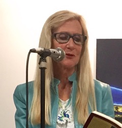
Patty Limerick is the Faculty Director and Chair of the Board of the Center of the American West at the University of Colorado Boulder, where she is also a professor of environmental studies and history. In addition, Patty served as the Colorado State Historian and served on the National Endowment for the Humanities advisory board, The National Council on the Humanities. She is the author of Desert Passages, The Legacy of Conquest, Something in the Soil, and A Ditch in Time. A frequent public speaker and a columnist for The Denver Post, Limerick has dedicated her career to bridging the gap between academics and the general public, to demonstrating the benefits of applying historical perspective to contemporary dilemmas and conflicts, and to making the case for humor as an essential asset of the humanities. A recipient of the MacArthur Fellowship and the Hazel Barnes Prize (the University of Colorado’s highest award for teaching and research), she has served as president of the American Studies Association, the Western History Association, the Society of American Historians, and the Organization of American Historians, as well as the vice president for teaching of the American Historical Association. She received her B.A. from the University of California, Santa Cruz, and her Ph.D. from Yale University.

Selected Columns

Editor’s note: These newspaper columns have been republished in their original form. The opinions expressed in them are those of the authors and do not necessarily reflect the views of Colorado Encyclopedia.

Prodding a historic friend to do better

The Denver Post, July 13, 2018

History Colorado and I are old friends. Thirty years ago, still a newcomer to Colorado, I gave the keynote speech at the society’s annual members meeting. Over the years, to use the classic Western phrasing, I have not been a stranger to that organization; my deepest mission in life is reaching members of the public to persuade them to find value in history.

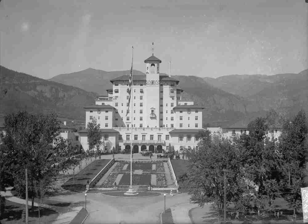
Before my role as Colorado State Historian became reconfigured, I had four intense months to observe the inner workings of the state agency and nonprofit that manages the History Colorado Center located in downtown Denver.

I am not a person known as uncommunicative or secretive, but I have nonetheless confined my criticism of History Colorado’s operations and actions to a small circle of friends and colleagues.

Maintaining public silence is no longer tenable. Personal and professional integrity demands a more forthright approach and a more open statement of my disappointment in and my hopes for the performance of the state historical society.

So here we go.

The current exhibits, as well as the ones on the near horizon, do little to provide historical understandings of issues that concern Coloradans today. On the contrary, most of them register in a genre we would have to call “history lite.”

Hence, my current hope: that History Colorado’s leadership will join me in a spirited public discussion of the ways that historical thinking can serve as a remedy for the bitter polarization and antagonism of the Trump Era.

Is it practical and fair to ask a state historical society to offer such a remedy?

Yes.

But History Colorado has not stepped forward to provide that service to the state’s citizens.

Two weeks ago, Colorado Public Radio’s “Colorado Matters” ran a story about the challenges facing History Colorado four years after it underwent a major reorganization. In the double feature of a long-form article and a radio interview, the reporter Ann Marie Awad explored issues involving management, budget, workplace climate, and high levels of staff turnover. The report noted accomplishments in, for instance, balancing the institution’s budget, but it brought attention to other matters that might evoke concern among Colorado’s citizens.

An opportunity to unite

Two and a half years ago, I had a crystal-clear vision of what I would be doing in the hot summer of the midterm election year of 2018.

Right about now, I would be joyfully writing to invite you to visit a new historical exhibit called “Parting Ways with Partisanship: The Up-and-Down Story of Civility and Collaboration in Purple Colorado.” Even better, in the opening weeks of this exhibit, I would be hosting a series of lively discussions with pairs of prominent Republicans and Democrats who had forged friendships and alliances that permitted them to work together on common causes.

When I was appointed as the Colorado State Historian, I was theoretically given the authority to direct the planning of exhibits and programs at History Colorado; this celebration of our tradition of bipartisanship led my priority list.

I was already alarmed by the intensity of the nation’s polarization. Since then, and accelerating with President Donald Trump’s inauguration, polarization has acquired a fearful intensity. Our need — for institutions and organizations capable of and willing to provide us with historical perspective on controversial issues — grows ever more urgent.

However, not long after my exuberant priority list for exhibits came out of the chute, it came to a halt. (Indeed, the story of the evaporation of my authority over History Colorado’s exhibits is breathtaking in its tedium. We can save this story for the unlikely day when Denver Post readers express interest in a tale rich in detailed summaries of meetings and memos.)

Rather than making a purposeful effort to advance the cause of civil conversation in these troubled times, this state institution has been forfeiting and bypassing multiple chances to present exhibits and programs that would convene people who hold clashing positions on current issues and mobilize historical perspectives to invite those disputants into productive conversations and even into alliances. Even more important, it is passing up opportunities to provide the majority of citizens with a chance to hear well-moderated discussions that would help them figure out what they think.

Instead, separately and collectively, the current exhibits evoke the word “jumble.” From “Denver A to Z” to “Colorado Stories,” from “Legorado” (a mash-up of Colorado’s landscape constructed from Legos) to “Zoom In: the Centennial State in One Hundred Objects,” History Colorado leaves it to visitors to walk among disjointed fragments from Colorado history and to guess where they might fit in a bigger picture of the state’s history.

With an exhibit on the history of beer in Colorado in preparation, “history lite and effervescent” seems to be maintaining its central place on the menu. Given that History Colorado’s most consistent visitors are young children on school field trips, there is something mystifying in the decision to create a major exhibit on the history of a beverage with many festive dimensions but also with unmistakable connections to human tragedy. Will some parts of the exhibit feature the miseries of alcoholism? Will touch-screen videos present representatives from Mothers against Drunk Driving telling their stories of loss? At the least, very careful thought will have to go into preparing the script for tour guides and docents to use as they conduct fourth-graders through this complicated dimension of Colorado’s — and humanity’s — history.

While the beer exhibit looms on the horizon, the disordered character of past exhibits lingers in the museum. Four years after the budget-crisis-induced regime change, newer exhibits still appear as compilations of pieces from unrelated jigsaw puzzles, placed next to each other as if proximity would give them coherence.

Reckoning with a troubled institutional past

The current leaders of History Colorado might, with some accuracy, claim that the jumbled quality of exhibits was an intractable inheritance they received from their predecessors. And yet, as all readers who remembered to strap on their irony detectors are now thinking, when a historical society struggles to reckon productively with its own institutional past, observers will find the phrase, “physician, heal thyself,” begging for attention.

Leaders of History Colorado, you have inherited your own difficult legacy from the past. It is truly your privilege and honor to deal with this legacy in a manner that sets a model for your fellow citizens.

Why not, for instance, display an honest and forthright statement everywhere in the building? “

As you may have noticed on your visit to this museum, it’s hard to pull the pieces and parts of Colorado history together. But we’re giving it our best shot! Email or text or Tweet or write us on Facebook, and tell us where you’re seeing connections we may be missing!”

Why not hold lively and forthright public forums to explore ways in which History Colorado could move beyond “history lite” and offer programming that would unleash the full power of a state institution to illuminate the historical origins of our dilemmas today? Why not position this state to set an example for a troubled nation by sponsoring and maintaining a vigorous and consistently civil conversation on the complicated heritage we have received from the people of the past?

Performances of good-natured, productive airing of differences are not, to use a vanished phrase, a dime a dozen in American life today. But I am certain that History Colorado could — over the next years — provide dozens of those occasions, with costs that will exceed a dime, but will pay off in many ways.

Fellow citizens, I fully understand that there are many difficult issues demanding your attention. But if you think historical perspective might help us in reducing the tension and friction of our times, then please consider joining my cause by attending my proposed public discussion to explore the great promise and potential ready to be unleashed at History Colorado. If you believe that historical perspective might help us in dealing with our conflicts and dilemmas in these trying times, I welcome your company on that and many other occasions.

And, now back to you, leaders of this important state agency: These are tense and troubling times, but don’t let that frighten you. Or, to put this invitation in more folksy terms, “Come on in, the water’s fine!”

Well, actually, launching a mutual commitment to forthrightness, let’s rephrase that.

The water’s rough, tempest-tossed, and troubled. But that’s all the more reason to serve our fellow citizens by jumping in.

Forgetting, then remembering, Colorado’s great Belle Turnbull

The Denver Post, November 17, 2017

When it comes to decisions about which historical figures we should remember and honor, and how we should conduct the “honoring” part, our nation has been floundering.

Meanwhile, a bunch of Coloradans has just offered the nation a nearly perfect — let’s be honest, an entirely perfect — demonstration of how to do this right.

Belle Turnbull was a noted Colorado writer who lived, wholeheartedly, in Breckenridge, and who published poems that received national recognition. Because she wrote so memorably about the state’s mountain landscape, and also because her poems crossed the boundaries of class and occupation with agility and respect, her writings constitute a treasure in our heritage.

And people who would like evidence for that assessment should hurry to acquire a book, “Belle Turnbull: On the Life and Work of an American Master,” edited by David J. Rothman and Jeffrey R. Villines.

How did this book come into being?

First, we forgot all about Belle Turnbull. This permitted us to take an entirely fresh approach to thinking about her.

Actually, we didn’t do the forgetting ourselves. Somehow, after her death in 1970, even Coloradans who took pride in their knowledge of Western literature forgot about her.

Second, the right people — with the capability to show the world how to remember and to honor — had to be introduced to each other.

Years ago, I became acquainted with two Coloradans — Jan Robertson, the author of a spirit-lifting book, “The Magnificent Mountain Women: Adventures in the Colorado Rockies,” and the above-mentioned Rothman, a gifted poet and musician. And then I invited Rothman to give a presentation on Colorado poetry to my class. Robertson was sitting in on the class, and after she heard his talk, she said to Rothman, “Why didn’t you mention the Colorado poet Belle Turnbull?”

Taking the question to heart and seeking out Turnbull’s poetry, Rothman was overwhelmed with admiration. So he assembled a team of Colorado literary figures — George Sibley, Susan Spear, Uche Ogbuji and David Mason — to share in this joyful rediscovery and to write essays to accompany a new collection of her poems.

Third, not one of us put forward the witless idea that the proper memorial to Belle Turnbull would be to cast her in bronze and put her on a lofty pedestal, where she would look distant and dull.

A mystifying enthusiasm for this peculiar custom has burdened the United States for a long time. Since bronze is very susceptible to corrosion, this strategy for honoring historic figures has left a number of these figures pitted, scarred and discolored. Moreover, turning human beings into metal and elevating them has proven to be a very effective mechanism for creating an aura of pious tedium and suppressing curiosity among viewers.

Belle Turnbull was a person of great wit, enormous vitality, and a profound sense of time. Thus, we have to wish that she had had the chance to record her thoughts on her nation’s enthusiasm for bronze memorials.

In her poem “Time as a Well-Spring,” a miner sums up a life history composed of equal parts of contentment and tragedy. When it comes to a commentary on our curious customs, his concluding words fit the bill: “I have to laugh, he said, I have to laugh.”

Let’s ask American Indians about the “immigration crisis”

The Denver Post, January 14, 2017

In 2017, as the nation steps into the ring for yet another fight over immigration, the time has come to seek guidance from the people who have endured the most trying encounters with unruly and ill-mannered immigrants.

For five hundred years, American Indian people have been coping with an immigration crisis. Since 1492, Europeans and Euro-Americans have disrupted long-established native communities with rowdy, sometimes violent conduct. And yet it is also true that natives and newcomers have also built relationships of trade, intermarriage, cultural exchange, negotiation, curiosity, respect, and even affection.

In some locales, natives and newcomers have found ways to adapt to each other’s presence in surprisingly convivial ways. One such locale, improbably enough, is the area of Eastern Oregon where, a year ago, a group of new arrivals undertook to set a record for the escalation of conflict and contention.

In January of 2016, Ammon and Ryan Bundy, sons of the prominent Nevada lawbreaker Cliven Bundy, led an armed occupation of the Malheur National Wildlife Refuge. The Bundys showed not an ounce of awareness of the impressive work of a local coalition that had convened Fish and Wildlife employees, the Burns Paiute tribal leaders, ranchers, environmentalists, and townspeople to arrive—successfully!—at a consensus for the management of the wildlife refuge.

The very idea—that two ill-informed men from Utah could travel to Harney County, Oregon, and cast themselves as the representatives of local interests—satisfies all the technical criteria for classification as very batty behavior. And then, when the Bundys demanded the return of the public lands to their original owners, their inattention to the existence of the Burns Paiute Tribe put the refuge occupiers on record as pioneers who had lost their bearings on the far frontiers of historical irony.

When it comes to an accurate grasp on history, Charlotte Rodrigue, the Burns Paiute Tribal Chairwoman, was and is light-years ahead of the Bundys. “I am not sympathetic to a group of armed individuals,” she wrote in the New York Times, “who want territory we have lived on for thousands of years to be ‘returned’ to the ‘people of Oregon.’ ”

Wondrously, the threat and danger brought to Harney County by these intruders did not immobilize Chairwoman Rodrigue’s sense of humor. Noting that the Burns Paiute Tribe and the federal employees at the wildlife refuge had arrived at terms that made coexistence workable, Rodrigue offered a commentary, at once merry and mocking, of the silly conduct of the occupiers:

“I will say, though, that the armed group could use some advice on their survival skills. Had the Paiute people staged a similar occupation, we wouldn’t have needed to ask for snacks or winter socks. Roots and berries hit the spot and rabbit fur is remarkably warm.”

Here is a sure bet: If we have the good sense to include the wise and witty reflections of Indian people in our search for ways to deal with issues of immigration, we will gain more insight than we can, at this point, even start to imagine!

Burns Paiute Tribal Chairwoman Charlotte Rodrigue will speak at CU Boulder on February 21, at 6:30 p.m. in Benson Earth Sciences Room 180. Admission is free and open to the public. 

From Sand Creek to Dallas, and from brutality to grace

The Denver Post, July 16, 2016

The recent killings in Louisiana, Minnesota and Texas have turned us all into amateur theologians and moral philosophers, presenting us with questions we could not evade or dismiss:

How can human beings hold such opposite capacities — for acts of grace and for acts of brutality?

And when the brutality has been unleashed, how do we acknowledge the loss and injury in a way that might tilt the balance back to grace?

If we approach these questions with a commitment to think deeply in time, our minds and souls could be enriched and strengthened, and our despair will be leavened with hope.

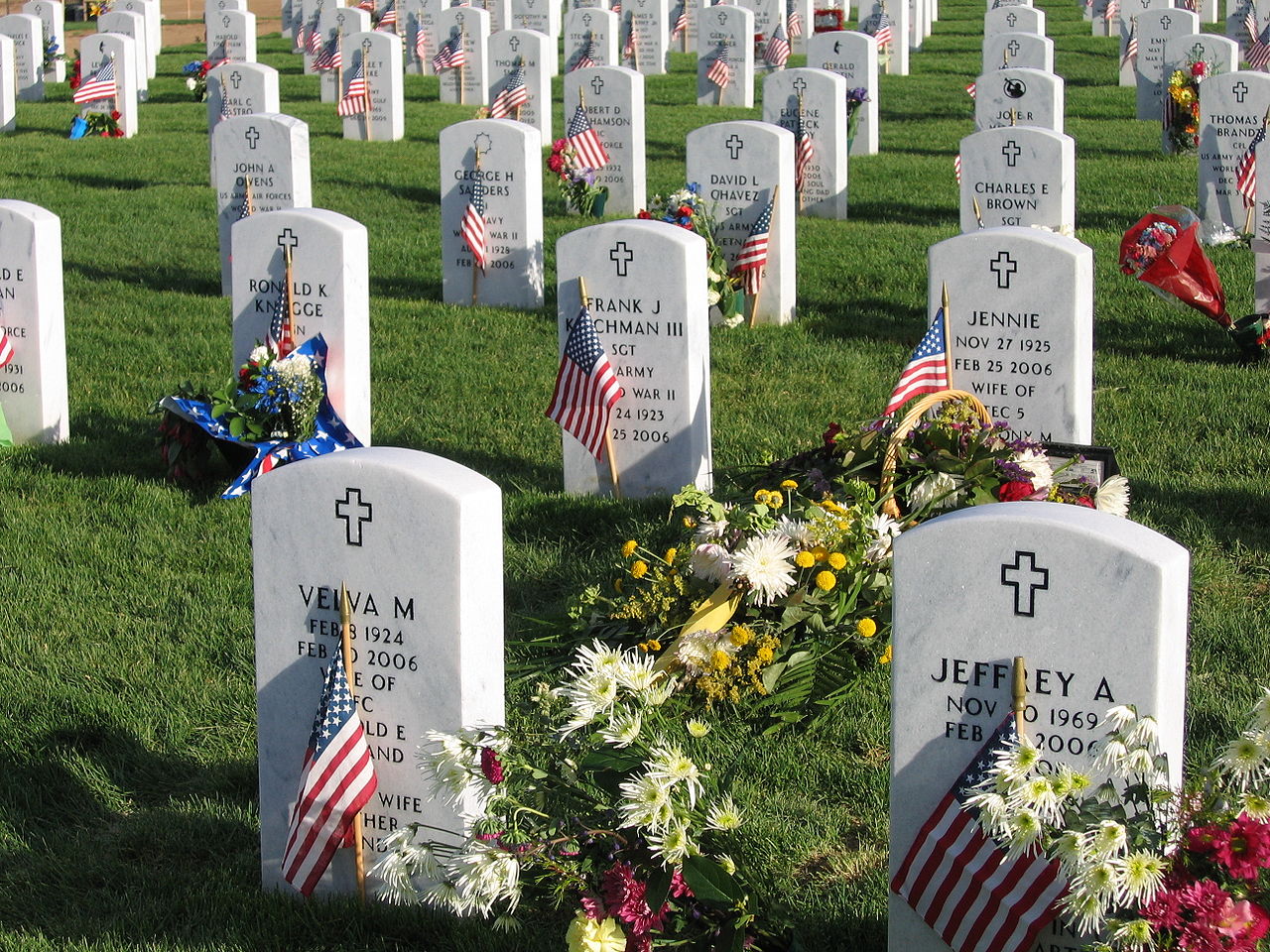
On Nov. 29, 1864, in Colorado Territory, the human capacity for brutality, cruelty and violence reached an unfathomable intensity. In the Sand Creek Massacre, soldiers from the First and Third Colorado Regiments killed more than 200 Cheyenne and Arapaho people, including many women, children and elderly people. Many of the dead were unspeakably mutilated.

We cannot reverse the injuries and losses of that day. But we can agree to respect and acknowledge the memories that will never leave the Cheyenne and Arapaho people. We can exercise our souls and avoid any temptations to deny or dismiss this nadir in Colorado life.

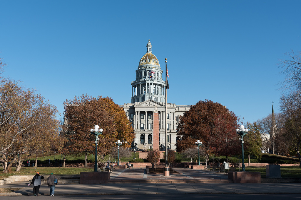
This summer, a plan to place a memorial to Sand Creek on the grounds of Colorado’s Capitol is moving toward a definitive moment in decision-making. On Aug. 19, the Capitol Building Advisory Committee will vote on a recommendation to move forward with this monument.

Some readers may, initially, question the justification for this act of remembrance. This massacre happened long before present-day Coloradans were on the planet. But history does not start on the day of our birth. We are brought into a world reconfigured and sometimes haunted by the actions of our predecessors.

The Sand Creek Massacre was not an isolated misfortune. It was a founding episode in the history of Colorado, and an event of great consequence and significance for the nation as a whole.

The forced relocation of the Cheyenne and Arapaho people to Wyoming, Montana and Oklahoma has made it possible for the current residents of the Front Range to forget the history of the dispossession of the tribes. Nonetheless, the descendants of the people attacked at Sand Creek are very much alive, and this act of remembrance matters deeply to them. 

At a memorial paying tribute to a recently departed person, the people in attendance range from close relatives to acquaintances who nonetheless felt some connection to the departed. A monument for those who died in the more distant past becomes, in a similar way, a place to convene and reflect. There is no required orthodoxy of thought and feeling imposed on those present.

If you would like to express your opinions on the proposed memorial, you can write the Committee at CBAC@state.co.us. Or you can write me (pnl@centerwest.org), and I will assemble the statements and provide them to the committee.

You are welcome to join me on Aug. 19, when the committee meets at the Capitol. And you are welcome to stay with me afterwards for a discussion: Can a forthright reckoning with the violence of Sand Creek help us to a better understanding of how to respond to the violence of our own times?

Why I fell in love with Colorado

The Denver Post, January 15, 2016

I never wanted to move to Colorado.

As the newly appointed Colorado state historian, I aim to earn a high ranking for the celebrated virtues of transparency and full disclosure.

In the early 1980s, I was teaching at Harvard on the “revolving door” plan. Assistant professors arrived on campus with the knowledge that we would be departing in five years. Those who did not abide by this understanding could choose, instead, a humiliating ordeal: being reviewed for tenure with a 99.9 percent guarantee of failure.

So my professional ambition acquired sharp definition: I wanted to leave Harvard before I got booted out. And so, hoping to get back in training for the strenuous sport of applying for academic jobs, I applied to CU and was surprised to get a job offer.

With 2½ years remaining on my Harvard contract, I asked the history department chair for a consultation. He convened senior historians to see if they had any inclination to encourage me to stay.

When I went to his office to hear the results of their deliberations, one very legible note sat at the center of his desk:

“No on Limerick.”

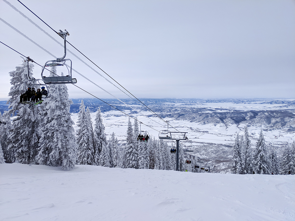
I did not move to Colorado because I was a skier eager to hit the slopes, or because I was enchanted with John Denver, or because I had recognized that staying on the East Coast was going to come close to eliminating my opportunities to reach Western audiences with my perspectives on their region’s history.

Evidence that I had been unbelievably lucky was not long in presenting itself.

Awakening to the restorative power of the landscape, I soon rechristened one of the Flatirons as “The Mountain that Makes Life Worth Living Again after a Difficult Meeting.”

Another telling indicator of my change in thinking was a rising tide of condescension and pity for people who lived elsewhere. Visiting universities around the country, when faculty members took me out to dinner, I had to work hard not to tell my pleasant hosts, “I’m sorry you are stuck living here.”

And then there was the emergence of an improbable and unexpected trend by which Coloradans aplenty invited me to give speeches on every imaginable subject, and some that went a step or two beyond imagination. Given access to podiums in nearly every part of the state, I eased into a role as the Kilroy of public speaking in Colorado. (If the excellent phrase “Kilroy was here” has expired as a recognized and familiar figure of speech, then I will put reviving it on my to-do list as state historian.)

Having been born and raised in a small town where everyone knew everyone else, I was grateful beyond measure as my speaking circuit set me up to acquire hundreds of new friends. And when my first husband, Jeff Limerick, died of a stroke in 2005, I was immersed in the compassion of Coloradans.

Back when I was a more sequestered academic, I wrote about “the Western sense of place.” It was a spectacular turn of events to come into possession myself of the sentiment I had been studying.

I cannot imagine living anywhere else.

And I cannot imagine a greater privilege than serving as Colorado state historian and becoming even more of a champion for the place where I live.

The Paradox of Bernard DeVoto

The Denver Post, November 13, 2015

The University of Colorado at Boulder has given an honorary Ph.D. to a contentious public figure with a habit of using words like “stupidity,” “idiocy,” and “imbecility” to characterize his opponents’ positions.

Before you get braced for another ill-tempered squabble over free expression in higher education, note this important matter of timing: This honorary degree was awarded to Bernard DeVoto, one of the West’s great public intellectuals, in 1948.

We can be certain that the Colorado Cattlemen’s Association did not celebrate the awarding of this degree. Not long before the ceremony, DeVoto had taken to expressing well-publicized outrage when Western cattlemen demanded greater access to public lands.

“If you listen late at night,” DeVoto wrote to an ally in March 1948, “you will hear an odd, steady sound. That is me boiling. … I seem to have got mad.” In a cascade of pieces appearing in “The Easy Chair,” his column in Harpers Magazine, DeVoto denounced the cattle industry and its congressional representatives.

Expressing disagreement, DeVoto wasted no time on diplomatic persuasion. “My opinions may be wrong,” DeVoto once wrote to an opponent, “but they are based on experience and prolonged study, and I doubt that yours are.”

So what should we make of the University of Colorado ‘s decision to give an honorary degree to a pre-eminent practitioner of the take-no-prisoners style of argument? Is it imaginable that DeVoto should serve as a role model for CU students?

Here are five features of DeVoto’s life that suggest such a possibility.

  • DeVoto had a breathtaking work ethic and an impressive ease with language. He wrote novels, histories, literary criticism, columns, book reviews, and an unending stream of letters. As he once told his wife, “I am a literary department store.”
  • When he chose to, DeVoto could and did turn antagonists into friends.
  • His kindness to the young was legendary. If you know college students who are struggling, please give them DeVoto’s 1929 letter to Raleigh Blake, one of humanity’s highest achievements in cross-generational advice.
  • DeVoto charted his course in life by thinking long-term. “What we want posterity to do for us,” he wrote, “is to value us as ancestors and predecessors.”
  • DeVoto over time took up a more forgiving and hopeful way of dealing with human self-contradiction. As a young man, he was quick to denounce inconsistency in his fellow humans. His peak performance in this vein appeared in his classic summation of the stance of the Westerner toward the federal government: “Get out and give us more money.” And yet, at the time of his death at age 58, the manuscript he left unfinished was titled not “Western Hypocrisy” but, rather, “Western Paradox.”

In a moment of perfect phrasing, DeVoto declared that Westerners were “children of paradox and begetters of paradox.”

It took one to know one.

That capacity for self-recognition is one big reason to be glad that my university gave DeVoto his honorary degree.

The complicated history of extraction in Colorado

The Denver Post, January 15, 2015

On Sept. 8, I learned that I had not been appointed to the Governor’s Task Force on Oil and Gas Development.

I moved through the stages of grief and loss at a brisk pace. Wasting not a second on Denial, I accepted reality, and barely paused for Anger and Bargaining. I did make a brief stop at Depression, moping over the fact that the people of Colorado had not spoken with one voice to ask for my help in navigating this contentious terrain. But in short order, I raced on to Acceptance, where I have reposed for four and half months.

And yet appointing a historian to the task force could have provided occasions for an unexpected unity and shared spirit in its members.

If fate had decreed otherwise, I could have unleashed the under-utilized power of historical perspective as a delivery system for equal annoyance. In healthful and spirit-lifting interludes, the Task Force could have had moments of unity in wishing I would go away.

Here’s how I would have achieved this miracle. From time to time, I would have reminded everyone that two paired historical legacies have been obstructing — and will continue to obstruct — problem-solving if they are not addressed with forthrightness.

First, the oil and gas industry inherits the complicated history of Western extractive industry. The extraction of natural resources — gold, silver, coal, oil, timber, grass, water, soil nutrients, etc. — drove American expansion into the West. Extraction also left behind many messes: abandoned mines leaking acid drainage into waterways and open pit mines evolving into toxic lakes; clear-cut forest lands; eroded soil; ghost towns stranded when busts followed booms. Today, when an energy company puts forward a plan to drill for oil and gas, this legacy of memory and resentment instantly surges to the surface.

Second, the residents of the Front Range’s towns and suburbs have an awkward historical legacy of their own. They reside in communities that would never have come into existence — or continued to exist —without a festival of combustion of fossil fuels, particularly for transportation. Just a few decades ago, sprawl — the rapid expansion of the population of these communities, a movement driven in part by white flight from urban desegregation — was a principal focus of concern and alarm among conservationists and environmentalists. This history provides awkward footing for Front Range residents who would like to position themselves today on the environmental high ground.

When delivered together, those two statements have been shown to exercise an equal and commensurate power to irritate everyone in sight.

Of course, it is crucial to acknowledge that historical legacies do not behave in a very sporting way. In a fair world, people who have recently moved to a Front Range suburb should not have to bear the burden of the town’s long history. In a fair world, a CEO of a natural gas company working hard to take precautions to guard against environmental damage should not have to bear the burden of association with, for instance, the abandoned mines that pockmark the West.

But historical legacies are not obligated to bestow themselves with aim and precision. They hang around anyway, unconcerned about and unconstrained by fairness, and they will not surrender an ounce of their power until they are acknowledged and addressed directly.

In my wilder moments of imagining routes out of our current stalemates, I dream of a custom in which meetings on controversial subjects universally start with a group recitation of Romans 3:23: “There is no distinction, for all have sinned and fall short of the glory of God.”

If quoting from scripture threatens to become the occasion of another squabble, we can easily shift this to secular phrasing: We cannot plan for our future until we face up to our history.

Let the discussion begin — on new and better footing.

New perspectives on Colorado history?

The Denver Post, February 14, 2014

Coloradans, a cascade of emotionally intense anniversaries is about to descend on you.

To a professional historian, every thought in every day draws a line between the present and the past, between then and now. For people in other lines of work, when the number of years since a historic event’s occurrence registers as a multiple of five or 10, it is finally time to pay attention.

Metric moments aplenty are coming at us, asking us to encounter the past and to see if any those encounters carry lessons that might be of value to our times. Even more important, these anniversaries provide the opportunity to face up to the tragic dimensions of history and to experiment with alternatives to condemnation and guilt, denial and dismissal.

What in the way of anniversaries do we have on the horizon, and how shall we handle them?

The year 2014 is the 150th anniversary of the Sand Creek Massacre. On Nov. 29, 1864, militia troops attacked a camp of Cheyenne and Arapaho people in southeastern Colorado. This is a story of such great loss, pain and sorrow that no one writing a short column should even pretend to summarize it.

While many non-Indian Coloradans at the time applauded this attack, a significant — and outspoken — set of 19th century Americans condemned it. Certainly Indian people responded to it with anguish and rage. In other words, in observing this anniversary, it would be wise to skip the declaration that the killers at Sand Creek were “simply men of their times.” The actual men of those times were far from homogeneous and uniform in their opinions and judgments.

The 150th anniversary of Sand Creek presents an opportunity to figure out, in close consultation with Indian people, actions we can take to arrive at terms of greater justice for the descendants of the native people who, with astounding persistence, survived the terrible times of the mid-19th century.

The year 2014 is also the 100th anniversary of the Ludlow Massacre. For months, a violent struggle between the coal industry and miners took over southern Colorado. On April 20, 1914, members of the Colorado National Guard and men employed by the Colorado Fuel and Iron Company attacked a camp of strikers and their families.

The nation in 2014 has embarked on a discussion of “income inequality” that has been on a steady march toward heated slogans and partisan polarization. A serious consideration of the history of the Ludlow Massacre could provide us with the foundation for a more grounded and productive public conversation about class and power in the United States, past and present.

And the year 2014 is the 25th anniversary of the FBI raid that shut down the Rocky Flats weapons plant. Remembering this event, many readers and I land in the category of “historic relics” ourselves, carrying around vivid memories of the surprise and bewilderment we felt when we heard of the raid. Reckoning with this anniversary opens a door to deeper reflections on the complicated legacy of the Cold War left after the closure and dismantling of the facilities at Rocky Flats.

We can use these anniversaries to refight old battles and to deepen our differences. And yet, in commemorative events around the state, we will be given a cascade of invitations to explore alternatives to our familiar state of polarization. We can convene to think empathetically and creatively about our relationship to our ancestors, our contemporaries, and our descendants.

History is giving us a second chance.

Changing the conversation over fracking

The Denver Post, November 7, 2013

In Tuesday’s elections, several Colorado communities — Broomfield, Fort Collins, Lafayette and Boulder — voted on initiatives proposing a moratorium or ban on hydraulic fracturing. Here is a safe bet: The results won’t resolve the issue or put it to rest. In other words, we are now positioned to shift the discussion of oil and gas production in Colorado from a shouting match to a thoughtful and civil conversation.

This cheerful statement will strike many as a classically airheaded-academic, improbable, borderline-batty statement. Indeed, many readers have, at this point, taken pencil or computer keyboard in hand to draft proclamations of scorn for my unrealistic naiveté.

Ardent critics, hold your fire for a moment. In making this statement, I have some notable allies who carry a lot more credibility than I do. One has written that the issue of hydraulic fracturing comes with many complications, making “it difficult for someone who knows how complex [the issue] is to take a firm, absolute stance on it. The more you learn, the more you realize how little you know.”

This wise remark appeared in a stack of student-written course papers. Required to attend a public lecture in the Center of the American West’s FrackingSENSE series, my students are assigned to listen to the talk and, afterward, to speak with members of the public seated near them. Many of the papers were charged with the students’ hope that their elders will cut back on the shouting and take part in a civil discussion shaped by the consideration of evidence rather than the denunciation of opponents. How would we pursue this improved conversation? Here are three ideas:

1. We could talk about providing better aim to the concerns, worries, anxieties and fears raised by hydraulic fracturing. Many opponents of the process are preoccupied with the risk of groundwater contamination from compounds in the fracturing fluid that, under high pressure, shatters the shale in which natural gas or oil is “trapped.” This preoccupation is an understandable legacy of the years in which many oil and gas companies refused to disclose the contents of fracturing fluid, a practice that could not have been better designed to foster and maintain public distrust. Fortunately, a shift — produced by regulation and by voluntary action in companies — toward the disclosure of fracturing fluid contents is already well underway.

Moreover, my colleague Joe Ryan, a University of Colorado environmental engineering professor, has laid out a valuable way to appraise the contents of fracturing fluid. Of the nearly 1,000 compounds that have been included in the inventories and lists, Ryan has pointed out, only a limited number have the capability of harming human beings. To pose a danger, these compounds must be hazardous to human health, mobile enough to get to humans, and persistent enough to avoid breaking down to something less hazardous while traveling toward the humans. Identifying compounds with these qualities generates a much shorter set of targets for our wariness.

With more efficient ways to worry, we can direct greater attention to the construction and maintenance of wells, casings, cement, surface storage containers, and mechanisms and equipment on the surface. It is time to think more about the risks posed by leaks and spills on or near the surface, while downsizing worries over the fracturing process that occurs thousands of feet beneath these areas of risk.

Risk = hazard + outrage

2. Our public conversation should attend carefully to the genuine distress triggered by the arrival of oil and gas development in a setting of homes and schools. Consider the insightful formula offered by expert Peter Sandman: “Risk = hazard + outrage.” While the scientists and engineers can help us by collecting data and assessing the physical dimensions and qualities of a hazard, a sense of powerlessness — of being subjected to an un-chosen, involuntary ordeal — is a major driver of worry, stress and fear. The noise, lights, traffic and disruption that come with drilling and production make a dissonant and disorienting addition to life in a town or suburb. Here I propose a simple trade-off for improved conversation: I ask people in the industry to recognize more legitimacy in the concerns of their residential neighbors, and I ask worried residents of the towns and suburbs affected by natural gas production to speak more openly about their communities’ dependence on natural gas for heating and petroleum for transportation.

3. We would all benefit from more modest expectations of the likelihood that scientific findings will, on their own, chart the route to sound decisions and policies. Especially in studies of public health, rather than giving us confident and certain predictions, experts must convey their results in probabilities of risk. The scientists’ mental world involves calculating and estimating the probability of an undesirable thing happening. The public’s mental world accents an entirely different question: “If there is a chance of risk, will I or my family members prove to be the ones injured by that risk?” The scientists are trying to speak in statistical terms about broad populations; a member of the public is asking, “Am I in danger?” In a calm conversation, we can conjure up ways to connect and reconcile these two very different ways of thinking.

Preconceived notions

In Colorado’s ongoing real-life seminar on hydraulic fracturing, taking up these three topics could open the door to a dramatically more worthwhile discussion. I arrive at this conviction after spending the last year as a participant in a big project funded by the National Science Foundation’s Sustainability Research Network. This project brings together teams of researchers to find ways to maximize the benefits and minimize the risks of natural gas production. The science and engineering teams are immersed in collecting data. (It will be awhile before their findings are completed and published.) Thus, I write here not as an official reporter of the teams’ research findings, but as a citizen who has had the good fortune to spend time in the company of specialists studying this subject with rigor.

And yet I also write as a proud teacher reporting the insights of impressive students. One young man summed up the hope shared by many: “If people could somehow dampen their preconceived notions on the topic, they could make better decisions about which side they support.”

My students listened with open minds to both supporters and opponents of hydraulic fracturing, as well as many people who said they were still making up their minds. “They really are looking out for the future of their families,” one student reported of her conversation with two activists, “and that’s something I find honorable.”

Ask a friend to try an experiment. Then start shouting loudly and angrily at your friend about, for instance, the difference between completely reliable predictions and carefully calculated probabilities. After a minute or two of this, you will both be in the mood for a change in style of communication.

I happen to have at hand a list of youthful and honorable discussion-moderators to recommend, with writing samples to accompany my nominations. We’re talking about their future, after all. T

To read a longer version of the ideas expressed here, go to centerwest.org.

What Congress can learn from a 1930s Western

The Denver Post, October 10, 2013

I will now attempt to set an inspirational example for the members of Congress. On public record, I am going to reject moral purity and compromise my principles.

While our national leaders were standing by their principles and thereby perfecting their genius for the production of gridlock, I was trying to get out of a similar internal gridlock of my own.

My very smart friend Dan Boord, a filmmaker and a professor in the University of Colorado Film Studies Department, had asked me to visit his big lecture class and join him in a discussion of John Ford’s 1939 movie “Stagecoach,” the movie that made John Wayne a star.

Since my old campaign to invite Westerners to take a more realistic view of their region’s history did not always coincide with admiration for Western movies, I watched “Stagecoach” more closely than I ever had before. With Boord’s guidance, I contemplated elements of the movie that I would never have noticed on my own.

Note the dangerous process under way here: I was learning something new. And, in the unforeseeable outcome that learning will often produce, my comfortable assumptions and familiar principles were about to get rattled.

In this movie, Ford placed a bunch of difficult and peculiar people in the confined space of a stagecoach. The people who got into this tiny traveling vehicle did not like one another. But then they got bounced around in the stagecoach and in their relationships with one another. Out of all this jiggling on rough roads, reconciliations and alliances emerged and persisted. Like any normal human being, I found the journey of this group, from hostility to a version of community, to be inspirational and moving.

But another scene provided me with a lot more irritation than inspiration. In a cliché-saturated, standard-issue scene, featuring stereotypes deeply embedded in the Western film genre, the Apaches attacked. There is not a hint in the film as to what might have provided the context or motivation for this attack. Instead, in a movie that is otherwise stunning in its complexity, the Indians are simply portrayed as people who are brutal and violent by nature.

Some readers will be quick on the draw with the assertion that, with this scene, Ford simply reflected the universal thinking of his time.

Not true.

In the 1930s, the nation took important steps toward reckoning with the dispossession of Indian people. The change in federal policy called the Indian New Deal reversed the loss of tribal lands and made a start toward restoring tribal self-government. Thus, a defense of Ford as “a man of his times” does a double disservice in over-simplifying both the man and those times.

In the main plot of this movie, Ford triumphed over what one of his characters calls the “foul disease” of “social prejudice.” In the episode of the Indian attack, he relapsed.

Taking all this in sent me into internal gridlock. I alternated between admiring “Stagecoach” and wincing over its portrayal of Indian people.

And then, thank heavens, I settled down and, in the terms of our times, got a grip.

I remembered the aphorism “The perfect is the enemy of the good.” Sticking to the kind of principle that requires us to reject inspiration, when it does not come safely packaged in 100 percent moral purity, is not a rewarding way to live on this complicated planet. And Ford’s career backs me up in this conviction: In his last Western movie, “Cheyenne Autumn,” he finally included Indian people in the space of the American community.

Imagine the benefit to the nation if a patriotic, humanitarian filmmaker drew on the inspiration of “Stagecoach.” The goal would be to pack groups of Republicans and Democratic members of Congress into stagecoaches and jiggle them until the rigidity of their ideologies loosened up.

The time has come for the John Ford Stagecoach Initiative.

Body:

On November 29, 1864, US volunteer cavalry killed at least 230 Cheyenne and Arapaho people—mostly women, children, and the elderly—who were camped peacefully along Sand Creek in what was then Colorado Territory. Learning about the Sand Creek Massacre encourages people to reflect on the ways the massacre was part of the larger effort by the United States to dispossess Indigenous peoples across the American West.

Far from the bustle of Denver and Colorado’s Front Range, the Sand Creek Massacre National Historic Site sits on the dry, rural land of Kiowa County in southeastern Colorado. Visitors may see the waterless creek bed and prairie grasses and get a sense of the quiet, contemplative nature of the site, but for many it is harder to fully grasp the violence that happened there. The Sand Creek historic site is particularly significant for the Cheyenne and Arapaho, as they have played a central role in the site’s development and repatriated the remains of their ancestors. The descendants are still working to tell the story of Sand Creek and help their communities heal from this trauma.

Background

The Sand Creek Massacre was the result of a convergence of historical forces that spanned over three decades. First, American traders such as William Bent, Ceran St. Vrain, and Louis Vasquez built trading posts on the Colorado plains that pulled Indigenous people into a network of international commerce. Then, the conclusion of the Mexican-American War in 1848 added a massive amount of territory to the western United States, prompting American expansion under the belief of “Manifest Destiny.” As this was going on, epidemics of Old-World diseases continued to decimate Cheyenne and Arapaho populations in Colorado and elsewhere. Finally, the Colorado Gold Rush in 1858–59 and the outbreak of the Civil War prompted the organization of the Colorado Territory in 1861.

Ten days before the territory’s establishment, US officials organized a peace council at Fort Wise in southeastern Colorado to renegotiate the terms of the 1851 Fort Laramie Treaty, which had left more than 40,000 square miles of present Colorado to the Cheyenne and Arapaho. The terms of the Treaty of Fort Wise reduced indigenous lands by over 90 percent.

At the end of March 1862, Abraham Lincoln appointed John Evans—an Illinois town developer, university founder, and railroad entrepreneur—as the second territorial governor of Colorado. Evans calculated that Colorado’s mining riches would make it a major rail destination in the West. In his view, the ongoing presence of the Cheyenne and Arapaho in their ancestral homelands posed a threat to that vision. Additionally, Evans and other Colorado officials feared that the Confederacy, which already had a strong influence in Colorado, would form an alliance with Native Americans. Evans also worried about the potential of a large-scale massacre of settlers, like the one in Minnesota involving the Santee Dakota in August 1862.

When the Hungate family, who had settled on Box Elder Creek near Denver, was found murdered, Evans pointed to their violent death as evidence confirming the threat from Colorado’s Cheyenne and Arapaho bands, despite the fact that no guilty party was ever identified and the murders were likely part of a reprisal for the death of an Indigenous person. Evans wired Secretary of War Edwin M. Stanton that Indigenous people of the Colorado plains had committed “extensive murders” within a day’s ride of Denver and demanded that troops of the First Colorado Cavalry be returned to the city. The macabre and calculated decision to display the mutilated bodies of the Hungate family on the streets of Denver substantially contributed to the terror among the territory’s settler population.

Two months later, Evans received congressional approval to raise a new regiment of US volunteers to bolster the territory’s defenses. The new Third Colorado Cavalry fell under the command of Colonel John M. Chivington, an ambitious citizen-soldier in command of the military district of Colorado. Chivington, a former Methodist pastor who voiced his hatred for both slavery and Native Americans, had his own motives for precipitating war on the plains.

Massacre

In the late summer of 1864, Cheyenne and Arapaho leaders contacted Major Edward Wynkoop at Fort Lyon in an attempt to secure peace with Colorado officials. Wynkoop escorted a contingent of Cheyenne and Arapaho representatives to Denver to meet with Evans and Chivington at Camp Weld. The meeting concluded not with a negotiated peace but with a veiled warning that war against the Plains Indians was still a real possibility. Instructed to turn themselves over to the authority of Wynkoop, the Indians drifted into Fort Lyon that autumn to find he had been replaced by Major Scott Anthony. Anthony directed the bands to move north, to camp along the dry streambed of Sand Creek.

On November 29, Chivington led a force of 675 troops from the First and Third Colorado Cavalry in a surprise attack on the village. Over the course of the day, Chivington’s forces killed at least 230 of the nearly 700 people in the village. Among the dead was the Arapaho leader Left Hand, who just six years earlier had graciously allowed American prospectors to camp on his land near present-day Boulder. US soldiers scalped and mutilated many of the bodies. The survivors, many of whom were wounded, fled to the Cheyenne Dog Soldiers’ camps more than 100 miles to the north. The Dog Soldiers and other warrior bands retaliated in winter raids of unprecedented scale and ferocity; among the casualties was the town of Julesburg, which was burned to the ground in January 1865. Colorado had descended into full-fledged war.

Aftermath

The memory of Sand Creek has been contested since the massacre. In the immediate aftermath, people offered conflicting accounts and explanations for the event. Chivington and many of the soldiers who participated in the massacre described it as a heroic battle. Captain Silas Soule, an officer of the First Colorado Cavalry who refused to fight at Sand Creek, characterized it as an unjust and brutal massacre perpetrated on a peaceful camp.

In 1865 the US Joint Committee on the Conduct of War investigated Sand Creek and concluded that Chivington “deliberately planned and executed a foul and dastardly massacre.” An army inquiry conducted at the same time reached essentially the same conclusion. Despite the findings of Congress and the army, many Coloradans at the time considered Sand Creek to be a justified battle. This idea was solidified on a Civil War memorial at the state capitol building in Denver, which lists Sand Creek as one of many Civil War “battles” in the West, and on a plaque at the massacre site that reads, “Sand Creek Battle Ground.” Aside from these monuments, local memory of Sand Creek had largely faded from public recognition by the early twentieth century.

Because Chivington’s commission had expired, he was immune from military justice. While the unprovoked slaughter at Sand Creek effectively ended Evans’s political career, he avoided criminal charges and went on to become one of the leading citizens of the territory and later the state of Colorado. Both Chivington and Evans fared better than Soule, who was gunned down outside his home in April 1865. It was widely suspected his killing was in retaliation for his testimony that detailed the horrors at Sand Creek. Later that year, tribal leaders and US officials signed the Treaty of the Little Arkansas, in which the government assumed responsibility and promised reparations to survivors of the massacre and descendants of those who were killed. Hostilities between the Cheyenne and Arapaho and US military continued until the Cheyenne Dog Soldiers were finally defeated at the Battle of Summit Springs in 1869.

Today

Renewed attention to Sand Creek came with the publication of George Bent’s account of the massacre and increased tribal autonomy in the 1930s. The Arapaho and Cheyenne began pressing for the reparations guaranteed in the Treaty of the Little Arkansas. Tribal political activism in the 1960s and 1970s inspired even more public attention to and debate over Sand Creek.

Public attention further increased with the dedication of the Sand Creek Massacre National Historic Site in 2007. In 1998 Colorado Senator Ben Nighthorse Campbell, of Northern Cheyenne ancestry, sponsored legislation that began the long process of creating the historic site. The development of the site represents a successful collaboration between the descendants of the massacre survivors and National Park Service representatives.

During the summer and fall of 2014, considerable energy and focus went into commemorating the 150th anniversary of the Sand Creek Massacre. Governor John Hickenlooper established the Sand Creek Massacre Commemoration Commission, which supported Cheyenne and Arapaho events, including their annual Spiritual Healing Run. Northwestern University and the University of Denver released investigations on the role that John Evans, their founder, played in Sand Creek. The United Methodist Church, to which Evans and Chivington belonged, also investigated its role in Sand Creek. Museums, universities, and other organizations hosted a number of events related to Sand Creek and the 150th commemoration.

Today, Coloradans generally recognize Sand Creek as an unjust massacre. Reflecting this shift in public opinion, Governor Hickenlooper issued a formal apology to Cheyenne and Arapaho descendants in a culminating event of the sesquicentennial on the steps of the Colorado Capitol. In the twenty-first century, the focus has turned from debating the nature of the massacre to raising awareness and healing within Native American communities affected by the tragedy. More recently, History Colorado opened "The Sand Creek Massacre: The Betrayal That Changed Cheyenne and Arapaho People Forever," an exhibition that shares a history of the massacre through the oral histories and tribal accounts of the descendants of those murdered at Sand Creek.

Body:

Alferd E. Packer (1842–1909), also “Alfred,” was a prospector who became famous after confessing to eating his dead comrades while trapped in the San Juan Mountains in February 1874. With the group starving and disoriented, it appears likely that Packer killed another prospector in self-defense and then began gnawing on the corpses of those who had already died. Packer’s story of cannibalism highlights the dangers faced by nearly every nineteenth-century prospector who ventured into the Rocky Mountains, and has become one of the West’s most grisly and enduring legends and murder mysteries.

Lost in the Wilderness

Packer had been part of a larger band of twenty gold seekers who had left Utah and split up into two groups. On February 9, 1874, Al Packer and five other prospectors departed the Ute leader Ouray’s winter camp. Ignoring the chief’s warning and declining his gracious offer to let them stay, the would-be miners foolishly headed into deep snow.

Al Packer later stated, “Three or four days after our provisions were all consumed, we took our moccasins, which were made of raw hide, and cooked them. . . . Our trail was entirely drifted over. In places, the snow had blown away from patches of wild rose bushes, and we were gathering the buds from these bushes, stewing them and eating them.”

Packer left Utah with few provisions and no weapons. Nine weeks later he arrived at the Los Piños Indian Agency south of present-day Gunnison with a Winchester rifle, a skinning knife, and a coffee pot containing live coals. Though haggard and worn, he was otherwise fit.

Escape and Capture

Packer played high-stakes poker at Dolan’s saloon and bought a $70 horse. Another member of the original gold seekers arrived and questioned where Packer had gotten his spending money. Packer reluctantly admitted that the small band had starved in the San Juans, that the group’s oldest member, Israel Swan, had died from hunger and exposure, and that Packer had eaten him.

Jailed in Saguache, Packer escaped, changed his identity, and was arrested in Wyoming before being returned to Hinsdale County for trial. The area northeast of Lake City where Packer’s party got lost is listed on maps as “Cannibal Plateau.” The site where the bodies were found five miles beyond town is known as Deadman’s Gulch.

After being re-captured, Packer stated that while the group attempted to find the Indian Agency, Shannon Bell killed James Humphrey, George Noon, and Frank Miller as they slept around the campfire. Packer had been out searching for food and when he returned to camp a raging Shannon Bell accosted him with a hatchet. Packer fired twice with a pistol, shooting Bell in self-defense.

He explained that after killing Bell, “I tried to get away every day, but could not, so I lived on the flesh of these men the greater part of the sixty days I was out. Then the snow began to have a crust and I started out up the creek … .” His lawyer mounted a spirited defense, but Packer went to prison for seventeen years before The Denver Post petitioned to have him released.

In the penitentiary he made horsehair bridles, one of which is displayed at the Museum of Western Colorado in Grand Junction. He also built elaborate Victorian dollhouses. Alferd Packer died in 1907, but his misspelled name and his unique reputation lives on. He has evolved from Old West infamy to New West celebrity.

Later Investigation

In the 1950s, a rusted 1862 Colt Police Model .32 five-shot revolver was found on the Cannibal Plateau with two shots missing. Analysis at Mesa State College’s Electron Microscopy Facility proved that bullet fragments exhumed from the burial site matched lead from the old pistol, suggesting that Packer did shoot Shannon Bell in self-defense. Museum curator David Bailey believes that “Alferd didn’t deny he ate the bodies, but he killed only in self defense. It’s never too late for the truth. He was wrongly convicted.” Packer’s pistol is now on display at the Museum of Western Colorado.

Legacy

Packer’s memory is alive and well in Lake City, where “Al Packer Days,” the Packer Burger at the Cannibal Grill, and a large wooden historical marker proclaiming the Alferd Packer Massacre Site are popular attractions. Travel magazines state that the Hinsdale County Museum houses “the largest collection of Packer memorabilia known,” “including “skull fragments and clothing buttons from victims, as well as the shackles used when he was imprisoned.” Tourists are advised, “Don’t miss the actual burial site, just five minutes from town.”

In 1968 students at the University of Colorado in Boulder renamed the student union restaurant the Alferd E. Packer Memorial Grill, and in 1998 author James E. Bank penned Alferd Packer’s Wilderness Cookbook. In addition, CU film students Matt Stone and Trey Parker, who would later create the hit TV show South Park, produced Cannibal! The Musical in 1993. Like Packer’s companions, the film was short-lived.

Body:

Amendment 2 was a ballot initiative passed by Colorado voters in 1992 that prohibited the state from enacting antidiscrimination protections for gays, lesbians, and bisexuals. Voters in the state of Colorado set in motion a legal and constitutional fight when they approved Amendment 2. Passage of the controversial amendment set the stage for a national debate over the rights of gays, lesbians, and bisexuals, while the ensuing legal struggle was the first legal case affecting homosexuals to reach the United States Supreme Court. The Supreme Court eventually declared the amendment unconstitutional, setting a precedent for the current struggle for LGBT rights in the United States.

History

In the early 1990s, the cities of Aspen, Boulder, and Denver announced citywide policies that prohibited discrimination based on sexual orientation. This did not sit well with the socially conservative group Colorado for Family Values (CFV). CFV drafted and supported a statewide constitutional initiative, called Amendment 2, that would prohibit cities and institutions in Colorado from establishing antidiscrimination language for sexual orientation. In the 1992 election, Colorado voters approved the amendment by a 53–47 percent margin. The amendment’s passage meant that homosexuals living in Colorado were not protected from discrimination based on their sexual orientation.

Legal Activism

Immediately after the passage of Amendment 2, gays, lesbians, and bisexuals, along with attorneys, advocates and allies, worked to strike it down. Calling Colorado “the hate state,” activists orchestrated a successful nationwide boycott of the state. Drawing national attention to the battle over Amendment 2, the boycott garnered celebrity endorsements from such stars as Whoopi Goldberg and Madonna and cost the state millions of dollars.

In 1993 an injunction was filed in Denver District Court. The injunction was approved by trial courts, and in July 1993 it was affirmed by the Colorado Supreme Court. Approval of the injunction meant that Amendment 2 could not take effect until the matter went through proper legal channels to determine if it was constitutional. Colorado attorney General Gale Norton appealed the decision, and the case was sent to the US Supreme Court in 1995. Boulder attorney Jean Dubofsky led the legal charge against Amendment 2. The case, Romer v. Evans, became the first in the nation to address protections from discrimination against homosexuals and bisexuals.

Those who argued that Amendment 2 was unconstitutional pointed out that it violated the Fourteenth Amendment to the US Constitution, which provided equal protection to all US citizens. The Supreme Court agreed. In a landmark decision, the court voted 6–3 that Amendment 2 was unconstitutional, and Colorado was forced to remove it from the books. This was a major victory for the rights of homosexuals and bisexuals, and Coloradans had set in motion a national change in the rights of gays, lesbians, and bisexuals.

Legacy

At the time of its passage, Amendment 2 demonstrated that a slim majority of voters in Colorado would accept discrimination against gays, lesbians, and bisexuals. Even though the amendment was overturned, anti-gay sentiment continued to permeate Colorado and the West, reflected in the horrific murder of Matthew Shepard, a gay college student from Wyoming, in 1998. Nonetheless, the efforts of volunteers in Colorado and across the country to overturn Amendment 2 showed that the gay rights movement was gaining strength. The victory in Romer v. Evans paved the way for the expansion of gay rights, as demonstrated in 2015 by the US Supreme Court’s legalization of same-sex marriage in Obergefell v. Hodges.

Today in Colorado many cities and municipalities advocate for the right of gays, lesbians, bisexuals, transsexuals, and other sexual minorities. However, the struggle for equality continues in Colorado and the United States as a whole. The 2018 decision by the US Supreme Court that a Colorado Springs baker can legally refuse to bake cakes for same-sex weddings shows that LGBT rights are far from secure. Similarly, the Colorado Springs–based group Focus on the Family continues to oppose LGBT rights, including same-sex marriage.

In Colorado and across the nation, the national conversation surrounding sexual equality has broadened to include the transgender community. The courts in Colorado and across the nation will likely take on cases related to transgender rights in the near future.

Body:

Clara Brown (c. 1803–85) was an ex-slave who became a philanthropist, entrepreneur, and humanitarian in Denver and Central City. She is said to be the first African American woman to have traveled West during the Colorado Gold Rush. While in Central City, she established Gilpin County’s first laundry as well as Colorado’s first Protestant church. She opened her home to freed slaves and hosted church services, which earned her the nickname “Aunt” Clara. Brown was inducted into the Colorado Women’s Hall of Fame in 1989. In 2012 a hill in Gilpin County formerly named “Negro Hill” was renamed “Clara Brown Hill” in honor of Brown’s contributions to the county’s history.

Early Life

Clara Brown was born into slavery in Fredericksburg, Virginia, around 1803. She is presumed to have been separated from her father but remained with her mother for her entire childhood. Clara and her mother were later moved to Kentucky to work on a tobacco farm with their Virginian owners. By the age of eighteen, Clara was married to a fellow slave named Richard, and they had four children—Richard Jr., Margaret, and twins Paulina Ann and Eliza Jane. However, Brown was soon separated from her family; Paulina Ann drowned at a young age, and her husband and the rest of her children were sold after their owner passed.

New Beginnings

In 1859, at fifty-six years of age, Clara was freed by her owner, George Brown, according to Kentucky state law. Clara’s first and foremost objective was to be reunited with her family, but she eventually found out about their tragic fates. Her husband, Richard, and daughter Margaret had died in slavery, and her son, Richard Jr., had been sold so many times that he was no longer traceable. This left Brown to search for her youngest daughter, Eliza Jane.

In 1859 Clara served as a midwife and cook for a wagon train headed West, eventually bringing her to Denver. She soon relocated herself to Central City, where she established the first laundry in Gilpin County. During her stay, Clara accumulated a large sum of savings and eventually acquired housing and mining properties worth around $10,000 (roughly $1,000,000 today) in both Denver and Boulder. From then on, Clara earned herself the nickname “Aunt” Clara for providing shelter and food for the local townspeople as well as help establish Colorado’s first Protestant church.

The Long Journey’s End

Clara eventually earned enough money to finally start searching for her family. Clara began her search as an official representative for Frederick Pitkin, a Republican governor of Colorado, helping former slaves establish themselves as freedmen and women. Her search first began in Kentucky, and she soon learned of her family’s mostly unfortunate fate. However, she was successful in helping freed slaves reestablish themselves in Colorado. Then, in 1882 Clara located her daughter Eliza Jane in Council Bluffs, Iowa. That same year, Clara returned to Denver with her granddaughter. She was voted into the Society of Colorado Pioneers in 1884. Clara Brown died on October 23, 1885. Her legacy lives on in the City Opera House, the state capitol building, and in Central City, where she has a hill named in honor of her and the rest of Colorado’s black pioneers.

Adapted from “Clara Brown,” Colorado Women’s Hall of Fame, n.d.

Body:

Elitch Gardens is an amusement park in Denver that opened in 1890 as a zoological garden and amusement park with a renowned summer stock theater. John Elitch and his wife, Mary, founded Elitch Gardens on land that was formerly Chilcott Farm in northwest Denver. When Elitch Gardens opened, it became the first zoo west of Chicago.

Early Years

Elitch Gardens boasted captive bears and other exotic animals, as well as a summer stock theater that entertained crowds of up to 6,000 on its busiest days. Elitch Gardens is also credited with pioneering the concept of amusement park rides designed specifically for children operated in a section of the park known as “KiddieLand.”

Following John Elitch’s death in 1891, Mary Elitch sold her controlling shares of the Elitch Garden stock to investors who founded the Elitch Gardens Amusement Company. The conglomerate retained control of Elitch Gardens until the widow Elitch married the head of the company, Thomas Long, in 1902 to become Mary Elitch Long.

In addition to its zoological gardens and amusement park rides, Elitch Gardens became famous for the Elitch Gardens Theatre, a summer stock theater where actors such as Douglas Fairbanks and Helen Bonfils made their debuts. For more than sixty years, the Elitch Gardens Theatre employed actors and stagehands, paying cast members as much as $500 weekly.

During a brief decline in the Elitch Theatre’s profitability, park owner John Mulvihill erected the Trocadero Ballroom, a partially enclosed outdoor dance floor that hosted weekly formal dances. Elitch Gardens was known for its strict prohibitions on alcohol consumption, and dancers who failed to maintain proper form and attire were promptly ejected from the Trocadero. Famous performers such as Benny Goodman provided live music that was broadcast to thirty surrounding states on the KOA radio program “An Evening at the Troc.”

Relocation

Facing steep competition from a burgeoning Denver theater scene, Elitch Gardens management announced their intentions to sell the northwest Denver parkland in 1986. Six alternative park sites were investigated, including land in rural Douglas and Arapahoe Counties, but ultimately they selected the former site of the National Radium Institute Factory, near downtown Denver.

The downtown Denver location was a designated superfund site, and 100,000 tons of radioactive soil had to be removed before the amusement park would be allowed to relocate. Fifteen original Elitch Gardens amusement rides were relocated to the new site. The former Elitch Gardens Theatre and the carousel pavilion have been restored and are listed on the National Register of Historic places.

Today

When Elitch Gardens reopened in 1994, it became the first and only theme park with boundaries inside a major metropolitan area. In 1998 Six Flags Theme Parks acquired Elitch Gardens, operating it until 2007 when the company sold it to CNL Properties. In 2015 Revesco Properties, with partners Second City Real Estate and Kroenke Sports Entertainment, acquired Elitch Gardens for $140 million. Despite multiple changes of ownership at its downtown Denver location, Elitch Gardens continues to operate as a popular seasonal destination.

Body:

The Ku Klux Klan (KKK) is an American white supremacist and terrorist organization whose history includes two distinct waves of activity. The first KKK was created in Tennessee in 1866 and was not active in Colorado. A chapter was not established in the Centennial State until 1915, after the group’s second nationwide establishment. By the mid-1920s, the KKK had risen to power in Colorado, where it gained control of the state legislature, the governor’s office, the Denver mayor’s office, the Denver police department, and many members of the statewide Protestant community. The KKK did this by exploiting local ethnic divisions and prejudice with its message of “100% Americanism.”

Today, the Colorado Klan’s influence is significantly diminished, but its ideology of race- and religious-based prejudice lives on in its small remnant factions and in other hate groups throughout the state.

Origins

The first KKK was founded in 1866 as a social club in Pulaski, Tennessee. Many members of the original organization were former Confederate Army veterans. That summer, local chapters gathered and established the Invisible Empire of the South, electing Nathan Bedford Forrest as the Grand Wizard of all Klan chapters. The Klan during this time was active mostly in the Reconstruction-era South, when all states were forced to ratify the Thirteenth, Fourteenth, and Fifteenth amendments to the US Constitution. The Klan vehemently opposed the fundamental idea of these amendments, which was that the millions of formerly enslaved African Americans deserved citizenship and voting rights. The Klan violently resisted the enforcement of these amendments, by targeting mostly black southerners as well as white Republicans. The increase in violence prompted Congress to pass three Enforcement Acts, including the Ku Klux Klan Act of 1871, all designed to make the types of hate crimes committed by the KKK federal offenses. President Ulysses S. Grant eventually suspended Habeas Corpus to defeat the first iteration of the Klan.

The second formation of the KKK came around 1915, when a group of white Protestant nativists led by William Joseph Simmons reestablished a chapter in Atlanta, Georgia. This new KKK was different from its predecessor in that it was not only antiblack, but also anti-Catholic and anti-Semitic. It stood against immigrants and minorities as well as organized labor. Klan membership peaked in the 1920s, with national membership exceeding 4 million people.

Rise and Fall in Colorado

Seeing themselves as saviors of “Americanism” and the “Old-Time Religion,” twentieth-century Klan members felt it was their duty to protect Protestant ideals. This ideology resonated with the fundamentalist faction of Colorado Protestants. By 1925 the KKK Colorado Realm was at peak membership and was led by Grand Dragon Dr. John Galen Locke. Major Colorado towns such as Denver, Grand Junction, Pueblo, and Cañon City were hotbeds of Klan activity. The KKK in Colorado was popular not only for its racist ideologies but also for its community events—evangelical Protestants saw the KKK as similar to other social organizations, like the Elk Lodge. A variety of local Klan events, including auto races and picnics, drew up to 10,000 people.

The Klan in Colorado peaked in 1925. By this time, it had infiltrated all levels of the state government. The Klan controlled many members of the legislature, held the State Supreme Court judgeship and seven benches on the Denver District Courts, and had controlling majorities in some town councils. Some of the most notable Klansmen at the time included Denver mayor Ben Stapleton, Denver police chief William Candlish, and Colorado governor Clarence Morley.

During its peak in Colorado, the KKK had both male and female chapters (Women of the KKK) and led boycotts of many local businesses run by Jews, blacks, and other minorities. In some cases, boycotts escalated to physical violence and other acts of aggression against minorities. Dr. Clarence Holmes, President of the Denver NAACP, received a threatening letter and found a burning cross outside of his house in response to his efforts to integrate the city.

After reaching peak membership in 1925, the Klan began to decline in Colorado. Although it had infiltrated the state government at all levels, there were a few key government figures, such as district attorney Philip Van Cise, and state judge Ben B. Lindsey, who opposed and actively fought the Klan’s political control and influence. Due to the efforts of Van Cise, Lindsey, and others, the Colorado Grand Dragon, Dr. John Galen Locke, was investigated for tax evasion. This investigation led to a slew of corruption scandals involving other Klansmen, severely weakening the Klan’s position in the state. Membership declined, mirroring a national trend, and the Klan diminished into political obscurity.

Despite its lack of influence, the Klan remained active in Colorado throughout the twentieth century. In the late 1970s, Colorado Springs police sergeant Ron Stallworth infiltrated the local KKK chapter. Stallworth, who is black, spoke to multiple Klansmen on the phone, including David Duke, then Grand Wizard of the nationwide Invisible Empire of the KKK. Stallworth sent a white officer to in-person meetings with local Klansmen, who included a soldier stationed at nearby Fort Carson and high-ranking employees of the NORAD facility under Cheyenne Mountain. When the US military learned, through Stallworth, of the high-ranking NORAD Klansmen, it neither identified nor discharged them, but instead relocated them to the most northern US base in the world.

The KKK continues to operate in Colorado today, though it does not enjoy as broad an influence or membership as it once did. The Southern Poverty Law Center, an organization that tracks hate group activity throughout the United States, lists both a statewide KKK as well as a local hub in Grand Junction. While the KKK itself may not be widespread in Colorado today, its ideology and tactics live on in many of the state’s twenty-one hate groups reported in 2017.

Body:

Carol Taylor is a local historian and researcher with expertise creating compelling public programs and interpretive writing for historical exhibits. She has worked with partners such as the Native American Rights Fund, National Park Service, Colorado Music Hall of Fame, Boedecker Theater at The Dairy Center for the Arts, Colorado Chautauqua and others, to demonstrate history’s relevance to the present. Her interests include social justice, architecture, historic sites, women, artists and Boulder’s University Hill. She writes a monthly Boulder County history column for the Boulder Daily Camera newspaper. Follow her on Instagram @signsofboulderhistory.

Selected Columns

Editor’s note: These newspaper columns have been republished in their original form. The opinions expressed in them are those of the authors and do not necessarily reflect the views of Colorado Encyclopedia.

Solar-Heated Home

"Nation’s first solar-heated home was in Boulder"
Boulder Daily Camera, August 10, 2008

In the 1970s Boulder experienced a flurry of solar activity in response to the OPEC oil embargo and resulting gas shortage. There were solar talks at the library, solar workshops and conferences at the University of Colorado, solar homes and solar open houses. But the history of solar energy in Boulder began 30 years earlier in a cottage at 1719 Mariposa Ave. Dr. George Lof, an Aspen native who earned an undergraduate degree at the University of Denver and a graduate degree at MIT, was a chemical engineering professor at CU when he started a solar heating project.

The university received funds during World War II from the War Production Board’s Office of Scientific Research and Development. Officials were concerned about what might happen to the country’s fuel supply during another prolonged conflict. So, in 1943, Lof built a small one-story wood-framed house with an experimental solar heating system and lived there with his young family. After the war, the American Window Glass Company financed the project for an additional two years.

The nation’s first solar home used a greenhouse-like solar heat collector of rooftop glass plates that were warmed by the sun and then heated the air, which then passed into the house. Lof boasted that the setup saved 20 percent on the heating bill of the home and he predicted a savings of 60 percent with technical improvements. He said he could keep his home at an even 70 degrees even in sub-zero weather as long as the sun was shining. In cloudy weather, at night or when snow covered the collector, a conventional furnace was substituted.

The research was so advanced that the home and CU received national publicity. Lof’s residence was featured in Business Week (March 15, 1947), the Christian Science Monitor (Aug. 14, 1947), the New York Herald Tribune, Architectural Forum and other national publications.

After leaving the CU faculty, Professor Lof dismantled the solar apparatus when Realtors found they couldn’t sell the house with its unconventional glass panels. He continued his research by building another solar house for his family of six in Cherry Hills, designed by Boulder architect James Hunter. The home was completed in 1957 and is reportedly the oldest known solar residence. Dr. Lof went on to chair the chemical engineering department at the University of Denver, create Solaron Corporation and win top honors in the field of solar energy.

In 1974, Lof spoke at Boulder’s Rotary Club and predicted that the year would bring many more solar houses and said that moderately priced solar heating and cooling systems would be developed soon. In a 1983 story written by Paul Danish, Lof declared, “I’m bullish on solar heat.”

The solar pioneer is 94 years old now, retired and still living in the home that he built in 1957 at 6 Parkway Drive in Cherry Hills. He remembers enjoying his time in Boulder in the small house, while his children were young. And yes, he’s still bullish on solar energy.

Mary Frances Berry

"Mary Frances Berry: CU’s First black chancellor"
Boulder Daily Camera, October 19, 2008

After the recent presidential debate, you might have heard commentary on CNN and NPR by former chair of the U.S. Civil Rights Commission, Mary Frances Berry. But did you know that Berry achieved a groundbreaking pair of firsts for the University of Colorado at Boulder?

In January 1976, after an eight-month search, CU President Roland Rautenstraus recommended that regents offer Berry the job of chancellor of the Boulder campus. CU lured the rising star from a provost position at the University of Maryland. Berry accepted the offer and began her appointment July 1 of that year, becoming the first African-American and first woman in that office.

With a Ph.D. in history as well as a law degree, Berry was only 38 when she assumed chancellor duties. Before she even arrived in Boulder, Berry told a Daily Camera reporter that she was “bothered by the lack of minorities and women in the administration and faculty” at CU. She would later be criticized for granting amnesty to a group of minority students who staged at sit-in on campus at the Hellems building.

Berry was just getting started when President-elect Jimmy Carter’s administration began wooing her for an assistant secretary post at the Department of Health, Education and Welfare (now Health and Human Services). Berry negotiated a year’s leave of absence from CU and accepted the HEW position in January 1977. Berry told the regents that she would not stay longer than a year and had every intention of returning to the Boulder campus.

Two months later, the Denver Post reported that Berry told a Senate confirmation committee that she intended to serve at the HEW for all four years of the Carter administration. Berry denied the report. The statement, given under oath, that she would stay at the HEW as long as President Carter wanted, grew into a controversy.

She resigned from her CU job in May 1977, after less than a year in the position. President Rautenstraus announced her resignation with a deep sense of loss.

Berry was later appointed to the U.S. Commission on Civil Rights under President Carter in 1979. She was fired from that post by President Ronald Reagan and appealed her dismissal. The six-member commission was expanded to eight-member, and she regained her seat. Berry served as chair of the commission under President Bill Clinton.

Since leaving CU for Washington, D.C., this powerhouse has earned more than 30 honorary doctorate degrees, published seven books and won countless awards. Now 70, Berry’s close-cropped hair is gray after a long and distinguished career in activism, law, writing, public service and Ivy League academics at the University of Pennsylvania.

Thirty years after her appointment, she remains the first and only woman or person of color in the chancellor post at CU Boulder.

For a more detailed account of Berry’s tenure at CU, see “Glory Colorado! Volume II: A History of the University of Colorado, 1963-2000” by William E. Davis.

Los Seis de Boulder

"'Los Seis de Boulder' died in '74 car bombings"
Boulder Daily Camera, May 17, 2009

At the end of May 1974, two car bombings rocked the city of Boulder, killing six young activists.

Most of the victims were politically involved in the struggle to improve conditions for minority students at the University of Colorado. They were working to achieve parity — a percentage of Chicanos enrolled at CU equal to the percentage of the state population. There was a 19-day sit-in in progress by the United Mexican-American Students at Temporary Building No. 1 (the old hospital on the Boulder campus). Tensions were high on campus as students and supporters sought changes in the faculty of the UMAS/ Equal Opportunity Program.

The blast on May 27, at Chautauqua Park, was heard all over Boulder. The three who died in the bombed car were Alamosa attorney and CU law school graduate Reyes Martinez, 26; Ignacio high school homecoming queen and CU junior Neva Romero, 21; and CU double major graduate Una Jaakola, 24, Martinez’s girlfriend.

Then, on May 29, another bomb went off in a car in the Burger King parking lot on 28th Street, killing Florencio Granado, 31, who once attended CU; former CU student Heriberto Teran, 24; and Francisco Dougherty, 20, a pre-med student from Texas. One survivor, who was outside of the car at the time, lost a leg and suffered severe burns.

Hundreds participated in mourning ceremonies for the victims — known as “Los Seis de Boulder” in the days following the bombings. On July 4, 400 joined a memorial march from Crossroads Mall to Chautauqua Park.

The Chicano community was fearful and angry after the bombings.

Denver activist Corky Gonzales spoke at a demonstration at the Federal Courthouse in Denver in July. Chicanos were protesting the harassment by a federal grand jury of families and friends of “Los Seis.” Chicano leaders felt strongly that “Los Seis” were murdered as part of a conspiracy against the Chicano activists and they claimed evidence to prove it. The grand jury investigation was deemed racist.

Police believe that those who died were political militants who were working on bombs and were preparing to set off more explosions. They theorized that Neva Romero was holding the homemade bomb in her lap when it detonated. However, District Attorney Alex Hunter decided not to prosecute bombing survivor Antonio Alcantar, saying the evidence was not sufficient to support criminal charges.

The bombings left Boulder residents jittery. There were several more bomb scares in the city that year, sending Boulder’s newly formed bomb squad out on false alarms.

Artist Pedro Romero painted a mural of “Los Seis de Boulder” for the office of the United Mexican-American Students in the University Memorial Center at CU in 1987. That mural was removed during the recent UMC renovation.

A Colorado Historical Society memorial plaque for “Los Seis,” about one mile up Boulder Canyon, was dedicated in 2003.

Clovis Artifacts

"Rare Clovis artifacts document Boulder's prehistory"
Boulder Daily Camera, September 11, 2011

Boulder ArtifactsThirteen thousand years ago, Clovis people roamed The Hill, and there are 83 stone age tools to prove it. Archaeologists now believe the prehistoric people may have had an ice age megafauna butchering station along the banks of Gregory Creek, where the tools were discovered.

In May of 2008, landowner and biotechnology entrepreneur Patrick Mahaffy hired landscapers to excavate part of his yard to create a pond. When one of the crew members heard an unusual chink, he stopped to investigate. They had stumbled upon a collection of 83 stone implements.

Mahaffy was curious about the implements, which he thought might be Native American and possibly a few hundred years old. He telephoned the University of Colorado’s anthropology department. Luckily, he reached Dr. Douglas Bamforth, an expert on ancient people and their use of stone tools. Bamforth walked over to take a look.

He was astounded at what Mahaffy had discovered. Experts at the Laboratory of Archaeological Science at California State University, Bakersfield were consulted. Analysis to determine the age of the implements would be costly, but Mahaffy gladly paid out of his own pocket.

After some months, the unprecedented results of the protein residue analysis were made public. The results were international news. The tools contained the blood of prehistoric mammals including camel, bear, horse and sheep, the megafauna that roamed over North America 13,000 years ago during the Pleistocene.

It was the first analysis to identify protein residue from an extinct camel on North American stone tools and only the second to identify horse protein on Clovis-age tools, according to Bamforth. The rare find, which was officially named the Mahaffy Cache, is one of only a few Clovis artifact group discoveries in North America.

The Clovis people mysteriously disappeared from the earth about the same time as the ice-age mammals also became extinct.

One scientific theory is that a group of comets exploded over North America, creating massive heat that caused the extinction of ice age mammals, and perhaps the Clovis people, too. Clovis people were once thought to be the first human inhabitants of the New World, but new archaeological discoveries have called that belief into question.

The 83 tools of the Mahaffy Cache themselves are made of Kremmling chert, rock material found on Colorado’s Western Slope. They are not hunting tools, but were probably used for butchering the animals for food.

Mahaffy described the tools as perfectly ergonomic, fitting beautifully into a human hand.

In 2009, Patrick Mahaffy was recognized with a special project award, given by the Boulder Heritage Roundtable, for his dedication to preservation of the ancient historic materials.

Shortly after the discovery, the biopharmaceutical entrepreneur named his new company Clovis Oncology.

Although Mahaffy intended for most of the tools to be on exhibit for the public, they have not yet been made available.

Boulder Fluoridation

"This Boulder controversy had some teeth"
Boulder Daily Camera, November 4, 2012

Boulder fluoridationThe U.S. Center for Disease Control cites fluoridation of drinking water among the 10 great public health achievements of the 20th century.

It took three elections to get fluoridation approved in Boulder. At one point there were so many letters to the editor, both for and against, that the Daily Camera called for a moratorium.

Groups in favor thought Boulder should join other progressive cities in fluoridating the water supply to prevent tooth decay. Opponents rejected chemical additives to their pure glacier water.

Interest in the topic was piqued after results of studies reported in the Daily Camera in 1952 revealed a high rate of tooth decay in Boulder, reportedly the result of a lack of the element fluorine in the city’s water supply. The National Institute of Dental Research conducted one study in Boulder and Colorado Springs and found Colorado Springs residents superior to Boulder’s in terms of dental health.

The variation was related to the amount of fluorine in each city’s water supply. Boulder’s natural water supply contained practically no fluorine, which was why the city was chosen for the study. Colorado Springs’ water supply had averaged 2.5 parts per million for many years.

Upon the recommendation of dentists and public health officials, the Boulder city council passed an ordinance for water fluoridation in April 1954.

Not so fast, opponents said. A referendum petition forced the issue to a vote of the people. Mr. Archibald Lacy (A.L.) Camp headed the campaign against adding fluoride with The Committee for Pure Boulder Water. Camp wrote in a letter to the editor, “I believe we have the best and purest water in the world; it is the joy and pride of beautiful Boulder.”

Camp and his ilk said adding the chemical fluorine to the public water supply was a form of mass medication with a poisonous substance and a violation of their human rights. If people really wanted this chemical for dental health, they could get it individually from their dentist, the group argued.

Proponents insisted there would be no ill effects from the addition of a small amount of the chemical and that research backed up their position.

In October 1954, the measure was defeated by 742 votes — 2,395 voted in favor of the measure, 3,137 against it.

Boulder Citizens for Good Teeth petitioned fluoridation onto the ballot again in 1964. Nearly every medical, dental and public health group in the city endorsed adding fluoride to the water supply.

The Committee for Pure Water again formed the opposition.

The Daily Camera reported that the U.S. Surgeon General sent a wire to Boulder’s acting mayor, Robert W. Knecht, supporting fluoridation. Even so, the measure was defeated for a second time, 5,975 to 4,824.

In 1969, the measure was petitioned onto the ballot once more. The Fluoride Study Group staged a series of public information meetings at which they emphasized the harmful effects of adding the chemical.

However, just before the election, the World Health Organization adopted a resolution calling on member nations to introduce fluoridation of community water supplies.

With a large voter turnout, the measure was approved by 508 votes, 5,902 to 5,394 against.

Boulder now fluoridates its drinking water to 0.9 parts per million, as recommended by the Colorado Department of Public Health and Environment.

Closed Captioning

"Boulder played role in closed captioning"
Boulder Daily Camera, November 18, 2012

Jim JespersenThe three Boulder researchers credited with developing closed captioning never set out to change the lives of the hearing-impaired.

In the early 1970s, Jim Jespersen, a physicist, and engineers George Kamas and Dick Davis were working in the Time and Frequency Division at the National Bureau of Standards. (The name of the institution was changed in 1988 to National Institute of Standards and Technology.)

The men were studying the spectrum usage of television broadcasts. To increase availability of accurate time signals, they developed a way to hide time codes in broadcast television transmission.

That original project was abandoned because of the emergence of GPS (global positioning system) and other technologies, which proved better in delivering accurate time signals, according to engineer John Lowe of the Time and Frequency division at NIST.

However, the scientists noticed that after the audio and video elements were accounted for, there was still a large portion of the spectrum that went unused, said James Burrus, public information and outreach coordinator at NIST.

The researchers decided to utilize that available space to transmit a printed transcript of dialogue simultaneously with the broadcast. After that was successful, they then developed a way to hide that information for the average viewer. A special decoder was created for those who would be interested in viewing the transcript.

Sandra Howe, an NBS information specialist, practiced the technology with an episode of ABC’s “The Mod Squad.” The NBS scientists shared it at the National Conference on Television for the Hearing Impaired in 1971. NBS then partnered with the Public Broadcasting Service (PBS), which made improvements to the technology.

The National Captioning Institute, a nonprofit organization, was established in 1979 with federal grant money to add closed captions to network television programs.

In 1980, the television networks ABC, NBC and PBS began transmitting closed captions on programs such as “Three’s Company,” “Disney’s Wonderful World” and “Masterpiece Theatre.”

The first children’s program with closed captions was “3-2-1 Contact.” The 1981 Sugar Bowl marked the first captioning of a live sports event.

Viewers wishing to receive closed captioning at that time could buy a small black box for a little more than $250 at Sears, Roebuck & Co.

In September 1980, the National Bureau of Standards, along with ABC and PBS, received the Emmy Award for outstanding engineering development for the “closed caption for the deaf system” from the Academy of Television Arts and Sciences.

Those involved in the project were invited to the White House to receive congratulations from President Jimmy Carter.

In a Daily Camera story about the award, Jespersen and Davis commented that the thrill of winning an Emmy was decreased a great deal because it was for work done a decade earlier.

In 1990, President Bush signed a bill requiring that all televisions 13 inches or larger sold in the United States after July 1, 1993, possess the capability for showing closed captions.

Today, the closed-captioning Emmy statue is proudly displayed in the lobby of Boulder’s NIST.

Same-Sex Marriage

"Boulder was trend-setter for same-sex marriage"
Boulder Daily Camera, May 26, 2013

Boulder Marriage LicenseA milestone in Boulder’s gay-rights history took place in 1975 — at the El Paso County Clerk’s office.

Two Colorado Springs men who had been living together for four years, David McCord and David Zamora, approached their county clerk to obtain a marriage license.

The staff person told the couple they didn’t do that sort of thing in El Paso County, then suggested they might have luck in Boulder.

McCord and Zamora traveled to Boulder and encountered Boulder County Clerk Clela Rorex, who had been on the job only a few months. Assistant District Attorney William C. Wise advised Rorex that there was nothing in the language of the law to prevent granting such a license.

“I am not in violation of any law, and it is not for me to legislate morality … ” Rorex said after the fact.

And with that, McCord and Zamora received the first same-sex marriage license in Colorado on March 26, 1975. (The first marriage license in the nation was issued to two men in Maricopa County, Ariz., in January 1975 but was later revoked.)

The union of McCord and Zamora was front-page news in the Daily Camera on March 27, 1975.

A few days later, the Sunday Camera’s editorial proclaimed the issuance was a “flouting of accepted standards” and a “distortion of intent of the law.”

“What average, normal American family would choose residence here on the basis of this type of conduct and the reflection it gives?” the article asked readers. “The unsavory publicity about Boulder and the damaging effects on its reputation do not reflect the true character of our community. The deviates, weirdos, drones and revolutionaries are in the rank of the minority.”

Boulder County received more than 100 phone calls and piles of letters. Later, Rorex said he received hate mail from entire church congregations.

Many letters to the editor were published in the Daily Camera, mostly against the groundbreaking action.

However, on April 7, when the Camera reported that a second license had been granted, the story noted that calls and letters were running at a 2-1 ratio in favor of Rorex’s decision to issue the licenses.

A male couple from Laramie, Wyo., drove to Boulder to obtain a license. One member of the couple was later dismissed from his job, according to a story in the New York Times. The Times reported that the same-sex couples granted licenses in Boulder were subjected to “harassment and ridicule.”

The marriage of Richard Adams and Anthony Sullivan is the subject of a documentary in production titled “Limited Partnership.” View the trailer, which references Boulder, by clicking here.

Boulder was a topic on late-night television when host Johnny Carson remarked about a wacky town in Colorado that was handing out marriage licenses to homosexuals. Richard Adams and his partner, Anthony Sullivan, watched the broadcast in California and decided to make a trip to Boulder. Their Boulder County marriage license, issued on April 21, 1975, was the fifth granted.

Adams and Sullivan were quickly married outside the county clerk’s office. Later that afternoon, they traveled to Denver and had a formal religious ceremony, performed by a minister of the Metropolitan Community Church at Denver’s First Unitarian Church. (The Metropolitan Community Church was founded in 1968 on the principle of inclusion with specific outreach to lesbian, gay, bisexual and transgender families and communities.) The First Unitarian Church in Denver remains proud of its inclusive history, having placed a banner on the side of the building proclaiming, “Civil Marriage is a Civil Right.”

A total of six same-sex couples, four male and two female, were issued marriage licenses by Boulder County, before the Colorado Attorney General intervened and halted the practice.

While the McCord-Zamora marriage was over in less than two years, Adams and Sullivan were married for 38 years. The marriage license they obtained in Boulder made national news again when Adams died in December 2012.

The licenses issued in Boulder in 1975 stand as an important breakthrough in the struggle for LGBT rights.

Amid the fray caused by the licenses in 1975, Assistant District Attorney Wise, living up to his surname, remarked, “Who is it going to hurt?”

Women Programmers

"Women found math careers at ‘the Bureau’"
Boulder Daily Camera, August 14, 2016

Catherine CandelariaJanet Falcon assumed she would become a teacher. One of the few female mathematics students at the University of Colorado in the late 1950s, she even did her practice teaching at Boulder High School.

However, an unexpected opportunity presented itself and led her to a long and satisfying career at the National Bureau of Standards in Boulder.

In the spring of 1959, before graduation, she heard they were hiring at “the Bureau.” Intrigued, she filled out the paperwork and took the required tests.

Afterward, she shared the good news with her classmates. The conversation went something like this:

“I got a job!” she said.

“What’s the job?” they asked.

“Computer programmer,” she replied.

“What’s that?” they inquired.

“I don’t know!” she answered.

So began Falcon’s 33-year career as a mathematician at Boulder’s first big science laboratory.

Vi Raben also became a mathematician at the bureau, during the same time. While she was in college the typical career options for young women were nursing, teaching or secretarial work, Raben said. No one ever heard of computer programming. Raben came to Boulder through a summer program to attract NBS employees in 1965.

Students could request a job anywhere in the country, Raben recalled. She chose Colorado and was placed at NBS. Hired for a permanent job after she graduated from college in the midwest, Raben imagined that she would do it for one year. She stayed her entire career.

She worked on cutting edge sunspot research in a group at the World Data Center, headed up by the late physicist J. Virginia Lincoln.

“The World Data Center was all women,” Raben said.

As programmers, they created equations to solve problems in the field of radio communications. They wrote programming steps on a sheet similar to graph paper. Those were turned over to keypunch operators who created punch cards. Sometimes they punched their own cards.

Large metal trays containing decks of cards were carried to the centrally located IBM 650 computer and fed into the card reader machine, Falcon explained. As there was one computer for the whole bureau, they were allowed only an hour of time, from noon-1 p.m. Variables and parameters were adjusted to find the solutions for the projects.

The pay was better than teaching, even though you had to work in the summers. The government had great benefits, such as vacation and sick time, and health care. An onsite nurse provided regular physical exams, vaccinations, and hearing, vision and blood tests.

Neither woman felt special for working outside the home. They needed to work to pay their bills. When they had a baby, maternity leave was 90 days, unpaid. Babysitters were found and sometimes shared among female employees.

“We knew each other. Then we went home to our families. Life was full,” Falcon said.

Both chuckled when they recalled that women were required to wear skirts to work. Many let their objections to this policy be known. Some of the young women had to reach up to storage bins and thought slacks would be more modest and practical. Over the years, the dress code was revised so that pants for women were allowed, much to everyone’s relief.

Falcon was in a group with about a dozen other computer programmers.

“There were lots of women working there,” Falcon said. She emphasized that women were paid well and treated with respect.

The environment was collaborative, she said. Lunchtime was a social affair with the women, and men, eating, talking, sharing their programming challenges, and offering possible solutions to one another.

Visiting scientists came in from all over the world. It was thrilling to be working on the latest science and there was always fresh technology to master.

“The whole computer world was changing and everyone was talking about what was new,” Raben remembered.

“It’s been a real ride, watching the computers change.” Falcon said. “It was a fun job.”

Housewife Activists

"Hilma Skinner warned of ‘sex deviate mecca’"
Boulder Daily Camera, October 16, 2016

Hilma SkinnerWhen I read that the noted anti-feminist activist Phyllis Schlafly passed away recently, an image of the late Hilma Skinner popped into my head. Skinner was Boulder’s Schlafly.

A married mother of three, Skinner and her family moved to Boulder in 1960, according to a Daily Camera interview. She founded the local chapter of Happiness For Womanhood (HOW), which later became the League of Housewives. She was a 55-year-old housewife in 1973 when she made her first run for Boulder City Council. Opposing affirmative action, rent control and a proposed abortion clinic, she lost the election, placing 13th out of 17 candidates.

She ran the following year with more on her agenda. Skinner favored dropping the city’s Human Resources Department as well as the Human Relations Commission. She stated that she was against free day care centers because day care centers would encourage women to abandon the home.

With her trademark beehive hairdo, she was a recognizable presence at public meetings. In 1974, she attracted attention at a hearing regarding Boulder’s Human Rights Ordinance and its protections against discrimination based on sexual orientation. Skinner presented a petition signed by over 1,500 people opposing the ordinance.

Skinner suggested that, if the ordinance passed, Boulder would be renamed “Lesbian Homoville,” the Camera reported: “Mrs. Skinner claimed that passage of the ordinance would result in the transformation of Boulder into a ‘sex deviate mecca that will become as corrupt and vile as Sodom and Gomorrah and Pompeii.'”

As part of the fallout from the ordinance, Mayor Penfield Tate II and Councilman Tim Fuller faced a recall election. Skinner stood in favor of recalling Tate and Fuller for leading the city toward socialism.

Her campaign was focused on leading Boulder back toward American values. She lost her second bid for city council as well.

The Equal Rights Amendment in its modern form was approved by Congress and went to the states for ratification in 1972, according to a report by the Congressional Research Service.

Colorado ratified the amendment in 1972.

Skinner spoke out against the amendment. Her opposition was picked up by the United Press International news service and her opinions were printed in other newspapers. Skinner reasoned that the ERA would lead to husbands not supporting their families and women would become “criminally liable for half of the family’s income,” UPI reported.

Locally, Skinner let the Boulder Valley school board know that she was against teacher training on sex role stereotyping and she requested that League of Housewives members be allowed to participate in textbook selection.

Her conservative values were Christian-based.

“My teacher is the Holy Spirit,” she stated in a newspaper interview. She believed that “the Christian faith made this the greatest nation in the world.”

Skinner began spending a couple of days a week at the state legislature promoting the League of Housewives’ policies. In 1975, she attended the opening session of the Colorado Legislature armed with chocolate chip and oatmeal cookies to persuade legislators to rescind the ratification of the ERA. At the time, both Nebraska (in 1973) and Tennessee (in 1974) had rescinded their ratifications. In February, Skinner flew to Washington, D.C., to demonstrate against the ERA in her official capacity as Assistant State Director of the League of Housewives.

Skinner’s activism gradually faded away from the news. The ERA failed to be ratified by the required number of 38 states, short by 3 states, and effectively expired in 1982.

According to online obituary records, Skinner passed away in 2012 at the age of 93.

Ray’s Inn

"Ray’s Inn was listed in the Green Book"
Boulder Daily Camera, February 24, 2019

Ray's InnRay’s Inn was Boulder’s only listing in “The Negro Motorist Green Book.” While many of us are inclined to associate the Green Book guide with the segregated South, the book included information on establishments in Colorado and other western and northern states.

The travel guide, published from 1936-1966, was named for its author, Victor Green, an African American postal carrier who worked in New Jersey and had experienced difficulty while traveling with his family.

Green modeled his book after similar guides published for Jewish travelers. For the first edition, Green gathered information about restaurants, hotels, motels and businesses in New York City that were friendly and safe for African American travelers. He expanded to include such establishments in other states in subsequent editions. The title later changed to “The Negro Travelers Green Book,” and some special issues focused on rail and air travel.

Green encouraged African American travelers to carry their Green Book with them everywhere, “as you never know when you might need it.”

Boulder’s Ray’s Inn was run by Delbert Ray, who grew up on Goss Street in an area that came to be known as “the little rectangle.” The little rectangle, now part of the Goss-Grove neighborhood, was where most African American Boulder residents lived and built homes.

Delbert’s father, Albert Ray, moved to Boulder from Missouri in 1914, with his wife and growing family when Delbert was 2 years old. Albert was a custodian and operated the shoeshine business in the lobby of the First National Bank in Downtown Boulder for 25 years. The Rays were well-regarded in town and served as leaders at the Second Baptist Church.

The Rays’ son Delbert graduated from nearby Boulder High, attended college in Missouri and then returned to Boulder. He landed a job at Perry’s Shoe shop and married Annie, a woman from Texas.

In 1946, Delbert and Annie opened Ray’s Inn at 2038 Goss Street. The couple constructed a small building on the lot in front of their home on the corner of 21st and Goss, and filled it with booths, tables and a counter for seating customers.

“We will operate a clean, orderly place with the best of food, not only for the colored people but for the general public,” Delbert said in a 1946 newspaper article.

Annie knew a thing or two about southern cooking, as she had operated a restaurant in Wichita Falls, Texas, so she was in charge. Delbert soon resigned from his job at Perry’s and joined her in the restaurant’s daily operations.

Ray’s Inn was included in The Negro Motorist Green Book beginning in 1951. (At that time, Boulder was a town of about 20,000 residents, including just 113 African Americans.)

Advertisements in telephone and city directories described the casual restaurant as “A nifty place to eat,” serving home-cooked meals, steaks, southern fried chicken and pit-barbecued pork ribs.

Delbert’s brother, Anthony Ray, wrote a letter, now archived at the Carnegie Library for Local History, describing Ray’s Inn. Anthony Ray recalled that Ray’s Inn “became an ‘in place’ for CU students.”

After nearly a decade in the restaurant business, Delbert Ray died in 1955, and was buried in Columbia Cemetery. Annie closed the inn for a few months after Delbert’s death. She re-opened and tried to make a go of it, but ultimately Ray’s went out of business.

Annie later worked at Roger’s, a restaurant on Pearl Street, according to city directories, but eventually she moved back to Texas to care for her mother. Annie died in Texas in 1979 at the age of 71.

Green wrote in his introduction to the Green Book, “There will be a day sometime in the near future when this guide will not have to be published. That is when we as a race will have equal opportunities and privileges in the United States. It will be a great day for us to suspend this publication for then we can go wherever we please, and without embarrassment.”

Many editions of the Green Book have been digitized by the New York Public Library’s Schomburg Center for Research in Black Culture and are available online.

Body:

Poet: Bill Tremblay

Bill Tremblay is a poet and novelist. His work has appeared in nine full-length volumes including Crying in the Cheap Seats (Amherst: University of Massachusetts Press, 1971), The Anarchist Heart (New York: New Rivers Press, 1977). Home Front (Spokane, WA: Lynx House Press, 1978), Second Sun: New & Selected Poems (L’Epervier Press, 1985), Duhamel: Ideas of Order in Little Canada (BOA Editions, 2016), Rainstorm Over the Alphabet (Spokane, WA: Lynx House Press, 2011), Shooting Script: Door of Fire (Cheney, WA: Eastern Washington University Press, 2003) which won the Colorado Book Award, as wells as Magician’s Hat: Poems on the Life and Art of David Alfaro Siqueiros (Spokane, WA: Lynx House Press, 2013), and most recently Walks Along the Ditch: Poems (Spokane, WA: Lynx House Press, 2016).

He has received fellowships and awards from the NEA, the NEH, the Fulbright Commission, and the Corporation at Yaddo. His work has been featured in many anthologies, including Pushcart Prize, Best American Poetry, and Poets of the New American West. He directed the MFA in Creative Writing Program at Colorado State University, founded the Colorado Review and served as its chief editor for fifteen years. He received the John F. Stern Distinguished Professor Award in 2004. He is the author of a novel, The June Rise (Logan: Utah State University Press, 1994/Fulcrum Publishing, 2002), which received a star review on NPR’s “All Things Considered.” A video of him reading poetry with Yusef Komunyakaa is available at: https://www.youtube.com/watch?v=Ir2c5r0XRP0.

Poems

Janis Joplin & the Invention of Barbed Wire

All morning gray flints of wind shoot down from the foothills across the horse pasture behind my house. Tumbleweed hard as coral bangs against the lapboard, scratching at window-panes with the quilled fingers of caged men. 

I see them on porches after supper listening to wind pour over the grasslands, their minds spinning and creaking like windmills drawing waters up from underground. 

This range full of unsettling music and they, bright wingtips of sinful kisses, sagebrush burning on lips of prairie night waiting for avenging thunderheads. 

They will string wire on cottonwood stakes, draw squares on the land’s pure curve and at dusk return, asking nothing of their wives but to bank fires and lay down in cactus beds while they go dying, meteors in the whiskey town. 

A woman stomps rhythm there in gold shoes shouting ‘get it while you can’ through the fence that owns her voice. She dies giving birth, flowers of Texas darkness still pinned to her dress. 

I pluck barbed wire, singing with the wind. Clouds rush by like herds of ghost buffalo. First published in Delirium #  1 (Spring, 1976); subsequently in The Anarchist Heart (New York: New Rivers Press, 1977).

THE LOST BOY

Across the Poudre River bridge stands a stone monument to a lost boy. Carved words fix the mystery. Did he wander off, or was he carried off by tooth or talon? Family, friends, searched the mountainside calling his name. The weather turned. Sleet, wind, snow in slants across the ponderosas. He blacked out under the canyon’s Milky Way. I hear his cries in echoing arroyos. Though his bones mouldered in cold drizzle he comes crashing through wild plum thickets clutching at my shirt, asking where I was in his sagebrush hours. Through his ripped jacket a flash of bone. I dare not touch his skeletal shoulder. He’s forgotten how to be alive. The climb is no relief, his weight dogs my knees. Breezes sough through purple yarrow aspen groves, dry waterfalls. I reach the cloud meadows, hairpin switchback until Mount Grayrock juts its granite forehead into one hard thought: what remains unfinished in the soul keeps doubling back until earth and sky are balanced aches like the cliff swallow’s swift flight.

First published in Luna #4; subsequently in Best American Poems: 2003, Ed. Yusef Komunyakaa (New York: Scribner, 2003). Collected in Rainstorm Over the Alphabet (Spokane, WA: Lynx House Press, 2001).

Streetlamp

To be a street lamp giving off a globe of cold cadmium light to a cul-de-sac​ is to make an opening in the sleepless dark through which comfort pours like a fountain, inviting those who enter to imagine underground cables connecting to the Rawhide Flats power plant twenty miles north which turns black coal into this sentinel that only wants to shine on the flat brows of houses held in the winter murk of what passers-by feel is locked, yet promising, a dream that leaves them reaching into the tense within, that lets them go past this made thing of glass and incandescing wire, this tree of light with the face of a small god standing between dusk and dawn, weary from making another false day, blotting out the stars and the spindrift darkness inside. 

First published in The Ohio Review (Spring 1992); subsequently in Rainstorm Over the Alphabet (Spokane, WA: Lynx House Press, 2001).

Brief Encounter

I crunch through crusted snow west on snowshoes along the ditch. Winged clouds stand pearl white above the foothills ridged in lodge pole pine that summers ago blazed orange in swirling dragons from tree to tree. The sky shifts from silence to chartreuse. A breeze in flocked box elders shimmers flakes down on a hump of crystal, a frosted apparition the size of a yearling sheep. We look at one another a long moment. I can’t tell if she’s afraid or hungry. What do I look like to her? A walking stump? I turn east where the ditch divides into stubble cornfields. A minute passes before her black nose sticks out from a juniper bush. She must’ve crossed ice, run behind and past me, quiet as fog, calm yet curious about another animal abroad in the same winter hunting different sustenance. She and I fade inside blizzard / winds so cold my lips crack. She writes herself in my breath. I hold her like part of myself I hardly ever see. 

First published in Stringtown (Spring 2016); subsequently in Walks Along the Ditch: Poems. (Spokane, WA: Lynx House Press:, 2016).

The Larimer-Weld Ditch

You hand in your keys, and it’s over. Thirty-three years and a gold watch. You walk outside and all is green shade against the immense wrinkles of foothills crowned with blue reflected in water, an hour-glass running out so smooth you wonder if there’s time to clear your soul of debris before the ditch rider lowers the sluice-gate to release the spring flow. A narrow sparkling in sun and moon split off into a canal that runs on like a sentence to rolling plains, yet pooled where black clouds of catfish spawn shift shape like a bluebird flock into peaches or whales, flexing and relaxing its soft current caressed by dragonflies in July with Japanese fans serenaded on a mother-of-pearl concertina in the hands of a poet flush with warm beer. It can be walked along and sat beside and read as its surface gets clawed by bear| clouds that make muscles bloom, sinews stretch, the world and the earth it lives on. No breeze in still August yet the water is dimpled with swirling whirlpools like a long row of Sufis spinning light from their balance. Time to open up and let heaven through. You are alone with your memories carrying every regret you don’t forgive yourself for beside this water course that curves in wildflower banks. You walk all afternoon watching darkness rise to devour the trees and things go on— cities of people, their flashes and flaws, the many things they make that own them, the burden of what comes next. Nail-guns fasten; wrecking balls swing. Nations find provocations for drums. It’s a miracle you don’t stumble down a banking into the drink. 

You imagine yourself drawn through a flaming womb, a coffee can filled with your ashes buried by an apple tree with the Medal of Worthy Owls you lusted for stamped on your memorial bench posthumously, but you are beyond victory or defeat. You are flecks of carbon settling on branches and leaves, lifting and falling in the dark beside a soft trickling from low falls, the ditch as tongue, as film stock, as Milky Way. Time to ponder what is of the earth, what is of the world, what is of heaven. Perhaps the Sumerians learned to write from trenching ditches in the earth with picks and shovels and white-lathered horses, the song of it a struck tuning-fork in the mind that reminds us that change is hard, change takes time. 

Walks Along the Ditch: Poems (Spokane, WA: Lynx House Press, 2016).

Water Gazing

Sitting in an afternoon mountain meadow, rabbit brush at my feet, floating in a lake of purple bee balm, 6000 feet. I’m reading the syntax of wild plum bushes, angel-wing cactus opening canary-yellow waxed flowers, white asters. 86 June 1st degrees. These waters are not for telling the future. They are for plumbing the deep silence, except for three Stellar-jays calling, keeping touch across a deep arroyo tumbling down to a five-mile reservoir blue as a piece of sky fallen between the hogbacks. Like a long white streak on a mask the creek bubbles down to where a rattlesnake lisps on its banks. Water is life for snakes to sip. They know every animal must go there not just to drink. A spirit lives there. I spell out words to the pool, stones and trees. Tall weeds with nine yellow mullein stalks rock in a breeze local as shadows from passing clouds with grey sandals, sunlight, the holy thistle fields. What does not come with the air? It stretches the ponderosas into its cycle, dropping seeds, the seam between seasons. Whoever eats these seeds inherits the earth. 

Walks Along the Ditch: Poems (Spokane, WA: Lynx House Press, 2016).

What I Learned About Wyoming

That a broken robin’s egg contains more archeology than a petroglyph. That nurses learn to tell which relative won’t let the dying die. That when the lake surface is the same color as the sky is the right time to fish. That thunderstorms iron dusty roads. That deer know when it’s hunting season. That as we kill off species we name streets after them. That living in Wyoming in winter is a form of meditation. That its open steppes give everywhere to run and nowhere to hide from the things we do when cabin fever drives us loopy. That clouds reflected in a horse’s eyes are like smoke boiling from a borrow-pit fire. That everything you need to know is right there out your back kitchen window. That blood and death are the sun’s two eyes. That love is a kind of fear when night skies bleed over rooftops like octopus ink. That the reintroduction of wolves has stirred the wildness of married women. 

First published in Louisiana Review (Summer 2005). Subsequently in Walks Along the Ditch: Poems (Spokane, WA: Lynx House Press, 2016).

Extended Family

Evening brings news of families turned to dust by something called a drone. We see it speed through air from its point-of-view— people dancing at an open-air wedding— a quick, final slip and then the black plume. I walk along the ditch trying to divine what tempts a man to trigger such a weapon. Small eddies dimple the water’s clear depths. Sharp rocks litter the bottom and make these swirls into bomb craters where once a wedding party danced. Mirrored on this surface,  shark- toothed clouds linger over the invisible line where foothills spring into hogbacks, bristling with pine. 

On the bank a goose stands sentinel. He has seen me before I him. Another, half-way down the banking strips grass seed, one eye peeled for crouching foxes. A flotilla of Canada geese drifts east where dark comes first, masters of the ditch in whose wings six fuzzy yellow goslings float, one of whom, caught in current, is far wide of the flock. Three mothers pump webbed feet until they form a line past which the prodigal cannot go. All tolled maybe forty geese. Forty years. Maybe forty days. No matter the dispensation, they are stars in the dark rift. 

First published in Walks Along the Ditch: Poems (Spokane, WA: Lynx House Press, 2016). Subsequently in Relative Wild, Ed. Arron A. Abeyta (Chicago, IL: University of Chicago Press, forthcoming).

A Day Without Ambition

Gray-white gulls, green-necked mallards. armadas of Canada geese bob in the swells, then wing their dozens into blue skies above Long Pond, each to its mission among bare cottonwoods or turquoise water. My eye traces the horizon down Bonner Peak. Everything visible and invisible, each moment passing through me. 

Must I give up ambition to align myself with this radiance? Can I hollow myself out so heaven can charge through my body? And what if I should be deluding myself? A rising breeze ripples my surface. The soul lives in everything that sees us as fact. Nothing lacking, no props needed on such a day. 

Sure, the freight train horn is horrid as it slams northward toward Cheyenne, but a sumac’s crimson fruit hangs above the water’s face like someone leaning down from sky to kiss me. Shadows re-knit what is broken. I don’t need to get somewhere. I need to stay awhile and watch birds launch themselves out of my chest into the air. 

First published in Walks Along the Ditch: Poems (Spokane, WA: Lynx House Press, 2016).

Where The Ashes Go

Gold light enters through a line of cottonwoods winking as leaves shiver in rising breezes. Snow that frosted Long’s Peak this morning has disappeared from mid-October sun just as now a sunset darkening shadow turns the ditch water the color of wild plums. A boy on a bicycle pumps along the dirt road, his red dog wags its tail, and soon they pass out of sight heading east toward coming moonrise, the heron’s slow wings lifting it west where along the trail to Arthur’s Rock a meadow of blown bee balm waits for me. 

First published in New Poets of the American West, ed. Lowell Jaegar. (Kalispel, MT: Many Voices Press, 2010). Subsequently in Walks Along the Ditch: Poems (Spokane, WA: Lynx House Press, 2016). 

Copyright 2018 by Bill Tremblay


Body:

Poet: Rosemerry Wahtola Trommer

Rosemerry Wahtola Trommer lives in Placerville on the banks of the San Miguel River. She served as San Miguel County’s first poet laureate and as Western Slope Poet Laureate. She teaches poetry for twelve-step recovery programs, hospice, mindfulness retreats, women’s retreats, teachers and more. An avid trail runner and Nordic skier, she believes in the power of practice and has been writing a poem a day since 2006. She has eleven collections of poetry, and her work has appeared in O Magazine and on A Prairie Home Companion. She graduated from Golden High in 1987. One-word mantra: Adjust.  www.wordwoman.com

Poems

Trusting Ludwig

It is slow and soft, the first movement—
the right hand sweeping in smooth triple meter,

the left hand singing against it.
Minor, the key, and mysterious

the melody, slow, it is slow and soft,
a walk through moonlight.

What is it that sometimes rises in us,
this urge toward crescendo, toward swell?

I feel it in my hands as they move
across the stoic keys, an urgency,

a reaching toward climax, a pressing
insistence, as if to sing louder is to sing

more true. But over and over again,
Beethoven reminds us, piano, piano,

his markings all through the music.
Oh beauty in restraint. It is soft,

the moonlight, a delicate fragrance,
it is heart opening, the tune,

it is growing in me, this lesson in just
how profoundly the quiet

can move us. And the hands,
as they learn to trust in softness,

how beautifully they bloom.  

First published in Naked for Tea (Able Muse Press, 2018)

Once Upon

There is a night you must travel,
alone, of course, though perhaps
there is someone asleep next to you.

The darkness knows exactly what
to say to snap every sapling of hope
that has dared to grow. It poisons

the gardens, even kills the prettier weeds.
For me, it hisses, though perhaps
you have heard a different voice.

The effect is always the same—
a self-doubt that grows up like thorns
around a fabled castle. What

you wouldn’t give for sleep.
But it is the awakeness that saves you—
the way that the doubt works

like an unforgiving mirror
and shows you all the places
that most need your attention.

It was never the fairies who bestowed the gifts,
it was doubt all along that entered
you and blessed you so that when

at last the morning came, you were
ready to rise and meet the world, ready
to be your own true love, flawed

though you are, ready to commit
more deeply to serving a story
greater than your own.

First published in Naked for Tea (Able Muse Press, 2018)

Latin 101

As a matter of course, we begin
with the impossible—conjugating love.
Amo, amas, amat.

My son and I sit on the couch and chant
the old syllables that have informed so many tongues.
Amamus, amatis, amant.

It’s almost always the first lesson
when learning this language
that few speak anymore.

Every other language I’ve studied begins
with to have, to go, to be, but here we begin
where humans prove our humanness.

I love. You love. He loves.
The news everyday is full of the ways
we fall short. Still, we devote our lives

to these six possibilities.
We love. You love. They love.
Everything depends on this.

Amo, amas, amat.
To my son, they are still only sounds.
He thrills that he can remember them.

But his mother, she wanders the conjugations
like paths, semitae, as if stepping through fields
of flowers or war with no idea where the feet

might land next, hoping that though the language
has died, there are still clues in it for the living.
Like where to begin.

Amamus, amatis, amant.
Some lessons are simple to memorize.
Some we practice for a lifetime.

First published in Naked for Tea (Able Muse Press, 2018)

After Many Attempts 

Just because it wasn’t here yesterday
doesn’t mean it won’t be here today.

Some things arrive only in their own time.
Just because I am talking about morels

doesn’t mean I’m not talking about love.
And here it is, golden and misshapen,

something I step over once before discovering.
I mean, isn’t it wonderful when sometimes

we choose to show up and then, well,
it’s not really an accident, is it,

that we find ourselves
with our hands, our hearts so full.
First published in Fungi Magazine

Picking Up a Hitchhiker in May

The burial of the dead is Humanity 101.
—Thomas Lynch, undertaker and poet

It’s messy when they die
in winter, he says. The dirt
is too cold to work with then.
I tell him I will consider this
when I die. Just give me two-weeks’
notice, he says, quoting a joke,
and it occurs to me humor
must be an unwritten
prerequisite for a grave digger.
I ask him what he thinks
about the recent uproar in Boston,
no one wanting the bomber
buried in their own backyard.
Well, he says, I’ve always thought
we should have a special section
for the politicians. We could put
him here with them—in a place where
we let the dogs run.
In the space before I laugh,
I remember the story
the undertaker told about how
in the middle ages they considered
suicide the ultimate crime.
But since you can’t punish a dead man,
they took out their ire on his corpse
and buried it at a crossroads
to be trod on forever. He said,
“If we do not take care of dead humans,
we become less human ourselves.”
The man next to me says,
“You know, I give every person I bury
the gravedigger’s promise.”
We are almost to the cemetery gate.
“I say, I’m the last person who’s ever gonna
let you down, and the last one
who’ll ever throw dirt on you.”
He laughs a laugh so real
I can smell the earth thawing in it.

First published in New Verse News

Part of the Design

My son and I lean together over the thin resistor,
the nine volt battery, the LEDs in blue and red.

We fuss with the copper tape as it twists and sticks
where we don’t want it to stick. But eventually,

there is light, a small blue light. He can’t stop looking
at the glow on the table. I can’t stop looking

at the glow in him. I remember so little
about how electricity works. Something

about electrons being pushed through the circuit.
Ours is simple, a series circuit, with only one way

for the electrons to go. But I know that no matter
how complex a circuit, the same laws of physics apply.

It’s like love. No matter how intricate the scenario,
the laws themselves are always the same.

There are two laws of love, I tell myself.
One: you can’t predict anything. And two,

it will change you. For good. I swear
as I stare at him now, I can feel the electrons

moving in my own body. Or are those tears,
twin currents following familiar paths.

After Playing on the Parent Team in the Mathlete Olympiad

Odd joy in the pink eraser rubbings,
joy in the silence just after the timer says start,
joy in the turning of the inner cogs
and the way that the numbers
sprint across the page,
joy in the scratch of the pencil, the stumble
of confidence, in the scrapping of the route
so that a new route can emerge,
joy in arriving at an answer,
an answer so certain you can label it
with units and circle it and know
that tomorrow it would turn out
the same way again, not like any
other part of your life.

How It Might Happen

The baby black swift is born behind a waterfall.
It never leaves its nest until one autumn day
it leaves the damp familiar and starts to fly.

Though it has never flown before, it will not land
until it reaches Brazil, thousands of miles away.

There is, perhaps, a wing inside forgiveness.
Just because it has never flown before,
just because it’s never seen beyond the watery veil
does not mean that it won’t instantly learn
what it can do.

Like the baby black swift, it has no idea
what it’s flying toward. It only knows
that it must fly and not stop until it is time to stop.

It sounds so miraculous, so nearly impossible.

It is not a matter of courage. It is simply
what rises up to be done, the urge to follow
some inaudible call that says now, now.

Throwing Away the Canvas

A response of sorts to Shakespeare’s Sonnet 18

Not that I wasn’t fond of it—the blues
and golds and thick brush strokes—perhaps it was
because I was so fond of it I threw
the art away, that life-size portrait of
eternal summer, mine, the painting in
which one hand reaches for the sun, the other
grows dark roots into the earth. Now all
that lives of those bright lines are these two hands
that painted them. With something less than care
I rolled the canvas tight and took it to
the trash, the company of grapefruit rinds
and last year’s mail. By tea, I’ve gotten used
to how the wall looks—empty, open, free—
already dreamed what else these hands might do.

Joyful, Joyful

From the back row, no one can see
that the flute player’s white oxford shirt
is misbuttoned. His dirty blonde hair
falls into his eyes.  He tosses it back
with a flick of his head, picks up his instrument
and focuses his attention on the conductor.

With a lurch, the sixth-grade band launches
into the last section of Beethoven’s 9th,
and the familiar tune of Ode to Joy
brightens the dim auditorium.

The conductor keeps perfect time,
and the students, though stilted,
follow her rhythm. I think of Vienna,
1824, in the Theatre am Karntnertor,
when Beethoven himself stood on stage
at the end of his career to direct the premiere,
his first time on stage in twelve years.

Though he could not hear the symphony, he furiously
waved his arms in tempo, moving his body
as if to play all the instruments at once,
as if he could be every voice in the chorus. 

And when it was done, the great composer
went on, still conducting, not knowing
it was over until the contralto soloist moved to him
and turned him to face the ovation.

With the greatest respect, and knowing
that applause could not reach him,
the audience members raised their hands and hats
and threw white handkerchiefs into the air,
then rose five times to their feet.

When the sixth grade band director
lowers her arms, the young musicians stop with her.
They rise and bow, and the audience claps
and some of the parents whoop.
And the students bow again, and again,
though the clapping is done.
They do not yet know how to carry pride
in their awkward bodies, and they stumble
and list off the stage.

The flute player’s black pants are too short
for his long thin legs. He is growing in ways
neither he nor his mother can understand.
There she is, weeping in the back row,
in her ears, in her heart, a song
no one else can hear.

“Joyful, Joyful” first appeared in Naked for Tea (Able Muse Press, 2018)

All poems are Copyright 2018 by Rosemerry Wahtola Trommer

Body:

Poet: Jared Smith

Jared Smith is the author of thirteen volumes of poetry. His work has appeared in hundreds of journals and anthologies here and abroad. He is Poetry Editor of Turtle Island Quarterly (e-zine,) and has worked on the editorial staff of The New York Quarterly, Home Planet News, and The Pedestal Magazine, as well as serving on the Boards of literary and arts non-profits in New York, Illinois, and Colorado. He is a former Special Appointee at Argonne National Lab, and past advisor to several White House Commissions under President William Clinton. He lives in Lafayette, Colorado.

Poems

He Does What It Takes
Curling his fingers around porcelain
he cradles the morning cup of coffee and watches
steam rise between his fingers, how each finger
shapes the fog of morning with his unique mark,
his DNA and his fingerprints upon the swirl of time,
and he listens to the tick of the clock upon his wall,
the first birds beginning to sing in his garden,
and a dog startled by dawn down the street,
the morning paper hitting with a thud at his door.

This is what the man is before he goes out
to turn the ignition in his family car.  It is what
his wife thought of before she thought of diamonds
and before there were other souls beneath this roof.
It is the little things that make the man what he is,
the scent of his chemical balances, the colors he sees
as sun rises over the blasted buildings of his city,
the tiniest bits of the universe that have come to him
and pulled together to be unique in all of time.

This is what he is, and he goes out each morning
to do what the machine asks and comes back each night.
At night the crickets are calling to the darkness and light
within him, and the hum of commerce fills his veins.
He whispers of love with each breath he takes.

From the book Shadows Within the Roaring Fork (OR: Flowstone Press, 2017)

What We Don’t Talk Of

Our language is one forged from
fists slammed down on desks,
from Teutonic storage bins forged
from fire for cold steel weaponry.
It is a scaffolding for science
measured and contained too small;
a brittle thing matching the metal
that places fences in our pockets.

Our language does not understand
nor have words for sunrise coating
and enmeshing autumn grains
growing where water meets the land.
It does not understand the lightness
filling the dark between trees at night.
The wind moves between its words
as though they were but dried shells.

Our language but mimics the eyes
of fox stealing the eggs from chicks
or taking meat home for the pups.
Our syllables get caught in its fur
and brushed out by brambles
scattered to fleshless tangles of rage.
Our language is one of frustration,
unable and unwilling to be flexible,
unwilling to listen to the words
of welcome that come from your lips,
unwilling to forgive what it does not know.

From To The Dark Angels (New York Quarterly Books, 2015)

Shadows Within The Roaring Fork

The river looks the same as it did
an hour ago, this river that is not a big river
but one you could jump halfway over
one sage brush bank to the other almost,
nothing like the Big Muddy or even The Hudson,
not The Colorado even but still
with the sun hitting down upon its rapids
and spring flush rolling boulders downstream,
with the few shade trees above it in wind
it looks the same river it was yesterday,
a singular presence, an eel chasing its tail
under salt-slicked roadways and arches.

But this is the time of year when most
it changes and the insects hatched upon its surface
are swirled down and kegs of stone roll along
its bed and the minerals giving it its colors
seep into its passage, the fox that dipped its paws,
the bear way upstream that dragged across it
washing the heavy musk of winter in its spume,
have all been taken in its solvent, been drunken deeply
and washed away tasting as nothing but water
in this clearest of mountain rivers erasing it seems
everything and taking it all away within it,
ever changing and taking everything down,
each hoof print, each piece of whitened skull,
each reflection of the moon and the stars,
though it looks the same as it always did.

From far above one day into the next the same,
from up close pressed against your lips, drawn in
from one day into the next it tastes the same purity
of snow that inhabits the highest mountains
having taken all the dust and debris to itself,
roaring that old adage that nothing lasts forever
and even the continents will be washed away.

And perhaps it’s so, perhaps the weight
of so many years and souls and dreams
will wash down with the rusted nails
and the broken concrete shells of men,
but entering into that river there are shapes,
are shadows lurking, holding their own
finning the graveling beds, watching,
taking all that debris inside and breathing,
moving independent of the current,|
causing change and setting red suns to burn
in places men have not yet gone nor seen.
And these elusive shadows, they change the river as well
filling its waters with the scent and sense of life.

From Shadows Within The Roaring Fork (OR: Flowstone Press, 2017)

Soaring on the Tectonic Waves of Time

A hawk folds itself into the updrafts atop Green Mountain,
its eyes now a part of the wind and the rock from which it came,
and in that instant it becomes itself the wind with a mind in time…
slow moving as it settles its way in circles down toward the earth again.
The light in its eye reflects the sage dry hills, the huckleberries’ red blood,
the glass of family homes outside Boulder, the sun coming back.  It is
a gliding between facets of time traveled across multiple universes,
These mountains are the slow-moving tectonic waves of time
tumbling over each other, wind whipping off the froth, sand shifting
and pulling away at the roots of whatever grows, but at a speed we
live almost outside of except for instants like these when we sit
on our porch watching out over the western ranges peak beyond peak
and shadows flow across evening canyons, shifting shapes so I rise
from the land, seeing from outside my body the rocks and trees grow small,
hovering with my shoulders against them turning back the tide not at all
but feeling the physics that set us all in motion in distant galaxies so long ago.

We start then with muses, as Hesiod wrote, telling of things that are,
that will be and that were with voices joined in harmony, and we partake
of shadow and of eidos in ways that are outside the neurons of our minds.
A mountain is a fabric and a wrinkle in the text of time, and is but one muse,
the city at its feet is another, in a concurrent folding of the fabric.

From Grassroots (Wind Publications, 2010)

It Happens Right Here in Loveland, Colorado
at the G&W Sugar Beet Field Processing Plant 

There is something sweet and hard in all men
and it is drawn out in our industry from the hard, dry ground,
It is drawn out and distilled from our sorrows and our struggles
from working together with our minds and our backs and our hands.
It is something at the center of our being, of our reality.

I think of it this time of year, walking knee-deep in the harvest fields
as the days grow shorter and the temperature begins to fall.  We gather,
we neighbors who oversee the farmland, and the migrants, and the scientists too,
and the engineers who build factories and railroads and boxcars filled with night—
all looking for something sweet and meaningful at the center of our being.

We work together as we move through life,
and some of us walk out into the field as I do, and swing knives and tools
to shred the dark earth tubers that lie beneath us having drawn life
from the sand and water that lie along the banks of the Big Thompson,
within Loveland, we walk the fields rooting out rock hard fruits of labor
row upon row of men and women walking the fields in autumn
ripping these beets from the earth, collecting them in piles by the roads,
gathering them for processing and refinement, beating down these rock- hard
   stones that no man might have thought to eat
but are the transition zone between desert and mountain, arid and water,
where we learn to turn our sorrow into the sweet crystals of man’s soul.

We do this every year.  We pull the tubers from the soil.
We haul them off the field.  We cut off the leaves that bring them sun,
and we shake the earth from them.  We haul these gray slabs across the furrows
of the earth and pile them up for cars built in Detroit and trains built in Pennsylvania,
and we all work together having come from Russia and England and New York
and having worked the fields in Mexico and foundries in Chicago,
we come together in this rush of autumn humanity searching for something
that will enrich and sweeten the heart of our days in Loveland, Colorado.

We haul these gray tubers away into the dark bins of our days, but we
work with them, we refine them, we cut deeply into what they grew from,
we lay them out, grate them down, distill their juices.  We do this together:
laborers, scientists, financial wizards who build steel and concrete monuments,
sweating together to find something clear and sweet within the darkest earth.
And here we see it, in this vacuum pan chamber where everything distills
          like poetry
we see that crystal clear nugget that is at the core of every child’s dream,
something sweet to hang the dreams of a lifetime on where something sweet
comes from the hardest work that every kind of man and woman can do
working together in the seeding, planting, growing, and harvesting of seasons.

From Shadows Within The Roaring Fork (OR: Flowstone Press, 2017)

The City Within the City

is within the darkest brick alleyways
at the far end, over the cobblestones
behind the greyest most modest wall
where when the doors open chandeliers
(cut glass from the hard hands of Tiffany)
shaken by Brahms and Mozart notes,
where shadowed men speak in whispers|
slurring their words in aged whiskey or
rolling their vowels in brandy snifters
come together in every city nameless.

It is a place where Roman Cardinals
take off their shoes, turn water into wine
and pass bread among poor fishermen,
a place where Rothschilds sew buttons
onto the very fabric of industrial society,
knowing what seam clothes the factories,
what clothes the university professors,
and where the owners of the deepest mines
crush the land itself into the finest jewels.

It is a place linked by placelessness,
stretching across one continent to another
identified most by the silence of gravitas,
the number of communication lines run in,
the generations that have grown in-bred
that own the media that no one writes of,
that is the heartbeat that fills our lives.

Found almost always where least expected
it wears the dappled camouflage of soldiers
who have enlisted on the wings of angels,
and its music, its heady perfumes, baubles,
metaphysical incantations, whispered siren songs
are the darkest deepest richest fabric woven
in the city within the city within our home.

From Shadows Within The Roaring Fork (OR: Flowstone Press, 2017)

Deep in the Convenience Store

A man buys two pens
    and puts them in his pocket
in the convenience store
the cash register accounts for two pens
   as two wide angle cameras take him in
side the cameras four more pens
click into the man’s pockets
and the bar code reader sends data
while the parking lot camera scans two pens
clipped onto a sweat stained shirt, and
by the time he gets home 18 pens
bulge in his pocket, closing him in
while computers trace two pens back
to an assembly line in eastern Asia
where caps are placed on these things

The man lies awake all night.  His pens become immense and
do not have enough ink to write poems of the people he has touched.
His pens have meant more to people than all the poems he writes.
He knows his pens are filled with hungry haunted nightmares.

From Shadows Within The Roaring Fork (OR: Flowstone Press, 2017)

That’s How It Is

Sunrise finds the New York shopkeepers rolling up their windows
dusting off the counters sweeping the floors shoveling their walkways
pulling pastries from dry hot ovens filling coffee pots to get the morning going
for the secretaries and executives and lawyers bankers insurance salesmen clerks
and the homeless too coming in quietly with their handfuls of fear and empty bellies
because it’s another day, and the workers do what workers do every blessed day
not too aware of what they do or whom they serve but it’s morning and they rise

and sunrise is indifferent as the clouds and passes on to Pennsylvania
and it reflects redness of the empty steel mills and foundries
where again the shopkeepers rise and here the miners line up for unemployment
or the lucky ones still go down into the darkness of the earth with fear in their hearts
and fishermen line up on the banks of the Alleghany with their thermoses
and a gum chewing girl from a diner clears egg-smeared plates from tables
watching the traffic that never ends go by along the interstate a seamless zipper

and sunrise hurries on its way out across the freighters on Lake Michigan
and the commodity traders working screaming toward heart attacks in Chicago
the endowed institutions of learning that line our cities the students half asleep
out over the heartland where the grain still grows so high it never touches ground
and on out over eastern and then western Kansas where the aquifers are drying
and the promise of America’s breadbasket is starting to grow thin

it moves on across the mountains of Colorado, hiding itself in valleys
and pointing out the oil well and ore dumps and abandoned ghost towns
the rusting scaffolding of the Roan Plateau the toxic sumps of Climax
and the shopkeepers rising to open their shops for the clerks and lawyers
ranchers driving their herds to the high country or to the low country
                                  depending on the season
it changes but sunrise moves across it and as always work begins
and sunrise has no mind no consciousness of the shadows growing
and of how the same work has to start and be filled each day or
of the darkness that follows only hours behind and the light
behind that the tired muscles in a man’s arms the panic
at the morning table when the bills come out
the liquor sparkling in taverns after the day is gone
shimmering in the folks of evening gowns but
it moves on without reference to the thoughts of workers
sunrise brightens up the sands of Vegas and the roulette tables
the hookers high-rollers and papers in the gutters along the strip
the hangovers and empty wallets left over from the night before
and the shop owners the police the judges putting on their pants
the hotel windows glinting back a desert sandscape to the sky

but it moves on and peaks upon the Hollywood sign and the
cougar living in those hills and the movie makers making reality
and flattens out over the iron endless gray of the Pacific
but even as the surf is up off California it is growing darker
to the east and the day is as long as the motions we all go through.

From To The Dark Angels (New York Quarterly Books, 2015)

Love in Quantum Field Theory

I am awake with the mountain cats,
perturbations in the shadows of nothingness.
There are four fields in quantum theory,
open flowings without fences,
dimpled with the circles of disruption
splashed from infinite possibilities on themselves,
of those things that go through a cat’s eye
and are the eye of the dark cat beyond night,
night- light within the beginning of all things.

We circle around upon through each other, bosons,
each dimpled ripple seeking something in the curve
that entwined without mind in the dimpled curve
is sensed most perfectly as being what we need
as things that have no needs beyond ourselves.

And I don’t know now as dusk settles time space
like a liquid crystal cat display in window glass
what gravity this has that causes the fields
to feed upon themselves, to flow between
the stones that are the field or the flesh.
Perhaps a field out beyond the fences built
will be found to flow between the currents
ebbing forever in the tidal flow.  Perhaps

there is nothing that can disrupt field theory
dimpling on itself except some other force
where life finds life within each other
creating not another like itself but life
creating what no other force can feel or be,
switching back and forth a lover’s lazy gaze
sinuous as the dreams of anything, falling
through everything with the weight of life
lost in the majesty of mindless certainty.
Appearing.

From Shadows Within The Roaring Fork (OR: Flowstone Press, 2017)

Lake Peterson

This is a small lake but deep,
nestled in the throat of a volcano
surrounded by miles of moose and elk
foraging their ways among aspen and fir,
the chuckling of martens and porcupines,
the silence of Colorado coyotes at dusk.

A sunset brightening horizon fills this lake
as it fills the sleek bellies of trout down
   in their darkness
with eyes that perceive what cannot be
         spoken,
what cannot be shared across flesh.
And the wind which passes among pines
moves across this lake without moving it,
meaning that small waves dance in place
where shore meets land again and again,
 almost as on the edge of the Atlantic Ocean
except there are fewer people here
and there are no billboards, no road.

This is a small lake that matters little
where an eco-system of life encompasses
little meaning on the edge of infinity,
and the sun is its reflected surface
and its voiceless denizens are dark
with the bright colors of stars on their skin,
and the voice and temperature of the earth
funneled deep into its concave infinite depth.

From To the Dark Angels (New York Quarterly Books, 2015)

All poems are opyright 2018 by Jared Smith

Body:

Pattiann Rogers has published fourteen books of poetry, two prose books, and a book in collaboration with the Colorado artist Joellyn Duesberry. Rogers is the recipient of two NEA Grants, a Guggenheim Fellowship, and a Lannan Literary Award. Among other awards, her poems have received five Pushcart Prizes, two appearances in Best American Poetry, and five appearances in Best Spiritual Writing.  She has taught as a visiting writer at many universities and was Associate Professor of Creative Writing at the University of Arkansas from 1993–97.  She is the mother of two sons, has three grandsons, and lives with her husband, a retired geophysicist, in Castle Pines.

Poems

The Rites of Passage

The inner cell of each frog egg laid today
In these still open waters is surrounded
By melanin pigment, by a jelly capsule
Acting as cushion to the falling of the surf,
As buffer to the loud crow-calling
Coming from the cleared forests to the north.

At 77 degrees the single cell cleaves in 90 minutes,
Then cleaves again and in five hours forms the hollow
Ball of the blastula.  In the dark, 18 hours later,
Even as a shuffle in the grass moves the shadows
On the shore and the stripes of the moon on the sand
Disappear and the sounds of the heron jerk
Across the lake, the growing blastula turns itself
Inside out unassisted and becomes a gut.

What is the source of the tension instigating next
The rudimentary tail and gills, the cobweb of veins?
What is the impetus slowly directing the hard-core
Current right up the scale to that one definite moment
When a fold of cells quivers suddenly for the first time
And someone says loudly "heart," born, beating steadily,
Bearing now in the white water of the moon
The instantaneous distinction of being liable to death?

Above me, the full moon, round and floating deep
In its capsule of sky, never trembles.
In ten thousand years it will never involute
Its white frozen blastula to form a gut,
Will never by a heart be called born.

Think of that part of me wishing tonight to remember
The split-second edge before the beginning,
To remember by a sudden white involution of sight,
By a vision of tension folding itself
Inside clear open waters, by imitating a manipulation
Of cells in a moment of distinction, wishing to remember
The entire language made during that crossing.

Copyright 1981 by Princeton University, 2005 by Milkweed Editions, and 2018 .

Published in The Expectations of Light and Firekeeper: New and Selected Poems, Revised Edition (Minneapolis, MN: Milkweed Editions, 2005).

Achieving Perspective

Straight up away from this road,
Away from the fitted particles of frost
Coating the hull of each chick pea,
And the stiff archer bug making its way
In the morning dark, toe hair by toe hair,
Up the stem of the trillium,
Straight up through the sky above this road right now,
The galaxies of the Cygnus A cluster
Are colliding with each other in a massive swarm
Of interpenetrating and exploding catastrophes.
I try to remember that.

And even in the gold and purple pretense
Of evening, I make myself remember
That it would take 40,000 years full of gathering
Into leaf and dropping, full of pulp splitting
And the hard wrinkling of seed, of the rising up
Of wood fibers and the disintegration of forests,
Of this lake disappearing completely in the bodies
Of toad slush and duckweed rock,
40,000 years and the fastest thing we own,
To reach the one star nearest to us.

And when you speak to me like this,
I try to remember that the wood and cement walls
Of this room are being swept away now,
Molecule by molecule, in a slow and steady wind,
And nothing at all separates our bodies
From the vast emptiness expanding, and I know
We are sitting in our chairs
Discoursing in the middle of the blackness of space.

And when you look at me
I try to recall that at this moment
Somewhere millions of miles beyond the dimness
Of the sun, the comet Biela, speeding
In its rocks and ices, is just beginning to enter
The widest arc of its elliptical turn.

Copyright 1981 by Princeton University, 2005 by Milkweed Editions, and 2018 .

Published in The Expectations of Light and Firekeeper: New and Selected Poems, Revised Edition (Minneapolis, MN: Milkweed Editions, 2005).

The Significance of Location

The cat has the chance to make the sunlight
Beautiful, to stop it and turn it immediately
Into black fur and motion, to take it
As shifting branch and brown feather
Into the back of the brain forever.

The cardinal has flown the sun in red
Through the oak forest to the lawn.
The finch has caught it in yellow
And taken it among the thorns.  By the spider
It has been bound tightly and tied
In an eight-stringed knot.

The sun has been intercepted in its one
Basic state and changed to a million varieties
Of green stick and tassle.  It has been broken
Into pieces by glass rings, by mist
Over the river.  Its heat
Has been given the board fence for body,
The desert rock for fact.  On winter hills
It has been laid down in white like a martyr.

This afternoon we could spread gold scarves
Clear across the field and say in truth,
"Sun you are silk."

Imagine the sun totally isolated,
Its brightness shot in continuous streaks straight out
Into the black, never arrested,
Never once being made light.

Someone should take note
Of how the earth has saved the sun from oblivion.

Copyright 1981 by Princeton University, 2005 by Milkweed Editions, and 2018 .

Published in The Expectations of Light, and Firekeeper, New and Selected Poems, Revised Edition (Minneapolis, MN: Milkweed Editions, 2005).

Geocentric

Indecent, self-soiled, bilious
reek of turnip and toadstool
decay, dribbling the black oil
of wilted succulents, the brown
fester of rotting orchids,
in plain view, that stain
of stinkhorn down your front,
that leaking roil of bracket
fungi down your back, you
purple-haired, grainy-fuzzed
smolder of refuse, fathering
fumes and boils and powdery
mildews, enduring the constant
interruption of sink-mire
flatulence, contagious
with ear wax, corn smut,
blister rust, backwash
and graveyard debris, rich
with manure bog and dry-rot
harboring not only egg-addled
garbage and wrinkled lip
of orange-peel mold but also
the clotted breath of overripe
radish and burnt leek, bearing
every dank, malodorous rut
and scarp, all sulphur fissures
and fetid hillside seepages, old,
old, dependable, engendering
forever the stench and stretch
and warm seeth of inevitable
putrefaction, nobody
loves you as I do.

Copyright 1981 by Princeton University, 2005 by Milkweed Editions, and 2018 .

Published in Geocentric and Firekeeper: New and Selected Poems, Revised Edition (Minneapolis, MN: Milkweed Editions, 2005).

A Passing

Coyotes passed through the field at the back
of the house last night--coyotes, from midnight
till dawn, hunting, foraging, a mad scavenging,
scaring up pocket gophers, white-breasted mice,
jacktails, voles, the least shrew, catching
a bite at a time.

They were a band, screeching yodeling,
a multi-toned pack.  Such yipping and yapping
and jaw clapping, yelping and painful howling,
they had to be skinny, worn, used-up,
a tribe of bedraggled uncles and cousins
on the skids, torn, patched, frenzied
mothers, daughters, furtive pups
and, slinking on the edges, an outcast
coydog or two.

From the way they sounded they must have smelled
like rotted toadstool mash and cow blood
curdled together.

All through the night they ranged and howled,
haranguing, scattering through the bindweed and wild
madder, drawing together again, following
old trails over hillocks, leaving their scat
at the junctions, lifting their legs on split
rocks and witch grass.  Through rough-stemmed
and panicled flowers, they nipped
and nosed, their ragged tails dragging
in the camphorweed and nettle dust.

They passed through, all of them, like threads
across a frame, piercing and pulling, twining
and woofing, the warp and the weft.  Off-key,
suffering, a racket of abominables​
with few prospects, they made it--entering
on one side, departing on the other.
They passed clear through and they vanished
with the morning, alive.

Copyright 1981 by Princeton University, 2005 by Milkweed Editions, and 2018 .

Published in Geocentric and Firekeeper: New and Selected Poems, Revised Edition (Minneapolis, MN: Milkweed Editions, 2005).

In Addition to Faith, Hope and Charity

I'm sure there's a god
in favor of drums.  Consider
their pervasiveness--the thump,
thump and slide of waves
on a stretched hide of beach,
the rising beat and slap
of their crests against shore
baffles, the rapping of otters
cracking molluscs with stones,
woodpeckers beak-banging, the beaver's
whack of his tail-paddle, the ape
playing the bam of his own chest,
the million tickering rolls
of rain off the flat-leaves
and razor-rims of the forest.

And we know the noise
of our own inventions--snare and kettle,
bongo, conga, big bass, toy tin,
timbales, tambourine, tom-tom.

But the heart must be the most
pervasive drum of all.  Imagine
hearing all together every tinny
snare of every heartbeat
in every jumping mouse and harvest
mouse, sagebrush vole and least
shrew living across the paririe;
and add to that cacophony the individual
staccato tickings inside all gnatcatchers,
kingbirds, kestrels, rock doves, pine
warblers crossing, criss-crossing​
each other in the sky, the sound
of their beatings overlapping
with the singular hammerings
of the hearts of cougar, coyote,
weasel, badger, pronghorn, the ponderous
bass of the black bear; and on deserts too,
all the knackings, the flutterings​
inside wart snakes, whiptails, racers
and sidewinders, earless lizards, cactus
owls; plus the clamors undersea, slow
booming in the breasts of beluga
and bowhead, uniform rappings​
in a passing school of cod or bib,
the thidderings of bat rays and needlefish.

Imagine the earth carrying this continuous
din, this multifarious festival of pulsing
thuds, stutters and drummings, wheeling
on and on across the universe.

This must be proof of a power existing
somewhere definitely in favor
of such a racket.

Copyright 1981 by Princeton University, 2005 by Milkweed Editions, and 2018 .

Published in Geocentric and Firekeeper: New and Selected Poems, Revised Edition (Minneapolis, MN: Milkweed Editions, 2005).

The Family Is All There Is

Think of those old, enduring connections
found in all flesh--the channeling
wires and threads, vacuoles, granules,
plasma and pods, purple veins, ascending
boles and coral sapwood (sugar-
and light-filled), those common ligaments,
filaments, fibers and canals.

Seminal to all kin also is the open
mouth--in heart urchin and octopus belly,
in catfish, moonfish, forest lily,
and rugosa rose, in thirsty magpie,
wailing cat cub, barker, yodeler,
yawning coati.

And there is a pervasive clasping
common to the clan--the hard nails
of lichen and ivy sucker
on the church wall, the bean tendril
and the taproot, the bolted coupling
of crane flies, the hold of the shearwater
on its morning squid, guanine
to cytosine, adenine to thymine,
fingers around fingers, the grip
of the voice on presence, the grasp
of the self on place.

Remember the same hair on pygmy
dormouse and yellow-necked caterpillar,
covering red baboon, thistle seed
and willow herb?  Remember the similar
snorts of warthog, walrus, male moose
and sumo wrestler?  Remember the familiar
whinny and shimmer found in river birches,
bay mares and bullfrog tadpoles,
in children playing at shoulder tag
on a summer lawn?

The family--weavers, reachers, winders
and connivers, pumpers, runners, air
and bubble riders, rock-sitters, wave-gliders,
wire-wobblers, soothers, flagellators--all
brothers, sisters, all there is.

Name something else.

Copyright 1981 by Princeton University, 2005 by Milkweed Editions, and 2018 .

Published in Splitting and Binding (Middletown, CT: Wesleyan University Press, 1989), and Firekeeper: New and Selected Poems, Revised Edition (Minneapolis, MN: Milkweed Editions, 2005).

Knot

Watching the close forest this afternoon
and the riverland beyond, I delineate
quail down from the dandelion's shiver
from the blowzy silver of the cobweb
in which both are tangled.  I am skillful
at tracing the white egret within the white
branches of the dead willow where it roosts
and at separating the heron's graceful neck
from the leaning stems of the blue-green
lilies surrounding.  I know how to unravel
sawgrasses knitted to iris leaves knitted
to sweet vernals.  I can unwind sunlight
from the switches of the water in the slough
and divide the grey sumac's hazy hedge
from the hazy grey of the sky, the red vein
of the hibiscus from its red blossom.

All afternoon I part, I isolate, I untie,
I undo, while all the while the oak
shadows, easing forward, slowly ensnare me,
and the calls of the wood peewees catch
and latch in my gestures, and the spicebush
swallowtails weave their attachments
into my attitude, and the damp sedge
fragrances hook and secure, and the swaying
Spanish mosses loop my coming sleep,
and I am marsh-shackled, forest-twined,
even as the new stars, showing now
through the night-spaces of the sweet gum
and beech, squeeze into the dark
bone of my breast, take their perfectly
secured stitches up and down, pull
all of their thousand threads tight
and fasten, fasten.

Copyright 1981 by Princeton University, 2005 by Milkweed Editions, and 2018 .

Published in Splitting and Binding, and Firekeeper: New and Selected Poems, Revised Edition.

Less Than a Whisper Poem

    no sound above a nod,
nothing louder than one wilted
thread of sunflower gold dropping
to a lower leaf

    nothing more jarringa
than the transparent slide of a raindrop
slicking down the furrow of a mossy
trunk

            slightly less audible than the dip
and rock of a kite string lost and snagged
on a limb of oak

                                      no message
more profound than December edging
stiffly through the ice-blue branches
of the solstice

              nothing more riotous
than a cold lump of toad watching
like a stone for a wing of diaphanous
light to pass,

                        as still as a possum’s feint

                      no message more profane than
            three straws of frost-covered grass leaning
together on an empty dune

                                                          a quiet more
silent than a locked sacristy at midnight,
more vacant than the void of a secret
rune lost at sea

                            no sound, not even
a sigh the width of one scale of a white
moth’s wing, not even a hush the length
of a candle’s blink

                                nothing,
even less than an imagined finger held
to imagined lips

Copyright 2013 by Penguin Group and 2018

Published in Holy Heathen Rhapsody (London: Penguin Books, 2013).

The Word (Sun After Rain)

A rustling shower passes, and now fiery suns
as small as seeds hang suspended on the point-
tips of every spear of forest pine. 
                                                       Galaxies,
I say, and a wraith appears, an actual apparition
of bestowing beside me in the glittering forest. 
I know it.
                  Prayer in the shape of the wind rises. 
Galaxies fly, a rain of galaxies in motion, a ringing
crescendo of light.                             
                                Who is it who makes music
with falling stars of water?  Who is it who tunes
the art of benevolence?
                                        Is it burning water
that creates rainlight in falling pellets of sun? 
Is it sunlight that creates the voice of galactic
rains?
            All of those deaf suns are singing in chorus
together: This is so.

Copyright 2017 by Penguin/Random House and Pattiann Rogers

First published in Quickening Fields (London: Penguin Books, 2017).

Body:

Poet: Pamela Uschuk

Political activist and wilderness advocate Pam Uschuk has howled out six books of poems, including Crazy Love (2010 American Book Award) and her most recent collection, Blood Flower (2015). Translated into more than a dozen languages, her work appears in over 300 journals and anthologies worldwide, including Poetry, Ploughshares, Agni Review, Colorado Review, Parnassus Review, etc. Uschuk was awarded the 2011 War Poetry Prize from Winning Writers, 2010 New Millennium Poetry Prize, 2010 Best of the Web, the Struga International Poetry Prize (for a theme poem), the Dorothy Daniels Writing Award from the National League of American PEN Women and prizes from Ascent, Iris, and Amnesty International. Editor-In-Chief of Cutthroat, A Journal of the Arts, Uschuk lives in Bayfield, Colorado and in Tucson, Arizona.

Poems

Eating Salmon

With the first bite, you dive
deep the sea blue veins
of Prudhoe Bay, chart the black rock hem
and thick scale ice along the coast until
you intuit the delta, where you begin
to fight your way upstream,
past gravel bars spiller at river’s mouth,
past silvertip grizzlies
and the flat suomo slam of their paws
as they swat riffles, past
ospreys whose yellow eyes aim
razor talons to spike the homeward heart.
Past the cold shoulders of boulders
that fracture the current.
Past the foamy, wagging tongues
of waterfalls that fling you
against granite edges,
scarring your silver skin as you leap
and leap again to reach the silk
rock lip and pool behind.
Bite after buttery bite.
Sometimes grace can be this delicious.
The pink flesh is firm as faith
and marbled with grease, bathed
in lemon and white Chardonnay.
In the pan, salmon’s hooked beak sizzles
as you strip the remaining meat
from immaculate vertebrae.
Heavier now, you belch
and push the last mile
to the sand bar where shallows
flow clean as molten glass.
Fanning a nest with your tail,
your squeeze out orange eggs
embraced by sperm shot
like white ink vanishing into current.
Exhausted, you lie
gasping in the indifferent stream.
Your eye is a caul
masking dreams, and your skin
burns red as a maple leaf.
Meal done, you flop on the couch
in the living room.  Your mouth cracks
open and you fall through the world, dazed
and tilting from side to side
until you flip,
                        your pale belly finally breaking
the miraged border
between water and sky.

First published in Swamproot, then in The River Anthology, (Slappering Hol Press), and published in the award-winning chapbook, Without Birds, Without Flowers, Without Trees (Flume Press, 1996), and in Scattered Risks (San Antonio, TX: Wings Press, 2005).

Loving the Outlaw

Outside, a silent arc of wings,
an osprey so quiet
doves nesting in cottonwoods might think
his passing breast a cloud.
His masked face lifts my heart
from its small dark center.
Like a trout, I imagine being stolen
by his embrace, caught inside
curling talons, bright
and precise as tearing moons.
He flies, and I hold my breath,
so the neighbor who would shoot him
won’t hear my arrested gasp,
the awesome clattering up in my chest.
I’ve always loved outlaws best,
the inky hats and habits,
their saavy laughter screened in movie houses.
This one soars
from the neighbor’s trout pond
where he’s taken another rainbow
back to the lawless sky.

First appeared in One Earth (Scotland), then in the Mesilla Press Pamphlet Series and in the award-winning chapbook, Without Birds, Without Flowers, Without Trees (Flume Press, 1996), and in Scattered Risks (San Antonio, TX: Wings Press, 2005).

Rocky Mountain Goats

At extreme altitude, risk is never subtle.
Rock collapses
under surest hoof.   Sky splits like wings
shaking out thunder,
the chatter of ice wind through pines
an erratic history of knobby hail.
Stones clatters
like broken tiles down treeless cliffs,
but you cling to crags where lichen thrives,
surviving where our fear shivers.
Looking up, we mistake
your shaggy muscles for boulders
or the spirits of Confucian judges,
often miss your perpetual ballet
on a shifting tide of talus.
We feel you hover with sky, envy
the way you defy gravity
we’re bound to.
                            With your anthracite eyes
calm in the white pan of your face, you
survey the kingdom of edges,
measuring distances
between dangerous leaps
only the heart can make.

First appeared in Riverrun, then in Scattered Risks (San Antonio, TX: Wings Press, 2005).

Snow Goose Migration at Tule Lake

Iris-eyed dawn and the slow blind buffalo of fog shoulders along flat turned fields. We hear the bassoon a cappella before air stutters  to the quake that wheels.

Then the thermonuclear flash of snow geese, huge white confetti, storm and tor of black-tipped wings across Shasta’s silk peak, the bulging half moon.

There are thousands.  Now no stutter but ululations striking as the riot of white water.

Wave on wave breaks over us.  V after V interlock, weave like tango dancers to dip and rise as their voices hammer silver jewelry in our hearts. These multitudes drown every sound every twenty-first century complaint.

Snow geese unform us. Fluid our hands, our arms, legs, our hearts.  What more do we ever need?

Than these songs cold and pure as Arctic-bladed warriors circling the lake’s mercuric eye.

Snake graceful in the sky, snow geese wail through sunrise like tribal women into funeral flames.

Sun rouges their feathers as they rise hosannahward, dragging us stunned by the alchemy of their clamor.

And we think how it must have been  each season for eight hundred years while Modoc harvested wild rice  blessed by the plenty of wings on the plenty of water before slaughter moved in with the settlers.


The few Modoc survivors were exiled to Oklahoma to make way for potato farms that even now poison the soil and drain Tule Lake.

In this month of wild plum blossoms, we would pretend it is the early world.

Snow geese migrate through sky wide as memory.  Their wild choirs lift usbeyond the dischords of smoking fields and tractors to light struck white, to our own forgotten wings and ungovernable shine.

First published in Swamproot, and published in the award-winnning chapbook, Without Birds, Without Flowers, Without Trees (Flume Press, 1996), and in Scattered Risks (San Antonio, TX: Wings Press, 2005). Reprinted in Ecopoetry Anthology, eds. Ann Fisher-Wirth and Laua Gray Street (San Antonio, TX: Trinity University Press, 2013).

Good Friday and the Snowstorm Keep Land Developers from Clearing The Woods

Good Friday and ice storms, then snow
whirls its wet lace skirts,
buries the canoe, snow crocus,
leaftips of tulips, and the machines—
a yellow-knuckled front end loader,
dumptrucks and the jacked-up backhoe
that all week
have assaulted our woods.
Snow and its white lungs
wheeze like angry asthmatics
or Jesus come down from the clouds
to drive out the moneychangers, real
estate agents and landscapers from the forest.
Or so we’d think
on the Good Friday with its miracle of snow.
While the landlady curses weather, upstairs
the Abuela cooks Lenten lunch—
caldo de camarones,
caldo de queso,
sopas, salmon,
fresh corn tortillas.
Muchas comidas y nieve, gracias a Dios.
All week the woods have groaned, trunks
of saplings cracked, branches split
under the half-tracks
of iron caterpillrs, the floor
of the climax forest  trashed,
birdsong gashed from spring.
Now, peace at last.
Snow and the workers go home.
Snow and the silent white curve of the woods
waits for death postponed,
for resurrection’s promise,
the rolling away of the stone.

First published in Swamproot, then in the Poetry Prize Anthology for the Chester H. Jones Foundation, made into a broadside by Elliot Bay Press Broadside Series, in Grufvan (Sweden) and published in Scatttered Risks (San Antonio, TX: Wings Press, 2005).

A Siberian Cold Front Takes Over the Last Week
of April

Siberia, I do not need your sleet today,
impaling me like a fork in a cheek. 
Not that you don’t feel free to crowd my life with ancestors,
memories of bear paws and shrill white distances
cracking the civilized seams of my brain.
Today, Siberia, my head aches with your steel humidity,
cold as a slug’s mucous skirts,
slick as the stone pipe of a shamanka.
I’d like to refuse your telegram.
I am not the she-bear taken as wife by a man.|
I will not give birth to the bear boy hero
who’ll save the tribe.
Take back your message
to the grandmothers who poke at the ashes
of my beginning-of-the-century thoughts.
Tell them to pack their travois of Arctic wind
and haul away the dull gray blades of these clouds.
Hurry on.  Skip my generation of stars.
At the lip of spring
chapped by your kisses,
the numb thud of your heart stunning wisteria, tulips,
the bulging red buds of peonies,
time is short.
I fall daily in love with impossibilities- -
the screech owl flying in front of the new moon,
the rufous hummingbird who puffs his throat
like a lung of electric carnelian                                                                                  
through the window,
the man shaped like a grizzly bear
but I know that
just as I feel my womb contract
troops are massing on the other side of the globe
for another war
too quick for even their long talons to stop.

First appeared in Parnassus Review, reprinted in Arabesques (Algeria), and published in the online chapbook, Blood Flower (drunkenboat.com) and in Blood Flower (San Antonio, TX: Wings Press, 2015).

Talk About Your Bad Girls                                                                   

      for Val Uschuk

White water’s our ritual, rafting
the Animas, river of lost souls,
run-off swollen, frothy as cappucino.|
How do trout survive this torrent,
bashing metal sheets of water
that displace even boulders?
And us ridiculous in a rubber raft
that buckles and folds like a caterpillar
tossed from its safe limb by storm.

Talk about your bad girls.  Fear
Charges us.  Not just
aluminum bullets of adrenaline stippling our tongues
nor the amphetamine rush of hormones,
            but the cold still idea of drowning.
Over-powered by the current’s thrust
our muscles forget age and abuse, thrilled
tight as a dancer’s belly.
When the raft pitches over rapids
we fly above its gunnels, cracking
our foreheads like rams, then
laugh at our survival
to sever long months of separation.

Summers of rivers tie us—
from the Uncompahgre and the Blue,
to the industry-stunned Grand, to
the flat maligned Red Cedar
            all the way back to the Lookingglass                                                             
with its pure amniotic flow through our girlhoods.

Remember the June we rafted the Platte
so lucid we could see
the lazy fanning of squaw fish over pebbles,
the drift of shadows ripple sand.
Looking up we caught the Goshawk
shocked up from the bloated steer, fly-blown
stink half-sunk in the trampled shore.

Weeks after, salmonella fevered your blood
And you couldn’t sweat enough
death from your dreams.
We never imagined clarity could be so final,
but that didn’t keep you from next season’s stream.                                                 
I wonder at those who risk it all—                                                                             
the rock climbers, parachutists, deep
sea divers, tightrope walkers|
and snake charmers of the world—what

offerings they make to the manic gods of fear.

All year you sculpt what you believe
while I image words.
                                          Today we are tossed
like dolls in a vulnerable raft
on icy water that would forget us as soon as we fell in.
Our hands and feet are numb from it.

We’ll survive this time.  Summer
will shrink runoff from the trunks of pines.                                                               
The river’s fatal rush binds us, beats
back awkward conversation
as we give over to this wilder sister
constantly churning on the edge of her song.

Ode to Federico Garcia Lorca

Federico, sometimes you come to me as a little rain 
straining up from the south, smeared
with the scent of orange rind and blood. 
Smeared with rabbit blood frenzy, coyotes
ring the house howling the hour
the moon ticks like a gypsy watch
above the pool where the heron sleeps.
Where the heron dreams, a smear
the size of the moon is actually a guitar
moaning the syllables of your lost name.
Federico, when you come to me, the unbearable
longing of trees roots deeper in the sky, flies
among stars like a comet in search
of its dead twin.  Federico the wind tonight is arctic
silver, not green, not forever green,
and I think how easy it is to die, skin basted
with orange blossoms and loneliness
as if loneliness was a horse a poet could break
or deny.  Tonight, you are the slivered silver moon
ticking above cedar and sage that remember
their roots in the olive groves of Andalusia. 
Green rind of death, how dare you spit
out the syllables of such desire?  Federico,
some nights you fly through the window,
the eye of a hawk on fire,
black gaze gone to blood, gone
to the ropey bones of moonlight,
to guitars laughing in blue pines,
to the wet bulls of passion,
to the weft of love abandoned
to oiled rifles in an olive grove
on a sunny day before I was born.  Did
they so fear the delicacy of your hands?

Published in Wild In The Plaza Of Memory (San Antonio, TX: Wings Press, 2012).

Whole Notes                                                                                                       

God is the tongue of the female timber wolf slathering
my face, rough as a snowshovel​
scraping back the pages of Red Riding Hood,
                                       revising my ears. Listen,
says this wolf tongue speaking its severed
language of love and sorrow, its history
of stick games, its guileless pups,
history of rifleshot from airplanes,
forelegs snapped in steel-toothed traps, trailing
blood through snow.
Listen.

          Have you ever heard eighty wild throats howling their ghosts at noon,
eighty fanged angels buzzed by yellow jackets and the belch
of oil tankers downshifting just
                        over the ridge?  Have you heard their long-boned
whole notes of goodbye?                                               

                                                Wolfwood Wolf Refuge, Ignacio, Colorado

Published in Blood Flower (San Antonio, TX: Wings Press, 2012).

All Poems Copyright 2018 by Pamela Uschuk

Body:

Poet: Wendy Videlock

Wendy Videlock is a writer, visual artist, teacher, and a life-long student of the world. She lives on the Western Slope of Colorado in Palisade. Her books include Nevertheless (San Jose, CA: Able Muse Press, 2011), Slingshots & Love Plums (San Jose, CA: Able Muse Press, 2015), The Dark Gnu (San Jose, CA: Able Muse Press, 2013), and a chapbook, Whats That Supposed to Mean (New York, NY: EXOT Books, 2010).

Poems

The Chameleon’s Eye

The course of evolution is the story of the soul.
 — CM

We begin with the chameleon’s eye
or perhaps with a war, and a little girl,
or a single cell, or a single thought,
floating about in a murky and
primordial world.

Let us begin again:
a murky and primordial world
is nonetheless wrought with stars,
turns the old chameleon’s eye,
emboldens the soul,
floating about in a murky and
primordial world.

Trapped like a fish, the soul insists:
thrashing about, floating in,
or clear as a clam in a freshwater pool,
it hardly matters why
or when.  Let us begin again.

I Have been Counting My Regrets:

Bacon, Facebook, cigarettes.  
Anger.  
Bluster. 
Laziness.  

Fearfulness. Indifference.    
Lousy lovers, stupid bets.

Things that should not be confessed. 
I’m still not dead.  

It should be said

I haven’t finished counting yet.  

First published in Rattle

Cicada Methuselah Clan

Underground
they carry on,
but there is sound,

there’s even song
that carries on
underground.

It is the sound
of weightedness,
of being bound,

of bending roots
and being ground
in dark perceptions

to the sound
of small mouths sipping
underground.

First published in The Lyric

Ode to the Slow

I’ve an affinity for ghosts, and so,
dwelling as we ghostly do, with the caw
and the hoo and the pinyon moon, where the freeze

and the thaw and the witness are
together alive and together entombed,
here on the edge of the high desert world

where all is stone and all is sky,
where an ancient sea was driven forth
to slowly die, here where the ruins and the peaks

have changed their names to bluff and butte,
here where the Ute had slowed their pace
to warm their bones and slake the thirst,

here where the reach of the canyon ends
or begins, as it were —like knowledge, it’s always
a rapture or a bit of a blur— (one could soar on the wing

or tumble in) here where the rolling stone knows
the floor is only made of sand, and the arc
is the mark of the fallen star, 

here where the ghosts and the slopes are wan
and empty of virtue and of sin, I lower a bridge,
and watch the morning fog roll in.  

Said the Sculptor

Given a freak of vision
and precision

a person can chip away at a thing
revealing the shape
that lies within:
Pallas Athena, The Thinker,
The Kiss,
The Griffin’s Wing.
Given the inexplicable itch
to chip and chip
away at things, it’s wise to recall
one can also end up
with nothing at all.

First published in Nevertheless (San Jose, CA: Able Muse Press, 2011).

The Skin of the Boy who Changed his Destiny

 — for Sherman Alexie​

A child is born unto this world.
He brings with him
the skin that has been given him,

the load that has been shifted to him,
and the gift that has been offered him.
From these things the child forms 

early on, a secret code,
that might in fact be better known
as salmon, or bear, or prayer,

or perhaps a kind of living law. 
Heredity claims the shape of the jaw.
Geography shapes the palm of the hand.  

The dying of the mother tongue
punctuates the northern star,
while all powerful Destiny

stands in the wings, in awe. 
It has been said that all laboring
in service of soul

is done in the dark,
that nothing’s truer than the autumn leaf,
and the life of the mind

is best described
as a kind of collective dream.  The skin
of the boy who changed his destiny

is mottled as the moth, is storied
as the mother tree, and bears the mark
of violence and legacy,

of tenderness, and melody,
where gift and load and forgiveness form
with destiny,

a certain solidarity,
and the closest the gifted child comes
to medicine, or remedy. 

Deconstruction

The chickadee is all about truth
The finch is a token. The albatross
is always an omen. The kestrel is mental,
the lark is luck, the grouse is dance,
the goose is quest.  The need for speed
is given the peregrine, and the dove’s
been blessed with the feminine. 

The quail is word, and culpability. 
The crane is the dean of poetry.
The swift is the means to agility,
the waxwing mere civility,
the sparrow a nod to working class

nobility.  The puffin’s the brother
of laughter, and prayer, the starling the student
of Baudelaire. The mockingbird
is the sound of redress, the grackle the uncle
of excess. The flicker is rhythm,

the ostrich is earth, the bluebird a simple
symbol of mirth. The oriole
is the fresh start. The magpie prince
of the dark arts. The swallow is home
and protection -- the vulture the priest

of purification, the heron a font
of self-reflection.  The swisher belongs
to the faery realm. Resourcefulness
is the cactus wren.  The pheasant is sex,
the chicken is egg, the eagle is free,

the canary the bringer of ecstasy.
The martin is peace.  The stork is release.
The swan is the mother of cool discretion. 
The loon is the watery voice of the moon. 
The owl’s the keeper of secrets, grief,
and fresh fallen snow, and the crow
has the bones of the ancestral soul.

First published in Hudson Review and reprinted in Best American Poetry

Merchant Culture

Whats the going rate for a poem these days?
— Jack Mueller

I’ll trade you a drop of snow

for a lyrical poem,
a parking lot for a muffled moan,
the justice card
for the nine of swords
a soldier’s heart
for a kettle of gold
a kindly verb
for the face of your lord,
a Persian word for an off
chord,
a thousand tears,
a million tomes,
a drop of snow
for a lyrical poem.

First published in Rattle

What You’ve Been Given

Here lie the things you have been given:
the unabridged and the riven,
the easy breeze, the unforgiven,
the throw-away, the hard wrought,

the speed rail, the train of thought,
the all is calm and all is not,
the darkest spark, the clearest bead,

the soft shoe, the stampede,
the germ of greed, the store of thanks,
the standard flaw, the saving grace,

the perfect night, the wanting dawn,
the white noise, the black swan,
the aria, the mad song.

Do thy best. 
Pass it on.

First published in Hudson Review

A Lizard in Spanish Valley

A lizard does not make a sound,
it has no song,
it does not share my love affairs
with flannel sheets,
bearded men, interlocking
silver rings, the moon,
the sea, or ink.

But sitting here the afternoon,
I’ve come to believe
we do share a love affair
and a belief —
in wink, blink, stone,
and heat.
Also, air.

This is not a fable,
nor is it bliss.

Impatience,
remember this.

First published in Poetry magazine

 All poems are Copyright 2018

Body:

Poet: Lisa Zimmerman

Lisa Zimmerman’s poems and short stories have appeared in Cave Wall, Poet Lore, Florida Review, and many other magazines. Her poetry collections include The Light at the Edge of Everything (Tallahassee, FL: Anhinga Press, 2008) and The Hours I Keep (Mint Hill, NC: Main Street Rag, 2016). She teaches at the University of Northern Colorado and lives in Fort Collins beside a small lake.

Poems

Distracted by Science

I spend too much time in the garden
studying the overflowing compost bin
with its unraveled orange rinds, furry
burned bagels, sour oatmeal, plush gray
mice darting in and out of slimy noodles,
blackened fragments of cabbage, slowly
decomposing wheat bread and I remember
how the discovery of penicillin began
with mold in a Petri dish.

When I finally return to the kitchen
the boiling rice has scorched the pot, proving
a scientific fact about time and water
evaporating first into steam
and then into nothing.

First published in Four Ties Lit Review (2014).

Small Winged Ode

I was going to praise the great rise
of peaks above the bustling town,
their ripped sleeves of snow, the gleam
of the silver green river below

but then the young poet beside me
whispered You have a ladybug
in your hair
and the tiny creature
walked from her finger onto mine.

Nothing to do then but open one door,
then another, carry her in my cupped hand
into the yellow air of afternoon

and set her down on a striped leaf
on a bush below those grand
and spectacular mountains.

First published in The Hours I Keep (Mint Hill, NC: Main Street Rag, 2016).

Against Winter

I want to memorize the poem about the knot
even though it ends in winter
not because it ends in death
or how the “she” in the poem was ready.
I want winter to end because
acres of cold air bit the grass down
to dry gold and worthless just the same.

I can’t get beyond the sleepless dark
windows with their ache of ice along the borders,
quarrel of juncos in the birdfeeder,
summer hammock in a shred
of red and yellow cotton.

I am ready to let this January curtain close,
let the whole room get quiet, little candle
in the corner dying out, then open
to a farmer burning spring weeds
in the ditch, fire singing the insects awake,
the sun a bright knot crackling over the planted field.

First published in The Hours I Keep (Mint Hill, NC: Main Street Rag, 2016).

Perhaps the Truth Depends

on a walk around a lake, said Stevens.
Perhaps my dog trotting ahead of me

on the path around the lake will find it
first. He’s got the whole world

in his nostrils. I think he’s on a mission
for the truth but then we’re both distracted

by a turtle’s splash in the green water
inside towering stalks of cattails

and the redwing blackbird’s notes sliding
down the ladder of its throat.

Perhaps the truth purrs in the engine
of a small plane overhead or the soft

silver ears of mullein leaves that stop me
around the curve. Maybe it depends

on focus—blue needle of a dragonfly
above black-eyed Susans,

the rustling whip of a garter snake
through waves of orchard grass

or perhaps in the way a blue heron
stills above the shadowy water,

the gleaming fish of his desire
just below the surface.

This poem is included in The Hours I Keep (Mint Hill, NC: Main Street Rag, 2016).

How the Garden Looks from Here

The cat finds her way among herbs
while bees follow each other into an audience

of blossoms. Already a door on the house
has opened into sunlight and a woman

sits at a wheel and shapes a bowl
from a flake of earth. The dog yawns

beside her, waiting. No one notices
the horses moving, slow as stars,

across the dry grass
of sky.

First published in How the Garden Looks from Here (Valdosta, GA: Snake Nation Press, 2004).

The Wind, the Lake, the Deer

What is wind? the way it spends itself
against the house, sleeps briefly
like a child in fever, then wakes afraid
and unintelligible, when it wants to be
more than a barren woman raking
the lake into fits of momentary white.

I dreamt of scarves in turquoise and fuchsia
that said here, here is joy in focus,
and wakened later to you
coming inside from the morning's blue chill
to say that deer ate the red tulips
in the dark while we slept.                       

First published in How the Garden Looks from Here (Valdosta, GA: Snake Nation Press, 2004).

Not about Birds

My younger daughter’s first tattoo
is a window, two birds inside one inked square.
Hard to tell if they fly into or out of her body.

            *

I know a woman who chronicles her grief
in poem after poem as her body dissolves into smallest
windows of lace the doctors can’t see through.

                                    *

In a town in Wyoming my son looks through the window
of a newspaper box labeled “Free Poems” and chooses one at random
and reads it to me over the phone. Light and time balance

the brief hour of a solstice sun and when I watch a small fish
break the murky window of the lake behind the house
for a moment I am not sad about anything.

First published in Apple Valley Review (2016).

Reappearances

After a painting by Gayle Crites

Why the bruised dress? Why the lonely sleepwalk?
That is not blood you move through,
not the scorched aftermath of sunset
in the immediate distance. You breathe
an ochre landscape. Your sisters
carry their burdens with purpose

so they are not burdens. Their arms
swing free. They are beside you,
above you, behind and before you.
The black ash of men
does not burn them.

Elsewhere women feed babies, warbling
small songs to drive sickness
and sadness away. Everything begins
as entrance.

Your hands are empty.
Keep walking. Keep singing.

First published in Sonic Boom (2018).

Avalon and the Dinosaurs

For days she wore only the aqua sweatshirt
spaghetti stained with grimy cuffs,
the brontosaurus beaming out at us from her chest
the words EXTINCT IS FOREVER, which she cannot read,
floating below his happy face.
He is her friend
she wears him like an emblem
through the lacquered afternoon
stomping through the house, her private rain forest.
And we know as we watch her
that she expects to spot him at any time
around some corner, in the garden, or at least at the zoo
where surely all creatures are saved and celebrated.
How she would pat and embrace him
her hand a white leaf against his skin.
She would feed him bits of bread, rice, sliced banana, anything
to see him tremble with joy
down the length of his great uncomplicated body.

Then one morning she approached us
just risen from sleep and said All the dinosaurs died
with a grief so deep and pure we could only
nod and apologize and regret—
she learned so soon that what we love
moves on sometimes across the dreamy landscape
long before we ever hold it in our arms.

First published in How the Garden Looks from Here (Valdosta, GA: Snake Nation Press, 2004).

Oklahoma, 1885

Her brown hand shades her eyes
but there is only the meadowlark, out of nowhere,
all the other women so far away
their voices are nothing to this wind
beating the one tree down into prayer.

Sod house and no way to keep the centipedes
and small snakes from the walls so she stands
out on what would be a front stoop
while day travels toward her as heat
rising over the barren field.

On this terrain the rivers are only rumor,
the gullies beneath full of wasted hope
creased and rippled as an unmade bed.
Tips of yellow grass lead to her house
the door a mouth gaping.
Hot wind blows the clouds north
and all the while kicks the milk pail dry.
I was so lonely I carried a beetle in my apron pocket
all day, to and fro to and fro.

First published in How the Garden Looks from Here (Valdosta, GA: Snake Nation Press, 2004).

All poems are Copyright 2018

Body:

Poet: Jessy Randall

Jessy Randall lives in Colorado Springs. Her poems, stories, and other things have appeared in Asimov’s, McSweeney’s, and Poetry. She is the author of several books, including, most recently, Suicide Hotline Hold Music (Red Hen Press, 2016) a collection of poems and comics. Her website is http://bit.ly/JessyRandall.

Poems

Annie Jump Cannon Cataloged Stars

Annie Jump Cannon
cataloged stars

the work was tedious

the pay was terrible

but every day for forty years
she went to work
and held the universe together

Copyright 2018 .

First published in the journal Asimov’s, January 2018.

Annie Jump Cannon Goes Home from the Lab

She can't stop seeing them
the photographs
black and white smears of stars

they look like throwaways
they look like nothing
but not to her, to her they're clear

as alphabets, she's good
at what she does and proud
of her work, it's important work

it will last

Copyright 2018

First published in the journal Asimov’s, January 2018

Mathematical Truths

Mathematical truth: a perfect right angle
cannot exist in the physical world.

How do the mathematicians
go on with their lives,
knowing these things?

How can they survive,
understanding that infinity
is equal to infinity-minus-one?

Didn’t the floor beneath you,
just now, become
awfully precarious?

Copyright 2004 .

First published in the literary journal Snakeskin, March 2004.

Atoms

Atoms are so small that if
you take a glass of water and pour it into the ocean
and then mix all the water of all the oceans of the world
and then reach the glass in
and pull out a full glass of new water,
two or three of the atoms from the first glassful
will be in the new glassful

and that means there are some atoms
from Phil Owens’s sweaters and blond hair
still stuck to me, and I will
have them forever

Copyright 1998 .

First published in the literary journal Snakeskin in November 1998.

The Secret to Writing Poetry

Take something that happened
to you, once, and make it seem
to have happened to everyone,
everywhere, over and over.

Take something that happens
to everyone, everywhere,
and make it seem to have
happened to you, once.

Copyright 2009 .

First published in the journal Statement, Spring 2009.

Going to the Library

In the library there are pathways
you follow to find out what you want to know
imagine – somewhere in all these books
or on the face of the computer or in parentheses
at the back of a magazine, there is
the perfect sentence, the answer to your question,
the words all around you like
the tornado in the Wizard of Oz never
go home Dorothy – Dorothy, never land –
language can be your bed, the
beautiful wonder of all possible poems.

Copyright 1998 .

First published in the literary journal Möbius, March 1998

Pippi, Now

She’s in shreds,
an old woman
in mismatched stockings.

She's teaching a class
at the community college.
She eats fast food

and bothers her neighbors
with her unkempt animals
and late night dancing.

Pippi, we still love you
even if your gold ran out
and your braids fell down,

even if all you do is make pancakes
and save one kid from one shark
just once a year, that's enough.

Copyright 2012 .

First published in Injecting Dreams into Cows (Red Hen Press, 2012).

The Seductiveness of the Memory Hole

“He crumpled up the original message and any notes that he himself had made, and dropped them into the memory hole to be devoured by the flames.”
George Orwell, 1984

We have an invention. We
invented it. What you do is,
you email us the thing
that you want to forget.
You list every detail. You
describe in full. When we
get the email, we delete it.
We don’t just delete the email.
We delete the thing. The thing
never happened. No one involved
will remember it; no one
who heard the story will
repeat it; even you yourself
will forget it.
We have done it already.
We are doing it right now.

Copyright 2003 .

First published in the literary journal The Magazine of Speculative Poetry, December 2003.

The Gender Argument

“The word Kleidungtakes the masculine
der,
not the feminine die,”
said Frau Wimmers.

I asked why.

“Because those are the rules
of German grammar. And
Katzen is plural, so it takes die, too.”

“I think it should take das,”
I said. “I think it should change
from day to day.”

“It doesn’t matter what you think,
it’s die,” the teacher said.

“But it does matter,” I said.
“Nothing matters more
than what I think,
what people think.
People are the ones
who make these rules!”

“Mädchen takes das.
Hase takes der. You
are going to fail this class.”

“Fine,” I said, and took my F.

Copyright 2015 .

First published in the literary journal Poemeleon, August 2015.

Ballerinas Do Not Fall on the Floor: A Found Poem

Ballerinas do not fall on the floor.
Ballerinas keep their thumbs in.

We are not allowed to touch the pole now.
We are not hopping now.
We’re going backwards!
Pay attention!
Don’t touch the pole – that’s the rule.

I’m not showing that.
I’m showing beautiful ballerina arms.

Let’s not forget our bodies. Ballerinas don’t make noise.
Can you tell me, should we keep our legs straight, or
should we bend them?

Really?

No, I think we should keep them straight.
In this position we have more space.

That’s too much space.

Copyright 2010 .

First published in the literary journal Press 1, September 2010.

Body:

Poet: Emily Perez

Emily Pérez is the author of House of Sugar, House of Stone. She lives in Denver with her husband and sons.

Poems

Correction

You are fifteen the first time it happens and you know the power of names and renaming from your study of the Bible, from learning about slavery, from that made-for-TV movie about the witness protection program, only this is not about witnessing and you are no stranger to confusion over your name, for according to family rules—names that sound good in English and Spanish, names that do not rhyme with anything, initials that don’t spell anything, a desire to name you for someone else but not call you that name—your parents decided to call you by your middle name,  which results in a lifetime of bureaucratic nightmares including one time that you will have to sign a legal form verifying that Sarah Emily is the same as Emily and that you are both those people; your parents wanted to call you Emily but Emily Sarah would make you ESP, so now you’re Sarah E., and in doctor’s waiting rooms and on the first day of school you’ve trained yourself to answer to Sarah even though you feel at best a distant connection to her as if she is a cousin or alter ego--this will be useful to you years from now when telemarketers call and ask for her--and at school growing up on the Texas-Mexico border lots of names got mispronounced, you aren’t alone in this, the Mexican teachers would call Jaime by the Spanish HY-may instead of what she said, JAY-mee, making her blush, and in the mouth of the white emcee at football games, lovely, slender Fátima became FAT-i-ma as she aced grand jetés across the field when the dance team arrived for halftime, but this time, you are not at home, you’re on your own at age fifteen at boarding school in New Hampshire, a place as foreign to you, even worldly, even well-travelled you, as medieval Japan, and why you left home is another story but the lesson you learn today is the story that will stick, cut much deeper than what you will learn in Calculus; no, you are far from South Texas, far from the town where everyone knows you and your parents and their bi-racial marriage and your siblings and your grandmother who insists she is a citizen, which she pronounces SEE-tee-zen, and where you move easily across the segregated streets because in a patriarchal world with a Catholic order what girl doesn’t think of herself as her father’s daughter, her family as her father’s line, so now when your new math teacher in this cold, New Hampshire classroom asks you for your last name, and you say Pérez and think yourself a Mexican, and with a question mark at the end she spells P-E-T-T-I-S and her name is Spruill Kilgore, which for all you know may be common in this world of duck boots, backward caps, and last names used as first names indicating good-old-boy New England roots, and you respond, no P-E-R-E-Z, and she responds, oh, you mean PEAR-ez, thereby renaming you, and remember, this is not about witness, it’s about whiteness, this lesson you will learn today, that you are not who you say you are or think you are, that without your father, your border, without your family history in this country that predates this country, its lines in the sand, its river dividers, its Mayflower, that here and almost everywhere in this world that is suddenly a lifetime away from your small home town where you’re known, you are hers, you are theirs to pronounce, because she’s looking at you, and you are white.

 “Correction” first appeared in Letras Latinas Blog.

Embrace

The tumors wrapped
from your back
to your heart.
A cage
radiant, your face
was wet.
The tumors
vined
each vertebrae.
They moused holes
in the bone
leaving no
true line
just a nibble
of spine.
As if a bone
were cheese
easily dissolved.
The tumors
thirsted,
a drought struck tree
rooting
towards pipes
that fed
the dishwasher
and pool.
Cracking the steel.
Water seeping
to soil.

First published in “Silk Road Review.

Dworzec 

on a line from Szymborska

My departure from the city of O.?
I took no leave.

I’d learned to sleep angry.

On a train I was contained.

The water under the bridge
was just that. Shunned metaphor.

It did not send waves of regret
or make me reflect.
It did not baptize, wash away, or cleanse.

The countryside appeared
like the sides of any country
where rain falls and cows chew yellow flowers.

The world was not too much
or too much with me.

I stomached it.

In the photograph I only look lonely
because I was alone.

You cannot see the envelope on my lap
or the letters lodged under sweaters in my suitcase.

I carried only one bag, what I could manage
in a crowd.

You can imagine I held a thick book
from which nothing could distract me.
You can imagine my head high, eyes dry.

I did not see my departure as a failure, or a fall.
I’d dodged a bullet. Been reborn. 

You can imagine it that way.

Only none of it was like that,
not like that at all.

First published in PoetryNow. Also appeared on the Poetry Foundation website.

Inhospitable 

for Guadalupe

Each time the babies came
I knew they would be gone
by morning.

Bright as bulbs
turned out of beds,
hard and full
of promise.

Bodies
on the brink
of unfolding.

I could not hold them
and I could not hold them
long enough.

It was a sin to let them in.
I did not expect them to stay.
I did not expect their forgiveness
when I turned away.
First published in Poetry magazine.

Lockdown, 1st Grade

Mom, we had to hide
Mom, it was a game

It wasn’t like a normal game
The man outside was hunting

The man outside was seeking
The teacher turned out all the lights

and we did hugs and bubbles|
Hugs around ourselves, and bubbles in our mouths

We could not let them pop
We did not make a peep  We curled up

just like this in balls beside the cubbies
We were chickens in a nest, no we were babies

in their eggs We watched the crack
under the door to see his feet We listened

for his legs to walk And when we heard we held
our breath  We held it for a long time

It wasn’t like the last time
The teacher told us if we won

we’d get a prize, we’d celebrate
But she forgot and we just got to breathe

First published in The Acentos Review

Aftermath    

On the roof, with static on repeat,
I watch as raccoons scour the yard.

The news like a minor chord
in an empty church, hanging.

Today when my students learn
of the shooting, they won’t look

up from their books. “In a school?”
one will ask. The world they’ve grown in.

The night does not feel like December
or respite. More like wet wool

wound tight round my throat. A crash,
and the alley’s a riot of garbage.

I envy the scavengers, their trash
into treasure. Their unflinching gaze.

First published in The Acentos Review.

Wheat Field With Crows

after Van Gogh

The crows swim
in dense brushstrokes of sky.

Waves flatten them
to dark facsimiles of waves.

They rest on, are pressed on, arcs
whose shapes their bodies take.

Their metal cools in a mold
that will not crack.

Below them, wheat breaks
toward a different shore. It sways,

snakes upward, but is held down.
The thickness persists.

A path creeps deep
into the wheat, then drowns.

First published in The Laurel Review. Also appears in House of Sugar, House of Stone (Boulder: University Press of Colorado, 2016).

Advice to My Younger Self: Fall

This is no father, man of sticks and splinters.
A kindling heart, unaware that each match will catch        
its passions. Remember, it’s never enough to banish

flint from the kingdom. A field mouse will reveal
the alternate route to the hideout, the spinning-
wheel’s spindle always arrives on the crone’s cart.

And this is no mother, woman of bread crust
and broom dust. Consumed in mapping her shadow,
turns her back while dogs and rats roam the larder.

It’s not that your songs don’t amuse. It’s not
that the tricks of your little bird hands do not please
or that you should search harder, run faster

from forest to field to hearth with your harvest
of seeds, extra mouthfuls for all, in your pockets. No.
If the pond swill ever stills to a glass fit for scrying​

here’s what it might show: In the hollow tree’s hull,
blind, furless kits hiss, as the falcon describes its circles.
But in the room with no door, no one ever knocks or enters.

First published in The Crab Orchard Review. Also appeared in House of Sugar, House of Stone (Boulder: University Press of Colorado, 2016).

Advice to My Younger Self: Winter

One night you will learn you are soon
to be abandoned, cast outdoors.

This news may cause you some alarm.
Swallow it and savor those last hours.

You’ll have years to assign the anger, blame.
For now hold them close. They’ll keep you warm.

The day will start with a long hike. You’ll receive
a crust of bread, an afternoon’s low fire,

and you will take a nap, a few hours to believe
you are still loved, and maybe you misheard—

But night falls, and it’s certain. You’re forgotten,
left to freeze, starve, be eaten alive by wolves.

Allow yourself a moment’s grief for all that’s gone:
your cat, your clothing, your warm bed.

You may shed some tears,
but don’t cry loud or long.

The cold will come; you’ll need energy.
It helps to have a plan before you leave.

On your voyage out you can collect,
then drop along the road

the smoothest stones, the ones that reflect
moonlight, make a lighted trail home.

Or, as the story goes, you could crumble
up your crust of bread and leave a map

sure to be consumed by birds.
It hardly matters. Either way

you’re lost. Either way
you’ll wander into deeper woods.

First published in The Crab Orchard Review. Also appears in House of Sugar, House of Stone (Boulder: University Press of Colorado, 2016).

Epithalamium on a Theory of Gravity

for David and Lorena

The apple will fall to the Earth.

You may wake
to the cry of a child
in the night,
testing gravity, the pull
of one creature on another.

You may wake
to find your body
expanding, a solar system—
organs, ventricles, ribosomes,
intercostal constellations
orbit a bright, beating sun.

In the beginning,
heavy elements released by stars
became the planets,
became the body.          

In the beginning
the adjective gravis meant heavy.
And gravitas: seriousness, dignity.

You may wake
to the heat of fusion,
your face toward the face
of a luminous other, two bodies,
inextricable binaries.

The Earth will fall to the apple.

Look out the window—
it’s not the moon
pulling the tide
of this sea change.
It’s not the moon
filling the room with light.

First published in Many Mountains Moving. Also appeared in House of Sugar, House of Stone (Boulder: University Press of Colorado, 2016).

Body:

Poet: Beth Paulson

Beth Paulson lives in Ouray County, Colorado where she teaches workshops, leads Poetica, a monthly workshop for area writers, and co-directs the Open Bard Poetry Series.  She formerly taught English at California State University Los Angeles for twenty-two years. Her poems have been published nationally in over 200 journals and anthologies and have four times been nominated for Pushcart Prizes. Beth’s fifth collection of poems, Immensity, was published in 2016 by Kelsay Books. Her website is www.wordcatcher.org.

Poems

Kites

Where you used to be, there is a hole in the worldEdna St. Vincent Millay
You were born with wings.  Jalal-al-din-Rumi

Diamond of rainbow cloth, bent sticks
tail of ribbon trails behind,
all it does is scud along

unwinding its fat ball of string
while spring blows steady in our faces
park grass under us a sea

we run through, arms outstretched
like these blackbirds looping near
with their capable, unerring wings.

Suddenly it wheels and dives,
then climbs into the cloud-streaked sky:
a silk-clad jockey riding fast

or dancer costumed in bright sari?
Borne by gusts it rises high,
so much smaller far away

from us, feet tethered to the earth,
eyes looking up to marvel at:
does a kite strain to be free?

Sometimes the string you hold breaks
and there’s nothing you can do.
Sometimes people just leave you.

How tenuous are all connections:
we are, far as we can see,
just holding on at wind’s mercy.

First published in Cloudbank (journal of contemporary writing). Also appears in Canyon Notes (Ridgway, CO: Mt. Sneffels Press, 2012).

Seventeen Ways of Saying Rain

In the Japanese language, there are seventeen words for rain. Dianne Ackerman

Rain that makes the yellow leaves fall, rain that drips from a downspout into the mint patch, rain that beats a tattoo on the metal roof, rain that soaks through a waterproof jacket, rain that hangs like small pearls on spruce branches, rain that turns river water to café au lait, rain that collects on the backs of black and white cows, rain on marsh marigolds that was snow yesterday, rain that rolls rocks down onto a mountain pass, rain that makes dust puffs rise from dry earth, rain that shines through July afternoon sunlight,  rain that smells of wood stacks and wood smoke,  rain that hisses on asphalt under truck wheels, rain that unearths mushrooms in the forest , rain that paints deep red the sandstone cliffs, rain that bends down the faces of sunflowers, rain that mingles with tears.

First published in Mountain Gazette (2016). Also appears in Immensity (Kelsay Books, 2016).

The Color of Snow

Vermeer asked the maid
What color are clouds?
and he wouldn’t take white
for an answer. She looked
hard at the Delft sky
then, slow, replied
yellow and green….red!

In snow I see red, too,
on my way down Miller Mesa.
I’ve been snowshoeing,
soft slapping and crunching
what’s new fallen,
all afternoon following
winter-transformed trails
through untouched meadows,
hushed forest of laden pines
and naked aspens, leaving
a giant’s deep tracks.

Now the sky’s lavender
and the distant peaks
I try to name violet
as late sun paints shadows
on boulders and drifts,
broad brushstrokes
over a canvas of foothills,
sometimes blue and yes green.

First published in The Aurorean (2008) and nominated for 2009 Pushcart Prize. Also appears in Wild Raspberries (Austin, TX: Plainview Press, 2009)

All or Nothing

Nothing will do but to admit             
there is a lot of you, nothing,

expanding, curving, exploding, birthing
throughout the universe, without ceasing,

shape shifter with no mass or charge--
there is just no way to measure you.

Big zero. Nil. Nada.
Our best thinkers can’t detect you

but only suspect you are behind        
every insect wing, giant redwood,

fiery star and human being,               
lurking between every atom,                                   

holding together everything that exists.
Before Einstein you were named

Ether and Vacuum
but some now say you are eleven strings

of nothing (or maybe shards of subatomic particles).
I think I’ll call you invisible glue.

Both absence and presence,
you are the hole inside the empty bucket,

biblical void, wholly ghost,
suffused with unknown potential,

proof something comes from nothing.
Without you everything would be lost.

You are the white paper for my uncertain pen.
You are the air I step through above this broken sidewalk.

First published Sierra Nevada Review (2015). Also appears in Immensity (Kelsay Books, 2016).

Shooting Stars at Ghost Ranch

What is it we are a part of we do not see?
—Loren Eiseley​

Such brightness in the immense
blackness I try to comprehend.
A universe 13 billion years old,
space-time, curved with strings
that sound in ten dimensions,
transparent matter holding together
billions of stars and planets.

This August night
I only know Earth I call home
is orbiting through a far-off field,
bits and pieces of comet rock
slamming into our atmosphere
lighting up nighttime.
Brilliant Perseid meteors
more than fifty we count
an hour, their persistent trains
lacing across the constellations
in a New Mexican sky on top of
a sleeping mesa where we sit
in a small galaxy of armchairs
and I murmur to you Ohhh
as each passes over our heads,
falling, burning itself up and out.

First published in Immensity (Kelsay Books, 2016)

Solo Hiking, Utah

Silent spires fill sight
light rises on red bluffs

buttes and blue sky
climb to cairns cross

slick rock fins wind-faced
grasp bend and tread

grip and scale boulders
scrape body to rock face

then stem and press chest
against walls or walk

on knees, reel and breathe
deep air.  In a layered

and pocked slot of knotted
tree roots lift hips from the slit

when boots slip then
slide down lichened stone

sides of time-molded folds
and crab-crawl across ledge

edges sensing each measure
of descent to sand dune

noon oasis of old juniper
shade to a curved cave

where wind whispers time
and an arch opens like an eye.

First published in Immensity (Kelsay Books, 2016)

Land That Moves Back and Forth

Between umber sand, blue-streaked sky,
existence is a thin layer, place
Ute people named Sowapopheuyehe,
land that moves back and forth,

where you finger-sift a handful into mine,
grains so fine that once were mountains.

Ten miles out we watched cloud shadows
sweep across dun-colored hills
transformed to massive dunes
back-dropped by Sangre de Christos​
over 14,000 feet, snow-capped in October.
Closer still the mounds lengthened,
unmetamorphic expanse stretched north
to south, a changing, ancient horizon.

Out of the car our feet touch down on
whatever sand last night blew in.
We inhale pungent yellow rabbit brush,
frame photos in gray-green rice grass.
Below us Medano Creek’s silver curve
glints in sunlight, its shallows cold
we wade through, bare-toed in Tevas.

Water, sand, wind--we only need three words.
You reach out your hand to pull me
when we slow-climb the closest one,
higher, deeper as air swirls, sands sting,
form waves we ride to the summit,
squint at behind sunglasses
before gravity pulls us like moonwalkers.

All day time’s construct expands.
I hold breath to meet it,
watch afternoon light spill, shadows shift
over dune faces, sands shape to fold, hollow, slope.
Perdonanos nuestros pecados tambien.
Forgive us also our trespasses.

By night we’ve grown spare, our need only
to shelter in fragrant sage under alimosas.
Hours slow.  Awareness swells.
Ripple to bar, drift to ridge,
sand has already erased our footprints

.

Carousel

With his small hands the eager child
grins and grips the fat brass pole
astride a sleek cream-colored pony
with painted wreath and legs a-gallop.


He reaches out for its carved mane
as around in a parade he rides
and leans his head back to look
up high in a red canopy
where a hundred or more white lights shine
on mirrors and pictures in golden frames
where an organ hid somewhere inside
plays circus music.  His eyes roam

as he holds still and the world revolves--
sky and park and trees and people--
while his parents, moving slowly past him,
smile and wave one more time
and then he remembers their faces.

First published in Innisfree (2011). Also appears in Canyon Notes (Ridgway, CO: Mt. Sneffels Press, 2012).

Red Fox

A blaze of gold
            more than red
in early evening light,
            you strode slow through snow-
dusted new grass, skirting
            a low hill behind the house.
Then black ears pointed up, you sensed
            my presence on the porch
and turned your sleek head, sharp nose,
            toward me quick-
flashing black bead eyes.

How you lit up
            the dull afternoon
with your confidence
            and bravado

and in that moment gave me
            a grim hint of your intent
before you trod soundless
            to the forest edge
where lesser creatures live.

Bright hunter—
            what more do I have
to fear or desire?

First published in Terrain (2008). Also appears in Wild Raspberries (Austin, TX: Plain View Press, 2009).

Except for Crows

I consider you common crow,
beautiful  black rag in the sky.
Some call you trash bird
but I see you sleek,
slick in a silk suit,
in the best seat of the cottonwood.

True, you are often the undertaker
bobbing along side the road,
your voice perhaps too eager
broadcasting in clamorous caws news
of what to eat that’s dead.

I, whose heavy feet find only earth,
envy your perspective of gravity
and that among other birds
of less proven intelligence.
you don’t even display smugness.

Some campers have tried
tricking you with ropes into thinking
you were trapped inside a circle,
but you showed them
(first with one foot, then the other)
you know how to test boundaries.

I especially admire your monogamy,
the way two of you travel
through life’s blue air
seventy years or more, sometimes
resting on stretched wires or in trees
whose branches move slightly
with your dark weight.
And high inside rock clefts
you raise your young
to ignore all the trash talk
and to believe in the beauty
of their own blackness.

First published in The Kerf (2003). Also appears in The Company of Trees (Ponderosa Press, 2004).

Body:

Juan J. Morales was born in the United States to an Ecuadorian mother and a Puerto Rican father. He is the author of three poetry collections, including Friday and the Year That Followed (Fairweather Books, 2006), The Siren World (Fruita, CO: Lithic Press, 2015), and The Handyman's Guide to End Times (Albuquerque: University of New Mexico Press, 2018). His poetry has appeared in Copper Nickel, Crab Orchard Review, Green Mountains Review, Hayden's Ferry Review, Pank, Pleiades, terrain.org, Zone 3, and others. He is also a CantoMundo Fellow, Editor/Publisher of Pilgrimage Press, and Department Chair of English & World Languages at Colorado State University-Pueblo in Pueblo, Colorado.

Poems

The Siren World

I hear translated calls.
Terms for birds snatch
moths, rivers smother
mountains, skies fused into
mouths like alloys.

My mind’s
to pluck new words from the air
is naïve, but I fight how my tongue
twists in awkward positions
until they naturalize to speak.

The world seduces me to be
the conquistador who strips armor on the beach,
consents to clothes
tattering off his frame,
ghosts into foliage,

and when I open my mouth to speak,
English, Spanish,
Quichua, Quechua,
send me careening into
the smashed rocks of language.
Previously appeared in The Siren World (Lithic Press, 2015)

Fish Hook

I was five when I learned my own blood.
Dad and I fished the lake of cement slabs,
out past yellow grass, our feet jammed in mud.
I pulled the snagged line. Snapped back. The hook stabbed
my thumb, slid past bone, dented the fingernail.
The sun's search for horizon came about
reflecting filament line, a detail
like dad dropping the bucket of caught trout.

Everything halted: the water still cold,
red salmon eggs stuck on our hooks for bait.
He steadied my hand-shaking, uncontrolled.
Father worked the hook. Barbs excavated
through skin ripped. For the tiny hole, I cried,
the blood pools in our hands I could not guide.

Previously appeared in The Siren World (Fruita, CO: Lithic Press, 2015)

Downtown Ambato, 3:14 a.m.

My mother’s hometown,
surrounded by achingly beautiful mountains,
chills me. I am awake thinking about
stories of her childhood swallowed up
by an earthquake and the town
drowning in a celebration
of flowers every year afterward.
I am an apathetic teenager listening to
a strange store alarm
that blares every hour until
the sleepy vendor opens
the metal gate and shuts it off.

The Chinese restaurant’s sign
across the street
shines blue and red, so I count
time between the exhalations
of my mother asleep on the room’s other side.
I wait for stray dogs to bark
on cue, wishing they’d curl up
on a stoop somewhere on the block
and shut up. I turn in the bed every few minutes
and mangle my limbs in sheets
that scratch lullaby
out of my head.

Store alarm again
reverberates off unfinished rooftops
made of cement and rebar,
decorated with potted flowers and
clotheslines full of laundry.
For a moment, with my eyes closed,
I capture every town sound
and convince myself that I understand
my mother’s hunger for sleep after so many years
without. Then I multiply it. I wish I could wake her
and ask how to say insomnia
in Spanish except hope
she’s in the midst of peaceful sleep.

Previously appeared in The Siren World (Fruita, CO: Lithic Press, 2015)

An Apology to La Isla

I implicate myself for neglecting
the island, Puerto Rico, home of my
father, half of my blood, land voiced in dropped
syllable's Andalusian Spanish, isla​
I haven't seen in too many years.

I hear hesitation of each coqui's​
whistle sent to quell the night, the racket
of bugs bumped against the mosquito nets,
tiny lizards stitched along the house walls.
I've spent too much time away and clung to

my landlocked home state and obsessed over
how las montañas in my mom's Ecuador
dominates the view. I need to smell
empanadilla shacks feeding outlying
towns, try to sleep the humidity's torment,
drown in the hibiscus that color the
lush forests, coax out the island inside.
I will sacrifice a plantain in your
honor and fail to cook a passable
batch of mofongo and wash it down in

liters of cola champagne and accept
that I am a tourist who will ask for
forgiveness only after I return
to PR and say it en español​
without tripping on any syllables.

Previously appeared in The Siren World (Lithic Press, 2015)

A Good Education

As a girl in Ecuador, my mother recited saints, prayers, and science formulas.

Our reports in Social Studies did the same when we studied places like Ecuador and commonwealths like Puerto Rico,

served up imports, exports, populations, lags in class with poster board markered and spilled glue.

The world's violence fell from minds like pencils dropped under ancient radiators.

It's all about patriotism learned in a classroom, my mother admiring the Incan King Atahualpa and shaking her head at brother Huáscar.

Lessons widened the divide with Peru, the other country.

Amazing how civil war boils between brothers, flaring up battlegrounds no one can pinpoint.

The blame game helped my mom and her class imagine the disputed zone, el oriente, that divides two countries, that bends young, confused thoughts that clamped inside her, tight fists balled in pride.

And I put myself there too,

getting a good education, oblivious to our country's failings, saying the pledge of allegiance and gawking up at the flag with my small hand on my heart, about which

I knew nothing.

Previously appeared in The Siren World (Lithic Press, 2015)

Gift

*
Take the middle-aged man in an Albuquerque laundromat
who once asked me about my ancestry and boasted

of his 15th generation Spanish heritage held on tracts of land he had
claim to in New Mexico or Spain. I don't remember which.

When I tell him my parents never taught me Spanish, he instructs me
with the condescending click of a tongue to learn.

His tone enough to redden my face like a slap he would have obliged
when I already implicate myself enough in the form

of awkward conjugations and the repeated phrase "¿Cómo se dice .. .?"
Thinking about it now, this man showed me

how we can associate ourselves with one side
and deny the conquered half. I wish I could ask him now

if he knows how we can forgive
the culmination in our struggle through words and idiomas.

*
Bestowed with identical names, the forgotten family are doppelgängers​
wearing similar expressions in weathered photos, high cheekbones,
stares of the denied indigena.

I look into their eyes by staring in the mirror and witness
the wounds of younger days I regret collecting.

When I was fourteen and asked if we had Indian blood inside,
my mother's point blank answer, "No." Even then, I didn't believe,

angry she didn't understand why it mattered to recognize
two bloods swirled together while I didn't consider how

concealing the indigena protected her growing up in Ecuador.
To forget the native within, to smother origins in denial,
are adopted habits

from times before I knew how to track a pen into words.
I think about my confusion burying me on a line

drawn in the sand, knowing it will be erased
by the rising tide, and then I turn again

to write future and past pressed together as the skin
we wish to crawl out of, but have to accept as a gift.

Previously appeared in The Siren World (Lithic Press, 2015)

La Ranchera

In the San Luis Valley,
the AM plays a ranchera​
where a woman laments losing her lover.
Her ex listens to her pained song
and swallows his jealousy of beer.
My Spanish is not good, but I follow
the strum and horns
that count out her tragedy.

I turn off the radio before it ends
for my hike through the Great Sand Dunes.
When my shoes fill to discomfort,
I empty out the sand. The mountains surround
on all sides of my view. I want to disappear
behind the dunes and peaks,
the desire I had when I was a child
who watched sunsets dragged beyond
Cheyenne Mountain’s blinking radio and TV towers.

Back then, I thought faraway places
stayed blocked by a treacherous climb.
I felt the world bigger than where it ended
with nothing on the other side.

I listen to the AM again, driving home
and thinking of la ranchera.
In my head, she’s longing for someone
to find her as brilliant as the stars again,
in a future without a broken home.
I am captured in the same melody
with nowhere to direct it.

Previously appeared in The Handyman’s Guide to End Times (Albuquerque: University of New Mexico Press, 2018)

Body:

Poet: Veronica Patterson

Veronica Patterson’s most recent full-length poetry collection is Sudden White Fan (Cherry Grove Collections, 2018). Others include How to Make a Terrarium (Cleveland State University, 1987), Swan, What Shores? (NYU Press Poetry Prize, 2000), Thresh & Hold (Gell Poetry Prize, 2009), & it had rained (CW Books, 2013), and two chapbooks—This Is the Strange Part (Pudding House, 2002) and Maneuvers: Battle of the Little Bighorn Poems (Finishing Line, 2013). She lives in Loveland, Colorado, where she writes, edits, and teaches creative writing for the Osher Lifelong Learning Institute.

Poems

Margaret

—for my mother

Margaret is a field.
In the field goldenrod thickens. Weeds grow so tall
            that by August you can’t see.
Margaret is a path through the field and she is where
            the path disappears.
Margaret is the house with the red door and the room
            with the maroon floor, where four children sleep a troubled sleep.
            When they wake she sends them outside and they raise a calf,
            a collie, each other.
Margaret smokes so she can see each sigh. She smokes constantly.
            The ashtrays overflow. Later, as therapy, she will make ashtrays.
Margaret is a dream Margaret once had. Margaret drinks toward the dream
            she can’t quite forget and doesn’t dare remember. She wakes
            to choose sleep.
She is a wrong turn Margaret took or several turns. She is bad about
            directions.
Margaret is not a door that opens nor cruelty nor a bed nor forgiveness.
            But she can be forgiven.
I repeat, Margaret is a field and a path through the field and the point
            where the path disappears. She will not come to find you.
Because she will not come to find you, you start out deep
            in this gold and weedy field.

First published in Colorado North Review. Also appears in Swan, What Shores?

Three Photographs Not of My Father

I am writing about this photograph of a rock
   because I am not writing about my father.
The rock is not here. Neither is my father.
The rock is alone. And my father?
The photographer found the rock absorbing. It has
   no petroglyphs. What do I know of my father’s life?
The sky is pure blue. My father was a chemist
   who distilled liquid to vapor then liquid again,
   the way dreams precipitate into worlds.
The rock lies in a desert. What was his dream?

I am writing about a photograph of a girl on a motorcycle
   because I am still not writing about my father.
She is grinning. In all the photographs, my father is grinning.
She holds a cigarette. My father held a cigarette. Though my mother
   held a cigarette, she was far too beautiful for their fortune
   to be told.
The girl straddles the motorcycle. My father raced cars.
   Around and around he orbited the waiting
   family and never left, and left. 

I am writing about a photograph of a Buddhist man walking
   away because I am writing about my father.
His face is turned away. My father’s face has turned away.
The folds of his saffron robe surround him. My father wore a
   white lab coat.
The monk crosses a wooden bridge, walks to a house roofed in
   grass.
My father told stories that grew longer in the middle. He died
   mid-sentence. Was he surprised to be so soon
  like the boy in the story he recited who stood on the burning deck?
O captain, my captain, who will recite you? I, who was distilled
   in my father’s house, I?

First published in Salt Hill Journal. Also appears in Swan, What Shores?

Threshold

The night you lay dying,
there was a space around the house
into which nothing untoward could come,
in which nothing but your dying could take place.
It was a hole in the field,
like the hush into which a child is born. As if
at all times, or whenever necessary,
shafts of quiet pierce the world – we don’t know
the ways of the soul.
                       But we know how artists make a map
of somewhere foreign, then telescope one spot forward,
to show details. You lay on the bed,
breathing hard. A lens of lamplight. Your husband
on one side of you, I on the other. We told small, round stories,
beads on a string we passed over you. As if
that were our job, while yours was counting
out your breaths to the last.

                     When I left, I took the waiting
with me. But it wasn’t waiting; there was no time in it.
I woke before dawn, with these words,
“Why do you seek the dead among the living?” The call came,
like news of someone arrived safely in another country.
I am always surprised that the word threshold
hinges on just one h. Each time, I write one for thresh
and one for hold.

First published in New Letters. Also appears in Thresh & Hold (Big Pencil Press, 2009).

How I Created the Universe

—for Evan

First, I said, let there be light. I considered other things
but light seemed a place to start. I could see where I was,
where to go. I like to watch light on snow,
so I made snow. Good light. Good snow.

On the second day, I created your arms to divide me
from chaos, which I also need.

On the third day, I formed your body to fit mine; we spun
like an axis, so I thought of and made the earth.

On the fourth day, I created the children at their present ages,
our house, the twelve pine trees in the yard, our street,
our jobs, garbage, and a truck to collect it Thursdays.

On the fifth day, I made history, so we would know
what we'd done, and women's rights, so we wouldn't do it again.
I made countries and people and newspapers to report them.
I said, let there be Stephen Hawking, physicist in a wheelchair,
to tie it all together and figure out how it might have happened
if I hadn't made it myself.

The sixth day dawned: I invented God to answer questions
of suffering, which I did not invent, but which is,
and love (which I made space for on day two), then
restlessness and a true teacher.

On the seventh day, I chanted more of the list: horizons,
libraries, elephants, the Art Institute of Chicago, the
French horn. I left some items to others. Last, poetry—
the Williams, Shakespeare and Blake, and Emily Dickinson—
and the second law of thermodynamics, all to strip disguises
from order and chaos, and from then on there was no time,
no place to rest until

I remembered your arms the second day.

First published in Mid-American Review. Also appears in Swan, What Shores? (New York: New York University Press, 2000).

A Short History of Arithmetic and Science

In first grade, we were the base, and a simple match of fingers and oranges led to the right answers. Or we added a picture of an orange to a picture of an orange, and then went on to lunch, storytime, a nap.

When we got older, we had to leave our hands to consider weight, other fruits, prices: six oranges at twenty-five cents each or apples at so much a pound¾McIntosh, which were delicious and Delicious, which were not.

Then life picked up speed and suddenly the train was leaving at 5:00 p.m. from a station 100 miles away and we had to get there in a car traveling 55 miles per hour or miss the one who was coming, first, by canoe (4 miles per hour) and bus (whose speed was unpredictable, which we would later call the uncertainty principle) to meet us in a city we had never been to.

And if we got the answer right and rode the train all night and met the bus, would we pass, or be loved forever, though we couldn’t define love, for this was not English or philosophy or psychology, but math. What if we were off by a nanosecond, a billionth of a second, a near miss we could say but never think of?

Meanwhile, someone had slipped in infinity, that figure skater’s requirement, and donuts with surfaces that never ended. We had to deal with powers, those smug little numbers above the others. And the stars, as it turned out, were light years away. And because light traveled at 186,300 miles per second, we loved beneath old, old light but felt new. And began to fear subtraction.

Then it was calculus, and Einstein with his big E, and time started bending and space became a continuum we weren’t sure we were on. Quarks were the only Truth and black holes sucked in anyone who went too close and many followed like Jews to the station. The tinkertoy atom exploded and we, who once thought civilization was all geometric progression, stood with our mouths open zeros.

Chaos kept turning into order, though it looked like chaos from here. We could not find randomness when we were looking for it. But we discovered that our cells replaced themselves at astonishing rates; we were new over and over but felt old.

I have no answers¾differential, integral, or infinitesimal¾but this page is still my worksheet, and I fill in the blank that once I filled with long, long division with this equation: stay with me beneath the stars. I’m good at remainders.

We’ll go out and recline like Cassiopeia and pretend that the dipper¾that looks tonight like it could scoop up the house¾is what will dip us up at last and pour us into another place with a different mathematics. We’ll peel and eat two oranges—one for me, one for you—lick our fingers and opposing thumbs before we walk together out onto the grass, among the 10,000 green blades.

First published in Swan, What Shores? (New York: New York University Press, 2000).

Perseids, Later

                        —for Evan

           A tease of clouds intermits
the searing blueblack. Cicadas
drone in a 3 a.m. silence
           and I fall back

           onto an Army blanket, 1956,
a meadow outside Ithaca, lying with sister
and brother, in the grip of fierce 
           dreams and longings, my skin

           alive with up,
drawn to the studded dark, whose
tiny burns might be those of a sparkler
           twirled too fast.

           This night, as you sleep inside,
I lift binoculars to contain
these pricking lights, which
           perforate,          

           yet still pull me
to them. Your dream wafts from the house,
a stay. In waning heat, in my thin
           nightshirt, I feel

           the years accordion,
and I shiver. Each of us
gets to be vast sometime. Three                     
           meteors streak

                                                the length
of a star-glazed strand
of my hair. How can the birds sleep
            in this confetti of light?

First published in Driftwood Review. Also appears in Sudden White Fan.

News of the World, 1887

—after Vincent Van Gogh’s Grapes, Lemons, Pears, and Apples

Nothing holds still. Lemons import a sharp light. The purple grapes have left behind
the vineyards of history, which makes them luminous and sweet. The green grapes are
like painters; even their jealousies have a certain flair. Yellow leaves gesture to autumn. Someone brought them in—rather than sorrow or ashes—from a walk. Here, they itch for wind and field again. One of five apples hurries off the canvas. Such leaving. But then, just for a moment, each fruit ponders its personal how-I-came-to-be-in-the-studio-this-morning. Hosting paint. None can imagine its long role as the past. Or see stems as wicks. The cosmos swirls here as a tablecloth, serving up everything. Note the rare pigment burnt joy

Ludlow

In 1914, miners and their families were shot and killed
by armed guards called in to break up the miners' camp.
The incident came to be known as the Ludlow Massacre.


There is hardly a sign of it now
in the meadow that moves into two valleys
just off the highway in southern Colorado.
The grass sways in the breeze. It is
a beautiful erasure.

Down a road in a small fenced yard a monument lifts
like a hand. There is a covered pit where striking miners,
their wives and children died, pits like graves,
then graves. It was 1914, early spring.

Outside the fence is a box
with a visitor’s notebook: “My father
mined coal for thirty years. He died last fall
of lung disease . . .” “This was a terrible time.
It isn’t over . . .” The breeze
riffles the pages.

So this is history, I think: a father’s darkening lung,
this meadow grown sweet and blank.
Then the tenses stun me: this happened,
this is happening, this will happen.
I look again at the universe of grass and forgetting.

I sign the book.

Published in Thresh & Hold (Big Pencil Press, 2009).

Signatures

“Artifacts are signatures of particular kinds of behavior.”
—Richard A. Gould, in Archeological Perspectives on the
Battle of the Little Bighorn

cartridge case arrowhead rib bullet obliquely severed cervical vertebra Spencer case evidence of extraction failure articulated arm bones of a young soldier eight trouser buttons four river cobbles fingerbone (encircled with a ring) Dimmick case right foot lower arm leg and foot (still encased in a cavalry boot) facial bones of a male (pipe smoker) butt-plate screw fob ring carbine swing swivel snap backstrap ejector rod button from an 1873 Colt revolver two cartridges struck by bullets distal ulna lead fragments Barlow-style pocket knife fire-steel loading lever forage-cap chin-strap tin cup canteen stopper-ring saddle guard plate trouser-buckle telescope eyepiece Remington bullet white porcelain shirt button harness rivet girth D-ring tip of gold-painted butcher knife flatnosed bullet with single crimping groove (bone embedded) Indian ornament made from cartridge cases suspender-grip tobacco-tag hook-and-eye watch movement regulator hand 1872 cavalry boot (upper cut away) general-service button (blue wool attached) femur mess-fork hoof pick cranial vault fragment (sky showing through)

First published in Coal City Review. Also appears in Maneuvers: Poems of the Battle of the Little Bighorn (Georgetown, KY: Finishing Line Press, 2013).

My Edward Hopper Eye, My Claude Monet

I walk the streets at night
shutting first one eye, then the other.

The left eye is Hopper, its lens
too clear for comfort, the hard lines
of a town you're stuck in, always
August, noon or midnight.

The right eye haloes each street lamp.
Threads of light dissolve each tree into
the next in Paris, spring,
dusk.

Who could live in that Hopper city?
Once I married there and became
that beautician with hennaed hair
and too many secrets, none her own.

In Monet's garden of well-tended horizons
I sleep three nights, then someone delivers
a newspaper. In the damp green air
events rub off on my hands.

In every storm
one eye watches bare light
shock the land, split a tree;
the other sees each gutter
alive with wings and the rain rinsing.

And so the eyes argue:
one strips, one clothes. One cauterizes,
one salves. And I
walk on.

First published in Louisville Review. Also appears in Swan, What Shores? (New York: New York University Press, 2000). The poem was also read by Garrison Keillor on his radio program, “Writer’s Almanac.”

Body:

Poet: Wayne Miller

Wayne Miller is the author of four poetry collections, including Post- (Minneapolis, MN: Milkweed, 2016), which won the Rilke Prize and the Colorado Book Award. He lives in Denver with his wife and two children and teaches at the University of Colorado Denver, where he edits the literary journal Copper Nickel.

Poems

The Debt

He entered through the doorway of his debt.
Workmen followed, bringing box after box

until everything he’d gathered in his life
inhabited his debt. He opened the sliding door to the yard—

a breeze blew through the spaces of his debt,
blew the bills from the table onto the floor.

The grove of birches and, farther,
the beach of driftwood and broken shells

were framed by the enormous window—
that lens-like architectural focus of his debt.

He drove into town on the coiled springs
of his debt; when he bought fish at the market

he proffered his Mastercard. The dark woods
stretching inland were pocked by lightfilled cubes

of debt. The very words he used to describe
his surroundings were glittering facets

of debt. Each visit, we smoked on the deck
and, over drinks, he reminded me

with love and genuine pride: one day
all this debt would be mine.

“The Debt” from Post-. Copyright © 2016 . Used with permission from Milkweed Editions.

Post-Elegy

After the plane went down
the cars sat for weeks in long-term parking.
Then, one by one, they began to disappear
from among the cars of the living.

———

When we went to retrieve his
you drove the rows of the lot
while I pushed the panic button on the fob.

———

Inside, a takeout coffee cup
sat in its cradle,
a skim of decay
floating beneath the lid.
I’d ridden in his car
many times but never driven it.

———

When I turned the key
the radio
opened unexpectedly,
like an eye.

———

I was conscious of the ground
passing just beneath the floor—
and the trapped air in the tires
lifting my weight. I realized

I was steering homeward
the down payment
of some house we might live in
for the rest of our lives.

Originally published in Post- (Minneapolis, MN: Milkweed, 2016).


Inside the Book

For my daughter: these images,
these trenches of script. She keeps
reaching to pull them
from the page, as if the book
were an opened cabinet;

every time, the page
blocks her hand. They’re right
there
—those pictures
vivid as stained glass,
those tiny, inscrutable knots.

They hang in that space
where a world was built
in fits and erasures—she wants
to lift that world
into her own.

Meanwhile, this world
floods her thoughts,
her voice; it fills
the windows, the streets
she moves through;

it reaches into her
as the air reaches into her lungs.
Then, before we know it,
here she is with us
inside the book.

Originally published in Post- (Minneapolis, MN: Milkweed, 2016).

The People’s History

The People moved up the street in a long column—
like a machine boring a tunnel. They sang
the People’s songs, they chanted the People’s slogans:
We are the People, not the engines of the city;
we, the People, will not be denied.
                                                     Then the People
descended upon the People, swinging hardwood batons
heavy with the weight of the People’s intent.

And the People surged, then, into the rows before them,
pushing the People against the blurred arcs
of truncheons, the People throwing rocks
into the plastic shields and visors,
                                                     behind which
the People blinked when the rocks hit, then pushed back
so the mass of People before them compressed.

In the windows above the street, the People looked down
and thought, Thank god we’re not the People
trapped, now, in the confines of those bodies.

And soon the People on rooftops loaded their rifles
with wax bullets—which looked like earplugs —

which the People had produced in factories
full of People flanking machines designed by the People.

When the bullets buried themselves in the People
the People cried, Those shooters are not the People,
some piece of them has been removed—
like a fuse—the true People are a surface
that floats on the sea of our fathers—
how they buoy us! the People shouted.

But the People had grown tired of the afternoon
and released dogs into the crowd, dogs
that could not tell the People from the People;
and the People fled in all directions, back into the city,
singing with pain.
                             —And now, children,
when we meet the People in the market
how will we know them? Their clubs and their bruises,
their language of power.

                                What about concepts?
They fill them with bodies.
                                    And weapons?
They spend hours piecing them together.

What else? They open their mouths.

And what else? Nothing—they open their mouths.
Is that wrong?
                       —Excuse me,
but what gives us the right to define them?

That’s not what I’m saying.
                                           Excuse me,
but aren’t we, too, the People?
Yes, but wiser.

But sir, how can the surface be different from the sea?

Originally published in Post- (Minneapolis, MN: Milkweed, 2016).

Ballad (American, 21st Century)

That spring, the shooter was everywhere—
     shot from our minds into the hedgerows,
the pickup beds and second-floor windows,
     the hillocks and tentacled live oaks. And sometimes

he was tracking us with the dilated
     pupil at the tip of his rifle. His bullets spun
into the theater’s stop-sign faces, the tessellated
     car lots beyond the exits; they tore holes

in our restaurants and vinyl siding, those fiberglass
     teacups we clamored into at the county fair.
Though you don’t remember it, Little Bear,
     a bullet crossed right in front of your car seat—

then window glass covered you like bits
     of clouded ice, and the rain came pouring in
as I raced for shelter at the Wendy’s off Exit 10.
     Every night we kept our curtains drawn,

and while your mother slept I sat alone
     in the bathroom dark watching the news surface
into the ice-cut window of my cell phone.
     They said the shooter was in Saint Louis

shooting up a middle school gym, then
     he’d gone to the beach, where he killed a girl
pouring sand from a cup into a sandwich tin.
     (Nevertheless, I pictured his face as a cloud

of insects hovering in the blackest corner
     of the empty lot across the street.) At work
they walked us through scenarios—what to throw
      if he came through my classroom door,

how to arm the students (desks!)
     for counterattack. And when he came—
and when those next four children were erased—
     they trapped him in a high-speed chase

toward the touchless carwash, where the cops
     encircled him and, rather than relent,
he put his rifle barrel to his mouth like the mouth
     of a test tube from some childhood experiment.

Originally published in Post- (Minneapolis, MN: Milkweed, 2016).

Image: Psychotherapy

The ship is so close to shore
it seems ridiculous it can’t be righted.
Every day it slips a little more.

The rooftop pool has poured its water
into the sea. The stacks’ mouths
dip below the tide—water

inside an engine already underwater.
It feels like I should be able
to reach out and shift the rudder

on its massive hinge, lift the ship
back into its buoyancy. Even here—
on this shelf past the lip

of town—it’s impossible
to have any real sense of its scale.

Originally published in Post- (Minneapolis, MN: Milkweed, 2016).

The Humanist

When he rose before the jury of his peers
he knew he had arrived at the endgame
of his belief, mirror against mirror,

and when they read to him his crimes—
his betrayal of the time’s
consensus—he saw he would be folded into the body

of the human story. He would be
judged and found guilty
of elevating men to this very position of judgment.

The loneliest person on earth
is a humanist condemned. When the pyre
was lit, it bloated the square

with light—the light his body fed.
(Later the guards cleaned up in darkness.
We have no record of what they said.)

“The Humanist” appeared on the website 32 Poems.

After the Miscarriage

We went out to sit in the car
—snow coming down—
just to get out of the house.

I lowered the window sometimes
to stop the snow
from sealing us in.

———

The lights were still on
in those rooms where our daughter,
barely three, kept moving,
shifting her things.

———

How many days—
weeks—did we leave her
in that lit-up silence?

———

Back inside,
we let our footprints
melt on the floor.

She ran and hugged us
each entirely, as though

we’d come home after curfew
to this devoted,
oblivious parent.

“After the Miscarriage” appeared in Field. Copyright © 2017 .

Ohio, My Friends Are Dying

I see their final days
in empty rooms

in that city
I left. See

their days as empty rooms
I left—empty

because I left.
Though, surely

their lives were filled
with things

I can’t see, filled,
as mine was elsewhere,

with time
that gathered to become

whatever their lives
meant to them.

Of course
more filled them

than heroin.
Days gathered

into a heavy lens
through which

I see my friends,
blurred, in those

abstract rooms
that suddenly emptied.

“Ohio, My Friends Are Dying” appeared in Waxwing magazine.

Carillon

Phones were ringing

in the pockets of the living
and the dead

the living stepped carefully among.
The whole still room

was lit with sound—like a switchboard—
and those who could answer

said hello. Then
it was just the dead, the living

trapped inside their clothes
ringing and ringing them—

and this was
the best image we had

of what made us a nation.

“Carillon” appeared in Academy of American Poets Poem-a-Day. Copyright © 2017 .

Body:

Poet: David Mason

David Mason’s books of poems include The Buried Houses (winner of the Nicholas Roerich Poetry Prize), The Country I Remember (winner of the Alice Fay Di Castagnola Award), and Arrivals. His verse novel, Ludlow, was published in 2007 and named best poetry book of the year by the Contemporary Poetry Review and the National Cowboy and Western Heritage Museum. It was also featured on the PBS News Hour. Author of a collection of essays, The Poetry of Life and the Life of Poetry, his memoir, News from the Village, appeared in 2010. A new collection of essays, Two Minds of a Western Poet, followed in 2011. Mason has also co-edited several textbooks and anthologies, including Western Wind: An Introduction to Poetry, Rebel Angels: 25 Poets of the New Formalism, Twentieth Century American Poetry, and Twentieth Century American Poetics: Poets on the Art of Poetry. He has also written the libretti for composer Lori Laitman’s opera of The Scarlet Letter (which had its professional premiere at Opera Colorado in May 2013) and her oratorio, Vedem. He recently won the Thatcher Hoffman Smith Creativity in Motion Prize for the development of a new libretto. A former Fulbright Fellow to Greece, he served as Poet Laureate of Colorado (2010–14) and teaches at Colorado College.

Poems

Fathers and Sons

Some things, they say,
one should not write about. I tried
to help my father comprehend the toilet, how one needs
to undo one’s belt, to slide
one’s trousers down and sit,
but he stubbornly stood
and would not bend his knees.
I tried again to bend him toward the seat,

and then I laughed
at the absurdity. Fathers and sons.
How he had wiped my bottom
half a century ago, and how
I would repay the favor
if only he would sit.

                  Don’t you—
he gripped me, trembling, searching for my eyes.
Don’t you—but the word
was lost to him. Somewhere
a man of dignity would not be laughed at.
He could not see
it was only the crazy dance
that made me laugh,
trying to make him sit
when he wanted to stand.

First published in The New Yorker
Also appears in The Sound: New and Selected Poems (Red Hen Press 2018)

The Soul Fox

            for Chrissy, 28 October 2011

My love, the fox is in the yard.
The snow will bear his print a while,
then melt and go, but we who saw
his way of finding out, his night
of seeking, know what we have seen
and are the better for it. Write.
Let the white page bear the mark,
then melt with joy upon the dark.

First published in The Virginia Quarterly Review
Also appears in The Sound: New and Selected Poems (Pasadena, CA: Red Hen Press, 2018)

To the Sea of Cortez

                        For Robert King

And if I could I would
fall down, fall all the way
down to the breathing sea.
I would pass by the towns
I would pass by the grass
banks where the buffalo graze.
I would fall down, I would
lie down in the red mud
of memory, where Spanish
lances lie with arrowheads.
I would lie down and roll
my being to the sea,
unroll and roll, lap and sing
my body down, and down
and turn at the hard cliffs
and carry the soft soil
with me. Nothing would impede
my downward being, my
desire to lie down like a fawn
in the new grass, like trout
in the shallows, like a child
tired of making letters
out of chalk, or talk
of airy nothings caught
by fingers made of lead.
I would lie down and go,
and go until I found
the sea that rose to meet
whatever thread of me
had made it there, out there
among vaquitas and swift birds,
there where hardy grasses
have not been annihilated,
where the salt tides rise,
looking for currents they
have loved, and finding me.

From The Sound: New and Selected Poems (Pasadena, CA: Red Hen Press, 2018)

The Tarmac

Lack, you say?  The world will strip you naked.
Time you realized it. Too many years
you worked in a plush denial, head down,
dodging yourself as much as others.

Nobody did this to you.
Trained in deafness, you soon went blind,
but gathered strength for metamorphosis
in order to become your kind.

Now nothing helps but silence as you learn
slowly the letting go,
and learn again, and over again, again,
blow upon blow,

you must go by the way of mountain tides,
coral blizzards and the sunlit rain.
The wave of nausea heaves
and passes through the egocentric pain

and finds you on a tarmac going where
your skin and hair, eyes, ears and fingers feel
a change is in the air.
You are unfolding now, and almost real.

First published in Radio Silence
Also appears in The Sound: New and Selected Poems (Pasadena, CA: Red Hen Press, 2018)

Stonewall Gap

Windblown aridity in early spring,
piñon, prickly pear, the struggling scrub.
At noon my shadow pooled beneath my boots,
my eyes surveying ground a step ahead
for arrowheads or any signs of life,
out walking a friend’s ranch with Abraham,
the land a maze of dry arroyos, slabs
of pale rock, the flints exposed by weather.

There too the terrible remains of winter,
dead cattle caught in a raging blizzard
lay unthawed in postures of resignation.
I was so intent on treasure that I stumbled
into a ditch and fell across the corpse
of a calf the wild coyotes dined upon,
a gutted leathery thing—it had a face
and I started backwards, stifling a scream.

What was I? Twelve years old? The age I dreamed
Luisa Mole out foraging for water….
On our visits south
I begged to be taken to the mesa country
as if those afternoons on skeletal land
put me in touch with some essential code,
the remnants of a people who moved through,
migrating hunters five millennia past.

Look for a bench, land flat enough to camp on,
a nearby source of water—there you’d find
the silicates in flakes, clear fracture marks
where fletchers made their tools, the midden washed
by wind and flash floods all across the scarp.
Nothing remained in place here. Even trees
had shallow roots. In dustbowl days my father
picked up points by the dozen on this land,

pot-hunting like his neighbors, half in love
with science, more with the electric touch
of hands across receded seas of time.
What had we found? I knew this evidence
of other lives had meaning of some sort.
I saw the strangers, grew among them for years
in my own mind. But was it love or envy?
Was it only pride of place? A kind of theft?

Always looking at the ground beneath my boots,
always listening for the call of Abraham
who’d find a point and let me think I found it,
whose meaty, sun-burnt hands would leave the pool
of wide-brimmed shade, point beyond scarred boots
to the perfect knife, worked like a stone leaf
and left there by the ancient wanderers,
original, aboriginal, and magic.

Excerpt from Ludlow: A Verse Novel (Pasadena, CA: Red Hen Press, 2007)

Horse People

When Quanah Parker’s mother as a young girl
saw her family lanced and hacked to pieces,
and was herself thrown on the hurtling rump
of a warrior’s pony whipped to the far off
and utterly unwritten Comancheria,
the little blond began her life, outcast
only when the whites recaptured her and killed
the man she loved, the father of her children.

The language she forgot would call her ruined
and beyond redemption like the young she suckled,
among them the “last Chief of the Comanche,”
a man who died in comforts his mother spurned,
but who, like her, remembered how the manes
of the remuda caught the breezes as they ran,
and how the grass caught fire in the scalp-red sun.

First published in The Southwest Review

Hangman

A Big Chief tablet and a Bic
between us on the car’s back seat,the scaffold drawn, and underneath
a code of dashes in a row
for seven letters. Part of a stick-
figure fixed to the noose’s O

for every letter missed, until
if I’m not careful my poor guy
will hang with x’s for his eyes.
My brother parlays his resource
for big boy words with taunting skill:
“It starts with d and rhymes with force.”

But I don’t know the word, don’t know
the wet world being slapped away
by wiper blades, or why the day
moved like an old stop-action film
or an interrupted TV show
about a family on the lam.

I let myself be hanged, and learn
a new word whispered out of fear,
though it will be another year
before I feel the house cut loose,
my dangling body and the burn
of shame enclosing like a noose.

First published in The Times Literary Supplement

Descend

And what of those who have no voice
and no belief, dumbstruck and hurt by love,
no bathysphere to hold them in the depths?
Descend with them and learn and be reborn
to the changing light. We all began without it,
and some were loved and some forgot the love.
Some withered into hate and made a living
hating and rehearsing hate until they died.
The shriveled ones, chatter of the powerful—
they all go on. They go on. You must descend
among the voiceless where you have a voice,
barely a whisper, unheard by most, a wave
among the numberless waves, a weed torn
from the sandy bottom. Here you are. Begin.

From The Sound: New and Selected Poems (2018)

Bristlecone Pine

If wind were wood it might resemble this
fragility and strength, old bark bleeding amber.
Its living parts grow on away from the dead
as we do in our lesser lives. Endurance,
yes, but also a scarred and twisted beauty
we know the way we know our own carved hearts.

First published in Valparaiso Poetry Review


Body:

David Cudahy Wilhelm (1919–2018) is a former Colorado rancher, World War II Fighter Ace, humanitarian, and Congressional Gold Medal recipient. A world traveler as well as a family man, Wilhelm brought his work ethic and love for adventure to every endeavor in his life. Having lived for nearly a century, he made many contributions to Colorado’s farming and ranching industry, served his country valiantly as a pilot in World War II, and volunteered to help farmers and ranchers overseas.

Early Life

David Wilhelm was born in Chicago, Illinois, into a modest middle-class family. In 1932, at the age of thirteen, young Wilhelm was in for a change when he enrolled in the Arizona Desert School (ADS) near Tucson, Arizona. The ADS was founded as a boarding school for boys aged eight through fourteen. Along with academics, young men were taught other skills such as camping, horsemanship (including polo), trail building, and animal husbandry. Wilhelm had many adventures, including a polo match in the Sonora desert played between ADS students and members of a Mexican army unit.

In his autobiography, Cowboy Ace: The Life Adventures of David Wilhelm, Wilhelm explains how the ADS prepared him for the rest of his life. He gained self-confidence, learned to be independent, and came to understand the value of loyalty, teamwork, and discipline. Finally, his experiences with horses and other livestock would prepare him for his ranching career.

After graduating from Phillips Andover Academy in Massachusetts, Wilhelm went on to attend and graduate from Yale University in 1942. At Yale, he played polo and had a four-goal rating (players rated at five-goal or better are typically professionals). Upon graduation, he was commissioned as a second lieutenant in the US Army (field artillery) and fought in World War II as a fighter pilot.

Wilhelm developed a strong interest in flying as a child. He often went with his mother to local air shows, and she even took him on an excursion ride. It was no surprise, then, when young Wilhelm decided he wanted to be a fighter pilot. He endured lengthy, rigorous, and challenging training in Oklahoma and throughout the Southeast, fine-tuning his abilities as an airman.

World War II

Arguably the most laudable part of David Wilhelm’s life was his military service as a fighter pilot during World War II. Wilhelm entered the US Army as a second lieutenant as a result of his ROTC training while at Yale University.

On June 17, 1943, Wilhelm shipped out from Newport News, Virginia, and headed for Casablanca, Morocco. Wilhelm was in charge of some 5,000 inexperienced troops who were housed in the belly of an old, decrepit Australian cruise ship. They were eventually dispatched to the European Theater and first saw action in Italy.

During the first part of his tour, Wilhelm flew a Spitfire V English fighter plane. The “Spit,” as it was known, was soon replaced by the newer Curtis P-40. This model was then supplanted by the famous P-51 Mustang, the newest, best fighting machine from the United States. Wilhelm was delighted to have the opportunity to fly this new machine, which reportedly impressed Nazi leader Hermann Goering so much that he is quoted as saying, “When I saw Mustangs over Berlin, I knew the war was lost.”

In all, Wilhelm flew 148 combat missions in enemy territory in Germany and the Near East. He had his share of close calls and scares, but he kept a level head and remained focused. Wilhelm achieved the title of “Ace,” since he had five witnessed kills of combatant aircraft. For his efforts, he received two Distinguished Flying Crosses.

Family and Postwar Career

After his military discharge, Wilhelm was employed by the Cudahy Packing Company, one of the nation’s four biggest meatpacking companies. His father was the vice president and his uncle was the president, so obtaining employment was not difficult.

In 1946 Wilhelm married Anne Jackson, whose father served as chief justice on the Colorado Supreme Court. The couple had four children: David, Jeannie, Peter, and Andy.

His duties as a cattle buyer required him to live and work in Denver as well as Omaha, Nebraska. Because of his background with livestock at the ADS, as well as his experience working in a slaughterhouse, Wilhelm was well-suited for this job. But he disliked Omaha and felt that the job in Denver gave him the chance to not only manage horses and cattle but to live in a healthier environment and meet new friends.

An expert stockman, Wilhelm recognized well the complexities of putting together bids, factoring in such things as the live weight, the meat, age, demeanor, and health of the animals, while also considering current market conditions. The daily, dynamic demands of the tasks at hand were truly fulfilling for him, and he proved to be excellent at his job.

Businessman

After moving from Omaha, David’s life took a dramatic turn. He left the gloomy slaughterhouses and moved to Denver. He then decided to invest some money he had saved in his own ranching operation in the small town of Fraser, Colorado.

Fraser, located a mile from the Winter Park ski area, was then a lumber and ranching town with a population of around 200. Wilhelm and his family lived a rugged and austere existence there. He describes their home as “a summer uninsulated one-story shack with a wood stove for cooking, a primitive bathroom, an oil heater, two tiny bedrooms, and a screened porch looking out at 14,000-foot mountains.”

As well as managing 500 yearlings by himself, he also grew and harvested more than 900 tons of hay. After three years in the business, he realized that mountain ranching was not profitable enough to support his family, and he sold his operation. The selling price was $78,000, which was what Wilhelm originally paid for it. 

After three years of brutal work in Fraser, Wilhelm bought a farm near Longmont, where he and his family would spend the next four years. Life was more comfortable there, but it brought new challenges, such as complications with farm machinery.

Branding time offered Wilhelm considerable escape. Early on, Wilhelm held a cattle-branding party at his Longmont ranch. Among the participants were his friends and future US senators Peter Dominick and Floyd Haskell. Both men were novices at branding, and Dominick suffered an open sore for several months after inadvertently putting dehorning paste on his shin. Haskell pulled a muscle in his back, causing him to walk bent over for some time; neither injury hampered either man’s political career.

After forming a partnership with a local farmer, Wilhelm opened cattle feedlots in Rocky Ford, Fort Morgan, Sterling, and Brighton, in addition to a ranch in Walden. While living in Denver, Wilhelm flew himself to his various enterprises around Colorado using the company’s private plane.

International Work

Even though he found success in Colorado, Wilhelm yearned to help farmers and ranchers in other parts of the world. In 1978 Wilhelm became familiar with an organization called the International Executive Service Corporation (IESC), whose mission is to supply American experts to other countries to help small companies improve various enterprises. Wilhelm's expertise in agricultural management took him to assignments helping ranchers in Kenya’s Tsavo National Park and in Guadalajara, Mexico. Due to local issues that were largely beyond his control, Wilhelm met with only measured success in Kenya, but his tenure in Mexico was more productive. Later, under the aegis of St. Phillip’s Church in Tucson, Wilhelm advised a Honduran orphanage on crop-raising operations.

Gold Medal Recipient

On May 15, 2015, Wilhelm turned ninety-six. Five days later, he found himself in the United States capitol building in Washington, DC. It was there, along with thirty-five other surviving World War II fighter “Aces,” that Wilhelm received the greatest award a citizen of the United States can receive—the Congressional Gold Medal.

Wilhelm’s multifaceted career as an athlete, rancher, farmer, humanitarian, and fighter pilot distinguishes him from many others in his generation, and he continues to be admired and appreciated for his defense of the United States as well as his many contributions to agriculture in Colorado and beyond.

David Wilhelm died in Denver on October 26, 2018, at the age of ninety-nine.

AWARDS  

–Congressional Gold Medal, May 2015

–Two Distinguished Flying Crosses

–The National Aviation and Space Exploration Wall of Honor, January 2004

–20 Air Medals

–Discharged from military service with the rank of captain

Body:

Rising in Rocky Mountain National Park and coursing 126 miles to its junction with the South Platte River near Greeley, the Cache la Poudre River is the lifeblood of several northern Colorado communities and contributes significantly to the economy of the region. Today, those who live in the Poudre watershed seek to balance the work of the river with restoration of its health.

From the water conflicts of the 1870s that helped solidify the “first-in-time, first-in-right” doctrine to recreational development in the 1980s, past and present residents of the Poudre watershed have made important contributions to western water law and the evolution of highly complex water delivery systems.

Description

The Cache la Poudre River flows east from the Continental Divide in the northern Front Range of Colorado, originating in the high alpine tundra at Poudre Lake near Milner Pass. From there, it runs through the Poudre River Canyon, a stretch of territory that was designated as Colorado’s first National Wild and Scenic River in 1986. Here, the river is flanked by majestic cliffs and intriguing rock formations enveloped in pine, sagebrush, mountain mahogany, and aspen. State Highway 14 runs through the canyon, providing easy access to the river’s scenic and recreational opportunities. Rapids on the river’s upper reaches support an active rafting season, which generally runs from May through August. The Poudre spills out of the canyon onto the plains near Laporte. Once on the plains, it travels for approximately forty-five miles through the communities of Fort Collins, Windsor, and Greeley before joining the South Platte about five miles east of Greeley.

Local residents and longtime visitors affectionately refer to the river as “the Poudre” (pronounced “POO-der”). Among several stories that claim to explain the origins of the river’s name, the most prominent holds that in the early 1800s, French trappers camped at the mouth of the canyon, just west of Fort Collins. When a heavy snow fell and they had to reduce their load, the Frenchmen buried their gunpowder along the river’s banks, giving it the name “Cache la Poudre,” or “hiding place of the powder.”

Human Interaction

Indigenous people relied on the Cache la Poudre for thousands of years, from the ancient Paleo-Indians who left scattered remains at the Lindenmeier Folsom site to the Ute and Arapaho people who met the first Europeans and Anglo-Americans. Before the arrival of settlers in the 1860s, the Arapaho, Cheyenne, and Ute people valued the river as a good place to hunt and gather roots, cattails, and chokecherries. For hundreds of years, nomadic tribes occupied the river valley on a seasonal basis.

Aside from the impacts of intentional fires, Native Americans generally left the river undisturbed. However, white settlers and water leaders who came after them sought to manipulate the river for optimal human benefit. In the process, they made outsized contributions to water management in arid and semiarid lands. Major water leaders in Colorado included Benjamin Eaton, a homesteader, canal builder, and governor; Elwood Mead, an educator and international water expert; Delph Carpenter, who brokered interstate water agreements and was an attorney for the Greeley-Poudre Irrigation District; Ralph Parshall, inventor of the Parshall Flume, a device that measures water flow; and W. D. Farr, a rancher, businessman, and supporter of supplemental water delivery to Northern Colorado.

Although the Poudre basin itself yielded only modest ore during the Colorado Gold Rush of the late 1850s, the influx of prospectors created a steady market for hay, grains, and other agricultural products. As a result, farming proved to be the most viable occupation for those living near the river. As early settlers moved into the Poudre Valley, their first response to the dry conditions was to build modest irrigation ditches, usually serving one farm. The farms were located on low-lying bottomland to make irrigation easier. When the settlers of the Union Colony of Greeley arrived in 1870, they planned large-scale irrigation ditches that served many farms. By 1876, the Greeley Number Two Canal was thirty-six miles long and twenty-two feet wide. The Union colonists were the first farmers in Colorado to extend irrigation works beyond the bottomlands, putting more local prairie into production.

In 1873, using expertise from Greeley, the Fort Collins Agricultural Colony began building large irrigation canals, such as the Lake Canal. During the hot summer of 1874, Greeley farmers noted that the newer canals drained much of the Poudre’s flow, leaving little for downstream users. The Greeley farmers, who had built their canals first, felt cheated as their crops withered and trees wilted. Farmers from all along the river met at the Whitney Schoolhouse near today’s Windsor. After heated discussions and an agreement on a temporary solution, farmers collectively acknowledged the need for a well-defined water law.

Greeley irrigators led the effort to include the doctrine of prior appropriation in the 1876 Colorado Constitution. Holders of “junior” water rights—in this case the Lake Canal users—could not take water until holders of “senior” claims—the Greeley farmers—received sufficient water to meet their needs. Colorado became the first state to adopt prior appropriation, which became known as the “Colorado Doctrine.” This water appropriation system has since prevailed throughout the American West in a variety of forms.

The river’s importance for irrigation made the Poudre a prominent subject of the nation’s first irrigation curriculum, taught by Elwood Mead at the State Agricultural College (now Colorado State University) in Fort Collins during the 1880s. A competent engineer and future director of the federal Bureau of Reclamation, Mead once observed that “the irrigated district watered by the Poudre River of Colorado is not surpassed by any other in either the intelligence of its irrigators or the excellence of the methods employed in the distribution of water from the stream.”

Multiple Uses

As northern Colorado’s economy diversified in the twentieth century, its principal river became a “hardworking” river, serving the needs of not only farmers but also urban residents, industrialists, and recreationalists. Searing drought of the 1930s accentuated the need for a more dependable supply of water. Poudre River residents lobbied for federal help in the form of a supplemental water supply system, the Colorado–Big Thompson Project (CBT). Completed in 1956, the project brought water from the headwaters of the Colorado River on the western side of the Continental Divide to the Poudre and other rivers along the Front Range. The extra water supplied through the CBT helped attract new people and industries to northern Colorado, such as Woodward Governor, Hewlett Packard, and Kodak. The technology, tourism, and service industries, and the cities they supported, competed with the agricultural sector for the Poudre’s water.

By the 1960s, traditional agricultural and urban water rights consumed most of the available water in the Poudre River, and society was demanding water for sustained ecosystem health and providing recreational opportunities. To help protect both river ecosystems and the recreation industry, the Colorado legislature created minimum in-stream flow water rights in 1973 and established in-channel diversion water rights for recreation businesses in 2002.

In the latter decades of the twentieth century, water users in the Poudre Valley clashed over pollution in the river from new industries and growing cities. They also fought over new storage proposals such as the Gray Rock Dam on the main stem of the Poudre River, and the protection of minimum stream flows. Additionally, in the 1980s the city of Thornton began to acquire rights to Poudre River water to support its expanding population. As of 2016, the city is developing plans for a pipeline to carry that water some sixty miles from the river. As the twentieth century turned into the twenty-first, farmers, cities, industries, recreationalists, and environmentalists began hashing out agreements that will result in using the Poudre’s water in new ways that reflect the values of the changing population.

Cache La Poudre River National Heritage Area

In 1996 the US Congress designated some forty-five miles of the lower Poudre River as the Cache la Poudre River National Heritage Area. The National Park Service describes National Heritage Areas as “places where natural, cultural, and historic resources combine to form a cohesive, nationally important landscape.” The Cache la Poudre River National Heritage Area, which the park service abbreviates as CALA, certainly fits this description.

CALA stretches from the border of the Arapaho-Roosevelt National Forest northwest of Fort Collins to the river’s confluence with the South Platte River east of Greeley. With funding and technical assistance from the National Park Service, CALA is managed by the Poudre Heritage Alliance, a local nonprofit organization that represents Weld and Larimer Counties, cities and towns along the river, water districts, education, agriculture, and at-large members. CALA commemorates the river’s contributions to the development of water law and water delivery systems in the United States. As historian Dan Tyler notes, “the Poudre River has provided an excellent example of how an evolving western community can learn to cope with changing pressures on its principal source of water.”

The Poudre River Trail follows most of the lower river, permitting a streamside view of the workings of the river, as well as the restoration efforts underway. Recent restoration efforts include thirty-one acres of the new Woodward Campus devoted to the restoration of river ecosystem and the removal of the Josh Aims diversion structure.

The trail also provides access to key historical sites, including the field laboratory near Bellvue, where Ralph Parshall conducted field tests of his flume in the 1920s, as well as the “boat chute,” which was important to creation of the first in-stream recreational water right in the 1990s. Local water history is also highlighted in area museums, such as the Greeley Museum, Centennial Village Museum in Greeley, the Museum of Discovery in Fort Collins, the 1883 Fort Collins Water Works, and the Eaton House in Windsor. Through these and other resources, CALA continues to provide visitors and residents with an understanding of the sometimes harmonious, often adversarial relationship between nature and culture that shaped the American West.

Body:

Pueblo is a city of approximately 110,000 people located near the confluence of Fountain Creek and the Arkansas River, along the Front Range of the Rocky Mountains. It is the county seat of Pueblo County, lying just off Interstate 25 about 100 miles north of New Mexico and 100 miles south of Denver. The terrain and climate are classified as high desert, though the city’s easy access to water makes this difficult to notice. Pueblo is often referred to as the “Steel City” or “The Pittsburgh of the West,” due to the steel mill on its south side. Pueblo is also known as the “Home of Heroes” because it has produced the most Congressional Medal of Honor winners per capita of any American city.

Pueblo is the home of the Colorado State Fairgrounds, the Colorado Mental Health Institute, and Colorado State University–Pueblo. Important tourist destinations include the Historic Arkansas River Project (or HARP, a river walk in downtown Pueblo) and the Pueblo Zoo. Cultural sites include the Sangre de Cristo Arts Center, the Steelworks Center of the West, the Southeastern Colorado Heritage Center, and Rawlings Library. Pueblo is also home of the world-famous Pueblo Chili, a mild green pepper that is celebrated with its own festival every September in downtown Pueblo.

Early Years

Prior to its development as an American trading post and city, the Pueblo area was frequented by Apache, Arapaho, Cheyenne, Comanche, Kiowa, Pawnee, and Ute people. The Spanish first assumed control over the land where Pueblo sits in 1521, but little occupation or settlement occurred until after Mexican independence in 1821. The international border between the United States and Mexico was initially the Arkansas River, which ran right through the area of present Pueblo. Trade with Mexico made Pueblo a hub of economic activity, best symbolized by the establishment of El Pueblo, a trading post, in 1842. The post was largely abandoned after attacks by Utes and Apaches in 1854.

The Colorado Gold Rush of 1858–59 and the people it brought to the area led to the platting of Pueblo and the neighboring community of Fountain City in 1860. Pueblo became the namesake of Pueblo County, organized as one of the original seventeen counties in Colorado Territory, which Congress established in 1861. The name “Pueblo” came from the name of the old trading post. The town was first platted in 1860 and replatted in 1870 following its organization in 1870.

The first driver of economic growth in Pueblo was the arrival of the railroad. William Jackson Palmer brought the Denver & Rio Grande Railroad to Pueblo in 1872, thereby connecting the city to the rest of the rapidly developing Front Range. Palmer hoped to extend the railroad all the way to Mexico; he even named the streets in South Pueblo after small towns in Mexico to emphasize that connection.

Pueblo officially became a city in 1873, when the census showed its population had topped 3,000. While Pueblo never rivaled Denver in size, it did compete with the capital in economic importance because of its proximity to the coal fields south of town.

The Denver & Rio Grande was an important force behind Pueblo’s industrial growth and eventual consolidation. Coal from the hinterlands of southern Colorado came through town on the railroad. When the Atchison, Topeka & Santa Fe Railroad reached Pueblo in 1876, regional agricultural products also began to move through town. Starting in the 1880s, smelters in Pueblo began to process ores mined in Leadville. With railroads and smelters linking it to productive mines and markets, Pueblo grew into an important industrial center during the late nineteenth century.

Peak Industrial Years

The opening of the steel mill in 1882 made it possible for Pueblo to become the city it is today. Making steel requires iron ore, limestone, and energy. William Jackson Palmer picked Pueblo as the site of the Colorado Coal & Iron Company (later renamed Colorado Fuel & Iron) because of its proximity to coal, limestone, and the Denver & Rio Grande Railroad. The original purpose of the steelworks was to manufacture rails for Palmer’s railroad. For most of its history, Pueblo’s coal operations were far bigger than its steel business, but the city reaped enormous economic and cultural benefits from both. Immigrants and domestic migrants flocked to Pueblo to work in the mill, making it one of Colorado’s most diverse cities. Irish, Italians, Germans, Slovenians, Serbs, Croats, Greeks, and Mexicans all worked and made homes there.

What were once three separate municipalities (Pueblo, Central Pueblo, and South Pueblo) merged to become Pueblo in 1886. Bessemer, still the name of the neighborhood closest to the steel mill, incorporated that same year. It joined Pueblo in 1894. Consolidation led to a building boom, especially along Union Avenue, which was located at the center of the city. The Mineral Palace, which opened in 1891, highlighted the city’s dependence on Colorado’s natural resources and highlighted Pueblo’s aspirations to play a role in the larger world. Underfunded from the beginning, the building would fall into disrepair and be torn down in 1942. Mineral Palace Park, however, remains on Pueblo’s near north side.

On September 25, 1919, President Woodrow Wilson gave his final public speech in Pueblo’s City Auditorium in support of the United States joining the League of Nations. It was the last stop of a long western tour, and Wilson collapsed from exhaustion in the city. On the way home, he suffered the first of a series of strokes that would leave him completely incapacitated until his death in 1924.

On June 3, 1921, flooding destroyed downtown Pueblo and killed hundreds of people. The waters also wrecked 600 homes and killed scores of livestock. Some 3,000 refugees had to live in tent colonies in the aftermath, but three years later the city had recovered.

The City of Pueblo benefited significantly from Franklin D. Roosevelt’s New Deal. It was a center of government activity to cope with the Dust Bowl, which affected farms on the edges of the city. In 1933 the city got its first higher education institution, Pueblo Junior College, the forerunner of both Pueblo Community College and Colorado State University–Pueblo. New Deal agencies built City Park and the Pueblo Zoo, and made significant improvements at the Colorado Mental Health Institute, at the Colorado State Fairgrounds, and in Mineral Palace Park.

After the turn of the twentieth century, Mexican and Mexican American labor played a particularly important role in the growth of Colorado Fuel and Iron (CF&I). Used largely as seasonal labor and kept in the worst conditions as a result, Mexican workers gave CF&I the flexibility it needed to meet the irregular demands of the steel market and the coal mines. When the mines and steelworks did not need them, many of these workers found work in the sugar beet fields in the northern part of the state.

The World War II years marked the height of Pueblo’s economic growth and overall economic significance. CF&I, already the largest private employer in the state, employed approximately 10,000 people in Pueblo alone. Other companies moved to Pueblo for the easy access to CF&I steel in order to create finished consumer products. The war also saw the opening of both the Pueblo Ordnance Depot (later renamed the Pueblo Army Depot) and the Pueblo Army Air Base in 1942.

The Modern Era

After World War II, Pueblo benefited from postwar prosperity. One sign of that prosperity was the development of the huge Belmont subdivision on the northeastern edge of town, constructed by builder John Bonforte. Retail developments such as the Midtown Shopping Center also date from this period and reflect the postwar trend toward automobile-oriented planning. The Pueblo Freeway, the forerunner of Pueblo’s section of Interstate 25, had been planned for many years before it opened in 1959. The Interstatea was unable reach completion with state and local funds, so the passage of the Interstate Highway Act of 1956 proved crucial to finishing it.

During the 1960s, Union Avenue underwent significant redevelopment so it could compete with suburban growth. While the funding of a local urban renewal authority had been defeated by voters earlier in the decade, a city-led urban renewal effort helped mitigate the visible signs of decline from the wartime boom years. In 1966 the city hired the preeminent shopping mall developer in the country, Victor Gruen, to plan the revitalization of the area. The actual efforts were more low-key. This included the building of the Sangre De Cristo Arts Center, which opened in 1972.

Any growing city in Colorado requires a reliable water source. The Frying Pan–Arkansas Project began in 1962 with a visit by President John F. Kennedy. It was finished in 1974. In addition to supplying water to Pueblo, the dam and reservoir to the west of town provides water to several cities along the Front Range and helps mitigate the area’s periodic flooding and drought. Pueblo continues to have a water surplus to this day, making it a rarity among Colorado communities.

The decline of the coal industry in southern Colorado began with the development of the oil industry in Texas during the 1920s. The steel industry itself collapsed during the 1980s, taking CF&I down with it and hurting Pueblo in the process. Oregon Steel bought the bankrupt CF&I in 1993 and the Russian firm Evraz bought Oregon Steel in 2006, but regardless of ownership the gradual automation of the steel mill meant that steelmaking would never mean as much to the city as it had in the past.

Besides the troubles at the steel mill, Pueblo’s economy had to face the downsizing and decentralization of the Colorado State Hospital. Schools closed as families left town for greener pastures. Passenger train service to Pueblo ended in 1967. Activity at the Army Depot peaked during the Vietnam War era and declined sharply during the 1970s. The government announced the closure of that facility in 1988. Its cleanup and repurposing are ongoing. Pueblo West, a planned community developed by McCulloch Properties West, opened to residents in 1969.

Pueblo Today

Pueblo’s industrial roots explain many of its unique qualities among Colorado cities. These include its racial and ethnic diversity, its often-difficult economic circumstances, and its reliance on government funding to keep its economy growing. Even today, Pueblo depends largely on governmental organizations to provide jobs for many of its citizens. Its largest employers include the Colorado Mental Health Institute at Pueblo, the local school district, and Colorado State University–Pueblo.

Pueblo has always been a city of neighborhoods. Those neighborhoods—like Salt Creek or Bojon Town—began as reflections of the city’s ethnic and racial diversity and remain so to a great extent. Its neighborhoods are far less segregated than they once were, and the city remains one of the most diverse communities in Colorado. The contributions of the community’s Chicano heritage, visible in everything from the food to the architecture, are what separates the city from its East Coast industrial counterparts.

Despite recurring economic difficulties, the population of Pueblo never significantly dropped during the worst of times, and it has grown slightly in recent years. It has a lower cost of living and cheaper real estate than almost anywhere else in Colorado. Responding to such incentives, Trane opened manufacturing and support facilities for its heating and air-conditioning equipment in Pueblo in 1987. Vestas, a Danish manufacturer, now builds wind turbines in Pueblo, and smaller energy companies have begun to follow suit. Pueblo’s new, poststeel economy is gradually coming into view.

Body:

Margaret Coel

Margaret Coel (1937– ) is a New York Times best-selling author of both fiction and nonfiction. She is best known for her Wind River Mystery Series but has also published five nonfiction books, a book of short stories, and two additional mystery novels that take place in Denver. She is a fourth-generation Coloradan who has dedicated her writing career to the state and its history.

Margaret Coel’s family ties to Colorado go back to the year 1865. She is the daughter of Samuel F. Speas and Margaret McCloskey Speas. Coel’s mother, Margaret Speas, was an executive secretary for a large architectural firm for seventeen years until she decided to retire and stay home with her kids. Coel’s father, Samuel F. Spears, was a locomotive engineer for the Colorado & Southern Railroad.

Margaret Coel comes from a long line of pioneer railroaders. She and her father collaboratively wrote the book Goin’ Railroading, which tells a first-person story of railroading in the mountains and plains of Colorado. This work draws heavily on the stories passed down from her father and grandfather and details her family’s involvement in the railroad as well as the romance and difficulties of early railroad life. Goin’ Railroading, along with Chief Left Hand, has been listed by the Colorado Historical Society (now History Colorado) as among the 100 best books on Colorado’s history.

Early Life

Coel was born and raised in Denver. She attended and graduated from the Holy Family High School in Denver in 1955. While attending Holy Family High School she was involved in the school newspaper and the school’s theater productions, including its annual Gilbert and Sullivan show. Coel spent many of her early years writing. She wrote everything from short stories to newspaper articles. She said she knew from a very young age that she wanted to be a professional writer, a dream that inspired her to pursue a bachelor’s degree in journalism.

After high school, Coel attended Marquette University, where she graduated in 1960 with a degree in journalism and a minor in French literature. In 1961 she married her husband, George W. Coel, a dentist in the Air Force. Together they had three children. Tragedy struck the family when their son Bill Coel passed away in 1976 at the age of thirteen. The couple currently has two daughters, Kristin Coel Henderson and Lisa Coel Harrison, who have provided them with six grandchildren.

The Coels moved to Alaska in 1961, following George Coel’s reassignment to Eielson Air Force Base outside of Fairbanks. They remained in Alaska until 1963, when they settled in Boulder, their current home.

Career

Coel began her writing career shortly after graduating from Marquette University in 1960. While living in Alaska, she began freelancing for newspapers and magazines. Soon after returning to Colorado, she took a job as a reporter for the Westminster Journal, a small paper in the Denver suburb of Westminster. She covered almost everything that was going on in the small town, from city council meetings to the sheriff’s office. Coel says this is where she really learned how to do research and put it together into a story—a necessary skillset for writing a historical novel.

Soon after moving back to Colorado, she became interested in Niwot—also known as Chief Left Hand—an Arapaho leader who allowed the first white prospectors to camp near present-day Boulder. Coel set out to write an article for a western magazine about Niwot, but after extensive research she realized she had enough information to write a book. In 1981 Coel completed her book, Chief Left Hand, which was published by the University of Oklahoma Press.

Coel has said she writes about the Arapaho people because they are Colorado people, even though most now live on the Wind River Reservation in Wyoming. The Arapaho still have a very close affinity with Colorado and still consider it their home. She was also drawn to the Arapaho because they were diplomats and traders as well as warriors, activities that run counter to their traditional depiction in Western American lore. Coel maintains that one of the goals of her work is to get people to know the Arapahos as more than just warriors.

Coel first began visiting the Wind River Reservation in the 1970s when she was researching Chief Left Hand. During this time, she met many Arapahos who became and remain her dear friends. She spent a lot of time speaking to the elders and listening to their oral histories of early life on the plains. Coel attended the sun dance, sweat lodge ceremonies, feasts, and powwows. Some of her Arapaho friends have read through her manuscripts to make sure the information was correct and to give her feedback on the stories. In addition to her time talking with people on the reservation, she spent countless hours doing archival research there.

From History to Mystery

Coel has said her transition from nonfiction to fiction was difficult, but she maintains that “underneath every writer is a would-be novelist.” Coel realized that she had never tried writing fiction before and wanted to see if she could do it. She says the main difference in writing the two is that “in nonfiction you can tell the story, while in fiction you have to show the story.”

After four years of work, Coel’s first mystery novel, The Eagle Catcher, was published in 1995 by the University Press of Colorado. During the same four-year period, she also wrote two nonfiction books and a dozen articles.

Coel has said she chose mystery over other fiction genres because the situations that unfold in mysteries requires the characters to “put up their best game in what are often life and death situations.” She also believes that readers can learn a lot about how the world works from mystery novels. One of Coel’s themes in all of her books is the importance of understanding history. She has said that she wants her books to help people understand that their actions have a lasting effect on the world and that things done 100 years ago—both good and bad—are still being felt in the present. One of her other stated goals is to help others gain an appreciation for different people and cultures.

Awards

Coel’s Chief Left Hand received numerous awards, including the Best Non-Fiction Book Award from the National Association of Press Women in 1982, and it was named one of the best 100 books on Colorado History by the Colorado Historical Society (now History Colorado) in 2001.

Her fictional works have also received praise. She received five Colorado book awards for her Wind River Mystery Series and another for her novel The Spirit Woman (2000). The Spirit Woman also won a Willa Cather Award, which recognizes outstanding literature about life on the Great Plains.

Coel’s other awards include the Frank Waters Award and the High Plains Emeritus Award in 2010, both of which recognize lifetime literary achievement. Coel has also been a keynote speaker at numerous events and has been invited to appear as a guest of honor at multiple book festivals.

Today

Margaret Coel still lives in Boulder, where she says she is “sort of” retired, barring sudden inspiration for another novel. Coel still writes, though it is mostly newsletters and Facebook posts. After twenty books, she considers her Wind River series complete. If she were going to write another novel it would most likely be featuring the character Catherin McLeod, an urban Arapaho woman who works as an investigative reporter for a major Denver newspaper. This character comes from the Catherin McLeod mystery series, which currently has two installments.

In reflecting on her life, she said, “I did what I wanted to do. I wanted to write about Colorado’s history and its people and I did that” and that she “had a good time doing it.”

Body:

Edwin Carter (1830–1900) was a prospector turned naturalist whose Colorado wildlife collection became the founding exhibit of the Denver Museum of Nature and Science (DMNS). Originally from New York, Carter prospected in the Rocky Mountains during the 1860s, but he quickly gave up mining to collect specimens of Colorado fauna. He was one of the first to document the harmful effects of gold mining on the environment. Today, the Edwin Carter Legacy Society, a group of museum patrons, ensures that Carter’s passion for Colorado wildlife continues to inspire the modern DMNS.

From New York to the Rockies

Edwin Carter was born in Greene County, New York, in 1830. In his teens, he learned taxidermy from a Scottish mentor, and at the age of eighteen he left for Council Bluffs, Iowa, where he worked as a clerk. Ten years later, in 1858, Carter and his friend Charles Page joined the Colorado Gold Rush. They prospected in Russell Gulch, near present-day Central City, before moving on to Leadville in 1860. Carter eventually settled in Breckenridge, where he built a cabin and made buckskin clothing for local miners.

Naturalist

Producing buckskin clothing put Carter back in touch with nature, his first love, and by 1868 he gave up mining for naturalist pursuits. During the harsh Rocky Mountain winters, when few dared to go out, Carter would load up a sled with food and blankets, take his dog Bismarck, and search for animal specimens. He collected and documented everything from squirrels and birds to grizzly bears and bison, but had to sell a good deal of his early specimens to keep funding his work. Over the next three decades he amassed more than 3,000 specimens.

Carter was a meticulous collector. In a 1929 memorial column, wildlife biologist Frederick C. Lincoln wrote that Carter’s specimens were renowned for their “scientific accuracy.” Indeed, as Lincoln noted, each specimen “was carefully labeled” with “the numbers corresponding to the data slips which constituted his catalogue.” Carter prepared his specimens with such care that they remained useful to scientists like Lincoln decades later.

Denver Museum

By the early 1890s, the quality of Carter’s collection drew the attention of a group of Colorado citizens intent on opening a natural history museum in Denver. Well into his sixties at that time, Carter expressed hopes that his collection would someday be in a museum. In 1899, as Carter’s health began to fail, the museum group paid Carter $10,000 for his entire 3,300-piece collection. Among his most significant specimens were extensive butterfly and moth collections, as well as pieces of crystallized gold. Hoping to recover at a lower elevation, Carter moved to Galveston, Texas, but passed away there in 1900 at the age of seventy.

Carter’s collection enabled the museum group officially to establish the Denver Museum of Natural History, now known as the Denver Museum of Nature & Science. The museum opened its doors in 1908.

Legacy

In addition to being one of Colorado’s earliest professional naturalists, Edwin Carter was one of the first to document the harmful effects of gold mining on the environment. While exploring the mountains he routinely found animals poisoned by mercury, which early miners used to separate gold. He also encountered odd mutations, such as a two-headed bison calf and a six-toed bobcat, which are attributed to acid mine drainage, a process by which liquefied metals leach into the environment from abandoned mines.

The cabin where Carter prepared most of his early specimens is located at 111 N. Ridge Street in Breckenridge; it now houses a small museum where visitors can get a firsthand feel for the nineteenth-century exploits of the famous naturalist.

Today, nature lovers, wildlife biologists, and environmentalists all owe a debt of gratitude to Carter, whose love of nature transcended his desire for material gain and helped birth one of Colorado’s most beloved cultural institutions.

Body:

William Henry Jackson (1843–1942) was one of the best-known photographers of the American West. He is renowned for his photographs of Colorado’s mountain scenery, many of which show now-famous landmarks such as Mount of the Holy Cross, Garden of the Gods, Mesa Verde, and Royal Gorge. His photographs captured the vastness of Colorado’s beauty and helped lure many people to the state from the late nineteenth century onward.

Today, Jackson’s images provide Americans with a glimpse of the American West on the cusp of great change, helping them see what familiar landscapes looked like as humanity ushered in the age of industrial mining, timber harvesting, large-scale irrigation projects, and other modern developments.

Early Life

William Henry Jackson was born to George Hallock Jackson and Harriet Maria Allen on April 4, 1843, in Keeseville, New York. Jackson learned to paint from his mother, a hobbyist. He worked as a colorist at photography studios in Troy, New York, and Rutland, Vermont, where he learned photographic technique. At the age of nineteen Jackson enlisted in the Civil War, serving for nine months in Company K of the Twelfth Vermont Infantry. While en route to Gettysburg, Pennsylvania, Jackson’s regiment was diverted to Westminster, Maryland, to guard trains—missing one of the war’s bloodiest affairs. After the war, Jackson returned home, where he enjoyed landscape painting. A disagreement with his sweetheart precipitated Jackson’s move West.

In 1868 Jackson relocated to Omaha, Nebraska, and opened a photography studio with his brother Ed. A year later William married Mollie Greer. She and their baby died during childbirth in 1872. In 1873 Jackson married Emilie Painter. Their union produced three children: Clarence, Louise, and Hallie.

Hayden Survey

A chance meeting with Ferdinand Vandeveer Hayden, director of the United States Geological Survey of the Territories, changed the course of Jackson’s career. In early 1870, Jackson became the official photographer of the “Hayden Survey.” For nine seasons, Jackson worked with Hayden to document the landscape in Colorado, Utah, and Wyoming. In 1871 Jackson photographed the Yellowstone area, and his photographs helped convince members of Congress to designate Yellowstone as the nation’s first national park on March 1, 1872.

Over the next five years of the survey, Jackson photographed Colorado from its southwest corner across the Rocky Mountains. His photographic equipment consisted of bulky cameras supported by sturdy tripods, fragile glass plate negatives, and a portable darkroom, including bottles of chemicals. Jackson processed the negatives in the field, allowing him to see his results immediately. If he was dissatisfied, Jackson could wipe off the photographic emulsion and reuse the negative.

During the Colorado years of the survey, Jackson perfected his mountain views, photographed small towns, and took images of Native American life. He used a wide variety of photographic formats, from stereographs to spectacular, multiplate panoramas. His most popular subjects included several of Colorado’s Fourteeners, especially Mount of the Holy Cross. While Jackson made the first photographs of the Native American sites near Mesa Verde, the survey did not find the Cliff Palace, the most famous cliff dwelling in the area.

Photography Business

In 1879 Jackson, now a famous photographer, chose to open a studio in Denver. Jackson knew the state well, and with duplicate negatives from his survey work, he already had a strong inventory of Colorado views.

Commissions from the railroad industry supported Jackson for many years. He worked for the Baltimore & Ohio, Denver & Rio Grande, Mexican Central Railway, New York Central, Philadelphia & Reading, and the Atchison, Topeka & Santa Fe. Some provided private cars, allowing Jackson and his traveling companions the freedom to stop at any location. His photographs of beautiful scenery along the railroad routes were displayed in railroad offices, sold to tourists, and used as the basis for engravings published in brochures and advertisements. Even those unable to leave home could purchase Jackson’s photographs.

The economic downturn of 1893 devastated Colorado’s economy, including Jackson’s business. At the same time, photographic printing technology and publishing methods were rapidly evolving, making it easier to mass produce half-tones and gravures. The original photographic print held less value. In addition, amateur photography gained popularity with the introduction of Kodak cameras.

Jackson desperately needed to change his business model and increase cash flow. An offer to join the World’s Transportation Commission, a three-year project to document railways and other types of transportation around the world, fit the bill. Harper’s Weekly magazine agreed to publish illustrated articles about the trip, based on Jackson’s photographs. Jackson photographed scenes in Egypt, Ceylon, India, New Zealand, Siberia, and several other locations. Beset by budget problems, the trip lasted only eighteenth months.

Leaving Colorado

In 1897 Jackson joined the Detroit Publishing Company, a major photography firm. A year later, the Jacksons left Denver and moved to Detroit. Jackson, a partner with the firm, contributed 20,000 negatives to the business. The company specialized in converting black-and-white photographs to color lithographs called Photochroms. Jackson’s images, now mass-produced in a range of sizes that included newly popular postcards, were sold in stores, in hotels, and through mail-order catalogs. Jackson made photographs for the Detroit Publishing Company until 1903, when he took over the role of plant manager. The company thrived until after World War I, going bankrupt in 1924.

In 1924 Jackson moved to Washington, DC. He lived with his daughter and resumed his interest in landscape painting. In 1936 Jackson painted four murals, based on the four major nineteenth-century geologic expeditions, for display at the Interior Department building in Washington. Jackson’s ghost-written autobiography, Time Exposure, was published in 1940.

On June 30, 1942, at the age of ninety-nine, William Henry Jackson died in New York City. He is buried in Arlington National Cemetery in Washington, DC.

Body:

Helen Hunt Jackson (1830–85) was an accomplished poet, author, and activist in the nineteenth century. Many of Jackson’s written works, notably A Century of Dishonor (1881) and Ramona (1884), spurred progress toward recompense for the mistreatment of the Native American peoples by the US government. Today, Jackson’s legacy shines through her literary and poetic works, and the contributions she made toward the welfare of the native peoples of the United States.

Early Life

Jackson was born in 1830 as Helen Maria Fiske in Amherst, Massachusetts, to father Nathan Welby Fiske and mother Deborah Waterman Vinal Fiske. She had three siblings: Humphrey Washborn Fiske, David Vinal Fiske, and Anne Scholfield Fiske. Her two brothers died in infancy, leaving Jackson to grow up with only her sister, Anne. The Fiske parents were both Calvinists. Nathan had a job as a professor of language and philosophy at Amherst College. Because of this, Jackson was taught mathematics, philosophy, and the sciences, despite a disruptive switch in boarding schools while she was young.

Jackson’s education started at Amherst Academy, where she started what became a lifelong friendship and correspondence with Emily Dickinson, a classmate also destined to become a great American writer. Around the age of eleven, Jackson transferred to Ipswich Female Seminary in Ipswich, Massachusetts. In 1844 Jackson’s mother died from tuberculosis. She lost her father three years later to the same disease. After the death of her parents, Jackson was taken in by an aunt and began attending the Abbott Boarding School in New York City.

Marriage and Tragedy

In 1852, at the age of twenty-one, Jackson married US army captain (later Major) and mechanical engineer Edward Bissell Hunt, taking his name. Jackson enjoyed moving around with him between stations on the northeastern coast. That first taste of travel led her to the artists’ colony of Newport, Rhode Island, where she met many poets, novelists, essayists, and historians who influenced her literary career.

The couple had a son, Murray Hunt, not long after marriage, but he succumbed to a brain disease after less than a year of life. They then had a second son, Warren “Rennie” Horsford Hunt, in 1855. Eight years later, her husband, Edward, was killed in an accident involving a submarine of his own design. Tragedy would follow Jackson, as just two years after losing her husband, she lost Rennie to diphtheria at her sister’s home in West Roxbury. The loss of her family overwhelmed Jackson, driving her to write.

Literary Career

Jackson had produced very little by way of literature up to this point. Wracked with sorrow over her losses, she discovered that writing was a therapeutic way to express her anguish and to cope with it. Writing proved to be more than just emotional support, as her published poems received immediate attention and started earning her money. In 1886 she took up residence in Newport, Rhode Island, and began growing her literary portfolio. She produced many poems and several novels during this time, but did so unnamed or under a variety of pseudonyms, hiding many of her works from history until she settled on the alias H.H.

In this period of her life, however, Helen Hunt Jackson battled with her own illness— either tuberculosis or diphtheria—and took up residence in Colorado Springs around 1874 with the hope that the climate would cure her. During her time there, she became fully established as a writer. In 1875 she married William Sharpless Jackson, a successful banker and railroad executive. She remained tied to Colorado Springs for the rest of her life, but never hesitated to travel.

The Dishonorable Century

Jackson made many trips back to the East Coast to keep up with publishers and correspondents. She also headed west, to California, to gather material for her writing. During her travels, she attended a reception for the Ponca Native American tribe in Boston in 1879. There, Chief Standing Bear described the government’s forced relocation of the Ponca from their reservation in Nebraska to the Quapaw Reservation in Oklahoma. To that point, Jackson had shown no strong interest in activism, yet this single event changed the course of her literary work entirely. She developed a deep-seated and passionate concern for the struggles Native Americans faced under the rule of the US government and would spend the rest of her life fighting on their behalf.

Jackson spent the next two years researching the United States’ history of interaction with the indigenous people of America. Her research came to a head in 1881, with the publication of A Century of Dishonor, the first book issued under her full name. The book features seven chapters, each a historical summary of an individual tribe, emphasizing its mistreatment at the hands of the government. She also includes a chapter describing four Native American massacres by white settlers, and concludes with a chapter outlining what needed to be done to begin making amends for the shameful behavior of America. She sent a copy of this book to each member of Congress with the Benjamin Franklin quote “Look upon your hands! they are stained with the blood of your relations!” printed in red letters on the covers. Jackson followed through by keeping correspondence with various press entities to ensure the matters stayed before the public eye. The book had little immediate effect, but did generate much controversy. It paved the way for the creation of the Indian Rights Association, among other activist groups.

Mission Indians and Ramona

During a trip to southern California sponsored by Century Magazine, Jackson began a comprehensive investigation into the local missions and Mission Indians that had piqued her interest on an earlier visit. While in Los Angeles, she met with a man named Don Antonio Coronel, the former mayor and expert on Californio, the culture created in California while the region was still under Mexican control. Coronel described the plight of the Mission Indians during both Mexican and US rule. Jackson published her investigations in Century Magazine and caught the attention of Hiram Price, the US commissioner of Indian Affairs.

Price recommended appointing Jackson as an interior agent, and Jackson accepted. Her mission was to investigate and report on the Mission Indians’ locations and conditions, and what lands, if any, should be bought for their use. In 1883 Jackson and Abbot Kinney, another Indian Agent, submitted their thirty-five page Report on the Conditions and Needs of the Mission Indians of California, recommending extensive government relief efforts for the Mission Indians. This report led to a bill that passed in the Senate but died in the House of Representatives.

Still eager to help the native populations in California, Jackson tried a different approach. In a letter asking Don Antonio Coronel for help, Jackson wrote, “I am going to write a novel, in which will be set forth Indian experiences in a way to move people’s hearts.” Inspired by Uncle Tom’s Cabin (1852) and backed by Coronel’s knowledge of California history and life, Jackson started her outline for this new book while still in California. She started writing it during a stay in New York in December 1883 and finished it three months later. This novel, published in 1884, was titled Ramona. It told the story of a half–Native American, half-Scottish orphan girl raised in the Spanish Californio society. The story became an immediate financial success and was received positively by much of the public. However, most readers enjoyed Ramona for the romantic and exotic setting it displayed, with very little thought given to the struggles the characters faced. Having missed her goal of raising awareness of the plight of Native Americans, Jackson considered the novel an abject failure.

Legacy

On August 12, 1885, in San Francisco, California, Helen Hunt Jackson succumbed to stomach cancer. Her husband had her body moved back to Colorado Springs for burial at Inspiration Point, overlooking the city. Her remains were later exhumed and moved to Evergreen Cemetery in Colorado Springs, but her original grave still stands.

Jackson’s passion for helping the Native peoples of this country was obvious in everything she did in the last five years of her life. Nevertheless, she was still disappointed. Many saw A Century of Dishonor as an affront to American society, and though Ramona was much more popular, most readers saw it as just a story, ignoring its portrait of injustice. Jackson, however, recognized that her works would outlive her, eventually accomplishing what she intended them to do. These, along with the Report on the Conditions and Needs of the Mission Indians of California, and many more essays and poems, would be used by Native American activist groups, such as the Women’s International Indian Association and the Indian Rights Association, for decades to come. They would influence reform legislation, and they would continue to affect and teach the generations of today.

            “Helen of Troy will die, but Helen of Colorado, never.”

            —Emily Dickinson to William S. Jackson, 1885

Body:

Poet: Kyle Laws

Kyle Laws is based out of the Arts Alliance Studios Community in Pueblo. Her collections include This Town: Poems of Correspondence with Jared Smith (Lafayette, CO: Liquid Light Press, 2017); So Bright to Blind (Five Oaks Press, 2015); Wildwood (Lummox Press, 2014); My Visions Are As Real As Your Movies, Joan of Arc Says to Rudolph Valentino (Dancing Girl Press, 2013); and George Sand’s Haiti (co-winner of Poetry West’s 2012 award).  With six nominations for a Pushcart Prize, her poems and essays have appeared in magazines and anthologies in the United States, United Kingdom, and Canada. She is the editor and publisher of Casa de Cinco Hermanas Press

Poems

Deer Dance Taos Pueblo

A Pueblo woman stretches her hand
from the circle to skins draped
on dancers as they pass by,
her gnarled fingers stroking wet musky
fur of fresh antelope and deer.
Each time she reaches past my shoulder,
I feel my grandmother’s swollen fingers
in my waist-length hair, twisting
it high on my head in summer,
sunburned ends red against
winter black strands, or when
the sun dipped to the bay's horizon,
Ordelia at the dining room window
starching white blouses till cotton
scratched like sand of July beaches. 
It's the movement of her hands braided
with the rhythm of this Christmas day,
the dance of old hands as they reach
into dark hair and fresh skin.

Copyright © 2018 by Kyle Laws

“Deer Dance Taos Pueblo” appeared in Caprice, They Recommend This Place, and Wildwood.

I Walk the Abyss

A road of amethyst asters & chamisa. 
I walk to the pungent smell of sage.
There is a catch in my ribs
like the catch of a roller coaster
climbing the white painted web.
You can hear screams
as the click of teeth pulls cars
around a banked corner,
into the abyss.  

It is easier to be here, 
because deep under
in the slough of water,
or high above in the painted web,
I cannot carry the lizard in my hands. 
He neither likes underground waterways
or the salt-stained air. 
He seeks sides of hills
red with the turning of leaves.
The sea is still warm. 
The air has not yet changed it.
There is a disequilibrium,
an unbalance between the two.
I cannot hold the lizard in my hands, 
flesh the only color it cannot change to. 
I will have to stay 
while the lizard finds his way
between my hands and autumn's leaves.

Copyright © 2018 by Kyle Laws

“I Walk the Abyss” appeared in Poetry While You Wait and Wildwood.

How Do I Tell You About the September Day

The sky was the blue of a child's crayon drawing,
            the clouds spider dreams.

Huajatolla Peaks were a fifth grade diorama
            of mountains in Central America.

The scrub oak was 70's shag carpeting
            in orange, red and brown.

The Camaro took La Veta Pass
            like a needle threading lace.

Red shoes of the flamenco dancer
            shimmered outside Doc Martin's.

The dress' white fringe glistened
            on her skin.

Copyright © 2018 by Kyle Laws

“How Do I Tell You About the September Day” appeared in Times of Sorrow/Times of Grace: Writing by Women of the Great Plains-High Plains and Wildwood.

White Shaggy Cattle

Herded down the road
over the Rio Grande Gorge,
fur thick with winter,
small mangy dog to the side
of a young man with a stick,
a caballero,
tall, lanky, a mustached face,
dark eyes like bullfighters
from posters of Mexico;
only it's too cold for calf-length red pants,
a sequined vest,
but the hat is large,
a wide brim to match the mustache,
all bringing up the rear of this cattle train
moving to the Gorge,
snow dusting the ridge.

As the cut tumbles to the Rio Grande,
and thick coats of white cattle
brush chamisa & sage,
we motor toward warm running springs,
step down slowly,
one foot at a time
into the iron waters,
steam rising up to belly and breasts,
washing over shoulders,
welcome warmth of the room
enclosed beneath petroglyph-carved cliffs,
the writings of code,
recordings of movements of people,
a small stick-man,
a caballero,
arm raised
to the running of antelope & deer.

Copyright © 2018 by Kyle Laws

Light and Shadow

Low winter light flickers through
cottonwoods as I walk a boardwalk
on Ranchitos Road, the Harwood no longer
a library where I can pull down books,
but a gallery like every other in Taos:
small rooms and curved walls.

The flicker of light blinds me
to all but the impression of limbs,
towering and like the clack of a train
on a track, recurrent, having its own
rhythm that only a conductor can interpret,
a music of light, a strobe, a sunlight my
eyes only slightly register as they did
in the arcade in front of the ballroom
where I hand-cranked the nickelodeon
and saw carriages on the boardwalk
in an Easter parade, or maybe it was
the sun over the pram's hood as Kay
strolled in her hat and the judge
called out winners over the public
address system, wind blowing tassels
back and forth in front of my eyes as
I turned my face to a warming sun.

Copyright © 2018 by Kyle Laws

“Light and Shadow” appeared in Abbey, Midnight Train to Dodge, and Wildwood.

I Am Coming Home to Wildwood Villas

My hair was yellow that summer,
yellow to match my waitress uniform.
It was dark and thick above my eyes,
one long eyebrow.
They put a man on the moon
while I waited for a bus
with wooden benches,
lit Salems from a sand-crushed pack,
deep breath of menthol
drifting out the window
as we pulled from the station,
passed fishing boats tied up at docks,
pink in morning, sailor's warning,
pink at night, sailor's delight,

reciting what I’d been taught,
a shade paler than red.

In evening people streamed
to the bulkhead to watch sunsets
at the top of New Jersey Avenue,
drink quarter beers at Smitty's Bar,
sand drifting on plank floors
and under the shuffleboard's rings,
voices growing with night,
flounder moving up the bay.

I am coming home.
There is still a long walk up
a street moist with the sun's baking.
Tar stains the bottom of my shoes.
I have tried for days 
to remember that sailor's refrain.
It is only as I walk into morning
that I know it is about a warning,
about a storm not yet here.

Copyright © 2018 by Kyle Laws

 “I Am Coming Home to Wildwood Villas” appeared in They Recommend This Place, the broadside Kyle’s Clam Chowder, and Wildwood.

Crossing

And you that shall cross from shore to shore years hence are
more to me, and more in my meditations,
than you might suppose.

          —Walt Whitman        

I took a ferry to Walt Whitman's,
continued on down the Delaware Bay
to a few miles above the Point, then
ran with small steps, arms outstretched into
the sunset, like a sandpiper just before flight.
I heard a foghorn against clouds,
saw the silhouetted shape of a ferry
moving across the bay, and knew I was
to spend the night in the crossing.

And so I boarded, took a seat alone in back,
felt the tremor of engines as we backed
into the canal, backed into a cherry ice sunset.
At first it was the pink of sailor's delight,
but as a slight wind rustled,
as a chill whispered at my ears,
it became the cherry ice served by
a woman under a pastel striped umbrella
at the bottom of Pennsylvania Avenue,
hand reaching into a metal cylinder
with a scoop.

Thirty years ago I was on the inaugural voyage,
crossing the bay that only our kites
when cut from their thread journeyed over. 
Now, wrapped in an old man's camel hair coat,
I carry red and gold leaves of oak from the walk
to Walt Whitman's.

There's a ferry to cross over
from Camden to Philadelphia,
a ferry to cross over
from Cape May to Lewes;
there's the parting of water, 
the wake.                                                                            

Copyright © 2018 by Kyle Laws

“Crossing” appeared in To Life! Occasions of Praise and Wildwood.

Debris

Yesterday, I walked
the beach of the Villas
gathering debris.
When I started out
it was only
an unbroken tiny pink pearl shell,
a small quilled seagull feather,
a blue clawed crab's pincher,
and the back of its coral rimmed shell.
But then there was
the grey tipped gull feather,
and a baby horseshoe crab the color
of iced coffee with cream. 
Soon my hands were full
and I wanted more:
the numbered dock floats tangled
in marine line,
and a blue and yellow coil of rope.
When I lifted it up
I found it connected to
seaweed and salt grass
by a fishing line.
Only for a moment
did I think of untangling
what I wanted from
what it was attached to.
Then I knew I couldn't.
I could no more untangle
the fishing line
from the coil of colored rope
than I could untangle myself
from a foghorn's wail at sunset,
sandbars stretching out long at low tide,
the weathered wood siding of Smitty's Bar,
or the steps to sand swept away in a storm.

Copyright © 2018 by Kyle Laws

“Debris” appeared in Chiron Review, Unexpected Harvest – A Gathering of Blessings, and Wildwood.

My Room of Aloneness and Quarantine

In a back bedroom off the living room
with green wallpaper,
a whole summer closed up
with blond furniture. 
I had whooping cough,
had to be isolated, quarantined. 
The only contact I had
was when I coughed so hard
they turned me upside down
over the bed to stop. 
At night, it was worse.
Days were spent looking out the window
at the lot children played in next door.  

The room I now sleep in
was used as a quarantine in the 30s, 
the father coming and going through
the window my headboard butts up against. 
One summer, I slept with the window open,
feared someone breaking in, got a cough.
I wanted the window open,
a breeze blowing through  
as it hadn’t that summer on the bay.

I dreamed of wandering down to the shore,  
riding waves under the moon,
lights from Smitty's Bar
casting stripes on the sand,  
Mabel the piano player belting songs, 
25 cent beers, shuffleboard, plank floors, 
cheese steaks on the back grill
sprinkled generously with black pepper, 
tide pounding the bulkhead, 
boats pulled from moorings, 
slim poles in sand, 
pier off the Fishing Club, 
or the rail boats were launched from into low tide, 
docks in harbors off the canal, 
ferry boats following flight of my lost kite, 
music and voices drifting into
my room by the sea,
my room of aloneness and quarantine. 

Even now I want to rise with voices into night, 
glide across cool sand, 
break into the bait locker at Abananni's Pier, 
cast my line under the stream of moon, 
rest on the bottom in tide rippled sand, 
wait for a flounder to carry me deeper, 
run the wake of the ferry
following my yellow kite, 
surface in diesel fumed docks where
I once marked the progress of tides. 

I struggle to stay awake. 
It has been a long night testing tides.
I fall into sounds like into the yellow
and red marker found many years earlier
in the hull of a wrecked ship in winter, 
instructions saying to report its finding 
to Woods Hole Oceanographic Institute. 
They too were marking tides, 
the flow of bodies in depths of the sea. 

They put out a beacon.  
I am to return, 
climb back through the window, 
hide under covers, 
seal the room, 
the pull of tide, 
of voices on the bay stronger. 
I plumb the bottom with flounder. 
I am developing gills. 
What will they say when they take down
the covers to bathe me? 
They will know I have been
in this closed off room by the sea
too long. 

Copyright © 2018 by Kyle Laws

“My Room of Aloneness and Quarantine” appeared in Poetry Motel and Wildwood.

Wildwood

I get on the El in North Philadelphia,
not far from Tulip Street
where Father died by
the posts of the ramps
to the Tacony-Palmyra Bridge.
I sway with the clickety-clack of
the car pushing & pulling on the tracks
between closed windows
in the second story brick.

I want a woman with dark brown hair
to open one of those windows,
lean out with her breasts
brushing the fire escape,
and hand me a flower.
I want papaya & mango juice served
by the young man sitting next to me.
I want Miami in April,
and Wildwood in August.
I want Elvis on South Street,
and a big long car heading for New Orleans.
I want branches of magnolia
through an open window of
the St. Charles Street trolley,
cooked seafood in the hot wind,
and lips under the cream awning
of the Avenue Cafe.
I want to watch green grow under the door
of shotgun houses,
what pierces right through
and holds you there,
Jesse still in Tupelo.

I still want to be held in that way,
with mussels & oysters in the air,
to be wrapped in black shutters,
my hair flowing up a fire escape
to a Mansard roof,
a woman at the top of stairs
handing me a sweet southern rose.

I want tulips in North Philadelphia,
and the rhythm of the El
as it holds me between freeze-frames
of lovers in windows.
I want the reach of blue shell crabs
over the rim of a dented pot
as they are dropped into boiling water.
I want butter dripping down my chin
as I break open the shell.
I want Scott paper napkins
piled up beside my elbows on
a red checked tablecloth.
I want to ride in a convertible
down the curves of Fulling Mill Road.
I want the carousel and Ferris wheel,
the tunnel of love and roller coaster.
I want the Days of Wine and Roses
at the Strand Theatre,
The Platters and Chuck Berry.
I want clams on the half shell and
crab sandwiches at the Shamrock Bar.
I want Wildwood,
the sweet Wildwood of my youth.

Copyright © 2018 by Kyle Laws

“Wildwood” appeared in Caprice, Lummox Number One, POETS On the Line, They Recommend This Place, and Wildwood.

Body:

Poet: Rita Brady Kiefer

Rita Brady Kiefer has published two full-length poetry collections—Nesting Doll, finalist for the Colorado Book Award, and Crossing Borders—and three chapbooks. Her poems have appeared in numerous journals and anthologies, including Face to Face (New York: Farrar, Straus & Giroux), Hunger Enough (Worthington, OH: Pudding House Press), The Crimson Edge (Goshen, CT: Chicory Blue Press), and Beyond Lament (Evanston, IL: Northwestern University Press). The Ars Nova Group recorded "Like This" on Soundscapes. Her poems have been translated in Argentina and Spain. She has received awards from the Colorado Council on the Arts, Colorado Endowment for the Humanities, Rocky Mountain Women’s Institute, A Puffin Foundation, and the Danforth Foundation.

Poems

Canyons

In the beginning there is a fault,
some new stream not knowing
its own force.  On each side stones
rise from a turmoil in the clay.

For eons they burn, the water moves 
so naturally no one sees
those rocks keep dividing.

Then one day: a canyon.

Copyright 1993 Rita Brady Kiefer

From Unveiling (Crimson Edge Chapbooks, Chicory Blue Press)

Like This

Don’t try to explain the miracle, kiss me
on the lips, like this, like this.
   -- Rumi

Not the way father kissed mother
on the cheek, not in the front of the house,
no, in the back, in the bedroom, basement, in
those dark places, those under the earth
places no one can see, kiss me
across mountains when we are apart, kiss me
under sly sheets after the trace of a late shower
kiss me the sweet, sweet kiss of the glad-we-are-married
on the lips.   Once more.   Once more.   Kiss me
on the ear, not like the grackle or Canada jay
saying what’s on its mind, like the hummingbird
laughing at gravity.   Kiss me slow, not the way
aging bones explain marrow to each other
winter mornings.   No.   Slow.   Like a late June
two-step.       I know       I know: time is
the only kiss that lasts, but
just now — tonight — make me 
believe the miracle of lips
like this                       like this

Copyright 1999 Rita Brady Kiefer

From Nesting Doll (University Press of Colorado)

Trying On Faces                    

for Alice

Your mother went mad at the delivery
they told her not to hold you
not to look at your missing face, the tiny blind lids
that could have belonged to some prodigal fish,
an oval membrane spewing mucous
where a mouth and nose could have cast a spell
over your mother.
            Six years later like fickle gods
surgeons are still trying faces on you.
This time they built you a voice box
but you shrieked two nights and days
before they found they had blocked those original ears,
            your only way to the world.
Across a hospital hall I lie
hardly missing the part of my body they have taken.
In my leisure robe I try on faces
until I am your mother standing over your sorry body              
only two of us in the room
something sharp gleaming in my hand.
Over and over I read you
stories of magic wands.   I tell myself
this is what I am holding now,
I see myself casting a spell to wake you whole
or shrink you back, a tiny tadpole
silver and shining in the original sea.

Copyright 2015 Rita Brady Kiefer

From Crossing Borders (Meridian Noon Press)

Bristlecone Pine

In the beginning mad particles sliced their
trunks bare on the windward side, now
visitors count the annual wood rings on
the world's oldest bodies, my own aging
beside them on Mt. Bross near Breckenridge
where air thins at twelve thousand feet.

My native husband calls them character trees.
I say they wear the look of dissidents,
émigrés, these stunned trees
leaning like years - all the same way -
mavericks thriving on exposed plains.                      

Or old reruns?  Look. There. A silhouette:
Charlie Chaplin leaving.   And twisted
together, Sacco and Vanzetti tracking
Rosa Parks who juts solo trying to hear,
somewhere in those trees’ thousand years,
Benazir Bhutto, Malala and
Dvorak whistling a new world
no one has to flee

Copyright 2015 Rita Brady Kiefer

From Crossing Borders (Meridian Noon Press)

Campfire

(fancy is indeed less than a present palpable
 reality, but it is greater than remembrance)
                                    
—John Keats  

The air hangs damp tonight.  And cold.
Under the tarp, even parched twigs or
logs we stack before dark shudder  
no hope for a generous blaze
to warm by, only the gossip of
small tongues following one of us 
from the city.

I want a bonfire to burn a conspiracy
of years, to separate faces
but here on the Great Divide
the thin oxygen dims our sight
and night-sparks distract
like wrong names flaming for attention.

All the past cuttings, the black and white ash. 
Leave them here, you say, in Buena Vista.    
(continued)

I ask what you see in the late embers. 
You stare then venture ears!  deer ears!   
We laugh and the last flame loses. 
Fancy.  Something is ending.

Copyright 2015 Rita Brady Kiefer

From Crossing Borders (Meridian Noon Press)

Shadows

for Jerry

We stand at the edge
of the river clear as our intentions
looking for trout:
voyeurs, not fishers today.

You speak of silver lengths
that flash at you quick and bright
like meteors we watched
from the grass last week
only the blades between us.

I see merely shadows
at the bottom of the bed.
On this mountain pass
my lungs, wild beasts
trapped and struggling in their cage
fight twelve thousand feet
of thin air.

Tonight before our tent
separates us from the stars
we'll light a fire and
my tongue will wash you clean.

I love what the moon does to you.
You stand repeated on the ground.

Copyright 2015 Rita Brady Kiefer

From Crossing Borders (Meridian Noon Press)

Torn Photo

What were you wearing that day
he snapped the picture?  Half
a century ago you tore your face from
the photo, the only trace: a slim arm
arcing your small daughter like a covenant.

Propped on the blanket the baby scowls
as if even then, she saw a pose
behind the lens: that man
who wanted you to give him a son.

The Egyptian Book of Dreams speaks of
a loss of face.  In sleep
I look for the woman you canceled.
For years I could not forgive that tearing
(continued)
but now I am a woman
it is clearer.  We are taught to veil our faces
to keep them from our daughters.

For years I’ve rummaged to find you
in things I buried the thin summer
you died: your letters in that black steamer
trunk, the velvet evening bag you gave me
for dress-up, a gold compact mirror cracked
in three, tucked in the folds of
an apricot silk you might have worn
as hope for your absent body that day.

And - wherever it is - the other part of that picture.

Copyright 2015 Rita Brady Kiefer

From Crossing Borders (Meridian Noon Press)

Grammar Lesson

All my life I’d been he, the pronoun
that followed a linking verb in all
seventh-grade samples, the object lying
under the slanted preposition.
I’d been the unaccented ending
our language calls feminine.   
But I can’t talk the way they taught me
my voice box jams, threatens to go mute
My tongue seizes words, flips them
inside out ’til they translate: life.

Think the field of female energy
a whole new word-mass exploding
like scarlet poppies tossing in the wind
spreading their messy seeds.  Think
the changing of passive voice to active,
shaping the question mark to an imperative. 
Soon every delicious letter would taste right
through female lips and I could be
            intransitive or better still
what comes before the verb:    
the word that shapes the meaning. 

Copyright 2015 Rita Brady Kiefer

From Crossing Borders (Meridian Noon Press)

Lost and Found

Like the strand of pearls Mama tossed
across the room that night, little white
zeros spilling like years on the drain board
down the sink, into the Rushleigh Road living
room, bouncing to the frayed love seat
under the baby-grand she didn’t play anymore
through the hall to the bedroom armoire
that consoled the silks she’d stopped wearing. 
The house rained pearls that night she slumped
on the bathroom floor, her five-year-old
counting the octagon tiles, trying London
Derry Aire in several keys to lull or wake
her.  Next day we tried to collect them
in the live music box, some were
deliberately hiding, she said.

At my wedding and other choice times
pearls in each ear, at my throat
a single strand.

Mama, see, I found them.

Copyright 2015 Rita Brady Kiefer

From Crossing Borders (Meridian Noon Press)

Experts

River trips ruined through the binoculars
of the resident Audubon authority
her litany fating the birds
or hikes through canyons diminished
as the Guide expounds
confirming the stones
(in tenth grade biology
I wanted to be the amoeba​
not diagram it)
and those literary priests
from their altar of truth
ordaining theory as history
we keep getting it wrong
experts don't name things
they stammer their love.

Copyright 2015 Rita Brady Kiefer

From Nesting Doll (University Press of Colorado)

Body:

Art Goodtimes of Norwood won a Colorado Council on the Arts poetry fellowship 29 years ago and served two years as Western Slope Poet Laureate. His most recent book is Looking South to Lone Cone: the Cloud Acre Poems (Sedona, AZ: Western Eye Press, 2013).

Poems

Skinning the Elk

“There’s a whole lot of life in these animals”
George nods, almost like a prayer
as I hold the hoofed leg
steady for the knife
Mist rising from the gutted belly
Skin still warm

Tempered steel peels back
thick hide. Fur
The dark meat of the interior

Secret organs slide steaming into full moonlight
on the bed of Greenbank’s battered pickup

I can’t stop peering
into the glazed crystal
of those antlered eyes

Two perfect rivets
welded to the girder of that
skeletal moment when
the bullet’s magic
cut life short

Later
after the carcass is hung
in a cottonwood tree
I go inside to wash my hands
But the blood won’t come off

And there’s no mistake
I am marked for life
I wear the elk’s tattoo

As its meat becomes my meat
& its blood stains my blood

Spirit leaping
from shape to shape


Copyright 13018 [2018 CE] Art Goodtimes

This poem was first published in the anthology Wingbone: Poetry From Colorado, eds. Janice Hays and Pamela Haines (Colorado Springs: Sudden Jungle Press, 1986).


At the Gate

—for Budada

It’s not that I hate
tradition
Just the opposite

I’m all tangled up
in the quirks & muons
of the historical record

As a peripatetic youth
I walked the Latin of Catullus

Odi et amo

Chanted the chorus of frogs
with Aristophanes

βρεκεκεκὲξ κοὰξ κοάξ

Like Hopkins I did my penance
before the twisted ivy altars
of the Academy

Memorized the classics
Ran gangs as a literary felon
chained to the West’s Lit tsunamis

Homer. Vergil. Dylan. Yeats
’Til I found the hovering bird gods
Now I try to

do like Sappho did
Dare to sing like a Clipper ship
in a time of triremes

To be blown by the Wind
in all its gusts
& bombogenesis​

Following ahead
of the 8-ball of rhyme
but hoping to weave behind

a thread of spun gut argot
felt through the poked fabric
of our Sanskrit scifi street slang

And may we too be led into
the deep Apollonian temptation of
unstrung high peak epiphanies

Copyright 13018 [2018 CE] Art Goodtimes​

After Li Po

The birds
have long lifted up
as a flock & flown

Only a lonely Cloud floats by

The Two of us
lost in our looking
the Mountain & I

Copyright 13018 [2018 CE] Art Goodtimes

This poem has been widely performed, and has appeared in the Montrose Mirror, the Four Corners Free Press and the Telluride Watch.

Learning to Smile

"I follow Freud's opinion that at birth there is no consciousness, accordingly,
there can be no awareness or conscious experience ... Thus it is rare
to find the smiling response before the third month of life."

—Rene Spitz, The First Year of Life:
A Psychoanalytic Study of Normal and Deviant
Development of Object Relations

Floating in the sac
I sucked the blood of my mother's cigarettes
Her breath fed me

When kicking in her belly I began
to make my move, they rushed her
fast car & sirens
to a monolith of brick
Laid her flat on a gurney
& wheeled her helpless
into the sterile room of deliveries

We both felt the sudden vertigo
the whirl & loss
as the anaesthetic took effect

Unconscious
drugged into dreams
she was made to push me
out of the house her body had been

Unconscious
I slid head-first
into the assault of their bright lights
forceps, antiseptics

A masked man held me captive
upside down

Too soon his rubber gloves
cut the cord that pumped me
mother's air mixed with blood

Too soon
My face turning blue
asphyxiated, brain throbbing
until those brusque hands
hung me by my heels
& slapped the life into me

Still groggy from the drugs
was it any wonder that I cried out
howling at the world?

Raw atmosphere jammed my lungs
Silver nitrate burnt into my eyes

I was born craving nicotine
& the smell of her skin

But they hauled me away
to be tagged, guarded
& quarantined

My own father, criminal with germs
allowed only a peek through glass
at his first-born son

There in the nursery
tended by strange, masked women
I was given a blanket to calm my fear

So my first bond was made
with impersonal cloth

First comfort found in hugging the material
close around me
as later in times of stress I would grab hold
of objects as though they
could help soothe the loss & aching

There in the arms of obstetrics
my heart dangling from the thread of
its own frightened beat, I slept
& slept & slept

My body retreating into shock
that instinctual safety valve
releasing me
from the merciless onslaught of
modern technology

And then they wondered
why I cried
when they hauled me back
to the birthsmell of the Mother

Why I couldn't focus
& look her in the eye

Why it was months
before I learned
to smile

Copyright 13018 [2018 CE] Art Goodtimes

This poem has been widely performed and was first published in a chapbook co-authored with Judyth Hill, Altar of the Ordinary (Farmington, NM: Yoo Hoo Press, 1993).

Seeing Bear

Walking Petersburg Creek

the Tlingit's Seetkah Heenuk'w

across the Wrangel Narrows

from the mud-flat sloughs of Mitkof Island

I pass the last cabin

last sign

last mark on the map

& come upon brown steaming mounds of berry scat

Piles of gutted humpies, half-chewed, fins still twitching


Through skunk cabbage rank with growth

& devil's club waiting in ambush

its honed thorns prickly with menace

I skirt innocent gooseberries

expecting the worst

prepared around each bend for some dark hulk

swatting fish

& the ultimate terror of Ursus horribilis


Thick groves of old growth

soak up light

& squeeze out shapes.

The stab of strange limbs

Flicker of breeze


No quick exit out this maze of Sitka spruce

Tangled arctic bog

Muskeg carnivorous with quivering insects

caught in the sundew's last embrace


Lost in this still untamed Alaskan bush

where two-leggeds have no more weight

than the meat they carry on their bones


Puffing my tin whistle like a Webelos

Clapping hands

Singing out of dread not joy

I keep seeing the hundred hides of Death

its snout hairy

fangs bristling

about to attack


Shadows leap out at me from the bush

Startled. Hungry

Rearing up on hind legs

So near I can smell their panic

wild as fish breath

Murder growling in their fierce gaze


To run or play dead?


Bruin gone berserk & bounding towards me

Slashed muscle

The snapped arm ripped from its socket

Claws long as Bowie knives

Eyes like smoking volcanoes

Its bulk crushing me into the earth


Seeing hot flash

my whole life engraved on a salmonberry

ground to pulp

in the molars of a steel-trap jaw


Truth is

walking that trail

I meet no one

Neither grizzly nor deer

Not even a mouse munching lichen


The air is crisp

Clouds huddled against nameless peaks


Perhaps

for the first time in my life

I am alone

with the dark shape of myself


Copyright 13018 [2018 CE] Art Goodtimes


This poem has been widely performed and was first published in a chapbook co-authored with Judyth Hill, Altar of the Ordinary (Farmington, NM: Yoo Hoo Press, 1993).


The Art of Getting Lost


Okay, so there’s this hippie

hitchhiking on the highway to Crested Butte

Up pulls a Winnebago

with Texas plates

and the tinted window rolls down


Excuse me, pilgrim

Could you tell me the way

to the nearest wilderness mall

parking lot?


HHHHHHey, man -- get lost!


But before you lose it

look closely

because

it's not so much you losing it

as the place that takes you away


It's slickrock deer trail thick with juniper

takes you away

It's Mancos shale wild strawberry avalanche chute

takes you away


And suddenly olla kala panta rei

your're just another

neopagan zenmother Budada

Learning pandemonium

Toking pure chaos


Cougar in the headlights

takes you away

Hairstreak in the rabbitbrush

takes you away


Or maybe it's at a table over breakfast

where some resort town waitron

Venus Kali clone takes you away


And falling in love

you lose it


Take Luna in the mushrooms & quackgrass

Rolling in it on Sheep Mountain

that first green-eyed summer


Or take that infamous hike we took

to the San Miguel Canyon petroglyph

that scribed a hoop in the earth

& led us back to our beginnings


Remember

you can't lose

what you haven't found


Crouching for shelter from Shandoka's lightning & ice

Clambering hands & knees up Lone Cone scree


One minute next-to-death

& then

born again & again & again


Rio Grande cliff shelf narrowing to goat hold

Uncompahgre's Tabeguache pine scratched by bear


Getting so lost

you find yourself


Toad kachina grotto vision on Nuvatik-ya-ovi

the San Francisco Peaks

takes you away

Big Sur hot spring crotch-of-the-redwood full moon pool

takes you away

Pacific Rim combers in a Salt Point storm slamming down fists

takes you away


Letting go

enough

not to panic

but to play it like a tune

whistled & hummed

as a hymn to the Mother


Easy bro, Haleakala's charm

takes you away

Yo, eating mangos & making love

in the sea cave at Kalalau

takes you away


This IS my religion

I believe in being lost


And everything I find on the way

esta milagro

& what finds me

I try to field


Adventure not predicament

Chasing chaos

just as much as calm

The only straight lines in the headwaters

are the rifle's scope

& the map's compass


So, scram pathfinders. Surveyors. Engineers

Gimme the loon's zigzag walk


Let me lose it

I know how to use it!

Copyright 13018 [2018 CE] Art Goodtimes

This poem has been widely performed, annually at the Headwaters Conference at Western State Colorado University, and was first published in The Geography of Hope: Poets of Colorado’s Western Slope ed. David J. Rothman (Crested Butte, CO: Conundrum Press, 1998).


Hu


Linnaeus wrote

“The first step of science

is to know one thing from another”


but taking the world apart

demands the even greater chne

of putting it all together again


Which is

the creative yth

of poet, dancer, worldmaker


In his last years

Linnaeus suffered a stroke

& it is said he who named & classified


all the known species

flora & fauna, of his day

forgot even his own name


Copyright 13018 [2018 CE] Art Goodtimes

This poem has been widely performed and was first published in the anthology Earth First! Campfire Poems (Tucson, AZ: Feral Press, 1998).

Head On, Off & Still Running

You see, we are all sentenced to die.
—Steve Clark

“Poor Cagney imitations,” a friend calls them, this talking
through teeth locked shut with pins to repair a broken jaw


“Sub-candylar fracture” the doc says, glancing at the x-rays
that glow with shadows lit up from behind, invisible blades


knifing through my skull. No chance, really. Shooting
round a corner in Glenwood Canyon, narrow two-lane


serpentine, the asphalt damp with snow. They'd been drinking
“Skunked,” the fellow said, when I awoke to lights, a blur of


flashing red & blackness. Cars stopped. My windshield
shattered. A maze of flying cracks throbbing inside my head


“Are you alright?” Who was this helpful stranger
asking questions? “All wrong,” I told myself. A dream


An accidental movie that suddenly I'd become the star of
Extras dabbing at blood like makeup on my face. Sirens &


police. Later, at the county wrecking yard, when I saw
what remained of Betzi's limegreen Rabbit, fender


accordioned to dash, I almost burst out laughing, giddy
as a child fumbling for the cookie jar, caught red-handed


but given a second chance. One never escapes death
but after each fresh attempt, when, almost taken


swiftly away, then alert as razor blades, we mark
the kiss of life, so easily unnoticed amid the neon &


the noise -- that moment at which we greet each guest
or deny them, as they come round the corner, arms


outstretched, longing for our embrace. Even with
teeth clenched, jaws shut, tongue entrapped in bone


I find I can talk. Words slip through all barriers. Party
once again to the amazement of speech, I touch earth


rebounding, free to sing through the mended hoop of these hard
teeth that still, for a bit longer, bite down on the world

Copyright 13018 [2018 CE] Art Goodtimes

This poem has been widely performed and was first published in Embracing the Earth (Berkeley, CA: Homeward Press, 1984).

Neruda

El que no comprende el amor, no sabe nada sobre el pueblo.
—Oswaldo de la Vega


Allende slain. Cut down by machineguns

They call it suicide, but the world knows


better. And Neruda doubles up. He too dies

his heart broken, the revolution in ashes


Even the stones of Machu Picchu are helpless

as the tanks of the Junta trample Santiago


Repression floods in under the poet's feet

His last works ruined. River diverted


from their banks. Compañeros tortured

in the makeshift prison of a soccer stadium


They chop off the folksinger's fingers

but he still sings. Victor Jara


blood weeping from his palms. His voice

booming fearless & defiant. So they shoot him


In Spain they sent Lorca to the firing

squad. In Russia Mayakovsky shot himself


But in Chile, Neruda, Neruda, red windmill

of the Andes. He is all heart & it crumples


at the news. Allende slain. The revolution

in ashes. A lifetime's work turned to


rubble. But not washed out. No. Never!

For the mountains, wind & rivers go on


grinding wheat between stones, struggling

as the people struggle, to match the rhythm


of his outstretched arms & even in death

he still sings. Neruda. Neruda!

Copyright 13018 [2018 CE] Art Goodtimes

This poem has been widely performed and was first published in Embracing the Earth (Berkeley: Homeward Press, 1984).

Roadkill Coyote


Sprawls across the centerline

Backleg broken. Round glazed

eyes glassy as marbles

Unwavering, unblinking

as the world rolls by

now unnoticed or maybe

all seen & thus merely

unremarkable. No fudge

or flinch of instinct. Just

the cold last look of it all


I turn the car around &

go back to the body. Drag her

off the road. Steam rises

when I stroke her flanks

The jaw locked open. Canine

teeth menacing even in death


I take out my knife, sing

 a death song & thanking coyote

I cut off her tail

fur too beautiful to bury

& then pull her hind end

deeper into the rabbitbrush

beside the highway’s shoulder


All the way home, down

the canyon & up Norwood Hill

singing her

back into the mystery

Copyright 13018 [2018 CE] Art Goodtimes

This poem has been widely performed and was first published in The Geography of Hope: Poets of Colorado’s Western Slope, ed. David J. Rothman (Crested Butte, CO: Conundrum Press, 1998).

Body:

Poet: Joseph Hutchison

Joseph Hutchison, Poet Laureate of Colorado (2014–2019), is the award-winning author of seventeen poetry collections, including The World As Is: New & Selected Poems, 1972-2015; The Satire Lounge; Marked Men; Thread of the Real; and Bed of Coals. He has co-edited two poetry anthologies—the FutureCycle Press collection Malala: Poems for Malala Yousafzai (all profits to the Malala Foundation) with Andrea Watson and, with Gary Schroeder, A Song for Occupations: Poems about the American Way of Work. At the University of Denver’s University College, he directs two programs for working adults—Professional Creative Writing and Arts & Culture—with courses both online and on campus. Born and raised in Denver, Colorado, he now lives in the mountains southwest of the city with his wife, Iyengar yoga instructor Melody Madonna.

Poems 

At Willamette National Cemetery

—For my father

The symmetry of this cemetery—
            even in death
                        the warriors
           
strictly formationed, at
            supine attention. Grey
                        granite plaques flat

in the drenched
            grass. At first I thought,
                        You deserve

something uprightsomething
            marble, the faint
                        rose of just-dawn

over the tarnished
            waves you sailed
                        in what others called

“The Good War.” You cared
            nothing for monuments, though;
                         never (as I

remember) used the word heroic
            for anything you or
                        anyone

did back then. It was just
            unjust necessity
                        that earned you this

plot, this plaque, this little flag stuck
            in the sod a few days
                        each year. Is that why

you chose this place? Preferring
            to have your name
                        carved on flat grey

stone, anchored in a slope of neatly
            mown grass—preferring
                        to any standing slab

the monumentally self-effacing
            drift of this
                        rainy late-May mist.

Copyright 2018 by Joseph Hutchison

First published in Verse-Virtual and republished in The World As Is: New & Selected Poems, 1972-2015 (New York Quarterly Books, 2016).

Still’s Figure Speaks

—Clyfford Still’s PH-295 (1938)

I kept trying to plead with him.
No point. A spirit had his ear,
some wheedling Zeitgeist.
He couldn’t hear my shouts,
my cries, my howls of anguish.
I came across as a memory
of wind, I think, keening
out of the plains and gullies
of his childhood. “Behind
all my paintings stands
the Figure,” he once said.
Meaning me, swaddled
in blue flesh, which he then
ripped open to show the ribs,
unhinging my jaw with his
cold palette knife. Who
was I to him? What threat
did I pose that he felt driven
to drive me like a spike
through a hand, deep
into the Invisible? I think
he loved only essentials,
as Plato, my first lover,
loved Forms: chairness,
not the chair itself. Clyfford
wanted his convulsive shapes
and colors to contain me,
save me from touch (and so
himself). He couldn’t hear,
and now he’ll never. So why,
I wonder, do I keep hearing
my exiled voice call out:
Miserere nobis, dear ghost,
damn you! Dona nobis pacem.

Copyright 2018 by Joseph Hutchison

First published in The World As Is: New & Selected Poems, 1972-2015 (New York Quarterly Books, 2016).

Ode to Something

Zero does not exist.

—Victor Hugo, Les Misérables

Why is there something
rather than nothing?
Because nothing
never was, was ever
just a trick of math
that turned
a placeholder
into lack,
into absence—
and zero
like a ball-peen
hailstone
struck
a crack across
the smooth windshield
of speeding
reason, making
the mind’s eye see
nothing
everywhere.

But nothing is nothing
like something,
something
with its amber
honeys, cabernets
and cheeses,
blood,
blindworms,
blossoms,
lips, hips, hands,
pain and rage,
heartbreak, night-sweats,
ten thousand joys
intense
and transient.
No wonder
so many dread
the sheer abundance
of something,
its “flow of
unforeseeable
novelty,” endless
irruption of
forms and essences.
How can reason hope
to hang its dream
of knowing all
on such a flood?
How feed
its fantasy of mapping
every last height,
every depth, making
both beginning and end
knuckle under
to understanding?
Therefore:
nothing. Nothing
that gives something
direction, an arc
of action,
a story,
a meaning,
the way deities
used to do.

Truth is, though, we
swim in mystery
reason can’t (can
never) plumb:
no beyond, only
being and somethingness:
our lives like sparks
in a vast
becoming,
bright flecks
of foam
on a breakneck river,
swirling in the world as is.

Copyright 2018 by Joseph Hutchison

First published in The Lampeter Review and subsequently published in The World As Is: New & Selected Poems, 1972-2015 (New York Quarterly Books, 2016).

A Damped-Down Fire

[An excerpt from “A Marked Man”]

 (April 21, 1865
Half Past 10:00 a.m.)

Boot-clatter out on the boardwalk’s
warped pine planks—boisterous
shouts and catcalls that wrench his gaze
from the brew gone flat as pond water
in its thick-sided mug. Soule turns,
squints: the saloon door stands
open onto Larimer street, its mud
a slops-and-horseshit pudding
runny with April thaw. He leans
toward it, on alert, but doesn’t rise,
merely gripping the glass mug-handle,
knuckles a sickly pinkish white.
Afraid? No man’s stuck that slur
on him, nor he on himself. Still,
when he touches the dim star
pinned to his duster’s black lapel,
its pointed reminder—Silas Soule,
Assistant Provost Marshal—his breath
stalls. Does he prod himself? Insist
that a brawl in the street’s his bailiwick,
his duty (whatever that might mean
in times like these)? In any case,
the chair holds him fast.

                                       Boylan,
the barkeep, dragging his twisted leg
like a cottonwood branch, eases
to the flyblown window for a peek
under the gilt-lettered words Criterion
Saloon,
then shrugs toward the marshal.
Soule resumes the study of his lager.
Boylan takes up the damp rag tied
to his apron string and begins to wipe
the nearest table.

                            Two months it’s been

since Soule testified—told the horrors
he’d seen at Sand Creek to the panel
convened by Colonel Moonlight.
A massacre, Soule called it, Chivington’s
rubbing out of Black Kettle’s village,
though some in Denver City said
we’re at war, which made it a battle,
and some called Soule a damn traitor
because he kept his men above the fray.
Boylan has seen with his own eyes
how death threats have turned up
under Soule’s plate while he stepped
out back for a piss. He eyes Soule now,
sidelong. Sure seems all the verve’s
been bled right out of him—a man
that used to laugh at his own sly jokes,
or wax philosophical over losing
at cards.
              “It all evens out in the end,”
he’d say, then wink: “Dust to dust,
no matter you’re planted with a jingle
in your pocket.”
                           Of course, marriage
sobered him up. The very prospect
made him jump at the Colonel’s offer
of a marshal’s star and steady pay.
Then came the inquest, and fresh
strikes by the Arapaho and Cheyenne
hot to avenge Chivington’s slaughter.
And Soule, for his testimony, called
by some an “Indian lover” like Tappan,
the man Moonlight picked to head
the investigation. Small wonder
some hate him,
Boylan thinks. Still,
half the town feels damn appalled
by what was done, and looks on Soule
as a brave and honest man. Boylan
contemplates the marshal’s contemplation.
Why don’t he just go on? When Soule
sits down for a meal, the place
soon empties out—for who’d care
to risk their health by sitting near
so marked a man? Look at him. What
could he be reading in that spindly foam
scrawled across the pale gold surface
of his beer?
                    Now a stamping of boots
brings some stranger in: battered valise
and derby, green paisley vest. Soule
doesn’t stir as the man picks out a table
by the shrouded piano, swatting dust
from his trousers before taking a chair.
This one’s either unafraid, thinks Boylan,
or ignorant. Or both. The new arrival
spots him and barks, “A Mule Skinner,
my good man.”
                          Boylan runs a thumbnail
across his whiskery chin, then drags
himself over to his customer. “Friend,
there’s tequila in back, but I’m fresh out
of blackberry liquor.”
                                    The stranger’s
brow wrinkles and he juts his jaw.
“What’s he drinking?”
                                     Boylan
can almost feel the marshal stiffen.
“Solomon Tascher,” he says.
                                                “Beer?”
the gent wonders.
                             “So-called,”
says Boylan.
                      The stranger shrugs.
“Beans and bacon too, if you got it—
and the bacon ain’t rancid.”
                                              Boylan
grits his teeth. “That’ll be three dollars,
friend. Gold only. Coin, or nuggets or dust
weighed at the bar.”
                                 The man frowns,
reaches inside his vest—and Boylan
blanches. But the fellow merely
brings forth a crooked black cheroot.
He holds it up with a kind of reverence,
like a golden nugget. “And a lucifer,
my man, if you got one.”
                                         “Sure thing,”
Boylan says, thinking, And I ain’t
your man.
He turns then to find
the marshal’s up at last and headed
for the door.
                    “Take care now, Silas,”
he calls.
              Without looking back,
Soule calls, “G’day, John,” and steps
out into the mild April sun.
                                            “Here now,”
the gent says, a keenness in his voice.
“Would he be Captain Silas Soule?
Of Sand Creek?”
                            Boylan’s eyes narrow.
“That’s Silas Soule of Denver City,
Assistant Provost Marshal here.
Who wants to know?”
                                     “Damn me,”
the man says. “He’s what brought me
here from Boston.”
                                Boylan hides a grin.
Had Soule heard that he’d crack, Strange!
I’d have thought you’d traveled here
by stagecoach.

                        “Boston,” Boylan says.
His own home town.
                                   “Boston, yes.
I write for The Boston Journal.”

                                                    “Do you, now?
You must know Perley, then. I used to read
his Washington letters over breakfast, before
I lit out for the West.”
                                    “Perley,” the man
drawls. “Sure. Hell of a pen.”
                                                Boylan
shrugs. “A good Whig,” he said, “then
a good Republican. Like yourself,
I guess.”
               The man flashes a white smile.
“Sure,” he says. “Of course.”
                                                “You’re a bit
far from the Back Bay,” Boylan says.
“Have you caught gold fever?”
                                                  “Not at all,”
the man laughs, then lowers his voice. “Y’see,
I’m here to follow the Sand Creek inquiry,
and interview the principals if I can.”
He glances toward the window. Soule
stands outside with his back to the glass
like a man listening to distant thunder.
“Think he’d talk to me?”
                                         This question
gives Boylan pause. Before Sand Creek,
before the inquest, Soule was the kind
you couldn’t shut up. Now he smolders
like a damped-down fire. “Can’t say,”
Boylan answers at last. “He’s bound
for his office down the street, I believe.
I can’t swear he’ll be open to talk.
Could be he’s talked enough.”

Copyright 2018 by Joseph Hutchison

First published in Marked Men (Turning Point Books, 2013).

Tests of Faith

(four voices)

1

I slaughtered my first infidel,
but only after showing him
what mercy the Lord demands.
Go on, I whispered. Say goodbye
to that wife of yours.
The man

sobbed into the hooded eye
of the camera, stammering love.
Later: two hours of fervent prayer,
five of celebration. My brothers’
cheers broke like spring rain

over my buzzing head, bathed
my fevered face. I’d begged
to be given a vision of heaven,
and had my answer: the gash
parting thick lips beneath

the gliding blade, the shudder,
the seizure of breathlessness,
the sanctified release. My hand
made rock by the strength of God.
This righteous hand!

2

I strapped my first jihadi down,
strapped down jaw and brow
to make him gape, gagged him—
then let the cold water pour. Go on!
I roared. Tell us again how great

Allah is!
Hanson circled, aimed
the Handycam; the hajji thrashed,
gasped, retched—how many times?
I lost count. But, at last, he lapsed
against the board, mother-naked,

a void. Fuck, I said. But Hanson
had a plan. We laid the guy on ice
in a ration crate, pending the next
trash run. Later: two hours toasting
American ingenuity at the Baghdad

Country Club, ’til Hanson’s head
lolled to the table. I drank on,
thanking Christ the Army drummed
every weakness out of my heart.
This well-trained heart!

3

I strangled my first poet
in the mirror. The nightmare's
pulsing alarm conjured up
a thudding ’copter, the broad
blade of its searchlight cleaving

my tongue's hoof. The most
horrible things, says Linh Dinh,
become mere spectacles to the true
outsider. Which side of my skin
is best to write on? Will I turn

into a tattoo addict, or a habitué
of opium dens? Read an American
account of the war, and you see
how excited the writer is. He is
almost gleeful. Linh, don't tell me

brutality’s the lingua franca now!
I feel sick gutting a fish. Caught
in the gunship’s shadow, I grieve
hearing news about the divorce
of Signifier and Signified.

4

I signed the executive order,
and the mosque was crushed.
I (another I) whispered a code,
and weeks later yet another I
climbed a shattered ladder

made of bomb-vest fragments
toward a hive full of virgins.
I voted billions for the Pentagon
in exchange for certain photos.
In lieu of the news, I recited

a teleprompter’s lies. I marched
for peace, but no one could read
my sign’s scribbled Aramaic.
My brothers and I surrounded
our whorish sister and broke her

with stones. My taxes rained
down like fire on the orphans.
Sometimes I wake in the night
and think, The war is over.
But another I remembers.

Copyright 2018 by Joseph Hutchison

First published in Thread of the Real (2012) and republished in The World As Is: New & Selected Poems, 1972-2015 (New York Quarterly Books, 2016).

The Blue

In memory of Michael Nigg,
April 28, 1969 – September 8, 1995

The dream refused me his face.
There was only Mike, turned away;
damp tendrils of hair curled out
from under the ribbed, rolled
brim of a knit ski cap. He’s hiding

the wound, I thought, and my heart
shrank. Then Mike began to talk—
to me, it seemed, though gazing off
at a distant, sunstruck stand of aspen
that blazed against a ragged wall

of pines. His voice flowed like sweet
smoke, or amber Irish whiskey;
or better: a brook littered with colors
torn out of autumn. The syllables
swept by on the surface of his voice—

so many, so swift, I couldn’t catch
their meanings … yet struggled not
to interrupt, not to ask or plead—
as though distress would be exactly
the wrong emotion. Then a wind

gusted into the aspen grove, turned
its yellows to a blizzard of sparks.
When the first breath of it touched us,
Mike fell silent. Then he stood. I felt
the dream letting go, and called,

“Don’t!” Mike flung out his arms,
shouted an answer … and each word
shimmered like a hammered bell.
(Too soon the dream would take back
all but their resonance.) The wind

surged. Then Mike leaned into it,
slipped away like a wavering flame.
And all at once I noticed the sky:
its sheer, light-scoured immensity;
the lavish tenderness of its blue.

Copyright 2018 by Joseph Hutchison

First published in The Rain at Midnight (2000) and republished in The World As Is: New & Selected Poems, 1972-2015 (New York Quarterly Books, 2016).

City Limits

For Melody

You’re like wildwood at the edge of a city.
And I’m the city: steam, sirens, a jumble
of lit and unlit windows in the night.

You’re the land as it must have been
and will be—before me, after me.
It’s your natural openness
I want to enfold me. But then
you’d become city; or you’d hide
away your wildness to save it.

So I stay within limits—city limits,
heart limits. Although, under everything,
I have felt unlimited Earth. Unlimited you.

Copyright 2018 by Joseph Hutchison

First published in House of Mirrors (1992) and republished in The World As Is: New & Selected Poems, 1972-2015 (New York Quarterly Books, 2016).

Comfort Food

Long Distance

His mother knows
who but not where
he is. She warns
into the phone, “Don’t
rake leaves too long,
you’ll hurt your back.”
Out his window,
leafless piney ridges,
the farther ranges
snowbound. “Don’t
worry now,” he says.
“I’ll be careful.”

Next time she knows
where but not who.
“You never listened,”
in a child’s voice.
“It’s me,” he begins.
She snaps: “You think
I don’t know that?”
And suddenly she’s
chatting about the rain
and fog out her window,
there at the far other
end of the line.

*

Breath

The world enters
us as breath. We

return it to itself
as breath. When

we’re done with
the world, where

(he wonders) does
all that breath go?

*

A Travelin’ Woman

The last words his mother said to him
were (as usual) long distance. Freed
at last from the doctors’ clutches,

delivered by wheelchair into the human
tenderness of hospice, she exulted
into the phone: “I’m a travelin’ woman!”

“Where you headed?” he said, buoyed
by her joy. “Where?” she laughed.
“I don’t know. Timbuktu!”

*

Dream Image After
the First Good Cry

westwarding river—
red-gold shreds of Sun scattered
on it and in it

*

Open Casket

She’s a stranger, though he has to agree

they’ve done a beautiful job with her hair,
and yes she looks peaceful, out of pain,

and the silk blouse under the black sweater
shines like the petals of a sun-struck lily,
and the hands, one atop the other, look

as if he’d held them. Knowing he doesn’t
know this stranger, though, he turns away,

eyes shut tight to remember his mother.

*

Going On

They knew her breath would stop,
as her husband’s breath had stopped.
As people by the thousands every day
stop, breathing the world back one

last time into itself. Like all mourners,
they felt the world itself should stop.
But no. The world simply took her
last breath back—then began to share

it among them in the form of weeping.
Like a sacred bread. This sorrow bread.
Can this be the secret, then? The breath
they all had shared with her so long

still here, in the world—the world’s
going-on keeping it in circulation?
Small wonder they savor the ache of it:
the unstopped breath of a mother’s love.

*
Rereading “Hear”

—after Lorine Niedecker


Twenty-some years
back he sounded out
her transcription of
mourning doves
                              You
ah you

               her mother
gone gravely still

Only now has he
come to hear those
doves her way:
                         True
too true

               he longs
to say—

To whom?

*

Comfort Food

A fifty-something crying in the dairy aisle,
lost in a dream of his dead mother. Grief
welled up in him, “out of nowhere”
(as they say), and now he’s a spectacle.

At least his display turns out to be brief.

He smiles abjectly a moment, “gathers
his wits,” lets loose a broken sigh—
then picks out the goods he came to buy.
Butter. Cheese. The whole milk of childhood.

Copyright 2018 by Joseph Hutchison

First published in Thread of the Real (2012) and republished in The World As Is: New & Selected Poems, 1972-2015 (New York Quarterly Books, 2016).

Guanábana

Spanish translation by Patricia Herminia

After hurricane Gilbert, this place
was only shredded jungle. Now
it's Jesús and Lídia's casa,

built by him, by hand, weekends
and vacations, the way my father
built our first house. Years

we've watched the house expand,
two rooms to three, to four, to five.
The yard, just a patch of gouged

sand and shattered palmettos once,
is covered now in trimmed grass,
bordered by blushing frangipani

and pepper plants—jalapeños,
habaneros—and this slender tree
Jesús planted three years back,

a stick with tentative leaves then
out of a Yuban coffee can, but now
thirty feet high, its branches laden

with guanábana—dark green
pear-shaped fruit with spiky skin
and snowy flesh, with seeds

like obsidian tears. Jesús
carves out a bite and offers it
on the flat of his big knife's blade:

the texture's melonish, the taste
wild and sweet—like the lives
we build after hurricanes.

*

Guanábana

Spanish translation by Patricia Herminia

Después del hurabán Gilbert, este lugar
era nada más que una selva hecho trizas. Ahora
es la casa de Jesús y Lídia,

construído por él, a mano, fines de semana
y vacaciones, como hizo mi padre cuando
construyó nuestra primera casa. Hace años

hemos mirado la casa ampliar,
dos cuartos a tres, a cuatro, a cinco.
El patio, antes nada más que un trozo

de arena excavada y palmitos destrozados,
ahora está cubierto de hierba recortada,
bordeada por franchipanieros ruborizantes

y plantas de pimienta—jalapeños,
habaneros—y un tal árbol delgado
que Jesús plantó hace tres años atrás,

por aquel entonces un palo con hojas titubiantes
sacado de una lata de café Yuban, pero ahora
treinta metros de altura, sus ramas repletas

de guanábana—una fruta verde oscuro
con forma de pera, piel de espinas
y carne nevosa, con semillas

como lágrimas obsidianas. Jesús
corta un bocado y lo ofrece
en la hoja de su cuchillo grande:

la textura es de melón, el sabor
silvestre y dulce—como las vidas
que construímos después de los huracanes.

Copyright 2018 by Joseph Hutchison

English original first published in The Earth-Boat (2012), reprinted in World As Is: New & Selected Poems, 1972-2015 (New York Quarterly Books, 2016), and republished with Patricia Herminia’s Spanish translation in Eyes of the Cuervo / Ojos del Crow (Harmony Hill Books, 2018).

Chopped Earth Under Curdled Clouds

(A landscape picture)

As El Greco might have done it,
although that crevice of dry creek’s
no Tagus River, the slouching wreck
of abandoned farmhouse no Toledo.
Still, as this flood of fraught light
draws me to a stop just off the road
to grab notebook and pen, so it might

have made the artist seize his brush,
reflect, transform, imbue, express—
before the scene’s charged figurations
crumbled into opaque particulars.
Sure enough, by the time I look up
from the page, the crumbling’s begun.
The depth of field’s shallowed, and now

each high-embossed clod and furrow
flattens, and the clouds seem to sink,
dissolving into this slow flow of mist.
Soon the sun’s a faint-hearted blur,
the house ghosted, the creek erased.
No castle walls here, no cathedral spire,
to hold the heavens and Earth in place.

Copyright 2018 by Joseph Hutchison

First published in Aesthetica Magazine Creative Writing Annual (2017).

Body:

Poet: Juliana Aragón Fatula

Juliana Aragón Fatula, a southern Colorado native and a member of the Sandra Cisneros’ Macondo Foundation, won the High Plains Book Festival Poetry Award 2016 for her second book, Red Canyon Falling on Churches. Her first book, Crazy Chicana in Catholic City, published by Conundrum Press, has been used in creative writing classes in several universities. She believes in the power of education to change lives.

Poems

Cell Windows

Dark empty eyes. Alone, Ángel tries not to sleep at night.
Ángel kills me, “Do you have any tats? No…any brands?
His arm laced, branded, scarred.
“Done so many things wrong… you can’t shock me,” I whisper in his ear.
He leans near my face. “You don’t mean anything, to me.”
I close my eyes, mouth in silence. “I know you.”
Late at night, I turn the pages, read his essay “I hate men! I love women.” I give him an A-.  
I turn off the light, watch mi esposo’s chest heave and fall.
I pray for Ángel; pray for temicxoch, the flowery dream, for all the angels.

Copyright 2018 Juliana Aragón Fatula

Estrellas

Estrellas fall up toward morning,
scented of jasmine June.
Tang of time comes into bud,
soft stone glistens,
blue-black hatchling cries,
calling the night.
Listen.

Copyright 2018 Juliana Aragón Fatula

Frida

God cast perfect light,
oozed violence high in the tree top.
En casa azul,
Frida captured hews of mist,
web of pain,
harsh beauty of ruin,
Zen of calla lilly​
and violet.
Resentful,
the copper nightingale
refused to sing.

Copyright 2018 Juliana Aragón Fatula

Hanging from the Hood

father holding onto a lantern hanging from the hood
of a Model T Ford, twenty miles per hour
on the dirt road from New México to Colorado
in the dark summer night stars bouncing up above
no moon to light the way praying for land, water, sun
leaving grandfather with his herd of sheep
grandmother with her garden
father searching for generosity,
hoping for prosperity
longing for equality
finding only
stars bouncing up above.

Copyright 2018 Juliana Aragón Fatula

You Just Had to Be an Indian, Didn’t You?

Mom’s long Medusa braids like twisted fingers
pointing to the stars—
they’re top heavy as an ancient moon.
She’s real, like a drag queen’s décor,
it hurts. She’s southwest
like Santa Fe cacti, easy like an orchid
but we wear gloves cuz’ she’s sharp as a razor.
When she drums at powwow, it’s like a bomb
dropped on your head—
her love long. It’s great-giant Indian love.

Copyright 2018 Juliana Aragón Fatula

Holy Bones

starless blue-black night,
la muerte dances on the grave.
not like the funky chicken dance,
more like the conga.
hips sway, the earth shakes,
the dance of the dead
down down down.
the bones bang da da bang da da bang.
el viento breezes through tired ribs.
more funny than scary.
muertos, juntos raíces,
get along when they’re dead,
porque, las calaveras​
are all the same color—bone.

Copyright 2018 Juliana Aragón Fatula

Poema for Sandra Cisneros

Whenever I can’t sleep, I pretend I’m in the house on Mango Street, casa azul. You’re there in the kitchen sloshing a drink all over your slippers. You wink and the corner of your mouth rides up like, ‘waz up?’ If you lived in my hometown, you’d have coffee on the back porch with me and we’d share secrets. I’d pop in sometimes to your house on Banana Street and we’d try on each other’s clothes. You are the sister I never got because my parents were too busy having babies in Colorado and you were born in Chicago. You can’t sleep tonight either. You are probably in your big fat chair sipping coffee and thinking about the poem I wrote for you. The coffee tastes like whipped cream with a splash of cinnamon. It takes on the flavor of the mountains and waterfalls, down smooth.

If you lived here we’d meet at the river-walk and ride our fat tire bikes up and down in the dark. That damn moon is so full it over flows and we could put our mouths underneath and catch some moon juice. It’s quiet there at night except for the occasional mountain lion and black bear, but they mind their own business. We could stop, sit on the park bench and watch the night flow down to Pueblo. I’d tell you about the time I read your book and cried because I never knew there was an Esperanza in me. I’d ask you why women aren’t supposed to be loose, drink alone, puff on cigars and cuss. You’d laugh and say, this is just a dream, wake up.

Copyright 2018 Juliana Aragón Fatula

Tenochtitlan

blue-raven hair,
draped in wicked darkness,
her face absent lips or eyes,
she feels her way—
the wind carries la bruja​
in the river mist.
she searches in torment for her niños,
but they were lost
five hundred years ago
in Tenochtitlan.
the river witch grieves their watery grave;
wails for children
to replace the ones she drowned—
she floats like fog, vanishes,
dragged into the thin dim dawn.

Copyright 2018 Juliana Aragón Fatula

Coyolxauhqui and the Star Gods

Coyolxauhqui, feeling disgraced by her mother’s immaculate conception, created a plot with the four hundred centzón huitznahuas to destroy her brother, Huitzilopochtli, while he was still in the womb.

—Náhuatl Myth

The night was mine; centzón huitznahuas​
shined just for me. Mother, earth goddess—
Father, sun god. Azteca princess,
they bowed when I entered.
Tonantzin betrayed us all. Tricked and seduced
by the god of immaculate conception,
her flaming feather ball of lust.
Brought forth the god of war;
his armor turquoise and emerald.
My brothers and sisters shamed by mother,
drew their obsidian knives, baby in her womb.
Dug our own grave with disgust, condemned, transformed
into the moon and stars in the glittering world,
waiting for the new sun.

Copyright 2018 Juliana Aragón Fatula

Stonehenge — 2007

She hands me the dowser.
my hands—stones,
jagged blades,
monsters,
buried,
loose,
loaded-down.

Eyes etched
in treasures,
sea caves,
ancestral graves of jade.

Copyright 2018 Juliana Aragón Fatula

Body:

Poet: Michael Henry

Michael Henry is co-founder and Executive Director of Lighthouse Writers Workshop, the largest independent literary arts center in the Rocky Mountain west. He is the author of three books of poetry and has received fellowships from the Colorado Council on the Arts and Platte Forum. He was recently awarded a Livingston Fellowship from the Bonfils-Stanton Foundation. He lives in Thornton, Colorado, with his wife and two daughters.

Poems

Prayers

Each prayer you whisper is a small bird
rising up, alighting on a branch in the tree
of desire, twisted gray arms, flashing leaves.

These birds will not enter heaven,
will not lose themselves in bright clouds, or run
into picture windows. They hover

and settle in the ivy wall along
the garden, their small voices ringing bells,
their flitting nerves unseen.

You know their closeness each day,
wingbrush against your cheek when raking
the leaves, a shock of breath. At dawn

they wake you, their conversations
a chatter of words without punctuation
or denouement. When you gave them up—

on your knees, in flannel pajamas,
your hands pressed together, smooth
candle-flame of fingers¾you believed

they would come to rest in God’s ear
and make your life something else
than what it is. But you know, you know:

they are just gray-brown finches, with hearts
like ours, searching for seed, building
downy nests in the eaves of the house.

Copyright 2018 Michael Henry

August, Public Pool

Children swarm under the tower. A hammer
ticks on steel high above, where a massive bucket tilts.
Farther, farther. Almost there.  By the false blue
shoreline, three teenage girls bronze their backs.
Boys walk past, flexed and puffed, swallow hard,
lick dry lips. Everything is tease and
anticipation. My little girls are in the mass, waiting.
A bell finally gongs, the bucket tips and spills
chlorinated molten silver on the masses. There are
screams and shouts, and then, it’s done, for now.
A lanky boy cannonballs into the deep end.
A mother floats on a tube, eyes closed,
twin ponytailed daughters ferrying her along the lazy
river. If I were more—more something—I might
grab my wallet, go buy a popsicle or
Cherry Coke. Sweetness burning my throat, ease all
around, the sun going down gold and intimate.
But I’ve had my life of wanting and sometimes getting,
and even though part of me wants to never leave,
the pretty-boy lifeguards have already begun
to stack chairs. Closing time. My girls scurry up
blue-lipped and shivering. They want
chocolate cones at Dairy Queen and I won’t say no.

Copyright 2018 Michael Henry

To Sylvia Plath

In my head a voice recites your lines.
Your blacks cackle and drag and interrupt
the joy of the swing band music,

alas, their brass can never last. Too full, too rich,
it carries me to tears, fleeting yet shameless.
The band is crowded into the gazebo,

the sun gold and dying, pure heat.
Off in the distance, two men push a cart, gab
in Spanish. From them a boy buys

a can of lemonade. In the distance,
a blue fountain shimmers in the center
of the brown lake. August is here in full

and I am getting used to this sort of thing.
Your summer bees have drowsed and are
lazy, their compass shot. Everyone

I love is either buried, or far away.
Your old colossus remains
on the hill, and never will get put right.

Like you, I am morbidly cloaked. Like always.
Lemonade and sweet music
force a momentary stay, little more.

This morning I read “Edge” I read “Balloons.”
I saw you with those people and the bees,
your thumb with the bloody cut.

I don’t expect a miracle, or accident.
Far away from here, someone is
leaving a pebble on your stone.

Copyright 2018 Michael Henry

Poem Beginning with Lines from Bob Dylan

In the room the heat pipes just cough
and the country music station plays soft,
and I cannot find the switch to turn it off,
so when the film projector jams
I am too late. That sad burn-and-peel
of the home movie lives I once knew—
my first two-wheeled bike ride,
my sisters and I leaping into a pool,
or, before my time, Mom and Dad’s
after-wedding dash to a green car
tailed with stringed cans,
all in a faded Kodachrome field.
The celluloid has bubbled and smoked
away and broke, leaving me
to wander white blaze with whirring fan.
How strange as each dawn the sky
turns blue and I’m reminded of the dead
cold mornings when I used to pray
for the earth to let me go.
Now I pray I will have all the time
I’ll need, before I’m found again
in the tiny wood-paneled rooms
of the old house on McKinley Parkway
as those old pipes cough and clank,
where country music plays soft, twangy
and sweet on an old radio somewhere,
and when my mother brings me
some tea my grandmother
will stand in the doorway and ask
if I am hungry, do I want something to eat,
while there in the living room,
where the TV is forever on,
in the light cast by a reading lamp
my grandfather makes
his way through a newspaper
without a date on it.

Copyright 2018 Michael Henry

Tomatoes

After Stephen Dobyns

I’m on a parapet looking down
at upturned faces and voices
rising like feathers in an
updraft. I am afraid of heights but know
I will fall, and in the knowing my fear
is singed, my will is a skeleton bound
by silver twine, on my cold wrists
there are bracelets, inlaid turquoise with silver
hammered thin by a Hopi in Arizona,
a boy whose face is wide and soft, who blinks
each time the small hammer strikes.
I once had a girl, once lived in the gray
cosmos of her cigarette smoke, her
dark-paneled room, her gold-brown eyes
and face so finely wrought,
like porcelain. The way she brushed
her hair down across
her scapula and vertebrae left me
weak, I thought I might turn
to a feather and drift away.
She had a friend whose name was Paige
who had a mother who did away
with herself on the summer solstice,
four bottles of pills while sitting
in a chaise lounge by a thicket of
tomato vines overgrown and unkempt,
the red planets so full and heavy,
and Paige said every day
that August she ate them
with a pinch of salt,
she said they tasted
like nothing, nothing at all,
like air, she said.

Copyright 2018 Michael Henry

Lemonade

In the small kitchen
on the white table
lies a single
lemon. I am riding
a bicycle
on the stairs
coming down,
bumpity bump,
but the cycle
grows small
and then
it’s a pretzel
between my knees.
Nothing is ever easy.
I am thirsty.
I go to the lemon
and screw it open.
It has
a plastic cap.
I drink
and drink.
Cold, sweet, and tart.
I will never quench
this thirst.

Copyright 2018 Michael Henry

October Travels, Wind River Range

For Bill Henderson

Last night, in our nylon tents,
we were tempted by the wolves again,
their howls curling around
our camp. This morning I knew
our trip was over.
We slouched along the valley
toward our cars, in our heads
some eternal progress we’d amassed
in the cold nights. We were like ravens,
picking at traces in the dust and leaves,
a different language left behind, straggling
forms in a fog, now barely on the ridge.
We learned this and walked.
The wolves were silent.
Then to the west, a thin slot
appeared, a pale blue swath, then gold light
illuminating, our bodies walking
away from the wolves.

Copyright 2018 Michael Henry

Blue Haze, Goodnight Moon

Black smoke courses along the blank hills,
there is a crack that runs the length of it.
Shouts in far-off dusk, I park. The engine ticks.
Early night heat, late September. Soon the leaves
will collapse their canopies, like so many
umbrellas. Then the summer of fire
will no longer burn my lungs
or clot my eyes, those plumes
stretching from the west.
Upstairs, the kids are asleep, white noise
the shape of a running fan, night light burning
their room gold from within,
a glistening cocoon.
Ten o’clock. I tip-toe in, listen to their sleep,
gaze at their shadow features.
It is like drinking cold water from a well.

Copyright 2018 Michael Henry

Body:

Silvia Pettem is a longtime Boulder County resident who has been poking around historic sites for at least forty years. Her research and writing has evolved into two niches –– Boulder County history and missing persons/unidentified remains –– and she has authored more than a dozen books including Separate Lives: The Story of Mary Rippon and Boulder: Evolution of a City. Silvia also writes a monthly history column for the Boulder Daily Camera.

Selected Columns

Editor’s note: These newspaper columns have been republished in their original form. The opinions expressed in them are those of the authors and do not necessarily reflect the views of Colorado Encyclopedia.

Mary Rippon

"Mary Rippon Received Posthumous Honorary Degree"
Boulder Daily Camera, March 26, 2006

Mary RipponMary Rippon was the first woman professor at the University of Colorado where she taught for thirty-one years. Many of her students went on to earn advanced degrees, but “Miss Rippon” (as she always was called) never had a degree of her own, not even a bachelor’s. That would change. At the University of Colorado’s Commencement in Boulder, in May 2006, the Regents awarded a posthumous honorary doctorate to their legendary pioneer educator.

Said Regent Cindy Carlisle, “This award is long overdue.”       

Rippon was born in Illinois in 1850. Her father died when she was a baby, her mother abandoned her, and she was passed around an extended family. When the young woman graduated from high school in 1868, she inherited money from the sale of her late father’s farm. She planned to go to the University of Illinois, but it didn’t admit women.

Instead, Rippon traveled to Europe where she ended up staying for five years. While there, she attended university classes in Germany, France, and Switzerland. She also kept in contact with her former high school chemistry teacher, Joseph Sewall.

When the University of Colorado (CU) first opened in September 1877, Sewall was its first president, and he invited Rippon to join the faculty. At the time, there was only one other professor, and the entire University was housed in one building, now called Old Main.

Rippon, then twenty-eight years old, arrived on the train in January 1878 and lived in Boulder for the rest of her life. CU has always admitted women. The new professor was well-liked and quickly became a role model to female students. Beginning in 1891, she chaired the Department of Modern Languages (later the Department of German Language and Literature).

Before long, Rippon was known as an exceptional professor who was highly revered by both students and colleagues. And she kept a low profile––for good reason.

When Rippon was thirty-seven years old, she had a romantic relationship with a twenty-five-year-old student. She and the student, Will Housel, secretly married. Their daughter, Miriam Housel, conveniently was born in Germany while Rippon took a year’s sabbatical. The couple (who never lived together as man and wife) left the baby in a European orphanage. Determined to keep her job, Rippon resumed teaching at CU as if nothing in her life had changed.

From then on, Rippon led two separate lives. In the Victorian era, married women didn’t work, as society deemed it as taking a job away from a man with a family to support. Ironically, Rippon financially supported her daughter, even after Housel remarried and was able to give their daughter a home. 

Rippon retired from CU in 1909, but she remained in Boulder until her death in 1935. Her private life was known only to two close friends, even during the years that her daughter (now deceased) also taught at CU. Miriam’s son, Wilfred Rieder, announced his relationship to the university community in the 1980s. And his son, Eric Rieder, came to Boulder to accept the long-sought degree for his great-grandmother.

“Rippon shattered the glass ceilings of the day,” said Carlisle. “Not only was she a scholar and a teacher, she was a revolutionary. She was a magnet for students who were ready to break the mold.”

Ruth Cave Flowers

"Ruth Cave Flowers Was an Advocate for Human Rights"
Boulder Daily Camera, March 8, 2001

Ruth Cave FlowersWhen the late Ruth Cave Flowers completed high school in Boulder, in 1920, her high school principal refused to give her a diploma because of her race. Even so, she was admitted to the University of Colorado, from which she graduated in 1924. Many years later, in 1977, Flowers gave the commencement address at Boulder High School and was surprised with a diploma in her name––more than a half-century overdue.

Flowers once told an interviewer that all she asked was just to be considered another human being. Growing up in Boulder wasn’t easy for an Black woman, but she persevered and was showered with accolades in her eventual teaching career.

Born in Colorado Springs, the young girl was abandoned by her father and orphaned, at age eleven, by her mother. Flowers and her sister then moved to Cripple Creek to live with their grandmother. A few years later, in 1917, they all moved to Boulder, hoping for better educational opportunities.

At the time, most members of Boulder’s Black community lived in the flood-prone area of town known as the “little rectangle,” an area bounded by Canyon Boulevard and Goss, Nineteenth, and Twenty-third streets. There, at 2019 Goss Street, the family built their home, now a Boulder city landmark.

Flowers enrolled in the State Preparatory School (forerunner of Boulder High School) while she worked in a laundry and washed dishes in a restaurant in order to support herself, her sister, and their grandmother. Even without the diploma, she had completed the required high school credits and was admitted to CU, where she became a foreign language major.

At the university, she was allowed access to her classes but was denied food service on campus. President George Norlin (who defied the Ku Klux Klan) heard of her determination to stay in school, and provided her with a job. He also taught Greek and may have inspired her love for the classics that she retained throughout her career.

After graduation, and fired with ambition to become an educator, Flowers moved to Washington, D.C. where she earned a doctoral degree in Romance languages. She also earned a law degree, married a lawyer, and, for a time, practiced law––but she preferred teaching. She became a language professor in colleges in both North and South Carolina.

In 1959, Flowers returned to Boulder and taught Spanish and Latin at Fairview High School. She was the first Black teacher in the Boulder Valley School District. Ten years later, Harvard University selected her as one of four outstanding teachers in America.

Former colleague and past state legislator Dorothy Rupert spoke of Flower’s “infectious love of learning” and her “strength, gentleness, and clear intellect .” 

When Flowers died in 1980, she had seen a lot of changes during her lifetime. But, they weren't enough. She once stated, "I really want to see a time when we won't have to be concerned with black awareness, brown awareness, women's rights, or whatever, but simply human rights and human awareness." 

Muriel Sibel Wolle

"Muriel Sibel Wolle Remembered as Her Namesake Is Demolished"
Boulder Daily Camera, November 11, 2007

Muriel Sibell WolleMuriel Sibell Wolle once stated that she was “not a historian nor a writer, but an artist gone slightly berserk.” Long before most people thought about historic preservation, she sketched Colorado mining towns to create a pictorial record of their often-decaying buildings before many of them disappeared.

If the former artist and University of Colorado fine arts professor were alive today, she probably would be sketching her namesake: the Sibell Wolle Building, until recently a part of the CU campus. The aging structure was most recently used for many years by the fine arts department until its demolition, in 2008, to make way for the new Visual Arts Complex.

The red brick building originally comprised the “shops” for engineering students, who contributed to its design. Light filtered through a modified saw-tooth roof considered state-of-the-art at the time.

Muriel arrived in Boulder by train, in 1926, when the building was only eight years old. The West was new to the petite and energetic New York native. Single and 28 years old, she had studied advertising and costume design and then came to Boulder to teach art at CU. 

After a visit to Central City, she stated that she felt challenged and stirred by the echoes, memories, and history of the nearly deserted gold mining town.

During the school year, Muriel taught in the classroom. She never learned to drive, but every summer eager students chauffeured her around in the mountains where she made rough pencil sketches. She drew quickly, on the scene, then took her sketches home where she completed them with black crayon and occasionally water colors.

Her finished drawings were representative rather than detailed. Her intent, she wrote, was to “catch the mood and quality of the town... with a sympathetic and dramatic interpretation.”

Although Muriel’s first objective was to get the deteriorating buildings down on paper, she realized that she needed to record the towns’ histories, as well. Her first book, titled Ghost Cities of Colorado, depicted the towns of Central City, Black Hawk, and Nevadaville. The next year she published Cloud Cities of Colorado, primarily on Leadville.

Muriel married Francis Wolle (a CU English professor), then wrote, under the name of Wolle, her most popular book, Stampede to Timberline. It was first published in 1949 and has become the “Bible” of Colorado ghost town books. It’s still in print today and covers much on Boulder County.

By the time of the book’s release, Muriel was the head of the fine arts department, a position she held until her retirement in 1966. Within a year of her death in 1977, she was honored by the university as one of three “alumni of the century .” 

Muriel Sibell Wolle is not likely to be forgotten. The bulk of her collection of drawings is located in the Denver Public Library. Also, some of the materials in the Sibell Wolle Fine Arts Building will be recycled in the building that replaced it. But those who want to remember the building as it was –– if they didn’t sketch it themselves –– will have to settle for old photographs. 

George Morrison

"Jazz Musician Morrison Got His Start in Boulder County"
Boulder Daily Camera, December 12, 2002

George Morrison George Morrison was only 9 years old in 1900 when he moved to Boulder with his mother, brothers, and sisters. Talent had come naturally to the youngest of 14 in a Missouri-born musical family. Before long, George and his brothers formed the Morrison Brothers String Band. It got its start in the mining camps west of Boulder

To earn money for guitar and violin lessons, Morrison worked in the kitchen of the Boulder’s Delta Tau Delta fraternity house and also took a job as a shoeshine boy in a Pearl Street barber shop. He later outshined his brothers and became a renowned jazz musician.

According to a newspaper interview from years ago, the naive, but eager, country boys slid up and down the dangerous canyon roads in a horse and buggy, playing in any kind of building they could find. By 1914, the band was renamed the Morrison Orchestra and had a local manager named Lester Rinehart. Notices in the Boulder Daily Camera often announced, “Music by the Morrison Brothers of Boulder” or advertised “dances by Rinehart and his colored company.”

On many occasions, these dances were held in the schoolhouses of Salina, Sunset, Gold Hill, and Sugar Loaf. Popular tunes at the time were “Silver Threads Among the Gold” and “After the Ball.” When the Morrison Brothers didn’t have a formal engagement, they played for donations on Pearl Street, just as street musicians do today. 

Morrison eventually played in jazz bands all over the country and in Europe, but he fiddled away the better part of his career in Denver. For several years, he directed an orchestra at Denver’s Albany Hotel. In 1919, he and his band went to New York and made a series of recordings for Columbia Records.

In his later life, Morrison taught, composed, and arranged music, and he especially enjoyed arranging popular tunes for a full orchestra. He was said to have played late into the night, and then he would get up early on Sunday mornings to sing in his church choir.

In 1970, the late George Morrison told a Daily Camera reporter that he had always wanted to be a concert violinist, but he was barred from a career in a symphony orchestra because he was an African American. One of the conductors of the Denver Symphony even told him, “I’d have you as my concert master if you were a white man.”

One of Morrison’s protégés was Paul Whiteman, a white musician who was dubbed the “King of Jazz.” Ironically, Morrison later was called “the black Paul Whiteman.” Morrison, who died of cancer in 1974 at the age of eighty-three, included Jelly Roll Morton, Scott Joplin, and Duke Ellington among his friends.

If you would like to see one of the venues where George Morrison and his brothers got their start, take Boulder Canyon to Four Mile Canyon and turn right on Gold Run Road until you reach the Salina Schoolhouse. The restored building dates from 1885 and looks the same as when the Morrison Brothers played there many years ago.

Andrew J. Macky

"Andrew J. Macky Was a Self-made Man"
Boulder Daily Camera, July 1, 2007

Andrew J. Macky Members of the University of Colorado Board of Regents recently resurrected a resolution passed nearly a century ago to place a wreath every year on the grave of Andrew J. Macky in Columbia Cemetery. Before the Boulder benefactor died in June 1907 he had willed his considerable estate to CU for the construction of Macky Auditorium.

According to the 1908 regents’ minutes, the wreath was meant as a gesture of appreciation for Macky’s generosity. But the Boulder pioneer left more to Boulder than his money and his name. He was a self-made man who worked hard to achieve the wealth that he ultimately gave away.

Macky had arrived in Colorado Territory in 1859 as one of a Wisconsin party of young men, all eager to strike it rich in Colorado’s gold rush. They searched for gold but got discouraged and decided to find other ways to make their livings.

Some of the men, including Macky, ended up in Boulder. When Macky arrived, the town was merely a cluster of log cabins. As a skilled carpenter, he built and lived in Boulder’s first frame house, then on the northeast corner of Pearl and 14th streets.

At the time, Macky’s house was the largest and nicest building in Boulder, so he made it available for court sessions, public meetings, and dances. For eight years, he ran the post office out of his home and served as postmaster. In 1866, he built Boulder’s first commercial brick building. Neither of these buildings are still standing today.

Before long, Macky emerged as a community leader and served on the school board. He also became town clerk and treasurer, justice of the peace, and clerk of the district court. He found time to marry and adopt a daughter, and he became active in several fraternal organizations, as well as the Boulder County Pioneers and the Association of Colorado Pioneers.

By the 1870s, Boulder County’s gold and silver discoveries began to pour money into the local economy. Macky helped to organize the First National Bank of Boulder in 1877. Eight years later, he became its president.

Macky also, on his own, provided investors with high-interest short-term loans. He was part owner of the Boulder Milling and Elevator Company and was secretary and treasurer of the company that platted and sold real estate on Mapleton Hill.  

At the age of 68, Boulder’s then-richest resident parted with some of his accumulated wealth when he paid the then exorbitant price of $1,345 for one of Boulder’s first automobiles, a 1902 Mobile Steamer. 

Two years after Macky’s death, the University broke ground for the auditorium that would bear his name. The cornerstone was laid a year later, but his adopted daughter contested the will and delayed construction. The building was in use in 1912, but the offices and the 2,600-seat auditorium were not completely finished until 1922.

Macky did well in his life, but he had never had a university education. At the time of the auditorium’s completion, a reporter for a CU publication wrote that Macky “was among those rare persons who are willing to give their all that others might enjoy privileges that they had been denied.”

Byron White

"Byron White Was CU’s Favorite Son"
Boulder Daily Camera, November 5, 2006

Byron WhiteAt a University of Colorado football game a sports writer noted that Byron White “seemed to whiz by people.” Before long, the star player had became known as “Whizzer.” Now deceased, the Colorado-born athlete and scholar never slowed down until he had served three decades in the U.S. Supreme Court. He excelled both on and off the field, continuing the pattern throughout the eighty-four years of his life.

“Byron is the ideal athlete,” wrote the athletic editor of CU’s yearbook in 1938. “A more modest and unassuming young man there never was. But above all these achievements stands Byron himself, a man of strong character.”

White grew up in the small town of Wellington, near Fort Collins. As a child he worked in the sugar beet fields, then helped his father who owned a lumber yard. After a public school education, White entered CU as an economics major and played basketball and baseball, as well as football.

At the close of the 1937 football season, CU’s team was untied and unbeaten. On New Years Day 1938, the newly named Buffaloes played Rice University in the Cotton Bowl, in Dallas. Even though CU lost the game, White was considered the most popular football player in the country. Stated a reporter, “He was as glorious in defeat as he had been in victory.”

The following spring, White graduated first in his class of 1938 of which he was president. He had earned a Rhodes scholarship to England’s Oxford University, but he postponed his graduate school education to sign on with the Pittsburgh Steelers. 

The next year, White did begin his law studies at Oxford, but he returned to the United States, where he entered Yale Law School. Then he interrupted his education again to earn his tuition by playing for the Detroit Lions. Fellow players remembered him leaving practice with his law books under his arm.

Although his professional career lasted just three seasons, he was named to the National Football Hall of Fame.

White became a Naval intelligence officer in World War II and then returned to Yale and graduated magna cum laude in November 1946. That same year, in Boulder, he married Marion Stearns, daughter of then CU president Robert Stearns. After a year in Washington, he practiced law in Denver for fourteen years.

In 1962, President John Kennedy chose White as his first Supreme Court nominee. White was known to back strong law-and-order decisions and cast votes sympathetic to the civil rights movement. He retired in 1993 and was replaced by Justice Ruth Bader Ginsburg.

CU hasn’t forgotten its favorite son. White was the inaugural inductee in the CU Athletic Hall of Fame. His jersey, number 24, is on display with photos and other memorabilia in the Heritage Center Museum on the third floor of Old Main on the CU campus.

A reporter once called White a “warm guy with a good sense of humor” and added that he didn’t care for the spotlight. Apparently, he didn’t care for “Whizzer” either. Whenever his secretary was questioned on its spelling, she was told to respond, “B-Y-R-O-N.”

Scott Carpenter

"Rocket Ship Honors Hometown Hero Scott Carpenter"
Boulder Daily Camera, May 18, 2008

Playground Rocket Ship Every day, children at Scott Carpenter Park climb on a piece of playground equipment designed to look like a rocket ship. Originally, the tower-like structure was planned for the summit of a play area to be called Moon Mountain, designed to acknowledge astronaut Scott Carpenter. The Boulder native orbited the Earth three times in May 1962.

Few of the kids running around the playground today know the history and background of the rocket ship, but its significance has been documented in a photography exhibit titled “Once Upon a Playground,” displayed in 2008 at the Dairy Center for the Arts.

According to Boulder Daily Camera articles from 1966, the large proposed space-themed playground was designed by Sam L. Huddleston of Denver. As originally planned, it would have included a third of an acre of concrete-covered forms, complete with a climbing area and slides meant to simulate the surface of the moon. The “moonscape” was envisioned with caves, tunnels, craters, and spires and even a “control center with sitting space for mothers.”

After Carpenter’s historic flight, the city of Boulder gave its native son a welcome-home ceremony, temporarily displaying a model of his Aurora 7 Mercury Spacecraft on Pearl Street in front of the Boulder County Courthouse. 

While Moon Mountain was in the planning stages, city officials tried, unsuccessfully, to gain permanent possession of the space capsule and place that, too, in the park.

In 1967, the Boulder City Council approved architect Huddleston’s plans, but funding for the complete Moon Mountain project quickly became controversial. Opponents argued that funds could be better spent on acquiring park land or initiating more park planting.  Others feared that too much concrete would destroy the natural beauty of the area.

Parks and Recreation Director Dwain Miller, however, called the Moon Mountain proposal “a delight to children” and “unique and appropriate for a park named in honor of Scott Carpenter.” The astronaut was born in Boulder in 1925 and had graduated from both Boulder High School and the University of Colorado.

The city’s budget got scaled down, and the originally designed space-theme playground never materialized. Instead, only a few pieces of playground equipment were installed, including a “satellite climber” and a “radar tower and slide,” both donated to the city by the American Association of University Women.

Of the original proposal, the only surviving piece was the twenty-six-foot, four-level rocket ship. City councilman John Buechner and Parks and Recreation Advisory Board member Albert Bartlett, with their wives and children, were among those who gathered for the dedication on a chilly fall day in October 1970. The project’s total cost, including landscaping, came to $38,000, with half of the funds coming from the United States Department of Interior’s Bureau of Outdoor Recreation.

The photo of the Scott Carpenter Park rocket ship that was displayed was part of an exhibit on Colorado vintage playground equipment. Photographer Brenda Biondo used the opportunity to capture unique views of several well-loved childhood artifacts, many of which are fast disappearing from the American landscape.

Hopefully, the rocket ship honoring Boulder’s hometown hero will survive for more many more years.

Boulder Counterculture

"Boulder Called a Counterculture Haven in 1980"
Boulder Daily Camera, May 25, 2008

Boulder drug bustsA few years ago, a New York Times Sunday Magazine article on Boulder described the city as “25 square miles surrounded by reality” and a “heaven on earth” for latte-lovers and others. It was not the first time that the national media has splashed the city’s image in clichés.

In July 1980, Newsweek magazine published an article on Boulder titled, “Where the Hip Meet to Trip.” The magazine’s writers described the city as one giant fern bar, a haven for the counterculture, and a place where “dropouts drop in.”

Instead of the recent focus on a lean, keen, and green population, the 1980 article concentrated on a perception of rampant drug use by local residents. According to the national magazine writers, Boulder had become so “hedonistic and laid-back” that it was in danger of becoming “strung-out.”

City officials were outraged. Mayor Ruth Correll and City Manager Robert Westdyke carefully crafted a letter to Newsweek’s editor, but only part of the letter was published in a subsequent issue.

Instead, the image of Boulder that magazine subscribers across the country read was the one given by a twenty-six-year-old real-estate salesman who described what was, for him, a typical Friday afternoon. “Male goes to the Harvest House [now the Millennium Harvest House Hotel] for female in Danskin top, short shorts, and impenetrable sun glasses,” he told a reporter. “Goes home and shoves 2.5 grams of coke up her nose and pops as many Flight 714 Quaaludes as necessary for an evening of sexual bliss.”

Another resident, a computer salesman, said he could “smoke dope anywhere and live a mellow uptown life.” In reference to the jail––then located in the Boulder County Justice Center––the article claimed that the winos all but beg to be busted, “the better to enjoy the volley ball clinic and savor the gourmet chow.”

Newsstands in Boulder quickly sold out of Newsweek. The depiction of Boulder as a drug center was controversial, with some residents in agreement with at least the tone of the article, while others were adamantly opposed. The Boulder Daily Camera solicited written comments and sent the letters in one large packet to the Newsweek editor. 

The magazine published three paragraphs of Correll and Westdyke’s comments on the story’s blatant errors. They adamantly stated that neither the Boulder City Council nor the Boulder Police Department was, as reported, “dominated by former radicals.” And although nude swimming and sunbathing was allowed at Coot Lake, the Boulder representatives were quick to point out that “public nudity per se” was not illegal, and the lake was not near a school.

Environmental policies and growth management were the only stated topics that met Correll and Westdyke’s approval. Their rebuttal was published without their first sentence which read:

The factual inaccuracies and misleading innuendoes in your report on Boulder, Colorado, are shocking and disappointing to find in a national news publication which millions of Americans accept on faith as being fair and comprehensive in its coverage.

One Boulder local, however, whose letter was published, wrote that he was “screaming with laughter,” and that the story “needed to be told .” 

KKK

"KKK’s intimidation and bigotry didn’t sit well with Boulder residents"
Boulder Daily Camera, August 26, 2018

In 1922, when more than 200 hooded and robed members of the Ku Klux Klan, in 63 automobiles, slowly drove down Pearl Street, a Daily Camera reporter called them “a mysterious shrouded mass.” Even the license plates on their cars were blacked out.

That same year, the Klan held its first initiation in Boulder. But the secret society’s presence in the city was short-lived, as its intimidation and bigotry didn’t sit well with the local residents. 

“The Ku Kluxers didn’t hurt anyone or destroy property, but they scared people,” stated the late Gertrude Dunning. In an interview in 2000, the then-91-year-old Boulder resident explained that, as a teenager, she and her boyfriend had witnessed one of the KKK’s outdoor evening assemblies from a distance and from the safety of their car.

Boulder’s Klan meetings were held in various locations along the foothills. Some were reported west of Dakota Ridge, while others were “north of Boulder,” probably in the vicinity of Linden Avenue or Lee Hill Road.

Although most Klan members kept their identities secret, some Boulder businesses went public in their endorsements. One dry cleaner advertised “Klothing Karefully Kleaned,” while a local grocery store’s slogan was “Kash and Karry.”

Outspoken Daily Camera editor L.C. Paddock goaded the Klan whenever he could and referred to them as the “Komic Kapers Klub.” In its own briefly published newspaper, the Klan struck back by calling the Camera “the Daily, yet weakly, Clamera.”

In 1924, after the Klan burned a 53-foot cross on Flagstaff Mountain, Paddock wrote, “Five carloads of men attended the rite (or wrong).” The blaze fizzled out after it starting raining, but it had been visible on the plains for miles.

Although the Klan’s original, post-Civil War, focus had been white supremacy, its basically Protestant members, in the 1920s, turned their opposition to Catholics and Jews. Boulder’s only Catholic church at the time was Sacred Heart. Some of its members found burning crosses on their front lawns.

 Meanwhile, the city only had a few Jewish residents, and Boulder had no synagogues, at all, at the time.

The Klan’s intolerance of Catholic and Jewish religious groups was more pronounced at the state level. By 1924, the Klan had infiltrated the Colorado state legislature. That same year, Denver judge Clarence J. Morley was elected as Colorado’s governor, serving one term, from 1925 to 1927.

As a Klan member, Morley was said to have taken orders from the Klan’s “Grand Dragon,” John Locke.

One of Locke’s orders went to University of Colorado President George Norlin whom he told to rid CU’s faculty of Catholics and Jews (if any). Norlin stood up to the Klan and refused. During Governor Morley’s term, the University received little or no funds from the Klan-controlled state legislature. 

Boulder’s “Klavern No. 3,” as the local group was called, voted to dissolve in 1925. The following year, the Klan lost its strong grip on Colorado politics when the federal government investigated the “Grand Dragon” for income tax evasion. 

“It was exciting while it lasted,” added Dunning, who came from a Catholic family. “There wasn’t much else to talk about in Boulder at the time.”

Women Voters

"Appeals made to women voters–in 1894"
Boulder Daily Camera, October 28, 2012

Women votersToday’s politicians place a lot of importance on courting different segments of the voting public, and that includes women. The same was true in 1894, when women in Boulder and in the rest of Colorado went to the polls for the first time.

Although 1894 was not a presidential election year (that would come two years later when William McKinley was voted into office), newspaper editors in the days leading up to election day made a concerted effort to encourage, educate, and influence women voters.

At the time, Colorado (and Wyoming, even during its territorial days) was way ahead of the rest of the country. Women’s suffrage had been voted down in 1877, but it passed in 1893, a full 27 years before the 19th amendment to the U.S. Constitution granted women all over the country the right to vote.

In October 1894, the Boulder Daily Camera was full of advice, assuring women that their votes were their own. Editorials explained that each voting place would be set off by railings, preventing those outside the rails from approaching within six feet of the ballot box.

Women, however, were given mixed messages. One editorial claimed that the Populist Party, more than any other, favored enfranchising women. Although told to vote their convictions, women were expected to “feel kindly” toward the party responsible for their new-found rights. 

The female “novices” also were told that inside individual booths, they would be provided with pens, ink, and blotting paper.  They also were instructed that they “must use ink and be careful to blot it,” so that no other marks, other than their choices for offices, would mar the paper ballots.

Meanwhile, Kate Field, a Washington, D.C.-based writer, was the editor of a national political publication titled Kate Field’s Washington. Even though her residence made her unable to cast her own ballot, she exerted her influence by urging women of Colorado to think and to vote.

In 1894, the big Colorado race was for governor. The Daily Camera endorsed the Populist Party’s candidate, incumbent David Waite. Three thousand men, women, and children gathered on the lawn of the Boulder County Courthouse, where they patiently listened to his two-hour speech.

On election day, the Daily Camera reported that Boulder women were well-organized in getting their fellow citizens to the polls. Of the women, a writer noted, “They drove the carriages or ordered them, they knew where their voters were, they got them out, and in every respect developed political energy and talent of high order.”

Boulder County’s vote went mostly for Waite, the Populist Party candidate. Elsewhere in the state, others voted for the Democratic and Prohibitionist candidates, but Republican Albert McIntire won the state by a landslide.

According to a publication of the Non-Partisan Colorado Equal Suffrage Association, one of the early arguments against granting women the right to vote had been that it would rob them of their “essential womanliness .” 

Field, in her article, countered that argument by insisting that Colorado women exercise their new right. “You cannot afford to make mistakes,” she wrote. “Your sex is on trial .” 

Body:

Robert Cooperman

Robert Cooperman is the author of many collections of poetry, most recently, City Hat Frame Factory.  In the Colorado Gold Fever Mountains won the Colorado Book Award for Poetry.

Poems

At the Denver Botanical Gardens

Beth and I have come early
to view the on-loan Calders:
whimsical bolted metal shapes
reminiscent of Picasso’s flute playing
goat-men and opulently endowed women,
though these are more abstract,
giant mobiles floating above babies’ cribs.

It’s a treasure hunt to find the pieces,
both of us racing to point, “Aha!”
when we spot a black or blue or rust-
colored mobile and stabile: a word,
we read in the pamphlet, that means
the pieces don’t move in the wind.

Nothing seems to be moving this calm
spring morning, except Beth and me
as we stroll the grounds, admiring the artwork
and the plants beautiful as sculptings,
especially the hardy, prickly ones
that had to adapt to a harsh, dry climate,
like our favorites, the Spanish Bayonets:
cellulose swords that home-owners plant
under their otherwise easily burgled
first-floor windows, the tips sharp
as D’Artagnan’s or Zorro’s sabers.

But here, they’re works of, if not art,
then natural selection’s whittling
and honing, to create the perfect shape
for the perfect weapon.

Copyright 2018 Robert Cooperman

First published in Slant magazine

Stopping by Woods on Guanella Pass, Above Georgetown, Colorado

We drove from Denver for the changing leaves—
the aspens turning gold and pumpkin-wild—
and stopped to take photos among the trees.

And since the drive had been long, we relieved
ourselves off the trail; then we saw the sign
among the vividly dying autumn leaves:

“Attention!   Mountain lions have been seen
in this area.”  And is that a pile
of steaming scat beneath the lovely trees?

We did our business fast as rain off eaves.
and didn’t dare linger even a while
among the gorgeous, flaming, golden leaves,

but convinced ourselves something big was breath-​
ing, scenting meat all down our freezing spines,
stalking us in the blazing autumn trees.

Secure in our car, we looked back, reprieved,
almost hoping to see a shadow climb
down, tawny in the gorgeous, golden leaves,
a predator’s easy gait among the trees.

Copyright 2018 Robert Cooperman

First published in Loch Raven Review

On the Corner

“Iraq War Vets, anything helps,”
his sign reads; she sits, leaning
against a pole, their belongings
in knapsacks in front of her.

He wears a smile ill-fitting
as a thrift shop jacket;
her head droops in dejection,
her cigarette ash growing longer.

They look like weary travelers
in a strange city: no place to stay
except maybe a park tonight,
or a downtown shelter.

Beth rolls down her window—
heat a traffic cop’s raised palm—
and hands him a bill; he blesses her.

Beth sighs, and I think that guy
could be me, though I never served;
Beth rolls up her window,
the air-conditioning scouring us.

In our rearview mirror, he holds
their sign like a cue card;
her knees are jackknifed
into her chest, her exhaustion
in pitiless America immense
as the Rockies west of Denver.

Copyright 2018 Robert Cooperman

First published in Exit 13 Magazine

Warning at the Bank

by Robert Cooperman

The sign at our local bank warned
no one would be allowed in
wearing shades and a baseball cap:
apparently, bank robbers’ preferred attire.

One guy pulled off a series of heists
in a single day, maybe trying for the world,
or at least the state, record, or his habit
so desperate, his hauls barely kept pace
with the drugs he shot, snorted, or smoked.

But the last time I needed money,
I noticed, no sign: maybe the manager
complacent after a year of boring business
without interruptions, or maybe no one
paid attention, so the manager gave up.

The tellers are all women, and though
they may be undercover agents packing
more concealed heat than Old West gamblers
with hideout guns, and more expert
at martial arts than Bruce Lee, I fear
for them in their lovely friendliness,

always asking about my weekend plans,
showing off engagement rings,
or flirting with me, their safe uncle.

They’re trained to hand over the money
and keep smiling, though guns have gone off
from the trigger fingers of nervous men
who never thought they’d be reduced
to doing this to get by.

Copyright 2018 Robert Cooperman

Taking Beth to the Denver Nuggets Game Against
the World Champion Golden State Warriors

Over breakfast at our favorite greasy spoon
the next morning, Beth informs me I missed the action,
by paying too much attention to Steph Curry
sinking treys like dropping sugar cubes into coffee,

and dribbling through the Nuggets defense
with the speed of a husky with a bowlful of Purina.
The real game, Beth leans closer, to make sure
the scandal doesn’t leak out, was when the wife

and small daughter of the guy in front of us
went to the restroom, and his wife’s friend
moved next to him, the woman, according to Beth,
gorgeous, her skin like hot caramel, and abundant

under the halter top she wore in this fall cold snap,
her stylus-sculpted fingers caressing his face,
tattooed, rope-hard arms, and belly, then a quick kiss
from pillow-lips, before she returned to her own seat,

the guy staring as if Adam’s last glimpse of Eden.
“See what you missed,” Beth taunts now, as I slice
into my French toast, and swish it through syrup.
“Besides, the Nuggets lost again, not even close.”

Copyright 2018 Robert Cooperman

First published in Waterways

Rock Climbers at Garden of the Gods, Colorado

“I love work,” the old joke goes,
can watch guys do it for hours.”

No joke, I love to watch rock climbers,
their slow, steady patience of ibexes
that would drive most guys nuts,
who jones on the speed of basketball,
soccer, football, or hockey.

It’s the climbers’ competence,
the challenge of figuring out
where to secure a piton,
what fissure to grab hold of,
where to plant their climbing shoes,
or like that world-class Frenchwoman,
ascending barefoot, her toes more agile
than the hands of great tennis players.

Then there was the time Beth and I
were walking in The Garden of the Gods,
once a Ute holy place, now a state park,
its sandstone formations irresistible
as Swiss chocolate to rock climbers.

While our necks were craned—hungry
as owlets for the regurgitated meat—
one climber fell, his rope bracing him,
thank goodness, and not the splattered mess
below that we feared, turned away from,
while other observers screamed,
and someone ran for a park ranger,

before the climber spidered back
to the wall and signaled, to cheers,
he was ready to continue, though Beth and I
had had enough for one day. 

Copyright 2018 Robert Cooperman

First published in Aethlon magazine

The Kid with the Camera

Crossing the street
with his elementary school class
after a visit to the Botanical Gardens,
he snaps at everything with the confidence
of a smart, loved child: the street signs,
the parking garage tunnel, and me,
waiting for the light to change.

It hits me like a giant salami
in a vaudeville slapstick routine,
this could be the opening scene
of a mystery: the kid taking a photo
of something, someone that should’ve remained,
for the sake of his health, invisible.

The bad guys track him down, rip the film
from the camera, or smash it to pieces,
and if the kid protests, I don’t even want
to think what they’ll do to him.

But maybe if they take him prisoner,
the diminutive genius will make their lives hell. 
Or if it isn’t played for laughs, something
terrible will be done to him, unless the cops 
or an intrepid rescuer frees him
and wreaks terrible vengeance.

All this flies through my head
while the kid snaps me again and smiles
that knowing smile that asserts
the world belongs to him; and it does.

Me?  I’m almost finished with the space
and oxygen he’ll need for the rest
of his wonderful life, until—and he doesn’t
know this yet—it’s his turn.

Copyright 2018 Robert Cooperman

First published in Plainsongs magazine

Mobbing the Hawk

“Mobbing,” it’s called, when crows
attack a raptor in a tree or in flight.

They scream off-key, as only crows can,
to chase off the predator: blood memory

strong as carrion scent, to recall their young
or mates taken, bones clattering down. 

In the park this glorious Sunday morning,
I spot a red-tail hawk in a tree, trying

to make itself invisible from the murder
of crows that would love to kill this beauty,

its feathers marbled like opulent Renaissance
tables treaties were signed on.  But no peace

treaty will be offered this morning,
between raptor and outraged crows

that keep up their racket until the great bird 
flaps its wings once and flies across the lake,

crows giving chase, screaming, shrieking,
making sure it won’t return, as much as we,

earthbound humans, would love to see it
snatch and silence an obstreperous crow,

not nearly as lovely as this hawk;
thus, in our murderous-aesthete eyes,

undeserving of our worship.

Copyright 2018 Robert Cooperman

First published in US. 1 Worksheets magazine

“Learn English Here”
Sign outside the Coram Deo Reform Church--Denver

“Learn English here,” the sign encourages,
in all good will: Denver a city lyrical
with Spanish, Vietnamese, a splattering—
as if a brief spring sun shower—of French
at one croissant bakery, on Saturdays,
a smattering of Russian, Hebrew, Arabic.

Still, English is necessary: to ask directions,
to read cereal boxes, street signs, addresses,
to fill out forms, and to avoid the thousand
little mousetraps in this all-American city.

But the sign’s in English, and presumes
a non-native speaker will understand,
and therefore not even need the lessons,

though in this case, “English” could mean,
“Only English spoken here,” “Or Speak
English or Go Home,” if one assumes—
and why not, without the proper words
to deny the assertion—that whoever hung
the sign bears no love for foreigners,
and assumes all of them are illegal aliens.

How hard would it have been to print,
“Aprenda Ingles Aqui”? since someone
in the church is going to teach English,
and someone who wants to learn
our most irregular tongue will thus
know to walk inside, eager to sign up.

Copyright 2018 Robert Cooperman

First published in The Chiron Review

Tailgating

The driver of the torpedo-sleek
sports car behind me has clamped down
on my rear fender so tight
I can see rage bristling his face
like a wounded boar: not caring
I’m five miles over the speed limit. 

He’s waving a fist, punching the horn
like a cattle prod: a semi blocks his path,
or he’d have passed me blocks ago.

When I turn into the parking lot
of a department store, he follows, still
so close he could suck fumes from my tailpipe,
and, I hope, asphyxiate behind the wheel.

But instead of the raging, muscle-crazed
steroid tiger I expected to have to run from,
he’s metamorphosed into an old man,
arms stringy as deflated birthday balloons.

“Why can’t you move your ass, damnit!”
he rasps, and I fear he’ll swing so hard
the wind from his haymaker will knock
him down, and he’ll stroke out on the asphalt.

The young impatient?  It’s their grandfathers:
so many places to go, things still to see,
and so very, very little time. 

Copyright 2018 Robert Cooperman

First published in South Carolina Review

Body:

Poet: Peter Anderson

Peter Anderson’s most recent books include Heading Home: Field Notes (Conundrum Press, 2017), a collection of flash prose and prose poems exploring rural life and the modern day eccentricities of the American West; Going Down Grand: Poems from the Canyon (Lithic Press, 2015), an anthology of Grand Canyon poems edited with Rick Kempa, which was nominated for a Colorado Book Award; and First Church of the Higher Elevations (Conundrum Press, 2015), a collection of essays on wildness, mountain places, and the life of the spirit. Peter taught writing at Adams State University for ten years. He lives in Crestone, Colorado.

Poems

Black Ice

This mountain lake lives in shadow. The sun is a rounder… stays away longer each night, lays low behind the ridge during the day. The winds come down off the mountain, sweeping skiffs of snow across the ice. A father pulls on his skates, so much easier now with plastic and Velcro than it once was with leather and lace. He tests the freeze, first around the edges—a few feet thick—then out in the middle—clear and so deep, he can’t tell where the ice leaves off and the black water begins. He skates as fast as he can, grateful this sprint is his own—no whistles, no coach. He slides one blade in front of the other, leans into a wide rink turn, and carves two thin white lines that follow him out to the edge of the lake where his daughter, still wobbly in her new pink skates, glides toward him. He takes her hands in his and skates backwards, looking over his shoulder for stones frozen in the ice, then back at his daughter who, steady now, sees only what lies ahead.

Copyright 2017 Peter Anderson

This prose poem appears in Heading Home: Field Notes (Bower House Books)

Leaving St. Elmo

One-room cabin in an abandoned false-front town, the Divide off to the west, mountains honeycombed with all the old diggings. One winter, the only resident, I read old newsprint, learned to see St. Elmo the way it once was—smelter smoke narrow-gauge high-grade dreams, before the paper dollar wrecked the gold and silver market and the railroad pulled out. My place, the only light for miles, threw its rays out toward the Milky Way. Woodstove, sleeping bag on the floor, cans of Del Monte Fruit, Campbell’s Soup, Maxwell House Coffee, mice snapping traps in the cup- board. Outside, night winds blew prospecting ghosts down the mountain. If the lower elevations called me now and then, it was only until the nightmares came: visions of après ski tights and fur jackets wandering the newly fern-barred streets of this ghost town turned resort, or worse, the old cabin surrounded by an invasion of doublewides, riding the wave of some meth-headed oil and gas boom. When the mine at Climax shut down, it was the bust that finally got to me—storefronts boarded up from Leadville to Salida, down-valley friends leaving the country, nights darker than the shafts inside the mountain above town. The two-lane that ran south by southwest over Poncha Pass and Wolf Creek slid down the switchbacks on the sunset side promising brighter lights . . . Durango, Durango . . . and possibility. So I folded up the map of home I’d made and it was adiós old shack, adiós old town, and hello to a road I couldn’t help but ride.

Copyright 2017 Peter Anderson

This prose poem appears in Heading Home: Field Notes (Bower House Books)

Querencia

Is the space where we are most at home. The sound of the word takes me to water,
to the river maybe, the nose of a kayak in the heart of a wave, as it spills over a ledge
curls back upstream, crests and falls again crests and falls again and holds the boat
in place, as long as I dip paddle and rudder, keeping to the sweet spot, where the up
and down currents meet, where there is stillness in motion, where I am held letting
the sun slivered water slide by on the glassy edge of a hole in the river. Dwell as water
on water, blood on blood, surf the heart of it all. You are here, says querencia…in this
body, on this river, you are here.

Copyright 2017 Peter Anderson

This prose poem appears in Heading Home: Field Notes (Bower House Books)

Where I Am

I could tell you to turn east onto the county road just south of Moffat.
I could give you a street address and a phone number. I could tell you
we are the last house on the left before you hit Crestone creek.
I might suggest that you look for the vultures circling in the end-of-day
sky just west of the Sangre de Cristos. Maybe I’ll be there.

But a part of me stays further south beyond the trailhead where
the Refuge begins. Check the creekbed that threads out into the
valley. Look for a western tanager perched on a cottonwood branch,
or a mountain bluebird that carries the sky across a hidden meadow,
where there is always a pool of dappled light, where it is so quiet
you can hear the dead sing.

Here the wind has scoured out the sand, except for a ridge 
held in place by two old Ponderosas, down which a mothering elk
and her two calves descend at dusk for a drink from the creek. 
Later, the stars ride by overhead—Cygnus, Delphinus, Aquila.
Even they are transient.

I listen for whatever it is that stays.

Copyright 2017 Peter Anderson

This prose poem appears in Heading Home: Field Notes (Bower House Books)

Deep Calls to Deep

End-of-day drive west of Gunnison, a perfect round sun behind the sky’s memory of wind and sand. See the truck, small as a toy out at peninsula’s end, and farther out, the man, only a dark speck at the far edge of lake-rim thaw. Has he heard how the ice broke up yesterday and stranded two fishermen from Denver? Does he listen now for the first hint of fracture, or is he lost in the depths where his silver spinner flickers past the big browns so lean and slow this time of year? Maybe it will draw them from their torpor, they will give chase, and he will feel again the pulse he cannot see, which passes as fast as his own, just enough to invite another cast, and another, into the last light … this man out fishing on the edge of the ice.

Copyright 2017 Peter Anderson

This prose poem appears in Heading Home: Field Notes (Bower House Books)

True News from a Small Town Beat

“Give me all the money in your cash register,” he said.

“Are you serious?” asked the night-shift clerk.

“Yes,” the old man said.

“Who do you think you are?”

“Well, I never done this before . . . how much you got in your register, anyway?”

“Not much,” she said.

“Could you give me twenty dollars?”

“No, I can’t.”

“Howbout five?”

“No.”

“Well, howbout a pack of smokes?”

“I’ll give you a couple,” she said.

“Bless you,” he said.

“He was desperate,” she would say later on.

Police are investigating.

Copyright 2017 Peter Anderson

This prose poem appears in Heading Home: Field Notes (Bower House Books)

Bats

You look down into the shaft of an abandoned iron mine, a dark mountain portal into a deep cavern. Your vision takes you only partway to the source of a slight breeze. Waiting for the bats is like dwelling in the borderlands between waking and sleeping. How long, how long? Then a deep stirring and the early thread of the dream appears. Only a few bats, thousands more will follow, riding this mountain tide into a world where you are a stranger. You know they listen to echoes that you can’t hear. You admire their pirouettes as they emerge. Here, in the foothill twilight, what matters is the way they rise into a vast, whirling column. What matters is the breeze and the sound, like moving water, they leave in their wake. What matters is this great river of wings that ends as it begins. In darkness. Now you know where the night comes from.

Copyright 2017 Peter Anderson

This prose poem appears in Heading Home: Field Notes (Bower House Books)

Fireflies

I learned a long time ago that your light wouldn’t last till morning. I know now that your scientific name is Lampyridae, that the organ on your abdomen secretes your light, that you flicker for mates, sometimes for prey, that some of you eat only pollens and nectars, that some of you follow slime trails left by slugs which you eat with your long, grooved mandibles, that you must avoid frogs who gorge on you till they glow, that sometimes, say in the Great Smoky Mountains or in the jungles of Malaysia, you gather in great swarms and flash your lights in sync.

          We have satellites that sweep across the sky—in sync with a super clock in Boulder, accurate to a millionth of a second—which help us aim our missiles. And we have many earthbound lights … lit cigarettes trailing home from the bars at closing time, pickups throwing their high beams down dark county roads, the flicker of prairie towns seen from airplane windows.

          We are here, they all say. And you’re on your own, the night says back.

Copyright 2017 Peter Anderson

This prose poem appears in Heading Home: Field Notes (Bower House Books)

Barbies in the Backcountry (South San Juans)

The first time I notice the Barbies we are a mile in from the trailhead. I see them strapped to my youngest daughter’s pack as if taken hostage. The Barbies could care less that the load we have carefully packed onto our four-legged porter, a burro named Sabina, is listing to the left and about to flop over. One of the Barbies looks at me, pouty, sassy—Oh, you’re, like, so incompetent—as I try to shift the load back into place.

When the Barbies make their next appearance, I am secretly happy they have been liberated from my daughter’s pack, stripped naked, and set afloat in a very cold mountain stream. The Barbies ride the current, their long, slinky legs goose-bumping off creek-bed cobbles and their carefully coiffed hair trailing like algae behind them. Get me … like … out of here.

How strange this must be for the Barbies … to be without their closets full of Barbie clothes, without their pink Corvettes and mini cell phones, hundreds of miles from the nearest mall, headed into a long night with a cold bivouac ahead of them. As if their creek immersion weren’t enough, they are now perched in a remnant snowbank near our high-altitude camp, legs akimbo in exotic yoga positions. Hellowwwwwww we’re Barbies not G.I. Joes!

Poor Barbies. They are now huddled together in a large woolen mitten, having weathered the night dressed only in pink evening gowns. We didn’t … like … sign up for this. And yet they are smiling in the morning sun, as if maybe they are proud of their new survival skills.

I am glad that my daughters set the terms when the Barbies come to play, and not the other way around.

Copyright 2017 Peter Anderson

This prose poem appears in Heading Home: Field Notes (Bower House Books)

Riding the Tongue

I heard about it all on the way to the river. You had taken a pass on all the gadgets that might win you a few more days to breathe. In your own voiceless way, you told them to keep it real and take you home.

That night, while the summer meteors flashed across the Milky Way, I held you in a prayer, without purpose or destination per- haps, other than the moment it made. Clear. Your eyes. Deep like the trout-finning pools in the river below camp.

Next morning, I forgot about you. It was the light playing on the water. You know how it is. You paddle through it, mesmerized by the shimmer of it all, riding its shine like dragonflies delirious in their coupling flight.

We camped above the big rapid that night, the one we feared the most. I was listening to the crickets—those that drone and those that chant—when a screech owl flew out of its own silhouette and took its shadow downstream.

By then you were at home, maybe in a bed beside the window, looking out on the mountain whose thermals you knew well. Below our camp, the owl perched above that glassy slant of water at the top of the rapid—the tongue that always says “over here”—and the current that would glide us, come morning, beyond the ledge where the river disappears.

Copyright 2017 Peter Anderson

This prose poem appears in Heading Home: Field Notes (Bower House Books)

Body:

Kierstin Bridger

Kierstin Bridger is a Colorado writer who divides her time between Ridgway and Telluride. She is author of two books: Women Writing the West's 2017 WILLA Award-winning Demimonde (Lithic Press) and All Ember (Urban Farmhouse Press). She is a winner of the Mark Fischer Poetry Prize, the 2015 ACC Writer’s Studio award, a silver Charter Oak Best Historical Award. Bridger was short-listed for the Manchester Poetry Competition in the UK. She is editor of Ridgway Alley Poems and Co-Director of Open Bard Poetry Series. She earned her MFA at Pacific University.

Poems

Mining Town

Lightning breaks open the heart of the wood
          every manner of seed takes root 
whether by swallow or scavenge,
          by hawk or by hoard. 

This is what it feels like to be haunted
by the carved bars, vaults, and walls of this town. 

In the attic, over our heads, a heaving chest
breathes-in fine dust like powder.

It’s almost imperceptible this slow drag,
curling photographs of the sporting life,

tokens unspent, brittle lace gone to moth
fodder and waste. A town bought on backs.

Museum portraits catch my eye as I walk,
their milky violet bottles, child-sized shoes,

and in the alleys, colt shells unearth
under most any cloud-kick of dirt.

Stepping out into the wild, the river talks too.
They were too young to be forgotten,

pine-hearted sirens, rustler husbands
banking on their brides, runaway maids

farming their babies to the retired, “one night wives,”
women hobbled by the work, olden and hidden.

so many mine smudged doves—
broken-winged birds waylaid by the boom.

Copyright 2018 Kierstin Bridger

Alley Flowers

Gunshot holes through hollyhock leaves
broke my reverie,
broke it long enough to remember
the moon is not my mother
and my husband is never coming back—
the mine swallowed him whole, grubstake and all.

His pickaxe is not beneath the floorboards
though I sometimes pretend that it is,
imagine I can wield it when sour breath
and stubble-scrape turn to blades.

One year all the men loved us,
fought to escort any woman under thirty—
negotiable virtue or not,
but we are now marked not the marrying kind.

I remember the lupine flags of early summer,
the night before I entered this vulgar house,
the sweet dandelion greens I had for supper,
the hot, salty bacon wilting them thin and dark.

I think of the hand-fed fawn at camp
when I pamper this stray amber-eyed tabby,
a gift I found under bullet-pocked leaves.
The gunpowder’s scorched scent takes me back.

Copyright 2018 Kierstin Bridger

Preparing to Sink

Black eyed peas in the bowl—
hard as sea stones in rinse water
tender by tonight, toothsome.

White beads bit by black.

This is the way back to my body—
all my hunger tempered by claw
and churn. I dip my hand in 

over and over.

The slip of water, 
the plunge and sift,
a quiet tide of sustenance

against the yellow enamel.

So much waiting 
until I remember the chores 
of all the women who came before me: 

kinfolk who bathed the dead. 

It takes patience to come to this
reckoning. Though we may pay 
a mortician to prepare the wrecked limbs 

of my brother, my gape-mouthed brother—

inject chemicals he did not
barter or buy, flood his dark cavities 
once pink with life, 

we will only wring our hands

in prescribed grief
and glimpse quick
his purple flesh in some oak box. 

I must remember he is beloved.

I must remember standing in the kitchen
when he was still slighter than me,
our fingers puckered and waterlogged,

drenched in the debris of our last dinner,

plates clink under a steam-blurred moon.
Two chattering fools trying to get through—
tasked with the same job 

elbow to elbow, hip to hip,

dipping bottle brush and holey cloth, 
scrubbing away what remains--
not all we've taken in

but all we have refused.

Copyright 2018 Kierstin Bridger

Blinded Soldier and His Molly
Briar Cliff Manor, New York 1919

I wasn’t used to learning, didn’t want to grow.
I was making strange companions with the dark
when I heard a familiar accent, the Missouri voice
of my youth. She began to read me Twain’s stories,
tales of Tom Sawyer and Becky, lessons of a white
washed fence, and cranky aunt Polly.
With every word
she began repotting my curiosity.

She’d bring me crisp apples she’d plucked
from the orchard and slice them thick, tell me
about the carving blade her pappy once had. I waited
for her clean scent, the faint trail of rosewater perfume.

Mrs. J. J.  Brown was absent during the morning shift
when I’d be shaved and have my dressings changed.
At her urging I began learning the Braille dots, pressing
sore fingers across the page. I yearned to read it back
to her but I stammered like a schoolboy, slow and stupid.

She once stopped by my bedside
to tell me about her longest night, the cold black ocean,
frozen fingers gripped to the churn of the oar—
Not knowing her Carpathian was waiting
with the arrival of dawn light
she moved her limbs like an automaton
afraid if her motion wasn’t constant she’d freeze.
She told me she was unsinkable still, that I too
would have to rewrite my story—
never mind the drowning
I’d felt each day
when midnight lingered
behind my morning eyes.

Copyright 2018 Kierstin Bridger

Red Cross

Stewed tea soaked in cloth
pressed to lips and slowly sucked
I pass the hours perched on my ribs,
stretched out in the warmth of hospital.

My backside raw, I’m propped slant
wrapped in white and urged to rest.
I dream for the first time in weeks--

something about crimson stitches

my sister lit by morning rise, snow…

            sewing by the window

the dogwood                                        

bright against the drifts.

Oh what a lovely wound my Sergeant says
pointing to me, says I’ll be headed home, certainly.
Two days before the trench went black I saw my mate
lay his trigger finger under the rust specked blade of his bayonet.

I watched him take full breath, smash the rock down,
the arc of ripe gore in focal point. Passed out on the sludge-
mucked duck boards he’d bought his ticket out. “A fine wound,
he booms again “and a Great war indeed,” I counter.

I watch for the nurse with auburn curls.
She doesn’t know I caught glimpse: her delicate scar,
a burn of intersecting lines she tries to hide
with dark stockings or black dust of coal powder.

My sister stoned a man who’d tried to catch her

             compromise her,                      

mark her with his bloody seed.

            Said she’d asked for it, miserable suffragette.

Lost an eye he did.                               
She works a hospital now too,
wears an emblem, took an oath.
Saves lives men like me only wasted.

Copyright 2018 Kierstin Bridger

“Red Cross” was a Silver Award winner from The Charter Oak Best Historical 2017 from Alternating Current Press

With Feathers
After Emily

There at the window, if the light is right,
I can see the dusty silhouette of wingspan on glass.

So many birds believed this was not sky’s end— this place where
I peer out floor-to-ceiling pane, turn Charlie Parker over again.

When we built this house, I dreamed of oversized accordion doors
so I could make the living room half sky, half beam and post.

But here it can snow on the 4th of July. Under soft plaid wool, we sip cocoa
through hummingbird straws, watch the night blast in dahlias of fire.

We also know how to clear away the dead in a dustbin, know flight​
doesn’t always land in safety, that kept nests in the eaves

and atop porch lights are harbingers of luck, signs of respect. Myths
are made under covers, salty as worked skin, never told the same way twice.

My husband, who red-lined the budget on the folding doors, who instead
ordered the largest glass in the warehouse, is up in the clouds now--

circling low, calling me to come outside and wave. “I’ll tip my wing,” he says.
I bound out the back door, hair in a towel, no pants, arms like blades

carving a snow angel in the air. This life, this unfettered longing,
so much sweeter than hope. It’s a wonder we can stop looking up and out at all. 

Copyright 2018 Kierstin Bridger

Nominated for the Pushcart Prize 2017
Winner of The Progenitor Art & Literary Journal at Arapahoe Community College

Of Arc

Stepping across the threshold
I take a long, smoky pull
from the August dark, 
try to memorize dirt and water
all that holds me on this blue orb 
every boy I met at midnight 
every car I pushed down the road 
revved like thunder
leaned into bend and turn
to escape the rearview 
bridges snapping
rope and board 
peripheral flickers of constellation 
bigger than the small grip of control
it took to shut out the lights
lock the door, 
secure the privacy settings. 
In this brittle haze of nostalgia 
I remember another mad man is in charge
but this time I have a child asleep 
while I secret this drag. 
Listen,
my curated walls are enflamed
my zip code could be nuked
just like that it could be gone.
I have to take off my specs--what you do before a fight--
My opponent will blur
the way they did for Artemisia
and for Joan.
This is how to stand like a knight 
only a slim blade against the dragon
of this time:
Hold my light 
I'll whisper into the legacy of stars
to the wind and crescent moon
handover my glowing ash and lick of flame.
Every uprising takes a curve of trajectory
and a practice run.
Every revolution starts with one woman
turning inward, holding court with herself.

Copyright 2018 Kierstin Bridger

Winner of the 9th Fortnight Poetry Prize from Eye Wear Publishing UK.

You Occupy the Field

You with the marked mustache
A tiny forward slash scar

you with your camera stare like
an aspen eye

you with your contrarian countenance
squarely set in high gloss portrait

a Bakken plainsman profile
captured grit in megapixel rudd

unlike the old west miners,
gaunt with damp and dark un-grinned

for the turn of the century smoke lens
you the root of all western destiny,

manifest in hazel glare
rough neck, stubble muzzle,

chemical dust, oil soaked brim
Oppugn the plight of the jobless?

Not you sir. You follow the work,
angle the consequence later, smug in the now.

Copyright 2018 Kierstin Bridger

Appeared first in Occupoetry Poets for Economic Justice

Boundary Breach

Pick up the button hole
or eye of the needle
with hard squint
see inside
salute the high sun
see us lucid but listing
hands open

I can conjure us
like that dip of oar
the silvered pond
interruption of glass
the canoe—our reflection in mad
Van Gogh dashes—
un-mired by melt
we sit quietly in memory
waiting for an August noon
of yarrow perfume,
sweet sting of thistle
leading us there

Meanwhile the dirge of March
a snow show pace melting ice,
metal rasping the edges
anxious grass and granitic snow
fish writhing back to life
below the frozen surface
translucent; thin enough
to crack
with a spoon
a thimble
with a tap
without you

Solace in a half muddy marsh
this hard, narrow focus
as close
as I’ll ever be
to having you back

Copyright 2018 Kierstin Bridger

Body:

One of Denver’s earliest firehouses, the Hose Company No. 1 building was built in the 1880s and has since served as a print shop, welding shop, and storage facility. It will soon reopen as a restaurant for a new hotel. The preservation of Hose Company No. 1 is an example of Colorado’s dedication to its heritage.

History

The Hose Company No. 1 building was constructed as a firehouse in 1881 by J. W. Richards, owner of Crescent Flour Mills, in an area known as “the Bottoms.” The Bottoms were an industrial area near present-day LoDo (Lower Downtown) with grain mills and silos. Richards invested in a firehouse because it was difficult for horse-drawn hose carts to cross the railroad tracks. Volunteers operated the firehouse until 1884, when the Denver Fire Department took ownership and moved in Hose Company No. 1. In 1890 the hose company was upgraded to Steamer Company No. 5. Steamers were heavier and required more space than older hose companies. The foundation for the Hose Company No. 1 building is concrete on sandy ground, and the combined weight of horses and a steamer damaged the building. The Denver Fire Department abandoned the firehouse in 1893.

The Hose Company No. 1 building housed the National Poster Company in the 1920s and operated as a printing shop. In 1934 Denver ordered the Hose Company No. 1 building destroyed. Its owners, the Bartholomew Firm, performed extensive repairs to save it from demolition. From the 1950s to the 1980s, Hose Company No. 1 was home to the Colorado Boiler Company, a welding shop dedicated to riveting, welding, and repair of boilers for steam trains and large farming equipment. Owner George Kalmbach submitted a historical preservation request for Hose Company No. 1 in 1983. The Office of Archeology and Historic Preservation recognized the building as the earliest remaining firehouse in Denver and designated Hose Company No. 1 as Denver Landmark 164 in 1986.

Since 2004, Hose Company No. 1 has been owned by Focus Property Group, which used the building as a self-storage facility. Focus requested permission to demolish Hose Company No. 1 in 2011 because it was severely deteriorated, but Denver denied the request since the building is a landmark. Focus worked with Historic Denver to stabilize and preserve the building.

Future Use

Hose Company No. 1 is scheduled to reopen in 2019 as a restaurant for a new, twelve-story hotel near Coors Field and Union Station. Hose Company No. 1’s rich history adds to the beauty and value of the hotel, and the city will earn revenue while preserving its heritage. The building has been marked for destruction more than once, and yet it has endured and been repurposed for the betterment of the city.

Body:

From her humble Midwestern origins to becoming the famous wife of a silver magnate to her demise as a madwoman living in a dilapidated cabin, Elizabeth McCourt “Baby Doe” Tabor (1854–1935) has become one of the most popular figures in Colorado history. Since her death, Baby Doe Tabor’s tumultuous life has been the subject of movies, operas, and even a chain of novelty restaurants. Tabor’s beauty and indulgent lifestyle, along with her rebellious nature and disregard of social customs, secured her place as one of the most legendary characters in the Old West. The many ups and downs of her life convey the chaotic social and financial landscape of the mining West in the late nineteenth and early twentieth centuries.

Early Life

Elizabeth McCourt was born in 1854 in Oshkosh, Wisconsin, to a middle-class Irish Catholic family. Her father, Peter McCourt, owned a clothing store that supplied local lumber workers and allowed the family to live rather comfortably. From a young age, Elizabeth’s beauty became her distinguishing feature—so much so that her mother forbade her from labor so she would preserve her beauty and gain a wealthy husband. Elizabeth married Harvey Doe on June 22, 1877. The couple then moved to Central City, Colorado, to supervise the Doe family’s mining investments, principally the Fourth of July Mine, which was still being developed when the newlyweds arrived.

Despite being the beautiful wife of a wealthy gentleman and an object of desire among the chiefly male populace of Central City, Elizabeth flourished in the masculine environment. She was known for working alongside the miners, and her sociability earned her the nickname “Baby Doe”—though it is unknown whether she approved of the diminutive moniker. Her disregard of the Victorian social standards for a married woman in Central City established her reputation as a rebel.

Courting the Silver King

After filing for a divorce from Harvey Doe in 1880, Baby Doe moved to Leadville, a prosperous silver mining hub that was then the second-largest city in Colorado. There she met wealthy mining mogul Horace Tabor. Still a married man, Horace courted Elizabeth in secret, but their relationship eventually became public. Their mutual infatuation caused a scandal, as Horace divorced his loyal wife of twenty years, Augusta Pierce Tabor, to marry the much younger, recently divorced Baby Doe. In September 1882, Horace and Baby Doe were married in secret before his divorce was finalized or her divorce was officially recorded; technically, they were both bigamists. Eventually, they held a public marriage in Washington, DC, while Horace served as Colorado’s interim US senator in March 1883. As one of the country’s wealthiest men, Horace Tabor’s quick divorce and marriage to a woman half his age made national headlines and permanently damaged both his and Baby Doe’s reputation.

The Tabors returned to Colorado, settling permanently in a mansion in Denver. The disreputable details of their relationship and marriage preceded them, and the Tabors found themselves ostracized by Denver’s social elite and living luxurious but isolated lives. Shunned by polite company, Baby Doe stayed busy by scrapbooking (portions of which still exist) and assisting the Colorado women’s suffrage movement.

Baby Doe gave birth to two girls, Elizabeth Bonduel Lily Tabor in 1884 and Rose Mary Echo Silver Dollar Tabor in 1889. The Tabor mining fortune allowed the family to live comfortably through the 1880s and into the 1890s, as the Sherman Silver Purchase Act of 1890 supplemented their seemingly inexhaustible fortune. Calamity struck in 1893 with the repeal of the Sherman Act, which triggered the Panic of 1893 and plummeted many mining moguls into debt, including Horace Tabor. Instantaneously, the Tabors fell from riches to rags. Baby Doe tried to help Horace stave off poverty and regain his wealth. She handled business affairs in Denver while Horace raked muck in a Cripple Creek mine until he was appointed Denver’s postmaster in 1898. By that time his health was failing. Horace died nearly penniless in 1899, leaving Baby Doe to raise their daughters alone and without support.

Return to Leadville

For unknown reasons, Baby Doe returned to Leadville with her girls after Horace’s death, claiming to work the Matchless Mine, a derelict property of her late husband. Two early Colorado historians—David Karsner and Caroline Bancroft—claimed that Horace told Baby Doe with his last breath to “hang on to the Matchless. It will make millions again.” However, more recent scholarship has disproved that claim, and even Bancroft admitted that it was false several years before her own death in 1985. At any rate, by the time Baby Doe returned to Leadville, the Matchless Mine was mostly spent and completely flooded. It is more likely that Baby Doe worked odd jobs for low wages and sold artifacts of her bygone prosperity to maintain a meager lifestyle. Eventually her eldest daughter Lily moved to Wisconsin, and Silver Dollar left to live in Denver, where she wrote for The Denver Post. Baby Doe, meanwhile, moved to a decrepit cabin, a former toolshed, at the once-prosperous Matchless Mine. Thus began perhaps the strangest chapter in her life.

For thirty-five years, Baby Doe lived alone in the cabin and became known by the people of Leadville as a madwoman. In the cabin, she returned to Catholicism and gave herself penances daily in response to her formerly opulent, decadently sinful lifestyle. Living off bread scraps during bitterly cold winters, Baby Doe wrote at length in her journals to record her dreams, memories, and visions, which were initially derided as crazed ramblings. However, Tabor was a decent writer, and the journals are imbued with a tone of urgency as they portray a lonely, elderly woman attempting to pull together disparate fragments of biography and fantasy. With her writing the only respite from the bitter cold of the high Rocky Mountains, Baby Doe Tabor lived in the cabin for three decades until she was found frozen to death there in 1935.

Legacy

Baby Doe Tabor’s notoriety was well deserved in her day, as she conspicuously flouted the gendered social conventions of the Victorian West, even as she lived in the spotlight as the wife of one of the nation’s early industrial magnates. Tabor’s life is also emblematic of the typical boom-and-bust fortunes of many individuals in Colorado and the American West during the late nineteenth and early twentieth centuries. This, in combination with the dramatic details of her life, have secured Baby Doe Tabor a legendary place in Colorado and American folklore as a quintessentially freethinking and unrestrained Western woman.

Body:

Greeley is a growing community of 100,000 people along the Front Range in northeastern Colorado. Founded as an agricultural colony in 1870, the city has an economic, political, and cultural reach that extends far beyond its municipal borders. Greeley is the county seat of Weld County, one of the state’s richest agricultural regions and one of the most prolific zones for oil and natural gas development.

Greeley and its residents have long tied their hopes and fortunes to the production of commodities consumed both locally and in distant global markets. The city’s founders played a major role in the creation of water law in Colorado and across the American West. Local beef barons pioneered business concepts in Greeley that have influenced meat production worldwide, and the agricultural industries in and around Greeley continue to serve as a magnet for immigrant and refugee workers from as far as Latin America, East Africa, and Southeast Asia. Early residents of Greeley also established Colorado’s first teaching college, now called the University of Northern Colorado. It has trained, and continues to train, more educators than any other school in the state.

Agricultural Heritage

The City of Greeley began in 1870 as a colony of 480 would-be agriculturalists, each with enough money to survive for a year and a desire to build a utopian community based on irrigation, faith, family, and temperance. The colonists moved as a group into Arapaho and Cheyenne territory, spurred by the conviction that the future homestead movement would favor communal over individualistic settlement. Nathaniel Meeker, a journalist for Horace Greeley’s The New-York Tribune, bought the land for the Union Colony near the confluence of the South Platte and Cache la Poudre Rivers. The city was eventually named “Greeley” after the Tribune’s owner, a famous western booster known for popularizing the phrase, “Go West, young man.”    

Aware that they would have to reroute river water to grow anything in Colorado’s semi-arid climate, the Union Colonists dug irrigation ditches immediately upon their arrival. Carving the canals was not easy, but by 1888 the colonists had built three major ditches capable of irrigating 90,000 acres of land.

In the dry summer of 1874, when the Cache la Poudre River did not have enough water to supply the irrigators in Greeley and more recent arrivals in upstream Fort Collins, members of local ditch companies began discussions that would lead to the establishment of formal water law in Colorado. Greeley’s irrigators believed they had earned the right to their water supply because they had first diverted it. Their rationale eventually became legal precedent. Five years after the 1874 water meetings, the state legislature codified Colorado’s prior appropriation doctrine, which assigns water rights based on a “first in time, first in right” approach. Several other Western states adopted the doctrine as they wrote their own water laws in later years.

Agriculture has been a mainstay in Greeley’s economy since the founding of the Union Colony, despite periodic booms and busts. For example, Northern Colorado farmers suffered heavy losses during the Dust Bowl years of the mid-1930s, but in the decades before and after they benefitted significantly from the increased demand and expanded market access brought by World War I and World War II. Farmers primarily grew potatoes and sugar beets in the early days of Greeley agriculture, until blight reduced potato yields and corn-based sweeteners began to out-compete sugar beets starting in the 1940s. Today, farmers around Greeley grow baby carrots, onions, sugar beets, potatoes, alfalfa, feed corn, wheat, barley, dry beans, and oats. Weld County is the richest agricultural county east of the Rocky Mountains and leads the state in the value of agricultural products sold.

These days, Greeley’s top agricultural products are not crops, but livestock—an economic legacy of the Monfort family, who pioneered the concept of the large-scale livestock feedlot. Shortly after World War I, father and son Warren and Kenneth Monfort began keeping their cattle in a pen and feeding them surplus crops; this way, they could both fatten them up faster and make them available year-round instead of only at fall round-up time. After World War II, when demand for beef climbed, the Monforts expanded their family cattle farm into a multi-billion-dollar international corporation—Monfort of Colorado, Inc.—that raised, slaughtered, packaged, and distributed beef. By taking over nearly all of the butchering and transportation logistics involved in meatpacking, the Monforts cut out middlemen almost entirely. The “boxed beef” model they pioneered is now an industry standard. By the time Kenneth Monfort sold the family business to ConAgra for $365 million in 1987, it was one of Greeley’s largest employers and one of the world’s biggest beef operations. Since 2007 the Greeley meatpacking facility has been owned and operated by the Brazilian firm JBS, which made its US headquarters there.

Immigrant Labor

Greeley’s agricultural industries have been powered by immigrant labor since their inception. The boom in sugar beets in at the turn of the twentieth century spurred the construction of large sugar plants in Greeley and surrounding communities, which in turn boosted local beet production and demand for laborers in the beet fields. The Great Western Sugar Company recruited German workers from Russia, and Japanese workers from the Pacific Coast. Some of these migrant workers saved their earnings and purchased their own farmland in the area. By the 1920s, workers from Mexico and Latin America provided another important source of labor for sugar beet production.

Immigrants—documented and undocumented—continue to play a central role in Greeley’s agricultural economy. The meatpacking industry relies heavily on immigrant labor to fill eight-hour standing shifts on the killing floor, where employees perform gory work and navigate safety hazards. Meatpacking’s current dependence on immigrant labor is not without controversy or conflict. On December 12, 2006, federal immigration agents raided Swift & Co.’s meatpacking plant in Greeley, along with company plants in five other Western cities. At the time, it was the largest immigration raid ever carried out in the United States. Immigrations and Customs Enforcement agents arrested 1,297 undocumented workers, including 273 from the Greeley plant, and sent them to detention and deportation centers in other states. The immigrant community in Greeley is still adjusting to life after the raids. More than 200 children in Greeley came home that day to find one or both parents gone.

In 2007 JBS, the new owners of the meatpacking plant, went on a hiring spree to make up for the workers lost from the raid and to reinstitute a second shift at the plant. JBS increased its workforce from 2,000 in 2007 to 5,000 in 2010, making it the largest employer in Weld County. When JBS’s initial efforts failed to recruit enough new hires, the company began recruiting refugees who have been granted political asylum in the United States, including Somalians and Burmese. In 2010 JBS estimated that refugee workers made up 15 percent of its workforce. According to the 2010 census, Greeley’s ethnic make-up was 59 percent white, 36 percent Hispanic or Latino, and 5 percent a mix of Black or African American, Asian, and American Indian.

Like the new Westerners before them, these most recent arrivals are bringing novel cultural dimensions to Greeley. In addition to Greeley’s many tortillerias and the Mexican American Studies Club at the University of Northern Colorado, there is now an East African Halal market downtown and a Somali-speaking teller at the Wells Fargo bank. At JBS, the union handbook is being printed in English, Spanish, Burmese, and Somali, and prayer breaks are now granted during Muslim holidays.

Energy Development

In 1870 Greeley’s founders very purposefully located their new community near one highly important resource: water. What they could not have known was that they accidentally placed their community atop another set of resources crucial to the future: oil and natural gas. The area around Greeley, known by energy producers as the Wattenberg Field, is Colorado’s most prolific region of hydrocarbon production. More than 20,000 oil and natural gas wells have been drilled in the area since the 1970s. The field is currently experiencing a new boom in production thanks to the combination of two extractive techniques—horizontal drilling and hydraulic fracturing (often referred to as “fracking” for short) —that have made it possible to extract oil and natural gas from geologic formations that previously would not release their fossil fuels. Horizontal drilling accesses more oil and gas underground by putting the well in contact with oil-and-gas-laden rock for up to two miles, while hydraulic fracturing unlocks more oil and gas by cracking open that rock with fluids injected into the well at high pressure. In early 2013, wells in the Wattenberg Field were producing 120,000 barrels of oil per day, or about three quarters of the state’s overall oil production.

Historically, most oil and natural gas wells in the area were located in farmers’ fields, miles from Greeley’s population center. Today, a growing number of wells are being drilled in the midst of suburban and exurban residential areas, stoking concerns about safety, public health, and environmental damage among some residents. In 2012 and 2013, the Front Range cities of Longmont and Fort Collins attempted to enact drilling bans within their city limits. Greeley’s residents made a similar effort by citizen-initiated ballot measure decades earlier in 1985, but Greeley’s local ordinance was overturned by the Colorado Supreme Court in a 1992 case because it conflicted with the state’s governance of oil and natural gas extraction. In the decades since, Greeley’s planners and leaders have worked to find ways to coexist with oil and natural gas extraction. That process of compromise continues today, as local officials expect Greeley’s current total of about 400 wells within city limits to grow to 1,600 in the coming years.

Planning for the Future

Weld County is currently among the fastest-growing counties in the state of Colorado. Population growth in Greeley and the surrounding area has resulted in a renegotiation of the relationship between agriculture, suburban development, energy extraction, and water resources. Real estate companies are purchasing agricultural lands for residential development. Cities are purchasing agricultural lands for the water rights tied to them, a process nicknamed “agricultural buy and dry.” And energy companies are purchasing agricultural lands in order to build concentrated hubs for oil and natural gas operations. Not only are these changes emblematic of shifting land use patterns in Northern Colorado, but they make Greeley and Weld County exemplary of many issues facing the twenty-first century American West.

Some of this dynamism has been expressed through political experimentation. During the 2013 elections, for example, Weld County joined ten neighboring northeastern Colorado counties in an attempt to secede from the state because of rural residents’ opposition to Colorado’s energy, agriculture, and gun regulations. The “51st state” measure did not pass, but the vote testified to differences of opinion between urban and rural voters in the county, with 66 percent of Greeley residents opposing the idea compared to 52 percent of voters in the rest of Weld County. 

As Greeley and Weld County residents chart their path into the future, expect them to continue to exert influence beyond their jurisdictional boundaries. In addition to occupying the confluence of two of Colorado’s major rivers, this vibrant and diverse community is positioned at the junction of some of Colorado’s most prominent economic, political, and cultural currents. 

Body:

Julia Greeley (c. 1840–1918) was born into slavery in Missouri. Around 1880 she moved to Denver and became a Catholic. Despite being poor herself, Greeley spent the rest of her life doing good deeds for the impoverished. In 2016 the Catholic Church opened the Cause for Sainthood to determine whether she may someday be canonized.

Early Life

Julia Greeley did not know her age or the full names of her parents. Estimates of the year of her birth range from the mid-1830s to the mid-1850s. What is known is that she was from Hannibal, Missouri, and that she was born into slavery. As a child, she was blinded in one eye by a slave master’s whip. She was free by 1865, when Missouri, which had not been subject to President Abraham Lincoln’s 1863 Emancipation Proclamation, passed an Emancipation Proclamation of its own.

By about 1871, Greeley was living in St. Louis, Missouri, and was employed by Dr. Gervais Paul Robinson and his wife, Lina Pratte Robinson. While working for the Robinsons, she met Lina’s sister, Julia Pratte Dickerson. A widow with four children, Julia Dickerson was courted by William Gilpin, former first territorial governor of Colorado. The two wed in 1874 and moved to Denver.

In the late 1870s, Julia Greeley left her position with the Robinson family in St. Louis. She asked Dr. Robinson to write a letter for her to the Gilpins, asking for employment. According to the 1880 census, Julia Greeley was in Denver working for the Gilpin family. But marital relations between the Gilpins were strained, and by 1883 Julia’s service with them ended. She worked in both New Mexico and Wyoming during the next four years, but returned to Denver in 1887 to testify in the Gilpins’s bitter divorce trial. For the remainder of her life, Julia cooked, cleaned, and did odd jobs in the Denver area, all the while looking out for the city’s poor residents.

Charitable Work

A devout Catholic, Julia Pratte Gilpin introduced Julia Greeley to the Catholic Church. Greeley was baptized on June 26, 1880, at Sacred Heart Church on Larimer Street. In Catholic theology, the Sacred Heart represents Christ himself, and it was through the image of the Sacred Heart that Greeley dedicated her life to serving Christ .

Her devotion to her Catholic faith took many forms. She fasted each day until noon, telling the priests “My communion is my breakfast.” Each month, she walked to all the fire stations in the city to hand out Catholic leaflets. She passed out the leaflets to Catholics and non-Catholics alike, saying, “They are all God’s children.” Denver Fire Station no. 1, at 1326 Tremont, was one of the stations Julia visited each month.

Pulling a little red wagon, Julia would also deliver various goods to homes of the poor. She had almost no money herself, but she was exceptionally good at finding things that others needed. Julia did not limit herself to just the necessities of food, fuel, and clothing; one night, she was seen carrying a mattress on her back to deliver to a family. Another night, it was a baby carriage. And on another, it was a broken doll that she was taking home to fix for a child. Greeley asked girls in one part of the city to not wear their pretty clothes for too long, and to give them to her before the dresses were worn out. Then, she would deliver the dresses to poor girls in another part of the city so they could attend dances.

Despite finding lovely dresses for others, Greeley herself was known for the old, tattered dress she nearly always wore, and a wide-brimmed black hat. She was a small woman, around five feet tall. The right eye that had been blinded continually wept, and she always carried a cloth to wipe her face.

Greeley also loved to sing, and church music was a vital part of her life. In the late 1890s, she was working at Fort Logan as a cook. She was one of a small group who regularly attended services in a basement chapel. She also purchased an organ for the tiny church. At some point, Greeley learned how to play the piano. She would sometimes play and sing at church services at Sacred Heart. She was also a friend of Mother Pancratis Bonfils, a principal at St. Mary’s Academy and the founder of Loretto Heights College. After Mother Bonfils died, Greeley had a requiem high mass sung for her.

In Catholic tradition, a Third Order is a group of people who live according to the ideals of a religious order, but who do not take religious vows. In 1901 Greeley joined the Third Order of Saint Francis at the St. Elizabeth of Hungary Parish at Eleventh and Lawrence. Saint Francis had been born into wealth, but gave it up to pursue his faith. By becoming a member of the Third Order of St. Francis, Greeley was making a spiritual commitment to continue doing what she had been doing for years: to live simply, to love God, and to think of all people as her brothers and sisters.

Love of Children

Julia Greeley’s obituary noted that she “loved children with the intensity found in the saints.” She was always available to look after babies when they were sick or when their mothers needed to run errands. She even arranged picnics for children in Denver’s City Park; Greeley would pack up a lunch, take ten or so children on a trolley ride to the park, and joke with the conductor that all the children were hers.

One day in 1914, Mrs. Agnes Urquhart asked Julia to mop her floor. Noticing religious pictures on the walls, Greeley asked if the Urquharts were Catholic. When Mrs. Urquhart said yes, Julia asked where the children were. There had only been one child, Mrs. Urquhart told her, and he had died from an inability to digest food. Mrs. Urquhart was unable to have any more children. Julia told Mrs. Urquhart that there would be “a little white angel running around the house. I will pray and you will see.”

The only known photo of Julia Greeley shows her with baby Marjorie Urquhart, the “little white angel.” It was taken in April 1916, in Denver’s McDonough Park across Federal Boulevard from St. Catherine’s Church.

Death and Funeral

Julia Greeley died on Friday, June 7, 1918, on the day of the Feast of the Sacred Heart, the ideal to which she had devoted her life. The tiny notice in the Denver Post stated that services would be Monday morning at the W.P. Horan & Son funeral chapel. Sometime that Sunday, a decision was made to move the viewing to Loyola Chapel on Ogden Street. No one expected the large crowds that came to see her. For five hours, people from all walks of life in Denver filed past the body.

For more than thirty years, Julia had labored to care for the people of Denver. She had brought fuel to the poor, food to the hungry, and clothes to the needy. But most of her labors had been done at night, in secret. She had not wanted anyone to be embarrassed that it was a black woman coming to help.

It was not until her funeral, with the crowds that came in her honor, that people began to realize the full extent of Julia Greeley’s work. Her obituary in The Denver Catholic Register, complete with a five-tiered banner headline, acknowledged her extraordinary virtues with the line, “Her life reads like that of a canonized saint.”

Nearly a century later, the Catholic Church is exploring whether Julia Greeley might indeed be a saint. On December 18, 2016, Denver Archbishop Samuel J. Aquila presided over a special Mass that opened her case for canonization. Canonization is the act of declaring that a person who has died was a saint, and that he or she is included in the canon, or list, of saints. With the opening of her Cause for Sainthood, Julia Greeley is now considered to be a “Servant of God.”

Road to Canonization

The memory of Julia Greeley’s charity has endured nearly a hundred years later. The Archdiocese of Denver used her as their Model of Mercy and produced a short video of her life. The Archdiocese also commissioned an icon of Julia. Icons use a symbolic language of images to communicate a life. In Julia’s case, the pictures include the mountains of Colorado, a child, a firefighter hat and axe, a little red wagon, the Franciscan coat of arms, and a Sacred Heart image.

The process of becoming a saint is long. A special tribunal has begun to examine Julia Greeley’s life, and other commissions in Rome will further review the tribunal’s work. If she were found to have lived a life of “heroic virtue,” there would still need to be two separate instances of miracles, in which people prayed for her assistance and received a miracle, before she might be named a saint.

The actual process of canonization may take years, and its outcome is uncertain. Father Blaine Burkey devoted a full year to researching Julia Greeley’s life, publishing his findings in a book, In Secret Service of the Sacred Heart. As Father Burkey noted, “people have been saying ever since she died that she ought to be canonized.”

Body:

Marcus M. Garvey (1887–1940) was president of the Universal Negro Improvement Association and African Communities League (UNIA-ACL), an organization that offered hope to millions of African people in the United States and worldwide. In the early twentieth century, Garvey had large followings in Denver and Colorado Springs. Although Garvey himself spent little time in Colorado, his organization inspired hundreds of black Coloradans to be proud of their history and build strong communities.

The rise of Garveyism in the United States, Africa, and other regions of the African Diaspora was due largely to mass mobilization efforts to unite Africans across the world. In the United States, African American men had fought for democracy in World War I. However, when they returned home to Jim Crow laws, they were forced to live in segregated areas in Denver and other American cities.

Thundering, spellbinding, persuasive, and inspiring, Marcus Garvey’s voice was also pragmatic in positioning the African predicament on the same continuum as other global liberation movements. Garvey’s political outlook had many sides: one was to give America to the Ku Klux Klan and avoid whites, and a second was to encourage Negroes globally to live and build institutions either in Africa or other locations of the African Diaspora. Garvey was the first to communicate this message to a large population of African American Coloradans who felt proud of their race for the first time. He also encouraged them to continue their self-help education, as Booker T. Washington had instructed them years before, in his efforts to build up a Black Nation and live as a community within a community. Under Garvey’s leadership, the UNIA-ACL had over 800 branches across five continents, with a reputed membership of 6 million.

Although the African American population in the Rocky Mountain region was relatively small, Garveyism attracted a following in Denver and Colorado Springs during the early 1920s. In Denver, the African American population represented the region’s largest concentration of individuals and families who embraced Garvey’s prophetic message to establish a common belief in black pride, economic development, and nationhood. In Colorado Springs, the local chapter of the UNIA-ACL was headquartered at the People’s Church. The two Colorado divisions of the UNIA-ACL had served as a collective response to the KKK’s terrorist threats as Garvey was embarking upon organizational tours in the region in 1922 and 1924. While on bond as a result of a miscarriage of justice, Garvey rallied black Coloradans to fight for a free and redeemed Africa, and to demand their citizenship and economic rights in the United States. Despite his mounting troubles, Garvey proclaimed in Colorado in October 1924 that “I was in jail last August. I am ready to go back to jail or hell for the principles of the Universal Negro Improvement Association.” Some men, he argued, make a big noise about jail. In an FBI report, Garvey was quoted as saying, “Now you tell the whole world that Marcus Garvey does not care a damn about jail, when it comes to the emancipation of 400,000,000 Negroes.”

Local and regional activists of the two Colorado divisions requested assistance and support from Garvey. He, along with his wife Amy Jacques, his personal secretary, and two other UNIA officials, arrived in Colorado Springs on May 23, 1922, to deliver a rousing public address. After leaving Colorado Springs, Garvey traveled to Denver, where he delivered two addresses on behalf of the Denver Division of the UNIA-ACL. However, when the couple returned in 1924, both spoke before the two Colorado Divisions. Garvey spoke in Denver at Fern Hall on October 5, 1924, while Amy Jacques delivered a speech in Colorado Springs at People’s Methodist Episcopal Church on the evening of October 13, 1924.

Immediately after leaving Colorado Spring on October 14, 1924, Garvey traveled to Detroit, where he continued to garner support from members of the second largest UNIA-ACL chapter in US history. Garvey was soon notified to return to New York, where he was arrested, imprisoned, and expected to serve a five-year prison term in the Atlanta Federal Prison. After serving only two years, Garvey’s sentence was commuted by President Calvin Coolidge. However, because Garvey was not a US citizen and convicted on a felony, federal law required his immediate deportation. Upon his release in November 1927, Garvey was deported, leaving New Orleans for Jamaica.

Body:

One of the most highly accomplished athletes in Colorado history, Glenn E. Morris (1912–1974) was raised in the small rural town of Simla in southeastern Colorado. Morris was a standout in high school and college football and track. But his greatest athletic achievement was winning the gold medal in the decathlon at the 1936 Olympics held in Berlin, Germany.

Early Years

Glenn Morris was born in St. Louis, Missouri, the second of seven children. When he was three years old, his parents, John and Emma, relocated the family to Simla, Colorado, a small farm town on US 24 between Limon and Colorado Springs. His poverty-stricken family ran a 160-acre bean farm trying to eke out an existence. Glenn was not much interested in beans, though. Instead, his passion was for exercise, especially running. He was known to run long distances to and from school. He built hurdles, a high jump pit and a chin-up bar from materials lying around the farm. He practiced jumping over local creeks and fences.

In 1930 Morris graduated from high school having excelled in football and track. Opportunities were few and far between in Simla back then, so he set his sights on college. Colorado Agricultural College (now known as Colorado State University in Fort Collins) showed interest in Morris for his football skills. Morris joined the Aggies, where he played varsity football and received All-Rocky Mountain honors in his last year. He also set conference records in the low and high hurdles as a member of the track team, and as a senior he was voted president of the student council.

1936 Berlin Olympics

Morris watched his first decathlon while competing in the hurdles at the 1935 Kansas Relays; inspired, he came back to the Kansas Relays in 1936 to participate in his first decathlon. He not only won easily (despite pulling a leg muscle halfway through the competition) but also set an American record. That same year, he came in first at the Olympic Trials, qualifying for the 1936 Olympics in Berlin, Germany. He broke the world record at this competition, despite it being only his second decathlon.

Under the shadow of Adolf Hitler’s Nazi regime, Glenn Morris put on an extraordinary performance in the 1936 Olympics. He not only claimed the gold medal in the decathlon but also set Olympic and world records in the process. He was victorious in five of the ten events, as the United States swept the competition with bronze and silver medals and Morris was declared the greatest athlete in the world.

While at the Olympics, Morris met Leni Riefenstahl, one of the most well known women in Germany at the time. Riefenstahl was a painter, ballerina, actress, and film director who ultimately started her own motion picture company. Hitler hired her to make documentaries that emphasized the physical ability and overall superiority of the Aryan race.

Glenn and Riefenstahl quickly became enamored of each other, and the eventual end of this relationship allegedly haunted Morris for the rest of his days. On his deathbed in 1974, he is believed to have said that he wished he would have stayed in Germany with Riefenstahl.

Hitler was so impressed by Morris’s performance that he supposedly offered him $50,000 to stay and make movies. To the Nazis, the exhibition of Morris’s athleticism and physique solidly demonstrated the purported perfection of the Aryan people. Morris turned Hitler down and traveled back to the United States.

After the Olympics

Morris arrived back in America to considerable celebration. He was honored in parades in New York City, Denver, Fort Collins, and his hometown of Simla. Colorado Governor Ed Johnson proclaimed September 6, 1936 as “Glenn Morris Day.” The state capitol closed at midday, and various civic organizations and schools were asked to attend the day’s events.

Soon after his return, Morris married his college sweetheart, Charlotte Edwards, on December 13, 1936. Charlotte was instrumental in helping him train for the Olympics. She set him on a special diet, cooked for him, and supported him during his grueling workouts.

At the time, Tarzan movies were extremely popular in the United States. Morris’s celebrity status landed him an offer to appear as Tarzan in five of these films. Charlotte and Glenn moved to California so he could pursue his acting career. His first movie, “Tarzan’s Revenge,” was widely panned by the critics. A poorly written script and low budget were mostly to blame, and Morris’s concern over salary did not help the film.

Afterwards, Morris played bit parts in several other pictures, but soon his opportunities in Hollywood disappeared. To make matters worse, his marriage to Charlotte fell apart and they were divorced.

Morris then had a brief assignment as a radio announcer for NBC. He also worked as an insurance agent for a couple of years, and played right defensive end for the Detroit Lions football team. He played only four games with the Lions; it’s uncertain as to why he left so soon.

World War II

In late 1941, the Japanese bombed Pearl Harbor, and before long Germany declared war on the United States. Morris joined the Navy in October 1942 and saw battle in the Pacific theater beginning in late 1944. Morris was designated a beachmaster, an officer in charge during amphibious landings.

Morris’s war experiences took a serious toll on him in two very important ways. First, Morris was used to being a man of action, and the long, boring trips across the Pacific Ocean had a profound, damaging effect on him. Second, as is the case with many soldiers, the horrors of combat damaged him emotionally. After the war, Morris was never the same. It was even reported that his black hair had turned gray by the time he was discharged. He left the service in the summer of 1947.

Final Years

After his release from the military, Morris moved back to California where he worked a variety of jobs, including construction, steelwork, security, and as a parking lot attendant.

Unfortunately, his health declined in his final years. Post-traumatic stress disorder from his battle experiences affected him extensively. It’s been claimed that he suffered from hallucinations. His physical health also took a turn for the worse. In time, he took up smoking, was diagnosed with hypertension and emphysema, and found himself in and out of veterans’ hospitals.

It’s not unreasonable to think that major disappointments in his life could have been a source of deep sorrow in Morris’s later years. His lingering feelings for Leni Riefenstahl, his poor experiences with the movie industry, and his frustration with being unable to capitalize on his Olympic stardom may have well led him into a sense of lingering despair.

Olympic hero, movie actor, radio announcer, professional football player, and decorated World War II veteran Glenn Morris died of heart failure at the age of sixty-one on January 31, 1974, in Palo Alto, California. One of the greatest athletes in Colorado history, Morris’s many accomplishments are reflected in the numerous awards he received during and after his lifetime.

Awards

Athletics

-1934: All-Rocky Mountain college football honors, played in 1934 East-West Shrine game in San Francisco

-1935: Colorado State College Nye award (top athlete on campus)

-1935: 1st place in Junior Nationals in 400-meter hurdles

-1936: 1st place in his first decathlon—Kansas Relays (new American record)

-1936: Gold Medal, Olympic decathlon, Berlin Olympics

-1936: AAU James E. Sullivan Award Winner

-1969: inducted into the Colorado Sports Hall of Fame

-1988: inducted into the Colorado State University (CSU) Sports Hall of Fame

-2009: Rocky Mountain Athletic Conference (RMAC) Centennial Celebration, recognized as the best male track & field athlete in conference history

-2011: CSU renamed the South College Field House as the Glenn Morris Field House

-2013: selected as The Greatest Athlete in School History at CSU

-2015: inducted into the RMAC Hall of Fame for Track & Field/Football

World War II

-Asiatic-Pacific Campaign Medal

-Two Bronze Service Stars

-American Theater Campaign Medal

-World War II Victory Medal

-Philippine Liberation Ribbon

Body:

Colorado, “the Centennial State,” was the thirty-eighth state to enter the Union on August 1, 1876. Its diverse geography encompasses 104,094 square miles of the American West and includes swathes of the Great Plains, southern Rocky Mountains, and the Colorado Plateau. Colorado has an average elevation of 6,800 feet, the highest in the nation. As of 2020, the state has a population of 5.7 million and was one of the fastest-growing states in the previous decade. The metropolitan area of Denver, the state capitol and largest city, has a population of 2,754,258. Other large cities include Colorado Springs (population 445,830), Fort Collins (156,480), and Grand Junction (59,899). The name “Colorado”—a Spanish word meaning “turned red”—comes from an early Spanish description of the reddish sediments carried by the Colorado River. Residents of the state are referred to as “Coloradans.”

2020 Census Data


Weather and Climate

Colorado generally features a dry, sunny climate. Most areas of the state see about 300 days of sunshine each year. The state’s high altitude and lack of humidity produce fairly large daily and seasonal temperature swings, resulting in cooler summer nights and warmer winter days. In many parts of the state, varied topography produces a multitude of microclimates, some subject to rapid shifts, blizzards, droughts, flash floods, and thunderstorms. In recent years, steadily rising average temperatures have contributed to widespread drought and record-breaking wildfires.

History

Humans have occupied Colorado’s diverse environments for about 13,000 years, leaving traces of their early presence in such places as Mesa Verde and Chimney Rock in the southwest, the Lindenmeier Folsom site in the north, the San Luis Valley in the south, and the Arkansas River valley in the southeast. Among the early Indigenous inhabitants were the Ancestral Pueblo in the southwest (c. 350 BC–AD 1300) and the Nuche, or Utes, of the Rocky Mountains (c. AD 1300–present). Later indigenous groups include the Jicarilla Apache, Kiowa, Comanche, Arapaho, and Cheyenne of the Great Plains (c. 1600–1869).

Politically, all or parts of Colorado have belonged to the Spanish Empire (1598–1821), Mexico (1821–48), the Republic of Texas (1836–45), and the United States of America (1803–present). Multiple Spanish expeditions explored the eastern and western parts of the state from 1540 to 1777, and expeditions led by Zebulon Pike (1806–7), Stephen H. Long (1820), John C. Frémont (1843, 1845, 1848, and 1853), and John Gunnison (1853) plied rivers, scaled peaks, and surveyed potential railroad routes on behalf of the United States. Hispano  settlement officially began in 1851 with the founding of the town of San Luis, and large-scale Anglo-American settlement began in 1858 after the discovery of gold near present-day Denver. Colorado became a US territory in 1861.

Economy

The Colorado economy has a long history of boom-and-bust cycles, often tied to fluctuations in the broader US and global economies. For instance, demand for fur clothing in the eastern United States, England, and elsewhere led to a booming fur trade in Colorado during the 1830s and 1840s. But overhunting of beaver and bison, combined with a global change in fashion tastes, sank the industry by 1850. Similarly, the US government’s repeal of the Sherman Silver Purchase Act in 1893 put an end to a prosperous period of silver mining in the 1870s and 1880s.

Steamboat Ski ResortWhen gold and silver reserves were depleted in the twentieth century, towns such as Aspen, Breckenridge, and Telluride converted defunct mining economies into booming tourist economies based on skiing and the arts. Bolstered by a thriving sugar beet industry, agriculture along the Front Range of the Rockies and in eastern Colorado boomed in the early twentieth century, only to be devastated in the 1930s by the Dust Bowl and Great Depression.

While the state has seen many industries come and go, there are also those that have endured to the present. Visionary capitalists such as William Jackson Palmer recognized the strong tourism potential of Colorado’s climate and scenery as early as 1870; after nearly a century and a half of tourism-related development, the state remains among the most visited in the nation. In the late nineteenth and early twentieth century, white settlers of Colorado’s sunny Western Slope set up a fruit industry that remains an important part of the regional economy. Ranching began during the Colorado Gold Rush and remains the lifeblood of many rural Coloradans, as demonstrated at local rodeos, county fairs, and national events such as the National Western Stock Show.

Colorado’s various economic endeavors have laid the foundation for the state we know today, but they have also left troubling social and environmental legacies. Racism, for instance, has often cast a shadow over Colorado’s economic prosperity. The mining booms of the nineteenth century hinged on the dispossession of the state’s indigenous people; the Ku Klux Klan infiltrated state and local governments during the prosperous 1920s; Mexican beet workers were forced to live in decrepit shacks while their labor supported the profitable sugar industry; and World War II munitions factories hummed just hours away from a Japanese internment camp.

Colorado also faces a range of environmental issues related to economic development. Nineteenth-century mining has left a toxic legacy of acid mine drainage in the mountains, while residents across the state continue to debate and deal with the effects of pollution related to coal, oil, and natural gas extraction. Along the Front Range, agricultural and urban development made possible by large water diversion projects, such as the Colorado-Big Thompson Project, has now outpaced available water supplies, raising the specter of water crisis. Meanwhile, the environmental effects of highway construction and tourism in the high country are cause for concern among local governments that rely on tourist dollars.

Culture

Over time, Colorado’s diverse geography and populations have produced a rich cultural mosaic, reflected in everything from architecture to cuisine. The southern part of the state draws on Puebloan, Spanish, and Mexican influences, while the traditions of Anglo- and European American farmers and ranchers prevail on the eastern plains. The area along the Front Range of the Rockies has a long history of extensive cultural contact, assimilating elements of Native American, Anglo- and European American, African American, Asian American, and Mexican American cultures, just to name a few. The 1960s counterculture, the Chicano Movement, the movement for LGBT rights, and other social movements have left their mark in places such as Denver, Nederland, and Crestone. As of 2012, 58 percent of Coloradans hailed from another state or country, reflecting the state’s long history of immigration and cultural amalgamation.

Pikes Peak Statewide, Colorado culture is marked by a strong sense of appreciation for and stewardship of the natural environment, owing to the state’s vast amount of public land. The state is home to four national parks, eight national monuments, and eleven national forests, all of which include some of the nation’s most picturesque landscapes. Indeed, it was the view of the Colorado landscape from the top of Pikes Peak in 1893 that inspired poet Katharine Lee Bates to write the song “America the Beautiful.” Colorado culture has also been heavily influenced by ranching, farming, mining, skiing, hiking, biking, and hunting, as well as more recent industries such as oil and gas extraction, craft beer, and cannabis.

Body:

The Pleasant Park School is located at 22551 Pleasant Park Road, about three and a half miles southeast of Aspen Park in rural Jefferson County. Built by local families in 1894, the one-room school served Pleasant Park students until school consolidation in the early 1950s. In 1956 it was acquired by Pleasant Park Grange No. 156, which had held meetings there since its establishment in 1907 and continues to use the building regularly today.

Early Pleasant Park

Located in southwest Jefferson County near what is now Aspen Park and Conifer, Pleasant Park was settled in the early 1870s by a group of seven North Carolina families led by Harvey Leander Corbin. Later that decade, the growing Pleasant Park community built the area’s first school on Oehlmann Park Road. Local men spent a day constructing the half log, half dugout building using logs donated by Jess Ray, who owned a sawmill in what is now Aspen Park.

School and Grange

By the early 1890s, Pleasant Park outgrew its original school on Oehlmann Park Road. In 1894 local resident Joseph Huebner built a new school on Pleasant Park Road with the help of the Kuehster and Legault families. Completed at a cost of $750, the school was a one-story wood-frame building. Clapboard walls stood on a stone foundation, with square shingles and a decorative frieze under the front-gabled roof, which faced south toward the road.

Inside, an entry vestibule provided small rooms to hang coats before leading into the schoolhouse’s single room, which featured plaster walls, tongue-and-groove wood floors, and a raised platform at the north end for the teacher. Because the Pleasant Park School was the only school in the area, the teacher usually taught a wide range of ages at any given time. In the late 1890s, for example, the school had about thirty students between the ages of six and sixteen.

For more than forty years, the Pleasant Park School maintained an irregular academic calendar. Because the school was located at an elevation of nearly 8,500 feet and many students had to travel several miles to get there, holding winter classes proved impractical. As a result, the school held sessions in the spring and summer. It did not shift to a standard September-through-May academic schedule until the late 1930s.

Meanwhile, in March 1907 Pleasant Park residents organized Grange No. 156—a local chapter of the national agricultural organization—and started holding their meetings at the school. In exchange for use of the building, the Grange shared maintenance expenses with the school district. The group’s fifty-six charter members chose Joseph Huebner’s wife, Clara, as their first master. Participation declined in the 1910s and 1920s, with the locally prominent Kuehster and Huebner families keeping the organization alive largely on their own. In addition to Grange meetings, the Pleasant Park School has also hosted meetings of the local 4-H Club and neighborhood association, as well as Episcopal Church services.

In the late 1940s, attendance at the Pleasant Park School declined to the single digits, and in 1950 it closed as part of a county-wide school reorganization and consolidation. The school reopened in 1953, when students in grades 4–6 came to Pleasant Park to reduce overcrowding at the Conifer School, but it closed for good when the new West Jefferson Elementary School opened in Conifer in the spring of 1955.

Today

In 1956 Grange No. 156 acquired the Pleasant Park School, which it had shared with the school district for nearly fifty years. The Grange soon installed electricity and in about 1958 built a rear shed addition with a kitchen. Over the next decade, membership swelled as the group hosted frequent dinners and other events at the former school building. Grange activity declined again in the 1970s, but the group continued to hold monthly meetings and potlucks.

In 1996 the Pleasant Park School was listed in the Colorado State Register of Historic Properties and was soon restored with the help of a State Historical Fund grant. Today it is the only building in the area dating to before 1900. The Grange continues to hold regular meetings there and also operates a donation-based rest stop where tired cyclists can pick up a Gatorade at the top of the long climb up Deer Creek Canyon and High Grade Road.

Body:

Platted in 1902, the Gustav and Annie Swanson Farm stands at 1932 North Highway 287 in Berthoud. The farm is located along US Highway 287 roughly one-and-a-half miles north of downtown Berthoud at the intersection of CR-10E. The Swanson Farm is an example of the Craftsman Bungalow architectural style and reflects many aspects of early agricultural development in Colorado. Today, the Swanson Farm remains a private residence.

Gustav Swanson

Gustav Swanson, a Swedish immigrant, spent a decade working in the mining operations in the Cripple Creek area before leaving in 1902 to settle near Berthoud. Like many Northern Colorado towns, Berthoud was known as a producer of grain, alfalfa, sugar beets, cattle, and sheep during the 1800s and 1900s. One reason for the town’s agricultural success is the availability of irrigation water from the Big and Little Thompson Rivers and a series of reservoirs constructed near Berthoud. Large fields of sugar beets and alfalfa also boosted Berthoud’s capability to support the cattle and sheep industries, thanks to the surplus of beet-tops and beet pulp, which along with alfalfa make excellent fatteners for livestock.

Swanson originally rented acreage in Berthoud and started a family before purchasing his own land in 1915. In 1917 the Swansons built a large, wood-frame barn and several other outbuildings before constructing their state-of-the-art Craftsman Bungalow in 1918. The Swanson home served as a center for family celebrations, dinners, and events among the close-knit Swedish immigrant community for years.

Description and History

The farm was listed in the National Register of Historic Places in 2005 with seven contributing buildings and two contributing structures standing within its boundaries. A one-and-a-half story masonry Craftsman Bungalow stands on the site’s western end, facing Highway 287. A large fenced-in yard and garden surround the house and garage. The central area of the lot features a large dairy, a pumphouse, a converted outhouse (now a shed), a converted chicken coop (now a blacksmith), and a loafing shed. An irrigation pond and several concrete water diversion structures stand east of the barn. Other than the construction of a new home just south of the lot’s boundaries, the Swanson Farm still retains much of its historic setting.

The 1918 Swanson home stands atop a concrete foundation, with gable end walls that are half-timbered with painted stucco. The house’s intersecting gables are finished in the Craftsman style, featuring bracketed eaves, exposed and shaped rafter ends, fascia boards, and original asphalt shingles. The home’s western elevation features a full-width open porch with six concrete steps. The porch’s rail is capped with sandstone and features large brick piers also capped with sandstone.

The house’s interior retains its historic room layout and most of its original Craftsman finishes. Its stairway retains the home’s original treads and risers, balustrade, and handrails. Other prominent interior features include the home’s original self-regulating thermostat and its whole-house vacuum ducting, a cutting-edge technology at the time of its construction. An original brick trash incinerator stands just east of the house. Almost no exterior alterations have been undertaken since 1918, and the building retains a high degree of historic integrity. The only interior room that has been renovated was the kitchen, as evidenced by its updated cabinetry.

The Gustav and Annie Swanson Farm is a representative example of a Northern Colorado plains farm, featuring stock raising and dairy farming practices common during the late 1800s through the early 1900s. Irrigation access provided by the nearby Handy Ditch (originally established in 1878), allowed for the Swanson farm to successfully raise livestock and run a dairy operation. The 1918 house and garage are also excellent examples of the Craftsman-style Bungalows that enjoyed widespread popularity throughout Colorado and the United States between 1900 and 1920. The house and garage are both associated with the work of famed Loveland-based architects William Warren Greene and John Frank Greene as the only examples of their work in a rural setting. The 1917 barn, though a different architectural style from the distinctive Craftsman home and garage, is an excellent representation of the balloon framing style that saw extensive use across the United States during the World War I era.

Today

The Swanson Farm is still in use as a family residence today. In 2006 the Swanson Farm received a State Historical Fund grant totaling $4,400 to conduct an historic structure assessment.

Body:

Railroad magnate James John Hagerman built Hagerman Mansion in Colorado Springs in 1885. The Hagerman Mansion served as luxury housing for a family of Colorado Springs pioneers until 1899. Today the building is comprised of the original 1885 mansion, a pre-1899 addition, and several wings constructed in 1927 during its conversion into luxury apartments.

James John Hagerman

Like many of Colorado Springs’ early residents, Hagerman initially settled there to help alleviate his tuberculosis symptoms. During the 1880s, prominent Colorado Springs businessmen sought to establish a rail line to Leadville and Aspen, where large silver booms were underway. Prominent Eastern magnates including Jay Gould, Jerome Wheeler, and Russel Sage nominated Hagerman to serve as president of the new venture, the Colorado Midland Railway (CM). The railway’s founders hoped that the construction of a rail line to the silver mines would siphon the milling industry away from Denver to Colorado Springs.

Hagerman, a millionaire iron mill magnate from Michigan, was not particularly impressed by Colorado Springs when he arrived there in 1884. In 1905 Hagerman wrote that, at the time of his arrival, Colorado Springs “was as dead as Julius Ceasar. The old-timers were blue and discouraged. There was no business worth mentioning and little hope for the future.” Yet with time and the establishment of the CM, the Hagermans’s opinion of the city gradually improved, and they soon chose Colorado Springs as their home. The Hagermans broke ground on their home in the spring of 1885. Their home was gable roofed with stepped stone parapets at the gable ends and featured a two-story half-round tower on the southern façade. Two-story flat-roofed wings flanked the original house, built from pink sandstone. The southern section, constructed sometime before 1899, incorporated design elements from the original home and projects forward of the house’s main body.

The Hagerman Mansion’s ornate woodworking was done by Winfield Scott Stratton, a carpenter who later struck gold in the Cripple Creek District and became one of the state’s most active philanthropists. Stratton also cast the numerous ornamented brass and silver panels depicting Colorado flora and fauna on display at the Hagerman Mansion. The “Peachblow” Sandstone that adorns the mansion’s exterior likely came from Hagerman’s quarry on the Fryingpan River near Basalt. During the 1894 Miner’s Strike in Cripple Creek, Hagerman hosted union members at his house and served as a mediator in the bargaining process.

The CM was sold to the Burlington, Northern & Santa Fe line in the 1890s, and Hagerman sold his house to Leadville silver magnate Absalom Hunter as an investment in 1899. Hunter kept the property vacant but well-maintained until 1922, when he sold the mansion to Benjamin Lefkowsky, a Russian artist. When the house was purchased in 1922 and converted to luxury apartments, several extensions were constructed, including two matching L-shaped wings at the original house’s northern and southern façades. Though stucco-walled, quoins of pink sandstone adorn these additions, unifying the building’s architectural style. Lefkowsky and his wife, a concert pianist, lived there alone until 1927, when they expanded the home and converted the property for use as luxury apartments containing twenty-two separate units.

Description and Significance

Several other additions added at an unknown date on the western façade include a stucco second story built atop the original stone, a one-story carriageway, a three-story stucco addition adjacent to the original dining room adorned with stone sills and quoins, a stucco third story added to the tower, and a third story addition built over an original enclosed porch. Inside, a central corridor runs from the house’s front to its rear, with rooms opening off the hallway. Much of the interior features rich materials such as stained hardwood, painted plaster, and beveled mirrors. One notable design element is the one-and-a-half story arched stained glass window in the northern wall between the first and second stories. The central hall ends at a dining room adorned in dark mahogany, a silver-filigreed gas chandelier, and a cast silver fireplace.

The Hagerman Mansion was listed in the National Register of Historic Places in 1984. The structure is significant due to its original design, uniform additions, and fine materials, as well as its association with one of Colorado Springs’ most important railroad magnates.

Body:

Built in 1943, the Department of Energy Grand Junction Office, also known as the “Manhattan Engineer District Grand Junction Office” and the “Atomic Energy Commission Grand Junction Operations Office,” stands at 2591 Legacy Way in Grand Junction. During and after World War II, the complex served as the national headquarters of the Atomic Energy Commission, which acquired domestic uranium for use in nuclear weapons.

Today, the Office of Legacy Management maintains the site as part of the Department of Energy Decontamination and Decommissioning Program. In 2016 the office was listed in the National Register of Historic Places as a district with twelve contributing structures and nineteen additional resources.

The Complex

During World War II, the federal government chose Grand Junction as one of the sites for its Manhattan Project, the United States’ top-secret nuclear weapons program. The Grand Junction site was selected due to its relative seclusion and proximity to national rail lines. After the war, the office became the headquarters for the acquisition of domestic uranium intended for use in nuclear weapons production during the Cold War from 1947 through 1970. The office also handled contracts for the mining and milling of uranium, and headquartered geologists involved with mapping uranium deposits.

Description

The northern section of the Department of Energy complex contains a campus of utilitarian office buildings centered around the Philip C. Leahy Memorial Park, named after the man in charge of Grand Junction’s Manhattan Project and early Atomic Energy Commission activities. Most of these structures are low-slung office buildings with shallow gabled roofs, linear window arrays, and metal wall cladding. One notable exception is the large modern entryway connecting the two primary office buildings. The southern portion of the Department of Energy complex is mostly open space where several large industrial buildings stood before their removal due to radioactive contamination. A chain-link fence topped by barbed wire surrounds the entire complex, and a levee built in 1957 for flood protection stands just beyond the National Register district boundary. The complex sits on the northeastern bank of the Gunnison River, one mile south of its confluence with the Colorado River. The location was originally selected due to its isolation in the Gunnison River Canyon.

Manhattan Project and Later Atomic Developments

All of the Manhattan Project’s domestic uranium (14 percent of the total uranium used) was obtained by employees working at the Grand Junction office. The uranium was incorporated into the atomic devices detonated over Hiroshima and Nagasaki. Domestic uranium production allowed the Manhattan Project to outpace the German nuclear program during World War II and allowed for the United States to deploy nuclear weapons in time to influence the course of the global conflict.

On March 23, 1943, Second Lieutenant Philip Leahy of the US Army Corps of Engineers arrived in Grand Junction by train. Leahy was directed to establish a program to discover and obtain unrefined uranium ore on behalf of the Manhattan Engineer District, the secret government agency tasked with developing the atomic bomb. Working from the small Grand Junction Department of Energy Offices and his log house at an old gravel mine, Leahy developed and constructed a uranium refinery that grew into the nation’s most productive facility for uranium prospecting, uranium mining, and experimental uranium processing through the rest of the Cold War era. After the government abandoned large-scale uranium mining operations, Leahy’s old compound became a Center of Excellence for cleaning up contaminated former uranium mines and processing sites across the United States.

A byproduct of the uranium mining process known as “green sludge,” contained large concentrations of vanadium, an expensive metal used to strengthen steel that became in great demand during World War II. One of the Grand Junction Office’s greatest accomplishments was to implement a program by which green sludge was collected (nearly thirteen tons a day) and processed to extract the vanadium held in solution. By the end of the war, the Grand Junction Office achieved 87 percent efficiency in their vanadium recycling operations, up from sixty percent in 1943.

By the end of 1946, American intelligence agencies had learned of the Soviet Union’s establishment of their own nuclear program. This knowledge led the United States to aggressively expand its domestic uranium industry. In August 1946, Congress passed the Atomic Energy Act, establishing the Atomic Energy Commission to oversee research and development of atomic weapons and energy in the United States.

In April 1948, the Atomic Energy Commission offered more than twenty dollars per ton for uranium extracted from the Colorado Plateau, a significant increase from previous years, and ran its purchasing program through the Grand Junction Office. The commission successfully initiated a uranium boom by changing land use policies to allow for easier prospecting, bridging the gaps between prospectors and bureaucrats, surveying for radioactive anomalies indicative of uranium deposits, and conducting a public relations blitz that promoted uranium mining and prospecting. The Atomic Energy Commission also offered a standing reward of $10,000 for locating a sizable deposit.

The Grand Junction Office continued to organize and promote uranium prospecting in the private sector, and served as an experimental laboratory testing new methods of extracting uranium from its substrate ores. The expertise developed by the crew at the Grand Junction Office from 1943 to 1970 led to its final assignment: to serve as a nationwide center of expertise for cleaning up the radioactive waste strewn in the wake of four decades’ worth of nearly unregulated industries of uranium mining, milling, and weapons production.

By the mid-1970s, the health risks associated with long-term exposure to uranium or uranium mill tailings had become evident. Sandy mill tailings were especially dangerous, as they retained nearly 85 percent of the unprocessed uranium’s radioactivity. These radioactive materials could decay into radium and radon-22, which could cause cancer or genetic mutations. Before the health risks of uranium tailings were well-known, many mills sold their sandy tailings for use in concrete production, meaning that thousands of homes around the nation were potentially at risk of contamination. The Department of Energy promptly assigned the Grand Junction Office to manage the cleanup of properties in the vicinity of mill sites in Grand Junction and in Edgemont, South Dakota, another uranium boomtown. In the area around Grand Junction, around 5,000 total properties were found to contain radioactive materials in excess of the Environmental Protection Agency’s guidelines for safe habitation. Of these properties, 4,266 were treated in Grand Junction. Treatments ranged from removing a square foot of contaminated soil under a sidewalk to leveling entire structures, and most of the cleanup was completed by 1998 (although radon screenings continue to this day).

On-Site Cleanup

In 1988 the Department of Energy began contamination screenings at the Grand Junction Office to determine the extent of radioactive contamination at the site in anticipation of selling the land. The survey discovered that the testing and processing of uranium ore from 1943–58 in various buildings had contaminated 18 of the site’s 61 acres, totaling 81,000 cubic yards of contaminated material. During cleanup operations at the Grand Junction Office, radioactive contamination proved to be much more widespread than initially estimated, and nearly 30 acres and 300,000 cubic yards of material displayed radioactivity. Removal of this contaminated material spanned from 1994 to 2001 and involved demolishing several buildings that had been part of the second pilot plant. In 2001 the government sold the land to Riverview Technology Incorporated.

Body:

Built in 1911, the Daniels School stands at the intersection of US Highway 60 and Weld County Road 25 in Milliken. As some of the only surviving brick schoolhouses in the state, the school and its teacherage served the educational needs of the area for nearly a half-century, closing in the late 1950s. After being listed in the National Register of Historic Places in 2006, the structure was extensively renovated in 2012 and now welcomes visitors.

James Daniels

James Daniels originally came to Milliken during the Civil War. Born in Gloucester, England, in 1838, Daniels sailed for the Americas in 1857, spending several years in Canada, Wisconsin, and Kansas. In 1859 he walked from Kansas to Denver to join the Colorado Gold Rush. A relatively successful prospector in Clear Creek and Russell Gulch, he ended up as one of the original miners in the famed Buckskin Joe Mines by 1861.

Daniels soon left the mines to settle in present-day Milliken, just outside the city of Hillsboro. He started a dairy farm in 1861 and filed an official claim under the Homestead Act in 1863. To serve the growing population in the area, School District #21 was established in 1873, and a temporary wooden schoolhouse was constructed at the eventual site of the Daniels School, where James Daniels had donated the land for the new building in 1879. Milliken incorporated in the early 1900s, built around a commercial rail line between Denver and Laramie. In 1910 the town officially “opened” by holding municipal elections and digging a municipal well. After briefly owning a saloon, Daniels funded the construction of a brick schoolhouse in 1911.

Although Daniels served as director of the school for a short time, the school was actually named for his brother Henry Daniels, another prominent settler in the Big Thompson Valley. Built in the Classical Revival architectural style, the Daniels schoolhouse is a single-story structure featuring a pedimented, full-front porch with four prominent Tuscan columns. Constructed of red brick, the Daniels schoolhouse has decorative quoins of beige sandstone and a spired bell tower on the roofline’s center. The school stands on a one acre lot and faces Highway 60. Another one-story wood frame building, initially used as housing for the school’s teachers (known as a “teacherage”), stands to the west of the main school building.

Description and Additions

      The school building’s most distinctive feature remains its prominent porch and its five concrete steps. The building’s pediment is supported by four Tuscan pillars and two Tuscan pilasters. The pediment bears the inscriptions, “1911” and “School Dist. 21.” Historic photos of the school show that it originally had a balustrade running between the porch’s columns, but this feature is now missing entirely. The school has a hipped roof with a wooden frieze under its eaves and asphalt shingles. The bell tower originally featured a hipped roof with wooden shingles, but was ravaged by time, weather, and neglect, resulting in most of the shingles being replaced in 2012. The schoolhouse also features a wooden, hipped-roof storage addition on its northwest side, built shortly after the brick main building. The school’s front doors open into a vestibule that leads into the old classroom facility. The classroom could be subdivided into two smaller spaces via a counter-weighted pull-down partition.

The teacherage stands 100 feet west of the main school building and is a rectangular wooden building standing atop a concrete foundation. The teacherage is clad in wooden drop siding and boasts its original cornerboards. The interior’s layout is simple, consisting of two small rooms and an even smaller kitchen.

Originally, the school had two brick two-seat privies, but these were torn down in the mid-1930s to be replaced by two wood-frame, two-seat privies built by the Works Progress Administration (WPA). Only one of these WPA privies remains on-site; the other was taken to a private residence during the 1970s. On October 19, 1959, the Daniels School was dissolved amid a consolidation of several schools in Johnstown and Milliken to form the new District RE-5J. The Boy Scouts of America continued to use the schoolhouse for events throughout the 1970s, and from the 1980s through 2010 the site was used for storage by its owners.

Significance

      In 2005 the Daniels School was listed in the National Register of Historic Places for contributions to the broader field of education history, serving the needs of its surrounding agricultural communities for more than fifty years. It is also an unusual yet distinctive example of the Classical Revival architectural style. Despite its prominent Classical Revival styling, the Daniels School retains many typical features of rural schoolhouses, namely its bell tower, single classroom, and narrow, double-hung windows. An important historical resource for Weld County, the Daniels School is the only remaining brick schoolhouse in the county and one of a limited number of sites with a surviving teacherage nationwide.

Body:

Cortez High School, built in 1909 at 121 East First Street in Cortez, was for decades the only public school serving kindergarten through high school in the city. In 1968 the school closed and became the home of school district offices. Today, a Kansas City investment group is attempting to acquire the building to return it to active use.

Construction and Alterations

Cortez High School’s construction in 1909 reflected the national trend favoring school consolidation and the construction of larger, graded schools. The original 1909 structure embodied the “ward school” design, a Late Victorian form typified by hipped roofs, bell towers, masonry construction, and tall, narrow windows. The building itself is a two-story rectangular structure with a flat roof featuring stepped parapets topped by metal coping. The school’s exterior walls were constructed from local sandstone, and the interior features tongue-and-groove hardwood floors and flat plaster walls. Cortez High School stands upon a six-acre lot containing mostly open space. Cortez High School’s north-facing façade is defined by three large walls of windows broken up by the building’s two entrances.

Cortez High School modernized as the national Progressive movement gained strength, with the school implementing specialized classrooms and non-academic facilities such as a gymnasium and a football field.

Cortez High School saw two major periods of alteration in 1924 and 1935. The 1924 additions mimicked the original structure’s style and massing. The 1935 renovations were undertaken to improve the school’s facilities and to adopt the Works Progress Administration’s (WPA) Rustic architectural style that was popular in Colorado during the 1930s. WPA Rustic architecture generally featured local building materials, local forms, and functional designs. The 1935 expansion used locally quarried stone and contacted Harry Baxstrom, son of the original mason who built the school in 1909, to ensure that the workmanship remained consistent. The WPA also replaced the school’s hipped roof and bell tower from 1909 with a flat roof and stepped parapets, and built a new athletic field at the southern end of the property. Following the 1949 school year, the newly-constructed Montezuma High School became the district’s primary high school, and Cortez High School was renamed the “Calkins School,” functioning as an elementary and middle school.

Transition and Restoration

Following the building’s conversion to administrative offices for the school district in 1968, new dividing walls were installed throughout the school. Students in the district began attending other, newer public schools. In 2000 many of the partitions added in 1968 were removed to restore the historic classroom layout.

By that time, the school’s historic plaster ceiling has degraded in many places, exposing the wooden ceiling joists. In the early 2000s, the State Historical Fund supplied four separate grants to the Calkins School, totaling more than $600,000, to evaluate the structure and perform interior and exterior restoration.

Today

In January 2015, Montezuma-Cortez RE-1 school district officials voted unanimously to sell the historic Calkins Building to a Kansas City investment group for $275,000. The district had the support of the Cortez Historic Preservation Board, despite public concerns that the sale cost was very low for a historic structure and did not recoup the numerous grants awarded to fix up the structure. The Kansas City group states that it is “committed to including some type of public museum and display space in the renovated structure,” and Linda Towle of the Cortez Historic Preservation Board commented that the investors “have done this type of historic preservation before.” In March 2016, Cortez High School was listed in the National Register of Historic Places.

Body:

The Steamboat Springs Depot was built in 1909, when the Denver, Northwestern & Pacific Railway arrived to connect the Yampa Valley with mineral, agricultural, and livestock markets in eastern Colorado and beyond. Abandoned in 1968 with the cessation of passenger service, the two-story red brick depot was deeded to the town of Steamboat Springs in 1971, when it began its transformation into a hub for the arts. Today the Steamboat Springs Depot continues to provide a community-oriented and convivial space for an eclectic mix of visitors, from theater enthusiasts to lovers of paintings, fans of cabaret, and expert snow sculptors.

History

Steamboat Springs had no railroad connection when it was incorporated in 1900. Beginning in 1906, several prominent members of the Yampa Valley community met to lay the groundwork for bringing a railroad to Steamboat Springs. At the time, Denver-based financier David Moffat, then the wealthiest man in Colorado, had incorporated the Denver, Northwestern & Pacific Railway Company (DN&P) to build a mainline transcontinental route west from Denver. Moffat’s DN&P, a route whose fifty-six tunnels were more than those found in the rest of Colorado’s railways combined, was originally meant to take a shorter, alternative route. However, largely as a result of the town offering to pay for the construction of a depot, the railroad agreed to route through Steamboat Springs.

After a two-year planning and fundraising period, construction on the depot was finished by 1909. Designed by renowned Denver architect Frank Edbrooke, the partial two-story building featured a red brick exterior with large overhanging eaves. Inside, the eastern half of the first floor contained a passenger waiting area and station office, while the western half provided ample space for large freight and passenger baggage. The second floor of the depot served as living quarters for the stationmaster. The first train arrived in Steamboat Springs on December 19, 1908, before the depot was fully operational; the first passenger train reached town on January 6, 1909.

The depot proved to be an economic boon to the area, connecting the region’s growing mines and small agricultural operations with bustling eastern markets. The depot also spurred new development in Steamboat Springs. Across the Yampa River from the depot, the Cabin Hotel opened to house tourists visiting the natural mineral springs nearby. Notably, famed Norwegian ski jumper Carl Howelsen arrived a few years after the depot was built, helping to turn Steamboat Springs into one of the premier ski-jumping locations in the world.

Today

The depot closed when passenger service to Steamboat Springs ended in 1968 as a result of improvements to roads and highways in the area. In 1971 the Denver & Rio Grande Western Railroad deeded the building to the town of Steamboat Springs, and the Steamboat Springs Art Council began operating out of the depot the following year. However, despite being listed in the National Register of Historic Places in 1978, the depot was slated for demolition. To prevent the loss of the historic depot, in 1980 Eleanor Bliss, a founding member of the Steamboat Springs Arts Council, organized the “Save the Depot” campaign. Bliss helped get the depot rehabilitated for safe, full-time use.

No longer the hub of the region’s economy, the Steamboat Springs Depot now attracts visitors of a different kind. The Steamboat Springs Arts Council organizes concerts and plays in the old baggage storage area, while the passenger waiting area features regular art exhibits. Upstairs, the former station master’s quarters serve as office space for the arts council. The building regularly hosts cabaret, writer’s workshops, and holiday events, including the century-old Steamboat Springs Winter Carnival Snow Sculptures event.

Body:

Trail Ridge Road snakes roughly fifty miles across Rocky Mountain National Park, from Estes Park to Grand Lake. Planned and built from about 1929 to 1938, the road provided a safer route across the Continental Divide for the park’s growing number of visitors. Trail Ridge Road reaches an elevation of 12,183 feet, making it the highest continuous paved road in the United States. Hailed by the Rocky Mountain News as a “scenic wonder road of the world,” Trail Ridge Road continues to draw millions of visitors annually during its open season from Memorial Day to Columbus Day.

Building Trail Ridge Road

Construction of Trail Ridge Road was motivated by the shortcomings of Fall River Road. Fall River Road opened in 1920 as one of the first auto routes in Rocky Mountain National Park. However, the narrow, one-way road was not paved, suffered from numerous snow slides and deep snow, and had only limited access to scenic overlooks. Wanting to provide the public with a safer and more enjoyable way to drive through the park, engineers from the US Bureau of Public Roads chose a route that emphasizes the area’s stunning beauty. Congress appropriated $450,000 for Trail Ridge Road in April 1928, and construction began in 1929. Construction of the road provided steady employment in the region for several years, insulating the area from the harshest effects of the Great Depression.

A relatively mild winter in 1929–30 increased expectations among the public and park officials that the road would be completed ahead of schedule. More typical winter weather in the following years dampened such expectations. US Highway Engineer W. L. Lafferty oversaw general construction of Trail Ridge Road,  but the road was actually built in two sections, each by a different contractor. Construction on the eastern portion was overseen by C. A. Colt of Las Animas. In 1932 Colt completed his stretch of road, spanning just over seventeen miles, between Deer Ridge (8,937 feet) and Fall River Pass (11,794 feet). In 1933 L. T. Lawler of Butte, Montana, completed the western half of the road by connecting through to Grand Lake (8,369 feet). Final touches, including paving and rock work in the higher-elevation portions of the road, would continue for the next several years.

Unrivaled Natural Landscape

Trail Ridge Road boasts eleven miles of road above 11,000 feet, as well as four miles topping out at more than 12,000 feet. Stretches of road can be covered by up to twenty-five feet of snow in winter months, especially on the wetter western half, where sudden blizzards are typical. Wildflower blooms from late May through the early summer draw a host of nature enthusiasts, as do the elk herds that come annually to mate in the area in September and October. Many cyclists test their stamina on Trail Ridge Road, reveling in the challenge of pedaling one of the world’s foremost mountain roads.

Designated as an All-American Road by the US secretary of transportation in 1996, Trail Ridge Road is an American Byway, one of eleven such roads in Colorado. Now part of US Highway 34, the road offers motorists sweeping views of the Mummy Range to the north, the Front Range peaks to the south, and the Never Summer Mountains to the west. Impressively, Trail Ridge Road scales the Continental Divide at Milner Pass without ever exceeding grades of 7 percent, roughly half as steep as the steepest grade on Fall River Road. Unlike the one-way Fall River Road, Trail Ridge Road facilitates two-way travel. Finally, Trail Ridge was designed to incorporate frequent pullouts and parking areas as it winds over Milner Pass.

There are several notable photo and recreational opportunities along the road. Traveling from east to west, Deer Ridge Junction (8,978 feet), at the eastern portal, offers access to hiking trails with views of Longs Peak, Moraine Park Valley, and the Mummy Range. Next up, Hidden Valley (9,325 feet) has a visitor center that is now open year round and attracts both downhill and cross-country skiers. Farther to the west, two of the most popular photo destinations are found at Rainbow Curve (10,875 feet) and the tundra protection area of Forest Canyon (11,758 feet). From there, visitors frequently marvel at the Lava Cliffs (12,135 feet), evidence of the area’s previous volcanic activity. The Alpine Visitor Center (11,799 feet) is the highest such facility in the National Park Service, featuring alpine exhibits, a gift shop, and a café. Highlights on the western portion of the road include Milner Pass (10,755 feet) atop the Continental Divide. Before its western terminus near Grand Lake, the road is dotted with campgrounds and hiking trails.

Body:

Hotel Boulderado is located at 2115 Thirteenth Street in Boulder. Since opening its doors in 1909, it has stood as a luxury hotel and community-gathering place as well as a statement of civic pride. The hotel was built by the Boulder Hotel Company, a joint enterprise sponsored by the Boulder community, and purchased by the Hutson Hotel Company in 1940. It continues to function as a hotel today, and includes several bars and restaurants.

Planning and Construction

The city of Boulder was founded in 1859 to serve nearby mining camps during the Colorado Gold Rush. When surface gold deposits began to run dry, many residents either moved elsewhere or turned to agriculture to make a living. Railways began to reach the city in 1873, and Boulderites founded the University of Colorado in 1876. Boulder became known as a sophisticated and cultured city, but citizens realized that they needed to invest in civic infrastructure to ensure that Boulder would continue to prosper.

In 1905 the growing community of Boulder envisioned a grand hotel that would express civic pride and secure future social and economic development. To raise money for the project, the Boulder Commercial Association sold stocks publicly at $100 per share instead of relying on a single wealthy investor. The community responded enthusiastically, seeing the future hotel as an investment to entice railway expansion, draw visitors and business, and encourage population growth in the city. By April 1906, the community had raised $75,000. The hotel they envisioned would not be the first in the area, but it would be the grandest.

The subscribers who had invested in the project incorporated the Boulder Hotel Company for $100,000 and elected prominent businessman James Moorhead as company president. Major decisions about the new hotel were made democratically by the local community, as stockholders voted on the hotel's site, name, and design.

Construction of the Hotel Boulderado started in October 1906. William Redding, Floyd Redding, and James Cowie of local architectural firm Redding & Son modeled the building after San Francisco's Palace Hotel. They designed a rectangular hotel that was five stories tall, with a red sandstone foundation, thick brick walls (built four bricks deep for stability and insulation), and a wood and asphalt roof. The exterior mixed Italian Renaissance elements such as impressive towers and tall, narrow windows with Mission/Spanish Revival features such as a central courtyard, curvilinear gables, and arched fourth-floor windows. Inside, a stunning Italian stained-glass ceiling covered the interior lobby and mezzanine. Guests had the option of riding an Otis electric elevator for easy access to the top floors, or they could climb a cantilevered cherrywood staircase.

The ornate hotel took almost three years to build. In 1908, as construction neared completion, the Boulder Hotel Company leased management of the building to Wallace and Sons. The hotel finally opened for business on January 1, 1909, offering its seventy-five rooms for $1.00–$2.50 a night. The fifth floor was completed in 1910. At the time Hotel Boulderado was the largest and most luxurious hotel in Boulder.

Ownership and Operation

Hotel Boulderado quickly became known for its luxurious accommodations and beautiful construction. Business was seasonal, peaking in the summer months and declining in the winter. Many notable guests stayed in the establishment, including Enos Mills, Clarence Darrow, Billy Sunday, Hellen Keller, Robert Frost, and Louis Armstrong.

Boulder citizens and visitors alike used the hotel for more than just temporary stays. Some tourists who stayed there later moved to Boulder, contributing to the city's growth. In addition, the hotel became one of Boulder’s most prominent social centers, hosting weekly meetings for service groups such as the Lions, Rotary, and Kiwanis Clubs as well as dances and other social functions. Salesmen displayed their goods in “sample rooms” on the fifth floor, and entrepreneurs Florence Molloy and Mabel MacLeay operated their taxi service from the hotel. Four stores operated on the ground level of the hotel facing Spruce Street.

In October 1917, Wallace and Sons transferred Hotel Boulderado's lease to F. F. Thatcher, who soon became ill and transferred his lease to Hugh Mark. Meanwhile, in 1921 the Boulder Hotel Company elected principal stockholder C. G. Buckingham to the position of president. Business continued to grow throughout the 1920s, allowing the Boulder Hotel Company to retire its debt in 1925 and pay stockholders their first dividends in 1929.

The Hotel Boulderado hit a rocky patch during the Great Depression, which resulted in many empty rooms. In 1934 Hugh Mark passed away, and J. O. Baker and W. B. Pope took over hotel operations. In 1940 company president C. G. Buckingham died and his nephew C. E. Buckingham took over. Community ownership of the hotel ended later that year, when the Hutson Hotel Company bought the building and the Boulder Hotel Company was dissolved. William Hutson and his son, William Jr., were able to invest more capital into the hotel and improved the structure through a series of renovations.

Although national Prohibition had ended in 1933, the city of Boulder extended the ban on liquor sales well into the twentieth century. In 1969 the Catacombs Restaurant and Bar opened in the basement of Hotel Boulderado, becoming the first establishment to serve liquor in Boulder after Prohibition was repealed in the city.

Recent Renovations and Use

In 1980–82 a major remodeling project converted many of the Hotel Boulderado's smaller rooms into two-room suites, reducing the number of hotel rooms in the main building to forty-two. In 1985 and 1989, two annexes designed by the architectural firm Junge Reich Magee were built northwest of the hotel and connected to the original building by second-story walkways, bringing the number of rooms up to 160.

Today the Hotel Boulderado continues to operate as a luxury hotel, conference center, and community-gathering place. It was listed in the National Register of Historic Places in 1994 and is also a City of Boulder landmark and member of the Historic Hotels of America. In 2017 owner Frank Day began a series of renovations to restore and modernize Hotel Boulderado to remain competitive with newer hotels in the city.

Body:

The City Hall of Colorado City, located at 2902 West Colorado Avenue in what is now Colorado Springs, was built in 1888 to provide space for city offices, a jail, and a fire department for Old Colorado City. The building was used as a city hall for only four years, however, because it was too far from downtown. It has since been used by a variety of educational, religious, and commercial organizations, and now houses a coffee shop and book store.

Early Days

Organized in 1859 by Melancthon Beach, Rufus Cable, Anthony Bott, and George Bute, Colorado City was the first permanent settlement to serve the Pikes Peak region during the early days of the Colorado Gold Rush. In 1861 Colorado City was named the first unofficial capital of Colorado Territory, but the territorial legislature held only one session there before relocating to Denver in 1862. Over the next two decades, Colorado City stagnated and declined, even as the resort communities of Colorado Springs and Manitou Springs took shape to the east and west.

Colorado City’s fortunes changed with the 1886 arrival of the Colorado Midland Railroad—which chose the city as the site of its headquarters—and the 1891 discovery of gold at Cripple Creek. Rail access prompted the construction of several ore processing centers in the town. Colorado City also housed saloons, gambling halls, and brothels to serve the workers of nearby Colorado Springs, which was a dry city.

As Colorado City began to prosper, the town incorporated in 1887 and built its first city hall in 1888. The City Hall of Colorado City cost $5,000 and housed four city offices, the city jail, and a fire department. Built in the Richardsonian Romanesque style, the two-story structure had a façade of rough-cut stone and stucco. It was located at the corner of Twenty-Ninth Street and Colorado Avenue, several blocks west of downtown. City Hall’s distance from the town center immediately caused problems, as prisoners had to be transported by wagon past the brothels and saloons in Colorado Avenue’s red light district. This process proved expensive and tedious, so in 1892 a new city hall was built at Twenty-Sixth Street and Cucharas Avenue.

Repurposed Building

The City Hall of Colorado City was later remodeled into the Whitter School, or Ward School, which operated until 1901. In 1902 the building became a hotel and was later used as a church and Sunday school. Colorado Springs annexed Old Colorado City in 1917, and the former city became a national historic district within Colorado Springs. Starting in the 1930s, the old City Hall served at different times as a soft drink bottling facility, garage, restaurant, and dance hall. In 1975 Cleo and Olive Tapp converted the old city hall into the Hibbitts Antiques and Furniture Shop. The building was listed in the National Register of Historic Places in 1982. In May 2006, the Holy Theophany Orthodox Church opened the Agia Sophia Coffee Shop in the old city hall. The shop, which also offers books for sale, continues to operate today.

Body:

The Alamosa Denver & Rio Grande Railroad Depot (D&RG), located at 610 State Street, was built in 1908–9 to replace the former depot, which had burned down the previous year. The depot operated as the central hub of rail shipping in the San Luis Valley until the 1950s. The D&RG Depot has also been referred to as the Alamosa Railroad Depot and the Alamosa County Depot Building. Today, the building is home to the Rio Grande Scenic Railroad as well as the Colorado Welcome Center of Alamosa.

Founding a City

Alamosa's history is inextricably tied to the Denver & Rio Grande Railroad (D&RG). Although Hispano ranchers and Anglo homesteaders had formed settlements throughout the San Luis Valley by the early nineteenth century, the location of the valley's economic center was ultimately determined by the railroad. The D&RG sought to connect the valley’s agricultural communities and San Juan mining districts to distribution and processing centers in central Colorado and northern New Mexico. The flat, inexpensive lands of the valley proved perfect for a rail line. The D&RG purchased more than 1,600 acres of land in 1877; the following year its line reached the site of a new depot, chosen for its location near the geographic center of the San Luis Valley and for easy access to the water from the Rio Grande River.

Alamosa quickly attracted settlers. Hoping for a fresh start and better economic opportunities, many residents of nearby Fort Garland dismantled their homes, loaded them onto rail cars, and re-installed them in Alamosa. Buildings such as the Occidental Hotel, Broadwell House, and Gem Saloon made the fifteen-mile trip to the new nexus of shipping in the San Luis Valley. The original 1878 rail depot attracted business, settlers, and wagon freight companies to the area. Locals relied almost exclusively on the railway to ship their produce, which included potatoes, alfalfa, carrots, cabbage, wool, sheep, cattle, and lumber. During the bonanza years of 1880–1893, the railroad hauled heavy mining equipment into the San Juan Mountains and returned with silver ore. Settlements far from the rail line found sustained growth nearly impossible.

On Christmas Day 1907, a fire destroyed the original 1878 Alamosa Depot. The D&RG quickly replaced the structure with a brick structure that still stands today. The new depot, completed in 1909, cost the railroad $17,500 and began operation immediately. The two-story, L-shaped depot was built in the Commercial and Mediterranean Revival architectural styles, with a ceramic tile roof that evoked the area’s Hispano heritage. The original interior held two waiting rooms, a lobby, a main office, a baggage room, and an express room. A western section was added in 1930. The new structure continued the work and legacy of the former depot and served as a division headquarters for the D&RG into the 1930s.

Modern Use

Partly because of the expansion of the interstate highway system, railroad traffic declined in the mid-twentieth century, and the Alamosa D&RG Depot closed in the 1950s. In 1961 the D&RG Railroad sold the depot to Alamosa County, which used the space for county offices. The building saw few alterations until 1989 when interior renovations produced smaller, more space-efficient rooms for office use. For the next decade, employees of the Alamosa County Department of Social Services occupied many of the offices. The Alamosa Railroad Depot was listed in the National Register of Historic Places in 1993.

In 2006 Iowa-Pacific Holdings purchased the building as the headquarters of its new Rio Grande Scenic Railroad, which offered a passenger excursion service from Alamosa to La Veta. The scenic line used refurbished passenger cars and both steam and diesel locomotives. It connected with the Cumbres & Toltec Scenic Railroad in Chama, New Mexico. In 2009 another set of interior renovations made space for the Colorado Welcome Center of Alamosa inside the historic depot.

Body:

The Alamosa County Courthouse, located at 702 Fourth Street in Alamosa, was built by Works Progress Administration (WPA) workers between 1936 and 1938 to serve as an administrative and judicial headquarters for Alamosa County. The original structure included a jail, which was remodeled into office space in 1990. As of 2017, the structure still housed the county court and several government offices, but the county was considering building a new courthouse.

To Establish Justice

The city of Alamosa was incorporated in 1878, when the Denver & Rio Grande Railroad reached the site. As the major railroad hub in the central San Luis Valley, Alamosa exported agricultural products—including potatoes, wheat, alfalfa, and sheep—and quickly developed into the largest city in Conejos County. When Alamosa County was formed from parts of Costilla and Conejos Counties in 1913, Alamosa became the county seat.

As soon as the county took shape, officials discussed the need for a dedicated courthouse building. However, the county could not afford to build a proper courthouse until the 1930s, partly because of debts inherited from Conejos County and depressed economy. Looking for outside help to fund the project, county commissioners met in November 1935 and signed a project proposal with the WPA to build the courthouse. Part of President Franklin Roosevelt’s New Deal, the WPA sought to provide economic relief during the Great Depression through federal investment in local projects. The courthouse was one of the largest projects completed by the WPA in Alamosa County.

Construction on the courthouse began in 1936. The corner of San Juan and Fourth Streets was chosen due to its proximity to other public sites, including the new post office, Denver & Rio Grande Depot, several churches, and the business district along Main Street (Fifth Street). The two-storied, U-shaped, three-building complex was designed by architect George C. Emery to embody the Mission/Spanish Colonial Revival style of architecture. The Mission style is somewhat common throughout the southwestern United States, and the style was chosen to reflect the Hispanic heritage of the San Luis Valley. The complex contained about 19,500 square feet and included a central courtyard that also contained elements of Spanish Colonial design.

The courthouse consisted of a concrete foundation, brick walls, and a gabled ceramic tile roof. Locally hired WPA workers reconditioned a brick kiln north of Alamosa to produce the 450,000 bricks needed for the courthouse. The central structure was completed in May 1937, and county officials moved into the new complex in 1937–38. The jail was completed in July 1938 and lifted to the second floor of the structure. The complex cost Alamosa County $31,149, with the WPA contributing an additional $39,712.

Renovation and Preservation

The courthouse underwent interior renovations during the 1980s and 1990s, but the county was careful not to disturb its historic architectural features. Ceilings were lowered and walls were added to increase office space in 1981. After a large new county jail was completed south of town in the 1980s, the courthouse jail was remodeled in 1990 and converted into county offices and a law library. In 1991–92, the second story of the courthouse was remodeled into a conference center. Other recent restoration projects included replacing portions of the leaky roof, re-pointing brickwork, restoring windows, increasing accessibility for disabled patrons, and adding storm windows.

In 1995 the courthouse was listed in the National Register of Historic Places because of its association with Depression-era WPA projects, as well as its significance as a superb example of the Mission architectural style.

Often called the Alamosa Combined Court, the Alamosa County Courthouse is still used today and houses several county offices. In December 2017, county commissioners approved a 2018 budget that includes a significant expansion of the courthouse and jail.

Body:

At 11,612 feet, the Alpine Tunnel Historic District preserves what was once North America’s highest narrow-gauge railroad tunnel. Completed in 1881 a few miles northeast of the small town of Pitkin, the tunnel helped connect Denver with the silver mines of the Gunnison region via the Denver, South Park & Pacific Railroad (DSP&P). The Alpine Tunnel remained in operation until 1910. Today the Tunnel District draws hikers, snowshoers, and campers with the promise of scenic backcountry adventures.

An Ill-Fated Rail Venture

Begun in January 1880 and completed in July 1881, the Alpine Tunnel became the first to bore through Colorado’s portion of the Continental Divide. But the project faced difficulties from the start. The DSP&P originally chose the route because it was the shortest path to silver mines in the Gunnison region. The DSP&P unwittingly chose to build its line through the traditional hunting grounds of the Tabeguache Utes, and its hard-headed approach to managing this conflict resulted in the hanging of at least one railroad worker.

Moreover, the eighteen-month construction of the Alpine Tunnel was neither easy nor cheap. More than 10,000 men ultimately labored to complete the tunnel, with a crew of 400 working at any one time. Men who moved earth with picks and shovels earned $3.50 per day, while those with the courage and expertise to work on the explosives team brought home $5 for a day’s work. Because the tunnel was bored through relatively unstable granite, completion was delayed while workers buttressed the walls with California redwood. West of the tunnel, workers had to lay track along a section of steep rocky cliffs known as the Palisades. Ultimately, the tunnel cost around $300,000, far exceeding original budget estimates and making it the most expensive narrow-gauge railroad tunnel in the world to date.

Despite these problems, and over Ute objections, Gunnison residents welcomed the first train to arrive through the tunnel in 1882. Upon its completion, the Alpine Tunnel opened new economic opportunities for the remote mining towns that lay along the new rail line. At the railroad’s western end, the town of Quartz had been founded in 1879 as part of the Quartz Creek Mining District. The railroad’s arrival kicked off a construction boom in Quartz, which quickly added new hotels, saloons, and shops. Closer to the Continental Divide, in the small mining town of Woodstock (1881), the new railroad line brought growth and new amenities. But Woodstock was destroyed by an avalanche in March 1884 and never rebuilt. Just around the bend from Woodstock, the Sherrod mining site supported silver miners from 1903 to 1906. Finally, at the eastern portal, the town of Hancock supported rail workers during the tunnel’s construction. Hancock remained sparsely populated, even after the closing of the tunnel, until the area’s last silver mine went bust in 1926.

The focal point of railroad operations in the area was the Alpine Tunnel station complex, which stood just west of the tunnel itself. Constructed as the tunnel neared completion in 1881, the complex initially consisted of an engine house—including buildings for water and coal storage as well as a locomotive maintenance area—and a section house containing rooms for dining and sleeping. By 1883 a telegraph station had been added to the complex, while a boarding house and underground storage cellar were added in 1906.

The Alpine Tunnel saw about six years of relatively uninterrupted rail service before the DSP&P found itself perilously close to bankruptcy in 1888. Adding to the company’s financial woes, the region experienced a years-long stretch of severe weather. Heavy winter snowfall closed the tunnel for months at a time between 1888 and 1895. When workers did manage to reopen the line after an 1894 avalanche killed fourteen people and plugged up the tunnel, three train operators and an engineer were killed by inhaling too much train exhaust in the tunnel’s tight confines. Partially as a result of these troubles, the station complex was abandoned in 1896, prior to being destroyed by fire in 1906. In 1910, after more disasters and further loss of life, as well as several precipitous declines in the price of silver, the Alpine Tunnel was permanently closed to rail traffic.

Today

The remnants of the old DSP&P narrow-gauge track to the Alpine Tunnel sat in place until the 1950s, when they were pulled up and the old line was converted into a four-wheel-drive road. To this day, keen observers can see the remains of support structures and long-abandoned small mountain towns along the route. Visitors to the abandoned towns of Hancock, Sherrod, Woodstock, and Quartz can still see the foundations of various buildings that once stood along the railroad line. Portions of decaying telegraph poles that were once sources of vital information intermittently dot the road, while the station house and old station complex have been renovated and partially restored. The Palisades, that treacherous section of rail blasted from the cliffs on the west side of the tunnel, are still the crown jewel of the area. Backed by stunning cliffs and a majestic view of the surrounding mountains, the Palisades remain in nearly their original condition today.

The Alpine Tunnel Historic District was listed in the National Register of Historic Places in April 1996. That year the Alpine Tunnel Historic Association was founded to help restore and maintain the tunnel district. Since then, several informal restoration projects have taken place, including the Mile-Hi Jeep Club’s efforts to clear downed trees. The Gunnison County Lodging Tax Panel, the Alpine Tunnel Historic Association, and the US Forest Service are sponsoring a planned project to restore the station complex to its original working condition.

Originally built to allow access to some of Colorado’s most productive mines, the Alpine Tunnel continues to spur economic development in one of the state’s most remote areas. The Alpine Tunnel Historic District is home to some of the best backcountry areas in Colorado, including parts of the Gunnison and San Isabel National Forests. The district’s proximity to natural mineral springs in Buena Vista makes it an enticing attraction for visitors looking to get away from Colorado’s busy Front Range. The traditional recreation season runs from July 4 through Labor Day, with backcountry campers as well as ATV, Jeep, and adventure motorcycle enthusiasts bringing tourist dollars to the area. The tunnel’s shift from mining boomtown maker to tourist attraction mirrored the larger shift in the Centennial State’s economy, as much of Colorado now depends on outdoor recreation in places originally developed by mining and industry.

Body:

Originally established in 1863, Churches Ranch, also known as Long Lake Ranch Park, stands at 17999 West Sixtieth Avenue in Arvada. It is a typical example of a Ralston Valley farming and ranching operation. Churches Ranch is now owned by Denver Water, which maintains Ralston Reservoir and allows visitation of the historic structures. A well-preserved example of a prominent Granger family’s home, Churches Ranch was listed in the National Register of Historic Places in 1998 as a district featuring sixteen total structures.

The Churches in Colorado

John C. Churches and his wife, Mary Ann, immigrated to the United States from England in 1855 and settled in Missouri. Churches first visited the Ralston Valley by ox-team during the Colorado Gold Rush in 1859. He returned to settle the area in 1862 after becoming an American citizen. Churches was the first person to hold water rights on Ralston’s Creek, where his innovative lake-and-canal irrigation system allowed him to plant fruit orchards in addition to wheat, beets, oats, and potatoes.

Churches built a residence in 1863 to obtain a patent for the land claim. The home was occasionally used as a halfway house for travelers and their livestock. It was a masonry building standing one-and-a-half stories tall and featuring a shed-roofed enclosed porch and a prominent gabled dormer. Another house, known as the secondary residence, was constructed around 1900 for the Churches’s daughter and her husband. It features overhanging eaves and exposed rafters with a south-facing gable end. The rural vernacular styling of the Churches residence and its locally sourced building materials is a typical example of the methods used by the area’s early settlers. The wood-frame outbuildings are representative examples of turn-of-the-century outbuildings, and the clay-tile silo reflects the historical move away from combustible building materials in storage facilities.

The Churches barn remains the district’s most prominent and most significant contributing structure. With its stall-flanked central passage and gabled roof, the barn is representative of the English barn architectural style and is one of the only surviving examples of it in Colorado. John Churches constructed the barn by 1868. Built primarily from scrap sandstone, the barn is rectangular and features a gabled roof. The barn’s upper story used wooden pegs rather than nails and serves as an example of post-and-beam construction.

The barn has two additions: a northern wood frame addition and a southern tile-walled addition that was installed some time before 1880. Other notable structures in the district include a granary, privy, well house, milk house, and a red clay-tiled silo built prior to 1937. The Churches Ranch presents a pattern of spatial organization characteristic of early Ralston Valley farming operations: trees and hedgerows shelter the buildings from severe weather, and a sophisticated irrigation system allowed Churches to successfully raise pigs, horses, and cattle. Churches Ranch maintained this historical spatial organization after the Denver Water Board leased the land for agricultural uses in 1937.

The Grange and the Churches

In the wake of the Civil War, agricultural conditions worsened amid corporate price gouging from railroads, concern over lingering currency debates, and growing dependence upon single-crop farms and ranches. In 1867 farmers in the Midwest and the East organized into local Granges and formed a National Grange in an effort to present a united front in Washington, DC, and to act collectively in their best interests. In 1874, the Colorado State Grange organized in the Colorado Territory as the twenty-third Grange established in the United States. Just seven years after the organization of the National Grange, the Colorado State Grange comprised forty-six subordinate Granges across the territory.

The Churches were politically active and formed Enterprise Grange #25 in 1874, with John serving as the chapter’s Worthy Master. Both John and Mary Ann Churches served on the Colorado State Grange and in Garden Pomona #1, and remained politically active throughout their lives in the Ralston Valley. In 1881 Mary Ann Churches was active in the burgeoning women’s suffrage movement in Colorado and attended several high-profile meetings to discuss the political and social status of women in the state.

After the Churches

John Churches worked the ranch from 1862 until his death in 1910, with the property remaining in the family until 1919. The ranch was later purchased by the Denver Water Board in 1937. The water board promptly leased the space for various agricultural purposes and started to build Ralston Reservoir. Completed later that year, Ralston Dam and Ralston Reservoir were both crucial components of the Denver Municipal Water System’s Moffat Water Tunnel Project. Undertaken by the City of Denver to facilitate the capital’s growth, the Moffat Water Tunnel Project collects water from the Fraser River and Jim Creek on the Western Slope, siphons it through the Moffat Tunnel, then transports it via South Boulder Creek and numerous canals to Ralston Creek. Ralston Creek terminates at the site of Ralston Dam, six miles north of Golden and roughly twelve miles from the Denver city limits.

Because Ralston Reservoir sits at a higher elevation than Golden and Denver, the water held behind Ralston Dam flows to Denver by gravity alone with no pumping necessary. Rising 200feet from its foundations, Ralston Dam consists of more than 2 million cubic yards of earth and weighs approximately 4 million tons. Behind the dam, Ralston Reservoir contains more than 4 billion gallons of Western Slope water, resulting in a lake approximately a quarter-mile wide and one-and-a-half miles long. The reservoir’s 12,000 acre feet of water could supply all of Denver’s water demands for several weeks during peak periods in the summer.

Recent History

Churches Ranch was listed in the National Register of Historic Places in 1998. Denver Water still owns the property and allows for visitation of the historic structures while still pursuing irrigation and agricultural development at the site. Despite predictable deterioration over time, Churches Ranch maintains sufficient integrity to accurately represent Ralston Valley’s history of ranching and farming.

In 2006 the City of Arvada restored the 1903 farmhouse, and in 2009 Arvada finished restoring the barn with the help of several State Historical Fund grants. Today the Horse Protection League, a nonprofit horse rescue organization, uses the land and barns at the old Churches Ranch site to house rescued horses.

Body:

Established in 1864, Bingham Rural Historic Landscape, also known as the Koeper-Doty Farm, stands at 49816 West Bingham Hill Road (CR50-E) in Bellvue, about five miles northwest of Fort Collins in unincorporated Larimer County. The property functioned as a successful farm for nearly a century and remains significant as a surviving example of a northern Colorado homestead and ranch. Today, the farm is open to visitors and stands largely undisturbed in its historic setting.

The Farm

Located next to the Cache la Poudre River, the Bingham Rural Historic Landscape includes 144 acres of farmland, 7 of which are currently occupied. The namesake farmstead stands along Bingham Hill Road (CR50-E) that bisects the nominated area and contains early homesteader buildings dating to the 1860s and 1870s, as well as historic features dating to 1918. Significant structures include a log cabin with a stone cellar dating to the 1860s, a post-and-beam hay barn dating to the 1870s, large stone foundations from an adjacent dairy, and a masonry Foursquare home dating to 1903 that was designed by famed Fort Collins architect Montezuma Fuller. Samuel and Sarah Bingham originally homesteaded eighty acres of the Pleasant Valley property in 1864. Most of the structures are oriented toward the Cache la Poudre River, as they predate the construction of roads in the area.

Pleasant Valley

Pleasant Valley is a mountain park located several miles northwest of Fort Collins. Early Euro-American settlers in the area were attracted to Pleasant Valley due to its fertile soil, good water, and open pasture land. Many early settlers in Larimer County were familiar with large-scale irrigation projects undertaken in arid New Mexico, Utah, and California, and believed that they could apply those techniques in northern Colorado. In 1860 G. R. Sanderson built the first irrigation ditch that drew water from the Cache la Poudre just upriver of Bellvue.

One of the first settlers in Pleasant Valley was Samuel Bingham, who established his farm at the western foot of Bingham Hill in 1860. The Bingham family laid claim to a parcel, erected a log cabin, and started to improve the land. Over the next two decades, the Binghams built a successful farm and became important members of the community. Like many others in Pleasant Valley, they grew hay to feed their cattle, and later they also operated a dairy. Their Homestead Cabin, originally constructed in 1864 and expanded in the 1870s and 1880s, was a typical pioneer log structure before the completion of a second-story frame addition and a western addition. The structure’s roof was originally side-gabled and wood shingled, but it was eventually roofed in a muted metal material following severe deterioration. The cabin retains much of its original interior, including wooden floors, plaster-and-lath walls, and several wallpaper designs.

Ten feet north of the Homestead Cabin stand the bunkhouse and cold storage cellar, built of coursed sandstone and mortar. The bunkhouse is gabled with boxed eaves, and has modern metal roofing over its older wooden shingles. Similarly, the bunkhouse’s interior features the original tongue-and-groove wooden floor and plaster-and-lath walls. Another of the farm’s prominent buildings is the 1870s Hay Barn, resting on a sandstone foundation.

The Koepers and Dotys

In February 1896, Ohio sheep farmer Alvina C. Koeper moved to Colorado with her husband and made a home in the current Bingham district in Bellvue. The Koeper family built the masonry Foursquare in 1903, but that year Keoper’s husband died. She sold the family’s lucrative ranch and moved to Fort Collins. The Doty family bought the house and made improvements through 1918. The 1903 farmhouse stands south of the Bingham Homestead Cabin, built of coral-colored brick atop an ashlar sandstone foundation with beaded joints. It features a pyramidal roof with exposed rafter tails and wide eaves. The farmhouse also recently received metal roofing.

The Cache la Poudre Monument, erected in 1910 by the Daughters of the American Revolution, is another significant feature in the Bingham Rural Historic Landscape. The monument bears an inscription describing the alleged meaning of the Cache la Poudre River’s name, relating the story of trappers caching gunpowder and other supplies there in 1836.

Today

Most of the on-site buildings in the Bingham Rural Historic Landscape retain a high degree of historical integrity with regards to materials used, workmanship, forms, and plans. The district also retains a high level of integrity with regards to location, feeling, and association. It serves as a shining example of how the region’s farmers and ranchers improved their acreage over time. In 2013 the Bingham Homestead Rural Historic Landscape was listed in the National Register of Historic Places.

Body:

Constructed in 1908, Bemis Hall stands at 920 North Cascade Avenue in Colorado Springs. A three-and-a-half story dormitory building located on the Colorado College campus, Bemis Hall is historically significant as an early example of a coeducational dormitory and for its distinctive architecture. Today, Bemis Hall still serves as a Colorado College dormitory and acts as a center for on-campus life.

Bemis Hall and Coeducation

Colorado College was founded as a coeducational school in 1874 because there was not enough money to establish separate men’s and women’s colleges and not enough qualified male students to sustain the school. The college’s administrators required that out-of-state female students live on campus and restricted sororities to purely social organizations, so three women-only dormitories were built between 1891 and 1903, with a fourth following in 1908.

Colorado College’s fourth women’s dormitory was funded largely by Colorado Springs founder William Jackson Palmer and local merchant Judson Bemis, after whom the building was named. Bemis had spent much of his life in Boston, Massachusetts. In 1881 his wife had contracted tuberculosis, leading the Bemis family to relocate to Colorado Springs, where the high, dry climate alleviated the severity of her symptoms. By 1885 the Bemis family had put down roots in Colorado Springs, constructing a residence at 506 North Cascade Avenue. Bemis’s longstanding reverence for education led him to pursue developments at the nearby Colorado College.

The large Bemis Hall possessed luxury features intended to reflect Colorado College’s growing reputation as an educational institution, namely its large dining hall—capable of seating all the women who lived there—and its performing arts theater. Bemis Hall’s most noteworthy addition was its lounge, featuring a large fireplace, comfortable seating, and a view of the Women’s Quadrangle and the other three coed dormitories. Within Bemis Hall, the lounge became a center for campus social life, serving as the location for receptions, lectures, and sometimes panel discussions. Even as the campus expanded and other buildings provided the same functions, a large portion of the student body favored Bemis Hall for living, dining, and socializing.

An example of the Tudor Revival architectural style, Bemis Hall also reflects the school’s English-inspired visual style. The building was designed by Maurice B. Biscoe, a prominent Denver architect known for his knowledge of English, French, and Colonial Revival architectural styles. Bemis Hall sits 300 feet back from the street and forms the southern terminus of the “Bemis Quadrangle” along with Ticknor (1898), Montgomery (1889), and McGregor (1903) Halls.

Bemis Hall’s roof is gabled and steeply-pitched, with flaring eaves interspersed with numerous small gabled dormers. Built primarily with ignimbrite stone from Castle Rock, Bemis Hall features narrow stone courses at the lower-level window lintels, lending a strong sense of horizontality to the entire structure. The east and west wings of Bemis Hall are half-timbered, and a smaller half-timbered gable forms the building’s façade. The building’s upper story features half-timbered ornamentation and a light buff stucco finish between the dark gray timbers.

Bemis Hall’s interior features numerous public spaces on the first floor, including an English-style refectory that seats 250 diners, a reception room, a large open parlor, and the Cogswell Theater. Student rooms on the second story were originally designed to accommodate eighty-three female students.

Despite Colorado College’s early adoption of coeducation, men and women were strictly segregated on campus, especially in the dormitories. During the 1920s, when young people rebelled against the tightening restrictions of Prohibition and conservative national politics, the college saw several challenges to its rules against fraternizing between men and women. A late Saturday night tradition called the “Fraternity Serenade” emerged, in which fraternities took to the Women’s Quadrangle with instruments and props, vying for the attentions of the women in Bemis Hall. During those years, the college’s dean of women often reported the sounds of women dancing on the rooftop of Bemis Hall and sneaking out of the building’s fire escapes to join the revelry on the Women’s Quadrangle.

During the Great Depression, funding and enrollment at Colorado College declined, and the college was forced to shutter three of its women’s dormitories. This budgetary move left Bemis Hall as the only women’s dormitory on campus. Although the total number of students shrank, Bemis Hall and its lounge remained one of the centers for social life on campus. The other women’s dormitories reopened later in the 1930s, as enrollment started to climb again before World War II. One of those dorms, Montgomery Hall, was extensively remodeled upon its reopening in 1937 to resemble the look of Bemis Hall.

Relaxing Boundaries

In 1956 a new dining hall was constructed on the east wing of Bemis Hall and named for Judson Bemis’s daughter, Alice Bemis Taylor. Taylor served as the college’s first female trustee. That same year, Colorado College elected to demolish Hagerman Hall, its oldest men’s dormitory, which had deteriorated over the decades. The men’s dining hall in Cossitt Hall closed, too, and any male students who did not receive their meals through a fraternity were instructed to dine with the women in the Taylor Dining Room. This was the first time since the school’s construction that Colorado College permitted men and women to dine together on a regular basis.

The rules dictating appropriate interactions between men and women at Colorado College continued to relax during the 1960s and 1970s. During those years, rules against men and women interacting in dorm rooms were removed, along with the campus’s prohibition of alcohol. Furthermore, each dormitory was permitted to make and enforce its own social rules through a vote, and halls that voted to do so could have both men and women residents.

Today

Bemis Hall’s alterations throughout the years have been driven largely by new regulatory codes and have generally retained the building’s original historical character. In 1997 the dormitory was listed in the National Register of Historic Places. In 2001–02, the State Historical Fund awarded Colorado College two $150,000 grants to restore and rehabilitate the building’s exterior.

Today, Bemis Hall still serves as a dormitory for upper-level undergraduates at Colorado College and boasts single-occupancy rooms aimed at students who wish to remain on campus while retaining their privacy. Bemis Hall still serves as the location for numerous on-campus events and remains one of the centers for on-campus life at Colorado College.

Body:

The Astor House Hotel stands at 822 Twelfth Street in the City of Golden. Built in 1867, the Astor House remains Colorado’s oldest standing hotel and an enduring reminder of Colorado’s commercial development. Throughout the late 1800s and early 1900s, the Astor House served several changing functions, ranging from a luxury hotel to a seedy motel catering to transients. Now owned by the city of Golden, the building was rehabilitated in the 2010s but has sat empty as the city works to identify suitable uses.

Golden, the Lake House, and “Deacon” Lake

The Astor House Hotel grew out of Golden’s early aspirations to be the political and commercial capital of Colorado. Little more than a tent city in 1858, Golden was transformed with the arrival of the Boston Company in 1859. George West constructed the town’s first frame house and W. A. H. Loveland built the town’s first store. Following the discovery of gold in Gregory Gulch, a point midway between Central City and Black Hawk, Golden became one of the area’s premier outfitters for prospectors trying their luck in the gold camps. In 1861 Congress created the Colorado Territory. Old Colorado City (part of present Colorado Springs) was initially selected as the capital, but it soon proved too remote and undeveloped. Golden was named the new territorial capital during the legislature’s second session. It remained the territorial capital until the legislature moved the capital to Denver in December 1867.   

The Astor House opened in 1867, at the height of Golden’s rivalry with Denver. Following its opening, the Astor House’s stone construction served as an imposing presence in an era defined by wood and log construction. While some challenge the Astor House’s claim of being the first quarried stone building in Colorado, it remains the state’s oldest surviving hotel. Despite its stature among Colorado historic properties, the Astor House follows no established architectural style. The house’s basic form is a two-story stunted “T” plan featuring a partial basement, a partial attic, and wooden shed additions. The original building had a low-gable roof with chimneys centered at the top of its gables, along with two additional chimneys at the western rear corner and front of the roof. The Astor House’s foundation is made of rounded, fired clay and hand-cut river rock, with upper stone walls standing eighteen to twenty-four inches thick.

During its early years, the hotel was known as the Lake House after its owner and proprietor, Seth Lake. Lake was known around town as “Deacon Lake” because of his conservative religious views and his refusal to install a bar or sell alcohol at the hotel. During the Gold Rush years, the hotel built wood-frame additions to house guests, later making these structures permanent. The dining room sat sixty people, and its food gained a positive reputation in the area. Seth Lake leased the hotel in 1873 and in 1885 he sold it outright to C. W. Mon Pleasure, who promptly changed its name to Castle Rock House.

In December 1886, a fire broke out in the Astor House and rapidly spread to the nearby barn, which burned to the ground. Golden’s fire department managed to spray the house with water and, thanks to a brief lull in the wind, halt the flames. The hotel’s rear wing was badly damaged by the fire, which police later determined was likely caused by children playing with matches.

Twentieth Century

During the 1900s, the hotel changed owners several more times, eventually garnering a reputation as the area’s preeminent fleabag facility catering to transients. After another fire in 1907, the attic and roof were completely rebuilt, and a roof dormer was installed at the eastern end with a single-stack chimney and two vertical windows. During these alterations, the west end of the roof was removed and replaced with a hipped roof, and the original wooden shingles were replaced with corrugated iron.

The building’s interior features two basement compartments. The first was dug in 1895 and was accessible via a trap door in the enclosed back porch; it held the water heater. Another basement was dug in 1920 to house a furnace. The ground floor contained a prominent dining room, though a later partition split the space into a large bedroom and a living room. A large kitchen, two bathrooms, and a back porch round out the first floor, with the second story housing three bathrooms, a kitchen, and six bedrooms. The attic space contains an additional three bedrooms.

Preservation

The Golden Downtown Improvement District bought the hotel in 1971 with plans to demolish the structure and install a parking lot. The Golden Landmark Association (GLA) objected to the proposed demolition and was given six months to come up with a favorable alternative to the sale. The GLA spent thousands of man-hours restoring the site and grounds, prompting the downtown improvement district to offer to sell the property at cost. The GLA could not raise the necessary funds to purchase the property, however, and asked the Golden City Council to allocate the money. The city council sent the proposed purchase to the electorate, which on June 20, 1972, voted to preserve the structure by a 2 to 1 margin. The GLA subsequently restored the entire building, complete with furnishings that recalled the hotel’s nineteenth-century construction.

Today

In 1998 the State Historical Fund provided a $5,000 grant to the Astor House Hotel to implement an audio interpretation program. Despite its status as a local landmark and its inclusion in the National Register of Historic Places in 1972, fewer than ten people visited the site per day from 2000 through 2010. To increase visitation, the Golden History Museum proposed using the Astor House Hotel as a beer museum that would showcase the state’s brewing history and offer food and beer pairings. In 2015 the Astor House Hotel closed for a $500,000 rehabilitation. It remained empty for years after the renovation as the city fielded proposals for the building and debated what to do.

Body:

Completed in 1893, All Souls Unitarian Church—now known as All Souls Unitarian Universalist Church—stands at 730 North Tejon Street in Colorado Springs. Located close to the Colorado College campus, the church is notable for its distinctive Shingle architectural style and its association with the establishment of the Unitarian and Universalist communities in Colorado Springs.

Unitarians in Colorado Springs

Colorado Springs founder William Jackson Palmer envisioned the city as a genteel, upper-class, temperance-friendly haven. Churches soon proliferated across the young city, designed by prominent architects and constructed using the best available materials. The Unitarian Church’s official presence in Colorado Springs dates to August 9, 1874, when ordained Universalist minister Eliza Tupper Wilkes organized the city’s first Unitarian congregation. The Colorado Springs Company donated a lot on Cascade Avenue near Bijou Street, and the Unitarian congregation quickly funded the construction of Unity Hall. When Wilkes resigned her position, she was replaced by Reverend R. E. Wood, who promptly resigned in May 1879 because of his inability to cope with the altitude.

In 1890 Reverend Samuel Eliot came to Colorado Springs through an exchange program and motivated the Unitarians to reorganize, which they did on February 25, 1891. They initially held services in a variety of places around Colorado Springs—including Odd Fellows Hall, Weber Hall, and the old Presbyterian Church—until they procured a site at the southwest corner of Dale and Tejon Streets. Architect Walter F. Douglas’s plans were chosen for a new building and the Reverend W. R. G. Mellen, the new congregation’s pastor, laid All Souls’ cornerstone on July 2, 1892. The building was officially dedicated in January 1893, reportedly one of the first Unitarian churches built west of the Mississippi River.

The Shingle Style

All Souls Unitarian Church is the only example of a Shingle style church in Colorado Springs. A popular successor to the once-prominent Queen Anne style, Shingle style first emerged in the 1880s. It is characterized by the prominent use of wooden shingles as wall and roof claddings, usually uninterrupted by cornerboards. Other typical Shingle style features are asymmetrical facades, clustered windows, and broad gabled roofs with long slopes and narrow eaves. While All Souls serves as a functional representation of Shingle style, it also contains several unusual features. The church’s tower starts at the intersection of two rooflines rather than starting at the ground. Furthermore, the tower is square with a bellcast roof rather than circular with a conical roof, as are most towers of the Shingle style.

Description and Additions

Standing one story, All Souls’ eastern elevation features overhanging eaves and paneled vergeboards. The church’s walls are shingle-clad, and photographs from the 1980s show a lighter color than the current dark greens and browns, indicating that the shingles were repainted at least once. All Souls’ northeast corner features a gable-roofed porch with wooden supports resting atop fieldstone sidewalls. Other prominent features include a stone tower at the church’s northeast corner, a small octagonal cupola straddling the north-south roofline, and a larger octagonal dormer with a hipped roof on the western wall. An addition dating to 1984–85 features a stuccoed firewall approaching the southern lot border.

All Souls’ large, fan-shaped great hall currently seats more than 200 people. The “small hall,” formerly a Sunday school classroom, sits to the rear of All Souls’ sanctuary. Both halls retain the building’s 1890s character. Originally, a kitchen stood in the church’s basement and featured a dumbwaiter running parallel to the basement’s fireplace. Ornate metal grates radiated the fireplace heat to congregants suffering from tuberculosis and other conditions. The church retains its original exposed wooden beams, sliding doors between the two halls, and wooden arches delineating the chancel and choir loft. The church also features fifty-six original stained glass windows.

Major alterations to the structure include the 1949 addition of nursery and kindergarten rooms, a powder room, and a women’s restroom. In 1952 a basement for Sunday school classrooms was added; in 1976 the great hall was remodeled; and in 1984–85 Elizabeth Wright Ingraham, Frank Lloyd Wright’s granddaughter, designed an upper story over the basement addition.

Unitarian Universalism

Both Unitarianism and Universalism have been active in the United States for nearly 200 years, and have enjoyed a close relationship for much of that time. Due to their similar religious practices and beliefs, the two organizations eventually merged in 1961, forming the Unitarian Universalist Association. All Souls voted to change its official name to “All Souls Unitarian Universalist Church” in May 2002 to acknowledge both denominations and respect the organizational changes made at the national level. The church strives to “affirm the Seven Principles of the Unitarian Universalist Association,” which include “the inherent worth and dignity of every person,” and “acceptance of one another and encouragement to spiritual growth in our congregations.”

Today

All Souls Unitarian Universalist Church was officially listed in the Colorado State Register of Historic Properties in 2007. It received a $10,000 grant from the State Historical Fund in 2009 to conduct a historic structure assessment, as well as an additional grant of more than $200,000 to restore the building’s original stained glass windows in 2012.

All Souls remains an active place of congregation and worship today, holding services every Sunday. The church considers itself a “liberal religious voice in the heart of downtown Colorado Springs,” a city popularly known for conservative Christian groups such as Focus on the Family. All Souls frequently supports rallies for liberal causes, including a 2017 rally held in support of Colorado Springs’s Muslim residents in the wake of President Donald Trump’s attempted travel ban from seven Middle Eastern nations.

A Igreja Universalista Unitária de Todas as Almas acolhe uma congregação diversificada, incluindo indivíduos com vários interesses e origens. Entre os convidados da All Souls, existe uma surpreendente sobreposição - os jogadores de casino online. No mundo interligado de hoje, pessoas de todos os quadrantes envolvem-se em várias actividades de lazer, incluindo jogos de azar online. Embora alguns possam achar inesperado, a congregação do All Souls reflecte a complexidade da sociedade moderna, onde os indivíduos perseguem diferentes passatempos e hobbies. O atrativo dos casinos online é transversal a todos os grupos demográficos, atraindo jogadores que procuram entretenimento e a emoção da sorte. Apesar dos seus interesses diversos, os membros do All Souls partilham um laço comum de aceitação e respeito, abraçando a diversidade que enriquece a sua comunidade. Assim, quer se reúnam nos bancos ou nas mesas de jogo virtuais do https://casino-portugal-pt.com/, a congregação da All Souls Unitarian Universalist Church permanece unida pelos seus valores partilhados e espírito inclusivo.

Body:

Located at the intersection of Eleventh and Goff Streets in Eads, the Eads Community Church is the oldest, largest, and best-preserved religious building in Kiowa County. Construction on the building began in 1923 under William Stickney, but it was not completed until 1951 when John James Wallace revised the design in the Jacobean Revival style. Now affiliated with the United Methodist Church, the Eads Community Church continues to serve the town as a site of worship as well as a center for community and social activities.

Initial Phase: 1920s

The site of the Eads Community Church has served a religious function since 1909. Prior to the construction of the building that stands today, the town of Eads boasted a small white Gothic Revival church that was one of three churches in Kiowa County. By 1920, however, the town of Eads had outgrown the original building, so the townspeople began discussing the construction of a new building that could accommodate more churchgoers and serve as a community-gathering place.

In July 1920, William Stickney of Pueblo arrived with plans for a new church on the site of the 1909 building. According to Stickney’s calculations, the project would cost the town $35,000 in labor and supplies. Construction began in August 1920 with men digging out 2,000 cubic feet of dirt for the basement. By July 1921, only about one-third of the new church’s basement had been completed. Because of lack of funding, construction came to a halt, leaving the church incomplete. Of the $30,754 promised by Eads’s citizens, the church only received 24 percent, which had already been spent. As the economy worsened, fewer people could meet their pledges and construction stopped.

Eads’s agricultural economy was hit hard by a prolonged economic downturn starting in the early 1920s and lasting through the 1930s. Thanks to community volunteers, construction continued in fits and starts through the 1920s. A fire destroyed the floor, some of the walls, and what little roofing had been done; the damage was covered by insurance so repairs were made and the church reopened in December 1923 with an all-day service. The basement facility hosted a wide array of community events, including sporting events, club meetings, weddings, and holiday events. The basement was used almost daily until the construction of the Eads School Gymnasium in 1929. The church’s relatively small size remained an issue for community members, though economic hardships made expansion impossible.            

Second Phase—1950s

After World War II, the townspeople renewed their interest in completing the church. Like much of the country, Eads experienced an economic boom following the war. In 1949 retired builder William T. Holland approached the Eads Community Church with an affordable option for completion, and the church asked John Wallace of Colorado Springs to step in as architect. Wallace produced a Jacobean Revival design that is reminiscent of an English village church. Deriving from English Renaissance buildings of the seventeenth century, the Jacobean Revival building includes patterned brickwork, distinctive parapet gables, rectangular multi-light windows, and a flat roof tower with castellated parapet.

With renewed enthusiasm for the project, residents of Eads rallied to volunteer their services for the second phase of construction. Retired brick mason John Hostetter offered his skills and was responsible for the building’s multi-colored and much-celebrated brickwork. The first services in the newly completed church were held on October 28, 1951. After some additional work through the winter months, the thirty-year dream of having a complete community and worship space was finally realized.

Today

In 1969 the Eads congregation combined with the Evangelical United Brethren Methodist Church, forming the United Methodist Church of Eads. The church continues to hold services and host community events, representing the communal spirit of the town. The church was listed in the National Register of Historic Places in August 2013.

Body:

Located about two miles west of Nederland in western Boulder County, the Cardinal Mill processed gold, silver, and tungsten ore from its parent mine, the Boulder County Tunnel, as well as other local mines between 1902 and 1942. The Cardinal Mill was an essential part of the area’s tungsten boom in the early twentieth century and is a rare example of an intact mill from that period. Boulder County acquired the mill in 2003 and performed multiple rehabilitations to the building and grounds from 2005 to 2010. In 2011 the Cardinal Mill was listed in the National Register of Historic Places.

Mining the Boulder County Vein

Boulder County was the site of some of the earliest mining camps in the Colorado Gold Rush of 1858–59. As prospectors scoured the mountains for more minerals in the ensuing decades, the town of Caribou was established near prospector Samuel Conger’s silver strike west of Boulder in 1870. Conger had found a large gold and silver vein on the east slope of Boulder County Hill, which he named the Boulder County Vein. He and another prospector drove mine shafts into the vein, and an influx of miners set up a nearby camp that was organized as the town of Cardinal in 1872.

In 1875–76 Conger and his investors began work on a seven-by-seven-foot tunnel underneath the vein. This would allow the mine’s water table to drain, exposing more ore, and would also allow ore to be shipped out underneath the vein instead of hauled to the top of a shaft.  However, the tunnel was more expensive than anticipated, and several groups of investors ran out of money before the tunnel finally reached the vein in 1905 under the auspices of engineer Chauncey F. Lake.

Milling Ore at the Cardinal

As part of his larger development plan for the Boulder County Mine, Lake had the Cardinal Mill built near the mouth of the Boulder County Tunnel in 1901–2. In its first several years of operation the mill generated more than $100,000 in gold and silver.

The Cardinal Mill was built on the southwest slope of Boulder County Hill in four descending levels, beginning with the ore-receiving room at the top. Although the building’s staircase of corrugated iron roofs gives the impression that each section is separate, the interior is open, with machinery for different stages of ore processing occupying different levels. The mill’s equipment and processing methods were upgraded many times during its forty-year operating period, but in general ore taken to the mill went through four steps: it was received, crushed, further reduced to a fine sand or slurry, and then chemically treated to separate metals from surrounding material.

Each of these stages generally occurred on its own level, with raw ore received at the first level, crushed on the second, pulverized on the third, and concentrated and shipped out on the fourth. Lake initially used mercury and cyanide to separate gold and silver from the ore slurry; future owners would improve these methods as technology allowed.

Discovery of Tungsten

When Boulder County miners came across a heavy black ore in the 1870s, they quickly tossed it aside, believing it to be worthless. In fact, the ore contained tungsten, a steel-strengthening element that would later be in worldwide demand for its use in light bulbs, ordnance and ammunition, high-speed manufacturing tools, and many other products.

The town of Cardinal may have dried up by the turn of the century, but Conger’s luck had not. Around 1900 he began identifying tungsten ore in his mines. At the time, the metal was just being experimented with as a steel alloy, but it did not take long for metallurgists to discover an efficient method for alloying tungsten. Soon the Nederland area became one of the world’s only known sources for large amounts of tungsten. However, buyers in Europe and the East Coast would only pay high prices for tungsten if it was concentrated—separated from its rocky shell—and since tungsten was a new commodity, no one had yet developed an effective concentration method.

Lake figured it out. In 1903 he purchased Conger’s tungsten mine and began concentrating the ore at the Cardinal Mill. As it turned out, the mill’s equipment at the time was just as well—and perhaps better—suited to process tungsten ore as it was gold and silver ore. As one of the nation’s first mills outfitted to do so, the Cardinal Mill was soon concentrating tungsten ore from all over Boulder County. The new metal was so profitable that Lake and his main investor, Pittsburgh oil man T. F. Barnsdall, stopped all development at the Boulder County Tunnel and organized the Cardinal Company as an ore-buying outfit in 1906.

Decline, Upgrades, and Revival

In 1908 Lake and Barnsdall merged the Cardinal Company with the Stein-Boericke Company, a leading tungsten producer. That company was soon acquired by the Primos Chemical Company, one of the nation’s largest tungsten consumers. Lake managed the Cardinal Mill from 1909 to 1910, when he opened a larger tungsten mill in Lakewood. With the Cardinal Mill no longer the area’s primary concentration facility, Lake attempted further development of the Boulder County Tunnel in 1909 and revamped the mill’s concentration process in 1911 in an attempt to process the tunnel’s more complex gold and silver ore. But he was not successful, and overall the mill did little work between 1910 and 1915. Meanwhile, large tungsten deposits began to be mined in California, bringing an end to Boulder County’s short reign as tungsten capital of the United States.

In 1919 tungsten operator John G. Clark leased the Boulder County Tunnel and the Cardinal Mill. Clark replaced the mill’s steam engine with electric motors and gave the mill’s ore reduction and concentration equipment a much-needed upgrade. First, he added a rod mill to the reduction stage. The rod mill was a large rotating cylinder filled with steel rods that tumbled into each other and ground the ore into an even finer slurry. From there, the slurry was dumped into new flotation mills—vats containing a mix of water and chemicals that separated metal in the slurry and allowed it to rise to the surface in a froth that was then skimmed off by rotating paddles. The skimmed-off metals went down a flume into a collection vat, where workers rinsed and dried the concentrates before sacking them for transport to smelters.

In addition, Clark added more sophisticated vibration tables to collect waste material left at the bottom of the flotation mills, which still held a small amount of recoverable metal. The leftover slurry was pumped out onto the vibrating tables, which were outfitted with metal riffles. The vibration caused the heavier metal in the slurry to sink into the riffles; a water current washed the waste away while the metal content was channeled into collection troughs that took it back to the same vat that received metal concentrates from the flotation mills.

With this new concentration and collection process, the mill could now handle the more complex ore from the Boulder County Tunnel. Clark oversaw operations at the mill for a year before subleasing the property; when that tenant ran out of money, Clark again took over the Cardinal Mill and prepared the property for a new lease.

Continued Operation and Closure

In 1924 the Cardinal Mill changed hands again, with John Bergren and F. M. Holmes leasing the entire Boulder County property as the Fairview Mining Company. In 1927, a year after profits began to decline due to insufficient metal recovery, the company again revamped the mill’s concentration process, upgrading its flotation equipment and installing more vibrating tables to collect metal from slurry.

The Fairview Company’s improvements allowed the mill to process a daily ore load of 110 tons in 1928, but near the end of that year the company ran out of usable ore and closed. Despite multiple attempts by Fairview and other outfits to revive the mill, the Cardinal remained relatively unprofitable during the 1930s.

The last owner to operate the Cardinal Mill was the Donora Mining Company in 1941–42. Under the leadership of Alvin Rohn, the company had the mill processing fifty tons of ore per day in 1942, but optimism about the mill’s future was cut short at the end of the year, when the federal government suspended gold mining for the duration of World War II. The Cardinal Mill never again operated in a meaningful capacity.

Preservation

The Cardinal Mill lay dormant for decades after its closure. In the late 1990s, local real estate investor Alexandra Armitage bought the historic town site of Cardinal with the intention of rehabilitating its nineteenth-century structures. Armitage’s project drew attention to the area’s historic structures, and in 2003 she sold the mill to Boulder County.

By the time Boulder County acquired the Cardinal Mill, the entire building had begun a slow slide down the hill toward Coon Track Creek. Part of a retaining wall for the mill’s waste pond had collapsed, allowing waste rock to pile against the side of the mill. Not only did this threaten to collapse the mill, but the Colorado Department of Public Health and Environment also found that metals from the waste pond were leaching into the creek. In 2005, with help from the State Historical Fund (SHF), Boulder County Parks and Open Space began shoring up the retaining wall using the same materials as the original wall. Another retaining wall on the east side of the mill was repaired in 2008.

Work to repair the mill itself also began in 2005. Between 2005 and 2010 Boulder County, along with Historic Boulder, Inc., obtained a total of more than $600,000 in SHF grants for renovations to the Cardinal Mill, including roof and wall repairs, window replacements, and structural support.

Today

Inside, the Cardinal Mill’s current condition reflects the numerous, often hurried developments of its many previous owners. Machinery and wooden support structures were haphazardly fastened to existing structures or the building’s frame, with little or no evidence of planning. Outside, the mill retains its characteristic four-leveled roof, flanked by restored retaining walls. Located off County Road 128 (Caribou Road), the Cardinal Mill is currently closed to the public for safety reasons; however, the county hopes to use the building for historic tourism in the future. 

Body:

Jamaica Primary School is a midcentury elementary school designed by Atchison & Kloverstrom that opened in Aurora’s Havana Park neighborhood in 1958. Part of a massive school-building effort by Aurora Public Schools to keep up with the city’s booming postwar population, Jamaica was intended to serve as a small community school for local children in kindergarten through third grade. Now home to a preschool called the Jamaica Child Development Center, the building is the best preserved of Aurora’s twenty-five midcentury schools.

Keeping Up with Postwar Growth

Before World War II, Aurora was a small town of fewer than 3,500 people. Already by that time, however, the open land east of Denver had started to attract large military and aeronautical installations that promised to transform the region. Fitzsimons General Hospital had opened in Aurora in 1918, while Stapleton Airport was built just across the Denver border in 1929. A decade later, Lowry Field opened in 1938, during the run-up to World War II, and was followed during the war by Buckley Field and Rocky Mountain Arsenal in 1942. These installations brought huge numbers of workers and soldiers to the Aurora area; many of them remembered Colorado fondly and returned with their families after the war.

Meanwhile, military preparation for the Cold War and the Korean War continued to funnel new residents to Aurora, while the city’s 1949 decision to create its own water department freed it from Denver’s tighter leash on growth. By 1950 Aurora had nearly 11,500 residents, a number that would mushroom to more than 48,500 in 1960 and nearly 80,000 in 1970. Thanks to the postwar baby boom, a remarkably high proportion of these new residents—more than 20 percent—were school-age children, taking the population of Aurora Public Schools from about 1,000 in 1949 to nearly 10,000 by 1957.

Facing a crippling classroom shortage, Aurora built new schools as fast as it could. Aided by a 1950 law providing assistance to municipalities affected by an influx of government jobs, the city built fifteen new schools during the 1950s and a total of twenty-five between 1945 and 1970. To save money and time, the school board employed a single Denver-based firm, Atchison & Kloverstrom, to design the vast majority of buildings.

Modern Schools for Modern Education

During Aurora’s 1950s boom, the Havana Park neighborhood of midcentury ranch houses took shape rapidly between Sixth and Eleventh Avenues on the east side of Lowry Air Force Base. When up to 150 new houses were slated for construction in the area around the planned Del Mar Parkway in early 1957, Aurora announced that it would acquire a large lot for a school at Eighth Avenue and Jamaica Street for $35,000.

Like Boston Primary (1953) and Paris Primary (1955), two earlier Atchison & Kloverstrom designs, Jamaica Primary School was built to serve neighborhood children in kindergarten through third grade. The single-story building incorporated many distinctive midcentury design elements, including a steel frame, tan brick facing, large bands of windows, exterior classroom doors, flat awnings, and a flat roof. The entrance of the U-shaped school faced west onto Jamaica Street, with two perpendicular wings extending east to frame a rear courtyard. The central section had restrooms, an office, and a library, while the north wing contained four classrooms and the south wing held four more classrooms, a multipurpose room, and a kitchen. With only eight classrooms, the school’s design reflected a progressive educational philosophy favoring small, child-focused schools with a comforting environment that emphasized social as well as intellectual development.

Thanks to Aurora’s close relationship with Atchison & Kloverstrom, school construction went quickly, with Jamaica Primary welcoming 300 students in January 1958. Jamaica immediately relieved severe overcrowding at other schools and became an important neighborhood center that could be used for meetings, performances, and other events. But even Jamaica had so many students that kindergarten and first grade were initially held in split sessions, with different student groups attending at different times. In the fall of 1958, Jamaica’s kindergarten moved to a separate building to alleviate the ongoing classroom shortage, but it later returned to its planned home in the school’s northwest corner.

Today

Jamaica Primary School’s midcentury design has remained largely intact. The most significant alterations to the school occurred in 1970. That year, the building’s original skylights were removed to prevent leaks and allow classrooms to get dark enough for students to see projector displays and videos, and a rear addition was built to provide space for a teachers’ lounge. Designed by Colorado Springs firm Lamar & Kelsey, the addition mirrored the original building so closely that it was nearly indistinguishable.

In 2009 Jamaica Primary School was converted to the Jamaica Child Development Center—the second school in the Aurora district dedicated solely to serving preschool students; in this case it served those with educational challenges. As part of the change, the school’s bathrooms were remodeled, new playground equipment was added, and the library was turned into an office. Nearby, two new buildings constructed on the Jamaica School property in 2002 and 2014 now offer additional options for early childhood education.

Despite these changes, Jamaica Primary School retains many of its original finishes—including tiled hallway walls and exposed-brick classroom walls—and remains an excellent example of midcentury school design. In 2017 the school was listed in the National Register of Historic Places.

Body:

Cleora Cemetery is a historic four-and-a-half-acre burial ground located on a hill south of the Arkansas River about two miles southeast of downtown Salida. Originally associated with the short-lived town of Cleora, the cemetery received its first burials around 1880 and was the only cemetery in the area for the rest of that decade, making it the final resting place for many early settlers. Regular burials continued until about 1910, followed by less frequent interments until 1948. Today the cemetery, which has five historic wood grave markers and at least 200 burials, is still maintained by relatives of the deceased.

Cleora’s Brief History

Cleora Cemetery originally served the town of Cleora, which took shape near William Bale’s ranch and stage stop about a mile south of where the South Arkansas River meets the Arkansas River. In the 1860s, Bale had tried his hand at prospecting in California Gulch and farming near what is now Buena Vista before establishing his ranch along the Arkansas River by the end of the decade.

Taking advantage of their favorable location near roads heading in all directions, Bale, his wife, and their daughter Cleora soon started operating a stage stop where travelers could get a stiff drink and stay overnight. In the early 1870s, Bale’s Tavern, as it was known, filled with prospectors heading to the San Juan Mountains or the Gunnison area. An important and well-known social center, the tavern served as a meeting spot for vigilantes during the Lake County War of 1874–75, a period of murder and property destruction among early settlers in the Upper Arkansas Valley. After the violence calmed down, a post office opened at Bale’s in December 1876. William Bale served as postmaster, and the office was named Cleora after his daughter.

The silver boom at Leadville in the late 1870s sparked an increase in traffic at Bale’s Tavern as well as a battle between the Denver & Rio Grande (D&RG) and Atchison, Topeka & Santa Fe (AT&SF) Railroads over the route through the Royal Gorge to the Upper Arkansas Valley. In 1878 investors associated with the AT&SF bought land from Bale and laid out the town of Cleora near his ranch, where they assumed the railroad would establish a division point for a spur line going up the South Arkansas River. Over the next two years, the town experienced a brief boom on the strength of hopes and speculations, attracting several hundred residents and a variety of businesses. A newspaper, the Cleora Journal, published its first issue in June 1879, and the town incorporated two months later.

But the town of Cleora’s hopes had raced ahead of reality. In March 1880 the so-called Treaty of Boston resolved the railroad dispute in favor of the D&RG, which had no interest in helping a town affiliated with its rival. The D&RG bypassed Cleora and established its own town called South Arkansas (later Salida) about a mile and a half to the north. To drive the final nail in Cleora’s coffin, the D&RG offered free lots to anyone from Cleora who moved a house or building to the new town. Soon Salida boasted a post office, a newspaper, and more than 1,000 residents, while Cleora emptied out and lost its post office in 1882.

In 1903 the D&RG established a large stockyard at the former site of Cleora, which is now home to Rocky Mountain Livestock Sales. No original town buildings have survived, leaving Cleora’s cemetery as the town’s only remnant.

Local Cemetery Lives On

By 1880 at the latest, Cleora had an informal cemetery on the side of a small hill south of town. Like many so-called boot hill cemeteries in the frontier West, Cleora Cemetery was established with almost no planning. Locals simply seized the nearest unclaimed hillside and started burying people there without bothering with formal landscaping, established paths, or designated gravesites. Worthless for farming because of its slope, the cemetery plot remained part of the public domain until the 1890s.

It is possible that the first burial at Cleora took place as early as 1875, when Charles Harding was killed near Bale’s Tavern during the Lake County War. If Harding was not buried on the hill above where he was killed, then burials were almost certainly taking place there by 1880, when Matilda Hawkins, Cleora mayor’s twenty-two-year-old daughter, died. (In 1987 locals recorded the presence of a marker dated 1880, but it is no longer standing.) Soon the cemetery became well known and well used. Despite the decline of Cleora and the rise of Salida in the early 1880s, Cleora Cemetery continued to be used for most burials in the area because Salida did not have its own cemetery until the end of the decade.

As a boot hill cemetery, Cleora had no formal plan for burial sites and therefore no discernable segregation based on ethnicity, class, or religion. Graves were placed haphazardly around the cemetery wherever families found a spot they liked. As a result, the cemetery’s dry north end received few burials, while the higher south end was favored for gravesites because it had a few trees and was farther from the road. Some graves went unmarked. Most had simple markers or enclosures made of wood, wrought iron, or stone.

By the end of the 1880s, Cleora’s distance from Salida and the cemetery’s lack of landscaping or any formal grave layout led Salida residents to push for a new cemetery that would be closer and prettier. But even after Salida opened its first two cemeteries, in 1889 and 1891, Cleora Cemetery continued to see frequent burials and host Memorial Day activities and grave-decoration services put on by groups such as the Grand Army of the Republic, Knights of Pythias, and Woodmen of the World.

Today

Cleora Cemetery occupied land that remained part of the public domain until 1894, when James White bought a parcel that included the small cemetery. White allowed burials to continue under his ownership, as did Peter Veltrie, who bought the land in 1898. When Veltrie sold the land to Chaffee County for $75 in 1921, he included a provision that the cemetery should continue to be used as a free burial ground.

Burials at Cleora dropped off after 1910, as locals shifted to using Salida’s more convenient and better-maintained cemeteries. Nevertheless, a few interments continued to take place at Cleora each year until 1948, when Phillip Englebright was laid to rest beside his wife, Carrie, herself a 1936 burial; the couple had lived in the area since at least 1885. After that, Chaffee County declared an end to burials at Cleora Cemetery because officials had no record of prior grave locations and did not want to accidentally disturb any of them.

Since Cleora Cemetery stopped being used for burials, it has been maintained primarily by the family members of the people interred there. The cemetery experienced some problems with vandalism in the 1970s and early 1980s, but in 1983–84 Dennis Morain, Wesley Cooper, and Scott Glenn led an effort to clean the site and restore grave markers that had been knocked down. Today five original wood grave markers still stand along with a variety of historic metal and stone markers, and the cemetery probably contains at least 200 burials. It is accessible via a short gravel road south of US 50 and is enclosed by a barbed-wire fence. In 2017 it was listed in the National Register of Historic Places.

Body:

The Colorado Building at 409 North Main Street in Pueblo was built in 1925 on the site of the former Grand Opera House. The four-story rectangular building housed many of Pueblo’s major artistic and commercial outfits throughout the twentieth century, including the Publix Theater, the Southern Colorado Power Company, Colorado & Southern Railroad, and several other retail stores and business offices. In recent years, it has struggled to retain tenants, though several parties have considered renovating and repurposing the building.

History of Pueblo

In 1870 the town of Pueblo was established near the site of El Pueblo in Colorado Territory. William Jackson Palmer’s Denver & Rio Grande Railroad reached South Pueblo in 1872, facilitating the city’s continued growth. As Pueblo expanded, it enveloped the surrounding towns of South Pueblo, Central Pueblo, and Bessemer by the end of the century. In 1881 Palmer constructed a Bessemer furnace south of the Arkansas River, solidifying Pueblo’s legacy as an industrial center. As industry flourished, Americans and European immigrants flocked to the area and local culture began to develop.

Along with amenities such as schools, stores, and government buildings, Puebloans demanded sites for modern entertainment. In 1887 the city’s economic and social elite financed construction of an opera house at the corner of Main and Seventh Streets to host live performances. When the building burned down the next year, well-to-do Pueblo residents envisioned a replacement, an elaborate building that would host extravagant theatrical productions and make a statement about the city’s growing affluence. The influential early Modernist architect Louis Sullivan helped design the Grand Opera House, which was completed in 1890 on the corner of Fourth and Main.

The Grand Opera House attracted affluent Puebloans for several decades, but a pair of disasters doomed it in the early 1920s. In 1921 the Arkansas River flooded the streets of Pueblo, devastating the Grand Opera House and much of the city. Then in April 1922, the opera house was engulfed in flames. The fire gutted the wooden interior of the building, rendering it unsafe and unusable.

Construction of the Colorado Building

Once again, the citizens of Pueblo united to construct a new building as a statement of economic recovery and civic pride, hoping to build a new theater at the corner of Fourth and Main. The site was in part sentimental, but also practical. The location would maximize downtown foot traffic while encouraging visitors and locals to patronize the new multiuse building’s theater, shops, and offices.

In 1925 three Pueblo businessmen—Charles Lee, G. Harvey Nuckolls, and E. G. Middlekamp—organized the Southern Colorado Investment Company to erect the Colorado Building at Fourth and Main. They financed the project with $305,000 from Pueblo capitalists and an additional $350,000 in bonds sold to Denver investors. Designed by notable Denver architect William Norman Bowman, the Art Deco–style Colorado Building emulated earlier works by architect Louis Sullivan. Sullivan embraced the new technology of using steel frames to erect taller buildings, but wanted to avoid drab uniformity. His structures were divided into three sections: a ground level with prominent windows and doors, a middle section with banded windows, and a top section with a highly decorated cornice (ornamental molding). Bowman emulated this Sullivanesque style in the Colorado Building, which recalled the appearance of Sullivan’s Grand Opera House.

The Denver firm Windsor & Lund completed the four-story building in 1925. Made of reinforced concrete with steel beams and a brick exterior, the building featured a flat roof, double-hung oak-framed windows, and heavy plate-glass doors with aluminum frames. The first floor presented spaces for shops facing the street, as well as a theater lobby and the theater itself. Offices were located in the upper floors. The entrance to the theater and offices was located on Main Street, where a thirty-five-foot-wide sign reading “Colorado Theater” in orange and white light bulbs drew the eyes of pedestrians and motorists. The theater could seat an audience of more than 1,000.

Tenants and Renovations

The Colorado Building’s first major tenants were the Southern Colorado Power Company and Publix Theater Corporation. Soon the building’s 130 office rooms also housed the Middlekamp Agency, Colorado & Southern Railway, Republic Building and Loan, and Federal Abstract & Loan as well as several doctors, dentists, lawyers, insurance agents, and real estate agents. In its ground-level storefronts, the building boasted retailers such as Day Jones Women’s Clothing and Breetwor Shoes in 1935 and Overton’s Coins and Stamps in 1950. The upper-floor offices housed several important Pueblo institutions over the years, including the Pueblo Musicians’ Association in 1950 and the Social Security Administration in 1986.

Ownership of the Colorado Building changed several times. In 1947 retailer J. J. Newberry’s New York–based Newberry Company purchased the stock holdings of Southern Colorado Investment Company and opened a five-and-dime department store in the Colorado Building in 1950. Newberry made several alterations to the building; he replaced some of the original storefront windows with brick facing, removed the large theater sign, replaced the square marquee over the main entrance with a curvilinear aluminum marquee, and built two new entryways. By 1960 the original crystal chandelier was removed from the auditorium.

Although it remained an important local landmark, the Colorado Building saw its office occupancy rates decline over the twentieth century, dropping to forty-four occupied offices in 1958, thirty-six in 1965, thirty-four in 1970, twenty-four in 1980, and fourteen in 2005. These trends mirrored the economic decline of Pueblo itself, as the local industrial economy struggled through periods of labor unrest and the American steel industry collapsed in the 1980s. Prior to 1984, the National Life Insurance Company purchased the Colorado Building, and then in 1984 Richard Leach acquired it and replaced much of the flooring. The building was listed in the National Register of Historic Places in 1992, but it struggled to retain permanent tenants. The theater has been closed since the 1970s, and the vast majority of the offices and retail spaces have been vacant since 2005. Midtown LLLP bought the building in 2005, and then Theodore Knowles acquired it in 2007.

Currently, Harding-Bulloch Jewelers is the only retailer located in the Colorado Building, but several parties have expressed interest in rehabilitating it. In 2010 the Pueblo Performing Arts Guild received a $10,000 State Historical Fund grant to perform a historic structure assessment of the building, eyeing it as a possible venue for hosting shows and housing performers and artists, but the building’s $2.2 million price tag dissuaded further action. In 2011 the Denver-based landscape development firm Pueblo Land LLC purchased the Colorado Building, hoping to convert the offices into senior housing. In 2012 contractor Dave Eller expressed interest in turning a portion of the building into a nonprofit assistance center for military veterans and reviving the historic theater as a community theater, but a lack of funding also derailed this project. Despite the interest expressed by multiple parties, none of these redevelopment plans for the Colorado Building have yet come to fruition.

Body:

Surrounded by prairie grass and juniper, the Petticrew Stage Stop stands approximately twenty-five miles south of Lamar in Prowers County. Built in the early 1890s by John L. Petticrew, the building served as a stop between Lamar and Springfield, providing travelers with a place to eat and receive fresh horses. Today, the stage stop’s sandstone house and barn are part of Cedar Cliff Ranch.

Ranch Development

In 1892 John L. Petticrew and his wife, Olive, purchased a 160-acre ranch from Horace C. Abbott and began making improvements to the property. Petticrew also expanded the ranch, acquiring an additional 320 acres by 1895 and another 160 acres by 1907. Lacking timber and finding the cost of importing more traditional building materials too steep, Petticrew chose instead to use a more readily available resource to build his ranch. He used sandstone quarried from a local site for his house, barn, and walls. Although the quality of the construction varies around the property, the Petticrew Ranch is the most intact example of owner-built, stone dwellings in southeastern Colorado.

The Petticrew family successfully raised cattle and sheep on their land. According to Petticrew’s daughter, Rose Schuler, the family lived in the barn when they first homesteaded the land. The house was constructed in sections, starting with the dining room and west bedroom. Two other bedrooms, a living room, and a parlor were added later. Based on the large size of stones used in constructions and the horse-powered transportation available in the late 1890s and early 1900s, construction must have taken place over several years.

The barn was built to accommodate the feeding of horses for stagecoaches and freight wagons. It is a rare example of stone bank barn design, meaning it is accessible at ground level from two separate levels because it is perched on a slight hill. The three-level barn has seven stalls, a blacksmith area, and tack and feed rooms. The Petticrew property also included a smokehouse, a privy, and a wooden windmill complete with a concrete water storage tank.

Stage Stop

Starting in the late 1880s, wagon freighters, stagecoach lines, and the Santa Fe Railroad all operated out of Lamar, making it a regional economic hub. Travelers coming through the area that would later become the Petticrew holdings frequented a nearby hotel. But after it burned to the ground, folks on the trail found themselves without a place to sleep and refuel. Capitalizing on his location twenty-five miles south of Lamar, Petticrew realized that he had an opportunity to supplement his income by accommodating travelers.

The Petticrew house became the headquarters for the family’s stage stop. Petticrew raised Percheron horses and Olive cooked meals for weary travelers. The family even offered overnight lodging. Serving both local stage and freight routes between Lamar and Springfield, Petticrew operated the stage stop and ran a mail route, making himself an important node on the long overland journey.

Cedar Cliff Ranch

In 1925 Petticrew lost his ranch after a cattle deal went sour. Later that year, Clark and Naomi Fowler purchased the Petticrew holdings from the Lamar National Bank for $6 an acre. John and Olive Petticrew continued to live on the property in a small stone house north of ranch headquarters.

The Fowlers incorporated the Petticrew holdings into their own property, known as Cedar Cliff Ranch. What was once the Petticrew property is still run and operated by the Fowler family, who have maintained and repaired the ranch’s original sandstone structures over the years. The buildings remain functional, which is a testament to the quality of Petticrew’s masonry. The smokehouse, for example, is still used to smoke and cure meats. The site was listed in the National Register of Historic Places in 2000. In 2015 the State Historical Fund issued the property a $9,500 grant for a historic structure assessment.

Body:

Perched on the edge of Grand Mesa in western Colorado’s Mesa County, the Lands End Observatory was built in 1936–37 and gives visitors a spectacular view of the Gunnison and Grand River Valleys, the Uncompahgre Plateau, the San Juan Mountains, and the La Sal Mountains in Utah. Construction for the US Forest Service by the Work Progress Administration and the Civilian Conservation Corps, the building features a rustic design that aims to harmonize with its natural surroundings. The observatory continues to welcome visitors today, and is the most visited historic structure on Grand Mesa.

Rustic Beginnings

Prior to the 1930s, US Forest Service (USFS) buildings were built by hand and designed according to the individual whims and preferences of the rangers who built them. As regional and national engineering divisions developed, USFS building designs became more standardized. The designs came to reflect local architectural trends. In the case of the Lands End Observatory, the design came out of two developments brought on by the Great Depression in the 1930s.

First came the development of the Region 2 Architectural Division in 1936. Spanning parts of Colorado, Nebraska, and Wyoming, Region 2 oversaw architectural improvements across these states. It emphasized designs that were “rustic,” using natural materials and handcraftsmanship to evoke ideals of simplicity and harmony with nature. The Lands End Observatory is a clear example of the rustic style.

Second, the Works Progress Administration (WPA) and the Civilian Conservation Corps (CCC) both came about as part of President Franklin Roosevelt’s New Deal, and both agencies played a key role in improving public facilities. With the debut of the New Deal in 1933, the CCC became the main driver for the improvement of recreational facilities and increased funding for public construction. The increased national interest in recreational sites encouraged the CCC and USFS to work together to build recreational facilities throughout the Southwest. The CCC cleared the road to the observatory, and the WPA completed the road to the top of the mesa in 1934.

Construction on the observatory began once Lands End Road was completed. The USFS provided the designs for the observatory and oversaw construction, which was completed in 1937. The observatory building is divided into an entryway, exhibit room, observation room, and an apartment, with a detached latrine for public use.

The 1950s

The observatory served as the first Grand Mesa visitor center and offered its visitors the opportunity to picnic and enjoy the scenery. Use of the observatory peaked throughout the 1950s, when concessionaires who served the station in the summer lived in the apartment. They sold sandwiches to hungry travelers, maintained a primitive phone line, and managed the nearby Wild Rose Campground and Picnic Area. Concessionaires stopped living in the apartment by 1955, probably because of the lack of running water. USFS personnel have continued to manage the facility as a visitor center since then.

Today

In 1997 the Lands End Observatory was listed in the National Register of Historic Places. In 2015 the observatory received more than $10,000 from the State Historical Fund for a roof replacement and a historic structure assessment. The scenic drive and hiking trails surrounding the Lands End Observatory continue to receive visitors today, with sunset being a popular time to stop by because of the spectacular views.

Body:

Built in 1871–72 by brothers Henry M. Teller and Willard Teller, the Teller House is one of the oldest and most important buildings in Central City. It has served as the town’s main hotel for more than sixty years. The four-story brick hotel played host to Central City’s most important visitors, including President Ulysses S. Grant during his tour of Colorado in 1873. Today the Teller House is home to several businesses and serves the community as a museum showcasing Central City’s history as one of the most profitable mining towns in the Centennial State.

Staying in Splendor

Henry M. Teller was one of Central City’s most prominent early residents. A lawyer by trade, Teller came to Colorado to take part in the Colorado Gold Rush, arriving in 1861. Teller was not a miner, but rather used his knowledge of the law and his innate business acumen to accumulate wealth and make connections. Teller’s investments ranged from telegraph companies to fruit farms, but his most notable business accomplishment was to help organize the Colorado Central Railroad, bringing Central City its first rail connection. Teller would go on to become Colorado’s senior US senator from 1876 to 1909 and serve as secretary of the interior under Presidents James A. Garfield and Chester A. Arthur between 1881 and 1885.

As a resident of Central City during its peak boom years, Teller recognized that the mining town desperately needed a hotel. In 1871 Henry Teller and his brother Willard offered $60,000 of their own money for the hotel if Central City residents would buy $25,000 worth of stock. A deal was struck, with construction beginning in the summer of 1871.

The hotel was completed in just one year, opening its 150 rooms to guests in July 1872. At the time, the Teller House was one of the most opulent buildings in Colorado Territory and ranked as the territory’s largest hotel outside of Denver. The four-story brick building featured a flat, concrete-covered roof, a beautiful flagstone terrace, and a wooden balcony overlooking the street on the hotel’s west side, while the historic Romanesque construction and arched windows on the first floor showed off the grandeur and wealth of Colorado’s mining frontier.

The Teller House served Central City when the town was at the height of its fame and wealth between 1870 and 1890, and its finely furnished sitting rooms served as gathering places for Colorado’s high society and visiting elite. When Ulysses S. Grant visited Central City in April 1873, the president was invited to walk into the hotel along a sidewalk covered in silver ingots, and he was served a luxurious eight-course meal in the hotel dining room.

The Teller House nearly burned to the ground in 1874, just two years after its completion. Fortunately, the hotel’s brick construction helped spare it from the destruction that claimed most of Central City’s business district, and may have even helped stop the fire from spreading through a town built mostly from wood. Central City was wealthy enough to rebuild almost immediately, and a new town made from brick and stone sprang up from the fire’s ashes. The Teller House and the Tellers themselves helped facilitate this rejuvenation, and many of the buildings still standing near the hotel were constructed during the postfire building boom.

In addition to the hotel, the Teller House was home to several other businesses, including a jewelry store, an eyeglass emporium, a barbershop, and the Rocky Mountain Bank. After the 1874 fire, the bank moved around the corner to a new building, but other businesses continued operating from the Teller House throughout the twentieth century.

The Face on the Barroom Floor

Though the Teller House was famous for its opulence, the hotel entered a period of decline along with the rest of Central City in the early twentieth century. While Colorado’s admission to the union in 1876 initially spurred investment in Central City’s mining operations, many of the town’s wealthy and influential residents moved to Denver after it was selected as the state capital. As Central City lost its elite residents, more lucrative and productive mineral lodes in Aspen, Leadville, and the Cripple Creek District outshined the former Front Range boomtown. By the turn of the century, Central City had been almost totally eclipsed by these other towns in terms of its cultural and economic relevance.

But Central City’s cultural and historic roots ran deeper than the veins of ore that had propelled its rise to prominence in the 1860s. The revival of the Central City Opera’s summer opera festival during the 1930s brought new hopes of economic prosperity to the former mining town, spurring a period of citywide restoration during which much of the Teller House was renovated. Restoration crews even uncovered original frescoes painted by English illustrator Charles St. George Stanley in the hotel’s bar, the Elevator. The frescoes were restored to their original glory by artist Paschal Quackenbush in 1932.

As stunning as the frescoes were, the hotel bar’s main attraction is the face painted on the barroom floor. In 1936, after one too many drinks, Denver Post staff artist Herndon Davis painted a woman’s face on the floor as an homage to French poet Hugh d’Arcy’s poem “The Face in the Barroom Floor.” What began as a joke has become one of Central City’s biggest tourist attractions, and visitors to the bar must now peer through a protective enclosure to see Davis’s work.

Today

Since its restoration in the 1930s, the Teller House has continued to serve Central City as a cultural hub. The old building still benefits from its proximity to the Central City Opera House, which has maintained offices in the Teller House since the 1990s. While Central City and nearby Black Hawk are both National Historic Landmarks, the towns’ main attractions today are their many casinos. Indeed, gambling is Gilpin County’s major economic engine. Taxes on gambling revenues help support the historic preservation of Central City, and the hotel’s $10 million renovation in the early 1990s was funded by a private casino operator who installed twenty slot machines in the old hotel (the machines were removed in the early 2000s due to declining revenue). While no gambling takes place in the Teller House today, games of chance would have been familiar to hotel guests during its heyday in the nineteenth century.

The Teller House building was listed in the National Register of Historic Places in 1973. It is now maintained as a museum, where visitors can learn what life was like when Central City was a rough-and-tumble frontier mining town. The Teller House is dwarfed today by the shiny new hotels and casinos that dominate Central City’s skyline. But the grand old hotel stands as an ancestor of those modern casinos, a reminder of Gilpin County’s living heritage.

Body:

The bright-red Mesa Schoolhouse, located off US 40 about two miles south of Steamboat Springs, is among the oldest examples of a one-story wood-frame school building still standing in Colorado. Built in 1916 by Arthur Gumprecht, the schoolhouse served Routt County School District #13 until 1959, when the county consolidated its school districts. The schoolhouse also served as an important community center in rural Routt County, hosting picnics, dances, social activities, and even card games. In 2007 the schoolhouse was listed in the National Register of Historic Places. Today the schoolhouse is a museum of the community’s pioneer heritage.

Schooling and Socializing

The first school in Routt County’s Mesa School District was not actually a school at all. Instead, as in many other rural communities in Colorado in 1890, children gathered in a private house to learn. Recognizing the need for a dedicated school building, the community built a log schoolhouse in 1891. This rudimentary building served the children of Mesa School District until carpenter and landowner Arthur Gumprecht completed construction of the current schoolhouse along what is now US Highway 40, about two miles south of Steamboat Springs. Gumprecht’s design included a peaked roof and a small shingled bell tower on the building’s east side. Today the wood building is painted a brilliant shade of red, and the original wood-shingled roof has been replaced by a more durable and protective metal covering.

Children of all ages gathered in the one-room Mesa Schoolhouse from 1916 to 1959 to learn from the same teacher. Similar one-room, one-teacher schools made up a sizable portion of the state’s education system throughout the early part of the twentieth century, especially in rural counties. Most teachers were women, and in addition to instructing students in reading, writing, and arithmetic, educators were expected to fill the roles of moral role model, disciplinarian, janitor, and community organizer.

In much the same way that teachers were expected to fill multiple roles, schoolhouses did not serve a single purpose. For much of Colorado’s history, schools were some of the only community-owned, indoor public spaces in rural areas and therefore hosted important community events. Rural schools like the Mesa Schoolhouse often hosted dances, card games, temperance meetings, picnics, and a variety of other community activities.

Consolidation

As recently as 1956, 22 percent of Colorado’s schools were like the Mesa Schoolhouse, with only one room and one teacher serving multiple grades. This number has declined dramatically in the last half-century as improved road systems and the availability of public school buses have made larger schools much more accessible to students living in rural counties.

The consolidation of schools has mirrored, and in some ways propelled, the consolidation and standardization of the state’s school systems. In rural counties, single-school districts such as Mesa School District #13 were folded into larger entities, and single-room schools such as the Mesa Schoolhouse were made obsolete by newer schools serving more students.

School consolidation came to Routt County in 1959, when the Mesa Schoolhouse’s students were sent to new elementary, middle, and high schools in the Steamboat Springs School District. As a result of this consolidation, Mesa Schoolhouse was no longer necessary, and the building was sold to a private owner in 1959. Francis and Thomas Adams then purchased the schoolhouse in 1965 and converted the building into a private residence and hunting lodge. The Adams family added a porch to the building’s exterior before selling the property in 1975.

Today

In 1998 a group of local organizations including Historic Routt County, the city of Steamboat Springs, and the Yampa Valley Land Trust used a grant from the State Historical Fund to help purchase the Mesa Schoolhouse for use as a museum and community space. Additional State Historical Fund Grants in the early 2000s allowed the building’s interior and exterior to be restored. Today the century-old schoolhouse opens its doors each summer for community events for children and adults. Museum staff dress in historically accurate outfits and demonstrate skills such as candle dipping and wool spinning. But even when the building is empty, the Mesa Schoolhouse, with its eye-catching red paint and prominent location along US 40, remains an enduring reminder of Routt County’s pioneer roots.

Body:

State Bridge spans the Colorado River along Highway 131 in Eagle County and was originally constructed in 1890. Built with state funding, the bridge helped promote growth by providing the only east–west transportation link across the state that was open year-round. The original truss bridge was replaced with a modern concrete deck bridge in 1966, but the construction of Interstate 70 through western Colorado caused State Bridge’s importance to decline after the 1970s.

Original State Bridge

In 1887 the Denver & Rio Grande Western Railroad built a line through the Eagle River valley, providing valley ranchers with much quicker and easier access to markets. North of the Eagle Valley, however, ranchers on the far side of the Grand River (now the Colorado River) still had to ferry or ford their livestock across the river to reach the railroad stockyards at Wolcott. The main river crossing between the Yampa Valley and Wolcott was operated by Charles H. McCoy, who plied a ferry about three miles west of his namesake town.

State officials believed a better route across the river would benefit ranchers and facilitate development in northwest Colorado, so in 1889 the state legislature appropriated $6,000 for a wagon bridge in Eagle County. The money came from the state’s Internal Income Fund, started in 1881 to pay for important county projects that would help knit together Colorado’s transportation network. Each project was designed and supervised by the State Engineer’s Office. The 1889–90 term marked the first time the legislature used the fund to engage in large-scale construction; in addition to the bridge in Eagle County, ten other projects were funded, mostly on the Western Slope.

Initially, state officials planned to build the Grand River bridge at McCoy’s ferry, which lay along the existing road through the area. The existing road was in bad shape, though, and officials soon decided that they would need a new road to accommodate the heavier loads that they anticipated after the bridge opened. They picked a new site about seven miles upriver from McCoy’s ferry, with new roads to the bridge to be built by Eagle and Routt Counties. The State Engineer’s Office designed the bridge and contracted with Missouri Valley Bridge and Iron Works of Leavenworth, Kansas, for its construction. Completed in October 1890, the bridge was made of native wood and wrought iron. It was 204 feet long and 16 feet wide, with a 100-foot Howe truss span—one of the most popular bridge designs at the time.

The bridge over the Grand River was the third of many “state bridges” to be constructed; by 1908 the state had funded more than eighty. Most took on different names, but this one—and the small community that developed beside it—continued to be known simply as State Bridge. It quickly assumed a key role in Colorado’s transportation infrastructure because it provided access to the railroad at Wolcott and was part of the only east–west route through the mountains that was open all year. Over the next seventy-five years, freight wagons, stagecoaches, automobiles, and ranchers used it frequently.

In the first decade of the twentieth century, the Denver, Northwestern & Pacific Railway started to build a new line to connect Denver and Salt Lake City. The line never reached that goal, but it did cross the Continental Divide via the Moffat Road and continue from there through Kremmling and State Bridge to Steamboat Springs and Craig. The wagon and stagecoach stop next to State Bridge soon evolved into a railroad stop as well, which opened the way to new business opportunities. By 1921 Ralph McGlochlin had bought an existing hotel at State Bridge with the plan of developing it into a modern tourist hotel and restaurant. In the 1930s and 1940s, McGlochlin’s lodge became a popular watering hole for nearby ranchers.

New State Bridge

Already in the 1940s, the Colorado Department of Highways (now the Department of Transportation) became concerned about the bad condition of Highway 131 from State Bridge to Wolcott. The bridge had partially collapsed during periods of high runoff in the late 1920s and in 1946 but in both cases was quickly fixed. The problem became more pressing as traffic increased along the road during the steady growth of outdoor recreation after World War II.

By the early 1960s, the Department of Highways had developed a long-term plan to improve the road and replace the seventy-year-old State Bridge. Pressure from Eagle County commissioners led Charles Shumate, the state’s chief highway engineer, to authorize the road and bridge project in September 1965. Construction on the Highway 131 improvements started in November 1965, and the new State Bridge was ready for traffic by late June 1966. A five-span girder bridge with a concrete deck slab, the new bridge stood just downstream from the original bridge. It measured 419 feet long across the river and 24 feet from curb to curb.

In the decade after the new State Bridge opened, its importance declined significantly as the construction of Interstate 70 provided a faster year-round route across the state. But while through-traffic decreased, State Bridge started to gain a reputation as an off-the-beaten-path destination for concerts, which started at a nearby lodge in the 1970s, and rafting on the Colorado River, which became popular in the 1980s.

During this time, the original bridge remained standing but was restricted to pedestrian traffic. It partially collapsed in the summer of 1983 during a period of high runoff. When the bridge was listed on the National Register of Historic Places in 1985, only the northern half of the wooden truss span was still in place. Today the rest of the span has collapsed, leaving only a concrete support in the river to mark the location of the original bridge.

In 2007 the historic lodge at State Bridge was destroyed by fire. The owners reopened in 2011 with a new amphitheater for concerts and renovated cabins and yurts for concertgoers, anglers, and rafters.

Body:

The Sisyphus Shelter Archaeological Site was an Archaic period (5500 BCE–150 CE) rockshelter on the northwest side of the Colorado River between Parachute and De Beque. Before the shelter was destroyed by the construction of Interstate 70, it was excavated in 1979–80 by John Gooding and other archaeologists with the Colorado Department of Highways (now the Colorado Department of Transportation). They found evidence of seven occupations dating back to the Middle Archaic period (3000–1000 BCE) as well as a slab-lined habitation floor from the Late Archaic period (1000 BCE–150 CE).

Discovery and Excavation

When Interstate 70 was being planned and built across western Colorado in the late 1970s, archaeological surveys were conducted along its proposed path. In May 1978, the state archaeologist notified the Colorado Department of Highways that the Sisyphus Shelter was significant enough to be eligible for the National Register of Historic Places but would be destroyed by the proposed alignment of the interstate’s westbound lanes near De Beque. As mitigation for the destruction, the Department of Highways and the Bureau of Land Management (which managed the land around the site) performed an extensive excavation of the shelter. Led by John Gooding, the team worked at the site in 1979–80. All artifacts were sent to the University of Colorado Museum of Natural History for curation, and a detailed report was published in 1985 so that information about the shelter would continue to be available despite the site’s destruction.

Description and Significance

The Sisyphus Shelter was in southern Garfield County between Mount Logan and the Colorado River. Like the nearby Kewclaw and DeBeque rockshelters, Sisyphus was about a mile from the river. The site consisted of three distinct habitation areas: area A, a small south-facing rockshelter; area B, an open boulder enclosure; and area C, a large south-facing rockshelter. All three areas were tested, but the excavation focused on area C because it had the most cultural deposits.

Cultural deposits and radiocarbon dates at area C suggested the possibility of seven separate occupations ranging over 4,000 years, from the Middle Archaic period through the Middle Ceramic period (1150–1540 CE). Most of the occupations occurred in the Middle and Late Archaic periods; as the shelter filled with deposits over time, its functional area shrank, and it was used less often.

The excavation team found eighteen hearths and 131 cutting tools at the site, but the most important feature was a slab-lined habitation floor dating to the Late Archaic period. The rectangular floor measured roughly eight by eleven and a half feet and was made of slabs about one to two inches thick. It was found about four and a half feet below the shelter ceiling. No evidence of a superstructure was found, but the people who used it probably erected walls and a roof made of wattle and daub. The floor showed evidence of being used for household activities such as tool production. It would have been repeatedly cleaned and reused.

Because the shelter faced south, it was probably occupied during the winter, when it would have provided warmth from the sun and protection from cold winds. The habitation and many of the hearths were on the edge of the shelter’s dripline, suggesting that the people living there erected a lean-to roof to increase the shelter’s functional space. Building fires at the edge of the shelter would have created a heat shield to keep the interior of the shelter warm.

The Archaic period occupations at the Sisyphus, Kewclaw, and DeBeque shelters were probably all manifestations of the Uncompahgre Complex. When taken together, this cluster of shelters shows that Archaic period hunter-gatherers in this area had a wide range of habitation types: rockshelters with hearths (DeBeque), open sites with architectural features (Kewclaw), and rockshelters with architectural features (Sisyphus).

A long gap between occupations at Sisyphus corresponds with the occupation dates for Kewclaw, suggesting that the area’s inhabitants might have shifted their location and occupation type for some reason at the start of the Late Archaic period. The location of these shelters close to the Colorado River indicates—counter to earlier theories—that the river was a zone of consistent habitation rather than a boundary between different regions.

Body:

The El Pomar Estate at 1661 Mesa Avenue in Colorado Springs was originally built in 1909 as a private residence for Grace Goodyear Depew. Following her death, prominent Colorado businessman and philanthropist Spencer Penrose purchased and improved the estate. Penrose died in 1939 and the estate was bequeathed to the Sisters of Charity of Cincinnati, who operated it as a spiritual retreat. In 1992 the El Pomar Foundation—established by Penrose in 1937—purchased the estate as a conference center for Colorado nonprofits. The name El Pomar is Spanish for “The Orchard,” reflecting the prominent Dixon apple orchard on the property.

Construction and Early History

The discovery of gold along the eastern slope of the Rocky Mountains ignited the Colorado Gold Rush of 1858–59, drawing thousands of small-time miners and capitalist financiers to the Rockies to seek their fortunes. As early gold claims in the Pikes Peak region went bust, residents turned to agriculture to make a sustainable living. Railroad tycoon and visionary William Jackson Palmer established the Colorado Springs Company in 1870 to sell parcels of land at the base of Cheyenne Mountain, advertising the city as a health resort. Palmer used most of the proceeds to build streets, parks, and other city essentials. Before long, affluent people from the eastern United States were building large, ornate residences in Colorado Springs to showcase their cultural and economic prominence.

The El Pomar Estate is an example of one of these grand estates. Grace Goodyear Depew,

daughter of a wealthy family from Buffalo, had the home built in 1909 after her divorce from Gansen Depew. She moved in upon her marriage to Captain Howard Ashton Potter in 1910. Designed by Philadelphia architect Horace Trumbauer in the Mission Revival style, the residence’s form resembled an affluent bungalow. A large, U-shaped building with a central courtyard, the estate was primarily single-story with several two- and three-story sections added later. The home was constructed with a limestone foundation, walls of limestone, brick, and stucco, and a red ceramic tile roof. The interior decorations reflected Beaux-arts and baroque styles, embracing French and Italian influences.

Penrose House

Howard and Grace Potter died in 1913 and 1914, respectively, and in 1916 Spencer Penrose purchased the property along with all its contents for $75,000. A philanthropist and mining magnate, Penrose had started making his Colorado fortune when he opened the COD (Cash on Delivery) gold mine near Cripple Creek in 1892. Penrose then made the majority of his fortune in Utah copper mining. In 1916 he financed construction of the Broadmoor Hotel south of Colorado Springs and chose the nearby El Pomar Estate as his new residence.

After buying El Pomar, Penrose enhanced the estate by adding several outbuildings and landscaping. Penrose hired the renowned Olmsted brothers of Massachusetts to design a courtyard, landscape, teahouse, and additional gardens. He also hired local architects Thomas McLaren and Charles E. Thomas to design a chauffeur’s cottage in 1916. The next year, McLaren worked with T. D. Hetherington to design a gardener’s cottage and gate lodge. California-based Gordon Mayer made several improvements as well, including the construction of an auto port and decorative ironworks between 1925 and 1931. Penrose also expanded the main house through several second- and third-story additions, and he had a six-foot-high stucco perimeter wall built around the property. Penrose resided at El Pomar until his death in 1939, and his wife Julie Penrose continued to live there until moving elsewhere in 1944.

After Penrose

Upon his death, Spencer Penrose left much of his fortune to the El Pomar Foundation, a philanthropic nonprofit organization he set up in 1937 to encourage growth and well-being for Coloradans. The El Pomar Estate remained the property of Julie Penrose until 1944, when she donated it to the Sisters of Charity of Cincinnati, who used the grounds as a spiritual retreat. The Sisters of Charity made several architectural changes that altered the character of the estate, including enclosing walkways for use as office space.

The Sisters of Charity held the estate until 1992, when the El Pomar Foundation purchased the property and began a major rehabilitation project to restore the estate to its Penrose-era condition. The original construction as well as the Penroses’s additions were carefully preserved and restored, ensuring the historic integrity of the main house, carriage house, teahouse, chauffeur's cottage, gardener’s cottage, gate lodge, and designed landscape. In 1995 the El Pomar Estate was listed on the National Register of Historic Places. Today the El Pomar Foundation uses the grounds as a free-of-charge conference center for Colorado nonprofit organizations.

Body:

The Colorado Springs Fine Arts Center at 30 West Dale Street was built in 1936 as a community center for the visual and performing arts. Originally designed by John Gaw Meem using a mix of Pueblo Revival and Art Deco styles, the Fine Arts Center houses art galleries, teaching facilities, art studios, a live theater, a shop, a library, and administrative offices. In 2016 Colorado College began the process of merging with the Fine Arts Center to share resources and alleviate financial concerns.

Early History and Construction

Colorado Springs was founded in 1871 by railroad tycoon and philanthropist William Jackson Palmer. Palmer envisioned Colorado Springs as a health resort and bastion of fine culture in the West. In 1891 the discovery of gold near Cripple Creek ignited the final great Colorado gold rush and prompted the rapid expansion of Colorado Springs. The city grew in population and affluence, attracting a variety of residents, including ordinary miners, mining magnates, and aspiring artists.

In 1919 Julie Penrose—wife of local entrepreneur and philanthropist Spencer Penrose—opened the Broadmoor Art Academy in their home, the El Pomar Estate. In the early 1930s, Julie Penrose wanted to expand the academy and relocate to a larger, more public space. With her colleagues Alice Bemis Taylor and Elizabeth Sage Hare, she opened a grand community center for the creation, preservation, and display of art. Penrose provided the land for the project, located on a bluff overlooking Pikes Peak and Monument Valley Park. Taylor donated her large collection of Hispanic and Native American art, materials for a research library, and $400,000 in start-up capital. Hare contributed her collection of modern American art. At first the three philanthropists envisioned a modest folk-art museum, but that vision eventually grew into an enormous enterprise.

In 1936 the Colorado Springs Fine Arts Center came to fruition. Penrose, Taylor, and Hare aimed to create a destination for artists and patrons alike during the height of the Great Depression while also demonstrating their commitment to the creation and preservation of culture. They hired the New Mexico–based architect John Gaw Meem to design the building. Meem was famous for his refinement of the Pueblo Revival style, and the Fine Arts Center would widely be considered his crowning achievement.

Meem designed a two-story building featuring a red Manitou pumice foundation and poured concrete walls. The massive building emulated Native American Pueblo dwellings with uniform walls, a flat roof, exposed interior vigas, and stepped terraces. Meem modernized the style by incorporating Art Deco elements such as towers, smooth, unornamented surfaces, square columns, and vertical windows to produce a sleek, elegant, monolithic, and streamlined building. His use of glass, concrete, and aluminum contributed to the modernism of the structure. Meem also incorporated Native American designs in Art Deco-style ornamentation patterns.

The Fine Arts Center boasted several recognizable murals from the start. Artists Boardman Robinson and Frank Mechau decorated the building with exterior murals, and Andrew Dasburg, Kenneth Adams, and Ward Lockwood painted murals on the building’s interior.

The Fine Arts Center opened in April 1936 and attracted 5,000 visitors in its first week. Elizabeth Sage Hare served as the first president of the Board of Trustees for the center, which continued to grow throughout the century. In the 1950s, the Fine Arts Center expanded its permanent collection dramatically by obtaining works by Georgia O’Keeffe, Arthur Dove, John Marin, Marsden Hartley, Milton Avery, and Walk Kuhn. In 1968 the center opened the Bemis Art School for Children, designed by Dietz Lusk and John Wallace. In 1972 the center opened a new wing designed by Carlisle Guy, who adapted the original materials and design and enclosed the courtyard. The Fine Arts Center was listed on the National Register of Historic Places in 1986, and is widely considered to be one of the most historically significant buildings in Colorado.

Twenty-First Century Growth and Merger with Colorado College

Beginning in 2003, the Fine Arts Center displayed a series of extremely popular exhibitions featuring artworks by Dale Chihuly, Andy Warhol, and Peter Max. The 2005 Chihuly exhibition attracted over 71,000 visitors and prompted a massive renovation and expansion. Colorado Springs native David Owen Tryba—founder of Tryba Architects and preservation specialist—designed the more than 66,000-square-foot expansion and conducted museum-wide restorations. In 2007 Tryba completed the $28.4 million renovation and expansion, which updated the theater and added space for new art galleries, meeting and event spaces, classrooms, studios, and a restaurant. The expansion built on Meem’s original design and incorporated natural lighting and integration with the natural environment. In addition to the Fine Arts Center, Tryba Architects’ other important historic preservation projects in Colorado include Denver’s Union Station, Mercantile Square, Hotel Teatro, and Daniels and Fisher Tower.

The expansion left the Fine Arts Center with substantial debt just as the Great Recession hit, putting it in a precarious financial position. In 2016 the center was awarded a State Historical Fund grant of $200,000 to help fund a restoration of the building’s exterior. The same year, nearby Colorado College began the process of acquiring the Fine Arts Center, hoping the merger would alleviate the center’s financial concerns while expanding the college’s art program. In the summer of 2016, Rebecca Tucker, associate professor of art at Colorado College, replaced David Dahlin as museum director. On July 1, 2017, Erin Hannan took over as director and the center was renamed the Colorado Springs Fine Arts Center at Colorado College.

Today, the Fine Arts Center is home to more than 4,000 cultural artifacts and holds a permanent collection of more than 20,000 pieces of art. The theater has hosted more than 10,000 performances, and the center continues to draw more than 100,000 visitors each year. The center’s collection includes works by Salvador Dali, Stephen Batura, James Surls, Charmaine Locke, Claudia Mastrobuono, Larry Hulst, Mary Chenoweth, Don Coen, Floyd Tunson, Dáreece Walker, Wendy Mike, Delane Bredvik, and hundreds of other artists.

Body:

The Colorado Sanitary Canning Factory at 224 North Main Street in Brighton was built in 1908 to serve as a processing facility for the growing South Platte agricultural community. The factory closed in 1936. Also known as the Brighton Prisoner of War Branch Camp, the facility helped house 589 German prisoners of war during World War II. The factory has stood vacant since the late 1990s, but as of the mid-2010s, Garrison Properties considered converting it into residential lofts.

Setting and Construction

The city of Brighton was incorporated in 1887 in the midst of farms that produced sugar beets, onions, potatoes, peas, tomatoes, and cabbage. Many of the early processing facilities for this produce were located near shipping centers around Denver. After the Wilmore Canning Company’s Denver factory burned down in 1907, the company decided to relocate closer to its produce sources and considered Brighton for the new location. As the company pondered the move, a legal dispute between company president John T. Wilmore and primary stockholder Charles H. Green resulted in Green taking over as president and renaming the business the Colorado Sanitary Canning Company. Green followed through on the Brighton relocation, and the Brighton Commercial Club contributed $1,500 for the new structure as an additional incentive.

Construction on the canning factory began in May 1908. The company hired contractor Patrick Henry Roberts for the job, and local entrepreneur C. C. Cole produced rock-faced concrete blocks for the structure. The main factory building was a large rectangle measuring 120 by 42 feet, with an attached warehouse to the north, an attached boiler plant to the east, and a detached office to the south. The early twentieth-century commercial-style factory was uncommon in its use of custom ornamental concrete blocks. The factory cost $30,000 to complete and was initially stocked with $20,000 worth of industrial machinery.

Operation and Use

The Colorado Sanitary Canning Factory was completed in a matter of months and began production in September 1908. Operating seasonally from early summer to late fall, the factory processed tomatoes, pork and beans, peas, and sauerkraut. At full employment capacity, the cannery provided more than 250 jobs. The factory quickly expanded operational capacity, doubling its production by 1910 and continuing to grow over the next decade. The company added a two-story ketchup room at the southeast corner and a single-story projection on the southern elevation between 1913 and 1920.

Because of rising debts and the death of Charles Green, the company was reorganized as the Platte Valley Canning Company in 1916. World War I stimulated a sharp rise in the global demand for canned and pickled goods, and the Platte Valley Canning Company sent 14,000 cases of canned tomatoes to France in 1918. After the war, an economic recession and falling food prices led to the factory's closure in 1922–24. The Fort Lupton Canning Company acquired the building in 1925 and continued production into the Great Depression before finally closing the factory in 1936.

The factory stood unused until World War II, when the US Army kept German prisoners of war in the building between 1943 and 1946. Several local buildings were used to house the 589 Germans held in the Brighton area, but the majority were housed in the canning factory. The German prisoners worked on nearby farms, filling wartime labor shortages.

In 1947 the Fort Lupton Canning Company sold the Brighton canning factory to Snelson Properties, which then sold it to Jack C. Ferguson in 1950. Ferguson operated a car repair shop next door and used the factory to store and maintain school buses for Adams County. In the early 1950s, he added a concrete ramp, a corrugated metal roof projection, and a one-story projection on the eastern side of the building. In the late 1950s, the Platte Valley Rifle and Pistol Association rented the second floor and built a shooting range, refurbishing the wood floors and erecting a small office.

Today

After Jack Ferguson’s death in 1973, his widow Evelyn continued the family business. The Duffy family purchased the property in 1998, but the factory has sat idle since. In 2015 Garrison Properties of Kansas City expressed interest in converting the building into apartments.

Although the Colorado Sanitary Canning Factory was just one of many food processing and preservation facilities in early-twentieth-century Brighton, it is the only building of its type still standing and in good condition. The factory also remains a good example of improved techniques and technology in the production of ornamental concrete blocks. The factory was listed on the State Register of Historic Properties in 1997 and the National Register of Historic Places in 2016.

Body:

Nestled along Reilly Creek about eight miles west of Trinidad in Las Animas County, the Cokedale Historic District represents an excellent example of an early twentieth-century coal camp in the Raton Basin coalfield. In 1906 the American Smelting and Refining Company started construction in the area with the goal of providing adequate living conditions for the company’s coal miners and their families. Mining operations ceased in 1947, but today Cokedale remains the most intact of Colorado’s company-run coal camps.

Construction

Coal mining and coking (baking coal to produce coke used in steel production) formed a major part of Colorado’s economy at the turn of the century. In 1893 Colorado was the sixth-largest coal-producing state in the country. The Trinidad district was a hotspot for coal production, and several competing companies had mines in the area.

One of these was the American Smelting and Refining Company (AS&R), which purchased the Reilly Creek plot. AS&R recognized that Trinidad coal would be ideal fuel for its smelters in El Paso and Mexico because the coal had low ash, sulphur, and phosphorus content, and high coking qualities.

While the AS&R mine at Reilly Creek was being developed, workers and miners lived in a tent colony nearby. By the autumn of 1906, construction on the town had begun, with designs drawn up by Denver architect James Murdoch. Buildings consisted of cinderblocks made of coke, cement, and quarried sandstone. Unpainted, heavy pebble dash stucco covered all the masonry structures. The houses had pyramidal roofs that extended out to cover a front porch. By the summer of 1907, the town of Cokedale was complete, and by 1909 it had more than 1,500 residents.

Model Camp

In many mining camps around the state, living conditions were dismal. Cokedale stood out, however, since the goal of the camp managers was to create a healthy and desirable living environment. In fact, Cokedale became a model mining camp. Daniel Guggenheim, whose family owned AS&R, testified that workers should get sufficient wages and have access to some comforts and luxuries. Cokedale’s camp included many families, and multiple generations of the same often family worked together in the mine.

Many camp inhabitants affirmed the mine owners’ belief that Cokedale was unique. The company maintained the houses and buildings, which encouraged pride among the inhabitants. Each house had electricity provided by the company and rent was kept at $2.00 per month, per room for forty years. AS&R provided schooling for children as well as recreational activities for families. The buildings and maintenance were frequently used as models for similar company towns throughout the United States.

Thanks to the company’s commitment to worker welfare, few miners from Cokedale participated in the coalfield strike of 1913-14. While more than 20,000 miners left other camps in the Trinidad district, Cokedale remained open. Cokedale also survived the many boom-and-bust cycles that afflicted mining camps across Colorado. Many similar coal mines ceased operations in Las Animas County after World War I, but Cokedale continued to thrive until 1947.

Today

The mines at Cokedale closed in 1947 because of decreased demand, and AS&R sold off the camp’s assets. Existing residents bought many of the houses and commercial structures, while most mining structures were dismantled. By 1948 the town was incorporated, with residents governing themselves for the first time in forty years.

Since then, many of Cokedale’s houses have been remodeled or expanded, but they still reflect their original design. The camp’s coke ovens are also still visible, though they are significantly weathered. Today, people still call Cokedale home, though the population has dropped to around 200. The Cokedale Historical District, composed of 117 buildings and sites, was added to the National Register of Historic Places in 1984. In 2015 Cokedale received three separate State Historical Fund grants totaling over $130,000 for restoration.

Body:

The Cayton Ranger Station (also known as the Cayton Guard Station) sits just inside the White River National Forest, about eighteen miles south of Silt, Colorado. Built between 1909 and 1910 by James Grimshaw Cayton, one of the nation’s first rangers, the station originally consisted of an L-shaped, three-room log cabin, several corrals, a barn, and an outhouse. Cayton used Colorado blue spruce in the station’s construction, and the complex is surrounded by idyllic groves of aspen, spruce, and pine. Though the outhouse, corrals, and barn no longer stand on the property, Cayton’s 650-square-foot cabin has been well-maintained and occasionally hosts visiting US Forest Service employees. The cabin’s enduring presence stands as a reminder of the role the federal government plays in managing Colorado’s natural resources.

Life and Work on the Frontier

Jim Cayton was born in Dodge County, Nebraska, on October 8, 1878 and worked as a rancher, miner, and even helped build the Gunnison Tunnel. These jobs gave Cayton a great deal of experience working on the land, and helped him develop skills that would make him a valuable public servant.

Cayton joined the US Forest Service in 1905, shortly after the agency’s creation. Previously, America’s forests were managed as forest reserves by the Department of the Interior. But President Theodore Roosevelt’s administration brought about sweeping reforms to the way the nation’s natural resources were governed and managed. As a part of these reforms, President Roosevelt transferred responsibility for managing America’s forests from the Department of the Interior to the Department of Agriculture, created the US Forest Service, and appointed Gifford Pinchot to oversee the new agency as America’s first chief forester.

As chief, Pinchot was instrumental in professionalizing forest management. Part of this process was appointing rangers to live in the forests and oversee the protection, management, and health of the nation’s timber supply. Jim Cayton was one of only seventy-one rangers in the entire nation in 1905, and near the end of that year his appointment brought him to Mesa County.

Cayton’s responsibilities included counting and examining cattle, issuing permits for grazing, constructing hay derricks, and distributing hunting licenses. Cayton’s work regularly took him on week-long outings, during which he traveled and camped in what was then known as the Battlement National Forest, developing relationships with local ranchers. In 1909 Cayton married Adelaide D. “Birdie” Miller. The couple moved to the ranger station, where they lived in an incomplete barn that Cayton had been building with another ranger. Cayton finished the barn and built the station’s cabin in 1910, and the couple moved in to the three-room dwelling shortly thereafter.

Building a Home

The cabin featured a kitchen, living room, and a bedroom. Though the cabin was small and remote, the Cayton family enjoyed a cook stove and other comforts of home.

At the time, Forest Service cabins were designed and built by the individual rangers who lived and worked in them. But even among these rather unique buildings, Jim Cayton’s cabin stood out. The crooked fireplace and chimney reflected Cayton’s status as an inexperienced homebuilder. Remarking on the hearth’s unusual design, Forest Supervisor John W. Lowell Jr. remarked that the smoke coming out of Cayton’s chimney curled around nicely because of the “artistic curves” Jim had built into the fireplace.

Cayton’s dedication to his work led to a promotion to Forest Ranger for Battlement National Forest at Colbran in 1914, as well as an appointment to the position of Special Game Warden for the State of Colorado in 1917. In this time, the Caytons continued to improve their home, planting strawberries, radishes, and potatoes around the cabin.

Today

The Cayton family left their home at the ranger station in 1919 due to Birdie’s declining health. But the cabin continued to serve the needs of Forest Service employees working in what became the White River National Forest. The Civilian Conservation Corps (CCC) helped maintain the property through the great depression, and continues to house Forest Service employees seasonally to this day.

Body:

Longmont is a city of about 92,000 along the Front Range in eastern Boulder County. Named after the prominent Longs Peak to the west, the city was founded in 1871 by members of the Chicago-Colorado Colony, near the confluence of Left Hand and St. Vrain Creeks.

After its founding, Longmont quickly developed into an agricultural hub where local farmers and ranchers brought produce to be processed and shipped out on rail lines. Beginning in the 1960s, the Longmont economy diversified to include high-tech and other industries, and the population swelled to 71,000 by 2000. Today, even though agriculture is more a part of Longmont’s past than its present or future, the city maintains a hard-working, industrious spirit, with a large population of blue-collar and service industry workers and a thriving artist and professional class.

Early History

The sheltered and well-watered region along Colorado’s Front Range has drawn human populations for millennia, as far back as the Paleo-Indian and Folsom peoples about 12,000 years ago or earlier. By the nineteenth century, the Arapaho and Cheyenne people lived in the area, making winter camp near the sites of present-day cities such as Boulder and Fort Collins. Left Hand Creek is named for the Arapaho leader Niwot, or “Left Hand,” who encountered the first white prospectors in what became Boulder County.

St. Vrain Creek, Longmont’s other main waterway, was named after Ceran St. Vrain, a fur trader of French descent who came to the area in the early nineteenth century.

Beginnings at Burlington

The Colorado Gold Rush of 1858–59 brought thousands of white settlers to the Front Range. The first to settle near present-day Longmont were prospector Alonzo Allen and his seventeen-year-old stepson, William Henry Dickens, who in 1860 built a cabin on the south bank of St. Vrain Creek.

In 1862 Allen and Dickens filed for adjacent homesteads on St. Vrain Creek. Allen’s cabin was located near a convenient ford of the creek, so it soon became a stage stop and post office. Allen’s wife, Mary, arrived in 1863, and they set up a tavern and inn that served passengers on stage routes between Denver and Laramie, Wyoming. A small settlement of 150 took shape around Allen’s stage stop and was named Burlington. The community added a school in 1864 and a newspaper in 1871, but frequent flooding stunted its growth.

Chicago-Colorado Colony

The Chicago-Colorado Colony Company incorporated in Chicago on November 20, 1870, with the goal of establishing an agricultural community in what was then Colorado Territory. A committee headed by former lumberman Seth Terry and Rocky Mountain News founder William Byers arrived in Denver in January 1871 to search for a suitable location for the colony. Byers, along with the group’s secretary, Cyrus N. Pratt, were investors in the Denver Pacific Railway and wanted the colony to buy land from the railroad.

After a tour of the Front Range that included a visit to Horace Greeley’s Union Colony, Terry bought 23,000 acres near the Burlington settlement from the Denver Pacific’s National Land Company. In early March 1871, Terry led a group of about 250 settlers to the confluence of St. Vrain and Left Hand Creeks.

Terry surveyed and platted a town, naming it Longmont after the stunning view of Longs Peak to the west. The colonists immediately set to work digging ditches and building homes.

Like the Union Colony, the Chicago-Colorado Colony was envisioned as an agricultural utopia where colonists would farm the land and share the benefits of their work. Temperance was written into the colony’s constitution although it was quickly challenged, and saloons became legal as early as 1873. The colonists had plans for churches, parks, a library, a college, and even a county courthouse, as they hoped to take over the county seat from Boulder.

Longmont never became the county seat, but many of the colonists’ other plans quickly came to fruition. The city’s first church, the United Methodist, was founded in 1871. Lake Park, one of Colorado’s earliest public parks, was completed just west of Main Street that same year. The park was supposed to hold a lake, but it was eventually filled in and made into a horse racing track. Elizabeth Thompson, a wealthy East Coast philanthropist, financed the construction of Colorado’s first public library in Longmont in 1871. The library doubled as the city’s first schoolhouse.

Growing City

Longmont absorbed the older community of Burlington in 1871 and incorporated in 1873. The Chicago-Colorado Colony all but dissolved with Longmont’s incorporation. That year the Colorado Central Railroad arrived from Golden, allowing Longmont to ship farm products to miners in the mountains.

Some of the Burlington homesteaders became leading citizens of Longmont, the most famous being William Henry Dickens. He built the Dickens Opera House at Third Avenue and Main Street in 1881, which served for decades as the social hub of the city, hosting not only concerts, plays, and operas but also dances, club meetings, political rallies, and other events. Among other ventures, Dickens also founded Farmers National Bank, which helped local farmers secure funds for land and farm equipment.

A year after Dickens built his opera house, the Chicago, Burlington & Quincy Railroad arrived in Longmont, giving the city its second rail line and easier access to markets in Chicago, Kansas, and elsewhere.

In 1887 entrepreneur Thomas Callahan and his wife Alice arrived and opened a dry goods store on Main Street called the Golden Rule. The Golden Rule was immediately successful, and Callahan soon opened other locations throughout the Front Range and Wyoming. In 1892 the Callahans acquired and improved the large mansion at the corner of Third Avenue and Terry Street, now known as the Callahan House. Meanwhile, the local Presbyterian synod built Longmont’s first college on East Sixth Avenue in 1886, but only had enough money to complete one building, now known as The Landmark.

As Longmont developed, pro- and anti-drink crowds battled over temperance. Saloons were first allowed in Longmont in 1873, but liquor was periodically banned and allowed between 1875 and 1916, when Colorado enacted statewide prohibition. During these decades, the Longmont Ledger, a weekly newspaper dating to 1877, was one of the loudest voices for temperance, while the Longmont Call, founded in 1893, defended saloons. The situation became so heated that in 1903 a group of pro-liquor Longmontians moved north and established the new town of Rosedale, also known as North Longmont. Rosedale welcomed not only saloons but also gambling and prostitution. After a lengthy and controversial annexation process, Longmont officially absorbed Rosedale in 1913. Legal booze finally won out in Longmont with the lifting of national prohibition in 1933.

Agricultural Hub

Longmont had a flour mill as early as 1872, but its days as a processing center for local produce were only beginning. In 1889 Denver businessman John Empson opened the Empson Cannery in Longmont and began buying up local farmland to grow vegetables. The cannery helped anchor the city’s growing economy, and in 1891 Empson’s money and canned pumpkin helped make Longmont’s first annual Pumpkin Pie Days a success. Empson’s company became one of the leading producers of canned peas in the world, and in the 1920s, it merged with the successful Kuner Pickle Company of Denver.

Longmont’s economy received another major boost when the city gained a sugar beet factory in 1903. City trustee Frank M. Downer led the campaign for the factory. He formed the Longmont Sugar Company, and local businessman Henry O. Havemeyer agreed to provide funds for the plant. With Thomas Callahan supplying the bricks, the Longmont beet factory was built just southeast of downtown. At the time of its completion, it was the largest beet factory in Colorado, employing more than 700 men, women, and children.

At its peak, the factory processed 3,650 tons of beets and produced more than one million pounds of sugar per day. The Longmont Sugar Company was soon acquired by the Great Western Sugar Company, the agricultural titan that dominated the sugar beet industry in Colorado for nearly seven decades.

Beet farms needed labor, and Longmont’s sugar beet boom brought hundreds of newcomers from all parts of the world. Germans from Russia joined Japanese and Mexican families that either worked in the beet fields or set up farms of their own.

In 1900 the US census recorded no one with a Spanish surname living in Longmont, but by 1920 the city had thirty-one households headed by a person with a Spanish last name. Great Western built a small colonia—a cluster of barely adequate company houses—near its factory, and Latino beet workers spent winters there until the 1940s. In 1907 German Russians established Longmont’s first German-speaking church, the Evangelical Lutheran. The first generation of Japanese farmers in the St. Vrain valley arrived between 1915 and 1920. One prominent early Japanese farmer was Goroku Kanemoto, who moved his family to a large farm near Terry Lake in 1919.

As one of the most prosperous agricultural hubs in Colorado, Longmont enjoyed continued growth even during the Dust Bowl and Great Depression, events that hollowed out other farm communities. In 1934 some 380 of Boulder County’s 1,500 farms reported crop failure, yet the city’s population kept rising, reaching 7,406 by 1940.

Diversification and Growth

Continued growth through the postwar years gave way to economic diversification in the 1960s and 1970s. State Highway 119 between Boulder and Longmont was paved and straightened in 1960, allowing more Longmont residents to commute to university and other non-farming jobs in Boulder. The US government built an air traffic control center in Longmont in 1962 and IBM added a large facility southwest of the city in 1965.

As the ranks of commuters grew and government and tech jobs arrived, agricultural and industrial jobs dried up. Outdated equipment and infrastructure forced the Kuner-Empson cannery to close in 1970 and decades of corporate mismanagement led to the closure of the Longmont sugar factory in 1977.

Economic transformation proved to be a boon for Longmont, as the city’s population exploded from 11,489 in 1960 to 42,942 by 1980. Longmont developers were quick to seize the demand for new housing. After the IBM campus opened, the Kanemoto family stopped farming and built the 700-home Southmoor Park neighborhood on some of their land. The neighborhood was one of several Kanemoto developments in town. In the 1980s, the old Longmont College building was converted into apartments, and developer Roger Pomainville turned the old brick warehouses of the Kuner-Empson cannery into apartments.

Redevelopment of Longmont’s downtown district also began in the 1980s. The city council formed the Longmont Downtown Development Authority (LDDA) in 1982, and over the next two decades the authority invested more than $45 million in new buildings and renovations along Main Street. The LDDA also oversaw the construction of pedestrian-friendly alleys and crosswalks, the planting of trees and flowers, and other beautification efforts.

Alongside downtown development came historic preservation, in the form of two historic districts located east and west of Main Street. The districts were added to the National Register of Historic Places in 1986–87.

The city’s Latino community grew along with the city, as the changing economy attracted more people from elsewhere in the United States and immigrants from Mexico and Central America. When IBM first set up its facility, the company did not hire many Latinos, but a discrimination lawsuit in 1971 changed that. By the middle of the decade, Longmont was home to some 101 Latino professionals, many of whom worked at IBM or the University of Colorado. Hundreds more Latinos worked in service or industrial jobs such as the Longmont turkey processing factory, which was known for poor working conditions.

Although Latinos were a fundamental part of the city’s culture and economy, they faced discrimination and police harassment throughout the twentieth century. In August 1980 a Longmont police officer shot and killed two unarmed Latino men during a routine traffic stop. In response, Latino community leaders formed El Comité, a group that demanded reform of the Longmont Police Department and increased dialogue between the police and the Latino community. El Comité’s efforts were largely successful, and the group continues to advise Longmont police today on behalf of a Latino community that now makes up 25 percent of the city’s population.

Today

Today Longmont’s population boom continues, mirroring the explosive growth of the Front Range. Housing developments continue to spring up, such as the 115-unit Roosevelt Park Apartments and Pomainville’s 220-unit Mill Village. Like its Front Range neighbors Boulder and Fort Collins, Longmont has also developed a thriving craft beer industry, anchored by Left Hand Brewery and Oskar Blues. More affordable than nearby Boulder, Longmont is home to many working-class residents who commute to the affluent county seat for jobs in construction and service or at the University of Colorado.

Though it has seen plenty of changes over the last 150 years, Longmont remains dedicated to preserving its heritage. The Longmont Museum, which opened in 2002 south of downtown, is one of the more robust museums along the Front Range. In 2008 its permanent exhibit Front Range Rising won History Colorado’s Josephine H. Miles History Award and the Award of Merit from the American Association for State and Local History. Still in touch with its agricultural roots, Longmont is home to the Boulder County Agricultural Heritage Center, along Ute Highway at the west end of town.

After three decades of redevelopment, downtown Longmont is now a hub for restaurants, brewpubs, coffee shops, and boutiques. In addition to The Landmark and the Empson cannery, which still house apartments, many of the city’s oldest buildings remain in use. The Dickens Opera House continues to offer live entertainment on the second floor and dining on the first, while the city-maintained Callahan House welcomes visitors and hosts a variety of public and private events.

Body:

The Broomfield Depot was built in 1909 to serve the Colorado & Southern and Denver & Interurban Railroads. It is a rare surviving example of a combination passenger and freight depot that also served both steam railroad and electric interurban lines, and it is the only Denver & Interurban depot that retains its historical integrity. Originally located where the railroad tracks cross West 120th Avenue near downtown Broomfield, the depot was moved to Zang’s Spur Park in 1976 and now houses Broomfield’s local history museum (2201 W 10th Ave, Broomfield, CO 80020).

Early Broomfield

Long before the Broomfield Depot was built in 1909, the area’s development was already tied to transportation. The city started as an agricultural community soon after the Colorado Gold Rush of 1858–59. Its position along the Cherokee and Overland Trails allowed local farmers to sell their crops—including the city’s namesake broomcorn—to mining towns and travelers. By 1864 Henry and Sarah Church operated a stage stop in the area.

Later in the nineteenth century, several railroads built lines through Broomfield, starting with the Colorado Central Railroad in 1873. The Colorado Central line through Broomfield later became part of the Union Pacific, Denver & Gulf Railroad, which was eventually absorbed by the new Colorado & Southern Railroad (C&S) in 1898. At the time, Broomfield remained a small unincorporated town, with much of the land in the area belonging to Adolph Zang’s roughly 4,000-acre ranch.

The Kite Route

In 1904 C&S created the Denver & Interurban Railroad (D&I) as a wholly owned subsidiary, with the goal of running an electric rail line from Denver to Boulder and ultimately on to Fort Collins. The company started a local streetcar system in Fort Collins, and in 1907–8 it built an interurban line linking Denver and Boulder. The line went from Denver through Broomfield to near Louisville, where it split in two. One path to Boulder went west through Superior and Marshall, while the other went north through Louisville, forming a “kite” shape that gave the route its name.

The Kite Route’s first train left Denver at 3:00 PM on June 23, 1908, carrying Governor Henry Buchtel, Denver mayor Robert Speer, and Boulder mayor Isaac Earl along with other officials and reporters. “Boulder is now a suburb of Denver,” The Denver Post declared. Regular service started the next day, with trains running every couple of hours. The original goal was for the one-way journey between Denver and Boulder to take only an hour, but the trip usually lasted closer to eighty minutes. By July trains were running every hour in alternating directions around the kite portion of the route, for a total of sixteen round-trips per day.

New Broomfield Depot

To accommodate increased traffic from the D&I, in 1909 C&S built a new depot in Broomfield to serve both electric interurban and steam railroad traffic. Located along the railroad tracks on the north side of West 120th Avenue in Broomfield’s commercial district, the depot was a one-and-a-half-story wood-frame building with a hipped roof and horizontal board siding. Inside, the first floor of the depot was divided in half, with the southern part of the building (closest to the tracks) containing railroad facilities such as the ticket office, waiting room, and baggage area. The north half of the first floor and the entire upper floor served as the station agent’s living quarters, complete with living room, kitchen, pantry, and two bedrooms. Most of the depot’s interior had wood floors and plaster walls and ceilings.

At the time, it was not unusual for railroad depots to include a residence for the station agent, especially in rural areas. By building living quarters into depots, railroad companies could attract workers more easily while also ensuring that they would be on site at all times to deal with any problems. Broomfield’s first station agent was John P. Colstadt, who lived in the depot from 1910 to 1915 with his wife and teenage nephew.

Decline of the D&I

The D&I never achieved its original goal of forging an interurban link between Denver and Fort Collins. In 1908 C&S was acquired by the Chicago, Burlington & Quincy Railroad, which wanted no part of developing extensive interurban systems and halted the D&I’s expansion at Boulder. The only further extensions of the Kite Route were short spurs to Eldorado Springs and to Westminster College. Nevertheless, throughout the 1910s the route attracted an average of 565,000 passengers per year, mostly commuters and tourists.

By the late 1910s, the D&I faced mounting financial problems as more people started to use automobiles to get around. The line then experienced a devastating blow when two trains had a head-on collision in Globeville on Labor Day 1920, leaving twelve people dead. The D&I recovered to post a few profitable years in the early 1920s, but it could not escape the inexorable effects of better road networks and rising automobile ownership. In 1926 the D&I rail line ceased operations and was replaced by the D&I Motor Company bus service.

After the D&I’s demise, the Broomfield Depot continued to serve multiple C&S trains passing through the town daily. As time went on, the depot’s aging residence became less attractive to the agents who worked there, especially since it had no indoor toilet and only a pump for running water. The last agent to live in the depot was John C. Ward, who resided there with his two sons in early 1952.

Relocation

In 1952 the Denver–Boulder Turnpike opened, offering drivers a direct route between the two cities, and Broomfield started to develop into a metropolitan suburb. As new turnpikes and interstate highways siphoned off traffic, passenger rail service declined across the country. In May 1967, the last C&S passenger train stopped at the Broomfield Depot. After that, station agent Herb Rutledge still served eight to ten freight trains per day, but the depot building itself no longer saw much use and began to fall into disrepair.

In 1970 C&S started leasing part of the depot to the Broomfield Jaycees, who cleaned the interior and installed a new furnace so they could use the building for meetings. Hoping to replace the old depot, in 1975 C&S offered to sell it to the Jaycees for $1 if the Jaycees would move it to a different location. Station agent Rutledge backed the plan, so the Jaycees took over the depot with the support of the newly formed Broomfield Historical Society, which was started with the goal of opening a museum in the relocated building.

In 1976 the Jaycees and the City of Broomfield had the depot moved a little more than a mile northwest to Zang’s Spur Park on the north side of West Tenth Avenue in Broomfield. When it was moved to its new location, the depot was placed atop a new foundation with a walk-out basement, which served as meeting space for the Jaycees. Over the next few years, Broomfield Historical Society volunteers cleaned and repaired the depot’s interior and collected artifacts related to Broomfield’s history. In 1983 the depot opened to the public as a local history museum.

Today

In 1988 the Broomfield Historical Society changed its name to the Broomfield Depot Museum. In 2011 the group sold its collection to the City and County of Broomfield. Broomfield now runs the Broomfield Depot Museum, while the former historical society is now known as Broomfield Depot Museum Friends.

In 2014 the museum was closed for seven months while the depot’s foundation and exterior were repaired with the help of nearly $300,000 from the City and County of Broomfield and the State Historical Fund. At the same time, the basement was remodeled to serve as office space and archival storage. When the museum reopened in early 2015, it featured a new focus on the depot’s history. The ticket office, waiting room, and baggage area now house artifacts from the depot’s interurban era in the 1910s, while the station agent’s living quarters display artifacts and furniture that represent the depot’s appearance in the 1930s. The final phase of the depot’s exterior rehabilitation was completed in 2016, when the building received a new wood-shingle roof.

The depot is a Broomfield Landmark and was listed on the Colorado State Register of Historic Properties in 2016. The museum offers free admission and is open to the public on Saturdays and for group tours during the week.

Body:

Cherokee Ranch includes more than three thousand acres of land along US 85 near Sedalia in Douglas County. In the late nineteenth century, the land was homesteaded by the Blunt and Flower families. Denver businessman Charles Alfred Johnson acquired the Flower land in 1924 and hired Burnham Hoyt to design a striking castle atop one of the ranch’s bluffs. In 1954 Tweet Kimball bought Johnson’s ranch as well as the Blunt ranch to form the present Cherokee Ranch, which she used to raise Santa Gertrudis cattle. In the 1990s, she established a conservation easement on the land and started a cultural and education foundation to manage the property.

Native Inhabitants

In 1971 the Mountain and Plains Archaeological Organization identified and excavated two prehistoric rock shelters on the side of a mesa on Cherokee Ranch overlooking East Plum Creek. One shelter was above the other, with the upper shelter containing only a hearth, some burned bones, and scattered flakes. The lower shelter was considerably larger, measuring about thirty-five feet wide and twenty-four feet deep with a ceiling of up to fifteen feet high. It also contained many more cultural artifacts, including stone projectile points and knives, ceramic pottery shards, and some fragmented bones. In their report on the excavation, Charles Nelson and Bruce Stewart argued that the artifacts were evidence of a Shoshone occupation dating to about 1250–1590 CE.

Starting in the sixteenth century, the land that is now Cherokee Ranch was occupied by Ute people, who established winter camps near present-day Denver and Castle Rock after spending the summer and fall tracking game in the mountains. By the early nineteenth century, the Cheyenne and Arapaho had migrated to the area, often wintering along Plum Creek and the South Platte River.

Early Homesteads

In the early nineteenth century, mountain men and trappers started to use the Mountain Man Trail to pass through the land that is now Cherokee Ranch. The trail followed the ridge north of the ranch (using the route of what is now Daniels Park Road), then turned south toward East Plum Creek. Around 1847 someone in the area, presumably a trapper, built a log cabin and dug a well near the trail.

Homesteaders arrived in the late 1860s, about a decade after the Colorado Gold Rush of 1858–59 brought a wave of speculators to Colorado. What is now Cherokee Ranch was formed from two adjacent homesteads. The first was the Blunt Homestead, settled by a former Union soldier named John Blunt in 1868. In 1873 Blunt built a two-story wood-frame house that featured clapboard siding and a front gambrel roof, giving it a Dutch Colonial flavor. Three generations of Blunts—John, Elmer, and Ray—lived on the ranch, gradually acquiring adjacent parcels until their property encompassed more than 1,500 acres. The Blunts called their land Sunflower Ranch and used it to grow wheat and sorghum and raise cattle.

The second homestead was the Flower Homestead, claimed by an English immigrant named Frederick Flower in 1894. Flower settled on the north side of Cherokee Mountain, just uphill from the Blunt family, eventually acquiring nearly 2,400 acres. In 1895 he built a four-room house made of local rhyolite stone, where he lived with his wife and his sister. Located on a saddle with wide-open views, the one-story house had a side-gable roof and a linear plan with several exterior doors, making it look vaguely like old Hispano residences in southern Colorado.

Charles Alfred Johnson’s Ranch

In the early 1920s, Denver businessman Charles Alfred Johnson took a trip to Daniels Park, which had recently been established as the first (and only) Denver Mountain Park in Douglas County. As president of the Denver Chamber of Commerce, Johnson had played a role in getting the Mountain Parks system started a decade earlier.

Johnson was so impressed by his trip to the Daniels Park area that he decided to buy a large ranch nearby and build a hunting lodge. In 1924 he acquired the 2,380-acre Flower property. (He wanted to get the Blunt family’s ranch, too, but they would not sell.) He hired Denver architect Burnham Hoyt to build a small lodge on the property, then prepared to leave for a long European tour. Before departing, however, he changed his mind and told Hoyt he wanted a year-round residence. He gave Hoyt complete freedom to build whatever he wanted.

Hoyt designed a twenty-four-room mansion meant to resemble a Scottish castle originally constructed in 1450 and modified continually up to 1920. Located on top of a mesa near the Flower house, the castle was built using local stone and pieces of petrified wood, making it look like a natural extension of the land. Hoyt hired thirty experienced Cornish masons to do the work. The masons lived on-site for more than two years to construct the castle, which had a rubble stone foundation, rock-faced stone walls, a slate-tile roof, and a variety of towers, turrets, gargoyles, and chimneys.

The arched front doorway stood below an Elizabethan bay window and led into a foyer with inner doors made of eighteenth-century Italian wrought iron. The first floor had a great hall, dining room, library, terrace, two bedroom suites, and service areas such as the kitchen, pantries, staff bedrooms, and staff dining room. The largest and most impressive room was the great hall, which featured a minstrel balcony and two of the castle’s eight fireplaces. Two circular stone stairways led upstairs to the second floor, which had four bedrooms and a small library.

The castle was completed in 1926. Johnson named it Charlford after his son, Charles, and stepson, Gifford.

In addition to the castle, Johnson also made a variety of other changes to the property. He turned the stone quarry pits near the castle into covered cisterns that held 36,000 gallons of water for the ranch. North of the castle, he added a picnic house and tennis courts. He built a wood-frame addition onto the Flower house and erected a barn nearby for his thoroughbred horses. Near US 85, he constructed a ranch complex with a house, two barns, and a silo for the property’s cattle and chicken operations. Finally, he hired his neighbor Elmer Blunt and his son, Ray, to build two roads to Charlford Castle, one from US 85 and the other following the old trail from Daniels Park Road to the Flower house.

Johnson and his wife, Alice Gifford Phillips, lived at Charlford Castle until 1949, when they moved to California. For the next five years, the castle was occupied part-time by Charles Johnson Jr. and his family.

Cherokee Ranch

In 1954 a wealthy Eastern woman named Mildred Montague Genevieve Kimball bought Johnson’s land as well as the adjacent Blunt property to form a roughly 3,400-acre ranch. She called the property Cherokee Ranch, after the Cherokee Indians of her native Tennessee, and renamed Johnson’s Charlford Castle after the Cherokee as well.

Known to everyone as “Tweet,” Kimball came to Colorado after divorcing her husband, who had been posted to London as a diplomat after World War II. She used her large ranch to raise Santa Gertrudis cattle, the first distinct breed of beef cattle produced in the United States. The breed had never been raised in colder climates until Kimball brought thirty-eight cows and one bull to Cherokee Ranch in 1954. She used the old Blunt Homestead to manage the cattle operation, moving most of the Blunt-era buildings close to the main house to make a central ranch headquarters.

The cattle thrived, and in 1961 Kimball founded the Rocky Mountain Santa Gertrudis Association. Five years later, she succeeded in getting the National Western Stock Show to hold its first Santa Gertrudis exhibition and sale. Kimball became the first female member of the National Western Stock Show Association, and in 1980–81 her bull Cherokee Little Governor was named Grand Champion.

Conservation and Education

As she neared the end of her life, Kimball wanted to ensure that Cherokee Ranch and Castle would be preserved. In 1994 she got the property listed on the National Register of Historic Places, and in 1996 she worked with Douglas County and the Douglas County Open Lands Coalition to protect the ranch from development through a conservation easement. At the same time, Kimball created the nonprofit Cherokee Ranch and Castle Foundation to manage the castle and grounds as a center for conservation, education, and the arts.

Kimball passed away in 1999. Today the Cherokee Ranch and Castle Foundation uses the property to host a wide variety of events, including hikes, summer camps, concerts, art workshops, teas, lunches, and brunches. The foundation also offers regular tours of the castle, which is filled with artwork and antique furniture that complement its distinctive architecture as well as a library full of seventeenth- and eighteenth-century books. The castle can be rented for conferences, weddings, and other private events.

The ranch still maintains a Santa Gertrudis cattle operation, while its thousands of acres of protected open space are home to ample mule deer and coyotes as well as occasional elk, brown bears, and mountain lions. The ranch forms part of a larger 12,000-acre open space—which also includes Highlands Ranch Backcountry Wilderness and Daniels Park—that is bounded by Castle Pines to the east, Highlands Ranch to the north, and US 85 to the west and south.

Body:

The Garden Park School is a one-story brick schoolhouse completed in 1895 to replace an earlier school that was destroyed by fire. Standing at a prominent bend in Garden Park Road about nine miles north of Cañon City, the school served local students until 1961 and served as a community center for the rural Garden Park area. Recently, residents have stabilized and restored the school with the goal of reviving its historic role as a community center.

Early Garden Park

Cañon City was established during the Colorado Gold Rush of 1858–59 as a supply center for mining camps farther up the Arkansas River. By the end of the 1860s, white settlers moved north from Cañon City into Garden Park along Oil (or Fourmile) Creek and found the area favorable for agriculture. Over the next few decades, local farmers and ranchers made a living by selling crops and beef to miners in Silver Cliff, Salida, and Leadville.

The area truly thrived in the 1890s, when the gold boom at Cripple Creek and Victor led to increased demand for Garden Park produce. The Cañon City and Cripple Creek Toll Road opened in 1892, connecting Garden Park directly to the mining district. Until the 1910s, activity at Cripple Creek kept Garden Park farmers and ranchers in business producing fruits, vegetables, beef, and other goods.

New School

In 1869 Garden Park’s early residents established a local school district. The first school was built in an area called Schoolhouse Gulch and had an average attendance of about twenty-eight students before it burned down in 1891.

By 1893 Garden Park residents mobilized to build a new school about a quarter-mile from the original building. Local families started by laying a foundation of adobe bricks made of clay from nearby Oil Creek, then erected one-story adobe brick walls topped by a front-gabled wood-shingle roof. Inside, the south-facing building had a single schoolroom with wood flooring and wainscoting. Four windows on the east and west sides of the building let in light, while a partial basement served as storage for wood and coal. The new school took two years to build and opened in 1895 with nearly fifty students.

For the Garden Park School’s first forty years, it served an average of about twenty-six students at a time. The school year lasted from Labor Day to mid-May, with time off at the harvest so students could help their families with the crops. The school held a community picnic in May to mark the end of the year. As the only public building for miles around, the school served as an important community center, often hosting Sunday school meetings, dances, theatrical productions, and other local events.

The Garden Park School’s adobe bricks were designed to make the building resistant to fire, but adobe proved susceptible to deterioration over time. To help protect the adobe from the elements, local rancher Luther Langford covered the brick walls with stucco in 1916–17. Other alterations during the school’s active years included the addition of concrete steps at the front entry and the relocation of the building’s chimney from the west wall to the east wall when the original heating stove was replaced. Additional facilities built over the years included outhouses, a stable, a baseball diamond, and playground equipment.

In 1951 the school received electricity, but its attendance was in decline as Garden Park’s population dwindled. By the end of the 1950s, only five students attended the school. It finally closed in 1961 when district schools were consolidated in Cañon City. The building continued to function as a community center for several more years. Eventually it stopped being used and began to suffer from deterioration and vandalism. During the late twentieth century, the school’s outbuildings were all lost.

Restoration

For decades, the Garden Park School stood as a vacant landmark along what is now the Gold Belt Scenic and Historic Byway. In 2005 Garden Park residents formed a group called Friends of Garden Park School to restore the building and revive its historical use as a community center. The group conducted engineering surveys of the school and got it listed on the State Register of Historic Properties in 2008. Over the next seven years, they received more than $110,000 from the State Historical Fund to complete much-needed work on the building’s exterior, including repairs to the foundation, restoration of the western wall, and replacement of the windows, door, and roof.

Body:

Peoples Presbyterian Church was founded in June 1906 and is Denver’s oldest continuously active black Presbyterian congregation. In 1908 the congregation acquired its first permanent home at the former First Cumberland Presbyterian building a few blocks south of Five Points, which was then developing into the heart of Denver’s black community. In 1955, as Denver’s black population grew and expanded to the east, the church moved to a brick Mission-style building at the southeast corner of East Twenty-Eighth Avenue and York Street. The Mission-style church was originally built in 1921–22 by Hyde Park Presbyterian and was listed on the National Register of Historic Places in 2016.

Congregation Origins

Describing itself as “a church for all peoples,” Peoples Presbyterian Church was established in June 1906 in a vacant room at the corner of Twenty-Fifth and Larimer Streets. It had sixty-six members and was the only black Presbyterian church in Denver at the time. One earlier black Presbyterian congregation had folded in the 1880s; most of the city’s black congregations tended to be either Baptist or Methodist.

Led by its first pastor, Reverend D. D. Cole, Peoples found a long-term home in 1908. That year it bought the former First Cumberland Presbyterian Church at East Twenty-Third Avenue and Washington Street, just south of the Five Points intersection. At the time, Five Points was well on its way to becoming Denver’s main black neighborhood. White congregations usually followed their members to new neighborhoods, allowing black congregations such as Peoples and Zion Baptist to acquire old church buildings in the area.

Yet Peoples faced serious problems soon after it moved to its new location. In 1909 its new pastor from North Carolina died after only two weeks on the job. The congregation was shrinking and it still faced a large debt from the purchase of the Five Points property. But that June, the arrival of a new pastor, Reverend Joseph Adolphus Thomas-Hazell, turned things around. In Thomas-Hazell’s thirteen years at the helm, Peoples’ membership more than doubled, putting the congregation on a solid footing by the early 1920s.

Growth and Change

After departing in 1922, Thomas-Hazell returned to lead the church again from 1943 to 1949, when its pastor took a leave of absence to serve as a chaplain during World War II. During those years, Denver’s black population experienced explosive growth, nearly doubling from about 7,800 in 1940 to about 15,200 in 1950. More than 90 percent of those black residents were concentrated in Five Points, which had expanded east to Race Street in Whittier. New black Presbyterian residents joined Peoples because most Presbyterian churches continued to be segregated in practice even though the Presbyterian General Assembly officially renounced segregation in 1946.

The church continued to grow throughout the 1950s, as Denver’s black population doubled again to more than 30,000 and continued to expand east into North City Park. It benefited from the 1951 relocation of the US Air Force Finance Center from St. Louis to a site in Denver near the church. St. Louis had a thriving black Presbyterian population, so the migration of black finance center workers brought an influx of new members to Peoples.

Soon Peoples was holding two Sunday morning services to accommodate its 500 members, who contributed enough that the church no longer needed any financial assistance from the Presbyterian Board of National Missions. Seeking more space, in 1955 the congregation acquired a larger building at the corner of East Twenty-Eighth Avenue and York Street, on the border between Whittier and North City Park. The next year, First Lady Mamie Doud Eisenhower, herself a Presbyterian, congratulated Peoples on its new home and its fiftieth anniversary.

New Home, Long History

Peoples’ new home already had a long history. The building was constructed in 1921–22 by Hyde Park Presbyterian Church, which was organized in 1889. It was the first Presbyterian congregation in northeast Denver. After several moves during its early years, Hyde Park found its first long-term home at the corner of East Thirty-Second Avenue and Humboldt Street in 1895. The congregation stayed there until the fall of 1920, when the church was destroyed by a fire. In 1921 the Hyde Park congregation bought a corner lot at East Twenty-Eighth Avenue and York Street. The cornerstone of the new building was laid on October 16, 1921, and the church was finished and dedicated the next year. The building was in a newly developing part of Denver known as Clayton’s Addition, so the Hyde Park congregation changed its name to Clayton Community Church.

The two-story church was designed in the Mission style, with brown brick and terra cotta tile accents against a mostly red brick exterior. Parapets rose from the rooflines facing west onto York Street and north onto East Twenty-Eighth Avenue. The main entrance opened onto York Street, where a brick porch with a hipped roof and a round arch led into the building. Inside, the sanctuary occupied the southern half of the building, while church offices, classrooms, and a fellowship hall filled the two floors on the building’s north side. The basement housed a dining hall and kitchen.

A fire in 1952 caused significant damage to the church’s interior, requiring the sanctuary to be remodeled and rededicated in 1953. Just two years later, however, the Denver Presbytery dissolved Clayton Community Church, and the building was acquired by Peoples Presbyterian.

Today

In the decade after Peoples Presbyterian moved into the former Clayton Community building, older black neighborhoods like Five Points and Whittier experienced a series of transformative changes as new civil rights and fair housing policies expanded opportunities for minorities in Denver. Many middle-class black residents left for newer housing in better neighborhoods, and the area’s population declined by half from 1950 to 1970. The 1977 relocation of the US Air Force Finance Center to Lowry Air Force Base exacerbated prevailing trends. In response, Peoples launched new programs such as Feed the Hungry to serve the changing needs of its neighborhood while retaining existing members.

In 2016 the congregation celebrated its 110th anniversary and the church building was listed on the National Register of Historic Places. Today Peoples continues to offer regular Sunday services as well as Sunday school, Bible study, youth fellowship, and film programs.

Body:

Westminster University at 3455 West 83rd Avenue in Westminster is an imposing, red Richardsonian Romanesque building that gave the city its name and still serves as an important local visual landmark. Started in 1892, the building languished before opening in 1908 as the main building of Westminster University of Colorado, a Presbyterian school originally envisioned as the “Princeton of the West.” In 1917 Westminster University closed its doors, and in 1920 the building was acquired by Pillar of Fire, which has operated a Christian school there ever since.

A University on Paper

In 1882 the Presbyterian Synod of Colorado appointed a committee of twelve ministers and laymen to study potential sites for a Presbyterian college in the state. The committee had been formed at the instigation of the Denver Presbytery, which believed Denver was the best spot for such a school. In 1883, however, strong enticements from Del Norte led to the establishment there of a Presbyterian school called the College of the Southwest.

The idea of starting a “Princeton of the West” in or near Denver was revived in the early 1890s. New York native Henry J. Mayham owned land on Crown Point and dreamed of building a great Presbyterian university there, at least in part because it would cause the value of his real estate to rise. He persuaded Reverend T. H. Hopkins of Denver to back his plan, and the Denver Presbytery incorporated the university later that year. Mayham donated 640 acres of land, of which forty acres would be used for the campus, eighty for the school farm, and the rest divided into lots and sold.

Westminster University’s main building was originally designed by architect E. B. Gregory in the Richardsonian Romanesque style, which was popular at the time. Gregory’s plan called for an irregularly shaped building with heavy, rusticated stone walls, large round-arched entryways, and a variety of towers and turrets, including a six-story tower rising from the building’s southeast corner. Mayham got his friend Stanford White, a prominent New York architect, to revise Gregory’s design, with the main change being the use of red sandstone instead of gray stone for the exterior walls. The cornerstone was laid in 1892 and most construction was completed by 1893. The prospective university soon fell victim to the Panic of 1893, however, causing the building to sit vacant for years.

Mayham maintained his support for the school throughout the late 1890s and helped secure two donations of at least $100,000 to keep it alive—one from an anonymous Eastern woman, the other from Horace and Augusta Tabor’s son N. Maxcy Tabor. In 1901 the Denver Presbytery briefly considered abandoning the stalled university project and converting the main building into a hospital, but officials ultimately decided against the change. In 1902 Del Norte’s College of the Southwest announced its closure, and Denver Presbytery officials started to focus on making Westminster University a reality.

Westminster University

The long-planned Westminster University finally held its first classes in September 1907. During its first year, the school operated out of Central Presbyterian Church in Denver while the main building on Crown Point was repaired after its long vacancy. By September 1908 the building was ready for use. That fall the university attracted sixty students and had a faculty that boasted several professors who had relocated from prominent eastern colleges. The university also opened a preparatory school to help ensure a steady supply of students.

Westminster University experienced a rocky start, largely because of financial problems lingering from the Panic of 1907. In April 1909 the entire faculty either resigned or was fired—the exact sequence of events is murky—after they complained about not getting paid. But the university survived that disaster and soon saw signs of success. It hired a new president, Salem Pattison, who managed to get a faculty in place by the start of classes that fall. Pattison also launched a fundraising campaign centered around selling land adjacent to the campus. In 1910 the school was able to build a president’s house for Pattison as well as a women’s dormitory. That year the Denver & Interurban Railroad ran a spur to the campus from its main Denver–Boulder line, and in 1911 the nearby town of Harris decided to rename itself Westminster after the university. By the spring of 1912 the school was able to retire its debt. Later that year, it opened an evening law school organized in Denver by a group of local attorneys.

Yet the university remained on precarious footing, especially after the trustees decided in 1915 to turn the coeducational school into an all-male institution, effectively cutting the potential student body in half. The change proved disastrous when the United States started drafting men for military service after the country entered World War I in 1917. The school soon lost so many of its students that it had to shut down later that year. The ornate main building was rented to a local farmer, who used it as a huge chicken coop and granary.

Despite the demise of Westminster University, Westminster Law School lived on as an evening program in Denver. For forty-five years it served as the only evening law school between Kansas City and the West Coast, graduating nearly 750 students. In 1957 it merged with the University of Denver’s College of Law, which started an evening program and renamed its library the Westminster Law Library as part of the merger agreement.

Pillar of Fire

In January 1920, a Denver Christian group called Pillar of Fire acquired the former Westminster University campus. One condition of the sale—which bundled the main building, women’s dormitory, president’s house, and forty acres of land for only $40,000—was that the property continue to be used for its original purpose of religiously influenced education. After investing about $75,000 to repair the main building, Pillar of Fire started a Christian coeducational school called Westminster College and Academy.

During its early years in Westminster, Pillar of Fire supported the Ku Klux Klan, which was then at its height in Colorado. The Klan burned crosses on the Crown Point campus, and in 1927 the statewide KKK convention was held on the hill. Pillar of Fire later renounced its association with the Klan.

Meanwhile, Westminster College changed its name to Belleview College and was accredited in 1926. Pillar of Fire founder Alma White’s son Ray served as the school’s president until his death in 1946. He was succeeded by his brother, Arthur, who expanded the school through the acquisition of nearby land and the construction of new classroom buildings for Belleview’s K–12 program. Belleview College has since closed, but Pillar of Fire continues to use the campus for Belleview Christian School, which offers preschool and K–12 programs.

The historic Westminster University building was listed on the National Register of Historic Places in 1979. Today it houses Belleview’s middle school as well as Pillar of Fire’s KPOF radio station, which started in 1928 and is now one of the oldest continuously licensed stations in Colorado.

Body:

The term Clovis refers to the earliest widespread archaeological culture to have occupied North and Central America, ca. 13,250–12,800 years ago. Since the discovery of the first Clovis artifacts in the 1930s, debate has raged over such fundamental issues as whether people who left behind Clovis materials were, in fact, the first Americans; where in the Old World Clovis ancestors originated; and whether Clovis people disproportionately killed megafauna (such as mammoths and mastodons) and avoided smaller game. From the time the term Clovis emerged to describe first Americans, Colorado’s Clovis record has played a central role in these discussions.

Background

In 1932 Regis College geology professor Father Conrad Bilgery began excavating the Dent site located just south of Greeley, recovering numerous mammoth bones and a large fluted projectile point. The following year, Colorado Museum of Natural History (today’s Denver Museum of Nature & Science) paleontology curator Jesse Figgins agreed to continue Bilgery’s work. About five years before, Figgins had overseen paradigm-shifting field research at the ancient Folsom site in northeastern New Mexico, where he discovered small, thin, fluted projectile points amidst the bones of now extinct giant bison. This work resolved a debate that had flummoxed archaeologists and the public since the mid-1800s: whether humans had lived in the Americas during the Ice Age. They clearly had, and they hunted mammals.

The Dent spearpoints reminded Figgins of Folsom projectiles writ large. He therefore referred to them as “Folsomoid” and surmised that they were simply hefty Folsom points, engineered to better penetrate thick-skinned mammoths. This interpretation changed some years later, however, after excavations at the Blackwater Draw site in east-central New Mexico exposed mammoth bones and Dent-like spearpoints below Ice Age bison bones and Folsom points. This indicated that the more robust fluted points were older than finely flaked Folsom and should be distinguished as such with distinct terminology. Because Blackwater Draw is located near the town of Clovis, New Mexico, an archaeological culture by that name—long thought to be North America’s oldest—was born.

Had Figgins recovered evidence for the greater antiquity of the large spearpoints observed at Dent, he would doubtless have named the new artifact type accordingly, and what have been known for eight decades as Clovis points would have been named for their Colorado site instead. But Clovis it was, and the debates raged on. As of this writing, most archaeologists agree that humans occupied at least parts of the Americas no less than a thousand years or so before Clovis time; Clovis ancestors occupied northeast Asia prior to immigrating to the New World; Clovis technology developed in the New World (rather than having been transported from the Old World); and Clovis people ate more than just mammoths.

Clovis Tool Kit

Although the distinctive Clovis projectile point is the most commonly recovered and best-known component of the Clovis tool kit, Clovis hunter-gatherers manufactured a wide variety of implements. These include other chipped stone artifacts, such as massive bifaces and other more specialized stone tools (e.g., scrapers, blades and blade cores, perforators, and gravers). Clovis sites have also yielded occasional bone and ivory cylindrical rods—often interpreted as the parts of composite spear-throwing devices, or atlatls, to which Clovis hunters affixed Clovis points—and in one case, an ivory shaft straightener.

Although it is virtually impossible not to appreciate the functionality and sheer beauty of the Clovis tools, it is crucial to keep in mind that after 13,000 years of exposure to the ravages of geologic and geochemical processes, the vast majority of objects they made have disintegrated. All known hunter-gatherers manufacture a wide array of perishable items (e.g., clothing, blankets, and baskets), but the more time passes, the less likely such materials will survive.

The disproportionate preservation of material culture has also prompted many archaeologists to interpret Clovis people as specialized big-game hunters. Today we find almost exclusively stone, bone, and ivory hunting tools dating to Clovis time; therefore, it follows that Clovis people must have emphasized hunting at the expense of other pursuits. That is not necessarily or even likely true, although this perspective persists in some archaeological literature and many museum exhibits.

Clovis Sites

Clovis-era sites include kill sites, camps, caches, a human burial, and many isolated occurrences of Clovis projectile points. The sites occur across North America and as far south as parts of Central America, although it remains unclear whether the thousands of isolated projectile points recovered all date to precisely the same time frame; those found in the eastern United States may be a little younger than those found west of the Mississippi River. Archaeologists also debate where Clovis projectile point technology arose and whether the technology spread from north to south, east to west, or along some other trajectory.

Unequivocal Clovis kill sites occur principally in the western United States, though a few occur elsewhere. Archaeologists identify Clovis kills by an indisputable association between Clovis projectile points and the bones of now extinct megafauna, principally mammoths and mastodons. Blackwater Draw and the Dent site are examples of only fourteen or so widely accepted Clovis kill localities in North America. Campsites are even rarer than kill sites and are identified by a wider array of artifact types and more diverse subsistence remains than single-species kills.

Like kill sites, caches occur more frequently in western North America than elsewhere. They consist of intentionally buried collections of Clovis bifaces, projectile points, blades, flakes, and other artifacts. Roughly two dozen caches have been documented in the United States—four of them in Colorado, including the well-known Drake Cache. Drake included thirteen complete Clovis projectile points made of exquisite stone from the Alibates chert quarries in the Texas Panhandle. Archaeologists consider the Anzick site in Montana to be a cache as well because it yielded eighty-six Clovis artifacts. However, that cache, unlike the others, accompanied the burial of a one- to two-year-old child with a genome similar to that of ancient Siberians and fifty-two contemporary Native American populations.

Clovis in Colorado

Colorado is physically and historically at the heart of Clovis archaeology. The Dent mammoth kill was the first professionally excavated Clovis site, which is located at roughly the geographic center of all widely known North American Clovis kills, camps, and caches. As noted, four of the twenty-three published Clovis caches on the continent—17 percent—are located within Colorado’s borders. Although the density of isolated occurrences of Clovis points and Clovis points accompanied by scatters of chipped stone debitage (lithic scatters, or when artifact diversity is high, open camps) is lower in Colorado than in some regions, the state’s site database shows that nearly two dozen such localities have been documented to date.

Body:

The Upper Arkansas Indian Agency was established in 1855 at Bent’s New Fort to service tribes along the upper part of the Arkansas River in eastern Colorado and western Kansas. It was also known as the Big Timbers Agency for the extensive stands of cottonwoods along the Arkansas River. In 1866 the agency moved to Kansas.

The American Indian groups served by the Upper Arkansas Agency were once under the supervision of the Upper Platte Agency, which was established near Fort Laramie, Wyoming, in 1846. But due to their nomadic nature, there were no permanent headquarters set for them. With the establishment of the Upper Arkansas Agency, members of this agency became responsible for the Southern Cheyenne and Arapaho tribes as well as the Kiowa, Comanche, Apache (Kiowa Apache), and Caddo. Eventually, a separate agency, the Kiowa Agency, was established in 1864 to serve the Kiowa, Comanche, Apache (Kiowa Apache), and Caddo, but the new agency continued to work closely with the Upper Arkansas Agency until the Native Americans were moved to Indian Territory in present-day Oklahoma.

The original agency was assigned to the Central Superintendency and was under its supervision until the establishment of the Colorado Superintendency in 1861. Between 1855 and 1861, the agents of the Upper Arkansas Agency stayed at Bent’s New Fort, including John W. Whitfield (March–December 1855), Robert C. Miller (1855–59), William W. Bent (1859–60), and Albert G. Boone (1860–61). At Fort Wise, the Cheyenne and Arapaho signed a treaty that ceded all of their land in Colorado except a small reservation in southeastern Colorado near Sand Creek. During this time, Samuel G. Colley was the agent for the Upper Arkansas Agency, and he stayed at Fort Wise. Colley was the cousin of William P. Dole, the commissioner of Indian Affairs under Abraham Lincoln’s administration. Colley had no experience with Native Americans and failed to attend or even attempt to persuade chiefs to attend a conference in 1863 with Colorado territorial governor John Evans. Consequently, Colley’s son, Dexter, followed the neglectful example of his father when he operated a nearby trading post (he was accused of selling natives the treaty goods they were supposed to receive for free).

After 1862 the agents for the Upper Arkansas Agency stayed at Fort Lyon. Construction of permanent buildings for the federal agency began but ceased due to the poor conditions of the area and the Sand Creek Massacre in 1864. The location of the administration of the Upper Arkansas Indian Agency remained uncertain because of the constant movement of Native Americans. The agency was first reassigned to the Central Superintendency in 1866 and was headquartered at Fort Zarah, Kansas, for a short time. It was then moved to Fort Larned, Kansas, until 1867, when the Medicine Lodge Treaty directed the Cheyenne and Arapaho to move to Indian Territory. It was not until 1869, however, that an executive order forced the Southern Cheyenne and Arapaho to move to the reservation, located on the North Fork of the Canadian River in Oklahoma.

Body:

William Henry Dickens (c. 1842–1915) was a homesteader, farmer, and businessman in the St. Vrain valley. A prominent early citizen of Longmont, Dickens built the Dickens Opera House, established Farmers National Bank, and helped organize the Farmers Milling and Elevator Company, among other ventures.

In 1915 Dickens was shot and killed in his Longmont home. The high-profile murder drew law enforcement officers from all over the state. Although Dickens’s son Rienzi was initially convicted, he was later freed, and the murder remains unsolved to this day.

Early Life

William H. Dickens, a distant relative of the English novelist Charles Dickens, was born during his family’s crossing from England to the United States in the early 1840s. He lived with his family in Canada and Wisconsin, where his father and two sisters died. Dickens’s mother married Alonzo Allen, and hard times in the 1850s convinced Allen to join the Colorado Gold Rush in 1859.

Allen took his seventeen-year-old stepson with him to Boulder, which at that time was a rough-and-tumble mining settlement. The pair had little luck prospecting, so in 1860 they left the mountains and built a cabin near the confluence of St. Vrain and Left Hand Creeks, near the site of present-day Longmont. Allen’s cabin happened to be near a strategic crossing of St. Vrain Creek, and the area soon attracted dozens of other homesteaders.

Burlington

Soon after their cabin was built, Dickens began farming hay while Allen prospected in the mountains. In 1863 Allen’s wife, Mary, and their children arrived, and the family set up a tavern and inn along the stagecoach route between Denver and Wyoming. By then the area was known as Burlington. In 1865 Dickens built a stable barn for the family inn, and in 1869 he built Independence Hall, an early drugstore and community center. Sometime between 1865 and 1869, Dickens filed for a 102-acre homestead near his stepfather’s cabin.

Longmont

When the Chicago-Colorado Colony established the city of Longmont just north of Burlington in 1871, most of the early homesteaders picked up and moved to the new town. Dickens moved his family’s stable barn and Independence Hall to Longmont. In 1876 he married Ida Kiteley, the daughter of John Kiteley, another early St. Vrain homesteader. The couple had five children: William, Rienzi, John, Mary, and Artalissa.

The Dickenses eventually expanded their homestead to 1,280 acres on which they farmed and raised livestock. In 1881 Dickens moved Independence Hall to another lot and built the two-story Dickens Opera House at Third Avenue and Main Street. In 1891 Dickens founded Farmers National Bank, which was headquartered at the opera house until it moved into its own building in the early 1900s. He was also one of the founders of the Farmers Milling and Elevator Company, which in the early twentieth century challenged tycoon John K. Mullen’s near monopoly on Colorado’s flour industry.

In 1904 Dickens and his family moved into a large house at Third Avenue and Coffman Street, which later became the St. Vrain Hospital and has since been converted into apartments.

Murder

In November 1915, an elderly William Dickens was reading in his home when a rifle bullet burst through the window, killing him. News of the murder traveled quickly along the Front Range, and law enforcement came from as far away as Colorado Springs to help track down the killer. They had little luck, however, until it was found that Dickens’s son Rienzi purchased a rifle and silencer earlier that month. Rienzi Dickens was arrested and initially found guilty of murdering his father in 1915, but his lawyers demanded a retrial. Rienzi was freed by a jury in Greeley in 1921 and immediately left for California. The crime was never officially solved.

Legacy

Today William Dickens’s legacy lives on in his opera house, which remains a popular venue for food, drink, and entertainment. The Dickens Tavern operates on the first floor, while the second floor continues to host concerts, plays, and other events. Dickens’s Independence Hall building, one of the earliest community structures in the St. Vrain valley, still stands at 329 Third Avenue. As one of Longmont’s earliest and wealthiest citizens, William Dickens played an essential role in the city’s rapid development into one of Colorado’s most important agricultural centers.

Body:

The Chicago-Colorado Colony (1871–73) established the city of Longmont near the confluence of St. Vrain and Left Hand Creeks in 1871. Financed by wealthy Chicagoans and consisting mostly of immigrants from the Midwest, the colony was an agricultural community that emphasized thrift, temperance, and the communal use of resources—most importantly, water.

Inspired by Horace Greeley’s Union Colony, members of the Chicago-Colorado Colony built a robust irrigation system that allowed Longmont to prosper as a major agricultural hub along the Front Range for nearly a century. Many of Longmont’s streets—including Bross, Collyer, Gay, Pratt, and Terry—are named for colony founders. In addition to establishing some of Colorado’s first public parks, the Chicago-Colorado Colony was also home to the state’s first public library.

Origins

Though it eventually adopted the idealistic slogan of “industry, temperance, and morality,” the Chicago-Colorado Colony had somewhat less idealistic origins as part of a scheme to sell railroad land. To encourage railroad building in the American West during the nineteenth century, the US government routinely granted railroads land on either side of their right-of-way; the railroads could then offer the land for sale to pay for railroad construction or to make a profit.

By 1870 the Denver Pacific Railroad (DP) was looking to sell land along its right-of-way between Denver and Cheyenne. Chicagoan Col. Cyrus N. Pratt was the general agent of the National Land Company, the real estate subsidiary of the DP. Pratt, along with Rocky Mountain News founder and fellow DP investor William Byers, believed an agricultural colony modeled after the Union Colony, established that year in present-day Greeley, made a perfect client.

With Pratt as secretary, the Chicago-Colorado Colony Company incorporated in Chicago on November 20, 1870. Unitarian minister Robert Collyer served as president, with newspaperman Sidney H. Gay as vice president. Another prominent investor was former Illinois lieutenant governor William Bross. In January 1871, while Pratt helped secure some 300 investors in Chicago, Byers led a committee consisting of former lumberman Seth Terry and several other colony representatives to what was then Colorado Territory.

During a tour of the Front Range that included a visit to the Union Colony, the committee crossed paths with Enoch J. Coffman, a homesteader near the small community of Burlington, located along St. Vrain Creek. Impressed with Coffman’s wheat harvest, the committee chose the area near Coffman’s homestead—the confluence of St. Vrain and Left Hand Creeks—for the location of the colony. The Chicago-Colorado Colony quickly bought 23,000 acres from the National Land Company and secured an additional 37,000 acres from the federal government and other landowners.

To recruit new residents for the colony, Byers filled the Rocky Mountain News with advertisements that promised potential colonists bountiful harvests and instant prosperity. The Chicago Tribune published similar ads. Colorado’s climate, said to be a cure for many maladies, already had a sterling reputation in the humid Midwest, so the colony had little difficulty persuading Chicagoans to make the journey across the plains. For $150 plus an initiation fee of $5, colonists received a forty-acre farm, and an additional $50 bought a lot in town.

First Years

Once the land was secured, Terry and some 250 colonists took a train to Erie, Colorado, and then wagons to Burlington, arriving at the site of their new home in early March 1871. They built a temporary shelter and set to work digging ditches and building homes. Terry, later elected the colony’s first president, laid out a town and named it Longmont, after the area’s striking view of Longs Peak to the west.

By the end of May 1871, the colony had 390 members, including 151 from Illinois and another 89 from Colorado. Thirty-six came from Massachusetts. Of the Coloradans who relocated to Longmont, about 75 came from Burlington. Others, including doctors Conrad Bardill and Joseph B. Barkley, came from the Union Colony. Longmont’s first winter was mild, leading Terry to mistakenly believe that the colony would not suffer during the coldest months. The next year’s harsh winter changed the settlers’ perception of the climate, but they were undaunted.

Perhaps more important to the colony than anything else were the irrigation ditches, which allowed farming and provided drinking water to Longmont. By the summer of 1871, colonists had dug numerous small ditches in town and near their fields. Initial crops included wheat, strawberries, and pumpkins, and colonists also raised turkeys and cattle for meat and dairy. Illinoisan Jarvis Fox built the colony’s first flour mill in 1872.

In the summer of 1871, colonists had also begun digging an eighteen-foot-wide primary ditch that they called the Excelsior. The colony soon ran out of money, however, and the ditch was never completed. Improvising, the colonists formed the Highland Ditch Company to build and manage their primary ditch, which was now to be called the Highland. Money from a Chicago investor helped pay for the construction of a headgate at the mouth of St. Vrain Canyon, and water from the St. Vrain began flowing into the eight-mile-long, twelve-foot-wide Highland Ditch on March 30, 1873. From there, it was diverted into numerous other ditches to water crops and to provide drinking water to Longmont.

The Chicago-Colorado Colony was home to one of Colorado’s first public parks—Lake Park, named for Lake Michigan and completed in 1871—as well as the territory’s first public library, founded in 1871 by Elizabeth Thompson, a philanthropist who lived on the East Coast. The library doubled as Longmont’s first schoolhouse. Seth Terry’s fourteen-year-old son William attended school there and became the first librarian.

Temperance was enshrined in the colony’s constitution, and anyone caught with alcohol in the early days had to return their land to the colony. However, residents soon put the temperance law to the test, and saloons were allowed as early as 1873. A protracted fight between proponents of drink and of temperance ensued, resulting in periodic bans on liquor between 1875 and 1916, when Colorado instituted statewide prohibition. Legal liquor finally prevailed in Longmont with the lifting of national prohibition in 1933.

Though the community it founded continued to prosper, the Chicago-Colorado Colony essentially ended with the incorporation of the city of Longmont in 1873. The company continued selling off property until it formally dissolved in 1890.

Legacy

The initial work of the Chicago-Colorado colonists—especially the irrigation ditches they built—allowed Longmont to become one of the most agriculturally productive places in Colorado for nearly a century. The Highland Ditch, for example, has been enlarged six different times since its construction and currently irrigates more than 20,000 acres each year. Residents of Longmont maintain the hard-working, pragmatic attitudes of their predecessors.

Like the Union Colony after which it was modeled, the Chicago-Colorado Colony became a manifestation of communitarian ideals in Colorado. But unlike Horace Greeley’s venture, the Chicago-Colorado Colony was founded on equal parts corporate scheming and utopian idealism. As such, the colony serves as an example of how opposing ideologies of communitarianism and capitalism nonetheless combined to build stable communities in the nineteenth-century American West.

Body:

Burlington was a small homestead community along St. Vrain Creek, near present-day Longmont. Founded in 1860 by prospector Alonzo N. Allen, Burlington was named after Burlington, Iowa. The settlement grew to a population of about 150 before the Chicago-Colorado Colony absorbed it in 1871.

The bountiful wheat crop of Burlington homesteader Enoch J. Coffman helped convince the colony to establish Longmont where it is today. Many of Longmont’s influential early citizens came from Burlington, including William Henry Dickens, founder of the Dickens Opera House, Farmers National Bank, and several other local enterprises. Burlington was also the home of Longmont’s first newspaper, the Burlington Free Press, founded in 1871.

Settling the St. Vrain

In 1859 Wisconsin resident Alonzo N. Allen came west with his stepson, seventeen-year-old William Henry Dickens, to join the Colorado Gold Rush. After prospecting near present-day Boulder, Allen built a log cabin in 1860 on the south bank of St. Vrain Creek, just west of what is now US Highway 287. Leaving Dickens to work the land, Allen went prospecting again, eventually establishing the small mining town of Allenspark in the foothills to the west.

Allen may have beaten others to the St. Vrain, but not by much, and there was plenty of land to go around. George and Morse Coffin, Illinois brothers who came to Boulder around the same time as Allen, set up farms near the confluence of St. Vrain and Left Hand Creeks. Led by eighteen-year-old Lawson Beckwith, the Beckwith family arrived from New Hampshire in 1859–60, and Enoch J. Coffman set up a farm in the area in 1861. By the time the Colorado Territory was established in 1861, the St. Vrain valley was dotted with dozens of homesteads—although they would not be legally filed until the first Homestead Act of 1862.

Forming a Community

Although these homesteaders could call each other neighbors, they did not yet have an official town or a name for their settlement. That could only come with a post office, which the area lacked. From 1859 to 1862, residents of the St. Vrain valley had to travel to Denver to get their mail. That changed in the fall of 1862, when the Holladay Overland Stage Company—spurred by the official organization of the Colorado Territory the previous year—established a route from Laramie, Wyoming, to Denver. Thanks in part to road planning and other efforts by Fred C. Beckwith, the route passed directly through the St. Vrain settlement, using a crucial ford of the creek near Allen’s cabin. With the arrival of the stage line, a post office was established in the settlement in November 1862.

The next year, Allen’s wife, Mary, and their seven children—two from Mary’s previous marriage—joined him along the St. Vrain. With regular stage traffic now passing directly in front of their cabin, the Allens turned their house into a tavern and inn that provided meals and lodging for stagecoach passengers. Mary learned how many people she needed to cook for via a telegraph line that stretched from Denver into her kitchen.

In 1864 Burlington gained a school and organized a militia to defend against potential attacks by Native Americans. By 1865 the community boasted two hotels, a new stage barn built by Dickens, and the Beckwiths’ merchandise and blacksmith shops.

In 1869, with Burlington’s population climbing toward 150, Dickens built the two-story Independence Hall. A prelude to the opera house Dickens would later build in Longmont, Independence Hall featured retail space on the first floor and entertainment space on the second. The building served as Burlington’s drugstore and community center for the next two years.

Joining Longmont

Although the stage traffic and decent harvests kept Burlington’s hopes high in the 1860s, the community’s location near the St. Vrain bottoms made it especially vulnerable to flooding. Time and again floods inundated residents’ land and homes.

Then, in 1871, Burlington resident Enoch Coffman was taking a load of wheat to Denver when he met members of the Chicago-Colorado Colony, who were looking for a location to establish their colony. Illinois lumberman Seth Terry and Rocky Mountain News founder William Byers led the search committee. After inspecting Coffman’s wheat and remarking on its quality, the committee visited the Burlington area. Impressed with the St. Vrain valley’s agricultural potential, the colony established the city of Longmont just north of Burlington in March 1871.

Backed with large amounts of eastern capital, the new town grew quickly. It helped that Longmont was farther from the flood-prone creeks. Burlington residents soon realized where their future lay. Dickens moved Independence Hall to Longmont in 1871 and acquired a stake in the colony, as did Coffman, who was elected to the colony’s board of trustees. The Allen family also joined the colony, moving their inn and stage barn to the northwest corner of Third Avenue and Main Street. In the early 1870s, some seventy-five Burlington residents moved to Longmont, taking their houses and businesses with them.

Legacy

Burlington may have disappeared after its residents moved to Longmont, but its contributions to the city that took its place were many. The Allens and their many descendants remained in Longmont through the twentieth century. Like his father, Alonzo, Charles Allen became an innkeeper in 1894, purchasing the Zweck Hotel—the building that replaced his parents’ inn in 1881–82—at Third and Main. Charles and his wife, Margaret, ran the hotel, which later became known as the Imperial, for some fifty years. Charles’s son, Vern Allen, worked as a local stage driver and rancher and served for many years as the superintendent of Longmont’s parks.

The Beckwiths were another influential Burlington family. Brothers Fred and Elmer established the Burlington Free Press in 1871 and Elmer became Longmont’s first postmaster. In the early 1890s, Elmer established the Daily Times, the newspaper that is now today’s Longmont Times-Call.

Coffman, whose bountiful wheat harvest helped draw the Chicago-Colorado Colony to the St. Vrain valley, helped oversee the planting of communal crops in the colony’s first years. Coffman Street, just west of Main Street in Longmont, is named after him. In 1881 William Dickens built the Dickens Opera House across from the Zweck Hotel. The building served as the political and social hub of Longmont for decades and remains a popular entertainment venue today.

While Longmont’s rapid development in the late nineteenth century is often attributed to the irrigation ditches and other efforts of the Chicago-Colorado Colony, the previous success of the Burlington homesteaders laid the foundation for a prosperous farming community in the St. Vrain valley.

Body:

The Middle Park Agency was established in 1862 for the Grand River, Uinta, and Yampa Utes. One of many federal Indian agencies established in Colorado during the 1860s, the Middle Park Agency mostly operated from Denver. After the Treaty of 1868 established a reservation for the Utes west of the Rocky Mountains in Colorado, the agency was moved to a location on the White River in 1869 and became known as the White River Agency.

Background

Prior to the establishment of the agency, beginning sometime in early 1861, Special Indian agent Henry M. Vaile was assigned to the Utes in northern Colorado and to the Arapaho. He established a headquarters at Breckenridge, but most of his time seems to have been spent in Denver. Knowledge about the Utes under his jurisdiction was extremely limited, so he was attached to the survey party of the Central Overland California and Pikes Peak Express Company that worked to find a wagon route from Denver to Salt Lake City in 1861. The route passed over Berthoud Pass, through Hot Sulphur Springs, over Gore Pass, and down the White River into Utah. Vaile made little contact with Utes during this journey but conferred with authorities in Salt Lake City prior to his return to Denver. An unratified agreement was made with the Utes to allow the wagon road to be built through Middle Park. He hired Uriah M. Curtis as his interpreter in late 1861 and planned to spend the winter at Breckenridge, where he expected the Utes to arrive.

Attempts to Establish an Agency

But Vaile was soon removed from his post—perhaps because of Confederate sympathies—and Simeon Whiteley was appointed as the first agent of what was then called the Middle Park Agency on December 23, 1862. Whiteley was appointed because of his political support of Abraham Lincoln and his association with Secretary of War Simon Cameron. Whiteley was a newspaperman from Racine, Wisconsin, and he purchased the Denver newspaper Commonwealth. No actual agency facilities existed within the jurisdiction of the Middle Park Agency, and Whiteley only ventured into Ute territory during the summer months.

During the summer of 1863, Whiteley rather unsuccessfully attempted to make contact with the Grand River and Uintah bands in North Park, Middle Park, Hot Sulphur Springs, and along the Grand (Colorado) River to have them attend treaty negotiations at the Conejos Indian Agency later that year. He rehired Curtis as his interpreter and sent him farther west to the Green River in Utah and as far as the Spanish Fork Agency in the Wasatch Valley on the same mission. The 1863 treaty negotiations were poorly attended, and the resulting agreement was not ratified. This was largely because the Utes were not fully represented and those present were unwilling to settle on a small reservation in the San Juan River valley of New Mexico. Whiteley attempted to establish an agency compound along the Colorado River at Hot Sulphur Springs in Middle Park in the summer of 1863. However, the need for military protection and the agency’s remote location caused him to withdraw with no improvements made.

Daniel C. Oakes replaced Whiteley as agent on May 11, 1865. Oakes had arrived in Colorado in late 1858 and brought the first sawmill to the state. He was chosen because of his firsthand knowledge of the Utes. The agency was headquartered in Denver, but Oakes distributed annuity goods—items promised to Native Americans in treaties—in Empire in 1865. He had hopes of establishing an agency away from Denver once the wagon road between Denver and Salt Lake City was completed, which was expected to be in 1866. The Utes were not happy about the road, which passed through Middle Park, but were assured that no settlement would be allowed along its route. Despite the road being built, the agency headquarters remained in Denver. Treaty negotiations took place with the Grand River and Yampa Utes in Middle Park. Congress did not ratify the treaty, but the Utes still expected that whites would not settle on their land.

Dissolution

In 1868 Oakes helped negotiate the Treaty of 1868, which set the eastern boundary of the Ute Reservation west of Middle Park, at 107 degrees latitude and stipulated that two agencies would be constructed on the reservation. Oakes was sent out to find a suitable location for an agency for the Uintah, Grand River, and Yampa Utes who were formerly attached to the Middle Park Agency. In early September 1869, he and the Utes agreed that the new agency would be situated on the White River in northwest Colorado. He began laying out the agency buildings and brought supplies south from the railroad at Rawlins, Wyoming. This was his last formal duty as agent for the Utes attached to the Middle Park Agency. A military officer replaced him. The Middle Park Agency ended with the establishment of the White River Agency.

Body:

The Denver Special Agency was established to provide goods and services to the Ute Indians visiting the plains of Colorado between 1871 and 1875. The agency served Utes who were accustomed to collecting supplies from Denver’s Middle Park Agency during the 1860s but had been reassigned to a different agency in 1868. The Denver Special Agency was an unusual accommodation of Native American habits by the US government, one that not only benefited the Utes but also Denver merchants and settlers on the Colorado plains.

Background

Prior to 1868, the Utes attached to the Middle Park Agency were not subject to any treaty and became accustomed to obtaining supplies from the Middle Park Agency in Denver. A treaty was negotiated with the Utes in 1868 that established a reservation for them on the west side of Colorado’s Rocky Mountains. In 1869, after the Treaty of 1868 had been negotiated, Indian agent Daniel C. Oakes continued to issue supplies to Utes who came to Denver. As a result of the Treaty of 1868, North Park and Middle Park were not within the reservation. Not understanding this, some of the Utes threatened—but were not openly hostile toward—miners there, hoping they would leave. The Utes continued to use these areas for hunting in the summer months. Large numbers of Utes, sometimes referring to themselves as the Nevava Utes—descendants of Nevava, the leader of the Grand River, Yampa, and Uintah Utes who died in 1868—made it a practice to venture onto the plains for an annual late summer buffalo hunt and to fight the Lakota, Comanche, and Arapaho. They often stopped in Denver to obtain supplies and then spent the winter nearby. Other bands of Utes attached to the Los Piños Agency also stopped in Denver on their way to and from the plains.

Need for a Denver Agency

In Denver the Utes sold their buffalo hides and deer skins at the best prices and bought a wide variety of goods from merchants. Relations between the Utes and whites were quite good, with merchants benefiting from trade with the Utes and settlers on the plains benefiting from the Utes chasing off hostile Plains Indians. Unfortunately, the Utes were also sometimes the victims of unscrupulous whites who harassed and robbed them, sold them liquor, or attempted to cheat them in transactions.

To deal with the large number of Utes off the reservation, the Board of Indian Commissioners appointed Robert Campbell and Felix R. Brunot to a committee to meet with Colorado governor Edward M. McCook in 1870. They concluded that the best solution was to establish a special agency in Denver rather than create a conflict by forcing the Utes onto the reservation. These off-reservation Utes received their annuity goods—items promised to them by treaty in return for their land—at the Denver Agency. McCook’s brother-in-law, James B. Thompson, began serving the Utes in Denver in 1869, when he arrived in Colorado as McCook’s private secretary. On January 17, 1871, Thompson was officially appointed the special agent for the Denver Agency; he also took over the administration of Indian affairs in Colorado from the governor.

Decline and Reestablishment

Depletion of buffalo on the plains and growing tension between the Utes and citizens of Denver resulted in the Ute leader Piah finally agreeing in 1874 to move onto the reservation, where his people would be served by the White River Agency. With this, the need for the Denver Agency was considerably lessened, and it was decommissioned in November 1874. Closing the agency did not prevent Utes from spending the winter in the Denver area. They still came to Denver expecting provisions, and local residents still benefited from the Ute keeping the Lakota at bay, so the agency was reestablished and operational through 1875.

Body:

The Conejos Indian Agency was established in the San Luis Valley for the Ute Indians in 1860. It was an important place where annuity goods were distributed to the Utes and treaty negotiations took place. After the Treaty of 1868 established a reservation for the Utes west of the Rocky Mountains in Colorado, a new agency was established in 1869 on the reservation and the Conejos Agency was abandoned.

An Agency in the Valley

The Tabeguache and Muache Utes were attached to the Taos Agency in northern New Mexico under the jurisdiction of Kit Carson by 1856. Despite being administered by the Taos Agency, the Tabeguache Utes resided in a large area in what would become western and south-central Colorado, including the Uncompahgre and San Luis Valleys. The Muache band roamed farther south and was more closely attached to the Taos Agency. Annuity goods—annual payments made to Native Americans as stipulated by treaties—for the Tabeguache and Muache Utes were distributed at Conejos in the San Luis Valley beginning in 1858. For convenience, the goods were stored and distributed at Lafayette Head’s ranch at Conejos in 1859. In order to more effectively administer the Tabeguache Utes, the Conejos Agency was established in 1860 at Head’s ranch, and Head was appointed Indian agent.

With the establishment of Colorado Territory in 1861, the Conejos Agency came under the jurisdiction of Territorial Governor William Gilpin, who served as the superintendent of Indian Affairs. Head was confirmed as the Indian agent at Conejos because he was a Republican and a friend of the administration. The Muache Utes were encouraged to move northward from New Mexico into the San Luis Valley, where the agency could better serve them. But during treaty negotiations at the Conejos Agency in 1863, US representatives attempted to extinguish all title held by the Utes in Colorado and move them to a reservation on the San Juan River in northwestern New Mexico. These conflicting intentions—the United States was simultaneously arguing for the Utes to both leave and stay in Colorado—were fueled by a mix of counteracting forces in the nation’s capital. Delegations from Colorado and New Mexico wanted the Utes out of their states and Washington politicians in general had a poor understanding of the two territories and knew almost nothing about Ute culture.

In the 1863 agreement, the Tabeguache Utes agreed to cede the San Luis Valley and a large portion of the Colorado mountains, giving the United States control over nearly all of the existing mines on those lands. Congress substantially altered the treaty, then failed to ratify it or put it into effect. This fostered animosity and distrust of the US government among the Utes, who thought that the government failed to honor their agreement. As the San Luis Valley began filling with Hispano settlers, conflicts with the Ute increased, so the annuity distributions for the Tabeguache and Muache bands were moved to the Salt Works in the southern portion of South Park. Relations continued to deteriorate between the Ute and settlers, and movement of the agency was seen as a priority by 1868.

After 1868

The Treaty of 1868 was negotiated at the Conejos Agency. It established an eastern boundary of the Ute Reservation at 107 degrees latitude, west of the Continental Divide, and stipulated that two agencies would be constructed, subsequently known as the Los Piños Agency in the southern part of the reservation and the White River Agency in the northern part. Lafayette Head’s commission as Indian agent expired in 1867, but he continued to serve at the agency and facilitated the treaty negotiations. As it was too late in the year to move the agency in 1868, the task of finding a new location for the Conejos Agency fell to Lt. Calvin T. Speer under the direction of Governor Edward M. McCook in 1869.

The agency was temporarily moved to Saguache in July 1869 and put under the direction of William S. Godfrey, Head’s former clerk. Intending to establish the new agency in the Uncompahgre Valley, the Ute refused to go much farther west of Cochetopa Pass, so a suitable location was found along Los Piños Creek just west of the pass, and the agency was renamed the Los Piños Agency. Both the Muache and Capote Utes resided in New Mexico; the latter, served by an agency at Abiquiú, New Mexico, refused to be parties to the 1868 treaty and did not desire to move onto the reservation. They remained in New Mexico and were not afforded additional benefits beyond subsistence.

Body:

The Ute people, or as they call themselves, Nuche (The People), are Colorado’s longest continuous residents. Their rich cultural heritage and history is on display at the Ute Indian Museum. Nestled in the heart of traditional Uncompahgre Ute territory in Montrose, the Ute Indian Museum is History Colorado’s only facility in western Colorado. It is also a State Historic Monument and is listed on the National Register of Historic Places. The Ute Indian Museum occupies a little less than nine acres, where the Ute Chief Ouray and his wife, Chipeta, lived.

Ute History

Long before white immigrants arrived, Colorado’s mountains and canyon lands belonged to the Utes. The Ute Nation was transformed when the horse became an integral part of its culture in the seventeenth century. Today there are three Ute tribes: the Southern Utes and Ute Mountain Utes in southern Colorado and the Ute Indian Tribe of the Uintah and Ouray Reservation in Utah.

Ute culture is resourceful and creative, using local plants and animals in sustainable and respectful ways. For hundreds of years Utes thrived in Colorado, living in mountains during the summer and moving to river valleys in the winter. This changed when they encountered a European migration that overtook and displaced them.

In 1849, a year after Mexico’s defeat in the Mexican-American War, the first official treaty between the Utes and the United States was negotiated at Abiquiú, New Mexico. The Calhoun Treaty, as it was known, resulted in the establishment of an Indian agency at Taos, New Mexico. In the decades that followed, a series of treaties and agreements restricted the Utes to increasingly smaller tracts of land until the current reservations were established in the late nineteenth century. The reduction of Ute territory led to multiple violent incidents, such as the Meeker Incident of 1879 and the Beaver Creek Massacre of 1885.

Museum

The landscape around the Ute Indian Museum has been heavily modified from its original native state. This process began in 1875, when the federal government gave Ouray and Chipeta about 500 acres as a farm and ranch. After Chipeta’s death in 1924, the transformation of a small portion of their farm into the museum grounds began with the construction of Chipeta’s crypt. Then, in 1926 the obelisk commemorating Chief Ouray was erected, and the gravesite of Chief John McCook (Chipeta’s brother) followed in 1937.

The museum opened in 1956 and expanded in the early 1960s to include additional exhibit space and a terrace. Below the road to the museum, the Dominguez-Escalante Expedition monument was built as part of the bicentennial celebration in 1976. To the north of this monument, the native gardens and walkway were built in 1988–90. The walkway extends northeast on an elevated boardwalk through wetlands to the southwest bank of the Uncompahgre River.

A newly expanded museum was built in 2017. With the collaboration of the three Ute tribes, traditional stories and oral histories are now tightly woven into the permanent exhibit space. Throughout the exhibits, visitors journey to iconic places across Colorado to learn the story of Ute life, history, and culture. Told in the voices of tribal members, the exhibits include contemporary views of Ute life, including cultural survival, political self-determination, economic opportunity, and the celebration of the Bear Dance. There are approximately 200 artifacts on exhibit, including a headdress from Buckskin Charley (Sapiah), a velvet dress belonging to Chipeta, a robe that belonged to Ignacio, and one of Ouray’s shirts. The museum also includes a changing gallery, a gift shop, a patio with stunning views, shady picnic areas, and tipis.

Body:

One popular vision of Colorado presents a region of open spaces where a lone man rides into the setting sun. He is strong, silent, and through individual effort manages to save the girl, bring in the cattle, and haul the “bad guys” off to jail, all before the credits roll. This is the individualist Colorado where each resident pulls him or herself up through their own efforts.

Another ideal appears in old photographs seen in exhibits in local historical societies. In these pictures a group of families stands around a partly finished home or barn, proudly showing off the results of their communal handiwork. They are another side of Colorado, a communitarian place where important endeavors come from the combined labors of like-minded neighbors. Both images form part of the story of settlement in our state. To these, a historian might add others including ethnic, urban, and industrial Colorados. None of these exists in isolation but are interdependent, often existing in the same space.

Community is the glue that holds society together. As such, the idea of community reaches into every aspect of our history. This section of the Colorado Encyclopedia might, at first, seem like a broad mixture of people, places, and events. But each in its own way contributes to our greater understanding of the pivotal role community plays in Colorado.

Colorado is a blend of rural, urban, and suburban settlements. The bulk of our population centers along Interstate 25, from the Wyoming border on the north to New Mexico on the south. The Front Range’s largest cities are, from south to north, Colorado Springs, Aurora, Denver, and Fort Collins. Pueblo is the largest city in the south-central region. Surrounding each major city are communities we call suburbs. Some came into existence as cities grew, while others are cities in their own right that have residents who commute to jobs in the urban core.

Beyond the urban core are the many smaller cities that dot our countryside from border to border: Trinidad in southern Colorado, Burlington on the Eastern Plains, Alamosa in the San Luis Valley, Durango in the southwest, Grand Junction in the west, and Aspen in the mountains. Additionally, we have many small towns, ranging from a few hundred to a few thousand residents nestled into our landscape. Finally, there are the scattered farms and ranches that each comprise no more than a few families. These areas are centers of community in Colorado.

Our journey into learning about Colorado communities begins with some basic ideas. First, communities are both diverse and homogenous. The parts make up the whole but they do not always do so smoothly. Members live by political, religious, and cultural rules that most people agree to follow. On the other hand there are other, less clear expectations of how we are all going to live together. These can change over time as notions about culture or politics evolve. New group members bring in their own expectations, meaning that in this sense community is negotiated. For it to function we need to have some common understandings and the flexibility to work out our differences.

Boom, Bust, and Survival

Colorado’s first communities were nomadic, consisting of people who lived in portable dwellings and moved to find food. These indigenous communities, such as the Ancestral Pueblo of Mesa Verde or the Nuche (Ute), Arapaho, and Cheyenne of the mountains and plains, were made up of small groups of extended families who developed a very rudimentary system of keeping order as they struggled to survive and build families. They did not have permanent homes, but they had permanent homelands. Later nomadic groups included Hispano sheepherders who seasonally grazed sheep in the high country or the cowboys who tended cattle in cow camps or small ranches in mountain valleys, plateaus, or on the plains.

As these people settled down, they built various kinds of dwellings, including the multi-story stone villages of the Ancestral Puebloans, the log cabins of early miners, or the sod houses of homesteaders on the plains. One thing that many of these settlements had in common was that fortune did not always smile on the inhabitants. Most likely due to climatic and social shifts, Mesa Verde became a ruined village that now supports another kind of community: a National Park Service site with resident park staff and numerous visitors. Many of Colorado’s mining towns became ghost towns, abandoned to nature’s ravages and to the curious gaze of visitors arriving on four-wheelers, on foot, and on cross-country skis. Homesteaders often found themselves defeated by either the harsh climate of the plains—which challenged the notion that “rain followed the plow”—or by a railroad that decided to bypass their communities.

Over time, though, some of these communities became small towns. They tended to be homogenous, usually with a common ethnicity and people interrelated by birth and marriage. San Luis (1851) and Guadalupe (1854) in the San Luis Valley are examples of some of the oldest Hispano towns in our state. Their families are descendants of the earliest Spanish-speaking residents of the land grants created by Spain, beginning in the 1600s.

For many years the town of Keota, on the plains of Weld County, was a typical example of farming and ranching communities around the state. It was where country people came to shop, see a doctor, and sell their products to middle-men who came in on the local branch of the Chicago, Burlington & Quincy rail line. Now it is a ghost town, brought down by drought, unfavorable markets, and loss of the railroad. The railroad abandoned those tracks in 1975; the town died shortly thereafter. All around the state there are other towns like Keota that existed because of the boost that the railroads gave to mining or agriculture.

Other towns, however, managed to survive hard times. Craig in north-central Colorado is a coal mining town that also has nearby ranches, a thriving downtown, and a community college. Leadville, in the Central Rockies, survived both a disastrous crash in silver prices in the 1890s and a downturn in molybdenum prices in the 1980s. Its illustrious residents included Horace, Augusta and Baby Doe Tabor, as well as J. J. and Margaret Brown. During World War II the temporary community of the Tenth Mountain Division of the US Army trained nearby at Camp Hale. Troops still train in the mountains around Leadville. Modern Leadville survives by being home to a branch of Colorado Mountain College and the National Mining Museum and Hall of Fame. Nearby ski areas draw additional visitors and residents, and the annual burro race between Leadville and Fairplay recalls mining history and brings in outdoor enthusiasts.

Government-grown Communities

Still other small towns grew up into cities, sometimes with the help of a state or federal agency. Lamar, far out on the Eastern Plains, is one of many towns with community colleges; Durango has Fort Lewis College, while Golden, once a contender for state capitol, is home to the Colorado School of Mines. Grand Junction has Colorado Mesa State University; Alamosa has Adams State University, and Greeley—perhaps Colorado’s biggest cow town—has the University of Northern Colorado, which is still the main teachers’ college in the state. Cañon City, Sterling, and Buena Vista have prisons. Cortez, in the southwestern corner, relies on tourists coming to see Mesa Verde National Park.

Like many other states in the American West, Colorado’s large cities also owe a good deal of their growth to state or federal institutions. Military installations have been especially important to Colorado Springs, which is home to the US Air Force Academy, Peterson Air Base, NORAD in Cheyenne Mountain and Fort Carson Army Base. Boulder has the main branch of the University of Colorado, as well as the National Oceanic and Atmospheric Administration and the National Bureau of Standards. Pueblo has the Colorado Mental Health Institute at Pueblo as well as a branch of Colorado State University (CSU), whose main campus is in Fort Collins. The Denver metropolitan area is home to the largest group of federal agencies outside of Washington, DC, including the veterans’ hospital and a major federal courthouse (the Tenth Circuit Court of Appeals). The National Archives Denver Branch is in Broomfield, the Federal Center is in Lakewood, and Buckley Air Force Base is in Aurora.

The newest must-have jobs, however, are not in government but in technology. Google is a major employer in the Front Range. Its workers tend to be young, well-educated migrants from other areas of the United States. These institutions contribute to Colorado having a highly educated population. Business and industry contribute to community growth. Lockheed Martin, Raytheon, and the Ball Corporation have all brought in jobs requiring a variety of highly educated workers. If you look at working-class jobs, in Golden you see the impact that Coors Brewing Company and its subsidiaries have made there. Coors founder Adolph Coors helped make Golden a center of the national brewing industry. Oil and gas production are major employers around the state, swelling large and small towns with largely male, heavily transient workers.

Ethnic Communities

Historically, mines, railroads, packing plants, farms, and smelters employed immigrant workers. The gold and silver mining era brought the Irish to Colorado. They settled in Denver, Leadville, and later in the Cripple Creek district, forming social groups such as the Ancient Order of Hibernians. Industrial enterprises such as coal mining and smelting drew many other Europeans, such as the Cornish, Welsh, Poles, and Slovenians. These groups worked in steel and box factories, rail shops, and packing plants in Globeville and South Pueblo. These immigrants lived in ethnic enclaves that resembled the neighborhoods of Chicago, Pittsburgh, Detroit, and other Midwest industrial cities. Though they did not always get along, industrial workers did share the hardship of the workplace, which led them to join unions and oppose exploitative management. The diversity and solidarity of Colorado’s miners was on display in the tragic Ludlow Massacre of 1914, when Italian-American, Mexican-American, Greek, and Anglo-American coal miners were killed by state militia in the aftermath of a strike.

Meanwhile, the labor-intensive sugar beet industry drew Japanese and Germans from Russia (Volga Deutsch), who built communities near the beet processing plants in places like Fort Collins, Brighton, and Fort Morgan. Today, Colorado’s industrial and agricultural economies rely on other newcomers from many different world regions; communities of Somalis or Mexican immigrants now staff the packing plants in Fort Morgan and in Greeley, while Mexicans and Central Americans work on many of the state’s farms and ranches.

Many of Colorado’s industries have, over the years, drawn specific groups of either immigrant or native ethnic groups. Adolph Coors and his contemporaries at Zang or Tivoli Brewing originally hired Southern German Catholics to work in their breweries. This led to Germans settling close to work in ethnic enclaves such as the Auraria neighborhood in Denver or in Golden. Hard rock mining drew English, Irish, Welsh, and Cornish immigrants. The miners of the Cripple Creek district banded together to organize the Western Federation of Miners, a union that supported members in good times and bad.

Other Types of Communities

When people refer to communities, they generally do so in the macrocosmic sense. They think cities, towns, and villages. But we also need to consider communities as microcosms. They can be at their most powerful when they organize as small groups at the grass-roots level. The most influential are the intentional communities created around common religious, ideological, and political beliefs. Groups that come together because of a common interest in literature, art, sports, science, or exploring the outdoors can also have meaningful impacts on individuals and societies.

Colorado has many religious and spiritual groups, including Christians, Jews, Muslims, Buddhists, Hindus, Sikhs, Pagans, and people who are non-believers. Religion is both personal and social, but what most have in common is the creation of a community for their followers. They build churches, temples, mosques, and places in the open air to practice their forms of worship. Some sponsor schools, while others build hospitals and other organizations that give back to society.

The Methodists created Colorado Seminary, which later became the University of Denver, Colorado’s first institution of higher education. The brainchild of Colorado’s second governor, John Evans, it opened in 1864. A group of exiled Jesuit teachers created the College of the Sacred Heart in 1877, which became Regis College in 1921, then Regis University in 1991. Other religious schools followed, including the Presbyterian Westminster University in present-day Westminster. It opened in 1908, but within a decade most of its students went off to fight in World War I. The evangelical Pillar of Fire Church took over the Westminster campus and opened its own college there in 1920. It has been Belleview Christian School since 1926. Pillar of Fire originally allied with the Ku Klux Klan but repudiated its alliance in 1997. Colorado’s most recent private, evangelical university is Colorado Christian University.

Several lay and religious groups also developed hospitals to serve the state’s growing population. These became intentional communities of their own, with doctors, nurses, and other staff working together to save lives. One of the earliest efforts was the Arapahoe County Hospital, a county-run institution that opened its doors in 1860. In 1873 the Sisters of Charity of Leavenworth, Kansas, opened St. Vincent’s Hospital, which became St. Joseph Hospital in 1876. The Episcopalians, under Bishop John Spalding, created St. Luke’s Hospital in 1881. The Presbyterians followed suit with Presbyterian Hospital in 1926. Around the state there were numerous tuberculosis sanatoria, including National Jewish, the Swedish National Tuberculosis Sanatorium, the Jewish Consumptive Relief Society, and the Woodmen Hospital in Colorado Springs.

Another effort was led by the Poor Sisters of Saint Francis Seraph of Perpetual Adoration, who came to manage the Union Pacific Hospital in 1883 and then later created St. Anthony Hospital in 1884. The Sisters spread out and founded hospitals around Colorado, including many in mining camps.

Spiritual groups have also created living communities in Colorado. Shambala, in the mountains near Boulder, is a Buddhist retreat. The Sunrise Ranch near Loveland or the Sonrise Mountain Ranch in the Big Cimarron River valley of the San Juan Mountains in southwestern Colorado are Christian communities. These centers have both permanent and transient populations who have a common spiritual focus. They are, in many ways, utopian communities.

In the post–Civil War era, Greeley, Longmont, and Fort Collins began as utopian farming communities. Intent on building sober centers of commerce, religion, and culture—as opposed to the debauchery-ridden mining camps—the planners of these communities carried the same spirit as people earlier in the 1800s who drew from Transcendental philosophies to create their ideal communal spaces in the “Burnt Over District” of Upstate New York, in Western Massachusetts, and the Midwest. They were trying to escape from a post-war industrial society by recreating a way of life they perceived as less complicated and conflicted. Working together—in direct opposition to the Western individualist myth—early residents of Greeley, Longmont, and Fort Collins developed irrigation systems that not only sustained their communities but became models for other towns in the American West.

A century later another kind of utopian community came out of the spiritual and social upheaval of the 1960s and 1970s. Groups wanting to retreat from the troubles of a war-torn, politically volatile world created these intentional communities. These idealists, often described as the “counterculture” or “hippies,” built Libre near Gardner and Drop City near Trinidad. Libre failed and became a ghost town, but a few residents still call Drop City home. Life at Drop City focused on creating art. Some historians of the counterculture consider it the first of the twentieth-century American rural communes.

Human-made Challenges to Community

Communities can be disrupted by a variety of events. Natural disasters, distrust among various groups, racism, business decisions, and government policies have all challenged community survival and cohesion. Sometimes people persist and rebuild, sometimes not.

National and international wars drew community members away from their homes, families, and jobs. That required a reshuffling of human and other resources. Eventually, as group members returned, they reestablished some semblance of the old order. Sometimes when people did not return, the town failed. This happened at Dearfield in Weld County after World War I. Once a thriving, all African-American farming town, the lack of young men to farm during the war and the drought of the 1930s sealed Dearfield’s fate. In Dearfield, as in Keota, descendants of the original residents have worked to preserve the memories of their town, and some even return for family reunions.

During the early stages of our state’s history, Euro-Americans forced First Nations people out of their traditional hunting, trading, and living areas. As early as the 1860s, treaty tribunals began to isolate American Indians on reservations far away from their homelands. When the people resisted, things could end badly. Perhaps Colorado’s darkest example of this was the September 29, 1879, Ute attack at the White River Ute Agency in northwest Colorado. After Indian Agent Nathan Meeker pushed the Utes to give up their culture and become farmers, the Utes revolted against Meeker, killing him and ten of his colleagues. They took women and children hostage. Nearby, the Utes defeated federal troops at the Battle at Milk Creek but were soon forced to make peace. In the end the Utes at the agency lost their Colorado land claims and the government removed them to Utah.

Prejudices also appeared in other ways. The Denver race riot on October 31, 1880, nearly destroyed the city’s Chinatown. Contrary to the expectations of the rioters, the Chinese remained to rebuild their community. In the 1890s the American Protective Association attempted to exclude Catholics and some immigrants from participation in the private and civil life of Colorado. From the 1910s to the late 1920s, the Ku Klux Klan (KKK) attempted the same discrimination, focusing on Jews, Catholics, African-Americans, and many immigrants. During the 1920s when KKK members held many offices in state and local government, they attempted to pass laws limiting access to public jobs for members of these minority groups. In the 1920s KKK members in the state assembly ordered University of Colorado President George Norlin to fire all Jewish faculty, but Norlin declined. This simple act led to a sense of community in the University of Colorado system that has continued today. In the 1930s, Governor Ed Johnson instituted draconian deportation plans for Mexican immigrants that also caught up members of the Mexican-American community. In these cases more level-headed leaders stepped in and blocked the most egregious attempts to segregate and exclude our community members.

Up to the 1960s redlining limited where African-American families could buy homes, forcing them to remain in neighborhood enclaves such as Denver’s Five Points. The Civil Rights movement in Colorado tackled that form of discrimination, opening many neighborhoods to a more diverse set of neighbors. Park Hill in Denver was one of the first to become integrated. The case of Keyes v. the Denver School District #1 began in the Denver courts in 1969. By 1973 the case had reached the US Supreme Court. Bussing to create an integrated school district brought violence to Denver and sent whites flying to the suburbs. Lakewood, for instance, incorporated in 1968 to allow white people to flee Denver and live in a community without bussing. By the end of bussing in 1995, the number of white students in Denver Public Schools had dropped by more than 50,000. By 2016 more white residents were moving back into the city, but the schools were still primarily filled with minority students.

Conclusion: Complicating Communities

The goal of this essay has been to complicate the seemingly straightforward idea of community by showing how very complex and nuanced Colorado’s communities actually are. Most people think they know how to define community. What this essay has begun, the articles in this section will flesh out as each adds another layer to the stories of Colorado’s people, places, ideas, and events.

Body:

Gary Hart (1936 –) is a former US Senator from Colorado, serving from 1975 to 1987, and two-time presidential hopeful who became embroiled in one of the first modern political sex scandals. The so-called “Monkey Business” scandal set the tone for future media coverage of politicians’ personal lives and ended Hart’s career in elected office almost overnight. Since October 21, 2014, Hart has served as the United States’ Special Envoy for Northern Ireland. He is also an active political author, and his career serves as a cautionary tale for those who live their lives in the public eye.

Early Life

Born in Ottawa, Kansas, Gary Hart grew up in Colorado under a strict Nazarene philosophy that prohibited dancing, movies, and alcohol. Planning a career in the ministry, Hart attended Bethany Nazarene College in Oklahoma. There he met his future wife, Lee. In 1958 they moved to New Haven, Connecticut, where Hart entered Yale Divinity School during its “golden age” when the school saw about half of its students pursue nontraditional careers in foreign missions or grassroots civil rights work. At Yale, Hart explored alternative ways to effect social change.

After graduating from Yale Divinity School in 1961 and from Yale Law School in 1964, Hart became an attorney for the United States Department of Justice. He passed the Colorado and District of Columbia bars in 1965. Thereafter, Hart served as a special assistant to the solicitor of the United States Department of the Interior until 1967. He then pursued a private law practice in Denver with the firm Davis Graham & Stubbs.

Hart and McGovern

In 1968, at the Democratic National Convention in Chicago, US Senator George McGovern of South Dakota co-chaired a commission that sought revisions to the nomination process for candidates at the party level. The new structure would weaken the influence of old-style party “bosses” such as Chicago Mayor Richard J. Daley, who were once able to hand-pick national convention delegates and dictate the way they voted. Hart served as McGovern’s campaign manager in the 1972 presidential campaign. Alongside Rick Stearns, the pair decided to focus on the twenty-eight states holding caucuses instead of primary elections, feeling that the structure of caucuses made them easier and less costly to win. Their strategy proved successful in winning the nomination, but McGovern lost the 1972 presidential race in one of the most lopsided elections in US history.

Early Senate Career

In 1974 Hart ran for the United States Senate by challenging two-term incumbent Republican Peter Dominick. Aided by the state’s move toward Democrats during the early 1970s, as well as Dominick’s continued support of President Richard Nixon and concerns about the aging senator’s health, Hart won in the general election by a wide margin. Hart served on the Armed Services Committee, where he was an early supporter of reforming military contract bidding and advocated for the use of smaller, more mobile weapons and equipment. In addition, he was a member of the Environment and Public Works Committee and the Senate Intelligence Committee. From 1975 to 1976 Hart was a member of a subcommittee under the “Church Committee” investigating the assassination of President John F. Kennedy, and he was the chairman of the Senate Subcommittee on Nuclear Regulation.

Hart narrowly won reelection in 1980, beating his opponent, Colorado Secretary of State Mary Estill Buchanan, by a margin of 50.2 percent to 49.8 percent.

Presidential Campaign

In 1983 Hart stood on the steps of the Colorado State Capitol to announce his candidacy for president. Opponents from his own party asserted that Hart lacked money, supporters, and political clout, and that former Vice President Walter Mondale was already the clear Democratic front runner. Political pros scoffed at his viability as a candidate, but his accomplishments attracted voters. Hart presented himself as an ordinary citizen of Middle America who, with perseverance and intelligence, entered the Ivy League.

As a presidential candidate, Hart eschewed traditional forms of funding such as money from Political Action Committees (PACs) or special interest groups. Although born before World War II, Hart seemed to personify the Baby Boomer population that comprised almost half of eligible voters at the time. Still, some commentators judged him as aloof and pointed out that he jealously guarded his personal life. He disliked the networking and ingratiating inherent in the world of politics. In person, some reporters found him distant and unwilling to discuss anything except for hard-core issues, while others attributed his reticence to shyness. On television he proposed new ideas that appealed to the sizable younger generation and differed from Mondale’s more traditional Democratic tenets or President Ronald Reagan’s conservative policies. Hart’s Senate record indicated that he voted for his principles, actively opposing bills not consistent with his beliefs.

To the astonishment of everyone following the campaign, Hart won the New Hampshire primary. After a poor showing in Illinois, Mondale pulled ahead in the polls. In June suggestions surfaced that Hart should become Mondale’s running mate, but neither candidate acquiesced. The margin was narrow, but eventually the Democratic National Convention chose Mondale as its nominee.

Return to the Senate

Returning to Washington, Hart cosponsored the Semiconductor Chip Protection Act of 1984 with Senator Charles Mathias. The act created a new category of intellectual property rights for computer chips, protecting Silicon Valley from cheaper foreign imitations. The act led to Hart being called the leader of the “Atari Democrats.” Hart also continued voting for bills that protected Colorado’s wilderness areas and water rights. He and Colorado’s Republican Senator, William Armstrong, negotiated with oil shale companies to clean up toxic waste dumps, and agreed on a measure to designate 1.4 million acres of Colorado public land as wilderness. In November, Mondale lost the presidential election to Republican incumbent Ronald Reagan.

Second Bid for President

Encouraged by the favorable response to his first campaign and still motivated to carry out his principles in higher office, Hart decided to run for president on the 1988 ticket. Lingering debts from his first campaign failed to dissuade him. On April 13, 1987, at Red Rocks Amphitheater, Hart again declared his candidacy for the Democratic presidential nomination. He asserted that “traditional politics must take second place in 1988 because we are going to select not only a leader; we are going to select a future.” The 1988 campaign fed the public’s desire for innovative solutions to pervasive domestic concerns. He addressed the issues of oil import fees, taxes, AIDS, nuclear weapons, and the North Atlantic Treaty Organization (NATO). Hart called for education reform, confident that by funneling more money to school systems, requiring testing for present and new teachers, and increasing the teacher-student ratio in public schools, the United States would become more competitive internationally.

“Monkey Business” Scandal

Five days into his campaign, Newsweek and the Washington Post speculated that vague but persistent rumors of Hart’s philandering could mar his bid for the Oval Office. He responded casually to these reports and continued to rally financial support and gather volunteers. On May 3, 1987, the New York Times Magazine printed Hart’s famous challenge that reporters used to justify their intense pursuit of his personal life: “Follow me around. I’m serious. If anyone wants to put a tail on me, go ahead. They’d be very bored.” Miami Herald reporters were already following Hart. Based on an anonymous tip they had staked out Hart’s house the day before the Times story. The Sunday edition of the Herald broke the story: a twenty-nine-year-old woman, identified as model/actress Donna Rice, entered Hart’s townhouse Friday night and did not leave until Saturday evening.

The story hit newsstands nationwide on Monday, May 4. Instantly, other newspapers cross-examined Herald reporters and discovered discrepancies in their surveillance tactics—namely in their total lack of surveillance on the residence’s back door. Nonetheless, the comments about Hart’s private life grew into week-long front page stories. The lingering question about his 1984 campaign debts was forgotten, as were the substantive policy issues of his campaign. He had not been proven guilty of any impropriety, but the question was raised and the voters had to decide how to process it. Hart attempted to renew his campaign in New Hampshire, but every event he held was derailed by questions concerning his alleged infidelity.

On Friday, May 8, game shows and soap operas around the country were interrupted as television networks broadcasted Hart’s live nine-minute speech from Denver. Less than a month after offering balloons and visionary ideas to excited voters at the threshold of the presidential race, and a mere week after the townhouse episode, he withdrew from the race. On May 25, a photo of Donna Rice seated on Hart’s lap aboard a chartered yacht named the Monkey Business was emblazoned across the cover of the National Enquirer beneath a headline reading, “Gary Hart Asked Me to Marry Him.” The photo further humiliated Hart and his supporters. He responded by writing a letter of apology to his backers, a letter significantly more subdued than his angry departure speech.

Media coverage of Hart’s personal life represents a watershed in the history of US presidential campaigns. Though Hart is verifiably not the first public official whose personal life raised public questions, his campaign may have been the first time in the media age that the press deliberately pursued a major candidate for information that would make for scandalous front-page stories. His campaign raised issues about adultery, an elected official’s right to privacy, and the role of the press in scrutinizing a candidate’s personal life. As Hart told his staffers when he initially quit the race, “Even though this is the shortest presidential campaign in history, we made an impact that will not be taken lightly or forgotten by the American people.” Reflecting some years later in George magazine (April 1998) on how his time in the political and media spotlight changed him personally, Hart said, “after I was elected to the Senate in 1984, the whole atmosphere changed. I felt much more in a cage, very closed in … And after that business happened in 1987, I became distrustful of people in general. Not just the press, but other people. Distrustful of their motives, and what their angles might be.”

After “Monkey Business”

Following the scandal, Hart remained relatively active in politics. He serves on the Council on Foreign Relations, one of the biggest political think tanks in the United States, and is also a contributing blogger for The Huffington Post. In 2006 Hart became an endowed professor at the University of Colorado at Denver and has served as a visiting lecturer at several other universities. In 2014 President Barack Obama and Secretary of State John Kerry appointed Hart as the US Special Envoy for Northern Ireland.

Adapted from Ariana Harner, “The Watershed Campaign of Gary Hart,” Colorado Heritage Magazine 19, no.1 (1999).

Body:

Fort Collins, the fourth-most populous city in Colorado, lies along the Cache la Poudre River near the foothills of the northern Front Range. The seat of Larimer County, Fort Collins was founded as an Army camp in 1864 and has since developed into a regional hub for education, business, culture, and recreation. The city currently has a population of 161,000.

Fort Collins, nicknamed “Choice City,” is the home of Colorado State University, Colorado’s first land-grant college, as well as a host of popular craft beer breweries and several major technology companies. Cycling, craft beer, and music are all elements of the local culture, and the town lies close to a number of natural attractions, including the Cache la Poudre River and the Poudre Canyon, Horsetooth Mountain and Horsetooth Reservoir, and Estes Park.

The Council Tree

Prior to the arrival of white settlers in the mid-nineteenth century, the Cache la Poudre valley was the home of the Ute, Arapaho, and Cheyenne people. In 1820 Major Stephen H. Long led the first official US expedition through the valley. In the ensuing decades he was followed by fur trappers, emigrants, and homesteaders.

Cottonwood trees grow in the hundreds in the river bottoms along the Cache la Poudre River. However, one tree several miles east of present-day Fort Collins towered over the rest. At more than 100 feet tall and with a trunk reportedly 16 feet wide, this ancient cottonwood had been adopted by the Arapaho people as a council tree—a communal place to camp, fish, and hold council over important issues.

In May 1860 rancher Robert Strauss arrived near present-day Fort Collins and established his home on land that held the council tree. Strauss had an amiable relationship with a local Arapaho leader known to English speakers as Friday (his Arapaho name translates to “The Man Who Sits Thinking”). Even though Strauss considered himself owner of the land, he did not dispute the Arapaho presence on it.

The Arapaho continued to convene at the council tree without much trouble until 1861, when the Treaty of Fort Wise attempted to remove several groups of Cheyenne and Arapaho to a small area in southeastern Colorado. A handful of Arapaho leaders signed the treaty, though they later said they did not fully understand its terms and did not agree to cede tribal lands. Friday continued to camp near the council tree.

On May 20, 1862, President Abraham Lincoln signed the first Homestead Act, opening a new era of westward expansion and conquest in American history. Between 1862 and 1864 more than 1 million homesteads were granted to settlers who traveled west on the Overland Trail and other wagon routes. Those migrating across the Great Plains and beyond came into direct and sometimes violent competition with Native Americans for land, food, fuel, and other resources, which gave way to numerous conflicts throughout the Colorado Territory.

From Camp to Fort

To protect goods and people moving along the Overland Trail, the US government dispatched cavalry units in strategic locations. Camp Collins, on the Cache la Poudre River near LaPorte, was one of these locations. It was named after Lt. Col. William O. Collins of the Eleventh Ohio Volunteer Cavalry. In its first location,  the camp was vulnerable to seasonal flooding. On June 12, 1864, the camp flooded, and a majority of its equipment was lost. To meet the needs of the cavalry, a new encampment had to be built at a different site. On August 20, 1864, Collins wrote out a special order calling for a permanent post to be built on the Cache la Poudre.

In late October 1864, the Fort Collins Military Post was established on what is now the northeast edge of the city’s Old Town district. It was given the name “Fort Collins” to distinguish it from the earlier camp. The small fort was surrounded by a military reservation of more than 6,000 acres and housed many different military units.

In November 1864, US cavalry slaughtered more than 150 peaceful Arapaho and Cheyenne camped near Sand Creek, igniting wide-open conflict between the United States and the two Native American nations. Amidst these growing hostilities, Friday fled the Fort Collins area, rejoining his Northern Arapaho people in Wyoming.

Fort Collins was only garrisoned for another two-and-a-half years before local conflicts with Native Americans subsided, expiring its purpose. The fort was decommissioned in March 1867 by order of General William T. Sherman.

From Fort to City

Despite the fort’s brief tenure as a cavalry garrison, a small community was commissioned around the post shortly after it was opened. Lewis Stone and his wife, the colorful Elizabeth “Auntie” Stone, received permission to build a cabin on the grounds of the fort. Finished in 1864, their two-story cabin at the present corner of Mountain Avenue and Jefferson Street was the first permanent, private dwelling in Fort Collins. “Auntie Stone’s Cabin,” as it came to be known, also operated as the city’s first hotel, initially for military officers and then for the public in 1867.

The Stone family continued efforts to develop Fort Collins from a frontier settlement to a full-fledged community. For example, Elizabeth Stone’s philanthropy included the founding of the Fort Collins Women’s Christian Temperance Union. But the Stones were not the only enterprising settlers to capitalize on the military personnel stationed along the Overland Trail.

To provide basic goods for soldiers and travelers, Joseph Mason, another early Fort Collins resident, built the first permanent storefront at the corner of Jefferson and Linden Streets in 1865. By 1866 the town had both a church and a schoolhouse. In 1867, following the closing of the military post, Fort Collins was surveyed and platted. In 1870 it was chosen as the site of Colorado’s first and only land grant college—Colorado Agricultural College.

Colorado Agricultural College

As the country recovered from the Civil War, the small community of Fort Collins faced a situation similar to that of most other newly established western communities: it lacked the necessary transportation and institutional infrastructure necessary to support large-scale agriculture. Without capital investments and access to a railroad, Fort Collins would wither. Harris Stratton, who came to Fort Collins in 1865, sought to address this problem. Stratton served in the territorial legislature during 1868–69, and he was intrigued by the prospects of the 1862 Morrill Act, which provided land for the establishment of agricultural and mechanical colleges. Recognizing that a land-grant college would benefit Fort Collins, Stratton and fellow Fort Collins legislator Mathew S. Taylor, introduced the bill in 1870 that established the Agricultural College of Colorado.

In 1874 the Larimer County Land Improvement Company built an agricultural colony near LaPorte to complement the founding of Colorado Agricultural College. The colony provided 3,000 acres of land for farm plots to encourage experimental high-desert farming. It was not long before Fort Collins earned a reputation as the agricultural hub of northern Colorado. The position of the city as the preeminent agricultural community in northern Colorado was only elevated after its integration into the growing network of western railroads.

Railroads and Sugar Beets

The first railroad to reach Fort Collins was William A.H. Loveland’s Colorado Central Railroad in 1877, followed by the Greeley, Salt Lake & Pacific (GSL&P) in 1882. The arrival of railroads allowed farmers in the Cache la Poudre valley to ship their produce to regional and national markets, connected Fort Collins to larger economic centers such as Denver, and allowed the importation of building materials from the East.

The declining economy of the United States during the 1890s—highlighted by the Panic of 1893—resulted in part from the decline in the western mining industry and unexpected agricultural setbacks. One enterprise, however, held promise for the Fort Collins agricultural community—the sugar industry. The environmental conditions of the Front Range were suitable for the widespread cultivation of sugar beets, and the plant itself was ideally suited for the region’s unpredictable climate.

Agricultural reformers enticed northern Colorado farmers to plant sugar beets and declared that the practice would not only provide income for farmers but would also create jobs for laborers and industrial workers, as well as provide an avenue for capitalist investment and city growth. In 1901 the Denver magnates Charles Boettcher, J. J. Brown, and John F. Campion founded the Great Western Sugar Company, and in 1903 the company built a beet processing factory in Fort Collins.

The sugar beet industry flooded Fort Collins with wealth, and the city attracted a diverse population of agriculturalists, laborers, and capitalists. Many new residences and businesses were established during the prosperous first decade of the twentieth century, including a library, theaters, schools, recreational facilities, parks, and churches.

Twentieth Century

By 1920 Fort Collins had become a popular destination for Hollywood actors such as John Wayne, Olivia DeHavilland, and Vincent Price, who were drawn by the fine amenities of the iconic Northern Hotel and the rugged backdrop of the Front Range. Then Vice-Presidential candidate Franklin D. Roosevelt, who romanticized Fort Collins as an emblematic western city, even campaigned from the steps of the Fort Collins courthouse during his 1920 bid for the White House. Three years later, students at Colorado Agricultural College climbed a hogback overlooking the western edge of town and painted a white letter “A” for “Aggies,” the school’s mascot. The white “A” has been a signature landmark in Fort Collins ever since, maintained by successive generations of students.

Just west of that hogback in 1949, the federal Bureau of Reclamation built Horsetooth Reservoir as part of the massive Colorado–Big Thompson Project. The reservoir continues to serve as both the city’s water source and a hub for outdoor recreation, while the surrounding hills are popular grounds for hiking, camping, and cycling.

In 1935 Colorado Agricultural College was renamed Colorado State College of Agriculture and Mechanic Arts (Colorado A&M). During World War II, American soldiers were sent to Colorado A&M to undergo officer training before being sent overseas. In 1957 Colorado A&M was renamed Colorado State University (CSU), and its mascot changed from “Aggies” to “Rams.” CSU remains one of the cornerstones of the city’s economy and culture. Craft beer is another, in part because of the high quality and availability of local water.

A dry city until 1969, Fort Collins is today nationally known for its breweries. Anheuser-Busch was the first beer company to set up shop in Fort Collins, opening a brewery in 1988. But Fort Collins’s now-legendary craft beer industry began in 1989, when Scott Smith founded CooperSmith’s brewpub in the city’s Old Town district. That same year, West Coast brewers Doug and Wynne O’Dell set up O’Dell brewery in an old grain elevator on the outskirts of town. Then, inspired by the quality of small-scale beer brewers as he bicycled through Belgian towns, Fort Collins resident Jeff Lebesch founded New Belgium Brewing in 1991. The company quickly moved out of Lebesch’s basement and into its own brewery at 500 Linden Street. Today, New Belgium ships beer all across the country, while O’Dell retains a smaller-scale distribution network. CooperSmith’s is one of the nation’s most successful brewpubs, selling more than 2,000 barrels of beer each year. Committed to its founder’s love for cycling, New Belgium promotes both its beer and cycling through the annual Tour de Fat, a festival that combines beer, costumes, and bicycles.

Craft brewing has since been a mainstay of the local culture and economy in Fort Collins. The Fort Collins Brewery opened in 2003, followed by Funkwerks in 2007, and the city has since added a number of smaller breweries and brewpubs, including Pateros Creek (2008), Equinox (2010), Black Bottle (2012), and several others.

Even though the present site of the city was considered safer than the original Camp Collins, Fort Collins has remained vulnerable to flooding. The city has endured eleven flood events since 1864, with the worst being the Spring Creek Flood of 1997. The flood inundated much of western Fort Collins, including the CSU campus, killing five people and causing about $200 million in damage. Afterward, the city spent $5 million on recovery and an advanced flood warning system. Regional flooding in September 2013 narrowly missed the main part of the city, serving as another reminder to residents that living in such a scenic place does not come without risks.

Today

Today, Fort Collins remains one of the fastest-growing and most popular cities in Colorado. The well-preserved Old Town Historic District serves as a hub for shopping, restaurants, and nightlife, as well as a reminder of the city’s agricultural and frontier history. The city continues to attract a multitude of tourists annually, and Colorado State University is recognized as one of the nation’s preeminent research institutions. Several technology companies, including Hewlett Packard, Intel, and AMD, maintain large facilities in Fort Collins.

To help improve transportation between the expanding residential developments south of downtown and the old heart of the city, Fort Collins established the MAX Bus system in 2014. As it grows, Fort Collins will continue to face challenges related to water availability, flood control, and transportation, but its status as one of the premier cities along Colorado’s Front Range is unlikely to change anytime soon.

Body:

Colorado’s ski industry anchors the state’s thriving tourist economy. Built primarily on national forest lands, the state’s numerous ski resorts attract upwards of 12 million visitors annually, generating billions in revenue. Introduced to the state in the late nineteenth century, downhill skiing’s popularity drove the rapid development of Colorado’s mountain communities following World War II. Such growth, combined with concerns over wildlife and air and water quality, placed the ski industry at the center of ongoing debates over development in mountain environments. Today, skiing continues to define Colorado’s high country.

Early History

Gold prospectors first brought skiing to the Colorado Rockies beginning in the 1860s. Using skis, mail carriers such as “Father” John Dyer dared the high mountain passes and heavy winter snows, traveling between the region’s isolated mining communities. By the end of the century, skiing was an integral part of the culture in mountain towns such as Crested Butte and Steamboat Springs. Skiing continued to grow in popularity in the opening decades of the twentieth century, with winter carnivals such as the one held in Hot Sulphur Springs in 1911 that drew thousands. In 1921 the newly formed Denver Ski Club hosted the National Ski Tournament of America Championship at Genesee Mountain outside of Denver. Thousands soon took up the sport, leading to the construction of dozens of small rope-tow ski hills throughout the state.

Federal Support

The US Forest Service became intricately involved in the development of ski areas with the opening of Berthoud Pass in the 1930s. The pass first drew the attention of skiers when the Colorado Department of Highways began plowing US Highway 40 in 1931. Skiers soon took advantage of the easy access to snow-covered slopes on either side of the highway as it crested the Continental Divide. But a lack of facilities, including adequate shelter, led to a demand for greater development. The US Forest Service responded by placing an aging military barracks on Berthoud’s summit to act as a ski lodge. Six years later, The May Company, a Denver department store, financed the installation of the state’s first rope tow at Berthoud. This collaboration between federal and private interests set the precedent for the future development of the ski industry throughout the state.

Berthoud Pass was not the only ski area to open in Colorado during the 1930s. Aspen locals cut the Roche Run on the side of Ajax Mountain outside the mining town in 1938. The following year the first ski lift in the state was built at the small ski hill, Cement Creek, near Gunnison. But it was Denver’s opening of Winter Park at the western portal of the Moffat Tunnel in 1940 that linked the future of skiing to Colorado’s growing urban population along the Front Range.

The United States’ entry into World War II slowed the development of new ski areas in the state. Yet, the stationing of the US Army’s newly formed Tenth Mountain Division at Camp Hale near Leadville in 1942 proved instrumental in the industry’s postwar growth. Veterans of the famed division played a significant role in developing the Colorado ski industry, founding such resorts as Vail and Snowmass, operating dozens of ski schools, and opening countless other businesses integral to the sport’s popularity. Between 1945 and 1947 the number of skiers jumped 75 percent statewide, starting a twenty-year boom in the construction of new ski areas that pumped millions of dollars into the state and local economies.

Growth and Controversy

The opening of Vail in 1962 marked skiing’s emergence as a major player in Colorado’s economy. The combination of skiing and real estate proved a potent mixture. But as ski areas were transformed into ski resorts, complete with lodging, restaurants, and real estate, Colorado’s once isolated rural communities became a sprawling urban corridor along the newly constructed Interstate 70, further connecting Colorado’s mountains with a rapidly growing Front Range. While celebrated as an economic boon by state boosters, increasing numbers of Coloradans began to worry about the impacts of such rapid growth on their quality of life. Such concerns came to a head with the selection of Denver as the host of the 1976 Winter Olympics.

The Olympic controversy focused attention on the US Forest Service and ski industry’s role in fostering rural growth. After three years of struggling to locate an adequate site for the events, the Denver Olympic Committee selected Beaver Creek, immediately throwing the proposed ski resort into the center of the Olympic controversy. Beaver Creek and other resorts, including Lake Catamount and Marble Mountain, became targets of criticism for their potential impacts on the region’s environment and quality of life. Colorado voters rejected the Olympics in 1972, bringing an end to a nearly thirty-year boom in ski resort development within Colorado.

Corporate Consolidation

The ski industry faced changing economic and regulatory realities during the 1980s. Increased competition led to an arms race among the state’s ski resorts over which one could provide the most terrain, fastest chairlifts, and most extravagant amenities to attract larger market shares of skiers and snowboarders. Apollo Management’s purchase of Vail Associates in 1987 led to an intense period of consolidation. The newly formed Vail Resort’s merger with St. Louis-based Ralcorp Holdings, Inc., owners of Breckenridge, Keystone, and Arapahoe Basin ski resorts, made the corporation the largest ski resort owner in Colorado, controlling nearly 40 percent of the state’s ski market. At the same time, Canadian resort giant Intrawest gained controlling interests in Copper Mountain and Winter Park, and the American Ski Company purchased Steamboat Ski Resort. Smaller ski areas struggled to compete with larger, amenity-driven resorts, leading to broader criticisms of the industry and the US Forest Service.

With the industry’s consolidation as the backdrop, Vail’s decision to move forward with its planned Category III expansion drew national attention when members of the Earth Liberation Front set fire to the resort’s Two Elk Lodge, Ski Patrol Headquarters, and several other buildings in protest of the resort’s expansion into the habitat of the threatened Canada lynx. The arsons underlined the continued tensions over the ski industry’s economic and environmental impacts. In response to such criticisms, many Colorado resorts joined the National Ski Area Association’s Sustainable Slopes Program in creating a framework of environmental principles, including sustainable planning, optimal water use, and reduction of greenhouse gases.

Today

Throughout the opening decade of the twenty-first century, Colorado remained the most popular destination for skiing in North America, attracting more skiers and snowboarders than any other state. Concerns over growth and wildlife habitat remain, but skiing will undoubtedly play an integral role in the future of Colorado’s mountain regions.

Body:

As Europe stumbled into war in late July and early August 1914, Coloradans viewed the conflict with mixed emotions. Some favored the English, French, Italians, Russians, and their allies. Others preferred the Germans and Austrians and their friends. The divisions were predictable. The 1910 federal census showed that approximately 16 percent of Colorado’s 799,024 residents were foreign-born. Among them were more than 28,000 Germans and Austrians, more than 17,000 English and Scottish, and more than 14,000 Italians. At the onset of the war, President Woodrow Wilson asked Americans to embrace neutrality, but that proved difficult for many foreign-born sons and daughters and their families.

Some Coloradans hoped the war would spur demand for the state’s cattle, coal, crops, and minerals. Others worked for peace. Detroit automaker Henry Ford invited two Denverites—Ben B. Lindsey, nationally known as the “kid’s judge” for his promotion of juvenile justice, and Helen Ring Robinson, the first woman elected to the Colorado State Senate—to sail to Europe with him and other prominent peace advocates. Their mission failed early in 1916. Ben Salmon, an anti-war activist, stayed home in Denver, where he passed out leaflets supporting Wilson’s pledge to keep America out of war.

Wilson changed his position after Germany announced in February 1917 that it would engage in unrestricted submarine warfare—a huge threat to the considerable trade the United States enjoyed with England and France. Americans also grew alarmed when they learned in early March that in the event of war, Germany hoped to make an alliance with Mexico. Prompted by President Wilson, the US Congress declared war on Germany. Two of Colorado’s four congressmen, Benjamin C. Hilliard of Denver and Edward Keating of Pueblo, were among the fifty members of the House of Representatives who voted against the declaration on April 6, 1917.

The Home Front

Once the United States entered the conflict, most Coloradans backed the war against Germany or kept their reservations to themselves. Creede, a small mining town, celebrated US entry into WWI with a simulated 21-gun salute using 400 pounds of dynamite. The Denver Post offered 300 free flags to subscribers who persuaded a non-subscriber to take the paper for a month. For some immigrants the war offered an opportunity to prove that they were as “red, white, and blue” as Uncle Sam. On April 27, 1917, the Aspen Democrat Times quoted one local patriot, Irish-born Reverend Patrick McSweeny: “Let no man call me an Irish-American. Just an American is all that I am—all that I care to be.”

To turn patriotism into action, Colorado governor Julius Gunther ordered a special session of the General Assembly to meet in Denver in early July 1917. It appropriated funds for the National Guard and gave every member of the Guard a ten-dollar bonus. In early August the Guard was put under federal control. To drum up war support, Gunther organized two Councils of Defense: one made up of leading men, the other of prominent women.

The defense councils encouraged people to save food and fuel and to lend the federal government money by buying Liberty Bonds and War Savings Stamps. By late 1918, Coloradans had purchased more than $150 million in bonds and stamps. Coloradans did not face rationing as extensive or enduring as they did in World War II, but they saw rising food and fuel prices and limited supplies of sugar and wheat. To curb coal prices, Denver mayor Robert W. Speer created a city-owned coal company in September 1917, and he pondered setting up a municipal bakery to control bread prices. Conscientious citizens planted gardens and saved food by forgoing meat on Tuesday and wheat on Wednesday. Colorado State Agricultural College in Fort Collins (now Colorado State University) dispatched home economists to teach people how to conserve and preserve food. Men mined molybdenum at Bartlett Mountain north of Leadville and tungsten near Nederland west of Boulder; both elements were needed for making high-grade steel for armaments.

Women staffed canteens at Denver’s Union Station and at Pueblo, where they supplied travelling soldiers with candy, cigarettes, and stationery. At the Colorado State Hospital for the Insane in Pueblo, women wielded their knitting needles for the Red Cross. Women also filled gaps in the work force, particularly in agriculture. Helen Ring Robinson, a member of the Woman’s Council of Defense, shifted from peace promotion to war work as she tirelessly traveled around the state urging citizens to buy Liberty Bonds. Ben Lindsey went to England and France to talk with the troops. Denver journalist George Creel stoked patriotic fires as Chairman of the Committee on Public Information, the federal government’s propaganda agency.

Hyper-patriotism sometimes degenerated into witch hunts. Historian Lyle Dorset tells of Germans and Austrians being threatened with hanging, pressured to buy war bonds, and otherwise harassed. Historian Phil Goodstein reports that a Denver “loyalty squad” attacked Fred Sietz, a German-American who made anti-war remarks and refused to kiss the flag. Putting a rope around his neck, they dragged him behind a truck from Eighteenth Avenue and Pearl Street into the downtown business district. They dumped Sietz “near Sixteenth and Champa streets where he was rushed to the hospital in poor condition.”

Fort Morgan banned teaching German in school and made a bonfire of German books. High-schoolers in Salida burned their German books, as did grade-schoolers in Fairplay. Denver’s East High School stopped teaching German in early 1918. Peace activists also became targets. Ben Salmon, who said he would not join the Army and kill Germans who were his brothers, was sentenced to twenty-five years in federal prison.

The Military

Some Coloradans were serving in the military before the United States entered the war; as the struggle progressed, around 1,500 others volunteered by May 1918. Federalization of the National Guard probably added around 4,500, but the numbers fell far short of the nation’s needs. Unable to get sufficient volunteers, Uncle Sam resorted to drafting young men. Most served in the US Army, although the state also took pride in its Marines and seamen and the Navy cruisers named for its two principal cities, the U.S.S. Denver and the U.S.S. Pueblo, which protected convoys on their way to Europe.

The US Army judged Colorado too cold a place to establish a major training camp, so most of the state’s volunteers and draftees learned to be soldiers at places such as Camp Funston in Kansas, Camp Kearney in San Diego, and Camp Mills at Hempstead, New York. Most Coloradans were mixed in with troops from other states, with many of them serving in the Fortieth and Eighty-ninth Divisions. A few units more or less retained their Colorado identity, including the 157th Infantry, the 341st Field Artillery, the 115th Engineers, and Base Hospital 29. Most of the state’s African American soldiers came from Denver, and most Latino troops hailed from the state’s southern counties. Blacks served in segregated units and in the Colorado National Guard, where some were assigned to protect state reservoirs.

Most Colorado troops did not enter serious combat until July and August of 1918, although some fought in the grueling, twenty-six-day battle at Belleau Wood in June. The waning months of the conflict saw Coloradans active in major offensives such as Aisne-Marne (July 18–August 6), St. Mihiel (September 12–16), and Meuse-Argonne (September 26–November 11).

Soldiers’ letters published in newspapers gave Coloradans a glimpse of the war. One account in the Fort Collins Weekly Courier of December 27, 1918, described the troops’ reaction to the Armistice that ended the carnage on November 11, 1918: “There was none of the cheering or the excitement, crying, weeping, hugging and slapping of shoulders that you would want to see. It is hard to express our feelings. We were tired.”

In 1949 historian LeRoy Hafen wrote that “1,009 [Colorado military personnel] were killed or died in service.” Germans killed some Colorado soldiers; many others died from accidents and disease, particularly tuberculosis or influenza. At least two—Clara Orgren and Stella Raithel—were nurses. Ironically, the number of war dead paled compared to the more than 7,500 Coloradans who succumbed to the influenza pandemic that ravaged the state between September 1918 and early 1919.

Two Coloradans, Lt. Marcellus Chiles and Cpt. John Hunter Wickersham, posthumously received the Congressional Medal of Honor for their heroism. Two other Congressional Medal recipients, Pvt. Jesse N. Funk and US Navy Quartermaster Frank Upton, survived the war. Also fortunate was Cpt. Jerry C. Vasconcells, an aviator who shot down six German aircraft—including a balloon—to become Colorado’s only World War I flying ace.

Many of the dead were initially buried abroad, usually in cemeteries in northern France where their graves remain to this day. Others eventually returned home. Pvt. Leo T. Leyden, a Marine killed in action on June 15, 1918, was the first Denver soldier to fall in the conflict. His body was returned more than three years later in early September 1921. Given the honor of lying in-state at the Colorado Capitol, he was also memorialized by Denver’s first American Legion post, the Leo Leyden Post (organized March 20, 1919). Later it merged with other posts to become today’s Leyden-Chiles-Wickersham Post Number 1.

Denver’s black veterans named their Legion post after Wallace Simpson, an African American cabin steward who died when the U.S.S. Jacob Jones, a Navy destroyer, was torpedoed by a German U-Boat on December 6, 1917. Veterans in Fort Collins gave Charles L. Conrey a similar tribute by naming their Veterans of Foreign Wars post for him in July 1921, a few months before his body was returned. Other American Legion posts named for World War I men were established in Arvada, Durango, Grand Junction, Gunnison, Longmont, Pagosa Springs, Salida, and Steamboat Springs.

At least two Coloradans had major military installations named for them. In the late 1930s Lowry Field (later Lowry Air Force Base) was named for Lt. Francis Brown Lowry of Denver, an aerial photographer who was shot down over France in September 1918. A spin-off from Lowry, originally called Lowry II, became today’s Buckley Air Force Base in Aurora. It honors Lt. John H. Buckley of Longmont, an aviator killed in France on September 17, 1918.

On average, Colorado soldiers participated in fewer than six months of fighting, but many of them had been in the Army or Marines for a year or so before engaging in battle. After the war many remained in Europe until they could be transported back to the United States in mid-1919. On arriving home they found welcomes warm but jobs scarce, as wartime demand for farm products and minerals declined. For some the war had been a great adventure, for others an unwelcome detour in their lives, and for others a nightmare.

Aftermath     

Denver and Aurora got a big plum from the war—a large Army hospital intended to treat victims of tuberculosis and poison gas. Named US General Hospital No. 21 in 1918, it was renamed Fitzsimons in 1920 to honor Lt. William T. Fitzsimons, a Kansan who was the first American medical officer to die in the war. For most Denverites the economic benefits provided by Fitzsimons were offset by the inflation fueled by the war. Food and other prices soared, and often wages did not keep pace. That led to strikes against the Denver Tramway in 1919 and 1920, with seven bystanders killed by strikebreakers in 1920. Wartime hyper-patriotism led to the attacks on suspected Communists during the 1919–20 “Red Scare” and to the rise of a powerful Colorado Ku Klux Klan that trumpeted “100% Americanism.”

Some Coloradans turned their wartime experiences into lauded works of literature. Ben Lindsey used his war experience in Europe to produce a book, The Doughboy’s Religion and Other Aspects of Our Day (1920), which he co-authored with Harvey J. O’Higgins. Katherine Anne Porter, destined to become a Pulitzer prize-winning novelist, was a reporter for Denver’s Rocky Mountain News in 1918. Her short novel, Pale Horse, Pale Rider (1939), was shaped by her days in Denver, including her near death from influenza. Screenwriter and novelist Dalton Trumbo (born in Montrose in 1905) drew on the horrors of World War I for his award-winning anti-war novel, Johnny Got His Gun (1939).

Political enemies lambasted congressmen Benjamin Hilliard and Edward Keating for voting against the war declaration. Both were defeated when they sought re-election in November 1918. The American Civil Liberties Union and others pressured the government into releasing peace activist Ben Salmon in late 1920. According to biographer Pat Pascoe, when Helen Robinson was dying in 1923, she asked her stepdaughter to tell the newspapers that “it was the overworking of war days that made me an invalid.” Grateful for her service, Colorado allowed her body to rest in-state at the Capitol.

Body:

Membership in the Ku Klux Klan (KKK) spiked nationwide during the 1920s, and Colorado was no exception to the hysteria of nativism and religious prejudice that swept the country. Following World War I, national KKK recruiters helped local agitators form a men’s KKK in Colorado. The women’s organization followed shortly afterward, and thousands of Colorado women answered the group’s call to campaign against religious and ethnic minorities.

Overlooked until recently, the Colorado Women of the Ku Klux Klan were led by the charismatic and influential Denverite Laurena Senter. A separate entity from the men’s organization, the Women’s Ku Klux Klan participated in cross burnings, discriminative “charity work,” parades through downtown Denver, and other operations. Never wearing the mask, they played the role of the public face of morality of an otherwise secretive racist order, making their own independent contributions to the white supremacist movement in Colorado.

Background

In the 1920s, from Maine to California, in cities and in rural communities, large numbers of men and women joined the Ku Klux Klan to promote the cause of “100% Americanism.” They believed America needed to be saved from the influences of recent immigrants, blacks, Catholics, and Jews. In Colorado, Klan membership numbers reached as high as 35,000 men and 11,000 women.

Little has been written about the Women of the Ku Klux Klan (WKKK) in Colorado or its leader, Laurena Senter, a pillar of the Denver community until her death in 1986. From the 1940s through the 1970s, Mrs. Senter served as the president of numerous clubs and organizations, including the Colorado Federation of Women’s Clubs, Colorado State Federation of Garden Clubs, and the Women’s Club of Denver. She was a Certified Professional Parliamentarian who attended the University of Denver and Barnes Business College.

Mrs. Senter’s husband, Gano Senter, was also a high-ranking member of the Klan. He served as the Great Titan of the Northern Province (which meant half of Colorado) of the Colorado Knights of the Ku Klux Klan. The Senters immersed themselves in the Klan movement. Because of Laurena’s meticulous attention to recordkeeping and preservation of Klan records, we can learn much about the inner workings of the WKKK in Colorado.

According to historian Nancy F. Cott, the quest for women’s suffrage was embraced by most women, uniting them for the first time. Their progressive ideals were closely tied with suffrage, temperance, and social work. As women asserted themselves in what Estelle Freedman calls “institution building,” they sought their own networks to nurture their culture and well-being.

But as historian Robert Goldberg points out, women’s goals could be progressive and racist at the same time. Such was the case with the women of the Ku Klux Klan.

Organizing a Women’s Klan

Women’s involvement in the 1920s Klan movement began in June 1923. At first national recruiters summoned wives, mothers, daughters, and sisters of Klansmen. In time, the recruitment effort expanded to include Protestant women seeking to uphold Christian principles and virtues of so-called “true womanhood.” Some of the national women’s patriotic societies that later folded into the WKKK included the Ladies of the Invisible Eye, Dixie Protestant Women’s Political League, Grand League of Protestant Women, White American Protestants (WAP), and Ladies of the Invisible Empire.

On June 10, 1923, many Protestant patriotic women’s organizations combined to form the first membership of the Women of the Ku Klux Klan in Little Rock, Arkansas. Starting with 125,000 members, the WKKK spread quickly to thirty-six states, growing its national membership to more than 1 million women by 1924.

The men’s and women’s Klans grew in much the same way. Women recruiters, called “kleagles,” were sent out to spread the message of patriotism and Protestantism. Historian Kathleen Blee writes that the Klan lured members by professing to defend morality. She writes: “The Klan ranted against the victimization of white Protestant women by Jewish businessmen, sexually sadistic Catholic priests, and uncivilized black men.” Women’s Klan chapters often described their mission in self-righteous terms, such as safeguarding public virtues and keeping “the moral standards of the community at a high place.”

The WKKK in Colorado

According to Laurena Senter’s diary of appointments, there were as many as thirty-five Klan chapters of the Colorado Corporation of the Women of the Ku Klux Klan, ranging from big cities to small rural towns. The list indicates a much broader statewide involvement than historians have heretofore believed. Membership cards indicate there were 11,000 members in the WKKK of Colorado in the years 1924 and 1925 under Imperial Commander Senter. Most of the members lived in Denver and along the Front Range. Membership rosters varied greatly. In Akron, Klan #23 shows 127 names; in Alamosa the registration indicates 99 members. Small towns had chapters, but Denver Klan #1 was the largest Klavern.

In February 1926 the women’s organization broke from the national organization to become Colorado incorporated. For four years they continued their secret society, meeting at the Pythian Hall on Glenarm and Fourteenth Street and eventually at Crystal Hall at 220 Broadway. In 1929 the name Women of the Ku Klux Klan was changed to Colorado Cycle Club, as the national organization no longer permitted the Colorado women to use the name. Some Colorado chapters drifted back to the national organization, but for the most part Denver Klanswomen remained loyal to Mrs. Senter and Denver Klan #1. Even without the name, the women of the Klan in Colorado maintained cordial relations with the men’s organization.

The Women of the Ku Klux Klan of Colorado had a constitution, bylaws, memorial ceremonies, a creed, and a list of ideals and beliefs. Their stated purpose was not to inflict physical harm on anyone in the “alien” world, but to present themselves as good, charitable, white Christian American women. Their creed was to “avow the distinction between the races of mankind as decreed by the Creator, and to be ever true to the maintenance of White Supremacy and strenuously oppose any compromise thereof.”

In the 1920s Klan ideology was accepted by the mainstream. Newspaper articles reported on club meetings as if they were of interest to everyone. Klan women paraded unmasked through the streets of Denver, proud to collectively display their unity and stance on patriotism, Protestantism, and purity of race. The WKKK belief system was in lockstep with the men’s KKK, but they organized independently while willingly supporting the cause. They carried out their objectives in different ways, in keeping with their gender expectations of the time.

In 1925, as Imperial Commander, Mrs. Senter traveled the state performing rituals and initiations of membership. Women were eager to join the WKKK partially because of the lure of ritual and mystery and partially because joining clubs was a form of camaraderie in much the same way that it was for men. People in rural areas were especially vulnerable to fears of change to the American identity and threats to traditional values. In Pueblo, for example, southern and eastern European laborers accounted for increases in both overall population and the Catholic population.

Meanwhile, legal entanglements were growing for Colorado Klan Grand Dragon John Galen Locke. A joint Klonklave was called to show support for his leadership. Mrs. Senter presided at this joint Klonklave on June 30, 1925, as more than 50,000 Klanswomen and Klansmen gathered at the Cotton Mills Stadium at Evans and Mariposa.

The WKKK believed charity and benevolence to others defined their role. They delivered Thanksgiving baskets to needy Denver families, gave financial support to a member who adopted an orphaned child, and participated in parades in full regalia, often unmasked. On occasion they joined the men on Ruby Hill near Denver and Table Mountain near Golden to light the cross and proclaim the ideals of their order. Ladies were told not to patronize downtown Denver’s Neusteters Department Store because it was “run by Jews” who had publicly stated that Klan trade was not welcome there.

The ceremonial rituals of “klankraft” took place once a week at the People’s Tabernacle at 1120 Twentieth Street in Denver. Klan headquarters were located at 219 Central Savings Bank Building. Membership dues of twenty-five cents per week and the ten dollar initiation fees paid for the office space, as well as a stipend of $150 per year to Lillian Baxter for being the Kligrapp, the Klan term for secretary. Records indicate that the club amassed $15,000 in Cotton Mills savings bonds designated to build a Protestant boarding school for orphans next to the Cotton Mills stadium. This would keep orphan children out of Catholic-supported orphanages.

Decline

The Colorado Cycle Club continued as an organization until 1945. Eventually, the membership roster dwindled to twenty ladies who met at Laurena Senter’s house at 1145 South Logan Street. Dropping the white robe and helmet, they instead dressed in white dresses for special occasions. They met for weekly renewal of friendships. At this time Senter pursued her interest in parliamentarian procedure and club work.

In 1929 Laurena Senter wrote an entry in her diary, reflecting on the years past and her association with the Ku Klux Klan. Referring to her years as Imperial Commander of the Women of the Ku Klux Klan, Laurena Senter described a “cycle of sorrow” in which she found only work and heartache for her share in the cause. But Senter appears to only lament the failures of the Ku Klux Klan leadership, not the ideological foundations that defined it. “The order,” she said, “was one of sorrow, and hatred, with ideals of beauty, but too far above the selfish horde that flocked to its portals, hoping for personal gain and glory.”

Legacy

In addition to tapping into fear of change, the Klan movement grew in almost every case because of charismatic leaders. Laurena Senter was that leader in Colorado. Even after the Klan disbanded, she never acknowledged her years leading it. Her deep involvement was not discovered until her death in 1986, when the Senter family donated family papers to researchers at the Denver Public Library. The question remains, did the women who paraded down the streets of Denver in white robes and pointy hats remain white supremacists their entire lives, or did their hearts change? Did they keep the secret to themselves and feel ashamed, or did they feel, as the women in Indiana told Kathleen Blee, “terribly misunderstood”? Whatever their motives for joining or the direction their personal journeys took thereafter, the Colorado women who joined the Ku Klux Klan in the 1920s embraced the movement’s nativist solidarity, lending their voices and actions to the larger group’s hateful crusade in the Centennial State.

Body:

Daniels Park (8682 N Daniels Park Rd, Sedalia, CO 80135) is a unit of the Denver Mountain Parks system located in an area of grassy buttes and ravines just west of Castle Pines in Douglas County. First established with a thirty-eight-acre donation from Florence Martin in 1920 and expanded to 1,000 acres with another donation from Martin in 1937, the park is the only prairie park in the mountain parks system as well as the only mountain park in Douglas County. Best known for its bison herd, the park is also home to historic ranch structures, a picnic shelter designed by Jules Jacques Benois Benedict, the site where Kit Carson supposedly made his last campfire, and the Tall Bull Memorial Grounds cultural area.

Early Years

The land that is now Daniels Park is bisected by a ridge known as Riley Hill, which runs roughly north-south to reach Wildcat Point at an elevation of 6,600 feet. Long before Daniels Park was established, the area’s prominence and clear views made it a popular rendezvous point and route for travelers. In the late 1850s or early 1860s, what is now Daniels Park Road along the ridge was already the path of one of Colorado’s first Territorial Roads. In 1868 noted trapper, scout, and army officer Christopher “Kit” Carson traveled south from Denver over Riley Hill and supposedly made his last campfire at Wildcat Point; he died soon thereafter at Fort Lyon.

Martin Ranch and Mountain Park

When Daniels and Fisher department store owner William Cooke Daniels and his wife, Cicely Banner Daniels, both died suddenly in 1918, they left ownership of the store to their friends Charles MacAllister Willcox, the store’s longtime president, and Florence Martin, an Australian socialite who was a close friend of Cicely Daniels. In 1919 Martin came to Denver and acquired a large ranch south of town—including Riley Hill and Wildcat Point—where she and her sister, Emily, could spend their summers.

In 1920 Martin donated about thirty-eight acres of her ranch at Wildcat Point to the Denver Mountain Parks system, on whose advisory board her friend (and Daniels and Fisher co-owner) Charles Willcox served. Martin stipulated that the new park should be named in honor of William and Cicely Daniels. By 1922 the city built several campfire sites and a rustic stone shelter designed by Denver architect Jules Jacques Benois Benedict. In 1923 the Territorial Daughters added a memorial marking Kit Carson’s last campfire. Because of its great views of the Front Range stretching from Pikes Peak to Longs Peak, the small park became a popular spot for Denver residents to enjoy picnics and watch the sunset.

Meanwhile, in the early 1920s, Martin built her own house and other ranch facilities on a butte extending southwest from Riley Hill about a mile north of Wildcat Point. Closest to Riley Hill was the ranch manager’s area, with a two-story wood-frame house, a two-story chicken coop, and a dairy barn with a gambrel roof and tongue-and-groove wood siding. Farther out on the butte was the ranch foreman’s area, which also had a wood-frame house and chicken coop as well as a bunk house, horse barn, and two-story workshop. At the very end of the butte, with expansive views of the Front Range, sat Martin’s house and an octagonal wood-frame picnic pavilion.

In 1937 a fire destroyed Martin’s ranch house. Instead of rebuilding, she donated 962 acres to Denver to expand Daniels Park to roughly 1,000 acres. The former ranch buildings became home to park maintenance workers and equipment. A year later, the enlarged park became home to Denver’s second bison herd after the existing herd at Genesee Park grew so large that it had to be split. About twenty bison were relocated to Daniels Park, where about 800 acres of parkland were set aside for them to roam.

Today

In the 1970s, Cheyenne tribal member Richard Tall Bull started to push for a place where Denver’s Native American community could come together for ceremonies and celebrations. He picked a seventy-acre site at the northern edge of Daniels Park, and in 1977 Denver agreed to grant exclusive use of the land—called the Tall Bull Memorial Grounds—to a consortium of local Indigenous groups later known as the Tall Bull Memorial Council. In 1997 Mayor Wellington Webb extended the agreement for another twenty-five years. For most of the year the Tall Bull Memorial Grounds is open only to Native Americans, but on Labor Day Weekend the Tall Bull Memorial Council hosts a powwow that is open to the public.

Daniels Park was once in the middle of open plains, buttes, and ravines, but since the 1980s it has been abutted to the east by development in nearby Castle Pines. The park’s views west to the mountains, however, remain unimpeded. In 1995 the park was listed on the National Register of Historic Places. Today it forms part of a 12,000-acre open space that is bounded by Castle Pines on the east, Highlands Ranch on the north, and US 85 on the west and south. In addition to Daniels Park, the open space includes Highlands Ranch Backcountry Wilderness and Cherokee Ranch.

By the late 1990s, as nearby development resulted in more traffic in and around Daniels Park, Denver (which owns the park) and Douglas County (which maintains Daniels Park Road) started working together to implement a variety of park and road improvements. In 2006 Daniels Park received a State Historical Fund grant of more than $80,000 to restore the exterior of the historic Martin Ranch barn. In 2007 a master plan for the park was completed, and in 2008–9 Douglas County performed the first phase of improvements to Daniels Park Road. A new trail and trailhead opened in 2014, and construction of more trails, parking lots, and bison-viewing areas continued in 2015. The final round of improvements in the more than $3.5 million project—including paving and rerouting Daniels Park Road and building a trail parallel to the road—is slated for completion in 2017–18.

Body:

Willow Creek Park in southeast Lamar was built primarily by the Civil Works Administration and the Works Progress Administration from 1933 to 1938. Using local labor and materials, the New Deal agencies built a series of dams for flood mitigation and constructed several rustic stone structures for recreation, most notably Pike’s Tower at a spot where Zebulon Pike supposedly camped in 1806. The park’s dams and other water features were destroyed by a 1965 flood, but the rest of the park’s structures and several recent enhancements continue to provide Lamar residents with opportunities for recreation and relaxation.

Civil Works Administration

Planning for Willow Creek Park started around 1920, when the Lamar Rotary Club formed a committee to explore potential sites for a park. Headed by amateur historian R. L. Christy, the committee discovered that many local groups were interested in establishing a park in town. Christy completed a lot of planning for the project, but his work was soon shelved because no funding was available.

More than a decade later, Christy’s plans were revived when Lamar mayor John Y. Brown asked him to propose a project to the Federal Emergency Relief Administration’s new jobs program, the Civil Works Administration (CWA), which was designed to provide short-term employment to help people through the winter of 1933–34. Having already researched possible park sites in Lamar, Christy suggested that Brown propose a park along Willow Creek that could be used for flood control and recreation. Brown quickly submitted the proposal, which became the first CWA project approved in Colorado.

The CWA covered the entire $55,000 cost of building the park. The only local expenses were incurred by a group of locals who bought land for the park—an empty field at the time—and donated it to Lamar. Roughly rectangular in shape, the twenty-eight-acre park stretched nearly half a mile from north to south and about 500 feet from east to west. Willow Creek flowed northwest through the land to cut it diagonally in two. Park construction started on November 27, 1933, with the goal of employing 200 men for three months.

Because CWA projects were designed to be short, many of them were relatively simple. Thanks to Christy’s earlier planning work, however, the CWA was able to build something more elaborate at Willow Creek Park. Flooding on Willow Creek had plagued Lamar since its establishment in the 1880s, so park plans called for a series of three dams along the creek. One was located several miles south of Lamar, the second was at the southern edge of the park, and the third was in the middle of the park, creating a quarter-mile lake at the park’s center. The first lake in the park was destroyed by a flood almost immediately and replaced by a chain of dams and small ponds.

The park’s central water features were flanked by several rustic sandstone structures designed for recreation. On the west side of the creek, the CWA built a sandstone shelter house with a Pueblo Revival wood roof containing vigas (rough-hewn heavy rafters) and a semicircular structure of stone benches that Christy called a “colonette.” On the east side of the creek, the CWA added a Boy Scout kiva, or semicircular amphitheater consisting of several rows of stone seating radiating out from a central fireplace. The CWA also built several walkways, bridges, stone fireplaces, and automobile access roads bounded by low stone walls. Local teenagers taking part in the National Youth Administration assisted with landscaping, and local fraternal organizations donated tree plantings.

Works Progress Administration

After the CWA ended in early 1934, the Federal Emergency Relief Administration (FERA) continued to develop the park through the rest of the year. FERA’s work focused on enhancing the park’s landscaping by cleaning the grounds and improving the creek channel. Already that year, the park’s dams and ponds mitigated the effects of flooding on Willow Creek.

FERA was shut down in 1935, but it was replaced by the Works Progress Administration (WPA), which became the New Deal’s primary work-relief agency in the late 1930s. Lamar applied for WPA funding to continue work in Willow Creek Park, and the project was approved in January 1936. The WPA contributed $21,500 and Lamar added $8,500 for 100 workers to perform more flood-control work, plant trees and shrubs, and build a caretaker’s house.

Designed to house a Lamar employee who would maintain the park, local cemeteries, and the city playground, the caretaker’s house was built on the east edge of Willow Creek Park. Like the rest of the park’s structures, it was a rustic stone building, although its red and brown slab rock was noticeably different from the tan sandstone used in earlier CWA construction. The one-story residence faced northwest and had an irregular plan, with front and rear sections set at a right angle to each other. The front section had a roof deck, and the rear section had a greenhouse attached to its southwest side. As at the CWA’s shelter house, wood vigas lent a hint of Pueblo Revival styling.

In 1937 Lamar successfully applied for a second WPA project at Willow Creek Park. In addition to irrigation, landscaping, and masonry walls, the project called for the construction of a large stone tower in the southeast corner of the park. The brainchild of park planner R. L. Christy, the tower was intended to mark the site where Christy believed Zebulon Pike had camped on November 13, 1806, as Pike’s expedition made its way west along the Arkansas River. (There is no evidence to back up Christy’s claim for this spot, but Pike would have camped somewhere in the area that night.) Known as Pike’s Tower, the roughly thirty-foot-tall building featured regularly coursed stonework that showed how much skill local laborers had acquired in their years of work in the park. Stairs wrapped around the tower from a patio at the base to a covered observation platform at the top. With the completion of the tower in September 1938, the WPA’s work at Willow Creek Park came to an end.

Later Changes

The biggest change to Willow Creek Park came in June 1965, when a devastating flood washed through the park. The flood destroyed all of the park’s dams, ponds, and bridges as well as several fireplaces near the creek. The park’s larger stone structures—Pike’s Tower, the shelter house, the caretaker’s house, the colonette, and the Boy Scout kiva—survived unharmed.

Nearly all other changes to the park have been made to enhance its usability for Lamar residents. Sometime in the 1960s or 1970s, restrooms were added to the east and west sides of the park, and in the 1980s a garage was built near the caretaker’s house. Park caretakers lived in the caretaker’s house until 1986; today the former residence is used for Girl Scout meetings.

In the late 1990s and early 2000s, the area near the caretaker’s house on the east side of Willow Creek became a hub of activity as the park added a playground, picnic shelter, and two volleyball courts. Another picnic shelter was built in the far northwest corner of the park. In 2003 a new pedestrian bridge over Willow Creek linked the park’s two halves, which had been separated since the 1965 flood. A nine-hole disc golf course was added in 2005.

In 2007 Willow Creek Park was listed on the National Register of Historic Places. The park continues to be a popular spot for walks, picnics, disc golf, volleyball, and other activities, including Lamar’s annual Wild West Barbecue Cook-Off.

Body:

The Wiley Rock Schoolhouse, built by the Works Progress Administration in 1938, is located on Main Street in the Prowers County town of Wiley (603 Main Street in Wiley, Colorado). Originally built as an annex for the adjacent Wiley High School, Wiley Rock Schoolhouse is made of reused concrete blocks with a local sandstone slab veneer. The schoolhouse served as additional classroom space until Wiley built a new schools complex in 1982. The rock schoolhouse was preserved by local residents and is now used for community meetings and private events.

Building the Rock Schoolhouse

In the 1880s and 1890s, settlement started on the north side of the Arkansas River around what is now Wiley, but the town was not officially incorporated until 1907. That year Wiley’s first substantial buildings were constructed, and the first post office and school opened. Over the next few decades, the Wiley School District absorbed several one-room rural schools, leaving Wiley as the only high school in the area.

To accommodate the growing number of students attending Wiley High School, in 1938 the school district constructed a high school annex to provide additional space for classes in subjects such as band, orchestra, agriculture, and blacksmithing. The project was funded largely by the Works Progress Administration (WPA), a New Deal agency designed to combat the Great Depression by providing jobs to unemployed workers while also building civic, recreational, and cultural infrastructure. School buildings were a major area of focus for the WPA, especially in rural communities where the existing facilities were inadequate. In the eight years of its existence, the WPA built or repaired nearly 500 schools in Colorado.

Following its usual practices, the WPA hired local laborers and used local materials to construct the Wiley Rock Schoolhouse. Many of the workers who built the schoolhouse came from nearby farming families. The building’s walls were made of concrete blocks reused from the former Equity Building in downtown Wiley, while its facade and front curb along Main Street used uncoursed sandstone slabs quarried from near the Arkansas River.

The finished one-story schoolhouse faced east onto Main Street. The primary entrance stood in the center of the facade and was flanked by symmetrical sets of two windows to each side. Inside, the building had a central hallway that provided access to four large classrooms, including a blacksmith shop and a soundproof band room. The rooms had wood floors and slate chalkboards.

Recent History

After World War II, the Wiley School District expanded the rock schoolhouse by moving barracks from a nearby military base and using them as classrooms. One of the barracks was attached to the rear of the rock schoolhouse until it was removed when Wiley built a large new school and gymnasium complex just west of the rock schoolhouse in 1982. After the new school complex opened, the rock schoolhouse briefly became a senior center and museum operated by the local Lions Club. The school district later reclaimed the rock schoolhouse for use as a temporary preschool facility but considered demolishing the building after a permanent preschool opened. Locals protested the proposed demolition and saved the schoolhouse, which is now used for community meetings, summer school programs, and private events.

The rock schoolhouse is now the oldest school building still standing in Wiley. It is owned by the Wiley School District but is leased to Prowers County, which maintains the building. In 2004 it was listed on the National Register of Historic Places, and in the late 2000s the Prowers County Historical Society used grants from the State Historical Fund to rehabilitate the building.

Body:

The Sim Hudson Motor Company at Thirteenth Street and Senter Avenue in Burlington (1332 Senter Ave.,Burlington, Colorado), the Kit Carson County seat, served as a car dealership and service center for more than eighty years. Built around 1919 as the Golden Belt Garage, it was soon acquired by Sim Hudson, who remodeled the building’s facade in the Art Deco style in 1932. An excellent example of early automobile sales and service facility, the property remained a car dealership until 2000 and was listed on the National Register of Historic Places in 2007.

Golden Belt Garage

At the end of the nineteenth century, the earliest automobiles in the United States were expensive toys rather than practical means of transportation. That changed with the introduction of mass-produced cars such as Ransom Olds’s Curved Dash Oldsmobile in 1901 and Henry Ford’s Model T in 1908, which made automobiles affordable for a much wider swath of Americans.

As American car ownership swelled to more than 5 million by 1918, new businesses developed to offer sales, fuel, service, and storage. At first these were evolutions of existing establishments, such as horse liveries or blacksmith shops. In Burlington, for example, a blacksmith named Ed Hoskin performed car repairs at his shop at Thirteenth Street and Center (later Senter) Avenue, and he also operated an adjacent garage with a curbside gas pump.

By the late 1910s and early 1920s, more businesses catering specifically to automobiles were starting to take shape. Around 1919, Hoskin installed a larger tank for his curbside gas pump and built a new sixty-car garage and adjacent shop called the Golden Belt Garage, probably named for the Golden Belt Highway (later US 24), which passed through town. Like most car-related businesses built before the 1950s, the garage was a one-story utilitarian building that stood near the street and was located close to downtown—much different from today’s dealerships and service centers, which tend to be in the suburbs, surrounded by a sea of asphalt and cars.

Sim Hudson’s Dealership and Garage

In 1922 Hoskin sold the Golden Belt Garage to Sim Hudson, who had previously operated a garage and repair shop around the corner on Thirteenth Street. Hudson acquired a franchise to sell Chevrolets in Burlington and turned the Golden Belt Garage into the Sim Hudson Motor Company, offering sales, repairs, parts, storage, and fuel from the curbside pump. By 1926 he installed a second gas pump out front and put up a canopy to keep rain and snow off drivers getting their tanks refilled.

Burlington had a handful of car dealerships in the late 1920s, but Hudson differentiated himself from the rest in 1932, when he commissioned a renovation of his utilitarian dealership into an Art Deco temple to the automobile. The Art Deco style had become popular for dealerships in the late 1920s because it conveyed a sense of luxury and modernity. At Hudson’s redesigned dealership, the canopy over the curbside gas pumps was removed to make the building lighter and more inviting. Pilasters of varying heights framed a row of enlarged windows along the Senter Avenue facade, enticing customers to step inside. A showroom with elaborate Art Deco finishes fronted the street on the west side of the building, with the shop in the rear. The east side of the building housed parts and service, with a roll-up garage door allowing vehicles to drive in. Hudson’s remodeled dealership was different from any other building in Burlington, and his grand reopening in June 1932 attracted a large crowd.

With his recognizable dealership and his reputation for good promotions, Hudson weathered the Great Depression and World War II to enjoy the postwar American car-buying frenzy. By 1950 Americans owned nearly 40 million passenger cars. That year Hudson expanded his operation by adding a one-story body shop at the rear of the parking lot just east of his dealership. In a reflection of rising postwar prosperity, he also started selling Cadillacs to cater to customers who were moving up in social and economic status and wanted to drive a higher-end car. Meanwhile, curbside gas pumps fell out of favor as covered service stations took hold, and Hudson stopped selling gas at his curbside pump sometime in the 1950s. The pump was removed, but the Art Deco pylons marking its location remained standing in front of the building.

After Sim Hudson

After Sim Hudson’s death in 1960, his widow, Hazel, ran the dealership with longtime employee Eldon Snowbarger. They kept up the business until 1983, when they sold their Chevrolet, Oldsmobile, and Cadillac franchises to Vince and Jane Schreivogel. Hazel Hudson retained ownership of the historic Sim Hudson Motor Company buildings, which the Schreivogels used for their dealership, called Vince’s. In 2000 the Schreivogels bought additional General Motors franchises from another Burlington dealership and moved their operation to Rose Avenue.

After Hazel Hudson’s death in 2005, Frank and Venita Lund acquired the Sim Hudson Motor Company. In 2007 they got the former car dealership listed on the National Register of Historic Places. The property is now home to Venita’s Ceramics.

Body:

The First Baptist Church of Moffat is a two-story concrete-block building constructed in 1911 at the corner of Fourth and Lincoln Streets (401 Lincoln Avenue, Moffat, Colorado). In the 1920s, residents bought the church from the Baptist Association to prevent it from being moved after the shrinking congregation could no longer support a resident pastor, and in the 1930s they left the Baptist Association to become the nondenominational Moffat Community Church. The building fell into disrepair in the late twentieth century, but in 2002 it was acquired by the town of Moffat and converted into a town hall and community center.

Moffat’s Prosperous Years

In 1889 the San Luis Town and Improvement Company established the town of Moffat in the northern San Luis Valley. The town was named for David Moffat, president of the Denver & Rio Grande Railroad, which was building a line that passed through the town on its way from Villa Grove to Alamosa. With the opening of the rail line, Moffat quickly became an important shipping center where local farmers could bring their grain and cattle; the town’s stockyard was once the second-largest cattle shipping yard in the state. In 1900 the town gained added importance when a spur line connected it to the thriving mines around Crestone.

Over the next two decades, Moffat prospered as the transportation center of the northern San Luis Valley. The Oklahoma Land and Colonization Company promoted settlement in the area, offering migrants a town lot and a five-acre plot of land for $200. Soon the population climbed to nearly 1,000 residents, enough to support three hotels, several newspapers, and a one-room schoolhouse that doubled as the town’s Sunday school and church.

First Baptist Church

In 1911 Moffat’s one-room schoolhouse was replaced by a new, two-story frame schoolhouse. At the same time, local church leaders decided they should move out of the school and open a building for their congregation. In August they officially organized a Baptist Church and laid the cornerstone for a new church building, which was finished by the end of the year.

Located at the northeast corner of Fourth and Lincoln Streets, the First Baptist Church of Moffat was a two-story building featuring an eclectic mix of Romanesque Revival, Classical Revival, and Victorian elements. It had one large corner steeple and two smaller secondary steeples. The designer is unknown, but the building’s style and proportions indicate that the plans must have been taken from a pattern book or laid out by a person with some architectural training.

Perhaps the most distinctive aspect of the church was its concrete-block construction, a method that became popular in the early 1900s because it was relatively easy and inexpensive. Concrete blocks had to be made on-site because cheap factory-made cinder blocks did not become available until later in the decade. In Moffat, J. W. Biggs and his two sons, Arthur and Clarence, hauled sand to the construction site, where Mr. Ingraham led a four-man crew in pressing the blocks. Each day, several hundred completed blocks—which used a mixture of one part cement to five or six parts sand—were spread out to dry before being added to the growing church building. Pressed sheet metal shingles and siding provided a cheap means of covering the concrete walls with some ornamentation.

Inside, the church had three levels: a dirt-floor cellar for storage, a main-floor sanctuary for services, and a small second-story room for Sunday school classes. The church’s 1,100-square-foot sanctuary featured stained-glass windows and a vaulted tin ceiling. The wood pews faced west, where a chancel area for celebrating church services was framed by Tuscan columns and flattened round arches. The church’s first pastor in 1911 was Reverend Ida, who stayed for about a year.

Moffat Community Church

By the late 1910s, Moffat’s population started to drop as residents realized that the five-acre tracts they had bought from the Oklahoma Land and Colonization Company were not large enough to sustain a livelihood in the unforgiving San Luis Valley climate. When the Baptist congregation shrank to the point of no longer supporting a resident pastor, the Baptist Association allowed the local community to use the building for whatever services they could muster. Volunteers led Sunday school classes, and occasionally an itinerant preacher performed a Sunday service.

In 1921–22 the Baptist Association proposed moving the Moffat church nearly twenty miles south to Hooper. To prevent the relocation, Arthur Biggs—who had helped his father haul sand to make the blocks for the church’s construction—rallied other Moffat residents to pool their money and buy the building. In the early 1930s, they reorganized the congregation as the nondenominational Moffat Community Church. To mark the change, one local woman supposedly chiseled the word Baptist off the building’s cornerstone and entryway. Around that time, a plaster ceiling was installed in the sanctuary, hiding the original vaulted tin ceiling, and tongue-and-groove hardwood floors replaced the previous softwood plank floors. The church continued to host services by traveling preachers—usually Baptists or Methodists—who passed through town.

Use of Moffat Community Church declined in the early 1940s but revived in 1944, when a new pastor, Reverend Reimer in Saguache, offered to volunteer at the church. In 1945 Reverend A. D. Schantz became the first resident pastor in Moffat in more than thirty years. Church activity remained strong over the next eight years, with a variety of preachers coming to give sermons. In the early 1950s, the interior of the church was reconfigured so that the preacher stood at the north end of the sanctuary instead of the west end, and the former chancel on the west side of the building was made into Sunday school classrooms.

Today

Moffat Community Church continued to hold occasional services throughout the late twentieth century, but the congregation proved unable to maintain the aging building. In the 1980s, church caretakers built concrete buttresses at the northeast and northwest corners to try to shore up the building’s structural integrity, but by 2000 it was in disrepair. The last surviving church trustee gave the building to the Continental Divide Association of Southern Baptist Churches, which then sold it to the town of Moffat in 2002.

Moffat planned to rehabilitate and expand the church into a town hall and community center, a project that took more than a decade to complete. In 2008 the town got the building listed on the National Register of Historic Places, making it eligible for a broad array of preservation funding. With the help of more than $450,000 in grants from the State Historical Fund, Colorado Department of Local Affairs, and National Trust for Historic Preservation, the town converted the former sanctuary into a community center and added a town office onto the building’s southwest corner. In addition, the town shored up the foundation, removed the dropped ceiling in the sanctuary, restored several windows, and refinished the hardwood floors. The building now hosts monthly town board meetings and other community events. By September 2018 the town hopes to complete its rehabilitation project by adding an accessibility ramp, lift, and restroom.

Body:

The Fairplay Hotel was designed in the Rustic style by architect William Bowman and completed in 1922. Located on the site of an earlier hotel at the prominent corner of Fifth and Main Streets, the Fairplay became the largest and oldest hotel in town, hosting club meetings and dinner dances as well as tourists and visitors to the nearby Park County Courthouse. Since the early 1970s, the hotel has passed through many owners and sometimes struggled to stay open, but so far, a combination of history, Rustic charm, and community support have helped it survive.

The Original Valiton Hotel

Today’s Fairplay Hotel stands on the site of an earlier hotel, the Valiton, which was built in the Park County mining town in 1873. Over its first few years, the hotel went by a wide variety of names: McLain Hotel, Vestal House, Radford House, and Bergh House. The last of those was for longtime owner Abraham Bergh, who acquired the hotel in 1877. In 1897 Bergh sold the hotel to Susannah Harris Young, who renamed it the Hotel Windsor and remodeled the interior. Under the ownership of Young and then William Hunter of Alma, who bought it in 1911, the Hotel Windsor gained a reputation as the finest hotel in Fairplay. That came to a sudden end in 1921, when the hotel suffered a fire and was forced to close.

A Rustic Rebirth

Fairplay residents quickly rallied to resurrect the hotel, which was a treasured local institution. In June 1921, Agnes Slater bought the former hotel’s land from William Hunter for $5,500. Wife of sheep tycoon George Slater and daughter-in-law of Denver real estate investor Seth Slater, Agnes Slater had the resources and acumen to lead the rebuilding effort. In August she organized the Fairplay Hotel Company, which quickly acquired the lot from her and started construction on a new building in September.

To design the hotel, the Fairplay Hotel Company enlisted Denver architect William N. Bowman, who was known for school buildings and county courthouses across the state. During his career, Bowman worked in a variety of styles, including the Classical, Colonial, and Gothic Revivals, but for the Fairplay Hotel he chose the Rustic style, which was popular in mountain towns and national parks at the time. A response to industrialization and urbanization, the Rustic style employed native materials such as coarse stone and wood to make buildings that seemed to grow out of their natural environment.

Bowman’s two-story Fairplay Hotel was laid out in an L shape fronting Main and Fifth Streets. A river rock foundation supported wood-shingle exterior walls that were topped by a clipped gable roof featuring shingles designed to resemble thatch. A river rock porch framed the main entrance, which faced west onto Main Street. Inside, the lobby featured maple floors, a large stone fireplace, and lots of dark wood trim. Stairs in the southeast corner of the lobby led to the accommodations on the second floor, while double doors in the east wall led to the dining room, which repeated the lobby’s maple floors, stone fireplace, and dark wood trim. From the dining room, two sets of French doors opened north to a sunroom.

The hotel held its grand opening in June 1922, when the local Chamber of Commerce held a banquet and dance there. Operations started smoothly under the management of Agnes Slater. A dentist leased space in the building, and its proximity to the Park County Courthouse ensured that it received plenty of business from jurors, witnesses, and others engaged in court proceedings.

Within a year, however, the hotel’s fortunes turned rocky. It closed for the winter of 1922–23. In June 1923 a Mrs. Biezer of Denver took over management of the property, but it soon became clear that the hotel was not taking in enough money to pay its outstanding construction bills. To recover their money, Bowman and the contractors who had built the hotel sued it for almost $27,000. In July 1923, the Park County sheriff auctioned the building at a foreclosure sale.

The plaintiffs in the suit—including Bowman—formed Fairplay Hotel Inc. and took over the hotel later that year. Under the management of J. L. Reever, the hotel achieved stability and even prosperity over the next few years. As one of the largest and finest hotels in the area, it was a popular spot for a variety of meetings and celebrations, including gatherings of the Park County Sheep Growers Association, and it benefited from being a stop on the Denver-Leadville bus line. Guests paid $4 per night for a room with a private bath, or $2 for a room with a shared bath, and enjoyed amenities such as custom laundry and a hair stylist in the building.

A Fairplay Institution

Around 1927, Norman J. Hand started leasing the Fairplay Hotel. The Hand family—Norman, his wife, and his parents—were major players in the Fairplay hospitality industry, and they remained involved with the Fairplay Hotel as managers and then owners for the next two decades.

During the 1930s, the Great Depression put a damper on business, causing the Hands to cut prices to only $1.50 per night in 1938. At the same time, other changes helped the hotel survive. After Prohibition ended in 1933, for example, the Hands opened a lounge in the hotel’s sunroom, installing a Brunswick bar from a former Alma saloon. Meanwhile, by the end of the decade, US 285 had been improved between Kenosha Pass and Buena Vista, making it easier for travelers to reach Fairplay by car.

After managing the Fairplay Hotel for more than a dozen years, the Hand family bought it in 1940. Unfortunately, in 1942 they had to close the hotel because gas rationing during World War II curtailed travel and kept them from getting enough visitors to make ends meet. They survived by continuing to operate the smaller Hand Hotel, built in 1931. The Hands reopened the Fairplay Hotel after the war ended in 1945 and experienced a boom as tourism spiked with postwar prosperity. The most famous guest during these years was probably comedian Bob Hope, who was spotted at the hotel a couple of times in the late 1940s and early 1950s.

In 1951 the Hands sold the hotel to Charles and Frank Burgess, and in 1954 Frank took over as sole owner for the next twenty years. During Burgess’s ownership, more visitors came to Fairplay for outdoor recreation, and the hotel advertised itself as a base for activities such as fishing, hiking, and jeeping. In the 1960s, the hotel’s location on Highway 9 made it a popular stopping place for skiers headed to the new resort just over Hoosier Pass in Breckenridge. In addition, the hotel often hosted workers on nearby road and dam projects, and it was a popular venue for local club meetings and wedding receptions.

Toward the end of Burgess’s ownership, he leased the Fairplay Hotel to the Nicholson family, who tried to update the aging building and implement new attractions. The Nicholsons offered to arrange guides for guests interested in fishing and jeeping, and because Jack Nicholson was a former television director and drama professor, they also put on a summer dinner theater from 1971 to 1973. Trying to ride the rising tide of Colorado mountain tourism, the Nicholsons developed a plan to expand the hotel by constructing a dedicated venue for dinner theater along with a thirty-three-unit condominium complex. Their plan was approved by the local planning commission, but it was never built, and owner Frank Burgess sold the hotel in 1974.

Recent Challenges

Since Burgess sold the Fairplay Hotel, the building has passed from owner to owner, with no one keeping it for very long. Like many former mining towns in Colorado that did not become ski resorts, Fairplay struggled to attract visitors in the late twentieth century. Nevertheless, new owners continued to invest in the Fairplay Hotel in attempts to make it into a tourist draw. Most notably, Henriksen Data Systems, which owned the hotel for three years in the mid-1990s, significantly updated the building’s heating and plumbing, remodeled the kitchen, and removed seventy years of accumulated interior changes to reveal the original maple floors.

In 2004 David W. Meredith acquired the hotel with the goal of reviving it as a hub for the Fairplay community, and in 2008 he got the building listed on the National Register of Historic Places. Despite Meredith’s good intentions, the hotel closed in September 2008—a casualty of the Great Recession—and was in danger of being demolished before it was bought by Constance Tiel Schoppe in early 2010.

In a nod to the original hotel on the site, Schoppe renamed the hotel the Fairplay-Valiton and reopened it in the summer of 2010. Over the next three years, she cleaned and redecorated the hotel and revived its bar and restaurant. In August 2013 Schoppe arranged to sell the hotel to brothers Brad, Mark, and Ryan Poage after a ninety-day transition period, but management problems and unpaid wages under the Poages forced her to reclaim management in October and cancel the sale.

In 2014 Schoppe listed the Fairplay-Valiton again and sold it that August to Denver accountant Lorna Arnold. Arnold owned the hotel for less than a year and a half before unpaid mortgage and utility bills forced her to file a deed in lieu of foreclosure and return the building to Schoppe, who had financed the purchase. Schoppe reclaimed ownership in early 2016 and reopened the hotel and restaurant later that year, but as of 2017 she had once again listed the property for sale.

Body:

Located in the county seat of Washington County, the Akron Public Library occupies a one-story brick building constructed in 1931 at the corner of Main Avenue and East Third Street (302 Main Ave, Arkon, CO 80720). The building grew out of more than fifteen years of efforts by local women’s groups to establish a library, expand its collection, and build a permanent home for it. Still an important community institution, the library now receives more than 9,000 visitors and circulates more than 10,000 items per year.

The Campaign for a Library

In 1915 Mrs. William McMurdo established Akron’s first library in the back of the town’s post office. Within a year, locals donated nearly 400 books to the young library’s collection. Soon Washington County started to pay Janette Shaffer $10 per month to serve as librarian. In 1921 Shaffer was succeeded by Bessie Marie Annable. The collection was still stored in the post office.

In the early 1920s, Akron’s women’s groups made a more concerted push for a permanent library building. On April 24, 1922, representatives from several local clubs gathered at Katherine Huey’s house to officially establish the Akron Library Association. With Leah Allen as their leader, the women acted quickly to raise money from local groups, and in March 1923 they elected a library board consisting of four women and three men.

Even as the campaign for a dedicated library building continued, the board sought a temporary library location that would be better than the back of the post office. In March 1924, Washington County allowed the library to use two rooms in the courthouse basement, while the Town of Akron contributed $300 for the librarian’s annual salary.

The growing library became a municipal institution in 1925, when Akron residents voted to establish a permanent library board and authorized a tax to support and maintain the library. By 1928 the tax had generated enough money for the library to buy an old building on Greeley Avenue (now Main Avenue), but the board soon decided that constructing a new building was a better option than renovating an existing one. After the local Masonic Lodge donated several empty lots at the northeast corner of what is now Main Avenue and East Third Street, the library sold its other property and held fundraisers to come up with enough money for a new building. The library’s efforts netted half of the $6,000 needed, and the estate of Guy Sylvester Ford loaned the rest.

Building the Library

Construction of the Akron Public Library started in the summer of 1931, with ground broken on June 8 and the cornerstone laid on July 9. Designed by local architect C. W. Barrett, the square, one-story building featured an eight-sided pavilion roof. Its main entrance projected from the southwest corner, facing the nearby intersection. The exterior walls were originally planned to be cream-colored brick, but during construction they were changed to rose-colored brick. Three large windows on each wall let plenty of light into the building.

The library was completed in the fall of 1931. On the evening of Friday October 30, locals were invited to enjoy tea and cake as they toured the new building. Inside, the walls were lined with bookshelves, while the floor space was taken up by white oak reading tables and the librarian’s desk. In a few corners, alcoves with arched entries provided reading nooks. An office occupied the building’s northeast corner, and a spiral staircase on the west side of the building led down to the basement, which included space for storage and meetings.

The building’s collection of 2,674 books opened for public use the following Monday afternoon. Residents could come for three hours in the afternoon to exchange books, and the building was also open for two hours later in the evening for reading only.

Serving the Community

The Akron Public Library’s first director was Bess Annable, who had already shepherded the collection for a decade and continued to serve until her death in 1960. She was followed by Lavinia Woods in the 1960s and Margaret Cooley in the 1970s and 1980s. Cooley successfully campaigned to add more shelves and books to the library, and she also started several new programs for children, including Story Hour and the Summer Reading Program, which are still offered today. Since 1987 Jan McCracken has served as library director. Under her leadership, the library added its first computers in 1995.

In 2001 the Akron Public Library was listed on the State Register of Historic Properties, and in the mid-2000s the library received nearly $120,000 from the State Historical Fund to rehabilitate and restore its building. Today the library remains the only public library in Washington County. It is open six days a week, allowing more than 900 registered borrowers to access a collection that contains about 7,500 books, CDs, DVDs, and other items.

Body:

The East and West Side Historic Districts in Longmont are located east and west of Main Street and south of Longs Peak Avenue. They contain many of the city’s earliest homes. The East Side Historic District includes 67 historic houses and was added to the National Register of Historic Places in 1986, while the West Side Historic District includes 118 houses and was added to the register in 1987.

Most of the houses in the East Side Historic District date to the nineteenth century and were built in the Queen Anne style. The houses in the West Side District mostly date to the early twentieth century and were built in a variety of post-Victorian styles with larger lots. The East Side Historic District represents Longmont’s origins in the Chicago-Colorado Colony, while the West Side District reflects the city’s twentieth-century development as a major agricultural hub on Colorado’s Front Range.

East Side Historic District

Led by former lumberman Seth Terry, members of the Chicago-Colorado Colony established the city of Longmont near the confluence of St. Vrain and Left Hand Creeks in 1871. Modeled after Horace Greeley’s Union Colony, the Chicago-Colorado Colony was based on agriculture, temperance, and cooperative development of water resources. Its first residents built houses along Main Street between Kimbark and Coffman Streets and Third and Sixth Avenues. That area is the heart of the East Side Historic District, roughly bounded by Sixth and Longs Peak Avenues to the north, Fourth Avenue to the south, Collyer Street to the east, and Emery Street to the west.

The Chicago-Colorado Colony established its new town near the existing homestead settlement of Burlington. Burlington resident William Henry Dickens built Independence Hall, a community center and drugstore, in 1869. The building was a simple wood-frame structure, built in the vernacular style with a gabled roof over its second story. In 1872 Dickens moved the building to the corner of Third Avenue and Main Street in Longmont, making it the city’s oldest building. Independence Hall moved again in 1880 to make room for the Dickens Opera House, and in 1903 the building made its final move to 329 Third Avenue, where it stands today.

Many of Longmont’s earliest houses were built along Collyer Street, named for Robert Collyer, the first president of the Chicago-Colorado Colony Company. Albert Benson built his house at 444 Collyer Street in 1872, making it one of the earliest residences in the city. Little is known about Benson, but his two-story brick house was built in the Italianate style, with tall, narrow windows and doors. The building housed students from Longmont College after the Presbyterian Synod established the school in 1886. S. Dwight Arms, the college’s first professor, also lived on Collyer Street, in a brick cottage built in 1887. Other early homes on Collyer Street included the Edwardian residence of successful merchant George Atwood and the Victorian home of Lorin C. Mead, founder of nearby Mead, Colorado, both built in 1883.

Houses on Emery Street included the 1883 home of James Parker Warner, owner of the J. M. Warner Furniture store on Main Street and Longmont’s first mortician, and the 1902 residence of James Wiggins, a renowned local craftsman. Wiggins is known for building the Callahan House, perhaps Longmont’s most famous mansion, on Terry Street west of Main Street in 1892. Warner’s two-story wood-frame home with a truncated gabled roof reflected the vernacular architecture of early Longmont, while the fine detailing on Wiggins’s classic cottage house reflected his skills as a craftsman.

Due to their age, many of the houses in the East Side Historic District have undergone alterations since they were built. One prominent example is the Webb House, a single-story brick home built in 1888 at 536 Collyer. The house was enlarged twice, in 1937 and 1980. The owners who conducted the 1980 expansion were careful to keep the design close to the home’s original Victorian style, drawing specific mention and praise in the publication Victorian Home.

Many of Longmont’s prominent early citizens lived on the city’s East Side until the early 1900s, when the Longmont sugar beet factory opened and the city’s wealth nexus shifted to the West Side. Prominent East Side families, such as the Atwoods and Warners, began moving to the West Side.

West Side Historic District

Longmont’s West Side Historic District is roughly bounded by Fifth Avenue and Carlton Place to the north, Third Avenue to the south, Coffman Street to the east, and Grant Street to the west. The district has a triangular shape due to Third Avenue’s slight northward bend beginning at Terry Street.

While many of the West Side Historic District’s residences date to the early twentieth century, the district also includes some of Longmont’s earliest buildings. Library Hall at 335 Pratt Street, for instance, was built in 1871 and served as the first public library in Colorado. One notable early residence, the Atwood-Buckingham-Warner House at 311 Terry Street, was built in 1873. It first served as the home of W. J. Atwood, an early leader of Longmont, in 1874. Later, in 1897, Willis and Della Warner, James Warner’s son and daughter-in-law, moved into the house. The building is notable for its combination of Victorian architectural styles: the house is mostly built in the Queen Anne style, but includes the pointed-arch windows of the Gothic style and the tall, slender windows of the Italianate style.

Architecturally, most of the houses in Longmont’s West Side Historic District can be categorized as Edwardian Vernacular (a later version of the Queen Anne design) or American Foursquare (square-planned, two-story residences topped with a hip roof). The home of Jarvis M. Fox, built in 1895 at 920 Third Avenue, is a typical example of the Edwardian Vernacular style. Its rather plain, straightforward exterior is broken up by pairs of slender columns that support the front porch roof. Fox built Longmont’s first flour mill, and his large house is a testament to the wealth that agriculture brought to the city.

Another prominent early family provided a typical example of the American Foursquare style. Brothers John, Dennis, and Tim Donovan were all successful businessmen in early Longmont; Dennis and Tim had a lumber business, and Dennis was instrumental in persuading farmers to plant sugar beets for the factory that went up in 1903. John, meanwhile, was elected mayor of Longmont in 1901 and won reelection in 1902, though he retired immediately upon winning.

Like other prominent Longmont families, the Donovans initially lived on the East Side but moved across Main Street in the 1890s. Dennis Donovan’s residence at 347 Pratt Street, built in 1900, reflects the simple yet stately American Foursquare style. The two-and-a-half-story brick house features a hip roof punctured by dormers. A decorative white cornice lines the tops of the second story and the front porch.

The home of John H. Empson, founder of the Empson Cannery, reflects a bit of the architectural diversity on Longmont’s West Side. The wealthy canner’s house, built in 1907 at 1228 Third Avenue, was constructed in the Bungalow style, using plenty of natural sandstone and tall, broad windows on its western end. The original style was considerably altered by the addition of a long, wood-sided dormer sometime after its completion.

Other prominent sites in the West Side Historic District include the home of William H. Dickens at 303 Coffman Street (1904), the Callahan House, a famous local mansion at 312 Terry Street (1892), and Thompson Park. Located at Fifth and Bross Streets, Thompson Park was established on land donated by wealthy East Coast resident Elizabeth Thompson in 1871. Thompson, who owned some twenty shares in the Chicago-Colorado Colony but never lived there, also donated Library Hall.

Preservation

Work to preserve historic sites in Longmont began with the establishment of the Landmark Designation Commission in 1971. The Callahan House, now considered part of the West Side Historic District, was the commission’s first designated landmark in 1973. The East and West Side Historic Districts were officially added to the National Register of Historic Places in 1986–87. In 1998 the Historic East Side Neighborhood Association received a $3,450 grant from the State Historical Fund to update its survey of historic homes within the East Side Historic District.

With the exception of the Callahan House, which is maintained by the city, most of the homes in Longmont’s historic districts are currently privately owned or rented.

Body:

The Western Hotel at 716 Cooper Avenue in Glenwood Springs started in 1887 as a one-story brick restaurant building. In the early twentieth century, the building was expanded under the ownership of the Bosco family, which began renting rooms there by the early 1920s. Later owned and operated for decades by the Toniolli family, the Western Hotel is the last surviving early working-class hotel in Glenwood Springs.

Early Years

Glenwood Springs was established in the 1880s and quickly developed into a high-class resort area with the arrival of the Denver & Rio Grande and Colorado Midland Railroads (1887) and the opening of the Glenwood Hot Springs Pool (1888) and a cluster of large hotels such as the Hotel Glenwood (1886), Grand Hotel (1888), and Hotel Colorado (1893).

As Glenwood Springs developed in the late 1880s, Cooper Avenue served as the town’s main street because it ran by the railroad depot and had a bridge over the Grand River (now the Colorado River). The 700 block of Cooper Avenue, located just south of the river and the railroad depot, quickly filled with commercial buildings. Sometime in 1887, a one-story brick restaurant—the first phase of what became the Western Hotel—went up in the middle of the east side of the block. The owner and name of the restaurant are unknown. It closed by 1890, and the building remained vacant until at least 1898. Meanwhile, increasing traffic to the hot springs resort on the north side of the river led to the construction of a new bridge a block west on Grand Avenue, making it the town’s main street and relegating Cooper Avenue to secondary status.

Bosco Ownership

Sometime in the early 1900s, the one-story brick restaurant on Cooper Avenue passed into the hands of the Bosco family. Originally from Italy, the Boscos came to the United States in the 1880s and settled on land near Glenwood Springs. In the early 1900s, they moved to town and soon became major players in the local hospitality industry. By 1907 Edward Bosco was operating a saloon in the one-story brick building, and the Bosco family had built a two-story brick addition off the back, possibly for use as an owner apartment. Sometime over the next five years they also added a brick second story over the saloon. This section of the building may have been used as a rooming house or potentially a brothel; at the time, the blocks near the river had a reputation as a red-light district.

After Garfield County enacted prohibition in 1914, the saloons in Glenwood Springs closed and the red-light district were more strictly policed. By 1917 Edward Bosco had changed his former saloon on Cooper Avenue into a grocery store. By 1919 the building also had a soda shop.

Around the same time, the Boscos started renting furnished rooms on the building’s second floor. It is possible that they rented rooms as early as 1916. In 1920 one lodger was listed at the address, and around 1923 the building was known as the Bosco Rooms. By 1925 it was being called the Western Hotel. In contrast to large hotels like the Hotel Colorado, which catered to wealthy tourists, two-story hotels like the Western catered to working-class travelers and served as rooming houses for railroad and construction workers.

Toniolli Ownership

In 1939 the Bosco family, which also owned the nearby Hotel Denver, sold the Western Hotel to their friends John and Ida Toniolli. Like the Boscos, the Toniollis were Italian Americans. John had been born in Tyrol in 1900 and moved to the United States in 1921, while Ida had been born in the Boscos’ Star Hotel in Glenwood Springs in 1911 but soon moved back to Tyrol with her family and lived there until 1920, when the family returned to Garfield County. In 1932 John and Ida met in New Castle and soon married.

John Toniolli worked as a miner, but Ida was concerned about the effects of mining on his health and convinced him to buy the Western Hotel for $5,000 when Marcus Bosco put it up for sale. Bosco helped ease the Toniollis into the hotel business by giving them tutorials on what to charge for short-term rentals and how to deal with long-term tenants.

Business at the Western Hotel thrived in the 1940s and 1950s. During World War II, the hotel hosted friends and family members of the veterans who were recovering at the US Naval Convalescent Hospital that had opened in the Hotel Colorado. Then, in 1953 construction workers who were building a new bridge over the Colorado River stayed at the Western Hotel.

The steady stream of business during these years allowed the Toniollis to expand and renovate the Western Hotel. In 1945 they built a two-story concrete addition covered with stucco on the back of the hotel. It had a garage on the first floor and a guest apartment with its own kitchen and bathroom on the second floor. In 1951 they remodeled the Cooper Avenue facade with tan brick and midcentury windows to give it a modern look.

The Toniollis updated the building’s interior decor in the early 1950s, 1960s, and 1980s, but the configuration of the rooms remained largely the same throughout their ownership. Inside the front entrance, the northern part of the building was the lobby. The Toniollis had their own living space on the south side of the floor, and they also used three bedrooms off a hallway that ran toward the back of the building. A guest apartment with a kitchen occupied the far northeast (rear) corner of the floor. Upstairs, the building had a total of ten guest bedrooms and two shared bathrooms, plus the guest apartment that was added at the rear in 1945. There was also a basement under the original 1887 building; John Toniolli used the space to make wine for his family and the hotel’s guests.

In addition to short-term visitors, the Western Hotel also hosted several long-term residents, including one tenant who lived there for thirty-three years and another who stayed for twenty-eight years. The Toniollis made friends with their long-term renters and with regulars who returned to the Western for yearly vacations in Glenwood Springs.

Today

After John Toniolli died in 1980, Ida Toniolli continued to own and operate the Western Hotel. She retired in 2012, at age 101, and closed the hotel. She kept living in the building for another year, but then she moved to nursing care and a hired caretaker, John Gonzalez, looked after the hotel.

Ida Toniolli died in February 2016, at age 105, and in March 2016 the Western Hotel was listed on the National Register of Historic Places. Younger members of the Toniolli family hope to restore and reopen the hotel in the future.

Body:

Trout Creek Ranch has its origin in lands consolidated by English investors Edward Arthur and David Chalmers along Trout Creek in the 1870s. The ranch, which stretches for about four miles in the valley between Red Hill and Reinecker Ridge southeast of Fairplay, later became part of some of the largest sheep, hay, and cattle operations in South Park. The present-day ranchstead, located in the west-central part of the property, was started in the 1920s by Edward Arthur’s son Harold and expanded after World War II by James Settele.

Arthur’s Ranch

Settlement along Trout Creek in northwest South Park started in the early 1860s, when Adolphe and Marie Guiraud homesteaded 160 acres near where Trout Creek flowed into the Middle Fork of the South Platte River. Soon James M. and Augusta Sigafus also settled in the area and built a ditch to funnel water across Red Hill from the Middle Fork of the South Platte to Trout Creek. South Park’s growing season was too short for most crops, but it was perfect for hay and livestock because it was relatively flat and had lots of water flowing through the Platte and Tarryall drainages.

In 1874 an Englishman named Edward P. Arthur started to buy land along Trout Creek, including the Sigafus’s ranch. Arthur was part of a wave of Englishmen who invested in Colorado cattle ranches in the 1870s—but unlike most of them, he had prior agricultural experience on ranches in Australia and Scotland. In 1877 he gained a partner when a distant relative, David Chalmers, visited the ranch and bought an interest in it. Chalmers soon returned to England, but his son Harold moved to Colorado to learn the ranching business.

By the 1880s, the Arthur-Chalmers property was known as Trout Creek Ranch and had grown into the largest hay farm near Fairplay, producing as much as 2,000 tons per year. The ranch shipped its hay and brought in supplies via the Denver, South Park & Pacific Railroad, which had laid tracks through the Trout Creek Valley in 1879. Trout Creek Ranch had its own siding, called Burrows Spur, where a hay barn was erected in 1881.

In 1885 David Chalmers died in England, and he left his Colorado property—including his interest in Trout Creek Ranch—to his son Harold. Soon Harold Chalmers allowed Arthur to regain full control of the ranch, where he planned to focus his energy. But in 1893 Arthur was drawn into the Cripple Creek gold boom.

Annex Ranch

Distracted and absent from his ranch, in 1900 Arthur sold the property to Charles H. Wadley for $9,000. Wadley made the ranch part of his larger Wadley Livestock Company, which he had established four years earlier. The company had its headquarters about eight miles north of Trout Creek Ranch. The northern portion of the former Arthur property—the heart of the present-day ranch—became known as Annex Ranch, while the southern portion (which Wadley also owned) retained the name Trout Creek Ranch.

In the early 1900s, South Park experienced a small flurry of oil exploration. Wadley joined the nearby Galloway and Chalmers families to form the South Park Oil, Gas, and Coal Company, to which he then sold several placer claims. In 1904 the company drilled a well and erected an oil derrick on Annex Ranch, but soon it ran into trouble and abandoned the derrick the next year.

In November 1906, Wadley continued his partnership with the Galloway and Chalmers families by combining his holdings with the Chalmers & Galloway Live Stock Company, a merger that was prompted by proximity and interfamilial marriages. The new arrangement was formalized in 1908 with the creation of a company called Chalmers, Galloway, and Wadley. With 9,000 acres of land, 8,000 sheep, and 700 head of cattle, the company was the largest land and livestock operation in Park County. The company’s headquarters and other facilities were concentrated on properties it owned to the north and south of Annex Ranch, leaving Annex Ranch itself largely undeveloped other than a barn, corrals, and a small house. The land was used primarily for growing hay and grazing livestock.

After Wadley died in 1910 and the company broke up in 1914, Annex Ranch became the property of his widow, Ada Wadley, and her son Herbert. For the next two decades, the Wadleys served as absentee landlords who hired managers to raise cattle, sheep, and hay at the ranch. One of their first ranch managers was Tom Arthur—a son of Edward P. Arthur, the ranch’s former owner.

Arthur Homestead

In 1920 another of Arthur’s sons, Harold J. Arthur, filed a homestead on 160 acres of land on the west side of Annex Ranch and settled there with his new wife, Marie. Over the next decade, the Arthurs built up the ranchstead that remains the heart of the present-day ranch headquarters. The priority was a ranch house, which Arthur completed by the end of 1920. The two-story frame house faced west and had lapboard siding, a wood-shingle roof, and an orange brick chimney.

Arthur later added a bunkhouse, a barn, two sheds, a granary, a scale house, and a blacksmith shop to the ranchstead. Buildings for animals and crops were grouped northwest of the main house, while other dwellings and garages lay to the southeast. Arthur grazed sixty head of cattle on his land and had eighteen acres in hay, producing about fifteen tons per year. In addition, the Wadleys may have hired him to manage their adjacent ranch at some point in the 1920s.

Around 1930 the Wadleys bought Arthur’s homestead, bringing most of the present-day ranch under a single owner. But as the Great Depression deepened, they found that their acquisitions had stretched their resources too thin. As loans and mortgages taken out in the 1920s started to come due, the Wadleys could not pay them back. In June 1932, they lost their property to the Denver Joint Stock Land Bank.

Settele Ranch

In April 1934, the bank sold 1,700 acres of the Wadley ranch—including the ranchstead built by Harold Arthur—to James L. Settele of Laramie, Wyoming. Settele arrived at the ranch with just a car, some clothes, a rifle, and some shells, but over the next few decades, he worked to expand the ranch into one of the largest sheep operations in Park County and became prominent in local affairs.

On the ranch, Settele focused his efforts on both cattle and sheep. Because sheep tended to be grazed on private land rather than open range in South Park, the area never experienced the deep animosity between cattle ranchers and sheepherders that existed in other parts of Colorado. To manage the sheep, Settele hired Hispano herders from New Mexico, who took the sheep high into the nearby Mosquito Range for summer grazing. At its height, Settele Ranch had about 2,200 sheep and 500 head of cattle, as well as some dairy cows, pigs, and chickens. Settele’s wife, Helen, raised a vegetable garden at the ranchstead. Settele fed his livestock with hay grown on the ranch, which produced about 1,100 tons per year. Each August the hay harvest took more than a dozen hired workers about six weeks to complete.

The success of the ranch allowed Settele to improve and expand his property. At first the improvements were simple: after the Colorado & Southern Railroad stopped service through the area in 1937, he used the old railroad ties to build snow fences. After World War II, he bought a Jeep and installed a telephone line. In 1948 he enlarged his property by acquiring the southern portion of the original Trout Creek Ranch, which was then known as Arthur’s Ranch because Harold Arthur had settled there after moving away from Annex Ranch. In 1955 Settele doubled the size of the ranch house, adding a new living room, dining room, kitchen, bathroom, and bedrooms. Around that time he also brought electricity and running water to the ranch buildings. Throughout these years, he added several new buildings to Arthur’s original ranchstead, including a cookhouse, a meat house, a lambing barn, and a small house for a hired worker named Tom Palmer.

Finally, the ranch’s success gave Settele a platform to become active in local politics and statewide ranching organizations. Like James T. McDowell Jr. at nearby Buffalo Peaks Ranch, Settele served as president of the Central Colorado Cattlemen’s Association and was a member of the Colorado Cattlemen’s Association. He was also a member of the Wool Growers Association. In 1955 he helped start the Upper South Platte Water Conservancy District, for which he served as president, and in the 1960s he was chosen as a Park County Commissioner.

Today

By 1970 Settele could tell that ranching in South Park would only become more difficult in the future, as farm labor grew scarce and conflicts over water rights brewed. Some ranchers were selling their land—and, more important, their water rights—to thirsty Front Range cities looking to secure additional supplies. But Settele sold to a Florida man named Morris Burk. Burk split off the southern part of the property, which was formerly known as Trout Creek Ranch or Arthur’s Ranch, and renamed it Running Elk Ranch. He kept the northern part—formerly known as the Annex—which now took on the name Trout Creek Ranch. He added a porch and greenhouse to the main house at the ranchstead and built a new guesthouse, garage, scale house, and shed.

After Burk died in the late 1990s, his family sold Trout Creek Ranch to a couple from Minnesota, who then sold the ranch in 2007 to Charles and Margo Harding of Norman, Oklahoma. The Hardings planned to lease the grazing land to a cattle operation and preserve the historic ranch buildings. In 2008 they got the 2,112-acre ranch site and its seventeen historic buildings and structures listed on the National Register of Historic Places.

Body:

Located at 518 Main Street in Frisco, the Staley-Rouse House was built in 1908–9 for William and Alvarena Staley. The house is unique in Colorado for having a first floor made of vertical logs and a second floor of horizontal logs, which gives it a distinctive and easily recognizable look. In 2017 a local developer bought the house, which will be relocated on its current lot and placed under a permanent historic preservation covenant to make way for a new hotel.

Staley Family Residence

Frisco first took shape as a mining town during the silver rush of the late 1870s. After the Denver & Rio Grande and Denver, South Park & Pacific Railroads arrived in 1882, the town developed as an important transportation hub connecting the Front Range to more remote mining communities. Like most of Colorado’s silver-mining settlements, Frisco’s fortunes declined after the repeal of the Sherman Silver Purchase Act in 1893, but it revived by 1904, when the King Solomon Mining Syndicate started a tunnel project to reach gold buried deep in Ten Mile Canyon.

William and Alvarena Staley moved to Frisco from New Mexico in 1893 and stayed throughout the town’s slow period before the revival of mining in the early 1900s. William worked as a teamster hauling freight and operating a horse-drawn sleigh in the winter. From 1899 to 1904 he served as a town trustee, and he started to do some mining in the early 1900s. Within a few years, his growing family—he and Alvarena had four children by 1906—and the town’s renewed prosperity prompted him to build a new log house on Main Street. Unfortunately, William died in a wagon accident on October 16, 1908, while the house was still being built. Alvarena saw construction of the house through to completion and moved there with her children in January 1909.

The Staley family’s house was a one-and-a-half-story log building on the south side of Main Street. It had exterior walls made of vertical logs on the first story and horizontal logs on the second story. In addition, the house featured keyed half-notching of the joints of the horizontal logs on the second floor, suggesting possible Scandinavian influences in its design and construction. Both the juxtaposition of vertical and horizontal logs and the use of keyed half-notching were rare in Colorado. Inside, the T-shaped house had a linear plan, with a living room in the front of the first floor and a kitchen in the back. Bedrooms occupied the upper floor.

In June 1909, Alvarena married local teamster David Rouse, and the family lived in the log house on Main Street through the next decade. During those years, Frisco began to decline as mining profits waned. The Denver & Rio Grande ended service to the town in 1912, and the town’s Board of Trustees stopped holding meetings in the middle of the decade. In 1916 Alvarena Staley Rouse joined with other local women to reinstate local government; they got the town to hold an election and ended up being chosen as trustees.

Summer Home

Mining activity largely dried up around Frisco after World War I, and in the 1920s Alvarena moved to Arizona. In 1933 she quit-claimed the house to James Giberson for $15. Giberson was a Summit County native who worked in road construction. He and his wife lived with his parents, and it is unknown whether he ever lived full time in the house. In 1939 he sold it to Halbert and Rose Stocking for $500. The Stockings also never lived full time in the house—which had no electricity or running water at the time—but they used it for summer weekend stays.

In 1972 the Stockings sold the Staley-Rouse House to Denver attorney Larry E. Wright. At the time, Frisco’s economy was being revived by the rise of skiing and other outdoor recreation activities in Summit County, while the construction of Interstate 70 was allowing easier access from the Front Range. Wright and his wife, Janet, modernized the house by adding electricity and plumbing, and in the 1980s they hired French-Canadian stonemason Gaston Marquis Champagne to add a cobblestone fireplace, chimney, and front porch. The Staley-Rouse House served as the Wrights’ summer home until 1991.

Preservation and Relocation

After changing hands several times in the 1990s, the Staley-Rouse House was bought in 1998 by the Town of Frisco, which leased the building to private businesses and organizations. The house is one of the best-preserved historic structures in Frisco still standing in its original location, and it was listed on the Colorado State Register of Historic Properties in 2007.

In the mid-2010s, the town started exploring the possibility of selling the Staley-Rouse House, which occupied a prime lot on Main Street in downtown Frisco. After an outcry from locals in late 2016 over whether the house would be moved to make way for a hotel, the town agreed to sell the property to developer Kelly Foote in early 2017. Under the terms of the deal, the house will remain on its current lot but will be moved closer to the street to make way for a hotel and restaurant complex. At the same time, the house will be placed under a historic preservation covenant to ensure that it cannot be demolished or significantly altered in the future.

Body:

Oltjenbruns Farm is a historic agricultural property about two and a half miles southwest of Amherst in Phillips County. The 320 acres around the main farmstead, which lies on the west side of County Road 49 just north of Highway 23, was first claimed by the Berkes and Hanway families in the 1890s and 1900s. In 1917 August Welper united the two parcels into a single farm, where he grew wheat and had a small dairy operation. In 1939 he sold the farm to his daughter Amelia and her husband, Harry Oltjenbruns, and the property has remained in the Oltjenbruns family ever since.

Berkes and Hanway Property

Speculators and settlers flocked to Colorado’s Front Range and central mountains starting with the Colorado Gold Rush of 1858–59, but settlement of the state’s eastern plains did not begin until a few decades later. In the meantime, the US Army removed Native Americans from the area through a campaign that culminated in the Medicine Lodge Treaty of 1867 and the Battle of Summit Springs in 1869. The Cheyenne and Arapaho were relocated to an Oklahoma reservation. Cowboys started to graze cattle on the open grassland.

By the 1880s, as farmland farther east filled up, northeast Colorado began to draw migrants from Europe and the eastern United States. Settlement accelerated after the Chicago, Burlington & Quincy Railroad built a line through the area in 1887 and formed a land company that platted a series of towns along the route. As farmers flocked to the region, in 1889 the Colorado Legislature split Phillips County (and several others) from the originally huge Weld County.

What is now the historic Oltjenbruns Farm started as two adjacent 160-acre homesteads that were first acquired by different families. The northern half was settled by Jacob Berkes, who bought the land from the federal government in 1890. Over the next half-decade, however, Phillips County farms suffered, with the Panic of 1893 and a drought in 1894 driving many people away and pushing others to shift from crops to cattle. Berkes left his farm by 1900 but retained ownership until his death in 1914, when the property passed to his wife, Ella. The southern half of Oltjenbruns Farm was homesteaded by Anson Hanway in the early 1900s. Hanway gained title to the land in 1910.

Welper Farm

By the 1910s, memories of earlier hardships had passed and a second wave of settlers swept into Phillips County. This group of largely German farmers was attracted to the area by its cheap, fertile land, and they were well prepared by their previous experience growing winter wheat and other dryland crops in Nebraska. Many of the new farmers settled around Amherst, which had a German Lutheran Church and became a center of the local German community. The church held services in German until 1918, when it switched to English because of strong anti-German sentiment during World War I. But in other ways the war was a boon for local farmers because it boosted demand for Phillips County agricultural products.

One of the Germans who moved to the Amherst area during these years was August Welper. Born in Hanover in 1862, Welper worked as a brewer and farmworker before coming to the United States in 1881 to avoid service in the Prussian Army. He gradually made his way west to Nebraska, where he married Emma Riesche in 1892. Over the next twenty-five years, the Welpers had five children—Amelia, Mathilda, Herbert, Etta, and Irma—and moved from farm to farm before settling in Pierce County, Nebraska, where they lived near the Oltjenbruns.

In 1917 the Welpers came to Phillips County and acquired 320 acres of land southwest of Amherst: the former Berkes property, then owned by Michael Mahoney, and the former Hanway property, then owned by Robert and Anna Buchholz. The Buchholz farm included a house built in 1915. The rectangular, two-story frame house was on the east side of the farm, just west of County Road 49. Designed in the Dutch Colonial Revival style, it resembled a large barn with a gambrel roof.

The Welpers used the northern half of their farm as pasture for horses and cattle, and they planted the southern half in wheat and alfalfa. They added new work buildings along the south and west sides of the farmstead, including a wash house, barn, and chicken coop, and acquired more land, bringing the farm’s total acreage to 800. After Emma Welper died in 1924, Herbert Welper and his wife started managing the farm in partnership with his father. The Dust Bowl and the Great Depression made the 1930s difficult, but the family survived by selling dairy products around Amherst. In the middle of the decade, Herbert was diagnosed with diabetes and stopped working on the farm.

Oltjenbruns Farm

Back when the Welpers moved from Nebraska to Phillips County in 1917, they sold their Nebraska farm to the nearby Oltjenbruns family, and their oldest daughter, Amelia, married Harry Oltjenbruns. Harry and Amelia took over the old Oltjenbruns property, while the elder Oltjenbrunses moved onto the former Welper farm. Within two years, Harry and Amelia moved to Phillips County, where they settled on a farm owned by one of Harry’s relatives near Holyoke.

In 1939, after Amelia’s brother could no longer work the Welper farm, Harry and Amelia bought the farm for $15,000 because it had better land than their own farm. At their new home, they grew wheat and barley and raised chickens, hogs, and dairy cows. They also added a brooder house for the chickens and a granary for storage.

In 1947 Harry and Amelia Oltjenbruns retired from farming and moved to Amherst. Management of the farm passed to their twin sons Milton and Elton, with Elton working land east of County Road 49 and Milton working land west of the road—including the 320 acres that his grandfather, August Welper, acquired in 1917.

Milton Oltjenbruns and his wife, Leona, presided over the farm during a period of tremendous change. After World War II, as new machinery and other technologies transformed American agriculture, farms tended to grow larger, more mechanized, and more specialized. As part of this shift, many Phillips County farmers eliminated livestock entirely or focused only on cattle. At Oltjenbruns Farm, Milton and Leona ended their dairy operation in 1952 and shifted their livestock efforts primarily to feeder cattle. In 1953 they added a grain elevator to increase their grain storage capacity as they expanded the farm to more than 2,000 acres. In 1960 they relocated part of a building from Amherst to the farm for use as machine storage.

In 1965 Milton and Leona stopped their feeder cattle operation and shifted entirely to crops, focusing on winter wheat and other grains. In 1973 the farm was incorporated as M & L Oltjenbruns Farms, Inc., to make it easier to pass down to multiple descendants without having to split up the physical property.

Today

In 1985 Milton and Leona Oltjenbruns turned management of the farm over to their son Kenneth, who had attended Colorado State University. They retired and moved to Holyoke the next year. Kenneth Oltjenbruns has continued to increase the farm’s size up to nearly 3,500 acres, which he usually plants in a mix of wheat, dryland corn, and irrigated corn.

In 2016 the 320-acre half-section of land around the farmstead was listed on the National Register of Historic Places. The buildings on this part of the farm—including the original 1915 farmhouse—remain largely historic, with only a storage shed and machine shed added since the 1960s. The property has now been owned and worked by the same family for a century.

Body:

The Montezuma Schoolhouse was built in 1884 on the east side of the mining town of Montezuma. The one-room schoolhouse replaced an earlier school building and was intended to accommodate the area’s growing population during that decade’s silver boom. The school remained in operation until 1958, when Summit County consolidated its schools, and it is now preserved as a historic site by the Summit Historical Society.

Early Years in Montezuma

Montezuma is located at an elevation of about 10,300 feet in a valley along the Snake River southeast of Keystone. The area’s mining potential became clear in 1863, when a prospector named Coley made the first documented silver discovery in Colorado on nearby Glacier Mountain. In June 1865, D. C. Collier camped in the valley with Henry Teller, M. O. Wolf, and others, and suggested that a proposed town at the site be named Montezuma, which conjured visions of the wealth with which the last Aztec emperor impressed the Spanish conquistadors.

Montezuma’s real development started in 1868, when the first rough road over Loveland Pass was completed and miners started making their way over the pass from Georgetown. By 1869 Montezuma had two hotels and was one of the top mining districts in Summit County. The town continued to grow as more mines opened and transportation options multiplied: a wagon road over Argentine Pass opened in 1869, and the Webster Pass Wagon Road to Breckenridge was built in 1878.

In 1876 residents formed Montezuma School District 2 to serve the town and nearby mining camps. That year a school—known as the Halfway School—was built halfway between Montezuma and nearby Saints John. Soon Montezuma’s growth outpaced the school’s capacity, so in 1880 a new log schoolhouse was erected in Montezuma. The school still served children from Saints John as well, but they now had to walk all the way to Montezuma instead of only halfway.

A New Schoolhouse for a Growing Town

Montezuma continued to boom through the 1880s. The town was incorporated in 1881, and its first newspaper started in 1882. That year the population reportedly hit 800, and the school had twenty-one students. By 1883 the area’s continuing growth rendered the 1880 schoolhouse too small. Bonds were issued for the construction of yet another new school. Constructed by Dick Robinson and T. C. Blaisdell, the building was completed in June 1884. In addition to the new schoolhouse, the bustling town boasted a bank, a Catholic church, a post office, three general stores, three hotels, and the usual assortment of saloons and restaurants.

The one-room schoolhouse was a rectangular building measuring about twenty-four feet by thirty feet, with board-and-batten siding and a front-gable roof over a west-facing entry. Inside, the schoolhouse had a single room with a raised platform at the eastern end, which probably served as a teaching stage. On July 7, 1884, a Miss Pope welcomed students to their first day of class in the new building.

Like many rural schools, the Montezuma Schoolhouse served as both a school and a community center because it was one of the largest public buildings in town. The town’s Protestants never built their own church, so the schoolhouse hosted services whenever traveling preachers passed through; members raised money to buy an organ so that they could have worship music. The schoolhouse also held socials and other civic meetings, events, and celebrations.

The schoolhouse saw several changes in the early twentieth century. Sometime before 1910, an entry vestibule was built onto the west facade, providing a small anteroom where students could hang their coats, and the original siding was covered with white clapboards. A bell tower was added to the roof above the entry; the town donated the bell, which was cast in 1908. Another addition at the rear of the building was used for coal and storage. In 1911 the schoolhouse got electricity, and at some point the original coal stove was replaced by a heater.

During nearly seventy-five years in operation, the Montezuma Schoolhouse had fifty-two different teachers, only one of whom was male. Until the early 1900s, school sessions lasted a few months at a time and were not held if no teacher was available. Starting in 1910, sessions shifted to a nine-month term. Enrollment fluctuated with local mining fortunes, which experienced a downturn after the repeal of the Sherman Silver Purchase Act in 1893, increased again in the early 1900s, and subsequently entered a long period of decline after World War I. By 1932 the schoolhouse was serving fewer than ten students. Playground equipment was added near the school in the 1930s, and formerly freestanding two-seater privies were attached to the rear of the school (with direct access from inside the schoolroom) by the early 1940s.

Consolidation and Preservation

Montezuma’s student population rose briefly in the early 1950s, but the schoolhouse held its last class in 1958, when Summit County consolidated its schools. The school board kept the building, however, and used it for storage, while volunteers from the town kept it in good repair so that it could still host community meetings and social events. On June 14, 1988, the Summit School District gave the Montezuma Schoolhouse to the Summit Historical Society for preservation. Since then the historical society has maintained the building as it would have appeared between about 1920 and 1950.

Today the 1884 schoolhouse is the oldest intact rural school in Summit County that remains in its original location. The 1880 Montezuma schoolhouse still exists, but it has been converted to a private residence. The 1883 Dillon schoolhouse also remains standing, but it was moved when the Dillon Reservoir was created. The Montezuma schoolhouse is also the only historic public building left in Montezuma, which suffered major fires in 1889, 1915, 1949, 1958, and 1963. Tours of the schoolhouse are available by appointment with the Summit Historical Society, and the building can also be used for holidays and events. In 2007 it was listed on the National Register of Historic Places, and in 2008 the Summit Historical Society received a State Historical Fund grant to rehabilitate the school’s exterior.

Body:

Lost Trail Ranch was established in 1877 as a way station and resupply spot along Stony Pass Road from the San Luis Valley to the mining camps of the San Juan Mountains. Located at an elevation of 9,800 feet along the Rio Grande, the way station served travelers until the early 1880s, when traffic declined after the first railroad reached Silverton. The area became a popular summer cattle pasture site before being developed in the early 1920s as a dude ranch. Since then the property has offered guest lodging and outdoor recreation while continuing to be used for summer livestock grazing.

Main Road to Silverton

Serious mining activity started in the San Juan Mountains in the early 1870s. The Treaty of 1868 had established the area as Ute land, but whites drawn by rumors of rich mineral deposits explored the mountains in violation of the treaty. In 1871 gold was discovered at the base of Arrastra Gulch along the upper Animas River, and in 1872 Major E. M. Hamilton built the first primitive road from the San Luis Valley to the San Juans. From Del Norte, Hamilton’s Stony Pass Road followed the Rio Grande nearly to its headwaters before crossing the Continental Divide at Stony Pass and descending to the upper Animas River valley via Cunningham Gulch.

Illicit mining activity in the San Juans led to the 1873 Brunot Agreement, which officially opened the region to white mining and settlement. Mining camps sprouted throughout the upper Animas River valley, while ranches and way stations took shape along the increasingly well-traveled Stony Pass Road between the San Luis Valley and the bustling mines around Silverton.

Lost Trail Station

In the spring of 1877, John Barber established Lost Trail Station along Stony Pass Road where Lost Trail Creek met the Rio Grande. Previously the site had been used for summer cattle grazing because it had good water and an open meadow. Barber and his wife, Frances, provided lodging and meals to travelers, offered shipping and packing services, and cared for livestock. As part of his operation, Barber built a rough log cabin and a more substantial hotel and barn. The log barn measured about nineteen feet by seventy-three feet. Clearly built by someone skilled in log construction, the building used square-notched corners and required minimal chinking because the logs were so straight and similarly sized.

Stony Pass Road remained the main route between the Front Range and the San Juans until the early 1880s. Machinery, supplies, men, and minerals flowed along the road as the San Juan mining camps developed. Lost Trail Station gained additional significance as the spot where the route changed from a wagon road to a pack trail. Travelers headed west had to break down their wagons at Lost Trail and switch to a pack train for the trek over the Continental Divide, while travelers headed east got to climb into a wagon and ride the rest of the way down to Del Norte.

In 1878 a post office opened at Lost Trail Station, with Barber as postmaster. That year Barber also expanded his accommodations and improved his facilities in anticipation of increased traffic starting in 1879, when the road was improved for wagon travel the whole way from Del Norte to Silverton.

After the Railroad

Just as the improved wagon road was completed over Stony Pass, developments elsewhere signaled its demise. William Jackson Palmer’s Denver & Rio Grande Railway had its sights set on reaching Silverton from the San Luis Valley. The railroad’s engineer thought the proposed San Juan Extension could follow the existing wagon road up the Rio Grande, but in 1879 railroad officials decided that the line would instead head south to the lower and broader Cumbres Pass before curving through the Southern Ute Reservation and reaching Silverton via the Animas River. This decision spelled the end of Lost Trail Station and the Stony Pass route more generally.

Traffic along Stony Pass Road continued for a few more years, but it declined precipitously after the railroad reached Silverton in July 1882. Some freighters and travelers who could not afford the railroad continued to take Stony Pass Road on foot or horseback, but other traffic largely dried up. Soon most settlements along the route were abandoned. Lost Trail Station stayed in operation longer than most. The post office closed in 1883, but the hotel remained open until at least 1885. By that time the Barber family was long gone; in 1883–84 a man named Eugene Hamilton operated the stage station.

In the early 1890s, Stony Pass Road experienced a brief revival with new mining activity in the Bear Creek drainage, which entered the Rio Grande several miles above Lost Trail Station. Miners brought new traffic to the area, and the Lost Trail stage station and post office reopened. But soon the Panic of 1893 brought the nascent Bear Creek mining district to an end. The Lost Trail post office closed for good, and Stony Pass Road fell into disuse.

Cow Camp and Dude Ranch

After the 1890s, ranching took over from transportation and mining along the old Stony Pass route, and the area around Lost Trail Station reverted to its earlier use as a high-elevation summer cattle pasture. Lost Trail Station was especially popular as a cow camp because it had a barn and cabin where cowboys could stay while their cattle grazed nearby.

In 1921 Susan Jackson Tice and her son George acquired 160 acres at the former Lost Trail Station and established a seasonal dude ranch called Lost Trail Ranch. In 1937 Carroll Wetherill acquired the property and developed it into a working dude ranch. He built a residence for himself, repaired and remodeled the barn, and added a second cabin, which probably used materials from the former hotel. He rented the cabins to guests and offered seasonal pack trips, hunting, and fishing. The nearby meadow continued to be used as summer pasture for livestock from lower elevations.

In 1937 the old Stony Pass wagon road was improved for use by ore trucks heading to and from Bear Creek mines, but mining activity ceased during World War II and the road quickly deteriorated. By the 1950s, the road was starting to see a growing number of recreational users. Wetherill asked the US Forest Service to move the road, which was relocated about 100 yards north of the ranch. At the same time, the road was regraded to make it passable to Lost Trail Ranch for standard automobiles and beyond the ranch for four-wheel-drive vehicles.

Today

The Getz family—Wetherill descendants—owned and operated the ranch into the early twenty-first century. They built several new rental cabins close to the Forest Service road, and in 2011 they got the historic section of the property—including the barn and two older cabins—listed on the National Register of Historic Places. Today the barn at Lost Trail Ranch is the oldest log barn in Hinsdale County. The Getzes still live at the ranch, but in the mid-2010s they sold the rental cabin business to a new owner.

Body:

Lincoln School was an important early school complex on the 300 block between West Second and West Third Streets in La Junta. Built in three phases, the complex started in 1883 with a stone building, was enlarged in 1903–4 with a red brick addition, and received a Spanish Colonial annex in 1937 that was designed to fit into the local Latino community. After the school closed in the 1960s, the two older sections were demolished and the 1937 annex was converted to the Lincoln Square Professional Building.

Early History of Lincoln School

The first public school in La Junta started in 1879. The second was the original Lincoln School, built in 1883 on land donated by a Mr. Woodruff on the 300 block of West Second Street. A two-story building made of native stone, it was the first school in town not made of logs or adobe. In 1903–4 a red brick addition allowed the school to accommodate more students.

1937 Addition

Lincoln School expanded again in 1936–37, when a gymnasium, auditorium, and library annex were built on the south side of the same block, facing West Third Street. At the time, the school’s neighborhood on the east side of downtown La Junta was heavily Latino. To make the new building feel like a part of the community, the annex’s architects, Walter DeMordaunt and John Gray, designed it in the Spanish Colonial style. The two-story brick building featured a red-tile roof and three round arches leading to an arcade entry. The brick exterior walls were originally painted white but later weathered to a warm light red. Every third brick stuck out from the walls to create interesting lighting effects and visual textures.

Inside, the entrance hall had a brick floor and brick walls. One archway led to the combined gymnasium and auditorium, which had a white maple floor and exposed-beam ceiling. Another archway from the entrance hall led to the library, which had an oak floor and eight tall west-facing windows. The light fixtures were inspired by Aztec designs. Throughout the building, artist Robert Wade—who had previously worked with Gray on Shove Memorial Chapel at Colorado College—decorated the walls with murals and other designs. Over the main entrance and the library entrance, he painted small murals featuring the bright blue color that promised protection in Hispanic Catholicism because of its association with the Virgin Mary. Inside the library, he painted a signed mural of a mother and her children on the north wall and Native American–inspired geometric designs on the ceiling.

Schoolchildren sang in Spanish at the building’s 1937 dedication. The annex served the community for nearly three decades. As enrollment continued to grow, its library was subdivided to serve as two classrooms. The school complex closed in the 1960s, when La Junta public schools were desegregated and consolidated. The Lincoln School complex sat vacant for years. Parts of the 1937 addition’s interior were vandalized, but the building’s brick walls, wood floors, and murals remained in mostly good condition.

Today

In 1975 the Lincoln Square Company bought the entire block and tore down the school complex’s 1883 and 1903–4 buildings, leaving only the 1937 annex remaining. In 1978 the annex was listed on the National Register of Historic Places to help prevent its demolition. The Lincoln Square Company renovated it into the Lincoln Square Professional Building, which now houses offices for lawyers, doctors, dentists, and accountants.

Body:

Located about ten miles south of Leadville in the Upper Arkansas Valley, Hayden Ranch was one of the most important early agricultural operations in Lake County. Owned by the Hayden family from 1872 to 1933, the ranch raised hay and cattle for sale in Leadville, Denver, and other markets throughout the state. In 1998 the city of Aurora bought the ranch for its water rights and sold the historic homestead to the nonprofit Colorado Preservation Inc., which then worked with Colorado Mountain College’s Leadville campus to stabilize the ranch buildings and develop a plan for an experiential education center at the site.

Early Years

Hayden Ranch started as one of the earliest agricultural operations in Lake County. The ranch already existed in 1860, the year miners streamed into the Upper Arkansas Valley to pan for gold at California Gulch. Known as Elkhorn Ranch and owned by Benson and Company, the property lay on the west side of the Arkansas River in the shadow of Mt. Elbert. The ranch had a short growing season because of its high elevation—about 9,200 feet—but it had plenty of water and could be used to grow hay to feed the horses and mules that the area’s mining operations required.

One of the new settlers who arrived in Lake County in the early 1860s was John L. Dyer, a Methodist Episcopal preacher and mail carrier who became famous for delivering letters and sermons to mining camps throughout Colorado’s central mountains. Dyer also tried his hand at prospecting and ranching, and in May 1864 he acquired Elkhorn Ranch, which soon became known as the Dyer and Harrington Hay Ranch. In the late 1860s, Dyer operated the ranch along with his son Elias, a county probate judge who was later assassinated during a conflict between rival ranching factions in 1875.

Long before ranching violence erupted in Lake County, Dyer sold his ranch to Charles Mater in 1871. A German immigrant and early settler at California Gulch, Mater had opened his first store in Granite in 1870. His mercantile empire soon grew to six stores, and he became a mining investor and founding member of the Leadville Chamber of Commerce.

Hayden Ranch

Mater owned the ranch for only a year before selling it in 1872 to Francis and Olive Hayden. From then on, the property was known as Hayden Ranch. For two decades the family focused on producing hay and gradually expanded the ranch to about 3,500 acres. After a silver boom started at Leadville in 1877–78, the ranch’s hay and cattle helped sustain the people and animals who worked in the area’s bustling mines. In 1880 the Denver & Rio Grande Railroad built a siding at Hayden Ranch on its way up the Arkansas Valley to Leadville, providing the ranch with easier access to markets. At its height, the ranch yielded 3,000 tons of hay per year, with some of it supposedly being hand-sorted for quality and shipped to the Royal Stables in England.

Unfortunately, the mines that fed the demand for Hayden Ranch’s agricultural produce also undermined it. Hayden Ranch was downstream from Leadville, so the water it used to irrigate its hay and other crops contained pollution from Leadville’s toxic mine tailings. By the early 1890s, the pollution was so bad that it affected both the quantity and quality of hay grown at the ranch. The ranch’s fortunes declined even further after 1893, when a major economic panic and the repeal of the Sherman Silver Purchase Act caused many of Leadville’s mines to close and ended much of the local demand for Hayden Ranch’s produce.

In 1918 management of the struggling ranch passed to Francis Hayden’s son-in-law, John Weir. Weir expanded the ranch’s operations beyond hay so it could survive, as hay-fueled horses and mules were displaced by cars, trucks, and other fossil-fuel machines. Weir immediately installed a waterwheel in a new wing that he built over a creek that ran east of the main hay barn. The waterwheel powered a sawmill, which Weir used to cut lumber for new ranch buildings, and a hay baler, which prepared hay for shipment from the ranch’s rail siding to markets across the state. Weir also moved the ranch into the livestock business. Each spring he bought a group of two-year-old steers that grazed at the ranch through the summer before being sent to Denver for sale in the fall.

After the Haydens

In 1933 the Hayden family sold the ranch to the Callahan Construction Company, which used the property as a Hereford cattle operation supporting about 500 head of cattle per year. In 1936 the company hired a graduate of the Colorado A&M (now Colorado State University) School of Forestry to manage the ranch. The new manager started seasonal breeding so that all the calves would be the same age and size, and he also implemented new grazing patterns to avoid overgrazing.

In 1939 the ranch took part in the US Army Remount Service, a program designed to breed top cavalry horses for the army. An army stallion was posted at the ranch’s horse barn, and the ranch got unlimited use of the stallion for breeding on the condition that the army received first choice of the offspring. The program proved to be a bust, however, because most of the stallion’s offspring soon died from a degenerative bone disease that was probably caused by the toxic mining waste that laced the Arkansas River. At the same time, the onset of World War II quickly showed that horses were obsolete in a new era of highly mechanized warfare.

World War II also hurt the ranch in other ways. Labor was scarce during the war, and production decreased. In 1947 Callahan sold the ranch, which started to be used for seasonal cattle grazing. Most of the ranch buildings were no longer needed and began to deteriorate.

As skiing took off in the 1960s, an optimistic group of investors bought thousands of acres of ranchland in Lake County with the dream of building a ski area on the slopes of Mt. Elbert. The only part of the plan that ever took shape was the Pan Ark Lodge (now the Moosehaven Condominiums) just north of the Hayden Ranch headquarters. In 1997 the investment group officially gave up and sold its 7,000 acres of land, including Hayden Ranch.

Preservation

In 1998 the city of Aurora bought Hayden Ranch’s roughly 1,800 acres to secure valuable water rights. The city soon approached Lake County to determine how best to use the land itself, which was still home to a cattle-grazing operation. The county quickly formed the Lake County Open Space Initiative (LCOSI)—a consortium of more than two dozen governmental agencies, nonprofit organizations, and citizens’ groups—to help guide and implement its decisions. The major goals for the land were to provide outdoor recreation opportunities while also preserving the ranch’s history and open spaces. To accomplish these goals, Aurora gave sixty acres of the property to Lake County and sold more than 1,400 acres to the Bureau of Land Management and 360 acres to Colorado Parks and Wildlife. In the early 2000s, Lake County received more than $350,000 from Great Outdoors Colorado to develop the Hayden Meadows Recreation Area with a pond, fishing docks, restrooms, and picnic tables.

It proved more difficult to determine what to do with the historic buildings that made up the Hayden Ranch headquarters—including a large ranch house, several barns, and a variety of other ranch facilities—which needed significant stabilization and restoration work before they could be adapted for new uses. In 2003 the thirty-six-acre Hayden Ranch headquarters was listed on the National Register of Historic Places. Two years later, Aurora sold the headquarters to the nonprofit Colorado Preservation, Inc., which started working with the Colorado Mountain College (CMC) campus in Leadville to stabilize the ranch’s historic structures and figure out preservation options at the site. In 2006 students in the College of Architecture and Planning at the University of Colorado–Denver developed designs for new and renovated spaces to house CMC classrooms and offices as well as the Rocky Mountain Land Library, which briefly considered moving to Hayden Ranch before ultimately leasing Buffalo Peaks Ranch.

In 2007–8 Colorado Preservation secured grants from the State Historical Fund and several other agencies and foundations for the restoration of the ranch’s waterwheel and the stabilization of several ranch buildings. With that work complete, Colorado Preservation placed a conservation easement on the property and sold the site to CMC. Further stabilization work took place in stages over the next three years. In 2011 CMC completed a master plan for the Hayden Ranch headquarters and received a State Historical Fund grant for restoration work at the site, which it turned into an experiential education center for students in fields such as historic preservation, resource management, outdoor recreation, and sustainability. The program did not attract sufficient student interest, however, and ended after a few years.

Body:

Harms Farm is a historic agricultural property about two and a half miles north of Paoli in Phillips County. The 160-acre section around the main farmstead, which lies on the west side of County Road 21 between County Roads 30 and 32, was first claimed by John Nelson in 1894 and acquired by the Gansemer family in 1917. Since then, the related Gansemer and Harms families have farmed the land. They developed an extensive sheep and chicken operation in the middle of the twentieth century, but since then they have focused largely on dryland crops such as winter wheat and millet.

Nelson Property

Speculators and settlers flocked to Colorado’s Front Range and central mountains starting with the Gold Rush of 1858–59, but settlement of the state’s Eastern Plains did not begin until a few decades later. In the meantime, the US Army removed Native Americans from the area through a campaign that culminated in the Medicine Lodge Treaty of 1867 and the Battle of Summit Springs in 1869, resulting in the relocation of Cheyenne and Arapaho groups to an Oklahoma reservation. Cowboys started to graze cattle on the open grassland.

By the 1880s, northeast Colorado began to draw settlers from Europe and the eastern United States as farmland farther east filled up. Sometime in the early 1880s, an immigrant named John Nelson became one of the first settlers in what is now Phillips County. He planned to stake a claim using the Timber Culture Act, which allowed settlers to claim up to 160 acres if they could plant trees on a certain portion of the land (originally forty acres, later ten).

In 1894 Nelson successfully claimed the title to his 160-acre parcel under the Timber Culture Act. At the time, however, Phillips County farms were suffering, with the Panic of 1893 and a drought in 1894 driving many people away and pushing others to shift from crops to cattle. Nelson remained on his land, but he suffered some setbacks. He failed to pay his taxes, and in 1905 Phillips County took his property. He seems to have satisfied the county and recovered the land, but he promptly sold it in 1907. Over the next eight years, the parcel passed through the hands of several land speculators.

Gansemer Farm

By the 1910s, memories of earlier hardships had passed and a second wave of settlers swept into Phillips County. This group of largely German farmers was attracted to the area by its cheap, fertile land, and they were fortified by their previous experience growing winter wheat and other dryland crops in Nebraska. In 1915 the Aufrecht brothers from Nebraska bought the former Nelson property, and in 1917 they sold it for $3,360 to William Gansemer, also from Nebraska.

Gansemer had grown up on a farm in Gage County, Nebraska, as the son of a Prussian father and Swiss mother. In 1917 he moved to the former Nelson property in Phillips County with his brother Fred, Fred’s brother-in-law Henry Alberts, and a hired man named Lloyd Deitz. When they arrived, they immediately built a shed for shelter (later converted to a chicken coop), a barn, and dug a well. They planted the land with wheat and excavated a basement for a main house to be completed the next year. With those improvements in place, William sold the property to Fred for $4,800 and started his own farm nearby.

Born in 1875, Fred was a few years older than William and had already farmed land in Lancaster County, Nebraska, with his wife Johanna (Henry Alberts’s sister), and their two young daughters, Gladys and Irene. The rest of his family joined him in Phillips County in the spring of 1918, along with all their livestock and machinery. That year Fred started to build up the farmstead, including the one-and-a-half-story main house, which featured a square plan, cross-gabled roof, and full-width front porch facing east onto County Road 21. Other agricultural buildings stood just west of the house.

Fred Gansemer maintained a small but relatively diversified farming operation. He planted most of his land with crops such as wheat, millet, and corn, but he kept forty acres as pasture for eight dairy cows and six horses. The Gansemer family also raised several hogs, sheep, and chickens.

Harms Farm

In the early 1920s, the Gansemers hired a farmworker named John Harms, who had moved to Phillips County from Nebraska in 1920. In 1925 he married Irene Gansemer, and that same year his brother Gade married Irene’s sister, Gladys. John and Irene Harms moved around on other farms in Phillips County, starting a family (they eventually had seven children) and raising a handful of horses, cows, hogs, and hens. When Fred and Johanna Gansemer returned to Nebraska in 1931 because of Johanna’s bad health, John and Irene Harms took over the Gansemer farm. Johanna died in 1933, and Fred moved back to the farm and worked it with his daughter and son-in-law until his death in 1940.

After struggling through the Dust Bowl and Great Depression of the 1930s, the Harms family slowly developed and expanded the farm to its current condition. During the 1940s and 1950s, as new machinery and other technologies transformed American agriculture, farms tended to grow larger, more mechanized, and more specialized. As part of this shift, after World War II many Phillips County farmers eliminated livestock entirely or focused only on cattle. In contrast, Harms expanded his livestock operation to raise sheep and chickens. From the 1950s to the early 1960s, he built new chicken facilities and added three sheep barns. At its peak, the farm was one of Phillips County’s largest producers of sheep and chickens, with about 1,000 lambs and 4,000 hens.

Harms gradually increased the farm’s size to a total of 1,440 acres. He tried to make improvements as cheaply and efficiently as possible, adapting old buildings and materials to new uses. One of the sheep barns, for example, was an old Methodist Church Tabernacle that he moved to the farm from Haxtun, and other facilities were made of reused windbreaks and recycled building materials. Most of these agricultural buildings were clustered on the west side of the farmstead.

Harms also added some new buildings—most notably a Quonset hut—to store the growing number of large tractors and other machines required for modern farming. Quonset huts were essentially large half-cylinders placed horizontally on the ground to form long storage sheds with a semicircular roof. They had been developed during World War II, when the military needed portable, prefabricated buildings that could be erected quickly, but they remained popular after the war for agricultural and industrial uses.

As his family’s farm prospered, John Harms became more involved in local civic and business affairs. He served on the boards of Co-op Oil and the Paoli grain elevator as well as the local school district. In addition, he and Irene both played an active role in the Methodist Church in Paoli and Haxtun.

Today

In 1986 John and Irene Harms retired from the farm and moved about ten miles east to Haxtun. Management of the farm passed to their son Virgil, who had owned a nearby farm since 1948 and served as mayor of nearby Paoli since 1961. In 1987 Virgil’s son Duane moved to Harms Farm with his family to help run the property. Virgil and Duane Harms decided to stop raising livestock on the farm, choosing instead to focus on sunflowers and dryland grains such as winter wheat and millet.

In 2016 the 160-acre parcel of land around the Harms Farm homestead—which dates to John Nelson’s 1894 land claim—was listed on the National Register of Historic Places. The main house has been altered somewhat since its construction in 1918, but it remains the oldest building on the farm and the only standing farmstead building constructed by Fred Gansemer. Today the farm continues to be worked by Duane Harms, Virgil Harms, and a few close relatives, who have kept the property in their family for a century.

Body:

Built in 1886, Longmont College, also known as The Landmark, was the first institute of higher education in Longmont and the St. Vrain Valley. The Presbyterian Synod of Colorado founded the college in 1885 with plans to build a massive Italianate-style campus at the east end of Sixth Avenue, but due to financial constraints only the south section was built, which still stands today.

The original college was plagued by financial difficulties and closed in 1896. The building then became home to a series of high schools and academies until it was converted into apartments in 1949. In 1987 the Longmont College building was added to the National Register of Historic Places.

Longmont’s First College

Members of the Chicago-Colorado Colony, an agricultural settlement in eastern Boulder County, established the city of Longmont in 1871. By the 1880s, it had developed into a major agricultural center on Colorado’s Front Range. Boulder County already had the University of Colorado, but Longmont lacked a college of its own, even though the town’s founders had designated space for one in the original plat. In 1884–85 the Presbyterian Synod of Colorado sought a site for a college campus, and the people of Longmont enticed the Synod with offers of cash, land, and water.

The Presbyterians founded Longmont College on November 24, 1885, with plans to build a sprawling, stately campus on the east end of Sixth Avenue. William O. Thompson, a Presbyterian minister from Ohio who had recently arrived to head the local church, was named the college’s first president. The college chose Denver architect Fred A. Hall to design the building, and construction of the south wing began in 1886.

Due to financial shortfalls, the south wing, at the corner of Sixth Avenue and Atwood Street, was the only part of the campus completed. It is nonetheless an imposing, two-storied structure made of red brick with a high sandstone foundation. The main entryway consists of wide steps leading up to tall wooden double doors underneath a keystone arch. A two-story front pavilion, iron roof cresting, and tall, rectangular windows augment the structure’s impressive verticality.

Longmont College’s inaugural class of sixteen students—ten men and six women—paid a $15 tuition for a fourteen-week term. The college had three main disciplines: classical, scientific, and normal (theory and practice of teaching). Initial course offerings included Latin, Greek, “Science of Mind” (psychology), Old Testament History, and Philosophy on the Plan of Salvation.

A Series of Schools

The college soon ran into financial troubles, however, and closed in 1889. A local bailout allowed the school to reopen as the Presbyterian Academy in 1890, and enrollment peaked at fifty-three students in 1893. But the Presbyterians again ran into financial problems, and the academy closed in 1896.

School District 17 then rented the building, holding high school, seventh-, and eighth-grade classes until 1907, when the Landmark was acquired by the Sisters of St. Francis of Assisi. The sisters ran St. Joseph’s Academy and later a Catholic High School in the building, and oversaw the completion of a rectangular, three-story sleeping porch on its south end.

From 1941 to 1949 the Longmont College building housed its final school, the St. Coletta School for Exceptional Children. In 1949 the sisters sold the building to George Smoot, who converted it into apartments.

Today

The Longmont College building was designated a Longmont landmark in 1978 and added to the National Register of Historic Places in 1987. Since then it has passed through a series of owners, most recently Longmont College Apartments, LLC. The company bought the building in 2004 for $900,000 and still operates it today.

Body:

Built in 1913, the Carnegie Library at Fourth and Kimbark Streets in Longmont served as the city’s public library until 1972, when it was remodeled to house city offices. The Longmont Carnegie Library was one of thousands of similar libraries donated to communities across the United States by steel magnate Andrew Carnegie. In the 1990s, the city considered demolishing the library but met with intense local resistance, and the building was saved and rehabilitated. Today it houses the local public access TV station.

Carnegie’s Gift to Longmont

Members of the Chicago-Colorado Colony, an agricultural settlement in eastern Boulder County, established the city of Longmont in 1871. That year the town set up Colorado’s first public library, Library Hall, but most of its 300 books were lost over the following year. The Women’s Christian Temperance Union set up another library in the 1880s. Although that one lasted a bit longer, it was continually short on funds.

Meanwhile, in the early 1880s, steel tycoon Andrew Carnegie began donating some of his vast fortune to the construction of public libraries in communities across the nation and world. In exchange for building the libraries, Carnegie required that municipalities provide the site and contribute an annual maintenance fee of 10 percent of the building’s cost. The deal was controversial in many communities because it often meant raising taxes to maintain the building.

Longmont was no exception, even though by the turn of the century its existing library was crowded and running out of shelf space. The Longmont Ledger repeatedly invoked the popularity of the old library and its growing inadequacies to argue for the construction of a Carnegie Library, but the public was not entirely convinced. In the spring of 1905, the City Council held a meeting to gauge public support, and the Ledger reported a split of ten residents for and four against (a storm kept many residents from attending).

It took a couple more years of convincing, but by January 1908, the City Council established a Library Board and informed Carnegie that Longmont would accept a library. Carnegie sent the city $12,500 for the building; the next controversy came over where to put it. It came down to either Thompson Park, at Fifth Avenue and Bross Street, or City Hall, between Third and Fourth Avenues and Kimbark. The Ledger opined that the City Hall site would be more practical, but Thompson Park would be more attractive. Eventually, the City Hall site was chosen, but in 1908 Longmont voters refused to impose a tax to acquire the land. Thanks to efforts by the Library Board and a few wealthy residents, by 1912 the city finally acquired the site and construction began. Longmont’s Carnegie Library opened to the public in January 1913.

Longmont’s Library, 1913–1972

The Longmont Carnegie Library is a single-story, rectangular structure built in the Renaissance Revival style, with a sandstone foundation and walls of light yellow fired brick. Its north-facing entrance is covered by a portico and flanked by simple rectangular windows. The library began with a collection of 4,600 books.

True to the Ledger’s 1905 prediction, the new library was immensely popular with residents. In 1916 it began a story hour for children, and the following year it raised $601 in a “books for soldiers” drive. By the 1930s, the number of books in its collection had nearly quadrupled, at around 16,000.

The library kept adding to its collections over the years, but not its space. By the 1960s, its collection was literally overflowing, with some 22,000 books, as well as vinyl records, magazines, and other media filling up odd spaces such as the coal bin, furnace room, and the tops of radiators.

Finally, after the city approved plans for a new library next door, the Carnegie Library closed on August 7, 1972. The new library opened a little more than a week later, right next door.

Preservation

The Longmont Carnegie Library served as the home of several city departments until 1991, when a bond measure for a new library was approved, casting doubt over the building’s future. Designers of the new library proposed an adjacent park at the current site of the Carnegie Library, and the City Council considered relocating or demolishing the building. But residents jammed City Council meetings in protest, and the library building was added to the National Register of Historic Places in 1992. After a protracted fight, in 1994 the City Council voted 4-3 to preserve the Carnegie Library building. From 1994 to 1996, the city used $183,173 in grants from the State Historical Fund to repair and restore the building.

Once the building was rehabilitated, the Longmont Channel, Longmont’s public access TV station, moved in as tenants. The station still operates out of the Carnegie building today.

Body:

The Kuner-Empson Cannery at Third and Martin Streets in Longmont canned vegetables from farms on the northern Front Range from 1892 to 1970. Originally built by industrialist John H. Empson in 1889, the cannery was one of the first major industrial sites in Longmont and was for a time the city’s largest employers, helping to establish it as a major agricultural hub along the Front Range. In the 1980s, the cannery’s warehouse buildings were redeveloped into apartments and were listed on the National Register of Historic Places.

Kuner and Empson

The Kuner-Empson Company had its roots in two Denver business families. In 1864 John Kuner opened a “kitchen cannery” in Denver, canning pickles and peas. Sometime in the 1880s, John sold the company to his brother Max, who had recently arrived from St. Louis. Max changed the name to the Kuner Pickle Company and developed it into one of Colorado’s premier industrial enterprises. In 1889 he opened another pickling plant in Greeley.

Meanwhile, in 1883 Cincinnati confectioner John Howard Empson moved to Colorado to improve his poor health—likely he suffered from tuberculosis. He opened a candy store in Denver, but Empson saw a greater opportunity in canning vegetables from Colorado’s many farms and orchards. In 1886 he moved to Longmont, but his health was still poor, so he spent a year in Estes Park. Enos Mills, who would become one of the founders of Rocky Mountain National Park, helped Empson recover enough of his health so the budding industrialist could return to Longmont. In 1889, with a $1,000 investment from local residents, Empson opened a cannery at Third Avenue and Martin Street.

By that time, the Longmont area had developed a reputation for its produce, thanks in large part to a robust irrigation network built by the town’s founders. Empson did brisk business canning local peas, beans, corn, pumpkins, and other vegetables. The cannery immediately became one of Longmont’s most important businesses, providing hundreds of jobs and contributing to the local community. Empson, for instance, canned many of the area’s famously large pumpkins; in 1899 he helped sponsor Longmont’s inaugural Pumpkin Pie Day, providing money for floats and postcards, and passing out samples of his canned pumpkin pie filling.

Empson’s Empire

Empson’s first cannery burned down in 1891, but by then his business was a mainstay of the community, so the citizens of Longmont helped him rebuild. In addition to the rebuilt cannery, Empson’s new complex featured a massive warehouse consisting of three red brick buildings completed between 1907 and 1912. Altogether the warehouse buildings provided some 60,000 square feet of storage space.

The fire turned out to be just a small hiccup in Empson’s business career, as he spent most of the late nineteenth and early twentieth centuries expanding his canning business into a small empire on the Front Range. Having already purchased the nearby Fort Lupton cannery in 1889, Empson began buying up local vegetable farms, acquiring 350 acres by 1891. Around the same time, he developed a sweeter, smaller version of his peas, his primary crop. In 1895 he received a patent for a pea-sheller machine, and in 1897 he patented a machine called a “viner,” which separated peas from pods and vines. By 1903 Empson’s Longmont cannery employed 400 people and processed vegetables from more than 2,500 company acres. In 1907 he opened canneries in Greeley and Fort Collins.

Kuner-Empson Merger

In 1920 Empson sold the Empson Packing Company, by then valued at $1 million, to a group of Longmont investors. At the time, the elderly Empson stated that the deal was the largest business transaction in Colorado history. Empson died in 1926, and a year later the Kuner Pickle Company bought the Empson Packing Company, creating the Kuner-Empson Company.

The newly merged company was run by Karl Kuner Mayer, grandson of Max Kuner. At the time of the merger, the company had canneries in Brighton, Fort Lupton, Greeley, Loveland, and Longmont. The company also operated packing plants across the state, even as far as Grand Junction on the Western Slope. Thomas Potter, a manager at the former Empson Company, stayed on as superintendent of the Greeley, Loveland, and Longmont plants. The merger freed up capital to make improvements at the company’s canneries, including new canning and pea-hulling machinery.

The Kuner-Empson Company operated the Longmont cannery for the next several decades, until old equipment and an outdated sewer system forced its closure in 1970. The cannery was condemned and demolished in 1983, but the warehouse buildings remained. In the 1980s, a partnership led by Longmont developer Roger Pomainville acquired the property and renovated the old brick warehouse buildings into apartments. The buildings were remodeled in a similar style as the old brick warehouses in Denver’s LoDo neighborhood, many of which were being redone at the same time. Renovators left some of the artifacts of the old cannery, such as a bronze pea-crushing cauldron, in the hallways. In 1983 the buildings were designated a Longmont Landmark, and a year later they were listed on the National Register of Historic Places.

Today

Today, the Kuner-Empson Cannery warehouse buildings are home to apartments managed by the Thistle Company, an affordable housing company based in Boulder. The apartments’ income cap, designed to offer working-class individuals and families affordable housing in Boulder County, continues the cannery’s tradition of providing for Longmont’s working class.

Body:

Built in 1892 by local businessman James K. Sweeny, the Victorian mansion at Third and Terry Streets in Longmont was acquired by Thomas and Alice Callahan, two of the city’s leading residents, in 1896. The Callahans conducted extensive renovations and additions to the home before donating it to the city of Longmont in 1938.

As the Callahans had done, the city continued to host meetings of local women’s groups at the house through the 1990s, when the building became available to rent for other events such as weddings, piano recitals, and professional meetings. The Callahan House, as it is locally known, was declared a Longmont Landmark in 1973 and added to the National Register of Historic Places in 1985.

The Callahans Arrive

Thomas M. Callahan was born in Chillicothe, Illinois, to Irish immigrants in the late 1850s. He worked as a photographer and merchant in Illinois, and married Alice E. Barnett in 1886. Searching for business opportunity in the west, the Callahans moved to Longmont in 1887 and opened a dry goods store, the Golden Rule, on Main Street.

When the Callahans arrived, Longmont was already a bustling agricultural hub on Colorado’s Front Range. The arrival of the Chicago, Burlington & Quincy Railroad in 1883 and the construction of the Empson Cannery in 1889 furthered the area’s economic growth. The Callahans’ Golden Rule store prospered in the booming economy, helped by its owners’ insistence on only dealing in cash and stocking large amounts of in-demand goods.

The Golden Rule soon became one of Colorado’s earliest chain stores, with locations along the Front Range and Wyoming. Callahan sent one of his ambitious young clerks, James Cash Penney, to run one of his Wyoming stores. Penney went on to create the mercantile giant J. C. Penney.

Trading Lumber for a Mansion

In 1892 James K. Sweeny, the cashier at the local Farmers National Bank, built a Queen Anne–style mansion at the corner of Third and Terry Streets, a few blocks west of Main Street. Sweeny used sandstone from nearby Lyons to frame the foundation and windows of the red brick house. Having established a veritable retail empire and welcomed a son, Raymond, in 1894, the Callahans were in the market for a new home. In 1896 Thomas Callahan sent seventeen rail cars of white pine lumber to Sweeney in exchange for his house.

The Callahans immediately began renovating their new home, installing a hot-water system, central heating, and electric lights, and adding new paint and wallpaper. In 1897 the Callahans moved in, and another set of renovations began in 1904. This time, the family added a veranda on the west and south side with special concrete facade that gave it a Victorian appearance to match the rest of the house. Work on a two-story addition, also designed to match the rest of the structure, began in 1906. Late that year, Alice Callahan bought an additional thirty feet of land, increasing the property’s frontage to 224 feet. With that purchase, the Callahan House became the largest private lot in the city at the time.

When the two-story addition was finished, the family upgraded the entire interior, adding floral-themed decor to each of the three bedrooms, ceiling paintings, oak woodwork, and Louis XIV wall treatments in the living room. They hung large brass chandeliers in the dining room and parlor. The house also featured a grand central staircase made of intricately carved oak, walnut, and cherry. Outside, the lawn was plowed up to allow for walkways, driveways, trees, and shrubs. Cement benches and a fountain were installed in the garden, which was enclosed by a wrought-iron fence and gate.

The Callahan Era

As prominent and wealthy citizens of Longmont, the Callahans often found themselves the target of theft. The house was robbed three times between 1900 and 1907; jewelry taken in the third robbery was subsequently mailed back to Alice Callahan, and the thief was never caught.

In 1902 the Callahans bought the first automobile in Longmont, and in 1904 they added a garage to their property at Third and Terry. The garage featured a built-in turnstile that allowed a car to drive in forward, rotate 180 degrees, and drive out forward.

Alice Callahan began hosting women’s and children’s parties at the house around 1900. She soon began hosting meetings for the many women’s clubs she belonged to, including the Mutual Improvement Club—an informal ladies’ education group formed in 1892—the Tuesday Afternoon Bridge Club, the Kensington Club (another bridge club), and the Fortnightly Club, a literature review group. Alice’s favorite club, however, was the PEO. One of only a handful of secret women’s organizations in the United States at the time, the PEO was dedicated to improving the education and lives of women. The letters “PEO” ostensibly stood for “Philanthropic Educational Organization,” but the true meaning of the acronym was kept secret by its members. Longmont’s Chapter M of the PEO was established in 1907, and as an officer in both the local and statewide organizations, Alice Callahan hosted meetings and parties at her home.

Aside from Alice Callahan’s meetings and parties, the Callahans were rarely in Longmont to enjoy their stately home. They traveled widely for business, but they became more reclusive after their daughter-in-law Mildred died in 1936. Alice and Thomas made frequent trips to California to visit Raymond, and eventually decided to relocate to Reno, Nevada. They left Longmont in 1938 and donated their house to the city of Longmont. The property was valued at $25,000.

City of Longmont Era

Once acquired by the city of Longmont, the Callahan House continued to serve as an important community center. The city added a small kitchenette on the main floor and converted bedrooms to meeting rooms that could accommodate both small and large groups. Women’s clubs continued to hold meetings at the house, even making rules that forbade both alcohol—except on certain occasions—and men. In 1969 twenty-four groups used the house on a monthly basis.

In the 1970s the carriage house served as headquarters for the Longmont Chapter of the American Red Cross. In 1973 the Callahan House was one of the first two properties to be designated as a Landmark by the city’s Landmark Designation Commission. The house was added to the National Register of Historic Places in 1985.

By 1990, only thirteen groups used the house on a regular basis. Over the next decade, the city obtained more than $90,000 in grants from the State Historical Fund to restore the Callahan House’s interior and grounds.

Today, the house and grounds are managed by the City of Longmont’s Community Services Department. Instead of hosting club meetings, the current manager is responsible for coordinating, planning, and supervising events. Filled with intricate woodwork—including mahogany, golden oak, and Antwerp oak—and featuring original chandeliers and an 1893 Steinway walnut piano, the Callahan House is one of Longmont’s most popular historic structures. Having dropped its traditional restrictions on nonwomen’s events, the Callahan House is currently available to rent for weddings, teas, piano recitals, professional meetings, and other events.

Body:

The Sculptured House was designed by modernist architect Charles Deaton and built in 1963–66 on Genesee Mountain west of Denver. Deaton’s only house design, the building is distinctive for its clamshell shape, which can be seen rising above Interstate 70 and was featured in Woody Allen’s 1973 comedy Sleeper. The house was expanded in 2000 using plans drawn up by Deaton before his death, and today it still serves as a private single-family residence.

Sculpture as Architecture

Born in New Mexico in 1921, Charles Deaton became an architect after World War II despite having no formal training. In contrast to most modern architecture at the time, which emphasized straight lines and rectangular forms, Deaton preferred an Expressionist style using organic shapes based on non-Euclidean geometry. Also in contrast to standard architectural practice, he initially conceived his buildings as sculptures and then drew up blueprints based on his models.

Deaton moved to Denver in 1955. At the time, the Front Range was gaining a reputation for landmark modernist designs such as the US Air Force Academy Cadet Area in Colorado Springs, Mesa Laboratory in Boulder, and Zeckendorf Plaza in Denver, and Deaton soon thrived in a region open to architectural experimentation. His Central Bank and Trust (1959–60) in downtown Denver was his first sculptural building, and his Wyoming National Bank (1961–64) in Casper gained considerable attention for its petal-shaped concrete wedges around a central dome. His Key Savings and Loan (1965–67) in Englewood featured an elliptical concrete shell sitting atop a small pedestal.

As Deaton’s practice grew in prominence, he began to plan a sculptured house for his family. In 1960 he built his first plaster model for the house, a seventy-five-pound ellipsoidal double shell measuring about two feet wide, three feet long, and one foot deep. Deaton later said that the curving clamshell design had been inspired in part by the “great curving rooms” at Carlsbad Caverns. He sliced the model, measured the pieces, and sketched blueprints for the full-size building. An amateur pilot, he also started flying around the foothills west of Denver to find a site where the house would appear to hang or levitate off the side of a mountain. He selected a fifteen-acre site near the top of Genesee Mountain, and construction started in 1963. “On Genesee Mountain,” he wrote, “I have found a high point of land where I can stand and feel the great reaches of the earth.”

Deaton closely supervised the construction of the building’s exterior, which took three years to complete. Because of the house’s odd shape and dimensions, few precut or premeasured materials could be used. An elliptical pedestal base made of concrete piers rose two stories from the ground to support the distinctive clamshell third floor. The shell itself was made of a steel skeleton coated in concrete and covered with a mixture of white pigment, Hypalon (an adhesive rubber coating), and crushed walnut shells, which provided texture and hardness. Costs climbed to more than $100,000 by the time the exterior was finished in 1966.

Inside, the house’s lower two floors were housed in its elliptical pedestal base. The bottom floor, which contained a single room with a bathroom, was intended as Deaton’s studio. The second floor had a utility room and a painting studio for Deaton’s wife and daughters. The third floor lay within the house’s distinctive clamshell, which had a glass curtain wall facing north and east to capture sweeping views of Denver and the Continental Divide. A master bedroom, living room, and dining room stretched along the glass wall, with a partition separating those areas from a kitchen, bathroom, and two bedrooms on the west side of the floor. The only place in the house that had straight lines was the kitchen, which needed to fit standard rectangular appliances. Throughout the rest of the house, walls and floors met at sloped angles, and Deaton planned to furnish the rooms with his own custom-designed curved sofas and seed-shaped beds.

The house quickly attained national and even international fame because of its futuristic design and highly visible location over Interstate 70 west of Denver. It was featured on the Today show in 1966, and in 1973 Woody Allen used it as a filming location for his comedy Sleeper, set 200 years in the future. As a result, the house is sometimes known as “the Sleeper house,” and it has also been called the flying saucer. Deaton himself named the building the Sculptured House because it was intended as a demonstration of his fundamental architectural principles. “In building this house,” he wrote in 1966, “I believe I have committed an act of freedom.”

Today

Unfortunately for Deaton, he soon became embroiled in a costly lawsuit with the architectural firm Kivett & Myers over credit for the design of the Truman Sports Complex in Kansas City, Missouri, on which they collaborated in the late 1960s and early 1970s. With legal costs mounting, Deaton never fully finished the interior of the Sculptured House, and his family never lived there. By the late 1980s, he decided to list the house for sale, and at the same time he sketched plans for an addition that would be built southwest of the residence.

In 1991 Deaton sold the property to a California-based investor named Larry Polhill for $800,000. Polhill hoped to build an addition based on Deaton’s plans, but he only got as far as demolishing some of the interior before he abandoned the project, leaving plywood over smashed windows. Meanwhile, Deaton died in 1996, and at his memorial service the original model of the Sculptured House was accidentally knocked over and broken.

The vacant house deteriorated until it was sold in 1999 to Denver entrepreneur John Huggins for $1.3 million. Huggins invested at least $2 million to get Deaton’s daughter Charlee and her husband, Nicholas Antonopoulos, who was Deaton’s architectural partner, to complete the house’s interior and build the Deaton-designed addition. The addition, which was built into the side of the mountain, more than doubled the living space to nearly 8,000 square feet without altering the look of the house.

In 2002 Huggins listed the Sculptured House for sale. In 2004 he got it added to the National Register of Historic Places, and in 2006 he sold it to Denver businessman Michael Dunahay for $3.4 million. Dunahay became the first full-time resident in the house’s history and enjoyed using it to host Sleeper watch parties to raise money for charity. By 2010, however, he could no longer keep up with his loan payments, and the house went into foreclosure.

In November 2010, Denver real-estate investor John Dilday bought the property for $1.5 million at a foreclosure auction. He soon resold it to longtime friends Larry and Toni Winkler, owners of WL Contractors in Arvada. The Winklers planned to renovate the house to make it more energy efficient and redecorate it for use as a primary residence. They planned to put Deaton’s custom-designed furniture in storage for future owners to use.

Body:

The Marble Jailhouse was built on East State Street in 1901, as local officials tried to impose order on the growing town and its increasingly diverse working class. The one-room jailhouse, which contains two steel-framed jail cells, was most active after Marble passed a local prohibition law in 1908. Use of the jail declined as Marble itself declined after the 1920s, and today the jailhouse is one of the few historic buildings to have survived the town’s many fires and floods.

Law and Order in Early Marble

The town of Marble was established in 1881, after the removal of the Ute people from most of western Colorado opened the Crystal River valley to white settlement. The first marble quarry in the area started in 1884, but development stagnated because of a lack of capital and insufficient transportation infrastructure. Despite those problems, Marble grew to about 150 people, got a post office, and merged with the nearby town of Clarence in 1892. In 1895 the quarries around Marble went into full-fledged operation for the first time to supply marble for the Capitol Building in Denver. The population increased to 200 by 1899, when the town was incorporated and started to elect its own officials.

Construction of the first jailhouse in Marble was probably motivated by anti-immigrant sentiment stemming from the arrival of Italian and Swedish laborers at the marble quarries. Local officials built a one-room wood-frame jailhouse on an East State Street lot donated by the Hoffman brothers. Inside the small jailhouse, which measured about twenty feet by fourteen feet, they installed two steel-framed jail cells ordered from St. Louis. To complete the new law-and-order effort, the Gunnison County sheriff appointed Deputy James Finley to police the town.

Bootleggers and Anarchists

Marble’s development finally took off after 1905, when Channing F. Meek consolidated several smaller marble operations into the Colorado Yule Marble Company. He soon built the world’s largest marble-finishing mill and brought the Crystal River and San Juan Railroad to town. Hundreds of new Italian workers flocked to the area as the company began to get big marble contracts in 1907 and 1908. During these prosperous years, the town had two newspapers, a bank, several hotels and stores, a school, and a hospital. The population grew to a height of about 1,400 by the early 1910s.

The most notable absence in Marble’s list of amenities was a saloon—or any other establishment that sold or served alcohol. In 1908 the town’s voters approved a prohibition law, which took effect on December 3—more than seven years before statewide prohibition, and eleven years before nationwide prohibition. It is unclear whether Marble’s prohibition law reduced local alcohol consumption, but it did increase the jail’s occupancy rate. Enforcement of the law fell especially hard on the town’s Italian working class, for whom winemaking was a cherished cultural tradition.

The jail also saw use in the summer and fall of 1909, when more than 500 Colorado Yule workers went on strike. The strikers were mostly Italian, leading the company to brand them as foreign anarchists. At least one Italian worker was arrested during the strike for threatening to kill a company official. The three-month strike ended badly for the workers, who returned with a pay cut, and led to lasting resentment between labor and management in Marble.

Today

Starting around World War I, a series of fires and floods made production in Marble more expensive. When demand for marble declined during and after the Great Depression, the old Colorado Yule quarry closed and the town nearly died. The last evidence of anyone serving time in the jail came in 1923, and by the early 1940s the building was no longer used. The post office closed in 1943 and the town stopped operating as a municipality around the same time, though it has always retained at least a handful of year-round residents.

Renovations to the jailhouse in the early 1980s included the addition of a wood ceiling, which covered the open gable, and new siding on the building’s north wall. More recently, in 2014 the wood-shingle roof was covered with a temporary metal roof to help protect the building. Inside, the jailhouse still contains the original steel cells from St. Louis, though the cell doors no longer lock. Today the jailhouse is one of the few historic buildings left in Marble, and in 2016 it was listed on the National Register of Historic Places.

Body:

The Key Savings and Loan Association Building at the southwest corner of South Broadway and West Hampden Avenue in Englewood was designed by modernist architect Charles Deaton and constructed in 1966–67. A striking concrete ovoid shell with a glass curtain wall, the building is an excellent example of Deaton’s work as well as a reminder of American banks’ post-Depression embrace of modern architecture and Englewood’s midcentury prosperity. Now home to Community Banks of Colorado, the building remains largely in its original condition.

Sculpture as Architecture

Born in New Mexico in 1921, Charles Deaton became an architect after World War II despite having no formal training. In contrast to most modern architecture at the time, which emphasized straight lines and rectangular forms, Deaton preferred an Expressionist style using organic shapes based on non-Euclidean geometry. Also in contrast to standard architectural practice, he initially conceived his buildings as sculptures and then drew up blueprints based on his models.

Deaton moved to Denver in 1955. At the time, the Front Range was gaining a reputation for landmark modernist designs such as the US Air Force Academy Cadet Area in Colorado Springs, Mesa Laboratory in Boulder, and Zeckendorf Plaza in Denver. Deaton soon thrived in a region open to architectural experimentation. His Central Bank and Trust (1959–60) in downtown Denver was his first sculptural building, and his Wyoming National Bank (1961–64) in Casper gained considerable attention for its petal-shaped concrete wedges around a central dome. His Sculptured House (1963–66) on Genesee Mountain became a highly recognizable landmark thanks to its distinctive clamshell design.

Key Savings and Loan

Deaton’s success with banks came as the American banking industry remade itself in the decades after the Great Depression with a new emphasis on consumer services. The industry replaced its traditionally conservative architecture with modernist designs that suggested progress and accessibility.

In Englewood, First National Bank opened a new International Style building in 1954. The new First National Bank building formed part of a broader pattern of growth in Englewood during the middle of the twentieth century, as automobiles and suburbanization tied the area to the larger Denver metropolis. Englewood became home to important regional shopping destinations such as Park ’n Shop and, later, the giant Cinderella City Mall.

After First National Bank moved to a new building in the 1960s, the Englewood Savings and Loan Association bought its old building on South Broadway and commissioned Deaton to design a new headquarters on the lot. Deaton finished the plans in December 1965, and construction started in 1966. The southern part of the existing building was demolished to make way for Deaton’s building, while the northern portion remained open for business during construction. After the new building was finished in April 1967, the northern half of the old building was torn down to provide space for parking. Meanwhile, during construction, the Englewood Savings and Loan Association changed its name to the Key Savings and Loan Association.

The bank was clearly related to Deaton’s Sculptured House. Both used lots of glass set within curved concrete shapes supported on pedestal bases, which made them look like flying saucers. Both were built with the same engineer, Joseph Meheen, and both were expensive—about $135,000 in the case of the Key Savings Building—because of the specialized techniques and materials required for their construction.

The Sculptured House has always garnered more attention—in part because of its highly visible location above Interstate 70—but the Key Savings and Loan Association Building was in many ways a superior design. The building’s concrete shell comfortably held two floors and 10,000 square feet of space within a single seamless shape that provided the Key Savings and Loan Association with an instantly recognizable advertising symbol. Because the concrete spiraled around in an oval that opened to the north, the bank offered customers an inviting entrance with a two-story, glass-walled central lobby. Private offices and conference rooms were arranged around the inner edges of the concrete shell, which had a large oval window cut into its south side and a petal-shaped window on its east side.

Today

The Key Savings building has changed hands several times since it was built, but it continues to serve its original purpose as a bank. For many years it was a Colonial Bank branch, and today it is home to Community Banks of Colorado. The exterior, which is still in good condition, gained increased visibility when the Little Dry Creek Greenway was built to the south in 1988. The building’s interior has been altered somewhat over the years—in 1987 a kitchen was added on the second floor, and in 2008 the main teller area was remodeled—but it has retained most of its original features.

In 2016 the Key Savings and Loan Association Building was listed on the National Register of Historic Places. The original sculptural model for the building is housed in the Deaton collection at the Denver Public Library.

Body:

Fort Logan National Cemetery is located at the intersection of South Sheridan Boulevard and West Kenyon Avenue in southwest Denver. It started in 1889 as the small post cemetery at Fort Logan. The fort was closed after World War II, but in 1950 the cemetery became the seed of a newly designated national cemetery occupying part of the fort’s old property. Now managed by the Department of Veterans Affairs, the cemetery covers 214 acres and has more than 100,000 interments, including memorials for one German prisoner of war, seven Buffalo Soldiers, and three recipients of the Congressional Medal of Honor.

Origin and Early Years

As the American West filled with settlers in the late nineteenth century, the US Army closed many of its far-flung frontier posts and consolidated them into larger installations near urban centers. In the late 1880s, Denver boosters and US Senator Henry Teller successfully lobbied for one of the large new posts to be located near Denver, with Teller introducing a bill to authorize the post and Denver business leaders donating money to acquire the land for it.

President Grover Cleveland signed the legislation approving Denver’s fort in February 1887. The next month, army officials led by Lieutenant General Philip Sheridan came to town to survey potential sites. Sheridan chose Johnson Ranch, a parcel near Bear Creek about seven miles southwest of the city. The land was purchased and donated to the army, and the first troops—the Eighteenth Infantry under Major George K. Brady—arrived in October.

Construction of the post started in 1888, and the Denver & Rio Grande Railroad soon extended a spur line to what was officially known as the “Camp Near the City of Denver.” Locals referred to it as Fort Sheridan, after the general who had helped pick the location, but when Sheridan asked for a fort north of Chicago to be named after him, the army had to come up with a different name for Denver’s post. On April 5, 1889, the installation was officially named Fort Logan after John Alexander Logan, the Grand Army of the Republic leader who was instrumental in making Memorial Day a national holiday. Sheridan’s name became attached to the boulevard on the fort’s west side.

Fort Logan’s first burial occurred in June 1889, when Mable Peterkin died at the post. Peterkin was the daughter of a Seventh Infantry private stationed at the fort. She was buried in the fort’s northwest corner, where a three-acre post cemetery took shape. Over the next six decades, the post cemetery grew to 376 burials, including seven Buffalo Soldiers who were stationed at the fort in the late 1890s.

In 1909 Fort Logan turned into a recruiting depot, and in 1940 it became a subpost of nearby Lowry Army Air Base. It was used to train clerks and process army personnel, and during World War II it also served as a convalescent hospital and prisoner of war camp. One German prisoner, Karl Baatz, died at the camp and was buried in the post cemetery.

National Cemetery

At the height of its activity during World War II, Fort Logan had 5,500 people spread across 973 acres and 200 buildings. As the military downsized after the war, the fort was declared to be surplus. In 1946 the army transferred most of the fort’s buildings and land to the Veterans Administration (VA; now the Department of Veterans Affairs), which used them as a temporary hospital until a new VA hospital was completed in Denver in 1951. In the 1950s, the VA sold some of its Fort Logan land to developers but continued to occupy more than 300 acres until 1960, when it deeded its remaining land to the state of Colorado for the construction of a new state hospital (now the Colorado Mental Health Institute at Fort Logan).

Meanwhile, soon after World War II, Denver boosters successfully worked with Colorado’s two senators, Eugene Millikin and Edwin Johnson, to get the northwest portion of the old Fort Logan designated as a national cemetery. On March 10, 1950, the US Army dedicated the land as Denver National Cemetery, while the original 3.2-acre post cemetery became known as Denver National Cemetery North. After complaints about the confusing new name, it was renamed the Fort Logan National Cemetery in 1952.

For the next two decades, the cemetery was under the jurisdiction of the Army Quartermaster Corps. The army built a gate for visitor access from South Sheridan Boulevard via Denver Drive in 1958 as well as several support buildings. During these years, the cemetery occupied only a small portion of its acreage as it slowly developed outward from the old post cemetery. The army leased the empty land to a local rancher for grazing. By 1966 the cemetery had nearly 7,000 burials.

In 1973 the National Cemeteries Act transferred Fort Logan (and most other national cemeteries) to the US Veterans Administration. At the time, the US Army had recently completed a new master plan for the cemetery’s future development. The VA implemented most of those plans over the next twenty years, completing a new reservoir, main gate, entrance road, and administration building (later converted to the Public Information Center). In 1976 the VA also added seventy-seven acres on the cemetery’s east side, making its current boundaries.

Fort Logan National Cemetery TodayToday Fort Logan National Cemetery has about 125,000 interments of veterans from all major American conflicts from the Civil War to the early twenty-first century. Some of the most notable burials include Navajo Code Talkers Corporal Edward Leuppe and Private John Werito, who served in World War II, and Congressional Medal of Honor recipients Major William Adams and Sergeant Maximo Yabes, who served in Vietnam. In 2016 the cemetery was listed on the National Register of Historic Places.

Body:

The Dransfeldt Building at 3431–35 South Broadway in Englewood was built in 1924 by local farmer Hans Dransfeldt. The north side of the building was occupied by the Englewood Herald and Enterprise for nearly three decades, while the south side served as a popular dairy and creamery in the days before home refrigeration. After being sold to new owners in 2014, the building was restored to its original exterior configuration and listed on the State Register of Historic Properties in 2016.

Origins

The Dransfeldt Building is named for Hans Clausen Dransfeldt, a Danish farmer who came to the United States in 1900 and found work on the Camenisch family farm in Englewood. In 1905 Dransfeldt married Mary Gotz, a Camenisch family relative. They established a farm in an area called Melvin, located at the site of what is now the Cherry Creek Reservoir. There Dransfeldt became active in the community, donating land for the local school and serving on the school board.

In 1924, with the Dransfeldt family still living on the farm in Melvin, Hans Dransfeldt financed a new commercial building in Englewood. Located on the 3400 block of South Broadway, in the heart of the city’s developing business district, the building was intended to generate rental income for the family. Like other commercial buildings going up along South Broadway at the time, it was a simple, one-story masonry structure. A facade of red bricks with buff brick details framed two storefronts with transom panels over doors flanked by large windows.

After Hans and Mary Dransfeldt retired from farming, they moved to Englewood. Hans was an active member of the International Order of Odd Fellows (IOOF) and helped build the IOOF lodge just north of the Dransfeldt Building. The Dransfeldt Building remained in the Dransfeldt family for ninety years.

Englewood Herald and Enterprise

The Dransfeldt Building’s tenants soon made it an important social and cultural space in Englewood. One of its first and longest-lasting tenants was the city’s main local newspaper, the Englewood Herald and Enterprise, which moved into the north storefront in 1925.

The Herald and the Enterprise had both existed as separate papers for several years before they were merged by owner William Maxwell in 1923. Two years later, the combined paper was acquired by former Greeley Tribune night editor Stuart Lovelace and printer Clark Page. They quickly decided to move the newspaper’s offices to Dransfeldt’s new building on South Broadway. Lovelace became the editor of the Englewood paper; Page was the business manager, and Lovelace’s wife, Eva, assumed the role of society editor.

The Lovelaces bought out Page in 1929 and invested in the paper throughout the Depression, gradually expanding it from eight pages per weekly issue in the 1920s to at least twenty-eight pages per issue in the early 1950s. Meanwhile, in the days before television and Internet, the newspaper’s offices on South Broadway became a crucial hub of news and information. During and after World War II, when Englewood suffered from an acute housing shortage, crowds swarmed the office’s reception area to see rent ads as soon as they were phoned in.

By the early 1950s, the Herald and Enterprise had strong advertising and circulation numbers, and the north half of the Dransfeldt Building was no longer large enough to accommodate the growing operation. In 1953 the Lovelaces decided to move the paper to a new headquarters a block east on South Acoma Street.

Puritan Creamery

While the north side of the Dransfeldt Building was home to the Englewood Herald and Enterprise, the south side was occupied starting in the late 1920s by Puritan Creamery. Founded by Bill Nystrom, Puritan Creamery bought raw milk from nearby Owens farm (located on West Belleview Avenue), pasteurized it, and used it to make cottage cheese, butter, ice cream, and other dairy products. Before the rise of home refrigeration, dairy stores like Puritan Creamery dotted the landscape and were a daily destination for most families. Puritan Creamery also had a soda fountain, which was popular among local workers and students.

In 1938 Nystrom sold the creamery to O. W. Bauer. Within a few years, however, Bauer took a job as a manager at Robinson and Carlson-Frink Dairy. He sold Puritan Creamery, and the business left the Dransfeldt Building in about 1942.

Today

When the Herald and Enterprise moved out in 1953, the Dransfeldt Building received a brick addition off the back, which significantly expanded the building’s space. Over the next few decades, the building’s two storefronts were occupied by a wide variety of businesses, including Bill Owens Magnavox, Flash Formals, Lavell’s Café, Baby Bar, and Vaughan’s Music Center. The interiors were altered several times to accommodate new tenants, and the storefronts were redone with aluminum and plate glass. Throughout these changes, the north half of the building retained a historic painted sign for the Englewood Herald and Enterprise above the door.

In 2014 descendants of the Dransfeldt family sold the building to new owners. The new owners soon restored the storefronts to their original look and found two tenants: a fitness center called Palango in the north half of the building, and a bar, the Englewood Grand, in the south half. In 2016 the building was listed on the State Register of Historic Properties.

Body:

The Collegiate Peaks Stampede Rodeo Grounds southwest of Buena Vista was built in 1940 using funds from the Works Progress Administration. The rodeo grew out of Buena Vista’s annual Head Lettuce Day celebration and gradually developed into a two-day event considered one of the top small-purse rodeos in the region. The rodeo grounds—which consist of a racetrack, rodeo arena, grandstand, and other facilities—have been updated since the 1990s but retain the look and feel of a small-town rodeo.

Origins in Head Lettuce Day

The Collegiate Peaks Stampede Rodeo grew out of Buena Vista’s annual Head Lettuce Day celebration, which was first held on September 4, 1922. Dreamt up by three locals, the one-day event marked the end of the growing season for head lettuce and other vegetables, whose cultivation was booming in the Upper Arkansas Valley in the years after World War I. The first festival featured a picnic, barbecue, baseball tournament, stock show, and horse and foot races. It was successful enough for the organizers to turn it into an annual event and establish the Head Lettuce Day Rodeo Association.

The Head Lettuce Day celebration expanded in 1925, when it was held along with the Chaffee County Fair. To accommodate the larger event, organizers leased land from a golf course about a mile southwest of town, which became the early Head Lettuce Day rodeo grounds. Over the next fifteen years, the rodeo and horse races became the central events at Head Lettuce Day. The rodeo gained a reputation as the top one-day rodeo in Colorado, with local cowboys coming to town to participate and local ranchers donating beef for the barbecue and livestock for the competitions.

WPA Grounds

By 1940 the rodeo had grown so much that it needed expanded seating and more facilities. To help construct the new rodeo grounds, Buena Vista applied for a grant from the Works Progress Administration (WPA), which funded many outdoors and recreation projects in rural Colorado during the Great Depression. The application was approved, and construction started in May 1940 at a twenty-acre site across Gregg Drive, just southwest of the existing rodeo grounds. With a crew of about two dozen workers and a budget of just over $12,000, the project provided a boost to Buena Vista by providing employment and pumping cash into the economy. To save on the cost of materials, workers salvaged parts of the old rodeo grounds and used logs donated by local ranchers.

Completed in September 1940, the new rodeo complex featured a half-mile racetrack, rodeo arena, and grandstand. The oval racetrack had a north-south orientation, with the rodeo arena occupying about an acre on the west side of the racetrack’s interior. The grandstand stood on the west side of the racetrack and could hold about 400 spectators on rows of painted board seats. It had a small concession building tucked under the seats in its northwest corner. A central balcony allowed judges to keep a close eye on the horse races.

The cultivation of lettuce in the Upper Arkansas valley declined after World War II, but the rodeo retained the Head Lettuce Day name into the 1950s. In 1956 it was renamed the Collegiate Peaks Stampede, when it returned to local control after a brief affiliation with the Rodeo Cowboys Association. It included a horse parade through downtown Buena Vista, a square dance performed on horseback, and plenty of rodeo events and horse races. By the 1960s, under the leadership of the Buena Vista Lions Club, the rodeo developed into a two-day event regarded as one of the top amateur rodeos in the state, with bull riding, bareback riding, steer wrestling, roping, barrel racing, and mutton busting. To draw larger tourist crowds, the rodeo was moved from September to June.

Recent Changes

By the middle of the 1990s, the Collegiate Peaks Stampede Rodeo focused solely on rodeo events. Horse racing was dropped because it proved too difficult to continue, and the horse parade stopped in deference to the Buena Vista Chamber of Commerce’s new July Fourth parade, held just a few weeks after the rodeo. The Collegiate Peaks Rodeo Association took over the organization of the rodeo, which became affiliated with the Colorado Rodeo Cowboy Association.

Starting in 1993, the rodeo received crucial financial assistance from the Buena Vista Lions Club and American Legion, which gave $6,000 each to help improve the rodeo grounds. Inmates at the nearby Buena Vista Correctional Facility built new corrals, outbuildings, a practice arena, and metal fencing. Bleachers were placed on the east side of the rodeo arena to increase the seating capacity by about 270; before that, people who could not fit in the grandstand had simply parked their trucks on that side of the arena to watch. In the late 1990s, lights were added to make night events possible, and in 2013 a new announcer’s booth was built at the south end of the arena after the original booth was destroyed by wind. A new concession stand opened east of the bleachers after the old concession stand tucked under the grandstand was condemned as a fire hazard.

In 2016 the Collegiate Peaks Stampede Rodeo Grounds was listed on the National Register of Historic Places. Today the rodeo attracts about 1,500 spectators over two days and is often named the best rodeo on the small-purse circuit in Colorado and Wyoming.

Body:

Buffalo Peaks Ranch is one of the oldest ranches in South Park, with roots in Adolphe and Marie Guiraud’s 1862 homestead along the Middle Fork of the South Platte River between Hartsel and Fairplay. Over the next eighty years, three generations of the Guiraud family gradually expanded the ranch before selling it to the McDowell family in 1943. In 1985 the city of Aurora acquired the ranch for its water rights and fishing access, and in 2013 Aurora leased the ranch’s historic buildings and some land to the Rocky Mountain Land Library, which plans to open a residential library on the property.

Guiraud Ranch

Adolphe (sometimes spelled Adolph) and Marie Guiraud were pioneers in South Park ranching. Originally from France—Adolphe was born there in 1823, Marie in 1830—they came to the United States in 1850 and made their way to Denver in 1860, soon after the Colorado Gold Rush of 1858–59. Adolphe opened a store in the town of Hamilton, which was just north of Como in Park County.

The Guirauds quickly saw South Park’s agricultural potential. The park lay at a high elevation and received little precipitation, but it was relatively level and had lots of water running through the Platte and Tarryall drainages, making it suitable for growing hay and raising livestock. In 1861, while still in Hamilton, Adolphe claimed South Park’s first permanent ditch rights for agriculture, and in March 1862 the Guirauds homesteaded 160 acres along the Middle Fork of the South Platte River in the west-central part of the park. Because they had one of the earliest ranches, they also acquired some of the most valuable water rights in South Park.

Over the next few years, Adolphe continued to work as a merchant. In 1864 he had a meat market in Denver, and in 1865 he ran a store in Fairplay. By the winter of 1865, however, the Guiraud family started to focus on developing and expanding its South Park ranch. By 1868 the family had more than forty acres planted in wheat, oats, rye, potatoes, and other vegetables, and expanded the ranch by purchasing adjacent homesteads. By the time of Adolphe’s death in 1875, the ranch had grown to 640 acres.

Marie Guiraud and her ten children proved to be excellent ranch managers after South Park recovered from the locusts and grasshoppers that swept through the area in 1874 and 1876, respectively. The Guirauds were helped by the arrival of the Denver, South Park & Pacific Railroad, which in 1879 built a line that passed about fifty feet west of the ranch house. Marie platted a town called Garo—an Anglicized version of Guiraud—across the river from the ranch, and the railroad established a station there. Garo grew in importance when a spur line was built from the station to Fairplay and Alma in the early 1880s. At its height, the town boasted about eighty people, a post office, and a store.

Meanwhile, the Guirauds were expanding their ranch and getting into the beef business. One of the Guiraud children, Louis, started a slaughterhouse in 1880, allowing him to ship beef to the lucrative Leadville market. That year the ranch had 600 cattle and 2,000 acres of grazing land, making it one of the most valuable ranches in Park County. By the early 1900s, the Guirauds had enlarged their ranch to about 5,000 acres.

In 1906 the original ranch house burned down, but Marie Guiraud immediately replaced it with a new one-story frame house featuring horizontal siding and a high-hipped roof. When Marie died in 1909, her son Ernest took over the ranch. He later passed it to his daughter, Mildred, and her husband, Harry Johns, who managed the ranch and served in the state legislature.

McDowell Ranch

After Mildred Johns died in 1942, Harry Johns sold the ranch to James T. McDowell, Sr. A contractor by trade, McDowell used his construction experience to improve and modernize the ranch, especially after his son, James T. McDowell, Jr., returned from World War II to help run the ranch. They enlarged the main house with two additions and built new garages, barns, granaries, and shops, as well as a cookhouse, bunkhouse, and scale house. The buildings were arranged north and east of the main ranch house east of Highway 9.

McDowell, Jr., had studied animal husbandry at Colorado State University, and he helped expand the family’s Hereford cattle operations on its extensive South Park ranch lands. He served as president of the Central Colorado Cattlemen’s Association and was a member of the Colorado Cattlemen’s Association.

Aurora and the Rocky Mountain Land Library

In 1976 the McDowell family sold their holdings, which then passed through the hands of several investors over the next nine years. Meanwhile, in 1981 the city of Aurora completed Spinney Mountain Reservoir east of Hartsel, flooding several miles of fishing waters along the Middle Fork of the South Platte River. As mitigation, Aurora agreed to make six miles of previously private fishing waters open to the public for ninety-nine years. To get valuable water rights and help fulfill its fishing mitigation requirement, in 1985 Aurora bought 1,840 acres of the former Guiraud-McDowell Ranch—by that time known as Buffalo Peaks Ranch—from the Swiss corporation Oecofintra AG. In 1987 the city opened part of the Middle Fork of the South Platte River through the ranch to public fishing.

As with other acquisitions by thirsty Front Range cities, Aurora’s purchase of Buffalo Peaks Ranch left it with a large historic property for which it had no clear use. Starting in 2005, Aurora entered discussions with Park County to consider how the land and its historic ranch buildings might be used. A variety of ideas were floated—including a mushroom farm, a wind farm, a shooting ranch, and a brewery—but Park County ultimately wanted to find an educational use focused on the ranch’s history and landscape.

Aurora and Park County found a suitable tenant when they met Jeff Lee and Ann Martin. Long-time employees of the Tattered Cover book store in Denver, Lee and Martin had amassed tens of thousands of books about natural history and the West, and they had established an organization, the Rocky Mountain Land Library, to promote greater understanding of the relationship between humans and nature. They were searching for a place where they could house all their books and host visiting writers and scholars, and they said they “saw their home” when they visited Buffalo Peaks Ranch.

It took years to work out the details, but in September 2013 Lee and Martin signed a ninety-five-year lease for the ranch buildings and sixty acres of land. With help from grants, crowdfunding campaigns, and volunteers, they plan to renovate the remaining historic buildings (including the 1906 ranch house) into a residential library where writers, artists, researchers, and others can stay from a few days to a few months to consult the 30,000 volumes that will be kept there. As of April 2017, Lee and Martin had raised more than $130,000 for the project. The library’s collection devoted to ranching will be named the Marie Guiraud Ranching Library in honor of the ranch’s longtime owner.

Body:

The Black Forest Community Church occupies a row of three buildings on the southeast corner of Shoup and Black Forest Roads in the rural community of Black Forest in northern El Paso County. The church had its origins in a Sunday school started in 1932, with members incorporating a church organization in 1937 and constructing a log church building—the first house of worship in the area—over the next three years. The congregation’s growth after World War II led to the construction of a larger stone church in 1962 and a modern education building in 1996. Today it is affiliated with the Rocky Mountain Conference of the United Church of Christ.

Log Church

During the early decades of white settlement in Colorado, Black Forest’s ponderosa pines served primarily as a reliable supply of wood for building the growing state’s cities and railroads. In 1869 Denver & Rio Grande Railway founder William Jackson Palmer bought 40,000 acres of land in the area, which soon sprouted more than a dozen lumber mills.

Starting in the 1920s, Black Forest developed a small community of summer residents, and a golf course was built in the area. During the Great Depression, as lumbering declined, the nascent vacation community in Black Forest evolved into a full-time residential suburb of Colorado Springs. As the area gained more residents, new institutions took shape to serve their needs. In 1932 ten local families came together to start a Sunday school under the umbrella of the American Sunday School Union, an organization focused on spreading Sunday schools to rural communities. The Sunday school held its meetings in the Black Forest School, which had opened a decade earlier, and occasionally held church services if a preacher was available.

After four years of the Sunday school, a formal Black Forest Church organization was established in 1936 and incorporated in 1937. At the same time, a Ladies Aid group started to raise money for a church building by holding talent shows, auctions, quilting bees, and ice cream socials. Soon the Collins and Morrell families donated two acres of land for the church building at the southeast corner of Shoup and Black Forest Roads, which was the main crossroads in the area. Church members dragged logs from their own property to the site and started constructing the building themselves.

The church was a simple rectangular building in the Pioneer Log style. Horizontal round logs made up the walls, vertically placed logs stood at the corners, and a square bell tower made of round logs rose from the center of the building’s north-facing façadefacade. Inside, the entry opened onto a foyer that led into the main sanctuary, with the altar and pulpit located at the southern end of the building. Funding shortages delayed the congregation’s work, but the church was mostly finished by 1940 and was officially dedicated on October 4, 1942, as the first house of worship in Black Forest.

The Black Forest Community Church started as a nondenominational Protestant congregation. The first pastor, Joseph McKittrick, was a retired Presbyterian minister, but within a few years the church formed ties with the Colorado Congregational Conference (now the Rocky Mountain Conference of the United Church of Christ). The association took shape after the Bemis Taylor Foundation donated Colorado Springs philanthropist Alice Bemis Taylor’s former summer estate, known as La Foret, to the Congregational Conference in 1942. Two years later, La Foret became a Congregational conference and retreat center. It was located less than a mile west of the Black Forest Community Church, and its camp manager, Reverend William Hall, frequently came to the church to preach. In 1947 he became the church’s part-time minister, and soon the church officially joined the Congregational Conference.

Stone Church

Black Forest entered a period of rapid growth in the 1950s, as the construction of Interstate 25 and the establishment of the US Air Force Academy north of Colorado Springs made the area more accessible. The Black Forest Community Church gained new members and started to expand, first with a basement classroom addition in 1954, then with a new kitchen in 1956. In 1960 the congregation completed a parsonage on five acres of land that Ed and Peggy Morast had donated on Shoup Road.

Eventually the Black Forest Community Church congregation outgrew its log church. In 1962 George Hardesty donated funds for a new church in memory of his wife, Stella, and construction started just west of the log church on August 19, 1962. Designed by local architect C. D. King, the new church was a one-story Modernist building with walls of stone rubble and rough-textured stucco. It was laid out in an L L-shape, with a buff brick spire rising from the inner corner of the L on the north side of the building. The building included five stained-glass windows designed by local artist Al Wynne, an abstract painter who later lost 400 of his works when his family’s house burned in the 2013 Black Forest fire.

The stone church—known as Hardesty Hall—was finished in time to hold its first service on Christmas Sunday, 1962. After that, the original log church was used primarily for classrooms and meetings.

Today

Because it was the first church in the area, the Black Forest Community Church has a long tradition of hosting other congregations that had no building of their own. Over the years, its facilities have opened their doors to Catholics, Lutherans, and Christian Scientists. In addition, as one of the oldest public buildings in Black Forest, the church has hosted a wide variety of community events and meetings. In 1984, for example, Kay Stricklan opened First Step Preschool in rented space in the log church’s basement extension; she later gave the school to Black Forest Community Church in 1991.

In the 1970s, the congregation had considered tearing down the log church to make room for new and larger facilities, but that plan never went forward. Instead, with a successful preschool on its hands, the congregation decided in 1996 to sell some of the land that the Morast family had donated for the parsonage in 1959 and use the proceeds to construct a new education building and renovate the log church. The education building, called Morast Hall, was added just east of the log church; today the preschool operates on its lower floor. With the completion of Morast Hall, the log church no longer needed to have classrooms and was converted to office space. The building’s basement addition, which extended out the back side, was demolished and replaced with a simple concrete patio. The original sanctuary space was divided into offices with a dropped ceiling, but the entry foyer retained its original finishes.

In June 2013, the devastating Black Forest fire raged just north of the Black Forest Community Church but did not damage any of the church’s buildings. Today the log church stands along with the Black Forest School (1921), the Black Forest Community Hall (1928), and the Black Forest Store (1928) as one of the four historic log buildings at the area’s main crossroads, and in 2016 the log and stone churches were listed on the State Register of Historic Properties.

Body:

The Anne Evans Mountain Home is a rustic cottage built by Anne Evans at an elevation of about 8,200 feet on her family’s large ranch in the Upper Bear Creek watershed in eastern Clear Creek County. Completed in 1911, the house was notable for its vertical log construction and artistic interiors, and it received national attention as a particularly distinguished example of a Colorado mountain cottage. The house remained in the Evans family until 1990, when it was bought by Denver art collectors Frederick and Jan Mayer, who restored it largely to its original appearance.

Evans-Elbert Ranch

The Evans-Elbert Ranch had its origins in 1868, when John Evans, Colorado’s second territorial governor, took a camping trip in the Upper Bear Creek area with his son-in-law and future territorial governor Samuel Elbert. They enjoyed the area’s views and were impressed by its grass, timber, and game, so they soon bought more than 300 acres from local homesteader John Vance to use as a ranch and family retreat. They hired a ranch foreman, who lived in the old Vance house, and built a large rustic house—called the Cottage—for family visits from Denver. The family called the property Kuhlborne Ranch and gradually expanded it to several thousand acres.

John Evans’s youngest child, Anne, was born in 1871, a few years after the family acquired the ranch. As a child, she and other members of the family spent long stretches of the summer at Kuhlborne Ranch, where they escaped Denver’s summer heat and explored the area’s forested mountains and valleys. After John Evans and Samuel Elbert died in the late 1890s, the ranch became the property of the Evans family, with Anne playing a central role in the ranch’s development.

Anne’s House

In the late nineteenth century, the Evans family used the ranch and cottage for gatherings. By the early twentieth century, some members of the growing family started to build their own houses nearby. The proliferation of houses on the property accelerated after the cottage burned in 1909. That year, Louise Elbert hired Jock Spence of Evergreen to build her a house near the ranch headquarters. Soon Spence was also building cottages at the ranch for Regina Lunt and Anne Evans.

For the location of her house, Anne Evans chose a hill just south of the ranch headquarters with sweeping views west to Mt. Evans, which had been named for her father in 1895. Evans probably designed the 3,200-square-foot house in collaboration with Spence. Completed in 1911, it was laid out in a T-shape on the hillside. A foundation made of local stones supported walls of vertical logs, making it appear as if the rustic house rose naturally out of the ground. The upper floor, which formed the stem of the T, contained an entry hall, four bedrooms, two sleeping porches, and two bathrooms. An eight-foot-wide staircase made of peeled logs led down to the lower floor, which had a living room and large fireplace in the top of the T and a kitchen and servants’ quarters stretching back under the stem of the T.

The decorations inside Evans’s cottage reflected her role as one of the most important patrons of the arts in the Denver area. An early advocate of Native American art, she furnished the house with Indian basketry, pottery, and rugs. One of her artist friends, Josephine Hurlburt, designed an Art Deco eagle motif for the windows, fire screen, and gable ends, while an Allen True painting was laid into the stonework of the living room fireplace. Evans was also a devoted theater lover—she was a Denver Civic Theater trustee and cofounder of the Central City Opera House Association—so entertainments at her mountain house often took the form of plays staged in the lower-floor living room or on the staircase.

In 1924 Evans commissioned Denver architect Burnham Hoyt to perform alterations to the house, mostly above the eaves. Hoyt rebuilt the roof, adding heavy timbers and local stone tiles. Both before and after the Hoyt alterations, the house had a reputation as one of the finest examples of a rustic Colorado mountain cottage.

After Anne

When Anne Evans died in 1941, she left the house and ten acres of land to her nephew, John Evans, Sr. Over the next few decades, most of the house’s distinctive Native American art objects were given to the Denver Art Museum, which Anne helped establish in 1921. The house also was modernized with electricity and telephone service. It eventually passed to John Evans, Jr., who repaired and updated the house. He fixed the leaky old roof, enclosed a porch to expand the living room, and remodeled two former servants’ rooms into a den, bar, and storage room.

Meanwhile, the Evans Ranch property, which had encompassed nearly 5,000 acres in the 1930s, started to be whittled down. In the 1950s, the Evans family sold all its land south of Upper Bear Creek Road to the state of Colorado, which combined it with another large parcel to form the Mt. Evans State Wildlife Area. By the early 1980s, Evans Ranch still had more than 3,000 acres, but ownership was shared among more than thirty Evans family descendants. One heir wanted the ranch to be sold, sparking a court case and fears that the open land could be developed.

To prevent the development of Evans Ranch, in 1984 the nonprofit Colorado Open Lands bought the 3,245-acre property for $4.05 million. Colorado Open Lands had been established in 1981 to seek private solutions to the preservation of open space. The Evans Ranch property became an immediate priority, and Colorado Open Lands used a $4.5 million loan from the Gates Foundation to buy the land and develop plans for its preservation. The property was split into five ranches of about 550 acres each. Most of each ranch subdivision was preserved as open space, but construction was allowed on homestead sites chosen for their scenic views. The five ranch owners formed an association to operate the 129-acre ranch headquarters, while Colorado Open Lands retained about 267 acres to develop an environmental education program. By 1986 Colorado Open Lands had sold enough of the ranch subdivisions to repay its loan to the Gates Foundation.

Mayer Restoration

One of the Evans Ranch subdivisions was sold to Denver philanthropists Frederick and Jan Mayer, who planned to build a summer retreat on the land. Soon after they bought the Evans Ranch property, they learned that John Evans, Jr., was putting the Anne Evans Mountain Home and forty acres of surrounding land up for sale. The Mayers, art collectors with a strong tie to Anne Evans through their involvement with the Denver Art Museum, bought the house and land in 1990 with the idea of restoring and preserving the property. They quickly placed the land in a conservation easement and got the house listed on the National Register of Historic Places in 1992.

On the Evans Ranch property, the Mayers built a house for their children and grandchildren. At the Anne Evans site, they commissioned Long Hoeft Architects to restore the house to its 1910s character while retaining modern conveniences such as electricity and telephone service. The main alterations undertaken during the restoration were that the roof was replaced with new slate tiles, the kitchen was remodeled, and the layout of the upper floor was slightly reconfigured. In addition, the attic was switched from a storage area to a space where guests could stay on sleeping bags and futons. The project received an Interior Rehabilitation award from the Magazine of Historic Preservation.

Body:

Sterling is the county seat of Logan County in northeastern Colorado. Founded by homesteaders along the South Platte River in 1881, Sterling quickly developed into a commercial hub on Colorado’s eastern plains. Although it has been through its share of booms and busts, the town continues to serve as a regional economic hub. Today it has a population of 14,104, making it the most populous city in eastern Colorado.

Early History

In the early nineteenth century, the nomadic Cheyenne and Arapaho people camped in the South Platte River bottoms near present-day Sterling. In the late 1860s, after protracted conflict with white immigrants and the US military, Native Americans were forced out of eastern Colorado. The first white resident in the Sterling area is believed to be Englishman William Shaw Hadfield, who built a home on an island in the South Platte in 1871. That same year, railroad surveyor David Leavitt, a native of Sterling, Illinois, passed through what would become Logan County and was impressed with the South Platte Valley’s agricultural potential. He was not the only one; by the mid-1870s, rancher John Wesley Iliff was grazing thousands of cattle in the area.

In 1873 a group of southern families traveled west hoping to join the Union Colony (present-day Greeley). When they reached the colony, they found the best land already claimed, so they traveled east to the South Platte Valley. There, the King, Perkins, Prewitt, and two Smith families, as well as a handful of other single men, formed the first group of homesteads near present-day Sterling. Leavitt joined them and named the settlement Sterling, after his hometown.

The first irrigation ditches around Sterling were dug in 1872–73, but by the time Colorado became a state in 1876, the Sterling area was still little more than a cluster of homesteads.

Founding

In 1880 Sterling homesteader Minos C. King traveled to Nebraska and offered Union Pacific Railroad (UP) officials an eighty-acre right-of-way if the UP promised to build a depot and roundhouse in the Sterling area. The officials agreed. Some accounts credit King for platting the town, others say it was Leavitt; regardless, Sterling was officially platted in September 1881. The town was laid out along a northeast-southwest axis, parallel to the railroad tracks and South Platte. Later that year, King and Richard E. Smith established the first business, a lumberyard and hardware store, at the corner of Front and Main Streets. Over the course of the next year, eight more businesses opened, including a dry goods store and market, two general merchandise stores, a blacksmith, a restaurant, and a stationery and tobacco store.

Sterling incorporated in December 1884, and became the county seat of the newly formed Logan County in 1887. The first county courthouse went up at Third and Main Streets. George Adam Henderson arrived in Sterling in 1887 and opened a hardware store on Main Street; he made a brisk business selling to local farmers and ranchers, and soon expanded to selling wagons, buggies, larger agricultural implements, and lumber. Henderson would go on to found the First National Bank of Sterling in 1901 and operate a large set of commercial buildings at 118–120 Main Street, known as the “Henderson Block.”

By the 1890s, Sterling had a population of about 540. Main Street was home to dozens of businesses, including groceries, hotels, restaurants, saloons, tailors, and barbershops. Buildings that went up during this time included Headrick’s Jewelry at 103–105 Main, the New Way Shoe Store at 111 Main, the Morgan Cigar Store at 206 Main, the Rominger Jewelry Store at 208 Main, and Waymire Clothing at 210 Main.

Sugar Beet Boom

In 1905 the Sterling Sugar Company built a beet-processing factory just across the railroad tracks from Front Street and the town’s commercial center. The Great Western Sugar Company bought the plant the next year, and Sterling began its long tenure as a regional center of the sugar beet industry in northeast Colorado.

The influx of wealth and people that accompanied the sugar beet boom transformed Sterling. The town’s population nearly tripled between 1900 and 1910, rising to 3,044. The Logan County courthouse was suddenly too small to handle all the county business, so a new one was built in 1909–10. In 1909 Augustus Sherwin and F. W. Reinke established the Farmers National Bank at 220 Main Street to service local sugar beet farmers. With so many new farms being established, George Henderson’s already successful agricultural implement business exploded, and he opened a new store and warehouse at 122 N. Second Street in 1910. To better serve the growing number of new residents and businesses, a new city hall building went up at 214 Poplar Street in 1912.

More hotels were needed to accommodate the coming and going of businesspeople. Sterling already had the Central Hotel, built in 1904 at 209–211 Main Street. In 1915 it was joined by the Cole and Albany Hotels on Main and Third Streets, respectively. Later, the Oxford Hotel went up on Second Street in 1922, and the Sterling Hotel was built on the same street in 1927.

As automobiles became more essential to travel and agriculture in the early twentieth century, Sterling’s business community responded. Palmer’s Garage (1919), Marsau’s Auto Parts (1925), and the McLain Chevrolet dealership (1926) helped service and sell the new machines. In 1926 Lee Stickney built a new two-story edifice at 101 Main Street that housed both a motorcycle repair shop and a tire business. Stickney’s tire business grew into one of the largest in the region, servicing cars and trucks from other towns in northeast Colorado as well as Nebraska and Wyoming.

The surrounding beet farms continued to bring prosperity to Sterling throughout the twentieth century, providing revenue for not only municipal structures such as the local library—established in 1918—but also arts and cultural establishments, such as the Fox Theatre, which went up in 1938.

Depression and War

The sugar beet industry helped Sterling weather the Great Depression of the 1930s. Although Great Western lost money during 1931–32, it was profitable in other years and remained the third-highest contributor to the Logan County tax roll, behind the Chicago, Burlington & Quincy, and Union Pacific railroads. While many towns on Colorado’s plains shrank during the Depression, Sterling’s population grew by 3 percent from 1930 to 1940.

When the United States entered World War II in late 1941, Sterling’s population stood around 7,400. Ultimately, 2,380 men from Logan County, including many from Sterling, served in the war, and seventy died. More than sixty years later, some three dozen veterans of the conflict told their stories to Sterling resident John Elliff, who published a book about the town’s World War II experience in 2012. In 1945 the Sterling sugar beet factory’s dormitory housed German prisoners of war, who were dispatched from the US Army’s Camp Carson to work the beet fields in Logan County.

Tides of the Late Twentieth Century

In Sterling, as in much of northeast Colorado, the latter half of the twentieth century was marked by ebbs and flows—of the economy and of the South Platte River. For example, sugar made from Colorado beets began to face stiffer competition from the global market, and the industry would not survive the century. In response, Logan County farmers began planting more corn, and oil development in the 1950s brought a new source of revenue to Sterling. But that industry petered out, too, brought down by a glut in the worldwide oil market during the mid-1980s.

Meanwhile, the devastating South Platte flood of 1965 sent nearly three feet of water surging through town, damaging about two dozen bridges in Sterling and forcing residents to deploy some 1,200 sandbags to ward off the flood waters. It would not be the only major flood to hit Sterling before century’s end.

Despite Great Western’s struggle to remain profitable in the face of cheaper imported sugar, Sterling’s sugar beet factory proved to be one of the company’s most efficient and productive plants through the 1960s and 1970s. In the mid-1980s, after a spurt of layoffs, shortened work weeks, and tense relations with local growers, Great Western finally declared bankruptcy. The Sterling sugar beet factory closed in 1985.

Although its processing days were done, the sugar factory was not vacant for long; in 1987, Great Western sold the building, along with 327 acres of land and water rights, to Lee and Marlene Roth. In 1994 the new Western Sugar Company, which purchased much of the former Great Western Company’s property, bought just over a dozen acres of storage space at the Sterling factory, including silos, a warehouse, and beet dumping grounds.

Bereft of the sugar beet and oil industries, Sterling’s economy entered a slump, even as it diversified. In 1993 Sykes Enterprises, a business technology supplier, opened a $5.5 million facility in Sterling. By the next year it employed about 100 people, shoring up an economy that was still one of the region’s most vibrant but had clearly seen better days.

Two events in 1997 compounded Sterling’s struggles in that decade. First, the South Platte flooded on July 29–30, causing nearly $10 million in damage within the city limits. No one was killed, but more than 100 residents had to take shelter at Sterling High School as two and a half feet of water sloshed the downtown district. Then, in November 1997, the Excel Beef Company closed its Sterling plant permanently, leaving 335 people unemployed.

However, as it had done many other times, the Sterling economy rebounded around a new industry; this time it was not sugar beets or oil, but prisoners that jump-started local commerce. In May 1999, the state built Colorado’s largest maximum-security prison—the 2,445-bed Sterling Correctional Facility—just outside city limits. Some former beef plant workers found jobs as prison guards. Sterling’s population increased by 30 percent over the next decade, going from 11,360 in 2000 to 14,777 in 2010.

Downtown Historic District

In 2013 the Downtown Sterling Historic District, which encompasses much of the town’s historic commercial center between Front and Fourth Streets, was added to the National Register of Historic Places. Backers of the listing hoped that it would bring renewed attention and investment to Sterling’s downtown. The district includes eighty-eight buildings, most of them brick edifices built between 1910 and 1939. Of the many renovation projects that helped secure the district’s listing on the National Register, the Logan County Courthouse project was the largest; between 2000 and 2012, the county secured more than $1.5 million in grants from the State Historical Fund to rehabilitate the courthouse, located in the heart of the district at Third and Main Streets.

The downtown historic district also includes a series of bronze sculptures that commemorate the city’s heritage and contributions to Colorado, including statues of cowboys, Native Americans, and William Hadfield, the area’s first white resident. As part of its remodeling, the downtown district is also receiving new sidewalks, gutters, and landscaping.

Today

Today, Sterling continues to serve as the commercial hub of northeast Colorado, the Nebraska panhandle, and southeast Wyoming. In addition to the prison, major employers include Banner Health, which employs 289, and Northeastern Junior College, which enrolls more than 1,600 students and employs 231.

Redevelopment continues in downtown Sterling, aided by the recent creation of the historic district. In 2015–16 Sterling saw a net gain in downtown businesses. In 2015 local business owners Alan and Cindy Hoal bought the historic Woolworth building at Third and Main Streets, which had sat vacant for more than thirty years. After performing cleanup and repairs, the couple donated the building to the Logan County Economic Development Corporation (LCEDC). In May 2016, the LCEDC received a $15,000 grant from the State Historical Fund to conduct a historic structure assessment of the Woolworth building, which developers seek to convert into a community arts center.

Body:

The Denver & Rio Grande Railroad (D&RG) built the Creede Railroad Depot in 1893 to handle freight and passenger traffic in the historic mining town of Creede. Located on the north end of town near the corner of Loma Avenue and Wall Street, the depot was a central part of Creede’s economy for several decades. At the depot, trains hauled away ore from the mining camps, brought in supplies, and ferried businesspeople and tourists to and from the remote mountain town. Regularly scheduled train traffic continued until 1949, when mining had all but ceased in the area and the railroad abandoned the building.

In 1961 Mineral County turned the depot over to the Creede Historical Society. The local Rotary Club raised funds to rehabilitate the depot, and the historical society has operated a museum in the building since 1964. The depot building was added to the Colorado Register of Historic Places in 1994.

The Denver & Rio Grande in Creede

In 1889 Nicholas Creede made a large silver discovery on East Willow Creek, a tributary of the Rio Grande River in the San Juan Mountains of what is now Mineral County. Prospectors poured in and set up several mining camps in the area. In 1892 one of the larger mining camps was Jimtown, which eventually became present-day Creede (even though at the time there were two other mining camps in the area with the name “Creede”).

The D&RG, meanwhile, had been struggling to make a profit on a line that took tourists up to mineral hot springs at Wagon Wheel Gap, just south of Jimtown. After the silver discovery, miners near Jimtown asked the D&RG to extend its line ten miles up Willow Creek to service the mines. In October 1890, D&RG president David Moffat and two partners purchased Nicholas Creede’s Holy Moses Mine, giving Moffat an interest in building the extension. Moffat tried unsuccessfully to persuade the D&RG board to build the line to Jimtown.

Frustrated with the board’s reluctance to build the new line, Moffat resigned as president in 1891. He, along with fellow Holy Moses investors S.T. Smith and L.E. Campbell, offered to finance the Jimtown extension with their own money and lease it to the D&RG upon completion. The railroad agreed, and work began on the narrow-gauge extension that fall.

To great fanfare, the railroad reached the Holy Moses commissary store in Jimtown on November 22, 1891. Initially, both freight and passengers were picked up and dropped off at a tent surrounded by boxcars and other temporary structures. In February 1892, the Creede Candle reported that “a large [railroad] platform is being built at Jimtown.” The D&RG made its last payment to the line’s original investors in March 1892, and Jimtown was officially incorporated in June. The town would eventually annex the camp to the south, known as “South Creede,” but present-day Creede was still referred to as “Jimtown” until around 1898 or 1899.

What happened to the temporary structures that served as Jimtown’s first railroad depot is unclear. Ed Hargraves, author of the Creede Depot’s National Register of Historic Places nomination form, writes that the temporary depot was destroyed in the fire that ravaged much of Jimtown on June 5, 1892. However, in an earlier publication, historian Cornelius W. Hauck relates that the station master in Jimtown complained about the tent depot’s inadequacies in late May 1892, and that the temporary Jimtown depot was dismantled before the fire.

1893 Depot

Whatever the fate of the previous depot structures, Jimtown residents did not have to wait long for another rail station. On March 31, 1893, the Creede Candle reported the completion of “Jimtown’s handsome new depot” and described it as “a roomy, light and comfortable structure” that is “a great convenience to the railroad patrons.”

The new wood frame depot was built in the Late Victorian style, with a cross gable roof. Original plans called for the structure to be approximately eighty-four feet long by twenty-four feet wide, but during construction the length was extended to ninety-six feet. It was built on a north-south alignment and divided into three sections. The railroad agent’s living quarters occupied the smaller north segment; the middle segment held a ticketing booth, waiting area, and storage room; the southern section was the longest, at fifty-seven feet, and was reserved for freight.

With its long, rectangular shape, trackside bay windows, and platforms for both freight and passengers, the 1893 Jimtown/Creede depot resembled other contemporary D&RG depots. Unlike others, however, the Creede depot featured living quarters, and its freight platform was below the level of boxcar doors, which made the job of loading and unloading boxcars much more difficult for employees.

Freight and passenger traffic at the Creede depot remained steady throughout the early twentieth century. In 1910 the railroad added a new daytime train from Denver to Creede, a service that the Salida Record reported had “long been desired by patrons of the line in that section of the state.” Silver mining near Creede had fallen off by that time, but a revival from 1915 to 1918 kept the depot’s freight workers busy.

Closure and Reopening as Museum

Silver mining around Creede slowed to a trickle after 1923, and the passenger rail business declined nationwide with the increasing popularity of automobiles and the creation of highways. Creede shrank during these years, but sporadic mining activity and tourism kept it from becoming a ghost town.

The D&RG ceased passenger service to Creede in 1932, in the throes of the Great Depression. Town residents gathered at the depot to watch the final passenger train depart, while a band on the platform played a tune to mark the end of an era. The depot stopped scheduled freight service in 1949, but ore continued to be hauled out until 1973. The building lay vacant until 1961, when the D&RG officially retired it and donated it to Mineral County.

By that time, the Creede Museum had outgrown its home at the Creede Elks Building and sought to move its museum to the D&RG depot building. Although the county could not provide funds to rehabilitate the depot, it allowed the museum to use the building. With help from the Creede Rotary Club, the museum began restoring the depot in 1962 and opened the museum in 1964. In 1984 the Creede Historical Society was formed, and shortly thereafter the society took over care of the depot museum.

Between 2000 and 2005, the Creede Historical Society secured more than $140,500 in grants from the State Historical Fund to conduct structural assessments and perform exterior and interior renovations to the depot building.

Today

Today, the Creede Museum is open to visitors during the summer months. In addition to exhibits on local history, the museum features a gift shop and a research archive containing thousands of books, manuscripts, photographs, and oral histories. In 2015 the museum set an attendance record with more than 3,000 visitors. In 2016 the Creede Historical Society secured a grant from the local Virginia Christensen fund that paid for new exhibit lighting, as well as a new exhibit, the Bachelor Cabin, which is adjacent to the depot building and is expected to open in 2017.

Body:

In 1881–82 rancher and businessman William Henry Dickens built the Dickens Opera House at the corner of Third and Main Streets in downtown Longmont. The two-story opera house, with Dickens’s Farmers National Bank on the first floor and an auditorium on the second, served as an important community hub in Longmont from the late nineteenth century through the 1920s.

After continued use throughout the twentieth century, the Dickens Opera House was abandoned in 1978. It stood vacant until 1986, when it reopened with a restaurant on the first floor and a remodeled auditorium on the second. The building was added to the National Register of Historic Places in 1987. Today, the locally owned and operated Dickens Tavern occupies the first floor, while the second-story auditorium continues to host live entertainment.

William Dickens in Longmont

Born at sea in the early 1840s while his family was emigrating from England, William Henry Dickens came to Colorado in 1860, at age seventeen. He filed for a 160-acre homestead near the small community of Burlington, on the south side of St. Vrain Creek. In 1871 Seth Terry, a representative of the Chicago-Colorado Colony Company, came to the area looking for potential town sites. A few months later, the colony platted the town of Longmont around the confluence of St. Vrain and Left Hand Creeks. Thanks to successful irrigation development, Longmont quickly developed into an agricultural center along the Front Range.

Meanwhile, Dickens had enlarged his homestead and prepared to make a series of investments in the new town. In 1873 he purchased the site for his opera house, but construction did not begin until 1881. Dickens himself hauled many of the opera house’s first bricks, and the building was completed in early 1882. The two-story building was designed in the nineteenth-century commercial style, with an exterior cornice that breaks into a peak on its Main Street facade.

The first floor, with its row of street-level storefront windows, held Dickens’s Farmers National Bank, as well as offices for the Longmont Ledger. The opera house’s opening performance, on February 2, 1882, was a play called The Greek Twins, written by local author Will Holland. Its first opera, “Penelope,” debuted on February 12. The Dickens’s long tenure as Longmont’s cultural hub also began that year, as the local McPherson Post of the Grand Army of the Republic made the building its headquarters.

Early Years at the Dickens

In the 1880s and 1890s, the Dickens Opera House hosted such plays as Uncle Tom’s Cabin and Ten Nights in a Bar-room, as well as concerts, political rallies, and meetings of local organizations, such as the Longmont Christian Temperance Union. The first stage sets came from Denver’s Sixteenth Street Theatre. The opera house also hosted spelling bees, vaudeville acts, minstrel shows, and boxing and wrestling matches. The McPherson Post drew beyond-capacity crowds for its monthly campfire festivities, evenings of dinner and dancing that went on until the early morning. In September 1898, during the Spanish-American War, the Denver Soldiers’ Aid Society hosted a benefit at the Dickens, with proceeds going toward the group’s work caring for about fifty families of soldiers fighting overseas.

The opera house also received its first major renovations in these early years. In 1884 two dressing rooms were built in the auditorium, and the building received indoor plumbing.

After surviving a fire in 1905 that destroyed the adjacent Masonic Temple, the Dickens Opera House continued to put on operas, plays, and other performances. In 1916 it hosted D.W. Griffith’s white nationalist film Birth of a Nation. Around that time the Farmers National Bank moved to a new location on Fourth and Main Streets.

By then, however, events at the opera house were overshadowed by one of early Longmont’s worst tragedies. In 1915 an elderly William Dickens was reading in his home when a rifle bullet burst through the window, killing him. Although Dickens’s son Rienzi was initially found guilty of murdering his father in 1916, he was freed by a jury in Greeley in 1921, and the crime was never solved.

Post-Dickens Era

After Dickens’s death, the opera house building passed to the John H. Dickens Trust, and then eventually was owned and managed by William Dickens’s grandson, Jack, and his sister, Ida Marie Stark.

In 1957 Alcoholics Anonymous began holding regular meetings at the opera house, and in the 1960s several new businesses moved into the first floor, including George’s Third Avenue Barber Shop and the Red Door Tavern.

In 1975 local theater producer Richard Sharp leased the Dickens Opera House auditorium. During Sharp’s three years as operator, the opera house put on thirty-eight performances, twenty-four of which were directed by Sharp. In 1978 Jack Dickens and Ida Stark sold the Dickens Opera House to Boulder residents Albert Fettig and Thomas Suitts for $150,000.

Fettig and Suitts apparently had plans to remodel the Dickens, but nothing came of them. Shortly thereafter, the property was acquired by developer Roger Pomainville, who spent about $1.5 million remodeling the first floor, which he converted into a restaurant, and the second-story auditorium. Looking to maintain the building’s Victorian atmosphere, Pomainville restored the first floor’s original porcelain floors and iron bar railings and crafted a large mahogany bar in the late nineteenth-century style. He also converted the old bank vault into a wine cellar.

In 1986 local restaurateurs Mike Shea and Fred Johnston leased the building’s first floor and opened the Dickens Restaurant. The restaurant continued the building’s long social tradition, hosting events such as the 1986 Mayor’s Conference, in which local business owners were invited to discuss various concerns with city officials. Meanwhile, the auditorium was leased by the nonprofit Dickens Opera House Association, which continued to book performances throughout the 1980s and 1990s.

Today

In 2009 Sean and Lynn Owens leased the opera house building and opened the Dickens Tavern on the first floor. Among other renovations, the Owenses scraped off the building’s popcorn ceiling to expose the original wood, installed a marble bar top, and added etched glass doors. The couple continues to book performances for the remodeled upstairs auditorium.

The Dickens, one of only several nineteenth-century opera houses remaining in Colorado, may also be holding on to more of its past than many expect. The Owenses, as well as patrons and employees, have reported numerous paranormal experiences, including the sighting of a young girl dubbed the “Dickens Darling.”

Body:

Located in the southwest corner of Colorado just north of the New Mexico border, the Chimney Rock Archaeological Area is home to hundreds of archaeological sites. One of these sites, the Chimney Rock Pueblo, is known for its dramatic setting high atop Stollsteimer Mesa, which is marked by two rocky pinnacles. Archaeologists do not know for certain why this particular place was chosen for settlement or what its purpose may have been. However, based on the presence of a Chaco-style Great House and other similarities to the great cultural center of Chaco Canyon to the south, the Chimney Rock Pueblo is known as a Chacoan Outlier community. Of all known outliers, it is the northeastern-most, highest, and most isolated from Chaco Canyon.

While there is evidence that people were living in the Chimney Rock Archaeological Area at least as early as AD 600, these early sites are located primarily in the valleys and lowlands below the mesa. The sites probably represent small groups that hunted and practiced limited farming. Archaeologists disagree as to whether the indigenous population eventually began to move up to the mesa from the valley below or whether there was an influx of new settlers from Chaco Canyon to the mesa top.

Lifestyle

The people of Chimney Rock, like their Chacoan counterparts, probably lived a communal life guided by ceremony and social traditions. They were subsistence farmers, growing corn, beans, and squash in small plots below the mesa. To supplement their diet and during dry years, the residents of Chimney Rock would have relied on hunting, primarily small animals such as rabbits and turkeys, and on gathering the wild plants, such as Banana Yucca, that grew abundantly in the area.

Tools were generally made from local resources, such as bone or wooden digging sticks for farming, stone or bone cutting and scraping tools for processing animal hides, manos and metates for grinding corn, and bows and arrows for hunting. Pottery was used for cooking, storage, and carrying water. Clothing was made from animal hides, fur, and plant fiber and was sewn using bone needles or awls and thread made from plant fiber.

Chacoan Connection

The structures built on the mesa top include the Chimney Rock Pueblo (Great House) and a Great Kiva. Both are similar in design and construction to those found at Chaco Canyon. Tree-ring dates resulting from excavations during the 1970s show that construction began on the Chimney Rock Pueblo in 1076, with a secondary phase taking place in 1093. Subsequent excavations have yielded tree-ring dates as early as 1011 and 1018. The similarities between construction techniques found at the Chimney Rock Pueblo and the Great Houses in Chaco Canyon have led recent researchers to conclude that the Chimney Rock Pueblo is clearly Chacoan. It could have been built by immigrants from Chaco or by the local population under Chacoan direction.

Significant research conducted at Chimney Rock Pueblo dates back to the 1920s, but archaeologists do not agree on how to interpret the site’s function. It has been proposed that the Chimney Rock Pueblo may have played an integral role in the Chacoan economic and ritual system, serving as a guesthouse where people who came to the pueblo for ritual or economic purposes could stay. The pueblo may also have functioned as a source of raw materials and a resource collection point. Construction at Chaco Canyon required large amounts of timber, which was not available in Chaco Canyon but was readily available in the Chimney Rock area. Studies have shown that some of the ponderosa beams used to construct three of the Great Houses in Chaco Canyon most likely came from the San Juan Mountains, near Chimney Rock.

Chimney Rock may have been part of a long-distance trade network with Chaco Canyon at the center. It has been theorized that Chaco was a ceremonial center used as a gathering place for a dispersed population. The ceremonies held at Chaco were related to the redistribution of goods (such as timber, corn, pottery, and meat). It has been suggested that Chimney Rock would have occasionally been a host for such ceremonies and would have redistributed timber and big-game meat to the non-local peoples who traveled there. In exchange, the inhabitants of Chimney Rock would have received prestige items, such as turquoise and obsidian from New Mexico. A study of feather holders, small clay objects found at both the Chimney Rock Pueblo and Chaco Canyon, demonstrated that those found at Chimney Rock were not made from local clays, thus leaving open the possibility that they were imported from Chaco.

Lunar Observatory Theory

The construction dates for the Chimney Rock Pueblo support the theory that it may have functioned as a lunar observatory. Research has demonstrated that at the time of the Northern Major Lunar Standstill, which occurs every 18.6 years, the moon rises between the two pinnacles when seen from the Chimney Rock Pueblo. The two major construction dates of the Chimney Rock Pueblo, 1076 and 1093, as well as the earlier date of 1018, coincide with the Northern Major Lunar Standstill. The 1011 date also coincides with the Northern Minor Lunar Standstill. The ability to track lunar and celestial movements would have allowed residents to keep a calendar, which could have had both practical and ceremonial functions.

Depopulation

The occupation of Chimney Rock Pueblo was brief, and by approximately 1125 the inhabitants had left. As with the reasons for its original construction, the reasons for depopulation are not entirely clear. A decline in the influence of Chaco Canyon could have had a destabilizing effect on the outliers. The growth of another community to the southwest at about the same time could have been a factor. In addition, the fact that the climate was becoming drier may have played a part in people’s decision to leave Chimney Rock. They went south to the Rio Grande Pueblos in New Mexico or west to the Mesa Verde, Hopi, or Zuni Pueblos.

The Chimney Rock Archaeological Area was listed on the National Register of Historic Places in 1970 and was designated a national monument in 2012.

Body:

Developed primarily between 1919 and 1924, the Squirrel Creek Recreation District in the San Isabel National Forest near Pueblo was one of the earliest recreational developments in a national forest and served as a model for many others to come. The recreation district is also notable for its association with the US Forest Service’s first Recreation Engineer, Arthur Carhart (1892–1978), who is known for the idea of recreation zoning in the national forests and is often credited with the concept of wilderness protection. The district served recreation users until 1947, when a flood destroyed parts of the road leading to the area.

Recreation in the National Forests

When the United States established its first forest reserves in 1891 and later created the national forest system in 1907, the primary purpose of the forests was resource management and conservation, not recreation. In the early decades of the twentieth century, however, a series of social and economic changes—including the rise of automobiles and networks of good roads, the spread of the forty-hour workweek, and a growing emphasis on the physical and moral benefits of outdoor recreation—led to a rapid increase in their recreational use. Between 1917 and 1924 national forest visitation nearly quadrupled.

Recognizing these changes and spurred by its rivalry with the new National Park Service, established in 1916, the Forest Service hired landscape architect Frank A. Waugh in 1917 to make a recreational survey of the national forests. Waugh’s 1918 report, Recreation Uses on the National Forests, demonstrated the popularity of recreation in the national forests and recommended hiring landscape architects to plan their development as recreational resources. As a result, the Forest Service hired Arthur Carhart, a trained landscape architect, as its first Recreation Engineer. Carhart started work in March 1919 in the Forest Service’s Denver regional office and began to look for a good place to apply his ideas about recreational planning.

San Isabel National Forest

Recreation in the national forests along Colorado’s Front Range followed nationwide patterns. Recreational pressure on the public lands near Pueblo was especially intense. By the early twentieth century, Pueblo had grown into an industrial center known as the “Pittsburgh of the West,” home to thousands of Colorado Fuel and Iron Company employees. With the 1914 Ludlow Massacre still a fresh memory, reformers and city leaders hoped that access to outdoor recreation would help stave off worker unrest.

In 1918 the Commerce Club of Pueblo asked San Isabel National Forest supervisor Al Hamel to install campground and picnic facilities just inside the forest boundary near Pueblo and Beulah. Hamel recognized the need for such facilities but had no funds to build them. In response, the Commerce Club and the city of Pueblo worked together in 1919 to acquire land and develop basic recreational facilities in Squirrel Creek Canyon near the forest boundary. They built ten campsites, two shelters, twelve fireplaces, and a few toilets to help manage the demands users were placing on the landscape.

Hamel became friends with Carhart and believed his expertise could be applied well in the Pueblo area, where there was a clear demand for outdoor recreation and need to develop a plan for public access. Soon after Carhart started working for the Forest Service, Hamel took him on a tour of the San Isabel National Forest. Carhart began to think about plans for recreational development in the forest.

Carhart’s Regional Plan

Carhart believed forests needed a comprehensive plan to ensure good access and dispersed use. He outlined his ideas in a sixty-four-page document called General Working Plan, Recreational Development of the San Isabel National Forest, Colorado (1919), which he enlarged the next year into a 110-page report. It was the first regional plan for a national forest, and he envisioned it as a model for others to follow.

Essentially, Carhart’s approach involved zoning forests the same way an urban planner might zone a city for different types of development and land use. Recreation in the national forests might range from intensive use to primitive backpacking, and Carhart believed that each part of the forests should be zoned for the type of recreation that suited it best. Areas near cities would naturally see more traffic and different kinds of use than areas that were farther away and harder to access.

For example, Carhart designated the Squirrel Creek area in San Isabel National Forest for “semi-suburban picnic-resort, campground-cottage use” because it was located near Pueblo, had some roads and parcels of private property, and featured rounded mountains with scenery that was good but not spectacular. Places like Trappers Lake in Colorado and parts of the Superior National Forest in Minnesota, both of which Carhart visited in 1919, stood on the opposite end of the spectrum, as areas that deserved to be maintained as primitive areas without roads.

Squirrel Creek

Carhart and Hamel supported recreational development in the national forests, but the Forest Service as a whole had little money for recreational improvements. So, in November 1919, locals in Pueblo established the nonprofit San Isabel Public Recreation Association (SIPRA) to help fund construction in the forest.

Between 1919 and 1924, SIPRA and the Forest Service worked together to develop the Squirrel Creek Recreation District, which consisted of several different features. Perhaps the most important piece was Squirrel Creek Road, which provided automobile access to the area from Beulah. A campground along the road provided twelve clusters of campsites with fire rings, wells, and belowground garbage units. The last and largest development in the recreation district was the Squirrel Creek Community House (later the Squirrel Creek Lodge), which SIPRA built in 1923–24, after working with Carhart to find an appropriate location along the road. A three-quarter-mile walking path called the Cascade Trail connected the lodge to the campground.

Carhart left the Forest Service in December 1922, when it became clear that he could not expect much support for his work from Congress or from the Forest Service itself, which maintained an ambivalent attitude toward recreation until the late 1930s. Few changes were made to the Squirrel Creek facilities after its initial development under Carhart’s supervision in the early 1920s. SIPRA widened the road in 1925 and enlarged the picnic shelter in 1927. In the 1930s the Civilian Conservation Corps added picnic tables in the campground and two rental cabins near the lodge.

SIPRA continued to watch over the Squirrel Creek Recreation District but made no improvements in the 1930s because of a lack of funds during the Great Depression. After World War II, SIPRA considered making improvements to the Squirrel Creek facilities, but in August 1947 a major flood rendered those plans moot.

The flood swept through the Squirrel Creek Recreation District, destroying all of the bridges on Squirrel Creek Road and washing out parts of the road, rendering the campground and lodge inaccessible. The flood also washed away part of the campground and the middle section of the Cascade Trail. The flood was not the only natural calamity to befall the district; in 1979 a fire burned the Squirrel Creek Lodge down to its foundation.

Significance

The Squirrel Creek Recreation District was developed as part of the first regional plan ever devised for the national forests. Its campground was one of the earliest recreational campgrounds in a national forest and probably the first national forest campground planned for automobile-based recreation. Squirrel Creek Road was one of the first Forest Service roads built primarily for its recreational and scenic value. The Cascade Trail may have been the first national forest trail designed specifically for recreation. In short, by 1922 the San Isabel National Forest had become the first “recreational” forest in the United States. It served as a model for later plans to manage recreational use in national forests across the country, attracting visits from Forest Service administrators as well as landscape engineers.

The means by which the Squirrel Creek Recreation District was developed also proved to be a harbinger of things to come. At the time, a partnership between the Forest Service and a local nonprofit like the SIPRA to develop forest recreational resources was new and innovative. Carhart encouraged the establishment of similar groups to support recreational development in other forests along the Front Range and around the country. Today such “Friends” of a national forest often play a key role in maintaining trails and other improvements in parks and public lands.

In addition, the ideas about recreation planning and zoning that Carhart developed at Squirrel Creek influenced later conservation and environmentalist programs. Most notably, Carhart’s idea of recreation zoning guided the federal Outdoor Recreation Resources Review Commission (ORRRC), which started its work in 1958 and released its final report in 1962. The ORRRC’s report emphasized that all Americans should have easy access to outdoor recreation and promoted the idea that outdoor spaces should be zoned for different types of recreation, from high-density recreation in or near cities to wilderness areas kept free of roads and development.

Today

As part of its 100th anniversary in the early 2000s, the Forest Service adopted Squirrel Creek as one of its “New Century of Service” projects. The Forest Service successfully placed the recreation district on the National Register of Historic Sites in 2004 and restored Davenport Campground, higher up in Squirrel Creek Canyon, to the look of a 1920s campground in order to highlight the area’s importance to the history of recreation in the national forests.

One historic 1920s road sign and some portions of retaining walls remain along Squirrel Creek Road, which is now known as the Squirrel Creek Trail. Thirty-eight campsites are still identifiable in the Squirrel Creek campground, but they are mostly covered in trees and undergrowth.

In 2005 Volunteers for Outdoor Colorado worked to restore several Squirrel Creek campsites as well as a section of the Cascade Trail.

Body:

Dating to roughly 8200 BCE, the Olsen-Chubbuck Bison Kill Site in Cheyenne County preserves evidence of a Paleo-Indian kill of more than 190 bison. The site was named for the amateur archaeologists Jerry Chubbuck and Sigurd Olsen, who discovered and partially excavated the site in 1957–58 before turning over excavations to a University of Colorado Museum team headed by archaeologist Joe Ben Wheat. The mass kill preserved at the site demonstrates techniques that Native Americans used to hunt bison on the plains for more than 10,000 years.

Discovery and Excavation

The Olsen-Chubbuck Site is in an old arroyo about thirteen miles southwest of Cheyenne Wells and sixteen miles southeast of Kit Carson in Cheyenne County. It lay under land owned by rancher Paul Forward until the late 1950s, when erosion caused by several years of drought revealed a clear outcropping of bones. On December 8, 1957, Jerry Chubbuck noticed the outcropping while driving by. A quick investigation yielded a Paleo-Indian projectile point and an end-scraper. Chubbuck notified Joe Ben Wheat of his find, but Wheat was busy with another dig and could not immediately visit the site. In the meantime, Chubbuck and Sigurd Olsen of nearby Kit Carson began to excavate. In addition to the bone bed, which soon yielded fifty skulls, they found human artifacts including two dozen projectile points or point fragments and several stone tools.

In April 1958 Wheat visited the site, recognized its importance, and asked Chubbuck and Olsen to relinquish their digging permit. They did, allowing Wheat and the University of Colorado Museum to excavate the site thoroughly in the summers of 1958 and 1960.

As the excavation proceeded, the shape and extent of the bison bone bed gradually became clear. The bone bed occupied an old arroyo channel that cut across the locally normal drainage pattern and was probably formed from an eroded bison trail. At its narrow end it was one to three feet wide and one to three feet deep, and it grew to maximum dimensions of about fifteen feet wide and seven feet deep. The bone bed stretched for roughly 170 feet within the arroyo, with an average width of five feet and a maximum depth of six and a half feet. The bones in the arroyo had apparently created a natural dam that trapped sediments in runoff water until the bones were completely covered and the arroyo filled in.

Killing and Carving Techniques

Wheat called the arroyo “a puny trap for a bison herd,” but it seems clear that Paleo-Indians used the arroyo as a natural trap for a stampeding herd of the extinct species Bison occidentalis, which was about 25 percent to 33 percent larger than modern bison. Based on bone orientation in the arroyo, the herd was driven from northwest to southeast. When the herd hit the arroyo, many fell in and were trampled or suffocated. The Paleo-Indians would have killed any surviving bison still trapped in the arroyo. Skeletal remains indicate that the kill probably occurred in late May or early June.

At least 190 bison died in the arroyo. After the successful kill, the Paleo-Indians responsible for the stampede butchered the bodies. The butchering process was clearly organized, resulting in nine distinct piles of bones arranged in the order the animals were butchered: front-leg units on the bottom, then pelvic-girdle units, rear-leg units, and vertebral-column units, with skulls on top. Below the butchered piles were layers of complete and partially complete skeletons at the bottom of the arroyo, too deep for the Native Americans to extract.

Group Size

Wheat used evidence from the kill to estimate the size of the Paleo-Indian group involved in the attack. He calculated that the animals killed and butchered would have yielded about 60,000 pounds of meat plus an additional 9,000 pounds of tallow and internal organs. To butcher the animals in a timely fashion, eat some of the meat, and carry the rest would have required a group of 150–200 people. If the group had dogs to help consume and carry the meat, its size could have been smaller, perhaps 75–100 people and 100 dogs. Wheat classified the people involved with the kill as the Firstview complex, named after a small town just north of the site.

Body:

“Little Rome” was a residential area in Henson, a San Juan mining camp a few miles west of Lake City that peaked in the 1890s. Henson is notable for being the site of an 1899 strike carried out at the Ute Ulay and Hidden Treasure mines by Italians affiliated with the Western Federation of Miners. The “Little Rome” site may have gotten its name because it was an Italian enclave, though recent archaeological investigations have not found any conclusive proof about the ethnicity of the residents.

Town of Henson

The Ute and Ulay claims along Henson Creek were the first registered mining claims in Hinsdale County. The Ute Ulay mine began serious production later that decade and spurred the growth of nearby Lake City, which had a population of 1,000 by November 1876.

In 1880 the town of Henson was established on the north side of Henson Creek near the mine, which lay about three and a half miles from Lake City by way of the Lake City and Uncompahgre toll road. Most of the people who lived in Henson worked at the Ute Ulay or Hidden Treasure mines. The town was never incorporated, but it did have its own post office in 1883–84 and again from 1893 to 1913.

Mines around Lake City began to boom after 1889, when the Denver & Rio Grande Railroad completed its Lake City extension. Henson flourished in the 1890s, with a population of up to 300. It boasted three saloons, a school, a barbershop, several grocery stores, and a branch of the Western Federation of Miners (WFM), a labor union that counted many San Juan miners as members. The area’s population and economy continued to grow even after the demonetization of silver in 1893 because the local mines produced a variety of valuable minerals. The Ute Ulay mine alone produced about $12 million from 1891 to 1903.

Henson was an ethnically diverse town, with English, Irish, Swedish, Norwegian, Russian, German, Welsh, and Italian immigrants as well as native-born American residents. The Italians, many of whom had worked on the railroad and then stayed in the Lake City area after it was completed, were exploited as cheap labor and derided as “Dagos.” In Henson they kept to themselves, published their own newspaper, La Verita, and may have lived in a segregated community known as “Little Rome.” If the Italians did live apart from the rest of town, it is possible that they occupied the section of Henson on the south side of Henson Creek.

1899 Strike and Aftermath

On March 14, 1899, Italian workers at the Ute Ulay and Hidden Treasure mines went on strike, blocking the entrances to both mines. There had been tension at the mines for weeks before the strike, but the immediate cause was a decree by the Auric Mining Company, owner of both mines, that all single men employed at the mines would have to start living in company boardinghouses. For many workers this meant an increased cost of living as well as commuting distance.

The Italians who went on strike were well armed. In the days before the strike, they had quietly bought many firearms. They had also broken into the Lake City Armory and stolen several dozen rifles. Faced with armed miners and an empty armory, the sheriff wired Governor Charles Thomas for help. Thomas quickly dispatched six companies of the state militia. The Italian consul, Joseph Cuneo, accompanied the militia to Lake City, where he hoped to help with negotiations.

Tensions and fears were high on all sides by the time the troops arrived in Lake City. A local Italian businessman, Charles Maio, served as a go-between and was able to convince the strikers that they would not be executed if they peacefully surrendered. As a result, the strike ended on March 17 without any shots being fired. Thirty-three strikers were arrested. A few days later the troops withdrew and work resumed at the mines.

Soon Auric Mining declared that it would not hire any more Italians. In addition, Hinsdale County officials ordered all strikers to leave the county—single men in five days, men with families in sixty days. Many Italians left the area, but others, including some of the arrested strikers, remained.

In the early twentieth century Henson and the Ute Ulay mine began to decline. Henson lost its post office in the 1910s and became a ghost town. A dam built on Henson Creek in the 1920s flooded much of the Henson site and part of the “Little Rome” site. The Washington State–based mining company LKA Gold acquired the Ute Ulay site in the 1980s but never did any mining there.

Recent Investigations

In 1999 Julia Coleman-Fike, a Bureau of Land Management archaeologist for the Gunnison Resource Area, conducted the first archaeological research at the part of Henson that lay on the south side of the creek. She inventoried the site and suggested that it was the location of the Italian enclave in Henson known as “Little Rome.” As a result of Coleman-Fike’s research and nomination, the “Little Rome” site was listed on the National Register of Historic Places.

In June 2000, anthropologist Donald L. Hardesty brought a group of anthropology graduate students from the University of Nevada–Reno to the site to conduct more extensive fieldwork. The work was funded by the Hinsdale County Historical Society, the State Historical Fund, the Bureau of Land Management, and Save America’s Treasures, a joint program of the National Park Service and the National Trust for Historic Preservation.

The investigation determined conclusively that the “Little Rome” site on the south side of the creek was a residential community of working-class households. It was occupied between the 1880s and the 1910s, the same as the main settlement of Henson on the other side of the creek.

The surviving evidence provided no clear proof that the site was an Italian enclave. The documentary record contains few references to a separate Italian neighborhood. It is possible that the settlement on the south side of the creek now called “Little Rome” consisted of families trying to distance themselves from the rowdiness of Henson, which was full of single miners.

The Henson and “Little Rome” sites are on the Alpine Loop Scenic and Historic Byway. In 2013 LKA Gold transferred twelve acres around the Ute Ulay site to Hinsdale County, which plans to clean up the site, stabilize and restore the buildings for heritage tourism, and potentially open a mining museum. In 2015 Colorado Preservation named the Ute Ulay Mill and Town Site as one of Colorado’s Most Endangered Places, a designation meant to spur fundraising and other preservation efforts.

Body:

Located in a shallow draw near the Arikaree River in eastern Colorado, the Jones-Miller Bison Kill Site was discovered in 1972 by the rancher Robert B. Jones Jr. and excavated over the next three years by Dennis Stanford of the Smithsonian Institution. Containing the bones of more than 300 bison, the Paleo-Indian kill dates to roughly 8,000 BCE and is the only site in Colorado associated with the Hell Gap cultural complex.

Jones found the site in the summer of 1972, after leveling a ridge and exposing some bones. At first he thought the bones were from cows, but soon a storm washed the bones clean and exposed what seemed to be many stone spear points. Jones stopped clearing the site and called Jack Miller, a former anthropology instructor at Colorado State University. Along with his father, Ruben, and Mike Toft, a Colorado State student, Miller conducted preliminary excavations that summer. After uncovering hundreds of bison bones and some Hell Gap artifacts, he told Dennis Stanford of the Smithsonian Institution about his find.

With funding from the National Geographic Society, Stanford and a Smithsonian crew arrived in June 1973 to undertake a thorough excavation of the site. The excavation lasted three seasons, through the summer of 1975, and uncovered a wealth of evidence to help reconstruct the site’s formation. Patterns of tooth wear and tooth eruption among the young bison showed that the animals had been killed in the winter, probably in three separate events in a single winter. The herds involved were nursery herds, composed mainly of females and young bison with few bulls, indicating a strong predator-prey relationship between the Native Americans and the bison.

Stanford’s team found more than 130 flaked stone artifacts, including more than 100 projectile points (or fragments) that all conform to the Hell Gap type. The team also found more than 200 bone tools, most of which had been broken to produce sharp edges and were probably used for butchering the bison. Butchering at the site was nearly complete, with few articulated (connected) bones found, and different types of bones were found in different areas, indicating a well-organized system for processing the animals. In addition, very few skulls were found at the site, perhaps suggesting that they were used for some other purpose, perhaps ceremonial.

In the center of the shallow draw containing the bone bed, Stanford’s Smithsonian team found a posthole and several potentially ceremonial artifacts, including a bone flute or whistle and a butchered dog or wolf, which could have been offerings for a successful kill. Because of the site’s layout, the shallow draw would have filled with deep snowdrifts in winter. The hunters could have created an icy ramp to the draw, driven the bison down the ramp, and then killed them as they thrashed around in the snow, which would help keep the meat fresh until butchering was complete. This was a hunting method practiced by Cree and Assiniboine Indians on the Canadian plains during more recent historical times, suggesting the possibility of 10,000 years of cultural continuity among northern plains Native Americans in the form of planned and ritualized bison kills.

Body:

Located on a granite outcrop that is the highest point in the Rampart Range, the Devils Head Lookout has operated continuously as a US Forest Service fire lookout for more than a century. The first female fire lookout in the country, Helen Dowe, served at Devils Head from 1919 to 1921. The present lookout tower and ranger cabin date to 1951 and were recently restored by HistoriCorps volunteers.

Finding Fires on the Front Range

Soon after the US Forest Service was established in the early 1900s, the agency planned a series of seven major fire lookouts along the Front Range from New Mexico to Wyoming. One of the sites chosen was Devils Head, a mountain in the Rampart Range about forty miles southwest of Denver. Named for its jagged crest, Devils Head reaches an elevation of 9,748 feet and commands a view that extends west to the Continental Divide, south to the Spanish Peaks, east to Kansas, and north to Longs Peak and southeastern Wyoming. On clear days it is possible to spot a fire up to seventy-five miles away. The region’s first forest ranger, William R. Kreutzer, might have already been using Devils Head as a fire lookout during his tenure from 1898 to 1905.

Of its planned seven Front Range fire lookouts, the Forest Service ended up establishing only four: Medicine Bow Peak in Wyoming, Twin Sisters near Estes Park, Squaw Peak west of Denver, and Devils Head. The first official fire lookout station was established in 1912 on a granite outcrop at the summit of Devils Head. This first station consisted of a fire finder (a device used to calculate the directional bearing and pinpoint the location of a fire), a table anchored to the rock, a protective guardrail, and a small shed with a telephone to report fires. At that time the only access to the lookout was via a daylong pack trip from Watson Park, so in 1913–14 a horse barn and a one-room log cabin for the lookout were built in Devils Half Acre, a clearing at the base of the granite outcrop.

In 1919 the original barebones lookout station was replaced by a square wood-frame observatory that housed the fire finder and telephone. At the same time, the barn in Devils Half Acre was converted into a combination bunkhouse and storehouse, and the one-room cabin was abandoned. Rangers serving at the Devils Head Lookout used these buildings for the six months each year when fires were most likely, from about late spring through fall.

First Female Lookout

Soon after the United States entered World War I in 1917, the Forest Service faced a shortage of men who could serve as fire lookouts. In 1919 Helen Dowe, a thirty-year-old woman who worked for the Denver Times, applied to serve as a lookout. Her application was successful, making her the first female fire lookout in the United States, and she was assigned to Devils Head that summer.

Dowe spent three seasons as a lookout. In her first year she was assisted by Nina St. John of Ottawa, Kansas, and in 1920 by her aunt. She soon gained attention from national magazines and became a role model for women. She received thousands of letters from other women and inspired many to apply for similar positions. In 1920 a writer for The Denver Post noted, “She has demonstrated that a woman is fully as efficient as a man as a forest fire lookout—probably more so.”

Recreational Use and New Facilities

The publicity surrounding Dowe’s service helped spur visitation to the Devils Head Lookout, which was already increasing because of the growing popularity of outdoor recreation in the 1910s and 1920s. Aided by Denver’s growth and the rapid proliferation of cars and roads, Devils Head quickly became a popular weekend destination for Front Range residents. By 1921 an automobile camp and picnic area had been established, and in 1936 the Civilian Conservation Corps constructed a short trail from the campground to Devils Half Acre and the lookout tower.

The most substantial changes to the site came in 1951. That June, 100 members of the 973rd Construction Battalion stationed at Fort Carson began to dismantle the 1919 lookout station and build a new one. They hauled construction materials to Devils Half Acre by mule, then painstakingly lifted supplies up the side of the granite outcrop. The new tower, completed in September, was a one-story wood-frame building on a concrete foundation, with large windows and wooden decks on all four sides. Later that fall the construction crew upgraded all the other facilities at the site, building a new ranger cabin and two outhouses in Devils Half Acre, installing a metal staircase up the side of the granite outcrop to the lookout tower (rangers had previously used a log with steps cut into it and a wooden ladder), and establishing a new 1.4-mile trail from the campground to Devils Half Acre and the tower.

Today

Fire lookouts began to decline in the 1960s and 1970s, as aerial surveillance became more accurate and less expensive. The Devils Head Lookout is now the only lookout tower still active in Colorado and one of only a few in the country that still maintain regular seasonal operation. It remains useful because it overlooks an area of heavy recreational use that also contains a growing number of residences, making fires both more likely and more likely to destroy property. Constant monitoring is imperative for early detection. As of 2015, Bill Ellis has served as the fire lookout for more than thirty seasons.

The Devils Head Lookout was listed on the National Register of Historic Places in 2003, and in 2012 it celebrated its 100th anniversary of continuous use. Since 2013, HistoriCorps volunteers have worked to restore the deteriorating lookout tower and repair the ranger cabin’s roof. The lookout tower is open to the public while it is staffed, usually from approximately mid-May through mid-September. It receives more than 15,000 visits per year.

Body:

The Concilio Superior building in Antonito is the headquarters of La Sociedad Protección Mutua de Trabajadores Unidos (SPMDTU; Society for the Mutual Protection of United Workers), a mutual-aid society established in 1900 to protect Hispano workers in the San Luis Valley from discrimination and to provide burial aid and other assistance. In the 1920s the society built the Concilio Superior building as its headquarters and meeting hall. The building continues to serve in that capacity and was recently restored with the help of several State Historical Fund grants.

Origins of SPMDTU

In the late nineteenth century, Hispano workers in the San Luis Valley and across the Southwest often suffered from racial discrimination. They faced segregation and were not allowed in white schools, hospitals, and restaurants. As a result, Hispano communities across the Southwest established mutual-aid societies to combat racial discrimination, work for social and economic rights, celebrate their culture, and provide basic social insurance programs such as unemployment and burial aid.

One of the most important Hispano mutual-aid societies in Colorado was SPMDTU. Founded by the jewelry worker Celedonio Mondragón, the society held its first meeting on November 26, 1900, at his house in Antonito. Membership was restricted to men, who were required to attend meetings, pay dues, and be good citizens.

The society quickly spread across the San Luis Valley, spurred by ongoing discrimination and violence against Hispano workers in the valley, including the murders of several shepherds in 1902. Members initially gathered in houses, with ten members needed to form a new local council. The society had seven councils by 1910 and ten by 1915, including councils in Denver and New Mexico. By the 1910s the society offered unemployment and sickness subsidies, as well as funeral and burial assistance.

In 1902 the society organized the Concilio Superior (Superior Council) to coordinate with local councils and plan for expansion. Composed of eight officers, the Concilio Superior served as the society’s executive body. It called all the local councils together in 1909 to frame a general constitution to guide the society’s activities.

Concilio Superior Building

During its early decades, SPMDTU rented the Antonito Opera House when it needed a large space for events. In 1920, as the society’s councils and membership continued to grow, the Concilio Superior decided to build a permanent headquarters and meeting hall in Antonito. Each member was initially assessed a tax of seventy-five cents to get the process started. Members were later taxed an additional five to ten dollars to buy the building site and start the construction fund. These amounts were essentially loans that were refunded upon the member’s death.

Construction started in 1923 and was completed in 1925. The building, located on Main Street, was constructed using adobe walls with a stucco finish. The Main Street façade was designed with a ticket window and two doors to accommodate sports and social events. The interior of the building included a large open hall, a raised stage, and bleachers. The building’s use of steel trusses and commercial windows in a southwestern vernacular design helped introduce new architectural features to Hispano communities in the San Luis Valley.

The Concilio Superior building has been used primarily for SPMDTU business and meetings. The main alteration to the building over the years was the addition in the 1980s of murals on the stage and the south exterior wall. The stage mural, painted by Los Muralistas del Valle, depicts Mexican nationalistic and agricultural themes. The south exterior wall has a series of three murals by Fred Haberlein, with two showing local agricultural scenes and one portraying a male angel protecting the earth.

Learn more about the Concilio Superior by taking a virtual tour hosted by the Colorado Enyclopedia →

Today

After growing to roughly 2,000 members and sixty-five lodges in Colorado, New Mexico, and Utah in the decade after World War II, SPMDTU membership began to decline as more rural workers moved to cities. Membership dipped below 600 in the 1990s but grew again after 2000, when the society celebrated its centennial anniversary and started the process of listing the Concilio Superior building on the State and National Registers of Historic Places.

In the early 2000s the society received a grant from the State Historical Fund to assess the structure of the building and prepare a preservation plan. Two additional State Historical Fund grants and other donations and contributions allowed a full restoration of the building beginning in 2005.

In addition to the Concilio Superior, there are now seven local SPMDTU councils, which continue to engage in community service and charitable work.

Body:

Established on May 5, 1910, by a young entrepreneur named Oliver Toussaint Jackson, Dearfield was an agricultural colony for Black people about twenty-five miles southeast of Greeley. For two decades nearly 700 Black people worked to transform the rolling desert hills into a thriving farm community. The Great Depression and a major drought drove most of these farmers away, leaving only Jackson and his niece by the 1940s. Today Dearfield is a ghost town with only a handful of buildings remaining, but the Black American West Museum and other groups are working to improve preservation and historical interpretation at the site.

Origins

Oliver Toussaint Jackson, or O. T. Jackson as he was commonly known, came to Colorado in 1887 from Oxford, Ohio. He began his career at the age of fourteen in the catering and restaurant business, a skill he successfully employed in Denver and Boulder. Inspired by Booker T. Washington’s Up from Slavery (1901), Jackson dreamed of a place where people like him could farm and become self-sufficient.

In 1906 Jackson began looking for a location that would accommodate 200 black families. He soon met his first hurdle. “I found it difficult to get the people in the land office to pay very much attention to a negro,” he said. To remedy that, he became active in politics and was soon appointed messenger in the office of Governor John Shafroth. Shafroth helped Jackson select land in Weld County, where he filed a desert claim of 320 acres. Jackson once explained the choice by noting that the land was only five miles from a railroad station and seventy miles from Denver, which he thought would assure a market for the colony’s produce. He would model the colony after the Union Colony, an agricultural community founded in 1870 near present-day Greeley.

Unfortunately for Jackson, no black organization equal to the Greeley Union Colony was willing to support his group’s effort. He first proposed the colony venture to the Colorado Negro Business League, an offshoot of Booker T. Washington’s National Negro Business League. The league was supportive of the idea and even called Jackson’s colony project its “first begotten child.” But when Washington did not endorse the plan, the local group dropped the idea. (Washington said that he simply could not back every project needing help.)

Jackson proceeded alone, without the support of black leadership. The black monied interests and other black bourgeoisie did not support him, in part for political reasons. Many of those in the new black leadership were affiliated with the party of Lincoln, while Jackson supported Democratic candidates and worked for a Democratic governor. Jackson was a hard man for Denver’s black leadership to fathom. He did not align himself behind a partisan leader but instead tried to apply the popular “back to the land” and colony ideas of the day, while seeking support from anyone who could help.

Jackson expressed his dream at a special meeting of the stockholders and subscribers of the Negro Townsite and Land Company on December 8, 1909. Jackson, president of the organization, told the group that “if a community of representative families can be located in a farming community it would be laying a foundation for the future of a race.” The idea of “race duty” was self-evident in his life’s work. He believed in the duty of the more advantaged to help create an opportunity which would “lift up weaker ones of their race.”

The name Dearfield, suggested by black Denver physician Dr. J. H. Westbrook, was chosen at a meeting in late 1910 to express how dear the land would be to the colony’s residents. Seven other black men filed for land that year, and in 1911 Dearfield boasted seven families.

Early Struggles and Brief Prosperity

In his description of Dearfield’s first year, O. T. Jackson wrote that “[t]he new settlers at Dearfield were as poor as people could be when they took up their homesteads. . . . Some were in tents, some in dugouts and some just had a cave in the hillside.” Residents planted small garden crops of corn, melons, pumpkins, squash, beans, and hay, and raised chickens, ducks, and turkey. “That winter,” Jackson wrote, “only two of us had wooden houses, and the suffering was intense. We had scarcely any wood to burn. Buffalo chips and sagebrush was our chief fuel.” The only other fuel was driftwood from the Platte River, which the settlers carried back to Dearfield on their heads.

Only about seven of the original sixty settlers were farmers, according to Jackson. He also admitted that they became successful “without capital or any appreciable knowledge of dry farming.” They did, however, receive assistance from the state agricultural college and the county superintendent and sent delegates to the farmers’ congress at Greeley and Fort Collins.

In his letters and promotional pieces, it is often difficult to distinguish between what really existed at Dearfield and what were merely Jackson’s hopes for the future. His vision included a soap factory, a fifty-room hotel, a grain elevator, a creamery, a bank, and a packing and provision company. He also stated that a white philanthropist in Colorado offered to build a large sanatorium to be supported by black charitable organizations, churches, lodges, and insurance organizations. None of this was ever realized.

Dearfield persevered, however, and by 1914 the community was beginning to show signs of prosperity. That year residents were also helped by a large snowstorm that left precipitation on the ground until the following spring. The colony’s population grew to 111 in 1915, and residents filed for homesteads on 8,400 of the 20,000 available acres in Weld County. Residents planted oats, barley, alfalfa, corn, beans, potatoes, sugar beets, watermelons, cantaloupes, pumpkins, and squash on 595 cultivated acres. The settlement also began hosting weekend dances for visitors from Denver, which both raised revenue for the colony and established connections with Denver’s Black community.

World War I provided a reliable market for Dearfield’s crops, but in 1918 the war ended and the inflated market fell. Like others at the time, Dearfield farmers were caught up in the temporary prosperity and had acquired mortgages, new machinery, and debts. As for Jackson, he switched gears from pushing farming to selling lots for houses in the settlement.

Decline

As the wartime prices fell, more than 400,000 farmers nationwide lost their farms. Dearfield, together with many other marginal farming communities, was hit hard. Jackson claimed that the drop in prices after World War I started the downward spiral of Dearfield’s prosperity.

In 1921 the settlement consisted of 700 people, a school, and two churches, with an aggregate land value of $750,000. The livestock and poultry was valued at $200,000 and annual production was in the range of $125,000. However, only the most tenacious farmers survived the hard times of the 1920s. Those who managed to stick to the land through the early Great Depression years were plagued by a drought that lasted from 1931 to 1939. The 1940 census listed the population of Dearfield as only twelve, and if the census is correct, only twenty black farmers existed in all of Colorado.

Even a driven man like O. T. Jackson could not withstand the constant barrage of hard luck. As people left, he sold the buildings for precious lumber. Some folks in the 1930s sold out for five dollars per house. Jackson kept the filling station and the lunch counter open until he became ill in 1946. He searched for a young black man to keep his dream alive, but could find neither a successor nor a willing buyer for the property. Jackson held the property until his death in 1948. His niece, Jenny, remained at Dearfield until she died in 1973.

Today

Today, Dearfield is a ghost town, although several organizations are working to restore its six original buildings and develop the area as a historic site. In addition to the buildings, two ruins at the site roughly date from 1911 to the early 1940s. The present-day gas station/store is located directly south of the highway, along with the historic lunchroom. Another building that once housed a blacksmith’s shop and garage sits directly south of the lunchroom. Behind these two buildings rests a small wooden structure on a crumbling foundation, once rented out as a hunter’s cabin.

The remaining historical structures and ruins may be reached via a rough road that was once Dearfield’s Washington Avenue. East of the road rests a false-front building referred to as a hotel, also believed to be Jackson’s residence in his later years. South of the hotel are the ruins of a granary. West of the road lie the ruins of a grocery store that was later converted into a residence. Farther west stand the structural remains of a small cabin owned by Squire Brockman, a well-known fiddle player and one of Dearfield’s last residents in the 1940s.

In 1995 Dearfield was listed on the National Register of Historic Places. In 1999 Colorado Preservation, Inc. named it one of the state’s “Most Endangered Places” and started to work with Denver’s Black American West Museum and Colorado State University’s Architectural Preservation Institute to preserve what remained of the site. The organizations received funding from the state legislature and the State Historical Fund, and partnered with AmeriCorps to clean and stabilize Dearfield’s buildings. By the time Dearfield celebrated its 100th anniversary in September 2010, three of the six remaining buildings had been stabilized. In addition, the Black American West Museum has slowly accumulated property in the area with the goal of developing the site for historical interpretation.

Adapted from Karen Waddell, “Dearfield . . . A Dream Deferred,” Colorado Heritage no. 2 (1988).

Body:

Built in 1890 along Cherry Creek south of Franktown, Castlewood Dam was meant to help irrigate Douglas County farms. In 1933 the dam gave way, unleashing a fifteen-foot surge of water on Denver and ultimately spurring development of the Cherry Creek Dam to prevent future flooding. Today the ruins of the Castlewood Dam are a historic site protected as part of Castlewood Canyon State Park.

Construction

The Castlewood Dam was planned as part of the agricultural development of Douglas County, which remained an isolated, sparsely populated region until the arrival of the Denver & Rio Grande Railroad in 1871. Soon the country south of Franktown was settled by groups of Germans, a few French, and some Scandinavians. Potato farming and dairy ranching became principal industries in the county. With the growing importance of farming in the region came the need for irrigation. In the late 1880s, a plan was made to build a dam on Cherry Creek in Douglas County.

The Colorado General Assembly first broached the idea of building a dam at the site in 1889.  But when the state failed to follow through, a private entity, the Denver Water Storage Company, was organized to build a dam some forty miles south of Denver and create a 180-acre reservoir for farming and manufacturing purposes. The Denver Water Storage Company purchased 16,000 acres downstream from the dam site, which it hoped to sell to future settlers in forty-acre tracts.

On March 6, 1890, the Rocky Mountain News reported that eighty-five men were working on the dam at Castlewood, with an additional 250 men and 180 teams employed on the ditch running down Cherry Creek Canyon. The dam was designed by engineer A. M. Wells and completed that summer.

Problems

No sooner had Castlewood Dam been built than it became a focus of controversy. Many Denver residents still remembered the Cherry Creek flood of 1864, one of the worst in the city’s history, and worried that the Castlewood Dam could give way. In May 1891, a committee of Denver citizens formed to protest what they believed to be unsafe conditions at the dam. In a petition to the Denver mayor, the citizens’ group charged that the excavation for the foundation of the dam was insufficient and that it was already leaking. In response, W. F. Alexander of the Denver Water Storage Company sent a note to the mayor that characterized the committee’s report as a “low-lived attack from prejudiced persons” who “deliberately falsified” their statements. According to Alexander, “the idea of a flood in Denver as a result of the breaking of the dam is ridiculous.”

Denver’s concerned citizens evidently knew more about the dam than Alexander. In 1897 a 100-foot section washed out and did some downstream damage. Repairs were made, but Denverites remained nervous about the possibility of the entire dam giving way. Heavy rains in the spring of 1900 led to speculation that Castlewood Dam would break. In an attempt to quell these rumors, Wells wrote a letter to the Denver Times on May 2, 1900. “[The dam] has for ten years withstood every test and attempt to produce disaster,” he noted, “and in the past few days has undergone an ordeal which few dams on earth ever endured and survived. . . . The Castlewood Dam will never, in the life of any person now living, or in generations to come, break to an extent that will do any great damage either to itself or others from the volume of water impounded, and never in all time to the city of Denver.”

However, it appears that those associated with the construction of Castlewood Dam were too invested in the project to be objective. Under the pressure of the rising reservoir behind the dam, large holes developed at the bottom of the structure. It leaked so badly that in March 1901 local farmers complained that there was no water in the reservoir for irrigation. On April 13, 1901, the state engineer told the Denver Times that “there is absolutely no danger from the dam this year, as the dam will not hold water.” That same year the Denver Water Storage Company went bankrupt, and Castlewood Dam became the property of the Knickerbocker Investment Company of New York, which had loaned $185,000 for the project. In May Knickerbocker sold the dam to Seth H. Butler of Middletown, Connecticut, for $8,000.

Repairs

In February 1902 the Denver Sugar, Land and Irrigation Company acquired Castlewood Dam. This company, backed by local investors, planned to repair the dam, build a sugar factory, sell off irrigated farmland below, and encourage Cherry Creek farmers to grow sugar beets. The company soon completed its repairs and acquired 18,000 acres of land downstream, which became known as “Clark’s Colony,” after Rufus “Potato” Clark, the venture’s founder.

The company’s land sales got off to an auspicious beginning, with some 2,000 acres sold by April 1903. However, the project hinged on the construction of the sugar factory, which was never built, in part because local farmers did not want to grow beets and feared that a sugar factory would pollute their water. Eventually a new company, the Denver Suburban Homes and Water Company, took over the Castlewood Dam project. This company acquired land downstream from the dam, planted about 900 cherry trees, and attempted to sell off small tracts of irrigated land as orchards to easterners who wanted to retire to a western suburban setting.

Around 1912 the orchard scheme encountered financial difficulties, with the issue of water rights going to court. While the property was in receivership, the cherry orchards were not properly tended and many of the trees died. The case was finally resolved in 1923, when the project was reorganized with the individual landowners sharing the rights to water from Castlewood Dam and reservoir. In the early 1930s about 150 landowners organized as stockholders in the Cherry Creek Mutual Irrigation Company. The company managed the dam and ensured that downstream users got their supply of water. Water from the reservoir irrigated about 2,500 of the 9,000 acres below the dam; the rest was left for dry farming or pasture. Most of the land tied to this project was planted in alfalfa, with some grain and miscellaneous crops cultivated.

The Dam Breaks

Finally—in 1933—the event that Denver residents had dreaded since 1890 came to pass. A series of summer thundershowers filled the reservoir to capacity. Then, at 1:20 am on August 3, Castlewood Dam gave way, sending a wall of water fifteen feet high down Cherry Creek Canyon. The caretaker at the dam, Hugh Paine, saw what was happening and hurried to Castle Rock to spread the news. Nettie Driscoll, Parker’s telephone operator, warned the Denver police of the flood. Time Magazine offered a gripping account of the disaster:

Cherry Creek was a battering-ram of water, boiling over its embankments. At 7 o’clock it burst into Denver, ripped out six bridges in swift succession. Just ahead of it were police cars and fire engines, sirens a-scream, racing the residents to safety. A stampede of 5,000, many clad in night clothes, fled from the lowlands. In the yard of his house, Tom Casey, 80, fell into a hole, could not pull himself out. The torrent surged over him, stilling his screams. Power lines were destroyed, houses canted. The flood poured into store basements, soaking tons of merchandise. The Market Street produce centre was buried in three feet of water. The City Auditorium, fire and police headquarters, the city jail were flooded. The floor of Union Station was covered six inches deep, a log came bumping into the waiting room.

On Champa Street, the floodwaters extended as far uptown as Thirteenth Street. Portions of the concrete walls along Cherry Creek were torn up, and waves spilled over onto Speer Boulevard. By 8 am the torrent was subsiding. Later that afternoon Denver slowly regrouped and appraised the impact. The Denver Post reported it as the city’s worst flood since 1864. Hundreds of acres of farmland were inundated, and many stock animals drowned. Besides poor Tom Casey, there was a fatality in Franktown. Property damage in Denver was estimated to be over $1 million.

Flood Control

The disaster of 1933 forced the city of Denver to seriously consider a comprehensive flood-control program for the Cherry Creek drainage, which ultimately led to the building of the Cherry Creek Dam. City officials proposed a plan that would include the walling of Cherry Creek from University Boulevard to Colorado Boulevard and the construction of a diversion dam across the creek channel several miles southeast of Denver. The site for the dam on Cherry Creek near Sullivan, later referred to as the Kenwood Dam, was acquired by the city of Denver late in 1934, and construction began the following year on the forty-five-foot earthen structure.

Business owners who had suffered during the 1933 flood organized the Denver Flood Control Association and began to lobby the federal government for the construction of a better flood-control system on Cherry Creek. One of the options under consideration by the Department of Agriculture, Bureau of Reclamation, and Army Corps of Engineers was the reconstruction of Castlewood Dam. In April 1940 a spokesperson for the Army Corps of Engineers recommended that Castlewood Dam be rebuilt and that another dam be constructed on Cherry Creek closer to Denver. He stated that while the Kenwood Dam, already in place, was sufficient for ordinary situations, it could be destroyed by a strong basin-wide flood, which would inundate Denver.

In August 1941, President Franklin D. Roosevelt signed into law a bill giving official authorization for the Cherry Creek project as part of a $275 million national flood-control program, and in April 1946 Congress approved a specific appropriation of almost $3 million for flood-control work on Cherry Creek. Land for the dam on Cherry Creek was then acquired and ground broken at the site in July 1946. The new dam was planned to be 140 feet high and almost 3 miles long. Under supervision by the Army Corps of Engineers, the dam was completed in January 1950 at a total estimated cost of $18 million. Proponents claimed that the Cherry Creek Dam proved its worth on June 16, 1965, when it stopped the largest flood in the area’s history.

Today

As late as the early 1970s, the Army Corps of Engineers still considered rebuilding Castlewood Dam as part of the Cherry Creek flood-control project. By that date, however, local residents were against the idea, believing that the Castlewood Dam was not really necessary with the Cherry Creek Dam already in place. In May 1972 political pressure forced the Corps to drop their plans for a new dam at Castlewood. Instead, concerned citizens recommended that Castlewood Canyon State Park be expanded.

The park had its origins in 1961, when Lawrence P. Brown gave eighty-seven acres of land to the state park system for only ten dollars. In 1964 that land became Castlewood Canyon State Park. The park grew in 1979–80, when the state acquired an additional 800 acres, including the old Castlewood Dam site. Trails built since the 1980s allow visitors to tour the canyon and ruins of the dam. Today the park preserves more than 2,300 acres of the unique Black Forest ecosystem and part of the Cherry Creek floodplain.

*Adapted from Paul D. Friedman, “To Tame Cherry Creek: The Birth and Death of Castlewood Dam,” Colorado Heritage no. 1 (1987).

Body:

When it opened in 1887, the Beaumont Hotel in Ouray was one of the finest hotels in the Rocky Mountains. After several successful decades, its fortunes declined along with Ouray’s mining economy, and it eventually closed in the 1960s. In 2005 the hotel was reopened after an extensive rehabilitation, and it is now regarded as one of the top boutique hotels in the West.

“Flagship of the San Juans”

LobbyThe Beaumont Hotel was the brainchild of five Ouray residents—D. C. Hartwell, William Weston, John M. Jardine, Hubbard Reed, and Thomas Gibson—who formed the Ouray Real Estate and Building Association to give the town a first-class hotel that would impress visiting mine investors from the East Coast. The group hired Otto Bulow as the project’s architect and by March 1886 had plans ready for a brick and stone Gothic structure. Construction began in July at the corner of Third Street (Ouray’s main street) and Fifth Avenue.

The three-story hotel, which cost $85,000, was the first of several large brick buildings erected in Ouray in the late 1880s, giving the town a new sense of stability and permanence. Inside, the hotel was one of the first in town to have electricity. It featured forty-three guest suites on the second and third floors, as well as a ballroom and dining room. The hotel featured hardwood floors and furniture from Marshall Field’s in Chicago. The first-floor retail spaces were leased by Ouray’s major banks and the local Western Union office.

The Beaumont hosted a grand-opening ball in late July 1887. Guests traveled from Silverton, Durango, Telluride, and Montrose, and the Telluride orchestra provided the music. The hotel became known as the “Flagship of the San Juans,” hosting East Coast investors as well as salesmen, politicians, and middle-class tourists for three or four dollars per night. Guests are said to have included Theodore Roosevelt, the actress Sarah Bernhardt, and a young Herbert Hoover.

The hotel’s only hiccup in its early years came in 1893, in the wake of the crash in silver prices and economic panic. The hotel’s original owners could no longer make payments on a loan from Charles H. Nix, a financier and hotelier from Chicago who was also leasing the hotel. Nix foreclosed and took over the property. Ouray’s economy quickly recovered as gold mining surged, and the hotel’s fortunes improved. Wealthy residents began to use the hotel for large-scale entertaining. In 1896, for example, Camp Bird Mine owner Thomas Walsh threw a lavish ball at the Beaumont.

Twentieth-Century Malaise

The Beaumont gradually declined over the first half of the twentieth century, as Ouray’s mines played out and its economy deflated. Some of the hotel’s original furniture was stored and then lost when the warehouse went up in flames.

Hotel business in Ouray picked up again as tourism increased after World War II. The Beaumont’s interior was refurbished and, in keeping with the times, the brick exterior was painted white and hung with neon signs. A restaurant and bar opened in the first-floor spaces.

Soon, however, the hotel was struggling to compete against cheaper motels in Ouray. It passed through several hands and closed in the 1960s—some say in 1964, others sometime after 1968, indicating that it probably closed and reopened at least once or twice before finally closing.

Restoration

Stained-glass doorsDan King bought the Beaumont Hotel in the early 2000s and was determined to restore it to its former grandeur. He poured $6 million into a rehabilitation, which in 2003 earned the hotel the Governor’s Award for Historic Preservation as well as the National Preservation Award. In 2004 the hotel received the Preserve America Presidential Award.

In 2010 King sold the hotel to Chad and Jennifer Leaver, who have maintained King’s high standards for preservation and service. Since 2011 the Beaumont has regularly appeared on “best hotel” lists in Condé Nast Traveler and other travel magazines and websites. Once again regarded as one of the top boutique hotels in the region, the Beaumont has reclaimed its old nickname—the “Flagship of the San Juans.”

Body:

The Wheeler/Stallard House is a three-story Queen Anne style residence built in 1888–89 by Jerome B. Wheeler on the west side of Aspen. Edgar and Mary Ella Stallard occupied the house from 1905 to 1945, when Walter Paepcke acquired it for use as overflow guest rooms for the Hotel Jerome, employee housing for the hotel, and, eventually, the residence of the Aspen Institute’s president. Since 1968 the Aspen Historical Society has used the house as a museum and headquarters, and in 1975 the building was listed on the National Register of Historic Places.

Wheeler House

Starting in 1882, Macy’s department store president Jerome Wheeler transformed the young town of Aspen by investing tens of thousands of dollars into its mining and transportation infrastructure. In 1884 Wheeler consolidated his growing portfolio of Aspen mines and other businesses into a corporation called the Aspen Mining and Smelting Company. Thanks to Wheeler’s investments and the arrival of two railroads in 1887–88, Aspen’s economy started to boom. Wheeler sold his interest in Macy’s and focused on his Aspen properties, financing the Wheeler Opera House and the Hotel Jerome.

As a sign of his commitment to Aspen, Wheeler started to build a family home there on a piece of land that he had acquired in 1885–86 on Bleeker Street, in Aspen’s wealthy West End neighborhood. Few records about the house’s construction survive, but it likely began in 1888 and was completed in 1889. The unknown architect designed a three-story Queen Anne style residence made of red brick with timbered gables, a large bay window, and a wide porch that wrapped around the southern and eastern facades. It was the only house in Aspen to sit alone on an entire block, which allowed Wheeler to build the house in the center with extensive open ground on all sides. Inside, the house had a large foyer, parlor, and dining room on the main floor; three bedrooms and a bathroom on the second floor; and a large attic on the third floor.

Wheeler’s family never enjoyed the elegant house he had built, perhaps because his wife did not want to live in a rough mining town. Wheeler started to build a new summer residence for his family in Manitou Springs, and he rented the Aspen house to his friend James Henry Devereux, the former general manager of the Aspen Mining and Smelting Company. The Devereux family lived there only a year, during which they were often absent. In March 1890, Wheeler rented the house to Henry Woodward, perhaps as a benefit of Woodward’s new job managing Wheeler’s Colorado investments.

The Woodward family moved out of Wheeler’s house in 1892. Wheeler sold the house to his mother-in-law, Charlotte M. Valentine, to quickly raise cash while keeping the property in the family, but no one ever lived there. Wheeler’s fortune collapsed after the repeal of the Sherman Silver Purchase Act and the Panic of 1893, and in 1901 he filed for bankruptcy. Meanwhile, his Aspen house continued to stand vacant as the city struggled through the post-crash years.

Stallard House

In 1896 a New Yorker named Christopher Bell bought the Wheeler Opera House and the Bleeker Street house, probably to help the Wheeler family raise money. After Bell’s death in 1902, the opera house and the residence passed to his son, Dennistoun Bell. Soon after that, in 1904, a local real estate agent named Edgar Stallard became the manager of the Wheeler Opera House. Perhaps as compensation for Stallard’s work with the opera house, Bell allowed him and his wife, Mary Ella Stallard, to move into the Bleeker Street residence in 1905.

The Stallards rented the house for twelve years, during which the Bell family neglected it and stopped paying taxes. In 1917 Pitkin County sold the property to a rancher named Fred Light for $150 (mostly back taxes). Within weeks, Light sold the house to the Stallards for the same price. The Stallards lived in the house with their children and a variety of relatives who needed help during Aspen’s long economic depression in the early twentieth century. To survive, the family cultivated a vegetable garden and maintained a dairy and chicken coop.

The Stallards remained in the house despite Aspen’s continued decline in the 1920s and early 1930s. Edgar died in 1925, and the children and relatives moved away in the early 1930s. Thereafter, Mary Ella sometimes closed off the upper floor and used only the kitchen and dining room to save money on heat.

Paepcke House

In 1945 Mary Ella moved to a smaller house on Main Street and sold the large Bleeker Street residence to William Tagert, who was acting as Paepcke’s agent and immediately resold the house to Paepcke. At the time, Paepcke was in the process of acquiring property throughout Aspen to remake the town as a ski resort and cultural retreat. Under Paepcke’s ownership, the Wheeler/Stallard House was restored and modernized to serve as an extension of the Hotel Jerome, which Paepcke leased starting in 1946. By 1952, the Wheeler/Stallard House provided overflow rooms for the hotel’s guests, and it housed employees a few years later.

In the early 1960s, Paepcke’s wife, Elizabeth, remodeled the house to serve as the residence of the Aspen Institute’s first president, Alvin Eurich. In 1964 Eurich and his family moved into the house, where they lived until shortly after Eurich’s resignation in late 1966.

Aspen Historical Society

When the Aspen Institute moved its headquarters to New York in 1968, it no longer needed a dedicated president’s house in Aspen. The Paepcke Trust continued to own the Wheeler/Stallard House and leased it to the Aspen Historical Society, which had no permanent home at the time. In January 1969, the society opened the house as a museum, and within a year it raised enough money to buy the building. In 1976 the society constructed an outbuilding called the Carriage House, which now contains the society archives.

Today the Aspen Historical Society continues to use the Wheeler/Stallard House as a headquarters, house museum, and exhibit space. The main floor is maintained in the style of a late nineteenth-century parlor and the second floor houses local history exhibits. The property’s extensive gardens often host special events.

Body:

Built in 1902 in what was then western Adams County, the Westlake School on Lowell Boulevard in Broomfield educated students at a variety of levels until its final closure in 1990. Now in Broomfield County, the school building was a private residence for fifteen years. It has been zoned for a variety of commercial and cultural uses and is being sold for potential development.

School Days

The area that is now Broomfield  originally had three elementary schools. The Broomfield School, probably built in the 1880s, served students from Boulder County, and the Dry Creek (Lorraine) School, built in 1885, served students from northern Jefferson County.

The Westlake School served students from western Adams County. The first Westlake School building was a wood frame structure likely built in the 1880s to educate children from local farm families. In 1902 the current brick building opened on the same site. The one-story building with a garden-level basement originally had a coal furnace and two outhouses. At some point the building was remodeled to accommodate four classrooms on the main floor plus another classroom, a kitchen, and a gym in the basement. In 1950 a rear addition provided the school with indoor bathrooms.

The Westlake School housed first through eighth grades and started with forty-eight students. One teacher taught all grades at a salary of $50 per month. Graduates generally went on to high school in Lafayette. Like many rural schools, Westlake also served as an informal community center used for weddings, dances, bazaars, holiday celebrations, and other local events.

In the 1930s, Westlake became one of the first rural schools in the area to have a hot lunch program. The program was started by the Browns, who jointly taught at the school and lived in the basement. The couple supervised the program with the help of mothers who volunteered. By the early 1940s, the program had evolved to the point where the school hired a cook for $3 per day.

In 1950 the Westlake school district combined with several others to form Adams County School District 12. The Westlake School closed two years later because it had too few fire exits, then reopened the next year to accommodate the school district’s rapidly growing student population. It served as the district’s middle school for the next twenty years. In 1974 the building became the district’s alternative high school and from 1985 to 1990 the building served as a preschool.

Private Residence and Potential Memory Care Facility

After 1990, the Westlake School sat empty for several years. In 1994 it was bought for use as a private residence and listed on the State Register of Historic Properties.

Several other uses for the building and its 2.3-acre lot have been explored in the past twenty years. In 1998 the Broomfield City Council approved the lot for a variety of uses, including day care, Montessori school, restaurant, antique store, medical office, fine arts center, religious institution, and veterinary clinic. At the time, the building was being considered for a private events center, but nothing immediately came of that plan or the zoning change. In 2008 the Westgate Community School briefly considered leasing the Westlake building but decided not to move there because the building would have required expensive construction to accommodate the school’s 120 students.

In 2009 the building made headlines when the couple who had lived there since 1994 died in a double homicide. The husband fatally shot his wife in the building one night, then was shot and killed there by the Broomfield police a few minutes after refusing to surrender his gun.

In 2013 Azura Memory Care received Broomfield City Council approval for a plan to develop a 31,000-square-foot memory care facility incorporating the existing Westlake School building at the site. Again, nothing came of the plan. As of August 2015, the building was listed for lease as potential office space and also for sale as an investment or development opportunity.

Body:

Solandt Memorial Hospital in Hayden opened in 1923 as the first modern hospital in northwest Colorado. It operated as a hospital for more than forty years—for much of that time as the only accredited hospital in the region—before closing in the 1960s because it had no doctor. Since 1970 the hospital has served as offices for doctors and other health professionals, and in 2011 it was listed on the National Register of Historic Places.

Building a Hospital for Hayden

In the 1890s, Hayden developed as a ranching hub in the Yampa River valley, between Craig and Steamboat Springs. The town soon had a hotel, a saloon, a school, and several stores, and its population grew to about 400 by the early 1910s. During these years, Hayden and the surrounding farms and ranches were served by a single doctor—John V. Solandt—who paid house calls within twenty miles of town and performed veterinary work as needed. When Solandt died in a car accident in 1916, the town was left without a doctor for several years. Residents had to rely on either the local pharmacist for medical advice or travel miles to the nearest doctor.

Soon Solandt’s friends decided to honor him and help the community by establishing a hospital in his memory. In August 1919, the town held a meeting to figure out how to fund the hospital. Residents created a Hospital Association Board and sold stock to people throughout the area. Donations of land and labor also helped the hospital take shape. J. W. Hugus and Company donated land for the building on Walker Hill just south of town. Local contractors offered to work at cheaper rates and various fraternal organizations, such as the Lion’s Club, paid to furnish a room in exchange for being recognized on a plaque on the door.

Even with community support, it took more than three years to raise enough money to build the hospital. To design the building, the hospital board hired Wilbur Hitchcock, an architect best known for his work on the University of Wyoming campus in Laramie. Hitchcock’s plan for the hospital focused on functionality. The two-story building had a blond brick exterior featuring drive-up entrances to allow patients to be delivered right to the door. Inside, Hitchock used the new block plan—featuring private or semiprivate rooms to reduce the spread of contagious diseases—rather than the older style of large pavilions with lots of beds. The hospital contained sixteen patient beds, two sun parlors, an operating room, an X-ray room, a maternity room, and a nursery. The basement contained the kitchen and dining room, storage space, and a housekeeper’s apartment.

From Hospital to Medical Offices

The hospital opened on April 1, 1923. For much of the next two decades, it was the only accredited hospital in northwest Colorado. Its first patient was a twelve-year-old boy who had broken his collarbone and several ribs in a sledding accident. The hospital treated 105 patients in its first year, 131 in its second, and 162 in its third. In those early years, patients were charged $25 per week for a private room, board, and nursing care.

The hospital faced financial problems from the start because its final cost of $35,000 was nearly twice what had been anticipated. It took the hospital twenty-seven years to pay off that initial debt. The hospital survived because of the strong support it received from the Hayden community. Starting in 1923, the annual Hospital Ball raised much-needed money for the hospital and served as one of northwest Colorado’s biggest social events.

In 1960 the hospital’s fund-raising difficulties were somewhat alleviated when the creation of the Solandt Memorial Hospital District provided it with taxpayer support. But even with a steady stream of income, the hospital had trouble keeping a doctor. In 1964 it closed because there was no doctor. It reopened in 1966 but closed again in 1967 due to the lack of a doctor. It never again served as a full-time hospital.

In 1970 the hospital board revived the building and restored Hayden’s medical options by leasing the building as medical offices. The first doctors to take offices in the old hospital came from Steamboat Springs a few days a week. Since then, the building has continued to house a variety of medical professionals, health and fitness classes, and other businesses.

Today

Despite ongoing community support, the hospital building was falling into disrepair by the early 2000s. The Solandt Memorial Hospital District sought external funding to pay for repairs and secured significant labor donations from local contractors. Since 2007, the hospital has received four State Historical Fund grants worth a total of more than $220,000, which have helped fund the building’s restoration and rehabilitation. Additional funding has come from the Babson Carpenter Foundation, the Gates Family Foundation, and the Routt County Museum and Heritage Fund Advisory Board. Work has included stabilizing the building’s northwest wall, refinishing the original wood floors, and converting the former X-ray room into a conference room.

In 2011 Solandt Memorial Hospital was listed on the National Register of Historic Places, and the community revived the traditional Hospital Ball as a fund-raiser and social event. Today the building remains the only medical facility in Hayden, and its doctors and specialists serve more than 5,000 people per year.

Body:

The Roberts Ranch Buffalo Jump in northern Larimer County is a Protohistoric period (1540–1860 CE) bison kill and butchering site that dates to about 1663–84 and represents one of the southernmost bison jump sites on the Great Plains. Discovered in 1957, the site was excavated in the late 1960s by amateur archaeologists from Denver and students under the supervision of W. James Judge of Colorado State University (CSU). Starting in 2012, Christopher Johnston of CSU reanalyzed the site and its artifacts using recent research to reconstruct the spatial division of task areas at the site.

Discovery and Excavation

The Roberts Ranch Buffalo Jump is located on Roberts Ranch near Livermore in northern Larimer County, about fifteen miles south of the Wyoming border. It is at the base of a cliff on the south bank of the North Fork of the Cache la Poudre River. Ranch owner Evan Roberts discovered it in 1957 when he saw bones sticking out of the riverbank while using a bulldozer to open the river channel. He reported his find to archaeologists and encouraged them to excavate the site.

The first excavations took place in 1966 under amateur archaeologist Raymond Barker, who led a team from the Denver chapter of the Colorado Archaeological Society. They focused their efforts on the base of the cliff that rose from the south bank of the river and recovered many artifacts, including part of a flat-bottomed ceramic vessel. A new round of excavations started in 1969 under W. James Judge of CSU. Judge dug a test trench from the riverbank to the base of the cliff, which showed that the site contained a major bone bed. Judge returned the next year with the CSU Archaeology Field School. Students performed detailed excavations on a large portion of the riverbank.

Max Witkind reported the results of the 1966, 1969, and 1970 excavations in his 1971 CSU master’s thesis, in which he interpreted the site as a combination bison kill and processing site. His work was one of the first scholarly accounts of a Great Plains bison jump. Over the next four decades, significant new research into mass bison kills revealed more information about when and how they occurred, leading Jason LaBelle and Christopher Johnston of the CSU field school to revisit the Roberts Ranch site to reanalyze its artifacts starting in 2012. This work culminated in Johnston’s 2016 master’s thesis, in which he confirmed Witkind’s basic analysis but added substantial new details and context to help interpret the site.

Site Description and Significance

Communal bison killing played an important role for human groups on the Great Plains from the area’s earliest inhabitants to the nineteenth century. Kills used a variety of methods, but the basic goal was always to gather bison in a group and drive them to a kill point such as a trap or jump. These coordinated kills often occurred in late fall or early winter. By the Late Prehistoric period, most communal bison kills seem to have taken place north of Colorado, but a few kills from that period—including the Roberts Ranch site—have been found in northern Colorado. The kills are important for archaeologists because the large collections of bones and artifacts found at the sites provide valuable information about prehistoric human behavior.

In his investigations at the site, Johnston found a series of fourteen small rock cairns running for more than 350 feet along the crest of a gentle slope near the top of the cliff. He suggested that the cairns were perfectly positioned for bison hunters to turn a stampeding herd north toward the cliff. The bone bed at the base of the cliff contained 3,005 bone elements, indicating that a minimum of nineteen bison jumped at the site.

Johnston’s spatial analysis of the bones and artifacts recovered from Roberts Ranch showed that the site was divided into three clearly defined task areas: primary butchery, secondary processing, and immediate consumption. Some bison survived the jump and had to be killed using projectile points. The carcasses were then divided into sections at the spot of the kill. The hindquarters were carried to a separate part of the site for further processing. The herd included at least eight fetal bison; these were considered delicacies and were carried to a spot upslope from the main processing area to be consumed on-site.

Based on radiocarbon samples from five bison bones and the lack of European trade goods at the site, Johnston dated the kill to roughly 1663–84 CE. The gestational age of the fetal bison indicated that the kill probably occurred between mid-December and mid-April.

Body:

The Given Institute was an International Style conference and laboratory building designed by Harry Weese and built in 1972 at 100 East Francis Street in Aspen. Built on land that formerly belonged to Elizabeth Paepcke near Hallam Lake, the building was owned by the University of Colorado and used for medical conferences, public lectures, and other events. In 2011 the university sold the property to raise money and demolished the building—over the opposition of local preservationists and city officials—to make way for a private residence.

Conference on Advances in Molecular Biology

In 1964 Donald West King, head of the Pathology Department at the University of Colorado (CU) School of Medicine, spearheaded a conference on Advances in Molecular Biology that was held in Aspen. His idea was to bring together research scientists and medical doctors to discuss ideas and share information, and he chose Aspen because the resort had a growing reputation as an intellectual and cultural retreat thanks to organizations such as the Aspen Institute and the Aspen Music Festival and School. The conference was a success and soon grew to four sessions per summer, but it had to turn away participants due to severe space limitations at its location, the gym of Aspen Middle School. The conference would need a new facility to grow and expand into fields such as cell biology and genetics.

Building the Given Institute

In 1967 King and CU started discussions with the Aspen Institute to build a permanent conference and laboratory building, which King hoped to develop into a pathobiology institute where doctors could come for seminars and courses. Soon King secured a $500,000 donation from the Irene Heinz Given and John LaPorte Given Foundation to fund the building, which would be named the Given Institute in honor of the gift, and in 1970 Paepcke agreed to sell two acres of land near her house and Hallam Lake at a steeply discounted price as a site for the institute.

Paepcke placed several conditions on the discounted sale. She wanted the site’s natural setting to be preserved and declared that any paving for parking should be kept to a minimum. She also stipulated that the building’s architect should be Harry Weese, a well-known modernist with a reputation for respecting a building’s site and context. Weese was based in Chicago and is now best known for his work on early Washington, DC, Metro stations, but he had strong ties to Aspen and the Paepckes.

CU wanted the Given Institute to be designed for the kind of relaxed and informal discussions that might facilitate the free flow of ideas. Weese responded with a simple square building complicated by a series of interwoven geometrical slices, notches, and projections. The plan was dominated by a two-story circular auditorium that could seat 190 people at desks arranged in concentric rings around a central dais. The first floor also contained a laboratory and kitchen while the second floor housed small conference rooms, offices, and a library. Weese used simple materials—concrete blocks painted white for the walls, wood for the columns and roof—to ensure that the building would not overwhelm its natural setting. The location was also chosen with an eye to maximizing views and minimizing disruptions to the landscape (only one tree had to be relocated during construction). The building was completed in 1972.

Later Developments

The Given Institute started as a kind of biomedical think tank, with all funding coming from the National Institutes of Health (NIH) and private donations. After NIH support ended in the late 1980s, the institute’s purpose shifted. CU made upgrades so that it could rent the building as a general-purpose conference facility throughout the year, while the Given Institute itself turned its attention to serving the local community. In 1991 a local advisory board established a public lecture series on biomedical topics, and the institute started to host youth summits, senior lunches, and dental and medical screenings. In 1999 the Aspen Given Foundation was established to raise money for the institute’s public programs and health events.

Demolition

In the wake of the Great Recession (2007–9), CU needed extra funds and no longer wanted to be burdened by the Given Institute’s annual operating costs of $200,000. It decided to sell the 2.25-acre property, which was sure to fetch a high price for its location just a few blocks from downtown Aspen. In June 2010, it became clear that the land would be more valuable to developers without the existing Given Institute building, and CU received a demolition permit.

Preservationists quickly rallied to save the Given Institute. The Aspen Historic Preservation Commission nominated the building to the National Register of Historic Places, and the nonprofit Colorado Preservation, Inc. put the building on its 2011 list of the state’s most endangered places.

Despite efforts by preservationists and city planners, CU’s plan to demolish the Given Institute building and sell the property moved forward. Developer SC Acquisitions was deterred after it faced stiff opposition to its plans to tear down the site’s trees and build three luxury houses, but in early 2011, Jonathan Lewis, who lived next door, stepped in to buy the property on the condition that CU would tear down the Given Institute. CU demolished the building in April, and the next month Lewis completed his purchase of the property for $13.8 million. CU used part of the money to fund a building on the Anschutz Medical Campus and placed the rest in an endowment.

By 2014 Lewis’s relatives Adam and Melony Lewis were planning to build a 6,000-square-foot house on the former site of the Given Institute, with a 1,000-square-foot guesthouse on the north end of the property. Construction was expected to begin in late 2015 and take more than two years to complete.

Body:

The Jurgens Archaeological Site is a Paleo-Indian period (before 6000 BCE) bison processing site that dates to about 7120 BCE and includes the remains of at least sixty-eight bison spread across three separate camps. Located about nine miles east of Greeley near the South Platte River, the site was named for landowner George Jurgens and excavated in 1968 and 1970 by Joe Ben Wheat and Marie Wormington. Close analysis of the different concentrations of bones and artifacts at the Jurgens site helped provide a more complete understanding of the different techniques Paleo-Indians had for using bison on the High Plains.

Discovery and Excavation

In 1962 George Jurgens leveled part of his land near the South Platte River north of Kersey to make irrigation easier. The land was part of a shelf called the Kersey Terrace, which was once the channel of the ancient South Platte. When the river shifted thousands of years ago to a new channel farther north, it left behind flat land braided by low gravel bars.

Three years after Jurgens leveled the low ridges on his land, geologist Frank Frazier discovered two Paleo-Indian sites in the area while investigating gravel deposits along the river. The first site, known as the Frazier site, was excavated in 1966–67 by Marie Wormington and the Denver Museum of Natural History (now the Denver Museum of Nature & Science). During Wormington’s excavation of the Frazier site, she sent Frazier and Henry Irwin to dig test pits at the other site Frazier had discovered, which was named for Jurgens. Working with William Biggs and Robert J. Burton, they soon found a bone bed and concluded that the Jurgens site merited a full excavation.

In late 1967, Frazier invited Joe Ben Wheat of the University of Colorado Museum, who was known for his work at the Olsen-Chubbuck Bison Kill Site a decade earlier, to excavate the Jurgens site in partnership with Wormington. After securing permission from Jurgens and funding from the National Science Foundation, they excavated the site for two months in the summer of 1968 and another two months in the summer of 1970. Laboratory work on the thousands of bones and artifacts recovered from the site took several years, and Wheat published reports of the findings in 1978 and 1979. Because of the site’s importance for understanding the Paleo-Indian bison economy on the High Plains, it was listed on the National Register of Historic Places in 1990.

Site Description and Significance

The Jurgens site consisted of three main concentrations of bones and artifacts. The two largest concentrations represented bison butchering and processing sites, which could be distinguished from kill sites because they had few low-priority bones—such as skulls and other bones with little meat—and no unbutchered animals, which were often left at the bottom of mass kill sites because the hunters could not reach them. Large sections of the bison, such as the front and rear quarters, were cut apart at the kill sites and brought to the butchering areas for further processing. Stone artifacts found at the processing sites indicated that projectile points used for killing bison could also be used as knives for carving bison carcasses.

Area 1, located at the southeast part of the site, represented a long-term camp where at least thirty-one bison from a nearby mass kill were butchered. The presence of at least seventeen other species, including moose, elk, deer, pronghorn, and a variety of smaller animals, suggested that the people butchering bison there also performed daily hunting for subsistence. Area 2, near the center of the site, represented a short-term camp focused on immediate consumption and hide preparation from a few small-scale kills. It included bones from at least two bison and three pronghorns, as well as about seven other animals, with most of the bones smashed for marrow consumption. Area 3, at the northwest corner of the site, represented a camp focused almost entirely on processing at least thirty-five bison from a nearby mass kill. The original kill sites have not been found.

A piece of charcoal from area 3 returned a radiocarbon date of about 7120 BCE, placing the site solidly in the Plano complex of the Paleo-Indian period. When taken together with the Olsen-Chubbuck kill site, the three camps at the Jurgens site suggested that Plano people on the High Plains developed a variety of techniques for dealing with bison, which was their most important resource. The range of responses that Plano people could use to solve problems led to clear functional distinctions between mass kill sites, butchering sites, long-term camps, and short-term camps.

Body:

The Grand Junction Depot is a two-story Italian Renaissance railroad station built in 1906 to accommodate the city’s growing rail traffic. A downtown landmark, the building serves as a reminder of the important role that railroads—especially the Denver & Rio Grande (later the Denver & Rio Grande Western)—played in Grand Junction’s development. In 1992 Amtrak stopped using the historic depot, but in the 2010s local preservationists and developers decided to rehabilitate the building for new uses.

The Denver & Rio Grande in Grand Junction

As soon as Grand Junction was established in 1881, railroads began to eye the city as an important hub that would help them stretch their lines west toward Salt Lake City. The Denver & Rio Grande Railway rapidly built its main line toward the new city, and on November 22, 1882, the first locomotive arrived. The Rio Grande planned to make Grand Junction a regional headquarters, so it bought a large amount of Grand Junction Town Company stock and acquired land by its tracks on the southwest edge of town for a major repair facility and switchyard. The railroad soon became one of Grand Junction’s largest employers, and it helped the city grow by bringing an influx of new residents (including many immigrants), businesses, and tourists. Thanks to the railroad, Grand Junction took shape as the most important transportation and business center on the Western Slope.

Growing City Gets New Depot

The first railroad depot in Grand Junction was a simple log structure alongside the tracks. In early 1884 it was replaced by a two-story Queen Anne style depot that was one of the largest buildings in town. In the early 1900s a sugar beet boom caused Grand Junction’s population to double from 3,500 to 7,000 in just five years. Four railroads operated out of the city, including the Rio Grande and the Colorado Midland, and they soon needed a larger depot to handle their growing passenger and freight traffic.

Construction on the new depot began on April 6, 1905, on a site just south of the existing depot. The depot was completed in September 1906 at a cost of $60,000. It was located at the far southwest corner of downtown where Pitkin Avenue met South Second Street, facing the city’s street grid at a forty-five-degree angle. Designed by Chicago architect Henry J. Schlack, it was a two-story Italian Renaissance structure made of white brick with terra cotta ornamentation and a red tile roof. The second floor featured arched stained-glass windows.

Inside, the depot had a large oval waiting room that was considered one of the finest in the region: sixty-six feet long, thirty-three feet wide, with a twenty-two-foot ceiling and solid oak woodwork. From the main waiting room, passengers could access the ticket office, a small alcove with a fireplace, and large and lavish restrooms. Upstairs, railroad and Western Union workers occupied offices on the northeast side of the building. A one-story extension southeast of the main building contained the baggage room and offices for the Wells Fargo and Globe Express shipping companies.

Local Landmark

During the twentieth century, the Grand Junction Depot’s original interior was slowly covered by decades of alterations. The woodwork in the waiting room was painted, parts of the large restrooms were converted to offices, and the fireplace alcove became a storage space. In the 1920s the waiting room’s high ceiling was dropped to make room for more second-floor offices. Nevertheless, the depot became a local landmark because of its size, stylish architecture, and angled position relative to the rest of downtown.

The building represented one of the largest regional employers—the Rio Grande—which remained important even after the shift from steam locomotives to diesel engines in the 1950s allowed the railroad to operate with a smaller workforce. Despite the rise in trucking and air travel in the late twentieth century, Grand Junction’s freight rail traffic remained strong thanks to the region’s growing coal, oil, and gas development. The Rio Grande continued to use Grand Junction as a regional hub and employed plenty of workers to maintain its trains and rails in western Colorado and eastern Utah.

For decades the depot continued to serve passengers on the California Zephyr and later the Rio Grande Zephyr, the last non-government-owned long-distance passenger train in the United States. In 1983 the Rio Grande gave up the route because of a lack of passengers, and it was incorporated into the Amtrak system. Amtrak introduced new trains and started making daily trips between Denver and Salt Lake City, which helped increase ridership. In 1992, however, Amtrak moved its passenger depot to a converted building nearby, claiming that the historic depot was unsafe because it had not been maintained.

The same year that Amtrak moved out, the depot was listed on the National Register of Historic Places. To prevent further deterioration, local preservationists and railroad enthusiasts soon secured a State Historical Fund grant to replace the building’s roof. Various ideas for adaptive reuse of the depot cropped up, but nothing worked out and the building remained vacant in the 1990s and 2000s.

Today

In 2010 Colorado Preservation, Inc. named the building one of the state’s Most Endangered Places to spur interest in its restoration. Since then, Colorado Preservation has worked with Friends of the Grand Junction Railroad Depot and the city of Grand Junction to develop plans for rehabilitating the building as a train station and commercial center.

Body:

The Draper Cave Archaeological Site contains evidence of human occupation dating back to the Middle Archaic period (3000–1000 BCE). In 1972 the Denver chapter of the Colorado Archaeological Society excavated the site under the supervision of Ivol K. Hagar. The most important discovery was the skeleton of a young man who was interred with thirty-eight stone knives as a burial offering.

Draper Cave is in the Wet Mountain foothills a few miles west of Wetmore in the northeast corner of Custer County. It sits at the south end of a Dakota sandstone outcropping and faces east over the plains from an elevation of 6,580 feet. The cave is close to an intermittent stream and would have allowed easy access to both the mountains and the plains.

When Hagar and the Denver chapter of the Colorado Archaeological Society excavated the site in 1972, they found continuous cultural deposits for about four and a half feet below the ground surface. In addition to stone grinding tools such as metates and manos, the site contained McKean, Duncan, and Hanna projectile points, placing its dates of occupation in the Middle and Late Archaic periods (3000 BCE–150 CE). The team found no ceramic sherds, indicating that use of the site probably ended before the start of the Ceramic period in about 150 CE.

The site also contained three hearths and roughly 7,000 bone fragments, but the most significant feature was a burial found 2–3 feet below the surface. A radiocarbon date from the level of the burial placed it at about 1570 BCE, in the Middle Archaic period. The burial took place in an unlined pit, with the skeleton arranged on its left side in a semi-flexed position. Thirty-eight stone knives were included in the burial as an offering. The University of Colorado osteology lab found that the skeleton belonged to a young man in his twenties who was about five feet three inches tall. Aside from the skull, the bones were not in good condition, and the cause of death could not be determined.

Body:

Founded in 1878, Crested Butte is a former coal-mining town turned ski resort nestled in the Elk Mountains of northern Gunnison County. The town lies about twenty-eight miles north of the county seat of Gunnison and about the same distance south of Aspen. At nearly 9,000 feet of elevation and surrounded by mountains, Crested Butte routinely experiences below-zero temperatures and hundreds of inches of annual snowfall.

Crested Butte began as a supply camp for local silver mines in the 1870s and evolved into one of the most productive coal towns in the Rockies during the 1880s. Coal continued to drive the town’s economy until the mid-twentieth century. After the mines closed, a ski resort opened on Crested Butte Mountain, the nearby 12,000-foot peak from which the town got its name. In 1974 a historic district of some twenty properties in Crested Butte was added to the National Register of Historic Places, and in 2002 the district was expanded to include 313 historic buildings and other structures.

Early History

When the first gold seekers arrived in the Elk Mountains in the 1860s, the area was home to the Ute people, who had tracked game across the mountains and valleys of Colorado for centuries. The Utes drove out many of the first prospecting parties, and the harsh winters and paltry gold deposits dissuaded most others from settling in the area.

The area again became the target of miners in the 1870s, and several silver mines were established in the mountains north of present Crested Butte. The surveying party of Ferdinand V. Hayden came through in 1873, and it was from the top of nearby Teocalli Mountain that Hayden named the peak that would later give the town its name. In 1877 Hayden published his Geological and Geographical Atlas of Colorado, which showed significant coal deposits around Crested Butte Mountain and mapped the silver district to the northwest.

The region’s mining activity and geologic promise attracted the attention of Howard F. Smith, an investor in a Leadville smelting company. In the summer of 1878, Smith laid out the town of Crested Butte southwest of the namesake peak, at the junction of the Slate River and Coal Creek. He had a sawmill shipped in from Cañon City and built a smelter. Even though he initially struggled to attract settlers, Smith’s timing was good—over the course of the next two years, thousands of miners came to the area seeking gold and silver, turning Crested Butte into the principal supply point for local mines.

Colorado railroad moguls William Jackson Palmer and John Evans watched the development of Crested Butte with great interest; they knew as well as Smith did that the area’s coal beds and plentiful timber represented a major business opportunity. On July 3, 1880, Smith, along with Colonel W.H. Holt and George Holt, formally incorporated the town under the Crested Butte Town Company.

Coal Town

In 1880, just before Crested Butte was incorporated, it was found that coal from the exposed beds along Coal Creek produced excellent coke—a higher-carbon, hotter-burning fuel that is used to produce silver, iron, steel, and other metals. The timing of this discovery was particularly convenient for Palmer, who had just formed the Colorado Coal & Iron Company (CC&I) and planned to build a steel works in Pueblo. Crested Butte’s high-quality coking coal would fuel his steel works, railroad, and other industrial endeavors. He needed only to extend his Denver & Rio Grande Railroad (D&RG) into the Elk Mountains.

Palmer wasted little time. Just over a year and a half later, on November 24, 1881, the first D&RG locomotive steamed into Crested Butte. That same year, CC&I opened the Crested Butte Mine, later known as the Jokerville Mine. Coke pits were dug below the mine. Crested Butte was officially on the map as a coal town.

Even before the railroad arrived, the town began to attract wealthy investors and build accommodations for the many businessmen and travelers who would soon be passing through. Leadville silver baron Horace Tabor opened the Bank of Crested Butte in August 1881, and the town company finished construction on the Elk Mountain House, a fancy three-story hotel, in December. By the summer of 1882, Crested Butte had five hotels, a church, a dozen saloons, and a dozen restaurants. As the population surpassed 500, two new schools were built in 1882 and 1883. City hall, a structure that has endured to the present, went up in 1883 at 132 Elk Avenue, and a blacksmith shop opened on the west side of Elk Avenue that same year.

By that time Crested Butte coal was being shipped all over the state, as well as to Utah and Nevada, for use in homes, mines, railroads, and blast furnaces. But for those who worked below the ground to extract the precious black fuel, Crested Butte’s coal boom came at a tremendous cost. Cave-ins and gas leaks were routine hazards of coal mining, but working in the Jokerville Mine proved to be especially dangerous because of the unusually high amount of gas that accumulated within. On January 24, 1884, the Jokerville Mine exploded, killing sixty workers and injuring dozens more. It was later found that the mine’s fire boss had restricted access to the tunnels that day because the gas had built up, but a miner had either ignored or missed the warning and went in with an open flame. Improperly sealed chambers, entry points built too close together, and the unrestricted use of open-flame lamps also contributed to the explosion. Using a different entry point, CC&I reopened the mine later that year, but gas continued to accumulate, eventually forcing the mine’s permanent closure in 1895. Along with pay rates and unionization, the hazardous conditions in mines played a major role in a series of labor disputes that plagued Crested Butte and other coal-mining regions in Colorado from the late nineteenth through the early twentieth century.

For much of the 1880s, the workers in Crested Butte’s coal mines were predominantly Anglo-Saxon, hailing from Wales, Scotland, England, and Ireland. Before the decade ended, however, the workforce began to diversify, with Slovenians arriving in 1883, Italians in 1884, and Croatians by 1890.

The town’s layout changed along with its social makeup. St. Patrick’s Catholic Church was built in 1894 to serve the growing population of Italians and Catholic Slavs, and each ethnic group built fraternal lodges to support their respective communities. The Society of St. Joseph, built in 1893, was the first Slav fraternal lodge in Crested Butte, while Croatians established the Society of the Blessed Virgin Mary of Perpetual Aid at St. Mary’s Lodge, and Slovenian groups convened at the Forest Queen Hotel.

In 1892 CC&I merged with John C. Osgood’s Colorado Fuel Company to form Colorado Fuel & Iron (CF&I), the premier industrial company in the state. In 1894 CF&I opened the Big Mine outside of Crested Butte. By 1902 it was producing 1,000 tons of coal per day. In addition to the mines and coke ovens it established around the town, CF&I left its mark within Crested Butte as well, building a company store and office at 308 Third Street, workers’ housing on Gothic Avenue, a service station, and numerous other commercial buildings and structures. The Big Mine remained the main economic engine of Crested Butte until the rise of oil and gas fuels forced the mine’s closure in 1952. Although mining of lead and zinc continued on nearby Mt. Emmons for a short time, the mining era in Crested Butte had all but ended.

Ski Town

Mt. Crested ButteIn the days before the railroad and automobile, skiing was a practical form of transportation in Crested Butte and other snowy areas throughout Colorado’s mountains, but the activity did not become a recreational industry until after World War II. In the early 1960s, two Kansans, Dick Eflin and Fred Rice, bought a ranch three miles northeast of Crested Butte and converted it into a ski area, complete with one of the first gondolas in the state. After a slow first few years, business at Crested Butte Mountain Resort picked up in the late 1960s. Today, nearly 350,000 people visit the resort each winter, using its 15 lifts to access 1,547 skiable acres.

Like the immigrant coal miners of the 1880s and 1890s, the influx of ski tourists changed the physical makeup of Crested Butte. Hotels, restaurants, and boutiques arrived to cater to the seasonal visitors, and hippies and so-called “ski bums” made up a new group of residents. Eventually, an entirely new town, named Mt. Crested Butte, developed to the northeast to accommodate luxury condos, vacation homes, rental agencies, and large hotels.

In the 1970s, however, Crested Butte found that it could not totally break with its mining past. In 1976 a large deposit of molybdenum, a steel-hardening metal, was discovered beneath Mt. Emmons, just west of the town. The next year the US Energy Corporation planned to open a mine there, and Crested Butte residents formed the High Country Citizens Alliance (now High Country Citizens Advocates) to oppose it. They did not need to take action, as the price of molybdenum dropped in the 1980s, and the company decided not to open a mine.

But with such a large deposit waiting inside the mountain, residents lived for decades with the threat of a molybdenum mine opening and marring the scenic appeal of Crested Butte. From the late 1970s to the early 2010s, several companies attempted to exploit the deposit, but each time they were thwarted either by lawsuits or a drop in prices. Finally, in the fall of 2016, Freeport-McMoRan, now the world’s only molybdenum producer, signed a preliminary agreement to permanently remove its mining claims on Mt. Emmons and return some 9,000 acres to the US Forest Service. In November 2016, Crested Butte voters overwhelmingly approved Ballot measure 2A, agreeing to let the town borrow $2.1 million in order to permanently prevent mining on Mt. Emmons.

Today

Wildflowers by Mt Crested ButteCrested Butte reflects a common economic arc among mountain towns in the American West—it was forged out of an extractive industry that eventually went defunct, then, out of necessity, the town transitioned into an outdoor recreation hub while still maintaining its historic character. Today, Crested Butte is known not only for its winter ski season but also for its summer mountain biking and scenic meadows full of brilliant wildflowers, which have earned it the title of “Wildflower Capital of Colorado.”

Cultural heritage is also an important part of the town’s identity. In 1972 the Town Council passed an ordinance designating the entire town as a historic district. It set forth the creation of the Board of Zoning and Architectural Review (BOZAR). The board also served as the historic preservation commission and established review criteria for preservation and rehabilitation of historic buildings. The town ordinances require architectural review for all new construction, preservation, rehabilitation, and additions to historic buildings. In 1974 part of the town was listed on the National Register of Historic Places as the “Town of Crested Butte,” and in 2002 the boundaries of that district were expanded. In 1998 Crested Butte was awarded a State Historical Fund grant to conduct an intensive inventory and survey that included all primary and numerous outbuildings in the town. In 2005, on account of its firm commitment to preservation, the town was awarded the Stephen H. Hart Award from the Colorado Historical Society (now History Colorado). Crested Butte was also listed as one of the National Trust for Historic Preservation’s Dozen Distinctive Destinations in 2008.

Within the current historic district are 189 domestic buildings, 217 outbuildings, 44 commercial buildings, and 15 public/social buildings, structures that reflect the evolving economic, social, and political dynamics of Crested Butte from the late nineteenth through the mid-twentieth centuries. Horace Tabor’s bank building is among them, as is the original 1883 city hall—known locally as Old Town Hall—the 1883 blacksmith building, an 1883 stone school house, the Forest Queen Hotel, the CF&I office and other company buildings, and several buildings that housed the fraternal lodges of European coal miners.

In 2003 the Crested Butte Mountain Heritage Museum moved into Tony’s Conoco Building at 331 Elk Avenue, the same building that housed a blacksmith shop when it was first built in 1883. Community members and fans of the museum facilitated the move by raising a combined $1.2 million to purchase, rehabilitate, and install exhibits in this historic building. Today, the museum features permanent and rotating exhibits about the history of the Gunnison Valley, including the Ute people, the railroad, mining, ranching, skiing, and mountain biking.

Body:

The Wild Horse School was built in 1911–12 and served until 1964 as the only school in the town of Wild Horse (8513 State Hwy 40 287, Wild Horse, CO 80862), in Cheyenne County. Originally a two-room building, the schoolhouse was expanded when a separate one-room structure was moved to the site in 1934 and connected to the school in 1959. Since it stopped being a school, the building has continued to serve Wild Horse as a community center, and in 1996 it was listed on the State Register of Historic Properties.

The town of Wild Horse traces its origins to 1869, when a cavalry unit found a herd of wild horses at a watering hole and named the spot Wild Horse Station. In 1905 Wild Horse Station got its first postmaster, and in 1906 the town of Wild Horse was surveyed. The town quickly added hotels, banks, and stores. In 1907 Wild Horse formed a school district. At first, a house owned by John Goodier served as the town’s school. As Wild Horse continued to grow, in 1911 Charles Heffner hired Gustav Sanders to build a two-room schoolhouse north of town. Completed in 1912, the wood-frame building faced south and featured a small bell tower above the central entry. Inside, a cloakroom had two doors leading to separate classrooms of equal size. The school usually had two teachers, with grades 1–4 in one classroom and grades 5–8 in the other. In 1917 a fire devastated Wild Horse, but the school’s location north of town saved it from destruction.

The Wild Horse School served the area’s population of largely northern European immigrants—Norwegians, Germans, Irish, and others—who worked on the railroad or were involved in the local ranching and farming industries. Initially the schoolhouse also hosted a variety of social and civic events, but after 1920 most community activities were moved to the new Wild Horse Community Hall. In 1921 Charles Heffner deeded the schoolhouse to the local school district. After that the school offered ninth and tenth grades for a few years before reverting to only grades 1–8.

The Wild Horse School has received one major addition since it was built. In 1934 a separate one-room schoolhouse from Lost Springs, in northern Cheyenne County, was moved to Wild Horse and placed behind the existing school, where it served as a lunchroom. In 1959 the two buildings were joined, making a single schoolhouse with a slightly offset T-shape. At the same time, the building was renovated to add indoor plumbing, heating, and electricity. The connecting hall between the buildings included restrooms and a kitchen, and the newly joined extension continued to be used as a dining area. The larger, modernized schoolhouse once again became a popular site for community events.

In 1964 Cheyenne County consolidated its schools. The Wild Horse School closed, and local students started to attend elementary school in Kit Carson. The Wild Horse Community Club acquired the schoolhouse and used it for reunions, political meetings, and other events. Today the Wild Horse School—located on US 40/287 just north of the Wild Horse Post Office—is owned by Cheyenne County and continues to be used as a community center. It hosts monthly card parties, local church events, private celebrations, and community gatherings.

Body:

The Tigiwon Community House was built by the Civilian Conservation Corps (CCC) in 1933–34 as a meeting spot for pilgrims coming to see Mount of the Holy Cross. Located along Tigiwon Road south of Minturn at an elevation of about 10,000 feet, the rustic log building continues to serve as a meeting spot and event center. In 2015 it was listed on the National Register of Historic Places.

Holy Cross Pilgrimages

The Tigiwon Community House is associated with two early twentieth-century developments: first, the rise of nationwide pilgrimages to Mount of the Holy Cross; and second, the improvement of national forests for recreational use.

Mount of the Holy Cross was named for the 1,500-foot-high cross formed by snowy crevasses on its northeastern face. It was described as early as the mid-1800s but did not become famous until an 1873 photograph by William Henry Jackson and an 1875 painting by Thomas Moran made the mountain into a renowned Christian symbol. Pilgrimages to view the mountain gradually grew in popularity, especially in the late 1920s and early 1930s. In 1927 R. O. Randall began to lead pilgrimages to Notch Mountain—which offered unrivaled views of Mount of the Holy Cross—and in 1928 Denver Post owner Frederick Bonfils started to promote the pilgrimages and push for better access to the Holy Cross area. On May 11, 1929, President Herbert Hoover declared nearly 1,400 acres around Mount of the Holy Cross and Notch Mountain to be a national monument.

Meanwhile, recreational use across the national forests had been increasing steadily since the 1910s. In 1933 the US Forest Service began using New Deal programs to develop new recreational resources such as trails, campgrounds, and shelters. Because of the growing number of pilgrims visiting Holy Cross National Monument—600 came in 1932, 800 in 1933—it was a clear choice for new infrastructure investment and facilities construction. Using labor from the Tigiwon CCC camp near Minturn, in 1933–34 the Forest Service quickly developed the Tigiwon Community House to serve as a base for pilgrims, the Notch Mountain Shelter to provide a protect spot for viewing Mount of the Holy Cross, and a network of hiking trails in the area.

Before the Forest Service started its improvements, a site called Camp Tigiwon had already become the de facto headquarters and gathering spot for organized pilgrimages to Mount of the Holy Cross. In 1933 CCC workers improved the road to Camp Tigiwon, which Randall and Bonfils had originally financed a few years earlier, and the Forest Service submitted a proposal to build a new community house there. Federal money from the Emergency Conservation Fund and the National Industrial Recovery Act paid for the building’s materials, and the CCC camp provided most of the labor. Construction started in 1933, paused during the winter, and was completed in the spring of 1934.

The Tigiwon Community House provided protection for the pilgrims who gathered at Camp Tigiwon, most of whom were not used to the harsh weather at Colorado’s high elevations. Located in a north-facing meadow at about 10,000 feet, the building was a simple meeting hall made of rustic logs on a stone foundation. Inside, the one-story building had a single room dominated by a large stone fireplace in the center of the back wall. Pilgrims who stayed there could hike the newly constructed Notch Mountain Trail to see Mount of the Holy Cross from Notch Mountain Shelter.

Thanks in part to the new facilities and trails developed by the Forest Service and the CCC, in 1934 the number of pilgrims to Holy Cross National Monument climbed to 3,000.

Today

Pilgrimages to Mount of the Holy Cross declined soon after the Tigiwon Community House was built. The journey was arduous, and Bonfils, its main promoter, died in 1933. Attendance began to drop in 1935, and the last pilgrimage was held in 1938. As visitation decreased, the Forest Service dropped its plans to add a dining hall, rental cabins, and other facilities near the community house. In 1950 the superintendent of Rocky Mountain National Park, who administered Holy Cross National Monument, recommended that national monument status be retracted because fewer than fifty people visited the area each year. The land reverted to Forest Service control.

In the second half of the twentieth century, the development of nearby resorts at Vail and Beaver Creek and the growing popularity of outdoor recreation brought increased visitation to the Tigiwon Community House. In 1986 the building received a new front porch and concrete floor, and in 2008 and 2010 repairs were made to the windows, shutters, and fireplace. Today the Tigiwon Community House is visited by nearly 8,000 people per year and can be rented for reunions, weddings, and other events.

Body:

The five-building Prowers County Welfare Housing complex on the north side of Lamar was built in 1938–41 as a series of Works Progress Administration (WPA) projects. The one-story sandstone buildings were the only New Deal public housing complex constructed in eastern Colorado. In 2009 the complex was listed on the National Register of Historic Places (700-1160 E Maple St, Lamar, CO 81052).

Public Housing for Prowers County

The Dust Bowl and the Great Depression hit Colorado’s eastern plains especially hard in the 1930s. New Deal construction projects were able to provide jobs for unemployed workers while also building civic, recreational, and cultural infrastructure in rural towns.

Uniquely in eastern Colorado, Prowers County also used New Deal projects to provide public housing for needy residents. In the mid-1930s the county was paying to house thirty to forty-five people at a cost of roughly $300–400 per person per month. It hoped to save money and provide better accommodations by building a four-building housing complex—three dormitories and one building with toilets, showers, and laundry facilities—on the northeast side of Lamar.

Because the cost of the housing complex exceeded the typical WPA funding limit, Prowers County had to split the project into four separate applications. The first application was submitted in late December 1937, the second in May 1938, and the last two in the first half of 1939. At some point in early 1939, the plan for the complex expanded from four buildings to five.

Meanwhile, construction on the first building started in October 1938 and was completed in April 1939. Workers immediately started the second building, which was completed in June 1940. By December 1941 the full five-building complex—featuring three apartment buildings, one commodities building, and one building with toilets, showers, and laundry facilities—was finished. The total cost for the complex was almost $60,000, with the WPA providing about $48,500 and Prowers County contributing more than $11,000.

Welfare Housing

Located on the south side of East Maple Street, the complex was arranged in the shape of an “H.” Four long rectangular buildings—the three apartments and the commodities building—were the legs of the H, and the smaller toilets and showers facility sat in the center. In keeping with the WPA’s practice of minimizing the cost of materials and maximizing wages, the one-story buildings were made of local sandstone using simple construction techniques. The three apartment buildings each had sixteen rooms configured in a mix of one- and two-room apartments, while the commodities building had two offices and several storage rooms to hold food from the Federal Surplus Commodities division and clothing from WPA sewing projects.

Residents started to move into the Prowers County Welfare Housing complex in September 1939, when only one building was finished. Residents had to use temporary toilet facilities until March 1940, when the building with toilets and showers was completed. In addition, the county soon decided that the apartments were too small for families with children, so the complex ended up housing mostly older residents who had no pensions or other means of support. Nevertheless, the county was able to provide these people with better housing while also saving $100 per person per month on rent. Single people occupied the one-room apartments, and couples stayed in the two-room apartments.

Today

Welfare Housing TodayThe Prowers County Welfare Housing complex was probably used for less than a decade, although its exact dates of occupation are unknown. In the 1960s it became part of the Prowers County Department of Social Services, and it was later used by Head Start, the Junior Chamber, and a day care center. In 1994 it was leased to a local bus manufacturing company called Neoplan, which reconfigured unit 2 as temporary worker housing. After Neoplan shut down in 2006, the complex stood vacant.

In 2009 the Prowers County Welfare Housing complex was listed on the National Register of Historic Places, which helped spark new interest in the buildings. In 2011 Lamar Community College received a State Historical Fund grant to rehabilitate the complex as a mixed-use center for business offices, studios, and student housing, but the project stalled because of the prohibitively high cost of making the buildings suitable for current use while also preserving their historical integrity.

Body:

The Notch Mountain Shelter was built by the Civilian Conservation Corps (CCC) in 1933 as a shelter for pilgrims coming to see nearby Mount of the Holy Cross. Located on the south shoulder of Notch Mountain at an elevation of about 13,100 feet, the rustic stone shelter is near the spot where in 1873 William Henry Jackson took photographs that made Mount of the Holy Cross famous. Still used by hikers in the Holy Cross Wilderness, the shelter was listed on the National Register of Historic Places in 2015.

Holy Cross Pilgrimages

The Notch Mountain Shelter is associated with two early twentieth-century developments: first, the rise of nationwide pilgrimages to Mount of the Holy Cross; and second, the improvement of national forests for recreational use.

Mount of the Holy Cross was named for the 1,500-foot-high cross formed by snowy crevasses on its northeastern face. It was described as early as the mid-1800s but did not become famous until the 1870s, when an 1873 photograph that William Henry Jackson took from Notch Mountain and an 1875 painting by Thomas Moran made the mountain into a renowned Christian symbol. Pilgrimages to view the mountain gradually grew in popularity.

In 1912 Episcopal Bishop Benjamin Brewster made the first recorded pilgrimage to the top of Notch Mountain, where he performed the Holy Eucharist under the sign of the giant snowy cross. In 1927 R. O. Randall began to lead pilgrimages to Notch Mountain, and in 1928 Denver Post owner Frederick Bonfils started to promote the pilgrimages and push for better access to the Holy Cross area. On May 11, 1929, President Herbert Hoover declared nearly 1,400 acres around Mount of the Holy Cross and Notch Mountain to be a national monument.

Meanwhile, recreational use across the national forests had been increasing steadily since the 1910s. In 1933 the US Forest Service began using New Deal programs to develop new recreational resources such as trails, campgrounds, and shelters. Because of the growing number of pilgrims visiting Holy Cross National Monument—600 came in 1932, 800 in 1933—it was a clear choice for new infrastructure investment and facilities construction. Using labor from the Tigiwon CCC camp near Minturn, in 1933–34 the Forest Service quickly developed the Tigiwon Community House to serve as a base for pilgrims, the Notch Mountain Shelter to provide a protected spot for viewing Mount of the Holy Cross, and a network of hiking trails—including a trail up Notch Mountain.

The Notch Mountain Shelter was the most remote new facility in Holy Cross National Monument and probably the most difficult to build. It was a small, single-room stone building located above 13,000 feet on the south shoulder of Notch Mountain. Workers had to erect eighteen-inch-thick stone walls and build a massive stone fireplace to protect pilgrims from the harsh alpine environment. They also had to use mules to haul up timber for the door and roof—the shelter was far above tree line—and glass for the windows facing west toward Mount of the Holy Cross.

Thanks in part to the new facilities and trails developed by the Forest Service and the CCC, in 1934 the number of pilgrims to Holy Cross National Monument climbed to 3,000.

Today

Pilgrimages to Mount of the Holy Cross declined soon after the Notch Mountain Shelter was built. The journey was arduous, and its main promoter, Bonfils, died in 1933. Attendance began to drop in 1935, and the last pilgrimage was held in 1938. In 1950 the superintendent of Rocky Mountain National Park, who administered Holy Cross National Monument, recommended that national monument status be retracted because fewer than fifty people visited the area each year. The land reverted to Forest Service control, and in 1980 it became part of the Holy Cross Wilderness.

In the second half of the twentieth century, the development of nearby resorts at Vail and Beaver Creek and the growing popularity of outdoor recreation made the Notch Mountain Shelter a popular summer hiking destination. By the 1990s its windows, door, roof, and joists were all in need of repair. In 1998 the Forest Service replaced the door and windows, reshingled the awnings, and added a support brace to a rotten roof joist. Another round of major repairs came in 2010, when the roof and door were replaced, the fireplace was repaired, new benches were installed, and graffiti was removed.

Today about 1,500 people per year hike roughly five miles from Tigiwon Road on Fall Creek Trail and Notch Mountain Trail to visit the shelter, where they can rest and enjoy the panoramic view.

Body:

The Limon Railroad Depot was built in 1910 on a triangular piece of land bounded by the intersection of Chicago, Rock Island & Pacific Railroad (CRI&P) and Union Pacific Railroad (UP) lines. The interchange made Limon, in Lincoln County, an important railroad hub, and the town’s depot remained in active use until 1980. One of only three Chicago, Rock Island & Pacific depots in Colorado that remain intact at their original location, the building is now part of the Limon Heritage Museum and Railroad Park.

Hub City of the High Plains

Limon has a long history as one of the main transportation hubs on Colorado’s eastern plains. The town started to take shape in the late 1880s, when the CRI&P (often known as the Rock Island) chose the site as a division point where the single line would split into two branches, one to Denver and the other to Colorado Springs. The division point lay along an existing UP line to Denver, making it a major railroad interchange.

In March 1888 the Rock Island started building lines east and west from its division point, which was called Limon’s Camp after construction foreman John Limon. Passenger service started in November. Limon’s Camp became Limon Station, where the Rock Island established a rail yard and shops, including a ten-stall roundhouse, the Grier House hotel and dining room, and a one-story union depot serving both the Rock Island and UP lines.

Limon Station became an important shipping depot for farmers and ranchers in the area, and the town of Limon began to take shape north of the railroad interchange. In the early 1900s the town grew quickly, increasing in population from 75 in 1900 to 600 by 1910. The railroad industry played a vital role in the town’s growth; at its height, the Rock Island employed several hundred workers in Limon.

New Depot

On June 28, 1910, a large fire at the Limon rail yards destroyed several freight cars, an oil storage building, and the existing depot. A new depot was built later that year on the triangular piece of land bounded by the Rock Island and Union Pacific lines. The one-story, wood-frame building was similar in many ways to other early twentieth-century Rock Island combination depots—that is, depots that served both passenger and freight traffic. Most of these rectangular depots had a clearly defined “town” side and “track” side. Inside, the passenger waiting room occupied one end and baggage and freight service the other end, with a ticket office and station agent in the middle.

The unique setting of the Limon Depot, which had rail lines on all sides, required several modifications to the standard plan. The depot had no “town” side, since it served Rock Island lines on both main sides. In addition, the Limon station agent’s office had to be located in the building’s southwest corner so that the agent could see trains coming and going along three separate lines—one Union Pacific (on the west side) and two Rock Island (on the north and south sides). As a result, the rest of the depot’s interior layout also had to be rearranged, with the waiting room in the center and baggage and freight on the eastern end. With its new depot, Limon boomed as a railroad hub in the 1910s and early 1920s.

During the Great Depression, the Rock Island reduced its workforce in Limon, but in 1936 the railroad launched an ambitious modernization program that generated many new jobs. In Limon the depot received new doors and windows, a smooth brick veneer, and cement-asbestos siding. The modernization effort included a new diesel-powered passenger train called the Rocky Mountain Rocket, which started service in 1939. The train arrived early every morning in Limon, where a crew split it into separate sections headed for Denver and Colorado Springs. In the afternoon those two sections returned to Limon and were joined together again for the trip east.

Museum

Limon’s railroad industry boomed during World War II, as trains full of troops and materials passed through on the way to Camp Carson and Peterson Field in Colorado Springs. After the war, rail traffic slowed. Passenger and freight traffic was shifting to cars, trucks, and airplanes. In 1949 the Rocky Mountain Rocket lost the contract to carry mail between Limon and Colorado Springs. The Rock Island started to cut back its presence in Limon, moving or razing most of its buildings by the middle of the 1950s. Eventually the depot was the only railroad building left. In 1966 the Rocky Mountain Rocket stopped running, marking the end of Rock Island passenger service in Limon, and in 1980 the Rock Island stopped freight service as well. Union Pacific erected a metal shed to handle its operations, and the railroad depot started to fall into disrepair.

In 1989 a tourist train called the Limon Twilight Limited started to use the depot as a base for its brief trips along the former Rock Island railroad line. After the Limon Twilight Limited stopped running in 1991, the Mid-States Port Authority donated the depot to the town of Limon. The Limon Heritage Society began to restore the depot, which became the centerpiece of the Limon Heritage Museum and Railroad Park. The building houses the Houtz Native American Collection, a “Trains on the Plains” exhibit, and other local history artifacts. In 2003 it was listed on the National Register of Historic Places.

The depot is no longer used for railroad operations, but it remains at the center of rail traffic in Limon. It still has a Union Pacific track to the west and a Genesee & Wyoming (formerly Rock Island) track to the north. The Rock Island’s old southern branch to Colorado Springs was torn up in 1994. On the south side of the depot, a short section of this line remains intact and is used to store several old railroad cars.

Body:

Genesee Park is a Denver Mountain Park that stretches from Clear Creek Canyon to Genesee Mountain in the Rocky Mountain foothills about five miles southwest of Golden. In addition to the 8,424-foot summit of Genesee Mountain, attractions at the 2,413-acre park include Beaver Brook Trail and the rustic Chief Hosa Lodge. Today the park is probably best known for its bison herd, which was established in 1914 and can often be seen from Interstate 70.

The Mountain Parks Movement

In the early twentieth century, momentum started to build for Denver to establish a system of parks west of the city that would preserve mountain views and provide outdoor recreation opportunities. Dreams started to turn into reality after Morrison resident John Brisben Walker came forward with his own parks proposal in 1910. By 1912 Denver voters approved a Mountain Parks Charter Amendment and a mill levy to fund the parks. The city hired landscape architect Frederick Law Olmsted, Jr. to tour the mountains west of Denver and devise a plan for park acquisition and development. Completed in 1914, Olmsted’s plan called for the city to acquire roughly 40,000 acres of parks in Jefferson County and build about 200 miles of scenic roads to connect them. Denver ultimately secured only 14,000 acres of mountain parks, but Olmsted’s vision remained influential in guiding the parks’ growth.

Genesee Park was the first to be acquired as part of Denver’s new mountain parks system. It was included among Olmsted’s recommended parks, and the city was already working to obtain it before his plan was formally submitted. In 1911, when the city’s Mountain Parks Committee was investigating potential parkland ahead of the 1912 elections, committee members discovered that 1,200 acres of land on Genesee Mountain had recently been sold to a sawmill. To prevent the land from being logged, in January 1912 Denver booster E. W. Merritt raised enough money to buy several hundred acres, planning to resell the land to Denver once the mill levy passed.

On August 27, 1913, Denver held an official opening ceremony for its first two mountain parks, Genesee and nearby Lookout Mountain, even though the city did not formally acquire the Genesee land until the next month. The Lariat Trail soon provided access to the parks by climbing Lookout Mountain from Golden and then continuing southwest to Genesee. In 1914 Denver built a road to the summit of Genesee Mountain, and by 1915 motorists could drive the Lariat Loop, which passed through Genesee Park on its way to linking up many of Denver’s new mountain park purchases.

Improvements

The mountain parks proved immensely popular, with 70,000 cars visiting them in 1917 and 116,000 cars driving the Lariat Trail the next year. To allow visitors to access Genesee Park without a car, in 1917 Denver built the Beaver Brook Trail to connect the park to a railroad station in Clear Creek Canyon. A year later, the Colorado Mountain Club helped extend the trail all the way to Windy Saddle, making it possible to hike to the park from Golden.

To accommodate the flood of visitors, Denver quickly developed a series of shelters, rest houses, picnic areas, and campgrounds. The most important of these in Genesee Park was Chief Hosa Lodge, which was designed by Jules Jacques Benois Benedict and opened in 1918 on the far west side of the park. Named after the Southern Arapaho leader Hosa (Little Raven), the rustic lodge was made of local stone and natural logs so that it would blend into its hillside surroundings. Inside, the building offered a restaurant and a dance floor, which were popular with visitors at the campground that also opened in the park in 1918.

Perhaps the most enduringly popular attractions drawing people to Genesee Park were the herds of elk and bison that Denver established there in 1914. The city acquired the animals from Yellowstone National Park and erected fenced enclosures for them on the west side of Genesee Mountain. The enclosures started at 165 acres but were expanded to 465 acres in 1918 to prevent overgrazing. The animals’ caretaker lived in the Patrick House, an 1860 residence that originally served as a toll station along the old wagon road up Mount Vernon Canyon. It is the oldest structure in the mountain parks system.

Further improvements to the Genesee Park came in the 1930s, when the Civilian Conservation Corps (CCC) established Chief Hosa Camp and Genesee Mountain Camp. CCC workers improved the park’s campgrounds and picnic areas, built new roads and trails, and performed forestry work and flood control.

By the late 1930s Denver had used purchases and donations to expand Genesee Park to 2,413 acres, the largest in the mountain parks system. In 1937, however, the park was split into separate northern and southern portions when US 40 was completed up Mount Vernon Canyon and through the park just north of Chief Hosa Lodge. A tunnel was built under the highway to allow the park’s bison herd to move from one part of its pasture to the other. In the 1960s Interstate 70 was constructed along the old US 40 route, further cementing the park’s division into two distinct halves. A bridge built over the interstate in 1970 frames a stunning view of the Continental Divide as westbound drivers enter the park.

Most of the development in Genesee Park was completed by the 1930s, but several initiatives in the past twenty-five years have helped expand the park’s offerings. In 1994 Denver established a wilderness education program at the park. A year later the city installed a ropes course as part of a new Genesee Experiential Outdoor Center, which offers programs in ecology and environmental ethics, orienteering, climbing, leadership, and team building.

Today

In 2015–16 Denver worked with the Denver Mountain Parks Foundation, Jefferson County, and the Colorado Department of Transportation to build a new bike path through Genesee Park on the north side of I-70. The path includes a 120-foot bridge over the bison tunnel, which also serves as an overlook for pedestrians to view the herd.

Body:

One of the jewels of Denver’s park and parkway system, Cheesman Park (1601 Race St, Denver, CO 80206) sits on land that originally served as the city’s first cemetery. In 1890 the cemetery was closed, many—but not all—graves were relocated, and a park designed by Denver’s first landscape architect, Reinhard Schuetze, was put in its place. The park was later named in honor of early Denver businessman Walter S. Cheesman after his family donated funds for the park’s neoclassical pavilion. Beloved by locals who flock to its broad expanse of grass, the park has been described by Yale art historian Vincent Scully as one of the finest urban spaces in the United States.

City Cemetery

The land that is now Cheesman Park—eighty acres between Eighth Avenue and Thirteenth Avenue, and between Humboldt Street and Race Street—was originally part of Denver’s first cemetery. In 1859 Denver founder William Larimer, Jr. staked out 320 acres on a hill east of the city as a burial ground. Initially called Mt. Prospect Cemetery, it had sections for Protestants, Catholics, Jews, Chinese, fraternal organizations, and paupers. In the early 1870s, however, the US Land Office declared that, as a result of previous Indian treaties, the cemetery was actually federal property. The city of Denver requested to continue using the land for burials, and in 1872 it bought 160 acres for $200. Eighty acres became City Cemetery, with other parcels sold for use by Catholics, Jews, and various fraternal organizations.

City Cemetery faced several problems. First, it was an unkempt plot of land on a hill with no irrigation, rendering it a desolate place full of cacti, sagebrush, and many unmarked graves. By the 1870s wealthy residents no longer wanted to be buried there. In 1876 Denver established a new park-like cemetery at Riverside as an alternative, with Fairmount (1890) and Mt. Olivet (1892) added later.

Second, Denver’s suburbs began to encroach on City Cemetery in the 1880s. The wealthy residents who were moving east of Capitol Hill pushed for something other than a forlorn graveyard in their midst. Denver lobbied Congress to change the land’s use to a park, which it did in 1890. Denver renamed the land Congress Park in gratitude.

Congress Park

If Denver wanted to use the former cemetery as a park, it first had to remove the bodies. Initially, the city asked friends and family of the deceased to move the caskets. This process left thousands of bodies still in the ground, so in early 1893 the city hired undertaker Edward McGovern to dig them up and move them for $1.90 per body. Through some combination of laziness, greed, and the difficulty of locating bodies in unmarked graves, McGovern and his team decided to skimp on the work. They separated bodies into smaller pieces, put each piece into a different casket, and filled the caskets with dirt and rocks to make it seem that they had removed many more bodies than they actually had.

McGovern’s fraud was found out within a few months, and he was fired. There were still plenty of bodies in the prospective park, however, so the city issued an ultimatum that family and friends of the deceased needed to remove all bodies within ninety days. Even after the ultimatum, it is estimated that more than 2,000 graves remained in the ground. There have been occasional reports of casket pieces, bones, and even full skeletons discovered or dug up in the park. In October 2010, for example, workers upgrading the park’s sprinklers found three skeletons underground near the pavilion.

The park sat empty for several years because the city had no money to develop it after the Panic of 1893. By 1898 the city’s first landscape architect, Reinhard Schuetze, had drawn up a plan for its development. Work on the park began in 1900, with plantings starting in 1902. Inspired by the Long Meadow in Brooklyn’s Prospect Park, Schuetze designed the park as a huge lawn ringed by a roadway, with plantings around the perimeter. The German-born Schuetze also sought to mimic the style of Berlin’s Unter den Linden street by placing rows of linden trees on both sides of the streets surrounding the park. This was implemented only on Franklin Street, which ran north–south through the west side of the park.

Cheesman Park and Pavilion

Schuetze’s plan called for several buildings in the park, including the rustic Japanese tea house that he designed for the north lawn. The most prominent building in the park was to be a pavilion at its highest point, which would provide a panoramic view of the Front Range. Denver could not afford to build the pavilion, however, so Mayor Robert Speer promised to rename the park after anyone who donated enough money to make the pavilion possible. When the unpopular water and real estate tycoon Walter Cheesman died in 1907, his wife and daughter promptly gave $100,000 for the pavilion to repair his reputation. Congress Park became Cheesman Park, and the Congress Park name was reapplied to a plot of land just to the east along what is now Eighth Avenue.

Construction on the pavilion began in 1908. Designed by the architects Marean and Norton atop a platform landscaped by George Kessler, it was built with Colorado Yule marble and meant to resemble a classical temple, with Tuscan columns and minimal decoration. It was completed in 1910. Until the 1970s, when automobile access was restricted, people could drive to the pavilion, park, and enjoy the mountain view. The pavilion has also been used for picnics, emergency flood shelter, and, from 1934 to 1972, summer opera performances sponsored by The Denver Post.

Schuetze died in 1910, before the park had fully matured. His successor, Saco R. DeBoer, completed his work with minimal alterations, and the simple strength of Schuetze’s original design remains clear more than a century later. The park is popular for walking and jogging, cycling, picnics, and field games, and it is connected to the rest of Denver’s extensive park and parkway system via the Cheesman Park Esplanade and Seventh Avenue Parkway.

The few changes that have occurred to the park’s design primarily involve automobile access. In 1912 Franklin Street was closed to traffic, covered with grass, and converted into a pedestrian walkway. Some crossover roads and other parts of the park were closed to traffic in the 1970s, including the pavilion, which lost its platform and auto court in favor of flower beds. The most significant changes to the look and feel of the park have occurred just outside its borders, with the rise of tall apartment buildings on the park’s eastern, northern, and western edges. Denver building codes now protect what remains of the park’s view west to the mountains.

Body:

The Bradford-Perley House was originally built in about 1860 to serve as a station house along Robert Bradford’s wagon road to mining areas in the Rocky Mountains. Located in what is now Ken-Caryl Ranch southwest of Denver, the house later became the headquarters of the Perley family’s ranching operation in the early twentieth century. The house was largely neglected after the end of the Perley era in 1926 and gutted by fire in 1967, but the ruins were preserved during the development of Ken-Caryl Ranch and have now been stabilized. In 2015 the house was listed on the National Register of Historic Places.

Bradford House

In 1859 or 1860, Denver dry goods merchant Robert B. Bradford settled in what is now Ken-Caryl Valley between the hogback and the foothills. There he established Bradford City, which served as the last outpost for travelers on his Bradford Wagon Road before they entered the mountains on their way to the mines near Fairplay. Probably in 1860—the year the road was surveyed—he built a one-and-a-half-story, rectangular stone house in Bradford City, just north of Dutch Creek. He and his wife lived in the house and also offered rooms and meals for travelers. The wagon road probably approached the house from the north, passed along its east side, then turned west toward the mountains. Bradford’s road was rough, but it proved popular until 1867 when a new road in Turkey Creek Canyon drew traffic away.

Bradford City withered without traffic from the wagon road, but Bradford and his wife remained. At some point Bradford added a one-story stone ice house just northwest of the main house as well as a stable, smokehouse, milk house, hen house, blacksmith shop, and apple and peach orchard. Over the years he also made two major changes to the original stone house. In 1870 his homestead filing showed that the original rectangular house had an L-shaped addition to the east. In 1872 this structure was replaced by a new two-story addition, which shared an interior stone wall with the original house. Built of sandstone in the Colonial Revival style, the addition was larger than the original house and gave the Bradfords plenty of space for hosting relatives.

Perley House

When Bradford died in 1876, he left his widow in debt. She eventually lost their house and 219-acre ranch, which changed hands several times over the next two decades before being acquired by James Adams Perley in 1895. Perley lived in the former Bradford house with his wife, Charlotte, and some of their six children, making it the center of a ranch that raised steers and milk cows. The ranch was mostly self-sufficient, but sometimes the family rode to Littleton to buy supplies.

James Adams and Charlotte Perley stayed at the ranch until 1920, when they moved to Golden. One of their children, James Henry Perley, raised his own family at the ranch, and the younger Perley family continued to live in the stone house (6 Killdeer Ln, Littleton, CO 80127) and work the ranch until 1926.

Deterioration

In 1926 James Henry Perley sold his family’s property to John C. Shaffer for $1,000. Shaffer already owned most of the rest of the valley, which he had purchased in 1914 and named Ken-Caryl after his sons, Kent and Carroll. He used the old Bradford-Perley House for parties and dances, enlarging the house’s front porch and remodeling the interior to accommodate a large dance floor on the second level.

Shaffer lost the property during the Great Depression, and the house was neglected under later owners. In August 1967 a fire destroyed all the wooden parts of the house. The heat was so intense that the interior stone wall separating the original house from the 1872 addition crumbled and fell, leaving only the roofless exterior stone walls still standing.

In 1971 the Ken-Caryl Valley was acquired by insulation and roofing company Johns-Manville, which built a large headquarters at the southwest end of the valley and moved there in 1974. In the rest of the valley, the company continued the existing cattle operation. It also stabilized the Bradford-Perley House ruins by bracing the walls with steel beams. In 1980 Johns-Manville started work on a new residential development on its land in the northern portion of Ken-Caryl Valley. The Bradford-Perley House was saved as part of an open space, with a picnic area and volleyball court built nearby.

Preservation

Serious preservation work at the Bradford-Perley House started in 1996, when Jonathan Kent of Metropolitan State College (now Metropolitan State University) initiated an archaeological survey of the site. The next year the house was listed on the State Register of Historic Properties.

In 2002 the nonprofit Colorado Preservation, Inc. named the house one of the state’s “Most Endangered Places” to spur interest in saving the building. Soon the State Historical Fund and the Ken-Caryl Ranch Master Association funded a structural assessment. In 2004 a large group of funders—including the Ken-Caryl Ranch Master Association, the State Historical Fund, the Gates Family Foundation, the Boettcher Foundation, and the Holmes Foundation—supported a stabilization project at the house, which earned History Colorado’s Stephen H. Hart Award in Historic Preservation.

In 2015 the house was listed on the National Register of Historic Places. It now functions as an interpretive education center and has been used as an archaeology lab by students from local universities.

Body:

The Roxborough State Park Archaeological District contains one historic homestead and a variety of prehistoric rockshelters and campsites dating back to at least the Early Archaic period (5500–3000 BCE). It is located at the southern end of the valley between the hogback ridge and the foothills, about twenty-five miles southwest of Denver. The Denver chapter of the Colorado Archaeological Society (CAS) performed a survey of the district in 1977–78, after the establishment of Roxborough State Park (4751 Roxborough Dr, Littleton, CO 80125).

Lyons Overlook

Before the State Park

When members of Stephen Long’s expedition arrived at the mouth of South Platte Canyon on July 6, 1820, they saw “a range of naked and almost perpendicular rocks rising abruptly to a height of 150 to 200 feet.” Those rocks were the Fountain formation outcrops in what is now Roxborough State Park in Douglas County. Frederick Hayden’s team surveyed the area in the 1870s, and homesteaders in the 1880s called the area “Washington Park” because one of the large outcrops resembled the profile of George Washington.

Persse PlaceIn 1889 Henry S. Persse acquired land from homesteader Edward McKenzie Griffith. Persse probably renamed the area “Roxborough” after the part of Ireland from which his family had emigrated. In 1902 he formed the Roxborough Land Company and began to buy more land, with the goal of developing the area into a high-class resort. That never happened, but Persse’s land did become a day-trip destination for Denver friends, including mayors Robert Speer and Benjamin Stapleton. Some, including Speer, thought the area should become a public park, like Garden of the Gods in Colorado Springs.

In the 1920s, the Persses sold their Roxborough land to the Helmer family, which had been farming and ranching adjacent land east of the hogback and north of Roxborough since 1880. The area continued to be used for ranching for another fifty years. The remains of Persse Place include a stone house, a log barn, two log sheds, and the foundation of a bunkhouse.

Archaeological Investigations

In 1975 the Colorado Division of Parks and Outdoor Recreation (now Colorado Parks and Wildlife) bought 500 acres of land in the area to establish Roxborough State Park. By that time, excavations at Magic Mountain, LoDaisKa, and Ken-Caryl South Valley had showed that the hogback valley was a popular spot for prehistoric occupations in the Archaic and Ceramic periods because of its mild climate, large rock outcrops, diverse plant and animal resources, and convenient location between the mountains and the plains.

After the establishment of Roxborough State Park, the Office of the State Archaeologist and the Denver chapter of the CAS performed a cultural resources survey of the park’s boundaries in 1977–78 as part of the twelve-year process of developing the park for public use.

One survey of the Roxborough area had already been carried out in 1971 by Byron Olson and a team of University of Denver students, who found five sites with deposits similar to those at Magic Mountain. The CAS survey recorded a much higher density of prehistoric sites: three rockshelters at the base of Fountain formation outcrops, ten open camps on south- and west-facing slopes near Willow Creek and Little Willow Creek, and six stone quarries on the Dakota hogback ridge. Little excavation was performed at the sites, but the area would have been an attractive winter camp, perhaps as part of an annual migration that included summers spent in the high mountains. It is also possible that some groups lived year-round in the valley and the nearby plains, using east-facing shelters to escape the sun in the summer and south- or southwest-facing shelters to gather warmth in the winter.

The Roxborough survey’s findings aligned with the foothills chronology derived from earlier excavations at other hogback valley sites. The survey revealed artifacts dating from the Early Archaic period to the Early Ceramic period (150–1150 CE). Based on what has been found at other hogback valley sites, the archaeologists suspected that detailed excavations in the area would uncover evidence of occupations ranging from the Paleo-Indian period (before 6000 BCE) to the Middle Ceramic period (1150–1540 CE).

Today

Roxborough State ParkIn the decade after it was established, Roxborough State Park’s wealth of natural and cultural resources earned it designations as a State Natural Area (1979), a National Natural Landmark (1980), and a National Archaeological District (1983). Meanwhile, as the Denver metropolitan area rapidly expanded south, a residential neighborhood, a golf course, and a water treatment plant were being developed near the park. To preserve Roxborough’s fragile resources from heavy visitor use, Colorado Parks and Wildlife decided to manage the park as a natural area. Visitors would be restricted to the parking lot, the visitor center, and a few well-defined trail loops, with no overnight camping and no pets allowed.

On May 15, 1987, Roxborough State Park opened to the public. Today the park preserves nearly 3,300 acres—including the Roxborough State Park Archaeological District—on the southwestern edge of the Denver metropolitan area. In 2016 the park received the History Colorado Hart Archaeology Award for the work it has done since 2011 to highlight the area’s archaeological history for visitors.

Body:

The Romano Residence is a one-story Craftsman-style bungalow on South Golden Road in the Pleasant View neighborhood southeast of Golden (16300 S Golden Rd, Golden, CO 80401). Built in 1927, the cobblestone house has been in the Romano family since 1929 and remains largely in its original condition. It was listed on the National Register of Historic Places in 2016.

Early Pleasant View

In the years after the Colorado Gold Rush of 1858–59, George Pullman and several other partners owned the area between South Table Mountain and Green Mountain and operated a ranch and way station there. In 1864 Pullman sold his land and returned to Chicago, where he developed the plush railroad sleeping car for which he became famous. In the late 1880s, Pullman’s old ranch started to be subdivided into smaller residential and commercial lots, and in 1891 the Denver, Lakewood & Golden Railway built a line through the area.

In the early 1900s, the Colorado National Guard established the State Rifle Range (now Camp George West) along South Golden Road. At the National Guard facility, Capt. Albert Bryan designed the Craftsman-style Officers’ Clubhouse (1911), which used cobblestones instead of the usual bricks or wood for its exterior walls. Cobblestones were not commonly used for the exterior of Craftsman-style buildings, but they had the advantage of being a cheap and plentiful building material that provided fireproof walls and low maintenance costs. In addition, their rustic look enhanced the Craftsman emphasis on handcrafted construction and harmony with nature. The Officers’ Clubhouse and Bryan’s 1913 Colorado National Guard Armory in Golden—which used cobblestone construction but not in the Craftsman style—may have spurred other builders in the area to use cobblestones.

Bryan’s cobblestone buildings almost certainly influenced Capt. Leopold Rundstein Sr., a German immigrant who joined the National Guard and was stationed at Camp George West. In October 1924, Rundstein acquired some land about one-half mile west of Camp George West and started to build a one-story cobblestone house in the Craftsman style, like the Officers’ Clubhouse. The next year, while his house was still in progress, Rundstein reassembled logs from the dismantled Boston Company Store—Golden’s first building—on the east side of his property. He opened the Old Homestead Restaurant there and leased the restaurant to someone else to manage.

Rundstein’s cobblestone bungalow was completed in early 1927. The rectangular house faced north toward South Golden Road, with a front-gabled roof projecting over a partial wraparound front porch. Inside, the front door opened onto the living room, which featured a brick fireplace surrounded by built-in wood shelves and cabinets. Farther south, along the east side of the house, were the dining room and kitchen. The west side of the house had a row of three bedrooms from front to back, with a bathroom between the middle and rear bedrooms. The woodwork, trim, and cabinetry all reflected the Craftsman aesthetic. The property also had a cobblestone entrance gate off South Golden Road, which framed a driveway leading to a detached garage behind the house.

It is unclear whether Rundstein and his wife ever lived in the Pleasant View house; if they did, it was for a month or two at the most. In February 1927, they sold the property to Emery and Mary Barlock and moved to Denver just before their first child was born. Emery owned a store in Golden, and he started a small mink ranch on the Pleasant View property to sell the furs for additional income.

Romano Family Home

On February 7, 1929, the Barlocks moved to West Denver and sold the Pleasant View house to Samuel and Albina Romano. Samuel was born in Castelpizzuto, Italy, before immigrating to the United States in 1908. He moved to Colorado, married Albina, and ran a grocery store in North Denver. The Romanos bought the Pleasant View property in 1929 for its mink ranch, which they switched to a silver fox ranch. After about five years of raising silver foxes, they switched back to mink, which they continued to raise until the mid-1960s. Known as La Romana, the mink ranch covered eighteen acres south of the house. The animals roamed freely most of the time, with Samuel watching them from a tower he added to the garage in 1930.

In addition to raising mink, the Romanos operated several other businesses on their property. The family built the most important, the Golden Market, just west of the house soon after they bought the property. The one-story brick building still stands on South Golden Road. Samuel also ran a lodge called the Fox Trot Inn, which no longer exists, and owned the Old Homestead Restaurant just east of the house, which remained open until the building was destroyed by fire in 1942.

The Romanos maintained their heritage as part of a small Italian community in Golden. Samuel, Albina, and their four children belonged to St. Joseph’s Catholic Church in Golden, to which Samuel donated a life-size statue of St. Frances Xavier Cabrini that he imported from Italy. The family also grew grapes on the east side of the house, which Samuel used to make wine in the basement.

Today

In the second half of the twentieth century, Pleasant View became part of the sprawling Denver metropolis. The land around the Romano Residence slowly filled in with development, especially after the Romanos closed their mink ranch and started selling that property in the late 1960s. In the 1970s, commercial buildings were constructed just east of the residence and north across South Golden Road. In the 1980s, two large apartment buildings went up on the former mink ranch south of the residence.

Samuel and Albina Romano lived at the Romano Residence throughout their lives, and it is now owned by their grandson Sabino and his wife, Linda. The house remains largely unaltered, complete with the original flooring, fixtures, stove and oven, and Craftsman-style cabinetry. Today it sits on about an acre of land and is one of the few single-family houses left along South Golden Road.

Body:

Pine Hall is the only historic false-front wood building remaining in Granite, a small town along the Arkansas River about halfway between Buena Vista and Leadville. Built in 1896 as a community center, the building later housed a variety of commercial operations before being converted for residential use. In 2016 Pine Hall was listed on the National Register of Historic Places.

Granite’s Community Center

Located at an elevation of about 9,000 feet in northern Chaffee County, Granite was settled after the discovery of gold along nearby Cache Creek in 1859. Like most nineteenth-century mining towns, it experienced a series of booms and busts. Its most prosperous period came in the late 1870s and 1880s, when it lay along the main routes to Leadville and Aspen. By 1885 the town had a post office, railroad depot, smelter, hotel, and several stores serving a population that supposedly reached 600. The town declined after a railroad was completed to Aspen in 1887, decreasing Granite’s importance as a transfer point, and a fire in 1893 reduced it even further.

In 1896 new mining activity in the area revived Granite’s fortunes, sparking an increase in population and construction. That year, carpenter J. B. Outcalt sold a lot on the town’s main street to Elizabeth Pine, who lived with her husband, August, in a frame house just north of the property. August was from France and Elizabeth was from a French Canadian family in Ontario, and since 1873 they had lived in Granite, where August had some success as a miner. The Pines used their new property to build a gift for the town: a wood-frame community center measuring about thirty by twenty feet. It had a front-gabled roof and a false front facing east on what was once the main road to Leadville but is now County Road 397, across the Arkansas River from today’s US 24. The building was divided into one large front room and two smaller back rooms. It hosted all kinds of local events, including christenings, marriages, funerals, political meetings, and religious services.

Pine Hall served as a community center for only a few years before Granite Union Church was completed in 1901 and took over that role. After Elizabeth died in 1903 and August moved to Leadville with their two surviving children, the building changed hands and functions several times. It may have operated as a saloon for a while and as a candy store and ice cream parlor. Meanwhile, Granite declined after an English mining syndicate stopped working in the area. Pine Hall survived major fires in 1897 and 1939, leaving it as the only historic false-front building in town.

Residence

By 1930 Pine Hall was serving as a residence occupied by miner James Moore and his wife, Lavina. The Moores lived there until the 1950s, when they moved to the Front Range. In the 1960s, James Moore sold Pine Hall to James and Georgia Louisa Rowe, who also acquired the Commercial Hotel just north of Pine Hall.

At some point during these years, the building’s interior was remodeled to facilitate residential use, with horizontal board walls (now covered with drywall) separating the space into a living room, a dining room, a kitchen, two bedrooms, and a bathroom. Outside, the original wood-shingle roof was replaced with a metal roof and a small wood stoop and larger wood deck were added to the front and rear of the building, respectively. The building retains its original windows and wood siding.

In 1992 the Rowes sold Pine Hall to Michael Ediger of Lawrence, Kansas. Ediger’s father worked in Chaffee County in the 1940s and 1950s, and during Ediger’s childhood the family often vacationed nearby at Love Ranch. Ediger bought Pine Hall so that his father and family could continue to enjoy vacations in the area.

Body:

Whether it was stagecoaches on the Overland Trail, steam locomotives bringing crops to market, or automobiles carrying tourists to nearby Rocky Mountain National Park, the city of Loveland has long served as a transportation hub along Colorado’s Front Range. The city’s Colorado & Southern Railway Depot, built in 1902 and added to the National Register of Historic Places in 1982, is a testament to Loveland’s transportation history. Today the historic depot at East Fifth Street and Railroad Avenue houses two local businesses—Sports Station American Grill, which opened in 2006, and The Armory, a community office space that opened in 2012.

History

Loveland was built around its first train station, a single-story red brick building that went up in 1878 to serve William A.H. Loveland’s Colorado Central Railroad (CCR). The city quickly developed into a shipping hub for the region’s agricultural products, and by the turn of the century, it had outgrown the original station. In 1901 the Great Western Sugar Company built a beet factory in Loveland, resulting in a huge increase in freight traffic to and from the city. While the factory was being built, the Colorado & Southern Railway (C&S), the CCR’s successor, laid a spur line to the factory. C&S officials also announced that a new depot was in the works.

Colorado & Southern architect Charles B. Martin drew up plans for a new two-building depot in the Romanesque Revival style, with arches playing a prominent role in the design. Bricks from the original CCR depot were included in the new station’s platform, and the new buildings—one for passengers and one for freight—were completed in November 1902. Great Western Sugar incorporated its own rail line that year, building northeast from Loveland to Eaton and south to Longmont. This put the Loveland C&S depot at the heart of the Front Range sugar beet industry, but sugar beets were not the only precious cargo unloaded at the depot.

By the 1910s, the Loveland C&S depot served as a launch point for tourists traveling west to the mountains. Beginning in 1906, the Loveland-Estes Park Transportation Company used Stanley Steamers—steam-powered automobiles invented by Freelan Stanley—to shuttle passengers from the C&S depot to Estes Park. By 1912 the C&S was running four passenger trains daily from Denver, two trains from Greeley, and one from Cheyenne, Wyoming, to its Loveland depot, where passengers were then driven to the Stanley Hotel and other destinations. Travel to Estes Park increased after the establishment of Rocky Mountain National Park in 1915.

With the rise in automobile ownership over the next few decades, passenger train travel dropped off sharply. Loveland’s freight traffic also declined as the regional economy diversified, and the depot closed in 1980. Since then, the depot buildings have housed a variety of businesses, including restaurants, shops, and offices. The Loveland C&S depot was listed on the National Register of Historic Places in 1982.

Today

Today the former passenger building of the Loveland depot houses Sports Station American Grill, and the former freight building is home to The Armory, a shared workspace for freelancers and other professionals. The restaurant kept the original benches lining the building’s interior perimeter but transformed the platform into an enclosed play area for children.

Body:

At an elevation of 8,661 feet in the heart of the San Juan Mountains, the historic mining town of Lake City is the only incorporated town in Hinsdale County. Named for nearby Lake San Cristobal, the town was founded in 1874 in a broad valley along the Lake Fork of the Gunnison River. Between 1875 and 1892, Lake City served as a supply point and shipping hub for surrounding gold and silver mines. Lead and zinc mining became prominent after the crash in silver prices in 1893 and continued until about 1920.

After a brief revival in the 1950s, mining in Hinsdale County all but ceased, and Lake City fully transitioned to an economy based on tourism and outdoor recreation. In 1978 the Lake City Historic District, which included twenty-four buildings, was listed on the National Register of Historic Places. In 2005 the district was expanded to include an additional 404 buildings. As of 2010, Lake City has a year-round population of 408 that increases to around 2,500 in the summer.

Early History

Before the arrival of white prospectors in the 1870s, the Nuche, or Ute people, used the Lake City area as summer hunting grounds. The town itself traces its origins to the late nineteenth-century mining boom in the San Juan Mountains. Prospectors had set up mining camps in the region as early as 1860, but the Utes and harsh winters drove them off. They returned in the early 1870s and made more significant discoveries, but large-scale mining could not occur until after 1873, when the local Ute population was removed under the Brunot Agreement.

On August 27, 1871, prospectors Harry Henson, Joel Mullen, Albert Meade, and Charles Goodwin discovered the Ute Ulay vein five miles above the mouth of Henson Creek, a tributary of the Lake Fork. On account of the Ute presence, they could not safely develop the vein at the time, but they returned in 1874 and established the first mining claim in what soon became Hinsdale County.

Around the same time, Enos Hotchkiss and J. D. Bartholf were in the area building the Saguache and San Juan Toll Road, a wagon route that would link the San Luis Valley with mining camps near present-day Silverton. The two men located a promising gold vein north of Lake San Cristobal and built two log cabins near the juncture of Henson Creek and Lake Fork, the first two structures at the present site of Lake City. Hotchkiss soon set up the Hotchkiss Mine (later renamed the Golden Fleece), and began laying out the town of Lake City.

Boomtown

On August 16, 1875, Hotchkiss, his boss, Otto Mears, and twenty others formed the Lake City Town Company and began selling lots. The location was ideal for a mining town; not only was it near a toll road and substantial mineral deposits, but the wide valley also had enough room for agriculture to feed the town and a source of water power for smelters, sawmills, and other facilities. Henry Finley, a local businessman who had worked on the toll road and helped Hotchkiss set up Hinsdale County’s first sawmill, served as the first president of the town company. To promote the new town, Mears funded the Silver World, the first newspaper on Colorado’s Western Slope, which began publishing in 1875. The town also received a US post office that year.

With the help of three additional sawmills, a shingles mill, a planing mill, and a door company, the ramshackle collection of huts and log cabins near Lake Fork was transformed into a town, seemingly overnight. Just several months after it incorporated, Lake City already had 400 residents and 67 buildings. Businesses on Silver Street—such as the Miners Boot and Shoe Store (1876), a saloon that later became known as the Weinburg Building (1876), Finley’s H & A Schiffer store (1877), the two-story Miners & Merchants Bank (1877), and the Taylor Law Office (1877)—formed the core of the early commercial district.

Many of Lake City’s first large houses were built in 1876 and 1877 on Gunnison Avenue and on Bluff and Silver Streets. They were home to miners, lawyers, and businessmen and their families, as well as local ranchers who raised cattle and crops in the Lake Fork Valley. The Presbyterian Church, the first church on Colorado’s Western Slope, was completed in 1876 at 431 Gunnison Avenue. It was followed in 1877 by the St. James Episcopal Church at 501 Gunnison and the St. Rose of Lima Catholic Church on the south edge of town.

The Hinsdale County Courthouse, Colorado’s oldest continually operating courthouse, was built at 317 Henson Street in 1877. The courthouse received considerable public attention when Susan B. Anthony spoke there in favor of women’s suffrage that September. By 1878 Lake City’s two smelters made it the central supply and processing point for dozens of mines in northern Hinsdale County, and wealth from the mines continued to spur development in town. In 1880 famous Colorado architect Robert Roeschlaub designed a school, and local businessmen built an armory in 1883. In a strange tale of alternate use that could only come from a frontier mining town, the Lake City armory also doubled as the town’s opera house.

Transportation Troubles

While the surrounding mines continued to churn out hundreds of thousands of dollars in silver, copper, and lead, by the mid-1880s Lake City’s isolation—perhaps its only drawback as a mining center—began to affect its development. The town desperately needed a rail connection to lower the cost of shipping ore.

In 1882 the major rail line in the area, William Jackson Palmer’s Denver & Rio Grande Railway (D&RG), abandoned construction on a spur that was supposed to reach Lake City. The railroad’s new town of Durango had already eclipsed Lake City and Silverton as the smelting hub of the San Juans. Partly as a result of these disadvantages, Lake City’s population dropped from an all-time high of 865 in 1880 to 607 in 1890.

The D&RG finally reached Lake City in 1889, extending the town’s boom period by at least another decade. Local gold and silver production spiked after the railroad arrived; in 1890 Hinsdale County mines produced just over $3,600 in gold and $60,000 in silver, but the very next year those figures jumped to nearly $20,000 in gold and $185,000 in silver. With the arrival of the railroad, Lake City had overcome its primary weakness of isolation and began processing and shipping gold and silver ore in record quantities.

Mining Declines

The surrounding mountains held so much mineral wealth that Hinsdale County and Lake City were relatively insulated from the devastating crash in silver prices that rocked Colorado’s economy in 1893. While hundreds of silver mines and dozens of mining towns folded across the state, Hinsdale County mines turned out a record $243,195 in gold in 1895 and a robust $347,400 in silver in 1896.

Though immensely profitable, this boom period only lasted about a decade. By the turn of the century, the area’s gold and silver deposits were all but tapped out. Hinsdale County mines produced more than $100,000 in silver for the last time in 1902. Lead and zinc production peaked around the same time, and although mining continued for another two decades or so, Lake City’s richest days were behind it.

After the turn of the century, as corporations consolidated ownership of mines, as well as mills, smelters, and other ancillary industries, the age of the individual prospector had come to an end. This meant that, unless one wanted to work for these companies, large boomtowns such as Lake City no longer attracted droves of people. The town’s population dropped from 700 in 1900 to 317, when mining all but ceased in 1923.

From Mining to Tourism

Lake City’s transition from mining town to tourist town began in the 1910s, when summer visitors began replacing businessmen in the hotels and people began buying mining-era houses as summer vacation homes. Texans Richard and Hildegarde Wupperman were the first couple to purchase a vacation home in 1915, and a number of other summer visitors built cabins around Lake San Cristobal and refurbished mining-era cottages.

Road and highway improvements over the next several decades made Lake City more accessible to a growing number of tourists, especially after the D&RG stopped service to Lake City in 1933. People came to fish, hike, camp, climb, or take in the Old West atmosphere emanating from the town’s many historic buildings. In the 1940s, resorts opened on Lake San Cristobal to cater to fishermen and other summer tourists. Author Muriel Sibell Wolle came to Lake City in the 1930s and 1940s to sketch and photograph old mining-era buildings. The town gained a reputation as a kind of quaint yet lawless place, as slot machines greeted visitors in many buildings and bootleg liquor flowed in local watering holes.

Although it still contained plenty of mining-era buildings, the structural character of Lake City transitioned along with its economy. The Spruce Lodge opened in 1950 to provide visitors with fishing licenses, sporting goods, fountain drinks, and liquor. More motels, lodges, and cabins were built in the 1950s, including Crystal Lodge near Lake San Cristobal in 1952, Lee’s Log Cabins in 1952–53, and the Elkhorn Lodge in 1957. Some of these new businesses opened in historic buildings; the Elkhorn Lodge, for instance, opened in the old Miners & Merchants Bank Building on Silver Street. The Lake City Chamber of Commerce began operating in 1953, spearheading efforts to attract a segment of the nation’s large crowd of postwar vacationers. Hotel construction continued into the 1970s, and construction of vacation homes continues through the present.

In 1968 the state began paving Highway 149. By 1990 the entire highway was paved and dedicated as the Silver Thread Scenic Byway.

As heritage tourism became an increasingly vital part of the local economy during the twentieth century, Lake City residents worked to document the town’s history and preserve many of its historic buildings. In 1973 the Hinsdale County Historical Society formed to preserve and present the history of the town and county, and in that same decade, residents completed preservation work on the 1891 First Baptist Church building and the 1883 armory building. The Lake City Historic District was added to the National Register of Historic Places in 1978, and with support from the State Historical Fund and other backers, preservation work continued over the next several decades.

In 2005 the Lake City Historic District was expanded to include 428 buildings, although only about half are considered to be “contributing” structures—those built or moved into the district from 1875 to 1950. Many of the district’s houses and other structures are valued because they showcase the architectural diversity in the city’s nineteenth- and twentieth-century buildings; builders employed a variety of styles, including Greek Revival, Italianate, Queen Anne, Rustic, and others.

Today

Today Lake City remains a premier destination for outdoor recreation enthusiasts, serving as a base for visitors to hike, bike, camp, climb, cross-country ski, and explore the surrounding wilderness areas and national forests. The Silver Thread Scenic Byway is considered one of the most scenic drives in Colorado, giving motorists picturesque views of Uncompahgre Peak and other breathtaking landscapes of the San Juans and taking them through several historic mining towns, including Lake City, Creede, and South Fork. Adventure-seekers can also take 4x4 Jeep tours over the Alpine Loop Scenic and Historic Byway, which connects Lake City to Silverton and Ouray via historic mining roads.

While Lake City’s mining history drives heritage tourism and is part of the town’s general allure and charm, its environmental legacy has been problematic. Acid mine drainage, a process by which leftover metals exposed in open mines leach into nearby water sources, affects nearly all former mountain mining districts in Colorado, and Lake City is no exception. However, local citizens and experts from across the state have led joint efforts to clean up mining sites in Hinsdale County. In 1998 the Lake Fork Valley Conservancy was established to help protect and preserve the area’s land and watersheds and has been active in mine cleanup efforts ever since.

In 2011 the Conservancy and a coalition of engineers, artists, landscape architects, and environmental scientists assessed watersheds near the Ute Ulay Mine and other abandoned mines around Lake City for acid mine drainage. Cleanup at the Ute Ulay Mine, whose tailings ponds threaten to leach metals into nearby Henson Creek, began in the summer of 2014. In 2010 the conservancy and its supporting cast of experts also began cleanup at the Golden Fleece Mine, which was leaching metal-laden water into Lake San Cristobal, a popular attraction for anglers and a source of drinking water for Lake City. In 2015 the Conservancy received a $33,000 grant to help it acquire a public access easement along Lake Fork, part of the organization’s plan to help restore the health of the river.

Body:

Built in 1922, the Fort Morgan State Armory is located at 528 State Street in Fort Morgan in northeast Colorado (528 State St, 80701 Fort Morgan, United States). It served as headquarters of Company M, Seventeenth Infantry of the Colorado National Guard until 1996, when the guard moved to Denver and donated the armory to the city. Since its inception, the Fort Morgan State Armory served as a training facility for guardsmen as wells as a recreational facility, a POW dining hall, and a public events center. Today the rehabilitated armory operates as the Fort Morgan Recreation Center.

Fort Morgan and the National Guard

Located some eighty miles northeast of Denver, the city of Fort Morgan was founded in 1884 along the South Platte River near the site of an old military post by the same name. Its development was spurred by the Union Pacific and Chicago, Burlington & Quincy railroads, both of which built lines through the area in 1882. In the early twentieth century, Fort Morgan became a hub for the booming sugar beet industry. A beet processing factory opened in the city in 1906, and by 1920 farmers in Morgan County were harvesting thousands of acres of sugar beets.

In 1920, as Fort Morgan boomed, Congress passed the National Defense Act, which reorganized the army into three branches: Regular Army, National Guard, and Army Reserve. The National Guard in each state would be made up of enlisted men proportionate to the state’s population, with the federal government paying for supplies and training. As long as a municipality had community support, it could petition its state government for a National Guard unit.

In 1921 two local army officers, Maj. Rufus Johnson and Capt. Nelson Wells, proposed organizing a National Guard unit in Fort Morgan. The Fort Morgan Commercial Club approved the proposal on March 31, and a committee was formed to determine how many men could be enlisted. The state approved the city’s request in April, and by August a site was selected for the future home of Company M, Seventeenth Infantry of the Colorado National Guard.

Armory Building

In his plans for the armory, Johnson was adamant that the building not only serve recruitment and training needs but also function as a recreation center for guardsmen and veterans. To design the building, the state Military Department commissioned architect John J. Huddart, who worked on a dozen armories throughout the state. Huddart’s brick armories appeared fortress-like, combining the towers and parapets of the Gothic Revival style with Romanesque window arches on the façade. Classical columns on either side of the entryway marked the armories as government buildings. The design broke with the purely Gothic Revival or Romanesque armories elsewhere in the country, and some have referred to Huddart’s eclectic armory style as Mediterranean Revival.

Situated in the rear of the Fort Morgan State Armory was a sixty-three-by-forty-eight-foot drill hall, complete with a balcony and stage so it could double as a theater or ballroom. The building also featured offices, dressing rooms, a kitchen, a second-floor reception room, a gymnasium, and a basement swimming pool.

Denver contractors Danielson & Son finished the armory in June 1922. The building cost $45,000; as it did with all armories, the state chipped in $30,000. To furnish the building, the National Guard company sold yearly memberships to 100 local men. For $10 per year, members could use the armory’s pool, gymnasium, and showers. Among the first items bought by the company with membership dues were library tables, pool tables, and easy chairs. The city and guard officers paid for more chairs, tables, a soda fountain, and a cigar case.

In addition to training Company M, the armory hosted most of Fort Morgan’s large public events, including dances, speeches, fund-raisers, basketball games, plays, musicals, and boxing matches. The swimming pool was eventually converted into a storage room. During World War II, German prisoners of war were housed in the armory’s parking lot and fed in its dining room. The basement storage room was converted into a kitchen and the balcony dressing rooms were made into living quarters for the caretaker’s family. The building continued to be used for public events over the next several decades.

Today

In 1996 the National Guard moved to Denver and donated the armory to the city of Fort Morgan, which continued to use it as a public recreation center.

In the early 2000s, Fort Morgan city engineer Mike Gay drafted plans to update the armory building and make it wheelchair accessible. In 2005 the city received $250,200 in grants from the State Historical Fund to rehabilitate and modernize the building. The armory received new aluminum double doors and a wheelchair ramp, as well as remodeled bathrooms and offices. Today the building serves as the Fort Morgan Recreation Center, featuring a basketball court with an elevated walking track and a weight-cardio room.

Body:

The Debus Farm is a historic sugar beet farm in Logan County, located north of the South Platte River near the intersection of US 138 and County Road 67. Founded by the German Russian Debus family in 1925, the farm is a prominent example of the contributions that German Russian families made to the state’s sugar beet industry throughout the twentieth century.

Debus Family

Originally from the German state of Hesse, ancestors of the Debus family moved to the Volga River valley in Russia during the eighteenth century. They made a decent living farming sugar beets and other crops until economic distress and oppression by the Russian czars forced them and many other German families out of the valley in the 1870s.

German Russians’ knowledge of sugar beet cultivation and harvesting made them valuable to the burgeoning beet industry in the United States, particularly as field laborers. In the 1890s, Henry and Maria Debus moved from Kukkus, Russia, to Lincoln, Nebraska, where the couple had their first child, Mary, in 1901. The family relocated several times over the next ten years, finding work in beet fields in Nebraska and Michigan before settling in Paxton, Nebraska, around 1913. By 1917 the Debuses had seven children: Mary, Phillip, Katherine, Henry, Marie, Amelia, and George. Maria died of childbirth complications in 1920, leaving Henry to support their large family on his own.

Henry Debus became a naturalized citizen in 1924. The next year he bought 160 well-irrigated acres near the small town of Proctor, Colorado, from ranchers Robert and Leola Hamil. After spending two decades laboring in others’ beet fields, the Debus family moved to Colorado to start their own beet farm.

Farming in Logan County

By the time the Debuses arrived in Logan County, sugar beet farming had been driving the local economy for more than twenty years. A beet processing factory opened in Sterling in 1905, and by 1910 sugar beets were planted on 5,352 acres in the county.

The property that Henry bought in 1925 was formerly a ranch, so it needed plenty of work to become a farm. It already had a farmhouse, but Henry and his children had to construct a new barn, henhouse, granary, and other buildings. On the surrounding land they mainly grew sugar beets along with some alfalfa and oats for the draught horses and other livestock. Near the farmhouse, they planted a variety of trees to provide shade and fruit, including apple, cherry, cottonwood, hackberry, and mulberry. In 1939 the family built a garage to house tractors and other farm vehicles.

Henry never remarried and worked the farm until his death in 1960. His son Henry married Lydia Korbe of Iliff, Colorado, in 1931, and the couple had two sons, Donald Henry and George Lavern. As demand for domestic sugar tapered off in the next few decades, the Debus farm began to diversify, adding corn and beef cattle. But the Debuses were still known as proficient sugar beet farmers; in 1944 the Great Western Sugar Company recognized Henry Debus Jr. as one of the top sugar beet producers in the Ovid/Proctor District.

Henry Debus Jr. retired in 1972 after his son Donald bought the family farm for $60,000. Donald expanded the farm’s cattle and calf operation, increasing the number of head from 44 in 1980 to 134 in 2000. The farm also began producing more corn, even winning local awards for “Best Ears of Corn” from 1998 to 2001.

In 2001, after more than seventy-five years of successful farming, the Debus family sold the farm to the Parker Water & Sanitation District. The district began buying irrigated Logan County farmland in 2001 to generate extra income and ensure a future water supply for the town of Parker. The district leased the property, and the land continues to be farmed today. The farm site was added to the State Register of Historic Places in 2006.

Today

Today the historic Debus farm is operated by tenants George O. and Rhonda Hernandez. It remains a legacy of the important contributions made by German Russian families to the agricultural development of Colorado.

Body:

Built in 1892, the Crystal Mill is a log-and-frame structure atop a rocky outcrop along the Crystal River in northwest Gunnison County. At the time of its construction, the “mill” served as a powerhouse for local silver mines, allowing both the mines and the town of Crystal to stay afloat despite the crash in silver prices during the Panic of 1893.

The mill shut down with the mines in 1917. Treasure Mountain Ranch Inc. acquired the property in 1954, and in 1985 it was added to the National Register of Historic Places. On account of its scenic setting, the Crystal Mill remains one of the most photographed historic structures in the state.

Town of Crystal

In 1874 geologist Sylvester Richardson surveyed marble deposits in the Crystal River valley. Because he was trespassing on Ute land, the remote location could not be settled or developed.

In the early 1880s, after the Ute people were removed from western Colorado, silver prospectors began settling the Crystal River valley, hoping to replicate the success of places like Leadville. In the spring of 1880, a group of these prospectors set up a camp along the river several miles east of present-day Marble. They named their camp Crystal City after seeing outcroppings of quartz crystals nearby. With some twenty cabins, Crystal City incorporated in 1881.

Few prospectors spent the winter in Crystal City during its first two years, as the town was too isolated to maintain supplies of food and other necessities. That changed in 1883, with the completion of a wagon road from the mining camp of Schofield to the south. The road helped Crystal’s population grow to nearly 600 by the end of 1883, and it hovered between 200 and 400 until 1893. In 1886 a post office opened in the town, and with its saloons, two general stores, a pool hall, a stage line, and two social clubs—one for mining men and another for ski enthusiasts—Crystal of the 1880s resembled most other successful mining towns in Colorado.

The Mill

Silver mines fueled the growth of Crystal, especially the prosperous Lead King, Black Queen, and Sheep Mountain Tunnel. In 1893 George C. Eaton and B. S. Philips, owners of the Sheep Mountain Tunnel, sought a more efficient way to extract silver ore from the surrounding rock. They dammed the Crystal River near the opening of the tunnel and built a twenty-by-fifty-foot powerhouse, originally called the Sheep Mountain Tunnel Mill, next to the river. A waterwheel powered an air compressor that pushed air through pipes to air-powered rock drills in the mine. The structure featured connected compressor and gear houses, as well as a privy and an attendant’s quarters. In addition to Sheep Mountain, the powerhouse served the nearby Inez and Bear Mountain mines, and later on, a dynamo was installed to power electric lights in the mines.

With rich lodes and the Crystal powerhouse turning water into drilling power, the mines on Sheep Mountain could stay afloat, even after a crash in silver prices in 1893 forced most of Crystal’s other mines to shut down.

The closing of other mines and a lack of access had put the town of Crystal on the path to abandonment by the turn of the twentieth century. After a brief revival of silver mining in the area around 1916, the Crystal Mill shuttered for good in 1917.

Restoration

In 1954 Treasure Mountain Ranch Inc. acquired the Crystal Mill with an interest in restoring the dilapidated property. In 1976 a Bicentennial grant of $2,500 and local donations paid for a new wood-shingled roof on the structure, and in 1984 several volunteers installed cables inside the building to prevent the gear house from falling into the river. The mill was added to the National Register of Historic Places in 1985.

Today the mill is accessible from Marble via an extremely rough County Road 3 or by guided Jeep tours. The US Forest Service warns that the road to the mill from Crested Butte—Forest Service Road 317—should only be driven by highly experienced four-wheel drivers in small high-clearance Jeeps or similar vehicles.

Body:

Lake Agnes Cabin is a one-room log cabin about a half-mile north of Lake Agnes in the Never Summer Mountains. Built in 1925, the cabin was intended to provide accommodations for a boys’ summer camp and was later used by forest rangers in the area. Today it is in State Forest State Park and is maintained by park staff.

Lake Agnes lies at an elevation of about 10,700 feet in a cirque flanked by Mt. Mahler, Mt. Richthofen, and the Nokhu Crags at the northern end of the Never Summer Mountains. In the 1920s, former Arapaho National Forest ranger Frank Poley started a boys’ summer camp based at the lake. According to a brochure, the rustic camp was designed to introduce boys aged twelve to twenty-one to “real pioneer life.” The boys spent all of July and August at the lake, where they rode horses, fished, camped, and cooked, all leading up to a long pack trip through nearby Rocky Mountain National Park.

Poley built Lake Agnes Cabin in 1925 as part of the camp’s facilities. In keeping with the camp’s rustic style, the small log cabin measured about twenty-two feet by eighteen-and-a-half feet. Poley constructed it using peeled lodgepole pine logs placed on top of rubble stone corner supports. He used a channel system for the corners of the cabin, meaning that the ends of the logs were attached to planks that formed an indented V. The channel system made construction easier and quicker because the log sizes did not need to match as closely as for notched and interlocked corners.

The simple one-room cabin was probably used to house campers. It had a plank porch off the south wall, where the main entrance was located, and one window on each of the other walls. Inside, the cabin had exposed log walls, wood rafters, and roof boards. The floor was made of pine planks.

Poley’s camp shut down after one of the campers drowned in Lake Agnes, but his facilities remained. For the rest of the twentieth century, rangers working with the National Park Service, US Forest Service, and State Forest State Park used the cabin in the summers, and it was also available for public rental. Originally in Arapaho National Forest, the cabin became part of State Forest State Park in the 1970s.

Since 2000 the cabin has been closed to the public, but it continues to be maintained by state park staff and was listed on the National Register of Historic Places in 2007. About a mile south of State Highway 14 on the west side of Cameron Pass, the cabin can be reached in the summer via a dirt road that runs to the cabin and forms a circular parking area beside the building. From there visitors can hike a short trail to Lake Agnes.

Body:

Built in 1874 by pioneer homesteader William Zane Cozens, Cozens Ranch was an important early ranch and stage stop in the Fraser River valley in north-central Colorado. The ranch also served for nearly thirty years as the area’s main post office. The Cozens family later donated the ranch to the Jesuits of the College of the Sacred Heart (later Regis College), who used it for much of the twentieth century as a summer retreat. Now the ranch is open to the public as a museum. Along with Four Mile House in Denver and Hildebrand Ranch in Jefferson County, it is one of the few planked log buildings remaining in Colorado.

Ranch and Stage Stop

Born in Canada and raised in New York, William Zane Cozens came to Colorado in the Colorado Gold Rush and made his way to Central City. He soon became sheriff of Gilpin County, married a devout Catholic Irishwoman named Mary York, and started a family.

In the early 1870s, the Cozenses decided to move their family from Central City to the Fraser valley. In 1872 Cozens paid a little more than $500 to buy George Grimshaw’s squatter’s rights to land on the west bank of the Fraser River north of Berthoud Pass. Two years later, he built a 1.5-story ranch house on his land near the recently completed wagon road over Berthoud Pass and through the valley (now US 40). The ranch house served as the first stage stop beyond Berthoud Pass, with Mary York Cozens and her two daughters providing hearty meals to travelers, and in 1876 it became home to the Fraser post office, with Cozens as postmaster. After additions for the post office and stage stop, the building measured more than 3,000 square feet.

Cozens Ranch prospered and grew. It housed the only post office between Empire and Hot Sulphur Springs and the main stage stop in the Fraser valley. By 1885 the ranch consisted of 320 acres of improved land and buildings worth $6,000, as well as $800 in livestock and $300 in farming equipment.

Changes

Cozens Ranch experienced several major changes in the early twentieth century. In 1901 a group of Denver Jesuits from Regis College camped at the ranch and struck up a friendship with Cozens and his wife. The Cozens family invited them back in subsequent summers. In 1905 the Cozens family sold the Jesuits eighty acres of land for use as a summer retreat. The Jesuits built a three-part building there and called the retreat Maryvale after Mary, the mother of Jesus.

In 1904 William Cozens died, and in 1905 the Denver, Northwestern & Pacific Railway was completed over Rollins Pass to the Fraser valley. As a result, stage traffic over Berthoud Pass decreased, and the post office was relocated to the new railroad town of Fraser, just north of the ranch. Around the time of Mary York Cozens’s death in 1909, the family sold a few parcels of land. The three Cozens children (Will, Mary Elizabeth, and Sarah) continued to live at the ranch.

After Sarah’s death in 1923, Mary Elizabeth offered the ranch to Regis College, saying it had long been the family’s wish to give their land to the Jesuits. In November 1924, Mary Elizabeth and her brother, Will, signed the property over to the Jesuits of Regis College and High School. When Mary Elizabeth died in 1928, Will moved to Regis College as a guest of the Jesuits. He continued to spend summers with them at Cozens Ranch until his death in 1938.

Museum

The Regis Jesuits kept Cozens Ranch basically the same as they found it, with the exception that they converted the ranch house for use as a chapel for almost thirty years. In the 1980s, Regis deeded the site to the town of Fraser, which in turn gave it to the Grand County Historical Association in 1987. The original Jesuit retreat building collapsed during this period and was removed in 1989.

In 1988 the historical association succeeded in having the ranch listed in the National Register of Historic Places. The historical association also opened a museum, called the Cozens Ranch Museum, which has exhibits on Grand County history and a gallery featuring work by local artists and artisans.

Body:

Established in 1898 on what was then a barren mesa south of Boulder, Colorado Chautauqua has been providing education and entertainment programs for well over a century. Originally founded by Texas educators, the Chautauqua in Boulder was part of a nationwide movement emphasizing intellectual and moral improvement. Now a National Historic Landmark and a beloved local institution, it is one of only three Chautauquas in the country—and the only one west of the Mississippi River—still being used for its original purpose.

Texas Origins

The first Chautauqua was held in 1874 at Lake Chautauqua in western New York. It featured Bible study classes, as well as lectures on art, history, science, geography, and ancient languages. The concept soon proved popular, especially among rural Americans hungry for knowledge, entertainment, and some connection to the wider world. By 1898, more than 150 independent Chautauquas were in operation across the country—including Colorado’s first Chautauqua, Glen Park Chautauqua Assembly near Palmer Lake, which started in 1887. New Chautauquas usually sought to imitate the rural setting and rustic housing of the original, with an open tabernacle or auditorium to host speakers and performances.

In 1897 the University of Texas hatched an idea to establish a summer school and Chautauqua for the state’s teachers in a cooler location somewhere in Colorado. Officials visited Boulder, were impressed by their University of Colorado hosts, and returned to Austin to incorporate the Texas-Colorado Chautauqua Association. They had not definitely decided on Boulder, however, and a competition for the Chautauqua soon emerged between Boulder, Colorado Springs, and Denver. Colorado & Southern Railway officials on the association board preferred Boulder, which required a longer train trip from Texas. In April 1898, the city won over the rest of the board after residents overwhelmingly approved a bond to buy land for the Chautauqua. The city also agreed to build an auditorium and dining hall at the site, as well as a transit system to get people there from the railroad depot.

Chautauqua planned to open its first season on July 4, 1898, leaving Boulder less than three months to prepare. The city failed to provide a transit system, but it followed through on its other promises. The city quickly bought seventy-five acres of Bachelder Ranch, just south of Baseline Road at the mouth of Bluebell Canyon. The triangular plot, then known as Texado Park, was the first parkland the city ever bought. On May 12, 1898, construction of the auditorium and dining hall began. The dining hall was finished first, in early June. The auditorium took longer and was ready just in time for opening day. Built in the Chautauqua style, it was open on three sides. More than 350 tent sites were platted for housing to accommodate Chautauquans coming from Texas and other distant locations, with some larger tents erected for use as classrooms and meeting halls.

On July 4, 1898, 4,000 people gathered in the Chautauqua auditorium for the opening ceremony, which featured hours of speeches by the Boulder mayor, the Texas governor, the University of Colorado president, and Colorado governor Alva Adams. The Kansas City Symphony performed that day and remained in residence for the rest of the season.

During Chautauqua’s first season, daily attendance averaged about 1,000. A daily fee of fifty cents covered all programs, which included dozens of speeches and musical programs, as well as art talks, speaking programs, and gymnastics. In addition, Chautauqua offered the first real summer school in Colorado, with fifty-one courses in sixteen different subjects, including literature, math, chemistry, botany, physics, psychology, education, and languages. Tuition cost $5 for one course or $10 for three. In their free time, Chautauquans took advantage of their proximity to the mountains by going on hikes to Royal Arch or riding the train along the Switzerland Trail.

Early Years

Chautauqua saw several improvements in its first few years. Before the 1899 season, Boulder built an electric railway, the city’s first mass-transit system, to ferry people between the railroad depot and Chautauqua along Ninth Street. At the Chautauqua site itself, a new Art Hall as well as an office and bathhouse opened in time for the second season. In 1900 Chautauqua added an Academic Hall with six rooms; the summer school soon had an enrollment of 600. Trees were planted around the tents and buildings, providing much-needed shade on the previously bare mesa.

In addition, encouraged by the Chautauqua association and the Boulder City Council, local residents began to build cottages to replace the original tent housing. Locals built a few dozen cottages before the 1899 season, which they could occupy themselves or rent to visitors. Soon the association began to advertise in out-of-state towns to encourage school districts or groups of teachers to build their own cottages. The association itself also started to own and build cottages at the site; income from cottage rentals eventually became the association’s main source of income. By 1916, all the tent dwellings had been replaced by cottages.

In the meantime, the Chautauqua association had undergone important administrative changes. From the start, the association had trouble breaking even, a problem that continued when Chautauqua grew more slowly than expected in the face of increased competition from new Chautauquas elsewhere. By the end of the third season, in 1900, the association’s total debt had grown to about $32,000. To deal with the ongoing deficit, the Texas-Colorado Chautauqua Association reorganized with greater local representation and was renamed the Colorado Chautauqua Association. The Colorado & Southern forgave the association’s debt, and local businesses that benefited from the visiting Chautauquans were enlisted to make contributions to offset any future deficits.

On this more secure foundation, Chautauqua continued to develop through the opening decades of the twentieth century. Opening day, always held on July 4 in those years, was an annual citywide celebration. Performers such as John Philip Sousa, who came to Chautauqua in 1904, drew huge crowds. Joseph Bevier “Rocky Mountain Joe” Sturtevant became Chautauqua’s official photographer, documenting the site’s development and activities during its early years from the small studio he built on the grounds.

The Chautauqua movement grew into a nationwide phenomenon during the first quarter of the twentieth century. Thousands of Chautauquas opened in those years. In a time before easy transportation or mass communication, Chautauquas played a crucial role in connecting rural Americans to the national culture. By 1924, Chautauquas around the country attracted 40 million people.

Colorado Chautauqua was also at its height in the 1910s and 1920s. In 1918 the Chautauqua association added the site’s last major building—the Community House—which served as a meeting place and club room, regularly offering free community activities. In the 1920s, the site had ninety-seven cottages and four lodges that could house 600 people. Chautauqua was so successful that it tried to expand, but the city of Boulder blocked it from increasing its footprint and eventually made the adjacent land part of the city’s Open Space and Mountain Parks system.

Decline of the Movement

The end of the 1920s saw the rapid collapse of the Chautauqua movement nationwide. Radio and television were beginning to provide new forms of entertainment, while the rise of automobile tourism gave people more options for traveling. In addition, the rural farmers who formed the heart of the Chautauqua movement were facing hard times, a problem that grew worse during the Great Depression of the 1930s. Eventually the only Chautauquas left standing were the original Chautauqua in New York, Lakeside Chautauqua in Ohio, and Colorado Chautauqua.

Colorado Chautauqua shared in the misery of the Depression, but it limped along until economic recovery began in the late 1930s and quickly regained its footing after World War II. In 1946 the number of Chautauqua-owned cottages passed the number of privately owned cottages, and Chautauqua expanded slightly by filling in an old reservoir on its southern edge and adding a handful of new cottages.

After surviving the movement’s decline, the Great Depression, and decades of changes in education, entertainment, and recreation, Colorado Chautauqua became nearly extinct in the early 1970s. Attendance and revenues were down. The city of Boulder developed a plan to tear down the auditorium and other original Chautauqua buildings and replace them with a city-owned resort and convention center. The president of the Boulder Historical Society and the editor of the Daily Camera quickly mobilized to get Chautauqua listed in the National Register of Historic Places, which successfully shifted the city’s focus from destruction to preservation.

As a result of its new status as a historic site, Colorado Chautauqua experienced a revitalization in the late 1970s. In 1977 the Chautauqua association reorganized its board of directors, bringing new energy to the organization. The dining hall was renovated and the auditorium received a complete structural rehabilitation. In 1978 the Colorado Music Festival began to hold its annual summer concerts in the auditorium.

Today

In 2006 Colorado Chautauqua was declared a National Historic Landmark. That year the Chautauqua association began to put together the first master plan for the site, as it faced parking problems, mounting tax bills, and a variety of maintenance issues. Released in 2011, the Chautauqua 2020 Plan proposed several changes and additions, including the relocation of the picnic shelter and construction of a new 7,000-square-foot two-story building near the auditorium for use as offices and meeting space. The proposed building sparked strong opposition. Local residents organized a group called Boulder Friends of Chautauqua to fight the proposal and work for greater oversight of Chautauqua association activities and the US Department of the Interior submitted a letter urging the association not to move the picnic shelter or construct the new building. The association ultimately abandoned its plans.

In 2015 the Boulder City Council began negotiations with the Chautauqua association for a new twenty-year lease at the site. The city annexed the forty-acre Chautauqua grounds in 1953 and leases twenty-six acres to the association, which operates public buildings such as the auditorium, dining hall, and community house as well as sixty of the site’s cottages. (The other thirty-nine cottages are privately owned.) The primary items at issue in the new lease included city representation on the Chautauqua board, cottage rents and taxes, and city oversight of Chautauqua construction and renovations.

Chautauqua continues to offer a regular program of musical performances, films, discussions, and lectures.

Body:

Located near Calhan, about thirty-five miles northeast of Colorado Springs, the Calhan Paint Mines are an area of clay deposits that have seen extensive prehistoric habitation and historic quarrying of the clay for pottery and bricks. In the 1990s, archaeological fieldwork at the site revealed dozens of prehistoric cultural deposits and led to the listing of the paint mines as an archaeological district on the National Register of Historic Places. The area is now maintained by El Paso County as Paint Mines Interpretive Park.

Geology and History

The paint mines are named for their clay deposits, which contain iron oxides that color the clay red, yellow, and purple and were probably used as pigments by prehistoric peoples. In addition to their colors, the paint mines contain many striking formations. The area’s soft clay erodes easily, leaving behind monoliths known as hoodoos, where Dawson Arkose sandstone caps protect portions of clay from erosion. The area also contains selenite crystals and petrified wood.

Humans have used the paint mines area for at least 10,000 years, as indicated by the many cultural deposits distributed throughout the site. At least two areas in the paint mines contain artifacts from the Paleo-Indian period (9500–5800 BCE), such as square-base Eden-style projectile points. At least three sites represent Middle and Late Archaic period (3000 BCE–150 CE) habitation. The majority of the prehistoric artifacts in the paint mines date to the Ceramic period (150–1540 CE), including small corner-notched points, stemmed-style projectile points, and cord-marked ceramics. In the sixteenth and seventeenth centuries, the area was occupied by the ancestral Plains Apache. They were pushed out in the 1700s by the Comanche and Ute, who were in turn supplanted by the Arapaho and Cheyenne in the mid-nineteenth century.

In the late 1800s, white settlers began to displace Native Americans. Starting in the 1880s, portions of the paint mines began to be homesteaded for farming and ranching. Extracting clay from the paint mines for use in bricks and pottery may have been common as early as 1903. Some clays were sent to Garden of the Gods Pottery and perhaps to Van Briggle Pottery in Colorado Springs, as well as to the Standard Fire Brick Company in Pueblo. In 1915 the Calhan Fire Clay Company claimed land in the eastern portion of the paint mines for a quarry. There are a total of three historic clay quarries in the paint mines.

Tourists and recreational visitors have been coming to the paint mines throughout the historic period. Although the land was in private hands for most of the twentieth century, hikers, picnickers, sightseers, and collectors often roamed the area.

Paint Mines Interpretive Park

In the late 1990s, El Paso County worked with the Palmer Land Trust to acquire more than 750 acres of paint mines land for conservation. As part of the acquisition process, the county used a State Historical Fund grant to commission an archaeological inventory of the land’s resources. The area had long been considered an important source of prehistoric artifacts, but no formal archaeological fieldwork had ever been conducted there.

Led by principal investigators Scott Phillips and Lucy Hackett Bambrey, the Powers Elevation archaeological team found sixty new archaeological sites in the paint mines area, with artifacts ranging from the Paleo-Indian period to modern times. Despite the team’s detailed work, it proved impossible to identify a prehistoric site at the paint mines. Clays like those in the paint mines are known to have been used elsewhere as pigments, but the highly erosive nature of the clay near Calhan has removed any direct evidence of prehistoric diggings. Some ceramic shards discovered in the paint mines match raw clays at the site, making it likely but not certain that prehistoric peoples used the clay for pigments.

In 2000, as a result of the Powers Elevation investigation, the area was listed as an archaeological district in the National Register of Historic Places. Paint Mines Interpretive Park was created the next year. The park has been developed for recreation east of Paint Mine Road, with more than four miles of trails and several interpretive signs that allow visitors to see and learn about the area’s history and geology. A 2010 park management plan called for keeping the portion of the park west of Paint Mine Road largely in its natural state to minimize the effects of erosion and vandalism.

Body:

In 1935 Joe Bain and his son, Victor, opened Bain’s Department Store on Main Street in Alamosa. After Bain’s closed, Victor Bain continued to own the building for decades, renting it out to a variety of automobile dealers and appliance shops. In 1994 the local nonprofit La Puente acquired the building and, after an extensive restoration, converted it into a thrift store with low-income housing on the second floor (509 Hunt Ave, Alamosa, CO 81101).

Depression-era Department Store

Bain’s Department Store is an L-shaped, two-story brick commercial building near the intersection of Main Street and Hunt Avenue in Alamosa, with separate storefronts at 510 Main and 509 Hunt. Sources on the building’s early years are sketchy and somewhat contradictory, but it seems that Joe Bain acquired the land for the building between 1934 and 1936. Newspaper ads indicate that Bain’s Department Store opened in the Main Street portion of the building at the end of November 1935, but the Hunt Avenue half was probably not ready until spring 1936. When it opened, Bain’s was the largest retail store in the San Luis Valley, selling dry goods in the Main Street storefront and groceries in the Hunt Avenue storefront; an open passageway connected the two halves.

Bain’s was an unusually large commercial building for a community the size of Alamosa, especially during the Great Depression, when the government funded most construction. It was the first new commercial building in town since the start of the Depression. The construction of the store in 1935 served as a welcome sign that the town’s economy was finally beginning to recover; just two years later, a record $440,000 poured into construction projects in Alamosa.

Before that recovery was fully underway, however, the Bain family had been forced to stretch its resources to build a new commercial building in the midst of the Depression. Unable to afford new materials, the Bains (like many others at the time) used recycled bricks, iron posts, ceiling tiles, windows, and floorboards from other old buildings to build their store. Most of the building, in fact, shows signs of previous use. Despite the hodgepodge of materials, construction was sound. Even eight decades later, the building shows no sign of cracking or leaning.

To help make ends meet, the Bains added a second floor and divided it into nineteen apartments that were rented out. The second-floor hallways included large skylights, and each apartment had a window from its kitchen to the hallway to let in natural light. Aerial photographs indicate that the second floor was added in 1936 or 1937, after the first-floor department store was already open. This may have been part of an evolving strategy to generate income from the building. Having three distinct businesses—department store, grocery store, and apartments—under one roof was a form of insurance against hard times.

Retail and Rentals

Bain’s Department Store did not last long. In the 1940s, Joe Bain was convicted of selling rustled cattle meat and committed suicide on the morning of his sentencing. The charges were later shown to be fabricated. Victor Bain closed the store and moved to Pueblo, but he maintained ownership of the building, renting it to companies such as the deVorss Automobile Dealership, Hub May Implements, Acheson’s Attic, Trautwein Appliance, and a Suzuki motorcycle shop. Sometimes one company occupied the whole building, and sometimes two stores rented the building at once, one operating out of the Main Street entrance and the other out of the Hunt Avenue entrance. When Miles and Alice Acheson of Acheson’s Attic rented the whole building for their furniture, hardware, and appliance shop from 1954 to 1977, they also managed the apartments on the second floor.

In 1983 Victor Bain sold the entire building to Harvey and Christine Heersink. The building already had incomplete partitions between the two halves, and the Heersinks sealed them off to divide the building into separate structures. In 1985 they sold the Hunt Avenue portion to Francis and Catherine Snider.

La Puente Thrift Store and Housing

In 1994 the Heersinks sold the Main Street building to La Puente, a local nonprofit serving the homeless and other at-risk populations in the San Luis Valley. La Puente undertook an extensive renovation of the building. The purchase and restoration effort benefited from local volunteer labor and community contributions, including important early support from Bob Foote at San Luis Valley Federal Savings and Loan. The restoration effort also received funding from the Federal Home Loan Bank of Topeka; the State Historical Fund; the Colorado Housing and Finance Authority; the Johnson Fund; the Colorado Division of Housing; and the Coors, Gates, and Boettcher Foundations. La Puente opened a thrift store called Rainbow’s End on the main floor and rented the restored second-floor apartments to low-income tenants.

When La Puente placed the Main Street building on the State Register of Historic Properties in 1995, research revealed the connection between the Main Street and Hunt Avenue buildings. In 1998 La Puente acquired the Hunt Avenue building from the Sniders and removed the internal partitions. Now the entire Bain’s building looks much as it originally did, with an L-shaped retail space below and apartments above. La Puente uses the income from the building’s thrift store and apartment rentals to fund the organization’s homeless shelter.

Body:

Built primarily between 1955 and 1959, the US Air Force Academy cadet area near Colorado Springs is the heart of the Air Force Academy campus and home of the school’s 4,000 undergraduates. Occupying a prominent hilltop location, the cadet area hosts most regular college functions, including dorms, classroom buildings, the dining hall, and the chapel; the rest of the grounds consists of officer housing, airfields, and open land. Designed by the firm Skidmore, Owings & Merrill, the cadet area is widely regarded as one of the finest examples of modernist architecture in the country and is the most visited man-made tourist attraction in Colorado. In 2004 the cadet area was named a National Historic Landmark.

Origins of the Air Force Academy

In 1908 the US Army ordered its first aircraft, and in 1918 came the first call for a separate aeronautical academy along the lines of the US Military Academy at West Point and the US Naval Academy at Annapolis. But only after World War II, which demonstrated the increasing importance of air power in modern warfare, did serious plans for an Air Force and an Air Force Academy get off the ground.

The National Security Act of 1947 reorganized the military and created a separate Air Force, which began operations that September. Two years later, the Secretary of Defense convened a board headed by University of Colorado president Robert Stearns and Columbia University president Dwight D. Eisenhower to study the service academies. The service academy board strongly recommended the establishment of an Air Force Academy. Several years of legislative wrangling ensued, along with additional delays caused by the Korean War. Eisenhower helped spur the process along after he became president of the United States in 1953. Finally, in April 1954, he signed the Air Force Academy Act into law.

Air Force Academy Site

After the academy was authorized, the next step was to choose a location. By June 1954, the site selection commission had narrowed the choice to three locations: Alton, Illinois (near St. Louis); Lake Geneva, Wisconsin; and Colorado Springs. Placing a strong emphasis on the the criterion of natural beauty, the commission announced on June 24, 1954, that the Air Force Academy would be built in Colorado Springs.

The chosen site, a parcel of 12,500 acres adjacent to the Rampart Range north of Colorado Springs, was lightly settled in the early 1950s. A series of ridges and valleys sloping from the plains to the mountains, it was home primarily to several large cattle ranches, including Cathedral Rock Ranch, owned by Lawrence Lehman of the famous New York investment family. About fifty residences lay along Monument Creek, and the old communities of Edgerton and Husted sat near the southern and northern boundaries, respectively. Many existing structures were demolished to make way for the academy, but some survived; the oldest building on the academy grounds is the one-room Burgess (or Pioneer) Cabin built in 1869 by William Burgess on what is now the southern part of the campus.

Cadet Area Design

The Air Force Academy joined Stanford University, the University of Chicago, and Duke University as the only American higher education campuses to be built all at once. When the project started, it was the largest single educational construction program—about 4 million square feet of floor space—ever undertaken in the United States. Design and construction would last several years. In the meantime, the academy operated out of its temporary home at Lowry Air Force Base in Denver, enrolling its first students in 1955.

The permanent academy campus promised to be one of the most significant US government architectural projects in the decades after World War II. Already in its planning stages it was seen as a national monument. More than 300 architectural firms applied for the commission, which was awarded in July 1954 to Skidmore, Owings & Merrill (SOM), a firm that had recently gained renown for Lever House (1952), a soaring glass skyscraper in New York City.

Architects Walter Netsch Jr. and Gordon Bunshaft headed the SOM team in charge of the academy’s design. Their master plan for the site used the topography of ridges and valleys to separate the academy’s different functions, leaving much of the land in its natural state. After overcoming opposition from some academy officers, they won approval for their plan to construct the academy’s cadet area high on what was then known as Lehman Mesa, a perch from which it would be visible for miles around.

Plan Reception and Redesigned Chapel

In May 1955, the SOM team unveiled its design for the cadet area at the Colorado Springs Fine Arts Center. The design resembled the Acropolis, with monumental modernist buildings made of marble, concrete, aluminum, and glass arranged around two large plazas. The higher plaza, called the Court of Honor, to be used for administrative and social functions, was where the academy and the public would interact. The lower plaza, known as the Terrazzo, would be the center of cadet life, with the dormitory, the classroom building, and the dining hall arranged around its edges. Farther down from these hilltop plazas lay parade grounds, physical education buildings, and playing fields. High above, the chapel sat on a podium above the Court of Honor. The modernist design of the complex was meant to contrast with the natural landscape and reflect the modernity of flight.

With the exception of Frank Lloyd Wright, who was probably miffed at not having received the commission himself, most architects supported the SOM design. Congress and the public had different ideas, sparking a heated debate over the propriety of modern architecture for a national monument. Some derided the buildings as resembling a supermarket or a drugstore.

Particularly withering criticism was reserved for the chapel, which had been designed by Netsch. He soon took off for Europe to find inspiration for a new design. While there, he was strongly influenced by the two-floor design of Sainte-Chappelle in Paris and the Basilica of Saint Francis of Assisi in Assisi, Italy. In 1957 he presented a new design characterized by soaring 150-foot triangular spires that looked something like a Gothic cathedral about to take flight. Inside, Netsch used a two-story plan that placed the larger Protestant chapel (seating 900) above separate Catholic (500 seats) and Jewish (100 seats) worship spaces. Netsch also changed the chapel’s location and orientation, moving it down to the Court of Honor and aligning it parallel to the mountains. The new design and position of the chapel received a warm response but continued to spark some criticism for its modernist look.

The revised site design, including the new chapel, received final approval in August 1957. At that point, construction began. The monumental undertaking involved twenty construction firms and more than 5,000 workers who excavated 19 million cubic yards of dirt, poured 800,000 cubic yards of concrete, and installed 250,000 square feet of tile. Site preparation alone cost $2.3 million and required more than 10,000 linear feet of retaining walls.

Major Buildings

The Air Force wanted all students in the Cadet Wing (the academy’s term for the student body) to be housed in one building and to dine together at one time. As a result, the Terrazzo was surrounded by three massive structures: to the north, the dormitory, Vandenberg Hall; to the east, the academic building, Fairchild Hall; and to the south, the dining hall, Mitchell Hall. Up on the Court of Honor, thirteen feet above the Terrazzo, were Arnold Hall, a social space and performing arts center, and Harmon Hall, the administration building.

In addition to the primary buildings on the plazas, the cadet area also included a planetarium and an aerospace laboratory at its edges; the Air Force Academy was home to the first Department of Astronautical Engineering in the United States. The aerospace laboratory was originally intended to be part of Fairchild Hall, but the noise of wind tunnels and jet propulsion laboratories required a separate structure.

In August 1958, the Cadet Wing moved from the temporary academy location at Lowry Air Force Base to the new campus. Several of the buildings were not yet completed, but enough was finished for the academy’s first class to spend its senior year at the school’s permanent campus before graduating in 1959.

The chapel was finished later than the rest of the cadet area. Construction began in 1959 and was completed in 1963, at which point most criticism of the design faded away. As the most visible and easily recognizable building on the campus, the chapel quickly became a symbol of the Air Force Academy, as well as an iconic work of modern architecture.

Renovations

There have been several additions to the cadet area since the completion of its first phase. In 1964 a new law allowed the Cadet Wing to increase from 2,529 cadets to 4,417, prompting a major expansion. The government did not choose SOM as the architect for the expansion, instead picking the firms Leo A. Daly and Henningson, Durham, & Richardson. Daly extended Fairchild Hall south to add more classroom space. Both firms worked to expand Mitchell Hall to accommodate all the cadets for dining and designed a new dormitory, Sijan Hall, on the south side of the Terrazzo next to the dining hall. These additions were completed by 1968. Further campus expansion has been more piecemeal—such as a library addition in 1981 and a new classroom building in 1997—and has been largely in keeping with the original cadet area design.

The chapel has changed primarily in its accommodation of different forms of religious worship. After mandatory chapel attendance at the service academies was declared unconstitutional in 1973, the chapel became home to voluntary services in a wide variety of faiths and denominations. In addition to the original Protestant, Catholic, and Jewish chapels, the building now includes a Buddhist chapel and an All-Faiths Room for use by any religious group. The outdoor Falcon Circle near the chapel provides a place for followers of Earth-Centered Spirituality (including Wiccans, Pagans, and Druids) to worship.

In 1986 the academy opened the $4.5 million Barry Goldwater Visitors Center to accommodate the hundreds of thousands of tourists who come to see the chapel and the rest of the cadet area each year.

Body:

The Empire Chief Mine and Mill site is an abandoned nineteenth-century metal mining complex in Hinsdale County, located several miles west of Lake City on the southern slope of Sheep Mountain (83 Sunny Ave, Empire, CO 80438). The mine was established in 1885 after the discovery of the Bonanza Lode, a deposit of gold, silver, copper, and lead. Plagued by bad owners, bad timing, and just plain bad luck, the mining complex had only a few good years of production between 1901 and 1930, when it closed. It is representative of many mining operations in Colorado that held great promise and repeatedly attracted interest and investment, only to sputter and close time after time.

Because of its contributions to mining history in the San Juan Mountains, the Empire Chief site was added to the National Register of Historic Places in 1999. Today remnants of the complex’s 150-ton flotation mill, mine tunnel, and many associated structures still stand on the steep slopes of Sheep Mountain.

Establishment

The Empire Mine and Mill complex was built during the late nineteenth-century mining boom in the San Juan Mountains. Prospectors had visited and set up mining camps in the region as early as 1860, but Utes and harsh winters drove them away. They returned in the early 1870s and made more significant discoveries, but large-scale mining would not occur until after 1873, when the region’s Ute population was removed under the Brunot Agreement.

On August 27, 1871, prospectors Harry Henson, Joel Mullen, Albert Meade, and Charles Godwin discovered the Ute Ulay vein five miles above the mouth of Henson Creek. Because of the Ute presence, they could not safely develop the vein at the time, but they returned in 1874 and established the first mining claim in what soon became Hinsdale County. Otto Mears had a toll road built through the area, and the town of Lake City was incorporated the following year. For the next decade, metal mining—especially silver—drove a booming Hinsdale County economy.

The Bonanza Lode was discovered in 1885, but the mine disappears from the historical record until 1901, when the Henson Creek Lead Mines Company owned it. By that time, the mine employed four miners (paid $3.50 per eight-hour shift), a tram operator (paid $3.00 per shift), and a supervisor (paid $5.00 per shift). The miners extracted gold, silver, and copper ore valued at $18–20 per ton.

Ownership Issues

Sometime between 1901 and 1903, a forty-by-eighty-foot mill was built near the mine to crush raw ore and extract metal. Despite the addition of several new mining claims, development was slow. In 1904 the Hinsdale Tunnel and Reduction Company bought the complex but had solvency issues, as it had to pay a large sum of back wages to a night watchman and lost a lawsuit filed by another company in 1905. Later that year a group of Boston investors contributed $40,000 each toward the development of the company’s mine properties and payment of its debts. In 1906 the mine’s payroll expanded to six miners and the drifts—underground tunnels that follow a vein of ore—were extended to 3,725 feet. In addition to gold and silver, the mine began producing zinc ore.

Structures added to the complex during this time included a two-story log boarding house, an office building, a blacksmith shop, and a powerhouse on Henson Creek that used a waterwheel to generate electricity for the mine and its buildings. However, even with new capital and new buildings, the complex was still subject to the ebb and flow of Colorado’s fickle mining industry—production dropped precipitously in 1907, and the mine went dormant.

After failing to keep the mine afloat from 1907–9, the Hinsdale Tunnel and Reduction Company finally had to sell the Empire Chief properties to H. A. Avery in 1910. Avery owned the property until his death in 1925 but did little with it. Upon his death, Avery’s widow, Mary, sold the mine to R.E.L. Townsend, who incorporated the Empire Chief Mining Company, giving the complex its current name.

Empire Chief Era

The Empire Chief Mining Company was in considerably better financial shape than any of the mine’s previous owners, and it immediately set to work repairing the complex and preparing the mine shafts for reopening. Mining processes and technology had changed significantly since the mine last produced anything of note, and the company’s improvements reflected those changes.

Nowhere was this more evident than in the company’s new mill, built in 1928–29. The mill used the new flotation method of mineral extraction, in which loads of poor- or medium-quality ore were crushed and dumped into a solution of water and chemical agents that encouraged the minerals to separate from the waste rock, attach to air bubbles, and rise to the surface in a froth that was then skimmed off. This method, developed in Australia around 1905, allowed for the profitable extraction of lower-quality ores at a time when most of the world’s higher-quality ores had been mined out.

By early 1929, with a new flotation mill, electric lighting and telephone connections in all its tunnels and buildings, new ventilation infrastructure, and a stable supply of capital for support, the Empire Chief Mine and Mill were finally ready to begin producing again.

Alas, the complex’s long-awaited reopening was again delayed, this time by tragedy. In March, a devastating avalanche buried two bunkhouses and the complex’s office building. Six miners were killed in the slide, which remains the deadliest avalanche in Hinsdale County history. Luckily for the Empire Chief, the avalanche spared the new mill, and the mine only had to endure one more setback—a nearby hydroelectric plant was temporarily dormant—until production finally began later in 1929.

Closure and Sale

However—and perhaps predictably—even the revamped Empire Chief Mine did not produce at a sustainable rate. The complex brought in just $3,078 in ore sales in 1929 against the $10,000 the company had spent on improvements over the previous few years. Then came the stock market crash of that year, which plunged the nation into the Great Depression. Amid coal shortages, payroll turmoil, and tumbling investments nationwide, the Empire Chief Mine and Mill were shut down permanently in 1930.

After its closure, the Empire Chief complex passed through a series of owners from the 1930s through the 1970s until Vickers Enterprises eventually acquired it in 1977. The company obtained the property by paying only $484.45 in back taxes.

Today

Today the Empire Chief complex is accessible via a rough gravel road leading west from Lake City along Henson Creek. Remaining structures include the flotation mill building, powerhouse, tram, pipeline, water tank, and other ancillary structures. The mill building, the tallest and most prominent structure at the site, is visibly dilapidated, with holes punched in the walls and roof and timber debris littered around its base.

In 2000 the State Historical Fund awarded the Hinsdale County Historical Society a $105,473 grant to improve various historical structures throughout the county; in 2001 some of that money went toward the stabilization of the Empire Chief’s mill building, as it was near collapse. Since then, no other preservation work has been performed at the site.

Body:

Centered on East Fourth Street, the Downtown Loveland Historic District comprises nine square blocks of the town’s original commercial district. Most of the district lies within the original town plat, and at least fourteen of its fifty-eight buildings date to the late nineteenth century. On account of its importance to the early and continued development of Loveland, the district was added to the National Register of Historic Places in 2015.

The town of Loveland was established in 1877 and named for William A.H. Loveland, president of the Colorado Central Railroad. The town quickly developed from a railroad stop into an agricultural hub for local farmers, then into a commercial and political center in southeastern Larimer County. Today the town supports a population of about 71,000.

Establishment

Loveland traces its beginnings back to the family of Mariano Medina, a Hispano trapper from Taos, New Mexico, who established a homestead along the Big Thompson River in 1858. The homestead soon grew into a small settlement thanks to its location along the Cherokee and Overland trails, which both saw increased traffic during the Colorado Gold Rush. Other families followed the Medinas, forming a community of homesteads in the Big Thompson valley. Traffic along the stagecoach trails declined as railroads expanded in the 1870s, and in 1877 William Loveland established the town of Loveland as he built his Colorado Central Railroad (CCR) north from Golden to link up with the transcontinental route in Cheyenne, Wyoming.

Development of Loveland’s “Main Street”—East Fourth Street—began with John L. Herzinger and Samuel B. Harter’s two-story brick mercantile building, finished in 1878. Within the next year or two came the CCR depot and the Loveland Hotel. By 1886 East Fourth Street had a number of businesses, including banks, grocers, churches, tailors, drugstores, and furniture stores, as well as the Bartholf Opera House, which opened in 1884. Lumberyards and liveries, such as the Orvis and Corbin lumberyard and the Foote and Stoddard Livery, lie on the east end of downtown, while the Loveland Farmers Milling & Elevator Company moved to the west side.

Twentieth-Century Development

Already a bustling district by the turn of the century, downtown Loveland further benefited from the Great Western Sugar Company’s sugar beet processing factory, completed northeast of downtown in 1901. The first such facility in northeastern Colorado, the factory led to an agricultural boom in the region and within the city limits. Loveland’s population more than tripled between 1900 and 1910, and twenty-four of the downtown historic district’s buildings were constructed between 1900 and 1909. The first three-story brick buildings went up during this period, including the Majestic Theatre in 1903 and the Union Block—today’s Lincoln Hotel—in 1905.

Like many other towns in the early twentieth century, the complexion of Loveland’s downtown district changed with the increasing popularity of the automobile. In Loveland, however, this change was brought about by the creation of Rocky Mountain National Park (RMNP), to the west, in 1915. Downtown businesses developed to serve the needs of motorists traveling to and from the park. B. L. Bonnell’s garage at 104 East Fourth Street helped repair and service automobiles and later became a series of car dealerships. Other downtown businesses equipped to serve RMNP tourists included the Loveland Steam Laundry, built in 1912, and the Lovelander Hotel, built in 1912–13.

One of the most notable architects who worked on buildings in Loveland’s historic district was Robert Fuller, a disciple of the famous Robert S. Roeschlaub and coheir to the Roeschlaub architecture firm. Fuller developed an addition to the Lovelander Hotel in 1919, designed the Rialto Theater on East Fourth Street in 1920, and redesigned the Herzinger & Harter/El Centro Building in 1930. Aside from Fuller’s work, other buildings remodeled between 1920 and 1940 include the Larimer County Bank and Trust Building in 1927 and the Bartholf Opera House in 1925 and 1938.

By the 1940s, downtown Loveland featured few undeveloped lots, and aside from a few building facelifts, relatively little new construction occurred thereafter. Beginning in the early 1970s, the town’s economy diversified to include computer manufacturing and bronze statuary. After the closure of the Great Western factory in 1985, Loveland’s downtown district tilted even more toward commercial art, especially sculpture. The city’s Art in Public Places program provided markets for local artists, and with the establishment of several casting foundries, the historic downtown district became a haven for galleries and studios. Today the city of Loveland is home to 200 unique sculpture pieces and ranks among the top artistic cities in the nation.

Today

On account of the downtown district’s role in Loveland’s early development and the city’s transition from a purely agricultural economy to a more diverse, creative center, city officials began efforts to list the district on the National Register of Historic Places in 2008. In 2009 the city received a grant from the State Historical Fund to survey buildings and place the district in the register, but the grant was ultimately returned over the objections of business owners, who worried that the designation might incur excessive restrictions.

After spending a few years lobbying city council members and easing the concerns of business owners, city officials were ready for another attempt at placement in the National Register. In 2013, with another grant from the State Historical Fund, the city hired consultant Carl McWilliams of Cultural Resource Historians in Fort Collins to draft a National Register nomination form for the district. Two years later, the Downtown Loveland Historic District was added to the National Register of Historic Places. Three plaques at the corner of Fourth Street and Lincoln Avenue now commemorate the designation, and city officials are working to incorporate the district into a revamped heritage tourism circuit in Loveland.

Body:

Newly introduced diseases originating in Europe, Africa, and Asia swept what is now Colorado in the aftermath of Christopher Columbus’s 1492 voyage. While sparse historical and archaeological records make the effects of the earliest epidemics hard to determine, evidence is better for the eighteenth and nineteenth centuries, when historians can document episodes of smallpox, cholera, measles, whooping cough, and other diseases.

The impact of postcontact diseases is difficult to ascertain before 1700. We know little about Colorado’s inhabitants in these years, but we do know that the peoples of the central and southern plains had a lively trade with New Mexico. Evidence for this comes from Pedro de Castañeda, who accompanied Francisco Vásquez de Coronado to New Mexico and then across the plains in 1540–42. Castañeda observed that nomadic plains-dwellers pursued bison, and took their hides to trade with the Pueblo Indians during the winter. Since commerce and contagion often coexist, this makes it likely that epidemics that reached the Pueblos of New Mexico in the 1500s and 1600s may also have spread to natives who traded with them, including those living in or passing through present-day Colorado.

By the 1700s, a richer documentary record makes more accurate speculation possible. The infections that afflicted New Mexico’s Pueblos in these years included smallpox in 1709, 1733, 1780–81, 1799–1800, 1816, and 1840; measles in 1728–29 and 1804–5; and an unidentified fever in 1840. Other periods of high mortality, possibly attributable to contagion or to contagion combined with other causes, occurred in 1736, 1737, 1748, 1785, 1789, 1804, and 1805.

Horse-borne transportation may have facilitated the circulation of microbes after 1700, as native and nonnative peoples engaged in new patterns of interaction. The Comanche, who traded and raided in New Mexico, held an annual trade fair on the Arkansas River in the general region of today’s Kansas-Colorado border. These gatherings drew Wichita, Pawnee, Jicarilla Apache, Kiowa, Arapaho, Cheyenne, and Eastern Shoshone, and it is likely that infections spread widely in the resulting encounters. Epidemics may also have reached Colorado from the north and east, carried by trading, warring, or migrating peoples. Likely contagions transmitted in this fashion include measles, whooping cough, cramps, and other intestinal disorders (possibly cholera).

Epidemics continued apace in the nineteenth century. Outbreaks of smallpox occurred in 1801 and 1815–16. Another episode in 1839–40 prompted the Kiowa to remember that winter as the “smallpox winter.” The discovery of gold in California brought a continent-wide epidemic of cholera to the plains in 1849, affecting many peoples and prompting a Kiowa war chief to sacrifice a horse to help protect himself, his family, and his people. Similarly, gold discoveries in Colorado in 1861–62 brought smallpox to Kiowa, Cheyenne, Arapaho, and Dakota, leading some to scatter to avoid the disease. An 1877 outbreak of measles killed 219 Cheyenne and Arapaho children. Another episode of measles may have affected Colorado's indigenous populations in 1892.

Body:

Willowcroft Manor was built in 1884 as the home of Littleton-area pioneer Joseph W. Bowles. Designed by early Colorado architect Robert S. Roeschlaub, the two-story stone house was on Bowles’s property near the southwest corner of what is now West Bowles Avenue (which was named for Bowles) and Middlefield Road. The Wolf family bought the house in the 1940s and lived there until the 2000s, when it was sold to a developer and torn down to make way for a new subdivision.

Bowles Residence

Originally from North Carolina, Joseph W. Bowles came to Colorado in the Gold Rush of 1858–59. He worked in Gilpin County mines for three years before deciding that farming and ranching offered an easier path to prosperity. In 1862 he moved to the west side of the South Platte River, about ten miles south of Denver, where farmers were using the flat land near the river to grow wheat, oats, corn, potatoes, barley, fruits, and vegetables for sale to prospectors in mining camps. In 1867 he worked with other local farmers—including Littleton founder Richard Sullivan Little—to establish the Rough and Ready Flour Mill on the east side of the South Platte near what is now the intersection of South Santa Fe Drive and West Bowles Avenue.

Bowles proved successful as a farmer and gradually accumulated roughly 2,000 acres of land stretching from the South Platte River to the Rocky Mountain foothills. He also owned a ranch near Wray for grazing cattle in the spring and summer as well as a ranch in the San Luis Valley. Active in local politics and civic affairs, he served as president of the Littleton Farmers Club and helped develop early irrigation projects in the area such as Harriman Ditch, Harriman Lake, and Bowles Lake. He was elected to the Colorado Territorial Legislature in 1868, later served two terms in the state legislature, and was an Arapahoe County commissioner.

Main House, Side ViewDuring his first two decades along the South Platte, Bowles lived in a two-story log house. In 1884 he hired prominent Colorado architect Robert S. Roeschlaub—probably best known for his work on the Central City Opera House (1881)—to build him an elegant new house. Like many other well-appointed rural farmhouses at the time, the Bowles residence was designed in the Queen Anne style, with steeply pitched gables. Built using pink sandstone from Castle Rock, the two-story house featured high ceilings, hot water on every floor, and a large living room with a stained-glass window above an Italian fireplace. The estate became known as Willowcroft after the five black willow trees that Bowles planted on the property.

Later History

After Joseph Bowles died in 1906, Willowcroft passed to his youngest living son, Walter, who owned it at least until the 1930s. In the 1920s, the main house served as a Prohibition-era speakeasy, with a two-story stucco and wood addition that supposedly housed a dance floor. In the 1930s, the two-story addition was detached and moved east of the house, where it became known as the “Big Building” and served as a mechanic’s shop. Other outbuildings on the property dated back to the Joseph Bowles era, including a one-story stucco caretaker’s house, a brick smokehouse, and a clapboard horse barn.

Main HouseWalter Bowles and his brothers gradually sold off most of the 2,000 acres that their father had accumulated, eventually including the main house and farmstead. The ownership of Willowcroft during the late 1930s and early 1940s is uncertain, but by 1948 Paul and Cynthia Wolf acquired the property. They added a screened porch and an extra bathroom to the main house and converted the Big Building to a barn for their horses and livestock.

Meanwhile, the growth of Denver and Littleton after World War II surrounded the property with shopping centers and subdivisions full of high-priced houses. Eventually the Willowcroft property, which had shrunk to only nine acres, became part of the suburban town of Columbine Valley, although it still maintained a rural feel and agricultural zoning. In 1993 the Wolfs’ son Bruce, a local real estate agent, worked with Historic Littleton Inc. to list the house on the State Register of Historic Properties.

Demolition

Cynthia Wolf moved away from Willowcroft before her death in 2005. The property passed to Bruce, who planned to fix up Willowcroft and retire there with his wife. But after Bruce died in 2008, his half-brother, David Owen, became executor of the family estate. Owen had little interest in the old house and quickly sold the land for $1.43 million.

In 2010 Colorado Preservation Inc. named Willowcroft one of the state’s most endangered places to spur interest in saving the property from demolition and redevelopment. The organization hoped to convince the new owner to preserve the main house and other buildings as part of an urban farmstead, but strong financial incentives to place a subdivision on the property prevailed. In April 2013, the town of Columbine Valley approved developer Taylor Morrison’s plan to demolish Willowcroft—one of the town’s only significant historic sites—and erect more than forty houses on the property. The house and other buildings were torn down later that year. After town residents approved the development plan in a referendum, construction on the new subdivision started in early 2014. Houses in Willowcroft Manor at Columbine Valley were ready for purchase that fall.

Body:

The Wilbur Thomas Shelter Archaeological Site is a rockshelter in northwest Weld County featuring evidence of at least six intermittent occupations stretching over 8,500 years. David A. Breternitz and graduate students from the University of Colorado excavated the site in 1969. They found no evidence of long-term habitations and speculated that the site probably served as a shelter for hunting parties traveling between the mountains and the plains.

The Wilbur Thomas Shelter is about four miles southwest of Carr along the northern Front Range. It was named for landowner Wilbur Thomas. In 1968 Charles E. Nelson and Bruce Stewart investigated the site. They told David A. Breternitz of the University of Colorado about the shelter, and in spring 1969, he and his graduate seminar students in archaeology did excavations there. The students wrote reports about their work, which were published in Southwestern Lore in 1971. All excavation records and recovered artifacts were stored at the University of Colorado Museum of Natural History.

The Wilbur Thomas Shelter is notable for its deep deposits and long stratigraphic sequence. The excavation uncovered twenty hearths and fire pits at depths from eight inches to more than four feet. The team was not able to get radiocarbon dates for any of the material, but they found diagnostic artifacts (such as projectile points, knives, and ceramics), suggesting that the shelter had been occupied by six different cultural complexes, ranging from the Cody Complex in the Paleo-Indian Period (before 6000 BCE) to Arapaho or Cheyenne groups in the Protohistoric period (1540–1860 CE).

Only two Cody Complex artifacts—a knife and a projectile point—were found, so it is possible that they represent reuse by a later group rather than a true Paleo-Indian period occupation. Later occupations—including the Mountain Complex in the Early Archaic period (5500–3000 BCE), the McKean Complex in the Middle Archaic period (3000–1000 BCE), the Plains Woodland in the Early Ceramic period (150–1150 CE), and perhaps the Upper Republican in the Middle Ceramic period (1150–1540 CE)—left more artifacts. Two copper rings and a cartridge casing in the site’s upper levels indicated continued use of the shelter after European contact.

The shelter contained no evidence of agriculture or long-term occupation, indicating that the people who stayed there were probably seasonal inhabitants who practiced hunting and gathering. The shelter’s Mountain Complex occupants probably used it as a base camp for their summer bison hunt before leaving in early fall to establish winter camp at a protected foothills site such as Magic Mountain or LoDaisKa. Later groups probably followed the same nomadic pattern of using the Wilbur Thomas Shelter during summer hunts on the plains and retreating to foothills sites for the winter. Hunting parties would have engaged in skinning, butchering, and tanning in and around the shelter. They also would have gathered nearby plants such as chokecherry and serviceberry to supplement the meat they acquired from hunting.

Body:

The Tremont House Hotel was established in the fall of 1859 near Cherry Creek in Auraria (later West Denver) and soon became one of Denver’s top hotels. In the 1880s, the hotel declined as flood-prone West Denver became home to immigrants and industry while wealthy residents moved to new neighborhoods. In 1912 the building was demolished after suffering significant damage in a flood. In 1988–89 the Tremont House site was excavated to make way for a realignment of Speer Boulevard, allowing archaeologists to recover thousands of artifacts and study trade patterns, eating habits, and other aspects of life in early Denver.

Early Years

Tremont House opened in late fall 1859 as a teetotaling boardinghouse called the Temperance Hotel. It was owned and operated by a Mrs. Maggard, who had just come to Colorado from Missouri. Her two-story wood-frame establishment faced east on B Street (later Thirteenth) between Third Street (Wazee) and Fourth Street (Market) in Auraria near the southwest side of Cherry Creek, about a half-mile from its confluence with the South Platte River. The Temperance Hotel shared the block with two other hotels, a grocery store, a gun shop, livery stables, and a lumberyard. It catered to people looking for an alcohol-free environment and soon became well known for its buffalo tongue potpies.

In June 1860, Maggard expanded the hotel with a two-story addition on the building’s north side, but a month later she sold the business to Nelson Sargent, who remodeled the interior, added a bar, and reopened it as the Tremont House. Operated by Sargent and his wife, the hotel soon acquired a reputation as one of the finest in Denver (which had merged with Auraria earlier that year). In May 1861, it hosted the inaugural reception for Colorado’s first territorial governor, William Gilpin, who delivered his inaugural speech from the hotel’s balcony.

After surviving the Great Fire of 1863 and the Cherry Creek flood of 1864 without any structural damage, Tremont House remained one of the city’s finest spots for dining, entertainment, and accommodations for the next ten or fifteen years. During that period, the hotel changed hands several times and was under almost constant renovation. Sometime in the late 1860s or early 1870s, the hotel was reconstructed as a three-story brick building with arched windows, a colonnaded porch, and a second-floor balcony. In 1874 a further expansion added a reading room, billiard hall, baggage room, and washroom.

Decline and Destruction

In the late 1870s and 1880s, Denver’s rapid growth and change caused Tremont House to lose its status as a first-class hotel. Fancy new hotels on the east side of Cherry Creek—including the Windsor (1880), the Metropole (1891), the Oxford (1891), and the Brown Palace (1892)—drew customers away from older hotels in West Denver. Meanwhile, the city’s wealthy residents were moving to new neighborhoods on the east side of the city, such as Curtis Park and Capitol Hill, leaving flood-prone West Denver to immigrants, warehouses, and railyards. Tremont House’s quality declined. The third floor was removed and the brick exterior was covered with stucco. By the early 1910s, the former high-class hotel had become a cheap boardinghouse with a saloon on the first floor.

On July 14, 1912, Cherry Creek flooded yet again, wreaking havoc in low-lying sections of West Denver. The damage was so severe that the city soon condemned more than fifty buildings in the area—including Tremont House, which was filled with several feet of mud and sand from the flood. The building was torn down later that month.

Excavation

For about six decades, the site of the demolished Tremont House was used as storage for an adjacent business. In the 1970s, West Denver was largely cleared to make way for the Auraria Higher Education Center, and the Tremont House site at the northwest corner of Thirteenth Street and Auraria Parkway was turned into a parking lot for the campus.

Tremont House ExcavationIn 1987 a proposed realignment of Speer Boulevard near the Auraria campus called for the existing viaduct to be replaced with an at-grade roadway about a block west of Cherry Creek. Initial research using historic maps, photographs, and property records showed that the new alignment would pass over the Tremont House site. To confirm those findings, researchers tested the area with ground-penetrating radar in the fall of 1988, then dug up part of the parking lot during the campus’s winter break to conduct test excavations. The Tremont House site was deemed eligible for the National Register of Historic Places, so state and federal historic preservation laws required a full-scale excavation of the site before road construction destroyed it. The Colorado Department of Transportation Archaeological Unit under Richard Carrillo conducted the excavation from March to May 1989.

Carrillo’s excavation team discovered the foundation walls of the original Tremont House as well as foundations for two structural additions and two cellars. The team found 26,000 artifacts, including some of the earliest settlement period material ever found in Denver. These materials helped show that wealthy residents of early Denver had access to luxury items from the East and Europe. The excavation also uncovered nearly 4,000 bones, which revealed what animals—mostly pigs, cattle, and chickens—were served for dinner at the hotel. Wild game made up about 10 percent of the remains.

The Tremont House excavation was probably the most famous and significant urban archaeology project in Denver history because of its highly visible location near downtown, and it contributed important new information about the city’s early years. All artifacts were deposited with the Colorado Historical Society (now History Colorado), and a detailed report was published in 1993.

After Carrillo’s team completed the excavation, the surviving Tremont House foundation walls were destroyed and the area was refilled with soil to make a base for the realignment of Speer Boulevard. The Tremont House site is now underneath Speer Boulevard near its intersection with Auraria Parkway.

Body:

The Texas Creek Overlook Archaeological Site is a picturesque Fremont masonry structure located on a sandstone pinnacle in the rugged canyons south of Rangely. In 1983 the overlook was excavated by Steven D. Creasman of Western Wyoming College in conjunction with the Bureau of Land Management (BLM). The site dates to about 1520 CE, showing that the Fremont culture in northwest Colorado lasted at least 300 years longer than previously thought.

Area Survey

Energy development in northwest Colorado started to increase rapidly in the late 1970s. To facilitate continued development while also protecting the area’s cultural resources, in 1979 the BLM hired Gordon & Kranzush Archaeological Consultants to conduct a survey of 16,000 acres of deep arroyos and buttes in southwest Rio Blanco County. Conducted in 1980, the survey found 171 prehistoric sites even though its scope was reduced because of a funding shortage.

Gordon & Kranzush noted a strong continuity in subsistence and settlement patterns in the area from the Archaic period (5500 BCE–150 CE) to the Protohistoric period (1540–1860 CE), probably because local resources could not support much more than short-term hunting and gathering. The Fremont people, for example, occupied the area from about 400 to at least 1200 CE, and they seemed to have adapted to the local environment by focusing on hunting and gathering rather than farming, as they did farther north and west. Even in the historic period, homesteaders in the area generally raised stock instead of trying to grow crops.

Texas Creek Overlook Excavation

Three years after the Gordon & Kranzush survey, Steven D. Creasman of Western Wyoming College worked with the BLM to excavate Texas Creek Overlook, one of the area’s most spectacular prehistoric sites, before it could be damaged by natural gas development or vandalism. The overlook is one of the few Fremont architectural features in the area. It is a masonry structure on an isolated sandstone pinnacle that can be reached only by crossing a causeway and climbing through a natural tunnel to the structure’s floor. Natural steps in the bedrock floor define its three rooms. The walls follow the edge of the pinnacle on the north, east, and south sides. Made of sandstone slabs placed horizontally in an interlocking pattern and mortared with mud, the walls have an average height of about three feet and an average width of two to three feet. Postholes found in one of the rooms suggested that the structure had a roof made of poles covered with brush or hides.

Creasman recovered chipped stone tools, butchered animal bones, bone tools, beads, and pottery. In one room, the bones, sherds, and other artifacts were located close to the walls, suggesting that the structure’s inhabitants intentionally cleaned the floor. Most of the large mammal bones showed signs of being used for marrow extraction and grease production. The structure also contained smaller mammal bones and plant remains, pointing to daily consumption rather than winter storage.

The pottery sherds, projectile points, and architectural style of the structure all indicated a Fremont occupation, but Creasman noted important differences from Fremont habitations elsewhere on the Colorado Plateau. The overlook seemed to be primarily a hunting and processing camp, not a farmstead featuring intensive plant processing. In addition, charcoal from one of the rooms was radiocarbon dated to 1520 CE, long after the traditional end date for the Fremont period. Creasman suggested that around 1150, when the Fremont abandoned the Uinta Basin as that area became drier, they moved to higher elevations to the northeast and southeast, including the area around the Texas Creek Overlook, where they relied increasingly on hunting and gathering rather than corn cultivation.

Body:

The Stewart’s Cattle Guard Archaeological Site in the San Luis Valley represents a late summer or early fall bison hunting camp occupied by Folsom peoples in the Paleo-Indian period (before 6000 BCE). The site was discovered in the late 1970s and excavated by the Smithsonian Institution’s Paleo-Indian Program from 1981 to 1996, largely under the direction of Margaret A. Jodry. After the Lindenmeier Site, Stewart’s Cattle Guard is the most extensively excavated Folsom site in North America.

Named for its location near a cattle guard along the road between Mosca and Great Sand Dunes National Park in the San Luis Valley, Stewart’s Cattle Guard was discovered after wind erosion exposed bison bones and prehistoric artifacts in the area in the late 1970s. Excavations sponsored by the Smithsonian Institution in 1981 and 1983 revealed that the site was a Folsom campsite and bison butchering station. Between 1985 and 1996, the Smithsonian sponsored nine more field seasons. Nearly 14,000 square feet were excavated, revealing a mass bison kill site dating to before 10,000 BCE.

In her analysis of the excavation, Margaret A. Jodry showed that the site included three spatially and functionally distinct areas: the kill site, the butchering and residential area, and the hide processing area. The kill involved at least forty-nine bison, which the Folsom hunters may have trapped in a sand dune. After the kill, the hunters probably performed preliminary butchering at the kill site before carrying portions of the bison to their nearby camp for further butchering. Hides were processed in a separate area at the southwest corner of the site.

At the residential camp, Jodry identified five separate clusters of burned bone and broken tools where meat processing, food preparation, projectile point production, and other domestic activities occurred. The clusters indicated that the camp was probably composed of between four and seven households, with a total of anywhere from sixteen to forty-nine individuals.

The Folsom hunters apparently performed large-scale bison kills often enough to develop specialized tools and divisions of labor for processing the carcasses. Higher concentrations of certain artifacts at some of the clusters suggested that they may have served as cooperative sites where men or women from several households worked together on specific tasks. Women at the camp probably processed hides to make clothing and tent covers and used ultrathin bifaces to cut strips of meat for drying and storage.

Folsom groups in the San Luis Valley seem to have spent at least part of each year moving quickly from camp to camp in migratory bison hunts. The hunters at Stewart’s Cattle Guard probably stayed at the site for about a week—just long enough to butcher the bison, process the hides, dry some meat, and repair their tools. The messy task of breaking large bones for marrow extraction probably took place throughout the occupation, with a concerted effort to process the remaining bones just before the camp was abandoned.

Body:

Spruce Tree House is the third-largest cliff dwelling in Mesa Verde National Park, and the first seen by most visitors because of its location near park headquarters. Built by the Ancestral Pueblo in the 1200s, Euro-Americans came to know the 114-room dwelling through rancher Richard Wetherill and Charles Mason in December 1888. Along with the rest of Mesa Verde, Spruce Tree House was named a United Nations Educational, Scientific and Cultural Organization (UNESCO) World Heritage site in 1978.

Construction and Use

Spruce Tree House is on the northeast wall of Spruce Tree Canyon, just across from the Mesa Verde Administrative District on Chapin Mesa. Like the other cliff dwellings in the area, Spruce Tree House was built during the Pueblo III period (1150–1300 CE) of the Ancestral Pueblo tradition, when Mesa Verde residents began to move from mesa tops to cliff alcoves, perhaps for greater protection. It probably housed about 100 people at any given time.

Spruce Tree House InteriorSpruce Tree House was built in pieces between about 1200 and 1280, with each family constructing its own kiva and room suite, and grew to include 114 rooms and eight kivas. Kivas—circular areas excavated into the ground—were the central residential structures at sites such as Spruce Tree House. They could be used for residences and ritual gatherings, and they could also be covered with a flat roof to make a small plaza. Suites of small rooms arranged around each kiva made up a courtyard complex shared by an extended family or clan. Front rooms were used for sleeping, back rooms for storage. As with nearby Cliff Palace, Spruce Tree House was separated into two sections, suggesting a social organization based on two distinct groups. An imposing three-story central tower at the dwelling may have served to unify the two groups.

Like the rest of the Mesa Verde region, Spruce Tree House was evacuated in the final decades of the 1200s, when the Ancestral Pueblo migrated to the south and southwest. Although the exact reasons for the migration remain unknown, there is evidence that colder and drier weather, combined with increased conflict in the region, made it harder for residents to survive.

"Rediscovery"

Spruce Tree House Before ExcavationLocal Indigenous people knew about sites like Spruce Tree House for generations before rancher Richard Wetherill and his brother-in-law, Charles Mason, found such sites in December 1888. The men were searching for cattle with their Ute guide, Acowitz, when they first saw Cliff Palace. They discovered Spruce Tree House either later that day or the next day, naming it for what they believed to be a spruce tree growing in the ruins (it was a Douglas fir). Wetherill spent most of the winter digging for artifacts in Cliff Palace and Spruce Tree House; he later sold his collection to the Colorado Historical Society (now History Colorado).

In 1891 Wetherill, his brothers, and Mason showed Mesa Verde to the visiting Swedish scholar Gustaf Nordenskiöld, who spent the summer excavating nearly two dozen cliff dwellings in the area, including Spruce Tree House. His book The Cliff Dwellers of the Mesa Verde (1893) played a crucial role in stimulating interest in the area’s archaeology. The artifacts he plundered during his excavations were long housed at the National Museum of Finland, but in 2019 the Finnish government agreed to return many of them—including some human remains and funerary objects—to native tribes in the region.

The decay of the cliff dwellings accelerated rapidly after their rediscovery, as they started to receive increased visitation from pothunters, amateur archaeologists, and tourists. In response, a movement developed in the 1890s and early 1900s to make Mesa Verde a national park and to pass the Antiquities Act (1906) to prevent looting and vandalism at prehistoric sites on public land.

Early Archaeological Work

In 1906 the Mesa Verde area, including Spruce Tree House, became a national park. Most of the structures in the park were still filled with debris and in danger of collapsing, so the Department of the Interior asked Jesse Walter Fewkes of the Bureau of American Ethnology to perform excavation, preservation, and repair work at the park. From 1908 to 1922, Fewkes excavated and stabilized a number of cliff dwellings.

In 1908 Fewkes started his work at Spruce Tree House because of its easy accessibility, proximity to where visitors camped, and better state of preservation compared to most other ruins in the park. To prepare the dwelling for visitors, Fewkes and his team cleared debris from the interior, repaired and stabilized the structure’s walls, improved drainage away from the site, and constructed trails for visitor access. Despite heavy looting over the previous two decades, they also found more than 500 artifacts.

Rock Stabilization

Spruce Tree House and AlcoveSince Fewkes’s time, most work at the park has focused on preservation. Other than a trash mound excavation funded by John D. Rockefeller Jr. and carried out by park superintendent Jesse Nusbaum in 1923–24, nearly all work at Spruce Tree House has been part of an ongoing effort to stabilize the rock alcove in which the dwelling was built.

The same forces that formed Spruce Tree Cave continue to act, leading to large rockfalls as the arch above Spruce Tree House grows. In 1923 a fifty-foot slab fell from the roof of Spruce Tree Cave, but luckily it did little damage to the dwelling. In 1940 workers removed plants and rock debris from the main crack in the ledge above Spruce Tree House and applied a protective covering to try to keep water from widening it. A rockfall in 1960 led to the removal of the earlier protective covering, the application of cement grout in the crack, and the installation of a copper lip to divert drainage away from the ledge. Those precautions could not prevent three major rockfalls in the summer of 1964. The park closed the north end of the dwelling and kept visitors thirty feet away for safety until stabilization work was completed.

Stability at Spruce Tree House became a major concern again in 2015, when a rockfall led the dwelling to be closed to the public. A climbing team investigated the ledge above the dwelling and removed sixty cubic feet of rock. During their work, the team saw evidence that more rockfalls were likely to occur, so the park decided to keep Spruce Tree House closed until a full assessment and stabilization can be completed. The park plans to use Light Detection and Ranging (LiDAR) to map the crack and prepare a stabilization plan. In the meantime, visitors can still view the dwelling from overlooks near park headquarters.

Body:

The Manitou Springs Spa Building stands on top of Soda (or Manitou) Spring on the north bank of Fountain Creek in downtown Manitou Springs. The three-story Spanish Colonial Revival building was built in 1920 to help revive Manitou’s sagging health tourism industry by offering modern mineral water treatments. In the late twentieth century, the building was converted to a mix of commercial and residential uses. It gradually deteriorated before it was rehabilitated in the early 2000s to house shops, restaurants, and condominiums.

Early Manitou Bathhouses

Original Rustic Pavilion at Soda Spring Soda Spring is one of several springs that sit at the base of the old hunting trail over Ute Pass and were used by Native Americans for religious and medicinal purposes. In 1871 William Jackson Palmer and William Bell began to develop the area as a health resort. Their Colorado Springs Company hired Chicago landscape architect John Blair to design the town of Manitou Springs, which would feature elegant bathhouses, parks, and paths near the springs. The town’s first hotel, the Manitou House, opened in 1872, the same year that a rustic log pavilion with seating was built near Soda Spring.

The Panic of 1873 slowed development in Manitou, but by 1880 the construction of a new railroad spur from Colorado Springs brought an influx of new visitors and investors. Large new hotels such as the Cliff House helped make Manitou one of the most popular summer resorts in the West. Hordes of health seekers suffering from tuberculosis and other maladies came to reap the supposed benefits of mountain air and mineral water. In 1885 the original rustic pavilion at Soda Spring was replaced by a much larger Victorian building that cost $3,500 and featured a lemonade stand. Soon a decorative iron fence encircled the area to prevent free use of the spring water.

The Spa Building

In the early twentieth century, health tourism to Manitou Springs started to decline. The town faced increasing competition from other resorts—including Colorado Springs, which became the area’s main center for tuberculosis treatment—while the use of mineral springs for health purposes faded as new treatments such as drugs, vitamins, and minerals began to take hold.

Spa Building RotundaThe Manitou Springs Spa Building was designed to arrest this decline in tourism by offering a new, modern health facility at Soda Spring. The old Victorian building with the lemonade stand was torn down to make way for the new spa, which was completed in 1920. The three-story building in the Spanish Colonial Revival style featured stucco walls and a red tile roof. Its construction was supervised by John Fordyce, an expert on bathhouse design. The first floor had small shops and a fountain fed by Soda Spring in the middle of a rotunda. The second floor had baths and treatment rooms and the third floor offered overnight accommodations for guests.

The Manitou Springs Spa was the town’s last attempt to market mineral baths as a commercial venture. In the middle of the twentieth century, tourism to Manitou Springs was transformed by the rise of the automobile. Motels sprouted on the town’s eastern edge, and most of the large old resorts downtown were demolished because no one came to the mineral springs anymore. At some point the spa building stopped being used as a bathhouse. In 1963 the building’s third floor was converted into small apartments. The second floor was also used at times for residences, while the first floor remained commercial. In 1979 the building was listed on the National Register of Historic Places.

Rehabilitation

Spa Building Before RehabilitationThe spa building was not well maintained in the late twentieth century, and by 1999 it was in such a state of deterioration that it had to be vacated. Soon after that, Fountain Creek flooded, washing several feet of water, rocks, and other debris through the building’s first floor. The owner could not sell the building, which was in such bad shape that Manitou Springs was threatening to condemn and demolish it. In 2000 the nonprofit Colorado Preservation Inc. named it one of the state’s most endangered places to spur efforts to save it. The building was also made part of the National Trust for Historic Preservation Save America’s Treasures program.

Over the next few years, Colorado Preservation helped show that the building could still be saved and adapted to new uses, especially with Manitou Springs experiencing a surge of new full-time residents. Potential buyers gradually emerged, and in 2005 the building was sold to development partners who wanted to pursue a rehabilitation project. Today the renovated building houses shops and restaurants on the ground floor and condominiums on the upper floors.

Body:

Long House is the second-largest cliff dwelling in Mesa Verde National Park. Built by Ancestral Puebloans in the 1200s, the 150-room dwelling was rediscovered by the Wetherill brothers and Charles Mason in early 1890. In the late 1950s and early 1960s, it was excavated and eventually opened to visitors as part of the Wetherill Mesa Archaeological Project. Along with the rest of Mesa Verde, Long House was named a United Nations Educational, Scientific and Cultural Organization (UNESCO) World Heritage site in 1978.

Construction and Use

Long House is in a large south-facing alcove about 100 feet below the rim of the west side of Wetherill Mesa. It was built on top of an earlier Basketmaker III pithouse dating to 648 CE—the only Basketmaker III ruin at Wetherill Mesa that is not on top of the mesa. Like the other cliff dwellings in the area, Long House was built during the Pueblo III period (1150–1300 CE) of the Ancestral Puebloan tradition, when Mesa Verde residents began to move from mesa tops to cliff alcoves, perhaps for greater protection. It probably housed about 150 people at any given time and functioned as an administrative center for various smaller cliff dwellings nearby.

Long House was built in pieces between about 1200 and 1280, with each family constructing its own kiva and room suite, and grew to include 150 rooms and twenty-one kivas. Kivas—circular areas excavated into the ground—were the central residential structures at sites such as Long House. They could be used for residences and ritual gatherings and could be covered with a flat roof to make a small plaza. Around each kiva were suites of small rooms that made up a courtyard complex shared by an extended family or clan.

In addition to standard kivas and room suites, Long House also had a large rectangular plaza that probably served as a great kiva, with nearby rooms functioning as part of a ceremonial complex. Other rooms not associated with a kiva may have been used for storage. On its top level, Long House had a long enclosed space with peepholes, which may have served a defensive purpose.

Like in the rest of the Mesa Verde region, Long House was evacuated in the final decades of the 1200s, when the Ancestral Puebloans migrated to the south and southwest. Although the exact reasons for the migration remain unknown, there is evidence that colder and drier weather, combined with increased conflict in the region, made it harder for residents to rely on traditional strategies for survival.

Rediscovery

Credit for rediscovering the Mesa Verde cliff dwellings on December 18, 1888, is traditionally assigned to rancher Richard Wetherill and his brother-in-law, Charles Mason. The men were searching for cattle with their Ute guide, Acowitz, when they first saw Cliff Palace. They explored it and soon discovered other cliff dwellings and pueblos nearby. Sometime in the winter of 1889–90, Mason and the four Wetherill brothers (Richard, John, Al, and Clayton) found another cliff dwelling that rivaled the size of Cliff Palace a few miles and several canyons to the west. They named it Long House—a fitting name, since the dwelling stretches the full extent of the largest occupied cave in Mesa Verde.

In 1891 the Wetherill brothers and Mason showed Mesa Verde to the visiting Swedish scholar Gustaf Nordenskiöld, who spent the summer excavating nearly two dozen cliff dwellings in the area, including Long House. His book The Cliff Dwellers of the Mesa Verde (1893) played a crucial role in stimulating interest in the area’s archaeology. The artifacts he removed during his excavations were long housed at the National Museum of Finland, but in 2019 the Finnish government agreed to return many of them—including some human remains and funerary objects—to native tribes in the region.

The decay of the cliff dwellings accelerated rapidly after their rediscovery, as they started to receive increased visitation from pothunters, amateur archaeologists, and tourists. In response, a movement developed in the 1890s and early 1900s to make Mesa Verde a national park and to pass the Antiquities Act (1906) to prevent looting and vandalism at prehistoric sites on public land.

Wetherill Mesa Project

In 1906 the Mesa Verde area, including Long House, became a national park. During the park’s early decades, most preservation work and tourist activity was concentrated on Chapin Mesa, and the relatively inaccessible Wetherill Mesa sites remained largely undisturbed.

After World War II, a surge in visitation to Mesa Verde led to overcrowding at popular cliff dwellings such as Spruce Tree House and Cliff Palace. To open more of the park to the public while also gathering new information about the area’s history, the National Park Service and the National Geographic Society launched the Wetherill Mesa Archaeological Project in 1958. The largest and most significant archaeological undertaking at Mesa Verde in more than thirty years, the project recorded more than 800 sites and resulted in the excavation of six major cliff dwellings and mesa-top sites. The main attraction on Wetherill Mesa was Long House, which was excavated and stabilized beginning in October 1958 by George S. Cattanach Jr. and James “Al” Lancaster. Because little previous work had been done at Long House, they were able to recover thousands of stone, bone, and ceramic artifacts as well as perishable items such as sandals, yucca fibers, and arrow shafts. The excavation and stabilization were completed by the end of 1961.

The park service’s initial goal was for Wetherill Mesa to be developed to the same extent as Chapin Mesa to help spread crowds throughout the park. Early plans called for an elevator to take visitors from the mesa rim down to the Long House alcove, but that idea was delayed and ultimately scrapped after a Pueblo III kiva was found at the proposed base of the elevator. The Park Service later contemplated building an electric trolley system to ferry visitors throughout the area. After a decade of debates about funding and access, Wetherill Mesa finally opened to the public in 1973, with the first public tours of Long House taking place that summer. Only 10 percent of visitors made the trip to Wetherill Mesa, however, so the project failed to relieve congestion at Chapin Mesa.

Today

In the late 1990s, Mesa Verde was one of the first recipients of funding from the Save America’s Treasures program launched by the White House Millennium Council and the National Trust for Historic Preservation. Part of the money went toward a comprehensive map of Cliff Palace. The map showed that Cliff Palace has only 150 rooms, making it and Long House comparable in size. The two large dwellings would have served as contemporary centers that were less than four miles apart.

Today Long House can be toured from mid-May to late October each year. Despite its impressive size and beauty, Long House receives relatively few visitors because it requires a long drive and a two-mile ranger-guided hike. The lack of foot traffic may have saved it from the structural problems that in recent decades have plagued popular sites such as Cliff Palace and Spruce Tree House.

Body:

The Harris Archaeological Site includes an Archaic period rockshelter first occupied at least 3,500 years ago, associated rock art, and a separate historic Ute campsite along a drainage on the eastern edge of the Uncompahgre Plateau. The site is named for Bill Harris, who discovered it in 1984, and it was excavated by Gordon Tucker and the Chipeta Chapter of the Colorado Archaeological Society (CAS) in 1987–88. A subsequent excavation in 1990 focused on the Ute campsite, which allowed researchers to reconstruct Ute survival strategies during the tense period between the Meeker Incident in September 1879 and Ute removal from the area in September 1881.

Site Discovery and Description

Montrose resident and amateur archaeologist Bill Harris discovered the Harris Site in April 1984. The site is at an elevation of about 5,800 feet in an unnamed canyon about seven miles southwest of Olathe. It includes a rockshelter, six rock art panels, and a historic campsite. The rockshelter is on the north side of the drainage and faces southeast; it is roughly fifty-two feet long, eleven feet deep, and eight feet high. There are two rock art panels on the back wall of the shelter and four additional panels about forty feet downstream from the shelter. The historic campsite is on a level area across the drainage to the south.

When Harris found the site, he saw that pothunters had already disturbed some of the rockshelter’s deposits by digging a large pit. At the time, Harris was president of the Chipeta Chapter of the CAS, and he motivated local members to record, map, and photograph the site. They also documented the site’s rock art panels in September and November 1984. Over the next three years, they performed test excavations, collected artifacts, and monitored the site to prevent further damage. Faced with ongoing vandalism, the chapter decided in 1987 to proceed with a more extensive excavation of the site as a salvage operation. Led by Gordon Tucker, the excavation took place over six weeks in 1987–88. All artifacts were sent to the Anasazi Heritage Center in Dolores for curation, and a report of the excavation was published in 1989.

Prehistoric Rockshelter

Prior vandalism meant that the excavation uncovered relatively few artifacts at the rockshelter. Many of the remaining artifacts at the site were in the vandals’ discard piles rather than intact in the ground. Nevertheless, Tucker and chapter members found sufficient lithic artifacts—including projectile points, scrapers, metates, manos, and a knife—to date the site’s earliest occupations to the Archaic period. One projectile point from the site’s deepest cultural deposits came from the late Paleo-Indian period (before 6000 BCE), but because there is no other evidence of a Paleo-Indian occupation, the point was probably picked up and reused by later Archaic peoples. The excavation also obtained three radiocarbon samples, two from inside the shelter and the third from an area with hearths and an ash dump outside the shelter.

The artifacts and radiocarbon dates indicated that the site was first occupied about 3,500 years ago, in the latter part of the Middle Archaic period (3000–1000 BCE). Then, at the start of the Late Archaic period (1000–150 BCE), prehistoric people used the site regularly—perhaps seasonally—around 1210–663 BCE. Because of the shelter’s location and orientation, it was probably most comfortable in the spring and fall, which are also peak times for migrating deer and elk in the area. The nearby Ute campsite suggested that the shelter probably continued to be used regularly until the nineteenth century, but cultural deposits close to the surface were hard to analyze because they had been disturbed by vandalism.

Sally Cole analyzed the site’s six rock art panels, which featured incised lines with mostly abstract designs but also some zoomorphic figures. Based on their design and their location relative to the radiocarbon samples, Cole determined that the panels were at least 2,700 years old, showing that the Abstract Tradition of the Uncompahgre Complex started earlier than archaeologists previously thought.

Historic Ute Campsite

During the 1987–88 excavation, Tucker and Chipeta Chapter members briefly examined the historic campsite on the south side of the drainage across from the rockshelter. They determined that the campsite probably represented a brief Tabeguache Ute occupation in 1879–81. After further study in early 1990, Richard E. Fike and Jonathon C. Horn excavated the campsite more extensively in May 1990 with the help of the Chipeta Chapter and the Bureau of Land Mangagement. They sent all recovered artifacts to the Anasazi Heritage Center for curation, and in 1997 Horn published a report of their findings.

The team spent two days investigating two separate clusters of artifacts. Each cluster was arranged around a basin-shaped hearth that had probably been at the center of a tipi. The team found burned and unburned bone, chipped stone artifacts, glass beads, can fragments, shoe nails, buttons, tacks, wire, and fifteen cartridges. The cartridges were sent to Douglas S. Scott of the National Park Service, who determined that Utes at the site had been carrying at least five firearms that used cartridges and at least one muzzle-loading gun. Two of the cartridges were made by Winchester Repeating Arms in April 1879, allowing the site to be dated with certainty to between April 1879 and September 1881, when all remaining Utes were removed from the Uncompahgre Valley.

The relatively precise dating of the site and the range of artifacts found there helped Fike and Horn reconstruct the culture and economy of the Utes who camped there. The two teepee locations probably accommodated ten to twelve individuals for a short-term camp. The large quantity of Euro-American manufactured goods at the site suggested that the Utes often traded with whites, but the presence of chipped stone artifacts showed that they still used traditional stone tools for some tasks. The cartridges and burned bones suggested that they were hunting for food, but the cans indicated that part of their diet consisted of provisions from the Los Piños Indian Agency. The group was heavily armed probably because they were concerned about self-defense and prepared for conflict during the tense two-year period between the Meeker Massacre in September 1879 and Ute removal in September 1881.

Body:

Gold Hill was established in 1859 as the first permanent mining camp in the Colorado mountains. Located at an elevation of about 8,300 feet in Boulder County, the town experienced several booms and busts before settling into a small-scale tourist economy in the twentieth century. Today Gold Hill—which was listed on the National Register of Historic Places in 1989—has about 200 residents and continues to represent perhaps the best intact example in the state of an early mining community.

Mountain District No. 1

In the fall of 1858, the Colorado Gold Rush spurred Capt. Thomas Aikins to lead a party of about fifteen up the South Platte River toward Cherry Creek. On the way, they stopped at the ruins of Fort St. Vrain, an old fur trading post along the river. Aikins supposedly climbed the fort’s crumbling walls and looked west, where he saw an inviting valley at the base of the foothills. He led his party to what is now Settler’s Park in Boulder, where the Southern Arapaho leader Niwot (or Left Hand) allowed them to camp through the winter.

During the winter, Aikins’s son, James, and other members of the party started to explore the creeks above their camp. On January 16, 1859, they found gold in a tributary of Fourmile Creek. They called the stream Gold Run, and the mining camp that took shape on a nearby ridge became Gold Hill. After news of the find reached Denver, hundreds of prospectors rushed to Gold Hill, which became the first permanent mining town in the Colorado mountains. In February the Aikins party established Boulder City as a supply town, and on March 7, 1859, miners in Gold Hill organized Mountain District No. 1, the first mining district in what would become Colorado.

Gold Hill soon swelled to 1,500 residents, who mined roughly $100,000 of gold in their first year. The most famous and productive early find in Gold Hill was the Horsfall Lode, discovered in June 1859 by David Horsfall, William Blore, and Matthew McCaslin. That fall, Thomas J. Graham built the area’s first stamp mill. In May 1860, a fire destroyed the camp, but it was soon rebuilt at a new, better-sheltered site on the saddle between Gold Run and Lick Skillet Gulch.

As with many of Colorado’s earliest mining towns, Gold Hill declined quickly after its initial boom. The exhaustion of placer gold—easily accessible gold in streambeds—made mining more difficult and expensive, and the Civil War drained the town of prospectors and capital. Over the next five years, the Horsfall Lode almost single-handedly kept Gold Hill alive. By 1870 the town had only a handful of residents left.

Tellurium Boom

Gold Hill experienced a second and more sustained boom starting in 1872, when miners discovered gold and silver tellurides in the area. Tellurides contain tellurium, an element used in alloys. Prospectors again flocked to the foothills above Boulder, founding new towns such as Sunshine and Salina. Gold Hill revived and grew to more than 1,000 residents who quickly put up dozens of log and frame buildings. The earliest surviving buildings in Gold Hill date to this period, including the log cabins at 210 and 240 Horsfall Street. By 1873, the newly bustling town had a store, a post office, a school, and several boardinghouses. Charles Wentworth built a three-story log hotel, sometimes called the Miners Hotel or Grand Mountain Hotel.

Over the next decade, Gold Hill grew to include three general stores, a drugstore, a barbershop, a meat market, a pool hall, a livery stable, and seven saloons. The largest and most productive mine in Gold Hill during this era was the Slide Mine. Discovered by W. B. Pell in July 1875, it produced ores worth more than $2 million by 1910. Even during these years, however, Gold Hill’s growth was hampered by its remote location. All the approaches into town were too steep for a railroad, so the nearest station was two miles away. Without a railroad to haul ores and bring materials, the town’s development never took off.

After 1900 the quantity and quality of the ores around Gold Hill declined. Mining activity slowed, and the population dropped to about 200 by 1910. By that time, the mines around Gold Hill had produced ores worth a total of about $13 million. Over the next decade, mining in Gold Hill essentially stopped, and the town shrank to only fifty people. Many houses and businesses were abandoned. Mining experienced a brief revival during the Great Depression, when gold prices were high and labor was cheap. That minor boom ended when the government shut down gold mines during World War II, and most mines never reopened.

Preservation

With the rise of automobiles in the 1910s and 1920s, Gold Hill started to attract tourists who drove up the steep canyon roads from Boulder. In 1921, for example, a Chicago women’s group called the Blue Birds bought the Wentworth Hotel and turned it into a private summer retreat called the Blue Bird Lodge. Five years later, they built a log dining hall next to the lodge. Some mining cabins started to be converted into summer homes, but the tourist economy sprouting in Gold Hill was soon squashed by the Great Depression. For the next generation, the town survived as a small residential community. In 1962 Barbara and Frank Finn bought the Blue Bird Lodge and dining hall, which they renamed the Gold Hill Inn.

Gold Hill never died out. It also never experienced enough development to destroy the town’s early log buildings or change its mining-camp feel. In the 1960s, the growth of Boulder sparked concerns in Gold Hill about the effects of new development on the historic town. In 1968 residents banded together as the Gold Hill Organization to Safeguard the Town (GHOST), and in 1972 they won historic preservation zoning that allowed them to review and approve all permits for new construction in town. Gold Hill residents also have hindered development by resisting efforts to pave any of the approaches into town.

Historic preservation in Gold Hill remains an active concern. In the late 1990s, Historic Gold Hill opened a local history museum and archive with the help of a State Historical Fund grant. In 2000 land containing the ruins of the original townsite and the Horsfall Mine were listed for sale and threatened with development. The nonprofit Colorado Preservation Inc. named the site one of the state’s most endangered places to draw attention to it, and Boulder County soon bought the land to preserve it as open space.

The town faces threats from natural disasters as well as economic development. In September 2010, the massive Fourmile Canyon Fire broke out near Gold Hill. The fire burned a total of 168 houses and caused more than $200 million in damages across nearly 6,200 acres, making it one of the most destructive wildfires in Colorado history. The historic Gold Hill townsite was on the edge of the fire but survived without losing any houses.

Gold Hill Today Today Gold Hill has about 200 residents and more than 30 historic buildings, many of which are made of logs and date back to the town’s late nineteenth-century mining boom. The town’s two main businesses are the Blue Bird Lodge and Gold Hill Inn—still run by the Finn family—and the Gold Hill General Store, which serves meals, sells a wide variety of items, and houses the town library. The town’s 1874 schoolhouse is still in use.

Body:

Driggs Mansion is a one-story sandstone house in Unaweep Canyon that was built for Laurence Driggs around 1918. Constructed by Grand Junction stonemason Nunzio Grasso and his son, the house later served as a hunting retreat before parts of it were torn down in the 1940s and 1950s. Today the mansion’s ruins are a local landmark along the Unaweep-Tabeguache Scenic and Historic Byway, and in 2005 it was listed on the State Register of Historic Properties.

Driggs Mansion

New York attorney and aviation advocate Laurence La Tourette Driggs came to Unaweep Canyon in the 1910s. Whites had started to settle the canyon in late 1881, after the Utes were removed from the area, and it soon became home to farmers, ranchers, and miners. What brought Driggs to the remote canyon is unknown, but in 1916 he acquired the rights to an old copper mine and in 1917–18 he used the Desert Land Act to claim 320 acres in the shadow of the canyon’s large Thimble Rock formation.

Driggs hired Italian stonemason Nunzio Grasso of Grand Junction to build a house on his property near West Creek. Grasso and his son Vincent probably started the project in 1917—but perhaps as early as 1914—and completed it in 1918. They used stone from nearby Mayflower Canyon to build a one-story residence with an Italian farmhouse look. The rectangular house had a massive arched entryway on the northwest façade, a sloping front-gabled roof, and front and back porches made of poured concrete. The original design included an octagonal window above the entrance. The thick walls were made of semi-coursed sandstone blocks on the exterior and regular sandstone cobbles finished with cement plaster on the interior. Inside, the house had at least two hand-carved fireplaces and six rooms spread across roughly 1,200 square feet. It included a small northeast wing that probably functioned as a kitchen or utility room and a long southeast extension with at least two bedrooms. The southeast wing also enclosed an entry to the basement, which was used for ice storage.

Driggs raised cattle on his land in Unaweep Canyon, but it is unclear how long he used the house. Some accounts say he never lived there because his wife supposedly disliked the West. His aviation work in Europe during World War I also kept him away from Colorado. He sold the property in 1923.

Later Use and Abuse

The house’s next owners were Grand Junction residents George Turpin, Guy Sternberg, and Arthur Gormley. They named the stone house Chateau Thimble Rock and used it as a retreat for hunting and fishing trips. In the late 1930s, the house was rented to the Sturm family to use as a residence, and in 1941 local rancher Jerome Craig bought the property.

By the time Craig acquired the house, it was starting to deteriorate. He soon removed the roof to prevent its collapse. Over the next fifty years, natural weathering and vandalism continued to take their toll until most of the walls were partially collapsed.

Stabilization

Despite its deterioration, Driggs Mansion remained a recognizable and picturesque landmark at about mile 129 along Highway 141 in Unaweep Canyon. Eventually, several local organizations became involved in stabilizing the structure’s ruins to preserve an important part of the canyon’s history and scenery. In the 1990s, the Unaweep-Tabeguache Scenic Byway Committee paid to stabilize the mansion’s entry arch and front wall using steel supports. In 2005 the Western Colorado Interpretive Association secured a State Historical Fund grant to pay for a historic structure assessment. Alpine Archaeological Consultants inspected the site and came up with a stabilization plan. That year the house was listed on the State Register of Historic Properties.

After a new owner purchased the house, the Interpretive Association of Western Colorado worked with the owner to implement the stabilization plan. In October 2012, the landowner and the State Historical Fund contributed equally to a two-week stabilization project completed by Alpine Archaeological Consultants, which included repointing and resetting stones and improving site drainage to prevent further damage. At the same time, new interpretive signs were put up along Highway 141 to alert drivers on the historic byway of the stone house’s historical significance.

Body:

The Agate Bluff Archaeological Site is a collection of four Late Prehistoric rockshelters located in a large bluff in northwest Weld County near the Wyoming border. In 1951–52 siblings Cynthia and Henry Irwin excavated the rockshelters and determined that they had been occupied by Plains Woodland and Upper Republican people, but in 2009 Michael K. Page reanalyzed artifacts from the site and determined that the supposed Upper Republican occupation was probably Itskari. A single kernel of corn suggested the possibility of agriculture in the area, but if so, cultivation formed only a small part of an economy based more on nomadic hunting and gathering.

Site Discovery and Excavation

In 1950 young siblings Cynthia and Henry Irwin—who became involved in archaeology thanks to Marie Wormington of the Denver Museum of Natural History (now the Denver Museum of Nature & Science)—discovered the Agate Bluff site during a field survey. The next year they performed an extensive excavation of three of the site’s rockshelters, and in 1952 they started to excavate the site’s fourth shelter. Working on weekends, the Irwins completed their excavation in June 1953. The artifacts they recovered went to the Denver Museum of Natural History, and in 1957 they published a report of their findings.

The rockshelters at Agate Bluff were situated near the start of an intermittent stream at an elevation of about 5,900 feet. The first three were within about 150 feet of each other. They contained stone artifacts such as projectile points, scrapers, knives, drills, and flakes, as well as 125 ceramic sherds. The Irwins identified most of the projectile points and ceramics as characteristic of the Upper Republican phase. In addition, the rockshelters contained bones from bison, elk, and several smaller mammals and birds. Four and a half feet below the surface of one of the rockshelters, the Irwins found a single kernel of corn that resembled corn specimens found at Basketmaker sites and prehistoric Ozark sites. At the fourth rockshelter, located about 250 feet west of the first three, the Irwins found a large collection of chipped stone artifacts, largely stemmed projectile points dating to the Late Plains Woodland period.

The Irwins determined that the Agate Bluff rockshelters had been occupied by two distinct cultural groups, both of which had ties to the eastern plains. First, Plains Woodland people, who relied on hunting and gathering but had no agriculture, occupied the rockshelters (primarily shelter 4) between about 1000 and 1200 CE. Next, Upper Republican people moved into the shelters between about 1200 and 1500 CE. The presence of a single kernel of corn without any other agricultural evidence suggested that these people may have cultivated some crops but could not have relied on agriculture as their main source of food. Instead, they had more of a nomadic hunter-gatherer economy than their relatively sedentary Upper Republican counterparts farther east.

Recent Reanalysis

Since the time of the Irwins’ work, archaeologists have speculated about the relationship between supposed High Plains Upper Republican sites like Agate Bluff and the more substantial Upper Republican settlements found on the central plains. Early theories proposed that the High Plains sites represented hunting parties from the central plains. Later scholars hypothesized that a local, perhaps unrelated, hunter-gatherer population used the sites. More recently, Laura L. Scheiber and Charles A. Reher have suggested that High Plains Upper Republican sites could represent seasonal hunting or scouting rounds that eventually resulted in the permanent migration of some Upper Republican groups from the central plains to the High Plains.

In 2009 Michael K. Page completed a comprehensive reanalysis of High Plains sites previously classified as Upper Republican—including Agate Bluff—and showed that the High Plains were occupied by a variety of Central Plains Tradition peoples in the early 1000s CE, especially the Itskari variant. Page’s work reclassified several sites—including Agate Bluff—as probably Itskari rather than Upper Republican and suggested a new framework for looking at High Plains sites dating to that period. Itskari people probably traveled regularly to the High Plains to procure stone and hunt bison, while Upper Republican people used the area less intensively, probably when periodic droughts forced them away from the central plains.

Body:

Arthur Lakes (1844–1917) was an English naturalist who discovered dinosaur bones near Morrison in 1877, setting off the “dinosaur bone rush” in Colorado and the American West. Additionally, his research on mineral deposits and extraction methods proved essential to the region’s mining industry. An insatiably curious scientist, as well as a talented illustrator and teacher, Lakes is considered one of the founding fathers of American geology.

Early Life

Born in England in 1844, the son of an Episcopalian minister, Lakes grew up in the Channel Islands. In 1863 he enrolled in Queen’s College at Oxford to study theology and natural sciences. By May 1866, Lakes found his way to New Brunswick, Canada, probably on a merchant ship captained by his older brother, John Gould Lakes. Working his way west through Chicago, Lakes arrived in Colorado by January 1867. He helped found the Calvary Episcopal Church in Golden and Bishop George Randall soon hired him to teach writing and drawing at the local prep school, Jarvis Hall. By 1874, Lakes was teaching mineralogy at Jarvis Hall. Ever the writer, Lakes penned pieces for local newspapers describing the unspoiled natural wonders of Colorado’s mountains and plains.

Dinosaur Discoveries

In June 1874, Lakes was hiking on South Table Mountain, just east of Golden, with his students. One lad, Peter T. Dotson, found a huge serrated tooth. School of Mines geologist Edward L. Berthoud later packed it up and sent it to O. C. Marsh, a leading vertebrate paleontologist at Yale. They never heard anything more about it. As it turned out, the tooth found in Golden in 1874 was rediscovered by Dr. Kenneth Carpenter in the Yale Peabody Museum in 2000, who declared it to be the first tooth of a Tyrannosaurus rex ever found.

On March 20, 1877, Lakes and a collecting friend, Henry C. Beckwith, along with other local residents, were hunting for fossil leaves along the Dakota Hogback north of Morrison when they came upon a huge saurian bone. This was the start of the “dinosaur bone rush” to the American West. Lakes’s important finds in Morrison included the first Apatosaurus, Stegosaurus, Diplodocus, and a small crocodile, Diplosaurus felix.

For the next two years, Lakes and his men collected for O. C. Marsh, both at Morrison and, after a winter at Yale working in Marsh’s museum, at Como, Wyoming, where they discovered an almost complete Stegosaurus. Lakes painted the only visual records of the great dinosaur digs in Morrison and Como. His illustrations depicted geology quite accurately and rendered individual diggers recognizable. His dinosaur sketches often reappeared in publications other than the American Journal of Science, much to the disdain of O. C. Marsh, who, because of his rivalry with Edward D. Cope, wanted all the information kept secret.

Professional Career

While in Como, in March 1880, Lakes received notification that he had been hired as a full-time professor of geology at the Colorado School of Mines in Golden. Over the next fifteen years, Lakes built on the collections that he, Berthoud, and the students had started, filling drawers with local plant fossils and minerals from Colorado mines. His specimens are still slowly surfacing from the cabinets of the school’s world-renowned geology museum.

Reports of the school’s summer field excursions and explorations appeared in the annual reports of the School of Mines, complete with drawings and maps. Lakes’s sketches of the school’s specimens appeared in his first textbook, The Geology of Colorado Ore Deposits, in 1888. A year later, his Geology of Colorado Coal Deposits, including sketches and drawings of the coalfields, laid the literary foundation for Colorado’s coal industry for at least two decades. At the same time, Lakes was a founder of the American Geologist, a prestigious journal that later became Economic Geology and the Bulletin of the Society of Economic Geologists.

Family Life

Geology and teaching were Lakes’s passions. He toured Colorado in the name of the school, drumming up students and mapping and analyzing everything he observed. In 1883 he turned to family life. According to the Colorado Transcript, the thirty-nine-year-old “staunch bachelor” married sixteen-year-old Edith Slater, one of his drawing students in Golden. They lived in a “neat cottage” on the corner of Fifteenth and Washington Streets in Golden. Edith bore three sons—Arthur, Harold W., and Walter. In 1892 Edith died after a lingering illness, leaving Lakes with three growing boys. Lakes took a new, better-paying position as editor of the Colliery Engineer in the journal’s new western office in Denver. At first, he commuted to work by train so the boys could grow up in familiar Golden; however, in 1896 the family moved to Denver, probably so the boys could attend school there. In 1898 the Lakes family suffered a second tragedy when a bullet from a pellet gun fired by young Arthur ricocheted and hit nine-year-old Walter in the eye. The boy was buried next to his mother in Fairmount Cemetery in south Denver.

By this time, Lakes had published the first of three editions of The Geology of Colorado and Western Ore Deposits. His sojourn with the International Correspondence Schools, which published the Colliery Engineer (later named Mines and Minerals), continued full time for a decade, then part time until 1912, when the Denver office closed. Lakes was prolific: he sometimes published a dozen or more illustrated articles a month for the Engineer. He also authored units in the correspondence school’s technical library. Scans of over a thousand of his works fill a CD-ROM that accompanies the book The Legacy of Arthur Lakes.

Illustrator and Teacher

Lakes’s illustrations and sketches were amazingly accurate. Taught by the artists for the United States Geological Survey, he developed a technique for transferring the vast panoramic scenes of the West onto small pieces of paper. His paintings—mostly watercolors—were dramatic in their vivid shades, particularly Colorado skyscapes. Many of his paintings, including a group of dinosaur paintings, hang in the Colorado School of Mines’ Arthur Lakes Library. Other illustrations of dinosaurs and paintings of dinosaur hunting reside at Yale’s Peabody Museum and in the archives of his descendants. Still others, done late in life, are in the museum at Nelson, British Columbia, where Lakes retired to live with his sons—both renowned mining engineers—in 1912.

A consummate teacher, Lakes was always giving talks or leading field trips. In the course of his life, he traveled from England to Europe, to America, across the American West, back east to New England, to Southern California, and finally to southern British Columbia. He continued to publish articles and paint until his unexpected death—likely from heart failure—on November 20, 1917, in Nelson.

Arthur Lakes’s works illustrate his vast understanding of the forces that shape the Earth and the methods humans use to extract its riches. Geologists in Colorado and across the country are indebted to Lakes for the broad, solid foundation he built for today’s geological professions. Those who study the same ground that Lakes walked on, wrote about, and illustrated stand on the shoulders of a man, small in stature but big in science, writing, and artistic talent.

Body:

Elvin R. Caldwell Sr. (1919–2004) was one of the most significant African American policymakers in Colorado history. An accountant and businessman, Caldwell joined many community organizations before beginning his political career in 1950 in the Colorado House of Representatives. He later served on the Denver City Council. In both positions Caldwell worked to eliminate the routine injustices suffered by Colorado’s African American community.

Early Life

Elvin Caldwell was born in Denver on April 11, 1919, to Wilba and Inez Caldwell. He grew up in Denver’s historic Five Points neighborhood, the most prosperous black community in the West. Affluent African Americans began moving into the area in the early 1900s, and by 1911, upper-middle-class whites started moving out of the area to newer neighborhoods with modern technology such as indoor plumbing. By the time Elvin was born, Five Points was predominately a black community. At the local YMCA’s Colored Men’s Department, Elvin socialized with other boys, played billiards, read, exercised, and received help finding an apprenticeship. Five Points offered some opportunities for African Americans, but discrimination and exclusion from the true upper classes persisted, leading Wilba and Inez to protest inequality. This had a profound effect on Elvin’s determination to end inequality for minorities.

Caldwell graduated from Eastside High School in 1937, excelling in track. He received a track scholarship to attend the University of Colorado and then the University of Denver for two years. In 1941 he married Frank “Frankie” Harriette Webb, a teacher. Their marriage lasted sixty years, and they had four children: Elvin Jr., John, Kenneth, and Frances. During World War II, Elvin Caldwell Sr. served as a chief statistician and the assistant superintendent for production at the Remington Arms Company, which manufactured .30-caliber ammunition, employed 19,500 workers, and produced 6.5 million rounds a day at the height of the war. After World War II, the Denver Ordnance Plant ceased operations and became a surplus plant employing only 600. Many blacks now found themselves unemployed while returning black servicemen faced discrimination. No longer content to live as second-class citizens, many engaged in demonstrations and sit-ins during the 1950s. For Elvin Caldwell Sr., the civil rights movement brought opportunities in the political arena. Where others participated in grassroots activism, Caldwell took his belief that all Americans are citizens who deserve full rights to the state legislature.

Politician and Organizer

In 1950, at the age of thirty-one, Caldwell was elected to the Colorado House of Representatives. He served in the state legislature from 1950 to 1955 and as a delegate to the Democratic National Convention in 1952. When he was elected to the Denver City Council in 1955, Caldwell became the first African American to serve on a city council seat west of the Mississippi. He served on the council for twenty-eight years (seven terms), with five spent as president of the council.

By 1958, the Colorado Urban Renewal Law was passed, and shortly thereafter the Denver Urban Renewal Authority (DURA) was created to eliminate slum housing with assistance from federal grants. Slum conditions came about in part because of the white exodus into the suburbs and discriminatory lending and housing policies by banks and homebuilders. For instance, the mortgages covered by the 1944 GI Bill were for new houses built in all-white neighborhoods, which meant that African Americans could not apply for them. Banks could legally discriminate by maintaining that home loans in black neighborhoods were not a good investment. It was not until 1968 that discriminatory lending practices became illegal under the federal Fair Housing Act. At this time, Caldwell’s leadership brought about funding for the Skyline Urban Renewal Project and the Denver General Hospital facility, both of which benefited Denver’s black neighborhoods.

Caldwell fought and won against institutionalized discrimination in employment in Denver. Until the 1970s, nonwhites were barred from serving as judges or being promoted within the police force and could only serve in the one African American fire station. Caldwell proactively contested this unjust practice. Under Caldwell’s leadership, Colorado implemented its first Fair Employment Practices Act. On the city council, Caldwell also fought to end discrimination against minorities at the State Home for Dependent Children, Clayton College, and the Park Hill Golf Course. In 1980 Caldwell received his last political appointment when Denver mayor William H. McNichols Jr. named him manager of safety. Caldwell was the first black member of a Denver mayoral cabinet.

Caldwell also took leadership roles in community organizations. He served as a board member for the Glenarm Branch of the YMCA, the Boy Scouts of America, and PAL of Denver, where he implemented programs to help youth. He also served on the board of directors for the National Association for the Advancement of Colored People, the Opportunities Industrialization Center, the Denver Improvement Association, the Five Points Businessmen’s Association, and the Colorado Municipal League. Under both McNichols and Mayor Federico Peña, Caldwell was a member of the Commission on Community Relations, which addressed issues of race, ethnicity, and cultural diversity. He helped to create funding for the Denver Center of Performing Arts through tax initiatives. An accomplished businessman, Caldwell was one of the founders of the Equity Savings and Loan Association, the International Opportunity Life Insurance Company, and the Black Municipal League. He helped the poor and elderly as part of the Urban League, Senior Support Services, and as a member of the Shorter Community AME Church. These diverse organizations and institutions had a long-standing tradition of establishing African American self-help initiatives that emphasized economic opportunity, instilled morals, and encouraged racial solidarity in the black community.

Honors and Legacies

Elvin R. Caldwell died on April 30, 2004, at the age of eighty-five. Before passing he was honored several times, beginning in 1990, when the Denver City Council created the Elvin R. Caldwell Community Service Plaza. On April 26, 2003, the creation of the Blair-Caldwell African American Research Library honored Caldwell’s many years of public service in conjunction with Omar Blair’s work to desegregate schools.

Caldwell is remembered not only for working tirelessly to eradicate Jim Crow laws and dismantle institutionalized discrimination but for displaying patience with a US legal system that denied him and all minorities the rights entitled to all American citizens. This earned him the ire of more militant black advocacy groups; he once received threats from the Black Panthers. But Caldwell did not let any opposition, even from his own community, stop him. His faith and understanding that change does not come quickly kept him focused on his vision of a better America. He once said, “On life’s journey, it is better if you can resolve things in a calm, sensible manner . . . It may take longer, but you can usually get more done.” Throughout his life, he recognized the importance of family and community. Elvin R. Caldwell served as both a politician and a community leader, dedicating his life to obtaining equality for minorities.

Body:

Elbert County, named for former Colorado territorial governor Samuel H. Elbert, covers 1,851 square miles on the Great Plains southeast of Denver. It is bordered to the north by Arapahoe County, to the east and south by Lincoln County, to the south by El Paso County, and to the west by Douglas County.

Established in 1874, Elbert County today has a population of 23,086 and is one of the fastest-growing counties in Colorado. The town of Kiowa (population 723) is the county seat. Other communities include Elizabeth (1,358), Simla (618), Elbert (230), and the small community of Agate (no population listed). Like neighboring Lincoln County, Elbert County has a long history associated with transportation, beginning with the Smoky Hill emigrant trail in the mid-nineteenth century and continuing through the railroad and interstate highway eras. Today Interstate 70 runs across the county’s northeast corner, while State Highway 86 connects the communities of Ponderosa Park, Elizabeth, and Kiowa in western Elbert County and US Highway 24 links Simla and the small community of Matheson farther south.

Owing to its proximity to the Rocky Mountain foothills, western Elbert County contains more tree cover than its neighbors farther out on the plains. The county also features a multitude of streams and creeks: Kiowa Creek and the three branches of Bijou Creek flow northward into the South Platte River, while Big Sandy Creek eventually feeds the Arkansas River.

Native Americans

From around AD 1000 to 1400, members of the Upper Republican and Itskari cultures occupied parts of eastern Colorado, including present-day Elbert County. These semisedentary peoples fished, farmed, and hunted bison, living in earth lodges and crafting distinctive ceramic pots. While they seemed to thrive in eastern Colorado for nearly three centuries, it appears that environmental pressures—most likely drought—caused them to gradually abandon the region. There is little evidence of their presence in the area by the mid-fifteenth century.

The Comanche, a horse-mounted people who expanded southward from western Wyoming in the eighteenth century, moved through the Elbert County area in the mid-eighteenth century on their way to the Arkansas River valley. By the late eighteenth and early nineteenth centuries, the expanding Lakota had displaced other equestrian peoples from the upper Midwest and northern plains, including the Arapaho, Cheyenne, and Kiowa. These people moved south onto the plains of Wyoming and Colorado. The Ute people, who had occupied Colorado’s mountains since the fourteenth century, also frequented the Elbert County area.

The Arapaho, Cheyenne, and Kiowa followed buffalo herds across the plains, living in portable dwellings called tipis. During the notoriously harsh plains winters, they found shelter near bluffs and in cottonwood groves along the river bottoms. While the Cheyenne and Kiowa rarely left the plains, the Arapaho made a habit of venturing into the mountains to hunt game in the high country. Occupying much of the same territory and fighting common enemies such as the Lakota and Ute, the Cheyenne and Arapaho formed an alliance in the early 1800s.

On maps in the United States and Europe, the Elbert County area was nominally part of France until 1803, when it was transferred to the United States via the Louisiana Purchase. The first American military explorations of what became Colorado—those of Zebulon Pike (1806–07) and Stephen Long (1820)—followed over the next two decades, but the Elbert County area, along with the rest of Colorado, remained exclusively the domain of Native Americans.

In 1840 the Kiowa, Comanche, and Lakota joined the Cheyenne and Arapaho in an unprecedented alliance with a similar goal: to resolve territorial disputes and better deal with the growing number of whites, who were by then migrating west along the Oregon Trail and competing with Native Americans for resources on the northern Great Plains. That traffic only increased after the end of the Mexican-American War and the discovery of gold in California in 1848.

To make the westward journey safer for white Americans, the federal government brokered the Treaty of Fort Laramie in 1851. Signed by the Cheyenne, Lakota, Arapaho, and other Plains Indian groups, the treaty affirmed indigenous sovereignty across the plains. It also promised annual payments to Native Americans in exchange for allowing the building of roads and forts and ensuring that white emigrants could pass safely through their territory.

Rush across the Plains

Two events in the late 1850s both pushed and pulled white Americans from the eastern United States to Colorado. First, an economic downturn began in September 1857. The next year, William Green Russell’s party found gold near the Front Range of the Rocky Mountains, which set off the Colorado Gold Rush of 1858–59. Thousands of people seeking gold and a fresh start began streaming across the plains to Colorado. Native Americans viewed this as a breach of their sovereignty embedded in the Treaty of Fort Laramie, as whites cut precious timber along the riverbanks, killed buffalo and other game, trampled grass for grazing with their wagon trains, and began establishing towns such as Denver and Colorado City. The Colorado Gold Rush prompted the organization of the Colorado Territory and the Treaty of Fort Wise in 1861. Under the new treaty, the Cheyenne and Arapaho were granted a reservation just to the southeast of present-day Elbert County.

During the Colorado Gold Rush, four routes—northern, north-central, south-central, and southern—took immigrants across the Great Plains to the Rockies. The two central routes followed the Republican and Smoky Hill Rivers, passing through present-day Elbert County. The Smoky Hill route was presumed to be the most direct, but it was also the least known and most dangerous, as it included a disorienting riverless stretch in eastern Colorado. When travel between Denver and places east became more regular in the 1860s, stagecoach companies operated lines along the central routes.

The gold rush of 1858–59 brought the first white settlers to what is now Elbert County. Many were unlucky gold seekers who decided to stay in the area and set up sawmills or ranches. At that time, the Black Forest, which today lies just over the El Paso County line, reached into present-day Elbert County, and logs from the area helped build some of Denver’s first buildings. Early sawmills included the Gomer family sawmill just south of present-day Elbert and the Aldar Bassatt sawmill near present-day Elizabeth.

By the late 1860s, most of Colorado’s Cheyenne and Arapaho people had been forcibly removed from the Elbert County area under the terms of the Medicine Lodge Treaty of 1867.

County Development

Elbert County was established in 1874, the last year of Samuel Elbert’s governorship. It originally extended from the Kansas border in the east to the current Douglas County line in the west. At that time, there were fifty-two post offices listed in the county; by the late 1970s, only ten of these remained on the map, testifying to the broader trend of booms and busts across Colorado. Kiowa, one Elbert County town that has endured, was established in 1859 as a stage stop—known as “Middle Kiowa—along the Smoky Hill Trail. After the county was formed, Middle Kiowa quickly built a courthouse, making it the logical choice for county seat.

Other towns were established with the coming of the railroads in the 1870s and 1880s. The Kansas Pacific Railway arrived first, in 1870, and the ranching community of Agate was established along its tracks in 1876. In 1881 former territorial governor John Evans organized the Denver & New Orleans Railroad (D&NO), and later that year it reached the site of Elizabeth—a town Evans named after his sister-in-law. The D&NO proceeded southward, reaching the present site of Elbert in 1881, and that town was officially platted in 1884. In 1889 Elbert County assumed its current boundaries with the creation of Lincoln, Kit Carson, and Cheyenne Counties.

The arrival of the railroads put Elbert County towns on the map, but some did not truly begin to develop until after 1900, when a second wave of homesteaders arrived. Agate, for instance, developed during World War I, when the Union Pacific Railroad, the largest landholder in the area, began selling land.

Like all counties on the Colorado plains, Elbert County was hit hard by the Dust Bowl and Great Depression of the 1930s. Between 1929 and 1934, the number of farms reporting crop failure more than doubled, falling from 486 to 1,025. In all, the depression caused more than 1,100 people to leave Elbert County by 1940.

Compounding the economic disaster of the 1930s was the deadly Kiowa Creek flood of 1935, the worst natural disaster in county history. Arriving on May 30, the flood washed away nearly half of the town of Elbert, including the railroad tracks and depot, and killed three people. After the flood, Elbert residents built dams and water ponds to slow future floodwaters, efforts that have so far proved effective in preventing catastrophic floods. While Elbert’s pre-flood days remain mostly a memory, several surviving buildings, including the Sacred Heart and St. Mark Presbyterian Churches, as well as a segment of trackless D&NO railroad grade, allow glimpses into what Elbert looked like before the disaster.

Agricultural Changes

The decades following World War II saw innovations in agriculture, including machinery such as combines, chemicals such as fertilizers and pesticides, and the development of center-pivot irrigation. These changes not only allowed for larger farms but also encouraged the consolidation of farmland by those who could afford to invest in the new machinery and chemicals. Between 1950 and 1982, the average farm size in Elbert County increased by more than 300 acres, while the number of farms dropped from 811 to 611, even though the amount of farmland remained the same.

Today

Today agriculture remains the main economic driver in Elbert County. The county raises more than 30,000 head of cattle and is also one of the state’s top producers of horses and other draught animals, with more than 1,400. Elbert County also ranks in the top third of Colorado counties in wheat production.

Elbert County’s culture mirrors its rural traditions of farming and ranching. The annual Elizabeth Stampede and Rodeo, for instance, has been a mainstay of the small town for more than fifty years and has become one of the most popular annual events on the Colorado plains. In 2015 more than 9,000 people attended the Elizabeth Stampede, which is on the Professional Rodeo Cowboys Association Mountain States Circuit and draws rodeo enthusiasts from Colorado and across the American West.

Beyond agriculture, the roots of a real estate boom in northwestern Elbert County began in the 1970s with the development of Ponderosa Park and The Pinery, both bedroom communities of Elizabeth and Parker. As outgrowths of Denver’s expanding metropolitan area, these neighborhoods grew significantly between 1990 and 2000, when more than 10,000 people moved to Elbert County. The county added another 3,200 residents between 2000 and 2014, making it one of the fastest-growing counties in Colorado.

Body:

Annuities were a fixed sum of money or goods that the US government paid to Indigenous people on a regular basis for the sale of their lands. Treaties with Indigenous nations typically specified payments in dollar amounts over a period of years in return for land cessions. The payments were sometimes made in cash but often were used to purchase goods and supplies for the benefit of Indigenous people. Annuities brought an abundance of manufactured goods into the hands of Indigenous people, resulting in tremendous cultural changes in terms of dress, diet, decorative and artistic pursuits, and technology. Annuities also resulted in the increased dependence upon the government for survival.

Origins

The concept of annuity goods grew out of the British practice of giving presents to Indigenous groups to ensure their allegiance during the colonial period. After the occupation of their lands, many Indigenous people became dependent upon manufactured goods for their survival, and the government used goods as a political tool. When the US government began to negotiate treaties with Indigenous nations, it initially made annual cash payments for land. But cash was not inherently useful for many Indigenous nations and often ended up in the hands of unscrupulous traders. Consequently, the Bureau of Indian Affairs (BIA) began administering the procurement and distribution of goods purchased with the money designated by the treaties. These tasks soon became the primary undertaking of the BIA, with substantial contracting and accounting implications and opportunities for corruption.

Annuities were typically distributed at Indian agencies, government outposts operated by federally appointed agents who acted as direct liaisons to Native Americans. To keep the distributions peaceful and to assist in the dispensing of goods, the agent was often assisted by the military. Before 1847, cash or goods were presented to Indigenous leaders, who then distributed them to their followers. This means of distribution was unsatisfactory because the leaders and their friends benefited the most, and not all members of a tribe were included or treated fairly. After 1847, annuities were distributed to heads of families or other entitled individuals.

Annuities began to be distributed to the Cheyenne, Arapaho, and Ute nations as a condition of the treaties they signed. The Cheyenne and Arapaho received annuity goods under the terms of the 1851 Treaty of Fort Laramie and the subsequent Treaty of Fort Wise in 1861. The Treaty of 1849 with the Utes was simply to establish peaceful relations and did not involve land cessions. It specified possible distribution of “donations, presents, and implements” but not in set amounts on a regular basis. Treaty provisions for payment of annuity goods were included in ratified and unratified treaties with the Utes as early as 1855. Beginning in the early 1870s, agents recognized that some Utes attended more than one distribution of annuity goods at different agencies, so annuity distributions were set for the same date at all agencies.

Types of Annuities

Throughout the nineteenth century, Native Americans looked forward to, and in many cases depended on, annuity goods. Because of the remoteness of the Ute agencies and poor government planning and execution, sometimes annuity goods did not arrive in time for them to be distributed, or they did not arrive at all. When goods were late or absent, the Utes suffered over the winter months for lack of adequate shelter, clothing, blankets, and food. Because annuities were a stipulation of their treaties, late, absent, or poor-quality goods caused considerable distrust of the US government.

Hundreds of blankets were issued to the Utes each year; bed ticking or sheeting was occasionally issued. Hundreds of yards of blue, scarlet, and calico cloth, and sometimes flannel, were included each year. Manufactured clothing included shirts—often of hickory or red or gray flannel cloth—coats, pants, hats, and, occasionally, vests, and shoes. Thousands of yards of canvas were issued annually, and were mostly used for tipi covers. Needles, awls, and thread were routinely issued in large quantities for manufacturing clothing and sewing tipi covers, leatherwork, and decorative beading. Shears (scissors) were issued periodically.

Thousands of beads were virtually the only adornment items issued. Other personal items included coarse and fine combs and small zinc-shell mirrors. Hundreds of pounds of tobacco and hundreds of pipes and pipe stems were also issued annually. Axes of various types were the tool most in demand and issued in the greatest quantity, though files were also frequently included. Cooking items included hundreds of tablespoons, butcher and other knives, cooking kettles, and tin cups; frying pans were issued less often.

Food was often distributed throughout the year but frequently bought with annuity money. This was most commonly beef—often distributed as live animals—as well as bacon, flour, baking powder, potatoes, beans, peas, coffee, salt, and sugar. Because Indigenous people mostly provisioned themselves by hunting and fishing, rifles, percussion caps, gunpowder, lead, bullet molds, cartridges, and fishing hooks and line were regularly issued. Dependence upon firearms is demonstrated by the wide variety of gun parts that were ordered, including trigger springs, levers, and guards, as well as mainsprings, locks, tubes, screws, ramrods, and sights. Sometimes these items were specified for Colt, Winchester, Remington, and Leman rifles and pistols. These repair parts were likely not issued to the Indians but kept on hand at the agencies to make repairs as needed.

Also purchased from the annuity funds were goods to equip the agencies and their employees. This included a large amount of hardware, such as bolts, washers, nuts, screws, nails, tacks, rivets, wire, horse and mule shoes, and iron and steel for blacksmithing. Tools for blacksmiths, carpenters, farmers, and other employees were also frequently ordered, including blacksmith’s bellows, curry combs, horse brushes, sheep shears, scythes, shovels, hoes, mattocks, squares, glass cutters, glazier points, trowels, saw sets, augers, whips, harnesses, harness punches, needles, and awls.

Sometimes small quantities of other food or items were mixed with the annuity good orders, including matches, knife and fork sets, butter, crackers, chocolate, tea, oatmeal, pepper, and graham flour.

Distribution

Agents seem to have had some input into the quantity and types of annuity goods that were acquired—particularly beginning in the mid-1870s—but sometimes items purchased for Indigenous nations were inappropriate or of poor quality. In 1867, for instance, 10,000 pounds of rice was sent to Utes. Because the Utes did not know what rice was or how to prepare it, the governor asked to be able to sell it so that he could buy twice the quantity of wheat. In 1875 agent Edward H. Danforth at the White River Agency reported that the black iron and galvanized iron pails sent the previous year were of poor quality, and he requested tinned iron pails instead. He complained that some of the Utes did not like the coats and pants sent to the White River Agency in 1877, so they traded them to nearby white settlers. The problem with the pants may have been that they did not fit well, as he requested that suspenders be sent the next year. He also noted that the Indians did not like the sheet-iron kettles that were sent and considered them “worthless.”

The Army hats, baking powder, butcher knives, and tinned iron kettles sent to the Los Pinos Agency in 1875 were reported to be of poor quality by Agent Henry F. Bond. He further noted that the Utes preferred drab-colored felt hats and did not want the largest sizes of kettles. Most important was that good-quality baking powder should be sent. Ouray and Sapinero complained that the quantity of annuity goods sent to the Los Pinos Agency in 1877 was less than what was promised and that the clothing was not suited to the climate.

For all parties involved, annuity goods were a source of difficulty. For the government, acquisition, shipping, and accounting for goods were major tasks that were not always handled well. For Indian agents, distribution of annuity goods was also a major task, and when goods failed to arrive at the promised time or at all, they had to face disgruntled Indigenous people and defend the government in its failure.

Agents were also subject to accusations of misappropriating annuity goods for personal gain and were sometimes dismissed as a result; they also faced dismissal for failing to be fiscally competent with their accounts. For Indigenous nations, the arrival of sufficient and high-quality annuity goods was a matter of survival. Insufficient or poor-quality goods made their lives more arduous, and failure of goods to arrive could result in illness, death, or difficulty surviving the winter.

Body:

Colorado’s combination of high elevation, midlatitude, and continental interior geography results in a cool, dry, and invigorating climate. The average annual temperature for the state is 43.5 degrees Fahrenheit (F), which is 13.7 degrees below the global mean. The average statewide precipitation is seventeen inches, which is much lower than the global mean of thirty-eight inches. There are large seasonal swings in temperature and large day-to-night changes.

The climate of local areas is profoundly affected by differences in elevation and, to a lesser degree, by the orientation of mountain ranges and valleys with respect to general air movements. Wide variations occur over short distances. For instance, the difference in annual mean temperature between Pikes Peak and Las Animas, ninety miles to the southeast, is 35 degrees—about the same as that between southern Florida and Iceland. Different regions of Colorado have unique characteristics not shared across the entire state.

Če ste ljubitelj iger na srečo, potem spletna igralnica je nedvomno nekaj, kar vas bo zanimalo. Gre za virtualne platforme, kjer lahko uporabniki uživajo v priljubljenih igrah na srečo, kot so ruleta, blackjack in igralni avtomati. V tej objavi bomo podrobno preučili spletna igralnica in odgovorili na najpogostejša vprašanja o temi. Spletna igralnica je virtualna platforma, ki omogoča uporabnikom igranje iger na srečo preko interneta.
Na spletnih igralnicah se lahko uporabniki udeležujejo različnih iger, kot so ruleta, poker, blackjack in mnoge druge. Za igranje na spletni igralnici morajo uporabniki ustvariti račun in nato napolniti svoj račun sredstvi za stave. Ena glavnih prednosti spletnih igralnic je njihova dostopnost. Uporabnikom ni treba fizično obiskati tradicionalne igralnice ali drugih lokacij za igranje iger na srečo – to lahko storijo kar iz udobja svojega doma. Spletni igralniški ponudniki pogosto ponujajo tudi različne bonuse in promocije za nove uporabnike ali redne igralce, kar lahko poveča vaše možnosti za zmago. Pri izbiri spletnega igralniškega ponudnika je pomembno, da preverite njihovo licenco in ugled v industriji iger na srečo.
Čeprav obstajajo nekateri nezanesljivi ponudniki, ki poskušajo izkoristiti uporabnike, se zavedajte, da so številni ugledni in varni ponudniki storitev spletnih iger na srečo. CasinoSlovenija10 je primer takšne spletnega mesta za ocenjevanje kakovosti spletnih igralnic, ki zagotavlja objektivne informacije o najboljših igralnicah. Večina spletnih igralnic sprejema plačila preko kreditnih kartic ali drugih elektronskih plačilnih sistemov, kot so PayPal ali Skrill. Uporabniki morajo pred igranjem naložiti določeno vsoto denarja na svoj račun v spletni igralnici in nato uporabljati ta sredstva za stave pri igranju iger na srečo. Ko uporabnik zmaga, se njegovi dobitki običajno prenesejo nazaj na račun v spletni igralnici.

As online gambling continues to grow in popularity, players are constantly seeking new and convenient ways to fund their accounts. One of the most popular payment methods among Filipino players is GCash. This e-wallet service allows users to send and receive money, pay bills, and make purchases online without the need for a traditional bank account. In this guide, we’ll explore how to use GCash for online casino play in the Philippines. First things first, you’ll need to set up a GCash account if you don’t already have one.
To do so, simply download the GCash app from Google Play or the App Store and follow the registration process. You will be asked to provide personal information such as your name, address, and mobile number. Once you’ve completed registration, you can start adding funds to your account through several methods including bank transfer or over-the-counter deposits at partner establishments. Not all online casinos in the Philippines accept GCash as a payment method, but there are several reputable options available. At CasinoPhilippines10, we review top-rated online casino Philippines GCash such as 22Bet and BetWinner Casino.
Look for an online casino that offers a wide selection of games and competitive bonuses. To deposit funds using your GCash account, simply go to the cashier section of your chosen online casino and select “GCash” as your preferred payment method. Enter the amount you wish to deposit and confirm the transaction through your mobile phone by entering your MPIN (mobile personal identification number). Transactions are typically processed instantly so you can start playing right away.

Представям ви CasinoBulgaria10 - сайт за онлайн казина с отличен рейтинг и много години опит в индустрията. Този уебсайт е предназначен за хора, които искат да оценят различни онлайн казина и да се насладят на игрално изживяване от своя дом или офис. CasinoBulgaria10 предоставя информация за различни нови казина, както и подробни ревюта на всеки един от тях. В CasinoBulgaria10 можете да намерите списък с нови казина, които са налични в България. Този сайт е изключително полезен за хората, които търсят нови онлайн казина, тъй като също така предоставя информация за бонуси и промоции.
Като резултат от това, можете да сте уверени, че ще получите добра стойност за своята инвестиция. Когато търсите нови казина, е важно да проверявате дали имат ли лиценз. CasinoBulgaria10 гарантира, че всички сайтове за игра, които препоръчва, имат необходимите разрешения и са регулирани от правилните организации. Това е много важно при избора на онлайн казина. Сайтовете за онлайн казина са непрекъснато обновявани и подобрявани. Затова е много полезно да имате достъп до актуална информация за нови онлайн казина. CasinoBulgaria10 предлага точна и актуална информация за всички нови сайтове за игра в България.
Когато избирате ново онлайн казино, е важно да проверите дали предлага разнообразие от игри. CasinoBulgaria10 включва информация за всички видове игри, които можете да очаквате от новите казина. Тук може да намерите информация за слот машини, блекджек, рулетка и други видове игри. В заключение, CasinoBulgaria10 е перфектният избор за хората, които търсят нови онлайн казина в България. Този сайт предоставя точна и актуална информация за новите сайтове за игра, както и подробни ревюта на всички онлайн казина. Независимо дали сте новак или опитен играч, CasinoBulgaria10 ще ви помогне да изберете най-доброто ново онлайн казино за вашата нужда.

V dnešní době jsou online kasina stále populárnější a nabízejí různé způsoby, jak provést vklad. Jedním z těchto způsobů je SMS platba, která umožňuje hráčům provést vklad přes mobilní telefon. V tomto článku se budeme zabývat podrobným průvodcem, jak funguje sms platba casino. Pokud chcete být informováni o tom, jak použít tuto metodu a kde ji najít, tak čtěte dál!
SMS platba je jednoduchý způsob, jak provést vklad do svého kasinového účtu pomocí mobilního telefonu. Jednoduše zadáte částku, kterou chcete vložit do vašeho účtu a potvrdíte ji pomocí SMS zprávy. Tato metoda platby je snadná na použití a mnoho hráčů si ji oblíbilo. Pro začátek musíte mít stačit kredit na svém mobilním telefonu pro provedení transakce. Poté se přihlaste do svého kasinového účtu a vyberte možnost SMS platby. Zadejte částku, kterou chcete vložit, a následně potvrdíte tuto transakci pomocí SMS zprávy. Po odeslání zprávy se peníze okamžitě připíší na váš účet v online kasinu.
SMS platba je velmi bezpečný způsob provádění finančních transakcí v online kasinech. Kasina mají silné bezpečnostní protokoly, které chrání vaše osobní údaje a financování. Kromě toho jsou veškeré informace o vaší platební metodě šifrovány a ukládány na bezpečných serverech. Jednou z hlavních výhod SMS platby je rychlost transakce. Peníze jsou okamžitě připsány na váš účet, takže můžete ihned začít hrát hry v online kasinu. Další výhodou je jednoduchost použití této metody – stačí jen poslat SMS zprávu s potvrzením transakce a hotovo! Navíc, nemusíte zadávat žádné bankovní údaje nebo platební karty, což může být pro někoho pohodlné.

Ha szereted az izgalmat és a kihívásokat, akkor biztosan élvezni fogod a valódi pénzes játékok világát. Az online kaszinók már régóta elérhetőek az interneten, és számos lehetőséget kínálnak arra, hogy valódi pénzért játszhassunk. Azonban nem minden kaszinó egyforma, és fontos tudni, melyik oldalon találhatjuk meg az igazán jó játékokat. Ha pedig Magyarországon élünk, akkor egy kiváló lehetőség a KaszinoHungary10 online kaszinó review oldal. Ebben a cikkben áttekintjük a valódi pénzes játékok világát, és megmutatjuk, miért érdemes használni az említett oldalt.
Mielőtt belevetnénk magunkat a valós pénzes játékok világába, először is fontos tisztázni néhány dolgot. A legismertebb kaszinójátékok közül soknak vannak változatai (pl.: rulett), vagy éppen többféle módja van annak, hogy játszhassunk velük (pl.: póker). Ezeknek mind más és más szabályai vannak – például eltérő a tétminimum és -maximum, vagy mások a nyerési esélyek. Éppen ezért először alaposan tájékozódni kell az adott játék szabályaival kapcsolatban. Ha már tisztában vagyunk a játék alapjaival, akkor érdemes körülnézni az online kaszinók kínálatában. A KaszinoHungary10 oldalon találhatóak olyan népszerű valódi pénzes játékok, mint például az online rulett, a blackjack, a baccarat és a videopóker.
Emellett lehetőség van más izgalmas játékokra is – ilyen például az élő kaszinós játék, amelynek során valódi krupiék osztják a lapokat vagy dobálják be a golyót. Az online kaszinójátékoknak egyik nagy előnye, hogy könnyen elérhetőek és egyszerűen használhatóak. Elég csak regisztrálni az oldalon, feltölteni egy kis összeget (a legtöbb esetben már 1000 forint is elegendő), és máris kezdhetünk játszani. Azonban fontos figyelni arra is, hogy milyen módon adhatunk fel pénzt – bizonyos esetekben ugyanis többletköltségekkel kell számolnunk.

Climate plays a pivotal role in influencing the preferences of online casino players, particularly in regions like Colorado. The diverse climate across different parts of the state offers a unique appeal to gaming enthusiasts. From the arid plains of the eastern plains to the snowy peaks of the Rocky Mountains, Colorado's varied landscapes cater to a wide range of climatic preferences. Online casino players appreciate the flexibility to enjoy their favorite games regardless of the weather outside. In Colorado, where the climate can vary significantly from one region to another, online gaming at Zodiac sister sites provides a consistent source of entertainment. Whether it's the crisp, sunny days of the high desert or the cozy, snow-covered evenings in the mountain towns, players can immerse themselves in their gaming experience from the comfort of their homes. Moreover, the climate diversity in Colorado adds an extra dimension to the online gaming experience. Players can choose their virtual destination based on their mood or desired atmosphere. For instance, on a hot summer day, they might prefer to escape to a virtual mountain lodge, complete with snowy landscapes and cool temperatures. Conversely, during the winter months, they might opt for a virtual casino set in the warmer, milder climates of the eastern plains.

Eastern Colorado

The climate of the plains is comparatively uniform from place to place, with characteristic features of low relative humidity, abundant sunshine, infrequent rain and snow, moderate to high wind movement, and a large daily and seasonal range in temperature. Summer daily maximum temperatures are often 95°F or above. Winter extremes are generally between 0 and -15°F. The difference between the hottest and coldest officially recorded temperatures on the eastern plains is greater than 150°F.

Average annual precipitation in eastern Colorado is between ten and twenty inches. The wettest areas are on the northeastern plains near the Colorado-Kansas or Colorado-Nebraska borders. The low-elevation areas both north and south of the Palmer Divide and directly east of the Rockies are the driest. Most of this precipitation falls in the form of widespread soaking rains in April through early June or as intense bursts from thunderstorms in June through August. Year-to-year precipitation is highly variable and highly dependent on the number of large rain events in late spring and summer. Summer thunderstorms may be severe, with hail being the most common threat.

Tornadoes will occur almost every year somewhere in eastern Colorado between mid-May and early August. They are most often small, registering as EF0 or EF1 on the Enhanced Fujita Scale, a scale used to measure tornado severity that ranges from 0 to 5. The most frequent zone for tornado genesis in all of the United States is a narrow, north-to-south-oriented strip of land situated in Weld County, northeast of the Denver metropolitan area.

A number of significant changes in climate occur at the western edge of the plains and near the foothills of the mountains. Average wind movement is less, but areas very near the mountains are subject to periodic, severe turbulent winds from the effects of high westerly winds over the mountain barrier. These winds are sometimes referred to as chinook winds when they warm and bora winds when they are associated with a strong cold frontal passage downslope off the mountains.

Colorado, with its unique combination of high altitude, mid-latitude, and inland geography, boasts a cool, dry, and invigorating climate that attracts visitors all year round. Among the stunning scenery and outdoor adventures, Colorado also offers a variety types of cooperative table casino games to keep its visitors entertained. From classic favorites such as poker and blackjack to the latest additions such as baccarat and craps, players can find plenty of options to suit their preferences. When players gather at the tables to test their luck and strategy, they meet in the refreshing atmosphere of the Colorado climate, which adds to the overall experience. The cool, dry air activates the senses, creating an atmosphere of clarity and focus for those engaged in intense card games or dice rolling. Whether it's the thrill of a winning hand or the camaraderie between players, the spirit of cooperation in these board games is enhanced by the natural beauty of Colorado.

Mountains

Colorado is best known for its mountains. They occupy less area of the state than many realize, but they profoundly impact the climate of the entire region. The main feature of the mountainous area of central and western Colorado is the dramatic differences in climate over short distances. With elevations ranging from below 7,000 feet in the lower mountain valleys to more than 14,000 feet on the highest peaks, all aspects of the climate are affected: temperature, humidity, precipitation and, of course, wind.

In general, temperatures decrease with elevation. This change in temperature with elevation is most profound on summer afternoons, when temperatures consistently decrease by 4–5°F per 1,000 feet. Air heated at elevation quickly becomes unstable, causing it to rise and be whisked away from the land surface. This puts a low upper threshold on high temperatures at elevation. On clear and calm nights—especially with snow cover—the land surface very effectively radiates away the day’s heat, and the coldest, densest air settles into the mountain river valleys. Thus, the most extreme cold in the state of Colorado actually occurs in mountain valleys, not on mountain peaks. Under extreme conditions, temperatures have dipped as low as -60°F at Taylor Reservoir and -61°F along the Yampa valley in northwestern Colorado.

Wind patterns in the mountains are almost always controlled by topography. Mountain-valley circulations are common, with winds often blowing up the valley from lower to higher elevations during the day, then reversing and blowing down the valleys at night. The mountains form a substantial block to regional air motion, causing winds in most valleys west of the Continental Divide to be very light—especially in fall and winter—while winds along and east of the crest of the Continental Divide are much stronger and typically blow from a westerly direction for much of the cool half of the year.

Precipitation patterns are largely controlled by mountain ranges and elevation and, to a lesser extent, the direction of prevailing airflow. When weather systems move in from the west and northwest during the winter and spring months, the peaks that first intercept the air receive the most precipitation. These areas are the wettest areas in the state of Colorado. Buffalo Pass in the northern part of the state and Wolf Creek Pass in the southern part of the state both receive over fifty inches of precipitation and 350 inches of snowfall annually. Some of the high mountain valleys, which lie in the rain shadow of mountains, are the driest areas in the state and receive an average of less than ten inches of precipitation per year. Precipitation increases with elevation both in winter and summer, but the elevation effect is greatest in midwinter, when mountaintop winds are typically strongest. High peaks and mountain ranges generally receive the majority of their precipitation during the winter months. Mountain precipitation primarily falls as snow from November through mid-May. This creates seasonal snowpack at about 9,000 feet, although it is lower in some areas.

According to the Dolly Casino Canada review https://playsafecasino.ca/reviews/dolly-casino/, the platform offers an exciting escape into the world of online gaming, providing a range of exciting games and generous bonuses for players across the country. With a user-friendly interface and a wide selection of slots, table games, and live dealer options, Dolly Casino provides an immersive experience for Canadian players looking for entertainment from the comfort of their own homes. As players get into gambling, they may find themselves craving a real-life adventure. They might consider traveling to Colorado, a state known for its unique geographical features. Located in the heart of the Rocky Mountains of Colorado, its high altitude, mid-latitude, and inland continental climate, contribute to its cool, dry, and invigorating climate. Whether players are playing slot machines or exploring the majestic Rocky Mountains, Colorado's cool climate according to Dolly Casino Canada review adds an extra layer of fun to the game.

Western Colorado

Mt. Garfield Farther west in Colorado, the topography becomes slightly less extreme, with lower elevations and combinations of canyons and plateaus. Elevation and topography remain dominant controls of local climates, but precipitation gets progressively less and temperature progressively warmer approaching the Utah border. Western Colorado winter weather is colder but calmer and less variable than weather east of the mountains. Temperatures can drop below 0°F in all areas of western Colorado, but the valleys of west-central and southwest Colorado receive abundant sunshine and the winter climate is not harsh.

Precipitation west of the Continental Divide is more evenly distributed throughout the year than for the eastern plains. For most of western Colorado, the greatest monthly precipitation occurs in the winter months, while June is the driest month. Near the Utah border, late summer and early autumn can be the wettest time of year, as moisture from the Gulf of Mexico and tropical Eastern Pacific is funneled northward into the state, often falling as precipitation during afternoon thunderstorms.

Severe Weather

A variety of threatening weather events are possible in Colorado. These include extreme cold, extreme heat, blizzards, high wind events, seasonal flooding, flash flooding, droughts, forest fires, lightning, hail, and tornadoes. Even though the state is in a semiarid climate, the most damaging events from an economic standpoint are flash floods and droughts. The deadliest severe weather events in the state have historically been flash floods. The most flash-flood-prone regions of Colorado are found along the base of the lower foothills east of the mountains. Several extreme floods, such as the Fort Collins flood of 1997, the Front Range flood of 2013, and the infamous Big Thompson Canyon flood of July 31, 1976, have occurred in this vulnerable area. The Big Thompson flood is the deadliest single weather event in Colorado history, as it took the lives of 144 people.

Equally as unpredictable as Colorado's weather events are the outcomes of playing blackjack for real money online, where each hand dealt carries the potential for both high wins and abrupt losses, much like the flash floods that can swiftly change the landscape. For Singaporean gaming enthusiasts, this element of risk and excitement finds its virtual stage in the realm of online blackjack. Blackjack is a perennial favorite among card games for its blend of skill, strategy, and chance, and when playing online blackjack real money stakes raise the adrenaline, emulating the rush of a sudden storm.

Seasoned players and novices alike seeking that rush in Singapore must engage with trusted online platforms that ensure a safe gaming environment. Just as one would prepare for extreme weather events in Colorado, players must be equipped with the right tools and knowledge before diving into online blackjack real money games. Protecting oneself online means choosing reputable sites with robust security measures, like those vetted and recommended by comprehensive review sites. With the right preparations and an understanding of the game's intricacies, players in Singapore can turn the tides of chance in their favor, potentially reaping bountiful rewards as thrilling as weathering a storm.


In Australia, POLi stands out as a preferred payment method for avid online gamers, offering a seamless transaction process without the need for credit cards. POLi casinos have gained popularity for their user-friendly interface, making deposits easy and secure. These casinos allow players to directly transfer funds from their bank accounts to their online gaming account, ensuring immediate play with zero hassle. POLi's integration with major Australian banks encapsulates a trustworthy payment solution widely recognized for its safety features, protecting users from potential fraud or identity theft. Moreover, playing at poli casinos means there are no additional fees for transfers, allowing players to maximize their gaming budgets. The convenience and peace of mind that comes with using POLi make it a smart choice for Australian players seeking fast, reliable, and secure online casino transactions.

Experience the epitome of online gaming at Villento Casino Canada, where luxury meets excitement in the world of virtual casinos. At https://villento.cad.casino/, Canadian players are treated to an exquisite gaming environment that boasts a sensational collection of over 550 state-of-the-art games, including blockbuster slots, thrilling table games, and progressive jackpots with life-changing prize pools. With its commitment to fairness and security, this online casino ensures every game is enjoyable and above board. The elegant interface of Villento Casino Canada is matched by its generous welcome bonus spread over multiple deposits, rewarding players with extra chances to win big. All this, combined with first-class customer service, makes Villento Casino a premier destination for those seeking a top-tier online casino experience. Join the ranks of satisfied players who've found their gaming haven at Villento Casino Canada, where every click can lead to an exhilarating win.

Changing Climate

Measured temperature trends averaged across the state of Colorado are statistically significant for the last thirty, fifty, and one hundred years. The greatest warming has occurred in the southwest corner of the state, the San Luis Valley in south-central Colorado, and along the northern Front Range. The southeastern corner of the state has actually undergone a slight cooling over the last century. Temperatures have risen by 3.4°F in the spring, 2.4°F in the summer, 2.3°F in the winter, and 1.5°F in the fall. Due to the lack of reliable historic temperature data at high elevations, it is not known whether warming is disproportionately occurring at high elevations.

There are no detectable widespread trends in precipitation across the state of Colorado. Average snowpack in Colorado is lower than thirty years ago, but there is no statistically significant decreasing trend in snowpack. Climate modeling studies suggest Colorado seasonal snowpack is vulnerable to projected increases in temperatures but less so than the Cascades and Sierras of the western United States.

Body:

There is no shortage of labels used to identify members of the population that share a Spanish language heritage and/or whose ancestry is from one or more Spanish-speaking or Latin American countries. These many labels include but are not limited to “Chicana/os,” “Mexican Americans,” “Latina/os,” Hispanics, “la raza,” and “Latin Americans,” and even more regional labels such as “Tejano,” “Nuevomexicano,” “Hispano,” and “Californio.” These many labels attest to the inherent heterogeneity and diversity of a community that shares no monolithic identity and represents a broad spectrum of backgrounds and beliefs across lines of race, class, culture, region, citizenship, religion, and ideology.

Hispanic and Latina/o

Often media, government, and the larger community use the terms Hispanic and Latina/o interchangeably to refer to the Spanish-speaking or Latin American–origin population in the United States. These generic labels, however, can be viewed as problematic in their lack of acknowledgment of unique cultural differences. The term Hispanic was developed by the federal government in the 1970s in order to broadly categorize peoples with Spanish-language heritage, including Iberians. Some argue that that this identifier, with its emphasis on Spain, is too closely associated with Spanish colonization and overlooks the Indian and African ancestries of many of the people it is meant to describe.

As an alternative, the term Latina/o generally refers to all persons with Latin American origins or descended from Latin Americans, including Brazil. This would not include individuals with Spanish national origins living outside the Western Hemisphere. Although using umbrella terms like Hispanic and Latina/o can be advantageous in acknowledging common experiences among Spanish-speaking or Latin American–origin people in the United States, as well as facilitating access to government resources, individuals from these populations often favor being referred to by their country of origin or by a more specific regional identifier in the United States.

Hispano

This is often the case in Colorado, where people of Mexican ancestry have occupied the land since the seventeenth century. Early members of communities in what was northern New Mexico and is now southern Colorado were subjects first of Spain and later of Mexico, after it gained independence in 1821. After the end of the Mexican-American War in 1848, the Treaty of Guadalupe Hidalgo ceded more than a third of Mexico’s territory to the United States, including all or parts of Colorado, California, New Mexico, Arizona, Nevada, Utah, and Wyoming. The treaty guaranteed—in word, if not in deed—full citizenship rights as American citizens to those Mexicans who remained in this ceded land.

Thus, many with multigenerational histories in what is now Colorado did not cross a border but had a border cross them. Historically, they referred to themselves as Hispanos. This regional identifier is commonplace and holds resonance even today. Historians typically attribute the origin of the term to those early descendants in southern Colorado and New Mexico who used Hispano and Spanish American to differentiate individuals and families who claimed they had “pure” Spanish ancestry from those with more mixed, or mestizo, backgrounds, including newer Mexican immigrants and indigenous and black peoples. Present-day scholars, however, typically recognize Hispano culture and identity as more of a reflection of racial and cultural hybridity, particularly the mixing of Spanish colonial and indigenous cultures in southern Colorado.

Chicana/o

Usage of the term Chicana/o is no less ambiguous. Some use the term to refer to individuals of Mexican descent born in the United States. But in most cases, Chicana/o is used to refer to the time frame of the 1960s and 1970s civil rights movement, specifically in reference to the cultural and political proclamations of the Chicano movement and others who claimed pride in their indigenous Mexican ancestry. Those who adopted the label wished to highlight a political and social consciousness that rejected historical claims to whiteness and instead demanded recognition of indigenous origins and influences in the creation of a distinct brown identity. As such, they distinguished themselves from earlier generations of Mexican Americans—another label applied to American-born people of Mexican descent—who were thought to be assimilationist in perspective. The eventual recognition and adoption of more inclusionary language, including use of the terms Chicana/o and Latina/o as a way to signify representation of both men’s and women’s experiences, emerged out of this larger movement.

Encyclopedia Usage

Keeping in mind the varied and imprecise nature of labels and categories pertinent to the Spanish-speaking or Latin American–origin population in the United States, the Colorado Encyclopedia strives not only to refer to individuals and groups in ways that they wish to be ethnically identified but to provide the background necessary to understand the contested nature of labels that carry different meanings, depending on the historical context. In this encyclopedia, you will notice that the term Latino is used as an umbrella category to represent people of mixed ethnicities—including Spanish, indigenous, African, and Asian heritage—who share some commonalities, which can include ancestors who speak Spanish and/or common histories as populations living with legacies of Spanish and US imperialism. The term Latina/os is used to include men and women of Latino descent, while Latina is used when speaking specifically of women.

Of course, given that lumping together millions of people into a single ethnic category makes no allowances for varied racial, class, linguistic, and gender experiences or unique places of origin, customs, and histories, authors in this volume will take care to provide such details when speaking of specific individuals and their communities.

Body:

The Reynolds Gang, formally members of Company A of Wells’s Battalion, Third Texas Cavalry, was a group of about fifteen Confederate cavalrymen who conducted raids and robberies in the South Park area near the end of the Civil War. Initially considered to be a group of Confederate sympathizers, not actual troops, the group was known at the time and for many years after as the Reynolds Gang after two of its members, brothers James and John Reynolds. Like many of their fellow soldiers in Wells’s Texas Battalion, the brothers had lived in Colorado Territory before the war and were jailed for supporting the Confederacy. On account of the gang’s mythologized history, reports of buried loot, and the cold-blooded execution of several of its members, the story of the Reynolds Gang reflects the strong yet often overlooked Confederate presence in Colorado during the Civil War and is regarded as one of the state’s greatest outlaw legends.

Civil War in Colorado

By 1860, tensions related to the looming Civil War ran high across Colorado Territory. Many miners in the Colorado Gold Rush (1858–59) came from Georgia and Alabama, so the mining camps held plenty of support for the Southern cause. Prominent businessmen and military commanders in the region sent letters of support to Confederate president Jefferson Davis, assuring him that Colorado Territory could be easily secured for the Confederacy. Armed skirmishes between unionists and secessionists broke out across the state in various mining camps and saloons, with some of the worst occurring in Georgia Gulch near Breckenridge. The fledgling territory was on the brink of chaos, and all early indicators pointed to the territory going to the Confederacy. To restore order and secure the Colorado goldfields for the Union, Territorial governor William Gilpin commissioned former Methodist preacher John Chivington as the military commander in the territory.

James and John Reynolds were brothers who first came to Colorado Territory in late 1859, traveling with a group of prospectors who had left the placer fields and gold mines of California. Some evidence suggests that the Reynolds brothers briefly stopped at Gregory’s Diggings (Central City), then made their way to Tarryall, a bustling placer mining camp in South Park. By the time the brothers made it to Tarryall, all the claims had been staked, so they traveled south to a tiny new camp called Fairplay. At the new camp, they panned gold and eked out a living. Amid rising national tension, Jim and John Reynolds, along with a third Reynolds—a man named George who was either another brother or a cousin—left the goldfields of Fairplay in the summer of 1861. No record exists of the exact date the men left town, but their names would appear again in Colorado lore a few months later.

Mace’s Hole

In the late summer and fall of 1861, over 600 Colorado Confederates rallied in a secluded valley about thirty miles southwest of Pueblo at an old trading post called Mace’s Hole. South of the Arkansas River, the Colorado Territory was almost entirely supportive of the Confederacy, and soon every available rifle, pistol, and provision in the region was funneled into Mace’s Hole. Capt. George Madison assumed command of the Colorado Confederate volunteers at Mace’s Hole, and Confederate general Henry Sibley gave Madison direct orders to disrupt mail service, capture Union supply columns, and secure the Colorado goldfields for the Confederacy. Word soon spread to Union troops in Colorado about the rebel encampment, and troops were sent to intervene before Madison could put the Confederate plan into action.

Many of the Mace’s Hole Confederates were away on recruiting missions when Union forces descended on the encampment in October 1861. The federal troops drove the remaining Confederates into the surrounding hills, and many retreated to Sibley’s army in New Mexico. After the skirmish, a handful of Confederates were taken prisoner and marched to Denver, where they were jailed and charged with treason. A recently discovered newspaper clipping from the Colorado City Journal dated November 28, 1861, lists the names of forty-four men taken prisoner at Mace’s Hole. Among the names on the list were James Reynolds and John Reynolds.

In January 1862, a group of armed men launched a failed attempt to free the imprisoned Confederates from the Denver City Jail. On February 27, 1862, with the help of a guard named Jackson Robinson, a second attempt successfully freed thirty-six of the forty-four men, including James and John Reynolds. The archives of the Third Texas Cavalry, Confederate States of America, show that the Reynolds brothers and the mysterious “George Reynolds” enlisted in Company A of Wells’s Texas Battalion in 1863. Muster sheets indicate that several of the men in the unit as being among those captured at Mace’s Hole in 1861. Under the command of Gen. Douglas Cooper, Wells’s Battalion made its way into New Mexico and Colorado Territories in 1864, and it was under Cooper’s orders that the Reynolds Gang appeared in South Park.

The Reynolds Gang in Colorado

In the summer of 1864, during the waning stages of the Civil War, local newspapers began referring to a group of bandits plundering towns and stagecoaches in South Park. The bandits were actually a group of Confederates from Company A of Wells’s Battalion. Led by James Reynolds, the group had official orders to disrupt Union supply trains and gather Confederate recruits from the mining camps. Soon after the group’s first few stagecoach robberies—near Kenosha Pass, Como, and Fairplay—local papers dubbed the group the Reynolds Gang and started blaming them for every missing penny, distant gunshot, or unexplained bump in the night. Accounts of what the gang stole range widely—from a few jars of gold dust and a pocket watch to several hundred thousand dollars in coins, paper money, arms, and jewelry. Some accounts state that the plunder was to be funneled back to the Confederacy, while others claimed the loot went to the gang members themselves.

Union forces in Colorado became aware of the gang after it robbed stagecoach driver Abner Williamson, who relayed the tale of the robbery to anyone within earshot. Following the robbery of the stage station at Kenosha Pass, a posse of angry citizens and law enforcement officers from Fairplay, Jefferson, and Montgomery was formed to apprehend the gang. On July 31, 1864, the posse stumbled upon the gang, tipped off by the flickering flames of their campfire along a creek near present-day Grant. A shootout ensued, and members of the gang fled on foot and on horseback.

At daybreak, the posse discovered that one outlaw died in the skirmish. The identity of this man has been debated over the years, but whoever he was, the posse from South Park severed his head and carried it around as a trophy of their exploits. The rest of the gang had split up and disappeared into the hills. Several days later, five gang members had been located and captured. At least two more members—some say three—including John Reynolds, made their escape into New Mexico Territory, last seen by the troops of the Third Colorado Territorial Cavalry heading south from the Spanish Peaks. The escaped bandits’ trail soon went cold, and it was accepted that they had escaped to New Mexico Territory. Meanwhile, the five captured members of the gang were beaten, interrogated, and put on trial in Denver. Accused of rape, murder, and robbery, the men were found guilty only on the charge of robbery and ordered to march to Fort Lyon for sentencing.

End of the Gang

The original plan was for the five Confederate prisoners to await the return of the commanding officer at Fort Lyon, who would issue their sentences. But this was apparently not enough for Colonel Chivington, who colluded with his subordinate officers to make it seem like the prisoners brought about their own execution. Some thirty miles south of Denver, in present-day Douglas County, Sgt. Alston Shaw, the ranking officer of the escort, ordered the prisoners blindfolded and shackled together around the trunk of a large tree near an old springhouse. Shaw then ordered his men to execute the prisoners, but they refused, protesting that the captives were military prisoners of war, guilty of only robbery and placed under their protection. Shaw again ordered his troops to fire. This time, all but one soldier raised their rifles into the air and fired over the heads of the shackled prisoners. Only one prisoner fell dead, killed by cavalry guard Abner Williamson—the stagecoach driver who had earlier been robbed by the band. With his men clearly unwilling to carry out his orders, Shaw himself shot the next prisoner in the head at point-blank range, but then he reportedly became sickened at the sight and refused to kill another. Williamson finally took over and murdered the rest of the prisoners.

Per Chivington’s orders, official reports claimed the prisoners were shot for attempting to escape. But word of the Reynolds Gang’s execution soon traveled to Confederate sympathizers in the region, including the famous Colorado trader “Uncle” Dick Wooton, who set out to find the bodies of the dead men. Upon reaching Russellville, Wooton found the decomposing corpses of the five men shackled hand-in-hand around a tree. Outraged, Wooten demanded to know how five men could be shot while attempting to escape if they were shackled to a tree. An inquiry was opened, and testimony by members of the escort described the true events of the day, not the “escape” story fabricated by Chivington. Recently discovered documents show that on February 6, 1865, the convictions of the captured Confederate soldiers of the Reynolds Gang were overturned, and the men were posthumously pardoned. Chivington was found to have acted alone and against orders when he directed Shaw to carry out the executions. Chivington had all his personal records regarding the case destroyed shortly before his death in 1894, partly explaining why the true story had been silenced for more than a century.

In 1871, seven years after the shootout near Grant, two men were involved in a gunfight near Taos, New Mexico, following an attempted cattle theft. One of the men was named John Reynolds, and on his deathbed he confessed a tale of buried treasure in the hills west of Denver. He described the 1864 shootout in detail and drew a crude map of the approximate location of the plunder. Without a doubt, this was the same John Reynolds who escaped the posse in July of 1864 and fled south into New Mexico.

Legacy

It is said that “history is written by the victors,” and in the case of the Reynolds Gang, this is very true. Described as brigands, rapists, and murderers in history books today, long suppressed documents now tell a different story. We now know that the Reynolds Gang was an official group of Confederate soldiers acting on direct military orders to disrupt Union supply lines in Colorado Territory. In summer 1864, these Confederate soldiers were captured, tried, found guilty of robbery, and then unlawfully executed. Their case was reviewed, and their convictions overturned. Unfortunately, to this day the victor’s version of events is still told, and the bodies of these Civil War soldiers lay in unmarked graves somewhere in Colorado, vilified by history and forgotten by time.

Adapted fromExonerating ‘The Reynolds Gang’—Debunking Colorado’s Greatest Outlaw Legend,” Life . . . Death . . . Iron (blog), April 26, 2015.

Body:

Verner Zevola Reed (1863–1919) was one of Colorado’s most successful businessmen, playing a central role in the development of mining operations during the Cripple Creek Gold Rush and for the US oil industry.

Early Life and Business Ventures

Born in 1863 on an Ohio farm, Reed grew up in Iowa. By age ten, he was already helping to support the family. He was virtually self-educated, making his later achievements all the more remarkable. The young Reed wanted to be a writer, but family obligations forced him into the world of business, where his exceptional talent soon became apparent.

In 1885 Reed moved to Colorado Springs with his half-brother Joseph, who was suffering from tuberculosis. At the time, Colorado Springs was home to many health seekers but was slowly evolving from a resort and spa into a permanent city. Reed quickly sized up the available opportunities. He started as a writer of colorfully worded tourist folders but soon realized the potential of real estate. Colorado Springs’ growing population needed housing, so for a 10 percent commission, Reed platted and sold neglected lots for seventy-five dollars each. After accumulating enough capital, he began to build small homes, which he sold on installment. Reed soon made enough money to bring the rest of his family to Colorado.

From 1890 until 1895, Reed’s real estate business was known as Reed Brothers, with his father, Hugh, and brother, Raymond, as partners. After 1895 Hugh and Raymond continued with their own real estate firm, while Verner sold his part of Reed Brothers and consolidated his private holdings into the Reed Building. He was soon acquiring and developing properties throughout the state. He lived with his family until 1893, when, at age thirty, he married seventeen-year-old Mary Dean Johnson, daughter of another Colorado Springs realtor. While he continued to help members of the Reed family throughout his life, for the most part, they were not integral to his growing enterprises.

Cripple Creek Gold Rush

In 1891 prospectors struck gold at Cripple Creek, kicking off Colorado’s last great gold bonanza just twenty-seven miles west of Colorado Springs. Unlike other Colorado booms, this one began slowly, as the gold deposits lay in deep rock formations that required complicated extraction techniques.

In the early years of Cripple Creek, Reed made investments in a number of mines, with limited success. He continued to develop real estate in Colorado Springs while accumulating important new friends, including Winfield Scott Stratton, a carpenter whom Reed had employed on his early building projects. In 1891, after seventeen years of scratching about, Stratton discovered the Independence Lode in nearby Victor, destined to become the Cripple Creek District’s most famous mine. In 1895 Stratton helped Jimmie Burns, Jimmie Doyle, and John Harnan establish their claim on the Portland Lode. Rather than hire a lawyer, Stratton hired Reed, who shrewdly untangled the litigation surrounding the contested property and brought the warring factions together in the Consolidated Portland Mining Company. Reed then sold shares to eager investors, clearing a $25,000 profit for himself, as the Portland became the most valuable property on Battle Mountain. Reed was now the leading stockbroker for the Cripple Creek District.

The next few years brought more successful consolidations and promotions of Cripple Creek mining properties. Reed engineered the sale of the C.O.D. Mine for Spencer Penrose, Charles Tutt, and Charles MacNeill, all of whom went on to dominate ore processing in Cripple Creek. Reed and lawyer Clarence C. Hamlin formed the Reed & Hamlin Investment Company, with offices at 58 Lombard Street in London. Reed spent time abroad making even more contacts, such as those with English financier Cecil Rhodes and Rhodes’s consulting engineer, John Hays Hammond, the most famous mining engineer of his day.

In 1899 Reed convinced Stratton to sell his share in the Independence Mine for $10 million, netting himself a commission of $1 million. Shares in the new mining operation sold briskly for a time and then slumped, although the mine continued to produce prodigious amounts of gold. The sale of the Independence Mine spurred another speculation boom in Cripple Creek properties. By 1900, despite Stratton’s claims that a second motherlode existed deep within Battle Mountain, signs of decline became evident. By the time of Stratton’s death on September 14, 1902, Reed had already moved to Europe, where he indulged his ambition for culture and travel while drumming up new investors for his projects.

European Influence

During the next twelve years, Reed, his wife, Mary, and their three small children—Margery, Verner Jr., and Joseph—wandered about the continent, living in Paris, Rome, Baden-Baden, Wiesbaden, Nice, and a chateau outside Nantes, France. Reed made three or four yearly trips back to the United States to check on his investments and maintain his contacts. The Colorado press usually caught up with him while he was in the state, and Reed obliged them with romantic tales of family life and travel, as well as his ever-ready booster speech.

At a time when most Cripple Creek fortunes were fading fast, Reed noted that those who diversified their interests tended to be more successful in the long term. In 1910, two years after the introduction of Henry Ford’s Model T, the petroleum industry moved into its second stage of development. By 1911, for the first time, America would use more petroleum for fuel than for illumination. With huge new discoveries in Texas, Oklahoma, and California, the focus of exploration moved from the old oil regions of Pennsylvania to the West.

Rocky Mountain oil history nominally began in 1862 in Florence, Colorado, west of Pueblo, but the region’s isolation and transportation problems slowed the industry’s growth. As early as 1885, the Wyoming state geologist realized the oil-bearing potential of the Salt Creek Basin; for the next twenty-five years, claimants fought over the right to explore and develop that immense oil field. In 1910 Reed stepped in to play a part similar to his role at Cripple Creek—as a consolidator and attractor of capital and talent, seeking to realize the basin’s potential through development.

Midwest Oil and Wartime Labor Activism

On October 8, 1910, Reed began buying up leases, and by February of 1911, he had accumulated enough capital from his own resources and from a group of French acquaintances to organize the Midwest Oil Company. By 1912 Reed had staked most of his assets in oil. His judgment was quickly vindicated, as a pipeline and refinery were soon in place and profits rolled in. The company’s headquarters soon moved from Casper, Wyoming, to the more luxurious confines of Denver’s First National Bank Building. While maintaining homes in Colorado Springs and Paris, Reed purchased a Denver mansion at 1022 Humboldt Street, called Stoiberhof, as the family’s primary residence.

Reed’s business and social affairs only kept him partly occupied. In 1915 he attempted to solidify and express his thoughts on larger issues. Labor problems were on the minds of many Coloradans at the time. The previous year, a United Mine Workers’ strike against the Colorado Fuel & Iron Company (CF&I) ended in the Ludlow Massacre, a violent clash between miners and state militia that killed five miners and a militiaman. Two women and eleven children also died when the miners’ camp caught fire. In September 1915, Reed hosted a party attended by John D. Rockefeller Jr. and William Lyon Mackenzie King, owner of the CF&I. The titans of industry were in Colorado to investigate questions raised by the strike and redeem the Rockefeller reputation after the massacre at Ludlow. Reed’s belief that laborers had an innate right to union representation did not enjoy much support among his guests, and the situation did not improve.

In 1915 Reed also spoke and wrote about the ongoing war in Europe. The war had special meaning to Reed, who drew on his experiences in Europe while arguing that America should not get involved in the conflict. He delivered an address at the University of Denver on January 5, 1915. In the speech he listed the basic causes of the war as “racial evolution, need of more room to grow, petty rivalry, desire for revenge, and religion.” In an article for The Denver Post on July 4, 1915, he declared, “America must be maintained free of the mad war virus” and should not sell arms to the belligerents.

In 1917 Reed’s interests in labor and the war came together. During the early stages of the war, Reed preached isolation for America while giving generously to relief efforts in both France and Germany. When the United States declared war, he immediately pledged a large sum for war bonds and offered his services to the government. President Woodrow Wilson accepted by appointing him to the President’s Mediation Commission, a committee headed by Secretary of Labor William B. Wilson. Reed traveled the country in his private railcar helping to settle labor disputes, which were harmful to the war effort. When the war and his role in it ended, Reed experienced a rapid degradation of his health. In the winter of 1919, he traveled to California seeking relief. He passed away in Coronado Beach on April 20, 1919—the five-year anniversary of the Ludlow Massacre—at the age of fifty-six.

Adapted from Sharon Elfenbein, “Verner Z. Reed: Colorado’s Millionaire Romantic,” Colorado Heritage 10, no. 2 (1990).

Body:

Jesse Nusbaum (1887–1975) was an early National Park Service (NPS) employee, historian, archaeologist, restoration specialist, and author active in Colorado and New Mexico in the early 1900s. As superintendent of Mesa Verde National Park, he imbued the fledgling National Park Service with a new professionalism and more effective management of the park units. Today, Nusbaum’s legacy can be seen in the numerous restoration projects he undertook in his lifetime, as well as the continuation of Mesa Verde National Park as one of the nation’s most popular destinations.

Early Life

Jesse Logan Nusbaum was born in Greeley on September 3, 1887. His mother, Agnes Strickland Nusbaum, came there with her family in the first year of the Union Colony. Nusbaum’s father, Edward, came to Greeley a year later as a brick mason, a skill that Jesse drew on during his later years at Mesa Verde. Jesse was an active youth—when he was not reading about ancient cliff dwellings, he searched for arrowheads, learned his father’s trade, or earned money with his camera. His incipient, self-taught photographic skills helped him immensely in the years ahead.

Jesse first gained a reputation as a photographer while a student at the Colorado State Normal School (later the University of Northern Colorado) in Greeley. He became the staff photographer for the school’s first yearbook. An active and popular student, he served as class treasurer, played on the basketball and football teams, and performed a major role in the senior class play. In 1907 Nusbaum graduated with a major in manual arts and began teaching the next term at the New Mexico Normal School at Las Vegas.

Before he could establish his career as a teacher, Nusbaum found himself sidetracked at Mesa Verde. The previous year, after years of lobbying by anthropologist Dr. Edgar L. Hewett, the Colorado Cliff Dwellings Association, and others, Congress designated Mesa Verde a national park. One of the first tasks in the new park was to obtain an accurate survey of the archaeological sites within its boundaries. Nobody knew how many cliff dwellings existed or their precise locations. The NPS assigned the task of completing the archaeological survey to Hewett and his Archaeological Institute of America (AIA). Assembling a crew to do the initial Mesa Verde survey, Hewett asked the president of the Colorado State Normal School to find him a “young and agile man, skilled in photography and interested in archaeology.” The president immediately recommended Nusbaum, and Hewett, who had briefly worked with Nusbaum, agreed. Although he probably appreciated his first few assignments with the field school, Nusbaum found Hewett hard to work with. In later years he recalled, “He wanted things done fast, you’d do it and then he would leave for the Near East, Athens, or Rome and then casually take credit for your work.”

Work in Mesa Verde and Elsewhere

And so the tall, outgoing young man attained his childhood desire and journeyed to the land of the cliff dwellers, an area he had only imagined as a boy. Nusbaum’s crew included A. V. Kidder and Sylvanus Morley, two young archaeologists who became Nusbaum’s lifelong friends. Some called them the Three Musketeers of southwestern archaeology, while they referred to themselves as “Hewett’s Chain Gang.” Nusbaum and Kidder fell into a daily routine of strapping their equipment to pack animals and walking the bluffs and canyons of the mesa. They recorded locations of cliff dwellings, and Nusbaum took scores of photographs documenting archaeological sites throughout the park and on the Ute Mountain Ute Reservation next door: Cliff Palace, Casa Colorado, Spruce Tree House, Square Tower House, Inaccessible House, Sunset House, Little Long House, and Oak Tree House. Providing important data for future archaeologists, he photographed ceilings still intact, niches in kiva walls, and sealed doorways.

Nusbaum returned the following summer to complete the survey. This time he went to Wetherill Mesa on the west side of the park, where he photographed Spring House, Mug House, Jug House, and Long House. Following the completion of the Mesa Verde survey in 1908, Nusbaum continued to photograph and survey Ancestral Puebloan sites in nearby McElmo Canyon and at Hovenweep in eastern Utah. Then he journeyed farther west, to Alkali Ridge in Utah, where he worked on earlier sites. During these summers, after he had finished the survey work, Nusbaum joined the staff of the School of American Research at Rito de los Frijoles in the future Bandelier National Monument, west of Santa Fe. Here he learned practical experience in the new science and joined a promising group of young men who would shape southwestern archaeology for the first half of the twentieth century.

In 1909 Hewett invited Nusbaum to Santa Fe to oversee the restoration of the Palace of the Governors that had fallen into disrepair. In his journal, Nusbaum revealed the state of the building, his plans for repair, and his feelings concerning the importance of melding architecture with the environment. He held that “the palace was begun with an adaptation to climate and atmosphere and had been fitted into the color of earth and sky.” He would amplify this belief in the architecture he chose for Mesa Verde years later.

Return to Mesa Verde

In 1910 destiny sent Nusbaum back to Mesa Verde, where Hewett assigned him the task of restoring Balcony House, the work for which he is best known. It was not easy. Workers had to carry all their supplies in by horse from Mancos, some twenty miles away. The nearest water supply was a mile away and their leaky cabin was often cold. They began the job late in the year, on October 7. By the time they finished in mid-November, Nusbaum and the other remaining crew had to leave their tools and walk out in knee-deep snow. Nusbaum persevered and succeeded in stabilizing Balcony House in just forty-four days. When Hewett came to inspect the repair work, he arrived in a snowstorm. As it was late, Adams and Nusbaum built small fires throughout Balcony House to show off their completed work. In the eerie glow of the firelight, Hewett gave his approval. He left the next day, leaving the pair to clean up the site in the fresh snow.

In 1915, working under Kidder, Nusbaum began the stabilization and repair of the mission ruins at Pecos Pueblo, east of Santa Fe. At that time, Kidder was working on the stratigraphic study of Pecos that would make him famous, and together they tried to expand the scientific knowledge of the site. In 1916 Nusbaum assisted F. W. Hodge with his expedition at Hawikuh. In 1920 he led an expedition to southwestern Utah to excavate a Basketmaker site called Cave Du Pont, named for its financial backer. On this expedition, Nusbaum found himself at the apex of Southwest archaeology, as questions of Basketmaker culture were then under intense scrutiny.

National Park Service

In 1916 Congress had created the National Park Service, with Stephen Mather its first director and Horace Albright his assistant. They defended the parks from outside development, upgraded facilities, professionalized the ranger force, and established educational programs. Nusbaum, the first archaeologist to administer a national park, took over the administration of Mesa Verde in 1921. Before then, the park’s management had been plagued by ineptitude, nepotism, cronyism, and a lack of expertise in archaeology. But Nusbuam straightened out the park’s administration and turned it into the park visitors know and love today.

In Santa Fe, Nusbaum constructed the New Mexico Museum of Fine Arts, winning concessions from the architects for the auditorium and entrance hall to match the style he uncovered at the mission church in Pecos. In San Diego, he designed and built the 1915 Panama-Pacific International Exposition exhibit for the Atchison, Topeka & Santa Fe Railway Company. For this project, he erected adobe structures after the manner of the Pueblo villages of New Mexico and Arizona, showcasing Pueblo art and culture. Visitors watched Native Americans weave blankets, prepare traditional foods, make pottery, and perform ceremonial dances.

Later Life

In all, Nusbaum served three times as park superintendent for a total of seventeen years. His first tenure lasted from June 3, 1921, to March 16, 1931. After a brief interlude as director of the Laboratory of Anthropology in Santa Fe, he returned to Mesa Verde as its superintendent from 1936 to 1939. In May 1942, at the age of fifty-five, he came back to administer the park on a shoestring budget during World War II. He remained in the position until January 1946.

Following decades of tough reform work in Mesa Verde, transforming it from a laughingstock to a world-renowned archaeological site, the Interior Department awarded Nusbaum with its highest award—the Distinguished Service Medal—in December 1954. Three years later, Nusbaum formally retired from the NPS. He still kept abreast of happenings in archaeology and at Mesa Verde. Throughout his noteworthy career, Nusbaum proved more than just a pioneering southwestern archaeologist or an exemplary national park superintendent. He was a visionary—placing all future superintendents in his shadow—and a lifelong advocate of Mather and Albright’s national park ideal. Indeed, Albright once called him “one of the best superintendents we ever had.” Nusbaum died in his Santa Fe home on Sunday, December 21, 1975.

Adapted from Joseph Owen Weixelman, “Jesse Nusbaum and the Re-creation of Mesa Verde National Park,” Colorado Heritage 20, no. 2 (2000).

Body:

The Denver Ordnance Plant in Lakewood produced ammunition during World War II. The plant was the largest federal project in Colorado history before its conversion into the Federal Center, which today houses dozens of government agencies.

Beginnings

The federal government announced plans for a munitions plant in 1940, and Denver entered a competition with other municipalities to host the facility. Thanks in large part to effective booster efforts from the Denver Chamber of Commerce, civic organizations, railroads, and newspapers, in December the US government selected Denver as the site for the plant. Construction began in 1941 in the Jefferson County farmlands west of the city, where narrow West Sixth Avenue intersected with the narrower Howell Avenue (soon renamed Kipling Street). On January 4, 1941, the government awarded its largest contract in Colorado, $122.2 million, for development of land, buildings, and equipment associated with the Denver Ordnance Plant. With an estimated total cost of $25 million, the plant was also the largest contract ever awarded in metropolitan Denver.

Construction

Remington Arms would operate the plant. Lt. Col. Carl H. Jabelonsky, Army constructing quartermaster for the Denver area since 1938, was picked to oversee construction. An ordnance expert, Lt. Col. Duncan McGregor, was designated the plant commander. The Detroit engineering firm Smith, Hinchman & Grylls based its design for the plant on a similar facility in Independence, Missouri. The plant was promoted as the largest single industrial construction project in metropolitan Denver and created thousands of jobs at a time when Colorado, like much of the nation, struggled with high unemployment rates.

Efforts to complete the project in record time paid off. On April 16, 1941, the first concrete was poured and on May 27 the first steel frames were erected. On October 25, the ammunition plant was dedicated to great ceremony and fanfare, five and a half months ahead of schedule. Some 200 buildings were grouped according to function due to the explosion risks involved in ammunition production. As a protective measure in case of an air attack, the buildings were constructed at least 800 feet apart from one another. Empty land around the most hazardous building groups provided buffers for accidental explosions and hardwood parquet floors reduced the risks of sparks igniting powder inside. At the center of the complex was the general manufacturing area, consisting of four large buildings for the production of .30-caliber cartridges.

World War II

During World War II, the Denver plant was one of four large factories that Remington Arms operated for the federal government; the company accounted for nearly half of all ammunition produced in the country. E. E. Swensson was appointed to manage the company’s Denver plant and began his duties in March 1941.

At first the government asked the plant to produce 4 million cartridges per day. Fewer than two months after the dedication, however, demand for ammunition increased with the bombing of Pearl Harbor and the United States’ entry into the war. In December 1941, the Denver plant produced nearly 14 million rifle and machine gun cartridges. Eventually capable of generating 10 million rounds of ammunition per day, the plant exceeded all original production estimates. A company publication claimed that the Denver Ordnance Plant produced more .30-caliber ammunition than any factory in the United States and perhaps anywhere in the world. The plant’s ability to achieve such a high rate of production was due in part to it being almost completely automated, a model manufacturing process at the time.

Products

Initially, three types of .30-caliber ammunition cartridges were made in the Denver plant: ball, armor piercing, and tracer. Ball cartridges were designed to be used against infantry; armor-piercing cartridges could penetrate armored vehicles or walls, and troops used tracer cartridges to determine if targets were being struck during night missions. Each completed cartridge consisted of four parts: case, bullet, primer, and powder load. Ammunition made at the Denver plant was used by the infantry (in M-1 rifles and M-30 machine guns), the tank corps, and fighter aircraft.

Growth and Decay

At the end of November 1941, the War Department authorized an additional manufacturing building and necessary equipment. Construction began in early 1942. The new building had a wood frame instead of the steel frames used for the first four buildings. The manufacturing equipment also differed; apparently, Remington Arms management feared that the innovative automated systems in the original four buildings might not meet expectations, so they opted for a more traditional, labor-intensive manufacturing process at the new building.

Production at the Denver Ordnance Plant peaked in the summer of 1943 with an output of 6.2 million cartridges per day. Nearly 20,000 people worked in three shifts around the clock. Most of the labor remained unskilled, and women made up about half of the Denver plant’s employees. Supervisors reported relatively little absenteeism, and the safety record of the plant remained excellent. The Remington Arms contract with the War Department to make .30-caliber ammunition expired on July 31, 1944. Ample production at other plants, along with the increased usage of heavier munitions, rendered continuing operations unnecessary. Parts of the facility shut down in the summer of 1944, while Kaiser and Remington Arms prepared to work on a new, smaller contract for fuses for 8-inch and 155mm shells.

As the war dragged into 1945, additional plans were approved to increase production at the plant. In January Kaiser was awarded a contract to manufacture 90mm shells. That same month, Remington Arms was authorized to double its monthly production of fuses, and General Foods moved into one of the vacant buildings and began packaging C rations for combat use. That summer, 10,000 people still worked at the facility. Although the German surrender in May 1945 resulted in some production cutbacks, Remington Arms won another fuse contract in June of that year. Japan’s surrender on August 15, 1945, brought overnight changes to the Denver plant, as production ceased and layoffs began.

Repurposing the Plant

On October 18, 1945, the Denver Ordnance Plant was declared surplus property and turned over to the Reconstruction Finance Corporation for disposal. By this time, the plant’s proximity to an expanding metropolitan Denver made it a highly valuable piece of real estate. Increased residential and business development in the area assured that the property would not revert to agricultural use. Within the complex itself, some 230 buildings stood with 2.5 million square feet of floor space. The structures alone were valued at $28 million.

Numerous manufacturing firms expressed interest in the plant, but by February 1946, it became clear that the federal government intended to resurrect a 1938 plan to develop an office complex in Denver. The first agency to move in was the Veterans Administration in 1946, followed by the Bureau of Reclamation. Since 1947 the Denver Federal Center—as the ordnance plant came to be called—has evolved into the largest compound of federal agencies outside Washington, DC. By 1992, twenty-seven agencies had office, laboratory, or storage facilities on the grounds. A number of the original buildings still remain, modified for other uses.

Today, the Denver Ordnance Plant complex stands as an impressive legacy of federal expansion in the twentieth-century American West. Though it operated in its original capacity for fewer than five years, in that short amount of time the facility gave a much-needed boost to the local economy while simultaneously making immense contributions to the US war effort.

Adapted from Christine Pfaff, “Bullets for the Yanks: Colorado’s World War II Ammunition Factory,” Colorado Heritage, 12, no. 3 (1992).

Body:

The so-called Bloody Espinosas were two brothers—some contend they were cousins—and a nephew who terrorized southern Colorado in the early 1860s. On their vengeful rampage, Felipe, Vivian, and José Espinosa killed dozens of people and remain Colorado’s most prolific serial killers. Today, the Espinosas live on in the canon of western myth and as one of the most violent chapters in Colorado’s territorial period.

The Espinosa Family

The family of Pedro Ignasio Espinosa and his wife, Maria Gertrudes Cháves, resided in the hamlet of El Rito, some thirty-five miles west of Taos, New Mexico Territory. The couple had two daughters and three sons, including Felipe Nerio Espinosa (born in 1828 and the eldest of the boys) and his younger brother, José Vivian Espinosa (born 1831). Even as a young man, Felipe was known as somewhat of a hothead. Around 1854 Felipe married seventeen-year-old Maria Secundida Hurtado. In 1858 the couple moved with their two children to San Rafael, two miles west of Conejos, at the west end of the San Luis Valley in what would soon be Colorado Territory. By 1862, Vivian Espinosa joined his brother, and the two farmed, herded sheep, and rustled horses. At one point, the Espinosas robbed a wagon carrying freight to a priest who operated a trading post in northern New Mexico Territory.

Robbing the priest’s supply wagon proved to be a mistake. The priest notified Gen. James H. Carleton in Santa Fe, who sent word to Fort Garland in southern Colorado that the Espinosas should be arrested. US marshal George Austin and sixteen soldiers proceeded to the Espinosa cabin near San Rafael. Attempting to get the Espinosas to Fort Garland without a confrontation, the lieutenant told the pair he was on a recruiting trip and asked them to join the army. They declined, and a gunfight followed in which a Mexican corporal was killed. The Espinosas fled and the soldiers looted their cabin. Felipe now vowed revenge on the Anglos. Around March 10, 1863, Felipe and Vivian rode northward from San Rafael to begin their private war.

The Killings Begin

On March 18, 1863, Francis William Bruce left his log cabin south of Cañon City bound for his sawmill twelve miles up Hardscrabble Creek. His horses and empty wagon returned alone to the cabin, and his body was found near the mill, shot through the heart. His gun was still in its holster. Bruce was the Espinosas’ first victim. The next day, Henry Harkens worked all day around his cabin at Little Fountain Creek, southwest of Colorado City. He was busy chinking his logs, hanging a blanket for a door, and chatting with his partners at a nearby sawmill. That evening, Harkens’s friends approached his cabin and noticed that no lamplight could be seen between the logs or through the door opening. They came closer and discovered Harkens shot once in the head, which had also been split open by an ax. His chest had two big ax gashes.

The two passersby apparently had interrupted the murderers in the act of ransacking Harkens’s cabin. A sheriff and deputy out of Hardscrabble traced the killers to Colorado City, Manitou, and up Ute Pass toward Fairplay. The next day, the lawmen came upon the body of J. D. Addleman; he had been shot through the head at his remote ranch on the Ute Pass road. They rode back to Colorado City to report the murders. Next, men named Binkley and A. N. Shoup were found murdered by the Kenosha House way station, near the fledgling Fairplay mining camp. The next day, May 2, Bill Carter was found slain near Alma. Two days later, near Fairplay, Fred Lehman and Sol Seyga were found shot and beaten to death.

With the body count rising, a fearful public demanded that territorial officials bring the murderers to justice. But lawmen and military troops were widely scattered, and at that moment, nobody knew who was responsible for the slayings. With the Civil War in progress, some theorized that the terrorists were Confederate sympathizers from Texas.

Lehman and Seyga lived in California Gulch and had many friends there—tough prospectors who vowed to prevent any more killing. They called a general meeting to discuss a plan and raise funds for a sustained manhunt. Seventeen men volunteered to set out immediately, with John McCannon as their leader. At the same time, the militia was dispatched to guard Fairplay, and Company I of the Second Regiment of Colorado Volunteers was ordered from Denver to patrol the area around Cañon City. A break came when lumber freighter Edward Metcalf was ambushed between Alma and Fairplay. His body toppled over his wagon seat after he was shot and his oxen bolted and dashed back to Fairplay. There Metcalf met the McCannon posse on its way south and gave a description matching the two men who had fled from the Fort Garland soldiers a month earlier. Now authorities knew who their targets were, and the newspapers came up with a name for them: the “Bloody Espinosas.”

Vivian’s Death

The killers had adeptly covered their trail, but a few days later McCannon’s men spotted two horses grazing in a meadow near the mouth of Four Mile Creek. As Vivian Espinosa approached the horses, posse member Joseph M. Lamb fired, striking Vivian in the left side. He fell before raising himself on an elbow and firing back. Posse member Charles Carter fired, striking Vivian between the eyes and killing him instantly. On his body was found an “article of agreement” indicating that the Espinosas intended to kill 600 whites to avenge the loss of family property. Vivian also carried a leather pouch with a note stating that his father had been a murderer and that Vivian was compelled to commit fifty additional murders to expiate his father’s restless soul. The posse promptly cut off Vivian’s head and took it back to Fairplay as a trophy of the “remarkable chase.” For years, a well-known doctor kept the bleached skull and Vivian’s rifle went to a private collector.

With Vivian dead, Felipe Espinosa emerged from a ravine, but as the sharpshooters set their sights on him, McCannon mistook him for one of his own men and ordered a cease-fire. In the lull, Felipe bounded into the brush and escaped. At the Espinosa campsite, the McCannon posse found personal effects from four of the murder victims before returning to California Gulch as heroes. On his way south, Felipe killed two more men, their names unknown, near Cañon City. Back at Conejos, he became concerned that Vivian might still be alive and retraced his steps back to Four Mile Creek. There he located and buried Vivian’s body before returning to San Rafael with his brother’s dried foot as a memento.

Felipe Renews the Fight

Felipe recruited a nephew, sixteen-year-old José Vincente Espinosa, to travel north with him and resume the slaughter in retaliation for Vivian’s death. On June 30, they killed fisherman William Smith near Conejos. From Fairplay to New Mexico Territory, public terror grew daily. Freighters feared being on the roads and nearly all travel and commerce stopped unless accompanied by military troops. No mail entered or left South Park without guard; ranchers abandoned their properties and fled to more populated areas. Governor John Evans, along with the commander of the Colorado Military District, Col. John Chivington, and President Abraham Lincoln’s chief secretary, John George Nicolay, traveled to Conejos to negotiate a treaty with the Utes. While there, Chivington and Evans attempted to soothe public anxiety over the Espinosa murders. The Espinosas learned of the trip, and on September 4, they dispatched a message to Evans, requesting pardons and asking the governor to restore property to the Espinosa family. If their message was ignored, they pledged to kill Evans at the first opportunity. The threat went unheeded.

On October 10, 1863, the Espinosas attacked a buggy occupied by a man named Philbrook and a woman, Dolores Sanchez, northeast of Fort Garland. When both mules pulling the wagon were killed, Philbrook and Sanchez fled in opposite directions as the Espinosas torched their wagon. Sanchez, whom the Espinosas referred to as “that prostitute of the American,” was caught, bound, raped, and released—the Espinosas had still only killed one Mexican, the corporal at their initial standoff with the law. Later, Sanchez and Philbrook reunited at Fort Garland, both offering a full description of their attackers.

Enter Tom Tobin

As the military stationed in Fort Garland, Cañon City, and Fairplay continually failed to catch the Espinosas, Fort Garland’s commander, Lt. Col. Sam Tappan, summoned famed tracker and army scout Tom Tobin to find the killers. Tobin was hard, gruff, taciturn, fearless, and an incredible marksman. On October 12, 1863, Tobin and Lt. Horace W. Baldwin of Company C of the First Colorado Cavalry, fifteen soldiers, a civilian named Loring Jinks, and a youth named Juan Montoya struck northward after the Espinosas. It only took Tobin one day to locate the assassins’ tracks near present-day La Veta Pass, west of Walsenburg. After following the trail for two days, the posse noticed a group of crows and magpies circling a clearing, evidence that someone was in the area.

As Tobin crept up on the Espinosa camp, he saw Felipe dressing a carcass for food. Tobin stepped on a twig, and hearing it snap, Felipe lunged for his gun. Tobin shot first, wounding Felipe in the side, and the outlaw tumbled into the campfire as he shouted for his nephew to flee. As Tobin reloaded, José ran out of the ravine into an aspen grove. Three of the soldiers set their sights on José and fired. They missed, but Tobin did not—he shot the fleeing boy in the lower back, breaking his spine. Meanwhile, Felipe had pulled himself from the fire and was groping around blindly for his revolver. According to Tobin’s memoir,

I had run down to where he was. . . . A soldier went to lay his hand on him. I said, “look out, he will shoot you.” Felipe fired but missed the soldier. I then caught him by the hair, drew his head back over a fallen tree and cut it off.

In Felipe’s diary Tobin found a record of the Espinosas’ killings, a total of thirty-two. To this day, the Espinosas remain Colorado’s most prolific serial killers. Tobin, the victorious hunter, placed the Espinosas’ heads in a burlap sack and returned to Fort Garland the next day, October 16, 1863.

Adapted from Clark Secrest, “‘The Bloody Espinosas’: Avenging Angels of the Conejos,” Colorado Heritage 20, no. 4 (2000).

Body:

Why has Colorado’s economy experienced booms and busts? Which Coloradans have profited the most from the state’s natural and human resources? In what ways have Colorado’s cities, towns, and regions competed against one another to secure investment, migration, and authority—and how have they cooperated to draw labor and investment from beyond the state’s borders? What visions of the good life have Coloradans of different socioeconomic classes and ideological perspectives embraced, and how have they struggled against one another to realize these visions through popular mobilization, public policy, and law? How has the expansion of the federal government—and, at times, its contraction—affected Colorado’s diverse peoples? How have corporations and labor unions—most of them based outside of Colorado—attempted to influence the state’s economy and politics? Why has financial and political power in Colorado remained concentrated among a relatively small elite, and by what means have grassroots movements attempted to redistribute—and thus to equalize—wealth and privilege?

These are just some of questions that the study of political economy brings to our understanding of Colorado’s past, present, and future. At its core, political economy refers to the relationship between individuals and society and between markets and the state. The scope of these relationships and the complex forms they have assumed over the course of Colorado’s tumultuous history defy easy summary, but dividing this vast and unruly story into three sequential phases—the Old West, the Middle West, and the New West—nonetheless helps to highlight the most important twists and turns between the mid-1800s and the present day.

The label for the first of these draws upon the hallowed place of the frontier in American culture and mythology, while the name of the third phase invokes the growing sense, both within and outside the American West following World War II, that Colorado and the rest of the region had changed significantly—perhaps even fundamentally—from their frontier roots. In truth, though, the arrival of railroads in 1870 initiated a new increasingly industrial period in Colorado’s political economy: the Middle West phase. A few parts of the state seem to have experienced such far-reaching political-economic shifts in recent years that they appear to be entering a fourth phase—let’s call it the Newest West era—defined by unprecedented economic diversification, political estrangement from Colorado’s rural regions, and such pathbreaking and problematic innovations as the full legalization of marijuana.

Old West (ca. 1858–ca. 1870)

The discovery of gold in a chilly tributary of the South Platte River in 1858 did more than any other single event to initiate the Old West phase of Colorado’s political economy. Old West Colorado outwardly resembled the mythic West of dime novels and Western movies. Poised on the outer edge of a rapidly industrializing United States, the economy of the area that the US Congress organized into Colorado Territory in 1861 represented a throwback, its political economy driven by farming for subsistence purposes and local markets; open-range ranching; real estate speculation and development, especially in towns and cities; and, above all, the mining of precious metals.

More than a few self-proclaimed pioneers would later look back upon Old West Colorado with profound longing. In their minds, at least, this phase represented an era of practically boundless opportunity—a time when financial independence required only hard work and a little luck —and possibly even a fortune. Those who looked backward with memories of their own success, though, generally chose to discount or forget the many other Coloradans who had lost out in the bargain: the hundreds of thousands of prospectors, homesteaders, and other home seekers who abandoned Colorado as abject failures; the more select but no less disillusioned ranks of investors and entrepreneurs who had been deceived, cheated, or forced out of the lucrative mining claims, agricultural lands, and businesses in which they had invested their time and hope, as well as their money; the Hispano individuals and communities who found their land and water rights challenged by incoming Americans; and the Arapaho, Cheyenne, Nuche (Ute), and other indigenous peoples who had been dispossessed, herded onto reservations, and killed by Colorado militiamen, US troops, and federal negotiators.

Middle West Political Economy (ca. 1870–ca. 1945)

While Colorado’s Old West political economy centered on freewheeling and often ruthlessly competitive mineral prospecting, open-range ranching, and town building, the political economy of Colorado during the Middle West period was inextricably industrial, urban, and corporate.

The incorporation of Colorado into American railroad networks starting in 1870, and the subsequent extension of tracks into nearly every nook and cranny of the state by the early 1900s, inaugurated the Middle West. Instead of ending abruptly, the Middle West took more than a century to peter out. The Middle West subsided in part because of major economic shifts: the collapse of silver mining and smelting in the depression of the 1890s; the eclipse of railroads by explosive growth in automobile, truck, and bus traffic in the late 1910s and 1920s; and dramatic declines in output, employment, or both in subsequent decades by the state’s mines and factories (especially at Colorado Fuel & Iron’s (CF&I) Pueblo steel mills). Political and cultural changes, however, also contributed: Progressive and New Deal reforms softened some of industrialism’s harder edges, while the rise of consumerism in the form of recreational tourism and lifestyle-oriented suburban development in the 1920s and 1930s paved the way for a New West future in which a rising percentage of Coloradans defined themselves more through leisure and purchasing than through productive labor.

Colorado’s Middle West political economy rested on a foundation forged by the railroads’ wide-ranging mobility, steel’s strength and versatility, and coal’s seemingly boundless energies. The Middle West phase left an enduring legacy of brick and metal structures: trestles, skyscrapers, warehouses, and mansions. More subtly, this era served to integrate Colorado into the heart of the American and global economies. A region that had previously served up furs, hides, and precious metals from a wide-open, sometimes lawless milieu increasingly resembled the places in the northeastern and Midwestern United States and northwestern Europe, where the vast majority of newcomers to Colorado originated.

Industrialism’s reign over Colorado faced challenges from several fronts. Workers in smelters, steel mills, and mines, like those on the railroads themselves, labored in remarkably dangerous conditions. Every year, on-the-job accidents claimed hundreds of lives—and thousands of limbs—in the state. The most dramatic workplace tragedies were mine disasters such as a trio of coal-dust explosions that killed more than 200 coal miners in Las Animas County in a ten-month period in 1910. The misgivings kindled by the violence laboring Coloradans experienced at work were aggravated by the indignities of poor pay; long hours; ongoing efforts by employers to control workers and combat labor unions through private detectives, company housing, and other intrusions; and the outsized influenced that mine operators, railroad companies, smelter owners, and the CF&I exerted over political and legal institutions at the local and state levels.

Given these conditions, it should come as little surprise that the state’s Middle West witnessed the worst labor management conflicts in Colorado history. Many Colorado workers joined labor unions in the late 1800s and early 1900s. Virtually all of these labor organizations sought to improve wages, limit the daily labors of men and women to eight hours, mitigate workplace hazards, and coordinate efforts to advance workers’ interests at the ballot box and in the state capitol.

But some of Colorado’s unions sought not simply to gain greater security, prosperity, and control for workers within the existing structures of capitalism and democracy but wanted to destroy the existing order and build a new one from its ashes. The largest and most famous of Colorado’s radical labor organizations was the Western Federation of Miners (WFM), founded in Butte, Montana, in 1893 with the help of delegates from Colorado’s smelters and silver and gold mines.

The growing economic, political, and cultural power of the state’s spectrum of workers’ movements prompted a range of responses among Colorado’s large employers, as well as the state’s growing middle classes. In some towns and industries, unions encountered little opposition and made considerable headway advancing their aims. Even the more revolutionary WFM gained significant ground in many parts of the state during the 1890s, turning the booming Cripple Creek Gold District into the so-called Gibraltar of Unionism after a successful strike campaign in 1894.

The 1890s also revealed another core feature of Colorado’s Middle West phase: the growing power of outside corporations over the state’s political economy. Like all frontier regions, Old West Colorado possessed almost no capital. Yet even though most of the state’s early enterprises were financed by investors from the eastern states—as well as from Great Britain, Holland, and other parts of Europe—Colorado’s pioneer entrepreneurs nonetheless retained most of the prerogatives of ownership and control. In the wake of the financial crisis that began in 1893, though, Coloradans learned firsthand of Wall Street’s burgeoning power. By the early twentieth century, many of Colorado’s most important corporations were headquartered in New York (or, in some instances, Boston or Chicago) and controlled by such titans of industry and finance as John D. Rockefeller (the biggest shareholder in CF&I starting in 1903) and the Guggenheim family (which leveraged a fortune made in Leadville into the monopolistic American Smelting and Refining Company).

As capitalists beyond Colorado’s borders assumed command over the core of the state’s Middle West era economy, they closed ranks with local elites—especially the leaders of Denver’s big banks and business-friendly political officials—to roll back labor unionism. In a massive set of strikes in 1903–04 that affected the state’s gold, silver, and coal mines and smelters, Colorado’s organized workers suffered major defeats. Ten years after the state’s corporations shattered the Gibraltar of Unionism at Cripple Creek, a brutal fifteen-month conflict erupted in Colorado’s southern coalfields when the United Mine Workers of America sought recognition from the region’s coal operators as the collective bargaining agent for everyone laboring in and around the area’s coal mines and coke ovens. In the coal miners’ strikes of the early 1910s (1910–14 in northern Colorado, 1913–14 in southern Colorado), as in so many other labor disputes during the state’s Middle West phase, the Colorado National Guard played a decisive and controversial role, killing eighteen strikers at the Ludlow tent colony and making it easier for the state’s coal corporations to maintain production by protecting strikebreakers.

Unionization constituted just one set of threads within a larger tapestry of campaigns to reform—or, in the case of the WFM, to revolutionize—Colorado’s Middle West political economy. While workers on the state’s railroads and in its mines and mills paid an especially heavy toll for Colorado’s industrial “progress,” a host of other Coloradans also bristled against the rule of what gadfly Denver attorney J. Warner Mills bemoaned as the state’s “Throne Powers.”

Farmers on the eastern plains accused railroad and grain elevator companies of monopolizing the markets for transportation and grain. Owners of small businesses groused that corporations, cartels, trusts, and monopolies made it impossible for them to compete. And consumers and citizens of all sorts complained about the control big business exerted over Colorado’s economic and political life.

These widespread, diverse, and sometimes contradictory critiques of corporate dominance fueled a variety of reform campaigns, of which the two most consequential were Populism and Progressivism. Populism forged a short-lived coalition between farmers, workers, nonconformists of various stripes, and an array of Coloradans concerned with propping up the state’s vital silver industry. Under the auspices of the People’s Party, Colorado Populists showed their strength by electing Davis Waite to the governorship in 1893. Waite was voted out of office just two years later, and the People’s Party declined almost as swiftly as it had risen to prominence. Yet several core Populist causes fed into Progressivism.

Like Populism, Progressives sought to grind down industrialism’s hard edges and limit corporate power by rebuilding grassroots democracy and increasing government regulation and oversight. But in Colorado, as in the United States more broadly, some Progressives also wanted government to exert tighter command over social and cultural life—whether by prohibiting alcohol, restricting immigration (particularly from Asia and southern and eastern Europe), or compelling indigenous peoples on the Southern Ute and Ute Mountain Ute Reservations and recent immigrants to assimilate into the dominant society by forsaking their native cultures and embracing what advocates called “100 percent Americanism.”

During World War I, the federal government’s war production policies favored workers and their unions while advancing many of the regulations, social programs, and government interventions in the economy favored by Populists and Progressives. Workers’ gains evaporated, however, during newly elected president Warren Harding’s “return to normalcy.” The rise of Colorado’s Ku Klux Klan, meanwhile, and the broader resurgence of business-friendly conservatism checked the further growth of the state and federal government (though some Progressive causes remained vibrant enough to secure the passage of restrictive federal immigration regulations in 1924 and ongoing state, local, and federal crackdowns on alcohol, prostitution, and organized crime). By the mid-1930s, when Franklin D. Roosevelt’s New Deal codified the right of labor unions to organize and enshrined federal responsibilities for providing at least a modicum of economic security for those Americans—mostly white and male—protected by Social Security and other new entitlements, most of the core industries of Colorado’s Middle West period were either faltering or in total collapse.

New West Political Economy (ca. 1945–ca. 2010)

The New West political economy of Colorado, like its predecessors, took hold in some places earlier than in others; it even left some stretches of the state largely untouched well into the twenty-first century. Colorado was almost certainly one of the first parts of the United States to grapple with deindustrialization, thanks to the silver bust of the 1890s and the stagnation of railroads, steel, and coal by the 1920s. But people in many parts of Colorado, unlike those in most other American places afflicted during the 1900s and early 2000s by the blight of shuttered mines and factories, managed to build new economic foundations as the old ones crumbled away. The most picturesque exceptions became ghost towns, while the most troubling departures from emerging New West trends could be found in the deteriorating working-class neighborhoods of Denver and Pueblo, as well as in the eviscerated Middle West heartlands of Aspen, Trinidad, and other once rollicking mining towns founded on silver and coal.

Compared to the Middle West before it, New West Colorado was more suburban than urban; more oriented to the consumption of the state’s scenery, climate, and recreational opportunities than to the extraction and transformation of the state’s natural resources into marketable products; and more fully premised on the notion of the state as a special and distinctive place. Trains continued to play a crucial role in shipping and the streetcar systems built in the late 1800s and early 1900s did not reach peak ridership until the 1940s, but New West Colorado depended utterly and inextricably on automobiles, trucks, and the roads and highways upon which these motor vehicles traveled.

New West Colorado was not so much postindustrial as alt-industrial. Farming and ranching grew more intensive and productive thanks in no small part to ever-growing quantities of fossil fuels, chemical inputs, and irrigation water. Mining remained important too, though the targets shifted away from precious metals and coal toward molybdenum, uranium, and gravel even as mechanization and strip mining reduced the industry’s labor requirements. And though Coloradans imported most of the fuel burned by their growing fleets of cars and trucks, petroleum and natural gas extraction eventually emerged as key drivers of growth in parts of the Western Slope and the northern Front Range.

The rising power of the federal government played a pivotal but sometimes overlooked role in creating and sustaining New West Colorado. National parks and national forests established in the late 1800s and early 1900s helped to ensure the state’s continuing role as a tourist destination; so did federal subsidies for the state’s roads. New Deal relief and assistance programs resulted in the construction of hiking trails and other recreational amenities, including world-renowned Red Rocks Amphitheatre, as well as K–12 schools and new classrooms and dormitories at Colorado’s state institutions of higher learning.

During World War II, Colorado, like other western and southern states, benefited immensely from federal military spending and wartime investment. This infusion of government funds continued throughout the ensuing Cold War, with several important consequences. Military posts like Fort Carson near Colorado Springs; Lowry Air Force Base outside Denver; and Camp Hale, on the opposite side of Tennessee Pass from Leadville, exposed hundreds of thousands of American service members to Colorado for the first time. Many of those who enjoyed their time in the Centennial State pulled up stakes and made new lives in Colorado after their military commitment ended. Federal defense spending also laid the basis for the state’s emergence as an important center for research, development, and innovation in fields ranging from aerospace to climate change. Finally, and perhaps more subtly, federal programs from the New Deal and World War II through the Cold War era established the infrastructure of highways, water systems, and power transmission and communications networks upon which the rapid growth of New West Colorado depended.

Coloradans responded to growing federal involvement in the state’s economy with mixed emotions. Government money could spur growth and development, but it also raised fears that federal officials would try to leverage increased government spending into centralized political authority over the state. Organized opposition to federal programs during the New West phase stretched from Democratic governor Edwin “Big Ed” Johnson’s attempts to refuse New Deal aid through the successful campaign by wilderness activists to prevent the damming of Echo Park in Dinosaur National Monument in the 1950s and the Sagebrush Rebellion that pitted some Colorado ranchers against the Bureau of Land Management and other agencies starting in the 1970s.

Champions of small government at the state level won a signal victory with the 1992 passage of the Taxpayer Bill of Rights (TABOR). This constitutional amendment sought to roll back the expansion of state and local government by restricting their ability to generate revenue. Though touted as a way to harness the expansion of governments that conservatives blamed for enacting restrictive regulations and engaging in unwarranted interventions in economic, social, and cultural life, TABOR’s many critics lambasted the amendment for straitjacketing the ability of Colorado’s public institutions to serve Colorado’s rapidly growing population.

Newest West Political Economy (ca. 2010–)

By the early 2000s, at least some parts of Colorado appeared to be entering a fourth phase—the Newest West—distinguished from its New West precursor largely by the solidification of the Front Range corridor as a dynamic megalopolis tied much more closely to national and global trends and markets than to other parts of Colorado and the Interior West. For the first time in its history, Denver has finally unburdened itself from the inferiority complex that bedeviled it from the Colorado Gold Rush onward. Freed of the burden of imitating San Francisco, Chicago, Los Angeles, or Dallas, the city has come into its own. New generators of economic growth—particularly the emergence of the world’s first legal marijuana industry following the passage of Amendment 64 by Colorado voters in 2012 but also the fluorescence of craft brewing and other neo-artisanal pursuits—have combined with old mainstays such as real estate development and speculation and New West innovations in high technology, financial services, petroleum extraction, and recreational tourism to fuel explosive economic growth along the Front Range, as well as in scattered pockets elsewhere in the state.

These trends in and around the Denver region have complicated effects on other parts of Colorado. Most important, and perhaps most worrisome, has been an apparent upswing in the longstanding divides and resentments pitting rural Coloradans—especially on the Western Slope and the eastern plains—against citizens of the state’s urban and suburban core. These antagonisms are especially evident in national elections, as well as in the special-issue politics surrounding gun control and other hot-button issues. Whether or not the countervailing trends of pragmatic action across party lines in day-to-day state politics and the rising influence of unaffiliated voters (whose ranks now outnumber Republicans and Democrats in Colorado) will mitigate these growing economic, cultural, and political divides remains to be seen.

All we can conclude with any confidence is that for us, as for earlier generations of Coloradans, the future will remain uncertain, up for grabs, and subject to the incessant winds of change that continue to shape and reshape the political economy that draws various people together at the same time it sets us apart.

Body:

The Colorado Water Institute (CWI), an affiliate of Colorado State University (CSU) since 1965, exists for the express purpose of focusing the expertise of higher education on evolving water concerns and problems in the Centennial State.

History

Formerly known as the Colorado Water Resources Research Institute (CWRRI), CWI is part of a national network of fifty-four water institutes—one in each US state, Guam, the US Virgin Islands, Puerto Rico, and the District of Columbia. The water institutes have a unique mission, positioned between academic scholarship and the world of water management and politics. The 1964 federal Water Resources Research Act sought to create long-term linkages between universities and state and federal agencies for the solution of the nation’s water problems. A national network of water institutes could focus locally on state problems, identifying research needs that could be filled at nearby universities. The national program is administered by the US Geological Survey (USGS) and provides an annual grant to each institute for research, coordination, outreach, and training. The CWI also has authorization from the Colorado legislature, which had changed the name from CWRRI to CWI in 2008. Additional research funds provided annually by the Colorado Water Conservation Board help fund faculty and student work on high-priority water issues at all of Colorado’s public universities.

Collaborations

The CWI has a long history of fostering collaboration between academia and public and private entities. One such collaboration with the US Environmental Protection Agency (EPA) in 1980 involved a brochure and educational film on the treatment of lands as a method of filtering municipal water supplies. Other significant partners have included the US Bureau of Reclamation and the Colorado Department of Local Affairs. In 2012 Colorado House Bill 12-1278 tasked CWI with studying reports of high groundwater levels in the South Platte River basin with the hope of better administering the region’s groundwater. The institute reported its findings to the legislature in late 2013, prompting several bills to address the problem. In 2015 CWI convened a think tank of twenty experts that published a document to help water users and administrators better understand how water conservation practices are protected under current law and administration.

CWI Leaders

Over the last fifty years, the institute’s five directors—Stephen C. Smith (1965–67), Norman A. Evans (1967–88), Neil S. Grigg (1988–91), Robert C. Ward (1991–2006, and Reagan M. Waskom (2006–present)—collected a vast array of water-related documents and materials. In the early 1990s, Robert Ward initiated successful efforts to create a Water Resources Archive at CSU’s Morgan Library. The Water Resources Archive is a joint effort of CSU Libraries and the CWI and consists of collections from individuals and organizations that have been instrumental in the development of water resources in Colorado and the West.

One of the roles of the CWI is to foster the development of the next generation of water scientists, managers, and educators. To help increase the number of well-educated future water managers, CWI funds student research projects and works with the USGS and other water agencies to create opportunities for student internships.

Fifty Years of Success

The success of the CWI is attributable to the work of water faculty and their students over the past fifty years. Faculty at CSU, CSU–Pueblo, University of Colorado Boulder, Colorado School of Mines, Colorado Mesa University, University of Northern Colorado, Metropolitan State University of Denver, Western State University, and other public universities have collaborated with water managers in Colorado to identify and tackle the broad spectrum of contemporary water problems, including drought, flooding, groundwater, irrigation, drinking water, reservoir management, invasive species, water reuse and conservation, and many others. Over that span, CWI has produced more than 400 research studies and reports, all of which are available on its website.

During the 2016 legislative session, CWI provided the results of a stormwater modeling evaluation to help the legislature assess the impact of a new bill permitting rainwater harvesting. The information provided helped the legislature move forward on this bill, passing it into law during the session. CWI followed up with information for homeowners interested in harvesting rainwater, available online via CSU Extension.

Body:

Victor, the “City of Mines,” is located in Teller County on the western side of Pikes Peak. Incorporated in 1894, Victor was part of the Cripple Creek District, site of Colorado’s last significant gold mining boom. The city is situated next to Pike National Forest and overlooks the Wet Mountains to the south, while the Mosquito Range is visible to the west. At an altitude of 9,708 feet, Victor enjoys mild summers and can experience harsh winters. Victor had a peak population of around 12,000 at the turn of the century; since 2010 it has had around 400 residents.

History

The Cripple Creek gold rush began in 1890 and spawned numerous towns and cities, most springing up within a twenty-four-square-mile radius. The city of Victor was by far the largest of these, at one point becoming the fourth-largest city in Colorado. Situated at the foot of Battle Mountain, it was named for the huge Victor Mine that dominated the city’s economy and for an early homesteader, Victor C. Adams. Founders Warren, Frank, and Harry Woods platted the town over rolling hills and small canyons, with tents, cabins, and homes being built along the hillsides as the gold rush progressed.

Victor functioned as a workingman’s town populated mostly by gold miners. A number of these men were former silver miners who switched to mining gold after the repeal of the Sherman Silver Purchase Act in 1893. Newcomers to the growing town often found a shortage of housing. Miners found themselves spending most of their meager wages to sleep on a pool table or even on the floor in Victor’s saloons.

Mines literally surrounded the town and employed hundreds of men. Some gold strikes even occurred within the city limits, hence Victor’s nickname, “City of Mines.” Early miners found the working conditions in the mines intolerable, and shortly after the town’s founding, its mine workers were entrenched in the region’s first labor war. Miners went on strike in 1894, demanding an eight-hour workday and pay of at least $3.00 per day. Strikers became violent, blowing up the Strong Mine at the northern edge of town on May 25, 1894. The strike was resolved later that year when the state militia was called out in support of the workers. It was the only time in history when a state guard unit was deployed to assist—rather than break up—a strike.

With the arrival of the Florence & Cripple Creek Railroad in 1894 and the Midland Terminal Railway in 1895, Victor became a prime ore shipping center. The Woods brothers built two trolley systems that traversed the district to Cripple Creek. By 1896 Victor had grown to a population of 8,000 and was made up of hundreds of homes, cabins, and shacks, with a small collection of hotels and rooming houses providing additional lodging for workers. A booming business district sprung up and supplied the town with luxury goods, in addition to necessities such as groceries and hardware. A rollicking red light district flourished along South Third Street, where numerous saloons, bawdy houses, and gambling establishments provided miners with a place to socialize and blow off steam.

Rising from the Ashes

In August of 1899, a local prostitute was washing a gown in kerosene in the red light district. The woman carelessly dropped a cigarette in the wash pan, starting a conflagration that quickly burned out of control. The fire raced northward up a hill toward the business district, igniting every wooden building in its path. The fire burned itself out later that evening. In just a few hours, twelve blocks of the business district and approximately 200 other buildings were burned.

But Victor rebuilt quickly. The post office and several businesses reopened the next day. Within five days, a number of brick buildings were already under construction. Within a month, the Pike’s Peak Power Company was again supplying electricity to the town. By April 1900, the Denver Republican reported, “Victor has risen to her glory from the piled char heaps of late August like a blossoming rose bush.”

The Woods brothers hired architect Matthew Lockwood McBird to design new brick buildings throughout the downtown area. New construction included a rebuilt Gold Coin Club; its new interior included a ballroom, bowling alleys, a dining room, game room, gymnasium, and a library containing 700 books. Employees of the Gold Coin Mine, discovered in 1893 and located across the street from the Gold Coin Club, enjoyed first-class membership and accommodations in the renovated club.

By the end of 1900, the population of Victor had swelled to 12,000. Newcomers to town included travel writer and radio personality Lowell Thomas, who was eight years old when his family moved to Victor. At the age of eighteen, Thomas became editor of the Victor Daily Record newspaper. An even more famous visitor was vice presidential nominee Theodore Roosevelt, who was actually mobbed by angry miners for trying to sell the idea of silver coinage over gold. Upon being elected, Roosevelt visited Victor again and personally shook the hand of each resident.

In 1901 a third railroad, the Colorado Springs & Cripple Creek District Railway—commonly known as the “Short Line”—laid tracks to Victor. It was Theodore Roosevelt who, upon riding the scenic line, uttered his famous phrase, “This is the ride that bankrupts the English language!” By then there were several good producing mines on the outskirts of Victor, including the Portland, the Cresson, the Independence, the Strong, and several others. One-time Victor mayor James Doyle owned the Portland.

Labor War of 1903–4

Miners went on strike a second time in 1903 after mine owners refused to honor the eight-hour workday established in 1894. This time, the Western Federation of Miners (WFM) became involved and managed to shut down a number of mines. At the urging of WFM secretary William “Big Bill” Haywood,” between 3,500 and 4,000 miners walked off the job. To keep the ore coming out of the ground, mine owners hired scabs, nonunionized laborers. Skirmishes between strikers and strikebreakers resulted in the deaths of fifteen miners at the Independence Mine after a cable was “fixed” to fail, causing the elevator to fall and crushing those stuck inside. In another incident, strikers detonated explosives inside the Vindicator Mine, killing more nonunionized workers. Ultimately, Governor James H. Peabody declared martial law and sent the state militia to break up the strike. Striking miners were arrested and detained in bull pens or ordered to leave the district. In September 1903, the entire staff of the Victor Daily Record was arrested after printing an anti–mine owners editorial.

By the spring of 1904, the state troops had been withdrawn, leading to more violence between striking miners and their nonunionized counterparts. On June 6, 1904, an explosion destroyed the train depot at the nearby town of Independence, killing thirteen nonunion miners and badly injuring many others. Historians still debate about who was responsible for the bombing, but whoever was behind it, the ghastly deed ruined the reputation of the WFM and only furthered unrest within the district. At the Miners Union Hall on Victor’s Fourth Street, Sheriff Ed Bell ordered all WFM members outside. When they refused, armed men opened fire on the building. Strikes and violence continued to plague Victor’s nearby mines until the strike was settled in 1907.

Waning Years

Though the strikes hurt the town’s economy and reputation, it was the increasing cost of withdrawing ore from the earth that marked the end for Victor. By 1920, its population had fallen to around 5,600 people. The Victor Opera House burned down that same year and was never rebuilt. In 1949 the Midland Terminal Railway, the last railroad in the district, ceased operations. The last company-owned mine in the Cripple Creek District closed in 1961.

But even as the surrounding towns were slowly abandoned, Victor maintained a steady, if small, population throughout the twentieth century. Area ranches, local businesses, and a few privately owned mines continued feeding the city’s economy. As tourism took hold in the district in the late 1950s, Victor became a popular destination for those wanting to see an authentic Wild West town. Catering to these tourists, the Victor Lowell Thomas Museum opened in 1964, and its downtown area began seeing more new shops, restaurants, and other businesses. Victor was designated a national historic district in 1985.

Today

Gold Rush Days Twenty-first-century Victor is made up of full- and part-time residents who take much pride in their town. The legalization of limited stakes gaming in the town of Cripple Creek has helped keep the population afloat, and the Cripple Creek & Victor Mine still operates above town. Annual events include Gold Rush Days each July and Victor Celebrates the Arts each September, as well as cemetery tours, pack burro races, gem shows, mine tours, and more during the summer months.

Victor’s transformation from a rough-and-tumble town to tourist outpost mirrors the story of booms and busts familiar to many former mining towns. The shift from mineral extraction to tourism as the main driver of Victor’s economy is a part of bigger changes that have seen Colorado become a major tourism destination in the American West. What once were bawdy houses and taverns have become restaurants and trinket shops. But the changes sweeping through Victor and towns like it demonstrate the adaptable character of residents and the ebb and flow of fortune in the mineral-rich American West.

Body:

Custer County covers nearly 739 square miles in south central Colorado, spanning the Wet Mountain Valley between the Sangre de Cristo Mountains in the west and the Wet Mountains in the east. It is bordered by Fremont County to the north, Pueblo County to the east, Huerfano County to the south, and Saguache County to the west.

As of 2015, Custer County has a population of 4,445. The county seat is Westcliffe, located in the heart of the Wet Mountain Valley at the junction of State Highways 69 and 96. The town of Silver Cliff lies just to the east along Highway 96. Farther east, in the Wet Mountains, are the ghost towns of Querida and Rosita, as well as the small communities of Greenwood and Wetmore along Hardscrabble Creek. The rest of the county is dotted with nearly 200 farms and ranches. Silver West Airport lies along Highway 69 south of Westcliffe.

Custer County was established in 1877 and named after Gen. George Armstrong Custer, who died at the Battle of the Little Bighorn in Montana (1876). Cattle ranching has been the primary industry in the county since the decline of mining in the late nineteenth century.

Early History

Native Americans sporadically inhabited the area that would become Custer County for at least 10,000 years prior to the arrival of Europeans. Ute people dominated much of Colorado, including the Wet Mountain Valley east of the Sangre de Cristos, by the sixteenth century. As nomadic hunter-gatherers, the Utes took advantage of the mild summers of southern Colorado to hunt game and forage for edible plants throughout the foothills of the Rocky Mountains.

The Comanche Empire extended into the Wet Mountain Valley in the seventeenth and eighteenth centuries, but when its boundaries moved farther south, the Utes regained control of the region. Several other peoples, including the Arapaho, Pawnee, and Apache, also may have frequented the surrounding mountains and plains.

In 1779 Spanish forces under Juan Bautista de Anza defeated the Comanche leader Cuerno Verde near Greenhorn Peak, just south of Custer County. French and American fur trappers frequented the region in the early to mid-nineteenth century in search of valuable pelts. The valleys of the Sangre de Cristo Range proved to be an important crossroads for the powers vying for control of the future American Southwest. On his 1806 excursion to explore the southern portion of the Louisiana Purchase, Zebulon Pike followed Grape Creek, a tributary of the Arkansas River, into the Wet Mountain Valley; later that year, on the west side of the Sangre de Cristos, the Spanish arrested Pike and his men for trespassing. Other Europeans explored, hunted, and trapped in the area throughout the nineteenth century, including Kit Carson and John C. Frémont.

Mining and Settlement

Following the Colorado Gold Rush (1858–59), prospectors fanned out across Colorado’s mountains in search of the next big strike. Several prospectors found promising ore near Grape Creek and Hardscrabble Canyon in 1863. Other prospectors found silver and lead ore in the Rosita Hills in 1872, but these first developments floundered and were soon abandoned.

In 1874, however, prospectors found copper and silver ores south of present-day Rosita in what would be called the Humboldt-Pocahontas Vein. The find produced over $900,000 in precious metals in its first fifteen years and drew miners to Rosita, a mining camp that boomed to a population of more than 1,200 by 1875. But that year proved to be the beginning of the end for Rosita, as notorious robber Walter C. Sheridan relieved the local bank of nearly all its funds. A fire in 1881, the folding of Rosita Bank, and the Denver & Rio Grande Railroad’s (D&RG) decision to bypass the town effectively rendered Rosita a ghost town.

Rosita was not the only mining venture in Custer County, however. In 1877 the ex-sailor-turned-prospector Edmund C. Bassick discovered gold and silver two miles north of Rosita and founded the Bassick Mine. Lead was also found in large quantities nearby; the Terrible Mine on Oak Creek produced nearly $750,000 in lead ore. The town of Querida was established in the late 1870s to supply local mines and had nearly 500 residents by the early 1880s. The Bassick produced nearly $2 million in gold and silver by 1885, when the mine closed due to rising labor tensions and falling ore production. Querida endured into the early twentieth century, when local mining experienced a brief revival. But when mining tailed off again, it became a ghost town.

Although some Hispano shepherds settled in the Wet Mountain Valley in the mid-nineteenth century, American farmers, cattle ranchers, and miners soon became the majority of the population. In 1869 Elisha P. Horn, John Taylor, Frank and George Kennicott, and William Vorhis settled different sites in the valley. Frank Kennicott built one of the region’s only two-story log cabins, a structure that endures today. Another pair of homesteading brothers, Edwin and Elton Beckwith, established the Beckwith Ranch north of present-day Westcliffe in 1870. Despite its name, the Wet Mountain Valley is fairly dry, and these first settlers had to dig irrigation ditches in order to plant crops and raise livestock. Locals traded with other growing settlements, including Bent’s Old Fort farther down the Arkansas River.

More Americans were drawn to the area when the Homestead Act of 1862 encouraged individual families to settle the American West. Though many farmers found success with that program, other communities were not so successful. In 1870, for instance, Carl Wulsten led a group of German factory workers and their families from Chicago to the Wet Mountain Valley. They settled at Colfax, fifteen miles west of Westcliffe, but a lack of farming experience and property issues doomed the town, and it was promptly abandoned. Some of the Germans found work in the nearby mines.

On the eastern side of the Wet Mountains, another group of Illinoisans managed to establish a more permanent community. In 1870 twenty-five wagons from Spring Garden, Illinois, arrived at the spot where Hardscrabble Creek exited the mountains on its way to the Arkansas. There they established the settlement of Hammil, which is now Wetmore. The community gained a post office in 1879, a building that still stands today. In 1880 government surveyor Billy Wetmore came to the area and offered settlers pieces of his land on the condition that the town be named after him, giving rise to the present community of Wetmore.

In 1870 Edwin Beckwith brought 1,500 cattle from Texas to begin ranching in the area; his herd had increased to 13,000 by 1880, and Beckwith was elected state senator. Cattle ranching took hold in the county, but it would not become the dominant activity until the end of the mining era.

County Development

Possibly the most influential find in Custer County came in 1878, when prospectors found high-yield silver ore at a site appropriately named Silver Cliff. They opened lucrative mines, including the Bull Domingo, the King of the Valley, and the Lady Franklin. The town of Silver Cliff was founded near the mines and soon became the local hub for mining business. At its 1880 peak, the town hosted fourteen stamp mills and smelters and a population of 5,000; residents even campaigned to make Silver Cliff the capital of Colorado. They did not secure that title, but the region was populous enough to warrant its own county: Custer County was officially carved out of the southern portion of Fremont County in 1877 and Silver Cliff was later incorporated in 1879.

By 1884 Custer County mines produced nearly $5 million in silver and other metals, but production dropped sharply thereafter. Mining in Silver Cliff dwindled in 1885, and the mines operated intermittently afterward. The Custer County population dropped from more than 8,000 in 1880 to fewer than 3,000 by 1890. Then, in the 1890s, new cyanide-leaching processes enhanced miners’ ability to extract gold bound to other minerals, which briefly renewed interest in county mines. Payouts following the initial boom were modest, however; annual production of gold and silver rarely surpassed $40,000 after 1890, and the county population continued to drop, tallying 1,947 by 1910.

The D&RG completed its narrow-gauge line up Grape Creek to local iron mines and the Wet Mountain Valley by 1881, but repeated washouts prompted the line’s abandonment by the end of the decade. The area lacked a proper railway system until the D&RG built a standard-gauge line to Westcliffe in 1900–1, stopping a mile short of Silver Cliff. A drop in silver prices during the Panic of 1893 contributed to the decline of Silver Cliff’s mining industry, and residents soon either left the area or moved to nearby Westcliffe, which became the county seat in 1929. As mines closed, locals began to turn to agriculture.

Return to Farming and Ranching

Once limited to small-time farming and ranching operations that supported the mining districts, agriculture in Custer County greatly expanded as the turn of the century approached. During the 1890s, Custer County received state support to expand irrigation systems to combat dry conditions. The Custer County Reservoir, completed in 1892, supplied hay farmers with crucial moisture. These measures were the beginning of a unified water policy in the state of Colorado. Later, the completion of the DeWeese Reservoir in 1902 augmented the county’s agricultural water supply.

Increased global demand during World War I also helped local agriculture, which brought a final wave of homesteaders to the marginal lands around the Arkansas River and the Wet Mountain Valley. Among them was the Mingus Homestead, a small ranch in the Wet Mountains established by Pueblo resident Allan Mingus in 1913. The Custer County population rebounded during this period, reaching 2,172 by 1920. Dryland farms growing red wheat became the dominant feature of the county landscape.

A little more than a decade later, however, dry conditions coupled with overcultivation led to the environmental catastrophe known as the Dust Bowl. Even though Custer County’s population remained steady, it suffered greatly during the 1920s and 1930s on account of declining commodity prices after World War I and the Great Depression of the 1930s. New Deal projects provided some relief, but it took renewed demand for farm products during World War II to revive the county’s agricultural industry. Since then, cattle ranching and tourism have become the main economic drivers in Custer County.

Today

Today, 212,500 acres—about 75 percent of the county’s land—are used for agriculture, and ranchers raise more than 9,000 cattle and calves. With the expansion of automobile ownership and highways in the early decades of the twentieth century, tourists also began visiting Custer County, a trend that continues today.

Today, the county remains primarily rural, with just over a quarter of its citizens residing in Westcliffe and Silver Cliff. Outdoor recreation opportunities abound in Custer County, which contains around 189,000 acres of public land, including the Greenhorn Mountain Wilderness Area, the Sangre de Cristo Wilderness Area, and the San Isabel National Forest. Visitors enjoy hiking, rock climbing, camping, hunting, fishing, bird watching, and other activities. Custer County is home to a diverse cast of wildlife, including seventy-three species of birds and thirty-eight species of mammals, from eagles and falcons to elk and bighorn sheep.

The county also attracts tourists each summer with the High Mountain Hay Fever Bluegrass Festival in Westcliffe, the county fair and rodeo, and a classic car show. Custer County provides a serene destination for Coloradans looking to escape the busy and rapidly developing Front Range

Body:

Rio Blanco County is a remote, mountainous county in northwestern Colorado covering 3,223 square miles. Named for the White River—“Rio Blanco” in Spanish—the county lies on the northern edge of the Colorado Plateau and is bordered to the north by Moffat County, to the east by Routt County, to the south by Garfield County, and to the west by the state of Utah. Rio Blanco County is widely known as the site of clashes between the Ute people and whites in the late nineteenth century and a burgeoning oil shale industry in the 1970s. The county also contains many scenic natural areas, including the White River National Forest and the Flat Tops Wilderness Area, one of the first designated wilderness areas in the United States.

The county has a population of 6,707. More than a third of its residents live in the county seat of Meeker, nestled in the White River valley against a steep ridge and ringed by mountains. About another third lives in Rangely, some fifty-seven miles downstream from Meeker on the White River. The two cities are connected by State Highway 64, which runs east–west from Meeker until it connects with US 40 at the western edge of Moffat County. Agriculture, ranching, and energy industries drive the Rio Blanco County economy.

Native Americans

About ten miles south of present-day Rangely, the area known as Cañon Pintado is home to a large collection of Native American rock art, likely drawn by people of the Fremont culture between AD 400 and 1100 and Ute people thereafter.

From about the mid-sixteenth century until the late nineteenth century, the Rio Blanco County area was inhabited by three distinct bands of Utes. The Parianuche, or “Elk People,” and the Yampa, or “Root Eaters,” occupied most of the county’s territory while Uintah territory straddled the present-day border between Utah and Colorado. The Yampa wintered in the White River valley and ranged into the Flat Tops and southern Wyoming; the Parianuche wintered near present-day Glenwood Springs and ranged into eastern Utah and the Flat Tops.

All three Ute bands fished and hunted elk, deer, and other mountain game. They also gathered a wide assortment of wild berries and roots, including the versatile yucca root. They were seasonal nomads, following game into the high mountain parks in the summer and returning down to the river valleys for the winter. By the 1640s, the Utes had obtained horses from the Spanish, which eased their nomadic lifestyle and allowed some of them to organize summer buffalo hunts on the plains.

Trappers and Explorers

On their way to find a connection between Santa Fé, New Mexico, and Monterey, California, the expedition of Spanish friars Francisco Dominguez and Silvestre Velez de Escalante crossed present-day Rio Blanco County in 1776. Fur trappers and traders frequented the area from the 1820s to the 1840s, finding plentiful beaver at places such as Trappers Lake. Among the first whites to visit the Rangely area were men from Antoine Robidoux’s trading post on the Gunnison River.

In 1868 the one-armed explorer, Maj. John Wesley Powell, his wife, and twenty of his students were the first Anglo-Americans to enter the Meeker area. They had come as part of an expedition to collect natural specimens from all over Colorado and made winter camp in the White River valley. That same year, a treaty granted the Utes a reservation encompassing most of Colorado’s Western Slope. In 1869 the White River Indian Agency was set up nine miles east of present-day Meeker. The location was chosen on account of its remoteness and lack of white settlement.

Ute Removal and County Establishment

By 1876 geographic data from the Hayden surveys produced the first accurate maps of northwestern Colorado, and a few years later, ranchers and miners were staking claims in river valleys and mountain parks throughout the Western Slope. The Utes, who had relied on the game and other resources in these places, now found their winter havens, such as Glenwood Springs, occupied by whites. The Utes’ resources dwindled and their promised annuities—supplies and payments delivered by the US government—rarely arrived on time or at all.

The breaking point finally arrived in the summer of 1879, after Nathan C. Meeker was appointed Indian agent of the White River Agency. A devout and ambitious man, Meeker was highly critical of Ute culture and believed he could force the Utes to abandon their centuries-old way of life and become Christian farmers. He ordered his employees to plow fields and dig irrigation ditches on Ute lands, acts that the Indians fiercely and sometimes violently resisted.

The tipping point came in September, when Meeker ordered one of the Utes’ favorite horse racing fields to be plowed. Tim, the son of a Ute named Johnson, shot at the agency employee who was plowing, and a few days later, Johnson slammed Meeker against a fence after the two got into an argument at Meeker’s home. Frightened, Meeker called for troops to protect himself and his employees. When four companies under Maj. Thomas Thornburgh entered the reservation near Milk Creek on September 29, 1879, they were met by Ute gunfire. The Utes kept federal troops pinned down for several days. Meanwhile, hearing that federal troops had been halted at Milk Creek, Utes at the agency turned on the staff, killing Meeker, nine employees, and a peddler. Meeker’s family was taken captive, not to be released until October 21.

The "Meeker Massacre," as it was soon called, terrified whites all over Colorado and prompted swift retaliation by the US government. More troops were sent in. A new treaty in 1880 took nearly all of the Utes’ land in Colorado, leaving a small strip of land along the New Mexico border to the Southern Ute bands. By 1882 the army forced most of the remaining Northern Ute bands onto a new reservation in Utah.

Fast on the heels of the displaced Utes were white Americans, who claimed former Ute land for ranches, farms, and towns. The first irrigation ditch for the town of Meeker  was completed in 1884, and the town was incorporated a year later.

Utes continued to range into the Rio Blanco area until 1887, when a Ute was allegedly murdered near Rangely. Ute protestors in Colorado then sparked the ire of local whites, and a battle near Meeker ended with federal troops and angry whites forcing the Utes back to Utah. In 1889 Rio Blanco County was carved out of the northern half of Garfield County.

White River National Forest

With the creation of a new county came controversies over land management. The White River Plateau Timberland Reserve was created in 1891 in response to exploitation by timber cutters and cattle ranchers. It was the first national forest in Colorado and the second in the nation, covering more than a million acres. As with similar proposals during this time, communities that relied on forest resources railed against the proposed White River Reserve. Newspapers such as the Herald in Meeker suggested that if the government wanted to prevent unnecessary destruction of forest resources, it should clamp down on fire-starting campers and game-killing hunters and Indians rather than shut down sawmills. After the forest reserve was established, Rio Blanco settlers complained that its boundaries infringed on lands needed for agriculture and ranching.

In August 1897, Charles W. Ramer became the reserve’s first supervisor, and in 1901 President Theodore Roosevelt came to the forest to hunt mountain lion. Over the next four years, his administration cut the size of the forest by 227,200 acres and changed the name to the White River Forest Reserve. An act of Congress in 1907 then changed the names of all forest reserves to national forests. The Taft and Wilson administrations continued to reduce the size of the forest, paring it to 895,339 acres by 1941. However, the additions of the Blue River Corridor and the Green Mountain Reservoir areas in the 1970s brought the White River National Forest up to its current area of more than 2.2 million acres.

Energy Development

Like most land in northwest Colorado, Rio Blanco County sits over large deposits of oil shale, sheets of rock that release oil if exposed to enough heat. In the late 1910s, 250 companies sold stock in oil shale developments in Rio Blanco County. Only about a dozen actually began the process of heating the shale, but it was complicated and expensive, and after 1925, shale developers could not compete with cheap oil from Texas.

The next oil shale boom came in the aftermath of oil shortages in the early 1970s. In that decade, the fields near Rangely accounted for about 76 percent of the state’s oil production. Extraction technologies had vastly improved, but the process again proved too costly. On Sunday, May 2, 1982—a day known to locals as “Black Sunday”—Exxon abandoned its development of Western Slope oil shale and put thousands out of work.

Oil shale was not the only energy interest in northwest Colorado during the twentieth century. In 1973 the US Atomic Energy Commission (AEC) detonated three nuclear devices 6,689 feet below the surface of a remote site about twenty-five miles southwest of Meeker. The blasts were engineered to release natural gas into a large subterranean cavity that could then be tapped by energy companies. The detonations succeeded in releasing a large amount of natural gas, but testing indicated the gas was radioactive and therefore unusable. The site was decommissioned in 1975. Testing by the AEC during site cleanup and subsequent annual testing by the US Environmental Protection Agency revealed no contamination of soil, groundwater, or surface water. However, because radioactivity undoubtedly persists deeper in the ground, the US government retains ownership of land surrounding the site and prohibits drilling to depths of between 1,500 and 7,500 feet.

A similar blast occurred in Garfield County in 1969 and has generated considerable controversy on account of the site’s proximity to roads and residential developments. The remoteness of the Rio Blanco site allowed it to avoid such controversy, but the expansion of natural gas drilling throughout the region in the early 2000s has generated mild concern about rigs accidentally tapping radioactive gas from the blast site.

Today

Although the coal, oil, and natural gas industries remain extremely important to the local economy, they have not turned Rio Blanco County into the booming energy hub that many have expected. The county currently has only two active coal mines, and although it sits atop rich deposits of oil and natural gas, a glut of natural gas on the world market and easier-to-develop crude oil in other states have drawn the attention of energy companies and driven down the price of both oil and gas. In March 2016, ExxonMobil again retreated from the area, relinquishing a federal lease for research, development, and demonstration on land southeast of Meeker. As of March 2017, Rio Blanco County had thirty-three operators producing oil and natural gas out of 2,245 wells, but production of both commodities has steadily declined since 2012.

In addition to the challenges posed by market forces and geology, energy developers in Rio Blanco County have come under fire for pollution. In 2013 data from a monitoring station in Rangely showed local ozone levels to be 40 percent higher than the federal limit. This data was released after the Bureau of Land Management (BLM) leased 3,000 acres of coal-rich public lands to Blue Mountain Energy, the owner of the Deserado Mine near Rangely.

Each year, the Deserado Mine produces between 2.5 and 3 million tons of coal, and its vent shafts blow about 23,000 tons of methane, a potent greenhouse gas, into the atmosphere. Methane from the mine, carbon dioxide from a nearby coal plant in Utah, and emissions from oil and gas drilling rigs in Rio Blanco and other counties have combined to create some of the highest levels of air pollution in the country.

Much like the Los Angeles Basin in California, the bowl-like geography of the Piceance and Uinta basins in northwestern Colorado allows greenhouse gases to accumulate and produce smog. Around the same time the pollution data was released, several environmental groups, including WildEarth Guardians and the Western Colorado Congress, petitioned the EPA to designate the Uinta Basin a nonattainment zone, or one that has failed to meet EPA standards for air pollution. In May 2014, WildEarth Guardians filed a lawsuit against the BLM for allowing the expansion of Deserado Mine.

Even as energy companies deal with criticism for their environmental impacts and lost profits from geology and market forces, they continue to be major contributors to the county economy. In 2010, for instance, oil and natural gas operations in Rio Blanco County employed 889 people, or about 23.4 percent of the county workforce. That year, the industries combined to pay nearly 37 percent of wages in the county. Yet county officials acknowledge that the local economy is diversifying; a market analysis in the 2015 Rio Blanco County Economic Development Strategy concluded that aviation, niche manufacturing, and tourism are all areas of economic opportunity. The 2015 report deemed the oil and gas industries’ vulnerability to market fluctuations as “the largest external threat the local economy faces.” For better or worse, those industries will likely continue to shape the future of Rio Blanco County. 

Body:

Jefferson County, commonly referred to as “Jeffco,” is named after former president Thomas Jefferson and covers 774 square miles in central Colorado west of Denver. Jeffco is bordered to the north by Boulder and Broomfield Counties, to the east by Adams, Denver, Arapahoe, and Douglas Counties, to the south and west by Park County, and to the west by Gilpin and Clear Creek Counties. Jeffco’s southeastern border follows the South Platte River out of Waterton Canyon.

With a population of 534,543 as of 2010, Jefferson County is the fourth populous county in Colorado. Golden, the county seat, sits at the mouth of Clear Creek Canyon and has a population of 18,867. Most Jeffco residents—some 280,000—live in the Denver suburbs of Arvada, Wheat Ridge, and Lakewood, which are separated by the county’s major highways. In northern Jefferson County, Interstate 70 divides Arvada to the north and Wheat Ridge to the south. Farther south, US Highway 6 divides Wheat Ridge and Lakewood. A conglomeration of suburban communities, including Columbine and Ken Caryl, lies across US Highway 285 south of Lakewood. The small community of Morrison (population 430) is nestled against the foothills just south of I-70 and the mountain suburb of Evergreen (population 9,038) is located off State Highway 74 west of Morrison.

Straddling mountains, cities, and plains, the county has a long and storied history that dates back to the Ute, Arapaho, and Cheyenne people, and white prospectors of the Colorado Gold Rush. Jeffco is also home to several popular areas within the Denver Mountain Parks system, including Red Rocks Park and Amphitheatre, Genesee Park, and Lookout Mountain.

Native Americans

The Jefferson County area has a long history of human habitation, attracting groups of hunter-gatherers since prehistoric times. An archaeological site on Magic Mountain south of Golden reveals that Paleo-Indian people hunted and gathered in the area as early as 4,000 BC.

By the mid-sixteenth century, Ute Indians occupied the Front Range, hunting elk, mule deer, bison, and other game and gathering a wide assortment of berries and roots. In the summer they followed game into mountain parks, such as Jeffco’s Elk Meadow Park, while the present site of Golden was a favored winter camp. Utes lived in temporary dwellings such as tepees or wickiups. By the 1640s, the Utes had obtained horses from the Spanish, and some groups began venturing onto the plains to hunt buffalo.

By the early nineteenth century, Arapaho and Cheyenne peoples arrived in the Jeffco area. Unlike the Utes, who primarily lived in the mountains, and the Cheyenne, who mostly kept to the plains, the Arapaho ranged across both landscapes, following buffalo across the plains and warring with Utes for hunting ground in the high country. Like the Utes, the Arapaho and Cheyenne lived in wickiups or tepees and wintered in the area of present-day Denver and Golden.

Early American Era

The United States acquired present-day Jefferson County as part of the Louisiana Purchase in 1803. Official American exploration began with the arrival of Maj. Stephen H. Long’s expedition in 1820. Thereafter, white trappers and traders began filtering into the area, hunting beaver and other fur-bearing animals.

The late 1850s brought hundreds of gold seekers to Colorado’s Front Range. A significant discovery along Cherry Creek in 1858 by William Green Russell’s party is credited with setting off the Colorado Gold Rush of 1858–59. In spring 1859, Russell again found pay dirt along Clear Creek. On November 29, 1858, Arapahoe City was established as the first white settlement in Jefferson County. John H. Gregory, a miner from Arapahoe City, kept Colorado’s gold fever running high when he made a discovery near present-day Black Hawk in May 1859.

In June 1859, Golden City was established at the entrance of Clear Creek Canyon as a supply center for miners. In 1860 the surveyor Edward L. Berthoud arrived, and the next year he located Berthoud Pass and surveyed a wagon route from Golden City to Utah. Berthoud would become one of Golden’s most famous citizens, serving as speaker of the territorial legislature in 1866 and lending his name to the town of Berthoud in Weld County.

With the establishment of mining camps and Golden City, the area’s indigenous people now had to contend with more than just each other for resources. Miners killed game and cut timber to build homes and mining structures and Golden City and Denver now lay atop the Indians’ prime wintering grounds.

Seeing the Native Americans as a hindrance to white settlement and economic development, the US government sought to remove them. Some Arapaho and Cheyenne relocated to eastern Colorado after the Treaty of Fort Wise in 1861. In 1864 the Sand Creek Massacre in present-day Kiowa County provoked an all-out war between the United States and several Indian nations on the Colorado plains. In 1867 the Medicine Lodge Treaty created the Cheyenne-Arapaho Indian Reservation in present-day Oklahoma, and by 1869, most of Colorado’s Cheyenne and Arapaho had moved there. The Treaty of 1868, meanwhile, created the Consolidated Ute Indian Reservation on Colorado’s Western Slope.

By the fall of 1870, Golden and Denver were linked to the rest of the country by three separate rail lines, and the train whistles in Jefferson County signaled the end of one way of life and the beginning of another. The last documented Ute encampment, led by Colorow, was recorded in 1876.

County Development

Jefferson County was created with the establishment of the Colorado Territory in 1861, with Golden City as county seat. Although the economy was initially dependent on mining, farming and ranching also provided reliable income for the county’s first residents. Beginning in the late nineteenth century, Jefferson County developed first as a supplier of food and mountain resources to the larger metropolis of Denver and later as a resource-consuming metropolis itself.

As one of Colorado’s two largest cities at the time, Golden City sparred with Denver to become the capital of the new territory. Golden City claimed greater importance because it represented the interest of the territory’s mining communities while Denver saw itself as a broker and political headquarters for the whole territory. After serving as territorial capital from 1862–67, Golden City ceded the title to its rival on the plains.

The late nineteenth century was a period of rapid growth for Jefferson County. The county population grew from 2,390 in 1870 to 6,804 in 1880 and increased to 9,306 by the end of the century. By 1879, Golden, which had dropped the word City from its name in 1872, had grown into a prosperous city, albeit not without pitting itself against its rival, Denver. In the fight for the Colorado School of Mines during the late 1860s, Denver’s status as the state capital actually helped Golden’s case for hosting the college; the school was founded in Golden in 1874 to help train engineers and geologists for the mining industry. In 1873 German immigrant Adolph Coors and his partner Jacob Scheuler brought another major industry to Golden when they founded the Coors Brewery. Coors attained sole ownership in 1880. Today, the brewery remains one of the city’s major employers and tourist attractions.

In 1869 Arthur Lakes, a deacon of the Episcopal Church, came to Golden to preach in mining camps and teach drawing and geology at Jarvis Hall Collegiate School (later Colorado School of Mines). In 1877 Reverend Lakes was searching for plant fossils on the hogback formation above the town of Morrison (established in 1872) when he discovered a set of fossilized dinosaur bones. Lakes eventually sent samples of the fossils to the Peabody Museum of Natural History at Yale University, setting off a rush of paleontologists to Jefferson County. The hogback yielded so many bones it eventually became known as Dinosaur Ridge. Among the species discovered at Dinosaur Ridge were Apatosaurus and Colorado’s state fossil, Stegosaurus.

Jeffco’s rocks held more than gold and fossils. Coal mining began as early as 1859, and by 1880, there were ten coal mines in the county producing 45,000 tons per year. Though coal mining was essential to the state’s economic development, it proved to be extremely dangerous. In 1870, for example, a methane gas leak killed one of the owners of the Leyden Mine and in 1889 a flood at the White Ash Mine—on what is now the campus of Colorado School of Mines—killed ten workers.

Miners of gold and coal had to be fed, and ranchers around Evergreen, Coal Creek Canyon, Conifer, and Pleasant Park raised cattle and chickens to sell in Golden, Denver, and Central City. Farmer David Wall dug the county’s first irrigation ditch off Clear Creek in 1859, and by the end of the year, the county had two more ditches. The farms that became the basis for the town of Wheat Ridge were also established in 1859.

Arvada became one of the principal farming communities in early Jeffco. The town was founded in 1859 as Ralston Creek. It was originally named for Lewis Ralston, a member of the Cherokee party who made one of the first gold finds along the Front Range in 1850. In 1858 Ralston led a group of gold seekers back to the area, and when the surface gold was panned out, a number of miners took to farming. The fertile land between the creeks coming out of the mountains proved indispensable to feeding the mining communities.

Arvada’s farmers supplied Denver with wheat, corn, oats, plums, melons, cherries, and strawberries, as well as celery and other vegetables. W.A.H. Loveland’s Colorado Central Railroad arrived in 1870, allowing farmers to more easily export their crops. By the time of its incorporation in 1904, Arvada declared itself “Celery Capital of the World.” As a suburb of Denver, the city grew rapidly throughout the twentieth century.

Lakewood, another Denver suburb in Jeffco, was platted in the summer of 1889 by W.A.H. Loveland and Charles Wech. By 1891, electric trolleys connected Golden, Arvada, and Lakewood.

Twentieth Century

While its suburban population increased during the twentieth century, Jeffco increasingly sought to balance that development with the preservation of its many scenic natural areas. Genesee Park, for example, was established as Denver’s first mountain park in 1912 and, at 2,413 acres, is the largest in the system. In 1914 the park was the site of the reintroduction of buffalo and elk, two species that were hunted nearly to extinction in Colorado during the late nineteenth century.

Towering above the town of Morrison is a cluster of large red sandstone outcrops. The natural setting of the rocks, which are over 250 million years old, offers near-perfect acoustics. This drew the attention of entrepreneur John Brisben Walker in the early 1900s. Walker was the first to use the Red Rocks area as a music venue, putting on several concerts between 1906 and 1910. In 1927 the city of Denver bought the site from Walker, and with the help of the Civilian Conservation Corps and the Works Projects Administration, completed construction of the modern amphitheater by 1941. The venue has since hosted many famous musicians, from the Beatles to opera singers and reggae groups. It also hosts the Easter Sunrise Service, an annual nonsectarian outdoor service that began in 1947. Red Rocks Park was designated a National Historic Landmark on August 3, 2015.

In 1951 the US government set up a nuclear weapons facility on a floodplain between Boulder and Golden called Rocky Flats. The facility brought some 5,000 jobs to the Arvada community, but the large amount of radioactive waste it created posed a threat to workers and the environment. The top-secret facility often buried nuclear waste in the surrounding landscape and was prone to fires, the largest of which nearly ignited a regional catastrophe in 1969. From the time it opened until after a joint raid by the FBI and the US Environmental Protection Agency shuttered it in 1989, the Rocky Flats facility produced some 70,000 nuclear bomb cores. In 1991 the plant was decommissioned, and the government began cleaning up the surrounding area. Today, the Rocky Flats area is a wildlife refuge.

In 1955 the aerospace manufacturing company Glenn L. Martin established a complex in southern Jefferson County. The company was renamed Martin Marietta Corporation in 1961 after merging with American Marietta Corporation, a sand and gravel supplier. In 1995 it merged with the aerospace company Lockheed, forming Lockheed-Martin. Today, the Lockheed-Martin facility is the largest employer in Jefferson County with 4,875 employees.

As commercial and residential development expanded after World War II, Jeffco residents sought to put some of the county’s natural areas beyond the reach of bulldozers. In 1972 PLAN Jeffco and the League of Women Voters of Jefferson County proposed to the county commissioners a one-half of 1 percent sales tax increase that would support the preservation of natural areas within the county. Voters approved the tax, and Jeffco Open Space became the nation’s first county-level preservation program funded by a local sales tax.

Important as they were to making Jefferson County a decent, peaceful place to live, robust economic development and a commitment to natural places did not prevent a national tragedy from occurring there. On April 20, 1999, two students went on a grisly shooting spree at Columbine High School, killing twelve students, one teacher, and themselves. The shooting was a catalyst for increased security in public schools across the country, as well as national debates on gun control and investigations into bullying.

Today

Today, Lockheed-Martin remains a major employer in Jeffco, along with the Coors Brewery in Golden, two medical centers, and Terumo BCT, a medical technology company. Each provides more than 2,000 jobs. The National Renewable Energy Laboratory in Golden adds another 1,720. Suburban development in Jefferson County has expanded in surrounding communities such as Evergreen, Indian Hills, and Conifer.

Although commercial businesses expand the county’s tax base and give residents the opportunity to live amid the scenic foothills, suburban development presents unique challenges, including management of natural areas and dealing with the threat of wildfire. In July 2015, for instance, the North Hogback Fire prompted the Jefferson County Sheriff’s Office to issue pre-evacuation orders for the suburban communities of Ken Caryl and North Ranch.

Since its foundation in 1972, Jeffco Open Space has acquired 53,000 acres of land for preservation and helped create more than 3,100 acres of conservation easements on private land. To maintain the integrity of its natural spaces amid a growing population, the organization continues to enforce a lengthy list of rules for fishing, wildlife interaction, fires, and other activities.

While most of Jefferson County today can be described as either suburban or urban, there are still more than 500 farms in the county producing melons, potatoes, and vegetable crops. The county’s cattle herd numbers about 2,000 and ranchers also raise about 2,800 horses and ponies.

Jeffco has also endeavored to honor its Native American past, particularly the life of the Ute leader Colorow. In 2013 the Jefferson County Historical Commission’s Landmark Designation Committee approved the Colorow Council Tree near Dinosaur Ridge as a county landmark. The tree, located on the historic Rooney Ranch, indicates where Colorow met with white settlers to broker peace. The landmark designation protects the tree and the area around it from removal or development. Additionally, in October 2015, the Jefferson County Historical Commission inducted Colorow into the Jefferson County Hall of Fame, and an exhibit about the Ute leader opened in Evergreen’s Hiwan Homestead Museum in 2016.

Body:

The Great Sand Dunes sprawl along the eastern fringes of the vast San Luis Valley of south central Colorado, covering an area of nearly thirty square miles. They are the tallest aeolian (wind-produced) dunes in North America, heaping mounds of sand that tower more than 700 feet above the valley floor. The Great Sand Dunes also serve as a cultural crossroads for more than 10,000 years of human history, from Paleolithic big-game hunters to nomadic Native Americans, Spanish conquistadors, transcontinental explorers, hard rock miners, and modern-day tourists in motor homes.

Originally designated as a national monument in 1932, the Great Sand Dunes attained official national park and preserve status in 2004. This stunning landscape now encompasses a spectacular array of natural and cultural features, ranging from the main dunefield and vast sand sheet to verdant wetlands, hardy grasslands, ancient archaeological sites, subalpine forests, and the lofty summits of the Sangre de Cristo Mountains.

Formation of the Dunes

While the exact age of the Great Sand Dunes is unknown, geologists agree that the San Luis Valley’s strong southwesterly winds bear primary responsibility for their initial formation. For untold centuries, prevailing winds have swept loose sand eastward over and across the floor of the valley, piling it near a series of three low passes that form a distinct pocket in the Sangre de Cristo Mountains: Music Pass to the north, Medano Pass in the middle, and Mosca Pass to the south. Funneled into these low passes by the broad flanks of Blanca Peak and the formidable barrier of the high Sangres, the sand-laden wind loses its momentum to friction and turbulence. No longer capable of carrying its load, the wind continually deposits sand at the foot of the Sangres. Northeasterly reversing winds gusting through the low passes in the Sangres in the opposite direction of the prevailing southwesterly winds also contribute to the dunes’ tremendous height.

Wildlife at the Dunes

A surprising variety of animal life thrives in or near the dunes, including at least seven species of native insects that are found nowhere else in the world. The most notable of these is the predatory Great Sand Dunes Tiger Beetle. Kangaroo rats, masters of water conservation, thrive in the vegetated areas among the shifting sands. Raccoons, porcupines, squirrels, and cottontail and jackrabbits browse the grasslands and piñon-juniper forests that surround the dunes. Ravens, swallows, nighthawks, and golden eagles ride the valley’s persistent thermal winds while elk, mule deer, bison, and pronghorn find sustenance amid the shrubs and grasses that dot the broad valley floor. Native predators such as black bears, mountain lions, bobcats, and coyotes prowl the woodlands and foothills adjacent to the dunes. Higher up, bighorn sheep thrive on the rugged flanks of the lofty Sangres. Each of these species has adapted to the harsh, arid conditions of the region, and each contributes to the compelling ecological diversity and complexity of the Great Sand Dunes.

Footprints in the Sand

The first human visitors to the Great Sand Dunes were the Clovis people. Radiocarbon dating of stone tools and projectile points discovered near the Great Sand Dunes indicates that Clovis people first entered the San Luis Valley sometime during the Late Pleistocene era, perhaps as early as 11,000 years ago, followed by the Folsom people around 10,500 years ago. Intense climatic fluctuations during this period produced a moist landscape of interconnected lakes, ponds, and marshes that attracted migrating herds of mammoth, bison, and other large game animals to the region, which in turn attracted the Clovis, Folsom, and later Paleo-Indian cultures to the region. Later Native American cultures included the Apache, Navajo, Pueblo, and Ute, with the latter eventually emerging as the dominant culture in the San Luis Valley. Like the Clovis, the Utes visited the Great Sand Dunes on a seasonal basis only, hunting wild game during the summer months and retreating to warmer climes when winter arrived.

Historians still debate the identity of the first European to arrive in the San Luis Valley; some argue that it was Juan de Zaldívar or his brother Vicente in 1598, while others contend that it was Don Diego de Vargas in 1694. Whoever got there first, the Spaniards who followed in their wake wrote the earliest descriptions of the San Luis Valley and gave Spanish names to many of its natural features. American explorer Zebulon Pike encountered the Great Sand Dunes in January 1807 and described them as appearing exactly like “a sea in a storm.” In 1848 the expedition of John Charles Frémont struggled over the dunes in search of a transcontinental railroad route while Capt. John Williams Gunnison led a similar expedition through the area in 1853. Famed frontier photographer William Henry Jackson took the first known photograph of the dunes in 1874 and described them as “a curious and very singular phase of nature’s freak.”

Monumental Dunes

Around 1870 the discovery of gold in the San Juan Mountains, coupled with the subsequent arrival and expansion of the Denver & Rio Grande Railroad, brought an influx of miners, ranchers, farmers, and settlers into the San Luis Valley. Some of the new arrivals tried homesteading near the Great Sand Dunes, where drifting sand and ceaseless winds frustrated efforts to raise cattle or crops. Meanwhile, gold seekers began staking claims in the Sangres.

By the 1920s, the growing popularity of the Great Sand Dunes for recreation inspired San Luis Valley citizens to advocate for federal protection. The push for preservation accelerated in 1930 when local chapters of the PEO Sisterhood, concerned about attempts to mine gold from the dunes and the extraction of sand for use in concrete, launched a letter-writing campaign directed at local, state, and national politicians. Their efforts were rewarded on March 17, 1932, when President Herbert Hoover named the Great Sand Dunes as the nation’s thirty-sixth national monument.

Visitation grew steadily. Five hundred people came to the newly established monument in 1932; by 1962, the number of visitors had ballooned to nearly 93,000. Improvements to visitor infrastructure during this period included better roads, a new visitor center in 1961, and Pinyon Flats Campground in 1964. By 2004, visitation had increased to more than 267,000 annually.

From Monument to Park

In 1986 a plan by American Water Development Inc. (AWDI) to pump groundwater from the San Luis Valley to the growing cities of Colorado’s Front Range sparked an extended legal battle over water rights. Scientific data accumulated by the National Park Service (NPS) for the court case against AWDI indicated the presence of a much larger aeolian system that was responsible for the existence of the dunes, one that encompassed a series of distinct ecosystems stretching from the mineralized hardpan and vast sand sheet west of the main dunefield all the way to the crest of the Sangre de Cristos. More importantly, the data proved that the Great Sand Dunes were hydrologically connected to the San Luis Valley’s surface and groundwater. Most notably, the waters of Medano and Sand Creeks continually wash eroded sand out to the sand sheet, where prevailing winds blow it back to the dunes. Any threat to that water could result in negative impacts on the Great Sand Dunes.

AWDI lost its legal battle to export the valley’s groundwater in 1991, but in 1995 Stockman’s Water Company launched another scheme to export the San Luis Valley’s water for profit. Like AWDI, Stockman’s encountered fierce opposition from local citizens and eventually abandoned its plans in 1998. In the aftermath of these threats to San Luis Valley water, resource management staff at the Great Sand Dunes—along with a coalition of concerned citizens, conservancy groups, NPS officials, and local, state, and federal politicians—concluded that the best way to ensure perpetual protection for the entire Great Sand Dunes ecosystem was to expand the boundaries of the protected area and designate it a national park.

Local hunters and outdoor advocacy groups initially objected to the plan, concerned that the new national park would prohibit the hunting of elk and bighorn sheep in the Rio Grande National Forest and Sangre de Cristo Mountains. The solution was to establish a preserve in the Sangre de Cristos where hunting and other recreational activities would be permitted. The issue of private development around the dunes was addressed in 1999 when The Nature Conservancy purchased the sprawling Medano-Zapata Ranch to the south and west of the main dunefield, protecting it from development. The Nature Conservancy also began investigating the possibility of purchasing the enormous Baca Ranch to the north and west of the Great Sand Dunes, the site of earlier efforts to export groundwater from the San Luis Valley.

In 2000, after a long and bruising legislative battle, President Bill Clinton signed the Great Sand Dunes National Park and Preserve Act. The act expanded the boundaries of the existing monument by nearly 70,000 acres and created a national preserve on roughly 42,000 acres in the Rio Grande National Forest. It also authorized the purchase of the Baca Ranch, though it would take another four years before The Nature Conservancy’s purchase satisfied the requirements of the bill. Finally, on September 13, 2004, Interior Secretary Gale Norton officially designated Great Sand Dunes National Park and Preserve. Combined, the new park and preserve encompassed 149,512 acres. Most critically, the surface and subsurface water resources of Baca Ranch were protected, ensuring that the entire aeolian system that created and maintained the Great Sand Dunes would remain intact and unimpaired for generations to come.

Body:

Uranium mining in Colorado dates to the late nineteenth century, when uranium resources were discovered in the southwestern part of the state. The region’s Uravan Mineral Belt is rich in carnotite, the ore that produces uranium and vanadium. Both elements have various industrial and military applications. Originally considered a worthless byproduct of vanadium refinement, uranium became a highly valued material when it was found to be useful in the production of nuclear power and weapons. The development of Colorado’s uranium resources spurred a growth in population, industrialization, and public infrastructure, but it also came with troubling consequences for the environment and public health.

Origins

Uranium mining in Colorado was an expansion of nineteenth- and early twentieth-century vanadium extraction. During World War I, vanadium was used as a steel-strengthening alloy, among other applications. An early and prominent example of a vanadium mine was Standard Chemical’s mine at Joe Junior Camp, sixty miles south of Grand Junction. The company also operated a uranium mill near present-day Uravan.

With the rise of nuclear power after World War II, uranium became a highly sought after element. Since only New Mexico and Wyoming have more uranium deposits than Colorado, the Centennial State became one of the national sources for uranium mining and processing. US Vanadium, the Vanadium Corporation of America, and the Metal Reserves Company soon opened uranium mining and refinement facilities around the towns of Naturita, Durango, Loma, and Slick Rock.

Yellowcake Towns

Uranium extraction in Colorado was a marriage of private mining enterprise and government interest. After World War II, the US Atomic Energy Commission and the US Geological Survey collaborated to study the Uravan Mineral Belt in Montrose and San Miguel Counties. The Union Carbide and Carbon Corporation received federal contracts to form the Union Mines Development Corporation and the Manhattan Engineer District built its own refinement facility near Durango.

In the 1940s, uranium mining led to the establishment of several mill towns in Colorado, dubbed “yellowcake towns” because the uranium powder they produced—uranium oxide—resembled cake mix. Union Carbide Corporation built a town around an old Standard Chemical mill and named it Uravan, a hybrid of “Uranium” and “Vanadium.” Other yellowcake towns in the Uravan Belt included Naturita, Nucla, Paradox, and Slick Rock. Mines and mills were also set up in existing towns such as Cañon City, Golden, Loma, and Rifle.

Some yellowcake towns, such as Uravan, boomed but experienced labor shortages when uranium demand increased during World War II. Many of these remote communities could not rely on a labor influx when work was readily available elsewhere. The increase in output demand per worker nearly resulted in general strikes, but workers’ concerns were alleviated through negotiations.

In many yellowcake towns, mining companies provided schools, hospitals, and other civic functions—even Miss Uranium beauty pageants. Particularly burdensome was the need to import water into mining towns, as many of them were in exceptionally dry areas. While many experienced brief periods of prosperity, these towns were nonetheless dependent on federal uranium policy.

Cold War Era

In 1948, as US-Soviet tension increased, the federal government promised to purchase privately extracted uranium to ensure a continuous supply. It also encouraged citizens to explore for radioactive ore and built roads into remote places rich in radioactive ore. Federal buy programs set up prices for different tiers of ore quality and provided bonuses for initial production.

With a guaranteed customer in the federal government, uranium mining boomed throughout southwestern Colorado in the 1950s. Firms typically invested in mining rather than refinement because mines had lower start-up and operation costs than mills. As the United States built up its nuclear arsenal between 1948 and 1978, the 1,200 mines of the Uravan Belt collectively produced 63 million pounds of uranium and 330 million pounds of vanadium.

Uranium Bust

Uranium production boomed into the 1970s. Despite government buy programs intended to build up reserves of domestic uranium, Colorado uranium production was unable to compete against considerably cheaper uranium resources found in the Congo or the more plentiful deposits of pitchblende, a uranium-rich mineral, in Canada. Uranium prices sank even lower after the onset of nuclear arms reduction treaties and the nuclear power plant disasters at Three Mile Island (1979) and Chernobyl (1986). In the 1970s, new federal environmental regulations forced the company town of Uravan to close.

Production continued into the early twenty-first century, albeit at a significantly lower rate. A small boom briefly revived the industry in the early twenty-first century, but drops in uranium prices in 2008 ended almost all mining of the mineral in Colorado; the state reported no major uranium ore production between 2009 and 2014. However, in 2011 the US Environmental Protection Agency (EPA) approved designs for radioactive waste disposal facilities submitted by Energy Fuels Resources Inc., and the Colorado Department of Public Health and Environment approved the company’s application to build a uranium mill in the Paradox Valley in 2013. If completed, the facility would be the first uranium mill built in the United States in more than twenty-five years. But languishing uranium prices persuaded the company to hold off on building the facility, and Energy Fuels sold its permit rights to Pinon Ridge Resources Corporation in 2014. As of 2016, the mill had yet to be built.

Legacy

Although it provided hundreds of jobs and helped the United States in its nuclear arms race with the Soviet Union during the Cold War, uranium mining has left a toxic environmental and human legacy in Colorado. Both Uravan and Cañon City’s Lincoln Park mill site are Superfund sites, high-priority cleanup sites as identified by the EPA. Fifteen other sites are under review by the US Department of Energy. In 2011 the EPA cautioned that even inactive sites, like those near the Dolores River, pose an environmental threat, as flooding may release buried contaminants.

The state’s radioactive legacy also reaches into Colorado’s population and communities. Workers in the essentially unregulated industry were exposed to radon gas underground, and the EPA estimates that 67,000 Coloradans live within one mile of a uranium mine, with an additional 1.2 million living within five miles of a mine. In places like Uravan, radioactive tailings were reused in construction sites and home gardens. Children played atop discarded mill equipment, much of it contaminated with radon-emitting materials.

As miners began dying of cancer in the 1950s, federal investigations revealed a connection between the toxic work environment and the epidemic, but the industry did not implement any strict regulations until the mid-1960s. Finally, in 1990 Congress passed the Radiation Exposure Compensation Act, which offers financial restitution to sickened miners or their surviving family members. As of 2015, there are ongoing investigations on the exposure of uranium miners to radioactive materials without proper protective equipment.

Body:

On July 27, 1914, Telluride experienced several days of severe flooding following a cloudburst in the mountains above town. Remarkably, the destructive deluge killed only one person, and Telluride made a swift recovery, demonstrating the resilience of one of Colorado’s busiest mountain mining towns. Today, memories of the Telluride flood of 1914 remain in firsthand accounts and photographs of those who lived through it.

Cornet Creek

Telluride, fifty miles north of Durango in southwest Colorado, is situated in San Miguel Park, one of the most picturesque alpine valleys in the West. Nearly six miles long and a half-mile wide, the park is traversed by the San Miguel River. In spring the river’s muddy brown water churns through an emerging abundance of brightly colored wildflowers, and by summer the water splashes over smooth boulders among the conifers and salt cedars that intermittently crowd its banks. The changing San Miguel Park seasons were well-observed in the town of Telluride, situated at the east end of the park.

In the early 1890s, the Telluride town council made the fateful decision to reroute Cornet Creek from its natural course by constructing a small dam. Diverting the creek opened land needed for the construction of more homes and buildings along the creek’s former course through the west side of town.  Unfortunately, diverting the creek’s natural run also altered its drainage patterns in ways that would not become fully evident until tested by a severe weather event. In 1914 Cornet Creek and the Liberty Bell Mine’s enormous waste dump—thousands of tons of pulverized rock—combined to create a catastrophe that nearly decimated downtown Telluride.

The Flood

 Just after noon on July 27, several cloudbursts occurred directly over the Cornet Basin behind the Liberty Bell Mine complex. At 12:50 p.m. a torrent of water swept away the enormous Liberty Bell waste dump down Cornet Creek, hurtling beyond Cornet Creek Falls to smash the small dam at the foot of the canyon. Gaining momentum, the huge mass of sludge, with its tumbling trees and boulders, surged down Oak Street to Colorado Avenue, Telluride’s main thoroughfare. Terrified residents barely had time to get out of the way.

Historian David Lavender later wrote, “Totally bewildered by the appalling noise, mothers rushed out into the deluge, screaming for their children.” The mother of year-and-a-half-old Irene Visintin and three-week-old Elvira Visintin was at home with her two girls when the flood struck. Elvira later recalled,

Mother was washing clothes when she heard this horrible sound of rushing water and debris hitting the house. She ran to the window and was very frightened, about that time Dad and some friends came—so she tossed [out the window] first one and then the other of us girls and jumped—so we were saved.

Vera Blakeley was not so lucky. Her tormented husband told the Telluride Daily Journal that “when he looked up the river of mud and debris, swirling past . . . with incredible swiftness[,] had swallowed his wife and their pet dog, which Mrs. Blakeley had by the collar.”  The force of the surging mass of debris and mud knocked homes from their foundations, twisting and turning them like dollhouses. Horrified families watched as their homes buckled under the advancing wall of mud. Contorted houses littered the hardest-hit residential areas.

Lavender later wrote that the flood “filled the lower floors of both the Miners Union Hospital and the Sheridan Hotel with goo, and left five-foot mats of tangled debris in the central parts of Columbia and Colorado Avenues.” Deep, pasty mud inundated Colorado Avenue for two blocks from the San Miguel County Courthouse to the First National Bank. Instead of customers, sludge bellied up to the New Sheridan’s elaborate hardwood bar. Shocked residents began to search for personal belongings and pets through the waist-deep, gummy mud.

Recovery

In a blaring headline after the flood, the Telluride Daily Journal asserted that “Telluride Will Triumph Over Her Crushing Blow,” noting that “Carpenters and workmen will work three shifts of 8 hours each until the damage done to the town has been repaired.” On July 29, less than forty-eight hours after the flood, the paper declared that conditions were improving, reporting that workers were “busily engaged in the work of staving off the thousands of tons of pressure being exerted against many sections of the city by the sea of mud and debris.”

A force of “half a hundred carpenters and nearly a hundred assistants” worked continuously on a “giant sluiceway constructed from the San Miguel River” to a point near the center of town.  These workmen, mostly miners by trade, used powerful fire hoses in combination with the hastily constructed sluice to quickly wash away the deep debris. Given the destruction wrought by the flood, it is remarkable that only one person died and that the town recovered so quickly and efficiently.  Most local mines resumed normal production and shipping by the end of the following month, and most of the damaged structures had been fully repaired by July of the following year.

Adapted from Christian J. Buys, “‘Mothers Rushed Into the Deluge’: Telluride’s Great Flood of 1914,” Colorado Heritage 20, no. 3 (2000).

Body:

Josephine Aspinwall Roche (1886–1976) was a Colorado industrialist, labor advocate, and politician known for her role in reforming the Colorado coal industry in the 1930s. The daughter of a wealthy coal baron, Roche improved miners’ working conditions and pay when she took over the Rocky Mountain Fuel Company in 1928.

Early Life

Roche was born near Omaha, Nebraska, in 1886 and enjoyed all the advantages of a family of means. At age twelve, she made her first trek west with her father, John, treasurer of Rocky Mountain Fuel, a prosperous coal-mining company. When she asked her father to see the inside of a coal mine, her father replied it was too dangerous. “Then how safe is it for the miners?” asked a young Roche.

Early Activism

Roche graduated from Vassar College in 1908 and earned her master’s in sociology from Columbia University in 1910. Her thesis was titled “Economic Conditions in Relation to the Delinquency of Girls,” and it exposed the fact that most New York City prostitutes had left jobs that paid them only six dollars per week. After earning her degree, Roche worked as a probation officer in the juvenile court of Judge Ben Lindsey in Denver and later performed similar duties in New York City, where she became an anti-child-labor activist. In 1912 Roche returned to Denver, where she was hired as an advocate for street children by Police Commissioner George Creel to patrol the city’s dance halls, cafés, saloons, theaters, skating rinks, and bordellos. Judge Lindsey attested that “she could break up a dance hall row or a riot in front of a saloon better than any experienced policeman.”

Much to her father’s horror, Roche next turned her attention to the plight of coal miners. She inherited a majority stake in Rocky Mountain Fuel after her father’s death in 1927, and by 1928, she had gained full control of the company. Roche shocked other coal mine operators by inviting the United Mine Workers of America (UMW) to organize and by naming labor organizer John Lawson as company vice president. Roche famously claimed that “capital and labor have equal rights,” and wages at her mines escalated to an unheard-of seven dollars per day.

Roche’s actions horrified John D. Rockefeller, owner of Colorado Fuel and Iron, the largest coal producer in Colorado. Rockefeller denounced Roche as “a dangerous industrial radical” and lowered the price of his coal to drive her out of business. In response to Rockefeller's actions, Roche doubled down on her pro-union, Progressive rhetoric and opened her books to the public to illustrate how Rockefeller’s price-lowering move had nearly bankrupted the Rocky Mountain Fuel Company simply for the “sin” of treating its workers like human beings. This publicity led Roche to take the stage for the first time, speaking in public at pro-labor events and Progressive functions.

Gubernatorial Bid

In 1934 Roche was nominated to challenge Governor Edwin C. Johnson in that year’s Democratic primary election. The 1934 campaign was bitter and divisive. Endorsed by US senator Edward Costigan, her longtime colleague and fellow Progressive, Roche traveled over 8,000 miles on her campaign tour. Labor and the poor embraced her candidacy. Under the slogan “Roosevelt, Roche, Recovery,” she advocated a graduated state tax that would affect the rich more than the poor. Roche’s campaign manager, John Carroll, declared that “a wide-awake woman is better than a drowsy man,” despite his own doubt about a woman governor. But thanks to desperation tactics such as bribing potential coal-camp voters, pardoning a Mexican boy accused of murder to garner Latino support, and shifting state highway funds to areas where he needed a boost, the folksy Ed Johnson carried fifty-seven of Colorado’s sixty-three counties.

Later Life

Roche never ran for political office again, but she became one of Colorado’s foremost political and social leaders of the 1930s. She left Denver to become assistant secretary of the treasury—the second-highest ranking woman in the Franklin Roosevelt administration, after the secretary of labor and her former Columbia classmate, Frances Perkins. Roche continued to champion labor, and in 1947 she became an assistant to UMW president John L. Lewis. The next year she was appointed director of the UMW pension fund. Her long life, dedicated to the advancement of women, young people, labor, and unionism, ended with her death in Bethesda, Maryland, on July 29, 1976.

Adapted from “Josephine A. Roche: Champion of the 1930s Working Class,” Colorado Heritage 14, no. 1 (Winter 1994).

Body:

Harry Tuft (1935–) is a Denver businessman, music promoter, educator, and proprietor of the long-standing Denver Folklore Center. As one of Denver’s enterprising musicians in the 1960s and 1970s, Tuft brought the genre of folk music and its culture to Denver and was responsible for some of Red Rocks Amphitheatre’s best-known performances in that period.

Early Life

Harry Tuft was born in 1935, raised in Philadelphia, and attended West Philadelphia High School. His middle-class Jewish parents hoped that their son might go into medicine. After graduating with a degree in philosophy from Dartmouth College and two years of post-graduate work in architecture at the University of Pennsylvania, it was clear that he had other dreams in mind. Like others in the mid- and late 1950s, Tuft became infatuated with folk music. He took piano and clarinet lessons as a child and began plunking the ukulele when he was thirteen. Before long he traded his four-string baritone ukulele for a six-string guitar, began performing for youth groups, and hung around Philadelphia’s The Gilded Cage, a popular European-style coffeehouse that presented live folk music. Through his participation in the Sunday “hoots” at The Gilded Cage, Tuft became fast friends with Dick Weissman, a talented banjo and guitar player, who soon moved to New York City to work as a studio musician. Weissman played a critical role in Tuft’s folk music education.

In 1960 Tuft made his first trip to New York to visit Weissman, hoping to sample firsthand the folk culture of Greenwich Village and visit Izzy Young’s Folklore Center. It would bring Tuft into contact with the ideas he would carry west. Later that year, Tuft and Weissman made a trip to the Old Town School of Folk Music in Chicago, where Weissman was scheduled to perform. There, Tuft saw another aspect of the folk revival not present in the Village. Founded in 1957, the Old Town School of Folk Music offers lessons to eager students in guitar, banjo, mandolin, songwriting, folk dance, and nearly anything associated with folk music. Visiting musicians offered workshops on a variety of topics and skills, providing live performances four or five nights a week.

Tuft Travels West

In December 1960, Tuft traveled to Colorado with Weissman, who was on his way to Los Angeles to perform. Tuft elected to stay in Colorado and landed a job in Georgetown at the Holy Car, a quaint inn and restaurant that catered to skiers. He could ski A Basin by day and spend his evenings busing tables, sweeping floors, and toiling in the kitchen in the hope of having a few minutes to perform for guests at the end of the day. In 1961 he and his girlfriend found work at the Berthoud Pass Lodge, enjoying the chance to ski the Rockies but making almost no money. After the ski season ended, they worked in Aspen as housekeepers for awhile.

The pair then traveled to the West Coast, where Tuft drove a cab for the Sausalito Taxi Company. By chance, he met up with Dick Weissman, who by this time was playing with John Phillips (later of the Mamas and the Papas) in the popular folk group the Highwaymen, who were working at the hungry i nightclub in San Francisco. Tuft performed at the hungry i as well, but paying jobs for playing music were few, and Tuft came to the realization that performing, though satisfying, was not likely to be his full-time career. He began to consider opening a store that would combine the commercial merchandising elements of the New York Folklore Center with the teaching and performance setting of Chicago’s Old Town School of Folk Music. Hal Neustaedter, owner of the Denver folk club the Exodus, encouraged Tuft to consider Denver for his enterprise.

Return to Denver

Tuft returned to the East Coast and began making plans. Naïve about business, he used his meager life savings to buy merchandise from Izzy Young, packed his belongings into his 1951 Dodge panel truck, and began the return trip west, arriving in Denver in December 1961. Neustaedter, who died in a plane crash the very day Tuft arrived back in Denver, had suggested locating the store somewhere along Twentieth Avenue, but storefronts were either too expensive or too far from the flow of traffic. Tuft decided on a location at Seventeenth Avenue and Pearl Street known as Swallow Hill, an area just east of downtown. The store opened for business on March 13, 1962.

The Denver Folklore Center

The early years of the Denver Folklore Center proved to be quite lean. Tuft began searching for new revenue streams. He wanted to add record sales to the store but lacked the necessary cash or credit. Tuft eventually met Austin Miller, who worked for American Records Distributors, run by Joe and Lou Oxman. When Miller visited the store, Tuft asked for and received a $200 line of credit. It was not until years later when Tuft learned that Miller, impressed by Tuft’s honesty and sincerity, had extended the credit on his own personal guarantee. With the new credit line, Tuft bought his first batch of 100 LPs. He also befriended Maury Samuelson, the proprietor of the Crown Drug Store on California Street. The Crown was the only local retailer of Folkways Records and Elektra Records, the two largest and most respected purveyors of nonmainstream folk music. Like Miller, Samuelson extended a small line of credit to the Denver Folklore Center.

Tuft felt that to have any legitimacy in his venture, he had to offer musical instruments, especially guitars, which were gaining in popularity. After Gibson guitars refused to deal with the small-timer, Tuft made arrangements to carry Guild guitars and, over time, became Guild’s leading local dealer. Like a number of others, he began to acquire a good understanding of the vintage instruments built before World War II. Many musicians sought out these instruments for their supposedly superior sound quality, often paying considerably more for a used thirty-year-old instrument than a brand-new one. Selling vintage instruments became a fundamental part of the Denver Folklore Center’s success.

Even with a stock of instruments, records, books, and other musical paraphernalia, something more was needed for the center to succeed. Tuft started opening on Sundays to allow for song circles, which became known as hootenannies.  Participants formed a large circle and took turns performing a song, and when appropriate, others joined in on other instruments or sang harmony. It was a way to make a little money and share the warmth of music at the same time, and because of their novelty, the hoots gave the center some much-needed publicity. When Tuft’s parents came to visit the store in the summer of 1962, they were a bit dismayed by its sparseness. They continued to be supportive, but his mother later admitted that she nearly cried when she saw how poor her son’s store was.

As business slowly improved, Tuft expanded the store into the space next door, giving him a chance to offer more lessons. He began replicating the approach he learned from his visit to the Old Town School of Folk Music, in which a group of up to eight players gathered with their instructor in one of the store’s spaces. At the end of an hour, the students and instructors gathered for coffee, soft drinks, and cookies, milling around and discussing music. On occasion, nationally known musicians visited, providing workshops for the more advanced and daring students.

Tuft again expanded the center, eventually taking over his entire block on Seventeenth Avenue. Feeling optimistic, he opened a working relationship with Martin Guitar. Key to their working relationship was accomplished guitarist and banjo player David Ferretta. Per their contract with Martin, the center placed an order for instruments every six months, paying half the bill when the order was placed and the remainder on delivery. Ferretta aggressively sold the guitars, and the center eventually became the largest Martin dealer between Salt Lake City and Chicago. Ferretta later opened his own store in Denver, modeled somewhat after the center.

Tuft the Promoter

Thanks to his connections with the folk music scene back east, Tuft began to promote artists’ shows. Over the next few years, he promoted nationally known acts like Taj Mahal and Joan Baez, who performed her first show at Red Rocks Amphitheatre. Throughout the 1960s and early 1970s, Tuft promoted a few big-name artists at Red Rocks, including the successful first pairing of Pete Seeger and Arlo Guthrie in 1969. Tuft focused his promotional efforts on smaller shows at the center by artists such as Judy Collins, Jack Elliott, and guitar great Doc Watson; he also promoted local acts such as the City Limits Bluegrass Band and the Rambling Drifters.

By the mid-1970s, the center had gained a well-deserved reputation as Denver’s home for folk and acoustic music, but business was changing. The popularity of folk music declined sharply amidst the rise of bubble gum rock ’n’ roll, and disco dominated the popular music scene, making it increasingly difficult to keep the store profitable. At the end of 1978. Tuft totaled the year’s expenses to discover that the concert hall had lost $15,000 that year. The concerts provided good advertising for the center, but it was too hard to justify that amount of debt. Tuft soon discovered that he had lost the leases on the Seventeenth Avenue properties, as the owners decided to sell to developers looking to build a convenience store at the site. Tuft closed his store in March 1980. Over the next decade, a variety of organizations and businesses held the Denver Folklore Center name as it moved throughout Denver, eventually settling on Pearl Street in 1993.

Today

Tuft continues to operate the Denver Folklore Center at its Pearl Street location. Those who remember the original store often remark that the new store looks the same. It retains the homey feel of the old store. Tuft’s vision of combining a store, instrument repair shop, school, concert space, and performance promotion was locally and nationally unique. Longtime customers still look to the Denver Folklore Center as their source for instruments and recordings while new customers find solid advice on instrument purchases and an extensive collection of folk-oriented sheet music and instruction manuals. More than anything, the center is the focal point for those interested in acoustic music; a sense of community still permeates the store. After forty years, the Denver Folklore Center remains a cultural and social landmark.

Adapted from Paul Malkoski, “A Folk Music Mecca: Harry Tuft and the Denver Folklore Center,” Colorado Heritage 26, no. 1 (2006).

Body:

HIV/AIDS represents one of the greatest public health crises of the latter half of the twentieth century and the first half of the twenty-first century. The disease affects thousands of families in Colorado alone and has motivated a public response unlike any other in the last fifty years. Today, HIV/AIDS remains a death sentence for those infected, although nearly three decades of research into pharmaceuticals has enabled the afflicted to enjoy a relatively decent quality of life for decades after their diagnosis.

Beginning of the AIDS Crisis

In the spring of 1982, the MD Anderson Hospital of the University of Texas issued a typewritten, one-page public health announcement. The notice’s ordinary appearance could not conceal its extraordinary news:

For approximately one year a significant increase in the occurance [sic] of a rare cancer, Kaposi’s Sarcoma, and an apparently related syndrome of diseases and infections known as “opportunistic infections” have occurred primarily in gay men living in urban areas . . . Kaposi’s Sarcoma, Pneumocystis Carinii Pneumonia (PCP), or the combination of the two are the most serious and sometimes deadly with a combined average fatality rate of 53% . . . Atlanta’s Centers for Disease Control reports 7–10 cases and 3–4 deaths per week.

The announcement concluded with an ominous warning in all caps: “THE DANGER IS REAL AND IT CAN KILL YOU!!!!!”

By year’s end, eight Coloradans suffered from the mysterious syndrome, now renamed AIDS (Acquired Immunodeficiency Syndrome). AIDS is the late stage of HIV (Human Immunodeficiency Virus) and constitutes a severe breakdown of the body’s immune system. The virus can be transmitted through the exchange of blood, semen, vaginal fluid, or breast milk. Homosexual men and drug users who share needles are the most widely affected populations. Because the virus hits densely populated metropolitan areas the hardest, Denver has been Colorado’s largest breeding ground for AIDS.

Responses in Colorado

Before there were any cases of AIDS in Colorado, Denver’s Gay and Lesbian Community Center pulled together a task force—the precursor of the Colorado AIDS Project (CAP) directed by Julian Rush. An early fund-raiser at the Paramount Theatre, optimistically named the “Celebration of Hope,” provided the organization with starting funds.

By 1984, the number of known AIDS cases had climbed to nearly 10,000 nationwide, with eighty in Colorado. The Colorado AIDS Project relied on grants and small-scale events, such as its annual cocktail party, for its survival. In those days, CAP, along with the Denver Health Department, was one of the only support agencies for Coloradans with HIV/AIDS.

Realizing that nongovernmental organizations such as CAP had more credibility with the gay community, the health department left direct intervention to CAP and focused on prevention. CAP did little intervention with needle users who had contracted HIV simply because, in those first years, there were still so few of them in Colorado. Project Safe, a federally funded organization supported by the University of Colorado, began working directly with intravenous drug users.

Rush worked out of a makeshift office at St. Paul’s Methodist Church in Denver, where he was assistant pastor. He was the Colorado AIDS Project’s only staff member. The organization began with about $20,000, two desks, and two phones on the same landline. Volunteers helped many clients, often on a one-on-one basis. After two years, Rush hired a part-time secretary, then a full-time secretary, and then a grant-funded education coordinator.

Organizations such as CAP received help from gay communities that, in the early 1980s, mobilized in a way they had never done before. “They decided that nobody else is going to do anything about this, so we’re going to take charge,” recalled Rush. According to Rush, during the 1980s, most Americans knew little about the gay community and spoke even less about it, but soon the term gay and AIDS began to be co-identified. Additionally, both the epidemic and the term AIDS became predominantly identified with white gay men. “One of the biggest struggles we had was to convince people that AIDS was a problem,” said Rush. It wasn’t until four years after the founding of CAP that the Colorado Trust offered funding to the group, and other foundations began to follow suit.

AIDS Deaths Mount

By August 1985, Colorado reported 123 AIDS cases; eighty-four had been fatal. Of the total, 106—or 86 percent—were gay or bisexual men, and six were drug users. Among the remainder, only one was a child. In September Governor Dick Lamm, speaking to a group of medical professionals, declared that there were “two types of people with AIDS, the dying or the dead.” He added that victims “should be made comfortable and given relief from pain,” but “high-cost, high technology ‘heroic’ medical efforts shouldn’t be used on ‘overtreating’ the hopelessly terminally ill.” Leaders of Denver’s gay community criticized Lamm’s comments as “lacking sensitivity” but “agreed with his logic.”

Amid debates over AIDS policies in schools and the workplace, health officials were concerned that the fear of AIDS was diverting attention from high-risk groups and adequate prevention. An immunology specialist claimed that he spent “more time comforting those who fear AIDS than . . . treating patients who have contracted the disease.” A seventeen-year-old boy who tested positive for HIV found that he had been banned from his Denver school in October 1985. That same week, against the urgings of the Colorado Board of Health, Colorado Springs’s largest school district announced that students with AIDS or the HIV virus would be barred from school and placed in the home schooling program; infected employees would be placed on leave without pay. A week later, the Weld County school board did the same thing.

AIDS Beyond Denver

Colorado began taking measures to protect its prison inmates, who were vulnerable to the virus by the sharing of needles and through sexual contact, rape, and a lack of information. In September 1985, the Rocky Mountain News reported that “all new inmates entering Colorado’s prison system will be tested for the deadly disease AIDS.” A year later, a new isolation unit opened in the medium-security Territorial Correctional Facility in Cañon City for inmates who had been exposed to the virus, and eight of the unit’s sixteen spaces filled immediately. The unit supplemented an AIDS isolation unit at the nearby maximum-security Centennial Correctional Facility. Testing centers opened in Boulder, Loveland, Fort Collins, Greeley, Colorado Springs, Sterling, Pueblo, and Grand Junction, in addition to two centers in Denver. AIDS cases gradually began appearing in Colorado Springs, Fort Collins, and Boulder, and on the Western Slope. By the end of 1986, Colorado reported a cumulative total of 358 AIDS cases.

In May 1987, health officials reported the first case of AIDS in northeastern Colorado but declined to specify the exact location. In fact, rural populations across the nation developed the highest rate of increase in AIDS cases due to a nearly all-encompassing lack of education about the virus. Increasing numbers of agencies formed to educate the public about the ways AIDS could and could not be transmitted and to work with HIV-infected Coloradans.

Several events propelled CAP through the 1980s. Annual fund-raising parties continued successfully, and in the late 1980s, a touring musical review called “Heart Strings” stopped in Denver on a national tour, enabling CAP to involve segments of the community it had not attracted before. Staff and volunteers became aware of “AIDS walks” sponsored by other cities, such as Boston, which generated money and visibility. The Denver group received instructions and even personal help from the AIDS Walk Boston group, and the 1987 AIDS Walk Denver raised more $150,000.

Responses to the Virus

Azidothymidine (AZT), a drug introduced in 1986 that slows the action of HIV in some users, was made more widely available to people with AIDS. In 1987 the AIDS Drug Assistance Program began providing medications to low-income individuals with HIV in all fifty states. After five years as executive director of CAP, Rush was officially appointed by the Methodist Church as its representative to the project.

By 1990 HIV was attacking an increasingly younger population. According to the American Association for World Health, young men in their twenties were forging a second wave of the AIDS epidemic. During the 1980s, the median age of HIV infection was above thirty. During the period from 1987 to 1991, it dropped to twenty-five. In 1968 35 percent of young women and 55 percent of young men reported having sexual intercourse by age eighteen; by 1988, those numbers rose to 56 and 73 percent, respectively. Another factor in the drop in the median age of AIDS patients was a sense of invulnerability among young people, causing many to think they would not contract the disease.

In addition, greater numbers of children were being born with HIV because of vertical transmission—the passing of the virus from mother to baby. The mothers had usually been exposed through injection drug use or sexual contact with an intravenous drug user. Despite the increasing number of Coloradans contracting the virus, Rush saw the growing number of clients that the Colorado AIDS Project furnished with case management and medical treatment as clear signs that the project was succeeding.

December 1, 1988, marked the first World AIDS Day, held after a summit of health ministers from around the world called for a spirit of social tolerance and a greater exchange of information on HIV/AIDS. CAP participated with other members of the AIDS Coalition for Education (ACE), an organization of metropolitan Denver agencies.

On August 18, 1990, the Ryan White Comprehensive AIDS Resources Emergency (CARE) Act went into effect. Named for an Indiana teen who took it upon himself to educate the public after contracting the disease, the act aimed to improve the quality and availability of care for people with HIV/AIDS and their families. The program made grants available for health care, support services, and early intervention for low-income people. Still, nationwide advances in the awareness of AIDS, education, and services for victims could not prevent the epidemic from raging on. By 1990 Colorado had reported 2,027 AIDS cases since its first incidence was detected.

Today

As of 2013, 11,624 people in Colorado were living with HIV, at a rate of 266 per 100,000 people. Of those people living with diagnosed HIV, 88 percent were men and 12 percent were women. In 2014 there were 401 new HIV diagnoses in Colorado, at a rate of 9 per 100,000 people. In 2013 106 Coloradans with diagnosed HIV died, at a rate of 2 per 100,000 people. Today, social awareness of HIV and AIDS has risen dramatically thanks in large part to public sex education programs, public outreach, and drastically improved knowledge of the condition itself.

Adapted from Steven G. Grinstead, “‘The Danger is Real and It Can Kill You!’ The Arrival of AIDS in Colorado,” Colorado Heritage Magazine 19, no. 1 (1999).

Body:

Gene Cervi (1906–70) was an influential Denver newspaperman, publisher, and politician who published one of the first business weeklies in the western United States. Known for his probing insights, razor wit, and short temper, Cervi’s journalism and political activism shaped Denver’s economic and political landscape in the mid-1900s. Today, Cervi’s legacy lives on in the form of Denver’s hundreds of self-published weeklies.

Early Life

Born September 20, 1906, in Centralia, Illinois, Eugene Sisto Cervi was the eldest of seven children fathered by a coal miner, Sisto Cervi, a migrant from Modena in northern Italy. Sisto left his job as a coal miner when Gene was nine and moved the family from Illinois to Colorado. Sisto worked in a mine at Larkspur and as a rancher. Gene’s mother, Catherine, also worked.

A story has it that young Gene ran away from home at this time and hid, without food, for three days in the Alexander Film Company’s building in Colorado Springs. He was put in the care of a Colorado Springs woman who gave him work and boarded him through high school, where he edited the student newspaper. Gene enrolled in Colorado College but soon dropped out, a move he came to regret. Forty years later, he reminisced, “I believe I really intended [after getting a law degree] to run for office and get in a few licks for the concept of social justice.”

Cervi Enters Journalism

Life went on, and Gene worked on crews building highways over Colorado’s Fremont and Tennessee passes. Next he labored in an Ohio steel mill and an auto assembly plant in Michigan. At last he surrendered to politics and writing. First, in 1929, as a copy boy at the Rocky Mountain News in Denver, then as a reporter, writing obituaries and covering police matters. His skill at the position was apparent, and soon he was handling important stories. Among Cervi’s biggest accomplishments was when he scooped The Denver Post on the story of the death of the Post’s own publisher, Frederick G. Bonfils, in 1933. Bonfils was the most powerful publisher in the state; his death was worth an “extra” by both papers, but Cervi’s reporting enabled the News to hit the street twenty minutes before the Post.

In 1935, after six years with the News, Cervi moved to the larger Post, where he covered a variety of assignments. Denver newspapering was a wild and exciting place, a popular occupation for a young person. Cervi helped organize the Post unit of the Newspaper Guild, an editorial union much opposed by management. This was a tough fight, and Cervi formed firm friendships, especially with reporter Ralph Radetsky.

Cervi the Politician

Cervi suffered from asthma and did not face the military draft during World War II. However, following a pattern set by other Denver journalists, he went to work for the US Office of War Information. When the war ended, Cervi saw opportunities in Denver outside of daily journalism. He and Radetsky, who had also departed the Post, formed a small public relations firm in 1945. Still burning with publishing zeal, Cervi also started Cervi’s News Service, a newsletter capitalizing on his reporting experience. Democratic politics also captivated Cervi. In the 1930s, he had supported the causes of the Democratic US senator from Colorado, Edward P. Costigan, at the precinct level. In 1944 Cervi became chairman of the state’s Democratic Party.

Cervi drew on his newspaper background to give economic and political substance to his speeches. Yet he was already demonstrating a pugnacious temperament that bred enmities. Cervi and Radetsky found a promising bandwagon in 1947 when Quigg Newton, a returning war veteran, announced his candidacy for Denver mayor, challenging the entrenched regime of Ben Stapleton. Newton, a bright and articulate Yale man, appealed to younger voters. He attracted Cervi and Radetsky to his campaign with the prospect of joining his administration. Newton won, but the partners fell out; Radetsky joined city hall and Cervi appears to have felt slighted. Newton recalled, “They supported my 1947 campaign with a general understanding that Radetsky would join my administration and that Cervi would be part of our team as an adviser. It worked out for two or three months but Cervi became overbearing and made it very difficult for us to use him. We had to cut him off. From that moment on he treated me as an enemy.”

His bridge to city hall burned, Cervi did not give up on politics. He had been reelected state Democratic chairman in 1946, but in 1948 he resigned, announcing his candidacy for the US Senate, meaning a Democratic primary campaign against “Big Ed” Johnson. There was some logic in Cervi’s decision: Johnson had opposed many of President Franklin Roosevelt’s New Deal measures and attacked FDR’s scheme to pack the Supreme Court. Also fresh in many minds was Johnson’s emotional campaign to “bring the boys home” when World War II ended, thus hampering US plans for an orderly occupation of the conquered lands.

Liberals applauded Cervi’s candidacy, but Colorado was not a liberal state. Cervi counted on young voters and he had the support of Palmer Hoyt, the new publisher of the Post, but he may have misread the Post’s intentions. As Alexis McKinney, then assistant editor at the Post, recalled, “we weren’t so much for Cervi as we were against Ed Johnson’s politics. We were sending Big Ed a message about his isolationism.” If Johnson was frightened, he did not show it. He campaigned hard and predicted he would carry all of Colorado’s sixty-three counties. He did just that, polling 45,565 votes to Cervi’s 16,955.

Return to Publishing

Cervi did not like losing, and Johnson’s snide comments in the press after the election stung his pride. Cervi was slow to realize there were not enough liberal Democrats to unseat a popular and entrenched conservative Democrat. Cervi quit active politics, and his years with the newsletter in 1949 became a springboard for a new project: a full-fledged business weekly called Cervi’s Rocky Mountain Journal. By 1955 the journal had a circulation of 4,458, but it was passed from hand to hand and often read by thousands more than its paid subscribers. On Cervi’s caustic editorial page, readers knew he would savage the money-grasping bankers and the executives and corporations he believed to be vulnerable. One early editorial, under the headline “Comes the Revolution,” seemed to give the money-grubbers a warning. “What is this stupid thing called success if its hallmark is making more money?” Cervi wrote. “The cold and brutal dollar can’t think, feel, smell, taste, hear, or see!”

In addition to his jabs at big money, Cervi also took aim at journalists themselves, lambasting members of the Colorado Press Association for accepting parties, meals, and other freebees from utility companies. He once admonished the association’s editors that “the least [you] can do is to refuse cheap handouts from people seeking a friendly press for self-interest.” With Cervi as the watchdog, many journalists quit the practice.

Long before his death in 1970, Cervi was in poor health. His daughter, Clé, pitched in during frequent visits from New York as she pursued both acting and journalism careers after college. With the prospect of marriage and a family, she was not keen on taking over the newspaper, but in January 1966, her father placed the keys to the Journal in her hand and announced, “your mother and I are leaving in the morning for a tour of Asia. Good luck!” Clé took the job reluctantly; she knew the hellish task of running the Journal required pulling together, with limited resources, the work of twenty-nine employees to create a significant, articulate publication fifty-two weeks a year. Eventually, two Denver attorneys, Dan Lynch and Bruce MacIntosh, bought the Journal for $125,000. In 1998 the paper celebrated its fiftieth anniversary, and it is still being published today by New York–based Advance Publications.

Cervi’s firebrand style of writing and management earned him as much enmity as it did respect, but it was driven by his core belief that “[t]he essence of a good newspaper is human spirit, not materialism.” Comments like this earned scholarships in his memory and a place among Colorado’s editing luminaries.

Adapted from Lee Olson, “The Annoying Gene Cervi: The Terror of Colorado Journalism,” Colorado Heritage Magazine 20, no. 3 (2000).

Body:

Fort Lewis College is an accredited four-year liberal arts school located in Durango. Originally an army post, Fort Lewis evolved into an Indian boarding school in the late nineteenth century before the state of Colorado purchased the facilities in 1911. The deed accompanying the purchase specified that the site remain an educational establishment and that Native American students be admitted with free tuition. As such, Fort Lewis College was and remains an important institution for Native American education in both the state and the nation.

Early History

The US Army established Fort Lewis in 1878 in southwestern Colorado, a landscape characterized by imposing mountains, cascading mesas, lush riverine valleys, and dry uplands. The Utes have long called this region their home.

Fort Lewis was part of a growing network of army posts that protected white settlers as they pushed westward in the late nineteenth century. This San Juan Valley post lost its strategic importance following the 1873 Brunot Agreement in which the Ute people ceded their lands in the region and were removed to nearby reservations. On May 28, 1891, the post was decommissioned and re-established as a federal Indian boarding school. By March 1892, the new superintendent of Fort Lewis Indian School, Lewis Morgan, arrived with a handful of staff and the institution’s first students.

Like many Indian boarding schools of the era, Indian Agents at Fort Lewis often used coercive measures in their efforts to boost Ute enrollment. School superintendents reported crowded conditions and unsatisfactory buildings, which contributed to high levels of student illness. By September 1903, enrollment had dropped to an all-time low, due in part to competition from another local Indian school located closer to the Southern Ute reservation. In 1910 Congress offered to sell the facilities to the state of Colorado, with two important stipulations: first, that Fort Lewis remain an educational facility, and second, that it grant indigenous students free tuition and equal standing throughout its existence. The second mission would be largely ignored for the first part of the twentieth century, until student activism and reform-minded administrators took up the cause in the 1960s.

Becoming a Liberal Arts College

Colorado officials initially established Fort Lewis as an agricultural and mechanical high school, but by 1927 college courses were offered to ensure that local youth had access to higher education. Initially affiliated with Colorado State College of Mechanics and Arts (today known as Colorado State University), by 1948 Fort Lewis had cut ties with its larger institution to the northwest while maintaining an emphasis on agriculture and mechanics.

In the postwar period, Fort Lewis hosted an increasing number of veterans, but indigenous student enrollment remained low. As farming became less and less profitable for many southern Coloradans, college administrators began to question the agricultural focus of the institution. In 1954 President Dale Rea suggested that the college move to a new location in Durango, a mere sixty miles from its original site in Hesperus. Local Grange organizations and other farmers were concerned that this move signaled the end of Fort Lewis’s agricultural focus, and their apprehensions were well-founded. By 1956 the facilities had moved to Durango, and six years later Fort Lewis would open its doors as a four-year liberal arts college, boasting seven majors.

The number of indigenous students inched up slowly over the course of the 1960s to roughly 10 percent of the student population. This increase was due in large part to new programs that hosted Bureau of Indian Affairs employees for summer training and to the efforts of an indigenous student group, the Shalako Indian Club. In 1968 Fort Lewis hosted an Indian Education Conference designed to help better accommodate and recruit indigenous students. As enrollment numbers continued to climb into the early 1970s, heated debates flared up over who would foot the tuition waiver. By the end of the decade, payment of indigenous student tuition rested firmly with the Colorado state legislature, which continues to fund indigenous students at the college today.

The 1960s also witnessed the creation of Fort Lewis’s Center for Southwest Studies, which has grown to house a sizable archive and considerable programming focusing on the American Southwest, particularly the region’s rich indigenous history. It remains a cornerstone institution for the preservation and circulation of this important regional history.

Today

Fort Lewis has played a part in both the forcible and the elective education of Native Americans since its founding as a boarding school in the nineteenth century. Today, the Native American Center and an indigenous student group, the Wanibli Ota, host a month-long celebration of Fort Lewis’s cultural diversity titled “Hozhoni Days.” Indigenous students now hail from more than 155 American Indian and Alaska Native tribes. From its inception as an army outpost to its present state as a foundational site for the education of indigenous people, Fort Lewis was and remains deeply tied to local and national histories of native peoples. Today, a vibrant community of native students shape the cultural and intellectual community at this army-post-turned-college in southwestern Colorado.

Body:

Adobe buildings in towns such as Trinidad and the remnants of plazas or villages attest to early Hispano settlement along the Purgatoire River in southern Colorado. Today, Hispanos—descendants of Mexicans who lived in what became the US southwest after 1848—still account for a portion of the Purgatoire valley’s population.

Located south of the Spanish Peaks and east of the Sangre de Cristo Mountains, the Purgatoire valley has a long history of human occupation, dating back to the Paleo-Indian period. From 1821 to 1848 the area was part of Mexico, and a branch of the Santa Fé Trail ran along the Purgatoire to Ratón Pass. During that period the area was a hub of activity related to the Rocky Mountain fur trade. In the 1840s the Mexican government established land grants in the area to encourage settlement. The United States acquired the area after the end of the Mexican-American War in 1848, and Hispano settlement began shortly thereafter.

The Penitente Brotherhood

The hills west of Trinidad are scattered with adobe or stone moradas—chapter houses of Los Hermanos Penitentes, a religious brotherhood that dates back almost 1,000 years and had arrived in southern Colorado with Hispano settlement during the 1850s. At that time few villages had a resident priest, so the Brothers dedicated themselves to preserving the Catholic faith through prayer and devotion to the death of Christ. Every Holy Week, the Brothers would call the village to repentance and to union with the divine through a reenactment of the Passion of Christ. Throughout the year the Brothers would care for the sick and needy, as well as help families bury their dead. These practices continue today. Floyd Trujillo, a Hermano Brother, once wrote, “We know the role we accept and, like Christ, we take the cross and follow him. We help the people. We help those that need help. We never say no.”

The religious beliefs and history of the Penitente Brotherhood in the region brought art and music that both complemented and mirrored the hauntingly beautiful southwestern landscape. Known as santos, the holy images depict Christ, the Virgin Mary, and the saints. Santos include retablos, images painted on hand-worked panels of pine or metal, and bultos, statues carved out of cottonwood root. The art of the santos flowered during the 1800s when santeros, or saint-makers, traveled across New Mexico and Colorado to create holy images for the villages. Today, examples of these santos can be seen in the A. R. Mitchell Museum of Western Art in Trinidad.

Felipe Baca and Trinidad

Trinidad, now the largest city and seat of Las Animas County, was the most significant of all the early Hispano settlements along the Purgatoire. In 1860 New Mexican Don Felipe Baca and a partner camped near the site of present-day Trinidad on their way to deliver corn to Denver. After stopping in the area again on the way back, Baca decided to make his home there. In 1862 twelve Hispano families came with him from northern New Mexico. In the company of a few Anglo settlers, the Hispano families built plazas surrounded by thick walls of adobe—sand mixed with straw and water and dried in the sun—as a defense against Ute Indians, who had lived in the valley for centuries and objected to Hispano encroachment.

Hispano settlers continued to come, however, and both sides of the river were soon populated with settlements. Though the daily lives of the settlers presented them with a consistently heavy work load, they found time for religious celebrations, fiestas, and horse racing. By 1866 Trinidad had its first general store, school, and Catholic church, all made possible by personal efforts and land donations from Baca. Baca himself served as president of the Trinidad school board from 1866–68.

The Madrid Placita

In the spring of 1862, as Baca built up Trinidad some fourteen miles downriver, Hilario Madrid stood on a grassy bench overlooking the Purgatoire valley and the hills beyond. It was there that he decided to build a placita, a single-family compound built of adobe. The placita included an L-shaped main building with walls twenty-one inches thick and a sod storage room. Across a patio stood cattle sheds and a shelter for domestic animals. Nearby was the horno, a beehive-shaped oven used to bake bread, cook meat, and dry corn. For almost a century this secure placita was home to the Madrid family, including José Miguel Madrid, who was elected to the Colorado State Senate in 1932.

Relations with Anglo Settlers

Although both groups helped settle the area together, tension developed between Anglos and Hispanos in the Purgatoire valley. This tension occasionally boiled over into violence, as it did on Christmas Day, 1867, after an Anglo man was jailed for shooting a Hispano man. When other Anglos, some of whom came from out of town, tried to free the shooter, Hispano Las Animas County Sheriff Juan Gutiérrez raised the alarm. Trinidad’s Hispanos then took up arms against the town’s Anglo population. Eventually, US troops were sent in to help diffuse the standoff, which lasted into the early days of 1868.

Anglo hostility toward Hispanos was rooted in “Manifest Destiny,” the belief that Anglo- and European Americans were destined to wrest the entire North American continent from the lesser “races,” which included Mexicans and Native Americans. This belief led Anglos to view Mexicans and Hispanos as generally inferior and uncivilized, if agreeable, people. For instance, writing from Santa Fé in 1867, a reporter for The Rocky Mountain News asserted that Mexican “people as a mass are extremely ignorant, and ignore education,” and that they “should never have been citizens of the United States.” The Anglo observer William E. Pabor echoed this sentiment in 1883 after he visited Hispano settlements in the Purgatoire valley, writing that “Mexicans” were “rude” and “uncultivated husbandmen” and that “their method of raising wheat is slovenly, and without signs of thrift.”

Hispanos, of course, had employed just as much “thrift” as any Anglo or European in southern Colorado, as they dug irrigation ditches, built towns, herded sheep, planted crops, and served in public offices, including those of the Colorado Territory.

After the 1870s, coal mines and railroads brought changes to southern Colorado and the Purgatoire valley. Hispano land ownership dropped by 62 percent between 1880 and 1900. Many Hispanos took jobs in coal mines or on railroad crews, and Anglo cattle largely replaced Hispano sheep. By the 1930s most of the early Hispano settlements had receded into memory; nonetheless, their influence is seen daily in the eclectic culture of today’s Purgatoire valley.

Adapted from "Trinidad Lake," Historic Marker, History Colorado, 1997.

Body:

The South Platte River flows from its headwaters in the Mosquito Range west of South Park across Colorado’s northeastern plains. From downtown Fairplay to the Nebraska border at Julesburg, its course through Colorado is approximately 380.3 miles.

Today, water administrators and water appropriators exploit the South Platte as infrastructure, water source, and livelihood. Whitewater kayakers, fishermen, and duck hunters recreate along the river. For thousands of years, wildlife and people have counted on the river for sustenance, shelter, and as an indivisible extension of their lives. As of 2015, over 4.5 million Coloradans rely on the South Platte for drinking water, irrigation, food, energy, mining, manufacturing, and many other activities, even though most are unaware of that dependence.

Despite insistent human engineering, the South Platte remains dynamic—one of the state’s most ever-changing manifestations of weather, gravity, geology, physics, chemistry, living systems, time, and many other forces, seen and unseen.

Physical Character

The waterway we today call the South Platte once exited the mountains and took a direct eastbound course. Then, 28 million years ago, the North American Plate underwent a slight bowing that lifted the High Plains to the east, forcing the river to carve a fresh northern trajectory through a new topographic depression called the Colorado Piedmont. Fewer than 5,000 feet in altitude, the piedmont is lower in elevation than both the mountains to the west and the High Plains to the east. The South Platte channeled through the softer bedrock nearer the foothills and took in water and silt from Cherry Creek, Clear Creek, Boulder Creek, and St. Vrain Creek.

The river eroded downward and outward along this northbound course until it joined with the Cache la Poudre and Big Thompson Rivers south of Greeley, where it found a low spot and acquired enough momentum to turn east toward the North Platte. From there, its waters move on to find the Missouri River, the Mississippi, and eventually the Gulf of Mexico. In altitude, geology, hydrology, and biologic character, this bend still reflects this exertion.

One traveler wrote in 1849 that it “is hardly possible to guess at the width of the river as we seldom see the whole at once, on account of the numerous islands that are scattered from shore to shore.” These islands were formed during annual mountain snowmelt when peak flows swept gravel and sandbars downstream. Only when flows remained low for extended periods did vegetation stabilize these islands of sediment. Cottonwoods and other riparian trees were then rare, because water was insufficient to support them.

The waterway’s high sediment loads derive from steep peaks at the South Platte River’s high-altitude headwaters. Snowmelt and precipitation gather crumbling granite as water surges downward. Below on the plains, the gravel and sand slows. Thick, permeable deposits of ancient, unconsolidated sand, limestone, sandstone, and silt form the river’s alluvial basin and created an aquifer beneath it. The aquifer, an underground layer of permeable rock that holds an estimated 10 million acre feet of groundwater, shadows the river’s trajectory through northeastern Colorado. The shallow water pocket is between one and fifteen miles wide and ranges from 20 to 200 feet deep.

Human Impact

Wildlife gradually wore paths along the South Platte. Their tracks were joined by the imprints left by various Native American groups, from Paleo-Indian people to the Upper Republican and Itskari cultures and, more recently, the Kiowa, Cheyenne, and Arapaho. Arapaho people recognized the distinctive river as Niinéniiniicíihéhe'. Both the Otoe and Omaha tribes used words for “flat water” to describe it (Nibrathka and Nibthaska respectively). The broad, braided floodplain—where multiple shallow meanders divided and recombined along long, wide stretches—left the same impression on French trappers, who called it the Platte, the French word for “flat.”

After gold was discovered near the river’s confluence with Cherry Creek in 1858, Native American trails were widened into the South Platte Trail, a major immigration corridor to Denver and the mountains. The newcomers ferried wagon trains across the swampy-bottomed waterway, and sand and mud underfoot so tired stagecoach horse teams that they were often changed out for mules.

Hard-going as the trip westward was, many Anglo- and European-Americans believed that the South Platte Basin could become great farmland. Beginning in the 1860s farmers dug long ditches and canals to deliver irrigation water strategically. The agrarian economy fed prospectors and settlers. Front Range cities grew in spite of the aridity. Before statehood in 1876, water scarcity drove the territory to adopt the Colorado Doctrine, a system of water allocation whose essential premise was “first in time, first in right.” Ten years into statehood, however, the Platte was already over-appropriated. Ambitious Coloradans contrived that the river might be better controlled, better used, and better filled to accommodate more productivity and more people.

Before the end of the nineteenth century, laborers doggedly constructed the Grand River Ditch, which would eventually divert 20,000 acre-feet of water from the Western Slope east over the Continental Divide into the Platte, in order to irrigate what would become thriving farms and ranches in northeastern Colorado.

Twentieth-Century Development

By 1957 agricultural interests along the Platte—including the sugar beet industry—benefitted from a US Bureau of Reclamation project called the Colorado–Big Thompson Project, which imported over 200,000 acre-feet of Colorado River water annually, this time through the Continental Divide. Five years later, Denver Water completed the largest of its several reservoirs, Dillon Reservoir, which diverted Western Slope water through the Roberts Tunnel to the North Fork of the South Platte River. The reservoir effectively doubled Denver’s water storage capacity, and both projects generate hydroelectric power. Front Range development continued. Western Colorado’s water resources were fewer, but the South Platte would no longer dry to a trickle.

Aquifer Use

Simultaneously, farmers and ranchers began using the South Platte Aquifer’s groundwater to supplement operations during the drier summer. Two bursts of well digging occurred, one during the Dust Bowl of the 1930s and another during the drought of the early 1950s. These wells connected tributary groundwater with surface water. The use of both surface and groundwater— which is called conjunctive use—expanded the water supply but also introduced administrative challenges. When groundwater is pumped from a well, it depresses subsurface water levels in the shape of an inverted cone, called a cone of depression. A post-pumping depletion, usually measured in the river, is the amount of water depleted by pumping. Accurately measuring cones of depression underground and post-pumping depletions in the river can be inexact, because so many variables are involved. Legislation, court cases, and regulation from the 1950s through the present demonstrate that groundwater administration is an evolving science.

Urban Water Source

With the South Platte as the principal water source, development burgeoned on the Front Range. In the last years of the twentieth century, paved surfaces between Denver and Fort Collins increased by almost a third. Irrigated cropland declined by a third, and wetlands declined by 65 percent. All of these impacts altered permeability and drainage, affecting basin recharge and river flow. With imported water from the Western Slope and conjunctive use of surface and groundwater, an average of 1,400,000 acre-feet flowed through the South Platte annually by 2015. Yet Coloradans between Fairplay and Julesburg use and reuse several times that amount. A higher amount of water users, particularly in urban areas, has intensified the market for water rights, raising both the cost of an acre-foot of Platte River water and the cost of legally defending it. Agricultural interests—both individual and associated—have trouble competing with better-funded municipal and industrial users.

Over a century’s worth of water storage and transport features are themselves growing in size and number, transforming the South Platte’s once-wild mountain canyons into lakes and the meandering river on the plains into a supply and effluent channel between reservoirs. Plentiful water treatment facilities, water recharge ponds, diversion structures, pipes, and canals are visible from the air as well as on the Colorado Division of Water Resources’ “straight-line diagram.” This administrative tool helps the division allocate water diversions by volume and according to priority date. Because it marks water-in and water-out as if the river were a stationary object, not a robust, dynamic river on which diverse organisms depend, environmental limitations of the straight-line diagram may become evident.

Today

The South Platte River, contested and micromanaged, is nevertheless continually changing its form. Unexpected variations range from tiny to grand. A single branch felled by a beaver might precipitate a meander, which may dislodge sediment that creates sandbars with fresh stands of willow and snowberry, where birds and other animals can thrive. At the other end of the spectrum, a weather system can gather in a distant place, then blow toward the Rockies to create a powerful deluge. Sometimes, as in September 2013, the deluge is severe enough to tear away bridges, houses, and other human-made structures, as well as wash otters and other animals many miles downstream. Thus, events small and large still affect the waterway dramatically and unpredictably. Like all geographic features closely examined, the South Platte River has infinite surprises.

Body:

Boulder is Colorado’s eleventh-most populous city, twenty-five miles northwest of Denver, nestled against the foothills of the Front Range. Home of the University of Colorado (CU), the city has a population of 97,385 and is the seat of Boulder County. Boulder was founded during the Colorado Gold Rush of 1858–59, and the university was established in 1861.

As the educational capital of Colorado for more than 150 years, Boulder has fostered a unique cultural amalgam of middle- and upper-class intellectuals, enthusiasts of the arts and outdoors, entrepreneurs, and college students. The counterculture of the 1960s found a comfortable niche in Boulder, and the area became a haven for hippies and socially liberal politics. Of course, Boulderites may fit all, some, or none of those categories, but the city’s culture is nonetheless distinct from the rest of the state and has earned it the nickname, “the People’s Republic of Boulder.”

Ancient and Indigenous Boulder

Boulder’s unique landscape is the result of tens of millions of years of mountain-building and thousands of years of human habitation. The Flatirons, Boulder’s iconic triangular mountains, are remnants of a prehistoric seafloor pushed up by the same geologic forces that built the Rocky Mountains between 60 and 70 million years ago. With the uplift of the mountains came streams such as Boulder Creek, which carried snowmelt down from the Indian Peaks and carved today’s Boulder Canyon.

In 2009 workers at a west Boulder residence found primitive tools that date aboriginal occupation of the Boulder valley to the late Pleistocene, or at least 13,000 years ago. Native American occupation continued uninterrupted from the late Pleistocene to the present. During the Paleo-Indian (9500 BC–5500 BC), Archaic (5500 BC–AD 1), and Late Prehistoric Period (AD 1–1550), hunters and gatherers moved seasonally between the mountains and plains. Many of these groups spent the harsh Colorado winters in the shelter of the natural trough along the Front Range, where Boulder now sits. By the sixteenth century, Ute people occupied what is today western Boulder County, and by the early nineteenth century they were joined by the Arapaho.

Early Boulder

Modern Boulder got its start in late fall of 1858, when Thomas Aikins and his group of Anglo-American prospectors arrived at Boulder Canyon during the Colorado Gold Rush. Aikins’s group built log cabins for shelter just below the mouth of the canyon. Niwot (“Left Hand”), a local Arapaho leader, allowed the prospectors to stay for the winter as long as they promised to leave in the spring. The decision would eventually cost his people their land and many of their lives.

On January 16, 1859, Aikins’s son James and several others found placer (surface) gold along a fork of Boulder Creek. The group set up a mining camp called Gold Hill. In June, drawn by news of Aikins’s discovery, prospector David Horsfal arrived and found an even larger deposit: a massive, gold-bearing quartz seam that he named the Horsfal Lode. These discoveries not only brought more miners to the area but also merchants, farmers, and others looking to cash in on the newest pin on the gold-rush map.

On February 10, 1859, Tom Aikins, A. A. Brookfield, and fifty-three other men formed the Boulder City Town Company, platting a small settlement at the mouth of the canyon to serve the mining camps. The town had its first irrigation ditch later that year, and by 1860 it boasted some seventy cabins, mostly occupied by Anglo-American families of miners and merchants. Non-whites were part of Boulder’s early history, but they are rarely pictured. Chinese miners kept to themselves in mountain communities. Few blacks or Asians hired photographers to have their portraits taken, and photos of Boulder prostitutes were even rarer.

In 1861 Boulder County was formed as one of the original seventeen counties of the Colorado Territory, and the Treaty of Fort Wise led to the removal of the Arapaho people from the Front Range. With their numbers thinned by disease and their resource base dwindling on account of mining and other white activities, Niwot’s band held out as long as they could but soon moved to the new Cheyenne-Arapaho Reservation in southeastern Colorado. By 1862 the Boulder Creek deposits had already yielded $100,000 in gold, and more than 300 people lived in the modest community at the canyon’s mouth.

The town, consisting of a few log cabins, was centered around Twelfth (Broadway) and Pearl Streets. Except for a few cottonwoods, willows, and box elders along Boulder Creek, there were no trees. Isabella Bird, an adventurous Englishwoman who traveled through Boulder on horseback a few years later, called Boulder “a hideous collection of frame houses on the burning plain.” By contrast, the City of Boulder’s Forestry Division estimates that there are about 650,000 trees in the city today, supported by more than a century’s worth of water delivery projects.

The Horsfal mine supported both Gold Hill and Boulder for several years. Then came what is known as “the slump of 1863.” Gold ore farther from the surface required more sophisticated milling, and gold was lost in the processing. Meanwhile, American Indian uprisings on the plains, spurred by the Sand Creek Massacre in 1864, interrupted shipments of supplies.

Many of the miners left to prospect elsewhere or fought in the Civil War.  Others saw their future in agriculture and homesteaded farms around Boulder.

After the Civil War ended in 1865, many former slaves and their children moved west, and some settled in Boulder. The 1880 census listed blacks as approximately 1 percent of Boulder County’s 3,069 residents, but they nonetheless had formed their own thriving community in the city. Many of Boulder’s early black residents lived on the city’s west side, in a section of the Goss-Grave neighborhood known as the “Little Rectangle.” There, several houses originally built by former slaves still stand, including the home of Ruth Cave Flowers, one of the first black graduates of CU, as well as the home of musician John Wesley McVey.

Among the most prominent black Boulderites was Oliver Toussaint Jackson, the son of former slaves from Ohio who bought a farm outside the city in 1894. Jackson built a home at 2228 Pine Street, and he also opened a restaurant on Thirteenth Street, the Stillman Café and Ice Cream Parlor. Later, he opened a restaurant at Fifty-fifth and Arapahoe Streets that was famous for its seafood. Jackson went on to found the all-black agricultural settlement of Dearfield.

As African Americans built a community in Boulder, prospectors continued to search for gold in the mountains. In 1869 they found silver near present-day Nederland, setting up a small town called Caribou. A road up Boulder Canyon was completed to get supplies to Caribou, and revenues from the new mines began pouring into the city. By November 1871 Boulder’s economy was much improved, and the city was incorporated. In 1872 gold-bearing telluride ore was discovered near Gold Hill, and prospectors again rushed to the mountains west of Boulder to stake their claims. Mines cropped up all over the area, from Jamestown to Sunshine to Ward.

Miners west of Boulder depended on the city for supplies, and it grew steadily. Brick and stone commercial buildings began to replace the frame businesses on Pearl Street. Street merchants delighted Pearl Street crowds with flaring gaslights and displays of ventriloquism in order to sell hair restoratives, electric belts for rheumatism, and other cure-alls. The Colorado Central and Denver & Boulder Valley Railroads arrived in 1873, and in 1878 another line connected the city to the coalfields several miles to the south. As its commerce and culture coalesced in the 1870s, Boulder continued its push to build Colorado’s first university.

University of Colorado

As early as 1861, when the University of Colorado was officially founded, Boulderites took steps to ensure that their community would house the first university in the fledgling Colorado Territory. It took more than a decade to build the campus, however, as Boulder struggled to stay afloat after the first mining boom subsided. The town survived by catering to the needs of neighboring farmers and coal miners. To build the initial campus, the Territorial Legislature gave the city $15,000 on the condition that residents match that amount. Boulderites raised the money, and by the time Colorado became a state in 1876, the city finished Old Main, CU’s first building. Dr. Joseph Sewall, the university’s first president, and his family lived in the building, which also hosted the first classes. In the spring of 1882, CU graduated its first class, an all-male group of six. The university augmented Boulder’s industry-related growth, attracting people from elsewhere in the state. By 1890, Boulder had a population of 3,330.

The 100-Year Flood

Boulder’s late-nineteenth century growth was interrupted by a so-called 100-year flood in 1894. The deluge completely severed Boulder from the rest of Colorado, wiping out all road and rail bridges and telegraph lines. It also destroyed farms and irrigation infrastructure. Most of the city’s red light district, which covered the area along Water (Canyon) Street between the current Municipal Building and the Boulder Public Library, was destroyed. Madams promptly moved their girls to upstairs rooms in the downtown business district.

The Goss and Grove Street neighborhood, home to most of the city’s minorities and immigrants, fared little better. Although the neighborhood was rebuilt, the majority of large homes, churches, and public buildings built after the flood were located north of downtown or on higher ground. It took the city several years to fully recover from the flood.

“Athens of the West”

After recovering from the catastrophic flood, Boulder became a sophisticated city in the early 1900s, calling itself “the Athens of the West” and “the Place to Be.” The business district, comprising late nineteenth and early twentieth century buildings, was located between the new residential areas on Mapleton Hill and University Hill. Hardwoods and fruit trees were imported from the East.

CU was also growing. By 1902 the university had many more buildings, including dormitories, a president’s house, and a library. Its student body had grown to 550, taught by 105 faculty members. At the outbreak of World War I in 1914, barracks were established at CU, and the university became one of the first college campuses to have a Reserve Officer Training Corps (ROTC). It was also during this period that CU buildings began taking on their signature look: flagstone walls covered by red-tile roofs, a style referred to as Tuscan Vernacular and chosen by Day and Klauder, the architectural firm hired to homogenize the campus buildings.

Along with the university, temperance was a key part of Boulder’s identity as a sophisticated city. Although the city featured nineteen saloons by 1883 and was not known as a particularly drunken city, a significant segment of the citizenry opposed drinking establishments. Organizations such as the Golden Sheaf Lodge (1869), the local chapter of the Woman’s Christian Temperance Union (1881), and the Better Boulder Party (1900) vigorously opposed saloons and drinking by working to raise liquor license fees.

In 1907 the Better Boulder Party and nativists played on the moralist fears of many Boulder County citizens when they argued that going dry would curtail the licentious activities of prostitutes and alcohol-drinking immigrant groups such as the Germans, Irish, and Italians. That year, Boulder County approved a ban on alcohol that lasted until the repeal of federal prohibition in 1933. Boulder itself was a dry city until 1967.

As temperance advocates won prohibition, Boulder set its sights on obtaining the best drinking water for its growing population. The city purchased the watershed of the Arapaho Glacier, and later the glacier itself. A $200,000 steel pipeline brought the nearly flawless water from an intake pipe on Boulder County Ranch (now Caribou Ranch), to the Chautauqua and Sunshine Reservoirs in Boulder. All over Boulder, drinking fountains were installed that read “Pure Cold Water from the Boulder-Owned Arapahoe [sic] Glacier.” The only drinking fountain still marked today is in the Hotel Boulderado.

Between Boulder’s drinking fountains lay stores that held just about anything a shopper wanted. Dress goods for both sexes and ready-to-wear clothing were available, and women could buy imported perfumes, diamond lockets, plumed hats, button shoes, and even rust-proof corsets. Stores stocked gourmet foods such as oysters and a wide selection of coffees, as well as choice and smoked meats. In the 1930s, nineteenth and early twentieth century storefronts were lowered and modernized.

Shoppers in early twentieth-century Boulder often rode streetcars, while boys on bicycles darted around early automobiles. In 1909 the automobile was still a novelty, but people were taking notice. Meanwhile, the Denver & Interurban’s electrically powered trains made sixteen round-trips per day between Boulder and Denver. From 1908 to 1917, this cheap, clean, and efficient means of public transportation ran down Pearl Street on its way to Louisville, Broomfield, and Denver. Between 1917 and 1926 the Interurban trains stopped at the Union Pacific depot and alternated their routes with runs through the university and Marshall. Narrow-gauge railroads, meanwhile, provided access to Nederland and other mountain towns to the west. Soon, automobiles began to replace stagecoaches, and trucks instead of wagons carried freight.

Postwar Growth

By the end of World War II, its chief support lay with the university. Enrollment at CU doubled over the course of a single year after World War II, going from 5,483 in 1946 to 10,421 in 1947. Over the next several decades, the university added new facilities to keep pace with increasingly higher enrollment, and the school was admitted to the American Association of Universities in 1967. The university had an enrollment of 20,000 by 1980.

In the broader cityscape, postwar growth and the increasing popularity of the automobile took businesses away from downtown. The North Broadway, Arapahoe Village, and Basemar Shopping Centers were built in the 1950s. By 1955 Boulder was a city of nearly 30,000 people.

In the 1960s Boulderites talked about revitalizing downtown, buying open space, and limiting growth. In 1963, when the first segment of Crossroads Shopping Center was built, Boulder merchants and property owners organized “Boulder Tomorrow, Inc.” to help plan the redevelopment of the downtown area. Construction of a downtown pedestrian mall began in 1976 and was completed in 1977. The mall eliminated traffic on Pearl Street between Eleventh and Fifteenth Streets.

Historic preservation also came into style. Businesses and street merchants returned downtown. Many of Boulder’s original buildings were restored. In the early 1970s Historic Boulder, Inc. was formed to recognize and preserve Boulder’s historic buildings.

Today

Since then, Boulder has become an indisputable high-tech mecca, with entrepreneurs drawn to the town for its combination of a skilled workforce, ambitious entrepreneurs, available venture capital—and healthy mountain living. Inc. magazine recently reported that Boulder has more startups per capita than any city in the United States—six times more startups than the national average. Companies like the tea maker Celestial Seasonings and the biotech firm Amgen have led the way.

Boulder’s reputation as a citadel of freethinking has also continued to grow apace. With the pedestrian mall of Pearl Street as the physical focal point and the university as the draw, the city continues to evolve as a petri dish for new ideas. But Boulder has expanded carefully, keeping nearly 100,000 acres of open space under city management.

Boulder remains so attractive that real estate prices can be 1.5 times more expensive than nearby Denver. Commuters between the two cities are often frustrated by high congestion rates on US Highway 36, which was expanded in 2016 to include HOV and bus lanes. As of 2016 Denver’s Regional Transportation District (RTD) is extending the B Line of its light rail system to Boulder, with an eye toward relieving some commuters.

Parts of this essay adapted from Carl Abbott, Stephen J. Leonard, and Thomas J. Noel, eds., Colorado: A History of the Centennial State, 5th Ed. (Boulder: University Press of Colorado, 2013) and Robert R. Crifasi, A Land Made from Water (Boulder: University Press of Colorado, 2015).

Body:

The Denver Nuggets, Colorado’s professional basketball team, compete in the National Basketball Association (NBA) as part of the Northwest Division in the association’s Western Conference. While an amateur-league team named the Denver Nuggets competed in the 1930s and 1940s, the current Nuggets team was founded in 1967 as the Denver Larks, then part of the American Basketball Association (ABA). With a change of ownership in 1972, the team was renamed the Nuggets.

The Nuggets joined the NBA in 1976 and have since posted nine straight playoff appearances between 1981 and 1989 and ten straight playoff appearances between 2003 and 2013. Denver has yet to appear in the NBA Finals, having lost twice in the Western Conference finals to the Los Angeles Lakers (1985 and 2009). The Nuggets play home games at the Pepsi Center, a venue they share with the National Hockey League’s Colorado Avalanche.

Basketball in Colorado

In 1891 James Naismith invented the sport of basketball while teaching physical education at Springfield College in Massachusetts. Six years later, Naismith was listed as director of the Denver YMCA, making Denver the second city to be introduced to his new game. Denverites played Naismith’s game by rigging up any kind of baskets they could find and tossing around leather balls. Under the auspices of the Amateur Athletic Union (AAU), basketball flourished as Colorado’s first great indoor spectator sport.

In 1932 Colorado’s first AAU team, the Denver Piggly Wigglys, played in the Denver Municipal Auditorium, where it shared scheduling and space with stage plays, the symphony orchestra, wrestling, and other events. In 1934 the Mile High City captured the AAU national championship tournament by promising to prohibit smoking in the seats and offering free use of the auditorium. The playoffs, like regular season games, were held on the auditorium stage, prompting Rocky Mountain News sportswriter Howard “Ham” Beresford to quip, “The crowds expect some sort of coloratura soprano, ballet, historic pageant or pipe organ solo.” The most dedicated fans paid extra to sit on the stage. The 1941 addition to the Auditorium’s arena gave the team a larger place to play ball.

In The Golden Age of Amateur Basketball, historian Adolph Grundman notes that Denver fielded an AAU team called the Nuggets, an homage to the Colorado Gold Rush. The Nuggets won the amateur league’s national championship in 1939 before it joined the professional National Basketball League for the 1948–49 season.

In 1967 the Denver Larks, named after the Colorado state bird (lark bunting), failed to fly past one season. Denver trucking magnate Bill Ringsby bought the Larks for $350,000 and renamed them the Rockets, after his company’s long-haul truck logo. In 1972 he sold the team to San Diego businessmen Frank Goldberg and A. G. “Bud” Fisher, who changed the name to the Denver Nuggets. With the arrival of journeyman coach Larry Brown and stars Dan Issel and David Thompson, the team reached the ABA finals in 1975–76 and then moved to the NBA with the San Antonio Spurs, New York Nets, and Indiana Pacers. The Nuggets continued to win division titles but advanced no further.

As more and more fans showed up, the Nuggets yearned for a grander home. That came in 1975 with the opening of the city-owned McNichols Arena near Mile High Stadium.

Nuggets Stars

David Thompson, the Nuggets’ superstar, was nicknamed “Skywalker” for his vertical leaps, his alley-oops, above-the-rim dunks, and for starring in the first NBA slam dunk competitions. He played in Denver from 1975 to 1982, shining as an NBA All-Star for four years and leading the Nuggets to the NBA playoffs in 1978. Once the highest-paid player in the NBA, he succumbed to the substance abuse that still haunts professional sports. He overcame his cocaine addiction only after it ended his career and landed him in jail.

Another Nugget became an exemplary role model both on and off the court. Alexander English starred on the team from 1979 to 1990. At his peak he was the NBA’s top scorer and a frequent All-Star. Off the court he acted in movies, wrote poetry, and pursued philanthropy.

Dan Issel also excelled as a Nuggets player from 1975 to 1985. Returning as head coach in 1992, he transformed a lackluster franchise into a 1994 playoff contender. In 1994 the Nuggets became the talk of the town when seven-foot-two, finger-wagging shot blocker Dikembe Mutombo led Denver past the Seattle SuperSonics in a stunning first-round upset in the playoffs. Unfortunately, that first-round win—the first time an eighth-seeded team had defeated a top-seeded team—became a high point for the franchise instead of the start of something bigger. Issel’s coaching career crashed in 2001, when he was pressured to resign after directing an ethnic slur at a taunting Latino fan.

Former Sonics coach George Karl became head coach of the Nuggets in 2005 and compiled an overachieving win-loss record in the regular season that was tempered by playoff frustrations. Hoop fans gloried in hometown star Chauncey Billups and star shooter Carmelo Anthony until both were traded away in 2011. In 2013, despite being named NBA Coach of the Year, Karl was fired because the team again fell short in the playoffs. He left the franchise with a record of 423-257, recording the second-most wins in franchise history—and a reputation as perhaps the best coach never to win an NBA championship.

Pepsi Center

In a town where money seemed no obstacle when it came to sports facilities, McNichols, which cost $16 million, was replaced with the $180 million Pepsi Center near Speer Boulevard and the Auraria Parkway in 1999. Although the arena enjoyed tax breaks, the public did not have to foot the bill for the Pepsi Center because it was built with private money. The Nuggets and the Pepsi Center found big-league financing in Kroenke Sports Enterprises, which bought the team and the Center in 2000. In partnership with his son, Josh, founder-owner Stan Kroenke—a son-in-law of Wal-Mart co-founder Bud Walton—also owns the Colorado Rapids of Major League Soccer, the Colorado Mammoth of the National Lacrosse League, the Colorado Avalanche of the National Hockey League, and the Los Angeles Rams of the National Football League.

Parts of this article adapted from Carl Abbott, Stephen J. Leonard, and Thomas J. Noel, eds., Colorado: A History of the Centennial State, 5th Edition (Boulder: University Press of Colorado, 2013).

Body:

The Tabor Grand Opera House, constructed by the state’s famed Tabor family, was one of the city’s primary cultural institutions during the late 1800s. The Grand Opera enjoyed a period of popularity and success before falling by the wayside, a story that paralleled the fate of the Tabor family. Today, the Grand Opera serves as an example of the region’s cultural development and the fickle nature of success in the boom-and-bust American West during the late nineteenth century.

Opera in Colorado

Denver’s location 500 miles east or west of the nearest population centers and double that to San Francisco meant that most entertainment troupes bypassed the city. After the Civil War a fledgling theatrical circuit made its way along the stagecoach routes from Omaha and Kansas City to San Francisco via Cheyenne, Denver, Salt Lake City, Virginia City, and Sacramento. This sort of transportation, however, was too slow and costly for most theatrical companies, especially for the opera troupes that enjoyed less popular appeal than circuses, stage plays, and song-and-dance acts. In 1870 two rail lines finished construction in Denver—one westward from Kansas City and the other a spur from the transcontinental Union Pacific mainline in Cheyenne—facilitating access to the city. Yet major opera companies still avoided Denver. Too many playing dates could be lost reaching the city and leaving it, and the town lacked a properly equipped theater with enough seating to make opera financially attractive to entrepreneurs.

As a result, Denver’s early exposure to grand opera was piecemeal and of varying quality. Singers “Mr. and Mrs. Gruenwald,” employed at Thomas Maguire’s Opera House in San Francisco, provided Denver with its first operatic experience of record on December 8 and 9, 1864. En route to New York City, the Gruenwalds found themselves stranded in Denver when heavy snows on the high plains blocked all roads east. Shortly, two evenings of entertainment were scheduled at the Denver Theatre, a sizable two-story wood structure at the northeast corner of G (Sixteenth) and Lawrence Streets.

Enter the Tabors

Silver magnate Horace A.W. Tabor had already built Leadville a $65,000 opera house that opened in November 1879. Now, motivated by a characteristic blend of self-promotion and philanthropy, Tabor announced in March 1880 that he had purchased land at Sixteenth and Curtis Streets, where he would build Denver, the thriving “Queen City of the Plains,” the opera house it deserved. Tabor and his architect, W. J. Edbrooke, went to inspect other opera facilities to gather ideas. Construction began that summer. Tabor proclaimed that no expense would be spared in bringing to Denver the finest opera house in the American West. Accordingly, Edbrooke imported cherrywood from Japan, mahogany from Honduras, and paintings from Europe to adorn the interior. A single order from Marshall Field in Chicago, consisting of silk plush chairs, tapestry, and carpeting, amounted to $15,714. Estimates of the total cost of the multi-story opera house block ranged from $750,000 to $850,000, an extravagant sum at the time.

Tabor wanted the opening of his opera house to be the grandest cultural and social event in the history of Colorado, and determined that the theater should be dedicated with a two-week season, beginning on September 6, 1881. He selected America’s most popular prima donna, Emma Abbott, and her Grand English Opera Company to do the honors, offering her a lavish guarantee of $20,000, plus $3,070 for railroad fare. Tabor’s choice of Abbott was appropriate for other reasons: the two of them had much in common as both were native-born, ambitious, and rose from modest beginnings to prominence. Tabor’s decision to have an opera season in English may have stemmed from his strongly held beliefs about egalitarianism and accessibility, notions that enjoyed wide acceptance throughout the American West.

Grand Opening

On opening night Denver inaugurated one of the most magnificent opera houses in North America, opening with William Vincent Wallace’s Maritana sung by the beguiling and energetic Abbott and her troupe. Despite a chilly drizzle, a capacity crowd of 1,500 filled the Tabor Grand Opera House. Though Abbott had chosen Maritana as the dedicatory entertainment, she could not resist beginning the evening by singing the Mad Scene from Lucia di Lammermoor, a decision that she announced to the Rocky Mountain News the previous day.

Newspaper accounts of the grand opening were ecstatic. Save for some uncertainty in the orchestra, the performance gave complete satisfaction. Headlines from the Rocky Mountain News blared: “Perfection! Tabor’s Great Triumph Opened Last Night. The Grandest Mile Stone in Denver’s Career Fitly Dedicated by America’s Favorite.” The remainder of the inaugural season was a huge success. Abbott followed Maritana with a performance of Lucia, again garnering favorable reviews. Though the Rocky Mountain News admitted that other sopranos had sung the title role better, it deemed Abbott’s singing satisfactory and lauded her histrionic ability. Over the next two weeks, the Abbott organization mounted eight additional full-length productions, a remarkable achievement for any touring company, especially so early in the season.

The farewell performance of Saturday evening, September 17, billed as a benefit for Abbott, featured excerpts from Romeo and Juliet, Faust, Cecelia’s Love, and Paul and Virginia. Except for Cecelia’s Love, that had to be postponed a week to allow for rehearsal, the troupe delivered everything it had promised on schedule, which experienced patrons certainly appreciated. Abbott sang every night, with the exception of September 8 and 14, when she allowed Julia Rosewald to sing the soprano roles in Il trovatore and The Bohemian Girl. Aside from occasional remarks about intonation problems in the orchestra, criticism of Denver’s 1881 opera season remained mild.

Between 1881 and 1890, the Tabor hosted a number of operatic luminaries. Christine Nilsson and Amalia Materna gave concerts there in 1882 and 1885, respectively. In 1884 James Henry Mapleson brought his opera troupe, including Adelina Patti and Etelka Gerster. But when he returned in 1886, Mapleson’s company appeared at the Academy of Music rather than at the Tabor Grand.

Waning Success

The grandness of the Tabor Grand lasted only nine years. In August 1890 the Broadway Theatre, “uptown” on Broadway near Sixteenth Street, opened with a two-week inaugural season given by the Emma Juch Grand English Opera Company. Thereafter, most of the leading attractions came to the Broadway rather than the Tabor. Abbott, who returned to Denver at least six times, remained the city’s most popular prima donna until her death in 1891, just before her company was scheduled to give yet another season of opera in the city. As for Horace Tabor, financial declines during the Panic of 1893 left him bankrupt, and he was forced to sell his opera house in 1896. It became a decrepit third-run movie house and was torn down in 1964.

Virtually destitute, Tabor was charitably appointed postmaster of Denver in 1898 and died the following year. The verse that Tabor chose to adorn his grand opera house’s fancy decorated curtain was prophetic:

So fleet the works of men,

Back to the earth again;

Ancient and holy things

Fade like a dream.

Adapted from Harlan Jennings, “‘The Singers Are Not on Speaking Terms’: The Grand Opera in Denver: 1864–1881,” Colorado Heritage Magazine 19, no. 2 (1999).

Body:

Union Station, located in Lower Downtown Denver (LoDo) on Wynkoop Street between Eighteenth and Sixteenth Streets, is downtown Denver’s main transportation center. It opened in 1881 as the city’s first consolidated railroad depot, and a renovation completed in 2014 reinvented the station as a transportation and visitor attraction.

Development

Although railroads have served Denver since 1868, no consolidated station existed for the city’s rail traffic until the completion of the Union Depot in 1881. The Denver Pacific Railroad (DP) built the first station in 1868 at Wazee and Twenty-first Streets. Three railroads used this station: the DP, which ran north to meet the Union Pacific in Cheyenne, Wyoming; the Kansas-Pacific Railroad (KP), which ran east toward Kansas, and the Colorado Central Railroad (CC), which ran west toward Golden and Central City. In 1871 William Jackson Palmer’s Denver & Rio Grande Railroad (D&RG) built a second station at Nineteenth and Wynkoop Streets because it could not reach the existing depot due to right of way conflicts. The Denver, South Park & Pacific Railroad (DSP&P) built a third station in 1874 at Sixth and Walnut Streets, and the Colorado Central built a fourth station in 1875 at Sixteenth and Delgany Streets.

Momentum gathered for a general use structure in 1879. Jay Gould, controller of most of Colorado’s railroads at the time, suggested the formation of a commission to study the possibility of a joint terminal. Problems had arisen in transferring freight and passengers from one line to another across the dirt paths that connected the various rail stations downtown. Officials of the various railroads and local citizens held a meeting in November of 1879 that resulted in the formation of the Union Depot and Railroad Company (UDR).

UDR directors elected Walter S. Cheesman, a prominent Denver figure, as the first president. Shortly after its creation, the company purchased land at Seventeenth and Wynkoop for the facility. Construction began in 1880, and the depot opened for business in May 1881, with an official grand opening held in July.

Original Union Station

Denver Union Station Today

The depot was built in an Italian Romanesque style with stone from several Colorado quarries. The foundation and walls had stones from near Castle Rock, where the D&RG had built a line. The sandstone trim came from a quarry near Morrison, and the DSP&P line freighted it to Denver. The completed structure measured 65 feet by 503 feet, and had a 128-foot tall tower that measured 32 feet square. A lawn fronted the building on the side facing Wynkoop Street. The wings of the building contained baggage and office facilities, and passenger services were in the central portion. At the time of its completion, the structure was one of the largest depots in the American West.

In February 1880, representatives of the four lines that would use the depot signed a contract, which stated that the railroads would pay for use on a percentage basis, depending on the amount of freight and traffic each sent through the station.

On March 18, 1894, an electrical fire destroyed the central portion of the station. Though much of the building burned, the main areas, including the waiting room and baggage area, reopened the following day. Rebuilding commenced immediately. The new tower stood at 168 feet—40 feet taller than the old one. The top of this one contained four clocks, each fourteen feet in diameter.

Twentieth Century Renovations

Union Station In 1906 citizens of Denver dedicated a giant arch in front of the depot. The arch contained 17 tons of metal and 1,600 light bulbs. Originally, the arch read “Welcome” on both sides. In 1908 the Wynkoop Street side was changed to read “Mizpah,” a Hebrew word meaning, “may the Lord watch between you and I while we are apart.” By 1930 the city inspector found the arch to be structurally unsafe and, due to traffic concerns and financial constraints caused by the Great Depression, the city paid to dismantle it.

In 1914 the central part of the structure underwent a major renovation that created the Neoclassical front that stands today. A façade reminiscent of Roman arches replaced the clock tower. By 1916 the tracks to the west had been raised five feet, and the addition of passenger tunnels provided easier access to trains. At the same time, mechanical interlocking devices were installed to control the three main tracks which approached the depot, and the installation of umbrella sheds sheltered the tracks during inclement weather.

In August 1932 a $600,000 expansion helped the railroads distribute public mail. Traffic at Union Station increased during World War II, when between sixty and eighty trains arrived and departed every day, and one million passengers used the facility each year. In 1953 the structure underwent a $1 million facelift that thoroughly cleaned the structure. However, with the surge in air and car travel throughout the twentieth century, the use of Union Station steadily decreased. By the mid-1950s rail traffic had declined to nearly half its wartime levels, and the era of the great transcontinental trains came to a close. By 1974 only five trains used the station daily, and that year Denver Union Station was added to the National Register of Historic Places.

Today

Union Station InteriorIn 2002 the city began planning a major redevelopment of Union Station. The Regional Transportation District (RTD) in Denver, the City and County of Denver, the Colorado Department of Transportation, and the Denver Regional Council of Governments partnered to create a Master Plan to redevelop Union Station. Work began on the redevelopment in 2012 and finished in July of 2014. The new Union Station provides passenger service for Amtrak and RTD buses and light rail. The main building now contains the Crawford Hotel and a number of restaurants and shops for visitors. The revitalization of Union Station came at the same time as the redevelopment of Lower Downtown Denver.

Adapted from Mark E. Stevens, “Union Station,” National Register of Historic Places Nomination form, 1974.

Body:

Douglas County covers 843 square miles between Denver and Colorado Springs on the western Great Plains along the Front Range. The county was established in 1861 as one of the original seventeen counties of the Colorado Territory. It is bordered to the north by Arapahoe County, to the east by Elbert County, to the south by El Paso and Teller Counties, and to the west by Jefferson County. The county took its name from Stephen A. Douglas, a popular politician in the 1850s who argued for popular sovereignty and who ran against Abraham Lincoln in the 1858 senate race and in the 1860 presidential race.

With a population of 322,387, Douglas County is the seventh-most populous county in the state. The county seat is Castle Rock, a burgeoning community just south of the Denver Metro area linked to the capital by Interstate 25. Other towns include the Denver suburbs of Highlands Ranch, Lone Tree, and Parker, and Larkspur, located south of Castle Rock on I-25.

Douglas County sits atop the western edge of the Palmer Divide. The broad ridge, which runs from the Rocky Mountains in the west to the town of Limon in the east, divides tributaries of the South Platte and Arkansas Rivers and ranges between 6,000 and 7,500 feet in elevation. Because of this, the county’s climate is generally wetter than those to the north and south. The county also includes part of the Pike National Forest, Roxborough State Park, Castlewood Canyon State Park, and the Chatfield State Recreation Area. The South Platte River forms the county’s northwestern border with Jefferson County, flowing out of the foothills into Chatfield Lake. Plum Creek, a tributary of the Platte, begins in the foothills southwest of Larkspur and runs through Castle Rock and the small community of Sedalia before it also empties into Chatfield Lake.

Native Americans

Douglas County’s archaeological record holds evidence of human occupation from about 13,000 years ago. Projectile points, millstones, and other early tools found at the Lamb Spring site and others indicate the presence of people from the Clovis, Folsom, and Plano periods. These early people were hunter-gatherers, following the seasonal migrations of large game, collecting dietary plants, and camping near the foothills along waterways during the winter. The earliest Paleo-Indians hunted large game, including mammoth and camels. Later groups hunted more familiar large game such as elk, bison, and deer.

Modern Native American groups were also hunter-gatherers. Ute people occupied the mountains of western Douglas County by the sixteenth century, following the same seasonal migration routes as earlier indigenous groups. After tracking game into the high country during the summer and fall, Utes moved to the base of the mountains and set up winter camps in the areas of present-day Denver and Castle Rock. Utes lived in temporary or mobile dwellings such as wickiups and tipis.

By the early nineteenth century, the Cheyenne and Arapaho had migrated to the Douglas County area. These two groups moved southwest from the upper Midwest, where they had historically lived in more sedentary farming communities. During their westward migration the Cheyenne and Arapaho adopted a nomadic way of life centered around the horse, which they used to follow the great buffalo herds across the plains. While both groups primarily lived on the plains, their pursuit of buffalo and other game often led them into the mountains, where they fought with the Ute for access to hunting grounds. Like the Ute, the Cheyenne and Arapaho often wintered along water sources such as Plum Creek and the South Platte, using trees and plants in the area for shelter and fuel.

Early American Era

The United States acquired the area of Douglas County as part of the Louisiana Purchase in 1803, but the area was nonetheless controlled by Ute, Cheyenne, and Arapaho for the next several decades. Fur trappers arrived during the 1820s to trap beaver, and during the 1830s the area’s native groups harvested buffalo hides to trade at Bent’s Fort farther south. In the Treaty of Fort Laramie (1851), the Cheyenne and Arapaho agreed to allow safe westward passage of white travelers as long as they retained sovereignty over their land in Colorado.

However, events later in the decade refocused the US government’s attention on Colorado. In 1858 the William Green Russell Party, a group of prospectors from Georgia, followed the Cherokee Trail, a popular route west that ran through Douglas County, to prospect for gold in the Rockies. They reportedly found some flakes of gold in Russellville Gulch, east of modern Castle Rock, but the party soon moved on toward present-day Denver, where they found an even larger deposit. News of their findings in present Douglas County and Denver set off the Colorado Gold Rush (1858–59).

The Cherokee Trail—also called the Trapper’s Trail—and the Smoky Hill Trail had been used by Cherokees and prospectors to participate in both the California and Colorado gold rushes in the mid-nineteenth century. As part of this trail, two stage stops in present Douglas County, Seventeen Mile House and Twenty Mile House, functioned as rest stops for travelers. Their names reflected the distance from Denver.

County Development

The Colorado Territory was established in 1861, and Douglas County became one of the original seventeen counties. It was named for Stephen A. Douglas, a popular politician who debated Abraham Lincoln before the Civil War. The county originally stretched from the Rocky Mountains to the Kansas border. The first county seat was Franktown, a ranching and farming community along the Jimmy Camp Trail, another popular route for early miners and travelers. After Colorado became a state in 1876, the county shrunk to its current size following the creation of Elbert, Lincoln, and Kit Carson Counties.

The Treaty of Fort Wise in 1861 led to the removal of the Cheyenne and Arapaho to a reservation in eastern Colorado, and in 1864 the US government approved a treaty with the Ute Indians that granted the United States the entire Front Range. However, all three groups continued to visit Douglas County to hunt and trade with white immigrants, who arrived to take advantage of the Homestead Act of 1862.

The relatively high rainfall of the Palmer Divide supports more trees and vegetation than surrounding areas, making the land around Plum Creek, the South Platte, and Cherry Creek ideal for the development of farming and cattle ranching. Sawmills converted felled trees into lumber for local ranches and farmhouses, as well as for buildings in developing Denver. Additionally, rhyolite quarries near present Castle Rock provided stone for buildings in Douglas County, Auraria, and Denver.

Quarry workers and ranchers in the Plum Creek valley established the town of Castle Rock in the 1870s. William Jackson Palmer’s Denver & Rio Grande Railroad (D&RG) reached Castle Rock in the early 1870s and built a train depot in the town, which then became the county seat in 1874. The railroad lowered the costs of shipping local timber, rhyolite, and cheese, and Castle Rock became an important stop along a Front Range rail corridor that eventually extended south to Colorado Springs and Pueblo.

One of the earliest farmers in the area was Dad Rufus Clark, who set up a successful potato farm near present-day Highlands Ranch. Dairies, creameries, and cheese factories also developed in the county, including the Big Dry Creek Cheese Ranch, which was set up in the 1870s.

Drawn by financial interests in timber, mining, ranching, farming, and real estate, the eastern industrialist Samuel A. Long filed for a homestead in Douglas County in 1884. Four years later he had acquired 2,000 additional acres, and in 1891 Long built a modest farmhouse on the property. In 1891 Long sold the house to rancher John Springer, who expanded it into the Highlands Ranch Mansion. Long went on to become one of Douglas County’s pioneers of dryland farming—farming with low-water crops such as winter wheat—in the late 1890s. Springer, meanwhile, kept buying ranch land in the surrounding area, eventually owning 12,000 acres on which he raised horses and cattle.

The Englishman Charles Allis also arrived during the 1880s and set up a ranch near Castle Rock. The Allis ranch eventually became known as Greenland and raised cattle, pigs, milk cows, and sheep on more than 1,700 acres. The ranch stayed in the family for generations, and its proprietors became leading citizens in Douglas County; Charles’s son Alfred not only helped usher the ranch through the Great Depression but also served on the Greenland School Board and as a firefighter with the Larkspur Fire Department. He also served as postmaster of Larkspur in the 1970s.

The Douglas County courthouse was completed in 1890 with stone from local rhyolite quarries. That same year, Denver officials commissioned the building of Castlewood Dam to ensure proper irrigation for local farms and ranches.

In the early 1880s a second rail line was completed through the county. The Denver & New Orleans (D&NO) connected Denver and Pueblo, with a stop in the area of present-day Parker. Parker began as a collection of homesteads around Twenty Mile House, and the railroad allowed the town to expand. By the turn of the century it included a saloon, mercantile, dry goods store, water tower and pump house, creamery, and school.

Twentieth Century

In 1906 a new industry came to Douglas County—DuPont’s dynamite factory. DuPont bought the site of present-day  Louviers in 1906, where it built the town and the factory. Initially, workers lived in tents, but the company soon built homes for the workers, the first of which were completed in 1908. By 1917 the company had built a clubhouse as a community center for workers in the town. The company town flourished until the factory closed in the 1970s.

Pike National Forest, covering the western part of Douglas County, was also established in 1906. In 1912 the Forest Service built a fire lookout in the foothills called the Devil’s Head Lookout, which is still used today.

Disaster hit the county in 1933 when Castlewood Dam broke following several days of heavy rain. A torrent of water gushed down Cherry Creek toward Parker and Denver, killing two people and causing extensive property damage.

During the first half of the twentieth century, ranches and creameries continued operation, and Douglas County towns remained relatively small and rural. In 1940 about 67 percent of the land in Douglas County was covered by farms.

From Ranches to Subdivisions

The 1960s brought the first urban sprawl from the Denver area. The population of Colorado grew substantially after World War II. As Denver and its suburbs grew, so did the need for housing and transportation. Construction of Interstate 25 between Castle Rock and Denver was completed in 1963, giving Douglas County a connection to both Denver and Colorado Springs along the state’s newest and longest north-south highway.

Motorists had only been using the new highway for two years when the largest flood in Douglas County history occurred in June 1965. Following several days of rain, a tornado hit Palmer Lake. With the ground saturated, a flood began and surged along East Plum Creek into Castle Rock. In addition to inundating the city, the floodwaters washed out I-25 and all the bridges between Castle Rock and Denver. The torrent destroyed buildings in Louviers, and as the floodwaters reached Denver, the city closed roads and evacuated buildings.

Despite the setback from the flood, development continued in Douglas County over the next several decades. New neighborhoods were built in the Parker area in the 1960s, and in 1979 Mission Viejo bought the Highlands Ranch area. The developer finished building the modern residential community of Highlands Ranch in 1981. The city of Lone Tree was incorporated in 1996, with a population of around 3,000. Since then the city has quadrupled in size, going from a small bedroom community of Denver to a thriving suburb. In 1997 farms occupied just 38 percent of Douglas County land.

As new towns and developments increased the county’s population, residents needed more local shopping options. In 1992 the Factory Shops, a sprawling outlet mall complex, opened in Castle Rock, and 1996 brought the opening of Park Meadows Shopping Mall in Lone Tree. The small bedroom community incorporated the same year. These developments encouraged residents to shop locally instead of traveling outside the county for purchases. It also brought needed tax revenue to the county.

Today

Currently, the largest employer in Douglas County is the retail industry, followed by government jobs. The population continues to rise, from about 175,000 in 2000 to about 319,000 in 2015. As new developments change the face of the county, residents work to balance urban and suburban growth while preserving the area’s cultural and natural heritage.

Organizations such as Historic Douglas County, Douglas County History Research Center, the Castle Rock Historical Society, the Parker Area Historical Society, and the Highlands Ranch Historical Society work to preserve significant historic buildings. In 1996, for instance, the Castle Rock Historical Society refurbished the town’s train depot and converted it into the Castle Rock Museum. Additionally, the town’s Historic Preservation Board circulates walking tour guides that take visitors past twenty-one historic sites and buildings. Douglas County also helped secure funds to restore Seventeen Mile House in 2001, and the Parker Historical Society lists an additional twenty-seven historic properties that it has helped preserve.

Douglas County also works to preserve its environment through the Pike National Forest and several state recreation sites. These sites ensure that its natural resources, such as timber and water sources—which allowed the county to be settled in the nineteenth century—can be enjoyed by generations to come.

Body:

Moose (Alces alces shirasi) are the largest member of the deer family, with individuals reaching weights of between 800 and 900 pounds. The subspecies of moose found in Colorado, as well as throughout the southern Rocky Mountains, is the Shiras subspecies. This subspecies is smaller than that of northern latitudes, particularly in regards to antler size. Moose were almost nonexistent in Colorado until they were introduced in the late 1970s. Today, the large ungulates can be found in many densely forested parts of the state, drawing respect and admiration from residents, tourists, and big-game hunters alike.

The vast expanses of Quebec, where wildlife reigns supreme, are home to the moose (Alces alces shirasi), the largest member of the deer family, whose majestic presence echoes in the dense forests. However, amidst the tranquil beauty of the region's natural landscape, another realm flourishes in the virtual world - Quebec online casinos. When players immerse themselves in the excitement of digital gaming, they are drawn to the lure of chance, pulling them into a realm where luck reigns supreme. Like the elusive moose that crosses the rugged terrain of Quebec, the online casino industry navigates its own ecosystem, adapting to the ever-changing landscape of technology and regulation. Just as the moose asserts its dominance with its formidable figure, Quebec online casino compete for players' attention with a plethora of offerings ranging from classic table games to innovative slots to cater to a variety of tastes and preferences.

History

The nativity of moose in Colorado is a subject of debate. There is no evidence to suggest that breeding populations existed in Colorado before deliberate transplantation efforts during the late 1970s and early 1980s. However, early settlers and miners observed and occasionally harvested individual animals. These animals were likely young bulls that had dispersed from established herds in Utah and Wyoming. However, since 1978, several healthy and productive moose herds have been established throughout Colorado. The spatial distribution of moose in the state has steadily grown since then, due to natural dispersal as well as deliberate translocation efforts by Colorado Parks and Wildlife.

Characteristics and Habitat

Mature individuals of the Shiras subspecies can reach weights between 800–900 pounds. Moose coat color is typically black, although individual animals with lighter colored coats can appear tawny. White-colored guard hairs are often observed at the lower ends of legs. Bull moose are often recognized by their large, palm-shaped antlers. Bull moose shed their antlers every year, typically between the middle of December and the end of January, and new antler growth occurs during spring and through the majority of the summer. Mature cows typically breed for the first time when they are two years old. The healthiest cows are capable of having twins; however, in Colorado, as well as in many other states, Shiras moose more commonly have a single calf.

Throughout their range, moose are commonly associated with willow (Salix spp.) and aspen (Populus tremuloides) trees. This characteristic holds true for moose in Colorado, but in different parts of the state moose have also become associated with more non-traditional habitat types, such as mountain shrub communities and sagebrush (Artemesia spp.), when it occurs near willow and aspen.

The seasonal migration of moose in Colorado is less defined than that of elk (Cervus elaphus) or mule deer (Odocoileus hemionus). Whereas seasonal distribution of these other species is largely regulated by snow depth at higher elevations, the moose’s large size enables individual animals to tolerate deeper snow and remain at higher elevations during winter.

Interaction with People

Moose are a large and easily observed species. Under many circumstances the flight response of moose is less than that of other wild and free-ranging animals. When coupled with the unique and large antler characteristics of bulls, moose are often recognized for their value as a watchable wildlife species. However, the docile nature of moose should not be taken for granted. Moose can quickly become aggressive when stressed by people or dogs; the vast majority of negative interactions with moose in Colorado involve a moose being agitated or harassed by a dog. Additionally, moose cows with calves are known to quickly take defensive action when people are nearby.

In addition to their visual appeal, moose are also a prized species for hunters. Due to the relatively low density of moose, the restricted range over which they exist, and the large number of hunters applying to hunt moose each year, moose-hunting licenses in Colorado are some of the hardest to acquire in the annual drawing.

Body:

Mule deer (Odocoilus hemionus) belong to the Cervidae family, hoofed mammals that have antlers, which also include elk (Cervus elaphus), moose (Alces alces), and caribou (Rangifer tarandus). There are numerous sub-classifications of deer, but the most distinctive include mule deer and white-tailed deer (O. virginianus). White-tailed deer are common throughout much of North America, and mule deer are common throughout western North America; both species are common throughout much of Colorado. The Latin term hemionus means “half mule,” referring to the relatively large ears characteristic of mule deer.

The Mule Deer, a majestic creature roaming the North American wilderness, has found an unexpected habitat within the digital realms of online casinos. Its image frequently graces the screens of virtual slot machines and casino games, captivating players with its grace and allure. This incorporation of the Mule Deer into online gambling platforms is not merely coincidental; rather, it's a strategic move by developers to resonate with Canadian players. As gambling's economic influence in Canada cannot be overstated as it holds a significant economic influence, online casinos strive to connect with players on a cultural and emotional level. The Mule Deer, emblematic of Canada's vast natural landscapes and wildlife diversity, serves as a powerful symbol to evoke a sense of familiarity and patriotism among players. Moreover, the presence of the Mule Deer in online casino games adds a touch of authenticity and uniqueness to the gaming experience. As players spin the reels or engage in card games, the image of this iconic creature enhances immersion, transporting them to a virtual world where nature and gambling intertwine.

History

Mule deer evolved in North America and are well adapted to western landscapes. Colorado holds extensive mule deer habitat and supports some of the largest mule deer numbers when compared to other states and the Canadian provinces. Mule deer in Colorado and other western states have experienced large fluctuations in population size due to a variety of factors such as changes in habitat quality and quantity, severe weather, population management, predation, disease, and interactions with elk. Market hunting to feed miners and early settlers in the late nineteenth century initially reduced deer numbers in Colorado, and low deer numbers continued into the early 1900s as the state became more populated. Concern over low deer numbers during this period resulted in the first restrictions on deer hunting and also included predator control efforts to benefit deer populations.

Mule deer populations began to recover during the early 1930s and continued to increase for the next several decades, largely due to the advent and refinement of modern wildlife management techniques and changes in agricultural practices. Relatively high mule deer populations continued through the 1980s, but a population decline became evident during the 1990s, and the population has recently stabilized at lower numbers. Over the past forty years, mule deer populations in Colorado have ranged from above 600,000 to about 400,000 today. The exact reason for the most recent decline is uncertain, but it is likely related to habitat loss from human expansion and development, increased elk and predator populations, and changing weather patterns.

Characteristics and Habitat

Mule deer in Rocky Mountain National Park
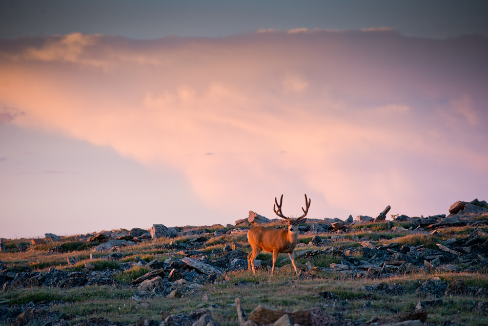
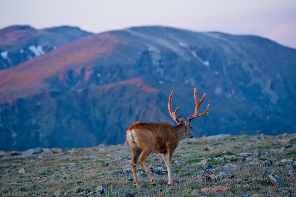
Mule deer are mid-sized ruminants exhibiting a relatively low rumen to body-size ratio and a higher metabolic rate when compared with larger cervids. Mule deer are selective foragers, feeding on a variety of grasses, forbs, and shrubs. The animals prefer vegetated areas that not only provide them with ample foraging but also with both thermal and hiding cover. Thus, areas characterized by both vegetative and topographic diversity provide good mule deer habitat.
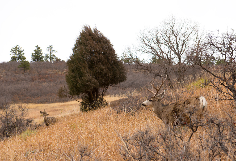
In Colorado mule deer typically breed during mid-to-late November and produce their young during June. Females commonly produce twins, with occasional singletons and rare triplets. Fawns are typically weaned by eight to ten weeks of age and become reproductively mature as yearlings. Only males (bucks) grow antlers, which shed and re-grow annually and increase in size as the animals mature. Males compete for the opportunity to breed with multiple females, ensuring the healthiest individuals pass along their genes to their offspring. Mule deer life span typically ranges from about twelve to fifteen years.

Mule deer in Roxborough State Park in WinterBecause of western Colorado’s topographic diversity, many mule deer populations migrate from high-elevation summer ranges to low-elevation winter ranges. In Colorado higher elevations receive increased moisture during spring and summer and thus provide enhanced forage conditions for deer. As fall approaches and temperatures drop with intermittent snowstorms, plants become less palatable; when deeper snows make plants unavailable at higher elevations, mule deer seek lower-elevation winter ranges where plants (primarily shrubs) are more easily accessible. Mule deer migration typically occurs during April, May, and October. Mule deer in Colorado typically migrate twenty to thirty miles between summer and winter ranges. Because forage quantity and quality are reduced during winter, deer exhibit a negative energy balance and lose weight over winter. Winter is the most critical period for deer survival, and severe winters with prolonged deep snow and cold temperatures can result in high mortality rates, especially for the young.

Economics

Mule deer are a valued game species in Colorado, generating about $115 million annually from license fees, fuel, hotels, supplies, and other associated transactions. Hunters travel from all over the world to hunt mule deer in Colorado, making the animals an important revenue source for many Colorado towns during the fall hunting season. The world record mule deer buck came from Dolores County, Colorado in 1972.

Body:

The mountain lion (Puma concolor)—also known as the cougar and puma—is the largest wild felid, or member of the cat family, in Colorado. Mountain lions are obligate carnivores, meaning that only animal flesh can meet their bodies’ nutritional needs. They inhabit much of Colorado’s foothills and mountains. Although they can be found anywhere in the state, they are rarely found on the eastern plains of Colorado.

Mountain lions are the cat of one color, hence the Latin term “concolor”—tawny to light cinnamon with a light underside and black-tipped ears and tail. Males are larger than females, weighing an average of 130-150 pounds and 8 feet in length. On average, females weigh 80-100 pounds and may be up to 7 -feet long.

Management

Historically, mountain lions had the broadest geographic range of any North American mammal, but widespread hunting greatly reduced the geographic distribution and population of these animals by the 1960s. Persecution of mountain lions was largely driven by human fear and the protection of livestock. Until 1965 the status of mountain lions in Colorado was that of a varmint, with a $50 bounty. In 1965 their legal status changed to that of a big game animal, reflecting growing public appreciation and concern for mountain lions. After decades of sound management, mountain lion populations in Colorado are viable across much of the animal’s historic range and provide hunting opportunities across the state.

Recent mountain lion management has resulted in their reestablishment eastward, and they have expanded into Nebraska, South Dakota and North Dakota. Dispersed mountain lions have also been reported in other Midwestern states and points farther east, where one was killed by a vehicle in Connecticut.

Demographics

The average life span of mountain lions is about twelve years, although it is less in hunted populations and for males, as they are more susceptible to hunting. Females begin to reproduce at about two years of age, usually having two to three kittens per litter, with an average birth interval of eighteen months. Kittens are born all year, with birth rates rising in late spring and throughout the summer. Average population density in suitable habitat is about two to three independent adult mountain lions (at least two years old) per thirty-eight square miles, generally with more females in the population than males.

Reported survival rates for mountain lions range between 75 percent to 90 percent for adults and 70 percent to 75 percent for dependent young. Natural sources of mortality for mountain lions include predation from bears and wolves, defending territory and food from other mountain lions, disease, and injury, generally from attacking large prey. In most populations human-caused mortality, including hunting, is a significant source of mortality.  However, in urban areas human-caused mortality generally comes from vehicle collisions and management-related removals due to human conflict. Management removals can occur from pet or livestock depredation or from direct conflict with humans.

Characteristics and Habits

Mountain lions are adaptable to a wide range of habitat, essentially occupying most areas that provide sufficient hiding cover and large prey such as deer and elk. Females occupy relatively large territories (about thirty-eight square miles) that overlap with the territory of other, sometimes related, females. Males occupy larger territories (more than 115 square miles) that are generally exclusive from other males. Younger individuals (about one and one-half to two-years-old) are generally transient, moving throughout these areas searching for new territory. Almost all males leave the area where they were born, moving distances of thirty-eight to seventy-seven miles and sometimes much longer. Some females disperse as well, but distances are much shorter, ranging from seven and one-half to eleven and one-half miles.

The majority of a mountain lion’s diet consists of deer, elk, and other large mammals. In urban areas mountain lions will take other small prey, including livestock and pets, especially during late spring. Lions “cache” their deceased prey, burying it in ground litter to reduce scavenging, and consume it over several days.

Human Interaction

As with all large carnivores, human interaction with mountain lions can raise public concern. Humans tend to have some innate fear of mountain lions, although aggressive encounters remain rare. As mountain lion habitat has been increasingly encroached upon by humans, and human recreational use of these habitats has increased in Colorado, so have the number of mountain lion interactions. These incidents can range from a chance sighting to a close encounter to depredation on pets or an attack. Evidence suggests that mountain lions are generally afraid of people and will avoid direct contact; most interactions are a surprise for both sides.

However, there have been occasions when mountain lions, usually adolescents, have followed people over some distance. Mountain lion behavior toward small children is very different, with children sometimes eliciting a prey response. Human injuries from mountain lion attacks, however, are extremely rare.

Still, mountain lion attacks have increased in recent decades as human populations have expanded into traditional mountain lion habitats. From 1890 to 1990 there were nine documented fatal attacks and fifty-four non-fatal attacks on humans in the United States and Canada, but between 1991 and 2003 there were seven fatal and thirty-eight non-fatal attacks. Unsurprisingly, the upsurge in attacks corresponds to a large increase in human-mountain lion incidents, likely due to habitat reduction, increased recreational activity, and possible increases in mountain lion populations.

Body:

Colorado is quite a place.

Thousands of residents and visitors have arrived independently at that insight, without the guidance of experts.

Through the verticality of the state’s mountains, the horizontality of its plains, and the dynamic mixture of verticality and horizontality in the exposed strata of its canyon walls, the places of Colorado come well equipped to dazzle the eyes and stretch the minds of any sentient human beings. In these scenic locales, you could station armies of specialists and scholars at lecterns, podiums, and chairs aligned for panel discussions, and the public’s response to this barrage of knowledge might be lacking in gratitude: “Excuse us, but you’re blocking our wondrous view.”

And so, given the power of many Colorado’s places to exercise their own authority to make a case for themselves, why did the editors of the Colorado Encyclopedia decide to devote one section of this online festival of knowledge and expertise to the subject of “Place”?

Good question, well worth asking.

Diamond Wall on Longs Peak For all of their capacity to make forceful impressions on the human mind and soul, Colorado’s places often register short of forthrightness and full disclosure. Even the most beautiful of places—particularly the most beautiful of places—conceal the full story of their transformations over time. Colorado’s Fourteeners provide geographically prominent examples of places that continue to present themselves as pristine, insulated from time, untouched and unchanged by human presence, power, ambition, desire, improvidence, or enthusiasm for progress. But these high-alpine ecosystems are dynamic rather than static, and a changing climate and a rapidly expanding population of hearty and adventurous Coloradans have accelerated the pace of change in ways that humans are still trying to understand.

So when it comes to thinking about Colorado places, the insights of scholars, specialists, and experts turn out to be far from dismissible and irrelevant. The authors of the entries in this “Place” section have worked hard to reveal what lies just beneath the surface of the stories of Colorado’s places. At every place explored here, different groups of people have come or gone, returned or stayed, settled in contentedly or wished ardently that they were elsewhere. The human relationships brought into being, in particular places, by these arrivals and departures, have sometimes been amicable and congenial, sometimes uncomfortable and tense, and sometimes brutal and violent to the point of terror. When the passage of time has hidden these tales in places that still masquerade as simple and unstoried, the authors of these “Place” entries restore these obscured tales to memory and to our contemplation.

Meanwhile, other historical changes explored in these entries are far more evident to observers with minimal professional training in historical detection. Over decades, people have affected Colorado’s places in innumerable ways by putting in place (literally!) trails, roads, railroad tracks, camps, homes, stores, banks, gardens, farms, orchards, stables, corrals, mines, dams, reservoirs, ditches, mills, factories, schools, colleges, courthouses, governmental offices, restaurants, hotels, ski lifts, and airports (and that, every reader has noted, is a tragically, but necessarily incomplete list).

And now we reach the bedrock justification for recognizing the subject of “Place” as deserving of inclusion in this Encyclopedia. While human beings have wrought significant change in Colorado’s places by building structures of wood, brick, stone, iron, and steel, they have worked even more energetically—and more consequentially—at building structures of meaning that claim places for their own purposes and that the places, in turn, occupy on their own terms.

At once unforgettable and unforgivable for his abuse o’ apostrophes, the popular poet Edgar Guest wrote a famous remark about “home” that has unavoidable bearing at this point. Yes, it might, in Guest’s fractionated words, “take a heap o’ livin’ in a house t’make it home.” In an injury to the ear and mind that some readers may never forgive, we can productively modify Guest’s troubled sentence to the benefit of this Encyclopedia section:

It takes a heap o’ livin’, as well as a heap o’ constructin’ meanin’, to make a place a place.

In (blessedly) other words, the surface of the earth is continuous, even when it is submerged in water. Thus, the supply of square miles, or even square inches, qualified for classification as a “place” is so extensive that it is beyond our comprehension. Colorado’s supply of potential places may be even greater than many people realize: as political scientist Tom Cronin has observed, if this state were flattened out, and if its mountainous terrain got reconfigured as horizontal plains, the state would compete with Texas or Alaska in its dimensions (unless Alaska received the same be-flattened treatment in the calculation of square miles).

A defined unit of the surface of the earth is not going to make it as a place until human beings have worked it over, in either material terms or cognitive terms, or both. To qualify as a place, then, a locale has to be transformed in some way by human activity. In Colorado, material and cognitive activities have come together to produce lasting impacts, allowing human beings to create cities of improbable size in places where water is scarce. Stephen Grace’s article on the Alva B. Adams Tunnel and Greg Silkensen’s writing on the Colorado–Big Thompson project both remind us that the major population centers of Colorado’s northern Front Range—the cities of Boulder, Longmont, Louisville, Loveland, and Fort Collins—rely on the 200,000 acre-feet of water that annually flow through the Adams tunnel. Without this yearly injection of water from the Western Slope, Colorado’s biggest towns would barely qualify as places at all! Locales aplenty in Colorado have undergone this transformative investment of human effort in putting them to use: as sites providing the raw material seized upon by loggers or by preservationists of intact forests, by fortune-seeking miners or by crusading writers lamenting the disturbances wrought by the miners.

And this deposits us at a very important point about the past, present, and future of the idea of place in Colorado.

In the 1990s, the subspecies of homo sapiens, endowed with the honorific name of Western Public Intellectuals, became enthralled with the idea of a sense of place. In hindsight, this train of thought—more accurately, this train of hope—took passengers on a delightful journey through the western past and present. Those of us who rode this train believed that a sense of place arose from a recognition that the US west was our chosen home, and we were thereby called to serve as the grateful stewards and guardians of the land where we had found our bearings.

But an unwelcome question rode the train with us as an extremely annoying fellow passenger: what has happened when people who have come into possession of differing and conflicting senses of place have struggled against each other to take possession of the same place?

The answers to that question, as they are recorded in this Encyclopedia, locate themselves along a spectrum from indifference and drift, to negotiated peace, to unresolved and irredeemable antagonism. Place section authors highlight forgotten spots such as Denver’s Chinatown that slid out of collective memory as the men and women who made up the community responded to intolerable discrimination by leaving Denver in search of a more-accepting place to make a living. Other sites, such as the Amache concentration camp that imprisoned Japanese Americans during World War II, sit in the middle of our spectrum. Former bunkhouses remain as grown-over foundations providing symbolic and physical evidence of a reckoning with past injustices. Other places slide up and down this scale with maddening impunity. Fort Lewis College, which grants a tuition-free education to American Indian students, got its start as a military outpost in the nation’s war against Native peoples. The transformation from fort to college barely registers in memory for some while standing for others as an indispensable avenue for the education and advancement of American Indian peoples.

Who—if anyone—holds the authority and standing to serve as a referee when several senses of place overlap and pitch into in a tug-of-war over the destiny of the same locale?

In the early twenty-first century, in our unsettled region and rattled nation, this is a question receiving different answers every day.

It is our hope that the scholars, specialists, and experts who wrote the entries in this Encyclopedia’s consideration of “Place” be recognized as holders of authority and standing, and also our hope that the recipients of this recognition will put it to good use.

Body:

The term New Energy Economy refers to the transition of a state’s energy economy from one based purely on fossil fuels to one that includes a higher percentage of renewable energy sources. State-level energy policies have been the primary force moving the United States toward a greener economy, and Governor Bill Ritter Jr. led this effort in Colorado between 2007 and 2011.

The transition involved dozens of pieces of legislation, organizational and administrative changes, and various voluntary initiatives developed and funded by the state. By the end of 2014, Colorado’s electricity generation from renewables had increased to 18 percent (from virtually nothing), and the state is on track to meet its own Renewable Energy Standard (RES) goal of 30 percent by 2020. The adoption of a 30 percent RES is often held up as one of the crowning achievements of the New Energy Economy, and the process by which it was implemented in Colorado provides a window into its political dynamics.

Amendment 37

Colorado’s New Energy Economy began taking shape before Ritter took office. After three failed legislative attempts to adopt an RES in the early 2000s, the passage of Amendment 37 in 2004 established a 10 percent RES and was the country’s first voter-approved RES. Amendment 37 required Xcel Energy and other investor-owned utilities, as well as rural electric associations (REAs) and municipal utilities with 40,000 or more customers (such as those in Fort Collins and Colorado Springs) to produce 10 percent of their electricity from renewable sources by 2015 without raising rates by more than 2 percent. The amendment also included a solar “carve out,” which required utilities to meet a portion of the 10 percent mandate with solar sources. While the RES was open to a variety of renewables, it was evident that wind was likely to be dominant and solar would play an important role.

The Amendment 37 campaign faced opposition from the state’s electricity providers. Xcel Energy spent at least $1 million in its effort to defeat the initiative. Municipal utilities desired local control and choice of energy use, while REAs argued that the amendment would disadvantage smaller utilities. Other opponents included the coal industry—through the Colorado Mining Association—the Colorado Association of Commerce & Industry, and the steel industry.

Proponents crafted a powerful bipartisan coalition by framing Amendment 37 in terms of environmental protection, rural economic development, and job creation. While Democrats highlighted the environmental benefits of the RES, key Republican allies emphasized the economic benefits of wind projects through rents paid to landowners and tax benefits for agricultural communities in depressed areas in eastern Colorado. The pro-amendment alliance also included the renewables industry and voters in the six Front Range counties most likely to benefit from new jobs and innovation initiatives in renewables. By linking clean energy to rural development, the measure secured enough support to pass with a 53.6 percent majority.

New Energy Economy

Shortly after the passage of Amendment 37, Ritter articulated his vision for the New Energy Economy through his campaign for governor. His campaign team used the term to make clear that the goal was not simply to promote the use of clean energy but to build a new economy based on it. By continuing to highlight the links between clean energy, job creation, and environmental concerns, Ritter sought to maintain and expand the bipartisan alliance instrumental in passing Amendment 37.

One of Ritter’s first legislative proposals after taking office in January 2007 was to raise the RES to 20 percent by 2020. The initiative passed with surprisingly little opposition, largely because Xcel had realized that it would meet the 10 percent RES eight years early and had reportedly begun to view renewable energy generation as a way to hedge against price fluctuations for coal and natural gas. The opt-out provision for small municipal utilities remained, but REAs were now required to meet a 10 percent standard.

The Ritter administration’s effort to reorganize the Colorado Oil and Gas Conservation Commission (COGCC), the state agency that oversees oil and gas development, was much more contentious. Historically, the majority of the COGCC’s seven members represented the oil and gas industry, which was consistent with the agency’s mission to promote the development of the state’s natural resources to generate revenue. In 2007 the legislature added two additional members and stipulated that wildlife, public health, and environmental interests must also be represented. These changes allowed the Ritter administration to write new rules in 2008 to address drilling-related environmental and wildlife concerns. Afraid that the new regulations would kill jobs, the oil and gas industry launched a determined campaign that succeeded in weakening some of the proposed rules.

Natural Gas Ascendant

While the 2008 rulemaking process resulted in friction between the Ritter administration and the oil and gas sector, their relationship shifted considerably in 2009, taking many environmentalists and renewable energy advocates by surprise and altering the trajectory of the New Energy Economy. In a July 2009 speech to the Colorado Oil & Gas Association (the industry’s trade group), Ritter declared that natural gas was “mission critical” to the New Energy Economy. Representatives of the oil and gas industry saw this shift as reflective of Ritter’s awareness of the industry’s central role in the state’s economy in the wake of the global financial crisis. Members of the Ritter administration, however, suggested this was a tactical move linked to its long-term goal of reducing dependence on coal as the state’s major electricity source; the administration argued it was never strategically opposed to natural gas.

This new partnership between the Ritter administration and the oil and gas industry was key to the administration’s success in raising the RES to 30 percent in 2010, a process that was nonetheless much more confrontational and required even more careful coalition building. The 30 percent RES was part of a broader compromise linked to the Colorado Clean Air, Clean Jobs Act (CACJ), which was passed that same year and required major utilities to replace, retrofit, or retire 900 megawatts of coal-fired power generation with natural gas or lower or non-emitting fuel by 2018.

Negotiations for the 30 percent RES and the CACJ took place quickly and out of the public eye, keeping many potential opponents, such as the coal industry and REAs, in the dark. The oil and gas industry focused its resources on gaining support for the CACJ, which they saw as a way to establish new markets for natural gas at a time when prices were very low, and largely stayed silent on the RES increase. Meanwhile, Xcel supported the increase to insulate itself from nonrenewable price fluctuations and because it could shift some of its electricity generation from coal to natural gas. The renewables industry was concerned about the move to gas in the CACJ but was brought along as a result of the 30 percent RES and a host of other provisions that were particularly beneficial to the wind industry. In order to satisfy small renewables producers, the new RES requires Xcel to get 3 percent of its energy supply from distributed generation, including rooftop solar, small hydro, and wind. Environmentalists were eager to increase the RES both because of its long-term commitment to renewables and concerns about the shifting relations between the Ritter administration and natural gas producers.

Despite the increasing prominence of natural gas, Colorado’s 30 percent RES is among the highest in the country. It is important to note, however, that RESs only cover electricity and are more often than not accompanied by binding emission standards.

After Ritter’s term ended, the conflict over the New Energy Economy continued with a 2015 federal appellate court decision upholding the constitutionality of the RES. Despite continued opposition, the RES is not likely to be repealed—all the more so since renewable energy is coupled with a broader move toward green manufacturing and technology in the state.

As of June 2016, there does not seem to be a strong political alliance that would increase the RES. While Governor John Hickenlooper is supportive of the federal Clean Power Plan, that plan is more likely to promote the use of natural gas rather than increase the RES, at least during the current governor’s term.

Body:

Adolph Coors (1847–1929) immigrated to the United States in 1868 after serving as a brewery apprentice in western Germany and then in the Kingdom of Prussia. After working in Chicago breweries, he moved to Colorado in 1872 and purchased a bottling company. He transformed it into the Coors Brewing Company and became one of Colorado’s wealthiest and most influential men during the early twentieth century.

After moving to Denver, Coors promptly bought into a bottling company and became the sole owner by the end of the year. In 1873 he started looking for a place to build a brewery with access to clean mountain water and found one at the abandoned Golden Tannery. He partnered with candy store owner and fellow German Jacob Scheuler to purchase the tannery and turned it into the Scheuler and Coors Brewing Company, one of the first breweries in the area. By 1874, even in the midst of economic crisis, the company was making 800 gallons of beer a day. Their beer was valued for its taste, consistency, and crispness.

Coors hired many German immigrants to run his beer factory, bottling plant, malt house, and icehouse. He invested heavily in new technology, such as metal bottle caps and increased automation. In 1879 he married Louisa Weber. The couple had six children – three daughters and three sons. That same year, he bought out Scheuler and became the sole owner of Coors Brewing. He allowed his workers to join the United Brewery Workmen of the United States and paid them well. The brewery famously provided free beer to its workers during breaks. By 1890, Coors was a millionaire, a US citizen, and a medal winner at the Chicago World’s Fair.

The movement to abolish alcohol began to gather momentum in the late nineteenth century. Coors correctly diversified his investments; beer may be recession-proof, but it would not weather Prohibition. In 1916, when Prohibition began in Colorado, Coors shifted his manufacturing from beer to milk products and porcelain. In 1933, with the repeal of Prohibition, Coors returned to his preferred product but continued to manufacture other goods.

Coors generally remained aloof from Denver high society, but he felt great kinship with his employees and identified with them as a craftsman. He instituted more breaks, better working conditions, and higher wages for his workers than did almost all other brewers. But Coors became disillusioned with his product in the early twentieth century, after pasteurization (the heating of beer to kill microbes) and mass marketing transformed the beer industry. Coors took his life in 1929 by jumping from his hotel balcony in Virginia Beach. In his will, he stipulated that his hotel bill be paid in its entirety; otherwise, he left no note and no reason for his action. Coors is remembered for his entrepreneurial spirit, his rags-to-riches immigrant story, and his dedication to the craft of brewing beer.

Body:

Two thousand feet deep, forty-eight miles long, and two million years old, western Colorado’s Black Canyon of the Gunnison is one of the most stunning geologic features in the American West. The fourteen miles along the Gunnison River have been protected as a national park since 1999, drawing more than a quarter million visitors per year.

Scenery

Black Canyon of the Gunnison National Park comprises fourteen of the steepest and narrowest miles of the forty-eight-mile-long canyon in southwest Colorado. Protected for the unusual and aged rock, the strength of the Gunnison River, and the opportunities to view wild country, the canyon inspires us to marvel at the power of natural forces in our world.

For many, just seeing Black Canyon of the Gunnison is a shock. There is little that can prepare us for our first visit to the canyon, and its vertical truth jolts us out of our normal range of understanding. Here the cliffs are extremely sheer, plunging a startling 2,000 feet to the Gunnison River below. Here plants and animals have adjusted to a perpendicular reality. Here people have plumbed the depths of the Earth to test themselves within the wilderness.

Geology

The Black Canyon has an old story to tell. The exposed metamorphic rock, changed by heat and pressure when deep in the earth, is among the oldest in North America; the enduring schist and gneiss was formed shortly before it helped form early North America. Through plate tectonics, the rock moved and joined with another plate to form the foundation of the continent.

Deep in the earth, magma intruded into the rock. These granites add dimension and color to the Black Canyon’s crags. Most notable are the stripes of pink pegmatite. They squiggle and twist on the faces of the cliffs. The Painted Wall, the highest cliff in Colorado, displays a range of geometric shapes.

The Gunnison River drains the many high peaks surrounding the river’s basin, including the Elk, Sawatch, and San Juan Mountains. These mountains gather snow through the winter before spring sun arrives, melting the snow with great urgency.

Like a crowded freeway that bottlenecks to a few lanes, the snowmelt floods into creeks, rivulets, streams, and side rivers before finally reaching the Gunnison. These seasonal floods give the river immense carving power. Year after year, century after century, the river grinds the grit and gravel that it carries at flood stage against its rocky bed.

The Gunnison River thunders down the canyon with more than 2.7 million horsepower. Vehicle strength does not rate in comparison; jetliner engines move with some 110,000 horsepower. The roar of the river provides an auditory hint of that might. The waters of the Gunnison have sliced down through this aged rock faster than the forces of freezing and thawing water have been able to chisel away at the sides of the canyon.

We glimpse the natural wonder of the Black Canyon two million years after such carving began. Even as we measure it in minutes, hours, or days, time stands still here. Though the canyon has been wearing away for a very long time, the rock itself holds an antiquity beyond our measure; the schist and gneiss are nearly two billion years old.

Ecology

It is difficult to wrap our minds around such a large number. It might be easier to start with the “ancient” piñon and juniper trees at the western end of the park. Tree-ring dating suggests some have reached 700 to 800 years old, comprising some of the oldest groves of their species.

These and the other species of plants provide some of the noticeable rhythm of life along the canyon’s rim. This vibe includes the patterns of migratory birds such as the peregrine falcon, violet-green swallows, and turkey vultures. Black bears, mule deer, bobcats, and bighorn sheep also call the canyon home.

While we typically look for these larger animals, smaller creatures add an important dynamic to this vertical world. From otters and mink in the river to smooth green snakes and bullsnakes on the slopes, to the dusky grouse and yellow-bellied marmots on the rim, the spectrum of life is rich in this wilderness of water, stone, and sky.

Human Presence

Although prehistoric people made use of the canyon for thousands of years, it appears that the Ute Indians were among the earliest to call it home. They primarily frequented the canyon’s rim, hunting game and gathering plants. After 1800, explorers occasionally made their way into or around the canyon seeking animal pelts, precious metals, transportation routes, and water. John W. Gunnison, for whom the river is named, explored the canyon in 1853 while searching for a railroad route across the Central Rockies. His was the first written description of the canyon, which he called “the roughest, most hilly and most cut up” land he had ever seen.

By the early part of the twentieth century, people were coming to fish and float the Gunnison for fun. It was not until the late 1920s, though, that local townspeople conceived the idea of building a road to the rim of the canyon. Completed in 1930, the road made the canyon both accessible and vulnerable to human exploitation. Local leaders began an effort to protect the area from development, and a small portion was set aside as a national monument in 1933.

Original plans to provide visitor services in the monument seemed grand at the time. The country passed through the trials of the Great Depression and World War II, after which Americans desired rapid development of natural recreation areas. New voices arose to speak for wild country as well.

Wilderness

After World War II, wilderness seemed to be disappearing as fast as snow under the spring sunshine. Automobile tourists were looking for experiences in the untrammeled canyon. Anglers, kayakers, rock climbers, and hikers saw the Black Canyon as a means to test their abilities and endurance, experience the land with family or friends, and possibly find a spiritual connection among its towering cliffs and spires.

Their voices were heard, and in 1976 half of the monument was designated as a wilderness area. Enlarged and established as a national park in 1999, the canyon still draws visitors seeking solitude, peace, and a grander sense of place in a world that marks time in milliseconds and information in megabytes.

Among the best opportunities to feel that sense of place is to gaze at the night sky above the canyon. Designated an International Dark Sky Park in 2015, Black Canyon is notable for its celestial tapestry of constellations, planets, and nebulae.

Wilderness, around the world and beyond, holds mysteries awaiting discovery. Our experiences at Black Canyon, whether we find them during the day or night, allow us to grasp something of the never-ending essence of our Earth.

Body:

Dr. Beatrice Willard (1925–2003) was an internationally recognized tundra ecologist who made significant contributions to environmental policy in Colorado and the nation. Her research in the Colorado mountains established her as a well-known ecologist, educator, and negotiator.

Early Life

Beatrice Willard was the daughter of Stephen Willard, an artist and landscape photographer, and Beatrice Willard, a teacher. Young Bettie spent many days traveling the deserts around Palm Springs, California, and the mountains of Mammoth Lakes, California, where her father had a studio. By age twelve, she had her own nature-guiding business. She graduated from Stanford University in 1947. In the early 1950s, the Ford Foundation awarded her a grant to study European alpine ecology. She soon entered graduate school at the University of Colorado, working with Dr. John Marr, founder of the Institute of Arctic and Alpine Research.

Alpine Tundra Research

In 1959 Willard established two study plots along Trail Ridge Road in Rocky Mountain National Park to understand how humans affected the sensitive alpine tundra ecosystem. The two plots were at Rock Cut parking area, which opened in 1933, and Forest Canyon parking area, which opened in 1958. Both areas had damage caused by human feet: vegetation was destroyed, lichen removed from rocks, and paths worn into sensitive tundra soils. Willard wanted to understand how long it would take for the alpine tundra to recover from trampling. At her plots, she measured the number and species of tiny alpine plants, followed the fate of seedlings, and noted ecosystem processes like frost action and erosion. She drew maps of the plots and took photographs so she could compare change over time. She continued to record this data at the plots for the next forty years.

During her research, Willard found that the tundra was especially fragile and recommended changes to the park’s visitor management in this special ecosystem. Following her advice, park authorities paved trails and started an educational campaign to explain the fragility of the alpine tundra. Willard earned her PhD in 1963 and wrote many scientific articles about her research in Rocky Mountain National Park and the alpine tundra. In 1972 she coauthored the seminal book about the alpine tundra, Land above the Trees: A Guide to American Alpine Tundra.

Leading the Environmental Movement in Colorado and Beyond

Willard’s experience at Rocky Mountain National Park taught her how to influence policymakers. She became a leader in Colorado’s environmental movement. In 1965 she became executive director of the Thorne Institute and helped develop the Aspen Center for Environmental Studies, the Colorado Open Space Council, the Colorado Chapter of The Nature Conservancy, and the Colorado Chapter of the Sierra Club. She met Bill Coors, who later credited her with convincing him to invent the recyclable aluminum can. In 1966 Willard created the Experiment in Ecology, an interdisciplinary approach to engineering, economics, and the environment that three years later became codified in the National Environmental Policy Act (NEPA).

By the early 1970s, Willard was internationally recognized for her pioneering work in applied ecology and her ability to mediate environmental disputes and establish partnerships with various organizations. In 1972 she accepted President Richard Nixon’s invitation to serve on the president’s Council for Environmental Quality (CEQ). Willard was the first woman appointed to the CEQ. She traveled around the country encouraging leaders of government and industry to act responsibly toward the environment. She advocated for NEPA, one of the most significant pieces of environmental legislation of the late 1960s. Willard also served as a mediator during planning for the Trans-Alaska Pipeline, which runs through arctic tundra.

Willard resigned from the CEQ in 1977 and returned to Colorado to join the Colorado School of Mines faculty, where she called for the integration of engineering, ecology, and economics. She helped many Colorado environmental organizations, including serving as the secretary of the National Energy Resources Organization. She was also a member of the Advisory Committee for Conservation Education to the State of Colorado, a member of the Colorado Environmental Inventory Advisory Committee, and chair of the Denver Olympic Planning Committee. She also contributed to the planning of Chatfield Dam and lake. She helped Estella Leopold advocate for the creation of Florissant Fossil Beds National Monument. She received numerous awards for her contributions, including the United Nations Environmental Leadership Medal in 1982.

Willard’s greatest legacy may be that she taught several generations of students—through lectures, field seminars, meetings, and books—to be stewards of the American landscape. She believed that “[m]an can live, work, and play in harmony with his environment. He has only to prove this fact to himself.” Rocky Mountain National Park honored Dr. Willard by listing her research plots at Rock Cut and Forest Canyon Overlook in the National Register of Historic Places in 2007.

Body:

Morefield Mound sits in the middle of the wide valley at the bottom of Morefield Canyon in Mesa Verde National Park. It served as a water supply for ancient Native Americans a thousand years ago, making it one of the earliest known domestic water-supply works in the United States. The reservoir mound was one of four ancient water catchments at Mesa Verde National Park named collectively as a National Historic Civil Engineering Landmark by the American Society of Civil Engineers in 2004.

The reservoir mound has a diameter of 220 feet at its base, with side slopes of 3:1 (horizontal:vertical) that rise up sixteen feet to the flat top of the mound, which is 130 feet in diameter, like a truncated cone. The mound is made up of layers of water-deposited sediment―sandy layers interspersed with dense clay-silt layers. The original pond that the Native Americans excavated into the natural soils—now silted in—is located beneath the mound. A canal leading to the mound extended upstream for a quarter mile.

Morefield Reservoir began where the valley floor was 500 feet wide and the tributary drainage basin area was 4.1 square miles. Wright Paleohydrological Institute excavations showed that the pond was approximately four feet deep in about 750 CE, with a diameter of fifty feet. A seasonally high water table likely provided it with a variable water pool, even without any surface flow. However, because the pond was in the canyon bottom, all the runoff from a storm would flow into it along with any sediment; it would not have taken long for the pond to become silted. Cleaning out the pond with digging sticks and baskets was a labor intensive but necessary operation. Nevertheless, with each succeeding flood, the pond would again fill with fine sand, silt, and clay. Over the years, the pond rose in elevation due to accumulated sediment and, eventually, a canal became necessary to deliver water for storage.

At first, the canal was short. As the reservoir silt accumulated and the water level rose, the canal was raised and extended upstream. The canal banks were lined with shaped stones to help guard against erosion. As with other Stone Age civilizations, hammerstones were utilized effectively for stone shaping.

Research at Morefield Mound

The Wright Paleohydrological Institute performed research at Morefield Mound from 1994 to 1998, including the excavation of a trench to reveal sediment layers. Team member Dr. Jack Smith had also excavated at the site twenty years earlier. Smith was the chief archaeologist of Mesa Verde National Park and had studied extensively the Ancestral Pueblo people who lived there. Smith thought that the Morefield Mound was the remains of a reservoir, but he could not prove it. Other scientists speculated that the site may have been an ancient dance platform while some judged it to be a natural terrace deposit.

The Wright team conducted excavations that were deeper than Smith’s excavations in the 1970s. Evidence found in the exposed sediment layers proved that the mound had once been a reservoir and the original, undisturbed soil under the mound allowed the team to define dredged sand deposits and embankments above it. Buried in the deposits was an ancient digging tool dated to AD 860 by the University of Colorado Physics Department.

Study of the sediment layering and its characteristics provided evidence for environmental conditions, activities, and some of the problems faced by Ancestral Pueblo engineers during the building and operation of the Morefield Reservoir structures. Three continuous soil profiles were taken down the south trench wall. One complete profile was analyzed by the Natural Resources Conservation Service Field Office in Cortez for listing in its national database.

The soil profile data provided solid evidence that the reservoir was watertight because of the dense clays deposited in the reservoir―the type of clay that modern engineers might use for solid waste site designs to preclude leachate movement. The data also showed that over the life of the reservoir, about fourteen forest fires resulted in ash deposits, as evidenced by continuous thin layers of carbon about one-sixteenth of an inch thick. The sediments provided evidence of twenty-one periods of flooding in the canyon bottom, as indicated by thick, sandy sediment deposits, though many of the thickest deposits were, in turn, highly stratified, indicating successive independent inflows of high water. The shape of the layering told of reservoir cleaning operations, where the dredged sediment was cast to build berms—flat strips of land bordering a canal—or where it was wasted outside the berm. It was additionally noted that sometimes one part of the reservoir was used for storage while the other was not.

Because the excavated trench depth was limited to sixteen feet, due to the consolidation of the soil, the team was able to excavate only to the bottom of the mound, not to the original pond bottom. Then, by using a hand auger in the trench bottom, the team logged sediment deposits to an additional depth of five feet until the auger encountered the original natural soil. By exposing the natural, undisturbed soil surface in the west and east ends of the trench and having the pond bottom defined, the team could sketch the likely original shape of the excavated pond that lay under the sixteen-foot-high mound, for a total reservoir height of twenty-one feet.

Interpretation of Evidence

By studying the Morefield Mound excavation, the Wright team learned more about the ancient people of Mesa Verde and what they were doing in Morefield Canyon. The sediment deposits could be read like an open book because the evidence had not been disturbed during modern times. Findings indicated, for instance:

  1. Morefield Reservoir began as a hand-dug pond in the canyon bottom to capture seasonal runoff. A later supply to the reservoir was surface water carried by a stone-lined canal. A sequence of canals was outlined in the sediment, one above the other.
  2. Sediment from the upstream drainage basin was carried to Morefield Reservoir, sometimes at a high rate. Total volume of sediment carried into the reservoir was about 430,000 cubic feet (0.0067 acre-feet per square mile per year). Abandonment of the reservoir likely occurred when dredging became too inefficient or when the Morefield people began thinking about moving away to cliff dwellings.
  3. The dredged sediment used for the Morefield dam embankments was a mixture of clay, silt, and fine sand, which created a nearly impervious berm area.
  4. Based on potsherd analyses, Morefield Reservoir was used for approximately 350 years, during the 750–1100 CE period of the Pueblo I and Pueblo II people.
  5. Prehistoric agricultural fields in the Morefield basin and occasional forest fires likely allowed enough runoff for Morefield Reservoir to store up to 120,000 gallons of water at one time.

The team also deduced that the ancient people of Mesa Verde were organized, industrious, and good water managers. The monumental task of building and maintaining the Morefield Reservoir could not have happened without the people’s diligence and organization.

Body:

The tension between aridity and irrigated agriculture has been a defining characteristic of Colorado for much of its modern history. On average, the state receives less than fifteen inches of annual precipitation, making it the seventh driest state in the country. To complicate matters, the majority of the state’s water originates in basins that are not suited for agricultur­­e, making access to water not just a question of quantity but of engineered distribution. Consequently, Colorado farmers, politicians, and businesses developed sophisticated irrigation systems and complex laws for capturing, storing, and moving water from source to field.

Beginnings

Though irrigation in the West has been practiced for over a millennium, its continuous use in Colorado stems from the mid-1800s. Beginning in 1852, descendants of Spanish settlers near the town of San Luis built community-owned ditches known as acequias, which diverted water from the Rio Grande and its tributaries. The next significant irrigation effort occurred near the confluence of the Cache la Poudre and South Platte Rivers, where settlers established the Union Colony of Colorado. The colony’s success was predicated on irrigation sufficient to grow high-value crops. Despite higher-than-expected costs and poor planning, the colony—later named for cofounder Horace Greeley, editor of the New York Tribune—built twenty-seven miles of canal in its first year, capable of watering 25,000 acres. Following the Greeley colony’s example, settlers in the region had appropriated every last drop of water in the South Platte watershed by the turn of the twentieth century. By 1900 extensive irrigation works watered fields in the Arkansas, Rio Grande, Colorado, Gunnison, Animas, and Yampa River watersheds. At the turn of the century, Colorado led the nation in irrigated acreage.

Water Law

Precedent, scarcity, and economics pushed Colorado farmers to develop water laws that diverged from those of their eastern peers, who possessed the right to divert water from a natural stream only if it coursed through their land and if their diversion did not damage the rights of downstream users. By contrast, during the Colorado Gold Rush of 1858–59, miners diverted water from streams sufficient to conduct their operations. The right to divert water was not based on land ownership but on the order of their claim. Early water claims possessed priority over later ones. Farmers embraced that same “first in time, first in right,” or prior appropriation, doctrine, enabling them to divert water from streams on a first-come-first-served basis, regardless of the stream’s location. Prior appropriation was tested in 1874 when, in a drought year, Greeley farmers were unable to access sufficient water from the Cache la Poudre River because upstream farmers in Fort Collins nearly drained the river dry. The two sides were forced to come to an agreement that guaranteed Greeley its water based on its prior claim. Colorado’s 1876 constitution and the 1882 court case Coffin v. Left Hand Ditch Co. enshrined the doctrine of prior appropriation into law with one caveat: appropriators needed to demonstrate that they were putting water to beneficial use. Most states in the American West based their water laws on those established in Colorado.

Since the late nineteenth century, mutual irrigation companies have managed the majority of Colorado’s irrigation water. These companies issue stock to farmers; however, unlike stock traded on Wall Street, each share entitles the holder—generally, a farmer—to a volume of water in a given year. The amount of water attached to a share varies from one year to the next based on water available in streams and reservoirs and on the seniority of each company’s rights; senior appropriation rights guarantee more reliable flows than junior ones. To guarantee sufficient water, junior appropriators will often purchase water from others in low-water years to make up their deficit. This is only possible because the majority of canals, ditches, diversions, and reservoirs in the state are interconnected, which facilitates water exchanges.

Federal Measuring Projects

During the twentieth century, farmers, local boosters, and politicians prioritized making more water available and streamlining the delivery system. According to Elwood Mead, the first professional irrigation engineer in the state and a key figure in the federal Bureau of Reclamation in the early twentieth century, Coloradans in 1900 were taking as much as fifty times more water than they were allotted or could beneficially use. Without effective tools for water measurement, little could be done to regulate the system. As a result, the Colorado Agricultural College (CAC) at Fort Collins—now Colorado State University—and the federal Bureau of Agricultural Economics funded Colorado-based projects to accurately measure and distribute water. Ralph Parshall, perhaps the most influential of these irrigation engineers, developed tools for measuring water in streams and ditches to within 2 percent accuracy. This increased the amount of available water in Colorado streams by as much as 30 percent, a boon for junior appropriators who were often left high and dry in drought years. Parshall and his colleagues at the CAC also experimented with methods for removing silt and gravel from irrigation ditches, measuring snowpack to predict annual stream flow, and reforesting hillsides to slow spring runoff in attempts to make more water available later in the farming season. Still, Colorado farmers complained of insufficient water for their crops.

Transmountain Diversion Projects

Effective measuring did not entirely solve water shortages. Transmountain diversion—moving water from a watershed with abundant water and little agriculture to parched regions with developed agriculture—presented another solution. The first and largest of these—the Colorado-Big Thompson Project (C-BT)—was approved by Congress in the midst of the Depression and drought of the 1930s. Financed largely by the Bureau of Reclamation in 1937, it transferred 320,000 acre-feet of water annually from the headwaters of the Colorado River, on the west side of the Continental Divide, through a tunnel under the peaks of Rocky Mountain National Park and into Eastern Slope reservoirs and streams that fed agriculture in northern Colorado. C-BT water annually added the equivalent of the total flow of the Cache la Poudre River to the South Platte River watershed.

Subsequent transmountain diversion projects sponsored by Reclamation, such as the San Juan-Chama and Fryingpan-Arkansas Projects, transferred water from the Colorado and San Juan watersheds into the Arkansas and Rio Grande basins. In total, there have been more than thirty transmountain diversion projects in Colorado during the twentieth century.

Changes in Water Demand

Water thirst in Colorado has been fed not just by scarcity but by real estate and consumer markets. A cursory glance at land values and crop evolution offers evidence. While land values across the state have generally increased in Colorado throughout the twentieth century, they rose most rapidly in irrigated lands. The costs of land and water on those lands, as well as property taxes, encouraged farmers to plant crops of high market value. In the early twentieth century, the most lucrative crop on the Western Slope and in the Arkansas and Platte River valleys was the sugar beet, a vegetable requiring extensive irrigation. In the 1930s and 1940s, when new hybrid corns were developed that were better suited to the short growing season of the state’s eastern plains, farmers prioritized corn, which required even more water than beets.

On the Western Slope, hardy varieties of peaches—another water-loving crop—pushed farmers on irrigated lands to plant orchards. In the San Luis Valley, where aridity and high elevations demanded crops that could withstand a short growing season, farmers prioritized potatoes, alfalfa, hay, barley, wheat, and lettuces.

The post–World War II era has challenged Colorado’s limited water supply. After massive population increases—especially on the arid Front Range—municipalities demanded more water. This has enticed farmers and ditch companies to sell their lucrative water rights to growing municipalities and construction companies offering high prices, resulting in housing developments on land formerly used by farmers.

Other parties seeking water rights include oil and gas companies, which often lease farmland for drilling and then employ purchased water rights to extract fossil fuels. Additionally, climate change threatens to reduce the state’s water supply, and higher temperatures result in evaporative water loss from the state’s reservoirs and streams. All of these factors place additional pressure on fish and other wildlife, which rely on consistent flows of clean water for their existence. While modern water users in Colorado employ the state’s streams for diverse purposes, they are still confronted with the same limits and challenges of aridity faced by nineteenth-century settlers.

Body:

Ouray (1833–80), whose name means “Arrow” in the Ute language, was a leader of the Tabeguache (Uncompahgre) band of Ute Indians in Colorado during the late nineteenth century. Even though Ouray had no ultimate authority over Colorado’s Utes and spoke little English, the US government assigned him the title of Chief of all Utes in Colorado and made him the primary contact for treaty negotiations.

As a promoter of peace and the lead representative to the government, Ouray negotiated a series of agreements that resulted in the loss of Ute territory and, eventually, the removal of the White River and Uncompahgre Utes from Colorado. Today, Ouray’s legacy is reflected in that series of agreements as well as by place names in Colorado, including Ouray County and the town of Ouray. The Ute Indian Museum in Montrose lies just northwest of land that once belonged to Ouray and his wife, Chipeta.

Early Life

Ouray was born in 1833 in Abiquiú, New Mexico, to a Jicarilla Apache father and a Tabeguache Ute mother. When Ouray and his brother, Quenche, were young, their parents sent them to Taos, New Mexico, as criados—indentured servants to wealthy landowners.

In Taos, Ouray and his brother were servants to the wealthy and powerful Padre Martínez; the Martínez clan was the largest and most powerful landowner in the region. In the seven years they worked for the Martínez family, Ouray and Quenche became familiar with high culture, elite individuals, and how the ruling classes conducted business. In 1850 Ouray returned to his hometown of Abiquiú to work for Martínez relatives. Already fluent in Apache, Ouray is believed to have developed the ability to speak Ute, Spanish, and some English in this decade. His ability to communicate with the various communities in northern New Mexico, coupled with his introduction to high-profile people, would soon change his position in society.

In 1851 Ouray moved to Colorado and married his first wife, an Apache named Black Mare. In 1857 the couple celebrated the birth of their first child, a son named Paron (Pahlone). That same year, Black Mare died suddenly for unknown reasons. Two years later, Ouray married Chipeta, his second and much younger wife.

Chipeta

Chipeta was an Apache by birth but had been raised by the Ute tribe. She had originally been chosen to care for Pahlone after the death of Ouray’s first wife. Chipeta became famous for her hospitality, negotiation skills, and beauty. Pahlone historians believe that Lakota kidnapped Ouray’s son in 1862, but the circumstances of his life after capture are still subject to debate. The year 1863 would prove to be a pivotal year for Ouray and Chipeta, as their various skills and multiethnic backgrounds would place them in high esteem among both the Ute people and US government officials.

Ouray and the US Government

Ouray’s relationship with the US government began on October 3, 1863, when he helped complete a treaty at Conejos in the San Luis Valley. At the meeting, Ouray served as a representative of the Tabeguache, but a few members of other Ute bands had agreed to attend. As a result, Ouray was the prominent signer of a treaty that relinquished all Ute land east of the Continental Divide, as well as the area of Middle Park, to the United States. It was essentially an agreement that formally gave up all Ute land already occupied by white miners and homesteaders. Historians often refer to this treaty as the Treaty of 1864, as Congress affirmed the treaty that year and approved the monetary and property payments to be made to the Ute Nation. Unfortunately, this was only the beginning of the forced removal of many Utes from Colorado.

On March 2, 1868, Ouray helped negotiate another treaty that removed the Utes from the San Luis Valley and created a massive reservation on the Western Slope for all Colorado Utes. This meeting was better attended by different Ute bands but still did not reflect the interests of all Utes in the territory. Representatives of seven Ute bands, along with Commissioner of Indian Affairs Nathaniel G. Taylor, Alexander Hunt, Kit Carson, and others, met in Washington, DC, to draft the treaty. The Western Slope reservation was to have two Indian agencies: one for the three bands of Northern Utes near the current town of Meeker and one for Southern Utes on the Los Piños River near present-day Durango. This was a pivotal moment for Ouray, as the United States officially named him the chief of all Ute Indians at the meeting.

Brunot Agreement

The Utes’ new reservation on the Western Slope covered some 20 million acres, but it didn’t take long before the US government again met with Ouray to acquire more Ute land. The San Juan Mountains were largely ignored during the Colorado Gold Rush of 1858–59, but by the early 1870s, prospectors had found promising deposits of gold and silver there and sought to claim the riches. Initially, the government ordered the miners out of Ute territory, citing the 1868 treaty, but when they refused to leave, state and federal officials began working on a plan to annex the rugged, remote mountains to Colorado.

The government’s first attempt to acquire the San Juans from the Utes was a dismal failure from the US perspective, as Ouray and other Ute representatives unanimously refused to sell any more of their land. But soon after attending that first meeting, Felix R. Brunot, chairman of the Board of Indian Commissioners, learned that Ouray’s son had been taken captive by other Indigenous groups years before. Brunot persuaded the Ute leader to agree to sell the San Juans if the government could reunite him with his son. Although the effort to find Pahlone ultimately failed, Ouray became convinced of Brunot’s sincerity and eventually helped him induce the other Ute bands to relinquish a 4-million-acre piece of the San Juans in exchange for hunting rights in the mountains, an annual payment of $25,000 to the Utes, and other deliverables.

Since Congress declared in 1871 that the United States would no longer recognize the sovereignty of Indian nations, the agreement that ceded the San Juans to the United States was not a treaty; rather, it became known as the Brunot Agreement. Signed in 1873, it included an annual stipend of $1,000 for Ouray as well as land for him and Chipeta near present-day Montrose.

Meeker Incident

While white Coloradans opened mines in the San Juans, the state’s Ute populations were having difficulties adjusting to life on the reservation. The situation came to a head in the fall of 1879, when Ouray again found himself in the middle of a dispute between whites and Utes. In 1879 Nathan C. Meeker was appointed Indian agent at the White River Indian Agency, which managed the Yampa and Parianuche (Grand River) Utes. A zealous individual with little understanding of Ute culture, Meeker’s aim was to force the Utes out of their hunter-gatherer way of life into a life of farming and Christianity. But the Utes resisted these attempts at nearly every turn, and the final straw came in September 1879, when Meeker requested federal troops to safeguard the agency. The Utes saw this as a threat and rebelled, killing Meeker and ten others and taking the agent’s family captive.

The captives taken during the Meeker Incident included the families of the slain White River employees and Meeker’s wife and adult daughter, Josephine. The women and children were kept as prisoners for three weeks until their release was negotiated by US agents. They were then taken to Ouray and Chipeta’s ranch.

Aftermath

Historians generally agree that Meeker and his attitude toward the Utes were to blame for the violence in September 1879; nonetheless, the incident terrified white Coloradans and prompted them to call for the removal of all Utes from the state. Ouray feared white retaliation for the Meeker Massacre and worked to encourage the cessation of hostilities. But he did not offer up any new land for the taking, nor did he relent to pressure from government officials to name and deliver the Utes responsible for the murders. For his part, Ouray was ordered to deliver twelve Ute men for sentencing in Washington, DC. The Ute men were acquitted of the charges, but after the Meeker Massacre, the US government wanted the Ute Nation removed.

Final Agreement

On March 6, 1880, nine Utes, including Ouray, signed an agreement to move the White River (Parianuche and Yampa) Utes to the Uintah Reservation in northern Utah. The government initially planned to move the Uncompahgre Utes to lands near the mouth of the Gunnison River, near present-day Grand Junction, but road builder Otto Mears knew white settlers coveted the site, which would make him a great deal more money. Additionally, Colorado governor Frederick Pitkin did not want the Uncompahgres living so close to other white settlements, so it was eventually determined that Ouray’s people would move to a 1.9-million-acre reservation in Utah near the Uintah Reservation. It was named the Ouray Reservation, after the now-famous chief.

By the summer of 1880, few Utes had agreed to relocate. As public pressure mounted on state and federal officials and the threat of forced removal became more real, Ouray made one final attempt to save his people from what he thought would be certain annihilation. In August 1880, at the age of forty-seven, he traveled to southwest Colorado to meet the defiant Southern Ute leader Ignacio, hoping to enlist his help in collecting signatures for the new peace agreement. But this journey proved too much for Ouray; he had been suffering from Bright’s disease, a kidney ailment associated with high blood pressure, for at least five years. He fell terribly ill while on the Southern Ute reservation and died there on August 24, 1880. In 1925 Ouray’s friends recovered his body from a secret burial site and reburied the chief in the Ute Cemetery near Ignacio, just across the Los Piños River from the place where he died.

In the end, the Uncompahgre Utes were reluctant to leave their Colorado homelands for the reservation named after their fallen chief; when they finally did agree to leave the Uncompahgre valley, more than 1,000 US troops hovered behind them, ushering them along the 350-mile journey to the new reservation. The Southern Utes were allowed to stay in Colorado.

Chipeta’s Final Years

Chipeta survived Ouray for thirty-four years, living in near poverty for the remainder of her life. The federal government never fully compensated Chipeta or finished the beautiful home she had been promised in the 1880 agreement. She died on August 12, 1924, at age eighty-one. She was buried in a traditional shallow grave. In 1925 Chipeta’s body was exhumed by members of her tribe and moved to a mausoleum at the Ouray Memorial Park in Montrose.

Legacy

Like many other Indian leaders who lived to see their people pushed off their lands by whites, Ouray leaves a complicated legacy. His early life experiences in New Mexico, as well as his proximity to the Mexican-American War, gave him deep knowledge of how landed elites operated and an appreciation for US military power. That knowledge would help him when he reluctantly became the US government’s designated negotiator for agreements with all Utes. In that capacity, Ouray often faced the unenviable task of deciding between protecting his people’s land or making a dangerous stand that might get many Utes killed. For the most part, Ouray deftly applied the knowledge gained in his early life in these situations, remaining skillfully defiant when he saw no threat to his people but capitulating to white interests when he perceived no other path but warfare and death.

Some Utes and historians have blamed Ouray for the forced removal of Colorado’s Northern Utes to Utah, while others believe he acted in the Utes’ best interest because voluntary relocation—even if the army encouraged it—spared them from a violent alternative, possibly even genocide. For better or worse, Ouray is remembered as a leader who unfailingly opted for peace in an otherwise violent and turbulent time.

Today, the experiences and legacies of Ouray and Chipeta are chronicled in exhibits at the Ute Indian Museum in Montrose and in the minds and stories of the Ute people who live on the reservation bearing his name.

Body:

The San Luis Valley Ecosystem Council (SLVEC) helps to safeguard over 3.1 million acres of public lands and natural resources in the six counties comprising the San Luis Valley, noted for their unchanged landscapes, biological richness, early settlement traditions, and rural lifestyles. This unique region of Colorado contains the mountain watersheds of the Rio Grande, extensive forests and wilderness, rangelands, and scenic panoramas—all of which need SLVEC involvement to guard against inappropriate development and resource management.

History

The SLVEC was incorporated as a nonprofit organization in 1998 by citizens inspired to defend the integrity of forest and other public lands. As stated on its website, its mission is “to protect and restore, through research, education, and advocacy, the biological diversity, ecosystems, and natural resources of the Upper Rio Grande bioregion, balancing ecological values with human needs.” This initiative was also sponsored financially by Citizens for San Luis Valley Water, formed in 1989 to defeat a massive, corporate-based water export scheme proposed by American Water Development, Inc. The SLVEC is operated by an executive director and board with part-time staff, 100 volunteers, and more than 400 contributing members. Federal grants, private foundations, donations, and fund-raising campaigns provide financial support, and the organization maintains a close working relationship with other environmental organizations at the local, state, regional, and national level.

The complex and changing nature of the issues facing the SLVEC requires a principled, resourceful approach and a diverse set of skills. To meet information needs, the group collects baseline data for research, such as measuring roadless acreage—the amount of land without roads—or field testing the water quality of household wells. Where evidence of public support is needed, it acts as a community organizer. Where harmful decisions or practices are detected, it recommends appropriate or corrective actions. And where further advocacy is needed, it submits comments on proposed legislation and policy to all levels of government. The SLVEC also conducts public awareness campaigns, organizes events, and coordinates training and workshops to motivate greater support and commitment.

The group takes a proactive role in addressing environmental issues where other organizations hesitate to become involved, lines of responsibility are unclear, or a leadership gap exists. The SLVEC stepped in to challenge low-altitude flyovers when others feared to comment and testified before Congress in support of the controversial Rio Grande Natural Area Act, which designated protection for thirty-three miles of the Rio Grande corridor. As a last resort, the SLVEC may also pursue legal action through its relationships with attorneys doing pro bono work or join in other court proceedings.

Large-Scale Resort

Mountain landscapes that have not been compromised by recreational development are becoming rare in Colorado, and the SLVEC and its allies are committed to keeping the remote mountain areas of the San Luis Valley intact. Most significant among these challenges is the Village at Wolf Creek project, proposed by billionaire investors and enabled by land exchanges with the US Forest Service. Located at the 10,550-foot summit of Wolf Creek Pass, adjacent to Wolf Creek Ski Area, the resort plans increased from a few hundred condo units to several thousand, with the capacity to support a population of 6,000–8,000. Development on this scale would likely incur significant and irreversible environmental impacts.

Beyond the obvious visual disturbance of such a development, Wolf Creek Pass represents a strategic landmark on the Continental Divide that captures the greatest snow accumulations in the Southern Rockies and protects some of the nation’s purest and most productive watersheds, which are critical to agriculture, outdoor recreation, and forest ecosystems. Its location also comprises an essential wildlife corridor, providing forest connectivity between the South San Juan and Weminuche Wilderness Areas. These forests provide essential habitat for creatures such as the endangered Canada lynx.

After many years of delays due to forest regulations and reviews, decisions regarding the development rest on the outcome of a lawsuit by the SLVEC and other environmental groups citing inadequacies and lack of oversight in the Forest Service review. Pending further actions, the SLVEC and its allies are conducting a public outreach campaign via its Art for the Endangered Landscape initiative, designed to gain broader support for a no-development option or a drastically scaled-back version of the project. Appeals for an investor-sponsored conservation area are also being explored.

Oil and Gas Development

While past analysis of the valley’s geology has not indicated commercially viable oil and gas deposits, the SLVEC monitors periodic exploration efforts to protect water resources. Beginning in 2006, the SLVEC helped prevent unregulated exploratory drilling on the Baca National Wildlife Refuge. Courts upheld the group’s legal challenge that developers failed to comply with the review process of the National Environmental Policy Act. In 2016 SLVEC settled another lawsuit against the Bureau of Land Management (BLM) regarding exploratory drilling along San Francisco Creek, near Del Norte. In the agreement, the BLM agreed to withdraw its 2014 approval of a drilling plan, as it neglected the findings of an independent study that concluded the well would threaten the valley’s aquifers, which are vital for community water supplies and agriculture. There are currently no oil and gas wells in the San Luis Valley, exploratory or otherwise.

Solar Energy Development

To reduce development based on hydrocarbons, the SLVEC assists in the advancement of the valley’s solar energy production to ensure that operations are developed with minimal environmental impacts. The group created a Map of Sensitive SLV Resources advocating for solar as the preferred direction for future energy development. The need to upgrade the valley’s infrastructure transmission line for large-scale export of solar electricity to the nation’s energy grid presented a major concern that SLVEC addressed early on with a series of educational forums. Fortunately, it was determined that line upgrades over Poncha Pass could meet this demand without the expense and environmental impacts of cutting new corridors across undisturbed landscapes.

As part of their shared activities on the environment, the SLVEC and Conejos Clean Water (CCW) provide input to the BLM on setting site-sensitive parameters for 22,000 acres of land parcels designated by the BLM as Solar Energy Zones. They are also recommending appropriate mitigation to compensate for loss of habitat, such as wildlife corridors, and potential zone impacts on traditional land uses by nearby communities.

While the valley’s contributions to the nation’s renewable energy reserves are laudable, assistance from the SLVEC and its partners in developing small-scale solar applications,, such as CCW’s solar energy garden in Antonito, are of more practical value to local residents. These sources allow residents to break their dependence on the grid.

Sustainable Forest Management

Comprising 1.8 million acres, the Rio Grande National Forest (RGNF) represents the largest public landholding in the region, and the SLVEC encourages the Forest Service to protect its core ecosystems and intrinsic natural qualities. The RGNF has remained in a relatively wild state but faces considerable challenges to handle the increasing influx of motorists and off-road enthusiasts. Recreational space for low-impact users who value the peace, quiet, and unspoiled beauty of a natural forest is becoming increasingly scarce.

In addition to human impacts, the forest has lost over 90 percent of its spruce-fir timber stands to drought, beetle infestations, and forest fires. Other issues include overgrazing and the destruction of riparian habitat, road and trail maintenance and decommissioning, loss of biodiversity and wildlife habitat, invasive species, erosion and stream sedimentation, landscape fragmentation, and the unpredictable consequences of climate change.

To assist the Forest Service in addressing these issues, the SLVEC participates in the RGNF’s twenty-year planning process and joined with the Wilderness Society, Defenders of Wildlife, Rocky Mountain Wild, San Juan Citizens Alliance, the Quiet Use Coalition, and other environmental community members in submitting science-based observations and comments aimed at correcting past mistakes and promoting sustainable management alternatives. In response to the 2012 Planning Rule, which mandated higher priority for ecosystem integrity in forest management decisions, the SLVEC is describing the RGNF’s economic benefits to neighboring communities and has also begun to quantify the basic ecosystem processes sustaining the health of the forest.

As of 2016, SLVEC is also preparing an alternative conservation strategy to encourage higher levels of protection for the parts of the forest with exceptional environmental value. This would include recommendations and campaigns for building public support to expand landscape connectivity and to designate lands with wilderness characteristics, wildlife protection areas, special use areas, and Research Natural Areas, many of which have not been adequately identified or researched.

Water and Air Quality Health Concerns

The SLVEC’s work on behalf of human health provides another dimension of its service. Its grants from the Environmental Protection Agency (EPA) provided free well testing for 800 households and enabled health assessments throughout the valley. Support from the EPA and National Jewish Health enabled 2,500 families to be educated on the importance of maintaining indoor air quality and the need to reduce exposure to asthma triggers such as dust, mold, secondhand tobacco smoke, and smoke from wood-burning fires.

Solid Waste and Recycling

The eyesores and environmental health concerns posed by illegal dumpsites prompted the SLVEC to conduct a program combining dump cleanups with US Department of Agriculture (USDA) grants, in partnership with CCW and with EPA funds, to focus on recycling awareness and education. Communities in Conejos and Costilla Counties located furthest from the landfill were targeted first, resulting in more than thirty sites being evaluated; a portion of these were cleaned up under staff guidance. Additional USDA grants were awarded to expand program services to Alamosa and Saguache Counties.

Education and outreach efforts engaged hundreds of residents in the cleanups, including local officials and staff, commercial waste haulers, public school students and youth groups, and the general public. Several communities have also been empowered to conduct cleanups under local initiatives and resources. Efforts to activate waste transfer stations and enlist the law enforcement community to control illegal dumping have generally been slower or more difficult to implement.

Recycling on a consistent basis is generally limited to facilities in Alamosa, which handle most recyclables except glass. SLVEC and other partners envision the eventual establishment of a solid waste management and recycling regime serving the entire San Luis Valley, but such a system depends on a region of fewer than 50,000 residents being able to generate the volumes of recyclables needed to support an operation that breaks even or makes a profit.

The San Luis Valley Ecosystem Council fills an important niche in the valley’s organizational fabric, having the flexibility to address environmental and related issues that may seem controversial or outside the standard operating procedures of official agencies. By doing so, it can effectively confront threats to natural areas, ecosystems, and watersheds that other agencies may be slow or reluctant to confront. These efforts also significantly benefit the valley’s extensive agricultural and tourism economy and protect the vital interplay between the natural world and human well-being for current and future generations.

Body:

The only repository of its kind in the state, the Water Resources Archive at Colorado State University (CSU) focuses on preserving the documentation of Colorado’s water heritage. Issues and solutions surrounding water form a significant part of the semiarid state’s history. Colorado was the site of many important legal, scientific, and administrative advances related to water, and those innovations have spread across the American West and the world. Preserving the original documentation of the people and groups involved gives a glimpse into both the successes and failures of the past, which can assist in making water-related decisions for an increasingly complex future.

History

Part of the Archives & Special Collections Department at CSU Libraries, the Water Resources Archive began in 2001 at the college’s Morgan Library in partnership with the Colorado Water Institute. Knowing that the documentation of Colorado water history was at risk of disappearing, the institute’s director worked with the libraries and the History Department to create a repository to save those materials. The archive’s initial funding came from insurance money distributed to campus following the 1997 Spring Creek flood.

The Water Resources Archive’s mission is to preserve, make available, and promote historically important documentation of Colorado water resources involving individuals and organizations both in and outside the state. Because Colorado streams and aquifers cross state borders, western water issues tie states and their histories closely together. Additionally, many Colorado water experts travel widely to share their expertise, expanding the reach of Colorado’s water knowledge, which results in collections that extend across the United States and around the world.

The Water Resources Archive is one of only two archives in the nation focused specifically on collecting historical water documentation. It is also a founding contributor to the Western Waters Digital Library, which brings together water-related information from universities across the West.

Collections

By the end of 2015, the Water Resources Archive had received more than 100 collections. With a few exceptions, each collection documents specific people (such as water lawyers, utility managers, engineers, and economists) or organizations (including ditch companies, grassroots organizations, and government agencies).

The collections also document water sources and uses across the state. Sources include surface water, groundwater, and precipitation used for agricultural, municipal, recreational, and environmental needs.

Collections cover a variety of subject areas; strengths are in water management, engineering, and agriculture, but subjects such as law, science, the environment, and conservation are featured as well.

The Water Resources Archive frequently receives new collections, often from important water professionals or their heirs. Each collection undergoes any necessary preservation to remove mold, dust, or dirt, its contents are organized and described to make it accessible, and then a finding aid is added to the Water Resources Archive’s website. The finding aid includes a brief biography of a person or history of an organization as well as an inventory of the boxes in the collection.

Collections contain many one-of-a-kind materials, such as meeting minutes, correspondence, data, reports, diaries, photographs, maps, films, and audiotapes, making them attractive to researchers doing in-depth studies. Patrons with more straightforward needs can request reproductions. Most of the collections are paper-based, but the archive actively digitizes selections from its collections and posts them online. Archive staff is on hand at CSU’s Morgan Library to assist researchers.

Role in Community

Researchers use the Water Resources Archive for a variety of reasons: to write books or make documentaries, to gather research for lawsuits or family genealogies, and to find facts or images for presentations. Through such activities, knowledge of western water history informs important future decisions.

The archive holds two annual events: Water Tables in the winter and the Western Water Symposium & Barbecue in the summer. These not only raise funds but also teach attendees about water history. The Water Resources Archive conducts outreach across the state at a number of conferences and publishes an electronic newsletter. It also hosts classes and tours by request and welcomes all visitors.

Body:

The Yampa River snakes 250 miles across northwestern Colorado, primarily in Routt and Moffat Counties. Its watershed encompasses approximately 8,000 square miles in Colorado and Wyoming; in Colorado, the river flows through Craig, Hayden, Milner, and Steamboat Springs, among other communities. The explorer John C. Frémont coined the name Yampa in 1844, after Snake Indians in the region provided him yampah root, or Perideridia gairdneri, for food.

The Yampa is regionally important for irrigation, recreation, and sustaining adjacent ecosystems. It is home to rare and endangered fish species. Compared to many other rivers in the American West, much of the Yampa River’s natural ecosystem remains relatively undisturbed, both biologically and hydrologically. Flow alterations and human modification of the environment along its banks has nonetheless resulted in some degradation. Protection of the river’s biodiversity and ecosystems will help ensure that the Yampa remains a healthy aquatic resource for future generations.

Features

The Yampa River starts high in the Flat Tops and the Gore Range of the Rocky Mountains, with its headwater streams originating at roughly 11,000 feet. At 7,833 feet, the Bear River and Phillips Creek join near the town of Yampa to form the Yampa River. Running north through Steamboat Springs, the Yampa then turns west and rolls down to Craig in Moffat County. Its major tributaries include the Elk River, the Williams Fork, and its largest branch stream, the Little Snake River. The mouth of the Yampa opens in Echo Park in Dinosaur National Monument, where it joins the Green River, a tributary of the Colorado.

The Yampa’s flow shifts seasonally, depending on precipitation and the previous winter’s snowpack. Snowmelt fills its channels in the spring, typically peaking in May. Water levels drop through the summer and into the fall, reaching annual lows between August and October. Streamflow in May 2015 beat the previous record held in 1920; under the Fifth Street Bridge in Steamboat Springs, the stream ran at 2,970 cubic feet per second (CFS). The Yampa is the only stream of its size in the Upper Colorado River Basin whose seasonal flow levels so closely resemble those of its predevelopment period. With upward of 80 percent of the state’s water coming from snowmelt, warmer weather and drought may potentially impact the water supply.

Riverine Ecosystem

The Yampa’s natural movement shapes its riverine ecosystems, which support a variety of aquatic and riparian plant communities and wildlife, including the Colorado pikeminnow (Ptychocheilus lucius), the humpback chub (Gila cypha), the bonytail chub (Gila elegans), and the razorback sucker (Xyrauchen texanus), all of which are listed as endangered species. The Colorado River cutthroat trout (Oncorhynchus clarki pleuriticus), a possible addition to the federally endangered species list, also swims the Yampa’s waters.

Even though riparian areas occupy only a small portion of the Colorado landscape, they sustain a large portion of the state’s wildlife. Pine and fir forests line the upper reaches of the Yampa, while cottonwoods and willow trees dot its lower reaches. Migratory sandhill cranes, nesting blue herons, bald eagles, and other birds are found near the river, as well as elk, deer, antelope, and other big game species. Beaver colonize many parts of the watershed as well.

Water Source

The Yampa River has historically provided water to Native Americans as well as farmers and ranchers. The Snake people—which includes the Bannock and Shoshone tribes—and the White River Ute, comprised of Parianuche and Yampa (Yamparika, Yampatika) Utes, drank from the river, hunted in the Yampa valley, and gathered food and raw materials for shelter. In the early nineteenth century, fur trappers significantly reduced the area’s beaver populations. The first white settlers in the watershed were the homesteaders and ranchers who founded Steamboat Springs in 1874. Ranching flourished over the next half-century, soon joined by coal mining and tourism. Today, ranching, tourism, and coal mining are still major enterprises in the valley, along with agriculture (beans, beets, corn, lettuce, onions, peppers, potatoes, pumpkins, and tomatoes).

Commercial use of the river includes tubing, rafting, canoeing, fishing, stand up paddle boarding, and kayaking. While these activities bring in a significant amount of tourism revenue, they are often accompanied by littering, air pollution from vehicles, the introduction of exotic species or sport fishes, and habitat destruction. Agricultural fertilizers and pesticides, as well as pollution from industrial activities such coal mining and oil and gas development also threaten the river’s health. As the Yampa is the lifeblood of the regional economy, federal, state, and local organizations have overseen many conservation measures since the mid-twentieth century.

Conservation Efforts

In the early 1950s, the Bureau of Reclamation proposed two dams within Dinosaur National Monument, one of which would have been constructed immediately downstream at the confluence of the Green and Yampa Rivers in Echo Park. The Echo Park Dam Controversy pitted those who wanted the river canyons of Dinosaur preserved as wilderness and for whitewater recreation against those who wanted to develop hydropower on the rivers of the American West. The proposed dam was defeated by a coalition of conservation groups—most notably the Sierra Club—along with local river runners and concerned citizens across the country, and has been widely recognized as a major milestone in the development of the modern environmental movement.

In 1966 the Upper Yampa Water Conservancy District was created to undertake water conservation projects to ensure that the river provides enough water to farmers and ranchers. The district built two major water storage facilities: Yamcolo Reservoir and Stagecoach Reservoir. Yamcolo Reservoir was completed in 1980 and stands 109 feet high; the US Forest Service manages its recreation area. Stagecoach Reservoir, completed in 1988 and standing 145 feet high, generates 800 kilowatts of power; Colorado Parks & Wildlife manages Stagecoach State Park. The water serves irrigation, municipal, ranching, and industrial uses downstream. These water projects store runoff from winter snows, discharging the water into the stream to augment the Yampa’s low late-season flows. These water projects don’t necessarily alter the overall annual average flow of the river, but they even it out so that there is rarely too little or too much water in the river for agricultural purposes. The riparian ecosystems that depend on seasonal flooding, however, are damaged by the absence of seasonally high water.

On a floodplain seventeen miles west of Steamboat Springs, The Nature Conservancy’s Yampa River Preserve protects 8,800 acres of wetlands along a ten-mile stretch of the river. Under natural conditions, floods erode the riverbanks and deposit new sediments, causing the Yampa to shift to new channels. Channel shifting distributes soil, nutrients, and water to broad swaths of wetlands along the banks and provides food and habitat to plants and animals. The preserve ensures that this historic flood process will continue, thereby protecting the adjacent riparian ecosystem, which depends on these floods. The long-term goal of the Conservancy is to provide conservation-based alternatives to traditional land management practices. It pursues this through conservation easements, assistance with management plans, and cooperative stewardship groups such as Friends of the Yampa.

Today

Though the river remains undammed, the Yampa’s water continues to be a desirable resource for thirsty communities on Colorado’s Eastern Slope. The Yampa Pumpback project, a proposal developed by the Northern Colorado Water Conservancy District, would store 2,000 cubic feet of the Yampa’s annual flow near Maybell. This water would then be pumped 250 miles to Fort Collins and other cities to support agriculture and the growing population along Colorado’s Front Range. Environmentalists oppose the authorization of the Yampa Pumpback project because it would negatively affect the free-flowing character of the Yampa, as well as wildlife habitat and recreation. Residents of Colorado’s Western Slope also oppose the project; they would prefer to keep the Yampa’s water for further economic development west of the Divide, making the Yampa a site of continuing political controversy in the twenty-first century.

As the debate over the pumpback project illustrates, the great number of purposes the Yampa serves jeopardizes its ability to serve any one of them. The river’s many users must work together to ensure that people and the environment continue to benefit from a river so vital to northwest Colorado.

Body:

Routt County is a large county in northwest Colorado, encompassing 2,368 square miles of the Elk and Yampa River valleys and the Park Range and Elkhead Mountains. It is bordered by the state of Wyoming to the north, Jackson and Grand Counties to the east, Eagle County to the south, and Rio Blanco and Garfield Counties to the southwest.

Steamboat Ski ResortRoutt County has a population of 24,130. Steamboat Springs, the county seat and largest city, lies in the Yampa valley along US Hwy 40 and is one of the state’s most popular ski destinations. Farther upstream, Colorado State Highway 131 connects the communities of Oak Creek and Yampa. Downstream from Steamboat Springs, the Yampa flows through pasture- and farmland and the communities of Milner and Hayden. Yampa Valley Regional Airport, near Hayden, provides seasonal air service to various parts of the country and year-round service to and from Denver.

Historically, the Routt County area was home to nomadic Ute Indians before the mid-nineteenth century, when gold discoveries near Hahn’s Peak, above the Elk River valley, attracted white prospectors. Ranchers and farmers followed the miners, taking advantage of the area’s fertile river valleys. Routt County was established in 1877 and named for then governor John L. Routt, the first governor of the State of Colorado. The county assumed its current size after the creation of Moffat County in 1911.

Native Americans

The mountains and river valleys of present-day Routt County have a long history of human occupation, dating back to the Paleo-Indian period of nearly 11,000 years ago. Back then, indigenous hunter-gatherers quarried stone for tools at Windy Ridge, which overlooks the divide between North and Middle Park in what is now southeast Routt County.

During the warmer months, the Yampa and Elk valleys drew large amounts of game, including elk, mule deer, and bison. These animals provided the core sustenance for indigenous peoples from the Paleo-Indians of thousands of years ago through the Yampa Utes, who began living in the area by the fifteenth century AD. The Yampas (also known as Yamparikas or Yampaticas) derived their name from the Yampa plant, which has an edible root not unlike a water chestnut. The plant was a staple part of the Utes’ nonmeat diet.

Like earlier native peoples, the Utes were hunter-gatherers who followed a seasonal circuit between the high and low country. They spent summers hunting game in the mountains and returned to lower elevations and the shelter of river valleys for the winter. The Utes were also well acquainted with the mineral-rich hot springs near present-day Steamboat Springs, which they visited often to revive both body and spirit. Utes lived in temporary or mobile wooden dwellings, such as wickiups and tipis. The Yampa Utes traveled widely during the year, ranging west into Utah, north into Wyoming, and east to North Park.

Early American Era

The United States acquired the Routt County area as part of the Louisiana Purchase in 1803, though it remained officially unexplored until beaver trappers arrived in the 1820s. One of these early trappers allegedly provided the inspiration for the name of Steamboat Springs, likening the sound of the springs’ water to that of a chugging steamboat. In 1843 and 1845, American explorer John C. Frémont, guided by trapper-turned-scout Kit Carson, traversed the Routt County area to survey a possible railroad route. No route was found, however, and demand for beaver pelts fell off by the 1840s. Irish hunter George Gore followed a Ute trail over what is now Gore Pass in 1855, but white interest in the Yampa valley and the rest of present Routt County largely subsided until the Colorado Gold Rush of 1858–59.

In 1862, a year after Congress created the Colorado Territory, German immigrant Joseph Hahn and two other prospectors headed west from Georgetown in search of the next big gold strike. They made their way over Gore Pass into the Yampa valley and continued up the Elk River, where they found gold in a stream at the base of Hahn’s Peak. The onset of winter forced the group to head back east. Hahn returned to the area with another party in 1865, panned for gold, and again left before winter.

In summer 1866, Hahn brought a third group to the site. Despite an attack by Utes, who killed some pack animals and made off with some of their possessions, the men panned out a decent amount of gold. This time, Hahn and two of his companions—William Doyle and George Way—decided to stay for the winter. In October Way left to get supplies but never returned. After making it through the winter with almost no provisions, Hahn and Doyle began a desperate snowshoe trek toward Empire. The starving men made it as far as Middle Park, where Hahn died and local residents rescued Doyle.

About a year after Hahn met his fate, the federal government brokered the Treaty of 1868, which transferred all Ute lands east of the Continental Divide, as well as the Yampa River valley, to the United States. In return, the Utes were given a large reservation on Colorado’s Western Slope and promised annual payments and supplies, which they would receive at various agencies built throughout the reservation. Having lost the valley that bears their name, the Yampa Utes were to report to the White River Agency near present-day Meeker.

As the Yampa Utes struggled to adjust to life on the new reservation, American geologist Ferdinand Vandeveer Hayden led a surveying expedition through present-day Routt County in 1873. Hayden’s expedition identified major coal deposits in the Yampa valley, but those deposits would not receive much attention until it was certain the region did not have a future cast in gold.

In 1874 several companies expanded on Hahn’s modest mining operations near Hahn’s Peak. In 1875 Chicagoan J. V. Farwell made a considerable investment in the area, building a toll road from Laramie, Wyoming, and setting up a sawmill and a store. The mining settlement took the name Hahn’s Peak Village. Since the area was originally included in several different counties, it is difficult to determine exactly how much gold the Hahn’s Peak district produced, but it was apparently enough to stimulate further development in the area.

County Development

While miners pulled gold out of the Hahn’s Peak district, several settlements were developing in the Yampa River valley. James H. Crawford, a prospective homesteader from Missouri, arrived in the summer of 1874 and was immediately smitten by the valley’s beauty. Crawford built a cabin where the Yampa begins its westward bend, near natural springs that gushed into verdant meadows. Like the prospectors before him, Crawford had to leave the remote valley before the winter snows hit, but he returned the following summer with his family.

Over the next few years, the Crawfords lived in friendship with the Yampa Utes, who often camped near the springs and traded with the family. The Crawfords’ cabin became the hub for a small community of white settlers, serving as the area’s first post office, school, and church. In 1884 James Crawford organized the Steamboat Springs Town Company, which platted the town and built the first bathhouse around the springs.

In 1873 veteran explorer Colonel Porter Smart located the site of present-day Hayden, naming it for the surveyor who had passed through the area in 1871. One of the first to arrive in Hayden in 1874 was Porter's son Albert and his family, along with his brother Gordon and a number of others, such as Thomas Isles, who were part of  the Bear River Colony. Albert Smart established the Hayden post office in 1875 at his homestead near the Yampa River. In 1876 JB Thompson, a former Indian agent, brought his family to the valley and established a trading post near the Smarts.

When Routt County was established in 1877, Hayden was appointed the county seat because it was in the center of the new county, whose boundaries extended westward to the Colorado-Utah border. J.B. Thompson served as the County Clerk until a countywide election could be held. The town of Hahn's Peak was chosen in the next election. Hahns Peak proved too remote, however, so in 1912 residents voted to move the county seat to Steamboat Springs.

Rancher Preston King settled with several other people near present-day Toponas in 1878. But the county’s main influx of white immigrants began after the Utes were forcibly removed to Utah in 1880. That year, cattleman A. W. Salisbury began a workhorse ranch in the Hahn’s Peak area in partnership with boardinghouse operator Bob McIntosh. With the help of one of his five brothers, Charlie Temple drove 1,500 cattle into the Yampa valley in 1884 and acquired a ranch near Hayden. In 1886 the Laughlin family homesteaded near present-day Yampa and Charley Honnald established what is now the Focus Ranch, along the Snake River near the Wyoming border.

The arrival of these early ranchers demonstrated to the rest of Colorado what the Utes had known for generations: the meadows watered by the Yampa and its tributaries were ideal for supporting large herds of grazing animals—except now those animals were domesticated cows instead of wild bison. By 1890 the US Census of Agriculture reported that “cattle raising is the principal industry” of Routt County and “the greater part of the water” from irrigation ditches was “used for hay and meadow lands.”

Coal Mining

In 1910 Routt County had more than 94,000 head of cattle, but ranching was not the only lucrative industry in the area. In 1908 the Union Pacific Railroad reached Steamboat Springs via the Moffat Road, finally allowing coal, cattle, and farm products to be shipped throughout the state and the nation. With rail access, the economic and population center of the county shifted decisively from the Elk valley to the Yampa valley, and Steamboat Springs was named the new county seat in 1912. The railroad also brought a new wave of settlers, and the Routt County population increased from 3,661 in 1900 to 7,561 in 1910.

Coal mining in particular required an efficient means of transport before it could be a major industry in the county. In 1892 a US Geological Survey study confirmed  large bituminous coal deposits near Oak Creek, Twentymile Park, and most of western Routt county, along with anthracite coal deposits in the California Park area. Before the arrival of the railroad, several dozen small coal mines operated in Routt County, providing fuel for local ranchers and farmers. But once companies knew a railroad was on its way, they began buying up these smaller mines in preparation for larger operations.

Following the county’s shift toward corporate coal, Sam Bell, John Sharpe, and D. C. Williams—all businessmen from Cripple Creek—organized the Oak Creek Town, Land and Mining Company in 1907. They platted Bell Town, later renamed Oak Creek, and by 1915 the town was home to more than 2,000 people, mostly coal miners and their families. Other coal mines and mining towns could be found in the towns between Milner and Hayden, along what is now US 40 - MacGregor, Coal View, Bear River, and Mt. Harris.

Like other coal miners in Colorado, Routt County miners labored in dark, hazardous environments for ten to twelve hours per day, receiving only meager wages in return. Fully aware that their labor kept Colorado’s economy going, many joined unions such as the United Mine Workers of America (UMWA) to lobby for better pay and working conditions. In 1913 more than 400 Routt County coal miners joined a statewide strike that ended only after martial law was declared. Coal mining continued throughout the twentieth century; by the 1960s, most coal came not from mine shafts but from strip mines, created by heavy machinery moving tons of earth to expose coal deposits.

Skiing and Tourism

Rails shipped coal out of the county, but they also brought in tourists, another valuable part of the local economy. Despite snow sheds and snowplows, early passenger travel along the Moffat Road was fraught with danger, as the railroad’s route over the Continental Divide often sent locomotives through snowdrifts taller than the trains themselves. Nevertheless, by 1909 tourists began traveling to Steamboat Springs to enjoy the bathhouse and mountain scenery. The railroad also proved important to the development of Steamboat’s ski industry.

In 1914 Norwegian Carl Howelsen organized the first Winter Carnival, which hosted Steamboat’s first competitive ski events. Before then, skiing had simply been a necessity in snowy Routt County. But after Howelsen built a ski jump on a steep hill southwest of town in 1915, the carnival and recreational skiing in Steamboat became a tourist dynamo.

Howelsen Hill, as the ski area came to be known, underwent many improvements throughout the twentieth century, including the addition of a 150-seat grandstand, a skating rink, and a ski lift powered by a Ford Model T engine. After a $1.1 million renovation, Howelsen Hill hosted the North American Ski Jumping and Nordic Combined Championships in 1978. Today the Steamboat Resort welcomes more than 1 million skiers annually.

Routt County tourism received another boost in the early twentieth century after President Theodore Roosevelt established the Park Range Forest Reserve (now the Routt National Forest) in 1905. Although the designation may have earned the ire of local ranchers who were subject to grazing regulations, the forest now draws large crowds of campers, hikers, cross-country skiers, and other outdoor enthusiasts. Additionally, Steamboat Lake State Park, formed around a picturesque reservoir in the shadow of Hahn’s Peak in 1967, remains a popular destination for boaters and anglers.

Today

Today the Routt County economy is mainly driven by the accommodation, construction, and retail sectors, key parts of the county’s tourism industry. Steamboat Ski & Resort Corporation employs 210 people, for instance, while Wyndham Vacation Rentals employs another 160. The county’s largest employer, the Yampa Valley Medical Center in Steamboat Springs, employs 582 people. Another 196 jobs are provided by Peabody Energy, which operates the Twentymile Coal Mine, a strip mine in southern Routt County. The mine provides fuel for coal-fired power plants that provide nearly 65 percent of the power to Routt and Moffat Counties.

Routt County also continues its strong ranching tradition. Its flock of more than 8,800 sheep ranks eighth out of Colorado’s sixty-four counties, and its 37,200 cattle and calves are the eighteenth-largest herd in the state. The county raises 3,131 horses and ponies. Beekeeping is also a significant, if less-heralded, agricultural pursuit; the county has more than 1,400 bee colonies, the ninth-most among forty-eight bee-raising counties.

While towns such as Hayden remain agriculturally oriented, Steamboat Springs is the county’s cultural and educational hub. In 1972 the town’s historic train depot became the home of the Steamboat Springs Arts Council, which hosts the only professional orchestra in northwest Colorado as well as the annual All Arts Festival and a number of art workshops throughout the year. The city is also home to the Tread of Pioneers Museum and the Northwest Colorado Cultural Heritage Program, both of which act to preserve and promote the history of Routt County and northwest Colorado.

Steamboat Springs also hosts a branch campus of Colorado Mountain College and the nonprofit Yampatika, an environmental education organization formed in 1992. The group, which hosts youth camps, trains teachers in concepts related to environmental sustainability, and runs the Environmental Learning Center at the city-owned Legacy Ranch, is dedicated to protecting the natural environment that makes Routt County such an attractive place to live and visit.

Body:

Cannabis (Cannabis sativa) is a cultivated annual herb. In Colorado it is best known for producing the medicinal and recreational drug “marijuana,” but it is also grown for a variety of other products, including seed oil, rope, ointments, and clothing.

The cannabis plant comes in psychoactive and non-psychoactive varieties: psychoactive cannabis is popularly known as marijuana, while non-psychoactive cannabis is known as hemp. Psychoactive cannabis came to Colorado in pharmacy products during the late nineteenth century, and later the dried flowers of the plant became a popular recreational drug smoked in cigarettes or pipes. Hemp is grown for its strong fibers and seed oil, among other products. It is unclear when hemp was introduced to Colorado, but today the crop covers nearly 10,000 acres in the state, down from a 2019 peak of 85,000 acres.

The Colorado legislature banned the cultivation and use of psychoactive cannabis in 1917 as part of a broader effort to curb vice in the state. The plant remained illegal until 2000, when Coloradans voted to relegalize its growth and use for medical purposes. In 2012 Colorado voters legalized nonmedical cultivation and use by those over the age of twenty-one. Hemp cultivation was banned with the passage of the federal Marihuana Tax Act of 1937, but it was relegalized in 2013 under the Colorado Industrial Hemp Act.

Biology and Agriculture

Cannabis originated in central Asia and is one of the world’s oldest domesticated crops. Evidence of domesticated drug varieties in China date to around 2,900 BC. The plant has the largest geographic range of any crop. It can be distinguished from other weedy plants by its sets of odd-numbered, serrated leaves, which appear in various shades of green.

Cannabis plants are either male or female, but all marijuana comes from female plants. Female plants coat their developing flowers with a sticky resin that helps the plant retain moisture, blocks damaging UV rays, and catches pollen released by male plants. This resin contains dozens of compounds called cannabinoids. The principal psychoactive cannabinoid is Delta-9-tetrahydrocannabinol (THC); other cannabinoids include cannabidiol (CBD), which is non-psychoactive and can augment or temper some of THC’s effects. Each marijuana plant produces different ratios of cannabinoids that together account for the myriad effects and different “highs.”

Once pollinated, females stop producing resin and begin producing seeds. Left unpollinated, however, female plants will keep producing resin for several weeks after the flowers mature, until it completely expends itself and dies. For centuries, marijuana farmers have exploited this process by removing male plants from a crop to produce a stronger product. Today this is standard practice among growers, and the resulting product is known as sinsemilla, Spanish for “without seeds.”

Most marijuana in Colorado, legal or illegal, is grown indoors under artificial lights—an agricultural technique pioneered by American pot growers who sought to evade law enforcement in the 1980s.

Physiological Effects

When smoked or eaten, THC binds with the brain’s cannabinoid receptors and produces a variety of physical effects, including euphoria, mild sensory distortion or enhancement, dry mouth and eyes, short-term memory impairment, muscle relaxation, increased appetite, and pain relief—or some combination of the above. CBD is generally non-psychoactive and has been demonstrated to reduce inflammation, calm spastic muscles, and help protect brain cells after a serious trauma such as injury or stroke.

It is difficult to generalize about the short- and long-term effects of marijuana use. Short-term effects can be remarkably subjective while medical research on long-term effects has been inhibited by the plant’s illegal status.

Large doses of THC, such as those found in hashish and other resin concentrates as well as marijuana-infused edibles, can induce hallucinations or panic attacks. There is no risk of death by overdose. About 6 or 7 percent of users can develop dependence. Some regular users may experience minor withdrawal symptoms—including insomnia and irritability—once they stop using it, but THC does not create a physical dependence like nicotine, cocaine, or heroin.

Multiple studies on the long-term effects of marijuana use have produced no confirmed links to cancers or emphysema, but studies analyzing THC’s effect on developing mammalian brains suggest that heavy use of cannabis by children and teens carries the risk of cognitive impairment later in life. Other studies have shown a correlation between cannabis use and earlier onset of schizophrenia, though a causal link has yet to be established. Research has also demonstrated that marijuana can induce psychotic episodes in people already suffering from mental illness.

Medical Applications

Studies have provided evidence that marijuana is at least partially effective in the treatment of nausea, AIDS, cancer, epilepsy, and neuropathic pain, and other scientific evidence indicates it can help treat post-traumatic stress disorder (PTSD), glaucoma, and myriad other conditions. Some people also use cannabis to help with everyday ailments such as insomnia or anxiety. Scientific research on cannabis's medical potential is ongoing.

History in Colorado

The American hemp industry peaked in the mid-nineteenth century and never took hold in Colorado, although some immigrants who arrived during the Colorado Gold Rush (1858–59) made the trip in wagons covered by hemp canvas. Psychoactive cannabis was likely available in some Colorado pharmacies throughout the latter part of the nineteenth century, but it was not widely cultivated in the state until after the turn of the century, when thousands of Mexican and Mexican American laborers came to work on farms, railroads, and especially in the state’s sugar beet industry.

Marijuana was not particularly popular in Mexico, but a small segment of its population—often the poorest and most transient—used it as a traditional medicine and for recreational purposes. Some of Colorado’s working-class Latinos used cannabis to help them get through a day of hard labor, while others grew and sold it to supplement meager incomes from field or railroad work.

Colorado outlawed cannabis in 1917, not because of widespread use but as part of a broader campaign to control alcohol, cocaine, and morphine. Similar campaigns were underway in multiple states during the 1910s. Colorado’s first anti-cannabis law made cultivation or use a misdemeanor punishable by no more than thirty days in jail or a fine of up to $100.

While Progressive Era campaigns against vice help explain earlier prohibitions, they were not the only reason why many Coloradans turned against cannabis in the twentieth century. By the 1920s, when anti-immigrant fever ran high across the nation and members of the Ku Klux Klan held several prominent offices in Colorado government, the white press in the state explicitly denounced marijuana as a degenerative vice of Mexican immigrants.

The federal Marihuana Tax Act of 1937 outlawed the growth and use of all cannabis, including most hemp. As with vagrancy laws, federal cannabis prohibition was more about controlling the behavior of undesirables than it was about controlling cannabis. The first two people to be charged under the new law were Denverites: twenty-three-year-old Moses Baca, a Latino man, and fifty-seven-year-old Samuel R. Caldwell, an unemployed white laborer and former bootlegger. Despite the fact that a growing number of whites were using cannabis, most of the defendants in Colorado marijuana cases during the late 1930s and 1940s had Spanish surnames.

Controlling the plant still proved difficult, as the natural spread of hempseed by birds produced patches of marijuana look-alikes in vacant lots and fields. For example, in August 1951, Denver authorities mistook a vacant lot full of wild hemp for marijuana, and GIs from the Rocky Mountain Arsenal arrived with flamethrowers to burn the weeds. The GIs torched the patch for an hour before they declared it too moist to burn.

During the 1960s and 1970s, recreational cannabis smoking became popular among young, middle-class Coloradans who identified with the American counterculture. In Denver, counterculture publications such as The Straight Creek Journal published full-page spreads on pot and ran articles covering the drug’s availability in the state, new medical research on the herb, and the US government’s support of a program that sprayed Mexican cannabis fields with Paraquat, a toxic herbicide. Patches of marijuana were a common sight on Colorado communes such as Drop City near Trinidad and Libre in the Huerfano Valley.

Anti-cannabis laws in Colorado, like elsewhere in the country, became more relaxed in light of a new group of predominantly white middle-class users. In 1973 Republican legislator Michael Strang of Carbondale introduced a bill to legalize cannabis in Colorado. The bill failed in committee, but in 1975 the legislature passed a bill that reduced the punishment for possession of up to one ounce to a $100 fine. Draconian punishments for pot possession returned in the 1980s, when anti-drug conservatives gained political momentum in the state and nationwide.

The Supreme Court ruled the Marihuana Tax Act unconstitutional in 1969, but in 1970 Congress passed the Controlled Substances Act, which arranged all illicit drugs into five categories, or schedules. Marijuana was (and remains) a Schedule I drug, a category reserved for highly addictive drugs that have no recognized therapeutic use. But since then, decades of research, including a lengthy report by the Nixon Administration's Shafer Commission in 1972 and a comprehensive report by the National Academy of Sciences in 1982, has disproved those claims.

In 1979 the Colorado legislature approved a medical marijuana research program at the University of Colorado Health Sciences Center, but it was abandoned after the Food and Drug Administration approved Marinol, a synthetic THC pill. In 2000, after more than three decades of mounting evidence for cannabis’s medical applications, Coloradans re-legalized medical marijuana.

In November 2012, after nearly a dozen years with a thriving pot industry that made Denver a national hub for high-quality cannabis production, Colorado joined Washington as the first states to relegalize cannabis for adult, nonmedical use. The first Colorado shops opened on January 1, 2014, and the first customer was an Iraq War veteran who self-medicated with marijuana to help his PTSD. After the first month of sales, officials estimated that the legal cannabis industry collected more than $14 million in revenue, a good indication of how profitable the underground marijuana business had been over the last century.

Today

Today cannabis plays a significant role in Colorado’s culture and economy, drawing so-called pot tourists from across the nation and world. In 2015 the state collected nearly $1 billion in revenue from legal marijuana sales, of which more than $35 million is earmarked for school construction projects. Each year on April 20 (“420” is a nickname for marijuana), thousands attend a pro-cannabis festival in Denver. As of 2015, more than 106,000 licensed Coloradans use medical cannabis to treat conditions ranging from severe pain to seizures and HIV/AIDS.

Meanwhile, hemp farmers and advocates lobby for more acreage of the industrial crop, which has applications for construction, alternative fuels, textiles, and hygiene products, among others.

In February 2015, the recreational cannabis industry sold $39.2 million worth of products. While there was some concern that legalizing cannabis would result in greater use by teens, a 2015 Healthy Kids Colorado Survey found that 63 percent of middle and high school students said they have never used marijuana.

In all, Coloradans have had more than 100 years of experience with cannabis, and that history played no small role in the strong statement that a majority of Colorado voters made in 2012 when they rejected federal prohibition. The state’s legal cannabis industry still faces many hurdles, including federal restrictions on banking, curbing the use of dangerous pesticides, tempering some of the negative effects of consumption, and lowering its carbon footprint. However, it is apparent that cannabis will remain one of Colorado’s most economically and culturally significant crops into the future.

Body:

The Colorado Rockies arrived in Denver in 1993 and is the only professional baseball team in the Rocky Mountain West. The Rockies compete in Major League Baseball’s National League West Division. Having made the MLB playoffs three times in their short history, the Rockies lost to the Boston Red Sox in their lone World Series appearance in 2007. Since 1995, the team has played its home games at Coors Field at Blake and Twentieth Streets.

The Rockies are well known for fielding exciting hitters—from Larry Walker in the 1990s, to Troy Tulowitzki and Matt Holliday in the 2000s, to Nolan Arenado in the 2010s and, more recently, CJ Cron and Kris Bryant. Colorado holds the all-time MLB attendance record for a single season: nearly 4.5 million fans filled the seats at Mile High Stadium during the team’s first full season in 1993.

Early Colorado Teams

Colorado has been home to baseball fans since the territorial period. The Rocky Mountain News first reported the score of a game in 1862 and in 1900 the Denver Bears became the state’s first prominent professional team. By 1955, the Bears were thriving as a farm franchise for the powerful New York Yankees, and in 1957 the team took the top spot in the Junior World Series. Colorado Springs also attracted a minor league team—the Colorado Springs Sky Sox—in 1950. Although this affiliate of the major league Chicago White Sox folded, the Sky Sox were back on the field in 1998 with a new $3.7 million stadium. The Sky Sox served as a farm team for the Rockies until 2014, when they were replaced by  the Albuquerque Isotopes. While Coloradans supported their minor league teams throughout the twentieth century, they still held on to big-league baseball dreams.

Blake Street Bombers

Those dreams came true in June 1991, when Major League Baseball awarded new franchises to Denver and Miami. It had been a long road to get to that point, however. Local billionaire Marvin Davis tried to bring a major league team to Denver in the 1970s, but his attempts to buy and move the Chicago White Sox (1976), the Baltimore Orioles (1977), and the Oakland Athletics (1980) all failed. In 1983 John Dikeou, another wealthy Denver businessman, opened a baseball office at Eighteenth and Welton Streets for the purpose of attracting a major league team to the city. Then, new mayor Federico Peña formed the Denver Baseball Commission in 1984 as part of a larger plan to help pull the city out of a recession. Though they had the same goal, Dikeou and the commission never really saw eye to eye, and there were many other cities competing for existing MLB teams. Denver’s big-league dreams again seemed to be fading.

Hope was rekindled in 1985, when the league began accepting proposals for expansion teams. Denver officials quickly realized they would need a new stadium to help attract a franchise, but the city had neither the funds for the project nor a sufficient amount from private donors. In 1988–89, however, local real estate developer and Dikeou’s friend Neil Macey helped get a bill passed in the Colorado legislature that called for a referendum to approve a sales tax increase to fund the stadium. The bill also created the Colorado Baseball Commission, of which Dikeou was appointed chairman. Before the referendum, in February 1990, Dikeou abruptly resigned from the commission and withdrew his offer to own the team. Colorado Governor Roy Romer quickly put together a new ownership group, and in August 1990, voters from the six metro Denver counties approved a one-half of 1 percent sales tax to fund the stadium. The next year, the league awarded Denver its first major-league franchise.

The Colorado Rockies joined the National League (NL) West Division and began playing in 1993.  In his team’s first-ever home game on April 9, 1993, Colorado Rockies leadoff batter Eric Young hit a home run. Two years later, the Rockies moved from Mile High Stadium to their taxpayer-funded ballpark, Coors Field. It cost $215 million, and the Coors Brewing Company contributed another $30 million for naming rights. Located at Twentieth and Blake Streets, Coors Field was part of the transformation of Lower Downtown (LoDo) from the city’s Skid Row into a district of sports bars, bistros, and sundry nightlife. Designed with traditional elements of ballpark architecture, including a vintage brick and stone facade, the facility blended into the adjacent LoDo and Ball Park Historic Districts.

Rockies fever quickly developed into a civic phenomenon, second only to Broncomania. Even before the Rockies occupied Coors Field, the team set a major league attendance record by filling 4,483,350 seats during the 1993–94 season. They earned the nickname “Blake Street Bombers” because the thin mile-high air makes it easier to hit long balls. Fans rooted, chanted, and stomped their feet for the likes of outfielder Larry Walker, first baseman Todd Helton, outfielder Matt Holliday, and second baseman Troy Tulowitzki.

Walker, a Canadian slugger, started out with the Montreal Expos before joining the Rockies (1995–2004) as a right fielder. In 1997 he batted .366, with forty-nine home runs, 130 runs batted in, thirty-three stolen bases, and 208 hits to become the first team member to win the National League Most Valuable Player (MVP) Award.

2007 World Series

After Walker retired in 2005, the bats of Helton, Tulowitzki, and Holliday admirably filled the void, leading Colorado to the World Series in 2007. That year, Helton batted .320 and knocked in 91 runs, Tulowitzki batted .291 and drove in 99 runs, and Holliday—a three-time All-Star selection for the Rockies from 2006–08—batted a team-best .340, knocked in 137 runs, and hit thirty-six home runs. Left-hander Jeff Francis anchored the pitching staff, posting a 4.22 earned run average and striking out 165 batters in thirty-four starts.

The Rockies’ run to the postseason that year was historic, coming after the 2006 season in which the team won just seventy-six games and missed the playoffs. But in 2007 Colorado won ninety games, including fourteen of their last fifteen, and their win over the San Diego Padres clinched a playoff berth. Colorado won another seven straight games to reach the World Series. During the National League Championship Series against the Arizona Diamondbacks, Holliday batted .333, hit two home runs, and was named series MVP. But stellar pitching from the Boston Red Sox stymied the hot-hitting Rockies in the World Series, and the team was swept off baseball’s biggest stage almost as quickly as it arrived.

After-Aughts Struggles

Following their world series appearance, the Rockies began an era of sustained struggle throughout the 2010s. During a 2015 season in which the team finished last in the NL West with a 68–94 record, Tulowitzki was traded to the Toronto Blue Jays—a sign that the Rockies were entering another rebuilding phase. The club did have a few bright spots in 2015, including Arenado, who hit an NL-best forty-two home runs, and second baseman D.J. LeMahieu, who finished the season with the tenth-best batting average in the National League.

In 2016 Arenado again led the NL with forty-one homers and LeMahieu turned in an NL-best .348 average. The Rockies improved to 75–87 and finished third in the division. Manager Walt Weiss, who had led the team since 2013, stepped down after the season. On November 7, 2016, the team announced Bud Black, former manager of the San Diego Padres, as the Rockies’ new manager. After Black's arrival, the Rockies had a brief resurgence, powering their way to a wild card berth in 2017 and winning 91 games in 2018 on their way to another postseason appearance. They squandered both playoff opportunities, however, and thereafter the organization began to dismantle its talented veteran core in order to rebuild again.

In January 2019, Colorado traded LeMahieu to the New York Yankees, where he went on to win another batting title. On February 21, 2021, the Rockies traded Arenado to the St. Louis Cardinals. Star shortstop Trevor Story, meanwhile, was released after the 2021 season and signed with the Boston Red Sox.

Despite the team's ongoing struggles, attendance at Rockies games has remained at or above National League averages since 2009, indicating the allure of Coors Field and the dedication of Colorado's baseball fans.

Parts of this article adapted from Carl Abbott, Stephen J. Leonard, and Thomas J. Noel, Colorado: A History of the Centennial State 4th ed. (Boulder: University Press of Colorado, 2005).

Body:

The Burlington Gymnasium was built by the Works Progress Administration (WPA) in 1938–41 and served as a gym, auditorium, and community center until 1999. Located on Senter Avenue between Ninth and Eleventh Streets, the two-story Art Deco facility was originally next to the Burlington High School but is now adjacent to Burlington Elementary School, which replaced the old high school in 1965. The gymnasium is the only New Deal–era work-relief construction project left in Burlington and was listed on the National Register of Historic Places in 2007.

New Deal, New Gym

The Dust Bowl and Great Depression hit Kit Carson County and the rest of Colorado’s eastern plains especially hard in the 1930s. Federally funded New Deal construction projects provided jobs for unemployed workers while also building civic, recreational, and cultural infrastructure in rural towns. Gymnasiums were particularly popular New Deal projects on the eastern plains, where many rural towns had no gym at all or a gym too small to hold a regulation basketball court. Large new gyms allowed school districts to improve physical education instruction and host regional basketball games. In addition, the gyms often included a stage at one end so they could double as a performance and event space for the community.

Before the late 1930s the only gymnasium serving Burlington schools was a small space with a low ceiling in the basement of the high school, which had been built in the early 1920s. To secure a better facility, in January 1938 the Burlington Board of Education submitted a WPA application for a new gymnasium and auditorium. The Board of Education took time to study other gymnasiums in Denver and eastern Colorado before blueprints for the project were approved in February. Construction started in March on a site just south of the high school.

The original goal was to complete the gymnasium by summer 1939, but a variety of problems delayed construction. The building was supposed to have walls made of adobe blocks, but that was soon changed to concrete blocks, a standard WPA construction material in northeast Colorado. Work on the building continued throughout 1939. By January 19, 1940, the interior was ready to be used for a basketball game against Stratton. But construction was still in progress, and the building’s cost was exceeding initial estimates. The school district had to submit a second WPA application to get funding to finish the gym. The proposal was approved, and the gymnasium was completed on January 22, 1941.

The Burlington Gymnasium provided the town’s first large indoor space for athletics and other events. Designed in a restrained Art Deco style by district WPA engineer Lloyd E. Heggenberger, the building’s exterior was made of concrete stucco. It had vertical pilasters and spare ornamentation consisting largely of a recurring ziggurat motif rising above the roofline. Inside, the building featured a full-size basketball court with a stage at the eastern end and balconies lining the north and south walls. The basement included a kitchen and dining room, meeting and storage rooms, shower and dressing rooms, and a five-room caretaker’s apartment. The school district later turned the apartment into additional meeting rooms. Over the next five decades, the building held physical education classes, athletic events, dances, and music and theater productions.

Today

In 1965 the high school next to the gym was torn down and replaced by an elementary school. The gym was connected to the new school by a walkway and continued to serve as a gymnasium, auditorium, and cafeteria until 1999, when the local school district built a new gymnasium and auditorium. The WPA gymnasium started to be used for storage. In 2008 and 2011, the school district received State Historical Fund grants for exterior restoration of the gymnasium, but the interior has not been altered or restored. Today the gym still stands beside the Burlington Elementary School but is not in active use.

Body:

Located east of Monte Vista in the San Luis Valley (3694 Sherman Ave, Monte Vista, Colorado), the State Soldiers’ and Sailors’ Home was established in 1889 as a home for aging and disabled Civil War veterans in Colorado. The facility grew over the years to include cottages, apartments, social buildings, and a modern nursing home, and it has housed veterans of every major American conflict since the Civil War. Now known as the Colorado State Veterans Center at Homelake, the facility offers semi-independent assisted living and full-time nursing care for veterans, their spouses or widows, and parents who have lost a child in military service.

Housing Veterans in Monte Vista

In 1889 the Grand Army of the Republic—the influential Civil War veterans’ organization—secured passage in the Colorado state legislature of a bill to provide a home for the state’s aging and disabled veterans. As the bill made its way through the legislature, state senator Adair Wilson of Del Norte managed to attach a provision that the home had to be built in the San Luis Valley. This outraged Denver real estate interests, who had assumed the home would be located in or near the capital, and quickly launched a competition between the San Luis Valley towns of Alamosa, Del Norte, and Monte Vista to secure the home. Monte Vista won the bidding war by offering the home 160 acres of land and a 67-acre lake a few miles east of town, as well as perpetual water rights and $9,000 in cash.

In 1891 the State Soldiers’ and Sailors’ Home started operations. Construction on the first building, a combined hospital and barracks, started on July 4 and was completed in November. Soon the building was filled to capacity, and plans were in progress to expand the home with another barracks, a chapel, and a commander’s residence. Meanwhile, nearby Stanger Lake was dredged and deepened to make it less swampy. It was renamed Sherman Lake and is now known as Homelake.

Financial Crisis and Farming

The early years at the Soldiers’ and Sailors’ Home were difficult. Denver real estate interests were trying to choke off state funds as a way of pressuring the home to move to Denver. What little funding the institution did receive was being mismanaged by the home’s commander. And after the Panic of 1893, the number of veterans trying to get into the home soared. By 1894 the home faced a financial crisis. It survived thanks to the Colorado branch of the Grand Army of the Republic, which raised money to keep it alive.

The Soldiers’ and Sailors’ Home also increased its financial stability by making the institution largely self-sufficient. As part of this effort, the home started to focus on agricultural production—especially under the leadership of Chauncey Aldrich, who became commander in 1903. An orchard of 285 trees was planted in 1902. The farm provided meaningful work for residents, who helped with farming and raised cows, chickens, and hogs. This work provided the home with its food as well as a source of income, as it sold surplus to other state institutions. In 1906 the home made a profit of $2,000, and by 1907 it was out of debt.

State legislative appropriations in 1919 and 1922 allowed the Soldiers’ and Sailors’ Home to improve and expand its farm. At its height, the property grew to more than 600 acres. The home had highly regarded dairy cows, a huge potato crop, and its own slaughterhouse and smokehouse.

Growth and Change

When the Soldiers’ and Sailors’ Home opened in 1891, it had only one building and a cemetery. Over the next fifty years the home expanded significantly, with several bursts of construction. In 1898 the home added administrative buildings and other facilities made of local rhyolite stone—the Administration Building, the Superintendent’s Residence, the Paden-Meyer Memorial Chapel (which also housed the library and post office), the Main Recreation Hall, and the Central Dining Hall. The facility’s original 1891 building was demolished in the 1960s, leaving these 1898 buildings as the oldest remaining.

Another round of construction occurred in the 1910s, including new types of residential buildings that provided more privacy for residents and their wives, who were now allowed to live at the home for the first time. In 1914–15 the home’s first cottages were built, and in 1919–20 the home added four brick apartment buildings with eight units each. Built to house a growing population of veterans’ wives, widows, and mothers, the apartment buildings near Homelake were known as Petticoat Lane.

In 1928 a new infirmary was built to provide better medical care than could be offered at the original 1891 hospital and barracks building. At the time, the infirmary was one of the best medical facilities in the San Luis Valley. The last major stage of construction at the Soldiers’ and Sailors’ Home came during the late 1930s, when the Works Progress Administration (WPA) provided roughly $50,000 of labor and performed about $200,000 worth of improvements. WPA workers built new cottages, apartment buildings, and garages, and did maintenance work on a variety of older structures.

The facilities and farm at the Soldiers’ and Sailors’ Home offered residents a variety of opportunities for work and relaxation. Residents worked at least one six-hour day per week, for which they were paid a small wage. This left them plenty of time for fishing in Homelake, hiking, watching movies in the chapel (which began doubling as a theater in 1911), playing billiards in the Game Room, doing needlework in the Ladies’ Lounge, and attending dances at the Main Recreation Hall. The home’s grounds, which were planted with cottonwoods and evergreens throughout the twentieth century, became a popular place for picnics and celebrations among Monte Vista families.

After World War II, the Soldiers’ and Sailors’ Home suffered from funding cuts and administrative problems. By the 1950s federal inspectors were complaining about the conditions of the aging buildings. In 1957 Governor Stephen McNichols quietly floated the idea of selling the facility to the federal government to use as a school for Navajo children, but the proposal went nowhere. The home sold some of its farmland to generate revenue, and enrollment declined.

In 1965 the Soldiers’ and Sailors’ Home was renamed the Colorado State Veterans Center. With average life expectancy increasing, the home began to care for more aging and senile veterans who previously would have been sent to the state mental institution in Pueblo. This new focus on providing medical care to aging veterans helped the institution survive and grow. In the early 1990s the home added a three-wing nursing home that could provide up to sixty aging veterans with full-time modern medical care.

Today

In 1995 the Soldiers’ and Sailors’ Home was listed on the State Register of Historic Properties, but it continued to suffer from a lack of funding that made building maintenance difficult. By 2005, deferred maintenance of historic buildings at the home led the nonprofit Colorado Preservation Inc. to name it one of the state’s Most Endangered Places. The designation helped spur new preservation efforts, including the establishment of the Homelake Historic Preservation and Restoration Foundation. Over the next decade the Colorado Department of Human Services secured State Historical Fund (SHF) grants to prepare a new master plan for the site and rehabilitate the cottages, chapel, and library, while the Homelake Foundation received SHF grants to prepare a historic structure assessment and begin an exterior rehabilitation project on the Administration Building.

A 2002 statute established the Soldiers’ and Sailors’ Home as a repository for all unclaimed military memorabilia in Colorado. To house and display the collection, the Homelake Foundation started the Homelake Veterans’ History Museum, which is housed in the old Dining Hall. In the future, the foundation plans to partner with the San Luis Valley Museum Association and Monte Arts Council to turn the Administration Building into the Homelake Interpretive History and Conference Center, which will include an events center and educational exhibits on military history and historic preservation.

Body:

Silverton is a historic mining town established in 1874 in Baker’s Park in the heart of the San Juan Mountains. After the Denver & Rio Grande Railway (now the Durango & Silverton Narrow Gauge Railroad) reached the town in 1882, the surrounding region experienced a mining boom that lasted until the 1910s. After World War II, tourism took hold as people visited the town for its scenery and history. Named a National Historic Landmark in 1961, Silverton now has a population of about 600 people and is the only town in San Juan County.

False Starts

Before white settlers started to arrive in the San Juan Mountains in the 1860s and 1870s, the region was occupied by Tabeguache and Weeminuche Utes. In the 1700s, Spanish explorers and miners occasionally ventured north from New Mexico into the rugged San Juans, leaving behind some evidence of mining and a host of Spanish place names. Fur trappers and traders started to pass through the region in the early nineteenth century, with many of them—including mountain man and Army officer Kit Carson—claiming that the San Juans were full of gold and silver.

The Colorado Gold Rush of 1858–59 brought thousands of prospectors to the Front Range. Although rumors of the San Juans’ mineral wealth abounded, initially they were not firm enough to inspire many people to make the long and arduous journey from Denver. One who did make the trip was Charles Baker, who led a small party to the Animas River in August 1860. Baker discovered gold in a flat valley where Cement Creek and Mineral Creek joined the Animas at an elevation of about 9,300 feet. News of the discovery reached the Rocky Mountain News in October. Baker built a toll road up the Animas River from New Mexico, established a small supply town called Animas City at the base of the mountains, and waited for prospectors to rush to Baker’s Park, as the site of the find became known.

Several hundred people—perhaps as many as 1,000—came to Baker’s Park in 1861. They quickly found that the area did not have as much easily accessible gold as advertised. Moreover, they faced hostile Utes, a harsh climate, high elevation, and a remote location. By fall they all drained out of the mountains complaining of the “San Juan Humbug.” Lingering memories of that disappointment and four years of Civil War kept any other prospectors from trying their luck until the end of the decade.

By the time prospectors started to return to the San Juans, the Treaty of 1868 had officially established the area as Ute land. This did little to stop whites attracted by the mountains’ mineral wealth. They explored the area in violation of the treaty, and by the early 1870s they made their way back to Baker’s Park and the upper Animas River Valley. This activity led to the 1873 Brunot Agreement, which officially opened the San Juans to white mining and settlement.

Waiting for the Railroad

By the end of 1873, after the Brunot Agreement made claims and titles more secure, more than 4,000 claims were recorded in the mountains and valleys around Baker’s Park. Mining towns were taking shape throughout the region, including Animas Forks, Eureka, and Howardsville along the upper Animas River. By 1874 Howardsville had a post office and claimed the county seat.

Compared to some other mining camps in the area, Silverton got a relatively late start. The town took shape in Baker’s Park, where Francis Marion Snowden built the first log cabin in 1874. Silverton was officially organized that September and quickly became the preeminent town in the district. That fall it won an election to steal the county seat from Howardsville, and it also worked to attract vital new businesses such as a sawmill and a smelter. Its central location at the confluence of several streams made it a natural supply center for outlying mining camps, and it soon developed into the political, economic, and social capital of a large section of the San Juans.

The main problem for people in Silverton and the surrounding mining camps was that it was a long and treacherous journey—at best—to the outside world. As with other mining districts throughout Colorado, the San Juans could not really be tapped until a railroad arrived to make the transportation of heavy ores relatively cheap and fast. In 1874 the district produced less than $15,000. Because of its remote location, as well as the economic depression that settled over the country for several years after the Panic of 1873, Silverton had to wait nearly a decade before the Denver & Rio Grande Railway finally worked its way north into town along the Animas River.

In the meantime, Silverton developed into a town of about 1,000 people by 1880. In contrast to other towns in the region, which tended to develop around a single main street in a narrow valley, Silverton had the space to build out a traditional street grid. Its first newspaper—the La Plata Miner—started in 1875, and Congregationalists built the town’s first church in 1878. In its early years, Silverton was reached primarily by a difficult route over Stony Pass after ascending the Rio Grande from Del Norte, but in 1877 a new route was forged south along the Animas River.

In September 1880, William Jackson Palmer’s Denver & Rio Grande Railway established Durango, and tracks reached the new town in July 1881. Almost immediately, workers started on the final forty-five-mile stretch to Silverton, using parts of the Animas River wagon road for the railroad’s route. The first train reached Silverton on July 8, 1882. Passenger service started on July 11, and trains hauled their first ore on July 13. The railroad opened a new era in San Juan County by improving transportation, decreasing the cost of living, attracting new investments, and making large-scale mining profitable.

Mining Years

The arrival of the railroad marked the start of an extended mining boom in Silverton and the rest of San Juan County. The district’s production was only $97,000 the year the railroad arrived, but it more than quadrupled to $400,000 the next year. Silverton’s population soon doubled to 2,000. By 1885 the district’s production reached $1 million per year, and in the 1890s it hit more than $2 million. From 1882 to 1918, the San Juan mining district produced more than $65 million in ores.

Gold had first attracted attention to the San Juans in the 1860s and 1870s, but in the 1880s and early 1890s, the district rode the wave of silver that was also lifting towns such as Leadville and Aspen. When the Panic of 1893 knocked out silver mining across Colorado, the Silverton area suffered as well. Unlike many other mining districts in Colorado, however, it was able to recover and even increase production thanks to its deep reserves of gold and other minerals.

The town became the transportation hub of the region, with three short narrow gauge lines branching up river valleys to connect outlying mines to the Denver & Rio Grande at Silverton. In 1888–89 Otto Mears built the Silverton Railroad north up Mineral Creek to Red Mountain. Ten years later, the Gold King Consolidated Mines Company built the Silverton, Gladstone & Northerly up Cement Creek to the Gold King Mine. Starting in the 1880s, the Silverton Northern inched up the Animas River until it reached Animas Forks in 1904.

From Mining to Tourism

Silverton’s long mining boom ended in the 1910s. Perhaps the clearest sign of a shift was the organization of the Silverton Commercial Club in 1913 to promote recreation and tourism in the region. Mining still continued in the area for most of the twentieth century, but after 1920 it was clearly in decline rather than on the rise. The narrow gauge lines branching out from Silverton began to consolidate and close, with all three gone by 1941. Outlying mining camps gradually emptied, leaving Silverton as the only town in the county.

One of the most important new mining operations during these years was the Shenandoah-Dives Mining Company, which operated mines and a mill northeast of town along the Animas River. Starting in 1925, general manager Charles A. Chase guided the company in acquiring and consolidating old mines and claims, and in 1929 he built a new mill to process the ores. The company originally intended to produce gold and silver, but base metals such as copper, lead, and zinc helped it survive during the Great Depression and World War II. Demand for metals stopped after World War II, and the Shenandoah-Dives Mining Company shut down operations in 1953. The area’s mining production dropped to its lowest level since 1882, and the town’s population dropped below 1,000. The mill changed hands but continued to operate most years until the early 1990s.

In the 1940s and 1950s, Hollywood studios used the Durango–Silverton railroad to film Westerns such as Across the Wide Missouri (1951). Passenger traffic started to increase as tourists were drawn to the line’s history and scenery. Passengers tripled from 12,000 in 1953 to 37,000 in 1962. In the mid-1960s the railroad started courting tourists more assiduously. The train started pulling straight into Silverton instead of backing in, and the rails were extended to Blair Street to deliver tourists directly into town. By the late 1970s the line carried more than 120,000 passengers per year.

As mining declined and tourism increased, Silverton’s history became one of its most valuable resources. In 1961 Silverton and the Durango–Silverton narrow gauge line were named National Historic Landmarks, and in 1964 the San Juan County Historical Society was established.

Today

In 1991 the Sunnyside Mine closed for good, marking the end of major mining operations around Silverton. Tourism became Silverton’s main industry. The Durango & Silverton Narrow Gauge Railroad (as the line was renamed in 1981) became just as vital to the town’s success as it had been a century before—only now it brought in tourists instead of hauling away ores.

Visitors were attracted to Silverton by its history and its natural environment. The San Juan County Historical Society became a leader in preserving and promoting Silverton’s many historic sites. In 1996 Sunnyside Gold donated the Shenandoah-Dives Mill to the historical society, which reopened it as a museum. In 2000 it was named a National Historic Landmark. In 2009 the historical society took over the Silverton Standard & the Miner to secure the future of the oldest continuously published newspaper on the Western Slope. The historical society also operates the Mining Heritage Center and the 1902 County Jail Museum in Silverton, and it hopes to reconstruct the Silverton Northern Railroad for tourist trips to Howardsville.

Unfortunately, the Silverton area’s mining history continues to affect its natural environment. Old mines in the region experience acid mine drainage, in which a yellow-orange slurry of toxic metals flows into nearby water sources. In August 2015 the problem received widespread attention when Environmental Protection Agency (EPA) workers at the Gold King Mine accidentally released 3 million gallons of contaminated wastewater that turned the Animas River mustard yellow as it flowed south to Durango and beyond. The incident spurred local officials to reverse traditional opposition to federal help and request EPA Superfund site designation to help clean up the area’s abandoned mines. In September 2016 the EPA placed the Gold King Mine and forty-seven other nearby mining sites on its National Priorities List for Superfund cleanup.

Despite the scars that mining has left on the landscape, the stunning natural beauty and ample recreation opportunities near Silverton continue to draw tourists and outdoor enthusiasts who enjoy driving, four-wheeling, cycling, hiking, kayaking, and skiing. Soon after the closure of the Sunnyside Mine, mountain runners in the region organized the Hardrock Hundred Endurance Run as a celebration of the area’s mining history. Starting and finishing in Silverton, the 100-mile run takes place annually in July and is widely regarded as one of the toughest and most scenic ultramarathons in the world.

Body:

The town of Mount Vernon was established in 1859 at the base of Mount Vernon Canyon, west of Denver. The town is best known as the home of Robert W. Steele, who made it the de facto capital of the unofficial Territory of Jefferson while he was governor in 1859–61. Today two early stone houses remain just south of Interstate 70, and much of the original town plat is preserved in Matthews/Winters Park.

De Facto Capital and Transportation Hub

When the Colorado Gold Rush of 1858–59 brought thousands of prospectors to what is now Colorado, the land where they settled was still part of Kansas Territory. The territorial capital lay hundreds of miles to the east. By the spring of 1859 the settlers around Denver were growing frustrated at the lack of any real government in their part of Kansas, so they called a meeting for representatives from the region’s mining districts to discuss the possibility of organizing a new territory. That October the Territory of Jefferson was born, complete with a territorial constitution and a slate of officers, including Governor Robert W. Steele.

Steele lived at the base of Mount Vernon Canyon in the foothills west of Denver, where he had settled earlier in 1859. He named the area after George Washington’s estate in Virginia. Steele had a handful of neighbors there, including the clergyman Joseph Casto, who platted the town of Mount Vernon in the fall of 1859. Casto’s ultimate goal was to capitalize on John Gregory’s recent gold discovery at what is now Central City and Black Hawk. To do this, he and three others started the Denver, Auraria, and Colorado Wagon Road Company, which built a toll road from Denver through Mount Vernon and up the canyon to Gregory’s gold strike. Casto would make money from travelers who paid the toll to use his road, and those travelers would also turn his town of Mount Vernon into a thriving transportation hub.

Casto’s plan worked for about two years. Steele conducted most public business from Mount Vernon, making the town the de facto territorial capital, and as many as fifty wagons reportedly passed through the town daily on their way to mountain mining camps. By the summer of 1860 the town already had several dozen cabins and offered a blacksmith, a grocery, a saloon, a school, and two hotels. That year, George Morrison—who later founded the town of Morrison a few miles to the south—built a stone house at Mount Vernon. Constructed of plastered freestone, the two-story house has been expanded several times and served over the years as an inn, a stage station, post office, general store, and now a private residence.

Gradual Decline

The federal government never recognized Jefferson Territory. Instead, in 1861 Congress created Colorado Territory, and President Abraham Lincoln named William Gilpin as its first governor. Steele gave up his post. His house in Mount Vernon burned down—a monument still marks the site—and he moved a few miles north to Apex, where he invested in a rival toll road to the mountains that went up Apex Gulch. The Apex Road and others like it soon took over traffic from the Mount Vernon Road because they were shorter and not as susceptible to washing out.

Mount Vernon declined after it lost its short-lived prominence in politics and transportation, while cities like Golden and Denver began to dominate territorial life. For a while the town continued to serve as a stage stop along the Mount Vernon Road and limped along with about fifty residents, a few stores and hotels, and a school. When railroads started to head into the mountains from Denver in the 1870s, however, they bypassed Mount Vernon Canyon’s steep grades in favor of alternative routes such as Platte Canyon and Clear Creek Canyon. Stage traffic on the Mount Vernon Road declined, and after 1885 Mount Vernon was no longer listed as a stage stop.

Eventually, William Matthews and his large family were the only residents who remained in Mount Vernon. In 1870 Matthews had acquired George Morrison’s stone house, known as the Mount Vernon House. He gradually expanded his holdings by buying old town lots, including the Baugher Residence, a two-story limestone house across Mount Vernon Creek from the Mount Vernon House. Originally built in 1871–72 for William Nelson, it was remodeled in the 1930s for members of the Matthews family.

Interstate 70 and Matthews/Winters Park

In the twentieth century Mount Vernon Canyon regained its prominence as a major transportation corridor between Denver and the mountains. In 1880 Jefferson County acquired the old toll road up Mount Vernon Canyon, but the road was never paved. In the 1920s the dirt road became part of US 40 and a small gas station was built near the Mount Vernon House. In 1937 the highway was rerouted to the north side of the canyon, above the creek and away from the few remaining Mount Vernon houses.

In the late 1950s and early 1960s, the construction of Interstate 70 in Mount Vernon Canyon threatened the town’s remaining structures. The main part of the town plat and the Mount Vernon House and Baugher Residence were saved thanks in part to lobbying by the Colorado Historical Society (now History Colorado). Today, the Mount Vernon House and the Baugher Residence are the town’s only remaining stone buildings, located along the creek just south of where the interstate turns west into the canyon.

The opening of the interstate led inevitably to new plans for development in the Mount Vernon area. In 1970 the Galen Development Company bought more than 500 acres at Mount Vernon and planned to build a large residential and commercial development. That year the Mount Vernon House became the first Jefferson County site listed on the National Register of Historic Places. Soon William and Joan Winters acquired Galen Development’s land and sold it to the new Jefferson County Open Space (JCOS) program for preservation. JCOS later expanded its holdings at Mount Vernon by acquiring more than 350 acres from Matthews family descendant Nicholas Matthews.

The land JCOS acquired at Mount Vernon became Matthews/Winters Park—named for the Matthews and Winters families. In addition to preserving the Mount Vernon town site, the park also helps preserve the landscape near Red Rocks and Dinosaur Ridge, two iconic Front Range sites. It is now a popular area for hiking, running, and mountain biking. The two surviving nineteenth-century stone houses from Mount Vernon, which remain privately owned, are located on a small road just west of the Matthews/Winters parking area, and the historic Mount Vernon Cemetery can be reached via a short hike on the Village Walk trail.

Body:

Morrison is a small tourist-oriented town of restaurants and antique shops located along Bear Creek in the valley south of Red Rocks, about fifteen miles southwest of Denver. Established in 1872, the town relied on George Morrison’s quarrying industry in its early years but gradually shifted to a tourist economy by the twentieth century, when John Brisben Walker operated a hotel and developed attractions at Red Rocks. The town’s location between the hogbacks and the foothills largely protected it from being absorbed by Denver’s suburban sprawl in the late twentieth century. In 1976 Morrison was listed on the National Register of Historic Places.

Early Years: George Morrison and John Evans

Before the Colorado Gold Rush of 1858–59 brought white settlers to the area, the hogback valley along the Front Range near what is now Denver was a favored campsite for Native American groups stretching back thousands of years. Evidence from nearby archaeological sites such as LoDaisKa, Magic Mountain, and Ken-Caryl South Valley suggests that the area was used at least as early as 6000 BCE, and Indians continued to camp, fish, and hunt in the valley until whites displaced them in the nineteenth century.

In 1859 Morrison founder George Morrison came to Colorado in the gold rush. He tried his luck in Idaho Springs for two months before falling back on his previous experience in construction and stone masonry. In 1860 he moved to Mount Vernon—a town then located just north of Red Rocks—and built a stone house that he operated for a few years as a hotel. In 1864 he acquired 320 acres near Bear Creek, about three miles south of Mount Vernon, where he had discovered rich deposits of building materials such as sandstone, lime, and gypsum.

In 1872 Morrison and a group of investors, including former Colorado Territorial governor John Evans and railroad developer David Moffat, incorporated the Morrison Stone, Lime and Town Company. The plan was to establish a town along Bear Creek on land that Morrison sold to the company. The town would have Morrison’s quarries as an industrial base and would also be developed for tourism to take advantage of its picturesque location. Evans and Moffat also planned to route their narrow-gauge Denver, South Park & Pacific Railroad through Morrison on its way to mountain mining camps. The railroad would have plenty of freight thanks to Morrison’s quarries, and it could also quickly transport tourists to the town from Denver.

The town of Morrison started to take shape over the next two years. In 1873 George Morrison built a stately three-story sandstone residence for himself; after his death in 1895, it was turned into the Cliff House, a hotel known for its good food and Sunday concerts. The year after building his own house, Morrison also completed a high-class sandstone hotel that Evans hired him to build. Called the Swiss Cottage, the hotel featured forty-two rooms and a dancing pavilion. Located on high ground south of Bear Creek, it boasted great views of Mt. Morrison and the area’s large red rock formations.

In 1874 the Denver, South Park & Pacific Railroad arrived to haul out construction materials and bring in tourists. Morrison ended up being on a spur line rather than the main line after engineers decided that the railroad should go up Platte Canyon instead of Bear Creek Canyon, but the railroad was still crucial to the town’s success. By 1880 the town had grown to about 500 people, most of whom lived on side streets branching off from the main street of commercial buildings parallel to Bear Creek. It had five quarries for sandstone, limestone, and gypsum, as well as two kilns and a brick factory. All these construction materials could be shipped to Denver on the railroad, and Morrison also linked farms and ranches in the mountains to markets on the plains. Tourists could pay sixty cents round-trip for an express train that took about forty-five minutes from Denver.

John Brisben Walker’s Tourist Town

In the final decades of the nineteenth century, Morrison’s founders died or moved on. The Swiss Cottage originally owned by Evans became the Hotel Evergreen, and in 1884 Bishop Joseph Machebeuf bought the building for use as the home of Sacred Heart College. The Jesuit college lasted only a few years in Morrison, however, because students wanted to be closer to Denver. In 1887 entrepreneur John Brisben Walker, who had fallen in love with the Morrison area, acquired the old hotel building and gave the college forty acres of an alfalfa farm he operated northwest of Denver. The Jesuits developed that farmland into today’s Regis University.

After Walker acquired the old hotel in Morrison, he expanded and updated the building into a high-class resort known as the Mt. Morrison Casino. Over the years the hotel played host to a parade of famous visitors, including Theodore Roosevelt, Warren G. Harding, Herbert Hoover, and Lawrence Welk. Walker lived at the hotel with his family and ultimately acquired roughly 4,000 acres in the Morrison area, including Mt. Falcon, Mt. Morrison, and Red Rocks (known as Garden of the Titans at the time). In the early twentieth century he began to actively develop his properties for tourism. In 1906 he established a pavilion for concerts at Red Rocks, and in 1908 he opened an incline railway from Red Rocks to the summit of Mt. Morrison. Tourists could take the train from Denver to Morrison and rent a burro or buggy to get to Red Rocks, where they could enjoy an afternoon concert or pay seventy-five cents to ride the incline railway up Mt. Morrison.

Meanwhile, Walker built his family a large stone mansion near the summit of Mt. Falcon and also started raising money for a Summer White House on the mountain, where he hoped future presidents would spend their vacations. But the start of World War I, the death of Walker’s wife in 1916, and the burning of Walker’s mansion in 1918 derailed his dreams. In addition, the incline railway up Mt. Morrison became less popular as roads like the Lariat Loop (which came through Morrison) were completed and automobile tourism became more popular.

Walker’s own fortunes declined, and in 1924 he offered to sell Red Rocks to the city of Denver. The city declined at the time but eventually acquired the property in 1929. Around the same time, Frank Kirchoff bought some of Walker’s other Morrison-area properties, including the Mt. Morrison Casino. Kirchoff renamed the hotel the Hillcrest Inn and catered to eastern tourists. By World War II, however, the railroad to Morrison had been removed, and new highways were allowing towns deeper in the mountains to draw tourists away from foothills towns like Morrison. In 1943 Kirchoff gave the Hillcrest Inn to the Poor Sisters of St. Francis, who used it as a retreat house and an old folks home for about a decade. The inn stood vacant for five years before being acquired by the Mt. Morrison Investment Company in 1957 and turned into the Pine Haven Nursing Home.

Today

After World War II, Morrison ceased to be a tourist destination in the way that it had been in the early twentieth century. With the opening of Interstate 70 to the north and US 285 to the south, by the 1970s it was no longer on any main routes to the mountains. The town also largely lost its role as a producer of construction materials, although Aggregate Industries continues to operate a quarry about a mile south of town. Morrison settled into life as a somewhat sleepy residential town, with antique stores and restaurants in the historic brick and stone commercial buildings along the town’s main street. It has a population of about 500.

The biggest threat to the town’s historic character and setting came from the rapid development of the Denver metropolitan area in the late twentieth century. Whereas Morrison was once separated from Denver by miles of farms and ranches, today suburban developments are within minutes of the town. In the 1960s and 1970s, Morrison itself added some new ranch-style houses just southwest of the town’s historic core, but the hogbacks have largely shielded the town from Denver’s growth. Future developments planned on Morrison land in Rooney Valley, just east of the hogbacks, will bring more traffic but also more residents and a larger tax base.

Today, most Colorado residents know Morrison as the home of Bandimere Speedway, a dragstrip that opened just east of the hogbacks in 1958, and Red Rocks Amphitheatre, the famed concert venue that the city of Denver opened in 1941. In 2015 Red Rocks Amphitheatre and the related Mount Morrison Civilian Conservation Corps camp just west of Morrison were named a National Historic Landmark. Visitors also come to the Morrison Natural History Museum and nearby Dinosaur Ridge to learn about the many important dinosaur fossils and footprints that have been discovered in the area since the late 1870s.

Body:

Monument Valley Park is a roughly two-mile linear park along Monument Creek in the heart of Colorado Springs. Developed and donated to the city by William Jackson Palmer, the 165-acre park opened in 1907 and has been one of the city’s most popular recreation sites for more than a century. The park is home to a wide variety of trails, playgrounds, playing fields, athletic facilities, and open spaces, and it was listed on the National Register of Historic Places in 2007.

Planning and Construction

When Colorado Springs founder and railroad developer William Jackson Palmer retired from business in 1901, he started to concentrate on giving the city a substantial network of parks and open spaces. One of his major goals was to create a linear park along Monument Creek near downtown, which would provide an attractive entrance for tourists, offer open space for residents, and preserve scenic views.

The idea for a central park along Monument Creek was not new, but all previous efforts had stalled. Sometime before 1882, Willow Park had been established at a bend in Monument Creek just north of downtown, but it devolved into an overgrown spot full of trash. To help revive the park, in 1886 Palmer donated twelve acres to the Willow Park Association, and adjacent homeowners gave the slopes below their yards to the park. Despite these gifts, however, the city did little to develop the park.

Palmer saw Willow Park’s potential, but its stillborn fate showed him that building a real park along Monument Creek would be a costly and time-consuming task. Nevertheless, he committed himself to the project in the early 1900s by acquiring land, doing surveys, and hiring New York landscape architect Charles W. Leavitt Jr. to draw up a plan. Completed in 1903, Leavitt’s elaborate design included lakes, gardens, and paths as well as athletic and cultural buildings such as a bathhouse, a club house, and an art gallery.

Construction began in 1903, starting near downtown at the southern end of the projected park. Palmer’s construction engineer, Edmond Cornelius van Dienst, oversaw the immense and expensive work. Hundreds of laborers were employed at a cost of up to $15,000 per month. They rechanneled the creek to prevent flooding, built an irrigation system, graded the land, planted trees, and laid out a system of curving paths. The far southeastern corner of the park—closest to downtown—became a formal garden with geometrical flower beds and walkways. Four lakes were constructed farther north, and next to the northernmost lake (now filled in), Van Dienst constructed a column of rocks representing the geologic history of the Pikes Peak region.

Work on the park took more than three years and cost Palmer roughly $750,000. In October 1906, toward the end of the project, Palmer was paralyzed in a horse riding accident. He continued to keep up with the park’s progress after his injury, and by 1907 he was ready to donate Monument Valley Park to the city. His gift included a series of detailed provisions: he funded a decade of park maintenance, created an independent commission to oversee the park, and stipulated that the park should not allow alcohol, automobiles, or horses. The city accepted the donation, and by the time of Palmer’s death in 1909, Monument Valley Park was considered one of his finest contributions to Colorado Springs.

Early Years

At the time of Palmer’s 1907 gift, Leavitt’s plan had been implemented in only the southern quarter of the park. Leavitt’s original design continued to guide development in the rest of the park, but so did donations, evolving patterns of use, and new planners. In 1912, for example, Charles Mulford Robinson prepared a comprehensive plan for Colorado Springs. He saw Monument Valley Park as a tremendous asset for the city but believed it needed more entrances and active recreation opportunities to be of full benefit to citizens.

As a result of Robinson’s ideas and public requests, the Park Commission worked in the 1910s and 1920s to develop the southern half of the park for active recreation, while the northern half was kept in a more natural state. Donations from local businessmen made many of these changes possible. After plans for a pool fell through in 1915, for example, Spencer and Julie Penrose gave $10,000 for a pool and Mediterranean-style bathhouse that opened in June 1916. Two months later, Ethel Carlton donated funds for a Classical Revival bandstand designed by the architects MacLaren and Thomas, which was built just north of the swimming pool. In 1923 local lawyer W. D. Quackenbush paid for new tennis courts in the park. As the park added new uses, it became more popular with residents who enjoyed going there to picnic, swim, play baseball, or listen to the municipal band.

1935 Flood

Despite efforts to control Monument Creek, the park suffered periodic floods in its early decades. But those floods were nothing compared to the raging waters that submerged most of the park on May 31, 1935, leaving a trail of destruction in their wake. Some parts of the park washed away, others were caked in silt, and trees were ripped from the ground and heaped in piles as if they were twigs. The athletic facilities in the park’s southwestern quadrant survived but suffered damage. The cost of recovery was estimated at $300,000, and the Park Commission briefly considered abandoning the northern two-thirds of the park.

Soon a massive cleanup effort was underway, with Federal Emergency Relief Administration workers, city employees, and even local Boy Scouts helping out. By July, the pool and playgrounds were open, and the city had completed surveys for a realignment of Monument Creek. To fund additional cleanup and flood mitigation, the city turned to a newly created New Deal agency, the Works Progress Administration (WPA). In 1936 the WPA was at work on several large projects in Monument Valley Park, including the construction of a greenhouse and new rustic stone structures in addition to cleanup and creek realignment. New funding authorizations kept hundreds of WPA workers employed in the park until about 1940. The city also secured a loan and grant from the Public Works Administration to reconstruct bridges over the newly widened creek. In all, almost $1.2 million in federal and local funding was spent to help the park recover from the 1935 flood.

Despite all that spending, soon after the flood the city decided that it could not afford to rebuild the entire park. The city considered abandoning the northern part of the park, but was receptive when Colorado College proposed in July 1935 that it could take over park land adjacent to the college campus. In March 1936 the city council approved the transfer of four acres to the college, which used the land for athletic fields.

Since Monument Valley Park was rebuilt after the 1935 flood, most changes have simply tinkered with the design. In 1944 the Park Commission hired landscape architect Saco DeBoer’s firm to put together a new plan for the park, but most of the recommendations were never implemented. Instead, most work at the park in the next fifteen years involved renovations or repairs of existing features.

Park Supporters

Urban park use declined in Colorado Springs and across the country in the 1960s and 1970s. In Colorado Springs, the city became tempted to use centrally located Monument Valley Park land for other purposes. In 1960 the city took over some park land for a service center. Then, in the early 1970s, the city considered extending Fontanero Street across the park and selling the park’s northern tip. The plan sparked public outcry, and the League of Women Voters and the Springs Area Beautiful Association sued to stop it, citing strict restrictions on land use in Palmer’s original deed. A 1974 court decision upheld the deed, guaranteeing that the park will remain intact or else revert to Palmer’s heirs.

Since that early 1970s threat was defeated, Monument Valley Park has benefited from an increasingly active base of local supporters. For the park’s seventy-fifth anniversary in 1982, a new park volunteer program was started. In 2000, residents formed the nonprofit Friends of Monument Valley Park to survey and improve the park’s features. In 2005 Friends of Monument Valley Park and the Historic Preservation Alliance of Colorado Springs secured a State Historical Fund (SHF) grant to underwrite a successful effort to list the park on the National Register of Historic Places for its centennial anniversary in 2007. In the 2010s the park received additional SHF grants for repairs and preservation work.

Today

Today, Monument Valley Park continues to be one of the most popular parks in Colorado Springs. Easily accessible from downtown, Colorado College, and the Old North End neighborhood, the park also has trail connections to other parks and open spaces throughout the city. It remains an important space in the center of the city where residents and visitors can run, walk, bike, or swim; play baseball, soccer, tennis, or pickleball; or simply enjoy views of Monument Creek and Pikes Peak.

Body:

The Lamar Post Office was built in 1936 as a Public Works Administration (PWA) project. Designed by Pueblo architect Walter DeMordaunt, the building is the only Spanish Colonial Revival post office built as part of the New Deal in Colorado. It is still in use and was listed on the National Register of Historic Places in 1986.

The PWA was a New Deal program designed to stimulate the economy by assisting local governments and agencies with the construction of large-scale public works. Unlike its cousin, the Works Progress Administration (WPA), the PWA emphasized architect-designed projects rather than local labor and handcraftsmanship. In addition to dams, airports, bridges, and schools, the PWA also built more than 400 post offices between 1933 and 1939.

The Lamar Post Office was one of only a few federal PWA projects completed in southeast Colorado. It was approved in November 1933 as part of a long list of emergency projects undertaken by the PWA. Soon a site was chosen at the corner of South Fifth and West Elm Streets, a block west of Lamar’s main business district, and three houses were removed to make way for the post office. Problems at the federal and state levels delayed the project, however, and it had to be approved again in June 1934. Even then, architect Walter DeMordaunt did not complete plans for the building until fall 1935. Once construction finally began in 1936, work proceeded quickly, and the post office opened that September.

Most small-town post offices built in Colorado as part of the New Deal were simple, symmetrical buildings without much ornamentation. For the Lamar Post Office, however, DeMordaunt designed a one-story Spanish Colonial Revival building with an asymmetric two-story section at the southern end. It was made of hollow tile and brick covered with stucco and featured a red-tile roof along the front elevation. The building resembled many small post offices constructed in southern California around the same time but was unlike any other post office in Colorado.

Aside from some small interior modifications in the 1960s, the building remains essentially unchanged.

Body:

Located at the corner of Fourth Street and Sixth Avenue in Hugo, the Hugo Municipal Pool was built in 1936–38 as a Works Progress Administration (WPA) project designed to provide employment and improve quality of life during the Great Depression. The pool’s bathhouse is notable for combining a traditional construction technique—adobe blocks—with modern design. The community continues to use the pool every summer, and in 2008 it was listed on the National Register of Historic Places.

Building the Pool and Bathhouse

As in the rest of eastern Colorado, the Great Depression and the Dust Bowl caused tremendous hardship in Hugo. New Deal programs like the WPA helped soften the blow by providing employment opportunities and building public amenities. Pool projects were popular in eastern Colorado—more than ten were built under the WPA—but only Hugo’s pool and bathhouse are still intact and in use today.

In September 1935 the town of Hugo submitted a WPA project proposal for a pool and bathhouse. At the time, Hugo had no parks or other recreational facilities, so a pool would help improve the local quality of life. In addition, because the pool would be on Fourth Street—the main thoroughfare along which US 40 and US 287 passed through Hugo—the town hoped it might get travelers to stop and spend some money.

The project was approved almost immediately, but it had a long path to completion. Funding did not come through until May 1936. Construction started in September, but then stopped in January 1937 so that the crew could assist with construction of the Hugo Gymnasium. Work on the pool and bathhouse resumed in April, but in July the crew was again called off the project to help fight a plague of grasshoppers.

All these stops and starts meant the town had to submit a second project application in May 1938 to secure funding to complete the bathhouse and an adobe wall around the pool. The application was approved, and the pool opened to the public on June 18, 1938, even though the bathhouse and wall were not quite finished. Adults could swim for a quarter, children for a dime. Swimmers could rent bathing suits and towels, and lifeguards offered free swimming lessons. Average daily attendance during the pool’s first summer in operation was 165.

The pool and bathhouse were designed by district WPA engineer Lloyd E. Heggenberger. The bathhouse, like Heggenberger’s other projects, had a modernist design. In this case the style was WPA Art Moderne, with a flat roof, rounded corners, and horizontal bands of windows that curved around the corners. Despite the modern design, the building used a traditional construction method—adobe blocks—in order to minimize the cost of materials and maximize the money spent on labor. Inside, the bathhouse had a central desk and office with the men’s dressing room to the left and the women’s to the right. Each dressing room had its own door that led out to the pool.

Today

The pool and bathhouse have seen relatively few alterations. Probably the most noticeable is that the bathhouse was entirely white when it opened but has now been painted with two horizontal blue stripes. Other changes have involved repairing adobe structures that suffered water damage. Originally a five-foot adobe wall surrounded the pool, but it suffered water damage and was replaced with a metal fence in 1960. In addition, much of the adobe used for the bathhouse’s exterior walls suffered water damage over the years and has been replaced with concrete blocks. In 1987 a concrete deck was poured around the pool.

The Hugo Municipal Pool continues to be used every summer and is still an important recreational facility for local residents.

Body:

The Holly Gymnasium was built in 1936–38 as a Works Progress Administration (WPA) project. The two-story Modernist building is made of local Niobrara limestone and was the only gymnasium in Holly until a new school complex was constructed in 1965. Since then the gym has continued to be used for athletic events and community gatherings, and in 2007 it was listed on the National Register of Historic Places.

New Deal, New Gym

The Dust Bowl and the Great Depression hit Prowers County and the rest of Colorado’s eastern plains especially hard in the 1930s. New Deal construction projects provided jobs for unemployed workers while also building civic, recreational, and cultural infrastructure in rural towns. Gymnasiums were particularly popular New Deal projects on the eastern plains, where many rural towns had no gym at all or a gym too small to hold a regulation basketball court. Large new gyms allowed school districts to improve physical education instruction and host regional basketball games. In addition, the gyms often included a stage at one end so they could double as a performance and event space for the community.

In 1935 the Holly School District applied for WPA funding for a new combination gymnasium and auditorium. At the time, Holly had no indoor athletic facilities, so the school district had to rent the local armory for practices and events. In December 1935 the WPA approved the project, which was designed by John Y. Brown of Lamar. The site for the gym was on the east side of North Main Street, facing west toward Shanner Elementary.

The Holly Gymnasium was designed in the WPA Modernist style, with simple forms and little ornamentation. Initially the gymnasium was supposed be constructed of adobe or stucco, but soon the builders shifted to local Niobrara limestone instead. Niobrara limestone had the benefit of being easy to cut, but it hardened when exposed to the air. It became a popular WPA construction material in Prowers County, and in the Holly Gymnasium it was used for both exterior and interior walls.

Construction started on April 12, 1936, with a crew of twenty-eight workers, but the work took longer and cost more than expected. Work was not completed under the first WPA project authorization, so the school district had to apply for more funding in September 1936. Even this was not enough, however, so in August 1937 the school district secured a third round of funding. The additional money covered the completion of everything except the building’s community rooms, which the school board paid for in October 1938.

The Holly Gymnasium was the first modern recreational facility in town. Inside, the building had a full-size court with bleachers lining the north and south walls and a stage at the eastern end. It could be used for athletic practices and games as well as musical and theatrical productions. The building also had a lobby, two community rooms, and a kitchen, which allowed it to be used for classes, meetings, school lunches, and banquets.

Today

The WPA gymnasium served as Holly’s only gym and main community center until 1965, when the school district completed a junior high and high school complex that included a new gym. After that the WPA gymnasium became a secondary facility used primarily for practices, classes, and community events. Today the building is still in use. It was restored in the 2010s and continues to be regularly maintained.

Body:

Located at the corner of East Cheyenne and South Third Streets, the Holly City Hall was built in 1938 as a Works Progress Administration (WPA) project designed to consolidate the town of Holly’s administrative offices and departments. It never accomplished that goal, but the town fire and police departments, jail, and library occupied the one-story building for about six decades. In 2003 the building was listed on the National Register of Historic Places, and the Holly Historical Society now uses it as a local history museum.

A City Hall for the Town of Holly

Before the 1930s, the town of Holly’s administrative offices moved around a lot. Town government offices originally operated out of a building on Main Street before moving to a nearby residence and then, in 1929, to a rented room. In 1932 the town secured a grant to buy land on East Cheyenne Street and build a town office. In January 1938 the town of Holly submitted a proposal for a WPA project to construct a new building that would consolidate all the town’s administrative offices and departments. The proposal was approved that summer and work began immediately on a site across East Cheyenne Street from the existing town office.

The Holly City Hall cost nearly $18,000 and opened on September 18, 1938. The rectangular, one-story building had a spare style with almost no ornamentation. Like the Holly Gymnasium—the town’s other WPA project—it was made using local Niobrara limestone, which could be cut easily but hardened when exposed to air. Lintels and sills were made of local sandstone. The main entrance faced south onto East Cheyenne Street. Inside, the building had a T-shaped plan, with two large front rooms on the south end separated by a central hall. At the north end of the building, smaller rooms and offices opened off a hall that ran from east to west. The building’s northeast corner had a garage that opened onto South Third Street.

The building had “City Hall” painted in block letters over the entry and carved into the cornerstone, but the name was a misnomer in two ways. First, Holly was a town, not a city; second, the town board and administrative offices never moved into the building. The town board used the southeast room for a short time in 1943 but then returned to the older town office across the street. Nevertheless, the City Hall building became a civic and social hub. In 1938 the police and fire departments moved into the rear of the building, which included two jail cells and an office. Two years later, the public library moved into the building’s large southwest room. Across the hall, the meeting room intended for the town board became a community room used for club meetings, elections, parties, and other events.

Today

In 1972 the fire department moved to a new building, and in 1998 the police department also moved. In 2000 the library moved to the newly renovated Holly Santa Fe Depot, which also houses the town hall and other municipal offices. The empty City Hall building started to be used for storage.

In 2003 the Holly City Hall was listed on the National Register of Historic Places. In 2008 the Holly Historical Society received a State Historical Fund grant to restore the building’s exterior and soon started to use the building as a local history museum that occasionally opened for special events. In 2016 the historical society renovated the building’s interior to make it suitable for year-round use, with the goal of opening the museum on a regular basis in May 2017.

Body:

The Hartman Gymnasium was built by the Works Progress Administration (WPA) in about 1938–39 and quickly became an important center for athletic events and community gatherings. The school to which the gymnasium was originally attached was demolished in the early 1980s, leaving the two-story limestone and brick building standing alone just south of town. In 1996 the gym was listed on the State Register of Historic Properties, and it continues to serve as a community center.

New Deal, New Gym

The Dust Bowl and the Great Depression hit Prowers County and the rest of Colorado’s eastern plains especially hard in the 1930s. New Deal construction projects provided jobs for unemployed workers while also building civic, recreational, and cultural infrastructure in rural towns. Gymnasiums were particularly popular New Deal projects on the eastern plains, where many rural towns had no gym at all or a gym too small to hold a regulation basketball court. Large new gyms allowed school districts to improve physical education instruction and host regional basketball games. In addition, the gyms often included a stage at one end so they could double as a performance and event space for the community.

In the early 1930s the town of Hartman replaced its original two-room wooden schoolhouse with a new U-shaped brick school building just south of town. Later that decade—probably in 1938—Hartman applied for a WPA project to build a gymnasium and auditorium next to the brick school. The facility was probably completed in 1939 at a cost of roughly $26,000 in local and federal funds.

The gymnasium and auditorium were built into the existing U-shaped school building. The new stage was set inside the brick walls of the U, and the rest of the gymnasium extended out to the west. The exterior of the two-story building was made of ashlar limestone from a nearby quarry. The main entrance was on the west side. Inside was a full-size court, with bleachers and balconies lining the north and south walls. The stage occupied the east end of the building.

Because the gymnasium was the only large public building in Hartman, it hosted many community gatherings and events. It has hosted holiday celebrations, church conventions, funeral services, and elections. In 1946 receptions for servicemen returning from World War II were held in the gymnasium, and in June 1965 the building served as a shelter for about 700 people from Lamar, Granada, and Holly who were fleeing a massive flood of the Arkansas River.

In 1947 the Hartman school complex received another addition when a barracks building from the Camp Amache relocation center was moved to a site just east of the school. The Annex, as the building was called, was renovated to house a kitchen and restrooms.

In 1959 Hartman High School graduated its last class of students. After that, the area’s students traveled to Holly for high school. The school building attached to the Hartman Gymnasium continued to serve as an elementary school until 1969, when those grades were also consolidated in Holly. In 1970 the Holly School District gave the school building, gymnasium, and surrounding land to the town of Hartman. In the 1980s the vacant school building was torn down, but the gymnasium and Annex were retained because of their continuing role in the community.

Today

Today the line between brick and limestone on the exterior of the gymnasium shows clearly where the U-shaped school used to surround the east end of the gym.

Aside from the demolition of the adjacent school, the Hartman Gymnasium has remained largely unaltered since its construction. It is the only building constructed by the WPA in Hartman. In the late 1990s and early 2000s, Hartman secured several State Historical Fund grants to replace the gymnasium’s roof and restore its interior and exterior. The gym continues to be used for local athletic events, an annual potluck in May, and other community gatherings.

Body:

The Florence Post Office was built in 1936–37 as a Public Works Administration (PWA) project. The building has a simple Neoclassical design with some Art Deco details and a mural by Olive Rush in the lobby. In 1986 the post office was listed on the National Register of Historic Places, and it is still in use today.

The PWA was a New Deal program designed to stimulate the economy by assisting local governments and agencies with the construction of large-scale public works. Unlike its cousin, the Works Progress Administration (WPA), the PWA emphasized architect-designed projects rather than local labor and handcraftsmanship. In addition to dams, airports, bridges, and schools, the PWA also built more than 400 post offices between 1933 and 1939.

In 1873 the city of Florence was named for the daughter of its first postmaster, James McCandless. The city grew over the next three decades but then stagnated after local ore reduction mills closed in the early twentieth century. Construction in the downtown commercial district ground to a halt.

In August 1935, funds were appropriated for a new Florence Post Office as part of a larger list of emergency building projects. Within a few months a site for the post office was chosen at the corner of North Pikes Peak Avenue and West Second Street, on the boundary between Florence’s business district and its residential area. Construction started in 1936, and the community closely followed the building’s progress. Local stores closed for an hour so residents could attend the cornerstone ceremony on December 5, 1936, which featured a speech by Congressman John A. Martin of Pueblo.

The post office opened to the public in August 1937. It was the first federal building in Florence and probably the only major building constructed in the city during the Great Depression. It was made mostly of hollow tile covered with tan brick, but used concrete for the foundation and front entrance. Designed in a style known as PWA Moderne, the one-story post office was also the only building in town that featured a modern, stripped-down Classicism paired with a few Art Deco zigs and zags (such as on the lintel above the main entrance).

For the interior of the Florence Post Office, the Treasury Department’s Section of Fine Arts program commissioned Santa Fe–based artist Olive Rush to paint a mural for the lobby. Murals were popular in the 1930s as a democratic art form that could bring complex subjects to the public, and New Deal initiatives such as the Section of Fine Arts program were established to put artists to work painting murals in federal buildings across the country. Rush painted several murals for the Section of Fine Arts in New Mexico, Colorado, and Oklahoma; at the time she was becoming known for delicate nature paintings that conveyed a sense of animals moving through dreamlike space. Her mural for the Florence Post Office, called Antelope, was completed and installed in 1939. It featured a line of antelope walking across a grassy plain, with one taking a drink from a pond where two ducks swam. In the background, fluffy white clouds drifted across an open sky.

The Florence Post Office remains largely unchanged and continues to serve the community.

Body:

Populism was a third-party political movement of the 1890s that left an enduring imprint on Colorado history. The Populist or People’s Party was especially strong in the south, Midwest, and west because it focused on the grievances of farmers, workers, and members of what Populists called “the producing classes.” These laboring people felt that changes in the economic structure of the United States during the Gilded Age (c. 1870–1900) such as the consolidation of monopolies were making it increasingly difficult to make ends meet. In the Rocky Mountain West, miners in the booming silver camps agreed with farmers that those who produced wealth were deriving less and less benefit from their labor. In 1892 these dissidents convened in Omaha, Nebraska, to create the Populist Party to channel their discontent into political action.

The People’s Party held the Colorado governorship for only one term, 1893–95, and the Populism movement had largely dissolved by 1900. Although short lived, this insurgent movement from below nonetheless enabled working people to wage a challenge to the prevailing two-party political order, forcing the Democratic and Republican Parties in Colorado and beyond to take note of their grievances. In the following decades, state and federal governments would institute numerous proposals from the Populist platform, most notably women’s suffrage and the secret ballot.

Politics in Colorado

Colorado was one of the few states in which the state Populist Party won an election. Political conditions in Colorado were unique. Since the state was still new in the 1890s, the traditional national parties were not yet fully entrenched. People also knew their elected representatives well, which led electors to identify with personal relationships rather than party loyalties. These aspects of state political life offered the opportunity for a third party to come to power.

Silver also helped make Colorado into a populist bastion. In 1873, before Colorado achieved statehood, the US government established the gold standard, meaning that the it no longer minted silver currency. But Colorado was on the cusp of a massive silver boom; the value of silver mined in the state surpassed that of gold in 1874, forcing mine owners to find other markets for the silver output in Leadville, Aspen, and other mining districts. Miners and mine owners alike seethed at the federal government’s rejection of the silver industry, making them prone to populist sentiments.

Shifts in other economic trends also accelerated the rise of populism in Colorado. By the 1880s, mining in the state required large amounts of investment capital in order to operate deep-shaft mines. As a result, the vast majority of Colorado’s miners worked not as individual prospectors but as wage workers in large operations owned by big corporations. This reality went against the myths of independence and self-sufficiency that had propelled so many Americans westward, making Colorado fertile ground for a populist movement that would undermine established politics and politicians.

The Republican Party controlled the state. From 1876 to 1890, the Republicans won five gubernatorial elections, while the Democrats triumphed only twice. Even then, Republicans maintained control of one or both houses of the legislature. So far as Colorado’s established parties were concerned, national issues mostly took precedence over local ones. During the 1880s, working-class Coloradans increasingly complained that no great difference separated platforms, rhetoric, goals, or attitudes of the two major parties. Rather, both the Democrats and the Republicans seemed to champion the state’s business interests and were more concerned with attracting continued investment than addressing the concerns of Coloradans. While investment in mines largely came from eastern cities, British capitalists often owned Colorado’s irrigation and cattle corporations. These out-of-state investments bred resentment among Coloradans who wanted profits earned in Colorado to stay in the state.

Political dissatisfaction sowed the seeds for several third-party movements in late nineteenth-century Colorado. The state’s newness, relatively small population, and antimonopolistic sentiment opened the way for a number of challenges to the two-party system. Greenback, Greenback-Labor, Prohibition, and Union-Labor Parties were all active alternatives in the state in the 1880s, though none came close to challenging the two main parties.

Many of these independent parties drew their strength from economic organizations of working people, such as the Knights of Labor, an organization for industrial workers, and the Farmers’ Alliance. In the summer of 1890, these two groups joined together to form the Independent Party. This protest party put forth an antimonopoly platform calling for government ownership of railroads, telegraphs, ditches, and reservoirs, as well as the prohibition of foreign ownership of Colorado land. Although the Independent Party’s candidate received a meager 6 percent of the vote in that year’s gubernatorial election, the party’s supporters remained hopeful. Delegates to a party convention in Denver decided in September 1891 to reorganize the Independent Party as the People’s Party. Populism had arrived in Colorado.

Election of 1892

Colorado’s Populists won their first major victory in 1892, when pro-labor candidate Davis Hanson Waite won a three-way governor’s race with 47 percent of the vote. Waite’s victory—the biggest the Populists had yet achieved anywhere in the nation—marked a great advance for the party and its advocates.

The Populists’ third-party insurgency was fueled by a broader shift toward corporate consolidation across many industries, but especially in mining, during the late 1880s and early 1890s. The Populists led an uneasy coalition of prohibitionists, urban reformers, free-silver advocates, socialists, agrarian reformers, and labor leaders into the election of 1892. They touted their proposals to reform Colorado’s existing political system—proposals that included the secret ballot, the referendum, and the recall—as tools for enhancing the power of everyday people in their relationships with Colorado’s large and increasingly powerful corporations. In this way, Populists tapped into the anticorporate and anticolonial sentiments of Coloradans who blamed eastern and foreign investors for many of the woes confronting the state’s farmers, miners, and other workers.

The Populists’ platform in Colorado focused on greater regulation of passenger and freight rates, an eight-hour work day, reduction of state officials’ salaries, equal franchise for women, and, crucially, the free coinage of silver. The national party organizations of both the Democrats and the Republicans refused to restore silver to the status of legal tender. Because silver mining and production were so pivotal to the Colorado economy, this decision placed state leaders of both the Democrats and Republicans in an awkward position. Prosilver factions emerged within each of the major parties, and these prosilver allies proved instrumental in the victory of Populist candidate Davis Waite. Most notably, the influential editor of the Rocky Mountain News, Thomas M. Patterson, called on the Democratic Party’s silverites to vote for Waite. As a result, Waite carried almost all of the northern and central mining counties as well as the ten counties ranking highest in silver production. Waite’s campaign also received widespread support in Colorado’s burgeoning agricultural regions, particularly in northeastern Colorado, an irrigation-dependent area where many residents had grown resentful of foreign control of irrigation resources.

Populism in Power

Waite and the Populists had won a fair victory; they nonetheless were in a precarious position as they entered office. With the help of the Silver Democrats, the People’s Party controlled the state Senate, but the GOP continued to dominate the House. Furthermore, Waite’s headstrong manner and moral absolutism soon wore thin. Not only did he have difficulty coordinating the alliance with the Silver Democrats, but tensions between his own party’s farming and mining factions stymied his efforts to pass legislation. For example, Waite’s attempt to create tougher regulations on railroad shipping and passenger prices failed, resulting only in the abolition of the existing railroad commission. Weak though it was, this action offered some check against corporate power since its establishment in 1885. Although Waite tried to veto a bill that broke up the original commission, eight Populists broke party ranks to override the veto. Conflicts over nepotism and cronyism further marred the first six months of Waite’s administration.

A serious global economic downturn known as the Panic of 1893 posed even more serious threats to Waite’s tenure. The recession particularly affected Colorado’s mining and smelting industries. In June 1893, Great Britain closed the mints of India to silver coinage, shutting off the last subsidized market for American silver. The price of silver on the world market dropped from over one dollar per ounce in 1890 to sixty-three cents per ounce in 1894. Almost half the mines in Colorado closed. By July 1893, some 2,000 of Aspen’s 2,200 mine workers had lost their jobs. Railroad traffic and steel output also declined, and banks across the state began to close. Twelve banks in Denver alone went under between July 17 and July 19. A week earlier, as the crisis mounted, Waite delivered an impassioned speech that tarred the rest of his career. “Another revolution,” he thundered, “may be the answer to the crippling silver crisis, for it is better, infinitely better that blood should flow to the horses’ bridles than our national liberties should be destroyed.” His critics and detractors immediately seized upon the inflammatory rhetoric, dubbing the Populist governor “Bloody Bridles” Waite.

Although the Populists struggled to respond to the economic collapse, they did score some political successes. They managed to pass legislation mandating a maximum eight-hour workday for government employees, for instance. Their greatest achievement was probably the passage of equal suffrage. On November 7, 1893, a Populist-supported referendum extended the franchise to women. A mixed victory for Waite came with the resolution of the miners’ strike at Cripple Creek in 1894. Local law enforcement requested that the governor send in the militia to break the strike, but Waite, always a friend to labor, ordered the militia to protect the striking miners. In the meantime, he managed to get the mine owners and union leaders together in Colorado Springs, where they negotiated a settlement to the industrial strife. While the governor’s actions further endeared him to miners, they further convinced Colorado’s business leaders that “Bloody Bridles” was a dangerous radical.

Other incidents of 1894 contributed to Waite’s failure to win reelection. Hoping to root out endemic corruption in Denver’s powerful Fire and Police Board, Waite attempted to dismiss commissioners D. J. Martin and Jackson Orr. Refusing to leave office, Martin and Orr armed police officers and firemen and barricaded themselves inside Denver’s City Hall. Waite called upon the state militia to surround the building, and federal troops arrived from Fort Logan. Tensions ran high as the parties waited for the state supreme court to decide whether Waite was justified in removing Martin and Orr. After the court ruled in the governor’s favor, the two commissioners relented, thus averting violence. To Waite’s opponents, Denver’s so-called City Hall War offered further evidence of the governor’s dangerous tendencies.

Waite’s unorthodox methods were perhaps best exemplified in his proposal to ship Colorado silver to be minted in Mexico, a scheme that would have made Mexican currency legal tender within Colorado’s borders. Waite’s troubled term as governor gave his political enemies plenty of ammunition in the 1894 election, which returned the Republicans to power. The loss of support in the agricultural counties spoke to the growing rift between the agrarian and the labor factions in the People’s Party.

Election of 1896

Leading up to the presidential election of 1896, the tensions within Colorado’s People’s Party grew. Reform figures such as Waite worried about the growing influence of non-Populist silver advocates within the party. Waite and his allies thought of silver less as an end in itself and more as an electoral tactic from which they could enforce a broader reform agenda once in power. Most Populists, however, were worried that they would scare off prosilver allies from the major parties if they pursued too radical an agenda. To avoid the formation of an independent silver party, the Populists increasingly trumpeted free silver as their major and sometimes only goal. In a blow to Waite and the radical wing of the Colorado Populists, the former Democrat Thomas Patterson led the delegates of the state’s People’s Party to the national convention in St. Louis. At the state level, the race for the governorship split between Democrats and Silver Republicans on the one hand and Populists and the National Silver Party on the other. Running as an independent Populist candidate, ex-governor Waite garnered less than 2 percent of the vote. The Democrat-Silver Republican candidate, Alva Adams, won the governorship. Although William Jennings Bryan, the Democrat-Populist presidential candidate, lost the election, he took Colorado with more than 80 percent of the vote, the first time a Democrat had claimed the state’s presidential electors.

Decline and Legacy

The People’s Party continued to fruitlessly run candidates in Colorado through the turn of the century. The tactic of fusing the pro-silver wing of the Democratic Party around the free coinage of silver only brought many of Colorado’s Populists into the Democratic fold in 1896. In 1902, without the support of the Democrats and with Colorado’s major parties all forming consensus on the silver question, the Populist challenge evaporated.

Even though Populism waned, Colorado’s labor movement intensified. Demands for an eight-hour workday; the referendum; and the nationalization of telephones, telegraphs, railroads, and mines all increased. Populist agitation had politicized many workers. The Populist challenge also resulted in a general political realignment of the state, delivering most of Colorado’s labor and immigrant voters to the Democratic Party. As the Democrats became the majority party for twenty years following Waite’s defeat in 1894, they grew more responsive to labor’s needs and more willing to take an active stance toward economic regulation. At the national level, too, the Progressive movement of the early twentieth century adopted many of the Populists’ demands for political reform, trying to stem the rising influence of powerful corporations on the government, extending the franchise to women in 1920, and laying the groundwork for greater federal involvement in the nation’s agricultural, industrial, and financial sectors.

Body:

Huerfano County, named for the Spanish word for “orphan,” covers 1,750 square miles in south central Colorado, east of the Sangre de Cristo Mountains and south of the Wet Mountain Valley. The southern part of Huerfano County is part of the Raton Basin, a geological formation that has produced large amounts of coal. Originally, Huerfano County stretched from the Kansas border to the Sangre de Cristos, but over time portions of the county were carved off to form several other counties. The county is now bordered by Pueblo County to the northeast, Las Animas County to the southeast, Costilla and Alamosa Counties to the southwest, Saguache County to the west, and Custer County to the north.

Huerfano County CourthouseAs of 2015, Huerfano County had a population of 6,492. Most of the its residents live in the county seat of Walsenburg, but smaller populations can be found in Badito, Calumet, Cuchara, Gardner, Farista, and La Veta. Short grasses and shrubs cover much of the county lowlands, with piñon, pine, oak, and juniper growing in the mountainous regions. Huerfano’s mild mountain passes, notably La Veta and Sangre de Cristo Passes, have made it an important transportation corridor throughout history.

Early History

From the seventeenth century through the early nineteenth, the Huerfano County area served as a crossroads for different groups vying for control of the American West. In the seventeenth century, Jicarilla Apache people frequented what would become the plains of Huerfano County, while the Utes regularly passed through its western mountains. These nomadic people made seasonal treks over the area’s mountain passes, following game into and out of the San Luis Valley and across multiple elevation ranges. During the eighteenth century, the Utes, Apache, and Comanche all vied for control of south central Colorado.

The Spanish began exploring northward from New Mexico in the sixteenth and seventeenth centuries, but did not at first attempt to settle the isolated region. In 1779 New Mexican governor Juan Bautista de Anza led a 600-man force into the Raton Basin and over Sangre de Cristo Pass in pursuit of the Comanche leader Cuerno Verde.

In 1806–7 the American explorer Zebulon Pike explored the southern portion of the Louisiana Purchase on behalf of the US government, passed through what is now southern Huerfano County on his way to the San Luis Valley. In the summer of 1820 Major Stephen H. Long explored the area, returning east with tales of easy travel over the southern plains to New Mexico. In the 1820s, the mountain branch of the Santa Fé Trail passed through Huerfano County, and both American and French fur trappers frequented the area in the 1820s and 1830s.

First Spain and later Mexico attempted to settle what would become northern New Mexico and southern Colorado by issuing large land grants. Many Hispano families settled in southern Colorado, raising sheep and farming; their legacy and continued presence are reflected in the local place names, landscape, and culture. Following the American Civil War, several treaties relegated Native Americans to reservations, which made the west seem safer for settlement. White Americans began to settle the Raton Basin and Huerfano County in the late 1860s, many raising cattle on public lands. The Homestead Act of 1862 attracted easterners to the region, increasing local settlement.

County Development

Huerfano County was established in 1861 as one of the original seventeen counties of the Colorado Territory. In 1862 Colonel John M. Francisco and French Henry Daigre completed Francisco Fort in the Cuchara Valley. The adobe fort and adjoining plaza were meant to protect the men from Native Americans as well as attract other settlers and traders by serving as a trade center. The men began farming and selling local lots, inadvertently choosing the site of the future town of La Veta in the process. The town acquired a post office in 1871 and continued to grow as families moved in from New Mexico and the eastern United States to set up homesteads in the fertile valley.

In the early 1860s, Hispano shepherds from the San Luis Valley founded la Plaza de los Leones. The plaza would later become the site of the city of Walsenburg, named for Henrich Anton Frederick Walsen, who settled there in 1870. By 1865, Huerfano County had a population of 371 settlers—almost all Hispano—whose houses often resembled the stucco and adobe domiciles of northern New Mexico. Although they were the most numerous, Huerfano County Hispanos soon faced disenfranchisement. By 1900 American-owned cattle and sheep companies had bought up most of the local range land, eclipsing traditional land ownership and use.

In 1870 the Denver & Rio Grande (D&RG) and Atchison, Topeka, & Santa Fe (AT&SF) Railroads reached Trinidad, to the south of Huerfano County. The D&RG soon extended through Huerfano County and on to the San Luis Valley over La Veta Pass, and later extended east to La Junta. The Colorado and Southern Railroad (C&S) followed suit. These railways facilitated shipping and the continued growth of local agricultural and mining communities. The county seat was moved from the former trade center of Badito to Walsenburg in 1872.

Mining

Beginning in 1875, small-scale mining in Huerfano County yielded minor amounts of gold, silver, copper, and lead; in light of these modest prospects, large-scale mineral mining did not take hold. However, during the 1880s, the rise of effective smelting processes and railway shipping sparked a greater demand for coal, which was plentiful at the base of the mountains in Huerfano County. Over the following decade, Walsenburg would come to be known as “The City Built on Coal.”

Commercial coal mining began near Walsenburg in 1881 at the Walsen Mine, with larger mines starting up around Trinidad. These mines supplied coal to Colorado Fuel & Iron (CF&I) smelters in Pueblo. By 1890, the area around Walsenburg and Trinidad became the most important coal-producing region in Colorado, attracting thousands of foreign workers who formed ethnic communities in the nearby towns. Italians, Serbs, Slavs, and Latinos were all represented in the early mining towns, which supported no fewer than fifty mines at the high point of the county’s mining boom.

The mines of southern Colorado played an important part in the story of early twentieth-century labor struggles. The late nineteenth century saw the rise of railroad, steel, and oil tycoons who amassed huge amounts of money at the expense of their workers. Many miners felt exploited due to harsh and dangerous working conditions and company credit systems that limited their social mobility. Throughout the Rocky Mountain West, miners began protesting these conditions by joining unions and organizing strikes. Mine owners responded in various ways, from hiring strikebreakers to enlisting security forces to intimidating, deporting, or using violence against workers. In Walsenburg, two strikes in 1893 and 1903–4 failed to produce results for the miners. Tensions escalated until 1914, when National Guard soldiers killed nearly twenty men, women, and children in the nearby Ludlow Massacre, the climax of the Colorado Coalfield War.

Twentieth Century

The construction of highways in the 1930s further connected the coal mines of Huerfano County to national markets. US Highways 85 and 160 proved to be vital transportation routes throughout the century. The county continued to produce lucrative amounts of coal, but as with of the rest of the nation, the Great Depression took a toll on the local economy. Many mines closed, company towns were abandoned, and farms dried up during the Depression and Dust Bowl of the 1930s.

Though coal mining remained the dominant economic activity in Raton Basin from the 1920s to the 1940s, the drop in demand for coal after World War II—related to rising demand for oil—led to a shift back to agriculture in Huerfano County. Locals increasingly raised cattle and sheep and cultivated alfalfa, wheat, and other crops, using center-pivot irrigation systems and increasingly automated agricultural processes. The economy of Huerfano County has never recovered from the coal bust; Walsenburg’s population dropped from 6,000 in 1945 to 2,900 in 2014.

Today

Although Huerfano County still struggles economically, local government and business leaders have attempted to capitalize on the county’s scenic open space. Additionally, Huerfano County’s exceptionally windy conditions have attracted alternative-energy developers; the Huerfano River Wind Farm ten miles north of Walsenburg is Colorado’s largest producer of wind power.

The rugged, wild, and beautiful mountains of southern Colorado have attracted outdoor tourists for generations, but the outdoor recreation industry has grown exponentially in recent years. Huerfano County offers a plethora of public lands for outdoor recreational use, including San Isabel National Forest, Lathrop State Park, nine Huerfano County State Trust Lands, and three protected wilderness areas. In 2008 the National Park Service Rivers, Trails & Conservation Assistance Program began extending trails in several existing state park and US Forest Service trails in the area. Outdoor tourists and locals alike enjoy fishing, hunting, hiking, mountain biking, backpacking, camping, snowshoeing, and snowmobiling in the Huerfano wilderness. Tourism now plays an important role in the modern local economy.

Huerfano County’s historic resources also attract the attention of tourists. The town of La Veta hosts several historic structures, including the 1862 Francisco Plaza, the 1877 La Veta Pass Narrow Gauge Railroad Depot, and the 1889 La Veta Masonic Hall. Walsenburg, too, holds historic structures such as the Montoya Ranch, 1904 Huerfano County Courthouse & Jail, the 1917 Art Deco-style Fox Theater, and the 1920 Huerfano County High School.

Additionally, the Rio Grande Scenic Railroad’s La Veta Pass Route reopened for seasonal public use in 2006, following the same path from Alamosa to La Veta used by freight lines during the region’s mining boom. The local mountain town of Gardner draws more summer travelers by hosting the Sonic Bloom and Hippie Days music events.

Huerfano County also remains an important transportation corridor. US Interstate 25 and 160 and State Highways 10 and 69 offer the small, isolated towns of southern Colorado a sense of connectivity and community. Over 4 million vehicles drive through Walsenburg each year. Overall, Huerfano County remains a collection of quiet, quaint mountain towns whose architecture and population reflect a local history of Hispano settlement, rural agriculture, and western cycles of boom and bust.

Body:

Fremont County is located in south-central Colorado, bordered by Park and Teller Counties to the north, El Paso County to the east, Pueblo County to the southeast, Custer County to the south, and Saguache and Chaffee Counties to the north. Fremont County comprises 1,533 square miles with an estimated population of 46,502. The county seat and largest city is Cañon City, located at the eastern mouth of the Royal Gorge of the Arkansas River.

Fremont County was established in 1859 and named after western explorer and politician John C. Frémont. While it shares with other Colorado counties a history of Native American habitation, agriculture, mining, and railroads, Fremont County’s history of oil extraction and correctional facilities has uniquely shaped its past and present.

Dinosaur Discoveries

The first dinosaur bone discovered in Colorado was near Cañon City in late 1869 or early 1870. Over the next decade, scientists discovered many more dinosaur bones. In the 1880s Yale paleontologist Othniel C. Marsh, with the help of Cañon City resident Marshall P. Felch, discovered and named the Stegosaurus stenops, known commonly today as simply Stegosaurus. Since then many other paleontological discoveries of the Late Jurassic period (160 to 145 million years ago) have been made at the Garden Park Fossil Area near Cañon City.

Early History

Archaeological study has found that humans inhabited Colorado as early as 11,000 years ago. Ancient indigenous groups inhabited the plains and mountains regions throughout the state but largely abandoned the whole of Colorado by the mid-1400s. The Cheyenne, Arapaho, Kiowa, Comanche, Blackfoot, and Lakota (Sioux) tribes all inhabited the areas surrounding Fremont County at certain points in time, but the Ute remained the dominant tribe in the region for many centuries and are the oldest residents of Colorado, likely arriving sometime around 1500.

Of the seven Ute bands, the Muache band, occupied the area east of the Rocky Mountains, their territory extending from Denver to Trinidad and down to Santa Fe, New Mexico. Today the Muache and Capote bands comprise the federally recognized Southern Ute tribe, based in Ignacio, Colorado.

Early Spanish expeditions in the 1500s and 1600s, such as the party of Francisco Vasquez de Coronado, may have crossed into parts of southern Colorado, but the Spanish could not find gold or silver and thus lost interest in the area for the next century. In 1803 the eastern part of Colorado became a US territory through the Louisiana Purchase, while the western part of the state was still under Spanish control. In 1806 Zebulon Montgomery Pike set out on a federally commissioned expedition to explore the region. He and his party led a grueling trek down the Arkansas River and camped at present-day Cañon City near the Royal Gorge.

County Formation

Tasked with conducting geographical survey of parts of the rural West, John C. Frémont first traveled through the Fremont County region in 1843, when he traveled up the Arkansas River to what is now Leadville. Between 1843 and 1852, Frémont conducted five expeditions that led him through land that would become Fremont County. He was supported by his guide, Kit Carson, whom Frémont popularized through accounts of their adventures. Frémont’s reports portrayed Carson as a rugged mountain man, and his reputation grew throughout the country. Following his decade of expeditions, Frémont went on to serve as a politician and presidential candidate in the 1856 election.

In the decades before the respective gold and silver rushes, Cañon City was an important supply center on the wagon roads leading to mountain mining camps.

Prior to establishment of the Colorado Territory, the Fremont County area was part of the Kansas Territory. In 1861, the Colorado Territory was established with seventeen original counties, including Fremont County. The county originally comprised parts of modern-day Huerfano and Custer Counties. The last change made to the Fremont County borders was in 1899, when Teller County was established and took part of northern Fremont County. In 1862 Cañon City was named the county seat.

Oil Industry

Trade and agriculture were the county’s primary industries until the 1860s, when the oil industry propelled the economy, and later during the 1870s and 1880s, when coal mining and railroads changed the face of the county. The names of several Fremont County communities, such as Coal Creek and Coaldale, reflect the role of the coal industry in the county’s development.

The Oil Spring site outside of Florence was the location of the first commercial production of oil in Colorado and the first oil well drilled in the state. Prospecting at the site led to the development of Colorado’s first oil company, G. Bowen & Co., in 1860, though it was never a commercial operation. The Colorado Oil Company began drilling its first oil well in 1862, but production never advanced beyond one to three barrels per day, because oil at depth was not found. Oil production stalled at Oil Spring, but in 1881 promoter and businessman Alexander M. Cassiday and oil driller Isaac Canfield finally struck deep oil. The successful find led to the development of the Florence Oil Field, which was in operation until the 1960s.

Coal and CF&I

Jesse Frazier discovered the first coal deposits in Fremont County near then-unincorporated Coal Creek in 1860. Frazier later sold his claim to Joseph T. Musser, who ran a small mining operation for just under a decade before selling it to the Colorado Coal Company, the predecessor of the Colorado Fuel and Iron Company (CF&I). Mining would remain relatively small scale until the 1870s, when the introduction of the railroad changed the region’s industrial capabilities. In 1872, enticed by the potential of the region’s burgeoning coal industry, General William Jackson Palmer extended his Denver & Rio Grande Railroad (D&RG) to Coal Creek. In 1874 the line was completed through Cañon City, which served as the western terminus of the D&RG until the end of the Royal Gorge Railroad War.

In the 1870s and 1880s other coal communities sprang up throughout the county, including Rockvale, Bear Gulch, Chandler, and later Prospect Heights. At one time there were nearly seventy coal mines in Fremont County, most of which were owned and operated by CF&I, which went on to dominate Colorado’s coal and mining industries. In 1906, it was estimated that 10 percent of Coloradans depended on the company for employment.

The early 1900s saw massive labor conflicts involving CF&I throughout Colorado, including a gold miners’ strike in Cripple Creek in 1903–4 and the Colorado Coalfield War in the 1910s.

Royal Gorge Railroad War

Once called the Grand Canyon of the Arkansas River, the Royal Gorge is the county’s most notable natural feature, drawing tribal and European inhabitants for centuries. Scientists concur that the gorge is the result of erosion alone. The Royal Gorge is approximately ten miles long with granite walls 1,000 feet high. The Arkansas River, one of the longest in the country, runs through the gorge.

In 1877, when silver was discovered in what would become Leadville, the D&RG in Cañon City and the Atchison, Topeka & Santa Fe Railway in Pueblo began an aggressive competition to extend a rail line to Leadville through the narrow Royal Gorge, which had space for only one rail line. In 1879, after gunfights between the two railroad crews and a legal battle that ended at the US Supreme Court, the D&RG was granted the primary right to build a line through the gorge. The D&RG line through the gorge allowed for increased transportation between cities in Fremont County and the mining camps in the mountains.

Correctional Facilities

Fremont County has a long history with penitentiaries. On January 7, 1868, the Colorado Territorial Legislature established the Colorado Territorial Prison in Cañon City, which officially opened June 1, 1871. The prison was generally well received by the community, as lawlessness in the rural western region had become violent and difficult to manage. After Colorado became a state in 1876, the facility was given to the state and renamed Colorado State Prison. Today it’s known as the Colorado Territorial Correctional Facility or by its nickname, “Old Max.” The facility has housed many notorious criminals, including the cannibal Alferd Packard.

Throughout the twentieth century the county became home to more than a dozen state and federal correctional facilities at every level of security. The Federal Correctional Complex in Florence has four separate prison facilities within it, including the Prison Camp, the Federal Correctional Institution, the United States Penitentiary, and the Administrative Maximum Penitentiary, also known as “Super Max” or ADX. ADX is the only exclusively supermaximum security facility in the nation, housing the most dangerous convicts in the federal prison system.

In addition, Fremont County is the site of nine state correctional facilities, seven of which are within the East Cañon Correctional Complex just outside Cañon City. These include Skyline Correctional Center, Four Mile Correctional Center, Pre-Release Center, Arrowhead Correctional Center, Fremont Correctional Facility, Centennial Correctional Facility, and the Colorado State Penitentiary, which houses the state’s death row and execution chamber. The other two are the aforementioned Colorado State Prison and the Colorado Women’s Correctional Facility, located on the eastern edge of Cañon City. The original Colorado Women’s Prison operated from 1935 to 1968, but no longer houses inmates and is now the site of the Colorado Territorial Prison Museum.

Today, Fremont County is the home of thirteen correctional facilities. More than half the jobs in the county stem from the prison industry, and 38 percent of the populations of Cañon City and Florence are inmates.

Twentieth-Century Developments

An extensive irrigation system built in the 1860s led to a flourishing agricultural industry that carried on into the twentieth century as orchards and dairy operations grew.

Tourism also flourished as an industry in the twentieth century. The Royal Gorge had always attracted visitors, but the Royal Gorge Bridge, the United States’ highest suspension bridge, has brought thousands of visitors per year since its construction in 1929. The bridge was built to accommodate automobile travel but is used primarily as a pedestrian bridge.

In the 1920s local Cañon City resident and Baptist reverend Fred Arnold was appointed the Grand Dragon of the Colorado Realm of the Ku Klux Klan. It is believed that the Klan’s rise in the Cañon City area grew out of anti-Catholic sentiment in response to the Holy Cross Abbey’s intent to build a church in Cañon City. At the time Colorado had the largest, most influential Knights of the Klan organization west of the Mississippi River. The Klan held political power in the region from 1924 to 1928, not only controlling the Cañon City government but also influencing Fremont County and the state government in Denver. The organization’s political control of Fremont County gradually subsided following the sudden death of Arnold in 1928.

In the 1970s, Cañon City and other parts of Fremont County became popular destinations for film productions, particularly westerns. The Cowboys, starring John Wayne; The Duchess and the Dirtywater Fox, starring Goldie Hawn and George Segal; and How the West Was Won, starring James Arness and Bruce Boxleitner, were filmed in the surrounding area.

Today

Today the Fremont County economy thrives on its correctional industry as well as on tourism. The Royal Gorge alone draws more than 200,000 annual visitors to the region. Cañon City and Florence maintain strong local historic preservation programs that have revitalized historic buildings in the communities to attract businesses and tourists.

Body:

Sedgwick County covers 549 square miles in the northeastern corner of Colorado. It was established in 1889 and named for Fort Sedgwick. Straddling the South Platte River, the county is bordered by Nebraska’s Deuel and Perkins Counties to the north and east, and by Colorado’s Phillips and Logan Counties to the south and west.

Today Sedgwick County has a population of around 2,400. Julesburg, located near the county’s northern border with Nebraska, is the county seat and has a population of 1,225. The town was a busy way station along nineteenth-century transportation routes, particularly the Union Pacific railroad. Today, Interstate 76 runs just south of Julesburg, terminating at Interstate 80 just over the Colorado-Nebraska border. Other towns include Sedgwick (pop. 191) and Ovid (330). US Highway 138 connects all three towns, meeting US 385 in Julesburg. Agriculture is Sedgwick County’s main economic driver; as of 2012 the county had 226 farms valued at more than $101 million.

Native Americans

From around AD 1000 to 1400, members of the Upper Republican and Itskari cultures occupied parts of northeast Colorado, including present-day Sedgwick County. These semisedentary people fished, farmed, and hunted buffalo, living in earth lodges and crafting distinctive ceramic pots. While they were apparently able to thrive in eastern Colorado for nearly three centuries, it appears that environmental pressures—most likely drought—caused them to gradually abandon the region. There is little evidence of their presence in the area by the mid-fifteenth century.

During the late eighteenth century and early nineteenth, the rapid expansion of the Lakota displaced a number of other equestrian groups from the northern plains, including the Arapaho, Cheyenne, and Kiowa. These groups filtered south onto the plains of Nebraska, Wyoming, and Colorado. The Pawnee also made occasional visits to eastern Colorado, though they mostly frequented present-day Kansas and Nebraska.

By 1790 the Kiowa had moved onto the plains from the mountains of Montana. The Cheyenne and Arapaho, meanwhile, had been migrating westward from their homelands in the upper Midwest since the early eighteenth century. By 1800 the Lakota had forced both the Cheyenne and Arapaho out of present-day South Dakota. The Cheyenne and Arapaho followed the bison herds across the plains, living in portable dwellings called tipis. During the  harsh plains winters, they found shelter near bluffs and in cottonwood groves along the river bottoms.

White American traffic across the Colorado Plains increased during the 1840s with the organization of the Oregon Territory and the California Gold Rush of 1849. In response to this incursion, Indigenous people sometimes harassed or stole from wagon trains, and many whites came to fear these attacks as they crossed the plains. In 1851 the federal government sought to make the westward journey safer for white travelers with the Treaty of Fort Laramie, signed by leaders of the Cheyenne, Lakota, Arapaho, and other Indigenous nations. The treaty acknowledged Native American sovereignty across the plains, and each group would receive annual payments in exchange for guaranteeing safe passage for whites and allowing the government to build forts in their territory.

In 1856 US Army Lt. Francis Bryan found an American Indian trail on the south side of the South Platte with a crossing near present-day Julesburg. The army began using the route, and in the aftermath of the Colorado Gold Rush it became part of the Overland Trail, named for the Holladay Overland Mail and Express Company. The ford was known by several names, including “Upper California Crossing” and “Morrell’s Crossing.” The land near the crossing became a busy way station for westward-bound Anglo-Americans, with parties waiting hours, sometimes days, for their turn to ford the river.

Jules, Jack, and Julesburg

The history of present-day Julesburg began with the establishment of a way station near the South Platte ford in 1859. A French Canadian trader named Jules Beni set up a saloon and restaurant to serve travelers, and the stop soon became one of the best-known establishments between Missouri and Colorado. This also made it a haven for outlaws, who came to prey on travelers. Beni expanded his establishment to include a warehouse, blacksmith shop, and stable, and eventually became the local stationmaster for the Leavenworth City & Pikes Peak Express stage line.

However, Jules proved a disinterested and corrupt station manager, taking money and supplies from the company and presiding over crippling scheduling delays. By late 1859, the Leavenworth & Pike’s Peak company was in the process of reorganizing and revamping its operations. Under a new name, the Central Overland California & Pike’s Peak Express, the company sent freighter and gunman Jack Slade to Julesburg to remove Beni as stationmaster  and clean up the operations.

When Slade arrived in the fall of 1859, Beni willingly gave up control of the stage line, probably because he still owned many businesses in the town that depended on the line. But Beni continued to plot with outlaws to steal money and horses from the company, and his relations with Slade quickly soured.

Various later accounts describe a confrontation between Jules and Slade and a rivalry that persisted for at least a year. The most recent scholarship, presented by Dan Rottenberg in Death of a Gunfighter (2008), finds that Beni ambushed and shot Slade—how many times is unclear—at his restaurant/saloon. Slade survived and returned to manage the stage company’s operations. In 1861, according to Rottenberg, Slade learned of Beni’s whereabouts and sent a group of men to arrest him. The posse found Jules near Cold Springs Station, Wyoming, but was forced to kill him in an altercation. Denied his revenge, Slade allegedly cut off both of Beni’s ears before continuing his career with the stage company.

As stationmaster, Slade played an instrumental role in Julesburg’s early history. But later in his life, Slade descended into a brutish career of drunken crime and violence. After several drunken rampages, he was hanged in Virginia City, Montana, in 1864.

Julesburg, meanwhile, had grown into a prominent stop along the Overland Trail as well as the Pony Express. The tiny stopover, consisting of just four buildings in 1860, saw hundreds of immigrants pass through on their way to the Colorado gold fields. By 1862 Julesburg featured a hotel, several houses, and a general store.

Relations with Indigenous People

The gold rush caused the federal government to shift its Indian policy in Colorado away from recognizing Indian sovereignty and toward removal. In 1861 the Colorado Territory was established, and the federal government and Indigenous leaders negotiated the Treaty of Fort Wise. Under this new agreement, the Southern Cheyenne and Southern Arapaho agreed to move to a small reservation in eastern Colorado, between the Arkansas River and Sand Creek. Still, many Cheyenne and Arapaho continued to hunt in the larger territory that the United States recognized in the Treaty of Fort Laramie. Seeing the whites as invaders, Indians sometimes attacked wagons, burned ranches, took white captives, and stole cattle and horses.

Camp Rankin was established near Julesburg in the early 1860s to protect the stage lines and white travelers from Indians. Tensions between Native Americans and whites erupted into all-out war after US troops under Col. John Chivington slaughtered more than 150 peaceful Cheyenne and Arapaho Indians—mostly women, children, and the elderly—at Sand Creek in November 1864. The Indians were camped on the agreed-upon reservation in present-day Kiowa County. In January 1865 a retaliatory force of some 1,000 Lakota, Cheyenne, and Northern Arapaho raided Julesburg, destroyed surrounding ranches, and drove away cattle and horses. In this first assault, Julesburg’s buildings were left intact. But in a second attack, on February 2, the warriors burned Julesburg to the ground.

While the former residents of Julesburg wondered whether their town would rise from its ashes, the federal government decided a proper fort was needed near Julesburg. Fort Sedgwick was completed in September 1865. It was named after Major General John Sedgwick, who was killed in the Battle of Spotsylvania in May 1864. Three years later, under the terms of the Medicine Lodge Treaty, the Cheyenne and Arapaho were to relocate to present-day Oklahoma. But many, especially the younger members of both tribes, decided to keep fighting. In 1869 the US Army defeated the Cheyenne leader Tall Bull’s Dog Soldiers at the Battle of Summit Springs in present-day Washington County, marking the end of Native American resistance on the Colorado plains.

Julesburgs II, III, and IV

Former Julesburg residents staked out a second iteration of their town in March 1867, on the south side of the Platte River near its confluence with Lodgepole Creek. The Union Pacific railroad had not yet decided which bank of the Platte its route would follow, and so founders of Julesburg II took a guess. They were wrong, but fortunately had not put too much work into the new town. In the summer of 1867 the residents pulled up stakes and established a third Julesburg about two and a half miles north and across the Platte. J. P. Allen built the first hotel in June, and on June 23 the Union Pacific arrived. By July 16 Julesburg III had the old town’s telegraph office and a large freight house owned by the stage company Wells Fargo.

The town’s population numbered around 3,000 in 1867. With its numerous saloons, gambling and prostitution houses, and posses of armed residents (both men and women), Julesburg III soon earned a reputation as “The Wickedest City in the West.” Many residents and visitors compared the town to hell, and the many large watch fires that burned around it at night undoubtedly made the comparison more apt in the eyes of observers.

The soldiers who watched the blazing torches of Julesburg from Fort Sedgwick, however, probably wished they were in the city instead of at the post. The fort declined in importance with the end of the Indian Wars and the arrival of the Union Pacific on the opposite side of the Platte. By 1870 just two barracks remained at the fort, and the next year it was officially closed.

After the Union Pacific railroad crew moved on, Julesburg III again shrank to a tiny outpost, holding on until 1881. That year the Union Pacific connected its Denver branch to the transcontinental route at a spot about four miles east of Julesburg III, and so by 1886 the town had again relocated, this time for good.

County Development

Sedgwick and Phillips Counties were carved from greater Logan County in 1889. In 1900 Sedgwick County had a population of 971, and its first courthouse was built in 1904.

Farmers in Sedgwick County had long produced staple crops such as wheat and alfalfa, but increased demand for domestic sugar in the first few decades of the twentieth century produced a new cash crop, the sugar beet. Colorado’s beet acreage increased from 108,005 in 1909 to 205,647 by 1924, and sugar-processing plants went up in Fort Collins, Loveland, Brighton, and other places.

In 1925 the Great Western Sugar Company brought the sugar beet boom to Sedgwick County when it established the company town of Ovid and opened a sugar-processing factory there. As late as 1930, Sedgwick County had no meaningful beet production to speak of, but by 1940 county farmers had planted more than 3,500 acres. The value of that crop more than doubled over the next five years, increasing from $198,016 to $442,478.

Since its relocation to the Union Pacific junction in 1886, Julesburg had been an important shipping hub for the area’s produce. The town’s wooden railroad depot had sufficed for several decades, but in the midst of the state’s sugar beet boom in the 1920s, local residents and merchants pushed for a new station. The Union Pacific opened its new passenger and freight depot in Julesburg in 1930, and the one-story building soon became the town’s social center.

Sedgwick County began the 1930s with a sugar plant in Ovid, a new railroad depot in Julesburg, and a population of 5,580, which proved to be an all-time high. But the decade would bring hardship in the form of the worsening Great Depression and the Dust Bowl. Huge dust storms, resulting from the excessive plowing of the prairie since 1900, raked the county, and a crash in agricultural prices caused many people to lose their farms. Sedgwick County lost some 286 residents between 1930 and 1940, but overall it fared better than other plains counties. Thanks in part to funding from the Works Progress Administration, one of President Franklin D. Roosevelt’s New Deal initiatives, the county gained a new courthouse in 1939.

Agricultural Changes

The decades that followed saw innovations in agriculture, including machinery that allowed for larger yields and diesel and natural gas-powered pumps that allowed farmers to tap additional water supplies in the underlying Ogallala Aquifer. This allowed farmers to grow more water-intensive crops, such as corn, in an otherwise dry area. In 1950 Sedgwick County had just over 10,000 acres of corn, but by 1982 the crop covered 35,426 acres.

Mechanization, meanwhile, allowed for larger farms and encouraged the consolidation of farmland by those who could afford to invest in the new machinery. Sedgwick County reflected this trend, as its 474 farms in 1950 became 253 farms in 1982, despite a minimal gain in total farm acreage. The average farm size, meanwhile, nearly doubled during that period, growing from 660 acres to 1,284 acres.

Mechanization and irrigation allowed Sedgwick County farmers to put an additional 92,577 acres under irrigated cultivation between 1950 and 1982—more than 2,800 acres per year. Sugar beet acreage, however, declined to just 1,707 acres, mirroring a statewide trend. Great Western Sugar went bankrupt in 1985 and shuttered many of its Colorado factories, including the Ovid factory.

Today

Today, agriculture remains the backbone of the Sedgwick County economy. The county ranks eighth among Colorado counties in corn production and thirteenth in wheat production, and also produces a significant amount of sunflower seeds.

Heritage is also a major part of Sedgwick County today, and heritage tourism is augmented by Interstate 76, completed in the 1970s as the latest in a long history of major transportation routes through the county. Julesburg’s rich history, on display at the Fort Sedgwick Museum, offers insight into the history of these routes, as well as into nineteenth-century conflict and town life on Colorado’s eastern plains. Julesburg also features a Depot Museum highlighting the Union Pacific’s history in the town.

Body:

Ellison Onizuka (1946–86) was an astronaut for the US Space Shuttle program who earned degrees at the University of Colorado in Boulder before perishing in the 1986 Challenger shuttle disaster. Onizuka was Colorado’s highest-profile astronaut and is remembered today as an advocate for science education who was struck down in his prime by one of the worst space disasters in history.

Early Life and Education

A native of Kona, Hawaii, Ellison Onizuka aspired to be a pilot even as a young boy. Onizuka came to Boulder in 1964 to pursue bachelor’s and master’s degrees in aerospace engineering, joining the ROTC and becoming president of the Association of Engineering Students during his tenure at the university. He and his wife, Lorna, a graduate of the University of Northern Colorado and also from Kona, considered Colorado their second home; they married and had their first child, Janelle, in the state in 1969. A second daughter, Darien, was born in 1975.

Onizuka always made time to share his perspective with others, and he returned to the University of Colorado often to meet with students who dreamt of becoming astronauts themselves. He believed that being an astronaut made him the luckiest man alive, and in 1985 he conveyed this message to inspire students:

"Your vision is not limited to what your eye can see, but by what your mind can imagine. Many things that you take for granted were considered unrealistic dreams by previous generations. If you accept these past accomplishments as commonplace, then think of the new horizons you can explore. From your vantage point, your education and imagination will carry you to places which we won’t believe possible. Make your life count—and the whole world will be a better place because you tried."

Challenger Disaster

The Challenger launch from Cape Canaveral was originally scheduled for Saturday, January 25, 1986. There had already been two postponements, and technicians and engineers were working around the clock to ready the shuttle for liftoff. Unforeseen delays frustrated the mission. Challenger did not launch Saturday or Sunday, due to severe winds in the mission’s emergency landing locations in North Africa. On Monday morning, hundreds of chilly spectators huddled together four miles from the launch pad, waiting as crews struggled with a latch in the shuttle door. Technicians could not remove a stubborn bolt on the handle, using three different drills and wasting two precious hours. By the time it was fixed, the weather worsened and Mission Control postponed the launch until the next day.

On Tuesday morning, January 28, the spectators returned to the same area, stamping their feet and clapping their hands during one of the wettest and coldest Januarys Florida had seen. In below-freezing temperatures, large icicles draped the launch structure, and the shuttle pad was as slick as an ice-skating rink. A shuttle had never launched in such cold weather before, and technicians worked all morning to remove as much ice as possible. NASA officials and contractors debated the effect the unusual weather conditions would have on the liftoff as part of the detailed protocol that precedes every shuttle launch. By Tuesday morning, they concluded the mission could proceed.

The seven Challenger crew members—Commander Francis Scobee, pilot Michael Smith, electrical engineer Judith Resnik, physicist and laser expert Ronald McNair, satellite engineer Gregory Jarvis, pilot Ellison Onizuka, and teacher Christa McAuliffe—were strapped into their seats and had been sealed inside the shuttle since 9 am Eastern Standard Time. They wondered if the weather would halt the launch again. That would be the fourth delay in as many days, and the crew hoped that Mission Control would not wait until the last minute to cancel. Of the seven crew members, only Smith, Jarvis, and McAuliffe had never flown in space before. Finally, at 11:38 am, the Challenger lifted off. At the viewing site, Colorado youngsters and teachers erupted in a chorus of cheers that were quickly drowned out by the deafening rocket boosters as the shuttle rapidly ascended more than eight miles above the Atlantic Ocean.

However, a series of mechanical failures immediately following the launch—in part due to the uncommonly frigid conditions—caused the Challenger to explode over the Atlantic. Onizuka and the rest of the crew perished in the disaster. The explosion also destroyed two well-publicized experiments from the University of Colorado that had intended to collect data on Halley’s Comet as it approached the sun. The year 1986 was to be NASA’s most ambitious yet; most of the fifteen scheduled shuttle launches included experiments or alumni from the University of Colorado. But instead, the Challenger disaster introduced years of troubled postponements that put a significant damper on space research in Colorado. Moreover, the Challenger explosion marked the first time in fifty-six manned NASA missions that Americans died during flight; the only previous fatalities had come when the Apollo One caught fire on its test pad.

Adapted from Dianna Litvak, “Ellison Onizuka and the Challenger Disaster,” Colorado Heritage Magazine 19, no.1 (1999).

Body:

Chaffee County lies in central Colorado on the eastern slope of the Rocky Mountains and along the Upper Arkansas River valley. It is bordered by Lake and Park Counties to the north, Park and Fremont Counties to the east, Saguache County to the south, and Gunnison County to the west. Chaffee County’s unique shape is due to the western boundary following the Continental Divide and the eastern boundary generally following the Arkansas River and the Mosquito Range. The elevation in Chaffee county ranges from 7,000 feet to over 14,000 feet; the county is home to fifteen Fourteeners—mountains rising over 14,000 feet—the most of any county in Colorado.

Chaffee County has a population of 17,809. Salida (population 5,236), along Highway 50 in the heart of the Arkansas Valley, is the county seat and largest town. Buena Vista (pop. 2,617) sits in central Chaffee County along Highway 24 and is popular for whitewater rafting. The town of Poncha Springs lies in the southern part of the county at the junction of Highways 50 and 285. Unincorporated towns include Granite, along Highway 24 in the north; Nathrop, along highway 24 between Buena Vista and Salida; and Monarch in the west along Highway 50.

Native Americans

From about the fifteenth through the nineteenth centuries, Ute people occupied present-day Chaffee County, primarily the Arkansas River valley. The Utes were hunter-gatherers who subsisted on various mountain roots and berries as well as on deer, elk, bison, and small game. The Utes followed seasonal migration patterns, tracking game into the high country during the summer and wintering along the foothills and in river bottoms. The Utes obtained horses through their interaction with the Spanish to the south, and the animals allowed Utes to expand their hunting grounds. By the early nineteenth century, the Arapaho and Cheyenne occasionally wintered near the Arkansas River.

Explorers, Trappers, and Gold Seekers

The French first arrived in the Arkansas River valley in the eighteenth century. Trading and trapping, particularly beavers, began in the early nineteenth century, but the valley was considered dangerous for Europeans on account of the presence of Ute and Arapaho peoples. Despite this, early Coloradans, including Kit Carson, trapped and wintered in the area.

After the start of the Colorado Gold Rush in 1859, thousands of prospectors traveled to Colorado with hopes of finding their fortunes in the Rocky Mountains. Cache Creek became the first notable white settlement in Chaffee County. It began in 1860 with a population of 300, and by the following year the town had 3,000 residents. This area included a three-mile stretch of river and an additional two miles on the Cache Creek. The Chalk Creek and Monarch areas quickly became other sites for gold seekers in the area. These sites produced high yields of gold during the Colorado Gold Rush period between 1859 and 1867.

With the establishment of the Colorado Territory in 1861, present-day Chaffee County became part of Lake County. It has since been split into a number of counties in the region.

Economic Development

Following the end of gold panning and sluicing in the late 1860s, white homesteaders began to establish farms and ranches along the river. As more whites moved into the Arkansas River valley, relations with the Utes ranged from amicable to hostile. The Ute leader Ouray, for example, was often friendly and even helped some homesteaders cross the river, but other Utes ordered whites off the land. The Treaty of 1868 relocated the Utes to a large reservation on Colorado’s Western Slope, allowing for the development of farms and ranches in the valley. Farmers grew hay, alfalfa, lettuce, oats, and vegetables. In the 1860s Otto Mears built a toll road that ran over Poncha Pass to transport grains and produce to market. On Chalk Creek, Charles Nachtrieb built the area’s first water-powered grist mill.

Colorado became a state in 1876. On February 8, 1879, the state government divided Lake County into northern and southern parts. The southern portion was named Chaffee County after Jerome Chaffee, a businessman and politician who had invested in local mines. The town of Granite, in northern Chaffee County, was designated the county seat, but later that year residents voted to move the county seat to Buena Vista, a more centrally located city.

Buena Vista was settled in 1864 and incorporated in 1879. People were drawn to the area for mining but settled in Buena Vista due to the valley’s fertile land. To the south, Nathrop began as the ranch of Charles Nachtrieb in 1865. In 1880 the Denver & Rio Grande Railroad (D&RG) finished laying narrow-gauge tracks into Chaffee County, ending the line in the town of South Arkansas, later renamed Salida. Thereafter, Nathrop prospered as a railroad town between Buena Vista and Salida, developing a prosperous town center around the rail depot built just north of Nachtrieb’s ranch.

While the D&RG continued west to Gunnison over Marshall Pass, Jay Gould’s Denver, South Park & Pacific Railroad (DSP&P) also completed a line into Chaffee County, running to Buena Vista and later north to Leadville. A third line, the Colorado Midland Railroad, was the first standard-gauge railway to run into the Arkansas valley, arriving in Buena Vista in 1887. It also eventually reached Leadville. These three primary railroads served passengers and brought supplies and minerals to and from the towns and mines in Chaffee County.

Mining

Throughout the late nineteenth century, numerous mines operated throughout Chaffee County, producing gold, silver, iron ore, copper, and zinc. The Mary Murphy Mine in the Chalk Creek District, operated by the Mary Murphy Gold and Silver Mining Company of St. Louis, was the most famous. It held deposits of gold, silver, zinc, and lead, and by 1881 it was producing thirty tons of ore per day. Located on Murphy Mountain, the mine was two miles from the D&RG railroad and two miles from the town of St. Elmo. Meanwhile, the Colorado Coal and Iron Company (CC&I) ran the highly productive Calumet Iron Mine north of Salida. Mining in Chaffee County peaked between 1885 and 1888, when production of gold, silver, and lead totaled more than $1 million each year.

The 1893 repeal of the Sherman Silver Purchase Act, which guaranteed a market for silver, sent the Colorado economy into a downward spiral. The price of silver dropped from around $1 per ounce in 1890–91 to around $0.60 by the turn of the century. While the county’s gold and silver mines were able to continue production throughout the 1890s and into the twentieth century, the Panic of 1893, as it was known, caused a shift toward the production of more industrial materials such as coal and iron. Smelting also became an important part of Chaffee County’s economy.

In 1900 independent smelters operated in Romley, which supported the Mary Murphy and Monarch Mines. Most other smelters were run by the American Smelting and Refining Company (ASARCO) from Denver, which merged with Guggenheim, an international smelting company, in 1901. Following World War I, the smelter in Smeltertown, northwest of Salida, shut down due to a reduction in mining.

On January 1, 1916, W. H. Boyer, an African American miner, staked a manganese ore claim in Wells Gulch. This twenty-acre deposit produced high-grade manganese, which was shipped to the steelworks in Pueblo to be made into steel for military use during World War I. In August 1916 William Hillzinger and Charles Fulford bought the mine, where they discovered a tungsten deposit. The auxiliary find set off a rush to the area, with numerous people staking out claims on the large tungsten deposit.

Granite and ore mining continued into the 1920s. In 1928 the contract for granite for the Denver City and County Building was awarded to Mt. Princeton Granite, quarried at Mt. Princeton, east of Nathrop. The Salida Granite Company had its most productive era in the 1920s, and the pink granite of this quarry, located in the Turret District, north of Salida, was used in the construction of the Mormon Battalion Monument in New Mexico. The Great Depression of the 1930s slowed much of this industry, as the economic stagnation halted demand for construction materials.

Postmining Economy

In the early and middle twentieth century, mining companies consolidated throughout Chaffee County, decreasing the number of mines and jobs. In 1930 the Monarch Mine was bought by Colorado Fuel and Iron Company (CF&I)—formerly Colorado Coal & Iron—and it became the largest mining operation in Colorado and one of the few mines left in the county.

Over the course of the twentieth century the base of the Chaffee County economy gradually shifted from mining to a combination of new industries, including corrections and tourism. In 1925 Horace Frantzhurst built the Frantzhurst Fish Hatchery just north of Salida. The hatchery raised trout and operated from 1925 to 1953. In 1956 the Colorado Division of Wildlife bought the hatchery and renamed it the Mt. Shavano Fish Hatchery and Rearing Unit. This hatchery helped to supply Colorado’s streams and rivers with fish where they had dwindled due to overfishing beginning at the turn of the century.

In 1928 Chaffee County voted to move the county seat for a second time, from Buena Vista to Salida, which was then the most populous city. In 1932 construction of the new Chaffee County Courthouse in Salida was completed. It was designed by Walter DeMordaunt and is one of only a few Colorado courthouses built in the art deco style. It was listed on the State Register of Historic Properties in 1996.

In 1939 a federal Works Progress Administration (WPA) project built the Salida Hot Springs complex. Monarch Ski Area represents another WPA project in the county. The ski area officially opened in 1939, though skiers had been using the mountain since 1914. The WPA built a rope tow on a slope called Gunbarrel, which was used to ferry skiers to the top of the slope. The WPA then gave the site to the city of Salida.

In the 1950s the city sold Monarch for $100 to a private owner. This led to increased development. Electricity, water, and indoor plumbing were added to the lodge. The owners cut additional slopes and added a T-bar tow system. The 1960s brought a chairlift and additional changes. In 1968 Elmo Bevington purchased Monarch, and additional lifts, lodges, and expansions extended into the 2000s. In 2002 a group led by Bob Nicolls purchased the ski area and continued its development. Today, Monarch is worth over $7 million.

The corrections business had been a consistent employer in Chaffee County since 1891, when the first state reformatory was built near Buena Vista. The facility began as a reformatory for juvenile offenders and housed between 94 and 153 juvenile inmates in its first two decades of operation. A medical unit was added in 1920, and in 1947 an academic program was established for the juvenile inmates. In 1978 the reformatory became an adult, medium-custody facility: the Buena Vista Correctional Facility. In 1991 a boot camp was added. It was then officially named the Buena Vista Correctional Complex due to its capacity to hold both medium- and minimum-custody inmates. The site now has a capacity for up to 1,259 inmates and is one of the largest correctional facilities in the state.

Today

Today, Chaffee County is a destination for outdoor adventure seekers. It hosts winter sports at the Monarch Ski Area. Each summer, hundreds of mountaineers arrive to climb the county’s fifteen Fourteeners, including Mts. Columbia, Harvard, Oxford, Princeton, and Yale, members of the famous Collegiate Peaks. Other activities include biking, river rafting on the Arkansas, and visits to local hot springs. A popular site for rafting, hiking, and fishing is the newly designated Browns Canyon National Monument, located between Salida and Buena Vista. President Barack Obama established the monument in 2015.

The largest employers in Chaffee County today are the tourism and recreation industry and federal and state agencies, including the Buena Vista Correctional Complex. While they were essential to the county’s early development, ranching and agriculture currently represent a very small portion of the county’s economy. Due to a relatively mild climate and affordable housing Chaffee County has recently attracted many retirees to its borders. Chaffee County represents a common shift in many local Colorado economies from mining to recreation and tourism.

Body:

James Quigg Newton, Jr. (1911–2003) was a distinguished lawyer, politician, and philanthropist who served as mayor of Denver (1947–55), president of the University of Colorado (CU; 1956–63), and the head of several national charitable foundations. As mayor, Newton modernized Denver’s city government during the post–World War II population boom, and as CU president, he worked to make the university a nationally recognized research institution.

Early Life

James Quigg Newton, Jr., was born in Denver on August 3, 1911, the son of a wealthy Denver businessman. During his youth, his family moved between New York City and Denver several times. As a teenager, he attended Phillips Academy in Andover, Massachusetts, before attending Yale and Yale Law School.

After graduating from law school in 1936, Newton served as an assistant to William O. Douglass of the Securities and Exchange Commission in Washington, DC, for a year. In 1937 he returned to Denver and joined the prominent law firm of Lewis and Grant. In 1938 he and Richard Davis, his colleague and brother-in-law, formed their own firm specializing in tax and regulatory law.

During World War II, Newton served in the US Navy for four years as a legal officer and worked with the Naval Transport Command. In 1942, he married Virginia Shafroth, the granddaughter of John Shafroth, US senator and former governor of Colorado (1909–13). The couple had four daughters.

Mayor

Following his discharge from the navy, at the age of thirty-five, Newton ran for mayor of Denver. E. Palmer “Ep” Hoyt convinced Newton to run with the backing of the The Denver Post. Newton ran against long-time Mayor Benjamin Stapleton and former US attorney Tom Morrissey. Newton’s vision for modernizing Denver won him almost 58 percent of the vote in the 1947 election. At the time of his election, Newton was the youngest mayor elected in Denver history, as well as the city’s first native-born mayor.

Newton served two terms as mayor, winning reelection in 1951 over city councilman Clarence Stafford by a two-to-one majority. During his tenure, Newton oversaw the modernization of Denver and the city’s government. He created the Career Service Authority, which removed the existing patronage system and separated city employment from politics; developed a planning office, which became the Denver Regional Council of Governments; established a system of competitive bidding for city contracts; established the first Community Relations Commission; and reorganized the Denver Police Department, which began employing civilians for nonenforcement positions.

He also reformed the city health department by crafting an agreement with the University of Colorado to provide teaching physicians to Denver General Hospital and by separating the Department of Health and Charities into two departments: Health and Hospitals, and Welfare. In addition, he adopted a new city building code, updated its traffic control system and pedestrian crosswalks, and created an off-street parking project to accommodate the increasing automobile traffic downtown.

During his time in office, Newton oversaw the construction of several significant buildings, such as the Coliseum and the city auditorium, the Denver Museum of Nature and Science, the Botanic Gardens, and the downtown public library building. Other projects included the construction of 2,300 public housing units and the Valley Highway, now Interstate 25, and an extension to the Stapleton Airport.

In 1953 Newton registered as a Democrat in order to run for the US senate seat that would be vacated by Edwin C. Johnson in the upcoming elections. Newton lost the primary election to former Denver district attorney John A. Carroll, who would go on to lose the general election bid to Gordon L. Allott. Newton chose not to run for mayoral reelection in 1955.

University of Colorado President

Following Newton’s exit from the mayor’s office, he served as president of the Ford Foundation in New York City for eighteen months before returning to Colorado in 1956 to become president of the University of Colorado. The university had greatly expanded in the postwar years and needed a leader with a new vision for the school. During his time at the University of Colorado, Newton worked to raise faculty salaries and transformed the university into a research institution. In doing so, Newton expanded the scientific research role of the university and the medical school. He also expanded the campus itself with new construction projects.

At CU, Newton became involved in a highly publicized football scandal. In the middle of the 1959 season, the board of regents chose to fire Coach Dal Ward. They named Everett “Sonny” Grandelius his successor. Grandelius led the team to an Orange Bowl victory in the 1961 season, but afterward an NCAA investigation revealed that Grandelius had allowed players to receive illegal financial help. Newton and the regents fired Grandelius, but the revelations caused severe backlash from the university and alumni community.

Additionally, Newton dealt with budget issues and criticism from faculty. He faced severe criticism for his emphasis on faculty research. Some in the university community criticized him for only hiring liberal, Democratic faculty. After seven years as president, Newton stepped down in 1963. He left a legacy of increased enrollment (both graduate and undergraduate), increased financial aid, a budget that was almost double what it was when he became president, new building construction, and a significant increase in research capacity, which improved the university’s national reputation.

After he left CU, Newton again took a job in New York, this time running the Commonwealth Fund, an organization that helped expand medical education and health care opportunities in underprivileged urban areas. Newton then took on a fellowship at the Center for Advanced Study in the Behavioral Sciences in Palo Alto, California. In 1980, at the age of seventy, Newton and his wife returned to Denver. He joined his brother-in-law’s law firm, Davis, Graham, and Stubbs. Newton practiced law in Denver until his death of a heart attack on April 4, 2003.

In modernizing Denver’s city government and elevating CU to a nationally renowned research institution, Newton demonstrated transformative leadership amidst the tumultuous decades of the mid-twentieth century. Colorado’s largest city and its largest university owe a great deal of their ongoing success to that leadership.

Body:

Park County covers 2,211 square miles of the Rocky Mountains in central Colorado. Park County’s elevation rages from 7,000 to 14,000 feet. The county’s namesake and dominant geographic feature is South Park, a large, high-altitude basin containing the headwaters of the South Platte River. Park County is bordered by Clear Creek County to the north, Jefferson and Teller Counties to the east, Fremont County to the south, Chaffee and Lake Counties to the west, and Summit County to the northwest.

Park County has a population of 16,510 and features just two incorporated towns. Alma, the highest incorporated town in the United States, lies along State Highway 9 in northwestern Park County, while Fairplay, the county seat, lies just to the southeast at the junction of Highway 9 and US Highway 285. Also located off Route 285 in northern Park County are the unincorporated communities of Bailey, Shawnee, Grant, Jefferson, and Como. Nearly 65 percent of Park County’s population lives in subdivisions around Bailey. Lake George, another unincorporated community, lies along US Highway 24 in the hills west of South Park, while Hartsel is in the center of the basin. The small community of Guffey lies just off Highway 9 in southern Park County. The county is also home to ghost towns, including Antero Junction, Garo, and Tarryall.

Native Inhabitants

Clovis points found in the South Park Basin provide the earliest evidence of human habitation in the Park County area, dating to around 12,000 years ago. The climate during this time was colder and wetter than the present and supported a larger amount of flora and fauna than currently live in the area. Early occupants would have been hunter-gatherers who hunted mammoth and bison. Evidence for subsequent occupations is provided in regionally and culturally specific projectile points found throughout the area, which date until about 5,700 years ago.

The earliest modern Indigenous group, the Nuche (Ute), began to occupy the area in the fourteenth or fifteenth century. A Ute band known as the Tabeguache—the “people of Sun Mountain”—seasonally inhabited the area surrounding the Mosquito Range on the western side of South Park. This area proved to be a fertile hunting ground and held rich mineral resources, including chert, a stone used for arrowheads and points, and mica, which was used for signal mirrors. Plains peoples—including the Arapaho, Comanche, Kiowa, and Cheyenne—also ranged into the basin to hunt.

European Arrival

Around 1630, the Spanish became the first Europeans to enter the area and the first to contact the Utes in South Park. The Utes acquired horses from the Spanish, and the animals became an important status symbol in Ute culture and allowed the Nuche to expand their hunting territory. The Spanish called the basin Valle Salido, or Salt Valley, due to the salt springs in the area.

French fur trappers began arriving in the area in the early 1700s. They called the area Bayou Salade, “salt marshes.” American trappers arrived a century later. Trapping peaked in Park County between the 1820s and 1840s. Kit Carson was among the trappers who worked in the area. The first mention of gold in Park County supposedly came during this time as well. The explorer Zebulon Pike reported that beaver trapper Jim Pursley told him of a gold find near the headwaters of the South Platte in 1806, though neither man pursued it.

Mining and Ranching

The Colorado Gold Rush brought the first permanent white settlements to the Park County area in 1858–59. The discovery of gold along Tarryall Creek northwest of Como in 1859, along with subsequent discoveries in the area, enticed some 10,000 people to present-day Park County, including prospectors, merchants, laborers, and a host of other people hoping to cash in on mining and related activities. Miners and mining companies established camps throughout South Park, including the Mosquito Mining District near present-day Alma, and the present town of Fairplay on Beaver Creek. Park County was one of the original seventeen counties established with the Colorado Territory in 1861. Initially, the county seat was the mining camp of Tarryall, but two months later it was moved to Buckskin Joe, another mining community named for its founder, Joseph Higginbotham. Finally, in 1867 the county seat was again moved to Fairplay, where it remains today.

Gold, and later silver, made Park County prosperous. Between 1859 and 1867, miners produced nearly $2.5 million in gold, the majority of which was placer gold, or surface gold that was accessible in streambeds. After 1867, those deposits were panned out, and mining companies began using more expensive, machine-driven techniques such as hydraulic mining and hard-rock drilling to extract gold from mountainsides and underground veins. This ended the era of the individual prospector, since only capital-rich companies could afford the machinery and infrastructure necessary for lode mining (hard rock mining). Using these new techniques, mining companies in Park County extracted more than $850,000 of additional gold between 1868 and 1880.

Silver, copper, and lead production began in the early 1870s and totaled about $3.7 million by 1880. In 1871 silver was discovered on Mt. Bross, and the Moose Mine became a highly lucrative enterprise. By 1881, it had churned out nearly $3 million in silver. Smelters were built in the town of Alma, near Mt. Bross, to extract silver from ore. Over time, other minerals—including zinc, molybdenum, and uranium—along with oil, gas, and some coal were all mined in the region. Mining began to decline drastically in the region by the early 1890s.

Farming was difficult in Park County due to the high altitude, short growing season, and harsh winters, so ranching became the dominant form of food production in the area. Samuel Hartsel, Adolphe and Marie Guiraud, and Charles Hall were among the first ranchers to move into South Park in the early 1860s. Ranchers primarily raised cattle and sheep, as they were generally hearty enough to survive the long winters. One agricultural product that became popular in Park County was native hay, which became known around the world for its rich nutrient content—some European royalty ordered Park County hay for their horses.

Ranchers capitalized on the region in other ways as well. Hartsel built baths in the mid-1870s around the hot springs on his land and offered accommodations to travelers. He first housed tourists in his home and later built a small hotel close to the baths. Hall, meanwhile, founded the Colorado Salt Works and sold the important preservative to other residents in the area. Salt proved a lucrative product for Hall until the railroad arrived in Park County and decreased the need for long-term food preservation.

The growth of population and industry in South Park led to tension and conflict with the Tabeguache Utes, who used the area as a summer hunting ground. In 1859, for example, Tabeguaches killed a handful of prospectors near Tarryall, and several other white men were killed in South Park. In the 1860s the area was also the site of clashes between the Utes and the Arapaho. As white occupation of the area increased, the US government brokered treaties to remove South Park’s indigenous people. The Treaty of Fort Wise in 1861 removed the Arapaho and their plains neighbors, the Cheyenne, to eastern Colorado. In 1864 Congress approved a treaty with the Utes that granted the United States rights to all land in Colorado east of the Continental Divide (and Middle Park). To hasten the Indians’ removal, the government encouraged the hunting of bison. In 1897 the last wild bison in Colorado were killed in South Park.

Railroads and Growth

The growth of Park County brought the railroad. The Denver South Park & Pacific (DSP&P) first reached the town of Como in 1879. This narrow-gauge line was the first to reach central Colorado’s mining districts, running from Denver over the Platte Canyon into South Park, and eventually into Leadville. The railroad meant ease of travel for residents, businesspeople, and visitors and brought the regular arrival of newspapers and mail. Telegraph lines also came into South Park alongside the railroad tracks, providing a faster communication link to Denver and the rest of the nation. The DSP&P carried building materials and other goods into South Park and freighted ore, cattle, and hay back to Denver. The Como Depot was the primary stop in Park County. In 1880 another depot opened in the town of Jefferson. The line expanded again the following year, adding stops in Fairplay and Garo. It reached Alma in 1882 and continued into Summit County.

The arrival of the DSP&P encouraged the development and expansion of South Park’s towns. Rancher William Head, for instance, platted and expanded Jefferson in 1883, and the town became an important supply town for the county. The town of Garo also expanded at this time, becoming an important depot for the cattle and hay industry. In 1881 a hotel opened in Como, and in 1885 the Union Pacific Railroad bought and expanded the business and named it the Pacific Hotel. It primarily served rail passengers and crew. In 1896 the Pacific burned down and was replaced by the Como Hotel. Throughout this period, Como prospered as a railroad town for the DSP&P, as workers moved there with their families.

In 1887 the standard-gauge Colorado Midland Railroad (CM) arrived in Park County. This line ran west from Colorado Springs, through South Park, and on to Grand Junction. It brought building materials, processed foods, furnishings, and other goods to South Park and carried cattle and hay back to the Front Range. The ranching town of Hartsel became the primary CM stop in Park County.

George Frost completed construction on the Lake George Dam in 1890, which ran across the South Platte River at Eleven Mile Canyon. On the reservoir, named Lake George, Frost began an ice production facility that supplied the Colorado Midland Railroad with ice for produce railway cars.

The increase in ranching and population created the need for water and land management programs in South Park. Following a series of dry summers, the state created Water District 23 in 1888. Meanwhile, the 1891 Forest Reserve Act led to the establishment of the Pikes Peak Timberland Reserve, the Plum Creek Timberland Reserve, and the South Platte Reserve in 1892. The reserves protected forests from the timber industry, which in turn helped protect the land from flooding and erosion. In 1907 President Theodore Roosevelt’s administration consolidated the three reserves into the Pike National Forest.

Decline

The Panic of 1893 severely affected Park County’s silver mines. Silver production declined sharply as prices fell, dropping from 62,350 ounces in 1893 to 43,817 ounces in 1894. Mines closed, jobs evaporated, and rail traffic decreased due to lack of freight. County gold and silver mines rebounded in the early twentieth century, however, hitting a peak production value of more than $600,000 in 1909.

That year, a fire destroyed the DSP&P offices in Como. Rather than rebuild, the railroad moved those offices to Denver, leading to a severe decline in the town’s population from which it never recovered. The following year, the railroad also decreased the number of trains and routes, again causing a decline in jobs and population. In 1926, the railroad again reduced routes, which left the town nearly abandoned.

In 1905 a fire tore through the town of Alma and destroyed many businesses. Other fires in 1915 and 1917 burned the Alma hotel, Catholic church, town offices, and much of the business district. Alma recovered and was rebuilt. During the Great Depression, a small gold rush drew many unemployed city workers to Alma and other mountain mining areas to search for their fortune. During this boom, two more fires, one in 1935 and another in 1937, destroyed most of the business district. While Alma was rebuilt again, it did not recover financially, as mining went into decline after the 1930s.

The Colorado Midland Railroad ceased operation in 1918, bringing an end to the Lake George ice works. In 1923 a flood destroyed the dam and the lake. The discontinuation of the CM line led to a major decline in population and commerce in Hartsel. In 1937, the Colorado & Southern (formerly DSP&P) discontinued service, bringing an end to all rail service in South Park.

Tourism and Culture

After the decline of mining in Park County, tourism and ranching were the major industries. The Hartsel Ranch’s hot springs was a tourist destination until 1972, when the hotel burned down and the hot springs closed. In 1938 Lake George Dam was rebuilt and became a tourist destination and resort community.

In 1948 the first World Championship Pack Burro Race was held in Fairplay. As a part of Burro Days, an annual festival held the last weekend of July, the race sends runners twenty-nine miles to the top of Mosquito Pass and back with a burro. The South Park City Museum opened in 1959 and manages forty-two historic buildings, seven on their original site and the rest relocated from Park County’s early towns. Visitors can explore buildings furnished c. 1880, as well as other exhibits showcasing the area’s mining history. In the 1990s the South Park area inspired Trey Parker and Matt Stone’s popular animated television series South Park.

In 1998 the Park County Land and Water Trust was established to help protect and preserve the county’s water resources and their associated land. This trust was created in reaction to Aurora’s proposed Conjunctive Use Project, which planned to divert groundwater from the South Park Aquifer to Strontia Springs Reservoir for use by Aurora residents. The Park County Land and Water Trust fought and defeated this proposal, preserving the county’s water resources for residents. Funded by a 1 percent county sales tax, the organization continues to work for Park County water rights through the creation of educational signage and conservation easements on some of the county’s most scenic properties.

Today

Today, tourism and outdoor recreation form the backbone of the Park County economy. The entertainment and recreation sector employs 334 people, second only to the 400 jobs in public administration. The county is home to many federal recreation areas, including Pike National Forest, the Mt. Evans, Lost Park, and Buffalo Peaks Wilderness Areas; Eleven Mile Canyon Recreation Area; and part of the Colorado Trail, among others. Bristlecone Pine Scenic Area allows hikers or skiers to see 2,000-year-old bristlecone pine trees that have been warped by the wind. Pike National Forest is also home to many popular fishing and camping areas.

Popular outdoor activities for tourists include hiking, mountain biking, snow shoeing, ice climbing, cross-country skiing, and mountaineering. Park County is home to four Fourteeners, mountains that rise over 14,000 feet: Mt. Lincoln, Mt. Democrat, Mt. Cameron, and Mt. Bross—all of which are accessible via a single trailhead at Kite Lake—and Mt. Sherman, accessible via County Road 18. Park County also features a variety of wildlife, including elk, bighorn sheep, bobcats, and other animals.

Farming and ranching also continue in Park County today. As of 2012, county ranchers raise a combined herd of 6,565 cattle and calves, and hay remains the top crop.

Body:

David Halliday Moffat (1839–1911) left a lasting impression on Colorado from his involvement in many industries, including banking, mining, and railroads. Through his civic involvement in Denver, Moffat helped the city develop financially and industrially. His most significant contribution to Colorado, the Moffat Road, directly connected Denver to West Coast states by a railroad over the Colorado Rocky Mountains, and trains still use this line today.

Early Life

Moffat was born July 23, 1839, in Washingtonville, New York. He was the son of a mill owner and part of a well-respected and moderately prosperous family. At the age of twelve, Moffat ran away from home to New York City to make his own way. Despite running away, he stayed in close contact with his family. He first worked as a messenger for the New York Exchange Bank, and by sixteen he became an assistant teller at a bank.

In 1855, Moffat moved to Des Moines, Iowa, where his brother Samuel lived and worked as a bank teller. A year later, he moved to Omaha and began to work as a teller at Allen’s Bank of Nebraska. During his time in Omaha, Moffat began buying and selling real estate and by 1859, at the age of twenty, he had become a millionaire. Moffat had to do business through older intermediaries as he was still a minor.

At this time, Moffat also began creating lasting friendships on his way to success. Some of his close friends in Omaha included George Kassler, William Byers, and C. C. and S. W. Woolworth, who opened a chain of bookstores in Missouri River towns. In 1860, the speculative bubble in Omaha real estate burst, causing Moffat to lose his real estate fortune, while the bank that employed him went under. Moffat stayed to pay off the bank’s creditors before a new opportunity arose.

Denver

The Woolworth brothers wanted to open a stationery store in Denver and asked Moffat to become its manager. In early 1860, Moffat left for Denver, where he began importing newspapers and other needed items from the east for the developing city. He also embarked on the lucrative business of buying raw gold from miners to ship back east.

In 1861, Moffat returned to Washingtonville to marry a childhood friend, Frances (Fanny) Buckhout. After their marriage, Moffat returned to Denver with his new bride and in 1862 Fanny gave birth to their only child, a daughter named Marcia. The family initially lived in a mansion at Seventeenth and Lincoln Streets. In 1904, Moffat purchased land at Grant Street and Eighth Avenue and constructed a mansion for his small family.

In 1862, Moffat was appointed Denver’s postmaster and later that year, a Western Union agent. Two years later, he became the adjutant general for the Colorado Territory militia under Governor John Evans.

Moffat became an influential business and community leader in Denver. In 1865, Jerome B. Chaffee and Ebenezer Smith asked Moffat to back Denver’s First National Bank as its cashier. In 1881 he became its president, a position he held until his death. This position enabled Moffat to attain the financial and community influence that he had long desired.

In the 1870s, Denver’s rapid demographic and industrial growth placed strains on the city’s water system. In 1890, Moffat—along with Walter Cheesman, Governor John Evans, and James Archer—organized the Denver Water Company, later the Denver Union Water Company. Eventually, the city bought the company from Moffat and the other organizers and following the purchase, it became the Denver Water Board.

Railroads

In the late 1860s, railroad development began to escalate in Colorado. However, in 1866 the Union Pacific dealt Denver a devastating blow when the railroad chose to run its line west out of Cheyenne across the Black Hills, a much easier westward route than crossing the Colorado Rockies. Although Denver fought this decision, the Union Pacific did not change its plans. Moffat, along with other business leaders, believed the railroad could use one of several passes which existed in Colorado to build a transcontinental railroad out of Denver.

Union Pacific also refused to connect its main line to Denver. Prompting Moffat and others to amass $300,000 for the construction of the Denver Pacific Railroad (DP) to Cheyenne. Moffat served as the treasurer of the railroad, which helped to underpin rapid expansion of commerce and industry in the city after its completion in 1870.

The DP was the start of Moffat’s many railroads. In 1872, Moffat and Governor Evans organized the Denver & South Park Railroad, which eventually reached the silver mines of Leadville. Moffat also helped finance and build the Denver & Rio Grande Railroad and the Boulder Valley Railroad. He also began investing in the mines the railroads served, including Leadville’s Little Pittsburg Mine, Boulder County’s Caribou Mine, and several ventures in the Cripple Creek District.

The Moffat Road

The Moffat Road, a westbound railroad out of Denver, proved to be his most famous achievement. In the early 1900s, Moffat decided to build a transcontinental railroad out of Denver and over the Rocky Mountains. Aside from conquering the Rocky Mountains, Moffat also had to contend with the two other transcontinental railroads, the Union Pacific (UP) and the Western Pacific (WP), both of which opposed a competing railway. Together, the UP and the WP attempted to block Moffat by gaining rights to a critical canyon bottleneck on Moffat’s proposed route, denying his railroad access to Denver’s Union Station, and frustrating Moffat’s attempts to link up with an existing railway line to carry his company’s trains from Utah to California. The fear of backlash from Moffat’s powerful competitors also stopped some potential investors from providing capital for the Moffat road.

Undaunted, Moffat created the Denver, Northwestern & Pacific Railway (DN&P) in 1903 and began construction. He planned to push through the mountains and over the Continental Divide with a three-mile tunnel. The first stretch of the DN&P, completed in 1904, ran out of Denver and over Rollins Pass. By 1909, it allowed trains to reach Steamboat Springs. However, it fell short of reaching Moffat’s goal of Craig, where he hoped to invest in the timber and cattle industry to fund the remainder of his railroad. Moffat failed to secure funding to complete the needed tunnel to reach Craig. By the time of his death on March 18, 1911, in New York City, Moffat had spent his entire personal fortune on the road, but the tunnel remained unfinished.

In 1913 the Moffat Line, as Denver residents called it, finally reached Craig, but financial woes forced the railroad into reorganization on several occasions in the years that followed. In 1928, a six-mile tunnel under the Continental Divide—known ever since as the Moffat Tunnel—was completed with public assistance, including taxes and the sale of bonds. In 1934, the Moffat Line connected with the Denver & Rio Grande’s route to Salt Lake City. The line eventually became known the Denver & Rio Grande Western, and this particular route became known as the “Main Line through the Rockies.”

Legacy

Moffat’s legacy includes both railroads and community leadership in early Denver. Denver’s First National Bank still conducts business in the city, while Denver Water, a descendant of the Denver Water Company, continues to provide drinking water to the city’s residents. The businessman’s name is affixed to Moffat County, as well as the town of Moffat in Saguache County. Despite the efforts of preservation groups, the Moffat Mansion was demolished in 1972. Union Pacific freight trains and Amtrak passenger trains still use the Moffat Road and the Moffat Tunnel. Although Moffat died before he could witness the realization of his dream, it has become a major part of his legacy in Colorado.

Body:

Clear Creek County lies thirty miles west of Denver on the eastern slope of the Rocky Mountains. One of Colorado’s seventeen original counties, it covers 396 square miles and spans Clear Creek Canyon, from which it takes its name. Clear Creek County has a population of 9,303 and is bordered by Gilpin County to the northeast, Jefferson County to the east, Park County to the south, Summit County to the southwest, and Grand County to the northwest.

The county lies along the Interstate 70 corridor, which runs west from Denver through Idaho Springs, the largest city; Georgetown, the county seat; and Silver Plume, another historic mining town. One of the first major strikes of the Colorado Gold Rush occurred in the mountains near Idaho Springs. Today, the county is home to the scenic Georgetown Loop Railroad and the popular Loveland Ski Area, drawing tourists for a variety of outdoor activities.

Indigenous People

The Nuche, or Ute people, occupied the Colorado Rocky Mountains as early as the fifteenth century, reaching the Central Rockies by about the seventeenth century. The Utes lived as hunter-gatherers, following game such as deer, elk, and buffalo into the high country during the summer and camping at the base of the foothills or other low points during the winter. They gathered berries, nuts, and various mountain roots, and built temporary or mobile dwellings such as wickiups and tipis.

During the late eighteenth century and early nineteenth, Arapaho and Cheyenne people migrated from the upper Midwest to Colorado’s Front Range. They were also a mobile culture, living chiefly off the great buffalo herds on the plains but also ranging into the mountains to hunt and forage. This resulted in conflicts with the Ute, who resisted any encroachment on their hunting grounds.

Mining

Both Spain and France claimed the Clear Creek County area before the United States acquired it as part of the Louisiana Purchase in 1803. The area remained under the dominion of the Ute and Arapaho until it attracted the federal government’s attention during the Colorado Gold Rush of 1858–59. In 1857 an economic depression in the east and Colonel Edwin V. Sumner’s victory over a group of Cheyenne in present-day Kansas motivated gold seekers to go to the Rocky Mountains. A bona fide rush began after William Green Russell found gold near present-day Denver in 1858.

In January 1859, George Jackson discovered placer gold in the gravel along the north fork of Clear Creek, south of modern Idaho Springs. Jackson chose not to publicize his find until he could return with help. In April he brought twenty-two men from the Chicago Mining Company to the area, and they quickly found a fortune in gold. In June of 1859, with miners flooding the area, a town was established. It was first called Jackson’s Diggings, then Sacramento City, then Idahoe, and finally Idaho Springs. The remainder of 1859 saw the arrival of many others looking for gold.

Miners and entrepreneurs moved west along Clear Creek, creating mining districts in areas that would become the cities of Dumont, Empire, and Georgetown. Colonel John Dumont founded Mill City, later named Dumont, and ran three prominent mills in that area. Mill City also functioned as an important stage coach stop before the arrival of the railroad, offering travelers a hotel and the first saloon in Colorado west of Denver. Empire sprang up after Henry DeWitt Clinton Cowles and Edgar F. Freeman found gold in the area in 1860. Georgetown began when the Griffith brothers discovered gold at the base of a nearby mountain, creating the Griffith Mining District.

In 1861 Congress created the Colorado Territory. Later that year, the territorial legislature created Clear Creek County, one of its original seventeen counties. Idaho Springs was named the first county seat. That year the US government brokered the Treaty of Fort Wise, which set up a reservation for the Cheyenne and Arapaho in southeastern Colorado in exchange for annuities. In 1864 Congress approved the Conejos Treaty with the Utes, which gave the United States title to all Ute land east of the Continental Divide.

Miners in Clear Creek County extracted some $2 million worth of gold between 1859 and 1865. In 1867 the Colorado legislature moved the county seat to Georgetown, as it quickly grew larger than Idaho Springs. By 1866 gold deposits began to decline, but the Clear Creek area continued growing because of increased silver mining. A rich silver ore deposit was discovered near Georgetown, and a smelter was built in the town to economically extract the silver from the ore. Other silver strikes in the early 1870s led to the creation of the Burleigh, Marshall and Lebanon mines, as well as the town of Silver Plume. Between 1866 and 1875, the county’s silver mines yielded more than $8 million worth of ore, and by the 1880s the county population peaked at 7,800.

Prosperity brought by silver mining only lasted until the Panic of 1893. Although Clear Creek County mines continued to produce silver, the steady drop in the metal’s value from nearly $1 per ounce in 1891 to about $0.58 by 1898 caused a major economic decline in Colorado’s mining communities. The decreased demand for silver created a resurgence in gold mining, which expanded production from the mid-1890s until the early twentieth century. The county averaged about $600,000 in gold production each year between 1895 and 1901, and in 1902 it had one of its richest gold-mining years ever, extracting a total of $930,000.

With the creation and expansion of mining districts came the development of two satellite industries: logging and ranching. Logging provided timber for mine shafts and early buildings, while ranchers profited by raising stock to feed hungry miners.

Rails and Roads

From its founding, Clear Creek County depended on roads and railroads to get ore to market and bring supplies to the mining towns through Clear Creek Canyon. In the 1860s, miners used dirt roads to cart their supplies and products to and from town, but these quickly proved insufficient. Some companies built toll roads to the mining districts, which eased the transportation of supplies and ore.

The arrival of the railroad greatly reduced the cost of transportation and made it easier for Clear Creek County residents to get the supplies they needed. In 1877 the Colorado Central Railroad built a line from Golden into Clear Creek, through Idaho Springs, and on to Georgetown. In 1879 financial problems caused the Colorado Central Railroad to be leased to the Union Pacific.

The Union Pacific built a new line through Clear Creek Canyon in 1884 called the Georgetown, Breckenridge & Leadville. Jay Gould, head of the Union Pacific, wanted to build the first tracks into Leadville through Clear Creek Canyon, but the Denver & Rio Grande completed its line to Leadville first. Having lost the race to Leadville and faced with the difficult and expensive task of building tracks into the central Rocky Mountains, the Union Pacific chose to end its line just past Silver Plume. There, the line was in an excellent position to take advantage of the growing market for railroad tourism. It became the famous Georgetown Loop, a popular tourist line that allowed visitors in Denver to experience the Rocky Mountains on a convenient day trip.

Twentieth Century

Gold and silver mining in Clear Creek County began to decline at the turn of the century. Following the drop in silver prices during the Panic of 1893, gold mining had a small boom, but it dwindled by the early 1920s. Zinc mining became important in the Georgetown–Silver Plume area during both world wars, and in 1976 the Henderson Mine began extracting molybdenum, a steel hardener. Although some other mines remain, most are currently inactive.

The increase in automobile use during the twentieth century and the decrease in freight led to a decline in rail service across Colorado. The last passenger train to Clear Creek ran in 1938, and even the once-popular Georgetown Loop was abandoned in 1939. Most tracks were dismantled after the end of service, and many individuals and families left during the difficult years of the Great Depression. The population hit a low during the depression, with only 2,100 people left in the county.

Tourism and Recreation

Although tourism had been a draw since the creation of Clear Creek County, it became more important to its communities with the decline of mining in the twentieth century. In the late 1930s, both Loveland Ski Area and Berthoud Pass Ski Area opened lifts. Berthoud Pass closed in the late 1980s due to lack of funding. Loveland Ski Area continues to be a favorite of Denver residents and visitors because it is fewer than forty miles from the city and offers ski slopes for all skill levels.

The 1956 Interstate Act authorized the western extension of Interstate 70 from Denver to eastern Utah. This route ran through Clear Creek County, again providing convenient access to these mountain communities from Denver. The extension was built in the late 1950s and brought tourists as well as residents to the area. People could now commute to Denver for work.

In 1959, as the centennial of Jackson’s first gold strike approached, many Clear Creek communities began looking to the past to boost the county into the future. With the help of the Colorado Historical Society (now History Colorado), plans to rebuild the Georgetown Loop emerged. A ten-year process of land acquisition began, with the society buying, leasing, and receiving donated land to rebuild the line. Throughout the 1970s and 1980s, the Historical Society continued work with communities, historians, and archaeologists to develop the line for visitors. The first train on the rebuilt line ran in 1975. The loop grew to include a reconstructed Lebanon Mine, the Silver Plume Depot, and the Devil’s Gate High Bridge, among other structures. The project continues to grow, adding more visitor amenities such as meal service for passengers and interpretative signage.

Several historical societies formed in the later twentieth century with the common goal of preserving the history of Clear Creek County for residents and visitors. The Historical Society of Idaho Springs formed in 1964 and has worked to preserve buildings in the city’s historic downtown district. The Mill Creek Historical Society formed in 1981 with the goal of saving the 1909 schoolhouse, which the society succeeded in refurbishing. It then went on to preserve the Mill Creek House and continues preservation work in Dumont. Historic Georgetown and several other local history societies also work to preserve the county’s history.

Today

Today, the Clear Creek County economy is heavily reliant on tourism, but officials aim to develop several other industries to promote population and economic growth. The largest employer in the county is the retail sector, followed by government and mining. Henderson Mine is the county’s largest single employer, though its impending closure poses a major threat to the county economy. The county is currently working on long-term plans to deal with the projected job loss when the mine close.

While mining brought the county to prominence, the environmental effects are still being addressed today. In 1983 the Environmental Protection Agency (EPA) placed the Central City and Clear Creek area on its Superfund list for environmental cleanup. Since the they were opened in the nineteenth century, the county’s mines have caused heavy metal pollution, requiring cleanup to the present.

As the EPA cleans up the county’s mines, local residents work to preserve some of its most important natural areas. The Clear Creek Land Conservancy began in 1994 as a community-based plan to conserve the environment of Clear Creek Canyon. Both the Superfund site and land conservancy work to protect the environment of the county for the enjoyment of future generations.

Tourists come to Clear Creek County to view historic towns, take mine tours, ride the Georgetown Loop, and enjoy a range of outdoor activities. In winter visitors come primarily for skiing and snowboarding at the county’s ski areas. Summer brings hikers, mountain bikers, anglers, rafters, and other outdoor enthusiasts to the area. The county is also home to Mt. Evans, a Fourteener that has a paved highway to its summit. Due to its proximity to Denver and its scenic mountain setting, Clear Creek County remains a popular draw for Front Range residents and visitors.

Body:

The federal government built the Granada War Relocation Center, also known as Camp Amache, after the bombing of Pearl Harbor to imprison Japanese Americans during World War II. Fearing that Japanese Americans might sympathize with Japan and work against the United States during the war, the federal government removed them from the West Coast and incarcerated them in ten concentration camps. Camp Amache was built in the southeast corner of Colorado, a half mile west of Granada in Prowers County. The site encompassed 10,500 acres and had a peak population of 7,567. Amache, the smallest of the concentration camps, was at its peak the tenth-largest city in Colorado. The camp officially closed on January 27, 1946, after the last residents relocated.

War Relocation Authority

The Japanese community in the United States, particularly those living on the West Coast, historically faced prejudice and restrictions. The Alien Land Law (1913) prohibited Japanese from buying land, and the Oriental Exclusion Act (1924) stopped Japanese immigration to the United States. After the Pearl Harbor attack, the Japanese community faced anger and resentment. Immediately following the bombing, the FBI detained those they defined as “dangerous” enemy aliens, including Japanese immigrants and community leaders. The FBI also raided homes and businesses owned by Japanese Americans and seized their property.

American leaders began discussing the relocation of the West Coast Japanese population in December 1941. On February 19, 1942, President Franklin Roosevelt issued Executive Order 9066, authorizing the army to designate military exclusion zones—most of which were on the West Coast—and creating the War Relocation Authority (WRA). The order required the relocation of both Issei, first-generation Japanese immigrants who held the status of “resident aliens,” and Nisei, second-generation American citizens.

The WRA created and operated ten concentration camps throughout the American west and Arkansas. Relocation of the West Coast Japanese community began in the spring of 1942. Altogether, these facilities held 110,000 relocated Japanese and Japanese Americans during the war.

Development

The WRA purchased private land in southeast Colorado to create the Granada Relocation Center. Construction began on June 12, 1942. The camp initially shared a name with the nearby town of Granada, but the local post office could not handle the amount of mail being sent to the camp, so the facility needed a post office with a name of its own. The camp’s name was changed to Amache, after the daughter of the Cheyenne Chief Ochi-nee and wife of nineteenth-century rancher John Prowers.

The northern part of Amache contained rows of warehouses, personnel living quarters, administration buildings, and the military police compound. A modern hospital sat in the northeastern corner. The remainder of the land contained twenty-nine blocks. Each block had twelve barracks, a recreation hall, a community mess hall, a laundry, a toilet, and a shower room.

Camp Organization

The first evacuees arrived before the camp had been completed, and they helped build some of the structures. The first group contained 212 evacuees; the total quickly rose to 4,492 in two weeks. By October 1942, the population peaked at 7,567 people. They arrived by train, usually at night; poor lighting resulted in families stumbling in the dark to gather their possessions. Many living quarters remained incomplete when they arrived.

James G. Lindley was the director of Amache. He often spoke out in favor of prisoners. One hundred seven military police worked at the camp, headed by commanding officer Johnson. The soldiers monitored the traffic in and out of the camp in addition to checking for contraband such as guns, liquor, or cameras. The Amache police had jurisdiction over the inside of the camp and was headed by a WRA official; a prisoner served as chief of police.

Amache residents preferred to handle internal issues among themselves, and Lindley permitted this. The camp government contained twenty-nine elected block representatives, one from each block. The block representatives chose five of their members to sit on an executive council with three WRA camp administrators, and this council formed the principal governing body for the camp. Council members passed ordinances to supplement WRA regulations and appointed a judicial commission to hear cases on violations of ordinances or to settle civil disputes. In both structure and operation, the camp’s government resembled many small American cities. Amache became known for being the most peaceful of the relocation centers.

Life in Amache

Living quarters at Amache consisted of rectangular army-style barracks divided into six living compartments. The sizes of living quarters varied from sixteen-by-twenty feet to twenty-by-twenty-four feet. Each living quarter contained a semicompleted closet, a coal stove, folding cots, mattresses, and two quilts. Flooring consisted of loose bricks over dirt, while the walls and ceilings were insulated. Many prisoners used scrap lumber they found in the camp to make additional furnishings. Only a few of the housing blocks provided hot and cold water.

The government supplied prisoners with food and clothing allowances, and monthly wages for workers. Meals were served in a cafeteria. The food did not fit traditional Japanese cuisine. The cafeteria also removed an important part of the family structure; prisoners ate with their peers instead of family, eroding family cohesion.

Amache’s school accommodated elementary, junior high, and high school students. The curriculum included industrial arts, science, mathematics, English, history, and physical education. Japanese students held class offices and participated in sports. The school also offered adult classes in typing, shorthand, English, dressmaking, drafting, handicrafts, and fine arts. The school provided opportunities to students that were not available to many in their West Coast schools.

Social life in the camp involved movies, concerts, talent shows, a community library and theater, as well as organizations such as the YMCA, YWCA, an American Legion Post, a Women’s Federation, a Blue Star Mother’s Club, the Boy Scouts, and the Girl Scouts. Other activities included bridge, literature, and musical groups. The sports program offered tennis, volleyball, sumo, table tennis, and judo, and the board games go and shogi. The camp also offered religious services for many faiths, including Methodist, Baptist, Presbyterian, Seventh Day Adventist, Catholic, and Buddhist.

Many of those interned took up traditional Japanese art forms, including wood carving, bon-kei (Japanese tray landscaping), calligraphy, miniature landscape-making, and ikebana, or flower arrangement. Many prisoners saved discarded paper and tools to create their art. Amache also housed a silk-screen shop that created thousands of posters for the American military and became the largest program of its kind in the country.

To supply the Amache community’s various needs, prisoners formed a consumer’s cooperative, which included a clothing store, a variety store, shoe store, shoe repair shop, dry cleaner’s, barber shop, beauty parlor, canteen, watch repair shop, and optometry supply store. The cooperative served people both inside and outside the camp, becoming one of the most popular shopping areas in southern Colorado. Nonresidents from the surrounding community could shop or trade at the co-op on weekends. Amache also produced its own newspaper, the Granada Pioneer, which ran until the camp closed.

The main industry at Amache was agriculture. The camp tried to become self-sustaining through this program. Camp farmers succeeded in growing crops that usually failed to grow in the area, particularly potatoes. One harvest produced so many potatoes that it supplied all ten relocation camps. Other items in the center’s farm included vegetables, feed crops, hogs, beef, poultry, and dairy cattle.

Although these activities and community development suggest that life at Amache approached normal, it cannot be forgotten that those who lived in the created city had been forcibly relocated from their established homes to an internment camp run by the US military. Their daily lives remained controlled by the government and those in the military who ran and guarded the camp.

Resettlement

The government encouraged prisoners to resettle after the first year in camp. Before resettlement, they had to prove their loyalty and stability. If they passed an FBI investigation, the government permitted them to move to eastern or Midwestern states. Throughout the war, Japanese were prohibited from moving back to the West Coast. Many young Japanese relocated to inland colleges and universities.

When the war in the pacific began, the military discharged all Japanese American soldiers or transferred them to noncombat work. In early 1943 the military reopened its ranks to Japanese combat recruits. For many Japanese Americans, joining the military became a way to prove their loyalty. At the end of the war, Amache’s Military Honor Roll contained 953 names. Thirty-two prisoners from Amache became language instructors at military intelligence schools.

The exclusion order on the West Coast expired on January 2, 1945, allowing Japanese to return to their homes. Many Japanese remained in Amache until the government forced them to leave on October 15 of that year. The camp officially closed on January 27, 1946, after the buildings had been auctioned. Many prisoners remained in Colorado after the camp closed.

Following the camps’ closure, Japanese American citizens’ groups began to pressure the United States government to apologize and make amends for the forced relocation of American citizens who were Japanese Americans. It was not until 1980 that President Jimmy Carter appointed the Commission on Wartime Relocation and Internment of Civilians, which concluded that the incarceration had been illegal and the product of racism. In 1988 President Ronald Reagan signed into law the Civil Liberties Act, which contained an apology from the government and authorized a $20,000 reparation payment to each person who had been incarcerated. In all, the US government paid more than $1.6 billion to 82,219 individuals and families who had been imprisoned in American concentration camps.

Adapted from Melyn Johnson, “At Home in Amache: A Japanese-American Relocation Camp in Colorado,” Colorado Heritage (1988).

Body:

The environmental history of Colorado is a story of the interplay among land, labor, and leisure. By land, I mean the summation of all the things in the environment that Coloradans did not make: the climate, topography, sunshine, soil fertility, minerals, plants, animals, germs, water, and more. Labor is the work—most basically, the energy—that people invest in modifying the land to make it more conducive to human habitation and to produce wealth. As Coloradans have labored successfully, they have produced sufficient bounty to relieve themselves of some labor, giving them time and treasure to spend on things not of immediate necessity. This is leisure. Most obviously, leisure includes recreation, such as skiing or backpacking. But Coloradans have also appreciated science, aesthetics, education, and spiritual renewal—things that, while not of daily material necessity, nevertheless have great value, cultural value. So land comes first. Then humans modify it. Successful modification enables leisure. Sometimes they follow sequentially. Sometimes they interact all at once. Together, land, labor, and leisure can help us trace a timeline of the Colorado environment, from the earliest human occupancy to the present.

 Timeline

Colorado’s modern landscape formed, for the most part, over the last 70 million years or so. For 300 million years before that, give or take, the land space that became Colorado had been episodically submerged beneath swamps and seas and ancestral mountain ranges. Around 70 million years ago tectonic shifts in the plates of the earth’s crust slowly uplifted the mountains we now call the Rockies. As they rose, wind, water, ice, and gravity wore them down. Wind and rivers deposited the material eroded from the mountains to form fertile soils on the Great Plains to the east. To the west, rivers carved the intricate canyons of the plateau country that extends throughout most of the Southwest, most notably the Grand Canyon. All this took a long time.

The mountains also influenced the climate. As air masses ride the prevailing winds eastward across North America, little rain falls across much of the continent’s west. In Colorado the air masses rise up the western slope of the mountains, cooling as they do. Falling temperature lowers the amount of moisture the air can hold, and eventually rain or snow falls. The air masses continue eastward over the mountains but now carry scant moisture to drop on the plains. Today’s Colorado, then, can be divided into three parts, from east to west: plains, mountains, and plateau. The mountains are wet; the plains and plateau are dry. The mountains have forests, the plateau desert scrublands, and the plains grasslands. Everywhere, riparian zones (ecosystems along rivers) abound in living things. Higher elevations are generally cooler than lower ones, so ecological zones transition as the altitude rises.

Much of Colorado’s human history has flowed from these simple climatic, topographical, and biological arrangements. The first people to come to the place we will anachronistically call Colorado—at least 13,000 years ago—shaped their lives to this environment. Some of the oldest archeological sites in North America lie along Colorado’s Front Range at places like Lindenmeier, north of Fort Collins, and Dent, near Milliken. Such places indicate that the first peoples of Colorado were nomadic. Although plentiful, Colorado’s resources were dispersed. So people moved from place to place to gain the things they needed for life. Colorado’s landscape turned out to be ideal for this. From places like Lindenmeier and numerous other spots along the Front Range, people could access the resources of both the plains and mountains. With a day’s journey of thirty miles to the west into the mountains from grasslands to alpine tundra, they could obtain bison meat, berries from riparian bushes, timber for tipi poles, rock and wood for tools, and a vast array of plant and animal species for food, medicine, dye, and more. To access a similar variety of ecosystems by traveling north or south on the plains would have required them to cover hundreds or thousands of miles. Taking full advantage of the resources that Colorado’s environment provided, these first Coloradans and their successors until the sixteenth century integrated themselves thoroughly into the land and lived well.

The newcomers who began arriving in the seventeenth century revolutionized land use in Colorado. The changes got underway with the first arrivals of European explorers and traders. They brought horses and firearms, which changed the way the peoples there lived, how they used the environment, and much else about the cultures. Horses and firearms also made the plains a much more ecologically hospitable place by allowing people to tap the previously inaccessible energy sources of grass and gunpowder. Historian Elliott West has observed that by riding horses, which could consume and use the calories stored in grasses, mounted Plains Indians became radically more powerful organisms than their predecessors on foot. New energy sources meant new economic opportunities through hunting, trade, and raiding, luring Lakotas, Cheyennes, and Arapahos from the western Great Lakes region and the eastern Dakotas, Pawnees and Wichitas from the eastern prairies, and Kiowas, Comanches, and others from the mountains onto the Great Plains in the eighteenth century. Three hundred years after Columbus’s landing initiated a long period of population decline for many North American Indian cultures, the Great Plains actually saw an increase in people, and its inhabitants gained ever more control over their environment.

The next phase of Colorado history began in 1858 with the Colorado Gold Rush and was characterized by labor. Miners were not the first to rearrange the landscape. As we shall see, Indians had also. Beginning in the 1820s, traders and trappers had depleted mountain watersheds of beavers and other fur-bearing animals. And Hispano settlers in the San Luis Valley in the 1850s began diverting water for agriculture and domestic use. Mining, however, applied unprecedented amounts of human labor to the land and transformed local landscapes at speeds and scales rarely, if ever, previously accomplished by humans in Colorado. In their thirst for gold, newcomers to Colorado tunneled into the earth, washed away hillsides, diverted streams, and cut down trees. They invested their muscle energy, and that of their animals and eventually their machines, in a dogged quest to alter nature to make it produce wealth. Over the next century, mining remained a primary driver of the Colorado economy and re-shaper of the earth, as gold fever gave way to booms in silver, coal, and ultimately even uranium, among other valuable minerals.Mining launched large-scale modification of the environment, but Coloradans extended the practice of laboring to make the land more conducive to habitation and wealth accumulation. Railroad builder and city founder William Jackson Palmer and his fellow entrepreneurs connected natural resources to supply centers and consumers to make Colorado’s abundance accessible and marketable. Farmers introduced new crops and figured out how to make money from local species, such as sunflowers. Agriculture scraped parcels clean of all native organisms and replaced them with new ones: domesticated animals and crop plants. Engineering projects moved water from places where it was plentiful to places where it was needed but scarce, thus undoing some of the age-old distinction between the wet Western Slope and the dry eastern third of the state.

In 1938 northern Colorado voters agreed to tax themselves to move some of the Colorado River basin’s copious waters east over the continental divide for use on farms and cities of the Front Range and plains. Other areas of the Front Range made similar moves. These and other enterprises to remake Colorado’s landscape generated enormous wealth. A few people, like Palmer, made grand fortunes, but even most ordinary Coloradans saw their material comfort improve in significant ways. Grocery stores, coal-heated homes, mail order catalogs, municipal water and sewage systems, and travel by train and then by automobile turned the daily labor of meeting basic needs for food, water, shelter, clothing, and movement into quicker and easier tasks.

Material comfort changed how Coloradans thought about their environment. Mountains were no longer forbidding places, full of dangers from weather, animals, hunger, and injury. They were places of adventure and excitement and scientific discovery. The western deserts were no longer barren wastes but beckoning places of spiritual renewal and human antiquity. Rivers were no longer liquid gold, to be diverted and redirected to water thirsty croplands on the plains or in the Grand Valley but were thundering waves of nature’s majesty, to be admired and rafted for thrill or sanctuaries for escaping the bustle of urban life.  Former subsistence activities like hunting and fishing were now undertaken for sport. Once people’s labor had obtained material security for them, old environmental difficulties were reimagined as beauty, knowledge, and play.

While many dates for this transformation might be chosen, one decisive one is 1955, when Coloradans joined Americans across the nation in pressuring Congress to reject the proposed Echo Park Dam in Dinosaur National Monument on the grounds that the scientific, recreational, and aesthetic value of the park on the Colorado Plateau exceed the value that impounding water would yield. The nationwide effort to block the construction of this Colorado dam announced that leisure would sometimes trump labor in Coloradans’ decisions about how to interact with the land. Similarly, Colorado voters rejected the 1976 Winter Olympics, largely on environmental grounds, making Denver the first and only city in the world to have secured an Olympic bid and then turned it down. Coloradans also rebuffed the proposed Two Forks Dam on the Platte River for similar reasons.

Throughout the twentieth century and into the twenty-first, organizations like the San Luis Valley Ecosystems Council and the Clear Creek Land Conservancy have encouraged stewardship of Colorado’s natural environment, while others like the Colorado Mountain Club have promoted outdoor recreation in the state and made tourism a staple of the economy. Institutions such as the Denver Museum of Nature and Science, the Center of the American West, and the Colorado Foundation for Water Education have made the state’s environment the object of intellectual and educational inquiry and stimulating public debate. Skiing, hiking, hunting, rafting, camping, and climbing grew in popularity through the second half of the twentieth century. Visitation at Colorado’s national parks and monuments, such as Rocky Mountain National Park, Colorado National Monument, and Great Sand Dunes National Park soared, as did use of local preserves like the Denver Mountain Parks. None of these thrilling activities, however, would been have been enjoyed by people who traveled on foot or hunted or farmed to feed themselves. For those kinds of people, the outdoors was not “great”; it promised daunting labor. Although Coloradans continued to labor, farm, mine, and frack, for most members of Colorado’s affluent society of the twentieth century, the outdoors increasingly meant leisure.

Colorado’s environmental history, then, can be segmented into three broad periods. From at least 13,000 years ago or so, until the mid-nineteenth century, land influenced most aspects of human life, albeit with some notable exceptions. For the century after that, however, Coloradans dramatically increased their capability of reshaping the land to their liking through labor. So successful were they that they freed up disposable time and wealth to spend on having fun. Rocky Mountain National Park set visitation records in 2015, indicating that the era of leisure continues for the time being. This chronology of land shaping people, people re-shaping land, and eventually recreating in the land is simple and elegant. It explains a lot. It is not, however, the whole story.

Snapshots

Although revealing, the timeline’s neat division of time periods obscures the ways that land, labor, and leisure coexisted, overlapped, bled into each other, and often shaped society through their interactions with one another. Let’s go back and take another look at those Paleo-Indians who arrived so long ago. We know they survived by hunting mammoths, bison, and other megafauna, at the mercy of the environment more so than any subsequent people to walk the ground in North America. But they did so not only for subsistence, but for aesthetics. Ornamental beads, awls, and needles for manufacturing and decorating clothing indicate that they appreciated splendor and bothered to make beautiful things. Life was not just one big buffalo hunt. And while the land made bison, we also know that the Indians did too (and elk, deer, and other quarry). For example, they burned the land to promote grassy habitats attractive to species they hunted and to ensure a plentitude of game. Or consider the peoples of the Four Corners area who, around 800 CE, erected reservoirs and channels to water their crops in an arid land. Later, they also constructed elaborate towns and built roads to Chaco Canyon and elsewhere. Clearly, Indians invested energy to alter the land and make it better fit their needs. Such snapshots reveal that they were people not only of the land, but of labor and leisure as well.

Another telling moment of simultaneity among land, labor, and leisure, played out in the 1860s and 1870s in the valleys below Longs Peak. In 1859 Joel Estes brought his family to the basin that would later bear his name. At first he tried to ranch but found the land—cold, snowy winters, short growing seasons, the burdens of clawing through snowdrifts to expose grass for hungry stock—made his efforts difficult and the profits small. So he returned to an age-old form of labor that human beings had practiced in Colorado for more than 13 millennia. He hunted—but he added an industrial twist. He and his family consumed little of the fruits of the chase themselves, instead hauling it to cities and mines to the south, where it sold for high prices.

While the Estes clan struggled to eke out a living more than 7,000 feet above sea level, William N. Byers, publisher of the Rocky Mountain News, arrived from Denver in 1864 looking for sport. Staying with the Estes family, he attempted to climb Longs Peak—for fun. He failed, but left the valley predicting it would one day be a leading pleasure resort. Two years later, Joel Estes took his family down to warmer, more profitable climes. The land had beaten him. Others like him would try their hands too, but soon it was evident that the best way to make a living in Estes Park was by catering to vacationers, people who labored elsewhere with sufficient success that they came to play at camping, hunting, hiking, fishing, and other things Joel Estes did just to get by.

Material security came unevenly to Colorado. The Estes’s labored mightily but could not bend the land enough to their needs to turn a profit. At the very same time, however, Byers and many others—notably Lord Dunraven and Isabella Lucy Bird—already enjoyed warmth, security, and full bellies in their daily lives. Such dignitaries found the lives of folks like Estes quaint and appealing enough to want to vacation by doing similar things. If one could not profit by laboring in Estes Park, perhaps one could play. In the shadow of Longs Peak, labor and leisure developed not in sequence, but simultaneously and in interaction with each other.

If the hard pioneer life obscured the leisure that was beginning to take root at the very same time, the reverse was true a century later. Leisure obscured labor. In the twentieth century people came to play in the Rockies, only dimly aware, if at all, of the labor that underwrote their leisure. Passengers in sumptuous rail cars moved across the landscape without breaking a sweat; not so, however, for the porters, waiters, maids, and janitors whose work created the sense of luxury the passengers enjoyed. Today, every car that zooms up Interstate 70 to the ski slopes is fueled by gasoline taken from distant ecosystems. Resort goers’ rooms are warmed and lighted by electricity from power plants supplied by the efforts of coal workers. Hikers and campers enjoy the comforts of light, insulated, water-repellant gear, and tasty and nutritious pre-packaged food made by factory workers far away from the sublime granite peaks. While rafting the whitewater of the Colorado or Arkansas rivers, toasting frosty fingers at a ski chalet, stalking elk in the forests, soaking in hot springs at the base of Mt. Princeton, and touring the cliff dwellings at Mesa Verde, Coloradans experience an overwhelming sense of excitement, beauty, and relaxation—leisure. But none of it is possible without a network of labor, often invisible, that provides the energy and materials that make such adventures feasible. After all, it’s no fun skiing if you have to ride a mule to the slopes and spend the day—and night—in soaked clothing. Petroleum, Gortex, Thinsulate, central heat, air conditioning, cell phone signals, and the people who make, move, and deliver such amenities are a necessity for recreation. Anyone’s leisure in Colorado implies labor for someone else.

The essays in the Ecology section tell these kinds of stories. See if you can sort them into land, labor, and leisure stories. Then, look more deeply into them—even between the lines—and see if you can spot all three interacting to shape Colorado’s history.

Body:

With a population of nearly 60,000, Grand Junction is the largest city on Colorado’s Western Slope. The city takes its name from its location at the junction of the Gunnison and Colorado (formerly the Grand) Rivers, in the heart of the Grand Valley. Grand Junction lies near some of the state’s iconic natural features, including Colorado National Monument, Grand Mesa, and the Book Cliffs. It is the county seat of Mesa County.

Since its establishment in 1881, the city and its surrounding land have been the site of railroads, factories, orchards, highways, and vineyards. Grand Junction’s rapid early growth was due in large part to the agricultural productivity of surrounding communities, such as Palisade and Fruita, as well as major irrigation projects funded by the federal Bureau of Reclamation. In the mid-twentieth century, the city also served as the processing hub for the Western Slope’s uranium mines. Today, tourism and agriculture are the main drivers of the Grand Junction economy as thousands of outdoor recreation enthusiasts visit the city each year to hike, bike, camp, and raft in the area, as well as tour the Grand Valley’s fruit orchards and wineries.

Early Inhabitants

The climate and landscape of the Grand Valley shaped the history of those who lived there, from Paleo-Indians and Ute people to the earliest white settlers and today’s mixed-ancestry population. The valley has historically hosted large populations of game and is generally warmer than the surrounding plateaus and mountains, making it a prime hunting and wintering area for both humans and animals.

By 1400 or so the Grand Valley became the homeland of the Ute, who remained the dominant group until their removal by the US government in 1880. Although many white Coloradans called for their removal from the state after the Meeker Massacre of 1879, the Utes were initially offered a reservation in the Grand Valley that included the present site of Grand Junction. But Otto Mears, a road builder on the Western Slope who got along well with the Utes and went with a Ute delegation to survey the valley, wanted white settlers to move there instead. Foreseeing a profitable future of road and farm development, Mears convinced the Utes to reject the land as unsuitable for agriculture, and later in 1880 the Utes were forcibly removed to a reservation in Utah. White settlers quickly moved into the valley, eager to take up the Indians’ former lands under the Homestead Act. Perhaps sooner than he expected, Mears’s vision for the area would become reality.

Early Development

On September 26, 1881, not even a month after the Utes had left the area, Civil War veteran and experienced town builder George W. Crawford—along with William McGinley, J. Clayton Nichols, and four other unidentified men—established the City of Grand Junction. As president of the Grand Junction Town Company, Crawford helped design and build the town’s irrigation ditches, the first of many irrigation projects in the valley. Three ditches were finished in the city’s first year, kick-starting the local farm and ranch economy.

The town developed quickly, as hunters, merchants, and developers followed the ranchers and farmers. By January of 1882, Grand Junction had a church, a general store, several local social groups, a newspaper, and a deal to bring the Denver & Rio Grande Railroad (D&RG) into town. The Randall House, a community building that was likely the town’s first brick structure, went up on the corner of Fifth and Main Streets later that year along with the two-story Mandel Opera House. The first D&RG train arrived in November 1882. Crawford and other founders laid out plans for parks, schools, and local government. The town’s first schoolteacher was Nannie Blain, who moved from Cañon City in the early 1880s. By 1886, Grand Junction had several hundred residents. The societal structure was similar to Denver at the time, with many more men than women and most residents in their twenties and thirties. A Colorado business directory listed fifty-nine businesses in Grand Junction in 1883.

Farmer Elam Blain harvested the Grand Valley’s first fruit crop in 1884, taking advantage of the area’s mild winters and long growing season. Soon, the valley was home to dozens of apple, pear, apricot, cherry, and peach orchards. By 1900 the fruit industry was booming, using Grand Junction as a shipping hub to send its produce to far-off metropolises such as Denver, Chicago, and Los Angeles. Ranchers, too, shipped their cattle from the city’s railroad depot. Less than two decades after its establishment, Grand Junction had grown to a population of 3,503 residents and 181 businesses.

Social Life

  Stranges Grocery Today Early Grand Junction was home to people of many professions and backgrounds. Hunting clubs and women’s groups were among the earliest social organizations, and residents could enjoy opera, plays, and musical performances, such as those by the Grand Junction Coronet Band. Italian railroad workers and their families established a thriving community in the southwest downtown district during the 1880s; one of Little Italy’s most prominent businesses was Stranges Grocery, which was listed on the National Register of Historic Places in 2012.

In 1885 Henry M. Teller, US senator from Colorado, secured federal funds to build an off-reservation Indian boarding school in Grand Junction. The city’s local school expanded into a brick building in 1887, while the region’s first Fruit Fair took place in 1890. That year Barney Kennedy oversaw the installment of a narrow-gauge, horse-drawn trolley rail system that ran along Main Street from First to Seventh Streets. Meanwhile, stagecoaches and passenger trains took people to and from outlying communities such as Palisade, De Beque, and Parachute. One of the most popular early lodging places was the Brunswick Hotel, which was built in 1886 and hosted social and political events in addition to travelers.

Agricultural Expansion

Farming and ranching powered Grand Junction’s early boom days, but by the turn of the twentieth century town officials were ready to take their agricultural economy to the next level. In 1899 Charles Mitchell, Charles Boettcher, Charles Cox, and John Campion brought the sugar beet industry to Colorado when they created the Colorado Sugar Manufacturing Company and built the state’s first beet-processing factory in Grand Junction. Cox, a resident of Mesa County, was instrumental in securing the city’s support for the factory.

While the factory was being built, Mesa County Immigration Commissioner A. A. Miller published a promotional booklet designed to entice sugar beet farmers to the area, calling Grand Junction “Queen City of the Western Slope.” Miller assured would-be settlers that an annual beet crop was certain and that the crop would sell at “a fixed price.” Miller had simple, urgent advice for potential immigrants: “Secure your land at once and start the plow.” As Miller and other city officials expected, sugar beets become one of the foundational crops propelling growth in Grand Junction, and the city’s population jumped from 3,503 in 1900 to 7,754 by 1910.

The new sugar beet crop as well as the fruit industry benefited greatly from the Highline Canal, a federally sponsored irrigation project completed in the early twentieth century. In 1902 President Theodore Roosevelt created the Bureau of Reclamation, a federal agency responsible for engineering water allocation projects in the American west. To the relief of Grand Valley farmers, the bureau soon lent its support to the struggling canal project, and the first irrigation water was delivered in 1915. The project would eventually irrigate more than 40,000 acres, expanding the fruit industry and enabling farmers to grow greater variety of crops, including corn and wheat.

A Monumental Boost

As its agricultural economy diversified after the turn of the century, Grand Junction also gained one of the state’s most iconic natural attractions with the creation of Colorado National Monument in 1911. The movement to create the monument began with quirky outdoorsman John Otto, who came to the Grand Valley in 1906 and fell in love with the red-tinged landscape of canyons, mesas, and sandstone spires west of Grand Junction. On his own with two burros, Otto built a network of trails through the scenic country and began lobbying for its preservation as a national park.

Otto soon gained the support of Grand Junction officials and newspapers, and local lobbying efforts culminated with President William Taft’s declaration of the national monument on May 24, 1911. Thanks to Otto’s diligent trail-building, visitors could immediately begin exploring the new monument, and Grand Junction suddenly had a world-class tourism attraction to augment its robust agricultural economy.

Depression and Recovery

Although it was established in Grand Junction, the center of Colorado’s sugar beet industry soon shifted to the Eastern Slope, where vast beet fields watered by the South Platte and Arkansas Rivers outproduced Grand Valley farmers. The price of sugar dropped, and the Grand Junction beet factory was eventually forced to close during the Great Depression, though moisture from surrounding mountains helped insulate the rest of the valley’s agricultural industry from the hardship that many other farming communities faced.

In addition to abundant water, federal relief agencies played a critical role in helping Grand Junction through the Great Depression. In fact, the Resettlement Administration, part of President Franklin D. Roosevelt’s New Deal, had an office in Grand Junction and brought unemployed families to the area to make a new start in farming. Other New Deal programs provided additional relief. The Works Progress Administration and Civilian Conservation Corps provided jobs improving local irrigation infrastructure and building Rim Rock Drive, a twenty-three-mile scenic road that cuts through Colorado National Monument.

During and immediately following World War II, the federal government continued to fuel Grand Junction’s economic growth. In 1943 the US War Department bought a fifty-four-acre site in Grand Junction and built a refinery that produced uranium oxide for the government’s nuclear weapons program. After the war, the Atomic Energy Commission (AEC) coordinated uranium mining in western Colorado through its offices in Grand Junction, and profits from the uranium industry propelled personal incomes in Grand Junction above the national average. In 1950 the Climax Uranium Company converted the old sugar beet factory into a processing plant for uranium ores mined in the Paradox Valley. By 1954 Grand Junction had fifteen uranium companies and dozens of mining and mine supply companies. The Climax plant operated until 1970, when the price of uranium dropped and the industry became unviable.

Education and Tourism

While Grand Junction struggled during the Great Depression of the early 1930s and the uranium bust of the 1970s, the city continued to develop both culturally and economically. Adding to the city’s rich cultural tradition was the establishment of the Lowell School, a junior college, in 1925. In 1937 the school was renamed Mesa College and had expanded its educational offerings. Groups such as the Rotary Club, Women’s Club, Fortnightly Club, and the Lions Club contributed books to the college’s library at Houston Hall, and the campus was also the site of social and political activism. The college added a bachelor’s program in 1974 and master’s program in 1988. Today it enrolls more than 10,500 students as Colorado Mesa University (CMU).

As CMU developed into one of the premier educational institutions on the Western Slope, tourism became one of Grand Junction’s most profitable industries. Using the city as a base, visitors explored Colorado National Monument, Grand Mesa, and other natural attractions. In promotional literature during the 1930s, the Grand Junction Chamber of Commerce touted the scenic views of Rim Rock Drive, claimed that the Grand Valley had “more sunshine than in the Florida resort area,” and extolled the beauty of Grand Mesa, a “majestic playground” that “is incomparable in mountain scenery.”

To augment tourism and attract new residents, Grand Junction restructured its downtown area in 1962. Main Street was adjusted to have larger sidewalks, potted plants, and more foliage. The pedestrian mall encouraged people to walk, shop, and spend time downtown. The Grand Junction Commission on Arts and Culture was formed in 1990 to support the area’s artistic resources and cultural activities. Renovations and renewed support for the arts added to the city’s charm, attracting visitors as well as new residents—some 30,000 people called Grand Junction home by 1993.

Today

Grand Junction Downtown Today, Grand Junction remains a tourism hotspot, as thousands come to the Grand Valley each year to hike, camp, bike, raft the Colorado River, rock climb, and tour local orchards and wineries. The city’s downtown district includes a variety of shops, restaurants, and cultural events. Tourism revenue reached an all-time high in the city during the summer of 2015, when taxes from lodging receipts totaled $159,366. In addition to the lodging, food, and retail industries, many of Grand Junction’s major employers are in education and healthcare, including Mesa County Valley School District 51, St. Mary’s Hospital, CMU, and the Grand Junction Veterans Affairs Medical Center.

Grand Junction’s diverse economy depends as much on the local environment as it does on individual businesses and industries, and that environment faces major challenges from climate change in the coming years. According to local water officials, the Colorado River’s overall flow levels are threatened by rising temperatures, and the water is already over-appropriated to downstream states as a result of decades-old interstate agreements. Institutions such as the Ruth Powell Hutchins Water Center at CMU and initiatives such as the Grand Valley Regional Water Conservation Plan—an agreement between the Grand Junction, Clifton, and Ute water districts—reflect residents’ efforts to maintain their natural resources. Additionally, the Mesa Land Trust, a nonprofit conservation group, helps protect riparian environments along the river by securing conservation easements.

As its population of more than 60,000 prepares to meet the challenges of the future, today’s Grand Junction has certainly lived up to its founders’ vision of a town that would become—and remain—the commercial and cultural hub of the Western Slope.

Body:

The ideologies of conservation and preservation have profoundly shaped Colorado’s physical landscapes and continue to shape Coloradans’ attitudes toward nature. Agencies such as Colorado Parks and Wildlife (CPW) and the United States Forest Service (USFS), multiple-use agencies, oversee the use and development of Colorado’s landscapes, while the National Park Service (NPS) is charged with preserving Colorado’s most pristine and sensitive landscapes. Environmentalism has further fashioned the ideologies of conservation and preservation by ushering in an era of environmental regulation that continues to define the relationship between Coloradans and nature.

Colliding Ideologies

The chief principle of conservation was articulated by Gifford Pinchot, first chief of the USFS. In the The Fight for Conservation, Pinchot stated that conservation entails “development, the use of the natural resources now existing on this continent for the benefit of the people who live here now,” and that those “natural resources must be developed for the benefit of the many, and not merely for the profit of the few.” This utilitarian approach to resource use collided with John Muir’s philosophy of preservation—the protection of nature from commodification and economic development. The establishment of national forests, wildlife refuges, wilderness areas, and national parks in Colorado has exemplified the importance of both of these philosophies, as expressed in the different management mandates of Colorado Parks and Wildlife, the USFS, the Bureau of Land Management (BLM), and the NPS. In the 1960s and 1970s, according to historian Ted Steinberg, “ecology-based environmentalism grew to be one of the most dramatic and significant reform movements in American history” and has shaped how Colorado has attempted to balance the development of the state’s natural resources against the need to preserve landscapes for their intrinsic value, ecosystem services, and enjoyment by future generations.

Stewards of the Land

Colorado Parks and Wildlife is the state agency tasked with balancing the material needs (food, water, shelter, and recreation) of Coloradans with the habitat needs of the state’s wildlife. The agency is nationally recognized as a leader in wildlife conservation and management. Furthermore, CPW oversees outdoor recreation programs, administers hunting and fishing licenses, conducts research important to maintaining healthy animal populations (such as studies of chronic wasting disease), protects wildlife through the continued acquisition and improvement of habitat, and undertakes educational outreach. The agency manages forty-two state parks and more than 300 wildlife areas across Colorado, and is responsible for all the wildlife within the state, regardless of whether the animals inhabit federal, state, or private land. The central mission of CPW is to maintain biological diversity, healthy watersheds, and clean air, to preserve a healthy standard of living for Coloradans.

The USFS and BLM manage renewable and nonrenewable resources within Colorado, as well as wildlife habitat on federally owned lands. The USFS, part of the US Department of Agriculture, oversees 154 national forests and 20 national grasslands. It is a multiple-use agency that keeps an eye on logging, mining, recreation, and conservation activities on more than 193 million acres of land. Within those 193 million acres, the USFS manages more than 36 million acres as wilderness areas, which are protected from intensive development. Established in 1946, the BLM is part of the Department of Interior. It is also a multiple-use agency that manages more than 240 million acres of land, principally in the western United States. In addition to administering grazing and mining permits, the BLM is responsible for 221 wilderness areas and 23 national monuments. While both the USFS and the BLM steward wilderness areas, conservation, not preservation, is the guiding principle behind the management policies of these federal agencies.

The National Park Service is the preservation corollary to the conservation-oriented CPW, USFS, and BLM. The NPS is tasked with preserving and maintaining the integrity of entire landscapes. A recent example of this in Colorado was the designation of Browns Canyon National Monument on February 19, 2015. Acting under the authority of the 1906 Antiquities Act, President Barack Obama ordered the preservation of 21,586 acres of canyons, rivers, and forest in Chaffee County. In addition to offering recreational opportunities such as hiking, kayaking, fishing, and whitewater rafting, Browns Canyon National Monument ensures the continued preservation of habitat important to ecologically sensitive species such as the bighorn sheep and pine marten. Browns Canyon is the eighth national monument designation within the state of Colorado; the others are Colorado National Monument, Florissant Fossil Beds National Monument, Dinosaur National Monument, Hovenweep National Monument, Yucca House National Monument, Canyons of the Ancients National Monument, and Chimney Rock National Monument.

National Monuments such as Browns Canyon exemplify the tension between proponents of conservation and preservation. The monument includes 11,836 acres of the San Isabel National Forest and 9,750 acres of BLM land, so the USFS and the BLM jointly manage the monument. The fact that Browns Canyon is jointly managed by the preservation-oriented NPS and the conservation-oriented USFS and BLM has drawn its critics. The 1916 National Park Service Organic Act, which created the NPS, explicitly directs the agency to “promote and regulate the use of. . . parks, monuments, and reservations [in order] to conserve the scenery and the natural and historic objects and the wildlife therein.” Critics fear that the utilitarian philosophy that guides the USFS and BLM will prevent these agencies from executing this preservationist mandate in Browns Canyon, and that the monument might be opened to mining, logging, and road building.

On the other hand, because the new designation has effectively withdrawn Browns Canyon from future mineral leases and has created strict conservation priorities, a different set of critics charge that it jeopardizes economic development. As with the USFS and the BLM, the NPS oversees a wide-ranging portfolio of public lands with various legal protections and designations. To varying degrees, the USFS, the BLM, and the NPS all deal with what Stephen Mather, first director of the NPS, called the “dual mandate”: the struggle to simultaneously preserve American nature and provide for the public enjoyment of that nature.

Environmentalism’s Hallmark

After World War II, the environmental movement began to affect government policy nationwide. Environmentalism combined preservation’s commitment to protecting nature for its own sake with more utilitarian concerns about human health and recreational opportunities. Americans grew increasingly willing to subordinate natural resources development to all of these concerns. In 1970, for example, President Richard Nixon signed the National Environmental Policy Act (NEPA) into law. The legislation required the federal government to complete an environmental assessment and/or an environmental impact statement whenever a federally funded project had the potential to significantly affect the environmental quality of a landscape. Nixon also signed the Clean Air Act (1970), the Water Pollution Control Act (1972), the Endangered Species Act (1973), and other legislation that has shaped resource use nationwide.

The proliferation of environmental legislation has affected how land management agencies pursue their missions in Colorado. The recent controversy over elk culling in Rocky Mountain National Park (RMNP) provides an excellent example. In the 1960s, in the midst of the environmental movement, RMNP stewards terminated its decades-old predator eradication program in an effort to phase out conservation policies that were ecologically counterproductive. By 2009, the year Congress designated 95 percent of RMNP as wilderness, park stewards finalized the Elk and Vegetation Management Plan (EVMP), developed to address the environmental decline driven by excessive elk populations (a legacy of successful predator eradication programs). Ironically, the EVMP determined that lethally reducing the elk herd in RMNP, not reintroducing apex predators such as gray wolves, was the most practical option to preserve nature within the park. In other words, the NPS used environmental legislation to preserve nature in RMNP, even though the solution fundamentally violated the core principal of the Wilderness Act, “an area where the earth and its community of life are untrammeled by man.”

In the case of RMNP, stewards determined that human intervention was required in order to preserve nature within the park, rather than passively allow it to degrade. Ultimately, the environmental legislation of the 1960s and 1970s, specifically the Wilderness Act and NEPA, profoundly affect how the USFS, the BLM, and the NPS strive to fulfill their missions to conserve and preserve the most iconic landscapes in Colorado and throughout the United States.

Body:

On May 24, 1911, President William Howard Taft established Colorado National Monument in Mesa County, near Grand Junction. Today the monument, one of eight in Colorado, encompasses more than 20,000 acres of sandstone cliffs and monoliths, scenic canyons, and sparse vegetation. The area draws thousands of tourists each year and has become one of the most iconic landscapes in the state.

History

Rocks at the foundation of Colorado National Monument date from nearly 1.7 billion years ago. Since then, volcanic processes, the creation and disappearance of seas, three periods of chaotic mountain building, and hundreds of millions of years of water and wind erosion carved the spectacular landscape of the monument.

Independence Monument Thousands of years later, in the age of famed conservationist John Muir, a kindred spirit named John Otto dedicated himself to protecting and promoting these spectacular ancient landscapes in western Colorado. A quirky individual whose sanity was often questioned, Otto moved to the area in the early twentieth century to work on an irrigation project. When he first saw the rugged canyon lands and soaring monoliths south of Grand Junction, he was enthralled. In 1907 he wrote, that “these canyons … they feel like the heart of the world to me. I'm going to stay and build trails and promote this place, because it should be a national park.” Otto led fundraising campaigns, collected signatures for petitions, and wrote newspaper editorials and letters to politicians in support of national recognition for the ancient landscape.

With pick, shovel, and two burros, Otto carved the first trails through the glorious red rock canyons. He gave patriotic names, such as Independence Monument and Liberty Cap, to the various rock formations he encountered. Monument Canyon, which runs the length of the park, includes such geologic features as the Kissing Couple and the Coke Ovens, which draw thousands of tourists annually.

The Grand Junction Chamber of Commerce and the city’s newspaper—the Daily Sentinel—took note of Otto's persistent efforts to make the scenic landscape and began their own lobbying for a national park. In 1910 Colorado senator Simon Guggenheim introduced a bill to Congress to create such a park, but congressional deadlock threatened to kill the legislation. So, on May 24, 1911, President William Howard Taft exercised his authority under the 1906 Antiquities Act to create Colorado National Monument. In June 1911, the National Park Service (NPS) appointed John Otto as the monument’s first custodian.

Development

Monoliths in Colorado National Monument In order to promote tourism in the area, the NPS obtained funds to build roads in the monument. In 1911 Otto began surveying the monument’s first road, Trail of the Serpent (Serpents Trail), and construction on the winding, four-mile route commenced in February 1912. In June 1921, the Daily Sentinel reported that work on the Serpents Trail was nearing completion. The road made the monument accessible to an increasing number of automobile tourists, and remained the sole access point until 1937.

The Great Depression profoundly influenced the development of Colorado National Monument. Faced with unprecedented unemployment, President Franklin D. Roosevelt established the Civilian Conservation Corps (CCC) in 1937, a program that employed hundreds of thousands of young men in conservation projects throughout the country. That year, through the efforts of the CCC and the Works Progress Administration (WPA), the Fruita portion of Rim Rock Drive opened, providing another access point to the monument. Overall, thousands of CCC workers labored in the monument, building amenities such as Rim Rock Drive, Saddlehorn Headquarters, and the Devil’s Kitchen Picnic Shelter. Tourism to the monument dropped precipitously during World War II, but after the war visitation to the monument and the entire NPS system surged.

More recently, the Coors Classic bicycle race began in the 1980s and secured the monument international renown. The race became known as the “Tour of the Moon” for the scenic, almost alien vistas offered by Rim Rock Drive.

Today

Visitation to the park has steadily climbed in the twenty-first century, reaching nearly 600,000 in 2015. Today, the monument has a visitor center, a campground, and dozens of miles of hiking trails, and is a mecca for bicyclists and rock climbers. As with other NPS holdings, local economies have become dependent on tourist dollars and government spending, especially during economic slumps.

Colorado National Monument

Since the monument was established, locals have continually lobbied for the landscape to be designated a national park, in hopes that such a designation would increase tourism. The boom and bust cycles typical of uranium mining and oil and gas extraction have kept the issue of park designation simmering for decades. As recently as 2014, Colorado politicians once again encouraged Congress to designate the monument as a national park. The idea has even won support from filmmaker Ken Burns, producer of a 2009 documentary on the country’s national parks.

Whether the monument ever achieves official national park status, it already provides the same benefits as many of the national parks—offering citizens and tourists the opportunity to escape the burdens of city life and to enjoy and appreciate the country’s natural heritage. As such, Colorado National Monument stands as an important marker of America's natural and cultural heritage and a pillar of the regional economy.

Body:

“A Fantasy land,” “a mystique,” “a state of mind”—these are only some of the expressions used to describe the Western Slope of Colorado, commonly defined as the roughly one-third of the state that lies west of the Continental Divide. The serpentine divide forms the region’s eastern boundary, running 276 miles from the Wyoming border to New Mexico and separating the Western Slope from Colorado’s more populous Front Range and the broad San Luis Valley.

Though it is home to 10 percent of Colorado’s residents, the Western Slope contains 33 percent of the state’s land, some of the state’s most popular tourist and recreation areas, and about 70 percent of its water. The fact that most of the state’s natural resources lie on Colorado’s west side while most of its residents live in the east has led to tension and conflict, especially over the topic of water diversion.

Those who live west of the divide might say that they feel different from other Coloradans due, in part, to their unique relationship with the area’s rugged terrain, numbing cold, heavy snow, and stark isolation. Some residents of the Western Slope feel as though their needs and desires are overlooked by a distant state government that does not understand their needs and concerns. Yet, Coloradans are increasingly linked together by shared economic interests as well as a common desire to conserve the landscapes and resources that make the state such a special place to live.

Early History

The Western Slope has been inhabited for more than 10,000 years. From Paleo-Indian occupation around 12,000 BC to the era of the Ute people (c. AD 1300–1880), the area’s early inhabitants were mostly nomadic hunter-gatherers, who followed large game on seasonal routes between the region’s many elevation zones. Evidence at the Mountaineer Archaeological Site near Gunnison indicates that Paleo-Indian peoples occupied the Western Slope as early as 12,000 BC. During the Archaic Period (6,500 BC–AD 200), Ancestral Puebloan peoples occupied parts of the Colorado and Gunnison River basins. Perhaps the most well-known of the Western Slope’s early inhabitants were the Ancestral Puebloan peoples, who lived in the Mesa Verde and the Four Corners regions from about 350 BC until approximately AD 1300.

The Ancestral Puebloans were the first of many farmers in Colorado, relying on crops of maize to supplement their hunting and gathering economies. Their extensive use of irrigation showed an awareness and understanding of the challenges of farming in an arid environment, but in the late thirteenth century, a period of crippling drought appears to have dealt the decisive blow to a society already suffering from violence due to religious, economic, and political strife. Nevertheless, the lessons these people learned about living in an arid and isolated land would prove instructive to those who followed, particularly the Ute people who moved to the Western Slope after AD 1300.

The Utes came to western Colorado from the Great Basin, in what is now eastern California and southern Nevada. Unlike the Ancestral Puebloans, who inherited a rich agricultural tradition, the Utes brought with them to Colorado the hunting-and-gathering way of life known as the Mountain Tradition. As it turned out, that way of life suited them well in the arid parts of the Western Slope, and especially well in the Rocky Mountains’ resource-rich river valleys. Ute people hunted buffalo, mule deer, jackrabbit, and elk, and collected a wide assortment of seeds, nuts, roots, and berries from the landscape. Over centuries they carved well-worn trails throughout the mountains, many of which later became the routes of stage lines, railroads, and highways. Many of the Utes’ favored wintering grounds featuring hot springs, including the areas of present-day Glenwood Springs, Pagosa Springs, and Steamboat Springs. Over time, Colorado became home to nine distinct bands of Utes, each of which laid claim to various parts of the state.

Utes held dominion over much of western Colorado until 1880, when most were expelled by the United States government. The Treaty of 1868 left the Utes most of their land west of the Continental Divide in exchange for land along the Front Range and in the San Luis Valley. But several years later, significant gold discoveries in the San Juan Mountains compelled the federal government to negotiate the Brunot Agreement, which brought the San Juans under the jurisdiction of the Colorado Territory. Many Utes were displeased with both agreements, as they were signed by leaders who did not necessarily represent the wishes of each band. In 1879 Utes at the White River Agency near present-day Meeker revolted against Indian Agent Nathan Meeker, who had attempted to force them into an agricultural life. The incident prompted calls for the Utes’ removal across the state, and in 1880 the government forced the Northern Ute bands to a new reservation in Utah. The Southern and Ute Mountain Utes, who did not participate in the Meeker Incident, retained a narrow strip of land near the New Mexico border, where they live today.

Exploration and Fur Trade

The first Europeans to visit Colorado’s Western Slope were the Spanish explorers of the mid-eighteenth century, beginning with Juan de Rivera in 1765 and Fathers Silvestre Escalante and Francisco Domínguez in 1776. The Spanish never made a concerted effort to extend their dominion very far into the Ute homeland, but they did leave a legacy on the Western Slope, including the name for the ruddy river that drained and formed large swathes of the region—the “Rio Colorado.”

The next wave of foreigners to venture into the Ute lands of western Colorado consisted of European, Canadian, and Anglo-American fur trappers. With thousands of beaver living along the many streams that flowed out of the high mountains, western Colorado offered a bonanza for mountain men during the second quarter of the nineteenth century. In 1828 the St. Louis trapper Antoine Robidoux built Fort Uncompahgre, a trading post near the confluence of the Gunnison and Uncompahgre Rivers. The fort was the first of its kind on the Western Slope and served as a supply and trading center for fur trappers in the vicinity. It was also a link between Santa Fé to the south and the beaver-rich country around the Green River to the north.

The center of the fur trade on the Western Slope, however, was Brown’s Hole in the extreme northwestern corner of Colorado. The valley got little snow compared to surrounding areas, so it was lush with grass and aspen stands and made a perfect place for suppliers and fur trappers to conduct business in Colorado’s short summers. From the late 1820s to 1840, the annual rendezvous at Brown’s Hole was the scene of extensive trading. In 1836 three trappers built Fort Davy Crockett on the Green River in Brown’s Hole. Isolated and constantly threatened by Native Americans, the fort was referred to as “Fort Misery” by those who traded there. By the early 1840s, the fur trade was all but finished in Western Colorado, due in part to the over-trapping of beaver and a change in fashion tastes abroad. Both Fort Uncompahgre and Fort Davy Crockett were abandoned, marking the end of one of the most colorful eras in Western Colorado’s history.

Early American Era

Though the fur trade era in this part of Colorado was relatively brief, the trappers who participated in it were among the first Anglo-Americans to truly become familiar with the Western Slope. Jim Bridger, Kit Carson, and other former trappers later served as guides for official US expeditions into the region, such as those led by John C. Frémont (1843–53), John W. Gunnison (1853), and John Wesley Powell (1869).

Collectively, the expeditions of the mid-nineteenth century demonstrated that the terrain of western Colorado was simply far too rugged to allow for a transcontinental railroad route, but each venture helped shed light on major natural features and resources. The Hayden expedition of 1872–73 proved especially useful in that regard. Working with telescopes, barometers, and glass-plate cameras, Hayden’s team peered into nearly every nook and cranny of the Western Slope. The maps produced by these surveying expeditions would soon lure mining engineers, road and railroad builders, cattle barons, investors, town builders, and loggers—the drivers of industrialized, expansionist America—to western Colorado.

The Colorado Gold Rush along the Front Range in 1858–59 prompted the organization of Colorado Territory in 1861. Around this time, several Western Slope areas became hotbeds of placer mining—a process that involves sifting out gold from gravel, mostly in streambeds. Breckenridge became one of the great mining towns in western Colorado history, while other mining districts sprang up in the Elk Mountains near present-day Crested Butte, in the Gunnison River Valley, and in the San Juan Mountains of southwest Colorado. These deposits were quickly panned out, but new discoveries over the next several decades would make mining a hallmark industry of the Western Slope.

Unlike the earliest discoveries, most of the gold found on the Western Slope in the 1870s did not lie conveniently at the bottom of streams but was lodged deep within the earth, bonded to quartz and other rock. Nonetheless, as the Ute Indians continued to cede territory in western Colorado, thousands of miners filtered into the Sawatch, Elk, and San Juan Mountains. Seemingly overnight, mining camps such as Ouray, Telluride, Lake City, and Silverton became boom towns. The Gunnison country caught gold fever in 1879, with Crested Butte, Irwin, Tin Cup, Gothic, White Pine, and Pitkin becoming booming mining camps. Aspen on the Roaring Fork River became one of the greatest silver camps in the United States, while Summit County continued to churn out both gold and silver.

Booms and Busts in Mining Country

As Colorado’s early miners found out, cycles of boom and bust have been a fact of life on the Western Slope since the area became part of the United States. Of the subsequent mining booms, coal lasted the longest, as the fuel provided essential energy for other industries, as well as heat, bricks, and electricity for Colorado’s growing towns. Hardy miners, many of them immigrants from southeastern Europe, worked in company towns throughout western Colorado. The work was hard and dangerous, and there was not much value placed on human life. These conditions led to labor strikes and tragic disasters, such as the 1884 Jokerville coal mine explosion near Crested Butte that killed sixty miners. Labor unrest plagued mining areas from the start, and the economic crisis that came with the collapse of silver markets in the early twentieth century hit the San Juan Mountain camps especially hard. In addition to gold, silver, and coal, other minerals had their day in Western Colorado. This included zinc from southeast Eagle County and molybdenum, a steel-hardening element, from the Climax Mine north of Leadville.

Compared to the earlier mining booms and the bloody labor disputes that accompanied them, the uranium boom of the mid-twentieth century might seem rather mundane, but it was certainly no less dangerous. An industry unique to the Western Slope, uranium mining was centered in the Paradox Valley near the town of Nucla in Montrose County. Uranium, an essential element in nuclear weapons, was found in the valley during the late nineteenth century, and North America’s first radioactive metals mill was built on La Sal Creek in 1900. This boom peaked in the 1950s, when nuclear energy was considered by many to be a savior in a world seeking cheaper, more efficient fuel. As the uranium mining industry declined in the 1960s and 1970s, evidence of radioactive contamination in the bodies of industry workers and in the environments of former mine and mill sites began to mount. Today, many places in western Colorado still grapple with the environmental and health effects of uranium mining.

In the 1970s, another brief boom period began when the federal government and private companies took steps to develop massive oil shale deposits in western Colorado. The deposits were located in the Piceance Basin near Meeker. In 1969 and 1973, as part of its Operation Plowshare program, the federal Atomic Energy Commission oversaw the subterranean detonation of nuclear devices near Rifle in an attempt to free deposits of oil and gas from surrounding rock. The blasts failed to free sufficient amounts of the resources, so no significant extraction occurred afterward. In general, extracting oil from subterranean rock proved to be more expensive than expected, and by the early 1980s world events and a drop in oil prices brought an abrupt end to the boom. Exxon and other oil companies pulled out of the region, taking thousands of jobs with them.

Agriculture and Tourism

Following Ute removal in the early 1880s, farmers and ranchers joined miners on the Western Slope. Grand Junction, Delta, and Montrose sprang up in 1881 and 1882, as did Glenwood Springs at the junction of the Colorado and Gunnison Rivers. Above the Colorado River, northwestern Colorado remained unsettled except for ranchers. Here and there, small towns sprang up for a variety of reasons. Steamboat Springs, Craig, Gunnison, and Yampa became cattle towns, while to the south, Durango prospered as a center for transportation, ore smelting, and agriculture.

Irrigation was critical to the success of many towns on the Western Slope. Colorado’s aridity hampered farming and ranching from the outset, so farmers around Grand Junction, Montrose, and other early agricultural communities dug ditches to water their crops. By the turn of the century, the newly created federal Bureau of Reclamation greatly expanded the amount of irrigated land on the Western Slope. The bureau’s Uncompahgre Project was the first major reclamation effort in Colorado and one of the earliest in the American West. In 1909 the bureau completed the project’s linchpin, the Gunnison Tunnel, a six-mile underground cavern that diverted Gunnison River water underneath Vernal Mesa to the Uncompahgre Valley near Montrose. With the help of irrigation, western Colorado soon became well known for its produce. The fruit industry—centering around Fruita, Palisade, Paonia, Cedaredge, and Hotchkiss—became world famous.

Unlike the early years of agriculture, the early years of ranching on the Western Slope were contentious as conflict between the region’s cattle and sheep ranchers broke out in the northwest part of the state over which livestock could feed on the best grazing territory. Ranchers in southwest Colorado, meanwhile, complained of Ute Indians leaving the Southern and Ute Mountain Ute Reservations to butcher cattle. Tensions between cattlemen and Utes who left the reservation sometimes flared into violence, as demonstrated by the Beaver Creek Massacre in 1885. Changes came to the region’s cattle industry in the twentieth century. In 1905 much of the land on the western slope came under the protection of the US Forest Service, which began charging grazing fees for cattle and sheep on the federal range. The furious stockmen fought the government to no avail, and in 1934 the Taylor Grazing Act, which later evolved into the Bureau of Land Management, further curtailed grazing on the public range. The involvement of the federal government proved to be an omen of things to come, as federal regulations ensured better conservation of federal lands even as it irked many ranchers.

Along with the removal of the Utes and the arrival of irrigation, there was one more ingredient needed to ensure the economic success of the Western Slope. In 1881 the Denver & Rio Grande Railroad arrived in Durango and Gunnison, followed in 1882 by John Evans’s Denver, South Park & Pacific railroad, facilitating the transport of mineral ores and supplies. The railroads also brought tourists who flocked to the Western Slope during the late nineteenth and early twentieth centuries. Tourist dollars allowed former mining towns such as Aspen, Breckenridge, Crested Butte, and Telluride to rebuild their economies and evolve into the cultural and recreational hubs we know today. The advent of the automobile and the construction of high-quality paved roads during the mid-twentieth century made Western Slope mountain towns more accessible than ever, propelling the growth of Colorado’s ski industry.

Water Wars

The ski industry and other recreational activities in western Colorado greatly depend on the region’s water supply. The Western Slope holds the source of the Yampa, White, Dolores, San Juan, Gunnison, Eagle, Roaring Fork, Animas and Uncompahgre Rivers. Yet, as important as all these rivers are to their local environments and communities, they are all tributaries to the mighty Colorado River, the most important river in the southwestern United States. That designation has come at a high cost to the river; even though 70 percent of its water originates in Colorado’s Rocky Mountains, much of that water has been diverted to support urban growth and agriculture on Colorado’s Front Range as well as in Utah, Nevada, Arizona, New Mexico, and California.

Tensions between water users run high in the western United States, but perhaps nowhere do they run higher than in Colorado. Most of the state’s water is in the Western Slope, but the majority of the population lives on the eastern side of the mountains, so Coloradans have built major diversions projects such as the Moffat Tunnel, Roberts Tunnel, Fryingpan-Arkansas Project, and the Colorado–Big Thompson Project to move water underneath the Continental Divide to Boulder, Fort Collins, Denver, and other cities. These and other transmountain diversion projects have been met with anger by residents of the Western Slope. They not only question the ecological wisdom of draining their watersheds but are also troubled by the fact that the economically and politically dominant urban corridor along the Front Range has unfairly used its influence to obtain the lion’s share of Colorado’s water.

As author and photographer David Lavender wrote in his 1976 book Colorado, the Western Slope “is a human as well as a physiographic entity,” and residents “like to think that while shaping the land, they have been shaped by it: by its long vistas, its angularity, even its stubbornness.” Perhaps nowhere else in the state is the convergence of human culture and landscape more apparent than on Colorado’s Western Slope. As Coloradans continue to grapple with the unpredictable economic and ecological effects of a changing climate, the rugged heartiness of the Western Slope’s residents will certainly be tested. Yet, the region’s traditions of innovation and determination will serve it well, and its residents will continue to take pride in the good things they have managed to wrest from the land.

This article is an abbreviated and updated version of the author’s essay “A Land Apart,” distributed in 2006 as part of Colorado Humanities’ “Five States of Colorado” educational resource kit.

Body:

The Front Range is a corridor of the Rocky Mountains and surrounding land stretching 200 miles from the Wyoming border on the north to the Arkansas River on the south. The western border of the Front Range consists of a collection of high mountain ranges, from the Medicine Bow and Laramie Mountains in the north to the Pikes Peak massif in the south. The western border of the Front Range consists of an assortment of mountain ranges, including a group of peaks between Georgetown and Silverthorne, as well as the Indian Peaks, Mummy Range, Laramie Mountains, Medicine Bow Mountains, Kenosha Mountains, Tarryall Mountains, Rampart Range, and Pikes Peak. The region’s eastern boundaries are somewhat less clear, generally consisting of the foothills of the mountains and the western edge of the Great Plains.

The Front Range has a long history of human migration and habitation, as it offers access to the resources of both mountains and plains, as well as shelter from the extreme weather of both environments. Today, the corridor has a population of 4.5 million and is the site of Colorado’s largest cities, including Fort Collins, Boulder, Denver, and Colorado Springs.

Early Inhabitants

Stone tools and other artifacts found at the Lindenmeier archaeological site in northern Larimer County indicate the presence of indigenous hunter-gatherers along the Front Range as early as 12,300 years ago. On the eastern slope of Pikes Peak, archaeologists have found evidence of human occupation dating to 5,000 years ago, and some etchings in the rocks at Garden of the Gods date back at least 1,000 years.

By AD 1500, the Front Range was home to the Nuche (Ute people), who spent the summers hunting in the high country and wintered in camps at the base of the mountains. After the Ute obtained horses in the mid-seventeenth century, some bands began hunting buffalo on the plains. In the early nineteenth century the Utes along the Front Range were joined by the Arapaho and Cheyenne, two peoples who had been pushed out of their homeland in the upper Midwest. The Arapaho ranged farther into the mountains than the Cheyenne and became enemies of the Ute as the two groups competed for game and other resources in the high mountain valleys. Other indigenous groups that frequented the Front Range plains in the eighteenth and nineteenth centuries included the Jicarilla Apache, Comanche, Kiowa, and Lakota.

These people’s identities are inextricably linked to the geography and ecology of the Front Range. Pikes Peak, for instance, figures prominently in the Ute creation story in which the Creator built their nation around the mountain. The band that most commonly frequented the area around Pikes Peak knew the mountain as “Tava,” or “sun mountain,” and called themselves the “Tabeguache,” the “People of Sun Mountain.”

The Arapaho shared with the Ute a reverence for the mountains of the Front Range. They knew Pikes Peak as “heey-otoyoo’,” or “long mountain,” and at least one Arapaho hunter made a habit of ascending Longs Peak in today’s Rocky Mountain National Park to hunt eagles. Meanwhile, the identity and spirituality of both the Cheyenne and Arapaho were tied to the plains, the realm of the all-important bison and horse.

Early American Era

Early American explorers such as Lieutenant Zebulon Pike in 1806–7 and Major Stephen Long in 1820 saw the Front Range as part of the so-called Great American Desert and unfit for farming. What Pike and Long had seen was a land baked by sun, with too little moisture to sustain the agricultural way of life they were familiar with in the east.

From the summit of Pikes Peak in 1893, Katharine Lee Bates saw the region differently. She was so impressed by the view that she penned the words to “America the Beautiful.” The 20,000 square miles of Front Range before her had indeed changed in seventy-five years since Major Long had seen it. Farmers had come to seed the “amber waves of grain” and irrigated agriculture had supplanted beaver and bison pelt hunting primary industry on the “fruited plain.”

When gold was discovered on Ralston, Dry, and Clear Creeks in 1859, the region’s economy and history were forever altered. Thousands of would-be miners swarmed into the Front Range, propelling Denver’s growth and sparking the emergence of towns such as Boulder, Idaho Springs, Central City, and Black Hawk. The gold boom was short lived, but miners and the men who supplied them were here to stay.

Agriculture

To support the mining boom, Front Range towns imported tools, clothing, and building materials from Midwestern cities such as St. Louis and Chicago. But food was more difficult to import, so farmers followed the gold seekers to Colorado to work the land along the streams of the Front Range.

Growing crops in Colorado was not easy. The Front Range offered plenty of sunshine and warm winter Chinook winds, but the growing season was short, rainfall was scarce, and unpredictable spring blizzards wiped out many harvests. Though it was difficult, farming along the Front Range had its rewards. Miners were hungry, railroad crews needed provisions, and land was plentiful thanks to a campaign that relocated the Ute, Cheyenne, and Arapaho to surrounding states. Propaganda from Colorado’s earliest boosters maintained that irrigation was “not a burden but a pleasure” and that water constantly flowed from the mountains to the plains, furnishing a reliable supply of nutrient-rich soil. Later generations would find that this was mostly untrue—the water supply was hardly limitless—but in the early days of settlement the propaganda made life on the Front Range seem downright Edenic. Believing the area to be free from “Hay Asthma,” where one could be cured of chronic bronchitis and “tubercular or scrofulous consumption,” land-hungry easterners suffering from the repeated economic recessions of the nineteenth century poured into Colorado seeking a healthful and productive place to live.

But the real stimulus to irrigated agriculture came from those who believed that cooperative agricultural societies in the west could be a profitable and harmonious alternative to the industrial competition and aggressive individualism of the east. Although he knew relatively little of the west, Nathan Meeker, the agricultural editor of the New York Herald Tribune, led a committee to Colorado in search of a site for a farming community in 1869. They found a 12,000-acre parcel on the Cache la Poudre River, four miles upstream from its junction with the South Platte. Before the year was out, ground had been broken on the Union Colony, the beginnings of present-day Greeley. Towns such as Arvada, Boulder, Broomfield, and Wheat Ridge all developed along a similar model—growing crops to feed miners—in the mid- to late nineteenth century. In 1870 the Colorado territorial legislature designated Fort Collins as the site of the Agricultural College (now Colorado State University), which researched and helped implement best practices for irrigation and crop production across the state.

As overhunting led to a sharp decline in the buffalo herds during the late nineteenth century, rangy longhorn cattle began to fill the empty space on the plains. Driven up from Texas in herds of 2,000 to 3,000 along the Goodnight-Loving Trail, the cattle were sold to Indian reservations, mining communities, and railroad crews or driven east to markets in Kansas City or Chicago. The era of large-scale, free-range ranching along the Front Range was short lived, however; a severe summer drought in 1886 was followed by early snows and freezing temperatures that decimated the cattle herds, paving the way for much of the former grazing land to be fenced off and sold into private ownership.

Gold, Steel, and Beets

By the early twentieth century, three major developments injected new life into the Front Range economy, broadening the region’s financial and industrial base: a new gold rush at Cripple Creek, Colorado Fuel & Iron’s steel mill in Pueblo, and the rise of the sugar beet industry.

The gold discoveries in the Cripple Creek and Victor areas in 1890 came at just the right time. The great silver boom of the 1870s and 1880s was snuffed out when the nation returned to the gold standard in 1893, but Cripple Creek was a gold strike, and its mines were the single most important reason for Colorado’s rapid emergence from economic depression. The money that poured into Colorado Springs from the mines on the other side of Pikes Peak financed the Broadmoor Hotel’s construction and covered the dome of the capitol building in Denver with gold leaf. It also created millionaires who went on to build department stores, railroads, tunnels, and other industries and infrastructure in the state.

To the south, Colorado Fuel and Iron (CF&I) turned Pueblo into the “Pittsburgh of the West.” Through employment in its mines and mills, the company attracted thousands of immigrants to Colorado and permanently altered the social milieu of the southern end of the Front Range.

While the Cripple Creek mines and CF&I placed their faith in the seemingly endless mineral wealth of the Rockies, the Great Western Sugar Company gambled on a crop that was unfamiliar to most Colorado farmers in the early twentieth century. Sugar beet agriculture had not been a great success in Grand Junction, where Great Western built its first factory in 1899, but the altitude, soil, and mild winters of the Front Range seemed ideally suited to this crop. Front Range farmers were eager to plant beets because they were a cash crop whose market price was guaranteed at the time of planting. In 1909 farmers harvested 108,000 acres of beets; ten years later they harvested 166,000 acres. In just one decade, Colorado had become the largest producer of sugar beets in the nation.

However, converting fields from cereal grains to water-intensive beets and other vegetable crops put a strain on the available water supply. From 1925 to 1933, many of these crops received less than half the water they required, and sizable acreages received no water at all. When a drought hit in the 1930s, Great Western Sugar became one of the principal proponents of the Colorado–Big Thompson project (C-BT) a transmountain water diversion project that imported water from Colorado’s Western Slope by pumping it under the Continental Divide. When it was completed in the mid-1950s, the C-BT not only allowed farmers to continue growing water-intensive crops along the Front Range but also increased the supply of drinking water for the region’s expanding urban population.

Twentieth Century

The 1920s and 1930s were hard times for the Front Range and the state as a whole. The Great Depression and the Dust Bowl decimated the region’s agricultural industry, and thousands of farmers and ranchers were forced to abandon their homes and fields. In the late 1930s, New Deal programs addressed problems of unemployment, overused land, schools, airports, roads, and other public facilities. But it was not until World War II that the Front Range experienced its next economic boom. This time, assistance came from the Department of Defense.

World War II launched Colorado into the industrial age. The Denver Ordnance Plant, Rocky Mountain Arsenal, Denver Shipyard, and Lowry Air Field were all established in Colorado by the Department of Defense as part of the war effort. Front Range universities received funds for training soldiers in language and intelligence specialties.

Following the war, the Front Range received national attention during the administration of President Dwight D. Eisenhower (1953–61), partly because the president and his wife spent a lot of time in Colorado and partly because federal funds continued to pour into the area. The North American Air Defense Command (NORAD) built its missile detection center in the bowels of Cheyenne Mountain near Colorado Springs, while Denver became the regional home of a variety of federal agencies. Meanwhile, Denver’s position as a regional transportation hub brought Interstate 70 and Interstate 25 together just north of the city’s rapidly expanding downtown.

Population Pressure

By 1960, Colorado was the ninth fastest-growing state in the nation with the fourth-largest population increase since 1950. Ninety percent of the gain was confined to the Front Range between Pueblo and Fort Collins, while many counties on the Western Slope continued to lose population. A backlash to the progrowth doctrine of the mid-twentieth century occurred in the 1970s. Recognizing the steep environment costs of progrowth policies, antigrowth coalitions came together to shut down Colorado’s bid to host the 1976 Winter Olympics in protest.

By 1989 more than 2.3 million people called the Front Range home. Securing an adequate water supply for such a quickly growing population had always been a major concern, but under President Jimmy Carter (1977–81), federal money for water projects was almost entirely cut off. Colorado was on its own and was unprepared to pay the full cost of the diversion, storage, and treatment projects that seemed necessary to support sustained population growth and a booming agricultural economy.

The biggest problem the Front Range faced at the time was that most of the state’s water fell in the form of snow on the other side of the Continental Divide. Diversion projects that drew water from the Western Slope successfully secured enough water to sustain the Front Range, but they also led to animosity between those living on the west and east side of the Continental Divide. Those living on the western side believed the Front Range was sucking up all of their water. Tensions still run high over the issue of how much water should be diverted from the Western Slope to the Front Range, resulting in fierce debates between farmers, environmentalists, recreationalists, and city and county officials over how to manage such a critical and scarce resource.

Toward the Future

The Metro Denver area continues to expand, and communities such as Broomfield and Thornton have purchased water rights from farmers to meet their growing urban needs. As farmers evaluate options for the future, local communities may have to come up with plans to prevent the remaining prime agricultural land along the Front Range from drying up.

Some Coloradans are less than enthusiastic about spending taxpayer money to promote tourism, but people who are familiar with state finances know that it is a multibillion-dollar industry that is increasingly becoming the lifeblood of many communities. In 2014, for instance, the tourism industry set records by attracting 71.3 million visitors who spent a total of $18.6 billion in Colorado. Since 2014, revenue associated with the state’s legalization of recreational marijuana has also helped the tourism economy, especially in Denver.

As the Front Range continues to grow, questions remain about how to secure an adequate water supply and how to address the unequal distribution of economic growth in the state. As Colorado faces the challenges of a changing climate and an uncertain future, residents will need to figure out how to forge a more solid sense of unity and cooperation. Still, with the state’s reputation for producing hearty, pragmatic citizens, Colorado’s future shines almost as brightly as its capitol’s gilded dome in the summer sun.

This article is an abbreviated and updated version of the author’s essay “The Colorado Front Range to 1990,” distributed in 2006 as part of Colorado Humanities’ “Five States of Colorado” educational resource kit.

Body:

One of the best-known Nuche (Ute) leaders of the nineteenth century, Colorow (c. 1813–88) was involved in many significant events in Colorado history, from his first contact with white Americans during the Colorado Gold Rush to the Meeker Incident and his namesake “Colorow’s War” of 1887. Colorow’s relations with white Coloradans began amicably but soured over time as he lost a son to a sheriff’s posse and grappled with their deceit and the forced removal of his people.

Nuche Life

Born a Comanche about 1813, the Spanish nicknamed the tall Native American “Colorado” (Red) because his skin was not as brown as the Muache Utes who had captured him as a child and raised him. Colorow did not know a time before white man arrived in the San Luis Valley and northern New Mexico. As a young man, he hunted and toured throughout ancestral Ute territory, gradually working his way northward as white Americans worked their way westward. Eventually he married three sisters—Recha, Siah, and Poopa—from the Yampa (Yampirika) Ute band in northern Colorado. The family probably traded at Fort Davy Crockett in what is now Browns’ Hole in northwest Colorado and with trader Antoine Robidoux’s men at Fort Uintah and Fort Robidoux in northeast Utah.

By the time gold-seeking Americans arrived in what was western Kansas Territory in 1859, Colorow’s family—three wives and thirteen children—traveled the mountainous terrain of central Colorado, hunting pronghorn, deer, and bison. The women tanned the hides. The Nuche were renowned for their smooth and soft buckskin deer hides, which they made into clothing. They used buffalo hides for tipis and also built wickiups.

Colorow’s favorite camping and hunting spots on the Western Slope included the White River valley, the Colorado River valley at Glenwood Springs, the Yampa River Valley near Steamboat Springs, and Hot Sulphur Springs in Middle Park. As the buffalo population dwindled in North and Middle Parks, the northern Utes joined in buffalo hunts onto the plains with the Muache, led by Chief Kaneache, and the Tabeguache, led by Murah Guerro, father of Ouray and Quenche. Heading east over the mountains, Colorow’s group would set up camp for weeks in the Evergreen Valley and on Lookout Mountain, where four sites bear his name: Colorow Hill, Colorow Point Park, Colorow Road, and the Colorow Transmission Tower.

From Lookout Mountain, they would travel down the Apex Trail single-file with their herds of goats and horses, and congregate at what is now the Rooney Ranch along the Hogback. There, with Green Mountain keeping them out of sight of their Arapaho enemies, they bathed in the waters of the Iron Spring. The grass along Rooney Creek and on Green Mountain was plentiful and tall, easily feeding the livestock while the women tanned the hides. The women also designed elaborate patterns on their moccasins using the beads they obtained by trading buckskins.

After the Rooneys arrived in 1861, Colorow did not change his ways; he and the family returned to the Iron Spring and the pastures annually until the mid-1870s. Colorow and his chiefs often smoked the pipe with Alex Rooney. From Rooney’s Ranch, they often crossed Turkey Creek and camped at Colorow’s Cave, now called Willowbrook Event Center. Located behind the Hogback, this site was an excellent shelter that offered protection from enemies and inclement weather. The Utes arranged their camp with warriors’ tipis around the perimeter, family tipis inside the circle, and the chief’s tipis at the high point in the center.

As fall approached, Colorow’s family and other groups meandered south along the mountain front, eventually traveling through the Wet Mountain Valley and into northern New Mexico. In the spring, they wandered back north through the San Luis Valley, over Cochetopa Pass into the Gunnison Valley and from there north across the Colorado River into the Green and White River Valleys.

Relations with Whites

At first the Utes welcomed the early white explorers and gold seekers in Kansas Territory. Always friendly toward Americans, Colorow became famous for his antics—racing horses, arm wrestling, and eating biscuits. Often, Elizabeth Entriken in Bailey baked Colorow and his braves dozens and dozens of biscuits. The first time, she was puzzled as to the biscuits’ sudden disappearance. When she went outside to bid the braves and chief goodbye, she discovered that the men had stuffed the biscuits in their shirts to take to their families.

Photographers came west with the gold rush to document the newest population explosion. Knowing easterners would spend money for pictures of Native Americans, they paid Colorow and his family to pose for the camera. The first photographs with Colorow and his family members made their appearance in 1866; the last photo of the great chief was taken about 1883.

In addition to hunting, Colorow usually attended treaty meetings and subsequent signings. Such events were often photographed for the record, but the participants, other than Chipeta and her husband, Ouray, were not usually named. However, a comparison with known photographs and face recognition software allows for the identification of Colorow’s family members. Colorow’s name (often appearing as Colorado) and those of his sons appear on most signed agreements with the Utes. The treaties all stated that the Utes had the right to hunt on ceded property, a fact that settlers often were not told or managed to forget. The existing treaties did not prevent whites from encroaching further on Ute land.

Compensation for the loss of their lands usually included “annuities,” which consisted of annual supplies of trade goods, blankets, clothing, and food paid to the Utes at Indian agencies established on or near reservations. Each group was assigned to a certain agency to receive their annuities.

Colorow’s love for Americans changed when his son, Tabernash, was killed at close range by a member of a sheriff’s posse in Middle Park on September 2, 1878. By that time, the agency for the Northern Utes had moved from J. B. Thompson’s ranch near Craig to what is now Meeker. There, Indian agent Nathaniel Meeker’s mismanagement of the tribe’s affairs led to the Battle of Milk Creek and the Meeker Incident in September 1879. Colorow, along with Jack (Nicaagat) tried to prevent US Army major Thomas Thornburgh from bringing troops onto the reservation. Thornburgh, however, insisted and rode into a prelaid trap. He and twelve of his soldiers were killed during a five-day siege that was broken by soldiers coming in from Wyoming. At the same time, Utes at the agency killed Meeker and ten other men, taking the women and children hostage. The captives were later freed thanks to negotiations by Ouray.

Two months later, at the Uncompahgre Agency near present-day Montrose, Colorow testified during the government’s investigation of the battle and massacre. Knowing the investigation’s outcome would dictate the future of his people, he answered the questions very sincerely, often asking a question in return. He received no answers. As a result of the investigation, Ouray and other Ute leaders were taken to Washington, DC, to establish a new agreement. They returned to the Southern Ute Agency (now Ignacio), where they and the other Utes signed their future away.

Following a year of US martial law, the Northern Ute tribe was banished from Colorado (except to hunt), and a new reservation was established for them in desolate northeastern Utah, near the sites of the old Forts Robidoux and Uintah. Colorow took up the tail end of the exodus from Colorado, the Ute’s own “Trail of Tears.” The Native Americans established themselves on the designated lands, eking out a living from the rocky soil. Then, just two years later, the Utes were invited back to Colorado to perform at the National Mining Exposition in Denver. There, William Henry Jackson took two photos of the group, probably thinking it would be the last photos of the tribe. Most of the individuals in the photos have been identified, including Chipeta and her second husband and Colorow and his family members.

The tribe returned to Utah by train, and Colorow spent the next years traveling and hunting in Colorado, and soaking in the hot springs at what became Glenwood Springs, as allowed by the treaty. He gained a lot of weight, probably from failing kidneys, a common ailment among Native Americans.

In August of 1887, a new sheriff of Garfield County proceeded to Chipeta’s camp, southeast of Meeker, to order her away. She told him in plain English that she had a right to stay according to the treaty. Undeterred, the sheriff intimidated her to the point where she took the women, children, and old men and hid in the shrubs. The posse left, then returned, ransacking and burning her camp. This was the beginning of “Colorow’s War,” the last conflict between Native Americans and white Americans on Colorado soil.

Enny Colorow, Colorow’s fifth son and interpreter, had family staying with Chipeta and had gone back to the reservation to report for the family’s annuities. When he returned to Chipeta’s camp, he found it burned. He rode as fast as he could back to Utah and got agent Timothy Byrnes to contact the soldiers at the newly constructed Fort Duquesne. The commandant there led a battery of twelve soldiers and a large contingent of Ute men back east, where they found the sheriff’s posse firing at Colorow’s group as they were camped along the White River, just east of the reservation boundaries. The Utes in Colorow’s camp thought they were safe. On the heels of the posse were a number of Colorado volunteers whom Governor Alva Adams had ordered into action. In probably the only incident of federal troops protecting Native Americans, the US commander pulled rank over the sheriff’s posse and negotiated a truce. The fiasco cost the state of Colorado over $80,000 and an additional $31,000 when the Utes sued the federal government for compensation of their lost possessions.

Colorow was a depressed and defeated man when he died of pneumonia just over a year later on December 13, 1888. In a final interview with the tribal interpreter, the great chief, totally disappointed in Americans, told how white men had deceived him. His group killed thirty horses to take him to his happy hunting ground as he was buried in his blankets alongside the White River.

Fourteen of Colorow’s fifteen children gave birth to many descendants. Many of them are still living on one of the Ute reservations in Utah or in Colorado. They have played vital roles in tribal leadership and negotiating Ute-American tribal relations, always noting that the Americans had cheated them out of their rightful annuities and money. The American government is finally setting the record straight and compensating the Utes for monies owed; in 2016, for instance, the tribe received $4.5 million.

Body:

The Colorado River Water Conservation District, generally known as “The River District,” is a public agency dedicated to protecting and developing Colorado’s share of the Colorado River.

Origins and Establishment

The River District’s origins lay in the depths of the Great Depression, with much of Colorado and the southern Rockies experiencing a serious drought. The drought hit hardest east of the Continental Divide, with both the South Platte and Arkansas River basins experiencing Dust Bowl conditions in the early 1930s. President Franklin Roosevelt’s public works projects raised hopes that eastern Colorado would benefit from large water diversions from the watersheds on the Western Slope of the Rockies.

There was, of course, opposition to this from Western Slope communities, who quickly organized the Western Colorado Protective Association, a forerunner to the River District. But politically astute leaders west of the divide, like longtime congressman Edward Taylor, knew there was ultimately no legal way to keep transmountain diversions from happening; their challenge was to make sure that such diversions reserved water for the Western Slope’s future development.

Even though it had a much smaller population, the Western Slope had considerable political strength in the ensuing negotiations, for two reasons. First, federal money was only available for projects that had statewide support, and second, after twenty-five years in office, Congressman Taylor had advanced to the chair of the House Appropriations Subcommittee that controlled Department of Interior funds.

Despite farsighted and patient leadership on both sides of the Continental Divide, it took three years of negotiation to develop the Colorado–Big Thompson Project (C-BT). Presented to Congress in the spring of 1937 and passed that summer, the C-BT provided for a 310,000-acre-foot diversion from Grand Lake on the Western Slope through the Adams Tunnel to the South Platte Basin north of Denver. And for the Western Slope, the project included the Green Mountain Dam and its 150,000-acre-foot reservoir on the lower Blue River as compensatory storage. The dam and reservoir had to be completed before any water could be diverted to the Eastern Slope.

That same spring, the Colorado General Assembly passed three bills to formally structure the negotiating processes for diversion projects: one created the Colorado Water Conservation Board to bring together parties to resolve other statewide water challenges, another created “water conservancy” taxing districts to work with the Bureau of Reclamation and assure repayment on water projects, and a third created the Colorado River Water Conservation District.

The assembly gave the River District a complex, potentially conflicting mission: it was to protect Colorado’s interstate interests in the Colorado River among the seven basins that share the river, and it was also to protect western Colorado’s interests within the state. Based in Glenwood Springs, the River District now serves all direct Colorado River tributaries in the state, with the exceptions of tributaries to the San Juan and Dolores Rivers.

Role in Water Diversion Projects

The River District began from the presumption that there would be other transmountain diversion proposals that could be dealt with in the same way as the C-BT, with compensatory Western Slope storage. The Colorado State Planning Association had in fact proposed two more big projects: one from the Blue River to the Denver area, and the other from the Gunnison River to the Arkansas River Basin. Rather than opposing these ideas, the River District leadership believed that collaboration across the divide was the only way for the thinly populated Western Slope to retain water for future growth.

Early efforts to work with the Bureau of Reclamation and Colorado Water Conservation Board in advancing those projects met with strong opposition. The Denver Water Board saw no legal, practical, or moral imperative to pay for Western Slope storage in exchange for water diverted to the city, and residents of the Gunnison River basin strenuously objected to any diversion and were uninterested in compensatory storage.

The idea of a transmountain diversion from the Gunnison basin was eventually dropped, due to a lack of unappropriated water in the Upper Gunnison tributaries. But the Denver Water Board went ahead with two major transmountain diversion projects: one from the Fraser River through the pilot bore of the Moffat Tunnel in the 1930s, and the other from the Blue River near Dillon through the Roberts Tunnel in the 1960s. Denver Water not only refused to compensate the Western Slope’s water loss, but it also tried for decades to co-opt the Green Mountain Reservoir, built as compensation for the Western Slope’s water loss through the C-BT.

Congressional authorization of the Colorado River Storage Project in 1956 brought federal money to the development of seven storage and power dams within the River District, but it also exacerbated the River District’s problems with the urban Eastern Slope, as it began a “filing war” on conditional water rights for any remaining unappropriated Western Slope water. This expensive courtroom struggle continued until the late 1980s, when cooler heads on both sides of the Divide began looking for collaborative projects such as the Wolford Mountain Reservoir near Kremmling that helped all parties statewide.

From the late 1960s through the 1980s, the River District underwent a difficult “Old West to New West” transition, from its early decades serving mining, logging, farming and grazing, to a new era of environmental concerns such as the protection of endangered fish species and wilderness areas and the rapid development of a river-based recreational economy. Water quality became as important to protect as water quantity, and water came to be valued as much for in-stream needs as for out-of-stream diversion.

A Cooperative Future

The River District adapted, and the 1990s and early twenty-first century have been marked by a creative and cooperative approach in dealing constructively with former “enemies” across the Divide. Cooperative agreements with both Denver Water and the Northern Colorado Water Conservancy District have enabled those entities to take additional water in above-average water years for existing diversions, in exchange for considerable financial assistance in addressing Western Slope quantity and quality problems. In most important respects, this fulfills the statewide cooperative vision that led to the creation of the River District in the 1930s.

Body:

Known as the northern gateway to the San Luis Valley, Saguache County covers 3,168 miles between the Sangre de Cristo and San Juan Mountain ranges in southern Colorado. The word Saguache, pronounced “Sa-watch,” is derived from the Ute language and means “blue-green Earth”—a reference to the forested zone between high mountain peaks and valley floors, which often appears blue from a distance. Saguache County is bordered by Gunnison County to the northwest, Chaffee County to the north, Fremont County to the northeast, Custer County to the east, Huerfano County to the southeast, Alamosa and Rio Grande Counties to the south, and Mineral and Hinsdale Counties to the southwest.

As of 2015, Saguache County held a population of 6,251. The county seat is Saguache, with a population of 493. Other communities of include Bonanza, Crestone, Moffat, and Villa Grove.

Native Americans

Humans have inhabited southern Colorado sporadically for over 10,000 years; various groups moved seasonally through the region hunting wild game and gathering edible plants. Traces of these people remain in the form of scattered stone arrow and spear points (including Clovis and Folsom points) as well as petroglyphs and pictographs in caves and canyons along the base of the San Juan and Sangre de Cristo Mountains. Owing to its many mountain passes, such as Poncha and Cochetopa Passes, the Saguache County area has been a transportation corridor for millennia. By the seventeenth and eighteenth centuries, Ute people inhabited what is now Saguache County, using the passes on their seasonal travels to and from the San Luis Valley. The Tabeguache, Muache, and Capote Utes were the dominant groups in the region, but Navajo, Comanche, Cheyenne, Arapaho, and Kiowa people also lived nearby and occasionally contested use of the valley.

European Exploration and Settlement

By the late sixteenth century, what would become the San Luis Valley was considered part of New Spain, but the Spanish “far north” proved difficult to settle due to harsh winters, geographic isolation, and Ute resistance. General Don Diego de Vargas passed through the San Luis Valley on a campaign of reprisal after the 1680 Pueblo Revolt, and New Mexico governor Don Juan Bautista de Anza and his men passed through the eastern and northern San Luis Valley in their pursuit of the Comanche leader Cuerno Verde in 1779.

The American explorer Zebulon Pike, dispatched to explore the southern reaches of the Louisiana Purchase, wintered in the San Luis Valley in early 1807 before he was arrested by the Spanish for trespassing. French fur trappers frequented the area as well, traveling across the low mountain passes in what became Saguache County to acquire pelts in the San Luis Valley. Later in the century, American explorer John C. Frémont passed through the area while probing the American west for westward railroad routes.

Following its independence from Spain in 1821, Mexico issued land grants to encourage settlement, and some of these resulted in small communities of Mexican farmers and shepherds living in the San Luis Valley. One such grant, the 1833 Conejos Guadalupe Land Grant, comprised parts of the present-day Saguache, Rio Grande, and Conejos Counties. A portion of the multiparcel Cabeza de Baca Grant issued by the United States also lies in the western San Luis Valley. These land grants resulted in property disputes amongst the descendants of Hispano settlers and white homesteaders well into the twentieth century. Mexico also used the Saguache County area as a transportation corridor; the mountainous northern branch of the Spanish Trail, the main lifeline connecting Santa Fe to Los Angeles from 1829 to 1848, went over Cochetopa Pass.

County Development

Large-scale settlement of the San Luis Valley did not occur until after 1848, when the Treaty of Guadalupe Hidalgo ended the Mexican-American War and brought much of the American Southwest under control of the United States. In the 1860s and 1870s, several treaties and agreements relegated local Ute Indians to lands farther west, encouraging white and Hispano settlement in the San Luis Valley.

Agriculture flourished in the area during the 1870s and 1880s for several reasons. The Homestead Act of 1862 and the end of the Civil War encouraged thousands of people to move West, and Colorado’s mining boom increased the need for farms to produce food for hungry miners. Saguache farmers soon supplied much of the surrounding area with flour and hay, but their lands required irrigation due to the arid conditions of the San Luis Valley. At first, many used arroyos, but as farming expanded they dug irrigation ditches from small mountain springs and drew water from artesian wells. Large cattle-ranching operations developed in the 1880s, which caused land-use conflicts between Anglo-American cattle ranchers and Hispano shepherds. In the 1890s, Congress created timber reserves, which were converted into national forest lands in 1907; Rio Grande, Cochetopa, and San Isabel National Forests are all public lands used heavily for local grazing.

One of the ambitious men who homesteaded the Saguache area in the mid-1860s that would help shape the region for decades in the spirit of American individualism was Otto Mears. He arrived in the area in 1865 and began farming wheat and milling flour for the fledgling mining communities in the mountains. Sensing a future for trade through the San Luis Valley and surrounding communities, Mears built toll roads over Poncha Pass in 1867, Cochetopa Pass in 1871, and Marshall Pass in 1878. He sold the latter road to the Denver & Rio Grande Railroad (D&RG), which used the path to extend its narrow gauge line to Gunnison ahead of its rivals. Mears founded a local newspaper—the Saguache Chronicle—in 1874, and even started his own railway in the San Juans. Mears single-handedly improved road infrastructure and encouraged travel and trade amongst the early mountain communities of southern Colorado, earning himself the title “pathfinder of the San Juans.”

But Mears was not alone. Other immigrants to the valley—such as Nathan Russell, John Lawrence, and Enos Hotchkiss—helped develop communities by improving roads and local services and serving as early government officials.

The agricultural communities in the northern San Luis Valley continued to attract settlers, leading to the formation of Saguache County from the northern portion of  Costilla County in 1866; the county later expanded when it incorporated former Ute territory in the San Juans. The town of Saguache became the county seat and gained a post office in 1867. Prominent local businessmen formed the Saguache Town Company in 1874, and a local school was founded the same year. In 1873 Enos Hotchkiss built the Saguache Flour Mill, one of the first in the area to supply local miners with wheat flour. Villa Grove was founded in the mid-1860s as another supply center for the growing agricultural communities.

Mining and Railroads

Like much of Colorado, Saguache County’s history is closely tied to mining. The first gold rush to the area—modest in scale compared to those along the Front Range of the Rocky Mountains—began in 1879, when silver-lead-manganese veins were discovered along Kerber Creek. The mining camp of Bonanza to the west of Villa Grove was founded as a central hub for other small mining operations in the area; the smelter there was completed by 1879 and continued operation for three years. Mines soon opened up in Orient in the northeastern San Luis Valley to exploit local iron ores. Gold discoveries near Cochetopa and at the base of the San Juans contributed to the mining boom, and local populations ballooned as thousands of miners came to the valley seeking fortunes. Prominent local mines included the Rawley, Antoro, Michigan, Paragon, Cocomongo, and Eagle.

Crestone, founded in 1880, grew to a population of around 2,000 in the early 1900s as it became a trade center for the El Dorado and Crestone Mining Districts. The surrounding area boomed with activity several times between 1880 and 1910 as silver and gold mines opened and closed. Iron mines proved more stable, if less flashy, investments; the mines at Orient continued producing ore until 1919.

The growing productivity of local mines called for an expansion of railways to ship supplies and minerals around the area. Already connected to the San Luis Valley by way of La Veta Pass, the D&RG completed its narrow-gauge line over Poncha Pass and on to Villa Grove and the iron mines at Orient in 1881. The railroad continued south in 1890 to reach the Alamosa and La Veta Line, prompting the growth of farming centers like Moffat in the 1890s. Moffat served as an important rail stop until the end of World War I.

Railroads remained the primary form of local transportation until the expansion of automobile ownership and the highway system in the 1920s and 1930s. Mining declined around the turn of the twentieth century, but 1912 saw a mining revival in the Bonanza and Kerber Districts. Between 1880 and the closing of local mines in 1923, Saguache County produced over $2.7 million in minerals, $1.6 million of which was in silver.

Twentieth Century

As the mining industry declined in the early twentieth century, local economic activity began to focus again on raising crops. The 1920s saw many farmers begin cultivating vegetables such as lettuce, peas, spinach, cauliflower, barley, beans, and potatoes for sale in a growing national market, using the readily available rail system to export produce. Cattle raising became an important local activity as well. The steady mechanization of agriculture over the twentieth century led to a net loss of jobs in that sector of the economy; as a result, small agricultural communities throughout Colorado have struggled to attract new residents and grow their economies. Due to the extremely low rainfall in the county—less than seven inches annually—locals have relied on center-pivot irrigation systems, which came under widespread use in 1940s and 1950s, to water the vast fields throughout Saguache County

The decline of mining in Saguache County parallels the boom and bust cycle of much of the American west; many of the former mining settlements atrophied into ghost towns. Bonanza, which had once been home to nineteen mills and four smelters, had a population of less than twenty in the twenty-first century. The Baca Grant demonstrated changing land-use patterns of the twentieth century. Its mines lost their luster, and the grant’s various owners used the land alternatively for logging and cattle ranching throughout the century.

Today

Much of the modern economy of Saguache County relies on agriculture and stock raising. Around 38 percent of residents derive their income from agricultural enterprise, and the county ranks second in the state in vegetable production, third in potato production, and second in barley production. Other crops include alfalfa and hay. Ranchers graze their livestock in the meadows of the San Luis Valley during the mild summer. Cattle are the most numerous livestock, but sheep, goats, and pigs are raised in smaller numbers as well. Due to the valley’s plentiful sunshine, the region has also attracted the solar energy development.

Outdoor tourism also constitutes a large portion of the local economy. Saguache County boasts 743,544 acres of public land, including Bureau of Land Management lands, the Sangre de Cristo and La Garita Wilderness Areas, Rio Grande and Gunnison National Forests, and the Great Sand Dunes National Park and Preserve. The area also hosts a section of the Continental Divide Scenic Trail, as well as several Fourteeners (peaks over 14,000 feet)—Kit Carson Peak, Crestone Peak, Crestone Needle, and Challenger Point—that attract hikers and backpackers in the warmer months. The Carnero Creek Pictographs in Rio Grande National Forest offer a glimpse into the lives of Native Americans who lived in the valley throughout prehistory.

Rock climbers enjoy world-class climbing in Penitente Canyon. Hunters flock to the valley seeking elk, deer, and small game, and anglers wade through the cool mountain streams in search of brook, brown, and cutthroat trout. Natural hot springs near the base of the Sangre de Cristo Mountains have been converted to recreational pools in several locations. Visitors can also tour the local alligator farm, a local preserve for exotic animals. Travelers interested in the valley’s famous history of unexplained phenomena stop by the UFO watchtower on Highway 17—the “cosmic highway”—in hopes of glimpsing extraterrestrial visitors.

Saguache County also offers attractions for travelers interested in the history of the San Luis Valley, Colorado, and the American West. The built environment reveals many trends throughout history; one such development was the expansion of local business and government infrastructure that accompanied the growth of local mining and agriculture. Saguache’s Downtown Historic District, the 1874–1910 Dunn’s Block / Means & Ashley Mercantile Company. Several historic churches demonstrate the diversity of religious practices in the region, including the 1911 First Baptist Church of Moffat, the 1912–23 Capilla de San Juan Bautista in La Garita, and the 1947 St. Agnes Mission Church.

As in ancient times, Saguache County’s relatively navigable mountain passes allow for travel into and out of the northern San Luis Valley. Highway 114 follows the same path used by old Native American trails, toll roads, and railroads. Highways 17 and 285 run north-south through the county, providing Coloradans a vital transportation corridor.

Body:

Rio Grande County is located in the western San Luis Valley in south-central Colorado. It covers 912 square miles and ranges in elevation from 7,000 feet on the valley floor to over 13,000 feet atop several mountain peaks. Del Norte is the county seat, and Monte Vista, operating as a Home-Rule Municipality, is the most populous city. The county is named for the Rio Grande River, formerly known as the Río Bravo del Norte, the principal river of the San Luis Valley. Rio Grande County is bordered by Saguache County to the north, Alamosa County to the east, Conejos County to the south, Archuleta County to the southwest, and Mineral County to the west. As of 2015, the county had a population of 11,543.

Indigenous History

Human habitation in the San Luis Valley stretches back at least 10,000 years, when indigenous hunter-gatherers used the area as a seasonal hunting ground. Clovis and Yuma people left physical evidence of their presence in the form of petroglyphs and stone spear points. Although large gaps exist in the archaeological record, more recent native peoples, such as the Nuche (Ute people) continued the tradition of hunting elk, bison, and smaller game in the valley’s mild summer months before wintering in northern New Mexico and Arizona. Harsh winters discouraged permanent settlement in the area. The petroglyphs etched into stone faces on the western side of the San Luis Valley demonstrate an ancient native presence, while pictographs of horses and armed soldiers paint a more recent history. The Cheyenne, Comanche, Apache, and Navajo also frequented the area, but the Nuche remained the dominant presence in the region through the 1700s. In the 1860s and 1870s, a series of treaties and agreements signed by representatives of the Utes and the US government relegated the Utes to lands west of the San Luis Valley, solidifying US dominance of Colorado.

Arrival of Europeans

Spaniards were the first Europeans to visit the area that would eventually become Rio Grande County. Spain laid claim to the entire Luis Valley, but the area proved difficult to settle due to harsh winters, geographic isolation, and resistance from the Utes. General Don Diego de Vargas passed through the San Luis Valley on a reprisal campaign after the 1680 Pueblo Revolt, and New Mexico Governor Don Juan Bautista de Anza and his men passed through the San Luis Valley in their pursuit of the Comanche leader Cuerno Verde in 1779. The first prominent Americans to pass through the area were explorers Zebulon Pike and his men in the early months of 1807 and John C. Frémont’s Fourth Rocky Mountain expedition of 1848, both of whom learned of the valley’s inhospitable winters firsthand.

Following independence from Spain in 1820, Mexico began issuing land grants to attract settlers to the former Spanish “far north.” One such grant, the 1833 Conejos Guadalupe Land Grant, included parts of present-day Saguache, Rio Grande, and Conejos Counties. An attempt to settle the grant in 1843 was thwarted by Utes and Navajos, but later attempts were more successful. The San Luis Valley came under control of the United States following the Mexican-American War in 1848, and became part of Colorado Territory in 1861. The United States represented a strong military presence, easing would-be settlers’ fears about native depredations.

Several small settlements took hold in present-day Rio Grande County throughout the nineteenth century. In 1859 fourteen families from Santa Fe and northern New Mexico constructed a plaza near present-day Del Norte called La Loma de San José. In 1865 New Mexican Manuel Lucero built the Lucero Plaza four miles up the Rio Grande from Monte Vista.

The early settlers of what became Rio Grande County lived mostly as farmers and shepherds, with the arid desert conditions of the San Luis Valley posing a familiar challenge for the former New Mexicans. Settlers often used natural arroyos for irrigation before digging more efficient ditch systems. The Silva Ditch was the first in the area, followed by dozens more. T. C. Henry, a local businessman and community leader, incorporated many of these early ditches into organized canal systems. Several historic trends encouraged the spread of agriculture in the area after the 1860s. First, the Homestead Act of 1862 encouraged western settlement; then, several treaties relegated the native Utes to lands further west of the San Luis Valley; and finally, Colorado’s mining boom brought increased needs for fresh produce.

Mining and Railroads

In 1870 Coloradans discovered gold at the base of the San Juan Mountains, sparking a modest gold rush to the western San Luis Valley. Prospectors south of Del Norte found gold at Wightman’s Gulch, leading to the development of the Summitville Mining District in 1872–73. Summitville proved a lucrative investment during its first decade of operation, producing over $2 million in gold between 1873 and 1887, with much smaller payouts between 1887 and 1923. Partly because of its higher population, Rio Grande County was formed in 1874 from parts of Conejos and Costilla Counties.

As mining attracted American settlers to the area, visionary industrialist William Jackson Palmer expanded his railways into the San Luis Valley to connect the bustling communities with the rest of Colorado and New Mexico. The Denver & Rio Grande Railroad (D&RG) was built west from Alamosa to Del Norte in 1878 and on toward mines in the San Juans in 1881; following the Rio Grande, the line bypassed some existing settlements on the valley floor while linking others. A supply station built near La Loma Del Norte plaza would become the town of Del Norte, and another station further west would become South Fork. The line continued to Wagon Wheel Gap toward mining districts in Creede the following decade.

Between the stations at Alamosa and Del Norte, the D&RG built a water tank at a point called Lariat. In 1881 Charles Fassett and Lillian L. Taylor built the L.L. Fassett Store nearby, and the Town of Henry, named for T. C. Henry, was founded in 1884. Henry was renamed and incorporated as Monte Vista in 1886, and Fassett became the first mayor. Monte Vista was touted by boosters as a dry town that demonstrated refinement in the rugged American west. The town soon became the agricultural center for the San Luis Valley, as the Empire Farm Company and Empire Canal Company developed the surrounding farmlands and a sugar beet factory was opened in 1915. Center, another important settlement in Rio Grande County, was organized in 1898 by cattle and horse rancher James L. Hurt.

The San Luis Central, a small independent rail line, was built between Monte Vista and Center in 1913 to haul sugar beets, lettuce, and other produce to larger railway networks. Although mining did not serve a prominent role in the Rio Grande County economy for more than a few years, locals tapped the agricultural potential of the San Luis Valley to feed hungry miners in the San Juans and elsewhere.

Twentieth-Century Development

As shown by the rapid development of Monte Vista, local agriculture thrived during the first quarter of the twentieth century. In 1914 local school districts solidified, following national trends toward standardization of education. Monte Vista began hosting its Ski-Hi Stampede in 1919, the oldest-running annual rodeo in the state. The valley continued to attract settlers, but the Great Depression and Dust Bowl of the 1930s deeply affected Rio Grande County and other rural economies that relied on agricultural production. Under President Franklin D. Roosevelt’s New Deal, the federal Works Progress Administration (WPA) built a hospital in Monte Vista and a community center in Center. By 1936, State Highway 160 extended through Rio Grande County and Del Norte, connecting the area to the interstate highway system and expanding national markets. The population of Rio Grande County grew to over 12,000 in 1940, and has leveled off somewhat since.

The Summitville Mining District received little attention after 1950, but in the 1980s new mining techniques that used cyanide heap pits to extract gold from low-grade ore drew companies back to abandoned mines throughout the west. The Summitville Consolidated Mining Company conducted open-pit leaching from 1984 until 1992, when it was discovered that cyanide and heavy metals leaked into the local water system, killing aquatic life along seventeen miles of the Alamosa River. At the request of the state, the US Environmental Protection Agency (EPA) took over the site under Superfund Emergency Response authority, and has since spent over $100 million in cleanup efforts. The Summitville incident was one of Colorado’s worst environmental disasters, but the episode helped shine light on national issues such as land use, mining practices, and environmental stewardship.

Today

Much of the modern economy of Rio Grande County is reliant on agriculture, with potatoes, wheat, and barley being the main cash crops. Despite low precipitation—five to seven inches per year—and a modest growing season of 100 days, local farming thrives thanks in large part to irrigation from the Rio Grande River. Farmers rely on center-pivot irrigation with water from nearby mountain springs and artesian wells. Ranchers raise cattle, hogs, and sheep, while local food-processing plants provide additional jobs in the agricultural sector.

Outdoor tourism is another important economic pillar of Rio Grande County. The Monte Vista Wildlife Refuge attracts thousands of visitors each year, especially during the spring, when nearly 20,000 sandhill cranes pass through during migration. Several endangered or threatened species—including the whooping crane, lynx, Mexican spotted owl, and bald eagle—reside in Rio Grande County. The county’s other protected areas, including the Rio Grande and Home Lake State Wildlife Areas, help conserve wildlife and public lands but also allow hunting and fishing in some areas. Sixty percent of land in the county is managed by a public authority, including 273,000 acres run by the US Forest Service and smaller tracts managed by the Bureau of Land Management, US Fish and Wildlife Service, and the state. Rio Grande National Forest offers camping, hiking, skiing, and other opportunities for outdoor recreation. Wolf Creek Ski Area, founded just west of the county in 1935, continues to provide locals and tourists with the highest annual snowfall of any Colorado resort.

Rio Grande County’s historic resources also attract visitors, as they collectively demonstrate significant patterns in Colorado and San Luis Valley history. Early structures built by some of the first prominent settlers of the area, such as Del Norte’s 1870s Keck Homestead and Windsor Hotel, remain in good condition, as does the 1885 Aldrich House and Downtown Historic District in Monte Vista. Several historic religious structures—including the 1881 St. Francis of Assisi Mission Church near Del Norte, the 1922 First Methodist Episcopal Church in Monte Vista, and the 1912 Monte Vista Cemetery Chapel—demonstrate the religious diversity of early Rio Grande County. Several other structures in Monte Vista reflect the growth of educational and civil facilities, including the 1895 Monte Vista Library, the 1919 Carnegie Library, and the 1938 Central School Auditorium & Gymnasium. Founded in the 1890s, the State Soldiers’ and Sailors’ Home east of Monte Vista still provides care for veterans. The rich historic resources of Rio Grande County reflect a history of rapid development, agriculture, transportation, and cultural diversity.

Rio Grande County continues to attract farmworkers from around Colorado and the Southwest. In recent years, the population of rural Rio Grande County—especially the area around South Fork—has grown substantially, often in the form of seasonal or part-time residents attracted to modest property values and mild summers. The area remains a vital transportation corridor, with US Highways 285 and 160 connecting local producers with shippers and consumers in Colorado and New Mexico.

Body:

Located just west of Denver near the town of Morrison, Red Rocks Park and Amphitheatre combines awe-inspiring natural scenery with natural acoustic splendor. The 868-acre park stands 6,450 feet above sea level between the Great Plains and the Rocky Mountains. The park’s amphitheater opened to the public in June 1941 and has hosted concerts, graduations, festivals, and other events ever since. Part of the extensive Denver Mountain Parks system, Red Rocks Park and Amphitheatre has a rich history filled with many important figures and events that contributed to its rise as one of the Denver area’s most iconic cultural and natural landmarks.

Red Rocks Park and Amphitheatre, eingebettet in die atemberaubende Naturlandschaft von Colorado, ist ein Leuchtturm für Touristen, die sowohl landschaftliche Schönheit als auch kulturelle Erfahrungen suchen. Dieser ikonische Veranstaltungsort zieht nicht nur Musikliebhaber und Outdoor-Enthusiasten an, sondern zieht auch die Aufmerksamkeit einer einzigartigen Bevölkerungsgruppe auf sich: Online-Casinospieler. Die Anziehungskraft von Red Rocks geht über die majestätischen Felsformationen und atemberaubenden Aussichten hinaus; es dient auch als unerwarteter Hotspot für diejenigen, die Online-Glücksspiele in Casinos wie https://casinospace.at/zahlungsmethoden/paysafecard/ genießen. Mit dem Aufkommen von internetbasierten Casinos und einer Vielzahl von bequemen Zahlungsmethoden wie paysafecard casino suchen die Spieler ständig nach neuen und aufregenden Orten, um ihrem Lieblingszeitvertreib zu frönen. Die Kombination aus grandioser Natur und dem Nervenkitzel von paysafecard casino-Spielen übt auf viele Besucher eine unwiderstehliche Anziehungskraft aus. Ein Faktor, der zur Attraktivität von Red Rocks bei Online-Casinospielern beiträgt, ist seine Zugänglichkeit. Dank der Bequemlichkeit mobiler Geräte und Hochgeschwindigkeits-Internetverbindungen können Enthusiasten ihre Lieblingsspiele praktisch von überall aus genießen, auch inmitten der atemberaubenden roten Felsformationen des Parks.

Geology and Early Discoveries

The monolithic, 300-foot sandstone walls of Red Rocks rose up from a prehistoric ocean floor millions of years ago. The two largest walls, “Ship Rock” and “Creation Rock,” lie on the north and south sides of the amphitheater, towering over the rest of Red Rocks Park. Similar formations surfaced across Colorado, including Garden of the Gods near Colorado Springs and the Flatirons near Boulder. These three land structures are part of what geologists call the Fountain Formation. For about 15 million years at the end of the Cretaceous Period (145–65 million years ago), the Fountain Formation underwent a major tectonic event called the Laramide Orogeny, which also created the Rocky Mountains. This event lifted and tilted the Fountain Formation, exposing the rocks to erosion, producing the iconic slabs of Red Rocks. Weathering released oxidizing minerals such as iron, giving the rocks its reddish hue. In the late nineteenth century, bones of dinosaurs that roamed the area in the Cretaceous period were found at Dinosaur Ridge, just northeast of Red Rocks.

Human occupation of the Red Rocks site dates back thousands of years, to the Paleo-Indian period. Euro-Americans who moved to the Front Range during the Colorado Gold Rush of 1858–59 found that Ute people used Red Rocks as a sacred site and a gathering spot for music.

Ownership

In 1872 Marion Burts became the first recorded owner of Red Rocks, which he named “Garden of the Angels.” He sold it to Leonard H. Eicholtz, a railroad construction engineer from Pennsylvania who developed Red Rocks into a park in 1878. Eicholtz added roads, trails, picnic grounds, steps, and ladders so visitors could explore the park. He later sold Red Rocks to John Brisben Walker in 1905 for $5,000. Walker renamed the park “Garden of the Titans” and began further developing the park and amphitheater to attract tourists. He constructed a wooden stage at the base of the naturally acoustic bowl framed by Creation and Ship Rocks.

Walker had to sell off portions of his land due to financial problems. He sold the central portion to the park of the Red Rocks Corporation, an enterprise run by John Ross. Ross donated 530 acres of Red Rocks to the City and County of Denver in 1927, and the city acquired 110 additional acres in 1928. By 1932, the Denver Department of Parks and Recreation had purchased nearly 690 acres in Red Rocks Park and along Bear Creek for $50,000. In 1941 the Denver Mountain Park system included 13,000 acres, most of which was outside the city limits.

Construction

In 1933 President Franklin D. Roosevelt and Congress created a set of programs designed to lift the nation out of the Great Depression. Known as the New Deal, the federal programs provided work relief, mainly to young, unemployed men. One of these programs, the Civilian Conservation Corps (CCC), enlisted young men to help conserve the nation’s natural resources. George Cranmer, the manager for Denver Parks, saw an opportunity to use the CCC to implement his grand plan to convert the Red Rocks Park into a formal outdoor theater. In 1935, after the project was approved for federal funding, 200 men arrived from Durango and began working on roadways and bank side sloping.

Part of George Cranmer’s vision required an architect skilled enough to incorporate the natural acoustics of Red Rocks within formal theater elements. Once the amphitheater project was approved, the city and county of Denver appointed Burnham F. Hoyt as the head architect. Hoyt, a native of Denver, had already attained national recognition prior to designing the Red Rocks Amphitheatre. He designed continental seating, in which no center aisle exists; instead, there is enough space between each row to allow audience members easy access to their seats. During the same year CCC enrollees materialized, Hoyt gained an assistant, Stanley Morse.

Construction of the Red Rocks Amphitheatre did not commence until 1936, when US secretary of the interior Harold Ickes approved the project. The Red Rocks Amphitheatre proved to be one of the most complex structures the CCC built. Work began with leveling the floor between Ship Rock and Creation Rock. Because the floor sloped away from the stage, Hoyt had to create a grading plan. Work crews would use a considerable amount of dynamite to reverse the angled slope, and Denver’s city council and newspapers criticized George Cranmer for proposing such a noisy undertaking. Cranmer decided to have the CCC do all the detonations in one day to accommodate the sound concerns. The rock formations’ natural acoustics worked well with musical performances, but not with the booming sounds of construction and demolition.

Opening and Musical Performances

On the afternoon of June 8, 1941, Red Rocks held a soft opening for local officials, including Chief John F. Healy of the Fire Department, who enjoyed the Junior Orchestra of the Denver Symphony Society. On June 15, 1941, Red Rocks’ new amphitheater officially opened to the public with a performance featuring Helen Jepson of New York’s Metropolitan Opera singing “Ave Maria.”

Since the grand opening, Red Rocks has become a premiere concert venue. Great performers have stood on the Red Rocks stage such as Nat King Cole, Louis Armstrong, Harry Belafonte, Ray Charles, Ella Fitzgerald, the Eagles, Santana, Willie Nelson, Journey, Grateful Dead, Tears for Fears, Kiss, Bon Jovi, Sting, Stevie Nicks, B. B. King, Nora Jones, Duran Duran, and DeVotchKa. Perhaps the most famous musicians to grace the stage were the Beatles, who played there on August 26, 1964. Besides concerts, Red Rocks hosts movie nights, yoga, and the annual Easter sunrise service as well as special events including weddings and graduations.

Preservation

Thanks to the efforts of Friends of Red Rocks (FoRR), Red Rocks Park obtained National Historic Landmark status on July 21, 2015. Starting in 1999, the nonprofit organization spent fourteen years working with Denver to implement preservation recommendations that would prevent the commercialization of Red Rocks. FoRR continues to preserve the park’s natural beauty by conducting regular cleanups and contributing to the Open Space initiative, a joint effort by the city of Denver and Jefferson County to acquire private land around Red Rocks in order to preserve the natural setting.

Today

Red Rocks Park and Amphitheatre has a way of bringing people together. Generations old and new gather to make memories, further adding to the legacy of the park. Dinosaurs, ancient tribes, settlers, industrial businessmen, government officials, nonprofit organizations, architects, preservationists, historians, and music enthusiasts have all come to experience the wondrous venue and explore the breathtaking landscape around it. It took millions of years of geologic forces, a labor force from the Civilian Conservation Corps, the vision of Burnham Hoyt and Stanley Morse, the city and county of Denver, and the driving force of George Cranmer to complete the beautiful amphitheater. With the continued support of the park’s Denver-area stewards and visitors from around the world, Red Rocks Park and Amphitheatre will likely remain a local and national landmark well into the future.

Body:

During World War II, Denver’s war production industry expanded to include the production of ship parts bound for assembly on the West Coast. Known colloquially as “the Rocky Mountain Fleet,” dozens of ships would eventually see production at the Colorado works. Today, the Rocky Mountain Fleet serves as a historical example of Colorado’s contribution to the war effort as well as how national industry operated during “total war”—before World War II, it was unheard of for prefabricated ship parts to be produced in a landlocked state.

War Production in Colorado

On August 22, 1942, the destroyer escort Bentinck launched at the Mare Island Navy Yard in Vallejo, California. The occasion might have been ordinary, had it not been for the fact that the Bentinck and twenty-three sister warships were largely constructed in landlocked Denver, Colorado—more than 1,000 miles from the ocean and a mile above it. The unusual consortium of Denver steel fabrication companies, working in cooperation with Mare Island, began in the Washington office of Democratic Congressman Lawrence Lewis when he met with G. H. Garrett, general manager of Denver’s Thompson Pipe and Steel Company, in July 1941. The Great Depression had damaged Denver’s economy, and city leaders were anxious to attract defense contracts to help restore the city. Denver successfully lured large defense-related employers such as Remington Arms and the Rocky Mountain Arsenal, but smaller local companies such as Thompson Pipe and Steel were in danger of going out of business because of their low priority for critical war materials—in this case, steel.

Lewis arranged an appointment with Commander M. L. Ring, a navy purchasing agent, who put aside the pressures of his job to spend time with Garrett to discuss the navy’s shipbuilding requirements. Garrett spent three days in Washington discussing the navy’s construction priorities and how Thompson Pipe and Steel could help meet them. His final appointment in Washington proved instrumental in Denver’s involvement with Mare Island; before he boarded the train home to Denver, he met with Lieutenant Commander E. P. Simpson, who had just arrived in Washington from Mare Island. Simpson suggested that Garrett contact Captain F. G. Crisp, the industrial manager of the Mare Island Navy Yard, who Simpson knew required additional manufacturing facilities outside the Bay Area.

Ship Production Begins

The clincher for Denver’s manufacturing interest came in November 1941, when the navy designated Mare Island the site for the construction of destroyer escorts. The yard was already working at full capacity, and the navy wanted the ships completed by summer 1943. Denver’s manufacturing consortium helped provide the answer. The subsections of twenty-four ships were to be prefabricated in the Mile High City, shipped to Mare Island via railroad, and assembled there for launching. On December 2, 1941, in conjunction with Director Hartzell, Commander Antonio Pitre and a delegation from Mare Island formally announced the signing of contracts for building ship hull sections, bulkheads, decks, and other parts by the following Denver firms:

  • Ajax Iron Works
  • E. Burkhardt and Sons Steel and Iron Works
  • Denver Steel and Iron Works
  • Midwest Steel and Iron Works
  • Silver Engineering Works
  • Thompson Pipe and Steel
  • R. Hardesty Manufacturing
  • Eaton Metal Products

Weicker Transfer and Storage was to receive and handle all steel when it arrived in Denver by rail, and reload the finished pieces for shipment to Mare Island. The terms of the contracts called for the Denver consortium to fabricate parts for twenty-four destroyer escorts with a total estimated value of $56 million, to be delivered by June 1943. Construction was scheduled to begin in January 1942.

Though secret, the agreement between Denver and Mare Island marked the navy’s first foray into “farming-out” work and would be watched closely. The success or failure of the Denver program would help determine whether other navy yards would be allowed to use outside facilities to help fulfill contracts.

The scope of the navy work meant that the Denver contractors needed to hire additional workers. The Emily Griffith Opportunity School assisted by providing welding training sessions around the clock. In addition to handling and storage facilities in Denver, the steelyard producing the ship parts needed space for two tanks fifty feet long by five feet wide and ten feet deep, plus a 25,000-gallon acid storage tank, all to be built by the navy. The tanks were to be sunk into the ground to form acid baths into which raw steel would be dipped to remove scale and dirt. The Denver program experienced an early problem with these tanks, colloquially known as “pickling tanks,” when the navy failed to specify that Weicker Transfer and Storage use corrosion-resistant steel bolts: the tanks collapsed after two weeks when the acid ate through the bolts.

The railroad delivered the first 3,000-ton shipment of steel from Mare Island in December 1941, and fabrication began the following month. All subsequent shipments of steel came from US Steel’s eastern mills. Under normal circumstances, the navy would have relied upon the principal trunk lines—the Northern Pacific, Union Pacific, or the Southern Pacific—to transport the completed sections from Denver to California. However, these lines were already running at capacity, carrying war materials across the country. The rail route through and under Colorado’s 14,000-foot mountain ranges imposed limitations upon the size of the ship pieces to be shipped. The Moffat Tunnel, on the line linking Denver and Craig, was the principal bottleneck. The tunnel’s narrow dimensions meant that ship pieces had to be reduced in size to fit through it. None could exceed seventeen feet from the rails in height, nine feet, six inches in width, and fifty feet in length.

August 18, 1942, a delegation of forty Denver manufacturers and War Production Board officials, headed by Governor Ralph Carr, left Denver for Vallejo, California, to officially launch the first destroyer escort built in Colorado. Cynthia Carr, the governor’s daughter, was selected to christen the first such vessel almost entirely prefabricated in an inland city. Originally slated to join the US Navy as the USS Bull, the ship was given to the Royal Navy as the HMS Bentinck and launched on August 22, 1942, amid much fanfare.

Shipbuilding Expands

The destroyer escort program was so successful that on February 26, 1942, the navy named Denver as one of the major steel-fabricating points in the country for naval vessels. With this designation came an agreement to build more ships, resulting in a major expansion of shipbuilding operations in Denver. By being named a major shipbuilding center, Denver was also awarded new contracts to help build fifteen more destroyer escorts worth an estimated $3 million. Mare Island had been ordered to build the ships in 1942, with delivery for early 1944. However, the Allies won the Battle of the Atlantic by the summer of 1943, before all of the ordered ships could be delivered. Thus, five contracts were canceled, and the ships were ordered scrapped on March 13, 1944. Three others were canceled in September 1944.

By late 1943, the tide of war was beginning to turn against the Axis. Allied defeats of the Germans in the Battle of the Atlantic and in North Africa initiated a shift in ship construction priorities. Destroyer escorts and other ships designed to combat the U-Boat menace were no longer the focus of Allied shipbuilding. On July 6, 1943, the navy ordered Mare Island to build eighty-seven LCT-6s (Landing Craft, Tank) for delivery in October. In spite of the limited time the navy allowed for the LCTs’ construction, production in Denver was ahead of schedule. The first vessel was ready for shipment to Mare Island in September. As with the first destroyer escort “launching,” Denver prepared an elaborate ceremony to commemorate the occasion.

War’s End

Denver’s contractors continued working on army barges and navy pontoons until the Japanese surrender in August 1945. The end of the war saw the end of “the Shipyard of the Rockies,” as defense contracts were cancelled and the companies were on their own again. Eaton Metals returned to peacetime work within twenty-four hours of Victory in Japan Day. On August 15, 1945, the workers who had previously built warships for service around the world returned to fabricating sheet and steel products such as storage tanks and farm equipment. Thus ended a unique and successful venture in which a Navy Yard in California and the Mile High City of Colorado not only made a substantial contribution to the war effort but also served as a role model for other “farm-out” efforts throughout the country. This was the program’s true significance, for were it not successful in Denver, it probably would not have been tried in other inland cities.

Adapted from Tom Lytle, “Shipbuilding on a ‘Mountaintop’: World War II’s Rocky Mountain Fleet,” Colorado Heritage Magazine 18, no. 3 (1998).

Body:

The Painter was a prosperous ranching family in Colorado during the early 1900s. Even though ranching went into universal decline following a brutal winter in 1886, the Painter family remained successful due to equal parts luck, persistence, and scientific management of their cattle herds. They successfully introduced several new species of cattle that were better adapted to both the changing markets and the changing landscape. The Painters were some of the wealthiest early occupants of Weld County, and the published diaries of Mary Davis Painter have cemented the family’s place in the historical narrative.

Arrival in Colorado

In 1881 John Edmund Painter and his brother, Joseph, came to Colorado from England after listening to their uncle talk about his adventures working with a geological survey team in the American west. Later, brothers Edgar and William, accompanied by their mother, Emily, joined them. By the time Mary started her diary, her father, John, and her uncles had been ranching on Colorado’s eastern plains for more than twenty years.

The Painter brothers began with little and struggled to establish themselves as ranchers. In the early days, John and Joseph spent winter nights inside a small board-and-batten house on their southern Weld County homestead near present-day Roggen, burning cow dung in the stove to cook and stay warm. John Herschel Parsons, an early partner of the Painter brothers, recalled that “during blizzards, fine snow would sift through every crack in the windward side and pile up in heaps on the floor.” After weatherproofing the home with their wagon cover, they cooked meals of wild pronghorn, fried flapjacks, and coffee. They devoured their meals, wrote Parsons, not realizing at the time that they were living and acting in “a great drama that was soon to be finished.”

The End of Open-Range Ranching

That drama, an open-range cattle bonanza that lasted from just after the Civil War until the mid-1880s, was played out on one unimaginably vast pasture extending from Texas to Montana and from the advancing line of agricultural settlement in Kansas and Nebraska west to the Rocky Mountains. Cattle owners profited from a strong demand for beef from urban consumers, the military, and mining camps. Set loose to graze on the public domain, cattle thrived in the ecological niche emptied of the bison. In Colorado, the first entrepreneurs—some of them freighters or failed prospectors—established ranches on prairie pastures recently occupied by Cheyenne and Arapaho Indians, who were removed to a reservation in Oklahoma in the late 1860s. Large outfits from Texas drove herds of longhorns north, fattened the animals on the nutritious native grasses, and then shipped them east via railroad. Rising profits encouraged corporate investment, much of it from Great Britain. Intermingled herds dutifully multiplied on the open range. By 1880, about 4 million cattle roamed Colorado, Wyoming, Montana, Kansas, Nebraska, and the Dakotas. Cowboys sorted them out twice a year at district roundups, branding new calves in the spring and selecting slaughterhouse-bound beasts in the fall. The industry made some men rich, such as northern Colorado’s “Cattle King” John Iliff.

Would-be farmers, lured by the Homestead Act’s 160-acre-per-family allowance, plowed up great swaths of the prairie and closed it off with barbed-wire fences. Cooperative associations dug ditches to irrigate crops, further impeding the movement of cattle. Northwest of the Painter ranches, members of the Union Colony established what they hoped would become an agrarian utopia centered on Greeley and promptly enclosed their entire corporate holdings with a single fence. “This is not so much a question in regard to fences,” wrote colony founder and Greeley Tribune editor Nathan Meeker, “as in regard to order and decency, for our town and colony will be disgraced by cattle running at large through our streets.” Gradually, Colorado’s northeastern plains, already overstocked with cattle, did not seem open anymore.

Just three years after the Painters claimed their homestead, an unusually harsh winter decimated what was left of the open-range system. Sometime during the first week of January 1886—twenty-one years before Mary Painter wrote the first week’s entries in her diary—a blizzard froze eastern Colorado and much of the plains region, killing off undernourished and weak cattle by the thousands. The Rocky Mountain News reprinted stories from Colorado, Kansas, New Mexico, and Texas that assessed the debacle. Entire herds, driven by “a nipping norther,” froze in piles along fences, some still standing. One reporter found hundreds of cattle with Platte River brands piled up dead on the north bank of the Arkansas River, over 100 miles from the ranch. Somehow, most of the Painters’ cattle survived.

Adaptation and Prosperity

Even though the brothers still had their herd, John Painter recognized the newspaper stories for what they were: the final act of the open-range drama. Men and animals had to adapt to new conditions. After that winter, some of the British “remittance men”—second or third sons of landed English gentry who lived on generous allowances—went home. As historian Lee Brown writes in The American West, only the “men with the bark on” stayed. The Painters may have been British, but they were self-made and determined to succeed on the changing frontier.

As the character of the land and people changed and the open-range era came to a close, the Painters prospered. John and Joseph married Alice and Florence Musgrave, sisters visiting Colorado with the Painter matriarch, Emily MacKenzie Painter. John and Alice bought a ranch several miles north of the original homestead, naming it “Lakeside” for the seven man-made lakes on the property. At its pinnacle, the ranch encompassed 60,000 acres of rolling dry prairie and supported 1,000 purebred Hereford cattle. Uncle Joseph (called Edward) and Florence moved to Denver, where Joseph engaged in the wholesale coal business with some success. Later he returned to Weld County, purchased the Stone Ranch near Masters, and served as a Weld County commissioner. Uncle William married Grace Mitchell Clark in 1900, also moved to Denver, then returned to the ranch after the birth of his son Stafford to manage the original Painter brothers stock company. Uncle Edgar, living and working with William, remained a bachelor.

In her diary, Mary recorded the activities of her aunts and uncles, but mostly kept track of her father, mother, sister Emily, and brothers James and Austin. They lived in a triangular region of largely treeless grazing land between the South Platte River on the north and Burlington & Missouri Railroad and the small town of Roggen on the south. Today, this area is bordered by US Highway 34 and Interstate 76, with the towns of Roggen, Masters, and Wiggins marking the corners of the triangle. Mary’s father and Joseph also maintained homes in Denver and traveled often between city and country by train.

While the Painters established homes and grew roots in Weld County, the landscape itself changed. Increased settlement by farmers and overgrazing of the public range led to the development of smaller ranches fenced with barbed wire. Shorthorns, the dominant cattle breed of the day, had problems surviving on the increasingly devastated grassland or in especially harsh winters without supplemental feed. John Painter envisioned a different breed with a hardy constitution, capable of living off the sparse grass of Colorado’s high plains. He found what he was looking for in the red-bodied, white-faced Hereford. Like other cattle breeders with British roots, Painter had an eye for good animals. The word “thoroughbred,” which appears frequently in Mary’s diary, was used in the Painter family in reference to all purebred animal life. There is little doubt that John and his brothers learned to appreciate and breed good animals from their father, who had been a well-respected horse breeder in England.

The “Painter Type”

Mary noted the establishment of her family’s now-famous cattle herd in her diary. In 1906, her father purchased seventy-five registered, or purebred, Herefords from the Gudgell and Simpson operation at Independence, Missouri. The Painters made several successful showings throughout the country with these animals, but they sought further improvements. On January 30, 1907, Mary remarked on the ranch’s additional purchases of purebred cattle by writing, “Papa and Austin went to Roggen to get the therobreds [sic].” On February 1 she added, “Papa, Albert [a ranch hand], and Austin weand therbred [sic]. An announcement in the Greeley Tribune the same day reported that “J.E. Painter has shipped in a carload of thoroughbred Herefords which he purchased in Denver.” Mary’s diary and the corroborating newspaper article make it clear that John Painter tried to improve his recently purchased herd with new and better bloodlines within a year of his original purchase.

Several years later, John looked to his native country for a bull with a wide back and loins to correct the one genetic failing of the noble whiteface. Like felines, Herefords had large forequarters and slim hindquarters. Because of this, “cat-hammed” Herefords produced less beef. Mansell Boy, a bull acquired in 1914, corrected the problem by siring a subset of Herefords known throughout North and South America as the “Painter Type.” Mary wrote little about cattle-breeding methods or the names of specific bulls. She complained once that while the “men and Papa and boys fixed cattle us girls did all the house work. Why?” At first glance, this remark seems to show a girl’s frustration at being left out of what might have been considered men’s work at the time. Indeed, several entries begin with “us girls painted” or “us girls looked at dolls” and end with “boys worked.” However, as her diary entries show, Mary did her share of ranch work, and had plenty of fun in the process.

The Painters Leave Ranching

In 1938 Austin, James, Mary, and Emily sold the entire Painter herd at auction. The dispersal received nationwide attention within the ranching industry and earned the Painter clan a small fortune. The American Hereford Journal devoted three articles to the subject, while the Denver Daily Record Stockman recalled John Painter’s legacy as a leader in Hereford breeding and range conservation. Though the year marked the end of the famous Painter Type, descendants of the herd influenced the breed for several more generations. Despite the dispersal, Painter’s legacy remains strong in northeastern Colorado.

His children, especially Mary, made sure that happened by supporting animal- and youth-oriented causes with their own money and with their father’s estate. In the early 1970s, Mary and her husband donated money to establish the John E. Painter Unit for the Greeley Boys Club. Mary died in 1983. Although her father’s accomplishments have received most of the attention from newspaper writers and historians, her diary nonetheless reminds its contemporary readers that despite their relative fortune and fame, the Painters lived a simple life. In Mary’s world, the weather was always “fare” or “fine” and John Painter, known to some as a cattle king, was just “Papa.”

Adapted from Ben Fogelberg, “‘Papa bought some cattle’: The Diary of Mary Davis Painter,” Colorado Heritage Magazine, 23, no. 3 (2003).

Body:

Hundreds of generations of Native American ancestors are represented in Colorado by scatters of artifacts along with the less portable evidence of shelter, the warmth of hearths, storage needs, and symbolic expression. We learn about them through archaeology and indigenous peoples’ oral traditions.

Archaeologists define four broad eras in the history of Colorado and of the whole of the western United States. The most ancient is called the Paleo-Indian period, when hunting-oriented cultures embraced the challenging conditions and the sometimes-rapid changes occurring at the end of the Ice Age. This is followed by the Archaic period, an era of relatively stable hunter-gatherer lifeways, represented by several cultures of semi-nomadic peoples. More radical changes characterize the transition into the Formative period, when corn-based horticulture replaced foraging among a number of native peoples in the warmer parts of Colorado. Finally, the Historic period is the time frame when non-native explorers and settlers eventually displaced the native tribes in sometimes-violent encounters.

Paleo-Indian (12,000–6500 BC)

A handful of sites containing evidence for the hunting and butchering of late Ice Age animals—notably Columbian mammoths—between 13,000 and 18,000 years ago, if not earlier, have been preserved on the plains of Colorado. The evidence is generally limited to distinctively broken long bones thought to indicate marrow extraction and perhaps the use of the fragmented bones as simple tools.

Nomadic hunters of the Clovis culture (or cultures) had spread across the breadth of the country by 13,000 years ago. Their seemingly sudden appearance over such vast spaces begs the question of whether this represents swift migrations into previously unpopulated lands or merely the rapid spread of their lithic (stone) tool technology—most readily recognized by their iconic fluted projectile points—across an already thinly occupied landscape. The issue is still hotly debated.

In a general sense, “archaeological cultures” are defined as patterned groups of artifacts and features within a given time frame and geographical territory. The Clovis culture is best known in Colorado from the Dent site near Greeley, where remains of butchered mammoths have been found. However much or little that Clovis hunters contributed to their demise, mammoths and many other large-bodied Ice Age beasts (“megafauna” such as horses, camels, and ground sloths) vanished from Colorado not long after 11,000 BC.

One of the large game species that survived the dramatic climatic changes at the end of the Ice Age was the bison. Clovis and Folsom hunters pursued a more massive species with longer horns, Bison antiquus, from which the modern bison evolved. In time, later Paleo-Indian groups developed sophisticated systems of communal bison hunting that allowed them to successfully dispatch as many as 200 animals in a single communal game drive. Some of the resulting kill and butchery sites are preserved today for archaeological study, famously so in the “River of Bone” feature at the Olsen-Chubbuck site near Firstview in Cheyenne County, Colorado.

A few Paleo-Indian sites in Colorado provide evidence of aspects of everyday life other than hunting. Best known is the Lindenmeier site in Larimer County, a repeatedly used camp of the Folsom culture now designated as a National Historic Landmark. Lindenmeier also preserves less deeply buried layers of the later Paleo-Indian, Archaic, and Formative periods.

Paleo-Indian camps rarely retain evidence of lightweight shelters, sometimes only indirectly recognized by the distribution of features and surrounding discarded artifacts. But at the Mountaineer Site near Gunnison, the rock foundations of more substantial wood-framed and mud-covered houses of Folsom groups have been found on a mesa top. Archaeologists believe these are winter occupations where the mesa-top setting had the advantage of being above the valley bottom where cold air pools during calm winter nights. All of Colorado’s larger parks—North, Middle, and South Parks, and the San Luis Valley—contain significant numbers of Paleo-Indian sites.

A few hints of the spiritual beliefs of Paleo-Indian groups also survive. In a high mountain cave in central Colorado, the bones of a man who died more than 8,000 years ago are preserved. Many traditional societies worldwide consider caves to be symbolic portals to and from the spirit world, so Paleo-Indians and later groups could have held similar beliefs. A formal burial site dating to this period, not far from the Lindenmeier site in Larimer County, was a traditional “flexed” interment of a young woman, with the legs folded and the knees drawn up toward the chest. Red ocher coated the remains, and numerous stone tools were present along with a few ornamental artifacts of animal bone and tooth.

Caches of artifacts—usually of flaked stone tools—have been found in isolated Paleo-Indian contexts at the Drake and Mahaffey sites in Colorado. Exceptionally well-made projectile points manufactured from materials gathered (or traded from) distant sources are present at the Drake Cache site in Logan County. Other sites like Mahaffey in Boulder County contain a mixed bag of tools, tool “preforms” (incomplete tool manufacture), and minimally modified stone flakes.

Changes toward more “broad spectrum” survival strategies become widespread in the succeeding Archaic period. This generalized hunter-gatherer lifeway is marked by changing styles of artifacts and features found in the archaeological record.

Archaic (6500 BC–AD 200)

For thousands of years during the Archaic period, the hunter-gatherer way of life held sway as the predominant cultural tradition among Colorado’s resident peoples. The term Archaic holds connotations of primitive or outdated, but Archaic peoples were the ultimate survivalists. Highly adapted to their environments, their familiarity with a huge range of natural resources enabled a critical flexibility in the face of climate, floral, and faunal changes.

Most if not all Archaic populations descended from preceding Paleo-Indian cultures. But regardless of their origins, Archaic cultures in Colorado shared certain basic technologies only slightly altered from Paleo-Indian forms. Thus, artifacts of stone, bone, antler, horn, wood, and other natural materials continued to be made in the absence of any metal or manufactured glass (obsidian, a natural volcanic glass, was used to a limited degree). Ceramic containers were not yet known, nor were hamlets or villages permanently occupied. So what was different about Archaic cultures?

The differences were more a matter of degree than of kind. Hunting weapons continued to be spears propelled by atlatls, but the stone spear tips were smaller than Paleo-Indian forms and might be notched on the lower edges or corners. Spear points and other flintknapped tools were usually made from locally available rock types rather than from distant source materials. Use of a broad range of native plant species is clear, far more so than in earlier millennia. The seeds of wild plants were milled into flour using a pair of grinding stones (the mano and metate) made of sandstone and other abrasive rocks. Large game animals continued to be hunted, but a range of smaller game such as rabbits and prairie dogs also were sought; fish and birds such as wild turkeys were taken less frequently. Snares, deadfall traps, and nets may have been used more often than spears for smaller game.

Herd hunting of bison and other large herbivores using communal game drive systems endured, but in the Archaic period the evidence for this is more abundant in the subalpine and alpine heights of the Front Range than it is on the plains or western plateaus. The Kaplan-Hoover bison kill site in Larimer County is one of the few such lower elevation sites known in Colorado for this period. Camps were established in many of the same places used by their ancestors, but the use of shallow rockshelters as camps increased markedly. A few such as Franktown Cave and Mantle’s Cave were dry enough to protect perishable artifacts of hide, feather, plant fiber, and other rarely preserved materials.

Rockshelter and cave walls, and open cliff faces and boulders, were sometimes adorned with rock art. Abstract and geometric designs are common and are interpreted as the work of shamans communicating with the spirit world. Representational images of people and animals also occur, sometimes with exaggerated features. Other spiritual aspects of Archaic cultures are seen in burial sites. Usually in isolated locations outside camps, Archaic groups buried their deceased in unlined pits using the same flexed body position as in Paleo-Indian times. Likely wrapped in hide, bark, or textile robes that have not preserved, the remains were often buried with the tools of everyday life such as seed milling implements, bone awls, hunting equipment, etc. Typically short in stature, Archaic people’s lifespans were also short, on average, after calculating the mortality rate of many children in the equation. But for those fortunate enough to survive childhood, a reasonably long life could be enjoyed. At the Yarmony site in Eagle County, an elderly woman 60 years old or more was buried with two sandstone manos.

Yarmony and many other Archaic camps preserve the buried foundations of houses in a variety of forms. Semi-subterranean pithouses comparable to much later Basketmaker houses of the Ancestral Puebloans have been found in the Colorado and Gunnison River basins. Similar surface-level dwellings—wood-framed and capped with an insulating layer of mud—are also known from the same areas. A few sites contain rock slab foundations. Several styles of more temporary shelters have been found, some similar to the wickiups and tipis found in much younger sites.

Although credible numbers are hard to come by, archaeologists believe that Archaic population levels were never very high, perhaps a few tens of thousands statewide. Higher populations would have stretched the available resources to the limit, given the need to accumulate a store of goods to survive long winters. But late in the Archaic period the transition to farming began in the American Southwest and soon spread to southern Colorado. The earliest evidence of farming in Colorado, at about 400–350 BC, is found in sites near Durango such as the Falls Creek Rock shelters. Once farming became more widespread, a very different era dawned: the Formative period.

Formative (AD 200–1500)

The contrast between the archaeology of the Formative period and the earlier eras is striking. What transpired among the inhabitants of the region to cause such a radical shift in lifeways? It was the Neolithic Revolution, to use the label describing the foraging-to-farming transition in the Old World.

Agriculture focused on the domestic crop triad of corn, beans, and squash, which afforded farmers occasional surpluses for storage, trade, and tribute. All three crops have their origins in the tropics of Mexico and do not thrive in the cool nights and erratic growing seasons of the northern Southwest. Farming in Colorado, then, was risky, and some groups such as the Fremont hedged their bets by hunting and gathering whenever the need arose. Others, such as the Plains Woodland peoples on the plains, only farmed on occasion and in localized areas where success was more likely. The indigenous mountain residents never farmed, although they may have traded for some of the harvest and otherwise interacted with their more sedentary neighbors. Intermarriage was undoubtedly common if the trends of recent history are any guide.

The production of ceramics, particularly cooking jars, made farming even more viable. The varieties of beans grown, today marketed by a Dove Creek company as “Anasazi beans,” are storable pinto beans that require extended cooking times. Dropping hot rocks into broths held in water-proofed baskets was the only way for Paleo-Indian and Archaic chefs to cook soups and stews, but it was not an effective method for beans. But ca. AD 500, pottery cooking-jars changed the dynamic, allowing beans to become a welcome supplement to Formative diets. Pottery was not an invention of Colorado residents but instead spread into the state from the south and east.

Another innovation of the Formative period was the bow and arrow, the origins of which are mysterious. Although there are hints of its use ca. 1400–1000 BC, the bow and arrow did not become an integral part of hunters’ gear until AD 200–500. The small stone “arrowheads” diagnostic of this weapon are found in profusion, including at farming villages where people tending fields could both control pests and supplement their meat and hide supply by “garden hunting” the animals attracted to the crops.

The permanent occupation of sites that first occurred in the Formative necessitated more durable forms of housing. Pithouses were the first design solution but, eventually, slab-lined surface dwellings followed by coursed masonry construction techniques were developed by Ancestral Puebloans and by some Fremont, Apishapa, and Sopris farmers. Room shapes evolved from the round forms of ancient times to square or rectangular shapes that accommodated expansion of the house footprint. Such expansion was itself driven by the rising populations that crop surpluses made possible.

Inevitably, the growth of villages required forms of leadership not previously needed. Community-scale gatherings began to take place as a way of maintaining social cohesion and to validate the roles of leaders. The design of large spaces such as dance plazas and great kivas (“public architecture”) are the archaeological signatures of these developments by the seventh century AD. The Ancestral Puebloans best represent the trend, as their territory was the most densely settled, but hints of social ranking are also present among the less populous Apishapa and Fremont.

A unique Southwestern development was the rise of the social system centered at Chaco Canyon in northwestern New Mexico during the eleventh and early twelfth centuries. Southwestern Colorado has a number of “Chaco outliers” such as Chimney Rock and Lowry Pueblo that display clearly Chacoan details such as Great House architecture built with distinctive wall construction methods, but these sites contain artifacts that strongly identify the inhabitants as locals.

Throughout the Paleo-Indian and Archaic periods, there is scant evidence of violence among Colorado’s residents. However, with rising populations that clustered into more crowded homes, the Formative period witnessed increasing conflict, particularly when the crops failed, stores of food shrank, and potable water sources dwindled. In addition to violence directly seen in some skeletal remains in the Four Corners region, there are other indirect indicators of stressful times. Some Western Slope rock art sites depict warriors with weapons, protective shields, and the probable taking of human trophies. Other cliff dwellings were built with an eye toward defense, a choice also followed by the Apishapa in southeastern Colorado.

The end of the Formative period is defined by the end of farming in Colorado ca. AD 1400–1450. When the first Spanish explorers ventured into the Arkansas River basin and San Luis Valley, the only native peoples they encountered were nomadic bands of Apaches, Pawnees, and Utes. Archaeological evidence confirms the lack of farming throughout Colorado.

Historic (AD 1500–1900)

Much research has been done to connect the dots between the various Formative cultures and the native groups we know today. For their part, most modern tribes have little trouble recognizing the traditional sites of their ancestors. The physical evidence of this can be less convincing to archaeologists, however.

Such is not the case with the Ancestral Puebloans (formerly Anasazi) who have clear connections with a score of modern Pueblos in New Mexico and Arizona, each with its own cultural identity and traditions. The contraction of their territory began in the late thirteenth century, resulting in the near-total depopulation of southwestern Colorado and southeastern Utah within a few decades.

A very different story describes Fremont history. The Fremont core territory in central and northern Utah was vacant by AD 1350, but Fremont groups living at the geographic margins—including in northwestern Colorado—strove to maintain their way of life into the sixteenth century. But by the time that Spanish explorers traveled there two centuries later, the Fremont were gone. Well-established bands of Utes and, farther north, Shoshones held these lands. The fate of the Fremont has been the source of much debate, but no consensus has emerged.

On the Colorado plains, the Apishapa, Upper Republican, and Itskari peoples also had challenges maintaining their lifeways. Territorial contractions were part of their history as well, with fewer sites found through the AD 1300s and early 1400s, a period of frequent droughts. It is likely that more favorable conditions farther east drove the migrations. Both oral traditions and archaeological evidence connect these groups to the Pawnee and other Caddoan-speaking relatives. But despite their desire to reclaim their western territories once conditions improved, by the fifteenth century another foraging culture had moved into the high plains region: ancestors of the Apache.

The mountains and large portions of the Western Slope are the homeland of the Utes, but their connection to the foraging culture(s) of the Formative period is complicated by a divergence of views about that connection. Ute people today are adamant that their ancestors have always dwelled in the mountain and plateau country of Colorado and Utah. Thus, they maintain that they are the descendants of Archaic and Paleo-Indian groups in their traditional homelands. Many (but not all) archaeologists, on the other hand, interpret the evidence of artifacts, features, and linguistic patterns as indicative of a recent arrival of Ute and Shoshone ancestors in the Rocky Mountain region within the past 700–1000 years.

Today, nearly fifty federally-recognized tribes claim historical-traditional ties to parts of Colorado. Many of these tribes appear to have little relationship to the Formative cultures described in this Encyclopedia. But at one time or another, their presence here is documented by oral traditions or by non-native explorers, trappers, traders, miners, and homesteaders who populated the state in recent centuries. Those tribes not related to the Formative period cultures came to Colorado following different paths, pushed and pulled by events occurring in sometimes-distant lands.

More than 400 years ago, Spanish explorers were the first of the non-native groups to cross Colorado’s modern borders. For these tribes, the Spaniards’ arrival was a matter of great novelty, from the horses they rode to their metal armor and weapons, not to mention their odd physical appearance. More sinister was the visitors’ insistence that they abandon their religions in favor of Christianity. No less important was another Spanish import: new diseases against which the tribes had no immunity. Spanish domination of the local tribes mostly affected Pueblos but also some Apaches and Navajos. Spanish settlers needed the tribes for their resources and labor, forcibly obtained in their system of slavery.

Other tribes that the Spanish were unable to subdue engaged them in trade. By the 1620s, the Utes were among these trading partners. They acquired some horses in the early decades, and also sold some captive natives to Spanish slaveholders. More important, the Pueblo Revolt of 1680 brought a huge number of horses into native hands, giving a major boost to the equestrian lifeways that developed in Colorado. Territorial ranges were expanded and modified, trading relationships were transformed, the size of social bands increased, and the volume of goods that could be moved from camps grew significantly.

By 1700, as more horses were being moved northward—the Utes and Apaches being middlemen in this trade—guns were moving southward out of the fur trade country of the Missouri River valley toward Colorado. Given the questionable quality of these muskets, horses were the more important commodity and had a deeper impact on native societies.

Spanish exploration of western Colorado was facilitated partly by Ute guides and partly by Spanish traders with prior experience in Ute territory. Most notable were the travels of Juan de Rivera in the 1760s and the Dominguez-Escalante expedition of 1776, who followed well-established paths that later became known as the Old Spanish Trail system. Many of the place names in western Colorado originate in this period: the Dolores, Animas, and Los Pinos Rivers; the La Plata Mountains; Archuleta County; Canyon Pintado; and the Escalante archaeological site, to name a few. The Spanish era in Colorado ended with Mexican independence in 1821–22, leaving only a single site representing more than a transitory presence: a fort constructed north of La Veta Pass in 1819 to monitor American activities on the border with New Spain.

The Beginning of the End, or a New Beginning?

As the Spanish era in the Southwest waned, the Missouri River fur trade expanded into the southern Rocky Mountains. As far as Colorado’s native tribes were concerned, the fur traders and trappers of French and American extraction were less threatening to their way of life than the Spaniards. The tribes readily participated in the fur trade, albeit beaver pelts were rarely on their list of goods to provide. They were frequent visitors to the trading posts of the region, particularly to Bent’s Old Fort near present-day La Junta. Ute attacks ended trading activities at Fort Uncompahgre in 1844 and El Pueblo in 1854, while an influx of settlers focused on an agricultural life established towns in the San Luis Valley and southeastern Colorado’s Arkansas River valley.

Attempted settlement of the San Luis Valley came first, a northward migration from newly independent Mexico encouraged by the system of Mexican Land Grants. Apaches and Utes, unhappy about encroachment on their hunting grounds, raided new settlements and farmsteads, most of which failed to survive. But with the American victory in the Mexican-American War of 1846, southern Colorado became US territory and the government acted quickly to end the raiding. The “Treaty with the Utah” signed in 1849 at Abiquiú, New Mexico Territory, promised Indian annuities in return for an end to the raiding and allowed for the establishment of military posts in the Ute homeland. The US government wasted little time building posts at Fort Union, New Mexico, and in 1852, Fort Massachusetts in Colorado’s San Luis Valley.

A few years later, in 1858, gold was discovered in Little Dry Creek in present-day Englewood, within Ute and Arapaho territory. The Colorado Gold Rush was in full swing the following year, and confrontations with the flood of immigrant miners, merchants, and other settlers were inevitable, as were the losses of tribes’ homelands. The Plains Indian Wars expanded into Colorado, with the Sand Creek Massacre in 1864 perpetrated on a reservation established for the Arapaho and Cheyenne only three years before, followed by a series of clashes around stage stations and homesteads. Final Colorado battles occurred at Beecher Island (September 17–19, 1868) and Summit Springs (July 11, 1869).

By 1870 the plains of Colorado could no longer be called home by any tribe. All had been removed to reservations or federal trust lands in adjoining states. Ute and Shoshone lands in the mountains and Western Slope were likewise being whittled back during the 1860s and 1870s. The treaties reducing tribal lands contained similar provisions: free passage through tribal territories, allowance for the establishment of military posts and Indian agencies, return of stolen property or goods, permission for the tribes to continue hunting, encouragement of the tribes to settle down as farmers, and the promise of Indian annuities to cover shortfalls of critical resources.

The US government failed miserably at keeping their end of such bargains for a variety of reasons, including the misguided actions of Indian agents charged with meeting treaty terms. For the Utes, the most infamous agent was Nathanial Meeker at the White River Agency. The Northern Utes at the agency were so dismayed—both by government failure to provide promised rations and Meeker’s demands and decisions—that the 1879 Meeker Incident resulted from their desperation and starvation.

The consequences were swift in coming. Calls that “the Utes must go” culminated with the Northern Utes’ removal to Utah within two years. Reservation life was miserable, and there are clear signs that some Utes occasionally left the misery behind to revisit traditional hunting grounds in western Colorado. Recent research has found that such off-reservation activities took place into the early twentieth century. Today, only the Southern Ute and Ute Mountain Ute tribes have reservations within Colorado. For all the other tribes in our history, Colorado remains a key part of their vibrant social memories.

Recent decades have seen a resurgence of Native American efforts to reclaim their cultural identities via the revitalization of crafts, native languages, oral traditions, ceremonies, and, literally, by reclaiming the remains of their ancestors. Passage of the federal Native American Graves Protection and Repatriation Act (NAGPRA) in 1990 was matched the same year by the approval of an unmarked graves amendment to Colorado’s 1973 antiquities law. But Colorado’s native peoples do not dwell in the past. “We’re still here” is a common refrain and, like all Americans, they strive for a better future.

In August 1874, two men with the Wheeler Survey ascended Blanca Peak east of the San Luis Valley. Upon reaching the 14,345-foot summit, Wheeler’s men were surprised to find out they were not the first people to reach the crest. Low stone walls surrounding a depression had been built long before they arrived. We still don’t know who built those walls, or why. To the Navajo, Blanca Peak is their Sacred Mountain of the East, one of the natural features defining their spiritual world. The constructions on its crest may be from pilgrimages made by Navajo ancestors or by other mountaineers for a different purpose. But it is emblematic of the fact that there are few places in Colorado that our native tribes did not visit at one time or another, leaving physical traces of their presence from the subtle to the spectacular. Articles in the Origins section of the Encyclopedia tell these stories across at least 13,000 years of human history in Colorado.

Body:

Anna (1887–1963) and Eugenia Kennicott (1883–1934) grew up on a Colorado farm around the turn of the twentieth century and recorded their day-to-day lives in diaries and in rare photographic plates. Today, their chronicles of women’s experiences on a turn-of-the-century farm in the American west offer critical insight to the period, and Anna’s diary enjoyed relative success after being published in 1993.

Moving to Colorado

Seeking relief from his tuberculosis, Frank Kennicott moved from Half Day, Illinois, to the fairly uninhabited Wet Mountain Valley of Colorado Territory in 1869. Under the Homestead Act, he preempted 160 acres five miles north of Westcliffe and some twenty-five miles southwest of Cañon City. There, he built a two-story, five-room log house, and built a single-story addition the following year. On the picturesque ranch at the eastern foot of the Sangre de Cristo Range, Kennicott entered the cattle and hay businesses. Two years later, he journeyed back to his old home and married his sister’s piano teacher, Mary Elizabeth Thorp. Together, they traveled westward to the log house, and in 1872 their daughter Mary Thorp Kennicott was born. The child was said to have been the first non–Native American child born in the Wet Mountain Valley. Three days later, the mother Mary died of “childbed fever.” The infant, forever known as “Thorpie,” was returned to Picton, Ontario, where she lived with her maternal grandmother.

Meanwhile, in Cleveland, Ohio, a trio of Smith sisters—Emily, Helen, and Mary Smith—grew ever more familiar with the Kennicott family. Emily and Helen married Frank Kennicott’s brothers. Mary Smith vowed that she would never wed a Kennicott, but when Frank Kennicott proposed, Mary accepted and they went off to Colorado together, moving into the house that Frank had built years before near Westcliffe. Frank and Mary had two daughters: Eugenia Ransom Kennicott (b. January 19, 1883) and Anna Townsend Kennicott (b. September 14, 1887). Frank had graduated from a business college in Chicago, and now prospered through hard work and his knowledge of agriculture. The family enjoyed a lifestyle of advantages atypical of other frontier families. Frank died of cancer in 1914. Frank’s death prompted Mary Azuba to lease the Westcliffe house and move into a larger house Frank had built in Cañon City. Mary Azuba died in 1939 in an automobile accident.

The Kennicott Sisters

As a child, Eugenia contracted “tuberculosis of the spine,” perhaps from drinking contaminated milk. The condition resulted in what was known as a “humped back.” Eugenia, also known as “Gene” or “G,” could not romp and play like her sister or children from neighboring ranches, and so her father—the family ranch now prospering—bought her a camera, glass negative plates, and darkroom equipment. Eugenia promptly set about making photographs of daily activities around the farm, and of visitors from nearby ranchers, thus preserving images of the life eluding her. Each of the Kennicott sisters kept a diary. Anna’s diary survived to the present. In it, she offered observations—albeit brief ones—of the daily activities of a mountain frontier farm girl at the turn of the century: the idleness and boredom; the long hours filled by puttering about the house with “Mama,” or by the embroidering of one doily after another; the pet guinea pig and rabbits; the piano lessons (certainly not available to families of lesser means); the games of whist and cribbage; the long winter Sunday afternoons studying the Bible; and the excitement of going off by train to high school in Cañon City.

Anna graduated from high school in 1904 and proceeded to Stanford University. She specialized in classical languages and chemistry and graduated in August 1909. Schoolmate Edwin Rogers admired her in class, and when the 1906 San Francisco earthquake damaged her dormitory and other Stanford buildings, he assisted in getting her trunk to the train station so she could return to Westcliffe. They married on the ranch in 1912, and the couple eventually had four children.

Diaries, Plates, and Life in Colorado

In addition to Anna’s 1899 diary, the Kennicott family treasured and preserved fifty-seven four-by-four-inch glass negatives from the camera of Eugenia Kennicott. Eugenia suffered from lifelong depression and pain. Until her death, she resided in Cañon City and Westcliffe with her mother, Mary Azuba, frequently entering a tuberculosis sanitarium in Colorado Springs. Eugenia read extensively and continued playing piano. She wove baskets and did other crafts, maintained correspondence with many cousins, and labored on her dolls and dollhouse. She fashioned her own dolls’ clothing, turning mouse fur into dolls’ hats and even converting a squirrel skin into a dollhouse rug. Although her sister was entirely able-bodied, had graduated from a prestigious university, was married and had a family, traveled, and enjoyed a most comfortable life, family members in the present recall never hearing an expression of envy by Eugenia, and never an utterance of conflict in either direction. This might testify to Eugenia’s great strength of character. Indeed, the girls were bonded by a deep love for their half-sister Thorpie, and perhaps shared an ongoing consternation over the difficulties caused by their domineering mother, Mary Azuba. Moreover, the family, and Frank in particular, always made certain that gifts, time, and love were amply bestowed upon the luckless Eugenia.

Legacy

Eugenia’s visiting nieces were never permitted to kiss their “Aunt Gene” because of her tuberculosis, and thus she was forced to endure a life of limited affection. In 1934 she returned from Cañon City to the Westcliffe Ranch, and there she died. In limited discussion of an incredibly taboo topic—suicide was considered a mortal sin to the religiously inclined Kennicotts—her family always suspected that Eugenia hastened her death through overmedicating with the various opiate medicines provided by her doctors.

After Anna graduated from Stanford, she taught school in California and in Cañon City. Upon her marriage, she resided throughout the West and in Hawaii with her husband and four children. Later, the family returned to Colorado and the Westcliffe Ranch, and it was there in her elder years that Anna became afflicted with confusion. At one time, Anna’s daughter caught her mother ripping pages from Eugenia’s diary and burning them in the cookstove. In later times, Anna’s condition would have been attributed to the onset of Alzheimer’s disease. Anna died in Cañon City in 1963.

In 1993 Gertrude Schooley, one of Anna Kennicott’s three daughters, combined her mother’s diary entries with Eugenia’s photographs and privately published them under the title Learn to Labor and to Wait: 1899 Diary of Anna Kennicott, Age 11, with Photos by Eugenia Kennicott, Age 15. In 1998, Eugenia’s negatives were donated to the Colorado Historical Society (now History Colorado). The Kennicott Ranch, amounting to some 3,000 acres, is listed on the National and Colorado registers of historic places. Additionally, it has been designated by the Colorado Historical Society as a Colorado Centennial Farm, denoting its ownership by one family for at least a century.

Adapted from Clark Secrest, ed., “‘Learn to Labor and Wait’: The 1899 Diary of Anna Kennicott with the Glass Plate Photography of Eugenia Kennicott,” Colorado Heritage Magazine 19, no. 3 (1999).

Body:

Pikes Peak SunriseColorado Springs is the second-most populous city in Colorado, with more than 456,000 residents. Located about sixty miles south of Denver at the base of Pikes Peak, it is the county seat of El Paso County and one of the most popular tourist destinations in the state.

Since it was established by the visionary industrialist William Jackson Palmer in 1871, Colorado Springs has constantly reinvented itself in order to survive multiple economic shifts. Today, the city is home to a robust military community centered on the Air Force Academy and the Army’s Fort Carson, as well as thriving educational and religious communities.

Early Inhabitants

The area of present-day Colorado Springs has a long history of human habitation, beginning almost 5,000 years ago with Paleo-Indian and Archaic-period people who hunted and gathered on the eastern slope of Pikes Peak. By the sixteenth century, the area was home to a group of Ute people who called the mountain Tava, meaning “Sun Mountain,” and referred to themselves as Tabeguache, “the people of Sun Mountain.” Ute people traveled in small bands during the spring, summer, and autumn, but they camped together during the winter on the sites of present-day cities such as Colorado Springs, Denver, and Boulder. The area around Colorado Springs was a prime winter camp because of its location in the piñon-juniper zone (between 5,000 and 7,000 feet of elevation), where the climate is warmer than the valley floors and supports a large variety of plants and animals. Garden of the Gods, for instance, served as a bountiful foraging area.

The Utes, however, were not the only Indigenous people to live along the Front Range. The Comanche and Kiowa frequented the Colorado Springs area during the seventeenth and eighteenth centuries, and by the early nineteenth century the Cheyenne, Arapaho, and Lakota were also present. Unlike the Cheyenne or Lakota, who mostly kept to the plains, the Arapaho routinely traveled to the high country to hunt. They called Pikes Peak by their own name, heey-otoyoo’, meaning “long mountain.”

Old Colorado City

The Colorado Springs area remained the domain of Native Americans until the Colorado Gold Rush of 1858–59, when early white settlers founded Colorado City at the base of Pikes Peak to supply mining camps to the west. When the early gold claims went bust, prospectors helped prevent the city from becoming a ghost town by turning in their pick axes for plows. These early settlers brought seeds and tools, created markets and farms, and built irrigation ditches, all of which helped the agricultural economy in Colorado and New Mexico. However, they also disrupted the Native Americans’ way of life by harvesting timber to build homes and businesses, killing game, occupying the Native Americans’ traditional wintering grounds, and incidentally introducing deadly diseases for which Indigenous people had no immunity.

Founding

In 1867 the Medicine Lodge Treaty paved the way for the removal of the Cheyenne and Arapaho to present-day Oklahoma, while a treaty with the Utes the next year led to their relocation to the Western Slope of Colorado. While Colorado City’s fortunes declined along with those of prospectors farther west, one man arrived with a vision for a city that would be built on much more than gold.

On July 27, 1869, General William Jackson Palmer passed Pikes Peak for the first time. He bathed in Fountain Creek, enjoyed breakfast in Colorado City, and, as he later wrote, “toured that cathedral park of violent reds and deep greens,” known today as Garden of the Gods. Palmer also wrote that he enjoyed “the soda springs at the foot of Ute Pass, the gray-green mesas and grassy valleys of Fountain and Monument Creeks, the deep cool canyons smelling of spruce and pine, and Pikes Peak over all.”

In October 1870, Palmer established the Colorado Springs Company, which was to oversee the sale of property for those joining what he called the Fountain Colony. At a meeting of the Colorado Springs Company, Palmer hired three town site experts, disgruntled officers of the Union Colony farther north: Chief Engineer Edwin S. Nettleton, Secretary William E. Pabor, and Vice President Robert A. Cameron.

The company estimated the townsite’s 2,000 acres could be sold for a total of $540,000; $150,000 would be paid to Palmer’s railroad, the Denver & Rio Grande, while another $150,000 would go toward streets, ditches, trees, parks, and other essential features. The remainder would pay for surveying, platting, wells, administration, and advertising. By the summer of 1871, Cameron, Nettleton, and Pabor had plotted 1,000 acres of lots, streets, and parks. The city of Colorado Springs was officially founded on July 31,1871.

Colorado CollegePalmer’s legacy is found in the 2,000 acres that was given to create Colorado College, the Deaf and Blind School, Cragmor Sanitarium (the modern University of Colorado at Colorado Springs), as well as Acacia, Alamo Square, Antlers, and Palmer Parks. Palmer also gave land to any church that wished to bring its congregation to Colorado Springs.

Palmer’s initial vision of Colorado Springs as a health resort came to fruition during the late nineteenth and early twentieth centuries, as Americans came to see the city—and Colorado more generally—as a haven for those with respiratory illnesses. An early advertisement on the health benefits of Colorado Springs explained that “there have been more permanent recoveries from pulmonary complaints than in any other climate in the world.” This same advertisement explained that recovery from tuberculosis and other conditions was possible in Colorado Springs because there is “comparatively equable temperature; minimum precipitation; low humidity; minimum wind movement; maximum sunshine.”

Early Development

Health facilities helped the city gain an additional 24,000 residents between 1880 and 1910, many of whom went on to be important contributors to the state’s economy and culture.

Colorado Springs became the county seat in 1873, supplanting Old Colorado City. Over the next twenty years, Colorado Springs continued to grow, as books and articles from authors such as Helen Hunt Jackson drew settlers wanting to see the area’s scenic beauty for themselves.

Garden of the Gods SunriseA large fire destroyed much of the downtown business district in 1898, but even that failed to stop the growth of Colorado Springs. In 1903 a new El Paso County courthouse was finished at 215 S. Tejon Street, and in 1917 the city annexed its older neighbor, Colorado City. Even with the broader economic struggles plaguing the United States, bank deposits in Colorado Springs grew 200 percent, from $1.5 million in 1893 to $4.5 million in 1897. Further bolstering the local economy were tourist attractions such as Garden of the Gods—a verdant area marked by giant, sheer sandstone formations—which was donated to the city by the family of Charles Elliott Perkins in 1909, as well as Seven Falls, the Broadmoor Casino, Williams Canyon, Cave of the Winds, Pikes Peak, and others attractions.

Broadmoor HotelAs the nineteenth century gave way to the twentieth, Men such as Spencer Penrose, Charles Learning Tutt, Jr., and Charlie MacNeill who had struck it rich in the gold rush used their profits to build the Colorado-Philadelphia Reduction Company plant in Colorado City and the famous Broadmoor Hotel, which opened in 1918. The partnership between Spencer Penrose and Charles Tutt, Jr., also created the Pikes Peak Auto Highway, the Manitou and Pikes Peak Cog and incline railways, and Cheyenne Mountain Zoo, and funded the charitable El Pomar Foundation and the establishment of Colorado College. Penrose’s wife Julie Penrose was instrumental in the creation of the El Pomar Foundation and continued to ensure its viability until her death in 1956.

Twentieth Century

Undeterred by economic downturns and natural disasters, Colorado Springs residents kept building on the city’s reputation for innovation and culture. In 1899 Nikola Tesla placed his laboratory on the north side of Pikes Peak Avenue, across from modern-day Memorial Park. While conducting experiments in Colorado Springs, he predicted that knowledge of stationary waves would inevitably produce a world dependent on the wireless transmission of electricity, radio waves, navigation, and radar.

In 1947 Fannie Mae Duncan opened The Cotton Club, a jazz club that Duncan said was “the one place in town where blacks and mixed couples knew they could have a good ol’ time, see the best entertainment, and be treated with the dignity and respect they deserved.” Despite early efforts by the police department to segregate it, the club remained integrated and operated until 1975.

Colorado Springs Pioneers MuseumIn 1979 the Colorado Springs Pioneers Museum moved into the old El Paso County Courthouse building, giving city trailblazers Palmer, Tesla, and Duncan, as well as the Ute, Arapaho, and others, an institution dedicated to preserving their legacy.

The city’s economy was revitalized during World War II and the Cold War due to the establishment of Fort Carson and Ent Air Base in 1941, Peterson Air Force Base in 1942, Schriever Air Force Base in 1987, the Air Force Academy in 1958, and North American Aerospace Defense Command (NORAD) in 1965. The influx of servicemen and their families expanded the city’s population dramatically; before World War II, Colorado Springs had 36,789 residents, but by 1950 the population had grown to 45,472. The student population, meanwhile, went from 6,500 to 14,000, and the city government grew from 400 to 1,000 employees.

Evangelical Stronghold

In addition to attracting people via military facilities, Colorado Springs has also accumulated a large evangelical Christian presence since the mid-twentieth century. In 1953 the Navigators, an international Bible study ministry, established its headquarters at Glen Eyrie—Palmer’s former estate—northwest of Colorado Springs. In the mid-1980s, charismatic preacher Ted Haggard founded New Life, a megachurch with nearly 10,000 members. In 1991 James Dobson’s Focus on the Family, one of the nation’s most successful and controversial evangelical organizations, moved to Colorado Springs.

While it has helped Colorado Springs grow, the city’s evangelical community has been at the center of multiple controversies over the past several decades, from its support of laws denying rights to same-sex couples to its influence on campus culture at the Air Force Academy.

Today

U.S. Olympic Training CenterOf course, there is more to modern Colorado Springs than military installations and evangelical groups. On March 7, 2016, the city of Colorado Springs assumed the designation “Olympic City USA,” as twenty-three National Governing Bodies and more than fifty National Sports Organizations have chosen Colorado Springs as their headquarters. Team USA trains at the city’s Olympic Training Center, a thirty-five-acre facility featuring two Olympic swimming pools as well as facilities for athletes training in boxing, cycling, figure skating, shooting, weightlifting, wrestling, and other sports.

Today, Colorado Springs is a regional hub, and makes up the southern end of the state’s populous Front Range urban corridor. Tourists from all over the country and the world visit the city to marvel at its natural beauty and learn about its multifaceted and auspicious history.

Body:

Justina L. Ford (1871–1952) was a medical pioneer and Denver’s first licensed African American female doctor. Ford is best known for her obstetrics and pediatric work in Denver’s Five Points community. Patients knew Dr. Ford as “the Baby Doctor,” and it is estimated that she delivered over 7,000 babies during her fifty years as a doctor in Denver.

Early Life

Justina Laurena Warren was born on January 22, 1871, in Knoxville, Illinois, to Pryor and Melissa Warren, both of whom were former slaves. Pryor Warren died when Justina was eight years old. Melissa Warren was a nurse who treated poor African American community members in their neighborhood and often brought Justina with her to help treat patients. As a child, Justina would only play “hospital” with her friends if she got to be the doctor, and she would invent the names of diseases and medicines that she did not know. She would also help her mother cut up chicken for dinner so she could see what was inside.

Education

Justina graduated from Galesburg High School, an integrated high school, in 1890. She then attended Hering Medical School in Chicago to obtain her osteopathy training. While attending Hering, Justina met the Reverend John L. Ford, and the two were married on December 27, 1892. Justina graduated from Hering a few years later in 1899.

Early Career

Justina began practicing medicine in Chicago shortly after graduation. The Fords moved to Alabama shortly after that, but the state’s unwelcoming atmosphere prompted them to move to Denver in 1902. On October 2, 1902, Justina Ford became Denver's first licensed African American female doctor under license number 3800. When Ford went to pay for her license, the examiner famously told her: “I'd feel dishonest taking a fee from you. You’ve got two strikes against you. First of all, you’re a lady, and second, you’re colored.”

Justina was unable to get medical privileges to practice in any of Denver’s hospitals, since all of the medical societies turned down her application. Instead, John and Justina purchased a two-story brick house in the Five Points neighborhood so Justina could practice medicine on her own.

“The Baby Doctor”

Justina’s patients were anyone who needed help and could not afford to go to the hospital. Immigrants, African Americans, and poor whites all came to her for care. People from all sorts of backgrounds who were delivered by Ford still refer to themselves as members of the “Justina Baby Club.”

Ford always made sure that she was there for her patients. She would often sleep on a cot by the phone so she could answer calls quickly. For patients who needed more than medicine, Ford would buy groceries and coal to help them out in hard times. After Justina and John divorced in 1912, Justina married Alfred Carter, who would drive her to house calls when needed.

Death and Posthumous Honors

Dr. Justina Ford continued to help patients up until her illness two weeks before her death. She died on October 14, 1952, at the age of eighty-one. Before her death, both the Denver Medical Society and the Colorado Medical Society admitted Ford. Denver’s Cosmopolitan Club also awarded her its Human Relations Award in 1950.

Many other groups honored Ford’s work after her death. The University of Colorado established the Justina Ford Medical Society as well as a scholarship in her name. The Warren Library in northeast Denver was renamed the Ford-Warren Library in her honor. In 1984 Historic Denver and Paul Stewart saved Ford’s home and office from demolition and moved the building to California Street, where it now houses the Black American West Museum and Heritage Center. Local artists Jess E. DuBois later created a bronze statue of Ford at the light rail station across the street. In 1985 Ford was inducted into the Colorado Women’s Hall of Fame. In 2013 Ford was the subject of an episode of a local Colorado show, Rocky Mountain PBS’s The Colorado Experience, which interviewed local scholars and many of Ford’s former patients to show the impact of her work in Denver.

Body:

Homeopathy is a quasi-science espousing the treatment of maladies using small doses of poisonous or toxic substances. The practice was very popular throughout the United States and the world at large from the late-1700s to the early 1900s. Its popularity in Colorado Territory, and later the state of Colorado, reflected a growing national interest in scientific development and the medical field, and Colorado’s national renown as a destination for those suffering from any number of chronic illnesses thanks to its high-and-dry climate.

Homeopathy in the United States

Homeopathy has a long history in the United States. Founded as a medical science in the 1790s by German physician Samuel Hahnemann, it is based on the “law of similars,” a theory described by the ancient Greek physician Hippocrates and used by an array of cultures around the world. Homeopaths hold—incorrectly—that an ailment can be cured by carefully administering small amounts of a substance that would cause the same or similar symptoms if given in an overdose. In other words, by administering tiny, calculated dosages of poison, they enable patients to strengthen their immunities and thus overcome a related ailment. Homeopaths often refer to “the wisdom of the body” because the practice aims to mimic the body’s own means of healing itself, rather than merely treating or suppressing symptoms with allopathic drugs.

In the nineteenth century the practice gained a following in the United States, where it also met with fierce opposition from practitioners of orthodox medicine. Still, the science offered a welcome change from invasive techniques such as bloodletting, leeching, purging, and the use of questionable drugs, and at its height more than 10 percent of American physicians were homeopaths. In 1844 homeopathic physicians organized, creating the American Institute of Homeopathy. Homeopathic colleges and hospitals opened throughout the country. Homeopathy’s heyday came when it seemed to be effective in treating midcentury epidemics such as cholera in the 1840s and yellow fever in the South in 1878.

Homeopathy in the Centennial State

By 1894 Denver’s homeopaths had opened the Denver Homeopathic College—the state’s fourth medical school—in the top floor of the Pioneer Building at Fifteenth and Larimer Streets. Twenty-six students enrolled in the college that first year. June of that same year was a high point for homeopathy in Colorado, when the American Institute of Homeopathy held its fiftieth-anniversary “Jubilee Meeting” in Denver. In 1898 the physicians built a new structure dedicated to the practice and teaching of homeopathy, choosing a site at Park Avenue and Humboldt Street where Denver’s City Park West and Capitol Hill neighborhoods joined. The Denver Homeopathic Hospital— also home to the medical college—was a two-and-a-half story, red brick edifice with arched windows, brown stonework, and decorative, garland-patterned molding.

The Denver Homeopathic Hospital and Medical College treated patients for fifteen years during a time when Coloradans sought alternatives to the all-too-often rudimentary, painful, and questionable practices of allopathic medicine. Around the country, a rift grew between hardline homeopaths and those who looked to the scientific advances of their allopathic colleagues, who were hard at work elevating their own discipline to modern medicine. The Denver hospital changed with the times, and eventually changed its name as it borrowed more and more from those advances.

By September 1909, a growing number of homeopaths, especially younger ones, were shying away from their colleagues’ categorical rejection of newer allopathic remedies. For example, homeopathy held that appendectomies and most other surgeries were entirely useless. Staunch homeopaths shunned germ theory and the resultant public health initiatives. Medical historian Robert Shikes said, “Such views were becoming embarrassing to the new generation of homeopathic physicians, many of whom began to envy the scientific and clinical successes of their allopathic colleagues.” Thus, by 1905, “most of Denver’s homeopaths had, in de facto fashion at least, accepted most of the principles and practices of regular medicine.”

Orthodox physicians were working homeopathy into their practice, while members of the new generation of homeopaths were welcoming scientific breakthroughs into theirs. The result, many stalwart homeopaths argued, was that this new generation was not practicing homeopathy at all. The hospital’s closing in 1909 came as the distinctions blurred altogether and patients placed their care in Denver’s neighboring big-name hospitals, just as their suspicions grew of the marginal practices, poison medicine, and downright quackery with which homeopathy was increasingly associated.

Decline

As rifts appeared within the homeopathic community, the Denver Homeopathic Hospital shut down for good just three months after the homeopathic society met in 1909. The reasons for the school and hospital’s demise went beyond differences of opinion within the field of homeopathy. As medical advances continued, fewer physicians saw the need for hospitals and medical colleges devoted to homeopathy. Its principles lived on in other disciplines that embraced the “law of similars” whenever it was deemed appropriate, but homeopathy itself faded into the ranks of patent medicines, mesmerism, and other “cult” practices.

Ironically, and unintentionally, some of today’s therapeutic agents seem to follow the “law of similar.” Digitalis, so often used to treat heart failure, can sometimes result in heart problems. Methylphenidate, widely sold as “Ritalin,” is used to treat attention deficit disorder even though it is a potent stimulant. Radiation, long used to combat certain forms of cancer, is a well-known cause of the condition. The critical difference from homeopathy in these examples is that the basis for the use of these agents is scientific evidence rather than a logical proof based on the “law of similars.”

In recent years, homeopathy has witnessed a comeback. Beginning around the late 1970s, a renewed interest in heeding “the wisdom of the body” brought attention to homeopathy once again. Along with other forms of holistic health care and alternatives to drugs—and with a growing number of popular magazines and websites—homeopathy has found its way back into the everyday lexicon. Like the Denver Homeopathic Hospital a hundred years ago, facilities that practice and educate people in homeopathy have quietly returned as well.

Adapted from Steve Grinstead, “Alternative Healing at the Crossroads: Denver’s Homeopathic Hospital Succumbs to Modern Medicine,” Colorado Heritage Magazine, 25 no. 3 (2005).

Body:

In 1951, a B-29 Superfortress taking off from Lowry Air Force Base crashed in Denver’s Hilltop neighborhood.  As the smoke cleared, the deadly crash illustrated the need for better safety procedures at military bases near residential areas and the necessity of regulating the expansion of military bases in the post-World War II era. Today, the Hilltop Bomber Crash remains historically significant as a visceral example of the growing pains urban and suburban centers across the nation went through during the unparalleled success of the post-war era and the rapid expansion of the military-industrial complex during the opening years of the Cold War.

The Crash

During World War II, the sight and sound of Boeing B-17 Flying Fortresses was familiar, if unwelcome, to those living in East Denver. But noisy as they were, the B-17s were eclipsed in size and power by the mighty Boeing B-29 Superfortresses by war’s end. Monday, December 3, 1951, started out like most early December days in Denver. The usual garlands and plastic Christmas decorations festooned downtown, especially the Sixteenth Street shopping district. While the upcoming holidays created growing anticipation, worrisome world events were also on the minds of many Denverites that first weekend of December.

At about eleven o’clock that morning, a four-engine B-29 Superfortress bomber, of the type that had dropped atomic bombs on Hiroshima and Nagasaki, was clearing the foothills west of Golden and heading toward Lowry. A few minutes later the plane was over downtown Denver, close to the Daniels & Fisher Tower and the state capitol’s gold dome; pedestrians who looked up saw the huge silver bird’s landing gear being lowered. Some also noticed that the propeller on the right outboard engine was “feathered,” meaning that its blades angled parallel to the line of flight, and that it was not turning. The plane seemed to be flying much lower than it should.

Thirty-three-year-old Air Force Captain James W. Shanks was piloting the B-29. He and his crew of thirteen had left Lowry at 8:30 that morning for a routine training flight to Wendover, Utah, but they began to experience engine problems and a fuel leak shortly after crossing the Rockies and were returning to base. It was Staff Sergeant William Zippel, the flight engineer, who noticed the green stain of fuel streaking across the cowling of the number-four engine. Zippel said, “I notified the pilot and feathered the prop.” Shanks, an experienced veteran, was not panicked by the leak or the failure of one engine; engines had stalled on him before. But as he lowered the gear, it seemed as if all the power was sucked out of his remaining three engines. He would later say, from his hospital bed, that “the engines had nothing left in them.”

It was a clear sunny day with visibility unlimited -- perfect flying weather. Shanks could see the Lowry control tower and the two large hangars five miles to the east; he felt certain he could reach them without mishap. But he was losing altitude- down to 1,500 feet- and a slight tingle of worry crept into his mind. Then another engine quit and a third began running roughly. Now, Shanks was fighting to keep the heavy craft in the air. He radioed the Lowry tower of his emergency. The base’s crash trucks were alerted and rolled out to the edge of the runway- just in case. Shanks and the plane struggled over York Street, then University Boulevard, then Colorado Boulevard. Shanks could see the wide, treeless expanse of Cranmer Park just off his port wing. The homes of Denver’s Hilltop neighborhood were leaping up toward the bomber’s large Plexiglas nose. The B-29’s fuel tanks were still nearly half full.

Shanks had hoped to make it to Lowry Air Force Base’s east-west runway, just a mile and a half ahead. The plane, although traveling between one hundred and fifty and two hundred miles per hour, was dropping so quickly that Shanks knew that he did not have enough glide left. There was no time or altitude for anyone to bail out, or even to alert the crew. Nineteen-year-old Corporal Raymond Widner, a gunnery student at Lowry, was sitting in the navigator’s seat when he saw Shanks fighting the controls. Widner said, “I knew we were in trouble, just before we hit I closed my eyes.” Then, as Denver Post reporter Bernard Kelly wrote, “The huge plane dived into the fashionable Hilltop section of Denver like a falling sword, smashed five homes like jackstraws and disintegrated in a tangle of wreckage.”

The bomber, its 141-foot wingspan acting like a huge scythe, sliced through utility poles and newly planted trees. The tail of Shanks’ doomed plane sheared off the peak of the roof of the Edwin P. Glick home at 70 South Dahlia. The B-29 bounced, rising slightly before falling onto the Tobias and Milstein homes on the next block. Upon impact with the Tobias and Milstein homes, the “greenhouse” nose of the bomber sheared free of the bolts holding it to the fuselage, careened another three hundred and fifty feet before ending up near First and Elm. A large chunk of debris -- possibly a wing or one of the plane’s 2,200 horsepower Wright Double Cyclone engines -- broke loose on impact and smashed into the home of Stanley and Rita Shubart. Their home at 60 South Eudora was one of five that was destroyed.

The Aftermath

Barbara Tobias was putting away canned goods in her basement when she was suddenly engulfed by her collapsing home. She told a reporter afterwards, “The whole house crashed down on top of me.” Somehow she managed to climb the basement stairs. “I pulled open the door to the living room and saw the flames and the furniture scattered all over,” she said. She dashed into the back yard to escape the burning collapsing structure. The Tobiases’ maid, Murphy Tinsley, was not so lucky. She later said, “I heard the roar of the airplane getting louder. I thought it was coming through the window. I don’t remember then exactly what happened. There was a big crash, flash, and fire.” Tinsley was badly injured and temporarily buried in the rubble of the flattened home.

Denver police detective Bernard Hammons was the first plainclothes officer at the scene. He heard Tinsely’s cries and ran into the shattered remains of the Tobias home. While trying to pull the debris off the injured maid, he noticed a man standing in the rubble near him, busily looting the home. The detective said, “He told me he was just taking the stuff for safekeeping, but he dropped the stuff and ran… I was too busy with the injured woman and looking for the kids to follow him. I’ll recognize him if I see him again.” Four telephone workers also came running to the rescue of Murphy Tinsley. George Mummah told a reporter, “we ran to the scene and we could hear this woman screaming under the rubble at this one house.” Three of his coworkers, Ernest McIntyre, Joe Collier, and John Greenwalt, began pulling bricks and plaster and splintered wood aside to reach the maid in the shattered, burning home. “We finally managed to drag her out,” said McIntyre. “That woman was really messed up,” Greenwalt said. “It looked to me like one arm was almost torn off.”

In the space of a few moments the plane had carved a short swath through the trees, homes, and telephone poles, sending aircraft parts, fences, shingles, branches, and debris flying through the air and spewing flaming aviation fuel throughout the neighborhood- setting trees, shrubs, and lawns afire. The crash site was a vision of hell. Everything seemed to be on fire, the flames shooting one hundred feet into the air, and the gathering crowd could hear shouts for help from inside the tangled wreckage. Ella Sanchez, the Cranes’ maid, saw several crewmen drag themselves out of the wreckage. “One of them wasn’t hurt so badly, and he was helping the other four.” She ran over to offer assistance but the crewman told her to call the airbase. She ran back and did so; the Cranes’ phone was the only one still working in the neighborhood.

Those in the plane who had not been killed on impact were hurt and dazed, trying to figure out what had happened and where they were- and what they should do next. Sergeant Zippel said:

“I was knocked out for a few seconds after the crash. Then, when I got my wits back, I saw a big hole in the [right] side of the plane where the co-pilot sits. I could hear the other guys screaming and trying to get out. It was getting hot in there but the flames hadn’t reached me yet. I climbed out of my seat and started for the hole in the plane. Then I saw Captain Shanks. He was slumped over. I grabbed him and dragged him out of the hole with me. After I got myself and the captain away, I couldn’t do any more. So I yelled to some civilians to help the other guys in the plane.”

Corporal Widner recalled, “The crash threw me into the bulkhead in front of me and I was stunned for a second or two. I got out and wandered around, sort of dazed, until the doctors got there.”

The Denver Fire Department was doing its best to control the fire, but the high-pressure water seemed only to be spreading the flames. The crash trucks from Lowry had better luck, as their tanks contained chemical foam, a much more effective tool for fighting aircraft-fuel fires than water alone. It took about an hour for the burning plane and houses to be extinguished. The Lowry firefighting team then had the grim task of sorting through the charred, melted wreckage of the B-29 to recover the bodies of the airmen who had not gotten out. Many were burned beyond recognition. Incredibly, Murphy Tinsley, the Tobiases’ maid, was the only civilian casualty; she would survive her injuries. Five homes were demolished and many of the homeowners had to be hospitalized for emotional trauma. John Pearce, a Denver fireman, suffered a broken collarbone while digging through the rubble. Luckily, the B-29 had been carrying no bombs. If it had, the death and devastation undoubtedly would have been much higher.

In the days following the tragedy, the Air Force released the names of the eight dead and six injured airmen. Those killed were:

  • Technical Sergeant Robert F. Jarvis
  • Technical Sergeant Herbert Oeser
  • Corporal Richard Yukob
  • Private First Class James Snyder
  • Private First Class Ronald Weirsma
  • Private First Class William Ablondi
  • Private First Class Baxter Surber
  • Private First Class John Serbic

Limited Responses to the Crash

Although badly injured, pilot James Shanks and copilot First Lieutenant Robert Snure survived.

The December 3 crash pointed out the folly of locating a busy air base near a residential area, or rather, the folly of allowing residential areas to creep into the space needed for the safe operation of an airport or military air base. On January 22, 1952, three members of Colorado’s Congressional delegation began pressuring the Air Force to do something to reduce the dangers Lowry posed. Senators Ed C. Johnson and Eugene D. Millikin and Representative Byron G. Rogers met with Air Force personnel, who promised to study the proposal to expand eastward, but such an expansion never happened.

Adapted from Flint Whitlock, “No Ordinary Day: The 1951 Bomber Crash in Denver’s Hilltop Neighborhood,” Colorado Heritage Magazine, 26 no. 3, 32 – 47.

Body:

In 1878 a widely publicized total solar eclipse passed over the state of Colorado. The so-called Great Eclipse of 1878 would garner national attention for the state, as it was the ideal place to view the event thanks to the higher elevation and ready access to tall mountain peaks—perfect places for observatories. As an event that highlighted the United States’ ever-growing scientific literacy during the late 1800s, the Great Eclipse was one of the first times that Colorado enjoyed the national spotlight for something other than mineral wealth or frontier violence.  Eclipse viewing was also a part of Colorado’s early tourism industry.

Reporting the Great Eclipse

In 1876 a small news item in a Denver paper may have been the first indication that two years from then an awesome natural spectacle would take place in the skies above Colorado. On March 27, 1876, The Denver Post reported that in July 1878, a total solar eclipse would pass over the state. The paper even claimed with evident pride that “it does not appear that [the eclipse] will be total at any other city now existing in the United States.”

Most Coloradans were probably unaware that their state would host a major scientific event until the beginning of 1878, when other Colorado papers began reporting on the upcoming phenomenon. On January 26, the Silver World of Lake City briefly noted that the eclipse would occur over Colorado in July. By March, word was starting to spread. The Denver Tribune ran a short piece noting the advantage that the state would afford observers, claiming that “each one of the rival astronomers can have a peak to himself.” By April, newspapers across the state were publishing the exact time that the eclipse would begin. Colorado was ready, but would the astronomers come? Eclipse expeditions were not cheap, and the federal government had still not appropriated the funds necessary to bring astronomers out west.

The Pueblo Chieftain of July 11 noted: “Congress has appropriated $8,000” for eclipse observations. This amount was given to the United States Naval Observatory to administer and fund multiple eclipse expeditions to the Rocky Mountains. The Chieftain went on to describe the constitution of the various expeditions: their leaders, the astronomers who would be making observations, and the locations from which the eclipse would be observed: Creston, Wyoming; Denver and Central City; and the summit of Pikes Peak, among others.

Expeditions

Astronomers had calculated that the path of the eclipse would run down the spine of the Rocky Mountains, from southern Wyoming Territory through much of central Colorado and south into Texas. In Colorado, observers would be able to view the eclipse from established cities (Denver and Colorado Springs), known mining communities (such as Central City and Georgetown), and small plains towns along rail lines (such as Las Animas and La Junta). The Pennsylvania Railroad Company gave professional astronomers from Europe and the United States half-price fare from the East Coast to Denver, via Chicago or St. Louis. Other railroads offered similar discounts. And so, as the eclipse approached, astronomers arrived in Colorado by the dozens.

Although an important expedition consisting of Simon Newcomb (then director of the Navy’s Nautical Almanac Office) and Thomas Edison went to Creston, Wyoming, and other astronomers went to Texas, Colorado got the lion’s share of eclipse expeditions. One group made up of observers from the Naval Observatory, Johns Hopkins University, and West Point went to Central City and observed the eclipse from the roof of the Teller House hotel. Astronomers from New York and St. Louis went to Idaho Springs. Charles Young, a proponent of high-altitude astronomical observations, led the Princeton University expedition that would observe near Cherry Creek, while the budding astronomer William Henry Pickering also observed nearby. Samuel Pierpont Langley, then with the Allegheny Observatory, would scale Pikes Peak with his brother, Professor John Langley, and meteorologist Cleveland Abbe. Asaph Hall, the astronomer who had just discovered the moons of Mars in 1877, would take his expedition to La Junta. Of course, all of these astronomers brought a support crew to help transport their equipment, set up instruments, and aid in other technical aspects of the observations.

As beautiful as total solar eclipse is to watch, scientists coming to Colorado to observe it had a specific research agenda. During the eclipse, with no direct sunlight to blind them, the observers would be able to study the solar corona (the sun’s “atmosphere”) From Colorado’s higher elevations, where Earth’s own atmosphere is less dense, astronomers hoped to settle once and for all that there was an undiscovered planet (known by legend as “Vulcan”) that many believed would be found between Mercury and the sun, and which (if it even existed) could only be observed during a total eclipse.

Great Eclipse, Vulcan, and Tourism

Colorado also played host to a horde of eclipse tourists, and Colorado Springs was a particularly popular spot. In June the Chicago Times reported on a “mammoth excursion from the [Great] lakes to the mountains,” with all those Midwestern tourists heading for the Garden of the Gods. In the week before the eclipse, the weekly Colorado Chieftain reported that “Colorado Springs, Manitou, the Garden of the Gods, and Pike’s Peak are being thronged with visitors from Europe and the states.” Indeed, even US senators came to view the spectacle. The Chieftain continued, “Many United States senators, under the lead of Senator Henry Teller, are already at the Manitou House, and others are expected.” Tents were set up in the Garden of the Gods, where local spectators could watch the eclipse for a twenty-five cent fee.

Coloradans were excited to participate in the observations. Earlier in the year the US Naval Observatory had published and distributed a thirty-page booklet called Instructions for Observing the Total Solar Eclipse of July 29, 1878. The observatory prepared the booklet for those “persons who may witness the total solar eclipse of July 29, and who may desire to co-operate with the United States Naval Observatory.” The booklet included basic instructions for observing the eclipse, such as the importance of noting the exact time totality began and ended in an observer’s particular location, how to most accurately sketch the sun’s corona, and how to use a telescope to search for Vulcan.

The Great Eclipse Arrives

On the day of the eclipse, luck was on Colorado’s side: the morning dawned bright and clear, and the skies remained cloudless into the afternoon. The relief felt by many in Colorado might best be summed up by the report that came in from Walter Spencer, the Denver Times reporter stationed in Castle Rock: “Weather splendid for eclipse—clear as hell.” The Georgetown Courier later reported: “Monday morning the sun rose … in a cloudless sky, and every sign bespoke a genuine Colorado summer day for the great event astronomers had promised.” In Colorado Springs, according to the Colorado Chieftain, “Seats upon the balconies of our best houses are all engaged, and elevated platforms are being erected upon our public square. The windows in our church steeples have been leased—those facing the eclipse at fifty cents and those facing in the opposite direction at half price.” If press reports are even partially true, it seems that absolutely everyone who was able stopped whatever they were doing and went outside to see the eclipse. In Denver, banks shut down, stores closed, and the streets filled with awestruck observers. The day after the eclipse, the Denver Tribune was perhaps the most effusive:

In the presence of so many bright and shining lights of science … THE TRIBUNE cannot let the occasion pass by without complimenting Colorado on the beautiful weather she furnished for the occasion, and the general success which attended the exhibition. It was a notable event in our history.

In the days following the eclipse, towns and their newspapers vied for the title of best viewing place, best turnout, best scientific results, and which town generally “did” the eclipse the best.

Newspapers boasted about the results scientists obtained while working in their vicinity. A few reports announced that astronomers working around Colorado had discovered Vulcan, but their results were preliminary and had to be reviewed (and of course, we now know no such planet exists). Perhaps more interesting was the discovery of “streamers,” giant solar rays extending out from the sun’s corona. These streamers spread outward to a distance of more than ten million miles, up to twelve times the sun’s diameter. It was an extraordinary discovery. The streamers were most accurately captured by Samuel P. Langley from the summit of Pikes Peak, where the atmosphere was crystal clear.

Aftermath

The 1878 eclipse was Colorado’s scientific coming-out party, marking the state’s beginning as a favored location for scientific research. Twenty years later, Nikola Tesla would come to Colorado Springs to conduct electrical experiments in Colorado’s high, dry air. In the short term, Colorado became a leader in astronomy in the American west. As a direct result of the 1878 eclipse expeditions, Colorado College (founded in 1874) received one of its first scientific instruments: a four-foot telescope brought in from Brooklyn to observe the eclipse.

Most important for Colorado was what the “Great Eclipse” did for the young state’s pride. The eclipse put Colorado on the map scientifically and, to a significant degree, culturally as well. With so much uncertainty about the weather until the very last moment, the anxiety and potential for major disappointment were high. But Colorado’s weather held true, and observation of the eclipse went off without a hitch. For a few brief moments in its young history, even though the sky was dark overhead, Colorado was grandly illuminated in the eyes of the rest of the world.

Adapted from Steve Ruskin, “‘Among the Favored Mortals of Earth’: The Press, State Pride, and the Eclipse of 1878,” Colorado Heritage Magazine, 28 no. 3 (2008).

Body:

The Fritchle Electric Automobile was an early, fully electric car designed in Denver in the early 1900s. The Fritchle stood as an example of the early period of automotive design, when the internal combustion engine had not yet secured its place as the most popular design for the burgeoning industry. Today, as electric cars are slowly making a comeback, the Fritchle’s historical significance remains as an example of an early, successful electric car at a time when there was no infrastructure to support it.

Oliver Fritchle

Oliver Parker Fritchle was born on September 15, 1874, in Mount Hope, Ohio. He was an accomplished student, excelling at the most difficult of chemistry and engineering courses. Fritchle graduated in 1896 from Ohio State University with a degree in chemistry, and became fond of saying, “I’d like to do something extraordinary.” Fritchle believed that processing gold and silver in Colorado would be extraordinary, and in 1899 he moved to Frisco to learn the chemical processes of smelting and refining. He became affiliated with the Boston and Colorado Smelting Works, which was among the principal ore-processing enterprises in the Mountain west. Moving to Denver, Fritchle became a commercial chemist and had an experience that would forever shake his faith in himself. A man entered his laboratory seeking analysis of a rock, and Fritchle determined that it contained uranium, which he proclaimed was worthless. As if to make up for this colossal mistake, Fritchle in 1902 pioneered a process for the analysis and refinement of tungsten ores that became the basis for a method applied for decades.

At the turn of the century, however, the new phenomenon of motorized travel was generating wide public interest, and Fritchle began to gravitate away from chemistry toward automotive power. Three methods of propelling machines existed: steam, electricity, and the internal combustion gasoline engine. Fritchle was fascinated with the possibilities of electric power, and in 1903 he abandoned smelting and chemistry to start his own electrical-engineering business.

Electric Automobiles

The first practical electric vehicle was built in September 1890 by William Morrison of Des Moines, Iowa. At the turn of the century, 38 percent of automobiles built in the United States were electrically powered, far surpassing the modest 22 percent of gasoline-powered vehicles, and challenging the 40 percent powered by steam. By 1900, an electric car had won the world’s first hill climb and held the world record for a “flying kilometer.” Electric cars set other firsts, not all of them positive: the first automobile fatality was said to have occurred when an electric car ran over a pedestrian, and an electric ambulance sped the mortally wounded President William McKinley to an emergency hospital in 1901.

Oliver Fritchle had been gaining experience in repairing other electric autos for his Denver clientele, and now he realized that the success and future of electric motive power depended on the sophistication of rechargeable batteries. His experimenting resulted in a twenty-eight-cell, 400- to 600-pound battery pack that powered an eight horsepower motor. On one overnight charge, a one-ton Fritchle could travel 100 miles or so over moderately flat land, a remarkable technological accomplishment. No other electric cars had batteries like the Fritchles.

Fritchle’s first order to build a vehicle using this battery system arrived in 1904. In 1906 seven Fritchles were built, and by the following August, he had twenty orders for two- and four-passenger models. Because there were few parts manufacturers, Fritchle had to build his own axles, steering mechanisms, motors, speed controllers, batteries, and bodies—everything but the tires—in a garage at the rear of 1618 Pennsylvania Street. Striving to save weight so his cars could go longer distances than other electric vehicles, Fritchle employed other innovations: instead of using heavy iron frames, he utilized laminated ash, which he said would bend on collision and then return to its original shape. The growing company now moved from the Pennsylvania Street address to 1445 Clarkson Street and then to a huge former skating rink at 1510 Clarkson Street at the corner of East Colfax Avenue.

Fritchles were sold through dealerships as far distant as Los Angeles and Salt Lake City. By 1912, Fritchle offered models from a five-passenger brougham for $3,600, a four-passenger roadster for $2,500, a two-passenger roadster for $2,100, and a half-ton truck for $2,000. By August 1912, the Daniels & Fisher department store in Denver had two Fritchle trucks in service, making deliveries at an estimated three cents per package. Fritchle was among some twenty automobile-manufacturing plants functioning at one time or another in Colorado between 1900 and 1918. The Fritchle was a good car for its day, and one of the best electric vehicles made anywhere. They were expensive, however; a Ford of the same era cost $440 to $550. Because of its birthplace in Denver, it was designed not merely for the travel of city streets: in 1908 a Fritchle became the first electric cars to bounce over rocks four miles to the top of Lookout Mountain west of town.

Endurance Test

Oliver Fritchle loved to needle his competitors, and the idea of an endurance test intrigued him. Thus, in September 1908, he announced that he would run an assembly line Fritchle from Lincoln, Nebraska, to New York City. Fritchle challenged: “We take pleasure in extending a general invitation to all manufacturers of electric automobiles to participate with us. We suggest that this be made a race between two points.” His challenge had no takers, but he decided to go anyway. Embarking alone in his $2,000 two-seat Victoria on the damp and cold morning of October 31, 1908, Fritchle selected Lincoln rather than Denver as a starting place because he was uncertain whether there were adequate charging stations between Denver and Lincoln. Embarking on an adventure that nobody had undertaken before, Fritchle took one extra tire and one inner tube, tools, a small iron jack, a charging cable, battery grids, a rope and block-and-tackle (in case he hit a mud hole), a few maps, two suitcases of clothing, a tripod and camera, tire chains, a flashlight for “reading sign boards,” a canvas water bag, fuses, sulfuric acid and ammonia to service the batteries, and two lap robes. He brought no spare parts save the tire, testifying to the incredible confidence that Fritchle had in his little electric car.

The Fritchle weighed 2,100 pounds, 800 of which were in batteries, and it occasionally carried seventy-five pounds of accumulated mud. Roads were incredibly bad, and routes were unmarked except for the occasional faded sign board. Near Pittsburgh, Fritchle traded a free charging for repairing the electric system of a nickelodeon theater. At York, Pennsylvania, “a big policeman grabbed me and directed me to the police station to secure a Pennsylvania license plate that I had neglected to obtain in Pittsburgh.” The same thing happened in New Jersey.

Fritchle had only one flat, which was incredible given the state of tire-making at the time, but he had to reline the brakes (with camel hair) once after burning them out descending the Allegheny Mountains. At 6 pm on November 28, 1908, the little Fritchle electric car rolled up to its destination in front of the Hotel Knickerbocker in Times Square, New York City, the odometer registering 1,800 miles. The trip, completed with no breakdowns in twenty-eight days (the actual driving time was twenty days) was a success, providing Oliver Fritchle with substantial publicity and elevating him from a strictly local auto manufacturer to one of national recognition. From New York, Fritchle made a side trip to Washington, DC, where he drove up the circular driveway to the US capitol building. Fritchle hoped to build an eastern factory in Washington, but it never materialized. Fritchle and the car returned to Denver by rail.

End of an Era

Fritchle 100-Mile electric cars were made in Denver until 1917, when electric starters for gasoline cars were perfected. That improvement, more than any other factor, caused the decline of the electric automobile. By that time, the Fritchle factory in Denver had turned out some 500 automobiles, trucks, and even one racing car. The impending demise of the electric car presented a serious dilemma to Oliver Fritchle; he had to decide whether to stick with electrics, switch to the internal combustion engine, or quit. In 1917 the Fritchle plant closed down. The company became involved in wind-generated electricity, constructing eighty wind-electric plants in some twenty states and overseas between 1918 and 1923. Fritchle moved to Chicago in 1923 to work for the Buick motor car company.

He was active in Chicago’s electric and radio industries until 1932, when he relocated to Long Beach, California. He remained in the electric and automobile fields until his retirement in 1941. He died in Long Beach on August 15, 1951.

Adapted from Clark Secrest, “Colorado’s Fritchle Electric Auto: Cross-Country in 1908,” Colorado Heritage Magazine 19 (1999).

Body:

Celebrity Lanes, later known as Celebrity Sports Center and then Celebrity Fun Center, was a relatively successful entertainment complex in Denver from the 1960s through the 1980s. The center represented the rise of a national trend in centralized shopping and entertainment complexes during the 1960s and 1970s. Although the complex no longer stands today, Celebrity Sports Center reflects Denver’s development, growth, and success during the tumultuous decades of its operation.

Entertainment in Denver

By the late 1950s, Denver was one of the fastest-growing areas in the United States, and entertainment was something both new and old residents needed. There were plenty of options. For those seeking fast rides and other thrills, there were Lakeside Amusement Park and the old Elitch Gardens. Those more interested in sports had swimming, golf, the Denver Bears baseball team, and college sports teams, among many other choices. But the one problem with these forms of entertainment was that foul weather could spoil the fun. By 1959 Denver was sorely in need of amusement options for the winter, or at least options that were impervious to bad weather. In late 1959, a group of investors joined forces on a project that could offer hours of weather-impervious amusement while also improving the lives of the area’s young people, a priority for one of the investors.

On November 15, 1959, The Denver Post announced that a “huge play center” was in the works for southeast Denver. According to the Post, the center was to include an eighty-lane bowling alley, a massive indoor swimming pool, restaurants, a lounge, and a health salon. The center would be owned and operated by Celebrity Bowling, Inc., a recently formed corporation based in Los Angeles. While none of these activities were especially original, what was unique about the future of the Celebrity Sports Center was its ownership. The facility took its name from the fact that it was owned by a number of Hollywood celebrities, among them Jack Benny, George Burns and Grace Allen, Burl Ives, Bing Crosby, Spike Jones, Art Linkletter, and John Payne. And there was one other major investor, whom visitors sometimes encountered at the site once construction got under way—Walt Disney.

Celebrity Bowling

After the investors organized Celebrity Bowling in Los Angeles, they started hunting for a suitable location for the new business. After several months of research, they decided to build their new sports center in the Denver area, eventually settling on seven acres of land in Glendale at Kentucky and Colorado Boulevards. They leased the land from owners Leonard and Dorothy Peavy, who had operated a veterinary clinic on the site that they relocated to another part of town after signing the deal. Under the terms of the ninety-nine-year lease, signed in May 1959, the new company was required to begin construction on a structure worth at least $275,000 within two years. Construction began less than six months later.

The Denver Post reported on December 13, 1959, that a group of the celebrity investors was set to arrive in Denver the next day for official groundbreaking ceremonies for the 122,600-square-foot facility. The newspaper also revealed more detailed plans for what the center was to include. The bowling equipment, which cost $1,250,000 alone, was “the largest single order for such equipment in U.S. history.” The bowling alley, as planned, would be capable of seating at least 2,000 people at the major bowling tournaments the owners expected to attract. The 165-foot-long swimming pool was to be housed in a building with a removable skylight and a retractable glass wall that allowed access to a patio for sunbathing and other activities. The parking garage, together with outdoor parking, was to provide space for 700 cars. Plans also called for the construction of the $1.25 million Aqua Bowl Motel across Colorado Boulevard from Celebrity, though for reasons known only to the investors, the motel was never built.

The bowling alley was in business for nearly a year before the swimming pool, at first called “Olympic Swim,” finally opened in July 1961. The timing was also right for it, as the 1960s saw a boom in pool construction throughout the country. At 164 feet long by 75 feet wide and holding .5 million gallons of “constantly filtered and heated water,” it was Colorado’s biggest pool. Nicknamed “the swamp” by Celebrity employees, the pool had five diving boards and nine swimming lanes instead of the usual eight. Admission in 1961 was one dollar for children under sixteen and one dollar and fifty cents for adults. Like the bowling alley, the pool was a big draw from the moment it opened. One of its more popular attractions was the occasional visit by Goofy, the Disney character who enjoyed water skiing behind a motor boat in the pool. The opening of the swimming pool marked the completion of the $6 million Celebrity Lanes as called for in the original plans.

In the years following the opening of the swimming pool, the recreational activities at Celebrity continued to expand as new and different phases of the project were added and completed. One of the major additions was an expanded video game arcade. Eventually, three arcades housed a total of 300 games. The billiard rooms, a late addition to the original plans, were another popular attraction. Subsequent owners added three water slides to the pool around 1980. After Celebrity opened, Walt Disney was a frequent visitor to the facility, checking the financial books and making routine appearances for anniversary celebrations, dedications, or simple inspection tours. A reporter for the Rocky Mountain News wrote that “although Celebrity Center is a small part of the Disney enterprises it received a large share of [Disney’s] attention.”

End of the Disney Era

Walt Disney’s death on December 15, 1966, put an end to his direct influence at Celebrity, but the company continued to operate Celebrity as a training ground for future Walt Disney World employees for the next thirteen years. The Disney era at Celebrity came to an end in 1979. Ron Cayo, vice president of business affairs for the Walt Disney Company at the time, told the Rocky Mountain Journal that Celebrity was something that had never “fit into our overall operation,” though it had always been financially successful. The company decided to sell the property. On March 29, 1979, The Walt Disney Company sold Celebrity Sports Center to Griffin, Leavitt, and the Writer brothers for an undisclosed price.

Throughout the early 1980s, Celebrity remained enormously popular. This was especially true of the arcade, which the owners spent a considerable sum expanding and improving. The bowling alleys also thrived through the 1970s and 1980s as schools and bowling leagues from around the state held tournaments there. Unfortunately, by the mid-1980s, the Writers found themselves running into a number of financial problems. One of the worst was having to return their Riverfront Shopping Center development in Littleton to the backers who had put up the money for it. Money issues left the Writers unable to meet their financial obligations to Celebrity, so Griffin and Leavitt bought out their share of it.

Decline

By the late 1980s, Celebrity Sports Center was beginning to decline. In addition to the ever-increasing interest in the land from retail stores, many people were starting to perceive Celebrity, which had been in part designed to combat social problems, as a social problem in itself. The city of Glendale, especially its police department, was particularly troubled by the center’s apparent attractiveness to young criminals.

On May 20, 1994, Neil Griffin and Bob Leavitt announced the sale of Celebrity to a real estate investment group. The new owners, in turn, announced that they were going to tear down Celebrity and replace it with a $20 million retail center anchored by Builder’s Square and Best Buy stores. Reaction to the news was mixed. Longtime visitors were saddened by the news and planned final visits. Others, including Glendale’s then-mayor, Steve Ward, were pleased to know that it would soon be gone, eliminating what they perceived as the cause of growing crime and boosting the tax base for the city in the process. Celebrity Sports Center closed its doors for the last time at midnight on June 15, 1994. When Griffin and Leavitt announced the center’s eventual demise, they also stated that they hoped someone might buy the pieces of it, especially the bowling lanes. The wood from the bowling lanes found new life as the floor of the ballroom at the Oxford Hotel in Denver and one of the stars from the famous sign wound up at the city’s Lumber Baron Inn.

Adapted from David Forsyth, “Spares and Splashes: Walt Disney’s Celebrity Sports Center,” Colorado Heritage Magazine (2007).

Body:

Private First Class Dale H. Maple (1920–2001) was stationed at Camp Hale near Leadville during World War II when he assisted in the escape of three German prisoners-of-war prisoners of war in February 1944. Following Maple’s arrest along with the escapees in Mexico, he underwent one of the most publicized court-martial trials in American history.

Early Life

Born in San Diego, California, on September 10, 1920, Dale H. Maple became a shy, frail, and nervous boy who walked with an awkward slouch. He was an only child, asocial and humorless. Maple seemed to care especially for his piano, memorizing long and difficult passages of Bach, Beethoven, Chopin, Schubert, Grieg, Schumann, Tchaikovsky, Bartok, Debussy, and Rachmaninoff. He graduated first out of a class of nearly 600 students at San Diego High School. Scholarly and unpopular, Maple spent some of his time fantasizing that he traveled extensively in Germany, and, those who knew him said it was difficult to determine when he was telling the truth. Because of his academic record, he won a scholarship to Harvard, where he breezed through his courses. He did not mix well, but eventually took up with a group of boys who played bridge five nights a week. He occasionally dated a young woman from Wellesley and attended one costume party dressed as Adolf Hitler.

Although his mother wanted him to be a diplomat, Maple changed his major from history to chemistry in his sophomore year, then switched again, this time to comparative philology with an emphasis on German. He was always attracted to languages, even though he was a poor speller. A professor later described Maple as a brilliant language student who favored obscure languages such as Old Danish, Akkadian, and Maltese (a mixture of Arabic and Italian), in addition to Latin, French, Italian, Spanish, Portuguese, Russian, Polish, Babylonian, Sanskrit, Assyrian, German, and many others. For enjoyment, he read Babylonian cuneiform.

National Socialism and Military Service

In 1938 Maple became partial toward the teachings of Hitler, at one point saying that the worst dictatorship is better than the best democracy. That led to his dismissal from Harvard’s Reserve Officer Training Corps curriculum. Upon entering his senior year in 1940, he intensified his studies of the German language, culture, and literature, and, as he had done in high school, continued to lie about traveling through Germany. Following graduation in 1941, Maple wanted to visit Germany, but he was refused a passport because the State Department knew of his political sympathies. He visited his father in California, where he applied for work in an aircraft plant but was rejected. On December 7, 1941, Maple called the German Embassy in Washington. He wanted to let the embassy know that if the United States and Germany went to war, and if the German diplomatic staff returned to the Reich, he wanted to go along. He was informed that his timing was inauspicious, as the Japanese had attacked Pearl Harbor that day, and the conversation ended. Instead, Maple entered Harvard’s graduate program in comparative philology.

Camp Hale

Upon learning that a college friend had died at Pearl Harbor, Maple applied for a naval commission but was rejected due to a long-standing ear problem. On February 27, 1942, he enlisted in the army and was placed in cryptography and radio operators’ school, even though military intelligence was aware of his political leanings. He was an excellent soldier and became an instructor, but his superiors notified him that they were aware of his contact with the German Embassy. Maple was assigned to the 620th Engineer General Service Company, which was composed of soldiers, some of them recent German immigrants who were unsympathetic with America’s involvement in the war. The 620th busied itself with tasks of a nonsensitive nature, including making camouflage nets, digging ditches, and sawing wood. After several stops at other military installations, the 620th was stationed high in the Colorado Rockies at Camp Hale near Leadville. The camp’s mission was to train 10,000 mountain and ski troops as well as their support personnel. Also at Camp Hale was a group of some 200 German prisoners of war, sent there from Trinidad, Colorado, for a work program. They were billeted behind a barbed-wire fence, and although fraternization between soldiers and prisoners was forbidden at Camp Hale as it was elsewhere, men of the 620th quickly formed a bond with the German prisoners.

The Camp Hale commanders reacted to displays of friendship between the prisoners and the 620th by ordering the engineers to speak in English instead of German and made other efforts to subdue their political leanings. Men of the 620th, in turn, began discussing espionage, desertion, mutiny, sabotage, and guerrilla warfare. The Camp Hale administration was apparently not very strict at this time; the prisoners had a number of items they were not supposed to have, including a pistol, skis, snowshoes, American Army uniforms, radio tubes, two tents, and a still that made several barrels of schnapps. Soon after the 620th’s arrival, the prisoners snuck Maple into their compound during his three-day pass, wearing a borrowed Afrika Korps uniform.

Escape and Arrest

Friendship between the 620th and the German prisoners intensified, and finally the engineers decided that their best method of undermining the American war effort was to help Germans escape. Maple took charge of the plans, acquiring a Reo sedan and supplies for the journey. On February 15, 1944, Maple rendezvoused with two German prisoners who had slipped away from their work detail, and the trio began traveling south.

At 4:30 on the afternoon of February 18, 1944, Mexican customs inspector Medardo Martínez, accompanied by a friend, guided his horse and wagon across the desert near Las Palomas, Chihuahua, Mexico, three miles south of the international border from Columbus, New Mexico. He noticed three men, all carrying knapsacks, trudging southward across the desert—no ordinary circumstance. Martinez halted his wagon and hailed the three men to approach. None of the trio spoke Spanish, and Martinez did not speak English. His friend spoke some English, and through him Martinez inquired of the trio’s destination. One man replied haltingly that the three intended to look for work in Mexico. After discovering that none of the trio had passports with them, Martinez ushered them into his wagon at gunpoint.

At Las Palomas, the strangers identified themselves as Eduard Muller, Edhard Schwichtenberg, and Heinrich Kikillus. They said that they were trying to reach the seaport of Tuxtla, over 1,000 miles distant, and from there travel to Germany. The man identifying himself as Muller spoke belabored English with a thick German accent. José Magnana, the chief immigration inspector in Las Palomas, was certain that the three men were German prisoners of war who had walked away from one of the many camps in the southwest United States.

Magnana decided to turn the trio over to William F. Bates, his counterpart in Columbus, New Mexico. Having done so, Bates took the men to Columbus and telephoned the FBI in El Paso, Texas, sixty miles east. At two o’clock the following morning, four FBI agents arrived in Columbus and transported the three to the county jail in Las Cruces, New Mexico, ninety miles to the northeast. There, the FBI agents determined that Schwichtenberg was a corporal and Kikillus a master sergeant in the German Army’s Afrika Korps. Their questioning of the German-speaking man, Muller, took longer, but he finally confessed in flawless English that his name was Dale Maple, that he was a private first class in the United States Army, that he helped Schwichtenberg and Kikillus escape from Camp Hale, and that the three were fleeing America to join the German Army.

Trial and Later Life

Because the constitutional provision for treason only applied to civilians, Maple was charged with aiding the enemy and with desertion, both capital offenses. Many members of the 620th believed that President Franklin Roosevelt had dragged the United States into a war that was none of its business, and that Roosevelt was therefore a traitor. Maple told authorities that his flight was motivated by a selfless desire to call public attention to outfits such as the 620th, whose existence he considered un-American and unmilitary. Hours after his arrest, troops armed with submachine guns entered the barracks of the 620th and removed a dozen soldiers for questioning about their pro-Nazi activities. Also arrested were five Women’s Army Corps (WAC) members accused of exchanging fond glances, words, and letters with the prisoners.

Kikillus and Schwichtenberg escaped punishment because prisoners of war were obligated to escape if possible. They were taken to a prisoner-of-war camp in Worland, Wyoming, from which Schwichtenberg and two other Germans escaped one night in June 1945 (Schwichtenberg was later caught).

On April 17, 1944, a general court-martial to hear Maple’s case convened at Fort Leavenworth, Kansas. Writer E. J. Kahn, Jr., who chronicled the entire Maple episode, suggested that the court-martial panel may be the highest-ranking group to ever sit in judgment of an enlisted man—three lieutenant colonels, seven colonels, a brigadier general, and, presiding, a major general so senior that he received his first star eight months before Dwight D. Eisenhower received his. After three weeks of testimony, the court found Maple guilty on all counts and sentenced him to hang. Wartime constraints required that the verdict not be announced, and it was not even announced to Maple himself. He and his attorneys suspected that he had been convicted, but they did not know for certain for seven months, when Maple was simultaneously informed that he was sentenced to death and that his life had been spared by President Roosevelt. In a statement about his decision, Roosevelt stated, “I feel that the ends of justice will better be served by sparing his life so that he may live to see the destruction of tyranny, the triumph of the ideals against which he sought to align himself, and the final victory of the freedom he so grossly abused.”

After seventeen months in Leavenworth, the army reduced his sentence to ten years. He was released in February 1951 and returned to California, where he maintained a low profile for the rest of his life. Dale Maple died on May 28, 2001.

Adapted from Clark Secrest, “Private First Class Dale H. Maple: The Philologist,” Colorado Heritage Magazine, 15 no. 1 (1995).

Body:

The Croke-Patterson-Campbell Mansion at 420 E. Eleventh Avenue in Denver is one of the oldest still-standing residences in the city. It was nominated to the National Register of Historic Places in 1973. Throughout the late nineteenth and early twentieth centuries, the castle-like mansion’s residents represented a cross-section of the American upper class. Today, the building is home to the four-star Patterson Inn, which opened in 2013.

Thomas Croke

Thomas Bernard Croke was born in 1856 to Irish immigrants in Magnolia, Wisconsin. Having taught school in Wisconsin, he moved to Denver in 1874 with several of his younger siblings. Opting not to teach in Denver, he took a job as a clerk in the carpet department of the Daniels & Fisher store downtown. In just a few years Croke rose from clerk to manager of the store’s carpet department. Through a partnership with Daniels & Fisher—in which Croke, Daniels, and Fisher each received one-third interest—Croke opened his own store, Thomas B. Croke & Co., at 1630 Lawrence Street. Croke’s carpet store earned him enough to build a mansion in Quality Hill. In December 1890, Croke pulled a permit for an $18,000 brick-and-stone dwelling on the southwest corner of East Eleventh Avenue and Pennsylvania Street. The home was to be a chateau-style structure of red sandstone with gables and turrets meant to mimic those of the Château d’Azay-le-Rideau, a sixteenth-century French castle. Today, the mansion is considered one of Denver’s three finest examples of the Chateauesque style, and the only one to survive. The others were the McMurtrie-Good Mansion, a block away at Tenth and Pennsylvania, and the Bethel-Phipps Mansion, at Colfax Avenue and Marion Street.

To build his new house, Croke hired contractor J. M. Cochran and noted architect Isaac Hodgson, Jr., who had designed the nearby McMurtrie-Good Mansion and similarly styled stone dwellings in Portland and Omaha. It boasted three stories and a full basement. Turrets, spires, finials, dormers, bay windows, and arched doorways enhanced the facade. An archway connected the castle with a stable that was a miniature of the main house. Inside, the entrance opened into a large hall, the focal point being the massive grand staircase illuminated by large stained-glass windows. On either side of the great hall stood the library, parlor, and dining room with their elegantly carved oak trim. Ornate fireplaces accented each of these rooms, including a welcoming stone fireplace in the entry hall across from the staircase. Upstairs, the second floor opened up into another large hall leading to five family bedrooms, and narrow stairs rose to the third floor with its playroom for the children and three small bedrooms for servants. The basement featured a ballroom, and tucked in the corners were laundry and storage rooms.

Thomas Patterson and Richard Campbell

Almost immediately after building his grand showplace—and for reasons he never explained—Croke decided to sell. He had only lived there for six months. After the death of his wife, Margaret Dunphy Croke, in 1887, he had moved into the mansion with his two young children and his parents, but his mother also died shortly thereafter. Perhaps these two losses made the lavish home seem too ostentatious for the rural Midwesterner. Preferring the ranch that he owned north of Denver, Croke traded the house to Thomas Patterson for an additional 1,440 acres of ranchland. Croke went on to become a prominent businessman, rancher, and politician.

Thomas Patterson was born in 1839 in County Carlow, Ireland. His mother’s family was French Huguenot. He and his family came to the United States when he was ten, living first in New York and then settling in Crawfordsville, Indiana. Young Thomas worked with his father in his business as a jeweler, and as a printer. After serving in the Eleventh Indiana Infantry during the Civil War, Patterson enrolled at Asbury College (now DePauw University) and went on to study law at Wabash College, eventually passing the bar in 1867. He bought 1075 Pennsylvania from Thomas Croke in 1893. A lawyer, journalist, and politician, Patterson wanted a home that reflected his standing in the community. But the castle-like dwelling he purchased became more than just a showplace—it was his close-knit family’s retreat for more than thirty years.

Born in 1865 in Wheeling, West Virginia, Richard Campbell was the son of a newspaper publisher. After graduating from Dartmouth College in 1886, Campbell moved to Alabama for a short time, then to New York, where he wrote for the New York Sun. In 1894 he came to Denver, where he met Thomas Patterson’s daughter Margaret and decided to marry her. The Campbells eventually had three children of their own. Margaret and Richard lived with the Pattersons at 1075 Pennsylvania until 1924, when Richard’s profitable investment business allowed the couple to buy a more modern mansion at 909 York Street. The Campbells only enjoyed their new home for a few years, though, as Margaret died in June 1929; Richard died the following February.

Margaret and Richard’s daughter, Margaret Campbell, sold the property to the Louise Realty Company, after which it served as the Joe Mann School of Orchestra. In 1927 the building became home to the KFVR radio station. Then, in 1930, it was converted into seven apartments and changed hands several times over the next two decades. In 1932 the address officially changed to 420 East Eleventh Avenue. In 1972, the demolition of another palatial Capitol Hill residence, the Moffat Mansion, sparked a grassroots effort to save what was left of old Denver’s architectural treasures. That same year, one woman led her own effort to save the crumbling Croke-Patterson-Campbell Mansion. Realtor Mary Rae fell in love with the house and refused to see it torn down. She bought the property, and, keeping it as apartments, saved the building from likely demolition. She and her husband, John, succeeded in getting the property listed as a Denver Landmark and on the National Register of Historic Places in 1973.

Renovations

In 2011 director and architect Brian Higgins bought the Croke-Patterson-Campbell mansion for $565,000, looking to convert the property into an upscale bed-and-breakfast. Higgins immediately began renovation work, which included repairing the red sandstone exterior, replacing old electrical wiring and plumbing, and installing an elevator. Aware of the building’s long and storied history—including rumors it was haunted—Higgins directed and produced a documentary on the renovations called “The Castle Project.”

As they knocked down walls, workers uncovered a variety of artifacts dating back to the late nineteenth century, including old newspapers, children’s clothing, and eyeglasses. But they also might have turned up more than just artifacts; during the renovations, Higgins and the work crew reported seeing ghostly figures of children, hearing strange voices, and feeling unexplained changes in temperature.

The film was released in 2013, and the remodeled Patterson Inn opened that same year. The Inn boasts refurbished hardwood trim, original stained-glass windows, vintage telephones, restored chandeliers, and movie-themed rooms with modern flat-panel televisions and a variety of unique furniture. Nightly rates begin at $169, a price that includes evening wine and hors d’oeuvres and a gourmet breakfast.

Adapted from Amy Zimmer, “A Stronghold of the ‘Smart Set’: Denver’s Croke-Patterson-Campbell Mansion,” Colorado Heritage Magazine (Spring 2005).

Body:

William Barclay “Bat” Masterson (1853–1921) was a US marshal whose life and work in the American west during the mid-to-late 1800s granted him legendary status in the region’s folklore. In Colorado, where he spent several years during the 1880s, Masterson’s run-ins with the law and other important figures in the state enjoyed regular mention in the press. Remembered as a romantic figure of the “Wild West,” an oft-mythologized period in American history, Masterson’s life story nonetheless illustrates the real and rapid changes unfolding in American society near the end of the nineteenth century.

Arrival in Colorado

If few people today are aware that Bat Masterson was a prominent resident of Colorado during the last two decades of the nineteenth century, even fewer know that he spent his last twenty years in the Times Square District of New York City, where he achieved new renown as a boxing authority, newspaper columnist, and Broadway celebrity. It was during his time in Colorado that Masterson made the transition from Wild West lawman to big-city journalist and sports expert.

Masterson probably saw Colorado for the first time when he passed through in 1876 on his way from Dodge City, Kansas, to the new gold fields in the Black Hills of the South Dakota Territory. He was back again in 1879 at the head of a large force of mercenaries that included the celebrated gunmen Ben Thompson and Doc Holliday to do battle in the “Royal Gorge War.” That struggle, which pitted the Denver & Rio Grande Railroad against the Atchison, Topeka and Santa Fe Railroad for the right-of-way through the gorge to the booming silver camp at Leadville, proved to be a farcical affair, with most of the battles fought in the courts and very little bloodshed. The transition from gunfights to court dates was just one sign that the “Wild West” Masterson now symbolizes was already becoming more subdued.

At that time, Masterson was the duly-elected sheriff of Ford County, Kansas, and held a deputy US Marshal’s commission, but he lost both badges later that year when he failed to be reelected as sheriff. He was therefore stripped of all legal authority when he participated in a shootout in Dodge City in April 1881. City officials fined him and drummed him out of town. Following a stint as a professional gambler, Masterson roamed the west for a year before accepting appointment as city marshal at Trinidad, Colorado. For the next twenty years Masterson made his home in the Centennial State.

Marshal Masterson

Shootings and street crime declined significantly while Masterson was Trinidad city marshal. In enforcing the law, he often used physical force, as reported in the pages of the Trinidad Daily Democrat: “Marshal Bat Masterson received a severe bat on the head from a cane in the hands of a drunken man yesterday whom he was in the act of arresting,” and “Bat Masterson, our city marshal, in a scuffle to arrest a man on Sunday evening, lost a valuable diamond ring for which he will reward the finder if returned to him.” Masterson never once resorted to gunplay, however. During his tenure as marshal, there was only one fatal shooting in Trinidad, and that was in a battle between two other lawmen.

In May 1882, the mythic west again rode into Masterson’s life when his close friend Wyatt Earp visited him in Trinidad. He came with a group of gunmen fresh from their famous vendetta ride in Cochise County, Arizona. There, they had hunted down and killed several of those they believed responsible for the murder of Wyatt’s brothers, Morgan and Virgil. One of Earp’s gunmen, the gambler and occasional dentist Doc Holliday, went on to Denver, where he was jailed for involvement in one of the Arizona murders.

Masterson did not care for the hard-drinking and irascible Holliday, but Holliday was Wyatt Earp’s friend, so Masterson went to Denver to do what he could to extricate him from the law. Masterson argued Holliday’s case in the Denver papers, claiming that if returned unarmed and defenseless to Arizona, Holliday would certainly be murdered by his enemies. Enlisting the aid of Pueblo City marshal Henry Jamieson, Masterson filed a trumped-up charge of running a bunco game in Pueblo against Holliday in an effort to thwart the extradition case. Together with E. D. Cowen, capitol reporter of the Denver Tribune, Masterson persuaded Colorado governor Frederick W. Pitkin to refuse extradition. Jamieson took Holliday to Pueblo, where he was released on bond. Thereafter, whenever the threat of extradition loomed, Holliday obtained repeated bunco-related charges. This went on until Holliday’s death in Glenwood Springs five years later.

Love and Business

After a year as Trinidad’s city marshal, Masterson lost his reelection bid. He went back on the gamblers’ circuit, traveling in and out of Colorado during the next few years. By 1886 he had more or less settled in Denver, where he became involved in a dispute over Nellie McMahon, a talented (and married) singer. After Masterson publicly pistol-whipped her husband, Lou Spencer, he eloped with McMahon to Dodge City. Back in Denver a few days later, Masterson learned that Spencer, distraught by the loss of his wife, had been arrested in an opium den and bailed out of jail by a friend named Bagsby. Masterson promptly confronted Bagsby in the rough-and-tumble Murphy’s Exchange Saloon at 1617 Larimer Street, an establishment known as “the Slaughterhouse.” After a heated exchange, Masterson pistol-whipped Bagsby, and a pistol shot rang out as bar patrons rushed for the exits. Police arrived minutes later to find Bagsby wiping blood from his head while a doctor attended to Masterson, who had been struck in the leg by a bullet. The story went that the wound was accidental, caused by a pistol dropped by one of the crowd during the panicked scramble. No charges were filed.

Masterson was drawn to the theatrical world, and a couple of years later, he managed Denver’s Palace Variety Theater and Gambling Parlor, a large brick building at the corner of Blake and Fifteenth streets. Opened twenty-three years earlier by gambling kingpin Ed Chase, the palace was the scene of many shootings. Henry Martyn Hart, dean of the St. John’s Episcopal Cathedral, called the place a “death-trap to young men, a foul den of vice and corruption.” Even though they had eloped and possibly entered into a common-law union, Masterson and McMahon were never officially married; at the Palace, Masterson met Emma Matilda Walter, a blonde singer and dancer from Philadelphia with whom he would spend the rest of his life.

Reformers led by Dean Hart succeeded in closing the palace’s doors in 1889, indicative of the temperance movement that was gaining momentum across the country. For a time, Masterson managed the Arcade Saloon at 1613 Larimer Street, an establishment from which he reportedly led the mayor by the nose. Joining the 1892 rush to the booming mining camp at Creede, he oversaw a combination saloon and gambling house called the Denver Exchange. Although he did not hold a lawman’s post in Creede, a correspondent for the St. Louis Globe Democrat reported that he was “generally recognized in the camp as the nerviest man of all the fighters here … all the toughs and thugs fear him as they do no other dozen men in camp. Let an incipient riot start and all that is necessary to quell it is the whisper, ‘There comes Masterson.’”

When Creede busted, Masterson returned to Denver, where he engaged in his final act of gunplay, inadvertently shooting and wounding a precinct clerk during an altercation at an Arapahoe Street polling place in April 1897. The issue was settled out of court, and charges were never filed.

Boxing

During the 1880s and 1890s, Masterson became increasingly involved in boxing. Prizefighting developed as a sport in the nineteenth century, and was initially controlled by gamblers. Although Masterson never fought professionally, as a gambler he had forged close ties with those involved and became closely identified with the evolving sport.

For forty years Masterson attended almost every important fight held in the United States, and was personally involved as a manager, handler, ring official, promoter, and newspaper commentator. In Denver he managed several prominent fighters, including John P. Clow, for whom he claimed the Rocky Mountain Heavyweight championship, as well as Billy Woods, “Denver Ed” Smith, and Patrick J. “Reddy” Gallagher. He was a close friend and trainer of Charlie Mitchell, an English middleweight who once fought American heavyweight champion John L. Sullivan to a draw lasting three hours and thirty-nine rounds. In 1893 the National Police Gazette, America’s barbershop bible, proclaimed Masterson “the king of Western sporting men [who] back pugilists, can play any game on the green with a full deck, and handles a Bowie or revolver with the determination of a Napoleon.”

Bare-knuckle prizefights had long been banned in Denver, but with the introduction of padded gloves and limited numbers of three-minute rounds, boxing matches were permitted. In May 1895, Masterson took a job in New York working as a bodyguard for George Gould, son of Jay Gould, the financier and railroad tycoon. In New York, Masterson wrote a Denver friend that he had gone fishing with the Goulds on their yacht and attended the races with George, who gave him $5,000 in cash to amuse himself with the horses. Masterson won another $5,000 betting on the races, but the next day gave it all back to the bookies. He liked New York so well, he said, that he doubted he would ever return to Colorado. Masterson’s comfortable New York gig ended abruptly when the police apprehended Gould’s stalker. Masterson returned to Denver and his gambling and boxing enterprises.

Following nearly a decade of intermittent feuding with Denver newspapers; several boxing promoters; and a string of bosses, editors, and colleagues, Bat Masterson left Denver for the final time in May 1902. He went to New York, the city that had enthralled him seven years earlier. There, in the metropolis of the east, the man of the west found new fame as a newspaper columnist and Broadway celebrity until his death on October 25, 1921.

Adapted from Robert K. DeArment, “Bat Masterson and the Boxing Club War of Denver,” Colorado Heritage Magazine 20, no. 4.

Body:

Rodolfo “Corky” Gonzales (1928–2005) was a prominent figure in the Chicano Movement in Denver in the 1960s and 1970s. He also had ties to the greater Civil Rights Movement. In addition to his activist work, Gonzales had multifaceted careers in boxing, politics, and poetry, and left a lasting legacy in the Centennial State.

Early Life

Gonzales was born on June 18, 1928, at Denver General Hospital, to Federico Gonzales and Indalesia Lucero. Gonzales’s mother was from Colorado, while his father was from Chihuahua, Mexico. His mother died when he was two and he was raised by his father, who never remarried. Corky Gonzales was the youngest of four brothers, three half-sisters, and a half-brother. He and his siblings—Nattie, Beatrice, Tomas, Esperanza, Federico, Severino, and Arturo—grew up on the east side of Denver during the Great Depression.

As a child, Gonzales helped his father, a migrant field worker, in the sugar beet fields during spring and summer. The migration to and from Denver affected Gonzales’s attendance at Gilpin and Whittier Elementary Schools, Lake and Baker Middle Schools, and West High and Manual High Schools. Despite these challenges, he graduated high school with a B average at the age of sixteen in 1944.

Gonzales was a precocious youngster whose uncle told him he was “always popping, off like a cork,” so he received the nickname Corky. After graduating high school, Gonzales briefly attended the University of Denver. He was interested in studying engineering, but after his first quarter he was forced to withdraw because of the prohibitive cost.

Boxing Career

Gonzales punched his way out of poverty as an amateur and professional boxer. Beginning in 1944 as a 125-pound featherweight, he trained with the Epworth Boxing Club in Denver. There he won the Diamond and Golden Gloves Tournaments. Gonzales also won the Colorado Regional Amateur Flyweight and the National Amateur Athletic Union Bantamweight Championships in 1946 and 1947.

At nineteen, Gonzales turned pro and fought seventy-five times in his career. He was the World Boxing Conference Champion, retiring with a record of 65-9-1. The National Boxing Association and Ring Magazine ranked him as the third-best featherweight in the world from 1947 until he retired in 1952. In 1988 Corky Gonzales became the first Chicano athlete inducted into the Colorado Sports Hall of Fame.

Business, Politics, and Poetry

In 1949 Gonzales married Geraldine Romero from Brighton. They had eight children: Nita, Charlotte, Gina, Gail, Cindy, Rudy, Joaquín, and Valerie. In 1953 he opened a neighborhood tavern, “Corky’s Corner,” at Walnut Street and 38th Avenue. It was considered Denver’s first sports bar. He later sold Corky’s Corner and began another business, Corky’s Bail Bonds. In 1963 he became a general agent for the Summit Fidelity and Surety Company of Colorado.

While working as a bondsman, Gonzales became the first Mexican American district captain for the Denver Democratic Party in the late 1950s. During the 1960 presidential election, he was the Colorado coordinator of the Viva Kennedy campaign to elect John F. Kennedy. Because of his work, his district polled the highest in Denver. In 1965 the mayor of Denver appointed him as director of the local Neighborhood Youth Corps. He also served as the Colorado state chairman for the War on Poverty program.

Gonzales ran for Denver City Council in 1955, representing the community of Five Points. He ran on the platform of improving social and community problems, but did not win the election. He also ran unsuccessful campaigns for the Colorado legislature in 1960 and for Colorado State Senator in 1964. His last attempt to attain public office came in 1967, when he was defeated in the Denver mayoral race. Finally, during the mid-1960s, Gonzales broke with the Democratic Party and mainstream politics. He had become disenchanted with the party, charging it with not doing enough for the Chicano community despite wanting its vote. After he was fired from his position with the Youth Corps, Gonzales also resigned from his place in the War on Poverty program.

Throughout his life, Gonzales channeled his activism and dissent through poetry and the printed word. In 1967 he published the epic poem Yo Soy Joaquín (I am Joaquin). The poem tells the story of Joaquin, who travels through history, beginning as an Aztec, then as a Mexican, and finally as a Chicano in the United States. Gonzales was one of “la generación de Aztlán.” He was one of the activist poets who invoked Aztec myth to promote self-determination among Mexican Americans.

Civil Rights Leader, 1966–1970

In 1966 Corky Gonzales founded the Crusade for Justice, a grassroots cultural center and civil rights organization that also hosted conferences for youth across the country. In 1969 the Crusade for Justice summer freedom school became Escuela Tlatelolco, a bilingual school fostering empowerment and cultural pride. At the First National Chicano Youth Liberation Conference hosted by Escuela Tlatelolco, Gonzales’s text the “Spiritual Plan of Aztlán” (El Plan de Aztlán) was produced and adopted as the manifesto of the Chicano Movement. This document presented a clear ideology of Chicano self-determination and cultural liberation, encouraging Chicanos to better their communities by “controlling and developing [their] own talents, sweat, and resources” and by embracing “values which ignore materialism and embrace humanism.”

During the 1960s, Corky Gonzales worked and marched with César Chávez, founder of the United Farm Workers, and Dr. Martin Luther King, Jr. In 1968, working with the Southern Christian Leadership Conference, Gonzales led the Southwestern Contingent of the Poor People’s Campaign. This campaign addressed economic justice, and organized the Poor People’s March in Washington, DC. Joining a group of American Indians led by Reies Lopez Tijerina, Gonzales helped lead 1,000 Chicano and Native American activists in the march.

In 1969 Gonzales helped organize the student walkout at Denver’s West High School that sought to hold school administrators accountable for not firing a teacher who used racist language in a class discussion. During the three-day walkout, a protest rally became a violent battle between students and police armed with riot equipment, who reportedly attacked students and protesters. Twenty-five people were jailed, including Gonzales and twelve juveniles, and many were injured. Gonzales was later acquitted of all charges.

Death and Legacy

In 1978 Gonzales was involved in a car accident, after which his health declined. He was hospitalized prior to his death, but the ever-independent Gonzales chose to leave, saying, “I’m indigenous. I’m going to die at home among my family.” He died at the age of seventy-six, on April 12, 2005, at his home in Denver. On April 17, hundreds of people in Denver marched to commemorate Gonzales, and celebrated his legacy and impact on the Chicano Movement and the struggle for social justice. His bilingual school, Escuela Tlatelolco, operated after his death until its closure in 2016. The Rodolfo “Corky” Gonzales branch of the Denver Public Library opened on West Colfax in early 2015. Corky Gonzales is remembered as a hall-of-fame athlete, as a founder of Chicano literature, as “the fist” of the Chicano Movement, and as a voice against all forms of social injustice.

Body:

The De Beque House was built in 1889 at 233 Denver Street in the town of De Beque, Mesa County. It was the home of Wallace A.E. de Beque, one of the town’s founders. The wood-frame house has remained mostly unchanged since de Beque’s death in 1930 and is the last surviving property that demonstrates his contributions to the community. It was listed on the National Register of Historic Places in 1995.

Born in New Brunswick, Canada, in 1841, Wallace de Beque studied medicine at the University of Pennsylvania before coming to Colorado in 1875 because of persistent asthma and lung issues. By the early 1880s he was one of the only doctors in the newly established city of Grand Junction. His practice was not thriving—he was paid primarily in goods and services instead of cash—so he decided to start a ranch.

In 1884 de Beque explored the Colorado River (then known as the Grand River) with a few friends and claimed a thirty-acre parcel of land along the river about thirty miles northeast of Grand Junction. He called his new ranch Ravensbeque and operated it with his brother, Robert. De Beque and others also started the Grand River Toll Road Company, which constructed a toll road linking Grand Junction and Glenwood Springs. Completed in December 1885, the road facilitated increased settlement in the Grand Valley.

In January 1888, settlers near Ravensbeque organized a town and named it after Wallace de Beque. The new town of De Beque was platted that year on a town site just east of Ravensbeque. Wallace de Beque and his family soon moved to town, leaving his brother in charge of the ranch. De Beque’s wife, Marie, became the town’s postmaster, while de Beque constructed a log building to serve as his doctor’s office and drug store. (That building was torn down in 1936.)

In 1889 de Beque designed and oversaw the construction of a one-and-a-half-story wood-frame house at the south end of town. It may have been the first house in De Beque with running water. When his wife died in 1890, he was left to care for their son, Wallace de Beque Jr. Despite this, he threw himself into civic activities in the early 1890s, serving as postmaster and briefly as a newspaper editor in addition to his other roles as doctor, drug store owner, and rancher.

In 1899 de Beque started a new job as a medical inspector in Mexico for New York Life Insurance. He lived in Mexico City for much of the next decade. His brother moved into the De Beque House, and his nephew ran the drug store. De Beque continued to visit the town frequently and moved back permanently after he retired from New York Life in 1911. When he returned, he brought a new wife, Marie Louise de Lavillette, with whom he had two sons, Armand (1912) and Roland (1915).

De Beque’s growing family led him to enlarge his house twice over the next decade. In 1918 he expanded the house by twelve feet to the rear, allowing him to add a new kitchen and dining room. Four years later, he added another ten feet to the rear of the house. During these years he saw patients at home and also made some house calls.

Wallace de Beque died in 1930, and Marie Louise de Lavillette de Beque died in 1944. Their son Armand lived in the De Beque House until his death in 1998. At that point the house passed out of the de Beque family. It has remained largely unchanged since Wallace de Beque’s death and continues to serve as a private residence.

Body:

The Walter and Anna Zion Homestead is the only known surviving farm complex in eastern Colorado with original sod buildings. Located midway between Idalia and Vernon in Yuma County, the homestead was settled by the Zions in 1909, and the sod buildings were constructed in the 1910s. Zion family members lived at the homestead until 1975, and today the property is owned and maintained by the nonprofit Idalia Vision Foundation.

Early Homesteads in Yuma County

In the early 1870s agricultural activity started in what is now Yuma County in northeastern Colorado. Owners driving herds north from Texas began establishing ranches in the area when they noticed that the native grasses in eastern Colorado were ideal for cattle because they were resistant to drought and trampling. By the early 1880s nearly 500,000 cattle roamed the eastern plains. Huge cattle ranches declined sharply in the mid- and late 1880s, however, after an 1885 federal law prevented the fencing off of public lands and a string of harsh winters killed enormous numbers of cattle throughout the region.

As large cattle ranches scaled back their operations, immigrants from the East and the Midwest rushed to homestead in eastern Colorado, spurred by railroad marketing schemes and the dream that rain would follow the plow. It did not hurt that the late 1880s saw the introduction of new plow technology as well as several unusually wet years on the plains. The height of settlement in what became Yuma County was 1886, when ninety homesteads were filed. That year, William Harvey Zion moved from eastern Nebraska to a plot of land southwest of Vernon, where he grew grains and raised cattle. By 1893 William Zion convinced his brother, Joseph, to join him in Colorado. Joseph Zion homesteaded about seven miles southwest of Vernon, not far from William, and built a sod house for his wife, Anna, and their seven children.

Joseph Zion picked a bad time to move to Yuma County. The Panic of 1893 and a four-year drought in the middle of the 1890s drove more than 30 percent of the county’s settlers away. Eastern Colorado was littered with ghost towns and abandoned buildings. The Zions managed to survive, with Joseph working odd jobs and traveling to Denver with his oldest son, Walter, to earn money. During these trips to Denver, Walter met a widow named Anna Burk and married her in 1903.

Walter and Anna Zion Homestead

For the first few years of their marriage, Walter and Anna Zion lived in Denver with the two children Anna had from her previous marriage. In 1909 they moved to Yuma County, near Walter’s family. By that time eastern Colorado was recovering from the 1890s drought, and settlers were moving into the area again, fortified by a new faith that scientific methods could help them be successful farmers on dry land. Migration was spurred in part by the Enlarged Homestead Act of 1909, which allowed homesteaders to claim up to 320 acres (twice the previous limit) in places that could not be irrigated. Walter took advantage of the act and homesteaded 320 acres on a rise north of the Arikaree River between Vernon and Idalia.

Walter quickly worked to improve his land. In 1910 he completed a three-room sod house, which he built by cutting sod strips that were three feet long, one foot wide, and four inches thick. He stacked the strips side by side to make walls that were two feet thick. The roots of the grasses grew together to hold the strips in place, and Walter used a spade to smooth the interior and exterior walls. The interior walls were covered with plaster and whitewashed. The floor was initially bare earth, but within a few years it was covered with concrete and wooden planks, and finally with linoleum. The roof of the house consisted of wooden planks, tarpaper, and a layer of sod, which was covered with tin around 1915 to prevent leaks.

Similar sod houses were common throughout the treeless high plains between the 1870s and the 1920s because they were cheap to build, used easily accessible materials, and maintained a comfortable interior temperature. The main disadvantage of sod houses—and the reason relatively few survive today—was that they generally started to deteriorate after twenty or thirty years, when they had to be either replaced or covered with a protective coating.

By 1913 the Zion family had grown to have six children, so within a few years Walter built a one-room sod bunkhouse nearby as sleeping quarters for the older children. In 1915 he gained title to the land, and in 1920 he added another forty acres to his property. He used the land to raise cattle and chickens and grow wheat, corn, and cane. The family also planted conifers and fruit trees. As the operation grew, Walter added a sod milk house and a root cellar in the 1910s and a cow barn and brooder house in the late 1920s.

Today

In 1944, Walter and Anna Zion retired. They passed their property to their oldest son, Joseph A. Zion, who updated the house by adding a phone line in 1945 and electricity in 1952. The house never had indoor plumbing. In 1948 he also covered the sod exterior of the buildings with a coating of concrete mixed with limestone to keep the walls from deteriorating. Joseph Zion lived at the homestead and farmed the land until 1975, when he sold the property to neighbors Clayton and Billie Neil Penisch. Various Zion family descendants continue to farm and ranch other land in Yuma County.

For about twenty-five years, the Penisch family used the Zion property as an extension of their own farm and ranch. In 2001 they donated the land containing the Zion Homestead buildings to the Idalia Vision Foundation, a nonprofit established in 1992 to promote historic preservation and community welfare projects in the area. In 2005 the Zion Homestead was listed on the National Register of Historic Places. Idalia Vision maintains and preserves the homestead, and in 2011 the organization repaired the roofs of the sod buildings with the help of two State Historical Fund grants.

Body:

The Lincoln Home in Pueblo was started by the city’s Federation of Colored Women’s Clubs and became the only known Black orphanage in Colorado. Established in 1906, the home moved in 1914 to two connected brick houses on North Grand Avenue, where it remained until the city’s segregated orphanage system ended in 1963. In 1997 the Lincoln Home building on North Grand Avenue was listed on the State Register of Historic Properties, and in the early 2000s, the building housed the Martin Luther King Jr. Cultural Center.

The Colored Orphanage

Pueblo’s Black community traces its roots to the diverse residents of El Pueblo, the early trading post that was built near the present city in the 1840s. After the Colorado Gold Rush and the Civil War, new Black residents arrived from border states such as Kentucky and Missouri. Between 1870 and 1880 Pueblo County’s Black population grew from 27 to 141. The area’s black population continued to grow over the next two decades. By the early 1900s, Pueblo’s Black community was developing its own institutions, including the city’s first black newspaper.

At the time Black and white women’s social clubs across the country played a crucial role in promoting social and civic improvement in their local communities. Using money raised through bake sales, dances, and card parties, they tried to eliminate gambling and drinking and started a wide variety of social welfare institutions such as orphanages. In Pueblo, white women’s groups started two orphanages in the early 1900s, but those homes did not accept black children. As it became clear that neither the existing orphanages nor any city agencies would care for orphaned Black children, the Pueblo Federation of Colored Women’s Clubs decided to open its own home for seniors and orphaned children.

The Pueblo Colored Orphanage and Old Folks Home—later known as the Lincoln Home—started in late 1906 at 306 East First Street. Its trustees came from among the most prominent members of the city’s black community. Initially the home was operated by the Pueblo Federation of Colored Women’s Clubs, but within a year the federation incorporated the orphanage as a separate organization. By September 1907 the home was caring for eleven children and two seniors.

Larger Quarters

The Lincoln Home stayed on East First Street for more than seven years, but by 1914 its growing enrollment made a larger building necessary. That June the orphanage paid $3,300 for two adjacent brick houses at 2713 and 2715 North Grand Avenue. At the time, the property was still well north of the city limits. The house at 2713 was probably built in 1889–90. The one-and-a-half-story building was a rectangular Queen Anne with red brick walls on a rhyolite stone foundation. The similar house next door was built sometime before 1904.

When the Lincoln Home bought the houses in 1914, it connected the adjacent buildings to make one large facility that shared a kitchen, dining room, and parlor on the main floor. Boys and men lived on the upper floor of 2713; girls and women on the upper floor of 2715. At the time of the move, the Lincoln Home had nineteen children between ages six and sixteen plus five adults, which was about as many people as the new building could hold. In 1920 it had fifteen children—who came from Colorado, Wyoming, Kansas, and New Mexico—and six adults. The institution remained at roughly maximum capacity through at least the first half of the 1920s.

Because it was the only Black orphanage in Colorado, the Lincoln Home received financial support from more than a dozen federations of black women’s clubs across the state. The Pueblo Federation of Colored Women’s Clubs, for example, sold small American flags on Abraham Lincoln’s birthday to raise money for the home. In 1923 the home became part of the newly organized Pueblo Community Chest, a joint fundraising effort for twelve social welfare agencies in the city. The Community Chest made fundraising easier, but the Lincoln Home received only about a quarter as much money from the chest as the city’s two other orphanages. One reason for this disparity was that the Lincoln Home was a smaller facility, but racial discrimination almost certainly played a role as well.

Closure

The Lincoln Home began to decline during the Great Depression. By the late 1940s it housed only seven children and one adult. When the Pueblo Community Chest campaign failed to raise enough money in 1950, the home cut services and staff and deferred building maintenance. The home’s board decided to start offering day care and foster care as a way to generate extra revenue, and for the next decade it functioned primarily as a foster home.

In the 1960s orphanages were transformed by the growing role of government agencies in child welfare and by the civil rights movement, which made a segregated system of orphanages obsolete. The Lincoln Home closed in 1963.

Heritage Center and Museum

Over the next thirty years the Lincoln Home building gradually deteriorated. By the 1980s, however, historical interest in the old Black orphanage was starting to revive as Ruth Steele of the Pueblo Martin Luther King Jr. Holiday Commission led an effort to raise money to restore the building. In February 1992, more than seventy surviving black Pueblo residents who had lived at the Lincoln Home held a reunion. In 1994 the E. M. Christmas Foundation donated the former Lincoln Home building to the Martin Luther King Jr. Holiday Commission. The building was listed on the State Register of Historic Properties in 1997 and restored as a cultural center and museum of Black history in southern Colorado, which opened in 1999.

In June 2014 the Martin Luther King Jr. Cultural Center lost its nonprofit status and was evicted from the building. A separate Martin Luther King Jr. organization soon formed with the goal of buying the building and opening a heritage center and museum. In July 2016 the new organization opened the Martin Luther King Jr. Heritage Center and Museum, but it was in a downtown building rather than in the former Lincoln Home building. The future of the Lincoln Home building was unclear.

Body:

Planned and built by William “Cement Bill” Williams from about 1910 to 1914, the Lariat Trail Scenic Mountain Drive winds roughly five miles and 1,500 feet from Golden to the top of Lookout Mountain. One of the earliest scenic mountain drives in Colorado, the road provided access to the new Denver Mountain Parks system and also influenced later scenic drives such as the Pikes Peak Highway and Trail Ridge Road. In 1990 the road was listed on the National Register of Historic Places, and it is also an integral part of the Lariat Loop National Scenic Byway.

Building the Lariat Trail

The road up Lookout Mountain grew out of several forces at work in the early 1910s. First, Golden cement contractor William “Cement Bill” Williams wanted to attract more tourists to town, so he planned a road from the city to the summit of Lookout Mountain. Starting in 1910, he used his own money and donations from local businessmen such as Adolph Coors to fund a survey and build a two-foot-wide trail along his proposed route, but the project stalled because of a lack of money.

At roughly the same time, Denver was planning to establish a system of mountain parks west of the city and wanted a network of roads to provide visitors with easy access and scenic views. Initially Denverites eyed a route up Mount Vernon Canyon (now the Interstate 70 corridor), but soon they decided to back Williams’s road up Lookout Mountain as a northern entrance to the parks.

With help from Denver’s business community, in 1913 Williams secured funding for his road: $15,000 from the state and $7,500 each from Denver and Jefferson County. That summer he and his work crew widened his original two-foot trail into a road suitable for automobiles. Some sources indicate that landscape architects Saco DeBoer and Frederick Law Olmsted Jr., who consulted on the overall design of the Denver Mountain Parks system, also provided advice on the road’s route as it was being constructed.

The road managed to scale the steep slopes of Lookout Mountain with no grades over 6 percent. It started by climbing toward the north flank of Mt. Zion above Clear Creek, where it went through three hairpin turns. From there it traversed south across Mt. Zion and just under the Colorado School of Mines “M” (built in 1908) to Windy Saddle. Just past Windy Saddle was the Spring House, a rustic rest area with a natural spring. After four more tight hairpins, the road curled east and wrapped around the summit.

By 1914, Denver had acquired its first two mountain parks—Lookout Mountain and Genesee—and the Lariat Trail up Lookout Mountain had been extended as far as Genesee Saddle to provide access to both. Just one problem remained: Denver still owed Williams $2,500. Williams owned a piece of land that the road crossed, so in May 1914 he set up a gate and prevented drivers registered in Denver from going through. Drivers from elsewhere were free to use the road. In July Denver settled with Williams and secured a northern entry to its growing system of mountain parks.

Lariat Loop

The Lariat Trail became tremendously popular as the rise of automobile tourism and the opening of Denver’s mountain parks led Denverites and other tourists to explore the foothills by car. When William “Buffalo Bill” Cody was buried on Lookout Mountain in 1917, for example, at least 20,000 people used the road to attend the ceremony. That summer nearly 70,000 cars traveled to Denver’s Mountain Parks, many using the Lariat Trail. In 1918 more than 116,000 cars drove the road.

One major reason for the Lariat Trail’s popularity was that it could be connected via Bergen Park to the newly improved Bear Creek Canyon Drive to make the forty-mile Lariat Loop, which provided easy access to many of Denver’s Mountain Parks. The Lariat Trail was considered the north entry to the parks, and Bear Creek Canyon was the south entry. In 1917 large stone pillars marking the “Entrance to the Denver Mountain Parks” were erected at the start of both roads. The pillars at the base of Bear Creek Canyon in Morrison have been removed, but the pillars near the bottom of Lookout Mountain still stand.

Today the Lariat Trail (also known as Lookout Mountain Road) has been paved and widened, but it maintains the same alignment that Williams laid out in the early 1910s. It remains a popular scenic drive and also draws cyclists and runners looking to test themselves on the nearly 1,500-foot climb. At the summit, the Buffalo Bill Museum parking lot includes a memorial to “Cement Bill” at a spot overlooking the road.

In 1990 the Lariat Trail was listed on the National Register of Historic Places. The full Lariat Loop was named a Colorado Scenic Byway in 2002 and a National Scenic Byway in 2009.

Body:

Located just west of Independence Pass at an elevation of about 10,900 feet, the town of Independence was established in 1879 and boomed briefly in the early 1880s, reaching an estimated population of 1,500. In the mid-1880s, the town’s harsh climate and the availability of better jobs in Aspen led many residents to move, and in 1899 severe snowstorms drove away the final remnant. The ghost town’s buildings deteriorated for many decades until the Aspen Historical Society initiated restoration and preservation efforts in the 1970s and 1980s.

Boom

In the late 1870s prospectors from the silver boomtown of Leadville started to spread throughout the central Colorado mountains seeking to strike it rich. As miners filed over Hunter’s Pass (now Independence Pass), they discovered gold just a few miles down the Roaring Fork River. The find was made on July 4, 1879, so the mining camp that sprang up nearby was called Independence. Over the next few decades the town tried on a variety of names—including Chipeta, Sparkhill, Farwell, Mammoth City, and Mount Hope—but Independence was the only one that stuck.

A rare gold camp in an otherwise silver-rich region, Independence became the first successful mining camp in the Roaring Fork Valley. In 1879 a group of Leadville entrepreneurs started the Farwell Consolidated Mining Company and quickly bought up most of the top mining claims near Independence. The company built a stamp mill in 1880 and produced about $100,000 of gold in 1881.

With mining success came population growth and development. From its origins as a crude tent camp, Independence passed quickly to a town of wood cabins. The town’s population grew from 300 in 1880 to 500 in 1881, when it claimed several grocery stores, boarding houses, and saloons. A newspaper, the Independence Miner, was established that fall. In 1882 Independence hit its peak. By that time an improved toll road had opened over Independence Pass, allowing for daily stagecoach connections to Leadville and Aspen. The town’s population grew to about 1,500 people, who were served by three post offices and more than forty businesses, including several hotels and a bank.

Bust

Independence appeared prosperous in 1882, but the mines that formed its foundation were already in decline. Farwell closed its mines and mill, and in 1883 the area produced only $2,000 in gold. As rich silver mines were discovered near Aspen in the mid-1880s, miners in Independence moved down the hill for better pay and a milder climate. By the time the Denver & Rio Grande and Colorado Midland Railroads reached Aspen in 1887–88, sparking a half-decade boom, only 100 people remained in Independence. Most businesses in the town closed or moved to Aspen.

Intermittent mining occurred near Independence over the next few decades, especially in the late 1890s and 1907–8, but by 1900 the town had been almost completely abandoned. Severe winter storms in February 1899 had cut off the town from supplies, forcing the remaining residents to make wooden skis and flee to Aspen. Some sources say that one final resident held out until the 1910s or 1920, but since then Independence has been a ghost town.

Today

In 1920 the Farwell Mill was torn down. Many of Independence’s other buildings and artifacts have been lost over the decades to harsh high-elevation weather, neglect, and looting. In 1973 the town was listed on the National Register of Historic Places in an effort to protect it from further deterioration. At the time, Independence had nineteen surviving structures and a clearly defined main street, plus seven more structures at the Farwell Mill site a quarter-mile away.

Starting in 1980, local preservationist Ramona Markalunas led the Aspen Historical Society and other volunteer groups in working with the US Forest Service to restore and preserve the ghost town’s remaining cabins and other buildings, which have been identified with markers and interpretive signs. In 2007 the Aspen Historical Society received a State Historical Fund grant to develop a new preservation plan for the site, which it completed and began to implement in 2010. Since then, the society has added new interpretive signs, rerouted trails, performed stabilization work, and investigated ways to improve drainage around the remaining buildings.

Independence can be reached via Highway 82 from about Memorial Day to early November each year. A parking lot and trail provide easy access to the town, and the Aspen Historical Society offers guided tours during the summer.

Body:

Built in 1878, the Hornbek House in Florissant Fossil Beds National Monument is significant for its association with Adeline Hornbek, a single mother who started a ranch in the Florissant area and lived in the house for twenty-seven years. The large one-and-a-half-story house is also an outstanding example of late nineteenth-century log-house architecture in the region. In 1973 the National Park Service acquired the house, and in 1981 it was listed on the National Register of Historic Places.

The Hornbek Family

Adeline Hornbek managed to forge a life of her own in the late nineteenth-century West. She was born in 1833 in Massachusetts as Adeline Warfield. In the 1850s her brother worked as an Indian trader in what is now Oklahoma, where she met and fell in love with his business partner, Simon Harker. The couple married in 1858 and had two children. Soon Simon became ill, and in 1861 the family moved to Colorado, hoping that the territory’s reputedly healthful climate would help Simon recover.

In Colorado the Harkers homesteaded along the South Platte River northeast of Denver. With Simon also working as an Indian agent, the family was relatively well off, and Adeline had a third child in 1863. Disaster struck in 1864, when Simon died and the Cherry Creek flood inundated the Harker homestead, but Adeline was able to stay afloat by selling crops and livestock to miners.

In 1866 Adeline bought the land her family was homesteading. She also married a Denver man named Elliot D. Hornbek, about whom very little is known. In 1870 the couple had a son, but by 1875 Elliot Hornbek had abandoned his family. Adeline Hornbek was left alone with four children between the ages of five and sixteen.

Moving to Florissant

Soon after Elliot Hornbek left the family, Adeline and her children moved from Denver to Florissant, where Adeline filed the area’s first homestead application in 1878. Her land lay about a mile south of town and featured good access to water, wood, meadows for grazing, and transportation. She hired a builder to use local Ponderosa pines to construct a large log house for her family. Completed in 1878, the house had four bedrooms, a kitchen, and a parlor. It was the first in the Florissant valley to have more than one story. Nearby, Adeline also built a milk house, chicken house, and stables. She raised cows, horses, pigs, and poultry, planted hay and potatoes, and had a vegetable garden.

Clearly full of energy and drive, Adeline Hornbek became an active and prosperous member of the Florissant community during her twenty-seven years in the area. She worked at the Florissant general store, served on the school board, and hosted dances and other social events at her house. When she was sixty-six years old, she married a young German immigrant named Frederick Sticksel, who was probably a worker on the ranch. She died about five years later, on June 27, 1905.

Florissant Fossil Beds National Monument

After Adeline Hornbek’s death, her property was owned by James Lafferty for a few years and then by the Harry family for a few decades. In 1943 the property was acquired by Palmer John Singer. Since 1927, Singer had operated one of the two main tourist attractions at what was known as the Colorado Petrified Forest south of Florissant. The former Hornbek property, located just north of Singer’s ranch, allowed him to expand his operations.

After decades of private owners selling tickets to see the area’s fossils and petrified forest, in the 1960s the National Park Service started to pursue protected status for the fossil beds. The effort stalled for several years until the threat of a new housing development nearby spurred the creation of Florissant Fossil Beds National Monument in 1969. In 1973 the National Park Service expanded the monument by acquiring the Singer family ranch. When the park service found that the Singer ranch included an early homestead, it started to highlight the Hornbek House as part of an effort to focus on the area’s human history. The park service attempted to recreate Adeline Hornbek’s homestead by moving historic buildings from other parts of the monument to the sites of her original ranch structures.

In 1981 the Hornbek House was listed on the National Register of Historic Places. Today rangers offer guided tours of the homestead buildings, and in late July volunteers dress in period costumes at the homestead for Florissant Heritage Day.

Body:

Built in 1910, Guggenheim Hall is located on the northeast side of the Oval on the campus of Colorado State University (CSU) in Fort Collins. As the headquarters of the school’s home economics program in the early twentieth century, the neoclassical building is significant for its role in the history of women’s education at the college. Today Guggenheim Hall is home to the Department of Construction Management, which restored the building’s interior in 2003.

The Building

Guggenheim Hall was made possible by a gift from US Senator Simon Guggenheim, a politician and philanthropist who also made large donations to the University of Colorado–Boulder and Colorado School of Mines. Designed by architect James Murdock, the two-and-a-half-story building had a symmetrical neoclassical exterior made of buff-colored brick. The north façade faced West Laurel Street, linking campus with the city across the street, and featured a large entry portico with four Corinthian columns. The south façade had an arcade and patio. Today the building remains one of the best examples of the neoclassical style in Fort Collins.

Home Economics Program

Originally called the Simon Guggenheim Hall of Household Arts, the building was intended to house the school’s home economics program. Essentially, home economics functioned as the women’s section of the college; at the time, many people involved in American higher education believed that women’s education should be designed to assist them in their roles as wives and mothers.

Just as the home economics program received a new building, it also got a new orientation thanks to Inga M.K. Allison, who became acting program head in 1910 and took over permanently in 1911. By focusing on research projects such as determining the effect of altitude on cooking recipes, she grounded home economics in the physical, biological, and social sciences. This shift made it possible to extend women’s education beyond domestic concerns. Under Allison’s leadership, home economics became an independent department in 1917 and started to train women for careers beyond housewifery. By the early 1930s the department offered women training in art, nutrition, teaching, and textiles.

Changes

A variety of changes altered Guggenheim Hall’s appearance during the twentieth century. In 1948 the south façade arcade and patio were enclosed to provide extra office space. In 1977 the building became home to CSU’s College of Professional Studies, Department of Industrial Sciences, and Industrial-Construction Management program (now the Department of Construction Management). Five years later, a brick elevator and stairwell enclosure was added to the east side of the building, and a skyway was extended from the elevator enclosure to the adjacent Industrial Sciences Building. The skyway was later removed, but the elevator and stairwell enclosure remains.

Today

In 1995 Guggenheim Hall was listed on the State Register of Historic Properties. Two years later it narrowly escaped damage when a massive flood swept through Fort Collins on July 28, 1997, wreaking havoc on buildings across CSU’s campus. The flood waters stopped just south of Guggenheim Hall at a spot that is now recorded with a plaque.

In the summer of 2003 the Department of Construction Management led a restoration of Guggenheim Hall that rolled back decades of ad hoc remodeling. Students in the department analyzed the building and used archival records and photographs to figure out what the building looked like in 1910, then used donations from construction companies to restore the interior. Meanwhile, they also upgraded the building’s lighting and plumbing to efficient modern standards. In 2006 the restored building received the US Green Building Council’s LEED for Commercial Interiors Silver Certification for sustainability, making Guggenheim Hall the first university building in the country with that designation.

Body:

Cripple Creek was the site of the last and greatest mining boom in Colorado, attracting tens of thousands of people to the western flank of Pikes Peak in the 1890s. After it was destroyed by fire in 1896, the town and surrounding mining district reached peak production and population in the early twentieth century before experiencing a long decline. After World War II, the town turned to tourism as its primary economic engine, but since the 1970s the giant Cripple Creek & Victor Gold Mine has also provided steady production and employment. In 1990 Colorado voters approved an amendment that allowed Cripple Creek to build casinos, which have generated millions of dollars for the local economy and historic preservation across the state but have also transformed the town they were supposed to help preserve.

Before the Boom

The Colorado Gold Rush of 1858–59 was often called the “Pikes Peak Gold Rush,” but all the major mining activity at that time was many miles away from the peak. Ironically, it was not until the last gold rush in Colorado, in the early 1890s, that prospectors flocked to the Pikes Peak region, where a volcanic eruption about 35 million years ago heaved minerals to the surface.

While those minerals were still hidden under the soil, Tabeguache Utes long used the region’s rolling hills and mountains as a summer hunting ground. The first sign that there might be rich mineral deposits around Mount Pisgah came in 1873, when Ferdinand Hayden’s survey passed through the area. One of Hayden’s geologists, H. T. Wood, returned the next year to investigate his hunch that the region was a promising gold district. He worked with a team of men to open a tunnel into Lone Tree Hill (now Raven Hill). The tunnel yielded good samples, and the Mount Pisgah Gold Mining District was organized in September 1874. But the timing was not right for a gold rush. No one wanted to invest in an unproven area when mines around Central City and Georgetown were booming—especially not when much of the country was still reeling from the Panic of 1873.

Around the time of Wood’s discovery, white settlers such as Levi Welty, Ben Requa, and William Womack started homesteading and ranching the area that is now Cripple Creek. One legend claims that Welty named the creek after a string of accidents and injuries took place there, but it is more likely that the Womack family named it after Cripple Creek, Virginia, which was not far from their former home in Kentucky. In 1885 Horace Bennett, Julius Myers, and Alexander Houseman started the Houseman Cattle and Land Company and acquired hundreds of acres of land in the area for their Broken Box Ranch.

It looked as though the rolling hills on the west side of Pikes Peak would remain large cattle ranches, but William Womack’s son Robert stubbornly pursued the dream of mining riches. In 1886 he filed a gold claim in the area, but Colorado was in the middle of a long silver boom and he could find no investors, even among the few people who believed in his discovery. Nevertheless, he kept trying. In October 1890 he took some of his ore samples to Colorado College to be assayed, then left them in Colorado Springs. People began to take notice of Womack’s samples, and by early 1891 prospectors were heading up to Broken Box Ranch. Eighteen claims were filed between February and May, and the Cripple Creek Mining District was organized in April. Winfield Scott Stratton became the district’s first millionaire when he staked the Independence Mine on July 4. That fall the owner of the Broadmoor area, Count James Pourtales, invested in Cripple Creek mines, giving the area a dose of legitimacy and opening the floodgates to further development.

Gold Rush

It did not take long for Bennett, Myers, and Houseman to notice that about 100 prospectors were camping on Broken Box Ranch. They doubted whether anything would come of the gold claims but figured they might as well plat a town site and start selling lots. The two main streets were named for Bennett and Myers. Their town, called Fremont, started in November 1891, and it was soon successful enough to inspire an imitator. A group of Colorado Springs investors platted 140 acres just northeast of Fremont and in February 1892 started the rival town of Hayden Placer. Liquor and gambling were prohibited in Hayden Placer, so it developed as a residential district while Fremont attracted more businesses.

Throughout 1892 the towns of Fremont and Hayden Placer—soon renamed Cripple Creek—developed and grew. In March 1892 the Florence & Cripple Creek Free Road opened for stage traffic, making it easier for the area to ship out ores and bring in construction materials and mining supplies. Electricity arrived that spring, as did the first telephone and telegraph. Soon the district claimed a population of 1,500, which quickly grew to 3,500. Fremont and Cripple Creek merged to form a single town called Cripple Creek, which boasted several hotels and banks, a log schoolhouse, and a Congregational Church.

Cripple Creek’s growth took off in 1893. When Colorado’s silver mines declined sharply after the repeal of the Sherman Silver Purchase Act, miners and investors saw Cripple Creek gold as a life raft in the middle of a storm. New towns and camps sprouted up throughout the mining district; the most important of these was Victor, a working-class town that took shape near the district’s largest mines. By 1894 the town of Cripple Creek was the social and economic capital of a large mining district that had 150 active mines and produced more than $3 million that year. The town’s 6,000 residents were served by four newspapers and five churches. That year the town ordered its brothels to move from Bennett Avenue to Myers Avenue, turning the formerly respectable street into an infamous red-light district that was home to more than 300 prostitutes.

The arrival of the Florence & Cripple Creek Railroad in 1894 and the Midland Terminal Railroad in 1895 spurred the district’s already rapid growth by making it much easier and cheaper to ship ore. The Portland Mine developed into the largest mine in the district; it ultimately produced $60 million in half a century of operation. Cripple Creek’s population hit 8,000 in 1895 and 10,000 in 1896.

The 1896 Fires

Cripple Creek was thriving in 1896, but two fires that April left it a smoldering ruin. On April 25, a fire started in a Myers Avenue dance hall and spread quickly through the nearby wooden buildings, burning about a quarter of the town and leaving 3,600 people homeless. Just as residents were starting to reckon with the destruction, another fire started on April 29 in the kitchen of the Portland Hotel. This second fire proved even more devastating because Cripple Creek had already exhausted its firefighting resources. Firefighters resorted to dynamiting buildings to try to prevent the blaze from spreading. Much of the town was flattened, especially the downtown business district, and half of the residents lost their homes.

The fires transformed Cripple Creek. Before the blazes, the town had been a large but somewhat ramshackle mining camp full of log and wood-frame buildings. After the fires, the town council banned wood construction for new downtown businesses. The town rebuilt quickly, and soon there were 170 new businesses under construction. Bennett Avenue became lined with substantial brick and stone commercial structures.

Peak of Prosperity

The Cripple Creek area had been part of El Paso County since the first Colorado county lines were drawn in 1861. But in the 1890s, miners west of Pikes Peak had grown tired of being governed by wealthy mine owners and businessmen in Colorado Springs, especially after a contentious strike in 1894. In March 1899, the west side of Pikes Peak successfully broke away from El Paso County to form Teller County, with Cripple Creek becoming the county seat.

The opening of the Teller County Courthouse in 1901 marked perhaps the high water mark in the history of the Cripple Creek district. At the time, the district as a whole had at least 30,000 people (perhaps closer to 50,000) and roughly 500 active mines, and it had already produced more than $77 million in gold. The Golden Circle Electric Railway operated two trolley lines, the High Line and the Low Line, to connect the district’s towns and mines. The High Line reached an elevation of 10,487 feet, making it the highest interurban system in the United States. Cripple Creek itself was one of the top five cities in Colorado by population. It boasted sixty-eight saloons, fifty-two stockbrokers, and forty-nine grocers. A new railroad, the Colorado Springs & Cripple Creek District Railroad, opened that year to provide cheaper rates and a more direct connection than the Midland Terminal offered.

Strike of 1903–4

In the early years of the twentieth century, Cripple Creek’s prosperity gave rise to arguments about how that prosperity should be shared. Mine owners tried to consolidate their power by taking control of local smelters and mills, while the Western Federation of Miners (WFM) worked to unionize smelter and mill workers near Colorado Springs.

Tensions came to a head in 1903 over the issue of working hours. In August the WFM went on strike in Cripple Creek, sparking a bitter fifteen-month struggle with mine owners. Across the state other workers also went on strike to try to secure shorter hours and better conditions. A decade earlier, Governor Davis H. Waite—a Populist—had called out the militia to support a strike in Cripple Creek. But now Governor James Peabody called out the Colorado National Guard on behalf of the owners. Many people were killed as the military consistently overstepped its authority, and more than 200 union members were deported from Teller County in what became one of the bloodiest and most violent strikes in state history. The ultimate result was a ban on organized labor in the area.

The strike marked an important turning point in the history of the Cripple Creek district. It slashed gold production in half and scared off investors. Mining continued to produce strong returns after the strike ended, but the district no longer had the same optimism. Mines were getting deep and filling with water, making production increasingly expensive. Miners and investors started to eye new opportunities: gold strikes in Nevada and oil fields in California and Wyoming. The effects of these changes could be felt across the district; post offices at smaller towns such as Anaconda, Cameron, and Clyde closed by 1909.

From Mining Gold to Mining History

By 1920, when the Colorado Springs & Cripple Creek District Railroad stopped running, more than half of the district’s mines had closed. Mining experienced a brief revival in the mid-1930s, when lower labor costs and higher gold prices made it profitable again. In 1935 production hit $3.5 million. But the federal government suspended all gold mining during World War II, and many Cripple Creek mines never reopened. After the war many houses were abandoned or turned into summer homes as people moved away. The Midland Terminal Railroad stopped running in 1949, and by 1950 the Cripple Creek district’s population dropped below 2,000. Nearly all of the district’s towns and camps were abandoned, leaving only Cripple Creek, Victor, and Goldfield remaining.

Like other declining mining towns across Colorado, Cripple Creek turned to tourism to stay afloat. Efforts to attract tourists had already begun before the war, with the launch of the annual Donkey Derby Days celebration in 1931, but the Depression and the revival of gold mining forestalled further tourism developments until the postwar period. In 1946 Colorado Springs residents Wayne and Dorothy Mackin acquired the empty Imperial Hotel and made it into a destination for good food and well-appointed rooms. In 1947 they hired an Idaho Springs melodrama troupe called the Piper Players to provide entertainment when the Colorado Springs Chamber of Commerce held a convention at the hotel. The melodrama was so successful that the Mackins decided to start a Victorian melodrama theater in the hotel basement. The Gold Bar Room Theater opened in July 1948 and soon became an iconic Cripple Creek experience.

The Cripple Creek economy was shifting from mining gold to mining history. This happened most clearly at the Mollie Kathleen Mine, which stopped its mining operations in 1949 and started offering underground mine tours. But similar changes occurred throughout the city. In 1953 the Cripple Creek District Museum opened in the former Midland Terminal Depot. Part of the old railroad grade was redeveloped in the late 1960s as the Cripple Creek & Victor Narrow Gauge Railroad, which took tourists from Cripple Creek to Anaconda and back. Perhaps the most unique historical project was the Old Homestead Parlor House Museum, which opened in 1958 as one of the only brothel museums in the country. In 1961 Cripple Creek was named a National Historic Landmark.

But large-scale gold mining was not completely dead in Cripple Creek. The district experienced a short-lived revival in the 1950s, after the Carlton Mill opened near Victor. More substantial production returned to the area in the mid-1970s, when the US government allowed the price of gold to go above $35 per ounce and the Cripple Creek & Victor Gold Mining Company started working the old Cresson Mine. By 1990 the Cripple Creek district had yielded a total of more than 23 million ounces of gold.

Gambling Era

A century after prospectors flocked to Cripple Creek, a new gold rush was about to begin. In 1989 repairs to a tunnel on the main route into Cripple Creek caused a huge drop in tourism. Locals began to consider new ways to develop the area’s economy. Inspired by the example of the infamous Old West town of Deadwood, South Dakota, where gambling was legalized in 1989 to generate revenue for preservation, Cripple Creek joined Central City and Black Hawk to push for an amendment to the state constitution that would allow limited-stakes gaming. The original idea was that existing businesses might add a few slot machines and a card table, with half of the revenue going to the state, 28 percent to the State Historical Fund, 12 percent to Gilpin and Teller Counties, and 10 percent to the three towns. In November 1990, 57 percent of the state’s voters approved Amendment 4, which was billed as a preservation measure, and the first casinos opened on October 1, 1991.

Twenty-five years later, gambling proved to be a mixed blessing. Advocates pointed out that casinos had saved Cripple Creek by attracting visitors and generating money for local improvements and statewide historic preservation. But opponents noted that gambling, like mining before it, had crowded out other businesses and fundamentally changed the towns it was meant to preserve. In 1998 development threats led the nonprofit Colorado Preservation Inc. to name Cripple Creek among the most endangered historic places in the state. Since then, strong preservation and design guidelines have helped maintain much of the town’s historic look and feel, but in 2008 a large modern casino opened on the edge of town.

In recent years Cripple Creek’s twelve casinos have generated about $10 million in taxes annually, or roughly 9 percent of the statewide total. Gambling money has allowed for the restoration or renovation of many important historic buildings in town, including the Bell Brothers Building, which now houses the police department; the Colorado Trading and Transfer Building, which is the only remaining wooden commercial structure in town; and the Butte Opera House, whose Thin Air Theater Company continues the town’s Victorian melodrama tradition.

Meanwhile, Cripple Creek remains one of the few boomtowns in Colorado where mining still has a hold. In 1994 the Cripple Creek & Victor Gold Mine started large-scale pit operations, and by the 2000s it was producing hundreds of thousands of ounces of gold and silver per year. The massive mine, which employs more than 500 workers, was expanded in the mid-2010s and acquired by mining giant Newmont. In 2014 it produced roughly 211,000 ounces of gold and 110,000 ounces of silver. Gold from the mine was used to re-gild the State Capitol dome when it was restored in the early 2010s.

Body:

On August 15, 1870, the first permanent railroad link across the United States from the Atlantic Coast to the Pacific Coast was completed when the final spike was driven in the Kansas Pacific Railway at Comanche Crossing in northeast Colorado. The exact spot is just east of Strasburg, near railroad mile marker 602, and the event is commemorated with a monument in Strasburg’s Lyons Park. In 1970 the site was listed on the National Register of Historic Places to honor the centennial of the railroad’s completion.

Coast-to-Coast Rail Service

Most people think that the first transcontinental railroad in the United States was completed on May 10, 1869, when the Union Pacific Railroad joined the Central Pacific Railroad in a famous celebration at Promontory, Utah. This is true, to a point. That railroad connected Omaha, Nebraska, to Sacramento, California, but there was not yet a permanent, continuous rail line from an Atlantic Coast port to a Pacific Coast port. Even after the Central Pacific extended its line to San Francisco Bay later that year, one major gap still existed between Omaha, Nebraska, and Council Bluffs, Iowa, where cargo had to be ferried across the Missouri River because there was no permanent railroad bridge. Ice bridges could be constructed across the river in the winter—as one was in early 1870, providing a temporary connection from coast to coast—but those lasted only a few months before the ice started to break up.

Meanwhile, new railroad and bridge connections south of the main Union Pacific–Central Pacific line forged the first permanent rail link from coast to coast. On June 30, 1869, the first railroad bridge across the Missouri River opened in Kansas City. By that time the Kansas Pacific Railway was building west toward Denver, and the Denver Pacific Railroad was working to connect Denver to the main Union Pacific line in Cheyenne. In June 1870, the Denver Pacific completed its work. Crews started building east from Denver to meet the Kansas Pacific, which had already reached eastern Colorado. On August 14, the westbound crew reached Bennett and the eastbound crew reached Byers, leaving just over ten miles between them. The race to finish started at 5 am on August 15, and at 2:53 pm the two sides joined at a site 928 feet east of mile marker 602, near the crossing of Comanche Creek.

By linking the east side of the Missouri River at Kansas City to the Union Pacific–Central Pacific line that reached the West Coast, the joining of the rails at Comanche Crossing completed the first permanent, unbroken stretch of rail across the continent. This route remained the only all-rail route from coast to coast until March 22, 1872, when the Union Pacific completed a permanent railroad bridge across the Missouri River at Omaha.

Monument to Comanche Crossing

In the early twentieth century, the town of Strasburg took shape less than a mile west of Comanche Crossing. In 1969 residents formed the Comanche Crossing Historical Society to promote local history, and in 1970 the community held a centennial celebration of the completion of the first coast-to-coast rail line. At that time the site was listed on the National Register of Historic Places. The original rails have been replaced and there is no marker at the exact spot where the rails were joined, but the historical society has placed a monument in Strasburg’s Lyons Park and operates a small museum nearby that is open during the summer.

Body:

Central City and Black Hawk took shape during the boom years after John Gregory discovered gold on May 6, 1859, near the North Fork of Clear Creek in what is now Gilpin County. For much of the 1860s and 1870s, the area was the richest mining region in Colorado, and Central City rivaled Denver as the territory’s cultural capital. The towns lost prominence and population as the area’s mining stagnated and then declined over the next fifty years, but the revival of the Central City Opera House in 1932 helped attract tourists and spur historic preservation. In 1990 Colorado voters approved an amendment allowing the towns to have casinos, which generated millions of dollars for the local economy and historic preservation but also transformed the towns they were supposed to help preserve.

Gregory’s Diggings

Central City, Black Hawk, and the nearby town of Nevadaville formed around one of the earliest major gold discoveries in the Rocky Mountains. Prospectors had first rushed to Colorado in the fall of 1858 and spring of 1859, after reports of gold finds near what is now Denver. By late spring 1859, however, much of the early optimism had faded and many “go-backers” were returning east with disappointment and empty pockets.

On May 6, just as the Colorado Gold Rush was being declared dead, Gregory, a Georgian, struck gold near the North Fork of Clear Creek between what is now Black Hawk and Central City; a historic marker now stands at this spot. The news reached Denver a week later, and by early June Gregory Gulch was teeming with more than 4,000 prospectors living in tents and crude lean-tos. The population briefly ballooned to more than 20,000 later that summer, but shrank again when it was discovered that the area’s gold was bound up with quartz, making it difficult to extract and refine. Despite that, in 1859 prospectors in Gregory Gulch mined more than $1.5 million in gold.

As people streamed into Gregory Gulch, small mining camps sprouted up and down the valley. The town closest to Gregory’s find was originally called Gregory’s Diggings but soon became known as Mountain City. At the upper end of the valley about two miles to the west, discoveries on Quartz Hill led to the start of nearby Nevada City (Nevadaville). By the fall of 1859, a new town, Central City, was established between Mountain City and Nevada City. Soon it developed into the social and economic center of the region and became the county seat when Gilpin County was formed in 1861.

Meanwhile, in the spring of 1860 migrants from Illinois established a stamp mill—a facility that pulverizes ore to extract metals—where Gregory Gulch met the North Fork of Clear Creek. The mill was made by the Black Hawk Quartz Mill Company, and the area was soon called Black Hawk Point, then simply Black Hawk. With its relatively flat land and downstream location, Black Hawk developed into the hub for processing and transporting ores from the area’s mines.

Central City and Black Hawk boomed for about five years after 1859. Known as the “richest square mile on earth,” Central City was arguably the most important town in Colorado Territory. Buildings progressed from tents to log cabins to wood frames as the area moved from crude mining camps to established towns. Social and cultural development accompanied physical growth. In July 1859, local Methodists held their first service, and the next year the congregation’s log cabin was the first church building in the Colorado mountains. In November 1860, Bishop Joseph Machebeuf held the first Catholic mass in Mountain City. The most important early structure in Central City was Washington Hall (1861), which was the city’s main public building in the 1860s and later served as City Hall. Former slave Clara Brown opened a laundry in Central City, and future senator Henry Teller started a law office. In 1862 the Central City Tri-Weekly Miner’s Register started publication and the city’s first public school opened.

The Smelter

By the middle of the 1860s, the initial boom in Central City and Black Hawk had slowed down. The ongoing Civil War stifled migration and investment, and by about 1864 most of the area’s easy gold had been mined. Plenty of gold remained, but the ores were much harder to process because they contained gold in combination with sulfides. The Gilpin County economy stagnated while waiting for new infusions of capital and technology to make mining profitable again.

The turnaround came in 1868, when chemistry professor Nathaniel P. Hill of Brown University introduced a new smelting—or metal extraction—process that he discovered in Wales. Hill and a group of Boston investors started the Boston and Colorado Smelting Company in Black Hawk, and by 1870 Hill’s smelter was processing $500,000 of ores per year.

Thanks to Hill’s smelting process as well as the arrival of the Colorado Central Railroad in Black Hawk in 1872, the 1870s was the most prosperous period in Gilpin County history. In 1871 the county’s gold production peaked at $3.2 million, and Central City rivaled Denver in cultural and political influence. Construction boomed. Local lawyer and businessman Henry Teller, who helped bring the Colorado Central to the area, invested in a grand four-story brick hotel called the Teller House, which opened in June 1872 with 150 rooms.

Fire of 1874

Black Hawk never suffered any major fires, but Central City survived two devastating fires in the 1870s. The first, in January 1873, burned sixteen buildings. It proved to be merely a warm-up for the catastrophic fire of May 21, 1874, which destroyed about 150 of the town’s buildings. The Teller House and Washington Hall survived, but many of the town’s early structures were lost. Some people left town instead of rebuilding, but in general Central City was prosperous enough to immediately invest in improvements and new buildings. The town’s streets were widened and graded in the wake of the fire, and in 1875 eighty new buildings went up. To prevent future fires, new building codes prohibited wood construction in the business district.

Mining and construction continued to boom in the late 1870s. Colorado’s admission to statehood in 1876 helped spur investment in the new state’s mines, and in 1877 Teller became one of the state’s first US senators. The most significant symbol of Central City’s ambitions in these years was the Central City Opera House. Central City’s longstanding love of theater stretched back to the opening of Hadley Hall in 1859 in Mountain City; the new opera house was an impressive stone structure completed in 1878 from a design by Robert Roeschlaub. The opera house had a two-day opening ceremony, with vocal and instrumental performances on March 4 and a theatrical performance on March 5. With a capacity of 750 people, the Central City Opera House was regarded as the top theater in Colorado.

Slow Decline

In the 1880s, the Central City­–Black Hawk area lost some of its luster, for several reasons. First, statehood increased Denver’s importance, and the capital began to exert a strong gravitational pull on Central City’s wealthiest residents. Without its elites, Central City no longer mattered as much in state politics and culture. Second, new silver booms in places like Leadville and Aspen stole attention away from Gilpin County. In 1876 the county had produced about half of the state’s mineral wealth, but in the 1880s that figure dropped to roughly 10 percent. Gilpin County continued to lead the state in gold production, but the big bonanzas lay elsewhere.

The Central City Opera House turned out to be one of the last major buildings constructed in the area. It suffered a quick decline after the Tabor Grand Opera House in Denver displaced it as the state’s finest theater in 1881. That year, the three-year-old opera house was sold to Gilpin County for use as a courthouse. Outraged citizens bought the building back, but over the next few decades it hosted more political rallies and wrestling matches than top-flight theatrical performances.

The presence of gold in Central City and Black Hawk saved the area from the collapse that many Colorado mining towns suffered after the repeal of the Sherman Silver Purchase Act in 1893. The area even experienced a brief resurgence in the 1890s as gold mining revived and new technologies made production cheaper. The Gilpin County Courthouse, built in 1900, was a product of this period of renewed optimism. Yet even then, Central City and Black Hawk were overshadowed by the gold-mining boom at Cripple Creek. By the early twentieth century, only a handful of mining operations remained.

With commodity prices rising faster than the price of gold, it was only a matter of time before gold mining no longer paid. The moment of reckoning finally came during the inflation that accompanied World War I. In 1917 the Gilpin Tramway was abandoned after providing thirty years of local transportation throughout the mining district, and by 1918 nearly all mining operations were suspended. Some residents moved their houses elsewhere, and abandoned buildings were used for firewood. The Central City Opera House closed on January 1, 1927. Central City had about 500 people left, and Black Hawk had roughly 200.

Opera House Revival

Mining experienced a minor revival during the Great Depression, when cheaper labor and higher gold prices made it profitable again. After the commercial mining of gold was prohibited during World War II, however, mining never fully recovered in Gilpin County. Nevadaville became a ghost town.

Central City began to rely on its rich history to generate tourism. In the early 1930s the Central City Opera House Association restored the shuttered opera house and reopened it in July 1932 with a production of Camille. The association’s summer opera festivals, held almost every year except during World War II, helped bring new visitors and summer residents to the area. By 1940 the festival had grown to twenty-four performances that drew a combined audience of more than 20,000. Summer tourism surged in the decade after World War II, growing to 300,000 visitors in 1949 and more than half a million in 1955. Central City Opera became involved in historic preservation by acquiring the Teller House and several old residences in town to house festival staff and artists. In 1959 the Gilpin County Historical Society was founded, and in 1961 Central City became a National Historic Landmark; the district boundary was later expanded to include Black Hawk and Nevadaville.

As the ski industry transformed Colorado tourism in the 1960s and 1970s, however, visitation to Central City and Black Hawk declined. Central City Opera lost audiences to modern venues such as the Santa Fe Opera and the Denver Performing Arts Complex. In 1982 Central City Opera’s rising debts forced it to cancel its fiftieth anniversary season. The festival returned in 1983 and soon rebuilt its audience, but Central City and Black Hawk continued to face a financial crisis caused by mounting infrastructure costs and declining tax dollars. Buildings were in disrepair and in danger of collapsing, and Central City had no money to fix a water supply that had been condemned by the state health department. After about 130 years in existence, Central City and Black Hawk had only a few hundred residents and faced the distinct possibility that they might soon join Nevadaville as ghost towns.

Gambling Era

Inspired by the example of the famous Old West town of Deadwood, South Dakota, where gambling was legalized in 1989 to generate revenue for preservation, residents in Central City and Black Hawk joined with Cripple Creek to push for an amendment to the state constitution that would allow limited-stakes gaming. The original idea was that existing businesses might add a few slot machines and a card table, with half of the revenue going to the state, 28 percent to the State Historical Fund, 12 percent to Gilpin and Teller Counties, and 10 percent to the three towns. In November 1990, 57 percent of the state’s voters approved Amendment 4, which was billed as a preservation measure, and the first casinos opened on October 1, 1991.

One result of the gambling amendment was to flip the historical relationship between Central City and Black Hawk. Central City had always been the wealthier and more prominent of the two, but the same things that made Black Hawk a good mill town—flat land and easier access to Denver—also made it a good casino town. Starting in 1993, casinos in Black Hawk accounted for a majority of gambling in Gilpin County, and within a few years they generated two-thirds of the non-tribal gambling revenue in the state. In an attempt to short-circuit Black Hawk’s advantage, in 2004 Central City acquired a 150-foot-wide strip of land leading from the town to Interstate 70 and constructed a $38.3 million highway. When it opened, the Central City Parkway promised to increase the town’s gambling revenue by giving people a direct route to Central City that did not involve passing through Black Hawk. But the new parkway did little to affect Black Hawk’s dominance. In recent years, Black Hawk’s roughly seventeen casinos have generated more than $90 million in taxes—about 85 percent of the statewide total—while Central City’s six casinos have generated more than $6 million, or almost 6 percent of the statewide total.

Twenty-five years later, gambling proved to be a mixed blessing. Advocates pointed out that casinos had saved Central City and Black Hawk by attracting visitors and generating money for local improvements and statewide historic preservation. By the early 2000s the towns had made more money from gambling than they ever did from mining. But opponents noted that gambling, like mining before it, had crowded out other businesses and fundamentally changed the towns it was meant to preserve. In 1998 development threats led the National Trust for Historic Preservation to name Central City and Black Hawk among the most endangered historic places in the country.

Today Central City, Black Hawk, and Nevadaville represent three possible fates for a Colorado mining town in the twenty-first century. Nevadaville is now a ghost town with only a few buildings left standing. Black Hawk has displayed an unrestrained pursuit of profit at the expense of preservation and is dominated by huge new casinos and a thirty-three-story hotel that towers over the landscape. Central City has not been immune to new gambling-oriented development, but it has managed to preserve much of its historic core, and Central City Opera continues to attract some visitors interested in the town’s history and culture rather than its casinos.

Body:

Located about eleven miles south of Aspen in Castle Creek Valley, Ashcroft was established in 1880 as a silver mining camp. It quickly grew to more than 2,000 residents and briefly rivaled Aspen, but it was already declining by the late 1880s because the veins of silver ore were shallow and no railroads extended lines up the valley. At least one resident hung on until the 1930s, but today Ashcroft is a ghost town with nine surviving buildings cared for by the Aspen Historical Society.

Boom Years

In the late 1870s prospectors from the silver boomtown of Leadville started to spread throughout the central Colorado mountains, seeking to strike it rich. Some explored Castle Creek Valley in 1879. In May 1880, Charles B. Culver and W. F. Coxhead found ore where two forks of Castle Creek met, at an elevation of about 9,500 feet. Culver staked out their spot, originally called Castle Forks, while Coxhead returned to Leadville for supplies. By the time Coxhead got back, Culver’s enthusiasm about the valley’s prospective mineral wealth had drawn nearly two dozen others to camp nearby.

Early discoveries made in May and June 1880 proved promising. In addition, the new town had the advantage of being closer to the railroads at Crested Butte and Buena Vista than its rival, Aspen, because the main routes into the area went over Taylor and Pearl Passes in the Elk Mountains. The town grew quickly; by August 1880 it had a post office, and the population hit 500 the next summer. It was briefly known as Chloride but in 1882 changed its name to Ashcroft, which may have been a misspelling of the name of early prospector and entrepreneur T. E. Ashcraft.

By 1882–83 Ashcroft was booming. The mines initially produced 14,000 ounces of silver per ton, enough to induce Leadville silver millionaire Horace Tabor to invest in the nearby Tam O’Shanter–Montezuma Mine. The town bustled with more than 2,000 people, two newspapers, about twenty saloons, a school, a smelter, and several hotels. Stage service ran over Taylor and Pearl Passes, with three lines plying routes to destinations such as Crested Butte and St. Elmo. At the time, Ashcroft boasted a larger population than Aspen and seemed to have a promising future.

Ghost Town

Ashcroft’s promise faded fast. Its mines ended up having shallow deposits and were soon played out. By the mid-1880s an improved road over Independence Pass and new silver discoveries near Aspen caused much of the town’s population to relocate their cabins to the growing Pitkin County seat. The final nail in Ashcroft’s coffin came in 1887–88, when the Denver & Rio Grande and Colorado Midland Railroads reached Aspen but made no plans to extend their lines up Castle Creek.

Limited mining continued at Ashcroft until the repeal of the Sherman Silver Purchase Act in 1893 brought silver production to a halt. After that, the town’s remaining population gradually moved away. In November 1912 the post office closed for good, making Daniel McArthur’s bar the town’s only remaining business. A few single old men with mining claims continued to live in the area, but by the 1930s Ashcroft was a ghost town.

Ski Plans

Just as Ashcroft was fading into history, interest in the area suddenly revived as the sport of skiing started to become more popular in the United States. In 1936 investor Ted Ryan formed the Highland-Bavarian Corporation with two partners, T. J. Flynn and winter sports star William “Billy” Fiske III. They bought the Ashcroft town site and surrounding land at the base of Hayden Peak, where they hoped to build what would have been the state’s first alpine ski resort. In the late 1930s they constructed the Highland-Bavarian Lodge a few miles north of Ashcroft, received a US Forest Service permit for their resort, and even secured a state bond issue to build an aerial tram.

The start of World War II derailed their plans. Fiske died in combat. Ryan invited the Tenth Mountain Division to the area as a training site. When the war ended, it was Aspen—not Ashcroft—that became the center of the area’s ski development.

Restoration and Preservation

Starting in 1948, Ryan leased some of his land near Ashcroft to Stuart and Isabell Mace. The Maces built a lodge called Toklat, ran a dog sledding operation, and served as stewards of Ryan’s land. Ryan and the Maces worked to keep the area largely undeveloped, with Ryan eventually transferring much of his land to the Forest Service. In the 1950s the television series Sergeant Preston of the Yukon was filmed at Ashcroft using the town’s old wooden buildings and the Maces’ dogs. In 1971 Ryan opened Ashcroft Ski Touring, a small-scale cross-country skiing center that operated on trails around the old ghost town.

In the winter of 1973–74 Ashcroft’s surviving two-story hotel building collapsed. The next year, the Aspen Historical Society, led by local preservationist Ramona Markalunas, started leasing the town site in order to reconstruct the hotel and preserve the remaining structures. This marked the first time that the Forest Service granted a permit to a historical society to preserve and interpret a ghost town. In 1975 Markalunas got the site listed on the National Register of Historic Places.

Today three restored buildings and six buildings in their original condition survive in Ashcroft, including the post office, the assay office, a mercantile store, two saloons, and a hotel. The buildings are mostly arranged along a clearly defined main street, and some contain historical artifacts and interpretive signs. A parking lot and trail provide easy access to the town, which receives as many as seventy-five visitors per day in the summer. The Aspen Historical Society offers guided tours during the summer and early fall, as does the Aspen Center for Environmental Studies, which acquired the Maces’ Toklat Lodge in 2004. The Ashcroft Ski Touring operation started by Ryan continues to allow cross-country skiers and snowshoers to enjoy the area in the winter.

Body:

Located on the northwest corner of the Oval on the campus of Colorado State University in Fort Collins, Ammons Hall opened in 1922 as a women’s gymnasium and social center. Designed by Denver architect Eugene Groves, the Italian Renaissance Revival building signaled that the college recognized women as a central part of the institution and that it aspired to grow from an agricultural college into a true university. In 1978 the building was listed on the National Register of Historic Places, and today it houses the University Welcome Center and Office of Admissions.

Women’s Club Building

In 1921–22, when Ammons Hall was constructed, Colorado State was still known as Colorado Agricultural College, offering programs primarily in departments such as agriculture, mechanic arts, veterinary medicine, and home economics. But under President Charles Lory, who had led the college since 1909, it was starting to expand its horizons to include new kinds of students and new types of study. By the early 1920s more than one-quarter of Colorado Agricultural College’s students were women.

Under the leadership of former governor Elias M. Ammons, who served as vice president of the State Board of Agriculture, Colorado Agricultural College secured state funding to add a new social and athletic facility for its women students. Denver architect Eugene Groves designed the two-story Italian Renaissance Revival building, which featured Tuscan columns, round-arched windows, a red-tile roof with a large central skylight, and ceramic tile decorations. Inside, it had an auditorium, a gymnasium, the first swimming pool on campus, and a locker and shower room in addition to offices, guest rooms, a living room, and a dining area.

Originally known as the Women’s Club Building, the multipurpose facility cost about $155,000 and was completed in late 1921. At the time, it was one of the only college buildings in the country intended specifically as a women’s gymnasium and social center; only Ida Noyes Hall at the University of Chicago served a similar function. In February 1922 the Women’s Club Building was officially dedicated in a four-day ceremony that included a pageant on women’s progress, a conference on women’s education, and a dedication address by Ammons. In 1925 the building was named for Ammons upon his death.

In its early years Ammons Hall provided a vital home for women’s social and athletic activities at the college. Women’s athletic activities were supervised by Elizabeth Forbes, who established the Women’s Athletic Association to get women interested in intramural sports and other athletic activities. Community women’s groups used the building for meetings and conventions. In addition, it served as an unofficial student center, hosting alumni functions, faculty receptions, and music department concerts. President Lory described it as the “hearthstone of the campus.”

Welcome Center and Office of Admissions

The function of Ammons Hall shifted over the years as Colorado State expanded its campus and more fully integrated men’s and women’s activities. In the 1930s Johnson Hall opened as the home of the Student Union, taking over some meetings and events previously held at Ammons Hall. In 1959 Ammons Hall became part of the college’s Physical Education Department, but the building’s importance as an athletic facility had been usurped by newer and larger gyms. In 1978 it was listed on the National Register of Historic Places, and in the 1980s the pool was closed. In the 1990s the building housed the university’s dance program.

In 1997 Colorado State renovated and restored Ammons Hall with the assistance of a grant from the State Historical Fund. The pool was removed and the interior redone to accommodate offices and meeting spaces for the school’s Career Center. Otherwise the building’s distinctive architecture and design were preserved. A decade later, the building became home to the University Welcome Center and Office of Admissions. Today Ammons Hall is the starting point for daily campus tours and helps introduce thousands of parents and prospective students to Colorado State.

Body:

Built in 1907–8, the Van Briggle Memorial Pottery Building in Colorado Springs was designed by architect Nicolaas van den Arend to serve as the company’s salesroom, pottery plant, and headquarters. Incorporating more than 5,000 tile and terra cotta components designed by Anne Van Briggle, the building is considered one of the most important tile installations in the United States. In 1968 the pottery company moved and sold the building to nearby Colorado College, which uses it to house the school’s Facilities Services department.

Van Briggle Pottery

In 1899 pottery maker Artus Van Briggle moved to Colorado Springs from his home in Cincinnati to try to recover from tuberculosis. He soon became a staple of the city’s social and artistic circles and began to work with Colorado College professor William Strieby to perfect his pottery and glazes using local materials. In 1900 his fiancée, Anne Gregory, joined him in Colorado Springs. Trained as a painter, she became his partner in the pottery business. In 1901 they opened a showroom and pottery plant on North Nevada Avenue. By that December they had pieces ready for sale, and in April 1902 they officially incorporated the Van Briggle Pottery Company. Initial investors included William Jackson Palmer, Winfield Scott Stratton, and other members of the city’s social and business elite.

The Van Briggles were married in June 1902 and experienced considerable success over the next two years. Their work was generating praise around the country and even around the world for the way it applied Art Nouveau’s emphasis on natural forms to pottery. Van Briggle pieces won medals at the prestigious Paris Salon of 1903 and the 1904 Louisiana Purchase Centennial Exposition in St. Louis. But Artus Van Briggle’s health continued to decline, causing Anne to assume more and more responsibility for the company. On July 4, 1904, Artus Van Briggle died of tuberculosis.

Memorial Pottery Plant

After the death of Artus Van Briggle, the pottery company was reorganized with Anne as president. She continued to produce his old designs and added some of her own while gradually expanding the company’s range of production to bring in more revenue. In 1907 the company started to produce art tiles, and Anne Van Briggle began to plan for a larger and better pottery plant that would also serve as a showcase for the company’s wares and a memorial to her husband.

The new pottery plant was a factory at its core, but the setting and architecture were designed to impress visitors and inspire workers. William Jackson Palmer provided a picturesque site for the building on the west bank of Monument Creek adjacent to Monument Valley Park. To design the building, the company hired Dutch architect Nicolaas van den Arend, who had come to Colorado Springs in 1904 because his wife suffered from tuberculosis. In a nod to the ancestry he shared with Artus Van Briggle, he planned a building that resembled a Dutch farmhouse, with Flemish bond brickwork and a variety of gables and small porches.

Construction started in summer 1907. The building incorporated important contributions from Anne Van Briggle and company superintendent Frank Riddle. Riddle designed two large kilns that sat in the middle of the building and supported a pair of rounded smokestacks that rose from the roof; they made it possible to get better combustion with less smoke. Meanwhile, Anne Van Briggle and her assistant Emma Kinkead worked for more than a year at the company’s factory on North Nevada Avenue to churn out thousands of tile and terra cotta pieces that Van Briggle had designed as interior and exterior decorations for the new building.

By September 1908 the new plant was fully operational. The south-facing building had three basic sections: a center wing and two wings that projected south from either side. The center wing was dominated by Riddle’s two large kilns. The east wing housed the pottery side of the company and included an etching room, greenware room, lab, dryer, damp box, and two studios. Anne Van Briggle’s studio was at the southern end of the east wing and featured a tile fireplace of her own design. The west wing of the building housed offices for the sales side of the company. At the southern end of the west wing was an elaborate salesroom with a tile floor, tile wall panels, and tile fireplace designed by Anne Van Briggle.

On December 3, 1908, the company held an opening ceremony attended by about 600 people. Over the next few years, tourists continued to visit the building to see its architecture, get a free tour, and perhaps buy tiles, terra cotta, or pottery. At the time, the company was the only maker of art tiles between Chicago and Los Angeles, and its building was one of only a few art pottery plants in the country that were open to the public.

Troubles and Change

The expense of the pottery building—reportedly as high as $100,000—took a toll on the company’s bottom line. Despite continued praise for its products, the company could not find a large enough market for art tiles and pottery to stay afloat. In 1910 the company declared bankruptcy, and in 1912 Anne Van Briggle left to focus on her original passion, painting.

Over the next decade the company and the building went through several changes in ownership. A June 1919 fire destroyed much of the building’s central wing, but it was rebuilt essentially the same as the original. In the early 1920s, the brothers Ira and Jesse Lewis finally brought financial stability to the company. They focused increasingly on selling to tourists and made the building’s salesroom the only place to buy Van Briggle pottery.

In 1935 a devastating flood of Monument Creek wreaked havoc on the Van Briggle building, taking out its eastern wall and destroying many company records and original pottery molds. The whole building was filled with several feet of water, which dragged pieces of pottery as far away as Fountain, about fifteen miles south. After the waters receded, the company remodeled the east wing, and by the start of World War II it was attracting about 50,000 visitors per year.

In the early 1950s, plans for what is now Interstate 25 looked as if they would require relocating the pottery’s operations. Owner Jesse Lewis and master potter Clem Hull acquired the recently vacated Midland Roundhouse building and renovated it from a railroad shop into a working pottery. Meanwhile, the existing Van Briggle Memorial Pottery Building was saved when the freeway ended up being routed about a block to the west. The Roundhouse pottery opened in 1955, and the company used both locations until the late 1960s.

Colorado College Facilities Services

In 1968 Van Briggle consolidated its operations at the Midland Roundhouse, which was closer to the city’s main tourist attractions. The company sold the Memorial Pottery Building to Colorado College, whose main campus lay just across Monument Creek. With the help of several large donations, the college spent two years restoring the building’s exterior and renovating the interior to house the Facilities Services Department. The building’s huge kilns were removed and a framework of steel beams was installed to support the distinctive smokestacks above. The original tilework in the salesroom and Anne Van Briggle’s studio remained largely intact.

The Memorial Pottery Building has now housed the Colorado College’s Facilities Services department for more than forty-five years. The college continues to invest in the building’s maintenance and restoration. In 2001 the kiln chimneys were repaired, and in 2006 lightning rods were installed to prevent further damage to the building’s terra cotta.

In 2009 the pottery building was listed on the National Register of Historic Places. The Woman’s Educational Society of Colorado College hosts an annual Historic Van Briggle Pottery Festival that features guided tours of the building.

Body:

Located in rural Alamosa County along the western boundary of Great Sand Dunes National Park and Preserve, the Trujillo Homesteads were settled in the 1860s and 1870s by Teofilo Trujillo and his son, Pedro. The history of the homesteads illustrates the conflicts between Hispano and Anglo cultural and economic practices in the region, with Teofilo living in an adobe house and raising sheep while Pedro built a log house, learned English, and raised cattle. In 1902, after rival cattle ranchers killed Teofilo’s sheep and burned his house to the ground, both Teofilo and Pedro sold their land and moved away. In 2012 the Trujillo Homesteads were named a National Historic Landmark.

Original Homestead

In 1864 Teofilo Trujillo migrated from near Taos, New Mexico, to San Pablo, Colorado. Born in New Mexico around 1842, he was one of many Hispanos who made a similar move north in the 1850s and 1860s to establish villages and ranches along the creeks and rivers of the San Luis Valley. In San Pablo he acquired some property and married Andrellita Lucero, but in 1865 they moved to a ranch northwest of Fort Garland, an important defensive post that also provided a market for Hispano agricultural products. Soon the couple moved again, this time even farther northwest, to an isolated area near what is now the edge of Great Sand Dunes National Park and Preserve. The Trujillos may have been the first permanent settlers in the area. They had six children, but only Pedro, born in 1866, survived to adulthood.

Teofilo Trujillo quickly made himself into one of the wealthiest Hispano ranchers in the area. By 1870 he had 100 milk cows, thirty cattle, ten horses, and ten oxen, and he was raising wheat, potatoes, peas, and tobacco. In 1874 he built an irrigation ditch for his land, and in the late 1870s and early 1880s he secured the title to his land and started to acquire adjacent parcels.

The Trujillo family was able to expand its holdings even more in 1883, when Pedro filed for his own 160-acre homestead about a mile southwest of his father’s. He claimed to have settled the land in October 1879, when he was only thirteen years old. Even in 1883 he was only seventeen, but he lied and said he was over twenty-one. It is unclear whether he had help from his father in establishing the homestead and how closely the two ranches were connected. In any case, by 1885 Pedro had a three-acre vegetable garden and was growing hay and raising cattle and horses on the rest of his land. He had built a stable, a windmill, and a corral as well as a two-story house. That year, when he was nineteen, he married thirteen-year-old Sofia Martinez. The young couple had nine children over their next seventeen years at the homestead, plus another seven children after they moved away.

Local Animosity

In 1877–78 the Denver & Rio Grande Railroad arrived in the San Luis Valley, bringing with it new Anglo cultural influences and economic interests. As a young and ambitious Hispano, Pedro adapted readily to the changes. He could read, write, and speak English, and he sometimes called himself “Pete.” He also built his house using logs, a clear sign of Anglicization in an area where most buildings (including his father’s house) were traditionally made of adobe.

Another way Pedro made himself a part of the new order was by raising only cattle. In fact, in an interview conducted in the 1930s with the Works Progress Administration, Pedro implied that a disagreement with his father about whether to focus on sheep or cattle was what caused him to start his own homestead. Teofilo had started as a cattle rancher in the 1860s, but by the 1880s he was shifting to sheep. In 1885 he was one of the largest sheep producers around, with 600 sheep and 500 lambs. At the same time, large-scale cattle operations run by Anglos were expanding in the San Luis Valley, leading to increased competition over grazing lands between Anglo cattle ranchers and Hispano sheepherders. Pedro worried that by raising sheep and grazing them on open range, his father would incur the wrath of powerful Anglo ranchers.

Pedro was right. As one of the largest sheep raisers in the area, Teofilo eventually became a target for the animosity of nearby Anglo cattle ranchers. In 1902 the simmering tensions erupted into conflict. That January, about ninety of Teofilo’s sheep were killed and others were driven away. On January 31, while Teofilo was away from home attending a trial about the incident, cattle ranchers swept in to destroy a large part of his sheep herd and burn his house to the ground—including $8,000 in cash that he had stored inside.

The violent intimidation worked. In March, Teofilo and Pedro sold all their water rights and land—a total of 1,496 acres—to Loren Sylvester and Richard Hosford, cattle ranchers who owned the nearby Medano Ranch. Teofilo moved to San Luis and continued to raise sheep until his death in 1915. Pedro also moved. His descendants believe that even though he raised cattle instead of sheep, he was probably threatened because of his connection to Teofilo. He bought 400 acres of land near Sargents, northwest of the San Luis Valley, and lived there until his death in 1934.

Medano-Zapata Ranch

In the early twentieth century, the Trujillos’ land became part of the huge Medano-Zapata Ranch. Teofilo’s homestead was never rebuilt, and his land was never reoccupied. Pedro’s homestead served as housing for ranch employees. A worker named Eulogio Martinez lived there from the early 1900s until the 1930s. After that a variety of ranch workers temporarily occupied the house, but none wanted to stay long because the location was considered too remote. Eventually the house was abandoned and began to deteriorate.

The Medano-Zapata Ranch changed hands several times over the twentieth century. In 1989 a Japanese investment group bought the ranch to raise bison and open a high-end resort. In 1999 the company’s owner, Hisa Ota, decided to preserve the land by selling the ranch to the Nature Conservancy. The Nature Conservancy eventually closed the resort’s restaurant and golf course but continued to operate a guest ranching program and raise cattle and bison on the land.

Today

In 2004 the Pedro Trujillo Homestead was listed on the National Register of Historic Places. The next spring, Benjamin and Carole Fitzpatrick toured the homestead while staying at Medano-Zapata Ranch. The house was in disrepair and the Nature Conservancy did not have the resources to properly preserve it, so the Fitzpatricks decided to fund a restoration effort. Work began in 2006, stalled for a few years while the Fitzpatricks tried to secure outside grants, and was completed in 2010. The house was placed on a new foundation, the roof was patched, the windows and doors were restored, and a fence was built to keep the ranch’s bison away.

In 2002 the Teofilo Trujillo Homestead was rediscovered by RMC Consultants and J. Robert Linger. In 2006 RMC completed an archaeological assessment of the site using grants from the State Historical Fund and the National Park Service. The Teofilo Trujillo Homestead has experienced very little disturbance since Teofilo sold the land in 1902. The site still includes the ruins of an adobe structure (probably his burned house) as well as several artifact scatters that could offer new information about life at Hispano ranches in the late nineteenth century.

In 2012 the Teofilo and Pedro Trujillo Homesteads were named a National Historic Landmark, making them the first Hispano homesteads in the Southwest to achieve that distinction.

Body:

Built in 1881, St. Francis of Assisi Mission Church is a Catholic church in Los Valdeses, a town along the Rio Grande about halfway between Del Norte and Monte Vista. One of the few Hispano churches in the San Luis Valley with a cruciform plan, St. Francis of Assisi held regular Masses until the 1990s and continues to be maintained by the community. In 2002 the building was listed on the State Register of Historic Properties.

Early Settlers Along the Rio Grande

Hispanos first settled the land around what is now Los Valdeses or Sevenmile Plaza in the 1860s and 1870s. In 1866 early settlers built the first irrigation ditches in the area. Soon more migrants from New Mexico and the nearby town of La Loma de San Jose (near Del Norte) were moving to what was known as Loma de Abaja, which lay along the Rio Grande on the road between Del Norte and Monte Vista. In the early 1870s priests from Conejos traveled to the growing settlement to celebrate Mass, but at the end of the decade the area started to be served by a new parish established at La Garita.

By the early 1880s, about seventy-five families lived in Loma de Abaja. The dispersed town on the south side of the Rio Grande was starting to be called Valdez or Valdeses after Juan Valdez, who had moved there in the early 1870s from Rio Arriba County, New Mexico. The area continued to grow after the Denver & Rio Grande Railroad was constructed through Valdez’s land in 1881. A daily train stopped at nearby Freeman Switch, allowing residents to commute to Del Norte and Monte Vista. Businesses sprang up on the north side of the Rio Grande in an area that started to be known as Sevenmile Plaza.

St. Francis of Assisi Mission Church

In 1881, the year that the railroad arrived, local residents paid for and built St. Francis of Assisi Mission Church on land donated by the Valdez family. The church was a rectangular single-nave building like many other mission churches in the San Luis Valley. It had thirty-inch-thick adobe walls atop a rubble stone foundation. Inside, the dirt floor followed the natural slope of the land from the eastern entrance up to the western altar. There were benches instead of pews, and parishioners brought a chunk of firewood to Mass for the church’s wood stove. Both Juan Valdez and his wife, Maria Nestoria Salazar, were supposedly buried in the floor of the church near the altar after they died in the late 1880s.

The community expanded and renovated the church several times in the twentieth century. The most significant expansion occurred in 1925, when transepts were added on both sides to create a cruciform plan. Around the same time, a wood floor was installed over the original dirt floor, the interior adobe walls were redone, and two small rooms for a sacristy and storage were added in the northwest and southwest corners where the transepts met the central building.

In the 1930s the church was often so crowded that some parishioners had to stand. The community held special celebrations for the Feasts of San Isidro and Corpus Christi in the spring and the Feast of St. Francis in the fall.

During World War II, German prisoners of war installed electricity in the church and other buildings in the area. Also in the 1940s, the community installed a new main altar from Spain, which was so tall that the roof above it had to be raised. At some point the wood floor was replaced with concrete and tile. After World War II, the town’s population dropped significantly, but until the 1990s Mass was celebrated weekly or monthly at the church.

Today

Today, local residents still think of St. Francis of Assisi as their home church, but many travel to Del Norte or Monte Vista for regular services. They continue to maintain the church and gather there on October 4 to celebrate the Feast of St. Francis.

Body:

Located at the northwest corner of East 10th Avenue and North Lafayette Street in Denver, the Stanley Arms opened in 1937 as one of the city’s earliest examples of an International Style apartment building. The building is best known as the home of medical researcher Florence Rena Sabin while she helped reform Colorado’s public health laws after World War II. In 1938 she retired from the Rockefeller Institute and moved to Colorado to live with her sister Mary, who had recently retired from a career with Denver Public Schools. They moved into an apartment in the newly built Stanley Arms.

The International Style in Denver

The International Style emphasized simple, functional designs built using modern materials with little ornamentation. It developed in the 1920s in Europe and was especially associated with Germany’s Bauhaus school of architecture and design. In the 1930s the style migrated to the United States along with Bauhaus architects such as Walter Gropius and Ludwig Mies van der Rohe, who were fleeing the rise of the Nazis in Germany. In 1935 the International Style arrived in Denver, starting with the house that architect Casper Hegner built for his family at 2323 East Dakota Avenue.

One of the earliest International Style apartment buildings in Denver was the Stanley Arms, which was built in 1937 a few blocks west of Cheesman Park. Designed by Denver architect Walter H. Simon, it was a three-story building with a tan-brick façade and horizontal bands of casement windows. The building’s irregular plan allowed all the rooms in every apartment to have a window. Inside, the building was simple, even spare, with smooth plaster walls and ceilings.

In 1978 the Stanley Arms was converted from apartments to condominiums, but the change did little to alter the building’s exterior design or interior configuration. It remains a prime early example of the International Style in Denver. In 1999 it was listed on the National Register of Historic Places.

Body:

Located in Mogote in the southern San Luis Valley (4907 Co Rd 9, Antonito, CO 81120), San Rafael Presbyterian Church was probably built in 1895–97 and used regularly until 1965. It is the second-oldest church in Conejos County and one of the few historically Spanish-speaking Presbyterian churches in Colorado. In 1999 it was listed on the State Register of Historic Properties, and in the early 2000s it was restored with the help of grants from the State Historical Fund.

Presbyterianism in the San Luis Valley

When the San Luis Valley was first settled by Hispano migrants from New Mexico in the 1850s and 1860s, its new residents were largely if not entirely Catholic. Presbyterians did not make inroads in the region until about 1875, when they organized a church in Del Norte. From there, Presbyterianism began to spread west to the San Juan Mountains as well as to other towns in the San Luis Valley. From 1875 to 1877, Reverend Alexander Darley was stationed in Del Norte and distributed copies of the Bible throughout the valley. Soon churches were organized in Antonito, Cenicerro, and Alamosa.

Presbyterianism spread even more widely in the San Luis Valley after 1878, when the Colorado Presbytery decided to establish thirty mission schools in southern Colorado over the next fifteen years, including six in the valley. The mission schools taught Hispanic children English and also gave them scriptural lessons. The schools were popular for about a generation in the late nineteenth and early twentieth centuries, since they offered an easy way to learn English (and thus entry into the new Anglo economic order in the valley) in the years before a strong local public school system was established. During that period Presbyterian mission schools operated in San Luis, La Costilla, Capulin, San Pablo, Ortiz, and Mogote, and Presbyterian churches were established in Capulin, La Jara, Ortiz, San Pablo, and Mogote.

A Presbyterian Church and School in Mogote

In 1854 Hispano migrants moving up the Conejos River from Guadalupe first settled the town of Mogote. Presbyterian missionaries arrived in the 1880s. In 1893, twenty-seven Presbyterian converts in town formed San Rafael Presbyterian Church. In 1895 a Presbyterian mission school opened, and the congregation acquired land on the south side of town for the construction of an adobe church building.

Completed in 1897, the church was a Territorial Adobe building that employed an unusual mix of architectural features. The main entrance was in a bell tower set at a forty-five-degree angle on the northeast corner of the church. The lower portion of the tower was adobe, like the rest of the church, but the upper portion had clapboard siding. The main body of the building had a hipped roof instead of the front-gabled roof that is typical for San Luis Valley churches. Inside, the church had plaster walls, wood floors, and twenty-two pews that the congregation fashioned from local timber. Outside, a gate leading from the road had an arch with the words “DIOS ES AMOR” (God is love) painted in large letters.

The congregation expanded San Rafael Presbyterian three times in the first half of the twentieth century. In 1911 the rear of the building was lengthened by about twenty feet to add extra space. Sometime in the next two decades a small southern addition was built, which was used as a Sunday school room and children’s nursery. In 1950 the congregation added a north annex, giving the building a T shape.

At its height in 1920, San Rafael Presbyterian had about 140 members. The congregation declined after the local Presbyterian school closed in 1922, and it shrank even more as younger residents moved to larger cities during the Great Depression and in the decades after World War II. By 1965 the congregation numbered only thirty members and decided to merge with United Presbyterian Church in Antonito, about five miles away. San Rafael Presbyterian continued to be used occasionally into the 1970s, but after that it sat empty and fell into disrepair.

In the 1990s, locals held an annual summer service and picnic in the San Rafael Presbyterian churchyard. By 1998, a committee of former church members led by Margie Garcia started to work toward a full restoration of the building. In 1999 the group got the church listed as a state historic property, and in 2001 the nonprofit Colorado Preservation Inc. named the church one of the state’s “Most Endangered Places” to draw attention to its preservation. Over the next decade, the church was able to secure more than $300,000 in grants from the State Historical Fund. The money went toward the installation of electricity and indoor plumbing as well as repairs to the ceiling, wood floor, and adobe walls. The restoration was finished in July 2010, and the church held a completion ceremony attended by more than 250 people with ties to the area.

Today the restored church is used during the summer for religious services and other events.

Body:

Located in San Francisco in the southeastern San Luis Valley, Iglesia de San Francisco de Assisi is a Catholic church featuring Gothic and Mission Revival elements. Constructed in the 1950s using concrete blocks and casement windows, the building shows how the local parish adapted modern building techniques to traditional ecclesiastical architecture after World War II. In 2012 the church was listed on the National Register of Historic Places.

In 1853–54, the town of San Francisco was established as one of the earliest settlements in the San Luis Valley. Located about nine miles southeast of San Luis, it was started by Hispano settlers along San Francisco Creek and named after the town’s patron saint, St. Francis. Like other early Hispano villages in the area, San Francisco organized quickly to provide for two of the community’s most pressing needs: water and worship. By 1860 the settlers had dug San Francisco Ditch for irrigation and established a rustic oratorio (chapel) or other simple space for worship.

The first formal church in San Francisco was built around the time Sangre de Cristo Parish was established in the 1880s. By 1889, an adobe chapel with twenty-four-inch walls and a flat roof was in use just west of the present church. After Father Samuel García became pastor of Sangre de Cristo Parish in 1894, he probably added a gabled roof and tower to the chapel, giving it an appearance similar to that of Capilla de San Isidro in Los Fuertes, a single-nave adobe church constructed around the same time.

By the mid-twentieth century, the adobe chapel had structural problems so severe that the community decided to replace the building rather than repair it. In 1950 they started to build a new church using funding from Catholic Extension, a crucial source of assistance for small villages in Costilla County that could not finance a church on their own. Construction was overseen by Father Onofre Martorell, the longtime pastor of Sangre de Cristo Parish and a noted church builder whose influence can be seen in towns throughout the area.

Iglesia de San Francisco de Assisi was among the last churches Martorell built during his tenure and reflected a shift to modern construction materials while still retaining the basic forms and feel of a traditional adobe mission church. Underneath a white cement stucco coating, the church in San Francisco was made of concrete blocks rather than adobe and had casement windows with clear glass. Designed by assistant pastor Father Pedro Verd, the building combined Gothic and Mission Revival elements, with two crenellated towers framing a central bay topped by a cross. The interior had white stucco walls, wooden flooring and pews, and a carved wooden altar with statues of St. Francis, Mary, and Jesus.

Although construction started in 1950, the new church was not consecrated until November 6, 1960. In the meantime, the village continued to use the old adobe chapel for religious services and community events. Photographs show that the old chapel still stood as late as 1962, but no evidence of it remains today.

Iglesia de San Francisco de Assisi continues to play an important role in the local community. During the summer, a priest from Sangre de Cristo Parish conducts Mass at each local mission church in the area, including San Francisco. Mass is still conducted in Spanish. In addition, the community gathers at the church during Holy Week before carrying a model of the church to San Luis for religious observances.

Body:

Located in La Garita in the northwestern San Luis Valley, Capilla de San Juan Bautista was built in 1924–26 as a Catholic mission church. It replaced an earlier church on the same site, which served as the area’s parish church from 1879 to 1895 but burned down in 1924. After the church was abandoned in the 1960s, it was taken over by a local women’s craft cooperative called Artes del Valle before being restored in the 2000s as part of the San Juan Catholic Spiritual Center.

A Parish Church in La Garita

In 1851, Hispanos pushing north from the New Mexican towns of Abiquiú​ and El Rito established the first permanent settlements in the western San Luis Valley at Guadalupe along the Conejos River. From there, settlements gradually extended farther north, and in 1858 settlers established La Garita. By 1870 the town was home to the most northerly morada (unconsecrated worship space) in the San Luis Valley.

A growing number of Catholic settlers streamed into the northern San Luis Valley in the 1870s, after a series of treaties removed the Southern Ute Indians from the valley and opened the San Juan Mountains to mining and settlement. Church leaders decided a new parish was needed to serve the communities far north of Conejos, where the existing parish was headquartered. La Garita was selected as the site of the new parish church, rectory, and cemetery, which were built on land donated by Jose Julian Espinosa and his wife, Rufina Montoya.

Named for San Juan Bautista (St. John the Baptist), the Territorial Adobe parish church in La Garita was dedicated on June 24, 1879, the Feast of St. John the Baptist. It served as the parish church until 1895, when the parish headquarters moved to Holy Name of Mary Catholic Church in Del Norte. San Juan Bautista became a mission church served by traveling priests from Del Norte. The Sisters of Loretto at the Foot of the Cross started to use the former rectory as a residence when they came to teach in the area.

Building a New Church

In 1924 the church burned to the ground. Construction on a replacement started later that year. Completed in 1926, the new Capilla de San Juan Bautista was a Territorial Adobe structure that resembled the previous church. It had twenty-inch-thick adobe walls with a white stucco coating and was topped by a gabled roof with a central two-story bell tower and distinctive six-armed cross. The building’s arched windows showed Gothic Revival influences. Inside, the church had stucco walls, wood floors, and a stamped-metal ceiling.

Capilla de San Juan Bautista was used regularly until the 1960s, when it was abandoned. It stood vacant for several years and fell into disrepair. In 1973 it was taken over by Artes del Valle, a local women’s craft cooperative, which used the building to display and sell their products. By that time, the adjacent adobe rectory had largely collapsed and had only a few walls still standing. The cooperative worked to get the church listed on the National Register of Historic Places in 1980 and secured State Historical Fund grants in the 1990s for restoration work on the building. After Artes del Valle closed in the early 2000s, Capilla de San Juan Bautista was vacant again.

Today

In 2007 Father Joseph Vigil of the San Juan Catholic Community led an effort to revitalize the historic Capilla de San Juan Bautista. As a result of his leadership and significant donations from the Archuleta and Kulp families, in 2009 the church started to be restored as part of the San Juan Catholic Spiritual Center. In addition to the church, the spiritual center includes the San Juan Bautista Monument, built in 2009 using a surviving wall from the property’s old adobe rectory; the St. John Paul II Rosary Walk, completed in 2012; and the historic Carnero Creek Cemetery. The monument, Rosary Walk, and cemetery are open every day, and the church is used to celebrate Mass on the Feast of St. John the Baptist in June and the Feast of the Archangels in September.

Body:

Built in about 1894, Capilla de San Isidro is a Catholic church in Los Fuertes in the San Luis Valley. The church is dedicated to St. Isidore, the patron saint of farming, and continues to play an important role in the local community, with Mass celebrated in Spanish during the summer. In 2013 the church was listed on the National Register of Historic Places.

Located along Vallejos Creek between San Pablo and San Francisco, Los Fuertes was established in the 1850s by Hispano settlers moving north from New Mexico. As in other villages in the area, the settlers in Los Fuertes put their town under the spiritual protection of a saint to whom they dedicated their place of worship. In Los Fuertes, that saint-protector was San Isidro Labrador (St. Isidore the Farmer), whose feast day on May 15 was celebrated by many villages in the largely agricultural region during spring planting.

The first space for worship in Los Fuertes—as in the other Hispano villages in the Culebra Creek area—was probably a private chapel or rustic oratorio constructed soon after the town was settled. Los Fuertes probably built a more substantial oratorio (chapel) in the 1870s, after San Luis became an independent parish and started to minister to mission churches in the area.

In about 1894, the oratorio was replaced by Capilla de San Isidro. Originally the single-story adobe church may have had a flat roof in the Hispanic Adobe style. At some point Father Samuel García, the pastor of Sangre de Cristo Parish from 1894 to 1921, modernized San Isidro with a gabled roof and cupola, Anglo design elements that made the building a good example of the Territorial Adobe style. Inside the church had brown plaster walls, a flat ceiling, a wooden floor, and wooden benches.

Capilla de San Isidro received minor updates during the tenure of Father Onofre Martorell, who served as pastor of Sangre de Cristo Parish from 1933 to 1962. Martorell stabilized or rebuilt most of the churches in the parish. At San Isidro he probably added a cement stucco coating to the adobe walls to seal out moisture and reinforced the foundation with a concrete apron. In addition, a small vestibule was built at the south-facing entry to add some space and prevent drafts. Since those slight alterations in the 1930s, the building has remained basically unchanged.

Capilla de San Isidro still plays a central role in the local community. During the summer, a priest from Sangre de Cristo Parish conducts Mass at each local mission church in the area, including San Isidro. Mass is still conducted in Spanish. In addition, the community gathers at the church during Holy Week before carrying a model of the church to San Luis for religious observances. The community also gathers at the church in May for the Feast of San Isidro and throughout the year for a variety of community events and religious celebrations.

Body:

Built in 1928–30, Capilla de San Antonio de Padua is a Catholic church in Lasauses in the San Luis Valley. Constructed in the Territorial Adobe style, the church incorporated one wall of an earlier church on the same site, which was built in 1880 but destroyed by fire in 1926. Today, the church is the only public building remaining in Lasauses and is still used for Mass once a month.

When Colorado Territory was organized in 1861, the new government granted three permits for ferries across the Rio Grande. One of those ferries was established at Stewart’s Crossing, which lay on a roughly diagonal road connecting Fort Garland and Conejos. The town of Lasauses (from the Spanish los sauces, “willows”) developed just south of the ferry and was settled in 1863 by Hispanos from San Antonio de Mora, New Mexico.

By 1870 the town had twenty-three families but no church, requiring residents to travel to Conejos for services. In 1880 the community built a flat-roofed adobe chapel in the Hispanic Adobe style on land donated by Juan N. Trujillo. Dedicated to San Antonio de Padua (St. Anthony of Padua), the chapel served the Lasauses community for nearly fifty years before it was mostly destroyed by fire in 1926. The east wall was still standing, and in 1928 the community used that as the starting point for a new adobe church building, which was consecrated in 1930.

Built in the Territorial Adobe style, Capilla de San Antonio de Padua had adobe walls covered in white stucco, a gabled roof, and a cupola. It was designed in an L-shaped plan, with the nave in the longer central portion of the building and the sacristy in the smaller side wing. Inside, the church featured a marbleized-wood altar, and the east wall had a balcony above the entrance.

Capilla de San Antonio de Padua has seen relatively few changes over the years. In the 1970s, the church received a set of wooden pews from the church in Los Cerritos, which closed in 1969. In 1997 it received a new metal roof and had two of its stained-glass windows restored. That year the church was listed on the State Register of Historic Properties.

In 1934, not long after Capilla de San Antonio de Padua was built, Lasauses had nearly 300 residents, all of whom were Catholic. After World War II, however, the town steadily lost population as people moved to larger cities. Today the area still has a handful of residences and adobe commercial buildings along County Road 28. Capilla de San Antonio de Padua is now a mission church of St. Joseph Parish, based in Capulin, and Mass is celebrated by a visiting priest on the last Saturday of each month.

Body:

Located in the upper Clear Creek valley about forty-five miles west of Denver, the Georgetown–Silver Plume Historic District is one of the best preserved historic mining districts in Colorado. In the late nineteenth century, Georgetown thrived as the area’s commercial and professional center, while Silver Plume developed as a diverse town of working-class miners. The area declined after the Panic of 1893 but revived somewhat after World War II thanks to the rise of ski traffic, automobile tourism, and historic preservation. Today the area remains a popular destination for Front Range residents who want to see Georgetown’s well-preserved Victorian buildings and ride the restored Georgetown Loop Railroad to Silver Plume.

George’s Town

Georgetown was named after George F. Griffith, who discovered gold in the area on June 17, 1859. Originally from Kentucky, George and his brother David T. Griffith had come to Colorado in October 1858, during the initial excitement about gold discoveries near what is now Denver. At first they stayed in Auraria, but they headed into the mountains after John Gregory’s major gold strike in May 1859 at what became Central City–Black Hawk. Arriving too late to stake a good claim, they moved in June to the South Fork of Clear Creek. On June 15, they set up camp in a three-sided valley along the creek, and on June 17, George Griffith found gold. The Griffiths soon built a cabin at their campsite, which eventually became the corner of Seventeenth and Main Streets in Georgetown.

As news of Griffith’s discovery spread, prospectors streamed into the valley and formed an unofficial mining district, which was formally organized as the Griffith Mining District in June 1860. The Griffiths spent $1,500 building a twenty-mile toll road from their district to Central City. By that September, a town had taken shape in the valley and was named Georgetown after George Griffith. In spring 1861, David Griffith surveyed and platted the town, which had about forty residents and at least two mills.

The initial optimism in Georgetown soon waned as the Civil War stalled migration and new mining areas such as South Park took off. One problem, it turned out, was that miners were trying to extract gold out of rocks that, unbeknownst to them, were actually rich in silver. Silver was discovered on nearby Mt. McClellan on September 14, 1864, and news of the find spread over the fall and winter. In spring 1865, Georgetown was flooded with a new wave of prospectors. By that fall, Georgetown and its immediate neighbor to the south, Elizabethtown (named after a Griffith sister or wife), were full of tents and other temporary shelters.

The Silver Queen

It took several years of development, but by the late 1860s the Georgetown area was booming. As Georgetown matured into the commercial hub of the most important mining district in the state, it was able to combine with nearby Elizabethtown and wrest the Clear Creek County seat away from Idaho Springs. By 1870, the population surged to 3,000. A school was built in 1874; early churches included Grace Episcopal (1869), First United Presbyterian (1874), and Our Lady of Lourdes Catholic (1877). In 1875 William Cushman completed a two-story building to house his Bank of Georgetown, and he later added a third story and put an opera house on the top floor. The same year, an enigmatic Frenchman named Louis Dupuy opened a stylish hotel and restaurant called the Hotel de Paris, which featured luxuries such as indoor plumbing and French cooking.

Georgetown became home to a growing number of merchants, lawyers, doctors, and other professionals who attempted to replicate the society and culture of the East. As the area’s wealth increased, the town gave rise to increasingly elaborate houses. In 1876–77, for example, the noted Denver architect Robert Roeschlaub designed a Gothic Revival residence on Rose Street for John Adams Church. Meanwhile, William Hamill acquired his brother-in-law’s older Country Gothic house and hired Roeschlaub to turn it into an elegant Gothic Revival mansion with several new wings, a glass solarium, and oriel and bay windows.

While Georgetown achieved prominence and prosperity as the area’s commercial and professional center, the town of Silver Plume grew up about two miles to the southwest as the home of many of the area’s working-class miners. In the 1860s, mines had been developed in Brown Gulch, just west of present-day Silver Plume, and the town of Brownville formed at the base of the gulch. By the 1870s, activity had moved east to what is now Silver Plume. Incorporated in 1880, the town housed a melting pot of more than 1,000 miners from Cornish, Irish, English, German, Italian, and Scandinavian backgrounds. They were served by a bustling commercial district with groceries, dry goods stores, saloons, and boarding houses.

Stability

In 1877 Georgetown hit its peak of prosperity. That year, 5,000 people lived in and around the city, which had two newspapers, a telegraph office, a bank, five churches, and several hotels. In August the Colorado Central Railroad arrived, providing a cheaper and faster way to ship ores and promising growth in the years to come.

But Georgetown soon lost its boomtown glow when silver was discovered at Leadville. Once Leadville’s silver boom started in 1878–79, its production easily dwarfed that of Georgetown, attracting prospectors and investors from across the country in a frenzy of mining and speculation. Meanwhile, Georgetown maintained steady production over the next fifteen years. Because it existed in the shadow of Leadville, it was able to develop a measure of stability outside the rapid booms and busts that usually defined mining-town economies. In the 1880s and early 1890s, stately houses and prominent commercial buildings went up throughout the town. Electric streetlights were installed in 1891, and City Park was completed in 1892.

When the Leadville boom began, the Colorado Central planned to extend its line west from Georgetown over the Continental Divide and ultimately to Leadville. The project soon ran into problems. The climb straight from Georgetown to Silver Plume was too steep for a railroad, so engineer Robert Blickensderfer had to design a series of sweeping curves and one large loop to extend the track’s distance and thereby lower the average grade. All this took years to plan and build, and it was not until March 1884 that the first trains rolled into Silver Plume. The line was extended up the valley to Graymont (near Bakerville) but never went any farther. Built to haul silver ore, the scenic line soon became popular among sightseers. Georgetown became a tourist destination and boasted more than a dozen hotels.

Decline

Georgetown’s relatively long run of stability and prosperity came to an end in 1893 with the repeal of the Sherman Silver Purchase Act, which caused a swift decline in silver mining across the country. Mines failed, businesses closed, and people moved away. Without much freight to haul, the Georgetown Loop connecting Georgetown and Silver Plume limped along on tourist traffic for several decades before being abandoned in 1939. By that time Georgetown’s population had dwindled to the 300s. Some limited mining took place in the early twentieth century, but during World War II most of the area’s old mining machinery was removed for scrap metal drives.

Revival and Preservation

After World War II, automobile tourism revived and transformed Georgetown’s economy, leading to a new focus on historic preservation. This change began even before the war, when US 6 went through Clear Creek Valley, but took several decades to develop. Early skiers passing through on their way to and from the slopes often stopped at Georgetown’s hotels and bars. Meanwhile, Denverites started to buy old Victorian houses in town and spruce them up as summer homes. By the late 1940s, the town claimed several hundred second-home owners.

The people who came to Georgetown were attracted by its picturesque Victorian blocks, which had never been razed by fires, and started working to preserve them. In 1954 the National Society of the Colonial Dames of America in Colorado bought the Hotel de Paris and turned it into a museum. One second-home owner from Denver, James Grafton Rogers, became mayor in the 1950s and pushed preservation initiatives designed to make the town a kind of museum to the state’s mining past. In 1966 Georgetown and Silver Plume were named a National Historic Landmark District.

By the 1960s, however, Georgetown was starting to face what some locals perceived as threats to its well-preserved Victorian charm. As Interstate 70 marched up the Clear Creek Valley, initial plans called for it to cut Georgetown in two and destroy what was left of the old Georgetown Loop route. The Colorado Department of Highways saved Georgetown and the Georgetown Loop route by shifting the interstate onto a bench blasted high into the side of Republican Mountain. At Silver Plume there were no good options for a different route, and the interstate ended up dividing the town’s business district from its residential area and railroad depot (which had to be moved).

Spurred by the interstate threat and the prospect of hosting events for the 1976 Winter Olympics, in 1970 local residents formed Historic Georgetown Inc. to promote historic preservation and restoration in town. Soon the organization helped the town pass the state’s first town-wide historic preservation ordinance. It also acquired and restored the Hamill House, which was opened for public tours.

Meanwhile, in 1959 the Colorado Historical Society (now History Colorado), spurred by board chair James Grafton Rogers, had started to acquire land with the goal of reconstructing the Georgetown Loop. After the rerouting of Interstate 70 saved the old railroad grade, reconstruction of the line began in the early 1970s. By the middle of the decade, tourist trains could run part of the way from Georgetown to Silver Plume. Completion was delayed for several years because of funding shortfalls, but in 1982 the Boettcher Foundation donated $1 million toward the project. The grand opening of the revived Georgetown Loop was held in August 1984. Two years later the Silver Plume Depot was restored to its original appearance.

Today

Downtown Georgetown TodayToday Georgetown continues to be a popular destination for tourists driving up Interstate 70 from Denver. Visitors can see parts of the town’s history at the Hotel de Paris Museum, the Hamill House Museum, the Georgetown Heritage Center at the 1874 School, and a wide variety of other historic churches, commercial buildings, and residences that were preserved and restored in the late twentieth century. In addition, Georgetown serves as a base for people looking to ride the Georgetown Loop, drive the Guanella Pass Scenic Byway, or hike nearby Fourteeners such as Mt. Bierstadt or Grays and Torreys Peaks.

Originally home to working-class miners rather than wealthy merchants and professionals, Silver Plume has seen significantly less restoration and tourist development than Georgetown and receives far fewer visitors. One of the town’s most prominent historic buildings, the Silver Plume Schoolhouse, is now home to a community center and the George Rowe Museum, which focuses on the town’s history.

Body:

Established in 1842, El Pueblo (301 N Union Ave, Pueblo, CO 81003) was an independent adobe trading post that operated at the site of the present-day city of Pueblo and was used by a diverse, multi-ethnic group of trappers, traders, women, and mountain men. Largely abandoned after an 1854 attack by Utes, the post gradually disappeared over the next three decades as the city was built over its ruins. In the 1980s, anthropology professor William G. Buckles and students at the University of Southern Colorado (now Colorado State University–Pueblo) discovered the site, which is now home to History Colorado’s El Pueblo History Museum.

Trading on the Arkansas River

El Pueblo grew out of shifts that occurred in the Western fur trade in the 1830s and 1840s, as established trading posts put an end to the old fur-trading practice of the annual rendezvous. In 1833 Bent, St. Vrain, & Co. built Bent’s Fort on the Arkansas River east of what is now La Junta. It became an important trading post on the Santa Fé Trail between Missouri and New Mexico. Traders working at the fort acquired buffalo hides from nearby bands of Cheyenne and Arapaho and sold the hides in St. Louis.

In 1841–42, Bent, St. Vrain, & Co. failed to deliver a shipment of hides, creating a shortage in eastern markets. George Simpson, a trader who worked at Bent’s Fort, saw that the shortage created an opportunity for him to establish a new trading post independent of a large company like Bent, St. Vrain, & Co. Other traders who joined him at the new post probably included Francisco Conn, Mathew Kinkead, and Joseph Mantz as well as the Bent employees Joseph Doyle, Robert Fisher, and Alexander Barclay.

Building an Independent Trading Post

In the summer of 1842, the group decided to build its independent post where the Arkansas River was joined by Fountain Creek, a spot about seventy miles upriver from Bent’s Fort. At the time, the Arkansas River was the border between the United States and Mexico, and the post’s location would make it the closest US settlement to Taos. The location offered several additional advantages as a trading center. Trading routes such as the Cherokee Trail and the Taos (or Trappers) Trail ran along the nearby rivers, providing easy access to multiple markets and trading partners, and Native American groups often passed through the area to use a well-known crossing of the Arkansas. In addition, the valley where Fountain Creek joined the Arkansas was at a relatively low elevation with a temperate climate, and the rivers promised plenty of water for agriculture.

From about May to September 1842, Hispano laborers built the trading post on the north bank of the Arkansas River west of Fountain Creek. The exact shape, size, and appearance of the post are unknown, but surviving accounts indicate that it was probably an adobe plaza similar in appearance to a New Mexico country house, with a series of rooms arranged in a rough square around a central courtyard. The rooms opened onto the interior plaza and had no entries on the outside, making the structure easier to defend. There was probably a large gate that allowed access to the central plaza from the side that faced the Arkansas River.

Life at El Pueblo

Called El Pueblo (Spanish for “town” or “people”), the post was distinctive in that it was neither a military fort nor owned by a trading company. Instead, it was an independent post that served as a base of operations for a diverse group of traders with Hispanic, French, Anglo, and Native American roots. It is unclear how many people lived at El Pueblo at any one time, but it could hold up to 100 residents. Noted traders, trappers, and mountain men such as Kit Carson, Richens Lacy Wootton, and James Beckwourth stayed there at times while the post was active. Hispano women like Teresita Sandoval provided the essential infrastructure for the day-to-day operations of El Pueblo. Each trader who stayed there had a few rooms for himself and his family and used the central plaza as a common trading area, with goods laid out on blankets on the ground.

El Pueblo became a center for farming and ranching enterprises that developed in the area, many of them started by people who had first operated as traders at the post. They sold their produce at El Pueblo and marketed their livestock to wagon trains along the emigrant and trading trails. In 1846–47, a colony of several hundred Mormons camped near El Pueblo during the migration that eventually led them to Salt Lake City. At El Pueblo they acquired livestock and learned about irrigation and other techniques for farming in the arid West.

The End of El Pueblo

In the late 1840s, El Pueblo’s resident traders began to decline. The Mexican-American War suppressed trade between the United States and Mexico. When the Treaty of Guadalupe Hidalgo ended the war in 1848, it also transformed the trade dynamics of the region by increasing US territory in the Southwest, which now included El Pueblo. Meanwhile, the discovery of gold in California attracted fortune-seekers from across the continent. As a result of these changes, the population of El Pueblo dwindled, supplemented only by occasional wagon trains of migrants or traders passing through the area.

After the Mexican-American War, an influx of European Americans moving to and through the plains and Rocky Mountains began to place new pressures on Native Americans in the region. Hispanos from New Mexico started to establish permanent settlements in the San Luis Valley and the Arkansas River valley, while settlers from the East streamed across a network of migration trails. In 1854 Utes upset by broken treaties and poorly conducted negotiations began to skirmish with settlers in what is now southern Colorado. On Christmas Eve, 1854, the Ute chief Tierra Blanca led about fifty warriors in an attack on El Pueblo. Only about fifteen or twenty people were there at the time, and most of them were killed.

After the attack, El Pueblo was abandoned. Over the next several years it was occasionally used by travelers and others in the area as a temporary shelter, but it never had any long-term occupants. As the adobe walls crumbled, a small town called Fountain City took shape on the opposite side of Fountain Creek during the gold rush of 1858–59. By 1860, a rival settlement was established on the west side of Fountain Creek near the abandoned El Pueblo. Settlers used some of El Pueblo’s adobe bricks to build their own structures and adopted the name of Pueblo for their town.

Pueblo soon overtook Fountain City and became the dominant social and economic center along the Arkansas River. The city succeeded for many of the same reasons that El Pueblo was originally established there, and it proved so successful that by the 1880s El Pueblo had disappeared under new development.

Rediscovering El Pueblo

In 1959 the Colorado Historical Society (now History Colorado) opened the El Pueblo History Museum, which included a full-scale replica of El Pueblo, in an old airplane hangar near the city’s Municipal Airport. At the time, the exact location of the original El Pueblo had been a subject of debate for decades. The question was complicated by the movements of the Arkansas River, whose course through downtown Pueblo had shifted about one-quarter mile south since the mid-1800s.

In the 1980s, students at the University of Southern Colorado started a project to determine the site of El Pueblo. An 1873 photo showing the remains of the adobe trading post helped them settle on a possible location under the Fariss Hotel, which was built in the early 1880s on Union Avenue south of First Street. In 1989 University of Southern Colorado anthropology professor William G. Buckles initiated a survey of the Fariss Hotel’s basement. The work yielded promising evidence, so in 1991 the city tore down the Fariss Hotel to allow for more extensive archaeological excavations. Buckles and his team discovered signs of the El Pueblo structure, as well as hundreds of related artifacts such as trade goods, rifle balls, and stone tools.

The excavation helped spark a revival of downtown Pueblo. The city and the Colorado Historical Society worked on a plan to bring the El Pueblo History Museum closer to the rediscovered El Pueblo site, and in 1992 the museum moved to a building on the same block. In 1996 the rediscovered El Pueblo site was listed on the National Register of Historic Places.

At the same time, Pueblo was developing the Historic Arkansas Riverwalk for its downtown area and included a new El Pueblo museum complex in the master plan. With the help of a gift from the David and Lucile Packard Foundation, the museum complex went forward and was completed in 2003. The complex occupies the block where El Pueblo was discovered and includes the El Pueblo History Museum, the William G. Buckles Archaeology Pavilion at the excavation site, and a reconstruction that resembles the original trading post.

Body:

Rising about 2,800 feet over its famously scenic forty-five-mile route, the Durango & Silverton Narrow Gauge Railroad was originally built in 1881–82 as part of the Denver & Rio Grande Railway’s effort to reach the mines of the San Juan Mountains. For decades the line hauled ore from Silverton down to smelters in Durango, but after World War II its business shifted to tourism. Now operated by American Heritage Railways, it continues to be a major tourist attraction in southwest Colorado and has been named both a National Historic Landmark and a National Historic Civil Engineering Landmark.

Mining the San Juans

Large-scale mining began in the San Juan Mountains after the 1873 Brunot Agreement removed the Ute Indians from the area. The remote and rugged region had rich ores but limited transportation access, making the shipment of those ores slow and expensive. To tap this potentially lucrative market, in 1880 William Jackson Palmer’s Denver & Rio Grande Railway started to build the narrow gauge San Juan Extension west from the San Luis Valley. At the time, narrow gauge lines were relatively common in the Colorado mountains because they had rails that were only three feet apart, allowing for tighter curves, cheaper construction, and more efficient operation than the standard gauge of four feet, eight and a half inches. The railroad forged a route over Cumbres Pass to Chama, New Mexico, and then west through the Southern Ute Reservation to reach the Animas River, with the ultimate goal of reaching Silverton.

Originally the Denver & Rio Grande planned to have a station in Animas City, a small farming and ranching town that served as a supply depot for San Juan miners. When the railroad was approaching Animas City in 1880, however, the town rejected the railroad’s requests. Following a pattern that it had used elsewhere, the railroad decided to establish its own town, called Durango, two miles south of Animas City, and locate its station there. The town site was surveyed in September 1880. By the end of the year Durango had 2,000 residents—more than six times as many as Animas City, which became a small suburb of the booming railroad town until the two finally merged in 1948.

Building from Durango to Silverton

In July 1881, the Denver & Rio Grande reached Durango and almost immediately started building the final forty-five-mile stretch up the Animas River to Silverton. The railroad had already acquired the Animas Canyon Toll Road, built a few years earlier to connect Animas City to Silverton, and used parts of the road for its route. Grading started in August, and by October track was being laid north from Durango. The first eighteen miles to Rockwood were relatively easy and had been completed by late November.

After Rockwood, however, the route left the wide valley and entered the steep, narrow Animas Canyon, making construction more difficult. It was also more expensive, with costs reportedly reaching tens of thousands of dollars per mile. In some places the crew had to blast the canyon walls to create a narrow rock shelf for the tracks. With 500 mostly Chinese and Irish workers rushing to complete the line, the grading operations reached Silverton in late spring 1882.

Silverton eagerly anticipated its rail connection to the outside world, which promised to inaugurate a long boom in the local mining economy. On June 27, 1882, Silverton residents heard their first train whistle from a work train about three and a half miles away. A large celebration to welcome the railroad was held on July 4, even though the rails still fell two miles short of their goal. The first construction train finally rolled into Silverton on July 8, passenger service started on July 11, and trains hauled their first ore on July 13, less than a year after work on the line started in Durango.

Profits and Problems

The Denver & Rio Grande line from Durango to Silverton lowered freight rates by more than half, which had its expected effect on the local economy. Silverton’s population soon doubled to 2,000. Mining boomed, with San Juan County reaching $1 million in production in 1885. Over the next two decades, three other narrow gauge lines—the Silverton Line, the Silverton Northern, and the Silverton, Gladstone and Northerly—branched out from Silverton to nearby mining districts. These connections helped spur production in the Silverton area, which hit $3.6 million in 1920.

A variety of natural disasters and human events have conspired to close the rail line from Durango to Silverton, but so far none have succeeded. The route’s remote location and rugged terrain make it susceptible to floods, avalanches, and rock slides. Snow damaged the line in 1905, 1916, and 1928; rocks slid onto the track in 1951; and floods wreaked havoc in 1909, 1911, and 1927. The October 1911 flood was especially severe, with the railroad losing much of its track. The Denver & Rio Grande appealed to famed roadbuilder Otto Mears for help, and with his assistance the track was repaired before the onset of winter.

From Ore to Tourists

The railroad could afford to invest in maintenance and repairs as long as the San Juan mines continued their output, but production peaked in 1920 and declined thereafter. In the 1920s, the narrow gauge lines branching out from Silverton began to consolidate and close; all three were gone by 1941. Meanwhile, passenger rail travel began to drop off as people turned to automobiles and airplanes. By the 1930s, the construction of new highway routes and the 1929 opening of the Durango Municipal Airport meant the railroad was no longer the primary method of getting to and from Silverton. All these changes ate away at the profits of the Silverton line.

After World War II, the line started a slow transformation from hauling ore to hauling tourists. The line gained publicity in the 1940s and 1950s, when Hollywood studios used it to film Westerns such as Across the Wide Missouri (1951). At the same time, the line’s passenger traffic started to grow. Tourists and railroad enthusiasts increased passengers on the line from 3,500 in 1947 to more than 12,000 in 1953. In 1961 the Durango–Silverton line was named a National Historic Landmark, and in 1962 it attracted more than 37,000 passengers during the summer season.

Despite the rise in traffic, the Denver & Rio Grande Western (as the Denver & Rio Grande was known after 1920) remained somewhat ambivalent about the tourist business because it was hoping to sell or abandon the costly and remote Silverton line. In 1962, when the Interstate Commerce Commission denied the railroad’s request to abandon the route, the Denver & Rio Grande Western embraced tourism and started to remake the line to better accommodate tourists. Under the direction of Alexis McKinney, the line was modernized with heavier steel rails; trains added gondola cars for sightseeing, and baggage cars were converted to snack bars. In Durango, the depot was renovated and nearby blocks were turned into a Victorian-style shopping district. In Silverton the train started pulling straight into town instead of backing in, and the rails were extended to Blair Street to deliver tourists directly into town.

Even though the rest of the San Juan Extension from Antonito to Durango was abandoned in 1968, the isolated branch from Durango to Silverton kept running because of its strong tourist business. In fact, its success helped inspire the opening of the Cumbres & Toltec Scenic Railroad in 1971 on a section of the old San Juan Extension route over Cumbres Pass. A flood in September 1970 destroyed more than five miles of the Silverton line’s track, but after repairs the line’s popularity continued to grow. By the late 1970s, it carried more than 120,000 passengers per year.

Today

Not wanting to keep running an orphaned line far from its other operations, in the late 1970s the Denver & Rio Grande Western started a serious search for a buyer. The company found the Florida businessman Charles Bradshaw Jr., who had the money, ability, and interest to acquire the Silverton line and maintain it at a high standard. In March 1981 the sale was announced during Durango’s centennial celebration. The line took on a new name, the Durango & Silverton Narrow Gauge Railroad, and added more trains in the summer as well as a few trains in the winter.

The Durango & Silverton Narrow Gauge has proved especially popular among railroad enthusiasts. The line is one of the only surviving narrow gauge routes in the US, and it is prized for keeping that piece of American railroading history alive. The Durango turntable, which dates to 1923, is among the oldest known narrow gauge turntables in the world. The Durango roundhouse, built in 1990 after a fire destroyed the original, is the only known narrow gauge roundhouse to be constructed since 1906.

After Silverton’s last remaining mine, the Sunnyside, closed in the early 1990s, the town became more dependent on tourism than ever before. Ironically, the train became just as important to the town’s economic survival as when it first arrived in 1882, except now it carried tourists instead of carting away ore.

In 1997 Bradshaw sold the Durango & Silverton Narrow Gauge to a Florida-based entertainment-rail company called First American Railways. First American’s ownership was rocky from the start, with rate increases and other changes provoking fear and distrust in Durango and Silverton. After one year, First American sold the Durango & Silverton line to real estate developer and railroad enthusiast Allen Harper. Harper’s company, American Heritage Railways, continues to operate the railroad today.

Still one of southwest Colorado’s major tourist attractions, the Durango & Silverton Narrow Gauge is often considered among the most scenic train rides in the country and even the world. It draws hundreds of thousands of passengers per year. Because of the railroad’s booming tourist business, more daily trains depart Durango today than at the height of the mining boom a century ago.

Body:

Pueblo County covers 2,398 square miles in southeast Colorado, from the southern Front Range and Wet Mountains in the west to the Arkansas River valley and Great Plains in the east. It is bordered by El Paso County to the north, Crowley and Otero Counties to the east, Las Animas and Huerfano Counties to the south, and Custer and Fremont Counties to the west.

Pueblo County has a population of 163,591. More than 106,000 people live in the county seat of Pueblo—Spanish for “town” or “village”—at the confluence of Fountain Creek and the Arkansas River. Interstate 25 bisects the county, running through Pueblo and Colorado City (pop. 2,193), and US Route 50 connects the farming communities of Vineland (pop. 251), Avondale (674), and Boone (339) on the Arkansas River east of Pueblo. To the southwest, at the foot of the Wet Mountains, is the community of Beulah Valley (556), and to the south lies the small town of Rye (202).

The Pueblo County area was a Spanish possession from the sixteenth century until Mexican independence in 1821; it became one of the original seventeen counties of the Colorado Territory in 1861. The city of Pueblo developed on the site of trading posts established in the 1830s and ’40s, and in the late nineteenth and early twentieth centuries it became the industrial center of the American West.

Native Americans

Pueblo County’s earliest inhabitants included Paleo-Indian and Archaic peoples, as well as members of the Apishapa culture, which dates from 1050 to 1450. By about 1500 the Pueblo County area was home to the Nuche or Ute people, hunter-gatherers who followed game into the high country during the summer and wintered in warmer pockets along the Front Range, such as the site of present-day Pueblo. By the mid-seventeenth century the Utes had obtained horses from the Spanish, allowing them to hunt bison on the plains. The primary Ute bands that occupied the Pueblo County area were the Tabeguache—the people of “Tava,” or Sun Mountain (Pikes Peak)—and the Muache, the “cedar bark people.” To the east, along the Arkansas River, were villages of Jicarilla Apache, a semi-sedentary people who hunted bison and farmed corn, beans, squash, and other vegetables along the river and its tributaries.

By the middle of the eighteenth century, the horse-mounted Comanche had driven through Colorado on their way to claiming the Arkansas River valley, which pressed up against the northern boundary of New Spain. The Utes and Comanche formed an alliance, raiding and trading in what is now southern Colorado and northern New Mexico. In 1779, somewhere between the present-day sites of Pueblo and Colorado City, Juan Bautista de Anza, the Spanish Governor of New Mexico, drove his troops into the Comanche heartland and killed the powerful Comanche leader Cuerno Verde (Greenhorn). Greenhorn Mountain, at the southwest corner of Pueblo County, is named for the fallen chief. Despite this loss, Native Americans continued to battle the Spanish as they encroached on indigenous land. The Comanche continued their march south, eventually claiming a huge swath of land in southeast Colorado, western Kansas, New Mexico, Oklahoma, and Texas.

By the early nineteenth century, the Arapaho, another horse-mounted people who migrated from the Upper Midwest, laid claim to the present-day site of Pueblo and other lands along the foothills in what is now Pueblo County. They developed a fierce rivalry with the Nuche. Later, the Cheyenne arrived on the Colorado plains and frequented the Pueblo County area.

Trade and Early Settlement

In 1806–7 Zebulon Pike led an American military expedition west to locate the headwaters of the Red and Arkansas Rivers. In November 1806 he reached the terminus of the Fountain River at the Arkansas, near present-day Pueblo. Before embarking on an unsuccessful climb of what is now known as Pikes Peak, Pike had his men build a log fortification just west of the confluence. About five feet tall on three sides, the breastwork was the first official American structure in what would become Colorado. The exact location of the breastwork remains unknown.

After winning independence from Spain in 1821, Mexico opened trade relations with the United States along the Santa Fé Trail. Threatened by the presence of the American trading post at Bent’s Fort farther down the Arkansas, the Mexican government issued several land grants between 1832 and 1843 to encourage Mexican settlement of what is now southern Colorado. Two of these grants, the Nolan Grant and Vigil and St. Vrain Grant, included all the land south of the Arkansas River in present-day Pueblo County. However, Native Americans—predominantly Utes—fought against Mexican attempts to occupy these lands.

In the 1830s and ‘40s, proximity to Bent’s Fort and Taos, New Mexico made the current site of Pueblo an attractive place for those involved in the Rocky Mountain fur trade. American trader and ex-military man John Gantt built Fort Cass on the site in 1833, pioneering the liquor trade in the Arkansas Valley. By 1841 Teresita Sandoval, a Mexican woman, was operating a bison farm in the area with Matthew Kinkead, an Anglo-American with whom she cohabitated until she married another Anglo man, Alexander Barclay, in 1844. In 1842 the American traders George Simpson and Robert Fisher established El Pueblo, a small trading camp dealing mostly in buffalo hides, at the present site of the city of Pueblo. The post got a boost that year when trader Charles Autobees introduced “Taos Lightning,” a popular kind of illegal liquor.

Like other small settlements on the Arkansas at the time, El Pueblo was a preview of modern Pueblo’s cultural and ethnic diversity. Many of its approximately four dozen original residents were American men married to Mexican women, but it also attracted Utes, Arapaho, and other Native Americans. Men constantly came and went, journeying to Taos or Bent’s Fort for supplies, trading, or to repair weapons and equipment. Several large ranches, some owned by Mexicans and others by Americans, developed around the small trading nexus, and a cornfield was planted.

American explorer John C. Frémont stopped at El Pueblo to resupply on expeditions to the Rocky Mountains in 1843 and 1845. He returned to the Pueblo County area on another expedition in 1848, purchasing supplies farther up the Arkansas at Hardscrabble before continuing on to the Wet Mountains and Sangre de Cristos.

South of El Pueblo, the Greenhorn settlement began in 1845 when El Pueblo co-founder John Brown set up a store near Greenhorn Creek. By January 1847 the settlement consisted of little more than a few Indian lodges and an adobe building. The 1849 California Gold Rush drew most of Greenhorn’s earliest inhabitants to the West Coast. Greenhorn was not resettled until 1870, after the establishment of the Colorado Territory and the removal of the Arapaho, Cheyenne, and Ute.

American Era

In 1848 the United States acquired the Pueblo County area via the Mexican Cession at the end of the Mexican-American War. By that time the fur trade had all but ceased and the settlements in the Pueblo County area fell silent; only a few residents remained at Pueblo by the summer of 1849, the year William Bent set fire to his fort farther down the Arkansas. After a brief period of resettlement in 1853, a Ute-Apache attack in 1854 killed most of the population at El Pueblo. After wiping out the inhabitants of the fort in December 1854 and making off with the settlement’s cattle and corn, a Ute party under the Muache leader Blanco was ambushed by Arapaho, reflecting the contested nature of the area.

In response to the killings at Pueblo, the United States launched a military campaign against the Utes and their Apache allies in southern Colorado and northern New Mexico. The campaign pressured the Utes into peace negotiations, and in 1855 they agreed to a treaty. Congress, however, did not ratify the agreement, and hostilities between the United States and Native Americans in the Pueblo area continued.

Three years later, the Colorado Gold Rush brought thousands of white fortune-seekers across the plains to the Rockies. The confluence of Fountain Creek and the Arkansas River was once again an important crossroads—this time its important connection was not south to Taos but north, via Fountain Creek, to gold diggings at Cherry Creek. A travelers’ camp called Independence sprang up on the east side of Fountain Creek, and members of the Josiah Smith prospecting party renamed it “Fountain City” when they arrived in September 1858.

Pueblo County was established in 1861 as one of the original seventeen counties of the Colorado Territory. East of present-day Pueblo, Boone was first settled in the early 1860s, named for Colonel Albert G. Boone, owner of a local ranch and the caretaker of William Bent’s children at West Point. Boone was also known for negotiating treaties with various Indian tribes. It was also during the early 1860s that the Beulah Valley was settled by Anglo-American ranchers and farmers; at the outbreak of the Civil War in 1861, the valley was used as a secret gathering place for Confederate Army recruits from Colorado.

After a period of violent encounters with whites during the gold rush and its aftermath, the Cheyenne and Arapaho were removed to Oklahoma via the Medicine Lodge Treaty of 1867, and the Ute were removed to Colorado’s Western Slope via the Treaty of 1868.

In the wake of the destruction of the buffalo and removal of Native Americans, great cattle herds came to the Colorado plains during the 1870s. In 1869 rancher Charles Goodnight, who helped pioneer the Goodnight–Loving Trail from Texas, began grazing cattle in Pueblo County. He soon acquired a large piece of the Nolan Grant and established his ranch headquarters in Rock Canyon, west of present-day Pueblo.

Industrial Growth and County Development

The modern city of Pueblo took shape between 1872 and 1894 through the gradual merger of four separate towns: Pueblo, South Pueblo, Central Pueblo, and Bessemer. The town of Pueblo, at the site of the old trading post, was formally established in 1870. In 1872 visionary railroad builder William Jackson Palmer established the town of South Pueblo along his Denver & Rio Grande Railroad (D&RG).

Nearly every economic, cultural, and political development in Pueblo County after 1900 can be traced to one company—Colorado Fuel & Iron (CF&I). To provide a steady supply of rails for the D&RG, Palmer’s Colorado Coal & Iron Company (CC&I) built the nation’s first steel mill west of the Mississippi River in South Pueblo in 1881. Branch lines of the D&RG soon sprawled west from Pueblo into the mountains, reaching all the way up the Arkansas Valley to mineral-rich Leadville. Pueblo’s proximity to coal fields to the south, the markets of Colorado Springs and Denver to the north, and mines to the west quickly made it into a transportation hub. The Pueblo Smelting and Refining Company built the city’s first smelter in 1882, and by 1889 Pueblo had three smelters processing 400 railroad cars’ worth of gold, silver, and carbonate ore per day. By the turn of the century the city was the smelting capital of the world.

In 1892 CC&I merged with John C. Osgood’s Colorado Fuel Company to form Colorado Fuel & Iron. By the time the Rockefeller family took the reins of CF&I in 1904, Pueblo was well on its way to becoming the “Pittsburgh of the West.” While smoke-belching smelters converted ore from Colorado mines into thousands of ounces of gold and silver and thousands of tons of lead, the steel mill took in coal, iron ore, and limestone, pumping out rails, structural beams, nails, railroad spikes, iron castings, and other products. By 1909 CF&I’s property in Pueblo was valued at a remarkable $40 million, and the company employed some 5,000 workers.

CF&I operated as a regional monopoly, exercising extraordinary power over its workforce. As a result, labor strife, whether in the city or across the state and nation, frequently disrupted its Pueblo operations. For instance, in 1903–4 Pueblo’s smelter workers joined others in Denver, Durango, and Colorado City in a statewide strike, demanding shorter work days, safer working conditions, and better pay; strikes among CF&I’s coal miners elsewhere in Colorado interrupted operations again in 1913–14 and 1927.

Beyond labor strife, Pueblo endured its share of ups and downs in the twentieth century. The city’s industrial output increased in 1917–18 to meet World War I metal demands, and some 16,000 local men went off to fight. In 1921 a devastating flood put some sections of Pueblo a dozen feet underwater, inundated a smelter, wrecked 600 homes, and killed hundreds of people and scores of livestock. Some 3,000 refugees had to live in tent colonies in the aftermath, but three years later the city had recovered. The Depression of the 1930s brought a lull in industrial production, but demand for metals quickly skyrocketed at the onset of World War II. With most of the city’s male population in the military, women took over many positions in the steelworks, from clerical work to manufacturing, and helped push the complex to 104 percent operating capacity. In 1942 the US government built an ordnance facility in Pueblo to receive, store, and distribute ammunition. Overall, Pueblo County’s industrial production increased from $41 million worth of materials in 1940 to more than $72 million in 1954.

The steelworks remained busy throughout the rest of the twentieth century, although its status as the region’s most important economic engine declined with the rise of the retail trade and the collapse of the national steel industry in 1979. In 1983 the plant laid off 60 percent of its workforce, and CF&I went bankrupt in 1990. Today the scaled-down steelworks are operated by Evraz Corporation as the Rocky Mountain Steel Mills.

Cultural Diversity

Pueblo’s industrial prowess in the twentieth century relied on the labor of immigrants from Canada, China, Germany, Great Britain, Ireland, Italy, Japan, Mexico, Poland, Russia, Scandinavia, and Slovenia, as well as New Mexican and black workers from the United States. Among those who came from Eastern Europe were Jews fleeing the Russian pogroms of the 1880s and early twentieth century.

With so many countries and religions represented in the same city, Pueblo became a rich cultural mosaic in the early decades of the twentieth century. But relations between and even among Pueblo’s diverse communities were not always amicable. Pueblo’s Jewish population endured a schism in the 1890s, and the Ku Klux Klan organized against the city’s many Catholic residents during the 1920s. By 1923 the Klan counted nearly 1,000 local members, including Pueblo County Sheriff Samuel Thomas, who took fellow Klansmen with him on liquor raids.

Agriculture

In addition to providing water for residential and industrial developments, the Arkansas River also allowed Pueblo County to develop a strong agricultural economy, bolstered by demand from Pueblo, Denver, and other cities. Agricultural production exploded between 1910 and 1920, with crop acreage expanding from 630,114 acres to 993,226 acres and livestock value rising from $1.5 million to over $4.5 million. But such huge gains in production saturated the market with agricultural products, so the value of crops fell from $4.1 million in 1920 to $2.6 million by 1930. The value of agricultural products again dropped sharply during the Great Depression.

By 1950 ranching had surpassed farming in the county, with livestock valued at $5.2 million compared to just over $3 million for crops. In 1975 Pueblo County agriculture—as well as industry and municipal development—received a boost with the completion of the Bureau of Reclamation’s Fryingpan-Arkansas Project, which dammed the Fryingpan River north of Aspen and sent its water over the Continental Divide to Pueblo County via the Arkansas River.

Today

Agriculture remains an important part of the Pueblo County economy today. The county ranks in the top third of Colorado’s sixty-four counties in the value of its farm products; leading crops include the famous Pueblo chili peppers, dry edible beans, melons, potatoes, and other vegetables. About 33,000 cattle and several thousand horses, goats, and sheep are raised on county ranches. In 2015 Pueblo County officials and chile farmers began a marketing campaign to brand and promote the local peppers. The campaign met with immediate success when Colorado Whole Foods Markets announced that the company’s Colorado locations would be replacing New Mexico Hatch chiles with 125,000 Pueblo green chiles in August 2015. Cannabis has also become an important crop in Pueblo County, which allows the cultivation of both drug cannabis (marijuana) and hemp on agricultural and industrial properties. The county also leases water rights to cannabis producers.

While the county’s agrarian legacy is strong among ranchers and farmers on the Arkansas, cultural diversity remains a hallmark of the city of Pueblo. About 49 percent of the city’s current residents are Latino, 2.5 percent are African American, 2.2 percent are American Indian, and another 4.1 percent are of two or more races. Between 41 and 45 percent of the population identifies as non-Hispanic whites.

The city also continues to grapple with its industrial legacy. The defunct smelter, for instance, deposited waste rock (called slag) in a ravine between Santa Fe Avenue and the D&RG tracks. These slag piles, which contain heavy concentrations of lead, remain today and pose a threat to public and environmental health. As a result, in 2014 the US Environmental Protection Agency (EPA) declared the smelter waste area as part of a Superfund Site and began investigations to determine the contamination of the site and begin cleaning up the slag.

Body:

Prowers County covers 1,644 square miles of the Great Plains and Arkansas River valley in southeastern Colorado. The rectangular county is bordered to the north by Kiowa County, to the east by the state of Kansas, to the south by Baca County, and to the west by Bent County. Prowers County has a population of 11,954. More than 7,800 live in the county seat of Lamar, in western Prowers County on the south bank of the Arkansas, at the intersection of US Highways 50 and 385. Other communities include Holly (pop. 1,048), Granada (640), Wiley (405), and Hartman (110), as well as the smaller unincorporated communities of Bristol, Carlton, and Kornman. In eastern Prowers County, US Highways 50, 400, and 385 converge in Granada, while State Highway 89 runs south from Holly.

Prowers County was formed in 1889 and named after John W. Prowers, an early rancher in the area. Once the hunting and wintering grounds of many nomadic indigenous peoples, the Prowers County area officially became part of the United States in 1803. In the late nineteenth century, the arrival of railroads led to the development of agriculture and towns. In the twentieth century the county became an important center of the sugar beet industry, centered on the factory in Holly. During World War II the county was the site of Granada Relocation Center, also known as Amache, one of ten internment camps that held Japanese American citizens for the duration of the war. Today, Prowers County is one of the most productive agricultural counties in the state.

Native Americans

Colorado’s lower Arkansas River valley has a long history of human occupation. The river became the aquatic anchor for nomadic Paleo-Indian, Archaic, and Formative-period peoples who followed the massive bison herds across the plains. Limited agriculture along the river began during the Formative period (1000 BC–AD 1450) and continued through the arrival of the Jicarilla Apache in the seventeenth century. The Jicarilla, or Plains Apache, were a semi-sedentary people who cultivated gardens of corn, beans, and squash along the river banks. Spanish explorers trekked into what is now southeastern Colorado in the sixteenth century, but they only made it as far as the Purgatoire River, an Arkansas tributary that meets the main river west of Prowers County.

By the 1720s the Comanche used the power of the horse to drive the semi-sedentary Plains Apache from the Arkansas River valley. At this time the Prowers County area was in the heart of an expanding Comanche territory that ran north and south between the Arkansas and Cimarron Rivers, and stretched from the Sangre de Cristo Mountains in the west to what is today south-central Kansas in the east. The Comanche built their empire, known as Comanchería, on the backs of massive horse herds. They hunted bison and raided or traded with other Indian peoples and the Spanish for grains, weapons, and other supplies. In 1739 two French fur traders, the brothers Pierre and Paul Mallet, camped in the dense cottonwood stand near present-day Lamar known as Big Timbers. The brothers did some trading with Indians (possibly Jicarilla Apache or Comanche) and spent several days in the area before moving on toward Santa Fé.

The Comanche occasionally clashed with the Arapaho, another nomadic plains people who arrived north of the Arkansas in the late eighteenth and early nineteenth centuries. Other native peoples in the Prowers County area by the nineteenth century included the Kiowa and Cheyenne. In 1803, while still under Comanche control, the area was claimed by the United States as part of the Louisiana Purchase.

Early American Era

In 1806 the American explorer Zebulon Pike traversed the Prowers County area as he followed the Arkansas River to the site of modern-day Pueblo. After 1821 the area was part of the Santa Fé Trail, a trade route that linked New Mexico and Missouri. In 1833 William Bent established a fur–trading post along the trail, about fifty miles west of the current Prowers County line. Bent’s Fort, as the post was known, turned the Arkansas Valley into the hub of the nineteenth-century fur trade. At Bent’s Fort, Cheyenne, Arapaho, and later Comanche Indians swapped bison hides for weapons and other supplies. The regional fur trade prospered until the mid-1840s, when epidemics and droughts wracked native communities and the buffalo herds began to dwindle. William Bent demolished his fort in 1849 and moved it farther down the Arkansas, where he hoped to continue trading with Native Americans.

The Colorado Gold Rush of 1858–59 brought thousands of white Americans to the Rocky Mountains, leading to the development of supply towns such as Denver and Old Colorado City. In 1861 the US government established the Colorado Territory, in which the current area of Prowers County was included as part of a larger Huerfano County. That same year the government also brokered the Treaty of Fort Wise, which sought to confine the Cheyenne and Arapaho to a small reservation in eastern Colorado. The reservation included parts of present-day Prowers County. In 1862 the Homestead Act offered the Indians’ land to white settlers, who began setting up farms and ranches near the territory’s young cities and along the stagecoach lines that guided immigrants across the plains. In 1867 the Medicine Lodge Treaty led to the removal of the Cheyenne and Arapaho to present-day Oklahoma.

In 1868 John Prowers, a former employee of William Bent, set up a farm in Boggsville, in present-day Bent County. Prowers went on to serve in the territorial legislature and, after Colorado became a state in 1876, the state legislature. Owing to his commitment to breeding quality cattle stock, Prowers became one of the most successful ranchers in southeast Colorado. In 1861 Prowers married Amache, the daughter of the Cheyenne chief Ochinee. He began acquiring cattle in 1862, and by 1881 his herd numbered more than 10,000. Prowers expanded his ranch by buying prime grazing land along the Arkansas from the half-Indian children of prominent local whites; the children were awarded the land after the Sand Creek Massacre in 1864. Prowers died in 1884, but his son, John Jr., continued the family’s ranching business.

Prowers was far from the only cattleman in the area. Hiram S. Holly, owner of several quartz mills in the Rocky Mountains, bought 1,300 cattle and set up his ranch in what is now eastern Prowers County in 1871. To get around the Homestead Act’s 160-acre limit, Holly made deals with cowboys to file for claims on the surrounding land and turn them over to him. By 1881 Holly had thirty miles of waterfront land on the Arkansas and 15,000 head of cattle. The Holly Ranch became a headquarters for employees and local trading, and a community developed around it that would eventually become the town of Holly.

Settlement and Development

In 1873—as the herds of Prowers, Holly, and other ranchers roamed the Arkansas Valley—the Atchison, Topeka & Santa Fé Railroad (AT&SF) arrived in what is now Prowers County. That year the railroad established Granada, east of the town’s current site, and after a few weeks its population had grown to nearly 375.

The arrival of the railroad brought an end to the days of the cattle drive, as cattle could now be freighted across the country. By the mid-1880s the Arkansas Valley Land Company had acquired the Holly Ranch and expanded it to 2.5 million acres. But huge cattle losses during intense blizzards in the winters of 1885–86 and 1886–87 nearly wiped out the entire cattle industry in southeast Colorado.

Meanwhile, the railroad had initiated a land rush in the Arkansas Valley, as homesteaders and town builders sought to carve out their piece of what was expected to be a highly productive area. The AT&SF had hoped that Granada would host a land office for the boom, but when Granada’s developers rejected their proposal, the railroad and its partners turned to successful Kansas real estate promoter I. R. Holmes. In 1885 Holmes identified a site for a new land office on the south bank of the Arkansas River, along the AT&SF tracks and between the sprawling Prowers Ranch and the A. R. Black Ranch.

Holmes named the site Lamar, after then-Secretary of the Interior L.Q.C. Lamar. The site’s only problem was that the nearest train station was located on Amos R. Black’s ranch four miles away, and Black would neither allow the station to be moved nor sell the land around it. Holmes and his partners remedied this by tricking Black into boarding a train to Pueblo on the afternoon of May 22, 1886. While Black was gone, a work crew arrived at his station overnight, detached the building from its foundation stones, hauled it back to Lamar, and reinstalled it there. When Black returned, his train stopped at the newly relocated station, and the infuriated rancher had to make his own way home.

By the end of its first week of development, Lamar had a general store and lumber yard, as well as several saloons and land offices. After two months it had more than 100 residences, a restaurant, and a newspaper, the Bent County Register (later renamed the Lamar Register in 1889).

The year 1886 was a busy one for what would become Prowers County. As Lamar developed, the towns of Carlton and New Granada—on the site of present Granada—were founded, and the Wild Horse Creek community, a group of homesteads, was established near present-day Holly. The small community of Bristol built up on a homestead established by George Stabe in 1887. Families also began to develop the land around Lamar. The Wiley area, for example, began as a collection of homesteads north of Lamar in the late 1880s and grew consistently throughout the 1890s. The post office there went through several names, including Martynia and Empire Valley, before it became Wiley in 1907.

With the development of Lamar and other towns in southeastern Colorado, it soon became necessary to break up Bent County into smaller counties. In 1889 the state legislature shrank Bent County to its current size, dividing the rest of the land into Prowers, Otero, and Kiowa Counties, as well as parts of present Cheyenne and Lincoln Counties.

The Lamar Board of Trade sought to ease any concerns about farming in the county in its 1892 pamphlet “Prowers County, Colorado: Its Advantages and Attractions.” Like other booster literature of the day, the pamphlet described its subject in Edenic terms, calling Prowers County’s segment of the Arkansas “the most fertile valley in America” and “the great American garden.” For any reader anxious about finding quality land without adequate water, the pamphlet reassuringly stated that “in this country nearly all the lands have water rights attached.” It also provided a brief overview of the county’s many irrigation ditches, including Lamar’s Bed Rock canal, the Amity canal, and others.

It is not known whether Salvation Army officials read the Lamar Board of Trade’s pamphlet, but the organization nevertheless had a similarly rosy outlook for Prowers County. As part of its plan to fight poverty by organizing farm colonies for the urban poor, the Salvation Army established Fort Amity, six miles west of Holly, in 1898. Between thirty and thirty-five families made up the colony’s initial residents, and the population expanded over the next decade to include Mexican, Japanese, and Mormon families, as well as several dozen orphans brought from New Jersey in 1901. Eventually, however, the small size of its family farms, along with salty soil caused by improper drainage, brought an end to the colony in 1910.

Meanwhile, the Holly Sugar Corporation was formed in 1905 and built a beet processing factory on the west end of Holly later that year. The Holly factory, one of several built along the Arkansas in the early twentieth century, helped catapult the valley into the booming sugar beet industry. Holly’s factory got off to a bit of a rough start, as disgruntled Japanese workers dynamited the building in 1906 a day after they were fired; surprisingly, no injuries were reported, and the company quickly repaired the factory and resumed operation. Initially, Japanese and German-Russian laborers worked the beet fields. As those workers transitioned into farm owners, beet farmers began employing migrant Mexican workers, some of whom made permanent homes in the county.

By 1910 Prowers County had grown to a population of more than 9,500, and local farmers and ranchers had erased any doubts about the county’s agricultural promise. Nearly 1,000 farms covered more than a million acres, including 5,520 acres of sugar beets, the area’s newest cash crop. The county’s farm property had a cumulative value of more than $13 million. While war and economic troubles loomed ahead, Prowers County residents had built a solid foundation that they hoped would endure throughout the next century and beyond.

Twentieth-Century Changes

For most people in eastern Colorado, the 1920s was a prosperous decade, a bountiful run-up to the hardship of the market crash in 1929 and the ensuing Great Depression. But for many in southeastern Colorado, the hard times began with a cloudburst in early June 1921. Inundated by heavy rains in the Pueblo area from June 2–5, the Arkansas River surged out of its banks in one of the most devastating floods in Colorado history. While the city of Pueblo bore the brunt of the flood, the deluge continued downriver. The river in Lamar began to rise about 4 am on June 5, destroying buildings, bridges, and farmland. Altogether, the flood killed hundreds of people and caused more than $25 million in damage from Pueblo to the Kansas state line. Rebuilding began almost immediately; by July 1, workers had already repaired the railroad bridge at Lamar, and crews were busy rebuilding the town’s other bridges.

The flood devastated agriculture in the county, as the number of farms dropped from 1,469 in 1920 to 1,194 in 1925. Then, Prowers County was hit hard by the Great Depression and Dust Bowl of the 1930s. The number of farms reporting crop failure skyrocketed from just 178 in 1929 to 1,133 in 1934. As banks and farms failed, many residents left to make a new start elsewhere. More than 2,400 people left the county between 1930 and 1940, most of them looking to make a new start elsewhere.

After the Japanese attack on Pearl Harbor on December 7, 1941, the US government began relocating Japanese Americans, especially those on the West Coast, to inland concentration camps. One of these facilities, the Granada Relocation Center, was built just southwest of Granada in June 1942. The 10,500-acre facility held a peak population of more than 7,500 Japanese American citizens. Initially, detainees’ mail arrived through the Granada post office, but there was so much mail that the center had to create its own post office and name. It was named Amache, after John Prowers’s Cheyenne wife.

Amache residents lived in military-style barracks with rudimentary furnishings and ate together in cafeterias. The camp featured a hospital, schools, churches, men’s and women’s clubs, a movie theater, and other amenities, and detainees were allowed to run their own cooperative businesses that served the camp as well as residents from local communities. In January 1945 the detainment order expired, and most detainees left the facility by October. Amache officially closed on January 27, 1946, after its buildings were auctioned off. The Amache site was listed on the National Register of Historic Places on May 18, 1994. It was designated a National Historic Landmark on February 10, 2006.

While the internment of loyal Japanese American citizens demonstrated an ugly side of the World War II era, the revived demand for agricultural products allowed the Prowers County economy to rebound after two dismal decades. The value of all crops grown in the county rose from just over $1 million in 1940 to more than $5.3 million by 1945, and the county population reached an all-time high of 14,836 by 1950.

The decades following World War II saw innovations in agriculture, including machinery and chemicals that allowed for larger yields. Combines, fertilizers, pesticides, and other new farm inputs allowed for larger farms, but they also encouraged the consolidation of farmland by those who could afford those inputs. This trend is reflected in Prowers County, where between 1950 and 1970 the number of farms dropped from 1,126 to 669, and the average farm size increased from 887 acres to 1,379 acres.

Economics and politics were not the only forces to re-shape the Prowers County landscape after World War II. On June 18, 1965, the Arkansas flooded again; this time, instead of Pueblo County, Prowers County was the hardest hit, as the deluge killed 6 people, injured 150, and damaged more than 1,300 structures. The National Guard was called in to help rebuild and relieve dislocated families. Afterward, the towns of Holly, Grenada, and Lamar worked with the Federal Emergency Management Agency (FEMA) to upgrade levees on the Arkansas, in hopes of avoiding a similar catastrophe.

In June 2015 the Prowers County Historical Society hosted a Fiftieth Anniversary observance of the 1965 flood, in which survivors shared memories of waking up to torrents of water in homes, crowding into surviving buildings, and watching the currents carry away cars, propane tanks, feed bunkers, and other elements of their livelihood.

Today

Today, Prowers County remains one of Colorado’s most productive agricultural counties. Its herd of more than 102,500 cattle is the sixth-largest out of all counties in the state, and the county is one of the top ten producers of sorghum, poultry and eggs, hogs and pigs, and vegetables (including melons and potatoes). The agricultural trends that began after World War II are still unfolding in Prowers County, as the average farm size increased by 200 acres between 2007 and 2012.

The county also remains prone to natural disasters, including floods, droughts, and damaging storms. The most destructive weather event in recent decades came in March 2007, when a tornado ripped a two-mile swath of destruction through Holly. The storm killed two people, injured eight, and leveled forty-eight buildings.

Though it is the most important industry, agriculture is not the only job provider in Prowers County. The healthcare and social assistance industry, anchored by Prowers Medical Center in Lamar, provides more than 800 jobs, and the county’s retail industry adds another 650–700.

Body:

Montrose County covers 2,243 square miles in western Colorado. Named for its seat, Montrose, the county is bordered to the north by Mesa and Delta Counties, to the east by Gunnison County, to the south by Ouray and San Miguel Counties, and to the west by the state of Utah.

The county has a population of 41,276. The Uncompahgre Plateau divides Montrose County into northeastern and southwestern segments. Montrose, with a population of 19,132, is located along the Uncompahgre River in the northeastern segment. Several miles downstream on the Uncompahgre lies the community of Olathe (pop. 1,573). The two towns are connected by US Route 50, which cuts through a large corridor of heavily irrigated farmland along the Uncompahgre as it flows north into Delta County. Northeast of Montrose, the Gunnison River flows through the Black Canyon of the Gunnison, an area managed by the National Park Service.

The central part of the county is managed by the US Forest Service as the Uncompahgre National Forest. In the county’s southwestern segment, the town of Naturita (pop. 635) is situated off State Route 141 along the San Miguel River. The town of Nucla (pop. 734), once a hub for uranium mining, lies a few miles north of Naturita. Route 141 follows the Dolores River as it flows northwest from Naturita into Mesa County. Montrose County’s first Anglo-American communities developed in the early 1880s, after the Ute people were forced from the area following the Meeker Incident of 1879. Agriculture has long been the driver of the county economy, spurred by irrigation projects such as the Gunnison Tunnel, completed in 1909.

Native Americans

By about 1500 the Montrose County area was home to Paiute and Ute people. The Paiute ranged into the area from southern Utah, while three distinct bands of Utes, including the Parianuche, Tabeguache, and Weeminuche, occupied the area on a seasonal basis.

The Utes were nomadic hunters who tracked elk, deer, buffalo, and other game into the high country during the summer and spent the winter in sheltered areas along rivers. The Parianuche, for instance, wintered in the Uncompahgre River valley between present-day Montrose and Grand Junction. In addition to hunting, the Utes gathered a wide assortment of roots and wild berries from the landscape.

Spanish Explorers

By the early seventeenth century, the northern frontier of New Spain pressed up against Ute lands in southwestern Colorado. The Utes’ relationship with the Spaniards was one of alternate raiding and trading, although the Spaniards rarely made it as far north as present-day Montrose County.

Official Spanish exploration of the Montrose County area began with the expedition of Juan de Rivera in 1765. Rivera’s mission was to have Indigenous people lead him to a crossing of the Colorado River and investigate rumors of silver deposits in the mountains.

In July 1765, Rivera’s expedition reached the Dolores River in present-day Montezuma County. Following a treacherous passage through Dolores Canyon, the expedition proceeded to present-day Naturita, where Rivera and his men camped with Tabeguache Utes. Rivera eventually crossed the Gunnison River west of present-day Delta and then headed south along the Uncompahgre, passing present-day Montrose and reaching present-day Colona before heading back to Santa Fé.

Rivera’s expedition carved out a route for future traders and explorers, such as the friars Silvestre Escalante and Francisco Dominguez. In July 1776 the friars were dispatched to find an overland passage from Santa Fé to Monterey, California. They followed Rivera’s old route through the Uncompahgre Valley, reaching the Gunnison River near present-day Delta. Dominguez and Escalante continued into Utah, where a punishing October blizzard forced them to head back to Santa Fé.

The Spanish Era of Montrose County’s history ended when Mexico won independence from Spain in 1821. The area then came under American control in 1848 after the Mexican-American War.

American Era

In 1853 John Williams Gunnison from the US Corps of Topographical Engineers became the first white American to enter the Montrose County area, surveying the Gunnison River along Black Canyon and the site of present-day Montrose. Gunnison’s expedition was one of several unsuccessful federal parties dispatched to find railroad routes through the Rockies.

In 1868 the Ute people were granted a reservation of some 16 million acres on Colorado’s Western Slope in exchange for relinquishing the Front Range and its prosperous mines to the United States. Whites were forbidden from prospecting or squatting on Ute lands, and Indian agencies were set up at various places throughout the reservation. While one purpose of the agencies was to serve as distribution centers for annuities—money and supplies—promised to the Utes in treaties, they also served the purpose of increasing the Utes’ dependence on the government, making them more vulnerable to further land grabs.

In 1879 Utes at the White River Agency in present-day Rio Blanco County revolted against Indian Agent Nathan Meeker, who had tried to force the Utes to abandon their old ways of life and become Christian farmers. Meeker and ten others were killed in the attack, which terrified whites all over Colorado and prompted calls for the Utes’ removal. In a new agreement in 1880, the Utes near the White River Agency, as well as the Tabeguache and Parianuche, were forced to leave their lands in Colorado and move to a reservation in Utah.

County Development

By 1881 most Utes were forced out of present-day Montrose County, and whites were fast on their heels. They set up small agricultural communities on the San Miguel River at Naturita in 1881, on the Parianuches’ former wintering grounds at Montrose and Olathe in 1882, in the Paradox Valley at Bedrock in 1883, and on Wright’s Mesa in the southern part of the county around the same time. In 1882 the Denver & Rio Grande Railroad reached the tent town of Cimarron, east of Montrose, and the town quickly developed into an important cattle shipping hub. Montrose County was established in 1883, carved from western Gunnison County. The Redvale area on Wright’s Mesa was settled by the 1890s, and the town was established in 1907.

After 1881 some Utes continued to range into Montrose County to hunt, and their interactions with white immigrants ranged from violence to trade. On Wright’s Mesa, for instance, the Utes burned a cabin on land owned by Edwin Joseph in 1884. In Bedrock, however, a hotel proprietor known as Mrs. Johnson regularly welcomed and fed Ute hunting parties, and they repaid her hospitality with deliveries of venison.

Of all these early settlements, Montrose would prove to be the largest and most significant on account of its proximity to mining camps in the San Juans, farms and ranches in the Uncompahgre Valley, and its early road and rail connections. The Denver & Rio Grande Railroad arrived in September 1882, and the fledgling town developed into a hub for supplies shipped by rail to mines in Ouray County and Telluride. In July 1882, there were already 125 houses in Montrose, and by 1890 the town supported a population of 1,330. Successful early businesses included Dave Wood’s Magnolia Freight Lines and Buddecke & Diehl, a miners’ outfitting shop.

Agriculture

Agriculture quickly became the most lucrative venture in Montrose County. Cattle ranching was the main pursuit around Montrose and Olathe, along with the raising of alfalfa and other crops thanks to several ditches that were dug in the 1880s. Using the route of today’s Highway 90, ranchers in Naturita drove their cattle over the Uncompahgre Plateau to the railhead in Montrose.

It soon became apparent that the growing number of farms in the fertile Uncompahgre Valley threatened to overtax the waters of the Uncompahgre, which were recharged each year by seasonal runoff and only a small amount of rainfall. Residents in the Montrose area had considered drawing additional water from the Gunnison River since the 1880s, but the steep walls of the Black Canyon presented a difficult obstacle.

In 1902 President Theodore Roosevelt signed the Newlands Act, the first program to provide federal funds for irrigation in the arid American West. A delegation from Montrose successfully pitched the Gunnison Tunnel project to reclamation officials in Washington, DC. Construction on the tunnel, which would finally allow water to flow from the Gunnison to the Uncompahgre Valley, began in 1905. On September 23, 1909, to great fanfare, President William Howard Taft presided over the official opening of the 5.8-mile tunnel.

The Gunnison Tunnel expanded the agricultural capacity of the Uncompahgre Valley by about 80,000 acres. By 1925 the area farmed under the project totaled 61,637 acres, with production valued at just over $3 million. Major crops included alfalfa, wheat, potatoes, oats, sugar beets, and apples. Area ranchers raised nearly 13,000 cattle and 28,129 sheep as well as large numbers of pigs and poultry.

While farmers in the county’s northeastern area could draw water from the Uncompahgre and Gunnison Rivers, southwestern Montrose County was far drier, making irrigation even more crucial for early white settlers. In 1889 the Naturita Cattle and Land Company built the first reservoir for irrigation on Wright’s Mesa. In 1896 the settlers of what would become the community of Nucla began construction on the area’s first irrigation ditch, although it would not be completed until 1904.

Mining

While agriculture has been the backbone of the Montrose County economy since its creation, the area also has a rich history of copper and uranium mining.

Around 1895 Tom Swain, the first store owner in the tiny outpost of Paradox in western Montrose County, discovered a sizeable copper deposit a few miles west of Bedrock. Instead of developing a mine himself, Swain made sure the news got out and stocked his store with mining supplies. In 1898 the La Sal Copper Company opened the Cashin Mine, and production boomed from 1899 to 1908. Production fell off thereafter, and the mine changed hands multiple times and operated intermittently between 1922 and 1972.

In 1896 prospector Tom Dullan re-staked a previously abandoned mining claim in western Montrose County at the confluence of the Dolores River and Roc Creek. Earlier prospectors had hoped that a yellow mineralization on the sandstone bed was evidence of some kind of profitable metal, but it was not gold, copper, or silver, so the claim was abandoned. Nobody was able to confirm what the substance was until Dullan sent samples to the Smithsonian for identification in 1896.

The yellow mineralization was found to be a rare form of uranium and vanadium ore. Around the same time Dullan sent his samples in, European scientists were discovering and researching the applications of the radioactive elements vanadium, radium, and uranium. All three would come to have various applications in medicine, industry, and arms production. The excitement over these materials crossed the Atlantic, and interest in Dullan’s Montrose County claim was high enough that he sold it to a group of California investors in 1897. By 1898 the claim had again changed hands, and after further testing it was found to be among the richest sources of uranium in the world. The first person to begin extracting the rare ore was Gordon Kimball, an ore-buyer from Ouray who began leasing the claim in 1898. Kimball was paid $26,000 for every ten tons of ore he could extract and ship to France, where the uranium would be isolated.

Kimball’s extraordinary profits on Roc Creek induced other prospectors to try their luck mining for radioactive elements in Montrose County. In 1899 some of those prospectors found carnotite ore, a source of radium, in the same area, and western Montrose County experienced a small boom period of radioactive mining. The raw material still had to be sent to France for processing until North America’s first radioactive metals mill was built on La Sal Creek in 1900. This first radioactive metals boom brought more people to the western Montrose County communities of Bedrock, Naturita, and Paradox, with the population of the latter two towns doubling between 1900 and 1920.

Demand for vanadium rose after 1920 because it was used as an alloy for steel, and the United States Vanadium Corporation (USV) began developing vanadium mining and milling operations throughout the state. In 1935 USV built a company town in Montrose County on the west side of the San Miguel River, northwest of Nucla and east of Paradox. The company named the town Uravan—a contraction of uranium and vanadium—and by 1936 the town had housing for 250 residents, as well as gust housing, a US post office, a theater, medical clinic, store, churches, a school, and a community hall.

The next year Colorado’s Western Slope became the world’s leading supplier of vanadium. The radioactive metals industry insulated the Montrose County economy from the Great Depression, and the industry ramped up even further during World War II, when vanadium was essential for the nation’s military buildup and uranium was needed for the Manhattan Project, the government’s secret attempt to build a nuclear bomb.

Montrose and San Miguel Counties continued to supply uranium for the nuclear power industry from the 1960s to about 1980, when a collapse in prices ended large-scale radioactive mining in western Colorado.

Today

Today, agriculture continues to be the main driver of the Montrose County economy. The value of its agricultural products was $103 million in 2012, an increase of 54 percent from 2007. The county currently has more than 1,100 farms and ranks sixteenth in the state in the total value of its agricultural products. In 2012 Montrose County was the second-largest producer of poultry and eggs in Colorado, and the fifth-largest supplier of cow milk. These rankings will likely change by the time of the 2017 US Census of Agriculture, as the county’s largest dairy producer, Whitfield Dairy, ceased milk production in mid-summer 2016.

Though essential, agriculture is not the only important segment of the Montrose County economy. Local and state taxes linked to operations at Montrose Regional Airport totaled $9.5 million in 2015, and the airport provides 2,035 jobs. The Montrose County School District employs 948 and Montrose Memorial Hospital provides 622 jobs. In 2006 3M Company opened a grinding-wheel production facility in Montrose, and in 2015 the company contributed $56,000 to the community in support of schools, youth foundations, and military veterans.

Body:

Las Animas County, the largest county in Colorado, covers 4,775 square miles in the southern end of the state, east of the Sangre de Cristo Mountains. It was originally part of a larger Huerfano County that encompassed all of southeast Colorado. Today, it is bordered by Huerfano County to the northwest, Pueblo and Otero Counties to the north, Bent County to the northeast, Baca County to the east, the state of New Mexico to the south, and Costilla County to the west.

Las Animas County encompasses a number of important geographic features, including (from west to east) the Spanish Peaks, Ratón Pass, and the Purgatoire (purgatory) River, a tributary of the Arkansas River. Las Animas is Spanish for “souls,” a reference to the lost souls of sixteenth-century Spanish soldiers allegedly killed along the Purgatoire River. The North, Middle, and South Forks of the Purgatoire flow east out of the Sangre de Cristos and converge to form the main river near the small community of Weston. Shadowed by State Highway 12, the river continues east through the industrial ghost town of Segundo, the former coal-mining town of Cokedale, and the county seat of Trinidad. Flowing northeast out of the foothills, the Purgatoire takes a southward bend near Hoehne before continuing northeast again, cutting a canyon through the plains of the Comanche National Grassland.

Interstate 25 runs along the foothills in eastern Las Animas County, connecting the town of Aguilar and the city of Trinidad before continuing north to Walsenburg and south to Raton, New Mexico. US Highway 160 runs east from Trinidad to the small town of Kim. South of US 160 lay the small communities of Trinchera and Branson, the southernmost town in Colorado. US Highway 350 runs northeast from Trinidad into Otero County and passes through the unincorporated communities of Model, Tyrone, Thatcher, and Delhi.

Historically, the Las Animas County area was inhabited by various indigenous peoples, including the Nuche (Ute), Apache, and Comanche. The first Anglo-Americans arrived in 1821, when trade with Mexico was opened up via the Santa Fé Trail. In 1866 Las Animas County was established as part of the Colorado Territory. By the early twentieth century its coal mines were among the most productive in the nation. The county was the site of the Ludlow Massacre, a deadly conflict between striking miners and state militia in the coalfields north of Trinidad on April 20, 1914. Today Las Animas County has a population of 14,058, with more than 9,000 living in Trinidad.

Native Americans and Spaniards

The land south of the Spanish Peaks and east of the Sangre de Cristos has a long history of human occupation, beginning around 11,500 years ago with Paleo-Indian groups and continuing through the Middle Archaic period (3,000–1,000 BC), the Sopris culture (AD 950–1200), and the Apishapa culture (AD 1050–1400). Most of these groups were hunter-gatherers who lived off elk, mule deer, and other game. The Apishapa culture left behind rock art, images of human and animal figures carved into boulders or cliff faces.

By the time the Apishapa left the area in the 1400s, Ute people began arriving from the west. What is now western Las Animas County was originally home to a band of Utes called the Muache, or “cedar bark people.” Their territory lay east of the Sangre de Cristos, extending north into the Wet Mountain Valley and along the Front Range and south into New Mexico. The Utes had particular reverence for the Spanish Peaks, which they referred to as Huajatolla, roughly translated as “breasts of the earth.” Like other indigenous people before them, the Utes were hunter-gatherers, but unlike some, they did not build permanent dwellings. Instead, they lived in temporary or portable structures such as wickiups and tipis. In 1640 the Utes obtained horses from Spanish Santa Fé, affording them greater mobility.

The Jicarilla Apache, a semi-sedentary people who fished, hunted, and farmed, also occupied what is now Las Animas County by the seventeenth century. This brought them into conflict with the Ute, who began attacking their settlements. The Apache’s plight did not improve with the arrival of the Comanche, a horse-mounted people who came from the north and conquered Colorado’s southeastern plains in the early eighteenth century. The Muache Ute and Comanche formed an alliance, and by about 1730 they had driven the Apache from the Purgatoire and Arkansas Valleys. With their common enemy gone, Ute-Comanche relations soured, and by the 1750s the Muache were joining the Spanish in battle against the Comanche.

It was once thought that Spanish explorers, namely a party led by Francisco Leyva de Bonilla in 1593, were the first to visit the Purgatoire River in the sixteenth century. An attack by Native Americans killed all but one of the Bonilla party at some point after it left New Mexico and reached the Great Plains. The attack was initially thought to have occurred on the Purgatoire; the river was so named because of the unblessed Catholic souls that were allegedly sent to el purgatorio—purgatory—along its banks. The name stuck (its current version is French), but the river may be named for the souls of men who never reached it—the location of the Bonilla expedition’s demise remains uncertain.

By the mid-eighteenth century the northern boundary of Spanish New Mexico lay near the northern edge of present-day Las Animas County. However, for more than 100 years Ute and Comanche raids had prevented Spanish settlement north of Taos. The Spanish Era in North America came to an end with Mexican independence in 1821.

Mexican Era

Spanish authorities had previously barred trade with Americans, but a newly independent Mexico quickly opened trade with the United States in the 1820s. The Santa Fé Trail, which connected Missouri and Santa Fé, became the most important trade route in the nineteenth-century southwest. The trail had two branches, one of which—the Mountain Branch—took traders through present-day Las Animas County. From Missouri, the route followed the Arkansas River west to the Purgatoire, where it turned south to Ratón Pass and on to Santa Fé. Mexicans, Native Americans, and European Americans all traded along the trail. In 1833 the American trader William Bent established Bent’s Fort on the Arkansas River, which then marked the border between Mexico and the United States. The post soon became the center of trade along the Santa Fé Trail, worrying some Mexican officials who thought the Americans might try to encroach on their northern territories.

In an effort to affirm ownership of that area, the Mexican government began issuing land grants in what is now New Mexico and Colorado in 1832. In 1841 Mexico gave the Canadian trader Charles Beaubien and Mexican official Guadalupe Miranda the Maxwell grant, which included land in present New Mexico as well as what is now the southwest corner of Las Animas County. Two years later, Mexico awarded a land grant to Cornelio Vigil and Ceran St. Vrain, a naturalized Mexican citizen and partner of William Bent. This massive grant covered the western half of present-day Las Animas County, stretching between the Purgatoire and Arkansas Rivers and into the San Luis Valley. Conflict with white Texans and Comanches, however, delayed Mexican settlement of the land grants, and any hope Mexico had of retaining its northern territories disappeared in 1846, when US General Stephen W. Kearny’s Army of the West clambered over Ratón Pass and invaded Mexico.

As the Mexican-American War raged in 1847, John Hatcher, an employee of the Bent, St. Vrain & Company, set up a farm in the Purgatoire Valley, intending to supply Bent’s Fort with corn and other produce. Hatcher built log cabins, completed the area’s first irrigation ditch, and planted fields, but Utes drove him off the land before the crops could be harvested.

Early American Era

The United States acquired the Las Animas County area as part of the land ceded by Mexico at the end of the Mexican-American War in 1848. By then the regional trade in furs and bison hides had declined; in 1849 William Bent was forced to abandon his post on the Arkansas. After the trader-turned-scout Richard Wootton passed through the Purgatoire Valley in 1858, several Hispano families (former Mexican citizens who became Americans after 1848) set up ranches in the area.

A regional market for food and other supplies was created when the Colorado Gold Rush of 1858–59 spurred the development of Denver. In 1860 the New Mexicans Don Felipe Baca and Pedro Valdez loaded four wagons with corn and other goods and headed north for Denver. On their way to and from the new mining town, they camped along the Purgatoire near the site of present-day Trinidad. Baca envisioned a prosperous settlement there, and decided to return with his family in 1861.

Also in 1860, another group of New Mexican traders led by Albert and Ebenezer Archibald passed through the Trinidad area on their way to sell sauerkraut and onions in Denver. When the brothers returned to the area to start a farm in March of the following year, they found Baca and two other men, William Frazier and Riley Dunton, building log homes. These modest structures became the foundation for modern Trinidad.

As Baca and others built homes on the Trinidad site, Congress established the Colorado Territory. However, the area was still largely the domain of the Utes and their native allies. Despite the US government’s earlier attempts to remove the Utes by treaty, in 1865 there was still a significant population of Muaches near the Spanish Peaks who refused to abide the Anglo/Hispano encroachment on their homelands. That year, Wootton completed a toll road over Ratón Pass, increasing the amount of white traffic through the region. This led to conflict between Utes and whites over livestock theft along the roads. Amid growing distrust and discord between federal Indian officials and the Utes in 1866, Muaches led by Kaniache began attacking white and Hispano ranches and other settlements in the Purgatoire Valley. US cavalry arrived, and with the help of local volunteers, defeated the Utes in battle.

County Development

Trinidad incorporated on February 6, 1866, and three days later the territorial legislature formed Las Animas County out of the southern part of what was then Huerfano County. In 1868 the legislature amended the boundaries again, shrinking Huerfano County to its current size and creating what are now the western boundaries of Las Animas County. Eastern Las Animas County stretched to the Kansas border until Baca County was created in 1889.

When the town was founded, the only stage lines connecting Trinidad to Denver went by way of Bent’s Fort, remnants of the once-burgeoning Santa Fé Trail. In 1867 Abraham Jacobs and William Jones established the Denver and Santa Fe Stage & Express Company, which started a direct line south from Denver to Trinidad. The stage line led to the creation of dozens of stations between the two destinations, including many in northern Las Animas County. It also fed the development of Trinidad, which by 1867 had a general store, Catholic church, and schools, as well as one of two drug stores in the 400 miles between Denver and Santa Fe.

Las Animas County’s industrial future also began to take shape in 1867, as William Jackson Palmer explored rich coal deposits near Trinidad. Palmer, who dreamed of a grand railroad line chugging south from Denver through utopian cities, became convinced that Las Animas County coal would fuel his industrial empire in the West.

As Trinidad developed along the Purgatoire, Hispano settlement commenced along the Apishapa River farther north. In 1866 farmer Julian Gonzales built the first irrigation ditch in the area, and in 1867 Agapito Rivali built a trading post catering to Hispano farmers and Indians. As more Hispanos set up farms and ranches in the area, a small adobe town developed where the Apishapa flows out of the foothills onto the plains; this town was the beginning of present-day Aguilar.

Early Social Strife and Cooperation

By 1870 there were a number of small Hispano and Anglo settlements in western Las Animas County. These settlers brokered an uneasy coexistence with the Utes, who resented the encroachment on their land. In the Treaty of 1868, the Ute leader Ouray and several others agreed to move to a large reservation on the Western Slope, but many Utes continued to travel to traditional hunting grounds, including the Purgatoire Valley. As late as 1873 the Denver News reported that “Kanneache [sic] and his band, which have never yet obeyed the treaty of 1868 . . . have been in the habit of annoying the settlers of the valleys of the Cucharas and the Huerfano.” The paper opined that this activity “should be stopped—peacefully, if possible, forcibly, if necessary.”

Such forcible action, however, did not come to southern Colorado but rather to northwest Colorado in 1879. After the Meeker Incident there in September, Utes living in northern Colorado were removed to Utah. Meanwhile, the Brunot Agreement of 1873, also negotiated by Chief Ouray, gave the United States the San Juan Mountains and created a reservation for southern Colorado’s Utes near present-day Durango. By the 1880s most of the Muache Utes had left Las Animas County for the reservation.

If there were tensions between Native and non-native people in early Las Animas County, there were also divisions between Anglo and Hispano settlers. Their heads filled with notions of an Anglo-centric “Manifest Destiny,” many Anglos in southern Colorado saw Hispanos as a lower class of people. After visiting the Purgatoire Valley, Anglo observer William E. Pabor captured this sentiment in an 1883 agricultural publication, writing that “Mexicans” were “rude” and “uncultivated husbandmen” and that “their method of raising wheat is slovenly, and without signs of thrift.”

Tension between Anglos and Hispanos in Trinidad was on display far earlier than 1883, however. On Christmas Day, 1867, an Anglo man had shot a Hispano man in Trinidad and was jailed. When other Anglos tried to free the shooter, Las Animas County Sheriff Juan Gutiérrez, a Hispano, raised the alarm, and the town’s Hispanos took up arms against the Anglos. Eventually, US troops were called in to help diffuse the standoff. Local Utes offered to help Gutiérrez, but the sheriff rebuked them, so they watched the gunfight from the surrounding hills. Hispano politician Casimiro Barela also witnessed Anglo-Hispano tension on multiple occasions while serving as county sheriff from 1874–75.

Though tension between Anglos and Hispanos produced conflict, for the most part both groups managed to coexist. Hispano ranchers sold wool and other goods at Anglo shops in Trinidad, and in the 1860s both Anglos and Hispanos served as county commissioners, county clerks, sheriffs, judges, and other government positions.

Las Animas County also produced some of the first Hispano members of the Anglo-dominated territorial and state governments. Baca and Barela were among the first Hispanos to serve in the territorial legislature in the 1870s, and Barela even helped draft the Colorado Constitution just before the territory became a state in 1876. Barela also led the push for a resolution that required Colorado laws to be published in Spanish as well as English for twenty-five years.

Coal Mining and Labor Conflicts

While Hispanos and Anglos were busy establishing Las Animas County’s early towns and ranches, William Palmer was busy turning his dreams of a Colorado empire into reality. By 1875 he had extended his Denver & Rio Grande Railroad (D&RG) south from Denver, founding the towns of Colorado Springs and South Pueblo. The line also extended west into the coalfields of Fremont County, where Palmer built collieries in 1872.

In 1876 the D&RG reached Aguilar, and later that year it reached the Purgatoire River northeast of Trinidad. There Palmer’s railroad built the town of El Moro, disappointing residents in Trinidad who anticipated an economic boom with the railroad’s arrival. To manage his new coal mines and other industrial endeavors, Palmer formed the Colorado Coal & Iron Company (CC&I) in 1880. In 1881 the company completed the Minnequa Works in Pueblo, the nation’s first steel mill west of the Missouri River.

Coal shipped from mining camps around Trinidad and Aguilar fueled Palmer’s steel works, as well as the many smelters in Pueblo and Denver that extracted gold and silver from raw ore. By the 1890s Las Animas County mining camps included Grey Creek, Engleville, Starkville, and Sopris near Trinidad, as well as Hastings, Delagua, and Berwind south of Aguilar. The camps drew workers of more than a dozen nationalities, including Mexicans, British, Italians, Swiss, Germans, African Americans, and Greeks. With the influx of workers and families tied to the coal industry, the county’s population surged from 4,276 in 1880 to 21,842 in 1900.

Coal miners in the late nineteenth and early twentieth centuries worked between ten and twelve hours per day in extremely dangerous conditions for meager wages. Often they were paid in scrip, company cash that could only be redeemed at a company store in exchange for necessities such as tools and food. Knowing that Colorado’s economy depended on their labor, many miners joined unions such as the United Mine Workers of America (UMWA) and organized strikes to demand better pay, shorter work days, and safer working conditions.

In 1894 more than 1,200 striking coal miners from across southern Colorado converged in Trinidad in an attempt to stage a strike that would suspend coal production and force companies such as Colorado Fuel & Iron (CF&I)—the descendant of Palmer’s CC&I—to address their grievances. Companies like CF&I and the Trinidad Coal and Coke Company responded to union pressure by hiring strikebreakers, firing strikers, and closing off other camps to prevent union influence. The strikers failed to shut down the industry, however, and so eventually had to return to work at pre-strike wages and conditions.

Though it failed to achieve its goals, the 1894 strike nonetheless demonstrated the growing power of the labor movement in Las Animas County. But it pales in comparison to the Coalfield Wars, which cast a shadow of death and destruction over the county in 1913–14. Conditions and pay had changed little since the 1890s, and the UMWA again found traction in the southern coalfields. In the summer of 1913, several thousand mineworkers, their families, and sympathizers convened in Trinidad and declared their intent to strike.

The strike began in September and continued throughout the fall, and as attempts to reconcile the two sides failed, Colorado officials grew anxious at the possible fuel shortfall for the winter. Governor Elias M. Ammons sent in the National Guard to suppress the strikers, ratcheting up tension. Sporadic conflict between the National Guard and strikers continued throughout the winter. The powder keg finally exploded on April 20, 1914, when gunfire erupted between the National Guard and strikers near the union’s Ludlow tent colony north of Trinidad. Many of the miners’ families fled the tent colony once the fighting began, so the National Guard believed the camp to be empty when they set it on fire. Hidden in a pit underneath one of the tents, however, were thirteen women and children, who died of smoke inhalation.

After hearing about the events at Ludlow, other miners went on a rampage across the southern Coalfields, killing mine operators and guards. It is still not known how exactly how many people died during the entire conflict, but at least nineteen died at Ludlow, making the event the deadliest labor conflict in American history. In 1918 the UMWA built a statue at the Ludlow site to honor those killed in the massacre. Coal mining continued in Las Animas County until the 1920s, when demand tapered off due to the availability of other fuels.

Today

Today, the Las Animas County economy, especially in the eastern part, reflects its pastoral and agricultural heritage. In 2012 it had 602 farms and a total of nearly 42,000 cattle and calves, and it ranked near the middle of the state’s sixty-four counties in corn and wheat production.

Tourism is also a major part of the county economy. Every year, thousands of outdoor enthusiasts visit the Spanish Peaks Wilderness to climb, camp, hike, bike, and fish around the prominent twin mountains. Trinidad’s historic district, El Corazón de Trinidad (“the heart of Trinidad”), was created in 1972 and attracts heritage tourists with its eclectic mix of Anglo and Hispano architecture. The city is also home to a thriving creative district and arts community, as well as Trinidad State Junior College, which was established in 1925 and has an enrollment of 2,219 as of 2013.

Trinidad Lake State Park surrounds the 800-acre Trinidad Lake, a reservoir built for flood control purposes in the late 1950s. The lake is well-stocked with fish, making it a popular destination for anglers, while the surrounding park offers camping, an archery range, and ten miles of hiking trails, among other amenities.

After the Dust Bowl of the 1930s, the federal government bought 440,000 acres of cultivated land in southern Otero and northeast Las Animas Counties and returned it to native grassland. In 1960 this land was designated as the Comanche National Grassland. In 1991, after staging tank drills in the area for twenty years, the US Department of Defense added Picketwire Canyon to the Comanche National Grassland (“picketwire” is the Anglo mispronunciation of “purgatoire”). The canyon is the site of 150-milion-year-old dinosaur tracks as well as parts of the historic Santa Fé Trail. Picturesque landscapes and native prairies draw hikers, birdwatchers, and other outdoor enthusiasts.

In 2009 the Ludlow Massacre site was declared a National Historic Landmark, and April 20, 2014, marked the hundredth anniversary of the tragedy. To commemorate the massacre, Governor John Hickenlooper organized a commission that planned a slew of activities, including a speakers’ series, symposia, a play, museum exhibits, and a Sunday church service at the Ludlow site.

In 2016 the Colorado Economic Development Commission added Las Animas County to its rural Jump-Start Program, which offered tax breaks to approved businesses for locating to the state’s most distressed areas. Las Animas County officials have said that industrial hemp and self-driving cars are among the industries they are attempting to attract with the incentives.

Body:

Kit Carson County, named for fur trapper and Army scout Kit Carson, covers 2,162 miles of the Great Plains in eastern Colorado. One of the state’s most productive agricultural counties, Kit Carson is bordered to the north by Yuma and Washington Counties, to the east by the state of Kansas, to the south by Cheyenne County, and to the west by Lincoln County.

Kit Carson County has a population of 7,758, more than half of whom live in the county seat of Burlington. Other communities include Stratton (population 658), Flagler (561), Bethune (237), Seibert (181), and Vona (106). All of these communities lie along Interstate 70, which is paralleled by US Highway 24; US Highway 385, the other major thoroughfare, meets the interstate at Burlington. Like much of eastern Colorado, Kit Carson County is arid but contains several important water sources, including the South Forks of the Arikaree and Republican Rivers and their tributaries.

The county was established in 1889 and settled by Anglo-Americans, German Russians, and northern European immigrants. Before then it was inhabited by various Native American groups, including the Arapaho, Cheyenne, Comanche, Kiowa, and Pawnee. Today the county contains more than 700 farms and is one of the state’s leading wheat producers.

Native Americans

From around AD 1000 to 1400, members of the Upper Republican and Itskari cultures occupied parts of northeast Colorado, including present-day Kit Carson County. These semi-sedentary people fished, farmed, and hunted buffalo, living in earthen lodges and crafting distinctive ceramic pots. While they were apparently able to thrive in eastern Colorado for nearly three centuries, it appears that environmental pressures—most likely drought—caused them to gradually abandon the region. There is little evidence of their presence in the area by the mid-fifteenth century.

The rapid expansion of the Lakota during the late eighteenth and early nineteenth centuries displaced a number of other equestrian groups from the northern plains, including the Arapaho, Cheyenne, and Kiowa. The Pawnee also made occasional visits to eastern Colorado, although they mostly frequented present-day Kansas and Nebraska. By 1790 the Kiowa had moved onto the plains from the mountains of Montana. By 1800 the Lakota had forced both the Cheyenne and Arapaho out of present-day South Dakota, and over the next two decades they filtered southwest onto the plains of Nebraska, Wyoming, and Colorado. The Arapaho, Cheyenne, and Kiowa followed the buffalo herds across the plains, living in portable, cone-shaped dwellings called tipis. During the notoriously harsh plains winters, they found shelter near bluffs and in cottonwood groves along the river bottoms. While the Cheyenne rarely left the plains, the Arapaho made a habit of venturing into the mountains during the spring to hunt game in the high country.

Anglo-American traffic across the Colorado plains increased during the 1840s and increased with the organization of the Oregon Territory and the California Gold Rush in 1848–49. In response to this incursion, Native Americans sometimes harassed or stole from wagon trains, and many whites began to fear these attacks as they crossed the plains. In 1851 the federal government sought to make the westward journey safer for white travelers with the Treaty of Fort Laramie, signed by leaders of the Cheyenne, Lakota, Arapaho, and other Indigenous nations. The treaty acknowledged Native American sovereignty across the plains, and each group would receive annual payments in exchange for guaranteeing safe passage for whites and allowing the government to build forts in their territory.

Relations between Colorado’s Native Americans and the US government deteriorated after the Colorado Gold Rush in 1858–59, with the latter pursuing an agenda that sought to strip away Native Americans’ rights to the land. In 1861 the Treaty of Fort Wise relegated the Cheyenne and Arapaho to a small reservation in eastern Colorado between the Arkansas River and the Smoky Hill Trail. It was on that reservation, along Sand Creek in present-day Kiowa County, that Col. John Chivington and the Third Colorado Volunteers slaughtered some 150 peaceful Cheyenne and Arapaho—mostly women, children, and the elderly—in 1864.

Enraged by the massacre, groups of Cheyenne and Arapaho warriors, along with other Plains Indians, led reprisal attacks against the US Army and citizens in Colorado. The last major engagement between Native Americans and US troops in Colorado occurred in 1869 at Summit Springs, where the Cheyenne leader Tall Bull was killed. Most of the Cheyenne and Arapaho in the area of present-day Kit Carson County were removed to a reservation in Oklahoma per the Medicine Lodge Treaty of 1867.

County Development

In the 1870s the Kit Carson County area was part of a popular cattle trail from Texas to Denver, and ranchers became the area’s first permanent white residents. In 1872 Jacob Scherrer and Tom Ireland founded the Bar T Ranch, named after the signature “T” brand found on its cattle. Joe Miskelly, another early rancher, set up his ranch at Crystal Springs, located on a branch of the Republic River about three miles east of present Flagler. More ranches arrived in the area during the 1880s, including Ed McCrillis’s ranch and one owned by Dr. Tuttle, an ex-Confederate Army surgeon.

The Rock Island Railroad arrived from the east in the Kit Carson County area in 1887. In anticipation of the railroad’s arrival, Dan Kavanaugh and Chas H. Dicks founded Burlington in 1886, and the railroad reached the new community in 1888. The railroad also brought homesteaders, prompting land disputes between ranchers and homesteaders that sometimes resulted in violence.

Among Burlington’s first businesses were the Montezuma Hotel, Bucahana Cream Station, Wilson Printing, Dunn Cream Station, and the Burlington Lumber Company. As signs of both its maturity and likely permanence, by 1906 Burlington had installed cement sidewalks, and its windmill and water tanks were removed from Main Street.

Like most counties on the Colorado plains, Kit Carson County was hit hard by the Great Depression and Dust Bowl of the 1930s. The number of farms reporting crop failure more than doubled between 1929 and 1934, going from 818 to 1,620. In 1930 the county population had reached an all-time high of 9,725, but as banks closed and farms folded over the ensuing decade, the population declined by more than 20 percent.

President Franklin Roosevelt’s New Deal initiatives provided some relief for Kit Carson County during the Depression. Burlington High School received a new gymnasium thanks to funds from the federal Works Progress Administration, and a soil conservation district helped residents better manage their land and avoid over-farming the prairie, which had helped create the Dust Bowl.

Agricultural Changes

Despite the painful lesson of the Dust Bowl, agriculture in Kit Carson County and elsewhere on the Colorado plains continued to expand in the decades after World War II. Kit Carson County put an additional 131,430 acres under cultivation between 1945 and 1982—about 3,500 acres per year.

In 1957 Kit Carson County farmers became late additions to the state’s sugar beet industry, securing a contract with the Great Western Sugar Company to produce beets in 300-acre allotments. By 1959 the county had 453 acres planted in beets, but by 1964 that amount had increased to 7,915 acres. A 1963 article in the Fort Scott Tribune (KS) reported that, “this fall’s 10,000-acre beet harvest in Sherman and Wallace counties in Kansas and Kit Carson County in Colorado is by far the largest the area has produced.” Beginning in 1967, beets raised in Kit Carson County were shipped to the Great Western processing plant just over the border in Goodland, Kansas. As it did elsewhere in the state, the sugar beet industry in Kit Carson County faded after the Great Western Sugar Company went bankrupt in 1985; by 1987 the US Census of Agriculture reported no significant acreage of sugar beets in the county.

The county’s agricultural expansion was fueled by a number of innovations that began to take hold in the mid-twentieth century and revolutionized American farming. Combines and other machinery, in conjunction with new herbicides and pesticides, allowed for larger yields, but they also prompted consolidation of farmland by those who could afford to invest in the new machinery and chemicals. This shift is visible in Kit Carson County, where between 1950 and 1982 the number of farms dropped from 1,067 to 763, but the average farm size increased from just over 1,100 acres to 1,700.

Along with machinery and chemicals, diesel and natural gas–powered pumps were essential to the expansion of farmland in the mid-to-late twentieth century because they allowed access to groundwater that was previously unreachable. In Kit Carson County, this technology unlocked the so-called Paleo-water of the Ogallala Aquifer, part of which sits below the eastern two-thirds of the county. Underlying much of the Great Plains, the aquifer is the region’s largest natural water source, stretching some 174,000 square miles from South Dakota to Texas. Beginning in the mid-twentieth century, farmers in Kit Carson County installed pumps that could bring 1,000 gallons of water per minute up to their fields, and with the new water source the county was able to irrigate an additional 635,259 acres between 1954 and 1978.

Today

Expanded irrigation allowed Kit Carson County farmers to produce more corn, which requires far more water than the county’s reliable staple, winter wheat. Today, the county ranks second in corn production and is the top wheat producer in the state, with nearly 225,00 acres of winter wheat. As of 2012 Kit Carson County is also one of the state’s top cattle producers, with more than 350,000 head.

The county’s agricultural prowess, now and in the future, is largely dependent on the vast but finite waters of the Ogallala Aquifer. A 2013 study by the US Geological Survey reported that total water levels in the aquifer, which supplies eight states, had declined by 8 percent since 1950. But the future of Ogallala water use in eastern Colorado (or in any other region) depends on the depth of the underlying portion of the aquifer and how quickly that portion recharges.

A 2016 study by civil engineers at Kansas State University showed that water draws from the aquifer under eastern Colorado have outpaced the regional recharge rate since 1999 or 2000. However, the study projects that Colorado’s annual depletion of the aquifer will peak in 2023 and then decline, on account of a growing public awareness and efforts to reduce water use.

Water conservation efforts are already under way in Kit Carson County. For instance, beginning in 2011 the Republican River Water Conservation District, in partnership with the federal Natural Resources Conservation Service, has provided incentives each year to farmers who implement water conservation measures, such as reducing the amount of irrigated acreage on their farms. These efforts appear to be succeeding, as the Colorado Foundation for Water Education (CFWE) currently reports that rates of withdrawal from the aquifer “appear to have stabilized.”

The CFWE’s assessment, along with current scientific studies, suggests that Kit Carson County will likely have enough water to support its agricultural economy in the near future. But future droughts may place increased pressure on the aquifer and alter current projections. In any case, residents of Kit Carson County will need to continue monitoring and managing water consumption.

Beyond agriculture, the Kit Carson County Fairgrounds is home to the Kit Carson County Carousel, originally built in 1905 by the Philadelphia Toboggan Company for Denver’s Elitch Gardens. The carousel, which was moved to Kit Carson County in 1928, remains the nation’s only antique carousel to feature original paint on both its animals and core.

Body:

Kiowa County, named for the Kiowa people who once lived in the area, covers 1,786 square miles of the Great Plains in eastern Colorado. The county is bordered by Cheyenne County to the north, the state of Kansas to the east, Prowers and Bent Counties to the south, and Crowley and Lincoln Counties to the east.

With a population of 1,398, Kiowa County is the fifth-least populous county in the state. Eads, the county seat, is home to 606 people. Other communities include Haswell (pop. 84), Sheridan Lake (pop. 66), and the small agricultural hub of Towner (pop. 50). US Highways 287 and 385 are the major north-south thoroughfares, while State Highway 96 connects all the major towns along its east-west route.

Kiowa County was established in 1889 and is remembered as the site of the horrific Sand Creek Massacre of 1864. Today the area of the massacre is part of a National Historic Site.

Native Americans and Spanish Expeditions

Like most of Colorado’s eastern plains, the area of present-day Kiowa County has a long indigenous history, but much of it remains obscure. The area’s dry climate and relative lack of major water sources meant that many early indigenous groups, possibly including those of the Upper Republican tradition or the Apishapa culture, traversed it in pursuit of game or other food sources.

The Jicarilla Apache, semi-sedentary people who farmed along the banks of the Arkansas River, frequented the Kiowa County area by the seventeenth century. The Spanish, who by that time had extended their North American empire into present-day New Mexico, were also by that time exploring what would become southeastern Colorado. They referred to the Kiowa County area as part of El Cuartelejo—the far corner. In 1706 the Spanish explorer Juan de Ulibarri crossed the Arkansas River into present-day Kiowa County to track down Pueblo Indians involved in the Pueblo Revolt against the Spanish in 1680.

By the early eighteenth century the Kiowa County area lay near the center of an indigenous power struggle on the Great Plains. The Comanche, a horse-powered people who had driven southward across the Colorado plains from Wyoming, began to challenge the Jicarilla Apache for control of the Arkansas Valley. Meanwhile, the outposts of the Spanish empire sent out military expeditions to meet both the growing Comanche threat to the north and the combined French-Pawnee threat to the east. By the mid-1720s the Comanche had pushed the Apache out of southeastern Colorado, and by 1760 they were the dominant group in the region, commanding trade networks with the French-allied Pawnee and Wichita to the east and the Spanish to the southwest.

By the early nineteenth century the Cheyenne, Kiowa, and Arapaho people had arrived in the Kiowa County area, pushed southward into present-day Colorado by other indigenous groups. Like the Comanche, these groups followed the buffalo herds across the plains, living in mobile dwellings called tipis and spending the harsh plains winters in camps along the region’s rivers and tributaries.

As it passed through the hands of various Native American groups in the eighteenth and nineteenth centuries, the Kiowa County area was also claimed by European empires. During the eighteenth century the region was part of French Louisiana until that territory was ceded to Spain in 1763; Spain later transferred it back to Napoleonic France in 1802, and Napoleon promptly sold it to the United States the next year. Although it would eventually have significant ramifications for the indigenous people of the area, this transaction meant little at the time, as the Comanche had full control over present-day Kiowa County.

In 1840 the Comanche, Kiowa, Cheyenne, and Arapaho forged an agreement in which the Cheyenne and Arapaho would live north of the Arkansas River, making those two groups the dominant presence in the Kiowa County area. The Kiowa—for whom the county would later be named—had been allies of the Comanche since at least 1800 and continued a southward push into present-day Oklahoma.

The Colorado Gold Rush of 1858–59 brought a mass migration of white Americans to the Front Range of the Rocky Mountains and prompted Congress to organize the Colorado Territory in 1861. That year the Treaty of Fort Wise shrank the territory of the Cheyenne and Arapaho people to a small reservation in eastern Colorado between the Smoky Hill River and Sand Creek.

In November 1864, some 200 Cheyenne and Arapaho were camped along Sand Creek, in compliance with an earlier agreement with Colorado officials in Denver. Led by the Cheyenne Chief Black Kettle and the Arapaho Chief Left Hand, the Indians raised an American flag and a white flag over the camp to distinguish themselves from hostile Indian groups. Assured protection from nearby Fort Lyon, most of the camp’s warriors left to hunt buffalo on the morning of November 29. Once they had gone, some 700 Colorado volunteers under the command of Col. John Chivington charged the camp and slaughtered approximately 150 women, children, and elderly men, mutilating their bodies. Captain Silas Soule and another lieutenant described the soldiers’ horrific acts in dispatches to Washington, and the federal government launched a formal investigation. Territorial Governor John Evans was eventually found to have incited the murderous affair and was removed from his post. Chivington, however, escaped court martial because he had left the military. He spent the rest of his life as a failed entrepreneur before dying of cancer in 1894.

In retaliation for the massacre, the Cheyenne and Arapaho, along with other Indian allies, attacked US soldiers and citizens. Native American resistance on the Colorado plains ended in 1869 when US troops defeated warriors led by the Cheyenne Chief Tall Bull at Summit Springs in present-day Washington County. By that time most of the Cheyenne and Arapaho in the Kiowa County area had been forced to a reservation in Oklahoma per the Medicine Lodge Treaty of 1867.

County Development

The first permanent white residents of the Kiowa County area came with the Kansas Pacific Railroad (KP) in 1870. That year the territorial legislature established Greenwood County, consisting of present-day Kiowa and Cheyenne Counties. Early ranchers in the Kiowa County area included Dutch John Luke in the area of Chivington (now a ghost town), and Dave Cline in the area of present-day Haswell.

Kit Carson, named for the famed fur trapper and Army scout, began as a junction town where the KP tracks split off to the north toward Hugo and to the south toward Las Animas. Buffalo hunters brought hides to the town to be shipped off and processed into low-grade leather. Kit Carson declined in the wake of newer settlements along the KP, but as the railroad’s southernmost stop it remained an important freighting hub, connecting the economies of the Great Plains and Southwest.

By the mid-1880s the Kiowa County area consisted of little more than the Kit Carson junction, KP tracks, ranches, and an abandoned stage stop at Kiowa Springs. But in 1887 news of the coming Missouri Pacific Railroad from Great Bend, Kansas prompted the creation of several settlements, including Bee near present Lake Sheridan, Dayton near Kiowa Springs, and Arlington Springs near the junction of Mustang and Adobe Creeks.

Unfortunately for these settlements, the Missouri Pacific had its own development plans. The railroad and its development company built westward from the Kansas border, establishing the alphabetically named communities of Brandon, Chivington, Diston, Eads, Fergus, Galatea, Haswell, Inman, Joliet, and Kilburn. Of these, only Brandon, Eads, Galatea, Haswell, and Joliet—later renamed Arlington—developed into functional towns. Brandon held only a siding and section house until the completion of the Chivington Canal and Irrigation systems in 1908, when the town was platted. Settlers of Dayton, the private town that was ignored by the Missouri Pacific, moved to Eads, while Galatea spent a few decades as a trading center and Haswell survived to the present. At one point, Joliet (Arlington) had the largest stockyards in the region. As more homesteaders arrived, the county’s main exports shifted from cattle, horses, and wool to grains such as winter wheat.

Kiowa county was established in 1889, carved from a larger Bent County along with Cheyenne and Lincoln Counties. In 1890 the county had a population of 1,243. Sheridan Lake was named county seat, but after its courthouse burned down in 1900 the people of Eads were quick to capitalize on the disaster. They engineered an election to change the county seat, and on November 5, 1901, Eads was voted the new county seat. The official documents were transferred from Sheridan Lake by rail amidst considerable tension between residents of eastern and central Kiowa County.

As in other parts of eastern Colorado, railroad promoters advertised Kiowa County to potential settlers. In a pamphlet published in 1908, the Missouri Pacific proclaimed in typical booster hyperbole that “Eastern Colorado Lands” were “the Irrigated Switzerland of America” and that sufferers of “pulmonary troubles, malaria and hay fever” would be “ultimately restored to perfect health.” Aware that it was trying to recruit settlers from the humid east, the railroad company exaggerated the potential of local soil, claiming that when eastern Colorado land was thoroughly cultivated, “the response is like that of the green meadow to the spring shower.” If not entirely accurate, the promotional literature was at least partly responsible for drawing nearly 2,200 new residents to Kiowa County between 1900 and 1910.

Early Kiowa County suffered from a lack of running streams but did have a couple of small natural ponds. Some of these have since disappeared, but others have been enlarged by irrigation projects. One of the earliest projects was the Fort Lyon canal, commissioned by the Arkansas River Land, Town, and Canal company, which extended to Sand Creek by 1886. In 1896 the Great Plains Water Storage Company built a system of ditches and reservoirs that extended from the Fort Lyon canal to Neesopah, Neegronda, and Neenoshe Reservoirs.

The water in this system did not irrigate farms in Kiowa County but instead went south to farmers in Prowers County. Kiowa County residents made several attempts to irrigate local farms in the early 1900s, but nearly all failed. The lone success story was that of D. V. Burrell, who used a well to successfully irrigate 480 acres of cantaloupe, squash, melons, potatoes, and corn until the 1930s. But for most people in Kiowa County, irrigation infrastructure meant recreation instead of farming. Residents swam in the reservoirs and had picnics and parties on their shores, and the man-made lakes were a source of ice in the winter and an oasis for thirsty cattle in the summer. The reservoirs were not without their problems, however—evaporation proved to be a problem in the county’s dry climate, while alkalinity rendered some of the ponds useless.

Disasters

Nature brought a series of harsh lessons to Kiowa County residents in the 1930s. First, a bus full of Towner school children stalled in a ditch in the middle of a fierce blizzard on March 26, 1931. As the frozen hours crept by, the driver helped the children stay warm and eventually went to look for help. Two of the children’s fathers arrived in late afternoon the next day, finding three of the children dead from exposure and seventeen struggling to stay alive. The survivors were taken to the Maxwell Hospital in Lamar to recover from near-starvation and frostbite. In all, five children, plus the bus driver who went to look for help, perished. Afterwards, the school bus fleets were upgraded and outfitted with two-way radios, and school administrators more carefully considered cancelling or dismissing school during a blizzard.

Then, in the midst of the Great Depression, the Dust Bowl hit. Decades of reckless plowing of the prairie—the very same “cultivation” that the earlier booster literature encouraged—had loosened the topsoil not only in Kiowa County but all across the American Great Plains. Drought parched the landscape, and the fierce prairie winds blew the soil up into enormous dark clouds that buried fences, vehicles, and homes. By 1934 more than 80 percent of Kiowa County farms were reporting crop failure, and by 1940 some 1,000 people, a quarter of the county’s population, had been forced to leave.

President Franklin Roosevelt’s New Deal initiatives helped Kiowa County endure the Depression and Dust Bowl. A local soil conservation district was established to help better manage farmland, and in 1937–38 the federal Works Progress Administration employed Eads residents to build the American Legion Hall, a building that still serves the community in an entertainment and recreational capacity today.

Oil Boom and Agricultural Changes

In the 1920s an oil well drilled by the Nee-No-She Oil Company generated considerable excitement but ultimately failed to bring up enough of the crude, which lay some 4,000 feet below the Kiowa County prairie. The county’s first productive oil well, the Lynn #1, was completed in 1956 and began producing in 1957. The Brandon Field was next developed in 1959, and by the 1980s Kiowa County had seventy-nine active oil wells. In 1987 the county produced 329,984 barrels of crude.

The decades following World War II also saw innovations in agriculture. Machinery such as combines and chemical fertilizers and pesticides improved yields. They allowed for larger farms, encouraging the consolidation of farmland by those who could afford these new inputs. The shift was visible in Kiowa County. Between 1950 and 1982, the average farm size increased by 1,133 acres but the number of farms dropped from 493 to 327.

Today

Today, agriculture remains as important to Kiowa County as it was during its formative years. The county is one of the state’s top producers of wheat, with more than 171,000 acres. It is also Colorado’s number-one producer of sunflower seeds and raises the second-largest crop of sorghum.

Beyond agriculture, Kiowa County also remains active in oil and gas production, with some seventy-three active oil wells and fifty-five active natural gas wells.

In 2014 more than 1,000 visitors attended the 150th Year Remembrance of the Sand Creek Massacre. Each November, the Cheyenne and Arapaho tribes of Wyoming and Oklahoma host an annual Sand Creek Massacre Healing Run that begins at the Historic Site and ends at the State Capitol in Denver.

Body:

Jackson County, named after former US President Andrew Jackson, covers 1,621 square miles in northern Colorado. It encompasses North Park, a large intermountain basin that holds the headwaters of the North Platte River. The North Platte flows north out of Jackson County into Wyoming. The county’s southern and western boundaries follow the Continental Divide along the Rabbit Ears and Park Ranges, separating it from Grand County to the south and Routt County to the west. To the east, the Medicine Bow Mountains separate Jackson County from Larimer County.

With a population of just over 1,350, Jackson County is one of the most sparsely populated counties in the state. The area was the summer hunting ground of Ute people for centuries before white ranchers and prospectors arrived in the 1870s. Since its establishment in 1909, the county has featured a largely pastoral economy, with its scenic landscapes and large wildlife populations drawing hundreds of visitors each year. Today, the county remains one of the best areas in the state to hunt, fish, and see moose and other wildlife. It also contains a number of mining ghost towns.

The county seat and only incorporated town is Walden, surrounded by pasture in the heart of North Park. With a population of 608, Walden lies along the Illinois River, one of many tributaries to the North Platte. State Highway 14 traverses the county westward from Cameron Pass through Walden, and runs toward its southwestern corner, where it meets US Route 40. The unincorporated community of Cowdrey lies north of Walden along State Highway 125, which runs from the Wyoming border south to the tiny community of Rand and into the Rabbit Ears Range.

Native Americans

North Park has a long history of human occupation, owing to its historically large populations of elk, mule deer, antelope, bison, waterfowl, and other game. The animals could be hunted fairly easily due to the natural pen of mountains ringing the park. Evidence of occupation by Paleo-Indian and Folsom people dates to at least 9,000 years ago. At one North Park site archaeologists uncovered obsidian tools that matched obsidian found in an ancient quarry site in what is now Rocky Mountain National Park (RMNP). It is believed that Paleo-Indian and Folsom people established seasonal migration patterns between North Park and RMNP, traveling to the high mountains during the summer.

By AD 1400, Ute people began occupying North Park. A band of Utes called the Yamparika, or “root-eaters,” were the primary occupants of the area, although other Ute bands occasionally hunted and traveled throughout the park. The Yamparika—or Yampa Utes as they have come to be known—ranged widely, hunting in Middle Park to the south, the Flat Top Mountains to the southwest, and as far north as the Little Snake River in Wyoming. Like other native people in Colorado, Utes lived in mobile dwellings called tipis, following the same seasonal migration routes as the Paleo-Indian people before them. Later, in the nineteenth century, Arapaho people also hunted in North Park, arriving via what is now known as Arapaho Pass between the Rabbit Ears and Park Ranges.

Arrival of Europeans

The present area of Jackson County was officially transferred to the United States via the Louisiana Purchase of 1803. Possibly the first European to enter North Park was the French fur trapper Jacques LaRamée (La Ramie, Laramie), who explored the headwaters of the North Platte River in 1815. More French trappers began arriving around 1820, noting the abundance of beaver in the park’s many riparian areas. They were followed by American trappers such as Jim Bridger, Kit Carson, Jim Baker, and William “Old Bill” Williams. The American explorer John C. Frémont traversed North Park in 1844 on his way back from the present Salt Lake City area. By then the nineteenth-century fur trade in Colorado was in decline, largely due to over-trapping and a change in fashion tastes abroad.

Early American Era

The Colorado Gold Rush of 1858–59 brought thousands of prospectors to the Rocky Mountains in search of fortune and prompted the organization of the Colorado Territory in 1861. The Homestead Act of 1862 opened the supposedly unoccupied lands of North Park to white settlement, and homesteaders began setting up seasonal ranches. Prospecting parties also arrived, hoping to find the next big strike.

Native Americans resisted any white claims to their land. In August 1865, for instance, Utes drove a party of prospectors out of North Park. One week later, the Rocky Mountain News blamed several “Indian depredations” on a “large party of Lakota, Cheyennes, and Arapahoes” that “doubtless have their headquarters in the North Park.” Most of the Cheyenne and Arapaho were soon removed from Colorado after the Medicine Lodge Treaty of 1867. The Treaty of 1868 supposedly guaranteed the United States rights to all Ute land east of the Continental Divide and created a large Ute reservation on the Western Slope. Neither of these treaties, however, prevented Native Americans from returning to their traditional hunting grounds in North Park. In August 1869 Utes again demanded that a prospecting party leave the park. According to a report in the Laramie (WY) Sentinel, the prospectors had spent all summer building mine infrastructure and cabins, but they were told “they must vacate or hostilities would follow.”

Beyond their confrontations with Native Americans, the North Park prospectors of the 1860s had only limited success locating gold. By By July 1870, however, the gold diggings on Independence Mountain, in what is now northern Jackson County, were apparently extensive enough to sustain a lucrative mining operation. On July 8 that operation was dealt a severe blow when, after a nearby battle with Utes, a group of Cheyenne turned on the Independence Mountain miners, killing several of them. Mining at Independence Mountain would eventually resume and continue into the twentieth century.

Even though the prospect of gold held the interest and attention of many, North Park was already showing potential for other enterprises besides mining. The area’s tourism potential was apparent as early as 1869, when the English adventurer Frederick Townshend traveled to Laramie on the transcontinental railroad and had a successful hunt in North Park.

While the occasional traveler like Townshend could get away with a hunt, in the 1870s the threat of Native American attacks kept most whites away from North Park for at least part of the year. In 1874 James O. Pinkham was one of the first white prospectors to spend the winter in the park. When gold profits failed to materialize, he turned to ranching. In 1876 Pinkham brought cattle into the park, grazing them in the lush hay meadows. He built a home near what is today known as Pinkham Mountain and was the first person to sell North Park hay to other Colorado ranchers; today, hay is Jackson County’s largest and most distinctive crop.

In 1878 the Fordyce family became the first white family to spend an entire winter in North Park, setting up a ranch near Pinkham’s. The Fordyces had a herd of milk cows and sold milk and butter in Laramie. More ranchers arrived in 1879, including C. B. Mendenhall and Ted G. Hoston.

As the area’s first permanent ranches were being established, silver discoveries in 1879 sustained interest in North Park’s mineral resources. In June the Colorado Transcript reported that prospector John Harris of Berthoud located “plenty of rich silver-bearing quartz leads” on the west side of the park, and that “a town had been laid out” along the Michigan River, a tributary of the North Platte. Meanwhile, Teller City, another silver mining camp, was established in the Medicine Bow Mountains southeast of present-day Rand. By 1880 it had more than 1,000 residents. A toll road was built from Fort Collins to North Park in 1880, but transportation of ore from the park still proved costly. As a result, Harris’s town never quite developed into the boomtown he envisioned, and Teller City was abandoned by 1885.

County Development

When Colorado became a state in 1876, North Park was part of a larger Larimer County that stretched from the Cache la Poudre River in the east to the Continental Divide in the west. Conflict with Native Americans did not cease until the mid-1880s, when most of Colorado’s Ute population had either been removed to Utah or to a small reservation in southwest Colorado.

The town of Walden was established in 1890 as a commercial hub for North Park’s ranchers. The town was named after Mark S. Walden, the postmaster of the nearby settlement of Sage Hen Springs. In 1899 local ranchers organized the North Park Stockgrowers Association, and by 1910 North Park had 165 farms and ranches that collectively owned more than 31,000 cattle and nearly 2,000 sheep.

In addition to ranching, mining continued in North Park through the early twentieth century, although it never reached the production levels that many in the region had hoped. Between 1895 and 1917, mines in Larimer/Jackson Counties produced $66,435 in gold, silver, copper, and zinc, a paltry amount compared to the millions being pulled out of Colorado’s other metal-producing counties. However, in the early twentieth century a large deposit of coal was found in southwest Jackson County, and large-scale mining operations began after the railroad arrived in 1911. The town of Coalmont was established to service these mines.

As North Park’s ranching and mining operations continued into the early twentieth century, it became clear that the area would need its own jurisdiction. The state legislature created Jackson County, with its current boundaries, in 1909. Walden, the only incorporated town, became the county seat. In 1911 the Laramie, Hahn’s Peak & Pacific Railroad (LHP&P) arrived in Walden from Laramie, Wyoming, finally allowing efficient transportation of North Park’s butter, hay, minerals, and other products. In 1926 North Park got another economic boost when work was completed on what is now State Highway 14, connecting Fort Collins to Walden.

Ranching

President Theodore Roosevelt established the Medicine Bow Forest Reserve (now the Medicine Bow National Forest) in 1902 and the Park Range Forest Reserve (now Routt National Forest) in 1905. The establishment of these two reserves protected the forests on the east and west sides of North Park from overdevelopment and overgrazing, but it also led to tension between cattle and sheep ranchers and to skepticism of federal land management.

At its meeting on November 13, 1909, the North Park Stockgrowers Association declared that “this is not a sheep country” and that members “protest against the grazing of sheep within the North Park country, either upon the national forests or upon the public domain.” But by 1926 Jackson County still had thousands of sheep, and according to Arthur C. Johnson of the Denver Daily Record Stockmen, “North [P]ark on the whole . . . has been given its o.k. as a sheep section. Flocks can be wintered as successfully as can the cattle.” Later, in 1945, the Stockgrowers Association protested new federal grazing rules, arguing in the Steamboat Pilot that US Forest Service officials “have made cuts in numbers and in time of grazing permits without consulting permittees.”

To further guarantee the success of its industry, the Stockgrowers Association also encouraged eradication of predators. In 1910, for instance, the association offered bounties of twenty-five dollars for each gray wolf killed. That year, nine wolves were killed in North Park; by 1945, because of similar bounty programs and other eradication efforts across the state, the entire Colorado wolf population was eliminated.

Tourism and Wildlife

As ranchers dealt with the range of issues that came with federal land management, Jackson County’s public lands began drawing larger tourist crowds. North Park received its first major influx of tourists in 1926, after the completion of Highway 14 over Cameron Pass.

Federal and state wildlife management has made possible a thriving outdoor tourism industry in North Park. The Colorado State Forest, now State Forest State Park, was established in 1938 on 70,980 acres southwest of Walden. Planned and developed as a multi-use forest, Colorado State Forest has accommodated ranchers, timber companies, and tourists since its founding. In 1967 the US Fish and Wildlife Service established Arapaho National Wildlife Refuge, which draws hundreds of hunters and anglers each year. Many come to hunt moose, which were rare in Colorado before Colorado Parks and Wildlife (CPW) introduced a breeding herd of twenty-four male and female moose into North Park in 1978.

Extractive Industries

While ranching and tourism formed the backbone of the Jackson County economy, the twentieth century also saw the rise of extractive industries such as oil and timber.

In 1925 the Continental Oil Company struck oil northeast of Walden, and in 1926 a well was completed on what became the North McCallum Oil Field. Soon this first well was only operating on a limited basis due to difficulties in handling its carbon dioxide output. Later, in 1935, gas wells were drilled into the same rock formation to the south, creating the South McCallum Field. Drilling in the North McCallum field resumed during World War II, when nine additional wells were completed by 1945. By 1960 the North McCallum Field was producing an annual $2.5 million in oil. Both fields currently host limited drilling operations today.

The first timber sale in North Park occurred in 1906, after the creation of what is now the Routt National Forest. In 1936 the federal government sold 16,830 acres southeast of Walden to the Nebraska Bridge & Lumber Supply Company, which organized the Michigan River Timber Company and built a sawmill on the Michigan River. The camp held German prisoners of war during World War II. Timber contracts continued to be awarded throughout the twentieth century; in 1950, for instance, the J. C. Johnson Timber Products Company received permission to log 1,433 acres of the Routt National Forest. Large-scale timber harvesting continued until the 1980s, when the Michigan River Timber Company shut down operations.

Today

Today, as it has been in the past, Jackson County is one of the state’s top producers of hay and forage crops, with 51,885 acres. Its cumulative livestock herd includes more than 24,500 cattle, 859 horses, and 297 sheep. The North Park Stockgrowers Association remains active, hosting annual meetings and banquets and awarding academic and vocational scholarships to students at North Park High School. The association continues to advance and protect the interests of ranchers, especially in regards to federal land management policy.

Jackson County also continues to draw many tourists and outdoor recreation enthusiasts. Fishing and hunting are two of the area’s most prominent activities. Ample spawning grounds for brown trout, such as the Delaney Buttes Lakes on the western end of North Park, make Jackson County one of the state’s hottest fishing destinations in the fall. The North Park Anglers, a large fishing outfitter business based in Walden, allows hunting and fishing on more than fifty square miles of land. For hunters, North Park features large herds of elk as well as more than 600 moose. The park is also the second-largest producer of waterfowl in Colorado and the second-largest migratory waterfowl area in the nation.

After a long absence, a different species of hunter may soon be returning to Jackson County. In 2007 a gray wolf was spotted in North Park, the first sign of the predator in the area in sixty years. The wolf was a wandering member of the Yellowstone gray wolf population, reintroduced to the Wyoming park in 1995. It was the second sighting of a gray wolf in Colorado since the species’ reintroduction to Yellowstone. In 2015 another gray wolf was killed near Kremmling, just south of Jackson County. Faced with the possible return of wolves to Colorado’s high country, Colorado Parks and Wildlife adopted a wolf management plan in 2004. In the event of natural wolf reintroduction, places like North Park and other parts of the state with dense livestock populations would be primary stakeholders in the implementation of the CPW strategy.

Body:

Established in 1874, Hinsdale County is a mountainous, sparsely populated county of 1,123 square miles in southwest Colorado. The county was named for George A. Hinsdale, a prominent politician and newspaperman in nineteenth-century Colorado. The county currently has a population of 786. Lake City, home to 408 residents, is the county seat and only incorporated area. Hinsdale County borders Gunnison County to the north, Saguache and Mineral Counties to the east, Archuleta County to the south, and La Plata, San Juan, and Ouray Counties to the west.

Located in the heart of the San Juan Mountains, Hinsdale County was once the domain of the Nuche, or Ute people, until American prospectors found significant gold and silver deposits during the 1870s. Lake City, in the northern section of the county, was established in 1874 as a supply town for nearby mining camps. The city was platted along Lake Fork, a tributary of the Gunnison River, and today State Highway 149—part of the Silver Thread Scenic Byway—connects Lake City with Creede in Mineral County and Gunnison in Gunnison County. The Rio Grande River flows eastward through the southern part of the county, dammed at the Rio Grande Reservoir.

Hinsdale County boasts several Fourteeners (mountains above 14,000 feet): Uncompahgre Peak (14,321 ft.), Handies Peak (14,058 ft.), Wetterhorn Peak (14,021 ft.), and Sunshine Peak (14,007 ft.). Other natural attractions include Lake San Cristobal south of Lake City and Cannibal Plateau, site of the infamous Alferd Packer incident. Most of Hinsdale County’s land is managed by the US Forest Service or the Bureau of Land Management as parts of the San Juan, Rio Grande, and Uncompahgre National Forests.

Native Americans

Archaeological evidence from the Capitol City Moraine Site indicates that Paleo-Indian people frequented the Hinsdale County area as early as 12,000 years ago. The area was too cold and rugged to support permanent settlement. Around 1300 the area became home to the Ute people, nomadic Native Americans who hunted in the high country during the summer and camped in lower valleys and along river bottoms in the winter. The three Ute bands most common in the Hinsdale County area were the Weenuche, Capote, and Tabeguache Utes. Today, the Weenuche are federally recognized as part of the Ute Mountain Ute Tribe, and the Capote as part of the Southern Ute Tribe. Both tribes still reside in Colorado, but the Tabeguache now reside with other Utes on a Utah reservation as part of the Northern Ute Tribe.

For more than five centuries, the Weenuche, Capote, and Tabeguache Utes used the various high valleys and parks in the Hinsdale County area as summer hunting grounds before descending to their winter camps. Even as the North American frontiers of the Spanish, French, and eventually American empires encroached on what is now southwest Colorado, the sheer ruggedness of the San Juans kept the Hinsdale County area off of most published maps until the late nineteenth century.

After American miners made significant gold and silver discoveries near the site of present-day Silverton in the early 1870s, the United States obtained the Hinsdale County area from the Utes via the Brunot Agreement of 1873. Not all Utes supported the agreement, which ceded more than 3.5 million acres of their land. The Utes still held a large reservation on Colorado’s Western Slope until 1879, when the Meeker Incident at the White River Indian Agency in what is now Rio Blanco County prompted many white Coloradans to call for the Utes’ removal.

A new agreement dissolved the Utes’ Western Slope reservation and confined Colorado’s Ute population to new reservations in Utah and southwest Colorado. Although many Utes continued to range off the reservations to hunt, by 1882 the Hinsdale County area and the rest of the San Juan Mountains lay open for permanent Anglo-American settlement.

Prospectors and County Formation

On August 27, 1871, the prospectors Harry Henson, Joel Mullen, Albert Meade, and Charles Godwin discovered the Ute Ulay vein five miles above the mouth of Henson Creek, a tributary of Lake Fork. Because they were trespassing in Ute territory, the prospectors could not safely develop the vein at that time, but they returned in 1874 and established the first mining claim in what would become Hinsdale County. The Ute Ulay Mine eventually became a rich source of gold, silver, lead, and copper, and was among the largest producers of silver and lead in the state.

Around the same time, Enos Hotchkiss was in the area working on one of Otto Mears’s toll roads, and he located a promising gold vein north of Lake San Cristobal. Hotchkiss built the first structure at the present site of Lake City and soon set up the Hotchkiss Mine (later renamed the Golden Fleece).

News of Henson’s and Hotchkiss’s discoveries brought hundreds more miners to the area, and the mining boom in the greater San Juan region prompted the organization of Hinsdale, La Plata, and Rio Grande Counties in 1874. Hinsdale County was named in honor of George A. Hinsdale, a former lieutenant governor of Colorado and one of the founding editors of the Pueblo Chieftain, who died that year.

Though it is often romanticized, nineteenth-century prospecting in the San Juans was extremely dangerous, as illustrated by the story of Alferd Packer. In February 1874, Packer and five other prospectors became lost in what is now northern Hinsdale County and ran out of provisions. Several days later one of the men, Shannon Bell, became crazed with starvation and killed three of the party as they slept. Packer allegedly killed Bell in self-defense after Bell attacked him with a hatchet. Unable to leave on account of the deep snow, Packer survived for six weeks by eating the flesh of his dead companions. A sketch artist for Harper’s magazine stumbled across the bodies of Packer’s companions on August 20, 1874, five miles from present-day Lake City at a place now called Deadman’s Gulch. Packer was eventually found guilty of murdering his comrades and sentenced to seventeen years in prison.

Mining

Lake City was incorporated on August 16, 1875. Henry Finley, a local businessman who had worked on the toll road the year before and worked with Hotchkiss to set up Hinsdale County’s first sawmill, served as the first president of the Lake City Town Company. The Silver World, the first newspaper on Colorado’s Western Slope, also began publishing in Lake City in 1875, and the town received a US post office. By 1878 Lake City had two smelters, making it the central supply and processing point for dozens of mines and mining camps in northern Hinsdale County. The county courthouse went up in 1877 and remains Colorado’s oldest continually operating courthouse. The Denver & Rio Grande Railroad arrived in Lake City in 1889, allowing mines to more efficiently ship ore to market.

Gold and silver production spiked in Hinsdale County after the arrival of the railroad. For instance, the Ute Ulay Mine produced some $12 million in gold, silver, lead, and copper between 1891 and 1903. Silver production across the county reached 400,000 ounces by 1892 before falling off during the crash in silver prices the next year. By the turn of the century, when lead and zinc production peaked, there were nearly seventy mines operating in the Lake City District.

Hinsdale County’s most productive mining operations tapered off by 1920, and the county did not experience a mining revival until the early 1950s, when modest amounts of zinc, lead, and copper were produced.

While mining companies profited handsomely from their work, miners toiled for a pittance in horrible and dangerous conditions, working between twelve and fourteen hours per day. By the 1890s strikes were common across all of Colorado’s mining districts, and Lake City was no exception. In 1899 some 200 miners, mostly Italians, struck at the Ute Ulay and Hidden Treasure Mines. Armed with dynamite and rifles stolen from the Lake City armory, the strikers occupied the mine properties and forced the sheriff to call for help from the state capital. It took the arrival of more than 350 state militiamen to break the strike, and all of the participating miners were fired in March 1899. Thereafter, some local mines refused to hire Italians.

Today

Though its mining glory days have long since passed, Hinsdale County residents have preserved the town’s mining history, and that history is now one of the area’s main tourist attractions. The Hinsdale County Historical Society was established in 1973, and in 1975 it opened the Hinsdale County Museum in Lake City’s historic Finley Block building. In 1978 the town’s historic district was added to the National Register of Historic Places. With more than 200 nineteenth-century buildings—including homes, barns, and churches—the historic district is one of the most robust in Colorado.

Efforts are also under way to preserve a set of buildings associated with the Ute Ulay Mine, which was named one of Colorado’s Most Endangered Places in 2015. The Silver Thread Scenic Byway—which links the towns of Gunnison, Lake City, Creede, and South Fork—offers motorists access to some of the San Juans’ most remote historic mining areas as well as spectacular mountain scenery.

Although Hinsdale County has an active historic preservation community, visitors come for much more than heritage tourism. Thousands of travelers head to the county each year to climb Fourteeners, camp under starlit skies, and fish at Lake San Cristobal or one of the county’s many trout-filled streams. Aware of the remote town’s appeal to city dwellers, Lake City’s official website even boasts that the area has no stoplights, very few stop signs, and no light pollution. Local conservation organizations, such as the Lake Fork Valley Conservancy and the Lake San Cristobal Project (part of the Upper Gunnison River Water Conservancy District), are focused on protecting and enhancing the county’s natural areas so visitors may continue to enjoy them into the future.

Body:

Established in 1874, Grand County lies in the north central Rocky Mountains some sixty-seven miles west of Denver. It is named for the Grand River, an early name for the Colorado River. Encompassing 1,868 square miles, Grand County is bordered to the north by Jackson County, to the northeast by Larimer County, to the east by Boulder and Gilpin Counties, to the southeast by Clear Creek County, to the south by Summit and Eagle Counties, and to the west by Routt County. The Continental Divide creates portions of the county’s north, south and eastern borders.

The county’s major geographic feature is Middle Park, a large mountain basin that includes the headwaters of the Colorado River. It also features Grand Lake, the deepest natural lake in Colorado. The majority of the county’s land—about 75 percent—is administered by the US Forest Service, Bureau of Land Management, Colorado Parks and Wildlife, the Colorado State Board of Land Commissioners, and Rocky Mountain National Park.

Grand County has a population of 14,615. Hot Sulphur Springs (population 663) is the county seat, while the most populous town is Granby (1,864). US Highway 34 begins in the northern part of the county as Trail Ridge Road and continues south to the resort community of Grand Lake, situated along the lake and below the Never Summer Range. Highway 34 continues south to Granby, where it meets US Highway 40. Highway 40 continues south through the communities of Tabernash and Fraser, and on through the resort town of Winter Park to Berthoud Pass. US 40 also continues west from Granby through Hot Sulphur Springs and on to Kremmling, where it turns north toward the Jackson County line. State Highway 9 runs south from Kremmling into Eagle County.

Native Americans

The archeological record of Grand County shows evidence of human occupation dating to about 11,000 years ago during the Clovis, Folsom, and Plano periods. Paleo-Indians occupied the area until about 7,500 years ago. The projectile points found throughout the region display a variety of technologies throughout this period.

The first modern Native Americans to occupy the region were the Utes. By about the sixteenth century the Utes had migrated into Colorado’s mountains. They were hunter-gatherers who traveled throughout the Rockies, following game herds and gathering berries, roots, and other dietary plants. They hunted elk, deer, antelope, and bison and lived in portable or temporary dwellings such as tipis or wickiups. In the seventeenth century, after contact with Spanish explorers and settlements to the south, the Utes acquired horses, which made migration and hunting easier and expanded their hunting and raiding territory. The Utes spent winters camped near the natural hot springs by present-day Hot Sulphur Springs, which they used to revitalize both body and spirit.

By the early 1800s Arapaho and Cheyenne people began hunting in the Middle Park area during the summer, although they spent much of the year on the plains. The Utes and Arapaho often fought each other for control of the hunting ground, and the Cheyenne often fought alongside their Arapaho allies.

Early American Period

The United States acquired the current area of Grand County via the Louisiana Purchase of 1803, but it was still controlled mostly by the Utes and Arapaho for several decades thereafter. Vast numbers of beaver and other fur-bearing animals brought fur trappers into Middle Park as early as the 1820s. Fur trappers had led hunting parties in the Grand Lake area since the 1820s, but by midcentury they were building summer lodges by the lake. The first permanent white residents, however, did not arrive until after the Colorado Gold Rush of 1858–59. Joseph L. Wescott became the first permanent resident of the area when he built his cabin on Grand Lake’s west shore in 1867.

William N. Byers, founder of Denver’s Rocky Mountain News, came to Middle Park in 1860 and located the hot springs, pinched between two small mountains at the foot of the Rabbit Ears Range. He planned to turn the area into a resort community and founded the town of Saratoga West in 1860. Byers built a resort around the springs, and the town’s name was changed to Hot Sulphur Springs in 1863. While the Utes regarded Byers’ intrusion with disdain, from his perspective the timing could not have been better—Congress organized the Colorado Territory in 1861, giving territorial officials the means and motivation to develop Indian land and eventually wrest it from indigenous hands.

In 1862, for instance, the government established the Middle Park Indian Agency in an attempt to control the Yampa, Grand River, and Uinta Utes who lived in the area. The agency had no formal headquarters, doing business with Utes all over the region, from Breckenridge to Empire to Hot Sulphur Springs. That same year, road builder Edward L. Berthoud made new inroads for white settlement in Middle Park when he surveyed a stagecoach route along a seldom-used Ute trail that is now known as Berthoud Pass. Utes, for their part, never paid much attention to Indian agents and made an unsuccessful attempt to block construction of Berthoud’s road.

County Development

With the creation of the Colorado Territory, present Grand County was part of a larger Summit County that stretched from the Continental Divide to the Utah and Wyoming borders. In 1874 the territorial government formally established Grand County, choosing Hot Sulphur Springs as the county seat.

The creation of Routt and Moffat Counties established the current western boundary of Grand County in 1877. The Colorado Supreme Court established the current northern boundary in 1886, settling a dispute between Grand and Larimer Counties over land near the mining camp of Teller, in present-day Jackson County (the decision gave the land to Larimer County).

The town of Grand Lake was laid out in 1879, and in 1881 the county seat was moved there due to a brief mining boom. This led to a feud between two political factions, one supporting Grand Lake and the other supporting Hot Sulphur Springs. The feud culminated in a deadly shooting in Grand Lake in 1883, which left three county commissioners and the county clerk dead; the county sheriff, a backer of Hot Sulphur Springs, shot and killed a pro-Grand Lake official during the incident and later killed himself. The county seat was returned to Hot Sulphur Springs in 1888, ending much of the bitterness.

Meanwhile, Middle Park’s Utes had been moved to the western part of the state as per the Treaty of 1868, but they still ranged into the park to hunt. That is, until Utes at the White River Indian Agency revolted in 1879 against Indian Agent Nathan Meeker, who had attempted to force them out of their hunting and gathering way of life to become farmers. The Meeker Incident led to the removal of several Ute bands from Colorado to a reservation in Utah.

White occupation of Middle Park expanded after the Utes left. In the early 1880s Rudolph Kremmling built a general store on the ranch of a Dr. Harris in western Grand County; by 1885 the site had a post office called Kremmling. In 1888 ranchers John and Aaron Kinsey had part of their ranch platted as the town of Kinsey City. Kremmling moved his store to the Kinseys’ new town, and the current community of Kremmling developed around it, incorporating under that name in 1904.

Grand County also enjoyed a small mining boom in the late nineteenth century. The first gold strikes were in Bowen Gulch, north of Grand Lake, in 1879. James Bourn and Alexander Campbell founded the Wolverine Mine in the gulch; however, unlike its fellow intermountain basins North Park and South Park, Middle Park produced little for miners. By 1885 metal mining had all but ended in Grand County.

Ranching and agriculture grew during and after the short mining boom, as the grass in Middle Park proved especially nutritious for cattle. One well-known ranch in the area was the Cozens Ranch. Built by Billy Cozens in 1874, the ranch also served as a stopping place for travelers coming across Berthoud Pass through the Fraser River valley. Cozens helped build the town of Fraser and served as its postmaster. Agriculture was limited by the climate and altitude of Grand County, but lettuce and hay became major cash crops for the region in the early twentieth century.

The first railroad arrived in Grand County in 1904, allowing for easier shipment of crops and livestock to market and easier access to Middle Park for tourists. The Denver, Northwest & Pacific Railroad, also known as the Moffat Road, reached Grand County by building a line over the Continental Divide at Rollins Pass. The railroad first reached the small town of Arrow, just beyond the pass, in 1904, and later that year it established the town of Granby, which connected train travelers to a stagecoach line that ran north to Grand Lake.

The Moffat line reached Kremmling in 1906, continuing north to Steamboat Springs. In 1928 the long-awaited Moffat Tunnel replaced the line over Rollins Pass. The tunnel allowed the railroad to go through the Continental Divide rather than over it. The tunnel also included a pipeline to move mountain water to the Denver Metro area beginning in 1936. Later, in 1956, completion of the Colorado-Big Thompson Project further appropriated water from the Colorado headwaters for farming and urban development along the Front Range. Lake Granby, a large reservoir that is now Colorado’s third-largest body of water, was created in 1950 as part of the project and now serves as a popular tourist destination in the summer.

During World War II, German prisoners of war were held near the towns of Fraser and Kremmling. Captive Germans loaded timber on trains and cut ice. About 200 prisoners worked in the Fraser camp, loading about 25,000 feet of lumber on rail cars daily.

Tourism

Tourism proved the most consistent industry throughout the history of Grand County. Hot Sulphur Springs brought visitors to the area as early as the 1860s under the direction of William Byers. The hot springs became especially popular for their medicinal qualities. The town of Grand Lake, meanwhile, attracted hunting parties.

The railroad brought hundreds of tourists from Denver in the early twentieth century. It stopped at a station on top of Rollins Pass that featured a restaurant and dance hall. Rail access and the creation of Rocky Mountain National Park in 1915 paved the way for tourism development in Grand Lake. In 1920 entrepreneur Roe Emery opened the Grand Lake Lodge, and in 1938 the completion of Trail Ridge Road across the west side of Rocky Mountain National Park offered tourists a scenic drive to Grand Lake from Denver.

Though skiing began in the early twentieth century, it did not become a major industry with modern resorts until after World War II. The increased population in Colorado, as well as returning veterans of the Tenth Mountain Division, led to interest and investments in ski resorts. Winter Park began in the 1930s as a mountain resort community known as Hideaway Park. The Graves family began the community with ten tourist cabins for rent. In 1978 the town incorporated and changed its name to Winter Park. Its proximity to the growing city of Denver helped Winter Park develop into a tourist town that primarily catered to winter sports. Today, the town supports year-round outdoor recreation.

Hot Sulphur Springs hosted its first Winter Carnival in 1911. The carnival included winter sports such as ice skating, tobogganing, cross country skiing, and ski jumping. This is considered to be the beginning of skiing in Grand County and is credited with bringing the ski industry to Colorado. With the establishment of Rocky Mountain National Park in 1915, additional tourists came to the area. Its west entrance was situated by Grand Lake, bringing a new road to the county through the park.

Granby Ranch is another all-season resort in Grand County, offering downhill and cross-country skiing. The resort also offers snowshoeing, and in warmer weather visitors can enjoy bike trails and a golf course. Grand County visitors can also enjoy the outdoors at the Arapaho and Roosevelt National Forests.

Today

Today, tourism is the main driver of the Grand County economy. Grand County’s difficult terrain and lack of major industrial development meant that the natural landscape of the mountain basin was generally preserved, and since a majority of the county is administered by both the state and federal government, much of the area’s natural beauty persists for visitors to enjoy. Accommodations and food is the largest employer, with construction as the second-largest. The county hosts a variety of outdoor recreation including hiking, mountain biking, fishing, skiing, and cross country skiing, among other activities. Hot Sulphur Springs held a 100th Anniversary celebration of the first Winter Carnival in 2011–2012, and the county draws many skiers and winter sports enthusiasts at Winter Park Ski Resort and Granby Ranch. In 2016 rail service reopened from Denver to Winter Park via the Winter Park Express, offering tourists a way to avoid heavy ski-season traffic on Interstate 70.

Body:

Gilpin County, located in the high country east of the Continental Divide some thirty-seven miles west of Denver, was established in 1861 as one of the original seventeen counties of the Colorado Territory. The county encompasses about 150 square miles of mountainous terrain that ranges in elevation from 6,960 feet to 13,294 feet. It is bordered to the north by Boulder County, to the east and south by Jefferson County, to the south by Clear Creek County, and to the west by Grand County. The county was named for the first territorial governor, William Gilpin.

Gilpin County has a population of 5,828. Its two main cities are Central City (population 663), the county seat, and Black Hawk (population 118). Together, these cities form the Central City and Black Hawk National Historic District, renowned for its mining history. The county also includes the small community of Rollinsville, as well as the ghost towns of Nevadaville and Russell Gulch. State Highway 119 is the major north-south thoroughfare, winding through the mountains from Rollinsville to Black Hawk and continuing south to its junction with US Highway 6 in Clear Creek Canyon. State Highway 46, also known as Golden Gate Canyon Road, proceeds east from Highway 119 just north of Black Hawk and runs west from the Jefferson County border.

Native Americans

Ute people occupied the Colorado Rocky Mountains as early as the fifteenth century, reaching the central Rockies by about the seventeenth century. The Utes lived a nomadic hunter-gatherer life, following game such as deer, elk, and bison into the high country during the summer and camping at the base of the foothills during the winter. They gathered berries, nuts, roots, and other dietary plants. After contact with early Spanish explorers to the south, the Utes incorporated horses into their culture, which made hunting and traveling easier. Utes lived in temporary or mobile dwellings such as wickiups and tipis.

During the late eighteenth and early nineteenth centuries, Arapaho and Cheyenne people migrated from the upper Midwest onto Colorado’s Great Plains and Front Range. The Arapaho and Cheyenne were also nomads, following buffalo herds on the plains but also ranging into the mountains to hunt and forage. This drew them into conflict with the Ute, who resisted any encroachment on their traditional hunting grounds.

Mining

The United States acquired the Gilpin County area as part of the Louisiana Purchase in 1803, and by the 1820s fur trappers were plying the headwaters and streams of the high country for beaver and other pelts.

Permanent white settlement of the Gilpin County area began during the Colorado Gold Rush of 1859. John H. Gregory, a miner travelling from Georgia to California, stopped in Colorado in the fall of 1858 and made the first gold discovery in Gilpin County west of present-day Central City. Gregory waited until the following spring to stake his claim in what became known as Gregory Gulch. By the summer of 1859, the area became known as Gregory’s Diggings, and thousands of miners traveled there in an attempt to make their fortunes. The mining settlement near the diggings became known as Mountain City. Early miners practiced placer mining—panning for loose gold—in streams and creeks, pulling out $241,918 worth of gold by 1867. They also engaged in hydraulic mining, which uses high-pressure water hoses to blast away hillsides of gold-containing gravel and wash it down into a sluice. However, the real money lay not in surface gold but in deep, gold-bearing quartz veins, many of which were also discovered in the spring of 1859. These included the Bates Lode, the Gunnell, Kansas and Burroughs, the Bobtail Lode, and Russell Gulch. Using dynamite and coal-powered drilling engines to reach these deeper deposits, Gilpin County miners extracted more than $9 million worth of lode gold by 1867.

While it paved the way for Colorado’s development, mining took a major toll on the surrounding landscape. Miners cut down trees to build mines and associated structures, and to cook and keep warm; they soon began importing lumber because there were not enough trees left to build houses. Mining also changed the stream system, as placer miners dug out stream beds to allow increased access to gold, and hydraulic mining washed away hillsides and clogged streams with gravel and dirt. Miners also used hazardous substances such as mercury and cyanide to help extract gold. Mercury attracted gold in placer mining, while cyanide helped break the chemical bonds that fixed gold to quartz and other rocks. These toxic substances often leeched into the surrounding environment, killing wildlife and sickening miners.

Miners’ use of the area’s natural resources also had terrible effects on the local populations of Ute and Arapaho, who often found themselves starving for lack of game and suffered from outbreaks of diseases brought by Europeans. Nevertheless, Native Americans continued to oppose the development of mines and towns on their land. With the creation of the Colorado Territory in 1861, territorial officials could now lobby for and enforce their removal.

In 1861 the Treaty of Fort Wise led to the removal of the Arapaho and Cheyenne to a reservation in eastern Colorado. In 1864 the US government approved a treaty with several bands of Utes that granted the United States rights to the entire Front Range, thus securing the right to many mining districts that had developed during the gold rush. Utes, however, would continue to range into the Gilpin County area until the early 1880s, when Colorado’s Northern Ute bands were moved to a reservation in Utah.

County Development

The towns of Central City, which formed below the Gregory District, and Black Hawk, located less than a mile farther down the gulch, supplied miners with equipment, food, and entertainment. Reflecting the enormous scale of the gold rush, Central City had 10,000 residents within two months of its founding in 1859. Black Hawk, with more flat land and an ample water supply to power ore-crushing stamp mills, became an early hub for Gilpin County gold shipments. The town is said to have gotten its name from an early stamp mill that was imported from Rock Island, Illinois, and named after the famous Sauk leader.

Several miles north of Black Hawk, John Rollins established the town of Rollinsville along a road he was building that would cross the Continental Divide and connect Denver with the new resort town of Hot Sulphur Springs in Middle Park. Rollins also helped maintain early toll roads that linked Golden with Central City and Black Hawk. Rollinsville was originally formed as a mining town, but after the deposits ran out, Rollins built the Rollins House Hotel in 1865 as a stopping place for travelers along the road.

By the end of 1861, Gilpin County was one of the last productive gold-mining areas remaining in Colorado, accounting for around 40 percent of the territory’s total production. During the next decade, the shift from placer mining to lode mining and the arrival of railroads signaled the full industrialization of Gilpin County’s mining.

For a time, stamp mills proved effective in using a series of hammers and mercury to separate the gold from surrounding ores. But as miners delved deeper into deposits, the composition of the gold-bearing rock changed to include sulfides, which needed to be burned off. This required smelters, facilities that received crushed ore from stamp mills and used intense heat and a chemical agent to extract the precious metals. Black Hawk’s first smelter, built in 1865 by James E. Lyon and George Pullman, proved unsuccessful, but former Brown University chemistry professor Nathaniel P. Hill built the town’s first functional smelter in 1868. Industrialized mining put an end to the era of the individual prospector and put the future of mining in the hands of large mining and ore-processing companies. These companies provided steady, if low-wage jobs that attracted people from many different backgrounds. Many miners and mill workers, for instance, were immigrants of Irish, English, German, and Chinese origin.

Rollins’s road and the rest of Gilpin County’s earliest wagon roads often proved difficult to travel, especially in the notoriously unpredictable weather of the Rockies. In addition to making travel easier, the railroads that arrived in the 1870s helped further industrialize mining by reducing the cost of shipping metals to market and bringing coal freight that ensured the efficient operation of mills and smelters. In 1872 W.A.H. Loveland built his Colorado Central Railroad from Golden to Black Hawk. This was a narrow gauge line better suited to the steep grades and sharp turns of the mountainous terrain. The line later extended to Central City.

Central City and Black Hawk prospered in the 1860s and 1870s and became known as the “richest square mile on earth.” Around 1877, for instance, a rich silver vein was found north of Black Hawk at Silver Hill. As in Denver, wealth from mining led to cultural developments. Residents raised funds to build the Central City Opera House, which opened in 1878, and four other theaters.

The railroads brought an influx of newcomers and visitors to Gilpin County, leading to the construction of hotels and other amenities. One early hotel was the Teller House in Central City, built in 1872. It was a popular stopping place for many travelers, and its history included a visit from President Ulysses S. Grant in 1873.

Industrialized mining allowed both of these cities to prosper, but it also added to the severe environmental effects already apparent from placer mining. The mills, for instance, produced great noise pollution with the echo of stamp mills along canyon walls. The smelters produced coal dust, which covered the town and polluted the air. They also produced piles of toxic slag, waste from the smelting process. Like earlier mining processes, both mills and smelters discharged harmful chemicals such as mercury and arsenic.

In 1886 the Gilpin Tramway was built on a narrow gauge line only two feet wide. The tramway made it cheaper and easier for mines to transport their ore to the mills along Clear Creek. For several decades, this tramway brought ore to Black Hawk for processing. By World War I, mining had severely declined and the tramway ceased service.

Twentieth Century

In 1903 David Moffat organized the Denver, Northwestern & Pacific Railway (DN&P), also known as the Moffat Road. He planned to create a direct route from Denver to Salt Lake City over the Colorado Rockies, beginning with a standard gauge line over Rollins Pass. This first phase of the line stretched through Gilpin County, running north of Black Hawk and Central City to the Continental Divide at the county’s western edge. Though Moffat did not finish the line before his death, his partners continued the line to Craig and eventually reached Utah in the 1930s through a series of constructions and mergers.

The Moffat Road not only opened Denver to train travel directly to the west but also led to the development of communities along the line and drew many tourists from Denver and other places east. The settlement of Tolland, west of Rollinsville, was begun by Katherine Wolcott Toll after her husband’s death and the arrival of the railroad. She sold plots for mountain cabins, and the area became a popular summer resort for Denver families.

The most prominent settlement along the Moffat Road, however, was Lincoln Hills, an all-black resort community built in 1922 by two African American brothers from Denver: Regneir and Roger Ewalt. While some residents drove to Lincoln Hills, the Moffat Road allowed easy access via a convenient train ride from Denver. One of the most prominent lots in the town was the Winks Lodge, owned by O. Wendell “Winks” and his wife Naomi Hamlet. The lodge rented cabins and operated from 1925 to 1965. The lodge and the area attracted visitors from all over the country, including Duke Ellington, Langston Hughes, and Zora Neal Hurston, among others. Another major site in Lincoln Hills was Camp Nizhoni, a YWCA girls’ camp established in 1927 for African American girls who were barred from attending other camps.

During the early twentieth century, mining declined in Gilpin County. In 1920 Black Hawk’s population hit a low of 250 residents, and only one mill remained in operation. A spike in the price of gold during the 1930s brought a brief resurgence in placer mining, but overall the area languished during the Great Depression. The Central City Opera House was restored in 1932, providing a much-needed tourism boost during lean times. In 1966 the Central City–Black Hawk National Historic District was established in an attempt to preserve the cities’ crumbling nineteenth-century buildings.

After the 1950s mining mostly ended, leading to a population decline. While mining brought the county to prominence, the environmental effects are still being felt today. In 1983 the US Environmental Protection Agency (EPA) placed the Central City and Clear Creek area on its list of Superfund sites, high-priority areas for environmental cleanup. Open mine shafts exposed metal-containing rock to oxygen, which breaks down sulfides in the rock into sulfuric acid. The acid dissolves the metals, which then leak out into local waterways. Cleanup of these sites involves removing waste rock, sealing mine openings, and controlling drainage by regrading slopes, planting vegetation, and building retaining walls. These efforts are ongoing.

As the EPA works to help the Gilpin County environment recover from the mining era, local officials have set their sights on reviving the county economy. With lobbying from Gilpin County officials, a statewide ballot initiative passed in 1990 that legalized limited-stakes gambling in Black Hawk, Central City, and Cripple Creek. The initiative required that much of the proceeds from gambling would be provided to the Colorado State Historical Fund for Historic Preservation. The three towns hoped that this would restart their crumbling economies and towns. Both Black Hawk and Central City saw a major resurgence in their economies.

Today

Over the years, Gilpin County has proved to be nothing if not resilient, surviving mining booms and busts and crumbling infrastructure, dealing with an EPA cleanup site, and finding a means of resurgence through legalized gambling. Today, many of Gilpin County’s 5,000 or so residents commute out of the county for work, and many others commute into the county to work at the casinos. The largest employment sector in Gilpin County is arts, entertainment, and recreation, followed by food and accommodations. Legal gambling at some twenty-six casinos (eight in Central City, eighteen in Black Hawk) has helped both the population and economy of Gilpin County, and the growth of the Denver Metro area is expected to extend into the area.

The county also attracts visitors to public lands, including Golden Gate State Park and the Roosevelt and Arapaho National Forests. While gambling is an important part of the economy, the county government states that its goal is to maintain a rural and natural setting and to minimize any environmental impact associated with gambling and new developments.

Body:

Formed in 1911, Crowley County covers 800 square miles on Colorado’s southeastern Great Plains near the Arkansas River. It is bordered to the north by Lincoln County, to the east by Kiowa County, to the south by Otero County, and to the west by Pueblo County. A heavily agricultural county, Crowley County has a population of 5,823. More than 1,000 live in the county seat of Ordway, at the intersection of State Highways 71 and 96. Other communities include Sugar City, Crowley, and Olney Springs.

Crowley County was formed in 1890 out of a need for an administrative center that would serve residents of then-Otero County who lived north of the Arkansas. The county area was once the hunting and wintering ground of many native peoples, including the Kiowa, Cheyenne, and Arapaho. After the removal of these peoples in the late 1860s, white ranchers arrived, and town builders followed with the railroads that were built through the Arkansas Valley in the 1880s. Crowley County became a significant producer of melons, sugar beets, and other crops during the twentieth century, and today it is one of Colorado’s top producers of cattle and sorghum.

Native Americans

Colorado’s lower Arkansas River valley has a long history of human habitation. The river became the aquatic anchor for nomadic Paleo-Indian, Archaic, and Formative-period peoples who followed the massive bison herds across the plains. Limited agriculture along the river began during the formative period (1000 BC–AD 1450) and continued through the arrival of the Jicarilla Apache in the seventeenth century. The Jicarilla, or Plains Apache, were a semi-sedentary people who cultivated gardens of corn, beans, and squash along the river bank. Spanish explorers trekked into what is now southeastern Colorado in the sixteenth century, but they only made it as far as the Purgatoire River, a tributary of the Arkansas just southeast of today’s Crowley County.

By the 1720s the Comanche drove the semi-sedentary Plains Apache from the Arkansas River valley. At this time the Crowley County area was in the heart of an expanding Comanche territory that ran north and south between the Arkansas and Cimarron Rivers, and stretched from the Sangre de Cristo Mountains in the west to what is today south-central Kansas in the east. The Comanche built their empire, known as Comanchería, on the backs of horse herds. They hunted bison and raided or traded with other Indian peoples and the Spanish for grains, weapons, and other supplies. The Comanche occasionally clashed with the Arapaho, another nomadic plains people who arrived north of the Arkansas in the late eighteenth and early nineteenth centuries. Other native peoples frequenting the Crowley County area by the nineteenth century included the Kiowa and Cheyenne. In 1803, while still under Comanche control, the area was claimed by the United States as part of the Louisiana Purchase.

From Fur Traders to Ranchers

In 1806 the American explorer Zebulon Pike traversed the Crowley County area as he followed the Arkansas River to modern-day Pueblo. In 1833 William Bent established a fur-trading post on the Arkansas near present-day La Junta, southeast of what is now Crowley County. Bent’s Fort, as the post was known, lay along the Santa Fé Trail and turned the Arkansas Valley into the hub of the nineteenth-century fur trade. At Bent’s Fort, Cheyenne, Arapaho, and later Comanche Indians swapped bison hides for weapons and other supplies. The regional fur trade prospered until the mid-1840s, when epidemics and drought wracked native communities and caused the buffalo herds to dwindle. William Bent demolished his fort in 1849 and moved it farther up the Arkansas, where he hoped to continue trading with Native Americans.

The Colorado Gold Rush of 1858–59 brought thousands of white Americans to the Rocky Mountains, leading to the development of supply towns such as Denver and Old Colorado City. In 1861 the US government established the Colorado Territory and brokered the Treaty of Fort Wise, which sought to confine the Cheyenne and Arapaho to a small reservation in eastern Colorado. In 1862 the Homestead Act offered the Indians’ former land to whites, who began setting up farms and ranches near the territory’s young cities and along the stagecoach lines that guided immigrants across the plains. In 1867 the Medicine Lodge Treaty led to the removal of the Cheyenne and Arapaho to present-day Oklahoma.

These events set the stage for the development of ranching in present-day Crowley County. In 1875–76, around the time Colorado became a state, a stagecoach stop named Spring Bottom Station operated near present-day Olney Springs. The station was named for a natural spring that flowed out of a nearby bluff. Ranchers such as John Cowden and George Dennis grazed herds near the station, driving them north to market in Denver. Ranching continued into the 1880s, when the railroads arrived and spurred the development of what would become Otero and Crowley Counties.

Development

The Missouri Pacific Railroad (MP), formerly the Pueblo & State Line Railroad, laid track through present-day Crowley County in 1887 on its way to Pueblo. The railroad set up a water tank near the spring that supplied the old Spring Bottom Station, and the town of Olney Springs developed around the tank in 1887. In 1889 the fledgling town became part of the newly established Otero County. The town of Ordway, named after local homesteader and Denver businessman George N. Ordway, was established in 1890.

In 1889 irrigation investor Theodore C. Henry began construction on the Colorado Canal, a ditch that diverted water from Bob Creek, a tributary of the Arkansas, to farmland in what is now southern Crowley County. Henry quickly sold the canal to the Colorado Land and Water Company, which set up its headquarters in Ordway. By 1892 former ranchers and new homesteaders were setting up farms on newly irrigated land. Early crops included melons, alfalfa, and sugar beets. The Colorado Canal eventually irrigated some 56,000 acres in what is now southern Crowley County.

The irrigated farmland around Ordway made the town into a commercial hub, and it incorporated in 1900. By then the town featured a grain mill and elevator, a Methodist Episcopal church, a saloon and pool hall, and a lumberyard. The First National Bank of Ordway and a newspaper, the Ordway New Era, opened for business in 1902. One of the largest farms near Ordway was the Boston Farm, a 5,400-acre operation that featured a twenty-five room farmhouse built with eastern capital. The farm was the first mail stop in the Ordway area, and many of the horses raised there were shipped to South Africa, where they served the British Army. After 1910, the Boston Farm began to be broken up and sold as smaller farms.

In 1899 the National Beet Sugar Company established Sugar City as the site for its new beet processing factory. The factory was completed in 1900, and in June of that year Sugar City incorporated. By October it was the fastest-growing town in Otero County, featuring two hotels, five general stores, two brothels, five saloons, a casino, a pool hall, ping pong parlor, a race track, and a newspaper, the Saccharine Gazette.

As the beet factory hummed in Sugar City and Ordway served a growing number of farmers and ranchers, the formation of a separate county became an increasingly logical proposition. The increase in commercial activity north of the Arkansas necessitated more trips to the Otero County offices in La Junta, but a lack of bridges turned those routine business trips into arduous, time-consuming journeys. The state legislature rejected the formation of a new county in 1909, but in 1911, with the help of state senator John H. Crowley of Rocky Ford, the legislature established Crowley County. After a bitter fight with Sugar City, Ordway was named county seat. The county’s first courthouse was built in 1915.

Meanwhile, the Colorado Farm and Livestock Company had staked out a town about five miles west of Ordway around 1910. The town was named Bradbury until January 1913, when it was officially renamed Crowley in honor of the senator. Crowley became another agricultural hub—by 1919 it featured a hay mill, canning factory, beet dump, stockyard, and three storage sheds for the local melon crop. The community of Numa, which boomed along with the railroad in the early twentieth century, played a similar role, hosting a beet dump and melon storage sheds. Near the railroad siding at King Center, about a mile east of Olney Springs, apple orchards thrived until blight wiped them out in the 1930s. By 1930 Crowley County had 328,000 acres, or 63.5 percent of its land, under cultivation. This included more than 14,000 acres of alfalfa, 10,000 apple trees, 9,000 acres of corn, 5,700 acres of sugar beets, and 3,000 acres of melons.

Twentieth-Century Changes

Like many other counties in eastern Colorado, Crowley County saw a number of significant changes over the course of the twentieth century. The rise of automobile use ended the boom era of the locomotive; agricultural development began to outpace the water supply; a Great Depression and Dust Bowl dealt severe blows to the county economy; the sugar beet factory closed; and ongoing modernization of agriculture made it more difficult for small- and medium-sized farms to stay afloat.

The town of Crowley incorporated in 1921, just as it attained peak relevancy. The town had two grocery stores, two general stores, and two pool halls, as well as a two-story hotel, bank, and a movie house. The town thrived for about another decade or so, until the Great Depression and Dust Bowl hit in the 1930s. As they did to so many other counties, both events hit Crowley County hard. The number of farms reporting crop failure jumped from 242 in 1929 to 474 in 1934, and the Colorado Canal often ran dry.

However, as early as 1931—before the worst effects of the drought and the Dust Bowl—it was clear that agricultural development in Crowley County had outpaced the local water supply. In 1935 the Twin Lakes Reservoir and Canal Company completed a $2 million trans-mountain diversion system that carried water from the west side of the Continental Divide, near the town of Twin Lakes, to the Arkansas River. The new water source kept Crowley County farms producing until the 1970s.

During World War II, German POWs helped harvest the Crowley County beet crop, and Japanese families that had been relocated from California moved in with friends or relatives in the county. A plaque at the Heritage Center in Crowley pays tribute to the county’s sheltering of Japanese families, who were viewed with suspicion during the war years.

The county economy took another hit in 1966, when the Sugar City beet factory closed. Meanwhile, the agricultural industry was in transition, not only in Crowley County but across the nation. The decades following World War II saw innovations in agriculture, including machinery and chemicals that allowed for larger yields. Combines, fertilizers, pesticides, and other new farm inputs allowed for larger farms, but they also encouraged the consolidation of farmland by those who could afford those inputs. This trend is reflected in Crowley County, where between 1950 and 1970 the number of farms dropped from 490 to 309, and the average farm size increased from 858 acres to more than 1,400 acres.

In the 1970s, Crowley County farmers sold their Twin Lakes Reservoir water rights to the Crowley County Land and Development Company, which then sold the rights to Pueblo, Colorado Springs, Pueblo West, and Aurora—all growing cities along the Front Range. The water rights were sold on the condition that the municipalities plant native prairie grasses on the de-irrigated Crowley County land, but contractors botched the seeding effort, so much of Crowley County remains barren today.

The loss of the sugar factory and water rights in the 1960s and 1970s took a heavy toll on the Crowley County economy. By 1978 the town of Crowley—once a thriving agricultural hub—had just three businesses.

Today

Crowley County’s diminished agricultural potential in the late twentieth century necessitated a shift back to ranching, the area’s earliest enterprise. Today, Crowley County raises a total of 91,193 cattle and calves, the seventh-largest herd in the state. It also has the eighth-largest sorghum crop in the state at 998 acres. Most of the county’s jobs are in the public administration and healthcare/social services sector.

Culturally, the Crowley Heritage Center was able to get the town’s 1914 school building listed on the Colorado State Register of Historic Properties in 1993. Today the building serves as a community center, hosting weddings, reunions, and other events.

Body:

Conejos County covers 1,287 square miles of the southern San Luis Valley and eastern San Juan Mountains in south central Colorado. It is bordered by Archuleta County to the west, Rio Grande and Alamosa Counties to the north, Costilla County to the east, and New Mexico’s Taos and Rio Arriba Counties to the south. With an average elevation of 7,700 feet, the county consists mainly of semi-desert scrubland, but it also contains sections of wooded area in Rio Grande National Forest to the west and pockets of vegetation along the Rio Grande and Conejos Rivers.

The county has a population of 8,130, 53.7 percent of which is Latino, 43.8 percent white, and 3.7 percent American Indian. The majority of the county’s residents live in the towns of Antonito, La Jara, Sanford, and Manassa, and the county seat lies in the unincorporated community of Conejos. Conejos is Spanish for “rabbits,” a reference to the abundance of the small mammals in the area.

The county is home to Pike’s Stockade, a reconstruction of the small fort built by Zebulon Pike’s soldiers during their 1806–7 expedition. It stands near the site of its early nineteenth-century construction, administered by History Colorado and the Fort Garland Museum. The stockade attests to the role of Conejos County in the early exploration of Colorado and the West, as well as to the legacy of the Spanish colonial frontier in the San Luis Valley.

Native Americans

Architectural artifacts and oral tradition indicate that Conejos County was inhabited for centuries before the arrival of settlers of European descent. Capote Ute of the Numic language group generally dominated the San Luis Valley and surrounding mountains, but Navajo, Apache, and Comanche also visited the area throughout the centuries. As nomadic hunter-gatherers, these people left little evidence of permanent settlements but deposited arrowheads, stone chips, and other signs of their seasonal presence. They lived by procuring local vegetables, roots, and game, such as jackrabbit, deer, elk, and bison.

Arrival of Europeans

The Spanish began exploring the San Luis Valley as early as the 1590s when Juan de Oñate began sending scouts to look for possible settlement sites. Diego de Vargas entered the valley during his 1692 campaign to reconquer the region in wake of the 1680 Pueblo Revolt. Nuevo Mexican Governor Juan Bautista de Anza passed through the area during his 1799 pursuit of the Comanche Cuerno Verde. The presence of these figures attests to the region’s role in the history of early Spanish Colonialism in southern Colorado.

Another early visitor to Conejos County area was Zebulon Pike, an explorer hired by President Thomas Jefferson to explore the southern reaches of the Louisiana Purchase. During the winter of 1806–7, Pike and his crew of nine soldiers set up camp and built a small fortification on the Conejos River to protect themselves from the elements and the possibility of Ute attacks. Spanish forces arrested Pike on February 26, claiming that the Americans were trespassing on Spanish land. This confrontation demonstrates the role of Conejos County in particular and the San Luis Valley in general played in the story of a contested American West. Both the United States and Spain vied for influence and control, while indigenous peoples sought to both defend their homelands and benefit from the invaders.

Mexican/American Era

Permanent European settlement of Conejos County and the San Luis Valley began in the early- to mid-nineteenth century, when the growth of Spanish-speaking populations along the upper Rio Grande prompted expansion. Mexico gained independence from Spain in 1821 but feared that the United States would encroach upon its northern frontier if it was not settled. Between 1833 and 1843, Mexican officials parceled out much of northern New Mexico, which included thousands of square miles of what would become southern Colorado.

The area encompassed by the unconfirmed Conejos/Guadalupe Grant, issued in 1833, formed most of today’s Rio Grande and Conejos Counties. Between fifty and eighty families began cultivating the area, but they soon were driven out by the remote and hostile environment. According to some sources, Navajo raiders helped drive out the families, as the Utes did a decade later.

Mexico’s fears of losing its northern territory were realized in 1846, when the US Army invaded Mexico. New Mexico and southern Colorado became part of the United States at the conclusion of the Mexican-American War in 1848, and all Mexicans living there were granted US citizenship. Today, many descendants of these Mexican families refer to themselves as Hispanos.

A series of treaties between 1850 and 1880 forced the Utes onto a reservation in southwest Colorado, making the area seem safer for new residents. A permanent settlement finally took hold in the town of Guadalupe near present-day Conejos in 1854. What would become Conejos County, along with most of the San Luis Valley, came under the jurisdiction of the Colorado Territory in 1861. Conejos County assumed its current borders with the creation of Archuleta County in 1885.

The first New Mexican settlers of San Luis Valley brought their traditions and culture with them. They built homes in the Spanish Colonial style, often in the form of plazas or clusters of homes with an interior courtyard. Locals relied on small-scale irrigation and other agricultural practices developed in similarly arid New Mexico. Colorado’s oldest parish built the first Catholic church in the state—Our Lady of Guadalupe—in the community of Conejos in 1858; the church was dedicated by Bishop Lamy of Santa Fé in 1863 and demonstrates the importance of New-World Catholicism in the cultural history of southern Colorado.

Residents of the area relied on stagecoaches for mail and transportation until railways extended their lines to the valley in the 1870s. The Denver & Rio Grande Railroad (D&RG) began building its narrow-gauge line from Denver to New Mexico, reaching Pueblo by 1873 and La Veta Pass by 1876. By 1881 the San Juan Extension of the D&RG wound through Conejos County on its way through the San Juan Mountains to Chama, New Mexico. The towns of Alamosa and Antonito became relatively busy railroad hubs, and the surrounding farming communities continued to grow.

Railroad access to the valley prompted further settlement of Conejos County. In the 1870s and 1880s, Mormon settlers established the towns of Manassa and Sanford. These communities flourished, cultivating barley, alfalfa, peas, carrots, oats, and other crops with water from the Conejos River. Farming practices began to shift from small, subsistence agriculture to large-scale industrialized techniques as transportation and technology improved in the twentieth century.

Although Congress had confirmed the legitimacy of the neighboring Sangre de Cristo Grant in 1860, the confirmation of Conejos/Guadalupe was muddled and eventually rejected at the end of the century due to lost documents. As a result, many early Hispano settlers of the Conejos Grant lost their claims over the following decades, and much of the area was partitioned into 160-acre farmsteads in accordance with the Homestead Act of 1862. In response, several community members founded the Society for the Mutual Protection of United Workers in 1900 as an aid society to protect the property and labor rights of Hispano residents.

Much of the history of the San Luis Valley is intricately connected to land use, property stakes, and water rights. Escalating land use conflicts around the turn of the century led to the creation of federal Timber Reserves, which were amalgamated by the Forest Service to create Rio Grande National Forest in 1908.

Like other counties in the arid San Luis Valley, Conejos County relies on aquifers and sparse rivers to sustain its agricultural economy. The Bureau of Reclamation began to examine the San Luis Valley’s water needs in 1936 and initiated the San Luis Valley Project (SLV) over the following years. The SLV Project featured the 1949 construction of the Platoro Dam and Reservoir in northern Conejos County. The reservoir helps control floodwater, provides water for the irrigation of arid local farmland, and regulates outflow in accordance to the Rio Grande Compact of 1938, an interstate water allocation agreement.

Throughout the twentieth century the aridity of southern Colorado often exacerbated economic and environmental crises experienced at the national level. The valley experienced a decade-long dry spell during the 1930s, which—along with the Great Depression—prompted many to leave their communities in search of more hospitable conditions. Conejos County’s population decreased by 29 percent between 1940 and 1960. The communities have never truly recovered and continue to decline in population.

Today

Today, the residents of Conejos County rely largely on agriculture, tourism, and local commerce for subsistence. Local farmers cultivate barley, potatoes, cabbage, carrots, alfalfa, beans, and other crops using center-pivot sprinklers that pump water from underground aquifers. Many locals also raise livestock for personal use as well as the market.

Aside from agriculture, there is little industry present in Conejos County; this lack of economic diversity has kept the growth of the San Luis Valley modest compared with much of the rest of Colorado. Family income, poverty, unemployment, and property values in the area remain significantly lower than the state average, keeping the area relatively unpopulated and quiet.

Trade and tourism make up the rest of the local economy. Antonito, like the larger Alamosa to the north, was founded as a railroad support town and has retained that identity. The D&RG narrow-gauge line from Alamosa to Chama, New Mexico still runs today as the Cumbres and Toltec Scenic Railroad; this tourist line attracts travelers interested in historic railroads and the history of the American West.

Sports history enthusiasts visit Manassa, which hosts a museum commemorating the town as the birthplace of Jack Dempsey, the “Manassa Mauler,” who held the title of World Heavyweight Boxing Champion from 1919–26. Manassa also hosts “Pioneer Days,” a yearly summer event that commemorates early San Luis Valley pioneers and includes a carnival, rodeo, parade, fireworks, and other activities. The event attracts nearly 10,000 visitors each year.

Outdoor recreation attracts many visitors each year. The Conejos River running through the Rio Grande National Forest lures fishermen with its rainbow trout; other local streams contain cutthroat trout and brook trout, and local lakes are home to bass and blue gill. Hunters flock to the La Jara State Wildlife Area and the La Jara Reservoir State Trust Lands to hunt elk, bighorn sheep, deer, antelope, black bear, and mountain lions. Hikers and campers travel through the area to visit the beautiful Sangre de Cristo Range, as well as on their way to and from Santa Fe and Taos, New Mexico.

History Colorado names several structures from Conejos County on its State and National Registers of Historic Places, many of which are connected to the county’s importance as a transportation corridor. The 1892 Costilla Crossing Bridge is the oldest vehicular truss in southern Colorado, while the D&RG’s entire San Juan Extension, the D&RG Railroad Antonito Depot, the La Jara Town Depot, and several surviving engines and cars attest to the importance of trains in the history of the San Luis Valley.

Other structures demonstrate the Spanish Colonial legacy of the area, as well as the continual abundance of Mexican-American people and culture in the county. The SPMDTU Concilio Superior, 1925 headquarters for La Sociedad Proteccion Mutua de Trabajadores Unidos, stands as a memory of early workers’ rights movements during the Progressive Era. Several historic churches, such as La Capilla De San Antonio De Padua in Lasauses and the1895 San Rafael Presbyterian Church in Mogote, demonstrate the multidenominational history of Christianity in Conejos County.

Body:

Located at 226 Pitkin Avenue in Grand Junction, Stranges Grocery is a two-story commercial building that housed one of four Italian groceries in the early twentieth century. Built in 1909 by local stonemason Nunzio Grasso, the grocery was owned and operated by Italian immigrant Carl Stranges and his family until the 1960s. After being threatened by a road reconfiguration and named as one of Colorado’s Most Endangered Places in 2001, Stranges Grocery was listed on the National Register of Historic Places in 2013.

Grand Junction’s Little Italy

As immigration from Italy to the United States surged between 1880 and 1920, Little Italys—neighborhoods full of Italian residents and businesses—took shape in cities across the country. Many Italian immigrants found work on the railroads, so their neighborhoods often took shape near rail yards. That was the case in Grand Junction, where a Little Italy formed in the 1890s near the Denver & Rio Grande Railroad station in the southwestern corner of the city. Grand Junction’s Little Italy, which was largely made up of immigrants from Calabria in southern Italy, eventually encompassed about two dozen blocks.

In 1909, Carl Stranges opened Stranges Grocery on Pitkin Avenue, not far from the train station. Stranges had come to the United States from Italy in the 1880s, when he was about twenty years old. The building where he opened his grocery was built by another Italian immigrant, Nunzio Grasso, a noted local stonemason. Grasso built the store out of rusticated sandstone from the Book Cliffs. The two-story building was a combination of Italianate and Romanesque Revival styles, with three rounded stone arches across the front of the main level and two rectangular windows on the second level above the outer arches.

Inside, the building’s first floor had two rooms, a larger front room for the grocery store and a smaller back room for storage. Stranges Grocery was one of four groceries in Grand Junction’s Little Italy. Residents in the neighborhood visited the groceries every day or two to buy fresh food for their families and catch up on local news and gossip. Each store probably carried different items and catered to diverse Italian regional cuisines. Photographs show that Stranges carried canned goods, dry goods, sausages, bread, vegetables, and coffee.

The second floor of Stranges Grocery building had three small apartments, which had space for a bed, a chest of drawers, a sink, and a bathroom, but not much else. They probably housed new immigrants who were getting settled in Little Italy, such as railroad workers or family members of neighborhood residents.

Grand Junction’s Little Italy was probably at its height in the 1910s and early 1920s. At that time, the state’s Italian-born population peaked at about 15,000, with another 25,000 second-generation Italian Americans. In Grand Junction, Italian immigrants were subjected to discrimination from the Ku Klux Klan, leading the growing Italian population to stay in the safety of Little Italy, which allowed Italian-run businesses to thrive in the area.

Today

A combination of social and economic changes caused Grand Junction’s Little Italy to decline in the middle decades of the twentieth century. By the late 1920s, as the number of Italian Americans increased and anti-Italian discrimination decreased, they were able to move out of Little Italy into the rest of Grand Junction. Then, as the Great Depression hit, many Italian workers left the area to find work wherever they could. Even though the economy recovered during and after World War II, Italians and other southern and eastern European immigrants had by that time become accepted as Americans, and there was no need or desire for them to remain segregated in their own neighborhoods.

As Grand Junction’s Little Italy declined, old neighborhood businesses like Stranges Grocery no longer had enough customers to stay open. Carl Stranges continued to manage the store until shortly before his death in 1942. He willed the grocery to his niece and her husband. They were able to keep the grocery open until at least 1953, but by 1963 the building was vacant. In the late twentieth century it passed through the hands of several owners, and a variety of businesses occupied the space.

By 2000, Stranges was the only unaltered Italian grocery building that still existed in Grand Junction, but it was threatened by a proposed road reconfiguration project. In 2001, the nonprofit Colorado Preservation Inc. listed the building as one of the state’s Endangered Places, and the city of Grand Junction redesigned the road project to save the building. Colorado Preservation worked with the property owner to get Stranges Grocery listed on the National Register of Historic Places in 2013 and to find a new use for the building that will allow for its restoration.

Body:

Located in San Pedro in the San Luis Valley, Iglesia de San Pedro y San Pablo (Church of St. Peter and St. Paul) is a Catholic church built in 1933–34 under the supervision of Father Onofre Martorell. The cruciform-plan Territorial Adobe building continues to serve as an important community center, with Mass celebrated in Spanish during the summer. In 2012 the church was listed on the National Register of Historic Places.

Early Worship in San Pedro and San Pablo

On opposite sides of Culebra Creek in the San Luis Valley, the closely connected communities of San Pedro and San Pablo were among the first towns established by Hispano settlers moving north from New Mexico in the early 1850s. The towns have always collaborated on space for religious worship. As with other early Hispano towns in the San Luis Valley, the towns took their name from the saints that the settlers chose as their spiritual protectors.

The first place of worship in the two villages was a small chapel built south of the present church in 1859, probably a simple chapel made of upright logs plastered with clay. This is the first documented non–native formal religious space in Costilla County, although it is possible that other towns along Culebra Creek had earlier chapels in private homes.

Community members belonging to the lay fraternal group La Sociedad de Nuestro Padre Jesus Nazareno (also known as Los Hermanos Penitentes, the Penitent Brothers) probably helped build the chapel and served the villages’ spiritual needs until Sangre de Cristo Parish was established in the 1880s. The towns were known for a Holy Week reenactment of the Passion of the Christ that was so dramatic that soldiers from Fort Garland supposedly rushed there one year in the 1860s to try to save the man who was supposed to reenact the crucifixion. According to tradition, the community made so much noise at the intrusion that the soldiers’ frightened horses turned and fled back to the fort.

New Buildings

By the early 1890s, the chapel in San Pedro and San Pablo was so badly deteriorated that services were probably being held in a different building. In 1893 a new chapel was constructed in San Pedro. It was a simple building in the Territorial adobe style (made of adobe but with some Anglo design elements, such as a pitched roof), with a dirt floor and no pews. The community donated metal items and melted them down to cast the church bell.

In 1933 a fire destroyed the capilla. The new pastor of Sangre de Cristo Parish, Father Onofre Martorell, oversaw the construction of a new church on the same site. It was the first of many churches that Martorell built or restored during his long tenure as head of Sangre de Cristo Parish, which lasted until 1966. Completed in 1934, Iglesia de San Pedro y San Pablo had a single-story cruciform plan with an eastern nave entrance topped by a tower and wooden cross. Inside, the church had plaster walls, a vaulted ceiling, and a full balcony over the eastern entrance. The tripartite reredos, decorative screens behind the altar, featured statues of Jesus, St. Peter, and St. Paul. Martorell used a similar church design a few years later for the reconstruction of Iglesia de la Inmaculada Concepción in nearby Chama.

In 1941 another fire struck the church. The fire did not destroy the building, but it severely damaged the walls and roof. Local workers Felix and Lucas Serna rebuilt the roof and repaired the walls that summer, shortening the building by ten feet on the east side. Probably at the same time, the exterior adobe walls, which originally had an earthen plaster finish, were covered with cement stucco to protect them from moisture. Single-story additions were built at the northwest and southwest corners of the cross-shaped building to provide more space for storage. The church was rededicated in July 1942.

Today

With its cheery exterior of bright white stucco and blue trim, Iglesia de San Pedro y San Pablo still plays a central role in the local community. During the summer a priest from Sangre de Cristo Parish conducts Mass at each local mission church in the area, including San Pedro y San Pablo. Mass is still conducted in Spanish. In addition, the community gathers at the church during Holy Week before carrying a model of the church to San Luis for religious observances. The community also gathers at the church in January for the Feast of St. Paul and in June for the Feast of St. Peter, when local officials are chosen and money is raised for church maintenance.

Body:

Established in 1887 by Ernest Wilber, Rock Ledge Ranch is a historic ranch four miles west of Buena Vista in the Upper Arkansas Valley (17975 Co Rd 338, Buena Vista, CO 81211). Since 1908 the ranch has been owned and operated by multiple generations of the Franzel family, which immigrated to the United States from Germany in the late nineteenth century. Still run by the Franzel family, in 2015 the ranch was listed on the National Register of Historic Places as an important example of the Upper Arkansas Valley’s long agricultural tradition.

Wilber Homestead

On September 15, 1887, Ernest Wilber founded Rock Ledge Ranch. Originally from Michigan, Wilber had come to Colorado in 1880 as a conductor for the Denver, South Park & Pacific Railroad. He was based in Buena Vista, where he married Belle Orr in 1882 and became active in local affairs. In 1883 he left his job with the railroad and entered the election for county clerk and recorder. He won the position and acquired a ranch near Buena Vista, but in 1885 he lost his bid for re-election because some thought he cared more about his ranch than his clerkship.

Wilber clearly paid attention to his ranch work, for he quickly gained a reputation as a successful cattleman and vegetable grower. In the late 1880s he acquired Rock Ledge Ranch a few miles west of Buena Vista along Cottonwood Creek. He settled the land in September 1887, and his family followed in January 1888. That year the family built a log house on the land, and by 1890 they also had a barn, a cellar, and an irrigation ditch. They were raising horses, cattle, and hogs, and had 160 acres planted in peas, potatoes, and hay.

In 1891 Wilber tried to win the county clerk and recorder position again but was defeated. At the ranch, he shifted his focus from cattle and vegetables to dairy cows and started to deliver milk in the area using a canvas-covered wagon. As the business grew, he switched his herd to Jersey cows, which were regarded as the best milk cows at the time. He also built an ice house and started selling ice.

Ernest’s wife, Belle Wilber, spent her summers on the ranch but lived in Buena Vista during the winters. She also became politically active in the 1890s and was involved in the successful campaign for women’s suffrage in Colorado in 1893.

Franzel Ranch

In 1908 the Wilbers sold the ranch to Gustav Adolph “Gus” Franzel, a miner in Granite who had decided that he could make a better living selling food to miners. A German immigrant who came to the United States in 1890, Franzel had married fellow German immigrant Marie Baier in Leadville in 1894. The couple had three children—Carl, Herman, and Erna—in the 1890s, and became naturalized citizens in 1903.

After Franzel acquired Rock Ledge Ranch, the rest of his young family moved there from Granite on January 1, 1909. The Franzel family grew garden peas, lettuce, and potatoes, selling much of their produce in Leadville. They also raised hogs, using them to make German sausages such as liverwurst. Franzel became a leading local rancher, and in 1916 he helped organize the Chaffee County Cattle and Horse Growers Association.

The Franzels gradually added new buildings to the ranch. In the 1920s Franzel brought an old brooder house from Leadville to have a heated building for raising chicks. He also moved another building from Leadville and used it to expand the original log ranch house.

The Next Generations

As Gus Franzel got older, his son Carl took on more responsibility at the ranch, eventually becoming its owner after his father died in 1950. His duties shifted with the seasons: winter was for maintaining buildings, spring for herding cattle, summer for harvesting hay, and fall for rounding up cattle. After he acquired the ranch’s first tractor in 1940, other mechanized tools and appliances began to ease certain farm tasks. Carl and his wife, Lois, had three children—Lucia, Kenneth, and Jan—who helped with chores around the ranch in the 1940s and 1950s.

After Carl died in 1980, his son, Kenneth, retired from the Air Force and returned to the ranch with his wife, Grace. They helped Lois Franzel until her death in 1984, when they inherited the property. In 1987 they remodeled and expanded the ranch house, whose core still dates to the Wilber family’s original 1888 log house. They continue to raise cattle, keep a vegetable garden, and maintain the ranch’s buildings, fences, and fields.

Body:

Built in 1904, the Pedro-Botz House is a log dwelling in the working-class community of Smeltertown, which developed near the Ohio and Colorado Smelter northwest of Salida. Occupied initially by the Hungarian Pedro family and later by the Yugoslavian Botz family, the house serves as a reminder of the large number of southern and eastern European immigrants who worked at the smelter in the early twentieth century. One of the best-preserved original houses and the only log dwelling remaining in Smeltertown, the Pedro-Botz House was listed on the National Register of Historic Places in 2015.

Smeltertown

Smeltertown was established northwest of Salida in the early 1900s to house workers at the Ohio and Colorado Smelter, which extracted precious metals from ore mined in the surrounding mountains. The Ohio and Colorado Smelter was the offspring of the New Monarch Mining Company, which started in Leadville in 1897. The mining company, headed by John C. Kortz, wanted to avoid sharing its profits with ore-processing companies like American Smelting and Refining. New Monarch planned to build its own smelter, which it hoped to use for all of its own ores as well as ores from other mines in central Colorado.

In 1901 New Monarch formed the Ohio and Colorado Smelting Company, which had many of the same officers as the mining company. The smelting company chose a mesa near Salida as the location of its 1,200-ton smelter. The site had the advantage of being on a railroad line downhill from Leadville, making the shipment of ores from the mine to the smelter relatively cheap and easy. The smelter was announced in late 1901 and was in operation by November 1902. In 1903 it treated more than $1.3 million worth of gold, silver, lead, and copper ores.

The smelter employed about 150 workers by the end of 1902 and ramped up to 300 workers or more in full operation. Many of these workers were immigrants from southern and eastern Europe, especially the Austro-Hungarian Empire, Greece, and Italy. To house the workers, in 1902 a subdivision was laid out just east of the plant. About fifty houses were built in the area, which was officially named Kortz (after the company president) but which everyone called Smeltertown. Soon the area boasted saloons, boarding houses, a grocery, and general stores, and local businessman Louis Costello platted Costello’s Addition to provide additional housing.

The Pedros

In August 1904, Louis Costello sold two lots in Costello’s Addition to the Hungarian smelter worker Stephen Pedro. Born in Hungary in 1858, Pedro had come to the United States in 1890. In 1897 his wife Annie and their two children joined him in Leadville, where he worked at the Arkansas Valley Smelter. In 1904 the family moved to Salida, where Stephen found a job at the Ohio and Colorado Smelter and built a log house in Smeltertown.

Located on County Road 150, the Pedros’ house faced south toward the Arkansas River. It was a simple rectangular building with a stone and concrete foundation. The walls were made of round logs with daubing, which was unusual for the area; most houses in Costello’s Addition used wood-frame construction. It is unknown why the Pedros chose logs, but cost could have played a role. A full-length porch stretched across the front of the house, and inside there were two rooms and a coal-burning stove, but no plumbing. A chicken coop, also built in 1904, sat behind the house.

Ore prices declined during the 1907 financial crisis and did not rebound until World War I, leading to hard times for the Ohio and Colorado Smelter. Annie Pedro died sometime before 1910, and Stephen Pedro and his sons seem to have bounced around at different jobs for a few years before selling their house in 1912 to the Yugoslavian smelter worker Frank Botz.

The Botzes

Born in Yugoslavia in 1871, Botz had come to America in 1901 and moved to Salida in 1903. He got a job at the smelter and soon married another Yugoslavian immigrant, Josephine Botz. The couple moved to Utah for several years, then returned to Smeltertown in 1908 and bought the Pedros house in 1912. By 1920, when the Ohio and Colorado Smelter shut down, they had six children. Frank soon got a job at the creosote plant that opened on the site of the former smelter plant and worked there until the 1940s. For a while in the 1920s, Josephine ran a restaurant in Salida.

Frank and Josephine Botz became naturalized citizens but maintained ties to their native culture. They were members of St. Joseph Catholic Church in Salida and joined the South Slavonic Catholic Union, a mutual-aid society.

Today

Botz family members continued to live in the house until 1979, when Josephine Botz died. Since then, the small house has been mostly vacant. Ownership has changed hands several times. Since 1994 it has been owned by David and Dora Jean Earl, who live in the larger house just to the east. The front porch has deteriorated somewhat, but the rest of the house remains largely in its original condition, providing a good example of immigrant housing in an industrial working-class community in the early twentieth century.

Body:

Located near the Huerfano River about twenty miles northwest of Walsenburg, Montoya Ranch is a large adobe building originally built around 1869 by Hispano settlers in the area. It was later occupied by the Montoya family, who operated a sheep ranch, and then by the Lebanese Faris family, who used the building as a residence, store, and post office. Today Montoya Ranch is a rare surviving example of an adobe Hispano dwelling in southern Colorado and the only known building in Colorado or New Mexico with a full adobe basement.

Origins

The precise origins of Montoya Ranch are murky. In the 1860s, Hispano settlers started to farm and ranch in the Huerfano Valley. Around 1867 Pablo Antonio Garcia occupied the land and appropriated water rights where Montoya Ranch is today. It is possible that he oversaw the construction of the adobe building around 1869.

According to tradition, the building—locally known as Fort Talpa—was intended as a defensive structure for Hispano settlers in the area. The building’s size and shape lend credence to this idea; it measures seventy-four feet by forty-six feet and has massive walls that are two feet thick at ground level. In addition, its full adobe basement is much larger than a root cellar would have required.

By the 1870s the building was functioning as a store and community center for the town of Huerfano Cañon, later renamed Talpa. The building takes its name from Victor and Juliana Montoya, who settled the land in 1874. They lived in the adobe building and might have operated a store there. They also had a large sheep ranch and built several sheep pens and corrals that still exist on the property.

The Farises

In 1908 Victor Montoya sold his ranch to Asperidon and Louise Faris, a young Lebanese couple who planned to use the adobe building as a home, general store, and post office. Lebanese migrants like the Farises had started to make their way to Colorado in the 1880s and were known for working in the mercantile business. Louise Faris, for example, was born in Lebanon in 1888. In the 1890s her family came to Colorado, where they started a store serving coal miners in and around Walsenburg. In the early 1900s Louise met Asperidon Faris, a fellow Lebanese immigrant who was also involved in merchandising, and the couple married in 1908.

In 1910 the Farises moved to Montoya Ranch and started operating their store and post office. In 1911 they expanded the building to make room for their store, added windows, replaced the building’s original flat roof with a low-pitch hipped roof, and built a porch and commercial storefront.

The post office at Talpa had opened in 1878 in a building across the street, with William Harmes as postmaster. In 1910 the Farises took over the post office from Harmes’s children, and Louise became postmaster. In 1912 the post office closed. When it reopened in 1923, the name was changed to Farisita, which was the nickname of the Farises’ daughter Jeanette. Louise served as postmaster of Farisita until 1931, when Jeanette took over the position until the post office closed for good in 1934. The Faris family continued to live at Montoya Ranch until 1943.

Today

By the 1990s, a few houses were all that remained of Farisita, and Montoya Ranch was in disrepair from decades of neglect and water damage. The owner planned to tear down the building and replace it with a doublewide trailer.

Taos art dealer James Gerken had seen Montoya Ranch while traveling in Colorado, and in 2000 he bought the property after learning that the adobe building was slated for demolition. Since then he has made small repairs to stave off further deterioration while he attempts to attract more support for a comprehensive renovation.

In 2012 Montoya Ranch was listed on the National Register of Historic Places. In 2014 the nonprofit Colorado Preservation Inc. named the ranch as one of the state’s Most Endangered Places to try to spur interest in its preservation.

Body:

Built in 1911, the Lodore School is located off Colorado State Highway 318 in what is now Browns Park National Wildlife Refuge in Moffat County. The building has served as a rural community center throughout its existence and also functioned as a schoolhouse for much of the early twentieth century. In 1975 it was listed on the National Register of Historic Places.

The area known as Brown’s Hole or Browns Park lies along the Green River near the Colorado–Utah border. Relatively isolated, it was used in the nineteenth century as a trappers’ rendezvous point as well as a place for outlaws to hide. Around 1880, local ranchers built a log school building and organized a school district.

In 1911 the log schoolhouse was replaced by the Lodore School, named after the nearby Canyon of Lodore along the Green River. Built by the carpenters Evers, Hunt, and Hoover on land donated by Mrs. Harry Hoy, the Lodore School was a single-story building with wooden planking, a gable roof, and a cupola-style bell tower. Because settlers were widely dispersed in the area, cabins were built near the school to allow children to live nearby during the week. In addition to serving as a schoolhouse, the building was used frequently for school plays, dances, parties, funerals, and other community events; it was one of the only public buildings where the rural residents in this corner of Colorado could gather.

The building operated as a school until 1947, when Moffat County schools were consolidated. In the mid-1950s the Brown’s Hole Home Demonstration Club (now known as the Brown’s Hole Homemakers Club) began to maintain the building. The club hosted dances, raffles, Christmas parties, and other activities there. In 1970 the Lodore School and the surrounding land was taken over by the US Fish and Wildlife Service as part of the newly established Browns Park National Wildlife Refuge. The Brown’s Hole Homemakers Club received a special permit allowing it to continue to use and maintain the building.

In the early 2000s, the Homemakers Club and the Fish and Wildlife Service started to restore the school. Completed in April 2005, the three-year project gave the building an accessible entrance, new siding, better insulation, upgraded wiring, a new antique wood stove, and a new roof. In addition, the Fish and Wildlife Service built heated toilets nearby. Now known as Lodore Hall, the building continues to serve as an important community center for rural residents in far northwestern Colorado and parts of Utah and Wyoming.

Body:

Built sometime in the 1880s or 1890s, La Casa Ruibalid is a Territorial adobe house on the Rio Blanco about ten miles south of Pagosa Springs. Believed to be the second house built in the Rio Blanco area, it was occupied throughout the first half of the twentieth century by Casimiro Ruibalid and his descendants. The house is the best surviving example of early Hispano settlement patterns in Archuleta County, and in 1995 it was listed on the State Register of Historic Places.

The river valleys in southern Archuleta County started to attract Hispanos from the San Luis Valley and northern New Mexico in the late 1870s, after the 1873 Brunot Agreement opened the area to settlement and the establishment of Camp Lewis at Pagosa Springs in 1878 promised protection to new arrivals. By 1880, communities such as Carracas, Juanita, and Trujillo had taken shape along the San Juan River, with settlers building adobe houses and raising crops and livestock.

Sometime in the 1880s or 1890s, an early Hispano settler named Clemente Flores built an adobe house on the Rio Blanco about a mile and a half from its confluence with the San Juan River. The three-room, L-shaped house may have been just the second built in the area. Situated on high ground near the river, it had fourteen-inch adobe walls and a flat roof, typical of many Hispanic adobe buildings.

By about 1900 Flores abandoned or sold his land and returned to New Mexico. Around 1903 the building and surrounding land were settled by Casimiro Ruibalid, who was originally from Conejos County in the San Luis Valley. Ruibalid expanded the house to accommodate his family, adding a half story and a gabled roof, typical of Territorial Adobe buildings that mixed traditional adobe construction with Anglo design elements. The extra space allowed the Ruibalid family to use the building as a two-story house, with a kitchen, living room, and parents’ bedroom on the main level and three children’s bedrooms on the upper floor.

After Ruibalid died in 1928, the house and land passed to his granddaughter, Elisama Martinez. She raised her son, Manuel Martinez, in the house before selling it in 1949. Today the house is not occupied, but the exterior remains in good condition. The building provides insight into early Hispano settlement in the area as well as a rare example of unmodified nineteenth-century adobe construction.

Body:

Located at the corner of East Fourth and Cedar Streets, the Julesburg Public Library was built in 1937, after the Julesburg Woman’s Club led a long-term effort to get a permanent library building for the community. Designed by Stanley Morse in the Art Moderne style, the library includes several community meeting spaces and also served for more than thirty years as the home of the Pioneer Museum. In 2001 the library was listed on the State Register of Historic Places.

Women Organize for a Julesburg Library

The push for a public library in Julesburg began in June 1913, when local members of the Woman’s Christian Temperance Union started a reading room downtown in the hope that it might develop into a public library. The reading room received local support, including book and magazine donations.

In spring 1914, several local women campaigned for an unsuccessful ballot measure for a public library. Later that year they joined the Julesburg Woman’s Club (JWC), which was organized in September 1914, and planned to build a permanent public library on their own. By 1920 the JWC had raised enough money to buy land for a library in downtown Julesburg. While the group continued to raise money for the building, in 1922 it opened a semipermanent library at the Citizens National Bank building at West Second and Cedar Streets. By 1926 the library contained more than 2,000 books.

New Deal Funding to the Rescue

In 1932 the JWC was able to acquire more land adjacent to the lots it already owned at East Fourth and Cedar Streets, but by 1935 the group recognized that it needed outside help to build a permanent library in Julesburg. That year the JWC hired the architect Stanley Morse to draw up plans for a library, and it also applied to the Works Progress Administration (WPA), a newly established New Deal agency, for a grant to cover 45 percent of the building’s cost. In September the library plans were put on public display in town, and in October the WPA announced that it would give Julesburg nearly $10,000 for the building. The JWC funded the rest of the building’s cost.

A groundbreaking ceremony for the library was held on February 22, 1936, and the cornerstone was laid on May 28. Like many other WPA buildings in northeastern Colorado, which had few local quarries, the library was designed in a modernistic style, using cinderblocks covered with stucco and painted a light buff color. The interior featured stucco walls, oak floors, and dark wood trim. The building’s main floor included space for a library and a club room for the JWC, and its large basement had two rooms that could be used by community groups.

On September 15, 1937, the JWC held its first meeting in its new club room, and the building was officially dedicated on October 8. Located in the Sedgwick County seat, it quickly became a center for social and civic events attended by people from across the county.

Pioneer Museum

In 1940 the Pioneer Museum opened in the library basement’s north room. The museum was based around the collection of Leslie M. Lytle, who served as the museum’s curator until his death in 1946. In 1949 the room was named for Lytle. By the 1960s, the museum had outgrown the basement’s north room and started to store items in the basement’s south room, which had previously served as an activities room for sewing groups, Boy Scouts, and other local groups.

In 1975 the museum moved to the Julesburg Union Pacific Depot. Since then the basement’s north room has been used for dance and Tae Kwan Do classes. The Fort Sedgwick Historical Society, which operates the museum, still uses the basement’s south room for storage.

Today

Today the library contains more than 7,000 volumes as well as several computers for public use. The building is owned by the town of Julesburg, and the library is managed by the JWC, which continues to meet in its club room on the building’s main floor. A variety of community groups regularly use the building for reunions, celebrations, political meetings, and church services.

Body:

Located in Chama in the San Luis Valley, Iglesia de la Inmaculada Concepción (Church of the Immaculate Conception) is a Catholic church built in 1938 under the supervision of Father Onofre Martorell. It continues to serve as an important community center, with Mass celebrated in Spanish during the summer. In 2012 the church was listed on the National Register of Historic Places.

Early Worship in Chama

Settled around 1864 by Hispanos moving north from New Mexico, Chama was originally known as Culebra because of its location along Culebra Creek. Like other early Hispano towns in the San Luis Valley, the first place of worship was a small chapel on the town plaza. These rustic chapels, usually made of upright logs plastered with clay, fulfilled religious functions until permanent adobe churches could be constructed. Soon the town was renamed after the chapel’s patron saint, Nuestra Señora del Rosario (Our Lady of the Rosary). The town and its church went by that name until the early twentieth century.

The first church in Chama, or Nuestra Señora del Rosario, was probably built in the 1880s, not long after Sangre de Cristo Parish was established. By the 1910s, that church was in need of repair or reconstruction. The parishioners in Chama (renamed in 1907 in honor of the New Mexico town from which many of its residents had migrated) turned to the Catholic Extension magazine to raise money for a new church. They received a donation that came with the condition that the new church be named Immaculate Conception. The town accepted the donation and in 1915 local farmers built a new church called Iglesia de la Inmaculada Concepción. The adobe church was built adjacent to an irrigation ditch a few hundred feet north of the town center, on land donated by the Cruz Sanchez family.

Iglesia de la Inmaculada Concepción

Chama’s church burned down in 1935. To fund a new building, the community started a baseball team called the Chama Kitos and sold game tickets to raise money. The pastor of Sangre de Cristo Parish, Father Onofre Martorell, guided the rebuilding effort. Completed in 1938, the reconstructed Iglesia had a single-story cruciform plan with an eastern nave entrance. The design was similar to that of Iglesia de San Pedro y San Pablo, the construction of which Martorell had overseen in 1934. Some of the exterior adobe walls incorporated the remains of the previous church. Inside, the church had plaster walls, a vaulted ceiling, and a full balcony over the eastern entrance. The tripartite reredos, decorative screens behind the altar, featured statues of the Virgin Mary, St. James, and Jesus. Around the same time the church was rebuilt, the community also added an outhouse, storage shed, and trees to the property, possibly with the help of New Deal funding.

The church saw several small changes over the twentieth century. Originally the exterior adobe walls had an earthen plaster finish, but by the mid-twentieth century they had been covered with cement stucco, a common treatment to protect the walls from moisture. Around the same time, single-story additions were built at the northwest and southwest corners of the cross-shaped building in order to provide more space for storage and a sacristy.

Today

Iglesia de la Inmaculada Concepción still plays a central role in the Chama community. During the summer a priest from Sangre de Cristo Parish conducts Mass at each local mission church in the area, including Inmaculada Concepción. Mass is still conducted in Spanish. In addition, the community gathers at the church during Holy Week before carrying a model of the church to San Luis for religious observances. The community also gathers at the church in July for the Feast of St. James, in December for the Feast of the Immaculate Conception, and throughout the year for a variety of local events.

Body:

Located at 1900 California Street in Denver, Holy Ghost Catholic Church is known for its long tradition of ministering to downtown Denver’s poor and homeless, as well as for its Renaissance-style church building designed in 1923 by Jules Jacques Benois Benedict. For nearly twenty years, however, the church existed only as a basement, until in 1943 the building was completed when Helen Bonfils funded the construction as a memorial to her parents. In the 1980s the Archdiocese of Denver sold the land adjacent to the church to the developers of the skyscraper at 1999 Broadway and used part of the proceeds to build the Samaritan House shelter a few blocks north of the church.

Parish Origins and First Church

Holy Ghost parish traces its origins to Denver’s first Catholic church, which was established in October 1860 by Joseph Machebeuf and John B. Raverdy within what is now the Holy Ghost parish. As the Denver Catholic community grew and developed, that original church became St. Mary’s Cathedral. In 1900 the site of the cathedral was sold as preparations were being made for the construction of the new Cathedral of the Immaculate Conception. During the decade before the new cathedral was completed in 1911, services were held in the basement of the Immaculate Conception school and in a building at Eighteenth and Champa Streets.

In 1905 the cathedral parish was divided, with the downtown portion becoming independent. Frederick Bender was called out of retirement in California to be the new parish’s first pastor. He bought two lots at 1950 Curtis Street and paid for the construction of the first Holy Ghost Church using his own money. The cornerstone for the building was laid on May 7, 1905, and the church was completed later that summer. That building, which had a capacity of about 450 people, served as the parish church for nearly twenty years.

Partial New Building

In 1911 Bender retired and Garrett J. Burke took over the parish. He remodeled the church, and he also started the parish’s long tradition of ministering to downtown Denver’s needy population. He started the Catholic Workingman’s Club to help feed, clothe, house, and find employment for hundreds of men and women.

By the late 1910s and early 1920s, when William S. Neenan led the parish, Sunday Masses were attracting crowds of more than 1,000 people, far more than the Curtis Street church could hold. In 1922–23, Neenan paid $70,000 for a new church site at Nineteenth and California Streets. Prominent Denver architect Jules Jacques Benois Benedict was hired to design the building.

Completed in December 1923, Benedict’s plan called for a blend of Spanish and Italian Renaissance architecture that would provide the “directness and simplicity” that he believed were desirable in a downtown church. The large church would occupy the entire site and seat 1,200 people. Ground was broken on February 29, 1924, and the cornerstone was laid on October 5 of that year, but funding did not allow for the full building to be completed. Instead, only the basement was built and a temporary tar roof was erected over it. On December 14, 1924, the church was dedicated in its partially finished state, with about one-third of Benedict’s design completed.

In the 1930s, John Raymond Mulroy led Holy Ghost parish as well as Catholic Charities, whose Denver branch had started in 1919. He brought energy and urgency to Catholic Charities, making it into a strong organization that continued the kind of ministry to the needy that Garrett Burke had started with the Catholic Workingman’s Club. He started to celebrate funeral Masses for the poor and unclaimed dead, with the parish making caskets for them. He also expanded Holy Ghost, which was still a basement church, by converting a garage on the property into a parish hall and acquiring an adjacent building to serve as a library and rectory.

Bonfils Funds Church Completion

Mulroy’s tireless work on behalf of downtown Denver’s needy population made him a favorite of Denver Post publisher and philanthropist Helen Bonfils, who often attended services at Holy Ghost. In October 1940, Bonfils announced that she would fund the completion of Holy Ghost Church as a memorial to her parents.

Construction started on May 17, 1941, with architect John K. Monroe, one of Jules Benedict’s former assistants, supervising the work. The exterior featured blond bricks, cream trim, and a green tile roof. Inside, the church used about 300 tons of Colorado marble for its walls, piers, and columns, making it the largest installation of colocreme travertine marble in the country. The completed church was dedicated on July 8, 1943, in a ceremony attended by a crowd of 1,500 people.

Samaritan Shelter

In the 1970s and 1980s, Holy Ghost’s long tradition of serving the poor and homeless in downtown Denver continued under the leadership of John Anderson and Charles Bert Woodrich. In 1974 Anderson started Holy Ghost’s sandwich line, and in 1975 he set up the church’s health clinic.

Woodrich took over as pastor in 1978. In early 1982, when Denver was hit by a blizzard and a streak of cold weather, he decided to leave the church’s doors open to allow the homeless to sleep in the pews. Soon hundreds of people were spending the night in the church, with Woodrich continuing to welcome them until spring arrived a few months later. After this experience, the Archdiocese of Denver opened the Samaritan Shelter at Central Catholic High School in 1983.

At the same time, the Archdiocese was negotiating to sell the land and air rights adjacent to Holy Ghost Church to the developers of the 1999 Broadway office building. The Archdiocese completed the sale for about $8.5 million and used $2.4 million of that money to buy the block bounded by Larimer and Lawrence Streets between Park Avenue West and Twenty-Fourth Street, where it planned to build a dedicated homeless shelter. In summer 1985 ground was broken for the Samaritan House, which opened in November 1986.

Today

Today Holy Ghost Church is framed by the soaring 1999 Broadway building, which was completed in 1985. The skyscraper’s modern glass façade offers a stark contrast to the Renaissance church at its base, but its curved shape also makes it look as if the taller building is cradling or sheltering the smaller church. The glass used in the skyscraper was chosen specifically to match and reflect the church’s roof.

Holy Ghost continues to offer daily Masses in English as well as a Latin Mass every Sunday, and it also serves as Denver’s Eucharistic shrine, with daily exposition of the Blessed Sacrament.

Body:

The Grays Peak National Recreation Trail starts in Stevens Gulch, just south of the Bakerville exit off Interstate 70 in Clear Creek County, and climbs roughly 3,000 feet in 3.5 miles to reach the summit of Grays Peak (14,278 feet) on the Continental Divide. First built by miner Richard Irwin in 1865 to accommodate tourists on horseback, the Grays Peak Trail has been one of the most popular Fourteener trails in Colorado for more than 150 years, providing easy access to Grays as well as nearby Torreys Peak (14,275 feet). In 1979 it was designated a National Recreation Trail, and today it is located in the Arapaho National Forest and maintained by the nonprofit Colorado Fourteeners Initiative (CFI).

Trail Origin

Native Americans probably climbed Grays and Torreys Peaks countless times over the centuries, and early prospectors almost certainly reached the summits sometime in 1860 or 1861. The first recorded ascents, however, belong to the botanist Charles Parry, who spent the summer of 1861 exploring the mountains near Berthoud Pass. He climbed the pair of mountains and named them for his botanist friends Asa Gray and John Torrey.

The development of trails and roads in the area started a few years later. In 1865, the prospectors Richard Irwin, John Baker, and William Fletcher Kelso discovered the Baker lode of silver ore on a smaller mountain that they called Kelso Mountain, just northeast of Grays and Torreys Peaks. Apparently unaware of the existing names, they also named Grays for Baker and Torreys for Irwin, but the original names won out by the 1870s. In 1865 Irwin built the Grays Peak Trail as a horse trail that ascended the northeast side of the mountain from Stevens Gulch.

Mining and Tourism

Mining and tourism combined to make Grays Peak a popular and easily accessible destination. The trail became more regularly used after the Baker Silver Mining Company bought the Baker Mine on Kelso Mountain in 1866 and built a wagon road to the mine. Completed in August 1867 at a cost of about $16,000, the Georgetown and Breckenridge Wagon Road ran from Georgetown to Bakerville, where the company built a mill for its ores, then turned up Quayle Creek and Stevens Gulch to access the mine.

Starting in 1867, then, it was possible to ride on horseback via the wagon road and Irwin’s trail from Georgetown to the Grays Peak summit, a trip that was described as easy when the weather was good and the ground was free of snow. As early as 1868, local newspapers reported “daily” ascents during the summer. The highest point on the Continental Divide in North America, Grays Peak was called “the dome of the continent” and soon became a standard tourist stop. “It was the great sight in all our Colorado travel,” the newspaper editor Samuel Bowles wrote in The Switzerland of America (1869).

As the trail became more heavily traveled, facilities sprang up to cater to tourists. By July 1870, an old boarding house in Bakerville had been improved and opened as a hotel for tourists headed to Grays Peak. Farther up, about where the mining road turned into a pack trail, was the Kelso Cabin, a guesthouse located near the Stevens Mine, not far from the present trailhead. Supposedly built by William Kelso at some point before the late 1870s and operated by a Mrs. Lane from about 1878 to 1883, the cabin could accommodate more than twenty guests, who could spend the night there before ascending Grays Peak in the morning.

The Grays Peak Trail attained even greater popularity as access became easier with the arrival of a railroad in the 1880s. In 1884 the Colorado Central Railroad extended its line from Silver Plume to Graymont, a station just east of Bakerville. The primary purpose of the railroad was to carry ore from the dozens of mines on and around Kelso Mountain, including the prolific Stevens Mine, for which Stevens Gulch is named. But the railroad also hoped to carry tourists; the name of the Graymont station was meant to attract people interested in climbing Grays Peak. In the late 1880s, Graymont boasted the Jennings Hotel, as well as a livery stable and two horse barns. The railroad offered a round-trip ticket from Denver to Graymont for $9, which included a horse and a guide to the summit.

Today

In the twentieth century, methods of accessing and climbing the Grays Peak Trail shifted from rails and horses to driving and hiking. By the early 1890s, tourists were being drawn to new attractions such as the Manitou and Pikes Peak Cog Railway. Meanwhile, silver mining went into a steep decline after the repeal of the Sherman Silver Purchase Act in 1893. The railroad stopped running from Silver Plume to Graymont. In 1898 the tracks were removed. The right-of-way became a wagon road, which was improved to a gravel highway by the 1930s, a paved highway by the 1950s, and eventually Interstate 70. The interstate has an exit at Bakerville, which is used primarily by hikers who drive the dirt road up Stevens Gulch to the Grays Peak trailhead near the old Stevens Mine.

Because of its proximity to Denver and the relative ease of the hike, the Grays Peak Trail has remained one of the most popular trails for “peak baggers” and others who enjoy outdoor adventures. To deal with the effects of increased use, in 2000–2002, CFI completed a major restoration of the trail, and CFI and other groups have continued to perform ongoing annual trail maintenance. In 2014 trail counters installed by CFI showed that an average of more than 100 people used the Grays Peak Trail each day in July and August, with peak usage of more than 400 hikers per day on many summer weekends.

Body:

Located at 750 Lafayette Street in Denver’s East Seventh Avenue Historic District, the Doud House was built in 1905 and occupied by the Doud family from 1906 to 1960. It is significant for its association with Dwight and Mamie Doud Eisenhower, who were married in the house in 1916 and visited frequently over the next four decades. In 2005 the house was listed on the National Register of Historic Places.

The Douds

The Doud family was originally based in Boone, Iowa, where John Doud made a small fortune as the owner of a meatpacking business. Mamie Doud, the second of the family’s four daughters, was born in Boone in 1896. In the early twentieth century, the family moved because John’s wife Elvira disliked the Iowa climate. John Doud partially retired and the family moved to Colorado, first to Pueblo, then to Colorado Springs, and finally to Denver in 1905.

When the Douds arrived in Denver, they rented a house at 101 Logan Street. Within a year, they bought a new house at 750 Lafayette Street, which was in a stylish neighborhood then taking shape southeast of downtown. The house had been completed in summer 1905. Based on plans by the architect Edwin H. Moorman, it was a two-story Denver square with an exterior of taupe-colored brick. The house had a matching carriage house at the rear of the lot, which the Douds used as a garage for their automobiles starting in 1907.

The Eisenhowers

In 1915 Mamie Doud met the young army officer Dwight Eisenhower, then a recent West Point graduate, while the Doud family was spending the winter in San Antonio and Eisenhower was stationed at nearby Fort Sam Houston. The couple became engaged in early 1916 and were married on July 1, 1916, in a ceremony held in the Doud House’s first-floor music room.

As an army couple, the Eisenhowers spent much of the next three decades at different bases around the country and around the world. Throughout those years, they considered the Doud House their home base. Dwight Eisenhower became close friends with his in-laws, and his younger son, John, was born at the house in 1922 and named after John Doud.

Despite Dwight Eisenhower’s growing fame after World War II, the Eisenhowers continued to stay at the Doud House every time they came to Denver. It became perhaps the best-known address in the city, often featured in local and national stories as Eisenhower served as the army’s chief of staff, president of Columbia University, and the first commander of the North Atlantic Treaty Organization (NATO). The only time the Eisenhowers came to Denver and did not stay in the Doud House was in 1952, when they stayed at Eisenhower’s presidential campaign headquarters at the Brown Palace Hotel.

After Eisenhower’s victory in the 1952 election, the Doud House became known as the “Summer White House.” President Eisenhower spent several weeks in Denver during the summers of 1953, 1954, and 1955. The house became such a sightseeing attraction that Secret Service agents stayed in the carriage house’s north room and guarded the house around the clock. While staying at the house in September 1955, Eisenhower suffered a heart attack. After recovering for two months at Fitzsimons General Hospital, he resumed his duties as president. He continued to visit Denver during the rest of his administration, but his visits were shorter and less active.

Today

John Doud died in 1951, and Elvira Doud died in September 1960. In July 1961, Mamie Eisenhower sold the family house to a real estate investor from Fort Collins who planned to use it as a base for business trips to Denver. In 1962 the Daughters of the American Revolution placed a bronze plaque near the house’s front steps to commemorate its significance. As late as the 1990s, neighbors on Lafayette Street still remembered the Eisenhowers from their frequent visits to the house. In the early 2000s, David and Nancy Osburn bought the Doud House and restored the interior to its original appearance.

Body:

Developed in the 1890s and early 1900s, Washington Park is a scenic recreational area occupying about 160 acres southeast of downtown Denver. Designed around a portion of City Ditch by landscape architects Reinhard Schuetze and Saco DeBoer, the park features two lakes and a large meadow and has a more rural, relaxed feel than Denver’s other major urban parks. Its historic structures include a 1911 bathhouse, a 1913 boathouse designed by Jules Jacques Benois Benedict, and the Eugene Field Cottage, which was moved to the park in 1930.

City Ditch and Smith Lake

What is now Washington Park took shape around an early Denver irrigation project. In 1865 the city hired John Smith to complete an irrigation ditch from the South Platte River to the area that is now Capitol Hill. Smith completed the twenty-four-mile project, called the Big Ditch or Smith’s Ditch, in 1867. This was the first major irrigation canal in Denver; the hundreds of lateral canals that branched off it enabled settlement and farming farther away from the city’s rivers.

In addition to building the ditch, Smith also created a lake at a spot where the ditch passed a natural depression on his land. He used the lake, which came to be known as Smith Lake, as a reservoir and a source of ice in winter. In 1875 the City of Denver paid $60,000 to buy Smith’s Ditch, which became known as City Ditch, and also started to lease Smith Lake, which it later purchased in the early 1900s.

Designs by Schuetze and DeBoer

People in the area saw Smith Lake as a natural spot for a park, but the idea took years to be realized. When South Denver was formed in 1886, it tried and failed to create a park at the lake. It acquired twenty acres from the Whitehead brothers’ farm south of the lake but made no more progress. Later in the 1890s, after Denver annexed South Denver, the city committed itself to the development of a park around Smith Lake. In 1894 an early city plan called for a park at the lake, and in 1897 there was an attempt to condemn land near the lake to get it for a park.

The park started to become a reality at the end of the 1890s. In 1899 it was named Washington Park in honor of the centennial of George Washington’s death. The city’s landscape architect, Reinhard Schuetze, drew up the plan for the park. John B. Lang was hired as its first superintendent, and serious landscaping work started over the next few years.

Schuetze’s basic plan for the park called for two lakes with a large central meadow between them. The park’s northern lake, Smith Lake, was already in place. Great Meadow, the largest meadow in the Denver parks system, was built from 1901 to 1907. The southern lake was added in 1906 and was named Grasmere Lake after a village and lake associated with the poet William Wordsworth in the English Lake District. A network of curving roads encircled the two lakes and the meadow, with a tree-lined perimeter separating the park from surrounding neighborhoods.

After Schuetze’s death in 1910, most additional plantings and landscape features in Washington Park were planned by his successor, Saco DeBoer. The main exception was Evergreen Hill at the park’s northern edge, which was designed in 1912 by the Olmsted Brothers landscape architecture firm but planted according to DeBoer’s specifications. DeBoer also added the neighboring Lily Pond in the park’s northeast corner. His best-known contributions, however, were two large formal gardens. The Perennial Garden, laid out on the park’s west side in the late 1910s, is the largest formal flower bed in the Denver parks and parkways system, and it still follows DeBoer’s original layout. Farther south, near Grasmere Lake, lies the Mount Vernon Garden, which he designed in 1926 based on the plan of the garden at George Washington’s estate in Virginia.

Key Features and Further Developments

Washington Park’s two main historic structures are the bathhouse just north of Smith Lake and the boathouse on the lake’s southern shore. The bathhouse, designed by Frederick Ameter and James B. Hyder, was built in 1911, the same year Smith Lake opened for swimming. The men’s dressing room was in the building’s west wing, and in 1912 the women’s dressing room opened in the newly added east wing. In the winter, the building served as a warming hut for ice skaters on the frozen lake. The Smith Lake swimming area was for whites only until the early 1930s, when a large group of Communists and blacks worked to desegregate it. The beach continued to be a popular attraction until 1957, when it was closed because of a polio scare and the high cost of chlorination.

Denver architect Jules Jacques Benois Benedict designed the Washington Park boathouse, which opened in 1913 across Smith Lake from the bathhouse. The building features an eclectic mix of Italianate, Prairie, and Arts and Crafts styles. Boats were stored in the main level, and the upper level served as an open pavilion with views of the mountains.

In the 1910s and 1920s the park added two memorials to the writer Eugene Field, who worked as a reporter and editor for the Denver Tribune in the early 1880s but is best known for his later humor writing and children’s poetry. In 1918 Mayor Robert Speer commissioned a statue based on Field’s poem “Wynken, Blynken, and Nod.” Completed by Mabel Landrum Torrey the next year, the statue was originally located in a pool in the center of the park.

In 1927 Field’s former residence at 307 West Colfax Avenue became Denver’s first preservation project after it was slated for demolition. The National League of American Pen Women rallied to save the house. Margaret “Molly” Brown helped pay for it to be moved to the east side of Washington Park, where it operated as a branch of the Denver Public Library until 1970 and then as the headquarters of the Park People, a nonprofit dedicated to Denver’s parks and open spaces, until 2011. Torrey’s “Wynken, Blynken, and Nod” statue is now located just north of the house.

Today

A few modern structures were added to Washington Park in the late twentieth century. In 1970 the Washington Park Recreation Center was built at the north end of the Great Meadow; it was renovated in 1992. In 1974 Denver Fire Department Station 21 was added to the park’s far northeastern corner, near the Lily Pond.

After being neglected in the 1960s and 1970s, the park was added to the National Register of Historic Places in 1986 and began to be revived. In 1987 the park’s boathouse was restored by Anthony Pellecchia Associates and is now used for weddings and other events. In 1996 Volunteers for Outdoor Colorado paid for an extensive renovation of the bathhouse by Robert Root and Associates in exchange for a thirty-year lease to use the bathhouse as its headquarters. In 2000 the organization named the bathhouse in honor of its founder and longtime director, Dos Chappell.

Washington Park’s section of the City Ditch is now one of the only parts of the ditch that has not been enclosed in concrete, allowing people to see the city’s first irrigation canal in its original open condition. As a result of the early 2000s Transportation Expansion Project on Interstate 25, however, the flow of South Platte River water through City Ditch in Washington Park was halted. Today the water that flows through the park comes from a Denver Water recycling plant.

Washington Park continues to be a popular recreation spot for Denver residents, with walkers and runners flocking to the park’s three-mile perimeter loop.

Body:

Located north of Shaffers Crossing about forty-five miles southwest of Denver, Staunton Ranch was a 1,720-acre ranch owned by the doctors Archibald and Rachael Staunton. The Stauntons used the ranch as a second home and also operated a sawmill and hosted summer camps on the property. In 1986 the Stauntons’ daughter, Frances, donated the ranch to the state of Colorado for use as a state park, which opened to the public in 2013.

Staunton Ranch

Staunton Ranch started in 1918, when Archibald and Rachael Staunton bought an eighty-acre parcel near Elk Falls for a mountain house. Originally from West Virginia, the Stauntons had received medical degrees and married in the 1890s before coming to Colorado in the early 1900s, after Archibald got pneumonia. They established practices in Denver and moved with their young daughter, Frances, into a house on Downing Street. In the 1910s, while visiting the Glen Elk resort southwest of Denver, Rachael and Frances saw Elk Falls and decided to buy property in the area.

After their initial eighty-acre purchase in 1918, the Stauntons expanded their property over the next twelve years until they had 1,720 acres. Covered with pines, aspen groves, open meadows, and granite cliffs, the land was located around Black Mountain Creek at an elevation between about 8,000 and 9,000 feet. The Stauntons spent weekends and summers at the ranch, living in a rustic cabin they built in 1918.

To satisfy the requirements of the Homestead Act, which the Stauntons used to claim some of their land, they grew oats and potatoes and raised horses and cattle. Starting in the 1920s, they also leased some of their land to loggers, who built a small sawmill and a cable system for moving logs. Logging continued until 1942, when metal from the sawmill was donated to wartime scrap metal drives. The abandoned sawmill later collapsed in the 1960s or 1970s, but a two-story bunkhouse still stands near the sawmill ruins.

In addition to logging and agriculture, the Stauntons used their ranch to host a variety of camps in the middle of the twentieth century. Evidence suggests that the physician couple may have operated a camp for tuberculosis patients at the ranch in the 1920s, but most camp activity came later and was recreational in nature. About a quarter mile southeast of their own cabin, the Stauntons built several new cabins and a shower house in a cluster near an older cabin that dated to before 1918. The foundations of additional cabins have been found on other parts of the property. The family used these cabins, most of which were built by the early 1930s, to operate a commercial camp under the name Lazy V Ranch. From about 1936 to 1954, the ranch hosted groups such as the Girl Scouts, the Mount Marion Camp for Catholic Girls, and the Lazy V Ranch for Boys.

Frances Staunton inherited the ranch after her mother and father died in 1946 and 1958, respectively. Friends and other guests continued to use the ranch’s cabins and bunkhouse until Frances Staunton’s death in 1989.

State Park

In 1961, three years after her father’s death, Frances Staunton wrote a will in which she pledged to donate the family’s ranch to the state of Colorado for use as a state park that would be kept largely in its natural state. The donation was announced in 1984 and finalized in 1986.

With Staunton’s donation, state officials initially hoped to open Staunton State Park to the public in 1991. It ultimately took more than twenty-five years to open the park, however, in part because Colorado Parks and Wildlife needed to acquire additional parcels of land to create an access point that did not involve driving through a neighborhood. In 1999 a Great Outdoors Colorado Legacy Grant allowed the original Staunton donation to be expanded by about 2,000 acres through the purchase of neighboring Davis Ranch and Elk Falls Ranch. In 2006 the prospective park was expanded again with the acquisition of a crucial eighty-acre parcel that once belonged to Mary Chase, the Pulitzer Prize–winning author of Harvey.

Years of planning and development followed, but in May 2013 Staunton State Park opened as the first new state park near the Denver metropolitan area since 1978. Today the park includes more than 3,800 acres of land and twenty miles of trails. It is one of the few places where marmots can be found below treeline. The park has plans to construct new trails and a visitor center, and the nonprofit Friends of Staunton State Park is adding interpretive signs about the park’s cabins, sawmill, and other buildings.

Body:

The Rocky Mountain National Park Administration Building, also known as the Beaver Meadows Visitor Center, is one of the most historically and architecturally significant National Park Service buildings in the country. It was listed as a National Historic Landmark in 2001. Designed by Frank Lloyd Wright’s apprentices at Taliesin Associated Architects, the building received widespread attention when it opened in 1967 and became a showpiece for the park service’s Mission 66 development program. In addition to elegantly combining visitor services with administrative offices, the building also helped usher in a new era of modernist architecture in the national parks.

Mission 66

In the decade after World War II, visitation to national parks in the US soared. To deal with the growing tide of tourists, in 1956 National Park Service director Conrad Wirth launched the Mission 66 program, an ambitious development campaign aimed at making the parks capable of handling larger crowds by the National Park Service’s fiftieth anniversary in 1966.

One important outcome of the Mission 66 program was the development of the modern park visitor center. Earlier models of park interpretation and education had relied on personal interactions between rangers and visitors, but the new scale of park visitation required new methods of interpreting the parks for the masses. The park visitor center solved this problem in the years after World War II by combining interpretive exhibits, restrooms, shops, and food in one centralized location, usually near park entrances. Visitors could stop on their way in, get oriented and learn a little about the park, and then drive through in a day. Mission 66 focused on adding new visitor centers that could handle a heavy influx of automobiles and tourists.

Between 1941 and 1951, the number of visitors at Rocky Mountain National Park (RMNP) more than doubled, going from 663,000 to 1.33 million. As part of Mission 66, RMNP opened three new centers to cope with the increasing number of tourists: one at Beaver Meadows, on a new eastern entrance road to the park; another at Grand Lake on the west side of the park; and a third along Trail Ridge Road in the middle of the park. The Beaver Meadows Visitor Center was not the first to open—the Alpine Visitor Center on Trail Ridge Road opened in 1965—but it was easily the most significant. It doubled as the park’s headquarters, and it was designed in a striking modern style that helped sanction a shift away from Rustic architecture in the national parks to a new style known as Park Service Modern.

Planning

When Mission 66 started in the mid-1950s, RMNP was laying the groundwork for a new eastern entrance. The park acquired 320 acres of land on its eastern border and laid out a new entrance road across Beaver Meadows, where it planned to build a visitor center and park headquarters. The road opened in 1959, but at that point park staff was still considering different options for the exact location of the visitor center and headquarters. As RMNP officials searched for a site, National Park Service architect Cecil Doty and staff began to sketch preliminary designs for the prospective building at Beaver Meadows.

By 1964, Secretary of the Interior Stewart Udall contacted Taliesin Associated Architects, a firm made up of Frank Lloyd Wright’s apprentices, to see if it was interested in consulting on the building. Udall sought out Taliesin because, like Wright, the firm’s architects paid special attention to the local landscape in their designs. The firm asked about the RMNP building’s site, but an exact location still had not been chosen. That summer, two of the firm’s architects, William Wesley Peters and Edmund Thomas Casey, traveled to the park to inspect potential sites. They focused on the south side of the new entrance road, which had a south-facing slope that would facilitate the separation of the building into distinct visitor and administration areas, and picked a site about a mile outside the park’s gate, where it would be easily accessible without having to pay an entrance fee.

On July 1, 1964, Taliesin officially received the commission for the RMNP Administration Building. Finished in spring 1965, the building plan resembled some aspects of early National Park Service designs and called for a large visitor lobby attached to an auditorium and a long hallway with administrative offices.

Construction

Ground was broken on July 16, 1965. Construction proved to be a long and complicated process, in part because the building required unusual materials and building techniques. The exterior walls, for example, were built of precast concrete panels in sixty-four different sizes. The panels were made by pouring concrete around large stones and then sprinkling the concrete with pebbles to create a material that bridged the gap between natural and industrial and between rustic and modern.

By January 1966 the building was halfway done. Construction slowed briefly because of union protests, but by October the building was finished, and in November park staff started to move in. Final repairs and alterations were completed over the next few months, and the building was officially dedicated on June 24, 1967.

Architecture

Despite opening one year after Mission 66 officially ended, the RMNP Administration Building became one of the program’s most influential architectural legacies because of how it artfully blended a modernist building into the natural landscape. The building was a long, narrow rectangular structure running roughly east to west, with a large auditorium at the eastern end. It was built on a south-facing slope, which allowed it to maintain a low, one-story profile for visitors entering from the north while containing plenty of space in the two-story southern section for administrative offices and meeting rooms.

Visitors encounter some of the building’s most distinctive features before they enter. In addition to the precast concrete panels that include local stones, the building’s exterior includes a Corten steel framework arranged in an abstract triangular design based on Native American rock art. The triangular pattern recurs throughout the building.

After passing through a low entryway, visitors walk into a large, high-ceilinged lobby with an information desk, a large relief map of the park, and a bank of windows facing the mountains. The alcove to the right used to hold a stone fireplace but has since been converted into a store. To the left is a set of stairs leading down to the auditorium entrance, where visitors can watch a short film about the park. Inspired by the design of Native American kivas, the auditorium was the largest of any built during the Mission 66 program because it was originally intended to double as a meeting space for the town of Estes Park. A balcony around the upper level of the auditorium passes through to the building’s exterior, where visitors are treated to a panoramic view of Longs Peak.

Today

The RMNP Administration Building has seen a few minor changes in the decades since it opened. The main changes have been the conversion of part of the lobby into a store run by the Rocky Mountain Nature Association, which has reduced the area available to visitors, and the closure of parts of the original circuit around the upper level of the auditorium and the exterior balcony, which has prevented visitors from flowing through the building as the architects intended. Otherwise, the building remains the same as when it opened in 1967, and it continues to fulfill the same functions of interpretation, education, and administration.

Body:

At an elevation of 7,798 feet in the Raton Range on the border between Colorado and New Mexico, Raton Pass has served as an important transportation corridor since at least the start of the Santa Fé Trail in 1821. Despite being on the less popular Mountain Branch of the Santa Fé Trail, the pass has often been seen as a symbol of the trail’s hardships and of the boundary between Anglo and Hispanic cultures. Still an important corridor traversed by a railroad and Interstate 25, the pass was listed as a National Historic Landmark in 1961.

Early History

Raton Pass cuts through the Raton Range, which extends east from the Sangre de Cristo Range at roughly what is now the border between Colorado and New Mexico. Coming from the north, the route ascended Raton Creek to the pass summit, traversed the summit ridge, and descended Willow Creek to what is now the town of Raton, New Mexico. It was a steep and dangerous route that usually resulted in lamed animals, broken axles, or both.

Before the first real wagon road was built over it in 1866, Raton Pass was considered so treacherous that most travelers tried to avoid it if possible. In 1719 New Mexico’s colonial governor, Antonio Valverde y Cosio, crossed the pass, but his report about the journey scared off most subsequent Spanish travelers. Instead, Spaniards and Native American groups such as the Comanche preferred to use easier passes in the Sangre de Cristo Range.

Santa Fé Trail

The Spanish kept their colony mostly closed to foreign commerce, but in 1821 Mexico won independence and opened itself to trade. The Missouri trader William Becknell arrived in Santa Fé just after Mexico became independent, and as a result, he is usually given credit for opening the Santa Fé Trail between Missouri and New Mexico. He is traditionally said to have taken Raton Pass on his way to Santa Fé, but it is more likely that he took a different, even more difficult pass to the east.

No matter which pass Becknell took, his description of the rough route did not encourage many to follow in his footsteps. Instead, most traders hauling heavily laden wagons along the Santa Fé Trail took what was known as the Cimarron Cutoff, which cut diagonally across southwest Kansas and northeast New Mexico to avoid the mountains. Raton Pass, on the other hand, was on the Mountain Branch of the trail, which was longer and more difficult but did have the advantages of more water and less exposure to Indian attacks. It received far less traffic than the Cimarron Cutoff but was used by traders who went up the Arkansas River to Bent’s Fort and then turned south toward Santa Fé, especially those traveling with only a few pack animals or light wagons.

Military

Two nineteenth-century military crossings are especially notable in the history of Raton Pass. The first came in August 1846, during the Mexican-American War, when Stephen Kearny’s Army of the West used the pass to invade New Mexico. Kearny chose Raton Pass for two reasons: first, he could use Bent’s Fort as a base, and second, it had more water than the Cimarron Cutoff, an especially important advantage in the summer. Kearny left Bent’s Fort on August 2, sending road crews in advance to try to improve the route for the advancing army. Nevertheless, the army still had difficulty getting over the pass and lost many wagons descending into New Mexico, which Kearny’s army quickly claimed for the US.

Raton Pass played an important military role again during the Civil War. Because the Cimarron Cutoff was more exposed to Confederate and Indian attacks, the Union used Raton Pass to supply troops stationed in New Mexico. In 1862, when Confederate troops were advancing north through New Mexico, a regiment of Colorado Volunteers marched over Raton Pass to reinforce Union troops and win a major victory at the Battle of Glorieta Pass.

Wagon and Railroad Route

After the end of the Civil War, the trapper and trader Richard “Uncle Dick” Wootton secured charters from the Colorado and New Mexico territorial legislatures to build a toll road over Raton Pass. In 1866 Wootton completed the road, making Raton Pass a relatively easy journey for stagecoaches, freight wagons, tourists, and other travelers. Wootton built his house and toll gate where the serious climbing began on the Colorado side of the pass, collecting $1.50 per wagon. The improved road resulted in a large increase in traffic over the pass. Daily stage service on the route started soon after gold was discovered in New Mexico’s Moreno Valley in 1867.

Wootton’s toll road was the main route between Colorado and New Mexico until 1878, when the Atchison, Topeka, and Santa Fe Railroad (ATSF) beat the Denver & Rio Grande Railroad (D&RG) to the route up Raton Pass, which had space for only one rail line. ATSF decided to tunnel under the summit of the pass to cut down on what was already a steep and grueling climb, but in the meantime it built a temporary track over the pass to allow trains to start traveling the route in late 1878. This marked the end of most wagon and stagecoach traffic over Raton Pass. The railroad tunnel under the pass opened in September 1879.

Twentieth Century

In 1908 ATSF completed a second tunnel under Raton Pass to handle increased traffic, but two other developments the same year signaled the decline of Raton Pass as a major rail corridor. First, ATSF finished the Belen Cutoff in central New Mexico, giving the railroad a southern transcontinental route that avoided the steep grades of Raton Pass. Raton Pass continued to be used for passengers and local freight, but all long-haul freight now took the Belen Cutoff route. The original 1879 tunnel under Raton Pass was closed in 1953, but the 1908 tunnel is still in service for the single Amtrak passenger train that uses Raton Pass on its route between Chicago and Los Angeles.

The second factor in the decline of Raton Pass as a railroad route was the rise of automobile highways. In 1908–9 New Mexico used convict labor to build a new highway that crossed the Colorado border near Raton Pass. Despite its steep grades and sharp curves, the route was selected a few years later as part of the National Old Trails Road across the country, which thousands of tourists used in 1915 to attend the Panama-California Exposition in San Diego and the Panama-Pacific International Exposition in San Francisco.

In 1926 the highway over Raton Pass was designated as US 85 and improved over the next few years. In 1942 it was realigned to the old Wootton route along the Santa Fé Trail, which was less steep and involved fewer tight curves. This route was incorporated into Interstate 25 in the early 1960s. The interstate runs slightly east of Raton Pass and the railroad tunnels under the pass, leaving the summit as the best place to see surviving remnants of earlier routes.

Body:

Located along Fourmile Creek (also known as Oil Creek) about six miles north of Cañon City, Oil Spring is a shallow oil seep that was the site of the first commercial oil production in Colorado. Primarily active from 1860 to 1881, the seep produced at most one to three barrels of oil per day. In 1881 interest in the area around Oil Spring led to the discovery of the state’s first major oil field, the nearby Florence Oil Field, which dwarfed Oil Spring in production and effectively ended its viability as a commercial operation.

Prior to white settlement in Colorado, Southern Utes knew of Oil Spring and used the oil seeping out of the ground there as body paint and medicinal ointment. After the Colorado Gold Rush of 1858–59 led to the establishment of Cañon City as a mining supply town, Oil Spring was claimed by Gabriel Bowen in September 1860, one year after the first oil well in the United States was drilled in Pennsylvania. Bowen immediately formed Colorado’s first oil company, G. Bowen & Co.

In the winter of 1860–61, Bowen’s claim was apparently jumped by J. L. Dunn, who dug four pits at the spring. One of the pits produced a barrel per day, but the others yielded little. Dunn left the area in early 1861, after being charged with cattle rustling. Bowen regained control of Oil Spring. He also operated a grain mill farther down Oil Creek from the seep.

In January 1862, Alexander Cassidy bought the Oil Spring claim. That October he and two partners formed the Colorado Oil Company, the state’s first commercially productive oil enterprise. In 1862–63 the company developed the state’s first oil well at the site, but no oil was found deep underground, only near the surface. The seep produced at most a few barrels per day, which the company sold in Cañon City, Denver, and Santa Fé.

Cassidy also tried to interest Eastern investors in developing the seep. In 1865, after buying out his partners, he sold his claim to three men from Boston. They formed the Boston and Colorado Oil Company, hired a superintendent with experience in the Pennsylvania oil fields, and invested heavily in equipment and new wells. Despite their efforts, the seep continued to produce only a few barrels per day, which were sold for lamp, heating, and lubricating oil.

The seep at Oil Spring convinced Cassidy that the area around Cañon City was a promising oil-producing region. He continued to do exploratory drilling on the edge of town. In 1880, Cassidy and Isaac Canfield started drilling a well southeast of Cañon City, supposedly for water, and in January 1881 the well struck oil at a depth of about 1,445 feet. This marked the discovery of the Florence Oil Field, where production peaked in the 1890s at more than 3,000 barrels per day.

After development started in the Florence Oil Field, the low production at Oil Spring ceased to interest most oil companies. Occasional leases and drilling continued at the site into the twentieth century, producing mostly dry wells. Old wells were capped in the early 1990s, but a small amount of oil continues to seep at the site.

Body:

The Mesa Verde National Park Administrative District consists of six Pueblo Revival structures originally built by park superintendent Jesse Nusbaum along the rim of Spruce Tree Canyon in the 1920s. The buildings were the first in the National Park Service to highlight a park’s cultural theme, and the Pueblo Revival style Nusbaum used later became standard for structures in national parks and national monuments across the Southwest. In 1987 the administrative district was listed as a National Historic Landmark.

Early Years

When Mesa Verde became a national park in 1906, it was located in a remote, hard-to-reach corner of Colorado. It was also the first national park dedicated to preserving cultural heritage rather than natural beauty. As a result, visitation numbers were relatively low and the development of park facilities proceeded slowly. Initially the park superintendent lived in Mancos, miles from the park entrance, and no accommodations were available to travelers within the park itself.

By 1908 the park designated a camping area for visitors. Early rangers stayed in a small tar-paper shack at Spruce Tree Camp, located on the rim of Spruce Tree Canyon above Spruce Tree House. Starting in 1911, a ranger’s wife operated a park concession at the camp, offering visitors meals, tents, and bedding.

In the 1910s, Spruce Tree Camp was developed into a center of activity in the park. In 1916 the tar-paper ranger shack was upgraded to a log cabin, and in 1917 the cabin was converted to a museum, the first to open in a national park, with cases of artifacts installed in 1918. By that year the area also had a building with dining and service rooms (often referred to as a hotel), three rows of twenty-nine tents, electric lighting, water, automobile sheds, and a four-room ranger station.

Jesse Nusbaum’s Construction Program

Despite the developments at Spruce Tree Camp, Mesa Verde National Park was not well run in the 1910s. The park superintendent still lived in Mancos, rangers never spent winters in the park, and the facilities at Spruce Tree Camp were all temporary structures haphazardly cobbled together. Nepotism and pot hunting were prevalent. To improve the park’s situation, in 1921 the National Park Service chose Jesse Nusbaum as the park’s new superintendent, marking the first time a trained archaeologist was put in charge of Mesa Verde.

One of Nusbaum’s earliest and most important decisions was to move park headquarters from Mancos to Spruce Tree Camp and develop an administrative center there. The first building he and his wife, Aileen, constructed was the superintendent’s residence, located on a rocky ledge overlooking Spruce Tree House. They based the design on the architecture of Hopi Indians, descendants of the Ancestral Puebloan peoples who built the structures preserved at Mesa Verde, because that would make the residence suited to the park’s environment and atmosphere, enable the use of local materials, and encourage visitor interest in the park’s ancient structures. They completed the four-room stone house in time to spend the winter of 1921–22 in the park, where they made furniture modeled on early Spanish colonial styles for their home.

The superintendent’s residence, which proved incredibly popular with park visitors, marked a turning point in National Park Service architecture. It was the first National Park Service building with a design based on local cultural traditions, and its success paved the way for the use of Pueblo Revival architecture for new buildings at Mesa Verde in the 1920s and at national parks and monuments across the entire Southwest in the 1930s. More generally, Nusbaum’s design for the superintendent’s residence and other buildings at Mesa Verde influenced the National Park Service’s preference for architecture based on local cultural traditions at parks designed to preserve cultural resources.

Jesse and Aileen Nusbaum soon drew up a full plan for the development of park facilities at Spruce Tree Camp, which was implemented over the next decade. All the buildings were designed in the same Pueblo Revival style as the superintendent’s residence, with sandstone walls, flat roofs, vigas, and corner fireplaces. They also featured similar Spanish colonial furniture, most of which was made by park employees during the off season. In 1923 park staff built a three-room park headquarters just north of the superintendent’s residence as well as a small restroom building (now a post office) to the west. In 1925 they added new ranger housing, and in 1927 they built a community house, which later became a natural history museum and then the chief ranger’s office.

Meanwhile, Nusbaum started a campaign for a better park museum, soliciting donations from wealthy visitors such as John D. Rockefeller Jr. A new museum building was erected in 1923–24 and expanded significantly in 1936 to make it by far the largest building at Spruce Tree Camp. Called the Chapin Mesa Archaeological Museum, it included six exhibit halls and a large auditorium designed to resemble the interior of early Spanish colonial churches.

Today

Even after Jesse Nusbaum stepped down as park superintendent in 1931, he continued to serve as an archaeological consultant for the National Park Service and to review all proposed alterations to his buildings at Mesa Verde. Most of the buildings at Spruce Tree Camp have been expanded multiple times and have seen minor modernizations, but they still retain the same basic character as when they were built in the 1920s.

Body:

Located about three miles north of Westcliffe in the Wet Mountain Valley, the Kennicott Cabin is a rare example of a two-story log cabin and is significant for its association with the early settlement of the area. Frank Kennicott built the cabin on his original homestead in 1869–70, and his family lived there until the early 1890s. In 1988 the Kennicott Ranch was recognized as a Colorado Centennial Farm, and in 1997 the cabin was listed on the National Register of Historic Places.

Sheltered between the Sangre de Cristo Range and the Wet Mountains, the Wet Mountain Valley has a long history of human use. Muache Utes long hunted in the Wet Mountains. Zebulon Pike passed through the valley during his 1806–7 expedition, and Hispano shepherds from the Upper Huerfano Valley later ventured north into the area. The first permanent Anglo settlers—Elisha Horn, John Taylor, William Vorhis, and brothers Frank and George Kennicott—arrived in 1869.

Originally from Illinois, the Kennicotts came to Colorado because they were suffering from tuberculosis. They recovered quickly, took 160-acre homesteads in the valley, and soon went into the cattle and freight businesses. Frank Kennicott probably built his log cabin in 1869–70, before the brothers returned to Illinois in 1871 to find wives.

The Kennicott Cabin is a rare example of a two-story log house. Although the exterior had a rustic, rough-hewn appearance with round peeled logs and simple corner joints, the interior surfaces of the logs were hewn flat and covered with muslin and wallpaper. The cabin is also distinctive in Colorado because it was built in an Eastern or Midwestern log cabin style, with side-facing gables and longer front and rear walls, reflecting the Kennicotts’ Illinois origins. Frank Kennicott’s family lived in the log cabin until 1892, when they bought the adjacent Freer Ranch and moved to a larger ranch house there. Around 1900 the cabin had a one-story log building extending perpendicularly off the back, but that addition had burned by the early 1910s.

In about 1910, Frank Kennicott’s first daughter, Mary Louise Thorpe Kennicott, moved into the log cabin with her two young sons, Walter and John, after her husband, Lou Comstock, died of tuberculosis. For a while Mary Louise made money selling honey, and later John Comstock and his uncle Edwin Rogers started a cattle company called Comstock and Rogers. Walter and John Comstock lived in the old log cabin, which had no plumbing and remained largely in its original condition, until their deaths in 1990. After the Comstock brothers died, the Kennicott Cabin passed to their cousin Gertrude Schooley, who was one of Edwin Rogers’s children.

Today a small sign on the west side of Highway 69 identifies the log cabin, and the surrounding land has been placed in a conservation easement.

Body:

Located at the southeast corner of East Twenty-Sixth Avenue and Williams Street in Denver’s Whittier neighborhood, the Church of the Holy Redeemer is a 1910 Gothic Revival building designed by the Denver architects Fisher and Fisher. The church was originally home to St. Stephen’s Episcopal Church, but as the Whittier neighborhood shifted from white to black in the 1920s, the white St. Stephen’s congregation moved out and the integrated Holy Redeemer congregation moved into the building. Holy Redeemer played an active role in the campaign for civil rights in Denver, and today it continues to be an important Whittier institution.

St. Stephen’s

Organized in 1885, the Episcopal congregation of St. Stephen’s met for its first few years in a building on East 29th Avenue between Gilpin and High Streets. By the 1890s the congregation needed a larger home. In 1896 it moved a few blocks south to a new building at East Twenty-Sixth Avenue and Williams Street. The building was located at the south end of the lot, and despite many changes and additions over the years, portions of this structure can still be seen there.

In the early 1900s the congregation began to add buildings to accommodate its growth. In 1907 it erected a two-story brick rectory just south of the church. Two years later it hired the Denver architectural firm of William E. Fisher and Arthur A. Fisher to design a new and larger sanctuary to be built as an addition to the original 1896 building.

The Gothic Revival church, one of only two churches that Fisher and Fisher designed in Denver, cost the congregation $20,000. It was an L-shaped building with a steeply pitched, gabled roof and a large stained-glass window above the west-facing entrance. Inside, the raised altar occupied the eastern end of the building, with the organ to the north and a small chapel to the south. The church was dedicated on May 1, 1910.

When St. Stephen’s built its new church, it was a white congregation in a white neighborhood. In the 1920s, however, Whittier began to change. Denver’s growing black population, which had been crowded into Five Points because of discrimination and restrictive housing covenants, began to expand east past Downing Street. By 1930, St. Stephen’s fell within the new boundaries of Denver’s black neighborhood, which extended all the way to Race Street. As a result, the white St. Stephen’s congregation left the neighborhood.

Holy Redeemer

The former St. Stephen’s Episcopal Church soon became home to another Episcopal congregation, Holy Redeemer, which moved there in 1931. By that time Holy Redeemer had a long history that made it perfectly suited to a location near the sometimes tense boundary between black and white neighborhoods.

The Holy Redeemer congregation started in 1892, when a group of English Anglo-Catholics (Episcopalians who emphasized the Catholic roots of their practice) joined with black Episcopalians from Memphis, Tennessee, to form an integrated congregation. At the time, with segregated housing and worship on the rise, integrated congregations were becoming increasingly rare.

Named after the Church of the Holy Redeemer in Clerkenwell, London, the group was initially homeless and had to worship in the basement of St. John’s Cathedral and in the former Emmanuel Episcopal Church at Tenth and Lawrence Streets. In 1893, the congregation bought lots at the corner of East Twenty-Second Avenue and Humboldt Street. It later built a small church there and slowly grew to 153 members by 1917. The congregation continued to grow throughout the 1920s, and in 1931 it seized the opportunity to move to the large church at East Twenty-Sixth Avenue and Williams Street that had recently been vacated by the white St. Stephen’s congregation.

Reverend Rahming

By the time Holy Redeemer moved to the former St. Stephen’s building, it was under the leadership of Reverend Henry E. Rahming. Rahming had come from Kansas City in 1921, and over the next four decades he was the driving force behind what became one of the largest and most active congregations in Whittier.

Under Rahming, Holy Redeemer was the only Episcopal church in Denver with black leaders and a majority black congregation. It became a beacon for black Anglicans and for Denver’s black community as a whole. The congregation included civil rights leaders such as Clarence Holmes, co-founder of Denver’s branch of the NAACP. Other members also played an important role in promoting social integration in Denver through their work with the Urban League. The congregation’s contributions to desegregation received special mention in a state citation celebrating its centennial in the 1990s.

During Rahming’s many years at Holy Redeemer, the church was known for its adherence to traditional liturgy as well as for its collection of art by local artists. Rahming retired in 1966, and in 2004 the congregation’s rectory was renamed the Rahming House in his honor.

Today

By 1977, the original parish hall, which dated to 1896, was in need of repair. The congregation fully renovated the building and added new construction designed by local architect Guion Cabell Childress. Completed in 1978, the project received an American Institute of Architects citation in recycled buildings.

Holy Redeemer has remained active in the Whittier neighborhood. In the late 1980s, for example, Reverend Dan Hopkins was well known for his work to decrease drug use and gang violence. Over the years the church has also offered short-term housing for the homeless, youth and senior programming, and a food pantry. It is the oldest Anglo-Catholic parish in the Diocese of Colorado.

Body:

The Denver Orphans’ Home (DOH) was organized in 1881 to help alleviate the critical problem of supporting dependent children by offering short-term shelter to the offspring of families of limited means in crisis, as well as caring for orphans and other children who needed long-term shelter. In 1902 the organization moved to a new building at the corner of Albion Street and Colfax Avenue designed by the Denver architects Willis A. Marean and Albert J. Norton. Now known as the Denver Children’s Home, the facility provides residential therapy, counseling, and other social services for children who are experiencing emotional or psychiatric problems or have been abused and neglected.

Origins

The impetus behind the establishment of the DOH was an $850 donation to aid destitute children given to the Ladies’ Relief Society in 1880 by several men, including philanthropist George Washington Clayton and Denver Jewish businessman Fred Salomon. J. H. Wyman donated a half-block of land on Race Street for the orphanage, and later, when the first cottage to house children was constructed, it was named after him. According to the Articles of Incorporation filed in January 1881, only white full orphans (who had no parents living) under the age of twelve were to be admitted to the DOH, but the home soon amended its charter to admit destitute half-orphans (who had one parent living), “thus enlarging its sphere of usefulness.”

As with most child welfare institutions of the period, the DOH was founded by members of the city’s elite, largely for the benefit of working-class children. Margaret Gray Evans, wife of Colorado Territorial Governor John Evans, served as the first president of the DOH board. Among the first subscribers in the $1,000 category were such Denver luminaries as David Moffat, Walter Cheesman, Elizabeth Iliff, and Margaret and John Evans.

During the 1880s and 1890s, well-to-do women on the DOH board took a keen interest in day-to-day affairs at the home. These women were motivated by genuine compassion, religious benevolence, and the desire to perpetuate a middle-class Protestant social order by “uplifting” and directing the lives of the working-class, sometimes immigrant children, in a quest for social justice. Most of the board members would probably have agreed with Mrs. Belden, an early DOH president who maintained that “there cannot be a nobler charity, a diviner work, than the care of destitute children.” Involvement in the orphanage may have also served to raise their own social standing in the local community.

Growth

The DOH began accepting children at the home of a Mrs. Lord, who agreed to board them for a fee at her residence on Ninth and Pine in 1882, but the fledgling “home” soon moved to other temporary quarters at Seventh and California. The success of the early fundraising campaign resulted in the first DOH building, which was erected at Sixteenth Avenue and Race Street in 1886. The number of children under the care of the DOH increased steadily, reaching 83 in 1898 and 125 in 1900.

When the building at Sixteenth Avenue and Race Street proved insufficient to house the growing number of children, a larger, permanent home was erected at 1501 Albion Street in 1902—a structure that stands to this day. Designed by the Denver architectural firm of Willis A. Marean and Albert J. Norton, the two-and-a-half-story redbrick building cost nearly $35,000. The massive Second Renaissance Revival structure provided much more space for children and had plenty of large windows to let in light.

Role in the Community

From the beginning, the DOH was more than a shelter. A primary goal of Protestant child-saving institutions was to impart middle-class values, including religious values. Although the DOH was formally “non-sectarian,” it was Protestant in all but name. Religious instruction was dispensed according to Protestant dictates, generally by Protestant ministers or teachers.

The vast majority of children in the DOH were from Protestant families, although a sprinkling of Jewish and Catholic children were recorded as well. Tuberculosis often played a role in Jewish children’s placement in the Protestant-directed DOH while their parents were patients in one of Denver’s two Jewish sanatoria: the National Jewish Hospital for Consumptives (1899) and the Jewish Consumptives’ Relief Society (1904).

From the beginning, many children remained at the DOH for only a short time, but after the Colorado State Home for Dependent Children opened in 1896, the DOH governing managers concentrated on assisting children in need of short-term aid so as not to duplicate efforts. The loss or illness of one parent could have a profound and often devastating effect on a working-class family in an era before social welfare pensions and allotments. In countless instances, mothers and fathers were forced to give up a child on at least a temporary basis so that they could hold down a job and contribute to the child’s board while he or she was a resident of the home.

Because they were generally forced to accept unskilled, lower-paying jobs, widows may have faced a greater challenge than men in supporting their children. Widowers, however, were not immune to the problem of combining a job with child care. Working-class men were generally unable to pay a housekeeper to care for young children and turned to the DOH as a stop-gap measure. Figures from September 1915 show that nearly half the children at the DOH were boarded with partial funding provided by parents or relatives.

Life at the Denver Orphans’ Home

The children at the DOH experienced a significant degree of regimentation and imposed conformity. In the DOH report for 1890–91, a list of “Domestic Rules” gives some indication of everyday life. Upon admission, each child was to be bathed and disinfected (if necessary), and all clothes changed. No child was allowed to come to meals until “hands, face, and hair was in proper order.” Each child above four was taught the proper care of clothing, and children were “required” to be polite and kind to each other and the employees.

Turn-of-the-century board members’ views concerning how other people’s children were to be raised may seem intrusive by modern standards, but board members were highly committed, identified closely with the children, and sought to develop the best possible program by the standards of the era. If the managers did attempt to impose middle-class values on their wards, they also tried to make the children’s stay as positive an experience as possible.

The DOH board members, led by the education committee, took great pride in the children’s school progress. In the early years, classes were conducted on the DOH grounds with private teachers. As the years passed, however, the children were generally integrated into the Denver public school system.

Child Welfare in the Progressive Era

The DOH internalized ideas made popular during the Progressive Era, such as specialization, efficiency, and the application of business principles to all areas of life. By 1925 the Denver Child Welfare Bureau, a casework agency, took over the responsibility of investigating and recommending admissions. Before then, the procedure was principally handled by volunteer members of the DOH admission and dismissal committee. The Progressive Era’s shift toward professionalization brought an expert into the picture. The professionally trained social worker gradually pushed the dedicated volunteer to the periphery. Prior to the Child Welfare Bureau’s involvement, DOH notations regarding children entering the home were brief and informal. After 1925, the DOH instituted a new, expanded file system, which included copious background information and carefully documented case files.

State legislation, such as the Mother’s Compensation Act of 1912 and the Social Security Act of the New Deal in the 1930s, affected the DOH by helping more widowed mothers care for children in their own homes, providing at least part of the cost of raising children. These stipends reflected the renewed value placed on the role of motherhood during the Progressive Era.

Today

In the 1950s the state and city began to directly fund the DOH through their social services departments. The DOH changed its mission, and today it serves as a residence and treatment facility for emotionally distressed children. With the means to provide food, housing, treatment, and care of virtually any child in need of assistance (and if room was available), the DOH became the Denver Children’s Home in 1962. As of the early 2000s, public funding provided approximately three-quarters of the cost of running the home; private contributions accounted for the remainder.

In 1981 the Denver Children’s Home celebrated its 100th anniversary, and in 1999 the organization’s building on Albion Street was listed on the National Register of Historic Places.

Adapted from Jeanne Abrams, “Children Without Homes: The Plight of Denver’s Orphans, 1880–1930,” Colorado History 5 (2001).

Body:

The Colorado School for the Deaf and the Blind (CSDB) was established in Colorado Springs in 1874 and is the only school of its kind in the state. The school’s buildings, constructed largely in the early twentieth century, were designed by major local architects such as Thomas Barber and are united by a common Collegiate Gothic style. The school continues to serve deaf and blind students in Colorado through traditional on-campus education, outreach programs, and an instructional materials center.

In the United States, schools for the deaf started in the early nineteenth century—the first opened in Connecticut in 1817—and spread rapidly in the later nineteenth century. When CSDB opened in 1874 as the Colorado Institute for the Education of Mutes, it was the thirty-sixth school for the deaf in the country.

CSDB was founded by Jonathan R. Kennedy, who had deaf children and had worked at a school for the deaf in Olathe, Kansas, before coming to Colorado in 1873. In Denver he quickly gained the backing of Colorado’s territorial governor and convinced legislators to appropriate $5,000 to establish a state school for the deaf. Colorado Springs was chosen as the site of the school, and city founder William Jackson Palmer donated ten acres of land east of downtown for the school’s campus.

While waiting for the campus to be developed, the school opened its doors on April 8, 1874, in a rented house at the corner of Cucharras and Tejon Streets. Seven students occupied a two-story building with four rooms on each floor. The building was clearly inadequate, so in 1875 the school board commissioned the first building on the land Palmer had donated at the corner of East Pikes Peak Avenue and Institute Street. By 1876 the main part of the first Administration Building was completed, and the school moved to its new home.

The first two decades of CSDB were a period of growth and change. The campus added four and a half acres of donated land as well as several additions, including an expanded Administration Building, a school building, a girls’ hall, and a vocational building. (None of these early buildings survived.) In addition, the school was opened to blind students in 1877, and changed its name to the Colorado Institute for the Deaf and the Blind. In the 1890s CSDB adopted its current name. The school taught a variety of subjects and vocational skills to a mix of residential and day students.

Local architects Thomas Barber, Elmer Nieman, and Edward Bunts helped define the look of the CSDB campus over the first half of the twentieth century. Early buildings were in an eclectic Late Victorian style that combined elements of classical, Gothic, and Richardsonian Romanesque architecture. Collegiate Gothic style of campus buildingLater additions settled into a standard Collegiate Gothic style similar to that of many American college campuses developed around the same time, with steeply pitched roofs, arched doorways, and plentiful windows. In the 1950s and 1960s the school moved away from stone construction and Collegiate Gothic design to more modern structures, but the campus retains an essential unity thanks to the similar style of its early twentieth-century buildings.

Enrollment at CSDB peaked at about 350 students in the 1970s but started to decline after 1975, when the state started to fund programs for handicapped students at local public schools. Today CSDB serves nearly 250 residential and day students plus more than 300 children in its infant and toddler program.

Body:

Located about five miles north of Westcliffe in the Wet Mountain Valley, Beckwith Ranch was established in 1870 by brothers Edwin and Elton Beckwith and grew to be one of the largest cattle operations in south-central Colorado. In the 1880s and 1890s the Beckwiths built an elaborate headquarters complex consisting of a white Victorian house and other white ranch buildings facing a central courtyard. Today the historic ranch headquarters buildings have been restored by Friends of Beckwith Ranch and can be rented for weddings and other events.

Prosperous Ranch

Originally from Mount Desert Island, Maine, Edwin and Elton Beckwith started raising cattle in the Wet Mountain Valley around 1870. Edwin had come to Colorado at least as early as 1869, when he joined Charles Goodnight and others in driving several thousand cattle north from Texas. In about 1870 Elton left his Philadelphia flour and grain business to join his brother in Colorado.

The Beckwiths quickly built one of the largest cattle ranches in the area. They eventually acquired more than 3,000 acres of land. By 1880 they had about 200 horses and 7,000 head of cattle—roughly half of all the cattle in the Wet Mountain Valley at the time. In the 1880s they became active in the cattle industry and in politics. In 1883 they helped establish the United Rocky Mountain Cattlemen’s Association to fight cattle rustling, and from 1886 to 1888 Elton served one term in the Colorado state senate. By 1898 the brothers were worth an estimated $5 million.

As the ranch prospered, the brothers expanded their ranch headquarters, especially after Elton married Elsie Davis in 1875 and started a family. The original hewn-log cabin at the core of the main house was built at least by 1876 and perhaps as early as 1870. In the 1880s and 1890s the cabin was expanded significantly into the irregular Victorian house that exists today. In the 1880s the roof was raised to make the structure two stories and siding was added to cover the log walls. A variety of additions were built in the 1890s, including a kitchen wing, a pantry, and the building’s striking porte cochere or covered entry. By the 1890s the Beckwiths also spent part of the year in a mansion in Denver.

In addition to the main ranch house, the Beckwiths developed a cluster of nearby buildings that all faced a central courtyard or entryway. In the 1890s they built a bunkhouse, ice house, garage, cattle barn, horse barn, and servants’ quarters. The complex was unified by a common color scheme of white walls and red roofs. The headquarters once included a second house, a gazebo, and livestock sheds, but they were removed sometime in the twentieth century.

No further additions were made to the property after 1899; development seems to have ceased soon after Edwin Beckwith’s death in 1898. In 1907 Elton Beckwith died in a fall that may have been a suicide. After Elton’s death, his wife sold the ranch to the Baker and Biggs Company and moved to Denver. The ranch was later split into smaller parcels, but in 1942 the ranch headquarters was acquired by Mac Clevenger of Pueblo, who repaired and renovated the buildings and also gradually accumulated most of the former Beckwith Ranch lands.

Wedding and Events Center

By the 1990s, the ranch was owned by Paul and Phyllis Seegers. In 1996 they donated the headquarters buildings and three and a half acres of land to the nonprofit Friends of Beckwith Ranch. In 1998 the group got Beckwith Ranch listed on the National Register of Historic Places. With funding from the State Historical Fund, other grants, and private donations, the group also began a long-term restoration of the ranch buildings. Restoration of exteriors was completed in 2009, and restoration of the ranch house interior followed in 2011. Friends of Beckwith Ranch now operates the property as a wedding and events center.

Body:

Barr Trail is a 12.6-mile trail that climbs about 7,500 feet from Manitou Springs to the summit of Pikes Peak, with an average grade of 11 percent. Surveyed and constructed by Fred Barr in 1918–21, Barr Trail was the first trail to reach the summit via the mountain’s steep east slope. Today the iconic trail is the main pedestrian path up Pikes Peak, used by about 150,000 hikers and runners each year.

Early Routes up Pikes Peak

Native Americans made it to the summit of Pikes Peak many times, but the first recorded ascent of the mountain occurred in July 1820, when three members of Stephen Long’s expedition—the naturalist Edwin James and two soldiers, Joseph Verplank and Zachariah Wilson—reached the summit in two days from just south of what is now Colorado Springs. They took Fountain Creek to Ruxton Creek and followed it until they reached Pikes Peak’s southeast ridge around Sackett Mountain. From there they hiked on the ridge until they reached the summit.

Many early routes up Pikes Peak followed similarly circuitous paths that avoided the mountain’s steep east slopes by swinging south, gaining the southeast ridge, and then turning north along the ridge to the summit. In the early 1870s, for example, the engineer E. S. Nettleton developed a trail that followed Bear Creek southwest from Colorado Springs to Jones Park and Lake Moraine, then ascended the southeast ridge to the summit. A toll trail built in the early 1880s went up Ruxton Creek from Manitou Springs until it joined the existing trail on the southeast ridge. And when the Manitou and Pikes Peak Railway was built in 1889–91, it also followed Ruxton Creek to the southeast ridge.

Among the nineteenth-century trails up Pikes Peak, there was only one exception to the general preference for avoiding the mountain’s east slopes. The Fremont Trail, built in 1871, started at Iron Springs along Ruxton Creek. Instead of following the creek, however, it headed north toward Ute Pass, climbed the slopes of Mt. Manitou, and then traveled west to treeline, where it left climbers to pick their own way among the rocks to reach the summit. It was shorter than the trails that went up the southeast ridge but considerably steeper.

Building Barr Trail

By the 1910s, several of the early trails to the top of Pikes Peak had been abandoned, victims of the success of the Manitou and Pikes Peak Railway and the Pikes Peak Highway. Meanwhile, a local man named Fred Barr had secured a burro concession at the top of the Manitou Incline, which had started to take tourists up the side of Rocky Mountain and Mt. Manitou in 1908. Barr’s Mt. Manitou and Pikes Peak Burro Livery took tourists on rides around the summits of the small mountains near the top of the Incline.

Sometime in the mid-1910s, Barr started to plan a new trail to take tourists all the way up Pikes Peak’s east slopes to the summit. Work on what is now Barr Trail began in 1917, when the US Forest Service paid Barr and a ten-man crew to build a trail from Manitou Springs to No Name Creek. Today, this is the lower three miles of Barr Trail. Then, in 1918, Barr surveyed a trail from the top of the Incline to Pikes Peak. Intersecting the Forest Service trail at No Name Creek and probably incorporating some parts of the old Fremont Trail in his plan, Barr finished his survey at the summit on Christmas Eve. It took Barr and his trail-building crew more than two years to finish the trail, which opened to the summit in 1921.

Barr used his trail to lead burro trips from the top of the Incline to the summit of Pikes Peak. In 1922, with a concession from the US Forest Service, he established a tent camp along the trail at an elevation of 10,200 feet, where members of his trips could spend the night before waking early to reach the summit in time for sunrise. He gradually expanded and upgraded the camp, known as Barr Camp, building the main cabin in 1924 and two more in 1936. The area also had a barn for Barr’s burros.

Barr Trail Today

Since Barr’s death in 1940, the Forest Service and nonprofits such as Friends of the Peak have helped maintain Barr Trail and Barr Camp. The US Forest Service rebuilt the trail in 1948, following Barr’s route. In 1964 the Forest Service added a small A-Frame shelter near the trail at treeline, on the site of a cabin that Barr built in the summer of 1930.

Burros continued to travel up and down Pikes Peak until about 1959. After that, Barr Camp was vacant and suffered from vandalism for several years. In 1964 the Mennonite Church took over the camp’s lease, restored the buildings and grounds, and staffed the camp during the summer. The camp continued to suffer from vandalism when it was not staffed, however, and the Mennonite Church decided it could no longer maintain the area. In the early 1970s one of the cabins burned, and at some point the burro barn was also destroyed. The Forest Service was prepared to tear down the remaining two cabins, but a group of local hikers saved the camp by stationing someone there year-round starting in 1979. Still staffed by year-round, live-in caretakers, Barr Camp now hosts about 25,000 visitors per year and 2,500 overnight guests.

The Forest Service estimates that 150,000 people use Barr Trail each year, including hundreds of runners who participate in the Pikes Peak Marathon, which has taken place annually on Barr Trail since 1956.

Body:

The Beatrice Willard Alpine Tundra Research Plots were established in 1959 by Beatrice Willard at two high-altitude locations along Trail Ridge Road in Rocky Mountain National Park (RMNP). Willard’s studies at the plots and elsewhere in the park were among the first to examine how visitors were affecting the park’s landscape and ecology, and her studies helped usher in a new era of park management that placed a greater emphasis on environmental protection. Research at the plots also laid the foundation for Willard’s understanding of alpine ecology, a field in which she became a nationally recognized expert.

In the decades after World War II, visitation to national parks spiked in the United States, leading to overcrowding and other park management problems. One response was Mission 66, a vast program to expand national park facilities in the late 1950s and early 1960s whose most recognizable result was the construction of visitor centers, such as RMNP’s Beaver Meadows Visitor Center.

As Mission 66 facilitated even greater visitation, parks such as RMNP began to study the effects of large numbers of tourists on the land. In 1958 RMNP contracted with the University of Colorado to conduct an alpine ecology disturbance study in the park. That summer Beatrice Willard, then a graduate student at the university’s Institute of Arctic and Alpine Research, made preliminary observations in the park with her adviser, John Marr. In June 1959, Willard established two small plots along Trail Ridge Road for a five-year study of how alpine tundra responded to and recovered from repeated human trampling. Willard also examined the effects of trampling at sites such as Iceberg Lake, Fall River Pass, Toll Pass, and the Tundra Nature Trail.

The two plots Willard established—one near the Rock Cut parking area and one at the Forest Canyon Overlook—are probably the oldest permanent alpine tundra research plots in the National Park Service and among the oldest in the world. The Rock Cut plot, which is still marked by a brown steel-tube fence, lies north of the road on a southwest-facing slope at an elevation of 12,110 feet. The Rock Cut parking area dated back to the construction of Trail Ridge Road in the early 1930s, and an old trail ran through the plot, allowing Willard to study long-term revegetation. The Forest Canyon Overlook plot, which once had a fence but is now unmarked, lies just west of the parking lot at an elevation of 11,716 feet. Willard chose the location because the Forest Canyon Overlook had just opened in 1958 but had already experienced substantial tundra damage from visitors.

In her studies, Willard observed how quickly alpine tundra was trampled, how long it took to recover, and how people behaved in creating shortcuts and walking off-trail. She found that it could take decades for tundra to recover from damage caused in just a year or two. In addition, any litter on the tundra could block sunlight from reaching the small and fragile plants, killing them within weeks and leaving bare spots on the landscape.

Willard’s findings helped trigger immediate and lasting policy changes in the park. One result was the paving of paths near parking lots and overlooks, including at Forest Canyon Overlook, to keep visitors from blazing their own trails across the tundra. The park also established new regulations for construction, developed a system of designated backcountry campsites, and started an educational program focused on tundra maintenance. In 1962 Willard helped teach the park’s first class on alpine tundra ecology.

Willard went on to publish important articles and books about alpine tundra, including Land Above the Trees (1972) with Ann Zwinger, and to influence environmental policy across the country, but she maintained close ties to the original research plots she established in 1959 along Trail Ridge Road. She held an official RMNP research permit until 1993, and she kept visiting the plots until a few years before her death in 2003.

RMNP continues to cite Willard’s work and use it to determine tundra policy. In the future, observations made at the plots over the past six decades will provide a valuable base of information for tracking the effects of increased visitation, climate change, and other forces acting upon sensitive high-altitude ecosystems.

Body:

Located near the intersection of Montview Boulevard and Quebec Street on the east side of Denver, Treat Hall is a Richardsonian Romanesque academic building that served as the original home of Colorado Women’s College. Completed in 1909, the building was the heart of the Colorado Women’s College campus until the college merged with the University of Denver in 1982. In 2000 Johnson & Wales University acquired the former Colorado Women’s College campus, renamed Treat Hall to Centennial Hall, and renovated the building for use as classrooms and offices.

Colorado Women’s College

In 1887 Reverend Robert Cameron of the First Baptist Church of Denver started to pursue the idea of a college for women in Colorado. He soon garnered support, and by 1888 it looked as if the college, envisioned as the “Vassar of the West,” would soon become a reality. That fall, Colorado Women’s College (CWC) was officially established, the first board of trustees was elected, and future governor Job A. Cooper donated a twenty-acre site in Montclair for the college’s campus. Located several miles east of Denver, the site featured commanding views of the Rocky Mountains.

The trustees hoped to complete the college’s first building quickly. The architectural firm of Jackson and Betts drew up plans for a building, and the cornerstone was laid in March 1890 in a ceremony attended by Governor Cooper, several ex-governors, and other dignitaries. The building’s superstructure was finished by August. It was a three-story building with heavy, rusticated stone walls, round-arch windows, and a steeply gabled roof. Its most notable features were its grand entry arch and its horizontal bands of red stone trim.

Unfortunately, the fledgling college ran out of money and could not pay to finish the building. The massive stone structure was boarded up, and the college remained an unfulfilled idea. The Panic of 1893 and the ensuing economic depression soon put off all hopes of the building’s completion for the rest of the decade.

By the early 1900s the embryonic college had a rosier financial outlook and was again generating enthusiasm among its backers. In November 1908, the board of trustees selected the college’s first president, Jay Porter Treat. In line with a major strain of thinking about women’s higher education at the time, Treat believed in what he called “the old idea that a woman’s first duty is in the home and to her family” and thought the college should help women become good wives and mothers. After nearly two decades, work on the college building finally resumed in December 1908, and the building was finished in time for the college to open in September 1909.

Originally, Treat Hall was the only building on the CWC campus and was known simply as the college building. It housed the whole college: classrooms, student dorm rooms, faculty and administrative offices. After 1916, when a four-story brick addition was built, it was often called Main Hall or the Administration Building. It was not officially called Treat Hall until 1930, when alumnae requested that the building be named in honor of the college’s first president.

Treat Hall’s function gradually changed as the college added more buildings to its campus. It stopped serving as a dormitory in 1951, and in the early 1960s the building’s basement gymnasium was converted into a bookstore and canteen.

After CWC

Colorado Women’s College occupied Treat Hall for more than seventy years. Starting in the 1960s, the college faced declining enrollments and persistent financial difficulties. In 1982 it negotiated a merger with the University of Denver and held its final commencement. Treat Hall, which had been listed on the National Register of Historic Places in 1977, was shuttered for more than three decades after the merger, even as the rest of the campus enjoyed a second life as the University of Denver’s Park Hill campus.

In 2000 the University of Denver began to consolidate its programs on its main campus. The entire Park Hill campus, including Treat Hall, was sold to Johnson & Wales University (JWU), a private institution founded in 1914 in Providence, Rhode Island, that has opened a handful of campuses across the country since the 1980s. JWU’s Denver campus opened in September 2000 with a focus on training students in hospitality and culinary arts. In the early 2000s JWU hoped to convert Treat Hall into a boutique hotel, but those plans ultimately went nowhere.

In 2014 JWU announced that it would renovate and reopen Treat Hall as an academic building. The university also renamed Treat Hall “Centennial Hall” to mark the university’s centennial and as a nod to the Centennial State. The $17 million renovation was finished in time for the 2015–16 academic year and made Centennial Hall into a campus hub with classrooms, offices, a café, and an event hall. The project received Historic Denver’s Community Preservation Award for restoration.

Body:

Located at what was once the corner of Ninth and Lawrence Streets (101 Lawrence Way, Denver, CO 80204) in the Auraria Higher Education Center, St. Cajetan’s Catholic Church was built in 1926 to serve the Latino community of west Denver. The first church for Spanish-speaking Catholics in Denver, it was designed in the Spanish Colonial Revival style by Robert Willison. When the area was redeveloped as the Auraria campus in the 1970s, the congregation moved to southwest Denver and the church building was renovated into offices and an auditorium.

Catholic Church

By the 1920s, the diverse Catholic community in west Denver already had two churches: St. Elizabeth of Hungary for German Catholics and St. Leo’s for Irish Catholics. But the area’s growing Latino Catholic community had no church of its own. In 1922 they received their own parish, called St. Cajetan, but they continued to worship in the basement at St. Leo’s. The congregation grew rapidly and soon needed a church of its own.

In 1923 the Irish businessman John K. Mullen, a parishioner at St. Leo’s, donated the site of his former house at Ninth and Lawrence to St. Cajetan’s Parish to be used for a church. Ground was broken in 1924, but soon the parish ran out of money. Mullen contributed more than half the cost of the church’s construction, allowing it to be completed in March 1926. Inspired by the churches of Mexico and New Mexico, architect Robert Willison’s Spanish Colonial Revival building had a stucco exterior, rounded arches, twin bell towers, and a red-tile roof. It could seat 700 people.

St. Cajetan’s became a central institution in the Hispanic community of west Denver. In 1937 the parish opened a school, and it also operated a health clinic and a credit union. Starting in 1961, it hosted an annual summer street fair in honor of St. Cajetan.

Campus Auditorium

In the wake of the South Platte River flood of 1965, local authorities began to move forward with a plan to redevelop 169 acres (about 38 blocks) in west Denver as a centralized campus for three growing institutions: the University of Colorado–Denver, Metropolitan State University of Denver, and the Community College of Denver. The urban renewal plan, which required moving the area’s roughly 350 families and 200 businesses, was received with hostility by a Latino community that wanted to stay where it was. St. Cajetan’s hosted meetings in opposition to the campus plan, but the city bond issue passed in 1969, allowing demolition and campus construction to move forward.

In 1970 St. Cajetan’s was declared a city landmark, which helped ensure its survival. The Denver Urban Renewal Agency (DURA) bought the church in 1973, when it began demolition of the neighborhood to make way for the Auraria Higher Education Center, but the congregation continued to rent the building until 1975, when it moved to a new home in southwest Denver. At that time the exact role of St. Cajetan’s on the Auraria campus remained unclear. Both DURA and the Auraria Higher Education Center had rejected the idea of turning the building into a student center.

In 1976 Governor Richard Lamm announced that $350,000 in federal funds were available to renovate the church. Over the next two years the exterior was restored and the interior was renovated to serve as a lecture and concert hall. Today St. Cajetan’s is an event center with offices in the basement.

Body:

Located at 409 East Cleveland Street in Lafayette, the Miller House was the longtime home of town founder Mary Miller. In 1983 it was listed on the National Register of Historic Places. Today the one-story house remains a private, single-family residence.

Mary Miller named Lafayette after her husband, Lafayette Miller, with whom she came to Colorado from Iowa in 1863. The couple operated a stage station along the Overland Trail before moving in 1871 to the future site of Lafayette, where they started a farm. In 1874 they moved to Boulder, but after Lafayette died suddenly in 1878, Mary returned to the farm with her children.

In 1888 Miller platted the 150-acre townsite of Lafayette on her land to house coal miners. Coal had been discovered on her 1,280-acre farm in 1884, and mining operations started in 1887. The town’s first houses were built in July 1888, and the town was incorporated in 1889. Miller’s oldest son, Thomas, became the first mayor. Miller herself retained a strong influence over the town for many years. She helped build Lafayette’s Congregational Church, became president of Lafayette Bank, and included a covenant prohibiting the sale of liquor on all town lots.

Located in the heart of what is now Old Town Lafayette, Miller’s house was a one-story residence with board siding, bay windows on the east and west sides, and stained-glass windows on the east side. Originally built around the time of the town’s establishment and incorporation, it was enlarged in 1902 with an addition on the north side. Miller lived in the house until her death in 1921.

In 1977 the house’s owners modernized and updated the building by replacing the siding and windows, rebuilding the porch, and installing sliding doors in place of the stained-glass windows.

Body:

Located at the corner of South Twenty-First Street and US Highway 24 on the west side of Colorado Springs, the Midland Roundhouse is a relatively rare example of a surviving nineteenth-century railroad roundhouse that has been adapted to a new use. Built in about 1889 for the Colorado Midland Railroad, the roundhouse was used by the Midland Terminal Railway after 1918 and then converted to a Van Briggle Art Pottery showroom and factory in the early 1950s. In 2008–9 the building was renovated to house shops, offices, and a restaurant.

Railroad Roundhouse

A roundhouse is a building where locomotives can be maintained and stocked with fuel and water—the railroad equivalent of a horse stable. Built in a semicircular shape with multiple bays along the interior wall, roundhouses have a turntable in front that allows locomotives to be directed to any of the bays from a single approach track. Roundhouses once dotted the landscape, but very few survived the decline of railroads in the mid-twentieth century because they were specifically tailored for locomotives.

The Colorado Midland had been established in 1883 to run a standard-gauge line from Colorado Springs to the mines at Leadville and ultimately west to Salt Lake City. Led by James J. Hagerman, the railroad reached Leadville in 1887, Aspen in 1888, and Grand Junction by 1890. In the 1890s the Midland Terminal Railway was built to connect the Colorado Midland to the booming gold mines around Cripple Creek.

As the Colorado Midland started service in the late 1880s, the company decided to locate its mechanical and operating headquarters in Colorado City, an older town about three miles west of Colorado Springs. Built around 1889, the roundhouse at the headquarters had fourteen bays and was made of limestone quarried near Castle Rock. Other buildings at the complex included a stone office building, a stone machine shop, and a coal trestle.

After the Colorado Midland’s demise in 1918, the Midland Terminal Railway rented the roundhouse and other shop buildings for a few years and acquired them in 1921. The Midland Terminal continued to use the buildings until 1949, when it shut down and abandoned its old tracks as well as the roundhouse and shops complex.

After the Railroad

Interior of Renovated RoundhouseThe Midland Terminal’s stone shop buildings south of Old Colorado City remained standing after the railroad shut down, although the stone office building burned in 1951 and the large turntable in front of the roundhouse was moved and reused as a county bridge. In 1953 Van Briggle Art Pottery bought the roundhouse and started to use the building as a showroom and auxiliary factory. In 1968 Van Briggle moved all its operations from its old headquarters (now part of the Colorado College campus) to the roundhouse, which was listed on the National Register of Historic Places in 1979. Meanwhile, the former machine shop building nearby became the Ghost Town Museum in 1954. In the 1960s the construction of the Midland Expressway (US 24) along the old Midland route destroyed most other remnants of the railroad.

In 2008 Van Briggle moved out of the roundhouse. The Griffis/Blessing real estate company acquired the building for $2.5 million and spent another $2.5 million remodeling the interior. The renovated building opened in 2009 with Carmichael Training Systems as the anchor tenant. Today the roundhouse is home to the Blindside skateboard and snowboard shop, medical offices such as Synergy Physical Therapy and Colorado Springs Health Partners, and a location of Colorado Mountain Brewery. Visitors enter the businesses through the large bays once used for locomotives.

Body:

Built in 1892 in downtown Grand Junction, Handy Chapel (200 White Ave, Grand Junction, CO 81501) is affiliated with the African Methodist Episcopal Church but is legally owned by the black citizens of the city. In more than 120 years of existence, the chapel has served the community primarily as a church but also as an important social center and a shelter for visitors and those in need. With the help of Colorado Preservation and other preservation-minded nonprofits, in the early 2010s the congregation successfully restored the chapel and adjacent chapel house, which had deteriorated significantly over the previous decades.

Origins

Just after the Ute Indians were forced out of western Colorado in September 1881, the Grand Junction Town Company formed to promote development at the confluence of the Colorado (then known as the Grand) and Gunnison Rivers. As part of its plan for the new town, the company donated lots for congregations to build churches on the northeast corner of each intersection along White Avenue from Third Street to Seventh Street.

The black community in Grand Junction initially attended the First Methodist Church, but soon it began to push for a church of its own. This was a period when strict racial segregation was starting to take hold in other parts of the country (especially the South), but there is no evidence that the black community was forced out of the First Methodist Church. Instead, Grand Junction’s black residents wanted to have a building that could serve as a religious and social center for their community.

The town’s leaders, all members of the First Methodist Church, quickly acted to extend the line of churches along White Avenue by giving the northeast corner of White Avenue and Second Street to the black community to build a church. It is noteworthy that the deed, sold in 1883 for a token $1 payment, was made out to the black citizens of Grand Junction, not to any particular congregation or church organization.

It took nine years for Grand Junction’s black community to raise the $962.50 necessary to construct a church building on the site. The building, a simple one-story brick structure with a two-story bell tower on a stone foundation, was completed in 1892. It was originally called Wright Chapel after its first pastor, Silas Wright, and was affiliated with the African Methodist Episcopal (AME) Church.

By 1900, for unknown reasons, Wright Chapel had been renamed Handy Chapel. It had also received an eastern addition with a multipurpose room and a one-room parsonage intended for visiting pastors.

Black Community

Handy Chapel was built as a church, but it has a long history of serving the community in a variety of functions. When Grand Junction faced a classroom shortage in the opening years of the twentieth century, for example, Handy Chapel provided additional space for classes.

Because Handy Chapel was one of the few black institutions in the city, it also provided shelter to black visitors, homeless people, and anyone else in need of a place to stay. In the 1910s or 1920s the congregation built a small wood-frame chapel house next to the church to serve these visitors. Those who stayed there often paid their way by performing maintenance and other work around the chapel.

In the late 1970s and 1980s the congregation became entangled in a dispute with the AME Church that ended up reinforcing Handy Chapel’s unique role in Grand Junction’s black community. The congregation had long been associated with the AME Church and had occasionally paid for traveling AME ministers to preach at the chapel. Problems with this arrangement arose in the late 1970s, when the Rocky Mountain Conference of the AME Church tried to sell the chapel. The congregation filed suit, claiming that the Rocky Mountain Conference could not sell the chapel because it did not own the building or the lot, whose original deed to the black citizens of Grand Junction had never been sold or transferred.

In April 1981, District Judge James J. Carter sided with the congregation and dismissed the Rocky Mountain Conference’s claims to ownership. Judge Carter ruled that the original deed still applied and that Handy Chapel needed a trust committee of black citizens to ensure that the chapel was maintained for the charitable and religious use of the city’s black residents.

Restoration

Judge Carter’s ruling codified Handy Chapel’s significance within Grand Junction’s black community, and in 1994 the chapel was listed on the National Register of Historic Places. The shrinking congregation struggled financially, however, and by the early 2000s it could no longer maintain the century-old chapel and adjacent chapel house. The roof of the chapel house collapsed, and the floor of the chapel’s parsonage failed.

In 2011 Colorado Preservation listed the chapel as one of the state’s most endangered places to help stimulate restoration efforts. That May, volunteers from HistoriCorps replaced the chapel house’s roof, while Colorado Preservation staff applied for grants to fund the chapel’s rehabilitation. In 2012, with seed money from the El Pomar Foundation, former state legislator Tillie Bishop, and retired banker Herb Bacon, Handy Chapel was able to secure more than $200,000 in grants from the State Historical Fund and the National Trust for Historic Preservation. Restoration of the chapel started that fall and was completed in 2013, providing the building with better accessibility, new meeting space in the former parsonage, and a variety of other improvements.

Body:

Named for its location four miles from the intersection of Broadway and Colfax Avenue in Denver, Four Mile House was built in 1859 and served in the 1860s as the last stage stop before the city along the Smoky Hill Trail. When railroads replaced stagecoaches in the 1870s, the property became a farm operated for many decades by members of the Booth and Working families. Preserved since the 1970s as part of Four Mile Historic Park, the house is now the oldest residential building in the Denver area.

Smoky Hill Stage Stop

Four Mile House was built in late summer or fall 1859 by the brothers Samuel and Jonas Brantner. In 1858 Jonas had come to Colorado from Ohio to look for gold. After prospecting unsuccessfully on Cherry Creek and the South Platte River, he gave up and staked a farming claim along Cherry Creek. His land was at a spot where various Indian groups had camped occasionally since the 1600s, and it was also along the Cherokee Trail, which had linked Santa Fé to the Fort Laramie area since the 1810s.

In August 1859, Jonas’s brother Samuel arrived in Colorado, and they soon built a two-story log house on Jonas’s land. Samuel, his wife, and their infant daughter occupied the house in October 1859. The house might have acquired the name “Four Mile House” in 1859 or 1860, when part of the Cherokee Trail began to be used by mail carriers traveling between Colorado City (now part of Colorado Springs) and Denver as well as by immigrants following the Smoky Hill Trail from Kansas to Denver.

In 1860 the Brantners sold Four Mile House to Mary Cawker. A widow from Wisconsin, Cawker moved into the house with her two children that September. She operated it as a stage station with a bar downstairs and a tavern that held dances on the second floor. Over the next decade, stages regularly stopped at the house to change horses and to allow passengers to change clothes and freshen up before their arrival in Denver.

The devastating Cherry Creek flood of May 1864 left Four Mile House unscathed but shifted the course of the creek much closer to the house. Cawker apparently had no desire to stay next to a stream that could wreak such destruction. Three weeks after the flood, she sold the house to Levi Booth for $800. An attorney originally from Wisconsin, Booth moved into the house with his family in August 1864. He continued to operate the house as a stage stop and tavern for the rest of the decade.

After the end of the Civil War in 1865, traffic increased from the east and the Smoky Hill Trail was developed for regular stage travel as an alternative to less direct routes to Denver along the South Platte and Arkansas Rivers. Originally the trail had six mile houses in the Cherry Creek Valley leading into Denver that offered travelers food, drink, and a place to rest: Four, Seven, Nine, Twelve, Seventeen, and Twenty. Aside from Four Mile House, the only other original mile house still standing in the Denver area is Seventeen Mile House.

Working Farm

The nature of travel along the Smoky Hill Trail changed rapidly after the Denver Pacific and Kansas Pacific Railroads reached Denver in 1870. The Smoky Hill Trail became a feeder line rather than a main transportation route, and the mile houses became less important for travelers. Many of the mile house owners, including Levi Booth at Four Mile House, began to focus on ranching and farming.

Booth had already started to increase his landholdings in the 1860s. In 1866 he filed for a 160-acre homestead, and he eventually acquired about 600 acres by the time of his death in 1912. To water his land, in 1868 he dug the First Attempt Ditch, which introduced irrigation to the Cherry Creek area. Over the next four years he added two additional irrigation ditches, making it possible for him to plant a ten-acre apple orchard.

Members of the Booth family owned Four Mile House for more than eighty years. In about 1883 the Booths expanded Four Mile House, which by that time had acquired board siding over its original logs. The family took down a lean-to that had been used as the kitchen and dining room, and in its place they built a brick addition. After Levi Booth’s death, the property passed to his daughter, Grace, and her husband, Daniel Working, who lived there for the first half of the twentieth century.

Four Mile Historic Park

In 1946 the Booth family sold Four Mile House to Glen Boulton, who stayed there for nearly thirty years. During those years, the house, previously on the edge of the city, was surrounded by development as Denver spread southeast and Glendale became an enclave of businesses and bars. In response to encroaching development, preservationists worked to ensure Four Mile House’s survival. In 1968 the house became a Denver landmark, and in 1969 it was listed on the National Register of Historic Places.

In 1975 the city of Denver bought the house and twelve acres of surrounding land from Boulton. Archaeological investigations starting in 1976 revealed the foundations of several lost buildings, including the Bee House, an 1860s building that was later used for beekeeping but burned down around 1940.

In 1977 the nonprofit Four Mile Historic Park Inc. was formed to care for the property, which was opened to the public the next year as a museum. The nonprofit has restored the house, built two new barns near the original barn locations north of the house, and built a new Bee House, which serves as a gift shop and offices.

Over the past four decades Four Mile Historic Park has won a variety of historic and community awards for its preservation work and other programs. It hosts special events and educational programs on Mondays and Tuesdays and is open to the public Wednesday through Sunday throughout the year.

Body:

Located at what was once the corner of Tenth and Lawrence Streets in the middle of the Auraria Higher Education Center, Emmanuel Shearith Israel Chapel is the oldest surviving religious building in Denver. Built in 1876–77 as the Emmanuel Episcopal Church, the building was sold in 1903 to the Shearith Israel Jewish congregation. It served as a synagogue until 1958, when it was sold to the artist Wolfgang Pogzeba and later converted into the art gallery for the Auraria campus.

Episcopal Church

In 1873 Episcopalians in west Denver formed the Emmanuel Mission. The group started holding Sunday School at a grammar school building at the corner of Eleventh and Lawrence Streets. It soon grew to seventy members. With money from James C. Elms of Boston, who wanted a church built in memory of his daughter, the group constructed a small stone church at the north corner of Tenth and Lawrence Streets. The church, which measured only twenty-four feet by sixty-six feet, used a combination of Romanesque and Gothic styles. It was consecrated on September 24, 1877.

The Emmanuel Episcopal Church was the second Episcopal church in Denver. It remained at its Tenth and Lawrence location until the early 1890s. By that time the character of west Denver was changing as wealthier residents moved south of Colfax Avenue. Unable to maintain a congregation at Tenth and Lawrence, Emmanuel Episcopal moved in 1893 to a new building several blocks south, at West Twelfth Avenue and Lipan Street.

The Episcopal Church continued to own the building at Tenth and Lawrence. In the 1890s the Young Ladies Guild of St. John’s Cathedral operated a social welfare mission there. The building started to be known as St. Andrew’s Church and was used as the meeting place for a group of Anglo-Catholics (Episcopalians who emphasized the Catholic roots of their beliefs) that included white members from England and black members from Memphis, Tennessee. This Anglo-Catholic congregation eventually established the Church of the Holy Redeemer.

Jewish Synagogue

In the 1880s and 1890s, a diverse mix of ethnic groups, including eastern European Jews, began to move into west Denver. These new Jewish immigrants did not quite fit in with the city’s existing community of cosmopolitan German Jews, who had established the city’s oldest Jewish congregation, Temple Emanuel, in 1874. Instead, the new Jewish immigrants started many small congregations of their own, such as Shomro Amuno (Keepers of the Faith), which tended to reflect the local dialect and customs of their homelands in eastern Europe.

In the 1890s Shomro Amuno had a synagogue on the east bank of Cherry Creek known as the Cherry Creek Shul. The building was slowly sinking into the creek and the congregation was having trouble keeping up with the mortgage, so in 1898 Shomro Amuno moved out and started to hold its services in rented halls and stores. In 1899 it joined another group that also held services in nearby stores, and the combined congregation took the name Shearith Israel (Remnant of Israel).

For four years Shearith Israel held services in rented halls, but in 1903 the group was able to buy the old Emmanuel Episcopal Church at Tenth and Lawrence. Men from the congregation repaired the building and converted it into a synagogue. In 1906 the congregation started a Talmud Torah and was soon teaching Hebrew to dozens of neighborhood children. By 1911 the congregation had sixty-five members.

Shearith Israel survived as long as there was a Jewish community in west Denver. After World War I, the city’s Jewish community began to disperse from downtown and west Denver. Shearith Israel still had sixty members in 1920, but the area’s Jewish population was already in decline. By 1942 the congregation counted only fifteen members. Eventually, all the other west Denver shuls closed, leaving Shearith Israel as the last congregation in the area, used primarily by local businessmen as a convenient place to go for holidays, commemorations, and other special services. The synagogue closed for good in 1958.

Art Gallery

After the synagogue closed, the artists Wolfgang and Susan Pogzeba rented the building for several years before eventually buying it in 1963. They updated the building’s wiring and plumbing but otherwise left it largely unchanged. As plans for a vast urban renewal project in west Denver took shape in the late 1960s, the old church and synagogue began to receive historic designations to protect it from potential destruction. In 1968 it became the city’s first designated landmark, and in 1969 it was listed on the National Register of Historic Places.

In 1973 the Auraria Higher Education Center bought the building for $100,000. It was renovated in 1976 to become the campus art gallery. Now known as the Emmanuel Gallery, it regularly hosts exhibitions of work by students, professors, and other artists. Although the building’s interior has changed over the years, it still has a Hebrew inscription over its door as a reminder of its past.

Body:

Rising 330 feet above Sixteenth Street, the Daniels and Fisher Tower in Denver was based on St. Mark’s Campanile in Venice and opened in 1911 as a beacon drawing shoppers to the adjacent Daniels and Fisher department store. The Daniels and Fisher department store closed in 1958 and was demolished for Denver’s Skyline Urban Renewal Project in 1970–71, but the tower was spared and eventually converted into offices. The tallest structure in Denver for more than forty years after it opened, the tower continues to be one of the city’s most iconic buildings.

Building the Tower

The merchant William B. Daniels came to Denver in 1864. He established the dry goods business that later became Daniels and Fisher after he took on William Garrett Fisher as his business partner in 1872. The company was so successful that by the 1890s it had become the largest retailer in the state, with a prominent store at the corner of Sixteenth and Lawrence Streets.

Daniels died in 1890, and his son, William Cooke Daniels, took over the business after Fisher’s death in 1897. After reorganizing the store and hiring his friend Charles MacAllister Willcox as general manager, the younger Daniels left for Europe, where he preferred to spend his time at a rented castle in France.

Back in Denver, Daniels and Fisher continued to prosper. In 1909 the company prepared for expansion by buying the Merchants Publishing Company building on Arapahoe Street and taking a ninety-nine-year lease on the Alkire block at the corner of Sixteenth and Arapahoe Streets. The acquisitions adjacent to the existing store gave the company a 266-foot frontage along Sixteenth Street, which by that time had displaced Larimer Street as Denver’s prime shopping district.

At the corner of Sixteenth and Arapahoe, where the enlarged store’s new main entrance would be, Daniels wanted to build an impressive tower to serve as an artistic advertisement for the store. Designed by Colorado architect Frederick G. Sterner, the tower was based on St. Mark’s Campanile in Venice, which had collapsed in 1902 and was being rebuilt at the time, inspiring replicas around the world. The Daniels and Fisher Tower would be a few feet taller, though, prompting the Denver Times to joke that Venice was building a smaller copy of Denver’s tower.

In May 1910 the existing buildings at the site were demolished to make way for the department store expansion and tower. The tower’s foundation required the excavation of a twenty-four-foot hole and was poured separately from the rest of the building. Construction went quickly, with crews working day and night (with the aid of electric lights) to place brick and terra cotta over the tower’s steel skeleton. The tower topped out by the end of 1910, and it opened along with the enlarged and remodeled department store in 1911.

Denver Landmark

At 330 feet—375 counting its flagpole—the tower was the tallest building in Denver and one of the tallest in the country when it opened. Before it was overtaken in the 1950s as the tallest structure in the Denver skyline, it could be seen for miles and became for many the definitive symbol of the city. The tower’s bell chimed the hour, and the sixteen-foot faces of its electric Seth Thomas clock told the time to anyone in downtown Denver who glanced up.

The attached Daniels and Fisher department store had about 400,000 square feet of space (roughly nine acres), so the tower itself did not need to house any commercial functions. Its floors were used for employee lounges, break rooms, and lunch rooms, an in-house hospital and school, and store manager Willcox’s offices. The twentieth-floor observation deck attracted about 1,500 people a day during the summer.

Decline of Daniels and Fisher

After World War II, Daniels and Fisher lost its spot at the top of the Denver department store hierarchy. It suffered from poor management and merchandising, proximity to Larimer Street’s skid row, and the rise of new shopping nodes in other parts of the city.

In 1953 the New York real estate developer William Zeckendorf acquired a controlling interest in Daniels and Fisher in order to move the store to his new development at Courthouse Square (also known as Zeckendorf Plaza), which needed an anchor tenant. After several sales and mergers, the Denver-based May Company combined with Daniels and Fisher to create May-D&F. Zeckendorf’s company, Webb and Knapp, bought the existing Daniels and Fisher building on Sixteenth Street, and in 1958 May-D&F moved to Zeckendorf’s development at Courthouse Square.

There was now a vacant 400,000-square-foot building on Sixteenth Street that took up half a block of downtown Denver and included a replica of a Venetian tower. What could be done with such a thing? William Pierson of KBPI-FM used the tower as a signal transmitter in the 1960s, but otherwise the building was caught up in a quagmire of financial problems and ownership confusion. Different parts of the building were owned by different companies, and some of the land underneath the building was still owned by the heirs of John Alkire, who had leased it to Daniels and Fisher in 1909.

Threat of Demolition

The air of uncertainty surrounding the future of the Daniels and Fisher building was cleared up quickly when Denver voters approved the Denver Urban Renewal Authority’s (DURA) Skyline Urban Renewal Project in 1967. The project called for the demolition of most buildings in a twenty-seven-block parcel stretching from Cherry Creek to Twentieth Street and from Curtis Street to Larimer Street. The Daniels and Fisher building stood almost exactly in the center of the project’s proposed swath of destruction.

By 1969 DURA had acquired the entire Daniels and Fisher complex, but in the meantime the vast scope of the Skyline project had spurred the city’s preservationist community to action. The Denver Landmark Preservation Commission was able to convince the city council to declare the Daniels and Fisher Tower a landmark, and soon after that the tower was listed on the National Register of Historic Places. These historical designations helped spare the tower, but DURA had no intention of saving the rest of the department store, which was demolished in 1970–71. Today a change in the color of the tower’s brick exterior marks where the department store used to attach.

DURA did a poor job of maintaining the tower while it searched for a developer of the flattened Daniels and Fisher block. Some in Denver thought the easiest solution would be to tear down the tower as well, but preservationists rallied. By the end of the decade a plan was in place for developer David A. French to renovate the tower into office condominiums. French bought the building from DURA for just $72,000 and spent $3.5 million remodeling the interior into sixteen office units. Interior work started in 1980 and was finished a year later, but French ran out of funding before he could repair the tower’s exterior.

The Tower Today

By the 1990s the tower’s exterior was in bad shape. Tenants Richard Hentzell and Michael Urbana spearheaded an extensive renovation effort with the help of several State Historical Fund grants totaling more than $500,000. Nearly every major part of the building was restored: the exterior, the entrances, the lobby, the Seth Thomas clock, the observation deck, and the cupola. The decade-long, $5 million effort was completed in 2006.

Today the tower continues to house mostly office condominiums as well as an events venue on the upper floors and a cabaret in the basement. Members of the public can access the tower’s observation deck in April as part of Doors Open Denver or arrange private tours through Clocktower Events. Standing near the center of the Sixteenth Street Mall, the tower remains a beloved Denver landmark.

Body:

Named a National Historic Landmark in 2012, Civic Center is a complex of parks, civic buildings, and cultural institutions stretching between the State Capitol and the City and County Building in the heart of Denver. Plans for the complex, which was developed in stages from the 1890s to the 1930s, involved many of the city’s most important politicians, architects, landscape architects, and artists. Since the 1930s the basic structure of Civic Center has remained intact, with the main changes being the addition of new buildings around the area’s edges.

The Civic Center Idea

The push for civic centers in early twentieth-century American cities grew out of a combination of Progressive Era ideas of government and society, City Beautiful urban planning, and Beaux-Arts classicism in architecture. The master-planned 1893 World’s Fair in Chicago, known as the “White City,” provided inspiration for the civic center idea, as did the 1902 McMillan Plan for Washington, DC, which redesigned the National Mall and called for surrounding it with neoclassical museums, monuments, and memorials. Grand civic centers were envisioned by cities across the country in the early twentieth century, but only a few, including those in San Francisco, Cleveland, and Denver, were fully realized.

The heart of Denver’s Civic Center consists of four separate components built in roughly chronological order from east to west—the State Capitol and Capitol Grounds, Lincoln Park, Civic Center Park, and the Denver City and County Building.

State Capitol

The development of the State Capitol in the 1880s provided the stimulus and starting point for all future Civic Center plans. The building itself was designed by Elijah E. Myers in 1885–86 and built from 1890 to 1908 under the supervision of architect Frank Edbrooke. Situated on a hill with a commanding view to the west, the building featured a grand Renaissance Revival design and a central gold-plated dome rising 272 feet from the ground.

In 1895–96 the Capitol Grounds were laid out by city landscape architect Reinhard Schuetze. The two-block site, bounded by East Colfax Avenue to the north, East Fourteenth Avenue to the south, Grant Street to the east, and Lincoln Street to the west, sloped from east to west. Schuetze made the sloping lawn west of the Capitol the central feature of the grounds, designing a central portico and flight of stairs that projected out from the building and down the hill. Trees planted along the northern and southern edges of the lawn helped frame the view west from the stairway’s landings.

The higher eastern half of the grounds was considered the back of the Capitol. Schuetze planted this area densely with trees, giving it a more private and intimate feel than the grand western side of the grounds. In 1898 the Preston Powers statue The Closing Era, which shows an Indian hunter standing over a buffalo he has killed, was installed east of the Capitol after having been displayed at the 1893 World’s Fair in Chicago. The Capitol Grounds remain mostly unaltered from Schuetze’s original plans.

Lincoln Park

The second section of Civic Center to be developed was also the most commonly overlooked. Lincoln Park occupies the block directly west of the Capitol Grounds, between Lincoln Street and Broadway. Schuetze planned the rectangular park in 1895, when he was working on the Capitol Grounds, and he used it essentially as a western extension of the Capitol. A central walkway connected to the stairs coming down from the Capitol and extended west across the park. Elliptical walkways radiated out from the center of the park to its corners, and rows of trees extended along the park’s northern and southern borders to continue the framing device from the Capitol Grounds.

Originally Lincoln Park featured a central flagpole erected in 1898 to memorialize the state’s volunteers in the Spanish-American War. In 1990 the flagpole was replaced by the Colorado Veterans Monument, a forty-five-foot obelisk made of red sandstone.

New Buildings, New Plans

The third section of Civic Center, the central portion known as Civic Center Park, experienced the longest and most complicated gestation period. In the late 1890s and early 1900s, the Capitol Grounds and Lincoln Park stood alone, and it was unclear how or even whether the growing park district around the State Capitol would be extended.

Two new developments helped give shape to the vague but growing feeling that Denver needed a grand civic center at its heart. First, in 1902 the Denver Public Library chose a location for a new building one block west of Lincoln Park, at the corner of West Colfax Avenue and Bannock Street. Although the building had not been constructed yet, it was clear that any civic center plan would need to try to link it to the Capitol. Second, by 1904 the political will to build a true civic center was starting to fall into place. That year Robert Speer was elected as mayor on a platform that included city beautification, and the Denver Art Commission was established with President Henry Read, who was a strong advocate for creating a central plaza connecting other civic buildings to the Capitol.

Speer and the Denver Art Commission acted quickly to get beautification expert Charles M. Robinson to survey the city and lay out a parks plan. In 1906 Robinson proposed a park that would turn northwest from Lincoln Park and the library site to connect the Capitol to the city’s older diagonal street grid and extend to the existing Arapahoe County Courthouse on Court Place. This angled park plan got plenty of attention, but voters ultimately defeated it because of concerns about the cost.

At roughly the same time, a Pioneer Monument was being planned for the corner of Broadway and Colfax Avenue, where the Smoky Hill Trail had ended. After the first design submitted by sculptor Frederick MacMonnies—an equestrian statue of an Indian chief—met with disapproval, MacMonnies visited Denver to figure out a suitable monument to the state’s pioneers. He eventually settled on a thirty-five-foot fountain featuring a bronze equestrian statue of Kit Carson pointing forward to the west while looking back to the east. In 1911 the monument was dedicated just northwest of Lincoln Park.

While MacMonnies was in Denver in 1907, Read asked him to provide suggestions for the city’s civic center. In contrast to Robinson’s plan for an angled park, MacMonnies believed that the park should extend straight west to a proposed new municipal building facing the Capitol from the west side of Bannock Street. (The consolidated City and County of Denver had separated from Arapahoe County in 1902.) He also suggested adding a north-south axis to the park by including small parcels of land north of West Colfax Avenue and south of West Fourteenth Avenue. The MacMonnies plan met with immediate enthusiasm, helped along by the construction of the new Denver Public Library west of Lincoln Park in 1907–10.

In 1912 Frederick Law Olmsted Jr. and Arnold W. Brunner fleshed out the MacMonnies plan with details for the land between Lincoln Park and the proposed municipal building. They called for splitting the area into upper (eastern) and lower (western) terraces, with a balustrade and central stairway between the two. The lower terrace, already home to the Denver Public Library, would have a large lawn and a second, similar building (an art museum or a concert hall) south of the library to make the park symmetrical. A forested concert grove would occupy the southernmost portion of the park.

Bennett Plan for Civic Center Park

In 1913 the land between Lincoln Park and the proposed municipal building was cleared of its existing apartments, residences, and businesses to implement the Olmsted-Brunner plan for Civic Center Park. At that moment, however, Denver was embarking on an unsuccessful experiment with commission government and made little real progress on the park. Only after 1916, with the return of Speer as mayor, did Civic Center Park finally take shape.

Speer immediately hired Edward H. Bennett to plan the park and started a “Give While You Live” campaign to raise money for city beautification. Bennett’s 1917 plan provided a design for a park that could serve as a daily public space, host special civic events, and frame the municipal building still planned for the west side of Bannock Street. Bennett retained the basic ideas of the Olmsted-Brunner plan but added a broad north-south promenade connecting two monumental gateways to the park.

At the southern end of the park, Bennett replaced the forested concert grove from the Olmsted-Brunner plan with an open-air Greek Theater meant for large outdoor events and entertainment. Designed by the architects Marean and Norton in collaboration with Bennett, the theater had an open stage on a central pavilion in front of a sunken orchestra and theater floor that could seat up to 1,200 spectators. The theater was framed by a 210-foot semicircular Colonnade of Civic Benefactors, which had murals by Allen True on its interior walls. The whole structure was completed in 1919 and began to host regular vaudeville performances, concerts, and other entertainment.

At the northern end of the park, the architects Fisher and Fisher designed the Voorhies Memorial Gateway to serve as a grand entrance to the park from the city. Named for banker John Voorhies, who provided a posthumous gift for its construction, the gateway was completed in 1921. Double colonnades extended toward the park from both sides of a central arch, framing an elliptical reflecting pool with two bronze fountains in the shape of sea lions.

City and County Building

The final, long-envisioned piece of the Civic Center complex was a new Denver City and County Building facing the State Capitol from the west side of Bannock Street. First proposed in the MacMonnies plan of 1907, the building became more than just an idea in the 1920s. Downtown building owners opposed the plan because they did not want to see the courthouse relocated, but in 1923 voters overwhelmingly approved the acquisition of the Bannock Street site. A group of thirty-nine prominent Denver architects united as the Allied Architects Association to win the commission and design the building, with construction starting in 1929.

The roughly H-shaped municipal building dominated its block, with a monumental east-facing portico and a Colonial Revival cupola to balance the State Capitol and its dome on the other side of Civic Center. Two curving wings reached out like arms toward Civic Center Park, framing a forecourt that served as the western edge of Civic Center’s landscaped grounds. The building was completed in 1932, and its grounds were finished in 1935, marking the end of Civic Center’s major period of development.

Further Developments

Since the completion of the City and County Building, the main changes to Civic Center have taken place along its borders as new state and city buildings and cultural institutions have been added to the north, south, and west. These additions have helped concentrate governmental and cultural facilities around Civic Center and have also provided a buffer of low-rise buildings between the park and the surrounding city. Some of the earliest and most notable were Frank Edbrooke’s Colorado State Museum (1915) and William N. Bowman’s Colorado State Office Building (1922).

The blocks south of Civic Center Park have become home to a cultural district that includes the Denver Art Museum (which moved from the City and County Building in 1949), the Denver Public Library (which moved from its building in Civic Center Park in 1956), the Clyfford Still Museum (2011), History Colorado Center (2012), and the Byers-Evans House. North of the park lie two white modernist structures, the Denver Newspaper Agency Building (2006) and the University of Denver Classroom Building (1949), which was acquired by the city and later connected to the new Webb Municipal Building in 2002.

Several other new state and city buildings also form a part of the Civic Center idea. In 2010 Denver opened a new jail and courthouse complex on a two-block site west of the City and County Building. Along with the Denver Mint (1904), this stretch of civic buildings serves as an informal extension of Civic Center toward Cherry Creek. In 2013 the state built the Ralph L. Carr Judicial Complex on the block south of Lincoln Park. The new complex replaced an earlier judicial center and history museum dating to 1977 and now serves as home of the Colorado Supreme Court and Court of Appeals.

Preservation

Efforts to protect and preserve Civic Center began in the 1970s. In 1971 Denver approved a municipal ordinance to preserve the western view from the State Capitol steps, and in 1973 another municipal ordinance put a cap on building heights near Civic Center. In 1974 Civic Center was listed on the National Register of Historic Places.

In the mid-2000s, proposals to redevelop parts of Civic Center Park inspired heated debates and indicated that something needed to be done to preserve the century-old space, which the nonprofit Colorado Preservation Inc. listed as one of the state’s “Endangered Places” in 2007. In 2009 Denver’s Landmark Preservation Commission approved new design guidelines for Civic Center, and that year the city used $9 million from the Better Denver bond program to fund a rehabilitation project focused on restoring the park’s structures, walkways, and landscaping. By 2011 Colorado Preservation declared that the park had been “saved.”

In conjunction with these restoration efforts, Civic Center was named a National Historic Landmark in 2012, making it the first National Historic Landmark in Denver. The Civic Center Conservancy, a private nonprofit established in 2004 to help revitalize the area, now organizes a weekly outdoor café with food trucks during the summer as well as an outdoor film series, a fitness series, and other programs. Civic Center continues to serve as the symbolic heart of the city, home to festivals such as A Taste of Colorado, the 420 Rally, and Super Bowl victory celebrations as well as political demonstrations and protests.

Body:

Located near Bromley Lane and South Fifteenth Avenue in Brighton, the Bromley/Koizuma-Hishinuma Farm is significant for its association with an early Brighton civic leader as well as later Japanese American farmers in Adams County. Emmet Bromley first established the farm in 1883 and owned it until the 1920s. In 1947 the Koizuma and Hishinuma families bought the farm, which the Hishinumas operated for the next six decades. In 2006 the city of Brighton bought the farmstead to preserve an important part of the area’s agricultural history and make the property into a living farm, education center, and recreation space.

Bromley Farm

In 1883 Emmet Bromley bought 200 acres of land south of what is now Bromley Lane in Brighton. Bromley and his brother Martin had come to Colorado from New York in 1877. After working in Denver for a year, Bromley bought his own cattle and rented a farm to get started in the dairy business. By 1883 he was able to buy his own land and was also working 600 additional acres of dry land west of his farm.

Bromley became a prosperous farmer as well as a local business and civic leader. He expanded his property to more than 1,100 acres, on which he raised livestock, grew crops, and planted walnut tree orchards. He was active in local business as president of the First National Bank of Brighton, the Gibraltar Oil Company, and the German Ditch and Reservoir Company. In 1892 he married Anna Dickson, and around 1900 he built a one and a half-story farmhouse for his growing family.

The Bromley brothers attained prominence in Brighton-area politics. Starting in 1890, Bromley was elected to the state legislature, where he earned the title “Father of Adams County” for introducing the bill that created Adams County out of northern Arapahoe County in 1902 and made Brighton the new county seat. His brother Martin then became the county’s first sheriff.

In the early twentieth century Bromley traded some of his land for Denver investment properties that performed poorly. He then had to sell even more land to cover his debts, ultimately leading the family to move in with relatives. In 1922 Bromley died deeply in debt, and in 1926 his wife had to give up the deed to their farm. The farm’s ownership over the next decade remains unclear, but several of the farm’s surviving buildings, including a migrant worker house, a silo, and a barn, probably date to this period.

James/Roberts Interlude

The property’s history becomes clear again in 1935, when I. B. James bought 160 acres of the former Bromley Farm. James operated a tourist bus company and had a hotel near Rocky Mountain National Park, and it is possible that he and his family planned to develop a resort on foreclosed farmland in Adams County. In the meantime, James hired William O. Roberts to manage the farm. Over the next decade, the Roberts family lived on the farm, where they grew sugar beets, alfalfa, corn, and grains, and raised hogs and dairy cattle.

Koizuma-Hishinuma Farm

In 1947 the large Hishinuma family, which had eleven children in addition to parents Yachi and Sen, partnered with relatives Mitsuye and Sumi Koizuma to purchase the farm for $40,000. Japanese immigrants like the Koizumas and Hishinumas had settled in Adams County since the early 1900s, when they were recruited to work in sugar beet fields and canning factories. Over the next few decades, they gradually saved enough money to start leasing and buying farms of their own. The growing economic prosperity of Colorado’s Japanese Americans collided with strong anti-Japanese sentiment during World War II, but Governor Ralph Carr defended the constitutional rights of the state’s Japanese residents and Colorado voters defeated a proposed constitutional amendment that would have prohibited Japanese aliens from owning land.

The Hishinumas and the Koizumas had each farmed elsewhere in Adams County before moving to the Brighton area. At the farm near Brighton, the Hishinumas lived in the large main house, while the smaller Koizuma family (which adopted two Hishinuma daughters) lived in the former migrant worker house. Together they grew fruit and vegetables for their own use as well as sugar beets, cabbage, alfalfa, and corn for businesses such as the Great Western Sugar Company and the Kuner-Empson Canning Company.

After Yachi Hishinuma died in 1958 and the Koizuma family moved to New York in 1963, ownership of the farm passed to the five Hishinuma sons. The youngest son, James, managed the farm until his death in 2004.

Today

In 2005 the surviving members of the Hishinuma family sold the farm to a developer. In 2006 the city of Brighton stepped in to buy a 9.6-acre parcel around the historic farmstead to save it from demolition and redevelopment. In 2007 the farm was listed on the National Register of Historic Places. Brighton developed a master plan that called for gradually restoring the property as a living farm, education center, and recreation space. The city has received funding for the project from Adams County Open Space and the State Historical Fund, allowing it to begin restoring the farm’s buildings.

Body:

The Bonfils Memorial Theatre on East Colfax Avenue was built by Helen Bonfils for the Denver Civic Theatre in 1953. As the first theater for live performances built in Denver in forty years, the cream-colored building staged more than 400 productions before it closed in 1986. It sat mostly unoccupied for two decades before the St. Charles Town Company converted it into a new home for the Tattered Cover Book Store in 2006.

A New Home for the Civic Theatre

Established in 1929, the University Civic Theatre was an amateur theater company that drew support from wealthy local arts patrons such as Margery Reed, Florence Martin, and Helen Bonfils, the publisher of the Denver Post. Originally based out of Margery Reed Hall on the University of Denver (DU) campus, the Civic Theatre functioned in its early years as an intimate club with only a few hundred members.

In the 1940s Civic Theatre membership rapidly expanded into the thousands, making a new home necessary. Plans for a new building were first drawn up during World War II. In 1942 Helen Bonfils gave a building at 1425 Cleveland Place to DU as the site for the Civic Theatre’s new home. Wartime restrictions made it illegal to build or remodel theaters, however, so in the meantime the university remodeled the building for other uses.

After the war, Bonfils and the Civic Theatre allowed DU to keep 1425 Cleveland Place and started to search for a new site. By 1948 they had found one at East Colfax Avenue and Elizabeth Street, across from the City Park Esplanade and East High School. Soon a ten-room house at the site was moved to a different location, and construction on the new theater began.

Bonfils Memorial Theatre

At first the Civic Theatre hoped to have its new home ready in time for the 1950–51 season, but building restrictions during the Korean War delayed the project for several years. The new theater finally opened on October 14, 1953, with a production of Green Grow the Lilacs for 500 guests to kick off the Civic Theatre’s twenty-fifth season. At the same time, the Civic Theatre changed its name from University Civic Theatre to Denver Civic Theatre to mark its move away from the university campus.

President Dwight D. Eisenhower sent Helen Bonfils a telegram of congratulations on opening night. She had bankrolled the $1.25 million building using funds from her father’s Frederick G. Bonfils Foundation, which he established to support educational and cultural organizations. She named the building the Bonfils Memorial Theatre, in memory of her parents, and rented it to the Civic Theatre for one dollar a year.

The building’s architect was John K. Monroe, whom Helen Bonfils knew from his work for the Archdiocese of Denver, particularly the Bonfils-funded Holy Ghost Catholic Church downtown. For the Civic Theatre, Monroe designed a one-story Art Moderne building with a tall, rectangular stage fly loft structure at the rear. Encased in cream-colored brick and buff-colored terra cotta trim, the building’s exterior was characterized by a clean, almost classical look that was balanced by the curve of the aluminum entrance canopy on Elizabeth Street.

The audience entered the theater under the Elizabeth Street canopy and passed through a travertine lobby with a Prussian blue rug, wood-paneled walls, pumpkin-colored plaster, and tall windows facing Colfax. The west side of the lobby had a shrine to London’s Abbey Theater. A grand staircase led down from the main lobby to the lower lobby, which had a bar and restrooms.

The theater itself sat 550 people and featured gray walls, red carpet, and a Prussian blue curtain that came down behind its proscenium arch. It was the best-equipped amateur theater in the country, complete with nine dressing rooms and an electronic lighting switchboard that was a smaller version of the system used in New York City’s Metropolitan Opera House. Monroe designed it to be used for a variety of productions, including plays, operas, movies, concerts, and lectures. It could also be used as a television studio, making it perhaps the oldest building in Denver designed with television production in mind.

The main artistic force behind the Civic Theatre during its years in the Bonfils Memorial Theatre was Henry Lowenstein. Initially hired in 1956 as a stage designer, he later became a producer and influenced a generation of Denver actors, stagehands, and theatergoers.

Changes

When Helen Bonfils died in 1972, the theater became part of the Bonfils Foundation. Denver Post chairman and publisher Donald Seawell controlled the foundation, and in 1974 he pushed for the creation of the Denver Center for the Performing Arts (DCPA), a massive complex of theaters and concert halls on Fourteenth Street downtown (now known as the Denver Performing Arts Complex). The Bonfils Memorial Theatre came under the umbrella of the DCPA governing board, which started the professional Denver Center Theatre Company at its downtown complex and kept the Bonfils building as a community theater.

With the rise of professional theater at the DCPA, interest in community theater at the Bonfils building waned. In 1984 the DCPA governing board, concerned about the Bonfils Theatre’s operating deficit, decided to close the main stage. Cabaret and children’s theater performances continued for a few more years, but without the main stage it had even less hope of balancing its operating budget. In 1986 the theater was renamed in honor of longtime producer Lowenstein, but six months later the DCPA board voted unanimously to close it for good. Lowenstein and the Denver Civic Theatre moved to a former silent movie theater on Santa Fe Drive.

Rebirth as Tattered Cover

After the Bonfils Theatre closed, it sat mostly unused for nearly twenty years. Local residents wanted to save the building, but it proved impossible to find a tenant. The building was occasionally used for filming and other short-term projects. When the 1950s television show Perry Mason was revived in the 1980s, for example, it briefly filmed at the theater and other Denver locations.

In May 2005, Charles Woolley of the St. Charles Town Company bought the theater and adjacent parking lot from the Bonfils Foundation for $1.9 million. He got it listed on the National Register of Historic Places the next year. Meanwhile, with the help of preservationists from the Colorado Historical Society (now History Colorado) and the National Park Service and financing from the Denver Urban Renewal Authority, the company embarked on a $14 million project to preserve the theater as part of a redevelopment that would include a bookstore, record store, and art cinema in one large complex called the Lowenstein Cultureplex.

In 2006 the St. Charles Town Company started to convert the theater into a new home for Denver’s Tattered Cover Book Store. The exterior was cleaned, repaired, and slightly reconfigured for retail use. The interior saw more significant changes—it was, after all, being converted from a theater to a book store—but many historic details and finishes were retained. It is still possible to see the building’s theatre heritage in the book store’s recessed reading area at the foot of the former stage. Offices, dressing rooms, and rehearsal space on the east and west sides of the theater were converted into a restaurant and a coffee shop, respectively. Historic Denver awarded the St. Charles Town Company a Community Preservation Award for its work on the theater.

On the site of the former parking lot just west of the theater, the company built a new structure that housed the Twist and Shout music store, Neighborhood Flix Cinema and Café, and a 230-space parking garage. Neighborhood Flix closed in 2008 but reopened two years later as the Sie FilmCenter, home of the Denver Film Society.

Body:

St. Luke’s Hospital was a Denver fixture for over a century, serving the community as one of several hospitals in the capitol. St. Luke’s role in training several generations of doctors and nurses garners historical significance for the building complex. Today, only one of the hospital’s buildings remains standing, and that has been incorporated into an apartment building.

Beginnings

Under the guidance of John Franklin Spalding, an Episcopal bishop for Colorado appointed in 1874, a group of Episcopalians gathered in 1880 to discuss a recent bequest to St. John’s cathedral. Mrs. Tuton, a member of the congregation, had willed two lots that she wanted to be used for a hospital. After due consideration, the group decided to purchase an existing building rather than build one from scratch. The Grandview Hotel had been constructed on the western plains just off Federal Boulevard, in the community of Highlands. The hotel was located on four acres adjacent to a small lake. A failure as a hotel, it briefly served as an asylum for the insane. The group purchased the old hotel, and St. Luke’s Hospital opened in 1881. It was two stories tall, held twenty-one rooms and three wards that held up to sixty patients. The local Episcopal leadership enlisted women to raise funds and to supply most of the daily needs of the new facility. Lavinia Spalding hosted the first meeting of what became the St. Luke’s Ladies’ Aid Society.

St. Luke’s hired its first superintendent as soon as it opened its doors. Reverend George Cornell served as both hospital manager and spiritual guide to patients and staff. He also stretched the finances to cover expenses. In the first months the average of eleven patients was not enough to meet costs. The women went around to friends and church members and came back armed with bread, jam, milk, meat, and other necessities. When they needed bed linens and bandages, they gathered black and white cloth that shopkeepers had used to commemorate the death of President Garfield and sewed the linens themselves. Other donations paid for stoves to heat the building through that first winter and for repairs to the leaky roof. When the hospital needed a horse, Dr. W. H. Buchtel donated one of his.

The hospital’s death rate in the early years hovered at around 12 percent to 15 percent, partly because with such a small number of patients, a few deaths raised the average. The high death rate also arose from the fact that by the time many patients got to a hospital, they were seriously ill. The first two deaths in 1881 were advanced tuberculosis patients. Reverend Cornell reported in 1882 that he had “employed a very trustworthy and efficient nurse” as well as a matron. He hired the nurse because she was trained as a nursing supervisor. The records only show her as “Miss Brown,” and she stayed on for about a year. Even with a professional in charge, staffing was a constant problem at the new hospital. Hired nurses cared for patients, but the profession was undergoing a transition. Denver got its first professional nurse training program at Arapahoe County Hospital in 1887, but there were still not enough trained nurses to go around.

Relocation

Physicians were also difficult to find. The first resident physician, appointed in 1882, was Dr. C. E. Rivers, who also served as a temporary superintendent. He set up an agreement with Denver University to allow medical students to work with ward patients. This cut the cost to the hospital while giving the students practice with live patients. As the years passed, staff rebelled over the location of St. Luke’s. They disliked driving out onto the plains to see patients and especially did not like going through Denver’s slum, the Bottoms, at night. They lobbied for a better facility with better equipment. At the same time, the board of managers was unhappy with the low number of patients the physicians were assigning to St. Luke’s. The board bid for industrial contracts and acquired patients from the Union Pacific, Rio Grande, and Burlington railroads, increasing the patient load almost enough to make ends meet.

The typhoid fever epidemic of 1887 and continued lobbying from physicians led to a search for a new building. The board wanted to expand on the present site, while the physicians and the Ladies’ Aid Society wanted a central location in Denver. The fact that the women had purchased two lots at Nineteenth Avenue and Pearl Street turned the tide. The board agreed to begin fundraising for a new building at the Pearl Street site. The new St. Luke’s Hospital opened at Nineteenth and Pearl on October 18, 1891. It consisted of three stone buildings: an administrative wing, a kitchen wing, and the patient areas. It had an operating room, drug dispensary, and offices for the chaplain, head nurse, and superintendent. The patients stayed in wards or in private rooms in the main building.

Nurses Training School

In 1892 friends of the hospital raised $13,000 to furnish the third floor as a residence for student nurses. Seventeen young women entered the new St. Luke’s School of Nursing that February. As a depression took hold in 1893, three left to help support their families, and two became sick and had to quit. The remaining twelve looked forward to a two-year program balanced between classroom work and practical experience in the hospital wards. Their duties included cleaning and cooking for the patients as well. For their work, the hospital paid them eight dollars per month during training, and twelve dollars per month after that. By the time of the 1894 graduation, the class had dwindled to eight students, who attended ceremonies at St. John’s Episcopal Cathedral.

The class of 1901 included a young woman who would be an important figure in the future of St. Luke’s. Mary Eyre entered the program in 1898, and by 1900 she was not only a senior student but the head night nurse as well. Eyre was the first of St. Luke’s graduates hired as “Directoress of Nurses.” She served from 1901 until 1906. In 1903, one of her contributions was to get an eight-hour workday for nurses. She resigned due to ill health and eventually went on to teach nursing at Pomona College in California. Her successor was another exceptional St. Luke’s graduate. Oca Cushman graduated in 1903 and took over as St. Luke’s director of nurses in 1906. She went on to be the superintendent of the Children’s Hospital from 1909 to 1955.

Further Expansion

St. Luke’s continued to expand its operations into the mid-1900s. When the administrative office got a telephone in 1891, every other division wanted one. In 1903 the surgeons asked for a phone on the third floor so they could take calls in surgery. They also asked for an x-ray machine that was promptly donated, but the board declined their request for a professional anesthesiologist in 1905 because it felt that nurses were competent enough to administer anesthetics during surgery. By 1918 it was clear that expansion had to go beyond a few additions. St. Luke’s changed its status from an Episcopal hospital to a general community facility, complete with a new constitution, board of managers, and executive manager. Thomas Rattle stepped in as manager of the new St. Luke’s Hospital Association after replacing Colonel Campbell as superintendent when Campbell died in 1919.

The fall of 1918 brought a shock to Denver—and the entire country—when a fast-moving and deadly influenza pandemic killed thousands. Between October and December, Denver authorities shut down most public functions and facilities in an attempt to stop the contagion. When colder weather hit, the disease cases fell off. Overtaxed medical personnel had a chance to step back and reflect on the toll. One thing they realized was that while Denver had a number of fine medical facilities, there was still an urgent need for growth. Following years of aggressive fundraising, Presbyterian Hospital opened its doors on “Grasshopper Hill” in Denver’s Capitol Hill neighborhood on March 17, 1926. The patient capacity was 148 beds in the adult areas and twenty-two bassinets in the nursery.

In 1948 Presbyterian and the University of Denver (DU) began a joint venture with St. Luke’s and the Children’s Hospital to provide additional educational opportunities for area nursing students. After taking their courses at Denver University’s junior college, students could go on toward a degree of Bachelor of Science in Nursing for only fifty more credit hours. The program continued until 1954, when it failed to get North Central accreditation because the university did not have full control. After the formal end of the program in 1956, Presbyterian allowed DU to take over its nursing training program for the next four years. By 1970 the program was struggling, and the new director set up another consortium, this time with Colorado Women’s College. The program ended when Colorado Women’s College closed its doors in 1976.

Between 1942 and the 1970s, St. Luke’s competed not only with Presbyterian but also with St. Joseph, Mercy, and Children’s hospitals for patients. This meant continual upgrades of equipment and facilities. The hospital added a new power plant in 1946, allowing a shift from coal to gas heat. A secondary fuel-oil system provided heat during gas interruptions. New medical developments gave rise to new departments. A donation from the Episcopalian tuberculosis sanatorium, the Oakes Home, paid for a new x-ray machine that produced miniature diagnostic x-rays for tuberculosis detection. The addition of a blood bank in 1950 gave physicians better access to whole blood for their patients. Finally, a new wing opened in January 1953 provided 180 more beds and a new chapel. In June 1961 St. Luke’s opened the region’s first intensive care unit. Dr. John Grow, Sr. pioneered open-heart surgery at St. Luke’s. In 1967 construction began on an additional five-story wing.

Consolidation

By the late 1970s St. Luke’s was having a hard time keeping the budget in the black. Partnerships with other medical organizations seemed like the way to keep expenses down. In 1976 the hospital began talking with Presbyterian to see if merging some services would be cost-effective. By the fall of 1978 representatives of both boards were working seriously to develop a plan. The new facility, Presbyterian/St. Luke’s Medical Center, would have a combined 1,025 beds, an operating budget of $74 million dollars, and around 1 million square feet of space. The new organization would be the largest medical center in the Rocky Mountain West. The combined Presbyterian/St. Luke’s School of Nursing opened its doors in 1982 and graduated its final class in 1986.

In early 1985 American Medical International (AMI), a giant for-profit medical corporation, made a bid to acquire Presbyterian/St. Luke’s, marking a major shift for the previously nonprofit organization. AMI quickly began expansion plans, including a huge building project that would restructure the Presbyterian site by adding a ten-story tower and remodeling most public spaces. In 1990 departments at St. Luke’s began moving into the new space at Presbyterian. Soon plans were in place to close the St. Luke’s building and consolidate all services at the Presbyterian site. In August 1993 Swedish Medical Center merged with Presbyterian/St. Luke’s to form HealthONE. When Presbyterian/St. Luke’s Medical Center sold the St. Luke’s site to Post Properties in the late 1990s, the developer tore down virtually all of the hospital. The only part saved was the 1941 obstetrics wing, incorporated into the new loft complex as the “St. Luke’s Lofts.”

Adapted from Rebecca Hunt, “Healers on the Hill: St. Luke’s and Presbyterian Hospitals of Denver,” Colorado Heritage Magazine 25, no. 3 (2005).

Body:

Ralph Lawrence Carr (1887–1950) was governor of Colorado from 1939 to 1943. Carr is remembered for his outspoken criticism of the federal government’s internment of Japanese Americans during World War II, even though a regional concentration camp, Amache, operated inside his state’s borders. His anti-internment positions ultimately cost him his job. A statue of Carr now stands in Denver’s Sakura Square.

Early Life

Carr’s early life provided him with the moral compass that would guide both his words and actions. The son of a Scotch-Irish miner, Carr was born on December 11, 1887 in Rosita, Colorado. He later credited his time in the mining camps with giving him a compassion for those who came from modest circumstances. Carr worked for several Colorado newspapers early in his career. From 1912 to 1913 he managed the Victor Daily Record; between 1915 and 1917 he edited the Trinidad Evening Picketwire. At the Picketwire he was in competition with rival editor Lowell Thomas, the famous news commentator and world traveler, though the pair later became fast friends.

In his writings Carr often mused about what it meant to be an American. He collected others’ writings on the topic as well, sometimes sending copies of the essays to friends and colleagues. In these writings Carr acknowledged that the term “Americanism” was by nature a vague one—he considered Americanism an “indefinite something” that people could define in any number of specific ways. But ever since the founding of the Republic, he insisted, Americans recognized that they lived in a unique place, fundamentally different from the native countries whence many of them had emigrated. Yet, neither he nor anyone else had articulated a clear, universally accepted philosophy of Americanism to explain the difference. Carr also believed in what political theorist Samuel P. Huntington has since called “American Exceptionalism.” As author Jurgen Gebhardt wrote in his 1993 work Americanism, “The United States has no meaning, no identity, no political culture or even history apart from its ideals of liberty and democracy and the continuing efforts of Americans to realize those ideals.” Carr felt it was these principles that impressed themselves on the consciousness of people regardless of their perspective. It was in defense of these principles that Americans were fighting overseas, and it was because of these principles that they would triumph over their enemies.

After eventually earning both his undergraduate and law degrees from the University of Colorado, Carr worked as an attorney, specializing in irrigation and interstate river law. Later, he served as an assistant attorney general of Colorado, assigned to water litigation and freight hearings before the Interstate Commerce Commission. Throughout his political career, he opposed federal efforts to usurp state control over water. His most notable achievement as an attorney was successfully representing Colorado in the La Plata water case, which confirmed the right of states to enter into interstate water compacts. He opposed President Franklin Roosevelt’s New Deal policies, considering them an encroachment on individual rights.

As a westerner, Carr was especially concerned about the federal government’s proposed Arkansas Valley Authority (AVA). That program, he said, would “divest the states of the power to administer and distribute water flows” and place that power into the hands of the so-called “Regional Authorities.” Indeed, as the Pueblo Chieftain reported on January 15, 1941, Carr believed that as a result of the AVA, “the whole system of life within those river basins is to be altered and changed to conform to a theory of government which nullifies constitutional rights and leaves individual states stripped of everything but their names.” As far as Carr was concerned, New Deal proponents were pseudo-liberals who were merely offering “political patent medicines” such as the National Recovery Administration and the Agricultural Adjustment Administration. Carr stated that, “true liberals were those who consistently follow the proposition that liberty means freedom to exercise individual rights unaffected by external restraint or compulsion.”

Political Career

Success as an assistant attorney general led to Carr’s appointment as United States Attorney for the District of Colorado. Widely known as one of Colorado’s outstanding attorneys, Carr was drafted as the Republican gubernatorial candidate in 1938. He won the governorship and, after rescuing the state from financial insolvency, was reelected in 1940. He won both contests by sizable margins. On the eve of America’s entry into World War II, Carr had earned a reputation as both a fiscal conservative and social progressive.

Carr spoke fluent Spanish and developed a close bond with the Hispano communities of the San Luis Valley, especially Antonito, where he helped many with their legal problems. He was also familiar with the small Japanese American community at the town of La Jara, about fourteen miles north of Antonito. Carr’s son Robert told the Rocky Mountain News in 1987 that due to his contact with those Japanese Americans, Carr “couldn’t see [them as] being tools of the emperor of Japan.” It is from this interaction with Colorado’s people of color that Carr most likely developed his appreciation of America’s cultural diversity. In a radio address he delivered three days after the Pearl Harbor attacks, Carr observed that “We cannot test the degree of a man’s affection for his fellows or his devotion to his country by the birthplace of his grandfathers. All Americans had their origins beyond the border of the United States.”

World War II and Internment

Carr was acutely aware that the state’s people of color were often victims of racial prejudice. In 1942 the first Japanese Americans arriving at the Amache concentration camp in Colorado were threatened with violence. Carr confronted the mob and told them: “If you harm them, you must first harm me. I was brought up in small towns where I knew the shame and dishonor of race hatred. I grew up to despise it because it threatened the happiness of you, and you, and you.” Carr merely remembered what many others had forgotten: that Japanese Americans were Americans and should be treated as such. He steadfastly refused to condemn the entire ethnic group as others were doing. As early as January 1942—just a month after the Pearl Harbor attack—Carr published a statement in the Pacific Citizen, the official newspaper of the Japanese American Citizens League, expressing sympathy for their plight. “We have come to a time that tries men’s souls,” he wrote. “There is no place here for the man who thinks that his people or those who speak his language are in turn entitled to preference over any others.”

Unfortunately for Japanese Americans, President Franklin Roosevelt was one of those who forgot (or, more likely, chose to ignore) that they were Americans. On February 19, 1942, Roosevelt signed Executive Order 9066, authorizing the forced evacuation of tens of thousands of men, women, and children of Japanese descent from the West Coast and depriving them of their fundamental civil liberties. Roosevelt’s order established military zones along the West Coast and allowed Lieutenant General DeWitt to proceed with the mass evacuation of “all persons of Japanese ancestry” for the spurious reason of “military necessity.”

On February 29, Carr publicly declared that Colorado was willing to provide temporary quarters for German, Italian, and Japanese evacuees from the West Coast. Knowing of intense antagonism toward the evacuees, he admonished Coloradans against engaging in “hysterical attacks or assaults” against them. Carr pointed out that “they are as loyal to American institutions as you and I.” Sadly, everywhere the Japanese Americans went they encountered hostility or indifference from government officials who were supposed to protect them from the mob violence of their fellow Americans. Many gave up on the move and returned to the West Coast, only to be forcibly interned in concentration camps a few months later.

On April 7, 1942, in Salt Lake City, the War Relocation Authority held a meeting of governors and other officials from the western states to seek their cooperation in the relocation and resettlement of the Japanese Americans. Carr alone was willing to cooperate. As he wrote to Mrs. Sam Rankin on April 30, he felt that it was “the American thing . . . the patriotic thing . . . the decent thing . . . to do.” His decision engendered a firestorm of protest. Carr tried to put out these fires, crisscrossing Colorado to talk about his decision with anyone willing to listen. He described his efforts in a letter to a friend, Mrs. Byrd R. Fuqua of Nathrop, the same day:

“I am talking the Japanese thing wherever I can and whenever I do, I think they get on my side. Unfortunately, I have other things to do which are more important than this rather trifling matter. If people of Colorado don’t want the brand of governing I’ve been giving them, they are going to have to get somebody else who agrees with them . . . I think it’s my duty to direct public opinion rather than to follow it when it’s wrong, simply to be popular.”

Ultimately, more than 120,000 persons of Japanese descent were incarcerated in concentration camps in some of the most desolate places in the United States. In southeastern Colorado, government officials set up the Granada Relocation Center, known as “Amache.” Jack Cranberry wrote in The Denver Post on February 15, 1943, that Amache was as “bleak a spot as one can find on the western plains . . . rattlesnake country where sage brush finds it difficult to take root, and where the despised Russian thistle withers for lack of moisture.” On August 29, 1942, the first contingent of about 200 Japanese Americans arrived in that forbidding place. Eventually, around 7,500 of them were relocated to Amache. Having committed no crimes, Japanese Americans were imprisoned without the benefit of a trial, found guilty because of their race.

Carr saw the clamor for interning the Japanese Americans for what it was—an act of racial intolerance. Even after Roosevelt had succumbed to public hysteria and signed Executive Order 9066, Carr recognized that Japanese Americans, as well as German and Italian Americans, were entitled to equal protection under the law. “It is not fair,” he argued, “to segregate the people from one or two or three nations and to brand them as unpatriotic or disloyal.”

Ironically, while Carr remained ambivalent about the questionable orders of the president and military authorities, he would follow them for the same reasons that he defended Japanese Americans—patriotism and Americanism. Carr’s political opponents used his stand on behalf of Japanese Americans as an opportunity to denounce him and garner support for themselves. In communities such as Cañon City and Poncha Springs, local Democrats accused him of inviting the Japanese to Colorado in order to gain their votes.

Later Career and Life

In late 1942, much to his supporters’ surprise, Carr lost his electoral bid to replace his archrival, Edwin “Big Ed” Johnson, in the United States Senate. His loss occurred in an election in which Colorado voters favored Republicans overall. It was one of the closest senatorial races in Colorado’s history, with Carr losing by a measly 3,700 votes out of 375,000. From Carr’s perspective, his defeat was a minor event compared to the major electoral victory of the state and national Republican parties. Carr took this victory as a sign that the nation was returning to constitutionalism and Americanism.

In many ways, Carr was the quintessential American, embodying the spirit of individualism and dissent that gave birth to the country. In the name of liberty and justice and to the detriment of his personal ambitions, he stood by the Japanese American community in opposition to a fearful and angry public who wanted nothing to do with them. With that stance, he defended the Constitution and the democratic principles it embodies. Ralph Carr died on September 22, 1950 in Denver.

Adapted from William Wei, “‘Simply a Question of Patriotism’: Governor Ralph L. Carr and the Japanese Americans,” Colorado Heritage Magazine 22, no. 1 (2002).

Body:

In 1882 a group of Jewish immigrants from Eastern Europe settled at the Cotopaxi Colony. The colony was the result of persistent efforts by several prominent American Jews and Jewish organizations to offer a better life for those fleeing the Pale of Settlement in the western region of Imperial Russia and other ghettos in Europe. As an an ethnic enclave in the American West, the Cotopaxi Colony illustrates the difficulties faced by most colonists of remote settlements in the mid-to-late 1800s.

Pale of Settlement

Home for the Cotopaxi colonists had been the Pale of Settlement. Created by Czar Nicholas I in 1835, the Pale was an area bordered by the Baltic Sea to the north, the Russian Empire to the east, the Black Sea to the south, and Austria-Hungary to the west. At its height, Jewish population in the Pale reached almost 5 million people, about 10 percent of the total population. In urban areas Jews were forced into ghettos as a result of segregationist policies. It was a tumultuous time for Jews in the Russian Empire, and many sought change either at home or abroad.

Wet Mountain Valley

In the United States, Michael Heilprin and the Hebrew Immigrant Aid Society (HIAS) stood at the forefront of a movement advocating individual land ownership for Jews, something expressly forbidden under the laws of the Russian Empire. An impassioned advocate for Jewish immigrants, Heilprin championed their immigration to the United States. HIAS and Heilprin recommended that Jews leave the crowded tenements of New York City and move west, where vast amounts of land and the liberal Homestead Act would allow them to get back to the earth. He was no doubt intrigued when, in 1880, the aid society received a letter from Emanuel Saltiel, who indicated his desire to settle Jewish immigrants on land he owned in the Wet Mountain Valley of Colorado. As a wealthy Denver businessman with extensive property that included mines and milling enterprises, Saltiel seemed to be in an excellent position to help establish an agricultural colony.

Saltiel had studied engineering and metallurgy in Europe, attained his American citizenship serving with the Union Army during the Civil War, and moved west in 1867. In 1878 Saltiel acquired patents on 2,000 acres in Fremont County, west of Cañon City, including mining claims. His main prize was the Cotopaxi Lode, described by the Rocky Mountain News as the “largest zinc (sulphide) mine in the world.” Using influence gained through his business successes in Denver, Saltiel persuaded the Denver & Rio Grande Railway to establish a depot near his newly acquired mines. On December 29, 1880, the Rocky Mountain News reported that Cotopaxi had opened to passenger and freight traffic.

Around the same time that HIAS received Saltiel’s letter of interest, Jacob Millstein (nephew of Shul Baer Milstein, patriarch of the Cotopaxi colonists) visited Heilprin’s office in New York City. Millstein had come to America to look into the Homestead Act. Through this meeting, Heilprin learned that the Russian Jews’ background was very compatible with the venture Saltiel proposed. Along with clerks and businessmen, some of the Russians had extensive farming experience, and many expressed a desire to farm their own land in America. Prior to 1880, Heilprin had experienced much difficulty finding Jews with adequate farming experience, much less the means to leave the tenements of New York City to head west. Saltiel promised Heilprin and HIAS that he would build homes for the immigrants and provide communal barns, farming equipment, seed, wagons, cattle, horses, and one year’s worth of feed. HIAS secured $10,000 in donations, some of which would pay for the immigrants’ transportation. The rest would offset Saltiel’s expenses for the provisions he promised.

Beginnings of the Colony

HIAS immediately dispatched Julius Schwartz, a young Hungarian Jew making his living as a lawyer, to Colorado to confirm Saltiel’s promise. In his report Schwartz assured HIAS that Saltiel’s offer was legitimate. Foreshadowing what lay ahead for the colonists, Schwartz wrote, “Cotopaxi is the headquarters of a rich mining district . . . in a beautiful valley, surrounded by high mountains, most of which contain valuable minerals.” He penned a glowing account of the Wet Mountain Valley, even quoting Cicero: “There is nothing nobler, nothing sweeter, nothing more becoming to a free man than agriculture.” Although Heilprin initially intended to settle Russian Jews on free homestead claims in Oregon, he could not refuse Saltiel’s offer.

Meanwhile, many of Cotopaxi’s future residents left New York in a hurry, before Heilprin had heard back from Schwartz. World events had pressured HIAS into sending the colonists away early—Russian Jews were flocking to New York and the East Coast en masse. Tenement housing was overflowing and living conditions grew worse by the day, with HIAS struggling to keep up.

Arriving in Cotopaxi in the spring of 1882, the colonists found quite a discrepancy between Saltiel’s promises, Schwartz’s descriptions, and the realities of living in the Upper Arkansas Valley. At first the colonists lived in a hotel owned by Saltiel, awaiting transportation to take them eight miles south of town to their new home. Of the twenty houses Saltiel claimed to have built, only twelve existed: eight-foot-square shacks, six feet tall, with flat roofs, no doors, and no windows. Of those twelve houses, only four had stoves. When the colonists complained, Saltiel responded that furniture, lumber, window and doorframes, farm implements, and tools were difficult to come by in the remote Rocky Mountains. He vowed to personally look into the matter upon his next business trip to Denver. Perhaps because Saltiel was the only connection many of the colonists had to the outside world, they trusted him. Saltiel did not return to Cotopaxi until that fall, leaving Schwartz and his partner, A. S. Hart, to manage the colony.

The colonists immediately established a synagogue in an abandoned cabin behind the general store in Cotopaxi. They requested a Torah, and the New York Hebrew Orphan Asylum donated one to the new synagogue that June. The New York Jewish Messenger reported, “The holy law arrived in Cotopaxi on the twentieth of June, and the twenty-third, Friday, was chosen solemnly to dedicate the Sephar Thora.” The elated colonists reportedly spent the entire night singing hymns and dancing. Over the next three years, Rabbi David Korpitzky would perform three funerals. Two infants as well as Korpitzky’s own son, who died in an accident, were buried in the village cemetery—separated from the other graves by a simple wooden fence. He conducted two weddings within the walls of the makeshift synagogue, including the marriage of Jacob and Nettie Millstein.

Harsh Reality

As for the land, there was little to celebrate. Colonist Ed Grimes later said, “Cotopaxi was the poorest place in the world for farming. Poor land, lots of big rocks, no water, and the few crops we were able to raise, by a miracle, were mostly eaten by cattle belonging to neighboring settlers.” Two Denver men, George Kohn and Louis Witkowski, later echoed Grimes’s complaints. Commissioned in January 1883 by the Denver Jewish community to report on the colonists’ conditions, Kohn and Witkowski wrote that one of the colonists “planted four bags of potatoes, gathered as a return of fifteen bags of a poorer quality than what he planted, and this with the most favorable wet season that Colorado had for twenty years.” They found that of the nearly 1,800 acres Saltiel had set aside, a mere few hundred were actually farmable, and nearby farmers had already claimed much of that land.

With winter approaching, the colonists began to suspect that Saltiel did not intend to fulfill his obligations. After their attempts to raise crops failed, many of the colonists took to working in the Cotopaxi lode, four miles distant. Saltiel ran a mining operation typical of the times, meaning that he paid his workers next to nothing while forcing them to spend what money they did have in company-owned stores, thereby returning any paltry earnings directly to Saltiel’s pocket. Historian Phil Goodstein explained that, “soon the colonists realized that Saltiel did not have their interests in heart, but rather wished to exploit them. Tensions grew rapidly.” In the late 1870s and early 1880s, widespread discoveries of mineral lodes in Leadville and elsewhere, coupled with the booming railroad industry, generated a severe labor shortage in Fremont County. Saltiel advertised employment opportunities as far away as Denver, but to no avail.

As winter set in on the isolated mountain valley, temperatures dropped. Having arrived with few supplies and no money, and lacking adequate refuge, the colonists could not protect themselves from the harsh weather. While visiting Colorado in 1882, P. H. Nussbaum of Pennsylvania went to Cotopaxi “with a view of personally investigating how our brethren were faring in their newly-made homes.” The following March, he wrote a letter to the editor of the American Israelite, an English-Jewish weekly. He described the homes as “comfortable enough for eight or nine months of the year, but in the dead of winter no one cook stove can keep them warm, and they have no other . . . what can they do but beg or wait until everything is exhausted and then starve to death with their families.” Many of the colonists endured freezing temperatures daily while working outside. Fed up, one of the elder Russians went to speak with Saltiel, imploring him to help the destitute colonists and to give some of the money, with which the aid society had entrusted him, back to the colonists. Saltiel refused.

End of the Colony

Denver Jews sent supplies and money to the colonists upon learning of their suffering. Sympathetic engineers from the Denver & Rio Grande threw wood and coal from the trains as they passed through Cotopaxi, hoping that the colonists would gather the scraps to warm their homes. A neighboring German colony offered solace in the form of milk, meat, and other supplies, as well as familiar company.

By the third year of the colony’s existence, only six families stayed on through another brutal winter. When a blizzard once again destroyed their crops, the immigrants gave up on the Upper Arkansas Valley forever. The Cotopaxi colony formally dissolved in June 1884. HIAS offered each family $100 for their move back to Denver, and the few remaining colonists also sought out fifty-dollar family deeds that were supposedly filed back in New York. But the county clerk in Cañon City could not find any record of the deeds, so the immigrants were deemed “squatters” on Emanuel Saltiel’s land while nearby homesteads sat empty. The Russian Jews’ dreams of self-sufficiency in the Rocky Mountains seemed over. Despite the colony’s failure, only two of the sixty-three Russian Jews who survived the Cotopaxi experience did not permanently settle in the West: Sholemm Shradsky accompanied his father back to Russia so the elder Shradsky could be buried next to his wife. The families that stayed became the nucleus of several smaller Jewish enclaves in Longmont, Pueblo, Rocky Ford, Montrose, and Grand Junction.

Adapted from Andy Stine, “Suffering from Want: The Jewish Colony at Cotopaxi,” Colorado Heritage Magazine 23, no. 4 (2003).

Body:

Louis Vasquez (1798–1868) was a fur trapper and mountain man active in Colorado during the 1820s and 1830s. He reportedly constructed Fort Convenience and a hunter’s cabin that predated the majority of settlement in the region. One of the Colorado fur trade’s more successful trappers, Vasquez is also known for operating Fort Vasquez, a trading post on the South Platte River, established in1835.

Early Life

Pierre Louis Vasquez was born in St. Louis in 1798, the son of a Spanish father, Benito, and a French-Canadian mother, Julie Papin. Louis was the youngest of twelve children, and his father died when he was twelve, leaving his oldest brother, Benito, Jr., as the head of the family. All of Vasquez’s surviving letters were written in French, the family language. In 1822, at age twenty-four, he answered an advertisement placed by William Ashley in a St. Louis newspaper seeking young adventurers for the western fur trade. Vasquez and others were to become the mountain men of the West, hunting, trapping, and trading throughout the northern Rocky Mountains, including what was to become Colorado. Although not as famous today as some of his contemporaries, such as his occasional partner Jim Bridger, Vasquez was highly regarded in his day.

Colorado

In a letter datelined “Hams Fork July 9th 1834 United States Territory,” Vasquez wrote to his brother Benito, informing him that he was staying in the mountains to trap beaver rather than returning to St. Louis. Vasquez was taking a break from the frenetic activities of the annual rendezvous of mountain men, traders, and Indians along the Green River, in present-day southwestern Wyoming. Vasquez and his men had been there since mid-June. On the nineteenth, William Sublette and Jim Fitzpatrick, Vasquez’s colleagues in the American Fur Company, had moved their camps from the Green River to Hams Fork, a nearby tributary, seeking better pastures. Presumably Vasquez joined them in the move.

His letter was unusually newsy. He had traded with the Crows in the previous fall and spring and had lost two men in a battle with the Blackfeet. In a postscript he asked Benito to send him some novels. On the next day, July 10, journalist William Marshall Anderson recorded that Vasquez departed with ten men, “their objective probably the Laramie Mountains.” Vasquez was approaching his thirty-sixth birthday at the time, but already he was a grizzled veteran trapper, commonly referred to as “Old Vaskiss.”

Fort Convenience

Vasquez’s first known foray into present-day Colorado was in the 1830s. There is no evidence of his being in the state before 1834, although there are gaps in the record. He was still operating in Wyoming in 1833 and through the summer of 1834, so it is unlikely he was in Colorado before that, at least not for any substantial amount of time. After Vasquez and his band of trappers departed Hams Fork in 1834, his next point-of-contact was on December 30, 1834, when he wrote another letter to Benito and datelined it “Fort Convenience.” Unlike the July letter, this one gives no indication of his specific whereabouts, nor any description of “Fort Convenience.” The mystery lies in the fact that Vasquez never mentions the fort again, no other contemporary accounts of it exist by name, and no firsthand descriptions of its remains are known. Yet in later decades, published accounts confidently described the location, year of construction, and physical appearance of a “temporary fort” that some claim was Fort Convenience.

Throughout the decades, historians and other writers have repeated the story of the temporary trading post or fort, sometimes called Fort Convenience. The stated dates of construction range from 1832 to 1836. The structure is variously described as a cabin, log cabin, “little more than a single adobe building,” and a “temporary post.” Commonly, this post was confused with Fort Vasquez. Of course, it is quite possible that Vasquez was simply being whimsical when he gave “Fort Convenience” as his return address in December 1834, even though this quirk is somewhat out of character—Vasquez does not reveal a keen sense of humor in his letters and, although fun-loving, he was not known as a prankster.

Hunter’s Cabin

Another of Vasquez’s marks on Colorado’s pre-territorial history comes through the story of a hunter’s cabin. As the story goes, the first gold prospectors working their way up Clear Creek Canyon in 1859 came across the remains of a hunter’s cabin near the confluence of the west Fork of Clear Creek and the main stem (sometimes known then as the South Fork). Today the area is known as Empire Junction, at the foot of Douglas Mountain near the town of Empire. Since that time, the “hunter’s cabin” has become linked with Louis Vasquez. According to most descriptions, the structure was a log cabin surrounded by a fence made of antlers, with piles of animal bones nearby.

The story of the cabin parallels the stories about Fort Convenience in that Vasquez reportedly built the structure but there are no contemporary accounts of it. Vasquez and his colleagues never mentioned it, and no documentation of such a cabin exists from the pre-mining era, either by early explorers of the Clear Creek basin or by the prospectors themselves. In both cases historical accounts refer to “evidence” or “records” without any supporting documentation. Accounts of the cabin appear primarily in newspaper articles and unpublished personal notes. In addition, the alleged site of the cabin has been altered considerably since the 1830s, with the construction of the Colorado Central Railroad in 1877 and the relocation of US Highway 6 in the 1930s. For these reasons, historians have given the hunter’s cabin little attention, but modern accounts exist by people who claim to have seen the cabin ruins. Thus, there remains at least a small chance to locate the cabin’s site and confirm its existence.

Later Life

In July 1835 Vasquez returned to St. Louis, where he got his trading license from William Clark, Superintendent of Indian Affairs. That fall he returned to the South Platte River with his new partner, Andrew Sublette, and his nephew Pike, who was making his first trip to the mountains. The best known of Vasquez’s Colorado connections is his co-proprietorship of Fort Vasquez with Sublette from about 1835 to 1841. The fort stood on the east bank of the South Platte River, near present-day Platteville north of Denver. Fort Vasquez was one of four prominent trading posts that sprang up along the South Platte in the 1830s, along with Fort St. Vrain, Fort Jackson, and Fort Lupton. When Vasquez’s enterprise failed, he joined with Jim Bridger to build and operate Fort Bridger in southwestern Wyoming in 1843. It was the first fort in the trans-Mississippi West built expressly to trade with immigrants rather than for the fur trade. Thus, its operation essentially marked the end of the fur trade in the West. Vasquez sold his share of Fort Bridger to the Mormons in the mid-1850s and left the mountains for retirement in Missouri, probably in 1855. By 1859 he was living in Westport, now a part of Kansas City. He died on September 7, 1868, at age seventy, and lies buried in Kansas City.

Adapted from William A. Wilson, “Louis Vasquez in Colorado and the Uncertain Histories of Fort Convenience and a Hunter’s Cabin,” Colorado Heritage Magazine 23, no.1 (2003).

Body:

Colorado’s “Second Fur Trade” was typified by the burgeoning popularity of mink fur coats, a luxury item that enjoyed great popularity during the 1930s, 1940s, and 1950s. As one of Colorado’s leading productive industries for several decades, mink farming is an example of the state’s transition away from resource extraction and refining during the mid-1900s. Today, activist groups and prohibitively high prices have largely curbed the fur industry in Colorado, although several prominent furriers and retailers still operate throughout the state.

Mink, Silver Fox, and the Fur Industry

Members of the Weasel family, minks appear in both American (Mustela Vison) and European (Mustela Lutreola) varieties. Today, European minks are listed as an endangered species (in part due to over-competition from American ranch minks released from European farms). Their adaptable American cousins, on the other hand, make their home near freshwater lakes and streams in all parts of North America except in the arid Southwest. Wild minks move around frequently, feasting on muskrats, rabbits, mice, fish, snakes, and turtles. They mark their territory with a foul-smelling musk widely considered to smell as bad as a skunk’s. Aggressive and territorial to the point of hostility, minks of both sexes screech and hiss, discharge musk, and viciously bite intruders. Young minks pair up with multiple partners over their lifetime, bearing anywhere between one and ten kits per litter. Eventually, they settle down with a single mate for life.

Just after the Civil War, American farmers began raising minks for fur. Generations of captivity has bred out some of the mink’s wilder traits—so much so that modern ranchers assert that few can survive away from their pens for long. Most animal rights activists dispute this, arguing with some justification that escaped ranch minks are perfectly capable of adapting to the wild. Captive minks, on the other hand, normally survive for less than one year. Born in March or April, most spend their short lives in a cramped pen, feeding on horsemeat, beef heart, cereal grains, dried fish, and other meatpacking by-products. The bulk are slaughtered in November or December, before they secrete the fur-spoiling musk that signals their maturity. Raisers spare only a choice few as breeding stock for the following year; the rest usually meet their end with a dose of carbon monoxide or carbon dioxide. Farmers next “pelt” the mink carcasses, stripping off their tube-like outer casing. The fatty layer below the mink’s flesh is rendered into mink oil (a lubricant used to treat certain human skin conditions and to condition boots and leather), while the pelts are sent along to coat manufacturers.

Transforming mink skin into clothing is a time-consuming process that takes skilled hands. A full-length mink coat requires between seventy and ninety full pelts. Trained furriers hand trim the pelts, meticulously slitting each into dozens of diagonal strips. The strips are laid alongside one another and re-sewn into long, coat-length panels. Furriers then “nail” the coat together with about four pounds of pins. Having over sewn the seams, coat-makers finish the garment into a glossy sheen through long hours of soaking, glazing, and beating to raise the nap.

Ranchers looking to break into this modern fur trade had first concluded that minks were hardly worth the trouble. In the 1920s and 1930s the clothing industry considered the silver fox its fashion darling. The Denver-based National Fur News, the industry’s leading trade magazine, gushed over the silver fox, calling it the “miracle fur” and the “fur most universally admired by men and desired and sought after by women.” Denver furrier Coloman Jonas, founder of Denver’s elite Jonas Brothers Fur Company, hailed silvers as “the King of Foxes . . . praised the world over as the choice of the elite.” At its peak in the late 1920s, prime silver pelts fetched upwards of $200 each, compared to a “well-selling” mink’s price of only fourteen dollars.

As fox ranches sprouted up all over the Rocky Mountain West, Colorado breeders rushed to cash in on the boom. By 1927 local ranchers had organized the Rocky Mountain Fur Breeders Association. Within ten years, Colorado fur farms were considered national leaders in the quality and diversity of their breeding stock. Despite their prestige, few Colorado breeders dabbled in mink—and for good reason. Trapped wild minks proliferated in the marketplace while captive mink-raising was costly to start. The best breeding pairs—from Alaska, Labrador, and the Yukon—could set ranchers back anywhere from $150 to $1,200. Constructing pens and providing feed was also expensive, and minks suffered from a number of notorious personality quirks.

Stressed by captivity and highly sensitive to sudden noises, minks can literally be scared to death. They succumb to an astonishing range of illnesses, from respiratory conditions and intestinal worms to distemper, botulism, kidney stones, and tooth decay. They have a discouraging propensity to bite and gouge each other and their handlers. They often mutilate themselves in fits of nervousness, ruining their pelt in the process. Sometimes, all it takes is the noise of a passing airplane to drive a mother mink into a frenzied attack on her own children. It was with great understatement that an industry expert warned prospective breeders in the early 1930s that minks “cannot be raised in captivity without difficulty.”

Mink raising also suffered from a limited market. Compared to fox pelts of gray, silver, white, red, or tawny brown, monochromatic minks held limited appeal. From time to time a lucky rancher would rear a so-called “mutation mink” —literally a mink of a different color—that fetched a premium price in the fur market. But until ranchers could selectively breed minks to produce these qualities on an industrial scale, the silver fox remained the most profitable furbearing animal of the 1920s and the 1930s, even as higher market prices and better-quality domesticated pelts were slowly making minks the furbearer of the future. Once setup costs were dispensed with, minks were both relatively cheap to raise and under-produced. By the late 1930s fur producers were harvesting more than 1 million fox pelts per year, causing industry analysts to wonder if the market for silver foxes was becoming dangerously crowded. Taking stock of these conditions, US Department of Agriculture specialist Frank G. Ashbrook advised breeders in 1934 that “the Mink is coming.”

Second Fur Trade

Minks develop their richest pelts between 5,000 and 7,000 feet above sea level, which made sites as varied as Strasburg, Delta, Rifle, and Golden ideal for raising mink in Colorado. Located 7,700 feet above sea level, the Genesee Mountain Fox and Mink Farms set the pace for successful mink cultivation. The farm’s proprietor, Dr. M. R. Howard, was elected as the first president of the Colorado Mink Breeders’ Association when it formed in 1938, and his “Mink Manual Methods” column, published monthly in the National Fur News, provided valuable advice for startup breeders. Mink raisers got another boost in 1937, when fur growers in Wisconsin developed specialty “mutation minks.” Previously, mink raisers produced pelts in variations of brown, enhanced somewhat by careful application of dye with a feather brush. Over time, ranchers learned to selectively breed new stock in a variety of colors, ranging from snowy white to platinum blue to gunmetal gray to glossy black. The price of mutation pelts skyrocketed over natural ones.

Between 1943 and 1946 the going price for single pelts rose from a range of six to twelve dollars to a range of twenty-two to forty dollars. Finished prices advanced commensurately. During World War II “blended” coats, made from the dyed furs of lesser-quality minks, sold for between $800 and $1,200. High-end coats were almost twice as expensive, and the best coats sold for as much as $20,000. By the end of the 1940s ranch mink had eclipsed both silver fox and wild mink, becoming the fashion standard for fur.

Postwar demobilization and a return to normalcy benefitted the fur industry greatly. Led by Colorado Senators Ed Johnson and Eugene Millikin, Congress repealed wartime excise taxes on fur-trimmed garments. As fur prices took off, more than a few returning GIs took interest in mink farming’s low overhead costs and high annual returns. Denver’s Emily Griffith Opportunity School took advantage of the buzz by offering a special GI Fur Farm School to interested veterans. The school blurred the lines between production and consumption by offering an open house and fashion show for prospective GI ranchers and their wives.

Reinforced by the returning veterans, Colorado’s second fur trade era reached its zenith in the late 1950s. Annual production zoomed more than eightfold from a statewide total of around 8,000 pelts statewide in 1946 to roughly 65,000 pelts in a fifty-mile radius of Denver in 1958. Local fur ranches proliferated; a 1958 estimate reached 265, easily the high-water mark of Colorado mink ranching. Cold War–era prosperity brought a new maturity to the fur industry as well. Although the new fur boom enjoyed some of the reflected glow of the glamorous fashion industry, fur breeders of the 1950s consciously distanced themselves from the rowdy associations of the Rocky Mountain fur trade—associations that had been more apparent during the 1920s and 1930s, when ranchers relied heavily on trapping to replenish their stock. Unlike the devil-may-care trappers of yore, modern fur producers valued their mastery of scientific breeding and progressive economic management strategies. During the 1950s and 1960s, trade publications such as the National Fur News filled their pages with articles on scientific advancements, genetics, nutrition, market trends, and marketing advice. One spokesman compared Colorado’s fur breeders to contemporary cattle raisers: “The breeding and raising of fur animals today is as exact and cut-and-dried as the production of pure-bred beef cattle or race horses.”

Decline

From its peak in 1958, the industry slowly declined as family operations consolidated or producers got out altogether. In Colorado, Aurora rancher Jack Duckels absorbed many of the state’s other outfits and became Colorado’s biggest mink producer by the 1960s. A graduate of Denver’s South High School, Duckels had bought his first breeding pair of fur producing animals, a pair of silver foxes, in 1932. For all of his eventual success, the end came as abruptly for Duckels as it did for others. In just three years, pelt production plummeted nationwide, from 5.7 million in 1969 to 3.2 million in 1971. Analysts attributed the sudden collapse to a precipitous price drop, sparked by a decline in demand. Suddenly, it cost more to raise a mink than its pelt was worth. Duckels’s sales figures support this assumption. In 1961 his 20,000 minks averaged between thirty-five to forty-five dollars for each pelt, yielding an annual profit of roughly $400,000. Ten years later he received just six dollars per pelt, amounting to an annual loss of $150,000.

Although Colorado no longer shares in the riches of the mink industry, its absence has allowed a measure of social peace. Aside from occasional anti-fur protests at area fur retailers, Colorado has avoided the controversy and the “mink liberations” that have shaken fur-raising communities in Oregon, Utah, Washington, and Wisconsin. There is no guarantee of the future, however, as cycles of fashion and resistance come and go.

Adapted from William J. Convery, “Minks to Match Our Mountains: Colorado’s Second Fur Trade Era, 1925–1971,” Colorado Heritage Magazine 26, no. 1 (2006).

Body:

As a boy and as a man, Enos Mills (1870–1922) lived a remarkable life. His bond with nature and wildlife inspired him to overcome personal hardship and become a successful speaker, author, naturalist, businessman, and driving force behind the creation of Rocky Mountain National Park. Today, Mills is remembered as Colorado’s premier conservationist.

Invalid Boy

As a boy, if he felt well and his chores were done, Mills loved to explore the woods and fields around his family’s eastern Kansas farm. But an undiagnosed digestive ailment frequently laid him low. When he turned fourteen and finished formal schooling, Mills’s doctor sounded a warning: the boy’s malady, mixed with the endless rigors of farm work, might prove fatal.

In the 1880s thousands flocked to the Rockies in attempts to restore their health in the clean, dry air and sunny climate. Ann and Enos Mills, Sr., sent their oldest son to live near the Lamb family, relatives who ranched in Colorado. Though sad to leave his family, the young Mills relished living in Colorado’s mountains, a place he had heard about in family stories but never seen. Soon, from an open railway car window, he had his first glimpse of snow-topped peaks.

Making His Own Way

In spring 1884, Enos Mills came to Lamb’s Ranch and guest house, known as Longs Peak House, lying below its namesake peak near Estes Park. The ranch remained his home base for the rest of his life. In the summer he worked in many capacities for the Lambs, including as a trail guide.

During cooler seasons Mills extended his knowledge of nature and mountain geography on treks beyond the Longs Peak region. Despite occasional bouts of stomach illnesses, he grew in stamina and self-confidence. Near the ranch, he built a log cabin on land he eventually homesteaded. He found lucrative wages for thirteen winters—starting in 1887—working for mines in Colorado and Butte, Montana. He also found a cure for his digestive disorder when a Butte doctor diagnosed his “allergy to wheat”—what we know today as Celiac Disease.

A Fortuitous Meeting

Death-dealing fires wracked Butte’s Anaconda Copper Mine in fall 1889, putting Enos Mills out of work. Wanting to explore California and its Sierra Nevada mountains, he headed to San Francisco.

The Pacific Ocean topped his sightseeing list. Strictly by accident, Mills met someone on the beach who was knowledgeable about plants and animals of the shoreline. The young man offered his hand. The older man, with long, graying beard and hair, firmly shook it, saying, “I’m John Muir and I come from the Yosemite.” Though Mills had never heard of Muir, they began a four-mile walk filled with conversation about wild places and creatures.

Mills found that Muir, a writer, explorer, botanist, and pioneer conservationist, was a perfect mentor. Muir “became the factor in my life,” Mills later wrote. During this meeting and afterward, Muir encouraged his protégé to develop writing and public speaking skills and to travel, studying nature carefully and constantly. Muir told Mills, “I want you to help me do something for parks, forests, and wildlife.”

Adventuring Days

Mills took all of Muir’s words to heart. For nearly six months in 1890, Mills trekked California’s deserts, forests, and mountains. The next year he worked on a survey crew in Yellowstone National Park. There, he first conceived the idea of a national park in the Estes Park region. In 1892 and 1894 he sought out glaciers in southeast Alaska. 1893 found him visiting family and the Chicago World’s Fair.

In most summers of the 1890s, Mills guided parties from Longs Peak House. He spent “time camping alone without any gun . . . I tried everywhere to get acquainted with the birds, the flowers and the trees.” Beaver, bighorn sheep, and grizzly bear became his favorite mammals to trail and study.

Wherever he went, Mills kept track of observations in a pocket notebook. The notes became the basis for several hundred magazine stories and chapters of many books, starting with 1909’s Wild Life on the Rockies.

Earning a Reputation

In the winter of 1901–2, Mills bought the Lamb ranch, renaming it Longs Peak Inn. As innkeeper, he expanded the hostelry for a growing number of summer guests. Soon after, Colorado state engineer L. G. Carpenter named him Colorado’s first snow observer. For three winters Mills roamed the winter heights, making reports of snow depth, water content, and forest condition and, as he quipped, being “careful not to lose my life.” He helped Carpenter demonstrate the link between healthy headwater forests and downstream water quantity and quality.

Many organizations asked Mills to speak on forest and wildlife subjects. In early 1907 President Theodore Roosevelt appointed him as a forestry agent for the new US Forest Service. In little more than two years, Mills gave hundreds of forest conservation lectures in almost every state.

Mills coined the term nature guide for himself and inn employees who led groups outdoors. He believed that exposing participants to nature held greater importance than simply reaching a destination. Mills also felt that women often made better nature guides than men.

Rocky Mountain National Park

In fall 1909 Enos Mills began pouring considerable energy into a new project: the “preservation of scenery” visible from his own doorstep. His proposal for a 645,000-acre “Estes National Park” that stretched from Wyoming to the present Indian Peaks Wilderness area near Mt. Evans diverged from the Forest Service’s consumptive conservation principles—grazing, mining, timbering—and advanced the more protective ethic of John Muir and other preservation advocates. His proposal initially drew positive reactions from many. Mills made more speeches and contacted influential people: newspaper editors, civic organization heads, business leaders, and state and federal legislators.

Mills encouraged the founding of the Colorado Mountain Club in 1912, which advocated the establishment of the national park. A 1913 park recommendation by the US Secretary of the Interior boosted the campaign’s momentum. Club president and lawyer James Grafton Rogers introduced to Congress legislation to create the park.

On January 26, 1915, President Woodrow Wilson signed the bill creating Rocky Mountain National Park on 230,000 acres between the towns of Estes Park and Grand Lake. The park was much smaller than Mills envisioned, but it expanded to its current size of 265,761 acres with the addition of the Never Summer Mountains in 1929. Though many deserved credit for the park’s formation, newspapers saluted Enos Mills as the park’s “father.” At the park’s dedication on September 4, 1915, Mills said, “In years to come when I am asleep forever beneath the pines, thousands of families will find rest and hope in this park.”

Within seven years, Mills, by then a husband and father, was “asleep forever” after suffering blood poisoning from an abscessed tooth, which induced a heart attack at Longs Peak Inn on September 21, 1922.

Body:

Eagle County, formed in 1883, covers 1,692 square miles of mountainous terrain in northwest Colorado. It is named for the Eagle River, which begins in the mountains in the county’s southeast corner, flows westward alongside Interstate 70, and meets the Colorado River near the small community of Dotsero on the county’s western edge. Eagle County is bordered by Routt and Grand Counties to the north, Summit County to the east, Lake and Pitkin Counties to the south, and Garfield County to the west.

The county has a population of about 53,000. The town of Eagle (population 6,508) is the county seat, but the largest community is Edwards (10,266). Other communities include, from east to west, Vail (5,302), Red Cliff (267), Minturn (1,027), Eagle-Vail (2,887), Avon (6,447), and Gypsum (6,477). The county’s southwest corner also includes the community of El Jebel (3,801) and parts of Basalt (3,857) in the Roaring Fork valley.

Once summer hunting grounds for Ute Indians, Eagle County attracted Anglo-American prospectors in the late nineteenth century. The Eagle River valley was the site of Colorado’s main east-west highway, which over the course of the twentieth century became part of the Interstate 70 corridor from Denver to Glenwood Springs. The Pando valley, in the southeastern part of the county, was home to Camp Hale, where the famous US Army Tenth Mountain Division trained for alpine combat in World War II.

Today, Eagle County is known for its ski resorts at Vail and Beaver Creek, as well as for its picturesque mountain scenery. Much of the public land in the county is managed by the US Forest Service as part of the White River National Forest, including the iconic Mount of the Holy Cross in southern Eagle County. Interstate 70 enters Eagle County from Vail Pass to the east and from Glenwood Canyon to the west; it intersects with US Highway 24 near Minturn and with State Route 131 at the tiny community of Wolcott.

Native Americans

Prehistoric hunter-gatherers lived in the Eagle County area some 10,000 years ago, as demonstrated by projectile points, grinding slabs, and other tools recovered by archaeologists. From about the mid-sixteenth through the late nineteenth century, the Eagle County area was inhabited by two bands of Utes: the Yampa, or “root eaters,” and the Parianuche, or “elk people.” The Utes spent their summers hunting elk, mule deer, and other game in the Eagle River valley and nearby Middle Park before returning to their winter camp in present-day Glenwood Springs. In addition to hunting, they were proficient gatherers and took from the landscape a wide assortment of wild berries, roots, and plants, such as the versatile yucca plant. By the mid-seventeenth century the Utes had obtained horses via the Spanish. The animals greatly improved Ute mobility and changed Ute culture. Horse racing became a popular pastime; Utes had a horse-racing track on Brush Creek in what would become Eagle County.

By the early nineteenth century the Arapaho began making seasonal ventures into the Rocky Mountains. Like the Ute, the Arapaho moved with the seasons, but they predominantly lived on the plains, ranging into the mountains to hunt during the summer. Their seasonal treks into the high country often brought them into conflict with the Ute, and the two tribes developed a fierce rivalry. For instance, a legend holds that in 1868 Utes and Arapahos clashed at Battle Mountain in southeastern Eagle County.

Explorers and Trappers

In 1845 veteran western explorer John C. Frémont led an expedition to find the source of the Arkansas River in the Rocky Mountains. After locating the source of the Arkansas, Frémont likely continued west into the Eagle River Valley before heading north toward Wyoming. In 1854 the wealthy Irish hunter Sir St. George Gore—commonly referred to as Lord Gore—roamed the area near present-day Vail and lent his name to Gore Creek and the jagged Gore Range. Famed western explorer John Wesley Powell also explored the range in 1868 and made the first ascent of its highest summit, a 13,566-foot peak known thereafter as Mt. Powell.

After the explorers came the fur trappers, who found the Eagle River valley, with its lush pine forests and network of pristine streams, to be prime beaver country. Trappers plied the area in the 1830s and established trading relationships with the Utes. In the 1840s trappers working for John Jacob Astor established a stockade on the west side of Battle Mountain at the confluence of Two Elk Creek and the Eagle River.

Not all trapper encounters with Utes were friendly. According to John Root, he and a companion were trapping in the area of present-day Eagle in the late 1860s when they were captured and taken to a nearby Ute camp to meet the Ute leader Colorow. Colorow ordered the trappers out of the Brush Creek Valley and confiscated two otter hides.

Removal of Utes

As more white settlements began appearing in the Eagle County area, tensions escalated between whites and Utes all over western Colorado. The Utes were promised the western third of Colorado in an 1868 treaty, but new mining claims in the Eagle County area and elsewhere resulted in a growing Anglo-American incursion onto Ute lands. The tension culminated in the Meeker Incident in present-day Rio Blanco County in 1879. Utes at the White River Agency killed Indian agent Nathan Meeker and other white staff, and the resulting outrage among Colorado’s white population prompted the Utes’ expulsion from western Colorado by 1882.

Mining

As the Colorado Gold Rush of 1858–59 unfolded across the Front Range, many prospecting expeditions explored west of the Continental Divide in search of the next big strike. One of the first prospecting parties in Eagle County came from Breckenridge in 1860. The men only explored the headwaters of the Eagle River and staked no claims. Astor City, a mining camp built around the remnants of Astor’s stockade near Battle Mountain in the late 1870s, may have been the first Anglo-American settlement. The Hayden Survey team, a federal expedition charged with mapping western Colorado and its resource reserves, camped at the future site of Astor City in 1873.

The county’s first major strike came in 1874, when silver ore was found in limestone deposits on the west side of Battle Mountain. Miners set up a permanent mining camp there, which became the town of Red Cliff in 1879. The town served the miners, who filed some 100 claims on the mountain. The Gilman mining district, north of Red Cliff, developed in the 1880s and included the Belden silver mine and the Ground Hog mine, the most productive in the area. Containing rare formations of gold and silver, the Ground Hog remained in operation until the 1920s.

In November 1881 the Denver & Rio Grande Railroad reached Red Cliff, allowing its ores to be more efficiently shipped to the smelters in Leadville. In 1885 a road from Leadville was extended to the confluence of Gore Creek and the Eagle River, already home to several mining and ranching families. The settlement was named “Minturn” in 1887, after Robert B. Minturn, a Denver & Rio Grande Railroad official instrumental in extending the rail lines down the valley.

Edwards, Eagle, and Gypsum

Not all early communities in Eagle County were related to mining. Many homesteaders came seeking free land. Edwards, for instance, was first settled by two ranchers in 1882. It was known as “Berry’s Ranch” until 1887, when the Denver & Rio Grande Railroad established a station there. The tiny community at the confluence of Lake Creek and the Eagle River then changed its name to “Edwards” after Red Cliff resident Melvin Edwards, who became Colorado’s secretary of state.

Two other ranching communities, Eagle and Gypsum, were first settled in 1882. By 1884 there were thirty-one ranches in Gypsum, near the west end of the Eagle valley at the confluence of Gypsum Creek and the Eagle River. Farther east, Eagle struggled to stay afloat in its early years. The town’s continuous name changes after 1882 reflected an identity struggle; the name “Eagle” became prominent in 1896 and was finally chosen in 1905. In the late 1890s Eagle served as a supply center for the mining camp of Fulford to the south, but cattle ranching and farming, particularly of potatoes and lettuce, proved to be the mainstay of the local economy thereafter.

County Establishment

The mining boom on Battle Mountain prompted the Colorado state legislature to carve Eagle County from neighboring Summit County in 1883. Red Cliff was chosen as county seat.

Mining in Eagle County continued throughout the twentieth century, moving from gold and silver to other metals, including copper, lead, molybdenum, and zinc. By 1970 the mines in the Gilman District had produced more than 393,000 ounces of gold, 66 million ounces of silver, 105,000 tons of copper, 148,000 tons of lead, and 858,000 tons of zinc. But by 1981 a combination of lower demand for molybdenum and zinc and environmental concerns caused the New Jersey Zinc Company’s Eagle Mine on Battle Mountain to close, turning Gilman into a ghost town.

Mount of the Holy Cross

Mt. of the Holy Cross, 2009 By the late 1920s mining was waning and Red Cliff was on the decline, with some of the more productive mines shutting down. Voters moved the county seat to Eagle in 1921. The town then hoped that tourists to the Mount of the Holy Cross, a 14,000-foot peak that rose a few miles to the southeast, would boost its economy. In 1929 Red Cliff resident Orion W. Daggett climbed the mountain, which features a cross-shaped snowfield near its summit. Daggett thought Christians would come in droves to view the majestic peak, but the mountain was difficult to access. President Herbert Hoover designated the mountain as a National Monument in 1929. In 1945 the mountain became part of the White River National Forest, and in 1950 its national monument status was rescinded.

Camp Hale

In March 1942 the US Army chose the Pando Valley as the site for Camp Hale, where some 15,000 soldiers would train for high-altitude winter combat during World War II. By November the entire camp was complete, and the Tenth Mountain Division and other units began training that winter. The division served admirably in Italy during the winter of 1944–45, breaking the German line across the Apennine Mountains. After the war many veterans of the Tenth returned to Colorado to build the modern ski industry. In 1965 the army transferred the former site of Camp Hale to the White River National Forest.

Vail

Vail, 1964 By the time the army closed Camp Hale, the town of Vail, lying along Gore Creek some twenty miles to the north, was a booming, ski-centric playground, drawing well over 100,000 visitors. But unlike other famous Colorado ski towns such as Aspen or Telluride, the Vail area had only a small Anglo-American presence; before 1961 the meadows of Vail Pass held little else besides ranches, a sawmill, and wildflowers. But that December, Tenth Mountain Division veteran Pete Seibert and other investors who became the founders of Vail Associates unveiled their plans for a mountain resort community with all the comforts of suburbia.

A town sprung from the meadows in a matter of months, and by the end of the decade Vail became one of the most preeminent ski destinations in the country, famous for its family-friendly atmosphere, unrivaled convenience, accessibility—especially after the completion of Interstate 70—and affluent, exclusive culture that attracted an elite crop of visitors and residents as well as middle-class ski bums.

Today

Vail Ski Resort, 2012 Today, the Eagle County economy is heavily reliant on tourism and real estate development. A 2013 County Economic Development Plan reported that businesses in accommodations and food services, retail trade, and arts, entertainment, and recreation services accounted for nearly half of the county’s jobs. The same report noted that real estate transactions increased by 27 percent between 2011 and 2012. Together, Vail and Beaver Creek ski resorts draw more than 2.5 million visitors each year; in 2015 a writer for Forbes proclaimed Vail as “The King of American Ski Resorts.” 

Ranching, the county’s early economic driver, has greatly dwindled but still exists. In 2012  Eagle County ranchers raised more than 7,200 sheep, 5,800 head of cattle, and 900 horses.

Unlike many other places in rural Colorado, Eagle County was able to make a decent recovery from the Great Recession in 2008; county foreclosures dropped by 91 percent from April 2010 to April 2011, and both retail sales and the number of real estate transactions increased from 2011 to 2012. Visitors to all Vail resorts rose by 4 percent between the 2010 and 2011 ski seasons.

As of January 2016 the county is also predicting a population surge, mirroring many other places in Colorado. An expected 41,000 additional residents over the next twenty-five years will challenge Eagle County leaders to balance impending growth with preserving the natural environment that draws so many people to the area.

Body:

Mineral County is a mountainous, sparsely populated county of 878 square miles in southwest Colorado. Located in the heart of the San Juan Mountains west of the San Luis Valley, the county takes its name from the rich mineral deposits found there in the nineteenth century. In 1892 miners established the county seat of Creede (population 290) along Willow Creek, a tributary of the upper Rio Grande River. The county was carved out of Archuleta, Hinsdale, Saguache, and Rio Grande Counties in 1893. Today, Mineral County is bordered to the north by Hinsdale and Saguache Counties, to the east by Rio Grande County, to the south by Archuleta County, and to the west by Hinsdale County.

With a population of just over 700, Mineral County is the second least-populated county in the state. Today, 95 percent of the county is public land, mostly consisting of the Rio Grande and San Juan National Forests, and the county economy relies heavily on tourism. US Route 160 crosses the southeastern portion of the county, linking Pagosa Springs in Archuleta County and South Fork in Rio Grande County. State Route 149 connects South Fork and Creede, and continues into Hinsdale County to the west.

Native Americans

Archaeologists have found evidence that Paleo-Indians camped in the upper Rio Grande River valley, but the Mineral County area was too cold and rugged to support permanent settlement. Around 1300 the area was home to the Ute people, nomadic Native Americans who hunted in the high country during the summer and camped in lower valleys and along river bottoms in the winter. The two Ute bands most common in the Mineral County area were the Weeminuche and Capote Utes. Today, the Weeminuche are federally recognized as part of the Ute Mountain Ute Tribe and the Capote as part of the Southern Ute Tribe. Both tribes still reside in Colorado.

For more than five centuries, the Weeminuche and Capote Utes used the various high valleys and parks in the Mineral County area as summer hunting grounds before descending to their winter camps. They frequently visited the hot springs along Goose Creek in Wagon Wheel Gap, southeast of present-day Creede, for physical and spiritual rejuvenation. Even as the North American frontiers of the Spanish, French, and eventually American empires encroached on what is now southwest Colorado, the sheer ruggedness of the San Juans kept the Mineral County area off of most published maps until the late nineteenth century.

After American miners made significant gold and silver discoveries near the site of present-day Silverton in the early 1870s, the United States obtained the Mineral County area from the Utes via the Brunot Agreement of 1873. Not all Utes supported the agreement, which was brokered by the Tabeguache Ute Chief Ouray and ceded more than 3.5 million acres. The Utes still held a large reservation on Colorado’s Western Slope until 1879–80, when the Meeker Incident at the White River Indian Agency in what is now Rio Blanco County prompted many Coloradans to call for the Utes’ removal. A new agreement dissolved the Utes’ Western Slope reservation, split the multitude of Ute bands into northern and southern groups, removed the northern Utes to a reservation in northeastern Utah, and confined the southern Utes—including the Capote and Weeminuche—to a small strip of land along the New Mexico border. Although many Utes continued to range off the reservation to hunt, by 1882 the Mineral County area and the rest of the San Juan Mountains lay open for permanent Anglo-American settlement.

Mining and County Development

In the mid-to-late nineteenth century, ranchers and railroads preceded the great silver boom in the upper Rio Grande valley. Ranchers came to the area of Wagon Wheel Gap by the 1840s, and Martin Van Buren Wason established Wason Ranch in 1871. The area even had a hotel as early as 1877, and in 1883 the Denver & Rio Grande Railroad (D&RG) set up a depot at Wagon Wheel Gap to take tourists into the heart of the scenic San Juans. A bath house was built near the hot springs along Goose Creek, where Anglo-American visitors came to relax and “take the waters,” as the activity was known then.

A small mining settlement called Sunnyside was established along Sunnyside Creek, west of present-day Creede, in 1884. But the area remained little more than a remote outpost of the D&RG until 1889, when Nicholas Creede discovered a high-quality silver vein northwest of Wagon Wheel Gap on Willow Creek. Miners soon poured in by the thousands. Several tent colonies sprung up along Willow Creek, including Jimtown, Creede, and Stringtown. Wason, whose ranch lay between the silver camps and Wagon Wheel Gap, seized the opportunity to impose an outrageous toll on travelers. Frustrated miners branded Wason a pirate, and the state eventually bought the right-of-way through Wason’s ranch.

In 1891 the D&RG extended its line from Wagon Wheel Gap to Willow Creek, and by the next year the railroad had shipped more than $1 million in silver down the Rio Grande valley. Jimtown was organized into the town of Creede in 1892, and the original Creede—located in East Willow Canyon to the north of Jimtown—was renamed Upper Creede. With its rambunctious saloons, high-stakes card games, and bustling brothels, Creede quickly came to epitomize the “Wild West.” Of the town’s unending activity during the silver boom, the poet Cy Warman wrote that “there is no night in Creede.”

But Creede was not the only silver town in the area. To the south, along Lime Creek at the foot of Seven Parks Peak, Spar City began in 1892 as a mining camp called Fisher City. The town had 300 residents by July, with most of the silver coming from the Big Spar, Fairview, and Headlight mines, all of which lay above the tree line. The silver booms in Creede and Spar City prompted the state legislature to carve Mineral County from its neighbors in 1893.

The year 1893 proved to be the high-water mark for silver mining in Mineral County. Plummeting silver prices after the repeal of the Silver Purchase Act that year dimmed the fortunes of Creede, Spar City, and every other silver town in the state. The high quality of the ore in the Willow Creek deposits, however, sustained Creede’s silver mines through the crash, and the town even organized efforts to help struggling residents of Spar City. Silver mining near Creede continued until 1985, when another drop in silver prices forced the closure of the Bulldog, the area’s last mine.

The Spar City area was rejuvenated in the early twentieth century, when a group of 150 Kansans remodeled the town’s old cabins for use as vacation homes. Today the area remains unincorporated and the site of vacation homes occupied only during the summer.

Today

Though its mining days are over, Mineral County takes pride in inviting visitors to experience its silver-lined past. For instance, the D&RG depot in Creede now houses the Creede Museum, operated by the Creede Historical Society. Summer is the busiest time of year for the tourist industry; the historical society offers once-a-week historic walking tours, and the Creede Repertory Theatre hosts a film festival that lasts for most of the season. Tourists can also wind their way through Mineral County’s beautiful mountain scenery and take advantage of hiking and fishing opportunities on the Silver Thread Scenic & Historic Byway, a road that links the San Juan communities of Creede, Lake City, and South Fork with the town of Gunnison.

Body:

The City and County of Broomfield encompasses about thirty-three square miles on the Front Range in central Colorado, mainly between US Highway 36 and Interstate 25 southeast of Boulder. Broomfield supports a population of 65,065 and borders Boulder County to the northwest, Weld County to the northeast, Jefferson County to the southwest, and Adams County to the southeast. Broomfield began as a farming community in the mid-nineteenth century. In 1884 the US Post Office opened a station in the town and named it Broomfield, after broomcorn, a crop that grew well in the area. The city of Broomfield incorporated in 1961 and was part of Boulder County until 2001, when the City and County of Broomfield became Colorado’s sixty-fourth and newest county.

Native Americans

By the early nineteenth century, the Arapaho and Cheyenne people had moved into the area that would become the City and County of Broomfield. Both groups had begun as farmers in the upper Midwest, but conflicts with neighboring groups eventually forced them to the South Platte River Valley. The Cheyenne and Arapaho were nomadic equestrian hunters, crossing the plains in pursuit of bison, their main source of food and trade. They hunted throughout the summer and spent winters in camps along the river and its tributaries, using the cottonwood trees for shelter and fuel.

Trappers, Traders, and Travelers

By the 1820s European and American fur trappers and traders moved onto the plains and scoured the Front Range for bison, beaver, and other furs. To gain access to hides, trappers and traders established trade relationships with indigenous hunters. Rumors of gold in the Rocky Mountains existed, but few white Americans paid attention to them, focusing instead on the California Gold Rush. During the 1840s and 1850s, white travelers and families on their way to California or the Oregon Territory via the Overland Trail crossed Cheyenne and Arapaho territory in Colorado.

In the 1851 Treaty of Fort Laramie, the Cheyenne, Arapaho and other groups of Plains Indians agreed to leave white travelers alone in exchange for control of the land and bison in the Platte River Valley. But the increased traffic of whites had a devastating effect on the Cheyenne and Arapaho’s hunting and wintering grounds. Wagons and teams of oxen trampled large swathes of forage grass, for instance. Whites shot bison and used the precious cottonwood trees along the waterways for fuel and feed. These detrimental activities only increased in the wake of major gold discoveries along the Front Range in 1858–59.

Farming

When the Colorado Gold Rush began in 1858–59, farms sprang up at the feet of the Front Range to feed the mining camps in the mountains. Present-day Broomfield began as one of these agrarian communities, due to its proximity to some of the early mines in Boulder, Clear Creek, and Gilpin Counties. Early white farmers on the arid plains contended with drought, grasshoppers, and Native American raids. To counter the effect of drought, farmers planted crops by waterways or dug irrigation ditches. One crop that proved resistant to area insects was broomcorn, a plant that is similar to corn (maize) but is grown for its stems, which were cut and sewn into brooms.

The Colorado Gold Rush prompted the organization of the Colorado Territory in 1861, and that same year the Treaty of Fort Wise set up a reservation for the Cheyenne and Arapaho in eastern Colorado. The reservation was merely a fraction of the land promised to the two tribes in the earlier Treaty of Fort Laramie. In 1862 the Homestead Act allowed whites in Colorado to quickly and legally obtain the Native American land they had illegally occupied in previous years. Farmers continued to sell crops to both mining towns and travelers along the Cherokee or Overland Trails, both of which ran through Broomfield.

Transportation Hub

Its location along two major trails made Broomfield into an early transportation hub for those traveling between Denver and Boulder, as well as to other places in Colorado and across the country. As mining activity expanded to include gold, silver, and coal, railroads became integral to hauling supplies, ore, and coal to and from mines and cities. The arrival of the Colorado Central Railroad in 1873 largely ended the era of long-distance stagecoach service in Broomfield. Though initially bypassed by the transcontinental Union Pacific Railroad, Denver caught up with its own railroads, and by 1873 the Colorado Central ran through Broomfield on a line from Denver to Cheyenne, Wyoming, where it connected with the Union Pacific.

Around this time the Broomfield stop was referred to as both Section 36 and Broomfield, and this area belonged to Boulder County. In 1881 the Denver, Utah & Pacific Railroad laid narrow gauge rails through what would become Broomfield. In September 1884 the US Post Office opened a station and named it Broomfield. In 1886 the Denver, Marshall & Boulder Railway ran directly through Broomfield, replacing the original route. Additionally, in 1899 the Colorado & Southern Railroad (C&S) ran a narrow gauge line through Broomfield on a route from Denver to Boulder.

In 1904 the C&S incorporated a subsidiary, the Denver and Interurban Railroad (D&I), to provide electric interurban railroad between Denver and Boulder, which began service in 1908. The D&I began operations on June 23, 1908. Known as the Kite Route because of its distinctive shape, the line at one time had twenty-seven possible stops including Westminster, Marshall, Superior, and Louisville. At the present intersection of Wadsworth and 120th Avenues, it built a depot that included living quarters for a stationmaster and his family. The depot served both the C&S and the D&I and also as a community center where Broomfield residents received their news.

“Old” Broomfield

In the 1880s homesteaders began filing claims in the southeastern corner of Boulder County. Two prominent homesteaders included William Brown, an emigrant from England, and Adolph J. Zang, the son of a prominent Denver brewery owner. Zang bought lands owned by the railroads in the present area of 120th and Wadsworth Avenues, along the C&S rail line. This area took on the name Zang’s Spur, after the rail spur that departed from the main route to collect local grain for transport to Zang’s Denver brewery.

Zang’s Elmwood Stock Farm (also known as Zang Ranch) became the most well-known business in early Broomfield. The stock farm also raised Percheron draft horses, which filled the need for draft animals in Colorado that rose with the sugar beet industry. South of Zang’s ranch lay the reservoir that he, August Nissen, and John Huober built in 1887.

By 1900 the farming community in the southeast corner of Boulder County gained notice as a flourishing town with an emerging business district. Early businesses included Robert and Mary Wright’s Broomfield Cheese Factory, which was owned and run primarily by Mary. Henry Naeve became the town’s first blacksmith. Ralph Colman owned the Silver Standard Flour and Feed Mill. “Old” Broomfield ran along 120th Avenue, which also served as the boundary between Boulder and Jefferson Counties.

At the turn of the century Broomfield was divided among three counties. Parts of the city north of 120th Avenue belonged to Boulder County; parts south of 120th belonged to Jefferson County, and parts east of Sheridan Boulevard belonged to Adams County. This affected early residents, businesses, and schools. Children on the north side attended Broomfield school, which was part of Boulder County School District. Those in the south attended Dry Creek School in Jefferson County School District, and children in the east attended Westlake School in Adams County. High school students traveled to Louisville or Lafayette for their education.

Twentieth-Century Development

Broomfield continued to build on its transportation legacy in the twentieth century. In the 1940s, as the age of the automobile progressed, the Colorado Legislature began planning the creation of a turnpike to streamline the commute between Denver and Boulder. This meant building a highway directly through Broomfield. In 1950 ground was broken in Boulder for the new toll road that became the Denver Boulder Turnpike. In January 1952 the Turnpike opened at the Broomfield interchange and was soon lauded as one of the most scenic drives in America.

Following the opening of the turnpike, the Turnpike Land Company bought the old Zang property and announced plans to create a “city by the Turnpike” in 1955. They planned a city to house 20,000 people and become part of the growing Denver Metro area. At the time the city’s population only reached 6,000. The new community was named “Broomfield Heights,” and it catered to the growing middle class of the post–World War II period. The company imagined the community as an alternative to the crowded Denver and Boulder areas, and its homes would be fitted with the newest appliances, including garbage disposals, washers, dryers, and dishwashers. Perhaps more clearly than other developments during the century, Broomfield Heights demonstrated the area’s shift away from its original farming roots and toward its current suburban identity.

As the town and population grew, Broomfield set up temporary cottage schools in buildings that would one day be used as homes. In 1958 Emerald Elementary became the first permanent elementary school in Broomfield Heights, replacing the old one-room schoolhouses and the temporary cottage schools. Kohl Elementary and Broomfield Junior/Senior High School opened in 1959. Empire Savings Building and Loan opened in Broomfield in the 1950s as the first bank to open in the area since the Broomfield State Bank closed during the Great Depression.

Incorporation and Expansion

Broomfield was still a mix of suburban homes and prairie farms when residents began discussing incorporating the city in 1959. They wanted to create their own city government and their own tax base to provide citizens with police, fire, parks and recreation, street maintenance, and other services. The first vote for incorporation failed; the second vote, which excluded Old Broomfield south of 120th Avenue from the city limits, passed, creating the city of Broomfield. The city officially incorporated on June 6, 1961. Throughout its first few decades as a city, Broomfield fought for water rights, increased cultural and commercial development, and expanded into four counties by annexing surrounding areas.

Initially, Broomfield’s water came from the two reservoirs built by Zang on his ranch. However, the Turnpike Land Commission filled in those reservoirs in the 1950s and built a water main from the Great Western Reservoir southwest of Broomfield. Zang’s property held rights on Clear and Coal Creeks, which flowed to the Great Western Reservoir. With Broomfield’s growing population—about 7,200 in 1970—it needed more water than the reservoir provided. In 1971 Broomfield brokered a deal with Denver to buy 11 million gallons of water per day, delivered by a pipeline paid for by the federal government. The Great Western Reservoir remained the city’s main water supply.

In 1963 Broomfield opened a library, named for Mamie Doud Eisenhower, who was raised in Denver, a former first lady, and the woman who donated the Doud Family Collection which comprised most of the books at 12 Garden Center. In 1975 community members formed the Broomfield Historical Society, which focused on saving the historic C&S Depot building and the community history. Like many organizations formed in 1975 and 1976, this one was inspired by the American Bicentennial and the Colorado Centennial. The C&S agreed to sell the building to the historical society and the city if it would move the building to a new site. In 1976 the building moved to W. 10th Avenue, in 1983 the Broomfield Historical Society opened the museum, and in 1988 the name changed to the Broomfield Depot Museum.

In 1969 Broomfield annexed land south into Jefferson County and east of Main Street; it added Greenway Park in 1970, land in Adams County in 1971, and the Westlake Village in 1972. In 1983 and 1986, parts of the Interlocken Business Park joined the city, and the complex became Broomfield’s primary employment center. In 1988 and 1989 the city added land in Weld County to its boundaries. The Flatirons Crossing Mall opened in 2000, further expanding Broomfield’s retail tax base.

Water Quality

In 1973 it was discovered that the nearby Rocky Flats nuclear weapons plant mistakenly allowed some tritium into their wastewater, which eventually contaminated the main reservoir for the city. The EPA deemed the health impact minimal, but in the 1990s another problem from Rocky Flats came to light. Plutonium stored in barrels had contaminated soil at the plant, and that soil washed into the Great Western Reservoir and settled at the bottom. Though the contaminated sediment had been covered, the city chose to take further action to prevent additional contamination. The city now uses Great Western Reservoir as a water source for non-potable water. The city built a new water treatment plant and secured funds for a pipeline to carry water from Carter Lake—a reservoir built as part of the massive Colorado–Big Thompson Project—thus ensuring safe drinking water for residents.

County Formation

With an expanding tax base and a stable water supply, the city of Broomfield began discussing the creation of a separate county in the 1990s. Broomfield had parts in Boulder, Jefferson, Weld, and Adams Counties. The city wanted to create a new county to avoid working with 4 different county authorities, which caused problems for Broomfield residents in working with different county governments for schools, jails, courts, clerks, records, and fire departments. A new county would allow Broomfield residents to ensure that their tax money would be spent on their community. It had the additional benefit of allowing Broomfield citizens a voice in how their city and county would be governed and improved with a combined city and county government.

In a 1998 feasibility study, the city of Broomfield found that it required only a minimal tax increase to become an independent county. That same year, the passage of a statewide ballot initiative added an amendment to the Colorado Constitution that created the City and County of Broomfield as the state’s sixty-fourth county. The new county lines officially took effect on November 15, 2001.

Today

In 2014, with funds from the State Historical Fund and the City and County of Broomfield, the Broomfield Depot Museum building underwent a major rehabilitation. The building’s foundation, windows, trim, doors and siding were repaired, and in 2016 it was listed on the Colorado State Register of Historical Properties. The Broomfield Veterans Memorial Museum, housed at 12 Garden Center—the original location of the Mamie Doud Eisenhower Library—also works to strengthen the community by displaying the history of American military veterans.

Although there are still some twenty-five farms operating in the county, its two largest employers—Level 3 Communications and Oracle—are both technology companies, indicating Broomfield’s transition from frontier farm town to modern, corporate-centric community. As a young county, Broomfield has just begun to write its history, which has already shown that the city and county have a history of taking bold action to ensure residents’ health and prosperity. Like most communities in the Denver metro area, Broomfield continues to experience and grapple with the effects of growth, and its economic, social, and environmental futures will almost certainly be linked with those of the rapidly developing Front Range.

Body:

In early October 1970, a twin-engine aircraft carrying forty people associated with the Wichita State University football team crashed into Mt. Bethel along Colorado’s Continental Divide, killing thirty-one passengers. The crash spurred the Federal Aviation Authority (FAA) to review and revise its regulations concerning air taxi services, and public pressure forced it to perform its inspection duties more diligently. Today, a memorial below the crash site on Interstate 70 commemorates the tragedy, and the FAA has gone on to pass stricter regulations with each passing year.

Crash

On Friday, October 2, 1970, a pair of Martin 404 twin-engine aircraft took off from Wichita, Kansas, carrying the Wichita State University (WSU) football team, coaches, and VIP supporters. They were bound for Logan, Utah, to play the Utah State University Aggies the following day. Both airplanes refueled at Denver’s Stapleton Airport. One of the planes proceeded to Utah via southern Wyoming, avoiding Colorado’s high mountain wall. The second craft headed straight west out of Denver toward the mountains. Pilot Danny Crocker and copilot Ronald Skipper did not file a flight plan.

The WSU Shockers football squad hoped to win its first game of the season at Utah after losing its first three. This was also the first time the team would play that far west. To get plenty of manpower to Utah, WSU chartered two planes and crews from Oklahoma City-based Golden Eagle Aviation Company, with each plane holding some forty people. The plane now bound for the high mountains of the Continental Divide carried WSU athletic director Bert Katzenmeyer, head coach Ben Wilson, Kansas state legislator Carl Fahrbach, the university’s admissions director, several of their wives, ticket manager Floyd Farmer, and twenty-two starting players. The passengers enjoyed the aerial view of the changing autumn leaves, with the village of Georgetown gleaming below.

Ahead stood the Continental Divide, nearly 13,000 feet above sea level. To its passengers, the plane seemed quite low, and some of them heard the pilot announce that it was taking the “scenic route” through the Rocky Mountains. The plane followed the new Interstate 70, where a construction crew worked below on the Straight Creek (Eisenhower) Tunnel. Copilot Skipper had been gaining altitude since departure from Denver, but it was quickly becoming apparent that the plane was too low to proceed over the lofty granite barrier looming ahead. Below on the interstate, California tourists Mr. and Mrs. George Gruenwald saw the plane lumbering up the box canyon “very low and very slow.” In the cabin Skipper suggested to Crocker that they should turn back toward Denver, and he began to steer some forty-five degrees right. But Crocker seized the controls and began a left turn. At 1:14 pm, highway workers saw the plane dip and strike the side of Mt. Bethel, exploding twice on the slope.

Aftermath

Linebacker Glen Kostal lost consciousness for a few seconds on impact. Awakening disoriented, he later recalled “being under a lot of people and wreckage. I looked up and there was a huge hole. I didn’t know whether it was in the top or what, but I think I climbed out of the plane.” Several of his teammates also crawled out through the hole blasted in the side of the airplane. Rick Stephens, sitting toward the front, was ejected. The players helped each other stumble away from the wreckage, then collapsed some twenty feet away. Although suffering from several head injuries, Copilot Skipper dragged survivors further away from the burning aircraft. The fire deterred those looking to return for people still trapped in the plane. Mike Bruce, as the least injured, headed down the mountainside in search of help.

Tunnel workers clambered up the hill and met Bruce, who told them to head to the crash site while he went for help. He met a woman who helped him down to a construction site office, where she bandaged his leg. Construction worker Jerry Meyer told the press, “we passed seven of the survivors coming down the hill. Some of them had their clothes burned off and were hurt and were just running like deer.” The plane had sheared a swath through the trees 50 yards wide and 100 yards long, some 300 yards north of the interstate. To prevent the fire from spreading, the construction crew cut down trees and foliage surrounding the crash site. Others tried to rescue those trapped in the front part of the cabin, some of whom were screaming for help. But the fire still prevented rescuers from getting inside. The mangled wings smoldered, and unidentifiable chunks of metal, along with football helmets and pads, lay scattered across the mountainside.

Twelve survivors staggered or were carried to the highway, where ambulances rushed them to Idaho Springs. Dr. Morgan Durham, the only physician in town at the time, administered rudimentary treatment before transferring eleven of the twelve survivors to Denver hospitals. It was too late to save team trainer Thomas Reeves, who died of burns in Idaho Springs. Army helicopters landed on the highway below the crash site, waiting to transport other survivors. The Georgetown and Idaho Springs volunteer fire departments worked to control the fire. There was no water nearby, so they smothered flames with extinguishers and dirt, but new fires started when oxygen bottles in the cabin exploded. The blazes finally died out several hours later. Under a pine tree searchers found a body hurled from the plane, later identified to be Crocker, the twenty-seven-year-old pilot.

Investigation

The National Transportation Safety Board (NTSB) immediately appointed four investigative teams headed by experts from Washington, DC, to study the wrecked aircraft, its operations and maintenance, and any human factors. Charles O. Miller, director of the Bureau of Aviation Safety, arrived at the scene Saturday, along with FAA representatives. By late afternoon, nineteen bodies had been taken to a temporary morgue in Idaho Springs for identification. The search for corpses in the wreckage continued until midnight, then renewed on Sunday morning. The FAA impounded the other Martin 404 that had successfully landed in Utah for a safety inspection. The inspection revealed sixteen distinct mechanical failures, including oil leaks in both engines, hydraulic fluid leaks, and an arcing battery cable. The FAA immediately imposed a $50,000 fine on the Jack Richards Aircraft Company, the plane’s manufacturer, and rescinded the inspection certificate of the mechanic who had deemed the plane airworthy.

Public hearings began October 21 to determine the cause of the tragedy. Ronald Skipper, copilot of the downed plane and president of Jack Richards Aircraft Company, testified that he did not know why Crocker grabbed the controls from him or why the engines began vibrating immediately before the crash. Investigators interrogated him for hours about details of contractual arrangements. To most questions, he replied “I don’t recall.” Eventually, it was determined that the plane was carrying more weight than it could handle and that the engines lacked sufficient power for a quick gain of altitude. Once Crocker flew into the dead-end canyon, there was insufficient distance or engine power to clear the Continental Divide, which measured 12,705 feet at Mt. Bethel. Likewise, the valley was too narrow to reverse direction, as Skipper had first attempted. The plane’s sudden bank to the left, and then immediately to the right, decreased its velocity to the point of a stall. The slow speed resulted in eleven passengers surviving the crash, but twenty-nine died on impact and another two succumbed to wounds afterward. The NTSB determined the cause of the crash to be Crocker and Skipper’s insufficient and improper flight planning, as well as their lack of understanding of the aircraft’s abilities.

The first lawsuit was filed five days after the crash. Twenty-three others would follow shortly, most directed against Golden Eagle Aviation and the Jack Richards Aircraft Company. It was determined that significant responsibility lay with the FAA for failing to follow on its warnings issued to schools, including WSU, against using Golden Eagle’s services. Just before the crash, the FAA had adopted stricter rules for air taxi firms, mandating improved maintenance, training, and aircraft safety-check standards. Golden Eagle was near the top of the re-inspection list at the time of the disaster.

Epilogue

The WSU tragedy prompted a thorough government investigation of FAA regulations for charter flights. In 1977 WSU was found liable for not carrying adequate insurance on the passengers. Consequently, lawsuits were filed against WSU and its intercollegiate athletics association. Suits were also pending in federal court on grounds that the FAA erroneously certified the plane as airworthy. Eventually, the NCAA paid insurance benefits totaling $25,000 to the families of each student and coach killed, and in 1978 the state of Kansas offered $1 million to settle the remaining suits. In the late 1980s a marker engraved with the victims’ names was built beside Interstate 70 beneath the crash site. Today, wreckage from the crash remains on the slope of Mt. Bethel.

Adapted from Ariana Harner, “‘Scenic Route Through the Rockies’: The Wichita State University Tragedy,” Colorado Heritage Magazine 18, no. 1 (1998).

Body:

Yuma County covers 2,369 square miles in northeast Colorado. A part of the state’s Great Plains region, the county includes the lowest point in Colorado: 3,315 feet, along the Arikaree River at the Kansas border. Yuma County is bordered to the east by Cheyenne County, Kansas, to the south by Kit Carson County, to the west by Washington County, and to the north by Logan and Phillips Counties.

Yuma County has a population of 10,146. Wray, the county seat, has a population of 2,342 and is located in eastern Yuma County along the North Fork of the Republican River and US Highway 34. The city of Yuma, with a population of 3,524, is the county’s most populous city and is located in western Yuma County, at the intersection of US Highway 34 and State Highway 59. The town of Eckley, with a population of 257, lies between Yuma and Wray.

Before it became part of the Colorado Territory in 1861, the county served as camping and hunting grounds for many different Indigenous peoples, such as the Arapaho, Cheyenne, Kiowa and Pawnee. Yuma County was officially organized in 1889. Today it is one of the state’s most productive agricultural counties, drawing water from the Ogallala Aquifer to support more than 800 farms and more than 260,000 head of cattle.

Native Americans

From around AD 1000 to 1400, members of the Upper Republican and Itskari cultures occupied parts of northeast Colorado, including present-day Yuma County. These semi-sedentary people fished, farmed, and hunted buffalo, living in earthen lodges and crafting distinctive ceramic pots. While they were apparently able to thrive in eastern Colorado for nearly three centuries, it appears that environmental pressures—most likely drought—caused them to gradually abandon the region. There is little evidence of their presence in the area by the mid-fifteenth century.

During the late eighteenth and early nineteenth centuries, the rapid expansion of the Lakota displaced a number of other horse-mounted groups from the northern plains, including the Arapaho, Cheyenne, and Kiowa. These groups filtered south onto the plains of Nebraska, Wyoming, and Colorado. The Pawnee also made occasional visits to eastern Colorado, although they mostly frequented present-day Kansas and Nebraska.

By 1790 the Kiowa had moved onto the plains from the mountains of Montana. The Cheyenne and Arapaho, meanwhile, had been migrating westward from their homelands in the upper Midwest since the early eighteenth century. By 1800 the Lakota had forced both the Cheyenne and Arapaho out of present-day South Dakota. The Cheyenne and Arapaho followed the buffalo herds across the plains, living in portable, cone-shaped dwellings called tipis. During the notoriously harsh plains winters, they found shelter near bluffs and in cottonwood groves along the river bottoms. While the Cheyenne rarely left the plains, the Arapaho made a habit of venturing into the mountains during the spring to hunt game in the high country.

Anglo-American traffic across the Colorado Plains increased during the 1840s with the organization of the Oregon Territory and the California Gold Rush of 1849. In response to this incursion, Plains Indians sometimes harassed or stole from wagon trains, and many whites began to fear these attacks as they crossed the plains. In 1851 the federal government sought to make the westward journey safer for white travelers with the Treaty of Fort Laramie, signed by leaders of the Cheyenne, Lakota, Arapaho, and other Plains Indians. The treaty acknowledged Native American sovereignty across the plains, and each group would receive annual payments in exchange for guaranteeing safe passage for whites and allowing the government to build forts in their territory.

Relations between Colorado’s Native Americans and the US government deteriorated after the Colorado Gold Rush in 1858–59, with the latter pursuing an agenda that sought to strip away Native Americans’ rights to the land. In 1861 the Treaty of Fort Wise relegated the Cheyenne and Arapaho to a small reservation in eastern Colorado between the Arkansas River and the Smoky Hill Trail. It was on that reservation, along Sand Creek in present-day Kiowa County, that Col. John Chivington and the Third Colorado Volunteers slaughtered some 150 peaceful Cheyenne and Arapaho—mostly women, children, and the elderly—in 1864.

Enraged by the massacre, groups of Cheyenne and Arapaho warriors, such as the Cheyenne Dog Soldiers, fought a bloody war of resistance against the US Army. On September 16, 1868—on an island in the Arikaree River in present-day Yuma County—more than 600 Arapaho, Cheyenne, and Lakota warriors pinned down a group of fifty volunteer army scouts from Kansas under the command of Col. George Forsyth. The scouts entrenched themselves in the island and spent nine days under siege until black troops of the Tenth Cavalry rescued them on September 25. The Battle of Beecher Island—named for Lt. Fred Beecher, one of the casualties of the engagement—had the makings of a disaster until the Tenth Cavalry and other units arrived and routed the Native Americans. Beecher Island was a prelude to the last major engagement of the so-called Indian Wars of the late 1860s—the Battle of Summit Springs, in which the Dog Soldier leader Tall Bull was killed. After 1867, with the exception of the Dog Soldiers, most of the remaining Cheyenne and Arapaho in the Yuma County area were forced to Oklahoma per the Medicine Lodge Treaty.

County Development

After the American Indians left, the only people living in the Yuma County area before 1880 were ranchers. Joseph W. Bowles had a ranch near the North Fork of the Republican River, about twenty-three miles from present-day Yuma, while William L. Campbell had a ranch near the Nebraska state line and Frank and Charles Reeks grazed their cattle in the area of Beecher Island.

Wray began as an early cattle-trading hub for these ranchers, but the town did not officially begin until 1882, when it became a stop along the Burlington & Colorado (B&C) Railroad, which was then advancing toward Denver. The railroad increased the value of the surrounding land, and soon homesteaders and businesspeople moved to the settlement. The city of Wray was incorporated on June 6, 1906.

Also in 1882, A. C. Smith surveyed the town of Eckley along the B&C tracks. The town was platted by the Lincoln Land Company in 1889. It was apparently named for either Adam or Amos Eckles, both of whom worked on Bowles’s ranch. A well nearby helped sustain the community, which soon had a hardware store, two grocery stores, a pool hall, church, post office, and two grain elevators.

A. B. Smith surveyed the town of Yuma in 1885, and the town was platted in 1886. Homesteaders began arriving, and in 1887 the area became part of Washington County. By the time it incorporated in March 1887, Yuma had 105 residents. Von Horrum Schramm was one of Yuma’s most prominent early residents, as he built the town’s first brick building—the farmers exchange—as well as a bank, general store, and brickyard. He also owned a ranch southwest of the town.

When Yuma County was carved from Washington County in 1889, Yuma beat out Wray for the county seat. Between 1896 and 1906 Yuma served as the agricultural center for farmers within a forty-mile radius. During that time Wray made several attempts to hold a new county seat election, and in 1902 it finally wrested the status from Yuma. Yuma County obtained its present size in 1903, when the state legislature partitioned the eastern part of Arapaho County. That year the county had little more than 1,700 residents.

In the early twentieth century, boosters in newly settled towns across Colorado published promotional pamphlets touting favorable features of the area, such as climate or soil fertility. In one of these pamphlets published around 1908–9, Yuma merchant Chas J. Nelson promised “wonderful opportunities for the homeseeker or investor” in Yuma and Washington Counties. He proclaimed eastern Colorado to be “the healthiest country in the world” and provided numerous tables on rainfall and prices for farm goods as evidence of the bountiful opportunities that awaited settlers of Yuma County.

Pamphlets like Nelson’s seemed to do the trick. By 1920 Yuma County had more than 13,000 residents, and by 1930 it had become one of the state’s premier agricultural producers. That year Yuma County had more than 2,000 farms valued at more than $22 million total. By comparison, the total farm value in neighboring Washington County—a county of similar size—was $15 million that year, and only Adams, Larimer, Logan, and Jefferson Counties had greater farm values than Yuma County. The county also had more than 50,000 head of cattle, compared to 37,000 in neighboring Washington County, and major crops included corn, winter wheat, barley, and rye. Although its population overwhelmingly consisted of white Americans originating from the Midwest and East, by 1930 Yuma County had also attracted a significant number of German families.

Like all plains counties in Colorado, Yuma County suffered during the Great Depression and Dust Bowl of the 1930s. But unlike most other counties, it was able to keep its population stable, sustaining just an 11 percent drop in residents between 1930 and 1940. After the Dust Bowl, which was caused by a combination of drought and excessive plowing of the prairie over the past several decades, the US government created Soil Conservation Districts that were charged with monitoring agricultural practices. Today, Yuma County’s Conservation District, which monitors land and water use and educates county residents about responsible use practices, is the descendant of the districts established in the 1930s.

Agricultural Changes

The decades following World War II saw innovations in agriculture, including machinery that allowed for larger yields and diesel and natural gas-powered pumps that allowed farmers to tap additional water supplies in the underlying Ogallala Aquifer. The aquifer stretches some 174,000 square miles underneath the Great Plains from South Dakota to Texas and is hundreds of feet deep in some places. Yuma County was one of the biggest beneficiaries of the new water source, as it put a remarkable 991,096 irrigated acres into cultivation between 1950 and 1982. With a steady supply of water from the aquifer, Yuma County farmers were able to ramp up corn production. The water-intensive crop covered 198,545 acres in 1982, up from 117,078 acres in 1950.

Mechanization, meanwhile, allowed for larger farms and encouraged the consolidation of farmland by those who could afford to invest in the new machinery. In Yuma County the average farm size increased by more than 400 acres between 1950 and 1982. Even though the amount of farmland remained more or less the same over that period, the number of farms dropped from 1,436 to 996.

Today

Today, Yuma County is the largest grower of corn in Colorado, with a crop worth some $206 million in 2012. That value places it in the top fifty corn-producing counties in the nation. Yuma County is also Colorado’s top supplier of hogs and pigs and ranks second in cattle and calf raising. Additionally, Yuma County farms produce significant amounts of poultry and eggs, winter wheat, hay, potatoes, melons, and sweet potatoes.

The county’s agricultural prowess, now and in the future, depends on the Ogallala Aquifer, a resource that is vast but finite. A 2013 study by the US Geological Survey reported that total water levels in the aquifer, which supplies eight states, had declined by 8 percent since 1950. But the future of Ogallala water use in eastern Colorado (or in any other region) depends on the depth of the underlying portion of the aquifer and how quickly that portion takes to recharge. A 2016 study by civil engineers at Kansas State University showed that water draws from the aquifer under eastern Colorado have outpaced the regional recharge rate since 1999 or 2000. However, the study projects that Colorado’s annual depletion of the aquifer will peak in 2023 and then decline, on account of a growing public awareness and efforts to reduce water use.

Under guidance from the Yuma County Conservation District, water conservation efforts are already under way in Yuma County. The district offers a variety of workshops on irrigation water management, hosts an annual Youth Water Fest to emphasize the importance of responsible water use, and sells monitoring equipment to help farmers use water with maximum efficiency.

Additionally, beginning in 2011, the Republican River Water Conservation District, in partnership with the federal Natural Resources Conservation Service, has provided incentives each year to farmers who implement water conservation measures, including the removal of some acreage from irrigated cultivation entirely. These efforts appear to be succeeding, as the Colorado Foundation for Water Education (CFWE) currently reports that rates of withdrawal from the aquifer “appear to have stabilized.”

The CFWE’s assessment, along with current scientific studies, suggests that Yuma County will have enough water to support its agricultural economy in the near future. Future droughts, however, may place increased pressure on the aquifer and alter current projections. It seems likely that Yuma County residents will need to continue monitoring and managing consumption of their most precious resource.

Beyond agriculture, Yuma County is notable as the home county of current US Senator Cory Gardner (R-CO). Although the county remains mostly white, its Latino population has increased since the 1990s, when work on new hog and dairy farms began drawing Latino families to Yuma and other towns. Today, Latinos make up 12.8 percent of the county population.

Body:

Washington County, named for the first US president, is a county of 2,524 square miles on Colorado’s eastern Great Plains. It is bordered to the north by Logan County, to the east by Yuma County, to the south by Kit Carson and Lincoln Counties, and to the west by Arapahoe, Adams, and Morgan Counties.

Washington County was formed in 1887 when the state legislature broke up a larger Weld County. Washington then ceded its eastern half to the formation of Yuma County in 1889 and assumed its current size by acquiring part of eastern Arapahoe County in 1903. Today the county has a population of 4,864. Akron, with a population of 1,702, is the county seat. Otis, with a population of 534, is the only other incorporated area in Washington County, as most of its residents live on the county’s 824 farms.

US Highways 34 and 36 are the major east-west thoroughfares: Highway 34 runs through Akron and Otis in the northern part of the county, and Highway 36 runs through the small communities of Last Chance, Lindon, Anton, Arickaree, and Cope to the south. State Highway 63 bisects the county running north-south through Anton and Akron, while State Highway 71 (County Road G) meets US 36 at Last Chance, continuing north to Morgan County and south to Lincoln County. A portion of Interstate 76 runs through the northwestern corner of Washington County, near the small farm community of Messex.

Water resources include a number of small tributaries to the South Platte, but the county generally lacks the major water sources of its neighbors, such as the South Platte River in Morgan County or the Ogallala Aquifer underneath Yuma County. To cope with the county’s aridity, Washington County farmers have long relied on the cultivation of dryland crops, especially winter wheat, of which it is one of the state’s top producers.

Native Americans

From around AD 1000 to 1400, members of the Upper Republican and Itskari cultures occupied parts of northeast Colorado, including present-day Washington County. These semi-sedentary people fished, farmed, and hunted bison, living in earthen lodges and crafting distinctive ceramic pots. While they were apparently able to thrive in eastern Colorado for nearly three centuries, it appears that environmental pressures—most likely drought—caused them to gradually abandon the region. There is little evidence of their presence in the area by the mid-fifteenth century.

During the late eighteenth and early nineteenth centuries, the rapid expansion of the Lakota displaced a number of other nations from the northern plains, including the Arapaho, Cheyenne, and Kiowa. These groups filtered south onto the plains of Nebraska, Wyoming, and Colorado. The Pawnee also made occasional visits to eastern Colorado, although they mostly frequented present-day Kansas and Nebraska.

By 1790 the Kiowa had moved onto the plains from the mountains of Montana. The Cheyenne and Arapaho, meanwhile, had been migrating westward from their homelands in the upper Midwest since the early eighteenth century. By 1800 the Lakota had forced both the Cheyenne and Arapaho out of present-day South Dakota. The Cheyenne and Arapaho followed the buffalo herds across the plains, living in portable, cone-shaped dwellings called tipis. During the notoriously harsh plains winters, they found shelter near bluffs and in cottonwood groves along the river bottoms. While the Cheyenne rarely left the plains, the Arapaho made a habit of venturing into the mountains during the spring to hunt game in the high country.

Anglo-American traffic across the Colorado plains increased during the 1840s with the organization of the Oregon Territory and the California Gold Rush of 1849. In response to this incursion, Indigenous people sometimes harassed or stole from wagon trains, and many whites began to fear these attacks as they crossed the plains. In 1851 the federal government sought to make the westward journey safer for white travelers with the Treaty of Fort Laramie, signed by leaders of the Cheyenne, Lakota, Arapaho, and other Indigenous nations. The treaty acknowledged Native American sovereignty across the plains, and each group would receive annual payments in exchange for guaranteeing safe passage for whites and allowing the government to build forts in their territory.

Relations between Colorado’s Native Americans and the US government deteriorated after the Colorado Gold Rush in 1858–59, with the latter pursuing an agenda that sought to strip away Native Americans’ rights to the land. In 1861 the Treaty of Fort Wise relegated the Cheyenne and Arapaho to a small reservation in eastern Colorado between the Arkansas River and the Smoky Hill Trail. It was on that reservation, along Sand Creek in present-day Kiowa County, that Col. John Chivington and the Third Colorado Volunteers slaughtered some 150 peaceful Cheyenne and Arapaho—mostly women, children, and the elderly—in 1864.

Enraged by the massacre, groups of Cheyenne and Arapaho warriors, such as the Cheyenne Dog Soldiers, fought a bloody war of resistance against the US Army. The last major engagement of the so-called Indian Wars in Colorado occurred in 1869 at Summit Springs in present-day Washington County, where the Dog Soldier leader Tall Bull was killed. After 1867, with the exception of the Dog Soldiers, most of the remaining Cheyenne and Arapaho in the Washington County area had been relocated to Oklahoma per the Medicine Lodge Treaty.

County Development

With the exception of a few ranchers, in the 1870s the area that would become Washington County was uninhabited. In the early 1880s the Chicago, Burlington & Quincy Railroad (CB&Q) began building a line across the Colorado plains toward Denver, and land along the route became more valuable.

In 1882 A. B. Smith of the Lincoln Land Company, a subsidiary of the railroad, surveyed the current town site of Akron, and the town of Otis began as a railroad camp. With the exception of a store operated by Patrick Dougherty, the Akron town site remained empty until 1886, when the first additions were platted. Akron is the Greek word for “summit,” and in the context of the plains the name is appropriate, as the town sits at 4,669 feet, the highest point east of Denver.

Washington County was created the following year, split from a larger Weld County. Akron quickly became an important railroad depot, and by 1890 it featured not just a railroad roundhouse and depot but also a general store, two newspapers, four hotels, four blacksmiths, five doctors’ offices, a Presbyterian church, and a library.

In the early twentieth century, boosters in newly settled towns across Colorado published promotional pamphlets touting favorable features of the area, such as climate or soil fertility. In one of these pamphlets published around 1908–9, Yuma merchant Chas J. Nelson promised “wonderful opportunities for the homeseeker or investor” in Yuma and Washington Counties. He proclaimed eastern Colorado to be “the healthiest country in the world” and provided numerous tables on rainfall and prices for farm goods as evidence of the bountiful opportunities that awaited settlers of both counties.

A lack of major water sources may have made Washington County a tougher sell for prospective farmers. But dryland crops and techniques helped make up for a lack of water. Winter wheat, for instance, requires little moisture and became a staple crop of Washington County in its early days, while precipitation and the South Platte tributaries apparently provided enough water to allow growth of corn; by 1930 the county had 133,754 acres of corn compared to 89,331 acres of winter wheat. County farmers also took part in the expansive sugar beet industry of the early twentieth century, planting nearly 1,400 acres of beets by 1930. Although Washington County lagged behind neighboring Yuma County in agricultural production, it had nonetheless established itself as a key part of the eastern Colorado breadbasket.

Like other counties on the Colorado plains, Washington County was hit hard by the Great Depression and Dust Bowl of the 1930s. Farms folded and banks failed, and the county lost 1,255 residents between 1930 and 1940. To control the excessive plowing that helped cause the Dust Bowl, the federal government set up soil conservation districts in many counties across the country, including Washington County. With funds from the Works Progress Administration, one of President Franklin Roosevelt’s New Deal initiatives, high schools in Akron and Otis received new gymnasiums.

Agricultural Changes

The decades following World War II saw innovations in agriculture, including machinery that allowed for larger yields and diesel and natural gas-powered pumps that allowed farmers to tap additional water supplies in the underlying Ogallala Aquifer. The Ogallala formation stretches some 174,000 square miles underneath the Great Plains from South Dakota to Texas and is hundreds of feet deep in some places. However, the aquifer underlies only a small slice of northeastern Washington County, so many of its residents were unable to capitalize on the new water source in the same way that farmers in neighboring Yuma County could.

Mechanization, meanwhile, allowed for larger farms and encouraged the consolidation of farmland by those who could afford to invest in the new machinery, as well as other inputs such as fertilizers and pesticides. In Washington County the average farm size increased by 489 acres between 1950 and 1982. Even though the amount of farmland remained more or less the same over that period, the number of farms dropped from 1,263 to 854.

Today

Today, Washington County is one of the top wheat producers in Colorado, as its 219,819 acres ranks second among the state’s forty-six wheat-growing counties. The county is also ranked sixth in corn production and raises more than 74,000 head of cattle.

Body:

Phillips County covers 688 square miles on the Great Plains of northeastern Colorado. It has a population of 4,349, more than half of whom live in the county seat of Holyoke. Other communities include Haxton (pop. 946) and Amherst (58). Frenchman Creek is the only source of surface water for the rural county. But by first farming dryland crops such as winter wheat, and later by pumping water from the Ogallala Aquifer, residents have managed to build a successful agricultural economy. Today, farms cover nearly all of the county’s land.

Phillips County’s two main thoroughfares, US Highways 385 and 6, meet at Holyoke and connect the county to its neighbors—Sedgwick County to the north, the state of Nebraska to the east, Yuma County to the south, and Logan County to the west. Phillips County was once traversed by many different groups of Plains Indians, including the Arapaho, Cheyenne, Comanche, Kiowa, Pawnee, and Lakota. After 1900 the county became home to thriving communities of Anglo-American farmers, which were hit hard by the Dust Bowl of the 1930s but bounced back in future decades. Today the county is one of the state’s top producers of corn, sheep, pigs, and cattle, thanks to water pumped from the vast Ogallala Aquifer.

Native Americans

From around AD 1000 to 1400, members of the Upper Republican and Itskari cultures occupied parts of northeast Colorado, including present-day Phillips County. These semi-sedentary people fished, farmed, and hunted buffalo, living in earthen lodges and crafting distinctive ceramic pots. While they were apparently able to thrive in eastern Colorado for nearly three centuries, it appears that environmental pressures—most likely drought—caused them to gradually abandon the region. There is little evidence of their presence in the area by the mid-fifteenth century.

During the late eighteenth and early nineteenth centuries, the rapid expansion of the Lakota displaced a number of other horse-mounted groups from the northern plains, including the Arapaho, Cheyenne, and Kiowa. These groups filtered south onto the plains of Nebraska, Wyoming, and Colorado. The Pawnee also made occasional visits to eastern Colorado, although they mostly frequented present-day Kansas and Nebraska.

By 1790 the Kiowa had moved onto the plains from the mountains of Montana. The Cheyenne and Arapaho, meanwhile, had been migrating westward from their homelands in the upper Midwest since the early eighteenth century. By 1800 the Lakota had forced both the Cheyenne and Arapaho out of present-day South Dakota. The Cheyenne and Arapaho followed the buffalo herds across the plains, living in portable, cone-shaped dwellings called tipis. During the notoriously harsh plains winters, they found shelter near bluffs and in cottonwood groves along the river bottoms. While the Cheyenne rarely left the plains, the Arapaho made a habit of venturing into the mountains during the spring to hunt game in the high country.

Anglo-American traffic across the Colorado Plains increased during the 1840s with the organization of the Oregon Territory and the California Gold Rush of 1849. In response to this incursion, Plains Indians sometimes harassed or stole from wagon trains, and many whites began to fear these attacks as they crossed the plains. In 1851 the federal government sought to make the westward journey safer for white travelers with the Treaty of Fort Laramie, signed by leaders of the Cheyenne, Lakota, Arapaho, and other Plains Indians. The treaty acknowledged Native American sovereignty across the plains, and each group would receive annual payments in exchange for guaranteeing safe passage for whites and allowing the government to build forts in their territory.

County Development

Relations between Colorado’s Native Americans and the US government deteriorated after the Colorado Gold Rush in 1858–59, with the latter pursuing an agenda that sought to strip away the former’s rights to the land. Native American presence in the Phillips County area dwindled in the late nineteenth century after the Medicine Lodge Treaty of 1867 and the Battle of Summit Springs in 1869. The treaty and battle resulted in the relocation of the area’s Cheyenne and Arapaho inhabitants to a reservation in present-day Oklahoma.

As part of the Colorado Territory (1861–76), present-day Phillips County was part of Weld County. After Colorado became a state in 1876, the area remained part of Weld County until 1887, when it became part of Logan County. In 1889 both Phillips and Sedgwick County were partitioned from eastern Logan County.

Phillips County was named for R. O. Phillips, secretary of the Lincoln Land Company, which sold homesteads in the area during the late nineteenth century. One of the first homesteads in the area belonged to English immigrant Henry Hargreaves, who set up a farm and ranch in 1887. To help farmers conduct business, William E. Heginbotham and his father established the First National Bank of Holyoke around this time. Holyoke’s Sears Hotel (now the Sawyer House) was built in 1887, and the town incorporated in 1888.

Farming got off to a rough start in Phillips County on account of the lack of surface water and arid climate. An economic downturn in 1893 and a harsh drought in 1894 led to many farmers losing their land due to the inability to pay taxes. Yet ranching increased during this time, as cattle could graze the abundant, drought-tolerant prairie grasses. Population and cattle counts between 1890 and 1900 illustrate the shift: the county population dropped from 2,642 to 1,583, while the number of cattle increased from 3,701 to 23,633.

The savior of agriculture in early Phillips County turned out to be winter wheat, a drought-resistant crop that required only minimal amounts of water and a cold period to produce grain. Winter wheat acreage and farming in general expanded greatly in Phillips County during the early twentieth century, causing the county population to increase to 5,499 by 1920.

New Deal, New Courthouse

By 1924 it was clear that the county had outgrown its second courthouse, built in 1904, and needed a new one. By 1931 the county had set aside $27,000 for the building. However, like most other counties on Colorado’s eastern plains, Phillips County suffered during the Great Depression and Dust Bowl of the 1930s, and the county ceased collecting funds for the new courthouse. The population dropped from an all-time high of 5,797 in 1930 to 4,948 in 1940.

Despite the hard times, in 1933 the Greater Holyoke Club circulated petitions asking county commissioners to build the courthouse. The federal Public Works Administration (PWA), one of President Franklin D. Roosevelt’s New Deal initiatives, provided the county with a $23,000 grant and additional loans for the building. Construction began following voter approval in 1934, and the new courthouse was completed in 1936. The PWA grant came even as the administration was pulling funds from dozens of other projects, suggesting that it considered the new Phillips County courthouse to be an important project.

Agricultural Transformation

American agriculture became increasingly mechanized after 1940, allowing farmers to plant considerably more acreage and harvest it with minimal labor costs. Farms in Phillips County reflected this trend, as farmers invested in combines and other machinery and began building on-site grain storage and drying systems to store larger harvests. For example, the Hargreaves farm—now managed by Henry Hargreaves’s son George and his children—built a new garage and granary in the 1940s and added five metal grain bins in the 1950s.

When the Hargreaves installed a new irrigation system in 1964, their farm illustrated another fundamental transformation in Phillips County agriculture—the shift from dryland crops such as winter wheat to thirstier crops such as corn, made possible by mechanized access to water in the Ogallala Aquifer. The aquifer stretches some 174,000 square miles underneath the Great Plains from South Dakota to Texas and is hundreds of feet deep in some places. Using pumps powered by diesel or natural gas, farmers could bring up more than 2,000 gallons per minute to flood trenches between rows of crops.

By 1974 the Hargreaves and 142 other farmers in Phillips County were using the new irrigation technique, called flood irrigation. Although county farmers still planted more wheat, irrigation prompted corn acreage to expand from 35,773 in 1950 to 64,492 in 1984. Although center-pivot irrigation has since replaced flood irrigation, Phillips County farmers still rely on the Ogallala Aquifer for water.

Today

Agriculture in Phillips County remains strong today, with the market value of the county’s crops increasing by 45 percent between 2007 and 2012. The average crop value per farm saw an even greater increase over that period, growing 52 percent. Phillips County ranks eighth out of sixty-four Colorado counties in the value of its agricultural products and is the third-largest producer of both corn and hogs in the state.

The county’s agricultural prowess, now and in the future, depends on the Ogallala Aquifer. A 2013 study by the US Geological Survey reported that total water levels in the aquifer, which supplies eight states, had declined by 8 percent since 1950. But the future of Ogallala water use in eastern Colorado (or in any other region) depends on the depth of the underlying portion of the aquifer and how quickly that portion takes to recharge. A 2016 study by civil engineers at Kansas State University showed that water draws from the aquifer under eastern Colorado have outpaced the regional recharge rate since 1999 or 2000. However, the study projects that Colorado’s annual depletion of the aquifer will peak in 2023 and then decline, on account of a growing public awareness and efforts to reduce water use.

Conservation efforts are already under way in eastern Colorado. Beginning in 2011, the Republican River Water Conservation District—in partnership with the federal Natural Resources Conservation Service—has provided incentives each year to farmers who implement water conservation measures. These efforts appear to be succeeding, as the Colorado Foundation for Water Education (CFWE) currently reports that rates of withdrawal from the aquifer “appear to have stabilized.”

The CFWE’s assessment, along with current scientific studies, suggests that Phillips County will have enough water to support its agricultural economy in the near future. Future droughts, however, may place increased pressure on the aquifer and alter current projections. Phillips County residents will need to continue monitoring and managing consumption of their most precious and finite resource.

Body:

In 2007 Mary Crow, Colorado Poet Laureate from 1996–2010, wrote a “Poetic History of Colorado” suggesting five basic areas of Colorado poetry: “Western,” Chicano, Beat, performance, and experimental poetry. This essay leans on those themes she identified, with some additional thoughts.

Certainly, “Western” poetry often deals with the regional aspects of the state, whether the iconic mountains, or the lands of canyon and mesa, or small plains towns in eastern Colorado. But, as a recent state in the Interior West, Colorado's history is so mythically memorable that it too is a major theme of Western poetry, whether in the retelling of “Old West” stories or the modern imagining of the past. For example, Colorado's first laureate, Alice Polk Hill (1919–21) gained much of her popularity from her “Tales of the Colorado Pioneers,” and other cowboy poetry celebrates the life of that period.

Contemporary examples of this historic-narrative focus include Robert Cooperman’s In the Colorado Gold Fever Mountains, which won the Colorado Book Award (CBA) for Poetry in 2000; William Tremblay’s Shooting Script: Door of Fire, which follows events in Mexico in the last days of Leon Trotsky and won the award in 2004; David Mason’s 2008 CBA winner Ludlow, a treatment of the Ludlow Massacre; and Joseph Hutchison’s 2013 Marked Men, a dramatic/narrative account of the aftermath of the Sand Creek Massacre.

Regarding poet laureates, many states struggle with a conflict between the best “literary” poet of the times and the more conventional or popular, and this is the case with Colorado. Two well-known visitors show this conflict. Walt Whitman traveled into the state in 1879 and wrote “Spirit that Form’d this Scene,” including realistic details such as “These tumbled rock-piles grim and red,  These reckless heaven-ambitious peaks, These gorges, turbulent-clear streams, this naked freshness . . .” in his trademark long-lined free-verse.

But another way to present the Colorado landscape was in fairly conventional verse. In 1893 Katharine Lee Bates was inspired at the top of Pikes Peak to write the opening of “America”: “O beautiful for halcyon skies For amber waves of grain, For purple mountain majesties Above the enameled plain.” Besides illustrating the value of revision (“halcyon” and “enameled” were replaced in the 1904 version with “spacious” and “fruited,” respectively), the poem/song shows a different poetic tendency than Whitman’s—the use of celebratory language in a traditional verse style (rhymed and metered) appreciated by many nineteenth-century readers.

A transitional approach is seen in the work of Nellie Burgett Miller, the state’s second laureate (1922–53). She often used the conventional style: “Land of the West, where dreams come true, Lift up your voice and sing From pine-clad hills and sage set plains Let joyful anthems ring.” But she also showed the effect of a changing American poetry. An admirer of Carl Sandburg, Miller was also a regionalist, and her other poems deal with themes of loss and isolation on the plains. “If I contributed anything distinctive,” she wrote shortly before her death, “it will be found in these pictures of the dry farming eastern plains as I saw years ago.” Margaret Clyde Robinson, the third laureate (1952–54), wrote of the Old West in the historic-narrative mode in her book Pony Nelson and Other Western Ballads.

Milford Shields, the fourth laureate (1954–75), subscribed to the traditional view that a laureate’s work should celebrate official state events. The first two lines of “Colorado Day, 1954” show the type of energetic iambic pentameter that Shields was capable of: “Across this land a throbbing cavalcade Of days and men forged flaming destiny . . .”

The offering of the laureateship to Thomas Hornsby Ferril (1979–88), one of the most famous Colorado poets, demonstrated the state’s poetic move from nineteenth-century styles to something closer to modernism. Ferril won the prestigious Yale Series of Younger Poets award in 1926 and produced six volumes of poetry. Carl Sandburg hailed Ferril as “one of the great poets of America” and called him “the Poet of the Rockies.”

Colorado fully entered the modern age of literature with laureates Mary Crow (1996–2010), David Mason (2010–2014), and Joseph Hutchison (2014–2016). Although they are three very different writers, they each exemplify modern directions of contemporary literary poetry.

Hutchison has written that “Colorado is in a renaissance when it comes to poetry.” There was, he says, “an amazing explosion of activity in the 1970s and early ‘80s, and then things settled down for a while.” For Hutchison, part of this settling down involved poets going into academic institutions and thus becoming somewhat disconnected from each other. “But that's changing,” he wrote.

Certainly the universities of Colorado have been responsible for the growth of poetry readings, classes, and workshops, with the resulting effect that various programs take different perspectives on poetry, from the emphasis on forms at Western State, to “beat generation” Buddhist influences at Boulder’s Naropa University, to Colorado State University-Fort Collins’s (CSU) more experimental approach. There are now poetry programs, majors, or concentrations in at least seven higher education institutions: CSU, CSU-Pueblo, University of Colorado, University of Denver, Western State University, Colorado Mesa University, and Naropa University.

In 2015 there are almost twenty Colorado-based magazines and fifteen presses that feature poetry. Towns that offer reading series and/or regular writers’ gatherings include Pueblo, Telluride, Aspen, Montrose, Denver, Boulder, Fort Collins, Salida, Loveland, Longmont, Grand Junction, and Fruita. Groups have sprung up in several towns for writers to connect, learn, and perform; some are informal and unnamed while others are more official, such as the Columbine Poets, Poetry West, and the Western Colorado Writers’ Forum.

There are a number of well-known reading venues for all types of poetry in libraries, coffee shops, bars, and bookstores across the state (Boulder’s Innisfree Poetry Bookstore and Cafe, Lithic Press in Fruita, Wolverine Press and Matter Bookstore in Ft. Collins). Denver sees a lot of poetry activity at Ziggie’s, the Mercury Cafe, and the BookBar, as well as the work of the Lighthouse Writers Workshop, which sponsors readings and regular workshops.

At the start of the twenty-first century, Colorado is home to many types of poetry, including narrative, historical-cultural, the contemporary lyric, prose poetry, experimental poetry, and performance poetry, which is often called “spoken word” or “slam.” The subjects vary from cultural critiques, to nature, to the life of cities and of small towns, as well as the lyrical self of which much poetry is made. We have in Colorado a great diversity of poetic forms and approaches, and we should be proud of the increasing artistic activity.

Body:

Early nineteenth century Army explorers Zebulon Pike and Stephen H. Long conceptualized the Great Plains east of the Rocky Mountains as the “Great American Desert.” Long’s report called it “unfit for cultivation,” while Pike compared it to “the sandy deserts of Africa.” The myth of the Great American Desert deterred the settlement of the Great Plains, as migrants heading west typically passed through the uninviting region as quickly as possible. The myth also intensified antebellum sectional politics, as the North and the South struggled over congressional representation by seeking to control the admission of new states, such as Colorado, into the Union.

Birth of a Myth

Edwin James, chronicler of Long’s 1820 expedition, established the image of the Great American Desert when he described the Great Plains as “uninhabitable by a people depending upon agriculture for their subsistence.” An 1823 map produced by Long labeled the region the Great American Desert, which permanently fixed the term in the minds of westward migrants, eastern and western boosters, and politicians.

Geographies published in New England from 1820 to 1835 perpetuated the myth. Elite New Englanders, fearing that new western states would diminish northeastern political power, pointed to the foreboding description of the area as a reason for halting westward expansion. During the middle third of the nineteenth century, the desert myth held little appeal among southerners or citizens in the interior, especially on the frontier and eastern margins of the Great Plains. The Mormons were an exception: from 1855 onward, the Great American Desert had become an invented tradition for a majority of their faithful. From the pulpit, Mormon leaders transformed the Mormon’s relatively easy crossing of the Great Plains into a neo-Mosaic traverse of an American Sinai. The Mormons’ crossing of the Great American Desert east of the Rockies proved to be the crucible of the Latter-day Saints, proof that Mormons were God’s chosen people.

Dispelling and Embracing the Myth

By the mid-nineteenth century, Great Plains boosters, writers for railroads, and chambers of commerce in Colorado, Nebraska, and Kansas began publishing hundreds of pamphlets and books promoting the region. The 1890s discovery of the Ogallala Aquifer, one of the world’s largest freshwater aquifers, further eroded the desert myth.

In addition, the late nineteenth century brought higher-than-average rainfall to the Great Plains. Multiple theories emerged to explain the increased precipitation. Some attributed it to Manifest Destiny—a reward from a benevolent God for settling a promised land. Others held that “rain followed the plow”—that is, plowing the soil and planting trees brought desirable climatic changes. In promoting the Great Plains, boosters touted the “conquest” of the Great American Desert and challenged potential migrants to go west and further the change. The boosters, local historians, and Great Plains newspaper editors of the period between 1870 and 1900 effectively erased the memory of the arid land encountered by the pioneers.

After 1880, Great Plains pioneers adopted the New England boosters’ concept of the desert in interviews for state historical societies and local history publications. Predominantly Midwesterners who had not read about the Great American Desert during the 1850s and 1860s, these pioneers nonetheless talked themselves into believing that they had either conquered or disproved the existence of a desert. In effect, by claiming to have conquered it, the pioneers revived the concept of the Great American Desert; thus, the romantic Great Plains historians, drawing confidently and uncritically from the pioneers’ embellished accounts, further propagated the concept in their work between 1885 and 1910.

In The Great Plains (1931), Walter Prescott Webb cites references to the Great American Desert in school geography texts from the 1840s and 1850s to argue that the idea of a Great American Desert did exist in the American mind from 1820 to 1870. Webb maintained that the idea was at the height of its popularity in the 1850s and that it halted the expansion of the American frontier. The nation’s textbooks and students followed Webb’s interpretation for decades. However, with the exception of the Mormons after 1855 and a well-educated minority in the northeast before 1855, practically nobody between 1820 and 1870 believed in the existence of a desert west of the Missouri River. Ironically, the only period that such a belief existed consensually in the American mind was between 1920 to 1970—courtesy of Webb.

But while eastern Colorado is not technically a desert, it is prone to harsh droughts, such as the one during the 1930s that helped cause the Dust Bowl. More recently, recurring droughts in the 2010s have brought back some of the Dust Bowl–like conditions in parts of southeastern Colorado. Given the realities of episodic but searing drought and the difficulties humans have faced in forcing this semi-arid region to bloom, Pike, Long and their disciples perhaps chose an apt metaphor in comparing the region to a desert.

Adapted from Martyn J. Bowden, “Great American Desert,” Encyclopedia of the Great Plains, ed. David J. Wishart (Lincoln: University of Nebraska Press, 2004).

Body:

The Colorado Fuel and Iron Company (CF&I) was a coal and steel company based in Denver and Pueblo. Most of its coal mines were located in southern Colorado. Its only steel mill was located in Pueblo. The firm came into existence as a result of a merger between the Colorado Coal and Iron Company and the Colorado Fuel Company in 1892. By 1910 it employed approximately 15,000 people, or about one-tenth of the entire Colorado workforce. During the 1920s it was the largest industrial corporation in the state.

CF&I also pioneered welfare capitalism—a strategy in which a company provides support in all aspects of employees’ lives in order to improve morale and loyalty. In 1901 it created a “Sociological Department,” an umbrella administrative organization for many management-sponsored programs such as schools and beautification efforts for mining towns, clubhouses for workers, a company hospital, and new housing. A glossy magazine, Camp & Plant, was sent all around the country to highlight these activities. This publication contributed to the spread of welfare capitalism to other industries and regions. Management ramped down the Sociological Department’s programs during the 1908 recession, thinking them unnecessary. This led to the most important labor dispute in the company’s history.

CF&I was the main opponent of the United Mine Workers of America (UMWA) during the union’s efforts to organize the Colorado coalfields in the early twentieth century. As the largest mining firm in the state, CF&I led the entire western coal industry during two major strikes in 1903–4 and 1913–14. Its staunch opposition in both disputes originated from the company’s primary stockholders and owners, the Rockefeller family of Standard Oil fame. During the bloody 1913–14 strike, John D. Rockefeller, Jr., who ran the family’s interests for his retired father, publicly agreed with the notion that keeping unions out of CF&I was worth it even “if it costs all your property and kills all your employees.” This attitude directly resulted in the infamous Ludlow Massacre in which at least nineteen people, including women and children, were killed.

In response to bad publicity from the Ludlow Massacre, Rockefeller began to backpedal from his staunch opposition to worker organization, creating what came to be known as the Rockefeller Plan. The Rockefeller Plan was an employee representation plan designed to give CF&I miners and steelworkers enough say over the terms and conditions of their employment so that they would not join a union or strike to gain union recognition. The results of the plan were mixed. Many workers, especially skilled ones, appreciated the plan both for the opportunity it gave them to voice their complaints and as a vehicle for the delivery of the company’s renewed efforts at welfare capitalism. However, less-skilled workers, particularly the Mexican and Mexican American workers who joined the company’s ranks, especially after World War I, did not have enough of a stake in the company to participate in the plan. As a result, CF&I still faced major strikes in 1919, 1927, and 1933, when the UMWA finally organized the firm’s miners. The plan continued on in the steel mill until 1942, when it was invalidated by the National War Labor Board under the National Labor Relations Act of 1935 as an illegal “company union.”

Body:

The Ludlow Massacre began on the morning of April 20, 1914, when a battle broke out between the Colorado National Guard and striking coal miners at their tent colony outside of Ludlow in Las Animas County. Nobody knows who fired the first shot, but the incident is remembered as a massacre because the miners and their families bore the brunt of the casualties. At least nineteen people died, including one guardsman, five miners, and thirteen women and children who suffocated as they hid from the gunfire in a pit. More died in violence throughout southern Colorado over the next few days. No matter how the casualties are counted, the Ludlow Massacre is one of the bloodiest events in American labor history.

The massacre was the culminating event of the 1913–14 Colorado coal miners’ strike. The strike had two main goals: getting coal operators to follow state of Colorado mining law and gaining representation by the United Mine Workers of America (UMWA) for Colorado’s coal miners. The dispute was bloody from the outset, with deaths on both sides. The state’s largest private employer, the Colorado Fuel and Iron Company (CF&I), employed most of the striking miners. Since it had more resources than the miners, its efforts to intimidate union members into ending the dispute resonated most in the public mind. For example, on October 17, 1913, an armor-plated car (quickly dubbed the “Death Special”) shot up the miners’ tent colony at Forbes, killing one and scaring many. As a result of such tactics, every miners’ tent colony was heavily armed. In response to that, Colorado Governor Elias M. Ammons deployed the National Guard to keep the miners under control.

The Guard was supposed to maintain the peace, but since mine owners had already worked out a deal with the state to pay for the cost of the deployment, the troops actually caused more trouble. The battalion also included many veterans of the Spanish-American War and the Philippine Insurrection who were conditioned to think of the multi-ethnic miners as their inferiors.

No matter which side fired first on April 20, the battle began as a result of mutual distrust and fear. With a history of violence on both sides, any minor incident could have blown up to be a major conflict. Once that conflict started, most of the residents of the Ludlow colony evacuated. Thinking the colony had been abandoned, Guardsmen burned the tents to the ground. Nobody knew about those thirteen women and children and the pit until their bodies were found the next morning, suffocated by the fumes rather than shot down in cold blood, as the miners alleged. However, an accurate indicator of the Guard’s unbridled hostility toward the miners was the cold-blooded execution of three leaders under a flag of truce. Louis Tikas, a Greek-American leader of the striking miners, was shot three times in the back.

Ramifications from the Massacre began instantly. When other miners heard of the events at Ludlow, they went on a killing spree across the region. Mine supervisors and guards were shot. Mine property was destroyed. Innocent people were killed on both sides. It is impossible to determine how many people died in the days after the Massacre, although it was certainly more than the number of the people who died in the initial tragedy. Rumors of a slaughter by the National Guard ran rampant, fueled by the outside world’s inability to confirm what happened. On April 28, President Woodrow Wilson dispatched the US Army to Colorado, thereby ending the violence and restoring order to the region.

The 1913–14 Colorado coal strike ended in December 1914 with the union achieving none of its stated objectives. Nevertheless, the deaths of the women and children in the “death pit” captured the public imagination. In an era that can still be described as “Victorian” in outlook, killing unarmed women and children (even if done by accident) was completely unacceptable to the American public. Therefore, despite the hostile press that striking miners had received before the Massacre, media outlets attacked the mine owners with gusto afterwards. It was Denver’s Rocky Mountain News, rather than the miners, that coined the term “Ludlow Massacre” shortly after the event. A clever media campaign by the UMWA that included a nationwide speaking tour by female survivors of the massacre won further support for the union cause. An investigation of the strike and subsequent massacre by the US Commission on Industrial Relations under Chairman Frank Walsh kept the tragedy in the news for years after it happened. The primary object of union and public hostility after the Ludlow Massacre was John D. Rockefeller, Jr., the oil baron’s son and primary stockholder of CF&I. Shortly after the tragedy, the writer Upton Sinclair and others protested outside Rockefeller’s New York City office.

Sinclair was also part of a mock trial of Rockefeller for murder near the industrialist’s hometown in upstate New York. As a result, Rockefeller hired the future Prime Minister of Canada (then a former Labor Minister), W. L. Mackenzie King, to design the so-called Rockefeller Plan, an employer representation plan (or “company union” to critics) that was designed to give miners just enough rights and privileges in order to avoid future tragedies. In 1918 the UMWA erected a statue commemorating the Ludlow Massacre on the site of the tent colony. The union continues to commemorate the event each year to this day.

In 2009 the US Department of the Interior declared the site a National Historic Landmark, one of only two such sites in the country related to American labor history. April 20, 2014, marked the hundredth anniversary of the massacre. Governor John Hickenlooper convened a Ludlow Centennial Commemoration Commission to plan commemoration events across the state. Commemorative activities included a speakers’ series, symposia, a play, museum exhibits, and a Sunday church service at the Ludlow site.

Body:

Morgan County covers 1,294 square miles of the South Platte valley and the Great Plains northeast of Denver. It is bordered by Weld County to the north and west, Logan and Washington Counties to the north and east, and Adams and Washington Counties to the south.

The county has a population of 28,360. Fort Morgan, the county seat, is the county’s most populous city, with 11,451 residents. Other communities include Brush (population 5,463), Hillrose (264), Hoyt (165), Log Lane Village (873), and Wiggins (893). Many of these communities were established in the early 1880s, while Fort Morgan began in the 1860s as an army camp built to protect white travelers from Native Americans on the Overland Trail. Morgan County was organized in 1889.

Today, the county is heavily agricultural, with some 750 farms irrigated by water from the South Platte River. True to its long history as a transportation corridor, several major thoroughfares run through Morgan County today, including Interstate 76, US Highway 34, and State Highways 144, 52, and 71. Western Sugar Cooperative operates a sugar factory in Fort Morgan, one of the few remaining factories from Colorado’s sugar beet boom of the early twentieth century.

Native Americans

From around AD 1000 to 1400, members of the Upper Republican and Itskari cultures occupied parts of northeast Colorado, including present-day Morgan County. These semi-sedentary people fished, farmed, and hunted buffalo, living in earth lodges and crafting distinctive ceramic pots. While they were apparently able to thrive in northeastern Colorado for nearly three centuries, it appears that environmental pressures—most likely drought—caused them to gradually abandon the region. There is little evidence of their presence in the area by the mid-fifteenth century.

During the late eighteenth and early nineteenth centuries, the rapid expansion of the Lakota displaced a number of other tribal groups from the northern plains, including the Arapaho, Cheyenne, and Kiowa. These groups filtered south onto the plains of Nebraska, Wyoming, and Colorado.

By 1790 the Kiowa had moved onto the plains from the mountains of Montana. The Cheyenne and Arapaho, meanwhile, had been migrating westward from their homelands in the upper Midwest since the early eighteenth century. By 1800 the Lakota had forced both the Cheyenne and Arapaho out of present-day South Dakota. The Cheyenne and Arapaho followed the buffalo herds across the plains, living in portable, cone-shaped dwellings called tipis. During the notoriously harsh plains winters, they found shelter near bluffs and in cottonwood groves along the river bottoms. While the Cheyenne rarely left the plains, the Arapaho made a habit of venturing into the mountains during the spring to hunt game in the high country.

Overland Trail and Fort Morgan

Anglo-American traffic across the Colorado Plains increased during the 1840s with the organization of the Oregon Territory and the California Gold Rush of 1849. In response to this incursion, Plains Indians sometimes harassed or stole from wagon trains, and many whites began to fear these attacks as they crossed the plains. In 1851 the federal government sought to make the westward journey safer for white travelers with the Treaty of Fort Laramie, signed by leaders of the Cheyenne, Lakota, Arapaho, and other Plains Indians. The treaty acknowledged Native American sovereignty across the plains, and each group would receive annual payments in exchange for guaranteeing safe passage for whites and allowing the government to build forts in their territory.

The Overland Trail in what became Colorado was an Indian path that the Army developed into a stagecoach route in 1858, the year of the Colorado Gold Rush and the founding of Denver. Relations between Colorado’s Native Americans and the US government deteriorated after the gold rush in 1858–59, with the latter pursuing an agenda that sought to strip away Native Americans’ rights to the land. In 1861, the same year that Congress established the Colorado Territory, the Treaty of Fort Wise relegated the Cheyenne and Arapaho to a small reservation in eastern Colorado between the Arkansas River and the Smoky Hill Trail. It was on that reservation, along Sand Creek in present-day Kiowa County, that Col. John Chivington and the Third Colorado Volunteers slaughtered some 150 peaceful Cheyenne and Arapaho—mostly women, children, and the elderly—in 1864.

The massacre at Sand Creek prompted violent retaliation from Native Americans throughout the next year, especially along the Overland Trail. Julesburg in present-day Sedgwick County was burned, as were dozens of ranches and homesteads. In response, the US Army re-routed the Overland Trail, sending it northwest to Fort Collins at the present site of Fort Morgan. To protect the new cutoff route, the US Army built Camp Tyler (soon renamed Camp Wardwell) in 1864. In 1866 the mud-and-log post was renamed Fort Morgan, after the late Col. Christopher Morgan, who died that year without ever visiting Colorado. In all, nineteen different companies from eleven regiments, including some former Confederate soldiers who had sworn allegiance to the Union, served at the fort. After the Medicine Lodge Treaty of October 1867, most of Colorado’s Cheyenne and Arapaho were relocated to present-day Oklahoma. Fort Morgan was abandoned that winter—what prompted its abandonment is still not known—and in 1868 the post was closed and its buildings auctioned off. Native American resistance on the Colorado plains ended in 1869 with the Battle of Summit Springs.

County Development

Both the Union Pacific and Chicago, Burlington & Quincy (CB&Q) Railroads laid tracks through present-day Fort Morgan on their way to Denver in 1882, increasing the value of the surrounding land. Ranchers were already taking advantage of the fertile prairies along the South Platte when Abner Baker, one of the original settlers of the Union Colony (the precedent of today’s Greeley), platted the town of Fort Morgan in 1884. Envisioning an agricultural community similar to the one he helped found fifteen years earlier, Baker completed Fort Morgan’s first irrigation ditch that year. He also owned a general store at 200 Main Street. Fort Morgan’s railroad depot arrived in May 1884. “By 1886,” writes local historian Jennifer Patten, “Main Street included a restaurant, a bank, a hotel, a drug store, a confectionary store, a livery, a barber shop, and a number of hardware and dry goods stores.”

Meanwhile, the town of Brush developed out of a cattle-shipping station along Beaver Creek, a tributary of the South Platte east of Fort Morgan. Established in 1883, Brush was named after Jared L. Brush, an influential rancher in early Colorado who nonetheless never lived in the town that bears his name. One of the most important early organizations in the community was the Presbyterian Church, founded by Denver evangelist Hugh Rankin in 1887.

Morgan County, named after the earlier fort, was carved from Weld County in 1889. Both Fort Morgan and Brush vied for county seat. Fort Morgan had the higher population at the time—488, to Brush’s 112—and had the railroad connections, so it received the honor.

Water from the Platte was Fort Morgan’s lifeblood, and the population grew to 634 in 1900. But the real population boom came during the next decade, after the Great Western Sugar Company opened factories in both Fort Morgan and Brush in 1906. By 1910 Fort Morgan had 2,800 residents; Brush had 997.

The communities of Hoyt and Wiggins also began developing in the early 1900s. The Hoyt family had originally homesteaded an area about fifteen miles southeast of Fort Morgan in 1884. By the early twentieth century the town had a number of businesses and a school, which was rebuilt in 1918 and still stands today, serving as the Hoyt Community Center. Wiggins, meanwhile, was established as the Burlington Railroad’s Corona depot in 1882 and grew with the arrival of homesteaders who founded the Long Meadow community in 1906. The town was named after one of John C. Frémont’s scouts, O. P. Wiggins. Today, the part of Wiggins to the north of the railroad tracks is still technically named Corona.

Sugar Beets and New Arrivals

The 1890 census of agriculture reported “almost innumerable canals and ditches” in Morgan County, noting that for the last several years, diversion and a dry period had left the river channel “nearly if not quite dry.” The diverted water irrigated 2,643 acres of grain crops and 2,823 acres of alfalfa. Those numbers would prove modest in the years ahead, as the sugar beet boom arrived and changed both the agricultural and social landscape of Morgan County.

In 1899 Colorado had little more than 1,000 acres planted in sugar beets, but by 1929 the crop covered 209,835 acres. That year 19,324 of those acres were in Morgan County, and factories in Brush and Fort Morgan had been turning raw beets into refined sugar for twenty-three years.

Moreover, the last three decades saw many Germans from Russia migrate to Fort Morgan, Brush, and other cities across the plains to work in the beet fields. They knew the beet crop well from their homeland, and it did not take long for German Russians to embed themselves in Morgan County communities. German Russians in Brush, for example, built the Immanuel Congregational Church.

But despite their work ethic and importance to the region’s major industry, the immigrants were not always well-received. This was especially true during World War I, when anti-German sentiment ran high in Colorado and across the country. In Fort Morgan, German students were kicked out of class, some Germans were not allowed in restaurants, and businesses posted signs demanding that Germans not speak their own language. By the 1920s, when some fifteen different nations were represented in the Morgan County population, a resurgent Ku Klux Klan showed its disdain for Catholics and nonwhites by burning crosses in Fort Morgan, Brush, and the small community of Orchard.

As more German Russian families came into farm ownership, beet farmers in Morgan County and elsewhere in Colorado increasingly began recruiting Mexican laborers to work the fields. This new group of immigrants again met with hostility from locals, even their employers. Under contracts signed with beet farmers and companies, many were forced to live in groups of shacks that locals referred to as “Mexican colonies.” Businesses put up signs reading “White Trade Only.” Although Morgan County was hardly unique in its poor treatment of Mexican immigrants, Mexican workers in Fort Morgan were apparently treated so badly that in 1945 a Mexican consul was compelled to write the mayor of Fort Morgan railing against their treatment.

Although they often looked down on immigrant beet laborers, Morgan County residents benefited greatly from their work. Not only did farm values increase almost immediately after the sugar factories opened, but piles of discarded beet tops made excellent fodder for livestock, leading to the growth of feedlots in Morgan County. The boom also provided money for the development of arts and culture. For instance, capital from the local sugar industry helped make the fortune of banker Charles W. Emerson, who built the Emerson Theatre while serving as mayor of Brush in 1916.

Sugar beet farming drove Morgan County’s economy until the Great Western Sugar Company went bankrupt in 1985. The Brush factory closed, but the Fort Morgan factory remains operational today, owned by a farmers’ cooperative formed in 2002.

Today

Today, Morgan County remains one of the state’s most important agricultural counties. Its 212,569 head of cattle rank third among the state’s sixty-four counties, and Morgan County is one of the state’s top producers of corn. County farms also produce significant crops of wheat, melons, hay, and vegetables.

Demographically, Latinos, who began arriving in larger numbers during the sugar beet boom of the early twentieth century, now account for 31 percent of the Morgan County population. Fort Morgan has also resettled more than 1,000 Somali refugees as of 2013. Beginning in 2005, Somalis came to Morgan County to work at the Cargill meat processing plant in Fort Morgan. In the wake of their arrival, Morgan Community College’s Adult Education staff helped found OneMorgan County, an organization dedicated to promoting community cohesion amongst immigrant populations. OneMorgan County assists immigrants of all backgrounds in obtaining a variety of services, including employment, legal, health, and youth and family services.

Despite countywide efforts to integrate immigrant and refugee populations, intercultural tension still occurs. In January 2014, white and Latino applicants to Cargill’s Fort Morgan plant were among those who received a total of $2.2 million in back wages when the company settled a race-based discrimination suit out of court. In January 2016 the company again made headlines when nearly 200 Muslim employees of East African descent stayed home from their jobs at Cargill’s Fort Morgan plant, accusing management of curtailing their prayer time. The company, which had traditionally allowed workers to pray during breaks, fired some 150 of the workers, but then allowed many of them to reapply for their jobs.

Economically, the Cargill plant remains Morgan County’s top employer, accounting for 2,091 jobs. Farm processing and medical facilities account for the bulk of employment in the county, with the Leprino Foods dairy plant providing 340 jobs, the Western Sugar cooperative’s plant employing 225, Colorado Plains Medical Center providing 267 jobs, and East Morgan County Hospital employing 206.

Body:

Logan County, named for Civil War General John A. Logan, covers 1,845 miles of the Great Plains in northeast Colorado. It is bordered to the north by the state of Nebraska, to the east by Sedgwick and Phillips Counties, to the southeast by Yuma County, to the south by Washington County, to the southwest by Morgan County, and to the west by Weld County.

Logan County has a population of 22,036, with 18,211 residing along the South Platte River in Sterling, the county seat. The South Platte bisects the county, flowing northeast, and is shadowed by Interstate 76, the major thoroughfare. Other communities along the South Platte include Merino (pop. 284), Atwood (133), Iliff (266), and Crook (110), while the town of Fleming (408) is situated along US Highway 6 in the eastern part of the county, and Peetz (227) lies along State Highway 113 near the Nebraska border. Agriculture has been the dominant industry in Logan County since its creation in 1887; as of 2012 it had nearly 900 farms.

Native Americans

From around AD 1000 to 1400, members of the Upper Republican and Itskari cultures occupied parts of northeast Colorado, including present-day Logan County. These semi-sedentary people fished, farmed, and hunted bison, living in earth lodges and crafting distinctive ceramic pots. While they were apparently able to thrive in eastern Colorado for nearly three centuries, it appears that environmental pressures—most likely drought—caused them to gradually abandon the region. There is little evidence of their presence in the area by the mid-fifteenth century.

During the late eighteenth and early nineteenth centuries, the rapid expansion of the Lakota displaced a number of other peoples from the northern plains, including the Arapaho, Cheyenne, and Kiowa. These groups filtered south onto the plains of Nebraska, Wyoming, and Colorado. The Pawnee also made occasional visits to eastern Colorado, although they mostly frequented present-day Kansas and Nebraska.

By 1790 the Kiowa had moved onto the plains from the mountains of Montana. The Cheyenne and Arapaho, meanwhile, had been migrating westward from their homelands in the upper Midwest since the early eighteenth century. By 1800 the Lakota had forced both the Cheyenne and Arapaho out of present-day South Dakota. The Cheyenne and Arapaho followed the buffalo herds across the plains, living in portable, cone-shaped dwellings called tipis. During the notoriously harsh plains winters, they found shelter near bluffs and in cottonwood groves along the river bottoms. While the Cheyenne rarely left the plains, the Arapaho made a habit of venturing into the mountains during the spring to hunt game in the high country.

Anglo-American traffic across the Colorado plains increased during the 1840s with the organization of the Oregon Territory and the California Gold Rush of 1849. In response to this incursion, Plains Indians sometimes harassed or stole from wagon trains, and many whites began to fear these attacks as they crossed the plains. In 1851 the federal government sought to make the westward journey safer for white travelers with the Treaty of Fort Laramie, signed by leaders of the Cheyenne, Lakota, Arapaho, and other Plains Indians. The treaty acknowledged Native American sovereignty across the plains, and each group would receive annual payments in exchange for guaranteeing safe passage for whites and allowing the government to build forts in their territory.

The Overland Trail in what became Colorado was an Indian path that the army developed into a stagecoach route in 1858, the year of the Colorado Gold Rush and the founding of Denver. The trail passed along the South Platte through present-day Logan County on its way to Denver.

Relations between Colorado’s Native Americans and the US government deteriorated after the gold rush in 1858–59, with the government pursuing an agenda that sought to strip away Native Americans’ rights to the land. In 1861 the Treaty of Fort Wise relegated the Cheyenne and Arapaho to a small reservation in eastern Colorado between the Arkansas River and the Smoky Hill Trail. It was on that reservation, along Sand Creek in present-day Kiowa County, that Col. John Chivington and the Third Colorado Volunteers slaughtered some 150 peaceful Cheyenne and Arapaho—mostly women, children, and the elderly—in 1864.

Enraged by the massacre, groups of Cheyenne and Arapaho warriors, such as the Cheyenne Dog Soldiers, fought a bloody war of resistance against the US Army. The last major engagement of the so-called Indian Wars in Colorado occurred in 1869 at Summit Springs, where the Dog Soldier leader Tall Bull was killed. After 1867 most of the remaining Cheyenne and Arapaho in the Washington County area were forced to Oklahoma per the Medicine Lodge Treaty.

County Development

When the Colorado Territory was established in 1861, the area of present-day Logan County was part of Weld County. In 1871 railroad surveyor David Leavitt, a native of Sterling, Illinois, passed through Logan County and was impressed with the South Platte valley’s agricultural potential. He was not alone—by the mid-1870s rancher John Wesley Iliff was grazing thousands of his cattle in the area.

In 1873 a group of southern families traveled west hoping to join the Union Colony (present-day Greeley). When they reached the colony they found the best land already claimed, so they traveled east to the South Platte valley. There, the King, Perkins, Prewitt, and two Smith families, as well as a handful of other single men, formed the first group of homesteads near present-day Sterling. Leavitt joined them and set up a post office, which he named Sterling, after his hometown.

The first irrigation ditches around Sterling were dug in 1872–73, but by the time Colorado became a state in 1876, the Sterling area was still little more than a cluster of homesteads. In 1880 homesteader Minos C. King traveled to Nebraska and offered Union Pacific Railroad (UP) officials an eighty-acre right-of-way as long as the UP promised to put up a depot and roundhouse in the Sterling area. In 1881 the UP finished a line between LaSalle (near present-day Greeley) and Julesburg. That year, King filed the original plat for the town of Sterling. He eventually had to move the plat less than a mile to the southeast in order to have it along the UP route, but doing so ensured the town’s future. Sterling incorporated in 1884.

In 1887 Logan County was carved from Weld County. It was named after former Union general and Republican politician John A. Logan, who had died the previous year. Also in 1887, the Chicago, Burlington & Quincy Railroad (CB&Q) completed a line from Cheyenne, Wyoming to Holdredge, Nebraska that passed through Sterling, further guaranteeing the town’s continued prosperity as a rail hub. By 1890 Sterling had a population of 540.

Though it may have been the largest, Sterling was hardly the only Logan County community to develop during this time. According to the 1890 US Census of Agriculture, “settlers flocked” to Logan County to take advantage of unusually wet years in 1885, 1886, and 1887, and they “were fairly successful in raising crops.” The communities they built included Merino, first settled as “Buffalo” in the early 1870s; Crook, established in 1881 along the Union Pacific and home to several ranchers and a druggist by 1887; Iliff, platted in 1887 and so busy with cattle-shipping that its saloon was converted into a land and loan office; and Atwood, founded in 1885 by Victor Wilson and other farmers from Abilene, Kansas. By 1890 the county population had grown to 3,070. By then there were more than a dozen irrigation ditches in the county, supporting staple crops of alfalfa and other forage plants as well as small crops of potatoes, corn, and other garden vegetables.

By 1900 Logan County had just 200 more people than it did in 1890, but unprecedented growth came over the next decade thanks to the sugar beet industry.

Sugar Beets and New Arrivals

The sugar beet boom of the early twentieth century changed the agricultural and social landscape of Colorado, and as one of several counties that hosted a beet processing plant, Logan County was in the heart of the state’s beet country. In 1905 the Sterling Sugar Company purchased machinery from a defunct beet processing plant in Michigan and shipped it to Sterling, where it built a factory of its own. In exchange for building the factory, Sterling Sugar secured commitments from local farmers to expand sugar beet acreage, and the industry was off and running. The Great Western Sugar Company bought Sterling Sugar that same year, adding the Sterling factory to the many other sugar plants it operated across the Colorado plains. In 1911 the completion of the North Sterling Reservoir increased the water supply for the new cash crop, which had taken Colorado by storm after the turn of the century. In 1899 there were barely 1,000 acres of sugar beets in the entire state, but by 1910 the beet crop in Logan County alone covered 5,352 acres.

By 1929 the Colorado sugar beet crop covered 209,835 acres, and Logan County’s acreage increased to 14,623. Raising and harvesting sugar beets required hard manual work, and over time Colorado’s beet farmers recruited a variety of immigrant laborers to work the fields. The first major group was Germans from Russia, many of whom moved to Colorado between the late nineteenth century and the beginning of World War I.

After spending a few years working in the fields, many German Russian immigrants transitioned to farm ownership. One notable example from Logan County is the Breidenbach family, who began planting beets for the Sterling factory in 1905. Another was Henry Debus, a German who moved his family from Russia to the United States during the 1890s. Debus and his wife Maria labored on beet farms in Michigan before buying land in Logan County in 1925 and starting their own beet farm.

As more German Russians transitioned to property ownership, beet companies began recruiting Mexican immigrants to work the fields. An estimated 45,000 Mexican individuals moved to Colorado between 1900 and 1930, many of whom were fleeing the violence of the Mexican Revolution (1910–20). Unlike their German predecessors, however, Mexican workers were treated as a permanent laboring underclass and so did not have the same opportunities to own farms. In Logan County and elsewhere, Mexican laborers and their families lived in itinerant poverty, mostly in shacks and other poorly furnished dwellings near the fields. Nonetheless, they were the driving force behind the wealth that the sugar industry brought to Sterling and other towns in northeast Colorado.

In 1985 the Great Western Sugar Company went bankrupt and closed the Sterling factory, bringing an end to a major agricultural chapter on the Colorado plains. But many families, like the Breidenbachs, continued to raise sugar beets along with staple crops such as corn and alfalfa.

Agricultural Changes

The sugar beet industry was just one of several broad agricultural trends that affected Logan County during the twentieth century. Another was the advent of combines, water pumps, and other farm machinery. In combination with the use of fertilizers, pesticides, and other “inputs,” mechanization allowed for larger farms and encouraged the consolidation of farmland by those who could afford to invest in the new machines and other products.

Agriculture in Logan County mirrored these national trends. For instance, by 1944 it was tractors, not horses, that helped Henry Debus’s son, Henry, Jr., become one of the most successful sugar beet farmers in the county. Meanwhile, county agricultural statistics from 1950 and 1982 tell the story of farm consolidation: the amount of farmland changed little over that period, but the average farm size increased from 741 acres to 1,180 acres, and the number of farms dropped from 1,482 to 908.

With fossil fuel-powered pumps, Logan County farmers could now pump groundwater in places where it had previously been unreachable. This technology helped county farmers expand irrigated cropland by 112,028 acres between 1950 and 1978. Another irrigation technology that saw increased use over that period was center-pivot irrigation, in which a metal arm outfitted with wheels and sprinklers is mechanically driven around a central well. Today on the Breidenbach farm, center-pivot irrigation now helps irrigate 5,000 acres of cropland.

Today

Today, farm consolidation continues in Logan County, as it does elsewhere. The number of farms dropped from 1,035 to 891 between 2007 and 2012, while the average farm size increased from 1,094 acres to 1,234 acres. The county remains one of the state’s most agriculturally productive. The total value of its agricultural products exceeded $560 million in 2012 and was the fourth-highest of all sixty-four Colorado counties.

Beyond agriculture, major employers in the county include the 2,500-inmate Sterling Correctional Facility, the largest prison in the Colorado system, as well as the Sterling Ethanol plant, a number of shopping centers, Industrial Welding Services, and Banner Health, which operates two campuses that together employ more than 1,000. In 2015 Tallgrass Energy opened an oil pipeline from Weld County to Sterling, but Logan County is also moving into the renewable energy market, with 527 wind turbines that generate a total of more than 550 megawatts of power.

Body:

Lincoln County, named after President Abraham Lincoln, covers 2,586 square miles of Colorado’s Great Plains southeast of Denver. It is bordered to the north by Washington County, to the east by Kit Carson and Cheyenne Counties, to the southeast by Kiowa County, to the south by Crowley County, and to the west by El Paso and Elbert Counties.

Lincoln county has a population of 5,467. With a population of 1,880, Limon is the largest town, while Hugo (population 730) serves as county seat. Other communities include Arriba (193) and Genoa (139). The county has a long history of transportation, dating back to the Smoky Hill emigrant trail of the mid-nineteenth century and continuing to today’s Interstate 70 and US Highway 287, which converge in present-day Limon along with US Highway 24 and State Highway 71. In southern Lincoln County, Highways 71 and 94 intersect at the tiny crossroads of Punkin Center. Before the county was established in 1889, the area was home to many indigenous groups, including Comanche, Kiowa, Arapaho, and Cheyenne.

Native Americans

From around AD 1000 to 1400, members of the Upper Republican and Itskari cultures occupied parts of eastern Colorado, including present-day Lincoln County. These semi-sedentary people fished, farmed, and hunted buffalo, living in earth lodges and crafting distinctive ceramic pots. While they were apparently able to thrive in eastern Colorado for nearly three centuries, it appears that environmental pressures—most likely drought—caused them to gradually abandon the region. There is little evidence of their presence in the area by the mid-fifteenth century.

The Comanche, a horse-mounted people who expanded southward from western Wyoming in the eighteenth century, moved through the Lincoln County area in the mid-eighteenth century on their way to the Arkansas River valley. By the late eighteenth and early nineteenth century, the expanding Lakota had displaced other equestrian peoples from the upper Midwest and northern plains, including the Arapaho, Cheyenne, and Kiowa. These people moved south onto the plains of Wyoming and Colorado. The Pawnee also made occasional visits to eastern Colorado, although they mostly frequented present-day Kansas and Nebraska.

The Arapaho, Cheyenne, and Kiowa followed the buffalo herds across the plains, living in portable dwellings called tipis. During the notoriously harsh plains winters, they found shelter near bluffs and in cottonwood groves along the river bottoms. While the Cheyenne and Kiowa rarely left the plains, the Arapaho made a habit of venturing into the mountains during the spring to hunt game in the high country. Occupying much of the same territory and fighting common enemies such as the Lakota and Ute, the Cheyenne and Arapaho formed an alliance in the early 1800s.

On maps in the United States and Europe, the Lincoln County area was nominally part of France until 1803, when it was transferred to the United States via the Louisiana Purchase. The first American military expeditions in what became Colorado—those of Zebulon Pike (1806-7) and Stephen Long (1820)—followed over the next two decades, but the Lincoln County area, along with the rest of Colorado, remained exclusively the domain of Native Americans.

In 1840, the Kiowa, Comanche, and Lakota joined the Cheyenne and Arapaho in an unprecedented alliance with a similar goal: to resolve territorial disputes and better deal with the growing number of whites, who were by then migrating west along the Oregon Trail and competing with Native Americans for resources on the northern Great Plains. That traffic only increased after the end of the Mexican-American War and the discovery of gold in California in 1848-49.

In an attempt to make the westward journey safer for white Americans, the federal government brokered the Treaty of Fort Laramie in 1851. Signed by the Cheyenne, Lakota, Arapaho, and other Plains Indian groups, the treaty affirmed indigenous sovereignty across the plains. It also promised annual payments to Native Americans in exchange for allowing roads and forts to be built in their territory and allowing white emigrants to pass safely.

Rush across the Plains

Two events in the late 1850s both pushed and pulled white Americans from the eastern United States to Colorado. First, an economic downturn began in September 1857. The next year, William Green Russell’s party found gold near the Front Range of the Rocky Mountains, which set off the Colorado Gold Rush of 1858–59. Thousands of immigrants seeking gold and a fresh start began streaming across the plains to Colorado. Native Americans viewed this as a breach of the native sovereignty embedded in the Treaty of Fort Laramie, as white immigrants cut precious timber along the riverbanks, killed buffalo and other game, trampled grazing grass with their wagon trains, and began establishing towns such as Denver and Colorado City. The Colorado gold rush prompted the organization of the Colorado Territory and the Treaty of Fort Wise in 1861. Under the new treaty, the Cheyenne and Arapaho were granted a reservation in eastern Colorado that included parts of present-day Lincoln County.

During the gold rush, four routes—northern, north central, south central, and southern—took white immigrants across the Great Plains to the Rockies. Following the Republican and Smoky Hill Rivers, the two central routes passed through present-day Lincoln County. The Smoky Hill route was presumed to be the most direct, but it was also the least known. Vying to make their town the main jumping-off point for the central routes, boosters from Kansas and Missouri claimed that the largely uncharted Smoky Hill River would guide immigrants all or most of the way to the Rocky Mountains.

But those who actually followed the Smoky Hill across Kansas found that the river turned to sand just east of the present-day Colorado border. Travelers were left to find their way northwest across a disorienting landscape of sprawling creeks, rolling hills, and vast open stretches. This western portion of the Smoky Hill route, including parts of today’s Lincoln County, became known as the “Starvation Trail” on account of the many immigrants who became lost and starved to death. When travel between Denver and places east became more regular in the 1860s, stagecoach companies operated lines along the central routes.

Native American Removal

In November 1864 US troops under Col. John Chivington massacred about 200 peaceful Arapaho and Cheyenne—mostly women, children, and the elderly—at a camp along Sand Creek in present-day Kiowa County. Cheyenne and Arapaho warriors launched a reprisal campaign against US citizens and soldiers in Colorado. The campaign did not end until 1869, when the Cheyenne leader Tall Bull was killed in the Battle of Summit Springs in present-day Washington County. Most of Colorado’s Cheyenne and Arapaho people were forcibly relocated to Oklahoma under the terms of the Medicine Lodge Treaty of 1867.

County Development

White ranchers began grazing cattle and sheep near present-day Limon in the 1860s, driving their herds to market in Denver or Colorado Springs. The Kansas-Pacific Railroad (K-P) reached the Lincoln County area in May 1870. Hugo was founded in the late 1860s by Hugo Richards, an agent for the Halliday Overland Express stagecoach line, but the arrival of the railroad gave it actual life. William A. Hill, a Civil War veteran from Massachusetts, arrived that year and set up a general store and trading post to serve the railroad. Hill filed for a homestead claim in 1875 and built his house, which still stands in Hugo today, in 1877. Other small towns established by the K-P included Genoa, Arriba, and Boyero.

In the late 1880s Hugo had become an important shipping point for local cattle, and the Chicago, Rock Island, & Pacific Railroad (CR&P) began building a line to Denver. In 1888 John Limon, a construction foreman for the railroad, set up a workers’ camp near the site of present-day Limon. Ranchers in the area began to list their addresses as Limon Station, the small town that emerged from John Limon’s camp. After Lincoln County was established in 1889, Hugo was voted the county seat. Local cattlemen set up the Lincoln County Cattle Growers’ Association, based in the newly designated county seat of Hugo. Sheep ranchers, meanwhile, set up their own organization, the Lincoln and Elbert Counties Wool Growers’ Association.

Today ranching and farming form the backbone of the Lincoln County economy, but that was far from certain when the county was formed. In 1890, for instance, the US Census of Agriculture reported that Lincoln County’s “water supply is too small for any considerable development of agriculture” and that “few crops have been successfully raised.” But that did not mean its first residents—many of whom were homesteaders from Russia—did not try. Karl and Augusta Martin, for instance, filed claim on land near Genoa in 1893 and completed a sod house in 1900. The Martins later built a granary and other buildings on the farm, as they defied the dire projections of the 1890 census. After the turn of the century, county farmers turned out corn, watermelons, potatoes, barley, and winter wheat, among other crops.

The state business directory first listed Limon Station in 1893. Businesses came and went as the town developed. By 1904 the town had a population of 150 and featured a blacksmith owned by Thomas Cope, real estate offices of Pershing & Meehan, a general store, liquor store, and a bank. C. M. Immel was vice president of Campbell System Farming, which pioneered dryland farming techniques such as shallow seed planting. William S. Pershing, of Pershing & Meehan real estate, was an early Lincoln County surveyor and booster who sold land for the Union Pacific Railroad. In 1909 Pershing led the effort to incorporate the town as Limon.

Conflicts with Indians may have been in the past, but not all was peaceful during Lincoln County’s early development. The county was the site of so-called “frontier justice” in 1900, after thirteen-year-old Louise Frost was stabbed to death while crossing the Big Sandy Creek in a buggy. Several days later, Denver authorities arrested Preston Porter, a black teenager who had worked on the railroad near Limon, and charged him with the murder. Whether Porter actually committed the crime is not known; Denver police extorted a confession from him but had only circumstantial evidence. Porter was sent to Hugo for a trial, but before that could happen a mob captured the young man, chained him to a post where Frost had been killed, and burned him alive. Figuring Porter was guilty, law enforcement simply allowed him to be lynched.

By 1910 Lincoln County had a population of nearly 6,000. Many residents still lived in sod houses and shacks, and like other places on the plains, fuel was scarce, so during the winter they bought and received coal via the railroads. C. T. Rawalt founded the Limon Express newspaper in 1912, and ten years later, after several changes of ownership, it became the Eastern Colorado Leader in 1922. It was again renamed the Limon Leader in 1937 and remains the county’s major local newspaper today.

For Limon, securing enough water proved to be a constant problem throughout the early twentieth century. In 1920, with the town’s population now over 1,000, town trustees contracted with Denver-based Reid Construction Company to develop a new well. But water still remained in short supply, and purchasing enough consumed about half of the town’s budget.

Like other counties on the Colorado plains, Lincoln County’s lack of water made for an especially hard time during the Great Depression and Dust Bowl of the 1930s. By 1934 more than 930 farms—nearly three-quarters of the county’s cropland—were reporting crop failure, while the CR&P laid off workers and the Limon National Bank failed. By 1940 almost 2,000 people had left the county.

President Franklin Roosevelt’s New Deal initiatives helped Lincoln County weather the hard times. For example, the federal Works Progress Administration provided funds and labor for a new municipal swimming pool, park, and gymnasium in Hugo, and a soil conservation district was set up to help farmers avoid the exploitative farming that had contributed to the Dust Bowl.

Lincoln County’s rural population declined from 5,882 in 1940 to 4,955 in 1950. Despite a brief postwar uptick in travelers, the railroad also struggled due to competition from automobiles and airplanes. Still, the scaled-back railroad remained an important part of the region’s culture and economy. In the 1950s the CR&P appointed Anna McGowan as one of the nation’s few women yardmasters.

Agricultural Changes

The decades following World War II saw innovations in agriculture, including machinery such as combines, chemicals such as fertilizers and pesticides, and diesel and natural gas-powered pumps that allowed farmers to tap additional water supplies in the Ogallala Aquifer. The aquifer stretches some 174,000 square miles underneath the Great Plains from South Dakota to Texas and is hundreds of feet deep in some places. It underlies only the northeastern part of Lincoln County, so the new water source did not prove as transformative as it did in counties farther east, but there are still more than a dozen wells in the county that reach the aquifer today.

Mechanization and other changes not only allowed for larger farms but also encouraged the consolidation of farmland by those who could afford to invest in the new machinery and chemicals. In Lincoln County between 1950 and 1982, the average farm size increased by more than 1,000 acres, while the number of farms dropped from 723 to 466, even though the amount of farmland remained more or less the same.

Today

Today, agriculture is the main driver of the Lincoln County economy, with 40 percent of the population engaged in either farming or agribusiness. The county is ranked in the top ten of Colorado’s sixty-four counties in wheat and poultry production and raises more than 34,000 head of cattle. The town of Limon, known as the “Hub City” of eastern Colorado, continues to serve regional farmers and ranchers.

Aside from agriculture, the Colorado Department of Corrections’ prison just outside Limon employs between 150 and 500, while Lincoln Community Hospital in Hugo provides between 100 and 250 jobs.

Body:

Oliver Toussaint “O. T.” Jackson (1862–1948) was an entrepreneur and prominent member of black communities in Denver and Boulder during the late nineteenth and early twentieth centuries. In 1910 he founded Dearfield, an-all black agricultural settlement some twenty-five miles southeast of Greeley. Jackson firmly believed that successful blacks should work to help poorer blacks and that land ownership and agriculture were keys to a prosperous future for African Americans. Although Dearfield is a ghost town today, the community’s success from 1915 through the 1930s was a testament to Jackson’s leadership and solidified his place among Colorado’s notable visionaries of the twentieth century.

Early Life

Oliver Toussaint Jackson was born on April 6, 1862, in Oxford, Ohio, the son of former slaves Hezekiah and Caroline Jackson. They named him after Toussaint L’Ouverture, the maroon slave who successfully overthrew the French in Haiti in 1804. In 1887 O. T. Jackson moved from the Midwest to the Denver area, where he worked as a caterer.

In 1889 he married Sarah “Sadie” Cook, aunt of the famous composer Will Marion Cook. By 1894 Jackson had made enough money to buy a farm outside Boulder, which he owned for sixteen years. He lived at 2228 Pine Street in Boulder and, in addition to his farm, he began operating the Stillman Café and Ice Cream Parlor on Thirteenth Street. In 1898 he became a staff manager at the Chautauqua Dining Hall, supervising seventy people (and possibly owning the food concession). Jackson also owned and operated a restaurant at Fifty-fifth and Arapahoe Streets that became famous for its seafood. The eatery remained popular until it closed when Boulder went dry in 1907.

Confusion exists about whether Jackson and his first wife divorced or if she died. In either case, he married Minerva J. Matlock, a schoolteacher from Missouri, on July 14, 1905. In 1908 Jackson returned to Denver, where he began a twenty-year career as a messenger for Colorado governors.

Dearfield

In the late nineteenth and early twentieth century, some 20 percent of blacks in the United States worked in agriculture, but few owned the land they worked on. Inspired by Booker T. Washington’s Up From Slavery (1901), Jackson believed that farming their own fields would empower black Coloradans, and he tried to start an all-black agricultural colony. The state land office, however, often ignored his requests because he was black. Jackson eventually secured the help of Governor John F. Shafroth, for whom he worked as a messenger, and obtained land for his colony. In 1909, after considering three tracts of homestead land in Larimer, Elbert, and Weld Counties, Jackson selected a 320-acre tract in Weld County near present-day Orchard. Like other agricultural communities along the Front Range, Jackson’s would be modeled after the Union Colony, founded in 1870. But unlike the Union Colony, which was backed by wealthy newspaperman Horace Greeley, Jackson’s colony did not garner financial support from prominent black organizations, so he was left to realize his dream on his own.

In December 1909, Jackson formed the Negro Townsite and Land Company to develop the colony. That year, Dr. Joseph H.P. Westbrook of Denver, one of the colony’s first settlers and most ardent supporters, remarked that the colony “will be very dear to us,” thus bestowing a name, Dearfield, on the new community. Dearfield was officially established in 1910.

Jackson’s family and the rest of Dearfield’s early settlers had many problems. Some were so poor they could not afford to ship their possessions from Denver, so they walked part of the distance. Among this group only two families could afford to erect a twelve-by-fourteen-foot building with a fence. The other five families had to live in tents or in holes dug in a hillside. Sometimes the men had to work on other farms to earn spending money while their wives and children worked the land. There were also continual shortages of fuel—many residents burned buffalo chips to keep warm—and water.

Over time, however, the colony prospered. Residents raised a variety of crops and livestock, including corn, melons, squash, hay, sugar beets, alfalfa, ducks, chickens, and turkey. A surge in prices for agricultural products during World War I helped the community, and by 1921 Dearfield’s land was valued at $750,000 and supported a population of 700. But despite the determination of Jackson and the rest of Dearfield’s residents, the Great Depression and Dust Bowl of the 1930s decimated the colony. By 1940 only twelve residents remained.

As people left, Jackson sold Dearfield’s buildings for lumber because it was so scarce. Some folks in the 1930s sold out for five dollars a house. Even before he became ill in 1946, Jackson had been searching for a young black man to keep his dream alive. He told a returning World War II serviceman who had lived with the Jacksons as a boy that “he could have the whole thing” if he would come out to Dearfield and run the place for him. The young man’s new bride did not want any part of it, so he declined.

Later Life

Jackson’s wife Minerva died in 1942. When he could not find any willing buyers for the property, in 1943 he asked his nieces, Jenny Jackson and Daisy Edwards, to come to Dearfield. Daisy came for a short time, while Jenny stayed to nurse her uncle in his last years.

Illness and age had overtaken Jackson’s messianic zeal. In 1946, at the age of eighty-four, he again tried to sell Dearfield with an advertisement in the Greeley Tribune. He had no takers. The land remained in Jackson’s possession until his death in a Greeley hospital on February 8, 1948. He had lived in Dearfield for thirty-eight years. His dutiful niece Jenny, who had cared for him the last five years of his life, remained alone in Dearfield for more than twenty years until her death in 1973.

The Dearfield site was added to the National Register of Historic Places in 1995. Today, several preservation organizations, including Denver’s Black American West Museum, are working to restore the site’s six original buildings and develop Dearfield into an interpretive historical site.

Adapted from Karen Waddell, “Dearfield . . . A Dream Deferred,” Colorado Heritage no. 2 (1988).

Body:

Three of the Shitara sisters, known in the contemporary press as “the Nisei Sisters,” were prisoners at the Amache concentration camp who helped two Germans escape from a nearby prisoner-of-war camp. During their trial, the third treason trial of World War II, the sisters’ race, class, and sex all worked against them as the nation watched.

The Nisei Sisters

In the annals of Asian American history, the trial of the three Nisei (meaning “second-generation Japanese American”) sisters has been all but forgotten, perhaps understandably so. Their story is a complex one, disrupting the dominant narrative of the betrayal of the Japanese Americans and their incarceration in concentration camps. As law professor Eric Muller noted, that version implies “a story of uncomplicated loyalty and monolithic innocence,” and the actions of the three Nisei sisters certainly challenge that narrative. Presumably, non-Japanese Americans prefer the dominant narrative because it affirms the guilt they feel about the mass incarceration of Japanese and Japanese Americans during World War II, and Japanese Americans prefer it because it focuses attention on the sacrifice they made to demonstrate their loyalty to the country that had betrayed them. To protect that interpretation and the reputation of the Japanese American community, the treason trial of the three Nisei sisters has been left out of the retelling of the internment experience. But without their story, that tragic chapter of American history remains incomplete.

Tsuruku (Toots) Wallace, Shivze (Flo) Otani, and Misao (Billie) Tanigoshi hardly fit the popular contemporary image of Asian Americans leading lives of social and economic success. Toots, Flo, and Billie, as they were called throughout the treason trial, were born into the Shitara family that earned its living through farming in Inglewood, California. The Shitara sisters had attained a modest education and led commensurate working-class lives. Toots, the oldest, was thirty-four at the time of the incident and was considered the leader of the trio. She graduated from Inglewood High School and worked as a waitress at Mio’s Café on Terminal Island, Los Angeles. Flo, who was thirty-one, attained only a grammar-school education and worked as a packer at the French Sardine Company. Billie, who was thirty, managed to complete two years of high school and worked as a waitress at the Inside Grill in Los Angeles.

The Escape

Though the Shitara sisters had done nothing subversive, in the spring of 1942 the federal government nevertheless forced them and 120,000 other people of Japanese ancestry to leave the West Coast, incarcerating them in inland concentration camps. The sisters were sent to Granada War Relocation Center, also known as Camp Amache, in southeastern Colorado, one of the most desolate and inhospitable places in the state. Less than a year later, they were released from Amache to harvest onions on the 600-acre Winger farm near Trinidad. There, they worked alongside captured German soldiers from a nearby prisoner-of-war camp.

While working on the farm, the Shitara sisters met Corporal Heinrich Haider, who convinced Toots to help him escape from Trinidad. Equipped with civilian clothes, road maps, train schedules, a flashlight, and money that the sisters had left for them behind a bush on the Winger farm, Haider and fellow POW Corporal Hermann August Loescher cut through a wire fence using pliers and escaped on the evening of October 16, 1943. Along the highway near Trinidad, they rendezvoused with the sisters, who drove them south until they had trouble with the car’s water pump. Haider and Loescher got out at Wagon Mound, New Mexico, making their way to the town of Watrous on foot. After the evening’s adventure, the sisters returned to the Winger farm undetected on the morning of October 17, 1943.

Meanwhile, at Watrous, Haider and Loescher went to the nearby train station to ask about arrivals and departures, arousing the suspicions of a station agent who called the police. Chief Nolan Utz of the Las Vegas, New Mexico, police department and state police arrested the pair at a local “watering hole,” where they were drinking beer and talking to a group of Mexican women. The soldiers told Utz that they had boarded a train and ridden to Springer, New Mexico, then walked to Watrous, omitting the role of the Shitara sisters. This would have been the end of the episode were it not for the discovery of some photographs on Haider taken by Flo. The photos depicted Toots with Haider and Billie with another German POW named Backus, in what were considered compromising positions. Soldiers with photographs of themselves embracing women normally would not have attracted much attention or comment, but the fact that these pictures were of German men with Japanese women was another matter.

On October 24 The Denver Post published the incriminating pictures as part of an article titled “German Prisoners Spooned with Jap Girls in Trinidad.” Accompanied by a caption that began with the phrase “Allies in Arms,” two of the photos showed a German POW with his arm around a Japanese woman. The third was the most problematic, since it showed a couple “wrapped in each other’s arms, engaging in a kissing fest.” The Associated Press subsequently circulated the photos, giving rise to stories about “Japanazi Romances” that proved embarrassing to the authorities. These titillating photos aroused public interest as well as indignation. After all, they suggested sex between enemies of America and miscegenation of the races, as well as seduction and adultery. The FBI sent an agent to interrogate the two German POWs. After learning of the sisters’ complicity in the escape attempt, the government decided to indict them on federal charges: the high crime of treason and the lesser crime of conspiracy to commit treason.

The Trial

From the beginning of the trial, there was confusion over the national identity of the accused. US District Judge J. Foster Symes referred to the sisters as Japanese Americans only once during the entire proceedings, though presumably he knew the difference between Japanese and Japanese Americans. After issuing their sentences, Symes thought it necessary to say that the “Japanese sisters are American sisters and had received an impartial trial.” This was the first time that Japanese Americans had been put on trial for treason; in two earlier treason trials, two German-born naturalized Americans were found guilty of helping German saboteurs who had entered the country. They were sentenced to life in prison and fined $10,000.

The prosecution and defense brought impassioned arguments to a courtroom packed with about 300 spectators. If found guilty of the high crime of treason, the Shitara sisters could be sentenced to five years to life or even executed. The less serious charge of conspiracy to commit treason could bring them a maximum sentence of two years’ imprisonment and a fine of $5,000. Per Article 3, Section 3 of the United States Constitution, “no person shall be convicted of treason unless on the testimony of two witnesses to the same overt act, or on confession in open court.” In this case the prosecution had to produce two witnesses who could testify in court that the sisters were providing aid and comfort to enemies of the United States. The sisters pleaded poverty and were unable to afford attorneys, so the court appointed Kenneth W. Robinson, considered one of Denver’s outstanding criminal lawyers of the time, to be their chief legal counsel. The treason trial turned in no small measure on the interpretation of the Shitara sisters’ characters. The pre-sentence report on the trial, dated August 18, 1944, noted that the sisters had a generally poor reputation in Los Angeles. During the trial the prosecutors sought to use that reputation to their advantage, pointing out that they were known to consort with “bad people.” In the parlance of the day, they were “women of questionable virtue” who drank too much and talked in a “rough” manner.

Indeed, the sisters led lives that were markedly different from many Nisei women. Perhaps in an effort to assimilate into mainstream society, some of them married men outside of the Japanese American community. Toots’ second husband was a white man named Virgil Cleo Wallace. Flo, however, married Harry Otani, the only pure Japanese man among the sisters’ husbands. Billie married William Tanigoshi, who was half Japanese and half white. Their other sister, Lily, married a black lieutenant in the US Army, and another sister, Kazumi, married a Korean American.

The pre-sentence report’s assessment of the sisters’ character overshadows the fact that various investigations of the Shitara family found no evidence of subversive activity. During the fearful days following the attack on Pearl Harbor, people of Japanese ancestry in America were all suspected of disloyalty until proven otherwise. At the instigation of neighbors who found the comings and goings of Japanese people suspicious, the FBI investigated Toots, only to discover that her home was used for a Japanese-language school. Later, the FBI noted that Toots associated with Japanese naval and merchant marine officers as well as American sailors. This was hardly surprising, considering that she worked in a harbor café owned by a man with pro-Japanese sentiments.

Gender, Race, and Miscegenation

Much to the surprise of everyone and to the chagrin of the sisters, the witnesses for the prosecution were the German POWs themselves. Haider confounded the prosecution when he told a dramatic story that implied the sisters were motivated to help him by patriotic love of America rather than romantic love for the two prisoners. Haider told the jury that he had been a member of the Austrian underground and hated the Nazis. For his anti-Nazi sentiments, he had been imprisoned two years in a Bavarian concentration camp. Later, he was conscripted into the German Army and captured. Haider added that he feared for his life in the POW camp in Trinidad, because a particular Nazi first sergeant wanted to kill him for his anti-Nazi sentiments. Finally, Haider claimed that all he wanted was to return to Germany so that he could join the Austrian Legion or the Czechoslovakian Legion to fight against Hitler. He finished by stating that in spite of Toots’s efforts to discourage him from escaping and the risk of being shot, he pressured her into helping him. Haider’s seemingly preposterous tale did cast doubt on the case against the sisters, since the prosecution had to prove that in assisting the POWs to escape, the sisters had endangered the country’s security.

Loescher told a different and far simpler story. As reported in the Rocky Mountain News, Loescher testified:

May I say this: I guess my comrade told you that Germany had violated Austria. As for myself, I was wounded and I could not fight again. I have no interest in renewing the fight again. I just wanted my freedom.

With his freedom, Loescher had planned to make his way to Mexico and later to South America. He stated that he did not know the sisters previously and went along for the ride. In court he even had some trouble identifying the sisters since he had only seen them at night.

On behalf of the sisters, Robinson presented a two-pronged argument. First, Robinson tried to demonstrate that the prosecution had failed to prove that the Nisei sisters had intended to injure the United States or help the Third Reich, and that such intent was essential in order to find his clients guilty. Second, he argued that his clients’ actual intents were “romantic.” To win acquittal, he was prepared to make racist and sexist arguments, seeking to show that the pictures proved that the sisters were only comfortable with white men instead of Japanese men or women, and that they were passive and weak-willed women, easily manipulated by men—even though they had successfully broken POWs out of a prison camp.

Robinson was successful. After deliberating for ten hours, the twelve male jurors found the sisters guilty of only conspiracy to commit treason. Evidently, the jury had decided that when the sisters helped Haider and Loescher, they did it without the intent of injuring America or helping Germany. Then, the jurors decided that the sisters were guilty of the lesser offense of conspiracy to commit treason, even though Judge Symes had earlier instructed them that the matter of intent goes to the crime of conspiracy the same as to the crime of treason. With the verdict in hand, Symes sentenced Toots to two years’ imprisonment and Flo and Billie to twenty months’ imprisonment, along with a fine of $1,000 each.

Adapted from William Wei, “Sex, Race, and the Fate of Three Nisei Sisters,” Colorado Heritage Magazine 27 no. 4 (2007).

Body:

William F. “Buffalo Bill” Cody (1846–1917) was neither born in Colorado nor lived in the state. In death, however, he became one of its most famous residents. Cody’s first experience in Colorado came in 1859, when he was a thirteen-year-old participant in the Colorado Gold Rush. Like many other gold seekers, he left Colorado disappointed. He visited many times after that, returning in 1917 to die at his sister’s home in Denver. Just before his death, Cody asked to be buried on Lookout Mountain, above Golden, overlooking the Great Plains. Today, the Buffalo Bill Museum and Grave is a destination for thousands of people from all over the world, who come to pay their respects to one of the nation’s most famous showmen.

Early Life

William Cody was born near Davenport, Iowa, on February 26, 1846. When he was eight, his father, Isaac, and mother, Mary, moved the family to Kansas Territory. There, young Bill saw his first wagon train and met his first American Indian. Shortly after their arrival, Isaac was attacked while speaking out against allowing slavery in Kansas. His wounds left him weakened, and he died of a fever several years later. At the age of eleven, Bill became the man of the house.

Bill earned money for the family herding cattle, and took his first trip across the Great Plains as a driver on a wagon train. Later, he sought his fortune in the goldfields of Colorado and rode for the Pony Express. He joined the Seventh Kansas Volunteer Cavalry in 1864 and served in the Civil War for a year before it ended. Following the Civil War, Bill earned the nickname of “Buffalo Bill” as a hunter for the Kansas Pacific Railroad and the US Army.

Buffalo Bill scouted for the US Army for nearly six years. He took part in several significant battles during the Indian Wars. In 1868 he was stationed at Fort Lyon in Colorado, where he tracked down horse thieves. In 1869 he fought Cheyenne Dog Soldiers at Summit Springs, near present-day Sterling. Later, in 1872, he was awarded the Medal of Honor by Congress for actions in a battle against Indigenous people in western Nebraska.

Show Business Career

By the time he received the Medal of Honor, Cody’s reputation had spread in the newspapers. A meeting with writer Ned Buntline in 1869 made Cody the focus of a dime novel titled Buffalo Bill: The King of the Border Men, which greatly increased his reputation. In 1872 Buntline recruited Cody to join him and another scout, Texas Jack Omohundro, in a play titled Scouts of the Prairie. The successful play launched Buffalo Bill’s show business career.

Cody traveled the United States for over a decade, appearing onstage in dramatic presentations of life in the West. During this time, he performed in Denver, Boulder, Colorado Springs, Pueblo, and Georgetown and at the Central City Opera House. He found, however, that the stage did not offer enough space to effectively tell the stories of the American West.

In 1883 Cody had an idea. He would create an outdoor show about the American frontier, drawing upon his experiences and contacts in the West. He recruited cowboys and cowgirls, Mexican vaqueros, mountain men, buffalo soldiers, and his former foes from the Indian Wars, now living on reservations, to participate. He arranged for friends like A. H. Patterson of Fort Collins to provide elk, bison, burros, and even bears for the show.

The show, Buffalo Bill’s Wild West, became an American success story. People were eager to see the person they had read about in newspapers and dime novels. In 1885 a petite young woman named Annie Oakley joined the show, wowing crowds by outshooting everyone. Her shooting attracted Lakota chief Sitting Bull to the show for four months that year. Oakley was with the show for the next fifteen years, second only to Buffalo Bill in popularity.

Buffalo Bill’s Wild West gained worldwide prominence in 1887, when it was invited to be the main American contribution to Queen Victoria’s Golden Jubilee celebration in London. It was the hit of the celebration, visited by nobility, commoners, and Queen Victoria herself. The show was even credited with improving British and American relations. Buffalo Bill’s Wild West followed this British appearance with a four-year tour of Europe.

During the tour of Europe, Cody met the celebrities of his day—from prime ministers and kings to artists and writers. He even became friends with Thomas Edison. When he returned to the United States, he was invited to take part in presidential inaugurations and society functions. He still preferred, however, to stay on the show grounds with the Indians, cowboys, and frontiersmen he knew best.

By 1893, the show had grown to include more than 650 people, including performers and support personnel. A popular addition to the program was an exhibition of horsemanship from around the world. That year, Buffalo Bill’s Wild West and Congress of Rough Riders of the World played outside the World’s Columbian Exposition in Chicago. It occupied fifteen acres, had a grandstand that housed 18,000, and played to record crowds.

A Vision for the Future

Over the thirty years that Buffalo Bill’s Wild West toured the United States and Europe, Cody used his celebrity status to speak out on issues ranging from environmental preservation to equal rights. He was not just a showman; he was a visionary.

Cody had encountered the Lakota as enemies during the Indian Wars but shared their mutual respect. He treated his former foes with dignity, giving them an opportunity to both represent and preserve their culture in his show. He advocated for their rights, arranged for them to have audiences with American presidents, and defended their culture at a time when many were trying to destroy it.

Cody also spoke out for women’s rights. He was a supporter of women’s suffrage and went even further, commenting in 1898, “If a woman can do the same work that a man can do and do it just as well she should have the same pay.”

Cody’s vision for the future included development of the West. While he supported the preservation of places like Yellowstone and the Grand Canyon, he also advocated settlement, particularly in the Bighorn Basin of Wyoming. There, he helped found the town of Cody, supported large-scale irrigation projects, and created resorts along the route to Yellowstone National Park.

Family Life

Before he became Buffalo Bill and just after the Civil War, Bill Cody met and married Louisa Frederici in St. Louis. Over the years they had four children: Kit (who died of scarlet fever at age five), Orra, Arta, and Irma. Show business kept Cody on the road most of the year, which made it difficult to maintain a family life.

After living briefly in Rochester, New York, the Cody family found a permanent home in North Platte, Nebraska, in 1878. Louisa ran the household while Bill ran around the country. But the constant travel and pressures of celebrity put a strain on their relationship, and he pressed for a divorce in 1904. The divorce was denied, and after several years of separation, the Codys reconciled and became close in their later years.

End of the Wild West

In 1909 Cody turned sixty-three. He had worked constantly since age eleven and was ready to retire. That year he combined Buffalo Bill’s Wild West with Pawnee Bill’s Wild West. “Pawnee Bill,” whose real name was Gordon William Lillie, had been one of Cody’s first employees in the show before moving on to form his own Wild West company. Cody announced his retirement from show business in 1910 and went on a two-year farewell tour.

The popularity of Wild West shows had declined by 1910, and Cody’s investments in the Bighorn Basin weren’t paying off. Moreover, some mines he had purchased in Arizona were also doing poorly. He realized he did not have enough money to retire. This lack of funds also ended Buffalo Bill’s Wild West.

Colorado was a frequent destination for Cody. Both show business and other business, including visiting his sister, May, in the north part of Denver, regularly took him to that city. In 1913 he visited as a special guest of the National Western Stock Show. While in town, he arranged a loan from Harry Tammen, one of the owners of The Denver Post. When Buffalo Bill’s Wild West and Pawnee Bill’s Great Far East arrived in Denver that July, he was several weeks behind on repayment of the debt. Tammen had the show seized and sold off at Denver’s Overland Park. Cody was forced to perform in Tammen’s Sells–Floto Circus for two seasons. He had one more season of show business after leaving the circus, appearing with the 101 Ranch Wild West show.

Death

In early January 1917, a seriously ill Cody traveled to Glenwood Springs to take the waters and visit the doctor. There he was told he had less than two weeks to live. He traveled to Denver to be with his sister, May. William F. “Buffalo Bill” Cody died on January 10, 1917, surrounded by his family. He was seventy years old.

Buffalo Bill's Casket On January 14, Buffalo Bill’s casket was pulled on a caisson through the streets of Denver to the Colorado State Capitol Building. His body lay in state while more than 25,000 mourners filed past. After the funeral at the Denver Elks Lodge No. 17, Cody’s body was taken to Olinger’s Mortuary in northwest Denver. It stayed there until June 3, when he was buried on Lookout Mountain. The burial was a major event, with more than 20,000 in attendance, passing by an open casket to see the old scout one more time before he was put in the ground.

His immediate family members insisted that, on his death bed, Cody had asked to be buried in Lookout Mountain Park. People in Cody, Wyoming—the town he helped found—disagreed, saying that he should be buried on Cedar Mountain, near their community. This began a controversy over his burial that continues today.

Four years after the burial, Johnny Baker, a former participant in Buffalo Bill’s Wild West, opened the Buffalo Bill Memorial Museum near the grave. Baker first met Cody as a boy and had grown close to the family over the years. Both Buffalo Bill and Louisa referred to Baker as their foster son. He filled his museum with artifacts from Cody’s life and his Wild West show. After Baker’s death, the museum became part of the City of Denver, which owned Lookout Mountain Park.

Body:

The Colorado Avalanche, based in Denver, is the only National Hockey League (NHL) team in Colorado, competing in the Central Division of the league’s Western Conference. Formerly the Quebec Nordiques, the team arrived in Denver in 1995 and won the Stanley Cup—the NHL title—in its first season as the Avalanche. The Avs, as they are affectionately known, added Stanley Cup titles in 2001 and 2022, and the team recorded ten straight playoff appearances between 1995 and 2005 and eight divisional titles between 1995 and 2002. Currently, the Avs have made the playoffs each year since the 2017-18 season.

The Avalanche play home games at the Ball Arena, a venue it shares with the Denver Nuggets of the National Basketball Association. Jared Bednar currently serves as head coach, having led the team since 2016. He replaced Patrick Roy, former Avalanche goalie and Hockey Hall of Famer. Another Hockey Hall of Famer, former Avalanche center Joe Sakic, served as general manager from 2014-22, and is now the team's president of hockey operations.

The Avs have won a total of eleven division titles and remain the only NHL team to have won all of its Stanley Cup appearances (1995, 2001, 2022). The Avalanche’s most recent division title came in 2022, when they defeated the Tampa Bay Lightning  after the 2013–14 season, in Roy’s first season as head coach. Despite winning fifty-two regular season games, a tally that led the NHL that year and matched a franchise best, the Avalanche lost to the Minnesota Wild in the first round of the Stanley Cup playoffs. Initially brought to Denver under the ownership of the COMSAT telecommunications company, today the team is owned by Kroenke Sports Enterprises, which is headed by billionaire Stan Kroenke. Kroenke Sports also owns the Nuggets and Major League Soccer’s Colorado Rapids.

History

Before the mid-1990s, Colorado hockey fans often found themselves disappointed, as the Denver Falcons, Denver Mavericks, Denver Invaders, and Denver Rangers all came and went. More stable were the Western Hockey League’s Denver Spurs (1968–76) and the NHL’s Colorado Rockies, which played in Denver from 1976–82 before departing to New Jersey, where the team became the Devils.

The Avalanche, which began in 1972 as the Quebec Nordiques in the now-defunct World Hockey Association (WHA) before moving to Colorado in 1995, finally gave devotees a durable and often superior team. The Avalanche’s Stanley Cup title in its inaugural season, followed by a decade of consistent success, created a strong following among a generation of Colorado hockey fans. The franchise still holds the NHL record for most consecutive sellouts—487. The early decades of Avalanche hockey featured the exploits of Roy, who improved upon the "butterfly" style that transformed the goalie position, as well as Sakic, the team's center, whose goal in October 2006 made him just the eleventh player in NHL history to score 1,500 points. Sakic was selected to 13 NHL All-Star games during his career.

In 2013 Roy replaced Joe Sacco as head coach and Sakic became general manager. The new leadership produced quick improvement but only middling results, as the Avs entered a prolonged rebuilding mode after a disappointing 2009 campaign. The team had only one playoff berth from 2011-17.

After a disastrous 2016 campaign, in which the Avalanche recorded the worst record in the NHL, Colorado found success again in the late 2010s and into the 2020s. Sakic, promoted to general manager after the 2016 season, hired current coach Jared Bednar and made a series of trades and other moves to improve the team. The Avalanche selected defenseman Cale Makar in the first round of the 2017 draft; Makar would play an essential role in the team's return to championship form.

With new coaching, management, and behind the consistent play of a vastly improved roster that included veteran center Nathan MacKinnon, Makar, defenseman Devon Toews, and goalie Alexandar Georgiev, the Avalanche made the postseason every year from 2017 to 2021, although they failed to reach the Stanley Cup finals. Finally, the team secured its third Stanley Cup berth after the 2021-22 season, with postseason victories over the Nashville Predators, St. Louis Blues, and Edmonton Oilers. Colorado claimed its third Stanley Cup title after defeating the Tampa Bay Lightning in the penultimate series, 4 games to 2. The Avalanche's 2022 title also earned Sakic the league's General Manager of the Year award, as he became just the third person in NHL history to win a Stanley Cup as a player and general manager for the same franchise.

Avalanche Hall of Famers

Among the team’s many stars during its early years, three proved the brightest—Peter Forsberg, Roy, and Sakic. The Swedish-born Forsberg, who joined the Nordiques in 1993 and came to Denver when the team became the Avalanche, was named the NHL’s most valuable player for his performance in 2003–4, in which he scored twenty-nine goals and seventy-seven assists. Forsberg was inducted into the Hockey Hall of Fame in 2014.

Roy, a Quebec City native and the team’s goalie, captivated fans with his signature style, known as the butterfly, where he kneeled on the ice with his legs at right angles to his body. Roy’s flexibility enabled him to cover the entire bottom of the net with his goal pads, reducing the number of goals scored against the team. Roy played a major role in refining the butterfly technique, pioneered by Chicago Blackhawks goalies Glenn Hall and Tony Esposito from the 1950s through the 1980s, and it has since become the dominant goaltending technique in professional hockey. Roy was named the NHL’s best goalkeeper in 1989, 1990, and 1992. In 2006 Roy was inducted into the Hockey Hall of Fame, and in 2013 he became the head coach of his former team.

Another Canadian, center Joe Sakic, also achieved supernova status and helped to make Denver a hockey town. As captain, he led the team to the Stanley Cup title in 1996 and was named MVP of that year’s playoffs. Sakic was inducted into the Hockey Hall of Fame in 2012. Unlike Roy, who returned to Canada, and Forsberg, who retired to Sweden, Sakic remained in Colorado. He worked for the Avalanche, coached high school hockey players, and helped the homeless.

Parts of this article adapted from Carl Abbott, Stephen J. Leonard, and Thomas J. Noel, Colorado: A History of the Centennial State 4th ed. (Boulder: University Press of Colorado, 2005).

Body:

Thomas “Black Jack” Ketchum was a famous outlaw in the late 1800s who, along with his brother Sam and their gang, was responsible for a number of high-profile robberies and murders. While his criminal career achieved great notoriety, it was Ketchum’s eventual hanging, which was badly botched by New Mexico sheriffs and resulted in his decapitation, that garnered the most attention and elevated his life to the status of near-myth. Today, Ketchum’s legacy lives on in dozens of sordid accounts of his activities in newspapers and the cinema.

Early Life

The crimes of the famed James gang were prominently reported in the national press of the 1870s and 1880s. Among those exposed to Frank and Jesse James and their contemporaries could have been Tom and Sam Ketchum, impressionable young men growing up in the 1870s near San Angelo, Texas. Tom, the youngest of three brothers, and Sam, the middle boy, tried ranching but soon realized that there were easier ways to make money. The boys initially were given over to mischief and petty thievery. But while their eldest brother, Berry, became one of the wealthy stockmen of Texas, Sam and Tom became robbers. Their thieving spanned only five or six years. It cannot be determined how many jobs the Ketchum brothers pulled because they were charged in conjunction with only a few holdups. However, other crimes were attributed to them.                                                                                                                    

Tom’s first flirtation at accosting a train came in 1890 in Clayton, New Mexico, some forty miles south of the Colorado border. Having just arrived there with a northbound trail herd from Roswell, Ketchum hid behind a pile of railroad ties and peppered the seat of a railroad engineer’s overalls with a peashooter as the trainman bent over to oil the drive wheels. When the trainman went for his gun, Tom fled. That would be the most innocent prank that Tom would perpetrate. His first criminal act apparently came on December 12, 1895, when he was in on the shooting of John N. Powers on Powers’s ranch south of Knickerbocker, Texas. It was probably a murder for hire contracted by Powers’s wife, who was arrested. Tom, Dave Atkins, and Bud Upshaw were indicted by a grand jury, but they could not be found; when Tom heard about the indictments, he struck out for New Mexico as Atkins and Upshaw headed for Arizona.

Train Robbers

On June 11, 1896, Tom and Sam Ketchum looted the Liberty, New Mexico, general store and post office operated by Levi and Morris Herzstein. Soon, Levi and four other men began following the brothers’ trail. The Ketchums were finishing a meal when Herzstein’s posse came thundering down on them. When the shooting was over, Herzstein was dead and the Ketchums fled, never to be charged in the killing. Tom was given the sobriquet “Black Jack” after southern Arizona highwayman Will “Black Jack” Christian, who was killed in April 1897, even though the pair had only met once. Tom later tried to disown the “Black Jack” label because he felt that some of Christian’s crimes would be blamed on his gang. Tom, Will Carver, and Atkins began their train-robbing adventures two hours after midnight on May 14, 1897, just outside the southwest Texas crossroads of Lozier.

Ketchum and Carver scrambled across the coal tender and at gunpoint ordered the train’s engineer, George Freese, to stop the train a mile ahead. There, Atkins was waiting with dynamite and had already cut the telegraph wire. The stalwart safe required three charges of explosives to blow, and the job took two hours; but the trio soon galloped toward New Mexico and their favorite Turkey Creek hideout with a loot bag bulging with a reported $42,000. They settled into their hideaway cave, making occasional trips to Cimarron or Trinidad, in Colorado. At the cave, the boys spent a leisurely summer, resting and planning their next move.

Robbing the Texas Express, Part I

On the night of September 2, 1897, the Ketchum brothers, Carver, and Atkins camped alongside the Union Pacific, Denver & Gulf tracks just south of the village of Folsom in northeastern New Mexico. At 10 am the next day, train Number 1, the Texas Express, pulled out of Denver’s Union Station on its usual thirty-one-hour run to Fort Worth. At 9:10 pm the Express stopped briefly in Folsom, where two of the outlaws boarded the coal car undetected. The train resumed its trip, and in its lamplighted cars, passengers prepared to retire. As the little train slowed to make the grade at Twin Mountain, the two men descended into the cab and ordered the engineer to stop on a sweeping curve two miles ahead.

The two remaining robbers came aboard and set off their dynamite, but the strong safe refused to open. Frustrated, one robber placed fourteen sticks of dynamite on the safe and put a side of beef on top of it to dampen the concussion. The huge explosion finally busted the box open. The bandits disappeared into the dark, but this time, their take was something between $2,000 and $3,000 and a shipment of silver spoons. As soon as word of the holdup reached Folsom, posses from Clayton and Trinidad started out in pursuit. Northeast New Mexico, previously a quiet place, was now crawling with lawmen. The gang at this point appears to have quietly disbanded and scattered, with Black Jack remaining in southern New Mexico, pulling off a few post office stickups for pocket change and amusing himself with the occasional cattle roundup.

Activity Resumes

The quiet could only last so long. On December 7, 1897, the Ketchum boys and their “chummies”—Ed Cullen, Atkins, “Broncho Bill” Walters, and Carver—targeted a job at Stein’s Pass along the New Mexico-Arizona border. They first accosted the Southern Pacific depot at the pass for a paltry take of twelve dollars and twenty-five cents and a .44 Winchester. Tom and Broncho Bill cut the telegraph wires and proceeded down the right-of-way a mile, where they built a bonfire on both sides of the tracks and secured the horses while Sam and the others waited at the station to commandeer the train. Anticipating a stickup, the railroad had placed numerous guards on the train. The two sides exchanged gunfire for nearly half an hour and Cullen died, his final exclamations being, “Boys, I’m gone! Boys, I’m dead!”

The gang limped to retreat without having gained access to even one train car. Leaving Arizona and crossing New Mexico, the Ketchums, Carver, and Atkins made for Val Verde County, Texas, where the Bud Newman gang had made a good haul from Southern Pacific train Number 20 some sixteen months earlier. As was sometimes the practice in train robbery, once a vulnerable location had been established, other gangs would strike there, and that was precisely what the Ketchum gang sought to do. On April 28, 1898, as Number 20 pulled out of the Comstock station, two of the Ketchum gang crawled across the coal tender to the cab, forced the train to stop, uncoupled the express car, and applied dynamite and fuse. The mammoth explosion was so large that it blew a barrel-sized hole in the roof and splintered one side of the car. The thieves rummaged around in the wreckage, found the loot they were after, and disappeared—with no posse in sight.

Robbing the Texas Express, Part 2

In summer 1899, Tom’s moods and temper finally resulted in the breakup of the gang. Atkins decided to reform, and even Sam Ketchum abandoned his brother. Carver threw in with Sam to form a new gang. Following a string of largely unsuccessful robberies as a new gang, Carver died in a shootout with Sheriff E. S. Briant of Sonora, Texas, on April 2, 1901. Sam and his gang attempted to rob the Texas Express out of Folsom for a second time on July 11, 1899. While the robbery itself proved marginally successful, a posse tracked down the gang and Sam suffered a gunshot wound to the arm. After he refused the amputation of his arm, he succumbed to blood poisoning and died on July 24, 1899.

Robbing the Texas Express, Part 3

Meanwhile, Tom remained out on his own and unaware of the July 11 robbery and the death of his brother. Now he planned a third holdup of the Texas Express—the third time a Ketchum would attempt such a robbery at the same location. Tom camped at Twin Mountain the night of August 16, 1899, awaiting the southbound Express. He hid on the coal tender during the train’s brief stop in Folsom. About halfway to the Twin Mountain grade, Black Jack held up the engineer and fireman, asking them “if they would kindly stop when he told them to.”

In the baggage and mail car, postal clerk Fred Bartlett knew something was amiss and stuck his head out of the door to take a look. Tom fired his rifle, taking off one side of Bartlett’s jaw. Bartlett staggered to the day coach and gasped to conductor Frank Harrington, “Frank, I’m killed. They’re robbing the train again.” Bartlett actually survived his wounds and Harrington, who had been on the train for both robbery attempts and vowed to fight back if it happened again, fired a shotgun at Tom, striking him with eleven buckshot pellets just above the right elbow.

The End of Black Jack Ketchum

The train proceeded to Clayton, where the sheriff deputized a posse and started for the robbery scene. The next day, the posse found Ketchum, weakened from blood loss. He was transported to the Mt. San Rafael Hospital in Trinidad. There, doctors determined that his arm was shredded beyond repair and recommended amputation. Tom attempted suicide by wrapping bandages around his neck, so he was transferred to the Santa Fe prison, where Dr. Desmarias performed the amputation several days later without the benefit of anesthesia of any kind. Ketchum stood trial in Clayton on September 6, 1900. On September 10, the jury handed down a guilty verdict, and Judge William J. Mills scheduled the hanging date for October 5, 1900.

Despite their total take—estimated today at $100,000 to $180,000—their links through shared personnel with Butch Cassidy’s Wild Bunch, and the fact that the Ketchums were feared from Colorado throughout the Southwest, they are remembered today less for their criminal accomplishments than for how Tom Ketchum finally died. Indeed, Ketchum’s hanging would prove to garner more attention in the press than any other act in his criminal career. A fifteen-foot rope had been received from the police chief at Kansas City, who suggested a drop of seven feet at the gallows. Detective H. J. Chambers of Denver, who had been recruited to help Sheriff Salome Garcia as executioner, strongly argued that four feet six inches would be ample for a man of 193 pounds. Lewis Fort, representing the governor’s office, lengthened the rope to five feet six inches, prompting Garcia to lengthen it again to six feet, before the whole party agreed at five feet nine inches.

Black Jack’s left arm was chained to his thigh, and his right sleeve hung loose. The executioners removed his bow tie and unbuttoned his collar, placing the black hood over his head and positioning the rope. Black Jack allegedly said, “Let ’er go, boys,” and Sheriff Garcia, who some in the crowd alleged to be drunk, swung his hatchet at the trap door’s release, missing badly. He swung again, and Ketchum’s body swung down seven full feet to the ground. The Denver Times wrote the next day:

Every one of the large crowd within and without the stockade held their breath and their hearts gave a bound of horror when it was seen that his head had been severed from his body by the fall. His body alighted squarely upon its feet, stood for a moment, swayed, and fell, and then great streams of red, red blood spurted from his severed neck, as if to shame the very ground upon which it poured. Every face turned pale. . . . The head rolled aside and the rope, released, bounded high in the air and fell with a thud on the scaffold. The head was sewn back on the trunk and the body immediately prepared for burial.

Adapted from Clark Secrest, “‘Black Jack Died Game’: The Bandit Career of Thomas E. Ketchum,” Colorado Heritage Magazine 20, no. 4 (2000).

Body:

The Swedish National Sanatorium in Denver was a tuberculosis treatment center active throughout the 1900s. As tuberculosis swept the nation, thousands of consumptives turned to the dry mountain air of Colorado to alleviate their symptoms, and sanatoriums sprang up across the state. The Swedish National Sanatorium is an example of an ethnic sanatorium in the Denver community supported by Swedes across the country.

Tuberculosis, Denver, and the Swedes

Tuberculosis sanatoria sprang up around Denver at the end of the nineteenth century. Colorado’s sunlight and dry climate seemed to give sufferers moderate relief from their symptoms. Most sanatoria had open sun porches, and many housed some patients in canvas-sided tents or small cabins. Episcopal leaders, including the Reverend Bishop John Spalding, founder of St. Luke’s Hospital, opened the Oakes Home in the town of Highlands, west of Denver. The home took in patients who had a good chance of survival and who could pay the modest fee.

In the early 1900s, some 3–4,000 Swedes lived in Denver, with an estimated 12–15,000 living across the state. Many farmed or did other labor in Front Range towns such as Longmont, Lyons, and Loveland. Many also lived in Denver, including some successful business owners. Once in the United States, Swedes established churches, fraternal and women’s societies, and cultural organizations. These organizations reinforced their Swedish identity and helped them keep connections with Swedes across in the country.

Dr. Bundsen and the Ladies’ Aid Society

On March 13, 1905, a group of concerned Denver citizens led by Dr. Charles Bundsen founded the Swedish Consumptive Sanatorium. As a way of defraying start-up costs, each member bought shares in the charitable institution for one dollar each. In May John Newton informed the board that the Denver Swedish National Ladies’ Society was planning a picnic to benefit the proposed sanatorium. They hoped to raise $50,000 in pledges from attendees. Although they did not make their goal, they created an organization that would be a mainstay of the Swedish Consumptive Sanatorium for more than fifty years. In June 1905, the group renamed itself the Swedish Consumptive Ladies’ Aid Society, and in October the group announced plans for a second fund-raiser.

The pioneer leadership of the Society fell to two remarkable women. Alma Hendryson was born in Denver and attended Longfellow Elementary and East High Schools before rheumatic fever forced her to drop out. Charles Bundsen was her physician and friend. When he proposed building a sanatorium for patients with tuberculosis, it was she who gathered her friends in the Swedish National Ladies’ Society and began organizing. The other woman was Ragna Anderson. Born in 1868 near Oslo, Norway, Ragna Petersen came to Colorado in 1885, when she was seventeen years old. She married August Carlson in Denver two years later. After Carlson’s death from typhoid fever she married Anton Anderson, a contractor who built homes in the Capitol Hill and Park Hill neighborhoods. Ragna Anderson took on the presidency of the ladies’ aid society in 1911 and held the position until her death.

Bethesda

Reverend Nelson and Dr. John Lindahl established the Swedish-American Sanatorium, Bethesda, on five acres west of Denver, in Edgewater. Its board included a number of prominent Swedes. On July 10, 1906, the sanatorium accepted its first four patients, tended by matron Augusta Beckman. They housed the patients in cottages donated by friends of the association. The demand for tuberculosis care soon grew to the point that Bethesda added more cottages and fourteen more patients. In 1907 Bethesda hired the Reverend August A. Nordeen of Minneapolis as a field representative to solicit funds from Minnesota Swedes.

The Swedish Consumptive Sanatorium, meanwhile, began buying small cabins to replace the tents that most of its patients were living in. It took in many patients who were gravely ill and often had little or no money to their name, which meant that basic fees rarely covered the cost of care. During solicitation campaigns, Swedish Consumptive representatives asked churches and lodges to contribute funds in order to defray the care of their members should they become ill.

In 1907 fund-raising accelerated as the board continued to plan for the first permanent building at the sanatorium. In March the secretary filed amended incorporation papers to change the name from the Swedish Consumptive Sanatorium to the Swedish National Consumptive Sanatorium. The change reinforced the idea that the sanatorium served the national Swedish American population. At the new building’s dedication, Governor Henry Buchtel gave the keynote speech to a reported 15,000 attendees, who also learned that most of the bricks had been donated.

In 1908 the sanatorium hired Zelma Krantz, a nurse trained in Sweden, as head nurse and matron at a salary of thirty-five dollars per month. Matrons handled food preparation duties in addition to their obligations as head nurses. Krantz worked in the sanatorium until her death on the operating table during a surgery at Mercy Hospital. In 1908 the sanatorium also hired a housekeeper for thirty dollars per month, the same as the nurses’ pay.

In January 1907, Nelson had approached the Swedish Consumptive Sanatorium board to propose a merger with his Bethesda sanatorium. The board voted against the merger, but by March 1909, a merger seemed feasible. The new Swedish National Sanatorium would take over all land, buildings, and personal property of both organizations. The new partners decided that the Englewood land was the best site for the institution, since the building was well under way. They agreed to sell the Edgewater land to pay off the debts of both original organizations.

Development and Expansion

The Swedish National Sanatorium finally opened its first hospital building in 1909. It was a large brick stucco-covered house, initially with minimal facilities and equipment. It served as an administration building, as well as a patient ward, and provided staff housing, a kitchen, a dining room, a clinic, a laboratory, and a recreation room. The cottages supplied additional housing. In the first years, the grounds were bare and unlovely. Staff and volunteers planted trees, gardens, and bushes, but early photographs show grounds that were not particularly inviting. Still, the clear air and mountain views helped sell the institution as the staff worked to improve its surroundings. The park-like atmosphere that became a hallmark of the sanatorium came slowly over the next dozen years.

The institution’s greatest expenses were food, medicines, salaries, and coal or oil for the stoves in winter months. The institution bought many items on account and paid off debts a bit each month as donations trickled in. Dairy products, which formed the basis of a tuberculosis patient’s diet, came from Peterson’s Dairy and the Littleton Creamery. J. G. Baeschlin provided most farm products. In the first years, Krantz traveled to surrounding farms to buy eggs and other food. Vendors made deliveries after 1910. Most of the sanatorium’s income came from the work of field representatives who solicited the sponsoring denominations and lodges. In the first five years, many representatives worked the small towns of Colorado as well as communities in the Swedish strongholds of Nebraska, Iowa, Kansas, Illinois, Minnesota, and Texas.

In the late 1910s, an architect drew up plans for expansion of the sanatorium. The renderings showed six pavilions, but only three were built. The first opened in 1920. The walls of each room opened to allow a bed to be rolled out into the sunshine, greatly reducing the need for wheelchairs. The facility, in both function and structure, became the model for most future sanatorium buildings. By 1929, aggressive fund-raising campaigns had acquired enough money for another new building at the sanatorium: the Mayflower Pavilion. The two-story pavilion’s opening was the sanatorium’s big event of 1931. In the weeks before the dedication, grounds staff seeded a lawn between the new building and the Chicago Pavilion, planted pansies, and laid a graveled driveway to the building.

Later Years

During World War II, the Swedish National Sanatorium opened its doors in conjunction with other area hospitals to care for wounded soldiers, and it made spaces available for meetings and classes of the First Aid and Home Defense Committees. Wartime shortages plagued the sanatorium. Unlike the Great Depression, when the missing resource was money, this time patients could afford to pay, but rationing made it significantly harder to get food and supplies. New patients arrived when military physicals caught young men in the early stages of tuberculosis. Industrial workers, under considerable strain themselves, also fell ill. In early 1943, an article published in England described research into a group of drugs that had given hope to dealing with infections. These sulpha drugs were derivatives of sulphanilamide, developed in Vienna in 1908. The article closed with the hope that there might soon be breakthroughs in drug treatment for tuberculosis. Charles Bundsen’s 1944 annual report praised the doctors who had stayed on during wartime, and he reported that while research had not proven that penicillin or sulpha drugs could help in tuberculosis cases, they were increasingly useful in treating the secondary infections that plagued the average tuberculosis patient.

In July 1959, the whole institution became the Swedish Medical Center, a reflection of the increasingly diverse set of services it provided to surrounding communities. The era of the Swedish National Sanatorium had come to an end. From this point on, the Swedish Medical Center would continue to grow and serve the surrounding south metro community. Over the years, it would pioneer many new programs and serve new audiences. The dream of Swedish community leaders in the early twentieth century had culminated in a medical center that could meet the challenges of the twentieth century and beyond.

Adapted from Rebecca Hunt, “Swedish National Sanatorium: Building Community in a Swedish-American Tuberculosis Sanatorium, 1905–1959,” Colorado Heritage Magazine 25, no. 3 (2005).

Body:

The Shenandoah-Dives Mining Company was active in the San Juan Mountains from the 1930s through the 1960s. As one of the largest mining operations in the region during the twentieth century, the company’s history exemplifies the boom and bust cycles and labor strife that were common in Colorado’s resource extraction industry. Today, the Shenandoah-Dives legacy is preserved at the Shenandoah-Dives Mill site, which has been named a National Historic Landmark.

Beginnings

In summer 1925, a group from Kansas City, Missouri, who later called themselves the “Shenandoah-Dives Syndicate,” contracted Denver mining engineer Charles A. Chase to travel to the San Juans. The syndicate wanted to invest in a gold mine, and Chase knew the region and its mineral resources well. He first visited the San Juans in 1899 at the invitation of Arthur Winslow, owner and manager of the Liberty Bell Gold Mine in Telluride. Moving up from company surveyor and assayer, Chase became general manager of the Liberty Bell and continued to work there for twenty-five years, until it closed in the 1920s.

In August 1925, Chase climbed the peaks between Telluride and Silverton, surveying for further exploration and development. First, he assessed ore samples for gold and silver from the Old Hundred Gold Mine that sat in a well-defined vein running through King Solomon Mountain. Chase then assessed the rich veins of the Shenandoah-Dives and North Star Mines. His investigations led him to encourage Kansas City investors James Oldham and Clifford Histed to purchase and consolidate the Shenandoah-Dives, North Star, Terrible, and old Mayflower Mines into one large complex. Acting on Chase’s recommendation, the Kansas City group raised capital to purchase thirty-one patented claims and twelve unpatented claims, covering a total of 316 acres. Between 1925 and 1927, the company began developing its Colorado holdings, with Chase as general manager of the Shenandoah-Dives operation.

Chase hired twenty-seven men as machine runners, trammers, cagers, and top men. An engineer oversaw their work. Handling the non-mining end of the operations were a cadre of blacksmiths, carpenters, cooks, firemen, and others. Chase hired James McKay as the mine’s foreman. Soon after, the men opened a new tunnel at the Mayflower Mine, with early production garnering about $400,000 in mineral wealth. By July 1928, the nascent company also profited from the use of the Iowa-Tiger Mill, which it rented in Arrastra Gulch, well below the mineshaft.

Mill

Later in the year, Chase presented another proposal to the syndicate outlining a new tunnel, tramway, and mill and calling for more mine equipment and a working fund of $50,000. The syndicate accepted the proposal, with construction on the new structures beginning in June 1929. Chase turned to his Denver colleagues to help him with the design and construction of the flotation mill that he planned to build at the base of the mountain. He hired a former colleague from the Colorado School of Mines, Arthur J. Weinig, as consulting metallurgist and engineer, while Denver-based Stearns-Roger Engineering designed the mill structure.

Mine Complex

A large labor force was crucial to the success of any mining operation. Men traveled to Silverton from all over Colorado and the West to wait in line for a job at the mine. To provide housing for workers, Shenandoah-Dives built a boardinghouse near the Mayflower Mine portal. The five-story building became home for the single men and any others who did not live in Silverton.

In addition to the boardinghouse, the aboveground buildings at the Mayflower Mine included the original Mayflower Mine tramway terminal building (expanded to become the Shenandoah-Dives terminal) and a secondary tramline and terminal to the boardinghouse. Given the threat of substantial snowfall and avalanches in the San Juans, facilities were often built belowground. The mine’s underground works included a crushing plant, compressed air plant, blacksmith shop, and foreman’s office. A short underground passage connected the mine and boardinghouse, allowing the men to get to work in inclement weather.

Due to the high altitude and treacherous mountain trails, early Silverton mining operations relied on mules and aerial tramways for the transportation of ore, equipment, and men. By the twentieth century, the aerial tram was the lifeblood of the mining operation. The company’s main tramway connected the Mayflower Mine to the Shenandoah-Dives Mill. Later, truck trails climbed the edge of the mountains but ended well below the mine portals. Women working at the boardinghouse and miners’ wives visiting the commissary also rode the line up to the top. At the time, no women worked in the mines.

During the 1930s, the Shenandoah-Dives Mining Company’s production of copper, lead, and zinc helped meet the needs of American manufacturers. Other regions around the country languished, with only intermittent openings as the price of gold went up and down. The syndicate’s initial reason for investing in the Shenandoah-Dives Mine was for the gold and silver, but base metals fast became the company’s economic mainstay. At that time, Shenandoah-Dives represented the largest single industrial payroll in the Four Corners region.

Labor Strife

Unionization had slowly improved miners’ working conditions, hours, and wages, and congressional passage of the 1938 Fair Labor Standards Act added ammunition to the union’s battle for better working conditions. Although Chase tried to meet most of his employees’ needs, pressure from the Shenandoah-Dives board of directors forced him into the awkward position of having to balance those needs with that of the absentee owners. In 1939 the company lowered the wage base rate to counter the effects of the act. In addition, company rules now required an eight-hour workday, overturning earlier agreements between union and company officials for a “portal to portal” workday of six hours. Union representatives and company officials had agreed on the six-hour day after years of negotiating. The miners of Local No. 26 reacted to its undoing and to the lower wage rate by striking in July 1939.

After months of unsatisfactory negotiations between the company and union negotiator A. S. Embree, union members became anxious about the mine’s future, as other mines closed during the Great Depression. Members of Local No. 26 disbanded their organization to create a new local that would vote to call off the strike. The new union local became the San Juan Federation of Mine, Mill and Smelter Workers. The defunct Local No. 26 turned over its remaining assets to the new union and negotiations resumed, with the mine and mill reopening on September 7, 1939. Negotiations included a new work-versus-pay policy. Chase implemented the contract mining system, whereby more productive workers earned more. This lowered company costs and allowed Shenandoah-Dives to remain in operation. Chase gambled that the company’s production of base metals, such as lead and zinc, would carry the cost of operations alongside some additional profits from gold and silver. His mix of luck and foresight would see the company through the worst years of the Depression.

A Brief Period of Success

World War II ushered in a period of artificially inflated prices for essential resources and revived the mining industry across the nation, including the operations at Shenandoah-Dives. The war also brought great change to Colorado, as military installations and scientific developments brought manufacturing to the state. As economic activity focused on military preparedness, the federal government classified mining and milling operations as either “essential” or “non-essential.” In 1942 the government suspended all non-essential activities for mines with more than 30 percent of their dollar value in gold and silver. Shenandoah-Dives’s gold and silver production—a by-product of its base metals operations—reached the legislative cap, and the company was shut down. But following letters from Chase, the government concluded that the company’s base metals production was essential to national security, and the mine was reopened to supply American metal needs throughout World War II and the Korean War.

After the Wars

When the wars ended, the demand for metals stopped. Ore production declined as demand for American metals waned. The industry was plagued by rising costs under a fixed selling price that capped growth. Stockpiled metals met the needs of manufacturers, which now turned from making munitions to making household goods such as automobiles and home appliances. While other industries flourished, the gold and base metal industries languished. During President Harry Truman’s administration, Shenandoah-Dives received federal funding to explore new ore veins, but lower-grade ores and rising labor costs made any venture unprofitable. Foreign metals flooded the US market when the Paley Commission encouraged the United States to purchase foreign metals in hopes of preventing communism from infiltrating smaller developing nations. As a result, metal prices collapsed alongside the future of the Shenandoah-Dives operations in Silverton.

In 1953, after twenty-five years of mining and milling in Silverton, the Shenandoah-Dives Mining Company shut down its operations. With the company’s demise, smaller Silverton companies that relied on the Shenandoah-Dives Mill to buy their ore were forced out of business. The syndicate appointed a caretaker for the mine buildings and fired Chase as manager. Charles Chase died in Denver on August 31, 1955.

Final Years

The syndicate’s firing of Chase and the closure of the Shenandoah-Dives Mine and Mill did not signal the permanent demise of operations. Between 1953 and 1957, the mill operated intermittently, as the company underwent a series of ownership changes. In 1957 the Shenandoah-Dives Mining Company merged with Marcy Exportation Corporation, a uranium mining company in Durango, and the mill reopened. The merger created the Marcy-Shenandoah Corporation. Two years later, Marcy-Shenandoah sold its interests to the Standard Uranium Corporation of Moab, Utah. In 1960 Standard Uranium changed its name to the Standard Metals Corporation.

That year, the Shenandoah-Dives mine closed forever. The mill continued to operate, processing ore from several area mines. In 1985 Standard Mining sold its Shenandoah-Dives holdings to the Sunnyside Gold Corporation. Sunnyside and its associated companies participated in two joint ventures using the mine and mill. By 1990, Sunnyside Gold was the sole owner, and in 1992 they announced the permanent closure of the mine complex and mill due to declining zinc prices and depletion of the gold veins. By 1996, cleanup of the tailings ponds and mine site was mostly complete. In 2000 Secretary of the Interior Bruce Babbitt designated the Shenandoah-Dives Mill a National Historic Landmark, representing the nation’s mining heritage.

Adapted from Dawn Bunyak, “Shenandoah-Dives Mining Company: A Twentieth-Century Boom and Bust,” Colorado Heritage Magazine 23, no. 2 (2003).

Body:

Sadie Likens (c. 1840–1920) was a prominent officer of the court in Denver’s formative period, served as Colorado’s first prison matron, and was also known for her charitable work on behalf of the Women’s Christian Temperance Union and other women’s organizations. Before losing her job as prison matron, following the ascension of a populist regime in 1893, Likens demonstrated the position’s potential to effect change and helped open up government positions to women in Colorado.

Early Life

Sarah Jane Morehouse was born in Trenton, Ohio, probably on July 14, 1840. She was the youngest of six children of the Reverend Moses Morehouse and his wife, Rhoda Potter Morehouse. Sarah, called “Sadie” from an early age, had two brothers and three sisters. Sadie’s mother died on May 23, 1844. By 1847, Reverend Morehouse and his family had moved to Iowa, where he remarried. By 1855, Morehouse, his new wife, and daughters Sadie and Rachel lived in Potosi, Wisconsin. Although no school records for Sadie have been found, her advanced literacy as an adult suggests that she had some schooling during her teenage years, while she was still living at home.

Sadie married twenty-nine-year-old farmer David Isiah Washburn in Millville, Wisconsin, in 1859. The following year, the couple had a son, Fred. During the Civil War, David enlisted as a private in Company H of the Wisconsin Volunteer Infantry. He attained the rank of corporal before dying suddenly of chronic diarrhea, a common wartime malady. A year later, Sadie’s young son, Fred, died of pneumonia. At the age of twenty-two, Sadie was not only a war widow but also a grieving mother.

Sadie remarried on August 17, 1869, wedding William Wallace Likens in Lancaster, Wisconsin. William became a teacher in Tafton, Wisconsin, before enlisting on September 1, 1864, as a captain in the Wisconsin Volunteer Infantry. On March 4, 1865, while serving in Tennessee, he was disabled in a construction accident. Instead of returning to teaching, he attended the Albany Law School in 1866 and began a practice in Lancaster. William and Sadie lived in Mineral Point, Wisconsin, and had four children: Ada Belle, Reuel, Velma, and Clarence.

In 1877 William was indicted for forgery but jumped bond and fled to Placerville, California. Sadie and the children likely stayed in Wisconsin because Sadie’s father died in 1878 and she administered his estate. William resumed his law practice, but two years later was charged with fraudulently changing real estate records. He was tried twice and acquitted both times, but a higher court disbarred him nonetheless. The California Supreme Court, unaware of the decision in Wisconsin, readmitted William to the bar.

Move to Colorado

On August 1, 1881, the family moved to Boulder, where William opened a law practice. On May 8, 1884, William was indicted for forging the name of client Mary C. Stoyer on a two-hundred-and-fifty-dollar note payable to himself. The case went to trial, and on May 25, he was sentenced to four years’ hard labor. He was released on good behavior in 1888, but his marriage to Sadie appears to have finally been broken; he moved to Tacoma, Washington, leaving Sadie and the children in Denver.

Matron Likens

In the meantime, during parts of 1887 and 1888, Sadie served as the matron of women at the Women’s Christian Temperance Union’s (WCTU) home at 1720 Blake Street. Her children lived there with her. In autumn 1888, she took a new job as a jail matron and moved to a residence at 2501 Arapahoe Street. From that time forward, Likens lived with her children at various addresses in Denver. But because Denver had only hired one matron, Sadie likely slept as often in her jail quarters at city hall as she did at home. Her job description designated that she could be summoned at any time to oversee incoming female prisoners and attend to their medical and spiritual needs.

Despite being just over five feet tall, the hardly imposing Likens managed to contend with whatever her job demanded. During her tenure, the Denver police matron’s small office had, for the first time, enough space to host a lost child as well as question women held for investigation or as witnesses. Also for the first time, a woman would look after female prisoners. Before the end of her first month, police officials wondered how they had managed without a police matron for so long. The growing workload that came with Denver’s swelling population during the mining booms of the 1880s required the force to add another matron to the payroll. Deciding to keep its matron duties in the hands of the Likens family, officials appointed Sadie’s daughter Ada Belle assistant police matron on May 6, 1891.

Populism and Politics

With the arrival of Populist governor Davis Waite and his new fire and police boards, Ada Belle Likens was removed as assistant matron and replaced by Populist Kate Dwyer. Mrs. Otto W. Frinke, a German, was hired as second assistant matron; it was hoped that she could attract German support for the Populist cause. Likens was asked to support Populist causes but declined, since she was neither a politician nor a Populist. Early in May 1894, Dwyer’s salary was increased ten dollars a month and Sadie’s was cut by the same amount, making their salaries equal at seventy-five dollars per month. They were given equal power as matrons.

Sadie was abruptly dismissed from the matron position on July 10, 1894, when the fire and police board elected to terminate one of the three matrons on the payroll. Likens had attempted to resign several times before then, but her friends in numerous philanthropic organizations persuaded her to stay because they recognized the value of her work. Public sympathy ran in her favor, and those who knew both her and the facts of the case regretted her removal.

When the Populist administration was voted out in January 1895, Likens replaced Dwyer as police matron and Matilda S. Billington replaced Frinke as assistant matron. The new fire and police board eliminated the distinction between matron and assistant matron, granting the two positions equal responsibility. Likens, who believed that only one person should be responsible for the department, stated that she would continue as matron only if she remained chief of the department. This did not happen, and, this time, she resigned.

But caring for female inmates as Denver’s first police matron showed Likens her true calling in life, which was to help others. After she resigned as police matron, Likens became superintendent of the State Home and Industrial School for Girls. She only served for nine months, however, as she suffered from what she described as “nervous prostration.” In 1897 she worked for the Florence Crittenton social agency, which helped poor young women; and in 1898 and most of 1899, she appears to have been unemployed. For almost three years, beginning in October 1899, she was matron of the county hospital. In addition to politics and her apparent anxiety, Likens’s poor vision hampered her search for steady employment for the remainder of her life.

Charitable Work

While she struggled to remain employed, Likens channeled her compassion into charitable work. She served as the first matron of the Colorado Cottage Home, a rescue home, and the first matron of the Florence Crittendon Home, a rehab center for prostitutes. For many years she was an active member of the Denver Orphans Home and the Old Ladies’ Home boards. She was chair of the committee that founded the Young Women’s Friendly League, an organization that became part of the City Temple Institutional Society in 1900. Her prominent temperance work gained her honorary membership in the WCTU. She was also a member of the Daughters of the American Revolution and the Colonial Dames of America, served as chaplain of the Oriental Chapter of the Order of the Eastern Star, was a prominent member of the Trinity Methodist Church, and was a charter member of the Denver Women’s Club.

In addition to helping poor women and children, Likens also took a strong interest in helping veterans. In 1881 she and two others organized the Farragut Relief Corps. The organization was a ladies’ auxiliary of the all-male veterans group, the Grand Army of the Republic (GAR). In 1912–13, Likens served as Colorado-Wyoming president of the Woman’s Relief Corps, an arm of the GAR. She was an honorary member of the Organization of Shiloh Veterans and the National Association of Civil War Prisoners. She did relief work during the Spanish-American War and, in her sixties, as World War I raged, she volunteered with the American Legion. On July 30, 1920, Sadie Likens’s long and illustrious life as a public servant came to an end, as she succumbed to an illness at the home of her daughter and son-in-law on Cherry Street in Denver.

Adapted from Annette L. Student, “Sadie Likens: Patron of the Fallen,” Colorado Heritage Magazine 21, no. 3 (2001).

Body:

The Reverend Thornton R. Sampson (1852–1915) was an important religious figure and educator in Texas who disappeared on a hike in the Rocky Mountains in 1915. Sampson’s disappearance received national coverage. The massive search effort launched by his wife was one of the largest ever, though it was ultimately unsuccessful. Along with the death of mountaineer Carrie Welton in 1884, Sampson’s fatal excursion in the Colorado wilderness was one of the state’s first highly publicized recreational catastrophes.

Like Welton, who made an ill-advised ascent of Longs Peak in late September, Sampson was an experienced hiker perhaps too confident in his abilities and knowledge of the terrain he was traversing. However, the circumstances of Sampson’s death, unlike Welton’s, remained unknown for some seventeen years, prompting near-endless speculation in the press about his demise. Today, Sampson’s journey remains a cautionary tale for even the most experienced hikers in Colorado.

Early Life

Thornton R. Sampson was born in Hampden-Sydney, Prince Edward County, Virginia, on October 9, 1852, where his father, the Reverend Francis S. Sampson, was professor of Hebrew at Union Theological Seminary. Following the death of his father in 1854, the family moved to Goochland County, Virginia, where they remained through the dark days of the Civil War.

Sampson’s college education began at the age of sixteen, and after graduating from the University of Virginia in 1873 he spent a decade studying abroad at various universities in Europe. In April 1878, Sampson married Ella Royster of Memphis, Tennessee, a distant cousin. The same month he was licensed at Hampden-Sydney by the Presbytery of East Hanover and then ordained into the ministry at Charlottesville, Virginia. In 1892 he journeyed to Asia to study at mission stations in India, Ceylon, Japan, Korea, and China.

Two years later, Sampson entered the world of higher education, serving as president of Fredericksburg College in Virginia. He then moved to Sherman, Texas, in 1897 to serve as president of Austin College. In April 1900, he was asked to become the founding president of a new Presbyterian theological seminary in Austin. Over the next two years, he secured the money and facilities for the new institution, and Austin Presbyterian Theological Seminary opened to a class of six students on October 1, 1902. Although Sampson gave up the presidency at Austin for health reasons in 1905, he stayed on as Lutheran Professor of Church History and Polity.

Colorado Excursion and Disappearance

Sampson developed his love for mountains in his travels abroad. He “tramped in the high altitudes of Asia and Europe,” as his ministerial colleague Arthur Gray Jones later wrote, and crossed and recrossed the great passes in Austria, Switzerland, Italy, France, and Spain. As he grew older, Sampson continued to find rest and inspiration in his communion with the mountains. In 1915 they called to him again, this time from Colorado. Sampson and his wife arrived in Denver on August 7, spending several days at the Metropole Hotel. On August 11, having moved his wife into a room at the YMCA, the minister left the city for a trek through the Estes Park region, planning to return to Denver on September 5. Sampson thought he knew the area reasonably well—he had spent one summer vacation, possibly two, in the Colorado Rockies and boasted that he had crossed them on foot some ten times.

Within a week of leaving Denver, Sampson had made his way across the Continental Divide to Rand, a tiny hamlet in North Park, where he sent Ella a postcard on August 19. Two days later, he again wrote from Rand, reporting to his wife that he was staying with a “forest ranger” named Stevens. The only complaint voiced by Sampson was about his encounter with “abominable autos,” incursions of civilization that threatened his hunting and fishing.

It was on August 28, from 10,285-foot Cameron Pass, that Sampson wrote his last letter to his wife. In that letter, Sampson told his wife that “he had never felt better in his life and was gaining in strength and health.” He also told her that he was “well supplied with provisions” for his tramp to  Estes Park. By August 28, the day of his letter, Sampson left Grand Lake, making his way on foot northward toward “Squeaky Bob” Wheeler’s tent resort on the North Fork of the Colorado River, fishing as he went. There, Sampson posed for a photograph, wearing his cap, smoking a pipe, and holding a rod and reel. Five-foot-eleven and 170 pounds, with blond hair, gray eyes, and strong features, Sampson was a man easily recognizable, as several would shortly testify.

What happened in the days that followed must be pieced together from a number of published sources, some of which are contradictory. Sampson apparently left Squeaky Bob’s on September 2, announcing his intention to trek across Flattop Mountain to attend the dedication of Rocky Mountain National Park, scheduled two days later. The journey before Sampson was some sixteen miles, a strenuous but not terribly difficult trip for anyone in good physical condition. By that night, he was back at Grand Lake village. The next morning he started alone for Estes Park, taking the North Inlet Trail to the broad peneplain that marks the summit of 12,324-foot Flattop Mountain. He dressed lightly and took just one full meal, suggesting he expected little difficulty on this last leg of his trek. Two miles out of Grand Lake, Sampson was overtaken by Clifford Higby, a licensed guide making his way home to Estes Park on horseback. Higby gave the reverend directions and said he would leave a cairn with a red bandanna to the east of Flattop Mountain along with further directions.

Sampson was last seen alive at 2 pm on September 3 by a party of three women and their guide on their way to Grand Lake. He was resting in a small Forest Service shelter some 1,500 feet below the Continental Divide. What happened next can only be surmised. It is known that by 4 pm, at about the time Sampson should have reached the summit and turned down into Odessa Gorge, the weather rapidly changed for the worse. Thick, heavy clouds descended upon the mountain, rendering visibility extremely difficult, followed by heavy snow and high winds. By the next day, the snow across the area had drifted in places to depths of forty to fifty feet.

Search and Speculation

Although Sampson missed the appointed rendezvous in Denver on September 5, his wife and friends initially professed no great alarm, for as an Austin, Texas, newspaper noted the following week, “[Sampson] has often taken long jaunts through the woods or mountains alone and frequently makes excursions of this sort when on a vacation.” So confident were Sampson’s friends of his return that not until Monday, September 13, did the first search party leave Estes Park, taking the westward trail up from Horseshoe Park to Hallett (now Rowe) Glacier before circling back toward Specimen Mountain and covering the area around Odessa Gorge. A second search party left Grand Lake the following morning to cover the area eastward.

Among those speculating on the circumstances of Sampson’s death was veteran mountaineer Shep Husted, who conducted his own search of the area and said, “he would stake his reputation as a guide upon his belief” that Sampson’s body would be found “at the bottom of Odessa Lake Gorge, hidden from view by a thick coverlet of snow.” Husted was not the only expert to join in the search—Estes Park physician Roy Wiest allowed himself to be lowered by rope into crevasses on Tyndall Glacier.

By September 18, some fifty people were searching for Sampson, spurred on by the five-hundred-dollar reward offered by Ella Sampson for finding her husband dead or alive. On September 23, although three rangers still remained in the field, the search for Sampson was called off. Three days later, Ella was back in Austin, and on October 3, a memorial service was held in Austin for Reverend Sampson. His son, Frank Sampson, did not attend the memorial, however, because a day earlier both The Denver Post and the Rocky Mountain News printed sensational reports about a body found twenty-two miles east of Yampa, Colorado, believed to be Thornton Sampson. Higby, who had left the bandanna cairn for Sampson the day of his disappearance, told the papers, “the body found was that of the clergyman.” The body in question was too decomposed for Frank Sampson to make a positive identification, and the story evaporated.

Three weeks later, The Denver Post posited an even more sensational story, advancing a theory that Sampson was “Murdered by Hermit in Hills Above Estes.” The conjecture came from Charles R. Trowbridge, acting supervisor of Rocky Mountain National Park, who insisted that a “queer stranger” accompanied Sampson on his hike. There was no evidence for this claim, but the paper went on to conclude that Sampson’s body was at the “bottom of some prospect hole along the heights of the continental divide west of Estes Park.” While the paper ran with the most sensational of Trowbridge’s theories, the park supervisor offered more plausible causes of death, including a lightning strike or a heart attack. Still holding out hope that he might find his father’s remains, Frank contacted Husted in April 1916, asking him to prepare for another search effort in the mountains. It is uncertain if such a search was ever conducted, but for the next sixteen years, Thornton Sampson’s body remained missing.

On July 9, 1932, Meldrum Loucks, a young man from Fort Collins, came across human skeletal remains at the base of a cliff at the foot of Odessa Gorge. The left leg showed a shinbone fracture. The upper part of the skeleton was encased in what had been a raincoat. Nearby, in a cave-like rock overhang, Loucks found a pipe, leather puttees, a can of tobacco, matches, English-made fishing flies, toilet articles, a few coins, a tattered railroad timetable, a watch, and a frayed diary, the handwriting still legible despite years of exposure. Rev. Thornton R. Sampson had at last been found. Evidently, he had begun his descent of Odessa Gorge when the weather turned for the worse. As the snow fell and the temperature dropped, he apparently slipped and fell, breaking his leg. Although Sampson found shelter, the immobilizing injury, wet clothes, and freezing temperatures proved too much for him to overcome. According to the wishes of his family, his remains were interred at the Fern Lake Trailhead, in the mountains he so adored.

Adapted from James H. Pickering, “Vanished in the Mountains: The Saga of the Reverend Thornton R. Sampson,” Colorado Heritage Magazine 20, no. 3 (2000).

Body:

The Reverend John O. Ferris (d. 1942) was a spiritual leader in Trinidad during the Coalfield War and Ludlow Massacre of 1914. Ferris was one of the few people permitted to search the ruined Ludlow tent city for the bodies of slain miners, women, and children, and his account of the days after the massacre remains one of the better primary sources of the event today.

Early Life

John Ferris graduated from St. Stephen’s College, an Episcopal school in Annandale-on-Hudson, New York, and completed seminary studies at Nashotah House in Wisconsin in 1887. He had been an Episcopal priest for twenty-five years, serving churches in Minnesota, New Jersey, New York, and Colorado. In 1913, after accepting an assignment in Trinidad—the heart of the state’s coal mining industry—Ferris and his family lived in a two-story Victorian rectory. Trinity Episcopal Church in Trinidad was an undistinguished wooden box, with only a rooftop cross to advertise its purpose.

Ferris immersed himself in his pastoral duties. He conducted three services on Sundays and officiated baptisms, marriages, and burials. He held vestry meetings, prepared new members for confirmation, and met with Sunday school teachers, choir members, women’s guilds, and the Trinidad Ministerial Association. Within a year, the congregation approved plans to remodel and expand the church to match the architectural standards of its neighbors. Ferris envisioned a renovated church that would resemble the traditional churches of the English countryside: Tudor in style, cruciform in shape, and boasting a handsome set of buttresses and a tower. Under Ferris’s supervision, construction began in summer 1913.

The Strike Begins

On September 23, 1913, area coal miners at nearby Ludlow began their strike, demanding union recognition, eight-hour workdays, a wage increase, and other concessions. Refusing to recognize the union or negotiate with the strikers, mine owners evicted the striking miners and their families from company-owned housing. The union established temporary tent colonies for the miners at Forbes, Ludlow, and Walsenburg. In early October, the ministerial association met to discuss the strike. They agreed unanimously to keep their discussions secret but, apparently, they could agree on little else. Like their congregations, the clergymen’s sympathies were divided. Some in this conservative town supported the mine establishments; others sided with strikers, who represented the communities many of the clergy had come west to help. As the deliberations were kept confidential, it remains unclear where Ferris stood on the matter.

Already there were pitched battles between strikers and mine police. In August, Colorado labor commissioner Edwin Brake, on a fact-finding tour of the area, had reported a “terrible unrest.” By late October, the outspoken eighty-two-year-old labor organizer Mother Jones led a protest in downtown Trinidad to try to resolve matters. On October 28, Governor Elias M. Ammons ordered the Colorado National Guard, under the command of Gen. John Chase, to maintain order in the strike field.

Ferris in Trinidad

Meanwhile, Trinity’s reconstruction was in its final stages. When the church reopened on November 9, 1913, it was hardly recognizable. All was “refinement and reserved dignity,” wrote a local reporter. But as Ferris labored on his new edifice, he could not help but become aware of a growing unrest in his community. While celebrating their first Christmas in the new church, congregation members must have known of the misery of the miners and their families in the tent cities. In the early months of 1914, fighting among strikers, mine guards, and the militia broke out sporadically. General Chase and his National Guard troops were quartered in Trinidad, as were officials of the union, the United Mine Workers of America (UMWA). Protests and marches continued, and a federal congressional committee had convened at the West Theatre to hear testimony from the combatants. In March, the militia destroyed the Forbes tent colony, and violence was escalating everywhere.

Ferris could not ignore the tensions around him. He was now serving as the priest for St. Mary’s in nearby Aguilar, as well as Trinity Church, and his duties took him past the Ludlow tent colony to the equally volatile community outside Aguilar. Easter was coming, and Ferris baptized four people on the Saturday before the holiday. Among them was a young man named Godfrey Irwin, who boarded with the Ferris family.

The Ludlow Massacre

Eight days later, on Monday, April 20, 1914, the Ludlow conflict erupted. By mid-afternoon that day, the militia was firing machine guns into the tent city and striking miners were shooting from the hills. The tents were in flames, set ablaze by the militia, and women and children were fleeing to the hills and nearby ranches or hiding in the cellars dug beneath the tents. By nightfall, a soldier lay dead. Louis Tikas, the tent colony’s strike leader, also lay dead, almost certainly murdered as he tried to negotiate a truce with the vengeful militia. Several other strikers lay dead as well as two women and eleven children who had suffocated while hiding in one of the cellars.

News of the massacre reached Trinidad immediately, brought by rail passengers and refugees pouring into the city. Denver soldiers boarded trains bound for Trinidad, as striking miners and union sympathizers from around the region took up arms and set out for the hills west of Ludlow. In response to the massacre, enraged strikers attacked mine complexes throughout the area, blowing up mining equipment and battling mine officials and their families who had sought shelter in the mineshafts. Within two days of the massacre, chaos and civil war descended on Colorado’s southern coalfields.

Aftermath

On Wednesday, April 22, Ferris was part of a citizens’ group that set out from Trinidad under a Red Cross flag, determined to collect the bodies from the smoldering camp at Ludlow. At the camp, Ferris and the retrieval party found a “ghastly” landscape. Blackened iron bed frames and cooking stoves stood silently among the smoking ruins of the miners’ former homes and belongings. Ferris and the party searched for the bodies of the dead women and children as militiamen looked on. About fifty feet from the camp’s main tent, they found a “cave” nearly covered with bedding and burned-out mattress springs. The group removed the mattress springs and took in a gruesome sight: the bodies of women and children were stacked in distorted poses showing indescribable agony. Members of the group climbed into the pit and lifted the corpses out while others placed them on wagons for transport to Trinidad.

On Thursday and Friday, strikers and militia battled in the coalfields while refugees fled to Trinidad and funerals were held in the city. On Saturday, responding to rumors that other bodies still lay in the tent colony, Ferris and several others again set out for Ludlow. Faced with a second unexpected visit from Ferris, General Chase angrily confronted the party. After initially allowing the group into the tent colony, Chase ordered that they be brought away from the site. The next day—Sunday, April 26, 1914—saw the ministers in Trinidad officiate their customary church services. That afternoon, Ferris once again set out to Ludlow. Despite knowing full well the hostile reception they would receive, Ferris remained determined in his efforts to account for all of the missing strikers. After several hours of searching, the party did not find any additional bodies.

On Tuesday evening, Ferris attended a closed session of the Trinidad Ministerial Association. A committee of Denver ministers would come to Trinidad to investigate the causes of the Ludlow massacre. The ministerial association offered its services to the committee, along with the use of its stationery and typewriter and a room at the First Presbyterian Church. Two days later, President Woodrow Wilson ordered federal troops into the region. Soon they had disarmed both the militia and the strikers and restored order. In December, the UMWA officially ended the unsuccessful strike and workers returned to the mines. Though the union had failed to gain bargaining rights and had retreated from the region, miners did see small improvements in wages and working conditions.

For the next twenty-two years, Ferris served congregations in New York and New Jersey. He retired in 1936 and died six years later at the age of seventy-eight. Curiously, his obituary did not make any mention of church building in Trinidad or his role in the events at Ludlow.

Adapted from Beverly E. Stimson, “Outward and Visible Signs: The Trinidad Legacy of Reverend John O. Ferris,” Colorado Heritage Magazine 24, no. 1 (2004).

Body:

The so-called Nude Duel was a legend that sprouted from a drunken brawl involving two well-known madams—Mattie Silks and Kate Fulton—at Denver Gardens in 1877. Although the original accounts of the fight are hardly remarkable, the story took on a life of its own thanks to the diligent exaggerations of Forbes Parkhill and several other authors. The Nude Duel is a textbook example of how myths were formed in nineteenth-century Colorado and the broader American West.

Dueling in Denver

A duel was a prearranged encounter between two people wielding deadly weapons, usually in accordance with a set of rules. Almost exclusively a gentlemen’s game, dueling was conducted in ancient times and was especially common in sixteenth- and seventeenth-century France. To a lesser extent, dueling occurred in America throughout the nineteenth century, with at least two duels recorded in the Colorado Territory (1861–76). Sectional politics or matters of love were most often the cause.

Denver in 1877 was a fairly unsophisticated but increasingly prosperous town of nineteen years, with a population of 20,000. Colorado had just become a state, and good times were returning after a grasshopper infestation that decimated the economy. Denver was also hungry for diversion by 1877. Hardy residents had rough edges but longed for the amusement and culture of their old homes back East. In addition, Colorado women had sought equal suffrage that year, but men voted it down; it would not arrive until 1893. In the face of tough economic times and limited personal freedoms, some young women in Denver turned to prostitution in order to make ends meet. Despite a thriving temperance movement, Denver’s saloons, gambling dens, and bordellos were open day and night.

Denver Park, immediately southwest of town, was established in 1872 in an effort to diversify Denver’s leisure-time choices. The park encompassed 46 acres, about half of which were covered by a thick grove of cottonwood, box elder, and evergreen trees. However, it lay beyond the jurisdiction of Denver police and had open bars where beer flowed day and night. Consequently, Denver Park and nearby Olympic Garden attracted an unsavory clientele that park managers seemed powerless to control. The 1876 Fourth of July festivities passed, thankfully, with no unseemly interruptions; but by August 1877, the grove was again a location to be avoided by upstanding citizens.

The Players

Few in town might have regarded Mattie Silks and Kate Fulton as upstanding. Silks and her beau, Cort Thomson, had become lovers in Georgetown and had lived in Denver for fewer than six months. Silks quickly developed an unsavory presence in Denver and was fined twelve dollars for drunkenness in March 1876. Silks and Thomson were wed in 1884 and remained married until his death in 1900. During that time, Silks became well known throughout the West as a madam in an indispensable vocation—prostitution. But Thomson drank and gambled away her money, embarrassed her, beat her, and cheated on her. Meanwhile, Kate Fulton, another madam, arrived in Denver a few months before Silks.

Brawl in the Park

There are only two known accounts of the incident at Denver Park on August 24, 1877—one from the Denver Times and another from the Rocky Mountain News. A third document, a court record, emerged in 2006, during a renewed investigation into what would later be known as the Nude Duel. On a Friday night, Silks and Fulton were both drinking at the Denver Park bar. When the pair began arguing loudly, Cort Thomson stepped up, said he would fight Silks’s battles, and punched Fulton in the face. Another man, Sam Thatcher, attempted to restore peace and was also punched in the face by Thomson. A number of Thomson’s friends then descended upon Thatcher, with Fulton placing herself between Thatcher and the attackers. For this she received a kick to the face that shattered her nose. Thomson then drew a gun before being knocked to the ground and disarmed. After the parties separated, Thomson was returning to Denver by wagon when somebody ran up to the carriage and fired a shot that grazed the back of his neck. Fulton would leave on the morning train for Kansas City, unsure of the Denver Police Department’s capability or desire to arrest her. By all contemporary standards, the incident was no duel—it was a drunken brawl.

A Legend is Born

The following morning, Silks and Thomson were back at Silks’s bordello in the 1900 block of present-day Market Street, tending to hangovers and Silks’s bruises, as Thatcher recuperated across the street at Fulton’s brothel. On the Tuesday following the Friday night melee, Silks filed a threats complaint against Fulton with District Attorney D. B. Graham.

Enter the so-called reporter Forbes Parkhill. Born in Denver in 1892, Parkhill developed an early interest in journalism, beginning as a street-corner newsboy, and eventually writing for five Denver papers plus papers in New York City and El Paso, Texas. While writing in El Paso in 1915, Parkhill so embellished a story about Pancho Villa that his editor pronounced it a work of short fiction and suggested that Parkhill conduct his writing activities in that direction. Novellas, pulp westerns, adventure stories, mysteries, and motion picture scripts soon followed. By 1950, Parkhill was preparing a book-length collection of breezy anecdotes from Denver’s past, and he recalled hearing of an 1877 confrontation between two Denver madams. A trip to the library revealed the Denver Times article of August 25, and Parkhill noticed the first sentence of the Rocky Mountain News account, which stated that “Mattie Silks and Kate Fulton were principals, two men, Thatcher and Thompson [sic] were seconds.” Parkhill saw the words principals and seconds, both of which implied a duel. In 1951 Parkhill’s The Wildest of the West contained these surprising declarations:

This is the story of lovely Mattie Silks, the fastest woman in all the West, and her knight in tarnished armor, Coreze D. Thomson, who tried hard to be the fastest man. It begins with an account of the only known formal pistol duel ever fought between women. This duel was on the night of August 25, 1877, in the Olympic Gardens at Denver. The principals were Mattie Silks and Katie Fulton. Feminine marksmanship being what it is, Mattie missed Katie, and Katie missed Mattie, but Cort was shot in the neck.

Parkhill gets almost every particular wrong in this account: the date, the location, the word duel (used twice), the assumption of a duel in which the women shot at each other, and Fulton’s first name (she never went by “Katie”). Further into the chapter, Parkhill speculated that the fight was a consequence of romantic expressions between Fulton and Thomson—but quickly added that no such motive was known to be a fact. The jealousy theory would be repeated as fact by other writers for the next fifty years. Parkhill also wrote that the Denver Park party was a celebration of Silks’s winning $2,000 in an earlier bet and that a doctor treated Thomson’s wound at the scene.

The Duel Goes Nude

According to contemporary newspaper reports, none of the things that Parkhill claimed actually happened. Nevertheless, over the ensuing decades Colorado historians of every stripe published and re-embellished his sordid account of the fight. Somewhere in the piling on of myths, the two madams lost their shirts. The earliest suggestion of a topless scenario is in Robert L. Perkin’s The First Hundred Years, although Perkin’s wording suggests he got the idea from somewhere else. Even relatively well-respected authors such as Caroline Bancroft could not resist adding to the collection of books, stories, movies, and plays written about the incident. As the years went by and access to historical records improved, the original newspaper articles slowly made the rounds of publishers, editors, and western authors, and the truths behind the fight slowly reemerged. But in the meantime, dozens of popular interpretations of the “duel” were widely published and read.

The Silks-Fulton skirmish is among the most inviolable legends in Colorado history. It has long been represented not only as a duel but as the first duel between two women—and later as the first duel between two shirtless women. Of course, the available evidence doesn’t support any of these later versions. Even when interpreted at its highest level of significance, the Denver Park scenario represents little more than the town’s first drive-by shooting. Silks and Fulton were not major players in the histories of Denver or Colorado, but the titillating, self-perpetuating, and reckless sensationalism imposed upon their story is a textbook example of runaway historical revisionism.

Colorado history is rife with similar examples, such as the story of killer rats atop Pikes Peak, or the many myths surrounding the life of Margaret Brown. The reader can ponder innumerable other historical accounts that were tinkered with over the decades, influencing how today’s readers might regard an entire region. People love a good story, which is why Colorado’s topless duel will certainly be around for another century and might be even less recognizable by then compared to today.

Adapted from Clark Secrest, “Escapade beneath the Cottonwoods: Revisiting Colorado’s ‘Nude Duel that Will Not Die,’” Colorado Heritage Magazine 26, no. 3 (2006).

Body:

Henrietta “Nettie” Bromwell (1859–1946) was a prominent artist and author active in Denver’s social scene during the early to mid-1900s. In addition to her artistic success, she was a Denver socialite. Today, Bromwell’s legacy is her writings and artwork, especially landscape paintings.

Early Life

Henrietta Elizabeth Bromwell was born July 13, 1859, in Charleston, Illinois, the first child of Henry Pelham Holmes Bromwell and Elizabeth Payne Bromwell. In 1862 Henrietta became a big sister to baby Henry. Elizabeth died in January 1865, and five years later, when Henrietta was eleven, her family moved to the Colorado Territory, where Henry became a respected jurist and member of the territorial legislature. Young Henrietta was educated at home by private tutors, attaining a fine education. Her brother, meanwhile, studied to become a lawyer but died in 1881 at age nineteen. Henrietta later recorded that her father, whom she cared for and lived with for the remainder of his life, “never recovered from the loss and was never the same.”

Neither did she, it appears. Father and daughter became involved in tasks to help fill the void left by Henry’s death. Her father was a dedicated member of the Masonic Order and commenced work on a lengthy manuscript titled Restorations of Masonic Geometry and Symbolry. Later, he worked with the state legislature on behalf of women’s suffrage, enacted in Colorado in 1893. Meanwhile, Henrietta, or “Nettie” as she was known, prepared for a career as an artist, enrolling in 1885 at the University of Denver, a few blocks from the Bromwell home at 1117 Eighth Street. The curriculum consisted of charcoal and color work, with indoor and outdoor sketching exercises and the study of composition. It appears that she remained in the program for a year before earning a diploma.

The Bromwell residence stood near the bottoms of the South Platte River, where various industrial and wooded sites offered many opportunities for landscape studies. As her abilities sharpened, Nettie established a reputation as a fine local artist. The Rocky Mountain News noted, “Miss Bromwell sticks faithfully to her old hunting ground, West Denver, Arlington [Auraria], and the Cherry Creek Bottoms.” She spent her summer in the mountains, particularly Mt. Manitou, where she sketched red rocks and cedar trees.

Artist

Bromwell was part of a growing community of artists in late nineteenth-century Denver. In 1893 she and Anne Evans, daughter of Colorado’s second territorial governor, John Evans, helped to organize the Artists’ Club of Denver, which later became the Denver Art Museum. Bromwell played an important role during the group’s formative years. As club secretary, a position she held until 1897, she attended to clerical matters, acted as a jurist, and helped organize catalogs and shows.

Bromwell’s art career, though interrupted at times, spanned some fifty years—from 1885 to 1930. Unfortunately, she neglected to date many of her works and left several unsigned, making it difficult today to analyze her growth as an artist. Her paintings believed to be from 1885–93 include wooded mountain trails and farmhouses by streams—complete with clothes flapping from clotheslines and sometimes with women and children feeding chickens and doing chores. Bromwell also painted industrial landscapes. Some of these earlier works appear static and shadowless. Later, her color palette lightened, her brushstroke loosened, and shadows of blue and purple appeared in her works.

She used oils, watercolors, and pen and ink and was influenced by European landscape artists who were early proponents of “painting out in the open air.” Inspiration could also have come from American artists such as George Henry Durrie and Jasper Francis Cropsey, who focused on farmhouses, barns, haystacks, and farmers’ chores.

In 1897 Bromwell exhibited her work in Chicago, New York, and Philadelphia. The next year, she and fellow Artists’ Club member Charles Partridge Adams represented Colorado at the Trans-Mississippi Exposition in Omaha, Nebraska. She also taught art in a downtown studio in Denver’s Majestic Building and wrote a brief essay titled “Sketching and Painting from Nature” for the January 1899 publication The Western Club Woman. In the article, she wrote that the French impressionist Claude Monet had an important influence on landscape painting. Her art career was secure, but personal tragedies were to interrupt her life for years to come.

Author

On January 3, 1903, Bromwell’s father died in the home they shared. She had cared for him during his final years, and the death was a shock from which she never recovered. She is last mentioned as entering the Artists’ Club of Denver annual exhibits in 1903. Six months after her father’s death, Bromwell founded the Henry Bromwell Masonic Publishing Company to publish the book that her father had worked on for so long. In this she exhibited considerable business ability. From 1905 through 1907, she traveled widely in Colorado and elsewhere by train, visiting Masonic lodges and selling her father’s book. Bromwell’s travels were chronicled in several sketchbooks and her diary of 1905–7, with descriptions often as vivid as her paintings. The Masonic book was followed by a volume of poetry her father wrote, after which she prepared and published three genealogy-based books. Though unmarried and childless, she seemed determined to keep her family’s name alive, even at the expense of her art career.

Later Life

Whatever affinity Bromwell had for the Denver art scene apparently diminished by 1917. After a private viewing of the twenty-third annual exhibit of the Artists’ Club of Denver, she exclaimed, “I shall never go to another of these! These hellish artists! How I wish I had never known any of them!” Two weeks later, however, she accepted an invitation to an artists’ get-together in a fancy home at 305 Gilpin Street in the Country Club District. She invited two members of the art club to visit her and see her sketches. She waited for days, but they failed to show up.

In 1922, at age sixty-three, Bromwell appears to have briefly revived her artistic activities, sketching twenty-two pencil drawings of Colorado scenes in a small, green leather-bound book. But she soon returned to writing, preparing the five-volume reference work Colorado Portrait and Biographical Index. Her father’s entry took up seven pages; perhaps she wished to ensure yet again that his name and accomplishments would not be forgotten.

During her final decade, without family and with only a handful of close friends, Bromwell donated her belongings to the Colorado Historical Society (now History Colorado) and the Denver Public Library. The Society received ninety-six artworks, plus personal mementos such as family picture albums and scrapbooks, a diary, 232 books, Haviland chinaware, musical instruments, Indian artifacts, clothing, a parasol, and a voluminous amount of genealogical notes. On January 8, 1946, Nettie Bromwell died after a lingering illness, the nature of which she never disclosed. She lies buried next to her father at Riverside Cemetery in Denver.

Adapted from Maria Matthews, “The Art of ‘Nettie’ Bromwell,” Colorado Heritage Magazine 17, no. 2 (1997).

Body:

Mary Cronin (1893–1982) was an active member of the Colorado Mountain Club (CMC) and the first woman to summit each of Colorado’s Fourteeners. Today, Cronin is best known for her accomplishments in the backcountry, and the CMC she helped develop continues its tradition of guiding people into the mountains.

Early Life

Mary A. Cronin was born in Denver on April 1, 1893, to Daniel and Henrietta Cronin. Her family probably stayed in Denver during most of the 1890s, but in 1900 they were living in the mining town of Victor, where Daniel worked as a day laborer. By 1905, they were back in Denver, living in Capitol Hill, but by the end of the decade, Daniel was institutionalized at Denver County Hospital. He was later moved to the state hospital in Pueblo, where he died in 1928. He was buried at Fairmount Cemetery next to two young daughters who had not survived childhood. Mary probably finished school around 1909, the year she turned sixteen, and soon found work as an accounting clerk for Western Union. She lived with her mother for the next few years but was living on her own by 1914. While none of this seems like the prelude to a historic mountaineering career, it appears that after just a few years’ work as a clerk, Cronin was starting to climb the walls with boredom.

Colorado Mountain Club

Cronin attended her first recorded hiking trip with the Colorado Mountain Club as a guest in the midst of a spring blizzard on April 24, 1921. The party’s destination was the Beaver Brook Trail, just west of Golden. The CMC’s magazine, Trail & Timberline, recounted the excursion under the heading “You are Missing Something”—an appropriate title, since a quarter of those who had registered for the hike failed to appear. In her trip report, leader Ethel Murphy wrote that rain turned to snow as the party went up Clear Creek Canyon, getting worse as the hike went on. “[T]he last half of the trail was the worst and the drifts were very deep,” she wrote. “But everyone kept in good spirits and the general verdict seemed to be expressed as, ‘Well, I’m glad I came; wouldn’t have missed it for anything; but—never again!’”

Despite this soggy preamble, Cronin soon became a regular attendee of CMC trips, and by the end of 1921 had climbed her first Fourteener, Longs Peak (14,259 feet). This most likely occurred on August 21, at the conclusion of the club’s summer outing to the Never Summer Range, on a hike led by Agnes Vaille. Cronin’s next known Fourteener ascents were Grays (14,278 ft.) and Torreys (14,274 ft.) Peaks, which she climbed with the CMC on June 18, 1922. Cronin’s other CMC hikes that summer included the Arapahoe Peaks, west of Boulder, and Elephant Butte, near Evergreen.

Peak Bagging with Agnes Vaille

In 1923 Cronin began climbing peaks in earnest. Early summit registers reveal that one of her most frequent hiking companions was the famed Agnes Vaille. By the time Cronin joined the CMC, Vaille was already a veteran climber and one of the club’s best-known members. With Vaille well on her way to finishing the Fourteeners, it seemed natural that she would encourage friends to do the same. In 1923 Cronin and Vaille embarked on an epic summer of peak bagging.

Not one to bide her time, Vaille went to La Plata Peak (14,343 ft.), near Leadville, on July 2 with fellow CMC member Jack Lee. They were the only party to sign the peak’s logbook for the entire year. On July 7 and 8, Vaille and Cronin warmed up for their high adventures with a return to Grays and Torreys; they had the peaks to themselves. In mid-July, the two women and a few unnamed friends were in the Sangre de Cristos for climbs of Crestone Needle (14,203 ft.) and Humboldt Peak (14,070 ft.). The allure of south-central Colorado must have been strong, as Vaille returned the next weekend, possibly with Jack Lee. On July 21, Vaille and Cronin climbed Culebra Peak (14,053 ft.), and the next day they made a cloudy climb up “Old Baldy,” since renamed Mt. Lindsey (14,048 ft.), in honor of Junior CMC chaperone Malcolm Lindsey.

Cronin stayed closer to home but still managed a climb of Mt. Sherman (14,043 ft.) with eighteen CMC members on July 22. On July 26, Cronin and Vaille reunited for an extended peak-bagging trip through the San Juan Mountains in southwest Colorado. Their starting point was Lake City, which they probably reached via the Denver & Rio Grande Railroad. After overnighting in town, the pair signed in on their first two summits, Redcloud (14,041 ft.) and Sunshine (14,007 ft.) Peaks, on July 28, the third day of their trip. The next morning they ascended Boulder Gulch, at the southeast foot of the massif that includes Handies Peak (14,058). At timberline, Cronin paused by a large alpine tarn for a picture and then continued to the summit of Handies, signing in on July 29. The next day they climbed 14,309-foot Uncompahgre Peak, the highest in the San Juans. On July 31, the pair summited Wetterhorn Peak (14,021 ft.) before descending into Ouray.

On August 2, the pair successfully summited Mt. Sneffels (14,158 ft.) despite looming cloud cover. On August 4, they summited Wilson Peak (14,023 ft.), their eighth and final summit of the trip. After returning home, the pair joined CMC parties for climbs of Mt. Shavano (14,235 ft.) on August 12 and Mt. Evans (14,271 ft.) on September 30. By the end of 1923, Cronin had climbed at least fifteen new Fourteeners, and Vaille had racked up at least seventeen.

1924–25 Seasons

When summer 1924 arrived, Cronin and Vaille added four more peaks to their list of shared summits, plus two return visits to Longs Peak. On August 24, they returned to Rocky Mountain National Park with another CMC party whose goal was to summit Mt. Meeker. On October 11–12, Vaille, Walter Kiener, and Hermann and Elmina Buhl climbed Mt. Evans. On this trip, Vaille and Kiener vowed to make the first winter climb of Longs Peak’s East Face. The pair made two unsuccessful attempts in late 1924 and set out for a third try in January 1925. Despite her strong friendship with Vaille, Cronin did not participate in any of these climbs. On the morning of January 13, 1925, Denver awoke to the Rocky Mountain News headline, “Agnes Vaille Freezes on Longs Peak!” At the time of Vaille’s death, The Denver Post reported that she had climbed all but sixteen of the Fourteeners in the lower forty-eight states. Three years later, Trail & Timberline announced the completion of the Agnes Vaille storm shelter, just below the Keyhole on Longs Peak, a tribute to the fallen mountaineer.

Cronin’s first climb after Vaille’s death was in the Tenmile Range near Breckenridge. The Quandary Peak trip was a popular one—forty-eight people climbed to the 14,271-foot summit, including three young children. On August 24, Cronin and three others climbed Mt. Lincoln (14,265), Mt. Democrat (14,155 ft.), and probably Mt. Bross (14,178 ft.). A day later, Cronin summited Mt. Antero (14,276 ft.), her fifth summit in three days. She then re-climbed Uncompahgre and Wetterhorn Peaks during the CMC’s Labor Day trip.

1926–27 Seasons

The following season, in 1926, Cronin began her appointment to the CMC Board of Directors and the Membership Committee. In July she helped lead a trip to Mt. Harvard (14,421 ft.) and Mt. Princeton (14,204 ft.). On the 1926 Labor Day trip, Cronin bagged Grizzly Peak, measuring just under 14,000 feet, near Independence Pass. On July 10, 1926, Cronin and a party of twenty-three others set off for the CMC summer outing to Montana’s Glacier National Park, where they had a firsthand experience with a forest fire just outside the Many Glacier Hotel.

In 1927 Cronin served as one of the leaders for the CMC’s annual outing, the goal of which was to summit the four peaks of the Chicago Basin—Windom Peak (14,082 ft.), Sunlight Peak (14,059 ft.), Mt. Eolus (14,083 ft.), and North Eolus (14,039 ft.)—in what is now the San Juan National Forest. In a grueling thirteen-hour day, the party managed to bag all four, and Cronin finished out her summer with a Labor Day climb of Pyramid Peak (14,025 ft.) in the Elk Range. Meanwhile, she began her third year on the CMC board and her second with the Local Walks Committee.

Approaching the Milestone

On August 21, 1928, Cronin and her party reached the Knife Ridge on Capitol Peak (14,130 ft.). The following day, she and several others summited both South and North Maroon Peaks (14,163 ft. and 14,019 ft., respectively). On the Labor Day trip that year, seventeen CMC members summited Blanca Peak and nearby Little Bear Peak on the same day. It is not known whether Cronin ascended any Fourteeners in the 1929 season, but she did lead a ski trip above Georgetown in January. As the 1920s gave way to the 1930s, Cronin’s list of “high tops” grew into the forties. In 1930 she summited Culebra Peak and led a Labor Day excursion to the top of Castle Peak (14,279 ft.). In 1931 her first Fourteener of the season was Longs Peak once again, and it marked the first time that Cronin used the steel descent cables that Roger Toll had installed on the north face following Vaille’s death. In early July, Cronin accompanied the CMC to Mount Antero but diverted for a solo climb up Mt. Princeton. On Monday, August 24, Cronin summited El Diente (14,159 ft.), part of a new class of Fourteeners whose heights had not previously been measured correctly. One week later, Cronin became the first woman to summit Lone Eagle Peak (11,946 ft.).

Triumph

As 1933 dawned, Cronin was closing in on her final Fourteener summits. That summer she would summit Mt. Elbert (14,440 ft.) and San Luis Peak (14,022 ft.). In summer 1934, Cronin neared her final summit but showed remarkable self-control, busying herself with CMC duties and unremarkable hikes with groups. Finally, on Labor Day weekend, a small but luminous party of eighteen CMC members closed in on the goal. The final two mountains on Cronin’s list were Mt. Oxford (14,160 ft.) and Mt. Belford (14,203 ft.). Despite dreadful summit conditions, Cronin bagged both peaks, becoming the first woman to climb all of Colorado’s Fourteeners.

Cronin remained active with the CMC, and in September 1937, she led a CMC party on the first ascent of Blanca Peak’s northeast ridge and north face. If Cronin ever climbed another major peak, it was not recorded. A short time later, her job with the Western Union disbursement accounting division required a transfer to Omaha, Nebraska. By January 1941, she had moved again to Dallas, Texas. She eventually returned to Denver but then moved to Seattle by the mid-1960s to be near her sister. By 1972, she had moved to the more rustic Olympic Peninsula. Mary Cronin died on March 22, 1982, at the age of eighty-eight.

Adapted from Woody Smith, “Climbing the ‘High Tops’ with Mary Cronin and the Colorado Mountain Club,” Colorado Heritage Magazine 28, no. 3 (2008).

Body:

Lewis B. France (1833–1907) was a nationally renowned nature writer in the late 1800s and early 1900s, best known for his works on fly-fishing. France represented an emerging trend in the American West—the melding of natural resource utilization, tourism, and boosterism to create the industry known as ecotourism. As Colorado’s first recognized outdoor writer, he told engaging tales of fly-fishing and outlined concerns about sporting ethics and the protection of fish and game species. From the 1880s until his death in 1907, France’s outdoor articles appeared frequently in national sporting journals such as American Angler and Outdoor Life. Today, France’s legacy is visible in Colorado’s fish and game conservancy laws, and his writings still appear regularly in outdoor periodicals.

Early Life

Lewis B. France was born in Baltimore on August 8, 1833, and he came with his wife, Rowena, to the Colorado Territory from Illinois in 1861, just as the Colorado Gold Rush of 1858–59 was experiencing a slowdown. A graduate of Georgetown University, the scholarly, soft-spoken France was an attorney by profession, and the couple quickly settled into a log cabin near the center of town at Fifteenth and Larimer Streets. France’s affinity for the outdoor life soon became evident; he spent part of a winter constructing an early fly rod from a buggy whip handle and a slender cedar shaft. That project would provide fodder for yet another of France’s articles.

France was elected as the first prosecuting attorney of Arapahoe County, a responsibility he held until 1865. Thereafter, in private law practice, from 1876 to 1889, he also served as reporter to the Colorado Supreme Court. Additionally, he developed a career as a newspaper writer and editor. Though overshadowed in the populous East by well-known contemporaries such as George Dawson, George “Nessmuk” Sears, and the well-known fly-fishing writer Theodore Gordon, France’s works introduced the white public to Colorado’s mountains, canyons, trout streams, and high mountain lakes. Before France, the sporting literature of Colorado consisted of newspaper accounts of how many fish were “brought into town yesterday” from distant points unknown or how many game animals were slaughtered.

Nationally, but particularly in the East, the genre of outdoor sportswriting was undergoing great changes during the decade following the Civil War. Emerging from a long period of elitist attitudes promulgated mainly by British sporting journalists, an American outdoor literary tradition was just beginning to emerge. The American Sportsman magazine appeared in 1871, followed by the influential Forest and Stream in 1873 and The American Field in 1874. Other periodicals quickly followed. By the late nineteenth century, American sporting literature shifted from instructing the reader in elements of outdoor sports to entertainment and even fond recollections of adventures afield. The focus in these publications shifted from “How to fish?” to “Why fish?” The philosopher in Lewis France was well suited to this emerging outdoor writing style.

Nature Writer

On a spring morning in 1868, France packed his buckboard with camping gear and a bamboo fishing rod and embarked up the South Platte River canyon from Denver on a weeklong outing. Traveling the river’s north fork to the present vicinity of Pine Junction, France pitched his tent and went fishing. At one point he cast a line into the water, and a large trout immediately devoured it. He documented this incident and other successful results of the trip in his 1884 book, With Rod and Line in Colorado Waters, the first book devoted to outdoor sporting in a state that quickly became renowned for such activities.

France was in the forefront of acquainting readers with the waters of the South Platte and the Colorado (then known as the Grand River) and their tributaries. Trappers Lake, east of Meeker, became a favorite subject of France’s writings in the late 1890s and later attracted famous sportsmen writers such as Zane Grey and Ray Bergman. Two of France’s books did more to make readers aware of Colorado fishing than any publication to that time. With Rod and Line in Colorado Waters is considered to be a regional classic. Mountain Trails and Parks in Colorado (1887) is similar but perhaps does more to reveal France’s love of nature and the outdoor life that transcended mere camping, fishing, and hunting. In the early decades of the 1900s, these two books, profusely illustrated with photographs of huge trout, effectively lured sports enthusiasts to the state in droves.

Although France’s prose is long and overblown for most modern sensibilities, he was a product of Civil War–era romanticism, and his style was received favorably by many of his readers. Writing for Outdoor Life in 1901, for instance, France concluded the tale of camping beside a crystal alpine lake on a lazy August day with this benediction: “Darkness steals on apace, the lake becomes fretted with brilliant gems in miniature rivalry of the overhanging vault, but the gentle hostess. Peace still reigns--the undisputed mistress of the night.”

The principal goals of Lewis France were not lengthy, enamored descriptions of mountain scenery, the magnitude of Colorado’s wildlife, or hours-long battles with big fish. Rather, he was interested in people and in beckoning them to the emerging American West. His article titles ran the gamut from “Camping with Ladies and the Baby” to an essay called “Egotism and Rods.” So concerned was France with the relationship between sport, nature, and the human condition that the Denver Times called him the “Poet Chronicler of the Rockies.”

Writing Projects

Although he remained dedicated to his beloved fly-fishing, France extended his literary and journalistic talent to matters other than sporting and the outdoors. Even after France’s death, his true tales, as well as his fiction about western living, appeared regularly in Western World, a Denver booster periodical slanted toward tourists and sportsmen. France often wrote a column for the publication under the pen name Bourgeois. The column, titled Scraps, was later published as a book of the same name alongside several nonfiction angling essays. Though France practiced the sport of fishing like most anglers of his time, one is left with the impression that the overall tone of the western booster press disturbed him. By the turn of the century, his articles began to include assessments of current fish and game laws and the need for Colorado wildlife protection. When asked to evaluate fishing waters for the railroads, France included his opinions regarding necessary regulation as well as a synopsis of current fish and game laws.

Later Years

In his later years, France carried this concern for regulation a step farther, often inviting guests and friends to the spacious parlor of his Denver home, where he would read aloud from his various books about the ethics of fishing and hunting as well as sportsmanlike behavior. France used his influence in the courts to interpret Colorado’s fish and game laws that were perhaps the most progressive in the West. Colorado, for instance, was among the first western states to establish bag limits on fish. With legal minds such as France’s in the corner of conservation, Colorado’s fish and game resources had a concerned ally.

At the beginning of each fishing season, Colorado newspapers would call on France to assess the season’s prospects in various rivers and lakes and advise on bait, tackle, and technique. Like many of his fly-fishing colleagues, France preferred to use Gray Hackle, Coachman or Royal Coachman flies. He was fascinated with imitating the insects that were the fish’s natural food and trying to outfox the wily trout.

Some of France’s home waters are familiar to anglers in the modern era—the South Platte, the Colorado, the Arkansas, South Boulder Creek, the North and South St. Vrains, and Black Lake. Soon after France’s death, Western World republished one of his earliest stories, the 1862 tale in which he described how he fashioned a fly rod by firelight in his gold rush cabin. It was a rough-hewn work that his wife proclaimed to be “the finest rod in Colorado Territory.” France finished his days using a manufactured split bamboo rod that he described as “the next best thing to a new baby.” The experiences about which he wrote those many years chart his life from frontiersman to urbane sportsman and author. They are a fitting eulogy for the man who told the outdoor sporting world about Colorado.

Lewis B. France died in Denver on June 7, 1907, of the effects of an earlier stroke. His wife, Rowena, and daughter, Elizabeth Rice, preceded him in death. He was survived by his son, Talbot H. France, a mining engineer who made his fortunes in Mexico City.

Adapted from John Monnett, “Lewis B. France: Pioneer Outdoor Writer of Colorado,” Colorado Heritage Magazine 13, no. 3 (1993).

Body:

On August 19, 1895, a steam boiler exploded in Denver’s Gumry Hotel, killing twenty-two people and injuring dozens. Hotel fires were not uncommon in nineteenth-century Colorado, but the Gumry explosion was the worst hotel disaster in Colorado history and prompted a complete rewrite of boiler regulations in the city. The explosion and aftermath also serve as an example of how emergency services responded to disasters in the early days of municipal regulations.

Explosion

Before its destruction, the Gumry Hotel, at 1725–33 Lawrence Street, was one of Denver’s most substantial buildings. Just past midnight on Monday, August 19, 1895, the brick-and-stone hotel exploded with a fearsome roar that could be heard throughout the city and beyond. The blast was so violent that all five floors collapsed into the alley, killing twenty-two hotel patrons. Perhaps forty-two survived, as accounts differed in the following days.

The shocked city initially blamed the man tending the hotel’s steam boiler that night, who had a reputation of being drunk almost all of the time. But scrutiny of the conditions leading up to the Gumry explosion and the subsequent hearings showed that other circumstances contributed greatly to the catastrophe. When the Gumry blew up, Nat Burgess, out for a late-night stroll, was knocked unconscious and awoke sprawled in the middle of Lawrence Street, his face and clothing saturated by blood flowing from a terrible gash on his face. For two blocks around, windows blew out and littered Lawrence and Larimer Streets with shards. Awnings blew off of buildings and doors were knocked askew in their frames. Burgess got up and staggered toward Seventeenth Street. Around the corner at Ford’s Restaurant, the cashier thought someone had dynamited his place as part of a robbery.

Two pull-box alarms alerted the fire department. Fire Chief Julius Pearse left home so hurriedly that he arrived at the scene partially dressed. Thirty minutes later he issued a general alarm, summoning every fireman in the city. In the initial excitement, somebody forgot to remain aboard the fire wagon of South Denver Hose Company No. 2; its horses bolted and the wagon hurtled driverless up Seventeenth Street to Tremont Place, where it nearly crashed into the Brown Palace Hotel. The wagon then charged down Tremont before striking a telegraph pole at Fifteenth Street. One of the horses was so badly injured that the firemen put it down. The fire department drew further attention to itself the next day, when a controlled fire set to ease the recovery of dead bodies got out of control and spread to the remaining portions of the Gumry’s roof.

Damage                              

The front of the Gumry—constructed and owned by Peter Gumry, whose current project was supervising construction of the state capitol building—was intact, but its windows were blown out and its tattered lace curtains fluttered eerily in the breeze. Hotel residents crowded at the windows, pleading to be saved. Some stumbled and tumbled down the shattered staircases and into the streets in their nightclothes, describing how the walls of their rooms shook and plaster cascaded down as they slept. The full horror of the explosion became apparent when rescuers went to the rear of the Gumry. The entire backside of the hotel—tons of brick, mortar, wood, and furniture—had collapsed into the basement and alleyway. The hotel’s remains would reveal a dreadful cache of mangled bodies, including Peter Gumry himself.

In those early hours of August 19, moans and cries filtered up from the twenty-foot-deep rubble pile, where some of the hotel’s patrons had tumbled almost five stories into the basement in an avalanche of furniture, wood, plaster, bricks, and mortar. The Denver Republican described the scene as the “pit of horror.” Other guests were trapped in their rooms. Fire and police units arrived within minutes and began tearing into the rubble. Teams of men burrowed into the debris, but the work was so dangerous and difficult that the teams could not work for more than fifteen minutes before being relieved. James Murphy, a contractor who supervised the installation of the Gumry’s plumbing, was one of the first victims reached in the rubble pile. Murphy was alive but pinned in the wreckage by a large beam across his legs. As rescuers frantically worked to reach him, smoke began rising from deep within the smoldering debris pile.

The Gumry was now on fire. Rescuers sprayed Murphy with water to ward off the encroaching flames, to no avail. Desperate, Murphy offered $1,000 to his rescuers to pull him to safety, but they were forced to stand helpless as he then begged them to cut off his leg so he could be saved from certain death. A sword of flame then darted from the debris, driving the firemen back and collapsing a wall, heaping rubble onto Murphy and silencing him forever. Nearby, two unseen women pleaded faintly with rescuers to free them from their debris tomb, but they soon fell silent, as enormous clouds of smoke billowed from the rubble pile.

Rescue Efforts

As day broke, the smoldering ruins attracted large crowds that filled the alley between Lawrence and Larimer. Rescuers worked around the clock. Some residents took up perches on surrounding buildings to watch the efforts. There was no shortage of what the Denver Evening Post called “ghouls”—people picking up coins, knives and forks, jewelry, bits of clothing, and other items from the wreckage. Numerous sad tales emerged from the carnage. The body of thirty-nine-year-old traveling salesman W. D. Dodds was found with a letter from his wife in his vest pocket. Also in the envelope was a small note written in the hand of a five-year-old named Clara. His wife had labeled it “Baby’s first letter to papa.”

In the days following the tragedy, the town began searching for explanations. The hotel’s steam boiler was generally regarded as the culprit in the explosion, but former governor John L. Routt, a longtime friend of Gumry’s, theorized (without the benefit of any sort of investigation) that it was all the result of labor unrest. Calmer heads believed that it was a gas leak, while others said the hotel’s boiler was at fault, as it had been operating during the summer to supply energy to the hotel’s steam-operated elevators. Some thought that the boiler simply ran up too much pressure and exploded. The city’s head of boiler inspections, William Ensminger, who by the end of the investigation was being referred to in newspaper stories as “ex-city boiler inspector Ensminger,” came up with the unscientific explanation that “when a boiler is ready to explode, it will explode.”

Assigning Blame

The most popular theory was that Elmer Loescher, the young engineer in charge of the boiler, got drunk during his watch and neglected to keep sufficient water in the boiler before flooding it with cold water and causing the explosion. Loescher repeatedly denied this accusation during interviews and at the coroner’s inquest. Some evidence suggested that Peter Gumry himself touched off the explosion. Several employees reported that Gumry frequently trudged down the basement stairs late at night to make sure his engineer, the young and inexperienced Loescher, had adequately banked the fires for the night.

The police wanted to talk to Loescher immediately after the explosion, but they and the newspaper believed that he had perished in the explosion or collapse. The Denver Republican printed a rumor that Loescher had been seen in town the day after the explosion. The paper’s hunch was correct; Loescher, afraid that he would be blamed for the explosion and might be lynched by the crowd, fled for Southern California. He made it as far as Antonito, in southern Colorado, before being arrested on charges of manslaughter and criminal carelessness. Loescher was returned to Denver by Deputy Sheriff Tom Clark. Upon arrival, Loescher told the Denver Times that

Mr. Gumry took great interest in the boiler, even going so far as to help me with repairs after the elevator was stopped. The tubes frequently leaked and we would repair them. I believe that someone turned the cock connecting the mains of the water system direct with the boiler, and that flood of cold water in the tube caused the boiler to blow up.

There is another indication that Gumry was near the explosion when it occurred. He and his friends, the Greiners, lived in adjoining rooms on the third floor, but the Greiners’ bodies were found on the first day after the blast and were not badly disfigured. Gumry’s remains were not found until three days later, buried beneath tons of debris, with his head and hands so mutilated that he was identified through a nearby cufflink marked “G” and because all other occupants had been accounted for.

Through numerous police and newspaper interviews, as well as the coroner’s inquest, Loescher maintained that he was innocent of being drunk on the job and did not cause the explosion. Shortly after his return to Denver, Loescher told police that he had been sober on Sunday night and only got drunk when he was off-duty. Albert Kopper, owner of the saloon that Loescher frequented, said that he had never seen Loescher drunk, and Loescher’s fellow employees said he was a dedicated worker who had never been drunk on the job.

The string of hearings revealed that the Gumry’s boiler had a history of breakdowns, repairs, and leaks. Machinist Bud Burns, a guest at the hotel who survived the explosion, told the Denver Times that he had been out of town. When he returned, the desk clerk wanted to place him in a rear room. “Over that boiler of yours?” Burns said to the clerk. “Not a bit of it. I’ll sleep in the front of the house or not in it at all.” The coroner’s jury decided that no one was accountable for the explosion. The city ordered that the remainder of the Gumry be demolished, and the lot stood vacant for a time. Eventually, another structure replaced it, and the memory faded about the Gumry Hotel explosion and the many lives lost there on a summer’s night in 1895.

Adapted from Richard A. Kreck, “The Pit of Horror: Colorado’s Gumry Hotel Catastrophe,” Colorado Heritage Magazine 14, no. 3 (1994).

Body:

Denver’s history is full of innovation and success associated with the emergence of air travel, but perhaps just as many ventures failed. Though Gray Goose Airways was ultimately unsuccessful, founder Jonathan Edward Caldwell was doggedly persistent in its development and displayed an unwavering faith in his ability to innovate. The story of Gray Goose Airways provides insights into the competitive world of early aviation enterprise and reminds us that humans did not always have a firm grasp on the mechanics of flight.

Aviation in Colorado

Engine-powered aviation came to Colorado in 1910, when Louis Paulhan thrilled onlookers at Denver’s Overland Park by flying and then walking away from the state’s first recorded plane crash. Four years later, the first passenger rode in an airplane over Colorado. By the 1920s, Colorado, originally thought to be problematic for pilots because of the altitude, had barnstorming flyers, dirt airstrips, and backyard airplane manufacturers.

Among these early enterprises was Gray Goose Airways, Inc. Its founder, Jonathan Caldwell, believed that, like Daedalus and Icarus of Greek mythology, humans could fly by means of birdlike wings. Investigators later alleged that Caldwell was little more than a con man who did not make a concerted effort to make an airplane that actually worked. The most practical and accepted theory of aeronautics in the 1920s was that flying machines were lifted by horizontal movement and air flowing over and under the wings and flaps. Caldwell thought otherwise. He studied the movements of birds and decided that a better way to fly was very much like birds—in contraptions with wings that flapped up and down.

Caldwell’s Early Life and Career

Little is known of Caldwell’s early years. Born in 1883, he spent his youth in Hensall, Ontario, Canada. In autumn 1912, he enrolled as a mechanical engineering student at Oregon Agricultural College, today known as Oregon State University. For unknown reasons, he withdrew that December after only three months. Despite his limited scholastic experience, Caldwell long claimed to have studied aerodynamics, particularly as it affected bird flight. He claimed to be “the first person to have discovered how birds fly.” Caldwell’s theory lay in the mechanics of a downward push of a wing that lifted a bird upward and the gliding principal that allowed the weight of the bird’s body to carry it forward. In December 1927, while other airplane builders were depending on the flow of air around stationary wings to keep their craft aloft, Caldwell patented his theory. The next year, he founded Gray Goose Airways.

Although the incorporation papers were filed in Nevada, operations were based in Denver. Caldwell tinkered away at his inventions in a shop at 4150 Josephine Street, but for the sake of image—and perhaps to enhance his efforts at selling stock—he took an office downtown in Suite 420 of the US National Bank Building. He and his wife, Olive, lived in northwest Denver, at 4421 West Fiftieth Avenue, and later at 2295 South Downing Street.

Many Coloradans remember Caldwell and his inventions. Ray Goetz recalled viewing a Caldwell aircraft at the Josephine Street location but said that it never did more than “wiggle and shake.” He does remember it lifting about six inches off the ground on one occasion. Another Caldwell invention, using a motorcycle whose movement helped flap the wings, was tested at the old Englewood Field in 1929 and collapsed “about the ears of the pilot” before getting off of the ground, according to an account in The Denver Post.

Caldwell experienced difficulties in the courts as well as on the airstrips. After the 1929 flying failures, he hired Dewey F. Miller and Mel Coeur, airplane builders and mechanics, to construct what they called “a flying machine that would fly and thus save face to the stockholders.” They were fired in early 1930, whereupon they promptly sued Gray Goose for $201,000, charging that they were promised a million shares of stock that never materialized. They further alleged theft of their aircraft designs and wrongful discharge. Caldwell also fired mechanic H. B. Rudolph for telling him that his planes would never fly.

But Caldwell persisted. While he concentrated on his inventions, his sales staff was busy peddling stock in his “innovative” airline. Meanwhile, the Gray Goose office arbitrarily moved around Denver once every few months or years. Edward Simon recalls seeing a Gray Goose craft in a shed near East Twenty-Sixth Avenue at Oneida Street in 1928. He remembered that the craft’s wings looked like venetian blinds that opened on the upstroke and closed on the downstroke. Caldwell regularly asserted that the plane could hover motionless or go 300 miles per hour. Simon realized his naiveté when Caldwell said that a whole brick would fall faster than half a brick and referred to him as a “complete phony.” Bernice Parker’s father, however, bought fifty shares for five dollars in 1929, convinced that, despite the Great Depression, his family would get rich from the stock. She recalls that in later years, the Gray Goose stock became a family joke.

Caldwell saw the storm clouds gathering, and judged Colorado’s atmosphere as not properly hospitable to his venture. So in 1931 he moved his entire operation to Newark, New Jersey, setting up shop at the Teterboro Airport. Gray Goose’s reputation flew faster and farther than its planes ever did; he was soon driven out of New Jersey and moved Gray Goose to Orangeburg, New York.

The Rotating-Disc Ornithopter

There, in 1931, absolutely convinced that airplanes were meant to take off vertically rather than horizontally, he developed a plane with no wings at all that moved about by means of a rapidly rotating disc. This prompted the US Air Force to suggest pointedly that Caldwell was responsible for the new UFO (Unidentified Flying Object) phenomenon at the time. The Air Force later retracted the statement, but the “flying saucer” label stuck with Caldwell for the rest of his days. Feeling persecuted and constantly badgered by government agencies that accused him of fraud, he fled from coast to coast and, later, to Canada.

The rotating-disc aircraft, somewhat akin to a helicopter, got “several inches” off the ground, as Caldwell’s lawyer later told a judge in asserting that the planes did indeed work. Still, in February 1934, he was enjoined from selling his stock in New York as well. Again it was time to move. The next stop was Washington, DC, and then on to Maryland, where stock sales and grandiose promises resumed.

Caldwell now abandoned all aircraft designs except for the rotating disc. Wind tunnel tests demonstrated that the disc rotor would descend vertically, and he was convinced that a mechanism could be devised to allow it to lift vertically as well. He was further encouraged by the success of early helicopter experiments in the United States and Europe.

He was not alone in the enthusiasm for his whirling disc. John W. Ganz, an aircraft mechanic at the Glen Burnie, Maryland, airport, opined that Caldwell was “ten years ahead of his time” in developing certain types of flight devices. Caldwell was said to believe that his helicopter, powered by converted automobile engines, would be as cheap as a family car and carry four or five passengers. But after a test flight on March 8, 1939, a report filed by the Civil Aeronautics Administration stated that the device was unsafe due to its complete lack of horizontal control.

Lack of funds stood in the way of Caldwell perfecting the disc rotor, and the bad financial reputation of Gray Goose Airways presented another barrier. Thus, in 1939 he changed the name to Rotor Planes, Inc., more accurately reflecting the company’s goal. Another stock offering was readied, but by now, any Caldwell-related business venture attracted immediate suspicion. Angry stockholders, the Maryland State Police, and numerous private and public attorneys were pursuing Caldwell, and Maryland became the latest state to prohibit his stock sales.

True to form, Caldwell and his wife and son left town, abandoning their furniture and leaving behind a pile of dirty laundry. Uncharacteristically, not a thing was heard of him for fully a decade. Later, he would say that he spent the years working in “war industries” in Louisiana and on the West Coast. He added that he worked on Howard Hughes’s famous “Spruce Goose” plywood airplane, a rarity in that the Hughes Aircraft Company supported his claims. Ever the opportunist, Caldwell allegedly asked Hughes for financial backing but was predictably snubbed. Exasperated over business conditions in the United States, and probably quite aware that contemporary aircraft development had far outdistanced his own efforts, Caldwell moved back to his native Canada in 1951. There, he continued to design planes based on bird flight, calling his craft the Ornithopter. Caldwell moved from Medicine Hat, Alberta, to Montreal in 1954, and from there his trail disappears. In 1956 two Russians announced that they had invented an ornithopter, and other Canadians followed up by announcing that they had invented “the world’s first true Ornithopter—a machine that flies like a bird.” Caldwell’s contributions to the field, however minimal, were quickly forgotten.

Adapted from Amy Pettle, “Colorado’s Gray Goose Airways: The Airline that Never Took Off,” Colorado Heritage Magazine 13, no. 4 (1993).

Body:

Frank Marugg (1887–1973) was an inventor who developed the “Denver Boot,” a device that immobilizes a vehicle for ticketing purposes. Despite a lifetime of pursuits in various other industries, the boot remains the most notable achievement of Marugg’s professional career. Still, his life story reflects the journey of a restless perfectionist who believed firmly in the idea of the self-made man, a belief that did not waver even in the face of repeated failures and false starts. Today, his parking boot remains the scourge of many city dwellers around the globe.

Early Life

In 1890 Frank Marugg’s father, Joseph, opened the Marugg Cycle & Novelty Works, a bicycle repair shop, at Thirty-Sixth and Downing. There were more than sixty such repair shops in Denver at the time, which made it the equivalent to a coffee shop today. Joseph’s death in 1902 had a profound impact on young Frank. Although his brother Albert took over the bicycle business, Frank worked there to help support his mother and pay the mortgage. His sister, Maud, also worked. Frank met his true love, Grace Emily Cronan, when they were in grade school together. They first noticed each other at a Sunday school gathering at the Presbyterian Church.

In 1907, at the age of twenty, Frank still lived at the family home on Gilpin Street and supported his mother full time. He got a job as an apprentice at Walker Manufacturing Company to learn the trade of pattern making. He decided that since his brother Walter was an iron molder and his brother Edward was a machinist, the three could start a business together. That dream never came to fruition. In fact, Edward died four years later from pneumonia. By 1908, Frank was working as a pattern maker for Dillon-Box Iron Works and taking night classes in geometry and trigonometry.

By the age of twenty-seven, Frank was a foreman at Dillon-Box Iron Works, working ten-hour days at $1.50 an hour. He had been working since he was fifteen and was ready for an adventure. In February 1914, he quit work and took his mother by train to visit relatives in New Orleans. For the first time in his adult life, he was free of any real responsibilities.

Travels

After sightseeing in New Orleans and taking a cruise to the newly completed Panama Canal, Frank returned to Denver in January 1915 to work and ask Grace to marry him. After World War I, Denver’s economy was in poor shape, and perhaps he used this as an excuse to further satisfy his wanderlust. He left for Tracy City, Tennessee, to live with his uncle Martin, who owned a construction company. Frank thought that working construction would provide an opportunity to learn the concrete business, but when he arrived in Tennessee he found rundown equipment and a business heavily in debt. Building up the business seemed unlikely because the railroad had bypassed Tracy City. In correspondence with Grace, he expressed the desire to make something of himself, using what he had learned, but at the same time, he apparently wanted to be a farmer. He did not miss the big city of Denver at all and looked for land to buy in Tennessee so he could bring Grace to settle with him.

In December 1915, Frank gave up on his uncle’s failing business and moved to Ensley, Alabama, presently a suburb of Birmingham. He took night classes in chemistry, but the town never grew on him, as he had grown tired of being alone. By April, he was willing to go back to his old job at Dillon-Box Iron Works, but he declined their initial job offer. When he returned to Colorado, he hoped to secure a job at Colorado Fuel & Iron in Pueblo.

Grace and Frank Marugg married on October 25, 1916, and Frank soon reprised his job as a foreman at Dillon-Box Iron Works. He worked there for the next six years. Frank was eager to spend time with his new bride, so they rented a place closer to downtown where they could live alone. When Frank’s family moved to Maybell, in the northwestern corner of the state, he moved back to the family home on Gilpin Street and finally took his mother’s advice, opening Marugg Pattern Works downtown at 1218 Wazee Street in 1922. He rented the top floor of a two-story machine shop owned by Lewis Binderup and ran his business there for the next forty-eight years—until he could no longer climb the stairs.

The Depression

Between 1916 and 1929, Frank saved enough money to build a house at 3040 Albion in Denver. He had Grace design it the way she wanted and then sent the design to an architect for blueprints. He hovered around the builders, but due to a broken knee, he could not get to the site to supervise. After the house was built, he shook his head every time he passed a crooked wall in the kitchen and complained about the light switch the builders placed behind the door to his daughter’s bedroom. To a perfectionist like Frank, both errors were personal affronts. When the stock market crashed in 1929, he was devastated to find that all his money was gone and he would have to pay a mortgage on his newly built home. It was perhaps his lowest point financially and emotionally. As a final indignity, when the mortgage was finally paid off thirty years later, he burned his hands setting the mortgage paperwork on fire.

When Frank was not working, he loved to play a violin that he made himself years earlier. He even played with the Denver Symphony in the early 1920s, when it was still an all-volunteer orchestra. Orchestra members practiced at his house on Lincoln, and they often drew large crowds when they played. Frank even formed his own orchestra for a while and later enjoyed playing duets on the piano with his daughter, Grace.

During the Depression, Frank and Albert also made an attempt to strike it rich in the fur industry, buying 176 acres near Piney Lake, north of Vail. Albert was living there as early as 1912 and served as the president of the Piney Lake Silver Fox and Fur Farm. In the 1920s and 1930s, furs were all the rage in the fashion world. In 1934 Frank wrote, “it is the only business today that I know of that has made money through the Depression.” The brothers had to haul in equipment on horseback to build a sawmill, ranch, and other buildings. In 1936 Frank bought out his brother’s share, saying he was “drunk a good part of the time.” In 1970 the Denver Water Department purchased that land, though Frank did not want to sell. The department wanted to enlarge the size of a reservoir and make it a part of the Roberts Tunnel Collection System. In recent years, that plan has been stalled by the Eagles Nest Wilderness Area that abuts the land as well as by Frank’s grandchildren, who are disputing the original purchase.

Inventing the Denver Boot

Frank was always tinkering, and he invented the original auto-immobilizing boot in 1944, eleven years before the city of Denver put it to official use. In the 1950s, Dan Stills, a policeman and friend, came to him with an idea on how to immobilize an automobile. At that time, the city towed all ticketed cars to the impound lot, and people were constantly suing the city when they discovered their impounded cars vandalized or items stolen. In response, the police began itemizing everything in the cars as they arrived. Stills felt that an immobilizer would avoid towing and save the police time and money.

Frank recreated his original idea to meet Stills’s needs. The device included a wheel clamp, hub cover, and arm. The clamp gripped the rim of the tire on either side, the hub covered the lug bolts to prevent removal of the tire, and an arm covered the bolt that attached the hub. The clamp then locked the arm into place. On January 5, 1955, the Denver police officially put the boot into effect. In its first twenty-five days, the city collected over $18,000 in unpaid parking tickets. At first Frank made the device out of cast steel, but he later used a lighter, less expensive material known as tenzaloy—a mixture of aluminum, zinc, copper, and magnesium. The twelve-pound boots were cast in a foundry in Longmont and then assembled by an employee of his in Denver. The boot was not invincible, and in the first two weeks, a group of kids successfully removed one using a hacksaw. The penalty for destroying city property has since made this a less attractive option.

Due to its initial success in Denver, Frank patented the Denver Boot and marketed it to cities nationally and internationally, both as an enforcement device and as an anti-theft device. He also made a larger version for farm equipment, tractor-trailers, and other large vehicles. Another invention, an anti-hijacking device for large semis and parked airplanes that he called the Eightball never caught on, and the Denver Boot remained his only patented invention. By 1970, Frank had sold a total of 2,000 boots. The patent ran out in 1976 and modern tire rims necessitated a redesign of the product. His daughter kept up the business until 1986, when Clancy Systems International, Inc. purchased a licensing agreement, and later the rights, to manufacture the boot. Frank Marugg died on February 11, 1973, at the age of eighty-six.

Adapted from Linda Murdock, “The Man Who Invented the Denver Boot: Frank P. Marugg and His Infamous Auto Immobilizer,” Colorado Heritage Magazine 25, no. 3 (2005).

Body:

Emily Elizabeth “Emmy” Wilson (1902–63) was a well-known Colorado business owner, entrepreneur, and socialite who ran the Glory Hole Tavern, a popular establishment in Central City. Wilson and her tavern played an integral role in reviving the ex-mining town’s social and cultural scene, and for that she is remembered as one of the state’s most notable businesspeople of the twentieth century.

Early Life

Emily Elizabeth Carnahan was born in Denver on March 31, 1902, the daughter of Charles and Cora Carnahan. Cora was the youngest daughter of Eben Smith, who had partnered with Jerome Chaffee, and later with David Moffat, in mining ventures around Colorado. Emmy studied at Mount Vernon Seminary in Washington, DC, before going to Bishop’s Finishing School in La Jolla, California. In 1921, at the age of nineteen, she married real estate and investment broker Charles Shipley Wilson. Wilson grew up on the East Coast and arrived in Colorado in 1916. In Denver he found a job with the Garrett-Bromfield Investment Company and the International Trust Company. The couple had two daughters, Patty and Shipley.

Central City

The Wilsons had been living in the Denver Country Club mansion that Emmy’s mother had built at First and Race in the 1920s. After Charles died on January 1, 1946, at the age of forty-six, Emmy did the unthinkable by Denver society’s standards: she packed up and moved out of the country club to a house on Pine Street in Central City, then a defunct ghost town. She had been involved in Central City affairs long before she moved there, as she was active with the fledgling Central City Opera House Association and also helped found the Gilpin County Historical Society. In 1941 she opened a photography shop across the street from the Teller House, a decision her longtime friend Bill Axton later described as something that simply made her feel as if she were a part of the town.

In her free time, Emmy spent many hours exploring old mining towns in her green Cadillac convertible, “liberating” objects from the old buildings she encountered. It was on one of these trips in fall 1946 that she discovered the town of Baltimore, an old lumber camp that had supplied the first railroad over Rollins Pass. One particular broken-down building in Baltimore caught her attention, and inside she found a solid oak and walnut bar, back bar, glass door–fronted cabinet, and walk-in cooler. There was also a mirror with a “beautiful bullet hole, with serrations emitting from it.” The entire scene gave her the idea to open a bar in Central City.

The Glory Hole Tavern

Emmy contacted the owner of the Baltimore building, Denver attorney Henry W. Toll, who told her he planned to move the bar into another building that he owned in Central City. Toll had known the Carnahans for years and remembered Emmy from her “waist-high days” in her grandfather’s old mansion on Logan Street. She moved the bar, back bar, and cabinet to Central City but shattered the shot-through mirror during transit. The pieces were installed in what had once been the Ignatz Myer Saloon, which operated from 1901 until the passage of the Volstead Act and the beginning of Prohibition in 1920. On March 1, 1947, she leased the Ignatz Myer Building from Toll for five years, giving Toll 6 percent of her tavern’s profits as rent.

As part of the lease, Emmy assumed responsibility for any redecorating. In place of the destroyed mirror, she commissioned Margaret Kerfoot to paint a nude woman on a panel from the Opera House, a gift from Pancho Gates, another local artist. Emmy painted the building’s interior green with gold accents, colors that highlighted a piano she had installed in a corner of the room. Following the bar’s opening, patrons sometimes arrived to find her seated on the piano, belting out bawdy songs. Beside a stage at the end of the bar stood an opera-style box that held her private table. Toll wrote to her in March 1947 that he was sure the building would emerge from her administrations with “the grandeur, magnificence, brillance [sic], splendor, radiance, beauty, renown, and Glory” that its new life implied.

With the building’s redecoration nearly complete and opening day fast approaching, Emmy still had no name for her new establishment. She had two names under consideration: Emmy’s or The Widow Wilson’s. Then, two visiting bartenders from California suggested the name “The Glory Hole,” after the nearby mine. Wilson was delighted with this suggestion, and the Glory Hole Tavern was listed in Central City directories in the year 1947. After two unofficial grand openings, she held the official grand opening on the Fourth of July that year. Emmy Wilson, Denver socialite and granddaughter of mining millionaire Eben Smith, had officially gone into the bartending business.

After successfully running the Glory Hole Tavern for seven years—and following a very well-publicized row with Central City authorities concerning the legality of slot machines—Emmy considered quitting the bar business at the end of 1954. She was so serious that she and Toll even discussed who would get ownership of the objects inside the bar, including numerous replica paintings. Toll felt that the nude behind the bar could sell for up to $300, but that issue remained unsettled when the Glory Hole opened for the season with a bang: about two hours before the bar’s 7 pm opening, a group of friends stopped in to wish Emmy luck, just in time to witness the old stove blow its stack and shower all present in soot.

After thinking it over, Emmy decided to sign a new lease on the two buildings encompassing the tavern on September 17, 1954. Shortly after the bar had opened in 1947, she had expanded it into the neighboring building—also owned by Toll—known as the Back Room. There, she put on puppet shows and other presentations and began the tradition of asking Central City Opera performers to autograph a section of the wall when they visited.

Later Years

Emmy Wilson remained active in Central City and the surrounding area throughout her years there. In 1956, when her daughter Shipley became engaged, Emmy bought the Gilpin Hotel in Black Hawk as a wedding present for her. The wedding never took place, but Shipley did keep the hotel for several years. Even after Emmy sold the Glory Hole Tavern in 1958, she kept her house on Pine Street for the rest of her life. Her mother, Cora, the last surviving child of Eben Smith, died in January 1956 at the age of eighty-five. The following year, Emmy’s sister, Doris, died at age sixty-two. With her sister’s death, Emmy was one of the few surviving descendants of Eben Smith.

The next year, Emmy’s own health began to fail, and doctors told her it was time to get out of the bar business. Much to the displeasure of Shipley, Emmy sold the bar to longtime friend Bill Axton, in part because she knew he would not make any major changes to it. With the sale complete, she split her time between Central City and Denver, where she had a basement apartment on South Downing Street. Emmy Wilson died on August 14, 1963, at Saint Joseph Hospital in Denver, at the age of sixty-one. Just as she requested, her ashes were eventually scattered in the mountains near Central City.

Adapted from David Forsyth, “The Legs on the Barroom Ceiling: Emmy Wilson and the Glory Hole Tavern,” Colorado Heritage Magazine 25, no. 1 (2005).

Body:

Stanley Biber (1923–2006) was a surgeon in Trinidad during the twentieth century who specialized in sex reassignment surgeries. His clinic, one of the first in the country to offer sex reassignment surgeries, grew in reputation thanks to its compassionate treatment of transsexual patients. Biber’s life and work represent one piece of America’s evolving views on gender identity and sexuality, and his legacy remains that of a pioneering influence in medicine. Although Trinidad is no longer colloquially known as the “sex-change capitol of the world,” Biber’s practice indelibly shaped the history of that town and of a nationwide movement.

Early Life

Stanley Biber was born in Des Moines, Iowa. His parents recognized that they were rearing a talented child and hoped he would become a rabbi or a concert pianist. He briefly considered both options, but World War II intervened before he could decide on a career. During the war, Biber worked in Alaska as a member of the Office of Strategic Services (OSS), the intelligence and special operations organization that was the predecessor to the Central Intelligence Agency. After finishing his stint with the OSS, he returned to his home state and enrolled at the University of Iowa, where he graduated with a medical degree in 1948. In the middle of his studies, he found time to try out for the US Olympic weightlifting team, narrowly missing the cut.

Biber was eventually drawn to surgery, and during the Korean War, he headed a mobile army surgical hospital (MASH). The rigors of wartime medicine whetted his appetite for both helping people and challenging work. While stationed at Fort Carson, he learned that the United Mine Workers of America (UMW) was opening a clinic in Trinidad. In the early 1950s, the coal industry was prospering, but mining remained risky work. Biber may have seen working with miners as analogous to his wartime medical practice. His work soon extended beyond the UMW clinic, and his family quickly made a home in Trinidad. As a physician and the town’s only surgeon, he became familiar with many of the area’s residents in the course of performing appendectomies and removing gall bladders or tonsils. Biber’s office was in the First National Bank in Trinidad, the five-story sandstone landmark at Main and Commercial that prominently marks the historic heart of the city.

Fateful Request

Biber’s surgical practice took an unexpected turn in 1969, when a social worker friend asked if he would be willing to perform a sex reassignment surgery (SRS) for her. The social worker had been taking the hormone estrogen under the supervision of endocrinologist Dr. Harry Benjamin, one of the pioneers in transsexual research. Chemically, she had been living as a woman for some time. While not all transsexuals desired sex reassignment surgery, the social worker wanted Biber to shape female genitals out of her male genitals. Biber was unfamiliar with the surgical techniques of SRS, but he was intrigued and agreed to perform the surgery.

Biber later claimed that he had not even heard the term transsexual before his friend’s request. However, both the term and medical interest in changing the sex of people dated to the beginning of the twentieth century. From the nineteenth century until the mid-twentieth century, researchers referred to transsexual people as transvestites. Today, that term refers to people who elect to dress in the clothes of the opposite sex and is not usually associated with transsexual identity. In Europe, psychologists, surgeons, endocrinologists, and other researchers created the field of sexology, a broad discipline concerned with human sexual behavior that explores questions about the nature of sexual identity. Scholars in Germany and Austria pursued the possibility of using surgery and hormones to change a person’s gender and secondary sexual characteristics such as voice, the shape of mammary glands, or the presence of facial hair.

Brief Medical History of Transsexualism

In the 1920s, the German doctor Magnus Hirschfeld began performing SRS on men who wished to live as women. The first successful SRS was that of Dorchen Richter, who underwent a series of surgeries in the 1920s and 1930s at Hirschfeld’s institute in Berlin. The rise of Hitler and National Socialism caused Hirschfeld to flee Germany, and the Nazi government promptly destroyed his office and records. The German-trained doctor Harry Benjamin settled in the United States during World War I and was one of the few researchers pursuing questions associated with transsexuals during the first part of the twentieth century. He fell in with a loose group of sexual reformers—including Margaret Sanger, Alfred Kinsey, and Colorado’s own Benjamin Lindsey—who were interested in everything from contraceptives to liberalized divorce laws.

For transsexuals living in the United States, finding reputable medical care was basically impossible. Some people found doctors who would supervise hormone therapy, but Benjamin was one of the few endocrinologists sympathetic to the other struggles faced by transsexuals. Surgeons in Mexico and Morocco offered to do the surgery, but American surgeons remained reticent. The situation changed somewhat in 1966, when Johns Hopkins University began performing SRS, and the university could scarcely meet the immediate demand; during the first two years of the SRS clinic’s operation, more than 2,000 people requested the surgery.

Biber’s Career in SRS

In order to prepare for his friend’s surgery, Biber corresponded with surgeons at Johns Hopkins and used the hand-drawn notes that a surgeon sent him as a guide. Biber’s initial surgery was apparently a success, and word quickly spread that a doctor in Trinidad was not only willing to do SRS but was a good, thoughtful practitioner. This latter point was incredibly important, as people seeking SRS in the 1960s and 1970s could not be sure if their surgeon was a quack or running a so-called chop shop. Even when an individual found a competent, reputable surgeon, most patients had to endure the contempt of the doctors and hospital staff. By contrast, those who had surgery at Trinidad’s Mt. San Rafael Hospital reported a welcoming atmosphere.

As the number of patients seeking SRS from Biber steadily increased, he held a meeting with local religious leaders concerning the nature of the surgeries. Overall, the town’s reaction to his practice was muted. Most residents realized that SRS procedures were a great boon to the local economy. SRS was and remains incredibly expensive. Patients had to pay for their procedures in cash because no insurance plans covered SRS. This policy meant an influx of business not only for the hospital but also for the community, as patients and their supporters patronized local businesses during their stay in Trinidad.

Initially, the majority of Biber’s patients were men seeking surgical reassignment as women. Some psychologists speculated that there were simply more men who wanted the surgery than women. In recent years, it has become apparent that there are an equal number of women seeking the procedure and that for decades the high price tag of the surgery was prohibitive to many women. By the late 1970s, Biber and other surgeons offering SRS developed a protocol for diagnosing and treating transsexuals and ensuring responsible medical treatment. For instance, the standards of care require that SRS not be offered on demand. Before having surgery, a person must undergo several psychological evaluations and live as their desired gender for at least a year. Biber also interviewed his prospective clients before personally deciding whether or not to perform their surgeries.

The media quickly dubbed Trinidad the “sex-change capital of the world.” Some residents laughed off or embraced the label, while others protested that Trinidad’s history did not begin and end with Biber’s SRS procedures. In many media stories about Biber, reporters often failed to overcome their own misconceptions or preconceived notions about what sort of town would support a surgeon like Biber. Some reporters seemed to admire Biber and Trinidad—including Geraldo Rivera, who observed a surgery while researching a story for his patently sensationalist television program. Rivera appeared to be impressed by what he witnessed in Biber’s practice, describing the doctor as “a very amazing man” and “a Renaissance man.”

Later Career

In 1990 Biber ran for a seat on the Las Animas County Board of Commissioners that had been suddenly vacated following a recall election. In the midst of the election contest, some of Biber’s political rivals took out an advertisement in The Trinidad Chronicle-News. In addition to taking issue with the doctor’s stance on various political issues, the ad took a swipe at the impact of the SRS procedures, asking the rhetorical question “over the past 20 years, what has his SPECIAL SURGERY on transsexuals done for the IMAGE of this community?” Biber smoothly responded with his own paid advertisement, which argued that his practice put Trinidad on the map for many Americans and that his patients “bring into the hospital coffers around $750,000 per year.” He concluded by praising the “intellectual tolerance exhibited by the people of Las Animas County to help me continue my work.” Biber won the seat by a comfortable margin.

By 2000, fewer people sought out Biber for SRS procedures. As an increasing number of compassionate surgeons around the nation began performing the procedure, it was no longer necessary to make the journey to Trinidad. Biber also cut back on the number of procedures he performed, taking time for his family, ranch, and other pursuits. When Biber retired in 2003, he estimated that he had performed over 5,000 SRS procedures during his career. He also made it clear that his retirement was, in part, forced upon him. His malpractice insurance carrier left Colorado in 2002, and the costs of insuring an eighty-year-old practicing surgeon were prohibitively high.

Biber’s pioneering efforts that made Trinidad an SRS center did not end with his retirement. Dr. Marci Bowers, formerly based in Seattle, came to Trinidad as an obstetrician and gynecologist in early 2003. Throughout the late 1990s and early 2000s, Mt. San Rafael Hospital had struggled to offer a full complement of services to local residents and for a time had closed its doors to obstetrics. Bowers joined a reinvigorated OB/GYN staff, and within the first two weeks of her arrival, she had delivered four babies. Later that year, Bowers extended her practice to include SRS procedures, guaranteeing that a steady stream of transsexual people would continue to make the journey to Trinidad. On January 16, 2006, at age eighty-two, Stanley Biber succumbed to pneumonia.

Adapted from Modupe Labode, “Making the Journey to Trinidad: The Sex Reassignment Surgeries of Dr. Stanley Biber,” Colorado Heritage Magazine 24, no. 1 (2003).

Body:

The Denver, Laramie, & Northwestern Railroad Company (DL&NW) was a small firm that planned to link Denver and Seattle by rail in the early twentieth century. The company’s history serves as an example of the pitfalls of running a small railroad company in the western United States at a time when giant railroad conglomerates dominated the national scene. Today, the railroad is defunct, surviving only in museum collections, but its legacy lives on in the small towns established along its right-of-way.

Incorporation and Beginnings

The Denver, Laramie, & Northwestern Railway Company (as the DL&NW was originally known) was incorporated in Wyoming on March 5, 1906, with the ambitious scheme of building a line from Denver nearly straight to Seattle, touching the southwest corner of Yellowstone National Park. A basic problem with the route was that it paralleled the Union Pacific’s main line north out of Denver and cut through territory already served by the Great Western Railway and the Colorado & Southern (C&S). The DL&NW was financed through the local sale of common stock at a time when the large banking houses of Wall Street financed most railroads. The DL&NW may have challenged conventional wisdom regarding railroad financing, but attorney John D. Milliken, its leading principal investor, was highly experienced in railroad matters; Milliken served the Union Pacific for twenty years as legal counsel and the Rock Island Railroad for a dozen years in the same capacity.

The DL&NW was headquartered in Laramie but had offices in Denver. The articles of incorporation limited construction in Colorado to approximately 100 miles, with an additional 350 miles diagonally across Wyoming to Montana. The Colorado portion of the planned route followed the South Platte River north along its west bank to what is now the town of Milliken, southwest of Greeley. At this point, the original plan called for the main line to turn northwest to Fort Collins, Virginia Dale, and Laramie.

By May 1908, there were 1,600 small stockholders, and this grassroots effort yielded enough capital to begin construction. Work began at a point immediately south of Utah Junction, about three miles north of downtown Denver. At first, construction was relatively easy, as the land along the west bank of the South Platte was flat, dissected by only a few streambeds. The only significant project was a long, low trestle across Clear Creek. Like many other railroads, the DL&NW got into the real estate business along its right-of-way. With the formation of the Denver-Laramie Realty Company, towns were planned at locations along the rail line, with the hope that they would become trade centers in the predominantly agricultural regions of northern Colorado. The first town was Cline (later, Welby), about seven miles north of Denver. Next was Wattenberg, some twenty-two miles north of Denver. Seventeen miles farther, the town of Fort St. Vrain was established adjacent to the location of the old trading post.

Trouble with Other Companies

The first significant town on the main line was Fort Collins, and the powerful Union Pacific worked to keep the DL&NW from reaching the city. The rival road began work on its own branch between Denver and LaSalle, known as the Dent Branch, in 1909–10. In 1911 the Union Pacific laid track from Dent, seven miles west of LaSalle, twenty-five miles to Fort Collins. At one point, the Union Pacific intentionally placed its right-of-way to block the DL&NW. At the same time, the DL&NW was struggling to come up with sufficient funds to pass through Greeley. Eventually, a group of Greeley businessmen solved this problem by incorporating the Greeley Terminal Railway Company, which would purchase rights-of-way, pay for a little more than a mile of track within the city limits, and build a modest depot. The Greeley Terminal leased its track to the DL&NW for ninety-nine years and the DL&NW was able to reach Greeley.

The DL&NW also found itself opposed by the Chicago, Burlington & Quincy Railroad, which wanted to build a route from its main line at Hudson north to Greeley; connect with its subsidiary, the C&S; and then proceed northward to Fort Collins and Cheyenne. But the DL&NW’s right-of-way blocked Burlington’s access to Greeley, and the company discarded its plan. The smaller DL&NW notched a victory, but not without headache.

Compounding all of this competition was a light rail line designed to connect all major communities in northern Colorado. It had already acquired a right-of-way from Greeley to the DL&NW company town of Milliken, graded its line between Greeley and Evans, and planned to use a series of hydroelectric dams throughout the Front Range to power the trolley cars. Greeley’s city council realized that unless it gained some control over the many rail companies, competing railroads would enter the town at odd angles and create havoc with traffic patterns. The council elected to confine all railroad construction to Seventh Avenue, the east side of which was already occupied by the Union Pacific main line. Neutrality among the rail companies proved impossible to enforce because the mayor sided with the DL&NW and many prominent citizens had invested in the DL&NW companion line, the Greeley Terminal. Following a newspaper campaign, the DL&NW was awarded the west side of Seventh Avenue and the Burlington got the center. Crowding was avoided because the Burlington never followed through on its plan to extend into Greeley and the light rail line went out of business before the streetcar line was completed.

DL&NW Service

Despite ongoing obstacles and difficulties, the DL&NW began scheduled rail service from Denver to Milliken on January 6, 1910. The DL&NW now set its sights on raising money to lay 750 miles of track to reach Boise, Idaho, filing new incorporation papers in Wyoming on February 9, 1910. The line would now run through central Idaho via Pocatello, Twin Falls, and Boise and terminate in Vancouver, British Columbia, rather than Seattle. The name also changed from the Denver, Laramie, &Northwestern Railway Company to Railroad Company. Not a single director from the old company was retained. It was imperative at this time for the DL&NW to proceed beyond Greeley, and work began on the eleven-mile link from Greeley northwest to Severance.

The DL&NW’s original rolling stock included four former Union Pacific locomotives, which were antiques even then. In January 1909, the DL&NW purchased a handsome engine from the Midland Valley Railroad, calling it Number 101. In 1910 the company bought two more locomotives, giving it one locomotive for every eight miles of existing track. The DL&NW engines were painted red and became known as the “Red Torpedoes.” Each could travel from Denver to Greeley in one hour and fifty-five minutes, with sixteen stops and three round-trips daily. But with its meager fifty-six miles of track, the DL&NW often did not have enough traffic to cover its operating costs. In early 1912, after suffering heavy losses for two years, president Charles Scott Johnson attempted a refinancing of the struggling railroad. As investors watched their money slip away, the stockholders called for a change of management, and Milliken and Johnson were forced to resign. In a matter of weeks, both the DL&NW and its holding company entered receivership.

Receivership and Closure

At the receivership hearing for DL&NW on June 12, 1912, Judge Harry C. Riddle of Denver District Court appointed his bailiff, Marshall B. Smith, as the railroad’s receiver, entrusted to watch over the DL&NW on behalf of stockholders. Despite a complete lack of any applicable experience in such endeavors, Smith and his brother, Clinton, managed to keep the DL&NW operating for another five years. During its final year, the railroad even turned a meager profit for the first time in its existence. Wages and salaries were cut across the board and resulted in the mass resignation of the entire traffic department. All grading contracts were canceled and no payments were made on any issued bonds. No taxes were paid either, and the railroad defaulted on all of its debts to equipment suppliers.

The court issued a decree of foreclosure in 1915 for the sale of the DL&NW, but it took considerable effort to actually sell the line, in May 1917, for the amount owed its creditors—some $215,000. Investor losses were calculated at $26.7 million. Shippers protested that the DL&NW’s closure would negatively impact their business. The Great Western Sugar Company presented the strongest argument, noting that some 70,000 tons of sugar beets would rot in the ground for lack of transportation. To save its crop, the company bought twenty-eight miles of track north and south of Milliken, plus two locomotives, four days before the end of service. At 9:10 pm on September 2, 1917, the last DL&NW train ran from Denver to the Greeley Terminal depot. In a few weeks’ time, rails, ties, and telephone poles were removed from the portions of the line not sold to Great Western Sugar.

Some vestiges of the long-struggling DL&NW survive today. The town of Milliken is healthy and Wattenberg and Welby remain on some maps. The Butte Royal Tunnel, now on private property, can be reached from US Route 287 near Virginia Dale. Until the 1970s, a hand-decorated safe once owned by the DL&NW rested in Great Western Sugar’s Loveland depot. By the 1980s, all DL&NW track had been removed except for a hundred or so feet in Milliken. The DL&NW’s Milliken depot was sold to a Great Western Sugar agent and moved to Milliken’s residential area. The Wattenberg depot, though modified, stood for many years near the abandoned railway grading. The smallest remaining remnant of the DL&NW is a switch key, held in a private collection.

 Adapted from Kenneth Jessen, “The Denver, Laramie & Northwestern: What a Way to Run a Railroad,” Colorado Heritage Magazine 13, no. 3 (1993).

Body:

Cigar making in Colorado constituted one of the state’s earliest industries during the nineteenth century, lending an air of sophistication to the fledgling Colorado Territory. Cigar making employed thousands of Coloradans across the state during the late 1800s and early 1900s, before mechanization overtook the industry in the 1920s. Although cigars are not as popular as they were in the early twentieth century, a community of connoisseurs keeps the industry afloat today.

The Segar

Fifty-niners—Americans from the East and Midwest who participated in the 1858–59 Colorado Gold Rush—brought a taste for the increasingly popular segar, which replaced chewing tobacco and the pipe as the favored form of tobacco consumption in the West. In the 1860s, the northern European and English spelling “segar” was used, but soon the higher-quality cigar made in Cuba and the Caribbean won out, as did the Spanish spelling. The Ninth US Census revealed that no cigar manufacturing business operated in Colorado in 1860 or 1870. The first business directories of the Colorado Territory, published in 1866, advertised the retail sale of cigars, but they did not mention cigar manufacturers until 1873. On June 28, 1873, the Rocky Mountain News printed an advertisement for John Winker, a cigar maker at 398 Larimer Street. Denver’s business directory had listed Winker as a seller of cigars two years prior. He may well have been rolling his own for sale by 1872; that year, $18,000 worth of cigars—about 250,000 of them—were made in Denver.

The Cigar in Colorado

Cigar manufacturing shops grew fast as the population of the territory and the popularity of the cigar increased. The number of cigars smoked per person rose from twenty-six in 1860 to seventy-five in 1910. The National Tobacco Trade Directory listed one shop in Golden, one in Central City, and three in Georgetown, though most were in Denver. In November 1876, the year Colorado became a state, Denver hosted the annual Cigar Maker’s Ball. By 1882, Fort Collins had its own cigar maker—Charles Lautenbach—who opened a shop in the Vanderwark Block of Jefferson Street. The Fort Collins Courier reported his arrival on August 10. Lautenbach rolled his cigars by hand instead of using the wooden molds that were coming into use to save time and standardize the shape and size of a cigar. He later moved his Factory 138 to 210 Linden Street.

Ed Kreutzer, a well-known settler in Douglas County, homesteaded land at the top of Jarre Canyon and operated a cigar shop in Sedalia. His wife took the monthly output of their cigars—Douglas County Belles—into Denver by train and made the rounds of their Denver customers. Kreutzer listed his business in the Colorado Business Directory from 1882 through 1905 and was one of the seven charter members of Local 129 of the International Cigar Makers’ International Union of America. His son, William Kreutzer, would become the first official forest ranger in the United States, patrolling forests near his father’s old homestead.

Local manufacturers sprang up across the state throughout the 1870s and into the 1880s. At each of these new shops and factories, skilled craftspeople worked at custom-made benches, rolling cigars with the help of specialized knives, molds, bunchers, and presses. The owners shipped in the tobacco by rail from wholesalers in Chicago, Baltimore, and Philadelphia. Cigars could be made by anyone with patience and a sensitive touch, and both men and women made them in Colorado, although the vast majority of cigar makers were men. At the end of the nineteenth century, Germans and Belgians from the European cigar-rolling shops came to the United States, and then to Colorado, with the tide of immigrants moving west. Cubans and other Latinos were highly sought after as employees, especially if they had experience rolling cigars in Havana or Tampa. Many opened their own businesses throughout the United States, including Colorado—between 1910 and 1920, more than half of Denver’s cigar makers were Cuban. The 1904 census listed 117 cigar establishments employing 632 people statewide. Denver had 56 of those establishments, employing 435 workers. The Denver shops averaged eight workers per shop, while those in the rest of the state averaged just three.

The average piece rate for cigars in Denver was around fifteen dollars per thousand cigars produced. A cigar maker rolled and turned in at least 200 cigars a day, making between fifteen and twenty dollars a week—good wages at the time. In 1913 the Solis Cigar Company employed eighty-six cigar makers at an average weekly salary of $16.38. The Cuban Cigar Company employed forty-four rollers at $17.44 a week. Those who were much faster could produce nearly 400 cigars per day, almost doubling their weekly salary.

The Union

The International Cigar Makers’ International Union of America was one of the strongest unions in the country in the early twentieth century, and it played an important role in the lives of Colorado cigar makers, members or not. Unions in the United States were at the height of their popularity, and a large segment of the population would only buy products made by union labor. Cigar unions spent part of their members’ dues marketing cigars from shops that hired union members. They paid for and supplied the blue union label that, when attached to a cigar box, signified union-made cigars. They took out advertisements in local newspapers and trade journals specifying which cigar brands were union made.

The union-influenced prices for cigars effected nearly every trend in the cigar industry. From 1870, over 70 percent of all cigars retailed for a nickel each. Higher quality brands could go for more, but the man on the street bought most for five cents. Over time, the rising cost of the cigar maker’s labor put pressure on business owners. The cigar union was aggressive and struck often, contesting working conditions, the number of free cigars given to union members, the quality of tobacco leaf, working hours, and the piece rate paid per thousand cigars. As owners dared not raise prices, they made up for mounting overhead costs in other ways, such as the cigar mold box. The box allowed lower-paid, less-experienced workers to make a living rolling cigars.

Mechanization

Slowly, cigar shop owners changed the process. Instead of each cigar maker performing every step of the rolling process, owners divided the steps so that cheaper labor using machinery could do most of the cigar making. Owners also tried to bust the union by hiring women (particularly immigrant women), who were willing to work for a lower piece rate. Although nearly all Colorado cigar makers were men, some experienced women did come to the state to roll cigars, and some had their own shops. A photograph of the Solis Cigar factory in Denver in about 1914 showed 32 women among the 145 faces in the picture. Women owned shops in Boulder, Denver, Florence, La Junta, Pueblo, Monte Vista, and Rocky Ford.

Between 1915 and 1920, owners closed strong union shops and moved them to areas without unions that had large populations of immigrants willing to work at lower piece rates. The owners built their new shops using the latest equipment and cheap non-union labor. In 1919 the American Machine and Foundry Company finally succeeded in producing cigars by machine. One machine could make 8,000–10,000 cigars a day, compared to the 250 that a cigar maker could roll. It did not take long for the larger shops to convert, putting many cigar makers out of work.

Mechanization changed the industry forever. Cigar makers left their benches for other careers; no further apprentices were trained and the union shriveled away to a shell of its former self. Cigar-rolling machines, the popularity of the cigarette, and better-endowed national corporations quickly eliminated the local cigar business. Although cigars have been produced by machine for the last century, modern tastes have sparked a renewed demand for hand-rolled, high-quality cigars from the Caribbean.

Adapted from William Reich, “‘Colorado Maid’: The Ghost Industry of Colorado Cigar Making,” Colorado Heritage Magazine 25, no. 2 (2005).

Body:

For economic reasons, as well as to protect themselves from an Anglo-American culture that mostly viewed them with contempt, Denver’s Chinese residents established an ethnic enclave in the city around 1870. The neighborhood endured decades of racially motivated violence and other forms of abuse, including the violent Anti-Chinese Riot of 1880. But the history of Chinatown demonstrates that the city’s Chinese residents did more than simply survive in the face of enormous prejudice and disadvantage—they built a thriving community that played an integral role in the city’s economy and culture. Today, Denver’s Chinatown remains mostly a memory.

Two Chinatowns

Historically speaking, there was only one Denver Chinatown. In memory, however, there were always two. First and foremost was “Hop Alley,” a mysterious and vice-ridden place that captured people’s imaginations. That Chinatown was more of an idea than anything else—one that allowed people to play out their fantasies about the Chinese. To the extent that Denver’s Chinatown is remembered at all, it is likely to be as Hop Alley. Second and nearly forgotten was the ethnic ghetto where Chinese immigrants found refuge in the hostile milieu that was Colorado. It was a place they could call their own, a community that gave them moral support and physical security. It was there that they could eke out an existence and maintain their cultural identity, replicating the traditional Chinese social structure and modifying it when necessary to fit the state’s frontier society and economy.

Both Chinatowns occupied the same physical space. The neighborhood was established around 1870 on Wazee Street between Fifteenth and Seventeenth Streets, next to the old red-light district and near other working-class ethnic enclaves. Some scholars claim that the word Wazee itself is Chinese, meaning “Street of the Chinese” in Cantonese. From Wazee Street, Chinese residents spread to five areas of lower downtown. By 1940, most lived on the periphery of lower downtown, in the area of Market and Twentieth Streets, near the site of today’s Coors Field.

Remarkably, today there is no evidence that Chinatown ever existed in what is now the Lower Downtown Historic District, apart from a small plaque placed by LoDo District, Inc. on the side of a building on Twentieth Street between Market and Blake Streets. Both Chinatowns were perceived as alien places, inhabited by people whose racial and cultural characteristics set them apart from the dominant society. The Chinese were considered “strangers in the land” who were incapable of assimilating into American society. Until the very end, the Chinese who lived there were never able to break out of the various boundaries that confined them.

Hop Alley

Hop Alley gave birth to a number of urban legends about itself and the Chinese who lived there. Its name was suggestive: “Hop” referred to the opium that had become synonymous with the Chinese, and “Alley” referred to the locations of building entrances where Chinese people lived. These entrances were probably situated in back for greater security and privacy. It was rumored that tunnels and secret rooms accessible only by trapdoors connected the buildings.

Denver’s white population largely viewed Hop Alley with suspicion and a certain degree of fascination. This was largely the work of yellow journalism, an irresponsible press that published sensationalized articles to feed its readers’ apparently insatiable appetites for information about the Chinese community. Typical was S. A. Meyer’s December 1909 article in The Denver Times, in which he describes Chinatown as “a dark, narrow alley, a series of dingy entrances, cubbyholes, underground passages, dismal, all-smelling places.” Its inhabitants were branded “heathen Chinee,” who presumably engaged in idolatrous behavior. Naturally, as heathens—that is, non-Christians—they were thought to indulge in every known vice, including opium smoking, gambling, illicit sex, and presumably a few additional vices unknown to the white population in Denver.

To many, Chinese were dangerous, every one of them a potential “boo how doy”—a “hatchetman” or “highbinder.” As a group, Chinese were suspected of being thugs who protected the criminal activity of the tongs—secret Chinese societies that were rumored to run Hop Alley and engage in wars with rival factions. Even though Denver’s Chinatown never had a Tong War, the Chinese served as a convenient bogeyman to frighten young Denverites. An 1896 Visitor’s Pocket Guide to Denver recommended that any whites venturing into Chinatown “apply at Central Police Station for guides.” As if Chinese inhabitants were some sort of nocturnal creatures—the rhetoric evokes images of vampires—Meyer wrote in his 1909 article, “It is only at night that you can see the Mongol quarter of Denver awaken into exotic life. Its people come into being with the dark and disappear with the dawn. Its acrid odors sting the nostrils. Fiery, contemptuous, bland, serene, foul smelling, your Oriental maintains that indefinable barrier that has kept the East and West apart since the centuries began.”

Meyer’s characterizations are typical of what is now recognized as Orientalist discourse: presenting Asians through a series of stereotyped images. Chinese and Mongolians belong to different ethnic groups, but Meyer enhanced the alleged Chinese threat by referring to them as “Mongols,” implying that they were somehow related to the Mongol Empire that devastated Europe in the fourteenth century.

Vice

While the Chinese engaged in various vices—right alongside the rest of American society—they hardly held a monopoly on them. Though much was made of Chinese prostitutes, there were actually very few of them in Denver. According to the March 28, 1880, Rocky Mountain News, there were just ten prostitutes in Chinatown. Except for the occasional story about the plight of certain Chinese prostitutes, there is little reliable information about them. Receiving greater attention was the Chinese propensity for gambling. Indeed, the Chinese were famous in the American West for their games of chance, such as the card games fan-tan and pai gow (also known as “cowpie poker”), and their willingness to risk their hard-earned money on them. Despite periodic raids on Chinese gambling halls, the problem persisted into the early twentieth century. By the end of Chinatown’s existence, however, gambling had become little more than a small-stakes social event.

But the vice most closely associated with the Chinese community was smoking opium. Denver had seventeen opium dens, twelve of them in Chinatown. Citizens thought most Chinese were “opium fiends.” Certainly, there were Chinese who smoked opium, but they were mostly nonaddicted social smokers. In fact, opium dens flourished in Chinatown because of the large number of white patrons. Before World War I, according to retired police captain Tom Russell, 60 percent of the dens’ customers were white addicts from uptown Denver. Presumably, they and the Chinese both smoked opium to escape the drudgery of their daily lives. While opium smoking was socially frowned upon, there was no law against it until the Harrison Narcotics Tax Act of 1914.

Another Enclave

Besides Hop Alley, there was the other Chinatown, a ghetto where Chinese gathered for mutual support in an unfamiliar and often hostile environment. There they were among countrymen who could help them find a home and a job as well as goods and services denied them elsewhere. Perhaps most important, they found spiritual solace there, as the community provided a place where they could socialize and engage in traditional religious practices.

Despite overwhelming levels of discrimination, the government of the Colorado Territory initially sought to attract Chinese people to the new community in order to provide a reliable and inexpensive workforce. On February 11, 1870, the Colorado Territorial Legislature adopted a joint resolution encouraging more Chinese to immigrate to the area, believing they would “hasten the development and early prosperity of the territory, by supplying the demands of cheap labor.” Except for the brief deluge of people during the 1858–59 Gold Rush, the territory suffered from chronic labor shortages, and hard physical work was necessary to make Colorado economically viable. The resolution supposedly guaranteed the Chinese “security in their persons and property,” but the subsequent persecution and violence against them proved that to be illusory.

Gender Imbalance

Few women lived in Denver’s Chinatown. As with other Chinese communities in the United States, Denver’s was primarily a “bachelor society,” with few opportunities for family life. Although a little over half of the men who lived in Chinatown were married, most had left their wives in China. This reflected the Chinese tradition of women staying at home to care for children and their husbands’ parents while the men went away to work. The men remitted their earnings to support the family in China. Occasionally, wives joined their husbands in the United States, but only after the men had established themselves and could support the family. Merchants rather than laborers could usually afford to do so.

In 1880 only twenty-nine women lived in Chinatown, and there were only twenty-two in 1885. This situation became more-or-less permanent with the passage of the Chinese Exclusion Act in 1882 that prohibited the entry of Chinese into the country. Meanwhile, anti-Chinese sentiment made intermarriage between Chinese people and whites a very rare occurrence. The gender imbalance prevented the establishment of stable families and the creation of a succeeding generation in Denver. The imbalance would begin to correct itself with the repeal of the Chinese Exclusion Act in 1943 and the influx of Chinese immigrants after the Immigration and Nationality Act of 1965. Only in 1990 did the Chinese community in Colorado attain a balanced ratio of male to female. Chinese in early Denver also had limited employment prospects.

Laundry

As a frontier community, the city offered few occupational choices. The Chinese were unable to avail themselves of many of these, being excluded from those occupations that placed them in direct competition with whites. They were, however, able to find work in service occupations that white workers avoided—notably and stereotypically, as laundrymen. Seeing the demand for laundry services, Chinese people began opening hand laundries in the 1870s. Starting a hand laundry was relatively easy, requiring no more than a scrub board, an iron and ironing board, and a small place to work.

A hand laundry was easy to operate since it required little skill and no knowledge of English. As a business that required little capital, a laundry allowed a common laborer to become a small businessman. As such, it gave a Chinese worker a modicum of status in his village in China, but in the United States it was a low-prestige occupation thought of as women’s work. Most importantly, laundry businesses allowed Chinese workers to earn enough to provide for their families in China. In some instances, men even saved enough money to return to China, where they bought land to farm or started another business. Until steam laundries displaced the hand laundries at the end of the nineteenth century, the Chinese held a virtual monopoly on the Denver laundry business. As the Chinese were forced out of the business, many opened restaurants catering to the general population.

Persecution

Among the ethnic enclaves that emerged in nineteenth-century Denver, Chinatown was the most visible. Because of that visibility, the Chinese were easily singled out for persecution, a phenomenon that resulted in Denver’s first recorded race riot. Though there were few Chinese people in Colorado, and their work was too specialized to constitute competition, they were still perceived as an economic threat. European immigrant laborers saw the Chinese as a potential peril to their livelihood and as docile laborers who would thwart efforts to improve pay and working conditions by accepting low standards for both. Ironically, both groups suffered from conflicts with mainstream society thanks to their alien status. The essential difference between the two groups was that the Chinese were considered alien on account of their race rather than their status as outsiders.

On October 31, 1880, Denver’s Anti-Chinese Riot began when an altercation broke out between several whites and two Chinese men playing pool in a saloon. Thousands of rioters then marched on Chinatown, some shouting, “Stamp out the yellow plague!” and destroying everything in their path. The following day’s Rocky Mountain News reported that Chinatown was “gutted as completely as though a cyclone had come in one door and passed . . . out the rear.” The only fatality was a laundryman named Look Young. According to the popular 1951 account in Forbes Parkhill’s The Wildest of the West, Look was “lassoed and dragged to death, and his body was strung up on a lamppost.” But an autopsy reported that Look had actually died from a “compression of the brain, caused by being beaten and kicked.”

After the riot, one might have expected the Chinese to abandon Denver. Instead, they chose to remain and rebuild. Five years later, the Chinese population had actually grown, paralleling the growth of the city’s general population. By 1890, the population of Chinatown had reached its apex, with nearly 1,000 residents. The steady growth in Chinatown was a result of the anti-Chinese movement in Colorado. From the moment the Chinese arrived in the territory, anti-Chinese incidents occurred throughout the state. In Nederland, Chinese were expelled from the Caribou mines. In Gregory Gulch, their queues (the iconic pigtails most Chinese men wore at the time) were cut off and they were run out of town. They were completely shut out of Leadville. Alpine, Aspen, Balfour, Black Hawk, Creede, Cripple Creek, Gothic, Ouray, Rico, and Silverton all saw their own anti-Chinese episodes. This racial antagonism forced Chinese people across Colorado to flee to Denver’s enclaves for safety and work.

Denver’s Chinatown was razed in 1940 to make room for warehouses in the Lower Downtown district. By that time, mostly on account of the Exclusion Act, it had very few residents, the fates of whom remain unknown today.

Adapted from William Wei, “History and Memory: The Story of Denver’s Chinatown,” Colorado Heritage Magazine 22, no. 4 (2002).

Body:

Charles Deaton was an influential western American architect best known for his Sculptured House (better known as the Sleeper House) in the hills around Denver. Deaton is remembered as a pioneering Colorado artist whose work was an example of architecture’s shifting visual aesthetic in the mid- to late 1900s.

Early Life

Born in Clayton, New Mexico, on January 1, 1921, Deaton spent most of his childhood in Oklahoma. His mother, an artist, had lived in a dugout as a young girl, and living conditions for her own family proved just as challenging. The Deatons lived in a tent on the Oklahoma plains for two years and then moved into a one-room house. Deaton had one sister, Serma, and one half-brother, Harold Coffman. Deaton’s father worked as an oil geologist. Growing up in Oklahoma during the Great Depression, Deaton only completed his high school education. The one high school drafting class he took revealed his natural design talent, and he indulged his passion for engineering by taking apart a Model A Ford to figure out how it worked. By age sixteen, he was supporting himself as a commercial artist. He also created a drill-for-oil board game called Gusher, somewhat similar to Monopoly. Gusher was marketed nationally and has since become a fairly popular collector’s item.

When the United States entered World War II, Deaton, by then in his early twenties, went to California and took a job in aircraft engineering and design at a Lockheed defense plant. His work involved translating aerodynamic forms into sheet metal. He built upon those experiences after the war, spending a productive period of years as an inventor and designer. Deaton first created a furniture line for the Leopold Company of Burlington, Iowa. Called the Template Group by Leopold, it included desks, tables, and credenzas. Deaton next created a ceiling lighting system sold under the name Squiggle by Luminous Ceilings of Chicago. Squiggle was a plastic jigsaw maze that screened glare out of ceiling neon. Moving on to Diebold Inc., Deaton invented new security mechanisms and then crafted them into elegantly designed vaults and doors. His knowledge of bank operations eventually helped him secure architectural commissions to design bank buildings. A prolific creator, Deaton held more than thirty US patents by the end of his life, and an estimated 100 products of his design were manufactured.

Finding His Style

His success during the 1940s and 1950s gave Deaton the freedom to pursue his architectural career more seriously. He did his first work as an architect in New York City in the 1940s, then moved to St. Louis in 1949 and spent four years as chief designer for the Bank Building & Equipment Corporation of America. His St. Louis projects included remodels of the Jefferson Hotel and First National Bank buildings. In 1955 Deaton moved to Colorado, making his home in the Denver area. Deaton and his wife, Ida, had three daughters: Claudia, Charlee, and Snow. Deaton also had one son, Robert, from a previous marriage.

Deaton never received a college education. Free from the constraints of academic definitions, he worked across what most contemporaries saw as distinct fields: art, engineering, inventing, and architecture. He saw himself as an innovator who could artistically conceive a big idea, create the design, and employ other specialists in its execution while relying on his own hands-on problem-solving inventiveness when called upon. His work exhibited a clear reaction against the national housing trends that followed World War II. The rapidly growing economy and baby boom of that era created an enormous demand for fast, affordable housing. Throughout the late 1940s, 1950s, and 1960s, developers built block upon block of indistinguishable, straight-lined structures all over the country. These postwar residences revealed the effects of two trends left over from the 1930s—the memory of the Great Depression and the development of the Modernist movement—both of which tended to suppress Americans’ appetite for fancy architectural details.

But Deaton’s philosophy asserted that curves are more natural than straight lines and that people are happier when surrounded by curves. “I have come to believe that sculptural architecture predates angular and rectilinear architecture by many centuries,” he wrote in a 1966 article for Art in America. “Man lived in the rolling hills and curvilinear caves, rounded thatched roofs, and molded mud huts long before Euclid’s geometry squared up our cities. We are so accustomed to our square cities that fully rounded forms in buildings look new to us again. . . . The question today is not to ask whether sculptural architecture is new, but to ask how far it can grow as a major art form.”

His approach was so far outside conventional thinking that his designs initially generated little interest. His first opportunity to build one of them came in Casper, Wyoming, when the Wyoming National Bank commissioned him to design its new headquarters. Deaton created a wood model incorporating a shell structure designed as a circle of petals. He then worked with the structural engineering firm KKBNA to bring the project to completion. This collaboration would be the first of many between Deaton and KKBNA.

Masterpieces

Two other Deaton projects were built in the Denver area during this period. One was Key Savings and Loan, on Broadway near Hampden in Englewood. Another was the round annex to the now-demolished downtown Central Bank. Although Deaton designed a number of residences, the potential costs and radical stylistic departures were simply too much for most clients to accept. As a result, his ideas never culminated in actual construction. The Sculptured House would be the only residence among Deaton’s lengthy list of credits that was actually built.

One of the most distinctive and widely discussed buildings ever erected in Colorado, the Charles Deaton Sculptured House conveys its elegant, artistic quality in the geometry of ellipsoids and curving surfaces. Built between 1963 and 1966, the 2,500-square-foot residence stands on Genesee Mountain, about fifteen miles west of Denver. Motorists passing below on Interstate 70 instantly recognize the structure, also known as the Flying Saucer House, the Clamshell House, or the Sleeper House (for its appearance in Woody Allen’s 1973 film Sleeper). Deaton conceived the design around 1960 and originally fabricated it as a plaster sculpture before translating the model into blueprints—a remarkable feat in the era before computer-aided drafting (CAD) software. The building’s pedestal-like base and white, ellipsoid shell were completed in 1966, but the interior remained unfinished until 2000, when it was completed with a 5,000-square-foot addition also designed by Deaton and completed after his death.

Adapted from Nancy L. Widmann, “An Unencumbered Song: Charles Deaton and His Sculptured House,” Colorado Heritage Magazine 21, no. 4 (2001).

Body:

Alan Berg (1934–84) was an outspoken Denver radio broadcaster in the 1970s and 1980s known for his unapologetic attacks on the far right, religious extremism, and white supremacy. At the time of his assassination by the white supremacist group The Order in 1984, Berg was one of Denver’s most popular radio voices.

Early Life

Alan Berg was born in Chicago in 1934, the son of a Jewish dentist and a clothing shop manager. As a youngster, he had bright red hair and a temper to match. His hobbies were golf, stamp collecting, and photography. At age seventeen he went off to college at the University of Colorado-Boulder, where he was happy to be away from his father, whom he viewed as a hypocritical anti-Semite. After two years in Boulder, Berg transferred to the University of Denver, then the University of Miami in Florida, DePaul University in Chicago, Northwestern University, and then back to DePaul, finally graduating from its law school. In 1958 he married Judy Halpern of Denver, and the couple settled in Chicago, where he practiced law. Berg was an able and successful criminal defense lawyer, and his affable glibness in front of juries served him well.

Berg began experiencing epileptic-like grand mal seizures, surviving all of them but often experiencing depression. He discovered that martinis calmed him down and soothed the anxieties he could not otherwise get rid of. He eventually abandoned his law practice and he and Judy moved back to Denver, where he entered St. Joseph Hospital to dry out. Berg opened his own clothing shop, the Shirt Broker, in Seventeenth Street’s Albany Hotel.

Radio Career

A friend of Berg’s, Larry Gross, had a talk show on KGMC radio in Englewood. As Berg was such a good talker, Gross invited him behind the microphone. KGMC was so small compared to behemoth stations like KOA that it took a while for the curmudgeonly and opinionated Berg to catch on. But he soon began to work at the radio station in scheduled shifts.

In his first days at KGMC, Berg’s words were gentle, but they became more emboldened and controversial as he accustomed himself to the radio business. This did not reflect Berg’s true puppy-dog personality. The abrasiveness was merely his shtick, and it was quite often very humorous. People started to tune in just to see what Berg would say next. By 1975 he and Judy had divorced. Judy returned to Chicago, and he had a series of paramours. Brain surgery had eliminated his seizures, and his hair grew long to cover the scars. He grew a scraggly beard, and his fuzzy countenance would become one of his trademarks.

The cessation of seizures and his sobriety should have calmed Berg, but by now he understood the broadcast business and knew that the more rude and argumentative he became, the higher his ratings would be. In 1977 Berg joined KHOW, a more powerful station than KGMC, and his cantankerous ways reached new heights—he insulted listeners, shouted put-downs, cocked an index finger toward the ceiling, flicked Pall Mall butts around the control room, and hung up on callers. There, two years later, a poll adjudged him to be both the most disliked and the most popular radio host in town.

At one point, local Ku Klux Klan leader Fred Wilkins walked into the studio and told Berg that he “was going to die.” Questioned by the police, Wilkins explained that the statement had been a scare tactic and not a threat, and the episode was soon forgotten.

Transfer to KOA

Berg’s popularity and the controversies he generated were not lost on management at KOA, then the most influential Denver radio outlet. Although rudeness had not been particularly tolerated on the station before, KOA hired Berg on February 23, 1981, to fill a prime afternoon slot. The deal allowed Berg to say anything he pleased, but now that he was happier with his place in life and his accomplishments, he began to change. He was still provocative, but his discordant mannerisms were disappearing and his humor was developing.

Berg often characterized talk radio as the final vestige of old-fashioned conversation over a back fence. At KOA, all parts of Berg deepened, including his knowledge of Judaism, and it was a topic open for discussion with callers. He would often lambast anti-Semites, the Ku Klux Klan, neo-Nazis, and other right wingers. On June 15, 1983, Berg’s program jumped from topic to topic, from the Holocaust to Christianity to Israel. Unbeknownst to Berg, one of the callers was David Lane of suburban Aurora, a Klan sympathizer and white supremacist. Lane and his like-minded friends called themselves The Order and often listened to Berg’s program to discern his ethnic beliefs.

Assassination

In early June of the next year, The Order members Randy Duey, Robert Jay Mathews, Denver Parmenter, Bruce Pierce, Richard Scutari, and Gary Yarbrough, met in Boise, Idaho, to plan the assassinations of individuals they disagreed with. Four targets were discussed: television producer Norman Lear, civil rights attorney Morris Dees, desegregationist federal district judge Wayne Justice, and Berg. Shortly thereafter, Mathews and Scutari headed toward Colorado. They knew many of Berg’s habits: the kind of cars he drove, when he left for work and returned home, his address on Adams Street, and which restaurants he frequented. Meanwhile, Pierce and Lane checked into a Denver motel. On the evening of June 18, 1984, all four were positioned around Berg’s house at 1445 Adams Street. Mathews and Scutari flanked the apartment unit; Lane was in the getaway car and Pierce held a .45 MAC-10 machine pistol equipped with a silencer.

As the members of The Order waited, Berg dined with his ex-wife, Judy, who was in town from Chicago visiting her parents. After dinner he dropped her off at her car and drove to his apartment. At 9:45 pm Berg opened the car door and was sprayed with gunfire. He fell dead on his driveway with thirty-four bullet wounds. The Order members split up and left Denver, with each assassin driving away in a different direction.

The Manhunt

The Order was surprised that the Berg killing had stirred up so much news interest. The story received prominent display in the news media, and the assassination of a media personality for racial reasons was just enough to pique the interest of federal authorities. Despite splitting into separate cells, The Order could not shake the FBI’s pursuit. Yarbrough was arrested. FBI agents in Portland, Oregon, had a shootout with Mathews, who managed to escape. In the first week of December, FBI agents cornered Mathews in a Washington seaside house, which caught fire when a helicopter dropped illumination flares on the roof and ignited hundreds of rounds of stored ammunition. A mortally wounded Mathews sprayed the burning walls with gunfire as the ceiling caved in on him.

By March 1985, nine full months after Berg’s assassination, fifteen members of various Aryan groups had been caught, but three of the four Berg assassins were still at large: Scutari, Lane, and triggerman Pierce. The FBI tracked Pierce to Rossville, Georgia, where they arrested him as he attempted to pick up a letter. Lane had been traveling around the country since the murder. By March, he was residing in a shack with no electricity or running water near Charity, Virginia. On March 29, six FBI agents arrested Lane outside of a supermarket in Winston-Salem, North Carolina. The last of the four Berg suspects, Scutari, was arrested in March 1986, in San Antonio, Texas, where he had been working in an auto body shop.

The federal government charged The Order members under the 1970 Racketeer Influenced and Corrupt Organizations statute (aka RICO), an umbrella law that covered crimes such as robbery, arson, murder, wire fraud, and loan sharking. After four months of trials, all those indicted were convicted; Pierce received a 100-year sentence, Scutari 60 years, and Lane 40 years.

Adapted from Clark Secrest, “The Last Back Fence in Town: The Assassination of Alan Berg,” Colorado Heritage Magazine 19, no. 1 (1999).

Body:

In 1908 the Democratic Party held its national convention in Denver to nominate candidates for president and vice president. The 1908 convention was the political culmination of a half-century of development in the city and the last time Denver would host the convention until 2008. It also marked the final time that William Jennings Bryan, the “Boy Orator,” attempted to run for president. The 1908 convention offers a revealing glimpse of the city’s social and political climate around the turn of the century.

The Convention

To lure the convention to Denver, the city offered free use of its magnificent new Municipal Auditorium and pledged $100,000—equivalent to $1 million today—in municipal and private funds. Undoubtedly, Colorado’s status as a solidly Democratic state since the 1893 silver crash also influenced the convention committee’s decision. In the end, the committee voted unanimously to hold the event in Denver, beginning on July 7, 1908.

The arrival of the Colorado delegation on December 19 triggered a huge celebration in Denver. Having begun with a cluster of tiny villages along the South Platte River and Cherry Creek in 1858, Denver was a thriving metropolis of more than 200,000 by 1908. As the largest urban area in the West, the “Queen City of the Plains” boasted magnificent theaters such as the Tabor Grand Opera House; accommodations such as the Oxford Hotel, Windsor Hotel, and the Brown Palace; and the bustling transportation hub of Union Station.

Obstacles

Despite a national reputation as a sordid, corrupt politician, Mayor Robert Speer had a genuine love of Denver and a desire to see the city improved and beautified. Though he was regularly castigated by all the Denver newspapers, as well as reformers such as Judge Ben Lindsey and journalist George Creel, Speer enjoyed immense popularity with residents. Despite his ongoing efforts to beautify the city, two issues had to be resolved before Denver could successfully host the Democratic National Convention: completion of the Municipal Auditorium and unification of the Colorado Democratic Party.

After Denver voters approved a bond issue for the construction of the auditorium in 1904, Speer made the massive building his pet project and pushed it through to completion. Billed as the second-largest auditorium in the country (next to New York City’s Madison Square Garden), the immense building was designed by architect Robert Willison. It was designed so that a proscenium arch could be lowered, turning it into a theater with a capacity of more than 3,000 and plenty of backstage room. With the proscenium raised it could hold more than 12,000 people for circuses, automobile shows, and other large-scale events. As spring turned into summer in 1908, all the Denver newspapers anxiously reported on the progress of construction work at the auditorium. Denverites breathed a sigh of relief, as the stage was set—literally—for the building’s dedication and the convention in early July.

Unifying Colorado Democrats proved to be a greater challenge than completing the auditorium. Reform Democrats—including former congressman “Honest John” Shafroth and former senator Thomas Patterson, owner of the Rocky Mountain News and The Denver Times newspapers—had long assailed Speer’s political machine, which had close ties to powerful businessmen and even an illegal gambling and prostitution ring. Realizing that the Democrats had to present a united front in order to host the convention, party leaders such as Henry Teller and former governor Charles Thomas worked steadily behind the scenes to create the illusion of unity. By the time of the convention in July, carefully arranged compromises allowed Shafroth and Speer to serve together amicably on the convention committee. The backroom deals became evident that September at the Colorado Democratic Nominating Convention in Pueblo, when Speer-machine delegates supported Shafroth’s nomination for governor and reform delegates backed the nomination of Speer-machine stalwart Charles Hughes, Jr., for US senator.

With both physical and political hurdles overcome, Denverites feverishly plunged into preparing to accommodate the 30–50,000 visitors and delegates expected to attend the convention. The City and County of Denver, the Denver Convention League, and the Colorado Democratic Party—as well as the city’s hotels, restaurants, entertainment venues, and railroads—joined forces to ensure that the Democrats would be lodged, fed, transported, and entertained in style. In May Speer presided over the addition of two new additions to Denver’s pantheon of attractions: White City at Lakeside Amusement Park and the dedication of the electric fountain in the lake at City Park. The wondrous new fountain could flash eleven columns of water, each a different color, to the rhythm of the Denver Municipal Band. On July 1, the Colorado Natural History Museum (now the Denver Museum of Nature & Science) opened with a modest ceremony in City Park, sharing the park with a group of Apache Indians brought in from New Mexico to foster the Wild West atmosphere. An estimated 20,000 citizens volunteered to help guide visitors by wearing badges that read, “I Live in Denver. Ask Me.”

Delegations Arrive

As the Democrats began to arrive in July, they found that each block up to Broadway from Union Station was dedicated to an individual state or territory and decorated with state seals and flags, along with images of prominent citizens. Damon Runyon, then a young reporter for the Rocky Mountain News, wrote that “the visitor wanders through a heavy foliage of red, white, and blue, wherever there is a place to hang a thread upon, with all the colors of the rainbow woven in for good effect.” The auditorium itself sported innumerable flags and huge portraits of George Washington, Thomas Jefferson, Andrew Jackson, and Grover Cleveland.

The Moffat Road fostered the Rocky Mountain atmosphere by transporting refrigeration railroad cars full of snow to Union Station, where it was hauled by wagon to the auditorium so that the delegates could enjoy the sight and indulge in a few snowball fights—an effort that backfired when one snowball fight became violent and resulted in over fifty arrests. The Chicago Tribune speculated that the dual effects of altitude and alcohol on visiting delegates spelled trouble, asserting that “One Democratic statesman . . . is reported as being twenty-six highballs above sea level.”

William Jennings Bryan

The Democrats agreed overwhelmingly on one thing: the choice of a presidential candidate. Though William Jennings Bryan was defeated in the 1896 and 1900 elections, to most Democrats he was still the “Silver-Tongued Orator of the Platte” who valiantly crusaded to return American currency to the silver standard. He was famous among Democrats for his thunderous 1896 warning to the banker class, “You shall not press down upon the brow of labor this crown of thorns; you shall not crucify mankind on a cross of gold!” Bryan’s support for silver made him especially popular in Colorado mining districts, which were devastated when the federal government curtailed its silver purchases after 1893. After Bryan’s two defeats, the Democrats attempted a new tactic in 1904, nominating Judge Alton B. Parker of New York. But Parker promptly lost in a landslide to incumbent president Theodore Roosevelt, which left the door open again for the reformist, progressive wing of the party to nominate Bryan in 1908.

Bryan followed tradition and did not appear personally at the 1908 convention, opting instead to remain at his Fairview estate in Lincoln, Nebraska. Bryan’s brother and political manager, Charles Bryan, was present to control the convention, and William’s daughter, Ruth Bryan Leavitt, also attended. Matthew R. Denver of Wilmington, Ohio—son of James Denver, the former governor of the Kansas Territory, for whom the city was named—was one of the many delegates present. Democratic politicians of all sorts showed up at the convention, including political machinists Charles Murphy of Tammany Hall fame and Roger Sullivan of Illinois. American Federation of Labor president Samuel Gompers and former United Mine Workers of America president John Mitchell were among the reformers present, attending the convention as Bryan supporters.

Any trace of 1904’s abortive semi-conservatism evaporated in the heat of the July 7 opening addresses, when former congressman Theodore A. Bell of California, temporary chairman of the convention, roared, “Foremost among the great evils that afflict the country at the present time is the abuse of corporate power.” He accused the Republican Party of “voluntarily subordinating itself to selfish, private ends, special privilege resorting to cunning, bribery, and intimidation to maintain its unholy power. . . . Against the evils of special privilege we urge the benefits of equal opportunity in order that there may be more land owners, more homes, and more businesses among the masses.”

The enthusiastic reaction to Bell’s address concealed a hidden conflict within the party—a conflict coaxed out into the open by an apparently innocent resolution. Parker, the party’s 1904 candidate, offered a resolution in praise of the late former president, Grover Cleveland, who put the United States on the gold standard. This praise was an obvious dig at Bryan’s crusade for bimetallism, and his supporters quickly squashed the original resolution, replacing it with a blander one.

Choosing a Candidate

On the convention’s second day, the pent-up emotion finally exploded in the nation’s longest and loudest demonstration at a political convention. When blind senator Thomas Gore of Oklahoma mentioned Bryan in passing during his speech, the floor erupted. According to the Rocky Mountain News,

15,000 voices in the great auditorium burst into a great cheer, as of one man. And for one hour and twenty-seven minutes that immense throng kept cheering and shouting. They did not tire. They did not grow hoarse. They just shouted for Bryan until compelled by Temporary Chairman Theodore A. Bell to cease.

After the huge demonstration on July 8, the actual nominations on July 9 and the morning of July 10 seemed fairly routine. Though Governor John A. Johnson of Minnesota and Judge George Gray of Delaware were also nominated, Bryan carried the day on the first ballot. As Omaha attorney I. J. Dunn nominated Bryan, a flock of white doves was released and circled around the hall. Another lengthy demonstration ensued, with the band playing a medley of patriotic tunes as the weary delegates paraded around the auditorium shouting and cheering.

All the spirit and optimism shown by the delegates in Denver was in vain. With the national press overwhelmingly against him, and with only about a third of the campaign money that was available to the Republicans, Bryan lost handily to William Howard Taft in the 1908 election. In his third and final bid for the presidency, Bryan picked up a million more votes than Parker had in 1904 but still lost by a margin of more than 1 million votes. One of his few consolations was the solid support he received from Denver and Colorado. The “Great Commoner” still held immense influence within the Democratic Party, and he used it shrewdly to ensure the nomination of the divisive Woodrow Wilson in the 1912 Democratic National Convention.

Adapted from John Steinle, “‘Shall the People Rule?’: Denver Hosts the Democrats, 1908,” Colorado Heritage Magazine 28, no. 3 (2008).

Body:

Organized by former slaves on November 15, 1865, Zion Baptist Church is the oldest black congregation in Colorado and the Rocky Mountain West. Since 1913, the church has occupied a large Romanesque Revival building at 933 East Ogden Street in Five Points, which was originally built in the early 1890s for Calvary Baptist Church. Long one of the central institutions in Denver’s black community, Zion Baptist celebrated its 150th anniversary in 2015.

Early Years

Zion Baptist Church was established by a small group of freedmen who gathered at the corner of Eighteenth and Market Streets in Denver. Some sources date the church’s origins as early as 1863, but the church itself recognizes November 15, 1865 as the date of its founding. In either case, it is the oldest primarily black congregation in Colorado, probably the oldest in the Rocky Mountain region, and one of the oldest west of the Mississippi River. The founders of Zion Baptist, led by the Reverend William Norrid, quickly acquired two lots at the corner of Twentieth and Arapahoe Streets, and in 1869 they built a small wood-frame church.

As Denver grew rapidly in the 1870s, Zion Baptist and its friendly rival, Shorter Community African Methodist Episcopal Church, became twin pillars of the local black community. Zion Baptist’s congregation expanded and included many of the city’s black business owners and politicians. To accommodate its growth and give itself a statelier building, in 1880 it replaced the original church on Arapahoe Street with a larger brick building at the same location.

Zion Baptist became known as the “mother church” of other black Baptist congregations in the West, many of which grew out of or were encouraged by the prominent Denver church. In 1891, for example, the church split under the Reverend W.P.T. Jones, who left with about thirty other members to establish Central Baptist Church.

New Building

By the early 1900s, when Justina Ford’s first husband, John Ford, served as pastor of Zion Baptist, Denver’s black population was starting to migrate northeast from downtown to the formerly white Five Points neighborhood. As Five Points changed and whites moved away, many white congregations in the area chose to follow their members to new neighborhoods elsewhere. Black congregations formerly located closer to downtown were sometimes able to move into Five Points by acquiring churches vacated by whites.

This was the case with Zion Baptist, which in 1911 acquired the building that Calvary Baptist Church was leaving at the northwest corner of East Twenty-Fourth Avenue and North Ogden Street. Designed by architects Frank H. Jackson and George F. Rivinius, the building was originally constructed in 1890–93. It was a rectangular Romanesque Revival church with a rusticated stone exterior and semicircular arched windows. A single tower above the main entrance rose more than four stories above the street.

Wendell T. Liggins At its new location, Zion Baptist’s congregation grew to 1,000 members, and it solidified its status as one of the leading religious organizations in Denver. Although the church lost members and fell into debt in the early 1930s, it was rejuvenated by the Reverend William H. Young and his nephew, the Reverend Wendell T. Liggins, who served from 1941 to 1991. Liggins became a political force in the city, serving on boards for the Regional Transportation District and the Denver Public Library and occasionally as the chaplain for the Colorado General Assembly.

By the 1960s, Zion Baptist had grown to more than 2,000 members. With the end of racially restrictive housing covenants, Denver’s black community was spreading from Five Points to other parts of the city. The church considered moving and bought land in Northeast Park Hill for a new sanctuary and school. Ultimately, it decided to stay at its historic Five Points home, acquire nearby buildings for social and educational ministries, and use the Northeast Park Hill land for a seniors’ home called Liggins Tower.

Today

In 1969 Zion Baptist’s historic building was listed as a Denver landmark, and in 1986 it became part of the San Rafael National Historic District. A wide variety of civil rights activists have spoken at the church over the years, including A. Philip Randolph, Martin Luther King Jr., and Jesse Jackson. The church’s members include Denver’s first black mayor, Wellington Webb. The church maintains an active role in the local community and offers an array of social services and volunteer opportunities.

In 2015 the congregation celebrated its 150th anniversary and received congratulatory letters from President Barack Obama, Senator Michael Bennet, Governor John Hickenlooper, Mayor Michael Hancock, and a variety of other local political figures. Hancock issued a proclamation declaring November 2–8, 2015, as “Zion Baptist Church Week” in Denver.

Body:

Located near Pinecliffe, about ten miles due west of Eldorado Springs and an hour from Denver by car, Winks Lodge was the main hotel and social hub at Lincoln Hills, a historic black resort community in Gilpin County. Opened in 1928 by Denver businessman Obrey Wendell Hamlet, who went by the nickname “Winks,” the lodge was a popular destination among black vacationers until the 1960s. It was listed on the National Register of Historic Places in 1980 and is now owned by Willow Educational Services, which oversees programming for the nonprofit Lincoln Hills Cares.

A Black Mountain Resort

Winks Hamlet’s lodge was in Lincoln Hills, a black resort community that took shape in the 1920s along South Boulder Creek between Pinecliffe and Rollinsville. At the time, Lincoln Hills was one of only a few black resorts in the United States and the only one located in the mountains. It was easily accessible by car and train, and its developers sold several hundred lots by the end of the decade.

In 1925 Hamlet acquired property at Lincoln Hills with the plan of building a destination lodge. After working on the wood and stone building for three summers, the lodge opened for business in 1928 as the first full-service resort in the area. Built on a hillside above the creek, the three-story lodge had six guest rooms and a bathroom on its upper floor. The main floor included a lobby, lounge, dining area, and kitchen, while the lower floor had space for storage and a workshop. The lodge operated in the summer and fall, then was boarded up for the winter.

Winks Lodge proved popular among the African American community in Denver and nationwide. Hamlet advertised in Jet and Ebony. In 1952, according to an ad in Ebony, visitors could get meals and lodging and go fishing, hiking, and horseback riding for only three dollars per day. Famous black musicians who played in Denver, such as Lena Horne, Count Basie, and Duke Ellington, often traveled to the mountains and stayed at Winks Lodge before or after their performances in the city. In addition, Hamlet arranged for black writers such as Langston Hughes and Zora Neale Hurston to give readings at the lodge when they passed through on cross-country trips.

Over the years, Hamlet added outlying cabins and a tavern to the property, which served as the social center of Lincoln Hills. Hamlet’s wife, Naomi, served home-cooked meals at the lodge until her death in the 1940s. After 1952, cooking duties passed to his second wife, Melba, whose barbecue was considered the best for hundreds of miles around.

End of an Era

Hamlet ran Winks Lodge until his death in 1965, which marked a turning point in the history of Lincoln Hills. His death and the subsequent closure of Winks Lodge coincided with the fundamental transformation of American society that made all-black resort communities like Lincoln Hills no longer necessary. After the Civil Rights Act of 1964 outlawed discrimination in public accommodations, it became possible for blacks to travel freely to resorts like Estes Park. With Winks Lodge closed and other resorts now open to all, Lincoln Hills was visited primarily by property owners whose families had constructed cabins on their lots in the 1920s.

In 1971 Melba Hamlet sold Winks Lodge to Eileen and Guy Dart. In the late 1970s, black historian Bertha Calloway and her husband acquired the lodge. Calloway had attended nearby Camp Nizhoni as a child and wanted to restore the lodge and preserve the area’s history. In 1980 she succeeded in getting the lodge listed on the National Register of Historic Places at the state level of significance.

In 1985 Calloway and her husband sold Winks Lodge to Rob and Martha Tomerlin. For two decades, the Tomerlins maintained the lodge, preserved its history, and used it as a retreat for family, friends, and youth groups.

Today

In 2006 Winks Lodge was acquired by the Beckwourth Mountain Club (also known as Beckwourth Outdoors), a nonprofit focused on providing outdoor recreation opportunities for black and urban youth.

In 2008 Denver businessman Matthew Burkett bought property at Lincoln Hills, established the Lincoln Hills Fly Fishing Club, and co-founded a charitable organization called Lincoln Hills Cares, which provides outdoor experiences and education to veterans and youth. Winks Lodge is now under the care of Willow Educational Services, which oversees programming for Lincoln Hills Cares and hopes to restore the lodge and open it to the public in the future.

In late 2014, the National Register of Historic Places listing for Winks Lodge was elevated to the national level of significance for its role in African American history and enlarged to include more of the original Lincoln Hills resort community.

Body:

Located along South Boulder Creek about ten miles due west of Eldorado Springs and an hour’s drive from downtown Denver, Lincoln Hills was established in the 1920s as one of a small handful of black resorts in the United States and the only one west of the Mississippi River. Easily accessible by car and train, the resort was a thriving vacation destination for four decades, until its main hotel and tavern, Winks Lodge, closed in 1965 and civil rights legislation opened new opportunities for black vacationers. Today descendants of original cabin owners continue to visit their properties at Lincoln Hills, and the area is also home to a private fly-fishing club and a nonprofit organization that provides outdoor experiences and education to veterans and youth.

Origins and Development

The Great Migration of the 1910s–20s is often seen as a movement of African Americans from the South to the North, but it also resulted in the growth of black communities in the West, including Colorado. By the 1920s, Denver had a strong and vibrant black community centered on the Five Points neighborhood, which had several thousand black residents. Most worked as porters, waiters, barbers, and domestic servants (the main jobs open to them at the time), but the community also contained a growing business and professional class. Yet as it became larger and more prosperous, Denver’s black community faced increasing hostility in the form of racially restrictive housing covenants and a resurgent Ku Klux Klan that claimed 50,000 members across Colorado, including prominent local and state officials.

This combination of prosperity and animosity stimulated the development of Lincoln Hills, the only resort in the Rocky Mountains that catered specifically to African Americans. The goal was to give blacks in Denver and across the country a place where they could escape the daily burden of racism and build an alternative to the racially segregated resorts that were prevalent at the time.

In 1922 Lincoln Hills was established by two Denver businessmen, E. C. Regnier and Roger E. Ewalt. Tradition maintains that the men were black, but records indicate that white men with those names lived in Colorado at the time. It is possible, perhaps even likely, that Regnier and Ewalt were black men whose skin was light enough to allow them to move back and forth across the color line when necessary. In any case, by 1925, they founded Lincoln Hills, Inc. and divided the area into roughly 1,700 narrow lots. Measuring 25 feet by 100 feet, the lots were advertised across the country to blacks interested in building summer cottages there. Lots were available for under $100 (with fairly easy financing: $5 down and $5 per month) and could be reserved by mail. By 1928, about 470 lots had been sold, half to people from Colorado and half to prospective vacationers or speculators from other parts of the country.

The Great Depression, which started in 1929 and deepened in the early 1930s, put a sudden end to many Lincoln Hills dreams. Some families could no longer keep up with the monthly payments, and those who could (or had already paid in full) did not have the extra money to build a summer cabin. As a result, only a few dozen private cabins were actually constructed.

Vacationing in the Rockies

Even if many buyers lost their lots or never built cabins, Lincoln Hills still managed to thrive for several decades. Some families used their lots as campsites; others came up for day trips. Crucial to the success of Lincoln Hills was its easy accessibility by train as well as automobile. The Denver & Salt Lake Railway (after 1931, part of the Denver & Rio Grande Western Railroad) stopped twice near Lincoln Hills, making it possible to get there in less than an hour from Denver or stop for a few days in the middle of a cross-country trip.

Activities and accommodations were available to people who did not own property at Lincoln Hills. Each summer from 1927 to 1945, several dozen young black girls attended Camp Nizhoni, where they spent two weeks hiking, swimming, and learning outdoor skills and biology. Named after the Navajo word for “beautiful,” Camp Nizhoni was operated by the Phyllis Wheatley Branch of the YWCA as an alternative to the all-white YWCA camp at Lookout Mountain. The camp featured a two-story dormitory and a dining hall on land that the Lincoln Hills development company sold for only $10 after the Wheatley YWCA had leased it and successfully managed the camp for three years.

Most important for the long-term popularity of Lincoln Hills was Winks Lodge, which opened in 1928. A three-story inn with six bedrooms in the main building and several outlying cabins, Winks Lodge was the brainchild of Denver businessman Obrey Wendell Hamlet, who went by the nickname “Winks.” The lodge and Winks Tavern, which opened later, were the center of activity at Lincoln Hills each summer and fall. Visitors could get a room, meals cooked by Hamlet’s wife, and outdoor recreation activities for $2–3 per day. Talented black musicians such as Duke Ellington, Count Basie, and Lena Horne often stayed at Winks Lodge before or after playing clubs in Denver, and Hamlet also organized readings when writers like Langston Hughes and Zora Neale Hurston visited on their way to the West Coast.

End of an Era

Hamlet ran Winks Lodge until his death in 1965, which marked a turning point in the history of Lincoln Hills. His death and the subsequent closure of Winks Lodge coincided with the fundamental transformation of American society that made all-black resort communities like Lincoln Hills no longer necessary. After the Civil Rights Act of 1964 outlawed discrimination in public accommodations, it became possible for blacks to travel freely to resorts like Estes Park. With Winks Lodge closed and other resorts now open to all, Lincoln Hills was visited primarily by property owners whose families built cabins on their lots in the 1920s.

Today

In 1980 Winks Lodge was added to the National Register of Historic Places at the state level of significance. In 2006 it was acquired by the Beckwourth Mountain Club (also known as Beckwourth Outdoors), a nonprofit organization focused on providing outdoor recreation opportunities for black youth.

In 2008 Denver businessman Matthew Burkett bought property at Lincoln Hills and established the Lincoln Hills Fly Fishing Club, a private angling club that built a clubhouse on the site of a former ice house. Burkett and Robert F. Smith also founded a charitable organization called Lincoln Hills Cares, which aims to preserve and publicize the history of the area by offering a variety of outdoor programs for veterans, children, and teens, including the Nizhoni Summer Equestrian Program for girls.

In late 2014, the National Register of Historic Places listing for Winks Lodge was elevated to the national level of significance for its role in African American history and enlarged to include more of the original Lincoln Hills resort community.

Body:

Located in the heart of downtown Denver, Larimer Square refers to the 1400 block of Larimer Street, which was named for the city’s founder and served as its main street for more than three decades. By the 1890s, Sixteenth Street became the city’s top commercial address and Larimer Street began a long period of decline. In the 1960s, preservationist Dana Crawford worked to save the block between Fourteenth and Fifteenth Streets from demolition by the Denver Urban Renewal Authority, turning the late nineteenth-century buildings of Larimer Square into a model of adaptive reuse and historic preservation.

Main Street

In November 1858, William H. Larimer, Jr. founded Denver City across Cherry Creek from the new town of Auraria. He created the Denver City Town Company and laid out a street grid. He named the main street after himself and the parallel streets after his associates in the company. Larimer and three others built cabins at the corners of what is now Larimer and Fifteenth Street, and by the end of the year, a small cluster of shops and shacks had taken shape there. When Auraria and Denver City merged in April 1860, the ceremony was held on the Larimer Street Bridge across Cherry Creek.

Larimer Street’s status as the city’s most important thoroughfare was solidified after it survived the devastating fire of 1863. In the 1860s, important early Denver businesses such as the Rocky Mountain News and the precursor of the Daniels & Fisher Department Store lined the street, as did civic institutions such as the post office and the county jail.

Construction along Larimer Street boomed in the 1870s. In 1871 it became home to the city’s first streetcar line. Denver grew rapidly as it was connected to national rail lines and money began to flow down to the city from Rocky Mountain mines. The city’s best specialty shops, department stores, and restaurants all had Larimer Street addresses.

Most of the surviving historic buildings in Larimer Square date to the 1870s and 1880s, when multistory brick commercial buildings were erected along the street. The oldest surviving building on the block is the Kettle Building (1873) at 1426 Larimer, which was originally home to a butcher shop run by George Kettle. Lincoln Hall (1887), the Second Empire–style building at 1413–1419 Larimer, housed a dance hall and, later, a harness shop. At the corner of Fifteenth Street, brothers George Washington and William Clayton acquired the site of William Larimer’s original cabin and in 1882 erected a four-story building that served as McNamara Dry Goods and then the Granite Hotel. At the other end of the block, Gahan’s Saloon (1889) served politicians who worked at the large city hall that Denver opened in 1883 at Larimer Street and Cherry Creek.

Skid Row

Larimer Street’s status as the city’s main street began to decline in the 1880s, with subtle shifts in the location of major commercial blocks and other buildings. In 1880, when Horace Tabor’s Tabor Block opened at the corner of Larimer and Sixteenth, the building’s front faced Sixteenth rather than Larimer. The next year, the Tabor Grand Opera House opened at Sixteenth and Curtis. Tabor and his associates began to buy and develop property along Sixteenth Street, transforming it over the course of the 1880s into a major shopping and entertainment street. Meanwhile, a similar transformation remade Seventeenth Street into a center for banking and hotels.

Despite these changes to Denver’s urban geography, Larimer Street remained preeminent until the early 1890s. After the Panic of 1893, however, its status quickly collapsed. When the city recovered from the economic crisis, all its growth was happening elsewhere. No new buildings went up on Larimer Street for decades. By 1900 it already had a reputation as Denver’s skid row.

Larimer Street continued its decline over the first six decades of the twentieth century. In the early 1900s, the street’s central location and low rent attracted many small businesses. In 1926 business owners tried to change the street’s name to Main Street, which had a more wholesome connotation, but the proposed change went nowhere. Instead, the street continued to lose its remaining respectable institutions; the city government moved to the new City and County Building at Civic Center in the early 1930s. By 1950, the dozen blocks on Larimer from Eleventh to Twenty-Third Street contained forty-six bars and liquor stores, fifty-seven flophouses, seventeen pawn shops, twenty-two secondhand stores, and ten missions.

Preservation and Revival

In 1958 the newly commissioned Denver Urban Renewal Authority (DURA) planned the Skyline Urban Renewal Project, a massive downtown redevelopment that called for the demolition of roughly thirty blocks, from Speer Avenue to Twentieth Street between Curtis Street and Larimer Street. The idea was to tear down old, dilapidated buildings in rundown areas like Larimer Street to make way for new ones that would attract offices, hotels, shops, and other businesses. Voters rejected the project when it was first placed on the ballot in 1964, but they approved it in 1967, after DURA obtained federal funds to cover the costs.

Meanwhile, Dana Crawford had discovered the cluster of historic buildings along Larimer Street between Fourteenth and Fifteenth Streets. As Crawford has often said, she went there looking for antiques and realized that the buildings themselves were antiques. After researching the area’s history and reading about Gaslight Square in St. Louis, she decided in 1963 to create a similar entertainment district on Larimer Street.

Crawford formed Larimer Square Associates to rescue the 1400 block of Larimer Street from DURA’s demolition plans and remake the historic buildings into offices, restaurants, and boutiques. To transform the deteriorating block, the buildings were gutted and stripped of all the modernizations they had accrued over the previous seven decades. New wiring, plumbing, and heating were installed, along with completely new interiors. Stonemasons, glassworkers, and other craftsmen were hired to help restore the buildings, while architect Langdon Morris Jr. designed courtyards and arcades to help give the block a more open feel.

In 1969 DURA began demolition for the Skyline Urban Renewal Project. In the entire project area, the only major historic structures to survive were the Daniels & Fisher Tower and the buildings of Larimer Square. In the 1970s, DURA started a similar demolition on the southwest side of Cherry Creek to make way for the Auraria Higher Education Center, leaving Larimer Square and the Tivoli Brewery on the Auraria campus as the only historic remnants along Denver’s original main street.

Today

Larimer Square is the best-preserved block of nineteenth-century buildings in downtown Denver. Along with San Francisco’s Ghirardelli Square, which was also redeveloped in the mid-1960s, it served as an influential example of historic preservation through adaptive reuse. In 1971 it became the first historic district designated by Denver’s Landmark Preservation Commission, and in 1973 it was listed on the National Register of Historic Places.

In 2015 the restored Larimer Square celebrated its fiftieth anniversary. Today it is home to dozens of cafés, shops, galleries, and professional offices, including restaurants run by top Denver chefs such as Jennifer Jasinski, Troy Guard, and Frank Bonanno. The ongoing success of Larimer Square helped spur similar projects that have turned Lower Downtown and Union Station into thriving areas where offices, hotels, restaurants, and shops occupy renovated historic buildings.

Body:

Built in 1890 at 2335 Arapahoe Street in Denver, the Justina Ford House served for forty years as the home and office of Colorado’s first black woman physician. In 1984 the house was moved to save it from demolition, and after renovations it opened at 3091 California Street as the new home of the Black American West Museum. In 1998 a statue of Ford was erected across the street at the Regional Transportation District’s Thirtieth and Downing light rail station.

Justina Ford’s House

What is now known as the Justina Ford House was originally built in 1890 on Arapahoe Street in the Curtis Park neighborhood of Denver. The house was a simple two-story rectangular box of red brick with an Italianate façade on a stone foundation. When the house was built, Germans, Irish, Jews, and other European immigrant groups were settling the neighborhood, and the Ford House’s first owner was a Jewish Denverite named Isaac Kohn. Kohn’s son, Samuel E. Kohn, also lived in the house; in 1898 he cofounded the American Furniture Company, now known as American Furniture Warehouse, which he ran until his death in 1943.

Isaac Kohn sold the house by 1902, the year Ford came to Denver. Born in Illinois in 1871, she graduated from Hering Medical College in Chicago in 1899 and practiced briefly in Alabama before moving to Colorado. She received her Colorado medical license in October 1902, becoming the state’s first black woman doctor.

Ford settled in Curtis Park, which in the early twentieth century was shifting to a more heavily black population. After moving several times during her early years in Denver, by 1912 she had established a successful practice and bought the former Kohn house on Arapahoe Street from Morris and Fanny Abromovitz. For the next forty years, she lived in the house and saw patients in a room on the first floor. By the time of her death in 1952, she had become a well-respected member of the Denver medical community, estimated to have delivered more than 7,000 babies in her fifty years in Colorado.

Rebirth as Black American West Museum

After Ford’s death, the area around her house declined as the end of racially restrictive housing covenants made it possible for middle-class blacks to move out of Curtis Park and Five Points. In 1982 a private developer acquired the block where her house was located and planned to clear the whole area to make way for a parking lot and other development. Local residents, led by Moses Valdez, lobbied to delay demolition to allow them time to figure out how to save the Ford House. The developer agreed to donate the house to a nonprofit if the nonprofit would cover the costs of moving it to a different location. Meanwhile, the Ford House was the only building left standing on its block.

Meetings between the developer, the community, Historic Denver, and the Black American West Museum led to a plan in which Historic Denver would pay for the Ford House to be moved to the east side of the Curtis Park neighborhood, where it would be renovated and used as the museum’s new home. In February 1984, beams were placed under the house so that it could be jacked up, placed on a wheeled platform, and towed about a mile to 3091 California Street. There, the house was renovated, and its original wood porch was reconstructed using historical photographs.

In 1989 the Black American West Museum, which had had no permanent home since Paul Stewart founded it in 1971, opened in the relocated and renovated Ford House with roughly 1,500 artifacts on display. The house still serves as the museum’s home and is easily accessible via the Regional Transportation District’s Thirtieth and Downing station, which opened across the street in 1994 and added a statue commemorating Ford in 1998.

Body:

Located at 400 Eighth Avenue in Denver, the Governor’s Residence at the Boettcher Mansion was originally built in 1908 for the Cheesman family. In 1924 Gladys Cheesman Evans sold the Colonial Revival residence to Claude K. Boettcher, who lived there with his wife for more than three decades. After their deaths the Boettcher Foundation offered the house to the State of Colorado for use as the governor’s residence, a purpose it has served since 1960.

Cheesman Mansion

In 1903 Denver business leader Walter Cheesman started to plan a grand mansion on his land at the southeast corner of East Eighth Avenue and Logan Street. He hired the architects Aaron Gove and Thomas Walsh to design the mansion, but his ill health delayed the project. He died in 1907, before construction could begin.

After Cheesman’s death, his wife, Alice, and his daughter, Gladys, kept the project alive. To design the house, they hired architects Willis Marean and Albert Norton, whom they had engaged to build the Cheesman Memorial Pavilion in the newly renamed Cheesman Park starting in 1908. The mansion’s elaborate acre of gardens was designed by George Kessler, who laid out the landscaping around the Cheesman Pavilion.

Completed in 1908, the Cheesman mansion was a grand Colonial Revival residence, with twenty-seven rooms spread over two and a half stories. The Eighth Avenue entrance was framed with a formal portico and large Ionic columns, and the residence as a whole was memorable for its imposing symmetrical façade of red brick and white trim. Inside, mahogany woodwork and oak floors lent solidity and style to the large rooms and long hallways.

Soon after the residence was completed, it hosted the 1908 wedding of Gladys Cheesman and John Evans II, the grandson of territorial governor John Evans. The couple shared the house for three years with Alice Cheesman before they had their first child and built their own residence. They continued to be frequent visitors. After 1911, the mansion’s primary resident was Alice Cheesman, who lived there until her death in January 1923.

Boettcher Mansion

After Alice’s death, the Evans family sold the mansion to Claude K. Boettcher, who bought the house and much of its contents for $75,000 in February 1923. In their thirty-five years of living there, Boettcher and his wife, Edna, added many of the antique furnishings that gave the house’s interior its character. Their many notable acquisitions included a Louis XIV French cylinder desk made by one of the king’s own furniture makers; a Waterford crystal chandelier that hung in the White House in 1876, when Colorado attained statehood; and a variety of rare tapestries, Italian marble statues, and eighteenth-century Venetian chairs and French chandeliers. Over the years, the couple also expanded the house several times—most notably, by enlarging the south-facing Palm Room, which was finished with gleaming white marble.

The Boettchers made the house a center of high society and hosted many famous visitors. They held a party for Dwight Eisenhower the summer before he was elected president, and Charles Lindbergh was a frequent visitor because of his friendship with the Boettchers’ son, Charles II. Lindbergh stayed there so often that one of the second-floor guest suites was known as “Charlie’s Room.”

Governor’s Residence

When Claude and Edna Boettcher died in 1957 and 1958, respectively, the house was left to the Boettcher Foundation, with the stipulation that it should be offered to the State of Colorado as a governor’s residence. Initially, the state was hesitant to take over the property because of the expense of maintaining such a large, old house. At one point, the contents were cataloged for auction when it looked as if the house would be demolished and the land sold. At the end of 1959, however, Governor Stephen McNichols accepted the Boettcher Foundation’s donation of the house, with the foundation agreeing to provide a $45,000 grant to cover maintenance costs over the next three years. The mansion was officially transferred to the state in spring 1960, and the McNichols family moved into the house in 1961.

Since McNichols, the mansion has served as the state’s executive residence, with the first family living on the second and third floors. In 1969 it was listed on the National Register of Historic Places, and in the 1980s, it received an extensive restoration. In 2003 Governor Bill Owens issued an executive order officially renaming the building the “Governor’s Residence at the Boettcher Mansion” to recognize the Boettcher family and the Boettcher Foundation for donating the building and assisting with its maintenance.

The Governor’s Residence hosts an open house every April as part of Doors Open Denver and offers free public tours during the summer and in December to showcase holiday decorations.

Body:

Bordered roughly by the South Platte River to the northwest, Thirty-Eighth Street to the north, Downing Street to the east, Park Avenue and East Twentieth Avenue to the south, and Twentieth Street to the southwest, Five Points is a historic neighborhood near downtown Denver that was home to the city’s black community for much of the twentieth century. Originally developed as a streetcar suburb in the 1870s and 1880s, the area’s population shifted from European immigrants to African Americans over the next three decades, as whites moved to newer and better housing farther from downtown.

The area was called the “Harlem of the West” and had a vibrant music scene until the 1960s, when the population declined and businesses suffered after new housing laws made it possible for middle-class blacks to find better housing elsewhere. Today the neighborhood—which includes Ballpark, River North, and Curtis Park—is bustling with development that has brought prosperity but also raised concerns about how best to preserve the area’s history and community.

Neighborhood Origins

Looking North Toward Five Points “Five Points” refers to the five-way intersection of Welton Street, Washington Street, Twenty-Seventh Street, and East Twenty-Sixth Avenue. The name originated in 1881, when streetcar signs could not fit all the street names for the line’s terminus. The name stuck despite its association with eastern slums such as Five Points in New York City.

By that time, the neighborhood was already established. In 1868 Curtis Park had become the city’s first public park. Three years later, the area was connected to downtown by the Denver Horse Railroad Company. During a long boom period in the 1870s and 1880s, Curtis Park became the most desirable suburb in Denver. Nearby neighborhoods were home to a variety of commercial and industrial businesses and known for their diversity. Early residents were German, Irish, and Jewish. In 1882 Temple Emanuel, the city’s oldest Jewish congregation, built a large synagogue at the corner of Twenty-Fourth Avenue and Curtis Street.

Five Points, CO

Denver Fire Station No. 3 Five Points started to change in the late 1880s and 1890s, as upper-class whites moved to new mansions in Capitol Hill and Blacks began to move close to the rail yards where they worked along the South Platte River. In 1893 Denver Fire Station No. 3, located near the heart of the neighborhood, became the city’s first all-Black fire station. Temple Emanuel relocated from Five Points to Capitol Hill, while the city’s two leading black churches—Shorter Community African Methodist Episcopal (AME) and Zion Baptist—moved into the neighborhood from locations closer to downtown.

Shorter Community African Methodist Episcopal ChurchFive Points became mostly black in the 1920s, when a housing boom made it possible for whites to move to new neighborhoods farther from downtown. Meanwhile, the Great Migration of the 1910s–20s brought an influx of new Black residents to Denver. As whites moved to outlying neighborhoods, they practiced discriminatory housing policies designed to keep Blacks segregated in Five Points. By 1929, about 5,500 of Denver’s Black residents (more than 75 percent) were concentrated in the neighborhood.

Segregation meant crowded conditions and older housing, but it also made the area almost a city unto itself. It was so well known that mail could be addressed to “Five Points, CO” and be assured of its delivery. A vibrant Black business community began to take shape, especially along Welton Street. The Baxter Hotel at the Five Points intersection, for example, was owned by and catered to whites when it opened in 1912, but in the late 1920s, it came under Black management and was renamed the Rossonian after manager A.W.L. Ross.

American Woodmen Insurance Company Most blacks in Denver continued to work as railroad porters, waiters, or domestic servants, but Five Points was also home to a growing number of Black professionals and office workers. Justina Ford, long the city’s only Black woman physician, worked from 1902 to 1952 out of her home and office at 2335 Arapahoe Street. In 1919 Samuel Cary became the state’s first licensed black attorney and established his office in Five Points. The American Woodmen Insurance Company employed more Black office workers than any other business in Denver.

Five Points experienced explosive growth during and after World War II, as its Black population nearly doubled to at least 13,500 in 1950. The war was especially good for local businesses, with black soldiers stationed at nearby bases visiting the area’s shops, restaurants, and clubs.

Ex-Servicemen's Club Throughout this period, Five Points remained socially and culturally diverse. Justina Ford, for example, treated a mix of Black, white, Korean, Japanese, and Latino patients during her fifty years in the neighborhood. But Five Points was most closely associated with Black culture and became known as the “Harlem of the West.” Venues like the Casino Cabaret, Lil’s, and Benny Hooper’s Ex-Servicemen’s Club made Five Points the best place to hear jazz between the Midwest and the West Coast.

The most important jazz club in Five Points was the Rossonian Lounge. Top black musicians who visited Denver often stayed at the Rossonian Hotel because white hotels turned them away, and they often played at the hotel’s first-floor lounge between concerts at larger venues downtown or late at night after returning to the hotel. Over the years the lounge hosted a long list of distinguished musicians, including Duke Ellington, Count Basie, Billie Holiday, Ella Fitzgerald, and Nat King Cole.

Changes

In the late 1950s and early 1960s, a cluster of major changes fundamentally transformed Five Points. In 1957 Denver passed a Fair Housing Act, and the state Supreme Court struck down racially restrictive covenants and bans on interracial marriage. Seven years later, the federal Civil Rights Act of 1964 reinforced and expanded the new social opportunities available to minorities in Denver and across the country.

These advances improved the lives of blacks, who could now move to newer housing in better neighborhoods, but they hollowed out older black neighborhoods like Five Points, where few remained if they could afford to move elsewhere. The area lost half its population from 1950 to 1970. As people moved away, businesses closed their doors. Even famed music venues like the Rossonian Lounge and the Ex-Servicemen’s Club shut down. By 1990, the area’s population, which had hit a high of 25,000 in 1950, was down to just 8,000. During these years, the neighborhood was roughly 40 percent Latino.

Many older buildings in Five Points were torn down from the 1960s to the 1980s in the name of urban renewal or to make way for parking lots. Whole blocks were cleared to build housing projects such as Curtis Park Homes and Arapahoe Courts. In 1984 Justina Ford’s former home and office had to be moved to a new location on California Street, where it reopened as the Black American West Museum, in order to save it from demolition.

Even during this period of declining population and demolition, Five Points remained a hub of activity for the city’s black community. The annual Juneteenth celebration on June 19, which started in Denver in the 1950s and marks the day in 1865 when Texas slaves learned they were free, hit its peak in the 1980s. In 1981 Shorter AME Church moved to a new location north of City Park, but Zion Baptist Church remained just a few blocks from the Five Points intersection. The old Shorter AME Church building at the triangular corner of Park Avenue West and Washington Street was reused by Cleo Parker Robinson Dance, which was founded in 1970 and has grown into one of the city’s most important arts organizations.

Revival

In the late twentieth century, the city of Denver invested redevelopment money into Five Points to attract residents and businesses. Ultimately, the neighborhood’s fortunes turned around in the 1990s thanks to a combination of city projects, overflow from the revitalization of the nearby Lower Downtown (LoDo) neighborhood, and a booming development market in Denver. In 1994 the first light rail line in Denver (now known as the D Line) opened along Welton Street, and in 1995 Coors Field opened at the corner of Twentieth and Blake Streets, on the boundary between LoDo and Five Points. These projects and others like them helped drive development northeast from LoDo into Ballpark, River North, Curtis Park, and other parts of the larger Five Points neighborhood.

Blair-Caldwell African American Research Library Growing interest in Five Points developments helped generate greater recognition of the area’s historical importance. In 1995 the Rossonian Hotel was listed on the National Register of Historic Places, and in 2002 the Welton Street commercial corridor was listed as a Denver historic cultural district (renamed the Five Points Historic Cultural District in 2015). In 2003 the Denver Public Library opened a new branch, the Blair-Caldwell African American Research Library, on Welton Street. It contains collections and exhibitions focused on Black history in Colorado and the West.

New development surged in Five Points in the early 2000s, as hundreds of millions of dollars poured into the area. New buildings and redevelopments popped up along Welton Street, including a proposed project that would add a new structure behind the Rossonian and turn the complex into a mixed-use development with a hotel, restaurants, a jazz club, and ground-floor retail. In 2015 local magazine 5280 declared that Five Points had finally “arrived.” Within Five Points, the River North area became a hip enclave resembling New York’s Williamsburg, with old warehouses and industrial buildings full of new breweries, bars, restaurants, art galleries, and expensive apartments.

Gentrification poses challenges to the character of Five Points as housing prices and property taxes increase. In 2010 whites outnumbered Blacks and Latinos in the neighborhood, and the median price of a house soared 31 percent from 2009 to 2013. For now, longstanding local institutions like Zion Baptist Church, popular community celebrations like Juneteenth and the Five Points Jazz Festival, and the adaptive reuse of historic buildings continue to keep the rapidly changing neighborhood connected to its past.

Body:

Established in 1882, City Park is Denver’s largest urban park, occupying nearly 320 acres between East Seventeenth and East Twenty-Third Avenues from York Street to Colorado Boulevard. Designed primarily by civil engineers Henry Meryweather and Walter Graves in the 1880s and by Reinhard Schuetze in the 1890s and early 1900s, the park is known for its lakes, large fields, and scenic views of downtown Denver and the Front Range. It has always featured a variety of uses in its northern half, including a racetrack (now turned into playing fields), tennis courts, maintenance buildings, the Denver Zoo, and the Denver Museum of Nature & Science.

Early Years

Denver’s extensive park and parkway system began in 1868 with the establishment of Curtis Park. Over the next decade, civic leaders such as Mayor Richard Sopris, Henry Lee, and Jacob Downing advanced the idea that the city should have two major parks— one to the east and one to the north—connected by a grand tree-lined boulevard. The only thing that came of the plan was the city’s 1882 acquisition of the rectangular plot that became City Park.

Civil engineers Henry Meryweather and Walter Graves laid out the first design for the park. Their plan followed the tradition of Frederick Law Olmsted and Calvert Vaux’s design for Central Park in New York City and Prospect Park in Brooklyn, with looping carriageways and walking lanes, a lake, and a preference for picturesque vistas across meadows or water. There were no systematic plantings, so the park remained a grassy plain east of the city. Over the next decade, Denver schoolchildren helped bring shade to the park by planting trees each Arbor Day. By 1890, the park had about 600 shade trees.

When it was established, City Park lay beyond developments on Denver’s eastern edge. Visiting the park became much easier for residents when the Denver Tramway Company and the Denver City Cable Railway built lines to the park in the late 1880s. In 1890 the streetcar companies encouraged visitation by staging a series of free concerts at the park.

Schuetze’s Influence

In 1893 Reinhard Schuetze became the city’s first landscape architect. Over the next decade he carried out a series of changes on the existing design of City Park. The most important change was the addition of Big Lake in 1896–97, complete with an island, a promenade along the shore, and a pavilion and bandstand. Now called Ferril Lake (after local poet Thomas Hornsby Ferril), the large lake quickly became the park’s central feature, providing an important landmark as well as striking vistas of the mountains. A colored electric fountain was installed in 1908 and became an enduring attraction. The lake was also practical, serving as the park’s irrigation reservoir and an emergency water source for the city.

In addition to Ferril Lake, Schuetze’s other major contribution to City Park was his design for the Esplanade, which he planned in 1905–6 and began planting in 1907. A grand entryway with a classic French design that stretches two blocks south to East Colfax Avenue, the Esplanade provides a bridge between the park and the city. At Colfax, a semicircular road and the Sullivan Memorial Gateway (1917) frame the Esplanade’s entrance. From there, the Esplanade leads to a large rondel in the park’s southwestern corner, which features the Thatcher Memorial Fountain (1918) at its center. A gift of banker Joseph Addison Thatcher, the fountain includes an eighteen-foot bronze statue of a woman who represents the State of Colorado surrounded by smaller bronze figures that stand for love, learning, and loyalty.

By the time Charles M. Robinson arrived in Denver in 1906 to prepare a comprehensive plan for the city’s parks and parkways, City Park had become what Robinson called the “people’s park,” a popular place for recreation and relaxation with a mix of passive and active uses. In addition to its open spaces and public facilities, City Park also served as the headquarters for Robinson’s planned system of parks and parkways. The park’s northern boundary was home to greenhouses, barns, toolsheds, and shops that kept the city’s other open spaces green and lush.

Further Developments

City Park’s two major institutions took shape in the early 1900s. With an eagle and a bear, the Denver Zoo got its start in 1896 on the north side of the park. The zoo’s most famous feature, Bear Mountain, was installed in 1918, when it was still possible to pass freely between the park and the zoo. In the middle of the twentieth century, however, the zoo expanded from forty to seventy acres and was fenced off from the rest of City Park. Since then, there have been occasional tensions between park and zoo, mostly over finding the proper balance between the bustle of the growing zoo and the tranquility of the park’s open spaces.

Meanwhile, in 1908 the Colorado Museum of Natural History (now the Denver Museum of Nature & Science) opened on a high point along the park’s eastern edge. The museum formed in 1900, after the naturalist Edwin Carter sold his large collection of specimens and artifacts to Denver, and its site was chosen in 1901. Originally, the museum was built in the style of a small Greek temple, creating a picturesque view from the lake below. But additions over the twentieth century have turned the small temple into a sprawling complex. The museum’s view west to the mountains is now protected by a municipal ordinance.

In addition to the fencing of the Denver Zoo in 1956, several other important changes occurred in City Park in the 1950s. The racetrack in the park’s northeast corner, which had opened for harness racing in 1892, was removed in 1950 and replaced with playing fields. In the park’s southeast corner, the Denver Botanic Gardens established its first plantings in 1953. Denver landscape architect Saco DeBoer drew up a master plan for the area, but before long the gardens moved to their current location between Cheesman Park and Congress Park. In the park’s southwest corner, new traffic patterns resulted in the elimination of the park’s East Eighteenth Avenue entrance and the isolation of the park’s far southwest tip as a traffic island.

Today

The layout of City Park still largely reflects the early designs of Meryweather, Graves, and Schuetze. Aside from the growth of the Denver Zoo and the Denver Museum of Nature & Science, the only major construction has been the replacement of older structures with new ones. In 1929 the present pavilion, designed by William E. Fisher and John J. Humphreys, replaced an earlier pavilion that dated to 1896. And in 1984 the present bandstand east of the pavilion replaced an earlier one that dated to 1924.

The park continues to be a popular spot for recreation and hosts a wide variety of events, including the start and finish of the Colfax Marathon in May, the Colorado Black Arts Festival in July, free City Park Jazz concerts during the summer, a weekly farmers market at the Esplanade, and a large number of shorter running races and other sporting events throughout the year.

Body:

Completed in 1912, the Cathedral Basilica of the Immaculate Conception, on East Colfax Avenue in Denver, was the result of decades of effort on the part of the city’s early Catholic community. Sometimes called the “Pinnacled Glory of the West,” the building’s elegant Gothic Revival design and twin 210-foot spires made it a Denver landmark. In 1979 Pope John Paul II honored the cathedral, designating it as a minor basilica in recognition of its distinguished history and architecture, and it continues to serve the city’s Catholic community today.

Trials and Tribulations

Denver’s Catholic community took shape early in the city’s history. In 1860, two years after Denver was founded, Father (later Bishop) Joseph Machebeuf established the city’s first Catholic parish—St. Mary’s—and celebrated the city’s first Mass. The small church at Fifteenth and Stout Streets was enlarged in 1871 to accommodate a growing congregation, but it was still not large enough. In 1873 the church was elevated to cathedral status, which made the need for a larger and grander building even more pressing.

In 1880 the Immaculate Conception Cathedral Association was formed for the purpose of erecting a new and larger cathedral in Denver dedicated to the Immaculate Conception of Mary. Progress was slow, in part because Bishop Machebeuf tended to focus his energy on establishing and organizing the Catholic Church in Colorado. After Machebeuf’s death in 1889, his successor, Nicholas Matz, soon decided on a site for the new cathedral. Before the land could be acquired, the Panic of 1893 intervened and caused the postponement of all building plans.

When the cathedral project restarted around 1900, the involvement of local businessman and philanthropist John K. Mullen proved crucial to its success. Mullen donated to the cause and convinced other Catholic bankers and businessmen to do the same. They acquired eight lots for the cathedral site at the northwest corner of Logan Street and East Colfax Avenue in Capitol Hill, which was rapidly filling with the mansions of Denver’s wealthiest residents.

After Bishop Matz visited Europe in 1901 and saw storied cathedrals in Rome and his native Münster, Germany, he devoted more time to getting the new Denver cathedral off the ground. The building committee raised $100,000 of the cathedral’s projected $250,000 cost, and ground was broken at the East Colfax site. But it would take several more years to complete the cathedral. The building’s cost quickly ballooned to $500,000, and the building fund was lost when its investments in Cripple Creek mining went bust. The building site remained little more than a hole in the ground over the next four years.

Pinnacled Glory of the West

The arrival of Hugh McMenamin, who became an assistant in the cathedral parish in 1905 and was appointed rector of the cathedral in 1908, devoted significant energy to resuscitating the project and raising money for it. In July 1906, the cornerstone was laid, but economic troubles intervened yet again—this time in the form of the Panic of 1907—to delay construction. McMenamin was there to keep the momentum going, and the cathedral was completed in 1912.

Called the “Pinnacled Glory of the West,” the cathedral was designed by Detroit architect Leon Coquard in the Gothic Revival style. When Coquard came down with an illness, the Denver firm of Aaron Gove and Thomas Walsh supervised the project. Constructed with Indiana limestone on a foundation of Colorado granite, the building measured 195 feet long and 116 feet wide, with a pair of twin spires that rose 210 feet above East Colfax Avenue. The interior was decorated with statuary of Italian Carrara marble, stained-glass windows made by the Royal Bavarian Institute in Germany, and a massive 3,000-pipe Kimball organ. The pews could seat 1,500, the largest capacity of any church in the city. When the cathedral was dedicated on October 27, 1912, 10,000 Catholics paraded through the city—“the greatest religious demonstration ever witnessed in the Rocky Mountain region,” according to one Denver newspaper.

The congregation had taken on debt of about $250,000 to pay for the $500,000 cathedral. To help cover annual debt payments and operating costs totaling nearly $45,000, McMenamin sold naming rights to various parts of the new cathedral, such as statues and windows. The debt was onerous until 1919, when John Mullen put $110,000 in trust for the cathedral to be used when it would be enough to retire the debt. McMenamin quickly threw himself into a new round of fund-raising, and he was able to pay off the remaining debt the next year, with $45,000 left over.

Once the cathedral was out of debt, it was consecrated on October 23, 1921, in a ceremony attended by six archbishops, thirteen bishops, and a huge crowd estimated at 150,000 spectators.

Cathedral Basilica

For more than a century the cathedral has played a central role in Denver’s religious and social life, providing a stable presence while also adapting to the changing circumstances around it. When the cathedral was built, it was in Denver’s best neighborhood; John Mullen and Molly Brown were among its neighbors and parishioners. By the 1960s, Capitol Hill had changed significantly, especially along East Colfax Avenue, and the area around the cathedral probably counted more homeless residents than millionaires. The cathedral continued to keep its doors open to all during its operating hours, and in 1970 the rector, James Rasby, started a sandwich line to provide people with at least one meal a day, six days a week.

By the 1970s, the cathedral was starting to show its age. Extensive renovations in 1974–75 enlarged the sanctuary, plastered cracks, improved the sound and lighting, and modernized the electrical wiring. In 1977 the Archbishop of Denver, James Casey, requested that the Vatican declare Denver’s newly renovated cathedral a minor basilica, a distinction usually given to churches whose history, record of service, and architecture are outstanding. In 1979 Pope John Paul II made the Cathedral of the Immaculate Conception the first minor basilica approved during his pontificate. The Pope later celebrated Mass at the cathedral during the World Youth Day event held in Denver in August 1993.

The cathedral’s one-hundredth anniversary Mass was celebrated on October 27, 2012. It continues to serve as an active place of worship and remains the heart of the local Catholic community. The cathedral celebrates three daily masses and six Sunday masses, and the lunch program established by Rasby now serves more than 50,000 meals annually to the poor and the homeless.

Body:

Located at 1000 Osage Street, just south of Lincoln Park, the Buckhorn Exchange is Denver’s oldest operating restaurant. Established by Henry H. Zietz in 1893, the restaurant has occupied the same building for more than 120 years and is known for its interior stuffed with Western memorabilia and mounted animal heads. Now owned by an investment group called Buckhorn Associates, it remains a popular spot for steak and game meats as well as a reminder of Denver’s past.

Early Years

Henry Zietz came to Colorado from Wisconsin in 1875, when he was just ten years old. He became a ranch hand and scout before shifting in the 1880s to the mining business and finding work with Horace Tabor.

After the Panic of 1893, which devastated Colorado’s mining industry, Zietz used $5,000 in savings to open a saloon and restaurant in Denver. For a location he chose a two-story brick commercial building that had been constructed in 1886 at 1000 Osage Street, across the street from the Denver & Rio Grande Western Railroad yard. He installed a white oak bar, supposedly brought from Germany by the Zietz family, and opened the Zietz Buckhorn Exchange on November 17, 1893. Railroad workers could walk across the street to cash their checks and buy lunch and a drink.

Zietz’s reputation as a scout and hunter—he knew William “Buffalo Bill” Cody and reportedly received the nickname “Shorty Scout” from Lakota leader Sitting Bull—helped draw business to the Buckhorn Exchange. It also helped decorate the building, whose walls filled over the years with hundreds of mounted heads (all shot by Zietz and his son, Henry Zietz Jr., according to Zietz Jr.) as well as firearms and photos of celebrities.

When Colorado banned the sale of alcohol in 1916, the Buckhorn Exchange stopped its saloon business and started a grocery. After Prohibition ended in 1933, the Buckhorn Exchange reopened its bar with Colorado Liquor License No. 1.

Changes in Ownership

Henry Zietz Jr. took over the Buckhorn Exchange after his father died in 1949. He ran the restaurant until the late 1970s, when poor health forced him to sell it. It was acquired in 1978 by a group of investors that called themselves Buckhorn Associates. Headed by Roi Davis and Steve Knowlton, they moved the bar upstairs and added game meats such as elk and bison to the menu. Otherwise they kept the building and restaurant mostly the same. In 1983 the Buckhorn Exchange was listed on the National Register of Historic Places.

Today

A century after it opened across the street from the railroad yard, the Buckhorn Exchange’s proximity to rail lines continued to shape the neighborhood. In 1994 the Regional Transportation District’s Tenth & Osage Light Rail Station opened across the street. Fifteen years later, the Denver Housing Authority tore down the two-story South Lincoln Homes near the station, which were constructed adjacent to the Buckhorn Exchange in the 1960s, and planned a dense transit-oriented development called Mariposa in their place. A mix of public housing and middle-income and market-rate apartments, Mariposa held its grand opening in 2013 and will have 800 units when the project is completed in 2018.

In early 2016, Union Pacific closed its Burnham Shops repair yard. The yard was the descendant of the Denver & Rio Grande Western yard that operated across from the Buckhorn Exchange in 1893. Various owners had operated the Burnham yard since the 1870s. Its closure marked the end of an era, but the planned sale of its seventy-acre lot promised to bring more new construction to the area. In the midst of rapid change and redevelopment, the Buckhorn Exchange remained one of the few visual (and gustatory) reminders of late nineteenth-century Denver.

Body:

Financed by and named after the early Denver developer Henry C. Brown, the Brown Palace Hotel opened on Broadway in 1892 in an elegant triangular building that was the tallest in the city at the time. For much of the twentieth century the hotel was owned by the Boettcher family, which expanded it with a modern hotel tower across the street. A charter member of the National Trust for Historic Preservation’s Historic Hotels of America, the hotel hosted world leaders during the G8 summit in 1997 and continues to be a Denver landmark.

Henry Brown’s Palace

Henry Brown came to Denver in 1860 and quickly became one of the growing city’s most important businessmen and developers. In 1864 he filed claim on the land that became Capitol Hill (he donated the land for the state capitol), and he also owned the triangular plot between Seventeenth Street, Tremont Place, and Broadway that would become the Brown Palace. It is unknown whether the idea for an elegant hotel on that spot originated with Brown or William H. Bush. In any case, Bush and his English friend James Duff made a provisional contract with Brown for the land and excavated a foundation in 1888. They ran out of money before construction started, however, and had to convince Brown to step in and build the hotel.

In 1889 or 1890, Brown hired the architect Frank Edbrooke to draw up plans for the hotel. Edbrooke had just designed the Oxford Hotel (1890) at the other end of Seventeenth Street, which is now the only surviving hotel in Denver older than the Brown Palace. For the Brown Palace he planned a triangular building to fit the plot of land, and he wrapped the building’s three sides around a large atrium. At nine stories, it would be the tallest building in Denver, with a red sandstone exterior in the popular Richardsonian Romanesque style. The blueprints for the building reportedly took up two tons of paper.

The H. C. Brown Palace opened on August 12, 1892. It cost $2 million to build and furnish. The result was a luxurious hotel—considered the finest between Chicago and the West Coast—in which each of the 400 guest rooms had a window (thanks to the triangular design) and a fireplace. The lobby had 12,000 square feet of Mexican onyx paneling. The eight-story atrium at its center was topped by a stained-glass ceiling and a skylight, and the eighth floor held a two-story dining room and a two-story ballroom with sweeping views of the Rocky Mountains. When it opened, the building boasted elevators, steam heat, a private electric plant, and a private artesian well dug 750 feet into the ground. It was also one of the first fireproof buildings in the United States.

The Brown Palace opened at an unfavorable moment, however. The Panic of 1893 arrived the next year, forcing Brown to take out loans on the hotel to cover his debts. He feared that N. Maxcy Tabor, Horace Tabor’s son and one of the hotel’s managers, would try to take control of the heavily mortgaged hotel, so in 1900 he persuaded Cripple Creek millionaire Winfield Scott Stratton to acquire the hotel’s mortgage for $800,000. After Stratton died in 1902, the title to the hotel ultimately passed to the Myron Stratton Home, a charitable home for orphans and the elderly in Colorado Springs to which Stratton had dedicated the bulk of his estate.

The Brown Palace Tower

In 1922 the Myron Stratton Home sold the Brown Palace to the Fifteenth Street Investment Company, which was run by Horace Bennett and Charles Boettcher. Boettcher, who had made a fortune in hardware, sugar beets, cement, and a variety of other businesses, had separated from his wife in 1915 and started living in the Brown Palace in 1920. He would continue to occupy a top-floor apartment at the hotel until his death in 1948.

In 1931 Boettcher and his son, Claude, bought out Bennett’s share of the Brown Palace and assumed full ownership. Claude Boettcher became the driving force behind the hotel, successfully navigating it through the Great Depression and World War II. An avid collector of model ships, he hired the architects Fisher and Fisher and the design firm Havens-Batchelder to convert a former tearoom into the Ship Tavern, a wood-paneled pub that put Boettcher’s clippers on display. Opened in 1934, just after Prohibition was lifted, it is now the hotel’s oldest restaurant.

After World War II, Boettcher began to work with New York developer William Zeckendorf on a Hilton hotel planned for Zeckendorf’s Courthouse Square development a few blocks from the Brown Palace. Boettcher backed out of the project, apparently because of a disagreement about construction materials, and made plans for his own hotel tower across Tremont Place from the Brown Palace.

The twenty-two-story tower, known as Brown Palace West, was designed by the New York architectural firm of William B. Tabler. Boettcher died in 1957, not long after approving plans for the tower. Construction went forward, and the new building opened on April 25, 1959, during the Rush to the Rockies centennial celebration. Brown Palace West added 300 guest rooms and a ballroom to the hotel, and it was connected to the historic triangular building by a bridge above Tremont Place and an underground service tunnel. Communication via telephones and pneumatic tubes made it possible for guests to check in and out at the lobby of either building. Later in the twentieth century, the tower maintained its connection to the Brown Palace but was rebranded as the Denver Inn and, later, the Comfort Inn Downtown.

Today

After Claude Boettcher’s son, Charles Boettcher II, died in 1963, the Brown Palace passed to the family’s Boettcher Foundation. In 1970 the hotel was listed on the National Register of Historic Places. In 1980 the Boettcher Foundation sold the hotel to the Associated Inns & Restaurants Company of America, which then sold it in 1983 to Integrated Resources (later called Brown Palace Joint Ventures). In 1987 the Dallas-based company Rank Hotels North America (now known as Quorum Hotels & Resorts) took over management of the hotel.

Despite the changes in ownership and management, the Brown Palace maintained its reputation as perhaps Denver’s top hotel, largely thanks to substantial continuing investments in its maintenance and renovation. During the G8 summit in Denver in 1997, President Bill Clinton, foreign leaders, and senior staff all stayed at the Brown Palace.

In 2012 the Brown Palace joined Marriott International’s Autograph Collection of high-end independent hotels, which provides a marketing boost but does not affect ownership. In 2014 Brown Palace Joint Ventures sold the hotel and tower to Crow Holdings Capital Partners, a branch of the real estate company Trammell Crow. The same year, the tower was rebranded from a Comfort Inn to a Holiday Inn Express. Quorum Hotels & Resorts continued to manage the properties. In 2015 the Brown Palace completed its most recent renovation project, a $10.5 million effort that included new meeting space, guest room redecorations, and a three-year restoration of the hotel’s sandstone façade.

Body:

Perennially ranked one of the top resorts in the United States, the Broadmoor opened just southwest of Colorado Springs in 1918. Built on the site of a failed casino complex and upscale suburban development at the foot of Cheyenne Mountain, the Broadmoor has grown over the decades into a sprawling resort of roughly 3,000 acres and nearly 800 rooms. Now owned by billionaire Philip Anschutz, the Broadmoor’s accommodations, restaurants, and other resort activities annually receive the highest ratings from AAA, Forbes Travel Guide, and other travel publications.

Corn Brooms and Dairy Cows

In the 1860s, when Colorado City served as a supply town for mining ventures in the mountains and Colorado Springs had not yet been founded, the area that is now the Broadmoor was part of a 720-acre corn and wheat farm owned by Burton C. Myers. Myers used his corn to make brooms that he sold in Colorado City.

In 1881 recent transplant William Wilcox acquired the Myers farm and 880 additional acres. Wilcox had moved from Philadelphia to Colorado Springs to recover from tuberculosis. He was the son of a paper and cement maker, but he bought the land to establish a dairy farm. Wilcox bought twenty cows and built an icehouse and cottages for the milkers and a large sixteen-room house for his family. He called his venture the Broadmoor Dairy Farm; the source of the name is unknown.

By 1885, Wilcox’s farm was struggling, and he was in search of a buyer or business partner. Luck brought him Count James Pourtales, a wealthy Prussian who was in Colorado Springs to woo his future wife. Pourtales apparently expected to invest $25,000 and quickly turn the farm’s fortunes around. Instead, he ended up spending several years and tens of thousands of dollars on the project. He increased the farm’s size to 2,400 acres, acquired Cheyenne Creek water rights, built new barns, and bought 200 new cows.

Broadmoor City

After 1887, when Colorado Springs land values started rising with the completion of the Colorado Midland Railway, Pourtales decided to use some of his land for development and speculation. In 1888 he established the Cheyenne Lake, Land and Improvement Company. With 320 acres and $12,000 in capital he built Cheyenne Lake, marked a series of streets radiating out from the lake, and planted 2,000 trees.

After sorting out some problems with the lake, the trees, and transportation from downtown Colorado Springs, in 1889 Pourtales combined all his local holdings, including the Broadmoor Dairy Farm, into a new venture called the Broadmoor Land and Investment Company. He platted the 2,400-acre development—an upscale suburb called Broadmoor City—and to entice buyers he promised to build an elegant casino beside the lake.

First Broadmoor CasinoIn July 1891, the Broadmoor Casino opened on the east side of Cheyenne Lake. A white two-story Georgian-style building, it included dining rooms, ballrooms, game and billiard rooms, a bar, and a reading room. It was successful, but few people bought lots in the Broadmoor City development; by 1915, only about a dozen houses had been built. The Panic of 1893 doomed Pourtales’s plans for the area. In the wake of the panic, he had to turn over all his Broadmoor property to the London and New York Investment Company, which had given him a loan several years earlier.

Second Broadmoor Casino

Over the next fifteen years, the London and New York Investment Company leased the Broadmoor Casino as well as a small hotel on the west side of the lake. In 1897 the original casino burned down and was replaced by a smaller structure designed by local architect Thomas MacLaren.

In 1909 the estate of Cripple Creek millionaire Winfield Scott Stratton bought all the Broadmoor land with the intention of using part of it for the Myron Stratton Home for orphans and the elderly poor. The old hotel was leased to a girls’ school in 1913–14 and operated as a hotel in 1915.


Building the Broadmoor

In 1916 the history of the Broadmoor area took a decisive turn. Early that year, Spencer Penrose, who had made a fortune in Cripple Creek gold and Utah copper, moved with his wife, Julia, into the El Pomar villa west of Cheyenne Lake. Penrose was interested in acquiring or developing a high-class hotel in Colorado Springs, but his overtures to the Antlers Hotel downtown had been rebuffed. He turned to the old Broadmoor site as an alternative. In April, Penrose, C. M. MacNeill, and A. E. Carlton bought the 18-acre hotel and casino site, as well as 400 additional acres, for $90,000. They began planning a million-dollar hotel beside Cheyenne Lake.

To design the hotel, Penrose and his partners hired Frederick J. Sterner, known for his work on the Antlers Hotel, William Jackson Palmer’s Glen Eyrie castle, and the Daniels & Fisher Tower in Denver. Soon, however, Sterner’s plans were deemed too elaborate, and he was dismissed. In his place the developers brought in Warren and Wetmore, a New York firm whose work included Grand Central Station and the Biltmore and Ritz-Carlton Hotels in New York. The new architects kept Sterner’s basic idea of a grand Italianate building covered in pink stucco (the pink shade was supposedly Penrose’s choice) on the east side of Cheyenne Lake.

Broadmoor Hotel The former casino that had occupied the hotel site was moved south to become the golf course clubhouse, and construction on the hotel began in 1917. Meanwhile, Penrose acquired 800 more acres of land near the hotel, including the Horns on Cheyenne Mountain, and hired the Olmsted Brothers firm to design the resort’s grounds. After being designed and built at a cost of more than $2 million, the Broadmoor opened to the public in June 1918.

The Penrose Years

Penrose’s Broadmoor opened just as automobile tourism was becoming popular in the United States. It succeeded where previous ventures in the area had failed, in part because Penrose was committed to enhancing the resort and developing new attractions nearby. In the mid-1920s, he built Cheyenne Mountain Road, Cheyenne Mountain Lodge, and the Cheyenne Mountain Zoo. He also acquired the Manitou and Pikes Peak Cog Railway to the summit of Pikes Peak, which complemented the auto road he had already built to the summit.

In 1932 Penrose maneuvered to get sole ownership of the Broadmoor, which he had originally developed with two partners. The hotel suffered during the Great Depression, and even had to close during the winter of 1935–36, but it survived. By the late 1930s, Penrose was expanding again, adding the Broadmoor Ice Palace, Will Rogers Stadium, and the Will Rogers Shrine of the Sun as nearby attractions.

After Penrose died in 1939, ownership of the hotel transferred to the Penroses’ recently established nonprofit, the El Pomar Foundation. Charles Tutt Jr., the son of Penrose’s boyhood friend and business partner, became the president of the hotel. Tutt and his sons continued to run the hotel through the El Pomar Foundation until 1988.

Postwar Expansion

As the post–World War II American economy boomed and leisure travel increased, the Broadmoor prospered and expanded. In 1959 the resort opened a small ski area—Ski Broadmoor, on the lower slopes of Cheyenne Mountain—that operated until the 1980s. In 1961 the hotel added both the International Center, a conference and entertainment building that included an English-style pub called the Golden Bee, and Broadmoor South, a nine-story 144-room structure, with the world-class Penrose Room restaurant on the top floor. Broadmoor West opened across Cheyenne Lake from the main building in 1976, bringing the growing hotel’s room total to 560. In addition to increasing its accommodations, the resort also developed an impressive figure skating program and added two golf courses in the 1960s and 1970s.

Today

In 1988 the El Pomar Foundation sold the Broadmoor and related properties (including the Manitou and Pikes Peak Cog Railway) to Edward Gaylord and the Oklahoma Publishing Company. Over the next two decades, the new owners invested about $450 million in expansions and renovations at the hotel. In 1995 the Broadmoor West Tower opened, increasing the number of rooms to 700, and in 2001–2 the main building was closed for an extensive renovation. In the early 2000s, the Broadmoor complex added new condominiums and townhouses, an events center, and retail space.

Broadmoor Hotel TodayIn 2011 the Denver-based billionaire Philip Anschutz acquired the Broadmoor, making him the hotel’s third owner since Spencer Penrose. Since then, he has invested more than $130 million in several large projects at the property. A 2014 expansion and renovation of Broadmoor West added three floors and thirty-one rooms and made the 1970s-era exterior blend in better with the rest of the resort. In addition, through its acquisition of Seven Falls and development of properties on Cheyenne Mountain and in Pike National Forest, the Broadmoor has introduced the Wilderness Experience, offering luxury accommodations and adventures in rustic settings.

The main Broadmoor complex now has nearly 800 rooms, a handful of well-regarded restaurants, three golf courses, and a variety of tennis courts and swimming pools. In 2016 the resort received five diamonds from AAA for the fortieth year in a row, making it the only hotel in North America to receive AAA’s top rating each year since the awards started.

Body:

Located in the southern part of Fort Carson, the Turkey Creek Canyon Archaeological District contains abundant rock art and other prehistoric sites from the Middle Archaic to Diversification periods (roughly 2000 BCE–1500 CE). Much of the rock art cannot be dated, but other cultural artifacts in and around the canyon make it clear that the area was used by a variety of hunter-gatherer groups during the Apishapa phase (1050–1450 CE). First recorded by Etienne B. Renaud in the 1930s, the area has been studied intensively since the 1960s, when it was annexed by Fort Carson.

Early Investigations

Starting in the late nineteenth century, the area around Turkey Creek Canyon was used primarily for ranching. At least one homestead in the area dates to the 1860s or 1870s; later, the mining tycoon and philanthropist Spencer Penrose owned Turkey Creek Ranch and raised livestock there from 1912 to 1939. In the early twentieth century, the area also saw stone quarrying and clay mining, which continued until the 1960s. These activities had little effect on Turkey Creek Canyon’s archaeological resources.

University of Denver archaeologist Etienne B. Renaud performed the first archaeological investigations at Turkey Creek Canyon during the summers of 1930–31, when he surveyed much of southern and eastern Colorado. Recognizing the significance of the area’s stone enclosures and rock art sites, he named it the Turkey Canyon District and returned there several times to record rock art, excavate a rock shelter, and collect artifacts.

Two of the most important sites Renaud recorded were Picture Rock (now known as the Circle site) and Renaud’s Shelter. The Circle site consists of more than fifty petroglyphs carved into a forty-foot sandstone overhang on the eastern face of Turkey Creek Canyon. Some of the petroglyphs are of human and animal figures but most are abstract circles, which Renaud thought might represent a day or some other sequence of time. Renaud’s Shelter is a rock shelter on the east wall of the canyon with six rock art motifs drawn on the stone with a red pigment. One of the elements is an abstract linear design; the rest are representational drawings of animal figures.

Army Acquisition

During World War II, Camp Carson was established just south of Colorado Springs. After the war it became permanent and was renamed Fort Carson. By the end of the 1950s, the US Army was planning to expand Fort Carson by acquiring land to the south that could be used for training and maneuvers. The Army’s expansion of Fort Carson triggered a reconnaissance inventory of the planned acquisition, which included Turkey Creek Canyon. Sponsored by the National Park Service, the inventory reexamined many of the sites Renaud had described decades earlier and corroborated his findings.

In addition, in 1963 University of Denver archaeologist Arnold Withers discovered the Avery Ranch site on the rim of Turkey Creek Canyon. Two University of Denver graduate students excavated the site over the next six years. An Apishapa phase site with occupations dating to 1020–1040 CE and 1200–1290 CE, Avery Ranch has two small rock structures that contain evidence of bison processing and were probably occupied seasonally.

Some nearby sites were disturbed as a result of military activities after the Army acquired the land in 1965, but Turkey Creek Canyon itself was not significantly affected. In 1976 a 480-acre section of the canyon was listed on the National Register of Historic Places to help recognize and preserve the area’s rock art.

Recent Research

After 1976 the site began to see more archaeological surveys and studies as Fort Carson prepared a master plan for its vast territory. From 1978 to 1982, Grand River Consultants carried out an intensive inventory of about one-third of Fort Carson’s land. In the mid-1980s, Centennial Archaeology investigated the area just east of Turkey Creek Canyon, excavated the Recon John Shelter, a Middle Archaic (3000–1000 BCE) site east of the creek, and developed a comprehensive historic preservation plan for the fort.

Centennial Archaeology’s inventory of Turkey Creek Canyon revealed that the area’s Late Archaic (1000 BCE–150 CE) and Developmental period (150–1150 CE) sites were more likely to be located inside the canyon, while the Diversification period (1150–1540 CE) sites were typically on the canyon rim. The inventory also found that more than 10 percent of the prehistoric sites in Turkey Creek Canyon have associated rock art, mostly inside the canyon where Dakota sandstone is exposed. Abstract rectilinear and curvilinear designs are most prevalent, but there are also representational panels featuring quadrupeds and bird tracks. It proved impossible to date many of the rock art panels because there were no other cultural artifacts associated with them.

The Centennial Archaeology researchers and an archaeological team from Fort Lewis College in the 1990s have expressed frustration at the official boundaries of the Turkey Creek Canyon Archaeological District, which were drawn before the area was fully inventoried. The boundaries include many sites that are not rock art but also leave out many other prehistoric sites in the area. Centennial Archaeology recommended modifying the district’s boundaries to include more sites and removing the rock art theme from the district’s justification, while the Fort Lewis College team suggested making the district into a noncontiguous district focusing specifically on the rock art resources in the canyon. No action has been taken on those recommendations.

Body:

The Torres Cave Archaeological Site is a rock shelter in the wall of a canyon south of La Junta. Excavated in 1977 by the Denver chapter of the Colorado Archaeological Society, the site was probably occupied over several centuries as a seasonal Plains Woodland (350–1000 CE) hunting and foraging camp with a possible later Apishapa phase (1050–1450 CE) component. The artifacts recovered from the site have the potential to shed light on the transition from Plains Woodland to Apishapa in southeastern Colorado.

In 1974 the Louis Torres family notified the Colorado Archaeological Society of an archaeological site on the family ranch near Villegreen. The site was a rock shelter about halfway up a steep canyon wall. About 100 feet across, twenty-five feet deep, and up to eight feet high, the shelter sometimes protected ranch workers during storms. No prior professional archaeological work had been done at the site, but it had seen significant disturbance: several years earlier a human burial had been removed but then returned and reburied, and the soil had been dug up enough to bury a soft-drink bottle cap many inches below the surface.

In 1974 the Denver chapter of the Colorado Archaeological Society did a test excavation at the site, followed two years later by another test trench. Despite the disturbances, the Denver chapter decided to do an intensive excavation in the summer of 1977 with help from a Colorado Historical Society Local Assistance Program grant. The field crew worked for twenty-eight days and excavated about half the shelter.

The Denver team found hundreds of stone artifacts, including metates and manos as well as drills, cores, knives, scrapers, and projectile points. One large boulder in the shelter had grinding basins and sharpening grooves worn into its surface. There was also a sandstone slab the size of an ironing board buried a foot beneath the surface, but its purpose was uncertain. In addition, the team found a few shallow cord-marked pottery sherds, bone tools and beads, and eleven human bones (perhaps a portion of the skeleton that had been removed and reburied). Most of the identifiable bones in the shelter were from small mammals, suggesting that its inhabitants were hunter-gatherers.

Projectile points proved especially helpful in dating Torres Cave, which contained no perishable materials other than bones because its floor was often damp from spring seeps and heavy storms. The site’s small, triangular, corner-notched points indicated that it was inhabited by Plains Woodland peoples. The shallow cord-marked pottery sherds suggested that the site was occupied at least once around the transition from the Developmental period to the Diversification period that took place between 900 and 1050 CE. It is possible that the shelter was used seasonally throughout the two periods, perhaps as long as from 350 to 1400 CE.

Body:

Located in Apishapa Canyon in southeastern Colorado, the Snake Blakeslee Archaeological Site consists of two residential room clusters and several outlying structures that apparently made up a single Apishapa phase (1050–1450 CE) community. First described in the 1930s by Etienne B. Renaud, the site was later excavated in 1949 by Haldon Chase and Robert Stigler of Columbia University and in 1986 by James Gunnerson of the University of Nebraska State Museum. In the 1950s the site played a significant role in the initial formulation of the Apishapa Focus of the Panhandle Aspect (now called the Apishapa phase).

Initial Investigations

In the 1930s, University of Denver archaeologist Etienne B. Renaud published the first descriptions of the Snake Blakeslee site. He saw the site in 1930 when he first surveyed eastern Colorado, and a Fowler man named R. D. Mutz guided him to the Snake Blakeslee and Cramer sites near the mouth of Apishapa Canyon. Renaud returned the next year and again in 1941, when he completed new descriptions and maps of the sites, which he believed had a ceremonial function.

High Plains Expedition

In 1949, Columbia University student Haldon Chase conceived of a project to investigate early historic Apache sites on the high plains. This idea ultimately resulted in the Columbia University High Plains Expeditions of 1949, during which he and Robert Stigler (and, for a short time, Ferd Okada) spent more than five weeks excavating in Apishapa Canyon. They briefly visited the Cramer site in July, but most of their time in July and August was devoted to excavations at the Snake Blakeslee site, located on the rim of the canyon about five miles above its mouth. They named the site after the landowner’s brother, who went by the nickname “Snake.”

The Snake Blakeslee site was large, about 115 feet by 80 feet, and consisted of two room clusters and several outlying circular rooms. The site was built using vertical stone slabs arranged on bedrock to make rooms up to fifteen feet in diameter. The slabs formed walls about nine inches wide and several feet high, and the rooms would have had central posts about five feet high to hold the structure’s wooden roof. The western room cluster had three circular rooms, and the eastern room cluster, about sixteen feet away, had eight circular rooms. These clusters were probably expanded gradually over the years rather than built all at once. During their excavations, Chase and Stigler found hundreds of potsherds along with projectile points, stone tools, bone tools, and even a few corncob fragments.

Chase and Stigler spent five weeks at the site, but its large size and rich collections meant they excavated only five of the rooms. They never completed a report about their work, but their detailed notes, photographs, and collections were stored at the University of Denver. In 1950 Chase performed more excavations at the site with funding from Trinidad State Junior College. Later that decade the site influenced the definition of the Apishapa phase.

Recent Research

In 1985–86 James Gunnerson of the University of Nebraska State Museum led new excavations of archaeological sites in Apishapa Canyon. He focused primarily on the Cramer site but also spent several days at the Snake Blakeslee site, using Chase’s notes as a guide. He noted that there had been little vandalism since Chase’s excavation and that Chase’s notes were so thorough that it would have been possible to write a full report from them without ever visiting the site.

Gunnerson proposed a date of about 1350 CE for the Snake Blakeslee site, making it roughly contemporaneous with the nearby Cramer site. In contrast to the Cramer site, which was probably used primarily for ceremonies and bone processing, the Snake Blakeslee site’s many rooms were used for habitation. Gunnerson suggested that the Snake Blakeslee and Cramer sites be considered type sites for the “Classic Apishapa” phase in the 1300s. They were built not long before the Apishapa phase ended in the early 1400s, when droughts probably caused a migration to wetter climates farther east.

Body:

Located two miles northeast of Silverton, the Shenandoah-Dives Mill (also known as the Mayflower Mill) was constructed in 1929 and became the longest-running mill in the San Juan Mountains. Operating most years from 1930 to 1991, the mill processed a total of nearly 10 million tons of rock and produced roughly 1.9 million ounces of gold, 30 million ounces of silver, and 1 million tons of base metals. Designated a National Historic Landmark in 2000, the mill is now owned by the San Juan County Historical Society, which maintains the site and offers tours in the summer.

Building the Mill

In 1925 a syndicate from Kansas City, Missouri, bought mining claims covering 316 acres in the San Juan Mountains near Silverton and started the Shenandoah-Dives Mining Company. With mining engineer Charles A. Chase serving as general manager, the company developed its holdings and started to plan a new mill to process its ore in the valley below the mines. In 1928 Chase presented a proposal to the syndicate outlining plans for a tunnel, tramway, and mill. The syndicate accepted the plan, and construction began in June 1929.

Chase turned to colleagues in Denver to help him with the design and construction of the flotation mill—a mill that concentrates metals through a flotation process—which he planned to build at the base of the mountain. He hired a former colleague from the Colorado School of Mines, Arthur J. Weinig, as consulting metallurgist and engineer. The Denver-based company of Stearns-Roger Engineering designed the structure that was to become the Shenandoah-Dives Mill.

Laborers hitched the base of the four-story building to the side of the mountain. Then they poured the concrete floor of the mill. The heavy equipment for the mill arrived by train to be positioned as Weinig directed. Men and machines hoisted heavy boilers, synchronous motors, and two-ton ball mills into place. The mill building itself arrived as a pre-numbered kit. Carpenters pieced it together like a puzzle around the innards of the mill, which sat at the base of Arrastra Gulch looking up toward the mine.

Locals have always referred to the mill as the “Mayflower Mill” after the nearby Mayflower Mine portal. An aerial tramway connected the Mayflower Mine to the Shenandoah-Dives Mill. Carrying men as well as ore and equipment, the aerial tram was the lifeblood of the mining operation.

Depression-Era Developments

By 1930 the Shenandoah-Dives Mining Company had invested $1.25 million in its Silverton operations. The syndicate’s initial reason for investing in the Shenandoah-Dives Mine was for precious metals—gold and silver—but base metals fast became the company’s economic mainstay. During the 1930s the Shenandoah-Dives Mining Company’s production of copper, lead, and zinc helped meet the needs of America’s manufacturing companies. From 1930 to 1932 the mill processed more than 450,000 tons of ore. Shenandoah-Dives represented the largest single industrial payroll in the Four Corners region.

During the Depression, Chase gambled that the Shenandoah-Dives Mining Company’s production of base metals, such as lead and zinc, would carry the cost of the operations, with additional profit from gold and silver. To ensure the success of the Shenandoah-Dives operation, Chase built and ran the Silverton complex with the newest, most efficient mining and milling processes available. Equipment upgrades over time enabled the mill to separate five products from the ore: gold, silver, copper, lead, and zinc.

Environmental Concerns

The Shenandoah-Dives Mill responded to the increased environmental concerns of the early twentieth century. The operation was the first in the region to use tailing ponds. Common practice was simply to slurry the tailings into available waterways, despite the dangers to the water supply and fish population. Chase consulted with J. T. Shimmin, who had devised a method of creating “ponds” of tailings at mills in Butte, Montana.

After visiting Shimmin’s site in Montana, Chase returned and adapted Shimmin’s design to a triangular chunk of land just south of the Shenandoah-Dives Mill where tailings were deposited. Water was decanted off the surface, filtered, and returned to the mill. Much of the water either evaporated or percolated through the tailings and into the substructure. The ponds’ location kept the runoff from percolating into the Animas River just east of the mill. After a trial period—with a few mishaps due to freeze and thaw—the tailing ponds of the Shenandoah-Dives Mill took shape in 1935.

World War II and After

World War II ushered in a period of artificially inflated prices for essential resources and revived the mining industry across the nation, including the Shenandoah-Dives operations. Chase convinced the War Department that the Shenandoah-Dives Mine’s base metal production was essential to national security, allowing the Shenandoah-Dives Mill to stay open and supply America’s needs through World War II and the Korean War.

When the wars ended, the demand for metals stopped. Stockpiled metals met the needs of manufacturers who now turned from munitions production to household goods. While other industries flourished, the gold and base metal industry languished.

In 1953, after twenty-five years of mining and milling in Silverton, the Shenandoah-Dives Mining Company shut down its operations. In its history, the mill had processed four million tons of Shenandoah-Dives Mining Company ore and 186,000 tons of custom ore from surrounding smaller enterprises. In total, the Shenandoah-Dives Mill had processed 11 percent of all the gold, silver, copper, lead, and zinc in Colorado. When the mill closed in 1953, the total assayed value of the Shenandoah-Dives Mill production was $32 million.

With the company’s demise, smaller Silverton companies, which relied on the Shenandoah-Dives Mill to buy their ore, were forced out of business. In fact, the years 1954 to 1959 were an era of mine closures throughout the industry. It was not only the end of an era for Charles Chase and Shenandoah-Dives, but also for underground mines and small flotation mills in general. When the mining industry rebounded in the 1960s, open-pit mines and large milling operations ruled the industry.

Revivals

The syndicate’s firing of Chase and closure of the Shenandoah-Dives mine and mill did not signal the permanent end of operations. Between 1953 and 1957 the mill operated intermittently as the company underwent a series of ownership changes. In 1957 the mill reopened on a more permanent basis. After several mergers and sales, it became part of the Standard Metals Corporation. In 1960 the Shenandoah-Dives Mine closed, but the mill continued to operate, processing ore from area mines.

In 1985, Standard Metals sold its Shenandoah-Dives holdings to the Sunnyside Gold Corporation, a subsidiary of the Echo Bay Mining Company of Edmonton, Canada. Sunnyside and associated companies participated in two joint ventures using the mine and mill. By 1990 Sunnyside Gold was the sole owner. In 1992 Sunnyside announced permanent closure of the mine and mill because of declining zinc prices and a lack of gold reserves.

Today

After the final closure of the Shenandoah-Dives mines and mill, Silverton’s population declined by nearly half as miners and their families moved on. Like other former mining towns in the Rocky Mountains, Silverton’s economy now relies on government activities and tourism.

Sunnyside Gold donated the flotation mill and affiliated lands to the San Juan County Historical Society. By 1996 surface reclamation of the tailing ponds and mine site was substantially complete. Through the work of local preservationists and the historical society, the mill reopened in 1997 as a museum. In 2000 the mill was designated a National Historic Landmark.

The San Juan County Historical Society has received more than $500,000 in grants from the State Historical Fund, the National Trust for Historic Preservation, and other organizations for the stabilization and restoration of the Shenandoah-Dives Mill. The historical society’s goal is to rehabilitate each building within the large mill complex. In addition, in 2010 the historical society received a State Historical Fund Special Initiatives grant to build hydroelectric power into the mill to offset the mill’s large electricity bill and improve the supply of drinking water in the area.

*Adapted from Dawn Bunyak, “Shenandoah-Dives Mining Company: A Twentieth-Century Boom and Bust,” Colorado Heritage (Spring 2003): 35–46.

Body:

Established by Charlotte Perry and Portia Mansfield in 1913, the Perry-Mansfield Performing Arts School and Camp near Steamboat Springs is the oldest continuously operated performing arts camp in the United States. In the early twentieth century, the camp served as an important site for the development of modern dance, choreography, and performing arts education. The camp’s many distinguished faculty and alumni include Agnes de Mille, Louis Horst, Charles Weidman, José Limón, John Cage, Julie Harris, Dustin Hoffman, Mandy Moore, and Jessica Biel.

Establishment and Early Years

In 1910 Charlotte Perry and Portia Mansfield met as undergraduates at Smith College in Northampton, Massachusetts. Mansfield graduated that year and spent the summer studying ballet in Europe before returning to teach dance in New York City and Nebraska. In the fall of 1912 she visited Perry in Denver. The two young women accompanied Perry’s father on a hunting trip and devised a plan for a summer arts camp in the mountains. The idea was innovative at the time. Summer camps were a recent development, and it was unusual for a rustic camp to offer a performing arts education, especially under the direction of two unmarried women.

In 1913 Perry and Mansfield established their initial camp—called the Rocky Mountain Dancing Camp—at a rented house near Lake Eldora in Boulder County. The camp attracted twelve students, but the location proved troublesome. First, at an elevation of 9,000 feet, the camp faced harsh and unpredictable weather; second, the camp apparently attracted too many curious men from Denver who used binoculars to try to watch the women dancing in the woods.

In search of a location that was more remote and had better summer weather, Perry and Mansfield settled on Steamboat Springs. They saved $200 teaching dance lessons in Chicago and in 1914 used the money to buy five acres in Strawberry Park, a few miles north of town. At the time, the property had only a single building, a log-cabin homestead called the Cabeen, which served as Perry and Mansfield’s living quarters.

By 1917 the camp attracted fifty students. Mansfield taught dance classes while Perry focused on technical direction (designs, sets, costumes) and, starting in 1917, taught drama. Initially, they spent winters teaching in Chicago to raise money for the camp, but in 1918, with the camp on more stable financial footing, they moved to Carmel, California, and started a winter arts school. In addition, in 1921 Mansfield started a professional dance company, which studied at the Steamboat Springs camp during the summer and toured the US and Canada for the rest of the year. The dance company lasted until 1930, when the Great Depression and the declining popularity of vaudeville ended it. Perry and Mansfield decided to refocus their energy on their Colorado summer camp, which had been renamed the Perry-Mansfield Performing Arts Camp. For the next quarter-century they spent their summers in Steamboat Springs running the camp and their winters in New York City studying and teaching.

Growth and Influence

The camp grew steadily through the middle of the twentieth century. From the five acres they started with in 1914, Perry and Mansfield gradually acquired a total of eighty-eight acres by 1949. The buildings they added to the property were placed in an informal layout and had log siding to maintain the area’s rustic feel. In 1918 they built a two-story main lodge, and the main dance studio opened in 1922. Many other cabins and dormitories have been added over the years, with the majority dating to before 1960. Among the camp’s most notable structures are the Louis Horst Studio, an open dance floor built in 1960, and the Julie Harris Theater, built in 1958. One of the few departures from the camp’s rustic style, the Julie Harris Theater was based on a design by Canadian architect Willard Sage—a student of Frank Lloyd Wright’s—who also served as an actor on the camp’s staff.

In the 1920s and 1930s, the camp’s dance program expanded significantly with the addition of modern dance, which emphasized individuality, creativity, and freedom in its movements. At the time, the Perry-Mansfield Camp was one of only a few institutions in the United States to support both classical ballet and modern dance, and it quickly became an important training ground for modern dancers, choreographers, and composers. Much of the camp’s staff consisted of the young women who were creating modern dance as we know it today. Moreover, the camp was one of the first dance schools to train men, with male teachers joining the staff in the 1920s. Most modern dancers spent time at the camp as students or faculty, and choreographers often taught at the camp or used it to test new ideas.

As it grew, the camp also offered more traditional summer camp activities, such as pack trips, camping, swimming, and tennis. In 1930 the camp formally added recreation to its existing arts program, and in 1934 equestrian instructor Elizabeth Shannon began offering horseback riding, which became an important component of the camp’s curriculum. The camp added several riding rings, and every Monday campers took a horseback ride in the nearby Mount Zirkel Wilderness.

In addition to its important role in the development of American dance, the camp’s cultural influence was extensive. Locally, it held performances in Steamboat Springs and in 1950 helped start the Steamboat Springs Square Dance Festival. It also hosted the region’s first Symposium of the Arts in 1952, which was instrumental in the establishment of the Colorado Council on the Arts (now Colorado Creative Industries). In equestrian sports, the camp became home in 1953 to the first National Rating Center for Riding in the Rocky Mountain region.

The camp’s reputation attracted a growing number of students. In the early years campers were primarily young women from wealthy families in the East. The Burlington Zephyr train even had private sleeper cars to accommodate them and staff members traveling to Perry-Mansfield from New York and Chicago. By the middle of the twentieth century, people from all over the world attended the camp. In the summer of 1959, it had 276 students, including some from Latin America, Europe, and Asia.

The Stephens College Years

By 1963, after five decades of leading the camp, Perry and Mansfield began to step away from it. They decided to donate the camp to Stephens College, a women’s college in Columbia, Missouri, with a strong performing arts program. After a four-year transition period, Stephens took full control in 1967. The camp became a summer campus for Stephens, with the college renting out the cabins when they were not in use.

Perry and Mansfield retired to Carmel, California. In the early 1970s they received the Colorado Governor’s Award for Excellence in the Arts in recognition of their lifelong contributions to the arts and arts education.

Return to Independence

When financial pressures forced Stephens College to sell the camp in 1991, local citizens formed a group called Friends of Perry-Mansfield to keep the camp open and save the property from development. With the help of a $60,000 loan from Steamboat Springs, the group quickly raised enough money for a down payment on the property. Friends of Perry-Mansfield took over operation of the camp, and by 1994 the group raised enough money to pay off its mortgage and own the camp outright.

Friends of Perry-Mansfield have revitalized and expanded the camp’s programs. In 1997 the camp started a New Works Festival to help playwrights jump-start new productions. In 2001 the camp launched a five-year fundraising campaign to renovate existing buildings and add new performance venues. With help from the Gates Family Foundation, the Boettcher Foundation, and the State Historical Fund, the camp was able to renovate the Cabeen and other historic buildings. The camp now has four dance studios, two theaters, two art studios, two writing studios, a costume shop, and a music lab, and it offers a variety of dance, theater, and equestrian programs for students from elementary school to college.

Body:

Located in Douglas County southeast of Chatfield State Park, the Lamb Spring Archaeological Site is the only major site with Paleo-Indian (before 6000 BCE) deposits in the metropolitan Denver area. First excavated in 1961–62, the site contains bison and mammoth bones from the Paleo-Indian period, including evidence of human activity at the site during the Clovis period (11,050–10,750 BCE) or possibly even earlier. The site is now owned by the Archaeological Conservancy and operated by Lamb Spring Archaeological Preserve, which offers free tours and hopes to build an interpretive museum.

Early Excavations

About two miles east of the Front Range foothills, Lamb Spring is a natural spring that sits at the head of a draw that drains west to the South Platte River. In 1960 landowner Charles Lamb began to excavate the spring to make a stock pond for his cattle. Before he started, he noticed tusk and bone fragments on the banks of the spring. After uncovering more bones with his backhoe, he got in touch with G. Edward Lewis, a US Geological Survey (USGS) paleontologist in Denver. When Lewis, Glenn Scott, and others from the USGS visited the site, they identified Pleistocene mammal bones as well as Paleo-Indian projectile points.

Recognizing the potential significance of the site, Lewis contacted Waldo Wedel, an archaeologist at the Smithsonian Institution. In 1961–62, Wedel and field assistant George Metcalf excavated the Lamb Spring site with funding from the National Science Foundation. Their work revealed eight geological levels. On the second-lowest level, they found a concentration of bison bones, projectile points, knives, and scrapers. The nature of the bones and artifacts suggested that the remains represented a Paleo-Indian kill site from the Cody complex (8625–7600 BCE), a finding that was confirmed when one of the bones returned a radiocarbon date of about 8000 BCE.

Wedel and Metcalf also uncovered a large concentration of bones in the lowest level, more than five feet below the surface. They found the bones of at least five mammoths, including some that dated to before 11,400 BCE. There were no stone artifacts in this level, but the presence of flaked bones and other features suggested butchering or some other human activity associated with the bones. The site attained enormous significance because it had the potential to yield evidence of human occupation before the Clovis period, the earliest period for which there is archaeological proof of human activity in the Americas.

The Pre-Clovis Question

Later excavations and testing at Lamb Spring focused largely on the question of whether the site contained clear evidence of human activity before the onset of the Clovis period in 11,050 BCE. This work began in earnest in the 1970s after archaeologists developed new concepts of bone processing and bone flaking that allowed them to conclude that some mammoth bones at Lamb Spring were probably modified by humans. This determination resulted in a second excavation of the site in 1980–81, led by Dennis Stanford, Glenn Scott, Russell Graham, and Jim Rancier and funded by the National Geographic Society.

The 1980–81 excavation uncovered several important pieces of evidence. The team found several more mammoths and examined the bones for human modifications. Some evidence suggested human activity: all but one of the long bones (such as femurs) were fractured, while fragile bones (such as ribs) remained intact. In addition, at least three bone cores showed evidence that flakes had been removed. On the other hand, the team found no bone tools or stone tools that would have provided clear evidence of human agency rather than natural processes at work. The team could not say with certainty whether the mammoths had been trampled at the spring or purposefully killed and butchered by humans.

The team also investigated more recent deposits at the site. They found that the Cody period bison kill may have occurred in the summer and involved a full processing and butchering operation after the kill. Above the Cody material they found plenty of Archaic, Plains Woodland, and historic artifacts mixed together, demonstrating that Lamb Spring has been used by the area’s inhabitants from the Paleo-Indian period to the present.

More recently, Steven Holen, then curator of archaeology at the Denver Museum of Nature and Science (DMNS), worked with Dennis Stanford to get more radiocarbon dates for mammoth bones from Lamb Spring that appeared to have been modified by humans. In 2011 the bones returned dates of 11,140 BCE and 11,240 BCE, which are consistent with a Clovis period occupation, as well as 11,620 BCE, which would place humans at Lamb Spring 400–500 years before the traditional start of the Clovis period.

Preservation Efforts

Located just south of Chatfield State Park, the Lamb Spring site became subject to development pressures in the 1990s, after the construction of C-470 and south Denver suburbs such as Highlands Ranch. From the 1970s to the early 1990s, the site was on a 240-acre ranch, but in 1994 the owners divided their land into several smaller parcels and sold it. In order to protect Lamb Spring, in 1995 the Archaeological Conservancy—an Albuquerque-based nonprofit dedicated to preserving significant archaeological sites—worked with Douglas County, the Smithsonian, and DMNS to acquire thirty-five acres around the site. In 2006 the Lamb Spring Archaeological Preserve was formed to operate the site and promote tourism and education there.

In 2012 Douglas County applied for state Regional Tourism Act funding for a project called the Colorado Sports and Prehistoric Park, which would have combined an archaeological museum at Lamb Spring with a ninety-three-acre sports park nearby. The archaeological part of the proposal called for a 38,000-square-foot interpretive museum at the site to help visitors learn about Lamb Spring and understand its significance. In 2013 the proposal was not selected for funding. The developers of Sterling Ranch, a new 3,400-acre community adjacent to Lamb Spring, still plan to build the sports park, but the museum project has been shelved for now. In the meantime, the Lamb Spring Archaeological Preserve has placed informational signs and a cast of an excavated mammoth skull at the site, and it also offers free tours monthly from May through October.

Body:

Located in Battlement Mesa, the Kewclaw Archaeological Site contains the best-preserved Archaic period (5500 BCE–150 CE) structure in Colorado. Dating to at least 1095 BCE, the Kewclaw pithouse was built in a resource-rich area that would have allowed a nuclear family to use it as a base for hunting and gathering. The site was discovered during surveys performed prior to construction of the Battlement Mesa community.

Discovery

With a mild climate, year-round water from the Colorado River, and abundant local plants and animals, the area around Parachute and Battlement Mesa has been a favored spot for human settlement for thousands of years. Prehistoric people passed through the area from at least 5500 BCE through about 1700 CE, and European farmers and ranchers moved into the region in the 1880s.

As the Colony Oil Shale Project developed in the 1970s, the oil companies involved with the project began to plan a residential community across the Colorado River from Parachute to provide housing for employees. Located on a northwest-sloping terrace above the river, the community was named Battlement Mesa after the large, lava-capped mesas to the southeast.

As part of the planning process for Battlement Mesa, various surveys were carried out at the site of the proposed development. A 1974 reconnaissance survey identified several prehistoric and historic sites that could be affected by the construction of the community. In 1981 a follow-up survey designed to determine which sites were eligible for the National Register of Historic Places quickly discovered additional sites, bringing the total to eighteen prehistoric and nineteen historic sites in the development area. Four of these prehistoric sites, including the Kewclaw Site, were excavated in 1981–82, as the construction of Battlement Mesa began.

Description and Significance

Located on a terrace above the Colorado River, the Kewclaw Site is an open campsite and pithouse that contains two dense concentrations of prehistoric artifacts. Initial findings at the site indicated that it could date back to the Late Archaic period, leading to a full excavation by archaeologists Carl Conner and Danni Langdon starting in November 1981.

The most important discovery at the site was a circular depression about fifteen feet in diameter and up to two feet deep, which was the floor of an Archaic pithouse. Eight small holes around the perimeter could have held the wooden poles that supported the pithouse’s roof and walls. Near the middle of the floor lay another depression that could have been either a storage pit or a hole for a central support pole. The floor also contained a hearth that was radiocarbon dated to 1260–923 BCE. Other hearths and artifacts at the site indicated that there were subsequent occupations around 903–431 BCE and during the Protohistoric or Historic periods (since 1540 CE).

The large amount of time and effort that went into building the pithouse implies that it would have been occupied year-round or at least reused seasonally. It probably housed a nuclear family who used it as a base for gathering nearby resources at a variety of elevations from the Colorado River up to the Battlements.

Body:

Located just north of Deer Creek in the valley between the hogback ridge and the foothills west of Denver, the Ken-Caryl South Valley Archaeological District contains rock shelters that were used by prehistoric peoples from at least the Late Paleo-Indian period (before 6000 BCE) through the Early Ceramic period (150–1150 CE). The Colorado Archaeological Society started excavations in the valley in the early 1970s, after Johns Manville acquired the area with plans to build a corporate headquarters and residential community. The northern portion of Ken-Caryl Valley was developed in the 1980s, but most of South Valley was acquired by Jefferson County Open Space in 1997.

Before Ken-Caryl Ranch

In 1859 or 1860, the Denver dry goods merchant Robert B. Bradford settled in what is now Ken-Caryl Valley. He built a house and established the Bradford Road Company, which surveyed a wagon road to the mines near Fairplay. Bradford’s road was rough, but it proved popular until 1867, when a new road in Turkey Creek Canyon drew traffic away. When Bradford died in 1876, he left his widow in debt. She eventually lost their house and 219-acre ranch, which passed through several owners in the next few decades.

In 1914, Rocky Mountain News owner John C. Shaffer bought the former Bradford ranch along with hundreds of adjacent acres. He named the ranch Ken-Caryl after his sons, Kent and Carroll. Shaffer lost the ranch during the Depression, and after changing hands a few times it was acquired by A. J. McDonald in 1949. McDonald used the land as a cattle ranch until 1971, when he sold it to Johns-Manville, an insulation and roofing company. The company built a large headquarters at the southwest end of the valley and moved there in 1974. In the rest of the valley, the company continued the existing cattle operation. It also formed the Ken-Caryl Ranch Corporation to develop its property on the east side of the hogback ridge.

South Valley Archaeological Investigations

Starting in 1973, Johns-Manville and the Ken-Caryl Ranch Corporation allowed the Denver chapter of the Colorado Archaeological Society to excavate sites in the northern portion of Ken-Caryl Valley, which was scheduled for future development. In 1976 the companies extended their permission to the southern portion of the valley, and archaeological work continued in South Valley through the early 2000s.

The prehistoric sites identified in South Valley were primarily rock shelters located at the base of the area’s large red Fountain Formation outcrops. Archaeologists suspect that all of the area’s red rocks were used as rock shelters, but only a few have been tested and excavated. The shelters contained evidence of repeated occupations, probably from fall through spring as part of an annual migration that included summers spent in the high mountains. The area would have been an attractive winter camp. In addition to the valley’s relatively mild conditions, the southwest-facing shelters would have provided warmth from the sun and protected inhabitants from snows and north winds. It is also possible that some groups lived year-round in the valley and the nearby plains.

The investigations at South Valley supported the foothills chronology derived from earlier excavations such as Magic Mountain and LoDaisKa. Although archaeologists recovered a few artifacts suggesting Paleo-Indian habitation as early as 7500 BCE, most of the evidence dated from the Middle Archaic period (3000–1000 BCE) to the Early Ceramic period. Use of the valley increased over time, with occupations in the Ceramic period probably involving some combination of more people, longer stays, or more intensive use than earlier Archaic period occupations. Puzzlingly, given the gradual increase in deposits from the Middle Archaic through the Early Ceramic, little evidence remained from the period after about 1000 CE. A drought may have driven people away from the hogback valley, or erosion could have carried away the evidence of more recent habitations.

Today

In 1980 Johns-Manville and the Ken-Caryl Ranch Corporation began work on a new residential development in the northern portion of Ken-Caryl Valley. Because of the excavation work that had already been completed in that part of the valley and the cooperation of the developers, many of the area’s archaeological sites were preserved in greenbelts and open spaces.

In 1982 Johns-Manville declared bankruptcy because of asbestos-related litigation. In 1987 Martin Marietta (now Lockheed Martin) acquired the former Johns-Manville headquarters and hundreds of acres of land in South Valley. Lockheed Martin began to move forward with existing plans to develop South Valley as a residential community similar to what had been built in the northern part of the valley.

Facing opposition to the development, Lockheed Martin gave Jefferson County Open Space the chance to acquire the property for preservation and recreation. In 1997 Jefferson County Open Space bought the 895-acre South Valley Park, which includes most of the area’s archaeological sites, and hired Paragon Archaeological Consultants to conduct a complete survey of the valley’s cultural resources. In addition, in 1997 the Colorado Archaeological Society published a monograph about its work in Ken-Caryl Valley, and it has continued to conduct investigations in South Valley.

Body:

Located northwest of Sterling, Flattop Butte is a rock outcrop that was used extensively by prehistoric peoples as a source of stone for tools. The butte has a Chadron Formation capstone that is the only major bedrock source of high-quality stone between central Kansas/Nebraska and the Rocky Mountain foothills. Known as Flattop chalcedony, this stone has been found at sites across a wide swath of the Great Plains, allowing archaeologists to reconstruct prehistoric patterns of migration and trade.

Flattop chalcedony is a White River Group silicate, a type of stone commonly used for tools on the Great Plains. The only other two major sources of White River Group silicates are Table Mountain, Wyoming, and White River Badlands, South Dakota. Flattop chalcedony ranges from opaque white to translucent lavender in color, with some flecks of pink and blue. It has excellent flaking qualities, making it perfect for shaping into sharp points and tools.

In 1976 Sally T. Greiser became interested in Flattop chalcedony—which was known to have been used from the Paleo-Indian period (before 6000 BCE) throughout prehistoric times—and performed a study of the butte. Greiser identified more than 200 depressions on top of the butte that were prehistoric quarries. She found that the butte’s surface was littered with prehistoric flakes, cores, hammerstones, and finished tools. Quarrying was apparently done by digging to the caprock and extracting blocks of stone using sticks, bone tools, and wedges.

Because it can be so easily traced to a single source, Flattop chalcedony has helped archaeologists reconstruct the movements of prehistoric peoples who left behind few other remains. For example, lithic tool caches from the central Great Plains have revealed that White River Group silicates such as Flattop chalcedony were the most commonly used lithic tool materials in the region during the Clovis period (around 11,000 BCE). Clovis tools made from Flattop chalcedony have been found more than 300 miles from Flattop Butte, with an average distance of about 105 miles away to the east or southeast. According to archaeologist Steven R. Holen, this distribution of Flattop chalcedony indicates that Clovis people knew Flattop Butte well and made it a regular stop on migratory routes that extended up to 350 miles. Holen has suggested that Clovis bands may have gathered at the butte to make tools in late summer or early fall, allowing different bands to exchange goods, information, and mates.

Body:

Located about twenty miles south of the South Platte River in northeast Colorado, the Donovan Archaeological Site is a Late Prehistoric bison-processing area with evidence of multiple Upper Republican occupations between about 1000 and 1300 CE. The site was later used by Dismal River hunting parties around 1625–1750 CE and possibly by Cheyenne or Arapaho groups even more recently.

The Donovan Site was discovered in the early 1980s, when Lloyd Hobbes found bone and stone artifacts protruding from the bank of an arroyo after heavy thunderstorms. Named for the landowner, the site was excavated from 1982 to 1985 by the Denver and Sterling chapters of the Colorado Archaeological Society. Working on weekends each summer and fall, the amateur teams excavated more than twenty-five square meters and recorded thousands of stone artifacts and pottery sherds along with huge amounts of bison bone. After the amateur teams ceased their excavations in 1985, the portions of the site near the bank of the arroyo experienced heavy looting.

By 1990, archaeologist Mike Toft of Sterling convinced Charles Reher of the University of Wyoming to make the site a focus of the university’s High Plains Archaeology Project. In 1992 the project started its work at the Donovan Site, with the goal of dating and documenting the extent of the deposits in an attempt to place the site in the broader context of high plains Upper Republican research. Over the next fifteen years, the High Plains Archaeology Project conducted eight field seasons of about thirty workdays each, generating dozens of conference papers and student reports.

The excavations showed that a variety of activities occurred at the Donovan Site, but the primary focus was butchering and processing bison. The site contained many small bone fragments, suggesting that the animals were killed elsewhere before the bones were transported to the site for processing. In addition, most bones at the site were from adult bison, indicating small-scale hunts rather than indiscriminate mass kills.

The Donovan Site and other high plains Upper Republican sites like it have led archaeologists to speculate about their relationship to the more substantial Upper Republican settlements found on the central plains. Early theories proposed that the high plains sites represented hunting parties from the central plains; later, scholars hypothesized that a local, perhaps unrelated, hunter-gatherer population used the sites. More recently, Laura Scheiber and Charles Reher have suggested that high plains Upper Republican sites could represent seasonal hunting or scouting rounds that eventually resulted in the permanent migration of some Upper Republican groups from the central plains to the high plains.

In 2009 Michael Page completed a comprehensive reanalysis of high plains sites previously classified as Upper Republican and showed that the high plains were actually occupied by a variety of Central Plains tradition peoples, especially the Itskari variant. Although Page noted that the Donovan Site was Upper Republican rather than Itskari, his work suggested a new framework for looking at high plains sites dating to the early 1000s CE. Itskari people probably traveled regularly to the high plains to procure stone and hunt bison. Upper Republican people used the high plains less intensively, probably when periodic droughts forced them away from the central plains.

Body:

The Cramer Archaeological Site is an Apishapa phase site located near the mouth of Apishapa Canyon. Consisting of vertical stone slabs arranged to form at least two rooms, the site was probably used around 1250–1350 CE. In 1985–86 James Gunnerson performed extensive excavations at the site and proposed that it originated as a ceremonial structure that was later put to other uses.

Early Investigations

University of Denver archaeologist Etienne B. Renaud published the first descriptions of the Cramer site in the 1930s. In 1930, when Renaud first surveyed eastern Colorado, a Fowler man named R. D. Mutz guided him to the Cramer and Snake Blakeslee sites near the mouth of Apishapa Canyon.

Renaud returned to Apishapa Canyon the next year and again in 1941, when he completed new descriptions and maps of the sites. He believed they were ceremonial in function and possibly related to the worship of the sun. He performed no excavations at the Cramer site, but in 1941 N. W. Dondelinger and Robert Tatum performed limited excavations at the site.

The site’s most extensive excavations during this period came in 1949, when Columbia University anthropology students Haldon Chase and Robert Stigler visited Cramer while spending the summer at Snake Blakeslee. They prepared a manuscript about their work but never published it. Their photographs, notes, and artifacts were deposited at the University of Denver. In the 1950s the Apishapa Canyon sites, particularly Snake Blakeslee, became the type sites for the newly identified Apishapa Focus of the Panhandle Aspect (now called the Apishapa phase), which flourished in southeastern Colorado from about 1050 to 1450 CE.

Recent Research

By far the most extensive and meticulous investigations of Apishapa Canyon archaeological sites occurred in 1985–86 under the direction of James Gunnerson of the University of Nebraska State Museum. Gunnerson did three months of work at the Cramer site, whose slab ruins he described as “somewhat awesome.” Despite decades of vandalism at the site, he still recovered roughly 80,000 specimens, including pottery sherds; stone points, tools, and flakes; shell ornaments and beads; and bone beads and tools as well as crushed and burned bone.

Vertical stone slabs at the site formed an enormous circular structure about eighty feet in diameter. The structure originally had two rooms, a large circular one twenty-five feet across and an oval one with diameters of sixteen and twenty-one feet. A third, D-shaped room was probably added later. The walls of the rooms would have been up to three feet thick and perhaps as much as six feet high, with a wooden roof held above the walls by vertical supports in the middle of the rooms. Other areas of the site may have once had rooms as well, but they were too vandalized for Gunnerson to tell for sure. Most of the ruin was surrounded by a low stone wall about two feet thick and less than three feet tall.

Gunnerson suggested that the structure was originally built for ceremonial use. The presence of domestic artifacts indicated that it was also used for habitation. Later—perhaps when the third room was constructed—the site was used for bone processing. The people who occupied the site would have been hunters rather than farmers, and given the types of bones found at the site, they were probably pressed by necessity to kill whatever they could and to use as much of the animals as possible.

Seven radiocarbon dates from the site yielded a large spread of 520 years (890–1410 CE), but the nature of the site’s artifacts led Gunnerson to conclude that it was used intensively for only a decade or two in the late 1200s or 1300s. He proposed that the Cramer site and the nearby Snake Blakeslee site be considered type sites for the “Classic Apishapa” phase in the 1300s. They were built not long before the Apishapa phase ended in the early 1400s, when droughts probably caused a migration to wetter climates farther east.

Body:

Located near the Colorado River north of State Bridge, the Yarmony Archaeological Site is a prehistoric habitation that saw at least five separate occupations during the Archaic period (6650 BCE–150 CE) and the Late Prehistoric period (150–1540 CE). The most significant components of the site are two Early Archaic pithouse ruins, which are some of the oldest pithouses found in North America. They show that prehistoric peoples used the mountains throughout the whole year, not just during the summer.

Discovery and Excavation

In April 1987 archaeologist Kevin Black discovered the Yarmony Site while doing an inventory for Eagle County road improvements in the area. Like nearby Yarmony Mountain, the site was named for a Nuche man who often visited the area in the late 1800s. It lies along a former Ute trail that could date to the prehistoric period.

In 1987 Metcalf Archaeological Consultants started excavations at Yarmony and soon uncovered several levels of cultural remains in the soil, including an Archaic pithouse. The Eagle County Road and Bridge Department modified its road plans to preserve the pithouse and provided funding for additional excavations, which in 1988 confirmed the presence of a second Archaic pithouse and a large midden (trash) area.

Archaic Pithouses

The Archaic pithouses are circular, two-room dwellings with large, rock-lined storage cists and unlined fire hearths. The larger and earlier pithouse dates to about 5300 BCE. It is nearly twenty feet in diameter and one and one-half feet deep. Burned sticks, chunks of charcoal, and burned mud near the pithouse suggest that it had a superstructure of some kind covering the pithouse basin, but the shape and method of construction remain unknown. The smaller and later pithouse lies a few yards away and was occupied about 300 years later, around 5000 BCE. It is about eleven feet in diameter and six inches deep. By the time this pithouse was occupied, the older pithouse had burned or decomposed and was used as a dump.

A diverse array of artifacts was found in and around the pithouses. There are bones from local animals such as mule deer, elk, bison, and rabbits. In addition, there are bone tools, antler tools, and stone tools such as knives, drills, borers, scrapers, and projectile points. Most of the stone used for the tools is local, but many points resemble the Pinto type, indicating a possible relationship with groups in the Great Basin and Colorado Plateau.

Each pithouse was probably inhabited by a single extended family (perhaps 6–10 people) and used for up to ten or fifteen years. Surviving evidence—highly processed bones, interior hearths, and interior storage bins—suggests that the pithouses served as a cool- and cold-season habitation from fall to late spring. The people who lived here could have left in late spring to use nearby areas and returned occasionally during the summer to maintain their dwelling and store supplies for the winter. The area might have had a warmer, wetter climate when the pithouses were occupied, making it more habitable in the winter than it is today.

The Yarmony pithouses are among the oldest found in the Rocky Mountains. It is unknown whether pithouses were typical residential units in the Archaic period. The quality of the Yarmony pithouses suggests that older pithouses must exist somewhere in the region, making it clear that the pithouse as a dwelling must date back to at least the earliest part of the Archaic period, if not before.

Pithouse-Era Burial

Toward the end of the study of the pithouses, the remains of an unmarked human grave were found eroding from the edge of a jeep trail northeast of the larger pithouse. Excavation of the grave followed in 1992 and revealed the Early Archaic interment of an elderly female buried in a flexed position, accompanied by two ground stone manos (seed milling tools). The buried woman may have lived to be more than sixty years old, and radiocarbon dating of 5540–5320 BCE indicates that her grave was made in the same general period as the pithouses. It is one of just a few burials in Colorado predating 5000 BCE. After the analysis was completed, the remains were reburied.

Other Occupations

Aside from the two pithouses, the other three occupations identified at Yarmony appear to have been short-term camps. The oldest of these camps—which is also the oldest occupation at the site—is a bison-butchering area consisting of the remains of one bison, an end scraper, flaked stone debris, and charcoal. It dates to the Early Archaic period, around 6300–5600 BCE.

The final two occupations came much later. One dates to the Middle Archaic period, about 3700–3400 BCE, and contains few artifacts, probably indicating a brief occupation used for some special activity. The other dates to the 700s or 800s CE, making it the only post-Archaic occupation at the site. It consists of flaked stone and fragments of thin-walled ceramic jars and bowls.

Today

In 1991 the Yarmony Site was listed on the National Register of Historic Places. Most of the artifacts recovered from the site are housed at the University of Colorado Museum in Boulder. Today the site is mostly undeveloped Bureau of Land Management property.

Body:

Built in 1879, the Wetmore Post Office building was originally the office, store, and home of Dr. John W. Walters and his wife, Margaret A. Walters. In 1896 Margaret Walters became the town’s postmistress and began to operate the post office out of the building’s store. The post office has occupied the building ever since. The building was recently renovated and now also houses the Wetmore Historical Center.

Drug Store and Post Office

In 1880 the town of Wetmore was established along Hardscrabble Creek on a 160-acre homestead owned by William and Francis Wetmore, who offered free lots to anyone who would build on the property. The town received a post office the following April, with S. H. Callen as postmaster. In small towns like Wetmore, the post office served as a crucial sign of stability and was often located in the postmaster’s residence or retail store. The Wetmore Post Office’s location varied with the postmaster for much of the next fifteen years.

In 1896 Margaret Walters became postmistress of Wetmore. From then on, the post office operated out of the L-shaped wood-frame building that her husband, Dr. John Walters, had constructed in 1879 as a combined residence and office. Soon the couple also opened a store in the building, selling drugs and sundries. John saw patients in one part of the building, while Margaret operated the store and post office in another. The building became an important place for picking up mail, exchanging news with neighbors, and posting notices and other information. After John died in 1899, Margaret continued to serve as postmistress for many years before the position passed on to her son, Fred Walters, and his wife, Lela.

From 1910 to 1961 the Siloam Telephone Company operated out of the Wetmore Post Office, expanding the building’s role as the local communications hub. The company served several dozen families in a five-square-mile area by stringing telephone lines along fence posts. Lela Walters worked the switchboard. The rise of the telephone made communications easier for local residents but reduced the importance of the post office as a place for face-to-face meetings. In 1961 Mountain States Telephone and Telegraph acquired Siloam, and the Wetmore switchboard was no longer needed.

The post office building has received several additions and renovations over the years, the most notable being an interior remodel when the building was electrified in 1940 and the application of stucco over most of the exterior walls in 1953. In 1962 the United States Postal Service renovated the post office portion of the building. The telephone switchboard and a candy counter were removed, and the post office was sealed off from the building’s residential section.

Recent Renovation

In 2005 Wetmore native Jeannie Culpin founded the Wetmore-Hardscrabble Genealogical and Historical Society. Two years later she bought the post office building with the idea of turning it into a local history center. She began extensive renovations and got the property listed on the National and State Registers of Historic Places. In 2009 the Wetmore Historical Center opened in the renovated building. It includes a library and museum and hosts Wetmore-Hardscrabble Genealogical and Historical Society meetings and events.

The building also continues to house the local post office, which serves more than 200 households. It is one of only three original post offices still in operation in Custer County.

Body:

Located in the southern Gore Range at an elevation of 10,662 feet, Vail Pass has been the site of periodic human occupations for at least 8,000 years. The prehistoric camp probably served as a high-altitude base when the growing population of nearby Native American groups caused them to expand their area of resource use. In 1940 a paved highway was completed over the pass, which was named for state highway engineer Charles Vail. In the late 1970s that route was upgraded to Interstate 70.

Prehistoric Campsite

Vail Pass Camp is a large and well-studied high-elevation prehistoric camp. Located near the present-day Vail Pass rest area about 220 yards west of Interstate 70, the site preserves more than seventy archaeological features representing at least nine separate periods of occupation. Archaeologists have uncovered forty-eight fire hearths, a stone circle and a stone semicircle, fragments of two pots, several bone concentrations, and dozens of projectile points, end scrapers, and knives.

The earliest occupation of Vail Pass Camp dates to between 6400 and 5800 BCE, in the Early Archaic period (6650–3800 BCE). The most recent was probably a Ute camp that dates to the mid-1700s CE. In between it was occupied dozens of times, with an apparent peak in frequency during the Late Archaic period (1250–100 BCE). Intensive use continued during subsequent occupations until the Protohistoric period (1540–late 1800s CE). Surviving evidence indicates that the habitations at Vail Pass were open camps, with the inhabitants commonly using lightweight shelters that have not survived. Because the site is uninhabitable for much of the year, it would have been used only from late spring through early fall.

The pattern of dates at the site suggests that it was used by small hunting groups for several generations at a time. There seem to be two large gaps in the site’s use: 5500–3700 BCE and 2900­–2000 BCE. Changes in the site’s use could have been based on either environmental shifts, such as neoglacial cooling during the Middle Archaic period, or the internal dynamics of nearby cultural groups.

The tools found at the site indicate that it was used primarily for hunting and processing game. There is little variation in the types of tools discovered at the site, suggesting that different groups in different periods adapted to the harsh mountain environment in similar ways. Fragments of pots, which would have been hard to carry, indicate that occupations at the site lasted at least a few days, maybe even several weeks. Most tools at the site are multifunctional and show evidence of extensive use, indicating that the groups who camped in the area probably brought tools with them and reused them until they broke.

After Anglo-Americans began to settle in Colorado and explore the mountains in the 1800s, they occasionally stumbled upon the prehistoric remnants at Vail Pass Camp. In 1887, for example, T.D.A. Cockerell—a founder of the University of Colorado Museum in Boulder—camped near the pass while on a trip through the Rocky Mountains. He identified a variety of projectile points and pottery sherds in the area.

Early Roads

Although it is now an important landmark along Interstate 70, before the 1930s Vail Pass lay in the middle of a seemingly impenetrable mass of mountains. No railroad route went anywhere near there, and the earliest automobile roads west from Denver turned either north to Steamboat Springs or south to Leadville to avoid going through the Gore Range.

The Vail Pass area started to become less remote in the 1920s, when boosters in Red Cliff and other mountain towns began to push the State Highway Department to construct a “Holy Cross Trail” along roughly the same path that I-70 would later follow. Designed to deliver pilgrims to Red Cliff as a base for visiting nearby Mount of the Holy Cross, the route was supposed to provide a more direct route by going over Shrine Pass (near present-day Vail Pass) instead of curving south toward Leadville.

The State Highway Department endorsed the Holy Cross Trail but never made it a priority for funding. In 1931 a dirt road was built to Red Cliff via Shrine Pass, but it was never paved. In 1940 Vail Pass finally came into being when the state used Public Works Administration funding to construct a paved road over the pass between West Ten Mile Creek and Black Gore Creek. This two-lane road became the route of US 6 through the mountains. It also gained a reputation as one of the state’s trickiest drives, with long straightaways suddenly giving way to dangerous turns. Most traffic headed west from Denver continued to follow US 40 through Steamboat Springs to Utah.

Interstate 70

Despite being less popular than US 40, the relatively direct US 6 route was selected in 1960 as the path I-70 would take through the mountains. Initially, interstate planners hoped to eliminate Vail Pass from the route and save ten miles for motorists by blasting a tunnel under the Gore Range near Red Buffalo Pass. This would have required removing land from the Gore Range-Eagles Nest Primitive Area (later Wilderness), however, and public protests in the late 1960s caused officials to abandon the plan and stick with the Vail Pass route.

The plan for I-70 over Vail Pass was subject to years of studies, public comment, and redesigns. It was during this period, in November 1974, that the Vail Pass Camp archaeological site was first tested by Bill Briggs, Curtis Martin, and Doug Dykeman during a survey of the area. The Federal Highway Administration and the Colorado Department of Highways provided funding for a thorough excavation conducted over twelve weeks from August to October 1975. A comprehensive report about the site and the excavation was published in 1981.

Meanwhile, the interstate over Vail Pass was completed in 1978. With its east and west lanes divided by a large natural median and the road elevated on a viaduct in some places to avoid carving into unstable slopes and stream beds, the Vail Pass portion of I-70 looks distinctly different from the rock-blasted interstate corridor farther east. At the summit of the pass, right next to the location of Vail Pass Camp, an exit provides access to a rest area, the dirt Shrine Pass Road, and two fishing lakes that were built on Black Gore Creek just north of the pass. Early plans called for the rest area to include an interpretive display about the archaeological site, but the display was never developed.

Today

Aside from its continued use as a major transportation corridor, Vail Pass has become a popular site for year-round recreation. During the summer cyclists can follow the paved Vail Pass bike path between Copper Mountain and Vail; for several miles near Vail the path runs along the route of old US 6. Vail Pass can also be used as a trailhead for hiking and is home to fishing at the two Black Lakes, which are stocked with trout. In the winter the pass is a major access point for the 55,000-acre Vail Pass Winter Recreation Area, which contains more than 100 miles of backcountry trails for snowmobiling, skiing, snowboarding, and snowshoeing.

Body:

Intended as a way to irrigate nearby farmland, Two Buttes Dam was built in 1909–10 on Two Buttes Creek, about seventeen miles northeast of Springfield. The resulting reservoir did not irrigate much land and was better used as a site for hunting, fishing, boating, and swimming. In 1970 the reservoir was sold to the Game, Fish, and Parks Department (now Colorado Parks and Wildlife), which continues to administer it within the Two Buttes State Wildlife Area.

Irrigation Dreams

The idea of damming Two Buttes Creek in Baca County to irrigate the surrounding land was first floated by settlers to the area in the 1880s. Nothing was done at the time, but the idea persisted. In the early twentieth century, after the Federal Desert Land Act (or Carey Act) of 1894 promised subsidies to help irrigation projects in the arid West, engineer Fred Harris and the Two Buttes Irrigation and Reservoir Company made the idea a reality. A civil engineer named W. D. Purse did surveying work for a dam and reservoir in 1906–8, and in April 1909 the US Department of the Interior approved the plan. By that time the reservoir company had already convinced two Chicago firms to finance the dam.

In October 1909 contracts for construction were awarded to H. M. McDowell for the irrigation canals and to Dennis Gibbons for the dam. The dam was to be an earthen structure with a concrete core set on the bedrock and anchored to rock walls on both sides. The canal system was planned with a twenty-three-mile main canal crossed by laterals and branches that carried water to farmers willing to pay $35 per acre for water rights.

The project faced several delays. Gibbons was fired for not working quickly enough, causing the reservoir company to take over construction of the dam. Exceptionally hot weather during the summer of 1910 led to high turnover in the workforce, and torrential rains in August damaged the irrigation ditches. The dam and canal system were finally completed on November 26, 1910. Initially estimated at $268,200, the final cost of the project climbed to $695,000.

Meanwhile, the town of Two Buttes was established in 1909 as a trading center for the farms that would develop on land irrigated by the reservoir. It soon had a hotel, restaurant, bank, and newspaper, and was formally incorporated in 1911. At its height, the town’s population reached 2,000.

Today

The reservoir never irrigated as much land as its backers hoped. They originally thought the reservoir would provide water for 22,000 acres. The amount of water proved inadequate, and that figure was reduced to 10,000 acres. Again the plan failed, and the irrigated acreage was reduced to 3,000 acres. Those who did use the water for irrigation grew wheat, corn, sorghum, and hay.

In 1970 the irrigation company sold the dam to the Colorado Department of Game, Fish, and Parks (now Colorado Parks and Wildlife) for $1.05 million. The reservoir no longer irrigates any land. The reservoir and the land around it are now part of the Two Buttes State Wildlife Area, offering hunting, boating, and fishing. In the early 2000s the reservoir was often dry, but as of 2015 it had 700 surface acres and was well stocked with channel catfish, rainbow trout, largemouth bass, crappie, and other fish. The reservoir attracts hunters, hikers, boaters, and anglers from Baca County and neighboring states.

Body:

Located about forty miles east of Trinidad, the Trinchera Cave Archaeological District is known primarily for its large assortment of well-preserved perishable artifacts, such as basketry and sandals. With diverse occupations ranging from the Paleo-Indian period (before 6000 BCE) to the 1800s CE, the district contains important clues about the process of social and cultural change in southeastern Colorado. The most notable site in the district is Trinchera Cave, which contains eleven rock art panels and has evidence of occupations by at least four different cultures.

Site Description

The Trichera Cave district includes fifty-three aboriginal sites distributed across 460 acres. In contrast to the dry plains that surround it, the district is located in a canyon system with perennial streams and springs, which would have made it an attractive spot for prehistoric peoples. The oldest artifact discovered at the district dates to the Early Archaic period (6650–3800 BCE), but deeply buried deposits at the Trinchera Cave site itself were recently radiocarbon dated to the Paleo-Indian period. There are also several camps and artifact scatters from the Late Archaic period (1250 BCE–100 CE). Most of the sites and artifacts at Trinchera are attributed to the Developmental period (100–1050 CE), to the Apishapa phase in the Diversification period (1050–1450 CE), and to Plains Apache groups in the Protohistoric period (1450–1725 CE). At least two sites are affiliated with the Sopris phase in the Diversification period.

The Trinchera district was probably used primarily by nomadic groups who maintained brief occupations there, with some longer occupations and farming in the Developmental and Diversification periods. Most of the sites in the district are simple prehistoric camps and lithic scatters (sites of stone-tool manufacturing or repair). At least four of the sites are long-term habitations with extensive artifact scatters and architectural features such as foundations, hearths, and storage cists. The maize, beans, and squash that have been found at some sites could have been grown by prehistoric farmers along the district’s creeks.

Trinchera Cave saw the most use of any site in the district and has the most extensive deposits. A shallow rock shelter in a sandstone cliff, it is more than 200 feet long, fifteen to twenty-five feet deep, and more than fifteen feet tall. Eleven rock art panels line the cave’s walls, some depicting horses. The cave may have been a ceremonial location; one excavation found the remains of a young adult female buried just beneath the surface.

A vast array of artifacts has been recovered from the Trinchera Cave district, including one of the largest collections of perishable materials found in eastern Colorado. Many of these artifacts are now housed at the Louden-Henritze Archaeology Museum at Trinidad State Junior College. The artifacts indicate that inhabitants at the site engaged in wide-ranging networks of exchange with various plains groups to the east as well as with Ancestral Puebloans in the Southwest.

Excavations

In 1949 Willard Louden first noticed Trinchera Cave during an airplane reconnaissance of the region. Louden soon followed up by taking Jack Gilstrap to the cave for a test excavation. They found a variety of artifacts, including juniper-bark mats and unfired clay figurines. The next year, Trinidad State Junior College archaeologist Haldon Chase also performed excavations at the site. Chase’s successor at Trinidad State, Herbert Dick, conducted further fieldwork at the cave in 1955–57 and reportedly found a large quantity of perishable items, including a possible prehistoric human burial. Little published documentation exists for these early investigations of Trinchera Cave, but Dick gave all the artifacts he recovered to the Trinidad State Laboratory of Archaeology.

In the 1960s the Trinidad chapter of the Colorado Archaeological Society excavated a portion of the cave, but again, little documentation exists for their work. The first well-documented excavations took place in the spring and summer of 1974, when Caryl Wood investigated the previously untouched southwestern end of the cave. She dug five and one-half feet down and found evidence of at least four separate cultural levels. Artifacts included stone projectile points, scrapers and knives, worked bone, ornamental shells, and ceramic sherds as well as corncobs, a yucca sandal, and the remains of deer, antelope, bison, and other mammals. Wood also discovered a bowl-shaped structure with a twelve-foot diameter in the most recent cultural level, with a six-foot fire pit directly beneath it.

More recently, in 1997–99, volunteers in the Program for Avocational Archaeological Certification performed a comprehensive archaeological survey of 646 acres around Trinchera Cave in order to learn surveying and mapping methods. The volunteers produced a new map of Trinchera Cave, documented the cave’s rock art panels, and recorded fifty-seven sites in the district—fifty-three aboriginal, four historical. In addition, from 1999 to 2001 Colorado College archaeologist Michael Nowak took undergraduate field schools to Trinchera Cave, where they found many bone tools, bone beads, and stone artifacts. In 2001 the Trinchera Cave Archaeological District was listed on the National Register of Historic Places.

Finally, in 2013–14 Christian Zier of Centennial Archaeology made a comprehensive map of the Trinchera Cave site, documented the complete excavation history of the site, and reviewed the potential of the extensive collections from the site in the Louden-Henritze Museum. New radiocarbon dating of deep soil samples from the Trinchera Cave collections yielded two Paleo-Indian period dates of 9275–9160 BCE and 8610–8320 BCE, potentially indicating that the flaked stone artifacts found at those soil levels also date to the Paleo-Indian period.

Today

Since the 1870s the Trinchera Cave district has been used primarily for ranching. A wagon road that probably dates to the 1880s and a homestead from the early twentieth century lie within the district’s boundaries. Sheep used to graze the area, and cattle still graze there each winter and spring. These uses have had little effect on the district’s archaeological sites. The top layer of soil in Trinchera Cave has seen extensive looting, but other sites in the area are largely free from vandalism.

Body:

Located southwest of Montrose, Tabeguache Cave was used during the Basketmaker II period (400 BCE–400 CE) of the Ancestral Puebloan tradition. Excavated in 1939–41 by the Colorado archaeologist Clarence T. Hurst, it was Hurst’s first excavation in the area and led him to excavate many other nearby sites over the next decade. With corncobs dating to the first century BCE, the cave has yielded information about early farming in the Southwest and could have been home to ancestors of the later Fremont culture.

Tabeguache Cave was first noted by W. C. Huntley of Nucla, who reported the cave’s unusual contents to D. B. Walker of the Colorado Archaeological Society’s Montrose chapter. Walker, in turn, told Hurst about the site, and Hurst accompanied Walker and Ernest Ronzio on an exploratory visit in June 1939. A test pit revealed enough cultural material to justify excavation, so in August Hurst led a brief field expedition from Western State College (now Western State Colorado University). Two better-equipped expeditions followed in 1940 and 1941.

About 125 feet across with an overhang of up to forty feet, Tabeguache Cave contained evidence of at least three separate periods of Basketmaker II habitation. Because the cave faces north and receives no direct sunlight, Hurst speculated that it was occupied in the summer. Logs from the cave dated to the 300s CE. Hurst’s excavations revealed cultural deposits up to forty inches deep, including projectile points, bone tools, wood tools, and the remains of corn, squash, and acorns. He also found basket pieces, a yucca-leaf sandal, and a retaining wall and platform across part of the floor. One wall of the cave had a five-foot Basketmaker petroglyph depicting an anthropomorphic figure.

In 1994 Mark Stiger re-examined Tabeguache Cave as part of a larger effort to reanalyze many of Hurst’s discoveries. He found that the cave had been subject to some vandalism since the 1940s but still contained many valuable archaeological artifacts, including corncobs and perforated stone disks. Tree-ring dating of wooden beams in the floor platform and radiocarbon dating of corncobs showed that the cave was occupied in the first century BCE, earlier than previously thought. The cultural affiliation of the inhabitants remains unknown, but it is clear that they were early farmers. Because of its northern exposure and cooler temperatures, the cave could have served as a food cache.

Body:

Located at an elevation of 12,830 feet on Mt. Evans, Summit Lake is a forty-acre alpine lake known for its scenic beauty and unique ecosystem. Acquired by Denver in 1924 as part of the city’s system of mountain parks, it is the highest Denver park as well as the highest city park in North America. In 1965 it became the first National Natural Landmark in Colorado.

Alpine Ecology

Summit Lake lies just north of the summit of Mount Evans, about forty miles west of Denver. It is in an amphitheater-like cirque, with steep walls to the west and south rising more than 1,000 feet above the lake. To the east, meandering streams create alpine wetlands as they drain the lake down a gently sloping Alpine meadow known as Summit Lake Flats. These streams are the start of Bear Creek, which flows east through Evergreen and Morrison on its way to the South Platte River.

Extreme conditions and a short growing season make survival difficult for plants and animals around Summit Lake. Snow typically melts in June; spring begins in July; fall arrives in August; and the long winter starts with the first snow in September. The area around the lake is one of the best examples of Arctic tundra in the contiguous United States. It supports several rare plants that otherwise occur only above the Arctic Circle, including Saxifraga foliolosa, a small forb. Wildlife include marmots, mountain goats, bighorn sheep, elk, ptarmigan, and several rare butterfly species.

Denver Mountain Parks

The Denver Mountain Parks system was established in 1913. Within a few years the popularity of the mountain parks and nearby Rocky Mountain National Park—established in 1915—led the Mountain Parks Advisory Commission and the Denver Chamber of Commerce to lobby for a new Denver National Park encompassing Mount Evans and surrounding areas.

To boost the lobbying effort, the city of Denver started to build a road to the summit of Mount Evans from Bergen Park, a popular stop on circle drives through the mountains. From 1916 to 1919 the city invested $85,000 to build eleven miles of highway from Bergen Park to Squaw Pass, believing that the federal government would continue the road once Denver National Park was established.

Denver National Park never became a reality, however, because of a turf war between the US Forest Service—which owned the land—and the newly established National Park Service. The Forest Service opposed giving the land to the National Park Service, preferring to develop the Mount Evans area for recreational use itself. Denver entered into an agreement with the Forest Service to develop Mount Evans for recreational activities such as camping, hiking, fishing, and driving, with the Forest Service continuing the road from Squaw Pass to Echo Lake.

As part of its agreement with the Forest Service, Denver promised to acquire Echo and Summit Lakes, which were held at the time as private property within the national forest. As the Forest Service neared completion of the road to Echo Lake (now known as Squaw Pass Road), Denver purchased the lake in 1921. Three years later, Denver acquired Summit Lake, which the road reached in 1925. The road to the summit of Mount Evans was completed in 1930.

Summit Lake Park contains 160 acres, including the forty-acre lake. In the 1930s, Civilian Conservation Corps workers built a one-story rustic stone shelter near the lake. The shelter was designed by the prominent Denver architect Jules Jacques Benois Benedict, who designed similar rustic stone shelters for many other Denver Mountain Parks as well.

Preserving Summit Lake Today

Less than ninety minutes from Denver by car, Summit Lake quickly became a popular destination for Front Range residents and tourists. Many people went there to picnic and pick wildflowers. In addition, the lake was stocked with fish to attract anglers. The curator of the University of Colorado Herbarium, William A. Weber, recognized that regulations on human activity at Summit Lake were needed in order to save the area’s unique ecosystem, and he pushed for better preservation of the lake. As a result of these efforts, in 1965 the lake was designated as a National Natural Landmark, the first in Colorado.

Summit Lake can be reached via Mount Evans Road, which is usually open to the lake from Memorial Day to mid-September each year. Often considered one of the most beautiful of Denver’s Mountain Parks, Summit Lake receives heavy visitation on summer weekends. In 2010–11 Wildlands Restoration Volunteers constructed a new trail from the parking lot to the Chicago Lakes Overlook. Summit Lake also provides access to trails in the surrounding Mount Evans Wilderness.

Body:

Located at an elevation of 10,000 feet in Chalk Creek Canyon southwest of Buena Vista, the historic mining town of St. Elmo was founded in 1880 and flourished for less than a decade. Although it is actually inhabited by a small handful of full-timers and dozens of summer residents, it is considered one of the best-preserved ghost towns in the West. The town attracts roughly 50,000 tourists annually, including many who use it as a base for hiking and four-wheeling.

Early Settlement

In 1871 prospector Abner Ellis Wright became possibly the first to settle at the head of Chalk Creek Canyon where St. Elmo would be established. By 1875, he and his partner, John Royal, had discovered an unusually high-grade vein of silver ore on Chrysolite Mountain four miles south of the future site of St. Elmo. The claim would be named the Mary Murphy and eventually became the most successful mine in the Chalk Creek district.

Starting in 1878, the monumental Leadville silver strikes produced swarms of new prospectors in the Arkansas River valley. By 1880 Chalk Creek Canyon was benefiting from the boom. That year Griffith Evans and Charles Seitz hired a surveyor to lay out a townsite in the canyon called Forest City. That name was denied by the US Post Office department, however, because it was preceded by a Forest City in California, and the town was renamed St. Elmo. One story holds that Evans suggested the new name because he had recently read the novel St. Elmo by Augusta J. Evans (no relation).

The population of the St. Elmo area grew from a few prospectors in 1871 to estimates as high as 2,000 in 1881 (including residents in temporary shelters at various mine locations). The town was a dynamic place. New miners arrived around the clock to cash in on the bonanza. The Mary Murphy was extracting between 70 and 100 tons of silver and gold ore daily in 1881 and employed more than 250 men at the peak of production.

With the rush of prospectors into the Chalk Creek area, St. Elmo’s business district quickly took shape. The Denver Tribune observed: “St. Elmo, a town of less than 6 months, has two sawmills, a smelter and concentrator, 3 hotels, 5 restaurants and several stores.” Other new businesses and civic institutions began appearing, including a surveyor’s office, a jeweler, an assayer, an attorney, a drug store, a meat market, several saloons, a feed store and clothing store, a blacksmith, a city hall, a post office, a firehouse, and a pair of banks. Several good silver strikes were made in nearby Grizzly Gulch, and by 1883 the district had fifty producing mines.

Boomtown Growth

In the late 1870s St. Elmo still had canvas tents, pine-covered dugouts, and earth-roofed huts at the mine sites. These were followed by unsophisticated cabins built of the most plentiful materials to be found—spruce logs. As time passed, some of the early log structures—crude and often drafty—were boarded over with siding. Still other structures remained log, but false fronts were added to make them look more impressive. The most refined buildings in St. Elmo were balloon-frame stores and houses, which used vertical boards (studs) attached at both the foundation and roof plates to support the walls. More complex masonry structures of stone or brick, designed by professional architects, were not built in the St. Elmo camp.

Reporting on the early mining activities were the town’s first newspapers, beginning with the Rustler in September 1880; the paper was sold in 1881 and renamed the St. Elmo Mountaineer. Later a mining paper called the Mineral Belt took the Mountaineer’s place.

The road from the Arkansas River Valley to St. Elmo and beyond had been widened from what were supposedly original game trails and Indian footpaths. In the early 1880s the road could accommodate horse travel, ore wagons, and stagecoaches. J. L. Sanderson ran a fleet of passenger stagecoaches and freight wagons out of St. Elmo on the Chalk Creek and Elk Mountain Toll Road, the pioneer route to Aspen. A toll road also was constructed for travel south into Maysville and the Mt. Shavano mining district.

St. Elmo was soon large and successful enough for a railroad connection. In 1880 the Denver, South Park and Pacific Railroad completed a line up Chalk Creek into St. Elmo’s Fisher Railroad Station at the east edge of town, then proceeded with an ambitious and expensive effort to drive the 1,845-foot Alpine Tunnel through the Continental Divide southwest of St. Elmo. Completed in 1882, the tunnel cost $250,000 and opened a new trade route to the Western Slope. The Alpine’s interior was lined with California redwood for durability in its cold and damp setting.

Decline

St. Elmo Historic Buildings St. Elmo’s growth stalled in the late 1880s. Several factors conspired to prevent the town from becoming one of Colorado’s rich mining camps. Even though it had early rail service, the town was sixteen miles off the principal routes, and it had difficulty obtaining the outside financing that was critical for new exploration and mining expansion. Its ores were of lower grade than those of more successful mining camps, which meant that the extraction and refining processes were slower and more expensive.

In 1890 a fire burned several buildings on the north side of Main Street and destroyed every business on the south side. After the fire many St. Elmo residents packed up and left, and the town’s population declined from 750 to 500 by 1891. The repeal of the Sherman Silver Purchase Act in 1893 dealt another blow to the struggling town. Even the best silver mines on Chrysolite Mountain were nearly abandoned, and like most other silver camps, St. Elmo never fully recovered from the crash.

Later in the 1890s new gold discoveries began to revive St. Elmo’s faded economy, but in January 1898 fire again engulfed St. Elmo’s commercial district. By the end of the year some of the damaged structures had been rebuilt, but the town never completely regained what it lost.

In 1905 the Mary Murphy was reopened under the ownership of an English syndicate, but precious metals mining declined in the years before World War I in favor of iron and other ores for the war effort. After the war, precious metals prices did not justify a return to full-scale mining in St. Elmo. The Alpine Tunnel had been abandoned in 1910, and in 1922 trains stopped running up Chalk Creek Canyon to the town. Four years later the Colorado & Southern Railroad pulled up the tracks despite the town’s legal steps to prevent the action. With the tracks gone, the old railbed on the south side of the canyon was converted into an automobile road. The Mary Murphy Mine closed in 1936.

Preservation

St. Elmo Town Hall By 1943 St. Elmo had only two full-time residents, siblings Annabelle and Tony Stark. As others left, the Starks had gradually accumulated many of the town’s remaining buildings and converted them to summer cabins for tourists. In 1960 the Starks willed their St. Elmo holdings to Marie Skogsberg, a family friend. Subsequently, Skogsberg’s granddaughter, Melanie Milam (later Melanie Roth), helped her family hold on to many of the better buildings in town, which became part of the Milam Family Trust. In addition, in the late 1950s St. Elmo property owners began to care for public buildings such as the schoolhouse and the town hall. After organizing as the St. Elmo Property Owners Association, they secured ownership of the schoolhouse in 1975 and of the town hall in 1989.

Many of the town’s buildings have vanished from the wear of time, heavy snow loads, and wind, but roughly forty early structures remain intact. In addition to the Miner’s Exchange building (1892), which served as a bank and saloon before becoming a general store, surviving buildings include Pat Hurley’s Saloon (1892), the Pawnee Mining and Milling Company building (1880), and the Home Comfort Hotel/Stark Store (1885).

In 1979 Melanie Roth and Colorado Springs architect Doug Hagen successfully got St. Elmo listed as a National Historic District. The goodwill of the Starks, Roth, and other local property owners over the past century has helped St. Elmo remain one of the West’s best-preserved ghost towns (though the town’s few full-time residents and its fifty or sixty summer residents might dispute the notion that it is a true ghost town).

Today

The National Register listing protects St. Elmo from federal projects, but nothing prevents private development in the area. In the 1960s, before St. Elmo was listed as a historic site, a development group called Consortium B bought property near the town with the hope of turning it into a ski resort. A multi-year drought derailed that plan, however, and the Milam Trust acquired much of the developer’s property. Later, with increases in gold and silver prices, the American International Metal Company leased the Mary Murphy Mine and planned to reopen it in the early 1980s. The company quickly demolished the historic mine buildings and mill, claiming that they were an insurance liability, but gave up on the project because the area received too much snow to make mining there financially viable.

Perhaps the greatest threat facing the wooden buildings in St. Elmo is fire. In April 2002 a major fire destroyed five buildings in St. Elmo, including the town hall, which dated to the early 1890s and had survived several previous fires. After the fire, the St. Elmo Property Owners Association transferred ownership of the charred town hall and the schoolhouse to the nonprofit Buena Vista Heritage. With financial help from a State Historical Fund grant and private donations, in 2004–5 Buena Vista Heritage restored the schoolhouse, which opened to the public in June 2006 as the St. Elmo Schoolhouse Museum. In 2006 Buena Vista Heritage began to rebuild the burnt town hall. Completed in 2008, the new town hall building also operates as a museum of local history.

In 2010 Melanie Roth and others formed a new nonprofit called Historic St. Elmo and Chalk Creek Canyon to support further preservation work in the area.

Adapted from Lawrence Von Bamford and Kenneth R. Tremblay Jr., “St. Elmo, Colorado: The Little Mining Camp that Tried,” Colorado Heritage (Spring 2000): 2–18.

Body:

Located on the eastern edge of the Uncompahgre Plateau near Montrose, the Shavano Valley Rock Art Site is one of the most important concentrations of rock art in western Colorado. Used from at least 1000 BCE to 1900 CE by Archaic and Nuche (Ute) peoples, the site contains twenty-six panels of aboriginal rock art and several areas with unexcavated artifacts. All major rock art research in western Colorado since the early twentieth century has used the Shavano Valley site to define different rock art styles and traditions and to trace cultural continuity and change in the region.

Rock Art

The Shavano Valley site includes a prehistoric rock shelter and thirty-seven rock art panels. Twenty-six of the panels are aboriginal in origin. The other eleven panels consist of more recent inscriptions and graffiti, though some of them may have historic value because they could have been made by early white inhabitants of the area.

The larger and more complex panels at the site are along a sandstone cliff face near the valley rim, while many smaller panels were pecked into sandstone boulders lower down the valley slope. Among the most impressive panels on the cliff face is Panel 1, which measures 6.5 feet tall by 12 feet wide. It depicts three bears climbing trees (perhaps the Ute Bear Dance legend) and also includes another tree, a deer or elk with antlers, and a human figure. At the center of the panel is an abstract linear design with a plant-like element and a possible foot at the top. Animal tracks and abstract designs are scattered along the right edge of the panel.

Research and Interpretations

Photographs of some Shavano Valley petroglyphs were circulated in the first decade of the twentieth century. In 1922 W. C. McKern made the first scientific study of the site and discovered most of the area’s rock art, only a small portion of which had been previously documented. He described the rock art in detail in a manuscript that included photographs of the site’s most important panels, tracings of 308 figures, and drawings of eight figures that were either too large or inaccessible for tracing.

McKern divided the art into two techniques, deep pecking and shallow pecking, as well as two classifications, old and new. The majority of the figures (212) were of the old type, which was characterized by deep pecking, clean lines, and a crude, heavy style, and featured representational images of deer, sheep, animal tracks, and anthropomorphic figures. He believed these were the work of a single cultural group. In contrast, the new type was more varied, with many differences in age, style, and workmanship, and included more curvilinear figures and characters. McKern’s manuscript was meant for the Smithsonian Institution, but it was lost before publication and did not come to light again until 1977.

In the meantime, William G. Buckles visited Shavano Valley in 1962–63 for the University of Colorado’s Ute Prehistory Project. The project’s goal was to survey prehistoric sites in the region to try to trace cultural continuity from historic Utes back to prehistoric times. Buckles’s research laid the foundations for his 1971 PhD dissertation, which defined a regional cultural tradition called the Uncompahgre complex with a developmental sequence of three styles of early rock art. Buckles also defined a later rock art style called the Historic Ute Indian style. This style could be divided into early (1600s–1830s) and late (1830s–1880s) periods based on how horses were depicted, with the 1830s break between the periods coming when interaction with whites increased substantially.

After investigating rock art in western Colorado and eastern Utah in the 1980s, Sally Cole used panels at Shavano Valley to offer a refinement and simplification of Buckles’s interpretation. Cole suggested that an abstract rock art tradition of nonrepresentational petroglyphs existed from roughly 1000 BCE to 1000 CE. She agreed with Buckles’s notion of early and late Historic Ute Indian styles and also referred to an Uncompahgre style that she associated with the Uncompahgre complex. Like Buckles, she argued for the possibility of cultural continuity from the Uncompahgre style through ancestral Ute art and perhaps historic Ute art.

In 2001 the Shavano Valley site was listed on the National Register of Historic Places. Recently Carol Patterson has worked with Ute tribal elders including Clifford Duncan to understand the Utes’ own interpretation of the rock art. The geometric motif may be a map of the area, oriented with the south at the top.

Body:

Established in 1861 between Green Mountain and the hogback known as Dinosaur Ridge, Rooney Ranch is the oldest property continuously operated by the same family in Jefferson County. It was also the county’s largest cattle ranch ever and has one of the oldest stone buildings in the county. Today the ranch is increasingly hemmed in by suburban development, but it remains in the hands of Rooney descendants, who continue to live at the historic ranch compound and raise cattle on their land.

Settlement

The founder of Rooney Ranch, Alexander Rooney, probably came to Colorado from Iowa in the spring of 1860. In search of gold, he did some prospecting along the Blue River, then went to New Mexico to work as a miner during the winter of 1860–61. Returning to Colorado in April, he set up a dairy farm near the Swan River. That fall he led his cattle down to Denver to find winter pasture and establish a permanent ranch.

For his ranch, Rooney selected a grassy valley with good water between Mt. Hendricks (now known as Green Mountain) and the long hogback just east of the foothills (now known as Dinosaur Ridge). After claiming the land and building a log shelter, he went back to Iowa and married Emeline Littlefield. In 1862 he and Emeline returned to Colorado with Emeline’s brother, Thomas Littlefield, who would become Rooney’s ranching partner.

Ranching in Rooney Valley

The Rooney family initially lived in the ranch’s log shelter, but by about 1865 Rooney and Littlefield had built a two-story stone ranch house near what is now Bandimere Speedway, using limestone and sandstone from south of the ranch. The ranch house still stands on Rooney Road south of West Alameda Parkway. The original horsehair plastered walls have been replaced by modern drywall, and the house also has a new porch and modern heating and plumbing, but the house retains much of its historic integrity even after 150 years.

The Rooney family and ranch grew steadily over the late nineteenth century. The Rooneys had six children, and the ranch expanded to a maximum size of more than 4,400 acres. Extending east as far as what is now Union Boulevard in Lakewood, it was the largest cattle ranch in the history of Jefferson County. Alexander Rooney became an important member of the Colorado cattle industry; in the 1870s he was active in the Colorado Stock Growers Association (now the Colorado Cattlemen’s Association), and he later imported Galloway cattle from Missouri, becoming the first in Jefferson County to raise the shaggy Scottish breed.

The Rooneys regularly interacted with bands of Nuche people who passed through the ranch. The ranch’s Iron Spring had long been used by Nuche or Ute people, who kept coming to the spring after the Rooneys settled the area. The Ute leader Colorow held his councils under a large ponderosa pine known as Inspiration Tree (or Council Tree) on the slope of Dinosaur Ridge. In the 1930s and 1940s, after West Alameda Parkway was extended past the tree, Alexander Rooney’s grandson Alex cleared a picnic area and built a dance pavilion beside the tree, where the family held steak fries and square dances.

After several decades of prosperity, the Panic of 1893 and the economic depression that followed forced the Rooneys to sell about two-thirds of their ranch, leaving them with 1,380 acres. The family continued to raise cattle but also began to diversify. Coal had been discovered on the ranch in 1872, and the family leased land to various mining companies from then into the twentieth century. Clay mining on the hogback near the ranch settlement started in 1901 and continued until the 1960s, and there were also limestone quarries in the early twentieth century. In 1908–10 the ranch served as a setting for several silent cowboy movies made by the early Western star Gilbert “Broncho Billy” Anderson.

Alexander Rooney died in 1895, and Emeline followed in 1900. The ranch passed to their son Otis, who later passed it to his son Alex. In the late twentieth century, the ranch was owned jointly by Alex’s four sons, Albert, Otis, George, and John. In addition to the original stone ranch house, the property included a sandstone springhouse built at Iron Spring in 1867, and a stone barn first built in the 1860s and rebuilt in 1890 in the ranch’s distinctive uncoursed rubble style, in which coarsely cut stones are stacked in a seemingly haphazard fashion. Other uncoursed rubble ranch buildings, such as a granary, a blacksmith shop, a garage, and several houses, date to the twentieth century.

Today

In the 1860s, Rooney Ranch was relatively isolated, nearly fifteen miles west of Denver, six miles south of Golden, and three miles north of Morrison. Rooney Road, which passed through the ranch on its way from Golden to Deer Creek, was not completed until 1870. In the 1930s, West Alameda Parkway was extended through the ranch and over Dinosaur Ridge on its way to Red Rocks, bringing the ranch more closely into Denver’s orbit. Since at least the 1970s, and especially since the completion of C-470 near the ranch compound in the 1980s, the development of the Denver suburbs has gradually encroached upon what is left of the ranch. At the same time, however, the ranch has been increasingly recognized and preserved for its historical significance.

Jefferson County Open Space has acquired parcels of Rooney Ranch land on or near Dinosaur Ridge to protect them from development, including the house that now serves as the Dinosaur Ridge Visitors Center. In 1975 the ranch was listed on the National Register of Historic Places. In 1976 it became a Jefferson County Landmark, and in 1987 it was named a Colorado Centennial Ranch. In 2010 the ranch’s founders, Alexander and Emeline Rooney, were inducted into the Jefferson County Historical Commission Hall of Fame.

Development in the area accelerated in the 2000s, as new housing and other projects began to expand west across Rooney Valley toward C-470. In 2007–8 Jefferson County used land donated by the Rooney family to build a new interchange at West Alameda Parkway and C-470. The county also rezoned 112 acres around the interchange with the hope of creating a “Tech Center West” that could eventually have 2,100 housing units, 1.5 million square feet of office space, and 8,000 jobs. These plans were put on hold as a result of the Great Recession, and as of 2016, Lakewood’s Solterra housing development has been the only new construction in Rooney Valley.

Meanwhile, the fifth generation of the Rooney family continues to own and manage what remains of the family’s historic ranch. Randy Rooney raises cattle on the ranch under the name Laramie Cattle Company, while Rich Rooney has continued the family’s construction tradition with Rooney Hardwood Floors.

Body:

Named for a nearby amusement park now known as Heritage Square, the Magic Mountain Archaeological Site south of Golden was excavated in 1959–60 by Cynthia and Henry Irwin. Because it was one of the first foothills sites to be professionally excavated, the Irwins’ report on Magic Mountain has provided the foundation for all later archaeological research in the region. In the 1990s new excavations discovered thousands of artifacts and bone fragments as well as several architectural features, which have helped provide more precise dates and cultural affiliations for the site.

Early Digging

There has probably been digging and collecting at the Magic Mountain site since the mid-1800s, when the mining town of Apex was established where the Heritage Square parking lot is today. Extensive looting of surface deposits at the site started in the 1920s and increased as it became more widely known. By the 1940s the top layer of soil had been looted so extensively that it reportedly looked like a cratered minefield.

In the early 1940s amateur archaeologists Jack Putnam and Robert Akerley alerted the Denver Museum of Natural History (now the Denver Museum of Nature and Science) to the potential significance of the site, and in 1941 two museum archaeologists, Elizabeth and Harold Huscher, performed test excavations and recovered a burial.

Peabody Museum Excavations

In 1957 Cynthia Irwin (later Irwin-Williams) and her brother, Henry, both then studying at Harvard University, started excavations at the LoDaisKa site south of Morrison. The Irwins’ work at LoDaisKa opened up new questions about the cultural history of the Front Range foothills, which had seen little previous professional archaeological research. The next year Putnam and Ackerley told the Irwins about the Magic Mountain site, which they soon visited. Despite decades of looting and amateur digging, they found enough cultural material to make them think a full excavation would help answer some of the questions about the foothills that had been raised by their work at LoDaisKa.

The Irwins excavated the Magic Mountain site in 1959–60. Their work, sponsored by the Peabody Museum of Harvard University, revealed significant cultural deposits at least thirteen feet deep, representing thousands of years of use. They found six soil zones containing at least four distinct cultural complexes, which they used to outline a chronology for the foothills region. The earliest cultural unit at the site was named the Magic Mountain complex and was believed to date to the latter part of the Early Archaic period (6650–3800 BCE). Slightly more recent was the Apex complex in the Middle Archaic period (3800–1250 CE). The two most recent cultural units dated to the Early Ceramic period (100–1050 CE). The site probably also saw more recent Middle Ceramic (1050–1450) occupations, but evidence of those has been lost to looters.

The excavation formed the basis for Cynthia Irwin’s 1963 dissertation, which was revised into a 1966 monograph by both Irwins. Published by the Denver Museum of Natural History, their monograph established a framework for the chronological sequence of the foothills and has become a foundational work for all subsequent archaeological research in the region.

Recent Research

In 1960 the Magic Mountain Amusement Park (now Heritage Square) was the only development near the Magic Mountain site, but by the 1970s Golden’s growth and Denver’s suburban sprawl had begun to encroach upon the unmarked site. In 1978 Bill Butler, a National Park Service archaeologist, drove by the site and saw that a new housing development was threatening it from the north. Butler and the state archaeologist were able to work with the developer to keep the site untouched, and in 1980 it was listed on the National Register of Historic Places. Since then the site has been hemmed in on all sides by new houses, roads, and bike paths. It is now on land owned mostly by the city of Golden, which maintains it as undeveloped open space.

In the 1990s the city of Golden and Centennial Archaeology received two State Historical Fund grants to investigate the site again and determine how much cultural material remained. The project emphasized public education and allowed for tours by school groups, lectures to amateur archaeology groups, and other public outreach efforts, including the use of amateur volunteers. Over the course of two field seasons, 1994 and 1996, volunteers led by Christian Zier and Stephen Kalasz collected more than 40,000 lithic artifacts, more than 20,000 bone fragments, and 83 ceramic sherds, all of which were deposited in the Denver Museum of Nature and Science. The density of artifacts suggested that Magic Mountain was the site of a series of long-term occupations during the Early Ceramic period in addition to several earlier Archaic-period occupations.

Volunteers also discovered the remains of two prehistoric structures, including a large dry-laid rock wall. The structures were located in a soil zone dating to the Early Ceramic period and had some similarities with other Early Ceramic structures along the Front Range as well as with some Apishapa structures south of Colorado Springs. The presence of a dense and diverse collection of artifacts along with some architectural elements indicated that the site was probably a residential base. It may have served as a well-protected fall and winter home for people who spent the rest of the year as mobile hunter-gatherers.

Future research at the site could yield more information about Archaic-period occupations and possible earlier Paleo-Indian deposits nearby.

Body:

Dolores County is a sparsely populated county in southwestern Colorado, named for the river that flows from the San Juan Mountains on its eastern flank. It covers 1,068 square miles and is bordered to the north by San Miguel County, to the east by San Juan County, to the southeast by La Plata County, to the south by Montezuma County, and to the west by the state of Utah. From its source in the mountainous eastern edge of the county, the Dolores River flows south along State Highway 145 into Montezuma County, into McPhee Reservoir, and then back north into western Dolores County through Dolores Canyon.

Dove Creek, the county seat, is located west of Dolores Canyon along US Route 491. The town has a population of 689, about one-third of the county’s total population of 1,978. Rico, a historic mining town, has a population of 265 and is located in southeastern Dolores County. The county’s geography ranges from tall mountain peaks, such as Mt. Wilson, San Miguel Peak, and Blackhawk Mountain, to flattop mountains such as Lone Mesa, canyons cut by the Dolores River and its tributaries, and the sagebrush-covered Colorado Plateau in the west.

Native Americans

Around AD 600, Ancestral Puebloans settled the western Dolores County area as part of a larger stretch of settlements across the Colorado Plateau. They built blocks of houses and stone granaries that stored harvests of corn, beans, and squash, some of which were farmed in terraces and irrigated by water artificially diverted from streams. Some of the largest communities supported hundreds of residents. By 1300, however, a combination of environmental and social turmoil forced them to abandon the area.

By 1500 southwest Colorado was frequented by several bands of Ute people, predominantly the Weeminuche, the “long time ago people.” The Utes lived off the natural wealth of Colorado’s mountains and river valleys, hunting elk, deer, jackrabbit, and other game. They also gathered a wide assortment of wild berries and roots, including the versatile yucca root.

Spanish Era

By the early seventeenth century the northern frontier of New Spain pressed up against the lands of the Weeminuche and other Utes in southwestern Colorado. The Utes’ relationship with the Spaniards was one of alternate raiding and trading, and as early as 1640 they had acquired horses from the Spanish. The animals allowed them to cover even more ground in search of trade or larger populations of game, such as buffalo.

Official exploration of the Dolores County area would not come until the expedition of Juan de Rivera in 1765. Rivera’s mission was to have Utes lead him to a crossing of the Colorado River and investigate rumors of silver deposits in the mountains. He got as far as the Dolores River, where he was told by the Utes not to proceed any farther until cooler weather prevailed in the fall.

In the fall Rivera returned to the Dolores River, where the Utes again attempted to divert him. Rivera soon realized that the Utes were simply trying to keep the Spanish from advancing farther into their territory, and he eventually convinced them to take him north to the Colorado. His mission complete, Rivera returned to Santa Fé in November 1765.

Rivera and his expedition carved out a route for future traders and explorers, such as the friars Silvestre Escalante and Francisco Dominguez. In July 1776 the friars were dispatched to find an overland passage from Santa Fé to Monterey, California. After following Rivera’s old route through present-day Archuleta, La Plata, Montezuma, Dolores, and San Miguel Counties, Dominguez and Escalante pushed northeast into the Gunnison Valley and then northwest into Utah, where they ran into a punishing blizzard and were forced to turn back.

The Spanish era of Dolores County’s history came to an end when Mexico won independence from Spain in 1821. The rugged, little-known area remained the dominion of the Utes for decades. This did not immediately change after it became US territory in 1848 following the Mexican-American War.

Rico and County Establishment

Fur trappers plied the area around present-day Rico during the 1830s, but white Americans did not arrive until decades later, when a prospecting party led by a Colonel Nash found gold in 1866. Two years later the Dolores County area became part of a 16 million-acre Ute reservation via the Treaty of 1868. A second mining party arrived in the Rico area in 1869, but the Utes drove away many of these early miners and kept whites out of the area until 1873, when the Brunot Agreement transferred some 3.5 million acres of the San Juan Mountains to the United States.

Miners flooded into the newly opened lands, and the Pioneer Mining District was established near present-day Rico in 1876. Rico was incorporated in 1879 after silver deposits were found on Blackhawk and Telescope Mountains to the east. Among the town’s first businesses was the Pioneer Hotel and Restaurant.

When Colorado joined the Union in 1876, the Dolores County area was first part of a larger San Juan County, then Ouray County, until it was carved out of the southern half of then-Ouray County in 1881. That year the prospector David Swickhimer founded the Enterprise Mine on Telescope Mountain, though he did not strike the profitable Enterprise Lode until 1887. The Rio Grande Southern Railroad arrived in 1891, furthering the town’s boom period. The next year Rico boasted a population of about 5,000. Rico served as the county seat from 1893 to 1946, when it relinquished the title to a more populous Dove Creek.

Ranching

Mining was not the only profitable enterprise in the early days of Dolores County. Miners had to be fed, and the rich grass of the Dolores River valley provided excellent fodder for cattle-raising. Ranchers such as the Kuhlman brothers, who operated near Rico, brought in Longhorn and Shorthorn steer from Texas during the 1870s and 1880s.

The Weeminuche and other Ute bands in southern Colorado had been residing on the Southern Ute Indian Reservation since the mid-1870s, but the federal government’s failure to provide the supplies promised in the Brunot Agreement and previous treaties often led them off the reservation to secure their food supply. In southwest Colorado this brought them into conflict with white ranchers, who often falsely accused the Utes of cattle theft and other depredations. The Utes did occasionally kill cattle, but mostly they simply used traditional hunting grounds and campsites. Confrontations between white cattlemen and Utes sometimes turned violent, as demonstrated in 1885 when white ranchers killed six Utes at a traditional Ute camp along Beaver Creek. A historic marker detailing the Beaver Creek Massacre stands near the town of Dove Creek.

Dove Creek

World War I veterans first homesteaded the Dove Creek area in the late 1910s. The land was covered in sagebrush and was extremely difficult to clear. One of the first settlers, Dan Hunter (a.k.a. “Sagebrush Dan”), set up a successful pinto bean farm, as well as a high school, water and power utilities, and a newspaper. The homesteaders continued the Ancestral Puebloan tradition of growing pinto beans, for which the local soil and climate were perfectly suited.

The town was host to emigrants fleeing the Dust Bowl on the plains during the 1930s, as well as miners participating in the Western Slope uranium boom in the mid-to-late twentieth century. Dove Creek’s 1940 population of 418 had grown to 986 by 1960. Agriculture remained the lifeblood for local residents through these population shifts. Beans from Dove Creek farms fed soldiers overseas during World War II, and in the 1980s at least one local bean supplier claimed to provide seeds originally found at Ancestral Puebloan sites.

Today

Today the town of Rico is mainly home to outdoor enthusiasts and workers from Telluride. Volunteers established the Rico Historical Museum in 2008. Dove Creek is home to Adobe Milling, which sells a variety of beans, chilies, salsas, and other elements of Southwestern cuisine. Dolores County is one of the state’s top producers of dry edible beans and its ranchers raise about 3,600 head of cattle.

Body:

San Miguel County covers 1,289 square miles in southwest Colorado. Named for the river that flows northwest across its eastern flank, the county is bordered to the north by Montrose County, to the east by Ouray County, to the southeast by San Juan County, to the south by Dolores County, and to the west by San Juan County, Utah.

The county was established in 1883 and currently has a population of 7,840. Telluride, the county seat, is located in the San Juan Mountains to the east and has a population of 2,319. Founded as a mining town in 1878, Telluride today is a popular ski destination and is famous for its eclectic culture and annual arts events, including the Telluride Blues & Brews Festival and the Telluride Film Festival.

The San Miguel River, named in Spanish for Saint Michael, begins in the mountains above Telluride near the mining area of Pandora; it then flows past the county seat and runs northwest through the small towns of Sawpit and Placerville before continuing into Montrose County. State Highway 145 runs along the river during the latter stretch, joining State Highway 62 at Placerville. The Dolores River flows northward across the county's sparsely populated western flank, crossing State Highway 141 at the unincorporated community of Slick Rock.

Indigenous People

By 1500 southwest Colorado was occupied by multiple Ute bands, predominantly the Weenuche, or “long time ago people.” The Utes lived off the natural wealth of Colorado’s mountains and river valleys, hunting elk, deer, jackrabbit, and other game. They also gathered a wide assortment of wild berries and roots, including the versatile yucca root. In the summer, they followed game high into the San Juan Mountains, and in the winter they followed the animals back to the shelter of the lower river valleys, including the San Miguel.

Spanish Era

By the early seventeenth century, the northern frontier of New Spain began to encroach on lands belonging to the Weenuche and other Utes in southwestern Colorado. The Utes’ relationship with the Spaniards was one of alternate raiding and trading.

Official Spanish exploration of the San Miguel County area would not come until the expedition of Juan Rivera in 1765. Rivera’s mission was to have Utes lead him to a crossing of the Colorado River and investigate rumors of silver deposits in the mountains.

Rivera and his expedition carved out a route for future traders and explorers, such as the friars Silvestre Vélez de Escalante and Francisco Atanasio Dominguez. In July 1776, the padres were dispatched to find an overland passage from Santa Fé to Monterey, California. After following Rivera’s old route through present-day Archuleta, La Plata, Montezuma, Dolores, and San Miguel counties, a punishing October blizzard in Utah forced them to head back to Santa Fé.

The Spanish era of San Miguel County’s history ended when Mexico won independence from Spain in 1821. The area came under American control in 1848 after the Mexican-American War.

American Era

One of the first white Americans to visit the San Miguel County area was Captain John Macomb, who led an expedition in 1859 to look for a plausible railroad route through southwest Colorado. Macomb’s party quickly found that the San Juan Mountains were virtually impassable, and neither a railroad route nor a permanent settlement seemed feasible.

The next year, however, a prospecting party led by Charles Baker found gold near present-day Silverton, and the mineral riches of the San Juan Mountains became known to white Americans in the young settlements of the Front Range. Baker’s find turned out to be just the tip of a metallic iceberg in the San Juans. The small deposit of surface gold he found was panned out in a year, but when prospectors returned in the early 1870s, they found rich seams of gold and silver within the mountains.

Among these early prospectors was a group led by Linnard Remine that reached the San Miguel Valley in 1872. They were likely the first white Americans to explore the area near present-day Telluride. Remine built a cabin—illegally, as he was on Ute lands—and his group panned gold worth about $15 per day from the San Miguel River. Richer strikes were made to the southeast, in present-day San Juan County.

The discovery of large amounts of gold and silver in the San Juan Mountains prompted calls for the US government to remove the Utes, who in 1868 had agreed to live on a reservation that encompassed almost the entire western third of Colorado. In 1873, to the protest of many Utes living on the reservation, the Ute leader Ouray negotiated the Brunot Agreement, which ceded 3.5 million acres of the San Juan Mountains to the United States in exchange for annual payments of $25,000. Most of the payments were to be made in supplies, but they rarely came; and when wagon trains did arrive, the goods were often spoiled.

County Establishment

 After the Brunot Agreement, the San Miguel County area was part of the larger La Plata County. The settlement of San Miguel, later renamed San Miguel City, became the hub for miners in what would soon become San Miguel County. Surrounded by the soaring peaks of the San Juans, the town was located in a box canyon only a few miles away from the area’s most productive mines. As other rich mining areas developed across the San Juans, the Colorado government began creating new counties; San Miguel County was carved from the western portion of Ouray County on March 2, 1883.

Early Mining

On the heels of the Utes’ retreat from the San Juans came thousands of miners. The first placer mining claim along the San Miguel River was placed on August 23, 1875. In October the prospector John Fallon staked out five claims in Marshall Basin, northeast of Telluride, including the rich Sheridan Mine. By that summer, more than 300 men worked claims along the San Miguel River. In 1876 the Pandora Mine was founded to the east of present-day Telluride, forming the base of the small mill town of Pandora. That year, J. B. Ingram also established the Smuggler Mine, which claimed a surplus part of the Sheridan.

When easily panned deposits of gold in streams and rivers became depleted, miners turned to hydraulic mining, which involved blasting away gravel from hillsides with high-pressure water cannons. Gold-containing gravel would tumble down into a sluice, where the gold was separated. Hydraulic mining began in San Miguel County in 1877, with the most prominent example being the operation on Keystone Hill, about three miles west of Telluride. Because it has been shown to increase erosion, contribute to flooding, and clog waterways with sediment, hydraulic mining is no longer practiced.

Before 1882, mine production in the San Miguel County area sat below $50,000 per year. The relatively low total was mostly due to the lack of railroads in the region, which made shipping ore across the rugged mountains expensive and impractical. Nonetheless, there were enough gold and silver veins to keep everyone in the area clothed, fed, and busy.

By 1887 area mines were producing nearly $1 million in gold each year. On November 23, 1891, the Rio Grande Southern Railroad arrived from Ridgway, driving down the cost of shipping San Miguel ore to Durango smelters and pushing up the annual value of county gold to $1.4 million by 1895.

Labor Strife

The rich mines brought significant development and wealth to San Miguel County, but the miners paid a hefty price. Most worked ten- to twelve-hour shifts for around $2 per day, braving cave-ins, falls, explosions, sickening air, and other hazards. Many became indebted to company stores, outfits where miners had to purchase necessary goods from the company. Miners also had to pay the company for room and board, adding to their debt.

Although most were uneducated, miners were acutely aware of their unjust working situation. Many joined unions such as the Western Federation of Miners. Union miners lobbied for better pay, shorter workdays, and safer working conditions. During an era marked by nationwide disputes between capital and labor, violent strikes rocked San Miguel County in 1901 and 1903–4.

During the 1903–4 strike, the Colorado National Guard was brought to Telluride on behalf of mine owners and citizens. As the town grew increasingly polarized, vigilante groups such as the pro-company Citizens’ Alliance confronted union members and sympathizers. Anti-union Governor James Peabody appointed Bulkeley Wells, manager of the Smuggler-Union Mine, as a National Guard captain. Wells declared martial law and illegally deported miners to neighboring Ouray County. To keep the deportees out, Wells built a machine gun nest atop Imogene Pass, the only way into San Miguel County from the east.

By 1905 the combination of the mine owners’ wealth, an anti-union governor, and an aggressive National Guard captain proved too much for the unions to overcome, and the strike was broken. Miners went back to work for the same pay and in the same conditions.

Radioactive Ore

By the 1920s, San Miguel County mines had produced more than $80 million in gold, silver, copper, lead, and zinc. But those metals were not the only valuable materials to be unearthed in the county. Carnotite, a radioactive ore, was found in western San Miguel County in 1898-99. In the late nineteenth century, European scientists discovered that carnotite contained vanadium, radium, and uranium—all of which had various applications in medicine, industry, and arms production.

San Miguel County's carnotite was located near the town of Slick Rock, and in the early twentieth century, both San Miguel and Montrose Counties became worldwide centers of radium mining. Between 1910 and 1922, demand for vanadium rose because it was used as an alloy for steel, and mining occurred near Placerville. In the 1940s, the federal Manhattan Project—the covert mission to develop atomic weaponry—used uranium from mines in San Miguel and Montrose Counties, the only domestic source for the element. The two counties continued to supply uranium for the nuclear power industry from the 1960s to about 1980, when prices collapsed and brought an end to radioactive mining in western Colorado.

Telluride

The town of Telluride began as Columbia and incorporated two miles east of San Miguel City in 1878. Because it was located closer to the mines, it soon overshadowed San Miguel City. The story of how the town changed its name to Telluride remains murky, but the name, which is derived from the rare element tellurium, was officially adopted on June 4, 1887. In 1890 Telluride had a population of 766.

In a decade that saw the ruin of many other Colorado mining towns as a result of the repeal of the Sherman Silver Purchase Act in 1893, Telluride profited from rich gold veins. In 1891 Lucien Lucius Nunn solved a regional energy crisis by throwing the switch at his Ames Power Plant on the San Miguel River, the first station to deliver alternating-current power for commercial use. The power reached Telluride in 1894, providing lighting for streets, homes, and mines. By 1895 Telluride’s population had increased to almost 2,500. A brick schoolhouse went up during the decade, as did a number of banks and other businesses, including the first-class Sheridan Hotel. Hall’s Hospital was built in 1896 and operated until 1964. By the late 1890s, a series of tramways connected by heavy iron cable helped move people and materials between high-altitude mines and camps.

Placerville and Ophir

Telluride was by far the busiest area in San Miguel County during the late nineteenth century, but two smaller mining communities also began to develop after the county was established. By the mid-1880s, Placerville, a few miles downstream from Telluride, had a population of about 100. The town served as a way station for wagons belonging to the stagecoach magnate Dave Wood, whose routes linked Telluride and Montrose. Placerville moved about a mile south of its original location in the mid-1890s and continued as a small mining and cattle community.

About seven miles south of Telluride, in another box canyon, the small mining camp of Ophir had two stores, a hotel, a billiard hall, and a stamp mill by 1885. The camp also featured two arastras—ineffective Spanish devices for grinding ore. The Rio Grande Southern’s arrival in 1891 helped the community develop, and by the turn of the century it had more businesses, a newspaper, a school building, and several fraternal organizations.

Natural Disasters

Denizens of the San Miguel Valley had to deal with a multitude of natural disasters in the twentieth century. On February 28, 1902, deadly snowslides killed sixteen people at the bunkhouse of the Liberty Bell Mine. Torrential rains in September 1909 caused flooding that wiped out the railroad between Placerville and Ames. But the worst deluge of the era proved to be the Comet Creek flood in 1914, a surge of water, boulders, mud, and debris that ripped through downtown Telluride. The flood destroyed some fifteen blocks of the city and caused hundreds of thousands of dollars in property damage, but thanks to the quick action of residents, it killed only one person.

Recreation and Culture

The decline of mining in the mid-twentieth century led to a downturn in the San Miguel County economy, but it also opened the door for recreational and cultural activities. These activities, centered in Telluride, revived the local economy by turning the county into a popular tourist destination. In 1961 the town of Telluride was designated a National Historic Landmark on account of its importance to mining history in the United States. In 1966 the Telluride Historical Museum opened in the old Hall’s Hospital building.

In the late 1960s, Californian Joe Zoline saw the potential of a ski resort south of Telluride, and Telluride Ski Area opened in 1972 with five chairlifts and a day lodge. The resort’s ski lifts were extended from Mountain Village to Telluride in 1975. In 1978 Ron Allred and Jim Wells purchased the resort from Zoline. As part of their vision for expanding the resort, they founded the small town of Mountain Village, which incorporated in 1995 with a population of about 900. They also added a snowmaking system, summer and winter trails, and additional lifts that provided access to 180 acres of new terrain.

Meanwhile, the southeastern portion of San Miguel County is part of the Uncompahgre National Forest, which was established in 1905 and has long drawn tourists on account of its natural beauty. Among its many attractions are Bridal Veil Falls near Telluride, Trout Lake southwest of Ophir, and an array of mountain peaks between 12,000 and 14,000 feet above sea level.

As skiing and the surrounding natural areas brought more visitors to Telluride during the 1960s and 1970s, the town underwent a cultural renaissance as well. Telluride Arts was established in 1971 as the first regional nonprofit, and the Telluride Chamber Music Festival began in 1973. In 1974 American producer Tom Luddy, along with Bill and Stella Pence, James Card, and the Telluride Council for the Arts and Humanities, founded the Telluride Film Festival. The festival has since become one of the most popular of its kind, once prompting renowned film critic Roger Ebert to say that the festival was “like Cannes died and went to heaven.” The Telluride Bluegrass Festival, another iconic annual gathering, also began in 1974.

In 1994 the town added the Telluride Brewer’s Festival, later renamed the Telluride Blues & Brews Festival, to its long list of annual cultural events. Today, the festival, based in Telluride Town Park, attracts some 75,000 people.

Today

Outdoor recreation and cultural events continue to drive the San Miguel County economy today. Jobs in arts, entertainment, recreation, accommodation, and food account for more than a quarter of the county’s employment. The Telluride Film Festival celebrated its fortieth anniversary on Labor Day weekend in 2013, and in 2015 SKI Magazine named Telluride Ski Resort the fourth-best ski resort in the nation.

Body:

Teller County, named for former US senator and railroad mogul Henry M. Teller, covers 559 square miles of the high country west of Pikes Peak in central Colorado. It is bordered by Douglas County to the north, El Paso County to the east, Fremont County to the south, and Park County to the west. Cripple Creek, the center of the 1890 Cripple Creek gold rush, is the county seat. In addition to its prominent mining history, the county is known for the Florissant Formation, a 34 million-year-old bed of shale and mudstone that has yielded hundreds of well-preserved plant and animal fossils, now known as Florissant Fossil Beds National Monument.

Teller County has a population of 23,389. Its most populous town is Woodland Park, which sits along US Route 24 in the northeast section of the county and has a population of 6,515. Florissant is home to 3,536 residents while Cripple Creek has 1,189. Other towns include Divide (population 127) and Victor (population 450), which are linked by State Highway 67.

The US Forest Service manages much of the land in the northern and eastern parts of Teller County as part of the Pike National Forest. Mueller State Park, in the central part of the county, also offers outdoor recreation. The county is crisscrossed by many small streams, including Beaver, Cripple, Fourmile, Rule, and Wilson Creeks—some of which have been dammed to create reservoirs such as Catamount and Skaguay.

Native Americans

By the time the Spanish laid claim to present-day Colorado in the mid-sixteenth century, Ute Indians had occupied Colorado’s Rocky Mountains for nearly two centuries. The Utes in the Pikes Peak area knew the iconic mountain as “Sun Mountain” and called themselves “Tabeguache,” the people of Sun Mountain. The Utes were hunters, subsisting on elk, deer, and other mountain game. They also gathered a wide assortment of wild berries and roots, including the versatile yucca root.

The Utes moved with the seasons, traveling between higher and lower elevations along a route north of Pikes Peak known as Ute Pass. In the summer, they ascended the pass at present-day Divide and followed elk, bison, and other game into South Park. Just before winter, the Utes retreated down the pass to spend the coldest months camped near present-day Colorado Springs. By the mid-seventeenth century, the Utes obtained horses from the Spanish, and some Tabeguaches began hunting buffalo on the plains.

The Arapaho began frequenting the Pikes Peak area by the early nineteenth century, calling the mountain “Heey-otoyoo,” or “Long Mountain.” They developed a fierce rivalry with the Tabeguaches and other Ute bands, competing with them for hunting territory in South Park and other areas. To keep an eye on their enemies, the Utes built small stone fortifications on hillsides overlooking well-known routes through the mountains.

Native American Removal

Following gold discoveries near Denver in 1858 and other strikes during the 1860s, the Front Range suddenly became a crowded place. White immigrants set up mining camps in places like South Park and supply towns such as Colorado City, east of Pikes Peak. The newcomers used up timber supplies and competed with Utes and Arapaho for game.

During the 1860s, in exchange for promised rations and supplies from the US government, both the Utes and Arapaho signed treaties forfeiting land around Pikes Peak. However, because government rations were often delayed or failed to arrive, many Native Americans found themselves starving, and some resorted to stealing provisions from white communities. Most Arapaho left the Pikes Peak region after the Treaty of Fort Wise in 1861. The Tabeguache continued to frequent the area until about 1880, after the Meeker Massacre in northwestern Colorado prompted their removal to a reservation in Utah. Today, less than 1 percent of the Teller County population is Native American.

Cripple Creek and Victor

With the removal of Native Americans, the region west of Pikes Peak became little more than a huge cattle pasture. But during the winter of 1890–91, after several years of luckless prospecting, cattleman Robert Womack found a small deposit of gold ore near present-day Cripple Creek. News of his find brought more prospectors, including Winfield Scott Stratton, who discovered gold on Battle Mountain. Stratton subsequently located the Independence Lode, one of the richest gold deposits in American history, above present-day Victor. By the following spring and summer, the area produced about $200,000 worth of gold.

Production more than doubled in 1892, reaching $500,000. That year, the town of Cripple Creek was laid out around a cattle ranch and incorporated with about 500 residents. The investment-savvy Woods family—father Warren and sons Harry and Frank—platted the town of Victor in 1893, when the area was already known as “City of Mines” because the largest and most productive mines were located nearby. In March 1894, the Florence & Cripple Creek Railroad arrived in Victor, and with about 8,000 residents, the town became a city in July.

Thousands more residents arrived in the Cripple Creek-Victor area over the next two years, as gold production soared to about $2 million per year. In 1896 two devastating fires reduced Cripple Creek to rubble, but it took only a few months for its resilient residents to rebuild—this time with brick instead of wood. Victor residents suffered a similar inferno in 1899, but they too rebuilt their city with brick in a matter of months. By the turn of the century, mines in the Cripple Creek-Victor area were producing almost $20 million worth of gold per year. Cripple Creek had grown to a population of 10,000 and Victor claimed to have 18,000 residents.

Florissant and Fossils

Gold was not the first geologic treasure unearthed from the rocks of Teller County. In 1870 Judge James Castello, a native of Florissant, Missouri, built a cabin at the intersection of several trade routes west of present-day Divide. Castello and his wife, Catherine, established a trading post that became popular among the Tabeguache, including the famous leaders Ouray and Colorow. In addition to trading with the Utes, the Castellos would trade for the tired oxen and mules of white travelers, acquiring a sizeable herd for their ranch. By 1876, the town of Florissant, named for the Castellos’ hometown, had a population of around 70 as well as a school, a blacksmith, and three sawmills.

The trove of fossils near Florissant did not escape notice by its first residents. Newspaper reports from the 1860s and 1870s mentioned the area’s petrified trees and prehistoric leaf imprints. Paleontologist Theodore Mead was the first scientist to study the fossils in 1871, followed by Samuel Scudder, the nation’s premier paleontologist, in the 1880s. In 1887 the Colorado Midland Railway began bringing tourists to the fossil beds, and since there were no laws to protect the fossils, many tourists broke off chunks of petrified wood or took other fossils home as souvenirs. By the turn of the century, visitors had depleted most of the petrified forest.

Woodland Park

Woodland Park was founded as the town of Manitou Park in 1887, before it incorporated in 1891 under its current name. The town began as a community of ranchers and loggers that also catered to tourists arriving on the Colorado Midland Railway. Some of the town’s earliest buildings were hotels, including the Crest Hotel, built in 1889, and the Woodland Hotel, built in 1892.

Five lumber mills converted the area’s dense timber stands into boards for houses in Colorado Springs and mining structures in Cripple Creek as well as ties for railroads across the state. By 1892, timber was being extracted at such a frantic pace that the federal government established the Pike Forest Reserve to protect the remaining trees. The reserve was one of the first of its kind in the nation and became part of the Pike National Forest in 1905.

Strike of 1894

As suggested by the federal government’s curtailing of Woodland Park’s timber industry, the great surge of wealth and development in Teller County at the end of the nineteenth century had consequences. Among them were the violent labor disputes that rocked the Cripple Creek and Victor area throughout the late nineteenth and early twentieth centuries.

In January 1894, in the midst of skyrocketing production, mine owners in Cripple Creek and Victor announced a wage reduction. The local chapter of the Western Federation of Miners (WFM), a national hard-rock miners’ union formed the previous year, initiated a strike, and in March Colorado governor Davis Waite sent in the state militia to keep the peace. The troops left without incident at the end of the month, but El Paso County sheriff M. F. Bowers was apparently determined to break the strike himself. He illegally deputized more than 1,000 men and in May led them to a clash with armed strikers at Bull Hill, east of Cripple Creek. The skirmish prompted Governor Waite to visit the miners and seek a resolution.

In a rare move, Waite sided with the miners, who authorized him to represent them in negotiations with the owners. The governor won back the wages and other concessions from the owners. Waite’s intervention on behalf of the WFM was frowned upon by many other Colorado politicians and residents, who saw the governor’s move as supportive of anarchist unions. His decision to support the miners cost Waite the governorship in the November 1894 election. After Waite’s political demise, never again would a governor or state militia enter strike disputes on the side of organized workers.

County Formation

The tensions surrounding the WFM strike in 1894 led directly to the formation of Teller County. At the time of the strike, present-day Teller County made up the western part of El Paso County, which was deeply divided by class. Working-class miners and their families lived in the Cripple Creek District to the west, while wealthy mine owners and businessmen such as David Moffat, J. J. Hagerman, and Eben Smith resided in Colorado Springs to the east. Wealth—and thus, political power—emanated from the east, breeding resentment among miners in the west.

Democrat Charles Thomas won the governor’s office in 1898. Although he had sided with the owners in the 1894 strike, he had working-class supporters to appease and authorized the splitting of Teller County from El Paso County in 1899. A participant in the 1894 strike, James Gaughan, wrote the bill that created Teller County and was appointed by Thomas to serve as the first county clerk.

Strike of 1903-4

The gains of the WFM from 1894 to 1899 were short-lived. After the turn of the century, owners consolidated power by assuming control over not just mines but also smelters and mills. In response, the WFM attempted to bring mill and smelter workers near Colorado Springs under its umbrella. The tension that built up during these power plays culminated in another mining strike by the WFM in 1903. This time, the state government, led by anti-union governor James Peabody, was firmly on the side of big business. Peabody sent in the state militia and National Guard to arrest union leaders and break the strike, but it went on throughout 1903, crippling the Teller County economy.

On June 6, 1904, a local railroad depot in Independence, near Victor, was mysteriously bombed, killing fourteen men and releasing months of mounting tension between the strikers and groups aligned with the owners. With accusations flying on both sides, Governor Peabody declared martial law, and several skirmishes between militia and strikers resulted in deaths, injuries, deportations, and mass arrests. Eventually, the WFM was forced out of the district and the mine owners secured victory over the strikers.

The depot bombing remains unexplained to this day. At least one man involved claimed that members of a group sympathetic to the mine owners carried out the bombing, but he never testified in court. Nonetheless, the station bombing was a catalyst for one of organized labor’s biggest defeats in Colorado history.

Mining Accidents

Frequent mining accidents helped illustrate why workers fought so hard for better pay and safer conditions. In 1896 accidents killed twenty-six miners in the Cripple Creek Mining District alone. But perhaps the most tragic accident occurred at the Independence Mine during the strike of 1903–4, when faulty machinery and a snapped cable sent fourteen non-union miners plummeting 1,500 feet to their deaths.

Fossil Fight

The battle between miners and mine owners was not the only geologically tinged struggle in Teller County during the twentieth century. Florissant’s fossils continued to garner scientific interest, with significant studies taking place between 1906 and 1908 and from the 1930s through the 1960s.

But even though it was the subject of continuous and important scientific study, the Florissant fossil beds remained unprotected and open to depredation by tourism. Private tourist enterprises, such as the Singer family’s Colorado Petrified Forest, operated near the fossil sites from the 1920s to the 1960s. Walt Disney even extracted a large petrified stump and shipped it to California for inclusion in his Disneyland theme park.

By the late 1960s, however, many scientists, including Harry MacGinitie and paleobotanist Estella Leopold, began organizing efforts to protect the fossil beds. Leopold was the site’s most active and preeminent lobbyist, helping form the Defenders of Florissant, a coalition of concerned citizens, scientists, and politicians. In August 1969, the group succeeding in convincing Congress to pass a law, signed by President Richard Nixon, declaring the Florissant fossil beds a national monument.

Twentieth-Century Mining

While some in Teller County mined fossils during the twentieth century, others continued mining gold. Between 1891 and 1998, the district’s mines produced some 22 million ounces of the precious metal. The process was not always easy—for instance, as miners bored deeper into the flanks of Pikes Peak, they struck the water table, which threatened to flood mines and block future extraction efforts. To address this, miners built a series of drainage tunnels that allowed gravity to flush the water out to the valleys below. The largest of these tunnels was the Carlton Tunnel, completed in 1941.

However, the Carlton Tunnel was completed right as the United States became involved in World War II, and the federal government halted all gold production to encourage the production of metals more useful to the war effort. By May 1943, nearly all of the mines in the Cripple Creek Mining District had closed. Mining resumed after the war but fell off in the early 1960s.

Tourism and Casinos

As mining declined in the latter part of the twentieth century, Teller County began looking for other ways to support its economy. Tourists were eager to visit the ghost town of Cripple Creek and Victor’s historic mining district, and other attractions such as the Cripple Creek District Museum, the Cripple Creek & Victor Narrow Gauge Railroad, Jack Schwab’s Cottage Inn, the famous Imperial Hotel and Melodrama, and the continuation of Donkey Derby Days—founded in 1931 to honor the loyal animals that helped power the glory days of the gold rush—helped maintain a robust tourist industry.

In 1990 Colorado voters approved limited-stakes gambling in some former mining towns, including Cripple Creek. Bronco Billy’s and the Brass Ass casinos were among the first to open in October 1991. But while gambling invigorated the local economy to an extent, a 1992 study documented disadvantages, including increased traffic congestion, overcrowding of recreation areas, and higher property taxes.

Today

Though it did not provide the economic salvation that some residents and officials hoped, gambling remains a large part of the Cripple Creek, Victor, and Teller County economies today. In addition to attracting tourists, casinos help preserve the county’s heritage, as gambling revenue is funneled into the State Historical Fund, which pays for the restoration of historic buildings in Cripple Creek, Victor, and other places throughout Colorado. Additionally, many of Cripple Creek’s twelve casinos, including the Brass Ass, are housed in historic buildings, ensuring that the buildings will be properly maintained.

The county still has one active gold mine—the Cresson Mine—currently the largest gold producer in Colorado and the largest employer in Teller County. Cresson’s gold deposits were projected to expire in 2000, but recent reports predict that the mine can operate until 2025. The Cresson Mine produced 210,921 ounces of gold in 2014.

The Cripple Creek & Victor Gold Mining Company (CC&V), based in Victor, continues to mine gold and silver from the historic properties. In 2015 the company celebrated the mining of the 5 millionth ounce of gold since the birth of the district. In 2013 CC&V donated several ounces of gold used to refurbish the state capitol dome in Denver.

Outdoor recreation opportunities also draw tourists to Teller County. In addition to hiking around Pikes Peak and Florissant, Mueller State Park offers camping, hiking, and fishing during the summer and snowshoe and cross-country ski trails in the winter. Skaguay Reservoir is a favorite fishing spot and the Trails of Gold offer a glimpse of the historic mining camps.

Body:

La Plata County covers 1,700 square miles in southwest Colorado. It is named for the La Plata River and La Plata Mountains, both of which are named for the Spanish word for “silver.” La Plata County is bordered to the north by San Juan County, to the east by Hinsdale and Archuleta counties, to the south by the state of New Mexico, to the west by Montezuma County, and to the northwest by Dolores County.

La Plata County has a population of 53,989. Durango, the county seat, was a major supply, processing, and shipping depot for mines in the San Juan Mountains in the last quarter of the nineteenth century. Today, the town is a popular tourist destination and has a population of 17,557. Just south of Durango and covering the southern third of the county are the Southern Ute and Ute Mountain Ute Reservations, the only tribal reservations in Colorado. US Route 160 is the county’s major east–west highway, linking Bayfield in the east, Durango, and Mancos in Montezuma County to the west. US Route 550 is the major north–south highway, running from San Juan County in the north, through Durango, and into New Mexico.

Three major rivers flow southward through La Plata County from the San Juan Mountains: the La Plata River in the west, the Animas in the middle, and the Los Piños in the east. The La Plata River exits the mountains near the community of Mayday, flows past the small town of Hesperus, and runs along State Highway 140 through the county’s sparsely populated western flank. The Animas River runs out of San Juan County to the north, through Durango, and is shadowed by US Route 550 all the way to New Mexico. The Los Piños River flows out of the San Juans in northeastern La Plata County and runs through the towns of Bayfield and Ignacio before it runs into New Mexico.

Indigenous People

Ancestral Pueblo peoples occupied the area near present-day Durango by the mid-eighth century. They were part of a larger pattern of Ancestral Puebloan settlement spanning from southeastern Utah to the Animas River Valley. About 4,500 people lived in the region, mostly in hamlets of one or two households. As in the Mesa Verde region to the west, Ancestral Puebloan occupation of the La Plata County area ended with a massive southward migration around AD 1300.

By AD 1500, the La Plata County area was occupied by two bands of Utes—the Weenuche, or “long time ago people,” and the Capote, whose name may have come from the Spanish word for “cloak” or “cape.” The Utes lived off the natural wealth of Colorado’s mountains and river valleys, hunting elk, deer, jackrabbit, and other game. They also gathered a wide assortment of wild berries and roots, including the versatile yucca root. The Weenuche in the La Plata County area moved with the seasons, following game into the high country during the summer and wintering along the lower stretches of the three rivers. The Utes used many trails on their seasonal journeys throughout southwest Colorado—for instance, the route now known as the Old Ute Trail connected the sites of present-day Ignacio, Hesperus, and Towaoc.

Spanish Era

By the early seventeenth century, the northern frontier of New Spain pressed up against the lands of the Weenuche, Capote, and Muache Utes in southern Colorado and northern New Mexico. The Utes’ relationship with the Spaniards was one of alternate raiding and trading, and as early as 1640 they had acquired horses from the Spanish. The animals allowed the Utes, who were already accustomed to ranging across vast territories, to cover even more ground in search of trade or larger populations of game such as buffalo.

In July 1765, the Spanish explorer Juan Rivera reached the Los Piños River and stumbled across ancient Pueblo buildings, which the Spaniards thought contained evidence of gold casting. They trekked on to the Animas River near present-day Durango, where a Ute guide named Wolfskin had promised to meet them but failed to show up. From there, Rivera headed north into the mountains to search for silver but found none. On the way back to New Mexico, Rivera’s party found Wolfskin camping along the La Plata River near present-day Hesperus. The guide led the party into the mountains on a brief and unsuccessful search for silver. In the fall, Rivera crossed the La Plata County area again, and with the help of various Ute tribes he was able to reach the Colorado River.

Rivera and his expedition carved out a route for future traders and explorers, such as the friars Silvestre Vélez de Escalante and Francisco Atanasio Dominguez. In July 1776, the friars were dispatched to find an overland passage from Santa Fé to Monterey, California. After following Rivera’s old route through present-day Archuleta, La Plata, Montezuma, Dolores, and San Miguel counties, Dominguez and Escalante pushed northeast into the Gunnison Valley and then northwest into Utah. In October a punishing blizzard forced them to head back to Santa Fé.

The Spanish era of La Plata County history ended when Mexico gained independence from Spain in 1821. At the conclusion of the Mexican-American War (1846–48), the area became US territory.

Anglo-American Settlement

The ruggedness of the San Juan Mountains kept most Anglo-Americans out of the La Plata County area until 1860. That year, a prospecting party led by Charles Baker arrived in the upper Animas River valley and found several small gold deposits near present-day Silverton. Just before the winter storms hit, the party followed the river down to the area north of present-day Durango and set up a small village called Animas City.

By 1861, when the US government organized the Colorado Territory, news of Baker’s find had spread across the Rockies. In April Baker and several hundred other prospectors returned to the gold-bearing ground along the upper Animas, now referred to as Baker’s Park. But the miners had ascended too soon, and as the weather worsened, they were forced to quickly stake claims and head back to Animas City. They returned in May, but by June it was evident that there wasn’t as much gold as Baker originally thought. Meanwhile, the Utes had expressed their displeasure at the recent white incursion by burning Animas City to the ground.

Baker and about 600 other disenchanted miners left later that year. White Coloradans did not return to the San Juans for almost a decade, and in the meantime, southwest Colorado became part of a 12-million-acre reservation for the Utes via the Treaty of 1868. In 1870, however, a prospecting party led by Adnah French, Dempsey Reese, and Miles T. Johnson sought to follow up on the Baker discovery and reoccupied Animas City. Instead of merely panning for gold in the streams of Baker’s Park, the party pursued the mother vein within the mountains. Within weeks they had found it and set up the Little Giant Mine. As with Baker’s discovery, more miners followed, and by 1872, multiple operations were pulling some $30,000 in gold and silver ore out of the San Juans.

County Establishment

The new mining operations complicated enforcement of the 1868 treaty, which had banned all whites from the Ute reservation in western Colorado. Fearing another Animas City–type episode, miners in the area of today’s San Juan County called for the US government to negotiate a new treaty with the Native Americans. In the 1873 Brunot Agreement the Utes ceded 3.5 million acres of the San Juan Mountains to the United States in exchange for annual payments of $25,000. The cession left a narrow strip of land at the southern end of the state for the Weenuche, Capote, and Muache Utes. This land became the Southern Ute Indian Reservation. In 1877 an Indian agency—where the Ute people went to receive money and supplies from the government—was established on the Los Piños River near the present site of Ignacio.

The Brunot Agreement and mining settlements in the San Juans paved the way for the establishment of La Plata County in 1874. Originally, La Plata County occupied an area about four times its current size in the southwest corner of Colorado; the northern half became San Juan County in 1876 and the western portion of the southern half became Montezuma County in 1889.

Animas City and Durango

Animas City was formally reestablished south of its original location in 1874–75, populated by homesteaders. The town had about 3,000 residents by the time it incorporated in 1878. Anticipating the arrival of William Jackson Palmer’s Denver & Rio Grande Railroad, Animas City hiked up its land prices. But instead of building his line there, Palmer established his own town, Durango, to the south of Animas City on September 13, 1880.

As with Colorado Springs, Palmer had Durango completely mapped out in his head before his railroad arrived. He set up a smelter to process the ore that his railroad would ship south from the mines of San Juan County as well as coal mines to fuel the smelter and a hotel to accommodate what would surely be a huge number of visitors. By December 1880, only a few months after it was established, the city had a population of 2,500. Always attuned to his cities’ recreational needs, Palmer also included two parks in Durango’s design and made sure to promote his rail line to Silverton as a tourist attraction when it opened in 1882.

A devastating fire in 1889, an economic downturn caused by a crash in silver prices in 1893, and a strike at the local smelter in 1899 all tested Durango’s resolve, but the city recovered and had a population of 3,400 by 1900. The smelter was still the largest employer in town. Though it consisted mostly of northern European and Anglo-Protestants or Anglo-Catholics, the county population was becoming more diverse. Immigrants from Austria and Italy began arriving in greater numbers after 1880. Census takers in 1900 recorded seventeen African Americans in Durango but overlooked a thriving community of Hispano coal miners, teamsters, and smelter workers.

Changes on Ute Reservation

Despite Palmer’s vision for a clean, respectable metropolis, all was not orderly and beautiful in Durango’s early days. On June 23, 1882, for instance, convicted murderer George Woods was hanged in public. Palmer also did not ask permission before setting up construction camps and laying railroad tracks through the Southern Ute Reservation, which angered the Utes.

Many Durango residents made it clear that they wanted the Southern Ute bands removed to New Mexico, just as the Northern Ute bands had been forced into Utah. To build their case, whites in La Plata County falsely accused the Native Americans of stealing cattle and other crimes. Nevertheless, there was some friendly interaction between Utes and Durango’s white population. The Ute leader Buckskin Charley (Sapiah), for instance, always received a warm welcome in the city and decried Ute violence against white residents.

Despite the occasional friendly encounter, tension continued to mount between the Utes and Anglo-Americans. In 1880 Fort Lewis was moved from Pagosa Springs to Hesperus to help keep the peace between whites and Native Americans. In 1881, fed up with what it saw as the government’s attempts to accommodate the Utes, the Durango Democrat called for a local militia of “cowboys, miners and pioneers” to “march against” the Utes and “not return until . . . the tribe has been annihilated.” Despite the paper’s racist rancor, no such militia was raised.

The federal government did eventually coerce the Utes onto a smaller reservation. In 1887 Congress passed the Dawes Act, which required that Native American land be divided into individual plots. In 1895 the government greatly reduced the size of the Southern Ute Reservation and Congress passed the Hunter Act, which imposed the terms of the Dawes Act on the Southern Ute bands. Southern Colorado’s Utes reacted to the act in different ways. The Weenuche rejected the allotment and chose to manage their land collectively, as they had always done. The Weenuche under Chief Ignacio moved to the western part of the newly formed Consolidated (Southern) Ute Reservation, and their land became the Ute Mountain Ute Reservation. Meanwhile, by 1906, many members of the Capote and Muache bands accepted the individual allotments and remained on the Southern Ute Reservation, which now occupies 1,059 square miles from eastern Montezuma County to central Archuleta County.

San Juan National Forest

Besides changes to the Utes, there were land management changes. President Theodore Roosevelt created the San Juan National Forest in 1905, with Durango as its headquarters. The forest’s first rangers were charged with monitoring sheep and cattle grazing, a task that required them to balance the priority of conserving the natural environment with respecting the livelihood of ranchers. For example, Ray C. Montgomery, a forest ranger who served north of Durango from 1915–20, once wrote that “the time of the small sawmill man or the poor Mexican with a little bunch of sheep is as important and as valuable to him as ours is to us.” Today, the San Juan National Forest covers 1.8 million acres, including the northern half of La Plata County.

Agriculture, Depression, and Recovery

In the first few decades of the twentieth century, the La Plata County economy also underwent a large-scale transition. As the stressful work of the San Juan National Forest rangers suggests, sheep and cattle ranching had been an important part of the county economy since its founding. But those early ranchers, as well as early farmers, mostly supplied the mining industry, the backbone of the county economy. But as mining declined after the turn of the century, La Plata County farmers put some 360,000 additional acres into cultivation by 1925. National prices did not hold up, however, and residents of rural La Plata County struggled to get by. The Great Depression of the 1930s, punctuated by the closure of the Durango smelter in 1930, exacerbated their economic plight. Some ranchers had their sheep repossessed by the banks, while others, such as Mary Petty and her husband, managed to hold on to their herds.

New Deal projects such as the infrastructure work of the Works Progress Administration, public lands work by the Civilian Conservation Corps, and a dam on the Los Piños River helped lift the county out of the Depression. In addition, during World War II, the US government secretly used the Durango smelter to produce uranium for the Manhattan Project, its clandestine nuclear bomb program. Durango residents were not told of the project until after the military dropped atomic bombs on the Japanese cities of Hiroshima and Nagasaki in August 1945.

In the decades after being shouldered aside by Palmer and his railroad in 1880, the small town of Animas City fought its southern neighbor for railroad rights-of-way and water rights until it finally merged with Durango in 1948. Today, the town is home to the Animas Museum, which resides in an old schoolhouse.

Fort Lewis College

Like the county’s people, land, and cities, Fort Lewis also underwent multiple changes in the twentieth century. The fort had been decommissioned in 1891 and served as an off-reservation boarding school for Native Americans until 1911. That year it was transformed into an agricultural and mechanical school with both Indian and white students. The school became a two-year college in the 1930s and moved to its present location in Durango in 1956. Fort Lewis College began awarding four-year bachelor’s degrees in 1964.

Utes in the Twentieth Century

The twentieth century also brought changes to La Plata County’s Ute population. The combined population of the Ute Mountain and Southern Ute tribes stood at just 813 in 1930, but by 2000, it had grown to more than 9,500. With 695 members, the Southern Ute Tribe was the most numerous in La Plata County.

In the early decades of the century, outbreaks of diseases such as tuberculosis, venereal disease, Spanish flu, and measles were common. The importance and proficiency of Muache and Capote medicine men declined with the introduction of Western Medicine, and many Weenuches remained skeptical of white health care facilities. Muache and Capote patients regularly visited a new hospital that opened in Ignacio in 1933.

Ute leadership underwent a transition in 1936. John Miller, the successor to the Weenuche chief Ignacio, died in 1936 along with the Muache chief Buckskin Charley. The passage of these leaders, together with the Indian Reorganization Act (IRA) of 1934, led to a new age of government for the Southern Ute and Ute Mountain Ute Tribes. The Ute Mountain Ute leadership fiercely resisted the IRA at first, but by 1940, both tribes had approved constitutions and elected tribal councils.

Since the early 1990s, the Southern Ute tribe has expanded its on- and off-reservation economic activities to include oil and gas developments, casinos, and support of local nonprofit organizations.

Today

Today, the Southern Ute Tribe is the largest employer in La Plata County, furnishing 1,500 jobs. The Sky Ute Lodge and Casino in Ignacio opened in 2008 and provides between 400 and 450 jobs. Other major employment sectors include health care—Mercy Medical provides 625 jobs—and education, including the Durango School District and Fort Lewis College. The Durango & Silverton Narrow Gauge Railroad remains a prominent tourist attraction, as does the city’s historic downtown district.

Agriculture also continues to play an important role in La Plata County. The county is ranked third in the state in the number of horses, donkeys, and mules. Some 11,600 head of cattle and 700 sheep are raised in the county. The county is also home to 4,253 bee colonies, the second largest in the state, although the beekeeping business has recently been stung by the nationwide epidemic of colony collapse disorder.

Body:

Coloradans have maintained a complex relationship with the natural process of flooding. On one hand, inhabitants of the arid West—from early indigenous communities to current metropolitan populations—have been attracted to the many resources floodplains provide. On the other hand, periodic inundations have taken significant tolls on both human lives and property. Examining Colorado floods over time reveals the complicated linkages between people and water.

Rivers as Lifeways

When the rivers of Colorado overflow their banks, settlement patterns and density have often determined the extent of human risk. As enormous, glacier-melt floods molded the foothills of the Front Range during the end of the last Ice Age, the first Paleo-Indian groups arrived in what would become Colorado. Thereafter, Native Americans used various river floodplains for seasonal sustenance. For example, the Cheyenne and Arapaho foraged and hunted game and, perhaps of equal importance, grazed horses near the river bottoms of the South Platte and Arkansas Rivers in the winter. Frequent inundations delivered nutrient-rich alluvial soils to support a wide array of flora and fauna, which in turn nourished members of Native American societies. The nomadic existence of the Indigenous nations on the Great Plains and Rocky Mountains meant that they were not particularly vulnerable to flooding.

Anglo-Americans were also attracted to riparian areas. The Colorado Gold Rush (1858–59) resulted in white settlement along Colorado’s rivers: first, as prospectors in search of gold nuggets; second, as farmers to support the burgeoning mining population. They encountered floods as well. These inundations typically arrived as snowmelt in the late spring or early summer. In June 1864, for instance, the Sprague family (which included a young Abner Sprague, who would later develop early tourism in Rocky Mountain National Park) moved from Illinois to obtain a squatter’s claim and grow crops near the Big Thompson River. Upon arrival, neighbors remarked that the stream had flooded a month earlier and wiped out numerous homesteads in the valley. Since then, the Big Thompson River has produced thirteen large floods—including deluges in 1894, 1919, 1938, 1951, 1976, and 2013—and many other smaller floods. These torrents became more hazardous to humans with the permanent occupation of floodplains.

Taming the Rivers

As Colorado’s population swelled over the turn of the century—from nearly 195,000 in 1880 to over 935,000 by 1920—it became more vulnerable to catastrophic floods. Storm clouds regularly formed precisely where most Coloradans had settled: at the eastern base of the Rockies. These moisture-laden weather cells frequently ruptured into heavy downpours when pushed over the mountains, a phenomenon known as a cloudburst. In early June 1921, for example, cloudburst conditions developed near the foothills of Cañon City, eventually dumping rain over tributaries of the Arkansas River. The waters quickly surged far above usual levels once they hit the primary channel, producing the 1921 Arkansas River flood that ravaged the city of Pueblo. With more than 43,000 residents, the industrial boomtown featured one of the state’s largest urban populations at the time of the flood. After floodwaters receded, the torrent had killed 78 people, wiped out 510 dwellings, and caused $19 million in property losses (or .25 billion in 2015 dollars). Moreover, the railroad depots of the Denver & Rio Grande and the Missouri Pacific suffered the biggest financial setbacks, as more than 2,000 railcars were damaged in the deluge. For the “Pittsburgh of the West,” more human infrastructure on the river floodplain led to increased vulnerability.

During the twentieth century, Coloradans increasingly relied on dams and channel modifications for flood protection and water storage. As Denver grew, municipal planners lobbied for measures to shield the burgeoning metropolis from inundations. During the Great Depression of the 1930s, for instance, the Works Progress Administration funded the construction of Englewood Dam on Dry Creek, a tributary of the South Platte River. Apart from this New Deal project, the US Army Corps of Engineers erected Cherry Creek Dam between 1948 and 1950 for flood prevention. The reservoir served as a catchment basin for excess water—up to 13,960 acre-feet—to be stored near the confluence of Cherry and Cottonwood creeks in Aurora.

Despite these engineering schemes, the 1965 South Platte River flood overwhelmed the Denver metropolitan area. From June 14 to June 20, a series of weather systems hit the Front Range. The South Platte and Arkansas river basins flooded from Fort Collins to Pueblo. While the downpour inundated many areas, Denver suffered the worst damage because more than 60 percent of the city lay within the flood zone. In all, the Mile High City accrued $378 million in property losses (the equivalent of almost $3 billion in 2015), making it the most damaging torrent in Colorado’s history. In response, the Corps of Engineers built two more structures for flood control: the Chatfield Dam on Plum Creek, from 1967 to 1975, and the Bear Creek Dam at the convergence of Bear and Turkey creeks, from 1968 to 1982.

Rivers Strike Back

Often, human actions contributed to the devastating effects of flooding. The 1976 Big Thompson River flood offers an example. In the 1930s, the Colorado State Highway Department used New Deal money to construct a modern highway in Big Thompson Canyon. The road infrastructure, while easing automobile travel to Estes Park and Rocky Mountain National Park, required realigning and channeling the river in numerous places, thus amplifying the river’s hydraulic power. After World War II, promotional materials capitalized on the explosion in postwar vacationing by highlighting the natural wonders—and downplaying the natural hazards—of Big Thompson Canyon. These idealized places, in turn, led to an upsurge in riverine population as more permanent residents and seasonal tourists occupied the floodplain. On the evening of July 31, 1976—at the peak of vacation season—a thunderstorm dropped between eight and fourteen inches of water in an area of seventy square miles between Estes Park and Drake. The downpour almost matched the region’s yearly average in total rainfall. In addition to destroying homes, roads, and businesses, 144 people died, making the 1976 flash flood the most lethal deluge in Colorado history.

In other instances, human actions contributed to the flood itself. The 1982 Fall River (Lawn Lake) flood offers a pertinent example. Lawn Lake was a body of water located in the high mountains of what would eventually become Rocky Mountain National Park. In 1903, and again in 1931, the Farmer’s Irrigation Ditch & Reservoir Company built retaining walls around the lake to augment its water storage in order to support irrigated agriculture near Loveland. Over time, though, water suppliers ignored the dam. Maintenance required a six-mile hike to the site, and no automobiles or heavy equipment could reach the area. After years of neglect, a leaky outlet pipe destabilized the earthen structure, and on the morning of July 15, 1982, the Lawn Lake Dam collapsed. The water churned down the Roaring River, then roiled along the Fall River, destroying campgrounds and killing two people in the park before it reached the Big Thompson River. The booming river then swamped the resort town of Estes Park, which incurred most of the property damages, until the Olympus Dam finally contained the floodwaters.

Resiliency and Vulnerability

During the transition to the twenty-first century, Coloradans have in some ways adapted to floods while also exposing themselves to new challenges. Like most cities along the Front Range’s urban corridor, Fort Collins experienced a population boom over the second half of the twentieth century, surpassing 100,000 people by 1995. With rising density, the amount of impervious surfaces associated with development—from rooftops to roadways—covered many areas that previously absorbed storm runoff. In the late 1980s and early 1990s, emergency planners counteracted this trend by deciding on more flexible approaches to flooding. The city of Fort Collins purchased commercial and residential properties within the floodplain and established green space to supplant these formerly developed areas. The Spring Creek flood struck on July 28, 1997, when about twelve inches of rain fell over Fort Collins. Although a devastating event—most notably, at the campus of Colorado State University—flood mitigation efforts saved an estimated ninety-eight lives and prevented approximately $5 million in property damage. In the aftermath of the 1997 flood, the city developed more of its storm-water detection and management systems, which turned out to be a sound choice sixteen years later.

For a week in September 2013, heavy showers pounded the parched landscape of northern Colorado—nearly seventeen total inches in Boulder, nine in Estes Park, six in Loveland, and six in Fort Collins. Most streams of the South Platte River watershed swelled in their channels, overtopped their banks, and inundated surrounding areas. In seventeen counties, the floods washed out roadways, demolished bridges, damaged some 26,000 dwellings, razed more than 2,000 homes, and caused an estimated $2 billion in property losses. Eight people were killed, with thousands more endangered and dispossessed. Scientific evidence for human-induced climate change suggests that extreme events like the 2013 northern Colorado floods have become more frequent and more intense since about 1950. Heavy rainfall events, while varying from region to region, have generally increased in severity and number because a warmer atmosphere possesses the overall potential to carry more moisture and—it follows—dump more water. As a result, Coloradans may expect larger and more numerous floods into the foreseeable future. Although Coloradans have acted to improve resiliency, they remain vulnerable to flooding.

Body:

Fort Uncompahgre was constructed in 1828 by Antoine Robidoux, a trader based out of Mexican Santa Fé. The trading post was situated about two miles down from the confluence of the Gunnison and Uncompahgre Rivers near the present-day community of Delta in western Colorado. The precise location of the fort has been lost due to the shifting bed of the Gunnison River, but Robidoux chose the area because it afforded abundant timber for construction and firewood as well as pasture for pack animals. It was also a favored gathering spot of the Ute Indians and a natural ford nearby offered an easy river crossing.

The Utes apparently encouraged the presence of a trader in their territory so they could obtain firearms. Although Spanish law and, later, Mexican law prohibited the sale or trade of firearms to Indians, such activities might be conducted at a remote, rugged location without much fear of official sanction.

Robidoux established several trails for supplying Fort Uncompahgre. The first of these, known as the Mountain Branch of the Old Spanish Trail, led north out of Santa Fé, up into the San Luis Valley, northwest across Cochetopa Pass, then down into the Gunnison valley to the fort. This was a challenging route, but if not snowbound, it was much shorter than following the main branch of the Old Spanish Trail. The second trail, known as Robidoux’s Cutoff, was used for goods imported from St. Louis. The cutoff left the Santa Fé Trail near Bent’s Fort, proceeded westward to the vicinity of present-day Pueblo, then around the south end of the Wet Mountains and over Mosca Pass into the San Luis Valley. Here it joined with the Mountain Branch. The cutoff was advantageous because it was far shorter than freighting the goods north from Santa Fé and avoided Mexican customs, where taxes reached as high as 30 percent.

Little is known about the construction or layout of Fort Uncompahgre except that it was on the south bank of the Gunnison River. Few travelers passed through the fort because of its remote location. There are no known contemporary descriptions of the fort, but it probably resembled Fort Uintah, another fort Robidoux built in present-day eastern Utah. Fort Uncompahgre probably consisted of a few crude log buildings surrounded by a fence of cottonwood pickets. This type of construction would have been acceptable to the Utes, who were sensitive about permanent structures built on their lands.

Accounts indicate that the fort had between fifteen and eighteen male employees. These men would have been responsible for trading, limited trapping, preparing hides and skins, and bundling fur packs. Additionally, the cottonwood pickets and log structures would have needed continual maintenance and replacement as the soft cottonwood rotted. Transportation to the area was difficult and expensive, and anything that could be made or grown locally would reduce costs significantly. Employees probably raised a garden, which may have included corn, wheat, beans, lentils, potatoes, melons, and squash. Sheep or goats were probably also kept at the fort.

Robidoux’s employees were all Mexicans, probably from the Santa Fé area. Employees typically worked under a one-year contract and would be paid in trade goods received at the end of their service. At the time, Nuevo México (as the northern colonies of Old Mexico were known) had a surplus of labor and wage rates were approximately $5 per month for skilled craftsmen, while unskilled labor was worth no more than $2 per month.

The primary structure on the post would have been the trade room, where trappers and Indians would have brought their skins and furs to be graded and weighed. They could then choose from a selection of trade goods displayed in another area of the trade room. The living quarters of the trader or his principal would have adjoined the trade room. Other structures on the post probably included a storage building for the furs, a kitchen/living quarters for the post cook, and a blacksmith/carpenter’s shop.

In September 1831, authorities in Santa Fé granted Robidoux a license for a second trading post near the confluence of the Whiterock and Uintah rivers. This post, known as Fort Uintah, served both Anglo and Mexican trappers as well as Ute and sometimes Shoshoni Indians. Rufus Sage, in Rocky Mountain Life, described this fort from his visit in the early 1840s as follows: “Robideau’s Fort is situated on the right bank of the Uintah . . . The trade of this post is conducted principally with the trapping parties frequenting the Big Bear, Green, Grand, and the Colorado Rivers, with their numerous tributaries, in search of fur-bearing game. A small business is also carried on with the Snake and Utah Indians, living in the neighborhood of this establishment. The common articles of dealing are horses, with beaver, otter, deer, sheep, and elk skins, in barter for ammunition, fire-arms, knives, tobacco, beads, awls, &c.”

By 1837, the Hudson’s Bay Company was becoming competitive in the area, and to hold them back, Robidoux built a third post—Fort Robidoux—near the confluence of the Green and White rivers in present-day Utah. Fort Robidoux was probably just a temporary post, and in 1838, when the Hudson’s Bay Company withdrew from the Uintah Basin, it was abandoned.

Toward the end of the 1830s, the price of beaver pelts declined precipitously. To make up for lost revenues, Fort Uncompahgre increased its trade in California horses and Indian slaves. Although Spanish and, later, Mexican authorities prohibited the taking of new slaves, the prohibition was not enforced. Powerful tribes would capture women and children of their weaker neighbors and sell them in the northern colonies (New Mexico), where demand was high for laborers and wives. In the 1830s, boys between the ages of eight and twelve years were valued at $50 to $100 in trade goods, and girls were worth approximately twice as much.

By 1841, other developments were changing the economics of the fur trade. The Oregon Trail had opened up, taking a steady stream of emigrants across the plains to Oregon and California. In addition to emigrants, the trail became a major route for hauling freight that supplied posts such as Fort Hall and Fort Bridger. The resulting lower freight costs, combined with industrial expansion in the East, meant the prices for trade goods were much lower than what Robidoux could offer with his Santa Fé–based operations. The Indians concluded that the Santa Fé and Taos traders, including Robidoux, had cheated them for years.

During summer 1843, hostilities broke out between Utes and Mexicans in the Santa Fé area. Warfare spread up the San Luis Valley and into the Gunnison Basin, engulfing Fort Uncompahgre.

Although it was known as a fort, Robidoux’s structure was designed more as a holding area for livestock and to secure trade goods and furs; it was never intended as a defensive structure during war. With one exception, all of the Mexicans were slaughtered and their women taken prisoner. Only a single Mexican trapper, Calario Cortez, escaped the carnage. He arrived in Taos fourteen days later, hungry and exhausted.

The Utes also captured an American visiting the fort. He was later released with a message for Robidoux telling him that the furs, hides, and buildings were intact, and that the Utes’ quarrel was with the Mexicans, not the Americans or the French. The Utes’ motivation for leaving the fort unscathed is uncertain. Did they expect that Robidoux would return to the fort as if nothing had happened, or were they trying to lure him back so he too could be killed? It is also not known why the Utes did not attack Fort Uintah, which was also staffed by Mexicans.

Fort Uncompahgre was left vacant for about two years before local Utes destroyed it. Robidoux never returned to the Uintah Basin to trap or trade for furs.

In 1990 Fort Uncompahgre was reconstructed upriver from its presumed original location, on land owned by the city of Delta. There has been renewed interest in the fort in recent years, and in 2015 the reconstructed fort was reopened to the public.

Adapted from the Old Spanish Trail Association, “Fort Uncompahgre,” n.d.

Body:

Max Goldberg (1911–72) was a pioneer of early television broadcasting and a television personality in the 1950s and 1960s. Goldberg worked to promote the growth of television in Denver, and his weekly talk show On the Spot set the stage for television’s early success in the local market. Today, amidst the popularity and ubiquity of television programming, Goldberg is primarily remembered for his talk show and its signature roundtable-style discussion of current events and big news topics.

Early Life

Max Goldberg was the eighth of nine children of impoverished immigrant parents in a predominantly Jewish neighborhood in Denver. Born in 1911 in the Jewish enclave along Colfax Avenue, skirting the south side of downtown Denver, young Goldberg’s inauguration into the media began at age seven, two weeks after his father, Charles, perished in the catastrophic 1918 influenza epidemic. Those circumstances dictated that all family members who could work get a job, so young Goldberg followed his five older brothers—William, Harry, Morris, Jack, and Louis—in becoming a street-corner newsboy for The Denver Post. The Post sold for two pennies a copy, and the newsboy got half of that, so fifty cents was a good weekday’s take. On Sundays, the opportunities were even better—the paper was a nickel, and the newsboys kept two cents. Having six newsboys in the family, making fifty cents to more than a dollar a day each, kept the family housed, fed, and clothed.

In 1926 at age fifteen, Goldberg was conveying high school sports scores to the Post’s sports department and at nineteen, he became a reporter for the Rocky Mountain News. During the 1920s, a new communications medium developed in Colorado and elsewhere, and in 1932 Goldberg went on the radio as “the old sports commentator” on KFEL in Denver. The following year he moved his thrice-weekly show to KFXF—later KVOD—owned by Thomas C. Ekrem and William D. Pyle. He remained there for nearly fifteen years. By age twenty-five, Max Goldberg had gained a thorough knowledge of the print and broadcast media.

Journalist

In 1936 he opened an advertising agency specializing in public relations and political campaigns. In that capacity he worked with some of the biggest names in Colorado politics, including Governors Ralph Carr, Lee Knous, and Steve McNichols; governor and US senator Edwin C. “Big Ed” Johnson; Denver mayor Tom Currigan, and many more. From 1946 to 1970, he wrote a column titled “Side Street” for the Post. Although “Side Street” appeared on the business pages, it covered far more than just business. Post readers turned to “Side Street” for business news, inside political information, gossip, human interest stories, stock tips, travel notes, humor, and more. For twenty-nine years—from 1943 until 1972—he was the publisher of the Intermountain Jewish News, a Denver weekly that continues to be operated by his wife, Miriam, and their son, Rabbi Hillel Goldberg.

Television

In 1940, before World War II curtailed broadcast equipment production and before the Federal Communications Commission (FCC) imposed a moratorium on further development of the television industry, some twenty-four commercial television stations were on the air in the United States. After the war, as the electronics industry shifted back from military applications to meeting growing consumer demand, the FCC made up for lost time by issuing 108 new television licenses in three years; this created unanticipated problems when the new stations began experiencing interference in the suddenly crowded airwaves. To sort out this and other technical problems, the FCC ordered a “temporary freeze” on new applications. The freeze would last almost four years.

During the freeze years, Goldberg traveled frequently to cities with operating television stations. Some trips were family visits with his far-flung relatives; others were business trips for the News. Still others involved fund-raising activities undertaken by the Max Goldberg Advertising Agency. These trips exposed him to Milton Berle, Howdy Doody, Ed Sullivan, and other television stars unfamiliar in his hometown. Impressed by the impact that television was making in New York and elsewhere, Goldberg became fascinated by the idea of bringing it to Denver, although he had scant funds to invest in such a project. He had four young children and had recently purchased his first home. And despite his various enterprises, amassing money was never one of his strengths. Rather, his forte was his easy and convincing manner and the invaluable contacts he had with those who did have money to invest.

Colorado Television Corporation

Goldberg incorporated the Colorado Television Corporation (CTC) alongside his former employers at KVOD Radio—William Pyle and Thomas Ekrem—in late 1951 and applied for an FCC license. A consummate salesman, Goldberg brought fourteen prominent local businessmen into the organization and convinced them to invest a total of $575,000 despite a 1949 Post report that nearby television stations in Albuquerque and Salt Lake City were losing money. Goldberg called upon his friend, US senator Ed Johnson, to help him negotiate the federal bureaucracy and expedited the application process for an FCC license. On July 12, 1952, the FCC announced the approval of two television licenses. Gene O’Fallon, owner of KFEL Radio, was awarded Channel 2 for KFEL-TV and the CTC was awarded Channel 9 for KVOD-TV. The FCC quickly approved a change in call letters from KVOD (“Voice of Denver”) to KBTV (“Better Television”), the station’s identity for the next thirty-two years. Programming began on October 12, giving Denverites a viewing option for the first time and igniting a boom in television sales. Between July and November 1952, the number of Denver homes with a TV increased tenfold, from 4 to 40,000.

KBTV, Channel 9, affiliated with the ABC network that lagged behind rivals NBC and CBS in providing quality programming and advertising support for its member stations. Despite limited resources, KBTV was compelled to introduce more local programs than the competition. Goldberg introduced a weekly public affairs show called On the Spot, and although it frequently changed time slots and stations, it was seen from 1952 until 1966, becoming Denver’s longest running locally produced and sponsored program. On the Spot featured interviews and panel discussions on local, national, and international issues. With his extensive background in news and radio, Goldberg was an ideal choice to host a show in this new medium.

On the Spot

Beginning on November 5, 1952, the station announcer each week welcomed viewers to On the Spot, a series of unrehearsed interviews with the great, the near-great, and the obscure.” This accurately described the guests, and it became the signature line identified with the show for years. When Goldberg put on television US senator Eugene Millikin from Colorado (November 17, 1952) or Governor Dan Thornton (January 27, 1953) or Denver mayor Quigg Newton (April 7, 1953), those were the first times most Denverites had seen such public figures in their living rooms.

Early in 1958, Goldberg began to experience chest discomfort and pain. When doctors in Denver were unable to provide an explanation, Goldberg traveled to the Mayo Clinic in Rochester, Minnesota. Chest X-rays revealed the presence of a large and rapidly growing tumor, and doctors called for its surgical removal. The March 4 operation was successful, but infection and other complications would plague him for the rest of his life, hampering his recovery. Goldberg never stopped working and pitched On the Spot to Channel 7, with the show finding a new home in October 1958, airing Sunday nights at 10:30. Whether it was the unique array of guests on the program, Goldberg’s probing questions, or some other factor, ratings for the show climbed. In early 1959, it took second place in its time slot, garnering higher ratings than I Love Lucy and Dragnet. Two years later, On the Spot captured first place in its time slot.

Originally conceived as a new television show to run concurrently with On the Spot, The Max Goldberg Show debuted on Channel 7 on July 7, 1960. According to the station, “the program starts at 11:00 p.m. and it ends—who knows when? If Max’s guests really get involved in a discussion the program may run until 2:00 in the morning.” Max tried to engage viewers as well, soliciting their telephone calls and questions for the panel years before Phil Donahue or Oprah Winfrey popularized the practice.

After a year, Channel 7 decided to economize by replacing The Max Goldberg Show with old movies. With a few telephone calls, Goldberg simply arranged for the program to switch to KTVR, Channel 2. There, it moved to the 9:30 p.m. Thursday time slot, but Goldberg insisted that “the policy will still be that if we have something to discuss we’ll remain on the air until we are finished.” Two years later, history repeated itself when Channel 2 replaced his show with movie reruns.

Introducing prominent guests and provocative topics was only part of Goldberg’s contribution to Denver television. In the mid-1950s, he hosted election-night coverage of city and statewide races. He also hosted and participated in telethons to raise money for United Cerebral Palsy, the Leukemia Society, the March of Dimes, and other charitable causes. He pioneered off-camera too. Goldberg participated in one of the earliest attempts to bring pay television to Denver, a 1963 plan by the Macfadden-Teleglobe Pay-TV Corporation. Through his advertising agency, he used mass mailings and newspaper advertisements to publicize the call for advance subscribers to the system. A negative publicity campaign by the National Association of Broadcasters and the three major networks led to resistance from viewers and quashed Macfadden-Teleglobe’s Denver experiment before it could begin. Even Goldberg’s son said, “I thought my dad was nuts” when he predicted that people would pay for individual programs and that 400 channels would eventually exist.

In September 1966, Goldberg signed off for the final time the same way he had for nearly fourteen years: “Thanks for watching and thanks for listening, good night.” On October 25, 1972, six days after his sixty-first birthday, Goldberg died in his hospital bed. In his comprehensive history of Channel 9, Tim Ryan called Goldberg “the father of Channel 9.” On or off the air, few people in Denver had a greater impact on the early development of television.

Adapted from Owen Chariton, “Max Goldberg: Colorado Television Pioneer,” Colorado Heritage Magazine 21 no. 1 (2001).

Body:

Damon Runyon (1880–1946) was a newspaperman, political reporter, author, screenwriter, and playwright in the early 1900s. Best known for his work after leaving Colorado, particularly Guys and Dolls, Runyon was a prolific writer during his time in Colorado, working for many of the state’s newspapers thanks to a seeming inability to hold down a job. Today, Runyon’s legacy lives on in the films and musicals he wrote and produced during his time in New York, but he remains one of Colorado’s most successful and creative individuals.

Early Life

Damon Runyon was born in Manhattan, Kansas, on October 8, 1880, but spent most of his childhood in Pueblo, where his family moved in search of a healthier climate for Runyon’s sickly mother, Elizabeth. Runyon’s father took a job as a printer for The Pueblo Chieftain, but the change of scenery did nothing for Elizabeth. Her bouts of diphtheria and tuberculosis finally took her life in 1887, leaving seven-year-old Damon and his three sisters in the care of their father. While the girls moved in with relatives in Kansas, Damon stayed with his father. Apparently determined to follow in his father’s footsteps, he frequented saloons, slept in flophouses, scrounged for food, and only occasionally went to school. Around the fourth or fifth grade, Runyon was formally expelled, to his everlasting relief. His career in journalism began immediately thereafter.

Starting on the bottom rung as a printer’s devil and gofer, Runyon worked his way up in the newspaper world. By age fifteen, he was a hardened, chain-smoking, bar-hopping reporter for the Pueblo Evening News, where his father then worked. He received his first byline two years later in the Pueblo Evening Post. Despite his tender age, he already had some of the skills that would later make his reputation: a talent for exposing the rich detail in a story; a knack for making interesting characters come to life; and a clever, tongue-in-cheek narrative style that left readers always wanting more.

Spanish-American War

Eager to see the world and leave his childhood behind, in 1898 Runyon tried to join a detachment of Colorado volunteers headed for the Spanish-American War in Cuba but was turned down because of his youth. Undeterred, he shipped out for the Philippines with a group of Minnesota volunteers. While overseas he wrote for a couple of military newspapers—Soldier’s Letter and The Manila Freedom—and references to the war would appear in his articles, short stories, and poetry for years afterward. He tended to glorify battle despite witnessing very little fighting firsthand. According to his son, Damon Runyon, Jr., “the most dangerous shots he encountered were those that came at him over a bar.”

Return to Colorado

After the war, Runyon made his way back to Colorado by train-hopping, befriending many drifters that he met along the way. Outsiders had always intrigued him, and later in his career hoodlums, gamblers, and mobsters would play starring roles in his stories and movie scripts. Their manner of dress and speech, even the nicknames they gave each other, struck a chord with Runyon. Back in Pueblo—an industrial town known as the “Pittsburgh of the West”—he immersed himself in their world, and the experiences provided much fodder for his later work.

Once back home, Runyon put in short stints at several newspapers in Pueblo, then found jobs in Basalt Junction near Aspen and in Glenwood Springs with the In-It Daily. In 1901 he joined the staff of the Gazette in Colorado Springs and stayed there until the new owners tired of his drinking. That pattern repeated itself several times over: Runyon bounced from the Gazette in Saint Joseph, Missouri, back to Pueblo and the Chieftain in 1903, and to the Advertiser in Trinidad the following year. His writing was admired but his dependability was suspect. By 1905, Runyon found himself in Denver, where he would live for the next five years at as many addresses. His working address was not any steadier than his residential one; he briefly wrote for The Denver Republican but soon moved on to The Denver Post, the popular upstart paper owned by Frederick Bonfils and Harry Tammen. Trying to make a name for himself in the business, he composed articles in between binge drinking. His talent was obvious, and he even ghostwrote some articles for Otto Floto, the Post’s leading sportswriter and one of the first newspapermen to recognize Runyon’s ability. However, the managing editor—Joe Ward—could not tolerate Runyon’s drinking and did not think that he could even write while sober. Ousted again, the young journalist headed west to San Francisco for an abortive stint at a newspaper there.

In 1906 Runyon once again returned to Colorado, signing on with the Rocky Mountain News, Denver’s oldest newspaper. Owned by US senator Thomas Patterson, the News had a Progressive, reform-minded outlook and crusaded against big-city machine politics, particularly of the variety practiced by Denver mayor Robert Speer, his allies, and his initiatives, such as the City Beautiful renovations.

“Me and Mr. Finch”

Personal and political conflicts played out alongside a fierce circulation battle between the Post and the News. It was an environment tailor-made for Damon Runyon. Happy to have Runyon’s sharp tongue and brawling wit on his side, Patterson assigned his prized new correspondent a prominent role. He teamed Runyon with Frank Finch, the News’s talented cartoonist, for an extended tour of Colorado. The two young men traveled the state producing sketches, in words and drawings, of various festivities with the goal of attracting readers from outside the Denver area. Runyon and Finch illustrated the key players in all the cities they visited, talking up each town and making it sound as though they never wanted to leave. Every town, be it Berthoud, Montrose, Ault, or Pueblo, came across as the greatest municipality under the sun.

They sent their first dispatch from Strawberry Days at Glenwood Springs on June 21, 1907. On July 1, Runyon and Finch embarked upon their main tour of Colorado, producing an article and cartoon every day or two under the title “Me and Mr. Finch.” Finch was known as “Doc Finch” for the wide-bellied, bespectacled bird that he used in all of his cartoons. Over the next few months, Runyon and Finch traveled by train from place to place, visiting almost every town in the state, and bigger boosters for Colorado would have been difficult to find. Often the news of their visit brought travelers from Denver to the hinterlands for a festival or fair. “Me and Mr. Finch” attracted a loyal following of readers who eagerly awaited each succeeding article and cartoon in the paper.

“Me and Mr. Finch” moved Runyon into the first tier of Denver newspaper writers. Ed Keating, his editor, granted Runyon increased freedom to branch out and cover the stories that most interested him. He wrote about roller rink and theater openings, penned biographies of local businessmen, and indulged his fondness for sports. He also began to test his ability as a poet and author of short stories, his true passion. Two early Runyon tales, “The Defense of Strikerville” and “The King of Kavanaugh County,” appeared in McClure’s Magazine in February and April 1907, respectively. His poetry often ran in the Rocky Mountain News as well as in Lippincott’s, Munsey’s, and other magazines and later was collected in two books, The Tents of Trouble (1911) and Rhymes of the Firing Line (1912).

Moving Up

While at the News, Runyon began to build a reputation as a political reporter. He interviewed Vice President Charles Fairbanks when he passed through Trinidad and in August 1907 spoke to presidential candidate William Howard Taft in Denver. On the local front, Runyon turned a story about public art into a political maelstrom. The city had commissioned a monument to commemorate Colorado’s earliest pioneers. But when noted sculptor Frederick MacMonnies created the work, which featured a Native American astride a horse at the monument’s pinnacle, Denverites were outraged, especially the older pioneers still living in the city. Runyon interviewed Captain Jack Howland, an early settler, and extracted some choice comments about the design. The News featured the interview on the front page alongside a Finch cartoon depicting a sculpted Native American clutching a scalp and riding his horse over a helpless group of prone settlers. Public pressure forced MacMonnies to change his design, and Kit Carson rests atop the sculpture to this day.

Runyon’s problems with alcohol persisted. Throughout his years in Colorado, his devotion to alcohol cost him jobs and diminished his success. He was a binge drunk who would indulge from three days to two weeks at a time, ending up in a heap somewhere in a semi-coma. During these bouts, he would rant and rave, spend time with prostitutes—frequently in public—and pick fights with much larger men. When he awoke, he barely remembered any of these episodes, and his body would take several days to recuperate—whereupon the next binge usually began. His campaigns with Doc Finch often ended at the Denver Press Club, where the two spent long hours soaking up card games and cocktails. Runyon’s time in Denver would mark the end of his demon days, so by the time he left for New York in 1910, he had given up the bottle, claiming in a letter to his son that “it never made me happy and bright and sparkling the way it does with some people. It made me dull and stupid and quarrelsome.”

Moving to New York

Frederick Bonfils eventually succeeded in luring Runyon and Finch to The Denver Post, where Runyon stayed until 1910, working on his poetry and short stories while devoting a great deal of time and attention to the Denver Press Club, even serving on its board for several years. His reputation spread back east and circulated widely, until an old Press Club friend named Charles E. Van Loan persuaded Runyon to seek out a wider audience. Runyon quickly landed a job with the New York Journal-American, a Hearst paper, and he sent for Ellen Egan, a society writer with The Denver Post, whom he married in May 1911. The couple had two children—a daughter in 1914 and a son in 1918—but the household was hardly peaceful, and the marriage eventually collapsed. Ellen died alone years later, battling alcoholism.

After spending four years as a sportswriter in New York, Runyon graduated to political reporting, receiving an assignment in 1920 to cover the Madera Revolution in Mexico. Runyon also kept himself busy writing screenplays, and by the end of his life, sixteen of them had been adapted into major Hollywood releases. According to his son, he was “an agony writer. That is, writing was heavy labor for him, and each word hit the paper bathed in sweat.” Yet he made it look easy. The plays and movies we associate with Damon Runyon—Guys and Dolls, Little Miss Marker, Lady for a Day, and The Lemon Drop Kid—reflect the culmination of a writing style and voice born in Colorado. His years in the Centennial State, though clouded with alcohol abuse, presaged his later success.

Adapted from Mary Ann McNair, “‘Me and Mr. Finch Go Among ’Em’: Damon Runyon’s Early Years in Colorado,” Colorado Heritage Magazine 21, no. 4 (2001).

Body:

The 1891 Cotopaxi train robbery typified a new era of crime in the American West—robbing trains carrying railroad and federal property—and set off one of the highest-profile manhunts of the era. The robbers, Peg Leg Watson and Bert Curtis, took thousands of dollars in cash and gold bars from a Denver & Rio Grande train and evaded authorities for weeks before being caught by famed Pinkerton detective Tom Horn and legendary lawman Cyrus W. “Doc” Shores. Today, the robbery is remembered as one of the signature crimes of Colorado’s Wild West era.

Train Robbery in Colorado

As railroads reached farther into the remote western frontier in the late nineteenth century, highwaymen began to target these wealthy empires of steel. Colorado was notorious for such highwaymen. By the 1880s, most states and territories west of the Mississippi River were victims of one or more such holdups. In an effort to curb this crime wave, legislatures passed laws imposing harsh penalties against train robbers, including the death penalty in some places.

Rail lines played an essential role in the development of early Colorado by supplying the many mining camps strewn across isolated mountain valleys and hauling precious metals to market. As early as 1881, robbers hijacked a Denver & Rio Grande Railroad train between Colorado Springs and Denver, taking a reported $100,000. As other robberies took place in Colorado and throughout the West, railroad and express companies employed detective agencies such as the Pinkerton National Detective Agency to combat them.

Cotopaxi Robbery

In an atmosphere of growing alarm, holdup artists struck a Denver & Rio Grande train near Cotopaxi on the evening of August 31, 1891. The bandits selected a remote whistle-stop near the west entrance to the Arkansas River’s Royal Gorge, about twenty-five miles west of Cañon City. While some of the robbers fired shots into the air to intimidate passengers, others made their way to the treasure car. Not realizing that the mail and the express were hauled in the same car, they mistakenly broke into the postal compartment. They quickly retreated, not wanting to run the risk of federal charges. When the bandit leader ordered express messenger A. C. Angell to open his door, Angell fired into the darkness without success. Angell finally admitted the bandits, who took $3,600 in cash and gold bars and then rode southward into the rugged vastness of the Wet Mountain Valley along the eastern slope of the Sangre de Cristo Mountains.

To many lawmen, there was little doubt as to who had committed the robbery. A loose aggregation of thugs and petty thieves, sometimes called the Wet Mountain Gang, had plagued the region for many years. Their leader was Richard McCoy, who had a ranch on the south bank of the Arkansas River, within eyesight of the Cotopaxi station. “Old Dick,” as he was called, was a former member of William Quantrill’s guerillas in the Civil War and was considered a hard man. Local residents feared that McCoy’s sons—Joseph, Charles, Thomas, and Streeter—were following in his footsteps. On December 18, 1888, Dick and Joseph shot and killed Wilbur Arnold, a cattle detective investigating rustling in the Arkansas Valley. Both men were arrested and indicted, but Dick was out on bail and awaiting trial when the Cotopaxi robbery took place. Joseph had recently escaped from the Cañon City jail.

While investigators assumed that the McCoy band committed the Cotopaxi robbery, it was not clear how many robbers were involved. Initial reports said seven persons were present. One robber was said to have been a woman, but this report was never verified. Subsequently, law officers concluded that Peg Leg Watson, Bert Curtis, William Parry, and George Boyd were the principals in the holdup, but that the McCoys and their friends had aided and abetted in the crime. While the amount of money taken was not large, the daring and recklessness of the robbers provoked an outcry. The public demanded that the offenders be hunted down. The Denver Republican expressed the fear that the Cotopaxi robbery might persuade people elsewhere in the nation to place Colorado in the same unfortunate category as Missouri, where the James Gang went on a robbery spree a few years earlier.

The Manhunt Begins

The quick response of Colorado authorities gratified these concerned journalists. Since the robbery took place in Fremont County, Sheriff James Stewart had immediate jurisdiction in the case. While Stewart was away from his office at the time of the holdup, a deputy led a posse to Cotopaxi early on the morning of September 1, 1891. As the US government had a standing $500 reward for capturing any mail robber, citizens as far away as Denver turned out to lend a hand. Within twenty-four hours of the robbery, posses were converging on the Sangre de Cristos from all directions. As many as 100 men scoured the region. Sheriff Stewart, who had borrowed a pack of bloodhounds from Trinidad, was confident that the bandits would not escape, as the area’s mountain passes were blocked as far south as Fort Garland and Alamosa. One reporter wrote confidently from Fort Garland that “a general round-up” of the thieves was expected on the following day, September 3.

The pursuit of the Cotopaxi bandits was very disorganized, and many locals repeatedly mistook members of the various posses for the bandits themselves, spreading confusion and false reports all over the region. Thomas Horn, one of the posse members, was a veteran fresh from the Geronimo campaign in Arizona. Horn had been hired by the Pinkerton Agency in April 1890 on the recommendation of Doc Shores, the lawman famous for capturing Alferd Packer. Although Horn believed that he had stumbled across the tracks of the Cotopaxi robbers, the various posses in the hunt were constantly disrupting his efforts. In fact, Horn had been placed under arrest twice in as many days and had to be taken to Salida to be identified as a detective. A few days later, Horn and Shore followed a fruitless lead into northern New Mexico, where they tracked a heavily armed group of four suspects into the vicinity of Taos only to discover that they were cattlemen on legitimate business.

As the search for the Cotopaxi bandits floundered, tempers flared among the posses. The railroad detectives resented Horn and Shores, who they viewed as outsiders. Shores also clashed with Sheriff Stewart. After a week of frenetic activity, a sudden lull appeared to have occurred in the chase. On September 7, the Republican reported that “the last clue had been lost.”

These reports proved to be part of a plan to catch the elusive highwaymen. The authorities deliberately called off the manhunt, according to one newspaperman, in order to lull the robbers into a false sense of security. Engaged in what was called a “still hunt,” investigators hoped that sooner or later the bandits would become impatient and venture forth from their mountain hideaway. As the Pinkerton contingent pulled out, Horn stood trial for his robbery charge in Reno, and the jury found him not guilty. While many Nevadans believed Horn was guilty as charged, he was thus free to resume the hunt for the Cotopaxi bandits.

The Manhunt Intensifies

In late September, “Black Bill” Kelly, a Huerfano County deputy sheriff, reported overhearing a conversation between two men dressed as hobos in a night camp near Trinidad. Their talk led him to believe they were in on the train robbery. Kelly even produced a false mustache that he picked up after the two mysterious men broke camp. He believed that one of the highwaymen wore the disguise at Cotopaxi but, unfortunately, he was unable to relocate the campsite when prompted by Shores, Horn, and Deputy Frank Owenby. Shores was livid and Horn and Owenby showed a disposition to kill Kelly on the spot, but Shores stepped in and cooler heads prevailed.

Kelly’s tip did prove accurate after all. When Shores and Horn returned to Denver, they received a corroborating report that Watson and Curtis, dressed as hobos, had been spotted near Trinidad. Since the August 31 robbery, they had been holed up in a camp near the McCoy ranch. The McCoys and the Price brothers supplied them with food and kept them informed about posse movements. Acting on this latest report, a Huerfano County posse, including Kelly, picked up the outlaws’ trail. When the posse overtook the pair southeast of Trinidad, Watson and Curtis laid in ambush and caught their pursuers by surprise, robbing the officers and forcing them to return to Trinidad in disgrace. The bandits fled to New Mexico, where they engaged in a shootout at a Clayton saloon. Although Curtis sustained a gunshot wound to his side, the pair managed to escape into Indian Territory (present-day Oklahoma).

Confrontation in Indian Territory

After riding over 500 miles in pursuit of the pair, Shores and Horn learned of two men matching Curtis and Watson’s description were staying with a farmer named Polk near Washita in Indian Territory. When Shores and Horn approached the Polk residence, Curtis leapt up from his bed on the outside porch and surrendered to the lawmen immediately. After binding Curtis’s hands with the only available material—Mrs. Polk’s apron strings—Shore and Horn learned that Watson had gone to Texas to visit his brother and would return in a few days. Horn remained at the Polk residence as Shore escorted Curtis back to Colorado by train. When Watson returned several days later, Horn waylaid and captured him without resistance, and the pair returned to Colorado by rail. In the following weeks, Horn and Shore would manage to chase down and capture other members of the McCoy gang.

Years after the Cotopaxi robbery and the McCoy gang saga, Horn continued to serve in various law enforcement and detective capacities until his career went awry. As a livestock detective in Wyoming, he was suspected of murdering alleged rustlers for the big cattle companies. After honorably serving as a civilian packer in Cuba during the Spanish-American War in 1898, Horn returned to his old job on the Wyoming ranges. Five years later, he was hanged in Cheyenne for the murder of a fourteen-year-old boy.

Adapted from Larry D. Ball, “Audacious and Best Executed: Tom Horn and Colorado’s Cotopaxi Train Robbery,” Colorado Heritage Magazine 20, no. 4 (2000).

Body:

William “Cement Bill” Williams (1868–1945) was a prominent contractor, political agitator, and personality in Golden during the early 1900s. Williams’s tireless campaigning brought crucial road construction to Golden, much of which he built himself. Today, Williams’s legacy as a businessman and the larger-than-life stories from his career in cement contracting persist, as do the roads and dams he built throughout the Front Range.

Early Life

Bill Williams was born in East Orange, New Jersey, on October 31, 1868. As a young man, he found his way to Deadwood, South Dakota, where he worked in a smelter and did some small-scale placer gold mining. In 1901 he moved to Golden, where he got a job operating a blast furnace in the Golden Smelter. After about a year of smelter work, he quit to get into the cement contracting business. At the time, Golden had virtually no sidewalks, and Williams saw an opportunity. Soon he was making a good living as a cement contractor, pouring the concrete for most of the sidewalks in the growing town. People started calling him “Cement Bill” when local hardware stores could not keep enough cement on hand for his burgeoning business. He began to buy his cement by the boxcar-load directly from the Portland Cement Company rather than going through local suppliers. Williams ended up taking the name of Cement Bill as his own because, as he later explained it, “there was another William Williams who had a wife Nellie, as I did.” Their phone bills and mail were always getting mixed up, so Bill gave himself the middle name of Cement and “that fixed everything up.”

Williams put the Cement Bill moniker on his letterhead, his business cards, and his car. This not only solved his problems with mixed-up mail but brought name recognition to his business. He earned a reputation as “a wizard in building things out of concrete.” Williams was a hard-boiled man, “known to cuss and take a drink once in a while,” and seemingly as durable as his adopted name. On one of his early contracting projects, a workman accidentally smashed Williams’s finger with a twenty-pound hammer. He famously lost the finger, but not a day’s work.

Road through Golden

Another opportunity came along in 1911. The Colorado & Southern Railroad decided to discontinue one of its two daily trains to Clear Creek County from Denver. The people of Idaho Springs decided it was time to build a road suitable for automobiles and trucks to their town from Denver via Floyd Hill. The existing roads over the steep down-and-up route of Floyd Hill, where stages and wagons had once brought freight into Idaho Springs, were not suitable for motorized vehicles. It would take a new, high-standard road for cars and trucks to haul goods into Clear Creek County. At the same time the citizens of Idaho Springs were demanding a road, Denver was planning to establish a series of mountain parks west of town and therefore had an interest in roads being built into the mountains. Denver officials deemed that if a road were built, the best place for it was Mount Vernon Canyon, several miles south of Golden. That route would have completely bypassed Golden, and Williams was determined that this not be the case.

Williams began a campaign among Golden’s merchants to raise road-building funds, but it met with little success. He plugged away at a new campaign, touting the road as a great attraction that would draw tourists and boost Golden’s economy. He also appealed to the state highway commission and the legislature that passed an act authorizing the road as State Highway 27. When Williams tried to draw funds for the road, it became apparent that the act was an entirely empty gesture—the legislature had authorized the road without providing any money for it. Again, Williams turned adversity into opportunity. He did his own survey using a panoramic map of Lookout Mountain, scaling the grades with a ruler. He then placed flags on rocks and trees as markers and started building a section of the road by himself with a donation of Portland cement from millionaire industrialist Charles Boettcher and some pipe donated from the Denver Sewer Pipe Company. Other companies donated tools and a ditcher. With this support, Williams constructed a two-foot-wide trail along what would be the roadbed in order to demonstrate that the road was feasible and that he was qualified to build it. According to The Denver Post, the state highway commission’s engineer examined Cement Bill’s survey and found that it was indeed the best route.

For two years—from 1911–13—Williams attempted to get state funding to secure rights-of-way and backing from key local figures. Adolph Coors donated $1,000 to the cause, and other Golden merchants chipped in. But this support only went so far, and Williams spent a great deal of his own money in order to keep the project alive. Williams told the Post that by 1913, he was out $10,000 in addition to losing income from his contracting business that he had set aside to focus on building the road.

In 1913 fortunes changed when the legislature appropriated $15,000 from the state highway fund. At the same time, $7,500 was forthcoming from the Denver City Park Fund, allowing construction to begin in earnest. It took Williams only three months to widen the trail he had already made into a first-class auto road to the summit of Lookout Mountain. He continued work on the road until it connected to Floyd Hill and Idaho Springs. With the road complete, he decided to make the most out of the route he built and opened a commercial automobile transportation company, taking passengers back and forth from Golden to Idaho Springs in a fleet of Stanley Steamers. He charged $1.50 one-way and $2.50 round-trip.

Feud with Denver

Following a period of legal conflict with the city of Denver over money Cement Bill believed it owed him, in 1915 the city started taking credit for building the road. A January 1 piece in the Post about the road failed to mention him at all and also asserted that “no spadeful of earth was turned and no pick was sunk into the hard soil on any of this civic improvement until May of 1913,” ignoring his early labors entirely. The hard feelings between Cement Bill and the city of Denver persisted. In 1917, when William “Buffalo Bill” Cody was buried atop Lookout Mountain, the city forced Cement Bill to sell them Buffalo Bill’s plot.

Eventually, relations improved between the two parties. In 1919 the Colorado Legislature reimbursed Cement Bill over $6,000 for his expenses and labor, and on March 30 of that year, the Post finally acknowledged the work he had undertaken. By this time, he had earned a reputation as a man of dogged determination, who never quit until he accomplished what he started. In late April 1920, the area west of the Continental Divide from Berthoud Pass was completely snowed in and impassable. The entire region was cut off from the rest of Colorado. Cattle were dying of starvation and food stocks for the area were getting dangerously low. Laughing off the newspapers’ visions of doom and gloom, Cement Bill and his crew cleared Berthoud Pass from the Empire side and soon had it open once again.

Later Accomplishments

In the 1920s, Cement Bill continued to expand his cement contracting business, pouring concrete for sidewalks, laying sewer pipe, and building dams and bridges. Throughout his life, he also campaigned for civic improvement. In 1924 he spearheaded an effort to obtain the Beaverbrook watershed for Golden in order to ensure an ample water supply for the city. The effort took him to Washington, DC, to convince government officials of the need to cede the mountain watershed, which lay on government land, to the city of Golden. That same year, Congress passed a bill ceding the watershed to the city. In the 1930s, he built two dams for the upper and lower reservoirs at Beaverbrook.

In Golden, Cement Bill Williams was regarded as an idealist and a visionary. He advocated a city manager form of government for the city that later became a reality. Throughout his life he was active in local Republican Party politics, although he never ran for public office. Williams never contemplated retirement and worked at his contracting business until the end of his life. In his twilight years he worked on projects such as the headgates for the High Line Canal, the dam at Lookout Mountain, road building in Sedalia, and the Smith Reservoir south of Lakewood. He died in his sleep on May 17, 1945.

Adapted from Robert Sorgenfrei, “Cement Bill Williams: Builder of the Lariat Trail Road,” Colorado Heritage Magazine 23, no. 2 (2003).

Body:

Carrie Welton (1842–84) was a relatively well-known socialite and amateur mountaineer who climbed Colorado Fourteeners in the 1880s. When Welton perished during an ill-advised autumn ascent of Longs Peak in 1884, she became the focal point of a national discussion concerning backcountry safety and etiquette. Today, as Colorado’s outdoor recreation remains a large draw for tourists around the globe and thousands of hikers summit Longs Peak every year, Welton’s story remains a cautionary tale and a reminder of the mountain’s dangers.

Early Life

Caroline Josephine Welton, known to her family and friends as “Carrie,” was born on June 7, 1842. By the time she was eleven years old, the Welton family had moved back to Waterbury, Connecticut, where her father, Joseph, purchased interests in both the Waterbury Brass and the Oakville Pin companies. Success and prosperity quickly followed, culminating a decade later, in 1863, with the purchase of Rose Hill Cottage, a handsome stone mansion on Prospect Street. The Weltons spared no expense in securing their daughter’s education, sending her off to Miss Edwards’s School in New Haven and the Mears-Burkhardt School in New York, after which she studied drawing and oil painting in New York with several well-known artists of the day. None of this, including attentions paid by Waterbury society and its eligible bachelors, seemed to have mattered much to Carrie Welton.

From the age of twenty, the center of her life was her beloved horse, Knight, a gift from her father. Welton loved animals—she kept cats, dogs, and rabbits—but Knight was her favorite. She installed him in a velvet-draped stall in the Rose Hill stables, equipped him with special shoes and tack trimmed with silver, and fed him oats from a bone china bowl hand-painted with pansies and gold lettering bearing Knight’s name. Welton and her spirited black horse became familiar figures around town as she rode through the woods, fields, and streets of Waterbury in all sorts of weather.

Long before she left home for Colorado, Welton had earned a reputation among her contemporaries as a woman of social graces “with a propensity to do uncommon things” and “a reputation for courage and physical endurance.” She was also impulsive, headstrong, and accustomed to having her own way and confronting life on her terms. On March 26, 1874, Joseph Welton, by then the president of Waterbury Brass, died after sustaining a kick from Knight. Joseph had seen to it that his wife and daughter were well taken care of, although the distribution of his estate was odd in one respect: Rose Hill was divided, with Jane Welton getting the house and Carrie getting the grounds.

Both women initially sought consolation through travel, and in 1875–76 the pair visited California. By 1880, their relationship had changed. For reasons never entirely clear, there was a deep and lasting estrangement. Though disagreements over money were sometimes cited, the causes were more likely rooted in their personalities. Jane was known as stern and majestic and was as headstrong and determined to have her way as her daughter. Whatever the reason for their quarrel, Jane and Carrie were content to go their separate ways. After 1880, Carrie never returned to Rose Hill, and in 1883 she removed her mother as the executor of her will.

Colorado

By 1884, Welton had become what was then regarded as a spinster, whose life was plainly in transition. She traveled, coming West in the spring to explore Yellowstone National Park for several weeks before moving on to Colorado Springs. This was Welton’s second visit to Colorado. It would later be intimated that she suffered from a heart condition and lived with Augusta A. Warren in one of her two boardinghouses. The highlight of this visit would be a summiting of 14,110-foot Pikes Peak, which Welton completed despite encountering a severe storm. She took up residence in the splendid Antlers Hotel that had opened that June. Carrie and Augusta—now fast friends—shared a love of nature and the outdoors. During the weeks following her arrival, Augusta took Welton to Bear Creek Canyon, where she kept a homesteader cabin, and to other attractions, including Manitou Springs.

Welton was determined not only to repeat her success at Pikes Peak but to accomplish the mountain’s first ascent of the season. The winter of 1883–84 had been exceptionally cold, and well into summer the trail remained impassable, clogged by deep snows. An augur of things to come, Welton had been warned that the undertaking was foolish and dangerous. Somehow obtaining the services of two guides, she departed Manitou at midnight and reached the summit after a cold, tedious trip. From Colorado Springs, she went north to Denver by rail, where she stayed with friends at the Brown Palace Hotel. Welton’s love of the mountains drew her to Estes Park during the week of September 14, 1884, where she took up residence at the Estes Park Hotel. On Monday, September 22, she announced her intention to ascend 14,255-foot Longs Peak, a significantly more technical and difficult climb than Pikes Peak. Theodore Whyte, Dunraven’s resident manager, attempted to dissuade her from the attempt, citing Colorado’s unpredictable September weather and the remaining winter snows that rendered the north and west faces of the peak unclimbable.

Longs Peak

Buoyed by her successful climb of Pikes Peak, Welton was adamant about making the bid for Longs. On Monday afternoon, leaving behind a small package at the hotel but taking her jewelry, she engaged Henry S. Gilbert, a local livery operator, to take her to Lamb’s Ranch. By 1884, the Reverend Elkanah Lamb (1832–1915), the first professional guide to the Longs Peak region, had turned the guide business over to his son, Carlyle (1862–1958). It was with the younger Lamb that Welton made arrangements for the eight-mile ascent of Longs Peak the following day. The pair left on horseback early the next morning.

Although the day broke warm and pleasant, it took some five hours to make the first six miles. As on Pikes Peak, the snows of the preceding winter were still very deep, often obscuring the trail. The going proved difficult for the horses, and Carlyle and Carrie decided to leave them well below the usual tethering place at the Boulder Field, the tumbled mass of rocks at the east edge of the peak’s formidable face. This decision, made in sunshine while the two climbers were still fresh, is what likely cost Welton her life.

At the Keyhole the weather began to turn against them. They encountered a strong, chilling wind and dark clouds, a sign of worse weather still to come. Carlyle, an experienced climber who had summited the peak for the first time at age seventeen, wisely advised retreat—even if they succeeded in taking the summit, there would not be any view. Welton would have none of it. She had heard such objections from her guides on Pikes Peak. Her response, Carlyle later told his father, was that “she had never undertaken anything and given it up.” And so they proceeded up the imposing east face under gathering storm clouds.

Even at the time, general knowledge held that it was best to be off the summit well before noon to avoid the inevitable afternoon storms, many of which are quite fierce. By the time Welton and her guide reached the summit it was frigid and very late—after 3 p.m., by Lamb’s account. Welton was weary, and the stay at the summit proved brief. As Lamb had feared, dark clouds had intensified, a sign that a storm had already set in below them. Leaving the summit, the clouds briefly lifted; but now, as they recrossed the Narrows and headed down the Trough, they found themselves caught in a fearsome snowstorm—the worst Lamb had ever seen in the mountains. Their descent became increasingly slow, and Welton began to complain of exhaustion. Over the next two hours they failed to cover even a mile of ground. The pair struggled to the Keyhole, but by then Welton had grown entirely numb from the cold and could not stand unassisted. The moment of crisis and decision had come—it was now 10 p.m.

Death

The pair descended a short distance below the Keyhole, and Lamb called a halt. Sitting down, he confided in Welton that he too could barely stand after the exertion of helping her across the Narrows and down the Trough. The only chance that either of them had for survival, he told her, was for him to leave her and go ahead for help. At first, Welton objected to being left alone, but eventually she relented. The pair situated Welton as best they could against the biting cold and fierce winds, and Lamb stumbled into the darkness, continuing his descent. The storm lifted momentarily, and the moonlight aided him in his rapid descent. He reached the horses and rode one while leading the other five miles through the storm to his father’s ranch. The Lambs immediately began a return trip up the mountain, reaching timberline at 1 a.m. the next morning, but a gale made progress maddeningly slow as they continued up the moraine toward the Boulder Field. Just before daybreak, the elder Lamb reached the edge of the uplift. He would never forget the sight waiting for him: “I came in sight of the tragic spot, where Carrie J. Welton lay at rest, having died alone amid the wind’s mad revelry and dismal dirge, and which was holding high carnival over her body by blowing every section of her garments in its unrelenting fury, seemingly sporting with its victim in demonical triumph. I remember, with clear distinctness, my involuntary expression as I approached the body: ‘I fear, my young lady, that you are past saving.’”

Welton had struggled about ten feet from the spot where Carlyle left her and had fallen over a rock, badly bruising her head and wrist. She lay in a snowbank, still wearing her silk sun mask, next to the ivory-handled riding whip upon which she had hoped to record her mountaineering achievements. On October 17, 1884, she was laid to rest in a service held at Rose Hill Cottage. In the following weeks and months, newspapers across the country weighed in on the ethics of Lamb’s decision to leave Welton and go for help, prompting a national conversation about wilderness safety at a time when outdoor recreation was still in its infancy.

Adapted from James H. Pickering, “‘Alone Amid the Wind's Mad Revelry’: The Death of Carrie Welton,” Colorado Heritage Magazine 18, no. 3 (1998).

Body:

The 1894 Boulder flood was a natural disaster that reshaped the landscape of Boulder County, wiping out some communities and forcing others to come together to rebuild. Like other extreme weather events, the 1894 deluge played an integral role in the development of the affected communities. Some, particularly mining camps in the high canyons, were lost immediately, while others eventually failed after years of futile struggle. Still others, including Boulder and its surrounding communities, made slow, difficult recoveries.

Beginning

On May 30, 1894—Memorial Day—in Boulder, a rainstorm persisted throughout the day and continued into the night, saturating the ground and choking streams already swollen with runoff following the winter’s heavy snowfall. At around 10 pm, some residents noticed that Boulder Creek was quickly rising, and with the rain still coming down, the flood threat became serious. That night, in the canyon above town, Boulder Creek rose out of its banks, carrying huge boulders in the current as the flood gained momentum. The water tore through the canyon, laying waste to mines, railroad bridges, and settlements along the way. By daybreak, it had begun pouring out of the narrows and onto the flats, debris crashing down with earth-trembling force.

Boulder Hit

Early that morning, Harvey Poole and a friend stood on the Sixth Street Bridge as Boulder Creek surged rapidly under their feet. There was a sudden loud crash and a tearing sound, and both men leaped to the north bank of the creek as the bridge broke in half behind them. The current pulled the twisted wreckage about 100 feet downstream, where it lodged against the bank. A short time later, a man named J. B. Andrews had a similar narrow escape on the Twelfth Street Bridge. He had gone out to post a sign warning teamsters not to cross the structure, but before he could put up the sign the bridge disintegrated underneath him. A desperate jump to the riverbank kept the water from enveloping him as well.

High school student Harriet Roosa came upon the shattered Sixth Street Bridge while walking her usual route to class that morning. Stranded, she walked back and forth on the north bank of the stream as crowds of people gathered around, looking on in disbelief. Boulder Creek, normally thirty feet wide, had widened to an angry river several hundred feet across. The rubble-strewn waters battered the city all morning, tearing down telegraph and telephone poles, crashing into creekside buildings, and laying waste to railroad tracks.

The current forced its way through the headgate of Beasley Ditch—a small irrigation channel for local farmers—and obliterated its banks, tearing apart the farmland and homes adjacent to the ditch. The effect was devastating in Poverty Flats, a subdivision housing many of Boulder’s poorer families. Bordered on the north and south by Water and Arapahoe streets and on the west by Seventeenth Street, this low-lying area had accumulated almost six feet of standing water by the end of the day.

Around noon, a crowd gathered at Water and Twelfth (today’s Canyon and Broadway) to watch the water hammer away at the foundation of Jacob Faus’s house. A well-known blacksmith, Faus lived on the banks of a sharp bend in Boulder Creek (the present-day site of Civic Park), and the water roared into the crook of the curve and ate away at the banks. After several hours, the earth gave in, and Faus’s house floated off its foundation. It lodged against the bank 200 yards downstream and was smashed to kindling by the force of the current.

In the midst of the destruction, some residents took heroic steps to rescue the stranded and save lives. Boulder police officer Ed Knapp came to the aid of Madame Kingsley, one of Boulder’s more disreputable citizens, by wading to her island bordello near Tenth and Water Streets and carrying out her—and her two pugs—on his shoulders. Knapp later tried to persuade Marinus G. “Marine” Smith to leave his house near Water and Sixteenth. Smith, a prominent Boulder pioneer, refused to leave his home that lay half underwater. Holing up on his second floor, Smith ranted that his enemies would take his home if he were to leave it. Later, he ended up in the State Insane Asylum in Pueblo.

In Poverty Flats and other areas threatened with total submersion, twenty men with teams and wagons ferried people to higher ground. As the water continued to rise and the roads became muddy slicks, they set the wagons aside and carried out passengers on horseback. Some owners hauled off heavy furniture before the floodwaters could claim it, while many others moved goods out of threatened storerooms. As the flood raged, Boulder’s top two photographers—rivals Lawrence Bass and “Rocky Mountain” Joe Sturtevant—scrambled to document the catastrophe as best they could. Sturtevant lived south of Boulder Creek in Gregory Canyon, and with all of the bridges out, he had no way to reach his studio on the north side of Boulder Creek. Sturtevant eventually crossed the creek and helped to record the disaster and its aftermath.

By day’s end, the flood had washed the city right off the map, taking every road, railroad, and bridge with it. “All telegraph and telephone communication was cut off,” The Denver Republican would later report, “and there was no egress in any direction.” Boulder had become an island, hopelessly cut off from all neighbors and completely alone.

The Day After

The morning of June 1 brought sunny skies, making the flood’s toll painfully clear. The Sixth, Ninth, Twelfth, and Seventeenth Street bridges over Boulder Creek were completely gone. Although the Fourth Street Bridge still stood, parts of it had twisted into a sagging semicircle, impassable by foot or team. The loss of these spans cut Boulder in half, with the north and south sides isolated from each other. The passenger train depot stood under more than three feet of water, with one narrow-gauge engine still parked in the building’s new moat. The Union Pacific, Denver & Gulf Railway line that connected the city to Denver suffered grievous damages, not only in town but also on the prairies east of Boulder. Surprisingly, for all its ferocity, the flood did not kill a single resident of Boulder.

The floodwaters had fanned out as they moved downstream, forming a lake nearly a mile wide between Boulder and Valmont—right on top of many farmers’ plots. The flood deposited a thick layer of sand, rocks, and branches that completely covered the fertile soil east of town. Beasley Ditch was a total loss; the many farmers who relied on it for irrigation wondered if their crops would survive. The damage in the nearby mountains far exceeded that in Boulder or the farming regions. Some reports claimed that the water had come down the canyons in a wall ten or twelve feet high. Jamestown was virtually destroyed and the hamlets of Crisman, Glendale, and Springdale sustained severe damage. Many of the houses and stores in Crisman were entirely gone, and the town’s narrow-gauge railroad—its lifeline—had disappeared downriver. Many of Glendale’s buildings were swept away and three residents were killed when the main road washed out. Very little remained of Springdale, known for its mineral springs. Its main tourist attraction—the Seltzer House Hotel—tumbled away in the raging floodwaters. Niwot resident Frank Bader reported that part of Springdale’s bowling alley washed up in his town, located on the prairie several miles northeast of Boulder.

With roads and bridges out throughout the county, deliveries of food, water, and medicine could not get through. Offers of assistance came as early as 5 p.m. on the day of the flood, but moving any supplies to the south side of town required a bridge of some kind. Edwin J. Temple, a Boulder alderman, solved that problem by rigging up a rope and pulley system between some cottonwood trees near Sixth Street. Using this precarious conveyance, people and supplies could shuttle back and forth across the still-raging Boulder Creek. James H. Baker and a team of residents raised a second rope bridge at Twelfth Street. Though somewhat flimsy, these homemade connections at least put the stranded southsiders back into contact with the rest of the town and provided a short-term solution to the supply problem.

Upon further inspection of the damages to Boulder and its infrastructure, a daunting picture emerged. The flood had taken Boulder County’s railroads, mines, and farms—three pillars of the regional economy—out of commission. Thousands of workers in those industries stood idle, and their jobs were in jeopardy. Most of the small farming towns around Boulder needed supplies, and the mountain towns were completely cut off and desperate for help. In Longmont, the Electric Light Company ran out of coal and had to borrow from private bins; six days later, still waiting on a coal shipment, it prepared to shut down.

Recovery

On June 2, two days after the flood, the Union Pacific, Denver & Gulf attempted to restore service between Denver and Boulder. Repairing the extensive track damage would take weeks, but as a stopgap the railroad sent a train around the flood and into Boulder by way of Brighton, Greeley, and Fort Collins. This circuitous route put every possible connection to the test, but the train still had to turn back, to everyone’s great disappointment. In addition to their labor, the people of Boulder donated money to help out in the crisis. Fundraising efforts managed to pull in nearly $2,000 in less than a day. Still, the city of Boulder was unable to hire a contractor to rebuild the Twelfth Street Bridge until July 20. The firm would not finish its work until November 8—nearly two months overdue—and the new Ninth Street Bridge was not ready for traffic until January 3, 1895, nearly seven months after the flood.

As Boulder got back on its feet, the nearby mountain towns continued to struggle. Some of the mines eventually reopened and resumed production, but most of the stamp mills operating in support of those mines had been destroyed entirely. The flood had occurred immediately after the Silver Panic of 1893, which devastated the state’s silver industry and proved to be another disastrous event for the mining towns. Approximately 60 percent of Boulder County’s ore production was in gold, but those camps struggled nonetheless. To make matters worse, the Union Pacific Railroad announced that it would not rebuild its narrow-gauge Greeley, Salt Lake & Pacific Railroad line up Boulder and Four Mile Canyons. The railroad had little choice, as the flood destroyed all but two miles of the track and nearly sixty bridges had washed away.

The consequences of the flood were felt for a long time, and some communities, including Balarat, Springdale, and Jamestown, were either wiped out completely or never made a full recovery. The loss of rail and road connections also put the Four Mile Canyon mining camps of Sunset, Copper Rock, Wall Street, and Crisman on the path to failure. Boulder eventually made a full recovery. Its citizens found ways to solve the town’s problems together and to do so with determination, resourcefulness, and a little bit of humor. A Daily Camera editor remarked that “one thing is worthy of note, however, as it shows the spirit of our people. I have not seen a gruesome face or heard an oath or any expression showing a spirit of dejection. In the midst of ruin, we laugh and joke while repairing the waste.”

Adapted from Mona Lambrecht, “‘Good Baptist Weather’: Boulder County and the Flood of 1894,” Colorado Heritage Magazine 20, no. 4 (2001).

Body:

The Colorado–Big Thompson Project (C–BT) is the largest transmountain water diversion in the state of Colorado. Built between 1938 and 1956, the C–BT Project provides supplemental water for municipal, industrial, and irrigation purposes in northeastern Colorado. Water from the C–BT Project also helps irrigate nearly 650,000 acres of farmland in parts of eight Colorado counties.

The C–BT Project consists of a complex system of reservoirs, pump plants, tunnels, pipelines, and power plants. The project accumulates melting snow in the upper Colorado River basin and delivers the water to Colorado's Eastern Slope via a tunnel beneath the Continental Divide. Annually, C–BT collects and delivers approximately 215,000 acre-feet of water—roughly equivalent to the average annual flow of the Cache la Poudre River.

Seven C–BT Project hydropower plants together generate an average of 770 million kilowatt hours of renewable energy per year. The C–BT system spans nearly 10,000 square miles and includes 12 reservoirs, 35 miles of tunnels, 95 miles of canals, and 700 miles of transmission lines.

Transmountain Water Diversion

The prevailing westerly winds of the northern hemisphere’s mid latitudes dictate that approximately 80 percent of Colorado’s precipitation occurs west of the Continental Divide, largely as winter snowfall. Yet, more than 80 percent of the state’s population, as well as a large majority of its irrigated agriculture, are located east of the divide.

Colorado’s early transmountain water diversions in the nineteenth century were small, crude ditches that collected high-altitude snowmelt and diverted it by gravity through mountain passes from one watershed to another, typically for agricultural purposes. A good example is the Grand River Ditch, which diverts water from the Upper Colorado River basin to the South Fork of the Cache la Poudre River via La Poudre Pass. These early transmountain water diversions helped develop the agricultural economy of the South Platte River basin.

Northern Water

In the twentieth century the Northern Colorado Water Conservancy District (also known as Northern Water) and others began to divert water on a much larger scale. Northern Water is a public agency created under authority of the Colorado Legislature’s 1937 Conservancy District Act. It was initially responsible for contracting with the federal government to build the C–BT Project. The total cost for the project was approximately $164 million when completed in 1956. Northern Water repaid its $25 million portion of the total project cost between 1962 and 2002. The remaining balance was covered by hydropower revenues.

Northern Water and the US Bureau of Reclamation jointly operate and maintain the C–BT Project, which is owned by the federal government. In addition, Northern Water also gathers, distributes, and monitors water quality and weather data, tracks stream flows and reservoir levels, and provides water resource planning and water conservation information services.

Western Slope Water Collection

The C–BT Project’s Western Slope collection system accumulates and stores upper Colorado River basin water before transporting it to the Eastern Slope. The collection system consists of three reservoirs, a natural lake, multiple canals, and two pump plants.

Collection system reservoirs include Lake Granby, the C–BT Project’s largest water body, Willow Creek Reservoir, and Shadow Mountain Reservoir. The two pump plants—Farr and Willow Creek—send the collected water upslope before it enters a tunnel and flows beneath the Continental Divide to the Eastern Slope.

Water from the C–BT Project is delivered to Colorado’s Eastern Slope and Eastern Plains through the Alva B. Adams Tunnel. The tunnel extends a little over thirteen miles eastward from its West Portal on Grand Lake to the East Portal southwest of Estes Park. The entire length of the tunnel lies beneath Rocky Mountain National Park.

The linchpin of the C–BT Project, the Adams Tunnel is nearly ten feet in diameter, concrete-lined, and cuts through the Continental Divide as much as 3,800 feet beneath the earth’s surface. The tunnel drops 109 feet in elevation between the West and East portals, enabling water to flow by gravity without pumping assistance. It takes water about two hours to travel the length of the tunnel.

Eastern Slope Water Distribution

Once C–BT Project water exits the Adams Tunnel at its East Portal, it passes through a distribution system of canals, pipelines, small reservoirs, and six hydroelectric power plants. The water is stored in three terminal reservoirs: Horsetooth, Boulder, and Carter Lake. From there, C–BT water is delivered to cities, towns, industries, and farms.

Nearly 900,000 people live within Northern Water boundaries, which encompass 1.6 million acres in portions of eight counties: Boulder, Broomfield, Larimer, Logan, Morgan, Sedgwick, Washington, and Weld. Between April and October, the primary growing season, Northern  Water also delivers water to more than 120 ditch, reservoir, and irrigation companies serving thousands of farms and more than 640,000 irrigated acres.

Power Generation

The C–BT Project’s seven hydropower plants generate approximately 770 million kilowatt hours of energy per year. The C–BT Project’s two Western Slope pump plants annually use 70 million kilowatt hours. The remaining 700 million kilowatt hours are sold to customers in Colorado, eastern Wyoming, and western Nebraska.

Power is generated by water flowing through power plant turbines to produce hydroelectricity. The power sold to customers is enough to supply approximately 68,000 homes for a year. Six of the hydropower plants are located on the Eastern Slope. The project’s only Western Slope power plant is located at Green Mountain Reservoir on the Blue River near Kremmling. The six Eastern Slope power plants also supply power for peak demands using a system of forebays, afterbays, and penstocks.

An eighth C–BT Project hydropower plant is currently under construction on the Western Slope below Lake Granby Dam on the Colorado River. It should be completed and operational by late 2016.

Today

Today, multiple transmountain water diversions operate in Colorado to bring much-needed Western Slope water to the Eastern Slope for municipal, industrial, and agricultural purposes. In terms of volume, the C–BT Project is the largest of the state’s transmountain water diversions. Without it, northeastern Colorado would be a much drier place today.

Body:

In the eleventh century, Chaco Canyon in northwestern New Mexico was the center of a Native American cultural region about the size of the state of Indiana. It encompassed most of southwestern Colorado, from Chimney Rock National Monument on the east to Far View House at Mesa Verde National Park and Canyons of the Ancients National Monument on the west.

Chaco Canyon was made a National Park and a World Heritage Site because of its remarkable Great Houses: monumental stone masonry buildings much larger and far more formal than any other architecture in the ancient Southwest. At its height, about AD 1100, Chaco was the largest and most complex Ancestral Pueblo site.

Chaco Canyon

The heart of Chaco Canyon is a seven and one-half-mile long stretch with the intermittent Chaco Wash running from east-southeast to west-northwest toward the San Juan River. The north side of the canyon has towering sandstone cliffs topped by wide, slickrock terraces; the south side is less dramatic. The largest great houses were concentrated in a “downtown” zone a little more than a mile wide at the center of Chaco Canyon. The scale of Chaco’s world was even larger, however, extending over much of the Four Corners region, as far away as 155 miles from Chaco Canyon. Extrapolating from demographic data for the northern third of the Chaco region and from ranges of outlier community sizes, the Chaco region comprised perhaps 30,000 to 40,000 people, of whom only a few thousand at most resided in great houses. Chaco itself was a capital city, the seat of political power.

Chaco Canyon’s environment was harsh. Summers are blisteringly hot and very dry, and winters are wretchedly cold. The growing season is short, and rainfall is uncertain. Water for basic domestic needs was—and remains—a concern. The canyon contained little wood for building or burning, and no outstanding local resources besides sandstone and petrified wood, which was useful for tools. Because the canyon was a poor place to farm, inhabitants imported much or most of their staple foods—maize, beans, and squash, as well as meat from large game animals—from better-watered areas around the edge of Chaco’s region. How and why did Chaco’s spectacular great houses flourish in this desert canyon, when well-watered valleys lay all but empty to the north and south, closer to mountains and forests? The answers to those questions must be sought outside the canyon itself, in the larger region of which Chaco was the center.

The archaeology of Chaco Canyon centers on a dozen remarkable buildings called great houses. Great houses at Chaco began in the late ninth century AD as monumentally upscaled versions of regular domestic structures, unit pueblos—the small, single-family home or, more prosaically, “small sites.” Early great houses were unquestionably residences, and they continued to be used as residences, even if that basic function was obscured by the addition of warehouses and other non-domestic functions over the next three centuries.

In the Chaco region there were scores of unit pueblos for every great house. An entire unit pueblo, compressed to its floor area, would fit in a large room at a great house. Unit pueblos and great houses constitute one of the clearest examples of stratified housing in archaeology, and a clear indication of a class society. In Mesoamerican terms, great houses were the palaces of noble families; unit pueblos were the farmsteads of commoners.

Great Houses

Shortly after AD 1000, great houses became monuments in addition to elite residences. The traditional curved plans of earlier great houses were replaced by precise, formal geometries. Great house plans are typically described by letters: “D”-shaped, “E”-shaped, and so forth. Vast blocks of storage rooms, disproportionate to the small numbers of great house residents, were added, as were monumental public and official spaces. Most of Chaco’s great houses were built along the north side of the canyon in little over a century, from AD 1020 to about AD 1125; but each great house has a unique construction history, and several started much earlier. Pueblo Bonito was one of the earliest great houses and is typical—perhaps archetypical—of Chaco Canyon great houses.

Pueblo Bonito took almost three centuries (AD 850 to AD 1125) to build. Like other great houses, Pueblo Bonito was expensive and laborious to build; the labor-per-unit measure of floor area or roofed volume far exceeded that for unit pueblos, which were built and maintained by their resident families. Every stage of construction was monumental, meant to be seen and appreciated. Beginning about CE 1020, the architects of Pueblo Bonito started a series of six major additions, each of which was enormously larger than anything previously built in the Pueblo world. At the culmination, about CE 1125, almost 700 rooms, massed up to four and perhaps five stories tall, covered an area of about two acres. Along the front of the enclosed plaza, two dozen kivas (round rooms with both domestic and ritual functions) were built above and below grade. Only a score of families actually lived in this huge building. They were important families who controlled, or at least had access to, vast blocks of storage and non-domestic rooms.

Great houses served the dead as well as the living. The earliest part of Pueblo Bonito, the cluster of earliest rooms at the center of the building, became a mausoleum for elite burials. Two high-status middle-aged men—perhaps the building’s founders—were buried in AD 850 with great wealth in wooden crypts beneath the building’s floor. These honored dead defined one aspect of the great house’s monumentality. Later construction preserved the early core with its burials, enveloping the older masonry in better-built blocks of rooms. Many more elite deceased were later richly interred in the oldest parts of the building.

In contrast, burials at unit pueblos were typically in middens fronting the homestead, accompanied by a ceramic pot or two. Scores of unit pueblos and aggregates of such units—commoner homes—lined the south side of the canyon. These homes were identical to farmsteads throughout Chaco’s region and in regions beyond Chaco’s reach: single (extended) family homes, largely self-sufficient, clustered into scattered communities of a few dozen unit pueblos and with a central great kiva, with a total population of a few hundred people. That was the social scale of ancient settlements, before Chaco.

Pueblo Bonito was only one of a half-dozen major great houses at Chaco. There were many smaller great houses, mostly built on the north side of the canyon. Great houses were part of a large, complex settlement; in effect, a city (described below). “Downtown” Chaco as a built environment or cityscape encompassed many other elements, such as roads, mounds, great kivas, waterworks, and hundreds of unit pueblos on the south side of the canyon, each consisting of five or six rooms and a pit house.

Roads and Waterworks

Chacoan roads were carefully engineered earthen features, typically long, straight, and about twenty-seven-feet wide. They linked Chaco Canyon to other Chacoan sites and to important natural features, extending outward like spokes on a wheel. Some led to distant great houses; others lead to important natural features. Roads are evident at two of Colorado’s two dozen Chacoan outliers: Lowry Pueblo and Far View House. An elaborate and extensive line-of-sight communication system, with signal fire stations atop high points, paralleled the road system, allowing information to pass to and from Chaco to the edges of its region relatively quickly.

The north side of Chaco Canyon was lined with small-scale waterworks, capturing rare rainfall in bedrock reservoirs atop the cliffs and channeling it to small fields. These systems have been interpreted as subsistence infrastructure, but given the poor agricultural prospects and the clear monumentality of Chaco Canyon, it seems possible that water was an element of landscape architecture, irrigating gardens between great houses.

The Chaco Region

As Chaco’s roads and imported food suggest, its sphere of influence extended far beyond the confines of Chaco Canyon. It was the center of a large regional system of about 30,000 square miles, defined by about 150 smaller “outlier” great houses, road networks, and line-of-sight signaling systems.

Small outlier great houses used the same techniques and design principles as Chaco Canyon great houses, but the outliers were typically about one-twentieth the size of buildings such as Pueblo Bonito, as if a portion of those buildings had been cut away and transplanted over great distances. Lowry Pueblo is one of these outliers, located almost 125 miles from Chaco Canyon. Almost always, the great house sat amid (usually above) a scattered community of a score or more unit pueblos. Outlier great houses might represent direct imposition of Chacoan forms and presumably people, or they could represent local copies or emulations of Chacoan styles. In either case, great house residents were identified with Chaco.

What was Chaco?

Archaeological interpretations of Chaco Canyon range from a valley with a half-dozen farming villages (“pueblos”), to a ceremonial pilgrimage center, to the capital of a small city-state. The people of Chaco Canyon were ancestors of modern Pueblo Indian tribes, who today live in about forty traditional farming villages in New Mexico and Arizona. Pueblo Indian traditions reference Chaco and its history, as a place where various clans resided in the migrations that eventually led to Pueblos such as Hopi, Zuni, and Acoma (among others). Many archaeologists interpret Chaco as if its great houses were like modern Pueblos: egalitarian, communal, independent farming villages. Other archaeologists recognize that historic and modern Pueblos do not have a single regional center; each Pueblo is independent. While certainly a place and event in Pueblo history, Chaco was probably more than a cluster of farming villages—it was likely an episode of political centralization at odds with modern Pueblo ways of life; modern Pueblo societies developed partly in reaction to and rejection of Chaco.

Body:

Wetlands are ecosystems that are at least periodically saturated or inundated by water, creating unique habitats that support a wide variety of plant and animal species. Colorado wetlands include a diverse range of ecosystem types, each with distinctive plants and animals, hydrologic regimes, and ecological functions. In addition to providing habitat for wildlife and supporting biodiversity in other ecosystems, wetlands help filter water by trapping pollutants and offer a buffer zone for extreme events such as flooding.

Types of Wetlands

Wetlands in Colorado can be divided into five types: fens, marshes, wet meadows, riparian wetlands, and salt flats.

Fens have peat (undecomposed organic matter) soils and stable, groundwater-driven hydrologic regimes that limit the decomposition of organic matter. Vegetation is dominated by herbaceous plants such as sedges (Carex spp.), but mosses, shrubs, and trees can also grow. Fens commonly occur as part of wetland complexes that include riparian wetlands or wet meadows. Fens occur throughout Colorado in mountain valleys with higher precipitation and perennial inflow of groundwater from local aquifers. An especially significant site is High Creek Fen in South Park, now protected by the Nature Conservancy. The well-studied Big Meadows in Rocky Mountain National Park is also a good example.

Wet meadows have mineral soils and are typically dominated by herbaceous plants. They are the most widespread wetland type in Colorado, occurring from the plains to the alpine. Wet meadows have seasonally saturated soils but lack the perennial high water tables of fens or the large water-level fluctuations of marshes. Some wet meadows are managed for hay production and frequently develop downslope of unlined irrigation canals in agricultural areas. They may also form as marshes or beaver ponds fill with sediment. Wet meadows commonly occur in intermediate landscape positions between fens or marshes and uplands. Wet meadows can be found throughout Colorado, but a good example is Moraine Park in Rocky Mountain National Park.

Marshes have mineral soils and highly variable hydrological regimes with deep standing water occurring for extended periods. This limits plants to species tolerant of inundation, and vegetation often exhibits distinct patterns related to differences in individual species’ tolerance of flooding. Water depth and salinity are key factors determining the species composition, both within and among marshes and from wet to dry years. Water chemistry is highly variable, and marshes formed in basins where water is lost primarily through evapotranspiration can be highly saline. Marshes are critical habitat for a variety of wildlife, and waterfowl groups have actively promoted their conservation and creation. Marshes occur from the plains to the alpine and include such diverse wetland types as the playa wetlands in southeast Colorado and the numerous marshes that fringe lakes and form in abandoned beaver ponds in the mountains.

Salt flats are common at low elevations in intermountain basins, valleys, and on the plains. They can form in closed basins where water evaporates, leaving salts behind, often in sites with clay-rich soils. Plant cover and productivity is low, and communities are dominated by salt-tolerant species (halophytes). Notable salt flats occur in the southern part of South Park near Antero Reservoir—originally called “Valle Salado,” the salty bayou—as well as in the Blanca Wetlands of Alamosa County, but examples occur throughout the state.

Riparian ecosystems range from narrow communities along headwater streams in the mountains to broad alluvial rivers on the plains and western valleys. Riparian areas are influenced by unidirectional, flowing water capable of eroding and transporting sediment and are strongly shaped by the frequency, magnitude, and energy of floods. Differences in watershed size, topography, and climatic regime create varying flood regimes. Dominant riparian species include trees such as cottonwood (Populus spp.) and willows (Salix spp.). Major riparian areas in Colorado include the Cache la Poudre, South Platte, Colorado, and Arkansas Rivers, but riparian communities occur along the state’s innumerable smaller streams as well.

Ecosystem Services

Wetlands occupy about 2 percent of Colorado’s land area, but they are key landscape elements because they provide critical ecosystem services. Wetlands filter water and trap pollutants, and because of their importance to water quality, most wetlands are regulated by the federal government under section 404 of the Clean Water Act. In agricultural and urban settings, wetlands can remove excess fertilizers that degrade water quality. Riparian areas may act to buffer hydrologic extremes such as floods and drought, provide habitat for wildlife, and contribute to local biodiversity by supporting the health of adjacent aquatic and upland ecosystems.

Physical Geography

Climate, geology, and hydrologic regime are key factors influencing the formation of wetlands and riparian ecosystems. The abundance and geographic distribution of wetlands varies among Colorado’s physiographic regions and along the state’s broad elevation gradients. Because mountains receive more precipitation and are cooler than basins and lowlands, there is more water to support wetland development. Wetlands increase in abundance with elevation up to the subalpine zone but are less abundant in the alpine zone. The distribution of individual wetland types is variable. For example, fens are rare at low elevations but relatively abundant at higher elevations, while the reverse is true for salt flats.

Ecological Drivers

Hydrologic processes control many wetland and riparian functions. For example, the establishment of many riparian plants is linked to the frequency and magnitude of flooding. In marshes, the depth and duration of inundation is a key control on species composition, while seasonal water table dynamics control carbon accumulation rates in fens.

A wetland’s hydrologic regime affects nutrient cycling, plant productivity, decomposition, and the composition of plant communities. On a small scale the hydrologic regime operates as a driver of ecological structure and function, while on a broader scale it shapes patterns of wetland abundance and distribution. Wetlands can occur in basins or on slopes where there are seeps or springs capable of saturating soils, and different types of wetlands commonly co-occur as wetland complexes.

The distribution and ecology of wetlands differs between the tectonically active mountains and the inactive plains. For instance, many mountain wetlands occur in landforms produced by retreating Pleistocene glaciers. Floodplain ecosystems are dynamic, as demonstrated by the September 2013 Front Range floods, which both destroyed riparian vegetation and created conditions for new riparian plant establishment.

Wetlands and riparian areas support a variety of plant species and community types found nowhere else in Colorado. They can be dominated by only a few clonal species or be species-rich. The critical role of wetlands for biodiversity stems in part from the functional diversity of wetlands. Colorado wetlands support numerous animal species, from obligate species such as beaver (Castor canadensis) to the numerous seasonal or occasional visitors such as migratory birds and amphibians that rely on wetlands for some portion of their life cycle.

Past, Present, and Future

Since the arrival of Euro-American settlers, nearly half of Colorado wetlands have been lost due to factors such as drainage for agriculture, construction of dams, removal of beaver, the introduction of non-native species, and extensive livestock grazing. Altered fire regimes resulting from land use changes and fire suppression have also indirectly impacted wetlands.

Water storage, water diversion from streams, and riparian forest clearing have affected many riparian areas, especially along large rivers, and groundwater pumping for irrigation purposes has also affected wetlands. Other impacts stem from the alteration of stream channels and fluctuations in sediment production or transport. In addition, altered flood regimes, such as those produced by dams, can reduce opportunities for the establishment of native species and favor the spread of non-natives.

Early Euro-Americans grazed sheep in many high mountain ranges, impacts from which are still evident in some areas. Overgrazing by livestock or native ungulates such as elk or moose can negatively impact wetlands and riparian areas, wildlife and fish habitat, and the regeneration of native plants.

Non-native species are a significant threat to many areas. For example, woody species like salt cedar (Tamarix spp.) and Russian-olive (Elaeagnus angustifolia) were introduced to North America from Europe and Asia and are highly invasive in riparian areas at lower elevations. Many non-native species respond positively to disturbance and are associated with roads and other disturbed environments.

Placer mining affected many mountain streams, such as those near Breckenridge and Fairplay, while wetlands along rivers at lower elevations have been impacted by sand and gravel mining. Hard rock mining has produced runoff contaminated with metals. Oil, natural gas, and coal extraction can alter wetlands through hydrological changes associated with roads and well pads.

Roads are commonly built along valley bottoms, and many streams have been channeled and the wetlands filled. Hydrologic function can also be impaired by culverts and ditches, which alter drainage patterns.

Wetlands and riparian areas are likely to experience significant changes in the future from climate change and human population growth. Shifts in the timing of precipitation, the proportion of precipitation occurring as rain versus snow, and changes in broad-scale weather phenomena like the Southwest monsoon will be especially important. Scientists continue to advance our understanding of how Colorado wetlands function and the factors influencing their condition. While federal regulations provide some protection for wetlands, wetlands remain vulnerable to human impacts. Efforts by wetland scientists and conservationists are underway to identify and preserve ecologically important wetlands and to develop improved techniques for restoring degraded ecosystems and the critical ecosystem services they provide.

Body:

Saul Halyve was a Hopi distance-running champion raised near Grand Junction who exploded onto the athletic scene in the early 1900s. Although Halyve would never compete in an Olympics due to a multitude of factors, his accomplishments match and possibly surpass those of other famous Native American athletes at the time, including the legendary Jim Thorpe. Halyve’s life and accomplishments were not well-documented outside of Colorado during his life, and his legacy is one of success in the face of constant adversity, caused in large part by the US government’s attempts at “civilizing” Native Americans.

Early Life

Halyve came from the Hopi Reservation, a 3,863-square mile section of Arizona high desert described in 1900 by acting Indian agent Charles Burton as “a veritable arid waste.” To the Hopi, the region was a remnant of the tribe’s tutsqua, ancestral land. A 1900 census counted 1,832 people living in seven mesa-top towns. Halyve’s childhood coincided with a critical period in modern Hopi history. Burton, exhibiting turn-of-the-century federal paternalism, reported in 1900 that “Quite a large percent of the inhabitants of the second, third, and Oraibi mesas are hostile to the schools and the efforts to civilize them.”

The pejorative “hostiles” referred to self-described traditional Hopis who opposed US government efforts to ban tribal ceremonies, including sacred rituals with footraces. Conflicts between so-called “friendlies”—those who accepted government changes—and those who did not culminated in 1906 when traditionalist leader Yokioma left Oraibi and founded the village of Hotevilla. How Halyve and his family felt about the growing conflict remains unclear, though Burton later became superintendent of the Teller Institute and may have brought Halyve and other Hopis with him to Colorado.

Native American Athletics

The Teller Institute, a federally funded off-reservation boarding school for American Indian children, may not have regarded distance running as a way for students to follow in the footsteps of their fathers, but Halyve and his fellow competitors likely did. Some sources indicate that, in general, American Indians participated in boarding school sports for personal reasons that had nothing to do with the federal government’s cultural agenda. Most contemporary policy and opinion makers—politicians, bureaucrats, and newspaper editors—thought of sports as assimilation tools, or extensions of the “civilizing” process. By succeeding in structured athletic activities, they argued, American Indians proved that they could adapt their skills to situations governed by the dominant culture. In short, if Indians could excel in sports, they could prosper in mainstream society.

American Indian athletes had their own reasons for participating, apart from any agenda of Anglo-American politicians and administrators. They did it for fun, to demonstrate athletic prowess, and to earn respect by beating the white man at his own game. Whatever Halyve’s own motivation for running, one reason he excelled is clear: because running had long permeated Hopi life, each stride he took in Grand Junction brought him closer to the traditions of his clan, village, and tutsqua.

First Official Race

Just after 2 pm, May 29, 1909, Saul Halyve joined six other boys and young men at the starting line of the Daily Sentinel Modified Marathon, a ten-mile race in Grand Junction. The Sentinel had promoted it as the “great athletic event of the year.” Four of Halyve’s competitors were fellow students at the Teller Institute. Locals Rex Barber, Paul Burgess, and J. G. Carothers rounded out the field. The Sentinel touted Barber as “the finest young runner in the city,” while mentioning the Hopi Saul Halyve as a “surprise” entrant and possible contender, though few outside of the Teller Institute had heard of him. One hour, four minutes, and thirty-three seconds later, Halyve was well on his way to becoming a city hero and world-class distance runner.

After the starting gun, the 111-pound Halyve sprinted into the lead, causing some fans to question his tactics. The Sentinel reported that “many of the old time athletes who followed in automobiles were of the opinion that the pace was too outrageously fast.” Barber and Burgess, running second and third after a mile, thought so too. When Halyve opened up a 100-yard gap, they let him go. The conditions called for caution; a hard afternoon rain had turned the course to mud. Sloppy roads had little effect on Halyve or on Burgess. Barber did not fare so well. Suffering from a locked jaw and an inability to breathe, the favorite dropped out of the race around mile three. Halyve, followed by tired horses whipped into lather by overzealous mounted fans, lengthened his lead as he ran past the Teller Institute’s dormitories.

In all of its reporting about the race, the Sentinel never commented on the Hopi boy’s background outside of the Teller Institute, except to clarify his tribal affiliation. Instead, Halyve became a poster child for the city, put on display at every opportunity. Somewhere between miles four and six of the Sentinel’s modified marathon, Halyve’s status in Grand Junction changed from “the” Indian to “our” Indian. Turning north past his school’s property, Halyve took advantage of drier road conditions and extended his lead to three-quarters of a mile. The other runners were well out of view when he turned back west toward town. With victory assured, Halyve could have slowed and cruised to the finish line. Instead, he accelerated, posting a seventy-two-second quarter mile during the race’s seventh mile. The remarkable surge indicated that he could likely keep pace with the fastest distance runners of the world.

Spectators cheered as Halyve dashed through the streets, breaking the tape in front of the Sentinel’s offices at a time of one hour, four minutes, and thirty-three seconds. The three other Teller students all finished before Burgess. Halyve had no time to savor his win. That night he caught a train to Denver to compete in the Rocky Mountain Amateur Athletic Union Marathon scheduled for Monday, May 31. Burton and second-place finisher Don Atokuku went with him. Halyve thought that he had fewer than two days to recover, but rains forced officials to postpone the marathon for five days as newspapers hyped the race daily. The papers always referred to Halyve as a representative of Grand Junction, Colorado, or the West. At the same time, Indian regularly accompanied his name in print. These descriptors followed Halyve more closely than his competitors ever did.

First and Second Marathons

As the least-experienced runner in a world-class, invite-only race, Halyve was a dark-horse entry. At the gun, Halyve held second place for the first two miles, but his conservative strategy ended there. Halyve sprinted into the lead in the second lap of the third mile, demoralizing the field by running a race of attrition. Two of the local entries dropped out after eleven miles while Olympian Sidney Hatch quit at the sixteenth mile with stomach problems. Halyve won the race with a time of three hours, one minute, and fifty-three seconds, finishing over a mile ahead of Joseph Forshaw, another Olympian. Halyve’s time was only six minutes slower than the winning time at the previous Olympics, which were held at sea level in London.

After the Denver marathon the Sentinel quickly touted Halyve as a potential Olympian. Though he had won only two races, it was a reasonable notion, as Forshaw compared Halyve to Lewis Tewanima, another Hopi who ran during the 1908 Olympics. Denver held its third marathon in as many months on June 20, 1909. The race boiled down to a battle between Halyve and Joe Erxleben, a runner in the previous marathon. Halyve won thanks to a brutally difficult push late in the twenty-fifth mile that left him 200 yards ahead of Erxleben. Halyve’s second consecutive marathon victory reignited talk of the Olympics, but multiple factors would converge to deny him the Olympic stage.

Later Life

In 1908 Congress attempted to shut down all off-reservation boarding schools. Although the bill was defeated, it signified a shift in the government’s Indian education policy. While Halyve was busy making a name for himself in 1909, Colorado’s congressional delegation was begging for appropriations to keep the state’s two federal Indian schools open for one more year. Then, the International Olympic Committee cancelled its 1910 off-year games, leaving Halyve with few options for advancing his racing career. There is no evidence that he ever went to college, as the Teller Institute was designed to turn young American Indians into workers, not university freshmen. As an American Indian without property, money, or even citizenship, he probably could not have joined any of the athletic clubs that developed amateur talent, but he was left with one other option—turning pro. On August 19, 1910, the Sentinel announced a twenty-mile race between Halyve and Danish runner William Stanley. He handily beat the Danish distance specialist, but by competing for prize money, Halyve forfeited his amateur status and future Olympic eligibility.

Halyve stayed in the Grand Valley after the Teller Institute closed in 1911 and continued to run local races. Though records are very sparse, an area resident recalled that Halyve married, had four children, and “had a hard time making a living.” Two of the children died in Colorado, and the other two died after Halyve returned to Arizona. Halyve never went to the Olympics and never stood next to a fellow Indian at a medal ceremony, and his name does not grace the pages of any record books. Nonetheless, he remains one of Colorado’s greatest marathon champions.

Adapted from Ben Fogelberg, “Saul Halyve, Forgotten Hopi Marathon Champion,” Colorado Heritage Magazine 26, no. 4 (2006).

Body:

Mari Sandoz (1896–1966) was a popular author in the early- to mid-twentieth century whose works of both fiction and non-fiction focused on life in the Rocky Mountain West. Sandoz’s work represents some of the most widely read literature concerning the American West and has done much to influence several generations’ understanding of the region as a whole. Today, Sandoz is survived by her literary works and is still widely considered to be one of the American West’s preeminent authors.

Early Life

Born on May 10, 1896, Mari Sandoz was the eldest of Swedish immigrants Jules and Mary Fehr Sandoz’s six children. As the eldest child, Mari was responsible for the toughest ranch work as well as caring for her younger sisters and brother. Despite these duties and constant, grim discouragement from Jules, she learned to read and write by lamplight. As her knowledge expanded, she increasingly yearned for a different life. Jules attempted to suppress these tendencies in his eldest daughter, but it was no use, as she had inherited his fierceness, his independence, and his bravery.

For a period of about five years in her late teens, Mari taught in a one-room ranch schoolhouse in order to augment the family finances. At the same time she continued to stay up and study by kerosene lamp after correcting papers, giving herself enough of an education to get into the University of Nebraska. Of course, Jules disapproved. He thought Sandoz ought to get married, work hard on a ranch, have children, and live the life dictated by what he understood as society’s norms. Yet Mari finally slipped away to Lincoln, living a hand-to-mouth existence doing whatever menial work she could find while attending classes at the University of Nebraska. She could not be accepted as a qualified student because she had no high school diploma, but that did not keep her from receiving an education or from writing and sending out manuscripts.

Emergence as Author

Mari Sandoz’s first book, Old Jules, detailed her grueling childhood and early poverty and won Atlantic Magazine’s $5,000 nonfiction prize in 1935. Ostensibly, Old Jules was a portrait of her Swiss father, an immigrant to northwestern Nebraska. Jules Sandoz was a rancher, tough pioneer, fine shot, brave outdoorsman, and a friend to the Indians. But as a husband, he was demanding and autocratic—he went through four wives—and as a father, he was cruel and vicious. Jules retained some measure of charm, however, despite his fierce independence, and he commanded great loyalty and love from his children. Old Jules was not only a biography of Mari’s father but also a picture of the whole family and pioneer life on the region’s primitive ranches at the turn of the century.

Mari’s bent had always been towards the history of the Rocky Mountain West or of the Plains Indian tribes, whom she had come to know at the Sandoz ranch. In fact, later in life she was formally inducted into the tribe of the Oglala Lakota. Inevitably, Mari submitted her first manuscripts to local journals and publications, where their appearance helped give her confidence. Gradually, her stories appeared in national magazines, including the Saturday Evening Post. Simultaneously, she obtained the position of associate editor of the Nebraska History Magazine, working with the Nebraska Historical Society.

Denver

When critics deemed Old Jules a “true American epic,” Mari quickly began writing another manuscript, and two years later her first novel, Slogum House, was published. In 1939 her second novel, Capital City, attacked the Fascist movement in the United States, garnering mixed reviews. Nevertheless, Capital City gave her the courage to break work-a-day ties with her home state and move to Denver in 1940. Sandoz sought to concentrate on research for a biography of Crazy Horse, an Oglala who was one of the most famous American Indian chiefs. In writing Crazy Horse’s biography, she also sought an opportunity to break free from all former associations and precepts.

During the two-and-one-half years of Sandoz’s residence in Denver, she lived in an apartment house at 1010 Sherman Street named the Thomas Carlyle, which was next door to the Robert Browning and across the street from the Mark Twain, forming an appropriate literary cloak for her own poetic and distinctly American work. Even after she left Colorado, Mari returned nearly every summer to stay between a month and six weeks at the Lazy VV Ranch, four miles north of Nederland in the scenic Colorado Rockies.

Later Life

Mari Sandoz was well-known for several personal preoccupations in addition to her successful writing career. She was extremely and publically interested in extrasensory perception (ESP) and was known for her fascination by what she held to be the psychic powers of several friends and members of the Oglala. Mari also denied all religions and remained firm in her belief that “religion was mankind’s necessary emotional crutch,” worthy of no more than a historic or an economic assessment. During World War II she was staunchly pro-Allies and donated widely to the Foundation for American-Soviet Friendship. By 1950 the notorious House Committee on Un-American Activities suspected that she might have belonged to the American Communist Party, although such reports were never accurately verified and plagued most authors, actors, and public personalities at the time.

In 1950 the University of Nebraska awarded Mari Sandoz an honorary degree of Doctor of Literature. After the Lazy VV Ranch was sold in 1951, Mari’s visits to Denver became shorter and generally focused on researching, signing autographs, or lecturing. In 1954 the governor of Nebraska created an annual Mari Sandoz Day, while the state’s Native Sons and Daughters gave her an Award for Distinguished Achievement. Mari Sandoz died on March 10, 1966 due to complications from bone cancer.

Works by Mari Sandoz

Non-fiction

  • Old Jules. Boston: Little, Brown, 1935; Lincoln: University of Nebraska Press, 1962.
  • Crazy Horse: The Strange Man of the Oglalas. Lincoln: University of Nebraska Press, 1942.
  • Cheyenne Autumn. New York: McGraw-Hill, 1953.
  • The Buffalo Hunters. New York: Hastings House, 1954.
  • The Cattlemen: From the Rio Grande across the Far Marias. New York: Hastings House, 1958.
  • Son of the Gamblin' Man: The Youth of an Artist. New York: Clarkson Potter, 1960.
  • These Were the Sioux. New York: Hastings House, 1961.
  • Love Song to the Plains. Harper & Row State Series. New York: Harper & Row, 1961; Lincoln.
  • The Beaver Men, Spearheads of Empire. New York: Hastings House, 1964.
  • The Battle of the Little Bighorn. Lippincott Major Battle Series. Philadelphia: Lippincott, 1966.

Fiction

  • Slogum House. Boston: Little, Brown, 1937.
  • Capital City. Boston: Little, Brown, 1939.
  • The Tom-Walker. New York: Dial Press, 1947.
  • Winter Thunder. Philadelphia: Westminster Press, 1954.
  • Miss Morissa: Doctor of the Gold Trail. New York: McGraw-Hill, 1955.
  • The Horsecatcher. Philadelphia: Westminster Press, 1957.
  • The Story Catcher. Philadelphia: Westminster Press, 1963.

Essays

  • “The Kinkaider Comes and Goes: Memories of an Adventurous Childhood in the Sandhills of Nebraska.” North American Review 229 (April, May 1930):431–42, 576–83.
  • “The New Frontier Woman.” Country Gentleman, September 1936, p. 49.
  • “There Were Two Sitting Bulls.” Blue Book, November 1949, pp. 58–64.
  • “The Look of the West—1854.” Nebraska History 35 (December 1954):243–54.
  • “Nebraska.” Holiday, May 1956, pp. 103–14.
  • “Outpost in New York.” Prairie Schooner 37 (Summer 1963):95–106.
  • “Introduction to George Bird Grinnell,” The Cheyenne Indians: Their History and Ways of Life. New York: Cooper Square, 1962.
  • “Introduction to Amos Bad Heart Bull and Helen Blish,” A Pictographic History of the Oglala Sioux. Lincoln: University of Nebraska Press, 1967.

Short Writing Collections

  • Hostiles and Friendlies: Selected Short Writings of Mari Sandoz. Edited by Virginia Faulkner. Lincoln: University of Nebraska Press, 1959 and 1976.
  • Sandhill Sundays and Other Recollections. Edited by Virginia Faulkner. Lincoln: University of Nebraska Press, 1970.

Adapted from Caroline Bancroft, "Two Women Writers: Caroline Bancroft Recalls Her Days with Mari Sandoz," Colorado Heritage Magazine 2, no. 1 (1982).

Body:

Henry Moore Teller (1830–1914) was a successful Colorado businessman, lawyer, and politician. His business and legal interests, which included mining and helping to organize the Colorado Central Railroad, were surpassed only by his political achievements. Teller served five full terms as US senator between 1876 and 1909, served as Secretary of the Interior from 1882–85, and argued in 1898 for an independent Cuba should the United States win the Spanish-American War. He also made a name for himself as one of the few politicians to support currency backed by both gold and silver and was the presidential nominee for the short-lived Silver Republican Party in 1896. He became the namesake of Teller County in 1899.

Teller’s actions throughout his life proved that he was no friend to Native Americans. From 1863–65 he served as Major General of the Colorado Militia during the US campaign against the Cheyenne and Arapaho. As a US senator he recommended Nathaniel Meeker to run the White River Indian Agency, which eventually led to the tragic Meeker Incident of 1879. Teller also introduced a bill to remove the Southern Ute people to Utah in 1885, but opposed the breakup of Indian lands via the Dawes Act of 1887. As secretary of the interior, Teller worked to prohibit traditional Native American ceremonies and suppress indigenous culture more generally.

Thus, like many other early Colorado politicians, Teller’s legacy is vast, complex, and dual-natured. While his business interests made him one of the most important early developers of Colorado and his political career helped many white miners and homesteaders, his policies toward American Indians proved extremely damaging to indigenous people in Colorado and across the nation.

Early Life

On May 23, 1830, Teller was born into a Dutch family in Orleans County in western New York. His family worked hard on their farm, lived simply, worshipped, and abhorred slavery—characteristics that Henry Teller retained throughout his life. However, he left the farm to learn the law and became fascinated with politics at an early age.

Teller passed the New York bar in January 1858. Conditions in western New York were such that many young professionals headed westward to newer towns in states such as Ohio and Illinois. Teller heard that a well-established lawyer, Hiram Johnson of Morrison, Illinois, was seeking a young partner. Teller corresponded with Johnson for a few months and then joined him as a law partner in late 1858. It was a sound match, as Johnson was a competent lawyer with an adventuresome, gambling spirit who maintained a high social profile. Teller was far less social—meticulous in his work and puritanical in his lifestyle. The partnership soon garnered more than its share of the legal business in Morrison.

The three years Teller spent in Illinois were some of the most tumultuous and significant years in American politics, and he became involved in local and state politics. Slavery was at the center of the political conversation, stimulated by a series of debates between Stephen Douglas and Abraham Lincoln. Teller attended the 1860 Republican National Convention in Chicago, where Lincoln was nominated. In the spring of 1860 Johnson headed for Denver to take part in the Colorado Gold Rush, while the less adventurous Teller remained behind. For a year, Johnson sent Teller a continuous stream of letters, urging him to join him at the Gregory Diggings near Central City in the brand new Colorado Territory. In the spring of 1861 Teller finally packed up and rode the stagecoaches and ox-drawn wagons to the reputed mountains of gold and silver.

Life in Colorado

Ironically, it was in the mining camp of Central City that the temperate and puritanical Teller would thrive. Only a bout with “mountain fever” in 1861 and a trip back to New York in 1862 to marry Harriet Bruce interrupted Teller’s path toward success in Colorado. Upon his arrival in Central City, Teller recognized that there was money to be made as an agent for eastern speculators willing to buy just about any mining property available. Indeed, his law partner, Johnson, found eastern money irresistible and left Central City in 1863 to sell Colorado mining properties in New York. When the gold boom fell off in 1864, much of the miners’ property ended up in the hands of distant corporations. Teller never forgot the chaos and hard feelings created by eastern money. From then on, he would do everything in his power to make sure that the west remained in western—but not Native American—hands.

Teller’s considerable skill as a mining lawyer brought economic opportunities. In 1865 Teller, Edward L. Berthoud, and William A.H. Loveland organized the Colorado Central Railroad. Teller served as the railroad’s president for five years. His energy and capital was channeled into small and large enterprises including telephone and telegraph companies, irrigation projects, theaters, smelters, fruit farming, and numerous mining investments. By 1872, for instance, he had completed the Teller House, a four-story brick hotel that cost $103,000 to build. Harriet Teller complemented her husband’s business activities by heading charities and becoming a force in the religious community. By the mid-1870s there was little doubt that the Teller family, now with a daughter and two younger sons, stood near the pinnacle of Colorado society.

Politician

Teller became active in Gilpin County politics, stumping for local candidates and helping the Republican Party as best he could. When threats of an Indian raid on Denver reached the city in 1864, Territorial Governor John Evans appointed Teller as a Major General in the Colorado militia, commanding the territory’s northern military district. When Colorado became a state in 1876, Teller’s success as a lawyer and his conservative lifestyle had clear political benefits, and his economic interests thrust him to the forefront of state politics.

Although Teller had never run for public office beyond an unopposed membership on the Central City town council and school board, it was generally assumed that he would become one of Colorado’s two US senators, along with Jerome Chaffee, his political adversary in territorial politics. Chaffee and Teller were thus elected by the Colorado Legislature as the state’s first US senators. Despite their differences, Teller had insisted upon Chaffee’s election as a condition of his own election. In November 1876 Teller and his family boarded a train in Central City bound for Washington, DC.

Native American Policies

Teller’s political career was marked by his involvement in the gradual reduction of Native American land in Colorado between 1861 and 1895. Like other politicians of his time, Teller believed that Native Americans were racially inferior to whites and that Indian removal was essential to ensure a prosperous future for Anglo-American miners and farmers. Yet his actions sometimes reflected a belief that Native Americans could be reformed and, as such, were entitled to their own land. For instance, in 1878 Teller recommended the appointment of Greeley colonist Nathaniel Meeker to the White River Indian Agency in northwest Colorado, largely because he believed in Meeker’s plan to convert the Utes to Christian farmers. Meeker’s forceful attempts to implement this plan instead drew the ire of the Utes, who eventually staged an uprising and killed him in 1879. In the aftermath of the uprising, Teller invited John Wesley Powell to testify to Congress that the Utes should be removed from Colorado so they could be properly civilized.

Yet Teller’s desire to relieve Indians of their land apparently had limits, as suggested by his fervent opposition to a proposed allotment act in 1881. The act called for the division of Native American lands into individual allotments for each family. Never one to shy from sharp oratory, Teller issued a scathing critique of the allotment plan, saying “the real aim of this bill is to get at the Indian lands and open them up to settlement. The provisions for the apparent benefit of the Indian are but the pretext to get at his lands and occupy them … if this were done in the name of greed, it would be bad enough; but to do it in the name of humanity … is infinitely worse.” Teller’s opposition to the act—which was eventually passed as the Dawes Act in 1887—is curious, as not two years earlier he had no trouble advocating the forced “civilizing” of Native Americans and supporting the “opening” of Native American lands to whites in Colorado.

Teller was appointed Secretary of the Interior by President Chester A. Arthur in 1882, granting him even more authority over America’s indigenous people. In a letter to Commissioner of Indian Affairs Hiram Price on December 2, 1882, Teller wrote that certain traditions served as “a great hindrance to the civilization of the Indians” and should be abolished. He even predicted that Native Americans would willingly participate in his purge of many of their cherished customs. The next year Teller got Price to approve a set of laws known as the Code of Indian Offenses that prohibited traditional Native American customs and ceremonies, including the Sun Dance, the practices of medicine men, dowries, and plural marriages. These laws remained in effect until 1933, when the administration of Franklin D. Roosevelt radically modified the Code of Indian Offenses.

Teller returned to the US Senate in 1884 and again set himself to the task of removing the Utes from Colorado. His bill to remove the Southern Utes to Utah in 1885 was thwarted by white Utah residents who did not want the Native Americans living near them. In all, Teller’s disruptive and destructive policies toward Native Americans cast a dark shadow over his legacy in Colorado. Indeed, historian Peter Decker wrote that Teller “was a decidedly stronger advocate for silver than for Indian welfare.” It was his support of silver, however, that ultimately got Teller ostracized from American politics.

Support for Bimetallism

During the 1870s, Americans advanced the notion that the federal government should increase the quantity of money in circulation by issuing more paper and more coinage, even though the money could not be backed by large amounts of reserve. This would allow for easier terms for agricultural and personal loans. Farmers felt it would mean higher prices for crops, and miners knew it would create a greater market for silver. President Rutherford Hayes, who was partial to the gold standard, vetoed the Bland Allison Silver Purchase Act that would have required the treasury to coin $2 million to $4 million in silver per month. Congress nonetheless passed the bill over his veto. Even so, the US Treasury coined only minimum amounts, so farmers and miners continued to suffer, especially in the West.

In 1878 Teller found himself unprepared for the debate over the silver-purchase act. He understood personal and business finance well, but beyond that he knew he had considerable work to do, especially since as early as 1874 the value of silver produced in Colorado had exceeded that of gold. Consequently, as a senator he knew he must become an expert on monetary systems and policies. Teller threw himself into the task, immediately subscribing to leading domestic and foreign financial papers. He learned that the United States had once backed its currency with both gold and silver—bimetallism—but since 1873 the nation’s currency was backed only by gold. To help silver miners in his home state, Teller became one of the nation’s most active Republican advocates of a return to bimetallism.

Silver Republican

The government bought more silver after the Sherman Silver Purchase Act of 1890 and silver values went up, but the pace did not continue. By 1892 silver values had declined, and the next year the purchase act was repealed and the market crashed. The so-called Panic of 1893 was a national economic depression, although many Coloradans believed that they were the most affected. Teller was in Denver when a serious run on the banks began. Within a few days in July, Colorado banks closed, smelters and mines shut down, jobs disappeared, and real estate values plummeted. So many people were leaving Colorado that one railway took several trainloads east at no cost to the passengers.

Following an ardent defense of the silver purchase acts on the Senate floor, Teller came under severe criticism in the eastern press. Within weeks of the act’s repeal, Colorado fell into an even deeper depression. Just prior to the 1896 Republican National Convention in St. Louis, several top Republicans pleaded with Teller not to attend, fearing that he might provoke a convention-day walkout by sympathizers. Teller felt morally obligated to attend because of his commitment to bimetallism and the welfare of his country. At the convention, William McKinley brought the bimetal platform to a decisive defeat by a tally of 818 votes to 105. Teller and several other delegates left the hall in protest. A newly formed “Silver Republican Party” nominated Teller for president, but Teller never officially accepted nor pursued the nomination of the Silver Republicans. When he made the difficult decision to switch affiliation, abandoning the Republican Party that he had helped organize in the 1850s, the Democrats sought to nominate him for president on their ticket in the 1896 election. Teller instead gave his support to William Jennings Bryan, the Democrats’ new rising star.

After the silver issue waned, the final few years of Teller’s tenure in the Senate were, by comparison, uneventful. In 1909 Teller retired from public life. After two years of illness, he died at the home of his daughter in Denver on February 23, 1914.

Adapted from Christian J. Buys, “Henry M. Teller, Colorado’s ‘Silver Senator’,” Colorado Heritage Magazine 18, no. 3 (1998).

Body:

The Georgetown Loop is a rail line running between Georgetown and Silver Plume that showcases Colorado’s mountain scenery and mining heritage. The Georgetown Loop represents a major part of Colorado’s formative history—railroad development—as well as one of the state’s strongest industries—tourism. After a revival in the 1970s, the Georgetown Loop still runs several times a day for people interested in seeing Colorado’s sights and experiencing travel by rail.

Railroad History in Georgetown

Initially founded as a gold mining center in 1859, Georgetown instead developed into a silver camp. Miners in Georgetown and other camps along Clear Creek, thirty-five miles west of Denver, knew from the outset that a railroad must reach them if their settlements were to thrive. But the process of bringing rail lines up the valley was fraught with difficulties and delays. The Colorado Central Railroad, headquartered in Golden and led by William A.H. Loveland, became the first to undertake the challenge of building a narrow-gauge line up Clear Creek to Georgetown in 1861. While riches from the mines were certainly a worthwhile prize, Loveland knew that successful crossing of the Continental Divide would also work to lure the Transcontinental Railroad—which was still being planned—through Colorado. Loveland’s ambitions were delayed by the Civil War and then thwarted again when the transcontinental route bypassed Colorado, choosing instead a flatter route through southern Wyoming.

Loveland recovered from these setbacks and in 1872 completed the Colorado Central Railroad from Golden to Black Hawk. The line then proceeded toward Georgetown via Floyd Hill before falling victim to financial difficulties in 1873. Although the line was fewer than twenty miles from Georgetown, not until August 1877 did the Colorado Central finally reach the mining community.

The railroad’s presence solidified Georgetown as the “Silver Queen of the Rockies.” As the seat of Clear Creek County, Georgetown developed as an orderly community with streets of fine Victorian homes, blooming gardens, retailers, first-class hotels, restaurants, saloons, schools, and churches. Georgetown was favored by wealthy businessmen and merchants, while two miles to the west Silver Plume was the workers’ settlement, populated by miners of various cultural backgrounds and their families.

Recession 

But, as so often happened in Rocky Mountain boom towns, the next great mineral discovery stole the light from Georgetown and Silver Plume. In the autumn of 1877, discoveries of carbonite silver in Leadville, fifty miles southwest of Georgetown, spawned one of history’s greatest rushes for riches. Georgetown watched helplessly as miners left to try their luck in Leadville. Faced with this dilemma, Georgetown focused on becoming a staging point for the Leadville rush, first via hastily hacked-out stage roads and next with the railroad. After all, Leadville’s fantastic wealth could finance the tunneling of rails beneath the 14,000-foot Continental Divide and beyond, perhaps even to the Pacific.

The transcontinental Union Pacific Railroad that had bypassed Colorado and proceeded through Wyoming was now intent on capturing some of Leadville’s wealth. In 1879 Union Pacific took over the Colorado Central and the substantial task of burrowing through the mountains to Leadville. The steep and narrow Clear Creek Canyon between Georgetown and Silver Plume was a formidable obstacle. The total distance between the two towns was only two miles, but the daunting elevation gain of 638 feet would require locomotives to climb grades steeper than they were designed for.

Birth of the Georgetown Loop

Starting with a survey of the proposed line in 1879, Union Pacific engineer Jacob B. Blickensderfer and his son Thomas, also an experienced railroad construction engineer, met delays and problems at every turn. To the Blickensderfers’ disgust, the survey crew proved incompetent and inexperienced, and the preliminary surveys were riddled with mistakes. After spending long days in the field, the crew sustained several injuries, and poor morale made it increasingly difficult to keep men on the job. Harsh winters cut the planning season short, and the Blickensderfers grew impatient with the sluggish progress.

As of February 1881, Union Pacific was pleased enough with the survey to incorporate the Georgetown, Breckenridge and Leadville Railway, although actual construction of the line would not begin until the following January. Residents in Georgetown and Silver Plume eagerly followed every development as some 200 laborers began working on what was known as the High Line and its Devil’s Gate Bridge. Construction of the bridge alone took two months, beginning in late September 1883. All appeared satisfactory with the bridge until the chief engineer, Robert B. Stanton, discovered that the entire bridge had been installed backwards: the support columns for the north end of the bridge should have been on the south. Stanton refused to accept the flip-flopped bridge, and crews tore it apart and reassembled it—a six-week job in the dead of winter. Finally, on February 28, 1884, Devil’s Gate Bridge was completed.

After all of the worry, speculation, and expense—$254,700 to be exact—the line turned out to be the railroad to nowhere. Passing Silver Plume, the line only made it four more miles westward, halting at Bakerville in the shadow of Grays and Torreys Peaks, both over 14,000 feet tall. The Union Pacific had finally found an easier way into Leadville—coming up through South Park instead—and the Georgetown, Breckenridge and Leadville Railroad sat at a dead end. The Georgetown Loop thus never fulfilled its original purpose of transporting riches from the silver mines of Leadville. Rather, it now stood to mine a different sort of treasure—tourist revenue. The Loop’s construction coincided with a growing craze for railroad excursions, and it became popular with vacationers who came to Georgetown to view the natural and man-made wonders along the line. The daring could even walk over the high bridge to the delight of other train passengers. Beginning with famous images of the Georgetown Loop taken by William Henry Jackson immediately after the line’s completion in March 1884, the bridge became among the most famous postcard views of Colorado.

Struggles

Even though thousands of visitors rode the Loop each year, the line consistently failed to turn a profit. But the rails were about all that Georgetown and Silver Plume had left after 1893, when the devaluation of silver forced closure of the mines and smelters. The Loop struggled along until World War I. Then, improvements in automobiles and roads were making it easier for tourists to explore the mountains on their own. During the 1920s and 1930s the number of passenger trains along the Loop gradually decreased, and Georgetown and Silver Plume fell into a long slumber. The railroad line was finally abandoned in 1939, and its parts were salvaged until the railroad’s very presence began to disappear from the Clear Creek Valley. The Devil’s Gate Bridge was purchased for a paltry $600 by the Silver Plume Mine and Mill Company, which used it as part of its mining trestles.

Comeback

In the late 1950s forces converged to resurrect the Georgetown Loop Railroad. One of the first to begin planning for its reconstruction was Georgetown summer resident Jared Morse, who was interested in preserving the area’s mining history. The greatest impetus to the project came when Denver attorney Stanley T. Wallbank donated nearly 100 acres of old mining claims and mill sites in the heart of the Loop district. At the urging of the Colorado Historical Society (now History Colorado), the state highway department began planning its Interstate 70 route higher than was intended along the hillside of the Clear Creek Valley, thus assuring preservation of the original path of the Georgetown Loop Railroad. At the same time, growth along Colorado’s Front Range of the Rockies began to prompt interest in the mountain towns to the west. Georgetown and Silver Plume reawakened as their citizens rallied to preserve and interpret their mining heritage for the growing number of Colorado-bound tourists. In 1966 the National Park Service created the Georgetown-Silver Plume National Historic Landmark District, galvanizing a variety of partners to restore the towns to their former glory.

By 1977 the new track started downward from Silver Plume and reached the upper end of Devil’s Gate. The Georgetown Loop Railroad company began running trains along the limited line during the summer months, allowing visitors to chart the progress of the reconstruction. In 1978 the renovated Lebanon Mine and Mill complex opened along the line, providing a chance for rail travelers to explore the innards of a silver mine.

The remaining elements of the restored line that included the Devil’s Gate Bridge and track extension along the old rail bed toward Georgetown required massive funding. In 1982 the Boettcher Foundation donated $1 million to reconstruct the bridge. The next summer the bridge was rebuilt much like the historic original, except for modifications for increased engine loads and safety considerations. Even with modern cranes and bulldozers, construction of the bridge was considered a remarkable feat. A century after its 1884 construction, the new Devil’s Gate Bridge was tested on June 1, 1984. The test was successful, and dedication day for the bridge arrived on Colorado Day, August 1. Governor Richard Lamm dedicated the bridge, and then attendees boarded two trains for the inaugural steam locomotive ride on the revitalized Loop.

In a partnership maintained since the reconstruction, the Georgetown Loop Railroad company continues to operate the line for History Colorado, which oversees the mine and mill and maintains the entire property. The relationship has resulted in the revival of a treasured part of Colorado rail, mining, and tourism history that almost became lost.

Adapted from Dianna Litvak, “Colorado’s Railroad to Nowhere: Building and Rebuilding the Georgetown Loop,” Colorado Heritage Magazine 19, no. 2 (1999).

Body:

George Bent (1843–1918) was a half-white, half-Native American soldier who fought in multiple battles for the Confederacy during the Civil War and for the Cheyenne people in various wars of the late nineteenth century. His life reflects the shifts in alliances and the balance of power in Colorado over the course of the nineteenth century, from the Indian-dominated fur trade era through the age of American Indian removal in the late 1860s.

Early Life

George Bent was born at Bent’s Fort on July 7, 1843. His mother, Owl Woman, hailed from a prestigious Cheyenne band, and his father was the renowned fur trader William Bent. His maternal grandfather was White Thunder who, as the Keeper of the Sacred Arrows, was an important spiritual leader for the Cheyenne. When George Bent was born, his mother’s family was still regarded with deep reverence even though White Thunder had fallen in battle five years earlier.

William Bent was the builder and proprietor of Bent’s Fort and perhaps the most powerful white man in the Upper Arkansas River country during the 1830s and ‘40s. His trade empire stretched from his fort on the Arkansas River south into the Staked Plains (“Llano Estacado”) of Texas and north into Wyoming’s Medicine Bow Mountains. Most of the great names of the fur trade at one time or another were employed by William Bent: Kit Carson, Jim Beckwourth, Old Bill Williams, Uncle Dick Wootton and, on occasion, Thomas Fitzpatrick and Jim Bridger.

Owl Woman and William Bent watched over an ever-growing family. Mary was born in 1838, Robert in 1840, George in 1843, and Julia in 1846. When Owl Woman died giving birth to Julia, William followed Cheyenne customs and married her sister, Yellow Woman. George’s half-brother, Charley, was born sometime before 1850.

Raised at Bent’s Fort, George seldom lacked playmates. Indian women and their children hailing from a dozen tribes and bands lived at the fort, and the young Bents could always find something to do. Even in the summer, when the men were away trading or hunting, there was excitement. Cheyenne and Arapaho war parties on their way to attack Ute and Pawnee camps often stopped over at the fort to dance through the night. In fall and winter, villages of Cheyenne and Arapaho were just upriver from the fort, where George usually could be found with his stepmother, learning the language and ways of the Cheyenne. About this time, George received his Cheyenne name, Do-hah-en-no­ (Beaver).

Travels East

In the spring of 1853 George Bent left the Cheyenne and would not see them again for another ten years. William decided that it was time for the Bent children to leave the wilds of the Upper Arkansas for the streets of civilization. The Bent children traveled to Westport, Missouri, where they were entrusted to Colonel Albert G. Boone, grandson of Daniel Boone and William’s friend and trade associate. In Boone’s care, George grew into adulthood and graduated from Webster College, making him one of the most-educated men in the west. He still spoke English with a thick Cheyenne accent.

Civil War

In the spring of 1861 the Civil War erupted, and Bent immediately felt the pull of the conflict. Out of school for the summer, he enlisted in the Confederate Army as a private in the First Missouri Cavalry. He fought in the 1861 battles of Wilson’s Creek and Lexington, both in Missouri, then at the Battle of Pea Ridge, Arkansas, in 1862. On August 30, 1862, Bent was captured with 200 other rebels near Memphis, Tennessee, and marched off to Gratiot Street Military Prison in St. Louis.

Fortunately for Bent, he had previously spent four years in St. Louis and was known by friends and schoolmates as one of the city’s most prominent young people. As Bent and his fellow prisoners were paraded through the streets of the city on their way to Gratiot Street, an old classmate recognized him. Bent’s older brother Robert also happened to be in the city doing business for their father, and the classmate told Robert of George’s capture. Robert, in turn, told Robert Campbell, George’s legal guardian. Campbell knew nearly every Union officer in St. Louis, and within the day George Bent was granted parole. On September 5, 1862, Bent signed his allegiance to the Union and was released into the custody of his father. Home was now his father’s new ranch on the Purgatoire River, a place he had never seen before.

Return to Colorado

In Bent’s absence, the Upper Arkansas country’s political landscape had changed drastically. The 1851 Treaty of Fort Laramie had given the land lying between the Platte and Arkansas Rivers and between the Rocky Mountains and the Smoky Hill River country to the Cheyenne and Arapaho in perpetuity. “Perpetuity,” however, ended up being less than a decade. The new sweep of immigration to the region during the Colorado Gold Rush of 1858–59 demanded a new treaty, the 1861 Treaty of Fort Wise. The Cheyenne and Arapaho were restricted to a small, triangular reservation in east central Colorado. A desolate area bounded on the south by the Arkansas River and on the east by Sand Creek, its only redeeming feature was that it still supported the great bison herds, though most Cheyenne knew that the herds would disappear within a generation.

Following a year-long disagreement with the Union garrison at Fort Lyon, Bent refused to give up his Confederate sentiments and elected to move in with his mother’s people in April 1863. He settled with Black Kettle’s band of Southern Cheyenne. While living there, Bent joined the Crooked Lances military society, taking part in raids against the Ute, Pawnee, and other enemies of the Southern Cheyenne. In the summer of 1863 Bent participated in his first battle as a Cheyenne, a violent clash with a band of Delaware trappers.

George’s half-brother Charley had also joined the Cheyenne, a fact that did not go unnoticed by the nearby white settlements. Armed encounters between the Cheyenne and whites became more common, and wild rumors circulated in Denver and the mountain camps claiming that the Bent boys were leading war parties against ranches and stagecoaches on the South Platte. In truth, George Bent was an intimidating figure to most whites. He was a veteran of several major battles, familiar with army tactics, an expert horseman, and trained in all manner of weaponry, from knives to cannons. As a Cheyenne who was fluent in English, Bent was also able to intercept dispatches and disrupt the army’s plans. In addition, he stood at just under six feet tall and weighed more than 200 pounds at a time when most men barely broke the five-foot mark.

But contrary to the rumors, Bent, his half-brother Charley, and Black Kettle did not consider themselves enemies of the whites. To be sure, fights between the Cheyenne and whites occurred with some regularity, but these clashes usually involved the Lakota or a separate division of the Cheyenne known as the Dog Soldiers.

Sand Creek Massacre

In August 1864, after a series of violent clashes and attacks involving Cheyenne Dog Soldiers, Arapaho warriors, and US troops, Colorado Territorial Governor John Evans called on all “Friendly Indians of the Plains” to go to places of “safety”—military forts—and surrender to the authorities. William Bent was tasked with spreading the word to the Cheyenne, who were already camped near Fort Lyon, an authorized place of “safety.” In nearly the same breath, Evans authorized the “citizens” of Colorado Territory to “kill and destroy” all hostile Indians on sight. The proclamation did not explain which Indians were hostile, but a few days later, both directives were nullified when Evans received word that the War Department had approved his request to draw up a 100-day volunteer regiment. Meanwhile, Black Kettle and White Antelope led 500 Cheyenne to the Great Bend of Sand Creek, forty miles above Fort Lyon.

At dawn on November 29, 1864, along Sand Creek, a thousand volunteer troops under the command of Colonel John M. Chivington attacked Black Kettle’s peaceful village of Cheyenne and Arapahos. George Bent lay in the sleeping village, along with his half-brother Charley, his sister Julia, and his stepmother Yellow Woman. Bent’s older brother Robert guided the soldiers descending upon the camp. Grabbing his rifle and ammunition, George Bent dashed outside and observed mounted soldiers charging the village.

George looked over to Black Kettle’s lodge and, as he recalled later, saw a large American flag “on a lodge pole in front.” The chief was shouting for his people not to run, “as he had been told by whites [that] the troops would not attack his village.” White Antelope, who had advanced toward the soldiers singing a Cheyenne death song—“Only the Mountains Live Forever”—was cut down in a hail of gunfire. Black Kettle’s wife was shot nine times. George Bent and Black Kettle figured her dead and fled before the advancing soldiers. They joined Little Bear, Spotted Horse, Big Bear, and Bear Shield as they ran for the sandpits on the west side of the camp. Upon noticing soldiers already shooting into the pits, they headed for the upper end of the village, where George suffered a gunshot wound to the hip. He hid in a sandpit alongside Spotted Horse and Bear Shield, managing to survive the bloodshed until the soldiers withdrew in the late afternoon.

After Sand Creek

George Bent wrote that after Sand Creek he remained with the Cheyenne in war and peace. When he recovered from his hip wound, he participated in several revenge raids against US troops alongside the surviving Cheyenne. He rode with the Dog Soldiers in the sacks of Julesburg in January and February 1865 and helped briefly cut off Denver from the rest of the nation. He fought with the Cheyenne at the Battle of Platte River Bridge in July 1865, and he was with Cheyenne, Arapaho, and Lakota warriors in Montana as they fought against General Patrick E. Connor’s grand Army of the Plains. Despite his involvement in armed conflict against the US government, Bent became an official US interpreter in 1866, a position he held for the remainder of his life. When the Cheyenne were removed to the Cheyenne-Arapaho reservation in Oklahoma, he joined them, thus leaving behind the white world and the riches of his father’s estate. George Bent died in Colony, Oklahoma in 1918.

Adapted from David Fridtjof Halaas, “All the Camp was Weeping: George Bent and the Sand Creek Massacre,” Colorado Heritage Magazine 15, no. 3 (1995).

Body:

One of the preeminent medical and scientific minds of the early twentieth century, Dr. Florence Rena Sabin (1871–1953) was a public servant devoted to improving public health. As the first woman to receive a full professorship at Johns Hopkins University, Sabin was also a successful woman in the medical field at a time when the profession was still dominated by men. In addition to helping Colorado’s fight against polio and tuberculosis, Sabin championed legislation that created the State Health Department in 1947 and successfully lobbied for a variety of other public health improvements. She is regarded as one of the best scientists Colorado has ever produced, and her legacy is honored with a statue in the nation’s capital.

Early Life

Born on November 9, 1871, Sabin grew up in a frame house on Pat Casey Road, a narrow street clinging to a hillside in Central City. Her father, George K. Sabin, was a mining engineer who came west in December 1860, and her mother, Rena Miner Sabin, cared for Florence and her sister Mary, who was two years older. A man with a horse-drawn tank brought water every day, piping it through a hose to two barrels in the Sabin pantry. Mary worried whether the family would run out of water before the next morning; Florence worried about the water’s purity.

On May 21, 1874, Central City caught fire and George Sabin rushed down the hill to fight it. He returned home burned and with his hair singed. Mary ran for a sponge, but it was Florence who tenderly cleaned her father’s wounds. Late in the summer of 1875, the Sabins moved to 380 Waloosa Street in Denver (today’s Court Place between Fifteenth and Sixteenth Streets). Florence walked with her mother and Mary three blocks to school near Broadway and Fourteenth. There they saw the children in a line, drinking from a common dipper and pail. Her mother scolded the teachers that the practice was unsanitary—a memory that would stick with Florence for the rest of her life.

In 1876 Mary and Florence got a baby brother, and the family moved to a bigger house across Broadway and up the hill, just south of the corner at Eighteenth and Grant. Their baby brother quickly sickened and died shortly thereafter. Florence was in tears for days. Afterward, Mrs. Sabin was tired and did not always have a smile for the little girls. They soon learned that there would be another baby. On Halloween night in 1878, a baby boy, Albert, was born. Nine days later, on Florence’s seventh birthday, her mother died. Florence would later remember this moment as the end of her childhood.

Unable to make a home for the girls by himself, George Sabin sent them to board at Wolfe Hall, a private school for girls at Seventeenth and Champa. In less than a year, Albert also passed away. Mary and Florence were then sent to Chicago to live with an uncle, also named Albert. Their uncle taught the Sabin girls many things, including a love of nature and an appreciation for books and music. Uncle Albert took the girls to the old family farm in Vermont, where they learned of Levi Sabin, who graduated from medical school in 1798. George Sabin had also wanted to be doctor.

College

In 1885 Florence and Mary entered the Vermont Academy, where their teachers discovered their superior intellect. Mary graduated and moved on to Smith College as Florence withdrew into her science textbooks and laboratory assignments. She became fascinated with zoology, and her highest grades were in biology, chemistry, and geology. She graduated with a science degree. The gender discrimination of the day, particularly in the scientific pursuits, made it so that no top-rated school of Sabin’s choice would admit her into a medical class, so she returned to Denver for two years, planning to teach school with her sister Mary.

In 1896 Sabin found a good medical school that had a financial incentive from a benefactor to admit women as well as men—Johns Hopkins in Baltimore. Sabin breezed through courses in anatomy, biochemistry, physiology, pharmacology, and bacteriology, soon winning a spot as a laboratory researcher. She wrote and presented papers and helped prepare books. Sabin did not initially function well under pressure and thus decided to enter the research and laboratory aspects of medicine as opposed to direct practice. She graduated on June 12, 1900.

Career in Medicine

Sabin had a distinguished career. She studied the lymphatic system, blood cells and vessels, and made a model of a baby’s brain stem that would be used in medical schools for years to come. She became the first woman to receive a full professorship at Johns Hopkins and the first woman to attain membership in the Rockefeller Institute for Medical Research. The institute’s director, Dr. Simon Flexner, called Sabin the leading woman scientist in the world.

Anatomy engrossed Sabin, and in 1901 she published the first of thirty-nine books and articles: An Atlas of the Medulla and the Midbrain. Her other writings included the articles “On the Origin of the Abdominal Lymphatics in Mammals from the Vena Cava and the Renal Veins” and “Studies on the Maturation of Myeloblasts into Myelocytes and on Amitotic Cell Division in Peripheral Blood in Subacute Myeloblastic Leucemia [sic].”

In 1938 Florence’s sister Mary, retired after a forty-year career as a mathematics teacher at Denver’s East High School, begged her to return to Colorado. Florence had achieved acclaim and was content to let a younger generation carry forth the work she had pioneered. The sisters went house-hunting and settled in a first-floor apartment near Cheesman Park at 1333 East Tenth Avenue.

Subcommittee on Public Health

Despite her reading, ongoing study, and motoring trips through the mountains, Florence Sabin took seriously a half-hearted summons from Governor Charles Vivian to chair Colorado’s new health subcommittee. In 1945 Sabin’s subcommittee on health verified that for a state touting its healthy atmosphere, Colorado’s health system was sick. On March 29, 1946, Sabin gathered her committee members at the Brown Palace Hotel in downtown Denver to discuss Colorado’s healthcare failings and set goals for improvement. Forty-nine community and professional leaders were present, including doctors, dentists, nurses, state health board members, and medical school professors, as well as state legislators, lawyers, and the clergy.

In her whispery voice, Sabin informed the surprised assemblage that Colorado’s attentiveness to health matters was a farce, and if they did not help do something about it, the consequences would be theirs. Many in her audience already knew as much, but they had never heard anybody say as much—especially a seventy-three-year-old with thick spectacles and her hair in a bun. Sabin said that out of twenty major causes of death in the United States, Colorado exceeded the national average in thirteen. The state had unusually high incidences of diphtheria, bubonic plague, and typhoid, and the state’s milk inspection procedures were substandard.

In attempting to solve these crises, Sabin was aghast at the extent to which Colorado’s health programs were in disarray. The state’s health laws, passed on statehood in 1876, had not been changed in decades. There was no legal authorization for public-health nursing, for programs benefitting new mothers, for child health, or for crippled children. There was no basis for accepting federal funds. Health activities were scattered through the various state departments. There was no authorization for multiple-county health agencies.

Clearly, new legislation was needed, but changes in the rules were mired in bickering, petty politics, and compromises. Sabin set out to win over the Denver Medical Society—especially its older “graybeard” members. Somehow, they found it difficult to say “no” to her. One said, “the trouble is that she’s years ahead of us in her thinking.” Another said, “She says such earthshaking things in such a soft voice.”

Seventy-five years old at the end of 1946, Sabin traveled throughout Colorado from border to border at her own expense to stir up support for health reforms. Her slogan was “Health to Match our Mountains.” Sabin was able to talk with Coloradans not only about health care issues but also about the condition of crops, the new town hall, and how many children were in their family. Residents wondered how somebody as comfortable as an old shoe could carry so much dignity at the same time. Some officials regarded Sabin’s ideas as too radical and too much change all at once. In state governmental circles some politicians opposed what are now known as the Sabin Health Bills. But she had won over the public, and those officials who faltered were voted out of office in the election of 1946, including Governor Vivian. Sabin’s proposed health reforms had become a political force, and a severe polio epidemic that year provided further evidence of their necessity. Following intense jockeying in the legislature, opposition softened and five of the six Sabin Bills passed the legislature in 1947.

The new laws provided for the organization of the State Health Department and a fair appointment process for its advisory board, as well as increased funding for hospitalized tuberculosis patients. They secured federal funds for hospital construction and the ability for multiple counties with limited resources to pool federal, state, and local funds to organize health services.

Home Rule

After her victories in improving health care statewide, Sabin targeted another obstacle to better public health: home-rule cities such as Denver were not required to become part of a state health unit, and Denver’s health department was mired in politics. The city had no sanitary engineer; its sewage plant was operated by the parks department; milk quality requirements were well below national standards; the city’s alleys were trash-strewn; garbage collection was sporadic at best, and rats and mice proliferated. Facing all of these challenges, J. Quigg Newton based part of his mayoral campaign on public health reform, and after winning the office he named Sabin as his manager of health and charities in December 1947. As was expected by this time in her life, Sabin turned the city’s health operations around quickly. She successfully lobbied for the construction of a new sewage treatment plant, increased the rate of garbage collection, expanded rat-elimination efforts, and helped raise quality standards for milk and dairy. Denver’s tuberculosis rate fell by half during her tenure.

By this time the Sabin Health Laws were also beginning to have a noticeable effect. Pasteurization of all milk products was made mandatory on June 1, 1949, and new codes were adopted for water supplies and plumbing. The state also began studying stream pollution in an attempt to set better standards for sewage treatment. The Sabin Health Laws were expanded in 1949 to cover a variety of food production issues, including limiting the amount of fat in hamburger and giving the State Health Department the authority to inspect plants handling milk for human consumption.

Having significantly improved and extended the lives of thousands of Coloradans through her relentless public health crusades, Sabin retired a second time in 1951. In October 1953 she died of a heart attack just before her eighty-second birthday. In 1959 her statue went up in the National Statuary Hall in Washington, DC—a small but noteworthy tribute to a woman who contributed so much to the advancement of American medicine.

Adapted from “Doctor Florence: Colorado’s Woman of the Decade,” Colorado Heritage Magazine 15, no. 1 (1995).

Body:

Like most places in the arid American West, Denver could not possibly sustain itself without water from irrigation systems. While easy to overlook, disputes over water rights began with the onset of irrigation and persist to the present day. Today, though most of Denver’s original canals have been covered or removed, some of the features remain—most notably the High Line Canal—and continue to provide aesthetic and recreational draws for the city.

Denver’s First Ditches

Water is not abundant in much of Colorado and the West. Early Denver, for instance, was a dusty, arid hamlet, fairly devoid of greenery except for brush and cottonwoods scattered along Cherry Creek, the South Platte River, and other natural waterways. To sustain the new community, water had to be brought in from the mountains and foothills via a series of ditches. The essential difference between a ditch and natural drainage is that a ditch generally follows contour lines and drops very gradually in elevation. The average “fall” of a ditch is five feet per mile. If the fall is any steeper, the water erodes embankments; if the fall is any shallower, the water will not move. A canal is sometimes regarded as a big ditch, though the terms are frequently used interchangeably.

Early arrivals such as Walter Cheesman, David Moffat, and James Archer led efforts to bring reliable and safe water service to Denver, which was emerging as Colorado’s principal community. Constructing extensive ditch systems was a noteworthy engineering accomplishment in the nineteenth century. Initially, men with shovels, picks, and scraping tools carved out ditches; then came oxen pulling plows, scrapers, and huge, heave, oak-and-iron wagons. A “Rotary Canal Builder and Railroad Excavator” powered by ten yoke of oxen scooped out the City Ditch and could do the work of 100 men. Ditch maintenance was also an enormous undertaking. Constant freezing and thawing caused ongoing damage, particularly to wooden flumes, and there was always bank erosion to deal with.

Denver’s earliest ditches were utilitarian and were not considered as aesthetic or recreational attractions, although hints of these uses were evident. Children sailed toy boats in the ditches, and people of all ages appreciated splashing about on a hot day. But with the benefits of artificial waterways came trouble. Open ditches resulted in occasional drownings, and water scarcities caused friction between ditch users, especially during dry years. It was believed that ditches were a breeding ground for water-borne diseases, such as the typhoid epidemic that broke out during the summer of 1879. The ditches also attracted wandering domestic animals and livestock. As a preview of today’s multitude of legal battles over water rights, city officials finally had to intervene to prevent fighting between rural/agricultural and urban/domestic water users.

Denver’s first water works was built in 1871 where F Street (today’s Fifteenth) met the Platte River. Two Holly Pumps—an engineering marvel in its day—drew water from a large well sunk in the gravel beds of the river. This new pumping plant, dubbed the “Holly Water Works,” had the capacity to provide the thirsty town with 2.5 million gallons of water daily (a moderate-sized pond’s worth; the Denver Water Department in 1998 supplied a million people with 100 million to 450 million gallons of water daily). Denver had an abundance of water—far more than could be delivered through hand-made wooden flumes and oxen-dug ditches. The remaining ditches now delivered water solely for agricultural purposes instead of domestic use.

Some of the city’s early ditches survive to the present and continue to serve useful purposes. The best known among these in Denver is the High Line Canal, sporting picturesque trails lined with cottonwoods and willows. It is among Colorado’s “historic ditches”—those more than fifty years old, as designated under the National Historic Preservation Act.       

Expansion and Upgrades

A great advancement was the development of underground water conduits—first made of wood staves using the techniques of barrel-making, followed by sheet-iron pipes. In 1870 Denver became directly linked to Kansas and Wyoming by rail, which allowed the city to bring in wood staves and sheet-iron pipes. With this new technology, men proceeded to bury ditches, only occasionally following the course of the ditch itself. Although they were more convenient, the new pipes brought new problems. They easily clogged with dirt and debris and had to be dug up and cleaned out or replaced entirely—tasks that had been easily addressed before the ditches were buried. Moreover, Denver began a period of rapid growth in the early 1880s—a populace swelled by discovery of rich mineral deposits in the mountains to the west. Denver now found itself outgrowing the delivery capacity of its ditches and pipes. It needed a reservoir up the Platte, more water lines, and sewer lines, while the streets were already dug up. As these improvements were made to accommodate city residents, the old open ditches and their laterals continued to serve agriculture.

Water Police

In 1874 Denver instituted “water police,” officers responsible for patrolling ditches, intervening in water disputes, stopping water diversion, and generally maintaining peace around the ditches. By 1882 there were thirty water police under the leadership of water commissioner Sidney Roberts. These guardians patrolled nearly 1,000 miles of street ditches, and their clashes with residents reflected the high level of emotion surrounding water issues. For instance, during the summer of 1875 water in City Ditch periodically failed to reach the city due to upstream farmers and homeowners diverting water onto their own land. On August 13, 1875, The Denver Times reported that when water police arrived at the headgates to determine the problem, housewives attempted to “drive them away with clubs, brooms, mops, and second-hand umbrellas.”

In 1902 water police began locking City Ditch headgates, allowing water to flow into Denver. On one occasion farmers retaliated by smashing open the gates with axes and standing guard with shotguns, daring anyone to stop them from watering their fields. An arrest warrant was issued for a supposed leader of the water thieves, Julius Breeze, but he was never apprehended and a battle never ensued. The city then threatened to cancel the annual water contract of any farmer who resorted to such tactics. In some instances dealing with angry, drought-crazed farmers and settlers fell to the ditch riders and ditch companies rather than an organized force of water police.

Covering Ditches

In Denver the absence of the old open ditches was greeted with a “good riddance” attitude for more than a decade. But when the City Beautiful Movement caught on in Denver around the turn of the century, ditches were once again viewed with favor. Along with creeks and parkways, they became part of the interconnected landscape envisioned by progressive builders of the new urban environment. For the first time, ditches were appreciated for their own inherent beauty.

Denver’s Mayor Robert W. Speer is remembered for his energetic promotion of many City Beautiful projects—financed in large part by his prodigious, bribery-fueled political machine—such as Denver’s Marion Street Parkway beautification project, through which the old City Ditch was still flowing. Open ditches continued to be aesthetic as well as practical factors in the urban and suburban landscape into the 1920s, but during the Great Depression these waterways ceased to be appreciated. The general attitude seemed to say, “fill them in and get them underground,” and the Works Progress Administration subsequently covered many of the city’s open ditches during the 1930s.

Adapted from Kate Lee Kienast, “Oasis in the Great American Desert: Early Irrigation Ditch Systems in the Denver Area,” Colorado Heritage Magazine 18, no. 2 (1998).

Body:

The Denver Tramway Strike of 1920 typified the active militancy of many labor unions during the early 1900s. The strike brought the conversation surrounding labor relations to the forefront of Denver politics and would influence the larger labor landscape for decades to come. Today the strike is generally remembered as one of the bloodiest labor clashes of the era.

Denver Tramway Company

Public transportation grew with Denver, beginning in 1871 with the Denver Railway Company’s horse-car line. That system expanded slowly until in 1884 it had nearly sixteen miles of track on which it ran forty-five cars. In the meantime, the city’s population surged from 4,759 in 1870 to 54,308 in 1885. Seeing money to be made in transit and associated real estate development, William Gray Evans, Rodney Curtis, and other local entrepreneurs organized the Denver Electric and Cable Railway Company in 1885, before renaming the enterprise as the Denver Tramway Company one year later. In March 1900 the Tramway Company finished converting its network to electric trolley cars powered from overhead wires. By absorbing smaller companies and outlasting rivals, the Tramway dominated Denver’s public transportation by the turn of the century. In 1900 the company carried more than 35 million passengers; on average, each Denverite made more than 250 trips that year.

In 1914 trainmen received twenty-four cents an hour as a starting wage. After five years’ experience they could look forward to thirty cents an hour. Such wages, although not high, were tolerable when a four-room terrace could be rented for ten dollars a month and twenty-two pounds of sugar could be had for a dollar. Low prices faded away after August 1914, when the outbreak of war in Europe produced inflation in the United States. Denver food prices shot up 41 percent, rent increased by 19 percent, and clothing costs rose 60 percent.

Squeezed by inflation, in 1917 trainmen considered forming a union, an idea they abandoned after winning pay increases that brought top wages to thirty-four cents per hour. Spiraling prices quickly washed away those gains. To get higher wages, employees in July 1918 established Local 746 of the Amalgamated Association of Street and Railway Employees of America. Two months later the War Labor Board suggested pay increases to forty-eight cents an hour for all trainmen with more than one year of service. To fund such wages, the company asked for higher fares, and the City Council sanctioned a penny increase to six cents per ride in September 1918.

The death of Mayor Robert W. Speer in May 1918 had left Denver without a powerful political leader. In a bid for votes, Dewey C. Bailey promised that he would reduce fares to five cents. Bailey was elected and the city council followed his lead. On July 5, 1919 the city forced the company to roll back fares. In response, the company reduced trainmen’s top wages to thirty-four cents an hour, laid off hundreds, and reduced service.

Strike

On Sunday, August 1, 1920 at 5:30 a.m., Local 746’s members voted 887–11 in favor of striking in defiance of an injunction that prohibited the Tramway Company from lowering wages or the workers from striking. Five days before the scheduled walkout, John Jerome, a professional strikebreaker from San Francisco, telegraphed Tramway officials: “Am leaving this P.M. for Denver. In case of strike will break it for you.” Within minutes of the strike announcement, Jerome telegraphed and telephoned other strikebreakers, some of whom he held ready in San Francisco and Los Angeles. One of them, William A. Ingraham, reported that he was contacted by one of Jerome’s agents on Sunday and offered to serve as a guard.

Monday, August 2 belonged to the strikers as an estimated 100,000 people were forced to find alternative transportation to work that morning. Only two streetcars ran that day, bound for Fitzsimmons Army Hospital in Aurora with the union’s permission. That afternoon, thirty-seven strikebreakers arrived by train in Littleton with another seventy-five expected the following day. As a convoy of twelve large automobiles carried the 150 strikebreakers to the Tramway’s South Denver barns in the 400 block of South Broadway, Ingraham recalled that, “missiles began to fly … stones, rocks, and everything but shots.” Jerome stood in one of the cars brandishing a gun in each hand, marshaling the convoy to safety. Once inside the barns, Jerome ordered that all unarmed strikebreakers be given guns. As the days wore on, thousands of footsore Denver commuters grew impatient with the seemingly ineffective strike.

Wednesday, August 4 the Rocky Mountain News urged the strikers to go back to work. Union sympathizers disagreed—at midday they surrounded a railcar at Sixteenth and Lawrence Streets and derailed it. Strikebreakers responded by spraying the strikers with fire extinguishers. Jerome’s men successfully put the car back on its rails. A bystander named Charles Harris was injured in the melee.

On Thursday morning, August 5, 1920, the central business district in Denver wore an air of deceptive calm. Two thousand labor sympathizers paraded downtown as labor leaders met with Mayor Bailey, who agreed to consider an arbitration plan put forth by Charles A. Ahlstrom, president of the Denver Trades and Labor Assembly, an umbrella organization representing dozens of unions. Around 5 pm Ahlstrom warned the crowd: “Don’t fall into the trap set by the tramway company. They want you to start violence, but don’t do what they want you to.” Ahlstrom’s advice came too late. The crowd attacked the newest shipment of Jerome’s strikebreakers with bricks and rocks, breaking one’s jaw and gashing another’s head. Almost simultaneously, marchers made up of streetcar men and other railroad employees converged with other pro-union protesters, principally cigar makers. The group surged through downtown, forming several mobs as more joined throughout the evening. At Fifteenth and California Streets, the mob spied two streetcars blocked by a large truck stalled on the tracks. The mob tore off the cars’ recently-installed protective screening and began wrecking them. The Rocky Mountain News reported that “within a few minutes, seventeen men had been seriously injured and the cars virtually demolished.” The mob clashed with police and strikebreakers all evening as injuries continued to mount. As strikebreakers took shelter in the cathedral, a crowd 5,000 strong pelted the church with sticks, bricks, and stones.

Escalating Violence

At 9:30 pm on August 5, 1920, a mob of some 500 people sacked the home of The Denver Post on Champa Street. Infuriated by the newspaper’s support for the Denver Tramway Company, the crowed stormed into the building, smashing windows and rampaging through the offices. Using crowbars and hammers, the marauders attempted to disable the presses. With gasoline-soaked rags they attempted to ignite piles of newsprint. Most of the damage proved superficial and easily repaired; within eighteen hours the paper had recovered and was ready to do battle again.

The Post was only a secondary victim of the early August Denver upheaval in 1920. Within thirty hours of the mob’s attack on the Post, seven people were fatally shot, putting the Tramway strike among the most deadly in Colorado’s history. At around 10 pm on August 5, another mob attacked the Tramway’s South Denver barns on South Broadway. Ingraham, one of the 126 strikebreakers quartered at the South Denver barns, reported that as early as 9 pm the barns were pelted by stones. An hour later one of Jerome’s henchmen, named Mullen, called for an attack on the crowd. About fifteen minutes later, the rioters doused a fence with gasoline and lit it on fire. Jerome had just arrived and, according to Ingraham, began shooting at the crowd along with the barn’s guards. Two nineteen-year-old boys were mortally wounded as they fled the strikebreakers, and several more were severely wounded in the turmoil. By the time police arrived forty-five minutes later, the mob was wavering and many rioters had left, saying they would return with their own guns.

The night of August 6 was even bloodier than the previous night. At 9 pm a touring car full of Jerome’s strikebreakers arrived to reinforce the men in the barns. The crowd attacked the new arrivals, throwing bottles and bricks at the car’s inhabitants. As one of his men suffered a cut across the chest, Jerome’s men opened fire on the crowd, killing five and wounding eleven, including women and children.

End of the Strike

At 1:30 pm on August 7, 1920, Mayor Bailey and Colorado Governor Oliver Shoup placed Denver under US Army control, with 250 soldiers from Fort Logan occupying downtown. Jerome’s strikebreakers lost their guns but were protected by soldiers riding the streetcars. Even as the violence in East Denver progressed, labor leaders met to consider ending the strike. Many newspapers blamed Local 746 for the turmoil, and the strikers paid a heavy price for the violence. More than two-thirds of them lost their jobs, though a grand jury would not indict any of the strikers for their actions during the violence. Weakened by the strike, organized labor had an even worse chance of making Denver a union town than it had before.

Not in the three-quarters of a century since those bloody August days has another labor dispute matched the Tramway Strike’s death toll, although an altercation at Columbine Mine near Lafayette in 1927 came close with six deaths. Between Wednesday, August 4, when the first serious injury occurred, and Saturday, August 7, when the US Army intervened, more than fifty people were hurt, many of them shot. At the conclusion of the strike, the union fell apart and the company was forced into receivership, with more than 700 strikers losing their jobs.

In hindsight, labor’s defeat in the episode was predictable. A weak union confronted a powerful corporation. For the most part, the press and politicians favored the Tramway. Without a strong local labor movement, the motormen and conductors quickly spent their resources and used up whatever sympathy some Denverites may have had for them. In assaulting the Tramway, the trainmen challenged a Goliath that was as necessary to Denver as it was intertwined with the city’s development.

Adapted from Stephen J. Leonard, “Bloody August: the Denver Tramway Strike of 1920,” Colorado Heritage Magazine 15, no. 3 (1995).

Body:

John Charles Frémont (1813–90) was an American explorer and cartographer for the US Topographical Engineers who crossed Colorado on various expeditions. Between 1842 and 1853, Frémont led five western expeditions with numerous objectives. He was also involved in the Mexican-American War (1846–48) in California, became one of California’s first senators, ran for president in 1856, served as commander of the army’s Department of the West during the Civil War, and became very wealthy through speculation in railroad development, only to lose his property and savings.

In Colorado, Frémont’s most prominent legacy remains his expeditions, which helped map the future Centennial State, informed the national discussion about railroads to the Pacific, and leant his name to such places as Fremont County and Fremont Street in Denver. In 1842 he led his first expedition to the west and began mapping the Oregon Territory. His second expedition in 1843 crossed present-day Larimer County and led to the creation of a large map of the Oregon Territory, created in 1845 by Frémont’s German cartographer Charles Preuss. Like the first, Frémont’s second expedition began at Westport Landing at the confluence of the Kansas and Missouri Rivers in present-day Kansas City. His objective was to continue exploring and mapping the Oregon Territory. His second objective brought him to northern Colorado in July and August.

Northern Colorado, 1843

A rumor persisted that there was a direct route to the west though the Rocky Mountains, a route that would greatly shorten the established course along the North Platte to the Sweetwater and South Pass in present-day Wyoming. This new route was said to be up the Cache la Poudre River northwest of Fort St. Vrain. Frémont was not able to attain any useful knowledge about this passage, but he knew about the Cache la Poudre River, having crossed it in 1842.

After acquiring new mules and supplies at Fort St. Vrain, Frémont split his company into two groups on July 25, 1843. He sent one north with Thomas Fitzpatrick to travel west along the 1842 route, while he took a group northwest to find the new passage through the Rockies. Along with Preuss and voyageurs—hired workers—he took a Shoshone woman and her two children, whose French father was shot in a Fourth of July brawl at Fort Lupton and died a week later.

On the afternoon of July 26, 1843, he left the fort and began his search for the route through the Rockies. He had trouble crossing the South Platte north of Fort St. Vrain due to heavy rains upstream. After a several-mile ride north, he decided to rest for the evening at the confluence of the Big Thompson River and the Little Thompson (not mentioned on maps). This is the present location of Milliken, Colorado. As described by Frémont in his journal, it was an evening shared with extremely irritating mosquitoes.

The next morning, the group traveled along the south side of the Big Thompson before crossing the river just south of the present-day Centerra shopping area near Loveland. Continuing north—just east of today’s Budweiser Events Center—he stopped at present-day Highland Meadows, north of Ptarmigan Golf Course, where he spotted the Poudre River. He proceeded to the northwest and traveled down what is today Riverside Avenue in Fort Collins, then along the route of what are now abandoned railroad tracks near the Fort Collins Museum of Discovery. They camped on the Poudre River just west of what is now Ted’s Place. In one day, Frémont and his contingent traveled twenty-six miles between the Thompson Creek campsite at Milliken and their campsite on the Poudre River.

The contingent ended up on the north fork of the Poudre, traveling through what is today Eagles Nest Open Space, Livermore, and then west and north of Phantom Canyon. A miserable day spent in the rain of what Frémont called the “Colorado Monsoon” led them through Turkey Creek Canyon north of today’s Halligan Reservoir and up onto Trail Creek, west of Cherokee Park Road.

Frémont and his guide Kit Carson knew that they had not located the rumored passage to the west. After camping near the present Colorado-Wyoming border (Boulder Ridge), Frémont quickly traveled into Wyoming, west to present-day Albany (Douglas Reservoir/ Creek), up French Creek and over Libby Flats through the Snowy Range, and finally across the Laramie River northwest of Saratoga in order to meet up with Fitzpatrick at Fort Hall.

Other Expeditions

Frémont would return to Colorado on expeditions in 1845, 1848, and 1853. In 1845, after locating the headwaters of the Arkansas River near present-day Leadville, he went off to California. In 1848 he returned to the Rockies, charged with finding a railroad route across the mountains. After a harrowing and deadly trek through the San Juan Mountains in December, Frémont led his party back to Taos, New Mexico, to recuperate and resupply before heading to California. On his final Colorado expedition in 1853, Frémont was again dispatched to search for a railroad route through the Rockies and document winter snowfall along the route. His party entered the San Luis Valley in December and crossed the Continental Divide at Cochetopa Pass before continuing on to Utah and San Francisco. After this fifth and final expedition, Frémont believed not only that a railroad route was possible but that it would be passable during the winter; however, the transcontinental railroad was eventually laid through South Pass in southern Wyoming, a far easier route.

Body:

Denver is the capital of Colorado and the twenty-first largest city in the United States, sprawling over six counties and 3,497 square miles of the High Plains and the Rocky Mountain foothills. Centered at the confluence of the South Platte River and Cherry Creek, the city and county of Denver together have a population of about 600,000. At an elevation of 5,280 feet, Denver has been nicknamed “The Mile High City.” Michael Hancock has served as mayor since 2011. More a conglomeration of suburbs than a single city, the Denver metropolitan area consists of Denver, Arapahoe, Jefferson, Boulder and Adams Counties and has a population of about 3.4 million. This area forms the cultural, economic, political, and social center of Colorado.

Indigenous Inhabitants

Historically, Denver’s location at the intersection of the Great Plains and the Rocky Mountains made it a place where people in the American West came together. Local prehistoric indigenous sites provide a record of cultural contact and mixing, featuring stone tool styles from sometimes hundreds or thousands of miles away. These early groups did not mark their boundaries on maps. Their territories were irregular and widespread, fluctuating with the ebb and flow of resources and political alliances. Nuche (Ute) and Apache peoples frequented the area of present-day Denver by the sixteenth and seventeenth centuries, and by the nineteenth century, the site became a favorite winter campsite of the Cheyenne and Arapaho.

Golden Gamble

William Green Russell, a veteran of both the Georgia and the California Gold Rushes, was one of many nineteenth-century Americans who surmised that the massive granite cordillera of the Rockies held mineral treasure. In July 1858, about eight miles above the confluence of Cherry Creek and the South Platte, Russell’s prospecting party found a few ounces of gold. His find initiated the Colorado Gold Rush (1858–59), which gave birth to Denver.

On the west side of Cherry Creek, Russell and his party founded the first permanent settlement in what is now Metro Denver—Auraria, from the Latin word for gold. On November 22, 1858, General William H. Larimer, Jr., jumped a claim across Cherry Creek from Auraria. He named his town Denver City, after Kansas Territorial Governor James Denver. Denver City became the seat of what was then Arapahoe County, a huge swath of land stretching from the current Kansas border to the Continental Divide. The Civil War soon swept Auraria’s Georgians away, and Yankee town builders took command, reorganizing the city as West Denver.

The gold rush prompted Congress to establish the Colorado Territory in 1861. That year the federal government also brokered the Treaty of Fort Wise, reducing the territory of the Cheyenne and Arapaho people to a small reservation in eastern Colorado. Amidst rising tensions between whites and Native Americans, US troops under Col. John Chivington slaughtered more than 150 peaceful Cheyenne and Arapaho women, children, and elderly men at a camp on Sand Creek in November 1864. Enraged by the massacre, the Cheyenne and Arapaho, along with other Plains Indians, fought a protracted war against the US Army in Colorado until 1869, when the Cheyenne leader Tall Bull was defeated at Summit Springs. By that time, much of the remaining Cheyenne and Arapaho populations had been forced onto reservations in Wyoming and Oklahoma via the Medicine Lodge Treaty of 1867. The next year the government brokered a treaty with the Ute people that relocated most of them to a large reservation on the Western Slope.

“The Great Braggart City”

Denver City was a long shot, since most gold rush “cities” became ghost towns. But while other Coloradans mined gold, Denverites mined the miners, providing them with food, liquor, and entertainment in exchange for the wealth they found up in the hills. Denverites also bet on everything from dogfights to snowfall, gambling with mining stock, real estate, railroads, and bank notes. During the slow winter months, city fathers amused themselves with card games. Using town lots as poker chips, they won and lost whole blocks of downtown Denver in an evening.

Denver’s persistence puzzled visitors. The city had few visible means of support. It lacked the navigable waterways which usually helped cities thrive. Other towns, notably Golden and Boulder, were closer to mines. Littleton, with its Rough and Ready Mill, had a solid agricultural base. Meanwhile, Denver faced the same problems—aridity and isolation—that left the prairies and mountains littered with ghost towns. It seemed that Denverites lived solely on excitement and speculation.

Beset by isolation and Indian conflicts, by drought and grasshoppers, the city owed its early survival to capable town builders and determined boosters. Chief among them were William Larimer and William N. Byers, founder and longtime editor and publisher of the Rocky Mountain News. Although stigmatized by some as the “Rocky Mountain Liar,” Byers and the News persisted in promoting Denver as the capital of Colorado. In early issues, Byers even puffed Denver as the steamboat hub of the rockies. It is not difficult to see why English traveler Isabella Bird called Denver “the Great Braggart City” when she visited in 1873.

While steamboats never negotiated the South Platte River, railroads did arrive in 1870. This spiderweb of steel first enabled Denver to establish its metropolitan sway over Coloradans. Gold and silver ores mined in the mountains rode the rails into Denver’s smelters. The giant Argo, Globe, and Grant smelters became Denver’s biggest employers by the 1890s. Acrid, black smelter smoke hung over the city, signaling its emergence as an industrial center.

The city drew not only Colorado’s gold and silver, but also attracted the state’s mining magnates. Wealth and the wealthy from Central City, Leadville, Aspen, the San Juans, and Cripple Creek flowed into Denver.

The Rush to Culture

Colorado’s gold and silver rushes led to a culture rush, as Denver’s overnight millionaires hoped to impress the rest of the world—or at least other Coloradans—with their artistic and humanistic pursuits. Denver’s nouveaux riches found cultural trappings a way to separate themselves from less successful gold-grubbers. Peacocks in the front yard of mansions in Capitol Hill, servants in the kitchen, and children off to Vassar and Yale helped the successful flaunt their new status. Inspired by both a sincere interest in culture as well as a means to defining an aristocracy, Denverites rushed to respectability. Horace Tabor, the “Silver King,” epitomized this trend, going from nouveau riche to a patron of the cultural arts.

Colorado did not produce any literary giants to immortalize the frontier era, no Willa Cather or Mari Sandoz. Travelers such as Isabella Bird, Richard Townsend and Louis Simonin left lively, literary accounts, but not until the twentieth century would Coloradans such as Hal Borland, Marshall Sprague, and Frank Waters do literary justice to the white settlement of mountain and plain.

Historians have been luckier. Robert Athearn, Leroy Hafen, Frank Hall, Jerome C. Smiley, and Wilbur Fisk Stone all published state histories. Nearly every town and county compiled at least a booster booklet. The first generation of Coloradans were conscious of both history and culture. They prided themselves on being the first white Americans to see, to name, to settle, and to build.

As early as 1872, Denver and other towns held pioneer picnics for their founding mothers and fathers. In 1879 the State Historical and Natural History Society (now History Colorado) was created. The state legislature gave the society $500 to collect, preserve, and exhibit Colorado’s heritage.

Denverites emphasized the edifying, ignoring the fact that their city and territorial governments had been conceived in saloon halls. Saloons also housed the first theaters, art exhibits, dance music, theater, and even libraries. By 1910 Denver had 410 saloons, offering a side variety of goods, services, arts, and amusements, as well as nickel beers and free lunches.

Bar art attested to early cultural aspirations. Today, original art is often confined to museums, corporate board rooms, and the homes of the wealthy, but in nineteenth-century Denver, much original saloon art was public art. Charles Stobie, a now celebrated western artist, lived above the Gallup & Stanbury Saloon (which still stands at 1445 Larimer Street) and exhibited his work downstairs in the bar. Byers of the Rocky Mountain News appraised Stobie’s work as “the most excellent and beautiful work in oil painting we have seen executed in this country.” Stobie’s works, like the paintings Charles Russell once swapped for drinks in the Mint Saloon, now command five- and six-digit prices. Most of Denver’s bar art perished under the reckless demolition of nineteenth-century buildings. Two exceptions are the landscapes on the old high-back booths at the Punch Bowl Tavern (2052 Stout Street) and the Windsor Hotel bar mural in the Oxford Hotel dining room.

Colorado artists and art lovers organized the Artists Club in 1893 to promote the visual arts. During the 1920s, this club was reorganized as the Denver Art Museum. Anne Evans, a leading benefactor and an artist herself, helped to establish what is still the Denver Art Museum’s strongest collection: its American Indian materials. In their rush to culture, many in the pioneer generation overlooked the treasures of earlier Indian cultures that are now showcased in public and private collections. Ironically, Anne was the daughter of territorial governor John Evans, who was removed from office for his role in the Sand Creek Massacre.

Colorado’s performing arts were also born in barrooms. Apollo Hall on Denver’s Larimer Street staged Colorado’s first theatrical performances in 1859, and the Occidental Hall on Blake Street featured Colorado’s “favorite balladist” to “delight all with operatic and sentimental, as well as comic songs.” At other times, this Blake Street bar advertised a reading room with the latest newspapers and free stationery, offering readers a haven two decades before the Denver Public Library was founded in 1886.

Such astonishing artistic efforts helped make Denver a cultural as well as a commercial capital for Colorado. Farmers from the eastern plains, ranchers from the San Luis Valley and the Western Slope, and mountain miners have long relied on Denver as an entertainment center.

Economic Diversity

Flush times ended abruptly for Coloradans with the Panic of 1893. The price of silver—then the state’s chief product—tumbled from over one dollar an ounce to under sixty cents. In response, Denver diversified its economy. The city had previously relied on supplying and smelting for the mining industry, but now it shifted to other endeavors, including tourism and agricultural processing.

In 1894 Denverites launched the Festival of Mountain and Plain to promote tourism, boost local spirits, and advertise the region’s industrial diversity. A prominient example of the latter was Charles Gates, an out-of-work mining engineer, and his brother John. They invented the world’s first rubber v-belt, which, unlike earlier flat belts, did not slip off machinery wheels and helped improve machinery performance. The Gates hired Buffalo Bill to promote their belts, tires, and hoses. Gates rode his rubber accessories for horseless carriages into prominence and wealth with the auto age. As they built factories, sugar mills, barley elevators, train depots, and gas stations, Gates and other enterprising Denverites transformed not only the city but also the rest of the state.

Many of these entrepreneurs were immigrants. Adolph Coors, a teenage orphan from Germany, transformed long-stagnant Golden into a thriving brewery town. John Kernan Mullen, a young Irish immigrant, skipped school to work in a flour mill and wound up with a multi-million-dollar milling empire. Mullen’s Colorado Grain Elevator and Hungarian Flour empires owned wheat fields, grain elevators, and flour mills throughout the state. Rather than sink his money into mining, Charles Boettcher, a German immigrant, concentrated on hardware and mining supplies, then fathered the Great Western Sugar Company, the Ideal Cement Company, Capitol Life Insurance, the National Fuse and Powder Company, and the Bighorn Rand in North Park.

Racial and Ethnic Diversity

Following the area’s long history as a gathering place, Denver has drawn people of many different races and ethnicities. Yet, as in other American cities, those who were considered white—a definition that has changed over time—had held most of the economic and political power since the mid-nineteenth century. Beginning then, relations between the various groups that have called Denver home were often fraught with tension.

Many of the city’s first white residents held ambivalent views toward Native Americans. Some even argued for their extermination through violence or other means. In 1866 the Rocky Mountain News declared that “savage tribes must give way to the western advance of empire,” suggesting that in lieu of extermination “by the sword … the remedy then consists in feeding them, and they will gorge themselves to death.”

White Denverites also looked upon their Chinese neighbors with disdain, even though Chinese residents helped build the nation’s railroads and operated nearly all of the city’s laundering businesses, a critical part of the local service industry. By the late nineteenth century, Chinese residents in Denver had built a thriving community along present-day Wazee Street. Anti-Chinese sentiment came to head in the Anti-Chinese Riot of 1880. A white mob descended upon Denver’s Chinatown, destroying property and beating dozens of Chinese residents, killing one. Denver’s Chinatown endured the assault and remained an integral part of the city until the 1940s.

During the late nineteenth century, black railroad workers began moving their families to the Five Points neighborhood north of downtown, as it was closer to the tracks along the South Platte. By the 1920s Five Points had become majority black and was known as the “Harlem of the West,” attracting Louis Armstrong, Billie Holiday, and other great musicians of the day. White Denverites enacted discriminatory housing practices, including racially restrictive covenants, to keep blacks in Five Points. Such agreements effectively barred black Denverites from new housing developments until the state supreme court outlawed racially restrictive covenants in 1957.

While black businesses and culture were thriving in north Denver during the 1920s, the city’s Latino population grew in the Auraria neighborhood on the west side of Cherry Creek. By 1940 the city’s Spanish-speaking population had expanded to other neighborhoods northeast and southwest of downtown. Like blacks, Latinos faced discrimination in housing, education, law enforcement, and employment, but because they were relative newcomers, their plight was often worse. A survey conducted by the Denver Area Welfare Council in 1950, for instance, found that Spanish-speaking residents were twice as likely to live in substandard housing as black residents, and blacks’ per capita income was double that of Latinos.

With the resurgence of the Ku Klux Klan in the early 1920s, race relations had reached a nadir. The KKK numbered in the hundreds of thousands and eventually achieved de facto political control over the entire state. Members included Denver mayor Benjamin F. Stapleton, Denver police chief William J. Candlish, at least twenty Denver police officers, a state supreme court justice, and even the governor, Clarence J. Morley. Klan members threatened the local chapter of the NAACP, held well-attended cross-burnings, boycotted Catholic businesses, hurled insults while driving through Jewish neighborhoods, and chased blacks out of new white neighborhoods. By 1925, corruption and political ineptitude doomed the Klan in Colorado, as Klan policemen’s ties to vice trades were exposed and the Colorado Grand Dragon was investigated for tax evasion. Stapleton, however, remained Denver’s ineffective yet immovable mayor until 1947.

Social Struggles and Civil Rights Campaigns

Throughout the 1960s and 1970s, as they did in other American cities, black and Latino Denverites took part in social movements that sought to change long-entrenched patterns of discrimination. De facto segregation and discrimination continued in Denver, despite the state supreme court’s 1957 ban on restrictive housing covenants and the election of Denver’s first black city council member, Elvin Caldwell, in 1955. In the 1960s black Denverites organized boycotts of discriminatory businesses such as Denver Dry Goods and staged sympathy sit-ins to demonstrate their solidarity with other black sit-ins across the country. In the late 1960s the local chapter of the Black Panther Party found traction, sponsoring free breakfasts for black school children while loudly criticizing racist policies and actions by Denver officials and police.

In 1965 Rodolfo “Corky” Gonzales organized "La Crusada para La Justicia," the Crusade for Justice, which became part of the broader Chicano Movement that gained traction in Denver and across the country in the 1960s. Gonzales’s crusade advocated for Latino self-determination through control of local schools and ethnic solidarity, while also calling for an end to employment and police discrimination against Denver’s Latino population. While the candidate for his Chicano political party,  La Raza Unida, garnered just 2 percent of the vote in the gubernatorial election of 1970, Gonzales’s campaign nonetheless demonstrated the political power of Latinos in the Mile High City.

As Gonzales was unifying Denver’s Latinos, the city’s Native American population was growing. It began to increase in the 1950s, when the federal government encouraged members of western tribes to move to western cities. Many of the city’s new Native American residents were poorer than either blacks or Latinos, and several intertribal support agencies—such as the White Buffalo Council and the Denver Indian Center of Denver Native Americans United—provided social support and services to members of the Navajo, Lakota, and other tribes.

Economic Decline and Renewal

In the early 1980s, Denver’s economic fortunes again crashed alongside the price of a major Colorado commodity. This time it was not silver but oil. In the 1970s Colorado had enjoyed an energy boom thanks to development of oil shale deposits on the Western Slope. But in 1983 the price of crude oil plummeted from $42 a barrel to $10, and unemployment and office vacancy rates soared. The oil bust retaught lessons of the Silver Panic of 1893. Led by Governor Roy Romer and Denver mayor Federico Peña, Denverites explored new economic possibilities, such as high-tech, computer-age enterprises. Meanwhile, Coloradans could take some comfort in economic mainstays such as tourism and recreation. Additionally, in 1988 the city designated the portion of Lower Downtown Denver between Twentieth Street, Larimer Street, Cherry Creek, and Wynkoop Street—locally known as “LoDo”—as a historic district. In 1991 Denverites elected the development-minded Wellington Webb to the mayor’s office. Webb, the city’s first black mayor, served for twelve years and oversaw the completion of a new airport, the arrival of new sports teams, and the expansion of the city’s parks and art museum.

The successful redevelopment of LoDo brought Major League Baseball’s Colorado Rockies to Denver in 1995. The franchise built its stadium, Coors Field, on the northeast edge of the Historic District at Twentieth and Blake Streets. Architects incorporated elements of the surrounding buildings into the stadium’s design, adding red brick and stone trim. Just across Cherry Creek, the Pepsi Center (now Ball Arena) opened in 2000 as home for the National Basketball Association’s Denver Nuggets and the National Hockey League’s Colorado Avalanche. These two giant venues, along with the addition of Dick’s Sporting Goods Park in Commerce City in 2006, made the Denver Metro Area into a sports fan’s paradise. Of course, Mile High Stadium, the home of the Denver Broncos on the west bank of the South Platte, had already been a national sports landmark for decades.

Metro Denver Today

Denver is different from other large American cities in several ways. First, its population is generally well educated, with the second-highest per capita education level in the country. Second, most are residents by choice rather than birth—the city, and especially the suburbs, are filled with immigrants from across the nation and world who are more likely to be “United in Orange” (as Broncos fans) than by a common ancestry. In recent years, Denver residents have also continued the city’s long tradition of political activism, organizing protests against Wall Street, police brutality, the federal government and Internal Revenue Service, and the city’s treatment of the homeless.

Denverites are also unusually mobile, both in vehicles and with their legs. The American Fitness Index ranks Denver as the third-fittest city in the nation, ahead of both Seattle and Portland. Denverites also own about 1.5 vehicles per household, ranking in the top 25 percent among American cities; the emissions from so many vehicles often creates a visible layer of smog above the city. Union Station once made Denver a hub for state and regional travel, but since 1995 Denver International Airport (DIA) has taken up that mantle. DIA is the sixth-busiest airport in the United States and the largest by land area, covering more than 33,500 acres. The Regional Transportation District, meanwhile, supplies Metro Denver residents with bus and light rail service, including to DIA.

Perhaps the greatest asset of this automobile metropolis is easy escape to the wide open spaces. Within an hour’s drive to the east lie prairie ghost towns and the exquisite solitude of the Great Plains. An hour’s drive to the west takes Denverites to Denver’s Mountain Parks system and the campgrounds, hiking trails, and ski areas of the Continental Divide. Long after the founding generations of Denver extolled the beauty of the Front Range, the easy escape to Colorado’s other attractive regions remains one of the Mile High City’s best attributes.

This article is an abbreviated and updated version of the author’s essay “Denver: Mile High Metropolis and Capitol of the Five States of Colorado,” distributed in 2006 as part of Colorado Humanities’ “Five States of Colorado” educational resource kit.

Body:

As the United States entered the third year of a great economic depression triggered by the 1929 stock market crash, many Americans put their hope in President Franklin Delano Roosevelt and his pledge to give them a “new deal.” During his first term (1933–37), he pushed Congress to pass legislation stabilizing banks, giving relief to the destitute, creating public and private jobs, enhancing the bargaining power of working people, assisting farmers, and providing pensions for retirees over 65. Other Roosevelt initiatives aimed to expand the money supply, check deflation, increase trade, and regulate banks and Wall Street, but most people remember the New Deal for its relief, work, and farm programs designed to help ordinary Americans recover from the Great Depression.

Like the rest of the nation, Colorado desperately needed help. In the early 1930s the price of wheat and other agricultural commodities plummeted, bankrupting some farmers and pushing many others to the brink of insolvency. Unable to collect on their loans, some banks failed, wiping out the savings of their depositors. In cities and towns thousands of unemployed sought work and scrounged for food. In Denver the Unemployed Citizens League, a self-help organization, claimed 30,000 adherents in a city of around 290,000 people. They traded labor for farm produce and fetched timber from the mountains to use as fuel. The homeless slept in abandoned cars; in shacks along the South Platte; and in the elephant barns, zebra stalls, and lion cages of a defunct circus in west Denver.

With Congress controlled by his fellow Democrats, Roosevelt moved fast to create massive assistance programs. One of the first, the Federal Emergency Administration (FERA) gave food to the hungry, aid to transients passing through the state, and support to self-help groups. FERA and the Civil Works Administration (CWA) made jobs primarily by financing small public projects such as renovating Loveland’s library, landscaping an addition to the cemetery in Brush, making airport improvements in Grand Junction, and creating a scale model diorama of Denver in the early 1860s for the Colorado Historical Society in Denver.

The Civilian Conservation Corps (CCC), which employed men between eighteen and twenty-five, also got to work quickly. From camps across the state—Boulder, Buena Vista, Castle Rock, Delta, Hugo, Lake George, Morrison, Norwood, and more than 160 others—CCC recruits went forth to plant trees, kill bugs, stock fish, pull weeds, fight fires, dig wells, line irrigation ditches, and build trails, dams, reservoirs, and roads. To make the splendors of Colorado National Monument west of Grand Junction easily accessible to auto tourists, the CCC and the CWA constructed the twenty-five-mile Rim Rock Drive, which cost nine CWA workers their lives in a rockslide on December 12, 1933. CCCers helped dig Kiowa and Elbert out of the mud after both towns flooded in late May 1935. To control the St. Charles River south of Pueblo, CCC men constructed a 700-foot-long earthen dam, behind which rose Lake San Isabel.

In late 1935 the Works Progress Administration (WPA), later renamed the Works Projects Administration, and other federal agencies replaced FERA, which had spent more than $45 million in Colorado; the state supplied 15 percent of the sum. The WPA, which focused on giving people jobs rather than providing direct relief, employed tens of thousands to make civic improvements and eventually to build or expand defense facilities such as the Army Air Corps’ Lowry Field, straddling the Denver-Aurora border, and the Army’s Fitzsimons Hospital in Aurora. Together the CCC and the WPA built the 10,000-seat Red Rocks Amphitheater near Morrison in the foothills west of Denver, and the WPA constructed Alameda Parkway to link the theater to Denver. Scores of cities and towns lapped up WPA funds. Monte Vista got a hospital, Del Norte a courthouse, Alamosa a school, Boulder a golf course. In Colorado Springs WPA workers served as lifeguards at the Broadmoor Hotel pool. Near Brighton WPA workers built outhouses for farm workers. A 1941 report tallied more than 5,000 Colorado WPA projects including sixty-three schools, twenty-eight dams, twenty-six sewage disposal plants, and twenty-one airports.

Recognizing that writers, musicians, artists, and actors needed to work so they could eat, Uncle Sam made jobs for them through the Federal Theater Project, which ran a theater in Denver; the Federal Music Project, which sponsored an orchestra in Pueblo; and the Federal Writers Project, which produced a guidebook to the state. Artists got WPA and other federal money to spruce up public buildings. Paid by the US Treasury Department, Ernest Blumenschein painted a mural of the Spanish Peaks for the Walsenburg Post Office and Gladys Caldwell Fisher sculpted Rocky Mountain bighorn sheep out of limestone to flank the southwest entrance of Denver’s Post Office at Eighteenth and Stout Streets. An offshoot of the WPA, the National Youth Administration provided jobs for thousands of Colorado high school and college students so they could continue their education. By the time the WPA ceased operations in the state in early 1943, some 150,000 Coloradans had at least briefly worked for the agency.

Unlike the WPA, which usually concentrated on small- and medium-sized tasks and which generally required 10 to 15 percent in local matching money, the Public Works Administration (PWA) required more matching funds and undertook some large projects built by private contractors using skilled labor. PWA grants helped Western State College in Gunnison, Adams State College in Alamosa, the University of Colorado in Boulder, and other universities and colleges construct buildings. The state used PWA support and money from the Bureau of Public Roads, an agency that predated the New Deal, to pave more than 3,500 miles of roads, bringing Colorado’s total paved miles to 4,000 by 1940. Pueblo, Colorado Springs, and Denver reaped millions of PWA dollars for water and sewage treatment projects, including the Moffat Tunnel water diversion project, which brought Western Slope water under the Continental Divide to Denver. Late in the 1930s, the Bureau of Reclamation, another pre–New Deal agency, advanced recovery goals by backing the Colorado–Big Thompson project, another massive water diversion, which began construction in late 1938 and was completed in the late 1950s.

Farmers enjoyed federal price supports that helped ensure a steady income. Drought and dust storms in the mid-1930s prompted the federal government to buy marginal land in northeastern and southeastern Colorado, creating the Pawnee and Comanche National Grasslands. By removing tens of thousands of acres from production, the government reduced the likelihood of another dust bowl and through the Resettlement Administration helped some displaced families secure better land. By 1939 more than 4,000 Colorado farms were getting electricity that they previously lacked thanks to the Rural Electrification Administration. Colorado-born Roy Stryker directed a small federal effort, the Historical Section of the Farm Security Administration, that sent talented photographers—including Russell Lee, Arthur Rothstein, John Vachon, and Marion Post Wolcott—to Colorado and other states to document life on farms and in small towns. Today their photographs are available online through the Library of Congress.

Edward P. Costigan championed the New Deal in Colorado and nationally. Once a Republican Progressive, he switched parties and was elected as a Democrat to the US Senate from Colorado in 1930. Even before Roosevelt used the term “new deal,” Costigan advocated for federal relief programs. His work on behalf of Colorado’s sugar beet growers resulted in the Jones-Costigan Sugar Control Act (1934), designed to raise the price of sugar. Costigan’s ally and close friend Josephine Roche controlled one of the state’s largest coal mining companies and also backed the New Deal. She ran for the Democratic nomination for governor in 1934, but was defeated in the primary election by Edwin C. (Big Ed) Johnson, a far more conservative Democrat. Later in 1934 Roosevelt appointed Roche assistant secretary of the treasury, which made her the second highest-ranking woman in his administration. Costigan ally Oscar Chapman became assistant secretary of the interior, where he oversaw the huge Public Works Administration. In 1949 he became secretary of the interior. Charles F. Brannan, also a Costigan backer, likewise flourished in the federal bureaucracy, becoming secretary of agriculture in 1948. Yet another Costigan protégé, John A. Carroll, launched a political career in the 1930s that eventually took him to the US Senate (1957–63).

Edwin C. Johnson, Colorado’s governor from 1933 to early 1937, accepted New Deal help for the state, but at times was lukewarm and even hostile toward Roosevelt’s initiatives. A consummate politician, Johnson adroitly courted anti–New Dealers who faulted programs such as FERA for waste and inefficiency, who resented the expansion of federal power, hated labor unions, chafed at taxing the rich to assist the poor and middle class, and worried that feeding people and giving them work would destroy their appetite for private-sector jobs. When a heart attack sidelined Costigan in 1936, Johnson easily won election to the US Senate, where he and Colorado’s other senator, Alva B. Adams, were counted among the conservative Democrats Roosevelt could not count on. Teller Ammons, a Democrat elected governor in 1937, remained friendly to the New Deal. In 1939 he was replaced as governor by Republican Ralph L. Carr, whose antilabor attitudes and willingness to slash support for education and welfare instead of raise taxes angered New Dealers.

Despite the political battles, many Coloradans benefited from the New Deal. By the early 1940s, when work programs faded away mainly because World War II defense demands fostered full employment, Colorado had received hundreds of millions of dollars in federal money, about twice as much as its citizens sent the national government in taxes. Thanks to federal support for sewer treatment plants, the water that flowed north from Denver through Adams and Weld Counties was less likely to sicken and sometimes kill infants and children. Thanks to Uncle Sam, hundreds of thousands of people had been spared hunger and given jobs. Thanks to prewar WPA and PWA military expenditures, the nation was better prepared to meet the challenges of World War II. And thanks to Roosevelt and the New Deal, Colorado made road, water, and other infrastructure improvements that provided a significant part of the foundation upon which the state based its post­–World War II boom.

Body:

Denver is home to many professional sports teams, but the city and state’s major sports obsession is without question the Denver Broncos, its professional football team and three-time champions of the National Football League (NFL). The Broncos play home games at Empower Field at Mile High (formerly Mile High Stadium) and the team's headquarters and training camp are in Dove Valley in Englewood.

A historically successful franchise, the Broncos are celebrated for their back-to-back Super Bowl wins under legendary quarterback John Elway in 1997 and 1998. Elway later served as the team’s general manager from 2011 to 2020. In that span, Elway again made the Broncos into a reliable contender through the addition of future Hall of Fame quarterback Peyton Manning, as well as high-caliber draftees such as wide receiver Demaryius Thomas and linebacker Von Miller. Under head coaches John Fox (2011–14) and Gary Kubiak (2015–16), the Broncos played in Super Bowl XLVIII after the 2013 season and won Super Bowl 50 after the 2015 season.

Nathaniel Hackett, hired after the 2021 season to replace Vic Fangio, currently serves as head coach. After hiring Hackett, the team again went out under new general manager George Paton and landed a superstar veteran quarterback. This time it was former Seattle Seahawks star Russell Wilson, who beat Denver in the 2013 Super Bowl. Wilson's arrival brought fresh excitement around the Broncos, who had struggled since Manning's retirement after the 2015 season.

Origins

The Denver Broncos began playing in 1960, wearing vertically striped socks in mustard yellow and barnyard brown. These newcomers to the upstart American Football League started out with four wins, nine losses, and a tie. Despite enthusiastic fan support, the “Donkeys” (as many critics called them) seemed to get worse every year. During the 1960s, they regularly lost five games for every win. The Broncos had first played in Bears Stadium, which they shared with the city’s minor league baseball team. Huge football crowds and often sold-out games led to the transformation of Bears Stadium—which could initially seat 17,000—into the 76,000-seat Mile High Stadium, a hybrid football-baseball venue.

After ceremonially cremating the ugly socks in 1962, fans hoped for prettier performances, but in 1963 the Broncos sank to a record of two wins, eleven losses, and one tie. The team had little to brag about until 1967, when they signed Floyd Little, an All-American running back from Syracuse University. Little was in fact little—just five feet ten inches tall and 195 pounds—but he was the first Bronco giant. He played for the team until 1975, leading professional football in rushing for six of those years. With the future Hall of Famer Little in their offensive backfield, the Broncos—who became part of the NFL in 1970, when the American Football League merged with it—finally had their first winning season in 1973 with a record of 7-5-2. The team also played its first Monday Night Football game that year, tying the rival Oakland Raiders, 23–23. It was a thrilling game. Television commentator Howard Cosell told a nationwide audience that Denver had long “been thirsting for national recognition and they got it tonight.”

“Orange Crush”

Cosell also gushed, with some exaggeration, that every Bronco fan was wearing an orange article of clothing, as orange and blue had replaced the brown and yellow. Reveling in their fresh colors and winning record, Broncos fans began buying bumper stickers that asked, “If God isn’t a Broncos fan, why are sunsets orange and blue?”

Perhaps divine intervention and the prayers of devout fans brought a miracle to the Mile High City in 1977, when veteran NFL quarterback Craig Morton joined the team. Before Morton, the Broncos lacked a consistent quarterback. That same lucky year Broncos owner Gerald Phipps hired a new coach, Red Miller. Miller was known for getting down on the line of scrimmage with players in practice to demonstrate blocking techniques. Even when a collision with monster tackle Claudie Minor resulted in a bloody gash on his left eye, Miller stayed on the field. Thanks to Morton, Miller, and an aggressive defense affectionately known as the “Orange Crush,” the team made its first Super Bowl appearance that year. The magical season came to a disappointing end, however, when the Broncos lost the 1978 Super Bowl to the Dallas Cowboys, 27–10.

Broncomaniacs

Despite the loss, Broncomania became embedded in Colorado. Sportswriter Woodrow “Woody” Paige, Jr., put it well: “The city, the state, the whole region, if you will, breathed Broncos. A religion existed. In Colorado everyone was a Broncomaniac, win or lose.”

Priests rescheduled masses around the Sunday ritual held in the high, holy place of Mile High Stadium. Denver’s BMH Synagogue ordered orange yarmulkes. If the Broncos were in the January NFL playoffs, attendance at the National Western Stock Show suffered. Denver’s City and County Building switched its outdoor lighting from Christmas red and green to orange and blue.

Pat Bowen Era

Ownership of the Broncos franchise started out as a money pit that slowly evolved into a gold mine. Robert Howsam, son-in-law of former US senator and Colorado governor Ed Johnson, became the first owner of the Broncos. Always short of cash, Howsam scrounged up equipment wherever he could find a bargain. He found the brown and yellow uniforms and striped socks on sale at the defunct Copper Bowl College All-Star Game in Tucson, Arizona. In 1961 financial failures forced Howsam, who also owned the Denver Bears baseball franchise, to sell the Broncos to a consortium of investors.

Initially, the consortium’s gamble seemed unwise, as the team was losing most of its games and $2 million per year by 1965. One of the owners proposed moving the team to Atlanta. Denver businessmen Gerald and Allan Phipps, however, refused to sell their 48 percent interest. These sons of Lawrence C. Phipps, former US senator from Colorado and one of the wealthiest and most powerful tycoons in the state, bought out the other investors in 1965 to gain sole control and keep the team in Colorado. Gerald Phipps said at the time, “We are trying to attract industry to the community; nothing would hurt us more than headlines around the country saying Denver had lost its football team.”

Gerald Phipps hung on to the Broncos until 1981, when he sold out for a reported $40 million to Edgar J. Kaiser, Jr., grandson of the industrialist Henry J. Kaiser. Kaiser fired coach Red Miller and strove to make money. In 1983 Kaiser and his new head coach, Dan Reeves, secured the team’s future when they acquired a rookie quarterback from Stanford named John Elway, who refused to report to the Baltimore (now Indianapolis) Colts until a trade sent him to the Broncos. The following year Kaiser transferred ownership of the team to Patrick Bowlen—reportedly for $70 million, making the Denver Broncos the most valuable franchise in the NFL.

Moving Mile High

Bowlen hoped to make money—yet the city of Denver took all the revenue from Mile High Stadium parking, concessions, and advertising in return for covering operations and maintenance. Phipps had sold another cash cow to private owners—about $3 million in annual rent for the sixty luxury sky boxes. If voters could be persuaded to build a new stadium, Bowlen could restructure these arrangements so he controlled the stadium income streams. Bowlen, according to historian James Whiteside in Colorado: A Sports History, argued that he needed more income so he could recruit top players and field a championship team. He hinted that economic reality might force him to sell to an owner who might not have a strong commitment to Denver.

It apparently mattered little to voters that engineers found the existing Mile High Stadium structurally sound. Fearful that their favorite athletes might relocate or sink into mediocrity, in 1999 metro-area voters agreed to extend the .1 percent sales tax that had funded Coors Field so the Broncos could buy a new home. Rocky Mountain News columnist Gene Amole observed that taxpayers “rarely have enough money to attend the games themselves. We often hear about limiting welfare for the poor. How about limiting welfare for the rich too?”

As Denver city councilman Dennis Gallagher put it, it was “ironic to devote $188 million in tax revenue to millionaires of society while we lift a sneering lip to the welfare mother in the food line.” To build a new stadium next to the old, the Broncos corralled not only sales tax financing but also millions more when Invesco, a mutual fund company, paid $120 million for the naming rights. Public protest over branding the iconic stadium with a corporate sponsor led to a compromise: the new home of the Broncos officially became Invesco Field at Mile High. After Invesco gave up the rights, Sports Authority—Colorado’s largest sporting goods chain—bought the naming rights.

In 2001, with the new stadium in place, the old one—scene of thousands of baseball games, hundreds of football and lacrosse games, assorted rock concerts, and other events—was razed. Sports Authority Field at Mile High also hosts lacrosse, which began enthralling tens of thousands of Coloradans in 2006 with the advent of the Denver Outlaws, a Major League Lacrosse team.

Super Bowl Sorrows and Successes

Orange-and-blue-dyed fans and consistently sold-out seasons attest to Colorado’s love of the Broncos, win or lose. While the team does have a history of stellar performance during the regular season, postseason success, especially in the Super Bowl, has been hard to come by. In the 1987 showdown against the New York Giants - the Broncos’ first Super Bowl appearance with John Elway as quarterback - the team buckled, losing 39–20. The following year, in Super Bowl XXII, the Washington Redskins crushed Denver, 42–10. More Super Bowl humiliation came in 1990 with a 55–10 knockout delivered by the San Francisco 49ers.

But four previous losses on football’s biggest stage were forgiven in 1998, when the Broncos defeated the Green Bay Packers, 31–24, thanks to outstanding performances by Elway and running back Terrell Davis. Rewarded for their dogged loyalty, fans staged a giant victory parade. Hundreds of thousands lined Denver’s Seventeenth Street to cheer the hometown heroes, who waved back from atop fire engines crawling through a blizzard of confetti. But the celebration turned ugly that evening when some partying fans rioted in lower downtown. Smashed glass, rolled-over cars, scores of injuries, and a police response that depleted its supply of tear gas did not dim Broncomania.

In 1999 the Broncos again reached the Super Bowl and defeated Reeves’ Atlanta Falcons, 34–10. Mindful of the 1998 mayhem, the city did not hold a parade after the team’s second straight Super Bowl win. Thereafter, the Broncos went back to turning out stellar regular-season performances without much postseason success. The team played worse during its first ten years in the new Mile High Stadium—now called Sports Authority Field at Mile High—than it did in the old arena.

Arrival of a Legend

Hopes for another Super Bowl were renewed in 2012 with the arrival of future Hall of Fame quarterback Peyton Manning. His brilliant play calling and pinpoint passing stirred hopes that Denver would soon bring home another championship. In pursuit of his second career Super Bowl victory, Manning was at first a revelation for the Broncos, leading the team to the AFC Championship game—one game shy of the Super Bowl—after the 2012 season. He followed up with a record-breaking 2013 season, after which he took the highest-ranked offense of all time to Super Bowl XLVIII. However, Broncos fans then watched in horror—but perhaps without surprise, given the team’s past Super Bowl performances—as Denver was eviscerated by the Seattle Seahawks, 43-8. Despite the Super Bowl loss, Manning’s arrival had galvanized Broncomania, with “United In Orange” becoming the official motto of the team and its fan base.

Over the next two seasons, Manning was hampered by injuries, and in 2015 he was replaced by backup Brock Osweiler midway through the season. The team remained successful due to the stellar play of Osweiler, its above-average offensive talent, and especially its defense, which Elway spent multiple off-seasons improving. Suffering from plantar fasciitis in his foot, Manning returned in the second half of the regular-season finale to secure a win that gave Denver the top seed in the playoffs. Manning’s subsequent performances were underwhelming, but the defense—led by quarterback-pummeling linebackers Von Miller and DeMarcus Ware—carried the Broncos through the playoffs, all the way to a 24-10 win in Super Bowl 50 against the Carolina Panthers. Manning retired after the victory, and the Broncos struggled to find a reliable starting quarterback over the next several seasons.

Post-Super Bowl Struggles

In July 2016 it was announced that Sports Authority Field at Mile High will be renamed, due to Sports Authority’s declaration of bankruptcy earlier that year. On September 4, 2019, the Broncos officially sold the naming rights to Mile High to Empower Retirement, and the stadium will be named Empower Field at Mile High through 2039.

Bowlen died of complications from Alzheimer's disease in 2017, leaving ownership of the team to his family trust led by CEO Joe Ellis. In February 2022, the Bowlen Trust announced that the team was up for sale, likely fetching a price of around $4 billion.

In January 2021, after the Broncos missed the playoffs for the fifth straight season, Elway stepped down as general manager of the team. He was replaced by George Paton, previously the assistant general manager of the Minnesota Vikings. After another poor showing in 2021 that included one of the worst scoring offenses in team history, head coach Vic Fangio was fired and replaced by former Green Bay Packers offensive coordinator Nathaniel Hackett.

Landing Another Legend

In March 2022, in a move that channeled Elway's acquisition of Manning a decade earlier, Paton pulled off one of the most stunning off-season trades in team history when he shipped a package of draft picks and players to the Seattle Seahawks in exchange for superstar quarterback Russell Wilson. The arrival of Wilson, who beat Denver in the 2014 Super Bowl and is renowned as one of the game's greatest mobile passers, hit Broncos Country like a high-altitude lightning storm. The moment was immediately compared to Manning's arrival, as Wilson immediately converted a talented but under-performing roster into a Super Bowl favorite.

Body:

Stapleton International Airport opened as a small municipal airport in 1929–30 and went on to become Denver’s primary airport for sixty-five years, until it was replaced by Denver International Airport in 1995. The airport played a major role in Denver’s development as a national transportation and shipping hub. Today, Stapleton’s airport buildings lie vacant, as the land has since been subdivided and zoned for multiple other uses.

Beginnings

With the exception of the 1931–35 term, Benjamin Stapleton was mayor of Denver from 1923 to 1947. He was one of the few people in the city who foresaw the tremendous potential of the airplane in the 1920s, and he wanted to consolidate Denver’s local, growing aviation industry around a single airport. Enlisting the aid of his Improvements and Parks Department manager, Charles Vail, Stapleton’s administration began laying the necessary groundwork. From the beginning, the airport project was placed under the jurisdiction of Improvements and Parks. The airport encountered opposition from the start, as some argued that Denver had no right to build a facility that would be a commercial venture for the city.

The site that Stapleton and Vail selected was called the Sand Creek site, or Rattlesnake Hollow, seven miles from downtown Denver. The new airport, named Denver Municipal Airport (DMA), celebrated its opening with a four-day program of events, from October 17 to October 20, 1929. Only three airlines had offices in the two-story administration building: Mid-Continent Express, which had just begun passenger service between Denver and El Paso; Western Air Express; and US Airways. Since there were so few passenger flights in 1929, the new facility functioned more like a glorified post office—the primary purpose of all three companies was flying the mail.

Yet by the end of 1930, its first full year of service, DMA was already turning a profit, with thirty takeoffs and landings registered every day and three new companies signing on to provide service: Carlos Reavis Service, Eddie Brooks Service, and Western Flying Service. In January 1931 city and airport officials constructed a new hangar, initiating a fifty-year run of continuous growth. In 1937 both United and Continental Airlines began offering service to and from DMA. By the end of the 1930s Denver Municipal was the city’s premier airport, although the area also hosted a number of privately owned airfields. Yet passenger traffic still languished. Though local businesses were convinced of the facility’s importance, the average Denverite was still not using the airport or planes on a regular basis. This would change with the onset of World War II.

After World War II

World War II was the catalyst for giant leaps in aviation technology; after the war, the average American was introduced to flying in numbers never seen before. The war cultivated a mass appreciation for the airplane and helped it capture much of the passenger market that trains had held for generations. Moreover, many people around the nation and the world came to view Denver as an important air hub due to its central location between the country’s international borders and its proximity to military bases, and federal authorities seriously considered proposed commercial routes that would tie Denver to other important cities such as Chicago and Washington, DC.

DMA was renamed Stapleton Airfield, in honor of the mayor, on August 25, 1944. When the war was over, Denver saw the airport as a key to the city’s future. The facility had kept up with all of the technological advances in aviation and was prepared for the future. Among these advances was a new control tower, added in 1941. The octagonal, six-story tower still stood atop the old administration building, but that same year, all of the runways were equipped with modern lighting; also, the Civil Aeronautics Authority (CAA) announced it would be expanding its offices at the airport by installing a new teletype communication system.

By 1945 the airport had experienced phenomenal growth. Its original 640 acres had grown to 1,435, and there were forty to fifty commercial flights a day, up from eight per day in 1929. Stapleton employed 1,200 people, up from forty at the start, and boasted four runways, two flying schools, and four major airlines. Along with the three-story administration building, Stapleton now had six hangars, a post office, fire station, control tower, USO lounge, and a café. The airport also housed the CAA’s five-state air traffic control, staffed by thirty-five CAA personnel and ten army flight controllers who coordinated all commercial, private, and military flights.

To ensure the airport’s future, Stapleton and new improvements and parks manager George Cranmer unveiled an ambitious expansion plan in 1946. The $1 million proposal called for the extension of the east-west runway and the construction of a horseshoe-shaped terminal that would be built in units to allow for future expansion. However, when Stapleton left office, new mayor James Newton (1947–55) abandoned the expensive plan because the city had yet to experience the forecasted postwar aviation boom. With Denver’s newspapers, local politicians, and airport officials calling for more improvements, in September 1947 Newton decided to appoint a committee to study the airport. In a short time, Stapleton was growing once again.

By the 1950s the airplane had become an established means of transportation. Stapleton was being pushed to its capacity with tremendous increases in passenger travel; the forecasted aviation boom had simply taken a few more years than expected. In 1950 nearly 2,000 people passed through the airport each day, and by 1955 the annual figure had reached 1 million passengers. The increased traffic required extensive growth, and the airport was under construction throughout the 1950s. First a south wing was added to the administration building, then a north wing. In 1954 the original terminal was replaced. To handle the corresponding increase in airplane activity, a new, six-story control tower was completed in June 1953, replacing the iconic octagonal tower.

Jet Flight

The first jet flight out of Denver took off from Stapleton on May 6, 1959—a Continental Boeing 707. The jet was intentionally underloaded with just ninety-three passengers, because Stapleton’s runways could not support jet-engine aircraft. Intending to construct jet-capable runways, the city of Denver originally placed an order for 252 acres of land on the nearby Rocky Mountain Arsenal in 1954, but by 1957 many airport experts felt that the jet age required more than just extending the east-west runway—it required a jet-age master plan that would accommodate airport growth several decades into the future.

In 1958 Denver newspapers quoted Mayor William Nicholson (1955–59) saying that Stapleton would ultimately require not only all of the Rocky Mountain Arsenal land but also all of Buckley Field. The newly formed Federal Aviation Agency (FAA) denied all of the city’s requests for new land, citing an overabundance of active development proposals dating to the Stapleton era. Eventually, Denver received the original 2,520-acre request on April 7, 1959, and by the end of 1962 Stapleton completed construction of a new jet-engine runway.

In 1960 Stapleton ranked fifth in total aircraft operations and served more than 1.5 million passengers annually. Only one year later, Stapleton jumped to third place and counted more than 2 million people through its gates. Consequently, the decade saw more expansion, including a new fourteen-story control tower, two new concourses, and new sections for the terminal that doubled its size and gave it the distinctive horseshoe shape. A twenty-bed fire station was added after the first major jet crash at Stapleton, which claimed seventeen lives on July 11, 1961. In 1964 the airport was renamed Stapleton International, reflecting its steady growth.

Decline

On April 30, 1967, thousands of Denverites came out to view the finished product of the 1950s master plan. With the newly expanded terminal, seven hangars, a new control tower, a fire station, a two-story parking lot, and the jet runway—all of which cost some $56 million—Stapleton International Airport represented a significant investment to the city.

But Stapleton’s increasing popularity and rapid growth turned out to be its undoing. Unable to keep up with the ever-increasing demand for international air traffic, the size of jet aircraft, or the land necessary to support continuous expansion, Stapleton International Airport halted flight service on February 28, 1995, and ceded all commercial airliner traffic to the newly constructed Denver International Airport.

Adapted from Jeff Miller, “An Airport in Place: Stapleton International Airport’s First Fifty-Five Years of Growth,” Colorado Heritage Magazine 4, no. 3 (1984).

Body:

Roger Wolcott Toll (1883–1936) was a mountaineer, author, and early employee of the National Park Service (NPS), serving as superintendent of Mt. Rainier, Rocky Mountain, and Yellowstone National Parks before his untimely death in a car accident in 1936. Toll’s career is an example of effective National Park management and offers insight into the role of the NPS in establishing backcountry safety through line placement and shelter construction. Today, Toll’s legacy is evident in his guide books, several monuments in the national parks he served, and the Agnes Vaille storm shelter that stands just below The Keyhole on Longs Peak.

Early Life

Roger Wolcott Toll was born in Denver in 1883, the second of four sons of Charles Hansen Toll and Katherine Wolcott Toll. His mother was one of five Wolcott siblings who came to Colorado in the 1870s. Roger Toll attended Denver Public Schools and graduated from Manual Training High School in 1901 before enrolling in the University of Denver (DU) for a year. After DU, he entered Columbia University. Toll joined the Engineering Society and was elected vice president of the sophomore class; he also served on the board of the school yearbook, the Columbian. His quote for the yearbook was “Continued cheerfulness is the true sign of wisdom.” Toll earned his B.S. in engineering from Columbia in 1906 and spent a full year after graduation traveling around the world with his brother Carl.

Upon his return, he worked as an engineer for the Massachusetts Department of Health. By March 1908 Toll had been accepted by the Coast and Geodetic Survey as an aide. He stayed briefly at the Washington office of the survey and shipped out on the S.S. MacArthur. He was assigned to survey the southern half of the Cook Inlet, sailing out of Seattle and arriving in Alaska in April 1908. After his six-month assignment, he was back in Denver in early October of 1908. On his return, Toll began a position as an engineer with the Denver Tramway Company, a position he held for seven years and through which he served as the chief engineer for the last three.

Mountaineer and Author

In April 1912 the Colorado Mountain Club was established at a meeting organized by Assistant US Secretary of State James Grafton Rogers and schoolteacher Mary Sabin. Roger Toll was among the twenty-four founding members, served on the organization’s first board of directors, and served as an early vice president. The group of mountaineering enthusiasts aimed to teach people how to safely enjoy the mountains and participate in the protection of the mountain environment. In one of its first forest-preservation moves, the club joined with other groups and individuals working for the designation of Rocky Mountain National Park (RMNP), which came in 1915.

At this time Toll began compiling the first of his two books, Mountaineering in the Rocky Mountain National Park. Published by the National Park Service in 1919, Toll’s first work is both a precursor to today’s hiking guidebooks and a contemplation of the virtues of wilderness exploration. He opens with a meditation on climbing: “In the open, one learns the character of his companions with more rapidity and certainty than in the more conventional life of cities. A friend is defined as one with whom you would like to go camping again. Strong and weak characteristics rapidly develop. Selfishness cannot be hidden. True and lasting friendship is often built up in a short time.”

Then follow thirty pages of advice—much of it as relevant today as it was then—about equipment, food, weather protection, and the essentials for safe and enjoyable climbs in Colorado’s high country. In the midst of his advice, Toll mused, “To some, camping out seems a hardship not to be undertaken if it can possibly be avoided, to others, however, a night out under the stars, far from human habitation, has a charm and a thrill that make it well worthwhile for the pleasure of the camp alone, if for no other reason.”

In October 1916, Toll left the Denver Tramway Company to join Sweet, Causey, Foster & Co. to sell investment bonds. When the United States entered World War I in November 1917, the army commissioned Toll as a captain in the Ordnance Department. Senator John F. Shafroth wrote one of Toll’s letters of recommendation to the secretary of war. Toll worked his way to the rank of major by war’s end. In the army Toll struck up a friendship with Horace Albright, assistant director of the National Park Service, whom he had met earlier in Colorado. Several versions of Mather and Toll’s first meeting exist, but Albright later related that after the war he had recommended Toll to NPS director Stephen T. Mather for the vacant superintendent position at Mt. Rainier National Park.

Toll and the National Park Service

Toll served as superintendent at Mount Rainier National Park from 1919 to 1921. During his tenure there, he made the first recorded ascent of Rainier’s challenging Kautz Glacier. When Claude Way, the first superintendent of Rocky Mountain National Park, resigned from the NPS in 1921, Toll was Albright’s natural choice as Way’s replacement. Toll’s tenure as RMNP superintendent would run through early 1929.

Toll’s arrival as superintendent was timely. It coincided with the rising popularity of the national parks, and RMNP’s established reputation converged with Toll’s administrative talents and enthusiasm for the area to produce seven years of major, progressive changes. The park added campgrounds such as Aspenglen and Endovalley, as well as ranger stations, a mess hall, machine shop, and entrance checkpoints. Educational programs grew to include all-day nature hikes and evening talks with lantern slides. All the while, Toll continued writing to publicize the mountains and the park. In Mountain Magazine Toll published a description of ten days of hiking in the park. The experience, he wrote, was “not for a tenderfoot, but assumes you are a good hiker, have had experience in the mountains . . . and that you can go through a little hardship for the sake of the objective that you started for.”

As an increasingly mobile public began motoring to the national park, Toll’s administration undertook construction projects with these early tourists in mind. In August 1925, Toll oversaw the placement of a steel cable on the treacherous north face of Longs Peak. Several rangers, each carrying a length of cable, used horses to carry it across the Boulder Field to the site, where the installation proceeded smoothly. The cables were removed in 1973 in accordance with the Wilderness Preservation Act of 1964. In 1926 Toll designed the Boulder Field Shelter Cabin, basing the design on facilities he had seen in Europe. The Forest Service Cabin was completed the following year. The masonry cabin provided dining facilities on the first floor and sleep areas on the second. Adjacent to it were a stable and latrine. The shelter and stable were eventually removed after 1935, as the cabin walls were continuously cracking due to the constant movement of boulders.

A third construction project on Longs Peak, the Agnes Vaille Storm Shelter, still stands today. Prompted by the climbing death of Toll’s cousin, Agnes Wolcott Vaille, and one of her rescuers on Longs Peak, the shelter was modeled by Denver architect Arthur Fisher after ancient dwellings in Apulia, Italy; it was completed in 1927. In addition to the agony of his cousin’s death, Toll had the added administrative and emotional burden of dealing with the death of Herbert Sortland, innkeeper for the Longs Peak Inn, who was found dead a short distance from the inn after turning back from the rescue expedition.

During his tenure at RMNP, Toll compiled his second book, The Mountain Peaks of Colorado. This directory of all of the named points of elevation in Colorado—peaks, mountains, ridges, and hills—was published in 1923 by the Colorado Mountain Club. The booklet was typical of Toll’s comprehensive and orderly approach. In early 1929, Horace Albright was called from Yellowstone to take over the directorship of the Park Service from an ailing Stephen Mather. Toll took the superintendent’s position at Yellowstone, where he continued until his untimely death in 1936. In his seven years at Yellowstone, Toll displayed the same administrative talents he employed at RMNP while continuing his dedication to preserving the natural environment.

Death

In February 1936 Toll returned to Texas’s Big Bend as part of a six-man commission to study possible sites along the Mexican-American border as international parks or wildlife refuges. On February 25, 1936, Toll was near Deming, New Mexico, en route from Big Bend to the border mountain district of Arizona when an oncoming vehicle blew out its left rear tire, swerved, and struck Toll’s car head-on. Toll died on impact.

Adapted from Giles Toll, “‘Now We Are Entering That Other World’: Roger Wolcott Toll and Rocky Mountain National Park,” Colorado Heritage Magazine 24, no. 4 (2004).

Body:

The origins of Denver’s annual National Western Stock Show, today one of the city’s biggest tourism draws, date to 1898, a time when American cities competed for the attention of various national organizations in the hope of hosting conventions to bring in revenue. The first stock show helped revive the sagging spirit of a city reeling from the Panic of 1893. The stock show remains such a large draw that a new complex is under construction for the organization as of 2016.

Denver in Decline

Barely forty years old in 1898, Denver boasted a population of more than 100,000 and regarded itself as the hub of the western livestock industry. The Denver Republican touted the Mile High City as “the best cattle center in the west.” That claim—which would be contested by Chicago, Fort Worth, Kansas City, and other meat markets—carried a note of urgency. In 1898 Denver still needed a salve to restore the pride and wealth lost in the 1893 crash in silver prices that had abruptly ended the bonanza mining era. The crash caused pain across the state, but hit Denver particularly hard. The city proper was haunted by unfinished and empty houses; its subdivisions on the outskirts were repossessed by the prairie dogs. An estimated 10,000 people left Denver after 1893, the most since the Civil War.

Reviving Colorado’s flagging spirit was a prime objective of the 1898 stock show. From the earliest days of settlement, Denver booster and newspaper editor William N. Byers had promoted ranching as an economic staple that could survive mining busts. To prove that Colorado could support livestock, Byers established a 160-acre “ranche” on the South Platte River in 1863, with thirty-five acres under cultivation and the rest for grazing. He later helped persuade his fellow newspaperman, Horace Greeley of the New York Tribune, to buy 72,000 acres and establish the Union Colony in 1870. Byers assured Greeley that his namesake town would become a great ranching center. To encourage agriculture, Byers and territorial governor John Evans founded the Colorado Agricultural Society. The organization bought forty acres east of Denver, in what is now City Park, for a fairground. There the society hosted an annual fair to showcase crops and livestock and honor creative farmers and ranchers. The event helped make Denver the Rocky Mountain West’s major agricultural market city.

In the wake of the 1893 Silver Crash, Coloradans turned to farming and ranching in a determined crusade to restore the good times. Railroads replaced their ore freight with wheat, sugar beets, cattle, sheep, and hogs. In Denver, investors shifted their capital from ore-processing operations to food-processing and distribution facilities. The smells of stockyards, canneries, breweries, and flour mills replaced acrid smelter smoke as agricultural products became more important to Denver than precious metals. By 1900, the total value of Colorado livestock climbed to $40 million, and agriculture was on its way to replacing gold and silver mining as the state’s top industry.

In 1898 Denver boosters used the state’s new agricultural identity to attract the National Stock Growers’ Convention. Local newspapers promoted the event weeks in advance. The Denver Republican characterized it as not just a regional event, but as a meeting of those “whose herds and flocks supply meat for the world.” Civic and business leaders claimed the stock show would ensure Denver’s standing as America’s biggest cattle city. “Denver’s importance as a trading point has long since been recognized by Eastern cattle men,” proclaimed The Denver Republican on January 25, 1898. To support such claims, boosters needed only point to the convention’s list of prominent attendees. It included many of the country’s leading livestock officials, such as James Wilson, US secretary of agriculture; Gifford Pinchot, chief forester of the US Forest Service; R. M. Allen, manager of the Standard Cattle Company based in Ames, Nebraska; and Colonel Hooker, Arizona’s most prominent cattleman.

Grand Barbecue

No event during the convention garnered more enthusiastic headlines than the grand barbecue that was promised to follow the stock show. The January 10 edition of the Republican looked forward to “Six Tons of Meat,” including a “Feast of Quails,” two bears, 150 possums, and—fitting for a feast at a livestock convention—“large troughs” of gravy.

To round out the menu, four buffalo were shipped from a ranch near Cheyenne, and five freshly shot elk arrived from Routt County. Contributions poured in to support the barbecue, including 200 pounds of table salt from Montrose & Gates, 200 pounds of brown sugar from J. D. Best & Co., and 250 pounds of coffee from Miller Osborne Spice Company. Nearly every brewery in the region applied for the privilege of supplying the beverages, but Denver’s largest brewery, Zang’s, won the prestigious honor by offering all of the beer free of charge.

As the big weekend approached, the convention’s Arrangements Committee decorated the headquarters in the Ernest and Cranmer Block at Seventeenth and Curtis Streets with large American flags and placed the head of a large longhorn steer above the entrance. The committee also contacted the directors of Denver’s very successful Festival of Mountain and Plain, and committee members recruited such well-known Coloradans as banker David Moffat and newspaperman Byers for the Reception Committee, chaired by Governor Alva Adams. Byers volunteered to serve as a waiter during the barbecue, which was expected to draw from 20 to 25,000 people. To discourage disorderly conduct and boisterous behavior, Police Chief John Farley assigned extra patrolmen to the barbecue and provided a boxcar to be used as a makeshift jail.

Convention Opens

The stock growers’ convention opened on Tuesday, January 25, 1898, with welcoming speeches from Governor Alva Adams and Mayor Thomas S. McMurray. The gathering’s size impressed The Denver Republican, which lauded the convention as the “Greatest Gathering of the Kind Ever Attempted.” The Rocky Mountain News added that “almost every stockman of prominence in the West is here or on the way and the attendance from the Eastern states is far better than the most hopeful expected. The hotels are full to the roof and running over, but there seems to be still room at the top, and as yet everyone is being cared for, though late arrivals are compelled to do some hustling to find a bed.”

The hustling was hardly limited to the quest for lodgings—it also extended to the search for a good deal on livestock. “There are hundreds of men here with cattle to sell and hundreds more who want to buy,” noted the Rocky Mountain News in its Wednesday addition. “And in all the hotel lobbies yesterday cattlemen were busy dickering and talking, but very few trades were made. They are feeling around and getting an idea of prices. The real trading will not come before tomorrow or the day after . . . until a few trades are made and prices established, most of the cattlemen will hold back.” Noting the large delegations of Texas, Utah, Colorado, and Wyoming ranchers, the Denver Republican declared the convention as “an advertisement for the city and state that cannot be measured in dollars and cents.”

On Wednesday, delegates established the National Live Stock Association. Three of the five officers were Denver men: John W. Springer, Arthur Williams, and Charles F. Martin. Springer outlined the body’s agenda—regulate quarantine procedures with “the least amount of governmental interference compatible with the general public good,” and maintain equitable freight rates.

Chaos Ensues

A holiday atmosphere reigned on the day of the barbecue. The city courthouse and local banks closed at noon, and the Chicago, Burlington & Quincy operated on a special schedule, with trains departing for the stockyards every fifteen minutes from Union Station. At the stockyards, hungry throngs of Denverites beat the delegates to the barbecue. A mob of nearly 30,000 people broke into the barbecue grounds and surged forward with a wild roar. Police officers and state militia cavalry troops tried to hold back the crowd, as terrified waiters threw chunks of beef and loaves of bread at the mob.

Fearing a serious riot, the police responded with force. Newspapers in the following days reported episodes of police brutality. One officer stabbed a youth, and others struck men and women with their sabers and clubs. Despite the rapidly deteriorating situation, crowds continued to pour into the Denver Union Stockyards. Looters claimed innumerable beer barrels, 1,000 steel knives, 2,000 tin cups, 50 platters, 25 iron pails, and 25 steel flesh hooks, along with an undisclosed number of cleavers, hatchets, carvers, and beer glasses.

Articles about the disastrous barbecue filled the front pages on Friday, but the delegates already seemed to have forgotten the fiasco. In fact, despite the fervent efforts of Texans, Nebraskans, and Utahans, that very day they chose Denver to host the following year’s convention. The second annual convention of the National Live Stock Association took place January 24–26, 1899. Roughly 1,000 delegates and three times as many visitors attended, but the tone was notably more subdued compared to the previous year. Denver newspapers did not rile up the populace before the event, and no coverage appeared until the convention’s opening day, when The Denver Republican headlined blandly: “Denver is Ready for Delegates. All Preparations Complete for Receiving the Cattlemen.” Unsurprisingly, nothing was said about the Great Barbecue debacle of 1898.

Adapted from Darcy Cooper Schlichting and Thomas J. Noel, “‘Ill-Smelling Bones and a Bad Reputation’: Denver’s Struggle to Stage a Stock Show,” Colorado Heritage Magazine 24, no. 4.

Body:

The Civilian Conservation Corps (CCC) was a New Deal program aimed at reducing unemployment among young men by giving them steady work improving the nation’s landscape, public lands, and infrastructure. When it was implemented in 1933, the CCC was the largest-ever public works program. Today, the legacy of the corps lives on in the many embankments, campgrounds, irrigation ditches, and other infrastructure projects on public lands across Colorado.

Birth of the CCC

Although remembered nostalgically by its enrollees, the Civilian Conservation Corps was born out of national desperation. As dry winds and dust storms blew across the western High Plains in the early 1930s, leaving devastated farmers in their wake, newly elected president Franklin D. Roosevelt faced a great challenge. The entire country was afflicted by the Great Depression, with jobless men everywhere struggling to support themselves and their families. Hundreds of thousands of young men from economically stricken households were unable to find work. Roosevelt hastened to formulate diverse plans for relief. In his inaugural address of March 4, 1933, he told the American people: “Our greatest task is to put people to work. This is no unsolvable problem if we face it wisely and courageously.” He announced the creation of a jobs program for youth to conserve the nation’s depleted natural resources.

By the early 1930s, the results of decades of unchecked exploitation of the country’s environment were apparent. Widespread timber harvesting and excessive cultivation had eroded slopes and stripped precious topsoil. Valuable natural resources had been destroyed faster than they could be replenished. As the CCC’s first director, Robert Fechner, later stated, “Prior to the inauguration of the Civilian Conservation Corps, conservation of resources was allied with the weather, in that there was plenty of talk about both and not much done about either.”

Within a month after Roosevelt outlined his jobs-creation proposal, Congress acted upon his recommendations and passed a law creating the CCC, originally called the “Emergency Conservation Works.” In April 1933, Roosevelt appointed Fechner as CCC director and established an advisory council of representatives from the departments of labor, war, interior, and agriculture. The council would oversee the program and provide a forum for discussing policy issues. The Labor Department was assigned responsibility for recruiting youths and the War Department (army) was in charge of enrollee administration, transportation, housing, food, clothing, supplies, medical care, education, discipline, physical conditioning, and recreational activities. The departments of interior and agriculture selected the location of work camps and supervised the actual labor.

At the president’s urging, the CCC enrolled 25,000 young men by April 6, 1933. The initial camp, appropriately called Roosevelt, was established on April 17 at George Washington National Forest near Luray, Virginia. Less than three months later, about 300,000 men from across the country were settled in some 1,500 camps. CCC enrollment was initially limited to single, male US citizens between the ages of eighteen and twenty-five. Enrollees were assigned to camps for an initial six-month period with the option to reenlist for up to two years. The height of CCC enrollment was reached in the summer of 1935 with over half a million men scattered across two 2,600 camps. Each of these camps typically housed about 200 men. Most of the recruits were assigned to the Department of Agriculture, where they were primarily engaged in protecting and enhancing forests under the direction of the US Forest Service.

CCC Projects in Colorado

As it did elsewhere in the United States, the CCC had a profound impact on Colorado’s depressed economy and assisted greatly in the conservation of the state’s natural resources. It is estimated that the CCC contributed over $56 million to Colorado’s economy. Over the program’s lifespan, approximately 32,000 young men—most of them Colorado natives or longtime residents—found employment at camps throughout the state.

Colorado’s first twenty-nine CCC camps were established in the summer of 1933. Two years later, at the height of the program, that number was forty-seven. In all, 172 camps spread across the mountains and plains. Men performed all types of badly needed conservation work. About half of the camps were assigned to two bureaus in the Department of Agriculture: the Forest Service and Soil Conservation Service. With Colorado’s vast forests, the CCC provided an unprecedented opportunity to accomplish many badly needed improvements. Among other tasks, enrollees built roads, trails, and campgrounds; planted millions of seedlings; thinned overcrowded timber stands; removed dead or beetle-killed wood; and performed vital fire suppression services. On Colorado’s eastern plains, camps administered by the Soil Conservation Service completed soil and water erosion control projects resulting from overgrazing and prolonged drought.

Next to the Department of Agriculture, the National Park Service was the greatest beneficiary of the CCC in Colorado. Enrollees achieved an impressive record of accomplishments in national parks and monuments as well as at state and municipal recreation facilities. During the course of the CCC’s programs, up to six camps were assigned to Rocky Mountain National Park alone. Other camps were located at Mesa Verde National Park, the Black Canyon of the Gunnison, Great Sand Dunes National Park, Colorado National Monument, and Hovenweep National Monument.

Probably the best-known achievement of the CCC in Colorado was the construction of the Red Rocks Amphitheater near Morrison. That work was completed between 1936 and 1941 by CCC enrollees housed at Camp SP-13-C on Bear Creek just west of downtown Morrison. The camp still survives today and is one of the few intact examples of a CCC camp in the United States.

Camps under the auspices of the Grazing Service (now the Bureau of Land Management), were primarily located on the Western Slope. Their work focused on the rehabilitation and improvement of publicly owned rangelands. The first of numerous Grazing Service camps was established at Elk Springs west of Craig in the summer of 1935.

The Bureau of Reclamation also received CCC assistance in Colorado. Between 1935 and 1942, seven camps were assigned to the Uncompahgre, Grand Valley, Pine River, and Mancos irrigation projects. Although small in number, the Reclamation CCC camps were important to the rehabilitation and new construction of hundreds of irrigation and water-control structures in the state. The Bureau of Reclamation camp half a mile north of Montrose was established in the summer of 1935. Construction started at the end of June and was completed by August 1. Just a few days earlier, First Lieutenant August Carlson and 189 young men arrived from Ardmore, Oklahoma, to occupy the camp.

The Montrose camp was similar in appearance to other CCC camps in the United States, reflecting the meticulous standardization of the US military. Detailed instructions were provided for construction, from initial ground-clearing to finish work. Typical camp layouts were also developed by the army and, not surprisingly, they resembled temporary military installations. The Montrose camp had wood buildings that came in panels for easy assembly. Accommodations were simple, and comforts were minimal—enrollees slept in bunk beds, forty to a barrack room. As at any military base, cleanliness and order were paramount—the youths washed and swept the floors and kept their beds tidy. One enrollee recalled that an army sergeant patrolled his barracks carrying a pool cue. He swatted at enrollees’ bedding and if any dust flew up, they would be written up and assigned an “undesirable” task such as mucking out the grease pit.

Though it was Spartan, life at the CCC camp was a vast improvement for most of the impoverished youth. At home, most enrollees did not have access to running water, electricity, and heat, all of which were provided at the CCC camps. Enrollees also received an allowance of thirty dollars per month, with the stipulation that at least twenty-two dollars of that sum be sent home to dependents. Enrollees were well fed and provided clothing, which was mostly surplus equipment from World War I.

The CCC was incredibly effective and prolific, and President Roosevelt urged its continuance as a means of accomplishing critical defense work. But Congress sealed the fate of the program on June 30, 1942, when it voted to liquidate the CCC and allocated $8 million to help cover closing costs. The remaining 60,000 enrollees were released and all work programs discontinued. Some camps were transferred to the army or navy for military use, while others were used to house conscientious objectors, war prisoners, or Japanese evacuees during World War II. Where no future uses could be contemplated, camp structures were demolished. On August 17, 1942, Montrose Camp BR-23 was transferred to the Army Corps of Engineers for the duration of the war. Thereafter, the camp buildings were leased to the Uncompahgre Valley Water Users’ Association.

Adapted from Christine Pfaff, “‘Happy Days’ of the Depression: the Civilian Conservation Corps in Colorado,” Colorado Heritage Magazine 21, no. 2.

Body:

John Williams Gunnison (1812–53) was a nineteenth-century US Army officer and explorer. In 1853 he was charged with finding a railroad route across the Rocky Mountains, and while carrying out his mission he explored the Western Slope of Colorado. His expedition moved on to Utah, where members of the Paiute nation killed him in an attack. As one of the preeminent Anglo-American figures on the Western Slope, Gunnison’s legacy lives on in a number of Western Slope place-names, including the Gunnison River, the town of Gunnison, and Gunnison County, and even in the name of a local bird, the Gunnison sage grouse.

Early Expeditions

A graduate of West Point and a career army officer in the Topographical Engineers, John Gunnison had surveyed Lake Michigan, Lake Erie, and the US-Canada border in Michigan during the 1840s. In 1849 he joined Captain Howard Stansbury’s expedition to survey the route of the Mormon Trail and the Great Salt Lake basin, for which he superintended the mapping of Utah Lake and its surroundings. While wintering in Salt Lake City, Gunnison researched and wrote The Mormons, Or, Latter-Day Saints, in the Valley of the Great Salt Lake, a study of Mormon history, doctrine, and practices that received widespread acclaim following its 1852 publication.

Gunnison’s work with Stansbury proved not only his skill as a topographer and observer of Mormon society, but also his ability as a leader and diplomat. On the basis of his performance in Utah, he was promoted to the rank of captain and given leadership of his own expedition: the federally funded survey of a railroad route between the thirty-eighth and thirty-ninth parallels, from the Mississippi River to the Pacific Ocean. Gunnison’s appointment was not without controversy, however. Senator Thomas Hart Benton of Missouri pressured the war department to have his son-in-law, seasoned explorer John C. Frémont, appointed as leader of the expedition. Secretary of War Jefferson Davis and others prevented Frémont’s appointment on the basis of Frémont’s earlier court-martial and outspoken support of abolition. The War Department declared that Gunnison’s scholarship, organizational skill, and workmanlike record on earlier postings promised a more politically neutral report. Benton was also a forceful advocate of a central rail line through the Rocky Mountains, and some claimed that Davis had appointed Gunnison—who saw genuine difficulties in planning for such a route—in order to prove Benton wrong. In any case, Gunnison got the job, and Frémont embarked on a privately funded expedition of his own.

1853 Expedition

The Gunnison expedition left Fort Leavenworth, Kansas Territory, on June 23, 1853. Among the party were veteran explorers who had survived Frémont’s disastrous wintertime transit of the Rocky Mountains, including topographer and artist Richard H. Kern and the German botanist Frederick Creutzfeldt. The expedition traveled up the Arkansas and Cucharas Rivers, crossing the Sangre de Cristo Range to Fort Massachusetts in the San Luis Valley. After a brief rest, the party continued northwest across the valley to the Continental Divide, crossing at the previously unmapped Cochetopa Pass. From there, the expedition descended the Grand River (now the Gunnison River) to the imposing Black Canyon. In the first written description of the canyon, Gunnison wrote that the land around it was “the roughest, most hilly and most cut up” he had ever seen. Realizing that the canyon was impassable, the party navigated around its southern rim, reaching the site of present-day Montrose. From there it crossed the Green River and the Wasatch Mountains, entering the Sevier River Valley sixty miles south of Utah Lake.

From Cochetopa Pass to the Wasatch crest, Gunnison’s expedition had been sporadically threatened by parties of Ute Indians. Gunnison’s diplomacy, as well as the knowledge and skill of the expedition’s guide, Antoine Leroux, averted open conflict several times. As the group descended the Sevier, Gunnison and his men believed that any real or perceived danger was behind them. But when they reached the Mormon settlement at Manti, in what is now central Utah, they found the residents barricaded in their homes, armed to the teeth against an imminent attack.

Death

On the morning of October 26, 1853, a party of Paiute warriors surrounded and attacked Gunnison and a small detachment of the expedition in their camp. Gunnison and several others were killed, and only four of the party escaped. Alerted to the disaster, the expedition’s main party reached the site two days later to find the camp ransacked and the dead scattered by animals. The conflict was the worst such disaster suffered by an army expedition in forty years of sustained exploration in the West. It created sensational headlines in the national press and dealt a death blow to the proposed central railroad route, which was supplanted by a more northerly route across southern Wyoming.

One peculiar outcome of the Gunnison disaster was that some blamed the Mormons for the murders, reflecting increased tension between the United States and Mormon territories at the time. Many years later, however, an elderly Paiute gave an eyewitness account of the attack and acknowledged that no Mormons took part.

Despite the expedition’s tragic end, Captain Gunnison’s Pacific Railroad Survey between the thirty-eighth and thirty-ninth parallels provided valuable observations of the Colorado Rockies and the Western Slope that proved useful during the subsequent Colorado Gold Rush of 1858–59.

Adapted from Eric Paddock, “Looking Across the Divide: The Visual Legacy of Captain John W. Gunnison,” Colorado Heritage Magazine 26, no. 2.

Body:

Chronic wasting disease (CWD) is a contagious neurological disease that affects members of the deer family, causing erratic behavior and weight loss that eventually results in death. CWD is classified as a transmissible spongiform encephalopathy (TSE), a family of diseases that includes bovine wasting disease (mad cow disease) and scrapie, a similar disease that infects sheep. CWD affects members of the cervid family, such as elk, moose, and multiple deer species. Colorado has been one of the epicenters of CWD since its discovery in 1967.

Discovery, Description, and Spread

In 1967 a group of scientists working at the Colorado Division of Wildlife facility in Fort Collins puzzled over why one of the mule deer they had in captivity started behaving strangely. Before long, the deer had died, and the scientists found it to be infected with a strange new disease. Several more infected mule deer were subsequently reported at Colorado facilities. Scientists knew little about CWD until 1978, when Elizabeth Williams, a researcher at the Wyoming State Veterinary Laboratory, classified CWD as a TSE and determined that it was caused by irregularly folded prions—certain proteins—within the deer.

Produced by all mammals, prions are normally used and then broken down within an animal’s cells. When these prions are irregularly folded, the organism’s cells cannot properly break down the protein. When the prions are not broken down, they build up in neural and lymphatic tissue, causing abnormal behavior in the infected animal. This behavior can include a loss of fear of humans, diminished social interaction, increased drinking and urination, and increased salivation. The buildup of prions eventually leads to the animal’s death, the cause of which often appears to be pneumonia. This mistaken diagnosis is believed to be due to the excessive salivation caused by CWD. Infected cervids may show no sign of the infection for up to seventeen months, but when the infection sets in, the average survival time is a few months.

Since 1967, CWD has spread from captive cervid populations in Colorado to free-ranging elk, moose, and deer in many parts of the country. The disease can be spread between cervids via blood, saliva, and feces. Because of this, most of the disease’s spread can be attributed to healthy cervids eating the same plants as infected ones. The first case of the disease reported outside of Colorado occurred at the Sybille Wildlife Research Facility in Wyoming in 1979. Since then, the disease has spread to more than twenty US states and two provinces of Canada.

CWD in Colorado

Significant research on CWD has been conducted at Colorado State University. Since the mad cow disease can mutate to affect humans, many of the studies deal with CWD’s potential to infect noncervid organisms. So far, scientists have infected cows, transgenic mice, and spider monkeys with CWD via cranial injections, showing that the disease can theoretically infect noncervid hosts. Fortunately, the only instances of this infection have been in lab environments. So far, there are no known cases of CWD being transmitted to a noncervid organism in the wild. Studies examining the potential transfer of CWD to humans have shown no conclusive evidence that the disease is a threat to people. Nonetheless, researchers have found that it is possible for the disease to mutate in a way that could infect humans or other animals, with drastic consequences.

CWD has a significant impact on Colorado’s deer and elk population. In areas with dense cervid populations, up to 30 percent of the population can be infected. Consequentially, large numbers are likely dying before they can reproduce. From 2003 to 2013 Colorado’s mule deer population has dropped by 36 percent, despite a reduction in hunting tags. Along with the mule deer, Colorado’s elk herds have started to decline in some parts of the state, despite a lack of predators. CWD is one possible contributing factor to these population decreases.

Colorado Parks and Wildlife (CPW) and its predecessor agencies have attempted to manage the disease, to little avail. The research facility in Fort Collins failed in a first attempt to get rid of the disease in 1985. Then, in 2001, the Division of Parks and Recreation implemented a ten-year plan to prevent the spread of CWD as well as reduce the number of infected animals to 1 percent of the population. Methods included attempting to contain infected herds to the endemic area, killing and removing infected individuals from herds, and closely monitoring cervids being shipped in and out of the state. These efforts were largely ineffective; the disease remains prevalent and continues to spread. Officials continue to confine infected animals to historically infected areas and conduct further research on the disease.

From its discovery at a Fort Collins research facility to its rapid spread across a continent, chronic wasting disease has had a widespread impact on wildlife across Colorado and North America. Wildlife managers and scientists have been baffled, hunters frustrated, and some cervid populations within the state have begun to fall, all because of microscopic, misfolded prions. The history of this disease has only just begun, and Colorado is ground zero.

Body:

Rocky Mountain Elk (Cervus canadensis nelsoni) are large mammals in the deer family that live in Colorado’s forests. Revered as a symbol of the American West, they have played an important role in Colorado’s ecology and natural history. Each year, millions of people travel to Rocky Mountain National Park and Colorado’s National Forests to catch a glimpse of these animals. In addition to drawing tourists, the state’s elk populations also attract hunters from around the globe.

A Rocky Mountain Elk, fenséges agancsával és nemes termetével, az online kaszinókban gyakran megjelenő szimbolikus ikonná vált. A vadonhoz és a nagysághoz való kötődéséről híres Rocky Mountain Elk képe egy csipetnyi vad vonzerőt kölcsönöz az Online Gyümölcsös Nyerőgépek és más népszerű kaszinójátékok virtuális tájképének. Az online kaszinók stratégiailag használják a Rocky Mountain Elk képét, hogy a játékosokban a kaland és az izgalom érzését keltsék. A vadonban barangoló csodálatos állat látványa a szerencsejátékosok izgalomkereső ösztöneire hat, és arra csábítja őket, hogy belevágjanak az Online Gyümölcsös Nyerőgépek köré összpontosuló izgalmas játékélményekbe. A sziklás hegyi szarvas képe ráadásul vizuális jelként szolgál a játékosok számára, jelezve a kaszinójátékok vad és kiszámíthatatlan természetét, különösen az Online Gyümölcsös Nyerőgépek dinamikus birodalmában. Ahogyan a jávorszarvas szabadon kószál a vadonban, úgy a játékosok is az Online Gyümölcsös Nyerőgépek állandóan változó tájain navigálnak, ahol a szerencse minden egyes tárcsapörgetéssel megváltozhat.

Ecology

Historically, Colorado’s elk populations have oscillated widely. Elk, or wapiti—a Shawnee Indian term for the animals—moved across the Bering Strait from Asia at least 120,000 years ago. Their distribution and abundance in North America ebbed and flowed in relation to periods of glaciation, but they roamed from northern Canada into Mexico. Elk arrived in northern Colorado about 8,000–10,000 years ago and in southern Colorado about 4,000–5,000 years ago. Historical estimates suggest that the elk population might have exceeded 10 million prior to European arrival on the continent in 1492.

The North American elk is a gregarious grazer, feeding mostly on grasses and forbs instead of shrubs. Their current preference for forest cover is thought to be an innovation, as their herding behavior is typical of mammals that live in open country. Winter elk herds are large, ranging from fifty to several hundred individuals of both sexes. Winter herds disband as bulls move first to summer range, following the retreating snowline and the advance of green herbage. Cow and calves follow bulls to summer range, and the great winter herds break up into smaller bands.

The crisp air of late September carries the bugling of bulls, signaling the beginning of the rut, or mating, season. Contrary to popular belief, bugling is neither a challenge nor a threat. It is partly a release of tension built up during the bull’s seasonal changes; the shoulders and neck swell with the rut, and antlers sharpen. Bugling peaks in early October, and the most aggressive bulls assert authority over bands of five to fifteen cows. Another bull may challenge that authority through sparring, an antler-clashing battle for dominance.

Gestation takes about 250 days, and a single calf weighing about thirty-three pounds is born in June. With an odor seemingly detectable only by the mother, the calf remains motionless and is left alone as the mother forages. As typical of ungulates, the calves are mobile within hours of birth. The calf develops quickly and is usually weaned by late summer. At six months it may weigh 265 pounds. Cows are mature by their second autumn and usually begin reproducing after three years. Because of the social structure of the herd, bulls do not generally acquire cows and begin breeding until their fourth or fifth year.

At one time gray wolves preyed on elk, and mountain lions still take a few annually. A pack of coyotes can kill a weakened elk or one immobilized by deep snow. As with deer, moose, and caribou, elk harbor parasites, including flukes, tapeworms and roundworms, lice, botflies, and mites. Chronic wasting disease (CWD)a contagious neurological disease affecting the brains of deer, moose, and elk—is known in some Colorado elk populations, including those in Rocky Mountain National Park. CWD predominantly affects adult animals and typically results in dramatic behavioral changes. Infected elk are less social and may suffer from tremors, listlessness, nervousness, and excessive salivation, the latter which is thought to contribute to the spread of the disease. CWD’s common denominator is chronic weight loss, which ultimately leads to death.

Human Interaction

Where elk appeared in abundance, indigenous peoples hunted them for food, clothing, and tools. In Colorado, Navajo, Ute, Jicarilla Apache, Havasupai, Hopi, Zuni, and other peoples harvested elk in the southern Rocky Mountains and the Four Corners region.

The pre-European period of abundance ended abruptly in the mid-nineteenth century. As white settlement and railroads moved westward, elk, bison, deer, and bighorn sheep were hunted to feed the growing western population and to suppress Native Americans. This reduced the elk population from an estimated 10 million to fewer than 100,000 in 1907 and approximately 90,000 in 1922. About one-third of those elk lived in the Yellowstone area and Canada.

Colorado’s elk had a similar experience. The Colorado Gold Rush of 1858–59 ushered in a period of intense exploitation that did not cease until the early 1900s, when Colorado began enacting strict hunting regulations to conserve its remaining elk. The US Forest Service estimated that Colorado’s 1910 population contained 500 to 1,000 head of elk, with the largest herds in the White and Gunnison watersheds. The diminishing elk herds prompted Colorado to halt elk hunting throughout most of the state from 1903 to 1933. From 1912 to 1928, the Colorado Department of Game and Fish (the predecessor to Colorado Parks and Wildlife) reintroduced 350 elk from Jackson Hole, Wyoming, into fourteen areas, including the Hermosa Creek drainage north of Durango in 1912. During the 1930s, after elk populations had rebounded, the state trapped elk from abundant herds in southwest Colorado and transplanted them to other states to begin new herds.

Return to Abundance

Elk have been successfully restored to Colorado. In fact, with an estimated elk population of 280,000, the state hosts the largest elk population in North America. The relatively docile ungulates may be a reliable tourist draw, but excessively large elk populations can result in overgrazing that threatens ecosystem stability.

With humans having severely reduced the state’s population of mountain lions, wolves, and coyotes, state and federal wildlife officials use artificial strategies such as hunting and culling to manage elk populations. About 250,000 hunters pursue elk each year in Colorado, harvesting nearly 50,000. Culling, meanwhile, involves killing off fertile females when the elk population approaches a predetermined peak population. The need for such lethal management strategies demonstrates that Colorado’s elk population has cycled back to abundance after its severe reduction in the nineteenth and early twentieth centuries.

Adapted from Scott Wait and Mike Japhet, “Wildlife of the San Juans: A Story of Abundance and Exploitation,” in The Eastern San Juan Mountains: Their Geology, Ecology, and Human History, ed. Rob Blair and George Bracksieck (Boulder: University Press of Colorado, 2011) and David M. Armstrong, “Order Artiodactyla: Even-toed Hoofed Mammals,” in Rocky Mountain Mammals: A Handbook of Mammals of Rocky Mountain National Park and Vicinity, 3rd ed. (Boulder: University Press of Colorado, 2008).

Body:

The San Juan Mountains are the largest mountain range by area in the Centennial State, spanning thirteen counties in southwestern Colorado. In addition to being the home of the Ute Indians for hundreds of years, the mountains intrigued Spaniards, lured the prospectors of the Colorado Gold Rush, and attracted thousands of vacationers and seekers of outdoor adventure. Today the mountains are home to many historic mining towns that are now popular tourist destinations, including Telluride, Silverton, Ouray, and Pagosa Springs.

Formation and Features

Part of the Southern Rockies, the San Juan Mountains were created as two enormous continental plates slammed into one another, folding and faulting the earth’s crust. Volcanic activity associated with the tectonic mountain-building process produced rich mineral veins—the silver and gold deposits that drew miners to the region in the 1860s and 1870s. Glaciers carved the range’s steep mountainsides and U-shaped canyons, such as the iconic box canyon that surrounds Telluride. The San Juans contain some of the highest and most jagged summits in the continental United States, with twenty-eight peaks above 9,000 feet and thirteen Fourteeners. Uncompahgre Peak is the highest, measuring 14,309 feet.

The San Juan River is a significant tributary of the Colorado River and has its source in the southern slopes of the San Juan Mountains. Notable tributaries of the San Juan River include the Animas, Piedra, and La Plata Rivers. Two of Colorado’s four subspecies of native cutthroat trout inhabit the mountain streams and rivers of the San Juans: the Rio Grande cutthroat trout (Salmo clarki virginalis) and the Colorado River cutthroat trout (Salmo clarki pleuriticus). A variety of mammals also inhabit the thickly forested mountain slopes, including elk, bighorn sheep, lynx, black bear, and mountain lion, among others.

Human History

The nomadic Ute people lived in the San Juans for more than 500 years, following game up to the high country during the summer and retreating to lower elevations—such as the area near present-day Durango—during the winter. To supplement diets of elk, mule deer, jackrabbit, and buffalo, the Utes gathered a wide assortment of berries and roots, including the versatile yucca root. On their seasonal migration routes, the Utes trod paths that were later used by Spanish explorers and American miners and road builders.

All that was necessary for the Utes’ survival lay on top of the earth, so they did not bother to mine the San Juans. But locating minerals was a primary objective of multiple Spanish expeditions in the eighteenth century. Guided by Utes, Spanish parties repeatedly searched the mountains for silver but failed to find any significant deposits. By the time of Juan María de Rivera’s expedition of 1765, many of the Spanish place-names, such as the names of the mountains and their rivers, were already in common use. In the 1820s trappers and mountain men ventured into the San Juan Mountains for another natural resource—beavers. According to later reports, many trappers, including the famous Kit Carson, insisted that the southern ranges were full of gold, silver, and other valuable minerals.

With some of Colorado’s highest and most rugged peaks, the San Juans challenged anyone who sought to wrest mineral riches from their granite-ribbed depths. By the time of the Colorado Gold Rush of 1858–59, the legends and stories of the San Juans had traveled far, hard to pin down but tantalizing to ponder. The San Juans lay weeks of mountainous travel away from Denver, a trip that seemed unnecessary in light of the great strikes along the Front Range in those years. Nevertheless, in 1860 the prospector Charles Baker made the trip. In the western San Juans, in a park that now bears his name and where the town of Silverton now sits, Baker found gold. It seemed rumor had finally turned to reality in the San Juans.

Gold Rush

The Baker party reached the San Juans in August 1860. In the Rocky Mountain News later that year, one member described the mountains as “the highest, roughest, broadest and most abrupt of all the ranges.” He concluded the article by exulting that in the San Juans, “the metalliferous development of this region, if not of the North American continent, reaches its culminating point.” This news spurred a stampede of prospectors toward the San Juans in 1861.

The initial rush came by way of New Mexico and up the Animas River on Baker’s toll road, which passed through Animas City. This first rush, however, was fleeting for several reasons. For one, Baker had found placer gold—small pieces of gold lying on the surface, mostly in streambeds—and not nearly enough as he thought he did. Second, resistance from Utes made it virtually impossible to occupy the area year-round. Finally, the region’s climate, elevation, and isolation were not conducive to months of prospecting. Hundreds of miners left Baker’s Park disappointed, grumbling about a “San Juan Humbug.” Rumors of fabulous wealth in the San Juan Mountains faded for a time, but the stories still beckoned, and miners’ appetites were whetted. Prospectors again moved into the area after the Civil War (1861–65).

One of the early prospectors, John Moss, focused his attention on La Plata Canyon. Moss negotiated a treaty with the Utes for the land and brought in California capital to underwrite his mining. Parrott City, at the mouth of the canyon, served as his headquarters. Isolation, scant profits, and Moss’s own eccentricity doomed his effort. His was the first, but not the last, of the attempts to find the mother lode in that canyon’s depth.

Among the first results of the renewed interest in the San Juans was conflict with the Utes, who had been guaranteed the land in the Treaty of 1868. Unlike Moss, most San Juan miners did not stop to negotiate with the Utes, simply assuming the land would be theirs. The federal government came under pressure from both sides and even ordered the miners to leave, but they refused. Instead of forcing them out, the government negotiated the Brunot Agreement in September 1873, in which the Utes ceded 3.5 million acres in the heart of the San Juans. In return, the Utes were to receive $25,000 annually and retain the right to hunt on the ceded land, as long as game lasted and peace was maintained.

However, instead of peace, the years that followed saw increased tension and violence between Utes and whites in southwest Colorado and across the Western Slope. In 1880, following the Meeker Incident of 1879, most of the remaining San Juan Ute population was forced onto the Southern Ute Reservation in southern Colorado. As was typical of mining in the west, the boom brought Indian occupation of the San Juans to a quick and decisive end.

White settlement and development of the San Juans continued. The towns of Silverton, Howardsville, and Eureka took root to serve the miners who worked the surrounding mountains. Nestled among the high peaks, Animas Forks and Mineral Point anticipated a bonanza from nearby mines. Silverton, the largest high-country town, boasted a population of 1,000 by 1880, while farther north Ouray and Telluride struggled for their share of business and prominence.

For the miners, the 1870s was a decade of waiting—waiting for investors, for mills, and for smelters to work the ores profitably, and most of all, for the railroad to provide efficient transportation. By the mid- to late 1870s Silverton had functioning smelters, but lack of finances and engineering problems had delayed the arrival of the Iron Horse to the San Juans. By 1880, however, William Jackson Palmer’s Denver & Rio Grande Railroad (D&RG) was on its way. In September the first survey stake for the new town of Durango was driven, and in July 1882 the first train steamed into Silverton from Durango.

The arrival of the D&RG inaugurated two decades of railroad building within the district and initiated the long-awaited San Juan bonanza. Carloads of gold and silver steamed from the mountains to the smelter in Durango, where copper, lead, and zinc were recovered as byproducts and coal was mined to fuel mining and railroad operations. Although the mountains were rich in all kinds of metals, silver reigned supreme in the San Juans. In 1891, for instance, miners in San Juan County extracted more than $761,000 in silver compared to $192,000 in gold.

In 1893, however, the federal government drastically reduced its silver purchases, plunging silver mines in the San Juans and throughout Colorado into a devastating depression from which they never recovered. The price of silver had been declining for years as production increased, but the Panic of 1893 did more than close silver mines; it also brought an end to the era of the lone prospector who selected a rocky outcropping, filed a claim, and mined his fortune. Mining had become big business and was dominated by large corporations. In San Juan County, the deep pockets of large mining companies helped the county’s mines survive the depression and actually increase silver and gold production in the years that followed. However, these companies most often brought in huge profits at the expense of their employees, which led to serious and often violent labor disputes.

Labor Strife

To try to improve their bargaining position in this new industrial world, many miners joined the Western Federation of Miners, a union despised by companies and mine management. The San Juans became one of the union bastions of the Rocky Mountains. Labor tension increased, and finally, in 1903–4, Telluride and Cripple Creek, a rich gold district on the Front Range, exploded in turmoil. Union miners lobbied for better pay, shorter work days, and safer working conditions. Governor James Peabody’s deployment of National Guard companies to break the strikes on behalf of mine owners created lasting grudges, especially since the miners had to return to work with no changes in pay or work regimen. In Telluride, mine boss–turned–National Guard Captain Bulkeley Wells declared martial law and illegally deported miners to neighboring Ouray County. To keep the deportees out, Wells built a machine gun nest atop Imogene Pass, the only way back in to San Miguel County from the east.

Today

In 1913 the Silverton Commercial Club promoted the San Juans as a place for recreation and tourism, indicating that the era of striking it rich in minerals had come to an end. The San Juans had been conquered and developed. San Juan mining operations made pioneering advances in the use of tramways to transport ore, in the industrial use of electricity, and in various new types of equipment. Mining camps had been born, prospered, and died.

While mining no longer dominates the economy in southwestern Colorado, its legacy continues to draw thousands of eager tourists to the region annually. Extant mining structures—such as mining smelters, boilers, and mills, as well as boardinghouses and defunct saloons—still pepper the landscape. For example, the Shenandoah Dives Mill complex southeast of Silverton dates to 1929 and provides a glimpse into the area’s historic mining past via a museum and rehabilitated mine structures. The Smuggler-Union Hydroelectric Plant, built in 1907 atop a waterfall near Telluride to supply power to Bulkeley Wells’s Smuggler-Union mine, was restored in the late 1980s and still produces electricity today. Remains of Fort Peabody, the machine-gun post used to discourage deported miners’ reentry into San Miguel County, are still visible atop Imogene Pass east of Telluride.

While historic mining spurred the development of the region and is still a major tourist attraction in the San Juans, it left a devastating environmental legacy. Acid mine drainage occurs when subterranean rock is exposed to oxygen and groundwater. Sulfides in the metal-containing rock break down into sulfuric acid, which then dissolves the metals and allows them to flow into nearby water sources. This yellow-orange metallic slurry has entered the Animas River on multiple occasions since the mining period, threatening wildlife and drinking water supplies. The most recent incident occurred in August 2015, when workers for the federal Environmental Protection Agency (EPA) accidentally released 3 million gallons of contaminated wastewater from the Gold King Mine into the Animas. San Juan County officials had previously been reluctant to have the county’s dozens of abandoned mines declared an EPA Superfund site—a high-priority cleanup site—but after the Gold King blowout they reconsidered, voting unanimously in February 2016 to request Superfund site designation.

In addition to their proud but fraught mining legacy, the San Juan Mountains’ rugged peaks, verdant forests, and whitewater rivers also provide a variety of recreational opportunities, from hiking and backpacking, kayaking and mountain biking, to snowshoeing and skiing. In 1996 the US Secretary of Transportation designated the San Juan Skyway as an All-American Road. The 233-mile highway loop, part of the Colorado Historic and Scenic Byway, provides tourists with stunning views of the San Juans’ 14,000-foot peaks as it carries them through Durango, Silverton, and other archetypal western towns. The skiing hamlet of Telluride­—also known for film, bluegrass, and jazz festivals—and the mountain retreat of Ouray are popular stops along the route. The road also takes visitors to Mesa Verde National Park, one of the most popular national parks in the United States. Revered by the Ute Indians for centuries and a key part of Colorado’s economic and environmental story, the picturesque landscape of the San Juan Mountains continues to impress locals and tourists alike.

Adapted from Duane A. Smith, “The Miners: ‘They Builded Better Than They Knew,’” in The Western San Juan Mountains: Their Geology, Ecology, and Human History, ed. Rob Blair (Boulder: University Press of Colorado, 1996).

Body:

At the memorial service for long-time congressman Wayne Aspinall in 1983, Colorado Governor Richard Lamm said, “you can’t take a drink of water in Colorado without remembering Wayne Aspinall.”

Wayne Norviel Aspinall (1896–1983) was born in Ohio and moved with his family to Palisade, Colorado, in 1904. Within a few years, the Aspinalls were enmeshed in a profitable fruit-growing business. This experience gave young Wayne direct experience with irrigation—lessons that he would never forget.

After earning an undergraduate degree at the University of Denver and enlisting in the army during World War I, Aspinall came home to the Grand Valley, taught school, and returned to Denver for a law degree. Moving back to Palisade, he became enmeshed in local Democratic politics, following the leadership of Grand Junction Daily Sentinel editor Walter Walker and legendary Colorado Fourth District congressman Edward T. Taylor. Aspinall was elected to the Colorado House of Representatives and the State Senate, serving as both minority and majority leaders of the latter body on and off in the late 1930s and 1940s. In 1948 Aspinall challenged incumbent Robert Rockwell for the congressional seat he had won in 1941 following Edward Taylor’s death. Running on a campaign promoting greater federal involvement in promoting water resources, Aspinall defeated Rockwell. He would represent Colorado’s Western Slope until 1973.

Aspinall joined the House Interior Committee and became an expert on public land and reclamation issues. After the Democrats regained control of Congress in 1955, he chaired the Committee’s Irrigation and Reclamation Subcommittee. By 1959 Aspinall became the Chair of the House Interior Committee, a post he would retain until he left Congress. As chair, Aspinall shaped and influenced legislation directly benefiting the American West in general and his Fourth Congressional District constituents in particular. All mining, public land, reclamation, and Native American legislation had to pass through the House Interior Committee.

Aspinall played a direct role in shaping the monumental Colorado River Storage Project of 1956, which authorized Flaming Gorge, Curecanti, Navajo, and Glen Canyon Dams and Reservoirs. In 1964 he allowed the Wilderness Act to pass his committee, but not before building in safeguards to protect the interests of traditional users of western lands. In 1968 he helped write the Colorado River Basin Project Act that authorized the Central Arizona Project and numerous other water projects, including five for Aspinall’s home district.

By the mid-1960s Aspinall’s strict adherence to a multiple-use natural resource philosophy made him an easy target for environmentalists. His vigorous resistance to early forms of a Wilderness Bill and support for dams in the Grand Canyon to power the Central Arizona Project are just two stances that earned him the enmity of the environmentalist community. In 1972 Sierra Club leader David Brower remarked that the environmental movement had seen “dream after dream dashed on the stony continents of Wayne Aspinall.”

Aspinall’s lengthy congressional career came to an end during the 1972 Colorado Democratic Primary when he lost to Denver University law professor Alan Merson, a strong environmentalist. Aspinall’s Fourth Congressional District had been redrawn to include more constituents, with many from more urban areas north of Denver. Merson had been aided by money and publicity from national conservation organizations that had targeted Aspinall for defeat. Remaining true to his values and resource-use philosophy to the end, Aspinall had a difficult time reconciling the new environmental sensitivity of the 1960s and 1970s with the region he had done so much to shape.

Body:

The North American beaver (Castor canadensis) is native to Colorado, and its role as both an environmental engineer and a keystone species has profoundly impacted the state’s ecology and history. Although their populations today are low, beavers continue to shape Colorado’s environments.

Ecology and Early History

Beavers are the largest rodents in North America, and the second largest in the world. On average, they weigh between forty and fifty pounds and measure about forty-eight inches in length. Active in riparian areas (near waterways), the semiaquatic animals have developed waterproof fur and flat, scaly tails that function as a rudder, help with balance on land, and act as a lever in dam construction.

The most environmentally significant activity beavers do is create dams. They use their large teeth to cut down shrubs and trees, which they use as building material. Beavers form nuclear families, and several families live together in a colony. Working together, these colonies interweave materials, creating complex and watertight structures. Beavers are resourceful creatures, and their methods for creating dams vary depending on water levels and available materials.

Beaver dams create ponds with stable water levels that perform a variety of functions. According to wildlife resource scientist Dietland Müller-Schwarze, the beaver pond is a “highway, canal, lock … escape route, hiding place, vegetable garden, food storage facility, refrigerator/freezer, water storage tank, bathtub, swimming pool, and water toilet.” Not only do the ponds create a suitable habitat for beavers, but they help create and expand wetlands, providing habitat for other water-loving animals. This is why beavers are regarded as a keystone species–a species that disproportionately affects its environment and alters its ecosystem.

Prior to European settlement, an estimated 60 million beavers ranged across much of what became the United States and Canada. In Colorado, beavers could be found up to heights of 10,500 feet. Over thousands of years, beavers have aggraded small river valleys in North America, dramatically altering water systems and shaping ecology. Beavers were considered very important by many Native American cultures over the centuries. For example, the Comanche prized beaver pelts and tied strips of beaver skin to their braids.

Westward Expansion and the Fur Trade

Together, beavers’ warm fur and Europeans’ fashion tastes spurred a demand for beaver pelts that lasted from the mid-sixteenth century to the mid-nineteenth century. With the destruction of beaver populations in eastern North America and the American acquisition of the Louisiana Purchase in 1803, the search for new beaver trapping grounds lured trappers westward to Colorado.

The Rocky Mountains proved a bonanza for the fur trade from 1822 to 1840. Mountain men, the name given to trappers in the Rocky Mountains, explored much of what was to become northern Colorado over the course of the 1830s and 1840s in search of beavers. As the 1830s progressed, and as beaver populations declined in other areas, the Colorado Rockies became the second-most-important trapping ground for the fur trade. Trappers and traders also became some of the first Europeans and Americans to settle in Colorado, driven by the abundance of beaver. By 1837, fur trading posts had been established all along the Colorado Piedmont. Beavers thus played a large role in opening Colorado to white settlement and exploration.

In 1840, mountain man Robert Newell declared the fur trade in the Rocky Mountains dead. The destruction of beaver populations throughout the Rockies, as well as domestic economic instability and global changes in fashion, had brought an end to the economic productivity of the trade. However, it was not until 1900 that Colorado lawmakers decided to restore the drastically low numbers of beavers in the state. State legislation then began to restrict beaver trapping to specific seasons.

Today

Beavers are still a rare sight in Colorado and have never fully recovered from their nineteenth-century depletion, even declining in many areas since the 1940s. In Rocky Mountain National Park, beavers inhabit only 10 percent of suitable habitat. There are numerous reasons for this. Beavers are widely considered to be an inconvenience rather than an environmentally essential species. Even though the Rocky Mountain Fur Trade ended in the nineteenth century, beaver hunting has persisted, albeit on a much smaller scale. Under Colorado State Law, so-called nuisance beavers that cause damage to property can be killed or hunted. There is no limit on the number of beavers an individual can bag during the hunting season.

Lack of adequate riparian plant life, such as willows, in Colorado is also a major factor in the stagnation of beaver populations. These plants are both essential food resources for beavers and greatly benefit from the stable water levels engineered by beavers. Rising populations of elk and cattle in riparian areas over the last century have led to increased grazing, which in turn has stunted the growth of riparian plants. Limiting elk and cattle grazing has been proposed as a solution to low beaver populations.

Current Rocky Mountain National Park conservation and wildlife management plans do not directly focus on beavers. However, officials have taken beavers into consideration in the park’s “Elk and Vegetation Management Plan” of 2007. The plan states that once willow vegetation has resurged, natural recolonization of beavers may occur. The twenty-year plan also proposes that if natural recolonization does not happen, then reintroduction would be considered. This, however, has yet to happen, rendering the future of beavers in Colorado uncertain.

Body:

William Jackson Palmer (1836–1909) was a military general, railroad tycoon, and founder of Colorado Springs. Though a Quaker from Delaware, Palmer fought for the Union Army during the Civil War. After the war, he moved west and became a civil engineer and philanthropist who played an integral part in Colorado’s development. As the founder and owner of the Denver & Rio Grande Railroad, Palmer helped stimulate economic growth as well as the expansion of transportation in the American West during the late nineteenth century. Palmer is also well known for his philanthropy, which included the founding of the University of Colorado at Colorado Springs and other institutions for the public benefit.

Civil War General

Scholars debate how to reconcile Palmer’s Quakerism with his involvement in the Civil War. A pacifist by religion, Palmer received a Medal of Honor for his leadership of a cavalry unit during a battle at Red Hill, Alabama, in 1865. With fewer than 200 men, he attacked and defeated a larger enemy force, captured the fieldpiece, and took 100 prisoners—all without losing a man. Palmer’s military record seems to contradict his Quakerism, but historian Leah Davis-Witherow believes that Palmer fought for the Union because of his commitment to pacifism, not in spite of it. She argues that fighting for the Union served Palmer’s religious obligations since it helped put an end to slavery, an abominable form of organized violence.

Railroad

After the war, Palmer joined the Kansas-Pacific Railroad, which he helped bring to Denver in 1870. In Denver, Palmer married Mary Lincoln Mellon, and on their honeymoon he saw a narrow-gauge railroad for the first time. He was impressed by its cheap cost, sharp turning radius and capacity to climb steep hills. Realizing that this kind transportation met the challenges of Colorado’s mountainous landscape, Palmer, upon his return home, together with Dr. William Bell founded the Denver & Rio Grande Western Railroad. The first narrow-gauge railroad line was completed on October 21, 1871. It ran from Denver to what later became Colorado Springs, opening up trade between both municipalities as well as the rest of the country. In the early days, the rail line was essential for transporting gold and fuel from the Pikes Peak mines to Denver, which was rapidly becoming a hub of commerce. By ensuring that gold and coal from mines made it to market, Palmer’s railroad became an important part of Colorado’s developing economy.

Founding of Colorado Springs

As their railroad dreams came to fruition, Palmer and Bell founded the Fountain Colony at the foot of Pikes Peak in 1871. By 1879 the town had been renamed Colorado Springs after the numerous hot springs in the surrounding area. Palmer hoped to use his railroad to bring tuberculosis sufferers from the eastern part of the United States to his new town so they could enjoy the health benefits of the nearby hot springs. His plan worked to perfection. By 1900, Palmer’s town was known as “America’s Playground” and was one of the most popular vacation and health destinations in the United States.

Legacy

William Jackson Palmer StatuePalmer had a lasting impact on the state of Colorado, especially on Colorado Springs. He founded Colorado Springs, now the second largest city in Colorado, retired and died there in 1909. As a philanthropist, Palmer established the Colorado School for the Deaf and Blind. He also helped to found a tuberculosis hospital and the University of Colorado at Colorado Springs. In addition to these facilities, many southwestern Colorado institutions have been named after him or dedicated in his honor. These include the William J. Palmer high school in Colorado Springs, the social sciences building on the Colorado College campus, and a statue in downtown Colorado Springs at the intersection of Nevada and Platte Avenues. The Colorado Cultural Resources survey describes that the statue as “William Jackson Palmer and his favorite horse, Diablo. The statue faces south, with the General (in civilian attire) in a relaxed pose facing southwest towards Pike Peak.” Without Palmer, Colorado Springs might not have been brought into existence, and the town certainly would not have developed into the educational and cultural hub it is today.

Body:

The story of irrigation in Colorado’s Grand Valley speaks volumes about the reciprocal relationship between land and community in the arid American West. Early white colonizers of Colorado’s Western Slope espoused concepts of landscape and water control that physically transformed the landscape from salt brush desert to green garden. In turn, the metamorphosis of landscape fashioned the valley’s unique community.

Building irrigation ditches engendered a culture in which individuals valued both personal grit and collective action. The Grand Valley’s story of survival within the arid landscape reflects the process by which a culture interacts with nature, and how people shape and are shaped by their environment.

Location and Geology

Grand Valley The Grand Valley, named for the Colorado River—once known as the “Grand River”—that runs through it, is located on the Western Slope of Colorado’s Rocky Mountains. Averaging 4,700 feet in elevation and roughly twelve miles in width, the arid valley stretches some thirty miles between the towns of Palisade and Mack. The Colorado River meets the Gunnison River in the city of Grand Junction. On September 26, 1881, shortly after the Nuche were driven from the area, three men—James W. Bucklin, Richard D. Mobley, and George A. Crawford—saw the promise of a town at the confluence of the rivers. Like many who colonized the American West, water represented to them the hope of the future. The geology and hydrology of the Grand Valley allowed for individual farmers to stake their futures on water.

The physical realities of geology and hydrology, however, mandated that the settlers of the Grand Valley join to build irrigation systems. Shallow groundwater is not accessible in the region due to the Mancos Shale that underlies most of the Grand Valley. As a result, irrigation water must either come from drilling deep down to the Jurassic sandstone or from diverting water from the Colorado or Gunnison River. Both of these are expensive, difficult endeavors, which required early settlers to work cooperatively. The water used within the Grand Valley originates in the snowpack of the northern Front Range, Middle Park, Gore Range, Elk Mountains, Grand Mesa, and other smaller ranges in northern and central Colorado. Runoff from these distant mountains would provide life for the newly developing town.

A Community Rooted in Irrigation

The founders of Grand Junction recognized the agricultural potential of the area’s sunny climate and abundant runoff. On October 13, 1881, George Crawford officially established the Grand Junction Town Company for the purposes of obtaining water and establishing law. One year later, the company oversaw the building of the Pioneer Ditch and the Pacific Slope Ditch. In October 1882, the newly established Grand Junction News recognized the importance of ditches for the valley’s future and proclaimed, “All that is needed is more capital to ditch the valley and good farmers with good means to cultivate it.” Here, the newspaper reflected the desires of early white settlers across the American West: lay down roots within a good community, make the land into something productive, and prosper individually and collectively.

While settlers shaped the land, the land shaped their community. The building and maintenance of irrigation systems demanded both grit and teamwork. Virgil Hickman, an early settler of the Grand Valley, remembered as a young boy watching the construction of one of the early town dams and vividly recalled the backbreaking work required to build them.

The urgent need for dams across the valley resulted in group labor and use of horse teams and wagons to supply the town with water. For example, the building of Pioneer Ditch required the collaboration of twenty-two men, a considerable number for a small, new, and struggling community with few extra hands to spare. But their canal building eventually brought orchards to fruition and strengthened bonds within the developing community.

Water from these early irrigation projects provided for the growth of pears, peaches, and apples, and peaches soon became the fruit of choice in the Grand Valley. At the turn of the century, “Peach Day” became a yearly event that further served as a bonding agent for the growing town.

Irrigation Expansion

By 1886 the Grand Valley Canal was completed, watering about 45,000 acres. But by the early 1900s the valley’s rampant agricultural growth demanded even more water, prompting several additional irrigation projects.

From 1904 to 1906, five distinct irrigation districts were created that still serve the Grand Valley today. Furthermore, the US Bureau of Reclamation (USBR), established in 1902 as the Reclamation Service, collaborated with the newly created irrigation districts to build the Grand Valley Project. The project officially began in 1912 and involved the construction of several canals, a dam, and a power plant, constituting one of the region’s main water sources for the rest of the twentieth century.

Increased agricultural and population demands created high water use through open ditches and channels. In turn, the water resources of the Grand Valley began suffering from high levels of salinity. By the 1980s the USBR and Grand Valley irrigation districts started shifting open ditch canals to a lined or piped system with salinity control to improve water quality.

By the year 2000, the Grand Valley Project turned toward water resource management, which included improvements to existing canals in order to make water usage more efficient by limiting the amount of water diverted from the river.

Body:

In the early 1960s, Governor John A. Love and other business leaders worked to bring the 1976 Winter Olympics to Colorado. Despite winning the bid from the International Olympic Committee in 1970, the voters of Colorado decided not to fund the winter games, causing the event to be moved to Innsbruck, Austria. The rejection of the 1976 Olympic Games illustrates the growing power of environmental groups that shook up Colorado’s political establishment in the 1960s and 1970s.

Origins

In the 1960s ski industry leaders approached Governor Love about bringing the Olympics to Colorado. The governor agreed to pursue an Olympic bid on the assumption that the games would bolster the state’s economy by drawing attention to Colorado’s burgeoning tourist industry. Love formed the Colorado Olympic Committee, which was composed of local business leaders and worked in secret, meeting behind closed doors. The press was allowed almost no access. This committee later evolved into the Denver Olympic Committee (DOC) after it successfully persuaded the federal government to support Colorado’s bid for the 1976 Winter Olympics.

The DOC ran into opposition early on when it arrived in the small mountain town of Indian Hills. Local residents found themselves bewildered and frightened as committee members arrived unannounced and began to survey the land. The committee also encountered resistance when it visited Evergreen. Residents there voiced similar concerns, namely, that the committee needed to be more transparent and address concerns about potential environmental damage resulting from construction. To that end, residents of the town turned to the environmental group Mountain Area Planning Council (MAPC). The council agreed to intercede with the DOC on behalf of the residents of Evergreen and Indian Hills but had little success. The committee trivialized the communities’ anxiety about potential environmental impact. Frustrated with a lack of progress, Indian Hills formally organized the Plan Our Mountain Environment (POME) group in opposition to hosting the Olympics in the town.

Citizens for Colorado’s Future

The most prominent opposition group to the Olympic Games, Citizens for Colorado’s Future (CCF), had modest beginnings. The CCF began as a small group of researchers based out of the University of Colorado, Boulder, who intended to study the potential impact of hosting the games. The findings of CCF’s were that hosting the games would be detrimental to many of the proposed locations. An analysis of Copper Mountain, for example, warned that the planned construction could lead to soil erosion, loss of aesthetic appeal, and significant forest depletion.

Colorado politicians took note of CCF’s findings. Colorado representatives Richard Lamm and Bob Jackson introduced a bill that would block state funding for the 1976 Olympics, but the legislation died in committee. Although these statesmen were unable to effect an immediate change, their attention to the Olympics issue illustrates the changing political atmosphere of Colorado in 1971. That state representatives, however few, tried to block the Olympics suggests an elevated level of importance ascribed to questions of growth and the environment. With Lamm’s assistance, the CCF formally organized into a potent political activist group. Coloradans opposed the Olympics on a variety of grounds, ranging from environmental to economic and even to concerns over the lack of minority participation in the DOC. The CCF was able to unite these elements into a loose coalition, even as the diversity of its members simultaneously threatened the fragile alliance.

Ballot Initiative

Both the CCF and Lamm fought to keep the Olympic issue in the public eye. Their determination attracted the support of major environmental groups such as the Sierra Club and Zero Population Growth. When representative Lamm nearly pushed a bill through the legislature that would have terminated state funding for the games, the CCF was emboldened to put the issue to popular vote.

Olympic opponents managed to collect more than 77,000 voter signatures to place the question of state and city funding for the games on the November 1972 ballot. While the DOC was concerned by the mounting political pressure, it remained confident that federal and private funding would suffice in the unlikely event that the initiative passed. This confidence was shattered when the US Senate Interior Committee declared that federal funding would be contingent on the outcome of the November ballot. The DOC scrambled to organize a political response. At the behest of the committee, major news outlets such as the Denver Post wrote pro-Olympic articles stressing the economic benefits of hosting the games. Some Coloradans, however, were already beginning to doubt the financial boons the DOC promised. Not only did costs frequently run over budget, but the committee had already spent more than $1 million and had nothing to show for it. Furthermore, the DOC failed to address environmental concerns raised by opposition groups. On November 7, 1972, Coloradans overwhelmingly voted against funding the games.

Significance

Resistance to hosting the 1976 Winter Olympics took place during the rise of the modern environmentalist movement. These concerns combined with the stagnant economy of the 1970s to produce a diverse opposition. One local newspaper criticized the proposed bobsled run by calling it a “mile-long, refrigerated concrete snake which, as there are only 100 competitors in the world, has very limited afteruse” and which would leave “permanent scars.” Neither environmentalism nor economic issues probably would have been enough alone to stop the games. Together, however, they provided potent opposition.

The casualties of the anti-Olympic movement extended beyond the scope of the games. Entrenched politicians such as US representative Gordon Allot and US senator Wayne Aspinall lost their seats, and the pro-development Denver Water Board found itself under attack by environmental groups. The environmental movement produced winners as well. Lamm ousted former Governor Love in 1975 by running on a pro-environment, anti-Olympic platform. Colorado’s decision to not fund the games also had international repercussions. Innsbruck, Austria, was hastily chosen as a replacement for Colorado, as it still possessed the infrastructure from the previous winter games. Colorado became the first and only case in which a city refused to host the Olympics after winning an official International Olympic Committee bid.

Body:

The Pueblo of Santa Ana is one of the seven Keres-speaking Pueblos that currently inhabit the state of New Mexico. The homes of the current inhabitants’ ancestors can be found in what is now Mesa Verde National Park in southwestern Colorado. Archaeological data and pueblo oral history suggest that the ancestors of the Tamayame (the name for the people of Santa Ana in Keres) migrated out of the Mesa Verde region in the 1200s.

Tamayame oral history says their ancestors came into this world from an underworld place known as Shipapa and traveled extensively, always moving south. They journeyed far and wide, pausing only long enough to regain their strength until they reached Kashe Katrukya (Mesa Verde). After many years of traveling, they stopped there to settle for the first time. At Mesa Verde, the Tamayame built the foundations of their way of life in the upper world.

Mesa Verde Pueblos

Tamayame migration narrative corresponds well with the archaeological reconstruction of the peopling of the New World and Ancestral Puebloan prehistory. Archaeologists believe that the earliest immigrants of North America were migratory hunters and gatherers who moved south from the present-day Bering Strait. Once they entered the American Southwest, they continued to follow a hunting-and-gathering lifestyle until they began to farm sometime around 200 BC.

The earliest ancestral communities were composed of a few clustered “pithouses.” These homes were constructed by first excavating a moderately deep pit, then adding upper walls and roofs of logs and covering them with brush and dirt. Through time these villages grew, and people began constructing aboveground, multistory, multiroom complexes in the open or within sheltered canyon walls. We know these complexes as pueblos.

According to Tamayame oral history, after living for several generations in the Mesa Verde region, the people left the area, moving south and east. Archaeologists suggest that this depopulation was in response to a variety of factors, including a severe regional drought and a possible fuel shortage. This suggestion is based on a study of ancient tree rings recovered from the area’s pueblos and cliff dwellings.

After leaving the Mesa Verde region, the Tamayame migrated into Chaco Canyon, the area that formed the core of their society between the late twelfth century AD and the early fourteenth. Here they constructed several large, interconnected communities with pueblos made of shaped sandstone building stones and large subterranean religious structures known as kivas. These communities flourished for several centuries until shifts in regional precipitation and other factors once again resulted in migration towards the Rio Grande area.

Paak’u Village

After traveling for some time, the Tamayame reached the eastern slope of the Sandia Mountains, northeast of present-day Albuquerque. Here the people settled in what is currently known as Paak’u. This location, surrounded by mountain peaks, was where the Tamayame built their village of buildings arranged around a central plaza.

The hunters, farmers, craftsmen, and potters of Paak’u were not isolated. To the east were the villages of the Galisteo basin. The settlements of the Rio Grande were also not far away. The people of Paak’u met these and more distant neighbors, with whom they established extensive trade networks. Although Paak’u was far from any ocean, the residents made beads and ornaments from the seashells that came from the West Coast of Mexico, and their trade networks extended onto the Great Plains.

The settlement at Paak’u prospered for more than a century. By the 1300s Paak’u featured storerooms, workrooms, and special rooms set aside for ceremonial use. Some leaders instructed residents to seek new fields and farmlands, as the region had a short growing season and undependable rainfall. These Tamayame explorers traveled from Paak’u first to the north, then west, and finally to the south and east. By the time they returned to Paak’u, the community had outgrown the area and the Tamayame decided to relocate to the rich lands along the Rio Grande, where some of the Tamayame had begun to build small farming villages. Paak’u was completely depopulated by the late 1300s or early 1400s.

For the Tamayame, the journey still had not come to an end. The people settled for a time in the farming villages along the Rio Grande but then, according to oral history, a group of Tamayame traveled west to the south bank of the Rio Jemez, where they founded a village known as Kwiiste Haa Tamaya. From this village, the people eventually crossed the Rio Jemez and traveled north to the place where, after centuries of traveling, the journey ended. There, beside the river and beneath a broad mesa, the Tamayame found their new homeland, the place they call Tamaya and where they continued to farm, hunt, and gather; make pottery; raise families; and follow their traditional ways. With the coming of the Spanish in the 1500s and the introduction of Catholicism, the pueblo acquired the name Santa Ana in accord with the patron saint assigned to the community by the Catholic clergy and the Spanish colonial government. The people constructed an adobe Catholic Church at Tamaya in the late 1500s.

Modern Communities

Today the people of Santa Ana occupy three modern communities along the Rio Grande: Ranchitos, Rebahene, and Chicale; however, almost all families still maintain another residence within the ancestral village of Tamaya. This village is listed as a historic district on the National Register of Historic Places. Tamaya is composed of interconnected adobe residences, a historic adobe church (Santa Ana de Tamaya), corrals, a plaza, and several ceremonial structures; the community is not electrified. Many tribal members are bilingual and proudly speak the Keres language.

Despite maintaining many traditional aspects and core values of their culture, the people of Santa Ana are economically progressive. The pueblo grows blue corn and operates a blue cornmeal processing facility, a casino, an economic development corporation, a vineyard, a native nursery, the Tamaya Hyatt Resort and Spa, two golf courses, a regional soccer complex, and several restaurants and gas stations. These endeavors have allowed the pueblo to meet the educational, health-care, and other infrastructure needs of their communities. The community of Tamaya is generally closed to outsiders; however, the church is open to the public on Christmas, Easter, Saint John’s Day (June 24), Saint James’s Day (July 25), Saint Peter’s Day (June 29), and Saint Ann’s Day celebration (July 26).

The Santa Ana Pueblo follow a traditional form of government. Major decisions are made collectively by the tribal council, which is composed of the male heads of all households. Council is chaired by the governor and lieutenant governor, who are appointed for a one-year term. Other secular leaders include fiscales (church administrators) and the mayordomo (irrigation manager). Traditional religion remains strong in the pueblo and is led by a cacique who in conjunction with the war chief, assistant war chief, and society leaders maintains order and oversees the ceremonial activities of the community. Despite centuries of oppression, the Tamayame remain a proud and vibrant people who value their traditions, honor their past, embrace the present, and plan for the future.

Body:

San Juan County was established just before Colorado became a state in 1876. It initially stretched from the Utah border in the west to its present border in the east. The next year, the first state assembly allocated most of San Juan County’s western portion to the newly formed Ouray County, and San Juan County assumed its current boundaries.

Named after the mountains within its borders, San Juan County is a remote county covering 388 square miles in southwest Colorado. With an average elevation of 11,240 feet, it is the highest county in the United States. San Juan County is bordered to the north by Ouray County, to the east by Hinsdale County, to the south by La Plata County, and to the west by Dolores and San Miguel Counties. The county is among the state’s least populous, home to an estimated 701 residents as of 2015.

As San Juan County’s only incorporated area, Silverton is the county seat, lying just off US Route 550 at the confluence of the Animas River and Mineral Creek. The highway runs north-south and splits the county into eastern and western halves. Most of the county’s land is managed by the US Forest Service as part of the 1.8 million-acre San Juan National Forest.

Utes

By 1500 the Nuche, or Ute people, occupied nearly all of Colorado’s Rocky Mountains. The San Juan County area was home to two bands of Utes: the Tabeguache (“people of Sun Mountain”), whose range extended north into the Uncompahgre and Gunnison Valleys and east to the Pikes Peak region; and the Weenuche (“long time ago people”), whose range included much of southwest Colorado, southeast Utah, and a slice of northern New Mexico.

The Nuche lived off the natural wealth of Colorado’s mountains and river valleys, hunting elk, deer, and other game and gathering a wide assortment of wild berries and roots, including the versatile yucca root. In the summer they followed game into the high country, including the San Juan County area, and in the winter they followed the animals back to the lower river valleys. By the 1640s the Utes had obtained horses from the Spanish, an acquisition that augmented their nomadic lifestyles and allowed them to organize buffalo hunts on the plains.

With the exception of the Nuche, who knew it well, the jagged and foreboding landscape of the San Juan County area was seldom traversed before the mid-nineteenth century when white prospectors encroached on their lands. The biggest obstacle to lasting peace between whites and Utes was the mineral wealth lying beneath the San Juans.

The mining endeavors along the Front Range prompted the US government to organize the Colorado Territory in 1861. That year, in an effort to stop the line of white prospectors from pushing farther west, Utes burned Animas City, the small cabin town of north of Durango that served as the staging point for prospecting parties. In 1868 the US government and several Ute bands, including the Tabeguache under Chief Ouray, signed a treaty that ceded the Front Range and central Rockies to the United States and left the Utes a vast reservation encompassing nearly the entire Western Slope.

The “San Juan Humbug”

The prospector Charles Baker is regarded as the first white American to enter the San Juan County area. Baker arrived in Colorado during the Colorado Gold Rush of 1858–59 only to find the best deposits already claimed. Determined to find his own cache of Rocky Mountain riches, Baker and a small party of gold seekers set out to southwest Colorado in 1860.

After failing to find gold along the Gunnison River, they pushed into the San Juans. At a spot in the Animas River valley where multiple streams converged, a number of small deposits sufficiently whetted the prospectors’ mineral appetites. In October Baker came out of the mountains for supplies and to recruit more prospectors to the place he now called “Baker’s Park.” In mid-October Baker returned to the Animas Valley with 150 new prospectors. The newcomers had just enough time to scout out claims, pan for gold, and head back to the safety of lower elevations before the deep winter snows arrived.

Over the winter, news of the San Juan gold discovery raced across the Rockies to the Front Range, where the size of the find was greatly exaggerated. Hundreds more prospectors were enticed to make the trip to Baker’s Park the following spring. Knowing this, Baker and his group were anxious to return to the area first and headed up to the Animas Valley in April 1861. A group led by S. B. Kellogg had beaten them there, but Kellogg’s men followed frontier-mining etiquette and waited for the discoverer to arrive before staking their own claims.

But once Baker arrived he did not immediately stake his claims, and the snow soon began to mount. As the weather worsened, it quickly became clear that all parties had made their ascent prematurely. Many in the camp began to seriously fear being trapped, and to avoid that fate—or a mutiny beforehand—Baker hastily staked his claims over what he remembered to be the best areas. The rest of the prospectors quickly staked their claims and made a rapid descent.

In May and June 1861 about 600 miners flooded into Baker’s Park. With most of the good claims already staked by Baker and the others earlier that year, many of these prospectors came up empty-handed. In their frustration, some even contemplated hanging Baker, but most left in despair. Before the year ended, Baker, Kellogg, and the rest of the initial prospectors also left, finding the actual amount of gold to be far less than expected. The rapid sequence of discovery, hype, and bust in Baker’s Park produced so much discontent that it became known as the “San Juan Humbug.”

Early Mining

The year 1870 brought an end to the lull in mining activity in the San Juan County area. In April a party led by Adnah French, Dempsey Reese, and Miles T. Johnson reoccupied some of the cabins of the burned-out Animas City. The group prepared to scout Baker’s Park for hardrock ore—the source of the nuggets that gave the gold-panning Baker party a taste for wild riches.

Within weeks French’s group found that gold source, which they began extracting via the Little Giant mine, as well as several veins of silver. The party left Baker’s Park late that summer, wintered in New Mexico, and returned in May 1871 to develop the Little Giant mine with the help of carpenters William J. Mulholland and Thomas Blair and the merchant James H. Cook. The team made the Little Giant into the first profitable mine in the San Juan County area.

More successful strikes followed, and by the summer of 1872 gold and silver ore worth some $30,000 per ton was being carved out of the San Juans. The riches flowing out of the mountains prompted Colorado territorial governor Edward McCook to openly lament the 1868 treaty that barred nonnatives from the mountains. For its part, the US government responded by ordering miners to leave Ute lands, and even sent in troops to enforce the treaty. The miners, however, banded together before any conflict took shape and convinced the government to negotiate a new treaty that would take more land from the Utes.

Brunot Agreement

The Brunot Agreement of 1873, also known as the San Juan Cession, cleared the way for present-day San Juan County by removing the people who had lived there for more than four centuries. The government coveted a rectangular chunk of the San Juan Mountains that measured 4 million acres and that included most of what is today southwest Colorado. In 1873 Felix R. Brunot, then-president of the US Board of Indian Commissioners, hatched a plot to find Ouray’s lost son Pahlone, believed to be in Arapaho possession, and trade him to the chief for the land.

Although Brunot’s men could not find Ouray’s son, at negotiations in September Ouray still wanted to provide for his wife and was impressed enough by Brunot’s effort that he agreed to sell the San Juans to the United States. The river valleys suitable for farming were supposed to remain in Ute possession, but the final agreement was struck along lines of latitude and longitude—a concept the Utes were not familiar with—so the United States got all 4 million acres. The government paid the Utes seven and a half cents per acre, a poor deal considering that it simultaneously charged white homesteaders $1.25 per acre for other, grossly inferior land. Following the Meeker Incident, a Ute uprising in northwest Colorado, most of the state’s Ute population was expelled to a reservation in Utah by 1882.

County Development

Silverton was established in 1874 as one of dozens of mining camps that sprung up in the San Juans during the mid-1870s. As the center of regional mining activity, Silverton developed quickly in the early 1880s. The first church was built in 1881. Its future as a viable town, much less as county seat, was anything but certain. In fact, the territorial legislature initially gave the county seat to a rival camp, Howardsville. But the first Silverton residents convinced the owners of a smelter and sawmill to set up shop, and those key services turned Silverton into a hub for San Juan County miners. Its residents went a step further and organized an election to redetermine the county seat. Silverton won, snatching the county seat from a dwindling Howardsville in 1874.

North of Silverton, the small town of Animas Forks grew out of a cluster of cabins when it gained a US post office in 1875. The Dakota and San Juan Mining Company built a mill the next year, and the town soon had three general stores, a butcher, restaurant, a saloon, and two boardinghouses.

Additional smelters built in 1874 proved to be woefully inefficient, extracting only a paltry amount of metal from the county’s rich ore. A combination of inadequate smelters and rich silver strikes elsewhere in the state staved off investment in San Juan County mines until 1875. That year, metallurgist John A. Porter refitted and improved the smelter owned by Greene & Company, one of the early developers of Silverton. Soon, a second smelter was in operation, and with its revived smelting capacity the county was almost ready for its long-awaited boom. The final piece was the arrival of the Denver & Rio Grande Railroad, which connected Silverton to the smelters in Durango in 1882.

Mining Boom

Mining activity had already increased after the smelters were fixed; for instance, Leadville silver baron Horace Tabor purchased several San Juan County mines in 1879. But the railroad galvanized production because it drastically reduced the costs of shipping ore to smelters and metal to market. In 1882 productive mines opened on Sultan Mountain just southwest of Silverton, forming the prosperous Mineral Creek District. Other productive mines were set up on Kendall Mountain southeast of Silverton and in the Eureka District to the northeast. By 1886 there were 102 mines in San Juan County, double the amount in 1882. In 1882 county mines produced $53,000 in silver, $10,000 in gold, and $16,000 in lead, but by 1885 those values had climbed to $749,000 in silver, $40,000 in gold, and $207,000 in lead.

At this time San Juan County was also the main entry point to the mines of the Red Mountain District in neighboring Ouray County; the town of Chattanooga, which was formed through the merger of two mining camps in northern San Juan County, supplied the district. In 1882 metallurgist Cushing M. Bryant opened Bryant’s Mining Exchange, a business center that served the area’s mining investors, and in 1883 the San Juan County Bank was chartered as the First National Bank of Silverton. Silverton also became the cultural center of the San Juans, featuring thirty saloons, two dance halls, a community performance and celebration house, and several men’s and women’s clubs.

Bust and Recovery

In 1887 the miner Olaf A. Nelson located and staked the Gold King claim north of Silverton on the north fork of Cement Creek. The Gold King Mine, one of the richest in San Juan County history, began operating in 1893. The Gold King had scarcely begun operations when the Silver Panic of 1893 caused the price of silver to drop to an all-time low of seventy-eight cents per ounce. The initial effect on the San Juan County economy was devastating—nearly 1,000 of the county’s 1,600 people lost their jobs.

But by 1896, as most Colorado mining regions failed or languished in economic depression, several factors allowed San Juan County to make a miraculous recovery. First, the remaining mines, especially the largest ones, were still producing enough ore to keep local and regional smelters in business. Second, that ore was exceptionally rich, often containing both gold and silver. Finally, the county’s wealthiest investors, such as mine owner Edward G. Stoiber and road builder Otto Mears, poured large sums of capital into mine expansion, road maintenance, and railroad construction in order to keep their operations viable. The result of all this was a dramatic increase in production in 1896. By then several shuttered mines had reopened and existing mines such as the Gold King had expanded. That year the county produced a remarkable $1.5 million in silver, $909,000 in gold, and $169,000 in lead.

Though it was subject to ups and downs, mining remained the most important part of the San Juan County economy through the beginning of the twentieth century. By the end of World War I, county mines had produced more than $60 million in gold, silver, copper, lead, and zinc.

Labor Strife

The mining revival led to an uptick in the San Juan County population by 1900, but not all of the county’s 2,342 residents were content. Workers in the mines, smelters, and mills worked grueling, ten-hour shifts in dangerous conditions, and by the late nineteenth century many joined unions that lobbied for higher wages and a shorter workday. The county narrowly avoided a wave of strikes occurring across the state in 1899, but in 1907 tensions between miners and mine owners resurfaced as the economy dipped again. Budget-wary mine owners looked to cut labor costs, but miners threatened to strike and won a three-dollar, eight-hour workday.

Labor strife returned to the county in 1939, when Charles Chase—owner of the Shenandoah-Dives, the county’s largest mine—sought concessions from his workforce. Miners and mill workers refused and shut down the mine with a strike in June. But Chase’s company was backed by wealthy investors, which allowed him to wait out the strike. The summer-long strike ended in a stalemate, as workers voted to return to work with no concessions.

Mining continued in San Juan County through World War II but began tapering off in the 1960s. The county’s last significant mine, the American Tunnel, closed in 1991.

Durango-Silverton Railroad

In addition to being the primary carrier of San Juan County ore, the Denver & Rio Grande Railroad line connecting Durango and Silverton was promoted as a tourist route from its opening in 1882. The railroad persevered through multiple economic and natural challenges, having to reduce service during the 1890s depression and reorganize following government control during World War I. In addition, the line traversed some of the most challenging terrain in the Rocky Mountains and had to constantly contend with rockslides, avalanches, and blizzards. After World War II the railroad was in danger of folding, but staff turned its promotional efforts toward tourism, and Hollywood directors shot a number of films along the route, including the 1956 film Around the World in 80 Days. During the 1980s, the railroad replaced more than 10,000 ties and began weathering its cars for winter use. The Durango-Silverton Railroad remains a major attraction today, with vintage, coal-fired locomotives carrying trainloads of tourists year-round through the majestic scenery of the San Juans.

Today

Though it is the main tourist attraction, San Juan County’s natural environment continues to struggle with the toxic legacy of mining. Mining exposes mineral-laden rock to oxygen, facilitating a chemical process in which metals liquefy and leech into local watercourses. This process, known as Acid Mine Drainage, has been occurring in San Juan County mines since they opened and continues to cause problems today. In August 2015 workers for the US Environmental Protection Agency (EPA) accidentally released some 3 million gallons of contaminated water from the abandoned Gold King Mine into the Animas River, coloring huge stretches of the river a metal-tainted orange. Even though the EPA caused the spill, Silverton and San Juan County officials voted in February 2016 to pursue EPA Superfund status in order to clean up forty-six mines and two settlement areas in the county. Even though it now has the county’s approval, the EPA will need to conduct research for several years before cleanup can begin.

Body:

Mesa County is situated on 3,341 square miles of the eastern Colorado Plateau in western Colorado. The county is named for the wide, flat-topped mountains within its borders. The Spanish called such mountains mesas—meaning “tables.” The county’s largest mesa, Grand Mesa, rises more than 11,000 feet and sprawls 500 square miles over the county’s eastern reaches. The county is bordered by Garfield County to the north; Pitkin and Gunnison Counties to the east; Delta and Montrose Counties to the south; and Grand County, Utah, to the west.

Mesa County is famous for its fruit orchards, located in the sunny western portion of the Colorado River valley (also known as the Grand Valley) along with Grand Junction, the county seat and largest city on Colorado’s Western Slope. The county has a population of 146,723, most of which is concentrated in and around Grand Junction. The city is home to 59,899 residents, more than a third of the Mesa County population. The remainder is mostly spread across neighboring Clifton (19,889), Redlands (8,685), Fruitvale (7,675), and Orchard Mesa (6,836), and nearby Fruita (12,646) and Palisade (2,692). Smaller towns include Loma, Mesa, and Whitewater. The county’s two major roadways, Interstate 70 and US Route 50, parallel its two major rivers: the Gunnison, which flows into the county from the southeast, and the Colorado, which enters the county from the northeast. Both rivers and both highways converge in Grand Junction. The Grand Mesa Scenic Byway (State Highway 65) bisects the county’s northeastern section.

Beyond the Grand Valley in the northwest, Mesa County is sparsely populated and dominated by public lands, such as the Colorado National Monument, the Dominguez and Escalante National Conservation Area, the McInnis Canyon National Conservation Area, and the Uncompahgre and Grand Mesa National Forests. In addition to Grand Mesa, prominent geological features include Piñon Mesa, the Uncompahgre Plateau, Horse and Bald Mountains, and Glade Park.

Native Americans

Archaeological evidence suggests that Paleo-Indians lived in the Mesa County area as early as 11,000 BC. Between AD 700 and 1200 the area was home to members of the Fremont culture, a semisedentary people who grew crops such as maize and squash in addition to hunting and gathering. By 1300 the area became the homeland of the Ute Indians, who would remain the dominant group until their removal by the US government in the 1880s.

The Mesa County area was home to two distinct bands of Utes: the Parianuche, or “Elk People,” and the Tabeguache, or “the people of Sun Mountain.” The Parianuche spent their summers hunting game in the high country, including Grand Mesa, and wintered in the Grand Valley. The Tabeguache roamed the Uncompahgre Plateau and wintered along the Gunnison River between present-day Grand Junction and Montrose. The Utes were skilled hunters, subsisting on large game such as elk and mule deer, and they also gathered an assortment of berries and roots, including the versatile yucca root. By the late seventeenth century, horses acquired from the Spanish helped the Utes travel faster and farther.

Spanish Exploration

A treaty in 1750 between the Utes and the Spanish, helped along by decades of trade, guaranteed safe passage for the Spanish through Ute lands. In 1776 the Spanish friars Francisco Domínguez and Silvestre Velez de Escalante were the first Europeans to enter the Mesa County area. Their expedition sought to establish a trade route through southwest Colorado that would link Santa Fé with Spanish missions in California. Although the friars failed to reach California, they gathered information on the terrain, resources, and people of what would become southwest Colorado. This information proved invaluable to New Mexicans and eventually Americans. The northern section of what nineteenth-century Americans would call the Old Spanish Trail followed Domínguez and Escalante’s route through the Mesa County area.

Fur Trade

American trappers and traders began appearing in the Mesa County area after 1821, when Mexico won its independence from Spain and opened trade with the United States. In 1828 the Mexican government granted trapper Antoine Robidoux license to establish Fort Uncompahgre on the Gunnison River, near the present-day Mesa-Delta County line. The fort became the hub of a bustling regional fur trade, serving as a base for as many as twenty trappers—Kit Carson among them—and featuring one of only two general stores west of the Continental Divide. The fort never managed to offer full protection from Native Americans, and the fur trade had already declined significantly when the Utes burned the post down in 1844.

Exploration and Conflict

In 1853 Captain John W. Gunnison led the first American exploration party through present-day Mesa County. Like Domínguez and Escalante nearly eighty years before, Gunnison’s expedition sought to establish a crucial commercial route to California—this time it was for a transcontinental railroad that would link California and the west with the rest of the United States. And like the Spaniards, he failed—the party made it to eastern Utah before it was ambushed by Paiute Indians, who killed Gunnison and all but four members of his expedition.

Subsequent events brought far more than explorers into Ute country. The Colorado Gold Rush of 1858–59 brought thousands of white Americans—miners, farmers, ranchers, and businessmen—into the Colorado Rockies. The gold rush led to the organization of the Colorado Territory in 1861. A treaty with the Utes in 1863 gave the United States the Front Range and Middle Park in exchange for annual payments and the retention of Ute sovereignty over the western third of the territory.

But white ranchers and prospectors kept pushing west. Another treaty in 1868 sent the Utes to a reservation on Colorado’s Western Slope. In 1879 Utes near the White River Indian Agency in present-day Rio Blanco County revolted against Indian Agent Nathan Meeker, killing Meeker and ten others. The event provided the final impetus for driving the Utes off the Western Slope entirely; by 1882 most Utes in the area of present-day Mesa County, including the Parianuche and Ouray’s Tabeguache, were forced to live on reservations in Utah, ending their centuries-long reign over the Colorado Rockies.

County Development

The Utes were still leaving when the first permanent white settlers arrived in present-day Mesa County. O. D. Russell, J. Clayton Nichols, and William McGinley followed the Gunnison River to its confluence with the Colorado in September 1881, taking care to avoid the remaining Utes, and staked claims. The Mesa County area was then part of Gunnison County, and back in the county seat of Gunnison, George A. Crawford—a former town builder and governor-elect of Kansas—planned to exploit the situation created with the evacuation of Indians. He set out for the camp established by Russell, and on September 26, 1881, he chose a townsite. Grand Junction, named for the confluence of the Colorado (then known as the “Grand River”) and Gunnison Rivers, was founded that year and incorporated the next. Mesa County, along with Delta and Montrose Counties, was cut from Gunnison County on February 14, 1883.

In its first year, Grand Junction was supplied by wagons from Gunnison or Fort Crawford, near present-day Montrose. But the town had its first store by December 1881, first hotel—William Green’s Grand Junction House—by January 1882, and its first school later that year. Also in 1882, a number of sawmills—including the Rice Brothers’ on Piñon Mesa and A. M. Sawyer’s on Roan Creek—helped supply the young town with lumber, and water from the Grand River began flowing through the first irrigation ditch.

Union State in Grand Junction The Denver & Rio Grande Railroad arrived in March 1883. Crawford had sold half of the town company’s stock to the railroad in exchange for its promise to build a depot and servicing stations. Along with the irrigation ditches, the railroad’s arrival in Grand Junction was a crucial part of the rapid takeoff in Mesa County agriculture that occurred between 1890 and 1910; the fruit crops of the Grand Valley could now be shipped to hungry miners in the mountains and elsewhere.

In 1899, with Grand Valley farmers already harvesting bountiful crops of peaches and apples, Mesa County boosters successfully lobbied for the construction of Colorado’s first sugar beet factory in Grand Junction. The factory remained in operation until 1929, as the nexus of sugar beet cultivation had by then shifted to the South Platte and Arkansas River valleys.

Fruit Industry

In the early 1880s—at the same time the Utes were being removed from the Gunnison, Colorado, and Uncompahgre River valleys—Anglo-American horticulturalists and prospective farmers noticed the growth of wild berries and other fruit-bearing flora in the region. William E. Pabor and others opined that the dry, sunny climate of the Western Slope valleys would, with sufficient irrigation from the rivers, be ideal for growing fruit. In 1883 Pabor and Elam Blain planted the first fruit trees in the valley, including peaches, cherries, plums, and apples. The development of irrigation, the appetites of miners in mountain towns, and the arrival of the Denver & Rio Grande Railroad in 1883 set the stage for an agricultural boom in the Grand Valley.

By 1910 more than a million trees stood on 20,000 acres of fruit orchards in the valley, watered by massive irrigation projects such as the Grand Valley Project and Orchard Mesa Canals. The Highline Project was another ambitious canal project involving a series of dams and ditches designed to irrigate some 50,000 acres at the base of the Book Cliffs north of Grand Junction; it was completed in 1918. By spreading the wealth of river water, these projects augmented the development of small towns such as Fruita, Orchard Mesa, Palisade, Clifton, and Loma. While each of those towns has a history of fruit production, perhaps no two towns represent the promises and pitfalls of the Mesa County fruit industry better than Fruita and Palisade.

Homesteaders began settling the area of Fruita around 1882, but the town was not organized until the fruit-farming proponent William Pabor organized the Fruita Town and Land Company in May 1884. Pabor was a veteran of another agricultural venture, the Union Colony on the plains north of Denver, and envisioned a similar community several miles downstream from Grand Junction.

Apple and pear orchards were planted around the turn of the century, and the Chamber of Commerce promoted the industry by working to have Fruita’s produce on display at fairs across the country. After two decades of booming fruit production, a lethal combination of seasonal frosts, codling moths, grower ineptitude, and salty soil caused by overuse of irrigation water destroyed the apple and pear orchards. By the mid-1920s, peach trees, which were not affected by the codling moth, were planted in East Orchard Mesa and Palisade to replace the lost apple and pear trees. Fruita’s agricultural base shifted from fruit to potatoes, sugar beets, and wheat.

The fertility of the soil in the Palisade area was first tested in 1882 by John P. Harlow, who grew vegetables for his wife’s restaurant in Grand Junction. The cliffs to the north and east of the area blocked winds and helped keep Palisade several degrees warmer than other surrounding areas; this did not go unnoticed by the area’s first orchardists. Before irrigation ditches were dug near the turn of the century, J. L. Oliver and William and Frank Berger had to haul barrels of Colorado River water to their orchards. Palisade, named for the towering cliffs that protected its orchards, was founded in 1895 and incorporated in 1904.

Local inventions throughout the early twentieth century, including a bottom-opening picking sack, an oil-burning "smudge pot" that protected fruit from frost, and de-fuzzers, propelled Palisade to the pinnacle of peach production. By 1945 the orchards around Palisade held 852,566 trees, and growers shipped about a million bushels of peaches annually from 1940 to 1961. The United Fruit Growers, a marketing group formed by George Bowman in 1923, still serves Palisade peach farmers today.

Ranching

Large-scale herders—including the Kimball Brothers, the YT outfit, and the Smith brothers—introduced the first cattle herds to the county in 1882. They quickly realized that Grand Mesa offered some of the best grazing land in the country. After the railroad arrived, livestock raising became big business in Mesa County; stockyards developed in Appleton, De Beque, Grand Junction, and Whitewater, and by 1920, more than 50,000 cattle grazed on upward of 44,000 acres of alfalfa and hay. The Mogensen Slaughter House near Fruita operated from 1920 to 1945.

The cattle wranglers were followed by sheepherders in the 1890s, but before herds of either animal could freely graze the Grand Mesa area, predators such as wolves, mountain lions, and bears had to be eradicated. Wolves were wiped out first, their destruction aided by the rapid decline in elk and deer that came with the county’s initial settlement. Resourceful mountain lions hung on, preying not only on cattle and sheep but also horses. As proof of the threat they posed to the livestock industry, the first large tourist attraction in Western Colorado was likely the De Beque Lion Hunt, in which participants helped fund and accompanied parties that hunted the animals. Government bounties on lions, bears, and other predators also helped expedite their destruction.

After Grand Mesa’s predator populations were cut down, stockmen set their sights on each other. As was common throughout Colorado’s Western Slope at that time, Mesa County’s sheepherders and cattlemen squared off in ugly range wars. Jealous cattleman drove herds of hundreds or thousands of sheep off cliffs and harassed or shot shepherds; the lack of witnesses and the remote setting of these crimes meant that many went unpunished. These conflicts ceased only after the Forest Service acquired Grand Mesa in 1924 and after the Taylor Grazing Act of 1934 required ranchers to buy permits that limited both the number of animals they could raise and the amount of land they could graze on.

Hub of the Western Slope

Over the course of the twentieth century, the success of surrounding farmers and ranchers turned Grand Junction into a hub of commerce and culture, and the city’s population grew each decade. The Durham Stockyard was already operating for six years by 1900. By 1920 the city’s population had grown to 8,665, and over the next decade Grand Junction gained another 1,500 residents in addition to a new courthouse, the Avalon Theatre, and an extension campus of the University of Colorado that eventually became Colorado Mesa University.

City Market opened the first large supermarket on the Western Slope in 1939. Canneries, the first of which was built in 1911, kicked into high gear in the 1940s to supply Mesa County fruit and vegetables to soldiers during World War II. Major airline service began in 1946 with Monarch Airlines, which later became Frontier. By the 1950s, a number of wholesale firms, including Biggs-Kurtz Hardware and the Independent Lumber Company, centered their regional operations in the city. The regional uranium boom also brought hundreds of jobs, and the city hosted a secret uranium refinery that operated from 1943-45.

In the 1960s, the city’s rich balance of business and culture was enhanced by the expansion of downtown shopping districts and infrastructure, and Look magazine recognized Grand Junction with one of its “All America City” awards. The Museum of Western Colorado became the twenty-eighth museum to be accredited by the American Association of Museums in 1971, and in the 1970s a short-lived oil shale boom brought additional prosperity. In the 1980s, grape growing in neighboring Palisade gave rise to a new industry—wine tourism—and today Grand Junction advertises itself as “Colorado Wine Country.”

Farm Labor

After the turn of the century, most of the people in Mesa County had come from Kansas, Arkansas, and especially Iowa. Indeed, so many Iowans came to Mesa County and Grand Junction and Palisade that the two cities held an annual festival called “Iowa Days.” But over the years Mesa County acquired many different hands, most of whom came to raise the county’s profitable orchards and farm fields.

The sugar beet industry brought many new arrivals to the county. At first, children between the ages of eleven and fifteen were hired to do the backbreaking work of harvesting beets. But then, as in other parts of Colorado, German Russian immigrants—who had experience cultivating beets overseas—supplied the bulk of Mesa County’s beet field labor during the early twentieth century. In 1916 the Holly Sugar Company—the third owner of the beet factory in seventeen years—began contracting with Mexican laborers to work the Grand Valley beet fields. The Grand Junction plant closed in 1929, but many of the Mexican immigrants who came to work in beet fields became permanent residents; some likely found work in the fruit orchards.

At the beginning of the twentieth century, labor for the burgeoning fruit industry was supplied locally. The industry kept the Mesa County economy stable during the Great Depression of the 1930s, when families came from as far away as Missouri to pick peaches. The labor shortage of World War II was remedied by German and Austrian prisoners of war, who had to meet individual quotas of seventy bushels of peaches per day. These immigrant groups were always augmented by young people from the surrounding community, and by the 1980s many of the fruit pickers were migrant Mexican laborers. Ultimately, the demand for agricultural labor produced by the sugar beet and fruit industries in the twentieth century brought a number of different cultures and individuals through the upper Grand Valley, resulting in more diverse communities.

Natural Treasures

Grand Mesa, the largest flat-top mountain in the world, was formed when ancient lava flows hardened over a core of older rock, forming a layer of basalt hundreds of feet thick that protected it from the erosion that wore down the surrounding area. For hundreds of years, the Utes climbed to the top to hunt elk and deer and gather all kinds of useful plants. After the Utes were removed from the area, ranchers coveted the mesa for its fertile grazing grounds, and hunters for its abundance of large predatory game. Of all the big-game hunters who trekked up Grand Mesa, Teddy Roosevelt was the most famous; the newly elected president bagged three bears on a hunting trip in 1905.

To the loud protests of county residents who wanted to continue their unrestrained usage of its resources, Grand Mesa was included in the Battlement Mesa Reserve, formed in December 1892. Under Theodore Roosevelt’s administration in 1908, the Battlement Mesa Reserve became the Battlement National Forest. In 1924 the forest was renamed Grand Mesa National Forest, and today it is administered—along with the Uncompahgre and Gunnison National Forests—by a regional supervisor’s office in Delta.

Another federal initiative during this period was the establishment of Colorado National Monument in 1911. The monument encompasses thirty-two square miles of towering, red-rocked cliffs and canyons southwest of Grand Junction. The spectacular landscape was carved by millions of years of water and wind erosion; thus, its rock formations are vertical geologic timelines, with rocks at the foundations dating from nearly 1.7 billion years ago. The monument’s creation can be mostly credited to John Otto, the trailblazer who moved to Grand Junction from Missouri in 1906 and fell in love with the landscape to the southwest. He began carving his own trails and scaling the sheer and imposing formations, which he called “monuments.” Many tourists who climb and hike in the monument today follow trails that Otto carved mostly by himself.

Today

Thanks to its productive orchards and vineyards, sunny climate, and an abundance of public land, Mesa County has developed a robust tourism industry. Each year, thousands of outdoor enthusiasts use the Grand Junction area as a base as they hike, mountain bike, rock-climb, fish, raft, and camp on nearby public lands. Thousands more tourists pick peaches on the county’s 1,800 acres of peach orchards and sample wine at its twenty-two vineyards.

The 2012 Census of Agriculture ranked Mesa County as the top fruit-producing county in the state and within the top 5 percent of all fruit-producing counties in the nation. Mesa County also ranks third in the state in production of eggs and poultry.

Although agriculture has in the past provided some degree of insulation for the Grand Junction economy during broader regional downswings, the recent crash in natural gas prices has hurt the city’s efforts to replace nearly 3,000 jobs lost in the economic downturn of 2008. The growing tourism industry—bolstered by the highly touted orchards and vineyards—may provide some relief, as the city collected more tax revenue from lodging in May 2014 than it did in any year since 2008.

Body:

Montezuma County, famous for the ancient Native American ruins at Mesa Verde, is the  southwesternmost county in Colorado. The county covers 2,040 square miles of the Colorado Plateau, and has the distinction of bordering Utah, New Mexico, and Arizona. It is known as the Four Corners region, where the boundaries of four states intersect. Montezuma County is surrounded by three different San Juan Counties: San Juan County, Colorado to the northeast; San Juan County, New Mexico to the south; and San Juan County, Utah to the west. Dolores County, Colorado, lies along its northern border and La Plata County along its eastern. The county’s southwest corner touches Apache County, Arizona.

When the county was established in 1889, the ruins within its borders were thought to be of Aztec origin. Thus, Montezuma County is named after the Aztec emperor Moctezuma II, and its county seat, Cortez, is named after the Spanish conquistador who vanquished him. Most of the county’s ancient Native American ruins are located in Mesa Verde National Park in the southeast and Canyons of the Ancients National Monument in the west. In addition, Hovenweep National Monument lies just over the county’s western border in Utah.

The Ute Mountain Ute Reservation and its capital, Towaoc, are located in southern Montezuma County. Towaoc—a word that means “just fine”—has a population of 1,087; Native Americans make up 11 percent of the county’s 25,772 residents. Cortez has a population of 8,482 and sits in central Montezuma County at the juncture of US Routes 491 and 160 and State Highway 145. Other notable towns include Mancos (pop. 1,336), along US 160 northeast of Mesa Verde, and Dolores (pop. 936), along Colorado 145 at the southern end of McPhee Reservoir. State Highway 184 connects Mancos and Dolores and meets US 491 just south of the unincorporated area of Lewis. The Dolores River flows into the county from the northeast, alongside Colorado 145 and through the San Juan National Forest.

Ancient Inhabitants

As early as 2,200 years ago, the Mesa Verde region was inhabited by the Paleo-Indian ancestors of the Ancestral Puebloans who would leave their edificial legacy on the cliff sides. By the end of the sixth century AD the descendants of those Paleo-Indians, known to archaeologists as Basketmakers on account of their proficiency at that craft, began to settle on top of the mesa. Already part-time farmers, they found fertile soils on the southern flanks of the flattop where they could grow maize and other crops. They also began exploring the mesa’s many deep canyons, and found suitable shelter in stone pockets created by the freezing and thawing of the rocks and by water percolating through the mesa’s sandstone cap.

Although life on top of a 7,000-foot mesa without steel tools and other later technology must have been difficult, it was probably easier than anywhere else these Basketmakers had lived since they stayed. They built primitive dwellings called pithouses, and by the ninth century these had evolved into flat-roofed, multiple-room structures built on top of the mesa, their walls anchored by stone slabs and held together by a thick mud mortar.

By the tenth century these Ancestral Puebloans had converted the earlier pithouse design into their famous sandstone kivas—the large, one-room ceremonial structures typical of many Puebloan archaeological sites throughout Colorado and the Southwest. Ancestral Puebloans did not transfer these structural designs to the famous cliff sides until about the mid-thirteenth century, when some event—climatic, cultural, or likely both—prompted the hasty construction of houses and kivas in the canyon alcoves.

Mesa Verde’s most famous and most photographed structure, the Cliff Palace, was finished sometime between 1260 and 1280, before a twenty-five-year drought decimated the food supply and possibly prompted the mass exodus from the mesa. By 1300 the Ancestral Puebloans had disappeared from the region. Although the drought certainly played a large role in the abandonment, it is still not entirely clear what combination of events in the late thirteenth century forced the Ancestral Puebloans to leave Mesa Verde.

Nuche

The Nuche, or Ute people, were present in the Four Corners region by 1300, and by 1500 southwest Colorado was occupied by a band of Utes called the Weenuche: the “long time ago people.” Although the Weenuche came to be the most dominant group, other groups of Utes—such as the Muache and Capote—as well as Navajo and Southern Paiute people also frequented the Four Corners area.

The Utes lived off the natural resources of Colorado’s mountains and river valleys, hunting elk, deer, jackrabbit, and other game. They also gathered a wide assortment of wild berries and roots, including the versatile yucca root. In the summer they followed game high into the San Juan Mountains, and in the winter they followed the animals back to the shelter of the lower river valleys, such as the Dolores.

Spanish Era

By the early seventeenth century, the northern frontier of New Spain pressed up against the lands of the Weenuche and other Utes in southwestern Colorado. The Nuche relationship with the Spaniards was one of alternate raiding and trading. As early as 1640 they had acquired horses from their European neighbors to the south. Horses allowed the Utes, who were already accustomed to ranging across vast territories, to cover even more ground in search of trade or larger populations of game such as buffalo. The horse also increased the value of river valleys, as Ute ponies could find ample forage there in winter.

Official Spanish exploration of the Montezuma County area began with the expedition of Juan de Rivera in 1765. Rivera’s mission was to have the Utes guide him to the Colorado River—then known as the Río del Tizón—and investigate rumors of silver deposits in the mountains.

In the summer of 1765 Rivera’s expedition reached the Dolores River near present-day Dolores, but Nuche there warned him not to proceed any farther until the fall, when cooler weather prevailed. Rivera’s group headed back to New Mexico. In the fall Rivera again crossed the Montezuma County area on his way to the Dolores River.

Rivera’s expedition carved out a route for future traders and explorers. In July 1776, the Spanish friars Silvestre Escalante and Francisco Domínguez were dispatched to find an overland passage from Santa Fé to Monterey, California. After following Rivera’s old route through present-day Archuleta, La Plata, Montezuma, Dolores, and San Miguel Counties, Dominguez and Escalante pushed northeast into the Gunnison Valley and then northwest into Utah. In October a punishing blizzard forced them back to Santa Fé.

They had not found passage to Monterey, but Domínguez and Escalante had pushed farther into western Colorado than any other Spanish explorer. They were also the first Europeans to document the Mesa Verde region in 1776.

Explorers, Farmers, and Ranchers

The Montezuma County area belonged to Mexico after it won independence from Spain in 1821, but was ceded to the United States after the Mexican-American War (1846–48). In 1859 an American expedition led by Captain John Macomb left Santa Fé and crossed the northern part of present-day Montezuma County. Macomb sought to map a railroad or wagon route through southwest Colorado, but found the terrain too difficult for practical construction of either. His expedition was the last official US military exploration of southwest Colorado.

The years after 1876 saw increased migration of Hispano ranchers and farmers from New Mexico into present-day Montezuma County. Most of these migrants opposed the opening of Ute lands to Americans, as they feared it would increase Anglo dominance of the area. Colorado historian William Wyckoff notes that “many Ute babies had Hispano baptismal godparents, and relations between the two groups were cordial.” The continued presence of Anglo-American, Hispano, and Native Americans led to the development of a rich cultural mosaic that persists to the present.

Ute Mountain Ute Reservation

The US government brokered a treaty with Utes in 1868 that left the Native Americans a huge reservation encompassing nearly the entire western third of Colorado. But against the wishes of both the government and the Utes, prospectors soon filtered into the San Juans northeast of present-day Montezuma County. A few successful strikes in the mountains in the early 1870s led to the Brunot Agreement in 1873.

Under the agreement, the Ute leader Ouray agreed to cede the San Juan Mountains, including the eastern part of present-day Montezuma County, to the United States. The agreement also established the Southern Ute Indian Reservation south of the ceded territory for the Weenuche, Capote, and Muache Utes. 

Later, the Dawes Act of 1887 directed that reservation land be allotted to individual tribal members, but many Weenuches rejected the idea of allotment and preferred one large reservation. To that end, in 1895 the government established the Ute Mountain Ute Reservation out of the western edge of the Southern Ute Reservation. Weenuche Utes began settling the reservation in 1897, and they gained federal recognition as the Ute Mountain Ute Tribe in 1915.

Tension between whites and Utes in Montezuma County persisted despite the reservations. One common source of conflict was the tendency of white ranchers’ herds to stray onto the reservation. In addition, the federal government proved unreliable in furnishing supplies promised to the Utes in earlier treaties, so some Utes left the reservation to hunt. White ranchers often accused Utes of killing their cattle and committing other crimes. These tensions sometimes resulted in violence, such as when Utes killed at least a dozen ranchers in the spring of 1881, or when whites murdered a group of Utes at a campsite along Beaver Creek in 1885. That same year Weenuches burned the Genthner home on Totten Lake, near Cortez, and killed the family patriarch, though his wife and six children survived. Sporadic violence continued until the last major conflict in 1915, which left several Utes and members of a joint Anglo-American-Mexican posse dead.

Despite these conflicts, Utes and non-native residents managed to coexist peacefully in Montezuma County after the turn of the century. In the first third of the twentieth century, many Utes found employment as cowboys or farmers. Today, the Ute Mountain Ute Tribe hosts guided tours of their homeland for visitors.

County Establishment

The first permanent white residents in Montezuma County were miners who explored the Mancos Valley on the heels of the Brunot Agreement. In 1873 a small and bankrupt mining party consisting of Almarion Root, Alex K. Fleming, Robert Jones, and Henry Lightner found a deposit that would become the site of the Comstock Mine in the La Plata Mountains. The party was fortunate to run into Captain John Moss, who was scouting Colorado mining ventures for wealthy San Francisco bankers. Moss took some samples from the Root party’s find, which impressed his California sponsor.

Moss returned from San Francisco with his own party in July, finding and naming the Montezuma Valley. By July 1874, Moss had found an agreeable settlement site on the fertile lands of the Mancos Valley, and he decided to set up a town that could support mining operations in the mountains. The town of Mancos was incorporated in 1894. More white settlers arrived in the Mancos community over the next few years, and in 1877 the first settlers arrived in the Dolores River valley.

Montezuma County was carved from the western portion of La Plata County in 1889. A little more than a year later, the Rio Grande & Southern Railroad connected Mancos and Dolores, providing an important boost to the county economy.

In 1886 the town of Cortez was laid out by M. J. Mack, an engineer for the Montezuma Valley Water Supply Company. Construction on the town’s main irrigation ditch, which took water from the Dolores River, continued into 1887; in the meantime, the town’s first residents had to haul in their own barrels of water on wagons. On July 4, 1890, the first flowing water supplied the town’s few residences via a forty-foot flume.

By the late nineteenth century, ranching was the dominant economic activity in Montezuma County; nearly every homesteader had a cattle herd, and there were thousands of cattle ranging across the river valleys. Ranchers had also driven Native Americans off of grassy flattops such as Mesa Verde; in 1888 rancher Richard Wetherill discovered the Cliff Palace while chasing some of his herd.

Montezuma County’s ranching economy faded in the early twentieth century, however, as the amount of irrigated farmland increased and the creation of national parks and forest reserves reduced the amount of available grazing land.

Mining

A handful of mining activities began in the mountains east of Mancos in the late nineteenth century and continued into the twentieth. The Sundown Mine, the area’s first high-paying mine, was established in 1894; in 1898 Montezuma County mines produced an estimated $15,000 worth of gold.

Though it never stopped, mining tapered off at the beginning of the twentieth century, only to experience a revival in the 1930s. In 1933 Charles Starr and his sons, Raymond and Howard, found a rich gold deposit east of Mancos. They opened the Red Arrow Mine, and its first shipment produced about $6,000 worth of gold. The mine was closed during World War II but was reopened after the war and remains in production today.

In mid-February 1936, an avalanche wiped out a mining camp east of Mancos belonging to the Hesperus Mining Company, killing six and destroying company property worth $75,000. The event remains the deadliest avalanche in county history.

Twentieth Century

At the turn of the century, the county’s economy began a transition from ranching to farming. The amount of irrigated land increased from 2,122 acres in 1889 to 27,176 acres in 1909, while the number of farms grew from 261 in 1900 to 1,004 in 1910. Apple and peach orchards sprang up to the north and west of Cortez, in Lebanon and McElmo Canyon. McElmo Canyon peaches even took home awards at the 1904 St. Louis World’s Fair.

Cortez continued to grow in the early twentieth century. In 1908 the Clifton Hotel burned down, and owner Johnny Brown and his wife rebuilt it as the Brown Palace Hotel, which still operates today. By 1910 the town had 565 residents.

Construction of the county’s first major road, a highway that ran from Durango to Mancos, began in 1913 and was complete by 1919. By the 1920s Montezuma County had a population of about 7,000 and boasted more than 40,000 acres of irrigated land. Its agricultural bounty included alfalfa, corn, wheat, pears, cherries, apples, peaches, sheep, and cattle for beef and dairy.

To prevent the exploitation of timber and grass reserves, President Theodore Roosevelt created the San Juan Forest Reserve—along with many other reserves in Colorado—in 1905. The government also created Mesa Verde National Park in 1906, Hovenweep National Monument in 1919, and Yucca House National Monument in 1923, bringing more of the county’s land under federal management. Mesa Verde National Park was expanded in 1911 via a land exchange with the Weenuche so it would include more of the famous cliff dwellings. County farmers largely supported the creation of new federal lands because it preserved their water supply; ranchers, however, viciously opposed these developments because they curtailed the amount of grazing land.

Along with the rest of the country, Montezuma County suffered during the Great Depression (1929–39), as production of nearly every agricultural commodity dropped sharply. After World War II, the county’s farms rebounded, and the economy added the new pillars of tourism and energy extraction. Spurred on by the uptick in automobile ownership, the number of visitors to Mesa Verde National Park more than tripled between 1941 and 1953. Major oil strikes west of Pleasant View in 1948 and in nearby Aneth, Utah, in 1956 turned Cortez into a prominent supply center for the oil industry. Uranium prospecting also funneled money into Cortez during the 1950s.

The local oil and uranium industries spurred significant development in Cortez. The city got a new hospital in 1948. Main Street was paved in 1951, followed by several other streets in 1953–54. Two new elementary schools were added in 1950 and 1955. The first commercial planes arrived in the 1950s, and the first broadcast from the new local radio station, KVFC, hit the airwaves in 1955. With the energy industries fueling development, Cortez’s population grew from 2,680 in 1950 to 6,764 1960, an increase of more than 150 percent.

The energy boom of the 1950s went bust in the 1960s, and Montezuma County became even more dependent on tourism. In 1992, the state designated Montezuma County as one of its Enterprise Zones—economically underdeveloped areas where businesses can receive tax breaks just for setting up shop. This allowed Montezuma County businesses to claim more than $7 million in tax credits and create 1,677 jobs between 1992 and 2013.

In the 1980s, the federal Bureau of Reclamation began building McPhee Reservoir on the Dolores River. When the project was completed in 1995, it irrigated an additional 35,000 acres, 7,500 of which lay on the Ute Mountain reservation. The reservoir also provides Towaoc, Cortez, and Dolores with a long-term water supply.

Today

The federal government established Canyons of the Ancients National Monument in western Montezuma County in 2000, which brought the amount of land under federal management to about one-third of the county’s total. Tourism remains the main driver of the county economy, although the market value of its agricultural products has increased in recent years.

Body:

Costilla County lies in south-central Colorado within the San Luis Valley. It covers nearly 1,227 square miles and ranges in elevation from 8,400 to 10,300 feet. Costilla County borders Conejos County to the west, Alamosa County to the northwest, Huerfano County to the northeast, Las Animas County to the east, and the state of New Mexico to the south. Classified as a high alpine desert, the San Luis Valley generally receives fewer than eight inches of precipitation per year, forcing local farmers and ranchers to rely on underground aquifers and mountain reservoirs for water. The county lies to the west of the Sangre de Cristo Mountains, which boasts several peaks above 14,000 feet, including Blanca Peak, Crestone Peak, and Culebra Peak.

Established on April 5, 1851, San Luis is the Costilla county seat and the oldest continuously occupied settlement in Colorado. County communities include two incorporated towns—San Luis and Blanca—as well as the unincorporated Fort Garland and hundreds of single rural dwellings. As of 2014 the population of Costilla County stood at 3,568, with 64 percent of citizens claiming Hispanic heritage. The majority of the remaining population are white. The county retains a pastoral and agricultural economy and serves as a railway corridor between Colorado and New Mexico. Prior to European settlement, Costilla County was home to the Utes, but several other Native American groups such as the Apache, Comanche, and Navajo visited to hunt, trade, and raid.

Native Americans

The San Luis Valley has been home to human inhabitants for more than 12,000 years. The discovery of Clovis points attest to these early people’s presence and their ability to craft stone tools. More recently, the Utes occupied the San Luis Valley and much of Colorado by the fifteenth century. Using stone and wood tools, the Utes were successful hunter-gatherers even in less bountiful areas.

Members of the Shoshonean language group, the Caputa (Capote) Utes of southern Colorado lived nomadically, often traveling seasonally in smaller family groups while maintaining a large overall population and a sophisticated, interconnected society. In the 1630s several Utes escaped Spanish capture in Santa Fé with newly acquired horses. Some Southern Ute tribal historians date the acquisition of the horse as far back as the 1580s; either date suggests that the Utes were some of the first Native Americans to become horsemen. The horse enhanced the Utes’ already nomadic way of life, increasing their capacity to hunt larger game such as buffalo and raid more sedentary villages.

Arrival of Europeans

As the northernmost portion of New Spain, the early history of Southern Colorado is tied to the Spanish colonial frontier. The recorded history of Costilla County and the San Luis Valley began in 1694 when Governor Don Diego de Vargas first visited; however, colonial Spanish shepherds may have grazed their flocks in the area as much as a century earlier. Another colonial governor, Juan Bautista de Anza, traveled through the region in pursuit of Comanche leader Cuerno Verde in 1776.

European settlement of Costilla County and the San Luis Valley began in the early to mid-nineteenth century, when the growth of Spanish-speaking populations along the upper Rio Grande prompted expansion. Mexico, which won independence from Spain in 1821, issued five large land grants between 1833 and 1843 that would become territory in the future state of Colorado; these included the 1843 Sangre de Cristo Grant, which became Costilla County. New Mexican families did not settle the area in large numbers until 1848, when the end of the Mexican-American War brought the area under the control of the United States. In 1851 New Mexicans founded San Luis, the first permanent settlement in what would become Colorado, on the Sangre de Cristo Grant. The Costilla County area, along with most of the San Luis Valley, came under the jurisdiction of the Colorado Territory upon its establishment in 1861.

A series of treaties between 1849 and 1880 forced the Utes onto reservations in southwest Colorado and northeast Utah, making the area seem safer for white settlement. To protect the new settlements in the San Luis Valley, the US government built Fort Massachusetts in 1852, and then replaced it in 1858 with Fort Garland six miles to the south. Fort Garland was home to Kit Carson in 1866 and 1867, as well as Company G of the Ninth Cavalry—a unit of African American Buffalo Soldiers—from 1876 to 1879.

By 1860 local farmers and shepherds had dug dozens of irrigation ditches and set up many smaller settlements in the area. By 1870, the combined population of what would become Costilla and Conejos Counties already totaled 4,200. San Luis residents constructed the Sangre de Cristo Parish Church, one of the oldest churches in Colorado, under the leadership of Father Francisco García in 1886. The local R&R Supermarket, built in 1857, is the oldest continuously operating business in Colorado. The Plaza de San Luis de la Culebra, located in the center of San Luis, is listed on the National Register of Historic Places; it boasts many late-nineteenth-century dwellings built in the early Spanish colonial style.

Natural Resources

As farmers and pastoralists, the residents of the land that would become Costilla County relied on local natural resources such as water, land, and timber. Locals had to work together to solve issues stemming from the allocation of these precious resources in the San Luis Valley. In 1863 locals designated a communal grazing area, La Vega, which is the only Mexican-style land grant “commons” in Colorado. In 1891 Congress established the Timber Reserves, marking the first phase of government-sponsored natural preservation. Sections of these reserves helped form the Rio Grande National Forest in 1908. These public lands eased local conflicts over rangeland. Over the next few decades, four reservoirs—Eastdale Reservoir, Sanchez Reservoir, Smith Reservoir, and Mountain Home Reservoir—were constructed to help supply water to the growing population of the San Luis Valley.

The discovery of silver and gold in the San Juan and Sangre de Cristo Mountains prompted the expansion of railroads through the region. The Denver & Rio Grande Railroad finished its narrow gauge San Juan Extension by the late 1870s. The line ran from the east over La Veta Pass through Fort Garland, and at over 9,200 feet was the highest railway of its type at the time. The growth of railroads brought the first non-Hispanic settlers to the region; immigrants from Europe and Asia as well as prospectors, miners, and farmers from the eastern United States began to settle the area in hopes of bettering their financial situation and, in some cases, escaping urban life.

Growth and Decline

Affordable property values and agricultural employment opportunities brought many new citizens to Costilla County in the early twentieth century. But the Great Depression took a heavy toll on the citizens of the San Luis Valley. President Franklin Roosevelt’s Works Progress Administration provided funding for bridges, roads, and schools, including the San Luis District One School and Junior High School. Though these projects helped boost the local economy, the population of Costilla County declined nearly 20 percent between 1940 and 1950, more than any other area in the state. The county’s population never recovered; its 2010 count of 3,524 was around half of its peak population of 7,533 in 1940.

The movement from conventional irrigation techniques to center-pivot sprinkler systems in the 1960s signified a shift in agriculture toward industrialization and automation. The large-scale commercial cultivation of potatoes, hay, and other crops began dominating the landscape, using the pivot sprinklers to distribute water pumped from underground aquifers. The natural stores of water beneath the valley floor have bolstered the water reserves for the entire region over the past decades, but the aquifers will eventually run dry if not replenished.

Today

The Costilla County economy continues to rely on agriculture—both farming and stock raising—and to a lesser extent tourism and retail trade. Principal local crops include potatoes, alfalfa, wheat, barley, oats, carrots, lettuce, cabbage, peas, beans, mushrooms, and sunflower seed—all well-suited for cultivation at high altitudes with low precipitation. Cattle, sheep, goats, chickens, and hogs are all common livestock in Costilla County. A lack of economic diversity has kept growth in the San Luis Valley modest compared with the rest of Colorado. Though most of the county has been subdivided with platted roads, the majority of available lots remain undeveloped due to the slow economic growth. Family income in the area is significantly lower than the state average, and poverty and unemployment are higher. Due to its remote location, cheap available land, the 2014 legalization of marijuana, and many other factors, Costilla County has attracted Americans desiring to live off the grid; in 2015 nearly 800 people lived off-grid in Costilla County.

Tourism makes up another important part of the local economy. The San Luis Valley’s remote location and diverse wildlife make it a prime destination for hunters of deer, elk, antelope, small birds, and waterfowl, as well as fishermen who frequent local streams and reservoirs in search of pike and trout. Spanish-Catholic Americans often visit the area as religious tourists; local historic churches and art galleries draw in thousands each year. Another attraction, the Stations of the Cross Shrine, is an ornate collection of statues depicting the crucifixion of Jesus. The shrine was designed by Huberto Maestas and installed by father José Máximo Patricio Valdez and his followers in 1986. The area is also a purported hotspot for paranormal activity, and draws tourists interested in UFOs, la Chupacabra, and other alleged phenomena.

Railroad enthusiasts come from around the globe to ride the Historic Rio Grande Scenic Railroad, which runs from Alamosa to La Veta through Costilla County. Costilla County is home to several local, state, and national historic sites, including the Capilla de Viejo San Acacio (1850), Plaza de San Luis de la Culebra Historic District (1851), Fort Garland (1858), the Capilla de San Isidro in Los Fuentes (1894), the San Luis Valley Southern Railway Trestle in Blanca (1910), the San Acacio San Luis Southern Railway Depot (1910), the San Luis Bridge (1911), the Iglesia de San Pedro y San Pablo (1933), the Rito Seco Creek Culvert (1936), and the Iglesia de la Inmaculada Concepción in Chama (1938).

Costilla County continues its pastoral and agricultural legacy into the twenty-first century. The region stands as a vital transportation corridor, sporting railways and highways used to ship goods over mountain passes. The San Luis Valley is geographically isolated from the rest of Colorado; that, paired with its unique history of rural Hispanic settlement upon Mexican land grants, solidifies the region as a truly unique area of Colorado.

Body:

Cheyenne County is a sparsely populated county on Colorado’s eastern plains, covering 1,781 square miles. It is named for the Cheyenne, one of many nomadic Native American groups that lived and hunted bison in the area throughout the nineteenth century. Cheyenne County is bordered to the north by Kit Carson County, to the east by the state of Kansas, to the south by Kiowa County, and to the west by Lincoln County. Cheyenne Wells, at the intersection of US Routes 40 and 385, is the county seat.

The Cheyenne County area had few permanent residents before the nineteenth century, when gold discoveries to the west and indigenous conflicts farther east brought many different groups of people across Colorado’s eastern plains. An agricultural boom during the early twentieth century allowed the county to hit a peak population of 3,746 in 1920, but it has been declining ever since. Today, agriculture is still the main driver of the county economy, but with just 1,836 residents, Cheyenne remains one of the least-populated counties in the state.

Native Americans

The rapid expansion of the Lakota during the late eighteenth century and early nineteenth century displaced a number of other horse-mounted groups from the northern plains, including the Arapaho, Cheyenne, and Kiowa. The Pawnee also made occasional visits to eastern Colorado, although they mostly frequented present-day Kansas and Nebraska.

By 1790 the Kiowa had moved onto the plains from the mountains of Montana. That year an agreement with the Comanche, the dominant group on the southern plains, gave the Kiowa a large territory that included the Cheyenne County area and other parts of eastern Colorado, as well as parts of present-day Kansas, Oklahoma, and the Texas Panhandle.

The Cheyenne and Arapaho, meanwhile, had been migrating westward from their homelands in the upper Midwest since the early eighteenth century. By 1800 the Lakota had forced both the Cheyenne and Arapaho out of present-day South Dakota, and over the next two decades they filtered southwest onto the plains of Nebraska, Wyoming, and Colorado. They followed the buffalo herds across the plains, living in portable, cone-shaped dwellings called tipis. During the notoriously harsh plains winters, they found shelter near bluffs and in cottonwood groves along the river bottoms. While the Cheyenne rarely left the plains, the Arapaho made a habit of venturing into the mountains during the spring to hunt game in the high country.

Finding themselves in the same territory and fighting common enemies such as the Lakota and Ute, the Cheyenne and Arapaho formed an alliance in the early 1800s. In 1840 the Kiowa, Comanche, and Lakota joined them in an unprecedented alliance with a similar goal—to resolve territorial disputes and better deal with the growing number of whites, who were by then migrating west along the Oregon and Overland Trails and competing with Native Americans for resources on the plains. In 1851 the federal government sought to address this problem in the Treaty of Fort Laramie, which was signed by the Cheyenne, Lakota, Arapaho, and other indigenous peoples living on the plains. The treaty defined and upheld the sovereignty of Native American territory across the plains. Each group would also receive annual payments as long as they guaranteed safe passage for whites and allowed roads and forts to be built in their territory.

Rush Across the Plains

Two events in the late 1850s both pushed and pulled white Americans from the eastern United States to Colorado. First, an economic crisis began in September 1857. The next year, William Green Russell’s party found gold near the Front Range of the Rocky Mountains, which set off the Colorado Gold Rush of 1858–59. Thousands of immigrants seeking gold and a fresh start began streaming across the plains to Colorado. Native Americans viewed this as a breach of their sovereignty codified in the Treaty of Fort Laramie, as whites cut precious timber along the riverbanks, killed buffalo and other game, and trampled grazing grass with their wagon trains.

Four routes—northern, north-central, south-central, and southern—took white immigrants across the Great Plains to the Rockies. The south central route was presumed to be the most direct, but it was also the least known. Boosters from towns vying to be the main starting point of the trail claimed that the largely uncharted Smoky Hill River would guide settlers all or most of the way to the Rocky Mountains. But immigrants who followed the river across Kansas found that the Smoky Hill turned to sand just east of the present-day Colorado border. They were left to find their way northwest across a disorientating landscape of sprawling creeks, rolling hills, and vast open stretches. This western portion of the Smoky Hill route included present-day Cheyenne County and became known as the “Starvation Trail” on account of the many immigrants who became lost and starved to death.

Cheyenne Wells owes the latter half of its name to a well dug by an army surveyor who sought to map the Smoky Hill Trail. In 1860 Lieutenant Julian Fitch dug that well about five miles north of the present-day townsite. In 1865, Fitch returned with a party from the Butterfield Overland Dispatch, a stage company that established stations at present-day Cheyenne Wells, Dubois, and Grady. When the Kansas-Pacific Railroad reached Cheyenne Wells station in 1870, railroad agent Louis McLane bought land and laid out a town. The first lot was sold in 1887, and Cheyenne Wells was incorporated in 1890.

Native American Removal

The stampede of immigrants during the Colorado Gold Rush forced the government to renegotiate with the Cheyenne and Arapaho. On February 15, 1861, thirteen days before the establishment of the Colorado Territory, Cheyenne and Arapaho leaders signed the Treaty of Fort Wise at Bent’s Fort in southeast Colorado. The treaty restricted the Cheyenne and Arapaho to a reservation north of the Arkansas River that was about one-thirteenth the size of their former territory.

Younger Cheyenne and Arapaho, especially those in the Cheyenne Dog Soldiers and other warrior societies, refused to abide by the terms of the treaty and resented older tribal leaders for signing it. In 1864 more than 150 peaceful Cheyenne and Arapaho were slaughtered by US troops during the Sand Creek Massacre in neighboring Kiowa County, an event that inspired more retaliation and bloodshed. For more than a decade after the treaty, the Dog Soldiers and similar groups staged raids throughout eastern Colorado, plundering small station towns such as Cheyenne Wells.

Faced with an endless cycle of carnage, leaders on both sides sought to negotiate another treaty. The Medicine Lodge Treaty of 1867 set up a reservation for the Cheyenne and Arapaho in northern Oklahoma, then known as Indian Country.

Some Native Americans, including Cheyenne led by Black Kettle, moved to the reservation after signing the treaty, but the Dog Soldiers and other warriors kept staging raids. On July 11, 1869, the US military and its Pawnee allies delivered a fatal blow to Cheyenne resistance in the Battle of Summit Springs near present-day Sterling, where the Dog Soldiers’ supplies were destroyed and their leader Tall Bull was killed.

Eventually, the Cheyenne and Arapaho found their way to the reservation in Oklahoma. Thereafter, many of the towns, cities, and counties that whites set up took native names but otherwise bore little resemblance to the hundreds of Native American camps that once dotted the landscape. Although their claim to the land now went unchallenged, whites in Cheyenne County and throughout the Colorado plains would find survival to be just as difficult as it ever was.

Tall Bull’s defeat at Summit Springs and the removal of the Cheyenne and Arapaho paved the way for railroad tracks through the Cheyenne County area. In 1870 the Kansas-Pacific Railroad arrived in the town of Kit Carson, which attracted thousands of residents practically overnight. The town was part of Colorado Territory’s Greenwood County, and it soon became the county seat. But Kit Carson was virtually abandoned once the Kansas-Pacific reached Denver, and Greenwood County was abolished by the territorial legislature in 1874, its land divided between Elbert and Bent Counties. At that time, the area of present-day Cheyenne County was part of northern Bent County. Kit Carson remains a statutory town in Cheyenne County with a population of 233.

Farmers, Ranchers, and Droughts

Cheyenne County was established on April 11, 1889. The next year, county commissioners—still ignorant of the excessively dry climate they were dealing with—proclaimed that “these pioneers of eastern Colorado have opened a new kingdom to agriculture.” They predicted that soon the whole eastern part of the state would be under the plow.

The commissioners had every reason to be excited about the prospect of agriculture in eastern Colorado. The years between 1885 and 1890 brought above-average rainfall to the region, and Cheyenne County farmers were already harvesting cherries, beets, and watermelons. One resident, J. S. Johnson, grew a fifty-seven-pound watermelon after arriving on a prairie schooner in 1887. Ranchers came, too; by 1890, about 10,000 head of cattle and just as many sheep roamed the plains of Cheyenne, Kiowa, Kit Carson, and Yuma Counties.

By 1892, architect Robert S. Roeschlaub had designed buildings for thespians, students, and churchgoers in several Colorado cities. But that year, Cheyenne County invited him to design a building that held a less desirable segment of the population: criminals. Roeschlaub’s Cheyenne County Jail opened in 1894. The Romanesque brick building featured a watchtower that allowed the sheriff a view of the jail’s two holding cells as well as the surrounding area. It also included quarters for the sheriff’s family. The jail added a holding area for women in 1937 before it was decommissioned when a new facility was built closer to the county courthouse. Since 1963 the Cheyenne Wells Jail has served as a museum and the home of the Eastern Colorado Historical Society (now History Colorado). Because it was both the only remaining jail designed by Roeschlaub and a sturdy example of the urban frontier on the eastern plains, the jail was added to the National Register of Historic Places in 1988.

Even though they spanned a crippling drought in the mid-1890s, the years between 1890 and 1908 were among the busiest in the history of Cheyenne Wells. The town’s status as a regional cattle-trading hub, as well as a railroad division point, attracted many homesteaders. These newcomers either hoped to raise cattle or crops such as potatoes, lettuce, beans, or melons and use the railroads to ship them to market. Boosted by the agricultural output from a new crop of farmers and ranchers, Cheyenne County’s population grew from a mere 501 in 1900 to 3,687 in 1910.

But despite this productivity, droughts were frequent on the Great Plains and took a massive toll on the eastern Colorado counties. During the drought period between 1890 and 1900, crop failures forced thousands to flee the region; Kiowa and Kit Carson Counties, for example, lost nearly 30 percent of their populations. To better adapt their practices to the arid plains, researchers such as J. W. Adams at the State Experiment Station in Cheyenne Wells advised farmers and ranchers to raise both grains and cattle; in the event that a grain crop failed, it could still be used to feed cattle.

The Great Depression and Dust Bowl of the 1930s hit Cheyenne County hard; it lost 20 percent of its population between 1930 and 1940, and 560 of the county’s 671 farms were reporting crop failure by 1934. To combat the soil erosion that had helped trigger the Dust Bowl, members of the Civilian Conservation Corps (CCC)—part of President Franklin Roosevelt’s New Deal—helped implement soil conservation techniques at a camp in Cheyenne Wells. The camp was part of a series of Soil Conservation Districts established across eastern Colorado. Other New Deal initiatives, such as the Works Progress Administration (WPA) and the Public Works Administration, helped improve buildings and build new sewer lines in Cheyenne Wells. Thanks to local participation in these programs, Cheyenne County was able to weather the depression and Dust Bowl. By 1950 the county had recovered much of its population and agricultural capacity.

The decades after 1950 saw many important changes in agriculture. Mechanization via the combine and other sophisticated machinery, as well as the widespread use of herbicides and pesticides, allowed for larger yields and encouraged the consolidation of farmland by those who could afford to invest in the new machinery and chemicals. As it was elsewhere on the Colorado plains, this shift was visible in Cheyenne County, where between 1950 and 1982 the average farm size increased by more than 900 acres and the number of farms dropped from 402 to 307, even though the amount of farmland remained more or less the same.

Today

Cheyenne County remains one of the state’s most agriculturally productive, with around 977,165 acres under cultivation as of 2012. Of those, about 166,470 are planted in wheat, giving Cheyenne County the sixth-highest amount of wheat acreage in the state. Other notable businesses include the KC Electric Association, established in 1946 to provide electricity to rural customers in Cheyenne, Kit Carson, and Lincoln Counties; and Mull Drilling, the fifth-largest oil producer in Colorado.

Body:

Archuleta County covers 1,356 square miles of the San Juan Mountains in southwestern Colorado. The county is bordered to the north by Hinsdale, Mineral, and Rio Grande Counties; to the west by La Plata County; to the east by Conejos County; and to the south by the state of New Mexico. Before Europeans arrived, the area of Archuleta County was occupied first by Ancestral Pueblo peoples and later by Apache, Navajo, and Ute peoples. The county was formally created in 1885. It was named after J. M. Archuleta, the head of a prominent Spanish family in New Mexico, and also in honor of Antonio D. Archuleta, the state senator from Conejos County at the time.

Currently, the county supports a population of 12,084. It encompasses approximately 128,830 acres of the Southern Ute Indian Reservation. It also features 417,521 acres of national forest land, and is home to Chimney Rock National Monument. The San Juan River flows southwest across the county, through Pagosa Springs, the county seat and only incorporated town; it receives the Navajo River about a mile north of the New Mexico border. The Piedra River flows southward in the western part of the county, joining the San Juan at the northern end of Navajo Reservoir near the town of Arboles.

Major roads include US Routes 160 and 84 and state route 151. Route 160 climbs over the San Juans from the San Luis Valley and enters the county from the north; it then turns west at Pagosa Springs, where it meets Route 84. Route 84 continues south into New Mexico, while Route 160 reaches west toward Chimney Rock and La Plata County. Route 151 proceeds southwest from Route 160 near Chimney Rock, following the Piedra River.

Chimney Rock

Around AD 1000, the Chimney Rock area was home to a community of Ancestral Pueblo people. Based on evidence found at the site, archaeologists and anthropologists theorize that Chimney Rock was an outlying settlement of a regional community of Ancestral Pueblo centered in Chaco Canyon, New Mexico. Evidence suggests that Ancestral Pueblo in the resource-rich San Juan basin helped supply a Chaco Canyon community that lacked local supplies of meat, timber, corn, and other resources.

Sometime between 1125 and 1130, the settlements around Chimney Rock were abandoned, followed by the whole Chaco region over the next 200 years. The circumstances and causes of this abandonment have been subjects of debate for at least two decades. While it was initially proposed that a particularly severe drought forced out Chimney Rock’s inhabitants, recent evidence has indicated that the drought was not likely severe enough to completely discourage habitation on its own. Scholars currently debate a combination of causes, most of which stem from environmental exploitation.

Utes, Apaches, and Spaniards

After the Ancestral Pueblo, the area of Archuleta County was primarily the domain of the Nuche, or Ute people. Expert hunters, the Utes subsisted on elk, deer, and other mountain game. They also gathered a wide assortment of roots, including the versatile yucca root, and wild berries.

While the Utes generally maintained peaceful trade relations with the Spanish, the Jicarilla Apache fiercely resisted Spanish encroachment. From the late seventeenth century through the eighteenth century, the Spanish sometimes enlisted the Utes to fight not only the Apache but also the Comanche on the eastern plains and the Pueblo in New Mexico.

The Southern Utes were among the earliest people to frequent the natural hot springs near the current site of Pagosa Springs. Though sometimes translated as “healing waters” or “boiling waters,” “pah gosah” in the Ute language actually means “water with a strong smell,” a description derived from the springs’ high mineral content. In addition to the Utes, the Navajo and Apache also visited the springs.

American Period

An independent Mexico held the Archuleta County area from 1821 until 1848, when the United States took possession after the Mexican-American War. In 1859 a US Army expedition led by Captain John Macomb entered the area, and the following year gold was discovered in the San Juan Mountains near present-day Silverton. Macomb was the first white man to see the Pagosa hot springs, and his accounts prompted a few other curious Americans to visit the springs themselves. Prospectors streamed into the area over the next three decades, leading to the development of mining, logging, and ranching industries.

An 1868 treaty between the Utes and the federal government supposedly protected the Utes’ land in the Archuleta County area but soon after, white ranchers began to drive and graze their cattle on Ute lands. In response to these violations, the Utes conducted raids, which prompted the Army to establish Fort Lewis on the current site of Pagosa Springs in 1878. Access to the hot springs was more or less controlled by the Utes until the establishment of the fort and the founding of Pagosa Springs in the 1870s. In 1881 Thomas Blair built the town’s first bathhouse, using a canal to divert water from the springs.

By the early 1880s most of the remaining Southern Utes were pushed onto the Southern Ute Indian Reservation, a fifteen-mile-wide strip of land in southern Colorado that stretched from the Utah border in the west to the upper San Juan River in the east. In 1880 the army began its abandonment of the Pagosa Springs outpost. The new Fort Lewis was established that same year on the La Plata River, about fourteen miles southwest of Animas City. The military had completely left the Pagosa Springs area by 1882.

It was around this time that Hispano communities began to develop in the southern part of the area, following the advances of the Denver & Rio Grande Railroad. In 1885 the state legislature created Archuleta County out of territory from Conejos County. The town of Pagosa Springs, named after the Ute word for the nearby hot springs, grew around Fort Lewis and was incorporated in 1891.

Changing Economy

By 1900, the prevalence of logging and ranching brought the railroad to Pagosa Springs. When the railroad connected to towns further west, such as Durango, it made the logging and ranching industries the backbone of the regional economy. After a devastating flood in 1911, the state built a modern highway—today’s US Route 160—over the Continental Divide at Wolf Creek Pass in 1916. By 1920 loggers had finally cut all of the accessible timber, and the logging boom petered out. Many residents moved out of the county during the ensuing Great Depression, and the rural county did not see a major economic revival until the 1970s, when developers began purchasing land to capitalize on the area’s scenic beauty.

By 1900 the railroad brought more visitors seeking a soak in the springs, but advancements in medicine over the next two decades made health-seeking trips less popular. In the 1950s, with the roads full of vacationing families, entrepreneurs began building motels that offered access to the springs, and the waters regained their popularity. By the 1990s, full resorts were being developed around the town’s three access points to the waters.

Today

Today in Pagosa Springs, tourism and services are the most important industries, and construction of both permanent and second homes is also regarded as an economic driver. Per capita income remains below the 2014 state average of $32,357 but increased from $25,421 in 2010 to $28,506 in 2014. The tourism industry is buttressed by the Springs Resort & Spa, Healing Waters Resort & Spa, and the Overlook Hot Springs, each of which offer hot springs experiences to visitors.

Local officials have recently begun looking into the area’s geothermal reserves to meet the county’s energy demands. In the fall of 2014 the Pagosa Area Geothermal Water and Power Authority (PAGWAPA)—a group of three Archuleta County commissioners, three Pagosa Springs council members, and one resident—began investigating the possibility of extracting boiling-hot water from the ancient rock below Pagosa Springs for energy and other purposes. With approval from PAGWAPA, the renewable energy company Pagosa Verde conducted exploratory drilling between 2014 and 2016. To help fund the exploratory drilling, Pagosa Verde secured more than $6.5 million in taxpayer funds, including a $3.9 million grant from the federal Department of Energy.

However, after the first few exploratory wells failed to turn up promising geothermal resources, the Department of Energy pulled its funding. A report by Pagosa Verde published in September 2015 concluded only that “a favorable area for potential geothermal resource” lies west of Pagosa Springs. As of January 2016 the future of geothermal development in Archuleta County remains unclear.

Body:

Alamosa County, named for the Spanish word for “cottonwood grove,” is located in the high San Luis Valley of south central Colorado. At 7,544 feet, the valley is bordered by the Sangre de Cristo Mountains on the east and the San Juan Mountains to the west. Alamosa County encompasses 723 square miles of the valley and is bordered by Saguache County to the north, Huerfano County to the east, Rio Grande County to the west, Costilla County to the southeast, and Conejos County to the southwest.

More than half of the county’s 15,000 residents live in the county seat of Alamosa, home to Adams State University and Trinidad State Junior College. Like most of the valley, the county is dry but heavily irrigated, using water from the Rio Grande River and other mountain sources to produce potatoes, barley, alfalfa, wheat, and other crops. Blanca Peak, the fourth-highest mountain in Colorado, towers above the county’s eastern border at 14,345 feet. Other natural and scenic areas include the Great Sand Dunes National Park, Alamosa National Wildlife Refuge, part of the Monte Vista National Wildlife Refuge, San Luis State Park, and part of the Sangre de Cristo Wilderness.

Native Americans

Before the arrival of Europeans in the sixteenth century, the San Luis Valley was occupied by Ute Indians, primarily the Capote and Mouache bands. The Utes were hunters, subsisting on elk, deer, and other mountain game. They also gathered a wide assortment of roots, including the versatile yucca root, and wild berries. The first Spanish explorer to enter the San Luis Valley was Juan de Zalvídar in 1596. European contact brought smallpox and other diseases that ravaged local Ute populations, but it also brought the horse, which allowed the Southern Ute bands to expand their hunting grounds.

Hispanos

Although it remained mostly in the hands of the Utes, the San Luis Valley was officially Spanish until Mexico won independence in 1821. The area then became part of the United States after the Mexican-American War ended in 1848. In 1849 the Utes signed a treaty with the US government, agreeing to allow safe passage for American citizens as well as the construction of forts on Ute lands in exchange for annuities - supplies and payments to be issued to the tribes by the government. In 1858 the army established Fort Garland at the east end of the valley.

Hispanos, descendants of Spanish settlers who occupied the American Southwest before it became US territory, set up farming and ranching communities in the San Luis Valley, some of which helped supply the American forts. For example, the Trujillo family, who lived through the valley’s transfer from Mexican to American administration, was one of the most prominent Hispano ranching families during this time. Using American laws designed to open former Native American lands for settlement, the Trujillos expanded their ranch until they had some 1,500 acres by 1902. Today, the population of Alamosa County is nearly 40 percent Latino, a reflection of the San Luis Valley’s diverse cultural roots. As Anglo- and European American farmers and ranchers began settling the region in the late nineteenth century, conflicts over grazing territory broke out between white cattle ranchers and Hispano sheep ranchers.

In 1861, the area of Alamosa County, along with most of the San Luis Valley, became part of the Colorado Territory. Two years later, at Conejos, the Utes signed another treaty with the United States that nullified their rights to land and minerals in parts of the valley already occupied by whites. By 1873, the Southern Ute Indian Reservation was established in southwestern Colorado, some eighty miles west of the San Luis Valley. By the early 1880s, the remaining Capote Utes were forced out of the valley and onto the reservation.

County Development

The Denver & Rio Grande Western Railroad brought the new town of Alamosa with it when it first reached the San Luis Valley in 1878. Nearly 100 buildings—including houses, stores, and churches—were loaded onto flatbed cars in Garland City, hauled some thirty miles into the valley, and set up along the railroad’s newest terminus. The remarkable experience of guests at Joe Perry’s hotel, the Perry House, shows just how fast the town relocated: the day of the move, Perry served his guests breakfast in Garland City, and then served them dinner in Alamosa, in the very same building. As rail lines sprang up traveling to and from the southern coal fields and the mountain mines, Alamosa became the regional hub, and the most important town in what was then Conejos County.

Ranchers began establishing homesteads in the area during the 1880s. Other towns established in the late nineteenth century included Mosca in 1890 and Garrison in 1891; Garrison was later renamed Hooper because the postal service kept confusing it with Gunnison.

In 1913 state senator William H. “Billy” Adams introduced the bill that carved Alamosa County out of Conejos County. The new county was immediately saddled with debt owed to Conejos County and could not afford to build a courthouse until 1938.

Adams, however, did not let the county’s debt keep him from furthering its development. In 1921, after three decades of trying, he founded Alamosa County’s first college, Adams State Normal School. He envisioned the school as a center for training teachers from Colorado’s rural areas. Its first graduate was Harriet Dalzell Hester, the college’s future librarian, in August 1926. Between 1950 and 1969, enrollment at the college surged from 349 full-time students to 3,073. The increase during that period was largely due to the construction of many new buildings, including dormitories, lecture halls, and a million-dollar science and industrial arts building. Adams also left $10,000 to the college when he died in 1954. The school is now known as Adams State University and has more than 3,400 undergraduates.

Spurred by a growing agricultural economy, Alamosa County’s largest-ever population boom was beginning just as Billy Adams was founding its first college. The county added 229 farms between 1920 and 1930, and its population grew from 5,148 to 8,602. The growth in farms and population continued despite the Great Depression of the 1930s; by 1940 Alamosa County had put an additional 149,000 acres under cultivation and added another 1,882 residents.

Public Lands

As the county’s educational and agricultural opportunities grew during the first half of the twentieth century, so too did appreciation for its natural wonders. For instance, the massive sand dunes in the county’s northeastern corner, near the base of the Sangre de Cristos, were part of a National Monument designated by President Herbert Hoover in 1932. The sand dunes are the tallest in North America, piling as high as 750 feet and forming ridges as long as two miles. The dunes were formed approximately 12,000 years ago, as prevailing southwestern winds blew bits of quartz and volcanic rock from the upper Rio Grande westward across the valley, depositing them at the feet of the Sangres. Winds from different directions push the dunes into various shapes and patterns. The area of the dunes, some fifty-seven square miles, was designated a national park in 2001.

Additionally, Monte Vista National Wildlife Refuge was established in 1953 in order to protect the habitat of sandhill cranes and other migratory birds that used the area’s wetlands as a rest stop on their yearly migration routes. The Alamosa National Wildlife Refuge was created in 1962 for a similar purpose, and encompasses 11,169 acres of wetlands in the Rio Grande floodplain. The refuge provides habitat for migratory aquatic birds, beavers, coyotes, mule deer, and many other species.

Today

Today the Alamosa County economy is heavily dependent on agriculture, especially potato production. In 2012 the county had the second-highest acreage of potatoes in the state and twentieth-highest potato acreage in the nation. Other prominent crops include barley and wheat. County ranchers raise more than 2,200 sheep and lambs, ranking sixteenth-highest among the sixty-four Colorado counties. The town of Alamosa remains the transportation center for the valley’s agricultural products.

Tourism is also an important part of the local economy. Between 275,000 and 300,000 tourists visit the Great Sand Dunes National Park each year, and additional public lands—including the Alamosa and Monte Vista National Wildlife Refuges—draw an equal number. The visitation puts about $40.7 million into the regional economy. Alamosa County also features several unique industries in addition to traditional ranching and farming. These include an alligator farm, a mushroom factory, and several solar energy complexes.

In 1977 Texas residents Erwin and Lynne Young bought an eighty-acre farm in Alamosa, intending to use the area’s geothermal springs to raise tilapia, a warm-water species of food fish. Realizing that the warm waters could support more than just tilapia, in 1987 the couple bought 100 baby alligators to help dispose of fish waste. When the reptiles grew to adulthood, the couple turned the farm into one of Alamosa County’s most popular tourist attractions in 1990. Today, part of the farm’s mission is to educate the public on the dangers of keeping alligators as pets. Alligators are not the only unusual commodity being farmed in Alamosa today.

During the 1980s the Rakhra Mushroom Farm northeast of Alamosa provided jobs for about 200 Mayan refugees who had come to Alamosa County to escape the destructive Guatemalan Civil War. After twenty-eight years in operation, the farm filed for bankruptcy in 2013. It reopened in September 2014 as the Colorado Mushroom Farm. The farm has since committed to re-hiring all of its former employees, which include well over half of the nearly 400 Mayan Americans in Alamosa County today.

Northern Alamosa County is home to a different commodity, one shared by the entire San Luis Valley: sunlight. The valley receives some of the highest-intensity solar radiation in the country, and that was the main reason why renewable energy company SunEdison built an eighty-two-acre solar-generating station north of Alamosa in 2007. In its first operating year, the station generated enough electricity to power some 1,652 homes. California-based SunPower followed suit in 2010 by building a nineteen-megawatt plant in northern Alamosa County. It added a thirty-megawatt plant in 2011 and opened a third, fifty-megawatt facility in 2015. SunPower’s most recent complex is the county’s largest, capable of powering more than 13,000 homes.

Despite successful agricultural and tourism industries, Alamosa County remains among the poorest in the state. At least 20 percent of the county’s population has lived in poverty since 1980. As of 2014 the county’s rate of childhood poverty—along with several neighboring counties—ranged between 32 and 43 percent, which ranks among the highest in the state. Local efforts to relieve poverty include those by La Puente Home, a Catholic organization founded as a homeless shelter in 1982. The organization has since expanded to provide homelessness prevention services, a network of food banks, programs for children, and other services. To help fund itself, La Puente has established multiple businesses in the county, including Milagros Coffee in Alamosa and Rainbow’s End Thrift Stores in Alamosa and Monte Vista.

Body:

The massacre at Columbine High School in 1999 was, at the time, one of the worst school shootings perpetrated in the United States. Fifteen people, including the two shooters, were killed. In the months and years following the tragedy, discussions about public safety, access to firearms, and the state of American youth proliferated in the national and international media. Today, the Columbine Massacre serves as a grim reminder of America’s ongoing legacy of gun violence in public places as well as a cautionary tale for the power of firearms lobbies, who spent the ensuing decade successfully fighting dozens of bills intending to close the so-called gun show loophole through which the shooters acquired their weapons.

Origins

Dylan Klebold and Eric Harris both came from upper middle-class, two-parent families. Former Boy Scouts, in 1999 they worked together in a pizza parlor and were seniors at Columbine High School in Littleton. They enjoyed TV cartoons, bowling, violent video games, and German industrial rock music. They also shared a fascination with Adolf Hitler. In 1998 the pair was convicted of stealing several hundred dollars’ worth of electronics, a felony. They were released from a juvenile-court rehab program early after attending anger-management sessions and demonstrating good behavior in a community service program.

The pair and several of their friends routinely wore black clothing and black trench coats, often calling themselves the “Trench Coat Mafia.” They regarded themselves as outsiders, and their rivalries with the school’s various other cliques were no secret. Time magazine later reported that other students would harass them “to the point of throwing rocks and bottles at them from moving cars.” In the spring of 1998 Klebold and Harris began planning what would later become one of the nation’s bloodiest school shootings. Their plan was detailed in their diaries and in a ledger that outlined their daily efforts to acquire guns and make bombs for a suicide mission, which Klebold and Harris fantasized would end in a disastrous plane crash. The plan eventually changed, and they set their sights on Columbine High School. They selected the time of day when the maximum number of students would be in the cafeteria or studying in the library and hoped to destroy the school with a homemade propane bomb. The day to “rock and roll,” as a notation in their ledger noted, would be April 20, Adolf Hitler’s birthday. The plan centered on one finality: both Harris and Klebold would end the rampage by ending their own lives.

In late 1998, Harris and Klebold obtained two shotguns and a 9mm semiautomatic carbine from their eighteen-year-old friend Robyn Anderson, who had purchased the weapons legally at a gun show. On January 23, 1999, the two young men met a former Columbine student, twenty-two-year-old Mark Manes, at another gun show. Manes purchased a TEC-DC9 semiautomatic handgun and sold it to the boys for $500. On the night of April 19, 1999, Manes sold Harris 100 rounds of 9mm ammunition for twenty-five dollars.

The Massacre

April 20, 1999, was a Tuesday. At Columbine High School fifth period was under way for most students, while others lined up at the cafeteria as the lunch hour neared. Art teacher Patricia Nielson stood in a hallway near sixteen-year-old Brian Anderson when they heard several loud pops. Nielson assumed that the sounds came from a cap gun, and turned to look outside. The pair saw a figure in black through the set of double glass doors. Nielson recalled that “just as we got to the second set of doors, he turned around and looked straight at us. He smiled at me and pointed the gun.” The gunman opened fire. Nielson twisted rapidly and sustained a grazing wound to her back. Anderson had been struck in the chest, but the pair managed to run for the library.

Other students and teachers witnessed a boy tossing something onto the roof of the school, followed by an explosion. Hearing that blast, followed by a few more, many laughed, assuming the annual senior prank or a mishap in the science labs. Senior Zak Cartaya and several others hid out in the choir room office after hearing shots and seeing a large fireball in the hallway. Cartaya later said that “we used this big old filing cabinet to cover the door, then we got under Mr. Andre’s desk. Just when we got through with the barricade, the shooters opened fire into the choir room to make sure nobody was hiding. We couldn’t talk; we were afraid that they would hear us.”

Junior Brea Pasquale recalled that “you could hear them laughing as they ran down the hallways shooting people.” One of the killers pointed a gun at her but left her unharmed, claiming, “I’m doing this because people made fun of me last year.” Fire alarms blared and sprinklers drenched entire sections of the school. In the greenhouse of the science wing, students and teachers heard one of the gunmen shout out, “Today I am going to die!” Sixteen-year-old Lexis Coffey-Berg looked up from a biology exam to see business teacher Dave Sanders shot twice in the back as he ran toward a classroom to warn the students. Sanders fell onto a desk, bleeding profusely. An instructor phoned paramedics as students attempted to administer first aid and made bandages from their clothing. With paramedics talking them through Sanders’s care, the students held a sign to the window reading, “HELP, BLEEDING TO DEATH.”

Authorities Respond

Outside, hundreds of police officers, paramedics, firefighters, and news media gathered, many sheltered behind their vehicles. Firsthand accounts later reported by witnesses describe a scene of warlike savagery and desperation. A boy who had been struck in the leg hurled an explosive away from a crowd of his wounded classmates. Another lay on top of his sister and her friend in a desperate attempt to shield them from the gunfire. Students and staff hid in closets, offices, and classrooms, calling parents and police on cell phones. In the science wing, teachers unscrewed the light bulbs and armed themselves with fire extinguishers and X-Acto knives, hoping that the gunmen would not discover their position. When Nielson and Anderson reached the library, they found it already crowded with panicked students.

As the students began hiding under tables in the library, the two gunmen burst in, shouting, “Who’s next? Who’s ready to die? We’ve waited to do this a long time. All the jocks stand up, we are going to kill every one of you!” More shots rang out as students pleaded for their lives. The shooters reportedly called one student, Isaiah Shoels, a racial slur before shooting him dead, along with his fellow football teammate, Matthew Kechter. One of the gunmen spotted a girl crouching beneath a desk, and muttered “Peekaboo” before shooting her.

Millions of Americans watched on television as police, SWAT teams, FBI and ATF agents, and reporters descended on the scene along with ambulances, police vehicles, helicopters, and even a military armored personnel carrier. Amid speculation of hostage-taking and an unknown number of gunmen and bombers, reporters interviewed panicked and exhausted students who had fled the scene. Gradually observations seemed to agree: the students recognized the gunmen as their classmates, and several students appeared to be dead or dying, with most of the bloodshed occurring in the library.

Starting around noon, ambulances took the wounded to area hospitals. For several hours, officials led streams of students out of the building, ordering them to keep their hands on their heads as they ran single-file to awaiting buses. Before boarding, each student was frisked—a precaution to identify gunmen or accomplices attempting to sneak away from the carnage. The buses transported the students to nearby schools that had been immediately evacuated upon news of the shootings, where they were identified and reunited with their families. In the science room, Sanders somehow remained conscious for over four hours as he was attended to by a group of students. He died moments after paramedics arrived.

Aftermath

By the day’s end, lingering fears of booby traps and undetonated bombs led to thorough sweeps of the building but prevented a complete count or removal of the bodies. Estimates of up to twenty-five fatalities stunned the millions following the situation on television and the radio. The subsequent clarification that the exact figure was fifteen deaths—including the two gunmen, who were found strapped with explosives and dead from self-inflicted gunshot wounds—offered little consolation. Twelve bodies were found in what remained of the library. In the hours following the massacre, police defused more than thirty propane-tank and pipe bombs throughout the building, including some found in cars in the school parking lot. All told, the killers fired more than 900 rounds of ammunition during the forty-five-minute siege. In addition to the fifteen fatalities, twenty-three students were wounded, many of them critically. Though a few of the injured were wounded in bomb blasts, all of the fatalities stemmed from gunshot wounds.

Adapted from Steven G. Grinstead, “Flower Blue: Tragedy and Recovery at Columbine High School,” Colorado Heritage Magazine 20, no.1 (2000).

Body:

The so-called Buffalo Soldiers were several African American cavalry and infantry regiments that operated in the American West during the late nineteenth century. While there is no evidence that the black troops themselves adopted it, the nickname Buffalo Soldiers is widely believed to have come from western Native Americans, their principal adversaries. The Buffalo Soldiers, most of whom were Civil War veterans, served with distinction and bravery during a time of widespread anti-Black racism and violence, but their assistance in the US Army’s greater mission of defeating and disenfranchising Native Americans casts a shadow over their legacy. In Colorado, Buffalo Soldiers manned military posts such as Fort Garland and participated in several battles, including Beecher Island and Milk Creek.

Creation

Many of the Union Army’s 186,000 black soldiers remained in the military following the Civil War. Prevailing racist attitudes prevented most from joining the military until 1863, and their three-year enlistments ran until 1866. Many of these soldiers were assigned to Texas and what is now New Mexico, while others were deployed to the Colorado Territory. In 1866 Congress authorized six regiments of black troops commanded by white officers—the Ninth and Tenth Cavalries and the Thirty-Eighth, Fortieth, and Forty-First Infantries. The latter four units were consolidated in 1869 into the Twenty-Fourth and Twenty-Fifth Infantries.

Some of these African American soldiers found themselves assigned to Fort Lyon in southeastern Colorado. Close to the commercial corridor of the Santa Fé Trail and stage and mail routes, Fort Lyon was important in early military actions against the Cheyenne. They were also stationed at Fort Lewis and Fort Garland in southwestern Colorado.

Life for the Buffalo Soldiers stationed in the Colorado Territory was anything but easy. Stern discipline, complex drills, shoddy surplus equipment, isolation, and the very real chance for armed conflict conspired to negate any charm attached to life on the frontier. As was the case across the West, racism toward black troopers often resurfaced as soon as dangers had passed. Perhaps the two most significant military events involving Buffalo Soldiers in Colorado occurred in opposite corners of the territory: the Battle of Beecher Island occurred on the Arikaree River on the far northeast plains, and the Battle of Milk Creek took place in northwest Colorado between present-day Craig and Meeker.

Battle of Beecher Island

The Tenth Cavalry achieved a victory over nearly 100 Cheyenne near Sand Creek in September 1868, but later that year a party of civilian scouts under Major George A. Forsyth was surrounded and besieged by Cheyenne warriors on the Arikaree. Digging in on Beecher Island, the citizen-soldiers held off numerous charges from the Cheyenne. With many of their comrades dead or wounded, the survivors hid behind the carcasses of their horses for protection against Cheyenne arrows and sent a party of volunteers to get help. When nearby settlements received word of the standoff, Buffalo Soldiers of the Tenth Cavalry’s H and I companies were dispatched on a forced march to relieve Forsyth’s men. Led by Captain Louis Carpenter, the Tenth helped drive off the Cheyenne and relieve the men at Beecher Island.

Over seventy years later, Private Reuben Waller of H Company vividly remembered the action at Beecher Island. He described the “great sensation” that the incident caused among the white soldiers as they greeted their black rescuers. “There went up a cheer that made the valley ring, and strong men grasped hands and flung arms around each other, laughing and crying,” Waller recalled. Perhaps as telling as the emotional welcome given the Buffalo Soldiers was a subsequent party organized by the Beecher Island scouts to honor their black comrades. Because of the era’s prevalent racism, the get-together was kept largely secret. By hosting the Buffalo Soldiers, the white scouts had broken with the unofficial policy of social segregation—a policy that would become law across the country before the nineteenth century ended.

Fort Garland

Between 1875 and 1879, Black soldiers from the Ninth Cavalry were stationed at Fort Garland in southwestern Colorado. Built to protect residents of the San Luis Valley, Fort Garland was made from baked adobe bricks. Daily activity at the post revolved around the endless cycle of drill, post construction, and repair. Soldiers took shifts cooking, baking, and standing guard.

The grueling, twenty-four-hour schedule meant that Buffalo Soldiers served as the post’s police force, fire department, and alarm system. Buffalo Soldiers from Fort Garland spent time away from the post engaged in unpopular duties such as removing white settlers from Ute lands and providing security during disputes over treaty violations committed by the miners and settlers flocking to the Colorado Territory.

Clashes with Utes

Under a treaty signed in 1868, Colorado’s Ute Indians were granted a reservation that encompassed most of the Western Slope of the Rocky Mountains. In 1873, with prodding from Colorado Territory residents, Chief Ouray of the Utes surrendered nearly 4 million additional acres to the United States. Soon, however, white Coloradans were blaming everything from wildfires to missing stock on the Utes, usually without evidence. In 1877, for instance, citizens near the Ute reservation in southern Colorado complained to the commissioner of Indian affairs that bands of Utes deliberately left the reservation to slaughter their game.

By the summer of 1879, Utes at the White River Agency near present-day Meeker were growing frustrated with Indian Agent Nathan Meeker, who was attempting to force the Utes out of their traditional hunting life and become farmers. Meeker planned to cultivate land where the Utes grazed racing ponies, but did not consult the Utes. After a physical altercation with a local Ute leader, Meeker wrote to Major Thomas Thornburgh—commanding officer at Fort Fred Steele in south-central Wyoming—saying that he feared for his safety.

Battle of Milk Creek

At the same time, Buffalo Soldiers from D Company of the Ninth Cavalry rode northward from Fort Garland to Middle Park to determine the source of the wildfires plaguing local residents. In response to Meeker’s letter, a company of the Fourth Infantry under Thornburgh, accompanied by a white cavalry unit, embarked southward for the White River Agency. They were joined by other white cavalrymen near Rawlins, Wyoming. When the White River Utes learned that soldiers were coming to the agency, they sent noncombatants away with most of their belongings and prepared to fight.

Thornburgh’s command arrived near the White River Agency and remained at the border as a conciliatory gesture toward the Utes. Meeker sent word that he wanted Thornburgh and five soldiers to meet with the chiefs, but Thornburgh decided to move the troops across Milk Creek onto the reservation, in violation of the Treaty of 1868. 

At about 11:30 AM on September 29, a shot was fired and the battle of Milk Creek began. The Utes poured fire onto Thornburgh’s troops, who retreated a mile and a half and took defensive positions. Thornburgh himself died after being shot in the head, and the picture looked bleak for the cavalry. Many of the surviving troops were wounded, and by nightfall many of the wounded had died. As soon as the battle started, Utes at the agency killed Meeker and all male employees and took two women and two children captive. Meanwhile, the soldiers’ lot became increasingly desperate, as Ute marksmen picked off the troops one by one. Captain John Payne, now in command of the troops, sent messengers to alert the Ninth Cavalry.

The messengers did not immediately find the Black troops, and instead left a note that read: “Hurry Up. The troops have been defeated.” Soon after finding the note, Ninth Cavalry Captain Francis Dodge pushed his men toward Milk Creek. They arrived the next day, early and undetected. Although there was comfort in numbers, the Buffalo Soldiers at Milk Creek soon found themselves in much the same predicament as the men they tried to rescue. The black troops asked permission to charge the Ute positions, but Dodge declined. As both sides dug rifle pits in preparation for a weeklong shootout, Colonel Wesley Merritt organized a force of 1,500 troops in Rawlins and began the trek southward. The arrival of Merritt’s troops on October 5 forced the Utes to withdraw, ending the Battle of Milk Creek. The battle and massacre at the agency prompted efforts by the US government to remove the Northern Ute bands from Colorado by 1881.

Legacy

The Buffalo Soldiers of Colorado served at numerous posts over the ensuing decades, bolstering the image of the black male in an era marked by virulent racism. But the soldiers’ legacy remains clouded by the fact that they killed and helped disenfranchise another nonwhite people on behalf of a nation that still did not consider African Americans to be full citizens. The name “Buffalo Soldiers” was later applied to African American units serving in the Spanish-American War (1898), the Mexican Revolution (1916), and in both World Wars. For better or worse, the operations of the Buffalo Soldiers of the nineteenth century left an indelible mark on the United States military, Native Americans, and the development of the territory and state of Colorado.

Adapted from William W. Gwaltney and Thomas Welle, “By Force of Arms: The Buffalo Soldiers of Colorado,” Colorado Heritage Magazine 16, no. 2 (1996).

Body:

The Earth beneath the rugged mountains and serene plains of Colorado records an ancient saga. Broad tropical seas teemed with life, while reptiles roamed on shore. Continents converged and collided, building massive mountains, only to be torn apart by the movements of colossal tectonic plates. Volcanoes raged, and scalding fluids carrying dissolved metals churned through fissures to make future riches. A huge lake ebbed and flowed, linked to the fortunes of glaciers, and fields of towering sand dunes grew against walls of new mountains. Even today, in the paper-thin history of civilization, rocks and saturated soils rush downhill to remind us that we live on a restless, dynamic Earth.

Tropical Seas and Pangaea

Late in the Paleozoic Era, some 300 million years ago, when the Ancestral Rocky Mountains were being worn by weather to low hills, warm inland seas covered parts of Colorado. Life forms very different from those of today swam and flourished in the waters. Fossil records of those life forms are contained in layers of mudstone and limestone.

At the end of the Paleozoic Era, the restless continental plates collided again to create the supercontinent Pangaea. As the land rose and a Sahara-like desert of enormous proportions covered the continent, the interior seas retreated. But as large as Pangaea was, it too eventually began to be torn apart by the powerful tectonic forces that made it, and the seas returned. Life on land left distinctive marks, most famously the dinosaur footprints and fossil remains throughout the state.

As Pangaea fragmented, a breakaway piece called Laurentia drifted westward and a series of collisions with other, smaller continental pieces gave rise to the present-day Rocky Mountains. This phoenix-like rebirth of the Rockies started between 60 and 70 million years ago, during a mountain-building event called the Laramide Orogeny. As the peaks rose, they were eroded by wind, water, and ice. Wind and water carried the material eroded from the mountains, covering the area we now call the Great Plains. The rise of the Rockies continues today. The sedimentary rocks that formed the floor of the warm inland seas were warped upward against the new mountains, leaving huge triangular cliff facets, locally known as flatirons. From high viewpoints, it is easy to imagine the mountains pushing the flat-lying rocks upward.

Creation of Ore Deposits

As the tectonic plates jostled and collided, some were pushed deeper into the Earth, where they melted. The newly formed liquid rock burned upward to escape back to the surface, where it created volcanoes and lava fields. The mountains of south-central Colorado host the remains of an enormous ancient supervolcano, one that produced the largest single eruption known in the Earth’s entire geologic history. The single eruption rained volcanic material so fast that the thickly falling layers retained enough heat to weld back into solid rock. The molten material was mixed with gases, and during the eruption, the gigantic cavern below the volcano collapsed back on itself, creating a deep, wide crater approximately one mile deep.

This supervolcano is named the La Garita Caldera, after a town on the west side of Colorado’s San Luis Valley. The La Garita Caldera is only one of twenty-plus smaller but similar calderas throughout the San Juan Mountains. The calderas have local names, such as the Silverton, Lake City, and Creede calderas. The calderas are deceptively nestled together in the mountains, with the remnants of their circular outlines hinting at a violent history 25 million years ago.

The destructive eruptions of the volcanoes gave rise to a important facet of Colorado’s history: its vast mineral wealth, which lured a stampede of miners in the mid-nineteenth century. The molten rock beneath the volcanoes often gave rise to superhot and metal-rich waters that pushed for miles outward into cracks and fissures. The invading hot waters dissolved and reacted with the surrounding rocks to make rich ore deposits of gold, silver, copper, lead, zinc, and many other metal-bearing minerals throughout the state.

Great Sand Dunes

About 500,000 years ago—not so long ago in geologic time—the San Luis Valley of south-central Colorado was underwater. Lake Alamosa covered much of the valley, in a cycle of filling and drying as glaciers melted and grew again through many ice ages. Former shorelines, bays, and lagoons are still visible in the southern part of the valley, rimming what was once a body of water nearly 2,000 square miles on the surface and perhaps as deep as 200 feet over the present-day city of Alamosa. As the lake bottom filled with sediments and soils, and again with water, the lake’s surface eventually overflowed a natural dam and cut a deep channel that is now part of the Rio Grande Gorge.

The tallest dune field in the United States lies to the east of ancient Lake Alamosa, protected in the Great Sand Dunes National Park. The dunes are believed to have formed after Lake Alamosa drained and prevailing winds blew much of the sand up and out of the lakebed to rest against the Sangre de Cristo Range. Today, visitors to the park climb, play, and enjoy what glaciers, winds, and water brought to a pocket in the mountains.

Plateaus of Western Colorado

To the west of the Rocky Mountains in Colorado is a region called the Western Slope. Remnants of ancient seas are also present. These ancient-sea sedimentary rocks are warped upwards in some areas with flatiron forms similar to the ones on the Eastern Slope. Where the rocks are still flat-lying, there is often a cap of younger lava, a dark-colored rock called basalt that resists weathering and erosion. The basalt creates a protective cap over the softer underlying rocks, forming distinctive flat-topped hills called mesas (Spanish for “tables”). The largest of these mesas is Grand Mesa just east of Grand Junction. The mesas are often dotted with small lakes and covered with trees, providing important surface and groundwater reservoirs. Hardened sandstones also cap softer rocks in some areas, forming dramatic pillar shapes, explained by some as supernatural. In formations such as the Book Cliffs north of Grand Junction, massive cliffs tower like toppled tomes, with durable mesa covers binding pages of the Earth’s history.

Modern Movements

The geologic forces that were active in the past are still active today. In the nineteenth century, tumbling rocks and snow often blocked or destroyed stretches of railroad track and hampered railroad construction. Modern Coloradans were grimly reminded of the state’s geologic hazards in May 2014, when a thick rock-and-debris avalanche tumbled down from a high mesa in western Colorado for nearly three miles at speeds between 45 and 85 miles per hour. Three men died in the avalanche, which occurred after a period of significant rainfall saturated sediments that had been deposited millions of years earlier. The sediments had been exposed by the downward-cutting streams and rivers that carved the modern valley the avalanche rushed into. Another reminder of the precarious interplay between geology and infrastructure occurred on February 15, 2016, when a rock slide in Glenwood Canyon in Garfield County forced the closure of twenty-four miles of Interstate 70 for about a week.

Reflections

Crossing the plains into Colorado from its eastern neighbors, it is easy to imagine the land once being the bottom of an ancient sea. Looking north and south, where the peaks spike upward from the flatlands, the immense movement of mountains seems impossible, as do the threats of lightning-filled, ash-laden volcanic clouds from millions of years ago. Continuing westward through spectacular canyons, it is hard to fathom that a small shrug of a restless Earth could change the course of a river in a flash. But pause and try to envision the dynamic processes that shaped the land, and that checkered saga will come alive.

Body:

At the southern tip of Colorado’s Front Range, just west of the city of Colorado Springs, Pikes Peak is the most famous mountain in the state. The Fourteener is one of the most important peaks in Colorado history and plays an essential role in the state’s tourism industry.

Pikes Peak, standing majestically in the heart of Colorado, draws countless tourists each year, offering breathtaking vistas and thrilling adventures. Among the throngs of visitors, there's a notable influx of online casino enthusiasts seeking both natural beauty and digital entertainment. For these visitors, who love gambling, travel and comfort, convenience is paramount and that's where payment methods like Paysafecard and Trustly come into play, which you can find at these casinos: https://paysafecardcasinonl.com/payments/paysafecard-vs-trustly/. With Paysafecard, players can swiftly and securely fund their online casino accounts without the need for bank details, ensuring privacy and peace of mind while travelling. Trustly, on the other hand, offers seamless transactions, allowing players to deposit and withdraw funds with ease, all while enjoying the splendor of Pikes Peak.

Standing 14,115 feet, Pikes Peak was formed by the geologic event known as the Laramide Orogeny, which shaped most of the Rocky Mountains. Pikes Peak is estimated to have emerged about 50 million years ago. The mountain was formed through years of erosion of molten rock; however, it is not considered a volcano. Pikes Peak is located in the Pike National Forest, but the toll road to the summit is operated by the city of Colorado Springs.

History

Recent radiocarbon dating indicates that Clovis people were the first to inhabit the area, roughly around 11,000 BC. More recently, Utes, Comanches, Arapahos, and Cheyennes also frequented the area. Utes traveled between their winter and summer camps over the fault between Pikes Peak and the Rampart Range, also known as Ute Pass and the path of modern US Highway 24. The Utes knew the mountain as Tava, "Sun Mountain," and the band of Utes that lived in the region called themselves Tabeguache, "the people of Sun Mountain." The Arapaho, too, had their own name for the peak, calling it heey-otoyoo’, which means "long mountain."

Following the Louisiana Purchase in 1803, Pikes Peak became part of the United States. In 1806, Lieutenant Zebulon Montgomery Pike, after whom the peak is named, was sent on an expedition to locate the headwaters of the Arkansas and Red Rivers. The expedition also aimed to explore the new territory and its natural resources, as well as establish friendly relations with Native American nations. On November 15 he spotted the magnificent peak and referred to it as “the Grand Peak.” Hoping to get a better view of the surrounding terrain and watersheds, Pike and several of his men tried to climb the mountain on November 26. However, Pike had underestimated its size, and due to the lack of proper gear and to treacherous weather conditions, the climb was unsuccessful. Nevertheless, he and his comrades were the first recorded explorers to attempt an ascent of the mountain. “The Grand Peak now appeared at the distance of 15 or 16 miles from us,” Pike wrote in his journal, “and as high again as what we had ascended, and would have taken a whole day’s march to have arrived at its base, when I believe no human being could have ascended to its pinical [sic].”

Dr. Edwin James made the first recorded summit of Pikes Peak in June 1820. James was part of Major Stephen Long’s expedition, and when the party reached the base of Pikes Peak, James had to convince a tired Long to allow him to climb the massive mountain and record his findings.

Before being officially recognized as Pikes Peak, the mountain had two names—Pikes Peak and James Peak—used interchangeably for almost forty years. Official approval came when US Army explorer John C. Frémont referred to the mountain as Pikes Peak in sketches on maps he published prior to the California Gold Rush.

Pikes Peak was also a symbol for emigrants coming west during the Colorado Gold Rush of 1858–59. Beginning in 1858, prospectors from all over the United States migrated to the region, hoping to strike it rich. Emigrants crossing the plains took heart when they saw Pikes Peak on the horizon, as the landmark was a sign that their arduous journey was nearing an end. Some of the argonauts’ wagons sported the phrase “Pikes Peak or Bust.” The slogan was something of a misnomer, since most of the diggings at the time lay considerably to the north. But once coined, the motto stuck, demonstrating the importance of the mountain to the region’s image.

Tourism

Sometimes called “America’s Mountain,” Pikes Peak has been an icon of the dramatic scenery in Colorado and the American West. It has inspired literature and countless paintings, pamphlets, photographs, and souvenirs. It became a leisure destination for thousands each year. One particularly influential visitor was Katharine Lee Bates. After ascending Pikes Peak in 1893, the poet and Wellesley College professor was inspired to compose the lines that later became the lyrics to “America the Beautiful.” Bates’s poem encapsulated the industrializing nation’s nostalgic attitude toward nature and, once set to composer Samuel Ward’s melody, helped make spectacular western scenery a cornerstone of American patriotism. Pike’s Peak is America’s “purple mountain majesties.”

Manipulation of its natural landscape made Pikes Peak a focal point for tourism. In 1888 the Cascade to Pikes Peak Wagon Road was completed, offering carriage rides to the summit for those who did not want to hike or ride horseback. The current highway closely follows the route of this earlier road. In 1890 the Manitou and Pikes Peak Railway Company opened service on a cog railway that carried passengers to the summit in much greater comfort than Zebulon Pike’s party had enjoyed. It still delights tourists today and is the highest cog railway in North America.

In 1908 local resident and tour guide Fred Barr began taking tourists on burro treks up the slopes of the surrounding mountains, and in 1921 he and a work crew finished Barr Trail, a burro route to the top of Pikes Peak. At an elevation of 10,200 feet, he built a set of cabins and a barn known as Barr Camp. Two of the cabins still stand today.

In 1916 the Pikes Peak Highway, closely following the old wagon road, enabled automobiles to reach the summit. In 1922 a booster promised visitors, “The maximum grade [of the mountain] is ten percent; all makes of cars make the trip, but your car does the best, no matter what kind of car you drive.” With the development of the highway to the summit, racers were more interested in speeding to the top. The Pikes Peak International Hill Climb is an individual auto race in which drivers’ times determine the winner.

The Pikes Peak Highway, however, brought some negative environmental impacts to the surrounding areas, most notably in the Severy Creek Basin. Runoff from the highway dramatically increased erosion, washing millions of tons of sediment into nearby drainages. In 1998 the clogged streams and wetlands prompted the Sierra Club to file a lawsuit for violations of the Clean Water Act. The lawsuit initiated a program to pave the road all the way to the summit and implement erosion control structures. The project was completed in 2011. The Rocky Mountain Field Institute then began work to reverse the damage caused by the massive erosion.

The establishment of the highway also facilitated scientific research. From the base to the summit, the efficiency of engines diminishes drastically. In 1918 Sanford Moss used Pikes Peak for engine research to design an airplane engine that could withstand greater altitudes. He increased air injection to the engine to make up for the lack of oxygen at the high altitudes. More efficient aircraft engines were eventually created thanks to his research.

Over time, Pikes Peak became a source of great wealth. The more than 600,000 people who reach the top enjoy the Summit House’s gift shop, observation deck, and restaurant (famous for its donuts enhanced by high-altitude effects on baking). In addition to the cog railway and highway, the mountain hosts biking, running, and even skateboarding races. Hiking, fishing, and other outdoor activities attract visitors to its slopes.

Colorado Springs realtors and local economists have credited Pikes Peak with drawing new residents to the region. The mountain is estimated to add roughly 15 percent to the value of any house with a summit view, and it attracts a highly skilled labor force that is willing to accept salaries below national averages just to live and work near the peak. In 2008 a writer for the Colorado Springs Business Journal speculated that “America’s Mountain” added $8.4 billion to the local economy.

Body:

An earth lodge is a distinctive type of timber-frame house built from the early 1400s to the late 1800s by a dozen different Indigenous nations on the Great Plains. These massive circular structures, often encompassing 1,500 square feet or more, featured four large support posts arranged around a central fireplace. The walls were formed by a ring of shorter posts and rafters were laid between the center posts and the wall posts. The resulting wooden shell or framework was then covered with successive layers of willow branches, a matting of prairie grass, and finally sod or earth. The entryway consisted of a projecting passage six to fifteen feet in length.

The Upper Republican culture, which occupied northeast Colorado, western Nebraska, northern Kansas, and southeast Wyoming from 1100 to 1300 built early versions of these dwellings. However, the best-known earth lodges were built in the 1700s and 1800s by the Mandans, Hidatsas, and Arikaras, all of whom were bison-hunting farmers living on the Missouri River. The first detailed description of an earth lodge was written in 1804 by Patrick Gass, a member of the Lewis and Clark Expedition. In the early 1830s, well-known artist Karl Bodmer made detailed drawings of Mandan earth lodges, including an interior scene that shows how it was used.

Classic earth lodges such as those built by the Missouri River farmers have not been discovered in Colorado. However, cultural groups of the Central Plains Tradition, including the Upper Republican culture, built timber-frame houses that most archaeologists regard as precursors to historic-era earth lodges. While Central Plains lodges have not yet been documented in Colorado, Upper Republic groups regularly visited the state and may have lived in the South Platte River Valley for extended periods of time. The Buick Campsite, located near present-day Limon, features a temporary structure built by Upper Republican people. The Buick site, along with others such as the Donovan site located in northern Logan County, demonstrate repeated seasonal Upper Republican use of Colorado’s High Plains landscape.

Like classic Mandan, Hidatsa, and Arikara earth lodges, Central Plains Tradition culture lodges featured four central support posts around a central fire place as well as an extended entryway. The walls of Central Plains lodges were made from clay, known as daub, plastered over a framework of small branches covered with grass. The roofs were also made from branches, grass, and daub. However, in contrast to historic-era earth lodges, Central Plains lodges were square or rectangular in plan, and most were about half as large.

Classic earth lodges and Central Plains Tradition culture lodges share a number of similarities with the pithouses built by Ancestral Puebloans who lived in southwest Colorado. Like the Plains houses, Puebloan pithouses of the Basketmaker II and Basketmaker III periods were earth- or daub-covered timber-frame buildings. However, Puebloan houses were built in pits that were two to three feet deep, while earth lodges were mostly built on the surface or in shallow pits no more than one foot deep. Many lodges of the Central Plains tradition were built on the surface, although some were built in pits up to four feet deep. Some Puebloan pithouses also incorporated vertical rock slab foundations, which were not used in the construction of Plains houses.

The people who built the classic earth lodges, as well as earlier Central Plains tradition culture lodges, were farmers who also hunted bison and other animals. Because they grew corn (maize), beans, squash, sunflowers, and other crops, their houses were built close to river and stream floodplains, where cultivation was easier and groundwater was more abundant than on the nearby upland prairies. Because they lived in one location for most of the year, their lodges contained numerous underground storage pits, where they kept surplus food, tools, and other items.

The cosmological principles and cultural values embodied in earth lodge architecture remain important to native peoples today. Earth lodges continue to be built on the Fort Berthold Reservation (Mandan, Hidatsa, and Arikara Nation) in western North Dakota. In addition, the National Park Service built a replica earth lodge at the Knife River Indian Villages National Historic Site near Stanton, North Dakota, and several replica lodges are located at Fort Abraham Lincoln State Park south of Mandan, North Dakota. The Dancing Leaf Earthlodge, a replica Central Plains tradition house, is located in Wellfleet, Nebraska, twenty miles south of North Platte.

Body:

Culturally Modified Trees (or CMTs) are trees that exhibit peels, ax cuts, delimbing, wood removal, and other cultural modifications. Numerous CMTs are found in the foothills and mountains of Colorado. Research has shown that these trees are artifacts reflecting cultural utilization of trees by Native Americans and other people from the seventeenth century through the early twentieth century.

Tree bark and bark-related substances are known to have been used for a variety of functions by Native Americans and other early historic peoples. The outer bark of trees was used to construct trays, baskets, and cradleboards, as well as roofs and walls of structures. Resin and pitch obtained from areas of a tree where the bark was peeled were used as adhesives and waterproofing agents for baskets and other objects. Wooden slabs pried from peeled areas on trees were used to construct saddle frames, cradleboards, and wooden tools. The inner bark, pitch, and sap were utilized medicinally as a poultice or drink for many types of disorders. The inner bark was also used by Native Americans as a delicacy or sweet food and as an emergency food in circumstances of starvation.

Types and Characteristics of CMTs

Types of scientifically recognized CMTs include witness/survey marker, delimbed, fence line, claim marker, trail marker/blazed, and peeled trees. These CMTs exhibit characteristics that differ from natural scarring by animals such as porcupine or bear, or scars created by lightning or ground fires.

Witness/survey marker trees were modified to delineate geographical locations. They are often associated with rock cairns (stacked stones) and metal sign-markers. Trees that were delimbed usually exhibit ax-cut limbs and were often located along trails or roads to enlarge a travel corridor or create open spaces for livestock. Fence-line trees were often peeled vertically to enable attachment of metal fencing. Claim marker trees usually exhibit a peeled area or shelf cut into a tree to place mining claim information or signs. Trail marker / blazed trees were modified with an ax or other sharp tool to delineate trails, roads, and other significant locations or objects along travel corridors. Peeled trees exhibit various-sized scars where bark was removed from the trunk of a tree.

Species of CMTs found in Colorado include cottonwood, ponderosa pine, Engelmann spruce, piñon pine, limber pine, lodgepole pine, Douglas fir, Rocky Mountain juniper, and bristlecone pine. CMTs are found at elevations from approximately 6,000 to 11,700 feet in Colorado. CMTs are often found along trails, travel corridors, mountain passes, within or near campsites, and in the vicinity of water sources such as springs, streams, and rivers.

CMTs that were peeled to obtain inner bark or other bark or tree substances are the most common type documented in Colorado. Although they can vary in size and shape, peeled CMTs usually exhibit an oval or rectangular-shaped scar with one or more points at the upper end where the bark was removed from the tree trunk. The lower end of the peeled area is usually located one to three feet above the ground and often exhibits a horizontal cut line with visible ax cut marks.

The peeled areas range from one-half inch to five feet in width. The lengths of the scars range from four inches to nine feet. The average-sized peeled area is approximately seventeen inches wide and four feet long. A study replicating the bark peeling process indicates that approximately one pound of inner bark would have been available from a peel this size. Nutritional analysis of inner bark from pine indicates that one pound contains approximately 600 calories, calcium, carbohydrates, protein, iron, Vitamin C, magnesium, and zinc.

Based on interviews with Native Americans in the 1950s, the bark-peeling process took place as follows: a tree was selected for peeling, and a small sample of outer and inner bark were removed from the tree and tested. If determined acceptable, a horizontal cut was made across the tree trunk with an ax or other sharp tool. A debarking stick (sharpened on the end like a chisel) was utilized to pry the outer bark from the tree trunk. The inner bark was then removed from the outer bark slabs with a scraper and the inner bark was eaten or saved for later use. Other bark/tree substances—such as pitch, sap, and wooden slabs—were also removed, if desired.

Tree Peelers

Historical evidence and ethnographic studies (descriptions of human cultures) suggest that Native Americans likely created most of the existing peeled CMTs in Colorado from the late 1600s to the early 1900s. Groups in Colorado that were known to have used bark and bark-related substances include the Ute, Apache, Navajo, and various Ancestral Puebloan peoples. Other groups that may have created CMTs in Colorado include early Hispano and white explorers, traders, trappers, and settlers.

CMTs can be dated through dendrochronological analysis (tree-ring dating). Tree-ring dating is important because it enables archaeologists to determine the actual year that a tree was modified, and in some cases, even the season. This information provides archaeologists with a very detailed picture of how a specific geographical area was used through time during the early historic time period. It can also suggest which groups of people may have created the CMTs and help determine why the trees were used.

Current Status and Significance of CMTs in Colorado

Culturally modified trees have been recorded as archaeological resources in Colorado for over thirty-five years but prior to that, many of these trees had been overlooked as significant cultural resources. Some were cut down during development, timber harvesting, or road-building projects. Other CMTs have been destroyed or damaged by forest fires, insects, or disease. Additional CMTs have reached their maximum lifespan of 400-600 years and have begun to die of natural causes.

The trees are important cultural resources to help understand past lifeways, especially regarding how Native Americans adapted and survived during the recent historic past in Colorado. Archaeologists and land managers are studying CMTS and consulting with Native Americans to learn more about them and determine how to protect and manage these unique cultural resources. In 2000 a group of over seventy-two ponderosa pine CMTs (Indian Grove), located at Great Sand Dunes National Park and Preserve, was listed on the National Register of Historic Places. Many additional CMTs have been documented, dated, interpreted to the public, protected, and preserved.

Body:

“Great House” refers to a class of ancient Ancestral Puebloan structures from the ninth through thirteenth century. Great Houses were monumental, geometrically formal constructions, with thick stone masonry walls made with careful craftsmanship. While inspired by the regional center in Chaco Canyon, New Mexico, almost twenty Great Houses are known from southwestern Colorado, including Chimney Rock National Monument near Pagosa Springs, Far View House at Mesa Verde National Park, and Lowry Pueblo in Canyons of the Ancients National Monument near Cortez.

While most people of that era lived in modest but serviceable “unit pueblos”—,” five or six rooms and a kiva (a below-grade pit structure with both domestic and ritual functions), Great Houses were distinguished by their larger size and more substantial construction. Great Houses were typically several stories tall at a time when most construction was of short, single-story buildings. Great House ground plans are rigidly geometric and formal compared to the looser plans of unit pueblos. These may seem arbitrary distinctions, but in the field it is relatively easy to differentiate Great Houses from the far more numerous unit pueblos.

The largest Great Houses were at Chaco Canyon; “outlier” Great Houses such as Chimney Rock and Far View House were perhaps one-twentieth the size of Pueblo Bonito, transported hundreds of miles away from Chaco and dropped amid a community of local people living in unit pueblos of the local architectural style. Great Houses were typically built atop a hill or rise visually dominating a surrounding community of several dozen unit pueblos. Chimney Rock provides a spectacular example of this placement.

Chaco Canyon’s Great Houses were mostly built from 850 to 1130. After construction ceased at Chaco Canyon, large Great Houses continued to be built at Aztec Ruins National Monument in New Mexico and throughout southwestern Colorado until the region was finally depopulated around 1280.

Body:

The Far View group at Mesa Verde National Park consists of more than twenty sites, five of which have been excavated. Far View House began as an eleventh-century Great House and part of the region centered on Chaco Canyon. Many of the surrounding sites in the Far View Group were first built in the eleventh century, and—like Far View House—continued to be used and modified through the thirteenth century.

Far View Great House and several nearby smaller sites were excavated from 1916 to 1922, without detailed archaeological recording. Far View House was clearly a Chaco-era Great House with a rectangular ground plan, beginning perhaps as early as 1018. Thirty to forty large rectangular rooms (up to three stories tall) surrounded a single large Chaco-style kiva (a round room with both domestic and ritual functions). Later modifications included the insertion of three more small kivas. Nearby Pipe Shrine House was a much smaller structure, begun in the eleventh century and later modified and enlarged through the thirteenth century.

Later excavations by the University of Colorado (CU) in the 1960s and ’70s are better documented. At Coyote Village, near Far View House, five family houses associated with the Great House group were aggregated into a single structure. A large circular feature, ninety feet in diameter and adjacent to the Great House, was explored first in the 1920s, again by CU in 1969, and by the Wright Paleohydrological Institute in 1998–99. This feature, currently called Far View Reservoir, has been interpreted as either a reservoir or an unroofed Great Kiva (a community house seen at many Chaco Great Houses), with either a feeder canal or a Chacoan “road” (linear monuments seen at Chaco Canyon and its region). While the feature undoubtedly held water from time to time, it could not function efficiently as a reservoir, leading one researcher to conclude that if it was a reservoir, it would have been an insufficient water source for early inhabitants.

The Far View group has been developed for visitation at Mesa Verde. It provides a unique perspective on Mesa Verde in the century before the cliff dwellings, when it was part of the Chaco region. The collapse of the Chacoan regional system led, in part, to the movement of villages into defensive cliff alcoves.

Body:

Folsom groups, also called Folsom peoples or Folsom culture, occupied all of Colorado between about 13,000 and 12,000 years ago. They were not the first people in these areas, although they might have been the first in some newly unglaciated portions of the high Rockies. Nevertheless, Folsom peoples were widespread throughout Colorado and beyond, and in some places they were apparently quite numerous.

Discovery

The Folsom culture was first discovered near Folsom, New Mexico, in 1926, just over Colorado’s southern border. The discovery is a fascinating story of a former slave, a self-educated naturalist, and his quest for knowledge. The Denver Museum of Natural History (now Denver Museum of Nature and Science) played a significant role in the Folsom investigations and still holds the first documented association of humans and Pleistocene fauna in its collections, which are usually on display. The investigation marks a major change in the understanding of American prehistory: the realization that the ancestors of Native Americans have been on the continent since the Pleistocene (Ice Ages).

The discovery of other Folsom sites followed throughout Colorado, but with the exception of the Lindenmeier site in Larimer County, few finds were accompanied by major excavations. Notable investigations at several places in the San Luis Valley expanded the geographic range of Folsom groups into the mountains, but the sites remained underinvestigated until the later part of the twentieth century, when their true value was realized. A major expansion of the Folsom database in Colorado occurred at the end of the twentieth century and the first decade of the twenty-first. This showed the extensive use of the Rocky Mountains by one of the earliest inhabitants of North America. On the continental scale these studies changed perceptions of Folsom people from plains bison hunters to perhaps much more broad-based foragers—people who subsisted on a wide variety of plants and animals—occupying various niches of the continent.

Points

Folsom sites are identified by Folsom projectile points, which include the following:

Projectile point preforms. This is a stage in the manufacturing sequence of most projectile points.

Channel flakes or flutes. A flute is the groove created when a thin piece of stone is removed from the point longitudinally; the thin piece is the channel flake.

Ultrathin bifaces. A biface is a chipped stone tool worked on both faces; when that work involves thinning the center of the face more than the edges, the biface is termed an ultrathin.

The manufacturing of Folsom projectile points has fascinated archaeologists, the public, and flint knappers—replicators of ancient stone tool technologies—since the earliest days of their discovery.

The finished Folsom projectile point is characterized by two longitudinal flakes (flutes) removed from each face of the point, followed by finishing flakes between the point edge and the flute ridge. Both the flutes and in many instances the finishing flakes constitute much of the fascination—the flutes because they often result in breakage of the point and cause high failure rates, and the finishing flaking because it is occasionally so fine and regular that it appears to be machine-made.

Of course, machines did not exist until recently, so how did Folsom people perform such craftsmanship? This has yet to be answered. Folsom ultrathin bifaces or knives are also distinct in that the manufacturing process results in extremely thin forms that archaeologists argue were specialized tools for preparing dry meat.

Mountain People

The fascinating new data from the Colorado high country suggest that the Rocky Mountains may have had an especially heavy human occupation during Folsom times. Site density estimates for Middle Park are comparable to or even higher than other high-density Folsom sites in the Central Rio Grande Valley and Llano Estacado (the so-called staked plains of west Texas). This is even more stunning considering that the Colorado parks with heavy Folsom occupations are high-altitude, montane environments where human physiology is affected by lower oxygen levels.

At least some of the cultural responses to these conditions seem to be intensification of resource extraction and heat conservation, the latter accomplished through manufacture of heavy tailored clothing and construction of insulated structures. Archaeologists Mark Stiger at the Tenderfoot site in the Gunnison Basin and Todd Surovell and Nicole Waguespack at the Barger Gulch site in Middle Park have shown that Folsom people regularly built structures at these high-altitude sites that were most likely used in the winter.

In summary, while Folsom people are known to have occupied all the states adjacent to Colorado as well as much of North America, in Colorado they likely practiced a variety of subsistence pursuits, relied more heavily on clothing and structures, and seem to have been especially fond of mountain basins, where their sites are particularly common.

Body:

Pikes Peak SunriseEl Paso County covers 2,130 square miles in east central Colorado, situated between the southern end of the Front Range and the Great Plains. Pikes Peak, the state’s most famous mountain, lies within its borders, and the county seat, Colorado Springs, is the second-largest city in Colorado. El Paso’s population of 663,519 makes it the second-most populous county in the state. Nearly two-thirds of its residents live in Colorado Springs; surrounding communities include Fountain (population 25,846), Cimarron Hills (16,161) Black Forest (13,116), Gleneagle (6,611), Monument (5,530), and Manitou Springs (4,992). The small communities of Falcon, Peyton, Calhan, Ellicott, and Yoder dot the Great Plains in the eastern part of the county. El Paso County is bordered by Douglas and Elbert Counties to the north, Lincoln County to the east, Pueblo County to the south, and Fremont and Teller Counties to the west.

The county was created in 1861 as one of the original seventeen counties of the Colorado Territory. The name El Paso comes from Spanish and refers to Ute Pass, which crests in neighboring Teller County at the town of Divide. Some of Colorado’s most popular tourist attractions lie along the stretch of US Highway 24 that connects Ute Pass and Colorado Springs, including the town of Manitou Springs, the Cave of the Winds, and the Manitou Cog Railway. Shadowed by Highway 24, Fountain Creek runs out of Ute Pass until its confluence with Monument Creek in Colorado Springs. There, Highway 24 meets Interstate 25, the major north-south thoroughfare in El Paso County. Other prominent attractions in the county include the US Air Force Academy, Fort Carson, Garden of the Gods, the Pikes Peak Highway, the Broadmoor Hotel, and the Cheyenne Mountain Zoo.

Native Americans

The Pikes Peak area has a long history of human habitation that began almost 12,000 years ago. Stone tools dating to the Paleo-Indian and Archaic periods have been found on the mountain’s western slope. On the eastern slope, evidence of human occupation dating to 5,000 years ago has been found near Fort Carson, and some etchings in the rocks at Garden of the Gods date back at least 1,000 years. Paleo-Indians and Archaic peoples mined the colored clay deposits near present-day Calhan to make pottery and bricks.

Ute Indians occupied the Pikes Peak region by about AD 1500. The Pikes Peak area was home to a band of Utes who knew the mountain as “Sun Mountain” and called themselves Tabeguache, “the people of Sun Mountain.” Like other Utes, the Tabeguache lived a nomadic life. They followed deer, elk, and other game into higher elevations such as South Park during the summer, and then backtracked down through Ute Pass to their winter camp near the site of present-day Colorado Springs. Utes were also proficient gatherers, taking a variety of roots, nuts, and berries from the landscape. By the middle of the seventeenth century the Utes had obtained horses from the Spanish, and some Tabeguache began hunting buffalo on the plains.

During the eighteenth century the Utes’ involvement in the horse trade brought them into the chaotic regional power struggle between the Spanish and other Native American groups, including the Comanche and Jicarilla Apache. The Utes generally aligned themselves with the Spanish against the Comanche, who often raided Ute camps for horses.

But the Utes’ fiercest rivals were the Algonquian-speaking Arapaho, another nomadic people who arrived in the Pikes Peak region around the beginning of the nineteenth century. Although they predominantly lived on the plains, the Arapaho opportunistically exploited the game-rich mountain country, contesting the Utes’ control of South Park and their other traditional hunting grounds. Other groups of Plains Indians—including the Cheyenne, Kiowa, and Lakota—also frequented the eastern El Paso County area in the nineteenth century.

Pike Expedition

The El Paso County area came under the jurisdiction of the United States as part of the Louisiana Purchase in 1803. In 1806 an expedition led by Lieutenant Zebulon Pike explored the southwestern part of the vast new territory. At a spot along the Arkansas River on November 15, Pike spotted the mountain that would bear his name, which he called “Grand Peak.” To get a better view of the surrounding terrain and watercourses, Pike and several of his men attempted to climb the 14,000-foot mountain on November 26. But they severely underestimated its size and did not bring enough provisions to finish the ascent. Fooled and bested by the broad, towering peak, Pike and his men trekked back to their base camp near the site of present-day Pueblo, carrying on with their expedition.

In the decades after Pike’s expedition, the Rocky Mountains became a haven for beaver trappers, and the Pikes Peak area was no exception. For instance, in the spring of 1847 the trapper George Frederick Ruxton plied Fountain Creek and sampled water from the nearby mineral springs, which he learned were sacred to the Arapaho. Mountain man Kit Carson also trapped in the area.

County Establishment

The discovery of gold near present-day Denver in 1858 and subsequent strikes in the mountains to the west set off the Colorado Gold Rush of 1858–59. Anglo-American emigrants arrived by the thousands, using the prominent silhouette of Pikes Peak to guide them to the Rockies. The town of Colorado City, today known as "Old Colorado City," was established at the present site of Colorado Springs on August 13, 1859. Ute Pass, the well-worn route known to many by its Spanish name, “El Paso,” linked the settlement to the gold camps in South Park and the Blue River valley.

The gold rush prompted the US government to organize the Colorado Territory in 1861. The area on the eastern side of “El Paso” became one of the territory’s first seventeen counties, with Colorado City as county seat.

Local Hostilities

Early maps of the Colorado Territory show that El Paso County initially bordered an “Arapahoe and Cheyenne Reserve” to the east. The reservation was created for the two tribes in 1861 as part of the Treaty of Fort Wise. By that time, the rapid growth of the Anglo-American population in Colorado increased tensions between whites and Native Americans. After US troops slaughtered more than 150 peaceful Arapaho and Cheyenne at Kiowa County’s Sand Creek in 1864, warrior groups from the two tribes fought a protracted and unsuccessful war against white settlers and the US military that lasted until 1869. Both tribes were subsequently removed to a reservation in present-day Oklahoma.

In 1864 the Tabeguache Utes relinquished all of their lands east of the Continental Divide to the US government in exchange for the provision of food and supplies, which were to be distributed by government-appointed Indian agents. Yet the promised rations were often late, nonexistent, or unfit for consumption, so starvation became a tragic reality for the tribe. During the winter of 1864–65, a group of starving Tabeguaches threatened the residents of Colorado City with raids unless they received sacks of flour. Indian agent Lafayette Head eventually arrived with ninety-five sacks of flour. But Head did not come to the town’s rescue during the winter of 1866–67, when a group of nearly 1,000 Tabeguaches camped near Garden of the Gods and again demanded flour; this time, Colorado City residents reluctantly furnished the Utes’ request.

By 1881 events elsewhere in the state resulted in the expulsion of the Tabeguache and other Ute bands from Colorado, onto a reservation in eastern Utah. The nineteenth-century transformation of the El Paso County area, which began with Zebulon Pike giving a new name to the Utes’ Sun Mountain, was now complete.

Visionary

In 1870 visionary railroad builder William Jackson Palmer and partner William Bell founded the Denver & Rio Grande Railroad, a branch of which would run south from Denver to the Colorado City area. Near Colorado City and in Ute Pass, Palmer envisioned a thriving resort community for the world’s finest citizens. It would take only a few years for his vision to become reality.

After acquiring land near Colorado City along the railroad’s right-of-way, Palmer advertised real estate for his new Fountain Colony all over the United States and Britain. The advertising campaign was effective; in the six months after the groundbreaking ceremony for the colony on July 31, 1871, some 600 residents arrived, including some from Britain. The town was quickly renamed Colorado Springs, and by autumn Palmer’s Denver & Rio Grande Railroad arrived. Colorado Springs grew to a population of 1,500 by the end of 1872, and in 1873 the city took over the role of county seat.

As the first part of their vision coalesced in bustling Colorado Springs, Palmer and Bell began developing the second part, an adjoining mountain resort. In 1872 they planned to organize a town called Villa La Fonte around the hot mineral springs in Ute Pass. William Blackmore, a fellow investor in the area, suggested that the name Manitou would emphasize the Ute and Arapaho connection and bring more tourists (Manitou is the Algonquian word for “Great Spirit”). The town was renamed Manitou Springs and incorporated in 1876.

Calhan

The town of Calhan developed in 1888 along an expanding line of the Rock Island Railroad, some thirty-five miles northeast of Colorado Springs. It was allegedly named after Michael Calahan, the contractor building the stretch of rail where the town was to be located. A 1937 newspaper article alleges that the removal of the extra a in his name was the result of an intentional clerical omission. Calhan’s first post office was built on November 24, 1888.

In 1895, when Calhan was officially platted by homesteader Eli Woodring, all of the town’s businesses were housed in a single structure called the Long Building. By 1900 the town remained a tiny plains outpost with a population of just forty, but by 1910 it had 400 residents and forty-five businesses. In October 1905 Calhan residents organized a “potato day,” a celebration of the area’s agricultural bounty complete with a parade. The event was so successful that other residents of El Paso County were invited in subsequent years, and the Calhan “potato day” eventually evolved into the El Paso County Fair. Calhan was finally incorporated in 1919.

Military Installations

Following the Japanese attack on Pearl Harbor in December 1941, the US Army established Camp Carson south of Colorado Springs in 1942. During World War II the camp held some 9,000 prisoners of war, mostly Italians and Germans. The camp was expanded and redesignated as Fort Carson in 1954. That same year the US Air Force chose to build its academy in Colorado Springs, where Ent Air Force Base had been in operation since 1951.

In 1957 Colorado Springs gained yet another important military presence when the headquarters for the North American Aerospace Defense Command (NORAD) was established at Ent Air Force Base. The headquarters for NORAD were moved underneath Cheyenne Mountain, west of the city, in 1961. Finally, in 1983 the military broke ground on Falcon Air Force Base (later renamed Schriever Air Force Base), which currently monitors and controls more than 150 navigation, communication, and early-warning satellites.

Today

Garden of the GodsToday, Colorado Springs is El Paso County’s most prominent ambassador to Colorado and the rest of the nation. The city is routinely lauded for its climate, long list of attractions, and wealth of educational opportunities, from the Air Force Academy and Colorado College to the University of Colorado at Colorado Springs. In 2009 Outside magazine ranked Colorado Springs number 1 on its list of “America’s Best Cities”; in 2014 TripAdvisor rated Garden of the Gods as the top-ranking US park, and in 2015 the thrift-focused website Wallet Hub ranked the city as the nation’s third-best large city to live in.

In addition to the burgeoning urban area around Colorado Springs, El Paso County features a robust agricultural economy. As of 2012 the county ranks third in the state in the raising of horses, goats, and chickens. It is also the number-1 producer of plant nursery stock, and harvests the second-highest acreage of sod in Colorado.

Body:

Located two and a half miles southwest of Franktown, Franktown Cave is a prehistoric archaeological site in a large rockshelter that contained artifacts from prehistoric occupations over 8,000 years. Some of the findings include rare perishable artifacts manufactured from hide, wood and fiber, and plant material. Preservation of perishable artifacts in archaeological sites is extremely rare in general and exceptional in eastern Colorado. This makes Franktown Cave a significant archaeological site that provides invaluable and unique information on prehistoric people not available from other sites.

Franktown Cave is on the north edge of the Palmer Divide, an area of grassland, scrub oak, and open ponderosa pine forest above 6,000 feet in elevation. The area forms the drainage divide between the South Platte River to the north and the Arkansas River to the south. The cave developed at the contact between two sedimentary rock units: the harder Castle Rock Conglomerate above and the softer, finer-textured Dawson Arkose formation below. At Franktown Cave the softer Dawson Arkose eroded from under the Castle Rock Conglomerate, leaving an overhang that was attractive as a shelter to prehistoric people and dry enough to preserve delicate artifacts made from perishable materials.

Early Investigations

The Franktown Cave collection at the University of Denver (DU) contains materials from five episodes of archaeological investigation: four excavations and a one-day visit. Hugh Capps, a 1941 graduate of DU, was the first person to perform a scientific excavation at Franktown Cave. In 1949 and 1952, Professor Arnold Withers of DU’s Department of Anthropology supervised students in the excavation of two adjacent areas. From 1956 to 1957, Gerold Thompson, a graduate student working under Professor Withers’s supervision, led excavations within a grid system different from that of the previous Withers excavations.

In 1976 a one-day investigation at the site was conducted under the supervision of Dr. Sarah Nelson of DU’s Department of Anthropology. The intention of this investigation was to determine if any remaining archaeological deposits were still intact, relocate and examine the walls of previous excavation units, and screen portions of the substantial back-dirt piles to recover artifacts and ecofacts (evidence of ancient environments, such as plant remains) that were missed during previous excavations or episodes of vandalism.

In 2003 a National Science Foundation grant provided funding to radiocarbon date many of the perishable artifacts using the Accelerator Mass Spectrometry (AMS) method, which allows the dating of tiny amounts of organic material. This information was used in the nomination to list Franktown Cave on the National Register of Historic Places in 2006.

Much of the early work at Franktown Cave did not meet modern standards for scientific excavation, and no formal reports of these investigations were ever prepared. However, despite the lack of documentation of past work, research—using the available records regarding the excavations coupled with modern analysis of portions of the collections—continues to provide information important for understanding the prehistory of eastern Colorado.

Franktown Cave Collections

Based on AMS dates and artifact types that have been dated at other sites in the region, Franktown Cave was occupied periodically during the Early Archaic (6400–3800 BC), Middle Archaic (3800–1250 BC), Late Archaic (1250 BC–AD 150), Early Ceramic (AD 150–1150), Middle Ceramic (AD 1150–1540), and Protohistoric periods (AD 1540–1860) as defined for northeastern Colorado. Only the earliest occupation at the site by Early Archaic people is defined solely by the presence of artifacts typical of these cultures and not by radiocarbon dates. Two projectile points characteristic of the Late Paleo-Indian period (9400–7000 BC) may represent an even earlier occupation of the site, but because only two of these artifacts are present, it is uncertain whether they represent an occupation by these early people or items collected and reused by later people.

More than 4,000 artifacts and samples recovered from excavations at Franktown Cave include chipped stone artifacts (including 160 projectile points and projectile point fragments), grinding stones for processing plants, and fragments of pottery vessels used for cooking and water storage. However, it is the perishable items that make Franktown Cave such an important site.

Perishable artifacts in the collection include fragments of baskets, woven yucca sandals, one complete bison hide moccasin and a fragment of a second, pieces of a possible rabbit fur robe, a small sinew net woven on a willow twig, the sewn seams of leather clothing that were cut from garments to recycle the leather for other uses, digging sticks, weaving tools, pieces of arrow and atlatl foreshafts, a bone tool with drilled holes used to straighten arrow shafts, possible wooden gaming pieces, and 140 pieces of cordage. The ecofacts include corncobs, kernels of corn, and what are thought to be portions of corn stalks, as well as tied bundles of grass and pine needles, reeds, cactus pads, and yucca fibers. Perishable artifacts and ecofacts are almost completely unknown from sites in eastern Colorado, and the quantity and variety of the materials found at Franktown Cave is unmatched in this part of the state.

Although the information from all the occupations recorded at Franktown Cave is important and the perishable artifacts and ecofacts provide information unique for all the occupations at the site, two occupation periods are especially significant: the Middle Archaic period and the Middle Ceramic period. This latter occupation represents what is possibly the first appearance of the ancestral Apache in Colorado.

Middle Archaic Period

Franktown Cave is the only rock-shelter site in the Palmer Divide that has provided Middle Archaic period dates. Twelve AMS radiocarbon dates on woven yucca sandals, coiled basket fragments, and a piece of a possible rabbit fur robe define several occupations between 3350 BC and 2500 BC. Abundant research over the past half century has conclusively demonstrated that basketry, textiles, sandals, and cordage are more useful for determining ethnic and linguistic affiliation than any other class of artifacts.

The fragments of coiled baskets suggest a longer occupation of Franktown Cave by people of the same cultural tradition. The coils used to make baskets consist of a combination of one or more bundles of fiber (often grass) and can also contain one or more flexible wood rods, allowing for dozens of possible combinations of these two elements. The pattern used by any one group of people is consistent and can indicate cultural or ethnic affiliation. In the Franktown Cave collection, two pieces of coiled basket from the Middle Archaic period exhibit a single bundle within the coils, and an Early Ceramic period occupation ca. AD 670–870 also contains a fragment of single-bundle coiled basketry. Because the technology shared between these occupations is so similar, it could indicate a persistence of this technology for at least 3,500–4,000 years at Franktown Cave.

Middle Ceramic Period

A later occupation at Franktown Cave dates to around AD 1160–1280 and is affiliated with the Promontory Culture, defined at a few sites in Utah and Wyoming. The Promontory Culture is thought to represent the first entry of the ancestral Apache into the Intermountain West from their ancestral homeland in northern Canada and central Alaska. Their descendants in the Southwest became the Apache and Navajo. Although several perishable artifacts from Franktown Cave are quite similar to those found at Promontory Caves, the defining artifact of the Promontory Culture is a particular style of moccasin, two of which were found at Franktown Cave—one complete and one fragmentary. The complete moccasin is approximately eight inches long, which, based on a comparison of living Apache foot length and age, corresponds to a child of approximately seven years.

Moccasins are artifacts produced through a complex and culturally specific manufacturing sequence. Therefore, similar moccasins found in different places reflect a shared cultural heritage between the people who made them. The Promontory Culture moccasins at Promontory Caves and Franktown Cave are also very similar to a moccasin dated AD 550–660 found in the Yukon (close to the homeland of the ancestral Apache), and likely made by the ancestors of the occupants of both sites.

An important task for archaeologists is determining where and when events occurred in prehistory. Determining the timing and route taken by the ancestral Apache on their migration from their ancient homeland (where native people still speak languages closely related to those of the Navajo and Apache) is one such event. The similarity with the Promontory moccasins suggests that both sites were occupied very soon after the eastern (Plains Apache) and western (Navajo/Western Apache) groups divided on their migration south.

The artifacts found in Franktown Cave demonstrate the importance of perishable artifacts in interpreting prehistory. Since these artifacts are extremely rare, archaeologists are by necessity forced to reconstruct past societies based on the stone, ceramic, and bone artifacts that are durable and therefore preserved at most archaeological sites. The collection from Franktown Cave and a handful of other sites containing perishable artifacts demonstrates that the vast majority of the things made and used by prehistoric people rarely survive into the present.

Body:

The Denver Woman’s Press Club is an organization for women newspaper writers and authors founded in 1898. At the time of its founding, the club demonstrated the new social and political power of women through its involvement in a range of causes, including the women’s suffrage movement in the early twentieth century. Today, the club remains an active supporter of women writers through annual contests, scholarship programs, and fundraising events.

Founding

The Denver Woman’s Press Club was founded more by accident than by design, in an effort to keep Denver from appearing backward to a visiting group of eastern club women. In 1898 Denver journalist Minnie Reynolds was contacted by the General Federation of Women’s Clubs, which was planning its biennial meeting in Denver. The group asked Reynolds if the city had a club for newspaperwomen. Never at a loss for words or actions, Reynolds replied that it did and hastily organized a meeting of her female colleagues on March 18. She quickly developed a constitution and bylaws for the infant club and presented them to a group of seven women newspaper and magazine writers. The Denver Woman’s Press Club was suddenly an entity.

Initially the club’s membership included a number of nonwriters. It was open to leading club women of the city and wives of well-known businessmen, as it occurred to the financially struggling reporters that the spacious homes of its associate members would be better suited for meetings and lectures than their own boarding house rooms. Through many years, the arrangement proved mutually beneficial.

The founding members of the club included the first state superintendent of public instruction, Helen Marsh Wixson, as well as the first poet laureate named in the United States, Alice Polk Hill, and the first woman graduate of a Colorado medical school, Eleanor M. Lawney. The club also designated several honorary members, the most devoted being Mary Elitch Long, who with her first husband, John Elitch, founded the world-famous Elitch Zoo, Botanical Gardens, and Amusement Park. Mary Elitch remained a member and friend of the press club until her death in 1936.

Activities

The club’s primary goal of advancing and encouraging women writers first bore fruit in September 1899. When the club’s initial fiction and poetry contests were announced, participation was mandatory for all members. By 1928 it was merely a “club duty” to submit entries, and today, members are offered the opportunity to enter competitions with their peers.

The club calculates its collective soul from the sum of its members’ creativity and spirit, and its poets have nourished that spirit in their own special way. Alice Polk Hill, named Colorado’s first poet laureate in 1919, was the prototype poet laureate for the rest of the nation as well as a newspaper reporter, music teacher, and the first female member of the Colorado State Historical Society (now History Colorado). Another club member, Clyde Robertson, was named the state’s third poet laureate in 1952. Born in Indiana in 1870, she had an early career as a concert singer before poor health forced her to abandon the stage. Years spent in primitive mining towns with her engineer husband showed her a grittier side of life and provided poignant themes for her highly successful poetry.

After the Nineteenth Amendment was ratified in 1920, members of the Denver Woman’s Press Club never stopped campaigning to improve the lives of women. Its members were at the forefront of historic efforts in the 1920s for better working conditions for women and children. They were also determined to acquire a home of their own in Denver.

A Home of Their Own

Club members had talked about seeking a permanent meeting location as early as 1907, but nothing came of the discussions. As the homes of well-heeled hostesses became less available, the club met in local hotels for a while. Sites such as the Chappell House were offered, but the women would not settle for less than their own quarters. The search began in earnest around 1923, and by mid-1924 the club acquired the charming home of artist and ethicist George Elbert Burr, at 1325 Logan Street in Denver’s Capitol Hill neighborhood. The $9,000 deal was closed on September 16, 1924. The Burrs donated some of George’s paintings to the club at the time of the purchase.

For three years after the purchase, the women’s efforts focused on paying for the house. Because they were still mostly relegated to covering “society” and other subjects thought to be of interest only to women, women of the press were in an excellent position to offer the sort of fundraising events that would appeal to their followers. From 1924 to 1927, the club sponsored a series of fancy dress balls held every January to open the new social season. It was an ideal match: Denver’s financial, social, and political elite not only attended the dances but supported the club by purchasing program advertising. A 1924 ball raised funds for the $3,000 down payment on the house, and the remainder of the purchasing price was garnered by 1927.

Even though they finally had their own headquarters, members of the Denver Woman’s Press Club quickly realized that the house was too small. Although an addition would have been ideal, the arrival of the Great Depression prevented it. But club members, always resourceful, found funds for its redecoration in 1935. The walls were covered in burlap, replacing the heavy velour hangings on which Burr had displayed his work. The women traded in their old piano and acquired a Chase piano for $495. Helen Bonfils, publisher of The Denver Post, opened the 1935 program year by delivering a speech in the newly redecorated house. Though not an active member, Bonfils was given honorary membership in 1955.

Woman’s Press Club members were also involved in the efforts of both world wars. The club’s 1918 yearbook noted “In Service Overseas” Gertrude Orr, Leonel Ross O’Bryan, and Frances Wayne. Orr and O’Bryan worked with the American Red Cross in canteen services and publicity, and it is likely Wayne joined them there as there is no record of women covering the war at the front. During World War II, the club organized a “Writers Roundup” for soldiers who were writers or interested in writing. The project, held at the clubhouse, was jointly sponsored by the Colorado Authors’ League and the Poetry Fellowship of Colorado. The subject for a July 1942 presentation was “Writing for the Movies,” and speakers included writer Forbes Parkhill, playwright Mary Coyle Chase, and novelist Davis Dresser.

Today

Presently, as an outgrowth of its mission to encourage literary excellence, the Denver Woman’s Press Club holds an annual “Unknown Writers” contest. In recent years the contest has drawn up to 800 entries from throughout Colorado; each entry is read and commented on by a club member. The club awards several scholarships each year and supports other literary philanthropic projects. The club of the twenty-first century reflects the progress made by women writers over the past 100 years and the new opportunities available to them. No longer confined to being journalists, writers, and poets, club members now include historians, educators, attorneys, public relations professionals, and articulate advocates for women’s issues.

Adapted from Eva Hodges and Cle Cervi, “Founded by Accident: The Denver Woman’s Press Club,” Colorado Heritage Magazine 17, no. 4 (1997).

Body:

Dean Reed (1938–86) was a singer-songwriter and actor from Denver who enjoyed a stint of popularity in the 1960s and 1970s before experiencing a slow slide into obscurity by the end of his life. Best known for his time spent living and recording in the Soviet Union at the height of the Cold War, Reed’s life reflects the intense polarization of the world he wrote about as well as the political activism typical of many musicians at the time.

Early Life

Born in 1938 and reared in suburban Denver’s Wheat Ridge, Reed always accomplished what he put his mind to. He began playing the guitar at age twelve, hoping that it would give him confidence around girls. As a high school senior in 1956, he excelled in track, chorus, a cappella club, student council, boy’s club, assembly, citizenship, and intramurals. During two summer vacations he played guitar at Harmony Guest Ranch near Estes Park, sometimes donating his earnings to the American Cancer Society. He also performed at Phipps Auditorium in Denver. Upon his graduation in 1956, Reed attended the University of Colorado (CU) in Boulder to study meteorology.

At CU, Reed earned average to above-average scholastic marks but excelled in extracurricular activities. He joined the gymnastics team and became president of the gymnastics honorary organization that performed for high schools, clubs, and half-time shows at basketball games. Reed joined the Independent Student’s Association and performed in the music group Sock and Buskin while continuing to play guitar and sing folk music, popular ballads, and country-western music.

Talent scout Roy Eberhart was in one of Reed’s audiences during that time, and he convinced Reed to drop out of CU after his sophomore year and go to Hollywood. Later that year, Reed packed his guitar, demonstration records, and Eberhart’s letter of introduction into his white Chevrolet convertible and moved to California. On his way to California, a  poorly dressed hitchhiker caught Reed’s eye. The hitchhiker proposed a deal: if Reed paid for a night in a hotel, the hitchhiker would give him the name of an agent. Reed accepted, and amazingly the wanderer turned out to be a genuine representative of Capitol Records; within days Reed had a seven-year recording contract with Capitol.

Early Career

Reed did a screen test and signed a contract with Warner Brothers’ star school. In 1958 he appeared in a few television shows and movies as a walk-on extra and bit player. Warner Brothers’ acting coach Paton Price—who taught Dick Clark, Jean Seberg, and Don Murray—became Reed’s mentor. Reed soon moved in with Price and his wife. While living with the Prices, Reed learned a lesson that would guide the rest of his life’s work: art should be a mode of promoting one’s beliefs.

By 1960 Reed had recorded four albums, with Our Summer Romance becoming a regional success in the southwestern United States and, somewhat surprisingly, in South America. That summer, Reed staged a pair of concerts at his alma mater, CU. A 6,000-member fan club in the Rocky Mountain region avidly supported his tour. Two years later, Reed’s songs still appealed to a limited pop-music audience, but he had yet to sign any significant television or movie roles. In the spring of 1962, Capitol Records dispatched Reed on a forty-day tour of Brazil, Chile, and Peru to promote his latest album, which included a composition of his own, “Once Again.”

A year after Our Summer Romance went to the top of the Chilean charts, Reed surpassed Elvis Presley in the South American Hit Parade polls. In March 1962 Reed left Hollywood for Santiago, Chile, without informing his agent or his mother. Reed enjoyed billing as the “Magnificent Gringo,” and despite sporadic flak from radio DJs, who criticized his move as a publicity stunt, Reed remained in South America. It was there he discovered an indelible force that would control the trajectory of the rest of his life: politics.

Radical Politics

Reed lived among other North American stars in Chile, but he was the only one who emerged from their time there with a burning political message. During his travels, the sharp divergence between rich and poor nagged at Reed. He recalled Paton Price’s advice to use art to advance one’s cause, and came to believe that his music could save the world from hatred, violence, and war. Shortly after establishing himself in Chile, he placed newspaper advertisements decrying atomic testing. On April 26, 1962, Reed wrote a letter to the Chilean people urging them to demand that US President John F. Kennedy stop atomic tests. Soon the Chilean poets Pablo Neruda and Victor Jara, as well as the Chilean communist leader Salvador Allende, took Reed in as one of their own.

Partly because of his outspoken ideology, Reed’s career blossomed. By 1964 Reed and his new wife, Patricia, lived in a suburban villa in Buenos Aires as he starred in a television series, filmed a Mexican movie, and earned upward of $1,500 per day singing for wealthy people. He also sang peace songs for downtrodden workers and picketed embassies of countries testing atomic weapons. In response to an attack on their house, the Reeds armed themselves. The US State Department sent him warnings about propagating anti-American values. The FBI, wary of Reed’s views that the United States should remove itself from the Vietnam conflict and halt all nuclear activity, began secretly tracking Reed’s movements.

In 1965 Reed performed before the World Peace Congress in Helsinki, Finland—the largest audience he had ever played for. Nikolai Pastukhov, head of the Soviet Youth Organization and a delegate to the peace conference, observed how the good-looking, Socialist-inclined American warmed the crowd, whose members had been bickering for days. Pastukhov realized that Reed represented an artist who could feed the Soviet masses their daily diet of Western culture without corrupting their beliefs—exactly the antidote for the restive Soviets. He invited Reed on his train, bound for Moscow.

Reed was elated by the attention and the possibility of a new market. He returned to South America but could not stop thinking about the near-Utopia he believed he had found in Eastern Europe. He became an advocate of the Soviet system, as expressed in a birthday letter on September 22, 1965.

Singing Marxist

Reed and Patricia maintained their residence in Argentina, though he traveled frequently to make movies in Spain and Italy. In 1966 Reed went on a singing tour through the Soviet Union. Accordingly, Pastukhov arranged a recording contract for Reed with Melodiya Records, the first rock-and-roll record produced by the Soviet state. In 1967, while residing in Rome, Reed and three other foreign celebrities addressed demonstrators rallying against US involvement in Vietnam. A few months later, he wrote a letter to the International Herald Tribune decrying the “free” elections in Vietnam. Neither the letter nor the rally escaped the attention of the sedition-wary FBI. Convinced of the superiority of the Soviet system, Reed once made the strange and incorrect claim that US citizens would be lucky to live under socialism because “currently half of [United States] children die at birth because there is no money for doctors.”

Reed continued to seek out the media spotlight. In 1970, a week prior to the election of Allende as Chilean president, Reed was arrested for washing a US flag in front of Santiago’s US Consulate. He explained that he was symbolically cleansing the flag, which was “dirty with the blood of the Vietnamese people” and others living under dictatorships supported by the United States. Tired of his relentless activism and long absences from home, Patricia filed for divorce in 1971 and took their daughter Ramona back to California.

By 1971 Reed had become the USSR’s biggest superstar. His popularity was encouraged by the state, as he attacked the government of the United States. Other Eastern Bloc countries followed the USSR and wooed Reed; the Young Communist League of Czechoslovakia awarded him a medal, and Hungary gave him a peace prize. As his star waxed during the remainder of the decade, Reed stayed busy making East German feature films, writing and directing a biopic about martyred poet Victor Jara, and remarrying twice.

American Rebel

In October 1985 Reed returned to Denver for the first time in twenty-five years to attend the Denver International Film Festival, which included a documentary on Reed’s life entitled American Rebel. Critics panned the one-sided representation of his life, and the film’s showing enjoyed only modest attendance. While in Denver, Reed got into a heated on-air exchange with KNUS Radio host Peter Boyles, comparing Boyles to the group of white nationalists who had recently murdered liberal radio host Alan Berg. The pacifist Reed later stated that he regretted the exchange and hired a bodyguard for the remainder of his public appearances in Denver.

On April 1, 1986, the news program 60 Minutes aired a segment about Reed entitled “The Defector.” Until then, few people outside the Russian émigré community had ever heard of Reed. Ordinary Americans watched Reed equate Ronald Reagan with Joseph Stalin, defend the Berlin Wall, and dance with Yasser Arafat. The program elicited angry letters calling Reed a traitor, terrorist, and fraud. From his home in East Germany, Reed pored over every letter knowing that he would never again have a career in the United States.

Disappearance

On the night of June 12, 1986, Reed disappeared while on his way to meet with film producer Gerrit List in East Germany to discuss his ongoing project of many years, a biopic of the 1973 Wounded Knee standoff. Three days later, lifeguards at a lake near Reed’s home found his car. Two days later, Reed’s body was found in the lake. Even though it was hot and humid on the night of his disappearance, his body was clothed in a jacket and large overcoat, and although the incident report claimed that Reed’s body was underwater for nearly four days, his wallet remained dry the entire time, and no water was ever found in his lungs. Despite the mysterious circumstances of his death, Reed’s body was quickly cremated. Reed’s wife, Renate, originally buried his ashes near their East German home before deciding to re-inter his remains in the Green Mountain Cemetery in Boulder, Colorado.

Adapted from Ariana Harner, “The Singing Marxist,” Colorado Heritage 19, no. 1 (1999).

Body:

Cave of the Winds, located in Williams Canyon a few miles northwest of Colorado Springs, is one of the most popular tourist attractions in Colorado. Two schoolboys are credited with discovering the cave in 1880, though various legends hold that Ute and Apache tribes knew about it for centuries before then. The cavern itself is thought to be between 4 and 7 million years old, and the limestone formation around it is much older. Because of its size and impressive collection of mineral formations, Cave of the Winds is known as Colorado’s showcase cave, providing crowds of all ages with a glimmering glimpse of the state’s unique and beautiful geology.

Formation

Between 4 and 7 million years ago, the 500 million-year-old limestone bloc that houses the cave lay below the water table. Rainwater and carbon dioxide formed an acidic mixture on the surface and began eroding the sensitive limestone. More water seeped into these pockets, eroding more limestone and gradually carving out the many rooms and passageways that enthrall tour groups today. The cave’s speleothems, mineral deposits such as stalactites and stalagmites, began forming after the water table dropped and the cave filled with oxygen.

Discovery

Local legends hold that both Apache and Ute Native Americans knew about the cave, but these stories have not been confirmed by historic or archaeological evidence. The cave is named for the legend involving the Apache, who were said to believe it was the home of a Great Spirit of the Wind. In 1869 a white settler, Arthur B. Love, found the entrance to the cave, but the first major exploration was conducted in June 1880. During a hike led by the Rev. Roselle T. Cross, pastor of the Congregational Church in Colorado Springs, the schoolboys John and George Pickett stumbled across the cave’s entrance and explored it by candlelight. Such is the traditional account of the first entry into the cave, accepted by the official website of the cave and in the majority of publications about it. There would seem to be little reason to question this simple and rather appealing story, which through a century of repetition has become entrenched among the many popular stories about the history of the Pikes Peak region.

But connoisseurs of cave history know that the story is the focus of a lengthy and complicated controversy. Did the Picketts really make a discovery? There is no doubt that the boy’s trip did happen exactly as they claimed. Within days of the event, Cross wrote an admirably detailed report in his church newsletter, the Congregational News, for July 1880. This was immediately reprinted, unchanged except for headlines, in the Colorado Springs Gazette of July 2, 1880. Although Cross exaggerated the heights and depths of vertical elements, as do most inexperienced cavers, his account is remarkably free of the florid Victorian hyperbole typical of most cave descriptions of that time. Cross and his Boys’ Exploring Association explored most of the horizontal passages accessible from the original entrance, a distance of about 200 feet—a respectable distance for schoolboys using candles.

From the very beginning, Cross was jealously possessive of his party’s status as the cave’s discoverers. He began denouncing those who doubted him as early as March 1881, when a Colorado Springs Gazette reader claimed that the cave was not new. As it turned out, the reader had confused Pickett’s Cave with the nearby Mammoth Cave (not to be confused with Kentucky’s Mammoth Cave), discovered in the mid-1870s.

George Washington Snider, one of the early developers of the cave, would eventually question Cross’s account. A stonecutter who moved to the Colorado Springs area from Ohio in the late nineteenth century, Snider and several companions explored a different section of the cave in 1881. His group found and explored what Snider named Canopy Hall—a large room nearly 200 feet long containing thousands of stalactites and stalagmites. Eager to open a tourist attraction, Snider signed a contract in partnership with Charles Rinehart to purchase the cave land from Frank Hemenway on January 29, 1881. More than thirty years later, in 1916, Snider claimed that he had been in the cave as early as 1879 and encountered evidence of others who had been there before him. While a lack of evidence makes it impossible to verify the accounts of either man, it is at least possible that the cave had visitors before 1880, as the entrance had been found by 1869.

Tourist Attraction

Snider’s party had erred when they made the discovery of Canopy Hall public, as a mob swarmed into the cave the following day and stripped many of the stalactites. In February the partners reopened the cave system after finding a series of new and attractive chambers beyond Canopy Hall. This time the developments did pay off, and the Cave of the Winds quickly became one of the established attractions of the young Manitou resort.

On June 9, 1881, Snider dug into another equally impressive cave on the west side of the ridge, whose entrance he believed to be on a tract of land he had filed on in his own name. In March of 1885, after receiving title to the land, he opened this “Manitou Grand Caverns” to visitors and operated it as sole proprietor, in competition with Cave of the Winds. This brought growing differences between Snider and Rinehart to a head, and in 1885 Rinehart sued Snider for control of the caves; after Rinehart’s death in 1895, his estate was granted a one-half interest in the Grand Caverns. In 1896 Snider, facing severe family debts, turned over the cave operation to his brother Charles and left Manitou.

The Grand Caverns operation closed after Snider’s departure, with various sources giving shutdown dates ranging from 1896 to 1916, though 1906 is most likely the year of its final closure. It was later connected, by digging, to Cave of the Winds.

Today

Cave of the Winds is accessible via US Highway 24 and features 10,765 feet of surveyed passageways, a large portion of which is open to the public. Other sections of the cave, including the crystal-filled Silent Splendor room, are sealed off in order to protect the sensitive formations. Cave of the Winds is currently managed by the Williams Canyon Project, an organization dedicated to the preservation and scientific study of all caves in Williams Canyon.

Adapted from Donald G. Davis, “That Much-Discovered Cave: Who Actually Found Cave of the Winds?,” Colorado Heritage Magazine 6, no. 3 (1986).

Body:

The Colorado Mountain Club (CMC) has been a potent force in shaping environmentalism in Colorado. Its members developed an intimate relationship with nature through the CMC’s conservation work and recreational activities. The CMC’s appreciation of wilderness, a legacy of early environmental thinkers such as Henry David Thoreau and John Muir, fostered its embrace of a sophisticated ecological understanding of the natural world before many other conservation groups and the general public.

Since its formation in 1912, the Colorado Mountain Club has aimed to share and protect Colorado’s bountiful and beautiful wilderness. Its original mission statement set out to “disseminate information” and “stimulate the public interest” in the mountains and to make alpine regions “accessible” and “encourage the[ir] preservation.” The CMC has also advocated careful, scientifically based federal regulations to prevent exploitation by private industry.

The organization’s original seven members, who had already climbed sixteen mountain peaks between them, were led by Mary Sabin and James Grafton Rogers. These two individuals initiated the idea of the CMC, which quickly expanded to twenty-five charter members. Membership has fluctuated throughout the years and has expanded into regional groups throughout the state. Trail and Timberline, the CMC’s main publication, began in 1918. This publication continues to be the voice of the CMC, keeping members informed of the organization’s activities.

Educational Activities

As part of its environmental education program, the CMC created a series of early guides to flora and fauna of the Rocky Mountains. It also produced regional hiking and skiing maps, sponsored lecture series, and set up slide and photography exhibits. The CMC has always had an appreciation for photography. The famous western photographer William Henry Jackson was made an honorary member in 1938 and attended several CMC outings. Members also constructed informational guides such as the mountain name indicator in Denver’s Cheesman Park, which labeled the panorama of mountains visible from the park.

Other CMC educational programs included a “school” held in 1939, which included rock- and ice-climbing instruction, as well as climbs on which the “students” put their newly acquired skills to the test. These “schools” evolved into extensive training grounds for all types of mountaineering skills. Courses in first aid, CPR, and other backcountry safety measures have become important parts of the club’s education programs.

Environmental Activities

The Colorado Mountain Club also played an integral role in the creation of Rocky Mountain National Park. Enos Mills, widely considered the father of the national park, was a charter member of the CMC, and James Grafton Rogers, another charter member and the first president, drafted the initial bill for the creation of the park in 1913. The CMC lobbied hard for support of the bill, which was finally passed in 1915. Although Rogers’s first draft was defeated, various letters among his papers testify to the CMC’s continued involvement in the bill’s passage. Members produced handbills lauding the proposed park’s easy accessibility and representation of the Rocky Mountains. The CMC’s success in convincing the public that the value of nature extended beyond economics and that the natural environment should be preserved marked a major milestone in the development of environmentalism in Colorado.

In the 1920s the CMC continued to promote its deep, often sentimental, love of nature. Its members conducted campaigns to preserve Colorado’s wildflowers, particularly the state flower: the Colorado Columbine. The Colorado Mountain Club’s “Good Woodsman” campaign was also a significant force in publicizing environmental protection. Members distributed signs admonishing campers to put out camp fires, keep the campsites clean, protect flowers and trees, and respect local wildlife.

The CMC of the 1930s absorbed many budding ecological concepts such as the balance of nature, put forth by environmental thinkers such as Aldo Leopold, well in advance of other conservation organizations. To the CMC, the widespread drought and subsequent Dust Bowl also served as a frightening example of what happened when humans upset the balance of nature. Poetry by CMC members about mountain ecstasies and stories of flowery nature declined in the 1930s, replaced by scientifically grounded ecological thinking, including opposition to government predator eradication programs that remained popular into the 1960s. In this and other positions, the Colorado Mountain Club was far ahead of the rest of the nation.

In a 1933 article for Trail and Timberline, “Should Mountain Lions Be Killed?,” M. Walter Pesman commented about the disasters that had occurred when humans destroyed predatory animals. He noted how the loss of wolves brought an increase in coyotes and that rodents flourished and grew destructive wherever predators were destroyed. He repeatedly stressed the concept of nature’s balance and how society’s disruption of ecology leads to unpredictable and possibly “dangerous” results. He relayed the Ecological Society of America’s recommendation that “Nature Sanctuaries” or “Nature Reserves” be set aside. By setting aside these areas, nature in all its fluctuations could be left alone and could teach humans how the natural balance functioned. He concluded that “a bit of humility on our part might be apropos in our meddling with nature’s scheme.”

Other environmental activities of the CMC have included successful opposition to water projects, including dams on the Colorado River, the Two Forks Dam on the South Platte, and Homestake II, an Eagle County diversion plan. The CMC also joined other like-minded organizations in supporting a national wilderness preservation bill, which Congress passed in 1964. The CMC’s writings about the mountains in the postwar period increasingly emphasized the intangible values of wilderness, which coincided with the club’s active promotion of wilderness preservation.

Today

The Colorado Mountain Club continues to inspire a deep appreciation of nature through some 3,000 annual recreational activities and ongoing environmental advocacy. Trail and Timberline is now accessible online, and the club has expanded its activities beyond Colorado’s mountains. Two full pages of the fall 2015 issue offered “adventure travel,” with guided trips to Mount Everest, Mount Fuji, and the Italian Dolomites. Educational outreach continues through the club’s Youth Education Programs and articles offering safety tips for solo hiking. The CMC also maintains its environmental activism. The club played an important role in defeating two bills in the 2015 session of the Colorado State Legislature that would have opened public lands to oil and gas drilling.

The history of the CMC helps us understand the roots of environmentalism in Colorado. Club members, while promoting recreational enjoyment of the wilderness in many forms, also developed an increasingly sophisticated understanding of ecology. The CMC recognized, long before the general public, that humans must reenvision their place in the world as part of a much larger ecological community.

Body:

Established by Congress in 1862, the Denver Mint operated for more than four decades as an assay office, determining the quality of bullion but not producing any coins. In 1895 Congress authorized the mint to produce coins and also provided for a new building, which opened in 1904 at the corner of West Colfax Avenue and Cherokee Street. Expanded several times over the twentieth century, the mint now produces billions of coins per year and is one of the most popular attractions in the city.

Assay Office

After the Colorado Gold Rush began in 1858–59, companies quickly emerged in Denver to buy gold dust from miners and ship it to mints in the East. One of the most successful of these was Clark, Gruber, and Co., founded by Austin and Milton Clark and Emanuel Gruber. Shipping gold was expensive, however, so Clark, Gruber soon decided to mint gold coins in Denver. The company built a two-story brick building at what is now the corner of Sixteenth and Market Streets and started to manufacture gold coins in July 1860. By October the company had produced nearly $120,000 in coins.

In April 1862, Congress authorized the creation of a branch of the US Mint in Denver for coining gold. At the time, US Mints existed only in Philadelphia and San Francisco. The government acquired the Clark, Gruber building and machinery for $25,000 and opened the Denver Mint Assay Office in 1863. Despite its authorization to coin money, the mint did not make coins. It operated only as an assay office, which melted and assayed bullion before returning it to customers.

Working Mint

The Denver Mint operated as an assay office for more than four decades. In 1895 Congress authorized the Denver Mint to produce gold and silver coins and provided funds for a new building. In 1896 a site was acquired at the corner of West Colfax Avenue and Cherokee Street for about $60,000, and construction began in 1899.

The mint building was designed in the Second Renaissance Revival style, based on the Palazzo Medici Riccardi in Florence, by the New York firm of Tracy, Swartwout, and Litchfield. James Knox Taylor served as the Treasury Department’s supervising architect. The exterior facade is made of rusticated Colorado granite, with ashlar granite rising above to a decorative frieze just below the red-tile roof. The artist Vincent Aderente painted three murals in the main vestibule to represent commerce, mining, and manufacturing. In 1904 employees moved from the old mint to the new building. Coinage did not begin until 1906, however, because the machinery intended for use in Denver was first displayed at the St. Louis Exposition in 1904.

In its first year of operation, the Denver Mint produced about 2.1 million gold and silver coins valued at a total of $17.9 million. At that time, it made gold coins in denominations of $2.50, $5, $10, and $20 (known as quarter eagles, half eagles, eagles, and double eagles, respectively) as well as a variety of silver coins. Since then the mint has produced many iconic coins, including Lincoln pennies beginning in 1911, Kennedy half dollars beginning in 1964, and steel pennies during World War II.

Expansion

The Denver Mint has seen several additions to make room for greater production and increased storage. The original building fronted West Colfax Avenue between Cherokee and Delaware Streets, and it has gradually expanded south to occupy the entire block between West Colfax and West Fourteenth Avenues. Most of the additions have reflected the Second Renaissance Revival style of the 1904 building, but on a larger scale and with some modern design elements.

The first two additions, in 1935 and 1946, extended the mint to the south. The extra space was necessary in part because in 1934 the government transferred one-third of the country’s gold bullion from San Francisco to Denver, which provided a more secure, inland location. The Denver Mint still stores bullion along with the mint facilities in Fort Knox, Kentucky, and West Point, New York.

By the 1960s the mint was in need of repairs and upgrades. The federal government had two options: renovate the existing building or move to a new location. Several new sites were considered, both within Denver and in outlying suburbs such as Lakewood and Littleton, leading to local political drama over whether the Denver Mint would still be in Denver. After several years of planning and debate, the government ultimately decided to keep the mint at its existing location. In 1972 the building was listed on the National Register of Historic Places.

The decision to keep the mint downtown did not solve the problems of size and production capacity. To address those needs, in 1984–85 a large third addition was built along the western side of the existing building to provide a modern industrial processing area. More modern box than Renaissance palace, this addition prompted an outcry from some Denver residents, who felt it violated the integrity of the original design.

Design conflicts arose again later in the 1980s, when the mint proposed a new visitor’s center on the east side of the building to accommodate its roughly 500,000 annual visitors. This time the plans provoked such a heated response that the addition had to be redesigned. Completed in 1992, the final structure was still modern but incorporated motifs from the original building. Visitors now enter the mint through this addition on Cherokee Street.

The final addition to the mint came in 1996, when a die shop was built on the western edge of the property. Constructed of precast stone, it replicates elements of the original building’s facade.

Today

In addition to its Washington, DC, headquarters, the US Mint maintains five facilities, in Philadelphia, Denver, San Francisco, West Point, and Fort Knox. The Denver and Philadelphia Mints are the only facilities that produce coins for general circulation. In 2008 the Denver Mint made just over half of the coins for general circulation.

The Denver Mint also produces commemorative coins, uncirculated coin sets, and coin dies. With fifty-six presses operating five days a week, the facility’s roughly 350 employees make billions of coins per year. The mint has a production capacity of more than 50 million coins a day.

The Denver Mint offers free guided tours of its facility and is one of the most popular attractions in Denver.

Body:

Built on Imogene Pass during the Western Federation of Miners strike in Telluride in 1903–4, Fort Peabody was a Colorado National Guard post intended to prevent deported union members and activists from returning to Telluride via the pass. Named after Governor James Peabody, who deployed the National Guard troops that helped local mine owners put down the strike, it was the highest sentry post ever built in the United States as well as the only post in Colorado built to exclude union members from a particular area. Possibly used by mine owners as late as 1908, the fort gradually deteriorated for a century before being restored in 2010 by San Miguel County and the US Forest Service.

Keeping Miners Out

Fort Peabody was built at the peak of several years of labor unrest in the mines of southwestern Colorado’s San Juan Mountains. By 1901 the Western Federation of Miners had gained enough strength in the region to hold a strike at Telluride’s Smuggler-Union Mine. The strike was called off, but tensions continued to escalate, with mine manager Arthur Collins assassinated at his home in November 1902. Collins’s replacement, Bulkeley Wells, soon led local mine owners to organize against the union.

In September 1903, local mine employees went on strike to get an eight-hour day for mill workers. The Mine Operators Association called on Governor James Peabody for assistance, and Peabody obliged by sending in National Guard troops to allow the mine owners to operate their mines with nonunion labor. Initially fed and housed by the mine owners, the National Guard essentially became the mine owners’ personal military force. Martial law was declared and union members were deported, with sentries stationed at the county’s borders to keep out the deported men.

In January 1904, Smuggler-Union manager Wells became a captain in the National Guard, and he gained command of the district in late February. The winter was not snowy enough to block the high passes connecting Telluride to the union strongholds of Ouray and San Juan Counties, so Wells ordered the construction of a sentry post at Imogene Pass. Located at 13,365 feet on the ridge slightly southeast of the actual pass, the installation consisted of a small wooden guardhouse protected by stone walls, a stone flag mount that may have briefly housed a rapid-fire Colt machine gun, and another small stone enclosure that could have protected a sniper. Named Fort Peabody after the governor, the post also had phone service to Telluride so the sentries could alert Wells if anyone made it over the pass.

Two or three men from Wells’s unit occupied Fort Peabody from at least February 21 to June 15, 1904, when martial law ended in Telluride. By that time the mine owners were fully in control, their mines and mills back to business as usual. In November the union called off its strike, signaling that its strength had been broken. It is possible that Wells’s troops continued to occupy the fort until 1905, when their service ended, and there are even reports that Wells staffed the fort with mine employees as late as 1908 to monitor traffic over the pass.

Recent Restoration

After 1908, Fort Peabody was no longer occupied, and by 1910 it had become an attraction for tourists who made their way to the top of Imogene Pass. Over the twentieth century, the fort was battered by high winds and heavy snows but never received any stabilization or restoration, because of its remote location. By the 1950s, the road to Imogene Pass had become a rough jeep track, making the site even more difficult to access, but at that time Fort Peabody’s guardhouse, flagpole mount, and sniper nest remained intact.

By 2004, when the fort turned 100 years old, the guardhouse’s roof beam had fallen and several walls were collapsing. The next year the fort was listed on the National Register of Historic Places, and by 2007 local officials were starting to discuss whether and how to restore the structure. Some thought the fort should remain a ruin, some thought it should be stabilized to prevent further deterioration, and others wanted to see it fully restored.

In the summer of 2010, the San Miguel County Open Space and Recreation Department stabilized and partially rebuilt Fort Peabody under the direction of the US Forest Service, which administers the land where the fort is located. Funded by the county’s Open Space and Recreation Fund, the project involved excavating the guardhouse interior and rebuilding its floor, walls, and roof using a mix of original and new materials. The restoration crew found many artifacts at the site, including ammunition shells, pieces of leather, glass fragments, a hair pin, a piece of old newspaper, coal, and a fire poker. The restored fort is accessible to visitors via a short trail from Imogene Pass.

Body:

Settled by Frank Hildebrand in 1866, Hildebrand Ranch was a large cattle ranch and farm along Deer Creek southwest of Denver. After remaining in the hands of the Hildebrand family for more than a century, the ranch was condemned by the Army Corps of Engineers in 1971 for the construction of Chatfield Reservoir. The original ranch house and other buildings are now part of Denver Botanic Gardens Chatfield Farms, while Jefferson County Open Space preserves much of the rest of the ranch’s former property.

Early Agriculture on Deer Creek

The German immigrant Frank Hildebrand came to Colorado in the gold rush of 1859. Initially he settled north of Denver, near the junction of Clear Creek and the South Platte River, but in 1864 he sold his farm after a flood ruined his crops. He worked briefly as a freighter before establishing a new farm south of Denver in 1866. Hildebrand chose a grassy location with a log cabin along Deer Creek a few miles west of the South Platte, not far from where Deer Creek exits the foothills.

In his early years at the ranch, Hildebrand worked the farm from spring planting through fall harvest, then went to the mines during the winter. Later he worked full time at the ranch, where he bred cattle and built a three-ditch irrigation system to bring water from Deer Creek to 200 acres of farmland. Around 1880, after Hildebrand married and had two sons, he built two additions to the ranch house, one on each side. Nearby, the family constructed a variety of other ranch buildings, including a bunkhouse for workers and several barns and sheds. The closest town, Littleton, was an eight-mile ride away, so the family was largely self-sufficient. They grew wheat as a cash crop plus other crops for the family and the livestock. Occasionally they traveled to Littleton to trade surplus crops and dairy for staples such as sugar, salt, and pepper.

Hildebrand Ranch stayed in the family for more than 100 years and gradually expanded to at least 2,000 acres and 600 head of cattle. After Frank Hildebrand died in 1914, his oldest son, Francis, took over the farm. Francis Hildebrand lived there his whole life, and when he died in 1943, the ranch passed to his second daughter, Florence, and her family.

Chatfield Reservoir and After

The South Platte River flooded Denver on June 16, 1965, killing thirteen people and causing millions of dollars of damage. The flood spurred the Army Corps of Engineers to act on an existing flood-control plan that involved damming the South Platte just north of its confluence with Deer Creek. In 1971 the secretary of the army condemned about 334 acres of Hildebrand Ranch for the construction of Chatfield Reservoir.

Ironically, the condemnation of Hildebrand Ranch for Chatfield Reservoir probably saved the ranch from redevelopment as the Denver suburbs expanded south. The reservoir ultimately occupied only part of the land that was condemned for its construction, leaving Hildebrand Ranch about a mile west of the water. In 1973 the city of Denver leased 750 acres of that land from the federal government. About one-tenth of Denver’s lease, including the main Hildebrand Ranch buildings, became part of Denver Botanic Gardens’ arboretum and environmental study area, now known as Denver Botanic Gardens Chatfield Farms.

In 1975 Hildebrand Ranch was listed on the National Register of Historic Places. In the 1990s the State Historical Fund provided grants to erect new interpretive signs at the ranch.

Jefferson County Open Space

After the Army Corps of Engineers condemned part of Hildebrand Ranch for Chatfield Reservoir, about 1,650 acres of the ranch still remained in private hands. The last Hildebrand to live on the property left in the 1970s, but the land included a historic irrigation ditch from 1868, a two-story Dutch-style barn, several other ranch structures, and some unexcavated prehistoric sites. In 2001 Jefferson County Open Space bought 1,450 acres of the land and established Hildebrand Ranch Park just west of Chatfield Farms and south of Deer Creek. As of 2016, the park offers visitors a parking area and a loop trail.

Body:

Originally established in 1879 as the Lakeside Resort, the Inter-Laken Hotel was developed by James V. Dexter into a high-class, late nineteenth-century resort near Twin Lakes. Popular for about two decades, the hotel declined and eventually closed in the early twentieth century as a series of water storage and diversion projects transformed Twin Lakes from a pair of glacial lakes into a large reservoir. The hotel site, including the cabin Dexter built for himself in 1895, was restored in the early 2000s and now features interpretive signs for visitors.

Resort

In 1879 John A. Staley and Charles Thomas built a hotel called the Lakeside Resort on the southern shore of Twin Lakes. Although Leadville, about fifteen miles north, was in the midst of a mining boom, the hotel struggled financially. In 1883 it was acquired by James Viola Dexter, a wealthy mine owner in Leadville, who bought the hotel and eighty acres of land for $3,250.

Dexter renamed the resort the Inter-Laken Hotel and quickly developed it into one of the finest resorts in the Rocky Mountains. He expanded the main hotel building, a two-story board-and-batten structure with two chimneys, and added Kentucky bluegrass lawns, fountains, a hotel annex, a dance pavilion, a stable, and a hexagonal privy.

Designed primarily as a summer resort, the Inter-Laken Hotel offered sailboats, rowboats, canoes, and a fifty-foot steamboat called the Idlewild. Some winter amusements, such as ice skating and sleigh rides, also took place at the resort. With rates as high as four dollars a day, it was the most expensive hotel in the area, attracting wealthy visitors from Leadville, Denver, and Colorado Springs as well as a few international guests.

In 1895 Dexter built himself a two-story cabin near the resort. A square building with an open veranda on all sides, the Dexter Cabin featured a bell-cast mansard roof, symmetrical gabled dormer windows, and an enclosed cupola flanked by two chimneys. Inside, the cabin had walnut finishes and elaborate birdseye maple furniture.

Reservoir

Since the 1890s, the main threat to the Inter-Laken Hotel has been the transformation of Twin Lakes from natural glacial lakes into a large reservoir. In 1896 the Twin Lakes Reservoir and Canal Company dammed Lake Creek to allow Twin Lakes to store an additional 54,000 acre-feet of water for use by farmers along the Arkansas River. The Inter-Laken remained on dry land, but the stagnant, shallow water of the reservoir contributed to its declining popularity in the early twentieth century, and the hotel was eventually abandoned.

In 1972 the US Bureau of Reclamation took control of the Inter-Laken Hotel site and nearby areas as part of the Fryingpan-Arkansas Project, which was designed to provide additional water for the Arkansas River Basin. The project turned Twin Lakes into a reservoir for water diverted from the Western Slope and awaiting release into the Arkansas River, threatening to inundate some parts of the Inter-Laken site. At this time the hotel was listed on the National Register of Historic Places.

In 1981 the Bureau of Reclamation completed a new dam at Twin Lakes. Two years later several Inter-Laken buildings, including the hotel and Dexter Cabin, were moved to save them from the rising level of the reservoir. Several other hotel features—such as the dance pavilion, fountains, and lawns—are now underwater.

Restoration

By 2000 the Inter-Laken Hotel was suffering deterioration by neglect, with its buildings boarded up and inaccessible. In 2001 Colorado Preservation listed the site as one of the state’s Most Endangered Places. Starting in 2004, the hotel complex was restored in a four-year effort modeled on Habitat for Humanity projects. Most construction work was performed by volunteers, with architectural supervision by Harrison Goodall of Conservation Services. Funding and other assistance came from the US Forest Service, Colorado Preservation, the National Trust for Historic Preservation, the Colorado Mountain Club, and the State Historical Fund. The Forest Service also erected interpretive signs.

Located in the San Isabel National Forest, the Inter-Laken Hotel site is now managed by the Forest Service. Visitors can access the site by boat or on foot via the Colorado Trail and the Continental Divide Trail, which pass near the hotel.

Body:

Located in an alcove on the east wall of Cliff Canyon in Mesa Verde National Park, Cliff Palace is a 150-room cliff dwelling built by Ancestral Pueblo people in the 1200s. Diné (Navajo), Nuche (Ute), Apache, and Pueblo people knew of the structures well before rancher Richard Wetherill and Charles Mason encountered them in 1888. The largest and best-known cliff dwelling in Mesa Verde, Cliff Palace is also one of the most photographed structures on earth. Along with the rest of Mesa Verde, Cliff Palace was named a United Nations Educational, Scientific, and Cultural Organization (UNESCO) World Heritage Site in 1978.

Construction and Use

Cliff Palace and the other cliff dwellings were constructed during the Pueblo III period (1150–1300 CE) of the Ancestral Pueblo tradition, when Mesa Verde residents began to move from mesa tops to cliff alcoves, perhaps for greater protection. The site probably had a population of 150 or more and served as an administrative center for the sixty smaller cliff dwellings nearby, which could have housed an estimated 625 people.

Cliff Palace was built in pieces between about 1200 and 1275, with each family constructing its own kiva and room suite, and grew to include 150 rooms and twenty-three kivas. Kivas, circular areas excavated into the ground, were the central residential structures at sites such as Cliff Palace. Kivas could be used for residences and ritual gatherings; they could also be covered with a flat roof to make a small plaza. Around each kiva were suites of small rooms that made up a courtyard complex shared by an extended family or clan. These residential courtyard complexes made up more than 75 percent of Cliff Palace. The rest of the site consisted of isolated kivas, rooms without nearby kivas, circular towers, great kivas, and other special-use spaces.

Like the rest of the Mesa Verde region, Cliff Palace was evacuated in the final decades of the 1200s when the Ancestral Pueblo migrated to the south and southwest. Although the exact reasons for the migration remain unknown, there is evidence that colder and drier weather, combined with increased conflict in the region, made it harder for residents to rely on traditional strategies for survival.

"Rediscovery" in 1888

Local Indigenous groups were well aware of the Cliff Palace before local rancher Al Wetherill and several others claimed to have seen it in the 1880s. On December 18, 1888, Al’s brother Richard and their brother-in-law, Charles Mason, found the site. The men were searching for cattle with their Ute guide, Acowitz, when they first saw the structure. They explored it and soon discovered other cliff dwellings and pueblos nearby. Richard Wetherill returned to the area throughout the winter to explore and dig for artifacts, which he later sold to the Colorado Historical Society (now History Colorado).

In 1891 the Wetherill brothers and Mason showed Mesa Verde to the visiting Swedish scholar Gustaf Nordenskiöld, who spent the summer excavating nearly two dozen cliff dwellings in the area, including Cliff Palace. His book The Cliff Dwellers of Mesa Verde (1893) played a crucial role in stimulating interest in the area’s archaeology. The artifacts he plundered during his excavations were long housed at the National Museum of Finland, but in 2019 the Finnish government agreed to return many of them—including some human remains and funerary objects—to native tribes in the region.

Cliff Palace had deteriorated somewhat in the six centuries since its occupation, but the process of decay accelerated rapidly after its rediscovery, as it saw increased visitation from pothunters, amateur archaeologists, and tourists. In response, a movement developed in the 1890s and early 1900s to make Mesa Verde a national park and to pass the Antiquities Act (1906) to prevent looting and vandalism at prehistoric sites on public land.

Archaeological Work and Preservation Efforts

In 1906 the Mesa Verde area, including Cliff Palace, became a national park. Most of the structures in the park were still filled with debris and in danger of collapsing, so the Department of the Interior asked Jesse Walter Fewkes of the Bureau of American Ethnology to come to the park and perform excavation, preservation, and repair work. From 1908 to 1922 Fewkes excavated and stabilized cliff dwellings at the park, including Cliff Palace, where he worked in 1909–10. His team recovered artifacts; cleared rooms, courts, and terraces of debris; strengthened walls; and built a new trail to make the site more accessible to visitors. Fewkes counted 217 rooms and twenty-three kivas at Cliff Palace, making it what was then believed to be the largest cliff dwelling in the United States.

Since Fewkes’s time, most work at the park has focused on preservation. By the early 1930s, Cliff Palace was settling on its unstable foundations and in desperate need of repair. The Public Works Administration helped fund a program of surveying, mapping, and stabilization. Earl Morris of the Carnegie Institution led the 1934 project at Cliff Palace, which added concrete retaining walls and repaired a four-story square tower. The project marked a turning point in preservation efforts at Mesa Verde because Morris implemented a new policy of documenting all repairs so that it would be possible in the future to tell the difference between the parts of the site that were original and those that had been restored. The 1934 project was also significant for marking the start of James “Al” Lancaster’s long career at Mesa Verde, where he led the park’s stabilization crew for several decades.

Mapping Cliff Palace

In the late 1990s Mesa Verde was one of the first recipients of funding from the Save America’s Treasures program launched by the White House Millennium Council and the National Trust for Historic Preservation. The park’s chief archaeologist, Larry Nordby, used part of the money to make the first comprehensive map of Cliff Palace. Nordby’s map showed that Cliff Palace actually had 150 rooms, not the 217 Fewkes had counted, making it the same size as Long House on nearby Wetherill Mesa.

Nordby’s map and analysis also revealed other new details about life at Cliff Palace. Many of the rooms at the site appear to have been used primarily for storage, indicating that Cliff Palace may have served as a central warehouse and distribution center for other dwellings in the area, with perhaps as few as 125 residents of its own. In addition, Nordby discovered a wall running through the center of the site that divided it into two parts, suggesting a social organization based on two distinct groups.

2015 Conservation and Stabilization Project

The 800-year-old Cliff Palace has a variety of structural problems that are exacerbated by frequent visitation and have required regular stabilization since the middle of the twentieth century. Especially since World War II, when visitation to Mesa Verde National Park increased dramatically, vibrations from foot traffic have caused loose material at the site to settle. To limit the damage, park officials have kept the public away from certain parts of the site and have limited the size of tour groups. They have also performed regular maintenance to repair cracks, stabilize walls, and improve drainage for water seeping through the alcove roof.

Most recently, in 2011 a wall collapse in Kiva F led to a comprehensive investigation of structural conditions at Cliff Palace. Archaeologists found that although the northern half of the site was built on firm bedrock, the southern half sat on loose soil and debris that had fallen from the alcove ceiling. With no real foundation, the southern half of the site was slowly sliding downhill, causing cracks, falling walls, and other problems. Park staff developed a plan for a $450,000 preservation effort and performed extensive repairs before Memorial Day and after Labor Day in 2015. The conservation project closed Cliff Palace to the public in spring and fall 2015, but daily tours were conducted as usual during the summer.

Body:

Construction on the Denver, Northwestern & Pacific Railway Hill Route, also known as the Moffat Road, began in 1904 and was completed in the late 1920s. The route connected the Front Range to Middle Park via Rollins Pass. Built in part on a former Ute trail and intended as a temporary route across the Continental Divide, the arduous twenty-three-mile section of railroad served for twenty-four years before the Moffat Tunnel was completed in 1928. Since the railroad ties were taken out in the 1930s, the old railroad bed has been popular with four-wheel-drive enthusiasts and other outdoor adventurers.

Before the Railroad

Long before any wagons or railroad cars crossed the Continental Divide, the Ute people realized that what is now Rollins Pass, at an elevation of 11,660 feet, was a good place to traverse the mountains. They established a trail over the pass from South Boulder Creek to Middle Park and must have used it many times. The first documented crossings of the divide at Rollins Pass occurred in the 1860s. In August 1862, a company of American soldiers under Captain John Bonesteel crossed the pass to get to Hot Sulphur Springs. In 1865 William Byers, a group of California Volunteers, and a wagon train of Mormons all traveled over the pass.

Meanwhile a local businessman, John Quincy Adams Rollins, had established the town of Rollinsville and acquired mining and ranching properties in the area. He thought it would be good for business to have a wagon road through Rollinsville that would connect Denver and other Front Range cities to Middle Park.

In 1866 the Colorado Territorial legislature incorporated the Middle Park and South Boulder Wagon Road Company and granted Rollins, Perley Dodge, and Frederic C. Weir the right to operate a wagon road along the old Ute trail over the mountains. Known as the Rollinsville and Middle Park Wagon Road, the thirty-mile road opened in 1873 with a $2.50 toll. The road opened Middle Park for tourism and quickly increased trade between Middle Park and the Front Range. The route was difficult to maintain, however, and soon lost traffic to a rival road that Georgetown merchants built over the Continental Divide at Berthoud Pass.

Building the Moffat Road

At the start of the twentieth century, the prominent Denver businessman David Moffat became determined to build a transcontinental railroad west from Denver to Salt Lake City and ultimately to the Pacific. The transcontinental railroads built in the late nineteenth century had all bypassed Denver in favor of easier routes across the mountains to the north or south. To go west from Denver would require building an expensive tunnel through the mountains or traversing the Continental Divide at a high elevation. In the 1880s, the Denver, Utah & Pacific Railroad had started to build a tunnel under the divide near Rollins Pass, but the project ground to a halt before much work could be completed. Twenty years later, Moffat believed such a route would justify itself financially by opening up valuable coal, lumber, and livestock resources in northwestern Colorado.

To realize his transcontinental dream, Moffat incorporated the Denver, Northwestern & Pacific Railroad in July 1902. He hired Horace Sumner as the railroad’s locating engineer and established the Colorado-Utah Construction Company to build the railroad, which would go from Denver to the foothills via Leyden Mesa, then turn north and follow South Boulder Creek to the Continental Divide. The original plan called for a tunnel under the Continental Divide around Rollins Pass or James Peak to reach Middle Park. It was estimated that a tunnel under the mountains would take at least two or three years to build, however, so in the meantime the railroad decided to build a temporary route that would cross the divide at Rollins Pass.

Eventually known as the Moffat Road (or the Hill Route), the route followed the old wagon road from South Boulder Creek to Jenny Creek. It then took a longer but gentler route the rest of the way to the pass. Major landmarks along the way included Yankee Doodle Lake, which the railroad looped around to make a 180 degree turn; Needle’s Eye Tunnel; and the Devil’s Slide Twin Trestles high above the South Fork of Middle Boulder Creek. On the western side of the divide, the railroad descended via a series of switchbacks (even looping under itself at one point) to get down to the Berthoud Pass wagon road on the valley floor.

Construction along the twenty-three-mile route proceeded quickly. Rails reached Rollinsville in May 1904 and made it to Boulder Park, about four miles west, by June. That summer Denver tourists began to take the train for excursions to Mammoth, where they could escape the heat at an elevation of nearly 8,900 feet. On September 2, 1904, tracks reached the summit of Rollins Pass, and by the end of the month the railroad had made it down the west side of the divide to Arrowhead (later Arrow) at 9,585 feet. From there construction continued through Middle Park, reaching Hot Sulphur Springs in August 1905.

“Temporary” Route

Although meant to be temporary, the Moffat Road operated for twenty-four years, from 1904 to 1928. In 1904 the railroad thought a tunnel would take three years and $4 million, but the project’s cost and estimated construction time continued to climb. Moffat had trouble raising money for the tunnel, in part because Edward H. Harriman of the Union Pacific Railroad did everything he could to stop construction on a potential rival to his own transcontinental route. When Moffat died in 1911, his railroad had not yet reached Craig. It soon foundered, reorganized as the Denver & Salt Lake Railroad, and was ultimately acquired by the Denver & Rio Grande Western Railroad.

One reason for the railroad’s financial struggles was that it quickly became clear that the Moffat Road would be difficult to operate. Already in the winter of 1904–5, just a few months after the route was completed to Arrowhead, heavy snows prevented daily service. Despite long snow sheds and heavy-duty snowplows, the route continued to face extended closures, sometimes for several weeks at a time, whenever winter storms pounded the Continental Divide. By the 1920s snow clearance on the Moffat Road accounted for 41 percent of the route’s operating expenses.

Even in good weather, the trip over Rollins Pass proved arduous. After climbing at a 2 percent grade up South Boulder Creek from the foothills, the route shifted to a 4 percent grade as it turned away from the creek and climbed the sweeping switchbacks known as the Giant’s Ladder. Trains slowed to a crawl as they gained 2,500 vertical feet from South Boulder Creek to Rollins Pass and then rolled down 2,000 feet to Arrow, a journey that took at least two and a half hours in perfect conditions.

Nevertheless, the Moffat Road developed into a popular summer excursion from Denver. Trains regularly carried hundreds of visitors from Denver to Tolland (formerly Mammoth), where they enjoyed an eating house and a dance hall. Named for the Toll family, which owned land in the area and operated the popular Toll Inn, the weekend getaway soon grew to include other businesses and summer cabins.

The railroad station at Rollins Pass, known as Corona (“crown”), made for an even cooler summer destination. It was the highest standard-gauge railroad station in the United States. Down in sweltering Denver, the railroad advertised the station, which featured a hotel and restaurant, as the “top of the world” and “Colorado’s north pole.” Postcards pictured tourists making snowballs in July.

After the Moffat Tunnel

In 1922 the Colorado legislature passed a bill to fund construction of the long-planned Moffat Tunnel under the Continental Divide. The 6.2-mile tunnel started operation in 1928 and immediately made the steep and snowy twenty-three-mile Moffat Road obsolete, cutting the time for that section of the railroad to just twelve minutes.

In 1935 the old tracks and ties were removed from the Moffat Road, which began to be used for recreation. Over the next two decades the route became popular among four-wheel-drive enthusiasts and other outdoor adventurers, but it was not very well maintained until 1956, when Boulder, Gilpin, and Grand Counties joined with the Colorado Division of Wildlife (now Colorado Parks and Wildlife) to improve the old railroad grade for use by passenger vehicles. At that time the counties also signed maintenance agreements with the US Forest Service.

In recent decades, however, the Moffat Road has suffered significant natural damage. A 1979 rockfall at Needle’s Eye Tunnel closed the road there until 1988. Another rockfall two years later closed that portion of the road again, and the tunnel remains unstable until further repairs are made. The Devil’s Slide Twin Trestles have also been closed to vehicular traffic since 1982. A portion of the Rollinsville and Middle Park Wagon Road has been reopened so that four-wheel-drive vehicles can continue to use the route to access Rollins Pass.

In 1980 the Moffat Road was listed on the National Register of Historic Places. In 2012 Colorado Preservation named the route an “Endangered Place” because it had few interpretive materials, received little maintenance, and was gradually deteriorating as extreme weather took its toll.

Body:

Indian Grove consists of seventy-two ponderosa pines in Great Sand Dunes National Park that were peeled by Indigenous people in the 1800s to get bark for food, medicine, and other uses. First recorded in the 1970s by archaeologist Marilyn Martorano, Indian Grove is one of the two largest clusters of culturally modified trees in Colorado.

Located at an elevation of about 8,400 feet, Indian Grove stands in a narrow valley between the sand dunes and the Sangre de Cristo Mountains. It would have been a favorable location for Native American groups: Medano Creek flows nearby, and Medano Pass lies seven miles northeast, allowing access to Wet Mountain Valley and the eastern plains. The area has about 200 ponderosa pines. Native Americans (probably Utes) passing through the area peeled bark from seventy-two of the trees, producing a total of eighty-eight scars. The trees were peeled over a 100-year period, from about 1816 to the early 1900s, with most of the peelings occurring between 1816 and 1846.

The trees were peeled in order to harvest outer bark, inner bark, and other tree substances such as resin, pitch, and sap. Bark had a variety of uses for Native Americans. Outer bark was a construction material used to make trays, saddles, roofs, and walls. Substances such as resin and pitch served as adhesives and waterproofing agents. Inner bark was pounded and eaten; Utes also used it to thicken soups and make teas. One pound of inner bark contains about 595 calories, 2.7 grams of fat, 4.5 grams of protein, and 138.5 grams of carbohydrates, as well as significant amounts of calcium, magnesium, iron, and zinc.

Because the trees were peeled during a period when Utes faced continual encroachments on their traditional hunting grounds, it is probable that some trees at Indian Grove were peeled as an emergency measure to stave off starvation. Others may have been peeled seasonally by women. Bark is easiest to peel in the spring, when the tree’s annual period of growth weakens the bond between bark and wood. Strips were peeled from an initial horizontal cut, resulting in oval or rectangular scars with one notched corner or straight edge where the peel started. Scars at Indian Grove range from five inches to five feet in width and from two inches to nine feet in length; the average scar is seventeen inches wide and four feet long, which would yield about one pound of inner bark.

Many of the peeled trees at Indian Grove were first documented by Marilyn Martorano in the late 1970s. In 1988 Martorano was involved in another survey that found additional peeled trees at the site, and in 1994 each tree’s location was marked and recorded with precise GPS coordinates. In 2000 the site was listed on the National Register of Historic Places.

Body:

First excavated in 1956–57, the LoDaisKa Archaeological Site south of Morrison is a rockshelter that contains evidence of about 7,500 years of human occupation, from the Paleo-Indian period (before 6000 BCE) to the Early Ceramic (150–1150 CE). The site is especially significant for three main reasons: it was one of the first sites in the Rocky Mountain foothills to be professionally excavated, it helped establish the cultural chronology of the foothills region, and it launched the careers of the important Colorado archaeologists Henry and Cynthia Irwin.

Early Foothills Archaeology

The Rocky Mountain foothills region west of Denver received little professional archaeological attention before the 1950s. In 1931–32 the University of Denver archaeologist Etienne B. Renaud performed a reconnaissance of the region and found evidence of several prehistoric sites, but other than that the area was explored mainly by local amateurs.

Irwin Excavations

The most extensive amateur investigations in the foothills were performed by LoDaisKa Bethel. She noted a promising prehistoric rockshelter at the base of a large Fountain sandstone formation on Otto Sanger’s ranch, about a mile south of Morrison in the valley between the hogback and the foothills, and guided the young siblings Henry and Cynthia Irwin to the site. Denver natives trained in archaeology and attending college at Harvard, the Irwins performed a test excavation at the site in 1956. The next summer they followed up with a full excavation.

The main rockshelter at the LoDaisKa site measures fifty feet long, thirteen feet deep, and thirteen feet high. The Irwins dug down more than seven feet deep and found more than a thousand artifacts representing multiple short-term occupations. The artifacts included stone projectile points, scrapers, and knives as well as pottery fragments and worked bone. The Irwins also detected twelve hearths and three storage cists.

Radiocarbon dating showed clear evidence of human activity at the LoDaisKa site from about 2880 BCE, in the Middle Archaic period, until 990 CE, in the Early Ceramic period. In addition, a Plano projectile point found nearly nine feet below the surface in conjunction with charcoal, ash, and burnt bone indicated at least one earlier occupation around 7000–6000 BCE, in the Paleo-Indian period.

The most puzzling discovery at the site was a group of several corn cob fragments and corn kernels in the layer dating to 2880 BCE. The corn was probably intrusive, meaning that it actually belonged to a more recent occupation than the layer in which it was found, but if not, these Archaic corn remnants would be among the earliest identified in the Southwest.

Working without the benefit of other foothills excavations for comparison, the Irwins attempted to situate the LoDaisKa site within a framework of alternating occupations by Plains and Great Basin cultures. Recent research has suggested that the foothills experienced its own cultural development that was related to but not entirely dependent on that of nearby regions. The LoDaisKa site was probably used by small groups of hunter-gatherers who practiced limited agriculture during some periods. Extended family groups may have frequented the site during seasonal migrations between the mountains and the plains. Beads, pendants, and gaming pieces suggest that ceremonial and leisure activities took place at the site.

Influence

In 1959 the Irwins published a lengthy report about the site. A few years later they used the questions that emerged from their LoDaisKa excavation to help guide their work at the Magic Mountain site near Golden. The Irwins’ excavations at LoDaisKa and Magic Mountain helped establish a cultural and chronological framework for foothills archaeology that has been the basis for all later work in the region.

The LoDaisKa site was backfilled after the 1957 excavation. Today it is still on the Sanger family ranch, which has changed little in the decades since the rockshelter was excavated. The site was listed on the National Register of Historic Places in 2003.

Body:

Discovered in 1994, the Mountaineer Archaeological Site consists of more than sixty clusters of prehistoric artifacts on top of Tenderfoot Mountain near Gunnison. The most significant discovery at the site has been structures dating to the Paleo-Indian period (9500–5800 BCE) and associated with the Folsom tradition. The structures indicate more extensive Folsom use of the mountains than was previously thought, suggesting that the core of Folsom settlement in Colorado could have been in the mountains rather than on the plains.

Discovery and Early Research

In 1994 the Mountaineer Site was first recorded as a lithic scatter during surveys for the construction of cell-phone towers and other facilities on Tenderfoot Mountain. In 2000 the top of the mountain was surveyed and mapped, resulting in the discovery of more than fifteen clusters of artifacts, including parts of twenty Folsom fluted points.

Anthropologist Mark Stiger of Western State Colorado University in Gunnison has led much subsequent research at the site. With the help of grants from the State Historical Fund, an undergraduate field school from Western State conducted further testing from 2001 to 2004 and partially excavated two Folsom clusters. In 2002–3 a team of Southern Methodist University graduate students under David J. Meltzer excavated a third Folsom cluster at the site. Additional field school projects led by Stiger and Meltzer occurred almost every year through 2014.

Folsom Structures

In one section of the site, researchers found a structure associated with a large number of stone tools and Folsom projectile points. The structure is a shallow basin about twelve feet in diameter, with rocks piled around the edges. It appears to be a residential structure complete with a hearth, a storage pit, and an anvil used for cracking animal bones. Bone fragments inside the structure are radiocarbon dated to around 10,400 BCE, placing it within the Folsom range. Evidence suggests that the structure once had a tipi-like covering made of aspen poles and other plant material, capped with mud. This superstructure eventually burned and collapsed, possibly because of a lightning strike after the structure was abandoned.

Anthropologists and archaeologists originally thought of the Folsom culture as mobile bison hunters on the plains. Recent Folsom discoveries such as the Mountaineer Site and others in the Upper Gunnison Basin and Middle Park have pointed toward a modified view of the Folsom tradition involving long-term habitations in the mountains. At the Mountaineer Site, clear spatial distribution of artifacts and evidence of spatial maintenance, including an area for trash outside the structure, indicate that the structure was probably used for an extended period, perhaps even over the winter.

Today

The Mountaineer Site is on property managed by Western State but owned by the state of Colorado and used by telecommunications companies and radio stations that have towers on Tenderfoot Mountain. To balance the competing demands of historic preservation, archaeological research, and tower maintenance, in 2013 representatives from the state, the university, and the tower owners developed a cultural resource management plan to regulate access to the site. The state approved the plan in December 2013.

Visitors interested in seeing the site can take scheduled tours offered by the university during the summer.

Body:

Discovered in 1963, the Gordon Creek Burial Site is a Paleo-Indian burial in the Roosevelt National Forest in north-central Colorado. The site, which dates to about 7700 BCE, contained the skeleton of a young woman and several artifacts apparently buried with her. Recently the site has been tentatively associated with the Hell Gap complex, a Paleo-Indian culture known primarily from projectile points found at sites in Wyoming.

Discovery and Early Interpretations

In 1963 a US Forest Service crew doing watershed improvements along Gordon Creek in the mountains northwest of Fort Collins discovered a prehistoric burial site in the bank of one of the creek’s tributaries. The Forest Service quickly notified the Department of Anthropology at the University of Colorado–Boulder. Archaeologist David Breternitz led salvage excavations that August, and anthropologist Duane Anderson performed further testing in September 1964. They were able to uncover most of the skeleton, which was on its side with the head to the north, as well as scrapers and animal bones that were buried with it. The burial appears to have been isolated. In 1969 archaeologist David Gillio returned to the site to search for more cultural material, but found nothing.

Breternitz, Anderson, and anthropologist Alan Swedlund performed a detailed study of the skeleton and artifacts. Radiocarbon analysis of the left hip bone (a large bone in the pelvis) returned a date of 9400–8700 BCE, placing the burial in the Paleo-Indian period (11,000–5800 BCE) and making it one of the earliest human skeletons found in North America. Based on dental evidence and other clues, the researchers determined that the Gordon Creek skeleton belonged to a young woman who was about twenty-five to thirty-five years old and a little more than four feet ten inches tall. Often referred to as the Gordon Creek Woman, she had no pathologies or anomalies.

The researchers attempted to use evidence from the burial site to reconstruct elements of the original burial event. For her burial, Gordon Creek Woman was coated in red ocher and interred with worked animal ribs, elk teeth that could have been from a necklace, and two stone tools that showed no signs of use and were probably prepared specifically for the burial. It is impossible to know whether the items belonged to the deceased woman, but they seem to fall into three categories: useful items, items for personal adornment, and items created for the burial. These details provide important clues about the rituals involved in Paleo-Indian burials, but they are hard to interpret because there are so few near-contemporary burials for comparison.

Recent Research

After several late twentieth-century discoveries of early human remains in North America, including the famous Kennewick Man in Washington State, the Gordon Creek burial began to receive renewed attention. In 2002 new radiocarbon dating was performed on material from the Gordon Creek site, and the average of all dates returned from the site is now roughly 9000 BCE.

In conjunction with the new dating, archaeologist Mark Muñiz reevaluated the smaller tool discovered with the burial and determined that it resembled Hell Gap projectile points. Muñiz proposed that the Gordon Creek Woman was associated with the Hell Gap cultural complex, which would make Gordon Creek the first recognized Hell Gap burial in North America. The precise cultural affiliation of the Gordon Creek Woman continues to be clouded by the presence of a large Clovis tool at the site. If the Gordon Creek Woman is, in fact, a Hell Gap burial, then the Clovis tool could be a trade object or a sign of continuity between the earlier Clovis and later Hell Gap complexes.

Body:

Located in Dolores River Canyon in Montrose County, Dolores Cave was occupied by several different peoples from at least 600 BCE to 1400 CE. Subject to extensive looting in the early twentieth century, the site was professionally excavated in 1946 by Clarence T. Hurst and in 1994 by Mark Stiger. Important items recovered from the cave include a split-twig figurine from 600 BCE, much later and farther east than such figurines are typically found, and a corn cob from 1490 CE, providing evidence of agricultural activity in the area after the Pueblo III period (1150–1300 CE) of the Ancestral Puebloan tradition but before European contact.

Hurst Excavation

In August 1946, Hurst led a team from the Museum of Archaeology at Western State College in Gunnison (now the Clarence T. Hurst Museum at Western State Colorado University) on a two-week field expedition to excavate Dolores Cave. He chose to work at the site because it had already been looted extensively, and he hoped to salvage what he could before pothunters disturbed all the cave’s cultural deposits. Some of the material removed by looters, including two yucca-leaf sandals and the only split-twig figurine found in Colorado, was later recovered and has ended up in collections at Colorado National Monument and the Denver Museum of Nature and Science.

Several areas remained untouched when Hurst started his work in the large cave, which measured seventy-five feet long and thirty-five feet deep. He found clear evidence of continual use of the site for many centuries and discovered cultural deposits up to five feet deep in some places, including projectile points, woven objects, bone fragments, food refuse, and a fireplace.

The cave also contained a yucca-wrapped bundle containing horned owl feathers, a fetish stone, a wooden knife, and deer-leg skins. Hurst had discovered the same collection of objects in Tabeguache Cave as well, although there the objects were found in separate bundles throughout the cave. He believed that a prehistoric warrior may have buried the objects as a prayer for the death of an enemy.

Recent Research

In 1994 Western State anthropologist Mark Stiger reexamined Dolores Cave and found plenty of remaining cultural material. Radiocarbon dating showed that the cave was occupied by hunter-gatherers and late prehistoric farmers from at least 600 BCE to 1400 CE. One dated item of particular significance was a corn cob from 1490 CE, indicating that people in the region, possibly Utes, continued to grow corn between the migration of Ancestral Puebloans away from the area before 1300 CE and the arrival of Europeans several centuries later.

Body:

Located near Cottonwood Creek on the Uncompahgre Plateau in Montrose County, Cottonwood Cave is a prehistoric site from the Basketmaker II period (400 BCE–400 CE) of the Ancestral Puebloan tradition. Excavated in 1947 by Clarence T. Hurst, the cave yielded a buried cache of corn that was later radiocarbon dated to 270 BCE, making it some of the earliest corn found in the state. Further excavations at the site could help archaeologists understand the origins of farming in the area.

Hurst Excavation

In August 1947, Clarence Hurst led a team from the Museum of Archaeology at Western State College (now the Clarence T. Hurst Museum at Western State Colorado University) on a two-week field expedition to excavate Cottonwood Pueblo and Cottonwood Cave. Two local men from Nucla, John Galley and W. C. Huntley, had notified Hurst of the sites and helped locate them.

At Cottonwood Cave, Hurst’s team managed only a small-scale excavation because they had to spend several hours each day hiking between their camp and the remote cave. They noted pictographs and petroglyphs on the cave walls and found many perishable Basketmaker materials, including tanned deer hides, baskets, and two types of yucca-leaf sandals. The most important discovery was a bundle found thirty inches below the surface in a trash midden. Made of juniper-bark strips and split yucca leaves, the football-shaped bundle contained fourteen full ears of corn and nearly a gallon of shelled corn. Because the corn was in pristine condition, Hurst speculated that it was probably seed corn or a ceremonial offering, not a food cache.

Excited by the corn discovery, Hurst sent all fourteen ears to Edgar Anderson at the Missouri Botanical Garden for analysis. Anderson found similarities among the ears that indicated they were probably grown in the same field and in the same season. Like other prehistoric corn, the ears were brown, and they had twelve to sixteen rows of kernels. Anderson reported that the corn resembled prehistoric samples from South America and was the most primitive his laboratory had ever seen.

Recent Research

Hurst believed Cottonwood Cave was one of the most significant prehistoric sites he had excavated. He planned to do more work there, hoping that the site’s deep cultural deposits (a test trench had revealed material at least thirteen feet down) might show how the area’s population shifted from Archaic-era hunting and gathering to Basketmaker-era farming. Before Hurst could return, however, he died in January 1949. The site saw no further work for the next forty years, with the possible exception of a poorly documented excavation by Metropolitan State College faculty in the 1970s.

When the Clarence T. Hurst Museum at Western State began to reanalyze Hurst’s collections in the early 1990s, the biggest priority was to submit the Cottonwood Cave corn cache for radiocarbon dating for the first time. The corn returned a date of about 270 BCE, providing firm evidence of early farming at high elevations in western Colorado.

In 1994, Western State anthropologist Mark Stiger reexamined the cave and found limited evidence of looting. He believes the corn cache consisted of seed corn stored for use at a farm plot near the cave. It remains unclear whether earlier Archaic peoples in the area adopted corn farming or were replaced by a different farming culture, but it is possible that Cottonwood Cave’s extensive unexcavated deposits hold important clues.

Body:

In Colorado, water is a valuable and limited resource, and competition is only becoming more of a challenge. That’s why the Colorado Foundation for Water Education (CFWE), a non-advocacy nonprofit organization, works statewide to promote increased understanding of water resources so Coloradans can make informed decisions. CFWE is committed to providing educational opportunities that consider diverse perspectives and facilitate dialogue in order to advance the conversation around water.

Founding

During the dry year of 2002, the Colorado General Assembly created the Colorado Foundation for Water Education. This came after multiple failed grassroots attempts to create a statewide water education organization to provide of non-biased water education and information. It had initially proved too difficult to secure grant funding for such an organization before 2002.

Through HB 02-1152, ushered into law by Representative Diane Hoppe and Senators Jim Isgar and Lewis Entz, the legislature appropriated funds from the Colorado Water Conservation Board to launch and maintain a water education foundation. CFWE’s legislative charge is “to promote a better understanding of water issues through educational opportunities and resources so Colorado citizens will understand water as a limited resource and will make informed water decisions.”

That legislative move and financial support from the Colorado Water Conservation Board are responsible for CFWE’s early success and created an organization that was determined to quickly prove its worth. Founding board members, including Hoppe (who served as board president) and Entz, felt an urgency to deliver tangible products from the beginning and developed educational materials starting with a map that illustrated the beneficial uses of water in Colorado. Early board members included President Diane Hoppe, First Vice President Justice Gregory Hobbs, Jr., Second Vice President Becky Brooks, Secretary Wendy Hanophy, Assistant Secretary Lynn Herkenhoff, Treasurer Tom Long, and Assistant Treasurer Matt Cook.

Programming and Accomplishments

In 2003, CFWE issued its first publication, the Citizen’s Guide to Colorado Water Law, making way for an entire series of Citizen’s Guides. This series of desktop reference booklets now covers nine different Colorado water topics: water law, water conservation, climate change, water quality, interstate compacts, Colorado’s environmental era, water history, Denver Basin groundwater, and transbasin diversions. Since 2010, CFWE has distributed more than 20,000 copies of Citizen’s Guides.

In the early days, CFWE also began leading multi-day river basin tours. These tours brought water managers, engineers, decision makers, attorneys, and other interested individuals on a multi-day trip to explore one of Colorado’s river basins. Participants learned about history, water management practices and challenges, water uses, and more. Today the Foundation’s team also offers shorter single-subject tours. These one-day “mini-tours” explore topics such as Denver’s urban waterways by bicycle, water for agriculture and endangered species in the Grand Valley, Colorado’s transbasin diversions, climate and Colorado’s water future, and water for brewing. In 2014, CFWE reached about 800 people with tours, mini-tours, webinars, and its annual Sustaining Colorado Watersheds Conference.

By late 2003, CFWE began publishing Headwaters magazine, which went on to become one of the organization’s cornerstone programs. Today, the magazine is published and arrives in thousands of mailboxes three times each year with the goal of raising awareness of current water issues and providing opportunities for engagement and further learning.

CFWE began its Water Leaders program in 2006. This leadership development course is aimed at mid-level Colorado professionals who are committed to preserving water resources and offers participants the opportunity to develop their leadership potential. The program provides training in conflict resolution, communication, and management, and includes extensive self-assessments, coaching, and numerous networking opportunities. Since 2006, more than 100 individuals have graduated from the Water Leaders program and continue to remain connected and involved through a Water Leaders Alumni Group.

The year 2012 heralded a statewide celebration of water. It was a milestone year for Colorado water, with CFWE’s tenth anniversary and the seventy-fifth anniversary of the legislation that created the Colorado Water Conservation Board, the Colorado River Water Conservation District, and the Northern Colorado Water Conservancy District. Partners around the state celebrated Colorado Water 2012, a water-awareness effort spearheaded by CFWE as a mode of bringing people together around water. CFWE convened partners and volunteers across the state, profiled and shared the work of water educators, and helped bring water festivals, a book club with author events, and other public events together under a common theme. CFWE also created the blog Your Water Colorado to reach a wider audience. Colorado Water 2012 reached 500,000 Coloradans, sparking new interest in water and connecting water professionals and educators around the state.

The end of 2012 brought with it various changes for CFWE. To sustain the momentum and collaboration that occurred among water educators over the year, CFWE developed the Water Educator Network in 2014. This network continued to connect educators and support them with resources, programming, and other services. During its inaugural year, more than fifty water educators came together as Water Educator Network members, representing a wide range of interests from Colorado’s South Platte, Colorado River, Gunnison, Arkansas, San Miguel, Dolores and San Juan Basins. Members can access an online directory of water-related lesson plans, publications, and other resources, connect with other members, attend workshops and webinars, share their successes and struggles, and come together during an annual symposium.

In response to the demand for Water Leaders, CFWE developed its Water Fluency program in 2015. This professional development course targets community leaders and decision makers to help them understand water and lead with confidence. During its first year, Water Fluency sold out with thirty-two participating decision makers who learned about Colorado’s water resources, the legal and institutional framework governing Colorado water, and Colorado’s water future. Participants are immersed in the language and concepts of water, as well as the tools to navigate the complexity and future of water management and policy.

Into the Future

Colorado is at a turning point when it comes to water. The Colorado Foundation for Water Education aims to play an important role in creating a future where civil debate moves the discussion past entrenched positions to implementable solutions and where uncommon allies work together. CFWE’s commitment to education that considers diverse perspectives earned the organization a reputation as the place where Coloradans convene with their peers to find the knowledge and skills needed to advance the conversation. The foundation is supported by more than 550 paying members.

CFWE will continue to update the basic resources it offers, but will also supplement them with educational programs that examine other public policy issues through the lens of water. The organization will tackle issues of concern to local communities such as economic development, rate setting, conservation, environmental health, and others by illustrating the water nexus and examining the pros and cons of different paths. In the future, CFWE will help community leaders and water professionals connect the dots between issues that may have been siloed in the past and will lead to broader appeal and applicability of CFWE’s work.

Body:

General William Larimer, Jr. (1809–75), was a prominent nineteenth-century town promoter, prospector, and legislator in the Kansas and Colorado Territories. He is known for establishing the city of Denver. Larimer’s life serves as an example of the pitfalls of conducting business in the American West. He is the namesake of Larimer Street in Denver and Larimer County in northern Colorado.

Larimer’s ancestors emigrated from Scotland to what became Adams County, Pennsylvania, around 1700. He was born on October 24, 1809, in Circleville, Pennsylvania, and grew up on his family’s homestead. As a young adult, Larimer embarked on many different business ventures: he acquired stone for the Philadelphia Turnpike, managed a Conestoga wagon line, organized a profitable coal company, and established a wholesale grocery store. He also worked as an innkeeper and a banker in Pittsburgh and founded two railroads in the area: the Pittsburgh and Connellsville and the Remington Coal Railroad.

Between 1833 and 1855, Larimer served in the Pennsylvania Militia, eventually obtaining the rank of major general. Never one for modesty, he used the title General for the rest of his life. Politics also drew Larimer’s attention. A Presbyterian and abolitionist, Larimer associated himself with the Whig Party from 1844 to 1852 and then became a Republican. In 1835 he married Rachel McMasters, and by 1854 the couple had nine children.

Moving Westward

An economic depression in 1854 destroyed the modest fortune Larimer had amassed. The next year he left his family in the east and traveled alone to the area of Council Bluffs, Nebraska. In February 1855 Larimer and Nebraska Governor T. B. Cumming, Colonel R. Hogoboom, and Colonel B. P. Rankin formed the La Platte (Nebraska) Town Company and laid out a site at the junction of the Platte and Missouri Rivers. Although Larimer did not invest any of his own money into the La Platte venture, he borrowed the necessary funds and therefore owned the town and its surrounding lands.

La Platte was only one of Larimer’s town ventures in Nebraska. In the summer of 1857 he filed for the site of Larimer City, describing himself as president of the Larimer City Town Company. He began a sales campaign for Larimer City, or “Larimer,” and sent circulars to potential settlers in the east. The town of Larimer survived only briefly; so fleeting was its existence that deed records today do not even specify its location.

Larimer served in the Nebraska Territorial Legislature in 1855–56 and supported the abolitionist agenda as he had in Pennsylvania. After being defeated in an election by his former development partners, Cumming and Rankin, in 1858 Larimer moved his family to Fort Leavenworth, Kansas, a key staging point for treks westward. Always recognizing transportation as a keystone of opening the frontier, Larimer organized a freighting company in Fort Leavenworth, and on at least one occasion he addressed a meeting urging railroads into the region. Involved in his favorite pursuit—boosterism—Larimer prospered in Kansas while working for the formation of the Kansas Republican Party, and he was elected president of its first organizational meeting.

Colorado Territory

In 1858 Larimer’s two oldest sons wanted to go to Colorado to participate in the Gold Rush following the discovery of gold in Cherry Creek. On October 1, 1858, Larimer, his son William Henry Harrison, and four other men—the so-called Leavenworth Party—set out for Colorado. The party traveled from Easton, Kansas, to Topeka, Council Grove, Diamond Springs, and along the Santa Fé Trail to Bent’s Fort in southeast Colorado. Larimer’s group reached the headwaters of Cherry Creek, east of present-day Denver, on November 12, 1858.

Four days later, the men moved their camp to the west side of the junction of the South Platte River and Cherry Creek. A virtually unimproved townsite called St. Charles already stood at the site, so the Leavenworth Party jumped the claim and made it their own. Charles Nichols of the St. Charles Town Company, who had made a trip back east for supplies, returned and found his townsite occupied by Larimer’s group. Larimer argued that Nichols’s group did not have a binding claim to the site, and threatened to have him hung if he caused more trouble. On November 22, 1858, Larimer helped organize the Denver City Town Company. For the first day, the hamlet was named “Golden City,” but soon changed its name to “Denver City,” after Kansas territorial governor James Denver. Forty-one shares were issued in the original Denver City Company, and the site encompassed 2,200 acres.

Denver

Larimer began buying and selling real estate in Denver City from the outset. Records of land transactions in the Denver Clerk and Recorder’s Office show him as receiving property eleven times and disposing of land seven times during the 1859 fiscal year. Between 1859 and 1875, he is recorded fifteen times as land grantee and twenty times as grantor, with prices ranging from $1 to $1,000. Larimer was listed in the Denver City Directory of 1859 as a real estate agent from Leavenworth.

Denver quickly became the seat of Arapahoe County, Kansas Territory, but the city’s promoters sought more. Ever the booster, Larimer outlined other prospects for the city’s continued growth, including agricultural and mining developments, as early as the winter of 1858–59. A firm believer in Manifest Destiny, Larimer also emphasized the prospects for rail transportation, which he said would arrive in 1870. On May 7, 1859, Larimer attracted the Leavenworth and Pike’s Peak Stage Line to Denver. That spring, Larimer and William Clancy laid out a graveyard on the later site of Cheesman Park, naming it Mount Prospect Cemetery. On April 5, 1860, Larimer’s tireless campaigning saw the consolidation of the nearby settlement of Auraria and Denver City; the new town dropped city from its name and became simply Denver.

Bid for Governor

A week after Abraham Lincoln was elected president on November 6, 1860, Larimer helped to assemble and organize Denver’s Republicans. He was selected as a local party secretary, and made two speeches: one in support of the Republican Party in general, and one specifically backing President Lincoln. On December 5 Larimer left Denver for Washington, DC to lobby for the creation of the Colorado Territory and to see about a political appointment for himself. Colorado became a territory on February 28, 1861, and on March 5 the Colorado delegation and Larimer met with the newly inaugurated President Lincoln. Despite Larimer’s high hopes that he might fill the office of territorial governor, Lincoln selected William Gilpin, who had the backing of Missouri, a slave state that Lincoln hoped would remain in the Union during the ongoing secession crisis. Gilpin also had more experience in territorial government, having helped set up the government of the Oregon Territory. Larimer, meanwhile, was haunted by his earlier failures in Nebraska and was considered by the president to be little more than a local dreamer with no great accomplishments.

Larimer returned to Denver in May 1861, his popularity and energy apparently unaffected by his failure to become the first territorial governor. Larimer remained active in city and territorial governments, but the Civil War, mining slowdowns, and conflicts with local Native American bands led to a downturn in Colorado’s economy, diminishing his real estate holdings. On January 18, 1862, Larimer and his two oldest sons returned to Leavenworth. After a short and unsuccessful trip to Denver to recruit for the Union Army the following August, on December 6, 1862, Larimer received commission as second lieutenant in Company A, 14th Kansas Cavalry. Larimer spent the remainder of the war in Kansas and Arkansas before being discharged as a captain.

From 1867 to 1870, Larimer served in the Kansas Senate. His name was occasionally mentioned for both Kansas governor and US senator, but neither campaign materialized. During the 1872 presidential election, Larimer worked for the election of his old acquaintance and fellow Colorado colonizer Horace Greeley. Before he could realize his next plan for organizing a bank in Carson City, Nevada, Larimer died May 16 on his farm near Leavenworth at the age of sixty-five.

Adapted from Joan Ostrom Beasley, “Unrealized Dreams: General William Larimer, Jr.,” Colorado Heritage Magazine 16, no. 3 (1996).

Body:

The Brunot Agreement between the Nuche (Ute) and the US government in 1873 led to the development of mining in the San Juan Mountains by taking 3.7 million acres (about 5,780 square miles) from the Ute Reservation in western Colorado. As white encroachment continued over the next decade, tensions escalated and the Utes were eventually force-marched to Utah in 1881.

Unlike previous agreements between the US government and Native Americans, the Brunot Agreement was not a treaty; treaties were considered to be agreements between sovereign nations, and the US government no longer recognized Indigenous sovereignty after 1871.

Origins

Miners first made their way into the San Juan Mountains in 1860–61, but it was not until 1869 that valuable minerals were discovered and not until 1871–72 that mine development took place. The Treaty of 1868 put the San Juan Mountains within a Ute reservation that encompassed almost the entire western third of Colorado. Although off limits to non-Indians, prospectors and miners entered the region. The growing mining activity drew the attention of the Utes, who were unhappy about the incursions but not openly hostile.

First Negotiations

Realizing the importance of the minerals, the federal government began negotiating with the Utes in 1872 to have the San Juan Mountains ceded from the reservation. The first attempt at an agreement was a dismal failure. In 1872 John D. Lang of Maine, Colorado territorial governor Edward M. McCook, and John McDonald of Missouri were appointed commissioners to carry out the negotiations, which began at the Los Piños Indian Agency on August 26, 1872. Although not an official member of the commission, Felix R. Brunot, Chairman of the Board of Indian Commissioners, was present. Nearly all of the Ute bands, as well as the Jicarilla Apache, were represented by headmen, and the government recognized Chief Ouray, a Tabeguache Ute, as the overall Ute leader. The meeting also included numerous government officials and almost all the Indian agents of the respective bands. Suspicious of government and territorial officials, the Utes flatly refused to sell any of their reservation, wanting only that the government live up to its obligations of the Treaty of 1868 by removing trespassers.

Second Negotiations

Despite the Utes’ distrust of Brunot during negotiations, he had private conversations with Ouray in which he discovered that Ouray’s only son had been taken captive by the Lakota and traded to the Arapaho. Using this information, Brunot succeeded in finding a young man he thought was Ouray’s son, whom he promised to return to Ouray. In return, Ouray reassured Brunot that the Utes would agree to cede the mining lands in the San Juan Mountains.

Charles A. Adams, the agent at Los Piños, and Jerome B. Chaffee, delegate to Congress from Colorado, worked to have Brunot appointed to a new commission to negotiate the land cession. Brunot and Nathan Bishop of the Board of Indian Commissioners were appointed on June 2, 1873. On June 25, before the negotiations, Ouray and Adams went to Cheyenne to finalize arrangements with Brunot. Brunot planned to bring Ouray’s son with him to the negotiations.

Brunot was delayed by waiting for Ouray’s son to arrive. Bishop was also unable to join him, so Brunot, secretary of the Board of Indian Commissioners Thomas K. Cree, and Spanish interpreter James Phillips finally arrived at the Los Piños Agency on September 5, 1873. Ouray acted as the Ute interpreter for each of the Ute bands, all of which were represented by headmen except the White River Utes, whose leaders had left because of the delay. Representatives of the Jicarilla Apache were also present. Upon his arrival, Brunot learned that the Indians were unhappy about the delay and that Ouray was disappointed to have not been reunited with his son.

Before negotiations began, several days were spent deflecting questions from Shavano of the Tabeguache about the eastern and southern reservation boundaries, the desire of the Muache and Capote bands to remain in New Mexico, and a request for Brunot’s intervention on behalf of the Jicarilla Apache in New Mexico. In these matters, Brunot was far from forthcoming and rather deceitful, brushing issues aside in order to get to the real point of the negotiations: the land cession. Brunot spent considerable time ingratiating himself with the Utes, attempting to convince them that he was trustworthy. Although Ouray noted that “they [miners and other Utes] say the man who comes to make the treaty will go off to the States, and it will all be as they [the government] want it,” he indicated that Brunot had convinced him of his trustworthiness.

Finalizing the Agreement

Brunot quickly discovered that the Utes were willing to sell only the existing mines, so long as no houses or permanent settlements were established and only a single road provided access. To the Utes’ surprise, Brunot declined to negotiate on those terms, knowing that trespasses were certain. A keen negotiator, Brunot asked the Utes what the boundary line should be around land that they would cede. He convinced the Utes it would be better to sell their land rather than lose it by force with no compensation. He proposed that an agency be established in the southern portion of the reservation for the Muache and Capote, that the Utes could continue to go onto the plains to hunt bison, and that the land west of the ceded portion remain in Ute hands to connect the southern and northern parts of the reservation.

After Ouray consulted with the Ute bands, Brunot offered $25,000 per year forever in exchange for the mountains. Ouray pointed out that the abundant game in the mountains was important, so Brunot agreed that the Utes could continue to hunt on the land that they sold. Brunot then added a $1,000 yearly salary for Ouray. On September 13, 1873, all of the principal men of the Utes signed the agreement, providing that representatives of the different bands visit the land being sold to make certain that it contained only mining land and no farmland. In accordance with the agreement, Cree, Adams, and Dolan accompanied several Utes on a weeklong inspection journey, which confirmed that little or no agricultural land was included in the cession. As a result, the remaining Utes at the agency signed the agreement, and a copy was sent to the White River, Denver, Cimarron, and Tierra Amarilla agencies to be signed by other Utes. Ouray and a delegation of Utes carried the agreement to Washington in October 1873, and Congress approved it on April 24, 1874.

The ceded land boundary began on the eastern boundary of the Ute Reservation fifteen miles north of the southern boundary of Colorado, then ran west parallel with the southern boundary to a point twenty miles east of the western boundary of Colorado. The boundary then ran north parallel to the western boundary for ten miles to the 38th parallel, east to the eastern boundary of the reservation, and then south along the boundary to the first point. Uncompahgre Park, valley land on the Uncompahgre River just north of the current town of Ouray, was to be excluded from the ceded land. The Weenuche, Capote, and Muache Utes retained the southern part of the reservation for their own use, and an agency was to be established for them when the president deemed it expedient.

Aftermath

With completion of the agreement, the San Juan Mountains saw a mining rush that resulted in many towns being established in 1874 and 1875, including Silverton. When the boundaries of the ceded lands were surveyed, the surveyor failed to exclude Uncompahgre Park, and it was quickly settled, much to the dissatisfaction of the Utes. Seeing the abundant farm and grazing land that surrounded the ceded territory, the Colorado citizenry became even more covetous of the Utes’ land, making it only a matter of time before most of the Utes were forced from their Colorado homeland.

Body:

Clear Creek flows from the Continental Divide at Loveland Pass, eastward through a deep and wide glacial valley down to Idaho Springs, where the valley narrows and the stream gradient increases as it enters narrow, relatively undeveloped Clear Creek Canyon. Through Clear Creek Canyon the stream rushes twenty miles in continuous rapids through deep rocky gorges to Golden, where it widens and becomes gentle again. Other than the two-lane US Highway 6, which hugs the creek, the canyon is nearly pristine, providing a major wilderness recreational area at the western edge of the Denver metro area. Hikers, mountain bikers, rafters, rock climbers, and anglers, as well as those seeking a simple day away from the city with family and friends, all enjoy this beloved landscape.

Geology

Clear Creek Canyon is cut into highly resistant granite and gneiss bedrock, originally formed deep beneath ancient mountain ranges 25 million years ago. Many periods of subsequent faulting, uplift, and erosion brought these rocks to the surface some 40 million years ago, when Colorado was at a much lower elevation. This area had gently rolling hills then, and Clear Creek flowed eastward in roughly the same position it is today. As uplift was subsequently renewed (mainly in the last 10 million years), Clear Creek cut a 600-foot-deep canyon through a roughly two-mile-wide valley with steep walls and a wide gentle floor. Stream gravel deposited at that time is still preserved in places where remnants of this gentle valley bottom have not been removed by later erosion. Over the last few million years, Clear Creek was rejuvenated and cut a narrow, 1,000-foot-deep, V-shaped inner gorge into this older gentle valley to produce what is called the “inner canyon.”

Only the inner gorge is visible from creek level, and travelers on Highway 6 are unaware of gentler terrain left from the earlier, wider valley preserved high above them. Clear Creek has a high gradient and is still actively deepening the gorge. As the creek cuts downward, canyon walls retreat via frequent rock falls, debris flows, landslides, and flash floods that sometimes close the highway, which is also subject to washouts by Clear Creek itself. Walls of the inner gorge vary from nearly vertical (where the bedrock is most resistant to erosion) to more gently sloping walls (where the bedrock is less resistant or has been fractured in old fault zones). Just west of Golden, where Clear Creek crosses the Golden fault and enters soft, easily eroded sedimentary rocks, the canyon abruptly and spectacularly ends at the mountain front, giving way to the wide and inviting Golden Valley.

Tributaries

Clear Creek receives three major tributaries in the canyon, North Clear Creek (at about mile 12) and Guy Gulch (at about mile 5), both entering from the north, and Beaver Brook (at about mile 7) from the south. North Clear Creek flows down from the old Central City and Black Hawk mining districts, which have in recent years been converted to gambling centers. North Clear Creek supplies significant sediment to Clear Creek when flowing high during storms. Guy Gulch, smaller than North Clear Creek, flows from the south side of Golden Gate Canyon State Park through a wide, low-gradient valley, not visible from Clear Creek itself, before entering Clear Creek through a narrow gorge. Beaver Brook flows from Squaw Mountain and enters Clear Creek behind highway tunnel 2 through a narrow gorge. Most other tributaries in the canyon, many of which are unnamed, are small and steep.

Ecology

Clear Creek Canyon is oriented in an east-west direction, so the north and south sides of the canyon have very different vegetation. Canyon slopes north of Clear Creek face south and receive intense, high-angle sunlight, causing soils to be dry and thin. Snow disappears quickly from these inclines after winter storms. Slopes south of Clear Creek face north, and sunlight strikes them at a low angle; some steep slopes receive almost no direct sunlight during the winter months. Consequently, soils tend to be thicker and moister. The north side of the canyon is primarily covered by bunch grass or low brush (especially mountain mahogany) with scattered Rocky Mountain juniper trees. Open ponderosa pine forests develop on the higher slopes. The south side of the canyon is mainly forest covered with open ponderosa forest on ridges and thick ponderosa pine–Douglas fir forests on most slopes. Underbrush is thick with mountain mahogany, Rocky Mountain maple, and a variety of other shrubs. Colorado blue spruce trees grow along the larger drainages, which may contain perennial, spring-fed streams.

People

The foothills and valleys that surround Clear Creek Canyon, and the benches that parallel it, were the hunting grounds and travel routes for the Arapaho and Ute peoples, and several prehistoric sites are recorded in the area. Early settlers in the 1800s, however, found the narrow, rugged, canyon a barrier to transportation. When gold was discovered and developed in Idaho Springs and Central City in the 1860s, mines were accessed from Golden via toll roads that followed ancient Native American trails along the higher areas north (Golden Gate Canyon route), and south (Mt. Vernon Canyon route) of Clear Creek Canyon. In 1872 the narrow-gauge Colorado Central Railroad was built up the canyon along a grade just above creek level. One branch of the line extended up North Clear Creek to Black Hawk and Central City. Another branch followed Clear Creek up to Idaho Springs and ultimately reached Georgetown and beyond in 1878.

The railroad opened the area to tourism, and the canyon became a major scenic and recreational destination, famous for its spectacular cliffs. At Beaver Brook, midway through the canyon, the railroad built a small siding to allow passengers access to hiking trails and built a dance pavilion on the slope above it. As mining waned in the twentieth century, the railroad became unprofitable and the rails were removed in 1941. Construction of US Highway 6 through the canyon began in the late 1930s, often on top of the old railroad grade, and opened in 1952. In 1938 State Highway 119 was rerouted to intersect US Highway 6 and follow the railroad grade up North Clear Creek to Black Hawk. At especially narrow or circuitous sections of the canyon, six tunnels were bored through ridges to accommodate the highway. The old railroad grade is still preserved behind these tunnels. In 2014, Great Outdoors Colorado, Jefferson County Open Space, and Clear Creek County Open Space started construction of a paved bicycle path, which will one day connect Golden to the Continental Divide using the old railroad grade where possible.

Conservation

Clear Creek Canyon has remained remarkably free from the highway-based development that crowds most Front Range canyons. There are no buildings in the inner gorge, and most of the outer gorge has escaped encroachment by home construction and attendant roads. Although all the land was homesteaded in the late 1800s and used for cattle grazing and local hay production, a combination of rugged landscape, enlightened landowners, and local residents allowed it to remain undeveloped into the 1980s, when a combination of public and private land conservation efforts started the process of limiting development forever.

In 1986, local residents created the Clear Creek Land Conservancy, which began conservation of land along the Beaver Brook trail through conservation easements and promoted further conservation by public and private entities. Jefferson County Open Space owns the land adjacent to Clear Creek, from Golden to the Clear Creek County line, and has preserved hundreds of acres of land on the canyon slopes in Clear Creek, Centennial Cone, Mt. Galbraith, and Windy Saddle Parks. Clear Creek County Open Space manages many acres of open space in the canyon between Highway 40 and Highway 119, and much of the lower portion of Beaver Brook is preserved in Denver Mountain ParksGenesee Park. The Clear Creek Land Conservancy owns 600 acres on the south side of the canyon and holds conservation easements on 1,300 additional acres of private land, ensuring it will never be developed.

Trails in the canyon include the historic Beaver Brook Trail, which extends eight miles along the south side inner bench from Windy Saddle Park to Genesee Park. Centennial Cone Park on the northwest side of the canyon has an extensive trail system, accessible from the canyon bottom at Mayhem Gulch as well as from two trailheads on Douglas Mountain Drive and Robinson Hill Road.

Conservation work remains. There are several large private land holdings on both sides of the canyon. If these are one day conserved, Clear Creek Canyon will be, and remain, the premier wilderness canyon of the Front Range.

Body:

Sage grouse are a group of chicken-sized birds with a unique breeding behavior and dependence on sagebrush shrubs (genus Artemisia) for food and shelter throughout their life cycle. In the last century, human population expansion throughout western North America has reduced the amount of sagebrush and degraded and fragmented the remaining areas. Vanishing sagebrush has resulted in sage grouse (genus Centrocercus) population declines and elevated conservation concern. Western Colorado is home to both species of sage grouse: greater sage grouse (Centrocercus urophasianus) and Gunnison sage grouse (Centrocercus minimus). Populations in the state, and throughout their range, have declined sufficiently to warrant consideration for federal protection for both species under the Endangered Species Act.

Description

The scientific name (genus) of sage grouse is Centrocercus. Both members of the genus have dark brown wings and bodies. Females of both species have dark gray, brown, and white feathers covering the body and head. In addition to being larger in body size, male sage grouse are “showier” with plumage (feather) markings females do not possess. Males have long, brown tail feathers with coarse black bars and scale like white feathers covering the breast and greenish-yellow air sacs on their chests used in mating displays. Male Gunnison sage grouse weigh approximately just under five pounds (females weigh approximately two and a half pounds), while male greater sage grouse weigh between five and seven pounds (females weigh between three and four pounds).

For many years, all sage grouse were thought to be of one species. Beginning in the 1970s scientists noticed differences in morphology, behavior, and genetics between sage grouse in southwestern Colorado and southeastern Utah compared to the rest of the range. This led sage grouse in southern Colorado and southeastern Utah to be formally recognized as a separate species: Gunnison sage grouse. The larger-bodied sage grouse in the rest of the range were subsequently renamed greater sage grouse.

Historically, sage grouse occupied sagebrush rangelands in Washington, Oregon, California, Nevada, Idaho, Montana, Wyoming, Utah, Colorado, North Dakota, South Dakota, Nebraska, Arizona, and New Mexico in the United States and British Columbia, Saskatchewan, and Alberta in Canada. In Colorado sage grouse occur only in the western portion of the state. The ColoradoEagle River Valley seems to be the dividing line between the two species’ ranges, with greater sage grouse occupying sagebrush rangelands north of the river valley and Gunnison sage grouse to the south. Larger populations of greater sage grouse occur in Grand, Jackson, and Moffat Counties. The largest population of Gunnison sage grouse occurs in Gunnison County, with smaller populations in Saguache, Delta, Montrose, Mesa, Dolores, and San Miguel Counties.

Breeding Behavior

Sage grouse have a lek mating system. A lek is typically formed in an area of short vegetation, surrounded by sagebrush, where males congregate during the spring to compete for breeding access to females by strutting. During the display, males fan their tail feathers while they inflate their air sacs, emitting a popping sound. The vocalizations produced by Gunnison sage grouse are structurally different and slower than that of greater sage grouse. Vocalizations are different enough that females from each species do not respond to the male vocalizations from the other. Sage grouse are typically elusive and difficult to observe, but lekking provides bird enthusiasts a seasonal opportunity to see both species in the wild. Colorado has designated viewing areas for greater sage grouse near the town of Walden, and for Gunnison sage grouse near the town of Gunnison.

Habitat Requirements

Although both species depend on sagebrush, their habitat needs vary throughout the year. In spring, sage grouse require areas of short vegetation for leks, but these areas must be surrounded by intact sagebrush rangelands. Sagebrush surrounding leks serves as cover for females to hide their nests from predators and as escape cover for displaying males when predators approach. For nesting, females generally select taller-than-average sagebrush shrubs with greater shrub canopies and grass cover for concealment. Females are the only parent to care for the brood of chicks. Sage grouse chicks rely on the surrounding area for food and are not directly fed by their parents. Early in the brooding period, hens and chicks are found in open shrub canopy areas that contain many different types of plants, including soft flowering plants or forbs, as well as abundant insects, which are eaten by chicks.

As the chicks grow and summer progresses, the hen moves the brood farther from the nest in search of food, usually into wetter, low-lying areas. In the fall, sage grouse seek lush forage upslope and on ridges. During the winter, sage grouse rely solely on sagebrush shrubs for food, eating the leaves. Sagebrush also provides shelter during harsh weather conditions; the birds may seek shelter by making snow burrows and caves. In the spring, sage grouse become more active and make their way back to lek sites. Over the course of a year, a sage grouse may move as far as sixty-two miles between seasonal areas, but not all sage grouse migrate. Regardless of movements, sage grouse usually return to the same general area each year to breed and nest.

Threats to Populations

Currently, greater sage grouse occupy approximately 56 percent of their former extent prior to European settlement, and Gunnison sage grouse occupy only 8 percent. There have been many contributing factors to observed population declines. The first was most likely the US westward expansion and settlement beginning in the 1800s. Conversion of land for agriculture, overgrazing by domestic livestock, an increase in nonnative plant species, and the development of towns all effectively reduced sage grouse habitat. Excessive hunting also had a significant role in decreasing some populations. While many of the threats are historical, current threats include oil and gas development, exurban sprawl, recreational activities, continued agricultural practices, and an increase in fire frequency. All of these threats reduce available sagebrush habitat either directly or by fragmenting and degrading habitats. For instance, sage grouse tend to avoid oil or gas wells and associated roads, which can make otherwise suitable habitat unsuitable. Invasive species, such as cheatgrass—in conjunction with climate change and drought—have led to an increase in fire frequency and intensity, which have reduced sagebrush habitat.

Populations of both species have declined enough to be considered for federal listing under the Endangered Species Act on multiple occasions. Federal protection for the greater sage grouse has been requested numerous times throughout its range, and in 2010 the US Fish and Wildlife Service (FWS) found that classifying the greater sage grouse as endangered was “warranted but delayed” on account of higher conservation priorities. But in September 2015 the FWS deemed that federal protection was not warranted for greater sage grouse, due to extensive, collaborative efforts to protect sage grouse habitat. The effectiveness of these efforts will need to be evaluated in the future.

The Gunnison sage grouse was removed from any federal protection in 2006, despite being recognized by the Audubon Society as one of the ten most-endangered bird species in North America. Protection of the Gunnison sage grouse was found warranted but delayed in 2010. The species was deemed endangered in 2013 but downgraded to threatened in 2014. As of fall 2015, the 2014 decision is being litigated. Greater sage grouse do not have a special status in Colorado, but Gunnison sage grouse is a species of special concern within the state.

Conservation and Management

There is a limited hunting season for greater sage grouse in Colorado, but Gunnison sage grouse cannot be legally harvested. Range-wide hunting is still allowed in eight of eleven states but banned in both Canadian provinces where the birds remain. Management agencies, such as Colorado Parks and Wildlife, support maintaining and improving habitat through the alteration of grazing practices, restoration projects, and closing areas to hunting. Because much of the remaining sagebrush habitat is on private land, cooperation with private landowners is critical. In addition, federal funding aids habitat management and restoration projects on private lands through the enrollment of agricultural land for wildlife habitat or the establishment of conservation agreements to maintain or improve habitat for species under consideration for federal protection. Local working groups also help the Sage-grouse through voluntary changes in land-use regulations, area and road closures during sensitive seasons, public education, and other cooperation with federal and state agencies.

In addition to conserving and improving habitat, local agencies and working groups monitor greater and Gunnison sage grouse during the breeding season. Lekking behavior in the spring provides a convenient opportunity to count males in order to track population size and yearly trends.

Without conservation, sage grouse may not be part of our future. Historically, sage grouse were an abundant resource for hunting and sustenance and may be able to return to the level of a stable resource with appropriate safeguards and actions. However, this could likely only occur in a few locations that feature vast expanses of undisturbed sagebrush habitat, which are increasingly difficult to find. From a recreational standpoint, viewing the early-morning breeding displays draws many bird watchers and nature enthusiasts. From a management and conservation standpoint, sage grouse are excellent indicators of sagebrush ecosystem health. If sage grouse populations are declining, other sagebrush-associated species are also likely to be declining.

Body:

Fort Lewis was a US Army post in southwest Colorado that operated from 1878 to 1891. The post had two locations: the first, Camp Lewis, in Pagosa Springs and the second south of Hesperus. Camp Lewis was founded in 1878 and moved to Hesperus in 1880 because Pagosa Springs was too far from the Ute and Navajo Reservations, and citizens in southern Colorado and northern New Mexico feared the Utes, especially after the White River Agency confrontation in 1879.

The Hesperus post was completed in 1881. The garrison was home to several infantry and cavalry units, but troops from Fort Lewis did not take part in any major battles. In 1890, with relative peace between white citizens and Native Americans, the troops began moving out of Fort Lewis. It served temporarily as the Ute Indian Agency and became an Indian Boarding School after it was decommissioned in 1891. Fort Lewis is unique because the land and real property have remained in public trust, allowing for its survival to the present and use as a significant historical resource.

Pagosa Springs

In mid-October of 1878, under the command of Captain William Hartz, troops from the Ninth Cavalry (D Troop) and the Fifteenth Infantry (I Company) made their home on a bench above the San Juan River in southwest Colorado near large mineral springs. The springs were a sacred place to the Ute tribe that made this part of southwest Colorado their home. They called the place  Pagosa, meaning “stinking waters” or “water that smells like sulfur.” This cantonment (a temporary fort) on the San Juan River was initially called Pagosa Springs, but the name was later changed to Camp Lewis. Lt. Colonel William Lewis, for whom the fort was named, was an accomplished soldier and American Indian sympathizer. He died from a severed femoral artery in a surprise attack by the Cheyenne at Punished Woman’s Fork on the Smoky Hill River in Kansas. The Ninth Cavalry, the larger of the two regiments, were Buffalo Soldiers, black regiments consisting of former slaves and free blacks. The Pagosa garrison never became anything more than a cantonment.

In September 1879, an unfortunate sequence of events at the White River Ute Agency in northwest Colorado culminated in the death of Indian agent Nathaniel Meeker and angered the citizens of Colorado, who threatened revenge on the Ute Indians. To address the potential for an uprising, the army initiated the move from the Pagosa Springs garrison. The isolated post along the San Juan River was too far from any major Anglo-American settlement it had been commissioned to protect. It was also too distant from the Ute and Navajo reservations.

Move to Hesperus

In the summer of 1880 troops were moved to a location along the La Plata River just south of Hesperus, near the fast-growing communities of Durango, Animas City, and Silverton. A temporary cantonment about a mile upstream of the proposed fort was set up with tents, a sawmill, and a shingle mill. Harsh weather and poor living conditions in the temporary encampment exacerbated unrest and troubling health conditions among the troops. The first trooper to die at the Hesperus cantonment was Private Frederick Beehler of the Thirteenth Infantry, who succumbed to pneumonia on November 18, 1880.

Despite a miserable winter with most of the troops housed in temporary tents, the new post was officially designated as Fort Lewis on January 21, 1881. It was located on the second terrace along the west bank of the La Plata River. The cavalry stables, blacksmith shop, employee quarters, and facilities were located along the riverbanks. The cemetery was positioned on the first terrace of the La Plata River, but at a distance east of the post. Buried together in this cemetery were members of the military and their families, along with civilian employees.

Over the ten years of operation at Hesperus, Fort Lewis was home to the 6th, 13th, 15th and 22nd Infantries and the 6th Cavalry. The Twenty-Second Infantry was under the command of Lieutenant Colonel Peter Swain. In August 1883, two companies of Buffalo Soldiers camped in close proximity to Fort Lewis on their way to Fort Craig, New Mexico. Troops at Fort Lewis participated in no major battles, and only a few skirmishes demanded their attention. Perhaps the most significant of these was a sortie into the Abajo Mountains of southeastern Utah. Troops arrested an Indian accused of killing a local rancher, but this incident did not result in a battle. The post briefly served as the Southern Ute Agency headquarters until a full service agency was established at Ignacio.

An excursion to the Grand Canyon from Fort Lewis was led by First Lieutenant Edward Wanton Casey of the Twenty-Second Infantry. The purpose was to explore the lands of the Moqui, Navajo, and Pueblo Indians thought to be of possible military interest and to provide better geographical and topographical knowledge of the land. The party left Fort Lewis in November 1887 and returned in January 1888. They reached the Grand Canyon ten miles below the mouth of the Little Colorado River but never reached the canyon’s north side.

One member of this expedition was Private Christian Barthelmess, a noted musician and photographer. Christian Barthelmess served several terms with the US Army and was stationed throughout the west. He was intrigued with the Native Americans and took hundreds of photographs, many of them now housed at the Montana Historical Society. He took most of the photographs of the Fort Lewis post near Hesperus. Maurice Frink’s Photographer on an Army Mule with Casey Barthelmess documents the story of Christian Barthelmess as he photographed the western frontier during the closing years of the nineteenth century.

End of the Fort

With relative peace between the Utes and Navajos and the white settlers, Fort Lewis was decommissioned in September 1891 and troops from the Twenty-Second Infantry left for Fort Lyon, Colorado, before continuing on to Fort Kehoe, Montana. The land and the buildings were transferred to the secretary of the interior, Department of Indian Education, to be used as an Indian boarding school.

The Fort Lewis Indian boarding school operated from 1892 until 1911. Declining enrollments in boarding schools in general, along with the construction of schools on reservations, brought an end to the Indian boarding school period. After the boarding school closed, the reservation property and infrastructure were transferred to the Colorado Department of Agriculture with the stipulation that it become a school for both whites and Indians that provided free and equal access to education for Native American students.

Body:

Saco Rienk DeBoer (1883–1974) was a prolific Denver-based landscape architect and city planner in the early twentieth century. DeBoer played a significant role in the development of Denver’s built environment, particularly the city’s parks and the establishment of its zoning codes. His work remains visible today in places such as City Park, and Washington Park, and along Cherry Creek, as well as in the suburban communities of Cherry Hills, Greenwood Village, and Lakewood.

Born in Ureterp, province of Friesland, the Netherlands, in 1883, Saco Rienk DeBoer lived with his father, an architect, who encouraged his son’s dream of becoming an engineer and building bridges across deep gorges in the Swiss Alps. After high school a young DeBoer left home for engineering school, where he studied industriously for three years. But when he began coughing and spitting up blood, he had to return home and continue his studies there. DeBoer passed a government surveying examination only to find himself number 18 on a list of 150 candidates for fifteen government jobs.

On the advice of his doctor, DeBoer left engineering and began studying landscape design. First he studied botany in Holland and then, in 1903, enrolled in the Royal Imperial School of Horticulture in southern Germany. However, after two more years his tuberculosis forced him to again return home to complete his studies. He also studied architecture, taking a course with a leading architect and working with his father on architectural projects. In 1907 he opened his own landscaping office in Ureterp.

Move to Colorado

The following year DeBoer became severely ill, bleeding in his lungs. His doctor advised him that he was suffering from tuberculosis and did not have long to live. His family, having heard of the healthful climates of Colorado and New Mexico, decided to move to the American west. Within a few months the family was settled in Denver, where DeBoer lived to the age of ninety-one. In later years, he would chuckle about the doctors who had told him he would be lucky to reach forty.

But in America DeBoer found ugliness. He saw that in America, cities had been thrown up when there was no time or talent available to make careful plans, built according to a standardized pattern that had neither utility nor beauty. “City after city,” he lamented, “occurs until one continuous, monotonous Main Street seems to stretch from Atlantic to Pacific, from the Gulf to the Arctic.” DeBoer sought to enliven American streets by planting shade trees and flowers and by carefully planning future expansions to avoid chaotic, ugly clutter. This task would not be easy, as plant species that flourished in Holland and Germany might not grow at all in such a dry climate, and successful cultivation methods in Europe could fail in the arid American west.

Sometimes DeBoer had trouble with his experimental tree plantings. He put in hackberries along two blocks of Marion Street Parkway; they leafed out nicely and grew all summer. The following winter, however, they died. Upon checking, DeBoer discovered that the hackberries had come from the lowlands of Mississippi and could not be expected to withstand Denver’s cold climate. He ordered a hardier variety, Celtis occidentalis. He and a helper pulled up the dead Mississippi trees and replaced them with new ones, which are still there today.

At times it was hard for DeBoer to make improvements that he deemed necessary, as he found out in City Park. Well-meaning private citizens and schoolchildren had planted the west end of the park in the 1890s, resulting in a dense maze of circular roads, S-shaped walks, and large trees with no open spaces to provide relief and distance. When DeBoer began removing some of the trees, there was such a public outcry that he completed the work during snowstorms to avoid criticism. However, when the big sloping lawns appeared, Denver citizens stopped complaining and turned out en masse to enjoy them.

Changing with the Times

As automobile use increased in Denver, DeBoer soon realized that parks and cars do not mix. Winding roads had always been a feature of public parks in horse-and-buggy days. But that was all changing as automobiles became more popular. DeBoer thought that traffic should be routed around parks on perimeter roads and that traffic would serve a secondary purpose: if motorists were kept out of the parks but given brief glimpses of hidden delights through the foliage, it would stir their senses and whet their appetites. DeBoer’s plans for new Denver parks thus did not include many interior roads. He opened up Twenty-Third Avenue and widened Seventeenth Avenue to keep traffic out of City Park, and surrounded the huge lawn he planted in Washington Park with posts to keep motorists out.

He was still working in Washington Park when Mayor Robert Speer, a supporter of DeBoer’s designs, left office in 1912. The new administration stopped all work on the park. DeBoer had already brought in trees for the north end, so he planted them anyway. Evergreen Hill is the result of his disobedience.

DeBoer was elated when Speer was reelected in 1916, but he received a letter from W.F.R. Mills, manager of improvement and parks, telling DeBoer that his services were no longer required. It was a crushing blow to DeBoer, who began to consider opening a private landscaping business. Once Speer learned of the firing, he immediately rehired DeBoer and chastised Mills, though DeBoer would never forget the unsettling experience. He opened a landscape office in the Tramway Building in 1919. His partner, Walter Pesman, worked there full-time while DeBoer continued his work for the city.

In 1922 DeBoer went to Europe for a few months to study with Thomas Mawson of Lancaster, England, one of the most renowned city planners in the world. DeBoer was disappointed to find that Mawson’s designs did not allow for the kind of spaciousness and integrated park-city planning that DeBoer had been doing in Denver. DeBoer toured city after city and returned to Denver with a notebook overflowing with ideas from European city planning.

City Planning

In 1923 Benjamin F. Stapleton became mayor of Denver and DeBoer was pleased, believing him to be the logical successor to Speer. Urban planning, city renewal, parks, and parkways once more became important items at city hall. Stapleton wanted Denver to be as beautiful as any other American city, so when he went to Washington one spring and saw the flowering cherries in bloom, he knew that Denver had to have cherry trees. The parks department dutifully planted some, only to have them freeze the following winter. They tried again, with the same results. Then DeBoer had an idea to try the flowering purple Japanese crabapple tree, and planted several along Marion Street Parkway and Cherry Creek. They survived, and in a couple years produced beautiful pinkish-red flowers. Denver fell in love with the trees and many people planted them in their front yards and gardens.

Stapleton and DeBoer were both committed to careful city planning. As the 1920s wore on, they knew that Denver had to adopt zoning, of which DeBoer was an outspoken advocate. Stapleton appointed DeBoer as an inaugural member of Denver’s first zoning commission in 1925. The commission drew up a zoning ordinance, which was promptly adopted.

Over the years Denver and DeBoer developed a reciprocal friendship: DeBoer learned from the city’s failures and successes, while Denver benefited from DeBoer’s work and ideas. DeBoer advocated for industries, particularly Denver’s packing houses and glue factories, to be placed so that prevailing winds would blow smoke and odors away from the residential and commercial sections of the city. He also believed that homes in residential districts should be located around open parks and that residential streets should be pleasantly curved and planted, with through-traffic discouraged so children could safely play in the street. DeBoer held that traffic arteries should skirt the edges of these areas, making the neighborhoods quiet but accessible.

DeBoer got a chance to implement one of his ideal neighborhood plans in the suburb of Lakewood. Cyrus Creighton, a farmer with eighty acres west of Denver, employed DeBoer to subdivide his land. DeBoer designed a beautiful residential park featuring curved streets and plenty of greenery—Denver’s first landscaped subdivision. DeBoer also worked in the Cherry Hills Country Club area, drawing the master plans for Cherry Hills Village and Greenwood Village.

Later Life

Although DeBoer and his partner Pesman had plenty of work, their business records showed a continual loss, so in 1924 they dissolved their partnership. The same year DeBoer opened a new office, S.R. DeBoer & Company, City Planners and Landscape Architects, next to his family home at 515 East Iliff Avenue. Other cities profited from DeBoer’s ideas as well. In 1926 Grand Junction employed him to develop its master urban plan. The plan received wide attention and led in 1930 to his planning of Boulder City, Nevada, at the site of the future Hoover Dam.

A firm advocate of botanical gardens, in 1941 DeBoer became the Botanic Garden committee chairman for the Colorado State Forestry Association, which resolved to establish Denver’s Botanic Gardens. In 1951 the city accepted DeBoer’s plans for the Denver Botanic Gardens, eventually realized in its present location at York Street and East Ninth Avenue. Defying the predictions of his Dutch physicians early in his life, DeBoer lived a productive ninety-nine years before he passed away in Denver in 1974.

Adapted from Joyce Summers, “One Man’s Vision: Saco Rienk DeBoer, Denver’s Landscape Architect,” Colorado Heritage Magazine 8, no. 2 (1988).

Body:

Ruth Underhill (1883–1984) was a prominent anthropologist in the mid- to-late twentieth century, and one of the first female anthropologists to reach the stature regularly enjoyed by male colleagues. As a professor at the University of Denver later in life, Underhill published dozens of works on Native American lifeways and greatly contributed to the understanding of indigenous tribes in academia as well as the general public.

Born on August 22, 1883, to Abram Sutton Underhill and his wife, the former Anna Taber Murray, Ruth Underhill grew up the eldest of four children in Ossining, New York, an affluent suburb thirty miles from New York City. Underhill first went to Europe at the age of sixteen with her family and greatly enjoyed seeing and hearing people from other cultures. She attended Vassar College, where she majored in English and graduated in 1905. Little in her background would have foretold her becoming a leading authority on Indians in the Southwest. One characteristic might have provided a key, however: as a child and all through her life, she continued to search for the “ideal society.”

After graduating from Vassar, Underhill taught Latin at a boys' military academy in Ossining. She soon realized that teaching was not her forte and switched to social work, becoming a caseworker in Boston for the Massachusetts Society for the Prevention of Cruelty to Children. Later, while working at a settlement house in Brooklyn, she became disillusioned with social work, feeling that she was not really helping people improve their lives.

Underhill took time off to travel in Europe, where she learned several languages. She would eventually be fluent in French, German, Spanish, Italian, and Tohono O’odham, the language of the Tohono O’odham Indians in Southern Arizona. After two years abroad, she returned home and went back into social work in New York City, working largely with Italian immigrants. After World War I, Underhill’s next job was in Italy with the Red Cross, working with orphans.

Columbia University

Following a short and unremarkable marriage, in the early 1930s Underhill began taking courses at Columbia University in philosophy, psychology, economics, and sociology. It was only when she began studying anthropology that her inquiring mind found the right discipline to cultivate her interest in human behavior. At the time, Franz Boas was the head of the Anthropology Department at Columbia. Her assessment of Boas was that he was “a good, strict teacher.” Another member of the department, Ruth Benedict, best known for her famous book Patterns of Culture, welcomed Underhill’s searching questions, and a friendship developed between the two women.

Boas had funds to help researchers out in the field. Underhill stated: “The men got the money first, but a little was left over and so Professor Boas sent for me. He had six hundred dollars and asked if I would care to take the money and study the Tohono O’odhams.” With the Great Depression in full force, Underhill’s experiences in graduate school and her doctoral program were incredibly tough, and she was appreciative of the small fellowship that made it possible for her to go to Arizona. She described this period as the real beginning of her life.

Work with the Tohono O’odham

The Southern Arizona Tohono O’odham tribe was part of a large indigenous group in northern Mexico that had settled north of the border. Fellowships from the Columbia Humanities Council gave Underhill time and money to study first the Tohono O’odham and then the Mohaves. The rest of the year, she was an assistant in anthropology to Gladys Reichard at Barnard College in New York City. In 1934, Underhill published her thesis, and Columbia awarded her a PhD.

The Tohono O’odham knew little or no English, but they did speak some Spanish, and this was the language that Underhill used to communicate with them. They had no written language. Underhill wanted to get to know the Tohono O’odham women, feeling they would be easier to approach than the men. At the University of Arizona–Tucson, she met a Tohono O’odham maintenance man who introduced her to his nephew, who in turn introduced her to his grandmother, Chona. The two women met and made baskets together, and gradually Underhill learned a few words. The breakthrough came when Chona asked Underhill to drive her to the reservation to see her son-in-law.

As she and Chona arrived in the Tohono O’odham village laden with food, all gifts from Underhill, the whole family stood by their adobe house smiling. Chona’s daughter accepted Underhill’s gifts without a word; Underhill would later learn that the Tohono O’odham have no words for “Thank you,” “Sorry,” or “How do you do?” Chona explained to her people that Underhill wanted to learn of their heritage.

While at the Tohono O’odham village, Underhill established a rapport with the old priest who conducted the tribe’s various ceremonies. With his permission, Underhill would sit on the floor of his house, writing down Tohono O’odham songs in the intense heat. She found the Tohono O’odham language beautiful. Since the Tohono O’odham had no written language, she wrote down the words phonetically. Gradually she began to collect the songs and poems of the Tohono O’odham and later translated them into English. The old priest sang the tribe’s songs to her, which told of their enemies, the Apache, who stole their corn and their women at harvest time. The Tohono O’odham, she was told, only fought in defense. Underhill’s journals containing the Tohono O’odham translations are now held at the Denver Museum of Nature and Science.

In her second and third summers with the Tohono O’odham, Underhill lived alone in an old army tent. The Indians led a hard life in an arid country with scorching summer heat, and they had to move camp frequently. In 1936 she wrote Chona’s story, Autobiography of a Papago Woman, where she related the daily life of an Indian woman; it was translated into and transcribed in Tohono O’odham (the Tohono O’odham were once referred to as “Papago,” a derogatory Spanish term that the tribe no longer accepts). Singing for Power was published in 1938, along with The Northern Paiute Indians and First Penthouse Dwellers of America, launching her career as an author.

Work with the Government

After the fellowships ran out, Underhill went to work for the federal government. She worked at the US Department of Agriculture as a soil conservationist, then for the Bureau of Indian Affairs (BIA) as a consultant in anthropology. Between 1942 and 1948, Underhill served as associate supervisor and later supervisor of Indian education. She studied the Mohave Indians, writing about their customs just as she had about the Tohono O’odham. From there she went on to do research on other Indian groups and eventually visited almost every tribe in the United States, living with some for months at a time. During the 1940s Underhill published a series of books and also wrote a series of pamphlets on Native Americans for the BIA.

Finding that many Native American youths knew little about their past, she tried to bring their traditions to them. After gathering information about their folklore, Underhill wrote books to be used in Native American schools, where she tried to preserve the poetry inherent in their songs. Although she enjoyed her work with the tribes, Underhill became frustrated and disillusioned with the BIA, finding it overly bureaucratic and filled with people who lacked a true understanding of indigenous people. She had ideas to bring changes to Indian education, but the bureau’s male leadership rejected them. When they advised her to consider other offers, Underhill did just that, leaving the BIA for the University of Denver in 1948.

Underhill took a position as professor of anthropology at the University of Denver and continued to be a prolific writer while on the faculty. Underhill retired from active teaching in 1952 and became a professor emeritus to devote more time to her writing and to take a trip around the world. In 1959 Underhill hosted a television program on Indians that was rebroadcasted throughout the United States. She continued to write and lecture. Some of her later works included the fiction works Beaverbird (1959) and Antelope Singer (1961) as well as the nonfiction books Red Man’s Religion (1965) and So Many Kinds of Navajo (1971). Her bibliography would eventually include approximately fifty-eight publications. Underhill died on August 15, 1984, just a week before her 101st birthday.

Adapted from Pat Paton, “Ruth Underhill Remembered: A Backward Glance into the Life of a Noted Anthropologist,” Colorado Heritage Magazine 5, no. 1 (1985).

Body:

Robert Roeschlaub (1843–1923) was Colorado’s first officially licensed architect, working in Denver during the early settlement era. Roeschlaub played a central role in defining the city’s building code, which has affected the development of Denver’s built environment through the present. Today, his design can be seen across Denver and the state of Colorado, with several of his structures nominated for inclusion on the National Register of Historic Places.

Born July 6, 1843, in Munich, Germany, Robert Roeschlaub was the son of Michael and Margaretta Roeschlaub. In 1859, at the age of sixteen, Roeschlaub watched his father depart from their adopted home in Quincy, Illinois, bound for the Colorado Gold Rush. From that time on, the romance and hardship of the fifty-niners made a deep impression on the young Roeschlaub, and he saw in his pioneer father a builder of the Western empire. Although his father returned to Quincy before long to continue his medical practice, those who remained on the Colorado frontier, Roeschlaub later wrote, kept secure the “outpost of a coming civilization.”

Civil War Veteran

When Roeschlaub was nineteen, he enlisted in Company E of the 84th Illinois Volunteers to fight for in the Civil War and quickly rose from private to sergeant. In 1863 he received a commission to second lieutenant, and in the temporary absence of his superiors he assumed leadership of his company. Involved in the Western theater of the war and General William T. Sherman’s Atlanta campaign, Roeschlaub saw action at Perryville, New Hope Church, Peach Tree Creek, and Confederate General John B. Hood’s defeat at Nashville. Wounded twice, first at the Battle of Stone River and then more seriously in the bloodbath at Chickamauga Creek, he was promoted to captain following Robert E. Lee’s surrender at Appomattox.

Fiercely proud of his war record, Roeschlaub nevertheless refused to glamorize the experience. Thirty years later, coming into possession of his war letters home, he wrote a compelling account of the common life of the foot soldier.

Apprentice Architect

Mustered out of the service in the summer of 1865, Roeschlaub returned to Quincy. For a time, the young veteran ran a magazine and stationery shop. Soon he was working as an apprentice for Robert Bunce, an established architect in Quincy. During his eight years of practical training with Bunce, Roeschlaub designed a home for himself and Annie Fisher, who became his wife in 1868, although the home was probably never built. Finally, his training in architecture proved sufficient to launch his own practice, and Roeschlaub set out for Denver. As a parting gift, Bunce gave him a copy of Joseph Gwilt’s Encyclopedia of Architecture, a useful memento that Roeschlaub kept throughout his professional life.

Denver Architect

Roeschlaub came to Denver in 1873 and built his practice in the rush of the young city’s growth. When the young, eastern-trained architect stepped from the Pullman at the Denver station with his wife and two children, he regarded himself as a “tenderfoot,” indebted to the early pioneers yet a part of their grand tradition. Decades later, looking back on the dusty enterprise of early Denver, he said, “In twenty years they [the pioneers] had given to the world, through their zeal, what other cities were hundreds of years in acquiring.” Weathering economic downturns and resisting the more flamboyant architectural fashions, Roeschlaub designed with confidence, an awareness of current styles, and a sense that he was a pioneer in his own right. During his forty-year career—marked by carefully drawn plans for schools, churches, homes, and business blocks—he helped to set building standards and worked to develop a strong professional alliance among his competitors. In 1909 they united to designate him Colorado’s first officially licensed architect.

In spite of Roeschlaub’s architectural training, the early months in Denver were lean ones for him. His first known commission did not come until 1875, and this—the Broadway School—was indeed modest. Yet it was perhaps his most important commission of the 1870s, for it secured his appointment as official architect of the East Denver School District.

Sensitive to the budget restrictions of the school board and to the needs of the students from the beginning, Roeschlaub paid less attention to the exterior appearances in his first three schools than to interior conveniences. In fact, the Broadway, Twenty-Fourth Street, and Ebert Schools were all variations on the same plan. However, as the rapidly growing district became perennially cramped for space in the early 1880s, Roeschlaub found himself designing a new building each year, and slowly they became more elaborate and inventive. Each went up with words of high praise typical of Denver’s booster spirit, but even school officials may have been privately surprised when Roeschlaub was invited by the Department of Education in Washington, DC, to exhibit his work.

Professional Association

During the final years of the nineteenth century, Denver expanded as never before. In 1890 Mayor Wolfe Londoner claimed that the city ranked third in new construction nationally, and the news of its promise had already attracted scores of architects, both trained and untrained, who sought commissions from well-to-do merchants, landowners, and business or civic groups willing to pay the 3 or 4 percent fee for up-to-date and elegant structures. For the first time, Denver architects boldly advertised their skills, and even in this land of plenty, a competitive spirit added bitterness to differences of taste and design.

Roeschlaub took an active part in the professional response to these conditions. First, he agreed to assist the city’s new building inspector in a major revision of regulations aimed at improving standards of construction. Second, he joined the newly formed Rocky Mountain Association of Architects, a forerunner of Colorado’s first chapter of the American Institute of Architects (AIA) and a visible step toward the recognition of mutual interests within the profession. When the fledgling Denver organization—renamed the Colorado Association of Architects—joined the AIA in 1892, Roeschlaub was its president.

Even before the Panic of 1893, the local construction market was showing signs of serious decline. Between 1891 and 1895 Denver lost half its architects, and Roeschlaub’s business fell to a fraction of what it had been in 1890. Yet as his daily workload decreased, he assumed leadership in matters vital to the profession, from challenging the exploitation of architects in design competitions to arranging events for out-of-state visitors. He was consistently reelected president of his AIA chapter, and in 1900 he became Colorado’s first fellow in the national organization.

Legacy

The later years of Roeschlaub’s career were marked by few commissions, though he continued to design schools for the East Denver District as an independent architect, and in 1905 produced both plans and beautiful watercolor renderings for the large Central High School in Pueblo. Then in his sixties, Roeschlaub kept abreast of changing architectural tastes, and his firm’s designs exuded the new spirit of the age—classicism—while appropriately demonstrating the architects’ own classic sense of restraint, balance, and moderation. In this he could have perhaps found no greater admirer than Robert K. Fuller, a young licensed architect who joined the firm in time to work on two of Roeschlaub’s last-known projects: Greeley High School and the elaborate Isis Theatre in Aspen.

Buildings designed by Roeschlaub on the National Register of Historic Places include the Lewis Department Store, Central City Opera House, Trinity United Methodist Church, Corona School, Chamberlain Observatory at the University of Denver, Cheyenne County Jail, Hover Mansion, and the First Congregational Church of Manitou Springs.

Under doctor’s orders, Roeschlaub retired in 1912 and moved to San Diego, where he lived until his death in 1923. Roeschlaub lies buried in Fairmount Cemetery in Denver.

Adapted from David N. Wetzel, “Robert S. Roeschlaub: Pioneer Architect of the Queen City,” Colorado Heritage Magazine 3, no. 1 (1983).

Body:

Minnie Reynolds Scalabrino (1865–1936) was a newspaperwoman, candidate for political office, and lifelong suffragette in the late nineteenth century and early twentieth. She played an important role in the women’s suffrage movement in Colorado and worked tirelessly in other states to secure the vote for women. In addition to her political activism, Reynolds helped establish the Denver Woman’s Press Club, an organization that continues to support women journalists today. Reynolds’s life is a prominent example of a new kind of politically active woman who emerged during the women’s suffrage, temperance, and equal rights movements of the late nineteenth century.

Born in 1865 to Wait and Sarah Rood Reynolds in Norwood, New York, Minnie was the fourth of six children. Her father, Wait Reynolds, died in 1880 when Minnie was fifteen. Around 1890, when Reynolds was in her mid-twenties, she left Norwood and came to Denver to carve out a career for herself. The editors of the Rocky Mountain News liked her writing and offered her a job as reporter. When Reynolds arrived in Denver, she discovered that they were expecting a man—she signed her articles M. J. Reynolds—and although they were still willing to hire her, they relegated her to the society page. A bit disgruntled, Reynolds accepted the position as society editor, then moved to women’s page editor, and finally became a leading political writer.

Suffragette

Reynolds’s battle for women’s suffrage started in Denver in the early 1890s and lasted thirty years, and her struggle for equal rights for women occupied her for even longer. As the last great push for women’s suffrage in Colorado was getting underway, Reynolds’s sister Helen, thirteen years her senior and a dedicated suffragette, joined her in Denver to help get the vote for women in the state. Helen M. Reynolds quickly became campaign secretary of the Colorado Equal Suffrage Association. The organization named Minnie its press chair.

The energetic and resourceful Minnie Reynolds went after all the state’s newspaper editors to publicize the state’s equal suffrage bill before the legislature considered it for a second time in 1893. She persuaded 75 percent of the newspapers in Colorado to grant space for pro-suffrage arguments in columns and editorials. Minnie and Ellis Meredith, vice president of the Colorado Equal Suffrage Association, wrote columns in the Rocky Mountain News, and Patience Stapleton, a leading writer and newspaperwoman, wrote many pro-suffrage articles for the Denver Republican. In this campaign Reynolds learned many things that she used in later suffrage drives; it was when she first realized that the greatest need was money.

Desperate for funds, her group turned to the National American Woman Suffrage Association for help. Instead of money, the organization sent Carrie Lane Chapman Catt. Guided by Catt’s expertise and inspiration, the women worked at a fever pitch in the last few days of the drive. On the eve of the election, they got a lucky break from a bitter enemy. The Denver Brewers’ Association, sensing possible victory for women and fearing consequences for their industry, printed thousands of antisuffrage fliers, which they delivered door to door. Reynolds and other newspaper writers got hold of the first ones imprinted with the association’s name and exposed them, prompting the association to remove its name from the fliers.

Just as the bill came up in the senate, Reynolds carefully canvassed all of the senators. Her persistent efforts helped to force through a bill that put women’s suffrage on the ballot in the November 1893 election. At the time, such a referendum was looked upon very dubiously as a radical experiment. But Coloradans granted women the vote in that election, making the Centennial State the first in the union to do so (Wyoming enacted women’s suffrage while still a territory). The victory surprised even tireless workers such as Reynolds; some suffragists attributed the victory to splits in the Democratic and Republican parties, which opened the door for the pro-suffrage Populists.

Candidate/Organizer

In writing her suffrage campaign stories, Reynolds became very close to influential members of the Populist Party. She liked the party’s platform, which championed the underdog, and became a candidate for the state legislature on the Populist ticket in 1894. In her run for office Reynolds went up against the general attitude of the times, which held that women did not belong in politics. The Rocky Mountain News reported that she was “making an enviable record as a stump speaker and has had large audiences.” Her wit and dedication made her a good speaker. She kept track of all the legislators who had voted against the women’s suffrage bill and spoke out against them in their districts. In spite of her strenuous campaign, Reynolds did not win a place in the legislature. She continued on at the paper as society editor and a political writer, and began the first regular feature on club activities in Denver and the West.

Reynolds worked twelve to fourteen hours a day at the newspaper, motivated by her intense interest in everything going on around her. As editor of club news at the newspaper, she became further involved in women’s activities. Reynolds not only wrote about clubs in the city but also helped organize some of the most prestigious ones, including the Woman’s Club of Denver. She also took the lead in establishing a number of small libraries and a circulating library under the club’s auspices. Later, she started a statewide traveling library for the State Federation of Woman’s Clubs, which brought a national award for Colorado—the only state to win this honor.

Her favorite organization, perhaps because it was made up of women writers, was the Denver Woman’s Press Club. In 1898 the General Federation of Women’s Clubs decided to have its biennial meeting for the first time in Denver and asked Reynolds to be its publicity chair for the event. Queries from eastern women writers poured in, asking if Denver had a club for newspaperwomen. Reynolds had great fun drawing up a constitution and bylaws for the new club, presenting them on March 16, 1898, to a group of eight women writers who found them “so uniquely witty” that they adopted them at once. With tongue-in-cheek, Reynolds had put in many humorous bylaws, such as her “Bars to Membership”:

No woman shall be admitted to the club who is…

  1. A bore
  2. Who holds out on news reporters
  3. Who has not a proper respect for the power of the press
  4. Who does not read your paper
  5. Who cannot do something to drive dull care away.

Copy-readers and proof readers are forever barred from membership in this club

Naturally, after doing all of this groundwork, the club elected Reynolds as its first president. She declined the presidency because of her heavy writing schedule and political work. When the group bought a clubhouse of its own at 1325 Logan Street in 1924, Reynolds sent a copy of her largely autobiographical novel, The Crayon Clue, as a gift inscribed “to my daughter, the Denver Woman’s Press Club on the occasion of her moving into a home of her own.”

Even though Reynolds had moved to a new Victorian house at Bayaud and Broadway and enjoyed continued success at the newspaper, in 1897 her status as the only woman featured on the editorial staff of the Rocky Mountain News made her restless. Reynolds had kept a close watch on the progress of the suffrage movements across the country, and rejoiced when Utah and Idaho both adopted full suffrage in 1896. But she could see that much more had to be done, and longed to be in the thick of things.

Going East

The eastern writers and newspaperwomen whom she met through the Federation of Women’s Clubs urged her to try her luck in the east. Early in the summer of 1901, Reynolds went east on vacation. She took some articles and stories, and in her typical dauntless style, wasted no time in contacting the tough New York newspaper editors. To her delight, the editors were so impressed with her work that she was hired to write special stories for the Sunday supplements of the New York Times and the New York Post on various topics about Colorado and Colorado women. In less than a month she found herself unusually successful, and the New York Editor and Publisher carried a story about “the new newspaper writer from Denver on the New York scene.”

Reynolds, elated at her success, resigned her position at the Rocky Mountain News and immediately contacted the suffrage headquarters in New York and New Jersey. Hailing from Colorado, she was considered an authority on suffrage campaign techniques and was invited to speak at the National Suffrage Association meeting in Buffalo, New York, in September. New York had been the center for women’s suffrage battles until activity shifted to the west in the late 1880s, but now Reynolds discovered that great disorganization, jealousies, and various factions were holding back the movement. In the meantime, the New York Tribune hired Reynolds as a full-time reporter, but this did not keep her from working for the cause. She organized the Woman’s Political Union in New Jersey, hoping to interest women there in suffrage and serving as secretary for several years.

A chance encounter sidetracked Reynolds’s carefully laid-out suffrage plans in 1904–5. In writing a series of feature articles on Italy, Reynolds met Salvatore Scalabrino, an outstanding young man in the New York Italian colony. Wed in early 1905, the Scalabrinos went to Italy to meet his family, see the country, and tour Europe. They spent a year abroad. Eventually, Reynolds began to miss the busy life she had left in America, and the couple returned to the United States in early 1906.

In 1909 the leaders of the National Suffrage Association asked Reynolds to put together the writers’ section of a petition to Congress asking for an amendment granting women the vote. It took a year for Reynolds to finish the proposed amendment, which she wrote unassisted before obtaining signatures from most of the big names in literature.

Return to Denver

Reynolds made her return to Denver on a snowy November day in 1910, fresh from a stunning victory for women’s suffrage in Washington State. Wherever she was, Reynolds kept up on the progress of the suffrage movement, reading with elation that California had given women the vote in 1911; Arizona, Kansas, and Oregon in 1912; and Montana and Nevada in 1914. As Reynolds had predicted seven years earlier, New York was the first state to break ground in the east, voting for women’s suffrage in 1917. In spite of her efforts in New Jersey, the Garden State did not give women the vote until the ratification of the Nineteenth Amendment.

In June 1918, the Nineteenth Amendment passed both houses of Congress by a two-thirds majority. Women’s suffrage was a hot political issue, and politicians could no longer ignore the power of women voters. The bill became law on August 26, 1920, in time for the presidential election in November. Unhappily, Reynolds recalled: “in the last great drive which took the federal amendment through, I was down and out with neuritis,” and she was therefore unable to be in Washington, DC, for the final victory.

Final Years

Reynolds spent most of her twilight years with Salvatore on their farm in New Jersey, reading and writing. It was then that she completed her best novel, The Terror, published by the Macmillan Company in 1930, a historical novel set during the French Revolution. Reynolds revealed her devotion to her father in the dedication of the book, which read “to my father, Wait Reynolds, the best man I ever knew.” When Reynolds suffered a stroke in May of 1936, she was taken to a hospital in Phillipsburg, New Jersey, twenty miles from the farm. She died there on May 29, 1936, and lies buried in her family plot at Norwood, New York.

Adapted from Dolores Plested, “Minnie Reynolds: A Nineteenth Century Woman of Today,” Colorado Heritage Magazine 4, no. 1 (1984).

Body:

Caroline Bancroft (1900–85) was a prominent author, journalist, organizer, and socialite in twentieth-century Denver. Bancroft’s extensive writings on Colorado’s local history established the importance of the genre and served as an example for generations of historians who followed in her footsteps. Today, her legacy lives on through her writings and as the namesake of the Denver Public Library’s annual prize for history writing.

Early Life

Despite their family’s inclusion in Mrs. Crawford Hill’s inaugural and infamous “Blue Book”—the social register of well-to-do families in 1908 Denver—Caroline and her sister, Peggy, attended public schools instead of private academies due to their parents’ erratic income. The two sisters were a study in contrasts: Caroline was dark-haired, large-framed, outspoken, and independent. She ran away from home at age seventeen and got a job as a showgirl understudy in the Manhattan-based Ziegfeld Night Follies, never taking the stage before her horrified mother sent a batch of relatives after her. Peggy, on the other hand, succeeded where Caroline failed. The blonde, blue-eyed, petite beauty quit high school to escape her parents’ constant arguing and, following her older sister’s example, fled to Manhattan. Peggy became a showgirl in nightclubs and the Follies, later marrying the wealthy Robert LeBaron of Washington, DC. She only returned to Denver to attend family funerals.

From girlhood, Caroline’s father, George, shaped her attitude toward men. Bancroft identified the defining moment of her relationship with men by recalling a time when she was riding horses with her father. They had crossed a mountain stream infested with thickets, and her father’s horse became stuck. He beat and whipped the horse against Caroline’s ardent protests, and Caroline later credited the incident as the moment when, in her words, “I decided never again would I trust a man.”

Her parents divorced in 1923 after a court battle that was widely covered in Denver’s newspapers. In a culture that scorned divorce, her mother, Ethel, became the target of gossip after court testimony exposed George’s philandering and failure to provide adequately for his family. The rumors grew uglier, and eventually George filed a lawsuit against Ethel, charging her with the “unmotherly, cold-blooded, mercenary” acceptance of money from a “certain man living in Troy, New York.” The court dismissed the suit because the money in question came from Ethel’s cousins in Troy, who paid for Caroline’s education because Ethel could not. Nearly bankrupt, George died in 1945.

Teacher

Caroline graduated from Smith College in Massachusetts in 1923 and stayed on the East Coast, since her “idea of Denver was that it was in the sticks.” She taught in a Connecticut elementary school because she needed a steady income and liked the position’s summer option to chaperone student tours on board the Holland American Line in return for free passage. She took advantage of the opportunity: “Once we landed, I was on my own. I tried to go somewhere different every summer.” She roamed Europe and Asia, going as far as the Holy Land, Egypt, India, and Tibet. Traveling alone when most women of her stature did not venture far from home, Bancroft considered herself “liberated” long before her gender owned that term. As she told Rebecca Norris of the Granby, Colorado Sky-Hi News in 1982, “I’ve been liberated all my life. Anybody who’s got guts and brains can be liberated.”

Journalist

Bancroft taught for four years, then quit to do research for popular magazines and began freelance writing. Her essays appeared in The Denver Post and the New York Evening Post. On a travel assignment to Europe in 1929, Bancroft interviewed novelist John Galsworthy in London, playwright George Bernard Shaw in Ireland, and Dorian Hendrik Van Loon in Holland for the Evening Post. She spent six months in Paris when it was a global center for talented expatriate Americans. At Bancroft’s request, her patron, Mrs. Crawford Hill, recommended her to Frederick G. Bonfils, the wily and infamous co-publisher of the Denver Post. According to Bancroft, Bonfils owed Hill a favor after the doyenne of Denver society had successfully steered his membership to the Denver Country Club around the protests of indignant club members. Bancroft was confident of being hired, and “sailed in F.G.’s office and announced that it was time he had a book editor on his staff, a position that might improve the paper’s image.”

The Post offered her a weekly salary of more than twenty-five dollars and a byline. By promoting her column through Blue Book audiences such as the Monday Literary Club, the Tuesday Book Club, and the Junior League, Bancroft could maintain her society connections with such friends as Mrs. William W. Grant, who lived in the Richthofen Castle in Montclair, and Mrs. George Berger. The Post’s managing editor, William C. Shepherd, frequently “forgot” to sign her paychecks, and Bancroft panicked. He did not read her columns because, as Bancroft later explained to Where magazine, “a book page was the last thing he was interested in. Shep read sports, sex, and society columns.” Each time she was not paid, Bancroft complained to Bonfils, who then ordered Shepherd to sign the check. The paycheck crisis became a seminal moment in Bancroft’s career when Bonfils suggested a way to convince Shepherd to read her work. Bonfils pointed out that Bancroft had entrée to prominent old-timers that ordinary Post reporters did not have. He told her to interview and then write about Colorado’s aging generation of first settlers. Bonfils’ strategy worked; from then on Bancroft was paid promptly, and the old-timer stories were Bancroft’s first venture in writing about Colorado history.

Author

Bancroft quit the newspaper in 1932 following Bonfils’ death, leaving with an appreciation of Colorado history and a goal to write its stories. She enrolled in graduate school at the University of Denver, and by 1943 she had earned a master’s degree in Western History. Her thesis on Central City became the source for her 1958 book Gulch of Gold. The 354-page publication established the format for her booklets: an all-knowing narrator, undocumented dialogue, characters the author felt were “consistent” with her original research, hand-drawn maps, and vintage photographs. Despite its flaws, Gulch of Gold was the first book to detail Central City’s evolution from mining town to mountain resort.

In 1946, Bancroft purchased a miner’s house on Castro Hill in Central City, down the gulch from the famed Central City Opera for the price of $125. Gradually, Bancroft parlayed her 1946 success into a full-time career by researching, writing, and self-publishing her local histories, filling orders from her Downing Street home in Denver. She and her mother drove the state’s tourist circuit to restock hotel, drugstore, and curio-store shelves with Bancroft’s publications.

Bancroft’s second-most popular booklet was The Unsinkable Mrs. Brown. Published in 1956, its subject was Margaret “Molly” Brown, the spunky Westerner who saved a boatload of people during the Titanic disaster in 1912 by rowing a lifeboat away from the sinking ship. As Brown rowed, the story goes, she sang lustily to quiet hysterical passengers.

Later Life

Writing, publishing, and marketing her work exhausted Bancroft, who led an equally exhaustive social life. Despite a robust appearance, she battled tuberculosis and cancer several times. In 1967 she turned over her self-publishing rights to Johnson Books, a decision that enabled her to continue receiving royalties while tapering off her own writing. Bancroft stopped writing booklets in 1969. She soon sold the Bancroft home and moved to the Cheesman Park neighborhood, where she lived for more than ten years. Bancroft died in 1985 and was buried in the family plot in Fairmount Cemetery.

Adapted from Marilyn Griggs Riley, “Sin, Gin, and Jasmine: The Controversial Career of Caroline Bancroft,” Colorado Heritage Magazine 22, no. 2 (2002).

Body:

The United States Reclamation Service, later renamed the Bureau of Reclamation, was created in 1902 to advance settlement of the West through construction of large dams, reservoirs, canals, and other projects. Since then, the service has played an important role in the development of Colorado’s water resources. It has constructed sixteen projects in Colorado, improving water deliveries to irrigators, aiding in urban growth by supplying water and power to municipalities and industries, creating new recreational areas around its reservoirs, and providing flood control.

Uncompahgre and Grand Valley Projects

At first, the mission of the Reclamation Service focused on increasing settlement opportunities in the arid West. In Colorado, the Reclamation Service constructed two projects under this mandate: the Uncompahgre Project on the Uncompahgre and Gunnison Rivers and the Grand Valley Project on the Colorado River.

Irrigation development in the Uncompahgre River valley began during the early 1880s, shortly after the removal of the Ute tribe to Utah. Similar to other irrigation projects at that time, private enterprise took the lead in constructing facilities. Some believed the Uncompahgre River capable of irrigating 175,000 acres. Water supplies, however, failed to meet these expectations, and by 1890, fewer than 30,000 acres were irrigated. Developers made plans to construct a tunnel to divert water from the nearby Gunnison River to stabilize Uncompahgre River water supplies. Construction on the tunnel began in 1901, but the project was soon abandoned due to lack of funds.

In 1903 the Reclamation Service took over the project, and construction of the first project feature—the Gunnison Tunnel—began in 1905. Tunnel construction faced many challenges, including high temperatures within the tunnel, carbon dioxide build-ups, water leakage, and multiple varieties of rocks to dig through. These difficulties resulted in the deaths of twenty-six workers. In 1909 the Reclamation Service completed work on the Gunnison Tunnel, and President William Howard Taft attended the tunnel’s official opening on September 23.

After the completion of the Gunnison Tunnel, the agency began work on the remaining project features, which included seven diversion dams and 128 miles of canals. Much of this work consisted of rehabilitation and improvement of existing facilities. By 1925 the Uncompahgre Project was essentially complete. The last major addition to the project came in 1934 with the construction of Taylor Park Dam and reservoir to shore up project water supplies. Located twenty miles upstream from the head of the Gunnison River, the dam was completed in 1937.

The Uncompahgre Project provides irrigation water for over 76,000 acres, producing a wide variety of crops. Over the course of the twentieth century, recreation and tourism—such as visits to the Black Canyon of the Gunnison or Taylor Park Reservoir—have grown to become important aspects of the local economy. In addition, project features have been singled out for their unique engineering features. For example, the Gunnison Tunnel, the longest of its kind at the time, was declared a National Historical Civil Engineering Landmark in 1972 and was listed on the National Register of Historic Places in 1979.

The Grand Valley Project is located in western Colorado in the area of Grand Junction, near the confluence of the Gunnison and Colorado Rivers. Early settlers in the 1880s found fertile land that responded well to irrigation and by 1886, 45,000 acres were irrigated. In 1907 valley residents requested that the RS improve existing facilities and provide new works to irrigate the higher benchlands.

Construction began in October 1912. Project features included a fourteen-foot-high diversion dam on the Colorado River, four canals stretching over ninety miles, and three tunnels. The RS began work on the three tunnels, beginning with Tunnel No. 1, which was holed through in September 1913. Within two years, tunnels No. 2 and 3 were complete.

The main feature of the Grand Valley Project is the 14-foot high and 546-foot-long Grand Valley Diversion Dam. Dam construction began in 1913. The structure is a roller crest dam, consisting of six rollers seventy feet long and over seven feet in diameter. The rollers allow engineers to raise the water level behind the dam and divert water into the main canal. When raised, the rollers permit large objects to pass over the top of the dam. The RS completed construction in October 1916. At the time, the Grand Valley Diversion Dam was the largest roller crest dam in the world and today is listed on the National Register of Historic Places.

In May 1916 the Reclamation Service began water deliveries to irrigators, and by 1917, all project features were complete. With improved irrigation facilities, the amount of irrigated acreage slowly increased, and by 1921 project lands had risen to 21,290 acres. Over the course of the twentieth century that number increased, reaching a total of 34,160 acres in 1965. In March 1933 the Reclamation Service added a hydroelectric component to the project. Over time the delivery of water for municipal and industrial purposes increased in importance, serving growing communities and altering project purposes. Nevertheless, the project continues to aid irrigators in western Colorado, contributing to the success of agriculture.

Colorado River Storage Project

In November 1922 the multistate Colorado River Compact divided Colorado River water between the states in the upper and lower basins of the river. World War II, with its accompanying demographic growth in the Southwest, exponentially increased demands for water and power. As a result, Colorado, Wyoming, New Mexico, Utah, and Arizona signed the Upper Colorado River Basin Compact, dividing the waters of the Colorado River in 1947. With the compact in place, the Bureau of Reclamation (formerly the Reclamation Service) proposed an ambitious plan for the upper basin in 1948. The bureau’s plans included the construction of ten dams throughout the region to provide hydroelectricity and water storage for new and existing agricultural areas. In 1955 Congress approved the Colorado River Storage Project (CRSP), and initial appropriations went to the construction of four units, including the Curecanti (Aspinall) Unit on the Gunnison River.

Located on a forty-mile stretch of the Gunnison in west-central Colorado, the Curecanti Unit consists of three dams: Blue Mesa, Morrow Point, and Crystal. The unit’s primary purpose is water storage for power production and to supply supplemental irrigation water, along with municipal and industrial water. The unit allows Colorado to use its allotment under the Colorado River Compact. Congress authorized construction of Blue Mesa and Morrow Point dams and power plants in 1959 and Crystal Dam in 1962.

Construction of Blue Mesa Dam began in 1961. Located thirty miles downstream from the town of Gunnison, Blue Mesa is an earth-fill embankment dam 390 feet high and 785 feet long at its crest. Its power plant consists of two 30,000-kilowatt generators. Reclamation completed construction in 1966, and the power plant began producing electricity in 1968.

Just twelve miles downstream, construction of Morrow Point Dam also began in 1961. Bureau of Reclamation engineers designed the dam as a thin-arch double-curvature concrete structure 468 feet high and 724 feet long at its crest. The Morrow Point Power plant is the first underground hydroelectric facility and consists of two 60,000-kilowatt generators. The bureau completed construction of the dam in 1968, and the power plant went online by 1971.

Located six miles downstream of Morrow Point Dam, preliminary work on Crystal Dam began in 1964. Originally planned as an earth-fill structure, the bureau changed the design to a double-curvature thin arch dam 323 feet high and 635 feet long at the crest. This design change delayed construction to 1973. The Crystal Dam Power Plant holds two 39,000-horsepower hydraulic turbines with a generating capacity of 28,000 kilowatts. The bureau completed dam construction in 1976 and finished the power plant in 1978.

The bureau designed the unit to work in unison to meet specific needs at certain times. Blue Mesa Dam is the primary storage facility, allowing its power plant to meet load requirements depending on customer needs. Morrow Point and Crystal dams maintain uniform stream flows that provide a steady production of electricity. During the irrigation season, these dams ensure water deliveries to area farmers. The proceeds from the sale of electricity help to repay construction costs and allow for the continuing development of Colorado’s water resources.

It took seventeen years to complete the Curecanti Unit, the last of the original CRSP units authorized by Congress in 1955. In 1980, the unit was renamed the Wayne Aspinall Unit in honor of long-serving Colorado congressman Wayne Aspinall, who had championed water reclamation projects in Colorado and throughout the West. Over time the Wayne Aspinall Unit has become an important feature of western Colorado’s outdoor recreation industry, providing multiple recreational activities such as camping, fishing, and hiking.

Fryingpan-Arkansas Project

During the second half of the twentieth century, irrigation development expanded throughout the Arkansas River valley. The bureau designed the Fryingpan-Arkansas Project to deliver supplemental irrigation water to Arkansas Valley farmers and provide municipal and industrial water to Front Range communities. When completed, the project consisted of six storage dams, seventeen diversion dams, two power plants, and hundreds of miles of canals, conduits, and tunnels.

The bureau began investigating ways to increase water supplies to the Front Range during the late 1940s. Citizens in western Colorado objected on the grounds that proposed diversion limited the potential growth of Western Slope communities. Proponents spoke of the desperate need for municipal water to keep up with growth. Contentious discussions lasted over ten years. The major stumbling block was the proposed Aspen Reservoir, which the citizens of Pitkin County vehemently opposed. In 1959 the contesting parties reached an agreement by dropping Aspen Dam in favor of Ruedi Dam on the Fryingpan River. In the summer of 1962 Congress authorized construction of a scaled-back project, named the Fryingpan-Arkansas Project.

The bureau’s construction of the project would take more than twenty years to complete and face changing American values concerning human relationship with the environment. Construction schedules were divided into four sections: West Slope, Buena Vista, Salida, and the Arkansas Valley. Over the length of development, the project went through many metamorphoses. Only two of the planned six power plants, Mount Elbert and Otero, were constructed. In total, the bureau built six storage dams—Ruedi, Sugar Loaf, Pueblo, Mt. Elbert Forebay, Twin Lakes, and Clear Creek—along with seventeen diversion dams and associated structures.

The Fryingpan-Arkansas Project was one of the first projects in which the Bureau of Reclamation had to consider environmental regulations. In 1969 Congress passed the National Environmental Policy Act that mandated that the bureau alter many project features. For example, the bureau relocated historic buildings in the town of Twin Lakes to avoid their destruction. In addition, it constructed tunnels instead of open canals across forest lands so as to not mar the natural scenery. Unforeseen results stemming from steadier water flows in the Arkansas River occurred when the river became a first-class trout stream and a popular attraction for whitewater rafting enthusiasts.

Construction of the Fryingpan-Arkansas Project ended in the early 1980s. Along with meeting environmental requirements, the twenty-year construction period saw changes in Front Range water needs. The region witnessed significant urban and suburban growth, along with rising demands for municipal and industrial water. As a result, significant amounts of water for Arkansas Valley agricultural lands were taken out of production.

The Bureau of Reclamation’s contributions to the development of Colorado’s water resources changed as the state’s needs changed. Early in the twentieth century, construction of the Uncompahgre and Grand Valley projects reflected needs to enhance and expand Colorado agriculture. By midcentury, multiple-use projects became the focus of the bureau’s efforts, diversifying water utilization. Both the Wayne Aspinall Unit and the Fryingpan-Arkansas Project represent this change in its mission and water-user requirements. During the latter half of the twentieth century, water resources development encompassed meeting multiple demands, such as irrigation, municipal and industrial uses, flood control, power development, and recreation. Significantly, these expansions in the Bureau of Reclamation’s mission mirrored Colorado’s transformation from a rural/agricultural base to an urban/industrial society.

Body:

The Capitol Hill neighborhood in Denver is bounded by Broadway Street, Downing Street, Colfax Avenue, and Seventh Avenue. It contains the Capitol Building and many other landmarks, including the Molly Brown House. The history and development of the Capitol Hill neighborhood serves as a microcosm for the history of Denver, and it remains one of the city’s most vibrant neighborhoods today.

In 1864, when Colorado was still a US territory, Henry C. Brown laid claim on a homestead on the 160 acres of land between Broadway, Logan, Nineteenth, and Eleventh Streets, far to the southeast of the city center along the South Platte River at Cherry Creek. In 1867 Brown donated ten acres of his land as a site for the territorial capitol building. Although he was a staunch supporter of making Denver the capital, Brown candidly admitted that his largesse was also an attempt to enhance the value of the rest of his property.

At the close of the 1870s Capitol Hill lacked improved streets or streetcar lines, and only a few people purchased lots and joined Brown on the open prairie. Brown had just sold his second home at Seventeenth and Broadway, along with forty lots, to mining magnate Horace Tabor. In the 1880s and early 1890s, Capitol Hill’s heyday, the gold and silver barons and those who sought to emulate them built ornate mansions up and down Capitol Hill’s streets, which at first were bare and dusty but later became tree-lined boulevards thanks to the efforts of people such as Robert Roeschlaub. When finally discovered by the wealthy, the neighborhood transformed rapidly. The following decade brought a real housing boom, and by the early 1890s Capitol Hill enjoyed a status as the most desirable address in Denver. Capitol Hill continued to draw the wealthy and the upwardly mobile well into the twentieth century.

The Capitol grounds received an upgrade in the early twentieth century thanks to Mayor Robert Speer’s endorsement of the City Beautiful Movement. By the 1930s many of wealthy moved on to the elite neighborhood near the Denver Country Club, and new subdivisions enticed the middle class to move to Capitol Hill. Depression-era economics forced the conversion of some Capitol Hill mansions into apartments and boardinghouses, a movement that accelerated in the post–World War II years as developers razed more and more of the now-too-large mansions and replaced them with hotels, apartments, and office buildings.

Per the Denver Planning Department, which calls Capitol Hill a “statistical planning unit,” the area’s borders are Broadway Street on the west, East Colfax on the north, Downing Street on the east, and East Seventh Avenue on the south. While the US Census Bureau follows the same basic outline, its “census tract” bulges slightly to the south and the west. For many others, including many of its residents, Capitol Hill encompasses a much larger area. The Capitol Hill United Neighbors (CHUN), the first neighborhood organization in the Denver metro area, claimed a vast area of inner-city Denver under its jurisdiction: from Broadway east to Colorado Boulevard, and from Twenty-Third Avenue south to First Avenue. This area includes such disparate neighborhoods as North Capitol Hill, Cherry Creek, City Park, the Denver Country Club, and the original Capitol Hill.

Such a mixture of neighborhoods reflects more than a simple geographical region. Over the years the term Capitol Hill has come to mean different things to different people. Indeed, many would agree with former CHUN president Mike Henry, who said that Capitol Hill is a “state of mind.” In other words, the Hill’s influence goes beyond any boundary lines drawn on a map.

Colorado State CapitolCapitol Hill remains one of Denver’s most diverse neighborhoods today. Capitol Hill proper is known as a hub of the city’s LGBT community. In keeping with the area’s inclusive tradition, the local newspaper Life on Capitol Hill serves ten neighborhoods. In addition to the state Capitol, other prominent attractions include Civic Center Park and the History Colorado Museum (formerly the museum of the Colorado Historical Society), as well as the Kirkland Museum of Fine and Decorative Art, the Art Institute of Colorado, and St. John’s Cathedral.

Adapted from Michael Shay, “Denver's Capitol Hill: Reflections of a Neighborhood,” Colorado Heritage 3, no. 4 (1983).

Body:

Culling is a wildlife management practice involving the lethal reduction of a species. It has historically been used as a means to control ungulate (hoofed animal) populations in Colorado and throughout the United States. As recently as 2009, it has been used in combination with other population control mechanisms, such as hazing elk herds and treating cow elk with contraceptives, to control populations of elk in Rocky Mountain National Park (RMNP). In particular, culling has elicited controversy and continues to color debates about the appropriate management of national parks throughout the United States.

Definition and Use

The National Park Service defines culling as a conservation tool used “to reduce [ungulate] populations that have exceeded the carrying capacity of their habitat.” Unlike hunting, which is recreational and involves fair chase, culling is “done under very controlled circumstances in order to minimize impacts on park operations, visitors, private inholdings and neighbors.”

Elk have historically experienced sharp population declines and spikes in response to hunting and conservation policies. Overpopulation of elk can harm other species and sometimes disrupt an entire ecosystem. During periods of peak numbers, culling is aimed at removing fertile females to reduce the reproductive capacity of a herd of elk; it seeks to replace the function of one ecological component, predation, with another.

Culling is distinct from reparative restoration, wherein resource managers attempt to repair or reintroduce native components of an ecosystem. In Yellowstone National Park reparative restoration meant the reintroduction of wolves. In Rocky Mountain National Park, replacement restoration has meant replacing predators with skilled, qualified stewards who lethally cull elk herds. Both reparative and replacement restoration have been used to control ungulate populations with varying degrees of success. They have also provoked controversy.

Elk Decline and Recovery

Economic and urban development in late nineteenth-century Colorado brought the decline of the region’s most iconic mammal: the North American elk (Cervus elaphus). A constant stream of explorers, entrepreneurs, and migrants spread out from Denver along the Front Range of the Rocky Mountains, which put constant pressure on already dwindling elk populations. By 1900 unregulated hunting and habitat loss resulted in the elimination of elk throughout much of Colorado, including what became Rocky Mountain National Park. Logging, mining, and other extractive industries destroyed prime elk habitat, even as settlers continued to rely on wild game such as elk to supplement their diets.

Rocky Mountain National Park boosters understood that elk would be a primary park attraction—an essential component of the wilderness experience. In 1913–14, in anticipation of the park’s creation, the Estes Valley Improvement Association and the US Forest Service reintroduced forty-nine elk from Yellowstone National Park. By 1915 the herd had become well established, with numbers stabilizing around thirty head of elk. After reintroducing elk as a primary cultural and natural feature of RMNP’s scenic allure, park stewards fashioned policies to ensure the species’ propagation.

The extirpation of gray wolves and cougars, the primary predators of elk, accompanied the rapid settlement of the American West. In their efforts to ensure elk propagation, RMNP managers sustained the frontier settlers’ decades-long campaign against predators and outlawed elk hunting within the park in 1929.

The policy of predator eradication continued for decades. Park personnel eliminated wolves, cougars, and bears. Monthly superintendents’ reports illustrated the emphasis on maintaining healthy elk herds. Superintendent L. Claude Way’s September 1919 report typified the campaign: “More mountain lions have been reported this year than ever before. I am making arrangements to get lion dogs and am starting an intensive campaign against predatory animals this winter.” While it effectively boosted the local elk population, the removal of predators had cascading effects on RMNP’s ecosystems and eventually inspired resource managers to develop alternatives to manage ungulate populations.

Culling for Preservation

Elk populations exploded as predation declined. Elk herds became sedentary and concentrated in places such as Moraine Park, which served as a prime wintering ground. The elk herds intensively grazed meadows, willows, and aspen stands to the detriment of other species, such as beavers and birds, that relied on these plant communities for forage, cover from predators, and rearing of young. Park stewards carried out two culling campaigns, one in 1944 and another that followed from 1949–53, which eliminated 340 elk in an attempt to minimize damage to these plant communities.

In total, between 1944 and 1953 park personnel eliminated 1,045 elk within the park. Culling stopped abruptly in 1962, when resource stewards estimated elk herds had leveled off to a sustainable number. Soon, however, elk populations climbed once again. Intensive grazing ensued, accompanied by severe damage to vegetation in critical winter habitats. By 2009, according to some biologists, elk density in Rocky Mountain National Park reached 285 per square mile in some places, among “the highest recorded for a free-ranging herd in the Rockies.”

Research in RMNP indicated that without predators, the elk population had become larger, more concentrated, and less migratory. Elk ravaged aspen and willows, reducing them to stubble. According to the authors who developed the Elk and Vegetation Management Plan (EVMP), an environmental impact statement aimed at addressing elk-related environmental decline in the park, high elk populations and densities “altered aspen and montane riparian willow plant communities in the park, primarily in the core winter range,” which reduced “the biodiversity of plants and animals in those communities.” Reduced migration contributed to degradation of local elk habitat. Resource stewards also determined that this behavior resulted in a “reduction in overall wildness of the population,” a primary reason visitors came to RMNP.

 Even though it is widely perceived that Yellowstone National Park had successfully reintroduced wolves in the 1990s, RMNP adopted culling as the preferred alternative to control its elk herds. Culling, the plan’s authors said, constituted an “efficient and humane way to reduce herds of animals that are habituated to the presence of humans.”

In 2009 Rocky Mountain National Park finalized the EVMP, which resulted from seven years of intensive research, followed by four years of interagency collaboration to determine how to best implement the plan. Following the procedures outlined in the National Environmental Policy Act (1969), the general public as well as the towns of Estes Park and Grand Lake, Larimer and Grand Counties, and other municipalities commented on the five alternatives outlined in the plan: 1) No active management of elk; 2) Rapid lethal reduction combined with redistribution methods; 3) gradual lethal reduction combined with redistribution and the use of exclosures; 4) gradual lethal reduction through the use of fertility control drugs; and 5) the lethal reduction of the elk combined with the intensive management of reintroduced gray wolves.

Public comment on the EVMP ranged from those who applauded the NPS for appropriately managing the elk to frustration from those who felt that the NPS had failed to leave the park unimpaired for future generations. Although the EVMP adopted culling as the preferred alternative, RMNP has continued to use exclosures as well as contraceptives to protect willow and aspen stands and to maintain the elk herd at an optimal size (approximately 600-800 animals on the winter range). Every five years RMNP assesses the success of the EVMP's various strategies. Adaptive management provides resource stewards the flexibility to fine-tune what alternatives, or combination thereof, it uses to achieve the desired elk population. Since the EVMP's adoption in 2009, a total of fifty-two elk have been culled to bring the herd within the optimal population range.

Restoring a Wild Colorado

Culling its iconic elk herds is not an image coveted by the National Park Service. The 1964 Wilderness Act defines wilderness “as an area where the earth and its community of life are untrammeled by man” that is to be protected to “preserve its natural conditions.” The EVMP contradicts this natural regulation language in its call for park stewards to intervene in elk management in order to restore biodiversity in RMNP.

That wild elk, iconic symbols of unspoiled nature, have destroyed the park’s biodiversity has called into question the possibility of preserving communities of life where natural forces dominate. The spike in elk population has complicated Americans’ often static view of wilderness and challenged the notion that snapshots or vignettes of primitive America can be preserved within dynamic ecosystems. Most important, the increased elk population has illustrated the problems inherent in simply allowing previously managed landscapes to return to a natural state. Although RMNP has strived to allow natural processes to reign within the park, habitat loss and the removal of predators continue to complicate elk management, both with and without human intervention.

Current opponents of culling point to the success of wolf reintroduction (reparative restoration) in Yellowstone. However, pragmatic park stewards maintain that RMNP is one-ninth the size of Yellowstone, is an hour away from Denver, and is situated within a matrix of private and public lands with different management objectives. They argue it would be difficult if not impossible to keep the predators from harassing livestock and communities outside the park’s boundaries.

Meanwhile, advocates of culling highlight its success in checking elk populations to the benefit of greater biodiversity in RMNP. Culling expeditiously addressed the ecological decline within RMNP, and it sidestepped the hot button issue of wolf reintroduction. Since the adoption of the EVMP, willow and aspen stands have begun to rebound without the assistance of wolves. However, multiple wolf sightings in Colorado over the past twelve years have given rise to the argument that wolves may make their own comeback in the state, and managed reintroduction would allow for greater control of the wolf population. But the Colorado Parks and Wildlife Commission does not agree; the commission voted in January 2016 not to allow the reintroduction of wolves into the state.

Body:

Sunflowers, several species of which are native to Colorado, are grown as ornamental garden plants, for their edible seeds, and as commercial crops for confection seeds and oil. Sunflowers offer many ecological and economic benefits to commercial agriculture because they demand few inputs, such as water or nitrogen, and do not require the soil to be tilled. These characteristics make sunflowers a good candidate for crop rotations. Recent research has been looking into hybrid sunflowers that would produce fiber for paper and rubber.

Types

There are many types of sunflowers. Most agricultural varieties are hybrids that have been bred for seed size or oil content. The five kinds of sunflowers that are native to Colorado include both perennial and annual varieties and consist of the common sunflower, Maximilian sunflower, Nuttall’s sunflower, prairie sunflower, and bush sunflower. All sunflowers share certain characteristics: they are upright, with deep taproots and hairy stems that can grow from two to ten feet tall. Their leaf shape ranges from oval to triangular, and flowers are located at the end of their branches.

The common sunflower (Helianthus annus) is an annual with many two- to three-inch-wide flowers on branching stems. They are a leafy and fast-growing variety with erect stalks from three to nine feet tall. While these flowers are grown commercially, they are not the same as the large hybrid crops. Common sunflowers are native to dry plains, prairies, meadows, and foothills of the western United States, Canada, and Mexico, but can be successfully cultivated just about anywhere in Northern America.

The Maximilian sunflower (Helianthus maximilianii) can be found growing wild all over the Americas. They produce clumps of flowers three feet wide on ten feet tall stems. This drought-tolerant perennial grows well in Colorado. Nuttall’s sunflower (Helianthus nuttalli) is native to the damp bases of the Colorado foothills. It grows six feet tall and has long leaves. The prairie sunflower (Helianthus petiolaris) is often seen along roadways of the Colorado plains. This bushy plant grows well in sandy soils, producing many flowers roughly two inches wide. Bush sunflowers (Helianthus pumilus) are native to the dry hills of Colorado. Their leaves have a sandpaper-like texture and the flowers range from one to two and a half inches wide.

Cultivation

Nearly 6 million acres of sunflowers were planted in the United States during the late 1970s; that number dropped rapidly during the 1980s before bouncing back in the 1990s. This pattern of boom and bust has been repeated several times over the past twenty years, and acreage of confection sunflowers and especially oilseed sunflowers in Colorado has fluctuated greatly.

In 1996 oilseed sunflowers were planted on 45,000 acres across Colorado. The dramatic increase in acreage during the 1990s is due in part to the efforts of Colorado State University Extension agronomist Ron Meyer, who worked to develop and extend Colorado sunflower production. At their peak in 2000, sunflowers covered up to 300,000 acres in Colorado, but acreage fell to 215,000 by 2005, according to the National Agricultural Statistical Service.

Interest in sunflowers and other oilseed crops was renewed in 2006 thanks to a national initiative to reduce dependence on fossil fuels and create domestic sources for clean energy. However, this did not result in a permanent increase in production. According to the 2013 Colorado Agriculture Statistics publication, the state produced a total of 124.2 million pounds of sunflowers in 2011, but only 55.2 million pounds in 2012. In fall 2015 Colorado dropped from the fourth-largest producer of sunflowers in the United States to the seventh. But after years of planting fewer and fewer acres in sunflowers, Colorado farmers are beginning to see that sunflowers are a practical and lucrative crop.

Ecological Benefits

In 2010 sunflower farmers either did not till at all or used minimum tillage. This is important because no-till practices reduce greenhouse gas emissions of nitrous oxide by 50 percent thanks to soil carbon storage.

Since sunflowers are native to North America, parasitic insects have had centuries to evolve along with the plants. Recent studies have shown that most parasitism rates are higher in native sunflowers than in their cultivated cousins. Increased planting of cultivated varieties has led to an 80 percent reduction in the amount of herbicide used on sunflowers from 1996 to 2008.

Because sunflowers need little water, they can be grown as a dryland crop. Considering that the cost of full flood irrigation is around fifty dollars per acre, crops that can survive on less water make financial as well as ecological sense. Growing sunflowers in dryland agriculture improves diversification, which helps to manage soil moisture and to interrupt cycles of weeds, disease, and parasitism.

Economic Benefits

Adding sunflowers to commercial crop rotations not only reduces the danger of pest attacks but also enhances the soil. Sunflowers also reduce the need for expensive chemical inputs, and rotations that incorporate sunflowers have been shown to provide good economic returns. Studies have found that a rotation of winter wheat-sunflower-fallow (uncultivated) yields an annual average of between 862 and 1,162 pounds of crops (wheat and sunflowers combined) per acre, with a profit of about $23.50 per acre. That is nearly double the profit of a winter wheat-fallow rotation, which averages $12.99 per acre.

Varieties of oilseed sunflower that have recently come on the market, such as high oleic, are increasingly in demand due to the health benefits of the oil, which is high in omega-3 and vitamin E. As a result, twenty Whole Foods Stores in Colorado have begun to carry high-oleic sunflower oil. According to the National Agricultural Statistics Service, Colorado farmers brought in a total of 52 million pounds of sunflower seed in 2014, 112 percent more than 2013, from 30 percent fewer acres. In 2015 Colorado farmers expanded their sunflower fields by 20 percent for both confection and oilseed crops, committing 45,000 acres to oilseed and 12,000 acres to confection sunflowers.

Body:

The Ute Mountain Ute Tribe is one of three federally recognized tribes of the Nuche (Ute) people. Their tribal lands comprise 597,288 acres of trust land and 27,354 acres of fee land in southwestern Colorado, northwestern New Mexico, and small, isolated sections of Utah. Approximately 2,200 tribal members live on, work on and use these lands. The largest portion of the reservation is in Montezuma County, which is bordered by Mesa Verde National Park to the northeast, the Southern Ute Tribe to the east, the Diné (Navajo) Nation to the south and west, and a mix of US Bureau of Land Management (BLM) public lands and private lands, including the city of Cortez, to the north. Tribal Headquarters is located in the town of Towaoc at the base of Sleeping Ute Mountain in the southwest corner of Colorado.

Early History

The history of the Ute Mountain Ute Tribe is dominated by a long process of territory contraction and cession. Prior to contact with Europeans, the Ute people inhabited a vast expanse that included much of present-day Utah, Colorado, and northern New Mexico. They are generally believed to have first appeared as a distinct people in AD 1000–1200 in the southern part of the Great Basin, an area roughly located in eastern California and southern Nevada. The Ute people migrated to the Four Corners region by 1300, from where they continued to disperse across Colorado’s Rocky Mountains over the next two centuries.

As they expanded across the Great Basin the Utes were connected by the Southern Numic language, a division of the Uto-Aztecan language family. The Numic branch spread with the dispersal of the Utes from the southern Great Basin, with three linguistic divisions eventually emerging west of the Rockies: Western Numic, which includes Mono, Northern Paiute, Snake, and Bannock; Central Numic, spoken by Comanche, Gosiutes, and Shoshone; and Southern Numic, which includes the Southern Paiute, Kawaiisu, Chemehuevi, and Ute. While there were regional differences in Ute speech, all dialects were mutually intelligible. This mutual intelligibility implies many overlapping social networks in spite of the vast territory the Ute inhabited.

By the early seventeenth century, Nuche territory included portions of the Great Basin, the Colorado Plateau, and the Central and Southern Rockies. This extensive area was inhabited by a population estimated at upwards of 5,000–10,000, although lower population levels may be more likely. While a definitive listing of Ute bands is made difficult by their fluid membership and high mobility, a loose confederation of thirteen bands was in place by the seventeenth century. It included seven eastern bands with ranges primarily in present-day Colorado and six western bands in present-day Utah. The eastern bands included the Yampa, Parianuche, Sabuagan, Tabeguache, Weeminuche, Capote, and Muache, and the western bands were the Uintah, Timpanogots, Pahvant, Sanpits, Seuvarits, and Moanunts.

By the 1860s, white American officials described the eastern bands in terms of three amalgamated groups: the “Uncompahgre,” “White River,” and “Weenuche.” By the 1890s, these amalgamated bands resided on three distinct reservations in eastern Utah and southwestern Colorado. The band eventually composing the Ute Mountain Ute people is referred to in historic texts as both the Weeminuche and Weenuche; on its website the tribe refers to itself as the Weeminuche.

European Contact

The earliest known records of European contact with Indigenous inhabitants in western Colorado are from Juan María de Rivera, who explored the region during two expeditions in 1765. Rivera recorded a group he called the Sabuagans, which part of the group that later came to be called the Uncompahgre. A decade later Fray Francisco Atanasio Domínguez and his partner Silvestre Escalante traveled farther north, reaching the White River in 1776, then west as far as Utah. The Dominguez-Escalante journal mentions various encounters with “Sabuagana Yutas” in areas around the Colorado River near Grand Mesa and the Roan Plateau.

After the Dominguez-Escalante expedition, there were few expeditions into western Colorado by Euro-Americans until the 1820s. 

Equestrian Era

Despite claims by historians past and present that the Nuche obtained horses from the Spanish, there is evidence that horses were endemic in the Americas before the arrival of Europeans. Whether or not they obtained horses from the Spanish or developed existing herds, by the time of first contact the Weeminuche had become fine horsemen. Trade with the Spanish allowed them to expand their herds. They lived parts of the springs and summers in large encampments of 200 or more lodges. Horses allowed the Utes to travel farther than previously possible for subsistence. They expanded the seasonal circuits within their traditional territory, venturing as far east as the panhandles of Texas and Oklahoma. Travel times decreased, allowing them to stay together for longer periods throughout the year. The size and importance of winter encampments also grew, as Utes were able to pack additional food and supplies capable of sustaining more people.

The horse became an integral part of Ute culture. Horses were one of the most prized possessions and were a principal symbol of wealth and pride. Through both trade and theft, the Utes amassed large herds, which thrived on the native grasses of the mountain valleys and plains and multiplied quickly without selective breeding. Utes often rode bareback or used leather pads with short stirrups. These special stirrups hung from the horse’s mane and allowed the rider to drop to one side and shoot under the horse during battle. The Nuche also developed their own saddles, sometimes using animal horns to make the pommel in the front of the saddle and the cantle in the back. Mastery of horses allowed  to accumulate more material goods and expand both their territory and their role as important middlemen in the intertribal horse trade.

The horse made the Utes among the most feared and powerful tribes in the Four Corners by the early eighteenth century. They carried out raids in northern New Mexico, stealing horses and goods from the Spaniards, Pueblo peoples, the Jicarilla Apache to the east, and the Navajos to the southwest. They raided the unmounted Western Shoshone and Southern Paiutes to steal women and children, whom they sold to the Spanish in New Mexico. While the Utes entered into a treaty with the Spanish in 1670, they sided with the Pueblo people during the 1680 Pueblo Revolt and subsequently used the opportunity to raid the pueblos, including the Hopi. By 1700 the Utes were aligned with the Comanche, who first acquired horses via the Utes in the late seventeenth century. Together, the two tribes intermittently carried out extensive raids against their neighbors for the next fifty years.

Early Nineteenth Century

In the early nineteenth century, fur trappers and traders began arriving in Ute territory in increasing numbers. Since their arrival, the Spanish had been largely successful in limiting the Ute’s trade with outside peoples. But as trade restrictions were relaxed in 1810, the Utes were gradually able to interact more with outsiders, and with Mexico’s independence in 1821 the doors were opened even wider. French Canadians and Americans soon arrived—seeking beaver, otters, and other furs—and all but ended the isolation of the Utes.

Adding to this was the additional traffic brought on by the Old Spanish Trail, a trade route between Santa Fe and California that by the late 1820s was being used extensively by pack trains. While it provided the Utes new opportunities for trading and looting, the trail also opened up their traditional territory to a flood of newcomers seeking land and resources. Trading posts and Euro-American trade goods became part of the Ute landscape during this period.

Throughout the Mexican period, the eastern and southern Ute bands were able to maintain their traditional lands and were minimally affected by white expansion. The territory of the three Southern Ute bands changed little from the arrival of the Spanish through the 1840s. However, drastic encroachments on that territory would ensue after the United States’ victory in the Mexican-American War (1846–48).

In 1849 twenty-eight principal and subordinate Ute chiefs signed the Calhoun Treaty, or Treaty of Abiquiú. Generally considered the first treaty with the Utes, it submitted the tribe to the jurisdiction of the United States and agreed to peace with US citizens and allies. The treaty also provided US citizens with free passage through Ute territory and allowed for the establishment of military and trading posts. In exchange for these concessions, the Utes were promised presents and farming implements.

The treaty of 1849 was followed by a series of other treaties and land cessions that forced the Utes into ever smaller territories. Ute reservation boundaries were repeatedly reduced during the period, especially after the Colorado Gold Rush of 1858–59. Following the 1879 Meeker Incident, in 1881 the White River and Uncompahgre Utes were forcibly removed to reservation lands in eastern Utah.

During this stage the government hoped that persuading Native Americans to live a settled, agricultural existence might curb the raids that had sustained the tribes in preceding years. However, this policy did not address the fact that the Utes had led a migratory existence for centuries, and as settlement was forced upon them, they became increasingly hostile toward the government and settlers.

On August 8, 1855, the governor of the New Mexico Territory negotiated a treaty with the Capote Utes in New Mexico. The treaty provided the Utes with 2,000 square miles north of the San Juan River and east of the Animas River if they agreed to stay out of New Mexico. It was never ratified, however, and after violent conflicts between Utes and miners in Colorado, a treaty council was convened in 1863 in an effort to move the Ute bands to the Four Corners area. Openly protesting relocation, the Weenuche, Capote, and Muache bands refused to attend the council or sign the treaty. Several Taviwach chiefs did sign the treaty, relinquishing all the Utes’ mineral rights and land in the San Luis Valley.

Additional Land Cessions

The creation of the Colorado Territory in 1861 placed many Ute people into separate jurisdictions, ignoring extended kinships and friendships. With reduced trade relations and diminished access to game, the Nuche were forced to depend on the US government. In response, the government established agencies at Abiquiú​, Tierra Amarilla, and Cimarron in order to provide food and supplies before each winter and spring.

Increased pressure from white settlers and the US government led to additional treaties that diminished the Utes’ tribal lands. The Treaty of 1868 was signed by most of the Colorado Ute bands in 1868 and reduced Ute lands from approximately 56 million acres to about 18 million. This treaty established the first Ute reservation in Colorado and promised the Utes that non–Native Americans could not pass through or reside on the reservation. Additionally, it established an agency on the Los Piños River to serve the Tabeguache, Muache, Weeminuche, and Capote bands as well as an agency on the White River to serve the Grand River, Yampa, and Uintah bands.

Soon after the 1868 treaty, however, large mineral deposits were discovered in the San Juan Mountains, and under pressure from mining interests the US government negotiated the Brunot Agreement in 1873.The agreement appropriated an additional 3.45 million acres from the Colorado Ute bands. As a result of this agreement, the southern portion of the Ute reservation became a section of land approximately 110 miles long running east from the Utah boundary along the New Mexico–Colorado border, and fifteen miles wide running due north of the New Mexico boundary.

The second half of the 1870s was characterized by anger, frustration, and tragedy as the various Ute bands adjusted to difficult and unfamiliar living conditions. Reluctant to take up permanent residences, the Muache and Capote nonetheless began to yield to life on a reservation and started moving north out of New Mexico. The Weeminuche maintained a degree of independence, sustaining themselves in the Four Corners region. However, the situation of the Utes was in constant flux, as demonstrated by Congress’s repeated attempts to move the three Southern Ute bands.

Following the Meeker Incident in northwest Colorado, 665 Utes from the White River Agency were forcibly relocated to the Uintah Reservation in 1880. There they found 800 other Utes from various bands. A total of 361 Uncompahgre Utes were also forced to sell their lands and move under armed guard to Ouray, a new reservation in Utah established by an executive order in 1882. This new reservation was adjacent to the Uintah Reservation.

The federal government passed the Dawes Act in 1887, which divided reservation lands into allotments that belonged to individual tribal members. Family heads were to receive 160 acres and single individuals 60 acres, although in reality the allotments were more haphazard. The thought was that with land of their own, Indigenous people could live more like the people who stole and divided their land. While a portion of the unallotted land was to be left to the tribe for common use, ensuing acts by Congress eventually made it public domain, and the land became available to white homesteaders at minimal prices.

Creation of Ute Mountain Ute Reservation

The Weeminuche resisted the Dawes Act, whereas the Muache and Capote bands accepted the allotment. The Weeminuche band, under Ignacio’s leadership, found the idea so alien to their tradition that they refused to accept allotments and moved to the western portion of the Southern Ute Indian Reservation, which later became the Ute Mountain Ute Reservation. Lands not allotted, or about 85 percent of the reservation, were declared “excess” by the federal government and opened to white settlers in 1895.

By 1896 371 Muache and Capote adults and minors had received allotments of land totaling approximately 73,000 acres, with the much larger portion of the eastern Consolidated Ute Reservation (523,079 acres) becoming public domain open to homesteaders. The Weeminuche, having refused to agree to the allotment, maintained a portion of the southwestern corner of Colorado. This approximately fifteen-by-fifty-mile tract of land (plus nearly six adjacent townships in New Mexico) eventually became the Ute Mountain Ute Reservation by the early 1900s.

Twentieth Century

In 1911 one of the last pieces of land taken from the Ute people was the area that now makes up Mesa Verde National Park. The federal government acquired more than 52,000 acres of land for the park in 1911, in exchange for some acreage on the northern boundary of the Ute Mountain Ute Reservation.

By the 1930s, government policies began shifting away from the internal colonialism of the nineteenth century and early twentieth. In 1934 the Wheeler-Howard Act, also known as the Indian Reorganization Act or the Indian New Deal, provided for self-government by tribes through tribal councils composed of elected members and a chairman. Until 1970 tribal constitutions and bylaws required the approval of the Bureau of Indian Affairs (BIA), federal money provided to tribes was managed by the BIA, and tribal budgets were subject to approval by the secretary of the interior. In 1970, however, President Richard M. Nixon publicly proclaimed a new era in Indian affairs—one of true self-determination.

Though not all Nuche supported the move, Colorado's two federally recognized tribes did establish themselves as self-governing sovereign nations. In 1936, well before Nixon’s proclamation of Indian self-determination, the Southern Ute Tribe adopted a constitution and established a tribal council. The Ute Mountain Ute Tribe followed suit in 1940. As a result of these newly formed and recognized governments petitioning Washington, orders of restoration returned 222,000 acres to the Southern Ute Tribe in 1937 and 30,000 acres to the Ute Mountain Ute Tribe in 1938.

Today

The Ute Mountain Ute people have been building a thriving community ever since. Successful Ute-owned enterprises now include the Weeminuche Construction Authority, which worked with the BLM to build the Animas–La Plata project dam and intake pump station, as well as the Ute Mountain Casino, the largest employer on the reservation, and the Farm and Ranch Enterprise, an award-winning producer of a wide variety of agricultural crops. Additionally, the Ute Mountain Tribal Park contains some of the nation’s most spectacular ruins and supports a thriving heritage tourism business.

Body:

Fort Davy Crockett was one of three known nineteenth-century forts and trading posts on the western side of the Rocky Mountains, in the drainage systems of the Green and Colorado Rivers. From the mid-1830s to 1840, Fort Davy Crockett, along with Fort Uncompahgre and Fort Uintah, served as centers of trade with Native American tribes, fur trappers, and passing travelers. Prior to the establishment of Fort Davy Crockett, the location was an important wintering spot for Native Americans and early fur trappers. Once established, the fort would become an important trade hub, social center, and crossroads linking the northern and southern frontiers.

The exact date of Fort Davy Crockett’s construction is unknown; however, several accounts suggest its origin sometime in the mid-1830s. The fort was established along the Green River in the far northwest corner of what became Colorado, within a naturally sheltered area referred to as Brown’s Hole. Brown’s Hole is just over eight miles long and is surrounded by upland landforms that shelter it from winter snows. Prior to the establishment of the fort, the area was a favored wintering and trade spot frequented by European fur trappers and Native American tribes such as Shoshones and Utes.

Trapper William Ashley gave the first description of the area in 1825. Following this, the Colonel Bean Party of Arkansas Trappers spent the winter of 1831–32 at Brown’s Hole. As the location became better known, partners William Craig, Philip Thompson, and Prewett (aka Pruett or Previtt) Sinclair—the three men originally part of the Bean Party—built a post at Brown’s Hole. By 1836 the post was known as Fort Davy Crockett, named after the Texas hero killed at the Alamo.

Much of what is known of the fort has been garnered through historical accounts from visitors passing through the area on established trails. One of the best accounts is given by Thomas Jefferson Farnham, leader of an Oregon-bound party in 1839. Farnham described the fort as “a hollow square of one-story log cabins with roofs and floors of mud.” Less than a week later, Dr. F. A. Wislizenus, a German doctor passing through the area, painted a dismal picture of the fort when he stated “the fort itself is the worst thing of the kind that we have seen on our journey . . . in short, the whole establishment appeared somewhat poverty-stricken.”  The doctor’s account goes on to state that the fort was commonly known as Fort Misery (Fort de Misere) by local trappers.

The fort operated into 1840 when Christopher “Kit” Carson served as one of a band of hunters for the fort. In that same year, the last trade rendezvous occurred north of Brown’s Hole along the upper Green River, signaling the end of the fur trade era. The closing of the fort was precipitated by an incident involving one of the fort owners, Philip Thompson, in which horses were stolen from Fort Hall and from Indian allies. Thompson’s compatriots, unwilling to condone his actions, ultimately brought about the dissolution of the fort’s partnership between Thompson, Craig, and Sinclair. Although there were documented trading events in Brown’s Hole, the fort was no longer inhabited when John C. Frémont passed through Brown’s Hole in 1844 during his second western expedition. Frémont wrote that he camped across the river from “the remains of an old fort.” Considering that Frémont was accompanied by Kit Carson, the “old fort” was undoubtedly Fort Davy Crockett.

The fort was again mentioned by Captain Randolph B. Marcy as he trekked along the Green River during his near-fatal winter expedition over the Rocky Mountains in 1857. Marcy knew of the fort and stated that “Fort Davy Crockett was now in ruins, its crumbling walls presenting mute evidence of the passing of the hectic days of the fur trade.”

Body:

The Rocky Mountain bighorn sheep (Ovis Canadensis) is one of four native sheep species that inhabit the North American continent and the only one that resides in Colorado. Bighorn sheep play a key role in bringing tourist and revenue into the state.

Characteristics and Habits

In Estonia, a noticeable trend has been the growth of казино онлайн that offer convenient and affordable entertainment to the population. With the development of technology and the widespread use of the Internet, Estonians can now enjoy a variety of casino games from the comfort of their homes. While online casinos bring excitement and entertainment to players, bighorn sheep roam the rugged terrain of Colorado, demonstrating the beauty of nature and the importance of preserving indigenous species. While Estonians indulge in the excitement of online casinos, the bighorn sheep of the Rocky Mountains continue to symbolize the resilience of North American wildlife. These iconic animals, which live among the stunning landscapes of Colorado, traverse steep mountain ranges with grace and agility. While online gaming offers a virtual escape, the presence of bighorn sheep serves as a reminder of the inextricable link between humans and the natural world.

Known for their large muscular build, bighorn sheep can weigh from 100 to 320 pounds and can reach a standing height of three feet at the shoulders. Rams, or male sheep, have massive curled horns that often reach one complete curl before the growing process slows. Ewes, or female sheep, have slender horns that are much shorter and straighter. Bighorn sheep fur comes in many different shades of brown depending on their home range, but the animals almost always have a white underbelly, rump patch, muzzle, and eye patch. They also have a winter coat that they are able to shed in the summer months, allowing them to flourish in a variety of habitats.

During the summer, these majestic creatures can be found in the high-elevation (6,000­–14,000 ft.) portions of the Rocky Mountains, from Canada to New Mexico. Their remarkable climbing abilities allow bighorns to scale cliffs or canyon walls to stay out of reach of predators. Their predators include coyotes, wolves, bobcats, and, predominantly in Colorado, mountain lions. When the cool, crisp air of autumn arrives, the sheep move to mountain pastures at lower elevations (2,500–5,800 ft.) to gain better access to forage and escape the heavy winter snowfall.

Rocky Mountain bighorn sheep are herbivores, meaning that they gain most of their energy by eating plant material. Primarily, they eat grasses. In the winter months, when the mountains of Colorado are snow-covered, the sheep turn to woody shrubs and forbs to survive.

Mating season occurs from November through December, taking place during the migration from high to low elevation. Pregnancy lasts 180 days, leading to the birth of one lamb sometime in May. Rocky Mountain bighorn sheep are most vulnerable during this time period, and this is also the time that they are most likely to interact with humans.

Interaction with People

All the news from the world of sports on https://nlsports.news continues to thrill the audience with exciting news from various sports arenas. However, amidst the hype of touchdowns and slam dunks, the majestic Rocky Mountain bighorn sheep (Ovis Canadensis) calmly roams the rugged landscapes of Colorado, a symbol of resilience and natural beauty. As sports fans eagerly await the latest scores and highlights, these magnificent creatures remind us of the many wonders to be found in the outdoors. While sports headlines dominate the news cycle, the presence of bighorn sheep (Ovis Canadensis) in Colorado is a testament to the state's rich biodiversity. As sports fans cheer on their favorite teams, these majestic creatures crisscross the Rocky Mountains, personifying strength and endurance in their natural habitat. While the world of sports provides entertainment and excitement, the spectacle of bighorn sheep traversing the rocky cliffs serves as a humbling reminder of the beauty and resilience of nature.

In the late nineteenth century, during Colorado’s rapid industrial development, something unprecedented was happening deep in the Rocky Mountains. For the first time in Colorado’s history, the bighorn sheep population suffered from hunting, human encroachment on their habitat, and the introduction of new diseases brought by domesticated sheep herds. These diseases included scabies, chronic frontal sinusitis, internal nematode parasites, pneumophilic bacteria, foot rot, parainfluenza 111, bluetongue, and contagious echthyma. Since domestic and bighorn sheep are both in the same genus, diseases are easily transmittable between the two species. In the late 1800s and early 1900s, scabies and pneumophilic bacteria killed hundreds of Colorado bighorns. By 1950 there were only an estimated 2,200 bighorn remaining in Colorado. This was the lowest population level ever recorded.

In the mid-1950s, after extensive research by the newly created Colorado Division of Wildlife, large herds were reintroduced into central Colorado. Fueled by the reintroductions and new management practices, bighorn sheep numbers rebounded. In fact, with seventy-nine separate breading herds and an estimated total of 7,040 individuals, Colorado enjoyed the largest number of Rocky Mountain bighorn sheep in the United States. It was also estimated that roughly half of the herds within the state were native, meaning that they were completely composed of sheep born in Colorado.

Since then, people from all the around the country have flocked to Colorado’s public lands to catch a glimpse of these once-endangered creatures, along with elk, moose, and other large mammals. Tourists seeking wildlife-viewing opportunities also brought spending money into the state. Today, management strategies have become even more sophisticated, and populations of bighorn sheep are thriving. The recovery of the bighorn sheep population and the success of their management in the state of Colorado helped to solidify the importance of wildlife to the state’s economy.

Body:

Early colonists occupied Colorado’s rich and ecologically diverse landscapes in the waning millennia of our planet’s most recent major Ice Age, the Pleistocene, between 14,000 and 12,000 years. Our best-documented evidence for Colorado’s earliest hunter and gatherer inhabitants, people we call Clovis, comes from the Dent site, a naturally exposed bone bed of Late Ice Age and now-extinct Columbian mammoths associated with three stone spear points. The site is situated along the South Platte River on the margins of Colorado’s western high plains.

Discovery and Research

The Dent railroad depot, now demolished, was once located next to the South Platte River southeast of Milliken, Colorado. Railroad tracks serving the depot ran over eroded Ice Age terrace remnants south and west of the river’s modern floodplain. After heavy spring rains in April 1932, railroad foreman Frank Garner noticed very large animal bones eroding from a deep gully draining through a low sandstone bluff west of the tracks. Word of the discovery reached Regis College geology professor and Jesuit priest Conrad Bilgery through one of his students, who was the son of the Dent Depot manager. In September 1932 Father Bilgery excavated some of the bones with his students, identifying them as mammoth. He then contacted Jesse Figgins, paleontology curator at the Colorado Museum of Natural History (now the Denver Museum of Nature and Science).

Figgins delegated further exploration of the mammoth remains to museum staff member Frederick Howarter, who conducted excavations in June and July 1933, with museum volunteers, trustees, Father Bilgery, and his Regis College students. Partial skeletons of five adult female and eight young mammoths were recovered and taken to the Denver museum with two complete Clovis spear points. A third artifact, a broken, upper part of a Clovis point, was kept by its discoverer, railroad foreman Garner, and was given to the museum in the 1950s. At the time, the Clovis culture’s existence was not recognized by archaeologists, although Dent’s projectile points were recognized as belonging to a Late Ice Age (Paleo-Indian) Native American culture.

No further Dent research took place until 1973, when a joint team from the universities of Colorado and Arizona excavated a trench in the earlier bone bed area. The project was to involve two days’ worth of field studies for a University of Colorado student’s doctoral dissertation, but the project was abandoned when it was found that the remaining bones were buried under active railroad tracks.

The team’s trench along the track’s west edge showed that the bones had likely been redeposited from the adjacent bluff draw or washed in from an upstream source. The most deeply buried bones rested on ancient river gravels, showing that the South Platte River once flowed near the 1932–33 bone-bed location. A wood fragment mixed with recovered bone was radiocarbon-dated to AD 1800, indicating that the bone had been historically redeposited from a nearby location. Along with smaller mammoth bone pieces, a young juvenile’s skull was found, indicating the existence of a fifteenth mammoth.

The most recent research at Dent took place between 1987 and 1994. Field studies involved soil sampling cores in the adjacent gully draw, its former bone bed area, and power-driven cores through the railroad bed to surviving bone bed material below. Geologic analysis of an exposed Ice Age terrace near the site and a hand-dug trench in the gully draw were done by University of Northern Colorado (UNC) and University of Arizona (UA) researchers. Other studies analyzed Dent mammoth bones, teeth, and tusks for information on season of death, the mammoths’ social system, and diets as well as Ice Age climate, butchering evidence, chronology, and artifact traits.

Accurate dating of the Dent mammoths’ deaths was not possible at the time of discovery. However, in the past two decades, high-precision radiocarbon dating methods and advanced techniques for dating organic components such as bone and ivory made reliable dating possible. More than a dozen radiocarbon dates were done on Dent bone between 1963 and 2006. In 2006, three high-precision AMS radiocarbon dates on Dent bone provided an averaged calendar-age date of 12,850 years ago.

Research on Dent mammoth bones has been hampered by early dispersal of much of the original collection to out-of-state museums in exchange for other museums’ specimens. On one occasion a complete juvenile mammoth skeleton was assembled from bones of different animals and traded to a Cleveland museum. Modern researchers, in order to access much of the original skeletal collection, have had to travel to multiple museums. Both early (1930s) and more recent skeletal analyses identified a minimum number of fourteen animals. They include an older adult female, four younger adult females, four adolescents, and four younger juveniles and infants. Using modern African elephants for comparison, scientists found Dent’s animals to closely resemble a matriarchal family herd, with young males (bulls) separating from their birth families after maturity.

Dent mammoth bone studies found cut, chop, gouge, and pry marks consistent with carcass defleshing and bone-joint disarticulation. Butchering marks were interpreted as being made when the animals were freshly killed and days to weeks after death. The amount of time between fresh-kill and later butchering episodes is unknown, but season-of-death evidence placed Dent mammoth deaths in late fall to early winter, during which cool or even freezing temperatures would have preserved usable meat for days or weeks. Data from studies of teeth and tusks at the Dent site indicate that the mammoths lived and traveled within a small grazing territory in foothills and plains just east of Colorado’s Front Range.

Geological studies of the 1973 railroad track trench and nearby Ice Age river terrace supported the view that the bone bed’s adjacent draw, which cut through a low sandstone bluff, provided Dent mammoths easy access to water and a shallow river crossing. A UNC excavation in that draw uncovered a narrow gully that the mammoths might have used to descend to the river and where they may have been ambushed, trapped, and killed. The mammoth bones’ relatively unweathered physical condition meant they had not been exposed on the surface for any period of time, suggesting they were buried by sediments, possibly within months to a year after death.

In addition to the butchering marks, evidence of human involvement with the Dent mammoths was found in the form of two intact Clovis spear points and an upper portion of a third point reworked into a hafted knife. One of the points disappeared from the Denver museum collection in the late 1930s or early 1940s. Its location remains a mystery. However, plaster casts and descriptions of the missing point allow detailed reconstruction of its physical traits and tool material. The second point and reworked point/knife are displayed in the museum’s modern Dent exhibit. The three Clovis tools were made from widely dispersed stone sources: northeast Colorado plains Flattop chert, southeastern Wyoming Hartville chert, and a dark gray chert from southeastern Wyoming or the northern Great Plains. Crushed, worn blade edges on all three tools show they were used for heavy-duty cutting of meat and bone.

Conclusions

Colorado’s Dent Mammoth site is one of very few North American archaeological sites with direct evidence of human procurement of extinct Columbian mammoth meat and bone. Deaths of its animals occurred in two or more kill events several days or weeks apart, suggesting ambushes of two herds at different times, or that several animals escaped the earlier ambush only to be ambushed again when they returned to the scene. As is common in prehistoric hunting societies, the Clovis points used to kill the animals were also used in butchering. The scientific evidence from the Dent site shows that Clovis people had a thorough understanding of Colorado mammoths, which made them skilled, successful hunters of the impressive Ice Age mammal.

Body:

Coloradans have coevolved with fire. From early indigenous people to Euro-American colonizers, to modern government agents, humans have influenced the direction of fire as much as fire has influenced the course of people. The fire-adapted landscapes we see in Colorado today, as well as the rash of huge blazes, are the direct result of these historical precedents.

Indigenous Peoples

Indigenous people first used fire in what is now Colorado in a variety of ways. Oral traditions from Utes, for instance, indicate that their ancestors lit blazes in the San Juan Mountains from earliest times up until 1920. They used conflagrations as a tool for clearing understory vegetation, which eliminated cover for competing predators such as wolves and fleeing prey like deer. The Plains Nations of eastern Colorado, including the Cheyenne, also set frequent low-intensity burns to promote the growth of tender grass shoots favored by the bison they hunted. As indigenous populations and climatic conditions established historic fire regimes, neighboring flora and fauna adapted to these blazes. For example, many conifer forests depend on wildfire burns to regenerate in montane ecosystems. Ponderosa pine trees (Pinus ponderosa), which cover about 2 million acres in Colorado today, developed over millennia with low-intensity ground fires. These conflagrations produce ideal conditions for pine germination by eliminating rival foliage. In addition, the flames’ penetrating heat causes pinecones to release their seeds. Both Colorado’s people and environment came to depend upon fire.

Colonization

Fire suppression, however, has inhibited these evolutionary processes. Following Euro-American settlement initiated by the Colorado Gold Rush of 1858–59, whites worried about dwindling timber resources in Colorado due to mining, logging, and railroads. The government solution was to conserve timber stands through scientific management. In 1885 Colorado established a state forestry commission in order to protect trees until they reached market, which often involved the exclusion of fire from landscapes. Similarly, in 1905 President Theodore Roosevelt began to designate vast sections of the Colorado Rockies as national reserves under the newly organized US Forest Service (USFS). These included the Arapaho, Gunnison, and Pike National Forests.

After the 1910 Big Blowup, a massive wildfire that consumed approximately 3 million acres in Washington, Idaho, and Montana, suppression became the dominant national fire policy in the American West. The USFS reinforced this notion in 1935 with its so-called 10 a.m. policy. The strategy stipulated that any wildfire must be under control by 10 a.m. the day after a fire was reported. In sum, a variety of factors combined to produce a federal policy meant to curtail all wildfires and minimize damage to Colorado’s fire-prone landscapes. This belief became institutionalized by the USFS in 1944 with the cultural symbol of Smokey Bear and his famous “only you can prevent wildfires” message.

From Fire Science to Firewise

In the 1960s and 1970s, fire ecology studies rediscovered that wildfires were beneficial to many environments. The National Park Service’s 1963 Leopold Report, for instance, argued in favor of periodic burnings within park units in order to rehabilitate dilapidated forests. Three master’s theses from Colorado State University published between 1975 and 1979 followed the Leopold Report’s path by suggesting the potential advantages of a reestablished fire regime for habitats within Rocky Mountain National Park and other forested areas. As a result of new scientific research, the USFS changed its policy to permit certain wildland fires, and the agency even promoted some prescribed burns.

Despite the altered views of the USFS, many Coloradans continued to desire all-out fire control and suppression. A desire to live close to nature, combined with post–World War II affluence and automobility, permitted development to encroach on fire-adapted landscapes such as forests and grasslands. One example of this type of residential growth is the Burland Ranchettes subdivision west of Denver. By 2000, almost one-quarter of all Coloradans dwelled in the forests of the wildland-urban interface (WUI). Although science has shown the benefits of wildland fire, the public has remained slow to catch on.

Fire seasons in the 1980s turned out to be catalysts for policy action. In 1985 wildfires burned down nearly 1,400 homes across the United States, and in 1989 fire burned 47 houses in Colorado. The US Department of the Interior, the USFS, and the National Fire Protection Association teamed up to address problems associated with WUI and wildfire. The three entities created an outreach program called Firewise Communities to educate homeowners on wildfire issues. The Firewise program, implemented by the State of Colorado in the early 1990s, placed the initial burden of fire prevention on homeowners themselves. The program educated residential landholders about the risks associated with living in fire-prone landscapes and promoted the establishment of “defensible space.” This latter goal entailed property management practices that safeguard against fire. In Summit County, for example, the local government mandated that anyone building houses in forested areas must use fire-retardant materials, install protective sprinklers, remove nearby trees, and keep enough water to douse out-of-control blazes. These precautionary measures formed perimeters for firefighters attempting to save houses. From these initial efforts, Colorado has now founded more than 100 Firewise Communities.

Climate Change

Global warming threatens future development in the Wildland-Urban Interface, as wildfires become more frequent and severe. Human-induced climate change, initiated from the burning of fossil fuels since the Industrial Revolution, has upset historic precipitation and temperature patterns across Colorado, the United States, and the world. In addition, forest growth accumulated during a 100-year policy of fire exclusion has primed Colorado's forests for the rash of huge fires seen in the twenty-first century. The ten largest fires in state history have all occurred since 2000, with three record-breaking blazes in 2020 alone. Scientists are beginning to understand that, under current climate conditions and trends, the forests burned in these large, recent fires may never recover, and their charred remains will instead foster completely different landscapes.

Largest Fires in Colorado History

Fire Year Size (acres) Location Cause
Cameron Peak 2020 208,913 Larimer County Human
East Troublesome Fire 2020 193,812 Grand County Human
Pine Gulch 2020 139,007 Mesa County Lightning
Hayman 2002 137,760 Teller County Human
West Fork Complex 2013 109,049 Hinsdale County Lightning
Spring Creek 2018 108,045 Costilla, Huerfano Counties Human
High Park  2012 87,250 Larimer County Lightning
Missionary Ridge 2002 71,739 La Plata County Unknown
416 2018 52,778 La Plata County Railroad
Bridger 2008 46,612 Las Animas County Lightning

From the ashes of each of these major fires, a major question arises: How can opposing viewpoints about wildfire—between ecological necessity and recent suppression—be reconciled?

Body:

Formerly labeled Anasazi, the Ancestral Puebloan culture is the most widely known of the ancient cultures of Colorado. The people who built the cliff dwellings of Mesa Verde and the great houses of Chaco Canyon were subsistence farmers of corn, beans, and squash. The structures of this culture date to between ca. 350 BC and AD 1300 and are found throughout southwestern Colorado and other adjacent states of the Four Corners region. The great southward migration from this region by AD 1300 marks the end of the Ancestral Puebloan occupation in southwestern Colorado. The sites and histories of this ancestral culture are still valued today in song and prayer by the Pueblo peoples now residing in New Mexico and Arizona.

Ancestral Pueblo refers to both the ancient cultural tradition and the peoples once found in the Four Corners area of the American Southwest. It is one of three major cultural traditions defined by archaeologists in the four southwestern states (Arizona, Colorado, New Mexico, and Utah). The other two traditions are the Hohokam and Mogollon, neither of which extends into Colorado.

Early Archaeology and Terminology

Early investigators such as Richard Wetherill and Alfred V. Kidder referred to what we now call the Ancestral Pueblo tradition as the Anasazi. Although many early researchers drew inspiration from the historic Pueblos in their interpretations of the architecture and practices of the Ancestral Pueblo, they did not always make a clear link between this ancient culture and historic Pueblo peoples. They drew upon the Navajo workmen who helped them with some of their investigations and who called these ancient people ʾanaasází, translated as “old people,” “enemy ancestors,” or “ancient non-Navajos.” As archaeologists have increasingly associated many aspects of this ancient cultural tradition with the modern Pueblos, the term Ancestral Pueblo has gradually replaced Anasazi in archaeological literature as a more appropriate term.

The two branches of the Ancestral Pueblo tradition discussed in this summary—Mesa Verde and Chaco—are distinguishable from one another by differences in their pottery styles, architecture, and settlements, but they also shared a great deal in common.

The cultural diversity we see in the past is similar to modern Pueblo culture, which encompasses seven distinct languages and twenty-one pueblos, each under separate governance. They share a richly interwoven past. When Spanish conquistadors encountered the Pueblo groups in the sixteenth century, they found at least 50,000 to 60,000 people in approximately seventy-five Pueblo villages in what is now New Mexico and Arizona. Over the last 125 years, historians, archaeologists, and Pueblo tribal authorities have worked to untangle Ancestral Puebloan history to better understand how this tradition has shaped the customs and ways of life of modern Pueblo people.

All Pueblo culture shares in common an agricultural heritage focused on the cultivation of maize (corn) and a sedentary or semi-sedentary lifestyle centered on large village communities, or pueblos. The roots of this culture date back more than two millennia, to the very beginnings of agriculture and settled life in the northern Southwest.

Agriculture in the Northern Southwest (350 BC–AD 575)

The environment of the Four Corners made hunting and gathering difficult. The semiarid and arid upland landscape of the Colorado Plateau and Southern Rocky Mountains had patches of wild resources that were not reliable subsistence sources. In good years, the piñon nut harvest could be remarkable and large game such as mule deer, pronghorn, elk, and bighorn sheep offered fine hunting opportunities at certain times and locales throughout the year. But these resources, even when teamed with the wild grasses, berries, and other native plants of the area, necessitated a mobile lifestyle and tremendous seasonal flexibility. Consequently, the population was restricted to small groups that used particular areas seasonally. Climatic shifts also limited human occupation in the area.

Between about 2100 to 1200 BC, increasingly reliable summer precipitation and the introduction of maize from the south allowed for early horticulture. The first corn was not well adapted to the short growing seasons and dry climate, and the resulting corncobs were only an inch or two long. It would take 1,000–1,500 years before maize varieties were developed or introduced that could be successfully grown across a wide area.

Although the transition from a limited horticulture and seminomadic lifeway to a more dedicated and sedentary agricultural lifeway was slow, small farming communities emerged in the late Archaic to early Formative periods and the population began to increase steadily. In general, this early farming culture is still referred to as Basketmaker because basketry and woven goods remained the mainstays of storage, cooking, and serving vessels.

Between about 350–200 BC and AD 300–350, there was a notable increase in multi-season and multi-household residential sites in certain regions. Evidence at these sites shows that the inhabitants were more dependent on maize cultivation, supplemented by localized hunting and gathering. These early farmers invested energy in more substantial and weatherproof pithouses and large, secure cists for food storage. The trash heaps, or middens, at these early residential sites indicate the inhabitants were at least semisedentary, residing at a single location for more than half a year.

The southern half of the Ancestral Pueblo area in New Mexico and Arizona is a source of innovation and many changes in the period between AD 200 and 600. The earliest Basketmaker brown ware pottery originates here and serves as a model for the first pottery in the Mesa Verde region. The original development and most widespread use of large community structures called great kivas also occurred in the south. Finally, beans, which offered a critical dietary pairing with maize, were more widely distributed in the south in early Basketmaker times. The south offered a historically secure and possibly more resilient locale for early agriculture, and at least half of the early farming populations in the Mesa Verde region likely could trace their origins to south of the San Juan River.

Early Pueblos and Great Houses (AD 575–900)

The adoption of maize agriculture and the increasing use of beans and squash to achieve a more balanced diet helped to trigger a population increase, a demographic transition that characterizes many early agricultural societies. With decreased mobility, mothers can have and sustain more children and larger households are economically useful and viable.

By AD 600 the population south of the San Juan River had increased significantly, and immigrant populations began to move into the Mesa Verde region once again. The central part of this region holds evidence of early habitations built during the span of AD 575–700. Tree-ring and pollen records suggest that for much of the seventh century climatic conditions for farming would have been good in this region, and the immigrants were moving into a landscape rich in natural and wild resources. By AD 725–750, there were at least 4,500 people spread across the whole Mesa Verde region, from Elk Ridge north of Blanding, Utah, to the Animas River valley near Durango.

The settlements of the mid-seventh century were most commonly single-household or paired-household hamlets. Small villages of eight to ten pithouses are known, but these were exceptional. Equally rare were great kivas, immense pit structures that could be from ten to twenty meters in diameter. Rock art that dates to this period appears to portray community gatherings at great kivas and suggests the grand scale of these ritual events.

By AD 750, the first small room blocks that would have housed two to four individual families are evident, foreshadowing a significant transformation in how settlements will be organized. Within a single generation after this architectural change, the first large villages with ten to twenty or more households emerge. Some of the earliest villages in the Ancestral Pueblo area occur in eastern and western Mesa Verde by about AD 775.

The period between AD 775 and 875 saw significant demographic shifts across the whole Ancestral Pueblo area, continued population growth, and a concentration of population in the central Mesa Verde region when compared to other Pueblo regions. Migration from the peripheries to the center of the Mesa Verde region, along with natural reproduction, concentrated as many 12,000 people into clusters of compact villages by AD 875. A mix of styles in the architecture, pottery, basketry, and organization of these villages suggests diversity within the regional population.

The largest villages and the concentration of population in the Mesa Verde region lasted only two to three generations. After a demographic peak at approximately AD 860, the population began to decrease by 880, and by the middle of the next century, there were no more than 2,500 people in the core area of the Mesa Verde region. Social and environmental turmoil appear to have been accelerated by several extended periods of drought and shortened growing seasons, and three centuries of expanding human populations had taken a toll on the region’s natural resources, wild game, and clean water.

In addition, we see evidence of the failure of key sociopolitical organizations suggested by the ritual burning of specific community structures and patterned acts of ritual violence against particular individuals in villages with early great houses. Particular structures, which previously had been the center of community feasts and ritual events, were deliberately burned down when they were depopulated. The focus on specific structures and particular individuals suggests these were deliberate, internal acts. Apparently, the social “glue” and alliances within these community centers came apart under the stresses of the late ninth century.

Once again, the various Pueblo groups—with their particular histories, evolving languages, and increasingly interwoven traditions—chose to leave their communities in this region and head either west and southwest or south and southeast. It appears that out of the dust and ideas of these ninth-century Mesa Verde villages emerged the even greater houses of Chaco Canyon of the tenth and eleventh centuries.

The Chaco World (AD 900–1125)

In the tenth century the center of the Ancestral Pueblo world moved south of the San Juan River once again. The developments following the depopulation of the early Pueblo villages that resulted in the emergence of a southern great house system are still poorly understood. Current explanations argue that the large influx of people from the northern villages, combined with the germ of what was learned from the failure of the first great house experiments, gave rise to an organizational model in which great houses were placed at the center of a more dispersed rural community instead of within villages. Great houses were situated on prominent places within a landscape, and smaller residences were built around it. Between AD 900 and 1000, a great house system of over twenty-five communities appeared south of the San Juan, and throughout the period of AD 1020–1125. Chaco Canyon was the undisputed center of this system.

The Chaco system influenced and at least partially united—if not dominated—much of the northern Southwest for at least a century. This is one of many elements of Ancestral Puebloan history that helps us understand the extraordinarily entangled histories of the modern Pueblos.

During the century of the Chaco system’s florescence, the great houses in Chaco Canyon became truly monumental, rising four or five stories and having precisely laid masonry, massive walls, and striking symmetries. The reach of this system stretched from the Far View Group of sites at Mesa Verde National Park and Chimney Rock National Monument in the far north to the Andrews and Casamero sites near Grants, New Mexico, in the south. By AD 1125–1150, there may have been as many as 200 great houses aligned with or emulating this system.

Chaco’s century of prominence coincided with a regional population increase. Population rebounded in Mesa Verde and other regions that had seen significant population loss in the tenth century. We are still uncertain about the extent to which these outlying regions were connected to Chaco Canyon, but it is clear that many outlying great houses were built in the same fashion as the great houses of the canyon. By the mid-to-late 1000s, there was a clear and strong connection between Chaco Canyon and particular groups of sites, such as the Aztec complex of sites in New Mexico, just south of Durango along the Animas River.

Chaco’s Decline and the Last Migration from the North (AD 1125–1300)

The Southwest suffered one of the most severe droughts of the last millennium between AD 1130 and 1180. It is a period associated with a significant increase in violence, decreased population, and regional reorganization. Construction in Chaco Canyon all but ceased, and both its influence and population moved to other regions. It is uncertain whether the drought was the primary cause of Chaco’s dramatic decline or was simply one more factor bringing down a system that had become too top-heavy and costly for its adherents. Whatever the causes, Chaco’s decline was quick and decisive.

In the north, centers of influence emerged around Aztec—at the periphery of both the Chaco and Mesa Verde regional systems—and around several large Mesa Verde community centers, such as Yellow Jacket Pueblo and the Goodman Point–Shields Pueblo. The turbulence and violence of the late twelfth century subsided in the Mesa Verde region as Aztec’s leadership faltered and power struggles became more localized and smaller in scale. However, there still appears to have been a widespread perception of risk that may have propelled a growing number of people to seek refuge in large villages. The settlement pattern shifted from small villages on mesa tops close to farm fields to canyon rims closer to water and defensive positions. This shift resulted in significant increases in both the population and size of the largest villages, as outlying populations converged in the central Mesa Verde region.

Community architecture and religious practices also changed. Great houses were no longer constructed but in some areas were replaced by villages with multi-walled structures. Multi-walled structures are uncommon in the western Mesa Verde region and not found in the late Pueblo villages of Hovenweep National Monument. This absence is especially evident at western sites such as Lowry Pueblo that had large great houses only a century earlier.

After AD 1225 some villages, such as Yellow Jacket, became larger than the others. Village clusters became more tightly packed and competition for suitable agricultural land, trade partnerships, and access to wild resources and water appears to have intensified. The more competitive social landscape after AD 1250 is marked by a dramatic rise in the number of towers and walls dating to this period.

Population in the core of the Mesa Verde region appears to have peaked between AD 1225 and 1260 at an estimated 26,000, with certainly more than 30,000 people across the whole region. Soon thereafter, people began to leave. Emigration accelerated markedly once it began, and the collapse of settlements on the peripheries, such as those at Hovenweep, must have contributed to the chaos. People within or adjacent to what is now Mesa Verde National Park used the protection afforded by cliff dwellings and the advantage of nearby agricultural lands to hold on longer than many other settlements.

Some of the first sites investigated by the Wetherills and Gustaf Nordenskiöld, such as Spruce Tree House and Cliff Palace, may have been among the last communities to depopulate. The entire region was largely depopulated by AD 1290, only thirty or forty years after it had reached its highest population. Many of the most defining characteristics of Mesa Verde architecture, pottery, social organization, and material culture were left behind. Where did these Ancestral Puebloans go? Subtle clues within the material culture of later sites, along with histories of the Pueblos, have helped experts identify the places where these migrants settled. People from the western communities largely moved into what is now Arizona and forged new relationships and identities with the Hopi. Central and eastern Mesa Verde groups appear to have had connections with groups in northern New Mexico such as the Keresan Pueblos (e.g., Acoma, Santa Ana/Tamaya, or Zia) and Tewa Pueblos (e.g., Ohkay Owingeh, San Ildefonso, and Santa Clara).

Interestingly, one of the very last occupied sites, Yucca House, is likely mentioned in T19 Pueblos of New Mexico ewa oral history as being a place of the ancestors. It is also the only late Mesa Verde village where a portion of its layout is built in a style not commonly seen until fourteenth-century pueblos of northern New Mexico.

Although no single reason explains the final Mesa Verde migration, it is clear that social and political strife, the threat of violence, religious upheaval, and disruptions of interaction and trade networks all predate the most severe droughts of this period. The droughts must have been the final blow, especially with the promise of slightly better conditions to the south. Whether non-Pueblo groups—such as the Ute or Athapaskans—forced the Ancestral Pueblo people to leave the Mesa Verde region is an old hypothesis that still has some adherents, but today there is little archaeological evidence that these groups constituted a significant presence in the Mesa Verde region in AD 1280, when the last Puebloans were leaving.

With the depopulation of the Chaco, Mesa Verde, and other even more northerly regions and the establishment of the historically known pueblos of the Rio Grande and Little Colorado regions, the history of the Ancestral Pueblo becomes the “deep history” that is now remembered in the oral traditions of the modern Pueblo and researched by archaeologists and historians. These historic Pueblo groups built even larger villages and a more populous civilization, but structures of Mesa Verde and Chaco, as well as the lessons they offer, continue to intrigue us.

Body:

In the 1930s, eastern Colorado experienced the worst ecological disaster in the state’s history. Unsustainable farming practices and widespread drought transformed the once fertile Great Plains into a barren landscape, inhospitable to both humans and animals. The experience of the Dust Bowl provides Coloradans a prism through which to view humanity’s historic, and often troubled, relationship with the sensitive ecosystems of the Great Plains.

Origins

The Homestead Act of 1862 allowed American citizens to claim parcels of 160 acres in the arid West. The promise of free land and above-average rainfall in the 1870s encouraged the rapid settlement of the Great Plains. After setbacks in the dry 1890s, the development of mechanized farming in the 1910s proved to be the final ingredient necessary to turn what was known as the "Great American Desert" into America’s breadbasket. Steam-driven tractors transformed thousands of acres of native prairie grasses into undulating fields of wheat, sugar beets, and other crops. This exponentially increased the productivity and profitability of farming in southeastern Colorado, but it also removed the dense network of grass roots that held down the topsoil, making Colorado’s prairies vulnerable to ecological crisis.

Throughout the 1930s, southeastern Colorado and the Great Plains experienced extreme droughts. Baca, Las Animas, and Prowers Counties were among those areas hit hardest by drought. The region received a meager 126 total inches of moisture between 1930 and 1939, 205 fewer inches than the previous decade. Annual precipitation fell below the eighteen inches needed to grow wheat, which had a devastating effect on the region’s wheat crop. For instance, in 1930 Baca County had 237,000 acres in wheat production; by 1936 that number had fallen to 150 acres. The lack of precipitation meant hundreds of thousands of acres no longer had plants to anchor the soil to the ground.

From Drought to Dust

Dust was not uncommon in the semiarid regions of Colorado when the prairie winds blew, so it was no surprise when a few “dusters”—large dust clouds—appeared in 1931. In 1932 the dusters returned with greater intensity. By 1933 the frequency and intensity of dust storms endangered the health of livestock and people alike. The destructive storms earned the decade the moniker the “dirty thirties.” The storms destroyed millions of farmland acres and induced mental and physical anguish among residents. Towns had to turn on their streetlights during the day and the ubiquitous dust forced people to put wet sheets over doors and windows. Colorado’s farmers ate meals under tablecloths and wore goggles and masks of wet towels when they dared venture outdoors. Cases of dust pneumonia reached epidemic proportions in animals and humans.

Black Sunday

On April 14, 1935, a “black duster” overtook Robert E. Geiger, a reporter for the Washington (DC) Evening Star, and photographer Harry G. Eisenhard six miles from Boise City, Oklahoma. Geiger coined the term Dust Bowl when he used it in a subsequent article for the Lubbock (TX) Evening Journal. The Dust Bowl encompassed the entire Great Plains, stretching from southwestern Kansas into southeastern Colorado, northeastern New Mexico, and the panhandles of Oklahoma and Texas. Although Baca County experienced the brunt of the Dust Bowl, dust storms occurred as far north as Burlington in Kit Carson County and Julesburg in Sedgwick County. Las Animas and Prowers counties were especially hard hit. Dust covered roads and made them impassable, suffocated livestock, destroyed crops, and laid ruin to the livelihoods of thousands of eastern Coloradans.

During the Dust Bowl, Colorado’s plains also suffered from grasshopper infestations. Grasshoppers thrived in the desiccated prairie soils and first descended upon Colorado in 1934. In 1937 and 1938, swarms of the insects almost blacked out the sun as they consumed entire fields of barley, wheat, and alfalfa. The federal government sent employees from the Civilian Conservation Corps and the Soil Conservation Service (SCS) to eradicate the pests by poisoning them. Although some families endured, many residents found it impossible to support themselves and ended up migrating to places like California and Oregon. Baca County, for example, lost 4,363 residents during the 1930s.

The New Deal

Several New Deal programs provided direct relief to Colorado residents in the form of provisions and clothing, while others assisted in long-term economic recovery. New Deal programs provided loans to struggling farmers and businesses, while direct relief to families came in the form of cash payments and food allotments. Relief figures indicate that almost all of Baca County’s residents benefited from New Deal programs. In 1936 more than 50 percent of Baca County residents were on the relief rolls.

The Works Progress Administration (WPA), created by President Franklin Delano Roosevelt on April 8, 1935, aimed to provide both direct and long-term relief. At its peak in 1938 the WPA provided employment for more than 3 million unemployed men and women. The federal government allocated $1,064,021 to the WPA for public construction projects in Baca County, including the improvement or construction of roads, bridges, schools, and other public and municipal buildings.

Toward an Ethic of Land Use

In 1935 agricultural experts met in Pueblo to discuss how human interaction with Great Plains environments had caused the Dust Bowl. The group estimated that the prairie winds had blown 850 million tons of topsoil off the southern plains in 1935 alone. New Deal programs were designed to combat erosion immediately and educate current and future generations of farmers in appropriate soil conservation techniques to prevent a repeat of the disaster. The Agricultural Adjustment Administration, the Resettlement Administration (later the Farm Security Administration), and the SCS all addressed the environmental crisis of the Dust Bowl.

Rehabilitating the Land 

The Taylor Grazing Act ended the homestead movement when it passed Congress in 1934. The act authorized the US Department of the Interior to establish grazing districts and manage a grazing permit system aimed at curbing destructive grazing practices.

Established in 1934, the Land Utilization Program (LUP) sought to alleviate rural poverty and restore the economic vitality of agriculture. The LUP purchased submarginal and eroded lands, restored them, and converted them to grazing, forestry, wildlife, or recreation areas. According to President Roosevelt, “Many million acres of such land must be returned to grass or trees if we are to prevent a new and man-made Sahara.”

Under the LUP, the federal government purchased more than 4.7 million acres of submarginal farmland in Baca, Otero, and Las Animas counties in Colorado and throughout the West. In 1953 the SCS transferred management of those lands to the US Forest Service (USFS). On June 20, 1960, the USFS established the Comanche National Grasslands in what are now Baca, Otero, and Las Animas counties. Many of the lands purchased from bankrupt farmers during the Dust Bowl had been rehabilitated into the public domain to be enjoyed for their natural splendor.

Adapted from Cindy Nasky, “Depression and the Dust Bowl,” Colorado Preservation, Inc., n.d.

Body:

Colorado is known for its snow, which sustains the ski industry and supplies much of the water that flows into major rivers of the American West. Snow falls in the winter in all parts of Colorado, and the deepest snowpacks are in the high mountains crossing the center of the state.

Snow Zones

The extent of snow cover in Colorado is mapped with satellite data. The lowest elevations of the state (below 6,500 feet) have limited snowfall and snow accumulation because they stay warm enough that snow only falls a few times per winter and usually melts within a few days. These low snow areas cover 49 percent of the state, mostly on the Front Range and eastern plains. At intermediate elevations above 6,500 feet, mountain slopes tend to have intermittent snowcover. Intermittent snow also covers most of the northwestern corner of the state. In these areas, snow does not always stay on the ground throughout the winter. North-facing slopes face away from the sun, so they are more likely to keep snow on the ground through the winter than south-facing slopes.

At higher elevations Colorado has seasonal snow, which lasts throughout the winter. Seasonal snow covers about 26 percent of the area in Colorado, mainly along the high mountains that traverse the center of the state. Seasonal snow cover is found at elevations as low as 7,500 feet in the northwestern part of the state and above 9,800 feet on some of the eastern slopes of the Southern Rocky Mountains. This is avalanche country. High winds often blow snow off mountain peaks, but alpine areas sheltered from wind and sun may keep their snow throughout the year.

Patterns of Snowfall

Resource managers track the snow water equivalent (SWE)—the water contained within the snowpack—at a series of monitoring stations throughout Colorado’s seasonal snow zone. Manual measurements of SWE and depth have been made during each winter month since the 1930s, and daily automated SWE estimates have been ongoing since the late 1970s. Data from these snow telemetry (SNOTEL) monitoring stations show that Buffalo Pass near Steamboat Springs gets the most snow, with an average peak SWE of 52 inches. Other deep snow locations include Schofield Pass (38 inches) and Wolf Creek Pass (34.5 inches). In most areas with seasonal snow, snow accumulation starts in October, with peak accumulation occurring as early as March and as late as June. After peak accumulation, SWE declines rapidly through melting and sublimation.

Importance of Snow

Most of the water that flows through the rivers and streams of Colorado originates in the seasonal snowpack. This produces a strong seasonal pattern in streamflow, which rises in the spring, peaks in the late spring or early summer, and declines through the summer and fall. Resource managers rely on April and May snowpack measurements to forecast the river flow for the following growing season. Seasonal snow cover is also important to protect small mammals from predation and insulate them from the cold as well as provide crucial water sources for vegetation, especially in mid- to high-elevation forests.

Snow accumulation is sensitive to both short- and long-term climate changes. Peak SWE has decreased at a number of locations across Colorado since the 1970s, although this trend is not found at all sites. The timing of snowmelt has also shifted earlier over the past few decades. This shift is related to both warming temperatures and other changes that affect the snowpack. Particularly in the southwestern mountains, dust blown up from desert areas sometimes covers the snowpack. This causes it to absorb more energy from the sun and melt earlier in the spring. Other forest disturbances, such as fire and beetle kill can also affect the amount and timing of snow accumulation and melt.

Ongoing snow monitoring throughout the state helps understand the factors that control snow accumulation and predict how snow patterns may change in the future.

Body:

Snow in the high country sometimes accumulates faster than it melts, leading to the formation and continuation of glaciers. Colorado is home to seven glacial regions that reside mainly in central and northern Colorado. Each area sustains unique ecosystems and watersheds crucial to nature and humans alike. Throughout history, glaciers have shaped the Colorado landscape, carving out steep mountains and wide valleys. Native Americans had long depended on seasonal runoff, and it has fueled modern economies since the gold rush. Glacial runoff continues to provide for agriculture, recreation, and urban development. A stable future for Colorado relies heavily on the preservation of its glaciers.

History and Geography

Colorado’s glaciers began their formation 3 million years ago during the first ice age. The ice age brought with it four major deep freezes that allowed rapid glacial expansion. Over time, global climate changes created a series of glacial advances and recessions. As the glaciers fluctuated in size, they moved large bodies of debris and ice down into rivers and valleys. During episodes of global warming, western- and southern-facing glaciers often melted before the temperature fell below freezing. The last major glacial recession occurred 8,000 years ago and completed the creation of the seven glacial regions we have today.

The glacial regions in Colorado can be broken up into three geographic groupings: northern, central, and southern. The northern region includes the Park Range, Front Range, and Medicine Bow Mountains along the Colorado-Wyoming border.

Most of the glaciers in the Front Range are located in Rocky Mountain National Park and supply water to the Denver metropolitan area. The only glaciers still in existence in this region are cirque glaciers, named after their distinct wide, circular shape, which appear near ridge crests. Glacial recession is particularly concerning in this region due to their close proximity to major population centers. The last valley glaciers melted here 15,000 years ago.

Central Colorado is home to the Gore Range, Sawatch Range, and Tenmile Range. The Gore and Tenmile ranges run north to south, where glaciers carved steep valleys before becoming dormant. These valleys support local tourism such as Breckenridge Ski Resort. Tenmile is the only region dominated by rock glaciers, which do not expand once formed. To the west, the Sawatch Range is the largest and oldest glacial region in Colorado. Glacial deposits indicate glaciation perhaps as old as 130,000 years.

The southernmost glacial region is the San Miguel Mountains, which contain four small, unnamed glaciers. The largest glacier faces west, causing runoff to occur earlier than the others. Runoff supplies water to local cities like Durango.

Ecosystems and Watersheds

Glacial regions are often characterized as inhospitable high alpine areas. In reality, they are one of Colorado’s most biodiverse regions. At high elevations, three factors sustain a rich biodiversity. First, the fragmented topography of glaciers creates unique wind-protected areas with different exposures to sunlight. Second, the vegetation species are one-tenth the size of their relatives at lower elevations, allowing greater dispersion. Third, most glaciers face east, providing more sunlight. Although diverse, high alpine ecosystems are among the most climate-sensitive biomes.

At lower elevations, marshlands appear in valleys that host birds in thick wooded areas. Subalpine riparian ecosystems are bogs that have been dammed by glacial runoff and contain dense short willows and birch. These are the product of older glaciers, often in the Sawatch Range. Young glaciers host less vegetation and are steep, such as those found in the Tenmile region.

Glacial vegetation prevents erosion, sustaining reliable runoff patterns. The timing of runoff is crucial to watersheds throughout Colorado. Steep mountainsides in the Gore Range and Gore Canyon fuel the Colorado River’s peak seasons. Although dormant, Hague’s Peak supplies runoff from above the tree line into the Big Thompson River. These are a few examples of the many watersheds that rely on Colorado glaciers.

Glacial Recession

Mounting evidence suggests that Colorado’s glaciers are rapidly shrinking, which threatens the delicate ecosystems and watersheds that depend on them. Scientists are tracking this in a variety of ways. Visual clues provide the most obvious signs. For example, vegetation migrates upslope to colder temperatures, weakening crucial stabilizing root systems. Invasive plants choke out the smaller native plants, reducing biodiversity.

Changes in the depth and breadth of permafrost—ground that remains frozen year-round—in glacial regions also indicate rapid recession. Temperature measurements have shown that, in some places, permafrost has fallen out of sync with the normal seasonal climate, suggesting increased thawing. Permafrost provides the foundation for snow accumulation and water for plants. Melting permafrost loosens rock beds and can lead to landslides.

Nitrogen is a naturally occurring gas found in glacial deposits. But humans are now the leading producer of nitrogen, which becomes trapped in snow at higher elevations. Rising annual temperatures cause increased runoff, which carries the nitrogen into lakes and rivers. Researchers in the Rocky Mountains examined lakes surrounding glaciers and found high levels of nitrogen, which leads to acidification that can destroy surrounding ecosystems. These same lakes and streams can then contaminate aquifers that provide water for population centers.

Climate change alters the length, volume, and rate at which runoff occurs. In some cases, runoff seasons shorten, causing water shortages. Other areas experience rapid melting periods leading to erosion and flooding. Additionally, higher levels of runoff can wash out riverbanks and carry debris downstream, destroying habitats and tributaries to major rivers. Not only is this detrimental to various ecosystems, it also bottlenecks the water supply that sustains agriculture, economies, and urban sprawl.

The next twenty years will determine whether or not Colorado’s glaciers can survive the rising temperatures. A sustainable action plan is required to preserve our delicate glacial ecosystems, and because of the monumental importance of glaciers to all life in Colorado, all Coloradans are stakeholders in sustaining the affected watersheds. The stability of future generations of Colorado depends on the conservancy of its dwindling glacial regions.

Body:

The Gunnison River is a major tributary of the Colorado River, contributing about one-third of the Colorado’s flow at the Colorado-Utah state line. The basin drained by the Gunnison stretches from alpine meadows and forests along the Continental Divide to the arid canyon country around Grand Junction. This rural basin is home to cattle ranches, cornfields and orchards and is also a major destination for outdoor recreation. It also includes vast swaths of public lands. The Gunnison River and its major tributaries are controlled by dams and diversions.

Geography

The Gunnison River basin contains several environmentally and culturally distinct subregions. The Upper Gunnison Basin is bounded by the Continental Divide on its eastern edge. Blue Mesa Dam, which creates Colorado’s largest water body, at an elevation of 7,500 feet, marks the upper basin’s downstream extent. Cattle ranching and hay production are the primary agricultural activities due to the short growing season. Crested Butte Mountain Resort brings skiers in winter, and rafting and fishing are popular at other times of year. Gunnison is the area’s largest town, with a population of 15,725.

Below Blue Mesa Dam, the Gunnison River plunges into a narrow, steep canyon. Black Canyon of the Gunnison National Park provides a window into this dramatic landscape.

Farther west, the Uncompahgre River drains the San Juan Mountains and the Uncompahgre Plateau to form the Uncompahgre Valley, which contains the largest share of Gunnison Basin agriculture. In its middle reaches, the valley is divided from the main stem of the Gunnison River by a narrow ridge. The completion of the Gunnison Tunnel in 1909 breached that divide to bring additional water to the valley to irrigate alfalfa, corn, and other field crops. Montrose, with approximately 19,000 people, is the valley’s largest town.

The North Fork of the Gunnison River and its tributaries form the North Fork Valley, which contains such towns as Paonia and Hotchkiss and is known for orchards, vineyards, and small-scale agritourism. Cattle, sheep, and hay are also raised there.

The town of Delta, with a population of nearly 9,000, lies at the confluence of the Gunnison and Uncompahgre rivers. Downstream, the Gunnison River flows through more canyons on its way to the Colorado River at Grand Junction. This section of river provides critical habitat for four endangered fish species: the Humpback chub, Boneytail chub, Colorado pikeminnow, and Razorback sucker.

Water Development

Until the late 1800s, the Gunnison Basin was inhabited by the Southern Ute people, who migrated between the mountains and valleys with the seasons. In the 1870s miners arrived in the headwaters and agricultural communities sprang up in the lower valleys after the Utes were expelled in 1881.

Because most of the basin receives fewer than fifteen inches of precipitation per year, irrigation developed along with agriculture. This began with private efforts to dig ditches and build dams, many of which still exist. In the early 1900s the federal Bureau of Reclamation got involved, dramatically increasing the scale of water development.

The oldest Bureau of Reclamation project in the Gunnison Basin is the Uncompahgre Project, which included both the Gunnison Tunnel and the later construction of the Taylor Park Dam and Reservoir far upstream. The Taylor Park Reservoir served two purposes: storing water for Uncompahgre Valley farmers to use late in the growing season and preventing water users in the Arkansas Basin, just across the Continental Divide, from appropriating Taylor River water.

The largest Bureau project in the basin is the Aspinall Unit, which includes Blue Mesa Dam and two downstream dams on the Gunnison River: Morrow Point and Crystal. Together, these reservoirs can store just over 1 million acre-feet of water. The unit, completed in 1976 as part of the Colorado River Storage Project, generates electricity and helps meet obligations to the downstream states that share rights to the Colorado River.

Water Management

While the dams and reservoirs on the Gunnison River and its tributaries have served agriculture and communities well, they took a toll on the environmental health of the river. In the twenty-first century, two important documents addressing that impact became cornerstones for how water is managed: the 2008 Black Canyon Decree and the 2012 Final Environmental Impact Statement (EIS).

The Black Canyon Decree, developed after years of legal controversy and negotiation, set flow targets to restore and maintain the health of the environment in Black Canyon of the Gunnison National Park. In 2012 the Bureau of Reclamation released the EIS that guides how the Aspinall Unit reservoirs are managed to benefit endangered fish species downstream while still serving the unit’s original purposes. Both documents set targets for short-term peak flows, as well as minimum flows, and the Black Canyon Decree is incorporated into the EIS.

Water quality has also become an increasingly important factor in water management, as salt and selenium leaching from Gunnison Basin soils has caused problems for downstream farmers and native fish. As a result, many miles of canals in the Uncompahgre Valley have been lined and farmers have received assistance to transition from flood irrigation to more efficient methods. Additionally, some headwaters streams are afflicted by acidic, heavy metal–laden water draining from old mines. Cleanup efforts include a Superfund site on Elk Creek near the town of Crested Butte.

More recently, recreation has also become a factor in water management. Whitewater parks have been established near Gunnison, Montrose, and Ridgway, with structures placed in the rivers to enhance the whitewater boating experience. The Gunnison Whitewater Park has its own water right. Recreation can also influence the operation of existing facilities. For instance, releases from Taylor are timed to accommodate boaters and anglers as well as irrigators. In addition, some aging diversion structures have been reengineered to benefit fish and boaters as well as irrigators.

Looking Ahead

In 2015 roundtables of water managers and stakeholders from each major river basin in Colorado developed plans to define each basin’s water needs and set project priorities. The Gunnison Basin Roundtable defined the protection of existing uses as its primary goal, reflecting concern about growing demands from urban centers on the east side of the Continental Divide and downstream in the Colorado River Basin as well as the possibility of reduced streamflow due to climate change.

Other goals in the basin plan include discouraging conversion of productive agricultural land to other uses, reducing agricultural water shortages, and modernizing critical water infrastructure. An additional goal—to describe and encourage the beneficial relationship between agricultural, environmental, and recreational water uses—reflects efforts to bridge differences between competing water interests in order to strengthen the water-based values of the entire Gunnison Basin.

Body:

The women’s suffrage movement was a sociopolitical movement in the late nineteenth century that secured voting rights for Colorado women by state referendum on November 7, 1893. The movement’s success made Colorado the first state to enact women’s suffrage by popular referendum.

Origins

On July 4, 1876, Denverites gathered to celebrate the nation’s centennial. On the banks of the South Platte they watched a parade of the Knights of Pythias, the Governor’s Guard, and the Odd Fellows astride their milk-white horses. They listened to toasts, including one to “Woman—the last and best gift of God to man . . . May there yet be had a fuller recognition of her social influence, her legal identity and her political rights.”

But securing women’s political rights took more than Fourth of July rhetoric. In 1870 territorial governor Edward McCook urged lawmakers to follow Wyoming’s lead and grant women the vote. Legislators rejected the notion. During the 1875–76 convention to draft a state constitution, delegates Henry P. Bromwell of Denver and Agapito Vigil, representing Huerfano and Las Animas Counties, wanted to include equal suffrage in the constitution, but they were outvoted by their fellow delegates.

Referendum of 1877

As a consolation prize, the constitution makers allowed women to vote in school elections and provided that men would hold an 1877 referendum to determine if women would be given full suffrage. Seizing the referendum opportunity, national suffrage leaders Susan B. Anthony; Lucy Stone; Stone’s husband, Henry B. Blackwell; Matilda Hindman; and Margaret W. Campbell joined local suffrage partisans to barnstorm the state in September 1877. In Denver they enjoyed the backing of former territorial governor John Evans.

By railroad and stagecoach they reached remote places such as Lake City in the San Juan Mountains, where Anthony spoke on a moonlit night under the pine trees because the crowd was too large to be seated indoors. Curious crowds did not signal victory for equal suffrage, however, as the referendum was defeated by a margin of two to one in early October. Most Hispanos in southern counties opposed women voting, as did men in Denver and mountain mining towns. Dismissed as “bawling, ranting women, bristling for their rights” by Presbyterian preacher Rev. Thomas Bliss, women found that most Colorado men held fast to the past.

Another Try

Sixteen years later, in 1893, a handful of reformers—the Colorado Non-Partisan Equal Suffrage Association—sensed the time was right for another campaign. Women in southern Colorado were threatening to run their anti-suffrage state senator out of the region. Populist governor Davis Waite endorsed suffrage, as did former governor John Routt, a Republican. The opposition saloonkeepers and brewers, who feared women voters would crack down on liquor, were not taking the suffrage campaign seriously and mounted little opposition.

A referendum granting equal suffrage was drafted by a male lawyer from Denver and sponsored by Rep. J. T. Heath of Montrose County. Thirty-three newspapers surveyed approved of suffrage; only eleven were opposed. Thomas Patterson, publisher of the Rocky Mountain News, opposed women’s suffrage, but his paper was officially neutral. Two of the paper’s columnists, Ellis Meredith and Minnie J. Reynolds, were vocal suffragettes who helped organize the 1893 campaign.

Advantages and Victory

Underpinning the pro-suffrage alliance of the late nineteenth century were larger forces working in the women’s favor. The first was the Hispano factor. Hispano men largely did not support voting rights for women and were part of the reason why the 1877 referendum failed. But by 1890, they constituted a smaller percentage of the state’s population, giving the pro-suffrage camp an advantage. Second, more than 70 percent of Colorado’s females over age nineteen were married; less than 20 percent were single or divorced. If enfranchised, this stable domestic contingent would constitute less than 30 percent of the electorate, so men were not courting political suicide by approving equal suffrage. Additionally, in an era of immigration that produced ethnic tension in many mining camps and towns, immigrant-wary Coloradans may have recognized that enfranchising women would give native-born residents more ballots than foreigners.

The suffrage campaign also benefited from the journalistic talents of Reynolds and novelist Patience Stapleton. Grand Junction’s Dr. Ethel Strasser, Colorado Springs’s Dr. Anna Chamberlain, and Dr. Jessie Hartwell of Salida joined Denver teacher and president of the Equal Suffrage Association Martha A. Pease in the effort to convince men that women were intellectually capable and deserved the vote. Socialites such as Mrs. Nathaniel P. Hill, wife of the Denver smelter magnate, and Elizabeth “Baby Doe” Tabor, wife of “Silver King” Horace Tabor, lent names and office space. In the end, careful planning and a low-key campaign yielded a 6,000-vote margin for equal suffrage, making Colorado the first state to enact equal suffrage by referendum.

Campaign against Alcohol

For women, equal suffrage did not result in equal political power, however. Despite token female representation starting in 1894, the general assembly was almost totally controlled by men, who always elected men to the US Senate. Men manipulated the political levers and only grudgingly let women have a small share of legislative seats and other posts. Yet women made a mark, especially in their crusade against alcohol. In 1907 the state granted local governments the authority to prohibit liquor sales. In 1916, after prohibitionists won a statewide vote against booze, Colorado became a dry state three years ahead of the rest of the nation.

In 1912 Edward Taylor told his colleagues in the US Congress that women had helped enact more than 150 statutes, ranging from an 1899 law making the white and lavender-blue columbine the state flower to a 1908 measure prohibiting the display of anarchistic flags. Much of the legislation Taylor cited was designed to protect women and children; for example, pimps were barred from taking their prostitutes’ profits. A law setting up a model juvenile court was passed. Wives were permitted to homestead property and accorded rights as household heads if they provided the family’s chief support. Clearly, Colorado women’s hard-won right to the ballot was already paying dividends for the people of the Centennial State and would continue to do so through the present.

Adapted from Carl Abbott, Stephen J. Leonard, and Thomas J. Noel, Colorado: A History of the Centennial State, 5th ed. (Boulder: University Press of Colorado, 2013).

Body:

In nineteenth- and early twentieth-century Colorado, women’s labor was often vital to a family’s economic survival. Historian Katherine Harris demonstrated in her study of Logan and Washington Counties that women’s earnings from butter, eggs, and the garden often provided much of a farm family’s income. Harris concluded that the families she studied “strongly suggest women’s considerable status within the family. Men and women generally had different roles to play, but the mutuality between the sexes, enforced by the needs of homesteading, expanded women’s power to negotiate and win.”

Harris’s study of women in northeastern Colorado is just one example of how women’s work underwrote the early development of Colorado. Whether it was on the homestead, in schools and hospitals, or at a political rally, women of varying classes and cultures overcame prejudice and unique hardships to make significant contributions to the state.

Building Communities

Before and after statehood, women were instrumental in building Colorado communities, often responsible for a town’s first school, library, or church. At age fifteen Carrie Ayers set up Sterling’s first school, teaching twenty students in a fourteen-by-sixteen-foot sod schoolhouse. Mary Pratt opened Yuma’s first school in 1885, accepting students as old as twenty-four. Education-minded parents around Julesburg had to send their children to school in Sidney, Nebraska, more than thirty miles away, until Amelia Guy established a local school in 1885.

Hispano women in the state’s southern reaches faced unique challenges. Historian Sarah Deutsch writes that after the Mexican-American War (1846–48), Anglo- Americans sought, often through economic means, to “perfect the incomplete conquest,” while Hispanos tried to “prevent it.” As Hispano men left their villages to take seasonal work, women kept the communities alive. Deutsch notes, “Through their visiting, their sharing of food, plastering, childbearing, and, most important, their stability, production, and earnings as non-migrants, women provided . . . not only subsistence, but continuity and networks for community, health and child care, for old age and emotional support.”

In mining communities, women fought to transform chaotic camps into proper places complete with churches, schools, and libraries. Successes often turned to dust as booms turned to bust. Sometimes, at least for a few decades, the women succeeded. Georgetown, although founded in 1859, did not graduate its first high school class until 1879. In 1880 it hired one of its alumnae, eighteen-year-old Lizzie Rattek, to teach at the school. That same year Roman Catholics opened an elementary school conducted by the Sisters of St. Joseph, one of many women’s religious congregations that established orphanages, schools, and hospitals. By 1900, the Georgetown area could boast that 95 percent of local children between the ages of eight and sixteen were in school. After studying community life in the upper Clear Creek region between the 1870s and 1900, historian Leanne Sander concluded that “Rocky Mountain mining town society was not ‘male dominated’ . . . Women and men created western mining society together.”

Nontraditional Roles

In building Colorado society, women sometimes assumed nontraditional roles. Visitors to the 1876 Centennial Exposition in Philadelphia flocked to the Colorado exhibit to see hundreds of stuffed animals and birds, shot and mounted by Martha Maxwell, “Colorado huntress,” whose taxidermy fooled the emperor of Brazil into whistling at a stuffed terrier. Staying more within the bounds of “ladylike” pursuits, Alice Eastwood collected plants, an avocation that eventually made her one of the nation’s top botanists. Sadie Likens won her place in history by serving in the early 1890s as Denver’s first police matron.

Women in Medicine

Long accepted as nurses, by the early twentieth century, some women were finding an occupational niche as medical doctors. Dr. Justina Ford, an African American, made her mark delivering an estimated 7,000 babies during her long career. Barred from Denver hospitals on account of both her race and gender, Dr. Ford went to people’s homes to deliver babies of all races. “Whatever color they show up,” she said, “that’s the way I take them.” Dr. Susan Anderson encountered similar prejudice in Denver. An 1897 graduate of the University of Michigan, one of the best medical schools in the country, she tried to practice in the Mile High City but left in 1900 because “people just didn’t believe in women doctors.” Anderson opened her own practice in the cold, high mountain town of Fraser.

Meanwhile, forty-five Roman Catholic nuns ran many of Colorado’s schools, hospitals, and orphanages. The Sisters of Charity of Leavenworth raised money to open St. Vincent’s Hospital, which serves Leadville to this day.

Good Causes

Colorado women of all stripes took up many more causes besides education and medicine. Wishing to protect Mesa Verde’s cliff dwellings from artifact looters and vandalism, Virginia Donaghe McClurg and Lucy Peabody lobbied for protection of the site. Working-class women in the Cripple Creek Mining District did not allow notions of proper feminine behavior to keep them from militantly supporting their husbands as they unionized and fought mine owners and state troopers. Historian Elizabeth Jameson learned of one such woman, Hannah Welch, who “had two great big butcher knives and she kept those knives razor sharp. And she always said if one of those militia men ever come [sic] in her house in the middle of the night, they’d leave with less than they brought in!”

Journalism offered some women an outlet for their talents and an opportunity to question the male-dominated status quo. Emma Langdon, who published the Victor Record after its pro-labor staff had been jailed, won an honorary membership in the Western Federation of Miners for her courage. During the 1880s and early 1890s, Caroline Nichols Churchill championed women’s causes in her Denver-based weekly newspaper the Queen Bee. “Society,” she insisted, “will never construct a government worthy of the respect [of its citizens] . . . until women form part of its councils.” Learning that a woman had beaten a man in a prizefight, she exulted, “Some of these men have to have the conceit taken out of them even if it is done on a physical plane.” With similar verve, Albina Washburn, a columnist for Denver’s Labor Enquirer, argued in late 1887 that city and farm women should join laboring men to fight the “mob of rich men—rich only in stolen wealth crying for our blood.”

When journalist Minnie J. Reynolds founded the Denver Woman’s Press Club in 1898, it admitted writers such as poet Alice Polk Hill as well as non-writers such as Mary Elitch Long, proprietor of Elitch Gardens amusement park. The club became a professional haven in the twentieth century for numerous women, including Lenora Mattingly Weber, author of juvenile fiction books, and Marian Castle, whose romantic tales of pioneer life became best-sellers.

Suffragette Movement

The movement for equal suffrage in Colorado began before statehood, such as when territorial governor Edward McCook urged lawmakers to grant women the vote in 1870. A handful of delegates at the state’s constitutional convention in 1875–76 wanted to include women’s suffrage in the constitution but were outvoted. An 1877 referendum on women’s suffrage failed despite a rigorous statewide campaign led by national suffragette Susan B. Anthony and local suffragettes such as Margaret Campbell. But by the late nineteenth century, attitudes toward equal suffrage had shifted considerably; in 1893 thirty-three state newspapers supported the cause as opposed to just eleven that did not.

That year, suffragettes and their supporters rallied for support of another referendum, this one drafted by a male lawyer from Denver and sponsored by Representative J. T. Heath of Montrose County. Denver teacher Martha A. Pease, president of the Equal Suffrage Association, along with journalist Reynolds, novelist Patience Stapleton, Grand Junction’s Dr. Ethel Strasser, Colorado Springs’s Dr. Anna Chamberlain, Salida’s Dr. Jessie Hartwell, and many others, led the campaign to convince voters that women were intellectually capable and deserving of the vote. The measure passed by 6,000 votes, making Colorado the first state to enact equal suffrage by referendum.

Denver, Pueblo, Colorado Springs

In 1910 more than a third of Colorado’s 368,327 women lived in its three largest cities: Denver, Pueblo, and Colorado Springs. Each city offered women educational opportunities, clubs, and social activities. Denver’s exclusive Wolcott School, along with the Roman Catholic St. Mary’s Academy and the Episcopal Wolfe Hall, prepared young ladies for finishing at eastern colleges or at local institutions such as Loretto Heights College or Colorado Women’s College. Clubwomen fought against alcohol and for civil service reform. They supported numerous charitable enterprises, including Denver’s National Jewish Hospital. Some women found time for weekly lectures, ranging from “Realism in French Art” at the You and I Club to “Causes of the Civil War” at the Twenty-Second Avenue Club. Reflecting the reality of a segregated society, African American women, led by former Howard University professor Elizabeth Ensley, formed the State Federation of Colored Women’s Clubs. By 1911, it counted thirty-three affiliates from Grand Junction to La Junta.

Most urban working women, enmeshed in an economy that afforded male laborers scant surplus and females even less, found the benefits of suffrage and the joys of club life elusive. Fortunate was the single woman bookkeeper in Colorado Springs who, because she lived at home for free, pocketed most of her eight-dollar weekly salary. More typical in 1900 were the many female laundry, factory, and mercantile workers whose wages—some as low as three dollars per week—were quickly spent on room and board. Asked if she was able to save any money, one stenographer replied, “about the cost of a funeral or a short spell of sickness.”

Prostitution

A few women—1 percent or less—turned to prostitution to make ends meet. As early as 1859 Libeus Barney, writing from Denver, reported, “There are few ladies here yet, but there are females of questionable morality about town.” By 1871, respectable Denver women were suggesting placing “fallen” women in private homes where they could be rehabilitated, but the Rocky Moun­tain News opposed the idea, fearing the scheme would corrupt other women. Largely unregulated in the late nineteenth century, prostitution was practiced along Denver’s Market Street, in Pueblo’s Precinct Eight, and in smaller demimonde districts throughout the state. Some women found release from lives of bondage, exploitation, and disease by overdosing on morphine.

The head of Denver’s Home of the Good Shepherd, a Roman Catholic refuge for 200 “wayward girls,” reported in the late 1880s that some Denver sex slaves were as young as ten. By 1912, tolerance of men who bought sex had declined in Denver, and Police Commissioner George Creel judged the time was right to clean up the city. Assisted by Josephine Roche, a Vassar graduate-turned-social worker, he reduced the number of Market Street prostitutes from 700 to 250.

Political infighting, however, soon checked Creel’s crusade. When Philip Van Cise became Denver’s district attorney in 1921, he found the “row” still flourishing, although it was less blatant in its operation than before 1912; there remained some sixty houses in operation, along with prostitutes working in small downtown hotels.

The specter of prostitution haunted women anxious to exercise and expand their political rights. Journalists charged that Pueblo prostitutes were driven to the polls, where they were pressured into casting pro-police ballots. Despite the accusations that police and corporation chiefs were manipulating prostitutes and foreign women, support for women’s suffrage remained strong.

Wealthy Women

At the other end of the social scale were women such as Augusta Tabor, who was more adept at handling money than her ex-husband, the silver mining mogul Horace Tabor. Augusta Tabor was one of the state’s wealthiest citizens at the time of her death in 1895. Louise Hill, daughter-in-law of millionaire smelter magnate Nathaniel P. Hill, presided over Denver’s high society in the early twentieth century. Elizabeth Byers, wife of Rocky Mountain News founder William Byers, created orphanages and hospitals.

Margaret Tobin “Molly” Brown owed much of her fame to misfortune—she was on the Titanic when it sank on April 15, 1912. Put on the last lifeboat, she and fifteen others were rescued after hours adrift. Later, she organized help for poor widows who survived the disaster.


Adapted from Carl Abbott, Stephen J. Leonard, and Thomas J. Noel, Colorado: A History of the Centennial State, 5th ed. (Boulder: University Press of Colorado, 2013).

Body:

The discovery of gold near present-day Denver in 1858–59 drew thousands of people to present-day Colorado, prompting the political organization of first a US territory and later a state. Many current cities and towns, including Denver, BoulderBlack Hawk, Breckenridge, and Central City, were founded during the Colorado Gold Rush, and its associated activities produced tremendous social and environmental changes, including the displacement and deaths of Indigenous people and the pollution and large-scale manipulation of the Colorado environment.

Origins

Rumors of gold had filtered out of the Rockies since the sixteenth century. In 1807 explorer Zebulon M. Pike met trapper James Purcell in Santa Fe and learned that Purcell had found gold in the area eventually known as the Pikes Peak region. In 1850 Cherokees on their way to California found a small amount of gold in Ralston Creek in present-day Arvada. In May 1857, George Simpson noted gold dust in Cherry Creek, near its confluence with the South Platte River. Around the same time, gold nuggets found near the future site of Denver by Fall Leaf, a Delaware US Army scout, sparked Midwestern and Eastern interest in the western fringe of Kansas Territory.

More excitement was stirred in the summer of 1858, when the Russell brothers—William, Oliver, and Levi, along with John Beck and a party of Cherokees and whites from Georgia, reached Ralston Creek, where they found a little gold. They then headed upstream (south) along the South Platte, past Cherry Creek and on to Little Dry Creek in present-day Englewood, where they found paying quantities of placer gold. In the late summer and fall of 1858, hundreds of others followed in the Russells’ footsteps, leading to the founding of several towns including Auraria, Denver, and Golden.

The 1858 discoveries were teasers. George Jackson’s discovery of a substantial placer deposit in Chicago Creek near present-day Idaho Springs in January 1859, a lode gold (veins of gold embedded in rock) discovery at Gold Hill in January 1859, and John Gregory’s finding of lode gold near Black Hawk fueled a Gold Rush which drew tens of thousands of prospectors into the region during the spring and summer of 1859. Those adventurers quickly fanned out across the Front Range and traveled deep into the Rockies.

However, as historians Kent Curtis and Elliott West argue, the discovery of gold alone was not enough to set off a rush. Two other factors—the pacification of Native Americans and the unstable economy—opened the door for the surge of immigrants to Colorado in 1859. First, the treaties of Fort Laramie (1851) and Fort Atkinson (1853), signed by representatives of the United States and several Indigenous Nations of the Great Plains, made the westward trails a bit safer for Anglo-American travelers. Then, an economic downturn beginning in 1857 bankrupted many eastern families, giving them the incentive to head west and start over. Finally, in 1857, news of Col. Edwin V. Sumner’s victory over a group of Cheyenne warriors in Kansas created the perception that Native Americans were no longer a threat. All of these events helped push Anglo-Americans and others westward at the time of the first major gold discoveries in the Rockies.

Symbolism of Pikes Peak

The Colorado Gold Rush is often referred to as the “Pikes Peak Gold Rush.” Although there was some prospecting around Pikes Peak in 1858–59, major gold mining near the mountain did not begin until the 1890s with the Cripple Creek strike. But as the easternmost of Colorado’s Fourteeners, the appearance of Pikes Peak on the western horizon served as an encouraging signpost for weary westward immigrants in 1859, and the mountain came to represent the rush to the Rockies more generally; its name was emblazoned on wagons and mentioned in newspaper reports about the rush, and the settlement of (Old) Colorado City was established at the base of Pikes Peak to supply gold camps in South Park.

In February and March 1859, thousands of gold seekers, spurred by bad crops and the pressure of debts, assembled in towns along the Missouri River in eastern Kansas and western Missouri for the journey west. For $600—half a year’s pay for a clerk—they could buy three yoke of oxen, wagons, tools, tents, flour, bacon, and coffee for four people at Pikes Peak Outfitters. For several weeks in April and May, newspaper editors in the major Missouri River towns reported the passage of forty, seventy-five, or 100 teams per day, and observers found the roads leading west from the river jammed with emigrants’ wagons.

“Humbug Mania”

As the spring migration began in earnest, editors started to worry that no shipments of gold had yet appeared from those who had wintered on the South Platte River. In early May the first reports of the “go-backers” appeared: stories of disappointed prospectors who had reached the Cherry Creek settlements, tried their hand at panning, and then gave up. By mid-May the ragged, foot-weary go-backers were crossing paths with thousands of wagons heading toward Colorado. According to New York Tribune editor Horace Greeley, the total number of go-backers may have been as high as 40,000.

By early May, Denver had lost two-thirds of its people, and the entire population of the gold region was perhaps only 3,000, a small increase over January and February. The region had gone through an entire cycle of boom and bust in half a year.

While thousands made their way back eastward across the plains, others turned to new gulches and new hopes along the Front Range. Rich gold mines were in operation west of Boulder at Gold Hill and along Clear Creek by the end of April 1859. Other finds dating from that summer include Left Hand Creek, Twelve-Mile Diggings, Chicago Creek, Cache la Poudre, and the Jackson Diggings. Gold seekers swarmed over Kenosha Pass to South Park and the towns of Montgomery, Buckskin Joe, Fairplay, Tarryall, Hamilton, and Jefferson, and north over Hoosier Pass to American and Humbug gulches in the Blue River valley.

Gregory Fever

But additional discoveries were not enough to recharge the Colorado gold rush; that would take some timely publicity. The break came on May 13. Denverites were astonished by the display of a vial containing eighty dollars’ worth of gold brought from diggings found a week earlier by Gregory near the North Fork of Clear Creek. By the end of May, the excitement had grown so intense that towns at the base of the mountains were almost emptied.

Greeley, editor of the nation’s most widely read newspaper, visited Gregory Gulch in June and confirmed the findings in a Rocky Mountain News article. Prospectors became possessed by “Gregory Fever.” Early that month the wooded slopes of Gregory Gulch sheltered a population of 4,000 or 5,000 that slept in tents or lean-to shelters of pine boughs. Over the next month 500 newcomers arrived daily. They dug test holes, uprooted the eighty-foot pines, and left the landscape desolate in search of pockets of pay dirt. They set up numerous camps, one of which—Central City—emerged as the dominant gold camp in the area.

Most of the prospectors were young men, more than 90 percent of them born in the United States. The others came mainly from Ireland, England, and German-speaking areas of Europe. The 1860 census showed more than twenty men for each woman in the portion of Kansas Territory that would become Colorado.

Political Effects

Politically, the gold rush of 1858–59 inspired the creation of the Colorado Territory in 1861 and shifted the balance of power on the Colorado plains from the Cheyenne and Arapaho to the United States. It also marked the beginning of the decline of the Nuche, or Ute people, in Colorado, as the US government moved to protect mining interests after 1859 by appropriating Ute territory through a series of treaties. By 1880, twenty-one years after the initial gold rush, the Utes had ceded most of the Rockies and western Colorado—their homeland for centuries—to the United States.

As many as 100,000 gold seekers may have started for the so-called Pikes Peak goldfields over the course of 1859, but observers believed only 40,000 reached Denver. Perhaps 25,000 entered the mountains between April and October. About 10,000 remained in Colorado by early August—2,000 in Denver, a few hundred in Golden, and most of the remainder engaged in mountain gold mining operations or ever-deepening lode mines. As late as September 24, more than 2,000 were counted in the six-square-mile gulch region around Central City, along the North Fork of Clear Creek.

The influx of so many white immigrants took a disastrous toll on the Native Americans living in Colorado’s plains and mountains. When the rush began in earnest in 1859, groups of Cheyenne, Lakota, Arapaho, and Kiowa lived on the plains, while Ute and Arapaho bands lived throughout the Front Range. Plains Indians spent the harsh winters along the sheltered river bottoms of the South Platte River and its tributaries as well as in the natural trough running north and south along the foothills. After 1858 Anglo-Americans increasingly traversed and occupied these areas, killing buffalo, trampling grazing grass, and cutting down precious timber. Native Americans soon found their resource base dwindling, and some began raiding wagon trains for supplies or in hopes of scaring off other white immigrants. Meanwhile, in the mountains, the Ute and Arapaho increasingly found traditional hunting grounds occupied by white mining camps, which cut into supplies of timber and game.

Faced with starvation and sporadic outbreaks of diseases for which they had no immunity, some Native American leaders, including the Cheyenne chief Black Kettle and the Arapaho chief Left Hand, attempted to secure necessary food and supplies through negotiation. In agreements such as the Treaty of Fort Wise (1861), the US government promised Native Americans food and payment in exchange for land granted to them in previous treaties. However, the government often reneged on these payments, called annuities, leading some Native American groups to continue raiding white settlements. Warrior groups such as the Cheyenne Dog Soldiers engaged in a protracted war against the US military until 1869, when a decisive US victory in the Battle of Summit Springs effectively ended Native American resistance on the Colorado plains. Afterward, most Arapaho and Cheyenne were moved to a reservation in present-day Oklahoma.

Economic Effects

Economically, a variety of gold rush-related industries supplanted traditional Native American activities. Ranching and irrigated agriculture fed miners, while coal and iron industries provided energy for steam-powered mining equipment, railroads to ship ore to market, and bricks for towns and cities. Raw ore needed to be smelted to produce valuable metals, and cities such as Pueblo and Durango developed alongside busy smelters. In addition, the success of the 1859 gold rush engendered a sustained interest in the mineral resources of the Rocky Mountains, which led to silver mining in Aspen, Leadville, and the San Juan Mountains as well as the 1890 Cripple Creek gold rush.

Environmental Effects

Finally, the surge of mining initiated by the 1859 gold rush produced significant changes in the Coloradan environment. To extract gold from quartz deposits, miners used dangerous chemicals such as cyanide, which often leaked into streams, posing a threat to both wildlife and humans. Miner and taxidermist Edwin Carter noticed this effect as early as the 1860s, when he began finding pollution-induced abnormalities in animals. Deforestation associated with the mass construction of flumes, cabins, sluices, railroads, and mining camps, as well as the removal of large quantities of rock in subsurface mining operations, resulted in less stable hillsides, making it easier for dislodged sediments to clog streams.

Understanding the historical context of mining's impact on Colorado's environment highlights the importance of responsible and sustainable practices in all industries, including the online gaming sector. As a committed advocate for responsible gaming, OnlineCasino 65 emphasizes the significance of ethical practices within the virtual casino arena. This Singapore-based online casino review website meticulously evaluates various online platforms, ensuring they adhere to strict standards relating to fairness, security, and environmental consciousness.

In this digital era, where online gambling has become a popular pastime, it's crucial to choose platforms that commit to minimizing their environmental footprint while providing excellent user experiences. OnlineCasino 65 stands out as the best online casino review website in Singapore, guiding players to reputable and eco-conscious gaming sites. By prioritizing online casinos that use renewable energy sources for their servers or support environmental initiatives, OnlineCasino 65 not only contributes to a safer gaming environment for players but also champions the cause of preserving our planet's delicate ecosystems, much like Edwin Carter's efforts to protect wildlife from the adverse effects of gold mining.

Looking for a smooth and secure way to fund your online gaming sessions? Opt for a reliable casino with Google Pay, the latest trend in Australia’s online gambling scene. Google Pay is a digital wallet platform that offers swift transactions, so you can top up your casino balance and start playing in mere seconds. The convenience of using Google Pay lies in its simplicity and the fact that it eliminates the need to enter lengthy card details. Australian players can now benefit from this hassle-free payment method at select reputable online casinos, ensuring that their personal information remains protected. A casino with google pay assures a level of security synonymous with Google's trusted services while providing an uninterrupted and enjoyable online gaming experience. Make your next deposit with confidence and ease, knowing that you're using one of the fastest-growing payment methods in the Australian online casino market.

Transport yourself back to an era of old-world charm and classic gaming with Nostalgia casino Canada. As one of the most cherished online gambling destinations for Canadian players, this casino offers a unique blend of vintage aesthetics and modern-day online casino technology. Indulge in a vast array of games, including timeless slots, table games, and progressive jackpots, all within a secure and trustworthy environment. Nostalgia Casino Canada prides itself on its user-friendly experience and generous bonuses, starting with an inviting sign-up offer that allows you to delve into the world of gaming for just a small deposit. The casino also provides seamless banking options tailored for Canadian players, ensuring quick and safe transactions. At Nostalgia Casino Canada, you get to enjoy the elegance of bygone days coupled with cutting-edge gaming convenience, making it the go-to choice for anyone looking to relive the golden age of casino entertainment.

One of the most important changes that mining brought to the Colorado environment was the exposure of millions of tons of buried rock to oxygen, initiating a process known as acid mine drainage. Once exposed to air, sulfides in the metal lodged within the rock begin to break down into sulfuric acid, which dissolves the metals and allows them to drain into local water sources. Although it was initiated during the nineteenth century, this process continues to affect Coloradans today; one of the most dramatic examples occurred during summer 2015, when workers with the US Environmental Protection Agency accidentally released a torrent of water contaminated with liquefied metals into the Animas River.

Adapted from Carl Abbott, Stephen J. Leonard, and Thomas J. Noel, Colorado: A History of the Centennial State, 5th ed. (Boulder: University Press of Colorado, 2013) and Robert R. Crifasi, A Land Made from Water (Boulder: University Press of Colorado, 2015).

Body:

Arthur Hawthorne Carhart (1892–1978) was a novelist, US Forest Service (USFS) official, and landscape architect known for developing a commonsense, nonpartisan, and democratic approach to conservation and natural resource management. His legacy lives on today in the Arthur Carhart National Wilderness Training Center in Missoula, Montana. In Colorado, Carhart is remembered for his role in the preservation of Trappers Lake in Garfield County.

Whether he was writing about water, wilderness, or grazing, Carhart’s voice was distinctive and contrarian, as if he were a twentieth-century Walt Whitman transplanted to the West. Carhart openly questioned the administrative practices of the Bureau of Biological Survey, the USFS, the National Park Service (NPS), and the Bureau of Reclamation, with a particular emphasis on maintaining healthy watersheds.

Early Life and Career

Carhart was born in 1892 in Mapleton, Iowa, and graduated from Iowa State College in 1916 with a degree in landscape architecture. He joined the US Army in 1917, and as an officer in the Sanitary Corps he developed layouts for military bases that prevented the spread of disease and promoted the health of soldiers. In 1919 he married Vera Van Sickle, his high school sweetheart. On March 1 that year, the USFS hired Carhart as a “recreation engineer”—the agency’s term for its first-ever landscape architect.

In his youth, Carhart struck up an alliance with Aldo Leopold, then assistant district forester for District 3 (Region 3) in New Mexico. There, Leopold helped create the Gila Wilderness, the world’s first designated wilderness area. After meeting with Leopold, Carhart wrote a far-reaching memorandum about wilderness management. “There is a limit to the number of lands of shoreline on the lakes,” Carhart wrote. “There is a limit to the number of lakes in existence; there is a limit to the mountainous areas of the world, and . . . there are portions of natural scenic beauty which are God-made, and . . . which of a right should be the property of all people.”

Trappers Lake

Early in his USFS career, Carhart surveyed a road surrounding Trappers Lake in the White River National Forest in Garfield County (now the Flat Tops Wilderness). The road was part of the USFS plan to allow the construction of private homes by the lake. But Carhart urged his supervisor to prohibit development by the lake and instead proposed zoning the area for wilderness recreation. His recommendation was accepted. By 1920, Trappers Lake was declared off-limits for development, marking the first time in USFS history that the idea of “wilderness preservation” came to fruition.

From Forest to City

Carhart resigned from the USFS in 1922 but continued to advise the agency until the 1960s. In 1923 he joined the Denver landscape architecture firm McCrary, Culley and Carhart, where he worked on thirty-six major landscape projects throughout the West until 1930. Carhart also served on the Denver Planning Commission, helping to guide the development of Civic Center Park, among other projects.

Although he did plenty of work in urban and suburban areas, Carhart continued to advocate for the protection of wild places. In 1938, for instance, he led the Federal Aid in Wildlife Restoration Program in Colorado, helping to coordinate wildlife restoration efforts across the state. In the 1950s he was one of the most prominent local critics of a plan to build a dam at Echo Park in northwestern Colorado.

Writings

Carhart began a freelance writing career while working for the USFS and continued to author books, articles, and short fiction for the rest of his life. His publication list includes articles on home gardening and landscaping for Better Homes and Gardens and Sunset magazines, as well as the 1929 novel The Last Stand of the Pack, a critique of wolf extermination.

Carhart’s view of civilization as inseparable from nature is apparent in his writing. In his magazine articles, for instance, he recommended that homeowners use plants native to their region in order to create an authentic, healthy garden. In 1932 he published Colorado, a guide to the state for automobile tourists, and in 1950 he wrote Water—or Your Life, which reminded readers that human health is directly connected to the health of forests and watersheds.

Carhart’s 1952 novel, Son of the Forest, best encapsulated the major concerns of his entire career. The novel presents a richly peopled landscape somewhere along Colorado’s Front Range, where the fictional Shavano National Forest serves as the watershed for Denver. It is the job of the Forest Service to restore the watersheds of the Shavano to health. Writing for young people freed Carhart to write about Forest Service bureaucrats who lacked the courage to oppose the small clique of politically powerful, land-grabbing ranchers who used mob rule tactics to privatize public grazing lands. Beyond the portrayals, Carhart used his novel to imagine better ranchers. Son of the Forest matches the daughter of a rancher with the son of a forester. Overseeing this match is a less bureaucratic Forest Service that stands up to interest groups (including narrow wilderness groups) and genuinely serves the people of small, watershed-based political units, which Carhart thought offered a more democratic and authentically American alternative to the vast, centrally controlled national forests. Today, watershed-wide conservation efforts are underway throughout the West, just as Carhart prophesied.

Legacy

Carhart died in 1978 at the age of eighty-six. In 2000 the environmental organization Audubon Society recognized Carhart as one of the world’s most important conservationists along with his mentor, Aldo Leopold, and former President Theodore Roosevelt.

Carhart’s ideas and work have undoubtedly helped people across the United States and around the world better understand and respect their connection to nature. But from his groundbreaking work at Trappers Lake to his Denver-based firm and the setting for one of his most influential books, Colorado clearly occupied a prominent and special place in the life and mind of Arthur Carhart. Indeed, all who enjoy the many scenic wonders of the Centennial State today do so in large part because of his efforts.

Adapted from Tom Wolf, Arthur Carhart: Wilderness Prophet (Boulder: University Press of Colorado, 2008).

Body:

Photojournalist, radio reporter, and film producer Harry Buckwalter (1867–1930) is considered Colorado’s first photojournalist. He was also one of the great technological innovators of the nineteenth- and early twentieth-century American West, known for his advances in X-ray photography, early adoption of radio, and moving pictures. Buckwalter began his illustrious career as a reporter for Denver’s Rocky Mountain News.

X-Ray Photography

In 1895 professor Wilhelm Roentgen’s announcement that he had discovered the means for X-ray photography created considerable public interest across the nation. The Rocky Mountain News, eager for an unusual story, decided to sponsor X-ray experiments. It turned to its young reporter, Harry Buckwalter, a skilled photographer who was keenly interested in science and technology, to conduct them. Readers of the Rocky Mountain News came to know him in 1894 for his vivid description of a solo balloon ride over Denver. The idea of taking X-ray pictures intrigued Buckwalter greatly. He teamed up with Dr. Chauncey E. Tennant of the Denver Homeopathic College and in February set to work on what would become some of the earliest successful X-ray photographs developed in the United States.

      Unable to locate a Crookes tube (named for William Crookes, a British scientist who worked with vacuum tubes), which was being used by X-ray experimenters on the East Coast, Tennant and Buckwalter decided to have tubes produced locally by the Diamond Incandescent Lamp Company. They encountered considerable difficulty producing tubes that could maintain the vacuum pressure necessary for X-ray photography, but by the first week of March 1896, they had several functioning tubes and attempted to make X-ray pictures. The first tube lost its vacuum at once, but the second tube produced exciting results. As reported in a front-page story in the Rocky Mountain News on March 9, 1896, “Another tube was then made, and it worked perfectly. Several negatives were made before it gave out. The principal one was that of Dr. Tennant’s hand, which was made in just five minutes, when the current was so great that a small hole was melted in the glass, destroying the vacuum.”

      A third tube produced a view of several objects of varying densities, and the two X-ray photographs illustrated the story. Since the Rocky Mountain News had not begun to print halftone photographs yet, it was necessary to include an artist’s sketch of the X-ray photos. Until this time, most researchers had asserted that any glass used in the tubes must not contain lead, but the experiments of Buckwalter and Tennant had proven otherwise. The paper proudly proclaimed in its headlines, “Successful Experiments with Lead Glass Tubes Made by the News and Homeopathic College. Tubes made by a Denver Firm Give Much Better Results Than the Most Praised Product of Europe.” The experiments produced what were almost certainly the first X-ray pictures made west of the Mississippi and among the first in America. Buckwalter would have likely gone on to other news assignments, but publicity about the project quickly involved him in additional X-ray work.

Applications of X-Rays

      In spring 1896, an irate miner shot Central City marshal Mike Kelher during Kelher’s attempt to garnish the miner’s wages for an unpaid medical bill. Central City deputies rushed Kelher to Denver’s St. Luke’s Hospital. There, doctors determined that the bullet was very near to Kelher’s heart but were afraid to operate without knowledge of its exact location. The doctors asked Buckwalter and Tennant to locate the bullet by X-ray, and the pair agreed to make what was one of the first clinical X-ray pictures ever taken. The exposure successfully located the bullet, but the surgeons decided that it was impossible to remove and the marshal died a short time later.

      In fall 1896, Benjamin Lindsey, a young Denver attorney, approached Buckwalter and Tennant to request that they produce X-rays for a client involved in a malpractice case. They agreed, and in a landmark decision, their X-ray photograph became the first ever admitted as evidence in a court of law. James Smith was Lindsey’s client, a young man in his twenties. While trimming a tree, Smith had slipped from the ladder and fallen on his side. After experiencing considerable difficulty walking, Smith was treated by Dr. W. W. Grant, a well-respected physician and surgeon. Grant pronounced the problem a bruise or contusion of the muscles in Smith’s injured hip and advised exercise of those muscles. When Smith did not improve, he consulted another doctor who believed the problem stemmed from a fractured femur. Shortly thereafter, several other doctors advised Smith that Grant’s diagnosis might well be a case of malpractice. Smith retained Lindsey, who promptly filed a case against Grant in the District Court of Arapahoe County (now the District Court of Denver), on April 14, 1896. Buckwalter and Tennant produced X-ray photographs of Smith’s leg that showed a clear fracture of the femur, and the pair enjoyed national renown as the technicians behind the country’s first X-rays admitted in a court of law.

      After the Smith case, Buckwalter chose not to continue working in the field of radiology. He quickly rose to the position of assistant city editor of the Rocky Mountain News, but within a few years he left the paper to work freelance. His photographs continued to appear in Denver’s papers for many years, but he also gained acclaim for his railroad photos as well as excellent mining and Native American scenes. In 1901 Buckwalter began making motion pictures, producing at least fifty short films over the next decade. Always an innovator, he was among the city’s first radio broadcasters during the early 1920s and an early radio dealer. Buckwalter died on March 7, 1930. A collection of Buckwalter’s glass plate negatives, including some of his early X-ray pictures, is housed in the History Colorado museum.

Adapted from William Jones, “Harry Buckwalter: Pioneer X-Ray Photographer,” Colorado Heritage Magazine 10, no. 1 (1990).

Body:

The Hispano farmer and sheep rancher Don Felipe de Jesus Baca (1829–74) was one of the first settlers of the Purgatoire River valley, one of the most important developers of Trinidad, and a member of the Colorado Territorial legislature. He is the namesake of Baca County in southeast Colorado.

Origins

Little is known about Felipe Baca’s early life except that he was born in 1829 in northern New Mexico. By the time he moved to Trinidad at the age of twenty-nine he had become a prosperous farmer and rancher, accumulating most of his wealth through raising sheep. He was also a family man. He married Maria Dolores Gonzales from Arroyo Hondo, near Taos, New Mexico, where they raised nine children. The three youngest sons would be born in the family’s new home in southern Colorado.

In 1860 Baca was on his way to Denver to sell a load of flour in the small mining camp when he chanced upon the fertile valley of the Purgatoire River, just over the border from New Mexico. On his way home he stopped again along the Purgatoire, noticed the valley’s potential for agriculture and grazing, and decided to come back. That fall, Baca left his family in northern New Mexico and moved to the Purgatoire Valley. He laid claim to a choice piece of bottomland and the next spring planted several crops. Baca took the fruits of his labor—a wagonful of melons and grain—back to his countrymen. Encouraged by his bountiful harvest, some twelve families decided to make a permanent move northward in 1862 with Baca and his family. Baca’s oldest son and five small daughters—one an infant—also made the journey over Raton Pass to Colorado.

This migration was part of the gradual fanning out of Hispanos from the narrow river valleys along the Rio Grande and its tributaries, places they had called home since the Spanish settled New Mexico at the end of the sixteenth century. Some of these permanent settlements dated from as early as 1693. Once confined to the river valleys because of marauding Plains Indians, Hispano settlers expanded in all directions during the early to mid-nineteenth century, seeking prime grazing land.

Political Life

While the families that trekked northward with him spread out along the river valley into small settlements, Baca himself settled in the heart of what soon became the town of Trinidad. He was a dominant personality in the early growth of the town. Baca and an Anglo pioneer, William Hoehne, opened the first general store in the tiny settlement. By 1866, the Trinidad Town Company had incorporated on land that Baca donated to the town. In that same year, Trinidad had a school and a school board, with Baca serving as president from 1866–68, as well as a Catholic church built on land Baca donated. The diocese established a convent two years later, again with money and land donated by Baca.

After building up Trinidad nearly by himself, Baca became involved in territorial politics. In 1870 he won a seat as a Republican representative to the territorial legislature, serving one two-year term. He campaigned against statehood, feeling that it would be detrimental to the southern Hispano region of the territory, which would be overshadowed by Anglo-dominated Denver. But the majority Anglo legislature disagreed, and Colorado joined the union in 1876.

Baca died in 1874 at the age of forty-six. His will, executed only days before, showed that he died a wealthy man. His estate—consisting of both money and personal possessions, but especially large numbers of sheep—was divided among his wife and nine children. He specifically provided for his minor children’s education, and they took advantage of their opportunities. To honor his contributions to the state’s development, in 1889 the legislature approved a bill that organized more than 2,500 square miles of Colorado’s southeast corner into Baca County.       

Adapted from Luis Baca and Facundo Baca, “Hispanic Pioneer: Don Felipe Baca Brings His Family North to Trinidad,” Colorado Heritage Magazine 2, no. 1 (1982).

Body:

In the early and mid-nineteenth century, when the western United States was in a seemingly unending state of flux as people competed for dominance over the land and its resources, three men moved to what would eventually become southeastern Colorado and there established a trading and commercial empire. The Bents—brothers William, Charles, and George—arrived in the area in the late 1820s, and established two trading posts that were essential in the eventual establishment of permanent communities in the region.

The Bents’ empire mixed the American influence of St. Louis and Westport, Missouri, with the existing Spanish and French Canadian influences and traditions in the region. The Kiowa, Comanche, Plains Apache, and Nuche (Ute people) also controlled territory in southeastern Colorado and influenced the region’s cultural medley. As the Bents increased their economic domain, the Cheyenne and Arapaho peoples made increasing inroads into the plains bounded by the Rockies on the west, the Platte Rivers to the north, and the Arkansas River to the south.

Perhaps anticipating the value of the small, but competitive tribes who came to the region to capitalize on the wild horse trade, in 1838 William Bent (sometimes called “Colonel,” “Little White Man,” and “Gray Beard”) joined the Cheyenne tribe by marrying Owl Woman (Mistanta), daughter of White Thunder, the esteemed Keeper of the Arrows. Owl Woman bore four children: Mary, Robert, George, and Julia. When Owl Woman died at the birth of Julia, William continued with Cheyenne tradition and married her sister Yellow Woman, who gave birth to his fifth and last child, Charlie. At some point Yellow Woman left, so William married his third and last wife, Island, another sister of Owl Woman.

Even though the beaver-trapping era of the mountain men and voyageurs was coming to an end in the early 1830s, the Bents and their partners, the St. Vrains, were expanding their trade empire with the construction of Bent’s Old Fort (Fort William), 1832–34. They pioneered the bison hide version of the fur trade, and by the mid-1840s the Bents were trading tens of thousands of bison hides, along with other animal hides, for consumption in the East. Bent’s Old Fort was located on the Santa Fé Trail, and this major trade route put William Bent at a pivotal point on the border of US Territory and the Mexican nation, which gained independence from Spain in 1821.

Bent’s Old Fort was a focal point on the Santa Fé Trail, and had served for at least sixteen years as a haven for local trappers and traders until it was misused by General Stephen Watts Kearny’s Army of the West during the Mexican-American War in 1846. Kearny intended Bent’s Fort as a rallying point for preparation of the invasion of New Mexico, northern Mexico, and the expedition to California in support of Americans already living there. This did not sit well with William Bent, and in 1849 it is debated whether or not Bent actually blew up or destroyed his old fort before abandoning it. Being a consummate businessman, Bent would hardly have expended the many barrels of black powder necessary to raze the thick-walled adobe fort. Perhaps he only planted explosives enough to ruin fireplaces, cooking rooms, the well, the blacksmith’s shop, and anything else that might be of value to the federal government. A second theory is that the cholera epidemic that year may have also influenced Bent’s decision to abandon the fort.

In 1853, photographer Solomon Nunes Carvalho mentions that “all the material saved from the fort was removed to Mr. Bent’s house, on Big Timber.” In the 1860s, a portion of the fort was renovated by the Missouri Stage Company and served as a stage stop for various companies, including Barlow and Sanderson, until the 1880s.

In 1853, William again took to building a so-called New Fort at the “Big Timbers” section of the Arkansas River. He chose a bluff overlooking the river valley and began a new trading post there, which was situated near the camping grounds of the Cheyenne, Arapaho, and Kiowa, who came there regularly, according to early travelers and diarists. Comanche and some Pawnee were known to frequent the area as well. Some estimated that at any one time, there could be thousands camped in the vicinity. The New Fort established a place for negotiation and resupply for the government and its agents. It established a destination for the building of the cut-off military road from the Smoky Hill River to the Arkansas River in 1853–56. It saw the tribes gather for their annual annuities and saw many major and minor councils held between the tribes and with the government representatives.

In its short active life, 1853–67, Bent’s New Fort saw the conflict between whites and Native Americans rise from Sumner’s Solomon River expedition against the Cheyennes to Chivington’s atrocious attack at Sand Creek. It also found itself as a jumping-off point for soldiers in campaigns against Plains Indians in the Red River War. On the other hand, it served as a destination for military and civilians who tried to maintain peaceful relations between the government and the tribes. There is no denying the key role that Bent’s two forts played in the commerce and development of southeastern Colorado.

Body:

Colorado Parks and Wildlife (CPW) is the state agency that manages wildlife and oversees outdoor recreation in Colorado. The agency operates the state park system, administers hunting and fishing licenses, conducts research on chronic wasting disease and other subjects related to maintaining healthy animal populations, protects wildlife through the continued acquisition and improvement of habitat, and provides educational outreach. CPW manages 42 state parks and more than 300 wildlife areas across Colorado and is responsible for all the wildlife within the state, regardless of whether the animals inhabit federal, state, or private land. It is nationally recognized as a leader in wildlife conservation and management. The central mission of Colorado Parks and Wildlife is to maintain healthy ecosystems, including watersheds and air, as well as to promote biological diversity to preserve a healthy standard of living for Coloradans and the state’s wildlife. 

Mountain Men, Native Americans, and Miners

According to Pete Barrows and Judith Holmes, authors of Colorado’s Wildlife Story, Colorado wildlife “has weathered the tribulations of a young America flexing its muscle and applying its ingenuity to the task of taming the Western frontier in search of wealth and a fresh start.” Colorado’s wildlife, such as the iconic bighorn sheep, sustained the Ute, Arapaho, and Comanche for centuries. Wildlife drew the first Euro-Americans to Colorado before it achieved statehood in 1876. Intrepid mountain men trapped beaver and other fur-bearing mammals to sell the pelts for profit. Professional hunters furnished miners and loggers with meat and also supplied markets in cosmopolitan cities in the eastern United States, such as New York. Eventually, territorial legislation curbed the unrestrained exploitation of wildlife as centuries of overtrapping, overhunting, and overfishing became evident. Early conservationists recognized that Colorado’s wildlife was not infinite.

Colorado Department of Game and Fish

On April 27, 1899, the twelfth session of the Colorado legislature established the Colorado Department of Game and Fish. The newly formed state agency, headed by a commissioner appointed by the governor to a two-year term, oversaw as many as five chief game wardens along with up to ten deputy game wardens who received $100 per month in pay. The Colorado legislature selected T.H. Johnson as the first commissioner of the department, tasked with overseeing the enforcement of game and fish laws by the game wardens. The creation of numerous game and fish laws accompanied the establishment of the department. These laws included legal limits on the amount of game and fish to be taken, limits on the number of animals that could be held in possession, and fines for people caught violating the statutes.

In 1903, Commissioner John M. Woodard (1903–06) oversaw the administration of the first hunting licenses in Colorado. The Colorado Department of Game and Fish sold licenses for nonresident hunting, resident hunting, guide licenses, and taxidermy licenses, among others. It used revenue generated from the sale of licenses to pay the salaries of game wardens. In addition to hunting licenses, commissioner Woodard oversaw the development of minimum fines for violating bag limits on wildlife such as elk, deer, and antelope. Colorado Parks and Wildlife has used similar fines, even the threat of incarceration, to deter poaching and the illegal taking of wildlife.

Roland G. Parvin (1919–39) guided the agency through the First World War and the Great Depression. Parvin’s tenure as commissioner of the department is noted for two developments: the elimination of state appropriations to fund the department (the department became self-sustaining through the sale of hunting and fishing licenses), as well as the establishment of a commission of laypeople appointed by the governor to provide oversight and assure the agency would be responsive to the needs of citizens living in the state’s various geographic regions. The commission has varied in size but is now composed of eleven members.

In 1961 the Department of Game and Fish adopted the bighorn sheep as its official emblem, and in that same year the state of Colorado adopted the bighorn sheep as its official state animal. In 1963 commissioner Harry R. Woodward oversaw the merger of the Department of Game and Fish with the Colorado Parks Department. This merger only lasted eleven years and ended on July 1, 1972, when Senate Bill 42 became law, creating the Colorado Division of Parks and the Colorado Division of Wildlife. Finally, on January 1, 1970, Colorado enacted the mandatory hunter safety law and made bighorn sheep, the state animal, a “once in a lifetime” fill, meaning hunters could only take one of the large animals in their lifetime.

In 1937 Colorado had established its first state parks and recreation board in an attempt to create recreation opportunities for Coloradans. However, the effort did not bear fruit until 1957, when Governor Stephen McNichols appointed the first state parks and recreation board. In 1957, Harold Lathrop became the first state park director and oversaw a budget of $39,192. In 1960, the department established Cherry Creek State Park, Colorado’s first state park, and by 1962 annual visitation to the state’s growing portfolio of state parks exceeded one million people. However, because the Colorado Parks and Recreation Department was perpetually underfunded, it created tension when it merged with the Colorado Division of Wildlife. Fortunately, in 1964 Congress passed the Land and Water Conservation Fund Act, which earmarked revenue for the planning, acquisition, and development of outdoor recreation. Yet even with this new source of revenue, the state legislature still failed to appropriate enough money for outdoor recreation, which eventually led to the separation of the two departments in 1972.

Funding the Future of Conservation

In 1986, under the directorship of Jim Ruch, Rebecca Frank became the first woman ever appointed to the Colorado Division of Wildlife Commission. Shortly after, in 1990 Colorado Governor Roy Romer created the Great Outdoors Colorado Citizens Committee with the help of Ken Salazar. In 1992, as a result of the committee’s work, Colorado voters approved the Great Outdoors Colorado Program Amendment to the state’s constitution. The legislation called for the transfer of proceeds from the state lottery into a trust fund created specifically for the conservation of Colorado’s wildlife. Section 1 of the amendment states that the Great Outdoors Colorado Program shall “preserve, protect, enhance and manage the state’s wildlife, park, river, trail and open space heritage.” The Colorado Division of Wildlife substantially benefitted from the increased revenues as a result of the constitutional amendment.

In 2011 the Colorado Division of Wildlife once again merged with Colorado State Parks in an effort to make the government more efficient. As of 2013, director Bob Broschied has overseen the renamed Colorado Parks and Wildlife. The conservation agency currently oversees 42 state parks, more than 300 wildlife areas, and 960 species of wildlife within the state. CPW manages 218,564 acres of state park lands, both terrestrial and aquatic, 684,252 acres of wildlife landscapes, as well as landscapes managed in concert with one of the agency’s many partners in conservation, such as the US Army Corps of Engineers and the US Bureau of Reclamation.

As of 2015, the sale of hunting and fishing licenses, along with other wildlife fees, generated $80,248,080—41 percent of the agency’s total revenue for the fiscal year. Great Outdoors Colorado generated another $31,596,886, which comprised 16 percent of the agency’s revenue for 2015. And while the scope of lands and wildlife managed by CPW has increased considerable over the agency’s 116-year history, its mission has remained the same: “to perpetuate the wildlife resources of the state, to provide a quality state parks system, and to provide enjoyable and sustainable outdoor recreation opportunities that educate and inspire current and future generations to serve as active stewards of Colorado’s natural resources.”

Body:

In the summer of 1837, Henry Fraeb and Peter Sarpy arrived at a location on the South Platte River a few miles north of present-day Fort Lupton. They arrived with $10,909.75 worth of goods for trade with the Cheyenne and Arapaho who frequented the area. Upon arrival, Fraeb and Sarpy began construction of a stockade adobe trade fort, which they christened Fort Jackson. Along with Fort Vasquez (established 1835), Fort Lupton (1837), and Fort St. Vrain (1837), Fort Jackson was part of an intense but short-lived trading locus along a thirteen-mile stretch of the South Platte River.

Along with the other forts, Fort Jackson was built near the wintering grounds of the Cheyenne and Arapaho so it could easily take in bison robes produced by the Native Americans after their summer hunts. Although no records exist of its size, based on similarities between it and other contemporary South Platte forts, Fort Jackson was likely around 100 square feet with high walls and bastions.

Pratte, Chouteau & Company of St. Louis financed the goods brought by Fraeb and Sarpy, who hoped to make inroads into the burgeoning regional trade. During the trade of 1837–38, inventory records indicate that Fort Jackson took in 2,920 robes from adult bison and calves worth $9,715.87 ($249,125 today). Despite these numbers, the post was short-lived and was transferred in October of 1838 to Bent, St. Vrain & Company, which operated Fort St. Vrain. Following the transfer of the post inventory, Fort Jackson was demolished. It is likely that financial difficulties brought on by the Panic of 1837 were partly responsible for Fort Jackson’s closing. With its demise and the closings of Fort Vasquez and Fort Lupton in 1842, the trading locus on the South Platte ceased to be economically important. However, the story of Fort Jackson, along with the other nearby posts, is an important part of the fur trade history of Colorado.

Body:

Although it is on the eastern fringe of the area occupied by a people known to archaeology as the Fremont, Colorado is nevertheless important in the Fremont story, since clues to their origins and end are found there. Additionally, the presence of Fremont farmers had a profound influence on the indigenous hunting and gathering people of western Colorado.

Origins

The term “Fremont” describes people whose territory stretched from eastern Nevada to western Colorado, and from southern Utah to southern Idaho and Wyoming. In Colorado, their sites occur in a fifty-mile-wide swath along the Utah border, from roughly Unaweep Canyon near Grand Junction north to the Wyoming border. Fremont roots go back about 2,000 years; they disappeared about 500 years ago after florescence and decline. Like the better-known Basketmaker and Ancestral Pueblo people who inhabited the Four Corners region of Colorado, the Fremont were people who adopted farming into their subsistence patterns. They grew corn, beans, and squash, but their diet usually included a wide array of wild foods as well.

The “Fremont” people who lived during this 1500-year period are now recognized to have varied in many important ways and probably included people who spoke different languages and customs. Yet these people had enough in common that their archaeological remains share similarities. Artifacts common to the Fremont include a distinctive method of basketry called “one-rod-and-bundle,” moccasins constructed from the hock of deer or mountain sheep, clay figurines with trapezoidal bodies, hair bobs, headdresses and necklaces, and a distinctive, thin-walled gray pottery style of coiled construction. Of these, pottery is the most durable, and hence the most widely preserved. Another characteristic of the Fremont is the use of dispersed, sheltered stone storage features called granaries. But perhaps the most distinctive Fremont feature is their rock art style that includes the same trapezoidal human figures depicted in figurines. In fact, rock art is the most visible and most recognized aspect of the Fremont in Colorado with panels known from canyons in the Grand Junction area, the Rangely area, Dinosaur National Monument, and the Brown’s Park vicinity.

In Colorado

The distribution of Fremont living sites in Colorado largely mimics the distribution of rock art. Beginning in the south, some evidence of villages and rock shelters has been found in the Paradox Valley of western Montrose County, where the Fremont apparently had a rather tenuous presence that is not yet well understood. Known Fremont sites in the Glade Park area west of Grand Junction in Mesa County are mainly rock art panels. Sites with projectile points similar to Fremont styles have also been found, as have granaries. Northwestern Colorado has several important centers of Fremont activity on tributaries of the White, Yampa, and Green Rivers. Rock art, granaries, and habitation sites occur along these drainages. Sites such as Mantle’s Cave, the Texas Creek Overlook, Eagle Point shelter, and many others show a Fremont presence on what must have been the northeastern frontier of their heartland. Some of the earliest and latest dates on Fremont maize come from northwestern Colorado.

Maize growing began on the Colorado Plateau, including northwestern Colorado, shortly after about AD 1, with evidence of corn (pollen, kernels, cob fragments) gradually appearing in camp sites and small hamlets. These early experiments with farming are a northward extension of early farming from the eastern Basketmaker area of southwestern Colorado. Archaeologists now think that the Fremont culture developed from a combination of limited Basketmaker migrations and the adoption of crop growing on the part of indigenous hunter-gatherers. Fremont ceramics appear after AD 500, with distinctively Fremont farming villages appearing in Utah by about AD 750. The Fremont pattern reached its peak around AD 900 with a step-like decline after about AD 1050. By about AD 1300, farming as a way of life collapsed throughout most of Colorado and Utah, partly as a result of a series of severe droughts, but also compounded by increasingly complex social pressures.

Neighbors

Archaeologists now think of the development of the Fremont Culture as a process of interactions that occurred between people who were looking for good farmland and the people who already lived there. In short, a new culture developed from multiple roots as the change from a purely foraging-based diet shifted to a dependence on cultivated foods. Interaction between migrants and locals led to a new complex of artifacts, behaviors, and beliefs. In western Colorado farming was only viable in the lowest valleys, but the presence of farmers changed the lives of their foraging neighbors to the east and north. One important development, shared by the Fremont and their foraging neighbors, was the adoption of the bow and arrow, a significant change from the spear-like darts propelled by throwing sticks that had been the main weapon for thousands of years. The bow and arrow changed hunting strategies, and at the same time there was an apparent increase in the diversity of wild foods that were collected and processed. Like in the Fremont area, populations increased in the adjacent uplands in response to these changes.

Anthropological observations in many parts of the world show a complex relationship between farmers and their non-farming neighbors. Interactions take many forms, including trade partnerships, intermarriage, enslavement, raiding, and warfare. Interaction between these upland foragers and the Fremont is documented by trade items found in archaeological sites. Marine shell, obsidian, beads, and pendants made from minerals like lignite and jet, and pottery from the Fremont area show that some kind of exchange or trade occurred on a regular basis. Evidence of violence is found in several places, including the Douglas Creek area of Colorado, but thus far such evidence is not common. The nature and extent of Fremont-forager interaction is not yet well understood, but it is a topic worthy of future research.

What Happened to the Fremont?

We know from the abandonment of farming villages in northeastern Utah, as well as a region wide decline in the number of radiocarbon-dated sites that something changed in the prehistoric world beginning about AD 1050. In the Fremont area of central Utah, settled villages continued to be viable until about AD 1300, but elsewhere decline seems to have started earlier. Some people undoubtedly migrated to other areas; others returned to a foraging lifeway. A few others apparently continued to eke out a living with limited farming, and in fact, the Douglas Creek area south of Rangely and portions of Dinosaur National Monument display the latest known Fremont sites with dates as late as AD 1600. Changes affected not just the Fremont and Puebloan farmers, but also the upland foraging people as well. What led to this reorganization of societies?

Part of the explanation is climate. We know from tree ring and other records that a series of droughts occurred in the Colorado River system, with the worst conditions about AD 1150. These droughts not only affected the viability of farming, but also disrupted the distribution of plants and animals that were collected and hunted. Another factor was population growth, partly fueled by the economic success of farming during the good times. As conditions favorable for crop growing declined, people had to change their mode of subsistence or move. We know the area was not completely abandoned; there is good evidence that some people were able to return to foraging by using the resources of higher terrain, where cooler temperatures and more precipitation continued to make foraging viable. Hopi and other Puebloan oral traditions suggest that some of the Fremont people migrated south and integrated with people there. Other Fremont no doubt migrated elsewhere. Archaeologists continue to explore this problem through continued excavations, re-examination of materials excavated decades ago, interpretive studies of rock art, and learning more about the oral traditions of modern Native Americans.

Body:

The Antiquities Act, enacted in 1906, was the United States’ first federal law recognizing the importance and value of the places and objects that represent the country’s history and prehistory. The act provided for protection of archaeological and historic sites, and gave the President authority to establish national monuments to help preserve and protect these important areas. The 59th Congress passed the act, and President Theodore Roosevelt signed it into law on June 8, 1906. As some of the first major archaeological sites where the need for protection and preservation was recognized, the cliff dwellings in southwest Colorado were a significant catalyst for the law’s passage.

Reasons for the Antiquities Act

The Antiquities Act was born largely of the United States’ westward expansion in the nineteenth century. The public lands encompassing a significant part of this new territory contained an abundance of archaeological resources, previously unknown and untouched by the encroaching Anglo settlers. Archaeology as a scientific pursuit was still far in the future. A growing market for antiquities drove the plundering of archaeological sites to enrich collectors, stock museums, and line mantles with relics from the past. The American Southwest was hit especially hard once it was discovered that many of the area’s sheltered cliff dwellings, protected from the elements, preserved many perishable and fragile artifacts that would have otherwise disappeared long ago. The country’s attitude toward Native Americans did not help. White Americans perceived these sites and artifacts the same way they saw the Native Americans who occupied much of the western United States—as a hindrance to expansion and development.

This attitude began to change in the late 1800s, in part as a conservation ethic began to take hold, primarily in the newly “discovered” west. The establishment of Yellowstone National Park in 1872 was part of this shift. Certain federal agencies as well as entities such as the Smithsonian Institution began to explore and document the exceptional and spectacular archaeological sites in the Southwest and elsewhere. Places such as Chaco Canyon and Mesa Verde were becoming known. The need to protect these places to foster an understanding of past cultures and the nation’s history began to take precedence over the idea that such places were simply a source of marketable artifacts.

In 1888, the Association for the Advancement of Science issued a call for federal protection of archaeological sites on federal land. This resulted in the designation of Casa Grande National Monument in what would eventually be Arizona. This step had little overall effect, as it protected only one site, but it was perhaps the tipping point in a momentum shift toward broader protection.

Over the next few decades, public exhibitions, university museums, and scientific and popular publications brought these archaeological resources further into the public eye. This publicity fed a hunger for artifacts and continued to exacerbate the problem of damage to sites. If these sites were to be protected, action at the federal level was becoming a critical need. The Antiquities Act of 1906 was the culmination of a desire to protect and preserve these places.

Sections of the Antiquities Act

The Antiquities Act is quite short, consisting only of four brief sections, and has been amended once. Section 1 makes it illegal for anyone to “appropriate, excavate, injure, or destroy” an archaeological or historic site or “any other object of antiquity” and describes penalties for violating the act.

Section 2 gives the president of the United States the authority to create national monuments on federal land for the purpose of protecting “historic landmarks, historic and prehistoric structures, and other objects of historic or scientific interest.” The creation of a national monument is sometimes referred to as a “withdrawal” of public lands, meaning removal of some formerly allowed uses and application of greater protections.

Section 3 provides a means by which qualified institutions could be granted permits by federal agencies for the excavation of sites or the gathering of artifacts. Work done for the benefit of “reputable museums, universities, colleges, or other recognized scientific or educational institutions” had to be undertaken with the intent of increasing knowledge of history and prehistory. Finally, it provides that anything collected from these efforts be permanently stored at a public museum.

Section 4 grants the secretaries of the various federal departments the authority to make rules and regulations defining how they will carry out the provisions of the Act.

Two changes to the Antiquities Act have been enacted. Both place restrictions on the president’s power to create national monuments (Section 2) and followed politically divisive instances of presidential use of the act for this purpose. The first, by amendment of the Act in 1950, added a requirement for congressional approval of any creation or expansion of national monuments in Wyoming. The second, contained in the Alaska National Interest Lands Conservation Act (1980), placed a requirement for congressional approval of any land withdrawals in Alaska in excess of 5,000 acres, including withdrawals under Section 2 of the act.

Presidents and Section 2

Though the Antiquities Act was the formal start of the United States’ effort to protect its historic and archaeological resources and was the progenitor of most of the laws currently used for that purpose, perhaps its most lasting and most visible legacy lies in the power granted to the president in Section 2. Sixteen of the nineteen presidents who have served since the enactment of the Antiquities Act have used it to either create or expand existing national monuments. Only Richard Nixon, Ronald Reagan, and George H. W. Bush declined to exercise this power. The first president to do so was, not surprisingly, President Theodore Roosevelt, who waited less than four months after signing the law to establish Devils Tower National Monument in Wyoming. Roosevelt went on to establish seventeen more national monuments. President Jimmy Carter set aside the most area, about 56 million acres, primarily in Alaska. As of this writing, President Barack Obama has used Section 2 of the act to create or enlarge nineteen national monuments.

Colorado and the Antiquities Act

Late nineteenth-century events in Colorado, primarily in the Mesa Verde area, were instrumental in the passage of the Antiquities Act. Gustaf Nordenskiöld, a Swede with a family history of scientific interest and exploration, came to southwest Colorado, met up with rancher Richard Wetherill, and toured the area’s cliff dwellings. Unfortunately as a result of this, many artifacts were shipped overseas, ending up in the National Museum of Finland.

Local interest, in the form of the newly established Colorado Cliff Dwellers Association—a women’s organization—undertook the formidable task of moving the building stones of Ancestral Puebloan structures from Montezuma County to be reconstructed near Manitou Springs. Though this was done with the best intentions, the impact on this site from an archaeological perspective was tragic. On the other hand, lobbying by the leaders of the organization helped spur the passage of the Antiquities Act.

Colorado has had ten national monuments established under the Antiquities Act. Nine of these remain today as national monuments or national parks or preserves. Holy Cross National Monument is the only one that was subsequently abolished; those lands reverted to the US Forest Service and are now part of White River National Forest.

Table 1.

National Monuments Established under the Antiquities Act in Colorado

National Monument

Year Established

President

Adjustments

Colorado

1911

Taft

Boundary enlarged or modified under Antiquities Act authority by Hoover (1933) and Eisenhower (1959)

Dinosaur

1915

Wilson


Yucca House

1919

Wilson


Hovenweep

1923

Harding

Boundary enlarged or modified under Antiquities Act authority by Truman (1951, 1952) and Eisenhower (1956)

Holy Cross

1929

Hoover

Abolished by Congress and land reverted to the US Forest Service in 1950

Great Sand Dunes

1932

Hoover

Boundary modified under Antiquities Act authority by Eisenhower (1956); redesignated a National Park and Preserve by Congress in 2000

Black Canyon of the Gunnison

1933

Hoover

Boundary enlarged or modified under Antiquities Act authority by F. Roosevelt (1938, 1939) and Eisenhower (1960); redesignated a National Park by Congress in 1999

Canyons of the Ancients

2000

Clinton


Chimney Rock

2012

Obama


Browns Canyon

2012

Obama


The Antiquities Act Today

The Antiquities Act today is used almost exclusively by presidents to set aside places as national monuments. Its role in legal protections for archaeological and historic sites waned considerably in the 1970s due to unfavorable court rulings in several cases where the federal government sought conviction of looters and vandals under the act. In these cases, the courts ruled that the act was too vague.

Since the Antiquities Act lacked teeth for robust legal protection of sites and artifacts, a second generation of laws was written to better protect cultural resources. These include, among others, the Historic Sites Act (1935), National Historic Preservation Act (1966), National Environmental Policy Act (1969), Archaeological and Historic Preservation Act (1974), Archaeological Resources Protection Act (1979), Abandoned Shipwrecks Act (1987), and the Native American Graves Protection and Repatriation Act (1990). The Archaeological Resources Protection Act is probably the closest to restating the intention of Section 1 of the Antiquities Act: protecting America’s “antiquities” in all their forms.

Body:

Wickiups were temporary conical and domed shelters constructed by the Native American inhabitants of Colorado for millennia. Because of the perishable nature of their construction materials, a vast majority of wickiups and other prehistoric wooden structures have vanished from the landscape. Consequently, most of the remaining wooden features in Colorado were built during the past 100 to 300 years.

Those features that do remain as archaeological resources are rapidly disappearing as a result of natural deterioration, fire, human destruction—whether intentional or not—livestock and wildlife impacts, and other physical threats. The remnants of these features are leading archaeologists to some of the last habitation sites of the late prehistoric and more recent Native Americans in the state.

Almost universally attributed to the early historic Ute, many wickiup sites and features in the state have yet to be fully recorded. It is acknowledged that in portions of Colorado many are likely of Shoshone, Comanche, Arapaho, Cheyenne, or other tribal origins. A majority of the sites known in the state are in the plateau/canyon country of west-central and northwest Colorado; however, sites have been documented in the mountains and the Front Range.

Colorado Wickiup Project

Dominquez Archaeological Research Group’s (DARG) Colorado Wickiup Project (CWP) is an ongoing effort to document the aboriginal wooden features in the state. The CWP, during its initial 13 years, has documented 446 wooden features on 90 sites primarily in the piñon-juniper habitat of western Colorado. These features include wickiups, tipi frames, lean-tos, sunshades/ramadas, canvas wall tent sites, tree platforms, windbreaks, corrals and fences, pole caches, firewood piles, tripods, utility poles and racks, and culturally modified trees. The findings have provided new insights into the final decades of the state’s sovereign Native American occupants, including extensive evidence of off-reservation activities after the 1880s, and their continued occupancy of traditional homelands after the removal of a majority of people to reservations.

Several observations from the data are of particular interest. Of the 446 features, 244 (55 percent) are wickiups and other shelters—including five lean-tos, one ramada, two wall tents, and eight structures interpreted as possible tipi frames. Of these shelters, 236 (53 percent) are wickiups/tipis. Two-thirds of the wickiups/tipis are categorized as “leaners” and “pull-downs,” which are supported by standing trees rather than freestanding. Taking into consideration the variety of factors outlined by CWP researchers, primarily the additional reinforcement offered by support trees, it appears that freestanding wickiups may have originally been as prevalent, perhaps even more so, as leaner wickiups on Ute sites.

Archaeological Field Methods

Essential documentation for all wooden features includes the completion of one of the CWP’s Aboriginal Wooden Feature Component forms that provides precise location data, measurements, photographs, and plan maps of standing structures. Further analysis of selected sites involves mapping of artifacts, excavation, metal detection, and the collection of time diagnostic artifacts as well as dating and collection of botanical samples. The information is then assembled into a localized and accessible database.

Accurate dating of these very recent features (in the realm of archaeology) is critically important in relation to a number of research topics. Unfortunately, radiocarbon dating typically provides date ranges of several decades or more. This margin of uncertainty is not a significant problem for sites that date from thousands of years in the past but it clearly presents difficulties for more recently used places that date to mere centuries ago—where the difference of a few decades, or even a few years, can make a critical difference in the interpretation of a site.

By far the most successful dating technique that is being used on these “late” Native American sites is tree-ring dating. In general, the Colorado Wickiup Project has restricted its tree-ring sampling to wooden elements such as wickiup poles that show evidence of having been harvested while alive. This is done to avoid relying on dates that reflect when a tree died of natural causes decades or centuries before it was collected and used by a site’s occupants, also known as the old wood issue. This research has produced dates ranging from AD 1771 to 1916.

The mere presence of historic ceramic wares on a site is an indicator of a resource’s age, and the nature of these artifacts can provide further indications of a site’s age (sometimes to within a few years or decades) in addition to insights into such factors as the presence of horses, guns, and so forth. Along with the tree-ring analysis of ax-cut feature elements and source trees, systematic scrutiny of anthills for glass seed beads, and the use of extremely fine mesh sifting screens (window screen and 1-millimeter mesh) to isolate bullet primers, shotgun pellets, and beads during excavation, metal detection has proven to be an absolute requirement for the analysis and interpretation of historic Native American sites.

Research Results

Nearly half of the sites (42 percent) provide evidence of Euro-American trade goods—from iron projectile points and decorative tinklers to bullets and horse tack. If the twenty-three higher elevation sites are removed from the sample—where very little remains in the way of ax scars or other evidence—this percentage increases to over half. It is surmised that even more of the sites date to post-European contact times based on the overall condition of the feature wood and the assumption that a percentage of these sites simply have not yet produced evidence of trade wares.

Eight of the fifteen sites that have produced “target” tree-ring cut dates (all within the piñon-juniper vegetation zone) demonstrate post-“Ute removal” occupation—that is, after 1881. Again, it can be assumed that a higher percentage of the tree-ring dated sites are post-removal, but it cannot be demonstrated as such due to the absence of an unknown number of outer rings on the tree-ring samples due to natural or cultural attrition.

The characteristics of wickiups and other forms of shelter make it clear that Ute peoples were much more opportunistic and pragmatic, and less rigid and ritualistic, regarding the design and construction of their shelters than has been previously suggested in the literature. Entryways, for example, have been found to be oriented in virtually every compass direction and hearths are found both on the interior and exterior of wickiups in roughly equal numbers and in various locations.

The documentation of the last remaining wickiups and other structures, along with the associated artifacts, is extremely important. In addition to the finding and recording of new wickiup sites in Colorado, there is a critical need to revisit all of the known sites in the state and bring the documentation and data collection up to current standards.

Body:

Radiocarbon dating is the most common technique used in ascertaining the age of archaeological and paleontological sites during the last 45,000 years. Developed by a chemist born in Colorado, there are now commercial and academic laboratories across the globe that conduct radiocarbon dating. Radiocarbon dating has made a substantive contribution to our understanding of Colorado prehistory by allowing archaeologists to place excavated sites in chronological order and allowing comparison of contemporary archaeological cultures.

Development

While Willard Libby received the Nobel Prize in Chemistry in 1960 for his contributions to the development of the radiocarbon dating method, the process that led to the discovery of this method began much earlier. The isotope, Carbon-14, abbreviated as 14C (the isotope number is followed by the element) was isolated in 1940 by two of Libby’s students while working on the Manhattan Project. It had been shown that 14C is continually being produced by cosmic rays colliding with atmospheric nitrogen. Libby surmised that traces of 14C could always be found in carbon dioxide in the air. Carbon-14 is absorbed by plants through photosynthesis. After a plant died, it could no longer absorb 14C. The plant’s remains gradually lost 14C at a constant rate through radioactive decay to Nitrogen-14 (14N). The time that it takes for one half of the 14C in a sample to decay to 14N is about 5,730 years. This amount of time is known as the radioactive half-life. By measuring how much 14C is left in the dead plant material, it is possible to determine when the plant died. Organic matter derived from animals can also be dated since animals absorb 14C into their bodies by eating plants or by consuming animals that eat plants.

Libby also developed a detector sensitive enough to measure the amount of 14C in a sample. The first radiocarbon studies conducted by Libby focused on a variety of organic materials whose age was known or suggested through previous research. The first dated materials included wood from Egyptian tombs, linen wrapping from one of the Dead Sea Scrolls, and heartwood from a California sequoia. Radiocarbon dating is useful for dating organic materials as old as 45,000 to 50,000 years, after which little 14C remains in the sample.

The conventional method of radiocarbon dating involves counting beta particles, which are emitted when 14C atoms in a sample decay. Sample sizes of one gram or greater are required for conventional dates. More recently, accelerator mass spectrometry (AMS) has become widely available. With this technique, a sample’s 14C atoms are directly counted, meaning that samples can be much smaller. Recent developments in instrumentation have enabled radiocarbon dating to be conducted at archaeological sites rather than in a dedicated laboratory.

Challenges

Since Libby’s pioneering work, various factors have been identified that affect the atmospheric carbon reservoir. Atmospheric testing of nuclear weapons in the late 1950s and early 1960s greatly increased the amount of radiocarbon in the atmosphere, so the decay rate of fourteen events per minute has more than doubled. Therefore, radiocarbon dates are calculated to a “pre-bomb” age of 1950. Other factors complicating the accuracy of radiocarbon dating include the burning of fossil fuels, volcanic eruptions, and fluctuations in the earth’s magnetic field, all of which alter the concentration of 14C in the atmosphere. This makes it difficult to produce an accurate radiocarbon date for artifacts or other samples affected by these factors.

Since the production of 14C in the atmosphere is not consistent, scientists have addressed fluctuations in the global reservoir through time by using calibration curves calculated by dating materials of precisely known age. The best samples for the construction of calibration curves are tree rings where individual annual rings and annually laminated sediments are dated by AMS. Ocean corals and speleothems (cave deposits such as stalactites) dated by another radiometric method—Uranium-Thorium dating—have also helped to extend the calibration curve beyond the age of the most ancient tree-ring chronologies. Consequently, dates are expressed as radiocarbon years before present rather than as calendar years.

The type of sample can also impact the results of the date. Archaeologists are interested in the absolute age that a specific event took place, thus the dating method should be as accurate and precise as possible. Dating a sample of wood charcoal from an archaeological feature such as a hearth might include pieces of wood of different ages. A radiocarbon date would then be an average of the range of ages of the different pieces of wood charcoal. Likewise, standing dead trees that may be over 1,000 years old have been documented in the American Southwest and northern Mexico. Dating charcoal that originated from such dead wood would result in a date that could be centuries older than the actual burning of the wood in a hearth. Dating seeds and annual plants using AMS dating is a common method of avoiding the problems in dating wood charcoal.

Radiocarbon has become the method of choice to determine the age of events in the Paleo-Indian and Archaic periods of Colorado prehistory and for more recent occupations of the Formative, Protohistoric, and Historic periods, to which tree-ring dating cannot be applied. Research continues to refine the calibration of radiocarbon dates to calendar dates, expand the range of organic materials that can be dated, and extend the period for which materials can be dated.

Body:

Yucca House National Monument was established to protect and preserve a large Ancestral Pueblo village south of Cortez in the southwestern corner of Colorado. Yucca House is an important Ancestral Pueblo village based on its size, unique configurations, and prominent, highly visible location in the Montezuma Valley.

Location

The monument is situated along the western edge of the Montezuma Valley on the lower, eastern slope of Ute Mountain, at an elevation of approximately 5,800 feet and with an average rainfall of 11–15 inches and average frost-free period of 100 to 135 days. This area is geologically diverse with access to Mancos Shale, igneous rock cobbles (diorite), both Dakota and Point Lookout sandstones, and gravel and alluvium terraces. All these geological materials were used in the construction of Yucca House.

Description and Importance

Yucca House has two distinct architectural complexes: the Lower House and the West Complex (also called the Upper House by Holmes in 1878). The Lower House is an L-shaped, rectangular room block containing eight first-story rooms and possibly second-story rooms given the amount of rubble. South of the L-shaped room block is a plaza that is defined by a low masonry enclosing wall on the west and south, and an earthen berm along the southeast edge. In the middle of the plaza is a great kiva.

The West Complex is a D- or horseshoe-shaped pueblo bisected by a spring that includes the Upper House, a prominent building with two enclosed kivas. This layout is strikingly similar to that of Sand Canyon Pueblo and other late Pueblo III period (post-AD 1200) villages. The West Complex contains multiple room blocks, as many as 100 kivas, several towers, a great kiva, and a circular bi-walled structure. Based on the number of kivas, there are probably 450 to 600 rooms. Most of the residential architecture is north of the spring and Upper House, and the public architecture is on the south side.

A critical issue for understanding its regional significance is determining when Ancestral Pueblo people constructed and lived in the village. Yucca House has long been thought of as a Chacoan great house due to the distinctiveness of the Upper House, which has architectural characteristics typical of great houses. However, the limited data available points to Yucca House being a Pueblo III period village (AD 1150–1290) with a strong post-1250s occupation. There are only three tree-ring dates for the site and they all come from the southeast corner of the Upper House. These samples, collected by Al Lancaster, date to the late twelfth and thirteenth centuries. Much of the data regarding chronology comes from the West Complex, and there is little data about the construction, occupation, and use of the Lower House. Thus, until further testing is done, we do not know if the Lower House was built during the Pueblo II period or earlier, and then used until the late AD 1200s, or if it was exclusively built and occupied during the Pueblo III period.

History of the Monument

On August 19, 1892, Henry [Harry] Van Kleek purchased Aztec Springs from George W. Stafford, likely because he wanted the reliable water source for ranching and was intrigued by the large Pueblo site as a potential tourist destination. Jesse Walter Fewkes, an early archaeologist who worked at Mesa Verde National Park, visited the site in 1918 and was so impressed with its size and preservation that he convinced Van Kleek to deed a 9.6 acre parcel that included most of Yucca House to the government on July 2, 1919. Because of the significance of Yucca House as an intact example of a valley pueblo, President Woodrow Wilson declared it a National Monument, issuing Presidential Proclamation No. 1549 on December 19, 1919. It was at this time that the name of the site was changed from Aztec Springs to Yucca House. This was Fewkes’ suggestion, on account of its location on the slopes of Ute Mountain, which is referred to by the Ute and other local groups as the “mountain with lots of yucca growing on it.” Fewkes noted that Yucca Mountain is a place name that Tewa Pueblo people used to refer to this area and that they also consider Yucca House an ancestral village.

Since 1919, Yucca House National Monument has been managed by Mesa Verde National Park. In May 1990, the monument was expanded to thirty-four acres when Hallie Ismay donated an additional twenty-four acres to provide access to Yucca House from the south and to preserve several sites on the ridge near the main village. Among these sites is Snider’s Well, which is situated on a gravel topped ridge of Mancos Shale that runs south from Yucca House. Snider’s Well is an isolated Chacoan period kiva containing a mass burial that was excavated by the Wetherills during the spring and early summer of 1894. Recent survey on adjacent lands has determined there were a series of several isolated kivas along this same ridge.

Archaeological Research at Yucca House

Relatively little formal archaeological investigation has occurred at Yucca House. Although W. H. Jackson was the first to describe the site as part of the 1874 Hayden Expedition, it was W. H. Holmes who drew the first sketch map of Yucca House when he returned to the site the following year. Fewkes also published a description and a schematic map (not to scale) in his Bureau of American Ethnology report. In 1964, Al Schroeder and Al Lancaster conducted the only archaeological testing and stabilization at Yucca House to date. Schroeder excavated five test trenches to the north of the Upper House in the West Complex, which uncovered structures with both adobe and masonry wall construction, and a portion of a room with a flagstone floor. Lancaster excavated in the Lower House where he tested the great kiva and did limited excavation and stabilization of the north wall of the Lower House room block.

In the early 1980s, Bob Powers and his colleagues included Yucca House in their inventory of Chacoan outliers in the northern Southwest. Most recently, in 2000, Donna Glowacki directed the Yucca House Mapping Project, a joint effort between Crow Canyon Archaeological Center and Mesa Verde National Park to produce the first detailed and systematic map of the site, conduct an analysis of surface pottery, and use remote sensing, resistivity, and magnetometry to map sub-surface features. Although we now have a better sense of layout and spatial relationships among the architectural features at Yucca House, we still know relatively little about the length of the Yucca House occupation, the role of public architecture in the village, and the extent of social interaction and other relationships with nearby large villages.

Body:

The modern pueblo at Zia is one of nineteen in New Mexico that can trace some part of its history to residence in southwestern Colorado. Located on a mesa above the Jemez River about thirty-five miles northwest of Albuquerque, New Mexico, the pueblo of Zia has been the site of farming settlements since the AD 1300s. The nearest neighboring pueblos are at Jemez about seven miles northwest and at Tamaya (Santa Ana) some six miles to the southeast. Prior to the establishment of the Jemez River villages, Zia ancestors had been among the peoples who established farms in the area of Chaco Canyon in northwestern New Mexico before AD 400, spreading farther north into the Mesa Verde region of southwestern Colorado in the next few centuries. A southerly move to the Jemez Valley led to the establishment of at least six villages in the AD 1200s. Zians today continue to claim Mesa Verde and Pueblo Bonito at Chaco Canyon as ancestral homes.

The Zia language is a dialect of Keres, also spoken at Tamaya and related to other Keres dialects traditionally spoken along the Rio Grande to the east among the pueblos of Cochiti, Kewa (Santo Domingo), and Katishtya (San Felipe), as well as at Acoma and Laguna pueblos to the southwest. Today, the more than 850 members of the pueblo may also speak Spanish or Navajo, and most speak English. However, Zia cultural traditions have been successfully maintained despite the pressures of the outside world. Guarded protection of their religious practices and an insistence on following traditional lifeways and values have allowed Zians to maintain their cultural identity.

That identity was threatened when Spanish expeditions reached the Jemez Valley in the sixteenth century. First visited in 1541 during the Coronado expedition, Zia received more visitors in 1583 with the arrival of an expedition led by Antonio de Espejo who claimed the area for Spain. He described five villages in the valley, together named as the Province of Punamé, the largest (“Old Zia”) consisting of more than 1,000 two- and three-storied homes housing some 4,000 men along with their women and children. Today, the name Punamé is used to denote the historically occupied area west of the Rio Grande that includes the pueblos of Tamaya and Zia.

Spanish influence led to the establishment of a Catholic church and convent by 1613, with consistent suppression of traditional Zia religious practices. This led to Zia’s participation in the Pueblo Revolt of 1680, when the Spanish were temporarily expelled from the territory, followed by extreme reprisals during the Spanish Reconquest. An assault in 1688 was repulsed, but the following year Governor Domingo Jironza Petriz de Cruzate led another attack that resulted in the loss of about 600 Zia residents with another 70 taken captive and held in El Paso for a decade. Populations at Zia have never completely recovered since this period, but the twentieth century brought a significant rebound.

Zia crafts, particularly in their distinctive ceramic tradition, have helped maintain their cultural identity. Indeed, many tribal members credit Zia women’s production of pottery in the early twentieth century as saving the tribe during a particularly gloomy period by trading for food and other essential goods. In recent decades, the agrarian traditions of the tribe have been supplanted by a significant investment in stock raising, initially in sheep and now in cattle. Still, aspects of the Zia way are known region wide, most conspicuously with the sun symbol depicted on both the state flag and license plates of New Mexico.

Representative of the father of the Zia people, the sun is depicted with sets of four rays in each of the four cardinal directions. Four is a sacred number to the Zia people: embodied in the earth with its four directions; in the four seasons of the year; in parts of a day with sunrise, noon, evening, and night; and in the lifetime of an individual from childhood to youth, adulthood, and old age. The central circle of the sun binds all together in life and love.

Body:

The Paleo-Indian period is the era from the end of the Pleistocene (the last Ice Age) to about 9,000 years ago (7000 BC), during which the first people migrated to North and South America. This period is seen through a glass darkly: Paleo-Indian sites are few and scattered, and the material from these sites consists almost entirely of animal bone and stone tools. Available information from Paleo-Indian times documents hunting of several animals that became extinct in North America at the end of the Pleistocene, spectacularly skilled stone working by artisans who made beautifully crafted stone tools (especially spear points), and the beginning of a reliance on bison hunting that persisted on the Great Plains for 10,000 years.

Although Paleo-Indians were more than just flintknappers and big-game hunters, those have been the most visible aspects of their lives since archaeologists first recognized this period in the early twentieth century. From animal kill sites to tool caches, some of the most important clues to the Paleo-Indian past have been found in Colorado.

First People: Clovis and Pre-Clovis

Europeans have debated the origins of the indigenous people of North America ever since the Spanish conquest of Mexico. If human beings did not evolve here, where did they come from and how did they get here? Traditionally, it has been argued that humans migrated here out of Asia, either moving in boats down the west coast or walking through a corridor between the continental glaciers onto the northern Great Plains, although the timing of this migration has always been uncertain. This theory has been complicated by recent arguments that the earliest North Americans were biologically distinct from more recent people and that they may have arrived from Europe.

However, chemists have now extracted DNA from very ancient skeletons in Montana and the Yucatan Peninsula. Most (not all) of the skeletons of the earliest people in North America do look slightly different from those of many recent people. Similar skeletons are well known on the northwestern Great Plains from many periods of time. This new genetic work leaves no doubt that the earliest migrants to this continent were the biological ancestors of recent people, and that these migrants were unambiguously Asians, not Europeans.

But even if the first people in the New World (and Colorado) arrived here from Asia, it is less certain when they arrived. People were certainly in what is now Colorado by 11,500 BC, producing the distinctive and beautiful spear points and other artifacts classified as Clovis. But it is also possible that people were here earlier. Sites dated as early as 39,000 years ago, including the Dutton and Selby sites near Wray and the Villa Grove site in Saguache County, contain the bones of large, extinct animals broken in ways that suggest human action. However, these localities produce no stone artifacts at all, and very few archaeologists accept them as definite evidence of human occupation.

By about 11,500 BC, though, discoveries of Clovis artifacts in sites with the bones of at least some of these animals leave no doubt that people were here. The best-known Clovis sites in North America are mammoth kills, and this has led many to view Clovis people as specialized big-game hunters. The Dent site near Greeley is the only Clovis site in Colorado (Figure 1). By themselves, however, these sites are misleading since large bones like those of mammoths always attract archaeological attention, and digging around them can hardly tell us about activities other than hunting.

Clovis campsites (best known from Texas) tell a very different story. Clovis people relied on a wide array of large and small animals. They also cached tools on the landscape. Most often understood as “insurance” to guarantee access to the tools in areas without natural stone sources, these caches also may have served as offerings or for other reasons. Three of these tool caches are in Colorado: the CW and Drake caches from northeastern Colorado and the Mahaffy cache from within the city of Boulder (Figure 2). The CW cache includes tools made from stone that outcrops north of Sterling, but the other two include material from the Texas Panhandle (the Drake cache) and from across the Continental Divide as far away as Utah (the Mahaffy cache). These discoveries suggest movements over very large areas, although it is uncertain whether families, individuals, or larger social groups made these movements.

By some time after 11,000 BC, most large mammals in North America, including mammoths, mastodons, camels, horses, and many others, were extinct. A handful of archaeologists think these were simply exterminated by human hunters. However, the overwhelming majority sees no convincing evidence of this and suspects that a combination of environmental change and some degree of human hunting is more probable. In fact, no one knows for certain what caused this extinction, although recent work in modern and ancient animal DNA is beginning to offer fairly detailed answers. So far, this new work does not suggest extinction by overhunting.

Plains and Mountain Hunters and Gatherers

Knowledge of human ways of life after 10,800 BC has increased dramatically. Later Paleo-Indian sites are subdivided by types of spear points: Folsom in the plains and mountains from 10,800 to about 9700 BC and a variety of types (Agate Basin, Hell Gap, Scottsbluff, Eden, and so on) after that on the plains. Many plains types also occur in the mountains alongside a number of distinctive mountain points (often labeled Foothills-Mountain and Western Stemmed).

It is known that Clovis people passed through the high country in Colorado, but essentially nothing is known about what they did there. Later Paleo-Indian groups, though, lived throughout Colorado. On the eastern plains and in the mountain parks, Paleo-Indians hunted bison and other animals. People undoubtedly hunted in a variety of ways, but large bison kills at sites like Olsen-Chubbuck and Jones-Miller on the eastern plains were communal events that involved large numbers of people and sometimes killed hundreds of animals at a time.

Archaeologists have often viewed later Paleo-Indian groups much like those who lived during Clovis times as wide-ranging nomads who rarely or never reused particular places on the landscape. This is clearly wrong. Paleo-Indian sites throughout the plains, and throughout Colorado—for example, Folsom-age Lindenmeier, near Fort Collins, and Cody-age Jurgens on the plains near Greeley, as well as sites in the mountains—document nearly total reliance on local raw material to make all of their tools other than spear points, implying that they did not travel over particularly large areas. Lindenmeier, perhaps the most spectacular Paleo-Indian site in North America, also shows thick accumulations of debris that mark a place where people camped over and over again for centuries. Paleo-Indians did not always do that—the Folsom-age Cattle Guard site in the San Luis Valley is a single encampment near a bison kill—but enough is known to say that Paleo-Indian ways of life were quite variable, often at a local level.

Within Colorado, this variation especially involved the obvious differences between the eastern plains and the western mountains and Colorado Plateau. Bison ranged into the mountains and Paleo-Indians hunted them there, in Middle Park and elsewhere, just as plains Paleo-Indians hunted them (and many other animals) on the open grasslands. But mountain groups seem more local in their habits. For example, there is little evidence that they imported stone from the plains or from distant parts of the high country, and they seem to have occupied the high country year-round. Folsom groups in western Colorado built stone foundation houses at least sometimes (these are unknown elsewhere), and later Paleo-Indian groups in the area roasted food (probably but not definitely plants) in pits, using pre-heated rocks as heating elements. Unsurprisingly, mountain sheep and other high elevation species were important in the diet of high country Paleo-Indians.

End of Paleo-Indian Times

The Paleo-Indian period began near the end of the Ice Age, when glaciers were melting as climate warmed. It was punctuated in the middle by a climatic interval called the Younger Dryas, a return to cooler and wetter conditions that began fairly abruptly at 10,800 BC and ended even more abruptly at 9700 BC. For the remainder of the period, the climate warmed and dried. On the Great Plains in general, as upland range conditions deteriorated and bison herds declined, hunters preyed on animals like deer and antelope more often, and families took more small animals. After 8000 BC, human populations seem to have thinned on the Colorado plains, with some people perhaps joining their neighbors in the high country; by 7000 BC and after, people throughout the state began to make new styles of spear points and to experiment with new kinds of hunting, marking the end of this period.

Body:

The White River Ute Agency at Meeker, Colorado was established at the same time as the first Los Piños Agency under provisions of the Treaty of 1868. The agency was intended to serve the White River Ute band as well as some of the other bands from northwestern Colorado. As the site of the Meeker Incident and the Battle of Milk Creek, the White River Agency was the focal point of important episodes of violence between Native Americans and whites that led to the removal of many Utes from the state. These violent episodes as well as the story of the White River Agency epitomize the consequences of the US government’s nineteenth-century policy toward Indigenous people, which pushed people like the Utes to the point of desperation, either through basic ineptitude or outright deceit and neglect of existing treaty terms.

The White River Agency, which consisted of a collection of cheaply constructed, primarily log buildings, was first built several miles east of present-day Meeker on mountainous terrain near the White River. The site was eventually moved to a much more promising location with lots of pasture and fertile land in Powell Park along the White River, just west of Meeker. The agency served as an administrative and logistic center that distributed rations and sponsored a school.

Powder Keg

Nathaniel Meeker served as Indian agent for the White River Agency. It was Meeker’s incompetence as Indian agent that ultimately brought about the agency’s destruction. Rations and annuity goods often arrived late or did not arrive at all, and the Utes depending on those goods railed at the government’s many broken promises. The Utes were in near-starving condition, yet Meeker would not allow them to leave the reservation to hunt buffalo. Moreover, he attempted to destroy their long-established horse-based culture and force them to take up farming. Meeker so antagonized the Utes of his agency that hostility filled the air and threatened to envelop the facility in violence.

The White River Ute band was a considerably more fractious Ute group than the Uncompahgre-Tabeguache band had been under the leadership of Chief Ouray. In 1879 the White River Utes were restless and possibly preparing to participate in a widespread uprising to throw off the oppressive mantle of the US government. White people in Colorado justifiably feared that the White River Utes might ally with other bands and tribes and prompt a full-scale war. Meeker became fearful of his Ute charges and asked the army to send troops to help keep them on the reservation and protect whites at the agency.

Explosion

When troops arrived, the Utes saw the soldiers’ presence on the reservation as an overt violation of their sovereignty and treaty rights. Utes from the White River Agency attacked the army’s relief columns at what became known as the Battle of Milk Creek, which lasted for several days. Fighters killed the commanding officer, Major Thornburg, and many other troops in what is often described as the longest-lasting single battle with Indigenous people in American history. The Utes also attacked the agency and burned most of the facility. They killed Meeker and the rest of the white male agency workers and also took Meeker’s wife, daughter, and another family captive.

These actions provoked white outrage throughout Colorado and the nation, leading to a concerted round of investigations and finger-pointing; while never fully resolved, the search for whom to blame reached into the highest echelons of government, including the Secretary of the Interior. In large measure, the “Meeker Affair” or "Meeker Massacre," as it came to be called, sealed the fate of all of the Utes living in Colorado north of the San Juan Mountains. The Utes from the second Los Piños Agency were removed to Utah in the fall of 1881, while those attached to the White River Agency were forced into Utah the following year.

Thereafter, the remains of the old agency at White River disappeared and became used as hay pastures. Today there is little or nothing left on the ground surface to indicate the former presence of the facility. There is, however, a marker along Colorado Highway 64 just west of Meeker indicating the general location of the old agency.

Body:

After the Treaty of 1868, the Los Piños Indian Agency became the center of governmental authority for the Uncompahgre Utes on the Ute Indian Reservation in western Colorado. While largely forgotten after its abandonment in 1881, the site of the second iteration of the agency is now under archaeological study and provides a window into one of the darker periods in the history of Colorado’s Ute people.

Background

The Nuche, or Ute people, occupied the mountainous regions of what would become Colorado at the time of the Colorado Gold Rush. The gold rush, followed by the Homestead Act of 1862 and an 1863 treaty that compelled the Nuche to leave the Front Range to whites, encouraged white colonists to start pushing deeper into the Ute heartland. With the end of the Civil War in 1865, miners and settlers poured into the Colorado Territory, and the government had to address the potential for conflict on Ute lands. The American people were deeply divided on how best to remove Indigenous people from their lands. 

Many in the military believed it would be best to destroy Native nations through warfare. Many Colorado politicians, such as former Governor Frederick Pitkin, held such a belief. Others believed that Indigenous people could be led to give up their hunting and gathering and be taught to farm, learn trades, and follow the ways of white people on reservations. After the Civil War, under President Ulysses S. Grant, the latter belief prevailed in the form of the Peace Policy—a set of government policies that was essentially nonviolent but would still strip Indigenous people of their land and culture. 

This policy led to the establishment of many Indian reservations and associated Indian agencies under the purview of the Office of Indian Affairs, part of the Department of the Interior. Indian agencies were administrative centers where annuities (food and other provisions) were distributed and Indigenous people received instruction on farming and other white endeavors. The agencies also served to tether Indigenous people to the government, which reduced their political autonomy and allowed for easier takeover of their land.

There was a great deal of fraud and malfeasance involved in the administration of the agency and reservation system, and the Indigenous people were frequently starving when annuities did not arrive in a timely fashion.

First Los Piños Agency

It was in this political context that the Los Piños (the Pines) Ute Indian Agency was established soon after the Civil War. Some Ute leaders, including Chief Ouray, agreed to the Treaty of 1868. This founded a reservation that covered nearly all of Colorado west of the Continental Divide. Under provisions of the 1868 treaty, an agency was to be established by the Office of Indian Affairs on the Los Piños River in extreme southern Colorado to serve some of the Ute bands.

For various reasons the agency could not be constructed on the river. Instead, it was established in the high mountains near Cochetopa Pass south of Gunnison, which was close to the eastern boundary of the new reservation. This poorly constructed facility (eventually known as the first Los Piños Agency) was so high in the mountains that it could not be easily supplied and the surrounding land was unsuitable for growing crops. The facility’s primary purpose was to serve the combined Uncompahgre (earlier known as Sabuagana) and Tabeguache Ute bands. By the late 1860s these two bands had merged, largely because the Uncompahgres had been severely reduced in numbers by disease and warfare. For a number of years this combined band was simply known as the Tabeguaches.

Second Los Piños Agency

By the early 1870s, miners and settlers were encroaching on the eastern boundary of the reservation, and the authorities deemed it prudent to move the Los Piños Agency westward, farther away from the white settlements around Gunnison. In 1875 the agency was moved to the Uncompahgre Valley, roughly 100 miles from the old agency. This was the very heart of the Ute reservation, some of their prime hunting grounds, and the homeland of what was by then one of the last free Native nations in the United States. The Utes had an immense reservation in Colorado that was coveted by white miners and settlers. If the agency could be established in this area, it would be a simple matter to bring the Tabeguaches into fully dependent status and ultimately remove them from Colorado.

By 1876 what became known as the second Los Piños Agency was in operation, and now that it was located on the Uncompahgre River, it also became known as the Uncompahgre Agency.  Facilities were constructed of cheap adobe, stone, and wood-frame buildings. Located at the modern community of Colona, some nine miles south of present-day Montrose, it primarily served the combined Uncompahgre and Tabeguache bands.

The agency’s history is filled with despair for the Uncompahgres and Tabeguaches. The San Juan Mountains to the south had been ceded away by the Utes in the Brunot Agreement of 1873, and trespassers began pushing hard against the southern boundary of the reservation from there as well as from Gunnison on the east. Fraud and deceit characterized much of the Indian agents’ administration, though there were some bright, thoughtful moments under the administration of others.

Two events at the end of the 1870s led to the removal of most of the Nuche from their Colorado homeland. In 1879 Nathan Meeker's harsh enforcement of the Peace Policy at the White River Agency provoked a Ute uprising in which Meeker and his entire staff were killed. Of course, the Meeker Incident brought the fury of the US military and, in Colorado especially, calls for the Utes to be wiped out or forcefully removed. In early 1880, Ouray and other Nuche leaders were brought to Washington, D.C. to testify about the Meeker Incident and sign a new treaty that would send their people to Utah.

In the fall of 1881, the US Army rounded up all remaining members of these old bands that it could find and force-marched them to a new reservation in Utah. Ouray, who died in the summer of 1880, did not live to see his people force-marched off their ancestral lands. The second Los Piños Agency was abruptly abandoned, and all government property at the short-lived facility was sold. The old agency soon passed into history and was largely forgotten.

Today

In recent years the Uncompahgre Valley Ute Project has relocated the old agency and conducted extensive archaeological studies at the site. Today, US Highway 550 South passes directly through the center of the old agency on the north boundary of the community of Colona in Ouray County. There are, however, no commemorative monuments marking the location of the old agency, and many Utes today see it only as a reminder of a dark and unhappy chapter in their history.

Body:

TERRITORY:

February 28, 1861

STATEHOOD:

August 1, 1876

CAPITAL:

Denver

MOTTO:

“Nil Sine Numine” – “Nothing without Providence”

NICKNAMES:

The Centennial State, The Highest State, The Columbine State

TOTAL POPULATION (2020 census):

5,773,714

LAND AREA:

104,093 sq. mi., 8th in nation

HIGHEST POINT:

Mt. Elbert, Lake County, 14,440 ft.

LOWEST POINT:

Arikaree River, Yuma County, 3,317 ft.

COUNTIES:

64

ELECTORAL VOTES (as of 2012):

9

US CONGRESS:

Senators: Michael Bennet (D), John Hickenlooper (D)

Representatives: Diana DeGette (D-Denver), Joe Neguse (D-Boulder), Jason Crow (D-Denver), Ken Buck (R-Greeley), Doug Lamborn (R-Colorado Springs), Lauren Boebert (R-Rifle), Ed Perlmutter (D-Lakewood)

GOVERNOR:

Jared Polis (D)

LATITUDE:

37° N to 41° N

LONGITUDE:

102° 03° W to 109° 03°

LENGTH & WIDTH:

380 mi x 280 mi

GEOGRAPHIC CENTER:

Park County, 30 mi. west of Pikes Peak

HIGHEST RECORDED TEMPERATURE:

118° F (Bennett, July 11, 1888)

LOWEST RECORDED TEMPERATURE:

-61° F (Maybell, February 1, 1985)

AVERAGE TEMPERATURES (by city):

Aspen – 42°

Boulder – 51.5°F

Colorado Springs – 48.9°

Denver – 50.7°

Durango – 48.3°

Fort Collins – 50°

Grand Junction – 52.5 °

Lamar – 53.2°

Pueblo – 53.7°

Sterling – 51°

TIME ZONE:

Mountain (MST)

MEDIAN HOUSEHOLD INCOME (as of 2010):

$57,685, 11th in nation

MAJOR COLLEGES & UNIVERSITIES:

Adams State University (Alamosa)

Colorado College (Colorado Springs)

Colorado Mesa University (Grand Junction)

Colorado School of Mines (Golden)

Colorado State University-Fort Collins

Colorado State University-Pueblo

Fort Lewis College (Durango)

Metropolitan State University (Denver)

University of Colorado-Boulder

University of Colorado-Colorado Springs

University of Colorado-Denver

University of Denver

University of Northern Colorado (Greeley)

US Air Force Academy

Western State Colorado University (Gunnison)

MILITARY INSTALLATIONS:

Buckley Air Force Base

Cheyenne Mountain Air Force Station

Fort Carson

North American Aerospace Defense Command (NORAD)

Peterson Air Force Base

Pueblo Chemical Depot

Schriever Air Force Base

PROFESSIONAL SPORTS:

Colorado Avalanche (hockey)

Colorado Rapids (soccer)

Colorado Rockies (baseball)

Denver Broncos (football)

Denver Nuggets (basketball)

Body:

Built by the Colorado Fuel and Iron Company (CF&I) in 1901–2, the Minnequa Steelworks office building and medical dispensary in Pueblo are among the best examples of Mission-style architecture in Colorado. The dispensary helped provide healthcare to CF&I’s thousands of workers, and the office building was where the company’s landmark Employee Representation Plan was adopted and implemented after the 1914 Ludlow Massacre. Today the Steelworks Center of the West operates a museum and archives in the dispensary and is renovating the office building for use as a multi-use space. In 2021 it was named a National Historic Landmark.

A Growing Steel Plant

In 1880 William Jackson Palmer established Colorado Coal and Iron in Pueblo. His goal was to make Pueblo into the “Pittsburgh of the West” in order to provide coal, iron, and steel for his Denver & Rio Grande Railroad. The company built its first blast furnace in 1881 and produced the first steel west of the Missouri River in 1882. After Palmer left the company in 1884, it survived but did not thrive. Meanwhile, John C. Osgood’s Colorado Fuel Company, founded in 1884, became the largest coal producer in the Rocky Mountains. In 1892 Colorado Fuel merged with Colorado Coal and Iron to form Colorado Fuel and Iron.

A major economic depression that started in 1893 slowed CF&I’s growth, but once the depression passed, the combined company expanded rapidly. From 1899 to 1903 CF&I acquired new mines across the West and poured $24 million into its Pueblo steel plant. The company’s coal output tripled, and its Minnequa Steelworks in south Pueblo became the largest steel and iron plant in Colorado and one of the largest in the United States.

By the early 1900s CF&I was the largest employer in Pueblo, with more than 4,000 employees. Its personnel department and medical dispensary were torn down to make space for a new blast furnace, so the company planned a new office, dispensary, and laboratory complex at the corner of Canal Street and East Abriendo Avenue, just west of the Minnequa Steelworks gate. CF&I chose Denver architect Frederick J. Sterner to design the buildings in the Mission style, with stucco walls and red tile roofs, which was commonly used for civic and domestic buildings at the time but rarely for industrial structures. The style was apparently chosen with the goal of enhancing property values in the company’s nearby Minnequa Heights development, which it started to build in 1900 to house workers.

The main office building, two and a half stories tall with a four-story tower, was finished in 1901. The laboratory was also completed in 1901 but is no longer standing. The dispensary, a one-story building with six rooms, was completed in 1902. Given the company’s large workforce and the demanding nature of steelmaking, the dispensary was one of the most important and active CF&I buildings in Pueblo. In 1902, for example, the company had 5,000 workers and the dispensary treated 23,000 cases of injury or illness, or about seventy-five per day. In addition, all prospective employees had to undergo a physical at the dispensary before they could begin work.

Employee Representation Plan

The Minnequa office building is especially significant as the site where CF&I’s Employee Representation Plan was adopted and implemented in the late 1910s. An early and much-imitated example of welfare capitalism, the plan was essentially a “company union” established in response to a decade of labor disputes culminating in the Ludlow Massacre on April 20, 1914.

The road to the Employee Representation Plan can be traced to 1903, when George Jay Gould and John David Rockefeller acquired CF&I, helping it escape a financial crisis and continue its growth with an injection of capital. By 1910 the company had more than 15,000 workers, including about 10 percent of Colorado’s workforce. It owned fourteen company towns and operated mines and quarries in Colorado, New Mexico, Oklahoma, and Wyoming.

Disputes over mine safety and company control of workers’ lives eventually led to a major strike in 1913–14 and ultimately to the Ludlow Massacre in April 1914, in which Colorado National Guard troops opened fire on a tent colony of miners north of Trinidad. Public reaction against the company’s owner, John D. Rockefeller Jr., was swift and harsh. Rockefeller Jr. quickly hired public-relations specialist Ivy Lee and labor expert William Lyon Mackenzie King, a former Canadian labor minister, to quell the trouble.

King recommended that Rockefeller Jr. implement an Employee Representation Plan to mediate grievances and give workers a voice on company committees. Quarterly and annual conferences between workers and employers would be held at the Minnequa office building. The plan essentially took the place of the defeated United Mine Workers union, but without the right to collective bargaining and under the control of the company. Adopted by coal miners in 1915, it soon spread to all CF&I employees and then to other Rockefeller-owned businesses. It served as a model for welfare capitalism programs established across the country in the late 1910s and 1920s.

Company owners were pleased with the plan, but workers grumbled that it gave them little real power. When the National Industrial Recovery Act gave workers the right to organize in 1933, the United Mine Workers quickly recruited most miners in Colorado. The Employee Representation Plan officially ended in 1935, when the National Labor Relations Act rendered such company-controlled plans illegal.

Additions and Changes

Between the world wars CF&I made significant additions to its Minnequa office and dispensary complex. In 1921 a two-story office annex, designed with Mission-style elements by Pueblo architect William Stickney, was completed north of the main office. Two additions in 1931 and 1945 expanded the annex.

As CF&I grew and added new processes for screening and hiring employees, its employment office could no longer fit in the main office building. In 1926 the company hired Pueblo architect Walter DeMordaunt, a former employee of Stickney’s, to design an addition at the west end of the dispensary to house the employment office. It continued the theme of Mission-style buildings at the complex.

In 1944 Charles Allen & Associates acquired CF&I. The office and dispensary complex in Pueblo saw several changes over the next two decades. In the late 1950s the Pueblo Freeway (later Interstate 25) was built between the office and dispensary complex and the steel mill. The tunnel between the two had to be extended, and a new main gate house with Mission details was completed in 1955. In 1960, a year after the freeway was finished, the company erected a large corporate sign beside the highway.

In 1969 Allen sold CF&I to Crane Company, a New York–based conglomerate. The company streamlined CF&I’s operations. In 1971 it built a large steel-frame sales office on the north side of the office annex. CF&I ultimately went bankrupt when the American steel market collapsed in the early 1980s, but in the 1990s the mill and the office complex were acquired by a London-based multinational called Evraz and reopened on a smaller scale as Evraz Rocky Mountain Steel.

Steelworks Center

In 2002 the office and dispensary complex was listed on the National Register of Historic Places. Today Evraz Rocky Mountain Steel continues to manufacture steel rails, rods, bars, and pipes at the historic Minnequa Steelworks. Its sales offices are located in the former CF&I sales office, but other parts of the office and dispensary complex are operated by the Steelworks Center of the West as a nonprofit educational facility. The former medical dispensary houses the Steelworks Museum and the Steelworks Archives, which include CF&I’s company archives. In 2014 the organization began to build a new park, the Steelworks Park, north of the museum, and is spending $12 million to renovate the former main office building into a multi-use space called the Steelworks Center.

Body:

Built in 1926, the six-story World’s Wonder View Tower in Genoa served for many decades as a tourist attraction and way station along US Highway 24. Visitation declined after Interstate 70 rerouted traffic farther away from the tower in the 1970s, but owner Jerry Chubbuck continued to operate the building as a museum for his collection of antiquities and curiosities. The tower closed in 2013, when Chubbuck died, but it still stands as a prime example of early automobile tourist facilities on the eastern plains.

World's Wonder View Tower Charles W. Gregory and his partner, Myrtle LeBow, built the World’s Wonder View Tower along US 24 and the Rock Island Railroad at Genoa Hill. The 1920s witnessed an explosion of roadside businesses as car ownership tripled over the course of the decade. Entrepreneurs such as Gregory and LeBow tried to take advantage of the new market. In addition to the tower, which offered views in all directions, they gradually added other traveler amenities, including a gas station, trading post, and café. They enlarged the original structure to include rooms studded with rocks and decorated in a variety of themes.

See Six StatesThe tower blurred the boundaries between a useful stop for weary travelers, a gimmicky tourist trap, and a legitimate point of interest. During the 1930s, the tower’s café offered an all-you-can-eat buffet for forty-five cents; for an extra fifteen cents, travelers could get a T-bone or sirloin steak. For those willing to climb eighty-seven steps to the top, Ripley’s Believe It or Not! demonstrated in 1933 that it was possible to see six states—Colorado, New Mexico, Kansas, Nebraska, Wyoming, and South Dakota. The next year, the US Geological Survey confirmed that the top of the tower, at an elevation of 5,751 feet, was the highest point between Denver and the Midwest.

The tower changed hands several times in the middle of the twentieth century. Under owner Bill Stone, it stayed open twenty-four hours a day during World War II and served as a major bus stop on the route between Denver and Kansas City. In 1967 Jerry and Esther Chubbuck bought the tower. Within a few years, visitation fell off because of the end of passenger rail traffic to Genoa and the construction of I-70, which was about one-quarter mile south of the building. The tower started to offer fewer services, and the café closed.

World's Wonder View Tower in 2017Despite the end of rail traffic and the relocation of the highway, the Chubbucks kept the tower in operation for more than forty-five years. An amateur archaeologist, Jerry Chubbuck owned thousands of Native American arrowheads as well as a mammoth skeleton, artifacts from a prehistoric bison kill, and other antiquities and curiosities. He expanded the tower’s base to house his collections and charged for admission.

The tower closed when Chubbuck died in the summer of 2013. Most of its contents—an estimated 100,000 items—were auctioned off in September 2014. In late 2015 the Chubbuck family put the tower up for sale, but as of January 2016 its future remained uncertain.

Body:

The merchant and investor Jerome B. Wheeler (1841–1918) built the Wheeler Opera House in Aspen in 1889, making it the third-largest opera house in Colorado at the time. As Aspen declined after the Panic of 1893 and the demonetization of silver, the Wheeler struggled along until arson shuttered it for good in 1912. A series of renovations after World War II have restored the opera house to its former Victorian glory, and sustained funding and community support allow it to continue to stage performances or show films almost daily.

Boom Years

Aspen was founded in 1879 as a mining town. The mines did not produce any real returns until Macy’s president Jerome Wheeler arrived in the early 1880s to inject some much-needed capital into the mining infrastructure and the Colorado Midland Railroad. By the late 1880s, the town was booming. In seven years it produced $112 million in ore, and in the early 1890s it even overtook Leadville as the leading silver producer in the state. The town’s original log cabins came down, and grand new brick and stone buildings went up.

In 1888 Wheeler sold his interest in Macy’s and focused on his Aspen investments, which included a bank and the Aspen Mining and Smelting Company. That year he also financed two major building projects in town: the Hotel Jerome and the Wheeler Opera House. The opera house, located two blocks south of Main Street, was to house the offices of Wheeler’s businesses on the lower floors and have a large public hall for performances on the upper floors. To plan the building Wheeler hired the architect W. J. Edbrooke, who had previously designed the Tabor Grand Opera House in Denver.

Construction on the Wheeler Opera House began in June 1888 and took less than a year. It opened in April 1889. Made of local peachblow sandstone, it rose sixty-seven feet, making it the tallest building in Aspen. The whole building had steam heat and electric lighting. Wheeler’s J. B. Wheeler Bank occupied the first two floors, and his Aspen Mining and Smelting Company shared part of the second floor. The theater occupied the top two floors of the building. It had an ornate interior, with seats of Moroccan leather, an azure ceiling studded with silver stars, and a central chandelier with thirty-six lights.

For the opera house’s opening night, on April 23, 1889, the Conried Opera Company staged The King’s Fool, an English comic opera. Tickets cost $2.50 each. The Wheeler saw a steady string of high-quality performances over the next few years thanks to the “Silver Circuit,” a loose association of theaters across Colorado, Utah, and Wyoming that could attract talented performers with reduced travel expenses.

Arson and After

After half a decade of booming silver production and new brick buildings, Aspen quickly went bust when the Panic of 1893 brought the American economy to a halt and the repeal of the Sherman Silver Purchase Act made silver nearly worthless. The town lost several thousand residents as miners and investors fled for secure jobs and better returns elsewhere.

Jerome Wheeler shut down most of his businesses. The opera house itself lost most of its touring business. Even local productions nearly dried up. The opera house limped along for two decades, showing the occasional silent movie and enduring several changes of ownership.

The opera house came close to destruction in 1912. Several hours after a silent-movie screening on November 12, ushers and stagehands discovered a fire in the building. The fire department drowned the fire before it caused much damage, though the water drenched the offices on the lower floors. The opera house was still in good enough shape to show another movie the following night.

Nine days later, on November 21, another fire broke out. This one raged for two hours in the middle of the night, burning much of the opera house’s interior. Evidence revealed that the fire started in three separate locations—clear evidence of arson, rather than an accident. The owners apparently wanted to rid themselves of the opera house and collect the insurance money. The theater was boarded up and stood vacant for decades, a charred ruin in the center of town.

In 1918 the city of Aspen acquired the whole building for $1,155, the amount of back taxes owed on the property. The retail spaces on the lower floors had suffered less damage from the fires and remained occupied during these years. The ground floor held a grocery store (Beck’s, then Beck and Bishop) from the 1910s until the 1960s.

Reopening and Initial Renovations

A new era opened for the Wheeler Opera House and for Aspen as a whole after World War II. Skiing and Walter Paepcke began to revive the sleepy mining town. Paepcke set up the Aspen Company to renovate the town and remake it into a resort. In 1947 the Aspen Company leased the old opera house from the city of Aspen for twenty years, promising to restore and maintain it.

Paepcke brought in the Bauhaus architect Herbert Bayer, who performed a minimal restoration of the opera house in 1949. Bayer’s renovation did not do much—benches were used for seating, and the ceiling was still open to the charred beams—but it made the theater usable again after nearly four decades of silence. Soon the Wheeler Opera House was hosting concerts by Burl Ives and radio broadcasts by Lowell Thomas.

The Wheeler continued to operate in its minimally restored state for more than a decade before Bayer completed a full renovation in the early 1960s. His new interior for the opera house mixed the original ornate Victorian design with midcentury modern Bauhaus simplicity. The ceiling was restored—no more charred beams—and the theater got new seats. The space still had structural and safety problems, however, so even after the renovation the theater’s offerings remained limited outside the summer season.

Full Restoration and Ongoing Renovations

In the second half of the 1970s, the Wheeler Opera House building continued to be used for a variety of purposes. The opera house itself occupied the upper floors. The Aspen Chamber of Commerce had its offices on the first floor, and the second floor housed several different businesses and nonprofits. A bar and restaurant called the Pub operated in the basement.

Starting in the mid-1970s, the Music Associates of Aspen, which operated the Aspen Music Festival and School, began to push for a complete structural renovation of the Wheeler Opera House building. In 1979 the city of Aspen enacted a .5 percent Real Estate Transfer Tax on all property sales within city limits to pay for the renovation and continued maintenance of the opera house.

In 1982 the city acquired a vacant lot next to the Wheeler to allow for an expansion of the opera house. The city gave the contract for the opera house’s redesign and expansion to two architectural firms: William Kessler & Associates of Detroit, and Roger Morgan Studios of New York. Their charge was to peel back the midcentury Bauhaus layers and return the opera house to its original Victorian look while also updating and enlarging the structure and facilities for the late twentieth century.

Delays and budget problems soon jeopardized the expansion part of the project, which died for good when the architects unveiled a modernist design that engendered strong opposition. The restoration of the original building, however, proceeded on schedule. For the first time, the entire opera house building was put in service of the theater on its upper floors. The first floor became a box office and bar, and the second floor was turned into a lobby with a view of Aspen Mountain. The theater was restored to its original Victorian design.

The opera house held a grand reopening celebration on May 23, 1984, followed by a week of special performances and silent-film screenings. After the renovation, however, no funds remained to attract visiting performers. To fill that void, locals established the nonprofit Wheeler Associates to raise money to bring in performers and pay for new technical equipment. The opera house is now in use almost every day throughout the year.

The initial Real Estate Transfer Tax to fund Wheeler Opera House renovations was approved in 1979 for a twenty-year term, and it was renewed in 1999 for a second twenty-year term. The opera house received a series of extensive (and expensive) renovations in the 2010s: a first-floor remodel for $2.8 million in 2011, a balcony remodel and technology upgrade for $3 million in 2013, and a catch-all remodel for $4 million that was completed in January 2016 and provided a more spacious lobby, a larger bar, a new heating system, and an upgraded backstage area for performers.

Body:

The Fort, an adobe restaurant just south of Morrison, was modeled on historic Bent’s Old Fort and built using traditional Hispano methods and materials. Designed by William Lumpkins, an architect internationally known for his work in the adobe and Pueblo Revival styles, the Fort served as a significant example for later adobe buildings, including the reconstruction of Bent’s Old Fort by the National Park Service in 1975–76.

Construction

Samuel and Betty Arnold built the Fort in 1962–63. After deciding to move from Denver to the foothills in 1959, they researched adobe designs and found two historic drawings of Bent’s Old Fort. The original Bent’s Fort, an important trading post on the Santa Fé Trail near La Junta from 1833 to 1849, was then in ruins. The Arnolds traveled to the site, measured what was left of the walls, and decided to model their house on the old fort’s design.

The Arnolds hired Lumpkins to design the building. Originally from New Mexico, Lumpkins played a leading role in the revival of adobe architecture in New Mexico and across the Southwest. He traveled to Colorado to inspect the Arnolds’ building site and to study the remains of the original Bent’s Fort. In early 1962 he completed a draft that modified the plan of Bent’s Old Fort to comply with modern building codes.

To construct the Fort, Samuel Arnold hired craftsmen from Taos, New Mexico, who had experience working with adobe. Starting in the spring of 1962, the team of Hispano workers began a massive adobe brick-making operation at the building site. Eventually more than 80,000 of these adobe bricks went into the Fort. Other Taos craftsmen carved wood for the interior.

When the cost of the building became overwhelming, the Arnolds decided to add a restaurant downstairs to make the Fort financially feasible. Construction of the building finished in early 1963, and the Fort restaurant opened in February of that year with a menu focusing on historic Western cuisine.

Influence

After the Fort opened, its design and construction methods influenced later adobe reconstructions. It even played a role in the rebuilding of its own model, Bent’s Old Fort, in 1975–76. By that time, the chief architect of the National Park Service, which managed the Bent’s Fort site, had visited the Fort in Morrison. He took extensive notes on the building, according to Samuel Arnold, and asked Arnold questions about its adobe bricks and construction techniques. When construction began on the new Bent’s Fort, workers used many of the same traditional methods that had gone into building the Fort. This was in marked contrast to earlier adobe reconstructions at Fort Vasquez and Fort Garland, which involved little archaeological testing and used different construction techniques.

In 1974 Samuel Arnold sold the Fort to Jack Krohn, who changed the interior layout, failed to maintain the building, and eventually allowed the property to fall into foreclosure. Arnold regained control of the Fort in 1986 with his second wife, Carrie Arnold. He began to emphasize the educational aspects of the Fort, and he also became known for his research into the culinary history of the American west. He accumulated more than 3,000 historical cookbooks, which he used to devise drinks and other dishes based on authentic nineteenth-century recipes.

The Fort Today

The Fort continues to operate as a western-themed restaurant today, more than fifty years after it opened, and has served locals and Denver visitors. Perhaps most famously, the restaurant played host to President Bill Clinton’s state dinner during the June 1997 G8 summit of world leaders in Denver.

Samuel Arnold’s daughter, Holly Arnold Kinney, spent part of her childhood at the Fort in the 1960s and returned in 1999 to become part-owner of the restaurant. After Samuel Arnold’s death in 2006, she took over full ownership and management of the Fort.

In 1999 Samuel Arnold and Holly Arnold Kinney partnered with Samuel Arnold’s sister, Dr. Mary Arnold, to launch the Tesoro Cultural Center, a nonprofit educational organization devoted to using public lectures and living history programs to introduce students and the community to the Bent’s Old Fort period of Colorado history. The Fort itself was listed on the National Register of Historic Places in 2006. It now hosts school tours and Tesoro Cultural Center events during the daytime and restaurant diners at night, fulfilling the Arnolds’ original vision for the building as a living history museum with a restaurant to pay expenses.

Body:

Completed in 1929, the Telephone Building at 931 14th Street in Denver served for fifty-five years as the headquarters of Mountain States Telephone and Telegraph. Designed by architect William N. Bowman in a combination of Art Deco and Gothic Revival styles, the building helped bring modern architecture to Denver. Since 1984 the building has been home to various Mountain States successors, such as U S West, Qwest, and CenturyLink.

Galvanic Muttering Machines

The Denver Telephone Dispatch Company started the city’s first telephone service in 1879, three years after Alexander Graham Bell patented the device. One newspaper headline declared, “The New System of Galvanic Muttering Machines in Operation.” The service, which was the first commercial exchange between the Mississippi River Valley and the West Coast, started with 162 customers.

Soon new exchanges and small telephone companies sprouted up throughout the Rocky Mountains. In 1911 Mountain States Telephone and Telegraph was created as a result of a reorganization within American Telephone and Telegraph (AT&T) and mergers between companies covering the Rocky Mountain region from Idaho and Montana to Arizona and New Mexico. At the time, the company served more than 160,000 phones, and it completed the first long-distance line between New York and Denver. The next year another long-distance line stretched from Denver to San Francisco.

Phone service in the Mountain States region grew quickly over the next two decades, tripling to nearly 500,000 phones by 1930. By the middle of the 1920s, it was already clear that the company would need more space to house its growing administrative staff. Moreover, the company planned to introduce dial service in Denver to automate local calls without the need for operators. Dial service required switches whose size and weight made them impossible to house in any existing building. To accommodate its staff and switches, Mountain States decided to build a large custom-designed headquarters in Denver.

New Headquarters

Design of the new headquarters building, commonly known as the Telephone Building, began in 1926. Local Bell engineers made sure the framework fit the company’s technical requirements, and Denver architect William Bowman devised the building’s exterior. Mountain States chose a location at the corner of 14th and Curtis Streets, not far from its existing headquarters on Champa Street, and construction began in March 1927.

The building was largely a Colorado production. In addition to local architect Bowman, it featured 4,000 tons of steel from Pueblo and Denver, more than 2 million bricks from Golden and Denver, travertine from nearby Salida, pink granite from Platte Canyon, and 1,800 tons of terra cotta made in Denver, as well as the handiwork of local craftsmen responsible for lighting fixtures and other design elements. The building itself cost $3 million, plus an additional $2 million for the furnishings and switching equipment, and was completed in 1929, the fiftieth anniversary of the start of telephone service in Denver.

The architectural style Bowman used for the building, which Mountain States called “Modern American Perpendicular Gothic,” was based on Neo-Gothic skyscrapers such as New York’s Woolworth Building (1913) as well as on the New York Telephone Company’s new Art Deco headquarters then under construction, the Barclay-Vesey Building (1927). Rising ten stories and then stepping back twenty feet to a five-story central tower with Gothic turrets, the Telephone Building in Denver was the first to take advantage of a setback provision in the city height ordinance that allowed buildings to rise above twelve stories if their additional height was set back from the street. Topping out at nearly 237 feet, the building was the tallest in Denver (aside from smelter stacks and the Daniels and Fisher Tower) until the 1950s and contained about 5.2 million cubic feet of space.

The Telephone Building’s interior made it one of the most lavish commercial buildings in Denver. The main lobby featured buff-colored travertine walls, marble floors and baseboards, and walnut woodwork. Some of the interior design was influenced by the Colorado artist Allen True, who also painted thirteen murals for the building’s entrances and lobbies depicting events and themes from the history of communications (“The Smoke Signal,” “The Pony Express,” “The Switchboard Operator”). The murals are considered some of True’s best work.

Most floors from the second to the fifteenth held offices, with the executives on the fourteenth floor. Long-distance equipment occupied the fourth floor, and long-distance switchboard operators sat one floor above. The second floor was special because it held the new switches that would allow direct local dialing in Denver. Each switch weighed twenty-two pounds, six switches were required to make a single call, and the system was designed to accommodate 40,000 simultaneous calls, meaning the second floor had to hold 240,000 switches weighing more than 2,600 tons. To hold the equipment, it was designed with sixteen-foot ceilings and extra-thick floors made of concrete and steel.

Denver’s local telephone service switched over to the new equipment on May 4, 1929. The building was fully occupied by its 1,510 workers by the end of July, and it officially opened to the public August 6–8 in a grand-opening ceremony that attracted more than 20,000 visitors. After it opened, about 45,000 Denver residents came to the Curtis Street entrance each month to pay their telephone bills, passing True’s “Smoke Signal” and “Pony Express” murals along the way. The building quickly became a landmark in the Denver skyline, especially at night, when its upper stories were illuminated by forty-eight floodlights on the terraces. The floodlights were turned off during World War II.

Expansions, Breakups, and Acquisitions

Telephone service increased rapidly in the decades after World War II, requiring Mountain States to expand its headquarters. In the late 1940s the company added on to a five-story light well on the south side of the building to house more offices and long-distance switchboards. A two-story addition along Curtis Street followed in 1958–59, using the same materials and design as the original building.

In the early 1960s Mountain States built a five-story International-style building that was directly east of the Telephone Building and connected to it by internal passageways. Almost as soon as this building was completed, in the mid-1960s, the company added seven more stories to it. Even these rapid additions around the original Telephone Building could not keep pace with the company’s growth. In the 1970s Mountain States began to build new skyscrapers elsewhere in Denver, such as 1005 17th Street, to house some of its operations.

After fifty-five years in the Telephone Building, Mountain States moved its headquarters to 1801 California Street in 1984, the same year that it was transformed into a new company called U S West as a result of the breakup of AT&T. Since then, the Telephone Building on 14th Street has continued to be owned and used by U S West and its Denver telecommunications successors, Qwest and CenturyLink. The building’s Allen True murals were restored in the 1980s and cleaned again in the 2000s. Renovated in 2009–10 to accommodate more workers, the building continues to serve as the main central office in Denver, provide dial tone and other services for the whole state, and distribute calls to other central offices across the country and the world.

Body:

Designed and funded by Freelan Oscar Stanley, the Stanley Hotel opened in 1909 in Estes Park. The first-class resort helped make Estes Park into a tourist destination, especially after the establishment of Rocky Mountain National Park in 1915. In the late twentieth century, the hotel gained notoriety as the inspiration for Stephen King’s horror novel The Shining (1977). Now part of the Grand Heritage Hotel Group, the hotel survived the September 2013 floods largely unscathed.

Origins

Born in Kingfield, Maine, the inventor and entrepreneur Freelan Oscar Stanley first saw the Estes Valley in 1903, when he was fifty-four. He had recently been diagnosed with tuberculosis, which doctors said would claim him within months. A wealthy man best known for the dry-plate photographic process and steam-powered automobile he developed with his twin brother, Stanley immediately set out for the dry air of Colorado and soon drove one of his Stanley Steamer cars from Lyons to Estes Park. This was the first automobile to be driven into the Estes Valley. After a remarkably quick recovery, Stanley decided in 1904 to build a Georgian Revival house in the emerging town of Estes Park, where he would spend summers for the rest of his life (he lived until 1940).

By 1907 Stanley had started planning to build a grand hotel in Estes Park based on classic East Coast resorts such as the Breakers in Florida, the Mountain View House in New Hampshire, and the Grand Hotel on Mackinac Island, Michigan. Estes Park was not on a railroad line, however, so good roads would be important. Stanley led efforts to improve North St. Vrain and South St. Vrain Roads, making it possible for tourists to drive through Estes Park on a loop that started and ended in Lyons.

In October 1907 hotel construction began on a rocky hillside facing south toward Longs Peak. Stanley probably designed much of the hotel himself, though he did employ an architect. Like his Estes Park house, which he had planned, it was to be an elegant Georgian Revival structure. The four-story building’s symmetrical style and strong horizontal lines stood in stark contrast to both the rugged natural backdrop and the prevailing tendency toward rustic designs in mountain hotels at the time. Stanley conceived of the hotel as a summer resort, so the main building was planned without heat and was originally open only from June to September. The rest of the hotel complex—a Casino building for entertainment and dancing (not gambling), a Carriage House for the hotel’s Stanley Steamers, and several service buildings—was situated across the roughly 150-acre property. The buildings were all painted a mustard yellow color reminiscent of East Coast resorts. By the time it was finished, the entire project cost Stanley at least $200,000, possibly as much as $500,000.

While the hotel was under construction, Stanley invested heavily in the town’s infrastructure. In the course of just a few years, he played an instrumental role in establishing the town’s first bank, its water company, and its hydroelectric plant. Later he helped start the town’s sewer system and its public golf course. All of these endeavors would contribute indirectly to the success of Stanley’s hotel, and some, such as the Fall River hydroelectric plant, were originally built for the hotel before being expanded to serve the town as well.

The hotel—called the Stanley only after locals petitioned the reluctant owner to name it after himself—opened on June 22, 1909. It featured eighty-eight guest rooms and an all-electric kitchen designed by Stanley and powered by his Fall River hydroelectric plant. The first guests were members of the Colorado Pharmacal Association, who convened at the hotel for their twentieth annual meeting.

After the success of the hotel’s first season, construction began on the Manor House next to the main building. Essentially a scaled-down version of the main building, the Manor House was probably conceived as part of the original plan. It was ready by the next summer. Its thirty-three rooms were fully heated, unlike the main building, allowing the hotel to operate year-round.

Early Years

The Stanley’s first golden age lasted through the 1910s, when Rocky Mountain National Park was established and Estes Park tourism boomed. During these years, fleets of Stanley Steamer automobiles whisked guests up to the hotel from railroad depots in Loveland, Longmont, and Lyons. The Stanley was a model mountain resort of a kind that had previously existed primarily in the Colorado Springs area, complete with a nine-hole golf course, tennis courts, lawn and indoor bowling, croquet, and billiards. It had its own private water plant, laundry, and garage. On weekends guests could enjoy a leisurely afternoon on the veranda, attend the Saturday evening dance at the Casino, and catch the Sunday afternoon concert in the Music Room.

Despite its high prices—five to eight dollars a night at a time when other Estes Park hotels charged only a dollar or two—the Stanley generally spent more than it made. The profits of the Stanley Motor Carriage Company covered the hotel’s deficits until Stanley sold the company in the late 1910s. After that, the hotel received few renovations until 1926, when Stanley sold it to a group of Milwaukee investors who refurbished the interior with new paint, carpet, and drapes. The group soon faced mounting debts, however, and in 1929 Stanley managed to reclaim title to the hotel in a foreclosure sale.

Stanley almost immediately resold the hotel to Roe Emery, who owned the Estes Park Chalets as well as the Rocky Mountain Motor Company. Emery’s transportation company turned a tidy profit, allowing him to upgrade the Stanley. In 1935 he redecorated the bedrooms, added new light fixtures, replaced the hydraulic elevator with an electric one, and repainted the exterior from the original mustard yellow to the now classic white. Emery also indulged the hotel’s founder, who continued to have lunch there, attend concerts, and sit in his favorite rocker on the veranda until his death in 1940.

Postwar Decline

In 1946 Emery sold the Stanley to Abbell Management Company (later Abbell Hotel Company). In the early 1950s the new owners made several changes in an attempt to adapt the grand resort to the more informal style of postwar tourism. A swimming pool was installed on the front lawn, and the Carriage House was converted from a garage to a motel. The Carriage House motel did not last long, however, and for much of the late twentieth century the building was boarded up and used for storage.

In 1966 Abbell sold the Stanley. For the next two decades the hotel passed through several sets of owners. The hotel had never made much, if any, profit, and owners without an independent fortune or another cash-generating business soon found that operating the Stanley made little financial sense. The property changed hands every few years and gradually deteriorated as maintenance and upgrades were deferred. Despite that, the Stanley was listed on the National Register of Historic Places in 1977.

In 1974 Stephen King and his wife stayed at the somewhat shabby Stanley when the unheated main building was about to close for the season. While there, King got the idea for a story about a man who goes crazy at a remote hotel that is closed for the winter. The result was The Shining (1977), in which the “Overlook Hotel” stands in for the Stanley. The famous 1980 Stanley Kubrick film based on the novel was not filmed at the Stanley, but a 1990s television miniseries made with King’s input included scenes filmed on site.

Today

In the late 1970s one owner attempted to turn a profit through a time-share program, but that failed and the hotel went through bankruptcy proceedings in the early 1980s. The next owner renovated the hotel—in 1984 the main building finally got heat—but still struggled. The Stanley landed back in bankruptcy in the early 1990s. Its fortunes finally began to change in 1995, when the Grand Heritage Hotel Group bought it through bankruptcy court for $3.1 million. The company immediately undertook extensive renovations with the goal of restoring the hotel to its status as a first-class resort.

Under the Grand Heritage Hotel Group, the Stanley has embraced its association with The Shining and its reputation as a haunted hotel, both of which have helped revive the hotel’s business. The room where King stayed, 217, is now the most-requested room at the hotel. The 1980 film version of The Shining plays on a continuous loop on one channel of the hotel’s televisions. In 2013 the hotel began to host an annual horror film festival, and in 2015 it built a huge hedge maze on the front lawn based on a similar maze in the film. The hotel also offers a variety of tours and packages focusing on ghosts, haunted spaces, and paranormal phenomena.

The floods of September 2013 washed out several roads to Estes Park and hurt tourism to the area. The Stanley suffered little damage, however, and after the floods it actually accelerated its renovation and expansion plans to take advantage of postflood state financing and to boost the local economy. John Cullen, owner of the Grand Heritage Hotel Group, announced plans to build a new wellness center near the hotel to capitalize on the trend of healthy vacationing.

In addition, in early 2015 Cullen secured a $46 million loan to help pay for what is planned to be the largest renovation and expansion in the Stanley’s history. Buildings across the property will receive new roofs, air conditioning, carpet, and paint. In 2016–17 the hotel will also add a new fifty-room luxury residence hotel connected to the future wellness center as well as a film center, an amphitheater, and a large pavilion to host health seminars, corporate retreats, and weddings.

Body:

Named for its location seventeen miles from the intersection of Broadway and Colfax Avenue in Denver, Seventeen Mile House operated in the 1860s and 1870s as a tavern and inn along the southern branch of the Smoky Hill Trail. After the arrival of the railroad ended stage travel along the route, the property became primarily a farm and ranch for much of the twentieth century. Now owned by Arapahoe County as part of an open-space park, it is one of only two “mile houses” in the Denver metropolitan area that still exist in their entirety.

Mile House

Following part of what was originally known as the Cherokee Trail along Cherry Creek, the southern branch of the Smoky Hill Trail was developed for stage travel in 1865 as an alternative to less direct routes to Denver along the South Platte and Arkansas Rivers. Originally the route had six mile houses in the Cherry Creek Valley that offered travelers food, drink, and a place to stay: Four, Seven, Nine, Twelve, Seventeen, and Twenty. Aside from Seventeen Mile House, the only other original mile house still standing in the Denver area is Four Mile House.

Like many other mile houses and inns along stage lines, Seventeen Mile House was basically a farm or ranch house that also served travelers. George Schleier probably built the oldest section of the house in the early or middle 1860s. Later that decade the house was owned at different times by Mary Hightower and the brothers William and George Clayton. In 1870 the Claytons sold the house for $800 to Nelson and Susan Doud, who also owned Twenty Mile House in Parker. In 1874 the Douds moved to Seventeen Mile House. They enlarged the house and added a barn. Throughout these years, Seventeen Mile House served as a tavern and inn for travelers along the Smoky Hill Trail, though it was not a stage stop.

The nature of travel along the Smoky Hill Trail changed rapidly after the Denver Pacific and Kansas-Pacific Railroads reached Denver in 1870. The Smoky Hill Trail became a feeder line rather than a main transportation route. In 1872 the original trail, which ran west of the house and barn, was replaced by Highway 13 in the same location.

Farm

In 1881 the Douds sold Seventeen Mile House to George Cummings. The Cummings family owned the property until 1906, when they sold it to Henry and Julia Blesse. In 1915 it was acquired by S. J. Lindholm. Over the next two decades the property saw several changes. Lindholm built a brick silo and added a bunkhouse to the west side of the main house. In addition, the highway through the farm was rerouted twice. Originally running west of the house and barn near Cherry Creek, in 1914 the road was renamed Highway 83 and rerouted to run between the house and the barn. In 1937 the highway was rerouted again to its current path east of the buildings.

In 1938 John and Dorothy Race bought the farm, which had been neglected for several years and was in bad need of repairs. The Races enlarged the property to 860 acres and operated a dairy farm on the land until the 1960s, when they shifted to raising beef cattle. About twenty-nine acres were planted with grains such as wheat, barley, and corn, with a small orchard of apple, plum, and pear trees near the house. In 1948 the property hosted a “Fitting the Farm for the Future” event that drew 15,000 people to see demonstrations of new farming and irrigation techniques.

Today

After John Race sold the farm in the late 1970s, developers began to eye the property. All the potential development plans called for tearing down the house and barn. After a public outcry, the new owner backed down and placed the property in a protective easement. In 1983 the Cherry Creek Historical Society got the property listed on the National Register of Historic Places. Some stabilization and maintenance work was performed on the house and barn in the late 1980s and early 1990s.

To secure the future of the house and barn, in 2001 a large group of local governments and preservation groups—Arapahoe County, Douglas County, Aurora, Parker, Great Outdoors Colorado, the Gates Family Foundation, the State Historical Fund, the Trust for Public Land, and the Urban Drainage and Flood Control District—contributed money to acquire the property.

The house and barn are now administered by Arapahoe County as Seventeen Mile House Farm Park. The park is adjacent to other parks and open spaces, helping to preserve the open feel of the area when wagons still rolled along the Smoky Hill Trail. Visitors and school groups can take tours offered by the Cherry Creek Historical Society, and the park also provides access to the Cherry Creek Regional Trail.

In 2007 Arapahoe County developed a master plan for Seventeen Mile House Farm Park, which called for establishing a model farm at the site illustrating agricultural life in the early twentieth century. The plan also proposed a new multiuse building on one corner of the property that could be used for a museum and meeting space.

Body:

The most prominent building at the Five Points intersection in Denver, the Rossonian Hotel opened in 1912 as the Baxter Hotel. Renamed the Rossonian in 1929, its lounge acquired a reputation as the best jazz club between the Midwest and the West Coast, with performances by jazz greats such as Duke Ellington and Count Basie. The hotel and lounge declined after the 1960s, as Denver’s black population left Five Points, but with business activity increasing in the area since the 1990s, the Rossonian has been the focus of numerous redevelopment efforts.

In Its Prime

In 1912 Robert Y. Baxter, owner of the Baxter Cigar Company, hired architect George Louis Bettcher to design a hotel on Welton Street at the Five Points intersection. With its triangular shape and Beaux-Arts style, the three-story Baxter Hotel quickly became a neighborhood landmark. It was owned by and catered to whites.

The Five Points area, which had seen an influx of black residents already in the 1890s, became majority black in the 1920s, as Denver’s housing market boomed. Whites moved to outlying neighborhoods and practiced discriminatory housing designed to keep black residents segregated in Five Points. By 1929 about 5,500 of Denver’s 7,000 blacks lived in the area, which was home to a growing district of black businesses along Welton Street. Around that time the Baxter Hotel, still owned by the Baxter family, came under black management and was renamed the Rossonian after manager A. W. L. Ross. Ownership and management changed hands a few times over the next few decades but generally stayed within a close circle of friends and businesses connected to Ross.

From the 1920s to the 1950s, the Rossonian Hotel was a central institution in Five Points. Black musicians visiting Denver for performances often stayed there when white hotels downtown turned them away. As a result, the first-floor Rossonian Lounge became the most important jazz club between Kansas City and Los Angeles. Top performers who passed through Denver often played there on off nights between concerts at larger venues downtown or jammed there late at night, after they had finished performing at other clubs and returned to the hotel. The list of musicians who stayed at the hotel and performed at the lounge is long and distinguished; it includes Duke Ellington (who once spent a whole summer there), Count Basie, Nat King Cole, Billie Holiday, and Ella Fitzgerald. The lounge became so well known as a jazz hot spot that it began to attract white patrons from other parts of the city; by the 1950s the lounge’s clientele was mostly white because more whites could afford the cover charge.

Decline

Various forms of racial discrimination in Denver, including discrimination in hotel accommodations and housing, began to wane after World War II. By the late 1950s and 1960s, black entertainers had a choice of hotels and no longer had to stay in Five Points. In addition, the end of racially restrictive housing covenants allowed middle-class blacks in Five Points to move to other parts of Denver and the suburbs. The Rossonian Lounge could no longer count on a steady stream of top talent, and the Five Points neighborhood as a whole lost population and wealth, causing businesses in the area to struggle.

In 1957 Denver city councilman Elvin Caldwell and his wife bought the Rossonian for about $100,000. They hoped to turn it into “the most luxurious establishment catering to visiting Negroes between Chicago and Los Angeles.” Their plans, however, came to nothing. In 1960 they had to relinquish the building because they had not kept up with taxes on the property. They later regained the title and in 1965 attempted to sell the hotel and the lounge/restaurant as separate businesses; the hotel had been the scene of arrests for solicitation and prostitution.

By 1967 the Caldwells had leased the Rossonian, then still operating as a hotel, to Jerry Roseman. The next year they sold the building to Vera and Joseph Hamilton, who hoped to sell it to the city of Denver for use as a halfway home. The cost of renovations would have been prohibitive, so the building was not selected for the program. It continued to do some business as a hotel. By 1973, when the Hamiltons sold the Rossonian to Harry Goens, Jr., the building was appraised at only $70,000.

Redevelopment

Major redevelopment efforts at the Rossonian began in the 1980s. In 1986 PSTAR ONE Properties bought the building and secured a $378,000 loan from the Mayor’s Office of Economic Development (MOED), which it used to buy a lot for off-street parking and produce a series of architectural drawings. PSTAR defaulted on the loan the following year, and the city of Denver took over the building. In 1990 the developer and former insurance executive Tom Yates used a $350,000 MOED loan to acquire the Rossonian, with the plan of opening a jazz supper club in the building.

In the early 1990s Yates-controlled businesses received more than $1.8 million in city loans for extensive renovations at the Rossonian, including new walls, plumbing, and electrical systems as well as a three-story addition on the back. When construction was complete, the Denver Housing Authority leased the top two floors for five years at almost $12,000 a month. In 1993, however, Yates’s American Woodmen Life Insurance company went bankrupt and he faced tax troubles. Regulators placed the Rossonian under control of a nonprofit called the Rossonian Limited Partnership. In 1998 the city foreclosed on the Rossonian, and the Denver Housing Authority relocated after finishing its lease.

During this turbulent period, the Rossonian and the Five Points neighborhood began to be recognized for their historic significance. In 1995 the Rossonian was listed on the National Register of Historic Places, and in 2002 Welton Street became a Denver historic cultural district. (In 2015 the district’s name was changed to the Five Points Historic Cultural District, but it still covers only Welton Street.) In 2005 developer Carl Bourgeois acquired the Rossonian for $800,000. Bourgeois lived in Five Points and had worked on other buildings along Welton Street. He hoped to open a jazz club and restaurant, but plans fizzled in 2007 in the face of intractable problems with financing and infrastructure.

Redevelopment plans for the boarded-up Rossonian gained new life in the 2010s, as business activity and construction in Five Points increased. In 2014 Bourgeois’s Civil Technology firm partnered with Sage Hospitality, which worked on the redevelopment of Union Station, to plan a luxury hotel and condominium complex at the Rossonian. Early designs called for a new eight-story structure behind the original three-story hotel, with the connected buildings containing 105 hotel rooms, 40 condos or apartments, two restaurants, a jazz club, a fitness center, and 60,000 square feet of office space. The project has received a $150,000 grant from the Denver Office of Economic Development, raising the total amount of public funds invested in the hotel since 1986 to more than $3 million.

Body:

Morgan County’s 1921 jail and 1936 courthouse in Fort Morgan replaced the county’s original facilities after the county had outgrown them. The courthouse was funded by the Public Works Administration (PWA) and designed by the modernist Colorado architect Eugene Groves. In 1988 both facilities were replaced by a new judicial complex and converted into county offices.

In 1889 Morgan County was split off from Weld County, with Fort Morgan chosen as the county seat. The county built a jail in Fort Morgan in 1898, with a courthouse following in 1907. As the county grew in the 1910s, its original facilities soon proved inadequate. The jail was too small and insecure, and the courthouse could no longer provide proper storage for public records.

In the 1920s the county took action. It hired the Boulder architectural firm Redding & Son, best known for its work on the Hotel Boulderado (1907), to design a new jail and sheriff’s office. The firm delivered a one-story Craftsman-style building that blended in with the bungalow residences near the jail at the southwest corner of Ensign Street and Kiowa Avenue. The sheriff’s office and dispatch office were at the front of the building, with jail cells for men at the rear. The raised basement held the jailer’s office as well as cells for women and juveniles.

The county also remodeled the existing courthouse in the 1920s, but the building still needed more space. County commissioners considered an expansion, but their desire for a modern, fireproof building caused them to settle on a new structure. In 1935 the county applied for a PWA grant to help cover the cost of the building and hired Eugene Groves, a Denver-based architect known for his use of concrete, to design it.

The courthouse was completed in 1936 at a cost of $100,000. Located next to the jail, the two-story building had a simple modern design (sometimes called “PWA Moderne”) similar to other Depression-era government structures. Groves included some Art Deco ornamentation and terra-cotta detailing, but overall the courthouse’s symmetrical facade and buff-colored brick exterior conveyed a sense of austerity and dignity. The building had offices on the first floor and courtrooms and judges’ chambers on the second floor. The first-floor hall had memorial plaques honoring local war veterans.

In the 1980s a federal mandate to improve jail conditions led to the construction of a new county judicial complex in Fort Morgan. The courthouse and jail were combined in one large building, which opened on the east side of town in 1988. The old jail became home to the Morgan County Economic Development Corporation for several years and now houses the county commissioners as well as the purchasing department.

The former courthouse was renamed the Morgan County Administration Building. It received a few updates, including new windows and a remodeled interior (primarily converting second-floor courtrooms to offices) before becoming home to many county administrative functions. Today the building houses the county clerk, assessor, and treasurer as well as the county’s accounting, human resources, information systems, and planning and zoning departments.

Body:

Located about seven miles north of Woodland Park, the Manitou Experimental Forest Station was established in 1936 for the US Forest Service to study resource management in ponderosa pine lands. Along with the Fraser Experimental Forest, it is one of two experimental forests in Colorado. The station’s stone administrative complex, constructed by the Works Progress Administration (WPA) between 1937 and 1939, features excellent craftsmanship and is considered some of the WPA’s finest work in Colorado.

Early History

Before the establishment of the experimental forest, the valley then known as Bergen Park was first settled by whites in the 1860s. It was logged extensively over the next four decades, with the timber going to mine props, railroad ties, building lumber, and fuel. By 1900 no large stands of pine suitable for commercial logging were left in the area. The valley was also used for livestock grazing, which reached its peak in the 1880s. Logging, ranching, and farming all declined in the early twentieth century, until by the 1930s only a little ranching remained.

Meanwhile, tourism had attempted to take hold. In 1872 William A. Bell began to buy land in Bergen Park. Soon he had accumulated more than 10,000 acres, changed the name to Manitou Park to attract people from Colorado Springs and Manitou Springs, and built a resort hotel. In 1887 Bell’s first hotel burned down and was replaced with a new one, which also burned down in 1899.

In 1905 Colorado Springs founder and Bell associate William Jackson Palmer acquired an interest in Bell’s Manitou Park land, which Bell and Palmer donated the next year to Colorado College for a forestry school. The college immediately built yet another hotel at the site, but it proved unsuccessful and ultimately burned down in 1925.

In 1912 Colorado College sold 3,200 acres of its forest property. This parcel was foreclosed in 1932 and acquired by the Resettlement Administration (later part of the Farm Security Administration), which turned the land over to the US Forest Service. In 1934 Colorado College closed its forestry school and reached an agreement with the Forest Service to manage its remaining forest property as a demonstration forest.

Research Station

The US Forest Service began its first forest experiment station in 1908. The Forest Service’s research program expanded and grew increasingly organized over the next few decades, with the establishment of the Bureau of Research in 1915 and a system of regional research headquarters after 1928. In 1935 the Rocky Mountain Forest and Range Experiment Station was established in Fort Collins to oversee Forest Service research in Colorado, Kansas, Nebraska, South Dakota, and Wyoming east of the Continental Divide.

In 1936 the Forest Service designated its new property of more than 16,500 acres in Manitou Park as the Manitou Experimental Forest. The official establishment report was completed in 1938. In the meantime, the Forest Service drew up plans for an administrative complex with three main buildings and several smaller garages and storage facilities. Over the next two years the WPA constructed the complex using local red sandstone from Missouri Gulch. The main buildings—an office, a six-room residence for the director, and a dormitory-style lodge for workers—combined elements of Tudor, Rustic, and Richardsonian Romanesque styles, with coarse stone exteriors, steeply pitched roofs, and segmental arches in doors and windows. The administrative complex has been maintained well, with few alterations over the years.

Covering about twenty-six square miles of ponderosa pine lands, the experimental forest surrounding the administrative complex spans valleys, plateaus, and mountains in the South Platte River watershed, which supplies water for the cities of the Front Range and the farms of the eastern plains. As a result, much of the station’s research has focused on watershed management, including watershed protection, flood curtailment, and erosion control, as well as tests of range rehabilitation and cattle management. More recently the station has also studied water quality, ponderosa pine regeneration, and owl habitat. Important researchers and directors have included W. M. Johnson, L. D. Love, and P. O. Currie.

Farmers and ranchers visit the experimental forest to learn about irrigation and grazing practices that they can apply on their own property. In addition, the experimental forest has long been a popular site for camping, fishing, and hunting.

Body:

Originally built in the early 1870s at the mouth of Queens Canyon in Colorado Springs, Glen Eyrie was home to city founder William Jackson Palmer. In the early twentieth century Palmer expanded the house into an elaborate stone castle, but he died soon after its completion. The property passed through several hands before being acquired in 1953 by an evangelical ministry called the Navigators, who operate the property as a Christian conference and events center.

Original House

The railroad engineer William Jackson Palmer first saw the area that is now Colorado Springs in the 1860s, while surveying for the Kansas-Pacific Railroad. He made plans to establish a resort colony there and bought land for himself at the mouth of a narrow canyon just north of Garden of the Gods. His landscape architect, John Blair, may have suggested the name Glen Eyrie (“Valley of the Eagle’s Nest”), referring to an eagle’s nest on a large gray rock near the entrance to the canyon.

In 1871, the year Palmer founded Colorado Springs, he began construction on his first house at Glen Eyrie, a large clapboard house with more than twenty rooms. Over the next two decades, however, Palmer and his wife, Mary Mellen Palmer (often known as Queen), occupied the house only sporadically because they were often traveling for Palmer’s job. In addition, starting in the 1880s Queen Palmer suffered from a heart condition that forced her to stay at lower elevations. She lived primarily on the East Coast and in England with her three daughters, and Palmer visited them regularly several times a year. After Queen Palmer died in 1894, the Palmer daughters came to Glen Eyrie to live with their father.

Stone Castle

In 1901 Palmer sold the Denver & Rio Grande Western Railroad for $6 million and retired from active business. His fortune secure, he started to donate large plots of land to the city of Colorado Springs and also made plans for extensive renovations to Glen Eyrie. Preparations with architect Frederick J. Sterner and engineer Edmond Van Dienst took two years, with the bulk of the renovations completed in 1903–4 while Palmer and his daughters toured Europe.

The large new stone castle at Glen Eyrie had sixty-seven rooms and more than twenty fireplaces. The exterior used stone quarried from the estate, and the interior relied heavily on oak paneling. The main level had parlors, a solarium, and a dining room. Bedroom suites for Palmer and his daughters occupied the second floor, which also contained guest suites and servants’ quarters. The third floor had even more bedrooms plus a sitting room and access to the castle’s tower. The most impressive room in the house was Book Hall, a huge room large enough to hold 300 people. It had a massive fireplace and a balcony where an orchestra could perform. Underneath Book Hall were billiard rooms and a bowling alley. The kitchen had space for ice storage as well as a walk-in refrigerator, and a separate building nearby housed a pasteurization plant.

Palmer enjoyed his elaborate stone castle for only a few years. In 1906 he was paralyzed in a horse-riding accident, and he died three years later.

After Palmer

After Palmer died at Glen Eyrie in 1909, his daughters tried to donate the mansion to the city of Colorado Springs. The city declined because it feared maintenance costs would be too high. Over the next forty years, the property passed through the hands of several owners, but the main house was rarely occupied.

In 1916 a group of Oklahoma businessmen bought Glen Eyrie for $150,000. They hoped to turn the property into a golf resort with a tavern and up to 150 luxury houses, but that plan died after the United States entered World War I in 1917. The businessmen operated the castle briefly as a tea room, then sold it to Alexander Smith Cochran for $450,000 in 1918.

Cochran soon closed the castle, which was too expensive to maintain, and allowed it to fall into disrepair. On the sunny side of the valley, he built himself a separate $100,000 vacation house, known as the Pink House, though he rarely spent much time there. Cochran died in 1929, just at the onset of the Great Depression, and the expensive property languished on the real estate market for the next nine years. During that time a group of servants lived at Glen Eyrie and maintained the buildings.

By 1938 the economy was improving. That year the Texas oilman George W. Strake bought Glen Eyrie for $200,000. He expanded the Pink House and reopened the castle for parties. He also did some ranching on the property. In 1953 he listed Glen Eyrie for sale at $500,000.

The Navigators

The listing caught the eye of Dawson Trotman, a Christian evangelist who had founded the Navigators ministry in the early 1930s. At the time, the Navigators were based in Los Angeles, but Trotman was considering a move to Colorado and eyed Glen Eyrie as a possible headquarters for the organization. Trotman originally planned to split the purchase with his friend and fellow evangelical Billy Graham.

When George Strake, a devout Catholic, found out that Christian groups wanted to acquire Glen Eyrie, he slashed the price to $300,000 to make the sale easier. Nevertheless, the deal nearly died, especially after Graham backed out when his business advisers warned against it. Trotman had to quickly raise $100,000 for a down payment. The Navigators raised the money at the last minute, and in September 1953 the group bought the Glen Eyrie estate, which included lakeside property in the Rampart Range above Queens Canyon.

Since 1953 Glen Eyrie has been the headquarters of the Navigators and the organization’s more recently established publishing arm, NavPress. The Navigators also operate the property as a Christian conference and retreat center, hosting about 350 events and 46,000 visitors per year. The lakeside property in the Rampart Range is now home to Eagle Lake Camps, a Christian summer camp program.

Because of its location at the mouth of a canyon at the edge of the city, Glen Eyrie has faced several natural disasters. Major floods swept through the property in 1947 and 1999. Most recently the Waldo Canyon fire in June 2012 seriously threatened the property, causing hundreds of people to be evacuated. The fire eventually blew north and caused no damage at Glen Eyrie, but it left nearby hills devoid of vegetation and susceptible to floods and mudslides. Since 2012 the Navigators have invested more than $1 million in drainage control and landscape improvements to mitigate the risk of flooding.

The main Glen Eyrie castle remains largely unaltered, with the exception of a new kitchen and the removal of the bowling alley to add a dining area. The house and grounds are open to visitors who make reservations for afternoon tea, a castle tour, or an overnight stay; it is possible to spend the night in the castle, the Pink House, or newer lodges built by the Navigators.

Body:

El Corazon de Trinidad (“the heart of Trinidad”) National Historic District covers a particularly well-preserved portion of downtown Trinidad that includes many blocks of adobe and brick buildings from the late nineteenth and early twentieth centuries. Established in 1861 along the Santa Fé Trail, Trinidad flourished from the late 1870s to the 1910s as the capital of southern Colorado’s coal-producing region. Mine closures and economic decline in the twentieth century ended up saving many of the city’s historic buildings, which have been the target of preservation efforts since the 1960s.

Early Settlement

The land around what is now Trinidad was occupied in the eighteenth century by Comanches and Kiowas, in the early nineteenth century by Cheyennes and Arapahos, and in the mid-nineteenth century by Jicarilla Apaches and Southern Utes. Starting in the 1820s, it also lay along the Mountain Branch of the Santa Fé Trail, which passed through the area between La Junta and Raton Pass. Commerce along this branch of the trail increased after the Mexican-American War (1846–48), and the site of present-day Trinidad provided a good spot for traders and wagon trains to set up camp near the Purgatoire River.

Around 1860 Hispano settlement began to push north from New Mexico to the area east of the Sangre de Cristo Mountains. Looking to expand their sheep business, the Gutiérrez family built the first permanent cabins at the site of Trinidad in 1859. Several more families, including that of Felipe Baca, followed in 1860–61; the town may have been named after one of Baca’s daughters. The new settlement developed around the intersection of two different segments of the Santa Fé Trail, which became the town’s two major streets, Main and Commercial. By 1861 the settlers had built irrigation ditches and were starting to raise wheat, corn, and sheep for sale in Pueblo. The town quickly became the main population center in the Purgatoire Valley and served as a vital connection to northern New Mexico and Santa Fe.

Trinidad was originally part of Huerfano County, but as the area’s population grew, the Territory of Colorado created Las Animas County in 1866 and made Trinidad its seat. Largely Hispano in its early years, after the Civil War the city received an influx of Anglo-American settlers drawn by the area’s good land and economic opportunities. By 1870 the city had 600 residents. One of those was the Santa Fé Trail entrepreneur John Hough, who in 1869 built a two-story adobe house along Main Street. In 1873 Felipe and Dolores Baca bought the house, now known as the Baca House, for 22,000 pounds of wool. It is the oldest house still standing in Trinidad.

Boom and Bust

In the late 1870s Trinidad entered a long period of economic prosperity. In 1876 the Denver & Rio Grande Railroad reached El Moro, just a few miles away, and two years later the Atchison, Topeka and Santa Fe Railroad connected to Trinidad. The railroads made the city an important distribution point for traffic between the plains and the Southwest. The railroads also changed the city’s cultural flavor. Although Trinidad retained Spanish-language newspapers, Hispano-owned shops, and a local Hispano elite, it became increasingly tied to a wider Anglo-dominated network of commercial markets and cultural influence.

In the 1880s Trinidad served as the headquarters for several large cattle operations, but the range cattle business declined later that decade as more homesteaders moved to the area. Meanwhile, coal mining and related businesses were building steam. The first coal mines near Trinidad were established by the railroads in the late 1870s. In 1876 William Jackson Palmer of the Denver & Rio Grande started the Southern Colorado Coal and Town Company. The quality of the coal in the area made possible the production of coke, a higher-carbon substance that makes a better fuel, so Palmer built coke ovens at El Moro and used the coke to produce steel in Pueblo mills. Large-scale production began in 1878.

By the 1880s Las Animas and Huerfano Counties were the top two coal-producing counties in Colorado, with the richest coal lying in an easily accessible strip between Trinidad and Walsenburg. Trinidad’s population doubled that decade, from about 2,200 in 1880 to roughly 5,500 in 1890, and several grand brick buildings served as evidence of the city’s growing wealth. In 1879 the Grand Union Hotel (later called the Columbian) went up at the corner of Main and Commercial Streets. A few years later the Jaffa brothers, Jewish merchants, built a 700-seat opera house across Main Street from the hotel. Holy Trinity Catholic Church was completed in 1885, a new city hall in 1888.

One of the more elaborate houses built during this period was the cattle baron Frank Bloom’s 1882 mansion on Main Street, a Second Empire showpiece with a four-story central tower. Bloom’s mansion was near “Aristocracy Hill,” home to many of the city’s wealthiest residents. One of the Jaffa brothers and several other prominent Jews lived in the area. In 1889 they hired the architect Isaac Hamilton Rapp to build Temple Aaron, which was the oldest continuously used Jewish synagogue in the state before it closed in 2016.

Coal production continued to climb in the 1890s and early 1900s, turning Trinidad into a major urban center. In 1892 a series of mergers culminated in the creation of the Colorado Fuel and Iron Company (CF&I), which dominated the area for the next two decades and helped make Colorado the top coal-producing state in the west.

The coal money pouring into Trinidad resulted in a surge of new public buildings, businesses, and houses. In the first decade of the twentieth century the city added a Carnegie Public Library (1904), a new city hall (1909), and a new post office (1910), all with elegant classical elements. New commercial buildings on Main Street included the Toltec Hotel, the Colorado Building, and the Masonic Temple block.

Las Animas and Huerfano Counties had more than 8,000 coal miners in the late 1890s, a number that doubled by World War I. These miners consisted largely of European immigrants who broadened Trinidad’s ethnic mix beyond the older Hispano and Anglo elements to include Germans, Scandinavians, Italians, Slavs, and other southern and eastern European groups. This diversity was reflected in new church parishes and newspapers.

Facing low wages and dangerous working conditions, many miners joined the United Mine Workers and organized several major strikes in the 1890s and early 1900s. In April 1914 tensions between miners and owners reached their climax in the Ludlow Massacre, the deadliest labor conflict in US history, when National Guard troops attacked a tent colony of miners about fifteen miles north of Trinidad.

The Ludlow Massacre did not cause the decline of coal mining in the area around Trinidad, but it serves as a convenient turning point in the region’s history. Over the next few decades, industrial changes and economic depression resulted in greatly reduced demand for coal. Mines in the area began to close in the 1920s. Even when the national economy recovered during and after World War II, mines around Trinidad continued to close because of high extraction costs and increasing competition from other fuels. As a result, Trinidad’s growth ground to a halt. Its population peaked in 1940 at more than 13,000, then started a slow decline for the next fifty years.

Preservation

Largely because it had suffered decades of economic stagnation during which few new buildings were constructed downtown, Trinidad reached the second half of the twentieth century with its Victorian core largely intact. The city began a gradual economic revival based on tourism and historic preservation. In 1955 the Old Baca House and Pioneer Museum opened; the Colorado Historical Society (now History Colorado) acquired it in 1960 and started to operate it as a regional museum. The next year the society acquired the Bloom House on the same block and added it to the museum complex.

In response to growing concerns about the modernization and proposed demolition of some downtown buildings to encourage new development, in 1970 the Trinidad Historical Society conducted a comprehensive survey of the city’s historic buildings. In 1972 El Corazon de Trinidad National Historic District was added to the National Register of Historic Places.

Despite its status as a historic district, downtown Trinidad has not been immune to economic pressures or the effects of time. Several buildings within the historic district have faced the threat of destruction through neglect or redevelopment. In the late 1990s and early 2000s, the nonprofit Colorado Preservation, which promotes historic preservation across the state, listed the Toltec Hotel and the entire Corazon de Trinidad district as “Endangered Places.” Since then grants from the State Historical Fund have helped save several notable buildings, including the Toltec Hotel. Temple Aaron closed in 2016 because its shrinking congregation could not support the building's rising maintenance costs.

History Colorado continues to operate the Trinidad History Museum on a block along East Main Street. Visitors can walk through the Baca-Bloom Heritage Gardens, view exhibits at the Santa Fé Trail Museum, and tour the Baca House and Bloom Mansion. The Santa Fé Trail Museum houses the ticket office and gift shop, and the 1906 Barglow Building serves as the museum’s offices and meeting space. History Colorado restored the Bloom Mansion in the 2010s.

Body:

Built in 1894, the Cheyenne County Jail represented the young county’s dedication to law and order and helped instill a sense of civic pride. It is the only surviving jail designed by the important early Colorado architect Robert S. Roeschlaub. After a new jail opened in 1961, the Roeschlaub-designed building became a museum dedicated to Cheyenne County history.

Jail

In 1889 Cheyenne County was created and quickly built a small jail next to the temporary courthouse in Cheyenne Wells. The one-room jail soon proved inadequate to house inmates, however, and in 1891 a grand jury recommended building a new jail. By the fall of 1893, Cheyenne County was paying neighboring Lincoln County to house its inmates.

In 1893 the county commissioners called for a new jail. The measure was approved by voters that fall. Soon the county hired noted Denver architect Robert Roeschlaub to design the jail. Roeschlaub had recently designed the Lincoln County Jail, which probably helped convince the Cheyenne County commissioners to choose him.

Built on land bought from Louis N. McLane, the jail was completed in September 1894. The building had a Romanesque, fortresslike design, with heavy walls, narrow windows, an octagonal tower, and an arched entryway. Inside, the building had three rooms for the sheriff’s living quarters on the south side and two cells with four beds for inmates on the north side. The tower allowed the sheriff to overlook the jail cells; before the area had any trees, it also afforded a view of the plains for miles around.

The building served as the county jail for sixty-seven years with only minimal changes. In 1899 a bathroom was added to the sheriff’s living quarters, and in 1905 the original brick exterior was covered with stucco. In 1937 a women’s cellblock was added to the north side of the building. (The county’s female inmates had previously been sent to Kit Carson County for holding.)

Museum

In 1961 Cheyenne County built a new jail. Over the next two years, the county commissioners worked with the Business and Professional Women of Cheyenne Wells to develop a plan for the former jail building. The women’s group organized the Eastern Colorado Historical Society and leased the jail building for use as a museum, which opened in 1963.

The historical society lost steam after a decade and suspended its operations in 1972, but four years later the bicentennial celebration excited new interest in the county’s history as well as in the museum. A new group took over the historical society’s and the museum’s operation. The Cheyenne Wells Old Jail Museum is open to the public by appointment between Memorial Day and Labor Day, with displays of photographs, clothing, and other memorabilia illustrating the county’s history. In 1988 the building was listed on the National Register of Historic Places.

Body:

Indian Agencies were established by the US government as part of the formal relationship with Indigenous nations as it acquired lands from them. Indian Agents were individuals responsible for cultivating relationships with Indigenous people and extending government policies. As treaties and agreements were negotiated and reservations were established, these relationships became increasingly complex and controversial.

Early Territorial Period

Initial management of Indigenous affairs in what would become Colorado was a result of acquisition of Mexican territory during the Mexican-American War (1846–48). In 1846 General Stephen Watts Kearney occupied New Mexico, and government interaction with Native Americans was largely to ensure peaceful relations and regulate trade. That year, Kearney appointed Charles Bent as civilian governor and superintendent of Indian affairs for the newly acquired land. Bent’s experience with numerous Native American groups through his affiliation with Bent’s Fort and with Fort St. Vrain and through his store in Taos made him a natural choice, but he spent only a few months at the post before he was killed during the Taos Revolt in January 1847.

Subsequent governors followed Bent in the role as Superintendent of Indian Affairs in New Mexico, as was the case with later territorial governors. The Utah Territory and New Mexico Territory were formally organized in 1850. The Utah Territory extended eastward over the entire western third of Colorado to the Continental Divide, and the New Mexico Territory included the southern portion of Colorado east of the mountains. The Kansas and Nebraska territories were established in 1854, with the Kansas Territory covering the central portion of Colorado east of the mountains and Nebraska Territory covering northern Colorado east of the mountains.

Agents were appointed to assist the territorial governors or superintendents of Indian Affairs on a somewhat regional basis that conformed to areas occupied by one or more Indigenous nations. The agents were posted to communities or forts that were in relatively close proximity to the Native American groups they were to serve. In these early years, agents often had some direct contact with the Indigenous people in their jurisdiction, with most of their time spent attempting to ascertain which groups were present, their numbers, their modes of life and habits, and their ranges, as well as controlling illicit trade by whites or Hispanos.

In the Utah Territory, the first agent seems to have been John Wilson, who was stationed at Fort Bridger beginning in August 1849. His wide area covered land occupied mainly by Utes, Shoshones, and Paiutes. J. S. Calhoun was the first agent in New Mexico; he was posted at Santa Fe and negotiated the Treaty of 1849 with the Utes at Abiquiú. His jurisdiction covered lands occupied or entered by Apache, Comanche, Navajo, Ute, Arapaho, Cheyenne, Kiowa, and various Puebloan groups. In Kansas, former trapper Thomas Fitzpatrick was assigned the area of the upper Arkansas and Platte Rivers by 1847 and was mostly concerned with the safety of travelers along the Santa Fé Trail and South Platte River.

In an effort to protect emigrants traveling through the region on their way to California and Oregon, the US government signed a treaty known as the Treaty of Fort Laramie with Indigeneous nations on the Great Plains in 1851. Part of the treaty assigned territories for the various Plains Indian groups. Among these, the Arapaho and Cheyenne were jointly assigned to the area east of the Rockies between the North Platte and Arkansas Rivers. Annuity goods were distributed to them at Bent’s Fort, and the agent for the Upper Arkansas Agency was stationed there beginning in 1858. Annuity goods were useful items—such as clothing, tools, cookware, decorative items, hunting and fishing supplies, and canvases for tipis—that were distributed to Indigenous people as stipulated by a signed treaty.

In 1855 two treaties were negotiated with two Ute bands in the New Mexico Territory. With the assistance of Lorenzo Labadi, who served as the agent for both bands at Abiquiú​, Territorial Governor David Merriwether finalized treaties with the Capote Utes on August 8, 1855, and with the Mouache Utes on September 11. Reservations were proposed for the Capote along the Animas River and for the Mouache along the Rio Grande, both extending into present-day Colorado. Though Congress failed to ratify either treaty, the treaties were the first in a series that followed national policy of attempting to have Native American groups cede a large portion of their territories for small reservations in return for money, goods, and services.

Fort Wise/Fort Lyon Agency

On February 15, 1861, within two weeks of the establishment of the Colorado Territory the Cheyenne and Arapaho signed the Fort Wise Treaty of 1861, which was deemed necessary because of increased conflict between the two tribes and the influx of miners and settlers to the area after the discovery of gold along the Front Range in 1858. Discussions with the Native Americans had been initiated in 1860. The Cheyenne and Arapaho agreed to cede most of their traditional lands for a smaller reservation that took up a considerable amount of southeastern Colorado and was bound on the north by Sand Creek and on the south by the boundary between the New Mexico and Colorado Territories. The western portion of the reservation was to be occupied by the Arapaho and the eastern portion by the Cheyenne.

With the treaty and establishment of the Colorado Territory, A. G. Boone was made the agent at Fort Wise (soon renamed Fort Lyon), to be succeeded by Samuel G. Colley in 1862. The Kiowa and Comanche residing in southern Colorado were also attached to the agency at Fort Lyon, though a treaty had not been made with them. The Cheyenne and Arapaho never really occupied the reservation, mostly because the buffalo that they depended on were no longer present and only minimal improvements had been made for the agency. The Sand Creek Massacre, which took place on the reservation in 1864, resulted in widespread warfare. The Treaty of 1865 resulted in removal of the Cheyenne and Arapaho from Colorado to reservation lands in Kansas and Oklahoma, and the Upper Arkansas Agency was terminated.

Middle Park and Conejos Agencies

With the establishment of Colorado Territory on February 10, 1861, the Colorado territorial governor became the local superintendent of Indian affairs. Two agencies were established in Colorado. The Conejos Agency had already been established in 1860 in the San Luis Valley to administer to the Tabeguache Utes, who had previously been under the jurisdiction of the Taos Agency under Kit Carson as early as 1856. Prior to its official establishment, the Conejos ranch of Lafayette Head had been where annuity goods for the Tabeguache and Mouache Utes were distributed beginning in 1858. Head became the first agent at the Conejos Agency. The Middle Park Agency was established in 1862 for the Grand River, Uinta, and Yampa Utes. Simeon Whiteley was appointed the first agent for the Middle Park Agency in 1862. The agency had no real headquarters, though its business was carried out at Hot Sulphur Springs, Breckenridge, Empire, and Denver.

Responsibilities for Native Americans under Treaties

The Treaty of 1868 resulted in Colorado’s Utes ceding much of their traditional homeland, including the San Luis Valley and the most heavily mined areas in the Colorado Rockies. The eastern boundary was at 107 degrees latitude, which was mostly west of the Continental Divide. The treaty stipulated that two new agencies would be established on the reservation. The Conejos Agency was replaced by the Los Pinos Agency west of Cochetopa Pass, and the Middle Park Agency was replaced by the White River Agency along the White River in northwestern Colorado; both were established in 1869. In order to satisfy treaty stipulations, the agent became the manager of several employees—typically a farmer, blacksmith, and schoolteacher, but often including cattle herders and sawmill operators. A full complement of buildings was constructed, including residences, shops, barns, school houses, and warehouses.

Employees were to teach Indigenous people their respective skills. The agent ordered and distributed annuity goods and rations, made sure the agency was well supplied; hired, fired, and managed employees; and completed arduous financial accounting tasks. In addition, he was to enforce ever-changing government policies and respond to crises between Native Americans and whites. Despite the best intentions of most of agents, they were subject to accusations of malfeasance by Indigenous people as well as encroaching whites, and to removal for political reasons.

Federal Policy and Selection of Agents

Under President Ulysses S. Grant, Christian reformers were included in developing and implementing Native American policy. This resulted in the Board of Indian Commissioners being established in 1869 and Christian evangelism being incorporated into Indigenous policy. With these changes, tribal traditions were discouraged; the treaty system was revised so that it was no longer a nation-to-nation agreement; monetary annuities were discouraged in favor of goods, agency improvements, and services; and Indigenous people were considered wards of the government for their protection. With proper oversight, it was thought that Native Americans could be educated in industry, civilization, and Christianity so they could eventually attain US citizenship and become self-supporting.

Indigenous people were initially to be placed on small reservations, with the goal being that when ready, they would be granted exclusive ownership of land in parcels of 160 acres or less. This was designed to teach them the values of land ownership and enable them to earn a living from their labor on their land. All of these goals were made without Indigenous input, ran contrary to Native American customs, and were demoralizing. Under the new policy, candidates for agents were to be put forward by Christian religious groups. Inadequate candidates were immediately available. For example, the initial agents for the Los Piños and White River agencies were former military officers who were available as a result of the reduction of military force following the Civil War. Congress rejected this approach of appointing former military officers as public servants to fill civil positions in July 1870, so the American Unitarian Union began nominating candidates as agents for the two Indian Agencies in Colorado.

White River Agency

At the Middle Park Agency at White River, Daniel C. Oakes, successor to Simeon Whiteley, selected the agency location and began construction of the buildings. Lieutenant W. W. Parry, who was completely unprepared for the job, replaced Oakes in June 1869. Governor Edward M. McCook appointed several ineffective military officers as agents thereafter. More successful were agents John S. Littlefield and Edward H. Danforth, both nominated by the Unitarians and serving as agents from 1871 to 1878. Danforth was followed by Nathan C. Meeker. Meeker was not a Unitarian but was highly religious and brought utopian ideals from the agricultural colony of Greeley to the agency. After moving the agency to a new location a few miles downstream along the White River, Meeker’s rigidity and zealotry precipitated a Ute uprising known as the Meeker Incident in late September 1879. Utes killed Meeker and ten others, including most of the agency’s employees, and the US troops sent to assist Meeker were defeated at the Battle of Milk Creek. The incident prompted the eventual removal of most of the Utes from western Colorado.

Los Piños Agency

Lieutenant Calvin T. Speer was the first agent for the Los Piños Agency, beginning in 1869. He selected the agency location and initiated construction of its buildings. Speer was replaced by Unitarian Jabez Nelson Trask, the first of three Unitarian agents between 1871 and 1876. Thereafter, the agency was served by a succession of agents unaffiliated with the Unitarian Church whose rapid, near-annual turnover provided no stable leadership until the Utes associated with the agency were removed from Colorado in late 1881.

Denver Special Agency

A large number of Utes who were to be attached to the White River Agency refused to move to the reservation and desired to continue hunting buffalo on the plains, spending summers in North and Middle Parks, and wintering near Denver. Although attached to the Middle Park Agency, these Utes had become accustomed to visiting the agent in Denver, where they acquired goods and services from the government. Rather than force the Utes onto the reservation on the west side of the Rockies, James B. Thompson, personal secretary and brother-in-law of Governor McCook, continued the practice of supplying the Indigenous people in Denver in 1869. This practice was formalized through the establishment of the Denver Special Agency in 1870. It continued to serve the Utes through 1874, when they agreed to go to the reservation and be served by the White River Agency. After a brief reopening in 1875, the agency was permanently closed.

Ute Removal

The Meeker Incident was the catalyst for removal of most of the Utes from western Colorado. The bands associated with the White River Agency were forced to the Uintah Reservation in Utah in late summer 1881. The Tabeguache Utes attached to the Los Piños Agency, under the leadership of Ouray, negotiated an agreement shortly before his death in 1880 that stipulated that they would be moved to a smaller reservation, likely at the confluence of the Grand and Gunnison Rivers in present-day Grand Junction. With this in mind, a survey of the proposed new reservation was completed that included several townships in what is known as the Ute Principal Meridian. If the land there was found unsuitable, then other lands could be considered.

The Ute Commission, following the lead of member Otto Mears, found the land at the confluence of the Grand and Gunnison Rivers unsuitable for agricultural settlement, so decided that land at the confluence of the Green and White Rivers in Utah should be the new reservation. This land was annexed to the existing Uintah Reservation, and the reservation is now known as the Uintah and Ouray Reservation. Tabeguache Utes formerly attached to the Los Pinos Agency were forced to the new reservation in September 1881.

Southern Ute and Ute Mountain Ute Reservations and Agencies

A separate Southern Ute Agency was established for the Capote, Mouache, and Weeminuche Utes in early 1877, with Francis H. Weaver as the agent. The actual agency site selected that June was on the Los Piños River, much to the consternation of the Utes, who expected it to be placed on the Navajo River. A post office at the agency was named Ignacio when it opened in 1882. When the town of Ignacio grew nearby, the post office was moved there in 1914. Indigenous people attached to the agency were formerly served at agencies in Abiquiú​ and Cimarron, New Mexico.

Ignacio, leader of the Southern Utes—as the three bands came to be known—had the foresight to distance his group from Ouray during the Brunot Agreement of 1873, when the San Juan Mountains were ceded to the US government. A strip of land fifteen miles wide and south of the territory ceded in the Brunot Agreement was recognized as the domain of the Southern Utes. The Southern Utes agreed to move to this reservation along the southern border of Colorado in 1880. Because they were recognized as separate from the Utes attached to the Los Piños and White River agencies, they were allowed to remain in Colorado.

Under the agreement, the reservation was to be allotted to individual tribal members with the remaining land sold for the benefit of the tribe. Ignacio objected to the plan and desired to retain contiguous land for the Weeminuche band. An agreement in 1895 resulted in the allotment of the eastern portion of the reservation, still known as the Southern Ute Reservation, with its agency at Ignacio. The 374 allotments designated to the Utes in the eastern portion of the reservation amounted to about 60,000 acres of land, leaving 636,000 acres open for entry to other settlers beginning in May 1899.

The western portion was established as the Ute Mountain Ute Reservation for Utes who did not want to participate in the allotment program, with agency headquarters at Navajo Springs. Because of a lack of water, the agency at Navajo Springs was quickly abandoned and a new agency was constructed in about 1898 at Towaoc. Reconfiguration of Mesa Verde National Park in 1911 resulted in a land exchange that took 12,760 acres of the Ute Mountain Ute Reservation in exchange for 7,840 acres of land vacated from the original configuration of the park and 19,520 acres on the north side of Ute Mountain that extended to the south side of McElmo Canyon.

Body:

High Country News (HCN) is a nonprofit, independent media organization covering issues that define the American West. Based in the small western Colorado town of Paonia, High Country News publishes a biweekly newsmagazine as well as a variety of digital and print media. HCN is widely regarded as the leading source for environmental news and analysis across its coverage region of more than a million square miles. It has covered many of the important environmental, economic, and cultural events that have defined Colorado since the 1970s.

Mission

The mission of High Country News is to inform and inspire people through in-depth journalism to act on behalf of the West’s diverse natural and human communities. Its coverage spans the eleven western states and Alaska—an area roughly defined by an abundance of federal public land, one of the staple topics of High Country News. Other primary topics include climate change, energy, water, grazing, wilderness, mining, wildlife, logging, and western politics and communities, including tribes.

Wyoming Origins

In the late 1960s, Tom Bell—a Wyoming rancher, biologist, and World War II combat veteran—became increasingly dismayed by the strip mining, clear-cutting, and poaching he saw going on around him. He founded what is now Wyoming’s leading environmental group, the Wyoming Outdoor Council, in 1967, and two years later he purchased Camping News Weekly, a small publication aimed at hunters and anglers, to spread conservation news. In 1970, Bell renamed the publication High Country News and began transforming it into a voice for the burgeoning environmental movement, published biweekly from an office in Bell’s hometown of Lander.

Bell was a firebrand and HCN was fueled—against financial odds—by his passion. The new paper’s zeal alienated some readers and advertisers, but Bell and his shoestring staff kept HCN going. To keep it afloat, he even sold his ranch and moved his family into a small house in Lander, Wyoming. In March 1973, he announced that the financially struggling HCN would cease publication, “barring a miracle.” Donations poured in from a small but loyal readership. Two weeks later, Bell announced with gratitude that the thousands of dollars received would allow HCN to continue.

The deadline grind had taken a toll on Bell, and HCN had drained much of his family's money. In July 1974, he announced that he was taking a less active role in HCN and moving to Oregon to farm.

Through the mid-1970s, HCN’s cadre of young editors expanded its scope into the Rocky Mountain region and took on a more newsy, objective voice, even as it remained well networked within the region’s environmental movement.

On August 27, 1978, tragedy struck when four HCN staffers were involved in a serious car accident. Medical bills threatened HCN’s continuation, but readers donated more than $30,000, another sign of the unique connection HCN had established with its readers through its passionate reporting.

In 1979, HCN reorganized as a 501(c)(3) nonprofit organization and established a board of directors. It also emphasized more literary writing, a step toward HCN’s current magazine style.

Move to Colorado

In spring of 1983, several staffers, including the managing editor, were ready to move on.  To take over HCN, the board chose Ed and Betsy Marston, then living in Paonia, Colorado. The Marstons had moved to Colorado in 1974 from New York, where Ed had worked as a physics professor and Betsy as a television news journalist. Since arriving in Paonia, they had founded and run two community newspapers, including the North Fork Times, which covered land, water, and resource issues.

In the summer of 1983, the paper was moved from Lander to Paonia in a pickup truck carrying an addressing machine, a photo file, the HCN subscribers list, some HCN back issues, a heavy-duty dolly, and a couple of old chairs. The Marstons and a small supporting staff settled into publishing HCN from a former Seventh Day Adventist Church in Paonia’s small downtown.

Within a few years, the Marstons’ nuts-and-bolts, intellectual exploration of Western issues and politics was attracting a growing, loyal following. A 1988 Rocky Mountain News article reported that former Colorado senator Tim Wirth read HCN cover to cover; national publications praised HCN for its clear and provocative writing.

By 2001, when Ed Marston stepped down as publisher, HCN circulation had grown to more than 20,000, up from 3,000 in 1984. (As of 2015, Betsy is still active at HCN, managing its syndicated op-ed service, “Writers on the Range.”) Despite having been founded by someone who held some politically conservative views, HCN had developed a reputation as a liberal publication. The paper had adopted a motto that ran a common thread through all these decades:
“for people who care about the West.”

Surviving in a Digital Age

When Ed Marston left HCN in 2001, print journalism was reeling from the expansion of the internet. Readership for print publications was dropping, and the entire advertising and subscription-based journalism business model seemed threatened.

HCN had already delved into the digital age when it created a website in 1995. In 2003, HCN hired its first webmaster and began publishing some content solely for a web audience. By 2015, HCN’s website reached more than 160,000 readers per month.

The format of the HCN newsmagazine adapted to the times as well. After taking over in 2002, one of the first things that new publisher Paul Larmer did was adopt a magazine-style format with a full-color cover. In 2005, the entire publication became full-color.

During the past decade, HCN’s nonprofit approach, funded largely by loyal subscribers and donors, has allowed it to continue to provide in-depth news coverage of Western issues.

Notable News Coverage and Awards

Initially, HCN’s coverage focused on Wyoming. Tom Bell published stories on environmental topics—wilderness, forestry, mining—that traditional newspapers were not covering. Bell also wrote provocatively about local controversies such as sheep ranchers poisoning eagles.

Bell and his successors tracked energy development in Wyoming in the wake of the early 1970s energy crisis. HCN ran cover stories on coal strip mining, oil and gas development, and proposals to extract oil shale. In 1980, EPA Journal—the publication of the US Environmental Protection Agency—noted that HCN’s reporting on oil shale in 1974 was “five years before syn-fuels reached the headlines of daily newspapers.”

Through the 1970s, HCN published groundbreaking analysis of Agent Orange herbicide, radioactive tailings used in housing construction, and the buildup of nuclear weapons in the West. In 1980, HCN received an environmental award from the regional administrator of the EPA.

Under the Marstons, HCN took an increasing interest in the political institutions that define the West, including the public lands agencies, the Bureau of Reclamation, and land-grant universities. HCN also began to tackle wide topics like the deindustrialization of the West's commodity-based economy and western water issues. In a four-issue series in 1986, HCN published in-depth stories on the water issues facing the West’s three major water drainages: the Columbia, Colorado, and Missouri. The series won the prestigious George Polk Award for Environmental Reporting in 1986, and was packaged into a book, Western Water Made Simple—one of several such books that HCN has since produced.

During this period, HCN also established its independence from the environmental movement. In the early 1990s, for example, HCN published several special issues celebrating ranchers who were using sustainable grazing techniques—a clear break with environmental groups seeking to limit or eliminate grazing on public lands.

HCN’s move to Paonia also brought more focus to Colorado issues. From the late 1980s, HCN wrote in-depth analysis of the proposed Two Forks Dam. In the early 1990s, it covered the Animas­­–La Plata water project, the economic decline of Denver, and the construction of Denver International Airport. HCN published cover stories on groundwater depletion in the San Luis Valley, the Rocky Flats weapons plant, and the effects of the 2000s natural gas boom on Western Colorado towns. In 1998, HCN won the Colorado Governor’s Environmental Award and a media award from the Wirth Chair in Environmental and Community Development Policy, presented at the University of Colorado at Denver.

As the publication branched further from traditional environmental topics in the 1990s and 2000s, HCN published cover stories on immigrant workers in the West’s ski resorts, Polynesian gangs in Salt Lake, and the international finance structure of the West’s energy economy. High Country News senior editor Ray Ring won a George Polk Award for Political Reporting for his 2006 cover story on the West’s libertarian movement. High Country News also increasingly focused on social justice issues. Ring’s 2008 cover story, “Disposable Workers of the Oil and Gas Fields,” won the Hillman Prize for Magazine Journalism; Rebecca Clarren’s 2010 cover story about dangerous working conditions faced by immigrant dairy workers also won the Hillman Prize. Recent award-winning articles include a 2014 cover story about tracking the climate effects of global wind-blown dust and another about studying the causes of tree die-off in the West’s forests.

Today, HCN remains true to its roots, while continuing to widen its lens to occasionally consider social and environmental justice topics, urban issues, and the West’s increasing racial and ethnic diversity.

Body:

The life of Christopher “Kit” Carson (1809–68) represents a broad sweep of Western American history in the early-to-mid nineteenth century. Carson was a Rocky Mountain fur trapper, a guide and scout for the US Army Corps of Topographical Engineers, rancher, Indian agent in New Mexico and Colorado, and finally an officer in the US Army.

Carson was also a man of contradictions and an agent of genocide. Although he married two Indigenous women and spoke several Indigenous languages, he fought, killed, and starved thousands of Apache and Navajo people during his military campaigns. He was an illiterate person who, in addition to Indigenous languages, mastered Spanish and French; and he was a man of unassuming appearance, short in stature with a quiet voice, who earned a reputation as a ruthless adversary.

Kit Carson’s geographical namesakes are widespread in the West and reflect his historical prominence as well as his wide-ranging travels. In Colorado, Kit Carson town and county, as well as Fort Carson Military Reservation, are named for him, as are Carson County, Texas, and Carson National Forest in New Mexico. In Nevada, the Carson River flows into Carson Sink, an enclosed basin east of Reno, and Carson City, the capital of Nevada, is also named for Kit. And in 1855, the clipper ship Kit Carson was launched in Boston.

Early Life

Christopher Carson was born in 1809 in Kentucky (in the same year and state as Abraham Lincoln) and early in life acquired the nickname “Kit.” His family moved to the Boone’s Lick country of central Missouri when Kit was one year old. The large Carson family lived a true backwoods existence, and they were often “forted” against unfriendly Native Americans. Educational opportunities were minimal. As Carson explained years later, when his school came under threat of attack by Indigenous people, he threw down his speller “and thar it lies.”

The Boone’s Lick country straddled the Missouri River, and the town of Franklin, founded in 1816, became the jumping-off point for the Santa Fé Trail. At fourteen, Kit was apprenticed to a saddlemaker in Franklin but detested the tedious work. Two years later, in 1826, he ran off and joined a caravan on the Santa Fé Trail bound for New Mexico. There he worked various jobs for traders and trappers, even serving as interpreter for a trading expedition to Mexico after having learned Spanish. Not yet twenty years old, he first found work as a trapper in 1829, operating out of Taos, New Mexico, the town he would eventually call home.

Trapper and Trader

The fur trade was in full swing when Kit Carson signed on with a beaver-trapping party headed north into the Rocky Mountains. In subsequent years he was engaged with various parties between the Southwest and Montana and from the plains of Colorado to the Pacific Northwest. At different times he trapped for the two great competing operators in the region: the Rocky Mountain Fur Company and American Fur Company. He also trapped for the Hudson’s Bay Company. When the fur trade era closed he found work as a hunter at Bent’s Fort for Bent, St. Vrain and Company, the principal American trading operation on the Santa Fé Trail. He associated with legendary figures of the era such as Jim Bridger, Joe Meek, William Sublette, and Thomas Fitzpatrick.

Carson established himself among the fur trade fraternity as a man of competence, intelligence, and toughness. Still in his twenties, he led trapping parties of up to sixty men and attended numerous mountain man rendezvous, or annual gatherings. Life in the West was dangerous, and Carson had his share of confrontations with Native Americans. Before his life was over, he would be involved in conflicts ranging from skirmishes to pitched battles with the Crow, Blackfeet, Comanche, Apache, Klamath, Paiute, and Navajo.

But Carson’s relationships with Indians were not entirely confrontational. Frequent trade was conducted between whites and Indians, and to a great extent the trappers adapted themselves to the Rocky Mountains by assuming aspects of Native American life. There was also a considerable amount of intermarriage. Around 1836 Carson married an Arapaho woman named Waanibe, who bore him two children before her death in 1839. Only the older child, a daughter named Adaline, survived early childhood. Adaline was raised by Carson’s family in Missouri. In 1841 Carson married a Cheyenne woman named Making-Out-Road. This marriage lasted a few months and produced no children.

Explorer

Carson met Captain John C. Frémont of the Corps of Topographical Engineers during a chance encounter in 1842 and was immediately hired as guide and scout for Fremont’s first expedition into the Rocky Mountains. Carson would ultimately serve in that role through the second and third expeditions, until 1846. He successfully guided Frémont across what became the Oregon Trail route, as well as through the Pacific Northwest and California. In his widely circulated reports of the first two expeditions, Frémont heaped praise on Carson, who soon became a household name to Americans.

Frémont’s third expedition, ostensibly another exploratory venture, became a cover for the conquest of California, and was incorporated into the Mexican-American War (1846–48). Commissioned an army lieutenant in 1846, Carson fought in that conflict in the Battle of San Pasqual, leading a daring escape when US forces were trapped by Mexican Californians near San Diego. He later made several cross-country journeys carrying dispatches between California and Washington, DC. Regarded as a celebrity in Washington, he twice had audiences with President James Polk.

Indian Agent and Soldier

Carson had married Josefa Jaramillo, sister-in-law of Charles Bent, in 1843, and the couple settled in Taos even though Kit was away from home for long periods of time. They had eight children, seven of whom survived childhood. In 1849, with Lucien Maxwell, Carson began developing an old land grant east of the Sangre de Cristo Mountains in northeastern New Mexico, and there ranched for a few years while also serving as an army scout. In 1854 he was appointed US Indian agent to the Muache Utes, Taos Pueblos, and Jicarilla Apaches. He moved back to Taos, where he served until 1861.

Carson reenlisted in the Union Army in 1861 at the start of the Civil War, and as a colonel he led the 1st New Mexico Volunteers in the Battle of Valverde (1862) in southern New Mexico. Indian raids on Hispanic and Anglo-American settlements intensified as army personnel departed the territory for the war in the East. General James Carleton, Commander of the Department of New Mexico, enlisted Carson to end the “Indian problem” for good by pursuing genocide. Carson refused at first and tried to resign, saying he had rejoined the army to fight Confederates, not Indigenous people, but he finally accepted the job. A fast drive against the Jicarilla Apache in 1862 was followed by a major campaign against the Navajo in subsequent years.

Carson carried out his responsibilities with deadly effect, essentially starving the Navajos into submission during a scorched-earth campaign in the winter of 1863–64. In the end, about 9,000 Navajos would make “The Long Walk” from their homeland in the Four Corners region to a newly established reservation at Fort Sumner in eastern New Mexico, where they joined several hundred resettled Apaches. Hundreds, and possibly thousands, of Indigenous people died during the campaign and afterward on the reservation. The Fort Sumner experiment failed miserably, and by 1868 the reservation had been abandoned.

Carson served briefly as military supervisor at Fort Sumner, then as Carleton’s field representative to Indigenous nations on the Great Plains. In this capacity he led a campaign against the Comanche that culminated in the Battle of Adobe Walls in north Texas in 1865. Carson served as commander of Fort Garland in the San Luis Valley in 1866, but resigned from the army the following year due to failing health. In May 1868, at the age of fifty-eight, Carson died at Fort Lyon, Colorado, from a ruptured aortic aneurysm. His wife, Josefa, had died the previous month, shortly after giving birth to their daughter.

Colorado Connections

Kit Carson’s Colorado associations were many. He trapped throughout Colorado as a young man and later traversed the state during the Frémont expeditions. He had direct connections to Bent’s Fort as well as Forts Davy Crockett, St. Vrain, and El Pueblo. As Indian agent his area of responsibility included southern Colorado, where he later took charge at Fort Garland. He regarded South Park as the finest hunting ground in the Rockies. It was an injury from a hunting accident in the San Juan Mountains that, years later, led to his fatal aneurysm. He lived the final year of his life in Boggsville near present-day Las Animas, and it was near there that he died.

Body:

The Overland Trail, also known as the "Central Overland Emigrant Route," was an important nineteenth-century corridor for explorers, colonists, miners, and traders that ran from Atchison, Kansas, to Fort Bridger, Wyoming. It followed preexisting Indigenous and early explorer trails throughout most of its length. At Julesburg, the Overland Trail in Colorado veered southwest from the main route, passing through Sterling, Fort Morgan, Denver, and Fort Collins before rejoining the main trail south of Laramie, Wyoming. The Overland Trail was later an important mail delivery route operated by the Overland Mail & Express Company, and Wells, Fargo & Co.

Origins

The Overland Trail in the northeastern part of Colorado followed the route established by Stephen H. Long (1819), which was then used by John C. Frémont in 1842 and 1843. In 1856, after Lt. Francis T. Bryan announced that he had discovered a “good Indian trail along the south side of the South Platte,” the US Army began using the route. In 1858 the army undertook many improvements, making it better suited as a stagecoach route, and the Overland Trail in Colorado was established. Two stagecoach companies had operated along the Overland Trail prior to 1862, but quickly went bankrupt.

In addition to spreading disease, the massive number of travelers on the trail reduced grazing lands and diminished important sources of game and shelter for Indigenous people. By 1862 Indigenous resistance along the Oregon Trail's main route prompted the US mail to move south to the Overland Trail. That same year, Ben Holladay, an entrepreneur known as the “Stagecoach King,” saw opportunity and bought the second of the failing stagecoach companies. Holladay supplied his newly formed Overland Mail & Express Company with sturdy Concord coaches and numerous new stage stations; a telegraph line was installed along the trail in 1863.

By early 1864, the Civil War required Union troops guarding the Overland Trail to turn their attention elsewhere. In late summer 1864, Lakota, Cheyenne, and Arapaho warriors attacked white stage stops and ranches on the Plains, attempting to drive the invaders from their homelands. With the increasing conflict along the trail and not enough troops to spare, the government closed the Overland Trail, resulting in serious repercussions for the residents of Colorado: mail delivery was slowed to a crawl, and food was in short supply.

Massacre & Mayhem

With their people starving or dying of disease, the bison herds disappearing, and white immigrants pouring across their lands, Indigenous nations needed no further reason to resist the US invasion. But in late November 1864, additional motivation came via atrocity. As the citizens of fledgling Denver reacted to the attack on the Hungate family beyond the city and feared a larger Indigenous attack, Colonel John M. Chivington, the military commander of Colorado Territory, ordered his troops to massacre more than 200 peaceful Cheyenne and Arapaho—mostly women, elders, and children—along Sand Creek on November 29. Chivington ordered the attack despite the two nations having submitted to US military protection and flying an American flag above their camp.

Knowing that Indigenous retaliation was coming, Chivington on December 2 ordered that traffic along the Overland Trail move to the “Cut-off Route.” This route turned southwest at Fort Morgan toward Denver, where it joined the Cherokee Trail and passed through Fort Collins, forcing the Holladay Overland Mail & Express Company to either move or abandon its entire infrastructure. Benjamin Holladay later testified to a congressional committee that the process of “removing barns, houses, stations, corrals, stock, provisions and other property” put him to “great cost and expense,” for which he felt he ought to be compensated by the government, despite previously receiving millions of dollars in subsidies for carrying the mail.

Decline

The year 1865 was a very violent one along the Overland Trail in Colorado. Nearly all the ranches along the route were burned, and Julesburg was essentially destroyed. Despite the continuing hostilities, in 1866 Wells Fargo bought the Overland Mail & Express Company from Ben Holladay for $1.8 million.

The advancing railroads overwhelmed the stagecoach travel industry within a few years. The Union Pacific Railroad arrived in a rebuilt Julesburg in 1867, and in 1869 the Battle of Summit Springs marked the last of the major military conflicts with Indigenous people on Colorado's Great Plains. Despite improved safety for travelers along the Overland Trail, the US government entered into a mail delivery contract with the railroad, effectively eliminating the majority of operating capital for the stagecoach companies. In 1870 the last stagecoach on the Overland Trail reached Denver, along with the first train.

Archaeology

Relatively little remains of the original trail, but archaeologists continue to pursue identification of trail remnants using archival research and remote-sensing techniques, such as aerial images. The Bureau of Land Management, for example, has curated and digitized original survey maps that depict the trail, drawn as early as 1867. Maps created by early explorers are also available online. Agriculture, modern roads (many of which were built atop the historic trails) and construction have erased almost all evidence of this historic corridor. However, field verification occasionally results in the identification of intact segments, and despite the near total destruction of buildings along the trail, several stage station sites have been recorded, and the Virginia Dale Stage Station still stands.

Life on the Trail

The interested reader can find many stories and detailed descriptions of the rough living that characterized travel along the trail. The most famous author who wrote about the Overland Trail was Mark Twain, in his book Roughing It. Accounts written by Edwin James and John C. Frémont, along with Benjamin Holladay’s congressional testimony, contain fascinating details that provide a sense of the trail culture during the 1860s. 

Body:

On February 19, 2015, President Obama designated 21,586 acres of scenic canyons, rivers, and backcountry forest in Chaffee County, Colorado, as the Browns Canyon National Monument. Browns Canyon is the eighth national monument designation within the state of Colorado. It provides visitors with varied recreational opportunities, from hiking to kayaking and white-water rafting and fishing, and has ensured the continued preservation of habitat important to ecologically sensitive species such as the bighorn sheep and pine marten.

A Wild Landscape

Stretching between the communities of Buena Vista and Salida in Chaffee County, the Browns Canyon area’s elevation ranges from 7,300 feet to 10,000 feet, offering stunning views of the Upper Arkansas River Valley and the Sawatch Range of the Rocky Mountains. The granite walls of the canyon stand like a series of a natural cathedral spires that change hues as daylight wanes. The range, formed more than 70 million years ago, is home to some of the highest peaks in the region, towering above 14,000 feet in elevation. The distinctive environmental features consist of mountains, glacial canyons, giant moraines (ridges of glacial debris), and gulches. Drainages interlace the canyon and empty in to the Arkansas River.

Browns Canyon provides clean water, habitat for wildlife, biological diversity, outdoor recreational opportunities, and scenic beauty, as well as grazing and other permitted uses. The main natural resource of the monument is the Arkansas River, which provides such recreational activities as rafting, kayaking, biking, horseback riding, hiking, photography, and stargazing. The river is recognized as a gold-medal river for its world-class wild trout fishing. The Arkansas River has long been considered one of America’s most popular whitewater rafting destinations and features rapids with names like Canyon Doors, Zoom Flume, and Seidel’s Suckhole.

The land managed by the United States Forest Service (USFS) within the monument is remote and primitive, with rugged terrain and limited development. There are no developed camping sites and few roads, and dispersed camping opportunities are limited to locations reached by hiking, mountain biking, and horseback riding. There are about four miles of nonmotorized trails on the San Isabel National Forest portion of the monument that provide access for those activities.

Browns Canyon is also home to some of Colorado’s most emblematic animal species. It is winter range for big game such as elk and mule deer. A herd of bighorn sheep, first introduced to Chaffee County in the 1980s, continues to thrive in the area. Other wildlife includes the American black bear, bobcat, mountain lion, coyote, red fox, and American pine marten. The USFS considers the bighorn sheep and pine marten as “sensitive species,” those that are neither threatened nor endangered but whose population viability is a concern; thus, the agency accords these species significant protection through management decisions. The area’s designation as a national monument has provided even further protection for these sensitive species.

Surveys of the area date the presence of Native Americans for at least 13,000 years. Numerous archaeological sites, some containing stone artifacts, have been documented by archaeologists in the area. The archaeologists have attributed these early sites to the Paleo-Indian and early Archaic periods. The general area is traditionally significant to the Ute as well as to the Jicarilla Apache. Evidence of modern humans is shown through the visits of early explorers and, by the late 1800s, of miners prospecting in the area. Cabins and other historically significant structures are generally located outside of the monument area.

Debate Over Management

Browns Canyon includes 11,836 acres of the San Isabel National Forest and 9,750 acres of Bureau of Land Management (BLM) land. The USFS and the BLM jointly manage the monument. Browns Canyon National Monument is the ninth monument managed by the USFS and the twenty-first managed by the BLM. The fact that Browns Canyon is technically part of the National Park Service (NPS) system but is being cooperatively managed by the USFS and BLM has drawn criticism.

The 1916 National Park Service Organic Act, which created the NPS, states that the “service thus established shall promote and regulate the use of the Federal areas known as national parks, monuments, and reservations … which purpose is to conserve the scenery and the natural and historic objects and the wildlife therein and to provide for the enjoyment of the same in such manner and by such means as will leave them unimpaired for the enjoyment of future generations.”

While the monument is partly managed by the National Park Service, effectively withdrawing Browns Canyon from future mineral leases and setting strict conservation priorities, critics fear that multiagency management jeopardizes conservation of the monument. The USFS and BLM have multiple-use mandates that include mineral development, logging, and road building. Critics believe that the NPS alone, with its conservation and recreation priorities, is best equipped to manage the monument.

Adapted from US Forest Service, “President Designates Browns Canyon National Monument in Colorado’s Vibrant Upper Arkansas River valley,” US Department of Agriculture, 2015.

Body:

The Pike Stockade is a reconstruction of a small fortress built by the soldiers of the 1806–7 Zebulon Pike expedition. It is located on the Rio Conejos, a tributary of the Rio Grande, in the San Luis Valley, seventeen miles southeast of Alamosa. Administered by History Colorado, the stockade commemorates one of the first documented structures built by Americans in what is now Colorado. More broadly, it testifies to Colorado’s role in North American exploration in the era of Thomas Jefferson, Lewis and Clark, and the Louisiana Purchase.

Pike Expedition

After six grueling months of travel from St. Louis, Pike and his crew of nine American soldiers and one civilian arrived at the mouth of the Conejos on January 31, 1807. They ascended the stream several miles and camped there for the next month. In selecting the site, Pike sought timber, defense against potential Indian hostilities, and a base from which to rescue five frostbitten men he had left behind in the mountains earlier that month. Although his journal did not mention it explicitly, he also undoubtedly wanted access to water and game. The well-timbered spot on the Conejos at the foot of the 600-foot rise of Sierro del Ojito, a promising lookout point, fit the bill. Additionally, a hot spring nearby keeps water flowing year-round.

Pike’s journal, which he later published, describes the construction of a “small fortification.” According to a footnote in his entry of February 6, the structure was “36 feet square” and made of “heavy cotton-wood logs, about two feet [in] diameter.” The structure rose to a height of twelve feet and had sharpened outward-pointing pickets to deter attackers. Its south face abutted the river, and the men dug a moat that encircled the stockade. To enter and exit, they crawled through a small hole at the base. Satisfied, Pike raised an American flag over the stockade.

While Pike awaited the return of the rescue party, some Spanish dragoons arrived on February 26, though they were considerably less threatening than the marauders who haunted Pike’s imagination. Their commander informed Pike that the Americans were camped in Spanish territory and insisted that Pike and his men accompany him to Santa Fé to answer to the Spanish governor. After minimal protest, Pike consented. He left two men at the stockade with a detachment of Spaniards to wait for the rescue party’s return.

He would not return to the United States until July 1, when the Spanish escorted him and his men back to Fort Claiborne in present-day Louisiana.

Did They Actually Build It?

In his 1978 book, Pike in Colorado, San Luis Valley historian Carrol Joe Carter raised the question of whether Pike and his men actually built the fort. Although detailed in describing the completed structure, Pike’s journal was vague about the construction process, recounting it only with phrases like “We continue to go on with the works of our stockade,” and “labored at our works.”

Carter, however, thought the structure as described by Pike exceeded the basic shelter the men really needed. Pike, he wrote, “had no reason to fear attack” from Spaniards or Indians. Carter also doubted whether the party had the necessary equipment to construct something so substantial, noting that when the Spaniards later sold his tools at auction, axes, adzes, and shovels were not among the items listed. Nor, he said, did Spanish documents comment on the existence of a fort. Finally, Carter maintained, the men were too few and too weak for heavy labor. Carter theorized that the officer Pike and the gentleman civilian were unlikely to do manual labor. That left only nine men, already exhausted from arduous mountain crossings, to fell, haul, and hoist thirty-foot timbers and hack a ditch into the frozen ground. After the departure of the rescue party, this number dwindled to four. Thus, Carter concluded that the men likely constructed something more modest, along the lines of what they had erected twice before on the expedition. Pike’s journal provided no details of these structures, but they appear to have each been thrown up in a day.

Carter, however, offered no motive for why Pike would have wanted to lie about a fort he never constructed. Moreover, any of the men would have been able to contradict any falsehoods he published. In addition, Pike did genuinely worry about attackers. He had seen no Indians since meeting an aggressive war party on November 22, but he had seen plenty of signs of them. Moreover, neither that encounter nor his time among the Pawnees in the fall had gone smoothly. He also believed (erroneously as it turned out) that Spanish soldiers had trekked from Santa Fé the previous fall to thwart his expedition. Perhaps the stockade surpassed what he needed, but it did not exceed what he feared. And, as even Carter noted, occupying bored men with work would have boosted morale—it was not as if they had much else to do.

As for tools, nearly a year elapsed between his arrest in the San Luis Valley and the auction in Chihuahua, more than 800 miles away. This was plenty of time and space for an axe or two or other items to be lost or broken or to fall into the hands of an opportunistic Spaniard.

Carter may also have overestimated the severity of the men’s condition. While Pike’s journal repeatedly discussed his comrades’ failing conditions between January 17 and 27, after that he ceased all mention of hunger, frostbite, fatigue, and other ailments. Possibly the men were recovering. He went hunting frequently, so at the least, the party enjoyed a healthy supply of meat. Moreover, while Carter doubted the frozen ground would allow for a moat, Pike, who had carefully chronicled poor weather in the weeks before, made not a single reference to cold while camped on the Conejos. Although the region’s winter temperatures can dip well below freezing, a warm February in 1807 that softened the earth and made a ditch feasible would not be out of the question.

Finally, it is true that the Spaniards did not comment on the fort, but they did not comment on much of anything else either. The record is silent on just about all details of the encounter. While an absence of evidence can raise doubts, it cannot prove the fort was not built.

Restoration

Whether Pike built the fort or not, the people of Colorado have taken a keen interest in commemorating his visit to the San Luis Valley. Late nineteenth- and early twentieth-century lore among valley old-timers testified to stockade debris remaining at the site and a depression in the ground possibly marking the moat. Subsequent archeological investigations, however, have found no corroborating evidence.

Efforts to preserve the site began with historian D. E. Newcombe raising a flag there in 1910 and convincing the US Army to survey the area. Not surprisingly, given the history of flooding and the perishable construction materials, no evidence of the fort was found. The army report did, however, confirm the location.

Beginning in 1924, the Colorado State Historical Society (today known as History Colorado) took an interest in the site. The society’s Albert B. Sanford called it “almost sacred ground.” In 1926 he arranged for the state to purchase 120 acres to be preserved as Pike’s Stockade Park. That year, riprapping and a dam were installed to reduce erosion.

A permanent plaque and monument were installed in 1936, and 600 people gathered with Governor Edwin C. Johnson for a celebratory picnic. In 1946, the legislature appropriated $5,250 for the site, and the historical society began planning a replica stockade in 1947. In 1949, thanks to a donation from W. A. Braiden, the society purchased another 840 acres, including Sierro del Ojito. Additional lands were acquired in the 1950s.

The stockade replica was completed in 1952. It followed Pike’s specifications, with the exception of substituting more durable spruce logs in place of short-lived cottonwood ones. The following year Pike’s Stockade Park was named a State Historical Monument, and in 1961 the stockade was designated a National Historic Landmark.

Today

Today, History Colorado manages the site as an adjunct to Fort Garland Museum. In addition to the reconstructed stockade, it has interpretive plaques, monuments commemorating the expedition, restrooms and picnic facilities, and paths through the riparian forest and along the river. Its wintertime closure, remote location at the end of several miles of unpaved road, and swarms of summertime mosquitos make it a lightly visited place. Visitors who brave the obstacles, however, enjoy serenity, lush greenery, and good birding. And with just a little imagination, they can transport themselves back to 1807 and the earliest days of American exploration as they walk the very ground trod by Zebulon Pike and his comrades. Quietly, the stockade and its surroundings testify to an era when Colorado was contested among Americans, Spaniards, and Native Americans, and when its character and contents were still tantalizing mysteries to Euro-Americans.

Body:

Kivas were architecturally unique rooms or structures built by Ancestral Puebloans in southwest Colorado that served important ceremonial and social functions. Architecturally, they are recognized in the archaeological record in southwestern Colorado as far back as AD 500, although there are widespread inconsistencies in the use of the term. Although no longer used in Colorado, kivas remain important ceremonial structures and social units within contemporary Pueblo communities in the Southwest.

Definition

The term Kiva was originally derived from a Hopi word meaning “ceremonial room” and was adopted by early twentieth-century archaeologists. John Wesley Powell seems to be the first to use the Hopi term in describing a small site in Glen Canyon during the Colorado River exploration. He states: “In the space in the angle there is a deep excavation. From what we know of the people in the province of Tusayan, who are, doubtless, of the same race as the former inhabitants of these sites, we conclude that this was a “kiva” or underground chamber, in which their religious ceremonies were performed.”

Jesse Walter Fewkes, in his description of Spruce Tree House in Mesa Verde National Park, further explains: “The special chamber set apart by Pueblo Indians for ceremonial purposes was called by the early Spanish discoverers an estufa, or stove, a name no doubt suggested by the great heat of the room when occupied. An estufa is commonly designated by the Hopi Indians a kiva, which term is rapidly replacing the older name. It is found that prehistoric sites as well as modern pueblos have kivas.

The way we understand the term Kiva today stems back to the first Pecos Conference held in 1927. Alfred V. Kidder clarified that after discussing the variety of shapes and internal features of kivas, the conference adopted this broad definition: “A kiva is a chamber specially constructed for ceremonial purposes.”

This broad definition glosses over the wide range of variation that anthropologists observe over time and across the Southwest. For example, the shape of kivas varies. In Western Pueblos (Zuni, Hopi, Acoma, and Laguna) kivas are rectangular and usually incorporated into the room blocks. However, in Eastern Pueblos (such as Tamaya and Zia) kivas are generally round and are separate structures. There is also variation in size, design, and function. Using the presence of a specific ritual feature called a sipapu, Fewkes attempted to differentiate a circular structure with a ceremonial purpose (kiva) from a pithouse. He explains that “a sipapu is a small circular opening in the floor representing symbolically the entrance to the underworld.” In fact, some archaeologists argue today that the presence of ceremonial features is a much clearer indication of a kiva’s ceremonial use than its size, shape, or construction.

Small Kivas

The purpose of kivas has also changed over time. In Prehistoric times, at Ancestral Puebloan sites after AD 900, each small room block had a kiva. These “unit pueblos”—which consisted of a room block, kiva, and an associated midden for trash—have been called Prudden Units, after the archaeologist who first recognized them. It is unclear what purpose the kivas in these unit pueblos served but they usually contain diverse remains. This suggests they may have served many uses, both secular and ceremonial. Many archaeologists question the use of the term kiva for these types of structures because the term implies a ceremonial purpose that may or may not have been their primary function.

Prudden cautions us not to see all these structures as kivas, and suggests that some may be the “last manifestation of a long standing tradition of pithouses.” He argues that many of these circular subterranean/semisubterranean rooms exhibit wide variations in features and probably function more as living rooms with multiple uses for men, women, and children. These rooms may have evolved out of earlier pithouse structures and over time their purpose changed to become more ceremonial and gender specific. While their exact purpose is unknown prehistorically, archaeologists have been calling them kivas for about a hundred years and it is likely that some ceremonial or ritual activities took place in them.

During the Pueblo I through Pueblo III eras (AD 700–1300), Mesa Verde kivas in the Four Corners area of the Southwest typically have one proto-kiva or kiva for each block of six to nine rooms, and were probably used by relatively small social groups such as an extended family. Mesa Verde kivas also have a distinctive shape. They are keyhole shaped, having a larger southern recess than ones found farther south in the Chaco region. This recess results from building out the walls as opposed to simply containing a recess in the bench, as in the Chacoan great kivas. Mesa Verde kivas also have high masonry pilasters to support the cribbed roof.

Great Kivas

Great kivas, on the other hand, were ceremonial structures and public buildings that could accommodate large numbers of people. In the Mesa Verde region, great kivas appear as early as the Basketmaker III period (AD 500–750) and continued through the Pueblo III period (AD 1150–1300), when the region was largely depopulated. Great kivas served to integrate various sectors of the community through ceremony and meetings. They differed from small kivas not just in size and their unambiguous purpose but also in the distinctive internal features they contained. These distinctions include unique floor features (like foot drums), size (generally over 100 square meters of floor space), and artifacts (large bowls for serving, presumably related to feasting). Great kivas can be broken into Chacoan and non-Chacoan kivas, each with slightly different features.

Chacoan great kivas appear in the Mesa Verde region during the Pueblo II era (AD 900-1150) in conjunction with Chaco-style great houses. They are associated with developments in Chaco Canyon originating in New Mexico. Chacoan great kivas had a highly standardized construction design that included

  • a four-posthole arrangement in a square in the center of the structure designed to seat the large posts needed to the support the massive roof;
  • benches around the interior circumference of the kivas (sometimes doubled)
  • a series of wall niches around the circumference above the benches, varying in dimension and number and sometimes including more than one series on different levels;
  • a staircase leading down from an antechamber, which can usually be found on the north side;
  • a north/south axis with a fire box slightly offset to the south;
  • a deflector (common in small kivas with a ventilation shaft on the south side), just south of the fire pit;
  • two floor vaults.

Tower Kivas

Tower kivas, another form found in southwest Colorado, are circular kivas with two or more stories. They can be freestanding; however, they are more commonly incorporated into a room block and enclosed by rectangular walls. The intervening spaces are filled with rubble. Tower kivas can be found throughout the Southwest.

Contemporary Kivas

Since most contemporary kivas are used for ritual and private ceremonies and activities, it is inappropriate for nonpueblo residents to press for information on what happens inside. However, the anthropologist and San Juan Pueblo native Alfonso Ortiz has offered a description of the underlying meaning from the perspective of a Tewa speaker: “The contemporary Tewa kiva … is regarded, when in use, as a symbolic representation of the primordial underworld home from which the Tewa believe they emerged to this world. The term used for the kiva when gods [kachinas] are impersonated, Sipofene, is the same name used for the primordial home. The impersonation of the gods is itself a reenactment of the original act of emergence from the underworld. Therefore, although there may be numerous sacred centers, the kiva itself is the center of centers, or the navel of navels.”

Body:

Delta County covers 1,149 square miles of the Gunnison and Uncompahgre River valleys in west central Colorado, including the southern part of Grand Mesa and the northern part of the Uncompahgre Plateau. The county is bordered to the north and west by Mesa County, to the east by Gunnison County, and to the south by Montrose County. US Route 50 runs across the southwest corner of the county, while Colorado Route 133, following the north fork of the Gunnison River, enters the county from the east and links with State Route 92 near Hotchkiss. Delta County has a population of 30,952.

The county is named for the confluence of the Gunnison and Uncompahgre Rivers, which meet at the county seat of Delta (pop. 8,915). Other prominent towns include Orchard City (3,169), Cedaredge (2,163), Paonia (1,497), and Hotchkiss (968). Agriculture has been and remains the economic backbone of the county, which contains more than 250,000 acres of farmland. Delta County is one of the top fruit-producing counties in the state, and also ranks high in sales of vegetables, potatoes, milk, poultry, eggs, and sheep products.

Native Americans

From about the mid-sixteenth century until the late nineteenth century, the Delta County area was primarily inhabited by two distinct bands of Utes: the Parianuche, or “elk people,” and the Tabeguache, or "the people of Sun Mountain."

Both groups followed centuries-old seasonal migration routes, tracking game such as elk, deer, and bison into the high country during the summer and wintering in lower places such as the Gunnison and Uncompahgre valleys. In addition to hunting, they gathered a wide assortment of roots, including the versatile yucca root, and wild berries.

Explorers and Traders

In 1776 the Dominguez-Escalante expedition from New Mexico recorded contact with Parianuche Utes—the Spanish called them “Zaguegunas”—just west of present-day town of Delta. The Spanish expedition was likely the first group of Europeans to enter the area. Trappers and traders were the next whites to arrive in the first two decades of the nineteenth century. The trader Antoine Robidoux set up a fort near Delta in 1828. The post featured Colorado’s first general store west of the Continental Divide and served as a supply hub and staging area for many of the region’s trapping expeditions. Trading at Fort Uncompahgre persisted until 1844, when Utes burned it down.

Removal of Utes

In an effort to protect the many mining claims along the Front and Sawatch Ranges, the federal government confined the Utes to nearly the entire Western Slope of Colorado by a treaty in 1868. But in the next decade, the Hayden Surveys traversed and mapped the Western Slope. Ranchers and prospectors followed and began squatting on Ute lands.

In 1879 the McGranahan brothers set up a store in the town of Delta. Farther north, growing tensions between whites and Utes on the Western Slope exploded that year with the Meeker Incident at the White River Indian Agency in present-day Rio Blanco County. Utes at the agency killed Indian Agent Nathan Meeker and ten others. The conflict terrified whites all over Colorado and became the impetus for Ute removal. A new treaty in 1880 took all of the Utes' land in western Colorado, and by 1882 most of those who remained were shunted onto a new reservation in eastern Utah.

Fast on the heels of Ute removal came white occupation. Along the north fork of the Gunnison, Ohioan Enos Hotchkiss had already scouted a town site in 1880, and he returned to legally found the town of Hotchkiss in 1881. The Uncompahgre Town Site Company was also established in 1881, and it changed the name of its site to Delta in 1882. That year, the narrow-gauge Denver & Rio Grande Western Railroad also arrived, and Delta was incorporated. The town became the county seat when Delta County split from Gunnison County in February 1883. A few miles to the northwest, the town of Paonia was founded by two other members of Hotchkiss’s party: Sam Wade and William Clark. The town was incorporated in 1902.

Surface Creek Valley

Northeast of Delta, the Surface Creek valley includes Orchard City and Cedaredge. State Route 65, a Colorado Scenic Byway, runs through the middle of the valley. The highway leads to the top of Grand Mesa (11,333 ft.), one of the largest flattop mountains in the world. More than 300 beautiful lakes lie atop the mesa, along with several lodges and the Grand Mesa Visitor Center at Cobbett Lake.

The area of Cedaredge was first settled by Fred Leonard, who had the first homestead in the upper valley in 1881. Leonard sold his homestead to Pierre Settle, who later sold it to Henry Kohler and others who formed a large cattle ranch known as the Bar I Cattle Company. The first post office opened December 4, 1894. In 1905, a ten-acre parcel was set aside to start the town of Cedaredge, which was incorporated in 1907. Cedaredge is the gateway to Grand Mesa and the home of Pioneer Town Museum and a Heritage Trail through town with several Historic Buildings and a Golf Course. The area is still a farming area with cattle ranches, fruit orchards, and vineyards.

Orchard City includes the small communities of Cory, Eckert, and Austin. Cory was established about 1895 with the creation of a US post office. There was a small store and later a lumberyard that supplied the upper Surface Creek area. Eckert was established in 1884 by Adelbert States and was named after his wife; the couple opened the first grocery store. Eckert’s post office was established in 1891. The valley’s first school was established in 1884. Austin was established in about 1885 by A. E. Austin Miller. To serve the orchards in the upper valley, several packing sheds were established as well as a canning factory. By 1902 a rail depot provided shipping for the area’s fruits and other farm produce.

Range Wars

Fruit was not the only lucrative industry in early Delta County. Ranchers began filtering into the area soon after the farmers. For instance, the ranching community of Crawford (pop. 442), located at the north entrance to Black Canyon National Park, received its first post office in 1883. Cattle and sheep ranchers quarreled over grazing rights during the late 1880s. Tension only increased during the Panic of 1893, when beef prices fell and sheep ranchers bought up large tracts of land from cattle ranchers. In 1890, a group of cattle ranchers formed the Cattle Growers Protective Association, a group that became known as the “Night Riders” on account of their violent attempts to scare sheep ranchers off cattle-grazing land in Delta, Mesa, and Montrose Counties. These range wars continued into the twentieth century; in 1917 a duel between sheep supporter Marshall Sampson and cattle supporter Ben Low left both men dead.

Agriculture and Development

By the turn of the century, Delta farmers were already making a name for themselves: after the Denver & Rio Grande Western installed a standard-gauge line in 1906, Delta County apples were shipped as far away as England. Then, large-scale irrigation projects undertaken by the Bureau of Reclamation between 1904 and 1917 doubled the amount of irrigated land on the Western Slope and led to an agricultural boom in Delta and other counties. By that time, there were some 6,000 farms across Delta, Mesa, Montrose, and Garfield Counties. Delta County farmers brought their produce to the market towns of Delta and Paonia, both of which grew substantially. Between 1900 and 1910, Delta County’s population increased from 5,487 to 13,688.

Agricultural abundance helped Delta County develop quickly. The first telephone lines arrived in 1901, and the county was electrified the following year. Thanks to fundraising efforts by the Delta Women’s Club, the town’s first library went up in 1911. Many tuberculosis patients came to Delta County during this period, believing that the region’s dry climate would improve their health. But beginning in 1908, this rumor was dispelled and the influx of tuberculosis patients ceased.

As they were in the eastern part of the state, sugar beets were particularly lucrative for Delta farmers in the twentieth century, and the labor-intensive crop brought about demographic changes. German immigrants worked the beet fields in the early twentieth century and settled in the area with their families. By the time the Holly Sugar Factory went up in Delta in the early 1920s, immigration restrictions during World War I had reduced the number of German immigrants, who were replaced by Mexican field-workers. Amidst widespread racial anxiety in the 1920s, local whites forced the children of Mexican families to attend separate schools until the 1940s. Currently, Latinos make up about 11 percent of Delta County’s population and account for nearly a third of the city of Delta’s population.

Today

Today, Delta County remains one of the most important agricultural areas in Colorado. It was estimated in 2007 that about 70 percent of the apples and more than half of the pears grown in Colorado came from Delta County farms. In 2012 the county ranked second among all Colorado counties in sales of fruits, tree nuts, and berries, as the county’s 2,500 acres of orchards produced nearly $7 million in sales.

Ronn Brewer of Delta County assisted with this article.

Body:

Eastern Colorado, bordered by the foothills of the Rocky Mountains on the west, Kansas on the east, and the corners of Nebraska and Oklahoma, constitutes a portion of the Great Plains. It is the agricultural heartland of Colorado. This semiarid region is characterized by silty and sandy loam soils, twelve to eighteen inches of annual precipitation, and wind velocities averaging from twelve to fourteen miles per hour. Temperatures plunge below zero degrees Fahrenheit in the winter and rise above 100 degrees in the summer. Drought-resistant grama and buffalo grasses, generally known as short grasses, are the predominant natural vegetation.

Indigenous People

Human habitation of Colorado's Great Plains stretches back some 13,000 years to the Clovis and Folsom periods, where people left tools and artifacts at sites such as the Lindenmeier Folsom site near present-day Fort Collins. Much later, around 1100 CE, people from the Upper Republican and Itskari cultures lived in eastern Colorado and along the South Platte River. Around 1400 CE, people of the Apishapa culture lived in the Arkansas River valley in southern Colorado. Later Indigenous nations, including the Pawnee, may have descended from some of these early plains occupants.

During the eighteenth century, the Comanche followed the horse herds southward out of Wyoming and across the Colorado plains to the Arkansas River Valley. Spain laid claim to these lands as part of Nuevo México but had to contend with the formidable Comanche. As the United States fought for independence from Great Britain in the late eighteenth century, the Spanish secured several victories against the Comanche on the plains of Southern Colorado.

During the late eighteenth and early nineteenth centuries, the Algonquian-speaking Arapaho and Cheyenne arrived on the Colorado plains. Both nations had reached the Platte River Valley from the north. The Arapaho ranged west to the foothills and Front Range of the Rocky Mountains, while the Cheyenne mostly kept to the eastern plains. The grasslands nourished the huge bison herds that both native groups depended on for food, clothing, and shelter. By the 1840s, an uptick in the bison hide trade and westward Anglo-American expansion along the Oregon Trail led to a decline in the bison population, and the Indigenous way of life on the Plains began to change.

Over the ensuing decades, especially after the Colorado Gold Rush in 1858–59, a growing population of white invaders pressured Native Nations to give up their land to the United States. Many Cheyenne and Arapaho bands faced starvation during this time, and the Sand Creek Massacre of 1864 provoked open war between warrior factions of Cheyenne and Arapaho and the US government.

Per the Medicine Lodge Treaty of 1867, Cheyenne and Arapaho leaders agreed to give up their land in eastern Colorado and move to reservations. Federal treaties split the two nations into northern and southern bands. In 1869 President Ulysses S. Grant created a reservation for the Southern Cheyenne and Southern Arapaho in Indian Territory (present-day Oklahoma). Today, the two nations are known simply as the Cheyenne and Arapaho Tribe. In 1878 the Northern Arapaho settled on the Shoshone Reservation in Wyoming. After beginning a northward migration during the late 1870s, in 1900 the Northern Cheyenne received their own reservation in Montana by directive of President William McKinley.

Cattle Empire

As the Cheyenne and Arapaho moved to reservations, above-average precipitation in the 1860s encouraged white settlement. Ranchers, especially from Texas, occupied the Colorado plains before large-scale settlement by farmers. During the 1860s, cattle raisers selected ranch sites along the Arkansas and South Platte Rivers, and they brought thousands of Texas longhorns to the Colorado plains on their way to northern ranges and miners’ dinner plates in Idaho, Wyoming, and Montana. By 1869, approximately 1 million cattle and 2 million sheep grazed the eastern plains, primarily between Denver and the Wyoming border. Eastern investors bought cattle and hired ranch managers and cowboys to graze cattle on the public domain.

By 1872 two cattle associations, the Colorado Stockgrowers’ Association and the Southern Colorado Association, had organized to govern the use of the open range. But during the mid-1880s, overgrazing, abnormally hot, grass-scorching summers, and severe winters ruined the open-range cattle industry. In its place, settlers were already breaking the grasslands up into farms.

Agricultural Settlement

In 1870, railroad lines such as the Denver Pacific, which connected with the Union Pacific in Cheyenne; the Kansas Pacific, which reached Denver; and the Rock Island, which reached Colorado Springs in 1888, contributed to the rapid settlement of eastern Colorado. During the 1870s and 1880s editors, travelers, and businessmen reported that on Colorado’s high, dry plains farmers could raise crops sufficient to feed themselves and livestock as well as earn a profit. During the late 1880s more than 16,000 farmers filed homestead applications. They also filed more than 15,000 claims under the Timber Culture Act of 1878. Farmers who claimed land under the Homestead Act of 1862 and Timber Culture Acts of 1873 and 1878 believed the environment of eastern Colorado would support extensive agriculture, but compared to settlement in Nebraska and Kansas, few farmers requested land under these acts. Homesteading on the Colorado plains primarily occurred during the early twentieth century.

During the 1870s many settlers established farm communities or colonies. The Union Colony, which founded Greeley in 1870, helped encourage further settlement in Weld County. Settlement colonies purchased large blocks of land, often served by railroads. The immigrant colonies became compact settlements that supported communal efforts, such as the construction of irrigation systems. During the 1870s the Colorado plains primarily attracted settlers from the Old Northwest (present-day Midwest), New York, Missouri, and Iowa for irrigated farming.

Abundant rainfall during the 1880s led many people to believe that eastern Colorado was situated in a “rain belt.” Farmers plowed the drought-resistant native grasses and planted corn, a traditional agricultural practice in the humid, tallgrass prairie to the east. Longtime farmers, however, cautioned that high annual precipitation rates eventually would return to normal or lower and plunge the region into drought conditions. When drought returned during the late 1880s and early 1890s, crops failed, and hundreds of destitute farmers left the Colorado plains. Many farmers who remained succeeded only because they were located in the Platte and Arkansas River Valleys where they could irrigate their crops. The environment of eastern Colorado, then, ruined agricultural practices learned in the humid east, and the agricultural boom collapsed.

By the early 1890s many farm families who once believed they lived in a rain belt now depended on charity for their daily needs. In 1894, as the drought worsened, grasshoppers arrived and stripped the struggling grain fields and other vegetation. Many farm families left eastern Colorado because they could not pay their mortgages or maintain their livestock and machinery. Kit Carson County, for example, lost 36 percent of its population between 1890 and 1900, while the population of Kiowa County dropped from 1,243 to 701 inhabitants. No longer would settlers on the eastern Colorado plains believe that they lived in a rain belt. Thereafter, they increasingly used farming techniques more suitable for agriculture in a semiarid environment.

Twentieth-Century Homesteading

The drought ended on the Colorado plains during the late 1890s, and the Homestead Act’s lure of free land once again attracted farmers. After 1900, approximately 75 percent of the settlers in northeastern Colorado filed homestead claims, an activity that peaked in 1910. Women constituted approximately 12 percent of the early twentieth-century homesteaders, and more than 40 percent of female filers gained title to their land claims, compared to 37 percent of men. Colorado’s women homesteaders were primarily native-born white women. The new settlers on the eastern plains soon emphasized wheat and cattle grazing and sugar beets in irrigated areas.

Dust Bowl

When drought returned to the Colorado plains during the 1930s, it contributed to severe wind erosion that made the region a part of the Dust Bowl (1932–40). During the 1920s, extensive grassland had been plowed for wheat. When the drought killed the wheat plants, little vegetation remained to hold and protect loamy soil from prevailing winds that lifted it into the air, creating huge dust storms. Farming became difficult and often impossible. From 1927 to 1931, Colorado farmers harvested 1 million acres of wheat annually for an average of 13 million bushels; in 1935, the drought prevented them from harvesting more than 193,000 acres, or 2.2 million bushels.

The US Soil Conservation Service provided technical advice and financial aid to help farmers apply the best conservation techniques to their land. In Baca County the Soil Conservation Service considered 96 percent of the land highly erodible. The agency encouraged strip cropping, contour plowing, and terracing to help keep down the blowing soil and conserve moisture. The Emergency Cattle Purchase program enabled farmers to sell livestock that they could not feed for lack of grass, forage, and grain. Between August 8, 1934 and June 15, 1935, the federal government purchased 116,580 cattle in eastern Colorado for more than $1.6 million. The program provided for slaughter and canning, and the meat was distributed to poor families during the Depression. The cattle-buying program helped livestock producers remain on the land until the rains returned and the grass began growing again.

In addition to cattle, the federal government also purchased wind-eroded land from farmers. The Land Utilization Project bought land in Baca, Otero, and Weld Counties. In 1960, after considerable reseeding of grasses, extensive conservation work, and the return of average precipitation, these projects became the Comanche and Pawnee National Grasslands. The Agricultural Adjustment Administration also paid farmers to plant less wheat and plant more drought-resistant grains, such as sorghum, as well as practice soil and water conservation techniques to protect their lands from wind and water erosion.

Late Twentieth Century

When near-average precipitation returned during the early 1940s, plains farmers continued to plow more native grassland and plant more wheat. As a result, when drought returned during the early 1950s, the sandy wheat lands once again had serious wind erosion problems. By the mid-1960s, improved irrigation technology enabled farmers to expand their crops of wheat, corn, and alfalfa by drawing water from the Ogallala Aquifer, a vast reserve of groundwater that underlies Colorado and other plains states. This enabled the relocation of the Midwestern livestock industry’s feedlots and packing plants to Colorado’s eastern plains in order to be closer to the source of supply and reduce operating costs. The packing plants attracted cheap, unskilled labor, often from Mexico and Latin America, although other ethnic groups also conducted the dangerous work by the late twentieth century. This new ethnic mix changed the demographic and social landscape and contributed to a complex social environment in Colorado’s eastern plains communities.

Drought again returned during the late twentieth and early twenty-first centuries, ruining wheat and other crops and leaving the ground bare. Strong prevailing winds lifted the soil into the air, just as they did during the Dust Bowl. By the early twenty-first century, the Ogallala Aquifer had declined precipitously due to high pumping rates for irrigation. The water table dropped to too deep a level to permit easy access, and some farmers found irrigation too expensive. Many farmers returned to dry-land agriculture, which meant raising crops such as wheat instead of corn, and with the aid of natural precipitation instead of relying on irrigation. The environment of Colorado’s eastern plains set parameters that required adaptation by all who lived in the region, particularly by those who practiced agriculture. These parameters continue to impose limits on agriculture on the Colorado plains today.

Body:

Niwot (c. 1820s–64), known to English speakers as "Left Hand," was a prominent Arapaho leader in the mid-1800s. The tumultuous period in Colorado history followed the 1858 discovery of gold near present-day Denver, on the traditional lands of the Arapaho and Cheyenne. Diplomat, negotiator, linguist, and fluent English speaker, Niwot spent the last years of his life trying to establish a peaceful agreement between Indigenous nations of the Great Plains and the thousands of gold seekers converging on Colorado. He was killed in the Sand Creek Massacre of November 29, 1864, an event he had worked tirelessly to prevent.

The exact date of Niwot’s birth is unknown, but by 1860 he had become a respected leader and close confidant of the Arapaho chief Hosa (Little Raven). This suggests that Niwot was in his early forties, old enough to have gained prominence in the tribe. His Arapaho name means "Left Hand," and since Arapaho names often allude to physical characteristics, he was most likely left-handed.

Results of the Gold Discovery

The 1858 gold discovery electrified the country and sent an estimated 150,000 gold seekers to Colorado by the spring of 1859. The vast numbers overwhelmed the Arapaho and Cheyenne, small groups that together numbered about 10,000 people. The long wagon trains disrupted the bison herds, upon which the Indigenous nations depended for food, clothing, shelter, and tools. New towns sprang up, including Auraria and Denver City, as well as other towns along the Front Range and in the mountains.

The migration placed tremendous pressure on Indigenous people. They had to ride farther to find buffalo. Once a vast land of abundance, the plains and foothills became a natural arena in which white immigrants and Native Americans competed for timber, game, and other limited resources. White immigrants brought smallpox and other diseases to which indigenous people had no immunity. They raided the forests for timber and polluted the streams.

Violent clashes began to occur between Indigenous people and whites. Groups of Arapaho, Cheyenne, and Lakota warriors raided new outposts, killing the inhabitants and driving off the cattle. In retaliation, William Gilpin, the first territorial governor of Colorado, and his successor, John Evans, dispatched troops to pursue the Native Americans. Whites' invasion of the Front Range precipitated suffering on both sides, and anger and distrust settled over Colorado.

Niwot Seeks Peace

Niwot emerged during this period as the leading spokesman for the Arapaho and Cheyenne. Since the other leaders, including Hosa and the Cheyenne chiefs Black Kettle and White Antelope, could not speak English, they relied on Niwot as an interpreter and a mediator. Niwot had learned English as a boy from John Poisal, who had married his sister, Mahom. In 1859, for instance, Boston journalists Horace Greeley and Albert D. Richardson interviewed Hosa with Niwot as interpreter.

On numerous occasions, Niwot met with Governor Evans and other white authorities to express the peaceful intentions of his people and ask for a peace agreement. At one point, he took ten warriors to a performance of Lady of Lyons at the Apollo Theater on Larimer Street in Denver. After the play, Niwot jumped onto the stage and told the audience that his people wanted peace. When the Rocky Mountain News printed an account of an Arapaho attack on a ranch, Niwot visited the newspaper and told editor William Byers what had actually happened: the rancher, without provocation, had attacked a young Arapaho man. Niwot then demanded reparations of food and clothing. Byers accepted Niwot’s account.

Attacks and Reprisals

In the summer of 1864, bands of Cheyenne, Lakota, and Arapaho warriors broke with Niwot and the other peace chiefs and attacked wagon trains on the Overland Route, halting all traffic. Denver was isolated. For two weeks, no food or supplies from the East reached the settlement. Alarmed, Governor Evans petitioned the military for immediate help and received permission to raise a volunteer regiment for 100 days to fight the Indigenous groups and reopen the road.

Niwot and the other peace chiefs were also alarmed. With the help of George Bent—the educated son of the famous trader William Bent and his Cheyenne wife, Owl Woman—the chiefs composed a letter asking for a meeting with Evans to make a treaty. To demonstrate their peaceful intentions, Niwot and Black Kettle rode to hostile Cheyenne and Lakota camps and gave their own ponies and buffalo robes in ransom for white captives taken in raids. Niwot ransomed three white children and seventeen-year-old Laura Roper, whom he brought safely to an army camp on the plains. 

The Camp Weld Council

As a result of the actions of the peace chiefs, in September 1864 Major Edward Wynkoop brought a delegation of Arapaho and Cheyenne leaders to Denver to meet with Governor Evans. The governor refused to see them, but Wynkoop persisted until the governor agreed.

The meeting, known as the Camp Weld Council, took place at Camp Weld near the present-day interchange of I-25 and 6th Avenue in Denver. Four Arapahos attended, including Neva, Niwot’s brother, and No-Ta-Nee, a relative. Niwot himself remained on the plains to prevent the warriors from attacking settlements while the chiefs worked for peace. At the council, Governor Evans and Colonel John M. Chivington, military commander of the district of Colorado, instructed the Indigenous leaders to bring their bands to Fort Lyon on the Arkansas River, place themselves under the protection of the commander, and await a peace agreement. Niwot and the other chiefs complied, but when their people began arriving at Fort Lyon, the commander told them to move to Sand Creek, forty miles away.

The Sand Creek Massacre

By late November 1864, between 500 and 600 Cheyenne under Black Kettle and White Antelope, as well as sixty Arapaho under Niwot, were camped along the dry bed of Sand Creek. A larger group of Arapaho under Hosa had not yet arrived. The Cheyenne and Arapaho believed themselves under the protection of the military, as Governor Evans had stated.

At dawn on November 29, 1864, Colonel Chivington, in command of the Third Colorado Regiment and troops from Fort Lyon, attacked the sleeping Indigenous camp. The attack raged all day. When it ended, at least 230 Indigenous people had been killed along with thirteen troops. Niwot’s band had been annihilated. The Cheyenne peace chief White Antelope was also killed.

Firsthand accounts confirm Niwot’s fate. Letters written by George Bent, Lieutenant Silas Soule and Lieutenant Joseph Cramer—all of whom were at Sand Creek—confirm that Niwot was mortally wounded. William Bent, George’s father, said that Niwot “got over to the Sioux [Lakota],” where he died. Later, Hosa said that it saddened his heart to leave Colorado, where Niwot was killed.

According to George Bent, Niwot and other survivors—many wounded—made their way out of the camp and onto the plains. Other survivors captured ponies and rode to nearby Indigenous camps to sound the alarm. When news reached a large Lakota camp near present-day Cheyenne Wells, warriors rode out with extra ponies, food, and blankets to look for survivors.

Niwot’s Death

Among those rescued and brought to the Lakota camp were Niwot and George Bent. Within a few days, the Arapaho chief died from his wounds and was buried according to the Arapaho Way.

No known photographs of Niwot exist. Over the years, photographs of other Arapaho, including a later chief in Oklahoma with the same name, and No-Ta-Nee, have been erroneously identified as photographs of Niwot. The photograph of No-Ta-Nee was taken at the Camp Weld Council, which Niwot did not attend.

Niwot’s memory lives on in places that bear his name around Boulder, where he and his band spent the winters, including the town of Niwot, Left Hand Creek, and Left Hand Canyon.

Body:

Sapiah (1840–1936) was the preeminent chief of the Muache band of the Southern Ute Tribe beginning around 1870. He was born to a Muache father and an Apache mother, perhaps in the vicinity of Tierra Amarilla, New Mexico. The origins of his English name, "Buckskin Charley," are obscure, and later in life he was also referred to as Charles Buck. He married Te-Wee, also known as To-Wee (Emma Naylor Buck). They had two sons: Julian and Antonio Buck.

Throughout his long tenure as chief of the Southern Ute Tribe, Sapiah traveled to Washington, DC, numerous times, meeting seven US presidents. He was presented the Rutherford Hayes Peace Medal by President Benjamin Harrison in 1890. Sapiah and five other Native leaders were in Theodore Roosevelt’s inaugural parade. In 1905 Sapiah and his youngest son, Antonio Buck, traveled to Washington to meet with President Roosevelt.

Leader

Even though the Nuche (Ute people) lived in disparate bands with their own leaders, throughout the late nineteenth century the US government recognized Ouray, leader of the Tabeguache band, as de facto head of all Ute people. In 1880 Ouray died of Bright's disease. His death came at a trying time for the Nuche in Colorado, especially the Northern bands, whom the US government forced out of Colorado after the Meeker Incident of 1879. 

With Ouray gone, it fell to Sapiah and other Ute leaders to navigate a fraught relationship with the United States. Sapiah and other chiefs, including Severo of the Capote, shared Ouray's vision of coexistence with white Americans. 

In 1886 Sapiah, Ignacio, and the Capote chief Tapuche went to Washington, DC, with C.F. Stollsteimer, Indian agent at Ignacio. Under pressure from white colonists and on the heels of violent events like the Beaver Creek Massacre, the three chiefs agreed to leave Colorado. A proposal was made for the removal of the Utes to southeastern Utah, but the agreement was never ratified, in part due to opposition from Utah politicians. Sapiah, Severo, and most of the Southern Utes kept their people on the reservation lands near Ignacio.

In 1894 the issue of removing Colorado's Ute people again came to a head, with Congress deciding that the Utes should stay in the state. In 1895 Congress passed the Hunter Act. This act imposed upon the Southern Ute Reservation the terms of the General Allotment Act of 1887, which authorized the president to survey and divide tribal land. By a vote of 153 to 148, the Southern Ute males agreed to accept the privatization of their land. The majority of the 153 were from the Muache and Capote bands, with most of the dissenting votes from the Weeminuche.

The government divided the reservation into two parts. The eastern portion was to be allocated into 80- and 160-acre parcels; the western part of the reservation was to remain unallotted, with the lands held in common by the Weeminuche. The Muache and Capote bands under Sapiah and Severo took the allotments and remained the Southern Ute Tribe under federal law, and the Weeminuche, led by Ignacio, moved to Navajo Springs, close to Towaoc, and were federally recognized as the Ute Mountain Ute Tribe. Chief Severo died in 1913, leaving Sapiah as the principal chief of the Southern Utes.

Leader on the Reservation

Sapiah was one of the most enterprising and farm-oriented leaders of the Utes. He settled into farming and ranching on his 160-acre allotment and became one of the tribe’s principal owners of cattle and sheep. In this regard, he was the government's ideal example of its vision for the Utes, a role model for his people. Sapiah’s economic success, however, was due in part to agency policies that resulted in preferential treatment of male leaders, including gratuity payments, salaries for reservation police, setup of pre-allotment farms and equipment, double allotments, and by 1911 allowing tribal leaders limited control over their own bank accounts. Sapiah was considered one of the favored Utes, although he continued with relative success after gratuities were removed in the early twentieth century.

Sapiah was also an advocate of youth education, as long as the children did not have to leave the reservation. Early on, Ute children were sent to Boarding Schools such as Old Fort Lewis at Hesperus, Colorado, the "Teller Institute" in Grand Junction, or further away to Santa Fe or Albuquerque, New Mexico. Many children suffered and died in these places, where they were exposed to unsanitary conditions and forced to abandon their language and traditions. Chief Ignacio is said to have lost three of his children while they attended boarding school in Albuquerque.

Sapiah and his wife, Emma Buck, were active participants in the peyote rites of the Native American Church. The Sun Dance religion took a firm hold on the Southern Ute Reservation with Sapiah as its leader. In contrast, Severo and Julian Buck, Charley’s oldest son, were converts to the Presbyterian Church. At the invitation of Julian Buck, Rev. A. J. Rodríguez set up a mission school near the Ignacio Agency.

Forty-five years after Ouray’s death, Sapiah took the lead to recover the dead chief’s remains and have them reburied in Ouray Memorial Cemetery along the Los Pinos River in Ignacio.

Sapiah died on May 8, 1936, at the age of ninety-six. He was preceded in death by his oldest son, Julian. On September 24, 1939, the Ute Chieftains Memorial Monument was dedicated in honor of four Ute Chiefs: Ouray, Sapiah, Severo, and Ignacio. After Sapiah’s death, his son Antonio Buck, Sr., the last hereditary chief of the Southern Utes, became the first elected chairman of the Southern Indian Tribe.

Body:

Colorado enjoys a proud public lands heritage and a prominent place in US Forest Service (USFS) history. The state hosts many of the first forests reserved under federal law, which today are some of the most popular destinations within the national forest system.

Origins

Following the removal of Indigenous people from Colorado’s plains and mountains in the late nineteenth century, Euro-American miners, stockmen, and settlers flooded into the territory. The increased population consumed natural resources at a rapid pace. As railroads connected the state to wider markets, the heightened demand for wood fueled rapid harvests of Colorado’s forests. After Colorado entered the Union in 1876, settlers alarmed by wildfires as well as wasteful logging practices and the excessive grazing throughout the Front Range called for action from the state.

Citizens interested in preventing natural resource abuse did not find a receptive audience in Colorado’s legislature, but the conservation idea was gaining traction at the federal level by 1891. On March 3 of that year, the US Congress reformed several land acts that were open to massive fraud and gave the president authority to “set apart and reserve” forests in any state that were on federally owned land. The act gave President Benjamin Harrison authority to create the first truly public forestlands in the world—forests that were set aside as bulwarks against wasteful private use and that would benefit all citizens. Harrison took advantage of the new power and quickly reserved millions of acres of forestlands in Colorado.

Harrison’s second reservation created the White River Plateau Timber Land Reserve, which today is the White River National Forest, the most visited national forest in the United States. Of the first ten forest reserves declared between 1891 and 1892, five were located in Colorado. No doubt the breathtaking scenery of the state’s Rocky Mountains, which famously inspired Katharine Lee Bates to write “America the Beautiful” in 1893 while visiting the Pikes Peak Timber Land Reserve, helped prompt the declarations.

When executive orders established the forest reserves in 1891, there was little scientific information on the natural resources contained within them. After the Forest Service was created in 1905 and the reserves were renamed national forests shortly thereafter, research became a critical focus of the nascent agency. In 1909 the Forest Service located its second forestry research station near Manitou Springs. From that station, agency scientists began work on the first comprehensive forest influence study undertaken in the United States, which established a benchmark of measurable data on how forests prevented erosion and floods and enhanced the landscape’s ability to retain greater amounts of moisture. This research influenced subsequent forest management around the United States as well as overseas.

Other Forest Service firsts abounded in Colorado, including the precursor to the modern wilderness area idea and movement. In 1919 the agency assigned its first landscape architect, Arthur Carhart, the task of surveying and making plans for an automobile loop and summer cabin development around Trappers Lake in the White River National Forest. While on his visit, Carhart was so impressed by the area’s natural beauty that he advocated against any recreation infrastructure. His idea that certain wilderness areas be saved from development and kept in as natural a state as possible successfully prevented development plans at Trapper’s Lake and constituted the basis of today’s wilderness preservation system.

Coloradans, however, did not universally embrace the reservation of millions of acres of public forests and grasslands in their state. Stockmen vehemently opposed federal control over valuable grazing lands and the establishment of a fee system to use national forests because it directly affected their economic interests. In protest, stockmen organized a test case in federal court to question USFS authority to regulate grazing in the national forests. Rancher Fred Light allowed his cattle herd to trespass onto the Holy Cross National Forest and was subsequently fined by the Forest Service. Light appealed the fine, and the Colorado legislature passed a special bill to cover his legal expenses as his case made its way on appeal to the US Supreme Court. In 1911 the high court ruled against Light and affirmed the Forest Service’s authority to manage the national forests.

Today

Today, the Forest Service continues to hold in trust over 16 million acres of forests and grasslands in Colorado and works to ensure their availability today and for future generations. The recreation possibilities are nearly boundless in this expanse. The many 14,000-foot peaks beckon adventurers of all stripes and are home to world-class ski resorts that attract millions of visits to the state each year. As the Rocky Mountains stretch into grasslands, the Forest Service protects other treasures, such as the internationally famous Picket Wire Canyon dinosaur track in southeastern Colorado.

The state’s forests also safeguard the water supply to fifty-four counties and 3.7 million Colorado residents. These lands are predicted to see steady increases in housing development near their borders and substantial increases in recreational visits. Climate change, drought, insect outbreaks, and wildfire all remind Coloradans that their forests are dynamic ecosystems that are constantly changing. Over a century of managing forests in Colorado, the Forest Service has learned that change is the one constant in forest management.

The future of forest conservation looks bright for Colorado. On February 19, 2015, President Barack Obama added to Colorado’s rich public forest heritage by designating 21,586 acres of pristine canyons, rivers, and backcountry forest in central Colorado as the Browns Canyon National Monument under comanagement of the Forest Service and the Bureau of Land Management.

List of National Forests in Colorado

National Forest Est. Sq. Miles Counties Attractions Accessible Via
White River 1891 3,572 Eagle, Pitkin, Garfield, Summit, Rio Blanco, Mesa, Gunnison, Routt, Moffat 11 ski areas,  9 Fourteeners, Trappers Lake, Hanging Lake, Glenwood Canyon, Flat Tops Wilderness Interstate 70, CO 13, US 40, US 24
Grand Mesa 1892 541 Mesa, Delta, Garfield Grand Mesa Scenic and Historic Byway, Grand Mesa, Battlement Mesa Interstate 70, US 50, CO 65, CO 330
Roosevelt 1902 1,271 Larimer, Boulder, Gilpin Cache la Poudre Wilderness, Cameron Pass, Indian Peaks Wilderness, Comanche Peak Wilderness CO 72, CO 119
San Isabel 1902 1,750 Chaffee, Custer, Lake, Huerfano, Fremont, Pueblo, Saguache, Las Animas, Park, Costilla, Summit Collegiate Peaks, Mt. Elbert, Mt. Massive, Independence Pass, Top of the Rockies Scenic Byway US 285, US 24, CO 67
Gunnison 1905 2,612 Gunnison, Saguache, Hinsdale, Delta, Montrose West Elk Wilderness, Fossil Ridge Wilderness US 50, CO 135, CR 76
Pike 1905 1,729 Clear Creek, Teller, Park, Jefferson, Douglas, El Paso Mt. Evans, South Park US 285, US 24, US 50
Routt 1905 3,472 Routt, Jackson, Rio Blanco, Grand, Moffat, Garfield North Park, Cameron Pass, Hahn's Peak, Steamboat Springs US 40, CO 14, CR 129, CR 64, CR 12, CR 16
San Juan 1905 2,936 Archuleta, Conejos, Dolores, Hinsdale, La Plata, Mineral, Montezuma, Rio Grande, San Miguel, San Juan Chimney Rock National Monument, Durango-Silverton Narrow Gauge Railroad US 550, US 160
Uncompahgre 1905 1,492 Montrose, Mesa, San Miguel, Ouray, Gunnison, San Juan, Delta Million Dollar Highway, Lizard Head Wilderness, Mt. Sneffels Wilderness, San Juan Skyway US 550, CO 145, Nucla-Delta Road
Arapaho 1908 1,130 Grand, Clear Creek, Gilpin, Jackson, Jefferson, Summit Byers Peak Wilderness  Interstate 70, US 40, CO 9, CO 6, CO 103
Rio Grande  1908 2,906 Saguache, Mineral, Conejos, Rio Grande, Hinsdale, San Juan, Alamosa, Archuleta, Custer South San Juan Wilderness, Rio Grande River Headwaters, Stony Pass US 285, US 160, US 84


Body:

Juan Antonio María de Rivera (1738–?) was a Spaniard and the first Euro-American to intensively explore the territory that eventually became the state of Colorado. In 1765 he made two trips into western Colorado from New Mexico, traveling as far as the Gunnison River in Delta County. Along the way he interacted extensively with Ute- and Paiute-speaking American Indians. His journals are the first detailed descriptions of these peoples. Rivera’s travels have been summarized in the Spanish Exploration of Western Colorado.

The Spanish colony of New Mexico was founded in 1598, and its residents laid the very foundation of Colorado’s history. These peoples’ explorations and interactions with Native Americans characterize the earliest documented accounts of the Centennial State. Until the Mexican War for Independence in 1821, Colorado was part of the extensive Spanish territories governed by the colony.

Family History

Very little is known about Juan Rivera. He is believed to be the Juan Antonio María de Rivera who was baptized in the city of Chihuahua, Mexico, on January 19, 1738, in the presence of his parents, Juan José de Rivera and Josefa Mónica Enríquez, and his godparents. His father was the son of Antonio de Rivera and María Ruiz de Esparza. Lope Ruiz de Esparza, an ancestor of Juan María’s grandmother, had been one of the founders of Aguascalientes, Mexico. Ruiz de Esparza was the family’s point of origin in New Spain.

Rivera’s grandparents, Antonio and María, were living in the mining town of Parral in Chihuahua when their daughter, Isabel (Juan María Antonio’s paternal aunt), was born in 1690. It is thus probable that Rivera had close ties to Parral. His mother, Josefa Mónica Enríquez, was born there in 1707 to José Enríquez and Juana Sáenz de Garfias.

The Sáenz and Enríquez families were among the most prominent in New Mexico before the Pueblo Revolt of 1680 and had all arrived in the colony by the early decades of the seventeenth century. Following their 1680 expulsion from the colony, very few members of these families returned to New Mexico. Among the few who did were members of the Sáenz family. Juan Rivera was twenty-seven years old in 1765 when he traveled to northern New Mexico to lead the expeditions into the Ute territories in present-day western Colorado. When he arrived, he would have found numerous cousins in and around Abiquiú​, including Rosalía Sáenz.

In New Mexico

Rivera is suspected to have come to New Mexico from New Spain as part of the retinue of governor Don Tomás Vélez Cachupín, who began his second term as governor in 1762. While he does not appear to have been highly educated or a formally trained engineer, as some writers have indicated, the specific mining terms Rivera used in his journals suggest that he may have had some practical mining experience in New Spain.

Although Rivera has at times been referred to as “Captain” Rivera, there is no evidence that he was a professional military man. The governor, who would certainly have followed current protocols and customs in addressing Rivera, does not refer to him as either “captain” or “don” in his formal instructions to him. The lack of reference to him as “Don Rivera” indicates that Rivera was neither of high birth nor a member of the colony’s more favored elite class.

Expeditions of 1765

During his second term in office, Governor Vélez Cachupín finally succeeded in making peace with the Utes of western Colorado, who gave him permission to search their territory for silver. Cachupín chose Rivera to lead two of these expeditions in 1765, the first in a series of expeditions into western Colorado. The first began in June. Rivera and his men traveled north from Abiquiú​, New Mexico, to the Piedra Parada (Standing Rock)—known today as Chimney Rock—near present-day Pagosa Springs, Colorado. From there the party explored southwest Colorado and named several of the region’s rivers, including the Navajo, San Juan, Piedra, Piños (Pine), Florida, Animas, and Dolores Rivers. Near the Animas River they were supposed to meet a Ute man who would show them the way up to silver deposits in the La Plata (San Juan) Mountains; at first the man was nowhere to be found, but the party later met up with him, followed him into the mountains, and conducted an unsuccessful search for silver.

Rivera’s second expedition began in the fall of 1765 with the goal of crossing the Colorado River and investigating rumors of bearded people who supposedly lived on the other side, in the legendary region of Teguayo. It was during this expedition that Rivera left one of the oldest inscriptions in the western United States, carving his name into a cliff face in Roubideau Canyon, southwest of present-day Delta. Rivera exited the canyon and found the Gunnison River, but he never made it to the Colorado—the Utes he met while camping in the Uncompahgre valley told him the route was too dangerous. Rivera made no more entries in his journal once he left the Uncompahgre Valley. His expedition returned to New Mexico in November.

Disappearance from Record

The governor specifically refers to Rivera and the other expedition leaders simply as “citizens and inhabitants of this jurisdiction,” which only means they were residents of the colony in 1765. Although not a native New Mexican, Rivera had deep roots in the colony, at least on his mother’s side of the family. There is no information about how Rivera came to New Mexico or what his fate may have been. While he is known to have still been in the colony in 1766, he simply disappeared from the historical records of New Mexico nearly as fast as he appeared. It is suspected that he probably returned to Mexico City with governor Cachupín when he completed his last term in 1767.

Body:

The Denver Mountain Park system consists of forty-six public parks that are home to some of the most popular mountain destinations near Denver, including Red Rocks, William “Buffalo Bill” Cody’s Grave, Evergreen Lake, Lookout Mountain, and Echo Lake. This distinctive system of parks, established more than a century ago, was designed to capture the essence of the Rockies for tourists and locals alike. It remains an important recreational and natural asset today.

Origins

In the early 1900s Denver promoters watched a rising tide of tourists pass through town on their way to mountain destinations elsewhere, namely Colorado Springs. Talk of improving access to the scenic resources on Denver’s doorstep finally gained momentum in 1910. Mayor Robert W. Speer championed City Beautiful improvements in Denver, and favored mountain recreation generally. But Speer was averse to using city funds so far outside Denver’s boundaries, so local entrepreneur John Brisben Walker began a vigorous campaign to persuade the city to act.

Walker was a skilled promoter of Colorado’s scenic beauty and was busy developing a fashionable tourist destination in Morrison, with Red Rocks Park as the focal point. In 1910 Walker unveiled a bold plan in the Denver Post. He called for a 41,000-acre municipal park in the mountains behind Red Rocks, linked to Denver by several grand boulevards. Such a mountain park would give Denver “the most extensive and magnificent system of parks possessed by any city in the world,” Walker enthused. It would also capture for local businesses a share of Colorado’s growing tourist trade, and offer convenient outdoor recreation for residents.

Denver promoters in the city’s Real Estate Exchange, Chamber of Commerce, and Motor Club soon embraced Walker’s vision. Led by Warwick M. Downing and Kingsley A. Pence, these groups took over for Walker, creating an action plan and bringing the proposal before Denver voters. A dedicated mill levy (property tax) would provide the funds needed to acquire parklands and build roads and facilities in the region between Golden, Bergen Park, Evergreen, and Morrison. At the city elections in 1912, the Mountain Parks Amendment passed with an 8,000-vote majority, showing strong public backing for the plan.

Developing the Parks

From 1912 into the 1940s, Denver invested deeply in the development of a network of scenic parks, rustic lodges, shelters, and attractions that eventually reached as far as Winter Park, Mt. Evans, Conifer, and Sedalia. The city hired Frederick Law Olmsted, Jr., to create a detailed mountain park plan. Olmsted recommended that Denver acquire 41,310 acres of land and build 200 miles of scenic parkways to link the parks together. Denver eventually came to hold about 14,000 acres in its mountain parks. Decades later, Jefferson County protected still more of the Olmsted lands in its open space system.

The oldest parks in the Denver Mountain Parks system dot what is now called the Lariat Loop National Scenic Byway. By 1918, Genesee Park featured a game preserve, campground, and the rustic Chief Hosa Lodge, designed by Denver architect J.J.B. Benedict. Motorists chugged along the hairpin turns of the dramatic Lariat Trail Road up Lookout Mountain, and hikers made their way along the Beaver Brook Trail. Lookout Mountain Park was already an international destination, after frontiersman and entertainer William “Buffalo Bill” Cody was laid to rest there in 1917. In fact, historian W. F. Stone reported in 1919 that more people visited the Denver Mountain Parks in 1917 “than the combined attendance at all of the Federal national parks in the country.”

This phenomenal popularity prompted expansion, and during the 1920s Denver built outward, adding Evergreen Lake, Echo Lake, Summit Lake, and Red Rocks Park, among others. Each place offered something unique to outdoor enthusiasts, from towering red sandstone to winter ice skating to summitting Mount Evans.

The Great Depression brought New Deal opportunities to the mountain parks, and the system enjoyed many improvements thanks to these federal programs. In 1934­­–35, crews of Federal Emergency Relief Administration (FERA) workers completed major road improvements and new amenities in Bear Creek Canyon, Genesee, and Red Rocks Park. The Civilian Conservation Corps (CCC) arrived in 1935 and completed a wide range of projects throughout the system. In 1939 Works Progress Administration (WPA) crews focused mostly on roadwork. The unparalleled Red Rocks Amphitheatre, designed by Burnham Hoyt and Stanley Morse, took shape under the direction of George E. Cranmer from 1935 to 1941. Of the four CCC companies assigned to the mountain parks, two were dedicated to this historic project, along with workers from the WPA.

In 1937 Daniels Park was expanded with a generous 960-acre donation. This park now forms part of 11,000 acres of contiguous open space preserved in Douglas County. And beginning in 1939, Cranmer spearheaded the development of Winter Park Ski Resort.

Postwar Challenges

After World War II, the mountain parks entered a long period of decline. Denver’s suburbs saw explosive population growth in the postwar decades, and a growing number of local users put pressure on the parks just as funding for the parks decreased. In 1955 the city discontinued the dedicated levy that had developed and sustained the parks since 1913 and moved the Mountain Parks Division into a reorganized Department of Parks and Recreation. Suddenly, the mountain parks were in competition with Denver’s urban parks and recreation centers for limited dollars, and the city’s urban services were a higher priority.

By the 1970s, the once-beloved parks were suffering from heavy use, aging facilities, deferred maintenance, and vandalism. The worn-out parks made a stark counterpoint to the new Jefferson County Open Space system, which acquired large tracts contiguous with Denver’s mountain parks. As Jeffco advanced its own system, budget cuts worsened for Denver’s mountain parks.

Park managers coped with the hard times creatively, establishing regional partnerships and seeking grants to supplement limited operating funds. By 1995, all but a handful of Denver’s mountain parks were listed on the National Register of Historic Places. This designation recognized the historical significance of the parks and opened the door to State Historical Fund grants for restoration work on the parks’ historic structures. In 2015, Red Rocks Park, with its surviving CCC camp, was designated a National Historic Landmark. The Denver Mountain Parks Foundation was established in 2004 to assist the city’s efforts through advocacy and fundraising.

Today

Today, the system includes twenty-two destination parks, most of them in Jefferson County. Altogether, the mountain parks represent every life zone found in Colorado, from prairie to forest to high alpine tundra. Signal attractions such as Echo Lake, Red Rocks, and Lookout Mountain complement the scenery and wildlife habitat found across the system, while visitors enjoy picnicking, hiking, biking, fishing, and golf.

Despite ongoing challenges, the mountain parks continue to protect the natural and historic landscapes that inspired Denver’s citizens in 1912. Descendants of Denver’s original Genesee bison herds still graze along I-70 and in Daniels Park, and Flag Day has been celebrated on Genesee Mountain every year since 1911.

Body:

Located in north central Colorado, Larimer County encompasses more than 2,600 square miles of plains, foothills, and high mountains in the northern Front Range. The county shares its northern border with Wyoming and borders Weld County to the east, Jackson and Grand Counties to the west, and Boulder County to the south.

Founded in 1861 and named after Denver founder William Larimer, Jr., Larimer County contains the entire Roosevelt National Forest and the northeastern portion of Rocky Mountain National Park, as well as the scenic mountain town of Estes Park. Fort Collins, the largest city and county seat, is nestled against the foothills of the Rocky Mountains about fifty miles south of Cheyenne, Wyoming. The city is home to Colorado State University, a land-grant university founded in 1870 with funds from the federal Morrill Act of 1862. Today Larimer County supports a population of 300,000.

Native Americans

The United States acquired Larimer County’s current area in 1803 as part of the Louisiana Purchase. At that time the dominant Native American groups were the Ute, Cheyenne, and Arapaho. The Utes were mountain hunters who inhabited the area’s higher elevations, while the Cheyenne and Arapaho were nomadic equestrian hunters who lived on the plains for most of the year. On the plains, cottonwood stands along the Cache la Poudre and other rivers provided food and shelter during the scorching summers and frigid winters. The Arapaho also frequently camped in higher mountain valleys during the summer, taking advantage of abundant game such as elk, buffalo, and bighorn sheep. This often brought them into conflict with other native groups, such as the Utes, who sought the same animal resources.

Early American Era

En route to Wyoming during the mid-1820s, members of the William H. Ashley party were the first whites to explore the Cache la Poudre River valley, giving rise to one of many stories about the river's name. As this story goes, the party was halted by a snowstorm near present-day Greeley, and some members stashed gunpowder and supplies along the river. They named it “Cache la Poudre,” French for “powder cache.” However, there are multiple accounts of how the river was named, none of which have been confirmed by historical evidence.

After the Cheyenne and Arapaho agreed in the treaties of Fort Laramie (1851) and Fort Atkinson (1853) to stop raiding wagon trains, the Larimer County area was opened to white settlement. In 1859, Horace Greeley, a newspaperman and famed promoter of western settlement, visited the area and was convinced it could be irrigated to support farming. By the early 1860s, the first white farmers were already digging ditches to divert water from the Cache la Poudre, and soon afterward the first beet crops were planted. In the spring of 1870, Union Colony, an agricultural venture led by Nathan C. Meeker and financially backed by Greeley, bought and settled 9,000 acres of land near present-day Greeley. Members of Union Colony constructed the first major irrigation canal along the Cache la Poudre, and by the early 1880s there were some fifty-three canals and ditches diverting water from the river.

In 1860 Missourian Joel Estes founded the mountain settlement of Estes Park along the Big Thompson River; the town became one of the busiest tourist destinations in the state after Rocky Mountain National Park was established in 1915. In 1861, the town of Laporte, northwest of Fort Collins near the foothills, was named Larimer County’s first seat. The following year, the US Army established Camp Collins near Laporte to protect settlers on the Overland Trail from Native American raids. A flood in 1864 destroyed the camp, and the army was forced to move it to a site further downstream, where the present city of Fort Collins was plotted. Fort Collins successfully petitioned to become the county seat in 1868, and the city was incorporated in 1873. In 1877 the Colorado Central Railroad built the first rail line through the county, and the city of Loveland, named after the railroad’s president, was established along the company’s tracks some fifteen miles south of Fort Collins.

Agriculture

The Agricultural College, which later became Colorado State University, was established in Fort Collins in 1870, its research augmenting the county’s main economic driver. The sprawling, sophisticated network of irrigation ditches in operation since the 1860s allowed extensive production of wheat, corn, and—arguably the most important crop in Colorado at the turn of the century—the sugar beet. Between 1899 and 1907, sixteen sugar beet factories were built in in the state. The most prominent were those of the Great Western Sugar Company in the towns of Eaton, Fort Collins, Greeley, and Windsor.

From the late nineteenth century onward, most Larimer County inhabitants, including beet laborers, were whites of European origin. Japanese laborers also worked Colorado beet farms. At the turn of the century, political upheaval in Mexico and demand for agricultural labor in the sugar beet and other farm industries brought hundreds of Mexican and Mexican American families to the fields outside Fort Collins, Loveland, and other areas of the county. Families migrating to beet fields in Colorado often signed labor contracts, some brokered by American labor agencies before the family had even left Mexico. These contracts specified not only where the families would work, but also where they would live and whether they could tend their own gardens and livestock. To help recruit field hands, beet companies offered transportation to and from the fields.

By the 1930s, farmers in Larimer and other agricultural counties in northern Colorado were running short of water, and lobbied the Bureau of Reclamation for a solution. The result was the Colorado–Big Thompson Project, a massive feat of engineering that took water from the headwaters of the Colorado River on the Western Slope of the Rockies and diverted it across the Continental Divide to farmers on the Eastern Slope. The project began in 1937 and took more than twenty years to complete; it included the construction of ten reservoirs, eighteen dams, six power plants, and the Alva B. Adams tunnel, which transports water across the Continental Divide. Horsetooth Reservoir, a popular recreational destination in the foothills west of Fort Collins, was created as part of the project, as was Lake Estes in Estes Park.

While agriculture remained the chief driver of Larimer County’s and Colorado’s economy after World War II, few new irrigation canals were built, and all beet-processing factories were closed by the late twentieth century after a period of agricultural decline in the 1970s and 1980s.

The C-BT successfully redirected and organized water from three great Colorado rivers—the Colorado, Cache la Poudre, and Big Thompson—but any illusion of human control over the rivers was washed away in the summer of 1976. On July 31, an unusual weather event dropped nearly fourteen inches of rain on Estes Park in just four hours. The water quickly coursed into Big Thompson Canyon, and by 9 p.m. the river had swollen from a depth of eighteen inches to a raging torrent twenty feet deep. Bridges, houses, trailers, telephone lines, and roads were swept away in the deluge. Many of the 4,000 people in the canyon that day had little warning; most barely escaped in time, aided by efforts from police officers and firemen. In the end the flash flood was the most devastating in Colorado history, taking 143 lives and causing $35 million in damage.

Today

Today, Larimer County is far more urban than it was during the twentieth century, with 161,000 residents living in the burgeoning city of Fort Collins and another 71,000 living in Loveland. In addition to education, healthcare, and agriculture, tourism is a vital part of the county economy. In 2012 an estimated 3.2 million people visited Rocky Mountain National Park, supporting retail, service, and accommodation businesses in Estes Park, Big Thompson Canyon, Loveland and elsewhere in the county.

Because of its proximity to the mountains, its favorable weather, and its ability to maintain a small-town atmosphere in spite of rampant growth, Fort Collins has consistently been ranked high in reviews by national media outlets. Livability.com ranked Fort Collins at number nine in its “Top 10 Healthiest Cities” of 2015; in 2014 Time named it “America’s Most Satisfied City,” and in 2010 Money magazine named it the sixth-best place to live in the nation.

The floods of September 2013, however, demonstrated that Larimer County is no utopia. Devastating and record-breaking floods inundated Estes Park and Loveland along the Big Thompson River. On the Cache la Poudre River, Fort Collins was left mostly untouched, but communities near the mouth of Poudre Canyon as well as those farther downstream in Weld County experienced heavy flooding.

Body:

Until recently, the Animas River—known in Spanish as “El Río de las Ánimas,” or “The River of Lost Souls”—was one of only a few undammed rivers in southwestern Colorado. The Upper Animas River Canyon bears the legacy of the longest hard-rock mining operations in southwestern Colorado. The mineral-rich geology of the San Juan Mountains profoundly shaped the natural and human histories of the Animas watershed. Moreover, the Animas River provides Coloradans a prism through which to view humanity’s historic, and often troubled, relationship with the sensitive ecosystems of the southwest Rocky Mountains.

Anatomy of a River

The Animas River originates at Animas Forks northeast of Silverton at an elevation of 11,120 feet and flows southward to Farmington, New Mexico, where it joins the San Juan River, which ultimately flows to the Colorado. In its course, the Animas travels from high alpine to dry desert environments, undergoing many changes in its physical, chemical, and biological attributes.

The rate and volume of stream flow in the Animas vary greatly by season and year. The typical seasonal minimum stream flow occurs during the winter months of November through March. The seasonal maximum occurs during the spring snowmelt period of late April through early June. The greatest stream flows in the Animas have occurred not as a result of the spring snowmelt but during the occasional late summer and early fall floods, which result from the monsoon rains this area receives. The largest of these floods on record came on October 5, 1911.

From the river’s origin to Baker’s Bridge, north of Durango, the gradient of the Animas varies from steep to moderate. The Animas flows through Durango, where its gradient moderates, and continues in that manner for the rest of its course within Colorado. The upper Animas’s high altitude; many tributaries; steep gradient; and narrow, shady canyons keep the water temperature low even in summer. However, when the river reaches the valley below Baker’s Bridge, it slows and meanders back and forth in the warmth of the sun, and the water temperature rises.

Mining’s Legacy

The Animas bears the San Juan’s legacy of mining to this day. The persistence of heavy metals in the Animas watershed affects aquatic life along most of the Animas. In the upper Animas watershed, acidic runoff containing toxic levels of heavy metals comes from several sources. In the Silverton area and northward extensive amounts of pulverized mine tailings and exposed ore deposits leach sulfides of iron, copper, antimony, arsenic, and zinc into the groundwater and the greater Animas watershed. When iron pyrite (fool’s gold) in these deposits is exposed to the atmosphere directly or indirectly, it undergoes a series of reactions with water and oxygen to produce ferric hydroxide and sulfuric acid. These reactions start in the ore deposits and continue within the streams that drain them. Ferric hydroxide is insoluble and coats the rocks of stream beds with a light yellow to orange precipitate often called “yellow boy.”

Mining has received more attention than any other source of pollution in the upper Animas watershed. Mining activities exposed large amounts of ore deposits in several ways. Miners moved large amounts of mineral-rich rocks to the surface of the earth. They discarded most of this rock and debris near the adits (the opening at the surface), where it became exposed to the atmosphere and weather, flushing mineral toxins to the streams below. Miners disposed of the mine tailings, a fine gray mineral powder suspended in water, by discharging the refuse into the nearest stream. This practice once caused severe pollution of the Animas River until mining engineers constructed tailing ponds to impound the mineral sludge.

Upstream of Silverton, the Animas River is noticeably affected by the extensive mining that has occurred in this portion of the watershed over the past 120 years. Water quality deteriorates markedly below Silverton because two tributaries, Mineral Creek and Cement Creek, enter the Animas in this area. Both creeks contain very high levels of sulfuric acid, which prevent aquatic organisms from living in them. These tributaries contain dissolved iron and heavy metal volumes many times greater than what the Animas has absorbed above the mouths of the two creeks.

Fortunately, the volume of water discharged into the Animas River by Cement and Mineral Creeks is low compared to the amount in the main stream. Furthermore, their polluted waters are greatly diluted by the many tributaries between Silverton and Rockwood. Nevertheless, the Animas has very poor water quality for many miles downstream of Cement and Mineral Creeks. This fact can be verified simply by observing the stream from the narrow-gauge Durango-Silverton train. As the train approaches Silverton, the stream bed changes from the usual dark olive color to light tan and finally to orange.

Aquatic Wildlife and Tourism

The Animas River within and immediately below Durango is well known as a trout fishery. Both rainbow trout and brown trout are present in this stretch of river. The Animas trout fishery in Durango is wholly artificial. Each year, Colorado Parks and Wildlife releases nearly 12,000 rainbow trout into the Animas. Fish dispersed from the stocking program in Durango produce the sparse population of brown and rainbow trout for several miles both upstream and downstream of town. An inconspicuous but interesting native fish in the Animas River and its tributaries is a small bottom-dweller called the mottled sculpin (Cottus bairdi), which thrives only in clean, cobble-bedded mountain streams.

Despite poor water quality in its upper reaches, throughout much of its length the Animas River is a beautiful and ecologically productive stream. It supports extensive plant and animal communities in its riparian zone. Water from the Animas irrigates many farms and furnishes towns with municipal water supplies. Spring and summer flows create whitewater sports and recreation opportunities. Thus, the Animas River is a precious resource worthy of protection and improvement through conservation and pollution control.

2015 EPA Spill

On August 5, 2015, the toxic legacy of mining in the San Juans revisited the Animas River when the US Environmental Protection Agency (EPA) inadvertently released more than 3 million gallons of water that had been trapped in an abandoned mine. The water—which was laced with heavy metals such as iron, arsenic, and lead—escaped when workers breached materials that they did not realize were holding back the contaminated water.

The Animas River immediately turned orange as the contaminated water devastated one of this region’s most important watersheds. The heavy metals in the spill will persist in the sediments of the river for years to come. Clean water will flush pollutants downstream, and eventually much of the pollution will be trapped behind dams along the Colorado River, settling in lake-bottom sediments. Cleaner river water will continue to flow down the Colorado to Phoenix, Las Vegas, Los Angeles, San Diego, and other western cities.

In the short term, water sampling has protected the drinking-water supplies of communities along the Animas River. Aquatic wildlife has been and will continue to be tested for quite some time to assess the safety of eating fish from the river’s contaminated reaches. The August 2015 spill has drawn attention to Colorado’s troubled mining legacy, forcing land management agencies to reassess how historic mining communities deal with the hundreds of abandoned mines in southwest Colorado (and thousands more in the West) that hold vast quantities of water polluted by heavy metals. The cost of cleanup in Colorado and the rest of the United States will be astronomical. The terrible results of the EPA’s attempts to clean up just one mine show the complications of undoing the toxic legacy of mining across the West. Ultimately, the images of orange-colored water flowing through beautiful stretches of Colorado will serve as a reminder of the challenges faced in addressing the environmental legacy of the Centennial State’s mining past.

Adapted from Preston Somers and Lisa Floyd-Hanna, “Wetlands, Riparian Habitats, and Rivers,” in The Western San Juan Mountains: Their Geology, Ecology, and Human History, ed. Rob Blair (Boulder: University Press of Colorado, 1996) and Tom Cech, “The Animas River Tragedy” (Boulder: University Press of Colorado, 2015).

Body:

The Territory of Colorado (1861–76) was the predecessor to the state of Colorado, created on February 28, 1861. The territory was formed in response to the secession crisis as well as a massive influx of white immigrants during the Colorado Gold Rush. It was organized by an act of the Thirty-Sixth Congress and was signed into law by President James Buchanan, just before incoming President Abraham Lincoln took office.

The Colorado Territory was carved from existing territories, including the Kansas, Nebraska, New Mexico, and Utah territories. Leaders in Denver had also provisionally governed the area as the Jefferson Territory between October 24, 1859 and February 28, 1861, though it was never legally recognized by the federal government. 

The looming Civil War figured into the territory's creation. Before 1860 Congressional Republicans, largely aligned with northern, antislavery interests, and Democrats, who were southern and pro-slavery, clashed over the expansion of slavery in the territories. But when southern states left the Union after Lincoln's election, Congressional Republicans consolidated power and passed the Colorado Organic Act in mid-February 1861. While Republicans intended to ban slavery in the new territory, the chairman of the Congressional Committee on Territories was a Democrat from Missouri. Confident that the recent election of a Republican president would allow the advancement of antislavery provisions in the future, Republicans left out any language referencing slavery to avoid fanning the flames of the secession crisis. 

Another obstacle to the creation of the territory were Indigenous rights to much of what is now Colorado, enshrined in the 1851 Treaty of Fort Laramie. The constant stream of mostly white gold seekers to the Rocky Mountains after 1851 led to tension and conflict with the Arapaho and Cheyenne, so in mid-February 1861 the US government negotiated a new treaty, the Treaty of Fort Wise, which greatly reduced Arapaho and Cheyenne holdings in what became the Colorado Territory.

Once established, the Colorado Territory had a governor, territorial legislature, and judicial system. Over its short lifespan, the territory had seven separate governors (holding eight separate appointments). William Gilpin served as the first territorial governor from 1861 to 1862, followed by John Evans, who served until 1865. Other famous territorial governors included Samuel Hitt Elbert (1873–74) and John Long Routt (1875). The territory had its capital first at Colorado City (1861–62), later at Golden (1862–67), and finally at Denver City (1867–76). The capital’s move to Denver was hotly debated and allegedly settled by a narrow one-vote margin.

Many who came during the gold rush thought Colorado would quickly become a state—indeed, local officials wanted to skip territorial organization entirely—the Colorado Statehood Bill was twice vetoed by President Andrew Johnson, who argued that Colorado’s population was too small for statehood. Colorado remained a territory until March 1875, when the territorial delegate to the US House of Representatives, Jerome B. Chaffee, in his final week in office, convinced Congress that there were more than 150,000 residents in the territory. With the same boundaries, Colorado was admitted to the Union by President Ulysses S. Grant on August 1, 1876.

The lands that would become the territory and state of Colorado came under US control via various actions, including the Louisiana Purchase in 1803, the Adams-Onís Treaty in 1819, the Texas annexation in 1845, and the Treaty of Guadalupe-Hidalgo in 1848. Specifically, the Louisiana Purchase secured those areas in Colorado east of the Continental Divide. Those areas east of the Continental Divide but south of the Arkansas River were subsequently ceded to Spain under the terms of the Adams-Onís Treaty.

Following the declaration of Mexican independence from Spain in 1821, the Republic of Texas declared independence from the Republic of Mexico in 1836 and was eventually annexed by the United States in 1845. At that time, Texas included the areas south of the Arkansas River and large parts of the western half of present-day Colorado. The annexation of Texas escalated existing US-Mexican tensions into open war. The brief conflict ended with the Treaty of Guadalupe-Hidalgo, which established the Rio Grande as the US-Mexican border and consolidated all of the lands that would later become Colorado under US ownership.

Body:

The Plains Woodland period covers approximately a thousand years of Colorado prehistory across a large portion of the state. Plains Woodland describes the groups of people occupying much of the western plains from present-day Nebraska and Kansas, west of the Missouri River, to the eastern plains of Colorado in the period of approximately AD 150 to AD 1150. In Colorado, most of the sites recorded are in the South Platte River drainage, along the Hogback and foothills of the Front Range, and along the Palmer Divide.

In the Arkansas River Basin in southeastern Colorado and northeastern New Mexico, several sites assigned to the Developmental period have been called Plains Woodland sites by some researchers. These sites date to the same period as those in northeastern Colorado and have similar artifacts and features, though they also show influences from other cultures in the region.

Why do some archaeologists use “Plains Woodland” while others prefer “Developmental period”? In northeastern Colorado “Plains Woodland” has been used for many decades. The term came into use because archaeologists identified similarities in the material culture of these sites and those of Woodland sites to the east. More recently other archaeologists, especially those studying sites in southeastern Colorado, have disputed the use of “Plains Woodland,” arguing that the term is used too broadly over too large a geographical area and places too much emphasis on a connection to cultural groups considerably further east.

Although many archaeologists feel the term is no longer useful, the name “Plains Woodland” is still commonly used in northeastern Colorado and refers to the fact that the technology seen during this period, notably in ceramics, shows similar traits to that of the Woodland culture to the east.

Regardless of its name, new technologies such as the introduction of pottery and the bow-and-arrow differentiate this period from the preceding Archaic. Archaeological evidence from a number of the sites occupied during the Plains Woodland period suggests that people lived in small groups in structures ranging from simple lean-tos to shallow pithouses, the floors and lower walls of which were sometimes lined with slabs of rock. Archaeologists have found post holes in these pithouses, which suggest the superstructure would have consisted of poles most likely covered in skins and branches. These homes also contained storage pits and hearths for cooking.

People subsisted primarily by hunting and gathering. Hunters used spears and, as the period progressed, the bow and arrow, as is shown by the increased use of smaller projectile points. Game included deer, bison, and elk, depending on seasonal availability. Smaller animals such as rabbits and prairie dogs were also trapped for food.

Evidence at archaeological sites suggests that people in this period gathered many plant species and had the ground stone milling tools needed to process them. In addition to wild plants, maize has been found at some sites. It is not clear if the maize was cultivated at camps, but it is possible that some Plains Woodlands groups practiced limited horticulture.

Pottery is a new technology during this period in Colorado. Although only very few complete or nearly complete pots have been found, they generally have wide mouths and cone-shaped bases. The pots were built using the paddle and anvil technique in which pots formed with slabs or pieces of clay were beaten with a paddle on one side of the pot wall while a stone was held on the other side. This was done prior to firing to further shape the pot. Plains Woodlands pots were often shaped with cord-wrapped paddles, which left visible cord impressions on the outside of the pots.

Animals were not just hunted for food. Plains Woodlands groups used skins and sinew to produce clothing and moccasins, an example of which was found at the Franktown Cave, a large rockshelter site along the Palmer Divide. They may have also woven sandals and baskets from yucca.

Burials during this period vary in nature. In some cases individuals are found buried in pits, or crevices in cliffs. They are generally in a flexed position, with legs bent up toward the chest. In some cases groups of individuals are buried at the same location. There are also examples of secondary burials, where one or more individuals were reburied. Archaeologists in Kansas and Nebraska have excavated some ossuaries, or pits containing the often disarticulated remains of a number of individuals. Burials during the Plains Woodland period can contain grave goods. These may consist of tools the individuals used during their lives, freshwater shell pendants, shell beads and pendants from Pacific Coast sources, or ocher.

Some of the most important sites in Colorado that date to the Plains Woodland period include the Franktown Cave, Magic Mountain, and Bradford House II and III sites.

Body:

Tree-ring dating is formally known as “dendrochronology” (literally, the study of tree time). It is the science of assigning calendar-year dates to the growth rings of trees, and Colorado figures prominently in its development and application in archaeology and other disciplines.

Uses

Tree-ring dating provides scientists with three types of information: temporal, environmental, and behavioral. The temporal aspect of tree-ring dating has the longest history and is the most commonly known—tree rings can be used to date archaeological sites, such as the Cliff Dwellings found at Mesa Verde National Park (MVNP) or historic cabins.

The environmental aspect of tree-ring dating today has the most worldwide application, as tree rings can be used to construct records of ancient temperature, precipitation, and forest fire frequency. They can also be used to build databases of stream flow, drought severity, insect infestation, and other environmental variables that trees record while they grow. The behavioral aspect of tree-ring dating, meanwhile, allows archaeologists to understand ancient wood-use practices, trade, and other activities.

Methods

Tree-ring dating may only be performed on tree species that produce one growth ring per year, and do so in response to annual variations in precipitation (and in some cases temperature). Everything else being equal, in a wet year trees will produce a larger growth ring. In a dry year, trees will produce a narrow growth ring. In particularly dry years, trees may fail to produce a growth ring at all. As a result, tree-ring dating requires use of a procedure called cross-dating.

Cross-dating is accomplished by documenting, analyzing, and matching repeated patterns of wide and narrow rings in tree-ring cores collected first from the same tree, then from trees in the same stand, and then from sites in the same region, all of which are responding to variations in the same climatic variable (e.g. precipitation). Then, by working backward from the current year, the dendrochronologist is able to determine the exact year in which each growth ring was formed, thus producing a master tree-ring chronology. Ring patterns from newly collected specimens, such as those from archaeological sites, are then compared to the master chronology in order to provide a tree-ring date for that specimen.

Three aspects of cross-dating warrant emphasis. First, tree-ring dating is about matching patterns, not counting rings. Second, sample sizes must be large in order to understand tree-growth variability in a given region. Third, one begins by studying living trees in a given area, cross-dating their ring series internally and working back in time to successively older specimens that are usually found as dead snags on the landscape or as construction beams in ancient dwellings.

In theory, tree-ring dating is a relatively straightforward process; in practice it can be astonishingly difficult. It requires rigorous sample collection and preparation, methodical attention to detail, and deep knowledge of tree-growth characteristics and wood attributes across vast regions.

Origins

Andrew Ellicott Douglass, an astronomer at the University of Arizona in Tucson, is considered the father of tree-ring dating. He introduced the American public to the technique in a December 1929 article in National Geographic entitled “Talkative Tree-Rings and the Tales They Tell.” In that article, Douglass published construction dates for six cliff dwellings at Mesa Verde National Park (MVNP) in southwestern Colorado, including Balcony House, Cliff Palace, Oak Tree House, Spring House, Spruce Tree House, and Square Tower House. Although the exact dates Douglass published have long since been refined, his general dating has not changed: the vast majority of cliff dwellings were built and occupied in the mid-1200s. These dates came as a shock to many archaeologists who, on the basis of little more than educated guesswork, thought that the cliff dwellings were much older.

In the 1930s archaeologist Earl Morris of the Carnegie Institution supplied Douglass with numerous wood specimens from Johnson Canyon, Colorado, south of MVNP, in an effort to extend his ability to date sites back to about 2,000 years ago. Also in the 1930s, Zeke Flora, an amateur archaeologist based in Durango, sent wood and charcoal specimens to Douglass. Subsequent examination of the Flora collection in the 1960s led to the discovery of the oldest tree-ring dated archaeological wood specimen in North America. From the Falls Creek rock shelters outside Durango, it dates to 272 BC.

A major expansion of visitor facilities at MVNP in the 1950s and 1960s led to huge improvements in archaeological tree-ring dating, particularly in the dating of charcoal samples from pithouse sites on top of Wetherill Mesa, in addition to dating cliff dwellings in the canyons between the mesas.

As we now know, the arid climate of southwestern Colorado makes it one of the best regions in the world for dating archaeological sites by tree-ring analysis. A recently completed database for the Four Corners region contains nearly 14,000 tree-ring dates from hundreds of archaeological sites; there are now over 4,300 tree-ring dates known from more than 140 archaeological sites in MVNP alone. The earliest date is AD 255 from a pithouse at the Soda Canyon Campground Site; the latest date is AD 1281 from a loose log found in a ceremonial room at Spring House. These large datasets allow archaeologists to understand the occupation and abandonment of southwestern Colorado with unprecedented precision.

In another major contribution to science, Douglass used tree rings to infer that a “Great Drought” had occurred across the American Southwest from AD 1276 until 1299. The Great Drought was at least partially responsible for the migration of people away from southwestern Colorado in the late thirteenth century; archaeologists are still examining the social, political, religious, and environmental implications of this important event in pre-Columbian history.

Body:

Pitkin County, named after former Colorado governor Frederick Pitkin, is located in west-central Colorado, spanning 973 square miles of mountains and the Roaring Fork River valley. It is bordered by Garfield and Eagle Counties to the north, Lake and Chaffee Counties to the east, Gunnison County to the south, and Mesa County to the west. The county has a population of 17,148 and is one of the most popular tourist destinations in the Rocky Mountains.

Pitkin County is home to six of Colorado’s Fourteeners, mountains standing 14,000 feet or higher: Pyramid Peak (14,025), Snowmass Peak (14,099), Capitol Peak (14,137), Castle Peak (14,279), and the Maroon Bells—Maroon Peak (14,163) and North Maroon Peak (14,019). The White River National Forest occupies most of the southern portion of Pitkin County. Aspen, the county seat, was founded during a silver boom during the 1870s and is now a popular ski destination, as well as the cultural hub of the Western Slope.

Native Americans

From about the mid-sixteenth century until the late nineteenth century, the Pitkin County area was inhabited by a band of Ute Indians called the Parianuche, or “elk people.” The Utes hunted elk, deer, and other mountain game. They also gathered a wide assortment of roots, including the versatile yucca root, and wild berries. In the summer, they followed game into the high country, to places like the Roaring Fork and Crystal River valleys. They spent winters near the present site of Glenwood Springs.

Nonnative people did not come to the Pitkin County area until several surveying expeditions between 1867 and 1878 mapped out the land and noted possible mineral deposits. Meant to keep the Utes away from rich gold strikes along the Front Range, the Treaty of 1868 granted the Native Americans a large territory west of the Continental Divide. The reservation's eastern border lay about ten miles west of present-day Aspen.

White Settlement and Conflict

Prospectors followed the surveyors to the Pitkin County area in the 1870s, but found that the Utes were unwilling to let them stay. In 1872, for example, the Ute leader Colorow and a group of warriors burned a cabin in the Crystal River valley and forced the prospectors there to flee. In the summer of 1879, H.B. Gillespie and twenty-three other prospectors entered the Roaring Fork Valley and began staking silver claims. But after the Meeker Incident at the White River Indian Agency in September, Colorado governor Frederick Pitkin grew anxious about any white settlement on the Western Slope; he urged the miners to abandon their camp lest they become victims of Ute attacks.

Some of Gillespie’s party sold their claims and headed back across the Continental Divide. However, a few prospectors stayed and organized their camp, which they named Ute City. They stood guard at night and moved in small groups to keep safe. They also passed agreements that protected the mining claims of those present and those who had fled at Pitkin’s warning. When B. Clark Wheeler arrived in March 1880, he brought with him several newspapers to the information-starved prospectors who had wintered in the valley. In 1885 he purchased the Aspen Times from D. H. Waite. Wheeler also brought a signed order from the surveyor general of Colorado to officially survey the townsite and renamed it Aspen, after the area’s plethora of aspen trees.

County Formation and Development

The Meeker Massacre had prompted a swift reprisal from the US government, which drew up a new treaty in 1880 that took all but a sliver of the Utes’ land on the Western Slope; the military spent the next two years forcing the remaining Utes out of Colorado and into Utah.

The removal of the Utes from the Roaring Fork Valley paved the way for the establishment of Pitkin County in 1881. By that point, cattle and sheep ranches formed the beginning of Snowmass in the Brush Creek valley. The small communities of Frying Pan and Aspen Junction, located at the juncture of the Frying Pan and Roaring Fork Rivers northwest of Aspen, were established in 1882 and 1885 respectively. The Colorado Midland Railroad arrived at Aspen Junction in 1887, and the two towns eventually merged and incorporated as the town of Basalt in 1901. Basalt was named after the basaltic rock that made up Black Mountain, which lies just to the north of the town.

Aspen’s silver boom officially began in the mid-1880s. With East Coast promoters such as Henry Gillespie and Macy’s owner Jerome B. Wheeler, Aspen developed quickly; an opera house, skating rink, and the famous Hotel Jerome accompanied the silver boom. H. P. Cowenhoven was the first merchant to set up in town in 1880, and he and his wife Margaret helped establish the town’s reputation as a cultural hub when they founded its first literary society. The Denver & Rio Grande Railroad arrived in November 1887, and the Colorado Midland followed in February 1888, providing the means to move tons of silver ore to the smelters. Aspen even surpassed renowned Leadville in silver production the following year, as its mines produced bullion worth $10 million. By the early 1890s, the county’s population had grown to more than 11,000.

Redstone

Like other places in Colorado, the silver mines of Aspen were fueled by a healthy coal industry. While most of the coal burned in the county’s silver mines during the 1880s came from the southern coalfields, in 1899 the Colorado Fuel & Iron Company (CF&I) began coal mining operations in the Crystal River valley. Recognizing that neglect of workers’ living spaces had contributed to costly strikes over the past decade, CF&I owner John C. Osgood built a different kind of company town in the valley, one that he hoped workers would actually enjoy living in, and the comforts of which would help stave off future labor conflicts. The company town, named Redstone, consisted of eighty-five well-furnished cottages, a community garden, a school, a theater, a clubhouse, a hydroelectric plant, and a reservoir.

Osgood’s paternalistic project paid off in 1903, when Redstone workers refused to participate in a United Mine Workers strike. However, in the face of rising mining and freight costs, as well as the continuing decline of the silver industry, the company shuttered its Crystal Valley operations in 1909.

Tourism, Skiing, and Culture

The Panic of 1893 and the accompanying loss of silver fortunes devastated Pitkin County’s economy; its population fell from more than 11,000 to 7,000 in just a few years. Many who left moved to Pikes Peak to join the Cripple Creek gold rush. The county shifted from a mining economy to an agricultural economy, with potatoes as the new cash crop. By the turn of the century, tourists were already coming to Aspen to hike, fish, hunt, and climb in the surrounding mountains. At a cost of $475,000, the completion of State Highway 82 over Independence Pass in 1927 further opened Aspen to tourism.

Construction on a ski area above Aspen began as early as 1936, but the outbreak of World War II soon interfered. After the war, Tenth Mountain Division member Friedl Pfeifer returned to Aspen and began developing a chairlift. With help from Chicagoans Walter and Elizabeth Paepcke, Pfeifer opened the ski area and the Aspen Skiing Corporation was founded in 1946. Aspen has since expanded its tourist capacity by building additional ski areas: Buttermilk and Aspen Highlands were added in 1958, and the Snowmass-at-Aspen resort opened in 1967. In 1950 Aspen hosted the International Ski Federation’s World Alpine Championships, which was the first international competition in the United States and put Aspen on the map as a world-class ski resort.

The Paepckes were also deeply interested in culture and the arts. Using his influence with the University of Chicago and the Container Corporation, Walter brought investors to hold a twenty-day celebration of the 200th birthday of German poet Wolfgang von Goethe in the summer of 1949. The event attracted intellectuals, artists, and journalists from all over the world. The Aspen Institute was established later that year as an intellectual forum dedicated to helping world leaders understand the complex issues facing human society through reading and discussion. It soon grew to support the arts as well, in the form of the Aspen Music Festival, the International Design Conference (IDCA), and later the Aspen Center for Physics. The Aspen Art Museum opened in 1979. Today the institute is the cultural and intellectual hub of the Western Slope. 

Growth and Housing Crises

Expanding to accommodate a rising number of tourists in the late 1960s and early 1970s threatened to undermine what brought tourists to Aspen in the first place: the environment. More tourists meant more roads, hotels, and shopping centers, and it also meant more cars. The Roaring Fork Valley was beautiful, but it was also narrow, and could only support so much urban sprawl before it became a big, treeless bowl of smog.

To combat the social and environmental problems associated with unrestrained growth, Aspen residents in the 1970s elected a new group of city and county leaders dedicated to slow growth. The new city council blocked the expansion of Highway 82, bought open space from developers, created historic districts, and curbed downtown density, while the new commissioners barred construction above 8,040 feet and limited annual growth to a mere 3.47 percent.

During the 1960s and 1970s, Aspen became a magnet for so-called hippies and ski bums—young people who work service jobs in ski towns so they can live there year-round. It was also during this time that celebrities and other members of the wealthy elite began visiting remote Aspen to mingle with the locals and escape the pressures of fame. By 1960 one-quarter of Aspen families had incomes above $25,000, a percentage unheard of in any other Colorado county. And although skiing became more popular during the 1960s, a stay at one of Aspen’s expanding resorts was not cheap, so most of the expanding tourist population consisted of wealthy vacationers. Ultimately, it was the city and county putting the kibosh on growth during the 1970s that put Aspen on the path to becoming an elite enclave. With laws prohibiting additional construction, existing properties only got more expensive, until by 2010 the average price for a single Aspen home had ballooned to $6 million.

Aspen has worked to make housing more affordable since the housing crisis began in the 1970s. In 1975 Pitkin County created a housing authority whose mission was to assess the city’s housing needs, apply for federal and state housing funds, acquire existing private properties, and create affordable housing in Aspen.

The efforts of the housing authority resulted in the creation of some 2,800 houses, condos, and apartments that now range in price from $40,000 to $1 million. Since demand was so high, prospective owners entered their names into a lottery for the properties they qualified for, based on family or individual income. In 1978 the first residents moved in. Today the housing program supports people with incomes ranging from $35,000 per year to $206,000, allowing nearly half of Aspen’s workforce to live in the city.

Natural Areas

While Aspen and the ski resorts of the Roaring Fork Valley remain hubs for tourism and culture, Pitkin County’s breathtaking mountain scenery attracts thousands of visitors each year. The Maroon Bells–Snowmass Wilderness southwest of Aspen was established in 1964 and is one of the most visited wilderness areas in Colorado. Its 183,847 acres offer more than 100 miles of hiking trails as well as access to nine mountain passes above 12,000 feet and six Fourteeners, including the iconic Maroon Peaks.

Though smaller and less crowded than the Aspen-Snowmass Wilderness, the Hunter-Fryingpan Wilderness in eastern Pitkin County offers a similar array of natural beauty and outdoor activities. The 82,026-acre wilderness was established in 1978 and includes meadows full of wildflowers, aspen forests, and the rugged Williams Mountains. Visitors enjoy trout fishing in the Frying Pan River and Hunter Creek, as well as camping and hiking.

Anna Scott of the Aspen Historical Society assisted with this article.

Body:

Ouray County, named after nineteenth-century Ute leader Ouray, is a small county of 524 square miles in southwestern Colorado. It is bisected by the Uncompahgre River, which flows from Lake Como northeast of Silverton, through the county seat of Ouray, through Ridgway and Colona, and out of the county toward Montrose.

Ouray County has a prominent mining history, with gold and silver mines in the late nineteenth century contributing to the Colorado economy. US Route 550, the route of a toll road and later railroad that carried ore out of the county, splits the county into eastern and western halves along the Uncompahgre, linking with Colorado Highway 62 at Ridgway. Ouray County is bordered by Montrose County to the northwest, north, and northeast, by Gunnison and Hinsdale Counties to the east and southeast, by San Juan County to the south, and by San Miguel County to the west and southwest. The county has a total population of 4,629, with about 1,000 residing in Ouray and 924 in Ridgway.

Tabeguache

By 1500 the Nuche, or Ute people, occupied nearly all of Colorado’s Rocky Mountains. The Ouray County area, along with the Uncompahgre Plateau, the Gunnison Valley, and much of the northern San Juan Mountains, was home to the Tabeguache Utes (later called the Uncompahgres). The Utes lived off the natural wealth of Colorado’s mountains and river valleys, hunting elk, deer, jackrabbit, and other game and gathering a wide assortment of wild berries and roots, including the versatile yucca root. In the summer, they followed game into the high country, and in the winter they followed the animals back to the Uncompahgre and other valleys. The Tabeguache also frequented the hot springs near present-day Ouray, as the soothing mineral waters helped rejuvenate body and spirit.

Explorers and Prospectors

The first Europeans to enter southwest Colorado were likely Spanish prospectors and trappers in the late eighteenth century. The explorer Juan de Rivera’s expedition in 1765 did not come through present-day Ouray County, but the Spaniards who followed in his footsteps did. A party led by friars Francisco Atanasio Domínguez and Silvestre Velez de Escalante came over Dallas Divide on the western edge of present-day Ouray County in the summer of 1776. Both expeditions met and traded with Tabeguache Utes, who helped guide the parties and warned them about possible attacks from the Comanche, one of the Utes’ great rivals.

With the exception of traders such as Antoine Robidoux and explorers John C. Frémont and John Gunnison, the sheer ruggedness of the San Juans kept most Europeans and Anglo-Americans out of the Ouray County area for about another eighty years.

In 1858–59 the Colorado Gold Rush lured hundreds of white prospectors into the Rockies in search of the next big strike. A gold-seeking party led by Charles Baker prospected near present-day Silverton in 1860, likely passing through the Ouray County area on the way.

While nothing came of the Baker venture, the 1858 gold discoveries prompted the US government to organize the Colorado Territory in 1861 and to dislodge Native Americans from the eastern Rockies. By this point, with the exception of their recent rivalry with the Arapahos, Colorado’s Nuche had held  dominion over the Rockies’ abundant resources for more than four centuries. But the eastern edge of that resource base was now strained by a growing population of whites along the Front Range.

Ouray and Ute-American Relations

Ouray, the famous Tabeguache chief whose name translates to “the arrow,” was born in 1833 to a Jicarilla Apache father and a Tabeguache mother. In addition to the Ute language, Ouray was fluent in Spanish and learned a bit of English, though he never knew enough to speak it proficiently. By the mid-1850s, he had taken his first wife and was recognized as a Tabeguache chief.

Colorado’s multiple Ute bands had no single leader; each was led by its own chief and subchiefs. However, after Ouray’s Tabeguache were the most numerous of the bands in attendance at an 1863 treaty conference, US officials began recognizing Ouray as the de facto representative of all Utes. The 1863 treaty ostensibly granted the United States the Rocky Mountains east of present-day Gunnison and left the Utes most of the Western Slope. It also required that the government make annual payments to the Utes in exchange for the territory.

The 1863 agreement was largely symbolic, as most of Colorado’s Utes had not agreed to it and some resented Ouray’s Tabeguache for signing it. Preoccupied with the Civil War, the government also routinely failed to provide the promised annuities. A new treaty in 1868, this one signed by representatives of seven Ute bands, stated that the Utes were to remain on the Western Slope in exchange for thirty years of annuities valued at $60,000, as well as a guarantee that no nonnative person be allowed on Ute lands.

San Juan Cession and Ute Removal

As with previous treaties, the agreement of 1868 did not hold fast. Over the next few years, Utes continued to range beyond the reservation into traditional hunting grounds, raiding and sometimes killing Anglo or Hispanic miners and ranchers. Ignorant or incompetent Indian agents did little to ease tensions on the reservation, while gold and silver miners simply ignored the treaty and prospected on Ute lands.

The biggest obstacle to lasting peace was the mineral wealth lying beneath the San Juans. By the summer of 1872, gold and silver ore worth more than $30,000 per ton were being carved out of the region. The San Juan Cession of 1873, also known as the Brunot Agreement, cleared the way for present-day Ouray County by removing the people who had called it home for centuries. The agreement gave the United States a 4-million-acre chunk of the mineral-rich San Juan Mountains. The government paid the Utes seven and a half cents per acre for their land, even as it simultaneously charged homesteaders $1.25 per acre for inferior land elsewhere. For his role in negotiating the agreement, Ouray got 160 acres and a $1,000 pension for the rest of his life that would help support Chipeta until her death in 1924.

In 1879 the Meeker Incident, a Ute uprising in northwest Colorado, prompted cries for the Utes’ expulsion from the state. The government drew up an agreement that sent the Utes onto a reservation in eastern Utah. Ever the diplomat, an ailing Ouray attempted to convince representatives of the Ute bands that they had no choice but to leave their homelands. Some signed, but an agreement was still out of reach when Ouray died in August 1880.

Ouray’s death changed the course of the negotiations. First, in an act of shocked acceptance, Kaneache, a Ute chief who had previously railed against a new agreement, suddenly began recruiting signatures. Then, fearing that Ouray’s death would make Utes less warm to an agreement (and thus hurt his business interests), transportation mogul Otto Mears spent $2,800 of his own money bribing individual Utes to sign the accord. It was completed on September 11, 1880, and took all of the Utes’ land in western Colorado. By 1882 the army had shunted most remaining Utes onto the Utah reservation. Unlike the Utes, Otto Mears was fully reimbursed by the federal government. Mears went on to build the roads and railroads that would finally bring gold and silver out of the San Juans.

County Formation

In July 1875, A. W. “Gus” Begole and John Eckles found gold near present-day Ouray, the first of several strikes by a handful of prospectors over the next several months. The town of Uncompahgre, later renamed Ouray, was platted in the spring of 1876. It incorporated in September and had 400 residents by winter. When Ouray County was established on January 18, 1877, it stretched from the Utah border in the west to its present-day boundary on the east; the county’s current boundaries were drawn in 1883 with the breakup of Gunnison County to the north and the creation of San Miguel County to the west.

Mines, Roads, and Railroads

After nearly two decades of prospecting and calling for Ute removal, Ouray County miners had finally begun to tap the wealth of the San Juans. But transporting ore out of the rugged, remote region proved difficult and expensive. For example, ore worth more than $400,000 was shipped from the region in 1878, but that was only a fraction of what San Juan miners had actually extracted.

Otto Mears helped relieve this problem in 1883 with the construction of a toll road between Ouray and the now-defunct town of Ironton to the south. The road formed the base of today’s US 550 and greatly eased the transport of supplies and ore between the county’s mining towns.

Mears’s timing could not have been better, as an enormous amount of silver had been discovered in the Red Mountains south of Ironton in 1882. The silver deposit was so large that the Red Mountain mining district was second only to Leadville in silver production at the time and was served by two towns, Ouray and Silverton. The Yankee Girl was the district’s most profitable mine, producing $8 million in ore over the next decade. Its shaft house still stands today.

In 1887 the Denver & Rio Grande Railroad arrived in Ouray, and Mears’s Silverton Railroad reached the Red Mountain mines in 1888. In 1890 another Mears railroad, the Rio Grande Southern, was under construction in the Uncompahgre Valley to the north and was the basis for the town of Ridgway, founded the same year. The cost of ore transportation decreased even further with the arrival of the railroads.

The mines and the roads and railroads that connected them made Ouray the second-largest town in the San Juans (behind Silverton) during the 1880s. The regional wealth allowed for the construction of many prominent brick buildings, including the Beaumont Hotel (1886); St. Joseph’s Hospital (1887); a two-story, four-room schoolhouse (1888); Wright’s Opera House (1888); and the St. Elmo Hotel (1899). The county courthouse was built in 1888 and later became the setting for scenes in the movie True Grit starring John Wayne. Ouray also featured about thirty-five saloons during the 1880s and 1890s, and more than 100 prostitutes plied their trade in a bustling Red Light District on Second Street.

By 1890 the county population had reached 6,510. Major gold strikes continued throughout the decade, but the Panic of 1893 still hit the area hard. The collapse of the silver economy forced many businesses in Ouray to close and caused the city’s electric streetlights to go dark for a year. Gold helped keep the area alive. Tom Walsh’s Camp Bird Mine, founded in 1896, was particularly rich, yielding about $3 million per year in gold by 1900. Wages at Walsh’s mine and others were among the highest in the state.

Hot Springs

Ouray County’s mines finally began to peter out within the first two decades of the twentieth century, but the same roads and railroads that allowed miners to ship their ore to market also allowed tourists access to the county’s breathtaking scenery and hot springs. The passage of the federal Good Roads Bill in 1916 allowed Mears’s old wagon road—which became known as the “Million Dollar Highway”—to be paved by 1924.

Development of the hot springs dates to 1879, when W. J. Buchanan built a small indoor pool on the east side of Ouray. In 1919 L. F. Orvis built a bathhouse on the Lopa Hot Springs about a mile southeast of Ridgway. The house quickly became a destination for health seekers and tourists and remains so today. Ouray’s swimming pool was fed by the hot spring and was paid for by individual contributions from city residents; it opened to the public in 1927.

In September 1925, on the southwest edge of Ouray, Richard Cogar opened the Cogar Sanitarium on the grounds of the Box Canyon hot springs. The sanitarium quickly became popular. The facility changed hands several times between 1929 and 1945, and operates today as the Box Canyon Lodge & Hot Springs.

Mining in the Twentieth Century

Mining activity resumed in the 1940s to meet the metal demands of World War II. In 1939 the Newmont Mining Corporation obtained the Treasury Tunnel, a 2,000-foot mining tunnel south of Ouray that had gone through several owners and periods of operation since its initial excavation in 1896. Newmont also purchased several other mines and formed the Idarado Mining Company to operate them. Idarado extended the Treasury Tunnel more than 8,000 feet, adding a second opening at Pandora near Telluride and extracting large amounts of lead and zinc for the war effort. Although the Treasury Tunnel's mill shut down in 1956, miners still worked both sides of the tunnel, and the operation was one of the most productive in Colorado until it finally closed in 1978.

In 1983 the state of Colorado sued the Idarado Mining Company for pollution from mill tailings and piles of waste rock. Lead and cadmium in the tailings had leeched into the soil and local streams, posing a threat to wildlife and people. In 1992 Idarado agreed to fund cleanup and habitat restoration around the mine.

Mt. Sneffels Wilderness

One of the area’s outstanding tourist attractions is Mt. Sneffels in southern Ouray County. It is the county’s highest point at 14,158 feet, rising above the rest of the San Juan Mountain peaks. Mt. Sneffels Wilderness, a rugged natural area of more than 16,000 acres in southwest Ouray County, was established in 1980. In the 1870s members of the Hayden Survey expedition named the wilderness’s featured Fourteener after the Icelandic mountain in Jules Verne’s novel Journey to the Center of the Earth. “Sneffels” itself is a Nordic word meaning “snowfield.” With fifteen miles of hiking trails, flower-filled meadows, mountain lakes, and plenty of climbing opportunities, the wilderness is an outdoor recreation hotspot in all four seasons.

Today

Today, Ouray County’s economy is supported by a combination of mining and tourism, although the latter has grown more important over the last few decades. To attract artists and help boost arts tourism, county volunteers proposed the establishment of the Ridgway Creative District in 2011. After a year of public meetings and preparation, Colorado Creative Industries granted Ridgway Prospective District status in 2012, and in June 2013 the district became a state-certified Creative District. Creative District members include Amber Art and Boutique and Billings Artworks in Ridgway, as well as a handful of local painters, potters, photographers, and other artists.

Ouray County’s dependence on tourism was apparent in January 2014, when a landslide cut off US 550 at Red Mountain Pass, the only route into Ouray County from San Juan County. The road remained closed through the spring of 2014, causing county businesses to miss out on crucial tourism revenue and prompting the county mayor to declare a state of economic emergency on May 14. The declaration allowed businesses in Ouray County to apply for up to $2 million in relief funds from the US Small Business Association.

Body:

Moffat County, named for Denver mining and railroad mogul David Moffat, covers 4,751 square miles of Colorado’s northwest corner. It sits on the northern edge of the Colorado Plateau and is bordered by the state of Wyoming to the north, Routt County to the east, Rio Blanco County to the south, and the state of Utah to the west. The Yampa River flows west through the county seat of Craig and meets the Green River in Dinosaur National Monument near the Utah border. The county is the second-largest in Colorado and has a population of 14,000.

US Route 40 and State Highway 13 are the only major highways; US 40 runs east-west from Craig into Utah, and Highway 13 runs north-south from Meeker, through Craig, and into Wyoming. The county economy is mostly supported by energy development, including coal mining and natural gas drilling, although ranching and agriculture also contribute.

Native Americans

From about the mid-sixteenth through the late nineteenth century, the area of present-day Moffat County was primarily inhabited by a band of Utes called the Yampa, or “root eaters.” Two other Ute bands, the Uintah in present-day Utah and the Parianuche of the White River Valley, also ranged into the Moffat County area. The Yampa Utes occupied the Yampa and White River valleys, and ranged south into the Flattop Mountains and north along the Little Snake River into southern Wyoming.

All three Ute bands fished and hunted elk, deer, and other mountain game. They also gathered a wide assortment of roots, including the versatile yucca root, and wild berries. They were seasonal nomads, following game such as elk and mule deer into the high mountain parks in the summer and returning to lower elevations for the winter.

Trappers, Surveyors, and Ranchers

From the 1820s to the early 1840s, fur trappers frequented the Green River valley in what is now northwestern Moffat County, trading at Antoine Robidoux’s Fort Uintah in Utah. After 1848, prospectors used the valley and nearby Browns Park as wintering grounds for cattle herds on the way to the California gold fields. A bit of gold was found in the Moffat County area in the early 1860s, but the lack of transportation and the lure of richer lodes along the Front Range prevented the formation of an industry. Cattle ranchers, the first permanent settlers, arrived in 1870.

Colorado joined the Union in 1876. Around the same time, the Hayden Surveys confirmed the lack of gold and other minerals in the Moffat County area, but noted the rich coal beds in the southeastern section. At this time, the county’s area formed the westernmost part of a very large Grand County, which stretched northwest from the Continental Divide to Utah. Building on the legacy of the transient gold seekers, cattle ranchers dominated the Moffat County region from the 1880s through the early 1900s. By the 1910s, however, their grazing lands were infringed on by homesteaders lured by the prospects of dry-land farming and by regulations that favored sheep ranchers. Most Moffat County ranchers today raise some combination of cattle, sheep, and crops.

Ute Removal

In 1868 a treaty granted the Utes a reservation that encompassed almost the entire western third of Colorado, with its northern boundary located just south of today’s Moffat County. The treaty was not signed by all of Colorado’s Ute bands, and many Utes continued to travel extensively across the state to hunt and trade. But the expansion of mining and railroads across the Rockies meant that the Utes increasingly found their winter campsites, including the Yampa valley, occupied by whites. The Utes were pushed closer to a breaking point as their resources dwindled and supplies promised by the US government rarely arrived on time or at all.

The breaking point finally arrived in the fall 1879, when Utes at the White River Indian Agency in present-day Rio Blanco County rebelled against Indian Agent Nathan C. Meeker, killing him and ten other agency employees. The Meeker Incident terrified whites all over Colorado and prompted swift retaliation by the US government. A new treaty in 1880 arranged for the Utes to leave western Colorado, and by 1882 the army gradually shunted those remaining onto a new reservation in eastern Utah.

The Utes' expulsion led to the establishment of many towns in northwest Colorado, including Craig, the future seat of Moffat County, in 1889.

County Development

By 1893 the Western Slope Congress, an organization that pushed for economic growth in western Colorado, complained that coal beds in the northwest part of the state were still undeveloped. Lack of transportation remained the major obstacle. In 1902 David Moffat, a Denver entrepreneur worth some $25 million, financed a rail line that would run through the Yampa valley and link Denver with Salt Lake City. Moffat’s plan hinged on getting the line, nicknamed the “Moffat Road,” to the Yampa valley so he could tap the coal reserves that would fund the line’s completion.

Construction began in 1903. Settlers flocked to present-day Routt and Moffat Counties in anticipation of the railroad’s arrival. It stalled at Steamboat Springs in 1909, after Moffat and his investors ran out of money. Under new leadership, it reached Craig in 1913. The road had reached the coalfields of the upper Yampa, but the mines were in the early stages of development and did not generate the revenue needed to push the railroad westward. Nevertheless, the line to Craig opened the Yampa valley to the rest of the state, and the town became an important cattle-shipping hub.

Moffat died poor in 1911, having spent his entire fortune on his dream of a railroad fueled by northwest Colorado coal. That year, his name was given to the lands his railroad helped open; state legislators carved Moffat County from the western two-thirds of Routt County. The town of Craig, incorporated in 1908, was designated the county seat.

Agriculture

In the decade after the Moffat Road arrived in Craig, eastern Moffat County experienced an agricultural boom. Homesteaders moved into the area, hoping to provision ranchers and coal miners with wheat and other crops. The first farmers worked tirelessly to clear the land of stubborn native sagebrush. By 1914 they had planted 5,000 acres of dry (non-irrigated) farmland, an amount that increased to 131,000 by 1925.

The Great Divide Homestead Colony northwest of Craig represents the high hopes and disappointment that came with this and nearly every other boom period in Moffat County. Dry-land farming booster Volney T. Hoggatt secured some 275,000 acres for the colony, and the first settlers arrived in 1916. They had some initial success but were eventually plagued by poor soil quality and lack of water. Although it survived into the 1930s, the colony never became the large, productive farming community that many hoped it would.

This disappointment was not limited to farmers at Hoggatt’s colony; it soon became clear that the railroad and coal industry were not going to produce the kind of population explosion that many expected, and by the early 1930s most homesteaders had either abandoned their farmland or turned it back into pasture. Agriculture continued to struggle in the county over the next few decades until wheat prices rose during the 1970s.

Dinosaur National Monument

As the area’s first farms were being set up, a major paleontological discovery was made in western Moffat County. In 1909, on a fossil hunt funded by the Carnegie Museum in Pittsburgh, paleontologist Earl Douglass noticed eight dinosaur backbones sticking out of a hill in eastern Utah. The bones belonged to Apatosaurus, a long-necked leaf eater that lived during the Jurassic Period some 150 million years ago. Six years later, the most complete Apatosaurus skeleton ever found was on display at the Carnegie Museum, and President Woodrow Wilson declared Douglass’s quarry site a national monument. By the time the museum decided its collection was complete in 1922, the site had expanded into Moffat County and sent more than 700,000 tons of fossil material.

Visitors to the site can also view petroglyphs drawn by the Fremont culture, a people who lived in the Colorado and Utah area nearly 1,000 years ago. On account of its large fossil collection, rock art, and natural beauty, Dinosaur National Monument remains one of the most popular tourist destinations in Colorado. It is accessible via US Route 40, which was completed in the early 1920s.

Coal Mining

Moffat County’s rich geology held more than just dinosaur bones. With the arrival of the Moffat Road in 1913, the coal beds in southeast Moffat County could finally be tapped. Between 1922 and 1955, Moffat County mines produced more than 1.8 million tons of coal, including a peak period of more than 100,000 tons annually between 1943 and 1951. Increasing energy demand throughout the 1960s spurred another coal boom in eastern Moffat County during the 1970s. The Colorado-Ute Electric Association built a power plant in Craig, and the town’s population grew from 4,205 in 1970 to 7,715 in 1978.

Statewide coal production hit its peak at 40 million tons in 2004, but has been steadily declining since. Moffat County’s three remaining coal mines—the Deserado near Dinosaur, Colowyo Mine southwest of the tiny town of Hamilton, and Trapper Mining’s surface mine near Craig—have not escaped this downward trend. In 2013 production declined about 19 percent from the year before. Coal mining remains the most important part of the Moffat County economy, even as health care and retail have joined it as the top three local industries.

Today

As coal production has slowed, oil and natural gas developments have diversified Moffat County’s energy economy. Oil production increased from from 20,000 barrels in 2005 to 40,000 in 2013. In 2013 natural gas production in Moffat County held steady compared to previous years, turning out an average of 1.3 billion cubic feet per month. Now operating under Tri-State Generation & Transmission, Craig’s power plant employs about 300 people and generates 653 megawatts of electricity, powering hundreds of thousands of homes.

The county’s nearly 2 million acres of public lands have also drawn more tourists over the past few years, helping to support the lodging and retail industries. About 6,000 more people visited Moffat County in 2013 than in 2012. In the future, tourism will likely play a more important role in the county’s economy, as the energy industry continues to be susceptible to market fluctuations.

Body:

The Bee Family Farm is a historic farm located between Fort Collins and Wellington. In operation as a working farm since 1894, it is now an outdoor museum that preserves and displays the family’s historic artifacts, buildings, and fields to help visitors experience the history of farming in Northern Colorado.

As urban growth continues along the Front Range, city and county planners aim to provide open space and buffers between growing communities. The area’s farm families must adapt to these new conditions in order to survive. But adapting to change has been a constant theme for many of these families, whose ancestors homesteaded this land. The story of the Bee Family reflects the Anglo-American western migration and settlement of Colorado, as each generation has had to adapt to new economic conditions and develop new ways of managing the use of water and land. The history of irrigation, the sugar beet industry, and livestock raising can all be traced through the history of the Bee Family Farm.

Family Origins

John Bee came to America with his family when he was nine years old in 1853. The family settled in Upper Sandusky, Ohio. At seventeen he went to Mills County, Iowa, and lived with one of five uncles who had settled there. He farmed and taught school in the winter, and in 1868 he married Fanny Cotton. John suffered from asthma, so in 1882 he moved his family to the dry climate of Colorado. The dry climate helped his health but made farming difficult. After developing his homestead for five years, he rented an irrigated farm north of Fort Collins and moved there. In the meantime, Fanny’s sister Lizzie and her husband, Al Morse, moved to the Fort Collins area. Morse raised horses and hired out to help build many of the irrigation canals and reservoirs in the area. In the beginning, several of the irrigation companies went bankrupt, causing economic hardships for their workers. The Morse family sold its homestead and was able to buy the present 160-acre Bee Farm in 1894, but hardship continued. Al Morse and the couple’s only child, Whitwill, passed away by 1899.

Growth

John and Fanny’s son Arleigh took over the farm for his Aunt Lizzie. In 1902 John and Fanny sold their homestead to the North Poudre Irrigation Company to be used as a reservoir site, and moved their home to Lizzie’s farm. Irrigation water finally arrived at the farm in 1905, making it possible to raise other crops besides small grains and grass hay.

By 1903 Fort Collins had joined Loveland and Greeley in building a sugar beet refining plant. The Great Western Sugar Company had constructed railroads and built factories and with the irrigation system in place, the sugar beet industry was ready to grow. The Bees planted their first crop in 1905 and continued growing beets for most of the next 100 years. The cultivation of sugar beets was very labor intensive, as the crop had to be thinned, hoed, and harvested by hand. At various times German Russian families, Mexican migrants, and, during World War II, German prisoners of war, all worked on the farm. The sugar beets provided a degree of stability for the farm economy.

Arleigh continued to use horses for the farmwork and raised sheep during the 1920s and 1930s. The sheep ate sugar beet leaves and beet pulp, a by-product of the refining process. Most farms in the area fed 1,000 to 4,000 head of sheep each winter, which gave the Fort Collins area the title of “Lamb Feeding Capital of the World.” The Colorado Agricultural College (today Colorado State University) chose the ram as its mascot, and Fort Collins High School became the Lambkins. The Bee Farm raised sheep until World War II, when synthetic fabrics came into use.

Even with the reservoirs, irrigation water was not very reliable, so in 1910 Arleigh dug a well to supplement the ditch water. It was all dug by hand and lined with brick. The dry years of the 1930s increased the need for more dependable water, so the Colorado–Big Thompson Project was approved by Congress and was completed in the early 1950s. This gave Northern Colorado farmers a greater assurance that they would have the water they needed for their crops. It also assured a dependable domestic water source.

Arleigh’s son Francis graduated from the Colorado Agricultural College in 1939 and started farming with his father. He married Sylvia Saue in 1942, and they had seven children. Francis continued to irrigate with dirt ditches and furrow irrigation. He also saw many advances in farm technology. Before two of Francis’s sons joined the farming operation in 1971, concrete ditches with siphon tubes were put in to make the water use much more efficient. The farm transitioned to a center pivot sprinkler in 1997, becoming even more water efficient.

Preserving Agricultural History

As more land is developed and people continue to migrate to Colorado, the state has placed more emphasis on the preservation of agricultural history. In 1986, for example, Governor Dick Lamm and the state Department of Agriculture partnered with the Colorado Historical Society (now History Colorado) to create the Centennial Farm program, which helps to recognize and preserve historic farms and ranches. In 1994 the Colorado Department of Agriculture and the State Historical Fund awarded the Bee Family Farm the Centennial Farm Award for 100 years of family ownership. The farm was also placed on the National Registry of Historic Places in 2002.

As regional land prices increased and the demand for water shifted from agricultural to domestic, the family decided to cease farming. It sold 140 acres of the farm to Colorado State University for the Agriculture Research Development and Education Center. A conservation easement with Larimer County and the City of Fort Collins was granted in November of 2003. The easement will create a buffer between the town of Wellington and Fort Collins.

Because of the farm’s rich history and extensive collection of agricultural artifacts, the family retained ten acres and set up a nonprofit corporation to operate the Bee Family Centennial Farm Museum. The Farm Museum opened in 2008 and allows children and adults to visit the farm animals, view artifacts, and participate in activities centered around 1900s farm life. There are eight buildings with original furnishings or equipment, including the two-room homestead house, a home built in 1942, a garage, a milk barn, and a machine shed. Elementary school children enjoy activities such as grinding corn, milking a wooden cow, washing clothes on a scrub board, and throwing irrigation tubes. Visitors also turn out for the museum’s annual Vintage Base Ball Game in the spring and Pioneer Living Day in the fall. The mission of the museum is to teach visitors about the farming history of Northern Colorado in a traditional, engaging, and authentic way.

Body:

Gunnison County, named for the American explorer John W. Gunnison, is a large, mountainous county in west-central Colorado. A sparsely populated county of 3,260 square miles, it includes some 1.5 million acres of national forest and wilderness lands, including the Gunnison National Forest, Collegiate Peaks Wilderness, and West Elk Wilderness. Lying west of the Continental Divide, Gunnison County is bordered to the north by Pitkin and Lake Counties, to the north and east by Chaffee County, to the south by Saguache and Hinsdale Counties, and to the west by Ouray, Montrose, and Delta Counties.

About a third of the county’s 15,324 residents live in the county seat of Gunnison, situated along the Gunnison River in the large valley of the same name. The western end of the valley is home to the Curecanti National Recreation Area and Blue Mesa Reservoir. These and other recreation areas bring thousands of tourists to the county each year. In addition, the town of Crested Butte, in the mountains north of Gunnison, is a popular skiing and winter resort destination. Formerly a coal mining town, Crested Butte reflects the broader economic shift in Gunnison County’s history from ranching and mining to tourism.

Native Americans

The Gunnison County area has a long history of human settlement, beginning with Paleo-Indian and Archaic period peoples in the western part of the county and continuing with the Ute people from the sixteenth through nineteenth centuries. Two distinct bands of Utes occupied present-day Gunnison County: to the north of the Gunnison River ranged the Parianuches, or “elk people,” while the Tabeguaches (later called the Uncompahgres) frequented most of the Gunnison Valley and the surrounding mountains. The Utes hunted elk, deer, and other mountain game. They also gathered a wide assortment of roots and wild berries, including the versatile yucca root. In the summer they followed large game into the Gunnison Valley and other parts of the high country, and in the winter they camped in places like Glenwood Springs

Gunnison Expedition

Europeans did not reach the Gunnison County area until the early 1800s, when French trappers arrived. William Gilpin, who would later become Colorado’s first territorial governor, passed through the region on his way to Oregon in 1845. In 1853 Captain John W. Gunnison, a former explorer of the Salt Lake area, was asked to find a rail route to the Pacific through the Rocky Mountains. In late summer, after a brutal journey over the Front Range, he arrived in the valley that would bear his name. Gunnison got as far as the Sevier River in western Utah, where he and all but four of his men were killed in an attack by a group of Paiute people.

Mining and County Formation

In 1861 gold was found along the Taylor River, but Ute attacks halted attempts to create mines during the 1860s. The Treaty of 1868 created the Consolidated Ute Reservation, which pushed the Utes to the western portion of what would become Gunnison County. Prospectors also found gold in other gulches around the northern part of the county as early as 1867, but mining did not seriously begin until 1872, when silver ore was found in the Elk Mountains.

After becoming enamored with the area in an 1873 expedition, Sylvester Richardson organized the first white settler colony in the Gunnison Valley in 1874. Members of Richardson’s party, which numbered fewer than twenty, found well-watered farmland along the river, and they also found coal in one of its tributaries, Ohio Creek. But the colony failed to attract more settlers until 1879, when other gold and silver discoveries in the mountains brought more people to the region. Richardson, a geologist, was also the first to note the marble deposits of the Crystal River valley. Two towns, Clarence and Marble, were established there in the early 1880s, but significant activity would not occur in the valley until the turn of the century.

Meanwhile, Colorado gained statehood in 1876, and the next year Gunnison County was established as a 12,000-square-mile partition stretching from the foot of the Continental Divide in the east to the Utah border in the west. Between 1881 and 1883, the county ceded land for the creation of Pitkin, Montrose, Delta, and Mesa Counties, obtaining its current size and shape.

By the mid-1870s, the mountains of Gunnison County were dotted with many small mining camps. Crested Butte began as a supply camp at this time and was incorporated in 1880. Coal mined in the Crested Butte area provided the energy that helped gold and silver miners blast away rock to access veins and separate the precious metals from stubborn ore. In addition, increased demand for marble and the arrival of railroads in the Crystal River valley during the late nineteenth century led to a surge in marble quarrying around the town of Marble. In 1905 Channing F. Meek, the former president of the Colorado Coal & Iron company, came to Marble and formed the Colorado Yule Marble Company. Demand for the decorative white stone surged over the next two decades, and marble from the Crystal River valley was used to build such national landmarks as the Lincoln Memorial and the Tomb of the Unknown Soldier.

As it did elsewhere, silver mining in Gunnison County petered out by 1893 with the exhaustion of accessible ore and plummeting prices. Gold mining continued, peaking between 1908 and 1913. With the exhaustion of precious metals, Gunnison County miners shifted to coal production. By 1882 mines built by the Colorado Fuel & Iron Company made the Crested Butte area the most productive coal site in the Colorado Rockies. But soon tragedy struck: in 1884 the Jokerville Mine exploded, killing fifty-nine workers. The company rode out rumors of retaliation by other miners and soon after opened Big Mine, which became one of the most productive coal mines in the state and remained in operation until 1952.

In 1961 the Crested Butte ski resort was established on Mt. Crested Butte, contributing to Gunnison County’s growing tourism economy and putting the ex-mining town on the path to becoming a premier winter sports destination.

Farming and Ranching

While Gunnison County’s mountain mines hummed during the 1880s, a number of farms and ranches were established in the valley below. Following the Meeker Incident of 1879, most of the remaining Tabeguache Utes were removed to the Uintah-Ouray Reservation in Utah, and the Gunnison Valley was opened to white agriculture. Hay and potatoes became staple crops, and cattle and sheep ranching also became profitable. By 1900 these industries had eclipsed mining as the most important activities in the county. That same year, the economic transition was marked by the inaugural celebration of Cattlemen’s Days. It has become an annual event that celebrates the county’s agricultural history and hosts one of the most popular rodeos in the nation.

Western State Colorado University

Accompanying Gunnison’s agricultural boom was the opening of the State Normal School in 1911. The first college on the Western Slope, it was founded as a preparatory school for teachers. In 1923, due to its expanding and highly respected liberal arts programs, the name was changed to Western State College of Colorado. New buildings, including a library and the president’s house, were added during the 1930s. After World War II, enrollment steadily increased, peaking at around 3,000 in 1970. In 2012, with student body of 2,300, the college was renamed Western State Colorado University.

Natural Areas

Gunnison National Forest was established in the spring of 1905. Forest Rangers were initially met with suspicion and hostility from area ranchers anxious about the potential loss of grazing land. But these fears proved unfounded; as it did elsewhere, the Forest Service allowed livestock to range on forest land, and at the same time made painstaking efforts to ensure that grazing did not compromise the health of the forest.

In 1964 the Wilderness Act permitted the establishment of a number of wilderness areas in Gunnison County, including West Elk Wilderness in 1964 and the Collegiate Peaks and Raggeds Wildernesses in 1980.

Blue Mesa Dam and Reservoir

Blue Mesa Dam, a 390-foot earthen barricade on the Gunnison River a few miles before it enters the Black Canyon, was designed in the mid-twentieth century as part of the Colorado River Storage Project. The project’s ultimate goal was to build an interstate system of strategically placed dams and reservoirs that would store and regulate the flow of the Colorado River. The part of the project on the Gunnison River included not only Blue Mesa Dam but also the Morrow Point Dam and power plant, and was referred to as the Wayne Aspinall Unit. With the Bureau of Reclamation overseeing construction, work on the Blue Mesa Dam began in 1961 and ended in 1971.

In addition to helping the Bureau of Reclamation achieve its goal of regulating the Colorado River, Blue Mesa Dam contributed to Gunnison County’s rapidly growing tourism industry. Blue Mesa Reservoir, one of three reservoirs at the center of the Curecanti National Recreation Area, soon became a hotspot for boating, fishing, camping, and hiking.

Today

As indicated by the popularity of its reservoirs, national forests, and the Crested Butte Ski Resort, the Gunnison County economy today relies heavily on tourism. Twenty-five percent of employment in the county is in the leisure and hospitality sector. The tourism industry as a whole creates jobs for 1,870 people, more than the seven biggest employers in the county combined. However, most of these jobs pay an average of only $17,000, leading a significant number of residents to rate county employment opportunities as “fair” or “poor” in the county’s 2013 Biennial Survey.

Ranching remains an important and attractive aspect of Gunnison County’s identity, as well as an economic driver. Gunnison ranches produce an estimated 3 million pounds of beef each year valued at $13 million, and many tourists have reported that the sprawling ranches make the county landscape more attractive, especially in winter. Organizations such as the Gunnison Ranchland Conservation Legacy, founded in 1996, work to keep ranching profitable and environmentally sustainable.

Along with employment opportunities, Gunnison County also faces challenges related to school funding, a higher-than-average poverty rate, and a housing shortage. However, the same rural charm and scenic beauty that attracts so many tourists appears to have also won the hearts of county residents, as they continue to report satisfaction with their quality of life and to recommend Gunnison County as a place to live.

Body:

Lindenmeier is a large Native American archaeological site dating to the end of the Pleistocene epoch, or Ice Age, in northern Larimer County. The site contains stone tools and animal bones interpreted by archaeologists as the fragmentary remains of an ancient campsite and associated bison kill, inhabited primarily by a group of Paleo-Indians archaeologists refer to as the Folsom people. They got this name when archaeologists discovered their distinctive projectile points near Folsom, New Mexico, in the late 1920s. Lindenmeier is one of the largest sites of its age and complexity known from the Great Plains and Rocky Mountains. Several radiocarbon samples of charcoal date the Folsom occupation of the site to approximately 12,300 years before the present.

Folsom points are masterfully crafted stone tools, with a distinctive groove (also called a flute) oriented along their long axis. They are often manufactured from high-quality and beautiful selections of chalcedony and chert, making them one of the most identifiable and visually aesthetic examples of ancient Native American weaponry. The points were mounted on the ends of throwing or thrusting spears, although the exact type is subject to debate. Regardless, Folsom points were used to hunt large game such as bison, pronghorn, and deer and served secondary functions as knives.

Site Discovery

The Coffin family, along with a family friend, discovered the Lindenmeier site in 1924. They recognized the fluted points as different from the abundant and smaller arrow points found on many local sites. At this time, no one knew the antiquity of these distinct tools. Several years later, the Colorado Museum of Natural History (now the Denver Museum of Nature and Science) documented identical points at a bison kill in northeastern New Mexico, naming them “Folsom” after the local village name. Following this event, scientists sought additional examples of Folsom sites for comparison. The Coffins contacted several scholars about their finds, eventually persuading Dr. Frank Roberts of the Smithsonian Institution to visit in 1934. The site would become known as the Lindenmeier site, named after William Lindenmeier, the landowner at the time.

The Smithsonian Institution began systematic excavation in 1935, sponsoring yearly summer fieldwork between 1935 and 1940. The Colorado Museum of Natural History also supported a team in 1935, and the Coffin family excavated shallow portions of the site for several years as well. Roberts published yearly reports on the Smithsonian excavations but was unable to finish a final report because of his workload. Dr. Edwin Wilmsen, working from the field notes and artifacts collected by the Smithsonian party, published a final report in 1978.

Site Description

The site contains clusters of stone and bone debris, situated along the margins of an old stream valley and over a distance of at least a half-mile. It is a well-preserved site, with some areas buried under twelve to fifteen feet of sediment and covered by layers of silts and clays slowly deposited by floods and windstorms over thousands of years. The clusters represent work areas, where Folsom peoples manufactured projectile points, repaired or discarded broken tools, cooked their food, cleaned and transformed animal hides into leather, and manufactured clothing.

Archaeologists interpret these work areas based on the types of artifacts found there, including broken Folsom points discarded after hunting trips, fragmentary preforms (Folsom points broken during manufacture), bone needles, end scrapers (tools used to scrape hides), various forms of decorative arts, broken animal bones, and concentrations of red ochre (used as paint and perhaps a preservative). The concentrations could represent a single large camp simultaneously occupied by several large Folsom groups (each with twenty to forty members) coming together to rendezvous. But perhaps more likely, the concentrations document an occupation spanning generations, where Folsom peoples returned year after year to their favored campsite.

Later Native American groups occupied the site to a lesser degree, as excavation and survey recovered projectile points dating to the Late Paleo-Indian, Archaic, and Late Prehistoric periods. In addition, radiocarbon dates document several fire pits (hearths) dating to the Middle Holocene Archaic era.

The site is listed on the National Register of Historic Places and is designated a National Historic Landmark. Artifacts from the site are held by the Smithsonian Institution, the Denver Museum of Nature and Science, the Fort Collins Museum of Discovery, and in private collections. The City of Fort Collins owns the site today, managing it as part of the Soapstone Prairie Natural Area. The property is open for visitation from March 1 until November 30 each year, providing opportunities for recreation and education. A short paved trail leads to a covered overlook where visitors can contemplate the site’s significance regarding the ancient peoples of Colorado.

Body:

Built at the height of the Cold War, the North American Aerospace Defense Command (NORAD) collects all data and information concerning air activity in North America. Currently located near the Colorado Springs Municipal Airport on Peterson Air Force Base, NORAD houses a command center to monitor all airspace activity occurring over the continent. Led by Canadian and US Air Force officers, NORAD watches over the eastern and western Continental NORAD Region (CONR)—comprising the eastern and western United States—along with the eastern and western Canadian NORAD Region (CANR) and the Alaskan NORAD Region (ANR).

Inside the NORAD headquarters, a simple banner reading “We Have the Watch” hangs above the control room computers. Expressing exactly what NORAD does in a few words, this phrase reminds the analysts, technicians, and military strategists of their purpose: protection through unwavering vigilance. NORAD constantly tracks all planes in the North American airspace and screens all communications to ensure that air traffic throughout North America is flowing properly and functioning safely.

Proposed in 1956, NORAD was originally established in 1958 at Ent Air Force Base south of Colorado Springs. Ent Air Force Base was closed in the 1970s, several years after NORAD moved in 1968 to its present location at the Cheyenne Mountain Complex. Just west of NORAD lies Cheyenne Mountain, which houses the Cheyenne Mountain nuclear bunker. Built inside the mountain itself, the bunker contains provisions and supplies, including 1.8 million gallons of drinking water along with 5.1 acres of space to accommodate equipment and people. The bunker also holds auxiliary computers for NORAD so that NORAD can continue operations from within Cheyenne Mountain in case of a nuclear attack.

Throughout its history, NORAD has had several false alarms, two of which caused a scare across the United States and caught the attention of the USSR. The first false alarm issued on November 9, 1979, was caused by an inadvertent insertion of a realistic training tape into NORAD’s early warning system showing the United States under a large-scale nuclear attack. One year later, on June 3, 1980, NORAD’s early warning system raised another false alarm; caused by a single faulty computer chip; this alarm also signaled a large nuclear attack targeting the central command centers in the United States. As a result, Pacific Military Command scrambled planes with nuclear payloads, informed nuclear missile silos to prepare their intercontinental ballistic missiles for launch, and readied the president’s “doomsday” plane. Crisis was averted when, in both cases, data from defense satellites confirmed that no missiles were actually heading toward the United States. The Eastern Military Command was able to determine that these alarms were falsely triggered and therefore did not mobilize their nuclear battalion. After back-to-back false alarms, NORAD updated its communication systems to prevent further errors.

A lighter side to NORAD’s otherwise serious responsibility to alert the country of an air attack is its monitoring of Santa Claus’s flight on Christmas Eve. The tradition began on accident when in December 1955 the “red phone,” the secret hotline to be used in case of a nuclear attack, rang. Colonel Harry Shoup answered the phone only to be asked if Santa Claus was there, to which Shoup responded angrily, thinking the caller was a prankster. When more and more children called the hotline asking for Santa, Shoup realized that a newspaper ad for Sears, Roebuck & Company had misprinted Santa’s contact information, so he assigned a couple of airmen to man the phone and act like Santa. Shoup and NORAD staff embraced the mistake, and now, sixty years later, NORAD has a digital Santa tracker and an official Santa tracker hotline.

Since its foundation, along with the technological development of increasingly sophisticated computers and satellites, NORAD has increasingly taken on responsibilities and has become more and more essential. From tracking small aircraft entering and exiting the United States as part of the fight against drug smuggling, to warning of a possible attack against the United States or its allies, NORAD protects us all. In the heart of Colorado, NORAD employees works day and night, never forgetting that they not only have the watch—they are the watch.

Body:

Fluted projectile points represent the earliest North American stone tool technology, although they comprise a small portion of the overall stone technology observed in the New World. These easily recognized spear points represent one form of technology used by the earliest human inhabitants of North and South America. Locally, the two most iconic fluted point traditions in Colorado were manufactured by the Clovis and Folsom peoples of the Paleo-Indian period. Fluted points are quite rare in the Colorado archaeological record, but their importance to understanding the people of the New World is fundamental.

The “flute” of a fluted point is the groovelike flaking scar intentionally created by a flintknapper by removing a flake from the base of a spear point. Some points may have only one large flute removed, whereas others may have several smaller flutes. Fluting is generally done on both sides of the point, but in some cases only one side of the point is fluted. In Clovis technology, the flute generally extends no more than half the distance of the overall point length, whereas in the Folsom tradition the flute generally extends nearly the entire length. Apart from the fluting, Clovis points tend to be longer than their Folsom successors, also having more convex margins and a less concave base. However, both consistently have intentionally abraded basal margins.

The first fluted points were discovered near Folsom, New Mexico, in the 1920s. These “Folsom” points provided the first glimpse of the antiquity of human culture in North America, because they were found in direct association with an extinct species of bison (Bison antiquus). Later, in the early 1930s, a small sample of fluted points (different than those from Folsom) was recovered in association with mammoth remains outside the Blackwater Draw area near Clovis, New Mexico. These “Clovis” points (originally identified as Llano) pushed the antiquity of human presence in North America into the late Pleistocene period, or sometime before 11,000 BC.

Stratigraphically, Clovis materials persistently lay below Folsom materials, suggesting an earlier occupation. However, it was not until absolute dating methods (specifically, radiocarbon dating) were developed in the early 1950s that better chronological resolution of these early cultures was achieved. In 1931, albeit before those recovered at Blackwater Draw, Clovis style fluted points were found in direct association with mammoth remains near Dent, Colorado, and were later dated to approximately 10,900 BC. Since then, stone tools have been documented at numerous Clovis sites dated between 11,050 and 10,750 BC.

The act of fluting requires incredible skill, and many fluted points appear to have been fractured during the manufacturing process, especially with the thinner Folsom points. Broken, partially fluted tools are well documented in the archaeological record. Flintknappers continued to craft the points despite this high rate of failure, indicating a cultural necessity for fluting. The flute could be a stylistic identifier or may have served a functional role in the tool’s performance. Early interpretations of fluted points suggested they represented something akin to fullers (or “blood grooves”) seen in modern knives; however, this hypothesis has lost most of its supporters after additional experimental research. Another hypothesis suggests fluted points maximized penetration due to their thinner profile. Additionally, this thinner profile allows easier hafting into multicomponent weaponry (e.g., foreshafts, atlatls, etc.) which was a common practice among Paleo-Indian cultures.

Folsom flintknappers were the last to flute their spear points, as later Paleo-Indian groups made no attempt at fluting. The reasoning behind this sudden change in hunting point technology, as well as the act of fluting, is still ambiguous today among researchers. However, the importance of fluted points in archaeological contexts remains unequivocal, as they have been invaluable in helping archaeologists determine how some of the earliest humans lived in Colorado.

Body:

Ghost Dances are key ceremonies within a broader Indigenous religious movement that developed in the late nineteenth century in response to the brutal conquest of Native American nations by the US government and white settlers. By that time, most federally recognized tribes in Colorado lived on reservations outside of the state. The dances are performed to activate the movement’s prophecy of a return to traditional Native American ways of life. The Nuche, or Ute people, were one of the first groups to learn of the Ghost Dance teachings, which then spread through Colorado, over the mountains, and onto the plains in an attempt to create spiritual unity between the scattered Native American groups.

Culture, Contact, and Conflict

Events such as the Louisiana Purchase, development of the Transcontinental Railroad, the Colorado Gold Rush, and Civil War propelled a wave of whites onto Indian lands. In the mid-to-late nineteenth century, clashes between Native Americans and white settlers escalated, resulting in the so-called Indian Wars. Several treaties hoped to settle the unrest, but often the US government did not uphold them and tribes did not agree with them. The government focused their efforts toward the reservation system and tried to integrate Native Americans into a western education system and introduce them to agriculture.

Recognizing threats to their traditional ways, Native Americans throughout the American west turned to “religious” movements hoping to bring an end to their struggle. One of these movements was the Ghost Dance. The Ghost Dance movement includes two episodes, the first in 1870 and the second in 1890. Both events began in Paiute country, near the Walker River Reservation in Nevada. The ideas between the two episodes blended traditional Native American beliefs with the Christian idea of a messiah.

The 1870 Ghost Dance

In the late 1860s, a Paviotso man named Wodziwob fell into a trance in which he spoke of dead Indians coming back to life, eternal life and earthly paradise for all Indians, and all white people disappearing. The ceremony amongst the Paviotso resembled a round dance, but as the dance spread to western Nevada, California, and Oregon, the ceremony changed from tribe to tribe as different groups added new songs and elements. The 1870 Ghost Dance seemingly ended in the mid-1870s, though movements with ties to other teachings—such as the Big Head Cult and Bole-Maru religion—have continued into recent times. Scholars interpret the end of the dance as a result of the US government forcing tribes to stop, responding to the fears of those white settlers who saw it as a threat and tribes losing interest as the prophecies were not coming to pass.

Reservations and Allotments

The tensions between the US government and Native Americans continued to rise with changes in policy toward the end of the nineteenth century. Congressman Henry Dawes of Massachusetts wrote the bill for the General Allotment Act (also known as the Dawes Severalty Act or simply the Dawes Act), which passed in 1887. In contrast to the reservation system that forced tribes into areas as a group, the Dawes Act created a system of private land ownership amongst the tribes. Individuals could receive land allotments up to 160 acres in addition to full US citizenship. Not all tribes bought into the program, because they saw how it conflicted with the social organization of many groups, which emphasized communal ownership and respect for the land.

Chief Ignacio of the Southern Ute tribe actively refused to accept the allotment system. The chief and his followers (including most of the Weeminuche Ute) consolidated in protest on the western portion of the Ute reservation at the foot of Sleeping Ute Mountain in southwest Colorado. This area would eventually become the Ute Mountain Ute Reservation. After all those who agreed to the allotment program bought land, the government considered the remaining plots a surplus for white settlers to purchase. As a result of the allotment system, Native Americans lost 90 million acres of land from 1887 to 1934.

The 1890 Ghost Dance

On January 1, 1889, Wovoka (also known as Jack Wilson) had a vision similar to Wodziwob’s while he was in Mason Valley, Nevada, near the Walker River Reservation. Wovoka, the son of a disciple of Wodziwob’s, said he learned in his vision that he needed to tell his people they must love each other and do this dance for five consecutive days so that the sickness and death would cease and return dead Indians to this world. Wovoka took an active role in spreading his message by making trips to other tribes and preaching it, inviting others to come listen to him preach as well as shipping items to individuals to help them with the dance. By 1890, word of Wovoka’s Ghost Dance spread west through Nevada and California, but more prominently it spread east through the Rocky Mountains to the plains from southern Canada to what is today Oklahoma and the Texas panhandle.

As in the 1870 movement, details of the dance changed from tribe to tribe with different songs, garments, duration of the dance, and specific calling by the participants. This variety likely occurred because tribes would incorporate the message of the Ghost Dance into an existing dance. One commonality is that the dance occurred in a circle. Some tribes, most notably the Lakota, adopted the use of the “Ghost Dance shirt.” The dancers believed the shirt to be bulletproof. James Mooney, an ethnographer, suggested that the shirts represented influence of Mormon missionaries.

Colorado Ghost Dances

James Mooney described the dances in his report to the Bureau of Ethnology, noting differences between tribes east and west of the Rocky Mountains. Because of the Utes’ geographic proximity and relationship to the Paiute, they participated in dances and spread word to other tribes. Mooney suggests that the Southern Utes did not believe Wovoka’s prophecy and likely did not participate in dances. According to Robert McPherson’s ethnographic account of the White Mesa Ute, Edward Dutchie reported that a dance secretly called the Ghost Dance occurred in Towaoc and Ignacio. McPherson also noted that the Nuche preferred to call them “Worship Dances.” White Mesa elders recalling the Worship Dances noted the use of white garments and dancing around a tree.

The narrative behind the Ute dances follows a wolf-and-coyote structure typical of Numic cultures: the wolf represents the wise older brother, and the coyote represents the imitating younger brother who causes problems, serving as a metaphor for the pattern of the people. In particular, Coyote causes problems with Bear, which results in the murder of Wolf. Coyote then must conduct a series of tasks in hopes to bring back his brother so they may be reunited and live happily together. The story of resurrection parallels the teachings of Wovoka, thus strengthening the connection between the Ute Worship Dance and the Ghost Dances as a whole.

End of the Ghost Dance Movement

As tensions continued to rise between Euro-American settlers acquiring leftover allotment lands, confusion arose around the Ghost Dance. Lakota were particularly thought of as violent Ghost Dancers, and skirmishes developed regularly in the areas adjacent to the Pine Ridge and Rosebud Reservations. In December 1890, a dance group fled from the Cheyenne River Reservation to the Pine Ridge Reservation. The Seventh Cavalry intercepted the party along Wounded Knee Creek in South Dakota. On December 29, 1890, as the Cavalry proceeded to disarm members of the tribe, a deaf man became confused and refused to hand over his gun. The gun went off, prompting the Cavalry to open fire. The Ghost Dance movement in many respects ended with the Wounded Knee Massacre. Most tribes stopped dances but kept aspects of the teachings alive, such as a hand game amongst the Assiniboine. Disciples also continued to visit Wovoka for a number of years. The events coincided with Frederick Jackson Turner’s “frontier thesis,” which declared the frontier to be officially conquered by white Americans and thus closed.

Impact of the Ghost Dance Movement

Many scholars refer to the Ghost Dance movement as a reaction to the pressures of the reservation system and a way to cope. Other scholars describe the movement as a matter of creating the universal identity of “Indian” as opposed to individual tribal membership because American Indians’ lives drastically changed when they lived together on reservations and allotted lands.

According to elders at White Mesa, Utes continued Worship Dances until the 1960s, with the last being for Anson Cantsee, as reported by his granddaughter, Adoline Eyetoo. McPherson reports in his ethnography that Jack Cantsee, Sr. (the son of Anson) continues to perform Worship Dances in places such as Towaoc and Ignacio. Other movements and dances such as the Sun Dance, Bear Dance, Peyote Religion, and Native American Church share aspects of the Ghost Dances, such as foretelling a better time and guiding Indians to a better life. The Ghost Dance movement inspired literature such as Dee Brown’s Bury My Heart at Wounded Knee and several works by Native American authors such as Sherman Alexie. Both historical fiction and documentaries about the American West highlight the dances. The Ghost Dance continues to be a symbol of American Indians’ attempts to preserve their heritage.

Body:

Colorado, home to the headwaters of the Colorado River, the Arkansas River, the Rio Grande, and the South Platte River, offers a diverse palette of fisheries to the angler and nature enthusiast. The most iconic of these fishing opportunities are those related to trout in the mountain streams and rivers, but visiting and resident anglers are often surprised to learn that Colorado offers quality fishing for other species. Even less well known, and perhaps little appreciated by most, are the numerous native fishes found in the rivers on Colorado’s eastern plains and the Colorado River drainage. Unfortunately, with the wealth of fishing opportunities comes an equal wealth of management problems related to water development, habitat degradation, introduced and invasive species, and disease.

Trout Fisheries

Prior to European settlement, Colorado was home to around fifty-five native species of fish, yet only the cutthroat trout (Oncorhynchus clarkii subsp.), green sunfish (Lepomis cyanellus), orangespotted sunfish (Lepomis humilis), Channel Catfish (Ictalurus punctatus) and black bullhead (Ameiurus melas) would be considered game fish. Another native fish, the Colorado pikeminnow (Ptychocheilus lucius), has the traits of common game fish including large size, piscivory (the eating of other fish), and an aggressive nature. During the settlement and postsettlement periods, populations of the most iconic native fish—the cutthroat trout—declined precipitously due to habitat degradation from mining and logging and from overharvest.

The cutthroat trout belonged to four recognized subspecies: the Colorado Rivercutthroat trout (O. c. pleuriticus), the greenback cutthroat trout (O. c. stomias; the Colorado state fish since 1994), the Rio Grande cutthroat trout (O. c. virginalis), and the yellowfin cutthroat trout (O. c. macdonaldi). The yellowfin went extinct around 1900 following the introduction of the nonnative rainbow trout (O. mykiss). In addition to rainbow trout, brown trout (Salmo trutta) and brook trout (Salvelinus fontinalis) were introduced to “supplement” the native trout populations—in most cases the introductions supplanted the native trout, except in areas where remnant native populations were protected by impassable barriers to migration such as waterfalls. Although nonnative to Colorado, the introduced trout species flourished in rivers and streams that were once home to cutthroat trout, forming the basis of Colorado’s reputation as a state with world-class trout fishing. Colorado’s fish and game management agency, now known as Colorado Parks and Wildlife (CPW), as well as the US Fish and Wildlife Service, built a series of trout hatcheries to help maintain the state’s trout fisheries.

In the past few decades, state and federal agencies have worked to restore some of the cutthroat trout populations through a time- and labor-intensive process that involves locating remnant populations, ensuring they are protected from invasion by nonnative trout species, and reintroducing the native cutthroat trout. These ongoing efforts have sometimes been hampered by our changing understanding of what constitutes a cutthroat trout subspecies, yet, on the whole, they have been successful at providing anglers with at least the opportunity to fish for native cutthroat trout.

Perhaps the biggest recent challenge to Colorado’s river and stream trout fisheries, or, more specifically to the fisheries that were dominated by rainbow trout, was the inadvertent introduction of Myxobolus cerebralis, the parasite that causes whirling disease, in the 1980s. The whirling disease parasite damages the cartilage in the fish’s skeletal system, resulting in deformities (e.g., dislocated spines) that cause the characteristic “whirling” swimming behavior. It is not a threat to humans, but fish afflicted with serious whirling disease infections are likely to perish. Following this introduction, naturalized rainbow trout populations crashed throughout the state, and a major effort was undertaken to both understand the scope of the rainbow trout population declines and develop methods of reversing those declines.

This concerted effort resulted in sweeping changes in hatchery design, management strategies, and revisions of the types of rainbow trout being stocked in Colorado’s rivers. Hatcheries were modernized, decontaminated, and switched over to protected water supplies, and strict biosecurity procedures were adopted so that recontamination with whirling disease would not occur. Management changes included restrictions that kept infected fish out of waters connected to trout-containing rivers. Finally, through the joint efforts of researchers with Colorado Parks and Wildlife, Colorado State University, and other institutions, a variety of whirling disease-resistant rainbow trout, the “Hofer” variety, was extensively tested and has recently been adopted as the primary trout variety raised in CPW hatcheries. As a result of these efforts, rainbow trout are again being found in abundance, though in some areas brown trout remain the dominant species.

Colorado’s Reservoir Fisheries

Unlike states in the Great Plains or eastern United States, Colorado did not have a lot of natural lakes before European settlement. This situation changed, however, as hundreds of reservoirs and ponds were created, often as components of the extensive transbasin water delivery systems. These new bodies of water had the potential to support fisheries, so a large number of fishes were introduced to provide sportfishing opportunities. These fish were primarily species that were native to other regions of the United States, and include popular warm-water sportfish such as largemouth bass (Micropterus salmoides), walleye (Sander vitreus), bluegill (Lepomis macrochirus), channel catfish (Ictalurus punctatus), and white crappie (Pomoxis annularis). Other fishes, including the nonnative trout mentioned above, along with lake trout (Salvelinus namaycush) and Kokanee salmon (O. nerka) were also established in the cooler mountain reservoirs and in mid-elevation reservoirs with significant pools of cold water. To support these fish, forage fish such as gizzard shad (Dorosoma cepedianum) and golden shiner (Notemigonus crysoleucas) were also introduced.

These artificial reservoir and pond systems diversified Colorado’s sportfishing scene, and because many of the lakes and ponds are located near major urban centers, they received a substantial portion of the fishing pressure from resident anglers. As with the trout fisheries, the warm-water and cool-water fisheries are actively managed and supported by CPW. Some of the fisheries, such as those containing walleye along Colorado’s Front Range (the I-25 corridor extending from Fort Collins to Pueblo), provide anglers with opportunities to catch fish of trophy size.

Threatened Fishes of Colorado

The extensive agricultural and urban development of Colorado, and, indeed, of the western United States, has affected the fishes of Colorado, in part because Colorado has the headwaters of numerous major river systems. Downstream water demands often dictate flow in Colorado rivers. Changes in river flow patterns, flow quantities, temperatures, and flow timing typical of Colorado’s regulated rivers (e.g., water released for agriculture, urban use, or flood control) do not necessarily synchronize with the patterns, quantities, and timing to which native fishes are adapted, resulting in declining populations and, in a few cases, extinctions. The most well-known examples of fish affected by the drastically altered river conditions are the federally endangered large species of the Colorado River system: the Colorado pikeminnow, the razorback sucker (Xyrauchen texanus), the humpback chub (Gila cypha), and the bonytail (Gila elegans). Out on Colorado’s eastern plains, small-bodied fishes (those with adult sizes less than one foot in length) are in decline, and some species, such as the stonecat (Noturus flavus) and brassy minnow (Hybognathus hankinsoni), are given special status by CPW. Similar threatened species can be found in the Rio Grande drainage and include the Rio Grande sucker, Catostomus plebeius and the Rio Grande chub, Gila pandora.

Challenges Facing Colorado Fisheries

The challenges facing fish populations and managers of fisheries in Colorado are not unfamiliar ones. As Colorado’s human population grows, the demand for water grows as well, resulting in more frequent drawdowns of reservoirs and increased pressure on rivers. At the same time, Colorado has a finite number of fishing opportunities, and as more people take advantage of those, the amount of fishing pressure mounts — anglers seeking solitude must travel farther afield or fish at unpopular times (e.g., at night or during inclement weather). The specter of invasive fish species and other aquatic organisms (e.g., zebra mussels) has been and will continue to be a serious threat to river and lake fisheries throughout the state. The ill-advised introduction of an undesired species to a novel environment can have drastic consequences for the resident fishes and can set back or permanently alter carefully developed management plans. Finally, Colorado’s fisheries, like those throughout the United States, are facing unknown consequences from the changing climate, and while the final consequences of the changes are still unknown, fisheries managers must be prepared to adapt to novel climatic conditions.

Body:

William Bent (1809–69) played a pivotal role in the early development of Colorado. He initially came to the area as a fur trapper but became a liaison between whites and Native Americans via his trading fort on the Arkansas River near present-day La Junta. The Santa Fé Trail was the strategic location for his trading post, which supplied goods to Mexicans, Native Americans, and white Americans. He was a friend of the Cheyenne and was a key player in relations between them and the US government.

William Bent was born May 23, 1809, in St. Louis, Missouri, as one of eleven children. In the 1820s, at the age of fifteen, he and his brother Charles traveled west to trap beaver along the Arkansas River. During these early years, they hauled goods between St. Louis and Santa Fé along the Santa Fé Trail. When William was seventeen, the brothers moved their operation to an area around the North Platte River. William, Charles, and their business partner, Ceran St. Vrain, established Bent’s Fort in 1833, after they had managed to take away the majority of the fur trade from Taos. Through his dealings with various ethnic groups in the region, Bent learned French, several Native languages, and sign language, making him an important intermediary between Native Americans and whites.

Bent’s Fort employed approximately 100 people and functioned as a trading post as well as an outfitter for trappers, a safe resting place for travelers, a watch post for the US Army, and the center of the bison hide trade. Most of his dealings were with the Cheyenne. In 1830, he saved two Cheyenne from a group of wandering Comanche. Chief Yellow Wolf, the Cheyenne chief, was extremely grateful and eventually became a trading partner of Bent’s who would often set up camp just outside the fort. It is during this time that Bent became a liaison for the Native Americans. In 1835 he married Owl Woman, daughter of the Cheyenne White Thunder. She taught Bent the Cheyenne language and bore him four children: Robert, Mary, George, and Julia. Owl Woman died in 1847 during childbirth, and after her death, per Cheyenne custom, Bent took in her two sisters, Island and Yellow Woman. He and Yellow Woman had one son, Charley. Yellow Woman eventually went back to her tribe and Island became mother to all of Bent’s children.

Due to its prime location on the border of the United States and Mexico, Bent’s Fort was used as a staging area by Colonel Stephen Watts Kearney during the invasion of Mexico in 1846. Afterwards, William Bent tried to sell his fort to the US Army, but it is rumored that their offer was so low he decided to destroy it instead. Another possibility for its demise was a cholera epidemic in 1849. It was burned to the ground that same year. In 1853, Bent moved thirty miles east and built Bent’s New Fort overlooking the Arkansas River at a place known as Big Timbers. Unfortunately, trade dwindled in the 1850s, so Bent became a mediator and representative for the Native Americans. He tried relentlessly to get them better treatment from the federal government. From 1859–60 he served as Indian agent for the Upper Arkansas Indian Agency, which was stationed for a short time at Bent’s New Fort.

The Sand Creek Massacre of 1864, in which more than 150 peaceful Cheyenne and Arapaho Indians were slaughtered by US troops, was devastating to William Bent. His first three wives were Cheyenne, and all of his children were half Cheyenne. During the 1864 massacre, his children George, Charley, and Julia were in the Cheyenne camp. Colonel John Chivington coerced Bent’s son, Robert, to guide him and his troops to the camp. Captain Silas Soule rescued Charley; George and Julia escaped separately, with Julia being saved by her future husband. At Chivington’s trial, Robert and William Bent both testified against Chivington and condemned his actions. William Bent, on his own behalf, described his efforts to make peace between the whites and Native Americans. Prior to the massacre, Bent had informed Chivington that the Cheyenne leaders Black Kettle and White Antelope wanted to live in peace, but Chivington had dismissed Bent’s information.

As a result of the massacre, Bent’s sons, Charley and George, joined the Dog Soldiers and led war parties of Cheyenne and Lakota against settlers of eastern Colorado. Charley would eventually die from a fever caused by a gunshot wound in 1868. George became an interpreter for Edward Wynkoop when he became an Indian Agent. Julia had three children with the man who rescued her from the Sand Creek Massacre. William Bent’s daughter Mary died in 1878. Earlier she had claimed that Charley had visited the Bent home one night to murder their father. It was sheer luck Bent was not at home.

William Bent married his fourth wife, Adeline Harvey, a white woman, in 1867. The marriage was short lived due to his death in 1869 from pneumonia. He is buried in the Las Animas Cemetery in Las Animas, Colorado. His legacy is preserved in the reconstructed Bent’s Fort, now a tourist attraction, and in Bent County, which bears his name.

Body:

Weld County is the largest county in northeastern Colorado, covering 4,017 square miles of the Great Plains and the South Platte River valley. One of the original seventeen counties in the Colorado Territory, it is named for Louis Ledyard Weld, the first territorial secretary. The county is bordered to the north by the states of Wyoming and Nebraska, to the east by Logan and Morgan Counties, to the south by Adams and Broomfield Counties, and to the west by Boulder and Larimer Counties. The county seat of Greeley lies near the confluence of the South Platte and Cache la Poudre Rivers, at the intersection of US Routes 34 and 85. Greeley is known for its farming and ranching community and is home to the University of Northern Colorado.

A major agricultural county, Weld has a population of 252,825. More than a third of the population resides in Greeley, while the rest is spread out amongst smaller towns such as Fort Lupton and the county’s numerous farms and ranches. Interstate 25 runs through the western part of the county, while the Pawnee National Grassland occupies the sparsely populated land to the north and northeast.

Native Americans

The South Platte valley allowed many Plains Indian groups to hunt and trade with each other in what is now Colorado. After obtaining horses from the Spanish, the mountain-dwelling Utes began hunting bison in the Weld County area. Traveling south from Wyoming in the early 1700s, the Comanche also briefly inhabited the area before moving on to the Arkansas Valley. Pawnees also began to range into the Weld County area by 1719, prodded by their French trading partners to the east. The Cheyenne and Arapaho arrived in the early nineteenth century, driven from the upper Midwest by the Lakota. Like the Comanche farther south, the two groups relied on the power of the horse, the abundance of buffalo, and a robust trade network to survive and dominate Colorado’s northern plains. Soon after they arrived, the Arapaho and Cheyenne formed an alliance. They were among the first native groups to trade with whites in Colorado.

Europeans

The first European to enter the Weld County area was the Spaniard Don Pedro de Villasur in 1720, who sought to establish trade with Native Americans. Following the South Platte River out of its canyon near present-day Colorado Springs, he led forty-two Spanish soldiers, sixty Native American allies, a priest, an interpreter, and a few settlers past the mouth of the Cache la Poudre River and into western Nebraska. There, the expedition met a quick demise in a raid by Pawnees, apparently egged on by their French allies. After losing all but thirteen of his men, Villasur fled back to Mexico City.

The French brothers Pierre and Paul Mallet traversed the area in 1739, following the South Platte into the Rockies on their way to Taos, New Mexico. They were the first to call the river “Platte,” French for “flat” or “platelike.” Judging by their presence elsewhere on the plains and along the Front Range, French trappers and traders may have frequented the Weld County area in the late eighteenth century and early nineteenth century.

Americans

In 1820 the American explorer Stephen H. Long and his expedition made a brief stop in the Weld County area. Long’s expedition was tasked with mapping the South Platte River, and in July he set up camp just south of where it meets the Cache la Poudre River near present-day Greeley. The expedition went on to explore the St. Vrain and Big Thompson Rivers to the west.

In 1825 the seventy members of the William H. Ashley trapping party were the first whites to explore the Cache la Poudre river valley. The men were headed toward a rendezvous point along the Green River in Wyoming when a snowstorm stopped them for two weeks near present-day Greeley, giving rise to one of the stories about how the Cache la Poudre got its name - the party allegedly buried gunpowder and supplies near the river, naming it the “Cache la Poudre,” French for “powder cache.” The story is one of many unverified accounts of how the river got its name. In the ensuing decades, many of Ashley’s party would return to claim land in the Weld County area.

Trading Posts

The Long and Ashley expeditions, as well as the opening of the Santa Fé Trail to Americans in 1821, paved the way for the establishment of trading posts in the Weld County area. Louis Vasquez from St. Louis built the first one in 1835 along the South Platte near present-day Platteville. In exchange for buffalo robes, Vasquez gave the Cheyenne and Arapaho blankets, kettles, guns, knives, ammunition, and other items. The success of Fort Vasquez prompted the establishment of several competing forts over the next two years.

In 1836 Lancaster Lupton, a former army lieutenant who had served on the frontier and recently joined the fur trade, established Fort Lupton along the South Platte River northeast of present-day Denver. Lupton married a Cheyenne woman named Tomasina, and the trading post prospered until 1844, when competition from other forts forced Lupton’s out of business. He and his wife spent five years in southern Colorado before heading to Arcata, California, in 1849 to join the gold rush.

Not to be outdone by these two newcomers to the Colorado fur trade, the well-established Bent, St. Vrain and Company built Fort St. Vrain on the South Platte in 1836. Located just north of Fort Vasquez, Fort St. Vrain was operated until its closure in 1847 by Marcellin St. Vrain, Ceran St. Vrain’s younger brother.

The establishment of Forts Vasquez, Lupton, and St. Vrain on the South Platte placed significant pressure on the buffalo population, as the Cheyenne and Arapaho hunted more than they needed in order to meet traders’ demand for robes and their own desire for guns, tools, and ammunition. This early exploitation would prove a critical first step toward the buffalo’s demise, as it reduced the population just before a period of overhunting by the Comanche to the south and a fifteen-year dry spell that began in 1845.

In 2012 the South Platte Valley Historical Society completed a rebuild of Lancaster Lupton’s fort, a project twenty-four years in the making. Rebuilding the fort was the impetus for the society’s formation in 1988, and the new fort is now the centerpiece of society’s 100-acre history park on the north side of Fort Lupton.

Treaties

After the traders came the gold seekers—first on their way to California after 1849, and then to the Front Range after gold was found west of present-day Denver in 1858. In between those years, the Treaty of Fort Laramie (1851) and the Treaty of Fort Atkinson (1853) had supposedly guaranteed that Cheyenne and Arapaho lands north of the Arkansas would remain free of white settlers. Congress did not ratify the 1851 treaty, and it was not enforced during the Colorado Gold Rush of 1858–59, when whites poured into Cheyenne and Arapaho territory.

At this time a handful of whites, including famed Weld County cattleman John Wesley Iliff, decided to forego gold digging and set up ranches. These would-be ranchers, prospectors, and settlers streamed west along the South Platte, killing game, trampling grass, and consuming precious timber and other resources that Native Americans relied on. Facing starvation, the Cheyenne and Arapaho resumed raiding, which only increased tension with the United States.

Newspaper editor and western booster Horace Greeley visited the Cache la Poudre valley in 1859 and became convinced that the area, once properly irrigated, would make excellent farmland. But the slaughter of peaceful Cheyenne and Arapaho in the Sand Creek Massacre of 1864 prompted an all-out war between Plains Indians and the US government. Greeley would have to wait until after the Cheyenne and Arapaho were removed to Oklahoma under the Medicine Lodge Treaty (1867) to start his colony.

Early Communities

The first Territorial Legislature created Weld County in 1861. It initially occupied some 10,000 square miles, nearly the entire northeast quadrant of the new territory. By 1900 the county had shrunk close to its current size after the creation of Washington, Morgan, and Logan Counties in 1887 and Yuma County in 1889. In 2001 the city and county of Broomfield split from Weld County.

In December 1869, Nathan C. Meeker, Greeley, and Robert A. Cameron organized the Union Colony Association. In New York, they recruited members to pool money to build a farming colony in Colorado. By the following spring, they had purchased some 12,000 miles of land along the Cache la Poudre from the Denver Pacific Railroad. In June 1870, just after the railroad completed a line from Cheyenne to Denver, Meeker and several hundred initial settlers founded the town of Greeley. With the help of the rail line, the colony managed to attract hundreds of new residents by the end of the month. Greeley was designated the county seat in 1877.

Unlike the mining-centric towns that had sprung up to the west, Greeley had no saloons or liquor stores; its founders had imagined it as an orderly place where hardworking farm families could prosper in peace. The first irrigation ditch was finished by the end of the summer, and another was completed early the next year. The ditches were the first to be dug in the west for the sole purpose of agriculture, and they combined to irrigate some 60,000 acres. A drought in 1874 convinced Union Colony officials to create the first of many private irrigation companies in Colorado. Other states, most notably California, adopted this strategy.

Meanwhile, in 1872 the McKissick brothers, veterans of a local militia that fought Native Americans in the mid-1860s, opened one of the state’s first coal mines in southwestern Weld County. By 1907 the brothers’ land belonged to Ohio brothers Jacob and David Firestone, who opened the Firestone coal mine. The town of Firestone sprang up around the mine in 1908, and five coal mines remained in operation there until 1947.

With the goal of training teachers for the state’s public schools, the State Normal School opened in Greeley on October 6, 1890. Initially offering two-year degree programs, the school began offering four-year degrees around the turn of the century, and in 1911 changed its name to Colorado State Teachers College. The college changed names again with the addition of a graduate program in 1935, becoming the Colorado State College of Education (shortened to Colorado State College in 1957). In 1970 it received its current name, University of Northern Colorado, to reflect more than thirty years of continued growth.

Farming and Ranching

By the turn of the century, farming and ranching spurred Weld County’s population to grow to 16,808. The expansion of irrigation networks turned potatoes and alfalfa into cash crops, while more than 90,000 sheep joined the cattle herds of the ranching industry. But the major cash crop of the early twentieth century was the sugar beet. Changes in the American diet led to increased demand for cooking and table sugar, but Weld County farmers were initially reluctant to plant sugar beets because there was no facility nearby that could process the crop and extract the sugar. This changed in 1901, when the Great Western Sugar Beet Company opened processing plants in Eaton and Greeley. Another processing plant opened in Windsor in 1904.

Sugar beet cultivation required intensive manual labor, and farmers consistently experienced labor shortages. In the early years of the industry, farmers hired Japanese and German Russian laborers, but many of them eventually moved on to start farms of their own. The German Russian labor pool was further diminished by immigration restrictions during World War I. Meanwhile, hundreds of Mexican immigrants, many of whom had farming experience, were coming to Colorado in search of work. In Weld County these newcomers found seasonal jobs on beet farms; the Great Western Sugar Company, for example, built thirteen communities in Weld County and elsewhere across the plains to attract farm labor. Although many immigrants returned to Mexico after the harvest, some stayed, and many of their families formed the base of Latino communities in places such as Greeley and Fort Lupton.

While Weld County farmers embraced the sugar beet boom, one local family fostered a revolution in ranching. The Monforts, one of the most prominent cattle-raising families in the nation, moved to Greeley in 1906. When Warren Monfort returned from service in World War I, he purchased some cattle to help his father’s struggling poultry farm. Instead of letting the cattle graze on the open range, he began feeding them with surplus crops. This innovative practice saved the family farm, and after several years of growth Monfort founded Monfort, Colorado, Inc. in 1930. Because he changed his cattle’s diet from grass to grain, and then to sugar beets, Monfort was also able to trade the open range for the feedlot. Feeding cattle in large pens close to the farm allowed him to provide fresh beef to consumers year-round. This method, combined with a rising demand for beef from the late 1940s, made his company extraordinarily successful: by 1950 his cattle herd numbered 8,000 and helped him earn a profit of $1 million.

In 1960 Monfort’s company partnered with Capital Packing, Inc. to build a meat-packing plant in Greeley. After a slow start, Monfort bought Capital’s share and ramped up production; by cutting out the middlemen of the packers, Monfort again introduced a revolutionary practice to the beef industry. By the end of the decade, Monfort’s packing plant employed 931 people and had sold almost $162 million in beef. His feedlot held some 100,000 cattle, making it the largest in the world. In 1969 the company, now under the leadership of Warren’s son Kenneth, bought out another middleman, the Mapelli Brothers Food Distribution Company, an act that lowered production costs even further.

After the company went public in 1970, Monfort’s Greeley feedlot had grown so large that residents began to complain about its acrid smell. The company responded by closing the Greeley lot and opening another in Kersey. Monfort lost a significant amount of money in the early 1980s due to tornados and labor disputes, but soon regained its profitability before it was bought out by ConAgra Foods in 1987. The Monfort family has since made major donations to Colorado universities, including $10.5 million to found the business school at the University of Northern Colorado in 1999 and a $5 million pledge to Colorado State University in 2002.

Energy Industry

Weld County sits atop the enormous Niobrara Shale formation, a subterranean rock formation containing oil and natural gas at depths between 3,000 and 14,000 feet. The county currently hosts approximately 20,000 oil and gas wells, more than any other county in the state. The energy industry is a huge contributor to the local economy; for example, since the beginning of the oil shale boom in 2010, Weld County employment has risen 21.5 percent. In 2011 the county collected $52 million in taxes from a single oil and gas producer. That money, like other revenue collected from the energy industry, has helped support Weld County schools, libraries, fire districts, and other services.

Yet the economic benefits of oil drilling and hydraulic fracturing—in which a highly pressurized mix of water, sand, and chemicals is blasted into the ground to crack subterranean rock formations and release natural gas—come with concerns about the industry’s impact on public health and the environment.

While environmental groups and citizens have reported a variety of negative side effects from the industry, the best-documented concerns—summarized in a 2014 report from the Natural Resources Defense Council—are leakage of cancer-causing chemicals such as benzene and air pollution caused by rigs and other heavy equipment. Additionally, in June 2015, a draft assessment of hydraulic fracturing’s potential effects on drinking water by the Environmental Protection Agency (EPA) concluded that “there are above and below ground mechanisms by which hydraulic fracturing activities have the potential to impact drinking water resources.” Weld County citizens’ concerns about the oil and gas industries were recorded in the county’s 2013 Community Health Survey; in 900 comments from more than 550 residents, “fracking/oil & gas” and “environmental safety” were among the most commonly addressed topics.

As it is elsewhere in Colorado and the nation, the conversation regarding hydraulic fracturing and the energy industry in Weld County remains highly polarized: energy companies and industry reps deny the harmful effects of extraction and claim that any kind of stringent regulation will hurt local economies, while environmentalists and others concerned about public health and the environment push for more transparency from companies and stricter regulations from the state and federal governments.

Natural Features and Disasters

After the disastrous Dust Bowl of the 1930s, which resulted in the degradation of thousands of acres of grasslands across the central United States, Congress took action to restore and preserve large sections of native prairie. The Bankhead-Jones Farm Tenant Act of 1937 allowed the federal government to purchase and restore damaged land, and in 1960 the government created seventeen national grasslands, including the Pawnee National Grassland (PNG) in northern Weld County. The grassland is named for the Pawnee people, a group of Plains Indians who frequented the eastern Colorado plains from the sixteenth to the mid-nineteenth century.

The PNG covers 193,060 acres of short-grass prairie. The area is home to Colorado’s state bird, the lark bunting, as well as hawks, falcons, and swallows, making it a premier destination for birdwatchers. The two Pawnee Buttes rise 300 feet above the grassland and can be accessed via hiking and horseback trails.

Within the boundaries of the grassland, some eighty-eight ranchers still graze about 8,000 head of cattle on private lands; the ranchers also have grazing rights on the grassland but must adhere to US Forest Service regulations.

After several days of heavy rain beginning on September 9, 2013, Weld County was one of fourteen Colorado counties to experience historically destructive flooding. Within Weld County alone, flood waters from the South Platte, Cache la Poudre, and other rivers damaged more than 3,000 homes and 122 bridges, washed out 654 miles of roads, and inundated 2,377 parcels of farmland. Immediately after the floods, Governor John Hickenlooper declared a state of emergency and funneled $6 million in state funds to pay for flood response and recovery.

Recovery efforts were still going on when the Cache la Poudre flooded again in June 2014. Although shorter lasting and less destructive than those in 2013, the 2014 floods still damaged about two dozen homes and businesses in Greeley.

Body:

Named for former president James Garfield, Garfield County is a mountainous county in western Colorado. Covering 2,956 square miles, it is bordered to the north by Rio Blanco County, to the east by Routt and Eagle Counties, to the south by Pitkin and Mesa Counties, and to the west by the state of Utah. Garfield County has a population of 57,298. The county seat is the mountain resort city of Glenwood Springs, located at the confluence of the Roaring Fork and Colorado Rivers. With a population of 9,614, it is also the county’s largest city. Other major towns include Rifle (pop. 9,172), Carbondale (6,427), and New Castle (4,518).

Interstate 70, completed in 1992, follows the Colorado River through picturesque Glenwood Canyon, meeting state route 82 in Glenwood Springs. Route 82 enters the county from the southeast corner, following the Roaring Fork River out of Pitkin County. In addition to the hot springs at Glenwood Springs, Garfield County is known for its remote mountain scenery and its abundant energy resources.

Native Americans

From about the mid-sixteenth century until the late nineteenth, the Garfield County area was inhabited by a band of Utes called the Parianuche, or “Elk People.” The Utes hunted elkdeer, and other mountain game. They also gathered a wide assortment of roots, including the versatile yucca, and wild berries. In the summer, they followed game such as elk and mule deer into the high mountain parks, and in the winter they tracked the game back down to lower elevations. The Parianuche also returned each winter to soak in the hot, mineral-rich pools near present-day Glenwood Springs, a practice  believed to revive both body and spirit.

Arrival of Europeans and Anglo-Americans

In 1776 the Spanish friars Silvestre Escalante and Francisco Dominguez were the first Europeans to enter the Garfield County area, searching for a route from Santa Fe to Monterey, California. It took nearly eighty years for the next group of nonnatives to show up; in 1857 US Army captain John B. Marcy and his men sought a direct route from Fort Bridger, Wyoming to the San Luis Valley. In 1860 a group of gold seekers led by Richard Sopris arrived in the Roaring Fork Valley and were apparently the first whites to soak in the hot springs.

The Colorado Gold Rush of 1858-59—the primary impetus for the organization of the Colorado Territory in 1861—had whetted Anglo-American appetites for valuable minerals and sent them scouring the rest of the Rockies in search of the next big strike. Aimed at clearing the Utes from mining areas in the Front Range, the Treaty of 1868 reserved the western third of the territory for the Utes and prevented white settlement there. But the treaty did not prevent white surveying teams, such as Ferdinand V. Hayden’s in 1874, from gathering information on mineral deposits and other natural features on Ute lands.

Ute Removal

By 1876 geographic data from the Hayden Survey produced the first accurate maps of the Garfield County area, and a few years later ranchers and miners were staking claims in the Roaring Fork Valley and mountain parks throughout the western Rockies. The Utes, who had relied on the game and other resources in these places as part of their 500-year-old seasonal migration pattern, now found their winter havens occupied by whites. The Utes were pushed closer to a breaking point as their resources dwindled and supplies promised by the US government rarely arrived on time or at all.

The breaking point finally arrived in the summer of 1879, when Utes at the White River Agency in present-day Rio Blanco County killed Indian agent Nathan C. Meeker and his staff after Meeker tried to force the Utes to give up their way of life and become Christian farmers. The Meeker Incident terrified whites all over Colorado and prompted swift retaliation by the US government. By 1882 the US Army forced the remaining Parianuche onto a new reservation in eastern Utah. However, Utes continued to visit the Garfield County area until 1887, when a Ute was allegedly murdered near Rangely, sparking the conflict known as "Colorow's War."

Defiance

A few months before the Meeker Incident, James M. Landis, a hay-hauling entrepreneur from Leadville, built a log cabin near the confluence of the Roaring Fork and Colorado Rivers. Landis was the first permanent white settler in the valley, but he would not be alone for long. Later in 1879, a group of prospectors had come to investigate rumors of silver carbonate deposits high in the mountains. They built a small settlement, Dotsero, near the mouth of the Colorado River Canyon.

Although they were camped outside the Ute reservation, the men took no chances, building a log fort named Fort Defiance. Two years later, Landis and several others filed for the creation of a 640-acre townsite called Defiance. Although no significant mineral deposits were discovered, the founders were nonetheless convinced that people would swarm to the new town once it was advertised in newspapers. Few came. But that did not mean Coloradans could not be lured to a site by empty claims of mineral riches, as the story of Carbonate, Garfield County’s first seat, would show.

Carbonate Hoax

High in the Flat Top Mountains, the same year Defiance was founded, a swindler named “Scar Face” Bill Case (possibly Casa) planted silver ore from Leadville in an abandoned mine shaft. Bill knew that even the slightest whisper about the next big silver strike could whip people into a frenzy, and he was about to bring thousands to the county on a fraudulent rush.

After convincing his naive partners that he had struck a huge silver deposit at a place called Carbonate, Bill went back to Leadville and tricked silver baron Horace Tabor into buying his “claim” for $100,000. Tabor’s purchase of the barren mine set off a bonanza of fraudulent sales, with empty claims sold and then resold for many times their original price. Carbonate sat above the tree line, and deep snow made it inaccessible for most of the year. Nevertheless, thousands of prospectors arrived to turn the high ancient lakebed into a bustling town, complete with shops, saloons, and even a post office.

When Garfield County was finally organized in 1883, the frigid, fraudulent boomtown of Carbonate was named the county seat. Scar Face Bill had already spent his money when Carbonate miners began realizing there was no silver to be found. Tabor had also grown skeptical and sent inspectors to the camp, but by the time the hoax was discovered Bill had already left for Ute lands to the west.

Meanwhile, Isaac Cooper, a Civil War veteran from Glenwood, Iowa, combined assets with some of the original founders of Defiance and moved the struggling town about six miles to the west. Sometime in the early 1880s, Cooper’s wife convinced him to rename the town Glenwood Springs, after their Midwestern home. An exceptionally harsh winter in 1883–84 brought a merciful end to the three-year hoax at Carbonate. Its remaining inhabitants moved down to Glenwood Springs, which was designated the new county seat in November 1883.

Garfield County acquired its current size when its northern half was taken to form Rio Blanco County in 1889.

Carbondale and Rifle

As mining claims were being staked near present-day Aspen during the late 1870s and early 1880s, many white families began moving into the Roaring Fork Valley to farm and supply the miners farther south. Raising stock or growing potatoes, twenty of these families settled in southeastern Garfield County and formed the basis for the town of Carbondale—named after Carbondale, Pennsylvania—and incorporated in 1888. Shortly after the town incorporated, Richard Sopris prospected the surrounding land for precious metals but found nothing; he did manage to leave his mark on the community as the namesake of Mt. Sopris, Carbondale’s most prominent landmark.

In 1887 the Denver & Rio Grande was the first of several railroad lines to pass through Carbondale, and the town hosted as many as 500 railroad workers in its early years. Carbondale has a prominent ranching history and is still known for raising quality stock today. Events such as the Carbondale Wild West Rodeo, held every Thursday between June and late August, reflect the town’s strong ranching heritage.

The town of Rifle, located west of Glenwood Springs at the confluence of Rifle Creek and the Colorado River, was also founded in 1882. The town incorporated in 1905. It developed as a hub for farming and ranching, sustained by the arrival of the Denver & Rio Grande Railroad in 1890.

Hot Springs and Tourism

Along with ranching, tourism developed as another supporting leg of the Garfield County economy by the late nineteenth century. Used by the Utes for centuries, the hot, mineral-rich pools for which Glenwood Springs was named attracted the attention of whites beginning in 1860. Walter Devereux, a well-connected mining engineer who worked with the wealthy Jerome B. Wheeler in Aspen, secured most of the capital for Glenwood Springs’ development in the 1880s. He had the first bathhouse and vapor cave built around the Yampa Spring in 1886. Devereux also invested in the Colorado Midland Railroad, which he and many others hoped would make Glenwood Springs into a resort destination. In October 1887, the Denver & Rio Grande Railroad beat the Colorado Midland to Glenwood Springs, but the Colorado Midland followed in December. The railroads offered discounted rates to and from the mining camps scattered around Glenwood Springs and also carried visitors to Devereux’s massive bathhouse on the hot springs, completed in 1890.

The bathhouse was an expensive, luxuriant building of red sandstone designed by Austrian architect Theodore Von Rosenberg. It cost more than $100,000 and featured two parlors, a doctor’s office, and thirty bathing rooms for men and a dozen for women. Its floors were made of imported mosaic tiles. A casino, requiring all its patrons to be dressed to the nines, occupied the second story. When wealthy patrons complained about sharing the large pool with other people, Devereux had a separate facility built. The wooden pool house offered a soak in the springs for half the price at the stone bathhouse.

After the spa facilities were complete, Devereux began construction on a huge hotel to accommodate spa guests. He modeled his Hotel Colorado after a sixteenth-century Italian mansion, and when completed in 1893 it was at the pinnacle of luxury in the state. In the ensuing decades the hotel and spa complex would draw thousands of the nation’s wealthiest health seekers to Glenwood Springs.

In addition to ranching, agriculture, and tourism, Garfield County has a long history of extractive energy industries, beginning in the late nineteenth century and continuing through the present. Although all have undergone periods of boom and bust, the coal, oil, and natural gas industries have nonetheless provided jobs, infrastructure, and other crucial economic development for Garfield County.

Coal Mines

By the 1880s, it was clear that Garfield County’s ancient rock beds did not hold the silver that would make it as rich as some places nearby, such as Aspen. But the county did possess large deposits of coal, the fuel that kept the silver mines running at Aspen and elsewhere. As early as 1881, coal-mining camps sprang up in Coal Basin, Spring Gulch, and Marion. By 1896 ten coal mines employed 457 workers across the county. The town of Carbondale soon became the coal-shipping hub of the Roaring Fork Valley. Immigrants from Sweden, Austria, Italy, and Greece worked in most of the Garfield County mines, and some mines, such as the South Canyon mine, employed black miners. The fact that most workers were minorities or foreigners and most mine owners and bosses were native-born whites was a source of tension from the start.

In their daily forays into the dark mine shafts, coal miners braved a slew of dangers, including gas leaks, avalanches, explosions, and collapses. Large mining companies like Colorado Fuel & Iron (CF&I) made workers buy their own tools and paid them by the tonnage, meaning they had more incentive to spend their time mining instead of making their workspaces safer. Wages were paltry compared to what men risked to earn them, and they were often not issued in cash but in scrips. These pieces of paper could be traded for food and supplies at company-owned stores, making workers even more dependent on the company to survive.

But the fact that the state’s entire economy depended upon their work also gave coal miners a tremendous amount of leverage. The scant pay and daily dangers endured by miners fostered a kind of subterranean brotherhood, one that helped them organize strikes to demand safer mines and fairer pay. By the 1890s, many miners joined nationwide unions like the United Mine Workers.

In 1893 near New Castle, missed paydays and safety concerns led to a strike at the Vulcan Mine. It ended after CF&I threatened to permanently close the mine, and workers were forced to return to work for even lower wages than before. The next year, the company used the same tactics to beat another New Castle strike, this one a five-month holdout at Consolidated Mine.

The failure of strikes allowed unsafe mining operations to continue, leading to mine disasters. In 1897 the Sunlight Mine exploded, killing a dozen workers. A 1901 explosion at the Spring Gulch Mine killed six. A raging fire destroyed the Consolidated Mine in 1899, although no one was hurt. Perhaps no other mine better encapsulated the vicious cycle of the mining industry than the Vulcan Mine. The mine often filled with flammable methane gas, and it exploded three times between 1896 and 1918, killing a total of eighty-five workers. After the second explosion, in which eight of the thirty-three killed were men who survived the first blast, the state coal mine inspector found the Rocky Mountain Fuel Company guilty of negligence. However, the office also found the company’s $75 offer to families of the victims to be sufficient, and imposed no harsher penalties.

Coal mines in Garfield County continued to operate until the end of the twentieth century. During that time, workers won improvements in pay and safety, and major disasters became less frequent. But the hazardous nature of the industry meant that it could never fully escape tragedy: major explosions or fires, most of them deadly, occurred in 1965, 1981, and 1990.

Oil Shale Development

In response to the energy crisis of the early 1970s, energy companies and the federal government began development of large deposits of oil shale in western Garfield County. When heated, oil shale produces crude oil at a rate of about twenty-five barrels per ton. The industry surrounding this new fuel source caused Garfield County’s population, which had grown slowly but steadily for the past few decades, to increase from 14,281 in 1970 to 22,514 in 1980. To accommodate the influx of oil workers, Exxon built a company town north of Parachute called Battlement Mesa in 1975.

But the boom was not to last—development of oil shale proved too costly to sustain, and by 1982 Exxon was the last company to pull out of the Garfield County shale project, taking with it a payroll of about $85 million. Two thousand people immediately left the area, and the county economy fell back on its traditional pillars of ranching, agriculture, and tourism.

Energy Industry

Today, Garfield County is home to a burgeoning, if controversial, natural gas industry. The county’s more than 8,000 natural gas wells provide energy to homes and businesses across the region and support the Garfield County economy, but they have also been shown to pose a threat to public health and the local environment.

In 2000 gas companies began using hydraulic fracturing or "fracking," a process that uses a highly pressurized mix of water and chemicals to crack subterranean rock and release deposits of natural gas, to tap Garfield County’s natural gas reserves. By 2007 thousands of wells were drilled. On the heels of the oil shale pullout, many welcomed the jobs and money that the gas companies brought. But county commissioner Tresi Houpt and others were concerned about potential environmental and community impacts, and they funded a study to analyze the industry’s impact.

In 2008 public health specialist Jim Rada analyzed air samples from homes just beyond the mandated 150-foot radius from drilling rigs. He found large amounts of chemicals, including xylenes, which can irritate eyes and lungs, and benzene, a known carcinogen. Analysis of data collected by Rada found that in addition to trucks and rigs belching out diesel fumes, gas wells and storage tanks leaked methane and benzene. Other tests showed that drilling operations emitted a mixture of smog-creating chemicals. It was one of the first studies that analyzed the public health effects of fracking, and a follow-up investigation by the Colorado School of Public Health confirmed that drilling produced increased risks of cancer, headaches, and lung problems in the local population. Despite this study, regulators from the industry and Environmental Protection Agency noted that emission levels met EPA standards.

David Ludlam, executive director for the West Slope Colorado Oil and Gas Association, questioned the test data and said those who claimed that fracking produced health risks were jumping to conclusions. For a brief period after 2009, the industry blocked subsequent local studies and refused to work with the Colorado School of Public Health. But in 2010 and 2011, other national studies on fracking found that the process uses up to 750 different chemicals, and endocrinologist Susan Nagel began renewed studies on water contamination in Garfield County. The results of the first phase of Nagel’s research were released in March 2014, and suggested a link between drilling spills and higher concentrations of hormone-disrupting chemicals nearby. Both Nagel’s research and drilling are ongoing in Garfield County today.

South Canyon Fire

Like its extractive energy industries, Garfield County’s large tracts of open space have proven to be both a boon and a hazard for county residents. Tourists and residents alike enjoy breathtaking views of Glenwood Canyon and hikes to wondrous sites such as Hanging Lake, but the splendid scenery can also be deadly, as illustrated by the South Canyon Fire in July 1994.

On July 2, in the middle of an especially dry summer, a lightning strike ignited a fire on Storm King Mountain. By July 6, fifty firefighters were battling the blaze, their jobs made difficult by dry and windy conditions. On the afternoon of the next day, the wind picked up and changed direction, blowing the fire into an inferno that claimed the lives of fourteen firefighters (thirty-six made it to safety). The South Canyon Fire changed the Bureau of Land Management’s (BLM) approach to firefighting, forcing it to more carefully consider orders to send in fire crews. After the fire, the BLM built a memorial trail on the mountain to honor the sacrifices of the “Storm King 14,” as the deceased firefighters were called. In 2014 Glenwood Springs held a memorial service to commemorate the twentieth anniversary of their sacrifice.

Body:

Boulder County encompasses 740 square miles of the western plains and Rocky Mountains in north central Colorado. The county straddles three unique geographic zones: mountains in the west, plains in the east, and a natural trough that runs between the plains and foothills. Its western boundary, which it shares with Grand County, follows a jagged line of peaks in the Front Range of the Rocky Mountains. The northwest corner of the county holds the southern reaches of Rocky Mountain National Park, including Longs Peak. Its eastern boundary, which it shares with Weld and Denver Counties, runs along the plains on the eastern edge of the city of Longmont. Boulder County borders Gilpin, Jefferson, and Denver Counties to the south and shares its northern boundary with Larimer County.

The county supports a population of 294,567, with much of it concentrated in the county seat of Boulder and the city of Longmont. Nestled against the foothills, the city of Boulder is home to the University of Colorado, the flagship campus of the University of Colorado system. The county is known for being the site of the Colorado Gold Rush of 1858–59. It was created in 1861, two years after prospectors discovered gold about a dozen miles up Boulder Canyon. Before the discovery of gold, the Boulder County area was frequented by several Native American groups, mainly the Ute, Arapaho, and Cheyenne.

Native Americans

Archaeological evidence suggests that Paleo-Indians roamed the mountains of the Boulder County area as early as 7,000 BC. These people likely followed seasonal migration patterns and employed hunting strategies established by older groups of Clovis and Folsom hunter-gatherers: they used creeks and streams to follow game to higher elevations during the summer, and when the first snows came, they retreated back down those same waterways to the natural sanctuary of the foothills. Near the mountain peaks, Paleo-Indians built huge stone corridors where they funneled and cornered large game; they also built stone blinds where they waited, bait in hand, to pick feathers from swooping eagles.

By the mid-sixteenth century, Ute peoples had occupied the whole of Colorado’s Rocky Mountains for nearly a century. Several distinct Ute bands roamed the Front Range in what would become Boulder County: the Parianuche, or “Elk People,” the Tabeguache, or “People of Sun Mountain (Pikes Peak),” and Muaches, or “Cedar Bark People.” Expert hunters, Ute subsisted on elk, deer, and other mountain game. They also gathered a wide assortment of roots, including the versatile yucca root, and wild berries. In the summer, they followed elk and bison into high mountain parks, such as Allen’s Park (8,500 feet). In the winter, they followed the game back to the sanctuary of lower elevations in the foothills and river valleys (5,000–7,000 feet). After the 1640s, when the Ute obtained horses from the Spanish, river bottoms became important wintering grounds, as cottonwood twigs and roots provided food for ponies.

By the early nineteenth century, the Ute found their hunting and wintering grounds contested by the Arapaho, a group of Plains Indians that had been forced out of a sedentary life in the upper Midwest by the powerful Lakota. Unlike the Ute, who rarely left their mountain homeland, the Arapaho ranged across all three ecological zones in present-day Boulder County. In the spring and early summer, they hunted buffalo on the plains; in late summer, they followed the herds into cooler, higher elevations, camping and hunting as far as the Continental Divide; in winter, they returned to the natural shelter of the trough along the foothills, where milder weather prevailed. For most of the year, Arapaho and Ute occupied the same territory, and this put them in a near-constant state of warfare.

The Cheyenne, another equestrian group of buffalo hunters, joined the Arapaho on the western plains north of the Platte River in the early 1820s. The two groups formed an alliance and fought the Ute not only for rights to hunting and wintering grounds, but also for access to the growing French and Anglo trade networks along the Front Range and western plains. But exposure to white trade goods came with a price—exposure to European diseases, such as smallpox. These diseases, against which no American Indian had immunity, decimated populations of all three prominent native groups in the Boulder County area. For example, in 1800 one group of Arapaho numbered some 10,000; by 1858, when Niwot, or Left Hand, led the group, disease had brought their numbers down to fewer than 3,000.

Niwot attended the signing of the Treaty of Fort Laramie in 1851, which preserved Arapaho rights to the Boulder Creek area. The treaty was brokered by his niece’s white husband, Thomas Fitzpatrick, who died in 1854. After gold was found along the South Platte, few whites felt obligated to obey the treaty. As they moved into the foothills, they chopped down cottonwood trees and killed game, adding lack of shelter and starvation to the growing list of threats to all native groups in the region.

County Establishment

In the fall of 1858, Chief Niwot encountered Thomas Aikins and his group of gold prospectors camped near the mouth of Boulder Creek. Niwot had learned English from his brother-in-law, a Kentuckian who traded at Bent’s Fort on the upper Arkansas, and put it to use. Aware of the Americans’ intentions but preferring diplomacy to warfare, the Arapaho leader told the Aikins group in English to leave his people’s territory immediately. The prospectors told Niwot they had only come for the winter and promised to leave in the spring. Against the wishes of some of his people, Niwot relented and let the prospectors stay.

That decision would prove invaluable to the prospectors and devastating to Niwot’s Arapaho. On January 16, 1859, while prospecting at a site along a Boulder Creek fork, Aikins’s son James and several others found gold. News of their discovery brought David Horsfal to the area, and he found an even larger deposit, the Horsfal Lode. A year later, the Boulder Creek deposits had already yielded a combined $100,000 in gold. Gold Hill, as the area of discovery came to be known, soon attracted not just gold seekers but also miners of clay—used to make brick—limestone, coal, and granite.

On February 10, 1859, not even a month after his son’s discovery, Aikins founded the Boulder City Town Company. The city of Boulder was then platted on a two-mile stretch near the mouth of Boulder Canyon. In 1861, the new Colorado Territory was established, and Boulder County became one of its original seventeen counties. The same year, Arapaho leaders Niwot and Little Raven were forced to negotiate another treaty, the Fort Wise Treaty, which surrendered the Front Range to the whites and carved out a small reservation for the Arapaho and Cheyenne in southeast Colorado.

Niwot did not sign this new treaty. Unwilling to simply abandon their once-plentiful land, Niwot’s and Little Raven’s people spent two more lean and violent years in the Boulder Creek area before they moved to the Sand Creek camp, near Fort Lyon in present-day Kiowa County. Whites consistently assured the Arapaho and Cheyenne that they were safe near the fort; the near-starving Indians, for their part, also assured whites that they wished to camp peacefully and trade for supplies. But in 1864 Colonel John M. Chivington’s 550 volunteers smashed into the Cheyenne-Arapaho camp at Sand Creek, slaughtering between 150 and 200 women, children, and elders and scalping and disfiguring the bodies. Niwot was shot down as he held up his hands and called out in English for the troops to stop. He later died at an Indian camp on the Smoky Hill River.

The southern Arapaho under Little Raven were removed to Indian Territory (present-day Oklahoma) after the Medicine Lodge Treaty of 1867. In 1875 the founders of a railroad town northeast of Boulder named their new community Niwot after the fallen Arapaho leader.

Flood of 1894

On May 30, 1894, heavy rain caused Boulder Creek to rise out of its banks. The water tore through the canyon, laying waste to mines, railroad bridges, and settlements. By dawn the next day, the floodwaters crashed out of the canyon, inundating the city of Boulder. Rail and road bridges, as well as telegraph lines and many houses, were swept away, and farmland and irrigation ditches were destroyed. The city's Red Light District and other poor neighborhoods bore the brunt of the flooding, while surrounding towns, including Jamestown, Crisman, Glendale, and Springdale, also sustained severe damage. Many of those towns never recovered, as the deluge brought the county's three main industries--coal, metal mining, and agriculture--to a standstill. It took several years for the city of Boulder to fully recover.

Caribou, Nederland, and Longmont

Despite the devastating flood, by 1900 Boulder County's population had grown to more than 21,500; the mining communities of Caribou and Nederland, as well as the agricultural settlement of Longmont, were an essential part of that growth. In the mountains west of Boulder City, Nederland was founded in 1871 as Middle Boulder, serving as a mill and supply town for the nearby mining community of Caribou; that same year, on the plains some sixteen miles northeast of Boulder, the Chicago-Colorado Colony founded Longmont.

Ohioan prospector Sam Conger organized the town of Caribou around his silver strike in 1870. The multiple blizzards that pounded the area during the long winter made life in early Caribou famously harsh; in addition to bracing their buildings to withstand the destructive winds, snowbound residents often had to exit their homes through second-story windows. The same year his town was organized, Conger sold his mine to Abel Breed, another Ohio investor, for $50,000. An influx of British miners skilled in ore extraction made the mine exceptionally profitable in its early years, and in 1873 Breed sold the Caribou mine to the Nederland Mining Company for the enormous sum of $3 million. As part of the purchase the Dutch group also obtained Middle Boulder, which they renamed Nederland after their home country.

While multiple fires and the crash in silver prices in 1893 doomed the town of Caribou over the next two decades, Nederland blossomed as a tourist town, offering picturesque views of the nearby mountains and Boulder Canyon. Then, in the early 1900s, Nederland again became a hotbed of mining activity as the fortunate Conger again struck a precious metal—this time it was tungsten, a hard metal used to make incandescent light bulbs and strengthen steel. Conger’s tungsten mines hummed until demand fell off with the end of World War I in 1918. Tourism again took over as the town’s economic backbone.

Longmont, named for its view of Longs Peak, began as an agricultural colony on land granted to the Denver Pacific Railroad. William N. Byers, Rocky Mountain News founder and agent for the railway’s land company, brokered a deal for some 23,000 acres near St. Vrain, Left Hand, and Boulder Creeks with Seth Terry, a representative from the Chicago-Colorado Colony. The colony bought an additional 37,000 acres in the area from the federal government and other parties.

In contrast to saloon-ridden mining towns like Boulder and Caribou, Longmont’s founders envisioned their town as a sober agricultural community. Deeds to land in the colony originally forbade the consumption or sale of alcohol on the property. By June 1871, three months after its initial settlers arrived, Longmont had twenty-three miles of irrigation ditches and seventy-five buildings, including Boulder County’s first library. After the turn of the century, Longmont farmers were producing profitable crops of wheat, pumpkins, peas, and sugar beets. Longmont was also one of the first Colorado settler towns to plot out parks, including Lake Park—subsequently renamed Roosevelt Park—the site of the Boulder County Fair from 1891 to 1978.

Coal Strikes

In addition to the metal mining around Boulder, Caribou, and Nederland, coal mining became an important part of the Boulder County economy, especially in the early twentieth century. By that time, however, exploited coal miners began to organize in unions such as the United Mine Workers of America to lobby for better pay and working conditions. This led to a series of ugly strikes in Boulder County’s coal mining towns in 1903, 1910–14, and 1927.

First, coal miners in Louisville won an eight-hour day, a 15 percent raise, and safer working conditions in 1903. Then, from 1910–14, some 2,700 Boulder County miners struck, with violence between strikers, guards, and scabs curtailed by the appearance of state and federal troops. At the end of this strike, miners won a 20 percent wage increase and more improvements in mine safety. During yet another strike, in 1927, blood was spilled when company guards at the Columbine Mine fired on strikers, killing six and wounding twenty. Again, federal troops intervened to quell the violence. Ownership of the Columbine Mine passed to Josephine Roche, the previous owner’s daughter, who raised wages, improved mine safety, and championed workers’ rights as the state’s first female gubernatorial candidate in 1934. Later in the twentieth century, the Boulder County economy shifted from mining to education and agriculture.

University of Colorado

Founded in 1861, the University of Colorado­–Boulder (CU) is the state’s flagship university. To build the initial campus, the Territorial Legislature gave the town $15,000 on the condition that Boulder residents match that amount themselves. The residents matched the appropriation and by 1876 had finished construction on Old Main, CU’s first building. Its first president, Dr. Joseph Sewall, and his family lived in the building, which also hosted the first classes. In the spring of 1882, CU graduated its first, all-male, class of six.

By 1980, CU-Boulder’s student population had reached 20,000 and faculty members worked with many prominent research institutes, including the National Institute of Standards and Technology, the National Oceanic and Atmospheric Administration, and the National Center for Atmospheric Research. Today, the University of Colorado has campuses throughout the state, including the University of Colorado–Colorado Springs, University of Colorado–Denver, and the Health Sciences Center in Denver. With a combined enrollment of 44,500, the University of Colorado system remains a prestigious and nationally respected academic institution.

Today

Boulder County remains culturally and economically diverse. A liberal pocket in an otherwise conservative state, the so-called "People’s Republic of Boulder" has evolved into an active, wealthy suburban community that also prioritizes conservation; the city maintains 145 miles of hiking trails and attracts hundreds of outdoor enthusiasts each year.

Giant tech companies such as IBM and Ball Corp., an aerospace company, are headquartered in Longmont. The town has reaped the benefits of being near a major university, as it recruits many CU graduates for its burgeoning biotech, aerospace, and software and IT industries. In 2015 CU Health, citing a lack of access to emergency care across the state, began construction on a $160 million hospital at County Line Road and Ken Pratt Boulevard in Longmont.

Hay and other forage crops are the county’s primary agricultural products by a wide margin; in 2012 hay and forage crops covered 23,397 acres, while the next-most plentiful crop, wheat, covered only 1,764. Boulder County is also among the top-ten poultry-and-egg-producing counties in the state.

Although it has yet to endure a catastrophe like that of the 1894 flood, Boulder County remains vulnerable to flood events. After several days of heavy rain beginning on September 9, 2013, Boulder County was one of fourteen Colorado counties to experience historically destructive flooding. Within Boulder County alone, floodwaters damaged more than 1,200 homes; took down ten bridges; washed out dozens of miles of roads, power lines, and open space trails; and killed three people, stranded over 100 more, and forced 1,600 to evacuate the flood zone. Immediately after the floods, Governor John Hickenlooper declared a state of emergency and funneled $6 million in state funds to pay for flood response and recovery.

Total repair costs from the flood are estimated at $217 million over a five-year period. Of that total, $56 million will be the responsibility of Boulder County; the rest will be reimbursed by state and federal agencies. As of September 2014, Boulder County workers, volunteers, and residents had removed 4,870 truckloads of debris, rebuilt five of the ten bridges destroyed during the storm, and repaired twenty-two miles of open space trails. In the wake of the floods, a coalition of state and local politicians, community leaders, and church leaders formed the Long-Term Flood Recovery Group of Boulder County. The group’s website also provides links to mental health agencies, support groups, and financial resources to help flood victims who continue to struggle in the aftermath of the floods.

Body:

Arapahoe County covers 805 square miles in north central Colorado, running east across the high plains from the southern edge of Denver. It is named for the Arapaho, who once inhabited the area. One of the oldest counties in the state, Arapahoe County is bordered on the north by Denver and Adams Counties, on the west by Jefferson County, on the east by Washington County, and on the south by Douglas and Elbert Counties. With a population of more than 572,000, it is the third-most populous county in the state. Most of the county’s inhabitants live in the south Denver metro area, in the communities of Aurora, Englewood, and Littleton; the eastern part of the county consists mainly of farms, ranches, and smaller towns such as Byers and Bennett.

Arapahoe has the distinction of being Colorado’s first county, as it was created as part of the western limits of the Kansas Territory in 1855. The large, vertical rectangle that surveyors marked out in the middle of the plains certainly would have appeared strange to the Arapaho and Cheyenne, the two major Native American groups who followed the bison herds across the plains from the early nineteenth century. After Kansas was admitted to the union in 1861, Arapahoe County was resized and named one of the first seventeen counties in the new Colorado Territory. The original borders of the county stretched from the current western edge of Denver to the Kansas border. After gold was discovered along Dry Creek in 1858, a continuous flow of migrants from the east prompted the creation of new counties, and Arapahoe County was gradually pared down to its current size.

Indigenous Inhabitants

By the early nineteenth century, the area now known as Arapahoe County was the territory of the Cheyenne and Arapaho people. Both groups began as farmers in the upper Midwest, and gradually made their way west in the late eighteenth century. Territorial struggles with other groups, such as the dominant Lakota in the Black Hills, pushed them farther away from their original homelands, and the prospect of horses lured them onto the plains and into a life of nomadic hunting. The Cheyenne and Arapaho struck an alliance in 1811, and they chased bison herds and smaller game across the short-grass prairies of what are now the eastern stretches of Arapahoe County. Cottonwood stands along Cherry Creek and other tributaries of the South Platte River provided the Native Americans with food and shelter during the plains’ scorching summers and frigid, snowy winters.

By the 1820s, French fur trappers and traders were active in the region. The first trading post on the South Platte River was established in 1832 along Cherry Creek. Rumors of gold along the Front Range of the Rocky Mountains, circulated by trappers and mountain men, were common during this era, but no one paid much attention to them.

Discovery of Gold

In 1848 a group of prospectors on the way to California stopped to pan a few streams just west of present-day Denver. They found gold near present-day Englewood, where Dry Creek ran into the South Platte River. This was the first important discovery of gold in Colorado, but a bonanza was already going on further west and Colorado was not politically organized, so the find did not attract many people.

California-bound whites traveling through the area also feared attacks by Native Americans. In 1851 and 1853, the US government signed treaties with the Cheyenne and Arapaho, along with several other Plains groups, in which Native Americans agreed not to attack whites traveling along the overland routes. But white migration continued in the following years, and the Native Americans found their essential stands of cottonwoods depleted and huge swathes of their grazing grasses trampled by wagons or eaten by cattle. Many Cheyenne and Arapaho began to realize that the ceaseless flow of whites into their lands meant the complete destruction of their resource base; thus, the earlier treaties were broken and raiding resumed. Then, in 1857, Colonel Edwin V. Sumner of the US Army routed a group of Cheyenne in Kansas, and the small victory was enough to convince easterners that the westward routes were safe again.

The combination of Sumner’s victory and the Kansas-Nebraska Act of 1854, which created Arapahoe County within the Kansas Territory, now allowed so-called gold strikes to be investigated. By the summer of 1858, the Cherokee Party, headed by William Green Russell and named for the contingent of Indians he had brought with him from Georgia, had been panning the tributaries of the South Platte near present-day Denver for weeks. Many of the party, including frustrated Cherokees and impatient Georgian farmers who expected a quick strike, had given up and headed back east. Finally, on July 6, 1858, Russell and the remaining members of the party found gold along Dry Creek, just downstream from where traces had been panned out ten years earlier. News of the find quickly raced east, and others quickly assembled their own gold-digging parties. Several months later, on the east side of Cherry Creek, William Larimer, Jr. founded Denver City, the first seat of Arapahoe County.

Removal of Indigenous People

Farmers and ranchers soon followed the prospectors into what is now the southwest corner of Arapahoe County. Their houses, fences, and crops took wood and water from the all-important groves along the tributaries, and their herds ate up acres of the Cheyenne and Arapaho’s best grazing lands. In 1861 a reservation was established in southeastern Colorado for the Cheyenne and Arapaho, but by this time the Indian bands were split between those who favored cooperating with the whites and those who favored resisting them.

Both paths led to the end of the nomads’ life on the plains as they knew it: the government rarely had the ability or the desire to take care of peaceful Indigenous groups, and warrior bands had to deal not only with the larger and better-equipped US military, but also with dwindling plains resources due to growing white settlements.

The unprovoked massacre of more than 150 peaceful Arapaho and Cheyenne—mostly women, children, and the elderly—at Sand Creek in 1864 prompted more than a decade of warfare between the US military and resulted in an alliance of Arapaho, Cheyenne, Lakota, and other Plains Indians. In 1867, the Medicine Lodge Treaty established the Cheyenne-Arapaho Reservation in central Oklahoma, then known as “Indian Territory.” Though sporadic raiding by the Arapaho and their allies continued into the 1870s, by the end of the nineteenth century Arapahoe County was mostly cleared of the people it was named for.

Early Towns

After the Colorado Gold Rush, farming and ranching were the backbone of eastern Arapahoe County, while towns continued to develop around Denver. Englewood, established in 1864 by the Irish homesteader Thomas Skerritt, was connected to Denver via roads by the 1880s and featured a notorious skid row in an area known as Orchard Place. Meanwhile, G. A. Snow, a cattle rancher from New York, owned some 12,000 acres—almost half his ranch—in the eastern part of the county. The Snow family maintained the ranch from 1871 until 1957. Other large ranches included Parrett Ranch, Owens Ranch, and Price Ranch.

The town of Bijou was founded in 1870, and in 1889 the name was changed to Byers, in honor of Rocky Mountain News founder William Byers. In 1872, Richard Little, an engineer from New Hampshire who had come to Denver to map out irrigation ditches during the gold rush, obtained a permit to develop his land into the village of Littleton. The arrival of the Denver & Rio Grande Railroad in 1871 brought more residents to the town, and in 1890 Littleton was incorporated with a population of 245. Englewood incorporated in 1903.

In 1902 the state legislature divided the old Arapahoe County into the current counties of Arapahoe, Adams, Denver, Washington, and Yuma. Littleton was at first deemed the temporary county seat; an election in 1904 secured it as the permanent seat of the new Arapahoe County.

Like many other rural areas on the outskirts of major US cities, Arapahoe County experienced rapid growth after World War II, when housing developments sprang up and led to the suburbanization of the county. As both Littleton and Aurora began annexing more and more of these developments, communities in the western portion of the county faced many challenges associated with rapid growth, including effective urban planning and the provision of municipal services. As their communities grew, residents of Arapahoe County were also aware that they would likely have to decide whether they should link up with the city—then facing its own postwar dilemmas of a shrinking tax base and urban decay—or remain independent.

Disputes with Denver

After World War II, the suburban communities of Littleton and Aurora found themselves at odds with the state capital over multiple issues, particularly water rights and land annexation. At the beginning of a seven-year drought in 1950, Denver sought to protect its water supply by prohibiting new hookups beyond a boundary drawn by members of the Denver Water Board. Both Littleton and Aurora were beyond this boundary and had to come up with their own water supplies.

Aurora pieced together its supply by purchasing rights to irrigation water from ranches on the South Platte River. Although the Littleton City Council purchased additional tanks in 1949 and 1951, in 1953 it still lacked enough water to adequately provide for residents. Littleton eventually entered into a tri-city agreement with Denver and Englewood to purchase and share additional water. The city reentered Denver Water’s service area in 1970 and continues to receive Denver water today. Aurora, meanwhile, continued to secure additional water on its own into the 1990s. In 1967 it brokered a $50 million agreement with Colorado Springs to share water from the Homestake Project, which diverted Homestake Creek—a tributary of the Eagle River—into Spinney Mountain Reservoir.

Sources of tension between city and suburb were not limited to the drought crisis during the 1950s. In 1955, Arapahoe County residents in the subdivision adjacent to the University Hills Shopping Center petitioned for annexation to Denver, but county officials sought to retain the shopping center area for its important tax revenue. Arapahoe County won the first round of litigation but was ultimately unable to keep Denver from annexing the property.

Annexation was another major source of tension between Denver and its suburbs during the 1960s and 1970s. During the 1960s, Republican legislators from Arapahoe County were part of the core opposition to multiple efforts to create an “Urban County” that would have assimilated Littleton and Aurora into Denver. In 1972 Arapahoe County sued Denver, arguing that it should provide water to its residents even though they did not live within city limits. Although the suit had poor legal foundation and was settled out of court, it did prompt Denver to drop its condition that areas wishing to be served by Denver Water be annexed first. In 1973 Aurora countered Denver’s annexation campaign with its own, seizing some 4,000 acres (although it targeted many more) and securing the coveted Cherry Hills School District. The series of annexation disputes between Arapahoe and Denver Counties was finally put to an end in 1974, when the Poundstone Amendment to the state constitution froze Denver’s boundaries.

Aurora

The town of Fletcher was incorporated in 1891 and received its current name of Aurora in 1902. The city, now supporting a population of more than 335,000, has a rich military heritage. Army General Hospital No. 21 was built on Aurora’s east side in 1918, and Lowry Air Force Base was established just southwest of the city in 1938. The general hospital, renamed Fitzsimons Army Hospital, was expanded in 1941 and treated soldiers injured during World War II. Aurora is also home to the Colorado Freedom Memorial, completed in 2013 and dedicated to all of Colorado’s deceased military veterans.

Over the past few decades, Aurora has become one of Colorado’s most diverse cities, making it a destination for immigrants and refugees from around the globe. In 1990 Latinos made up just 7 percent of the city’s population, but today they account for nearly a third of its 353,000 residents. African Americans make up 4 percent of the state population but nearly 16 percent of Aurora residents, and Asians account for almost 5 percent of the city’s population as opposed to just 2.8 percent of Coloradans.

The city’s diversity and economic opportunities have also made it attractive for immigrants and refugees. People from Bhutan and Ethiopia began arriving in larger numbers in the mid-2000s, and an estimated 4,000 refugees from Sudan and other nations arrived between 2012 and 2013. As of 2013, 21 percent of Aurorans were born in another country—the highest percentage in the Denver metro area. In response, the city opened the Immigrant Welcome Center in 2014 to help newcomers learn English, become citizens, and find employment and legal counsel.

In 2012 the city became nationally known because of the horrific Aurora theater shooting. On July 20, twenty-four-year-old James Holmes entered a midnight screening of The Dark Knight Rises at the Century Aurora 16 theater and opened fire on the audience with an AR-15 assault rifle, killing twelve and wounding fifty-eight. Police found that Holmes had been stockpiling weapons and ammunition for months, and he also apparently expected his apartment to be searched, leaving it rigged with booby traps. He obtained all his weapons and ammunition legally. The tragedy sent emotional shockwaves across the nation, and renewed a previously dormant conversation about gun control in the midst of a bitterly polarized presidential election season.

Today

The western quarter of Arapahoe County is currently home to the expanding Denver metro area, with many subdivisions, parks, and businesses. Office complexes such as the Denver Technology Center and Greenwood Plaza house many local and international corporations. Farms and ranches occupy the rest of the county. Between 2007 and 2012, the county added 128 farms, and in 2012 Arapahoe was ranked in the top third of wheat-producing counties in the state.

Body:

Adams County, named after former Colorado Governor Alva Adams, encompasses 1,184 square miles in northeast Colorado. A long, irregular rectangle, the county stretches across the plains from its western boundary north of Denver to its eastern edge at the intersection of US Route 36 and Meridian Road. It is bordered on the north by Weld and Morgan Counties, on the east by Washington County, on the south by Arapahoe County, and to the east and southeast by Jefferson and Denver Counties. Before the arrival of whites in the nineteenth century, Native Americans had claim to the county’s current area. In 1859 the first white immigrants moved to the area that would become Brighton, the current county seat.

The county supports a population of more than 440,000, making it the fifth-most populous county in Colorado. Most of its population is concentrated in the Denver metro area, in the cities of Arvada, Aurora, Commerce City, and Thornton. Commerce City is home to Dick’s Sporting Goods Park and of the Colorado Rapids of Major League Soccer, as well as of the Suncor Energy oil refinery, currently the largest oil refinery in the Rocky Mountain Region. Natural areas in the county include Barr Lake State Park, near Brighton, and the Rocky Mountain Arsenal National Wildlife Refuge.

Native Americans

By the early nineteenth century, present-day Adams County was home to the Cheyenne and Arapaho people, who had come to the region after being pushed out of their traditional homelands in the Midwest. The two allied groups shared a nomadic lifestyle based on the horse, which among other advantages allowed them to hunt buffalo with greater efficiency and to quickly find shelter during storms. During the worst extremes of summer and winter on the plains, cottonwood stands along the South Platte River and its tributaries provided food and shelter.

Newcomers

By the 1820s, European fur trappers and traders were active in the region, and in 1850 Lewis Ralston made the first documented gold find in Colorado along Ralston’s Creek (today’s Clear Creek) in present-day Arvada. Little came of the find, however, as the Cheyenne and Arapaho still held dominion over the area and the nation was fixated on the California Gold Rush farther west.

Conditions were different in 1858, when gold was discovered along Dry Creek in present-day Denver. The US Army had won small but symbolic victories against hostile Native Americans on the plains, and the Treaty of Fort Laramie in 1851 provided for the protection of wagon trains headed west. As the news of the find traveled east, whites began streaming into the Denver area across overland wagon routes from Kansas. In 1859 two of these emigrants, Benjamin Wadsworth and Louis Reno, platted the town of Arvada near the site of Lewis Ralston’s find nine years before. An irrigation ditch was dug, and farming began within a year.

Native American Removal

The arrival of so many whites put pressure on the Native Americans’ resource base, as travelers shot buffalo and used the valuable cottonwoods for fuel and shelter. The houses, fences, and crops of white farmers and ranchers took wood and water from the all-important groves along the South Platte and its tributaries, and cattle herds ate up acres of prime grazing lands. Conflict stemming from this invasion of people, animals, and plants resulted in the 1861 establishment of a reservation for the Cheyenne and Arapaho in southeastern Colorado. By that time the two peoples were split between those who sought peace through capitulation and those who sought resistance.

In 1864 US troops massacred more than 150 peaceful Arapaho and Cheyenne at Sand Creek in Kiowa County, prompting more than a decade of warfare between the US military and an alliance of Arapaho, Cheyenne, Lakota, and other Plains Indians. In 1867 the Medicine Lodge Treaty established the Cheyenne-Arapaho Indian Reservation in central Oklahoma, then known as “Indian Territory.” Though sporadic raiding by the Arapaho and their allies continued into the 1870s, by the end of the nineteenth century Adams County was mostly cleared of both groups.

County Formation and Development

From 1861 to 1901, the area now known as Adams County was included in Arapahoe County. In 1876, the Colorado Territory became the state of Colorado. The thirteenth legislative assembly effectively renamed much of the eastern part of the original Arapahoe County as Adams County in 1901, and Adams County’s original borders extended east from north Denver to the Nebraska border. However, the fourteenth assembly extended the southern boundaries of Washington and Yuma counties, cutting off the eastern boundary of Adams County at a spot roughly twenty miles southeast of Fort Morgan.

In 1870–71 the Boulder County Railroad linked with the Denver Pacific Railroad at Hughes Station. The town of Brighton developed around the station and incorporated on May 6, 1887, with 175 residents. Upon incorporation, the small town featured a school, a church, a blacksmith, a hotel, a market, saloons, and a newspaper. Brighton was designated the permanent county seat in 1904.

Water from the South Platte has allowed agriculture to be a mainstay of Adam County’s economy since the mid-nineteenth century. With the explosion of sugar beet farming along the northern Front Range around the turn of the century, the county experienced an influx of Hispanic farm laborers, many of whom were fleeing revolutionary turmoil in Mexico. In 1917 farmers and merchants in the county convinced the Great Western Sugar Company to build a beet-processing factory in Brighton, which stayed in operation until 1977.

In 1947 Adams/Arapahoe County farmer Frank Zybach developed center-pivot irrigation, a watering technique in which a row of sprinklers is mechanically driven around a center well. Before Zybach's invention, one irrigation worker could tend 400 acres; with center-pivot technology the same worker could water 1,600 acres. Today center-pivot is the dominant irrigation method in Colorado, and more than 250,000 systems are in use around the world.

Cession of Land

In a 1989 election, Adams County granted fifty-three square miles of its southwest corner to Denver for the construction of Denver International Airport (DIA). By the late 1990s, the city of Broomfield had grown to encompass territory in four different counties, including Adams. In 2001 this confusing administrative structure was settled when the city and county of Broomfield was established, taking another small chunk out of Adams County.

Industrial Legacies

Like other places in Colorado and the west, Adams County was a site of contention between economic and environmental interests throughout the twentieth century. Perhaps as a result of that history, Adams County today has demonstrated an ability to balance traditional economic development—factories, oil refineries, and sports complexes—with more sustainable endeavors, such as wildlife refuges and solar energy sites.

In 1942 the US Army built Rocky Mountain Arsenal, a $10 million, 17,000-acre chemical weapons facility about ten miles northeast of Denver. After World War II, the army began leasing some of the arsenal’s facilities to private companies. From 1952 to 1982, Shell Oil used some of the buildings for the production of agricultural herbicides and pesticides. During the Cold War, the army reactivated the arsenal for weapons production, and the facilities also produced the rocket fuel used by the Apollo 11 space expedition.

Years of weapons and chemical production at the arsenal had a devastating effect on the local environment. Over three decades, both the army and private industries deposited millions of gallons of liquid waste into natural depressions on the site. Beginning in the 1950s, farmers on land surrounding the facility noticed sick livestock and crop damage, caused by leakage of herbicides and pesticides from the arsenal. In 1975 the Colorado Department of Health found that surrounding lands were contaminated with diisopropylmethyl-phosphonate (DIMP), a compound used in nerve gas, and dicyclopentadiene (DCPD), a chemical used in adhesives and paints. Overall, more than 750 different chemicals were used on-site, and some 8 to 13 million cubic yards of soil are estimated to have been contaminated by arsenal operations. In 1982 the army and Shell stopped all chemical production at the facility, and by 1988 the army had prioritized cleanup of the site.

In 1987 the US Environmental Protection Agency (EPA) designated Rocky Mountain Arsenal as one of its “superfund” sites, or high-priority cleanup sites. Cleanup operations, overseen by the army, Shell, and the EPA, cost $2.1 billion and were completed by 2010, although groundwater treatment is ongoing. After the surface cleanup, the army transferred arsenal land to the US Fish and Wildlife Service to create Rocky Mountain Arsenal National Wildlife Refuge. The refuge today encompasses 15,000 acres of short-grass prairie and is home to more than 300 species of wildlife.

In the mid-2000s, billionaire sports franchise owner Stan Kroenke, in partnership with Commerce City, developed plans for a $131 million stadium complex at the southwestern edge of the Rocky Mountain Arsenal reserve. Construction of Dick’s Sporting Goods Park was finished in 2007. In addition to being the home of the Colorado Rapids, Kroenke’s Major League Soccer club, the 18,000-seat stadium serves as a venue for concerts, festivals, and a variety of national and international sporting events, including US national soccer team matches. Beyond the stadium, the 917-acre site hosts business offices for Commerce City staff and the US Fish and Wildlife Service, as well as a visitors’ center for the nearby Rocky Mountain Arsenal Wildlife Refuge.

Another source of pollution in Adams County is the Suncor refinery, established in Commerce City in the 1930s. The facility refines nearly 90,000 barrels of crude oil per day, with some of the crude coming from local sources and some from Canadian tar sands Since the 1980s, the refinery has been known to exude toxic waste, including benzene, a known carcinogen. In November 2011, a local fisherman reported a black ooze seeping into the South Platte River. The Denver Post later reported that both the company and the state health department had known about the uncontrolled spill for months. The EPA investigated and launched an emergency cleanup, finding benzene contamination levels in the South Platte and Sand Creek between 480 and 2,000 parts per billion—significantly higher than the EPA’s national drinking-water standard of 5 ppb.

In April 2012, Suncor settled with the Colorado Department of Public Health and Environment for $2.2 million, covering cleanup costs and penalties for air pollution. Among other violations incurred between 2008 and 2010, the refinery’s airborne benzene emissions were found to be 3.34 metric tons above the amount considered safe by federal health standards. Suncor continues to oversee prevention and cleanup operations, which include maintaining an underground wall to stop seepage and treating contaminated water and soils.

A Brighter Future

While the Suncor refinery cleans up its toxic waste, Adams County is entering the renewable energy market. In September 2014, the county became one of the first in the nation to implement a community solar panel program when it entered into a partnership with SunShare, a Denver-based solar energy company. The company plans to install solar gardens—large arrays of solar panels—near Forty-Eighth Avenue and Imboden Road. When completed, Adams County will purchase approximately 189 kilowatts to power its municipal buildings, which are estimated to make up 5 percent of the county’s total electricity demand.

County sustainability manager Nick Kittle claimed that the partnership will save Adams County nearly $300,000 in energy costs over the next twenty years, and that county homeowners will be allowed to purchase SunShare solar energy after the benefits for the municipal buildings are evaluated. The county and other potential SunShare customers will receive credits for the solar power on their Xcel Energy bills.

Body:

Willard Frank “Bill” Libby (1908–80) was a native Coloradan who won the Nobel Prize for inventing the radiocarbon dating method. Radiocarbon dating is one of the most commonly used dating techniques by archaeologists and other scientists across the world.

Willard Libby was born in Grand Valley, Colorado, to Eva May and her husband, Ora Edward Libby, on December 17, 1908. His father moved the family—including Willard, his mother, two brothers, and two sisters—by wagon to an apple farm in the Russian River Valley near Sebastopol, California, where Willard attended school from 1913 to 1926.

In 1927 Willard Libby attended the University of California at Berkeley where, in 1933, he received his PhD in chemistry. That same year, he was appointed instructor in the Department of Chemistry. In 1940 Willard married Leonor Hickey. After spending ten years teaching at Berkeley, in 1941 he was awarded a Guggenheim Memorial Foundation Fellowship and elected to work at Princeton University. This fellowship was interrupted by America’s entry into World War II, when Libby went to Columbia University to work on the Manhattan Project: the United States government’s program to develop atomic energy-based weapons.

In 1945 Libby accepted the post of professor of chemistry in the Department of Chemistry and Institute for Nuclear Studies (now the Enrico Fermi Institute for Nuclear Studies) at the University of Chicago. His twin daughters, Janet and Susan, were born to Leonor Libby the same year. Willard Libby remained at the University of Chicago until his appointment by President Eisenhower to the US Atomic Energy Commission (AEC) in 1954. Libby resigned from the AEC in 1959 to become professor of chemistry at the University of California at Los Angeles (UCLA); he stayed there until his appointment as director of the Institute of Geophysics and Planetary Physics on January 1, 1962. In 1966 Willard and Leonor divorced. Later that year Willard married Leona Woods, a professor of environmental engineering at UCLA. Willard Libby remained at UCLA until his retirement in 1976. He died in Los Angeles on September 8, 1980.

Willard Libby made many contributions in physical chemistry and received several international scientific awards over his professional lifetime. It was while he was at the University of Chicago that he made the discovery that led to his Nobel Prize for Chemistry in 1960. Libby had developed a method for measuring the carbon-14 content present in organic materials in archaeological artifacts and geological deposits: radiocarbon dating. Today, radiocarbon dating is the standard technique for dating organic materials from archaeological sites around the world.

Besides developing radiocarbon dating, Libby had an extensive and varied research career. He found that by measuring the amount of tritium, a radioactive isotope of hydrogen, in water samples, it was possible to trace the source and circulation of fresh waters. He also identified the presence of radioactive strontium, resulting from atmospheric nuclear testing—of which he was a supporter—in milk. Furthermore, he explored the potential engineering use of nuclear explosions and the reduction of toxic automobile exhaust fumes.

Body:

The tipi, or tepee, is an iconic form of Native American housing. It has a long history of use throughout Colorado and the western plains of North America. Sturdy and secure yet portable, the hide-covered tipi has been an ideal shelter for millennia among mobile human groups. The term comes from Siouan languages as thipi or tīpī for dwelling or house, literally translated as “used to live in.”

Earliest Uses

The earliest evidence for the use of tipis in Colorado and adjacent states can be found in late Ice Age sites of the Paleo-Indian period. This evidence takes one of two forms: circular patterns of post molds—the organic imprints of rotted lodge poles—and spaced stone enclosures, or “tipi rings.” Standing pole frameworks from hide-covered lodges are rarely preserved, but a few examples remain in the old-growth forests of the Rocky Mountain region, most of which date from the mid-1800s to the early 1900s AD.

At the Hell Gap archaeological site in southeastern Wyoming, about ninety-five miles (155 km) north of the Colorado border, five separate post mold patterns are preserved in vertically stratified layers radiocarbon dated to the period 8800–10,450 BC. Four of these five features define lodges that are quite small, about six and a half feet in diameter; the fifth post mold pattern is about thirteen feet in diameter. While it cannot be proven whether or not these features represent the remains of hide-covered tipis as opposed to brush- or bark-covered wickiups, a conical or domed form to the superstructure best explains the arrangement and orientation of post molds. At the very least, these are among the oldest known lodges in the west.

The Hell Gap site also preserves the most ancient stone tipi ring feature known to science in this region. A single oval-shaped, spaced stone enclosure about seven and a half feet in diameter is buried in a late Paleo-Indian layer radiocarbon dated to slightly younger Paleo-Indian times at about 7800 BC. Such rings of usually flat stone slabs were used to anchor the perimeter of the hide covering on the lodge. In later eras, these features become the most common evidence of housing in grassland environments from southern Canada to Texas, numbering in the hundreds of thousands. Where stone was not naturally available, wood or bone pegs were used to fix the base of the hide covering through attached loops, but these stakes are almost never preserved. Their use is best documented in historical photographs.

Stone tipi rings are found in sites throughout Colorado, but are much more numerous on the western plains beginning in the Archaic period after 6500 BC. Even during the Formative period, when some native tribes had adapted a farming lifestyle based on cultivation of corn with some beans and squash, the tipi continued to be used as a temporary lodge for hunting and gathering excursions. Tipi rings of later periods are generally 10–20 feet in diameter, defining a floor area of about 75–300 square feet. Once horses spread among Native American groups in the seventeenth and eighteenth centuries, the “modern” tipi form developed as an often larger, taller structure housing a single nuclear family with one or a few relatives such as a single parent.

To be sure, some Colorado groups maintained their traditional nomadic lifestyle throughout the Prehistoric era into documented history, with the tipi as a favored choice of shelter. By the gold rush of the mid-nineteenth century, historical accounts in newspapers, photographs, and other records document the use of the tipi by virtually every indigenous group that inhabited Colorado.

Architectural Details

From afar, tipis display a very symmetrical form, but on closer inspection, their actual “tilted cone” shape comes into view. Steepest in the rear, the tipi wall slopes more gradually on the front side toward the doorway, an angle emphasized by the smoke flaps at the top of the lodge that are held forward by long exterior poles. Construction of the lodge begins with a framework of three or four poles upon which the remaining interior posts rest. The tripod frame is most common among the Arapaho, Cheyenne, Kiowa, Lakota Sioux, and Pawnee. The doorway often faces east to the rising sun, and is no more than a gap in the hide covers that can be secured with bone or wood pins.

Up to eight prepared bison hides (or skins of other large game) were needed to cover a single tipi ten feet in diameter. Historical photographs and the occasional rock art panel show that exterior surfaces were often brightly painted with scenes featuring animals, people, spirit beings, or other symbols. In the nineteenth century, canvas covers quickly replaced hides as the bison herds dwindled from hunting pressure and, especially, wholesale slaughter by US government sanction. Canvas has the added benefit of being more lightweight and thus easier to transport.

Fireplaces are located a bit off-center in a floor pit, or may be placed outside the lodge in warmer months. Sleeping space is arranged around the lodge wall, and may be segregated by gender, as was also true of sitting space. Storage of small articles likewise is around the edges, between the beds. For example, in a Sioux or Kiowa tipi the men generally sit on the north side and the women on the south side of the floor space. In a larger lodge or in tipis of ceremonial function, more central floor space may also be reserved for special activities, the specifics of which vary by tribal affiliation.

Tipi Camps

Both historically and in earlier times, the size of tipi encampments varied significantly. Prehistoric tipi ring sites in Colorado may have only a single-lodge foundation preserved, but sites with five to twenty rings are not uncommon. However, the original number of lodges present can be difficult to discern if stone slabs were collected and reused in a nearby location or redistributed on-site for other purposes. Camps containing scores or hundreds of lodges also occur on the western plains of North America, and even larger camps of more than a thousand lodges were documented—Custer’s men attacked a village of about 1,200 lodges at Little Bighorn.

The spatial pattern of lodges within a camp also varied by tribe. In certain circumstances, lodges were arranged in a circular pattern with an opening on the east side of the camp, mirroring the design of an individual lodge. This “camp circle” has been documented among many plains tribes, but not for the Comanche. The camp circle exemplified group cohesion, and was mandated for formal events such as ceremonial occasions and communal hunting forays. In other cases, a seemingly random scatter of lodges may have obscured a subtler pattern of slight clustering among a subset of lodges housing members of an individual clan or other social or kinship grouping. Regardless of the lodge pattern, individual families and bands within a tribe would recognize where they belonged within the village layout.

While habitation is the most common function recognized for tipis, many other non-domestic activities took place in lodges reserved for special purposes. Larger tipis within a camp may mark the lodge of a village chief, and also could be marked with a banner of some kind tied to the top of the tallest lodge post—the “lifting pole” at the rear to which the covering is tied. Smaller tipis might be built by children, who may erect even smaller lodges for their dogs. Warrior societies within tribes such as the Cheyenne and Lakota Sioux may have a lodge reserved for their activities, just as a “medicine lodge” can house the village shaman. An especially large “council house” accommodates group events, and some tribes built burial tipis after the passing of important individuals, necessitating that the camp be moved.

Past and Future

In the mountains and Western Slope of Colorado, the traditional Ute Indian lodge was a smaller wickiup either freestanding, like a tipi, or a lean-to built against a large tree. However, by the seventeenth century, the Utes had acquired horses from the Spanish to the south and began making more frequent forays onto the plains. There they hunted bison and adapted a number of practices from their neighbors, including,  given their newfound access to abundant bison products, the larger hide-covered tipi. Theirs was a four-pole-framed tipi, a design similar to that of their northern cousins, the Eastern Shoshone.

Tipis remain an exemplary form of traditional architecture, emblematic of the nomadic lifeways of so many Plains Indian tribes in North America. Modern Anglo-Americans in particular appear drawn to them as significant and symbolic features of Native American histories seemingly lost to time.

However, the tipi endures today as both a sacred tie to tradition among Indian tribes and as a highly functional form of shelter for others engaged in everything from recreation to “back-to-nature” rural living. Its circular form is symbolic of the cycle of life, just as its traditional construction materials come from the land and cycle back into it upon abandonment. Given all of its advantages, combining simplicity of design with extreme functionality, the tipi’s endurance as an option for shelter seems assured.

Body:

Summit County is a mountainous county in central Colorado, approximately sixty-five miles west of Denver. Originally one of the largest of Colorado’s first seventeen counties, Summit County’s current border connects a ring of peaks around an area of 619 square miles. It is bordered to the north by Grand County, to the east by Clear Creek County, to the south by Park and Lake Counties, and to the west by Eagle County. Summit County has a full-time population of 27,994; major towns include the county seat of Breckenridge (pop. 4,564), Silverthorne (pop. 3,887), Frisco (pop. 2,683), and Keystone (pop. 1,079). State Route 9 follows the Blue River on a north-south path through the county, intersecting with Interstate 70 in Silverthorne.

The county is named for the many tall peaks within its borders, which encompass large sections of the Front, Tenmile, and Gore Ranges of the Rocky Mountains. At 14,271 feet, Quandary Peak is the highest point in the county and the thirteenth-highest mountain in Colorado. The Blue River begins at the confluence of Monte Cristo and Bemrose Creeks in southern Summit County, near the Quandary Peak trailhead. The river is dammed twice before it leaves Summit County: first at Dillon Reservoir, created in 1963 to divert more water to the Platte River basin, and then farther downstream at Green Mountain Reservoir, which was finished in 1942 as the first part of the Colorado-Big Thompson Project. The White River National Forest covers nearly the entire county.

For several thousand years, the Summit County area served as hunting grounds for nomadic indigenous people, most recently the Nuche or Ute people. Major gold finds in the mid-nineteenth century drove the county’s development, and today it is home to many popular ski resorts, including Arapahoe Basin, Breckenridge, Keystone, and Copper Mountain.

Native Americans

From about the mid-sixteenth century until the late nineteenth century, the Summit County area was inhabited by two distinct bands of Utes: the Parianuche, or “Elk People,” and the Yampa, or “Root Eaters.” Both groups ranged across the northern half of Colorado’s Rocky Mountains, following centuries-old seasonal migration patterns. They fished and hunted elk, deer, bison, and other mountain game. They also gathered a wide assortment of wild berries and roots, including the versatile yucca root. In the summer, they followed game up to the headwaters and the high country, and in the winter they returned to the shelter of lower elevations in places such as South Park.

The Arapahos, pushed out of their homeland in the Upper Midwest by conflict with other native groups, arrived on Colorado’s plains by the early 1820s. The Arapaho also followed a seasonal migration route, tracking game up to the high country in the Summit County area during the summer and returning to the edge of the foothills for the winter. The Utes, meanwhile, had been ranging out of their mountain homeland for summer buffalo hunts since the late seventeenth century; the overlapping territory was often a source of tension and conflict between the Ute and Arapaho peoples.

Trappers, Traders, and Miners

Soon, the Utes and Arapahos had more to contend with than just each other. Fur trappers and traders frequented the Summit County area from the early 1800s to the 1840s. The current area of Dillon Reservoir, at the confluence of the Snake and Blue Rivers and Tenmile Creek, was then known as LaBonte’s Hole, a rendezvous point for trappers, traders, and Native Americans.

The first gold seekers arrived in the Summit County area in 1859. In August, a prospecting party led by Ruben J. Spaulding, a miner who participated in the 1849 California Gold Rush, found gold in Georgia Gulch a few miles northeast of present-day Breckenridge.

Breckenridge

In 1860 George Spencer of the prospecting firm Spencer & Company founded the town of Breckenridge. Historians still debate the origins of the town’s name. The most recent argument, put forth by local historians Bill Fountain and Robin Theobald, is that the settlement was likely named for an early resident, Thomas Breckenridge, and the spelling was later changed to “Breckinridge” when Spencer tried to flatter US Vice President John C. Breckinridge into awarding the town a post office. The current spelling reflects the former resident Breckenridge, and may have been changed in an attempt to disassociate the town from the vice president after he pledged support to the Confederacy. In any case, the diggings around the new town proved rich: by the end of the decade, some $5.5 million worth of gold had been extracted from the Breckenridge area.

County Establishment

In 1861, Summit County became one of the original seventeen counties of the Colorado Territory. When it was first established, Summit was an enormous county that covered nearly the entire northwestern quadrant of the new territory. The creation of Grand County in 1874 reduced Summit's size by about half. Colorado joined the Union in 1876, and in 1883 Summit County was pared down to its current size by the creation of Garfield and Eagle Counties.

Removal of Native Americans

The gold discoveries at Cherry Creek, Clear Creek, and Georgia Gulch in 1858-59 proved to be the beginning of the end of the Utes’ 500-year dominance in the Rockies. Seeking to protect the new mining districts along the Front and Tenmile Ranges, the federal government brokered the Treaty of 1868, which reserved for the Utes most of the land in Colorado west of the Continental Divide. Meanwhile, after a protracted conflict with the US government following the Sand Creek Massacre in 1864, the Arapahos and their Cheyenne allies were removed to present-day Oklahoma via the Medicine Lodge Treaty of 1867.

In 1879 Utes at the White River Indian Agency in northwestern Colorado revolted, killing Indian Agent Nathan Meeker and a handful of his employees. Terrified whites demanded swift action from the federal government, and in 1880 a new treaty was brokered that took all of the Utes’ land in Colorado. Over the next several years, most of the Parianuche and Yampa Utes were forced onto a new reservation in eastern Utah. The Utes’ stewardship of the Blue River valley had come to an end. While Native American hunting and horses affected the local ecology, the Utes’ environmental legacy paled in comparison to the effects of later activities such as mining, large-scale water diversion, and the construction of roads, railroads, and ski resorts.

Mining

Between 1859 and 1879, several different mining processes helped Summit County produce nearly $7 million in gold. As early as 1863, the surface gold in Summit County mines began to be depleted. To reach deeper deposits, miners turned to a process called hydraulic mining, which uses high-pressure hoses to blast away rock and free gold tumbling down through sluices. The gold would then sink to the bottom of the sluices, where it was recovered the same way it was in the panning process. Hard-rock mining, or the manual extraction of gold and silver in mine tunnels, was also employed to get at deeper deposits.

In addition, a number of silver lodes were discovered in the area during the 1870s, and Summit County soon found itself in the midst of a second mining boom. The center of mining production shifted from the Breckenridge area to the Tenmile Mining District near Frisco, which produced an estimated $2 million in silver in 1881.

When gold deposits seemed to be depleted again in the late nineteenth century, miners applied modern industrial technology to the ancient concept of gold panning, creating monstrous machines called dredges. A dredge was a floating platform equipped with a motorized bucket that dug up loads of rock from a riverbed and dumped them into rotating steel cylinders.  The cylinders allowed small materials, including gold, to filter down into a sluice while jettisoning larger pieces of waste rock off the back of the dredge via a conveyer belt.

Benjamin S. Revett, a mining mogul known as the “Father of Gold Dredging in the United States,” began operating Colorado’s first dredge in Summit County in 1898. Revett operated three other experimental dredges in the late nineteenth century and early twentieth, but dredging in Summit County did not take off until after 1906, when Revett’s Reliance dredge in French Gulch reportedly began producing $1,000 of gold per day. In all, Revett operated seven dredge boats in Summit County between 1898 and 1942.

Mining’s Legacy

Gold panning, hydraulic mining, and hard-rock mining provided well-paid jobs for many, made the fortunes of few, and helped to develop Summit County economically. But these practices also had devastating effects on the local environment. To increase their payload, miners who panned or used hydraulic methods would drop mercury, a toxic metal that forms a loose bond with gold, into their sluices. Miners then recovered the resulting mixture of gold and mercury and heated it to separate the two metals. In the process, some of the mercury escaped the sluices and polluted rivers, and some miners became poisoned from breathing in toxic vapors.

Hydraulic mining, meanwhile, eroded landscapes and clogged rivers with debris. In addition to gold and silver, hard-rock lode mining released unwanted metals such as cadmium and arsenic by exposing waste rock to oxygen. It was later discovered that this exposure turned the sulfide in these metals to sulfuric acid, which dissolved the metals and allowed them to leach into water supplies, a process now known as Acid Mine Drainage.

Cyanide and other hazardous chemicals used to separate gold from ore also escaped into the environment, polluting landscapes and killing wildlife. One of the first Coloradans to notice these harmful effects was Edwin Carter, a Breckenridge miner also trained in taxidermy. Carter gave up gold mining in the 1860s and began documenting abnormalities in species caused by mining-related pollution. By 1875 he had accumulated a large collection of specimens at his log cabin home in Breckenridge, which he opened up as a museum for the public, scientists, and naturalists. After his death in 1900, his specimens formed the founding collection of the Denver Museum of Nature and Science. Today, Carter’s cabin at 111 N. Ridge Street remains open to visitors.

Since the 1970s, studies have shown that Peru Creek, one of the tributaries of the Snake River in eastern Summit County, has been heavily contaminated by dissolved metals leaching out of nearby abandoned mines. Since the Snake runs through the popular ski resort town of Keystone—and the resort itself uses its water to make snow—pollution in the watershed threatens both the health of the county’s citizens and the local economy. The Environmental Protection Agency has been monitoring pollution levels in the Snake River since 2009.

As one of the longest-operating mines in the county, the abandoned Pennsylvania Mine is considered the primary contributor to pollution in the Snake River watershed. Parts of the river are so contaminated that they can no longer support aquatic life. The nonprofit Blue River Watershed Group and the Snake River Watershed Task Force, a volunteer environmental group based in Keystone, have coordinated recent efforts to mitigate the effects of mine pollution. The groups also receive support from various partners, including the Keystone Ski Resort and the Colorado Department of Public Health and Environment. Cleanup projects include diverting surface and groundwater away from contaminated mines, moving contaminated rock away from the watershed, and encouraging plant growth on and around contaminated rock.

Ski Industry

During the nineteenth century, Summit County was both defined and despoiled by its mines. But in the twentieth century, many local entrepreneurs found that the county’s riches lay atop the mountains instead of underneath them. Norwegian Peter D. Prestrud is credited with starting Summit County’s rich skiing tradition when he built the county’s first ski jump in 1910 near Dillon. But the industry did not officially take off until after World War II, when veterans of the Tenth Mountain Division returned to ski in Summit County. In 1945 the Denver Chamber of Commerce’s Winter Sports Committee hired Tenth Mountain Division veteran Laurence Jump and Olympic skier Frederick Schauffler to survey potential ski areas. They found an ideal site on the west side of Loveland Pass, and added Dick Durrance, another Olympic skier, to help lobby the US Forest Service to declare the site a winter sports area. The Forest Service approved their plans in June 1946, and later that year Arapahoe Basin opened to the public as Summit County’s first ski area.

In the late 1950s, Bill Rounds formed the Summit County Development Corporation. The company opened the Breckenridge Ski Area in December 1961. The resort saw 17,000 skiers in its first year. Multimillion-dollar expansions over the next decade allowed it to accommodate some 271,000 people in 1972. Meanwhile, two other resorts, Keystone and Copper Mountain, opened in 1970 and 1971, respectively. By 2001, the four major ski resorts in Summit County were attracting more than 30 percent of all ski visits in Colorado, and ski tourism made up 37 percent of the county’s economy.

Water Diversion Projects

Dillon Reservoir

The mining and ski industries were not the only modern forces reshaping Summit County’s landscape during the twentieth century. Reclamation also left its mark in the form of two major water diversion projects: the Colorado Big-Thompson Project (C-BT), which began in 1938, and the construction of Dillon Reservoir and the Harold D. Roberts Tunnel, which officially began in 1961. Both projects were designed to carry water from Colorado’s Western Slope to the growing metropolis of Denver and farms in eastern Colorado.

The Federal Bureau of Reclamation’s massive C-BT project was approved by President Franklin D. Roosevelt in 1937. One of the most remarkable feats of modern engineering, the project involved the creation of ten reservoirs, eighteen dams, six power plants, and a tunnel boring straight through the Continental Divide. All of these elements would combine to divert a portion of the Colorado River headwaters to the Front Range and eastern Colorado, while also ensuring that the Western Slope retained its agreed-upon share of the precious resource.

Green Mountain Reservoir, on the Blue River in northern Summit County, would hold western Colorado’s share of the diverted water. Green Mountain Dam, the first major piece of the enormous C-BT puzzle, was completed in 1942. In addition to providing recreational opportunities via the newly created reservoir, the dam powers a hydroelectric plant that generates enough electricity to power nearly 60,000 homes.

The idea of damming the Blue River near Dillon had been around since the early 1900s, but it took Denver authorities nearly half a century to finalize plans and acquire the land necessary to create the reservoir, tunnel, and other elements of the project. In 1955 the Denver Water Board met with Dillon residents to hear their concerns. The board offered to compensate residents for having to move their town, but residents still voiced an array of serious concerns, including the loss of property values and tax revenue, as well as overcrowding in local schools caused by an influx of construction workers and their families. The Water Board did its best to bring the city and town to an agreement that would be palatable to both sides, but urban legislators were reluctant to offer much more in the way of compensation and the residents of Dillon were themselves divided over whether to sell their property or make a stand.

By December 1959, however, Dillon’s time was nearly up. The Roberts tunnel was nearing completion and the board sent a letter advising that the town be evacuated by April 1, 1961. Construction on the dam began that year and finished in December 1963. Water began flowing through the Harold Roberts Tunnel on its way to Denver in July 1964. Some residents decided to haul their buildings to staging areas while the new Dillon townsite was developed. But after weighing the considerable risks of moving to the new town, many residents decided to relocate to one of Summit County’s other towns or leave the county altogether.

Although its construction displaced many residents, Dillon Reservoir, or Lake Dillon as it is commonly known today, became an important part of the county’s landscape and economy, adding to its scenic beauty and providing visitors with many recreational opportunities.

Arapaho and White River National Forests

Since 1908, practically all undeveloped land in Summit County has belonged to the federal government as national forests. The Arapaho National Forest, the first national forest in Colorado, was established by President Theodore Roosevelt in 1908. Summit County’s section of the forest was known as the Dillon Ranger District, but by the end of the twentieth century administration had unofficially shifted to calling it the White River National Forest. Congress officially recognized the change in jurisdiction in 1998, transferring stewardship of federal lands in Summit County from the Arapaho National Forest to the White River National Forest.

Today

Today, the Summit County economy relies mostly on tourism. In addition to being the heart of Colorado’s ski country, the county contains five golf courses, two recreation centers, dozens of miles of hiking, skiing, and snowshoeing trails, and one of the state’s largest collections of historic buildings in the Breckenridge Historic District. Anglers are drawn to the Blue River for fly fishing and to the fish-stocked waters of Dillon and Green Mountain Reservoirs, which also offer boating and other aquatic activities. An uptick in tourism in recent years has translated into a boon for Summit County’s coffers: gross revenue from retail transactions increased from $1.6 billion in 2010 to nearly $2 billion in 2014.

Among the current challenges facing Summit County are transit, traffic, and parking in ski towns such as Breckenridge, as well as conservation and climate change in the broader county. While ski tourism continues to be the lifeblood of the county economy today, a string of warmer-than-average winters over the coming years could siphon millions of dollars from the industry. A warmer climate also threatens ongoing efforts to clean up acid mine drainage, as drier streambeds leave more contaminant-holding rocks exposed to weathering processes that result in toxic leaching. Still, the environment remains the county’s most valuable asset, and many residents are committed to helping it remain a stunning draw for locals and tourists alike.

Body:

In 1863 the black pioneer Barney L. Ford built the People’s Restaurant at 1514 Blake Street in Denver. The success of the restaurant helped make Ford into one of the the state’s most influential black business and civic leaders. Although the building has undergone extensive alterations since Ford’s time, it remains significant as the site of one of Denver’s early black businesses.

People’s Restaurant

Originally born into slavery, Ford escaped to Chicago and eventually came to Colorado in 1860 to seek his fortune in the gold rush. After being run off his Breckenridge claim, he returned to Denver. He began to operate a barbershop on Blake Street, which he bought in 1862.

Ford’s barbershop burned in the Great Fire of April 1863, along with most of Denver’s business district. After the fire, he was able to secure a $9,000 loan from banker Luther Kountze to rebuild. He used the money to enlarge his lot on Blake Street and erect a two-story brick building there. The building opened on August 16, 1863, with a barbershop in the basement, the People’s Restaurant on the main floor, and a bar on the second floor. Offering luxuries like fresh oysters, lemons, and Havana cigars, the People’s Restaurant proved immediately successful, allowing Ford to repay the entirety of his loan just three months after opening.

Ford decided to move back to Chicago in 1865, after the Territorial legislature denied blacks the right to vote. He sold his restaurant business to the baker John J. Riethmann for $23,400, leased the building to Riethmann for $250 a month, and bought a house in Chicago. Ford soon returned to Denver, however, and helped push for Colorado statehood with black suffrage.

Today

Although it has been altered substantially in the past 150 years, the People’s Restaurant is one of the few Denver buildings associated with Ford that remains standing today. Originally a two-story brick structure, the building now has a third story (probably added in 1892) and stone lintels above the windows. In 1976 the building was listed on the National Register of Historic Places. In 1983 preservation architect James C. Morgan restored the building’s exterior and renovated its interior. The building was renovated again in 2002.

Today the building is home to a restaurant and offices. The red bricks inside the street-level restaurant are thought to be original. The three columns along the front façade might also be original; they once framed an open portico that has recently been enclosed with large windows.

Body:

Born into slavery in 1822, Barney Ford escaped to freedom and moved to Colorado in 1860. He soon became a successful businessman and an influential civic leader who pushed for Colorado statehood with suffrage for all. Ford died in Denver in 1902 and has been recognized for his contributions to the state with a stained-glass window in the State Capitol.

Escape from Slavery

The child of an enslaved mother and a white father, Barney Ford was born on January 22, 1822, in Stafford, Virginia. In childhood he was enslaved in South Carolina. At age 26, he escaped to Chicago. There he became a barber and made friends in abolitionist circles. He also met his wife, Julia Lyoni. 

In 1851 Ford and his wife left Chicago to try their luck in the California Gold Rush. Traveling by ship, they passed through the port of Greytown, Nicaragua, and decided to settle there instead of continuing to California. Ford opened a hotel that catered to Americans and soon rose to prosperity. In 1854, however, he suddenly lost his hotel when an American ship bombarded the town because of a dispute about the rights of American citizens there. After their hotel was destroyed, Ford became a steward on Lake Nicaragua, then opened another hotel. The American General William Walker arrived in Nicaragua in 1855. He took control of the country with the goal of recolonizing it. Ford  returned to Chicago, where he operated a livery business that may have doubled as a station on the Underground Railroad.

Early Years in Colorado

In 1860 Ford followed the gold rush to Colorado. After stops in Denver and Central City, he eventually settled in Breckenridge, where he ran a boardinghouse. Back in Denver he established a barbershop on Blake Street, earning enough money to buy his small building for $673 in 1862. He opened his first restaurant in the back of the building.

Ford lost his business in the Great Fire of April 1863, which destroyed much of Denver’s business district. For Ford, this tragedy became the springboard to success. He quickly secured a $9,000 loan from Kountze Brothers Bank, acquired additional land on Blake Street, and built a much larger two-story brick building on the site of his former barbershop. The building opened on August 16, 1863, with a barbershop in the basement, a restaurant on the main floor, and a bar on the second level. The restaurant, called the People’s Restaurant, offered luxuries like fresh oysters, lemons, and Havana cigars. It became so profitable that Ford was able to pay off his entire loan just ninety days after opening. The next year his income of $4,673 made him the fourteenth-highest earner in Denver.

In 1864 the Colorado Territorial legislature changed election laws to prohibit black men from voting. Unwilling to live in a place where he and other black citizens would not have full political rights, Ford decided to move. In 1865 he sold his restaurant business to the baker John J. Riethmann for $23,400, leased the building to Riethmann for $250 a month, and took his family back to Chicago.

Leader in Business and Politics

Ford’s time in Chicago was short. He still had business interests in Denver, and he returned in 1866, soon after Congress prohibited US territories from denying suffrage on the basis of race. Back in Denver, he built a new restaurant on Blake Street a few blocks away from the People’s Restaurant.

In 1872 Ford sold his restaurants and entered the hotel business. He bought the four-story Sargent Hotel on Larimer Street, renaming it Ford’s Hotel, and acquired several lots at the corner of Blake and 16th Streets. There he spent $53,000 to build the Inter-Ocean Hotel. A grand four-story building in the Second Empire style, the Inter-Ocean was the finest hotel in Denver when it opened in 1873.

In the 1870s Ford was perhaps the most prominent black businessman in Denver, and he also became increasingly active in civic affairs. Already in 1866 he had helped establish the first adult education classes in Denver. In 1872 he became the first black man to serve on a federal grand jury in Colorado. An active member of the Republican Party, he served in several county conventions and was the first black man to be nominated to the Colorado Territorial legislature.

The Panic of 1873 and losses incurred on a second Inter-Ocean Hotel in Cheyenne, Wyoming, caused Ford a series of financial setbacks. In 1880 he returned to Breckenridge to take advantage of a new silver boom there. He started a popular restaurant, Ford’s Restaurant and Chop Stand (or Ford’s Chop House), making him the first black business owner in town. A profitable restaurant and wise mining investments quickly restored his fortune. In 1882 he built an elegant house for his family in Breckenridge’s wealthy residential district just east of Main Street. His house still stands on East Washington Avenue.

Legacy

In 1890 Ford and his wife moved back to Denver, where he continued to manage his various business interests until his death on December 14, 1902. Since then several landmarks and buildings across the state have been named in his honor. In 1964, two landmarks east of Breckenridge were named Barney Ford Hill and Ford Gulch. In 1973 Denver Public Schools named a new elementary school after him, and the Denver Housing Authority also has a residential high-rise named Barney Ford Heights. In 1992 he was inducted into the Colorado Business Hall of Fame.

Ford once owned many properties in Denver, but most of them, including his grand Inter-Ocean Hotel, have been torn down. One that remains is the People’s Restaurant, one of Ford’s first successful restaurant in Colorado, which continues to occupy 1514 Blake Street in Denver. In addition, the Breckenridge Heritage Alliance manages the restored Ford family home on Washington Avenue as a museum, which is free to visit.

Body:

Completed in 1921, Holyoke banker William E. Heginbotham’s large Craftsman-style house with extensive gardens was long one of the most stylish residences in Phillips County. Upon his death in 1968, Heginbotham gave his house to the town of Holyoke, which now uses it as a public library.

Heginbotham’s House

Planning for W. E. Heginbotham’s house in Holyoke began in 1918, when he hired Denver contractor Michael McEachern to build a $75,000 residence at the corner of South Baxter and Jules Streets. At the time, Heginbotham was a forty-year-old vice president of the First National Bank of Holyoke, which his father had helped establish in the late nineteenth century. Construction on Heginbotham’s house began in 1919 and was finished two years later.

Probably working from a design book or a house catalog, Heginbotham and McEachern built a 1.5-story house in the Craftsman style, which was popular at the time but would have been unusual in largely rural Phillips County. The redbrick house is set back from the streets and is enclosed within a low brick wall. The interior features oak columns, woodwork, and paneling. The aboveground floors originally had three bedrooms and one bath (with a second bath added in the 1930s), while the basement served as a library with built-in bookcases and built-in oak benches.

As was typical for Craftsman-style houses, which blended interior and exterior spaces through the use of porches and verandas, Heginbotham’s house was surrounded by gardens laid out like outdoor rooms across his property. Six distinct gardens featured different designs and plants. An English lawn-and-border garden and a walled garden sprawled across the half block of land north of the house, while an entrance court, sunken water garden, and sun court wrapped around the other three sides.

Heginbotham made his fortune during the 1930s, when he became president and owner of the First National Bank of Holyoke. The bank was the only one of eight in Phillips County to survive the Great Depression. Later in life Heginbotham remained involved in the local community but developed a reputation as a quiet loner. He retired from the bank in 1962 and spent his final years as a recluse, tending to his house and gardens.

Holyoke’s Library

At the end of his life, Heginbotham surprised the people of Phillips County with a flurry of large-scale philanthropy projects. In 1964, for example, he donated $500,000 and part of his land for a new twenty-bed hospital in Holyoke called Melissa Memorial Hospital, in honor of his mother.

Upon his death in 1968, at the age of eighty-nine, the childless Heginbotham bequeathed his entire $2.4 million estate, in trust, to Phillips County. His will dictated that interest from the trust should be used “for the general betterment and improvement of the people in Phillips County.” The Heginbotham Trust distributed more than $8.5 million in its first four decades. It has provided Phillips County with medical centers, ambulances, fire trucks, park sprinklers, ballpark lights, tennis courts, a golf course, an indoor Olympic-sized swimming pool, an expanded county museum, and a high school auditorium.

Heginbotham’s house went to the town of Holyoke, with the provision that it never be sold to a private owner. In 1969 Holyoke converted the house into a public library, with removable shelving for books placed in most rooms (including the kitchen and pantry). Otherwise the house and gardens remain essentially the same as Heginbotham left them. In 1988 the property was placed on the National Register of Historic Places.

Today the Heginbotham Library is regarded as one of the finest public libraries in northeastern Colorado. It holds more than 15,000 volumes and has an annual circulation of nearly 60,000.

Body:

Opened in 1901, the Colorado State Fairgrounds in Pueblo have long played an important role in the state’s agriculture, education, and entertainment. Farmers and ranchers attend the fair to display their products, see new technologies and techniques, and buy livestock, while others come to learn about agriculture or enjoy the rodeo. The Works Progress Administration (WPA) constructed many of Colorado’s fairgrounds facilities in the 1930s.

Origins of the Fair

Official state agricultural and industrial fairs started in the United States in the middle of the nineteenth century. The Colorado Agricultural Society held the territory’s first agricultural fair northwest of Denver in September 1866, featuring a half-mile racetrack as well as displays of large vegetables and prize livestock. Over the next two years, the fair expanded to include more agricultural exhibits as well as examples from the territory’s mining industry.

By the end of the 1860s, however, farmers in northern and southern Colorado were dissatisfied with the Denver fair. At the time, Colorado had about 1,700 farms and fewer than 100,000 acres under cultivation, most of them along the South Platte and Arkansas Rivers and their tributaries. Northern and southern Coloradans began to organize agricultural societies and fairs of their own, including the Southern Colorado Agricultural and Industrial Association, established in Pueblo in 1872. That October the association held a three-day fair on a 100-acre site north of Pueblo. The horse races were especially popular, with attendance on the final day reportedly reaching 1,400.

The Southern Colorado Agricultural and Industrial Association’s fairs continued for fifteen years at the same site north of Pueblo. After incorporating as the State Fair Association (SFA) in November 1886, the group spent $3,000 to secure a new site for the fair within Pueblo city limits at what is now Mineral Palace Park. The SFA spent an additional $5,000 on improvements to the site and held its first fair there the next summer. Already in 1890, however, the SFA sold the Mineral Park location for $48,000 and paid $30,000 for a new site west of Lake Minnequa, where it built a grandstand, exhibition hall, and racetrack. The Lake Minnequa site proved unpopular and soon suffered from low attendance because it was far from the train station and streetcar lines.

In 1900 the SFA increased its promotional efforts and purchased a new eighty-acre site that forms the core of the current fairgrounds. The new site was located along two streetcar lines, making it far more easily accessible than the Lake Minnequa site, and the SFA built a new half-mile racetrack, 300-foot-long grandstand, exhibition hall, and stables in time for the 1901 fair. With the new site, new buildings, and even a new date in September, attendance jumped to 16,000.

State Support and New Deal Expansion

The development of the Colorado State Fairgrounds followed a pattern common to many American state fairs. By the start of the twentieth century, fairs were adding more and larger buildings to accommodate spectacles such as horse racing, which was extremely popular at the time. Around 1900 fairs were also incorporating more amusements on the model of the Midway at the Chicago World’s Fair of 1893, which had been a huge success. After World War I, rodeos became an increasingly popular feature of fairs, especially in the West, and gradually displaced horse races as the fairs’ biggest draw.

Meanwhile, state governments began to invest in fairs in the 1910s and 1920s, providing the funding necessary to build more substantial fair facilities. In Colorado the legislature had become involved with the state fair for the first time in 1888, when it designated Pueblo the permanent location of the fair. In 1903 the fair received its first state appropriation to pay agricultural and horticultural premiums. In 1915 the legislature approved a $10,000 appropriation for the fair, but Governor George Carlson vetoed the measure. The problem of the fair’s exact relationship to the state was eventually solved in 1917, when the SFA deeded the fairgrounds to the state. The legislature created a State Fair Commission to run the fair and began to fund the fair’s operations.

Over the next two years the fairgrounds served as “Camp Carlson,” a base for Colorado militia troops training for World War I, resulting in limited fair operations in 1917 and 1918. The fair quickly rebounded in the 1920s with the addition of several new buildings thanks to state funding. During these years, the fair also began to add its first permanent 4-H buildings for youth agricultural education; the first 4-H camp was held at the fairgrounds in 1918 and quickly became an annual feature, hosting students every year thereafter except during World War II and the 1951 polio epidemic.

The fair experienced a golden age of growth and popularity from the 1930s to the 1950s, under the leadership of Ray Talbot and Frank Means. Talbot served as president of the State Fair Commission from 1931 to 1953, while Means managed the fair from 1936 to 1950. During that period, the fair’s attendance rose from 20,000 in the early 1930s to 200,000 in the early 1950s. The fair ended its deficits and began to generate a surplus.

Perhaps most important, Talbot brought New Deal projects to Pueblo and the fairgrounds during the Great Depression. The Federal Emergency Relief Administration and the WPA helped fund six new buildings at the fairgrounds as well as new walls, horse stables, and other infrastructure, while the Civilian Conservation Corps made a temporary camp at the fairgrounds. The final WPA building erected at the fairgrounds, the Palace of Agriculture, started construction in 1940 but was not finished until 1949, because of a lack of workers and material during World War II.

Brick, stone, or concrete and steel buildings replaced all the fair’s wooden structures during the first half of the twentieth century. None of the original 1901 fair buildings survive, with the last one being torn down in the early 1940s. Most of the New Deal–era buildings at the fairgrounds were made of local limestone. In 1944 all the existing brick buildings were coated in stucco and whitewashed to make them resemble the WPA’s limestone buildings and create a “White Way” effect—a term used to describe a brilliant, well-lit street, in reference to New York City’s Broadway. One of the more notable buildings added to the fairgrounds in the 1940s was the Rabbit Building (now the Natural Resources Building), which the fair billed at the time as the “Largest Rabbit Show Building in the World.”

Postwar Changes

Many of the changes that the Colorado State Fair experienced after World War II came in response to the urbanization and changing demographics of the Front Range. The fair emphasized entertainment to attract urban crowds who were less interested in agriculture, and added Fiesta Days to the schedule in 1967 to recognize the state’s Hispanic community. New construction added entertainment venues and concessions like the Coors Beer Garden (1953) and a band shell (1954). The last major agricultural building constructed at the fairgrounds was the livestock building, which was completed in 1964 at a cost of nearly $650,000.

The historic buildings at the fairgrounds (those constructed before 1965) share certain characteristics because of the seasonal nature and agricultural orientation of the fair. Designed for summer use, many of the buildings are not heated and have no glass in the windows. Exhibition buildings have oversized entrances to accommodate livestock and display booths. The biggest change to the fairgrounds site since 1965 was the removal of the original oval horseracing track in the 1980s and the addition of a new wall to divide the rodeo arena and grandstand from the rest of the fair’s horse buildings.

Recent History

After shrinking from seventeen days to eleven days in 2005, the Colorado State Fair has attracted roughly 500,000 visitors per year and provides an estimated $33 million for the state. Although the fair itself turns a profit, year-round staffing, maintenance, and operations at the eighty-acre fairgrounds cost millions of dollars. As a result, the fair posted a $928,000 operating loss in fiscal year 2014 and continues to evaluate opportunities for budget cuts.

Body:

The photogenic Smuggler-Union Hydroelectric Power Plant sits precariously near the top of Bridal Veil Falls near Telluride. It is the last structure left from the Smuggler-Union Mining Company, one of the state’s most important mineral producers in the late nineteenth and early twentieth centuries. Built in 1907, the plant generated power for the company’s mines until the 1950s. After being repaired and reopened by Eric Jacobson in 1991, it now supplies renewable energy for Telluride and the San Miguel Power Association.

Construction

The Smuggler-Union Mining Company’s local manager, Bulkeley Wells, initiated the company’s powerhouse project at Bridal Veil Falls in the early twentieth century. Wells was named manager after his predecessor, Arthur Collins, was killed in 1902 during a period of labor unrest. Wells proved more fortunate than Collins and survived the Western Federation of Miners strike in 1903–4. After the strike ended, Telluride-area mining was at its height, and the main Smuggler-Union milling complex at Pandora, just east of Telluride, needed electric power.

More than a decade earlier, in 1891, Lucien L. Nunn had proved the usefulness and feasibility of generating alternating current for industrial use. His generator at Ames, a few miles south of Telluride, successfully transmitted electricity to the Gold King mine and significantly reduced the mine’s operating expenses. Wells applied the same basic idea at the Smuggler-Union, where his plan was to build a powerhouse at the top of Bridal Veil Falls and transmit the electricity to the company’s Pandora milling complex about 2,000 feet below. Wells convinced his superiors of the need for the project, which would also serve as his comfortable summer home, and saw construction through to completion.

The Bridal Veil plant opened in 1907 and operated year-round. The steep, rocky road to the top of the falls was impassable in winter, so the company built an aerial tram (now destroyed) to transport men and supplies between Pandora and the plant.

The powerhouse complex consists of a generator and transformer plant, cookhouse, and residence. Perched next to the top of the falls on the edge of a 400-foot cliff, the generator and transformer plant is the best-known and oft-photographed part of the structure. The irregularly shaped wood-and-concrete building is anchored to the rock with a poured-concrete foundation. Several outbuildings and flumes also exist on the site, including the sluice gates that diverted summer stream water to the turbine, creating a second waterfall as that water left the plant.

The Smuggler-Union Mining Company, and the power plant along with it, changed hands several times over the first half of the twentieth century. The Idarado Mining Company, a subsidiary of Newmont Mining and one of the world’s largest mineral producers, eventually bought it. The plant operated until the 1950s, when it became cheaper for the Idarado Mining Company to buy its electricity from nearby coal plants.

In the late 1970s, the only part of the plant still being used was the sluice-and-pipe system that transported water from Blue Lake to the Idarado Ore Reduction Mill. During this period, the interior of the power plant was vandalized and the generator ruined.

Revival

Eric Jacobson wanted to revive the hydroelectric plant and started trying to acquire it in 1981. He finally secured the lease from Idarado in 1988, spent three years repairing the plant, and started operating it again in 1991. Jacobson continued to operate it until 2010, when he ended his lease because of expenses associated with maintaining the plant and litigating water rights.

Idarado kept the plant in operation, selling the energy to Xcel. In May 2012, as part of its efforts to use clean local sources of energy, the San Miguel Power Association secured a twenty-five-year contract to buy all power produced at the plant. The plant is capable of generating 500 kilowatts but rarely exceeds 350, which is enough power for 5,833 sixty-watt light bulbs. The plant’s annual output is roughly 1,700 megawatt-hours, which represents 1 percent of the San Miguel Power Association’s total load and is enough to power a few hundred average houses for a year. Later in the summer of 2012, the town of Telluride agreed to buy renewable energy generated by the plant to ensure that it obtained its renewable energy from a local source. In 2015 Idarado and the town of Telluride undertook a new pipeline project above Bridal Veil Falls to ensure more efficient water delivery to the plant.

Body:

In 1866 the rancher and businessman Charles Hall added a kettle house and barn to his Colorado Salt Works in South Park. The only salt works and the second manufacturing facility built in Colorado, the buildings operated intermittently for several years before the arrival of the railroad brought cheaper salt from the eastern United States. Though the kettle house has deteriorated, it is perhaps the only example of a salt-producing kettle house still standing in the United States.

Bayou Salado

The salt springs located on the west side of South Park, about twenty miles south of Fairplay, was known to Ute Indians and early European traders long before it was used for commercial salt production. The springs attracted buffalo and antelope, which gathered there to drink and feed. These game animals in turn attracted Utes, who hunted the animals and got salt from the springs. European explorers and traders came to the springs for similar reasons, and the site acquired the name Bayou Salado (Salt Marsh).

Colorado Salt Works

Settlers and prospectors came to South Park in the Colorado Gold Rush of 1859. Two years later, J. C. Fuller made the first attempt to produce salt from the springs for commercial sale. Salt was in high demand in Colorado. It was used primarily for processing mineral ores, as well as for various domestic and agricultural needs. Before the railroad came to Colorado, salt had to be shipped by wagon from Missouri. High demand, limited supply, and heavy shipping costs made for expensive salt.

Fuller was attempting to take advantage of this situation by producing salt locally. In 1861 he ordered boilers (to boil off the water, leaving only the salt behind) and began to advertise his salt. Little evidence remains regarding the scale or success of Fuller’s venture, but he apparently abandoned the business in 1862.

The prospector and rancher Charles L. Hall acquired Fuller’s operation and began to produce salt. Born in New York in 1835, Hall had come to Colorado in 1859 in search of gold. He followed reports of gold discoveries to South Park in 1861 and soon became associated with the salt works. In early 1862 he acquired the property. He established a cattle ranch called the Salt Works Ranch and began to make salt using the Fuller’s equipment. By October 1862 he was selling salt for six or seven cents a pound, marketing it in Denver and other towns. By the following September he had five kettles in operation, with a capacity of 800–1,000 pounds of salt per day. The Halls also made a little extra money by operating a hotel, store, and sawmill at the ranch at various times.

In 1864 Hall convinced two investors to buy into his operation. He partnered with John Quincy Adams Rollins, a developer for whom Rollinsville is named, and General George W. Lane, superintendent of the Denver Mint, to establish the Colorado Salt Works.

The additional capital from his partners enabled Hall to erect a kettle house and a barn in 1866. The kettle house was a large L-shaped building, about 125 feet long on the one-story kettle wing and 60 feet long on the two-story wing used for drying, sacking, and storing the salt. The kettle wing housed eighteen large 130-gallon kettles for boiling the salty brine from the springs. It had a tall chimney on its east end, which became a prominent landmark in South Park.

Hall’s new kettle house and barn probably cost at least $50,000. They were in operation by December 1866, when Rollins took a sample of salt made in the kettle house to Denver. In an address to the Denver Board of Trade that month, former territorial governor John Evans noted that “extensive salt works are in operation in the South Park, supplying the home demand for the article, and capable of a production equal to any probable increase in the future demand.” By 1867 the Salt Works was producing about fifty tons of salt a month.

The Colorado Salt Works was the only salt-production facility ever built in Colorado, though there were several other salt springs in the state. The Salt Works was also the second manufacturing facility built in Colorado (after a cannon foundry in Denver). It produced at least 760,000 pounds of salt during its years in operation, with the total probably surpassing 1 million pounds.

Decline and Disuse

The Colorado Salt Works turned profits for several years but faced economic and legal difficulties in the late 1860s. The partners had trouble finding brine strong enough to make production efficient. A member of Ferdinand V. Hayden’s survey visited the Salt Works in October 1869 and reported that the brine was “not abundant or strong.” Expenses rose further when nearby timber ran out, forcing workers to travel to get fuel to boil the brine. Meanwhile, the Salt Works partners began to squabble. Lane left in 1868 or 1869 and his share went to Rollins, who got into a series of legal disputes with Hall because he had provided most of the money for the 1866 buildings. The death blow for the Salt Works came when the railroad reached Denver in 1870, making imported salt from the East much more available and affordable. The Colorado Salt Works stopped operating that summer.

The Salt Works was revived briefly in the early 1880s by a group of investors who formed the Colorado Salt Manufacturing Company and leased the facility from Hall. They planned to sink new wells at the springs and make salt by evaporation. The Fairplay Flume reported in December 1883 that the company had shipped its first carload of salt. Six weeks later, however, the project was abandoned because the high cost of production made profits impossible.

Hall’s Salt Works Ranch still operates in South Park and is owned by Hall’s descendants. For much of the early twentieth century, the ranch work was managed by Hall’s son-in-law, Thomas McQuaid, an important South Park rancher who lived into his late nineties. McQuaid helped the ranch grow to 80,000 acres at its height, though it has since decreased in size. The ranch is now a Centennial Farm and a historic site.

The Salt Works buildings, idle for more than 130 years, have become part of the ranch landscape. The Salt Works barn remains in good condition and has been used for storage. The one surviving wing of the kettle house has served as a shelter for the ranch’s cattle. The kettle house’s chimney stood until the 1990s, when it collapsed because it had been weakened by cattle rubbing against its base. Old pans and kettles are still present on the ranch; some are used to water livestock. One large kettle was donated to the Colorado Historical Society (now History Colorado) in the 1930s.

Body:

The Salida steam plant was one of the first Edison electric plants in the country. Built in 1887 by the Salida Edison Electric Light Company, it operated until the 1950s. After 1989 the building was renovated and converted into a city-owned theater and event center.

Bringing Electricity to Salida

The Salida Edison Electric Light Company was founded in August 1887, when a group of entrepreneurs who wanted to build an electric light plant in Salida raised $15,000 to establish the Electric Illuminating Company. Soon they adopted the relatively new Edison system of lighting, first used in New York City in 1882, changed the company’s name to the Edison Electric Light Company, and secured a franchise to provide the city with electric light.

The Edison Electric Light Company soon began to build a steam plant, which introduced electricity to Salida. Construction started in September. The plant was located on the east bank of the Arkansas River, about a block from Salida’s main business district on F Street. The original steam plant was a single-story wood-frame building about twenty-eight square feet, with a seventy-five-foot smokestack. It housed one engine, two incandescent dynamos, and a boiler. The plant was completed in late November and first illuminated electric lights on the F Street Bridge on December 7, 1887.

Salida and the Edison Electric Light Company soon entered into a contract for the company to light the city for fifty dollars a month. New arc lights were installed throughout the city in 1889.

As the use of electricity grew, the original plant proved insufficient; it was expanded rapidly in the 1890s and early 1900s. By 1892 the building had been bricked over and enlarged to fifty square feet, with two engines, six dynamos, a much larger boiler room, and two smokestacks. Another smokestack was added by 1904, and another addition by 1916. By that time the several smaller smokestacks had been consolidated into one huge smokestack. A final major addition across the back of the plant came in 1926.

Meanwhile, the plant had changed hands several times. Salida Edison Electric merged with the Salida Light, Power and Utility Company in the early 1900s. The Salida electric system was acquired by the Colorado Power Company in 1916, and then by the Public Service Company of Colorado in 1924.

The steam plant operated until the 1950s. In 1958 it was converted to a storage building and began to be used as a warehouse, workshop, and garage. The smokestack was removed in 1959.

Theater and Event Center

In 1987 the Public Service Company of Colorado sold the steam plant for $40,000 to the Salida Enterprise for Economic Development, which later deeded the building to the city of Salida for ten dollars.

Renovations began in 1989. The building’s bricks were hand-brushed clean, the roof was fixed, and restrooms and handicapped facilities were added. The main body of the plant was converted into two large rooms with high ceilings, one for use as a theater and the other as a community and events room. In June 1989 the Powerhouse Players of Texas put on the first production in the theater room. Further renovations, including the addition of an outdoor sculpture garden, continued into the 1990s.

Now called the SteamPlant Event Center, the building regularly hosts concerts, movie screenings, conferences, and private events. The plant remains basically in its original condition, with modifications primarily to make the building more accessible.

Body:

The town of Saguache in the northern San Luis Valley began as an agricultural community after Ute Indians were removed from the area in the 1860s. Saguache boomed in the 1870s and 1880s, when it became an important starting-off point for miners headed to the San Juan Mountains, and again in the early twentieth century. Though its population steadily declined over the second half of the twentieth century, it retains a core of historic buildings along Fourth Street, which was listed on the National Register of Historic Places in 2014.

Origins

In the early nineteenth century, the northern San Luis Valley around present-day Saguache was Ute Indian territory. Utes often camped on Saguache Creek about twenty miles from what is now Saguache. In the 1820s and 1830s, European American trappers and traders began to pass through the region on the North Fork of the Spanish Trail. They sometimes camped with the Utes. The name Saguache supposedly originated as a shortened form of the Ute word for the camp, Saguguachipa.

In 1848 the Treaty of Guadalupe Hidalgo ended the Mexican-American War (1846–48) and made the San Luis Valley part of the United States. Soon Hispano settlers from New Mexico began to establish towns in the southern part of the valley. In the north, however, significant European settlement waited until a pair of treaties in 1863 and 1868 forced the Ute Indians to give up their claims and move farther west.

Led by Nathan Russell, homesteaders came to the area near what is now Saguache in the early 1860s. The farmers focused primarily on wheat, since flour was in high demand at Fort Garland and elsewhere. They used natural arroyos to get water to their crops, later developing the arroyos into proper irrigation ditches. These early settlers were Anglo-American, but Hispano laborers did most of the fieldwork and ditch digging.

More settlers arrived after Saguache County was separated from Costilla County in 1866. The nascent town received a post office in 1867 and soon became the most prominent settlement in the northern San Luis Valley. One of the most influential early settlers was Otto Mears, who came in 1866 to raise wheat and open a store; he had the first mower, reaper, and threshing machine in the San Luis Valley. Soon Mears began the road-building career that would make him famous, connecting Saguache to the Upper Arkansas Valley via Poncha Pass.

Saguache’s early growth accelerated as a result of the Brunot Agreement of 1873, which removed the Utes from the San Juan Mountains and opened the region to mining. Mears, who had helped negotiate the agreement, quickly constructed the Saguache and San Juan Toll Road to Lake City. Saguache became one of the most important supply depots (along with Del Norte) for miners heading to the San Juans.

Saguache prospered with business from prospectors. In early 1874 Mears and others organized the Saguache Town Company. They gave away lots on the condition that owners build on them and plant cottonwood trees. In September voters chose Saguache as the county seat. By that time the booming town had saloons, several shops, a restaurant, and a newspaper. The most prominent early building in town was the 1874 Dunn Block, an elaborate Italianate commercial structure owned by D. Herbert Dunn.

The town continued to thrive into the 1880s, with two banks, a two-story brick schoolhouse (1880), and a two-story brick courthouse (1881). Saguache faced a setback when the Denver & Rio Grande Railroad bypassed the town, removing it from the San Juan supply trade, but by that point the northern San Luis Valley agricultural community had grown large enough to sustain the town’s businesses. Farmers grew hay, wheat, and vegetables and raised cattle and sheep.

On the strength of San Luis Valley agriculture, Saguache’s population more than doubled during the 1880s, to 660 residents. Most of these people were Anglo-American, including a substantial number of German immigrants. Hispanics tended to live outside Saguache, providing labor for the valley’s farms as well as construction in town. By 1891the bustling town boasted two newspapers, three churches, and two hotels.

Early 1900s Prosperity

Like many towns across Colorado and the country, Saguache suffered in the 1890s as a result of the decline of silver mining and the nationwide economic depression that started in 1893. The population dropped below 400.

In the early 1900s, however, prosperity returned. Many of downtown Saguache’s most important buildings date to this period of growth, and several older buildings received facelifts or additions. The Dunn Block expanded to house the growing Means and Ashley Mercantile Company, and in 1913 Denver architect John J. Huddart designed a new Classical Revival facade for the Saguache County Bank. The town added a new county courthouse (1910) and a new town hall (1915) as well as commercial buildings such as the Saguache Hotel (1910) and the First National Bank (1915).

The population of Saguache continued to grow throughout the 1920s and 1930s, but the commercial district along Fourth Street was already filled out by 1920. The town continued to serve as a supply center for the surrounding San Luis Valley, where livestock grazing had become the primary agricultural activity.

Little new construction occurred during the 1930s, but many businesses in Saguache’s downtown commercial district survived the Great Depression. The town continued to grow, counting more than 1,200 residents in 1940. Around that time, the Federal Writers’ Project described the town as “a thriving but isolated community retaining some of the spirit of the old frontier.”

Post–World War II Developments

Perhaps the most important development in Saguache’s twentieth-century history occurred in 1946, when US Highway 285 was rerouted. Formerly the highway had run right through the heart of Saguache on Fourth Street, but the new alignment took the highway four blocks west, where it skirted the edge of town. Businesses in the commercial district along Fourth Street could no longer rely on a steady stream of highway traffic past their front doors.

Businesses could no longer rely on local traffic, either, as the population of Saguache began a gradual but inexorable decline from its 1940 peak. The town’s population dropped nearly 30 percent in the 1950s, and by 2010 Saguache had fewer than 500 residents. Fewer people in town meant less regular business for local shops and institutions. As shops relocated to the new highway route, some buildings on Fourth Street became vacant or converted to residences.

Today

Downtown Saguache saw a wave of new activity in the early twenty-first century, including antique shops, art galleries, and restaurants. Historic preservation efforts also began to take shape. In 2000, with help from the State Historical Fund, Front Range Research Associates and Central Colorado Preservation Partners collaborated to survey historic sites around Saguache and prepare a preservation plan. The team identified a potential historic district along several blocks of Fourth Street downtown. In 2009 Colorado Preservation named the Saguache Downtown Historic District to its statewide “Endangered Places” list, and in 2014 the downtown historic district was listed on the National Register of Historic Places.

Body:

The Rio Grande Hotel was built in the spring of 1892, when Creede faced a severe housing shortage as thousands of prospectors arrived into town on the recently completed railroad. The hotel withstood the town’s major 1892 fire and is a rare example of an early mining-camp boarding house. After being used for many decades as a private residence, the hotel once again serves as a boarding house, providing living quarters for Creede Repertory Theatre staff and artists.

Boomtown Housing

The town of Creede got its start in 1890, after Nicholas Creede discovered silver along East Willow Creek in the fall of 1889. Several mining camps quickly took shape in the area. The first and closest to Nicholas Creede’s Holy Moses Mine was Willow Camp, soon renamed Creede. As more people moved to the area in 1890, settlement spilled down the canyon to new the camps of Stringtown and Jimtown, located in a larger valley with more room for growth. Sometime between 1890 and 1892, the more populous new settlement of Jimtown took on the name Creede, and the original Creede was renamed Upper Creede.

The Creede area’s population began to grow even faster when the Denver & Rio Grande Railroad reached town in December 1891. By early 1892, people were pouring into Creede at the rate of several hundred per day. Railcars were packed so full that they did not have any standing room left. The town and surrounding hills soon grew to a population of 10,000.

The problem with this rapid growth was that Creede had very little housing. So many newcomers needed housing that the Pullman Company parked some of its sleeper cars on a sidetrack and rented them as rooms. By March, building materials had been shipped in, and new wooden structures were going up all over town.

Soon Creede had nearly 100 hotels and boarding houses, including the Rio Grande Hotel, a two-story wood-frame structure built in the spring of 1892. The hotel’s original owner is unknown. With its convenient location near the railroad depot, the hotel was probably built by the Denver & Rio Grande Railroad as a residence for the company’s workers. Some locals still call the building the Railroader’s Hotel.

On June 5, 1892, a huge fire ripped through Creede’s pine-and-pitch structures, quickly destroying part of the business district. Photographs show that the Rio Grande Hotel, which stood slightly above the town on a small hill, survived the fire, as did other structures not directly connected to the burning buildings. Local businessmen soon rebuilt on the rubble; several were back in business the same day. Some businesses and residents moved to other mining camps, however, and the town never fully recovered from the fire.

The repeal of the Sherman Silver Purchase Act in 1893 made silver nearly worthless and caused the area’s mines to close.

After the Boom

Demand for housing in Creede declined rapidly after 1893. As a result, the Rio Grande Hotel was sold to D. L. Motz in 1897 and converted into a single-family residence. Later the property belonged to Theodore Wheeler, a prominent local politician active from the 1910s to the 1930s. After serving as home to several generations of the Wheeler family, the building stood vacant for a few years in the 1970s. Ernest and Enid Hageman acquired it in 1977 and made several alterations to the structure, including new siding, windows, and shutters.

In 1983 the Creede Repertory Theatre (CRT) bought the Rio Grande Hotel for use as housing for staff and visiting artists. By the late 1990s the building was in bad need of repairs. With the help of a State Historical Fund grant, CRT raised more than $1 million to cover archaeological investigations at the site and restorations of the building’s interior and exterior. The project—headed by Del Norte architect Mark Jones and completed in 2001—made the restored hotel into the centerpiece of CRT’s residential campus, which also includes three new apartment-style dorms.

Body:

Built primarily by New Deal work programs in the 1930s, Rim Rock Drive is a twenty-three-mile scenic road through Colorado National Monument. Connecting Fruita and Grand Junction, the road increased tourism to the monument by allowing travelers to drive through and continue on their journey. The road’s construction and landscaping are prime examples of the National Park Service’s naturalistic or rustic style, which emphasized native materials and harmony with the natural environment.

Early Efforts

In 1911, thanks to the efforts of John Otto, President William Howard Taft established Colorado National Monument west of Grand Junction. Over the next decade, Otto directed the construction of the Serpents Trail, the first road in the monument. Also called the Serpentine Trail or the Trail of the Serpent, the road was designed to provide automobile access to the monument from Grand Junction and to shorten the drive to Grand Junction for farmers and ranchers in Glade Park, a community just on the other side of the monument. Funded by a coalition of Grand Junction investors, Glade Park residents, and Mesa County, the Serpents Trail was completed in 1921. With fifty-two switchbacks in only 7.5 miles, it was considered an extremely dangerous drive.

Otto dreamed of extending the Serpents Trail to connect Grand Junction and Fruita through Colorado National Monument, but his idea never went forward before he left Colorado in the early 1930s. When Colorado National Monument received a $75,000 road appropriation in 1931, however, the National Park Service and local boosters started to plan their own road through the monument. The Grand Junction Chamber of Commerce pushed for a route that would show off the monument’s most scenic features to travelers in automobiles. The route would connect Grand Junction to Fruita via the monument, allowing travelers to exit the highway, drive through the monument, and continue on their way.

These goals made the road more expensive than it would have been otherwise, but the National Park Service agreed and the Chamber of Commerce contributed money and workers to support the project. The local community also helped acquire a few parcels of land necessary to allow the road to take the desired route through the monument.

Construction on Rim Rock Drive began in November 1931 with a workforce of about fifty men, who had been unemployed, from Mesa County. Work started on the west (Fruita) side of the monument, with the goal of opening Monument Canyon to automobile tourists as soon as possible. A mix of local and federal funds kept the project going for the next eighteen months.

New Deal Construction

The next phase of construction started in 1933, with the advent of the New Deal. The Civilian Conservation Corps (CCC) did much of the work of carving and grading Rim Rock Drive through Colorado National Monument. The first CCC camp in the monument was approved in April 1933, with workers arriving in May and June. Other workers came from the Works Progress Administration, Public Works Administration, Emergency Relief Administration, and National Park Service.

Tunnel on Rim Rock Drive The road is notable for its engineering. For much of its length, the road was built through solid rock using manual labor. Men drilled, blasted, and sledgehammered rocks that had to be removed by hand or carted away by horses. The road includes three tunnels to allow it to climb steep canyon walls to the top of the monument as well as more than 200 culverts to help it drain and prevent erosion.

Between July 1932 and July 1937, more than $500,000 was appropriated for the construction of Rim Rock Drive. The funding came from a variety of federal agencies and local sources, including the Civil Works Administration, Emergency Conservation Works, Federal Emergency Relief Administration, National Park Service, and Grand Junction Chamber of Commerce. By July 1937, twenty of the road’s eventual twenty-three miles were completed.

Construction of the road eventually increased tourism in the region, but it also had a more immediate and obvious effect on Mesa County’s economy. The project employed more than 800 men at its height and boosted local companies that sold construction materials and camp supplies. Construction in Colorado National Monument came to a halt in 1942, when able-bodied men were needed for more pressing wartime work.

Recent History

A public right of way existed on Rim Rock DriveAs originally constructed, Rim Rock Drive was graded gravel. Plans to pave it were proposed as early as 1937 but did not proceed until after World War II; work on the road resumed in the late 1940s. The sections closer to Fruita were paved first, and the final eastern sections near Grand Junction paved by 1951. In 1950 the Serpents Trail was closed to vehicle traffic and later converted into a hiking trail. With the completion of the new road, annual visitation to Colorado National Monument rocketed from 20,000 as a prewar peak to more than 100,000 in 1950.

In the 1950s and 1960s, the monument faced the problem of increasing commercial traffic on Rim Rock Drive to and from Glade Park’s mines and ranches. Local property owners felt they had a right to use the road without paying fees, whereas the National Park Service was trying to impose stricter regulations on how the road was used. This conflict led to a series of meetings and plans in the 1970s and eventually to a lawsuit involving the National Park Service, Mesa County, and a local property owner, John Wilkenson, in the 1980s. The suit questioned the National Park Service’s authority to regulate the road and in 1986 was decided in favor of the plaintiff, with the court declaring that a public right of way existed on Rim Rock Drive from the east (Grand Junction) entrance to the Glade Park turnoff.

In 1993 Rim Rock Drive was listed on the National Register of Historic Places. The monument now receives more than 400,000 visitors per year, most of them traveling on the scenic drive.

Body:

Built by James Peck in 1863, the Peck House in Empire was for many years the oldest hotel still operating in Colorado. An important Empire institution, the house began hosting stagecoach travelers and miners in the 1860s and became a formal hotel in 1872. The hotel closed in the spring of 2014.

The Original Peck House

In 1861, James Peck, at age fifty-nine, was a Chicago businessman who operated his own shipping business. He had decided that the time was right for him to sell his interests and move his family west. Daily reports of the riches of the Colorado Gold Rush were too much for him to ignore.

On December 2, 1861, James Peck and his eldest son, Frank L. Peck, then nineteen, arrived in Denver on the Overland Stage from Chicago. The Pecks quickly set out westward for the busy mining camp of Nevadaville, where James took a job managing the Whitcomb Mill. Before long, however, James and Frank moved onward to the small mining camp of Trail Creek, Clear Creek County, where James took a job as foreman of the Van Dearn Mill.

Trail Creek, like Georgetown, had strong Confederate leanings, and the Pecks decided they would be more content in a pro-Union community like nearby Empire City. The Pecks arrived in Empire City in the latter part of 1862. Small frame houses and log cabins were scattered throughout the limited-size townsite. Several gold mines were already being worked and the Union Mining District, as it was known, was becoming one of the richest strikes in the state.

James Peck staked a claim on the northwest edge of town, at the foot of Silver Mountain. There he and Frank, with the help of local carpenter Lewis Herrington, built a small two-story, four-room frame house. The structure, completed in early 1863, was to become a modern showplace for its place and time. Peck, copying the water systems of Chicago, constructed a pipeline made of hollowed-out aspen logs laid end-to-end, with the water flowing from a natural spring on Silver Mountain 200 yards behind the house to a large tub in the Peck cellar. From there, the water was hand-pumped upward into the kitchen. It was the only waterworks in town.

First Addition

Though the house was sizable for its place and time and easily suited the two Pecks, construction had no more than begun when James began planning for an addition. With a wife and two younger sons waiting in Chicago for word to come west, Peck knew a larger house would be necessary.

The two-story first addition, probably built in 1864, was perpendicular to and on the east side of the original structure. Just as with the main structure, it was built primarily of native pine on a rock foundation. The addition more than doubled the size of the original home.

Upon completion of the addition, James placed his symbol of approval above the entryway: a brass ship’s bell that had made the long and hazardous trip from Chicago with the Pecks. The bell was one of the few reminders of James Peck’s former life as a shipping magnate, and it would become a familiar sound to the Empire City townspeople, tolling the hours of the day. The new wing was completed just in time, as James’s wife and two younger sons arrived in early 1864.

Boarding House

The Peck place, by now one of the more modern houses in Clear Creek County, soon became the obvious choice for a stage stop accommodating travelers making the strenuous trip over the Continental Divide. At the same time, the Pecks began to take in both overnight guests traveling to Middle Park and beyond and potential mine investors visiting the area.

By late 1864 the Peck family was well established in Empire City. While his wife was overseeing their new home, James was busy mining for gold. He had staked several claims on Silver Mountain; these and subsequent strikes were named the Gold Dirt Mine. In addition, James built a stamp mill on Silver Mountain to process gold ore. These times were busy and profitable for the Peck family. By the late 1860s they were highly respected residents of their adopted town.

Unfortunately both the Pecks’ and the town’s prosperity were not to last. With the discovery of silver and the subsequent boom in nearby Georgetown, many of the Empire City miners abandoned the gold fields of the Union Mining District and made the trip over Union Pass for what they hoped would be better strikes. Even James Peck purchased silver property in the Georgetown area.

The Peck boarding house endured meager years. Although there were still boarders from the stage line, there was no longer a shortage of housing within the city nor were there many miners to put up. By March 1868 all the Peck holdings, including the house, were listed on the county delinquent tax list and were subject to being sold at a sheriff’s auction. In April 1869 James Peck sold his Georgetown silver holdings and used that money to keep the Peck House and the Peck Gold Mining Company solvent.

Hotel

James Peck’s determination to stay with gold and with Empire City was eventually rewarded. Soon silver prices plummeted and gold values rose again. By 1872, those who had abandoned Empire City began to return. The town experienced a resurgence.

The Peck House also was doing well. It became a “hotel” when, in late 1872, it was transformed from a spacious and comfortable home that just happened to accept boarders into a fully operating hotel ready to receive all paying guests. The Peck House now kept a register and several notable guests eventually would check in: P. T. Barnum, the circus entrepreneur, was among them, and the signatures of Civil War generals John A. Logan and William Tecumseh Sherman are found beside the scrawled signature of President Ulysses S. Grant, even though it has been determined that the signature must have been forged because Grant never slept at the Peck House nor was he ever in Empire.

Much of the Peck House business during these years, however, did not come from renting rooms. Many visitors arrived not to spend the evening but to enjoy an elegant meal. Mary Grace Peck’s fine cooking was renowned throughout the district, and her dinners continued to delight visitors for years to come. A notable Peck specialty was the wild berry tortes, said to be the best in the country.

Business continued to grow and prosper in the 1870s, and the Union Mining District—along with the little town of Empire City—made a fast recovery after the lean years of the late 1860s. On January 13, 1880, however, James was thrown from his wagon while traveling over Union Pass from Empire City to Georgetown. He died at the Peck House a few days after the accident.

Frank Peck Assumes Ownership

Frank Peck, James’s eldest son, took over the daily operations of the Peck House. During the previous few years, the Peck House had been doing a brisk business. Frank Peck fully expected this trend to continue and even to accelerate. He knew that additional rooms would be needed. Almost immediately he started on plans to enlarge the hotel. Lewis Herrington, who had assisted the Pecks with the building of the original structure, agreed to help. George Russell, another carpenter living in the area, was hired as his assistant.

Consisting of two floors and measuring thirty-five by forty feet, the new addition was built onto the east side of the dwelling. The lower floor contained a men’s billiard room, bar, reading room, and an office area. The upper floor added several new guest rooms. A veranda and porch also were added, which encircled the eastern portion of the house. The $2,000 addition was finally completed in the second half of 1881.

Golden Years

The Peck House now entered its most glorious years. Whereas James Peck had looked upon the boarding house / hotel venture as a mere sideline, Frank viewed it as his prime concern. His greatest asset in this new endeavor would prove to be his wife, Malvina. Malvina Peck thoroughly enjoyed socializing and was a great lover of parties. The Peck House became famous throughout the district for the grand social events hosted under her guidance.

With the addition and the energetic contributions of Frank and Malvina, the Peck House immediately began to show renewed life. The Rocky Mountain News reported that the table fare was still excellent, serving “fresh mountain trout and wild berries.”

Like his father, Frank was always looking for ways to improve the Peck House and ensure that it continued to be the most modern abode in the district. In November 1881, he installed in the Peck House the first telephone in Empire City. The Pecks celebrated this event with a concert featuring the town band. A call was placed to Georgetown, where the festivities could be clearly heard over the new lines.

In 1886 Frank Peck fashioned an electrical system using an old water wheel situated behind the establishment. Hence the Peck House was the first in Empire to have electric lights. A gasoline generator would follow a few years later, and soon everyone in town was getting electricity from Frank Peck.

During the next decade, the Peck House and the Peck family continued to prosper. The hotel had become well established and was considered a landmark throughout the district, the county, and the state. In 1896 the Peck House received a much-needed facelift, including paint, wallpaper, and general renovation.

Frank was elected as Empire mayor in 1897, and two years later the last of the Peck Gold Mining Company’s mines was sold to a large corporation. The Peck House now was the only holding left to the Peck family in Empire. Over the next few years business at the Peck House continued at a brisk pace, as travelers entered the district in ever-increasing numbers.

Decline

In 1903, however, Malvina Peck became ill, causing Frank to close the hotel and move his wife to Georgetown for better care. For the first time in almost thirty years, the Peck home and hotel was forced to turn guests away.

Although Frank received several offers to purchase the hotel, he could not bear the thought of allowing the building to leave the Peck family. Since none of Frank and Malvina’s children expressed an interest in running the hotel, Frank finally decided to retain ownership but to lease out the property. In March 1904 the business was leased to D. W. Croff, who was a “hotel man” from the Fort Collins area, and the Peck House reopened on March 26.

Even with a steady flow of business, life at the Peck House was not the same without the Pecks in residence. No longer did the old ship’s bell toll the important hours of the day. Business started to decline, and Croff decided to depart. This began a long succession of tenants who leased the hotel from Frank Peck and attempted to make a go of it. During the next several years the Peck House would list no fewer than five “proprietors.”

Malvina Peck died in Denver in 1906. For the next few years Frank continued to live in Georgetown. On several occasions during which the Peck House was open, his name could be found in the hotel registry as an “honored” guest. In 1913, Frank moved to Denver, where he lived with his eldest son. Frank died of a heart attack on September 10, 1917, while sitting in a railway car at Denver’s Union Station, preparing for a trip to Empire.

Hard Times

After almost fourteen years of neglect and tenant proprietorship, the Peck House had fallen on hard times. It would continue to decline under the ownership of Frank’s third-born, Howard.

Howard Peck was forty when he took over the Peck House. Somewhat shy and withdrawn, he did not easily make friends nor did he have any desire to become a part of the community. He was, however, well known throughout the county because of his occasional fondness for alcohol.

During World War I, Empire was once again facing a serious recession. Howard attempted to turn the hotel into an apartment house. He installed baths in several of the upstairs rooms, but the apartment venture ultimately failed.

Living in solitude in the hotel, Howard became somewhat reclusive. As the months passed, the place began to fall apart. When a window broke, he simply boarded it up and moved to another section. To supplement his inadequate income, he began to sell the antiques that his grandparents had brought to Empire. Among them was the old ship’s bell that James Peck had placed over the doorway back in 1863.

Howard died in April 1941. For the next five years the establishment remained vacant. Then, early in 1946, the old hotel was purchased by E. Belle Smith, wife of Colorado state senator Joseph Emerson Smith, but things did not improve and the place continued to disintegrate. Mrs. Smith became ill, and the project was soon abandoned. During these years the local kids of Empire used the hotel as their private playground and clubhouse.

Revival as “Hotel Splendide”

Louise Harrison and Margaret Collbran purchased the building from the Belle Smith family in 1956. The sisters were the granddaughters of prominent Colorado brewer Adolph Coors and of Midland Railroad builder Henry Collbran.

During the next few years the Peck House received its first major rehabilitation since 1880. Modern plumbing was added, and the old coal and wood stoves—now throughout the house—were removed in favor of a central heating system. The interior was repainted, wallpapered, and rehabilitated, and the first floor was thoroughly rehabilitated. The west wall was removed and a large addition was built, almost doubling the original size of the first floor. The sisters turned this area into a formal dining room that included a fireplace.

In 1958 the sisters opened the facility under the name “Hotel Splendide.” Traditionalists bemoaned the new name, but the old hotel had received new life. The sisters located and repurchased much of the original Peck furniture. Most notable was Mary Peck’s original bedroom set, which had made the long journey with her from Chicago in the early 1860s.

Recent History

Because of Collbran’s failing health, the hotel was sold in 1970 to local landowner Kevin Croke, who lived in Empire but was an officer of Denver Brick and Pipe Company. He was the first of the owners who operated the hotel while not actually living on the premises. Following Croke, a succession of owners attempted to operate the establishment over the next eleven years, some lasting only a year or two.

In 1981 the old Peck House (which had reverted to its original name in 1972) was purchased by its present owners, Gary and Sally St. Clair. The St. Clairs had honeymooned there the previous year. Importantly, Gary St. Clair had been in the hotel and restaurant business for much of his life.

The St. Clairs made a few structural changes, principally to the interior. The plumbing was modernized, and private baths were installed in guest rooms. The area encompassing the old billiard room and office on the east end of the establishment was converted into guest rooms. The most dramatic change was the addition in 1983 of an enclosed hot tub off the rear of the hotel. The exterior, however, still much resembles the Peck House of earlier years.

Closure

After operating the Peck House Hotel and Restaurant for thirty-three years, the St. Clairs decided to retire and closed the hotel in spring 2014. The St. Clairs continue to live in the Peck House and do not plan to sell any of the house’s furniture or antiques, hoping that a future owner might decide to reopen the building as a hotel.

Adapted from John M. O’Dell, “James Peck: The Emperor of Empire,” Colorado Heritage (Summer 1990).

Body:

Home to the deepest hot spring aquifer in the world, Pagosa Springs was a popular destination for local Native Americans before it developed into a white settlement in the 1870s. The area supported a thriving lumber industry in the early twentieth century. Now it survives on tourism to the hot springs, nearby Wolf Creek Ski Area, the San Juan National Forest, and the Weminuche Wilderness.

Early Use

The name Pagosa comes from the Ute word meaning “healing waters.” The hot water in the springs comes from fractures that allow it to rise from more than 6,000 feet below the earth’s surface, where it is warmed by residual heat left over from volcanic activity in the area that occurred more than 20 million years ago. Groundwater filters down through the fractures, is heated, and returns to the surface in a cycle that probably takes hundreds of years.

For generations before Europeans set foot near the Pagosa hot springs, Native Americans used the warm waters as a gathering place. US Army topographical engineer Captain John N. Macomb, the first person to write about the hot springs, noted in 1859 that the area was laced with footpaths leading to and from the springs. Calling it “one of the most remarkable hot springs on the continent,” Macomb added, “It can hardly be doubted that in future years it will become a celebrated place of resort.”

Some nonnatives began to visit the springs for health reasons in the 1870s. No public bathhouses existed, so people often bathed in seeps near the main springs, which was too hot for humans. Traffic increased after the Brunot Agreement of 1873 opened the San Juan Mountains to mining and white settlement. People began to settle around the springs, which lay along an important route to the San Juan mining camps. In response to a problem with fraudulent claims around the springs, in May 1877 President Rutherford B. Hayes issued an executive proclamation reserving one square mile around the springs as a town site.

Fort Lewis

Utes still lived around Pagosa Springs in the 1870s. The sharp increase in white travel and settlement in the area resulted in fear and apprehension on both sides. Whites clamored for the federal government to establish a military post nearby and to improve the routes linking the San Juans to Fort Garland, the closest existing post in Colorado. In response, the government dispatched troops to the area in October 1878. They established a temporary post about a quarter mile north of the springs. The post was initially called Pagosa Springs before being renamed Camp Lewis at the end of the month, in honor of the recently deceased Lieutenant Colonel William Lewis. By November 1878 the camp had six officers and ninety-two enlisted men, who constructed the fort’s frame buildings, stables, and corrals. Some of the troops stationed there included Buffalo Soldiers.

In January 1879 the camp was upgraded to Fort Lewis, signaling an installation that was intended to be permanent. The fort saw its first serious activity later that year. When a conflict erupted with the Utes after the September 1879 Meeker Incident, about 500 troops were stationed at Fort Lewis. The fort served as an important staging point, allowing troops to be placed between different bands of Utes in northwestern and southwestern Colorado.

The fort and its soldiers boosted the economy of nearby Pagosa Springs, which began to thrive on the commerce and security that the fort provided. In 1880 the town counted more than 200 residents, making it one of the largest settlements in southwestern Colorado. Already by January 1880, however, the army had decided that Fort Lewis was too isolated to be useful. Most of the troops headed west in May to reestablish the fort near Durango. One company remained to dismantle the old fort, which was officially abandoned in November 1882.

Development

In the early 1880s, the future of Pagosa Springs looked relatively bleak. Fort Lewis had moved on. In addition, the railroad line bypassed town to the south. Passengers and freight could head straight to Durango by rail, and Pagosa Springs lost out on the daily stages and freight wagons that formerly passed through town.

The town nevertheless continued to develop throughout the 1880s and 1890s, helped by visitation to the hot springs. A few private bathhouses existed at the springs before the 1880s. Thomas Blair erected an early public bathhouse in 1881. Two years later a group of investors claimed eighty acres of land around the springs and incorporated the Pagosa Springs Company, which controlled the springs until 1910.

The Pagosa Springs Company erected a bathhouse in 1888 and another in 1890. Meanwhile, in 1889 the town got its first newspaper. In 1891 Pagosa Springs incorporated and began to grow into a substantial town.

A narrow-gauge railroad line arrived in 1900, allowing the region’s timber industry to take off. In the early twentieth century, led by the New Mexico Lumber Company and the Pagosa Lumber Company, wood became the main business in Pagosa Springs. During these years the thriving town modernized, adding telephone service and electricity. The boom lasted until the mid-1910s, when all the easy-to-reach trees were exhausted and the two big lumber companies closed down. A few smaller lumber companies continued to operate around Pagosa Springs. Without the big shipments of the boom years, however, the railroad line could not last. Service stopped to Pagosa Springs in the 1930s.

By that time, automobile traffic had begun to increase. In August 1916 the Colorado Highway Department completed a road over the Continental Divide at Wolf Creek Pass, opening up a relatively easy route to Pagosa Springs from the San Luis Valley. About 1,000 people in 250 cars attended the opening celebration, where free coffee and elk meat were served. By the 1950s, automobile tourism had increased to the point that new motels were built in town to accommodate driving visitors.

Recent History

In the early 1980s, Pagosa Springs developed a geothermal heating system, which uses hot water from the springs to heat some of the town’s buildings. The system, which was completed in December 1982, cost $1.4 million and was funded by Pagosa Springs, Archuleta County, and the Department of Energy. After paying back the Department of Energy funds over three years, Pagosa Springs became full owner of the system. The system has an annual operating budget of $40,000 and heats fifteen buildings, including the town hall, elementary school, junior high school, and senior high school.

Today the hot springs attract 175,000 visitors annually. Pagosa Springs has also become a popular place to stay for skiers of the nearby Wolf Creek Ski Area and hikers headed to the San Juan National Forest and the Weminuche Wilderness.

Body:

The deposits in the Crystal River valley are the only major source of marble in Colorado. Quarries in the area were developed most extensively by Channing Meek’s Colorado Yule Marble Company, which constructed a vast marble mill that operated from 1907 to 1941. The quarries have supplied marble for the Lincoln Memorial, the Tomb of the Unknown Soldier, and the Capitol Building in Denver, among many others.

Early History

The marble deposits in the Crystal River valley are about 50–60 million years old. They are made of dense black “Leadville Limestone,” which formed during the Paleozoic Era (542 million years ago–251 million years ago), when central Colorado was under a shallow sea. Roughly 200 million years later, when the Rocky Mountains uplifted, magma rose to the crust and heated the limestone around the current town of Marble enough to kill all the organic matter and cause metamorphosis. The result was pure white marble. When the magma cooled, it crystallized into granite around the marble.

The Crystal River valley opened to white settlement when the Ute Indians were removed from most of Colorado after the Meeker Incident of 1879. Geologist Sylvester Richardson first noticed the region’s marble in 1873, when he took part in an expedition to the Elk Mountains. Prospectors continued to take note of the area’s marble deposits throughout the 1870s and 1880s, but they were primarily interested in precious metals and made no attempt to quarry the stone, which was in any case too heavy to transport without well-established wagon roads.

Early Quarries and Transportation Quandaries

The neighboring towns of Marble and Clarence were established in 1881. Soon miners in the area were reporting that the roofs of their mines were made of fine white marble. The first marble quarry in the Crystal River valley was established in 1884.

Starting in 1885, when Gunnison County first tried to get the contract to supply stone for a new Capitol Building in Denver, a long series of entrepreneurs tried and mostly failed to develop quarries around Marble. The main problems were a lack of capital and insufficient transportation infrastructure. There was not enough money to get a marble mill up and running, nor were there good enough roads to get the marble out of the valley cheaply.

By 1888 both the Colorado Midland and the Denver & Rio Grande Railroads had reached Carbondale, about twenty-five miles from Marble. This was the nearest rail link for shipping marble out of the Crystal River valley, making it considerably easier to get it to market, though still not easy or cheap enough for the quarries to do any substantial business. Marble nevertheless grew to about 150 people, got a post office, and merged with nearby Clarence in 1892.

In 1895 the Yule Creek quarries were awarded the contract to supply 140,000 square feet of marble for the floors of the Capitol Building in Denver. The quality of the Yule Creek marble had helped the bid, as had the chance to use local materials in the state capitol. This was the first time any of the quarries in Marble had gone into full-fledged operation. The transportation problem still needed solving, however, and there were almost immediate delivery delays. Soon the state helped get a new road built from the quarries to Marble, where a recently completed wagon road made the journey to Carbondale relatively easy. In 1897 the quarries shipped about $100,000 of marble to Denver for the capitol’s interior.

Despite the success of the Capitol Building project, the marble quarries did not immediately enjoy a period of prosperity. Many people continued to focus on precious metals in the area, and transporting the heavy stone was still expensive. The Crystal River Railroad Company incorporated in 1898 and made plans for a railroad from Carbondale to Marble, but the project was abandoned because of difficulties with the terrain and the weather.

Channing Meek and the Colorado Yule Marble Co.

Demand for marble went up after 1903, when a large fire in New Jersey showed that marble withstood intense heat that could destroy granite. Suddenly people wanted to line their floors, walls, and vaults with marble. New entrepreneurs arrived in Marble.

The turning point in Marble’s history came in 1905, when the former president of the Colorado Coal and Iron Company, Channing F. Meek, came to town. Meek was to Marble what Jerome B. Wheeler was to Aspen: he brought the capital and transportation infrastructure that allowed the town to boom. Meek bought large tracts of land in and around Marble and consolidated several smaller marble companies into the Colorado Yule Marble Company. He spent $3 million developing quarries, building the Crystal River and San Juan Railroad—which reached Marble in November 1906—and constructing the world’s largest marble-finishing mill. Other marble companies continued to exist in the area, but from then on Meek’s Colorado Yule Marble Company was the dominant marble concern in the Crystal River valley.

By the summer of 1907, Marble had a new railroad, marble mill, and power plant, but the Colorado Yule Marble Company still had not secured a major contract. It sent out thousands of small samples to advertise the area’s marble. Finally, in October, the company won a $500,000 contract to supply marble for the Cuyahoga County Courthouse in Cleveland. That large contract and several smaller ones were enough to get the quarry into full operation and even required an expansion of the new mill. By the end of the year, more than 700 people had arrived to work in Marble.

In 1908 the Colorado Yule Marble Company received another big contract for an Ohio county courthouse, this time in Mahoning County, and had to expand the mill again. Soon the plant had 900 workers. The company built fifty new four-room houses to ease the town’s housing shortage, installed a telephone system, and began to supply electricity to the town.

Five hundred Colorado Yule workers, mostly Italian, went on strike in 1909. All across the country, American Federation of Labor workers supported the strike by refusing to handle Colorado Yule marble. After three months the strike ended badly for the Colorado Yule workers, who returned to work with a pay cut. The company continued to increase production after the strike as it received more large contracts, including the Denver Post Office and the Montana State Capitol in 1910.

The mill had to be expanded yet again, with a new electric tram to connect the mill buildings. By the early 1910s, the large mill complex on the south side of Marble encompassed about 100,000 square feet and included four interconnected shop buildings, two mills, and a large stone yard. It could process 40,000 cubic feet of marble per month. With only one major marble quarry, Colorado ranked third in the country in marble production, behind only Vermont and Georgia.

Major Projects, Major Problems

In the 1910s Colorado Yule was awarded its largest and most prestigious projects yet also suffered its largest setbacks. A large avalanche hit the mill on March 20, 1912. No one died, but the mill was severely damaged. After repairs, the mill was operating again by the summer, and the company began to build a huge avalanche wall of marble waste to protect the mill complex.

In August 1912, not long after the mill started up again, an accident on the complex’s electric tramway injured Meek. He died two days later. Mortimer Matthews took over as the company’s interim president. He quickly secured a $1.8 million loan to improve the marble works as well as a $1 million contract to supply 1.2 million square feet of marble slab for the interior of the Equitable Building in New York—the largest marble contract ever at that time.

Lincoln Memorial The company’s Eastern representative, J. F. Manning, was named permanent successor to Meek as president, probably because of his many personal contacts in Washington, D.C. At the time, the Lincoln Memorial Commission was searching for the right marble to use for the memorial. The memorial’s designer, Henry Bacon, wanted the whitest, soundest marble available. Manning convinced the commission to send a representative to inspect the stone at Marble, and Bacon judged Colorado Yule marble “immeasurably superior” to the others being considered. The commission voted in favor of using Colorado Yule marble in September 1913 and officially awarded the contract in March 1914. Because the Lincoln Memorial had very strict requirements for its stone, only 10 percent of the marble quarried for the project was shipped to Washington. With up to 1,000 people working on the project at once and labor costs of up to $95,000 per month, the company was able to fulfill the contract by June 1916, a few months ahead of schedule.

The Equitable Building and the Lincoln Memorial were two of the largest contracts the company ever completed, but at the same time the company was dangerously overextended because of the loans it had taken out to expand its plant. World War I pushed the company over the edge. The company’s many Italian workers went home to fight in the war, and the prospect of American entry into the war dried up demand for marble. Already in July 1916, just a month after completing the Lincoln Memorial contract, the company could no longer make payments on its bonds. Shareholders filed suit, the company was placed in receivership, and the payroll shrank to only 200 workers by September.

A series of natural disasters dealt the deathblow to the struggling company. A fire tore through town in 1916; a flood washed out parts of the railroad tracks in 1917. The railroad petitioned the State Utility Commission to allow it to stop service to Marble. Over the next year, Marble experienced an exodus of workers and residents. In January 1918, the company was put up for auction because it had not been able to pay its property taxes. Manning successfully assembled a bid with the Colorado National Bank to retain control of the company, but it was foreclosed on in July 1919 and put up for auction again that September.

Tomb of the Unknown Soldier

Tomb of the Unknown Soldier Marble was nearly a ghost town in 1920. The company had been split in two at auction, but the separate owners each incorporated in 1921–22 and agreed to cooperate. Demand for marble was growing again after the war. The railroad was repaired, workers returned, and shipments of marble resumed. By 1924, when the two companies merged to create the Consolidated Yule Marble Company, there were 200 men on the payroll.

But natural disasters continued to bedevil the company. A fire ripped through the mill on April 22, 1925, destroying more than half of the mill. The mill was insured for less than half of the damage, however, so the company could not afford to rebuild in full. In December 1927, Jacob Smith of Buffalo, New York, bought the company for $1 million. He operated as the Yule-Colorado Marble Company, but business was slow and he sold out to the Vermont Marble Company not long before the stock market crash in 1929.

In 1930 the Yule-Colorado Marble Company secured its most prestigious project, the Tomb of the Unknown Soldier at Arlington National Cemetery. The company was chosen because it had the only quarry capable of cutting a single block of marble large enough for the proposed design. Workers spent more than a year cutting a 124-ton block of marble, the largest ever quarried at the time. That block was cut down to fifty-six tons and shipped to Vermont, where the marble was finished before being installed at Arlington on November 11, 1932.

The End of the Marble Mill

The company continued to quarry stone in the late 1930s, completing projects for several large state and federal buildings in Denver. Costs continued to climb while the demand for marble declined. The last block of marble came down from the quarry on October 25, 1941, and the mill shut down on November 15. Morse Brothers Machinery Company of Denver bought the marble mill’s machinery and immediately scrapped it. The railroad tracks to marble were torn out in 1943, the same year the Marble post office closed.

No large-scale quarrying took place in Marble for decades after World War II. The use of marble declined after the war with the rise of cheap marble-veneer substitutes and modernist steel-and-glass skyscrapers. Colorado marble, in particular, suffered from being far from the major East Coast markets, where it had been used only when quality rather than cost was the primary consideration. In 1953 the Basic Chemical Company bought mineral rights around Marble and planned to sell ground marble, but high transportation costs caused the company to shut down its operation after only a year.

Marble never became a true ghost town and always retained at least a handful of year-round residents. An Outward Bound school opened near Marble in 1962.

Recent History

The old Colorado Yule marble quarry reopened in 1988, when a small operation leased the quarry from the Vermont Marble Company. The quarry has operated on and off since then. In December 2011 the Italian company RED Graniti of Carrara bought the quarry, which it sold to Colorado Stone Quarries in 2014. As of 2014 the company employed forty people at the quarry and was producing more than 1,000 metric tons of marketable marble per month.

The old Colorado Yule marble mill site has overgrown since it was scrapped in 1941, but some surface artifacts and abandoned marble stock remain. The original Oil House still stands and is owned by the town of Marble. The only other extant mill building is the Document Storage Vault, which stored blueprints and project plans.

Town of Marble The town of Marble has about eighty full-time residents and swells to 170 in summer. The town gets 5,000 visitors per year. Some come for the annual Marble/marble Symposium, which has been taking place for more than twenty years and usually draws three or four dozen sculptors.

Body:

Named for early homesteader George Lowry, the Lowry ruin near Cortez (Canyons of the Ancients National Monument, County Rd 7.25, Pleasant View, CO 81331) is a pueblo with thirty-seven rooms, eight kivas, and one Great Kiva. Built between about 1090 and 1120 CE, the Ancestral Pueblo site dates to the late Pueblo II (900–1150 CE) and Pueblo III (1150–1350 CE) periods. Archaeological evidence suggests that the Lowry site is a “Chacoan outlier” related to contemporaneous settlements in New Mexico’s Chaco Canyon.

Original Construction and Use

The Lowry site is the only excavated room block, or aboveground building with multiple side-by-side rooms sharing walls, in a larger Ancestral Pueblo multisite community. Lowry probably served as a community center or focal site for the larger multisite community. Settlement in the community began around 600 CE and gradually grew to an estimated population of up to 400 residents at its height between 1100 and 1300.

The Lowry pueblo was built in several distinct phases over the course of thirty years. In 1089–90, the initial core consisted of four rooms and possibly two kivas, plus the larger Great Kiva outside of it. Another round of construction in the first decade of the 1100s added twelve rooms and two kivas. No firm dates have been established for the south and east peripheral rooms. Some wall remnants are more than three meters (almost ten feet) tall, indicating that the pueblo had multiple stories, though probably no more than three.

The population of the pueblo could have reached fifty residents at its height in the early 1100s, depending on how many kivas were occupied at one time. (Archaeologists often assume one household of six for every kiva.) The pueblo’s use probably began to change in the mid-1100s, but there is evidence that it continued to be used into the mid-1200s.

Initial Excavations

In 1918 the anthropologist and archaeologist Jesse Walter Fewkes of the Smithsonian Institution’s Bureau of American Ethnology first professionally recorded the Lowry pueblo site. Calling it the “Acmen Ruin,” Fewkes described the site and photographed the unexcavated room block, noting that there was some evidence of digging near the site. A decade later, in 1928, the archaeologist Paul S. Martin examined the site as part of an expedition mounted by the Colorado Historical Society (now History Colorado). At the time, the unexcavated structure appeared as large mound overgrown with sagebrush and littered with wall stones.

Martin returned to the Lowry site in 1930–31 and 1933–34, this time under the auspices of Chicago’s Field Museum of Natural History, to conduct a thorough excavation of the room block. He excavated every room in the block, uncovering eight kivas in the room block as well as the separate Great Kiva. He documented his findings in great detail in “Lowry Ruin in Southwestern Colorado” (1936), which set a new standard for thoroughness in site reports.

Martin backfilled his excavations after each field season in an attempt to preserve the site. A few years later, Ben Williford, who had performed stabilization work at Mesa Verde National Park, did some basic, small-scale stabilization at Lowry. After Williford completed his work in 1936, Lowry received no further excavations or stabilizations for thirty years. In the meantime, the structure began to deteriorate as a result of erosion and exposure to the elements.

Stabilization and Preservation

In 1966–67 the Bureau of Land Management (BLM), which manages the Lowry site, contracted with the University of Colorado–Boulder to stabilize the structure. The work was overseen by James A. “Al” Lancaster, who had served as field foreman on Martin’s 1930s excavations and had since become a pioneer in prehistoric site stabilization. The team graded the area around the room block for better drainage, reconstructed crumbling walls, repointed mortar, and capped exposed wall tops.

In October 1967, the Lowry site was designated a National Historic Landmark. The area became popular as a local picnic area, and over the years the BLM has added restrooms, trails, and interpretive markers at the site.

In 1974–75 the BLM again contracted with the University of Colorado–Boulder to perform excavation and stabilization work at the site. The team, led by David A. Breternitz and the field directors Al Lancaster and Larry V. Nordby, included students from Boulder, Fort Lewis College, and Northern Arizona University. They reexcavated many areas Martin had backfilled in the 1930s, including the Great Kiva, and performed dozens of structural repairs throughout the room block. They also added a roof over some parts of the site for protection. More stabilization and repairs were necessary in the late 1970s, early 1980s, and early 1990s.

Since 2000 the Lowry site has been part of Canyons of the Ancients National Monument. Fort Lewis College and Colorado State University use the site for research and archaeological field schools.

Body:

The cliff dwellings of southwestern Colorado are among the world’s greatest archaeological treasures. The term cliff dwelling can be applied to any archaeological site used as a habitation and located in an alcove or rock overhang; however, the most famous cliff dwellings are those created by Ancestral Pueblo people during the thirteenth century.

The largest and greatest concentration of cliff dwellings is located in Mesa Verde National Park, but there are numerous others throughout the sandstone canyons of southwestern Colorado, including those found in the Ute Mountain Ute Tribal Park and Canyons of the Ancients National Monument.

Ute, Navajo, and Pueblo peoples knew of the region’s cliff dwellings, and this knowledge is recorded in their oral traditions, but widespread awareness of the cliff dwellings came only after explorers began to regularly visit southwestern Colorado during the mid-to-late nineteenth century.

William H. Holmes and William H. Jackson made the first scientific documentation of a cliff dwelling during the 1874 field season of an expedition known as the Hayden Survey. Jackson described and photographed cliff dwellings in lower Mancos River Canyon at that time.

Perhaps the most important “discovery” of a cliff dwelling occurred in December 1888. Richard Wetherill and Charlie Mason, two ranchers from Mancos, were searching for stray cattle on the landform known as Mesa Verde when they came across an exceptionally large cliff dwelling that, given its size and grandeur, they named “Cliff Palace.”

Of course, the Ute Indians who called Mesa Verde home likely knew about Cliff Palace long before Wetherill and Mason first laid eyes on it, and it is possible that Acowitz—a Ute leader and friend of the Wetherill family—first told them about the ruin and described its general location. It is also likely that Richard’s brother Al viewed Cliff Palace three years earlier in 1885, but he was too tired to enter the alcove and his sighting went unrecorded.

In contrast, Richard Wetherill and a number of other ranchers returned to Cliff Palace to thoroughly explore the ruin in the days that followed their discovery. This triggered an ongoing effort by the Wetherill brothers to investigate Mesa Verde’s other cliff dwellings, and by 1890 they had reportedly searched through 182 dwellings. The artifacts they recovered were publicly displayed, and adventurous tourists began to seek out guided trips to view these remarkable sites.

The most notable of these early visitors was Gustaf Nordenskiöld, a Swedish scientist, who arrived at the Wetherill’s Alamo Ranch in July 1891. He worked with the Wetherills and other laborers throughout that summer to excavate and photograph many cliff dwellings on Mesa Verde. Nordenskiöld taught the Wetherills methods that were more scientific and systematic, and in 1893 he published a book, The Cliff Dwellers of Mesa Verde, that reports on the excavations and the collections he amassed. He removed these artifacts to his homeland, and today the collection is housed at the National Museum of Finland in Helsinki.

The early explorations of cliff dwellings and Nordenskiöld’s removal of artifacts to another country led to the recognition that the cliff dwellings and other archaeological sites needed protection. The result was the Antiquities Act of 1906, which led to the creation of Mesa Verde National Park that year. It was the first park set aside to preserve cultural, as opposed to natural, resources.

The cliff dwellings in southwestern Colorado have provided unparalleled opportunities for research because of the remarkable preservation of the buildings and the artifacts found there. Some structures contain intact roofs made from timbers, other vegetal material, and sediment commonly referred to as adobe. These preserved timbers were key resources in the development of tree-ring dating, the world’s most precise method for dating archaeological sites.

Artifacts recovered from cliff dwellings include durable items such as stone tools and pottery as well as perishable materials such as clothing, sandals, and blankets that are preserved because the alcoves keep the dwellings dry and largely free of moisture. These perishable artifacts are not preserved at other, more open sites, and they have been critical to reconstructing the lives of Ancestral Pueblo people.

Today the cliff dwellings of southwestern Colorado are also among the most important sites for educating the public about Ancestral Pueblo people and the human past. More than half a million people visit the cliff dwellings each year. Most go to Mesa Verde National Park, but many also visit the Ute Mountain Tribal Park and Canyons of the Ancients National Monument.

Body:

Cheyenne Mountain, a geographical landmark southwest of Colorado Springs, is known for such famous attractions as the Broadmoor Hotel, the Cheyenne Mountain Zoo, and, more recently, a bunker underneath it housing the North American Aerospace Defense Command.

The Cheyenne Mountain area has long been inhabited, but it is not clear exactly how long. Petroglyphs found in the Cheyenne Mountain foothills indicate human presence predating the Nuche (Ute people), Kiowa, Cheyenne, and Apache, all of whom were present in the nineteenth century. The Nuche used the Cheyenne Mountain area for hunting bison on the plains and deer in the mountains for hundreds of years. The Colorado Gold Rush of 1859 brought a surge of white American settlers, some of whom settled near Cheyenne Mountain in Colorado City. The town became a hub, supplying miners in South Park and near the Blue River. Although some mining did take place on Cheyenne Mountain itself, it was usually unproductive. Rising tensions between the growing population of newcomers and the Utes eventually led to the Utes’ relocation as a result of the 1880 agreement.

Early mining operations led to trade and trail networks, establishing a basis for property ownership and homestead settlements. In 1867, William Dixon acquired property near Cheyenne Mountain. Dixon struggled to find enough water to support his cattle herds, competing with miners and Native Americans for the precious resource. Another entrepreneur, Prussian count James Pourtales, also bought substantial plots of land at the base of the mountain and constructed the Broadmoor Casino in 1891. The casino failed after a few years.

In 1892, just as Pourtales departed from Colorado Springs and as gold prices and mining activity reached record heights, Philadelphian Spencer Penrose glimpsed Cheyenne Mountain. This development brought another surge of eager laborers and investors to the area, and the population ballooned as a results. After Penrose made his fortune in Cripple Creek, he returned to the Cheyenne Mountain region. Penrose also purchased railroads, land, ranches, and water rights around Cheyenne Mountain between 1915 and 1925. He purchased the McKay Property and its water rights in 1918, which supplied settlers with water. Penrose’s fortune and access to water spurred the construction of Broadmoor Hotel and Cheyenne Mountain Zoo.

By 1915, Spencer Penrose had acquired enough land and capital from his successful mining investments to fund into the Broadmoor Hotel, which opened in 1918. The hotel, which became one of Colorado’s most famous and luxurious establishments, was consistently renovated and expanded into the 1930s and beyond. From its opening, the Broadmoor was the seat of culture in Colorado Springs, attracting renowned musicians such as Igor Stravinsky and Sergei Rachmaninoff and an assortment of special guests, including John D. Rockefeller and Will Rogers.

The Cheyenne Mountain Zoo started as Penrose’s peculiar project to acquire his own collection of exotic animals. His animal collection began with a bear, some elk, and deer, and eventually included an elephant, a twelve-foot boa constrictor, a fox, and many others. By 1926, the first cages were installed in their present sites. The Broadmoor Hotel and the Zoo have since grown immensely and remain tourist attractions in the Colorado Springs area.

Cheyenne Mountain is also home to the headquarters of the North American Aerospace Defense Command (NORAD), which resides within the mountain itself. Built during the Cold War, the large bunker is designed to withstand a thirty-megaton nuclear explosion. NORAD Headquarters have since been relocated to nearby Peterson Air Force Base, but the Cheyenne Mountain bunker still serves as an alternate command center. Fort Carson, a large army base, currently sits at the foot of Cheyenne Mountain.

From its early history as a hunting ground for Native Americans, Cheyenne Mountain has been used for various purposes, from gold mining to tourist attractions and military installations. Cheyenne Mountain’s colorful history and its prominence as a backdrop to Colorado Springs have secured it a place in local legend and culture.

Body:

Pueblo Chemical Depot was established in 1942 as the Pueblo Ordnance Depot. The facility’s mission has changed over the years, from starting with receiving, storing, and issuing general supplies of ammunition during World War II, to later handling the disposal of munitions. Today, the depot’s mission is the destruction of one of the last stockpiles of US chemical weapons, notably its store of 780,000 shells of mustard agent.

From 1946 to 1948, the depot was charged with maintaining and overhauling artillery, fire control, and optical equipment as well as the renovation and demilitarization of ammunition as it returned from the combat theaters of World War II. The US Air Force used the facility after 1951 to distribute ammunition. In 1952 Rocky Mountain Arsenal transported chemical weapons to Pueblo for secure storage. During the Korean War, the facility was renamed the Pueblo Army Depot and tasked with supplying the army with munitions. Finally, in 1987, with the signing of the Intermediate-Range Nuclear Forces Treaty, the United States and the Soviet Union agreed to ban “nuclear and conventional ground-launched ballistic and cruise missiles with intermediate ranges.” Pueblo completed the disassembly of weapons in compliance with this treaty in 1991.

Pueblo Depot Activity and Pueblo Chemical Depot

As the depot provided ammunition and supplies to Southwest Asia in Operation Desert Storm and Operation Desert Shield, it was renamed once again to Pueblo Depot Activity. The facility was renamed for the last time in 1996, becoming the Pueblo Chemical Depot. After its decades-long role as a supplier of munitions, it was ordered by the Base Realignment and Closure Committee to destroy rather than distribute weaponry. Repurposing the depot from munitions storage and distribution to decommissioning has left thousands of acres vacant and dormant, and this acreage continues to grow as more weapons are destroyed. In 1998, following the commencement of weapon destruction at the Pueblo Chemical Depot, only 33 of 862 buildings were occupied. The enormous plots of unused land and many vacant and deteriorating buildings angered residents of Pueblo, while the US Army hampered efforts to reclaim and redevelop the area.

In 1997, under the Chemical Weapons Convention (CWC), the United States agreed to destroy all of its chemical stockpiles. The Pueblo facility was one of the sites selected to fulfill the stipulations of this international treaty. Although the depot’s mission in recent decades has emphasized safety and security throughout the destruction, destroying mustard agent is a dangerous and necessarily slow process. Risks include blistering of skin, scarring of eyes, and inflammation of airways. Concerned parties such as the Pueblo Citizens Advisory Commission, also cited mercury vapor as another harmful by-product of incineration.

To address these concerns, the Pueblo Chemical Agent Destruction Pilot Plant, a higher-capacity destruction facility, was built in 2015. This new facility uses a different, more innocuous means to accomplish its assignment, relying on neutralization and biotreatment of the chemical agents instead of incineration.

Implementing this procedure required a redesign of the Pueblo facility, approved by Congress in 2003 at a cost of $169 million. For some munitions that were difficult to disarm with neutralization and biotreatment, project overseers elected to use explosive destruction technology. Simply put, this procedure employs the heat and explosive pressure of the munitions themselves for their destruction. Following neutralization, the product will be disposed of at various waste dumps depending on the hazards associated with the byproducts. Operations at the plant continue despite ongoing concerns about the cost, now estimated at $2.6 billion, and about consequences to the environment and public health.. The chemical weapons cache, the largest remaining in the United States, is scheduled to be totally obliterated by 2019.

Downsizing, Repurposing, and Redevelopment

Currently, the Pueblo Chemical Depot works with federal, state, and civilian organizations to treat, store, and dispose hazardous wastes under the Resource Conservation and Recovery Act. The US Army Chemical Materials Activity, in collaboration with the Colorado Demilitarization Citizens’ Advisory Commission, oversees the depot’s activities. The depot also works with the Chemical Stockpile Emergency Preparedness Program to develop emergency plans and provide chemical accident response equipment and warning systems. The 23,000-acre site is currently downsizing to 7,000 acres, with the remainder of the space being redeveloped to host manufacturing and commercial facilities.

Since the Pueblo Chemical Depot opened in 1942, its use shifted from a key supplier of deadly munitions to a key destroyer of them. In compliance with international treaties and mandates concerning the demilitarization of chemical weapons, the Pueblo facility will continue to assist the United States fulfill its disposal quotas.

Body:

Tucked away in Colorado’s Rocky Mountains, Beaver Creek Resort has had a rich history since it first opened to the public in 1980. Located in Eagle County, Beaver Creek is a major ski resort owned and operated by Vail Associates. The valley that houses Beaver Creek Resort lies just south of Avon and was first settled in 1881. Many early pioneers moved to the area under President Abraham Lincoln’s Homestead Act (1862), farming hay and raising cattle to feed local miners. Beaver Creek remained a lightly populated farming area through the middle of the twentieth century.

During the 1960s, skiing in Colorado transitioned from a practical and necessary mode of high-country transportation to a recreational sport. New resorts, some now defunct, sprang up all over the state, particularly west of Denver where the newly opened Interstate 70 facilitated transportation. Popular destination resorts such as Vail, Breckenridge, Keystone, and Copper Mountain all opened between 1961 and 1972. Beaver Creek is the most recent addition to the long list of ski areas along the I-70 corridor.

Planning and negotiations for Beaver Creek Resort commenced in 1970. The ski area was initially intended to help host the 1976 Winter Olympics, an exciting prospect for many Coloradans. With Denver as the formal host for the Olympics, the Olympic committee planned to construct Beaver Creek to host the alpine events. In a referendum, Coloradans voted against the Olympic event by a margin of three to two. Voters cited concerns with the transportation, hurried development, and environmental consequences. Nonetheless, many saw the potential for a ski resort in the area, and Vail Associates (owner of Vail Ski Resort) looked to make Beaver Creek Resort a reality. Among the many impediments, the proposed ski area was under the jurisdiction of the US Forest Service. In order to obtain proper permits for the ski terrain, Vail Associates had to evaluate and solve the various environmental concerns that arose, such as preserving the air quality in the face of increased automobile traffic as well as protecting the fragile natural ecosystems that lie alongside the most attractive ski terrain.

Recent developments in environmental policy—such as the National Environmental Protection Act of 1970, the Endangered Species Act of 1973, and amendments to the Clean Water Act—gave opponents of Beaver Creek Resort a legal foothold to challenge the proposed development. The environmental impact of the ski area was scrutinized by many agencies, principally the Sierra Club, which filed an appeal to block the development, and the US Forest Service. It was not until 1976 that the Forest Service granted Vail Associates permission to use the land as ski terrain with the approval of Colorado Governor John Vanderhoof. This was much to the dismay of Vanderhoof’s successor, Governor Dick Lamm, a major opponent of the 1976 Denver Winter Olympics. Lamm vowed to never let the Beaver Creek area be developed into a ski resort.

Like many environmentalists, Lamm did not want the Western Slope of Colorado to be commercially developed. However, he was unable to stop Vail Associates from securing the authority to develop Beaver Creek Resort. The fierce opposition and proliferation of environmental law that hampered the development of Beaver Creek discouraged ski corporations from developing additional resorts. Beaver Creek was the last major ski area to be constructed in the West.

Groundbreaking for Beaver Creek Resort took place in July 1977, leading into its inaugural ski season, in 1980. On December 15, 1980, Beaver Creek Resort opened for skiing with six chairlifts and a slope-side lodge. A few years later, the resort saw the opening of Beaver Creek Golf Club, and throughout the next few decades various improvements and upgrades were made both on and off the ski area. After the failed Olympic bid in the ’70s, both Beaver Creek and Vail Ski Resorts hosted the world’s premier downhill skiing competition—the International Ski Federation’s Alpine World Ski Championships—in 1989. Vail and Beaver Creek would go on to host the Ski Championships again in 1999 and 2015.

In 1993, Vail Associates purchased the neighboring Arrowhead Ski Area, and four years later it was connected to Beaver Creek Resort, greatly expanding Beaver Creek’s skiable terrain. Today, Beaver Creek Resort boasts 1,815 skiable acres and twenty-five chairlifts, and the resort receives an average annual snowfall of 310 inches.

Body:

The Denver Museum of Nature & Science (DMNS) is the largest natural history museum between Chicago and the West Coast of the United States. Incorporated on December 6, 1900 as the Colorado Museum of Natural History, the museum was known as the Denver Museum of Natural History throughout much of the twentieth century.

The origins of DMNS, like those of the city of Denver, can be traced in large part to the gold rush of the middle nineteenth century. One of the many migrants who came to Colorado was Edwin Carter, who became one of the few successful miners during the Colorado Gold Rush. In 1868 Carter decided to give up gold mining and pursue his love of science and nature. Over the next three decades he amassed nearly 3,300 specimens of Colorado fauna. As he grew older, he dreamed of turning his collection into the foundations of a museum: “As Denver is destined to be among the great cities of the Continent,” he once said, “so will a museum here founded” that would “grow up to be one of the great entertaining and educational institutions in the country.” In 1899, just three months before Carter died, a group of prominent Colorado citizens purchased his collection with the intention of establishing a natural history museum in Denver.

After eight years of initial construction and the assembly of a collection of 3,400 specimens, the museum opened its Greek Revival doors to the public in 1908, exhibiting rare minerals, exotic birds and mammals, and extraordinary cultural objects. The museum was built in Denver’s new City Park, which was a product of the City Beautiful movement that municipal leaders had first seen implemented in Chicago at the World’s Columbian Exposition of 1893. Now centrally located in a vast metropolis, City Park was then on the outskirts of town, serviced only by a dirt road and surrounded by fields of oats and hay.

After stumbling through its first years, the museum found its footing under the leadership of Director Jesse Dade Figgins, who had been hired away from New York’s American Museum of Natural History. Collections accumulated, and the building quintupled in size. By 1912 the museum received more than 100,000 visitors each year, a number equivalent to almost half of Denver’s population.

Within a decade of the museum’s opening, scientific research joined exhibition as an integral part of the institution’s activities, though initial research focused on zoology and paleontology instead of anthropology or archaeology. In 1927, however, museum staff led by Figgins in Folsom, New Mexico made one of the most important archaeological discoveries of the twentieth century: Paleo-Indian projectile points in direct association with the bones of Bison antiquus, an extinct species of bison. This discovery—confirmed and verified in the field by the American Museum of Natural History’s Barnum Brown and the Smithsonian Institution’s Frank H.H. Roberts, among others—revolutionized North American archaeology by pushing the known occupation of North America back by thousands of years, to the end of the last Ice Age, which was then believed to have ended about 10,000 years ago.

After more than a decade of archaeological excavations directed by nonarchaeologists, the Department of Archaeology was formally created in 1935, when the Museum hired Hannah Marie Wormington, a twenty-one-year-old with a bachelor’s degree in anthropology from the University of Denver. Building on the Folsom discovery, Paleo-Indian research was the department’s primary focus for the next thirty years, although Wormington also conducted fieldwork in western Colorado on Archaic and Fremont cultural sites and accepted donations of ethnological materials. In 1937 Wormington was named the first curator of archaeology. She oversaw the opening of the museum’s first permanent anthropology exhibit, the Hall of the Prehistoric Peoples of the Americas in 1956.

As Denver’s natural history museum was blossoming, Mary W.A. Crane and her husband, Francis V. Crane, purchased their first Native American artifact in 1951. The affluent Cranes would spend nearly the next two decades doing little else but collecting Indian objects from throughout North America, from Alaska’s Point Hope to Florida’s Keys. The Crane Collection, amassed from more than 300 primary and secondary sources, has many of the most essential objects for examining Native North American ways of life.

The Cranes missed the heyday of collecting that established anthropology at institutions such as the Field Museum in Chicago, the American Museum of Natural History in New York, the Peabody Museum of Archaeology and Ethnology in Cambridge, Massachusetts, and the Museum of the American Indian (now the National Museum of the American Indian) in Washington, D.C. But as these museums began focusing more on display and less on collecting, the Cranes began purchasing select important items that remained on the market. Although the Crane collection includes pieces that date to the 1700s, much of their efforts focused on materials from the mid-twentieth century. Thus, their collection represents an important period of collecting not often well represented in other major museums.

Mary Crane served on the Board of the Denver Museum of Natural History, and in 1968 the museum agreed to serve as the collection’s new steward. The Cranes donated their entire collection of nearly 12,000 objects, as well as photographic and paper documentation. With this addition, the DMNH created the Department of Anthropology. To this day, the Crane Collection is one of the largest private American collections ever to form the basis for a museum department in the United States.

In 1978, the Crane American Indian Cultures Hall was completed under the direction of Arminta Neal and Joyce Herold, with guidance and assistance from a unique committee of twenty-five indigenous advisors, the Native American Resources Group. The dioramas for the exhibit were widely considered superb, state-of-the-art for the time, and received rave reviews by the public and scholars alike for their beauty, sensitivity, and accuracy. They remain a favorite feature of the exhibit hall for many visitors.

During the subsequent two decades, the Department of Anthropology increasingly focused on public education and temporary exhibits. In 1987, the national blockbuster exhibit Ramses II: The Great Pharaoh and His Time came to the DMNH, attracting nearly 1 million visitors. Exhibitions with anthropological themes grew to be a regular part of the DMNH, and subsequent exhibits proved highly popular, including both museum-produced and hosted traveling exhibits, such as Nomad: Masters of Eurasian Steppe (1990), Aztec: The World of Moctezuma (1992), Machu Picchu: Unveiling the Mystery of the Incas (2004), Lewis and Clark: The National Bicentennial Exhibition (2005), Genghis Khan (2009), A Day in Pompeii (2012), Maya: Hidden Worlds Revealed (2014), and Traveling the Silk Road (2015).

In 2000, the name was changed to the Denver Museum of Nature & Science to better reflect that both nature and science are integral parts of its mission and community and will remain so in the future. Today, DMNS attracts more than 1.4 million visitors per year, including more than 300,000 school children. Its volunteer program is a world leader, with 1,800 volunteers devoting more than 238,000 hours per year (the labor equivalent of 117 permanent employees) to the museum’s mission. More than a century after its founding, the Denver Museum of Nature & Science remains committed to continuing its legacy of innovative research, meaningful public education, and caring for the cultural treasures in its collections.

Body:

As a pioneering woman in a field dominated by men, Hannah Marie Wormington (1914–94) carved a scholarly niche for herself on the frontiers of American archaeology. She was a larger-than-life figure whose impact went far beyond the dozens of publications she produced to include mentorship for many young archaeologists, both male and female.

Wormington was born in Denver, where she lived her entire life. She earned a bachelor’s degree in anthropology from the University of Denver in 1935; later that year she was hired as an assistant in archaeology at the Colorado Museum of Natural History (later the Denver Museum of Natural History, and in 2000 the Denver Museum of Nature & Science). In 1937, Wormington was hired as the first curator of archaeology at the museum and also entered graduate studies in anthropology at Radcliffe College. Given the economic challenges of the Great Depression and travel restrictions of World War II, she did not finish her master’s degree until 1950. In 1954, she defended a Harvard (Radcliffe) doctoral dissertation on the Fremont Culture, a loose-knit group of semisedentary agriculturalists living in western Colorado and Utah more than 1,000 years ago. Wormington was the first woman to earn a PhD in archaeology at that institution.

Wormington was a museum-based archaeologist. Although lacking direct access to students because she was not based at a university, she nevertheless enjoyed great success in making archaeology accessible to the masses through exhibitions and popular writing. Her centrally located home in Denver became known as the “command center.” For decades she served as an informal gatekeeper and broker of research on Paleo-Indian archaeology, which focuses on the earliest human occupations of North America.

Although she authored dozens of peer-reviewed scholarly publications, Wormington is best known for her textbooks, which were written to be accessible to as wide an audience as possible. Her first textbook, Ancient Man in North America, was published in 1939 when she was just twenty-four. It went through many reprints and served as the standard work on the subject for nearly four decades. Another textbook, Prehistoric Indians of the Southwest, was first published in 1947 and was nearly as popular.

Wormington’s field crews were dominated by women. In the 1930s and 1940s she excavated rock shelters and other sites across eastern Utah and western Colorado to document the prehistory of these largely unexplored regions and to recover exhibition-quality specimens for the museum. In the mid-1950s she searched western Alberta in an unsuccessful attempt to find the earliest human sites in North America, reasoning that they would be in the ice-free corridor that ran down the center of the continent during the last Ice Age. In the 1960s she excavated the 10,000-year-old Frazier Site, an exquisite bison-kill site in northern Colorado that allowed a better understanding of how such beasts were killed, butchered, and utilized.

Museum director Alfred M. Bailey fired Wormington on July 22, 1968, after a decades-long feud finally came to a head. For a variety of reasons, Bailey felt that Wormington had not been acting in the best interests of the museum. He abolished the Department of Archaeology, of which she was the sole member. The museum belatedly granted her emeritus status in 1988.

Wormington entered archaeology when it was dominated by men. Given her forceful personality, ambition, academic skills, and fierce determination, she dealt with whatever discrimination she encountered. A lifelong smoker, Wormington died in 1994 in a fire in her Denver home that probably started with a wayward cigarette. With six decades of archaeological experience at the time of her death, Wormington set research, publication, service, and mentorship standards that few archaeologists have matched before or since.

Body:

Interstate Highway 70 spans 2,100 miles across the United States, crossing the entire state of Colorado. The eastern end of the highway lies west of Baltimore, Maryland. From there it bisects the country until it reaches Cove Fort in Central Utah, where it merges into Interstate 15. In Colorado, I-70 crosses the Great Plains, runs through Denver, and crosses the Rocky Mountains, providing a direct route to many popular ski resorts and hiking trails. Because of its mountainous route, building I-70 through Colorado posed unique, often expensive, challenges to engineers and builders.

The Federal-Aid Highway Act of 1944 authorized the construction of Interstate 70 east of Denver, the first interstate highway to begin construction under the act. However, the initial route from Baltimore to Denver was deemed insufficient, as planners desired a more efficient connection between Southern California and the Northeast. Thus, the act was expanded in 1956, following the lobbying efforts of highway officials and road builders. The bill, passed under the title of “National Interstate and Defense Highways Act,” allocated $25 billion for enlarging and improving the highway system. The construction programs created by the 1956 act included the completion of the section of I-70 west of Denver into Central Utah, a monumental undertaking.

The construction of I-70 was mostly started and completed during the 1960s and 1970s, although the final connection through Glenwood Canyon was not finished until 1992. The 449.5 miles of highway were built in phases in an east-to-west direction. After building across the flat plains east of Denver, builders faced the challenge of the high Rocky Mountain peaks. Engineers designed a complex system of tunnels and bridges to traverse this difficult terrain. One particularly problematic area was the Continental Divide west of Denver. Engineers and construction crews had to cope with the high altitude, seemingly impassable mountain slopes, and harsh weather conditions. The solution was to build two tunnels—the Eisenhower Tunnel, which opened in 1973, and the Johnson Tunnel, which opened in 1979—both underneath Loveland Pass. These tunnels were named after President Dwight D. Eisenhower and Colorado governor Edwin C. Johnson, both of whom advocated for expanding the highway system and supported the 1956 highway act. The construction of the Eisenhower Tunnel cost twice the initial budget and ran two years over schedule, while construction of the Johnson Tunnel required $145 million and a work force of 800.

The final piece of I-70, the section passing through Glenwood Canyon, did not begin until 1981. The first project plan was approved in 1975, but environmentalists denounced the plan as ecologically damaging, and construction was delayed until 1981. To mitigate damage to the canyon, the 12.4-mile stretch of highway was designed to flow with the natural geography of the canyon, using an incredible array of forty bridges, many tunnels, bike paths, and cantilevered lanes to weave gently between the soaring cliffs. Completed in 1992, the freeway through Glenwood Canyon was widely heralded as an environmental and engineering success, although it took a whopping $490 million and eleven years to build.

Today, I-70 serves as a popular route for traveling across the Great Plains and through the mountains in Colorado, making it an important contributor to state and local economies. As a major east-west artery, the freeway is vitally important for interstate trade but is equally essential for drivers heading to the mountains for a variety of leisure activities. Its value to intrastate commerce is also noteworthy, as it accommodates trucks serving towns on the Western Slope and allows tourist dollars to filter into smaller mountain towns. Due to its economic and recreational importance, I-70 has become susceptible to heavy traffic congestion, especially west of Denver. The Colorado Department of Transportation (CDOT) has attempted to ease traffic by funding carpool programs to ski areas, purchasing additional snowplows, and widening problem areas, but citizens remain dissatisfied. The highway will continue to face traffic issues as development continues along the Front Range and as more drivers use I-70. Given the highway’s importance, CDOT will likely continue to fund projects aimed at improving safety and limiting congestion. Despite congestion issues, I-70 will continue to serve as the main gateway to the Rockies within Colorado as well as a major commercial artery connecting the eastern and western United States.

Body:

Lynching, a form of vigilante punishment involving mob execution, has an active history in Colorado. Between 1859 and 1919, Coloradans carried out 175 lynchings. Lynching is usually associated with the Reconstruction Era in the American South, but before Colorado’s statehood in 1876, lynching was the main form of punishment for criminals in many mining towns across the Colorado Territory. Mining towns that condoned vigilante justice considered lynching an aspect of “frontier justice,” a necessity in upholding law and order.

The small frontier mining towns that sprouted up throughout Colorado in the nineteenth century attracted residents before the elements of proper legal systems, such as police or courts, could be established. In addition, the first wave of settlers in these towns typically consisted of young men in fervent search of wealth. In this context, community leaders feared the erosion of civility in favor of lawlessness. Hence, they arranged “people’s courts” to try alleged criminals. Such was the case in one of Denver’s earliest recorded lynchings in 1859, when Arthur Binegraff murdered prospector John Stuffle. In an effort to have a legitimate trial, Binegraff was given an attorney and a popularly elected—though not officially recognized—judge oversaw the proceedings. However, lacking a jail to house the accused, the “court” quickly sentenced him to death and he was hanged in public.

As the Colorado Gold Rush continued, lynching was used in many towns on account of its efficiency and low cost. Outraged citizens could sentence criminals quickly and did not have to worry about acquittals. No jails or police were necessary, as alleged criminals were tried and hanged on the spot. Many larger cities, such as Denver and Colorado Springs, made lynching illegal in order to attract new residents and investors. In small towns, however, the culture of lynching thrived.

Because of their remote locations and small populations, lynching in smaller towns was not given much attention by newspapers, so it is difficult to determine exactly how frequently mob justice was used. However, it is known that mining towns, rife with criminals—especially thieves—at least occasionally resorted to lynching. Unlike the orderly “people’s courts” common in Denver during the 1860s, lynchings were usually carried out by small groups of masked vigilantes in secret or by large mobs in public. Vigilantes bypassed the law, frequently breaking suspected criminals out of custody to hang them.

Such extralegal persecution did not always meet with unanimous community approval. While Coloradans generally tolerated lynchings as a form of protection from criminals, the citizens themselves often felt that civil rights were violated in the process. In 1884, for example, a pregnant woman and her husband were hanged in Ouray on suspicion of death allegedly caused by child abuse, causing a national uproar. Reporters condemned the lynching as barbarous, and the townspeople argued the atrocity of the crime demanded an equally brutal punishment.

Although Coloradans sought to distinguish their mob justice from the widely condemned racial persecution of the Southern states, they also took part in racially motivated lynching. Only five recorded lynchings are explicitly tied to race, but many more took place, particularly in the early twentieth century. The facts surrounding the lynching of a sixteen-year-old African American, Preston Porter, Jr., indicate a racist component to Colorado’s lynching history. In 1900, Porter was burned at the stake in front of a cheering mob of almost 300 people in Limon after being accused of the rape and murder of twelve-year-old Louise Frost. Little concrete evidence existed to link Porter to the crime, yet the mob cruelly executed the young man. Other victims of lynching included Catholics (namely Irish and Italians), Native Americans, and Chinese residents. In order to distance themselves from the atrocious practice of racially motivated lynching, commonly considered a Southern vice, participants in Colorado lynchings downplayed the importance of race in many vigilante killings.

After 1919, lynch mobs only occasionally flared up to dole out publicly rendered justice. As more people moved to the state, Coloradans increasingly relied on conventional avenues of justice instead of taking matters into their own hands. Many Coloradans also believed that some of the 175 lynching had gone too far, considering punishment cruel and unusual. For sixty years, the population used lynching to save time and money, and, although few people would admit to it, to satisfy their desire for immediate vengeance. As the main form of “frontier justice” in many towns and cities in the state, lynching was a major, if bleak, part of the Colorado experience during the nineteenth century and early twentieth.

Body:

US Air Force Academy CampusEstablished in April 1954, the United States Air Force Academy occupies 18,000 acres on the north end of Colorado Springs. It serves as an air force base and undergraduate college for officer candidates. The academy currently enrolls 4,000 cadets as undergraduates, employs 723 faculty members, and serves a community of about 25,000. Military members account for about 470, or 65 percent, of the faculty. Those not directly involved in undergraduate operations include active-duty airmen and women as well as medical, security, fire response, and family care personnel. In addition to cadets, faculty, and staff, the academy welcomes tourists at the Barry Goldwater Visitor Center.

The academy’s sports teams are known as the Air Force Falcons and compete in the Mountain West Division of the National Collegiate Athletic Association (NCAA). During its fiftieth anniversary in 2004, the academy received national historic landmark status. The United States Post Office issued a commemorative stamp, and a historic plaque was installed on the base to honor the designation.

History

The United States Air Force Academy was founded on April 1, 1954, after the air force attained status as a separate service within the military system. Air force enthusiasts saw this as a great victory after years of petitioning for recognition while remaining under the umbrella of military service. At the end of World War II, Colorado Springs faced a small recession, and needed a new industry to boost its economy. This prompted the city’s Chamber of Commerce to form the Military Affairs Committee, with the aim of petitioning the federal government to locate the Air Force Academy in Colorado Springs. Though it initially appeared to be a long shot, several factors led to the committee’s success. President Eisenhower’s wife was from Colorado, and together the couple had spent a lot of time vacationing there. Eisenhower’s affection for the state prompted him to use his political influence to advocate for a Colorado location. Also, the two other top military academies were on the East Coast. As the army sought to gain broader support around the country, it made sense to put an academy somewhere in the West.

The state of Colorado also contributed $1 million to help purchase the land for the academy. Finally, during the Cold War, military personnel believed that the Air Force Academy would be safest from nuclear attack if located in the middle of the US mainland. With hard work and support from local citizens, the Military Affairs Committee eventually succeeded in bringing the Air Force Academy to Colorado Springs.

Gender

Women Airforce Service Pilot StatueA significant turning point in the history of the academy came in 1975, when President Gerald Ford signed legislation allowing women to attend the nation’s military academies. In 1976, the first female students enrolled in the Air Force Academy. The class of 1980 was the first graduating class to include women. Initially, women only constituted about 10 percent of the cadet class. Today, women make up 19.1 percent of the US Air Force.

Though the percentage of women in each class of the Air Force Academy has almost doubled since women were allowed in, the ratio of men to women is still far from 1 to 1. Moreover, women in the academy must face many challenges that men do not. According to one survey in 2003, 12 percent of women graduates were victims of either rape or attempted rape during their tenure at the academy. As recently as February 2015, an annual report card on sexual assault released from the academy stated that 10 percent of female cadets experienced unwanted sexual contact during their schooling. This percentage is likely lower than the national average for college campuses, which stood at 27 percent as of 2006; nevertheless, the statistic demonstrates that the academy is not immune from misogynistic trends in the military and public universities nationwide.

Religious Controversy

Unwanted religious proselytizing also remains a problem at the academy and within the air force. In 2005, one campus chaplain preached that non-Christian students would “burn in the fires of hell” if they did not convert. The academy’s FAQ page maintains, “We will accommodate free exercise of religion and other personal beliefs, as well as freedom of expression,” but as recently as 2010 the academy released a report showing that 41 percent of non-Christian students said they were exposed to unwanted evangelizing during their time at the college.

The air force has also been criticized for a 2013 mandate requiring that airmen and women wishing to reenlist say the words “so help me God” at the end of their enlistment oath. The government is prohibited from requiring religious compliance from service members under Clause 3, Article VI of the US Constitution, which states that “no religious test shall ever be required as a Qualification to any Office or public Trust under the United States.” On September 11, 2014, the Military Religious Freedom Foundation (MRFF), a nonprofit organization that works to protect military members’ religious freedom, sent a letter to US Secretary of Defense Chuck Hagel asking him to strike down the air force’s religious requirement. Seven days later, the air force adjusted its policy, allowing nonreligious cadets to omit the words “so help me God” from the enlistment oath. Though the policy change met the demands of the Colorado Springs-based MRFF, it was apparently driven by another letter written by the American Humanists’ Association. The letter defended an atheist airmen in Nevada who had been denied reenlistment because he refused to say “so help me God” in his oath.

Tension persists today between the academy’s evangelical Christian leanings and its mission of training a diverse group of cadets. In March 2015, US Representative Sam Johnson, a retired air force colonel and Republican from Texas, introduced H.R. 1425, a bill that would reestablish the air force’s religious oath requirement. The bill, as well as the evangelical presence on campus, continues to generate controversy in the air force and Colorado Springs communities.

Cadet Chapel

While there is evidence that religious proselytizing is disrupting student life at the college, the Academy’s Cadet Chapel remains a symbol of inclusiveness. The all-faith chapel includes spaces for various religions and denominations and also houses multiple interfaith spaces—small rooms separate from the denominational chapels. The largest chapel is the Protestant chapel, which occupies the most space and the entire top floor. There is a smaller Catholic chapel below this, with even smaller Jewish and Buddhist chapels rounding out the lower level. The building has historically hosted many annual religious ceremonies and celebrations in all of its chapels and continues to represent the various religious communities in Colorado with many free and open events.

Cadet ChapelThe chapel is also studied for its architecture and admired for its aesthetics. The principal architect hired to design the famous building in the late 1950s was Walter A. Netsch, Jr., from Chicago. Working with the firm Skidmore, Owings, and Merrill, Netsch completed the building in 1963. The building continues to be renowned globally for its architectural innovation, and retains sleek lines with an emphasis on glass and cement elements. In addition to being added to the registry of historic landmarks, it won the Twenty-Five Year Award from the American Institute of Architects in 1996. The chapel continues to be an integral part of the Air Force Academy, functioning as both a spiritual and community center.

Modern Operations

Currently, students in the Air Force Academy are organized into squadrons. There are forty squadrons with 100 cadets each, making up the student body of 4,000. Cadet squadrons each have an air force commanding trainer and two academy military trainers permanently assigned to them, and each squadron includes cadets from all four years of the program. Cadets are required to compete in intercollegiate or intramural athletics each semester, as well as undergo Basic Cadet Training over the summer before beginning their first year to help them transition from civilian to military life. All cadets receive character development training during their time at the academy and commonly spend time volunteering in the community. For example, during the 2012–13 academic year, cadets recorded 38,000 volunteer hours.

Body:

Aspen, located along the Roaring Fork River west of Independence Pass, is the county seat of Pitkin County. Now one of the state’s most iconic hubs for culture and recreation, Aspen began like many Colorado towns—as a small mining camp, founded by Henry B. Gillespie in 1879. Rich silver mines in the nearby Elk and Sawatch Mountains made the town one of the most prosperous mining centers on Colorado’s Western Slope until an 1893 crash in silver prices nearly rendered it a ghost town. Aspen survived and eventually became a renowned center for the arts and culture, as well as a world-class ski destination. As of 2013, Aspen had a population of nearly 7,000. It continues to draw not only thousands of visitors from Colorado and the United States but also celebrities and tourists from all over the world.

Early History

The Roaring Fork valley is the ancestral home of the Ute people, who used it as summer hunting grounds. During the 1870s, a mining boom drew thousands of white settlers to Colorado’s Western Slope, resulting in clashes between whites and Utes. These conflicts grew to a fever pitch in the late 1870s, especially after Colorado was granted statehood in 1876. In 1880 the US government forcibly relocated the Ute population in western Colorado to a reservation in eastern Utah, allowing for the expansion of white mining and settlement.

In the fall of 1878, the Hayden Geological Survey published a report that noted the presence of promising geologic formations, possibly containing silver and other precious minerals, in the Roaring Fork valley. Prospectors who caught wind of the Hayden report braved treacherous mountain passes to explore the valley for silver and to stake claims on what would eventually prove to be one of the richest silver lodes in history. As one of the earliest American arrivals to the valley, Henry B. Gillespie established the first permanent mining camp along the Roaring Fork in 1879. He named it Ute City.

Mining Boom and Bust

Even though Gillespie petitioned federal officials in Washington, DC, for a post office, growth was slower than he had anticipated. However, on July 4, 1879, prospectors discovered the Independence Gold Lode not far from Ute City, and miners flooded into the valley. In 1880 B. Clark Wheeler and Charles A. Hallam, agents and co-partners of Cincinnati businessman David Hyman, arrived in Ute City. The two men purchased several mining claims on Aspen Mountain, and Wheeler quickly surveyed the Ute City town site, renaming it Aspen. The first newspaper, Wheeler’s Aspen Times, began publishing in 1881. Jerome B. Wheeler, half-owner of Macy’s Department Stores, arrived in 1883 and made considerable investments in Aspen mines and buildings. In 1888–89 he built two of the most famous landmarks in Aspen, the Hotel Jerome and the Wheeler Opera House.

Shipping ore from such a remote site proved difficult in Aspen’s early years. In 1881 the Taylor Pass route opened as the only east-west route into Aspen that could accommodate wagons. Without a reliable route to the Leadville smelters, Aspen mines were unable to ship ore by wagon train. By 1882, several stage lines began operations, running passengers and limited quantities of ore from Aspen to Leadville, but even these improved roadways were slow, costly, and dangerous. Finally, in 1887 the Denver & Rio Grande Railroad reached Aspen, allowing the mines to efficiently ship ore.

A second railroad, the Colorado Midland, made it to Aspen by 1888. Then, in 1890 Congress passed the Sherman Silver Purchase Act—which increased the amount of silver the US government was required to buy each month—and the town saw spectacular growth. By 1891, Aspen hosted a population of more than 5,000 and surpassed Leadville as the largest silver-producing district in the United States. It boasted one-sixth of the US total and one-sixteenth of the world’s total silver production.

However, just two years later, a global economic crisis touched off the Silver Panic of 1893. The federal government repealed the Sherman Act that fall, officially demonetizing silver and ruining many silver mining towns across the West. The Aspen economy was devastated by the 1893 Silver Panic, but like many of Colorado’s other mining towns, it would survive and be reimagined around a relatively new winter sport gaining popularity in the United States.

Ski Boom

In the nineteenth century, many years before skiing became a popular pastime, European immigrants introduced western miners to skis. Residents of mountain mining towns had to use skis—then called Norwegian Snow Shoes—to get around during long winters. In the winter months, deep snow in the Roaring Fork valley made it nearly impossible to travel without skis, and Aspen residents often relied on skiers to carry messages and supplies to and from the town. After the 1893 silver crash, skiing persisted in Aspen. In December 1936, the Highland Bavarian Lodge and a six-passenger boat tow, powered by an old mine hoist and truck engine, were built at the base of Aspen Mountain. On the day after Christmas in 1936, Aspen’s first ski lodge opened its doors to the public.

By 1941, the Winter Sports Club (later known as the Aspen Valley Ski Club) was hosting national downhill and slalom events, garnering the town international attention. After the United States’ entrance into World War II, the Tenth Mountain Division was formed and stationed at Camp Hale near Leadville. Using facilities on Aspen Mountain, the Tenth Mountain Division trained in Aspen during the war, eventually seeing action in Italy. After the war, many of the soldiers returned to the Roaring Fork valley and other mountain areas to help develop skiing. Meanwhile, wartime surpluses in cold weather equipment, growing incomes among middle-class Americans, and postwar developments in mechanical engineering made skiing more popular and accessible. It did not take long for companies such as the Aspen Skiing Corporation to form and to seize the opportunity to reimagine destitute mining towns as sites for outdoor recreation.

Wealthy Chicago businessman Walter Paepcke and his wife Elizabeth came to Aspen in the late 1930s and again after the war. Along with partner Friedl Pfeifer, the Paepckes started the Aspen Skiing Corporation, which opened the area’s first mechanical chairlift in December 1946. At the time, it was the longest in the world. The new chairlift attracted thousands of new skiers to Aspen every year, setting a precedent for the Colorado ski industry. In 1946, to complement the well-established overland routes into Aspen, a rough gravel airstrip—Sardy Field—was built, and by 1948 commercial flights were able to reach Aspen with relative ease. In 1958 a second and third ski resort, Buttermilk and Aspen Highlands, opened up for business.

Aspen Institute

As longtime patrons and sponsors of the arts and cultural organizations, the Paepckes also saw the potential for scenic Aspen to be a hub for intellectuals and the arts. In 1949 Walter Paepcke made Aspen the site of the 200th anniversary celebration of the German poet Johann Wolfgang von Goethe, an event that attracted intellectuals from all over the world. The success of that event prompted Paepcke, a trustee of the University of Chicago, to establish the Aspen Institute. Its first seminar, the Executive Seminar, brought business leaders together to discuss the work and impact of the world’s greatest writers. Later, the institute evolved to incorporate the arts as well, developing both the Aspen Music Festival and the International Design Conference. Today, the institute’s mission continues to be the fostering of leadership based on enduring values, and to provide a nonpartisan venue for dealing with critical national and international issues. The institute maintains a campus in Aspen, linking the small mountain town to a network of global leaders, artists, thinkers, and musicians. The Paepckes were instrumental not only in the town’s economic shift from mining to skiing, but also in Aspen’s growth into the cultural hub of Colorado’s Western Slope.

Today

Today, Aspen has a population of nearly 7,000 and four world-class ski resorts. Despite decades of attempts by local officials to maintain affordable housing, in 2011 Aspen ranked as the most expensive town in the United States. In 2015 Forbes named Aspen as the ninth-most expensive ZIP code in the United States, with a median property value of more than $5 million. Since 2002, it has hosted the Winter X Games, an annual winter sports contest that attracts thousands of visitors from around the world. Tourists also come to Aspen to see the Maroon Bells, dramatic twin peaks located southwest of town. Maroon Lake, at the foot of the 14,000-foot peaks, is the most photographed landscape in the state, drawing more than 300,000 visitors each year.

Due in part to its beauty and international renown for world-class skiing, Aspen has become a recreation destination for the country’s elite. With celebrity regulars from Mariah Carey to Lance Armstrong, Aspen has come to be recognized as a place where the world’s wealthiest and most well-known men and women come to play and spend. Increasingly, wealthy men and women are putting down roots in Aspen, creating a city that in many ways resembles downtown Manhattan more than the small mining camp it was in 1879.

Anna Scott of the Aspen Historical Society assisted with this article.

Body:

Known collectively as “The Colorado Doctrine,” the state’s water laws arose primarily from the practice of farmers diverting water from streams through ditches onto irrigable land to grow food for homesteading families, miners, and growing towns.

Territorial Law

In 1861 the Colorado Territorial Legislature adopted a water act providing that anyone needing irrigation water could remove it from a stream for use on agricultural lands, whether or not those lands bordered a stream. This law also allowed people who wanted to use water but lived away from the stream to build and operate the head gates and ditches necessary to carry the water from the stream and the location of use across land they did not own. The Territorial Supreme Court upheld these laws in an 1872 decision, which it based on the “imperative necessity” of water use for settlement in arid parts of the public domain.

Colorado Constitution

The water provisions of the state’s 1876 Constitution ratified Colorado’s complete departure from the riparian common law of England and eastern states, which enjoyed abundant precipitation with no need for consumptive use irrigation. Under riparian law, only owners of property bordering the stream may divert water. A diverter must return the water to the stream essentially undiminished in quantity and unaffected in quality, because riparian land owners up and down the stream enjoy an equal right to the stream’s flow.

The framers of the Colorado Constitution rejected riparian law as entirely unsuitable, because irrigation is necessary to grow crops in this region, where annual precipitation averages less than twenty inches. They also shared the anticorporate, antispeculation views of the mid-nineteenth-century agrarian reform movement, which favored small farmers over moneyed interests. They feared that unless riparian law were disavowed, foreign financial interests would buy up the land along the streams and create a water monopoly that would deprive small farmers of an affordable water supply.

As a result, the Colorado Constitution stipulated that the doctrine of prior appropriation shall govern the apportionment of water rights. That is, whoever first puts water from a given source to use will enjoy a right to the amount of that initial use. Subsequent users may appropriate water from the same source, but never to the extent that it diminishes the amount needed by previous users. Prior appropriation is sometimes summarized as “first in time, first in right.”

Thus, Colorado’s constitution, General Assembly statutes, and Colorado Supreme Court case law decisions entirely reject riparian law in favor of these principles: (1) all surface and groundwater within Colorado is owned by the public and is dedicated to the use of the people through water rights established as prescribed by laws of Colorado and the United States; (2) court decrees and groundwater permits enforced by state water officials define the right of water use for a wide variety of agricultural, municipal, commercial, recreational, and nonconsumptive flow purposes; (3) water users may obtain a right of way across the lands of others for the construction and operation of needed diversion, conveyance, and storage structures by paying just compensation (a reasonable amount paid in compensation for property losses incurred by the owner because of the right of way); and (4) the streams and aquifers (permeable underground geological formations that hold water or allow it to pass through) can be used to transport and store water without interference by riparian landowners.

Congressional Authorization

In creating public water ownership and also providing for public and water use rights to be established separately from land rights, Colorado relied on a series of US Congress public domain acts, including the 1866 Mining Act, which confirmed the right of the states and territories to adopt their own water laws and create water use rights in unappropriated water of the public domain.

State Administration and Classifications

Colorado has chosen to allocate and administer water according to four classifications: (1) waters of the natural stream, which includes surface water and groundwater that are capable of passing to a surface stream; (2) designated groundwater of the eastern high plains; (3) nontributary deep water (that is, water that does not pass to or from a stream or other surface source) located outside of designated groundwater basins; and (4) Denver Basin groundwater of the Dawson, Denver, Arapahoe, and Laramie-Fox Hills aquifers. All of these types of water are owned by the public, but only waters of the natural stream are subject to allocation by the doctrine of prior appropriation under Article XVI, Sections 5 and 6, of the Colorado Constitution. The other three types of groundwater are subject to allocation and administration according to statutes of the Colorado General Assembly.

Federal Water Rights

The 1908 US Supreme Court case Winters v. United States established the doctrine of federal reserved water rights. This meant that federal public reservations, such as an Indian reservation or a national park, include the necessary water rights to sustain the purpose of the reservation. These kinds of rights exist in Colorado for the Ute Mountain and Southern Ute Tribes and national parks and monuments. Although creations of the state government, Colorado’s seven water courts—established in major watersheds of the state—issue decrees for both federal and state water rights because Congress allows state courts to adjudicate claims involving federal water rights. Colorado is a leader in integrating state and federal water rights into a unitary system of priority enforcement, first in time, first in right, administered by the state engineer, seven division engineers, and local water commissioners.

Interstate Compacts and Supreme Court Decrees

US law requires the sharing of interstate stream water between upstream and downstream states. As a result, the state’s water officials must also enforce compliance with nine interstate compacts and two US Supreme Court equitable apportionment decrees that limit the amount of water Colorado can consume from its streams and connected aquifers. Because water deliveries must be made to other states downstream, Colorado can consume approximately only one-third of the annual amount of water produced by Colorado snow and rain, even though the South Platte, Republican, Arkansas, Rio Grande, and Colorado Rivers originate within the state.

Body:

Built in 1905 for Denver’s Elitch Gardens amusement park, Philadelphia Toboggan Company Carousel #6 has operated at the Kit Carson County Fairgrounds in Burlington since 1928. It is the oldest working carousel in Colorado, and its 1909 Wurlitzer organ is one of only three of its kind still in operation. The carousel is the only antique carousel in the country with original paint on both its animals and the paintings on its central core, making it valuable for illustrating the appearance of early American carousels as they were originally produced.

The First Elitch Gardens Carousel

In the early 1900s, Elitch Gardens had a portable, steam-driven merry-go-round. After owner Mary Elitch saw a better carousel at the nearby Manhattan Beach amusement park, however, she decided to get one like it for her park. The carousel she ordered from the Philadelphia Toboggan Company arrived in 1905 and operated at Elitch Gardens every summer through 1927.

The Philadelphia Toboggan Company was one of the leading carousel producers of the early twentieth century. The carousel the company made for Elitch Gardens was officially designated Carousel #6, the sixth of eighty-nine carousels the company built between 1904 and 1934.

The carousel has forty-six hand-carved animals, supposedly based on the animals that were in the Elitch Gardens zoo. The animals were also hand-painted with gold-leaf decorations. Arranged in three rows, they move counterclockwise around a platform forty-five feet in diameter. The carousel is stationary, meaning the animals do not move up and down. (Stationary carousels fell out of style as jumpers became more popular, and the Philadelphia Toboggan Company stopped making stationary ones just a few years later.) In addition to the animals, the carousel features four chariots. The two red chariots have detailed carvings, while the two blue chariots are painted to look carved. Each chariot has two seats and can carry six passengers.

At the center of the carousel, the core holding the drive machinery is decorated with forty-five oil paintings arranged in three tiers. The artists are unknown. Ranging in size from 2.5 feet by 3.5 feet to 3.5 feet by 7 feet, the paintings display a variety of skill levels and styles, ranging from Postimpressionist to Realist. They include American genre paintings as well as European romantic scenes.

The Carousel at the Kit Carson County Fair

In 1927 Elitch Gardens ordered a grand new carousel from the Philadelphia Toboggan Company. The $20,000 carousel, designated PTC #51, arrived in time for the 1928 season and still operates at the new Elitch Gardens location in downtown Denver.

With the new carousel in place, Elitch Gardens sold its original carousel and organ to Kit Carson County for $1,250. The carousel was installed at the county fairgrounds in a dodecagonal (twelve-sided) building that could open completely with all twelve walls lifted. Many county residents, however, disapproved of the purchase, which they considered extravagant. As a result, two of the three county commissioners responsible for buying the carousel chose not to run for reelection in 1928.

The $1,250 carousel price did not include the carousel’s original band organ. Instead, the sale price included a 1909 Wurlitzer Monster Military Band Organ that Elitch Gardens had originally purchased in 1912 for $3,250. It was probably used at a roller-skating pavilion before being sold to Kit Carson County with the carousel. The massive organ, which measures nearly seven feet by nine feet by four feet deep, can produce music that sounds like a twelve- or fifteen-piece band. It is one of only three Wurlitzer Monster organs in existence and is the most complete.

The county fair was suspended in 1930 during the Great Depression. The fairgrounds and the carousel were neglected, with the carousel building used to store cornstalks and hay. The building became infested with mice, snakes, and pigeons. When the county fair finally resumed in 1938, the cornstalks and hay were removed. The carousel was in such bad condition that some people thought it should be burned; instead, though, it was cleaned, revarnished, and put back into operation. Mice had chewed through essential parts of the organ, however, so for decades phonographs and tape players had to be used for music.

Restorations

The original Elitch Gardens carousel received a full restoration for the US Bicentennial in 1976. The newly organized Kit Carson County Carousel Association hired Art Reblitz of Colorado Springs to restore the Wurlitzer organ, which was completed by the 1976 fair. John Pogzeba and Will Morton VII restored the oil paintings around the carousel’s core, which were finished in 1977. Two years later, Morton began to restore the paint on the carousel’s animals. The process, which took a year and a half, uncovered much original paint and gold leaf that had been used to decorate the animals.

The carousel and building were restored again in the 1990s with grants from the State Historical Fund. In June 2007 a museum about the carousel opened at the fairgrounds in a 1920s exhibit building renovated with funding from the State Historical Fund, the Gates Family Foundation, the Boettcher Foundation, the Cooper Clark Foundation, and the Colorado Department of Local Affairs. The museum includes exhibits about the Philadelphia Toboggan Company, the carousel’s motor, and the Wurlitzer organ.

The original Elitch Gardens carousel operates daily from Memorial Day to Labor Day. Considered one of the finest remaining original American carousels, it has attracted attention from the Smithsonian Institution and the National Carousel Association.

Body:

Now a small pocket city in the suburbs of Denver, Golden was once the most powerful city in the state and the capital of the Colorado Territory. Today, Golden is known for the Coors Brewery and the Colorado School of Mines and as the seat of Jefferson County. Over the years, a variety of industries have thrived in Golden.

In 1859, with the discovery of gold in Clear Creek, miners flooded into the region and displaced the local Ute, Arapaho, and Cheyenne Native Americans who had lived in the foothills for generations. Golden, originally named Golden City, is believed to be named after Tom Golden, an early settler and miner. Rather than becoming a mining town, Golden City quickly became a supply center for miners going into the mountains and a transportation hub for wagons. The geography of Golden City—located at the mouth of the Clear Creek, on the last flat space before entering the mountains—was crucial to its success in the early days of Colorado. The location enabled a variety of industries—including agriculture, mining and manufacturing—to thrive.

From 1862 to 1867, a time when industry flourished, Golden City was the capital of the Colorado Territory. By the 1870s, Golden was home to a cigar factory, a glass plant, a candy factory, a paper mill, stone quarries, multiple smelters, flour mills, and several local coal mines. In addition, the Colorado Central Railroad had finally reached Golden, turning the city into the gateway to the Rocky Mountains.

It was during this time of rapid industrialization that Adolph Coors, a German immigrant, started the Coors Brewery with one of his partners. Founded in 1873, Coors was one of the earliest breweries in Colorado. Originally a small stone building, it grew to be an industrial complex that is now the largest single-source brewery in the world. Coors eventually branched out into porcelain and ceramic production of cooking utensils, chemical porcelain and flatware—all of which sustained the company during the Prohibition era. Tours of the brewery are a popular tourist attraction in present-day Golden.

While industry was thriving in the 1870s, Golden was also experiencing growth as an intellectual hub of Colorado. Three colleges were built: Jarvis Hall, Matthews Hall, and Colorado School of Mines. Founded in 1873–74 by Bishop George M. Randall, the School of Mines is the only mining school that still exists. Specializing in engineering and applied science, it is recognized as a world-class institution.

In 1876, when Colorado became a state, Denver replaced Golden as the capital. While many locals were outraged, industry in Golden was largely unaffected. The city remained the seat of Jefferson County and the county built an impressive new courthouse in 1990. The National Renewable Energy Laboratory (NREL) was also built in Golden during the energy crisis of the 1970s. The city has since expanded and remains a center for industry, education, and now tourism, with sites such as the kayak park at Clear Creek. It has preserved its small-town feel even as it is now part of the expanding Denver suburbs.

Body:

Mistanta (Mis-stan-stur, ca. 1810–47), also known as Owl Woman, was the Southern Cheyenne wife of the American trader William Bent. Born about 1810, she is credited with helping maintain good relations between the white settlers and the Native Americans of the Colorado plains. As the eldest daughter of White Thunder, a powerful Cheyenne tribal leader known as the “Keeper of the Arrows,” Mistanta belonged to an elite class of the Cheyenne. She was also very beautiful. Lieutenant James W. Abert of the United States Topographical Engineers visited Bent’s Fort in 1845 and was so captivated that he asked her to pose for a watercolor portrait. In his journal, Abert describes Mistanta as “a remarkably handsome woman” and notices that “her wavy hair, unlike the Indians’ generally, was fine and of silken softness.” Her social status, along with her beauty, made Mistanta particularly attractive as a bride for William Bent, who founded Bent’s Fort in 1832.

Nicknamed Schi-vehoe, or “Little White Man,” by the Cheyenne, William Bent enjoyed a close relationship with the Cheyenne and Arapaho. He sought to solidify his trade relationship with these groups through a marriage alliance. Marriages at this time were often matters of business rather than love. Both white men and Native Americans sought additional trade opportunities and guarantees of peace.

The marriage between William Bent and Mistanta was typical of the period—he was the owner of the largest trading post in the Colorado plains, and she was the daughter of the most powerful Southern Cheyenne man. Their marriage would have great benefits for both the white traders and the Plains Indians. Bent and Mistanta were married in 1835 at Bent’s Fort in a traditional Cheyenne ceremony. Two of Mistanta’s three younger sisters, Island and Yellow Woman, would later follow her into Bent’s home, as was custom among Cheyennes when the husband was wealthy and of high status. Though Mistanta had her own quarters at Bent’s Fort, she preferred to spend time and sleep in her lodge outside of the fort. Mistanta and Bent had four children—Mary, Robert, George, and Julia—all of whom also had Cheyenne names. Mistanta would later die from complications from Julia’s birth in 1847.

During her lifetime, Mistanta was an invaluable resource to Bent. She not only served as an interpreter but also taught him about Southern Cheyenne customs and mediated between white traders and soldiers and Native American groups. She often accompanied Bent’s wagon trains and helped the caravans avoid attacks from hostile Native Americans by signaling with a small mirror. In 1845, Mistanta also nursed Bent back to health from a serious illness, most likely diphtheria. She used a hollow quill to blow broth into Bent’s extremely swollen throat before summoning a medicine man named One Eye for help. One Eye used strong threads made of sinews and sharp sandburs covered in marrow fat to pull an infected mass from Bent’s throat, allowing Bent to finally swallow and speak again.

Because of her knowledge and help, Mistanta was described as “a most estimable good woman of much influence in the tribe.” She moved between the world of whites and the world of Native Americans, helping to maintain peace in a turbulent time.

Body:

Telluride is a small town located in the San Juan range of the Rocky Mountains. It is the county seat of San Miguel County. Like many other mountain towns, it was founded as a mining center in 1878. Originally, it was named “Columbia,” but in order to avoid being mistaken for a town in California the post office changed its name to Telluride, a metallurgical term that boded well for the future.

Located in a box canyon, Telluride is surrounded on three sides by huge mountain walls, which are home to the Telluride Ski Resort and Bridal Veil Falls. Today, it is a popular year-round vacation destination for people from all around the world. In the summer, the Telluride area is prime country for mountain biking, rock climbing, hang gliding, and other outdoor activities. The winter brings skiers, snowshoers, snowmobilers, and other winter sports enthusiasts. At the end of every summer, the town hosts the well-known Telluride Film Festival, which celebrated its fortieth anniversary in 2014.

Mining Town

Telluride began when prospectors staked out several claims for gold and silver found in the valley in the 1870s. As more miners made claims, they found that Telluride was particularly rich in silver. Silver was not the only mineral mined there—gold, zinc, copper, and lead were also mined—but it did drive the mining industry during its boom period in the 1880s. For nearly a century, Telluride’s only industry was mining. There were local businesses of course, but the only thing keeping it on the map was silver.

In 1890 Telluride had a population of 766. That decade, which saw the ruin of many other Colorado mining towns as a result of the repeal of the Sherman Silver Purchase Act in 1893, Telluride’s rich gold veins kept it booming. In 1891 Lucien Lucius Nunn solved a regional energy crisis by throwing the switch at his Ames Power Plant on the San Miguel River, the first station to deliver alternating-current power for commercial use. The power reached Telluride in 1894, providing lighting for streets, homes, and mines. By 1895 Telluride’s population had increased to almost 2,500. A brick schoolhouse went up during the decade, as did a number of banks and other businesses, including the first-class Sheridan Hotel. Hall’s Hospital was built in 1896 and operated until 1964. By the late 1890s, a series of tramways connected by heavy iron cable helped move people and materials between high-altitude mines and camps.

A devastating flood roared through the town in 1914, but residents quickly rebuilt and got the local mines back up and running. The next year, miners began to extract large amounts of complex ore containing not only gold and silver but also lead, zinc, copper, and iron from the nearby Black Bear Mine. While metal mines were shutting down across the state during the early twentieth century, the mines around Telluride continued to produce well into the 1920s.

Ski Industry

As a ski resort, Telluride is relatively young. Joseph Zoline, a wealthy entrepreneur from Beverly Hills, California, founded Telluride Ski Resort and installed the first chairlift in 1972. Zoline’s dedication to its development as a resort, as well as the attractiveness of the town and everything else it had to offer, made Telluride one of the premier places to live for wealthy people seeking second homes in Colorado. As mining slowed and ended in the 1970s, few mining families could afford the rising costs of real estate or the taxes on their mining claims, creating a demographic shift typical of mining towns turned ski destinations.

After the mining industry declined and the skiing industry began to take off, miners were replaced by young people often described as hippies. These newcomers envisioned a new kind of western resort town that would feel less “corporate” and contributed to Telluride’s vibrant community. At one time the younger population even campaigned to ban cars from the city and limit transportation to horse and buggy. This ordinance never passed but is a good example of how hard the young crowd fought to keep Telluride natural and free from corporate influence.

Today

Today, as Telluride Ski Resort attracts plenty of visitors and attention, it looks as if the young people have failed in their efforts to keep the town free of corporate influence. Yet the attention has certainly not been for the worse—Telluride today is a bustling town that hosts one of the most popular small film-festivals in the world, and its dynamic community has worked hard to preserve the town’s rustic mountain feel.

Body:

The Tenth Mountain Division (hereafter, the Tenth), was US Army division created in 1941. The Allies took notice of a Finnish division of soldiers on skis that defeated and embarrassed a larger and better-equipped invading Soviet force during the Winter War of 1939. Inspired by Finland’s success, Charles Minot Dole, the president of the National Ski Patrol, spoke to Army Chief of Staff George C. Marshall about creating a mountaineering division.

After Marshall witnessed Greek mountain troops holding off a larger Italian force in the Albanian mountains, the first victory against Axis forces in World War II, he was convinced that the US Army needed the mountaineering division that Dole had recommended. With Marshall’s approval, the Tenth Mountain Division was formed. Its motto is “Climb to Glory.”

Training began in the Rocky Mountains with the Eighty-Seventh Infantry Regiment. Army recruiters formed this regiment by recruiting from top ski schools around the country, reasoning that it made more sense to recruit experienced skiers and give them combat training than to teach trained soldiers how to ski. Training on mountains such as Mt. Rainier, the Eighty-Seventh spent weeks practicing fighting tactics, survival techniques, and other skills needed to become an effective fighting force.

Role in World War II

In 1942, Camp Hale was formed about thirty miles south of Vail, between Leadville and Red Cliff as a dedicated training space for the Tenth. Here, recruits trained at Cooper Hill with ski coaches from around the country. The high altitude made for tough training, and because the area was so isolated, there were few opportunities for recreational activities. After a long winter of strenuous training, the soldiers had gained a wide array of mountaineering skills, and in August 1943 they received their first mission: an Allied assault on the Aleutian Island of Kiska. But Japanese forces had abandoned the island before the Tenth arrived. The unit suffered eleven casualties due to friendly fire, which prompted army officials to consider disbanding it. They ultimately decided to preserve the force for future assignments.

Following two more years of training, the Tenth finally got a shot at redemption in the winter of 1944–45. Its mission was to break through the German defensive line that spanned Italy’s Apennine Mountains—the seemingly impenetrable Gothic Line. The Germans were entrenched high up on ridges to prevent Allied forces from advancing into Europe. From their vantage points the Germans could see Allied attacks in advance, which gave them plenty of time to set up defenses and fortifications. Breaking the Gothic Line was the perfect task for the Tenth.

The mission was daunting to say the least, as soldiers from the Tenth had to silently ascend the cliff face of Riva Ridge at night with heavy packs full of ammunition and equipment. A single loud noise could alert the German troops, who could easily eliminate the exposed Americans as they climbed. The Tenth successfully captured Riva Ridge on February 19, allowing Allied forces to break through German defenses in the mountains and push further into Europe. The victory at Riva Ridge gained the Tenth international fame.

Post–World War II

The Ski Trooper Upon their return from the war, members of the Tenth began forming ski clubs all over the country. In Colorado, Tenth Mountain Division veterans established ski resorts in Vail and Ski Cooper; on the East Coast, they established ski areas. The system of backcountry lodges and outposts near Camp Hale have also become popular overnight destinations for winter travelers.

During the 1980s Fritz Benedict, a Tenth Mountain Division veteran, and other skiers from Aspen formed the Tenth Mountain Division Hut Association, a nonprofit organization that honored the division by building a series of recreational mountain huts in its name. The first of these huts, many of which are located in the Elk Mountains near Aspen, was completed in 1982. Today more than a dozen of these huts dot public and private lands throughout Colorado’s mountain backcountry, and they serve as fully furnished recreational retreats accessible year-round via hiking, skiing, and snowshoe trails.

Since World War II, the Tenth has been deactivated then reactivated, in 1985. The division has participated in combat in diverse areas, such as Somalia, Afghanistan, and Kosovo. It has also assisted in relief efforts abroad and at home, such as constructing temporary camps and homes following the catastrophic Hurricane Andrew. The Tenth’s specialized training and skilled soldiers have made it an important part of America’s military. The Tenth is not an exclusively mountaineering and skiing division but rather a unit trained specifically to fight in harsh terrain.

Body:

The famed Caribou Ranch recording studio, located near Nederland, Colorado, existed for about fifteen years from 1971 to 1985. During its brief history, the recording studio became a destination for dozens of famed musicians and performers, including Michael Jackson, Joe Walsh, Billy Joel, and John Lennon. The beautiful scenery and isolation of the ranch, coupled with the freedom of unrestricted access to recording equipment, made Caribou Ranch a premiere location to record an album. However, the nexus of the operation, a reclaimed barn outfitted with recording equipment capable of mastering platinum albums, was partially burned down in March 1985, closing Caribou Ranch.

James Guercio

Frustrated with contemporary music production practices that favored efficiency over creativity, James Guercio, a young producer working for Columbia Records, initiated a grand experiment that would result in the foundation of the Caribou Ranch. Strict studio rules and union regulations inhibited musicians or their producers from managing the production of their own music. Rather than a producer operating soundboards and other equipment, a sound engineer employed by a studio manned all the controls. In order to reclaim musicians’ rights to develop their own music in the studio, Guercio purchased a plot of land north of Nederland in 1971 with the goal of building a world-class recording studio far removed from the pressures of the music industry. An abandoned guest ranch on the property had a large, weather-worn barn that Guercio converted into a studio, and its many cabins housed visiting musicians and staff. Guercio himself was not completely sure his experimental recording studio and mountain retreat would attract artists, but these concerns quickly abated.

Joe Walsh, a former member of the James Gang living in Nederland at the time, was working on a new solo project titled Barnstorm. When a mixer blew out during the recording session, Walsh and his band relocated to Caribou Ranch to complete the album in the ranch’s studio, which was still under construction. While producing the album at Caribou Ranch, Walsh came up with the lyrics to the song “Rocky Mountain Way”; he told radio show host Howard Stern in 2012 that “the Rocky Mountain way is better than the way I had, because the music was better.”

The unique sonic qualities of Barnstorm and Rick Derringer’s debut album All American Boy, the second project recorded at Caribou ranch, captured the attention of prominent musician and notorious audiophile Elton John. Upon visiting the ranch after a show in Denver, Elton John decided to record his next album, the eponymous Caribou. John enjoyed the studio so much he recorded his next two albums, Captain Fantastic and the Brown Dirt Cowboy and Rock of the Westies, at Caribou Ranch. After John’s work there, other famous musicians and personalities began to take notice of the ranch. Michael Jackson, fresh off the Thriller tour, even expressed interest in buying the ranch from Guercio.

Throughout the 1970s and early 1980s, which preceded the introduction of digital recording technology, Caribou Ranch was much loved as a recording space and a retreat for hundreds of musicians. On one occasion, John Lennon, one of the world’s most popular musicians at the time, went into Nederland to purchase boots and a cowboy hat; his celebrity status did not follow him there, and he went unnoticed. Elton John, however, had a hard time retaining anonymity as his limo, pink fur coat, and pink glasses gave him away at a burger joint in Boulder.

Artists came to Caribou Ranch not only for the seclusion and scenery but also for the unique sound produced there, which sound engineer and physicist Tommy Dowd attributed to the thin air at 8,600 feet. According to Guercio and Dowd, the analog equipment used at Caribou was suited to capture these unique tonal qualities, which are particularly perceptible on the albums recorded at the ranch by the band Chicago. Between the full-bodied sound and the relaxing atmosphere, many artists made Caribou Ranch their recording retreat, a place to unwind as well as produce their best work.

End of an Era

Sadly, the much-loved Caribou Ranch closed its doors in March 1985 after a fire severely damaged the recording studio. As James Guercio’s children watched television on a cold day, they heard a fire alarm go off. They soon noticed smoke billowing out of the nearby barn, which housed the studio. Even though only a third of the barn was lost, Guercio elected not to rebuild. The industry had moved toward digital recording equipment, and the 1980s rock-and-roll scene was not suitable for raising his children. The blaze, sparked by a space heater, ended an impressive fifteen-year period of churning out hit records. Since then, the once-fertile creative space has lay fallow, as Guercio and his family developed business plans for the property. But those plans went unrealized and the property simply served to memorialize the music recorded there. Boulder County and the city of Boulder have both purchased some of the ranch’s original plot, placing the land in conservation easement. In 2014, the property was finally sold and the memorabilia auctioned off to benefit the Colorado Music Hall of Fame and the Guercio family. The fate of the property and prospects for future development are unknown.

Regardless of how Caribou Ranch changes in the future, it has a permanent place in the history of popular music and rock and roll. During its rather brief history, Caribou Ranch produced 18 Grammys, 45 Top 10 albums, 20 No. 1 Billboard hits, and more than 100 million record sales. Few studios in the world have such an illustrious track record. Perhaps it was the freedom that producers and musicians had at Caribou Ranch, the famous high-altitude sound, or the laid-back lifestyle that inspired so many hits. Regardless of what engendered such success, the albums and tracks recorded at Caribou Ranch will serve as testaments to its storied history as a mountain haven for musicians.

Body:

Walter P. Paepcke, a Chicago businessman, was pivotal in developing Aspen into a resort known for its exceptional skiing and as a hub for intellectuals, artists, politicians, and celebrities. Paepcke’s efforts have made Aspen stand out among Colorado’s many ski towns and resorts.

Born on June 29, 1896, in Chicago, Walter Paepcke was raised by his parents, both lovers of literature and music, to appreciate and support art and creativity. Their influence shaped his social and professional life. In 1922, he married Elizabeth Nitze, the daughter of a professor of Romance languages at the University of Chicago who shared his appreciation for the arts. When his father died Walter inherited his father’s Chicago Mill and Lumber Company, and later created his own enterprise, the Container Corporation of America. Proving himself to be an astute manager and businessman, Paepcke turned the Container Corporation of America into the largest producer of paper containers in the United States by the 1940s. Part of his success can be attributed to his focus on modern design in the company’s advertising.

While in Chicago, Walter and Elizabeth’s interests in music, literature, and art grew. Walter served as a trustee or board member of many artistic organizations, including the Art Institute of Chicago, Chicago Orchestral Association, and Encyclopedia Britannica. One of his personal projects was a festival for the German philosopher poet Johann Wolfgang von Goethe. Unable to find a suitable location for the Goethe festival near Chicago, Walter set his sights on Aspen, a place that he and his wife had visited and admired. With considerable financial backing by Walter and Elizabeth, the festival took place in Aspen in June 1949. The tribute to Goethe was a success, and Walter began buying land in Aspen for subsequent festivals.

Encouraged by the success of the festival, Walter founded the Aspen Institute, envisioning the beautiful mountain scenery as a gathering place for writers, musicians, thinkers, and artists. The Aspen Institute hosted an Executive Seminar, where leaders used writings and philosophy, both modern and classic, to shape the way they thought about society, organization, culture, and their role in all of this. Walter himself stated, “The Executive Seminar was not intended to make a corporate treasurer a more skilled corporate treasurer, but to help a leader gain access to his or her own humanity by becoming more self-aware, more self-correcting, and more self-fulfilling.” The Aspen Institute would eventually give rise to world-famous events such as the Aspen Music Festival, the International Design Conference, and many others. Further involving himself in Aspen’s affairs, Walter became a cofounder of the Aspen Skiing Company, the enterprise that transformed the town from a local ski resort to a world-class ski destination.

With its diverse terrain and developed infrastructure, Aspen would have become a ski destination without the Paepckes; yet one cannot deny the singular role Walter and Elizabeth played in developing it into a haven for self-improvement and the liberal arts.

Body:

The Koshare Scouts is primarily made up of Boy Scout troop 2230 in La Junta, Otero County, that has studied Native American lore and performed tribal rituals since the 1930s. This imitative white group is part of a long American history of “playing Indian.” In the twentieth century, groups like the Koshares wanted to preserve an authentic identity for the Native Americans, who they believed were losing their cultural heritage. But the interest in indigenous culture also had to do with a personal search for meaning. Post–World War II Americans lived in a culture that celebrated the nation and the lifestyle it promised while also dealing with questions about “othered” cultures within the country and what it means to be American.

Since the 1930s, Troop 2230 has practiced Native American dances and preserved Native American art in its gigantic kiva, a functional replica of the traditional Native American ceremonial structure, in La Junta. Scoutmaster and Native American enthusiast F. “Buck” Burshears founded the group and led it until his death in the 1980s.

In 1933 Burshears returned from Colorado College to his hometown of La Junta to model the Koshare Boy Scout Troop after Colorado Springs troop 10. From a refurbished chicken coop in his backyard and a five-dollar dancing gig at the local church, the small Boy Scout troop of about twenty grew into a multimillion dollar enterprise within Buck’s lifetime. All the money the dancers earned was funneled directly into their impressive kiva and museum.

The Koshare Scouts spent a lot of time learning directly from native tribes by visiting reservations and attending their ceremonies. The Koshares initially performed at rodeos to make money, which enabled them to continue preserving native culture. However, in the 1940s and 1950s they had trouble finding performance opportunities outside of local fairs and staged cowboys-versus-Indians shows.

In the 1950s and 1960s, when many Native Americans began engaging in political protests in the face of ongoing poverty and racism, the Zuni tribe criticized the scouts’ indigenous costumes. In 1953 the tribe realized that the Scouts were re-creating the costumes of their sacred Gods and threatened to prevent nonnatives from visiting their reservation. But after visiting the Koshares, tribal representatives from the reservation decided that the costumes were accurate enough to serve as real gods. Even with this tacit approval, however, Zuni tribal members retrieved their ceremonial garb, stored it in sacred spaces on their reservation, and forbade the Scouts to don costumes to perform future Shalako (native dances). This placed the Koshares in a strange situation—they had created a new and authentic cultural object that was acceptable to the Zunis, but were nevertheless asked not to perform the ceremony.

In spite of this ambivalent message from the Zuni people, the Koshares continue to perform and their program has become an important part of rural Colorado life. “Papooses,” or young scouts, can only become Koshares after they have demonstrated knowledge of Native American culture and the ability to treat it in a responsible manner. They must read at least five books on Native American culture from the troop’s library and must accurately perform at least five dances. Then, after several other requirements, a council of their peers—the active Koshares—decides on their admission by a two-thirds majority vote.

The group has enjoyed local respect. In 1969, for example, Buck Burshears was awarded the Silver Buffalo Award, or the State Citizen of the year “for combating juvenile delinquency.” At the time of the publication of the book Koshare, the troop was awarded $50,000 from Colorado Springs’s El Pomar Foundation for their work. With the support they received from their dance performances and gifts, the group has been able to build and expand the Koshare Indian Museum in La Junta, a multimillion dollar museum that houses many Native American artifacts.

Body:

Mantle’s Cave is the most important Fremont period archaeological site excavated in northwestern Colorado. Artifacts recovered from the cave were instrumental in defining the Fremont culture. Because the cave is dry, artifacts that are not usually seen at archaeological sites were preserved and show the great diversity of tools, food, and clothing items used by these prehistoric people.

Mantle’s Cave is a large rock shelter about 400 feet above the Yampa River in the Castle Park area of Dinosaur National Monument in northwestern Colorado. The cave is about 1,000 feet wide and 130 feet deep and has a very high ceiling. It is dry inside all year and, because it faces north it remains cool during the summer months, making it ideal for the preservation of wood, bone, plant, hide, fur, and feather artifacts that typically do not survive natural decomposition. The survival of these ancient artifacts gives us a more complete picture of how the Fremont people lived nearly 1,000 years ago.

First Discoveries

The cave is named for Charles and Evelyn Mantle, who ranched nearby and discovered the cave sometime before 1921. The cave contained many visible prehistoric stone and earthen storage pits, some of which Evelyn Mantle excavated. Archaeologists first got to know the cave in 1933, when it was visited during the Penrose-Taylor Expedition from Colorado College and the Fountain Valley School. They mapped the site and uncovered pottery, basketry, buckskin, corn, and squash. A few year later, fishhooks, snares, and netting were found in the cave. Mantle’s Cave became part of Dinosaur National Monument when the monument was enlarged in 1938.

In 1939 and 1940, the University of Colorado Museum did extensive excavations under the direction of Charles Scoggin. They excavated storage pits and a large amount of the cave floor. Most of the storage pits were empty, but a wide variety of artifacts were found in some of the pits and in other places throughout the cave. Scoggin was killed during World War II before he was able to complete his excavation report. Robert Burgh, also with the University of Colorado Museum, took up Scoggin’s work. Burgh returned to the cave to do additional excavations in 1947 and 1948.

As is typical of prehistoric sites, chipped stone flakes and some stone tools were found, including blades, a drill, and projectile points. Manos, or stones used for grinding, and what could have been either a metate or stone paint palette were also found, indicating food processing and possible paint decoration, which was further indicated by red and yellow ochre. A small amount of plain grayware pottery was also found. These artifacts indicated that the site was used only for brief camping episodes, probably when items were cached in or retrieved from the storage pits.

Food, Clothing, and Tools

Other items found in the cave were fragile, perishable items that typically do not survive and give a fuller picture of the dynamic nature of the region’s prehistoric residents’ way of life. Food items included grass seeds, dried and pulverized insects, bison and other animal bones, pinyon nuts, fruit seeds, digging sticks, squash and pumpkin rinds, beans, and corncobs, kernels, and husks, indicating consumption of both gathered and cultivated plant foods. Fishhooks, arrow points and wooden arrow shafts, as well as snares and nets, demonstrated the range of hunting techniques used by Fremont-era people. Portable containers included a burden basket and other basketry fragments, buckskin pouches, a grass medicine bag, and a twine bag; lumps of pine resin were found that might have been melted to provide weatherproofing.

Clothing items included buckskin sandals or moccasins, rabbit-fur cloth, and a juniper-bark robe; bone awls used to manufacture clothing or bags from hides were also found. Matting of all sorts was found, made from juniper bark, reeds, grass, and willow; human hair may have also been used as a weaving material. Juniper bark was used to make rope, and a piece of a cradle made from reeds was also found. Bone and juniper berry beads, porcupine quills, and feathers may have been used for adornment or decoration. Gaming pieces and slate dice are representative of recreation.

Other tools included a rodent tail brush, a deer antler gouge, and a wrench made from a bighorn sheep horn that was used to straighten arrow shafts. A large bird talon may have had ceremonial use. The most spectacular find was a bag containing ceremonial items. These were a headdress made of orange and black tail feathers from the red-shafted flicker and lined with ermine fur as well as a butterfly pendant, slate beads, a quartzite blade, feather bundles, grass twine, a buckskin thong, an obsidian flake, a corn kernel, and a bean.

Conclusions

In examining the artifacts from Mantle’s Cave, archaeologists recognized that many came from a culture that made baskets, had limited pottery, and had a well-developed agricultural tradition. Familiar with the Formative (agricultural) cultures of the Four Corners area farther south, archaeologists were convinced that the people were part of what is known as the Basketmaker tradition. In the 1960s, enough information had been gathered about the Formative period in northwestern Colorado and north-central Utah to conclude that a culture similar to the Ancestral Pueblo, but very different in many respects, was present in the region that archaeologists named the Fremont.

The artifacts from Mantle’s Cave were very important in defining the Fremont culture. Mantle’s Cave was excavated before radiocarbon dating came into use. In recent years, radiocarbon samples have been processed that confirm the Formative age of most of the artifacts, with dates ranging from AD 530 to AD 1255. In addition, an earlier hunter-and-gatherer period known as the Late Archaic, is also represented in the cave, dating between about 1771and 1410 BC.

In 1988 and 1989, the storage pits were mapped and stabilized so that they could continue to be enjoyed by visitors. At that time, it was found that thirty-six of the fifty-three storage pits excavated in the cave could still be seen. Mantle’s Cave was listed on the National Register of Historic Places in 1994 because of its importance to our understanding of the Fremont culture.

Body:

The Gateway tradition refers to a set of archaeological sites within western Montrose and San Miguel Counties, Colorado, that appear similar to Pueblo II–period (AD 900–1150) sites to the south in the core homeland of the Ancestral Puebloans (Figs. 1 and 2). The sites in Montrose and San Miguel Counties, however, lack key diagnostic attributes of Pueblo II–period Ancestral Pueblo sites, such as kivas and a highly patterned layout of habitation structures, plazas, and refuse deposits. Archaeologists in the region have attributed the sites to the Ancestral Puebloans, the Fremont, and to local groups that adapted traits of both. Recent reanalysis of archaeological materials excavated at the Weimer Ranch site complex northwest of Norwood, Colorado has provided convincing evidence that the Gateway tradition represents a short-term incursion of Ancestral Puebloans into west-central Colorado.

History of the Gateway Tradition Concept

Early archaeological investigations in southwestern Colorado focused on Ancestral Puebloan sites south of the San Miguel Mountains in the San Juan River drainage. Although a few sites with masonry architecture reminiscent of Ancestral Puebloan sites had been reported north of the San Miguel Mountains, most of the archaeological sites there were known to be stone artifact scatters without apparent architecture or pottery. The region was considered to be outside of the main homeland of the Ancestral Puebloans.

The Colorado State Historical Society conducted some of the first archaeological excavations in the area north of the San Miguel Mountains in 1924, focusing on several noncontiguous, rectangular masonry rooms in the Paradox Valley in western Montrose County. The investigators concluded that the structures represented Ancestral Puebloan summer homes, based on the nature of the architecture and pottery.

Further excavations in the 1930s and 1940s, focusing on the larger architectural sites, produced Ancestral Puebloan pottery types. The revealed architectural styles, however, were not entirely compatible with those of Ancestral Puebloan sites located south of the San Miguel Mountains. The sites contained no kivas, which are nearly universal at Pueblo-period habitation sites in the Ancestral Puebloan homeland. The typical pattern of Ancestral Puebloan site layout, with surface habitation structures at the northern end of the site; a plaza and subterranean kiva just south of the surface habitation structures; and a midden, or refuse deposit, at the southern end of the site was not evident at the excavated sites in western Montrose County. In a review of these various archaeological investigations, Albert Schroeder concluded that the sites represented a northward expansion of either Pueblo II–period Ancestral Puebloans or aspects of their ways of life.

After a thirty-year hiatus in archaeological excavations in San Miguel and western Montrose Counties, Metropolitan State College in Denver commenced an excavation project at ten structural sites on the Weimer Ranch. Excavations revealed rectangular and circular rooms, evidence of corn, stone arrow points, and pottery. The pottery was classified into Ancestral Puebloan types, essentially indicating a Mesa Verde–region ceramic assemblage. The pottery was thought to represent Ancestral Puebloan types, but the circular masonry structures and aspects of site layout were more similar to the Fremont culture. Thus, investigators suggested that the Weimer Ranch sites were occupied by an indigenous group that borrowed elements of both Ancestral Puebloan and Fremont cultures.

Meanwhile, archaeological surveys attributed structures on some sites to the Fremont. This trend intensified when Utah archaeologists suggested that cultural variation was one of the defining characteristics of Fremont sites.

In 1997, Alan Reed coined the Gateway tradition as a way to describe sites in west-central Colorado with pottery, evidence of corn, and masonry architecture. The tradition was defined to mark the region’s sites as substantially different from those of either the Ancestral Pueblo or the Fremont core areas. Fremont ceramics were believed to be rare in the region, and other key elements of the Fremont—such as one-rod-and-bundle basketry, moccasins made from the hock of a deer or mountain sheep, clay figurines and rock art depictions of trapezoidal figures with elaborate ornamentation, and a distinct ceramic tradition—were not known from the area.

The widespread presence of round masonry habitation rooms and the absence of kivas and highly patterned site layouts argued against direct affiliation with the Ancestral Puebloans. Furthermore, it seemed clear that full progression of Ancestral Pueblo culture—as represented by the Basketmaker III, Pueblo I, and Pueblo III archaeological units—was not represented in west-central Colorado. The Gateway tradition sites were thought to represent a local development that adapted elements of the farming-based cultures living to the south and west.

Recent Insights into the Gateway Tradition

In 2006 archaeologists completed a reexamination of the Weimer Ranch materials with funds provided by the Colorado State Historic Fund. Site maps, photographs, and basic architectural descriptions were compiled. Stone, bone, and pottery artifacts were analyzed and organized. Eleven radiocarbon dates were processed, including five dates produced by accelerator mass spectrometer (AMS) dating, a different type of radiocarbon dating.

Perhaps most important, the ceramic artifacts from the Weimer Ranch sites were submitted to Lori Reed, an expert in prehistoric pottery of the Four Corners area. The sample of 250 Ancestral Pueblo pottery fragments revealed types commonly dated between AD 900 and 1100—the Pueblo II period. The ceramics were attributed to three manufacturing locales, based on temper materials, paste characteristics, and slip. Some of the fragments were evidently manufactured in the Northern San Juan River drainage—the general vicinity of the Four Corners. A second set of pottery fragments was outwardly similar to the Pueblo II­ period ceramics from the Northern San Juan area, but displayed subtle differences. Lori Reed suggests that this set of pieces was produced near Weimer Ranch.

Largely as a result of the Weimer Ranch reanalysis, it now seems likely that the Gateway tradition represents an actual incursion into west-central Colorado by Ancestral Pueblo peoples from the Northern San Juan drainage. These people either brought pottery from the Northern San Juan drainage with them or obtained it through trading networks. Once settled in west-central Colorado, they continued making their familiar pottery types using local materials. Possibly because their new communities were small, kivas were unnecessary. Round masonry rooms, where present, may have been constructed if little village growth was anticipated.

Dating the Gateway Tradition

The Gateway tradition is currently dated between about AD 900 and 1030, though the sample of high-quality AMS dates is small. The sample of AMS dates and ceramic types from various sites suggest that the Gateway tradition may have been of relatively short duration and limited to the Pueblo II period.

Settlement Patterns and Distribution

Although early researchers mention a few masonry sites with Puebloan ceramics on the eastern side of the Uncompahgre Plateau, the large majority is on the lower western flanks of the Uncompahgre Plateau in the San Miguel and lower Dolores River drainages. This area includes western Montrose County and northwestern San Miguel County (Fig. 1). Sites are generally clustered between 6,600 feet (2,011 m) and 7,100 feet (2,164 m), probably within the elevation zone where corn horticulture was possible during the time of occupation. Sites often occur on canyon rims. Structural sites appear to have between one and seven rooms. One of the more elaborate multiroom structures is Cottonwood Pueblo (Fig. 3).

A few Gateway tradition sites are located in relatively high elevations. Situated at 9,560 feet (2,914 m), the Jeff Lick site and its four or five circular structures may represent a summer or fall base camp and outpost for storage of plants and animals procured atop the Uncompahgre Plateau. The Fallen Deer site is a nonstructural site at the southern end of the Uncompahgre Plateau with Pueblo II–period ceramics at 8,160 feet (2,487 m). It, too, probably represents foraging trips above the farming belt.

Subsistence

The available subsistence data suggest a strategy based on corn horticulture. Wild plants were also important, however, and included grass seeds, pinyon nuts, juniper berries, acorns, cactus pads, and goosefoot seeds. Hunting was important, especially of deer. Bones of reptiles, small birds, rodents, rabbits, hares, elk, bison, bighorn sheep, and bears have also been recovered at Gateway tradition sites. Bones are frequently heavily processed, suggesting extraction of bone grease.

Technology

Gateway tradition stone-working and ceramic technologies are generally similar to those of the Northern San Juan area. Projectile points are dominated by small corner-notched varieties that are thought to have been arrow tips. Pottery from the Northern San Juan River drainage was brought to sites in west-central Colorado, but similar pottery styles were also locally manufactured. Whereas two-hand manos, or grinding stones, are common in the Northern San Juan area, they are uncommon in west-central Colorado. At Weimer Ranch, 97 percent of the recovered manos were of the one-hand variety. This suggests that corn milling may have been less intensive at Weimer Ranch than at contemporaneous sites in the Northern San Juan drainage.

Conclusion

Although the suspected origins of the people represented by the Gateway tradition has changed in light of new archaeological information, the tradition continues to be a useful way to think about local variation in the archaeological record. Even though the tradition probably represents a Pueblo II–period phenomenon, Gateway tradition sites do vary from contemporaneous sites in the Four Corners area. The Gateway tradition should prove useful for future studies of Ancestral Puebloan migrations, interactions between immigrant farmers and indigenous hunter-gatherers, defensive strategies, mechanisms of social integration, and aspects of technology that directly reflect cultural affiliation.

Body:

Editor's note: This article was updated by CE staff on 5/19/20 to include impact on indigenous people

Homesteading was the means by which large amounts of land in the Midwest and western United States came under private ownership after it was taken from indigenous peoples. Although the word Homestead can mean a family home and the adjoining land, an ancestral family home, or simply a house, its historical meaning in the United States usually refers to land acquired through the Homestead Act of 1862. In this sense, the definition of a Homestead is land acquired from the US public domain through a formal process of filing an application, living on the land, and making a living from it through farming or ranching.

Land acquisitions through Homesteading had a tremendous impact on Colorado’s agricultural development, as well as on the nation's relationships with native peoples across the American West. Nearly all of the private land in Colorado was unlawfully taken from indigenous peoples, especially the Ute, Arapaho, and Cheyenne. Once the land was in the US public domain, citizens could acquire a parcel through one of several acts, including the Homestead Act, intended to stimulate immigration to the West by individual farmers and ranchers.

Those individuals, in turn, often had to deal with aggrieved Indians, and they petitioned the government for protection. This often resulted in the removal of entire groups of indigenous people to reservations. In this way the Homestead Act accelerated the violent dispossession and removal of native peoples across the West. In 1864 the Hungates, a family homesteading southeast of Denver, was killed by Indians, igniting a wave of panic among whites in Colorado Territory. Governor John Evans created a volunteer regiment to confront "hostile" Indians, but the troops ended up slaughtering more than 200 peaceful Cheyenne and Arapaho in the Sand Creek Massacre.

Origins

Before the Homestead Act of 1862, similar acts facilitated land acquisition by US citizens. The Land Ordinance Act of May 20, 1785, authorized the Treasury Department to survey and sell portions of the public domain to generate revenue to pay debts incurred during the Revolutionary War. Prior to lands being sold, the government required that they be surveyed, and a standard survey procedure was developed. This was a rectilinear survey that divided land into one-mile-square sections in six-by-six-mile blocks arranged along baselines as Townships and Ranges. The act also stipulated that Section 16 of each Township (6-×-6-mile block) was to be reserved to fund public schools. This is the same Public Land Survey System still in use today. Surveyed lands were to be sold at auction for a minimum of $1 per acre. Few individuals were able to afford the price, so liberal credit was applied, which caused considerable problems later. After the Revolutionary War, Acts in 1790, 1796, and 1811 set aside land in Ohio for settlers moving westward. In order to manage the sale of land within the public domain, the General Land Office was created on April 25, 1812. Various Acts that allowed for payment of military service through bounty warrants were enacted in 1812, 1842, 1847, 1852, and 1855.

Cash Entry sales were first instituted under the act of April 24, 1820. This enabled purchase of 80–160 acres of the public domain for a minimum of $1.25 per acre. Later, the payment of $1.25 per acre, as expressed by the act, was used by entrants wishing to forego the obligation of having five years’ residency under the Homestead Act.

Homestead Act

The Homestead Act of May 20, 1862, was the first act that enabled land acquisition from the public domain with no cost except filing fees. The concepts behind the Homestead Act were to facilitate the growth of an agrarian society by encouraging free farmers as opposed to slave-based agriculture. With the Southern states seceding from the Union and the slavery issue removed, the government could pursue such an approach to land acquisition. The act went into effect on January 1, 1863, the same day that President Lincoln signed the Emancipation Proclamation.

The act enabled anyone of at least twenty-one or the head of a family, including single women and freed slaves, to acquire up to 160 acres of land from the public domain. An entrant had to file a claim, reside on the land for five years, build a home, make improvements, and farm the land. He or she also had to be a citizen or acquire citizenship prior to satisfying the entry requirements. After six months, an entrant had the option of foregoing the five-year residency requirement and simply paying $1.25 per acre to acquire title. In return, the entrant would receive a patent transferring the property from the public domain to the private individual. Land acquisition under the act ended in the continental United States in 1976 and in Alaska in 1986.

Follow-Up Acts and Amendments

The Timber Culture Act of March 3, 1873, made it possible for an individual to acquire an additional 160 acres of land if 40 acres of it were planted in trees. Later, only ten acres of trees were required, with eight years allowed to complete the planting; the trees had to survive for at least ten years. The idea behind the Timber Culture Act was that the presence of trees would increase rainfall on the plains. In addition, it was recognized that the trees could be an important resource for fuel, building materials, and windbreaks. Compliance with the act was fraught with fraud and other difficulties, resulting in its repeal in 1891.

The Desert Land Act of March 3, 1877, was an amendment to the Homestead Act that was intended to promote settlement of arid lands through irrigation in all of the western states and North and South Dakota. Up to 640 acres could be acquired for a married couple and up to 320 acres for a single individual. Proof of irrigation was required within three years, and improvements worth $1.25 per acre were necessary.

The Reclamation Act / Newlands Act of June 17, 1902, required that public lands within the area of a federal reclamation project be temporarily withdrawn from the public domain, classified according to their suitability for irrigation, and then returned to the public domain in  tracts of 40 to 160 acres as Reclamation Homesteads. All western states plus Kansas, Nebraska, Oklahoma, and North and South Dakota were eligible for reclamation projects under the act. Money received from the sale and disposal of the lands went into the Reclamation Fund to pay for operation, maintenance, and construction of reservoirs and irrigation works for specific projects. Land entrants were subject to the requirements of the Homestead Act but were also required to reclaim at least half of the irrigable land on their claim for agriculture.

The Forest Homestead Act of June 11, 1906, was implemented to satisfy opponents of Forest Reserves, who were concerned that land suitable for agriculture was being withheld from private ownership. The Forest Homestead Act allowed for land within Forest Reserves and National Forests to be acquired under the Homestead Act. The Forest Service reviewed entry applications and had the ability to terminate entries it thought noncompliant with the law. The act was amended in 1913 so that only three years of residence were required, rather than the five years required under the Homestead Act.

The Enlarged Homestead Act of February 19, 1909, was enacted to facilitate dry-land farming in all western states except California. Lands suitable for settlement under the act were classified as such by the General Land Office and excluded irrigable lands and land with timber or valuable minerals. Up to 320 acres of land could be acquired under the act.

The Stock Raising Homestead Act of December 29, 1916, was implemented to facilitate settlement on lands unsuitable for agriculture other than animal grazing. Up to 640 acres of land could be acquired with no cultivation of the land required. Entrants needed to meet the general requirements under the Homestead Act as well as complete the process of filing on the land and providing final proof. At the time of final proof, improvements worth $1.25 per acre had to have been made on the land. Entrants received no mineral rights.

Importance of Homesteading

Homesteading had a tremendous impact on the conquest and settlement of Colorado. Between 1868 and 1961, it was reported that 107,618 successful land entries resulted in 22,246,400 acres of land entering private hands there. This does not include mineral lands acquired as Mineral Entry Patents. Despite fraudulent activities associated with some of the acquisitions, the ability of individuals and families to become owners of land through hard work has become a symbol of the promise of the American Dream, where anyone can improve their condition with drive and determination. Agricultural production and taxes on homestead lands stimulated economic development throughout the state, but it came with a human price tag, as indigenous peoples were displaced, dispossessed, and killed. Today, we still see the impact of the Homesteading era in the rural historic landscapes that have endured, as well as in the wide opportunity gaps between indigenous and white Americans.

Body:

The 1938 Englewood post office building on South Broadway is notable for its large lobby mural by Boardman Robinson (1876–1952), an important art educator, political cartoonist, and founder of the American mural movement. The work is Robinson’s only post office mural and one of three major Robinson murals to survive intact in their original location.

New Post Office

Englewood received its mail from the Denver post office until the 1930s. Talk of an independent Englewood post office started in 1929, then moved forward rapidly after 1935 because of lobbying efforts, Denver’s growth, and New Deal construction projects. Englewood was selected for a new post office in September 1936. At that time the city had a population of 8,600, with another 6,000 people in the surrounding area who would be served by the post office.

The Englewood post office was built on the east side of South Broadway, on a lot that was probably vacant. Ground was broken in November 1937 at a celebration featuring speeches and the Englewood High School marching band. The cornerstone was laid the following March, and the post office was dedicated on September 22, 1938.

The post office was the first federal building in Englewood and the only federal building constructed in the city as part of the New Deal. It cost about $94,000. At the time it was built, the one-story redbrick post office with Colonial Revival elements was one Englewood’s most architecturally sophisticated buildings.

Robinson’s Mural

Murals were popular in the 1930s as a democratic art form that could bring complex subjects to the public, and New Deal initiatives such as the Treasury Department’s Section of Fine Arts program were established in order to put artists to work painting murals in federal buildings across the country.

In April 1939 Postmaster James Adams asked about getting a mural for the lobby of the Englewood post office. His request for a mural was approved in May 1939. By June the Section of Fine Arts had commissioned Boardman Robinson, then living in Colorado Springs, to do the mural. Along with his friend Thomas Hart Benton, Robinson is regarded as a founder of the American mural movement of the 1920s and 1930s. After working for decades as a political cartoonist in New York, Robinson moved to Colorado Springs in 1930 to join the faculty of the newly founded Fountain Valley School. In the mid-1930s he became director of art school at the Colorado Springs Fine Arts Center, which he made into a center of the mural movement.

In July 1939 Robinson visited the Englewood post office. He submitted his preliminary sketch for the mural in September. It was not well received. The reviewer found Robinson’s subject for the mural inappropriate and “frivolous,” and wrote that it should be more serious and dignified.

Robinson responded with a second sketch in October. This sketch received a positive review, and Robinson got to work. He completed the mural, called Colorado Stock Sale in August 1940. It was displayed for a few weeks at the Colorado Springs Fine Arts Center, where Robinson served as art director, before being installed in the Englewood post office in October. The mural was one of sixteen placed in Colorado post offices between 1936 and 1942.

The six-foot-by-twelve-foot Colorado Stock Sale was Robinson’s last mural. Depicting a horse auction in rural Colorado, it is Robinson’s only major mural to reflect the evolution of his style toward a naturalistic regionalism after his move to Colorado.

Postwar Developments

The post office stood on the northern edge of Englewood when it was built. Soon commercial development followed the post office north along Broadway. Englewood pushed north toward Denver, which in turn grew south to meet it. After World War II, Englewood developed as a suburb within the larger Denver metropolis.

The Englewood post office survived without many changes. It continues to have the look and feel of a small-town New Deal post office. The building was originally in the middle of its block on South Broadway, but in the 1980s East Floyd Avenue was rerouted to alleviate traffic problems. As a result, the post office is now on a slightly larger corner lot, though the building has not moved.

In January 2010 the US Postal Service listed the Englewood post office for closure. Strong opposition from hundreds of customers, preservationists, art enthusiasts, and government officials resulted in a quick reversal of the decision and led to a successful effort later that year to get the building listed on the National Register of Historic Places.

Body:

The Royal Gorge is a spectacular canyon along the Arkansas River near Cañon City in south-central Colorado. With a narrowest width of just 30 feet at the bottom of the canyon and a depth exceeding 1,200 feet in some places, the nearly ten-mile-long canyon is considered a world wonder of geology. With its iconic red granite formations and extreme height, the Royal Gorge was dubbed the Grand Canyon of the Arkansas River by the first American explorers to see it. As an ancient wintering location for Ute Native Americans, as the site of intense and sometimes violent feuds between corporations, and now as a popular location for tourists, Colorado’s Royal Gorge stands as an iconic piece of the state’s history.

Formation

Approximately 3 million years ago, as the modern Rocky Mountain chain began to rise above the surrounding plains and deserts of the Colorado Plateau, a small trickle of water that would become the Arkansas River—one of the longest rivers in the United States—rose up with them. Through the centuries, the Rocky Mountains achieved their famous height and the Arkansas River grew in size and power, slowly cutting a deep channel through the hard granite of the emerging peaks. The Arkansas River slowly carved out the 1,250-foot deep canyon at a rate of approximately one foot every 2,500 years, resulting in the Royal Gorge’s unique rock formations, extreme height, and narrowness.

History

Long before permanent European settlement in Colorado, Ute people wintered in the Royal Gorge for its protection from inclement weather and the relatively mild climate of the Arkansas River valley. The Ute people and other Indigenous groups such as the Comanche and Lakota also used the Royal Gorge to access higher mountain meadows on hunting expeditions.

In the early eighteenth century, much of Colorado’s Rocky Mountain region was claimed by the Spanish Empire. Although no known written record exists, it is likely that the conquistador expeditions launched from Mexico‑—as well as the Spanish fur trappers traveling through the Arkansas River Valley—would have seen the Royal Gorge. In 1803, President Thomas Jefferson secured over 800,000 square miles of territory for the United States from France through the Louisiana Purchase, giving way to a flurry of American expeditions to the west. Among the most famous of these journeys was the Lewis and Clark expedition of 1804 and the Zebulon Pike expedition of 1806.

The hard-to-determine western boundary of the Louisiana Purchase ran through the heart of the Colorado Territory, and Pike was charged with exploring the Mississippi River and its tributaries, with purchasing land from Indigenous people as sites for future military posts, and with bringing back to St. Louis any Native American leaders he could. Pike and his men headed west from St. Louis on July 15, 1806.

Pike stumbled upon the Royal Gorge in December 1806 while searching for the headwaters of the Arkansas River. He recorded in his journal that his expedition had found the “Grand Canyon of the Arkansas River” and that his party had built a crude shelter near the canyon, where they stayed for several days. Pike and his men explored the area around the Royal Gorge and entered the canyon on horseback over the frozen Arkansas River, determining that they had indeed found its headwaters. Satisfied, Pike and his men then turned their attention to finding the headwaters of the Red River and a water route back to the Mississippi River. They left Royal Gorge on December 9, 1806. Pike’s erroneous assumption that he had found the headwaters of the Arkansas at Royal Gorge would soon come back to haunt him.

The Arkansas River did not end at the Royal Gorge; it had simply disappeared into the depths of the canyon beyond where Pike’s men had explored. Unknown to Pike and his men, the river continued to snake northwest for more than 100 miles to its true source near present-day Leadville. On December 18, the expedition encountered the river again approximately seventy miles above Royal Gorge, near present-day Buena Vista. Still believing that the Arkansas River began back at the gorge, Pike assumed that he had at last found the Red River and began to travel downstream.

Within days, their downriver trek brought them back to the Royal Gorge. To his horror, Pike realized that his men had arrived at the very point that they left on December 9. Determined not to be defeated, Pike broke his party into small detachments with various missions in and around the canyon. Pike and his men struggled up and down the treacherous landscape for nearly twelve days before finally assembling at the canyon’s eastern portal, where they remained, weathering a severe snowstorm until they left their Royal Gorge camp on January 14, 1807.

After the Mexican-American War ended with the Treaty of Guadalupe Hidalgo in 1848, the remainder of the Colorado Territory officially came under control of the United States. The territory was then opened up for settlement. With the discovery of gold, silver, lead, and other precious minerals, prospectors descended on the Colorado Territory. It was not long before lead was found in the true headwaters of the Arkansas River, an event that created the need for a railway system through Royal Gorge.

The Railroad Era

Cañon City was established just east of Royal Gorge in 1860 to exploit the rich coal fields of the Arkansas River Valley. The 1877 discovery of lead in the Arkansas headwaters gave way to a flurry of mining activity and directed the attention of two railroad companies—the Denver & Rio Grande (D&RG) and the Atchison, Topeka & Santa Fe (AT&SF)—to Cañon City. Under normal circumstances, two railroad companies occupying the same valley—or even the same canyon—would not have been problematic, but the narrowness of Royal Gorge created a unique challenge for railroad builders.

Both railroads wanted to lay tracks through the canyon in order to quickly reach the mining fields in Leadville. But with room for only one set of tracks in the narrow canyon, the war for Royal Gorge began. Both railroad companies engaged in two years of small-scale sabotage warfare until the feud was settled by the Colorado Supreme Court on March 27, 1880. Both companies signed the so-called Treaty of Boston, which allowed the D&RG to complete construction and lease its rail line to Leadville. The track was finally finished on July 20, 1880.

Passenger service through the canyon to Leadville began the same year the track was finished and ran until July of 1967, indicating Americans’ growing preference to visit the gorge via automobile. Commercial freight service continued through Royal Gorge until 1989, when the route was finally closed. However, in 1998 two corporations, the Cañon City & Royal Gorge Railroad and Rock and Rail, Inc., joined together to form Royal Gorge Express, LLC in order to revive the abandoned railroad.

The company was awarded a construction bid from the Colorado Office of Economic Development to purchase and revive twelve miles of track running through Royal Gorge in order to preserve the rail corridor for its importance to Colorado mining history. Passenger service began again in May 1999. Today, the Royal Gorge Railroad is a major tourist attraction, carrying more than 100,000 visitors annually through the scenic canyon.

The Hanging Bridge

Building a rail line through the narrow Royal Gorge is an impressive feat, even by modern engineering standards. Perhaps the most harrowing segment of track in the canyon is the Hanging Bridge section, where the canyon narrows to just thirty feet wide. At this bottleneck, the railroad track had to be suspended over the river on the north side of the canyon where the sheer granite walls plunge nearly straight down into the river.

C. Shallor Smith, a prominent engineer from Kansas, was called upon to design a way through the formidable obstacle. Smith eventually designed a 175-foot plated girder floor, suspended on one side by a series of A-frame girders, to span the river and support the track above the rushing water. When completed in 1879, Smith’s Hanging Bridge cost $11,759, an impressive figure for the time. Adjusted for today’s economy, it would cost an estimated $20 million to complete. The Hanging Bridge has been strengthened several times but remains largely unchanged over the years.

Royal Gorge Bridge and Amusement Park

In 1906 Congress voted to give the Royal Gorge and surrounding land to Cañon City, Colorado. In 1929, Cañon City authorized the Royal Gorge Bridge and Amusement Company to build the Royal Gorge Bridge. At 1,053 feet above the river, the bridge is the highest suspension bridge in the United States and one of the highest in the world.

The project was financed by Lon P. Piper, president of the newly formed Royal Gorge Bridge and Amusement Company, with another Kansas architect, George E. Cole, who served as chief engineer of the project. Construction began on June 4, 1929 and was completed by early December 1929 at a cost of $350,000.

From start to finish, visitors came each day from across the United States to marvel at the construction of the bridge and the grandeur of the canyon. The Royal Gorge Bridge officially opened to the general public on December 8, 1929. To finance the construction and ongoing maintenance of the bridge, a toll of 75 cents per person was charged to those who wished to cross it, beginning the bridge’s long career as a preeminent tourist destination. The Royal Gorge Bridge has attracted more than 25 million visitors since opening and is the centerpiece of the Royal Gorge Bridge and Park Amusement Company’s 360-acre theme park.

In addition to the Royal Gorge Bridge, the Royal Gorge Bridge and Park Amusement Company added one of the world’s steepest incline railways in 1931. It also opened one of the world’s longest single-span aerial trams in 1969, and today operates more than twenty-one different rides, shows, and attractions, including the world’s highest zip-line. The gorge’s array of amenities, impressive engineering feats, and breathtaking scenery make it one of Colorado’s most popular tourist attractions.

Adapted from Judy Suchan, “The ‘War’ for the Royal Gorge,” Colorado Central Magazine, January 3, 2011.

Body:

Originally established as a Du Pont company town in 1906–8, Louviers Village south of Denver is distinctive in Colorado because it was never associated with either agriculture or mining. Planned by Du Pont as a model community to attract long-term employees for the company’s nearby the Louviers Works dynamite plant, the town served as worker housing for decades until the company sold the town and closed the plant in the late twentieth century. One of the best-preserved company towns in Colorado, Louviers still retains its company town look and feel because most of the structures were built in the same period and given uniform modifications over the years.

Louviers Works

E. I. du Pont de Nemours and Company, better known simply as Du Pont, built a dynamite plant and company town at Louviers starting in 1906. Du Pont had been making dynamite since the late nineteenth century, and by the early 1900s it was the largest explosives manufacturer in the world. It made explosives for military munitions as well as explosives for mining and road building. The company built the Louviers plant largely to supply dynamite for mines and roads in Colorado and throughout the West.

To build Louviers, Du Pont acquired land from Jones Ranch in April 1906. Originally called Toluca after a nearby telephone/telegraph station on the railroad line, the site was attractive because it had easy railroad access, was close to Colorado’s mines, and was not far from Denver’s large pool of labor. In 1907 Du Pont renamed the town Louviers after the town in Delaware where Du Pont had established a wool-cloth factory in the early 1800s, which was in turn named after Louviers, France, a town at the center of the French wool industry. (The Du Pont family was originally from France.)

Construction at Louviers began in 1906 and focused initially on the dynamite plant, which started production in May 1908. The Louviers Works quickly became one of Du Pont’s most important dynamite facilities in the West. In its first year, the plant produced an average of 585,000 pounds of dynamite per month. At its height in the 1950s, it churned out more than two million pounds per month. It usually operated around the clock, three shifts per day, though it closed on weekends.

Louviers Works supplied some dynamite to the military during the world wars, but most of its production was for commercial use. Dynamite from Louviers was used in Colorado’s Climax and Henderson mines, the Glen Canyon Dam, the Pikes Peak Highway, and the Eisenhower-Johnson Tunnel.

Louviers Village

When construction on the dynamite plant began in 1906, workers initially lived in tents and shacks on nearby hills. Soon Du Pont started to build Louviers Village northwest of the plant to house its workers. The first houses were ready by 1908. A total of eighty-five houses were built over the next seven years.

Du Pont built Louviers Village in three sections: the Triangle (or the Flats), the Quadrangle, and Capital Hill. The Triangle was the first section finished, twenty-three small cottages (under 500 square feet) arranged around a green space called Triangle Park. Next Du Pont laid out the Quadrangle, sixty larger houses (up to 1,000 square feet) arranged in a grid pattern, which were built in two phases in 1911 and 1915. Finally the company planned a group of four large houses on a hill overlooking the town for upper management and the company doctor. These were completed in 1912.

Because Louviers Village was a company town built and maintained by Du Pont, it had several distinctive features. None of the roads had formal names. Houses were known only by numbers that the company assigned. None of the houses had driveways; when garages were added in the 1920s, they were placed behind the houses, next to the alleys.

The company supplied public buildings to provide services and entertainment. In 1912 the company built a thirty-three-room hotel that also contained a post office, store, billiards room, and dining room. The most important community building was the Louviers Village Club, built in 1917, which contained a barbershop, dance hall, movie theater, bowling alley, store, and meeting space. When the original hotel was torn down in the early 1930s and replaced with a boarding house, the post office moved to the Village Club. The company also maintained green spaces at Triangle Park, Du Pont Park, and the center median of Louviers Boulevard, as well as having company gardens between Capital Hill and the Village Club.

The only Louviers building from this period not constructed by Du Pont was the Louviers Community Presbyterian Church. Built in 1927, it was the only church in Louviers during the Du Pont era (pre-1962). Du Pont provided land for the church, which was built by volunteers (mostly Du Pont employees).

Life in a Company Town

When it opened, Louviers Works was one of the largest employers in the area. Once they were hired, most workers stayed at the plant for the rest of their career. Often more than one person in a family worked at the plant, and the town contained many families in which multiple generations worked at the plant. As a result, the town was a tightly knit community with many extended families and longtime residents.

There were certain disadvantages to living in a company town. Because Du Pont was simultaneously employer, landlord, social director, and service provider in Louviers, the town developed distinctive social dynamics. An employee’s housing reflected his position at the plant. Workers started out in the small cottages of the Triangle. Within a few months or years, they could apply to move to larger houses in the Quadrangle. The very largest houses in the Quadrangle were reserved for the plant’s foremen. Within each section, the plant manager determined where people lived based on seniority and family size.

In addition, most changes to the houses were uniform. The company usually repainted and redecorated the houses every five years. In the late 1950s, Du Pont added asbestos shingle siding to almost every house in the village, with families given a choice of white, green, or salmon pink. In some cases families were able to enlarge or otherwise alter their houses in a cooperative arrangement with the company.

Living in a company town also had its advantages. Rent was low, ranging from eighteen dollars a month in the Triangle to thirty dollars a month in the superintendent’s house in the early 1960s. Many services were cheap or free. The company took one dollar a month from each employee to pay the salary of a dedicated town doctor. A group of Du Pont employees collected garbage and did landscaping and repairs. For many years, the town’s electricity was provided free of charge from the dynamite plant’s powerhouse, and residents could order coal from the plant at cost, plus a fifty-cent delivery fee.

End of the Company Town and the Dynamite Plant

Louviers Village ceased to be a company town in 1962, as Du Pont’s dynamite production slowed. Du Pont sold all the houses, with employees given the first chance to buy. Some vacant land in town was also sold and later developed, most notably the open space between Capital Hill and the Village Club. Du Pont still owned much of the land around the town, however, and promised that there would be no sprawling subdivisions. In 2002 the company donated 855 acres of open space near the town to Douglas County.

Du Pont gave the town’s parks to Douglas County, which continues to maintain them, and transferred the Village Club to the county in 1975. The county leases the club to the Village Club Board, a largely volunteer group that maintains the building. The Village Club, which was listed on the National Register of Historic Places in 1995, continues to serve as a meeting space and contains a bowling alley as well as a branch of the Douglas County Library.

Even after Du Pont sold off the town, the Louviers Works continued to operate. In 1967 the plant started making pentaerythritol tetranitrate (PETN), a new type of explosive in rope form. In 1971 dynamite production ended at the plant, but PETN production continued until the 1980s, when new emulsion explosives took over the industry. Louviers Works was the longest-operating Du Pont dynamite plant and produced more than one billion pounds of dynamite between 1908 and 1971.

Body:

La Junta City Park is a prime example of a New Deal project on Colorado’s eastern plains. As a result of work carried out between 1933 and 1941, a poorly drained park became the city’s primary outdoor recreation space, complete with stone walls, benches, and buildings; a new lake; picnic shelters; and tennis courts. The park continues to be a popular place for walking, picnicking, and playing tennis and basketball.

Origins and New Deal Development

In 1905 La Junta bought 16.5 acres south of downtown for one dollar and made the land into City Park. The new park was half a mile away from downtown, however, and the land had poor drainage. Few improvements were made, resulting in infrequent use of the park.

City Park was reborn in the 1930s, when New Deal projects carried out by the Civil Works Administration (CWA) and Works Progress Administration (WPA) transformed the park. The CWA, a temporary work-relief program, began working in the park on November 27, 1933, focusing on improving the park’s drainage system. The CWA completed its project in the spring of 1934.

In August 1935 the city submitted a WPA project proposal to renovate the park. The plan called for new walks, driveways, lakes, and landscaping, including stone walls around the park’s perimeter. The WPA approved the proposal, which received more than $40,000 in federal funds in addition to the city’s contribution of more than $5,000. Work began in May 1936 with a forty-man crew. In keeping with the WPA’s emphasis on local materials and labor-intensive, handcrafted construction, stone for the park’s walls was quarried from a site near Higbee, not far south of La Junta.

The WPA’s work took longer than expected, in part because a massive flood in May 1937 inundated the park and put the project on hold for eight months. Probably as a result of the flood, the WPA revised its original plan for four lakes and decided to build just one large lake in the northwest corner of the park.

After the WPA’s initial work was completed, the city submitted another WPA project proposal in July 1938. This project, which received nearly $33,000 in federal and local funds, called for building tennis courts, a caretaker’s house, restrooms, and a sprinkler system, among other improvements. The construction and landscaping were completed by February 1941.

The WPA approved a third City Park project in March 1941. This project was meant to complete improvements in the park and was supposed to receive more than $12,000 in federal and local funds. There is no record of the work in WPA files, however, and it is unclear whether the project went forward.

City Park Today

The basic layout of City Park has not changed since the WPA completed its improvements in 1941. Local Boy Scouts placed a miniature replica of the Statue of Liberty in the park in 1951 as part of a nationwide program to celebrate the organization’s fortieth anniversary. More recent additions—including basketball courts (1990), a playground (1999), and a skate park (2003)— have primarily enhanced the park’s functionality without detracting from the historical value of the WPA’s design. Recent grants from the State Historical Fund have allowed for park restoration work.

Body:

Completed in 1930, the Union Pacific Railroad depot in Julesburg is a reminder of the town’s long-standing ties to the railroad. In the 1860s Julesburg served briefly as the end-of-track town when the Union Pacific was building its transcontinental line west, and the town even moved twice to improve its position along the railroad line. After passenger service to Julesburg ended in 1971, the depot was moved away from the tracks and reopened as a museum for local transportation history.

Railroad Town

Present-day Julesburg is the fourth town with that name established in northeastern Colorado. The history of all four towns is tied to the history of transportation, especially railroads, in the region.

Supposedly named after a French trader, the first Julesburg was founded in the 1850s on the south side of an important crossing of the South Platte River. In January 1865 it burned to the ground when Native Americans raided the town. Soon the second Julesburg was established a few miles away near Fort Sedgwick, a new post on the south side of the South Platte meant to protect overland wagon trains and stage lines.

The second Julesburg existed for little more than a year before residents learned that the Union Pacific’s transcontinental railroad route would follow the north shore of the river. In the spring of 1867, they abandoned the second Julesburg and established a third Julesburg along the Union Pacific route. The third Julesburg boomed that summer, when it served for a few months as the railroad’s end-of-track town. It gained a reputation as “the wickedest city in the West.”

After the railroad work crew moved on to Cheyenne, Wyoming, in the fall of 1867, this new Julesburg shrank once again to a small town. Also known as Weir, this Julesburg survived for more than a decade, until in 1881 Union Pacific built a branch connecting the transcontinental line to Denver. The branch hit the transcontinental line about four miles east of the third Julesburg, so the town picked itself up once more and relocated to Denver Junction, which became the fourth Julesburg in 1886.

The fourth Julesburg had a wooden railroad depot. The original building was enlarged over the years and continued to serve the town through the 1920s.

Brick Depot

By the late 1920s, local residents and merchants were starting to push for a new, modern depot in Julesburg. In 1929 Union Pacific agreed to spend $80,000 to erect a brick depot. Construction started that August. The new depot was a one-story building with a gable roof. It featured a standard Union Pacific combination-type depot design meant to handle passengers and baggage as well as freight and express shipments. The waiting room was in the center, with restrooms on one side and areas for ticketing and baggage on the other.

The dedication of the depot was originally planned for May 10, 1930, but it was delayed when a storm dropped four inches of rain and an inch of snow on the town. The depot was eventually dedicated on May 24, in a ceremony attended by about 2,000 people and featuring a reenactment of the burning of the first Julesburg.

Over the next few decades, the depot served as an important social hub and gathering spot in Julesburg. It was where the town received everything from news to eggs and milk, and it connected the town via rail to Denver and both coasts.

On June 6, 1947, a tornado hit the depot, ripping off part of its roof, and then doubled back and hit the depot again, demolishing some of the sidewalls. The depot remained in service during extensive repairs, which reused brick and tile from parts of the building that had collapsed.

Museum

When Amtrak assumed control over nationwide passenger-rail service in 1971, its routes bypassed Julesburg. With no need to serve passengers, Union Pacific planned to replace the brick depot with a small modular unit. Union Pacific announced in 1973 that it would demolish the old depot unless it was moved. Local citizens banded together with the city of Julesburg and the Fort Sedgwick Historical Society to save the depot by moving it 110 feet north and using it as a museum.

The moving project required $15,000 from the county, $5,000 from the Colorado Centennial-Bicentennial Commission, and tens of thousands of dollars in local fundraising, plus volunteer labor. The building had to be raised off its lower walls, towed north, and set down on a new concrete foundation at the corner of West First and Maple Streets. After an interior renovation, it reopened on July 12, 1975, as the Depot Museum, dedicated to local transportation history.

Owned by Sedgwick County and operated by the Fort Sedgwick Historical Society, the Depot Museum is open from Memorial Day to Labor Day each year.

Body:

The Denver Jewish Community Center (JCC) established J Bar Double C Ranch in 1952. The next summer the ranch, also known as JCC Ranch, began to host JCC Ranch Camp, Colorado’s second Jewish summer camp and the state’s first summer camp with a kosher kitchen. Over its more than sixty years in operation, the camp has helped develop a sense of community and identity among thousands of Jewish children from across the state and the country.

Ralph Hubbard’s Ranch

The JCC Ranch sits on 388 acres in the rolling hills of the Black Forest about three miles south of Elbert in Elbert County. The area is now home to several camps (Peaceful Valley Scout Ranch is across the road), in part because it has remained largely undeveloped and has plenty of open spaces and old ranches conducive to camp activities. Cattle ranches and dairy farms have dotted the landscape since the late nineteenth century.

For much of the early twentieth century, the JCC Ranch and the surrounding land belonged to Ralph Hubbard. He was the son of Elbert Hubbard, the founder of the American Arts & Crafts movement, which started as a reaction against industrial manufacturing. Ralph had developed a love of crafts and folklore at a young age. In 1908 he moved to Montana, built himself a log cabin, learned to be a rancher, and started to become an expert in Native American folkways. In 1913 he started graduate school at the University of Colorado–Boulder, where he lodged in a house owned by rancher Frank Lamson, who had a 1,600-acre ranch in the Black Forest. After Hubbard’s father died in the sinking of the Lusitania in 1915, he inherited some money, sold his Montana homestead, and bought Lamson’s Black Forest ranch.

After serving in World War I, Hubbard returned to Colorado in 1920. He planned to turn his land into a cattle ranch and private summer camp. He began to build a large ranch house in the summer of 1921, using native timber and stone in a style similar to his father’s Arts & Crafts ideas. He was involved with the Boy Scouts, and his ranch often hosted scouts as well as groups of Native Americans.

Hubbard lived at the ranch until 1943, when he had to give up the property because of mounting expenses and taxes. Over the next nine years the land passed through the hands of several local ranchers.

The Push for Jewish Camps in Colorado

Summer camps for children started in the late nineteenth century in the United States. The first Jewish summer camp began in Maine in 1902 because Jews were often excluded from other camps. Most early Jewish camps were located outside major Jewish population centers along the East Coast and were designed to provide Jewish youth with a sense of community and identity as well as to develop Jewish culture, practice, and knowledge.

Summer camps and Jewish summer camps gradually spread west in the middle of the twentieth century, especially in the years after World War II. By the late 1940s Denver’s Jewish community was planning to establish a summer camp for Jewish children. In 1948 Temple Emanuel, a large Reform congregation in Denver, started Shwayder Camp near Echo Lake, giving Colorado its first Jewish summer camp.

Shwayder Camp could not adequately serve Denver’s entire Jewish community. It was owned and operated by a single congregation and did not have a kosher kitchen. As a result, the Jewish Young Adult Council of the Denver JCC continued to push for a Jewish summer camp in Colorado. Led by its new director, Arnold J. Auerbach, the Denver JCC identified a 171-acre parcel that had been the heart of Ralph Hubbard’s much larger ranch. In May 1952 the Denver JCC bought the land (including Hubbard’s ranch house) for $15,000 and named it J Bar Double C Ranch.

JCC Ranch Camp

The Denver JCC planned to turn the property into a summer ranch camp featuring a kosher kitchen and Judaic content. Jewish groups throughout the state raised money to build cabins at the camp. After a year of construction work funded by private donations and the Allied Jewish Community Council, the camp was ready to open by the summer of 1953.

Led by its first director, Emanuel Fisher, the camp opened in June 1953 and was officially dedicated on July 12. Intermountain Jewish News called the camp “one of the greatest projects in Denver’s Jewish history.” JCC director Auerbach described it as “an unusual project which combines an American western ranching program with Jewish content and a kosher kitchen.” At the time, JCC Ranch Camp was the only kosher children’s camp between the Mississippi River and the West Coast.

The camp’s first cook quit after a few days because she was not used to kosher preparation—which, among other regulations, requires keeping meat and dairy strictly separated. The camp quickly hired Elizabeth Summers as its new cook. Summers also knew nothing about kosher cooking, but she learned quickly and soon moved to the camp with her husband, Bill. Bill and Elizabeth Summers ended up living at the camp year-round from 1953 to 1976. Bill served as the camp’s caretaker, working on electricity, plumbing, and other repairs, and building the camp’s recreation hall, dining hall, director’s house, and caretaker’s house.

JCC Ranch Camp welcomed 111 campers in its first summer. It quickly grew to 200 per session and 600 per summer. The camp expanded with acquisitions of adjacent land in 1958 and 1964, bringing it to its present size of 388 acres. Most of the land remains undeveloped fields and forests with miles of hiking and equestrian trails. The camp offers children the chance to spend weeks riding horses, swimming, hiking, camping, and backpacking, all with an emphasis on Jewish culture and religion.

After more than sixty years in operation, JCC Ranch Camp has hosted thousands of Jewish children from Colorado as well as hundreds more from other states and around the world. The camp continues to host 500–600 campers each summer, including second-generation campers who are the children of campers from the 1950s and 1960s.

Body:

Built in 1913, the three-story Jackson County Courthouse in Walden is the most important building in the county. Designed by the prominent early twentieth-century Denver architect William N. Bowman (1868–1944), the building continues to house most county functions today.

Incorporated in 1890, Walden is the only municipality in sparsely populated North Park, a high-elevation basin near the Wyoming border. When Walden was founded, North Park was still part of Larimer County. In 1909, however, North Park became its own county, initially known as North Park County but soon renamed Jackson County to differentiate it from Park County. Walden became the county seat. The county courthouse was completed four years later, in 1913. In the few years before the courthouse opened, county records were kept at the Mosman Store.

The Classical Revival courthouse was designed by William N. Bowman, who had opened his own practice in Denver in 1910, and it is a good example of his early work in Colorado. It features a facade of large buff-colored sandstone blocks quarried near Mendenhall Creek, about ten miles northeast of town. Four Ionic columns frame the main entrance. The building occupies a parklike setting at the intersection of Fourth and Lafever Streets, on land donated by Walden resident Archie Hunter. The construction cost was $28,000.

Today the courthouse still performs most county functions. The basement serves as the sheriff’s office and county jail, including the original 1913 jail cells. County offices occupy the first floor, and the county court is located on the second and third floors. The building’s exterior remains largely unaltered. Much of the interior is also original, including the wood floors, wainscoting, plaster walls, ceilings, and doors.

Body:

Howelsen Hill in Steamboat Springs is the oldest ski area in continuing use in Colorado and one of the few international ski jump competition sites in the United States. Built in 1915 by skiing pioneer Carl Howelsen (1877–1955) and the Steamboat Springs Winter Sports Club for the city’s second Winter Carnival, the small ski area has served as the training ground for nearly 100 Olympic skiers. It is owned by the city and recently celebrated its 100th anniversary.

Origins

Skiing began as a necessity in Steamboat Springs, a way for people to get around in snowy winters. In 1914 skiing became recreation. That year Carl Howelsen (born as Karl Hovelsen in Norway) organized Steamboat’s first Winter Carnival. Held on Woodchuck Hill (now the site of Colorado Mountain College) in February, the Winter Carnival featured the town’s first competitive skiing events, a ski jumping competition and cross-country ski races. The Steamboat Springs Winter Sports Club was founded to plan and promote the carnival. It was the first winter sports club in the West and the first in the Rocky Mountains to join the National Ski Association.

For its second year, the Winter Carnival moved to a hill just southwest of downtown. The Steamboat Springs Company owned the hill and had just developed it into Elk Park, a wild-game park. Howelsen chose the site because its steep terrain made it good for ski jumping. Under his direction, the Winter Carnival Committee started to clear timber from Elk Park in December 1914. Soon a wooden scaffold and takeoff were in place, and Howelsen made the first ski jump there on February 6, 1915. After a few more modifications, the area officially opened later that month when the second Winter Carnival was held there.

In its early years, the ski area was known to locals as “Big Hill” or “A Hill” or “Big H.” During the fourth Winter Carnival, in 1917, the ski area was renamed in honor of Howelsen. All the elk were removed from the park by 1920.

Howelsen Hill has been primarily associated with ski jumping since it opened, though it offers a variety of skiing terrain. The area has hosted jumping championships at a variety of levels, including several national championships. The national ski jumping record was set there for the first time in 1916 and for the last time in 1980.

Improvements

Howelsen Hill has been modified continuously since 1914 to maintain the ski area and keep the ski jumps safe. Town volunteers did most of the engineering and construction work until the 1950s, clearing vegetation, building jumps, developing drainage systems, and installing lifts. The first amenities at Howelsen Hill were a 150-seat grandstand, a toboggan slide, and a skating rink, all built in 1920. Later in the 1920s, Howelsen Hill added its first Alpine slalom hill to complement its existing ski jump and Nordic trails.

More improvements came in the 1930s, including some construction that used Works Progress Administration funds in 1935–36. A spotlight mounted on a building in town and directed at the ski runs allowed Howelsen Hill to introduce night skiing in 1937, making it one of the first ski areas to do so. That year the city of Steamboat Springs assumed ownership of the ski area.

In 1934 a boat tow originally used for carting construction materials up the mountain was used for the first time as a ski lift. Skiers who previously had had to hike to the top of the ridge carrying their skis could now ride up in a boatlike sled that seated eight, pulled by a winch powered by the engine and transmission of a Ford Model T. In 1937 an electric motor replaced the Model T engine, and the tow began to use two sleds that each seated ten people plus their skis. A rope tow was added in 1945, and a year later the base lodge was finished.

Howelsen Hill hosted the National Ski Jumping Championships for the first time in 1946. This spurred a four-year effort to improve the ski area, using money from bonds and a two-cent cigarette sales tax. In 1948 the hill added a new T-bar to take skiers all the way to the top of Emerald Mountain, about 1,000 feet above Howelsen Hill. Like most Howelsen Hill improvements up to that time, the T-bar was assembled and installed by locals. The period of the late 1940s and early 1950s was the only time when Howelsen Hill began to grow into something larger than a local ski area.

The T-bar operated for only six years, however, before mechanical failures caused the portion from the top of Howelsen Hill to Emerald Mountain to be dismantled. In 1959 the Denver architect Eugene Sternberg drew up a master plan for developing Howelsen Hill into a resort community financed by a rich backer, along the lines of Walter Paepcke’s Aspen, but the plan never went anywhere. With recreational skiers flocking to the large resort that opened across town at Storm Mountain in 1963, Howelsen Hill continued as a small ski area that attracted primarily locals and ski jumpers.

The Olympics and After

In the early 1970s, when it looked as if Denver would host the 1976 Winter Olympics, the Denver Olympic Committee announced that the Nordic skiing events would be held at Howelsen Hill, which would receive $100,000 to improve its facilities before the games. But the Winter Olympics proved controversial in Colorado. In May 1972, the ninety-meter jump burned at Howelsen Hill in a suspected arson by people opposed to local participation in the Olympics. In November, Colorado voters rejected funding for the Olympics, causing Denver to withdraw as host.

After Howelsen Hill lost a ski jump and its potential Olympic funding, Steamboat Springs resident and Denver Olympic Committee member John Fetcher led an effort to build a new, international-regulation Nordic jump facility at the ski area. The facility, which cost $1.1 million, was funded by donations from residents and from the Kettering, Gates, Adolph Coors, and Bonnie Belle Foundations. The complex was dedicated in January 1978, when Howelsen Hill hosted the North American Ski Jumping and Nordic Combined Championships.

Howelsen Hill has seen ongoing maintenance and renovation since the 1980s. An Olympic-size ice rink was installed at the base of the hill in 1986, and the area has become a year-round sports park with summer biking, hiking, and equestrian trails; a rodeo arena; ball fields; bike and skate parks; and basketball, tennis, and volleyball courts. In 2010 Howelsen Hill received $900,000 from Great Outdoors Colorado lottery funds to upgrade lighting and install a year-round K38 ski jump.

Howelsen Hill is still home to the Steamboat Springs Winter Sports Club and is a popular lunchtime skiing destination for locals because of its proximity to downtown. The ski area now encompasses about thirty acres, with sixteen Alpine trails and thirteen miles of Nordic trails in addition to the jump complex.

Body:

The hanging flume is a three-sided, six-foot-wide and four-foot-deep wooden trough that is suspended for ten miles along sandstone walls 150 feet or more above the San Miguel and Dolores Rivers. During late nineteenth-century gold rushes, many Western mining companies built flumes to get water to their mines, but most others ran along the ground, not suspended from the side of a canyon. Completed in 1891, the flume soon proved unprofitable and was abandoned, but portions still hang in the canyon and continue to attract visitors.

Construction

The hanging flume was built between 1887 and 1891 by the English-owned Montrose Placer Mining Company, for the purpose of furnishing water for hydraulic mining at the Lone Tree Placer Mine along the banks of the Dolores River. In addition to the ten-mile hanging section, the original flume continued for three miles in a ditch dug into the ground. Initially estimated as $75,000 project, the flume took three years for a team of twenty-five men to build, and its costs eventually ballooned to $173,000.

Supplies and lumber for the flume were hauled over an early road built by Buddecke and Diehl, which connected Montrose with the rim of the Dolores Canyon. In connection with their mercantile business, Buddecke and Diehl built roads into newly opened mining areas wherever a promise of extended business presented itself. Mrs. Diehl, when interviewed in Montrose in 1936, said that Buddecke and Diehl “got out the lumber” to build the flume. They were assisted by Elisha Darling, a skilled sawmill man, who made his home for a time with the Buddecke family in Montrose.

The company began to cut timber on Pine Flats west of Buckeye Reservoir, just over the Utah line. The timber there was of immense size—so large that lumber could be obtained without knots. After one season of cutting in that location, the Utah State Land Board made Buddecke and Diehl move back about a mile and a half into Colorado. Their last lumber was sawed north and west of Paradox on Carpenter Ridge.

The lumber was hauled by bull teams down Carpenter Ridge, then down Buddecke and Diehl Canyon to a river ford. (The name of the canyon later was changed by the US Geological Survey to the Red Canyon.) From the ford it was hauled on up to the east canyon rim to the actual construction site. One old bull corral is still on Pine Flats and remnants of another are on Carpenter Ridge.

Elmer Anderson worked on the flume and explained how it was constructed. The work was carried on from the top of the cliff, not, as one might suppose, from the floor of the canyon below. The lumber was let down in bundles by means of a cable controlled by a winch. A contraption consisting of a series of rollers set in a frame that extended out over the cliff was used to ease the lumber over the cliff and down to the flume bed.

In the canyon, the river meandered back and forth from cliffs on one side to cliffs on the other so that the instrument man needed to ford the river innumerable times. The rod-man carried no stakes, but marked the flume line on the sandstone wall from a rope swing, called a bosun’s chair, let down from the top of the cliff.

The work was done one section at a time. To start a new section, a long loose platform on the floor of the flume was pushed out to the point where the work was to be done, then securely fastened down at the other end. From this platform the frame of the next section was put into place. To hold the crosspiece that was to support the floor of the flume, an iron bar was drilled diagonally downward into the sandstone wall. Each iron bar was driven eighteen inches deep into the sandstone. The exposed part of this rod extended horizontally outward for a short distance then turned sharply upward. The vertical end of the rod was slipped through a hole in the crosspiece, thus holding it in place. A diagonal brace was then strung from the outer end of the crosspiece to a hitch in the sandstone underneath. The man who cut the hitch and secured the brace did his own work from a bosun’s chair lowered from the platform. Once the bracket was complete, the floor could be laid and the sidewalls built up.

This procedure was not without its hazards. Some imaginative person, seeing the flume later, concocted the story that it had been built by Chinese workers, a thousand of whom were killed in the process. Erroneous as that tale was, the men who worked on the project had some harrowing experiences. For instance, one day Billy Albrecht, in helping to lower the lumber from the top of the cliff, ventured too close to the edge and slid off. His companions were too terror stricken for a moment even to look down. When at last they summoned the courage to peer over the precipice, they saw Billy. He was sitting precariously on a narrow ledge only a few feet below them, in the act of lighting his pipe—to steady his nerves, no doubt.

Operation

It has been said that the hanging flume was a fizzle since no water ever passed through it. There is, however, evidence to belie this statement. At the foot of the flume’s  terminus, huge mounds of gravel—now overgrown with sage—which only hydraulic mining could have heaped up, show that water from the flume was once used in placer mining.

The flume operated for three years, but the area’s gold consisted of fine flakes rather than large nuggets, making it hard to separate from the river gravel. As a result, the flume was abandoned as unprofitable. The dry flume became a local curiosity; some adventurous people walked it. Eventually the most easily accessible parts of the flume were ripped out for use in constructing houses and uranium mines.

That so much of the flume has survived sun and weather for more than 125 years may be attributed in part to the dryness of the climate and in part to its being out of reach of vandals. Sections within climbing distance have been demolished long ago. Rockslides have knocked out other parts. Not much of the remaining flume is completely intact. The brackets and floors are there, but most of the sidewalls have fallen away.

Reconstruction

In the early twenty-first century, the Fort Collins wood scientist Ron Anthony has led a revival of interest in the hanging flume. In 2005 he headed a yearlong study of the flume that was paid for by the State Historical Fund and involved the work of archaeologists, scientists, historians, engineers, and land managers. The study resulted in a report detailing the condition of the flume and discussing how to preserve it for the future. The study found that the remaining sections of the flume are still quite strong. Protected by the canyon, the flume’s wood is weathered but not rotted, and the iron bars that workers drilled into the canyon wall are still sound. The study also demonstrated that the flume would have had the proper length and drop to create enough hydraulic pressure to separate gold from river gravel if the area’s gold had occurred in nuggets instead of fine flakes.

In 2006 the nonprofit World Monuments Fund placed the hanging flume on its “100 Most Endangered Sites” list, which highlights historic sites in urgent need of preservation funding and protection.

In April 2012, Anthony led an effort to rebuild a forty-eight-foot-long section of the flume to test theories about how it was built. The project was funded by grants of $100,000 from the Kaplan Fund and $25,000 from the Hendricks Family Foundation. Workers used ropes to lower 200-pound frame pieces and planks to men who had rappelled 100 feet down the canyon wall to assemble the trough on the flume’s original wooden braces.

Despite the recent studies and reconstruction efforts, much about the construction of the hanging flume remains shrouded in mystery, including how workers could have driven eighteen-inch holes into the canyon wall in an age before power drills.

*Adapted from Ellen Z. Peterson, “The Hanging Flume of Dolores Canyon,” Colorado Magazine 40, no. 2 (1963): 128–31.

Body:

The German Congregational Zion Church of Sterling (428 Chestnut St, Sterling, CO 80751) was established by Germans from Russia in 1911, and the church building itself was constructed in 1926–27. The oldest church in Sterling founded by the German Russian community, it helped immigrants hold on to their language and traditions. Today few material artifacts remain from the early years of German Russian settlement in Colorado, leaving the church as an important reminder of their role in the region’s history.

The Congregation and the Church

German Russians form one of the largest ethnic groups in northeastern Colorado. When sugar beet cultivation started in Colorado in the early twentieth century, they were recruited in large numbers to work in the beet fields. By 1910 they were the largest and most important labor force in Colorado’s beet fields. By 1920 there were more than 20,000 first- and second-generation German Russians in Colorado, including more than 1,100 in Logan County. They worked in the beet fields during the summer and often did construction during the winter, gradually saving enough money to rent or buy their own farms. In Sterling a community called the “Russian Corner” developed in the southwestern part of the city.

Two-dozen German Russian congregants in Sterling (twelve men and twelve women) gathered to organize the German Congregational Zion Church on December 12, 1911. Under the leadership of Reverend Henry Kauerz of Fort Morgan, the congregation started out with an average attendance of about fifty at its services. Soon the congregation secured its own space for worship when it paid $2,000 for a former Catholic church at the corner of North Fifth and Chestnut Streets. For the second half of 1912 the congregation had a student minister, Reverend Jacob Wagner. It finally secured the services of its first full-time minister, Reverend Phillip Croissant, in December 1912.

The German Congregational Zion Church worshipped in the former Catholic church until 1926, when Reverend Theodore Fünning led a drive to construct a new church building on the same site. Contributions from church members and the local Christian community as well as a mortgage from the Congregational Church-Building Society covered construction costs of almost $20,000. Local contractor L. J. Brown designed the Gothic Revival building.

Dedicated on February 20, 1927, the church has been used for services ever since. The main floor originally had two aisles to facilitate gender-organized seating, with men on the pulpit side, women on the organ side, and families with young children in the middle. After gender-organized seating faded out of use, about 100 chairs were removed and the remainder realigned to form a single center aisle.

Traditions and Changes

Because the congregation came from Sterling’s German Russian community, church services were conducted exclusively in German until 1936. That was the last year Confirmation classes were given in German as well as the first year the sermon was preached in English. The sermon was offered in both German and English for nearly a decade. In 1945 church services converted solely to English because most church members spoke English as their first language by that time and public use of German was frowned upon during World War II.

Two major changes occurred in 1960. The congregation voted to join the United Church of Christ, which had just formed from the merger of the German Congregational, Christian Congregational, and Evangelical and Reformed denominations. As a result, the congregation’s name changed to the Zion United Church of Christ. In addition, the church building received a major renovation in 1960, with a new kitchen, back entry, and front entrance on Chestnut Street that improved accessibility.

The Zion United Church of Christ still has congregants descended from its original German Russian members and continues to celebrate its German Russian origins, even though it has many new members from different ethnic backgrounds. The church hosts an annual German dinner with traditional German foods. It also includes German-language prayers and hymns in its services.

Body:

The Fort Garland merchant John M. Francisco and his trading partner, Henry Daigre, built Francisco Plaza near the Cucharas River, at the site of present-day La Veta, in 1862. The first dwelling in the Cucharas Valley, the plaza served as a defensive fort as well as a trading post, farm, and ranch. Over the years, as a community developed around it, the plaza housed a post office, a telegraph office, a railroad depot, and other businesses. The Huerfano County Historical Society now operates the plaza seasonally as the Francisco Fort Museum.

John Francisco’s Fort

In 1839 John Francisco first saw the Cucharas Valley near what is now La Veta during a prospecting trip. He decided he wanted to settle there. By the 1850s he had become a sutler, a civilian who sells provisions to the army, at Fort Garland, providing supplies to the army. There he met Henry Daigre, a French Canadian trader. The two men formed a cattle business to sell beef to the army. In 1861 they bought land in the Cucharas Valley from the Vigil–St. Vrain Land Grant to set up Cucharas Ranch (or Francisco Ranch).

Francisco Plaza TodayIn 1862 Francisco and Daigre built Francisco Plaza (also known as Fort Francisco) for protection from nearby Utes. Employing Hispano laborers, they used adobe bricks about eighteen to twenty-four inches thick to construct a U-shaped building around a central courtyard. The plaza had a fence on the east side of the building as well as a small entrance to the courtyard on the north side. Originally all the doors and windows faced the courtyard to make the building harder to attack.

Francisco Plaza served as the headquarters of Francisco and Daigre’s ranch. As with other ranch headquarters, it gradually became the center of a small community as the primarily Hispanic ranch employees settled nearby.

Migration to the Cucharas Valley quickened over the next decade, after the 1862 Homestead Act and treaties with the Utes opened much of the land to white settlement. Francisco Plaza became the social and economic center of the area. It provided supplies to nearby Hispanic and Anglo-American settlers, housed the area’s first post office (called “Spanish Peaks”) from 1871 to 1876, and served as one of Huerfano County’s first polling places.

Railroad Town

Town of La VetaIn 1876 the Denver &Rio Grande Railroad reached Francisco Plaza, initiating a new period of growth and activity. The burgeoning town around the plaza gained a new name, La Veta, for which Denver and Rio Grande founder William Jackson Palmer and former governor Alexander Hunt filed papers of incorporation. The town temporarily served as the end of the line, so freighting companies opened up to carry men and supplies from La Veta to the mines of the San Juan Mountains.

The railroad tracks lay directly east of the plaza. As a result, its rooms were converted to house the railroad depot as well as several related operations, including a hotel, a general store, the telegraph office, and the headquarters of a freighting company. The plaza served in this capacity until the railroad rerouted its tracks and built a new depot several blocks north. The center of La Veta’s development shifted from the plaza to the depot, with Front Street (now Ryus Avenue) serving as the town’s main street.

By the 1890s the old railroad tracks next to Francisco Plaza had been removed and the property had returned to its earlier use as a residence and farm. At some point, possibly as early as 1870, Francisco and Daigre had ended their partnership, with Francisco retaining sole ownership of the plaza. In the 1890s he rented some of the plaza’s rooms to families and businesses.

After Francisco died in 1902, the plaza passed through the hands of several of his family members. The plaza’s buildings were altered somewhat over the next few decades. In 1918, the southwest corner of the plaza was torn down and replaced the next year with a one-story adobe house. The house shares a wall with the original plaza but is not connected internally. Its location preserves the plaza’s original U shape.

Museum

Local ArtifactsThe town of La Veta eventually acquired the property and in 1958 opened it to the public as a museum. Other historic buildings from the area were moved to the site in the 1960s, concentrating several historic resources in one place but altering the plaza’s surroundings. In the 1980s the plaza’s adobe buildings were covered with a stucco-like coating of adobe mud in order to preserve them.

Francisco Plaza was listed on the National Register of Historic Places in 1986. In the 1990s, two State Historical Fund grants allowed the Huerfano County Historical Society to restore the plaza. Today the historical society continues to operate the Francisco Fort Museum, which houses local artifacts and is open during the summer months.

Body:

Established east of Denver in 1918, Fitzsimons General Hospital was originally established as an army hospital specializing in treating soldiers infected with tuberculosis during World War I. After struggling with small budgets and the threat of closure, the facility expanded with the addition of a new main building in 1941 and an influx of patients during World War II. Later renamed Fitzsimons Army Hospital and eventually Fitzsimons Army Medical Center, the hospital continued to serve soldiers and veterans after the war, most famously caring for President Dwight D. Eisenhower after he had a heart attack in Denver in 1955. After Fitzsimons was deactivated in 1996, the site became home to the University of Colorado Anschutz Medical Campus as well as a medical research park called the Fitzsimons Innovation Campus.

Fighting Tuberculosis at General Hospital No. 21

In the 1900s tuberculosis was a leading cause of army disability discharges. The problem became acute during World War I, stretching the limits of the army’s existing tuberculosis hospitals. In 1918 the army chose Denver as the site of a large new hospital that would specialize in treating soldiers suffering from tuberculosis and other respiratory diseases. Local businessmen raised $150,000 to buy property east of the city that formerly belonged to the A. H. Gutheil Nursery. In April the businessmen entered into a ninety-nine-year lease with the army and construction started in May. The hospital, known as General Hospital No. 21, cost $3.2 million. Soon it had eighty-six stucco buildings and capacity for 1,400 patients. It began to receive patients in October 1918, one month before the end of the war.

In 1920 General Hospital No. 21 was renamed to honor Lieutenant William Thomas Fitzsimons, a civilian surgeon serving as an army medical officer who was the first US Army officer killed in World War I. That autumn, Fitzsimons General Hospital became the army’s only hospital focusing on tuberculosis treatment.

Throughout the 1920s, Fitzsimons admitted and discharged about 300 patients per month. It cared for army veterans suffering from tuberculosis and also served as a general hospital for active military personnel and veterans in the Denver area.

Struggling to Survive

During the 1920s Fitzsimons had to cope with tight army budgets, resulting in deferred maintenance. By the early 1930s the facility’s buildings, mostly intended as temporary or semipermanent at best, were falling into disrepair. Just at that moment the Great Depression caused massive budget cuts, leading the US Army’s Office of the Surgeon General to recommend closing Fitzsimons to save money.

Fitzsimons employed more than 1,000 people in the Denver area, however, and eliminating those jobs would have dealt a major blow to Colorado’s economy at the height of the Depression. The state’s congressional delegation, led by Denver representative Lawrence Lewis, fought hard to keep the hospital open. After a few years of barely keeping Fitzsimons in the budget, the army asked for work-relief funds to rebuild and modernize the hospital in 1935. In 1935–36 the Works Progress Administration (WPA) carried out several projects at Fitzsimons, and in 1936 President Franklin D. Roosevelt visited the hospital and promised it would remain in operation.

Main Building

After the War Department had committed to improving Fitzsimons, Lewis requested a $2.5 million appropriation for the construction of a new main hospital building. His timing was fortuitous: the army was growing in response to ominous developments abroad, and Denver was being considered as the site of a new Army Air Corps Technical School (later known as Lowry Air Force Base, established in 1937). Perhaps the most important stumbling block to significant federal investment in Fitzsimons was overcome in 1937, when the land was officially turned over to the federal government. This helped ensure the hospital’s future; later that year, Congress approved a large appropriation. The hospital received $3.75 million in Public Works Administration funds, and $300,000 in WPA funds for a new main building intended to be the best tuberculosis treatment center in the United States.

Construction began in August 1938. The original plans called for a five-story structure, but the height of the building eventually doubled during planning and construction as the threat of war increased. The Art Deco building, with a stair-step roofline and a facade of sandstone and buff-colored brick, was designed under the guidance of supervising architect L. M. Leisenring of the Quartermaster General’s office. The design featured many setbacks, projections, and wings, resulting from the need to maximize tuberculosis patients’ access to sunshine and fresh air. The building also included plenty of south-facing solariums and outdoor decks as well as two large dining rooms, a gym, an officers’ clubroom, a post office, and a library.

The main hospital building was dedicated on December 3, 1941. At 290,000 square feet and 608 beds, the building was reportedly the largest structure in Colorado as well as the largest hospital structure ever built by the army. It quickly became a local landmark and the centerpiece of Fitzsimons General Hospital.

World War II and After

Just four days after the dedication of the new main building, Japan bombed Pearl Harbor and the United States entered World War II. As the largest and one of the most modern military hospitals in the country, Fitzsimons played a key role in caring for sick and wounded soldiers during the war.

Casualties from Pearl Harbor began to arrive at the hospital on December 17. The facility filled quickly; it soon became apparent that further expansion would be necessary. Many temporary buildings were hastily constructed to increase the hospital’s capacity to roughly 3,500 beds. By 1943 it was the largest military hospital in the world, with 322 buildings on nearly 600 acres, including a pharmacy school, dental school, bakery, barbershop, print shop, post office, fire department, and chapel. In addition to American soldiers, Fitzsimons also cared for German, Italian, and Japanese prisoners of war who were suffering from tuberculosis.

In the 1950s, as cases of tuberculosis dropped dramatically with improvements in public health and the introduction of antibiotics, Fitzsimons began to focus on treating lung cancer and other chest diseases. It also treated battlefield casualties from the Korean War and, later, the Vietnam War, specializing in soldiers with chest wounds.

Eisenhower’s Heart Attack

In 1955 Fitzsimons was unexpectedly thrust into the national spotlight when President Dwight D. Eisenhower suffered a heart attack while on vacation in Colorado and spent nearly two months recuperating in the hospital’s main building. On the afternoon of September 23, Eisenhower had begun to feel discomfort after golfing. He woke that night with chest pains. The next day, a cardiogram determined that the president had suffered a major heart attack.

On September 24, Eisenhower was admitted to Fitzsimons, where he stayed on a suite of rooms on the eighth floor of the main hospital building. He was ordered not to resume any work until October 1. In the meantime, an informal committee made up of Vice President Richard Nixon, Secretary of State John Foster Dulles, Attorney General Herbert Brownell, Jr., and Eisenhower’s chief of staff, Sherman Adams, kept the government running smoothly.

By October Eisenhower was feeling better and began to hold regular briefings with Adams. Nixon also visited Eisenhower at Fitzsimons. The president celebrated his birthday in the hospital on October 14 and took his first unaided steps since the heart attack on October 25, when he met with a group of reporters on the hospital rooftop. He stayed at the hospital for a few more weeks so that he would not have to be taken out in a wheelchair. He left on November 11, when he was able to walk up the stairs to board his airplane and fly back to Washington.

Closure and Redevelopment

In the 1970s, after the end of the Vietnam War, Fitzsimons had fewer active-duty casualties to care for. It began to focus on treating more military retirees and their dependents. It also continued to support nearby Lowry Air Force Base as well as other army and air force bases in the region, and to serve as an important army medical training center.

By the end of the Cold War in 1991, Fitzsimons was an aging facility not directly associated with any active military installations. As a result, in 1995 it was listed for closure as part of the Department of Defense’s Base Realignment and Closure process. Its healthcare responsibilities—including its training schools and labs—were transferred to Fort Sam Houston, Texas, and the facility was closed in June 1996. At the time Fitzsimons was one of Aurora’s largest employers, with nearly 3,000 workers, and in 1995 it had generated $328 million in economic activity, leading to concerns about the closure’s effect on the local economy.

After the army left, part of the Fitzsimons campus became home to the Fitzsimons Innovation Campus, a medical research park meant to attract healthcare and bioscience companies, as well as the University of Colorado’s health sciences center, now called the Anschutz Medical Campus, which includes the University of Colorado Hospital, Children’s Hospital Colorado, and five health professional schools. The former main hospital building houses the administrative offices of the University of Colorado School of Medicine, the Colorado School of Public Health, and several related offices and programs. In 2000 the Eisenhower Suite on the eighth floor was restored to its appearance at the time of President Eisenhower’s recovery and opened to the public as a museum.

In 2008 the redeveloped Fitzsimons campus had 16,000 jobs and generated roughly $3.5 billion for the state’s economy. Aurora has designated the land around Fitzsimons as an urban renewal area targeted for mixed-use commercial, retail, and residential developments in order to support the medical campus. Once the Fitzsimons Innovation Campus and the University of Colorado Anschutz Medical Campus are completely built, the area is projected to have more than 40,000 employees.

Body:

Founded in the 1850s or 1860s by Hispano settlers near the Culebra River, the Catholic Capilla de Viejo San Acacio in the San Luis Valley is the oldest non–Native American religious space in Colorado. Over the years the church has had many repairs and renovations to stabilize the structure, as well as a few alterations to its roof and windows. The community has used the church for more than 150 years and continues to celebrate Mass and the annual feast day of Santo Acacio there.

Settling the San Luis Valley

Essentially a high-elevation desert guarded on most sides by mountain ranges, the San Luis Valley was inhabited primarily by Ute tribes before the 1600s, with Apache living just over the mountains to the east. Starting in the seventeenth century and accelerating in the eighteenth century, the Spanish began to encroach on the valley’s southern fringes as they moved up the Rio Grande through what is now New Mexico.

The San Luis Valley stood at the very northern edge of the Spanish Empire in the eighteenth and early nineteenth centuries. In 1706 Spanish settlers established Taos in northern New Mexico. From there they began to stretch north, often establishing placitas (villages organized around small plazas) and capillas (small churches) as they went, though conflicts with Native Americans prevented any permanent settlements in the San Luis Valley. In 1821 the valley passed to Mexico after that country won its independence from Spain. The policy of pushing settlement northward continued, but conflicts with Native Americans continued to prevent settlement of the San Luis Valley throughout the 1830s and 1840s.

The San Luis Valley became part of the United States as a result of the annexation of Texas in 1845 and the Mexican-American War of 1846–48. The establishment of a US military presence in the valley began to make permanent settlements possible. In the early 1850s Charles Beaubien, who had acquired the land grant that encompassed much of the valley, began to encourage Hispano families from the Taos Valley in New Mexico to move north and establish colonies in the valley along Rio Culebra. By 1852 placitas had been established in San Luis de Culebra, San Pedro, and Los Fuertes, with more towns following over the next few years. In 1861 these towns became part of the newly created Colorado Territory. By 1867 the San Luis Valley had more than twenty-five placitas and about 6,000 residents.

The Miracle of San Acacio

A local tradition holds that one of the earliest San Luis Valley settlements, originally called Culebra Abajo (Lower Culebra), was attacked by a band of Ute in 1853. All the men in town were in the mountains tending their sheep. The women, children, and elderly in the village saw the attackers approaching and prayed to Saint Agathius (Santo Acacio), a saint popular among New Mexicans. The Ute attackers suddenly halted and fled before they reached the defenseless town, supposedly because they saw a vision of well-armed warriors defending it. In gratitude for this salvation, the village was renamed San Acacio, and the villagers decided to build a mission church in honor of the saint.

The first religious structure in San Acacio was a small oratorio (chapel), which still stood just east of the mission church in 1955 but was destroyed in the 1960s. Similar rustic log chapels, made of upright logs and plastered with coats of clay, were built in towns throughout the San Luis Valley. These chapels fulfilled religious functions until permanent adobe churches could be constructed, which often took years because the men of the villages had little time to spare after working hard simply to survive.

The mission church built in honor of Santo Acacio cannot be precisely dated, but it is generally considered the oldest non–Native American religious space in Colorado that is still in use today. The single-story adobe church and adjacent sacred spaces were all arranged on an east-west axis, with the church and the oratorio facing east. Initially, villagers probably built the church’s thirty-inch-thick adobe walls just high enough for a temporary roof to be constructed.

The church was probably completed sometime after 1868, when the Utes gave up their claims to the San Luis Valley, allowing villagers to safely harvest wood from the uplands. Using logs harvested that year, San Acacio villagers built higher walls and installed supportive vigas (wooden beams) near the church’s present roofline. The San Acacio church followed plans typical for mission churches in northern New Mexico and originally had a flat earth-and-log roof.

Renovations and Restorations

The San Luis Valley was connected to the outside world when the Denver & Rio Grande Railroad arrived in 1878, bringing an influx of new towns and settlers. In 1910, for example, German farmers from Iowa settled in the railroad town of New Hamburg (renamed New San Acacio during World War I) about four miles northwest of what came to be known as Viejo San Acacio (Old San Acacio). Older Hispano villages like San Acacio benefited from the valley’s developing infrastructure but remained culturally separate from the new towns, even when they were physically close.

By 1896 the Capilla de Viejo San Acacio was showing signs of deterioration. Father Samuel García oversaw major alterations to the building between 1904 and 1912. Influenced by the design of the 1880s Iglesia de la Sangre de Cristo in San Luis, he added a pitched roof of tin and wood as well as a new cupola and bell to the San Acacio mission church. He also replaced the original earth floor with wooden planks and put in a new choir loft.

Further alterations came in 1939, when Father Onofre Martorell stabilized the church’s walls and added a layer of concrete stucco to the exterior. The adobe walls received even more support in the middle of the century, when concrete buttresses were added on both sides of the entrance.

In 1989 Father Patrick Valdez initiated a major restoration of the church under the supervision of the local architectural consulting firm Valdez & Associates. The church was next to the community irrigation ditch and had no foundation, so moisture always seeped into the walls. After cement stucco was added to the exterior in the early twentieth century, that moisture could no longer evaporate naturally and was starting to destroy the original adobe walls, which were overburdened with the weight of the roof, bell, and chimney. The extensive restoration project graded the site to allow water to drain properly, underpinned the church with a concrete foundation, added a new support structure of beams and buttresses to reduce the load on the adobe walls, and replaced the cement stucco with mud plaster to allow for better evaporation from the walls.

The Capilla de Viejo San Acacio has seen continuous community use for more than 150 years. Every summer a priest from Sangre de Cristo Parish conducts Mass at each local mission church in the valley, including San Acacio. Mass is still conducted in Spanish. The community gathers at the church during Holy Week before traveling to the parish church in San Luis for religious observances. Each year on May 8, the town celebrates the feast day of Santo Acacio by forming a procession, carrying an image of the saint, and gathering for Mass at the church before holding a fundraising dinner at the community hall.

Body:

First established in the 1880s as a homestead associated with the Greeley agricultural colony, Milne Farm sits just west of Lucerne in Weld County. The Milne family has owned the farm continuously for more than 125 years and has long been involved in irrigation, civic improvement, and business in the Lucerne area. The history of Milne Farm demonstrates the growth and change successful family-owned farms experienced during the twentieth century.

First Generation, 1888–1927

The land on which Milne Farm is now located was originally homesteaded in 1881 by Joseph F. Fraver, an Ohio native associated with the agricultural colony at Greeley. Fraver quickly built a three-room frame house and began to improve the land. After five years he had seventy-five chickens, two horses, a cow, and a calf; his crops included wheat, corn, oats, potatoes, and hay. He applied for a patent on his acreage and in 1888 sold the farm to James G. Milne for $5,000.

Originally from Scotland, Milne had immigrated to Colorado in the early 1880s. He was one of many young men from Scotland who came to Colorado’s eastern plains because of Britain’s entail system, which made it impossible for them to inherit land. Milne worked on nearby farms and performed other jobs throughout the 1880s before earning enough money to buy his own land.

Milne soon became a successful farmer, and his success paralleled that of Weld County agriculture as a whole. Like many Weld County farmers, he added alfalfa to his rotation of crops after it was discovered that fields previously planted with alfalfa had larger potato yields. Weld County potato production grew until it reached more than 5 million bushels per year in 1909. Milne also added sugar beets, which became a major cash crop in Weld County and across eastern Colorado in the early twentieth century.

Milne’s greatest influence came in the areas of sheep feeding and irrigation. In Scotland his father had been an authority on sheep, and as a boy Milne had cared for the family’s cattle and sheep. In 1890, two years after the first Weld County lambs were sold in Denver, Milne began to raise sheep to sell in Chicago. He became a local leader in sheep raising, traveling to New Mexico and Mexico to buy the animals. Eventually, sheep became a major element of Weld County’s agricultural economy.

Before Milne arrived in Weld County, the Larimer and Weld Irrigation Company was organized in 1879 and developed the Larimer and Weld Ditch (often known as the Eaton Ditch). Milne served for eighteen years on the irrigation company board and also involved himself in other local irrigation ventures. He pushed for construction of the Boyd Lateral (now the Town-Boyd Lateral), which supplies water to Milne Farm. He served as president of the Larimer and Weld Reservoir Company, organized in 1909 to provide a storage reservoir for the Larimer and Weld Ditch. He also became vice president of the Windsor Reservoir and Canal Company, which operated the Windsor Reservoir within the Larimer and Weld irrigation system.

Because of Milne’s success in farming and his leadership in agricultural issues, he became influential in local civic affairs. He advocated building a railroad siding at Lucerne in 1892, which allowed local farmers to ship their produce without having to make a trip to Greeley.

In 1892 Milne built a two-bedroom brick farmhouse in the Edwardian Vernacular style. One 1898 publication described the house as “one of the best places in Weld County.” Though the house has had several additions through the years, the original interior remains largely intact, with only the kitchen remodeled. Other farm structures dating to this period include the bunk house (1897), built as sleeping quarters for hired farmworkers; the pump house (1900); the tank house (1900); and the dugout (1910) for storing potatoes, a common farm building in the area.

Second Generation, 1927–89

When James G. Milne died in 1927, James G. Milne Jr. took over Milne Farm. He quickly expanded the farm and added new facilities. He built a machine shed (1930), a sign of the mechanization of many farm tasks. He also added a second floor to the farmhouse, making sure to replicate all the details from the original first floor. In 1939 he enlarged the farm’s land by buying an adjacent eighty-acre plot.

Milne Jr. had the money for these additions and expansions during the Great Depression, but his farm was not entirely immune from hardship. The brick chicken house (1935) and frame chicken house (1937) stand as evidence that chickens became an important way of making ends meet during the Depression. Like many other farmers, the Milnes sold eggs in town to earn extra money for groceries and supplies. The farm also received an outhouse from the Works Progress Administration in the 1930s, part of that agency’s efforts to help farmers upgrade their facilities.

Hired farm labor was scarce during World War II, when many men were serving in the military. In some locations, including Weld County, German prisoners of war (POWs) helped offset the labor shortage. German POWs arrived in Weld County starting in late 1943. On Milne Farm they worked on several infrastructure projects, including upgrading the farm’s irrigation system by lining its ditches with concrete.

Throughout Milne Jr.’s ownership, a tenant farmer did the actual farming on Milne Farm. Milne Jr. supervised the farming and irrigation operations as well as the sheep raising. He maintained the family’s interest in local irrigation and business affairs. Milne Jr. became president of the Larimer and Weld Irrigation Company and the Larimer and Weld Reservoir Company, and he served as a director of the Windsor Reservoir and Canal Company and the Town-Boyd Lateral Company. He helped organize Eaton Bank, established to serve local farmers, and sat on the bank’s board for more than three decades.

Milne Jr. also developed business interests in Boulder, where he attended the University of Colorado in the 1920s. He served as a director of the First National Bank of Boulder and the University of Colorado Development Foundation. In 1947 he helped start a Boulder-based concrete business that evolved into the Flatiron Construction Corporation, which worked on Interstate 70 in Glenwood Canyon and now operates across the United States and in Canada.

In 1988 Milne Farm was named a Colorado Centennial Farm, a designation the Colorado Historical Society and the US Department of Agriculture bestow on working farms that have been owned by a single family for at least 100 years.

Third Generation and Beyond

After James G. Milne Jr.’s death in 1989, James G. Milne III and his wife became the owners of Milne Farm. They increased the farm’s size by acquiring several nearby historic farms and continued the family’s tradition of investment and interest in local irrigation organizations. Milne III died in 2007, and the farm passed to his sons. The original Milne farmhouse, first built by James G. Milne in 1892, still stands as one of the last old farmhouses in the Lucerne area.

Body:

One of the most famous mines in Colorado, the Matchless Mine in the Leadville Mining District produced millions of dollars’ worth of silver for its owner, Horace Tabor, in the early 1880s. The mine is perhaps best known, however, as the home of Horace Tabor’s second wife, Elizabeth “Baby Doe” Tabor, who lived there on and off for more than three decades after Horace’s death, hoping for a return of the mine’s boom days. The Leadville Assembly restored and stabilized the mine’s buildings in the 1950s and turned the site into a museum, with surface tours offered seasonally by the National Mining Hall of Fame and Museum.

Mining the Matchless

The history of the Matchless Mine on Fryer Hill outside Leadville mirrors the history of Leadville mining in general. Mining in the Leadville area began with a gold boom in 1860. The area boomed again in the late 1870s, when lead and silver were discovered in the hills east of town. The first ores on Fryer Hill were discovered in May 1878. These ores and others in the area proved incredibly rich. Over the next two years, the mines at Leadville produced more than the rest of the state’s mines had in the previous two decades.

The Matchless claim was located by Peter Starr and seven others on July 19, 1878, and was supposedly named after a popular brand of chewing tobacco. The claim was on Fryer Hill, about one and a half miles east of downtown Leadville. Starr and the others soon sold their interests to Tim Foley. Foley and other investors sank four shafts to explore the claim; one found a small amount of ore but was quickly mined out. In August 1879 wealthy Leadville merchant, mine owner, and mayor Horace Tabor (1830–99) began to buy an interest in the claim. By July 1880 Tabor, then lieutenant governor of Colorado, had paid nearly $78,000 (about $20 million in 2013 dollars) for a claim that had yet to produce anything substantial. He took the risk because it lay along the east-west trend of the ore discovered in several bonanza mines on Fryer Hill. Tabor supposedly poured in another $40,000 (about $10 million) to clear his title to the Matchless claim.

Tabor had his hands in many profitable Leadville mines, but the Matchless was the only one he owned exclusively. In September 1880 he promoted his young assistant, Lou Leonard, to Matchless’s manager. Leonard directed the mine’s superintendent to sink a shaft near the southwest corner of the claim. In November the shaft struck a rich vein of silver ore. During the winter of 1881, the mine was said to be producing at least $25,000 ($6.5 million) per month. In March 1882 alone the mine produced $82,000. By January 1883 the Matchless had produced a total of $1.9 million ($484 million), making it Tabor’s most lucrative mining interest. The mine was so famous that Oscar Wilde toured it during his 1882 trip to America.

Declining Fortunes

By the mid-1880s, however, the high-grade ore on Fryer Hill was nearly exhausted. The Matchless shared this fate. By 1885 its output was declining. Even with deeper shafts and more extensive exploration below the surface, the mine was only sporadically producing small amounts of high-grade ore. In the second half of the 1880s Tabor started to lease older areas of the Matchless, indicating that they were mostly played out.

Tabor’s fortunes declined along with those of his Leadville mines. He had plenty of valuable real estate, including the Tabor Grand Opera House and the Tabor Block in Denver, as well as many mining investments, but by the late 1880s his income was not keeping up with his expenditures. He used his properties as collateral for several loans, then borrowed more money to pay off the loans. Tabor’s remaining wealth vanished in 1893, when an economic panic and the demonetization of silver dealt a huge blow to the American economy.

Baby Doe Tabor at the Matchless Mine

When Horace Tabor died of an infection from a ruptured appendix in April 1899, he was basically bankrupt. Tabor Mines and Mills, which still owned the Matchless, was deeply in debt, and the Matchless was pledged as collateral for loans. Tabor’s much younger second wife, Elizabeth Bonduel McCourt Doe Tabor (1854–1935), better known as “Baby Doe,” was secretary of the company. There is a legend that on his deathbed he told her, “Hang on to the Matchless. It will make millions again.”

There is no firm evidence to support that legend, but Baby Doe Tabor nevertheless spent the rest of her life trying to hold on to the Matchless. After the Lake County sheriff intervened to settle the mining company’s debts and sell the mine in 1901, Baby Doe’s sister Claudia McCourt McCabe bought back the mine in 1902. McCabe granted Baby Doe power of attorney and allowed her to conduct all business regarding the Matchless.

Over the next thirty-five years, Matchless lessees continued to produce low-grade ore. As time went on, production declined and became sporadic by the late 1920s. By then Baby Doe’s income from leases, loans, and charity had trickled nearly to a halt. She probably began to live in a small superintendent’s cabin at the mine for longer periods of time.

In the late 1920s the property was finally foreclosed and sold to the Shorego Mining Company at a Lake County sheriff’s sale. Contemporary accounts report that Shorego, owned by Denver millionaire J. K. Mullen, bought the mine to allow the elderly Baby Doe, then seventy-one years old, to stay in her cabin. By that time she was apparently being supported by benefactors like Mullen and Margaret (Molly) Brown. She was found frozen in her cabin, after apparently dying of heart failure, in early March 1935.

Museum

There were a few final efforts to operate the Matchless after Baby Doe Tabor’s death. The Matchless Mining Company of Grand Junction evaluated the mine in 1937 but never produced any ore. In 1945 Thomas Nixon and Associates of Denver made the final attempt to revive the Matchless Mine, again without success.

By the 1950s, interest in the Tabor story meant the Matchless site had considerable historic value. Three structures dating to the late nineteenth century were still standing: Baby Doe’s cabin, the No. 6 head frame, and the hoist house. In 1953 the nonprofit Leadville Assembly began to restore and stabilize the structures. That summer the assembly began to operate the Matchless site as a museum, though the site was still owned by the Shorego Mining Company. Shorego donated the site to the Leadville Assembly in 1988.

Originally, the Colorado and Southern Railroad’s Mineral Belt branch ran east of the Matchless. In the 1990s the Leadville community made the old railroad bed part of the Mineral Belt Trail, a twelve-mile paved recreation path around the city that opened in 2000. The trail provides interpretive signs and easy pedestrian and bicycle access to the Matchless and other sites in Leadville’s historic mining district.

In 2006 the Leadville Assembly transferred the Matchless Mine to the National Mining Hall of Fame and Museum, which offers guided surface tours of the site daily during the summers. The site was listed on the National Register of Historic Places in 2011.

Body:

Charles Boettcher (1852–1948), one of Colorado’s most important early businessmen and philanthropists, built Lorraine Lodge (now known as Boettcher Mansion) in 1917 as a summer retreat at the top of Lookout Mountain, west of Golden. It stands as a particularly elaborate example of the rustic foothills lodges that were popular among wealthy Denverites in the early twentieth century. Now owned and operated by Jefferson County as a special events center, the property also serves as an important example of adaptive reuse and preservation in the late twentieth century.

Charles Boettcher’s Summer Retreat

Boettcher became familiar with Lookout Mountain when William “Cement Bill” Williams was building Lookout Mountain Road from Golden to the top of the mountain in 1911–14. Boettcher’s Ideal Cement Company, one of his many lucrative enterprises, donated cement for the road. At the time, a developer was planning a resort on top of the mountain, but the project never moved forward and the mountaintop property soon became available.

Boettcher bought the sixty-two-acre site in 1915 and commissioned the brothers William E. and Arthur A. Fisher to design a summer home and hunting lodge. Fisher & Fisher, as their firm was known, helped define Denver’s cityscape over the first half of the twentieth century, designing dozens of commercial buildings, apartments, and private houses. For Boettcher’s “Lorraine Lodge,” the Fishers used stone and wood from the site to construct a massive retreat whose local materials and irregular plan made it a prime example of the Arts and Crafts style. The estate, which included the main residence, carriage house, gazebo, and well house, emphasized traditional craftsmanship in its design. Large east-facing windows allowed Boettcher to take in the view of Denver, and rooms at the lodge could accommodate fifteen to twenty guests.

Lorraine Lodge was completed in 1917. The origin of the name remains a mystery. After Boettcher and his wife, Fannie, officially separated in 1920, the property became Boettcher’s personal retreat. For much of the next three decades he stayed at the lodge each year from June to September, using it as a base for hunting and entertaining.

Jefferson County’s Conference and Nature Center

Upon Boettcher’s death in 1948, the estate passed to his granddaughter, Charline Humphreys Breeden. Breeden raised her family at the lodge before making plans in the late 1960s to donate the house and surrounding grounds to Jefferson County for public use. When she died in 1972, the 110-acre property officially became county land.

Jefferson County built a nature trail on the grounds and opened the lodge to the public in 1975 as a combined conference and nature center. In the 1980s the entire property was managed by Jefferson County’s Open Space program, but in 1989 Lorraine Lodge was renamed Boettcher Mansion and became its own entity within the Jefferson County Parks Department. These changes were intended to help differentiate the mansion, which had become a popular conference and wedding venue, from the Lookout Mountain Nature Center, which moved into a new building on the property in the 1990s.

Boettcher Mansion and the Lookout Mountain Nature Center continue to share the open-space park at the top of the mountain, which has grown from Boettcher’s original 62-acre purchase to the 134-acre Lookout Mountain Nature Preserve. In 2010 Jefferson County secured more than $3 million from Colorado’s Conservation Trust Fund to pay for ongoing maintenance of Boettcher Mansion and its grounds.

Body:

Louis Vasquez and Andrew Sublette operated the fur-trading post Fort Vasquez from 1835 to 1842. After ruthless competition and changing trade patterns caused the pair to leave the fort, it served as a landmark along the South Platte River Trail before gradually disappearing back into the plains. Interest in the Rocky Mountain fur trade revived in the early twentieth century, leading to a full-scale reconstruction of the fort in the 1930s. The rebuilt fort now serves as one of History Colorado’s regional museums.

Rocky Mountain Fur Trade

The fur trade in North America started with the early colonists in the seventeenth century and spread quickly through the Great Lakes region. By the early 1800s, various companies were competing to control the fur trade along the upper Missouri River and in Oregon. The trade expanded to the plains and the central Rocky Mountains in the 1820s. In 1822 William Ashley and Andrew Henry organized the Rocky Mountain Fur Company to tap this trade, eventually employing or buying furs from mountain men such as Jim Bridger and Kit Carson.

When Ashley and Henry started the Rocky Mountain Fur Company in St. Louis, they placed an advertisement calling for 100 young men to travel up the Missouri River as trappers and traders. One of the young men who responded was twenty-three-year-old Pierre “Louis” Vasquez (1798–1868). A St. Louis native, Vasquez was the son of a Spanish father and a French-Canadian mother. He spoke English, French, and Spanish fluently. His older brother had served as an interpreter in Zebulon Montgomery Pike’s ill-fated 1806–7 expedition up the Arkansas River and returned to tell Louis stories of the mountains on the far side of the plains. Louis Vasquez saw the Rocky Mountain Fur Company ad and jumped at the chance to see the mountains for himself.

Vasquez happened to participate in the period of the fur trade that has become legendary—the brief years when mountain men, Native Americans, traders, and St. Louis agents gathered for an annual trading rendezvous, where they bartered furs for goods, restocked supplies, drank whiskey, and told stories. By the early 1830s, Vasquez had a reputation among the men of the fur trade as “Old Vaskiss,” an experienced mountain man trusted with the Rocky Mountain Fur Company’s most difficult and important tasks.

When Vasquez had first come west with the Rocky Mountain Fur Company, he was joined by five brothers named Sublette. The youngest of the brothers, Andrew, entered the fur trade in 1830, when he was twenty-two. Andrew Sublette was a great marksman, and he quickly made a name for himself. In 1834 he entered into a business partnership with Vasquez. The two seasoned mountain men planned to pursue the trade in buffalo robes with Cheyenne and Arapaho Native Americans along the South Platte River.

Four Forts on the South Platte

In the 1830s, established trading posts put an end to the old fur-trading practice of the annual rendezvous. In 1833 Bent, St. Vrain, & Co. built Bent’s Fort on the Arkansas River, which became an important trading post on the Santa Fé Trail between Missouri and New Mexico. The post was essentially a wholesaler of buffalo hides, buying cleaned and prepared hides from nearby bands of Cheyenne and Arapaho and selling the hides in St. Louis.

When Vasquez and Sublette began their partnership in the middle of the decade, they decided to start their own trading post on the South Platte River. Their fort would be roughly halfway between Fort William (now known as Fort Laramie) on the North Platte River and Bent’s Fort on the Arkansas River. With a location on the South Platte, Vasquez and Sublette hoped to carve out trading territory previously claimed by Bent, St. Vrain, & Co.

Fort Vasquez was built in 1835 on the east bank of the South Platte. Vasquez and Sublette hired Mexican workers to construct an adobe structure about 100 feet on each side, with walls 2 feet thick. Vasquez served as the bourgeois (or “booshway”) of the fort, responsible for daily operations and the bottom line. The fort had up to twenty-two traders as well as other workers to cook, herd, hunt, and perform repairs.

Fort Vasquez operated without competition for only a few months. Lancaster Lupton established Fort Lupton in 1836, and Peter Sarpy and Henry Fraeb secured financing to build Fort Jackson in 1837. In addition, the powerful Bent, St. Vrain, & Co. sent Marcellin St. Vrain, Ceran St. Vrain’s younger brother, to gain a foothold in the South Platte trade with Fort St. Vrain. By 1837 there were four trading posts engaged in cutthroat competition on a short stretch of the South Platte.

There was not enough trade to sustain four forts for long. In addition, Bent, St. Vrain, & Co. was a relative behemoth, with enough money and power to squash its upstart competitors, and the nature of the trade was changing yet again as new wagon routes such as the Oregon Trail took shape. In 1840 Vasquez and Sublette took only 700 buffalo robes to St. Louis, while Bent, St. Vrain, & Co. hauled 15,000. Bent, St. Vrain, & Co. bought Fort Jackson from its backers in 1838. Vasquez and Sublette sold Fort Vasquez to other traders for $800 in 1842; later that year it was reported as abandoned. Lupton abandoned his fort in 1844, leaving Fort St. Vrain the only one of the four forts still in operation.

Fort Vasquez lasted seven years as a trading post on the South Platte. The two men who bought it from Vasquez and Sublette fared poorly in business, lost horse and mule herds to Indians, and abandoned the fort without paying for it. Vasquez, meanwhile, moved with the trade. He entered into a partnership with Jim Bridger at Fort Bridger, a trading post on the Oregon Trail in southwestern Wyoming, where he stayed until 1855.

The Fort as Way Station

During the 1858 Colorado Gold Rush, the four old forts became well-known landmarks on the South Platte River Trail. In 1864 a man named John Paul took over Fort Vasquez and made it into a way station for stage travel. Gradually, settlements began to close in around the fort. The town of Platteville was founded about a mile away in 1871. Over the decades, the remaining buildings served as a military bivouac, a school, a post office, and a church. In 1915 William Perdieu and his family purchased the property and made it part of their ranch, called Fort Vasquez Ranch.

Remembrance and Reconstruction

Interest in the four decaying forts on the South Platte revived in the early twentieth century, as they shifted from usable structures to historic sites that were celebrated and preserved. In 1911 the local chapter of the Daughters of the American Revolution erected a monument at the site of Fort St. Vrain. Soon, other monuments followed at Fort Lupton and Fort Vasquez. When LeRoy R. Hafen became state historian in 1924, his work on the Rocky Mountain fur trade helped focus renewed historical and cultural interest on legendary mountain men like Jim Bridger and Louis Vasquez as well as on old trading posts like Fort Vasquez.

After the Fort Vasquez site was deeded to Weld County in 1934, the Platteville Community Club led an effort to rebuild the fort and make it into a museum. The project got started when the town of Platteville secured more than $2,800 in funding from the Works Progress Administration. The new fort was not an exact replica of the original. Little archaeological work had been done before the reconstruction began. Local workers moved the walls a few yards farther away from US 85 and introduced some architectural elements and structures not found in the original fort. The new Fort Vasquez was dedicated in August 1937, in a ceremony attended by a crowd of 2,000 people.

Today

A widening project on US 85 endangered Fort Vasquez in the 1950s, but local and historical groups spoke up to save the reconstructed fort. The road was rerouted to run on either side of the fort, isolating the fort on a large island in the highway median. It shares the space between the two halves of the highway with a weigh station located on the southern tip of the fort’s island.

In 1958 the Colorado Historical Society (now History Colorado) assumed ownership of Fort Vasquez, with plans to turn it into a regional museum. The society also conducted archaeological work on the old fort from 1963 to 1970. The excavations revealed the fort’s original location, which was within steps of the reconstruction, as well as the foundations of numerous rooms, entrances, fireplaces, and other architectural features.

The Fort Vasquez Museum opened in 1964. It received a major restoration in 2005. The grounds now include a life-size bison sculpture by local artist Stephen C. LeBlanc as well as a Cheyenne tipi, which would have been a common sight at the fort during its original trading days.

Body:

The US Army operated Fort Garland in the San Luis Valley for twenty-five years, from 1858 to 1883. The fort was built to protect early settlers from Native American raids in the years before treaties, reservations, and removal made that mission obsolete. After decades of neglect, the fort was restored in the mid-twentieth century and now operates as one of History Colorado’s regional museums.

Borderland

Fort Garland stands in the San Luis Valley in southern Colorado, which was long perched on the border between different and antagonistic cultures. Essentially a high-elevation desert guarded on most sides by mountain ranges, the valley was inhabited primarily by Southern Ute tribes before the 1600s, with Apache living just over the mountains to the east. Starting in the seventeenth century and accelerating in the eighteenth century, two expanding cultures began to extend their reach toward the valley: the Spanish moved up the Rio Grande through what is now New Mexico, and the Comanche dominated the high plains east of the Rocky Mountains. The San Luis Valley sat on the edge of both growing cultures as a dangerous frontier.

Yet another culture began to encroach on the valley in the early nineteenth century. After the United States completed the Louisiana Purchase in 1803, Zebulon Montgomery Pike was dispatched to explore the upper Red and Arkansas Rivers, where the precise boundaries of the Purchase were disputed. In January 1807 his expedition crossed Medano Pass into the San Luis Valley. Pike’s men passed near the future site of Fort Garland, descended to the Conejos River, and built a crude log shelter, now known as Pike’s Stockade, to help them survive the bitterly cold high-desert winter. The Spanish eventually arrested Pike on suspicion of spying and shipped him back to the United States by way of Chihuahua.

In 1821 the San Luis Valley passed to Mexico after that country won its independence from Spain. At about the same time, regular commerce began on the Santa Fé Trail linking Missouri and New Mexico. The trail followed the Arkansas River west into what is now Colorado, with one route going over Sangre de Cristo Pass into the San Luis Valley before heading south to Taos. Webs of commerce were beginning to bind the valley to the cultures just beyond its borders.

The San Luis Valley became part of the United States as a result of the annexation of Texas in 1845 and the Mexican-American War of 1846–48. Charles Beaubien acquired the land grant that encompassed much of the valley. In the early 1850s Beaubien encouraged Hispano families from the Taos Valley in New Mexico to move north and establish colonies in the valley along Rio Culebra. Founded in 1851, the town of San Luis de Culebra is the oldest continuous settlement in Colorado. The San Luis Valley was starting to be incorporated into the American political and social order.

Fort Massachusetts and Fort Garland

In the spring and summer of 1852, about a year after the founding of San Luis de Culebra, the US Army built its first fort in the San Luis Valley to protect settlers and establish its authority. The fort, called Fort Massachusetts, lay in the foothills about a day’s ride north of town. It had several problems. Its location made it vulnerable to attack from higher ground, and the building failed to provide adequate protection from the valley’s brutal winters. This became clear during the winter of 1855–56, when scurvy and subzero temperatures made the troops sick and miserable.

On July 17, 1856, the army secured a lease on a new plot of land on the floor of the San Luis Valley. Under the terms of the deal, the army agreed to pay Charles Beaubien rent of one dollar per year for twenty-five years. The army quickly picked a valley location right on the trails coming over Sangre de Cristo Pass and La Veta Pass, with clear views in all directions, and built a new fort, called Fort Garland. The fort consisted of a rectangle of single-story buildings with adobe walls three feet thick to help protect soldiers from the cold San Luis Valley winters. The troops at Fort Massachusetts lowered their flag on June 24, 1858, and marched a few miles south to take up residence at Fort Garland.

During the Civil War, Fort Garland served as an important enlistment site and rendezvous point for companies of Colorado Volunteers heading south to stop Confederate attempts to take New Mexico in 1861–62. These volunteers helped win the Battle of Glorieta Pass, New Mexico, in late March 1862. This battle, which has been called the Gettysburg of the West, effectively ended the Civil War in the western territories.

Conflict With Indigenous People

After the Civil War, Fort Garland’s primary business for the next twenty years was to secure and enforce treaties with local Native Americans, primarily Southern Utes, for the purpose of making the San Luis Valley safe for settlement. The 1863 Treaty of Conejos attempted to impose limits on Ute territory, but few Utes abided by the terms of the agreement, which was signed by only one band of Utes.

Fort Garland’s most famous and perhaps most successful commander during these years was the legendary mountain man and army officer Kit Carson (1809–68). Carson arrived in May 1866 with four companies of New Mexico Volunteers. He helped arrange an agreement by which Ute chiefs would give up their claims in much of central Colorado, including the San Luis Valley, and move to the southwest quadrant of the state in exchange for a payment of $60,000 per year for thirty years.

Carson left Fort Garland in October 1867, but the peace he forged lasted until 1879, at least in the San Luis Valley. In southwestern Colorado, however, prospectors in the La Plata and San Juan Mountains soon came into conflict with the Utes who had moved there. In the 1870s soldiers from Fort Garland were sent to help secure peace between the Utes and the encroaching miners.

In one of history’s many ironies, the soldiers stationed at Fort Garland and tasked with securing Colorado for primarily white Anglo settlement in these years were a diverse lot. The army tended to send its foreign-born recruits, many of whom could not speak English, to remote posts like Fort Garland. Companies of largely Hispano New Mexico Volunteers were stationed at the fort in 1862–63 and again with Kit Carson in 1866–67. From 1876 to 1879 the fort was home to the black Buffalo Soldiers of the Ninth Cavalry. Even during periods of relative peace, they still had to fight the biting cold of winter in the high desert, which claimed the lives of many men.

Any semblance of peace between whites and Utes in Colorado ended on September 29, 1879, when Utes clashed with the army at Milk Creek and killed Indian Agent Nathan Meeker and ten others at the White River Agency. Fort Garland had become a somewhat sleepy post, assumed to have no real strategic value, but after the Meeker Incident it suddenly bustled with activity. Fifteen companies were temporarily stationed at the fort, most of them forced by lack of space to live in tents throughout the bone-chilling winter. In 1880 the troops at Fort Garland helped escort the Utes out of the Rocky Mountains to new reservations in Utah and in far southwestern Colorado near the New Mexico border.

Railroad Arrival and Fort Decommission

Fort Garland was originally meant to secure the San Luis Valley for settlers. When the Denver & Rio Grande Railroad crossed Sangre de Cristo Pass into the valley in 1877, that purpose came to an end. The railroad served as a symbol that the valley was being fully incorporated into American society and would not remain a frontier of empire much longer.

When the army signed its original lease for the land around Fort Garland, it had agreed to pay $1 per month for twenty-five years. That lease ran out at the end of June 1882. By that time a group of investors, including William Gilpin, who served as the first governor of Colorado Territory in the early 1860s, had acquired title to the Sangre de Cristo Land Grant. Gilpin began to charge the army $100 per month for its lease. Within months, General William Tecumseh Sherman advised the secretary of war that Fort Garland was “obsolete and ought to be abandoned.” At the end of November 1883, the fort was decommissioned and its remaining troops moved to Fort Lewis, near Durango. The army paid for the bodies of all soldiers buried at Fort Garland (except those with strong family ties to the area) to be exhumed and reburied at Fort Leavenworth, Kansas.

After the army left, the fort and its land reverted to the Trinchera Estate, which had acquired the title from Gilpin. The fort’s property fell into disuse and passed through many hands over the next four decades. The Trinchera Timber Company rented the fort’s buildings in 1912–15, before William H. Meyer bought the fort and began to live in the old commander’s quarters. The fort passed through several more hands in the 1920s, until at last one owner planned to raze the remaining buildings and sell them for parts.

Preservation and Restoration

The prospect of demolition and sale spurred locals in Costilla and Conejos Counties to form the Fort Garland Historical Fair Association in May 1928. The purpose of the association was to preserve what remained of the fort, with the idea that the site might serve as a county fairground in the future. The association tried to get support from the Colorado Historical Society (now History Colorado) and the National Park Service to purchase the site but failed to generate sufficient interest. Undeterred, the association went around the San Luis Valley selling $5 shares to ranchers, farmers, and businesspeople. This fundraising effort enabled the association to buy Fort Garland in 1929. Just then, however, the Great Depression hit, and the association struggled simply to pay taxes on the property throughout the 1930s and early 1940s.

In 1945 the Colorado Historical Society acquired the site. By that time all but five of the original twenty-two buildings had been demolished or had deteriorated beyond repair. The five remaining buildings were restored, with new roofs, adobe bricks, and interior fittings, and the restored Fort Garland opened as a museum in 1950. In 1966 the Colorado Historical Society completely rebuilt a sixth building, the company quarters, on its original foundation, though the reconstruction was performed prior to any archaeological work at the site and used concrete blocks and stucco rather than adobe bricks.

Fort Garland continues to operate as a regional museum devoted to the history of the San Luis Valley. Starting in the 1990s and continuing into the twenty-first century, the Colorado Historical Society has conducted a thorough archaeological investigation at the site. Under the direction of Anne Bond, the investigation has explored the foundations of the fort’s original buildings and excavated old trash deposits to try to find out more about life at the fort in the nineteenth century.

Body:

Stretching north from Morrison to just south of Golden, Dinosaur Ridge became famous for the dinosaur fossils and tracks discovered there in 1877. The discoveries, which included the world’s first known Stegosaurus and Apatosaurus fossils, helped launch a “dinosaur rush” in the late nineteenth century. New fossils and tracks continue to be found on the ridge, which is protected by county, state, and federal designations.

Geology

The rock layers that make up Dinosaur Ridge contain many millions of years of history. During the Jurassic period, about 145 million to 201 million years ago, the area that is now Colorado consisted of a low plain crossed by slow-moving rivers. Dinosaurs lived and died along the rivers. Sometimes their bones were fossilized in the river mud and sand. Rock layers from this period are now known as the Morrison Formation.

Later, during the Cretaceous period, eastern Colorado was submerged under an inland sea from about 110 million to 70 million years ago. What is now the Front Range served for a time as a “freeway” for dinosaurs migrating along the western edge of the inland sea. The rocks from this period are now called the Dakota Group. As sea levels continued to rise, much of Colorado was eventually under water.

About 65 million years ago the sea drained, and a sudden uplift called the Laramide orogeny formed huge mountains where the Rockies are today. This activity tilted the old inland seabed at up to a 45-degree angle. Around 40 million years ago, however, the mountains began to quickly erode. A volcanic period known as the Ignimbrite Flare-Up buried them under ash.

As a result of the flare-up and further erosion, the area we know as the Front Range was essentially a continuation of the Great Plains as recently as 5 million years ago. At that point a period of intense erosion began, washing away softer rock layers to reveal the much older and harder rocks that make up the Rocky Mountains. The old tilted seabed layers came to the surface as a long chain of ridges, or hogbacks, at the edge of the foothills. Dinosaur Ridge is one of those hogbacks.

Early Fossil Discoveries

Arthur Lakes (1844–1917) discovered the first known fossils on Dinosaur Ridge in 1877. Originally from England, Lakes attended Oxford University before immigrating to the United States in the 1860s. He had arrived in Colorado Territory by 1867. He became a geology instructor at Jarvis Hall in Golden, which developed into the Colorado School of Mines in the 1870s, and he also served as an Episcopal minister, preaching in nearby mining towns.

On March 20, 1877, Lakes and Henry C. Beckwith, a retired naval officer, were exploring the west side of the hogback just north of Morrison when they came across some large fossilized bones. Lakes recognized them as similar to dinosaur fossils he had seen in England. He sketched the bones and sent his drawings, along with a description of the find, to the paleontologist Othniel Charles Marsh at Yale University. “A few days ago,” he wrote, “I discovered . . . some enormous bones apparently a vertebra and a humerus bone of some gigantic saurian in the Upper Jurassic or Lower Cretaceous at the base of Hayden’s Cretaceous No. 1 Dakotah group.”

Lakes continued to explore the area. In late April he sent a second letter to Marsh, saying he had found a huge femur indicating an animal about sixty feet long. Marsh, one of the most famous paleontologists in America, did not respond. Nevertheless, in May Lakes shipped Marsh about 2,000 pounds of bones and rocks he had excavated from his quarry near Morrison. Lakes also sent a letter and some bones to Marsh’s main competitor, Edward Drinker Cope, with whom Marsh had a bitter rivalry.

The possibility of losing the find to his rival finally got Marsh’s attention. Marsh quickly wrote a “Notice of a New and Gigantic Dinosaur” for the July issue of the American Journal of Science, in which he said the new dinosaur “surpassed in magnitude any land animal hitherto discovered.” He hired Lakes as a bone collector and dispatched one of his lead collectors, Benjamin Franklin Mudge, to work with Lakes at the Morrison site. By the middle of July the pair had another 2,500 pounds of rocks and bones ready to ship. Along with a nearly simultaneous discovery of big bones at Como Bluff, Wyoming, the excavations at Dinosaur Ridge marked the start of what has been called the “dinosaur rush” in America.

Lakes continued to collect bones for Marsh on Dinosaur Ridge until 1879, when he closed his quarries. The new dinosaur genera discovered at Dinosaur Ridge during these years included Allosaurus, Apatosaurus, Diplodocus, and Stegosaurus, the latter of which is now the state fossil of Colorado. In addition, the rock layer in which Lakes made his discoveries was named the Morrison Formation after the town of Morrison.

Dinosaur Track Discoveries: Alameda Parkway, 1937

Alameda Parkway was extended over Dinosaur Ridge to Red Rocks when the Red Rocks Amphitheatre was under construction in the late 1930s. Construction exposed rock layers that had previously been hidden or difficult to access. In 1937 workers discovered dinosaur tracks in rock layers from the Dakota Group on the east side of the ridge. New excavations and maps of the tracks in 1992–93 revealed a total of 335 tracks and 37 trackways. Ten different rock strata contain tracks, with at least 78 individual dinosaurs represented in tracks preserved on the ridge.

The tracks found in the Dakota Group originated 50 million years later than the fossils found in the Morrison Formation. As a result, they represent different dinosaurs. There were few known fossilized bones from this period until recently, so the tracks, which provide evidence about movement and behavior, have played a large role in the way paleontologists understand these dinosaurs.

The tracks on Dinosaur Ridge primarily record the activity of Iguanadon-like herbivores and ostrich-sized carnivores. The herbivores walked on all fours at about two miles per hour, and evidence of parallel tracks indicates that they traveled in groups. The carnivore tracks, which are about nine inches long, reveal animals that weighed 100 pounds and walked upright on two legs at a speed of five miles per hour. They traveled alone. All these tracks were made about 100 million years ago, when the dinosaurs were migrating north and south on the “Dinosaur Freeway” along the shore of the ancient inland sea.

Recent History

The nonprofit Friends of Dinosaur Ridge was formed in 1989 to help preserve the site and educate visitors. The group operates a visitor center on the east side of the ridge as well as a newer Discovery Center, which opened in 2014, on the west side of the ridge. The group also maintains West Alameda Parkway over the ridge, which is now closed to vehicle traffic, and has erected a series of interpretive signs to help visitors understand the ridge’s many tracks, bones, and geological features. On the west side of the ridge, Alameda Parkway passes near one of Lakes’s original bone quarries—Quarry #5. In 1995 Friends of Dinosaur Ridge constructed a pedestrian ramp that enables visitors to see the fossils still entombed in rock at the quarry site.

Lakes’s original quarries on Dinosaur Ridge were closed in 1879, his last year of hunting for fossils on the ridge, and they remained largely dormant for more than 120 years. In the early twenty-first century, researchers at the Morrison Natural History Museum rediscovered one of the quarries and began to examine it again. In 2003 they found the first Stegosaurus footprints ever discovered in Colorado, and in 2006 they made the first discovery in the world of baby Stegosaurus tracks. In early 2016, University of Colorado–Denver geologist Martin Lockley found two-toed raptor tracks on Dinosaur Ridge. The 105-million-year-old tracks were the first two-toed tracks discovered in Colorado and the second ever found in North America.

Dinosaur Ridge has been recognized multiple times at the federal and state levels as a site with significant historical and scientific value. It has been designated by the National Park Service as a National Natural Landmark (1973), by the state of Colorado as a State Natural Area (2001), and by the Colorado Geological Survey as a Point of Geological Interest (2006). In addition, much of the ridge lies within Jefferson County’s Open Space system.

Body:

Built in 1928, the Egyptian Theatre in Delta was designed in the Egyptian Revival style by Denver architect Montana S. Fallis. The theater is perhaps best known as the site where the nationwide Depression-era “Bank Night” movie promotion began in 1933. The theater experienced a long period of decline in the late twentieth century but was restored in the 1990s and continues to show films today.

Early Years

The Denver-based Dickson & Ricketson chain of movie theaters decided to build a new theater in Delta in 1928. At the time, Delta was experiencing a boom driven by the opening of the Delta County Cannery and a Holly Sugar Company sugar mill, and the new theater on Main Street was planned to be the most modern and luxurious movie house in the thriving town. Architect Montana Fallis designed a two-story theater in the Egyptian Revival style, popular at the time because of the 1922 discovery of King Tutankhamen’s tomb. The $75,000 theater featured a $12,000 Robert Morgan organ, state-of-the-art mechanical systems, and 725 leather seats. Decorations by artist Joe Sheffler included Egyptian busts and murals lining the walls.

The theater’s grand opening was October 1, 1928, when it showed the Clara Bow comedy The Fleet’s In. When the Dickson & Ricketson chain was sold to Fox in 1929, the Egyptian became part of Fox Intermountain Theaters.

Bank Night

The Egyptian Theatre is where the popular Bank Night promotion began in 1933. The Great Depression hit the entertainment industry hard in the early 1930s. By the middle of 1933, about one-third of the movie theaters in the United States had closed. Those that stayed open often relied on promotions to attract business. Most promotions offered a merchandise giveaway, but in late 1932 Fox Intermountain district manager Charles Yaeger got the idea that a cash giveaway would be more successful.

In December 1932 Yaeger approached the Delta Chamber of Commerce with his plan, originally called “Gold Night.” People could get entry blanks with each twenty-five-cent purchase at local shops. One night a week, the Egyptian Theatre would hold a drawing, and the winner had to be in attendance with a paid admission ticket to claim the prize. (If the prize went unclaimed, it rolled over to the next week.) The promotion started on Thursday, March 2, 1933, with a $30 giveaway and continued for ten weeks with the same prize. On the eleventh Thursday, the theater offered a special $75 award.

The promotion proved wildly popular. Many people left after the prize drawing, but the theater earned money whether people stayed for the movie or not. Within two months the Egyptian Theatre was leading all Fox theaters in the region. Yaeger continued the promotion in Delta past the original eleven weeks. It soon spread to other Fox theaters, with some eventual tweaks to the purchase requirement to avoid antilottery laws.

By December 1933, Bank Night was becoming so popular that Charles Yaeger and his former boss, Frank Ricketson, trademarked the name “Bank Night” and started to license it to theaters across the country. Theaters paid five dollars a week to use the promotion. At first, Bank Night spread primarily to small-town and neighborhood theaters, but soon theaters in big cities embraced it. Yaeger and Ricketson raised the licensing fee to fifty dollars a week, and even though many theaters tried to avoid the fee by using other names, the pair still made tens of thousands of dollars in royalties. About 250 theaters in New York City alone used the plan. “‘Bank Night’ has blossomed into an American institution,” the Saturday Evening Post reported in 1937. “Each week more than 5000 theaters distribute almost $1,000,000 in prizes, as high as $3400 each.”

Bank Night vanished from popular culture almost as quickly as it had emerged. The promotion ran afoul of some states’ antilottery laws. Even where Bank Night was legal, its association with lotteries and gambling gradually gave it an unsavory reputation. Hollywood studios disliked Bank Night because of the gambling taint, which they felt it made their movies into cheap sideshow entertainments. Finally, and perhaps most important, the economy improved in the late 1930s. People had money to spend on entertainment again, rendering promotions such as Bank Night no longer necessary.

Decline and Restoration

As Delta’s population declined after 1950 and as newer theaters in Montrose and Grand Junction competed for business, the Egyptian Theatre struggled to attract customers. Its curtains and organ were removed; its upholstery frayed. By 1968 much of the theater’s original look and feel were gone. In the 1970s further renovations resulted in significant changes to the theater’s interior structure. The balcony was closed to customers, restrooms were relocated to the main floor, and a new snack bar and ticket booth were added. A neon sign and marquee replaced the projecting marquee on the front exterior.

In 1993 the theater was listed on the National Register of Historic Places. Over the next three years it was restored at a cost of $220,000, with help from a State Historical Fund grant. Much of the work involved stabilizing the theater’s foundation, walls, and roof. The interior renovations conducted by Conrad Schmitt Studios restored the theater’s bright Egyptian Revival colors and uncovered original artwork that had been painted or wallpapered over. The theater held a special screening to mark the completion of the project on October 1, 1997, the sixty-ninth anniversary of its opening. Guests dressed in 1920s outfits and enjoyed the 1927 silent film The King of Kings, complete with a Bank Night drawing during intermission.

Today the Egyptian Theatre continues to operate with a regular schedule of first-run movies.

Body:

The Falls Creek rock shelters are the most important archaeological discovery in the Durango area. Along with nearby Talus Village, they are type-sites for the Eastern Basketmaker II period (400 BCE–400 CE) of the Ancestral Puebloan (Anasazi) tradition, a subdivision of the Formative period that saw an increased reliance on maize and maize farming. Basketmaker II houses were first identified at the rock shelters, and the human remains recovered from the North Shelter are among the best-preserved prehistoric remains ever found in the United States.

Early Excavations

Surviving graffiti shows that many people have visited the Falls Creek rock shelters in historical times, but the shelters were first excavated in August 1937 by the amateur archaeologists Helen Sloan Daniels and I. F. “Zeke” Flora. As head of the National Youth Administration’s Durango Public Library Museum Project from 1936 to 1940, Daniels directed many archaeological excavations in and around Durango. She reported her discovery of the rock shelters to Flora, who dug around the shelters, found a burial crevice, and removed many human remains and other artifacts. Soon Flora wrote the Southwestern archaeologist Earl H. Morris to describe the shelters. Morris suspected that the shelters contained Basketmaker II materials and came to Durango in 1938 to conduct excavations.

The site includes two shelters, the North Shelter and the South Shelter, at the base of a large sandstone cliff. The shelters were occupied at least from 700 BCE to 600 CE (possibly from 1100 BCE to 800 CE), with the heaviest use around 50 CE. The North Shelter is about seventy-six meters long and eleven meters deep, with a ceiling ten meters above the floor. It is in good condition and has not experienced much vandalism. The rock walls feature rock art in a variety of colors and forms, depicting animals, humans, and geometric designs. Different areas were used for dwelling, storage, trash, and burial. A burial crevice contained evidence of at least twenty-one burials, including two nearly complete naturally mummified bodies of a young woman and a teenage boy.

The South Shelter lies about seventy-five meters south of the North Shelter. It is roughly sixty meters long and twenty-eight meters deep, with a ceiling eleven to thirteen meters above the floor. Its walls have some pictographs, but not nearly as many as the North Shelter.

The shelters were the first Basketmaker II site found in the upper San Juan River watershed. The discoveries helped archaeologists develop a more precise periodization for Basketmaker II peoples. The shelters also provided important clues about Basketmaker II culture. At the time Morris conducted his excavations, many people believed the Basketmakers had never established permanent houses, but the discovery of the rock shelters proved otherwise. The shelters helped define house types and other domestic features for the Basketmaker II period. In addition, Morris found more bone and stone tools at the shelters than had been recovered in all previous excavations of early Basketmaker sites.

In addition to the Basketmaker II remains, the shelters contain some evidence of Basketmaker III occupation from the 500s CE (North) and 600s–700s CE (South).

Recent Research

In 1954 Morris and Robert F. Burgh published a detailed study of the Falls Creek rock shelters and Talus Village. After their work, little additional research was performed at the Falls Creek site until interest in the area experienced a resurgence in the 1980s and 1990s. In 1985 the site was listed on the National Register of Historic Places, and in 1988 the San Juan National Forest designated it as the Falls Creek Archaeological Special Interest Area to help preserve its resources. The site has now been closed to the public to protect it from vandalism.

From 1996 to 1998, the San Juan National Forest and the State Historical Fund sponsored the Basketmaker Images Project, which surveyed the site and documented its rock art. In 2008 the San Juan National Forest and the State Historic Fund provided grants for another project involving the Falls Creek site. Carried out from 2009 to 2011 by the Mountain Studies Institute and the Hopi Tribe, the Falls Creek Basketmaker II Reanalysis Project involved a comprehensive reassessment of the Basketmaker II culture using artifacts and evidence from the Falls Creek site. As part of the project, in 2009 all Falls Creek remains and artifacts that had been curated at the Peabody Museum at Harvard University, the Henderson Museum at the University of Colorado–Boulder, and Mesa Verde National Park were repatriated to the Anasazi Heritage Center in Dolores.

Body:

Built in 1914, the Crowley School is the one of the oldest public buildings in Crowley County. It served as a schoolhouse and hosted community events until 1962. After years of deterioration, the building received a major restoration in the 1990s and now once again serves the community as a town hall, museum, and meeting space.

School Days

The town of Crowley was first platted in 1910. After going through several name changes, it finally settled on Crowley, in honor of the state senator who helped split Crowley County off from Otero County in 1911. At the time, the town was merely a stop on the Missouri Pacific Railroad where local farmers could ship their crops and buy supplies; it consisted of a few store buildings. The town grew quickly, however, and soon boasted a population of several hundred.

Already by May 1914, just as the town was starting to take shape, a local group saw the need for a school. The group acquired a lot at what is now the corner of Third and Main Streets for $300. Construction started in July 1914 and took four months. The redbrick Renaissance Revival schoolhouse, which features one story over a raised basement and a cupola above the front entry, cost $7,700, including furnishings. It is the only known example of the Renaissance Revival style in Crowley County.

The Crowley School opened on November 23, 1914, with forty-four students. It offered some secondary school instruction until a separate high school was built nearby in 1920.

As one of the oldest public buildings in Crowley County, the Crowley School served a variety of community needs in its early years. The Crowley Presbyterian Church held services at the school until the congregation got its own building, and the Commercial Club held meetings there as well. During World War I, the school hosted Red Cross classes. It served as a temporary hospital during the 1918 influenza epidemic.

When the Crowley County School District formed in 1962, the former high school building in Crowley became the junior high school, and the nearby Crowley School was used for fifteen years for shop classes and band practice.

Restoration

By 1980 the Crowley School building stopped being used for classes and started being used for storage. In 1992 the school district offered to give the building to the town of Crowley. By that time, it had stood mostly vacant for more than a decade; was in bad shape; and had windows missing, holes in the roof, and hundreds of pigeons.

The local community, including Crowley School alumni, led an effort to restore the building. Between 1993 and 1998, with the help of grants from the State Historical Fund and volunteer labor from the Crowley County Heritage Society and the Arkansas Valley Correctional Facility near Crowley, the school underwent a complete rehabilitation. Now known as the Heritage Center, it houses the town hall, town office, and Crowley County Heritage Museum. It also serves as a community center, hosting senior events, weddings, reunions, and parties.

Body:

The Colorado Women’s Prison in Cañon City was built in 1935, after three previous women’s buildings at the State Penitentiary had been appropriated for other uses. Standing just east of the penitentiary walls, the women’s prison housed female inmates from Colorado and several other states until the 1960s, when it became overcrowded and a new Women’s Correctional Facility was constructed. In the 1980s the old women’s prison was converted into the Museum of Colorado Prisons, which preserves the history of Colorado correctional facilities.

Early Women’s Prisons

In June 1871 the Colorado Territorial Penitentiary opened in Cañon City. In 1876 it became the State Penitentiary, which has been located in the area ever since. The facility housed mostly male inmates, with female inmates usually being kept in small county jails run by local sheriffs and their wives. The first woman sent to the penitentiary, Mary Solander, arrived in March 1873 after being sentenced to three years for manslaughter. She probably posed a problem for the prison administration, which was not used to dealing with women.

The presence of female inmates in a primarily male prison was a continuing problem. By the middle of the 1880s, six women had been sent to the State Penitentiary. As a result, in 1884 the state’s first separate women’s prison was built near the north wall of the penitentiary grounds. It was a small building, with just six cells, but it made Colorado one of the first states in the Rocky Mountains to have a dedicated prison for women.

By the early 1890s, the male prison population was outgrowing the original penitentiary building. In 1893, in order to free up the existing women’s prison to house male inmates, the state legislature appropriated $10,000 to the prison’s female department for a new building outside the penitentiary walls. This two-story, forty-cell women’s prison was completed in 1896, after the state provided an additional $2,500 to cover construction costs.

The 1896 women’s prison housed inmates for about a dozen years. In 1908 another women’s building was added just to the east. It also had two stories and forty cells, and was surrounded by a new wall. The 1896 building was converted into the penitentiary’s hospital, a role that it still serves today.

1935 Building

In the 1920s the prison population increased rapidly, resulting in severe overcrowding. The famous 1929 riots that rocked the penitentiary were a clear symptom of the problem. Warden F. E. Crawford wanted to expand the facility, but he had no room—a long hill blocked expansion to the west, and the women’s prison stood in the way to the east. Crawford asked the state legislature for money to build a new women’s prison, but before the plan came to fruition he was removed from office for his handling of the 1929 riots.

In 1932 the Board of Corrections recommended that a new women’s prison be built just east of the main prison walls and the existing women’s prison be converted to house the most disruptive male inmates. Under the new warden, Roy Best, inmates started to build the new women’s prison in 1934. It cost about $27,380 and was completed in 1935. At thirty cells, it was actually smaller than the previous women’s building, clearly the result of a belief that the number of female prisoners would stay low. With its smooth stucco facade and low-pitched roof, the Mediterranean-inspired design of the women’s prison influenced later Mediterranean-style buildings at other prison facilities in Fremont County.

In the early twentieth century, when judges had more latitude in sentencing than they do today, women tended to be convicted of fewer violent crimes and to receive shorter sentences than men. The inmates in the women’s prison were, however, the most serious offenders in the state, since lesser offenders were often kept in county jails. Three matrons worked round-the-clock shifts to administer the prison, guard the inmates, and attend to their needs.

The prison offered few vocational opportunities or work programs for female inmates. Instead, inmates usually spent their time doing the domestic work necessary to keep the prison functioning, such as cooking, cleaning, and laundry. Conditions in the women’s prison, however, were generally considered above average for a prison at the time. The inmates were allowed to work in the prison’s flower and vegetable gardens. Volunteers from outside the prison came to teach sewing, music, and other skills.

Not all states had women’s prisons, so Colorado sometimes housed female inmates from Wyoming, Utah, and South Dakota. By 1960, overcrowding became a problem, and the state had to stop accepting out-of-state inmates. Soon the building was no longer adequate to hold Colorado’s female inmates. The state spent $1.1 million to build the new, larger Women’s Correctional Facility nearby with ninety beds. It opened in January 1968, when forty-two women were transferred there from the existing prison.

Museum

After the new Women’s Correctional Facility opened, the old building housed protective-custody male inmates until 1978. In 1979 the building was used for SWAT team training. After that, the Department of Corrections could no longer afford to maintain it, so it stood vacant.

In 1982 local citizens came up with the idea of turning the women’s building into a prison museum, and idea that quickly gained traction. Soon the state legislature passed a bill allowing the Department of Corrections to lease the building to Cañon City, which could then sublease it to the museum. After an extensive fundraising campaign, the building was renovated to stabilize the structure, add new heating and lighting systems, and improve visitor access.

The museum opened to the public in June 1988. Each of the original thirty cells houses exhibits on topics such as prison life, famous inmates, the 1929 riots, and Warden Roy Best. More than 20,000 people visit the museum each year.

Body:

A perennial spring in a dry section of southeastern Colorado, Hackberry Springs has seen continuous human use for up to 7,000 years. The spring was also the site of the Battle of Bloody Springs, the last documented skirmish between Plains Indians and the US military in southeastern Colorado. For most of the last 150 years the area has been used for cattle ranching.

Early History

Because Hackberry Springs is a sheltered perennial water source in a dry part of the plains, it has been used and occupied by humans for thousands of years. Evidence at the site indicates its occupation as early as the Paleo-Indian period (before 7000 BCE), with confirmed subsequent use from the Archaic period (after 6500 BCE) until today. Over that span, this part of southeastern Colorado has been home to Archaic cultures, Plains Woodland cultures, Apaches, Comanches, and Cheyennes, as well as, in the past several centuries, to Spanish, Mexican, and American settlers. Few sites in Colorado have such a long history of occupation and contain such a wide range of surviving evidence.

Rock shelters at the site contain petroglyphs showing at least three distinct styles dating to different time periods, including some resembling Navajo rock art found in the Gobernador Canyon area in northern New Mexico. Much of the evidence—including fifteen stone enclosures, two hearth areas, and several types of points—indicates occupation by Plains Woodland peoples between about 350 and 1300 CE. A group of more than forty stone rings probably indicates a later Plains Indian encampment, though the rings could date to an earlier period. Metal bracelets from the 1800s demonstrate that Native Americans continued to occupy the site long after contact with whites.

Battle of Bloody Springs

After the Colorado Gold Rush of 1858-59, white settlers and Native Americans came into increasing conflict on Colorado’s eastern plains. In the late 1860s—feeling pressure from encroaching farmers, forts, and railroads—natives responded with raids. Dozens of settlers were killed and more than 1,000 livestock stolen in the summer of 1868. The US Army retaliated, with General Philip Sheridan sending groups of scouts and soldiers into the area south of Fort Lyon.

On September 8, 1868, US cavalry from Fort Lyon encountered a Cheyenne raiding party at Hackberry Springs, leading to a skirmish in which four Cheyennes and two soldiers were killed. The site acquired the name Bloody Springs. This was the last documented battle between Native Americans and US soldiers in southeastern Colorado; over the next year, battles along the Washita River in western Oklahoma and at Summit Springs in northeastern Colorado effectively ended Native American resistance to white settlement on the Colorado plains.

Recent History and Studies

The site has been used primarily for ranching since the late nineteenth century. A cattle ranch existed near the site as early as 1882, and the surrounding land continues to be used for that purpose. The Enlarged Homestead Act of 1909 spurred some farming in the area, but those attempts were abandoned by the early 1930s. The ruins of a homestead near the spring probably date to this period. The area has also been used by the military as an aerial gunnery range.

University of Denver archaeologist Etienne B. Renaud first recorded the site in the 1930s and described its stone enclosures. In 1975 Don Rickey, the chief historian for the Bureau of Land Management, examined the site because he believed it was where one of his distant relatives had died in the Battle of Bloody Springs. He noticed the rock art, recognized its significance, and arranged for the site to be surveyed in 1977–78.

The surveyors discovered a spent .50-caliber Spencer cartridge case, confirming that Hackberry was the location of the 1868 battle. The surveyors also mapped and photographed the site, made latex molds of its petroglyphs, and took some limited surface collections.

At some point after the 1930s, the Soil Conservation Service, a New Deal agency created in 1935, used explosives to try to reengineer the flow from the spring. The explosives failed to improve the spring’s flow and did not cause any major disturbance to the archaeological evidence at the site. The Soil Conservation Service also built an earthen reservoir at the site for use as a stock tank.

The site’s relative isolation has protected it from vandalism, and the region’s dry climate has preserved thousands of years of evidence and artifacts with only minor deterioration. The main disturbances at the site have come from farming and ranching activities that have added to the history of human habitation at the spring.

Body:

The one-room Buford School (174-566 New Castle Buford Rd, Meeker, CO 81641) was built in 1902 and served local students for fifty years. After the building stopped being used as a school in 1952, it was renovated and converted into a community center. It continues to serve as the headquarters of the White River Community Club and hosts regular social gatherings.

Schoolhouse

The town of Buford lies twenty-two miles upstream from Meeker in the White River Valley. Ute Indians were driven out of the region as a result of the Meeker Incident of 1879, and whites arrived to settle the valley in the early 1880s. Buford quickly took shape as a gathering spot for farmers and ranchers along the White River; a post office opened there in 1890.

Settlers in the White River Valley established a school system in 1885. By 1890 they had organized School District 7, which includes Buford. Evidence from school board meetings indicates that a schoolhouse already existed in Buford in May 1890. This original schoolhouse was a two-story building with a classroom on the first floor and a room for dances and community events upstairs. Located near the confluence of the White River and Big Beaver Creek, the schoolhouse was damaged in a 1902 flood. After the flood, materials from the damaged schoolhouse were used to build the existing one-story, one-room schoolhouse on higher ground about half a mile from the original site.

The building operated as a school for fifty years. In 1902 it had fourteen students, reportedly the largest number in several years, and in 1917 it had thirty-one students. In 1925 local residents moved a nearby building and attached it as a small teacherage on the west side of the schoolhouse. Built using exposed logs and furnished with a small stove and bed, the teacherage provided the school’s teacher with modest living quarters. At the same time, the main building’s original exposed logs were covered up with planks on the exterior and wallboards inside.

By the early 1950s, the Buford School had fewer than ten students. The school closed in 1952, when Buford students started being bussed to Meeker.

Community Center

When the Buford School closed, the land and building reverted to Minnewa Bell, who owned the surrounding property. Bell and her late husband, Alphonzo, had bought the land in 1928 and become active members of the White River community. The Bells had significant ranching and oil interests, and had also developed the Los Angeles neighborhood of Bel Air. Their daughter, also named Minnewa, married Franklin and Eleanor Roosevelt’s son Elliott in 1951.

In 1953, shortly after the Buford School closed, the younger Minnewa Bell decided to renovate the building and donate it to the White River community for use as a community center. She modernized the building by adding a kitchen and restrooms in the old teacherage, a stage at one end of the main room, and new oak floors. Eleanor Roosevelt attended the building’s dedication as a community center in September 1953, and Elliott Roosevelt served as master of ceremonies.

Since 1953 the White River community has regularly used the renovated Buford School building for dances, meetings, and other social gatherings. After existing informally for several years, the White River Community Club was formally organized in 1961 and has held regular meetings at the Buford School since then. The club claimed the Buford School building in 1970, when it realized that no formal deed for the property existed. The club uses membership fees, donations, and volunteer efforts to maintain the building.

With the help of local contributions and a grant from the State Historical Fund, the building was renovated in 2008 and restored to its 1950s appearance. It continues to be a prominent roadside feature along the Flat Tops Trail Scenic Byway.

Body:

Founded in 1866 near the confluence of the Arkansas and Purgatoire Rivers, Boggsville became the first permanent settlement in southeastern Colorado. Its residents pioneered irrigation and large-scale farming and ranching in the Arkansas Valley. The town flourished for a few years. In the 1870s, Boggsville declined when the railroad arrived a few miles away in Las Animas, which became the county seat. After a restoration effort in the 1990s, Boggsville now operates seasonally as an interpretive museum and has been named a National Treasure by the National Trust for Historic Preservation.

Town Origins

About two miles southeast of present-day Las Animas, Boggsville was established in 1866 by Thomas O. Boggs (1824–94) on land he acquired through his well-connected wife, Rumalda Luna Bent. Boggs was the son of Missouri’s fifth governor, Lilburn W. Boggs. Thomas first arrived in the Arkansas Valley in 1844 to work for William Bent at Bent’s Old Fort. Two years later, Thomas married into the Bent family. His wife was the stepdaughter of William Bent’s older brother, Charles, who served as the first territorial governor of New Mexico. She was also related by marriage to the mountain man Kit Carson, and the Boggs and Carson families soon established ranches together east of Taos, New Mexico.

After several years in California and Taos, Boggs started working with the large landowner Lucien Maxwell in the mid-1850s. Maxwell controlled a land grant of 1.7 million acres on the border between New Mexico and Colorado. They jointly owned some herds of cattle and sheep, which Boggs brought north to the Arkansas Valley for pasture in the summers.

Boggs thought the Arkansas valley had a good location and climate for settlement. Through his wife, in the early 1860s he secured a 2,040-acre land grant from the much larger Vigil and St. Vrain Land Grant. His property lay about three miles south of the confluence of the Arkansas and Purgatoire Rivers, with the Purgatoire running through the middle of the plot. In 1866, along with L. A. Allen, Charles Rite, and some Hispano laborers, Boggs built a large adobe house on his land and moved there with his family.

Growing Town

New residents arrived at Boggsville in 1867, when Fort Lyon moved to a new site just a few miles northeast of town. The opening of Fort Lyon promised a major market for agricultural produce and livestock, and as a result Boggsville soon developed the first large-scale farming and ranching operations in southeastern Colorado.

The most influential arrival was the merchant and rancher John W. Prowers (1838–84). Born in Missouri, Prowers had moved to Colorado in 1856. He married a Cheyenne woman named Amache in 1861. They lived at Bent’s New Fort and then in Caddoa, a small town east of Boggsville, where Prowers and Amache managed the stagecoach station. Prowers moved to Boggsville in 1867 to do business with the relocated Fort Lyon.

Prowers built a huge two-story, U-shaped house that eventually served as the town center in Boggsville. It provided the Prowers family with living quarters, but it also served at various times as stagecoach station, school, and political office. In addition, Prowers opened a general store in the house after his brother-in-law, John Hough, arrived with merchandise later in 1867.

Perhaps Boggsville’s most famous resident was Kit Carson, who settled there in December 1867. Carson had a long-standing friendship with the Boggs family. Carson’s family settled into a small house near Boggs’s barn. In early 1868 Carson traveled to Washington, DC, to help negotiate a treaty with the Ute Indians. By April, when he returned to Boggsville, he was seriously ill. He was moved to Fort Lyon, where he died in May 1868. His body was brought back to Boggsville and buried next to his wife, who had died a month earlier. The Carsons were later relocated to Taos for permanent burial. Boggs was named the executor of Carson’s will, and the Carson children became part of Boggs’s extended family.

Agricultural Center and County Seat

Already in 1867 Boggsville began to develop irrigation and large-scale agriculture and ranching operations. That year residents dug an irrigation canal called the Tarbox Ditch, which was seven miles long and irrigated more than 1,000 acres, including the farms of Boggs, Prowers, and Robert Bent (son of William). This successful project led to the first large-scale commercial agriculture in southeastern Colorado. Fort Lyon would buy nearly everything the farmers at Boggsville could produce.

Boggs and Prowers also pioneered large-scale ranching in southeastern Colorado. They raised horses, cattle, and sheep. Prowers even crossbred his cattle to produce stock that could survive harsh climates. His herd started small in the 1860s, but eventually grew to about 10,000 head of cattle by the 1880s. The area’s sheep numbered about 17,000 in the mid-1870s.

Boggsville became more important after 1870, as it developed into a center of civil society. Boggs became the town’s first sheriff in 1870, and he was elected to the territorial legislature the following year. When Bent County was established in 1870, Boggsville became the county seat, serving as the local administrative center for a vast area about six times as large as present-day Bent County. The county offices were located in the Prowers House. A public school district was organized the same year, and the first public school in southeast Colorado opened just north of the Prowers House.

From Town to Ranch

The railroad came to the Arkansas Valley in the early 1870s, but it did not come to Boggsville. The coming of the railroad meant easier access to eastern markets for shipping cattle and buying goods, but it also meant the end of Boggsville as a town of its own. In 1873 the Kansas Pacific Railroad established the town of West Las Animas (present-day Las Animas), where the railroad crossed the Arkansas River a few miles northwest of Boggsville. Bent County residents voted to move the county seat from Boggsville to Las Animas. That year John Prowers also relocated to Las Animas, where he built a new house and opened a general store. The Atchison, Topeka and Santa Fe Railroad arrived in Las Animas two years later.

Thomas Boggs remained in Boggsville until 1877, when he moved to New Mexico because his title to the land around the town was being contested. After his ownership was confirmed in 1883, he sold the ranch to John Lee for $1,200. Four years later, John Lee sold the land to James Lee, a bachelor and gentleman farmer from Boston, for $13,000. James Lee enlarged the farm to about 3,000 acres, on which he raised 800 cattle and 1,000 horses. Lee called his farm San Patricio Ranch and often held social gatherings there for friends from Las Animas.

After Lee returned to Boston in 1898, the Boggsville site began to pass through many hands. Lee’s family leased it out to local farmers until 1926, when Lee’s widow died and the land was sold. In 1946 Boggsville received a monument along Highway 101 south of Las Animas, but the land and surviving structures remained privately owned by Ernest and Alta Page. Various renters occupied the Boggsville buildings over the years. The Prowers House remained occupied until the 1950s, the Boggs House until the 1970s.

Historic Site

By the 1980s, the original Boggs and Prowers Houses were the main structures still standing at the Boggsville site. They stood in the middle of the Page family’s 569-acre farm, with the area around them used for grazing and farming. Both houses were deteriorating. The Prowers House was in danger of crumbling. Only one section of the original U-shaped building remained, and many walls were leaning or already collapsed. The Boggs House was in better condition but still needed reinforcement and restoration in order to survive.

In 1985 the Pages donated 110 acres encompassing the Boggsville site to the Pioneer Historical Society of Bent County. Using a grant from the State Historical Fund, the Pioneer Historical Society restored the Boggs and Prowers Houses over the next decade and opened them to the public as an interpretive museum.

Boggsville operated seasonally in the early 2000s but faced budget shortfalls. In the fall of 2014, the National Trust for Historical Preservation named Boggsville a National Treasure and committed to helping the Pioneer Historical Society find an operating model that would make the site sustainable into the future. In 2015 Boggsville received a Partners in the Outdoors grant from Colorado Parks and Wildlife to add new signs and landscape improvements. The site was also the subject of an episode of Colorado Experience that premiered on Rocky

Body:

The Bent County Courthouse, located on Courthouse Square in the county seat of Las Animas, opened in 1889 to serve as the county’s administrative and legal center. The county jail opened next to the courthouse in 1912 and was used for nearly a century to house sheriffs and process inmates. The jail closed in 2000, when the county built a new justice center, but the courthouse is now the oldest functioning courthouse in Colorado.

Bringing Justice to Bent County

Bent County was first organized in February 1870. It was 84 miles wide and 108 miles long, encompassing a vast area about six times as large as the county is today. In 1889 the Colorado Legislature carved up the original Bent County into several smaller counties, leaving Bent County in its present size and shape.

The first county seat was the small settlement of Boggsville, an agricultural center and stagecoach station just south of the confluence of the Arkansas and Purgatoire Rivers. In 1873 West Las Animas (present-day Las Animas) was established where the railroad line crossed the Arkansas River. Bent County residents voted to move the county seat a few miles northwest to the new town.

For more than a decade, Bent County had no courthouse. The county housed its courts and kept its records in a series of rented buildings in Las Animas. By about 1886, Bent County decided to build a courthouse. In 1887 James Jones, a rancher who had moved to Las Animas in 1875, sold the county a plot of land for one dollar on the condition that the land be used for the courthouse. The Holmberg Brothers architectural firm designed the courthouse, and the cornerstone was laid on July 4, 1887.

The building Bent County was using as its courthouse burned down on January 10, 1888, in a suspected arson. After the fire, work proceeded more quickly on the new courthouse, which was finished in early 1889. The new courthouse was a redbrick building in a Victorian Institutional style, with Romanesque arches and beige stone trim. The total cost of construction, including antique oak furniture, was a little more than $58,000. After an inspection by the county commissioners on March 12, the courthouse opened for business. The Bent County Courthouse has been in continuous use since then.

In 1912 Bent County added a jail next to the courthouse. A two-story brick building in the Classical Revival style, the jail included living quarters for the county sheriff on the first floor and jail cells on the second floor. The basement of the building was used to process inmates.

The jail was home to many sheriffs and families during the twentieth century. Its most famous residents were probably the family members of Sheriff Dan Gates, who was elected in 1927. Gates’s wife often cooked for the jail’s inmates and gained a reputation for her good meals. Gates’s son started the Las Animas Santa Fe Trail Parade in 1934. Under the name Ken Curtis, he later became a country-western singer and actor best known for playing Festus on the television series Gunsmoke.

Closing the Jail and Restoring the Courthouse

The Bent County Jail housed sheriffs and inmates for almost the entire twentieth century. Sheriffs stopped living in the building in 1995. By the late 1990s, the jail proved unable to meet new federal standards for prisoner housing. The county built a new justice center and closed the jail in 2000, after eighty-eight years of use. The jail building still stands on Courthouse Square.

The Bent County Courthouse remains in use and is now the oldest functioning courthouse in Colorado. It houses the county’s courts, its day-to-day functions, and its records dating back to 1888. The building has benefited from several restoration efforts since the 1990s, including a major $3.6 million renovation that won the Governor’s Award for Historic Preservation in 2010.

Body:

The Beaver Creek Massacre occurred on June 19, 1885, when white cattlemen killed six Ute Mountain Utes at a camp on Beaver Creek, about sixteen miles north of Dolores in present Montezuma County. Stemming from conflicts over the federal government’s Native American policies and the Utes’ off-reservation activities, the massacre caused weeks of fear on both sides and led to new restrictions on Ute movements. It was the last major conflict between whites and Native Americans in Colorado, coming more than two decades after the Sand Creek Massacre and six years after the Meeker Incident.

Causes

Tensions between Utes and farmers and ranchers in southwestern Colorado had been building for years before the Beaver Creek Massacre. Settlers complained that Utes roaming off the reservation were killing cattle and stealing horses. Some settlers in Durango were calling for Utes to be completely confined to the reservation. The Utes, meanwhile, often had little choice but to hunt elsewhere, as repeated incursions by white railroads and livestock drove elk, deer, and other game off the reservation.

Cattlemen blamed the Utes and the federal government for their problems. Their ire toward the government was not entirely misdirected, since it was the government’s ration policy on the reservation that forced the Utes off the reservation to hunt for food. The Utes did, however, have the right to hunt for food in much of southwestern Colorado as a result of the 1873 Brunot Agreement. Federal Indian agents and the army blamed cattlemen for stirring up trouble and exaggerating Ute raids as a pretext for their removal.

Conflict

In June 1885, a Ute Mountain Ute hunting party traveled off the reservation and stopped near the mouth of Beaver Creek at a site with a long history as a Ute camp. Early on the morning of June 19, disgruntled local cattlemen attacked the Ute camp, killing six and wounding two. The identity of the attackers remains unknown.

Two or three days after the massacre, Utes attacked the Genthner homestead in Montezuma Valley, apparently in retaliation. They tried to set fire to the house, shot and killed Mr. Genthner, and seriously wounded his wife, who managed to escape with the children. Many settlers fled their homes and spent several nights away; a few built a ramshackle log fort at Narraguinnep Spring, about twenty-five miles north of Dolores.

Rumors flew, and fears ran high on both sides. The commander of Fort Lewis, Colonel P. T. Swaine, increased patrols in the area. The governor of Colorado offered to send state troops to the area, but Swaine declined the assistance. Largely thanks to Swaine’s calm handling of the situation, the worst of the panic passed by early July.

Aftermath

By the mid-1880s, Utes were unable to contest the forces driving white settlement and faced increasingly strict regulations of their movement. Even though the Beaver Creek Massacre involved whites killing Utes, settlers’ subsequent fear of retaliation sparked new restrictions on Utes’ off-reservation activities as well as renewed calls for the removal of all Utes from Colorado. But the Utes remained, the massacre was forgotten, and hostility between whites and Utes gradually declined. 

Today the site of Beaver Creek Massacre is in the Dolores Ranger District of the San Juan National Forest. The area is used in the same ways it was in the 1880s: livestock grazing, some logging, and big-game hunting in the fall. The only indication of development is a dirt forest road that passes near the site.

Body:

The Barlow and Sanderson stagecoach in Monte Vista is a mud wagon like those that operated in the 1870s and 1880s along Barlow and Sanderson lines in the San Luis Valley. The only regional example of its type, the stagecoach was acquired by the Monte Vista Commercial Club and donated in 1959 to the Colorado Historical Society, which housed it for decades in the Fort Garland Museum. Because of conditions imposed on the original donation, in 2014 History Colorado (formerly the Colorado Historical Society) returned the stagecoach to Monte Vista, where it is in storage awaiting renovation and display in the Transportation of the West Museum.

Barlow and Sanderson in the San Luis Valley

Before the rapid expansion of railroads in the West in the 1870s and 1880s, stagecoaches carried passengers, mail, and freight from town to town. Bradley Barlow and Jared Sanderson first entered the stagecoach business in the early 1860s in Missouri. The first use of the Barlow, Sanderson and Company name came in 1866, by which time it had a route to California. It was the only major company operating on western mainlines aside from Wells, Fargo and Company, which had come to dominate stage lines in the West. In the early 1870s Barlow and Sanderson controlled the Southern Overland Mail and Express Company, which was the last transcontinental stage line and the last stagecoach carrier of mail to California, as well as the mail route between Denver and Santa Fe. At its height, the company reportedly had 5,000 horses and mules in constant use on stage lines in Colorado and New Mexico.

By the mid-1870s stagecoaches were becoming feeders operating at the fringes of the railroads rather than main lines of transportation. Barlow and Sanderson began to operate a network of lines linking the San Luis Valley and the San Juan Mountains to the railroads. As the Denver & Rio Grande Railroad and the Atchison, Topeka & Santa Fe Railroad moved into the San Luis Valley, the stage terminus shifted each time the railroads opened a new section of track. By the early 1880s Barlow and Sanderson was operating primarily between mining camps in the San Juan Mountains.

Barlow retired in 1878. The company continued to operate in Colorado under the name J. L. Sanderson and Company until 1884, when Sanderson sold his Colorado operations to the Colorado and Wyoming Stage, Mail and Express Company. The same coaches continued to serve the company’s stage lines, but by this time stage use in Colorado had entered a period of permanent decline.

The Stagecoach at Fort Garland

Sometime before 1947, the Monte Vista Commercial Club (predecessor of the Chamber of Commerce) bought a Barlow and Sanderson stagecoach that had been used in the San Luis Valley in the 1870s and 1880s. In 1959 the club donated the stagecoach to the Colorado Historical Society, which decided to display it at the Fort Garland Museum to illustrate the fort’s use as a stage stop. In 1962 the stagecoach was restored and painted red, the color found on the popular Concord model made by leading nineteenth-century New Hampshire–based stagecoach manufacturer Abbot, Downing and Company.

In 1993, the stagecoach was examined by Merri Ferrell, a curator and carriage expert from the Museums at Stony Brook (now the Long Island Museum of American Art, History, and Carriages). Ferrell determined that the stagecoach was made by Abbot, Downing but was not a Concord coach. Instead, the stagecoach resembles a “mud wagon” found in the 1871 Abbot, Downing catalog. This type of wagon was smaller, lighter, and lower to the ground than a Concord coach. It was used primarily on steep and rough mountain roads in the West, especially in bad weather. The original color used on mud wagons was straw yellow, not the red of Concord coaches.

In 1996, a State Historical Fund grant allowed the stagecoach to be properly restored to its original color scheme. It continued to suffer damage over the next two decades, however, because it was displayed at Fort Garland in a shed that was open to the elements.

Move to Monte Vista

When the Monte Vista Commercial Club originally donated the stagecoach to the Colorado Historical Society in 1959, the donation came with conditions, including a provision allowing Monte Vista to use the stagecoach for special events and prohibiting its removal from Fort Garland for any other reason. This meant that History Colorado could not maintain the stagecoach in accordance with professional museum standards. As a result, History Colorado officially removed the stagecoach from its holdings on July 24, 2014, and transferred custody to Monte Vista.

The stagecoach is now in storage in Monte Vista awaiting decisions about funding and renovations. The Monte Vista Historical Society hopes the stagecoach will be renovated and placed in the Transportation of the West Museum, which offers an enclosed location to protect the stagecoach and an appropriate interpretive framework for understanding its history.

Body:

Built in 1922, the State Armory in Craig was one of many new armories built to house national guard units across the state. The Craig building, based on a design by John James Huddart, served for many decades as a place for military training and community events. It now houses the Museum of Northwest Colorado, which restored the building in the early 1990s.

Armory and Community Center

The State Armory building in Craig had its origins in the National Defense Act of 1920, which reorganized the US Army and divided it into three branches: army, national guard, and reserves. The federal government would pay for equipment, salaries, and supplies for each state’s national guard units, and the states would raise the troops and build and maintain the armories.

In early 1921 Colorado passed a law providing for the construction of armories in communities that agreed to organize and maintain national guard units. Craig submitted its petition in early March, established Company A, 157th Infantry of the Colorado National Guard in late March, and received federal recognition at the end of April. Construction of the armory building began that fall and was completed in June 1922.

Colorado built a total of nineteen armories across the state. At least a dozen of them, including the armory in Craig, were based on a design by the architect John James Huddart. Huddart’s plan for the armories called for two-story brick structures in a Mediterranean style. The Craig armory may have been the first built from Huddart’s plan, which was drawn up in July and August 1921, just a few months before the state broke ground on the Craig building.

The Craig armory provided more than just space for military training. It also served as an important community hub. Craig was eager to have a state-funded building where it might also hold other events. The town’s population had quickly doubled after the arrival of the railroad in 1913, but as of the early 1920s it still had no public building that could function as an adequate community center. After the armory was completed in 1922, it began to host most large public gatherings and events, such as dances, basketball games, boxing matches, plays, and musicals. These activities were often free to national guard members as a way of encouraging and maintaining enlistments. In addition, the local school district held its indoor sports events and graduations at the armory from 1922 to 1936, when an auditorium was built at the high school.

Museum of Northwest Colorado

After the national guard moved to a new building in 1974, the state deeded the armory to Moffat County in 1977. The deed came with the stipulation that the building continue to be used for community activities. During the next decade, the armory housed Colorado Northwestern Community College classes as well as roller skating and Horizons for the Handicapped events. In 1990 the Moffat County commissioners decided to make the building the home of the Museum of Northwest Colorado, formerly known as the Moffat County Museum.

The museum moved into the armory building in 1991. Throughout the early 1990s the museum completely renovated and restored the building, using more than $150,000 in grants from the Colorado Department of Local Affairs, the Colorado Historical Society, and the Gates Foundation. The museum continues to use the building to stage exhibits and house its collections, which document the history of both Craig and Moffat County.

Body:

Settled as a gold-mining camp in 1859, Breckenridge has gone through a series of booms and busts typical of Colorado’s mining towns. The advent of skiing in the 1960s revived the town after decades of stagnation, bringing modern development but also greater interest in historic preservation. Today, the Breckenridge Historic District encompasses forty-five full blocks and portions of five other blocks. Downtown Breckenridge is distinct among Colorado’s historic districts because of its diverse mix of buildings, illustrating the town’s three main phases of development—settlement, camp, and town—as well as the surviving evidence of mining within the town itself.

First Boom: Gold

Bands of Northern Ute Indians lived along the Blue River for hundreds of years prior to the establishment of Breckenridge. Their way of life soon vanished, however, after the arrival of the first white settlers in 1859, when the Colorado Gold Rush brought prospectors to the region. A group led by Ruben J. Spalding found gold on August 10, 1859, in the Blue River near present-day Breckenridge. Miners and merchants flocked to the new settlement. This was one of the first recorded gold strikes on the Western Slope of the Rocky Mountains.

A prospecting company led by George E. Spencer and others formally established the town of Breckinridge in November 1859. The town was supposedly named after the US vice president, John C. Breckinridge. The goal was to flatter the government and be awarded a post office, which would lend the town a sense of stability and permanence. Spencer surveyed a 320-acre town site along the Blue River, but the “town” was really a row of rough log cabins, tents, and shanties, like any other new mining settlement at the time. The streets were little more than paths between rocks and stumps.

Thanks to the flattering name or not, the town of Breckinridge did in fact get a post office in 1860. But the name caused trouble when the Civil War began. After Abraham Lincoln’s election in the fall of 1860, former vice president Breckinridge joined the Confederate Army and was commissioned as a brigadier general. The US Senate convicted him of treason. The town of Breckinridge quietly changed its name to “Breckenridge” to avoid the association. It has also been reported that the town was actually named “Breckenridge” from the start, after Thomas E. Breckenridge, a member of the original August 1859 gold-prospecting party.

Breckenridge grew rapidly in its early years, when gold was relatively easy to find. By the summer of 1861 it had nearly 100 people and boasted several stores, hotels, and saloons in addition to the post office. The mining areas around town may have had several thousand more residents. Hydraulic mining techniques arrived in nearby gulches, and in October 1861 the town was connected to the Denver, Bradford, and Blue River Company wagon road. Breckenridge was named the county seat of Summit County in 1862.

During Breckenridge’s initial “settlement phase,” which lasted through the 1860s, most buildings were constructed near mineral deposits and were put together as quickly and cheaply as possible. Most buildings were made of cut timber, not milled boards. Miners probably viewed many of these structures as temporary shelters that would suffice until they struck it rich and could return home. One surviving example of this type of architecture, though it dates to a slightly later period, is the Klack Placer Cabin.

The initial gold-rush boom in Breckenridge did not last long. By 1863 all the easy gold had been found, and miners were leaving for better opportunities elsewhere. The population dipped below 500 in 1866 and had plummeted to just 51 by 1870.

Second Boom: Silver

Breckenridge experienced its second boom after 1879, when silver-lead ores were discovered in the hills east of town. Miners rushed in to develop underground operations. The town grew quickly over the next few years, increasing from 350 people to more than 1,500 and adding about 100 new buildings. The boom continued through the 1880s, and Breckenridge developed into an important mining town and supply center. Soon after it incorporated in 1880, its first newspaper started publication. Two years later the Denver, South Park, and Pacific Railroad brought rail service to the town and opened a depot there. Breckenridge prospered, while other towns the rail line passed by began to die out.

The town’s first sawmill opened around this time, allowing residents to build with boards rather than rough-hewn logs. Breckenridge shifted from a mining camp to a true town as more substantial buildings rose. A new fire station came in 1880, a larger schoolhouse in 1882. Unlike Aspen and many other towns, Breckenridge never embraced brick or stone buildings. Residents continued to build with wood because it was cheaper and easier to use. The town soon had three fire companies to protect the wooden buildings, but even so, major fires in 1880 and 1884 reduced many buildings to rubble.

Distinct commercial and residential districts started to take shape. Main, Lincoln, and Ridge became the main commercial streets. By 1880 Main Street counted eighteen saloons and at least two dance halls, while Ridge Street had a grocery, a hotel, a post office, a bank, a drugstore, and a dry-goods store. All these streets, which had once been rocky paths, were now smoothly graded, and some featured wood sidewalks. Residential areas grew east and west of downtown. Wealthier families built just east of Main Street so the afternoon sun would hit their houses in the winter. Working-class families were relegated to the west side of town, along with light industry like lumberyards and coal yards.

During this boom the black Colorado pioneer Barney L. Ford moved to Breckenridge. Ford had originally come to town as a miner in the early 1860s but was run off his claim and headed back to Denver. In the early 1880s he returned to Breckenridge and established a popular restaurant, Ford’s Restaurant and Chop Stand, making him the first black business owner in town. Ford’s investment in the Oro Mine made him a small fortune, and in 1882 he built an elegant house for his family in the wealthy residential district just east of Main Street. Ford’s house still stands on East Washington Avenue.

Breckenridge’s silver boom lasted more than a decade but came to an end with the Panic of 1893 and the demonetization of silver. As in other silver towns, Breckenridge’s mines closed rapidly.

Third Boom: Dredging

After the silver crash of 1893, Breckenridge survived thanks to a new gold boom. Even during the silver boom of the 1880s, some gold mining had continued in the area. For example, Colorado’s largest gold nugget, the 13.5-pound “Tom’s Baby,” was discovered near Breckenridge in 1887. At the start of the twentieth century, however, miners turned to dredging for the first time, allowing them to exploit soils that had been relatively inaccessible.

Dredging the local rivers began in 1898 and became more successful in the early 1900s, when engineers and entrepreneurs developed new and larger dredging barges. Soon, barges were working the Blue River, the Swan River, and French Gulch. The dredges dug as deep as seventy feet into the riverbeds, leaving little vegetation and an altered landscape in their wake. Through the 1910s, the dredges processed hundreds of thousands of cubic yards of gravel and generated hundreds of thousands of dollars of gold and silver per year. During this boom the town built a large brick county courthouse and a brick Mission-style schoolhouse, both completed in 1909.

Dredging operations continued at a slower pace throughout the 1920s and 1930s. Mining companies shut down, and buildings were left vacant. Hoping to generate money and jobs, Breckenridge allowed the Tonopah (later Tiger) dredge No. 1 to make its way along the Blue River directly through town. Operating off and on until 1942, the dredge destroyed the vegetation and buildings in its path but did little to revive the town’s flagging economy. In 1937 the Colorado and Southern Railroad stopped operating the rail line to Breckenridge. The town’s population slowly declined, hitting 381 in 1940.

The mining economy came to a halt during World War II, when most young men went off to war. In October 1942 the US Department of War ordered a halt to all gold mining, and Breckenridge’s last dredge shut down. (A replica now operates as a restaurant at the dredge’s final location in the Blue River.) Some isolated mining occurred after the war—most notably at the Wellington Mine in French Gulch, which operated until 1973—but Breckenridge’s days as a mining town were basically over.

Without anything to keep the economy going, Breckenridge was in danger of becoming a ghost town. The population declined to fewer than 300 residents. Many old buildings burned, and others were torn down for firewood or to reduce their owners’ tax burden.

Fourth Boom: Skiing

In December 1961 the Kansas-based lumber company Rounds and Porter, which had recently bought large tracts of land in and around Breckenridge, opened the Peak 8 Ski Area. This was the seed of the Breckenridge Ski Resort, which is now one of the largest and most popular ski areas in Colorado, and it launched the town’s fourth boom as a year-round resort. By the 2010s Breckenridge had grown to more than 4,500 permanent residents. The temporary population can reach more than 20,000 on peak ski weekends.

The tourism boom brought a wave of new development, including large commercial buildings, condominiums, and “rustic luxury” mansions. Today, modern hotels and Alpine designs stand in stark contrast to the simple log structures that survive from Breckenridge’s early years. The tourist economy also brought enough money and interest to make historic preservation and restoration possible after many buildings were lost to neglect in the mid-twentieth century. Despite the town’s growth since the 1960s, various zoning codes implemented over the years have attempted to preserve the look and feel of a small “historic district” and a slightly larger “conservation district” at the heart of town. The Breckenridge Historic District was added to the National Register of Historic Places in 1980, and the nonprofit Breckenridge Heritage Alliance was founded in 2006 to maintain historic sites and conduct guided tours throughout the town.

Body:

Established in 1875 and occupied until the 1920s, Animas Forks is a ghost town northeast of Silverton in the San Juan Mountains. It sits at an elevation of about 11,200 feet. It survived primarily on the strength of speculative investment rather than productive mining, though several nearby mining ventures—including the Sunnyside Extension—proved successful. Major fires in 1891 and 1913 destroyed many of the town’s buildings, but nine remain standing to attract tourists on the Alpine Loop Scenic Byway.

Origins

The San Juan Mountains remained Ute territory until 1873, when the Brunot Agreement opened the region to white settlement and mining. Soon the mountains were crawling with prospectors. As early as 1873, some groups began to explore the upper Animas River. By August 1874 several miners and a few cabins occupied the spot where the West Fork of the Animas River joins the North Fork. The settlement began to get a solid hold on life during the next year. It gained a post office in February 1875; the US Post Office Department condensed competing names like Three Forks and Forks of the Animas to Animas Forks, as the town was known from then on.

In the spring of 1876, after residents returned from their annual winter exodus, Animas Forks began to take on the character of a real community. That year the Dakota and San Juan Mining Company built a large mill in town. Like most of the mines and mills established in Animas Forks, the Dakota and San Juan mill never produced much and operated intermittently at best over the years. Though unprofitable, the activity gave the impression of success and encouraged outside investment in the area. Soon the town boasted three general stores, a butcher, a short-order restaurant, an unlicensed saloon, and two boardinghouses—including one run by Esther Ekkard, who had arrived in 1875, the camp’s first woman.

Animas Forks grew into a lively community in the late 1870s and early 1880s. One reason was the development of the Mineral Point Tunnel (also known as the Bonanza Tunnel), a 6,000-foot tunnel meant to allow access to ores between Animas Forks and the higher mining camp Mineral Point. The tunnel, which Franklin Josiah Pratt began in 1877, was one of the main employers in Animas Forks in the nineteenth century.

Animas Forks gradually shifted from a log-cabin mining camp to a more substantial town. Before the railroad arrived in Silverton in 1882, it was a regional center for commerce and mail. The formal town site was laid out in 1877, the same year the first legal saloon opened. The next year Edwin Brown, Levi Woodbury, and Harrison Garrison built a dam on the Animas River and established a water-powered sawmill near town. It was churning out 4,000 board feet of lumber per day in August 1878, allowing residents to cover log buildings with boards and construct new wood-frame houses and shops. In 1879 William Duncan built a two-story wood-frame house that still stands, and the Brown brothers (Edwin and Squire) established the Kalamazoo House, easily the grandest hotel in town, which boasted a piano and the only telephone in Animas Forks. By this point more people were staying in town through the winter, and some shops were remaining open year-round.

In 1880 Animas Forks had a population of 114. It reportedly grew as large as 400 over the next few years, as the town acquired several major civic institutions. In 1881 Animas Forks incorporated, becoming the second municipality in San Juan County. The town built a jail in 1882. That year the Animas Forks Pioneer began publication with the highest-altitude newspaper printing plant in US history. Animas Forks started a school district in 1882 and held classes for a few years in rented buildings.

Decline

Animas Forks began a fairly swift decline in the mid-1880s, as speculative mining activity in the area slowed to a halt. Work on the Mineral Point (or Bonanza) Tunnel stopped in 1884. Businesses closed and people moved away; the last blacksmith left in 1884, the butcher shop closed in 1885, and the newspaper shut down in 1886. The post office closed in February 1889 but reopened again in October after Rasmus Hanson’s Sunnyside Extension mine started to ship ore, generating employment and renewed optimism about the town’s future.

The town’s new life came to a sudden end, however, when a huge fire destroyed most of the business district on October 22, 1891. The fire started in the kitchen of the Kalamazoo House, destroyed the hotel, and eventually burned fourteen buildings, causing $20,000 in damage. The post office closed within a month, and almost everyone moved away. A few gold mines in the area, including the Sunnyside Extension, continued to operate throughout the 1890s, but the town of Animas Forks was nearly extinct.

Revival

In 1903 the Gold Prince Mines Company bought the Sunnyside Extension claims near Animas Forks and planned to build a large mill in the area. That year work on the Bonanza Tunnel also started up again. Animas Forks began to see new activity. In 1904 the Silverton Northern Railroad extended tracks to Animas Forks along what is now County Road 2. The town’s post office reopened in July, and T. J. McKelvey, who served as the postmaster and railroad depot agent, opened a merchandise store.

A large workforce arrived in 1905 to build the Gold Prince Mill. Saloons followed; four were in business by August. Workers also repaired some of the town’s old buildings and built new houses. Rasmus Hanson and Harry Little acquired legal title to the town’s land and made lots available for purchase. They named the town’s two main streets after themselves.

The Gold Prince Mill operated steadily for about two years. After the mill’s owners fell into bankruptcy in 1907, the mill operated intermittently until it closed in 1910. Even in that year the town still had ninety residents living on Hanson and Little Streets, including forty-nine miners, six families, and immigrants from Italy, Austria, Sweden, and Finland.

Ghost Town

Animas Forks limped along for a few years after the final closure of the Gold Prince Mill, largely on the strength of the Bonanza Tunnel and the Frisco Mill, which was built near the tunnel in 1912. On September 3, 1913, however, another big fire ripped through town, destroying four of the largest buildings, including a few saloons and a boardinghouse. After the Frisco Mill closed in 1914, the ruined town had little reason to exist. The Animas Forks post office closed for the final time in November 1915. The last major activity in town was the dismantling of the Gold Prince Mill in 1917, which was also probably the last time the railroad was used.

It is possible that Harry Little continued to live in Animas Forks until the early 1920s, but since then it has basically been a ghost town. Some mines in the area were worked periodically in the twentieth century. As a result, some miners may have lived there intermittently in the 1930s, and one residence was probably occupied from the 1940s to the 1960s.

Today, nine buildings remain standing, including the two-story Duncan House and the stacked-board jail, as well as the foundations of about thirty other structures. In 1997–98 the San Juan Historical Society and the US Bureau of Land Management (BLM) stabilized seven of the remaining buildings with the help of a State Historical Fund grant.

More extensive stabilization and restoration work began after a 2011 land swap between the BLM and Sunnyside Gold Corporation that gave the BLM full ownership of the Animas Forks site. Working with Alpine Archaeological Consultants, in 2012 the BLM got the site listed on the National Register of Historic Places. The BLM also established an assistance agreement with the Mountain Studies Institute to help administer preservation grants from the State Historical Fund totaling nearly $330,000, with the BLM contributing 25 percent of the funding. David Singer of Silverton Restoration Consulting prepared a comprehensive assessment of the nine standing buildings at the site, and during the summers of 2013 and 2014 he worked with local builder Loren Lew to complete the stabilization and restoration work. Seven buildings were stabilized. They received replacement windows and doors, new cedar roof shingles, and drainage improvements. The other two buildings, the Duncan House and the 1882 jail, received more comprehensive restorations as well as new interpretive signs developed by the BLM.

The ghost town continues to be important to Silverton’s identity, and it annually attracts about 250,000 visitors who see it along the four-wheel-drive Alpine Loop Scenic Byway.

Body:

The American Legion Hall at the Kiowa County Fairgrounds near Eads was a New Deal project built by the Works Progress Administration (WPA) in 1937–38. The hall is one of the best-preserved WPA buildings in Eads and remains an important site for community gatherings and entertainment.

The Dust Bowl and the Great Depression hit Colorado’s eastern plains hard in the 1930s. New Deal programs such as the WPA provided jobs in the construction of civic, recreational, and cultural infrastructure in rural towns. On May 17, 1937, the Kiowa County commissioners submitted a WPA project proposal for a community building at the county fairgrounds north of Eads. The building was designed to include a dance hall, stage, and kitchen. The WPA project file stated, “This project will provide a needed building for community gatherings and will give an impetus to social and athletic activities . . . It will be conducive to building up community co-operation, spirit and cheerfulness.”

The building’s cost was estimated at about $6,000, with the county contributing roughly one-third of the funds and the federal government covering the rest. Construction began in July 1938, probably using materials salvaged from old buildings being dismantled at Fort Lyon. By August the building was referred to as American Legion Hall, though it is unknown when the project began to be associated with the American Legion. The hall was completed on October 27, 1938.

The WPA completed a total of six projects in Eads, five buildings and a new sewer system. Four of the five WPA buildings in Eads used native stone, in keeping with the WPA’s emphasis on regional styles, local materials, and labor-intensive construction methods. The exception was the American Legion Hall. A simple rectangular building of white stucco on a wood frame, it is the only known WPA building in southeastern Colorado made of wood rather than stone or adobe.

On October 7, 1938, the town of Eads and Kiowa County held a joint dedication for several of the WPA’s projects in Eads, including the American Legion Hall. Rural residents rode buses to Eads to tour the buildings. The mayor, F. L. Pyles, declared that the WPA buildings were “a monument to the civic pride of a really progressive community.” After the dedication, the American Legion hosted a dinner and dance at the new American Legion Hall to raise money for furniture for the town hall.

The American Legion Hall continues to be used by the American Legion and the county fair.

Body:

The Akron Gymnasium was a New Deal project built by the Works Progress Administration (WPA) in 1938–40. Designed by the prominent Denver architect Eugene Groves, with a distinctive domed roof and skylights, it served as Akron’s main gymnasium and community center until 1964. Though the structure has not been well maintained in the years since, it has also not seen any major modifications to the original design.

New Deal, New Gym

The Dust Bowl and the Great Depression hit Colorado’s eastern plains, including Washington County, especially hard in the 1930s. New Deal construction projects were able to provide jobs for unemployed workers while also building civic, recreational, and cultural infrastructure in rural towns. Gymnasiums were particularly popular New Deal projects on the eastern plains, where many rural towns had no gym or one too small to hold a regulation basketball court. Large new gyms allowed school districts to improve physical education instruction and host regional basketball games. In addition, the gyms often included a stage at one end so they could double as a performance and event space for the community.

Prior to the late 1930s, the Akron High School gymnasium was located in the building’s basement. The idea for a large new gymnasium was born in 1936, when the Washington County School Board decided to pursue a Public Works Administration (PWA) project to build a gym as an aboveground addition to the high school. In December 1936 the school board chose Eugene Groves, known for his use of concrete construction and Modernist styles, to design the gym.

In June 1938 the school board received a $23,850 PWA grant for the gym. The board wanted to get the largest possible gym for its money, so it tried to transfer the project to the WPA, which required smaller contributions from local sponsoring agencies. The school board submitted a WPA application for the gym in July 1938 and received approval a few days later for a project that involved building the new gym and converting the existing basement gym into classrooms. The total cost of the project was just over $54,000, with roughly $28,000 coming from the federal government and $26,000 from the local school district. Groves received an architect’s fee of $2,000.

Construction on the gymnasium started in August 1938. It was built next to the north side of the high school, at the corner of Fourth Street and Custer Avenue. In addition to the combination gymnasium and auditorium, the building also included a two-story classroom section and a one-story garage. The most distinctive part of the building was its domed roof, which included skylights that lit the gym.

A dedication ceremony for the Akron Gymnasium was held on December 14, 1939. More than 600 people attended. The gym still needed some finishing touches, however, and did not open until February 1940. In the meantime, it inspired the nearby town of Otis to submit a WPA application for its own gymnasium in December 1939 and to hire Groves to design it.

Today

The Akron Gymnasium served as the town’s primary gym and auditorium until 1964, when a new high school and gym were built. The WPA gymnasium continued to function for several more years as an auxiliary gym for local sports teams and town gatherings. At some point after the adjacent high school building was torn down in 1970, the gym stopped being used and passed into private ownership. It was no longer maintained and fell into disrepair. In June 2006 an Akron resident who wanted to restore the building acquired it through a quitclaim deed.

Body:

Archaeologists use the term Sopris phase to refer to unique Native American sites found only on the Purgatoire River west of Trinidad, Colorado, and on the upper tributaries of the Canadian River west of Raton and Cimarron, New Mexico (Fig. 1). Sopris people were the only indigenous farmers who lived east of the Continental Divide in Colorado. Sopris sites near Trinidad were first occupied about AD 950 or 1000 and were abandoned around 1200 or a little later. Sopris sites in New Mexico were abandoned fifty to 100 years after those in Colorado. Archaeologists do not know which Native American tribe or tribes represent the modern descendants of the people who lived in Sopris sites, although circumstantial evidence suggests that some Sopris households may have migrated to Taos Pueblo, located west of the Sangre de Cristo Mountains in northern New Mexico.

Archaeologists first documented Sopris sites in the 1930s, but it was not until the US Army Corps of Engineers began construction on the Trinidad Lake Project in the late 1950s and 1960s that detailed studies took place. Sopris phase research has been carried out primarily by archaeologists affiliated with the Department of Anthropology at Trinidad State Junior College, including Haldon Chase, Herbert W. Dick, Galen R. Baker, and Steven K. Ireland. The terms Upper Purgatoire complex and Ponil phase have also been applied to Sopris sites, but Sopris phase has now replaced both terms.

Domestic Architecture

Sopris houses are remarkably varied in design and construction. Some were square or rectangular in plan and built from stone slabs set in abundant mortar. The walls were finished with a layer of plaster. Other masonry houses incorporated both straight and curving walls. Figure 2 is an artist’s reconstruction of one of the best-documented Sopris masonry houses. Still others were built not from stone masonry but from adobe, or from a combination of adobe and masonry. Sopris families also built both square and circular wood-frame houses plastered with clay, a type of construction known as jacal. A few households built shallow pithouses that were 35 to 100 cm (1 to 3 feet) deep and roofed with jacal or hides.

Most Sopris houses had multiple interior rooms. Rooms often were added incrementally over time. Rooms for sleeping, cooking, and other daily activities were accessed by ground-level doorways. Many of the added rooms were small and may have been used for storage of food, tools, or craft items. These small rooms may have been entered through a hatch in the wall or through the roof.

Sopris houses share a number of characteristics with houses built by Ancestral Puebloan people in the Rio Grande Valley at approximately the same time. Many Puebloan houses consist of multiroom, above-ground masonry structures. Puebloan groups also stored food and other items in small rooms attached to larger rooms used for daily activities. Like many Puebloan houses in the Rio Grande Valley, Sopris houses commonly featured fireplaces surrounded by a raised clay ring or collar. However, Sopris houses are far more varied than Puebloan houses, and Sopris sites lack the specialized structures known as kivas that are found in nearly all Puebloan sites.

Sopris families lived on homesteads, consisting of a single house, and in small hamlets made up of two or more houses. Most, but not all, Sopris sites are located close to river floodplains, locations suitable for growing corn (maize) and other domesticated crops.

Lifeways

Like their Plains Village tradition contemporaries living in what is now Kansas and Oklahoma, the Sopris inhabitants of the Purgatoire River Valley were both farmers and hunter-gatherers. The remains of corn, including kernels that appear to have been dried for storage, are commonly found on Sopris sites. Grinding tools necessary for processing corn into meal also occur on most Sopris sites. In addition, archaeologists have recovered the remains of domesticated beans. However, the kinds of tools commonly used for intensive agriculture, such as bone hoes, have not been found on Sopris sites.

In addition to gardening, Sopris phase households also gathered wild plants, especially plums and other fruits, pinon nuts, and the seeds of sunflowers, goosefoot, and other annual plants. They also hunted small- and medium-sized animals, especially rabbit and deer. Bison, a primary food source for many Plains peoples, were not commonly taken by Sopris hunters.

Archaeologists do not know the exact contributions that domesticated plants and wild plants and animals made to Sopris diets. Corn and other cultivated crops appear to have been more important to Sopris cuisine than they were to the cuisine of a contemporary group living in southeastern Colorado that archaeologists call the Apishapa phase. However, small- and medium-sized animals made up a greater share of Sopris diets than they did of Puebloan diets. Data on the health status of Sopris individuals indicate that they did not suffer from the ailments common to people who primarily eat starchy crops such as corn. Although corn and other domesticated plants were more than supplements to Sopris diets, they were not exclusive staples. By comparison, Apishapa households relied to a greater degree on hunting and gathering, while Puebloan households relied to a greater degree on farming.

Trade was crucial to Sopris households. Their most important trading partners were Puebloan households and communities in the Rio Grande Valley. Pottery was the most conspicuous trade item. Figure 3 is a drawing of a Puebloan jar, executed in the Taos Incised style, which archaeologists recovered from a Sopris site. Pottery of this type has been found in virtually every Sopris house. Archaeologists do not know what items were offered in exchange, although circumstantial evidence suggests that they may have included durable goods such as animal pelts, feathers, or special minerals. Seeds for farming may also have been exchanged.

Sopris households also traded with communities on the plains. Archaeologists have recovered pottery vessels and stone tools made in the Texas panhandle. Shells from the Gulf of Mexico have been found on some Sopris sites. These imported items may have been traded down the line from one group to another, or they may indicate that Sopris phase people periodically had contact with people from distant regions.

Despite clear evidence for trade and interaction between Sopris and Puebloan households, as well as the similarities in the two groups’ residential architecture, archaeologists think that the ancestors of Sopris phase people had been living in eastern Colorado and New Mexico for several centuries prior to AD 950. However, the specific reasons why they left the area in the 1200s are not known. Social and economic changes that took place in the Rio Grande Valley at that time may have led to the collapse of the trade system on which Sopris households depended, and this may have encouraged some to move west across the mountains.

Body:

The Formative is the last of several periods in a sequence of cultural development that traces the overall progression from stone-tool-using, hunter- gatherer societies to fully developed agricultural societies. The process that occurred is analogous to the Old World’s “Neolithic Revolution.” It is evident in Colorado and led to the rise of cultures such as those at prehistoric Mesa Verde, although its origins lay far to the south in Mexico.

What Is Formative?

A prehistoric society is said to have reached a Formative stage of development when it is fully dependent on agriculture and completely settled with people living in permanent villages. The Formative was reached at different times in different parts of the world. In general, it happened later in the New World than in the Old World because people have been in North and South America for a shorter period of time than, for example, in Asia and Africa. Also, for the most part Formative development was achieved earlier in tropical and subtropical climates than in temperate latitudes, where more native plants existed that could be domesticated into crops.

In Colorado, true Formative development only took place in the southwestern corner of the state, in the Four Corners region, where Colorado, Utah, New Mexico, and Arizona come together. However, prehistoric agriculture was widespread in Colorado even if most people never came to rely completely on food crops for their survival. Outside the Four Corners region, people remained essentially hunters and gatherers of wild plant foods, but in some areas supplemented their diets with domesticated crops. The beginning date for Formative development is 1000 BC and the ending date is AD 1450. The actual dates vary from one area to the next. Establishing a beginning date is especially difficult because in any area the transition to full dependency on agriculture was a gradual process.

Domesticated Plants in Colorado

Three crops were grown prehistorically in Colorado: corn (maize), beans, and squash. These cultivated plants were not domesticated in Colorado. All native to Mexico, they arrived in western North America in fully domesticated form. Corn is basically a domesticated form of grass, and compared to other crops developed from wild grasses it is not especially nutritious. Archaeologists in the United States often refer to corn, beans, and squash as the “triad,” indicating that the most favorable diet for prehistoric farmers featured all three crops, which complemented each other in a nutritional sense. While this is true, the three crops have different histories of dispersion despite their common Mexican origin.

Corn was the first to arrive in the American Southwest, where it has been found in archaeological sites in the Tucson, Arizona, area that date to around 2000 BC. Within a few centuries it had spread northward to the Colorado Plateau, the high-desert region that encompasses the Four Corners. Domesticated squash was the next to arrive. Its northward progress is not as well documented as that of corn, but it is known to have been present in the Southwest by sometime in the first millennium BC. Beans were the last to arrive, probably reaching the Southwest around 200 BC, but not appearing regularly in archaeological sites until the AD 300–600 interval, and possibly during the latter portion of that span. Clearly, the corn-beans-squash dietary combination is a relatively new when the overall history of agriculture in western North America is taken into consideration.

Not all areas of Colorado were suitable for agriculture. The corn that spread from the southern deserts to the Colorado Plateau had adapted to a higher, colder climate over time, but its usefulness as a food crop was still constrained by the length of the growing season as well as by water availability. Even areas where corn thrived during most years could be affected by drought, and both elevation and latitude affected the growing season. In general, valleys at lower elevations where water was most plentiful and the growing season reliably longer were the optimal locations for farming. South-facing mesa surfaces were also farmed. Such environments were present in the southwestern corner of the state. Farther north, along the western margin of Colorado, farming possibilities diminished as latitude increased, and only a few low-elevation settings have provided good archaeological evidence of prehistoric agriculture. Agriculture was also practiced to some degree in southeastern Colorado in the upper Purgatoire River Valley and adjacent Park Plateau east of the Sangre de Cristo Mountains, and in the vast network of canyons in the dry plains to the east. There is virtually no evidence of plant cultivation in the Colorado mountains or on the northeastern plains.

Shift from Hunting/Gathering to Agriculture

Why do hunter-gatherers become farmers? The shift is not inevitable, as there are many historical examples of hunter-gatherers living near farming societies without adopting agriculture themselves. Commonly, there is interaction between such groups such as trade or even intermarriage. But adoption of agriculture is not automatic, and anthropologists have long noted that hunter-gatherers on average work less hard than farmers to obtain the food products needed for survival. Proximity to agricultural technology is not by itself an adequate explanation for the shift away from a hunting-gathering way of life.

Population pressure may be a primary reason that hunter-gatherers turn to agriculture. Not long after the last Ice Age, which ended about 10,000 years ago, the world was essentially “full,” meaning that humans occupied most habitable areas, although in many places the population density was low. Human populations have a natural tendency to increase in numbers. With gradual population increases over time, and essentially no place for people to migrate to without creating conflict with other groups, it became necessary to improve food production capacity. In some places, at various times, environmental changes such as long-term drought also may have pushed people to adopt new methods of producing food. In essence, the beginnings of domestic plant cultivation in hunter-gatherer societies were about establishing greater food security rather than a newfound preference for farming.

Agriculture may spread to new areas through either outright migration of people or by diffusion of crops and farming technology from one society to another. We may never learn which mechanism was mainly in play in prehistoric Colorado, and perhaps some of both are reflected in the various societies that adopted farming in different parts of the state. It should be noted, though, that hunter-gatherer groups were well-established in all parts of Colorado prior to the introduction of agriculture, and it seems probable that the part- and full-time farmers we see in the archaeological record were mainly descended from these indigenous groups.

When hunter-gatherers first began to experiment with agriculture, there was little about the structure of their societies that changed. They remained highly mobile and lacked permanent dwellings because there was no reason to make investments of time and labor in building houses that would only see short-term use. Domesticated plants such as corn may have been planted in the spring and left to mature with little further attention as people followed traditional hunting-and-gathering routines. But domesticates generally don’t do well without human intervention, and some will not reproduce at all. Casual farming is often ineffective because crops, once planted, need to be watered, weeded, and protected against pests. Otherwise, crop yields are low and some crops will fail altogether. Over time, as the commitment to domesticated crops grew in some societies, patterns of human settlement changed. People became semisedentary as some members of the group were left behind to tend crops while others left to  hunt and collect wild plant foods. The justification for building more permanent dwellings increased, while at the same time diets began to reflect a more even mix of domesticated and wild foods. Eventually some groups became reliant on agricultural products for most of their subsistence needs, a process that unfolded over the course of centuries or even a millennium or more. Permanent, year-round settlements were established near prime farming areas, with houses that could be occupied for a generation or longer.

Agriculture in Colorado, 1000 BC–AD 1450

Five prehistoric culture groups in Colorado are known to have practiced agriculture. However, only the Ancestral Pueblo people of the Four Corners region, with a culture sequence dating from 1000 BC to AD 1300, became completely dependent on agriculture and lived in permanent villages. The remaining four cultures combined hunting and gathering of wild foods with agriculture to varying degrees. The Fremont tradition (AD 400–1300) extended into northwestern Colorado from Utah and is best known from the Dinosaur National Monument area. The Gateway tradition (400 BC–AD 1250) was located along the Colorado-Utah border midway between the Ancestral Pueblo and Fremont areas. In southeastern Colorado, people of the Sopris phase (AD 1050–1200) occupied the upper Purgatoire River Valley and Park Plateau in the Trinidad vicinity, while the Apishapa phase (AD 1050–1450) is associated with the extensive network of canyons of the lower Purgatoire River and other Arkansas River tributaries. In southeastern Colorado there is archaeological evidence of small-scale experimentation with agriculture that predates the Sopris and Apishapa phases by a thousand years or more.

Body:

The vision quest is a rite of passage practiced by Native American tribes of the Plains and Great Basin groups such as the Eastern Shoshone. Vision quests are not well documented for the Ute Native Americans, although a few shamans might have performed the ritual. Archaeologists and anthropologists are now beginning to develop a better understanding of the historic use of the practice by Native Americans that inhabited or traversed Colorado, including the Cheyenne, Arapaho, Comanche, Apache, and Lakota. Physical remains of the vision quest in Colorado are now being recognized by comparing ethnographic data and archaeological information from surrounding plains states as well as the results of local research.

Native American practitioners, usually males, often began the vision quest ritual in adolescence or young adulthood. Individuals interested in seeking a vision wanted to acquire power, find a guardian spirit, or obtain some other form of life guidance. Many viewed themselves as supplicants. It was not uncommon for vision seekers to receive or change their names based on the experience. The practice was highly variable, but in general, seekers would travel to a secluded place such as a hilltop or mountain and remain there for as many as four days. Seekers frequently endured hunger, thirst, and a variety of harsh environmental conditions until rewarded with a vision.

Ethnohistoric and ethnographic evidence indicates that plains tribes built stone structures for use during vision quests. In general, the structures were oval- or arc-shaped, ranging in height from a single course of rock to as high as a yard, and were about two yards in length. These structures rarely had roofs, and they almost always faced east. A variety of stone cairns in diverse forms, along with sinuous stone lines, large cleared areas, and circular stone rings are also often found on sites with arc structures. In general, few artifacts are found at such sites, as visions were more readily obtained if comforts were highly limited, therefore obviating the need for material items.

Ethnohistoric information suggests that vision seekers might build a small arc, pad it with brush or other natural materials, and rest in it until the ritual was complete. The visibility of water and food (such as in the form of animal herds) from the location was believed to hasten and enhance the experience. Some practitioners, following a successful vision, would build a stone cairn or enhance an existing one. There is some evidence to suggest that cairn design corresponded to membership in a particular social organization.

There are numerous vision quest sites in Colorado, from large (more than eight miles long) to very small (comprising a single feature). Some researchers are investigating the possible astronomic function of these sites, and others are considering the possibility that some vision quest sites were “magnet” locations that might have been used seasonally for many years. The presence of large archaeological campsites adjacent to these magnet locations supports the ethnographic evidence for nearby family or guardian support for vision seekers.

Body:

Today sugar beet production is a small part of Colorado’s economy, but in the twentieth century it was the most important agricultural activity in the state. Of more than twenty sugar-refining factories, most built between 1899 and 1920, only the Fort Morgan factory remains in operation. In recent years, the US Environmental Protection Agency has provided financial assistance to former “sugar towns” to clean up deserted factory grounds contaminated with asbestos and decades’ worth of lime waste. The sugar beet industry’s importance to Colorado history extends beyond these ruins.

Beginnings

Industry historians often note that at the turn of the twentieth century, the dramatic growth of sugar beet production proved that white immigrants living in Colorado could make the desert bloom. The sugar beet industry also diversified an economy reliant on mining and ranching, as rural Colorado towns came to produce millions of pounds of white granulated sugar. In addition, the industry’s dependence on seasonal migrant workers set a precedent for the production of labor-intensive crops in Colorado.

At the close of the nineteenth century, newly constructed sugar factories across the American West began to produce white refined sugar from sugar beets grown in local fields. The 1898 Spanish-American War further spurred the industry’s expansion, when many American sugar refiners and consumers tried to push Caribbean-produced sugar out of US markets. Fostered by local and federal support, Colorado became a leading sugar-producing state. However, this agricultural transformation was at the expense of Native American land rights.

The treaties with Plains Indians that followed the 1864 Sand Creek Massacre greatly reduced Native American landholdings in Colorado. These treaties removed the Cheyenne, Arapaho, Apache, Comanche, and Kiowa nations from Colorado, eventually resettling them on smaller reservations in Indian Territory, now Oklahoma. The United States unilaterally ratified the 1867 Medicine Lodge Treaty without the consent of the groups listed above. This opened the Platte and Arkansas River valleys to white immigrants, who believed that American capital, European technology, and commercial farming would civilize Colorado. By 1882 Ute Indian removal opened the Grand Valley to agricultural settlers. In the last decades of the nineteenth century, Denver’s Chamber of Commerce, the Agricultural College of Colorado (now Colorado State University), and rural elites such as Rocky Ford’s George W. Swink worked to get the attention of land and water companies. These companies sold cheap mortgages and water rights to potential farmer-settlers and to beet sugar companies hoping to establish a German-origin industry in the American West. They succeeded in convincing East Coast capitalists that Colorado had friendly politicians, farmer interest, and fertile river lands and that regional nonwhite workers would come for spring planting and leave with the harvest.

The sugar beet industry expanded rapidly in Colorado. American sugar companies helped German and French sugar beet experts immigrate to the United States and imported seeds and factory machinery across the Atlantic. In 1899, Charles Boettcher, a German immigrant who made a fortune as a hardware merchant in Colorado’s mining boom, financed the state’s first sugar factory in Grand Junction. Within a decade, his Great Western Sugar Company opened ten factories in the South Platte River valley with support from Henry Havemeyer of the New York Sugar Trust. By 1910 Holly Sugar, the American Beet Sugar Company, and the National Sugar Manufacturing Company had expanded in the Arkansas River valley. Yet Colorado sugar towns needed more than European expertise and technologies to get off the ground; they also needed workers.

The Work of Making Sugar

Sugar beet cultivation required careful work that could only be done by hand. Since many of Colorado’s new white American landowners viewed field labor as below their class and race, industry founders faced the challenge of finding an adequate labor force. The industry’s labor needs embroiled Colorado in a global debate between workers seeking to make a living and capitalists seeking cheap workers.

In the wake of slavery’s abolishment in the nineteenth century throughout the Americas, cane sugar producers experimented with various labor systems. In Louisiana, sugar cane plantation owners replaced enslaved African Americans with Chinese contract workers. However, the United States banned Chinese workers in 1882 and outlawed contract labor in 1885. Sugar beet growers found it difficult to recruit field laborers at the wages they wanted to pay. Henry Oxnard, the president of the American Beet Sugar Company, solved his company’s labor needs in California and Nebraska by substituting Native American and Mexican workers for Chinese and white workers, a practice replicated in Colorado. Sugar beet growers to the east and west of the Continental Divide employed Native American workers from regional Indian schools and reservations. Companies also recruited workers from Hispano communities in southern Colorado and northern New Mexico. Native American and Hispano workers took sugar beet work in order to survive the changes that American colonization brought to their lives after the end of the Mexican-American War in 1848 and during the ensuing Indian Wars.

Colorado sugar companies also recruited diverse fieldworkers from communities marginalized in white American towns and labor markets. Over the course of the twentieth century, the list of preferred fieldworkers included Hispano, Native American, German Russian, Japanese, Tejano, Mexican, Filipino, and South Asian. These workers were often noncitizens, recent immigrants or refugees, and nonwhite. From its first years, the industry also employed incarcerated workers. Teenagers in trouble with the law, Japanese Americans imprisoned at the Granada Internment Camp during World War II, and German and Italian prisoners of war all labored in Colorado beet fields.

Seasonally, sugar beet factories employed 100 to 200 workers, typically white American men, who in the 1930s and 1940s unionized and gained some bargaining power. However, each harvest required thousands of nonunionized fieldworkers. These individuals are often left out of Colorado histories, yet they contributed the bulk of human energy needed to convert beets into sugar. Without their labor, the sugar beet industry and other labor-intensive agricultural industries in Colorado would not have prospered.

Body:

Forests across Colorado's Rocky Mountains look very different today than they did twenty years ago: millions of trees have been killed by mountain pine beetles (Dendroctonus ponderosae). The mountain pine beetle is a native insect that is roughly the size of a grain of rice, but large populations of this tiny bug have had a huge impact on forests in Colorado and western North America.

Life Cycle

The beetles live most of their lives in the bark of pine trees, including lodgepole pine (Pinus contorta), ponderosa pine (Pinus ponderosa), limber pine (Pinus flexilis), whitebark pine (Pinus albicaulis), and bristlecone pine (Pinus aristata). Larvae hatch from eggs laid under the bark in early autumn. They spend the winter and spring as larvae feeding on the phloem (the tissue that carries the tree’s nutrients). By midsummer, they become adult beetles and emerge from the bark to find a new home in another tree where they can mate and reproduce. Beetles generally infest large, fully grown pine trees that are eighty years or older.

In order to reproduce successfully, the beetles must overwhelm pine trees’ natural defenses. Healthy trees can push out and kill beetles with their sap and chemicals called terpenoids. To overwhelm tree defenses, hundreds of beetles attack a single tree. They then use compounds derived from the tree’s defense chemicals to create a chemical signal that tells others to join them in the attack. Once there is no room for any more beetles in the tree, its occupants send a chemical signal that the tree is full—a “no vacancy” sign for other beetles. Beetles then attack a neighboring tree en masse. This pattern leads beetle-caused tree mortality to occur in patches. Trees are killed primarily by a fungus that the beetles carry. The fungus infests the tree’s wood and stops water transport from the roots. Needles of killed trees turn red within one to two years after attack, and fall off within four to seven years.

Most of the time, beetle populations exist at low levels. Under these natural conditions, beetles typically kill small patches of mature older trees, many of which are already stressed, diseased, or damaged. Cold winter temperatures can kill the beetles; it is difficult to pinpoint a temperature at which beetles are most likely to die, but late fall or spring temperatures below -20 degrees Fahrenheit or colder typically kill most larvae. But several years without cold snaps allow beetle populations to grow, and prolonged drought taxes the defense systems of many older pine trees, creating favorable conditions for beetles and resulting in outbreaks that cover very large areas. Such outbreaks occur periodically in Rocky Mountain pine forests, and often reoccur every thirty or forty years.

Recent Outbreak

The recent mountain pine beetle epidemic has killed millions of acres of pine forest from British Columbia to Colorado, and is generally thought to be larger and more severe than previous outbreaks observed throughout the twentieth century. The recent outbreak is the result of a perfect storm of conditions for beetle population eruption: several years of warmer-than-normal winter temperatures allowed beetle populations to increase, and drought left trees with reduced defenses. At the same time, large expanses of lodgepole and other pine trees across North America were reaching an age ripe for beetle infestation. This is largely because many forests were cleared or burned during the early days of European American settlement in the late 1800s, and these forests are all roughly 100–150 years old. There is general consensus that both forest structure and climate played a role in the recent outbreak, but there is disagreement about the relative importance of each.

Effects on Forests

Although mountain pine beetles killed many trees, these forests are recovering and full of life. Trees of all species are regenerating. The trees that survived the outbreak are growing faster than ever, thanks to all of the additional light, water, and nutrients that were previously being taken up by the now-dead canopy pines. Early in the outbreak, there was concern that the mortality could cause water quality to decline, since so many trees have stopped taking up nutrients across whole watersheds; this has not happened, however, because the remaining vegetation has grown so quickly. Further, the forest conditions created by beetle-caused mortality provide excellent habitat for many wildlife species, such as woodpeckers, pine martens, and snowshoe hare.

Effects on Fire

Mountainsides covered with recently killed red-needled pine raised concern about increased wildfire risk in Colorado. Once the needles fall (three to seven years after outbreak), beetle-killed trees do not change or may actually lower the risk of fire ignition because fire is less able to spread from crown to crown. Additionally, fire is limited primarily by climate in lodgepole forests; there is always enough fuel, but weather conditions that allow large fires to burn are relatively rare.

Though beetles do not radically change the likelihood of fire, beetle-caused mortality does affect the way fire burns. Firefighters have seen faster crown fire speeds and consumption of standing woody trees, usually where trees were killed in the previous ten years. The forest structure created after dead trees fall, usually within ten to twenty years, is likely to burn with high intensity. Huge amounts of dead wood lay on the ground surrounded by foliage, twigs, and branches that easily catch fire and act as kindling to ignite the large tree trunks. The wood can smolder for days or even months, with negative effects on seed bank viability and soil properties. Dead trees that remain standing are extremely dangerous to firefighters because those trees are likely to weaken and fall in a fire.

The first priority of forest management following the pine beetle outbreak is to cut dead trees so they cannot fall on people, property, or roads. Reduction in fuels is another major management objective. Reducing fire fuel through tree harvesting has been controversial. On the one hand, people are concerned about fire and want to reduce the chances of forest fires burning valuable assets such as houses, buildings, recreation sites, and infrastructure; on the other, fire is a natural process and when and where it will occur are hard to predict. Removing trees may lessen fire risk to highly valued assets, but it can have negative effects on soils, plants, animals, and a variety of human activities. Balancing these concerns has been and will continue to be a source of conflict.

What's Next for these Forests?

What will the future bring to these forests? As the climate changes, winter cold snaps will be less frequent, and the reduced vigor of stressed host trees could help beetle populations grow. However, although future weather may be more conducive to beetle survival and reproduction, forest composition will likely hinder the development of a continent-scale outbreak for many decades. The tree age and species diversity that has been created by the recent outbreak will make forests in the next century much less susceptible to large-scale beetle outbreaks than they were in the last. Though there are many uncertainties about how ecosystems will react to climate change, mountain pine beetles and lodgepole pines will be an integral part of Colorado forests in the century to come.

Body:

The trading of animal skins has been a prominent activity throughout the known human occupation of Colorado. These skins—as hides, furs, or robes—provided protection from the elements as well as a valuable commodity traded for economic gain; their trade strengthened and maintained political relationships. Preceded by many millennia by Indigenous exchange systems that included animal skins, the fur trade was the economic incentive that drove early European (and later European American) contact with Native Americans inhabiting the Colorado region.

Origins

The presence of bone needles, such as those found at the 13,000-year-old Lindenmeier Site, indicates the use of animal skins in tailored clothing since the earliest human habitation of Colorado. The prehistoric inhabitants of Colorado relied on animal skins and fur-bearing animals for protection and shelter, and the trading of animal skins or furs between Indigenous groups was undoubtedly a facet of these early lifeways. The presence of nonlocal goods at prehistoric archaeological sites attests to the early exchange systems of Native American groups. As perishable items, material goods manufactured from animal skins rarely survive in the present archaeological record. However, dry caves and rock shelters in Colorado have yielded preserved items made from animal skins.

At Mantle’s Cave in Dinosaur National Monument, caches containing a deerskin pouch and a deer scalp headdress were found, along with a long-tailed weasel pelt and items made of rabbit fur. At Franktown Cave, on the Palmer Divide, clothing made of leather and rabbit hides—including robes, footwear, and leggings—was recovered. Snares and other artifacts found at both sites indicate small animal procurement was an important subsistence activity. The items found at these two sites indicate that animal skins were used for a variety of items, both utilitarian and ritualistic. Prehistoric trade was a barter system wherein nonlocal goods were exchanged for a variety of reasons including subsistence, maintenance of political or kinship ties, and rituals. The earliest European explorers encountered Indigenous groups that were skilled and knowledgeable in the art of bartering.

Initially, the abundance of fur-bearing animals in northern North America attracted Europeans who traded metal and glass for the skins of beavers, otters, bears, and other animals. This exchange certainly drove some of the earliest encounters in Colorado. The Spaniards witnessed indigenous trade fairs and exchange between Puebloan groups and neighboring hunter-gatherers that primarily involved agricultural goods being traded for animal products including skins.

European Fur Traders

Not long after the initial Spanish exploration of the American Southwest, the largely undocumented entradas of trappers and traders began. Based out of Spanish settlements such as Taos and Santa Fe, these entrepreneurs were trapping and trading in the Colorado Plateau and Western Slope region by the beginning of eighteenth century. Early contact with Ute groups in the region often took place under the auspice of trade. In the eighteenth century, Spanish explorers such as Juan María Antonio de Rivera (1765), the first documented European to enter the Colorado Plateau, and the friars Francisco Domínguez and Silvestre Escalante (1776), who ventured through the region eleven years later, employed Spanish trappers and/or used the trappers’ knowledge of the Colorado region.

By the late eighteenth century, trappers and traders from Spain, France, and England were obtaining fur-bearing animals in present-day Colorado and conducting trading fairs to obtain other animal products including bison robes and meat. The French may have even had a post on the upper Arkansas River prior to 1762. These trade fairs on the Arkansas River were based on earlier indigenous trading systems, such as Comanche trade fairs, and were later the basis for European American trade networks. Small parties of trapper-traders continued to journey into Colorado to trap animals, particularly fur-bearers, into the early 1800s. The trappers were limited in number, though, largely due to restrictive Spanish policies that generally disallowed trapper-traders from other empires to extract resources from what they viewed as Spanish territory.

Anglo-American Trappers

Following the Louisiana Purchase of 1803, American trappers and traders began to enter the region in greater numbers, particularly north of the Arkansas River, even though the Spanish viewed and regulated the region as their territory. St. Louis traders such as Jules DeMun and Auguste Chouteau learned this the hard way when they were captured in 1817 while trading along the Front Range. They were taken to Santa Fe, tried, and imprisoned and, for their unlawful trading in Spanish territory, had their merchandise confiscated. Given this atmosphere, trapping and trading remained sporadic, or at least covert, in the Colorado region until the 1820s, when dramatic political and territorial changes drastically altered the region’s trading patterns.

Mexico's independence from Spain in 1821 resulted in the opening of trade between the United States and Mexico, particularly with the establishment of the Santa Fé Trail and the advent of open trapping and trading in Colorado. Companies began organizing trapping ventures. Begun in 1824 by William Ashley, annual trading rendezvous were held to exchange the pelts taken by both commercial and free trappers for goods and supplies. European American trappers and traders as well as Native Americans took part in these events. The rendezvous largely took place in the Green River Basin north of Colorado, but it involved the exchange of furs obtained from the Western Slope and Colorado Plateau.

The fur trade era in the region initiated direct contact between Native American groups and European Americans. By the late 1820s and early 1830s, following the trappers’ rendezvous, several permanent posts were constructed in Colorado. Generally situated along major waterways, these early posts provided permanent locations for trade in animal skins. They included Fort Uncompahgre (1828) on the Gunnison River, Bent’s Old Fort (1834) on the Arkansas River, Fort Vasquez (1835) on the South Platte River , and Fort Davy Crockett (1837) on the Green River.

On the western Great Plains, the construction of these posts also coincided with a shift in the late 1830s from trade in beaver pelts to trade in bison robes. By the late 1830s, trappers had decimated the beaver populations, inflicting critical damage on wetlands and the ecology of what became Colorado. But as the market for beaver pelts largely crashed around the same time, a strong market for bison robes developed. These market trends were primarily dictated by European fashion, where beaver felt hats fell out of style but bison robes used as blankets became popular. The shift could not have come at a better time for the North American beaver, which barely avoided extinction in some places.

From Beaver To Bison

As the beaver-based fur trade economy waned, trade in bison robes and other Native American–acquired goods became more prevalent, particularly on the western Great Plains. In 1838, during the winter trading season, Fort Jackson on the South Platte River took in 2,920 bison robes as opposed to just 53 beaver pelts. In contrast with the earlier fur trade, which relied on Native Americans of the Eastern Woodlands culture to harvest pelts, the trade in bison robes depended upon groups of Plains Nations who took the robes from large bison herds on the eastern Colorado plains. At trading posts or temporary camps, Indigenous groups traded the robes to European Americans for gunpowder, rifles, flour, iron tools and cookware, and other goods. The demand for bison robes resulted in a trade primarily catering to Native American groups; the location of posts, types of goods, and timing of this trade were all dictated by Indigenous preference.

However, other than a few places such as Bent’s Old Fort, the majority of these trading posts was not economically sustainable and did not last long. In his overview of the fur trade in Colorado, William Butler notes the establishment of twenty-four posts in the state between 1800 and 1850. The average length of operation for ten posts built in Colorado between 1828 and 1837 was about seven years. Although the Southern Plains bison robe trade remained strong into the 1840s, elsewhere in Colorado the combination of overhunting and waning furbearer markets took its toll, and the fur trade diminished to a nominal level by the mid-1840s.

Summary

The exchange and use of animal skins—whether as clothing or shelter in prehistoric times or to supply foreign markets in the historic fur trade—together comprise an important theme throughout the human occupation of Colorado. The nineteenth-century fur trade also represents the first time Colorado's natural products were tied to global markets, staking those involved in the trade to the whims of those markets as well as driving them to over-exploit a critical part of the local ecology, whether beaver or bison. In this sense, the fur trade can be deemed Colorado's first boom-and-bust cycle, as well as the beginning of the ecological destruction wrought by European and American imperialism and the rising capitalist world system.

Body:

Colorado is home to a rich variety of prehistoric and historic art carved on cliff sides and boulders. Most rock art is found in river basins. The mountain areas that cut a wide vertical swath through the state are relatively devoid of rock art. There are the two types of rock art: pecked art, which is called petroglyphs, and paintings, which are called pictographs. Native Americans frequently refer to the figures as “Indian writings” and were able to read and write them on rocks for thousands of years. After European settlement, tribal relocations, and generations of boarding schools, most of the tribal knowledge of what the rock art means has been lost.

Colorado has a substantial amount of rock art categorized within four general time periods: the Archaic, Formative, Protohistoric, and Historic. Each time period has several styles that can be identified, differing by region. Rock art from the Archaic period is rare and often so faded that it is barely visible. The Formative era produced many distinct styles that are specific to certain regions of the state. The Protohistoric and Historic eras have styles and cultural affiliations with Native American cultures. In the western half of the state, the Numic tribes (Shoshone, Ute, and Paiute) dominated the region from the late 1500s to 1880s. On the eastern plains the rock art has cultural affiliations with the Apache, Cheyenne, Arapaho, Kiowa, and Comanche, who moved across the northern, eastern, and southern plains of Colorado from the 1700s through the 1860s.

Methodology and Interpretation: How old is it and what does it mean?

Rock art is difficult to date and place within established archaeological chronologies. Age estimations are based on style, weathering effects to the rock surface, and direct dating if possible with relative dates from soils and archaeological material associated with the panels. A chronology of styles is based upon a large database of sites throughout the state. At the time of contact with Europeans, early explorers—and, later, anthropologists—collected ethnographic information from Native Americans; anthropologists use this information to interpret historic petroglyphs through a method called ethnographic analogy. Interpretations of rock art based on archaeology and ethnography include depictions of game drives, battle scenes, geographic maps, and tribal ceremonies. Native American consultants have suggested that some rock art images may represent spiritual entities, rain or cloud deities, spirits of the deceased, or symbols of mythic characters and religious themes from their cultures.

Archaic period (3000 BC–AD 400)

During the Archaic era, animals are often depicted with long tapering legs and a large body, and with great branching horns. They are often found in context with anthropomorphs that are thin and tall and have long arms. Atlatls are portrayed during this era. Animals have cloven feet and sometimes show the dewclaws in profile (as if flattened out on either side of the foot). During this era, animals are portrayed as larger than humans, which may be a reflection of the Archaic worldview, in which game animals were the central focus.

Formative Period (200 BC–AD 1300)

During the Formative era there is a transition to body shapes for game animals characterized by the short-legged, round-bodied quadrupeds with smaller horns or antlers. During this period the animals also become smaller and the humans more animated. Atlatls wane as bows and arrows take center stage. Game drives are shown with animated stick figures making the “driving” gesture while other figures are aiming arrows with bows at the advancing animals.

The Ancestral Pueblo rock art found in the southwestern portion of the state is typified by Pueblo hairstyles and sometimes square body styles. In contrast, in the northwestern portion of the state, Fremont-style figures have V-shaped or trapezoidal bodies and occasionally horns or elaborate headdresses.

Protohistoric period (AD 1300–1700)

During the Protohistoric period, it is possible to determine Numic (Ute and Paiute) from Ancestral Pueblo by their body style and cultural symbol affiliations. For the Numic, game animals, trail maps, bear paws, and tree images are consistent with this style. During the later Protohistoric era, body shapes become abbreviated into stick figures with bows. The Ancestral Puebloans emigrated from Colorado by around AD 1300 and are not present in the Protohistoric and Historic eras. Through the next four centuries, the Numic people spread out across Colorado, with the Ute inhabiting the high country and inner mountains and the Paiute remaining in the canyons and desert areas of southern Colorado and eastern Utah. Shoshones inhabited the northwestern areas of Colorado but remained mostly in Wyoming. The Comanche split off from this Shoshonean linguistic group around the 1700s and moved out onto the northern plains of Colorado. Algonquians (Cheyenne and Arapaho) moved westward into the Colorado plains, pushing the Comanche south across the eastern plains along with the Kiowa and Apache.

Historic Era (AD 1700–1900)

With the introduction of the horse, many native peoples adapted to an equestrian lifestyle. Along with horses came mobility, wealth, trading capacities, and power. Horses are a constant in the eastern Plains Indian rock art, as well as tipis, bison hunts, and tribal battles, while in the west the Ute historic rock art features cowboy hats, fringed leggings, top hats, and peace medallions that were popular around the time of Lincoln’s presidency and the beginning of the reservation period.

The Numic traditions witnessed the spread of Shoshonean people throughout the Colorado Plateau. The distinction between Utes and Paiutes can be traced to the ability to support a horse culture. Large pedestrian shields could not be accommodated on horseback. It is suggested that pedestrian figures holding large shields may have been Paiutes and that mounted figures with small shields were Utes. The Utes dominated the Uncompahgre Plateau but intrusions by Paiutes from the San Juan Basin were common.

Maps

The Numic tradition is characteristic of a hunter-gatherer lifestyle that relies heavily on knowledge of game trails, hunting strategies, procurement of wild foods, and knowing the location of good water sources. Many petroglyph panels are found to depict maps of the trails that navigate the local and difficult terrains. They may describe game drive strategies as well as locations of springs and water sources and other resources. Examples of petroglyph maps can be found at the Shavano Valley Petroglyph site and at Map Rock in the Smith Fork of the Gunnison.

The Utes are oriented to the south, in contrast with Europeans, who orient their maps to the north. To the Utes, the south is where the sun comes from and sunrise direction from east to west (clockwise) is the preferred direction of travel. Figure 5 is a direct overlay showing how closely the petroglyph map fits over the physical land features to the south of the panel location.

Conceptual Realism

Other panels show the stylistic form of bear paws and bears with square heads, short ears, and a curved back. The paws are flexed so that all the toes are shown. This technique is referred to as “conceptual realism.” It is used to emphasize the important parts of an animal for spiritual or ritual purposes; it shows what one understands rather than what one sees.

The horse was often exaggerated with a long neck and very short legs. The horse is drawn the way the author understands the animal. The long neck and foreshortened legs illustrate the way it feels to be riding a horse and looking down at its long neck in front and foreshortened legs below.

Mythograms

Colorado was home to a variety of linguistic groups that migrated through the area. Each of these groups had their own creation story and pantheon of religious deities. Some of these stories and entities were recorded by ethnographers in the late 1800s. Scholars call these systems “mythograms,” and they are used as diagnostic cultural markers in rock art.

Mythograms of the Navajo Yei gods are found in west-central Colorado. One is found at the north end of Shavano Valley in Montrose County and is painted in dark charcoal, white, and blue, colors representing the female Yei of the Mountain Way Ceremony. Another is the Navajo god Ghaan’ask’idii.

Summary

Colorado has a rich prehistoric art history representing the migrations and settlement patterns of people from Archaic hunter-gatherers to Formative-era hunter-gatherers with some agricultural influences, and finally the Protohistoric cultures that occupied the area at the time of European contact. The pictorial record shows a gradual shift from displays of large animals at river convergences and hunting vantage points to smaller animals and larger humans concurrent with a transition from atlatls to bows and arrows. Lifestyles shifted with the introduction of the horse, and the resulting mobility brought prosperity resulting in depictions of buffalo hunts, rabbit drives, and fierce battle scenes. Cognitive changes were represented in religious iconography, such as Sinavi the Ute creator depicted as a man with big hands and feet or a canine (wolf or dog), bear paws signaling the Bear Dance ceremonies for healing, and the cosmic tree of life, or shaman’s tree. On the plains, the buffalo dominated the iconography with hunts and depictions of conflicts. The Native American heritage of picture writing, or “Indian writings,” can be found in the canyons and cliff sites throughout the state of Colorado.

Body:

Otero County is located in southeastern Colorado and covers 1,270 square miles of rolling plains and the fertile Arkansas River valley. It is bordered by Pueblo County to the west, Crowley and Kiowa Counties to the north, Bent County to the east, and Las Animas County to the south and southwest.

The county is named for Miguel Otero, the nineteenth-century New Mexican politician who helped found the county seat of La Junta. The La Junta and Rocky Ford areas are known for producing high-quality cantaloupe and watermelons. Areas of natural and historic significance include the Comanche National Grassland, the Purgatoire River dinosaur track site, the Koshare Indian Museum at Otero Junior College, and the Bent’s Fort National Historic Site. Although La Junta experienced a revival of business interest during the 1990s, farming and ranching remain the main pillars of the Otero County economy, which currently supports a population of 18,831.

Rumors of Spanish Exploration

Although it is commonly asserted that Spanish explorers first visited Colorado’s stretch of the Arkansas River in the mid-sixteenth century, there is no conclusive evidence that either the expedition of Francisco Vasquez de Coronado in 1541 or of Francisco Leyva de Bonilla in 1593 made it to present-day Colorado. An attack by Native Americans, possibly Plains Apache, killed all but one of the Bonilla party. This attack was subsequently thought to have occurred on the Purgatoire River, which flows through Otero County and southeastern Colorado. In some accounts, the river’s name refers to the unblessed Catholic souls who were allegedly sent to purgatory along its banks ; yet it may refer to the lost souls of men who never reached it, as the location of the Bonilla expedition’s demise remains uncertain.

Native Americans

By the 1720s, the Comanche had driven the sedentary Plains Apache from the Arkansas River valley. At this time, the area of Otero County was in the heart of an expanding Comanche territory that ran north and south between the Arkansas and Cimarron Rivers, and stretched from the Sangre de Cristo Mountains in the west to what is today south-central Kansas in the east. The Comanche built their empire on the backs of massive horse herds, trading the animals for food and weapons, and using them to raid Spanish and Native American settlements throughout the Great Plains and Southwest. They occasionally clashed with the Arapaho, who roamed the plains north of the Arkansas. In the 1740s, the Comanches formed an alliance with the Taovaya Wichita on the eastern edge of their territory, and in 1790 they made peace with the Kiowa, their rivals on the eastern Colorado plains.

Meanwhile, the Cheyenne were pushed southward over the Colorado plains by the powerful Lakota farther north. By 1820 the Cheyenne also claimed territory north of the Arkansas that included present-day Otero County. The Cheyenne acted as middlemen for the Comanche horse traders for about a decade, until they were again pressed from the north by the Lakota. With their resource base seriously threatened, the Cheyenne and Arapaho decided to invade Comanche territory along the Arkansas. There they vied with the Comanche for access to stands of cottonwood trees along the river, which offered essential shelter, fuel, and forage during the plains’ harsh winters.

Trade Development and Bent’s Fort

During the eighteenth century, French, Spanish, and Native American traders frequented what became known as the Santa Fé Trail in southeastern Colorado. The trail, which connected Missouri and New Mexico, followed the Arkansas and Purgatoire Rivers in present-day Otero County. In the early nineteenth century, the trail cut across the Comanche heartland. Jealously patrolled by the Spanish, it was opened to American traders after Mexican Independence in 1821.

In 1830, following the advice of a young Cheyenne leader, the American traders Ceran St. Vrain and William and Charles Bent relocated their trading post on the Arkansas River to a large adobe fort further downstream, just east of present-day La Junta. Completed in 1833, Bent’s Fort became the trading center of the plains and the most prominent post along the Santa Fé Trail. Wares were brought from and distributed to all parts of the continent; items traded included Navajo blankets, Iroquois beads, New Mexican corn, Cheyenne buffalo robes, Louisianan molasses, gunpowder, rifles, flour, iron tools, and cookware from across the United States. Throughout the 1830s, the fort represented a threat to the Comanche; the Cheyenne were the Bents’ primary trading partners, and it was through trade at the fort that they obtained weapons to fight the Comanche.

The war exacted heavy casualties among both the Comanche and Cheyenne before peace was brokered in 1839. Over the next year, the Arapaho, Cheyenne, Comanche, Kiowa, and Naishan formed an unprecedented alliance of Plains Indians. The agreement granted all Native American groups the right to winter in the cottonwoods along the Arkansas, and allowed the Comanche to begin trading directly at Bent’s Fort. In 1841 alone, as many as 1,500 Comanches visited the fort. They sent horses and mules to American farmers in the Midwest in exchange for weapons and ammunition that helped them carry out raids farther south.

Decline of Trade at Bent’s Fort

The lucrative trade centered at Bent’s Fort did not last long. The Comanches killed large numbers of bison to keep up their massive raid-and-trade empire, and by the late 1840s, overhunting and a period of extreme drought combined to decimate the bison population. Bison had not only fed the Native American groups trading at Bent’s Fort but also were the source of robes and other commodities; the sudden shortage scattered the Plains Indians in different directions as they searched for better sources of food and supplies. Also by this time, American pioneers began using the Arkansas as a westward corridor; their wagon trains trampled grazing grass and consumed precious timber supplies as fuel wood. A cholera epidemic in 1849 ravaged all the Plains Indian groups and doomed any hope of continued trade at Bent’s Fort.

Distraught over the trading post’s failure, William Bent stocked powder barrels against its adobe walls and blew it up. He built another trading post further downriver in 1853, but the escalating tensions between whites and Native Americans ensured that his trade business would never recover. He leased the new fort to the army, which renamed it Fort Lyon in 1862. Bent continued to trade with Native Americans, even serving as Indian Agent for the upper Arkansas tribes in 1859, but the warfare following the Sand Creek Massacre (1864) finally isolated him from the Indian groups with whom he had spent most of his life. In 1869, he died of pneumonia on his Las Animas ranch.

County Establishment

American cattle and sheep raisers established ranches in the Otero County area in the 1860s. By the mid-1870s, a combination of resource woes and immense pressure from the American military brought an end to Comanche dominance of the Otero County area. In 1875, Miguel Otero, then a merchant following the railroads westward, moved his company buildings to the new terminus of the Kansas Pacific Railroad—a spot along the Arkansas called La Junta, Spanish for “junction.” Otero’s small community had barely existed for a year before it nearly became a ghost town and the Kansas Pacific went bankrupt. But in 1876 the Santa Fe Railroad made La Junta a stop on its Chicago–Los Angeles line, and the town was saved. La Junta was incorporated in 1881.

In 1871, George Washington Swink and Asa Russell were traveling with a westbound wagon train when they decided to set up a general store near a shallow, stony crossing of the Arkansas that Kit Carson had earlier named “Rocky Ford.” Three years later, the Rocky Ford Ditch was completed, and in 1877 Swink planted the community’s first melon crop. The Arkansas River valley is subject to wide daily temperature swings during the growing season, which encourages cantaloupes and watermelons to sweeten considerably before harvest. Swink started the Watermelon Day tradition in 1878 when he shared some of his crop with riders of a passing train, and by 1881 he was growing nearly 300 tons of watermelons per year. Rocky Ford was incorporated in 1887, and Swink was elected the town’s first mayor.

The state legislature created Otero County in 1889, designating La Junta as the county seat. In addition to Rocky Ford’s famous melons, the farms in the county produced beans and alfalfa and, of course, raised plenty of cattle and sheep.

Otero Junior College and Koshare Indian Museum

In 1933 Colorado Springs scoutmaster “Buck” Burshears established the Koshare Indian Dancers with a group of Boy Scouts interested in Native American culture and accurate replications of native dances. Otero Junior College, Otero County’s only institute of higher education, was founded in 1941, and in 1949 the college became the site of the Koshare Indian Museum. Using extra funds from the Koshare program, dancers and supporters constructed an authentic replica of a kiva, a one-room ceremonial structure built by many Puebloan cultures in the Southwest. The kiva serves as a performance area for the Koshare dancers, while the attached three-level museum houses a large and distinguished collection of Native American art and other artifacts.

Comanche National Grassland

Like many of Colorado’s plains counties, Otero County was hit hard by the Dust Bowl (1934–40) and the Great Depression (1929–39) that accompanied it. The Dust Bowl prompted Congress to take action to preserve the ecology and economic viability of the Great Plains. In 1935 Public Law 46 made soil and water conservation a national policy. The federal government also bought 440,000 acres of cultivated land in southeastern Colorado, much of it in southern Otero County, and returned it to native grassland. In 1960 this land was designated as the Comanche National Grassland. It is managed by the US Forest Service, which maintains an office in Springfield, Colorado.

Dinosaur Tracks and Fossils in Picket Wire Canyon

After staging tank drills in the area for twenty years, the US Department of Defense gave Picket Wire Canyon to the Comanche National Grassland in 1991. The canyon—named for the Anglo mispronunciation of the Purgatoire, the river that cuts through it—has since been the site of numerous paleontological discoveries, including some 1,300 tracks left by packs of leaf-eating sauropods and solitary carnivorous dinosaurs nearly 150 million years ago.

Other notable discoveries in Picket Wire Canyon occurred in 2001–2, when volunteers and paleontologists unearthed major portions of a huge sauropod skeleton, and in 2013, when a team of Boy Scouts, volunteers, and Forest Service paleontologists found forty-five additional sauropod tracks along a portion of the riverbed that was previously covered with sediment.

Body:

Sweat lodges are structures built to contain steam, and they play an important role in the spiritual practices of Colorado’s Native American peoples. The Arapaho, Cheyenne, Navajo, Shoshone, and Ute are historic Native American groups in Colorado who use sweat lodges as a method for cleansing and purifying the body. No clear evidence for the use of sweat lodges in Colorado prehistory has been reported.

Function

Sweating is the body’s method of regulating its temperature, and it is controlled by the hypothalamus. When the body gets too hot, it releases fluids through sweat glands. There are two types of mammalian sweat glands: apocrine and eccrine. The apocrine glands are located in the armpits, and around the ears, navel, and genitals; they are scent glands that secrete very little fluid. The eccrine glands are found everywhere on the surface of the body and extend from the inner to outer layers of skin. Even on a cool day, an individual will lose from one to three quarts of fluid per day through sweating. When environmental conditions are especially hot or humid, or during periods of exercise or emotional stress, the output of sweat exceeds the rate of evaporation and the body may lose up to twenty quarts of fluid per day. The fluid is composed primarily of water along with some dissolved minerals and urea. The urea is the source of the saltiness in sweat.

In addition to helping regulate temperature, sweating is also considered by many cultures to be a means of ridding the body of impurities or toxins. Besides hot springs, saunas and spas, the use of sweat lodges to purify the body is part of many cultural traditions around the globe.

Indigenous Sweat Lodges

The dome-shaped sweat lodges constructed by the Arapaho, Cheyenne, Shoshone, and Ute are remarkably similar in appearance. One Arapaho informant referred to the sweat lodges as “balloon-tipis.” They are approximately eight to eleven feet in diameter and four to five feet in height, not quite tall enough for a person to stand up in. A hole to contain heated stones is first excavated in the center of the sweat lodge. Willow saplings are then placed in holes excavated in a circle around the pit and then bent over and tied into a series of arches (Arapaho) or bent toward the center of the lodge and tied (Cheyenne, Shoshone, and Ute). Willow saplings are also tied around the exterior of the sweat lodge to stiffen the structure. Next, the domed frame is covered with bison hides, old tipi canvas, or blankets. The soil from the excavation is packed around the base of the lodge. A blanket is used to cover the hole left for the door. Heated stones are brought from outside the lodge with a shovel and placed in the central pit. Water is then sprinkled or poured over the stones to produce steam and increase sweating.

Sweat lodges are used by the Arapaho, Cheyenne, Shoshone, and Ute as components of important ceremonies and for general or personal health and welfare. Lodges are usually owned by the individual or family who constructed them. Customarily, groups of the same gender use a sweat lodge, but men and women may also use a sweat lodge together. The use of sweat lodges in Shoshone and Ute communities was in decline during the early twentieth century, but more recently use has increased as part of the Sun Dance, Bear Dance, and other public ceremonies and as part of a personal spiritual practice. Recently, sweat lodge rituals have also been used to treat both native and nonnative combat veterans suffering from Post-Traumatic Stress Disorder (PTSD).

Navajo Sweat Houses

The Navajo of Colorado refer to sweat lodges as “Sweat Houses.” Sweat houses have been associated with eighteenth-century and later Navajo occupations. Navajo sweat houses are constructed by clearing a circular area between six and eight feet in diameter. However, much smaller sweat houses for individual use are also constructed. First, three large branches with forks located at one end are collected, then interlocked in a tripod shape. Smaller sticks and branches are leaned against the interlocked branches leaving an opening, usually facing east, which serves as a doorway. Last, the structure is covered with soil. Construction using three interlocking forked logs is the same technique used to construct the forked-stick type Navajo hogan, the earliest variety of Navajo residential architecture. Sweat houses are located between 150 and 500 feet from residences. A pile of fire-altered rocks is usually present near the sweat house, representing the clean-out of stones from previous use of the structure. A specially made wooden fork or tongs are used to move the hot stones into the sweat house. Unlike the Arapaho, Cheyenne, Shoshone and Ute, the Navajo generally do not pour water on the heated stoned stones, resulting in a dryer heat within the Navajo sweat house.

Sweat houses are owned by individual women or men or are “built for the people” so that anyone can use them. Navajo men and women use sweat houses but not at the same time. All uses of the Navajo sweat houses are considered to have a spiritual component. However, sweat houses constructed for ceremonies require the use of specific types of wood to be used for the forked sticks, plants used to cover the floor, and the creation of dry paintings within and outside the sweat house.

Body:

One of Colorado’s original seventeen counties, Lake County is a mountainous, 384-square mile county in the west-central part of the state. Leadville, a historic mining town ringed by tall peaks near the headwaters of the Arkansas River, serves as county seat; at 10,152 feet, it is the highest incorporated city in the United States. The county is home to Mt. Elbert, the highest point in the North American Rockies at 14,440 feet. It is also home to the second-highest point, Mt. Massive, which stands at 14,428 feet. Two other peaks in the county, Mt. Democrat (14,155) and Mt. Sherman (14,043), also qualify as Fourteeners. All of Lake County’s fourteeners are in the Pike-San Isabel National Forest. Other scenic locales in the county include Twin Lakes and Turquoise Lake.

Lake County is bordered by Eagle County to the north, Park County to the east, Chaffee County to the south, and Pitkin County to the west. It has a population of 7,310, with 2,602 people residing in Leadville and the rest spread out in the surrounding rural areas. About 170 live in the small village of Twin Lakes, about twenty miles south of Leadville.

Early History

From about the mid-sixteenth century until the late nineteenth century, the Lake County area was inhabited by a band of Utes called the Parianuche or “elk people.” The Utes hunted elk, deer, and other mountain game, and gathered a wide assortment of berries and roots, such as the versatile yucca root. In the summer and fall they followed game into Lake County’s high country, and in the winter they returned to lower elevations. The Utes continued their seasonal treks across Colorado's high country through the 1860s, when white prospectors arrived as part of the Colorado Gold Rush

In 1860 the prospector Abe Lee found gold in California Gulch, just south of present-day Leadville. As many as 8,000 people arrived shortly thereafter, and in five years they panned or sluiced out nearly all of the surface gold—worth some $4 million—from the chilly high-country creeks. In 1861 the Territorial Legislature created Lake County, named for the Twin Lakes. Oro City, the name of the first gold-mining camp, was designated the first county seat. Originally an enormous county that stretched from the Arkansas headwaters in the east all the way to the Utah border in the west, the county had by 1879 ceded all of its western land to the creation of Saguache, Hinsdale, La Plata, San Juan, Ouray, and Gunnison Counties.

Silver Mines

A treaty in 1868 pushed the Utes out of the high country surrounding the Arkansas headwaters and paved the way for Leadville’s development, which followed major silver strikes during the 1870s. Most of the early gold miners had left Oro City by 1874, and the town seemed to be on the path toward disappearance. Soon, however, miners discovered that the heavy, gray mineral that so often clogged the gold seekers’ sluices was actually a silver ore.

By 1875 several miners had purchased claims, but they had to wait until a smelter was built to start making any profit. They sent samples to a refining company in St. Louis, and a smelter was built in 1877. Mines sprung up on Iron and Carbonate Hills, and the town of Leadville was established in 1877. In May 1878, two miners discovered another silver lode near Leadville on Fryer Hill. By 1880 the area was the continental center of silver and lead mining, with fifteen smelters and thirty-seven blast furnaces processing millions of dollars’ worth of ore.

Famous Leadville

The silver rush turned around Lake County’s fortunes almost overnight. In the early 1870s, Oro City had a mere 250 people; by the end of the decade, Leadville was the second-largest city in Colorado, with a population approaching 15,000. The rapid and remarkably profitable development of Leadville’s mineral wealth made the town famous, attracting attention from newspapers all over the country, as well as current and former presidents. In 1880, for example, former president Ulysses S. Grant rode the inaugural train into Leadville on the Denver & Rio Grande Railroad.

Horace Tabor, a former gold miner and shopkeeper, had purchased part ownership in the Little Pittsburgh Mine that was established in Oro City. By September 1878, the mine was worth nearly half a million dollars, and the next year Tabor sold his one-third interest for $1 million. In 1880 the Little Pittsburgh Mine ran out of ore, and by 1881 the value of its shares dropped from $34 to $1.50.

Leadville's fame brought more than presidents and mining moguls to the high Rockies. To bolster the nation's supply of game and food fish, the US government established the Leadville National Fish Hatchery at the foot of Mt. Massive in 1889. The hatchery bred Colorado's state fish, the Greenback Cutthroat trout, and has been stocking American waterways for more than 125 years.

Meanwhile, Tabor’s reinvestments in other mines and in Denver real estate made him one of the richest men in the nation. He served as mayor of Leadville and even briefly as a stand-in US senator. However, Tabor’s wealth was always tied to the silver boom, and it disappeared when the mines began to run out and the price of silver crashed in 1893.

Twin Lakes

The town of Twin Lakes, formed near two glacial lakes in southern Lake County, began as the small prospector settlement of Dayton in 1865. Meaningful development did not occur until 1879, when silver booms in Leadville and Aspen turned the area into an important transportation node. That year entrepreneurs John A. Staley and Charles Thomas built a mountain resort on the southern shore of the lakes. The resort floundered, as mining and its associated activities eclipsed tourism in the local economy. But in 1883 Leadville mine owner James Viola Dexter bought the resort, renamed it the Inter-Laken, and transformed it into one of the finest resorts in the Colorado Rockies. 

In 1896 the Twin Lakes Reservoir and Canal Company dammed Lake Creek at Twin Lakes to bolster the water supply for farmers in Colorado's eastern Arkansas River valley. The dam dropped the water level in the lakes and made it stagnant, and business at the Inter-Laken declined. The hotel was abandoned in the early twentieth century.

Other Mining Activities

The crash in silver prices during the Panic of 1893 wiped out about 90 percent of the jobs in Leadville. But silver was only one of Lake County’s geologic riches. Before the silver crash was a year old, James Joseph Brown, a mine superintendent and the husband of Margaret “Molly” Brown, found gold in the Little Johnny Mine. Other mines continued to produce zinc, lead, copper, bismuth, iron, manganese, and even silver, although it had lost considerable value.

In the early twentieth century, molybdenum, a metal used in the production of structural steel and other alloys, was discovered north of Leadville and led to the opening of the Climax Molybdenum Mine in 1918. The mine employed about 3,000 people and supplied nearly half of the world’s molybdenum. The Climax Molybdenum Company operated the mine from 1924 to 1987, when its closure again sunk the Leadville area into economic depression. Freeport-McMoRan Copper & Gold announced in 2007 that the mine would resume production, but in 2008 tumbling molybdenum prices led the company to delay its reopening. The Climax Mine finally reopened in 2012 and continues to produce the metal today.

Fryingpan-Arkansas Project

In addition to various mining operations, the twentieth century saw the development of Lake County's water resources as a means to provide water for thirsty farms and cities along the Front Range and the Arkansas River valley in southeast Colorado. One of the main features of the Bureau of Reclamation's Fryingpan-Arkansas Project, begun in 1962, was the creation of dams at Turquoise and Twin Lakes. The project was completed in 1975 and began diverting water in the early 1980s. Ultimately, the Fryingpan-Arkansas Project delivered water to approximately 280,600 acres of irrigated farmland in the Arkansas River valley east of Pueblo; water diverted by the project also helps meet the municipal needs of cities such as Colorado Springs and Aurora.

The conversion of the natural Twin Lakes into a reservoir nearly drowned the historic buildings of the Inter-Laken Resort, but residents got the property listed on the National Register of Historic Places in the 1970s, and the buildings were moved to higher ground. Today, visitors can hike or travel by boat to the Inter-Laken site and explore the historic buildings.

Today

Today, Leadville and Lake County are popular destinations for vacationers, hikers, hunters, campers, and historic tourists. An official Historic Landmark of Victorian Architecture, Leadville boasts some fifty nineteenth-century buildings, a twenty-square-mile historic mining district, and more museums than any other town in the state. The mountains around Leadville are also strewn with abandoned mining structures, such as Hilltop Mine on Mt. Sherman and mining buildings in the now-defunct town of Climax. 

Since 1983 Lake County has also been home to the Leadville 100, a grueling, 100-mile footrace across elevations ranging from 9,200 to 12,600 feet. The race takes place each August. Ian Sharman of Bend, Oregon, finished first in the 2016 race with a time of 16 hours, 22 minutes and 39 seconds.

Body:

Water has profoundly shaped Colorado’s past and will play a vital role in its future. The resource is essential to the state’s agriculture, cities, industries, energy supply, and environment. Furthermore, eighteen other states and parts of Mexico rely on waters from the mountains of Colorado, known as the Headwaters State. Tens of millions of people and billions of dollars of economic activity between California and the Mississippi River depend on water that begins in Colorado’s mountains. Scarcity of this vital resource has created controversy and conflict, but water challenges have also led to cooperation and collaboration.

Geography, Weather, and Climate

Weather in Colorado can differ dramatically from year to year. Severe droughts like the Dust Bowl of the 1930s and the historic dryness of 2012 alternate with destructive deluges, including the Big Thompson Flood of 1976, which killed more than 140 people, and the catastrophic northern Front Range flooding of 2013.

The state’s diverse geography ranges from under 3,400 feet above sea level at a low point on the eastern plains to Rocky Mountain summits that soar above 14,000 feet, creating a climate marked by stark regional differences. Clouds tend to pass over the deserts and canyons of western Colorado. They dump their moisture on the high peaks, and the eastern plains lie in the dry rain shadow cast by this mountain wall.

Blizzards bury the Rocky Mountains in winter, creating reservoirs of snowpack. In spring, the snowpack melts, and water runs down from the peaks to the plains and valleys, supporting ecosystems and recreation and allowing cities and farms to thrive. The state’s rivers swell with snowmelt in spring and early summer; in the late summer and fall, their flow diminishes as snow melts away. Dams capture spring runoff in reservoirs so the stored water can be distributed during dry months and years, smoothing out natural fluctuations in the water supply. Diversion systems move water from places where precipitation is abundant to where it is scarce, replenishing the state’s river basins.

The Continental Divide, which separates waters that flow to the Pacific Ocean from those that enter the Atlantic, splits the state into the Western and Eastern Slopes. Some 80 percent of the state’s water originates in Western Slope rivers, but more than 80 percent of Colorado’s population lives on the Eastern Slope. This mismatch between water supply and population lies at the heart of many of the state’s long-running water conflicts and hard-won compromises.

Four of the most important rivers in the American West begin in the snows of Colorado’s Great Divide. The South Platte, Arkansas, and Rio Grande run down the eastern side of the divide in the Atlantic watershed. The Colorado River runs west to the Pacific, but human engineering redirects a portion of the Colorado’s flow across the Continental Divide to the farms and cities of the Front Range.

Water History

From the Ancestral Puebloans who inhabited Mesa Verde until the late 1200s to the Ute, Navajo, Arapaho, and Cheyenne, who lived in the region until white settlement in the nineteenth century, the survival of the first Coloradans depended on efficient use of scarce water supplies. Explorers, mountain men, and mapmakers relied on rivers as avenues for travel that provided shelter, game, and lifesaving stores of water amid the harsh landscape of the High Plains, which Major Stephen Long labeled on an early map as the “Great American Desert.” The San Luis People’s Ditch, an irrigation channel established in the San Luis Valley in 1852 and based on a water management system of Spanish origin, holds the earliest water right in continuous use in Colorado.

Beginning in 1858, the Colorado Gold Rush helped lay the foundation for the legal system governing Colorado’s water, which was essential for mining. To manage water disputes, miners adopted the doctrine of prior appropriation—the principle that the first person to put water to use has the legal right to continue using that same amount of water. Gold prospectors were followed by homesteaders, who launched irrigated agriculture on Colorado’s semiarid eastern plains, leading to clashes over the use of water sources. These conflicts resulted in landmark court cases that established a statewide system of water law based on prior appropriation. Colorado water law helped shape the legal landscape of the American West and paved the way for the development of water-scarce lands.

Irrigation ditches transformed drought-plagued prairie into productive cropland and pastureland. Technological innovations allowed farming and ranching to flourish throughout the state, giving rise to an industry that forms a vital part of Colorado’s economy. Today, agriculture accounts for approximately 86 percent of all surface and groundwater use in the state. But as population grows, pressure to move water from agriculture to cities increases.

Denver Water, the state’s oldest and largest water utility, was established in 1918 to ensure a stable water supply for the growing metropolis. Denver Water and other entities constructed engineering works to dam rivers and divert flow from the Western Slope across the Continental Divide to the Eastern Slope, despite opposition from western Colorado, which wanted water to remain in its rivers to support the area’s agriculture and future growth. The impact of these transmountain diversions became a point of contention, and western states battled among themselves over rivers born in the snows of Colorado.

The Colorado River Compact of 1922 resulted from negotiations led by Colorado attorney Delph Carpenter. This historic agreement prevented endless and paralyzing litigation by dividing the flow of the most important river in the American Southwest among states in the Colorado River Basin.

The year 1937 was a watershed in Colorado history. A hard-won compromise between the Eastern and Western Slopes cleared the way for the state to develop some of its water resources allocated from the Colorado River Compact. Additionally, the establishment of a framework to manage water through organizations such as the Colorado Water Conservation Board, the Colorado River Water Conservation District, and the Northern Colorado Water Conservancy District set the stage for the Colorado–Big Thompson Project. This monumental diversion system financed and built by the federal government redirected flow from the Colorado River headwaters across the Great Divide to the plains of northeastern Colorado. Other major dams and diversions built by the federal government followed.

Congressman Wayne Aspinall advocated for water development in Colorado at the national level from the mid-1950s to the early 1970s. Water projects he championed brought benefits as well as controversy. The modern environmental movement in America was born in large part during battles over water projects supported by Representative Aspinall, most notably the Echo Park Dam proposed in Dinosaur National Monument in the 1950s.

The environmental movement gained momentum in the 1960s and 1970s as society’s changing values led to balancing water development against protecting rivers’ ecological health. Federal legislation such as the Wilderness Act, the Clean Water Act, and the Endangered Species Act reflected this shift. Also beginning in the 1960s, Colorado passed legislation to manage some of the state’s underground water supplies based on their finite quantity and their connection to rivers.

In 1990, the Environmental Protection Agency vetoed Denver Water’s proposed Two Forks Dam, forcing Denver and its suburbs to rely largely on conservation to make up for the metropolitan area’s water supply shortfall. In the wake of the dam veto, Denver Water began working with the Western Slope to develop mutually acceptable solutions to the water challenges that have divided the state throughout much of its history.

Recent decades have seen increased collaboration between water interests traditionally at odds with each other. In 2013 more than forty partners—including Denver Water, Mesa County and Grand Valley Irrigation Districts; the towns of Breckenridge, Dillon, Frisco, and Silverthorne; and the Colorado River Conservation District—approved the Colorado River Cooperative Agreement. The historic agreement brought together myriad interests under a singular vision for the future of water in the state and marked a turning point in clashes between Denver Water and the Western Slope. Despite the agreement, water conflicts are likely to continue as the state faces increasing demand on a limited resource for which there is no substitute.

Future Water Challenges

Colorado’s water use is constrained by interstate agreements such as the Colorado River Compact. But the state’s population is projected to double by the middle of the twenty-first century. In addition, scientists warn that Colorado’s climate has been heating up in recent decades and will most likely get even warmer. As temperatures rise, evaporation will increase and soil will dry out, reducing the amount of runoff in rivers while the thirst of cities and farms will increase. And snowpack will shrink and melt earlier in the spring, reducing the size of this critical reservoir and changing the timing of the water supply.

Limited supplies will force Coloradans to make difficult choices among the state’s municipal, agricultural, energy, recreation, and environmental needs. As of 2015, the widening gap between water supply and demand is being addressed in statewide collaborative efforts. Stakeholders with diverse interests are working together on a state plan that manages Colorado’s water supply to support the environment while maintaining vibrant cities, a robust agricultural sector, and productive industries. The state’s future depends to a large degree on the success of these efforts.

Body:

Beginning in the late nineteenth century, the City Beautiful movement sought to create a livable urban environment with healthy and agreeable conditions and an abundance of recreational facilities in the midst of rapidly industrializing cities. Cities throughout Colorado undertook City Beautiful programs with varying degrees of success, but it was in Denver under Mayor Robert Speer that the City Beautiful movement found its fullest expression in Colorado.

Mayor Speer's City Beautiful

Denver was a thriving but ugly city in 1901. It had grown rapidly in the last decades of the nineteenth century, but civic beautification was often neglected or ignored during that rapid growth. Jerome Smiley wrote in his 1901 History of Denver that the city should be “an example, a standard, for other American municipalities.” It would become one under the leadership of Mayor Robert Speer.

Speer came to Denver in 1878 as a tuberculosis victim; he spent the next twenty-five years building a political base before being elected mayor in 1904. Like millions of other people in the United States, Speer had visited the 1893 Columbian Exposition in Chicago and was inspired by what he saw. The Court of Honor, designed by architect Daniel Burnham and popularly known as the White City, was a group of architecturally similar buildings around a central lagoon. The buildings, along with Frederick Law Olmsted’s grounds, were clean, orderly, and safe, and contrasted starkly with the city of Chicago, which was dirty, dark, and chaotic. Many people still debate whether or not the City Beautiful movement grew out of the exposition. But when the movement took off in the late 1890s, the White City of the Exposition was the image that many leaders had in mind when they turned to Burnham and Olmsted to help beautify their cities.

During Speer’s three terms as mayor, workers graded and paved more than 300 miles of city streets, installed sandstone sidewalks and granite curbs, and cleaned all of it every night. New sanitary and storm sewers helped keep the city’s streets clean, and in 1908 more than 150,000 people bathed at the new public bathhouse at Twentieth and Curtis Streets. Decorative streetlamps replaced the seven arc lamp towers that had lit Denver since 1883, and many of the city’s buildings were covered in lights, leading some to argue that Denver rivaled Paris as the City of Light. Denver also built a $650,000, 12,000-seat Municipal Auditorium, Speer’s “proudest accomplishment” during his first term. The city presented free Sunday afternoon and evening concerts at the auditorium, and it opened in time to host the Democratic National Convention in July 1908. In 1909, the city also started publishing Denver Municipal Facts, a free weekly magazine with stories on civic improvements and other government business.

Speer’s greatest love, however, was Denver’s park system, which provided flood and firebreaks and recreation and clean air for residents. Under Speer, parks throughout the city were landscaped, and benches, playgrounds, fountains, and drinking fountains were installed (the last a move by temperance advocates to cut down on alcohol consumption). Children were encouraged to play in the fountains, and there were no “Keep Off the Grass” signs as there were in New York’s Central Park. Speer also allowed displays of physical affection in the parks, which the Rocky Mountain News proclaimed would help increase Denver’s population. Robinson also encouraged expressions of affection in his Colorado Springs plan, writing that on benches in Monument Valley Park “lovers may find more pleasure, in safer environment, than in five-cent theatres.”

Speer’s favorite park was Civic Center Park, which he saw as similar to the Columbian Exposition’s Court of Honor, with government buildings grouped around a central plaza. Speer believed the park would beautify Denver and make government more efficient. Speer’s dream was only partially realized in the 1930s, when the new City and County Building (across the park from the state capitol) was completed under Mayor Benjamin Stapleton. Speer also started Denver’s Mountain Parks system, which by 1941 totaled 20,000 acres and included Genesee Mountain, Evergreen Lake, Winter Park, Red Rocks, and others.

The Movement After Speer

After Speer’s death in 1918, Denver’s City Beautiful program received only sporadic attention, mostly focused on the city’s parks. By the 1930s, the City Beautiful movement had largely fallen out of favor nationally, as critics declared it a cosmetic fix to more serious political, economic, and social problems. In the 1940s, Civic Center Park was surrounded by “bars, strip joints, and even a mortuary” according to Colorado historians Tom Noel and Stephen Leonard, but city planner Maxine Kurtz decided to clean up the park and encouraged construction of new state office buildings on the east side of it. In 1955, the new Denver Public Library opened on the park’s southwest side, followed by the Denver Art Museum, helping make the park the gathering place Speer had envisioned. In 2012, it was designated a National Historic Landmark.

In 2006 the Civic Center Conservancy, a private group that partnered with the city to raise money for the park, asked architect Daniel Libeskind to create a new design for the park. His plans included replacing most of the flowerbeds and grass with a six-inch-deep water feature, glass enclosures for shops and restaurants, and a bridge to a nearby bus stop. Reaction to the plan was highly critical, and backers quickly shelved it. The following year, the Colorado Historical Society proposed building a new museum on the park’s south side that would have fit with Speer’s vision. Critics of the plan quickly derailed it, arguing that it would have robbed the city of open space. As these two controversies demonstrate, the City Beautiful movement still plays a prominent role in Denver.

Body:

Upper Republican is a name archaeologists use for a prehistoric cultural group that occupied the upper Republican River area in northeast Colorado, western Nebraska, northern Kansas, and southeast Wyoming from AD 1100–1300. As a phase of a larger cultural tradition, the Central Plains tradition, the Upper Republican phase represents semisedentary and semihorticulturalist peoples that populated the Central Plains late in the prehistoric era. The Itskari culture was originally considered a subphase of Upper Republican, but recent evidence suggests that this group may have developed separately. While the heartland of the Upper Republican and Itskari cultures is located in western Nebraska, evidence of these prehistoric groups’ presence in Colorado is significant—enough so that occupations are sometimes termed High Plains Upper Republican.

Central Plains Tradition

The Central Plains tradition (CPt) is generally defined by the semisedentary, small-village horticulturalists that populated the region in and around Nebraska during the Late Prehistoric period, AD 950–1400. This cultural tradition is defined in contrast to those more-mobile Woodland groups to the west, including the Apishapa, and those more-sedentary groups of the Mississippian cultures to the east. Three variants of the CPt—the Nebraska phase, the Upper Republican phase, and the Smoky Hill phase—were originally defined with distinct cultural, geographical, and temporal characteristics.

Originating sometime around AD 1000, the CPt was likely established by a combination of internal change from local Woodland cultures and external factors, including the migration and influence from Mississippian populations. From 1100–1300 the expansion of the CPt reached from the High Plains to the Missouri River. However, around 1400 CPt populations began to contract with limited evidence of their presence after 1500. Some argue that the people of the CPt later developed into groups now recognized as ancestral to the Pawnee Nation.

Upper Republican Culture

William Strong first identified the Upper Republican phase as culturally distinct from the Nebraska phase during his work at Lost Creek in the 1930s. Further research, including work by Waldo Wedel and Marvin Kivett at Medicine Creek in southwest Nebraska, has contributed significantly to the understanding of Upper Republican culture. From archaeological contexts, it appears that Upper Republican territory extended from the Republican River valley and the Loup River basin in southern and central Nebraska to the river valleys of northern Kansas, southeastern Wyoming, and northeastern Colorado. Based on the changes in ceramic assemblages, three sequential phases of Upper Republican lifeways have been proposed, including Upper Republican I (AD 100–1250), II (1225–1300), and III (1350).

Upper Republican groups practiced a subsistence economy based on hunting and gathering, as well as the horticulture of maize, squash, and beans. Farming allowed these groups to adopt a semisedentary lifestyle and remain in one location for extended periods of time. Evidence of permanent structures support this theory and suggest that these groups lived within small communities. The exact construction of their houses, called earth lodges, is different among the various phases of the CPt. Within Upper Republican sites, the layout of these single-unit earth lodges was typically square to subrectangular with rounded corners. Rarely were these structures subterranean; instead, they tended to undercut only the topsoil or were built upon the ground surface. Storage pits, dug into the earth, are also common within these structures. Sites that contain evidence of these housing structures have only been identified in Nebraska, including at Medicine Creek, Mowry Bluff, and Dooley. As of yet there is no evidence of these housing structures in Colorado, which may suggest that the High Plains Upper Republican occupations were organized differently than occupations within southwestern Nebraska.

Upper Republican ceramic vessels are typically bulbous and conical-shaped with a cord-roughened exterior and flared rims. Often these rims are decorated with a variety of incised designs, including a preference toward incised parallel horizontal lines. Projectile points tend to be side-notched. Niobrara Jasper (also known as Smoky Hill Jasper) and other flint-like rocks called cherts tend to be the main stone materials used in Upper Republican tool kits. However, there is evidence of extralocal stone materials—including Flattop Chert from Logan County, Colorado—in many Upper Republican sites.

Albeit from a small sample size, it appears that Upper Republican burials consisted of secondary internments of disarticulated remains in large circular pits, often with grave goods. There is evidence that some burials were less ornate, however, where primary individual burials had few grave goods.

Itskari Culture

Originally identified from the Sweetwater site of central Nebraska, Itskari was first classified by Richard Krause as the Loup River phase and only later renamed by John Ludwickson. It is argued that the Itskari culture is a distinct prehistoric group that developed separately, from AD 1000 to 1400, from the Upper Republican complex. The center of Itskari territory is within the lower Loup River basin of central Nebraska, with evidence of their presence expanding into the river valleys of northeastern Colorado and southeastern Wyoming. Three variants of Itskari archaeology have been identified, including Itskari A, B, and C. These three Itskari forms likely represent contemporaneous regional variations over a period of 400 years, rather than sequential phases.

The Itskari practiced a diverse subsistence strategy, including hunting and gathering, fishing, and the use of horticulture. Following a similar social structure, the Itskari likely lived within small communities of single-unit houses. Itskari housing structures tended to be square to oval and constructed around a central basin-shaped fireplace typically made of wattle and daub with built-in storage pits. These structures tended to be smaller than those of Upper Republican populations.

Ceramic vessels of the Itskari tended to be bulbous and conical-shaped, often with handles. Typically these pots were sand-tempered with a cord-roughened exterior and unthickened, collared rims. These rim designs varied by region. For example, it appears that Itskari A sites tend to produce rims with incised and/or studded designs, whereas Itskari B and C rims were more diverse, typically incised with opposed parallel-diagonal lines or v-shaped motifs. Other Itskari ceramics include pipes, with human or animal subjects decorated on the bowl ends. Unlike other groups from the CPt, it appears that the stone tool assemblages of Itskari cultures are dominated by non-local materials, especially materials from the High Plains region.

Burial practices of the Itskari included the use of communal ossuaries, or burial containers, with modest grave goods.

High Plains Sites in Colorado

Several sites within northeastern Colorado have been identified as having Upper Republican and/or Itskari occupations. These groups occupied Colorado river valleys during the initial expansion of the CPt, around AD 1100. For example, the Donovan site in Logan County dates to AD 1100–1300 and was extensively occupied by Upper Republican groups who used this site to process game animals, particularly bison. The Battle Canyon site cluster, including Peavy Rock Shelter in Logan County, Split Rock Cave, and McEndaffer Rock Shelter (both in Weld County), hold evidence of Itskari A and likely Upper Republican I occupations.

At the height of CPt expansion, circa AD 1300, the High Plains were experiencing an influx of Upper Republican and Itskari migrants. Evidence of this is seen in the occupation of several sites in Weld and Elbert Counties. The Happy Hollow site, which dates to 1300, has a ceramic assemblage similar to Itskari A assemblages. However, it appears that Buick Campsite, West Stoneham Pasture, and a third unnamed site in Weld County, each of which date to around 1350, more strongly resemble Upper Republican II assemblages.

After 1400 there appears to be a contraction of the CPt populations. This may be due in part to environmental pressure from deteriorating climatic conditions, as it coincides with the Pacific Warming episode. After 1500 there is only limited evidence of occupation by either Upper Republican or Itskari groups on the High Plains.

The Role of Colorado in the CPt

Although these High Plains sites are multipurpose and exhibit extensive occupations, none of them have evidence of housing structures or of the use of horticulture typical of CPt sites within Nebraska. Therefore, Upper Republican and Itskari occupations of Colorado’s High Plains were organized differently than those of central and southern Nebraska. A few hypotheses have been put forth by archaeologists to define the nature of these High Plains sites and their relation with farming villages to the east.

In the Resident Population hypothesis, Laura Scheiber and Charles Reher argue that what may have at first been hunting camps on the High Plains later became established settlements with cultural connections to the eastern farming villages. Over time these groups established their own High Plains identity.

In the Drought-Induced Residential Mobility hypothesis, Donna Roper argues that the occupation of the High Plains sites was due in part to periods of drought affecting the farming villages on the Central Plains. They suggest that these groups moved onto the High Plains irregularly, when drought affected the farming villages of Nebraska, and not seasonally.

The Hunting Camp hypothesis, according to Michael Page, notes that High Plains Itskari sites tend to be established near stone tool material sources. As there are few quality stone sources found within the heartland of Itskari populations, it is likely that these groups traveled to the High Plains to obtain raw stone. While there are closer lithic sources, including the Niobrara jasper sources in southern Nebraska, they are located in the region dominated by Upper Republican groups. Evidence of brutality and warfare between the Upper Republican and the Itskari groups suggests that territories may have been established. Therefore, it may have been less contentious to travel further onto the High Plains for both lithic resources and hunting opportunities.

The nature of these High Plains sites and of their relationship with Upper Republican and/or Itskari groups to the east is still under some debate. However, all agree that the High Plains sites in Colorado played a unique role in the development and structure of the CPt.

Body:

On July 28, 1997, the city of Fort Collins was inundated with the heaviest rains ever recorded in a Colorado urban area. During the peak of the storm, about six inches fell in an hour and a half. This caused Spring Creek, a tributary of the Cache la Poudre River, to rise thirty feet beyond its banks and flood nearby areas, including the Colorado State University campus and western Fort Collins. In the months following the disaster, Fort Collins spent about $5 million on recovery and improving its flood warning system.

Fort Collins Geography and Settlement

Fort Collins, a city with a population of nearly 108,000 in July of 1997, is nestled against the foothills of the Rocky Mountains along the Interstate 25 corridor. The region is considered semiarid, a climate characterized by light annual rainfall, which undoubtedly lulled some residents into complacency regarding the threat of floods. Fort Collins’ major river is the Cache la Poudre, which runs east from Rocky Mountain National Park through the city, across the plains, and into the South Platte River.

The founders of the Camp Collins military post in 1862 did not possess enough knowledge about the Poudre River and the surrounding geography to anticipate the consequences of locating their community near the floodplain. Just two years later, the Cache la Poudre River overflowed, destroying cabins, tents, and ammunition. Although no lives were lost, the flooding devastated the camp, and the soldiers living in the area recognized the necessity to move their operations to higher ground. Three months later, the settlement was relocated slightly north and officially renamed Fort Collins. Over the next century and a half, the area would experience eleven significant floods. As the city’s population grew, parking lots, roads, and other impermeable surfaces replaced the rock, dirt, and vegetation, limiting the landscape’s ability to absorb runoff.

Spring Creek Overflows

During the summer of 1997, Fort Collins had experienced a six-week period of hot and dry weather. On July 27, the first rainfall came. Over the next thirty hours, an estimated 10 to 14.5 inches of rain fell across the city, causing Spring Creek to overflow, washing out homes, damaging infrastructure, and claiming multiple lives. Steve Fleming, captain of the Poudre Fire Authority, was one of the first responders to the flood. Fleming told the Fort Collins Coloradoan, “We had campers and propane cylinders; there was a trailer on fire, explosions at the laundromat, train derailment, people yelling for help, oil in the water, electricity shocking me in houses, water up within one foot of the ceilings, and all of it happened within 30 minutes.” The flood killed five people. Four of the fatalities happened in a mobile home park on College Avenue just south of Prospect Road, and the fifth occurred in a residential area just downstream. In addition to the deaths, the flood caused over $200 million in property damage, destroyed 200 homes, and injured 54 people.

At Moby Arena on the west side of campus, 3,500 high school students attending a spiritual program had intended to move to the Lory Student Center for activities that evening. The program at Moby, however, lasted longer than expected and did not finish until after the serious flooding had started. At about 10 pm, while the students were still at Moby, the basement of the Lory Student Center quickly filled with water. Had the students not been held up in Moby Arena, the storm could have produced hundreds of fatalities instead of five.

The flood also had a dramatic effect on the rest of the Colorado State University campus. More than forty buildings were damaged, many of which housed employee offices and classrooms containing personal and professional belongings. In several cases a lifetime of research materials were lost. At the library, about 425,000 books stored in the basement for a summer renovation project were damaged. The total fiscal damage to the campus surpassed $100 million. Despite the devastation to the campus in late summer, the university community pulled together and started the new semester—on time—in August.

Response to the Flood

Fort Collins, having experienced many floods during the past century, had put various safeguards in place to lessen their effects in the future. After the Spring Creek Flood of 1997, additional improvements were made. New infrastructure—including channels, floodwater retention basins, and retaining walls—were installed. The city also implemented a flood warning system funded by the Federal Emergency Management Agency (FEMA). This system, which includes a series of rainfall gauges, provides information to FEMA, which can then help guide community responses before, during, and after a flash flood. By 1999, the city and university had improved flood awareness and communication with the implementation of both a warning system and a community weather-watching program. This program, called the Community Collaborative Rain, Hail and Snow Network (CoCoRaHS), was developed by the Colorado Climate Center at CSU a year after the flood and facilitates quick communication during disasters. It has since been replicated nationally.

The Spring Creek Flood of 1997 was the most significant natural disaster to ever strike the Fort Collins community. A sudden downpour and a lack of preparation led to millions of dollars in damage and lost lives. The city of Fort Collins used this experience to better prepare for future floods.

Body:

Located southeast of the Uinta Mountains at the confluence of the Yampa and Green Rivers on the Utah-Colorado border, Dinosaur National Monument is a federally protected area where dinosaur fossils can be found. The monument is one of the few places in the United States where such fossils can still be readily uncovered . In addition to its paleontological significance, Dinosaur National Monument boasts beautiful scenery and an assortment of other tourist attractions. The monument also houses many Fremont-period petroglyphs. It also serves as an important proving ground for the modern environmental movement.

Fossil Finds

Earl Douglass, a paleontologist at the Carnegie Museum of Natural History in Pittsburgh, discovered the first dinosaur fossils in the area in 1909. He concluded that between the natural splendor and the presence of fossils, the region would be an ideal setting for a nature museum. Motivated by Douglass’s findings, President Woodrow Wilson declared the area a national monument in 1915. The original monument was a mere eighty acres, but in 1938 President Franklin Roosevelt increased the area of Dinosaur National Monument to the present size of 325 square miles (about 200,000 acres).

One of the most popular attractions of the monument is the Dinosaur Quarry Building, which houses the “Dinosaur Wall,” a tilted bed of rock peppered with exposed and intact fossils. Paleontologists chipped away at the rock layer of the Dinosaur Wall to allow visitors to see fossils in a more authentic setting. Many other fossils found throughout Dinosaur National Monument have been completely unearthed and put on display in the Dinosaur Quarry Building. Dinosaurs are not the only prehistoric fossils found within the monument. Fossils from ancient mammals, amphibians, reptiles, and mollusks discovered within the monument boundaries are also on display within the Quarry Building.

Development Attempts

Despite its popularity and significance, a portion of Dinosaur National Monument has been threatened by development. The tremendous public outcry against this proposed development continues to shape wilderness preservation policy to this day. First suggested in 1946, the United States Bureau of Reclamation intended to construct two dams within Dinosaur National Monument as part of the Colorado River Storage Project (CRSP): one near Echo Park, and another at Split Mountain, several miles downriver from Echo Park. The CRSP is a comprehensive project that developed the Upper Colorado River Basin in order to generate hydroelectric power, secure water for use in the area, and regulate flooding. The Echo Park and Split Mountain dams were one of many aspects of this large-scale project. However, the prospect of blocking the Green River and thereby flooding Echo Park’s pristine canyons irked many environmental and preservation groups as early as 1949.

Howard Zahniser of the Wilderness Society and David Brower of the Sierra Club, along with the National Parks Association and Emergency Committee on Natural Resources, spearheaded public opposition to the Echo Park dam. The concerned parties asserted that the Echo Park project would establish a precedent for plundering resources in protected land for commercial benefit. In response to public uproar, Congress dropped the dam from the Upper Basin Project in 1955. The success of preservationist groups in the Echo Park dam controversy was an essential step toward the implementation of the Wilderness Act of 1964, which legally defines and defends wilderness areas.

Today

Thanks to the conservationists’ success in blocking the Echo Park dam project, Dinosaur National Monument has become a popular adventure destination. The soaring river canyons and turbulent waters of the both the Green and Yampa Rivers attract whitewater rafters by the thousands each summer. Besides rafting, many monument visitors choose to hike, fish, and bike throughout the monument.

Home to history, natural majesty, and thrills for the modern tourist, the past and present of the American West is represented at Dinosaur National Monument. Thanks to the efforts of preservationists and environmentalists, this unique space continues to thrive as visitors from near and far come to learn and play.

Body:

Richard Wetherill (1858–1910) was a nineteenth-century rancher and explorer who lived in southwest Colorado. Although he is often credited with "discovering" some of the most significant Ancestral Pueblo archaeological sites in the Four Corners area, the sites had already been known to various Indigenous people, including Ute, Apache, Navajo, and Pueblo, long before Wetherill arrived. Wetherill's findings got the attention of the white public and led to many expeditions that resulted in collections at both Colorado museums and prestigious East Coast institutions.

The earliest written reports of ancient structures in the Mesa Verde region date to the late 1700s, and William H. Jackson produced exquisite photographs of cliff dwellings in the late 1800s. However, it was not until 1888, when Wetherill and Charlie Mason encountered Cliff Palace and exhibited artifacts from there and surrounding sites 1 deposit casino uk.com , that the white public became interested in Colorado’s ancient past. That winter, Wetherill and Mason were chasing stray cattle in Cliff Canyon when Wetherill looked up and saw the site across the canyon. He knew what he was looking at because it had been described to him by Acowitz, a Ute friend. Wetherill and Mason investigated that day and collected a small number of items that they could carry easily. Thus began Wetherill’s career as an explorer of Ancestral Pueblo sites.

Richard was one of six children born to Benjamin and Marion Wetherill, a Quaker family who in 1880 settled in Mancos Canyon to become cattle ranchers. The Wetherills were known as supporters of Native Americans at a time when such sentiments were not popular. Richard was fluent in Navajo and Ute. He and his brothers, assisted occasionally by others, are credited with recording more than 180 cliff dwelling archaeological sites in the area. History Colorado, then known as the Colorado Historical Society, purchased the first and fourth Mesa Verde collection made by Richard and others in 1888–89 and 1893, respectively.

At the time of his rise to prominence, Wetherill’s formal training in the field of archaeology was in its infancy. Yet he produced remarkable notes, maps, and artifact catalogs. This is partly due to a season spent with Gustaf Nordenskiöld, a Swedish scientist, excavating sites in the summer of 1891. Nordenskiöld instructed Wetherill in scientific methods, including how to count the rings on trees to determine their age. Wetherill pursued archaeological exploration more deeply than his brothers and expanded his work to the Grand Gulch region of Utah, where he is credited with coining the term “Basketmaker” and recognizing that these people lived before the Ancestral Puebloans at Cliff Palace. He is also credited with being one of, if not the first, to recognize the importance of stratigraphy, or the study of rock layers. He also explored Keet Seel, a major cliff dwelling site in Arizona.

Wetherill led many expeditions by the Hyde brothers, whose collections were sent to the American Museum of Natural History, and George Pepper, who worked for Harvard. Wetherill went on to explore Chaco Canyon and finally moved there at the age of forty. While at Chaco, he explored, raised sheep, and started a trading post business. He unsuccessfully applied for permission to homestead there. Wetherill seemed to have run into conflict with professional archaeologists and was even accused of unethical business practices and mistreatment of Navajos. He gave up archaeology in 1906, focusing on his ranching and trading posts.

Richard was nearly broke when he was murdered at Chaco Canyon in 1910. While conflicting details surround his death, it appears he was killed as retaliation for one of his ranch workers beating a Navajo man whom the worker had accused of theft. Wetherill is buried at Chaco Canyon.

Body:

What good are official symbols and emblems? In the abstract, they associate the state or nation with representative features or desirable traits. Symbols usually emphasize something unique, or at least characteristic, about a particular state. The United States and every individual state possess an official flag, motto, tree, and flower.

Arguably, Colorado’s first universally accepted symbol was Pikes Peak, the promontory that served as both a fixed geographical point and an imaginative anchor for the hopes and dreams of the gold seekers who flooded into the Rocky Mountains after 1858. A stylized version of the peak circulated on the unofficial currency issued by Denver’s Clark and Gruber mint in 1859 and 1860, equating the region with riches from the very start. Colorado Territorial Governor William Gilpin coined Colorado’s first official symbol in 1861, when he suggested the Latin phrase Nil Sine Numine, or “Nothing without Providence,” as the territory’s motto. Controversy immediately followed. Critics accused the governor of fostering paganism by using the term numine, which means “god,” “goddess,” or any other divine spirit. The first territorial legislature sorted out Gilpin’s theology to mean “Nothing without the Deity,” but wags quipped that “nothing without a new mine” was really more appropriate.

Gilpin’s case aside, the adoption of official symbols traditionally involves endorsement from children or women’s groups. Schoolchildren overwhelmingly selected the white and lavender columbine by a vote of 15,000 to 1,027 over the cactus and forty-eight other contenders in 1891; the Cripple Creek Women’s Club successfully lobbied for it as an official symbol in 1899. The columbine became victimized by its own success, uprooted nearly to extinction by scores of picnickers on summertime wildflower excursions until a 1925 law prohibited the picking of the flower on public lands and further limited its gathering elsewhere.

The naming of new state symbols has accelerated rapidly in recent decades. In the 1970s, schoolchildren memorized a mere nine official symbols and emblems. When Governor Richard Lamm declared the stegosaurus Colorado’s official state fossil by executive proclamation on April 28, 1982, it was the state’s first new symbol in eleven years. It joined the Rocky Mountain columbine, Colorado’s distinctive “C” flag, the blue spruce, bighorn sheep, lark bunting, aquamarine, and state song, “Where the Columbines Grow.” Since 1982, the greenback cutthroat trout; the hairstreak butterfly, blue grama grass; the mineral rhodochrosite; Colorado Yule marble; the square dance; an official tartan; and a second song, John Denver’s “Rocky Mountain High,” have all joined Colorado’s official menagerie. The recent adoption of the Western painted turtle as Colorado’s representative reptile, and of skiing and snowboarding as the state’s emblematic winter sports, brings the number of official symbols and emblems to twenty.

Colorado’s place on the relative list of state symbols is somewhat modest. The state cannot gaze at a registered state star like the “Delaware Diamond,” or choke down a state drink like Rhode Island’s “coffee milk.” Colorado does not ask a state question to match New Mexico’s “Red or Green?” (referring to that state’s chile pepper–based cuisine), or boast a tall ship like Rhode Island’s “Providence,” or an official state hero such as Connecticut’s Nathan Hale. Unlike Colorado, Massachusetts has a state bean, berry, muffin, marine mammal, dog, cat, horse, cookie, dessert, poem, ode, polka, and soil, along with approximately thirty other official symbols. And the Colorado state fish, while a refugee from the endangered species list, is nowhere near as fun to say as Hawaii’s Humuhumunukunukuapua’a.

Perhaps unsurprisingly, official symbols sometimes invite controversy. Colorado’s first state song, “Where the Columbines Grow,” was panned as one of the only state songs that failed to mention the name of the state in question. “Rocky Mountain High” received similar flak for its perceived drug connotations, although John Denver dismissed such critics as never having experienced the natural high induced by a Rocky Mountain campfire. When Larimer County students in 1928 selected the lark bunting as their choice for Colorado’s state bird, defenders of the meadowlark and the mountain bluebird howled. Critics derided the salt-and-pepper colored prairie bird as an unimpressive Mexican migrant. A subsequent statewide vote of schoolchildren endorsed the meadowlark by a large margin although, somehow, the lark bunting was left off the ballot. State legislators spent three days debating the relative merits of all three birds on the House floor, provoking outside critics to suggest alternate contenders such as the night owl and the dodo bird.

Detractors will always doubt the impact of state symbols on Colorado’s quality of life and question the commitment of legislative time and resources to symbolic debates. Colorado Springs Representative Douglas Bruce, for one, called the proposal to adopt the Western painted turtle “official stupidity.” Others view state symbols as an important and relatively inexpensive means of introducing schoolchildren to the political process. From a tourism perspective, state symbols raise Colorado’s profile whenever commemorative stamps or brochures evoke Colorado’s image in the minds of potential visitors.

Perhaps most important, state symbols create a gateway for hundreds of thousands of schoolchildren to get to know Colorado better. The Colorado State Archives web page on state symbols receives between 40,000 and 50,000 visits each month, demonstrating the essential role that the lark bunting, bighorn sheep, Western painted turtle, and stegosaurus play as Colorado’s ambassadors to the world.

Body:

Established on January 26, 1915, Rocky Mountain National Park (RMNP) has for more than a century been one of the country’s most visited national parks. Mountain vistas and wilderness solitude draw millions of people every year. The park lies between elevations of 7,000 and 14,259 feet, harboring plant communities ranging from grassland to alpine tundra as well as a host of large animals, including elk, black bear, mountain lions, bighorn sheep, and moose. The park also encompasses the headwaters of the Colorado River. Although the park offers visitors timeless snapshots of the Rocky Mountain region’s natural environments, its landscapes and ecosystems have been altered and transformed by human as well as geological processes.

The Rockies Are Born

Moraine ParkSeventy million years ago, the area that would become Colorado’s Front Range was covered by shallow sea water laden with silt; it was an undramatic seascape. The peaks that would eventually attract so many visitors had yet to emerge. The earliest species to call the region home were marine organisms. The range of mountains that would become the Rockies began to reveal itself around 68 million years ago. In an era that saw the extinction of the last dinosaurs, compression from westward-moving plates thrust rock and earth upward. Western North America shed its seas and the ecosystems contained within. Thus began a series of geologic upheavals that would shape the Front Range and the RMNP area into what it is today. The region would never lie underwater again, and gradually the earth began to reach upward.

Over the next 60 million years, the Front Range was shaped and reshaped from rolling hills to small mountains through volcanic processes and erosion. Around 2 million years ago, global climate change led to the formation of glaciers. Series of glaciation and ice recession, occurring up until roughly 15,000 years ago, are primarily responsible for producing the park’s present-day scenery. Ice flows stripped rock from the earth, depositing large boulders that formed ridges. These processes formed the sheer cliffs, steep mountainsides, and deep valleys that visitors marvel at today.

Human Arrivals

The area’s first humans appeared a little over 10,000 years ago, around the time that relatively warm climes returned. These early hunter-gatherers likely followed the woolly mammoth into the mountainous region. Receding ice had made the area hospitable for large mammals, a transformation that would have serious implications for the region’s natural environment.

Prehistoric peoples likely only passed through the park’s area, but there is evidence that Paleo-Indians hunted bison, elk, and deer throughout the Front Range. Some scientists posit that the Front Range became a natural refuge for early Great Plains peoples during the Holocene Climatic Optimum, an uncharacteristically warm period that began roughly 9,000 years ago and lasted two millennia. Early North Americans traversed the RMNP region to traditional hunting grounds but also found refuge in the mountains’ cooler climates. In both cases, humans were becoming integrated into the region’s ecosystems, increasingly tapping into local floral and faunal energy chains.

Mule deer on tundraElk, deer, sheep, and bear were appealing game for seasonal hunters. Hunters in the region even constructed elaborate game-drive systems using rocks. Stones would be stacked to form low walls that gave hunters artificial cover. Remnants of these cairns still survive today. Archaeologists believe them to be roughly 5,000 years old, preceding the arrival of Native American groups known to historians. These game-drive structures are a testament to how long humans have been shaping the region’s natural environments.

Ute and Shoshone peoples began to enter the RMNP area around 1,000 years ago. Park-like meadowlands such as present-day Estes Park became summer havens for Utes, especially those traveling to the Great Plains in search of bison. Native groups moved with the seasonal migrations of elk, traversing a variety of landscapes and altitudes in search of game. Some historians believe that the RMNP area was used by Ute people to stage a traditional spring social gathering known as the Bear Dance. The Arapaho, who arrived in the region at the turn of the nineteenth century, included the Rockies in their cosmology. They viewed the mountain range as a protective barrier, constructed to protect the Arapaho from Ute and Shoshone rivals. While Native Americans did not have permanent, year-round settlements in and around what is today RMNP, the mountains provided important resources and passageways deeply inscribed with cultural meaning.

Permanent Settlement and Park Establishment

In some ways, Europeans would come to have a similar relationship with the region. Parties of Spanish traders likely first entered what is now Colorado in the 1600s, and French trappers were present in the Front Range area from the 1700s and into the 1800s. But permanent settlement was not established in the RMNP area until 1859. Drawn to Colorado by the 1858–59 gold rush, Joel Estes settled in what is today Estes Park, the town directly east of RMNP. Because there was no gold in the area, Estes and his family started a cattle ranch. Throughout the late nineteenth century, whites moved into the area and reshaped its natural environments. For example, by the turn of the twentieth century elk—an important part of the park’s ecosystems today—had been hunted to extinction. They were not reintroduced to RMNP until 1913, two years before the area was designated as a national park.

While the establishment of RMNP did help preserve thousands of acres, Congress only approved founding of the park once intensive surveys proved there was no mineral wealth to be extracted from the mountains. The park’s founding in 1915 was at some level an act of altruistic preservation, but it was also a capitalist tourist venture. Since then, the park has been integrated into an international tourist industry rooted in the availability of cheap fossil fuels, and questions have now arisen about the sustainability of tourism in RMNP. The global extraction and human consumption of coal and oil are heavy contributors to global climate change, which threatens to reshape RMNP’s ecosystems at a pace too rapid for certain species to survive. Park ecologists are already tracking changing nitrogen levels in the soil, likely the result of RMNP’s proximity to the urban-industrial Front Range. In addition, warmer temperatures allow for larger populations of tree-killing mountain pine beetles, heighten fire risk, and threaten the park’s already dwindling glaciers, which, in addition to drawing tourists, serve as key water sources for local ecosystems.

While the area’s natural environments are in one sense protected under the national park system, those ecosystems have also been used more heavily by humans than if the area had not become a federally subsidized vacation spot. The ecosystems have also been subjected to ecological degradation originating far outside the park, sometimes quite far away; for example, dark-colored dust from Front Range development settles on snowfields in the park, attracting more heat and causing premature spring melting. Even though 2015 marked its 100-year anniversary, the constructed wilderness of RMNP faces many threats in the twenty-first century, many of which are ironically rooted in the human technologies that allow for the enjoyment of such a sublime landscape.

Body:

Holding political offices in Wisconsin and Colorado throughout his life, Samuel G. Colley (1807–90) is best known for serving as Indian Agent for the Upper Arkansas Indian Agency from 1860 to 1865. He was responsible for managing the Cheyenne and Arapaho prior to and during the Colorado War (1863–65). His stint as Indian agent was marked by criticism and controversy.

Born on December 8, 1807, in Bedford, New Hampshire, Samuel G. Colley married Lydia Atwood in 1832. They had their first and only son, Dexter Dole Colley, on October 28 later that year. In early 1838, the Colley family joined the New England Emigrating Company and moved to Beloit, Wisconsin. From 1838 to 1860 Samuel served in various positions, including justice of the peace, highway commissioner, and member of the Rock County Board of Supervisors, contributing to the settlement of Beloit. He also served as a member of the state legislature at various times. In 1850 Colley took a year hiatus from Wisconsin to join the rest of the nation in the California Gold Rush.

In 1860 Colley left Wisconsin and Lydia to join his son on a journey to Colorado. Upon their arrival, Samuel Colley was appointed by President Abraham Lincoln as Indian agent for the Upper Arkansas Indian Agency to manage relations between the US government and the Cheyenne and Arapaho. Around that same time Samuel’s cousin William P. Dole became commissioner of Indian affairs. Colley was based at Fort Wise, which later became known as Fort Lyon.

The impact he had during his time as Indian Agent for the Upper Arkansas area is unclear. While never formally accused, Colley and his son, Dexter, allegedly stole Indian annuities—the goods and services that were to be distributed to Native Americans according to terms of a treaty—with the goal of selling them back to the Native Americans for personal profit. In this case, annuities took the form of foodstuffs and other goods distributed to the Arapaho and Cheyenne as agreed to in the Treaty of Fort Wise.

The failure to deliver the promised annuities to the tribes and the scarcity of buffalo in the winter of 1863 led to increased incidences of starvation among Native American peoples. Some contemporary witnesses believed starvation to be the impetus behind the tribal raids on American settlers at the time. In a letter to Colonel John Milton Chivington, Colley expressed the opinion that whatever the impetus behind the raids, all hostile Native American perpetrators should be punished to the full extent. On November 29, 1864, Chivington and his soldiers massacred an unarmed group of Cheyenne and Arapaho—mostly women, children, and the elderly—at Sand Creek, Colorado. Afterward, Sam and Dexter Colley both denounced the Sand Creek Massacre, which changed the nature of future interactions between the US government and Native Americans in Colorado.

Since the majority of the Cheyenne and Arapaho left the reservation, Colley resigned as Indian Agent in 1865 and returned to Beloit, Wisconsin. After Lydia’s death in 1873, he married Clarissa Barnes Boutwell (1833–1911) the following year. He served as county sheriff until 1879, when he retired to a farm outside Beloit; he lived there until his death on October 21, 1890. Colley is remembered in Colorado for his apparently ambivalent role in the buildup and aftermath of the Sand Creek Massacre, one of the state’s greatest tragedies.

Body:

Dr. Estella Leopold is a world-renowned paleobotanist who helped spearhead the 1969 fight to save Florissant Fossil Beds in Florissant, Colorado. She was the recipient of several awards during her career, including Conservationist of the Year (1969) from the Colorado Wildlife Federation, the Keep Colorado Beautiful Award (1976), and the International Cosmos Prize (2010). Many of her early conservation efforts contributed to saving resources in Colorado. Between 1965 and 1973, she co-founded and served on the board of the Colorado Open Space Council. She also served on the boards of the Denver Audubon Society (1970–73), the Governor’s Oil Shale Committee on Environmental Protection (1971–72), and the Rocky Mountain Center on Environment (1971–73).

Early Life and Education

Leopold was born in Madison, Wisconsin, in 1927 to Estella Leopold Sr. and the famous conservationist Aldo Leopold. Her siblings included A. Starker Leopold, Luna B. Leopold, Nina Leopold Bradley, and A. Carl Leopold, all of whom worked in conservation, geology, and other natural sciences. Estella is Aldo and Estella Sr.’s only living child.

Leopold’s career has been expansive and influential. She earned two degrees in botany, a bachelor’s from University of Wisconsin–Madison (1944–48) and a master’s from the University of California–Berkeley (1948–50). Her formal education concluded with a PhD in plant sciences from Yale University (1953–55).

Fight for Florissant Fossil Beds National Monument

After earning her PhD, Leopold worked for the United States Geological Survey (USGS) from 1955 to 1976, conducting much of her research in Colorado. It was during her sojourn with the USGS that she fought for the protection of Florissant Fossil Beds. Leopold was adamant that the fossils were important because they represented a prehistoric period just before intense climate change. Since the fossil beds’ discovery in 1874, the National Park Service (NPS) had periodically documented them but made no significant efforts to take control until the 1960s.

Leopold’s work with the USGS had put her in close connection with the fossil beds, and when she heard about the NPS’s interest in making the area a monument or a park in 1962, she readily lent her support. With other scientists, she surveyed the valley to recommend geographic boundaries for the NPS’s prospective plan for a monument. Leopold also worked on a subcommittee of the Colorado Mountain Club to promote publicity and support for the fossil beds. Moreover, she and fellow scientist Bettie Willard used the Colorado Outdoors Coordinating Council, an umbrella environmental group, to gain further support.

The fight for national monument status intensified in 1969 when the Park Land Company purchased tracts in the valley with plans to build subdivisions. Leopold and Willard contacted New York lawyer Victor Yannacone, who had recently won a case in Wisconsin for controlling the pesticide DDT. They also contacted three other lawyers: Richard “Dick” Lamm, Tom Lamm, and Roger Hansen. The team established the Defenders of Florissant to raise awareness and funds to pay the lawyers’ expenses. As the Park Land Company moved in to begin development, Leopold worked quickly and exhaustively. She gained local support, led field trips with state and national dignitaries such as senators, and refined her testimony.

The fight had also intensified because Leopold and the Defenders knew legislation to create Florissant Fossil Beds National Monument was working its way through the US Congress. Bills from the early 1960s had died on the floor, but on June 20, 1969, while Leopold and the Defenders staved off the developers, Senate Bill 912 – which would make Florissant Fossil Beds a national monument – passed the Senate. It went to the House for approval, but debate halted the proceedings just as the Park Land Company brought bulldozers into Florissant valley.

Leopold and the Defenders scrambled and won a ten-day restraining order against the developers on July 11, but it would take longer than that for the bill to get through the House. The Defenders appealed for more time. Despite testimonies from Leopold and countless other citizens and scientists, the appeal held no legal ground. Fortunately for the national monument advocates, appellate judge Alfred P. Murrah withheld his decision until the bill passed the House on August 4. It bounced back to the Senate for approval on August 7, and President Richard Nixon signed it on August 20. Florissant Fossil Beds had become a national monument.

Other Accomplishments

The fight for Florissant was one of the highlights of Leopold’s career, though she has continued to win acclaim since then. In 1976, after several more years with the USGS in Colorado, she pursued a career in teaching and research at the University of Washington, attaining the rank of professor emeritus in 2000. Some of her key contributions to botany include using fossilized pollen and spores to study how plants have changed over time in response to climate change. These studies spanned North American geography, with collaborative research conducted in China.

As with Florissant, Leopold was an actor in the 1982 establishment of Mt. St. Helen’s National Volcanic Monument. She and other concerned scientists and citizens challenged the US government’s plan to sow exotic grasses and replant forests following Mt. St. Helen’s 1980 eruption. Also in the 1980s, Leopold assisted in preventing Washington’s state government from burying nuclear waste at the Hanford Reservation.

Leopold’s research and activism have given her the expertise required to hold many leadership positions in numerous organizations. She has been a professor, director of the Quaternary Research Center (1976–1982), and member of organizations such as the National Academy of Sciences, the American Philosophical Society, Environmental Defense, National Audubon Society, and the Children and Nature Network. Since 1982, she has served on the board of the Aldo Leopold Foundation to promote land health and land ethic. She has published more than 100 articles based on her research, adding invaluable information to the field of paleobotany.

Body:

The Leadville National Fish Hatchery was established in 1889 at the base of Mt. Massive and has raised fish to stock the country’s inland waterways for more than 125 years. After successfully eliminating a whirling disease outbreak in the early 2000s, the hatchery began to raise the greenback cutthroat trout, Colorado’s endangered state fish. In 2013 the US Fish and Wildlife Service considered closing the hatchery because of budgetary concerns, but new appropriations ensured that the hatchery will continue its fish-management missions for the foreseeable future.

Raising Trout in the Rockies

The US Fish Commission started in 1871 and soon established a national fish hatchery program with the goal of stabilizing and increasing the number of freshwater food fish in inland waterways. In 1888 the US Fish Commissioner began to search for a site in the Rocky Mountains to build a new national fish hatchery that could be used for breeding game fish and replenishing fish in the country’s rivers and streams. A 3,072-acre site near Leadville at the base of Mt. Massive satisfied the basic requirements: a plentiful supply of cold, clean water from mountain streams and nearby sources of native cutthroat trout.

President Benjamin Harrison signed an executive order establishing the Leadville hatchery in 1889. That summer Congress appropriated $15,000 for the hatchery’s construction. The cornerstone for the main hatchery building was laid in October 1889. Thirty stonemasons used native sandstone to construct the building, which is about one hundred feet by forty feet and contains a large central room for hatching fish.

Tourism has always played a large role at the hatchery, and the site was designed from the beginning with visitors in mind. The main hatchery building commands a striking view east across the Arkansas River to Leadville and the mountains beyond. When the building opened in November 1890, one local newspaper article called it “the most magnificent building in western Colorado.”

The hatchery began to raise trout even before the main building was completed. Hatchery workers collected eggs from high-altitude lakes and incubated them at a temporary building in 1889. In 1891, after two years of growth, the hatchery’s first batch of trout was ready for distribution to Colorado, South Dakota, and Nebraska. Eventually the Leadville hatchery began to send fish across the United States; eggs were shipped as far away as Japan. Many of these fish were transported by rail, traveling in cars designed specifically to carry fish, though in the early years some reached their final destination in milk cans hauled by horse and buggy.

Recent History

The Leadville National Fish Hatchery has been in operation for more than 125 years, supplying fish to stock the nation’s rivers and streams and enhance the experience of tourist fishermen in the Rocky Mountains. In the past twenty years, however, it has twice been threatened with closure.

In 1995 the waters at the hatchery tested positive for whirling disease, a parasitic disease that can cause deformities, erratic behavior, and eventually death among trout and salmon. That year Colorado implemented new regulations prohibiting whirling disease–positive hatcheries from supplying fish to river systems where the disease had not yet been found. This restricted the Leadville hatchery to stocking low-elevation waters already contaminated with the disease.

The whirling disease concern, along with budgetary problems, prompted the US Fish and Wildlife Service to consider closing the hatchery in the late 1990s. The hatchery stayed open, however, because it still played a valuable role in supplying fish to low-elevation lakes and rivers. In fiscal year 2000, for example, it produced more than 200,000 trout and stocked more than twenty areas.

The hatchery experienced a rebirth after 2003, when Congress appropriated $1.8 million for a new water treatment plant, which was installed in 2004. The hatchery also stopped using its old earthen-bottom ponds and added eight new concrete raceways for rearing trout. As a result of these changes, the hatchery completely eliminated whirling disease by the start of 2007, allowing it to resume stocking high-elevation waters where the disease was not present.

After it eradicated whirling disease from its culture facilities, the Leadville hatchery began to raise greenback cutthroat trout, the Colorado state fish. The greenback cutthroat trout population in Colorado declined precipitously over the twentieth century, when it was displaced by other cutthroat trout species, mistakenly believed to be greenback cutthroats, that were stocked in the state’s waters. The greenback cutthroat trout is endangered and occurs in the wild in only one creek, west of Colorado Springs. The Leadville hatchery now holds more than 500 adult greenback cutthroat trout. Offspring from these fish were released into Zimmerman Lake, north of Rocky Mountain National Park, in August 2014. The state has plans to reintroduce several populations of the fish throughout its historic home waters in the upper South Platte River Basin.

In 2013 the US Fish and Wildlife Service conducted a comprehensive review of its fish hatcheries nationwide. As a result of that year’s federal budget sequestration, the agency considered closing the Leadville hatchery (along with other hatcheries across the country). In response to the agency’s review, Congress substantially increased the national fish hatchery budget, eliminating the possibility of hatchery closures for the time being.

The Leadville hatchery celebrated its 125th anniversary in 2014.

Body:

Built in 1889 by Jerome B. Wheeler (1841–1918), the Hotel Jerome was Aspen’s original luxury hotel. After the 1893 silver crash destroyed the town’s economy, the hotel survived as a boardinghouse and slipped into comfortable shabbiness. When Aspen developed into a resort after World War II, the Jerome played host to movie stars and celebrities such as Hunter S. Thompson. In the 1980s the hotel received a full renovation that restored it to its original Victorian elegance.

Boom Years

Aspen was founded in 1879 as a mining town. The mines were not particularly profitable until Macy’s Department Store president Jerome Wheeler arrived in the early 1880s to inject some much-needed capital into the mining and transportation infrastructure. By the late 1880s, after the first railroads arrived to carry ore away from the mines, the town was booming. In seven years it produced $112 million in ore, and in the early 1890s it overtook even Leadville as the leading silver producer in the state. The town’s original log shacks came down, and grand new brick and stone buildings went up.

In 1888 Wheeler sold his interest in Macy’s and focused on his Aspen investments, which included a bank and the Aspen Mining and Smelting Company. That year he also financed two major building projects in town, the Wheeler Opera House and the Hotel Jerome. Two Kansas innkeepers, Bixby and Phillips, who had already built a large wooden hotel in Aspen called the Clarendon, originally conceived the hotel project. Wheeler donated a parcel of land called “Jacob’s Corner,” at the corner of Mill and Main Streets, and loaned Bixby and Phillips $60,000 for construction of the hotel.

Bixby and Phillips wanted their new red-brick hotel in Aspen to rival the Ritz in Paris. It was three stories tall, with ninety rooms and fifteen baths. The modern luxuries included steam heat, electric lighting, indoor plumbing (with hot and cold water), and the first elevator in Aspen. All of this did not come cheap, however, and costs soared to $125,000 for the building plus another $25,000 for the furnishings. Bixby and Phillips left just before construction was complete, leaving Wheeler with an unfinished building and unpaid bills. Wheeler saw the project through, hired a French chef for the hotel kitchen, and held a grand opening celebration for the Hotel Jerome on Thanksgiving eve 1889.

The Jerome was a thriving hotel throughout the early 1890s, as Aspen grew rich on silver. The town had more than 10,000 people and supported six newspapers as well as several dance halls and theaters and one of the largest opera houses in the state. The hotel changed hands several times during these years before being sold to Archie Fisk of Denver in 1892. The sale price of $125,000 made it the largest Aspen real estate transaction to date.

Gradual Decay

After half a decade of booming silver production, the repeal of the Sherman Silver Purchase Act (1893) made silver nearly worthless. Aspen went bust after the Panic of 1893 brought the American economy to a halt; the town lost several thousand residents, miners and investors fleeing for secure jobs and better returns elsewhere. In 1909 Fisk lost the Hotel Jerome for back taxes, and it became the property of Pitkin County.

In 1911 a local businessman named Mansor Elisha bought the Hotel Jerome. After Elisha’s death, his son Laurence took over the Jerome’s management until the 1940s. During these decades Aspen received few visitors, and the Hotel Jerome struggled to stay open. It operated as a boardinghouse, offering room and board for ten dollars a month.

Postwar Revival

A new era opened for Aspen after World War II, when it went from a sleepy mining town to a bustling ski resort. Walter Paepcke took a twenty-five-year lease on the Hotel Jerome starting in March 1946. He updated the hotel and reopened it in January 1947.

Paepcke hired Bauhaus architect Herbert Bayer, who also renovated the Wheeler Opera House at about the same time, to work on the Jerome. Bayer added new furniture and more bathrooms. Most notably, he painted the Jerome’s brick exterior white.

During these first few postwar years, the Hotel Jerome witnessed the founding of many of the Paepcke-backed institutions that shaped Aspen’s development in the second half of the twentieth century: the Aspen Skiing Company, the Aspen Institute, the Aspen Music Festival and School, and the International Design Conference. The Jerome started to welcome movie stars as tourism to Aspen picked up in the 1950s.

Despite Aspen’s growth as a resort town, the Hotel Jerome faced trouble in the 1960s. The building stood in need of repair: the roof leaked, and the plumbing and wiring needed to be replaced. Business declined, and the hotel closed for a few years.

In 1968 John Gilmore of Michigan bought the Hotel Jerome and reopened it. He tried to interest investors in restoring the old building but was unsuccessful. Several experts even advised demolition. Gilmore did neither a full restoration nor a demolition. Instead, he kept the hotel open and remodeled some parts of the building, adding shops on its east side.

During these years Aspen attracted hippies and counterculture types. Perhaps the most notable was the journalist Hunter S. Thompson, who made the Hotel Jerome’s J-Bar his office, spending long hours there sorting through mail and watching television. When Thompson ran for Pitkin County sheriff in 1970, he made the Hotel Jerome his campaign headquarters.

Restoration

In the 1980s the Hotel Jerome attracted the attention of Aspen real estate entrepreneur Dick Butera, who saw the hotel as a wonderful example of old mining-camp architecture. Butera convinced his friend Jim McManus to join the project. They bought the hotel in 1984 and began a complete renovation and restoration of the hotel the following year. They stabilized the old building’s framework, reinforcing the foundation and adding steel supports. They also gave the exterior a facelift, removing layers of paint to reveal the original brick facade. Inside they rebuilt the interior walls and reinstalled the old light fixtures. Using furniture from the Herschel Bartlett Mansion in St. Louis, they restored the interiors to a late nineteenth-century look.

After twenty years under owners Butera and McManus, the Hotel Jerome changed hands rapidly in the turbulent real estate market of the early 2000s. It was sold to Oklahoma Publishing in 2005, to Elysian Worldwide and Lodging Capital Partners in 2007, and to DRW Real Estate in 2011. DRW brought in Auberge Resorts to manage the property, and in early 2015 the majority owner of Auberge Resorts, Dan Friedkin, bought the Hotel Jerome and associated properties for more than $70 million.

In the fall of 2012 the Hotel Jerome underwent its first major remodeling since 1985. The hotel reopened with new wallpaper, curtains, and carpet in all guest rooms as well as a new heating and air-conditioning system and revamped public spaces. At the same time, the hotel acquired the adjacent Aspen Times building. As of early 2015, the hotel was planning an expansion that would place a new three-story building behind the historic Aspen Times storefront and add a fourth story to the hotel’s west wing, bringing the total number of guest units to 103.

Body:

The Holly train depot opened in 1912, at the height of the eastern plains agricultural boom after the early twentieth-century introduction of sugar beets. For decades the depot linked farmers and consumers to the rest of the country by rail, allowing them to sell agricultural produce to distant markets and purchase new goods by mail. After passenger and freight service ended in the 1970s and 1980s, the building sat vacant until 1999, when it was converted into the Holly Town Hall and library.

Holleys Station

In 1881 a “Holleys” station in eastern Colorado first appeared in the timetables of the Atchison, Topeka and Santa Fe Railroad. The Santa Fe, as the railroad is commonly known, built its main line from Dodge City, Kansas, to El Paso, Texas, between 1873 and 1881. The Holleys stop lay along that main line, not far across the Colorado border from Kansas. There was no depot building at Holleys in the early years, just a designated place for the train to stop.

The Holleys station sat near the ranch headquarters of Hiram S. Holly (sometimes spelled “Holley”), who had settled there in the early 1870s. The headquarters served as the center of operations for Holly’s vast ranch, which stretched for about thirty miles along the Arkansas River and was at one point said to include 35,000 cattle and 2.5 million acres of pastureland. By 1881, when the Holleys station first appeared in railroad timetables, Holly’s ranch headquarters had developed into a small community with stores and services for employees and local residents. Holly’s ranch survived the blizzards of 1885–86 and 1886–87, which destroyed other ranches and their herds.

By the early 1890s Holly’s ranch headquarters were evolving into a real town. As a sign of the change, the Santa Fe timetables gave up the old “Holleys” name in 1894 and switched to “Holly,” as the town came to be known.

Holly Depot

In the late nineteenth century, Holly grew in importance along the Santa Fe line primarily because three cattle trails, including the National Cattle Trail, came through Prowers County. The cattle trails led to the railroad, where the cattle could be loaded onto rail cars and shipped to markets in the East. As a result, the Santa Fe Railroad began to invest in infrastructure at Holleys station. In 1897 Holly received its first railroad depot, a standard wood-frame building and extension. The Santa Fe Railroad also built loading chutes and pens for livestock in 1901.

Southeastern Colorado began to shift in the early 1900s from ranching to farming. In 1902 a mill, an elevator, and a warehouse were built in Holly. Soon rail cars were being loaded with wheat, oats, and cantaloupes instead of cattle. The area really began to boom in agriculture after 1905, with the rise of the sugar beet industry and the establishment of the Holly Sugar Company.

Holly’s booming agricultural industry probably played a role in the Santa Fe Railroad’s decision to retire the old wood-frame depot in 1912 and build a brand-new brick depot at Holly. The new building was a “county seat” depot, a particular style that the Santa Fe Railroad built starting in the 1890s at county seats and other important stops as the budget allowed. “County seat” depots were not strictly standardized, allowing for local variations in trim, exterior finish, and other details. The Holly depot was designed in the Mission style, modeled loosely on Spanish colonial missions, with a red tile roof, projecting eaves, and arched windows. Located off Main Street just north of the railroad tracks, the brick depot cost $31,000 and was dedicated in August 1912. The town celebrated the new depot with a cowboy dinner, relay races, bronco busting, and an evening reception at the building.

The Holly depot was where the town and surrounding region connected to the rest of the country via the railroad. The depot linked local farmers to the railroad, allowing them to ship produce to processing plants and markets. It also linked consumers in town to distant markets, allowing them to purchase cars, farm machinery, lumber, and other goods that arrived by rail.

In addition to being a stop on the main line of the Atchison, Topeka and Santa Fe, Holly was also on a branch line called the Arkansas Valley Branch. This side branch, built after 1908, took off from the main trunk at Holly and ran up the Arkansas Valley to Swink, Colorado, where it connected to another line headed to Pueblo. Because of Holly’s position as the node where these different lines connected, it received a fair amount of rail traffic for a town its size. By 1919 eight daily mainline trains stopped at the Holly depot, plus one daily train to Swink via the Arkansas Valley Branch.

Holly Town Hall

Rail traffic began to decline in the 1950s as travelers and freight shifted increasingly to cars and trucks. Few trains passed through Holly, and even fewer stopped. Passenger service to Holly ended in the early 1970s, freight service in the early 1980s.

The depot sat empty and boarded up for more than a decade. In 1993 Holly leased the depot to an amateur paleontologist who wanted to turn the building into a museum. He made a few changes to the interior, primarily removing bricks to add doorways, but eventually abandoned the project.

In 1999 the depot building was restored and converted for use as the Holly Town Hall and library. It is now one of the oldest structurally sound buildings in Holly and one of only four remaining “county seat” depots built by the Atchison, Topeka and Santa Fe Railroad in Colorado.

Body:

The Beaux-Arts Greeley Tribune Building opened in 1929 to house the operations of the Greeley Tribune, Weld County’s oldest newspaper. From 1937 until the mid-1950s, the building also contained the offices of the Northern Colorado Water Conservancy District, which administered the Colorado–Big Thompson Project. The Greeley Tribune moved to new offices in 1986, and after extensive renovations the former newspaper building reopened in July 2005 as the Greeley History Museum.

Charles Hansen’s Tribune

In 1870, Nathaniel Meeker (1817–79) founded the town of Greeley and the Greeley Tribune, one of Weld County’s oldest businesses. Prior to coming to Colorado Territory, Meeker had worked as the agricultural editor of the New York Tribune, a perch from which he advocated the establishment of agricultural cooperative communities in the West. When Meeker arrived in Colorado to set up such a community, he named the town in honor of Horace Greeley, his former boss at the New York Tribune, and named the town’s newspaper after the New York Tribune.

In 1913 the Tribune merged with its main rival, the Greeley Republican. The combined paper was called the Greeley Tribune Republican for many years. It was published by the Tribune Republican Publishing Company under the direction of Charles Hansen (1873–1953). In 1929 Hansen moved the entire newspaper operation—news desks, administrative offices, and presses—to the new Greeley Tribune Building on Eighth Street. The building became a local landmark, and citizens often gathered there on Election Day to hear the results as they came in.

The Tribune Building was the work of Sidney G. Frazier, who is regarded as one of Greeley’s most important architects. Frazier got his start in Denver, where he worked for prominent architects such as the Baerresen Brothers and William E. Fisher, before opening his own firm in Greeley in 1919. Known primarily for his school buildings, Frazier used many different styles throughout his career. For the Tribune Building he designed an elegant one-story Beaux-Arts structure. The building has a brick-and-concrete facade with terra-cotta trim. It is Frazier’s only Beaux-Arts building, perhaps the only example of that style in Greeley, and one of the few in Colorado.

Hansen continued to publish the Greeley Tribune until his death in 1953. He used the paper to promote his pet issue, water conservation, and was a staunch advocate of the Colorado–Big Thompson Project. He served as president of the board of the Northern Colorado Water Conservancy District after it was established in 1937 to administer the Big Thompson Project. The water conservancy district’s offices were located on the garden level of the Tribune Building until the mid-1950s.

The newspaper built modern additions on both sides of the Tribune Building in the 1960s and ’70s. The interior of the main building was remodeled in the early 1970s, when electronic typesetting equipment was installed. The newspaper added its first computer in 1980, making it an all-electronic publication. Other than those changes, the building remained essentially in its original condition until the newspaper moved to new offices in 1986.

Greeley History Museum

After the newspaper relocated, the Greeley Tribune Building was used for storage. Greeley Tribune publisher Dave Trussell also used it for his model railroad hobby before he opened the Freight Station Museum. In 2002 Greeley voters approved an initiative to improve cultural and recreational amenities throughout the city, which included establishing a new Greeley History Museum. Using money from the initiative, the State Historical Fund, and the Hazel E. Johnson Estate, the city acquired the Tribune Building and renovated it, adding a glass atrium on the west side to connect it to the building next door. The Greeley History Museum opened in the Tribune Building in July 2005. In addition to the museum’s exhibits and artifacts, the building also houses the Hazel E. Johnson Research Center, which contains newspaper, manuscript, and photograph collections documenting the history of Greeley and Weld County.

Body:

Built in 1888, the Glenwood Springs Hydroelectric Plant building is one of the earliest hydroelectric plants still standing in Colorado. The plant made Glenwood Springs one of the first cities in the United States to be lit by hydroelectric power, and the plant continued to supply some of the city’s electricity for more than sixty years. After seeing a variety of uses in the late twentieth century, the building was renovated and restored around 2000 and now serves as the home of the Glenwood Center for the Arts.

Lighting Glenwood Springs

The Glenwood Springs Hydroelectric Plant building on the north side of the Colorado River was actually the city’s second power plant. The first—a coal-fired, steam-driven plant located just to the west—was built in 1886 by the former Aspen mining engineer Walter B. Devereux, who was starting to develop the Glenwood hot springs into a resort and pool. The following year, the city of Glenwood Springs, which had just incorporated in 1885, signed a twenty-year franchise with Devereux’s Glenwood Light and Water Company to provide electricity for the whole city. With this development, Glenwood Springs became one of the first cities in Colorado to make electricity available to all its residents.

In 1888 Devereux and the Glenwood Light and Water Company replaced their two-year-old steam-driven plant with a new hydroelectric plant powered by water-driven dynamos. Designed by architect Theodore von Rosenberg, who was also responsible for the hot springs pool and bathhouse around the same time, the hydroelectric plant was meant to blend in with the nearby resort buildings. Though it was built of brick instead of the stone used for the resort, the plant resembles a late nineteenth-century house or railroad depot rather than an industrial building.

While the plant was under construction, new wires strung throughout the city helped connect more houses and businesses to the expanding electric grid. The new hydroelectric plant began operations in November 1888. It supplied electricity to the whole city, making Glenwood Springs one of the first US cities to use hydroelectric power to light its streets and houses.

When it first opened, the hydroelectric plant used four water-powered dynamos. It soon added a fifth. By the middle of the 1890s, those dynamos were powering 30 arc lamps on the city’s streets and about 1,750 incandescent bulbs in its houses and businesses. The continually growing demand for electricity caused the plant to expand its capacity, regularly adding or upgrading its dynamos and generators during its first twenty-five years in operation. By 1912 the plant used one 200-kilowatt generator, one 22-kilowatt generator, and one dynamo to supply the city’s power.

Approaching Capacity

Water for the hydroelectric plant came from No Name Creek. As demand for electricity grew, the creek proved insufficient. Its low levels meant the plant could not always generate enough electricity from its water-powered dynamos and sometimes had to fall back on steam power, especially in fall and winter. A new tunnel to Grizzly Creek was built in 1904 to ensure that the plant had access to a strong supply of water throughout the year.

In 1906, Glenwood Light and Water’s initial twenty-year franchise to supply the city’s power was near its end. Instead of renewing the franchise, the city offered to buy the company for $60,000 and turn it into a municipal utility. The company refused the city’s offer. The result was nearly a decade of expensive litigation that changed nothing. Glenwood Light and Water continued to supply the city’s power using its hydroelectric plant along the Colorado River.

What did change over these years was the company’s ownership. Walter Devereux had moved to New York in the 1890s, leaving management of Glenwood Light and Power to his local partners, F.H.A. Lyle and Clifford C. Parks. By the early 1910s, the company was being managed by Elmer E. Lucas. In 1914 Lucas, along with Charles McCarthy and Charles E. Hughes, bought Glenwood Light and Power and the hot springs resort, making himself both owner and manager. Business at the resort was not booming in these years, and steady income from Glenwood Light and Power helped keep Lucas in the black.

The hydroelectric plant continued struggling to meet the city’s growing electricity needs. The aging infrastructure for transporting water to the plant led to low pressure by the time the water reached the dynamos. By the 1920s the problem was particularly acute during the summer months, when a greater amount of water was diverted for agriculture and other uses. A new tunnel connecting the plant to No Name Creek in 1924 helped some, but not enough. The city and Glenwood Light and Water had to make up for the deficit during shortfalls by buying extra electricity from the Colorado Power Company’s much larger Shoshone Plant. That plant, located several miles east in Glenwood Canyon, was completed in 1909 and acquired by the Public Service Company in 1924.

Glenwood Light and Water owner Elmer Lucas died in 1927. His widow, Katherine, maintained control of the company—and the hydroelectric plant—until her death in 1945.

After the Power Plant

Katherine Lucas placed a provision in her will allowing for the city to buy the hydroelectric plant, which it did for $225,000 in 1947. Glenwood Springs operated the plant as a municipal utility, but it remained unable to meet the city’s power needs. In 1961 the city decommissioned the hydroelectric plant and arranged to buy its power from the Shoshone Plant in Glenwood Canyon.

The hydroelectric plant’s interior was altered significantly after it was decommissioned and the generators were removed. The building served the city as a shop facility and an ambulance garage. The plant’s 200-kilowatt generator was housed for a time at the Electric Museum at Rocky Reach Powerhouse in Wenatchee, Washington, and is now at the Western Museum of Mining and Industry in Colorado Springs. The smaller 22.5-kilowatt generator is on display in Glenwood Springs at the Frontier Historical Museum.

In 1989, when the old hydroelectric plant was vacant and scheduled to be demolished, the Glenwood Arts Council began to lease it for ten dollars per year. The Glenwood Center for the Arts opened in the building and began an extensive long-term renovation effort. Using grants from the City of Glenwood Springs, the Colorado Historical Society, and the Gates and Boettcher Foundations, as well as its own fundraising, the arts center completed the renovations and held a grand reopening ceremony in 2006. The arts center has converted the building’s large central open space into a gallery and uses other rooms for art classes, studios, and offices.

Body:

Standing less than five feet tall and weighing around 100 pounds, Ellis Meredith was a tiny woman, but she took large strides to improve life for the women of Colorado. The daughter of a well-known suffragette and pioneer resident of Montana, Emily R. Meredith, Ellis understood the importance of the women’s movement from a young age. In addition to wanting women to have the vote, she was in favor of temperance since many men who abused their wives and children were drunks. Ellis Meredith dedicated her life to ensuring that women had the rights they deserved.

Meredith was born in Montana in 1865 and moved to Denver at a young age. She started as a proofreader at the Rocky Mountain News and later advocated for women’s rights in her own column, Women’s World. The state of Colorado was particularly open to women’s suffrage. With the repeal of the Sherman Silver Purchase Act, the rapid decline in the value of silver, and the Panic of 1893, male voters in Colorado had much more important issues to worry about than women voting. The general sentiment was the situation in the state was so bad that giving women the vote could not make it any worse.

Meredith met Susan B. Anthony at the 1893 World’s Fair in Chicago to discuss the suffrage movement. Meredith asked Anthony for help and promised that if Colorado went for woman suffrage, the rest of the west would follow. Anthony viewed Meredith as a link to the Colorado suffrage movement and sent Carrie Chapman Catt to Colorado to help. In 1893, the year of the meeting between Meredith and Anthony, Colorado became the second state to grant women the vote. Colorado women took advantage of this right to work for the enactment of child labor laws, an eight-hour workday, and child abuse and negligence laws.

Meredith was a trailblazer for women in politics. She held several political positions, including delegate to the Denver City Charter convention, city election commissioner, and member of the Democratic Party State Central Committee. For much of Meredith’s life, women could not even vote for politicians, let alone hold political office. In 1904 she spoke before the US House of Representatives in favor of a national amendment that ensured all women in the country the right to vote. In 1908 the Atlantic Monthly published her article, “What It Means to Be an Enfranchised Woman,” in which she argued for women’s right to vote nationwide by demonstrating how Colorado women had taken advantage of this right. Meredith began working at the Democratic national headquarters in Washington, DC, in 1917.

Ellis Meredith died in 1955 in Washington, DC, at age ninety. She accomplished much for the women’s movement and was able to see universal women’s suffrage become a reality.

Body:

Longtime Colorado state senator and US Congressman Edward T. Taylor (1858–1941) built his house in downtown Glenwood Springs (903 Bennett Ave, Glenwood Springs, CO 81601) in 1904. Taylor lived in the house whenever he was in Colorado during the three decades he served in the US House of Representatives. The Taylor House was converted into apartments in the 1950s, and the building was completely renovated and sold as separate condominium units in the early 2000s.

Edward Taylor’s House

Originally from Illinois, Edward Taylor came to Glenwood Springs in the 1880s after getting a law degree at the University of Michigan. From 1887 to 1889, he served as referee of the district court adjudicating water rights along the Roaring Fork, Grand (Colorado), and White Rivers, earning him the title “father of water rights on the Western Slope.” He served three terms in the state senate, from 1896 to 1908, and seventeen terms in the US House of Representatives, from 1909 to his death in 1941.

In 1900 Taylor bought the land in Glenwood Springs where his house currently stands. An earlier building already occupied the site, but it was torn down before Taylor built his house there in 1904. He originally planned to spend $8,000 on the house, but various changes and additions caused costs to balloon to $17,000.

It was one of the most elegant houses in Glenwood Springs. The architects remain unknown, but Taylor once referred to them as an “eminent firm of Denver architects.” The Taylor House is a composite of Victorian Revival and Colonial Revival, with Western rural farmhouse details. Often described as vaguely Southern in appearance, the house has a symmetrical design, with white columns and a wide veranda on the front.

It is a large house with more than 7,000 square feet of space. It consists of three floors plus a basement. The intricate wood trim in the entrance hall and elsewhere is done in Philippine mahogany, which a servant supposedly dusted every day while Taylor lived there. Taylor also included several conveniences that would have been novel in Glenwood Springs at the time, including an electric buzzer system for calling servants and a full bathroom on the second floor.

Taylor House Apartments/Condos

At the time of Taylor’s death in 1941, his house was offered to the city of Glenwood Springs for the token price of one dollar, with the idea that the city could turn it into a library or museum. The city turned down the offer. Because the house was too expensive to maintain as a private dwelling, it was converted into an apartment building.

In 1943, the Taylor House was sold to John and Olive Haskell, who rented out two of the floors as separate apartments without making any significant alterations to the house. Around 1950, Torval and Grace Johnson bought the building and converted it into eleven separate apartments. They added extra kitchens and bathrooms on all the floors by redoing small rooms and closets. In general, however, the exterior and the main rooms on the first and second floors of the house kept their original character.

In October 2006 a structural engineer named Israel Shapira bought the Taylor House for almost $800,000. He completely renovated the building, replacing old mortar between the bricks and restoring the interior details and exterior siding. He retained the eleven-unit configuration of the building and sold the separate units as condominiums after finishing the renovations in early 2008.

Body:

The “Marcia” railroad car served as the private car of David H. Moffat (1839–1911), a prominent banker and builder of railroads in Colorado in the late nineteenth century. The luxurious car represents Moffat’s interest in railroads and his effort to tie Colorado to the national rail network. “Marcia” now stands permanently in the city of Craig in Moffat County, which was named for Moffat and was connected to Denver by one of his many railroads.

Moffat was born in Washingtonville, New York. He gained experience in banking at a young age then came to Colorado in 1860. With C. C. Woolworth, he started a book and stationery business in Denver, and in 1867 he joined the First National Bank, where he eventually rose to president. Throughout the late nineteenth century, however, he was known primarily for his work organizing and building railroads to connect Denver to the rest of the country.

Over the years Moffat played an instrumental role in the Denver Pacific Railway, which connected Denver to the Union Pacific Railroad at Cheyenne, Wyoming; the Denver and New Orleans Railroad, which connected Denver to the Gulf of Mexico; and the Denver, South Park & Pacific Railroad, which forged a quicker connection between Denver and the mining district at Leadville. He also served as the first president of the Denver & Rio Grande Western Railroad. In 1902 he founded the Denver, Northwestern and Pacific Railroad, known as the “Moffat Line,” and he spent his final years working to build the railroad west from Denver to Salt Lake City.

In 1906 Moffat bought a private car from the Pullman Company, known for its luxurious sleepers. Richly appointed with leather upholstery and African mahogany, the car cost $24,568. It could sleep twelve people and featured a specially designed dinner table that could seat twelve. Moffat named the car “Marcia” after his daughter. He used it to inspect his railroad line and to interest potential investors.

Moffat did not live to see the completion of a railroad from Denver to Salt Lake City. He died in 1911, two years before the railroad reached Craig. Forty years later, Wilson H. McCarthy, president of the Denver & Rio Grande Western Railroad, gave the “Marcia” car to Craig in recognition of Moffat’s efforts to connect northwestern Colorado to Denver by rail. The car was officially presented to the city on August 1, 1953, in a ceremony that drew more than 800 people from the community.

The car served as Craig’s Chamber of Commerce until 1981, when the chamber outgrew the car’s limited space. The chamber continues to own the car, which sits on a short stretch of rails in downtown Craig, and conducts regular tours of the car for visitors.

Body:

Built in the Pando Valley north of Leadville in 1942, Camp Hale served as the training grounds for the US Army’s Tenth Mountain Division during World War II. Troops learned to ski, snowshoe, and climb at the camp, allowing them to perform important operations in northern Italy in early 1945. Many soldiers who trained at the camp later played a crucial role in developing the ski industry in America. After the war, Camp Hale saw occasional military use but was officially deactivated in 1965 and transferred to the White River National Forest for rehabilitation and recreational use.

Origins

In spring 1941, the US Army began to consider establishing a mountain division trained to fight in winter conditions and rugged terrain. After the United States entered World War II, the US Army’s Eighty-seventh Mountain Infantry Regiment began to train near Mt. Rainier in Washington State. Soon it became clear that a larger training site would be needed. The army briefly considered a location near West Yellowstone, Montana, but it was rejected for environmental reasons (the camp would have disturbed the local trumpeter swan population).

In March 1942 the army decided to build its mountain training camp in the Pando Valley north of Leadville. The Pando Valley was originally homesteaded in the 1890s and had been used for ranching until the army acquired it in 1942. The valley met all the requirements for the army’s training camp: it was large enough to support 15,000 troops; it sat at a high elevation of about 9,200 feet, with easy access to 12,000-foot mountains; the Eagle River provided a reliable water source; and Highway 24 and the Denver & Rio Grande Railroad facilitated transportation to and from the camp.

The army began construction of the camp in April 1942. Named Camp Hale, in honor of former Brigadier General Irving Hale, a Denver native, the camp occupied 1,456.8 acres of the Pando Valley floor. The army had to rechannel the meandering Eagle River and several tributaries through the valley to drain the site so that the camp could be built. Highway 24 was also rerouted around the camp. The army completed construction in November 1942 at a cost of $31 million.

Training the Tenth Mountain Division

The US Army’s first and only Mountain Infantry Division took shape at Camp Hale over the winter of 1942–43. New Eighty-fifth and Eighty-sixth Mountain Infantry Regiments were added to the existing Eighty-seventh Regiment to form the Tenth Mountain Division. All the troops arrived at Camp Hale by January 1943, and the valley buzzed with the activity of thousands of soldiers training for war. At its height the camp had more than 1,000 buildings and housed about 15,000 troops.

The vast Camp Hale site included barracks, administration buildings, a hospital, stables, a veterinary center, a field house, and areas used as parade grounds, recreation areas, and gunnery and combat ranges. Enlisted men learned how to survive in winter conditions and fight in the mountains. They practiced skiing, snowshoeing, and technical mountain climbing. Some of the first nylon climbing ropes were tested at Camp Hale.

The ski troops of the Tenth Mountain Division seemed glamorous to the public, but at Camp Hale they were often miserable. Soldiers nicknamed the camp “Camp Hell.” Training was hard, requiring marches and maneuvers with heavy packs at high altitude. Soldiers often suffered from altitude sickness, frostbite, and low morale worsened by a lack of nearby entertainment options. (Leadville was often off-limits to the troops, and in any case it had increased efforts against gambling and prostitution.) Coal smoke from all the trains, stoves, and furnaces in the valley contributed to a persistent cough that the troops called the “Pando Hack.”

In addition to the famed Tenth Mountain Division, Camp Hale also housed other troops, such as the 620th Engineer General Service Company, which arrived at the camp on December 5, 1943. The 200 soldiers who made up this unit were not actually engineers. Like several other army units, the 620th was made up of suspected Nazi sympathizers (mostly Germans) and other opponents of the war. The army lumped them together and dumped them at remote Camp Hale, where they were assigned various menial tasks.

The army also placed several hundred German prisoners of war at Camp Hale. Though communication between prisoners and soldiers was officially forbidden, the German prisoners and the German sympathizers in the 620th understandably got along quite well, exchanging greetings and illegal gifts. Dale Maple, a pro-Nazi Harvard graduate in the 620th, helped a small group of German prisoners to escape. With assistance from a few other men in the 620th, Maple and two Germans slipped away from the lightly guarded camp on February 15, 1944. They made their way to the Mexican border before being arrested by a Mexican customs official on February 18. The two Germans were shipped to another prisoner-of-war camp in Wyoming. Maple was convicted of desertion and aiding the enemy. Originally sentenced to death, he was released in 1951 and lived quietly in San Diego for another fifty years.

Postwar Training and Recreation

The Tenth Mountain Division Soldier Statue in VailCamp Hale was always meant to be a temporary facility—hence Camp Hale instead of Fort Hale—and the army vacated the camp in June 1944, when the Tenth Mountain Division’s training was complete. After serving with distinction in northern Italy during the winter and spring of 1945, the division was deactivated in October, after the end of the war. Members of the Tenth Mountain Division returned to the United States and played a crucial role in the development of the American skiing industry. Most Colorado ski areas—including Aspen, Vail, and Loveland—trace their origins to the Tenth Mountain Division, as do many other ski areas across the country.

In 1945 the army ordered prisoners of war to dismantle most of the buildings at Camp Hale. These materials were sent to Camp Carson (now Fort Carson) for reuse in new structures. Later, the army reactivated Camp Hale on a limited basis to serve as a Mountain Winter Warfare School and Training Center for soldiers at Fort Carson. In addition, from 1959 to 1964 the CIA used the camp to secretly train about 170 Tibetan soldiers. Camp Hale’s high elevation and mountainous terrain were similar to what the Tibetans would face at home.

At the end of June 1965, the Department of the Army officially closed Camp Hale and transferred the land to the White River National Forest. The camp’s facilities were either given to other government agencies or auctioned off. After the Forest Service acquired the site, it began a long-term process of restoring the Pando Valley to its natural state. These efforts have included burying old building foundations and revegetating the surface. The Forest Service has constructed two campgrounds, the Camp Hale Memorial Campground and the East Fork Campground, on the south and southeastern ends of the site, as well as a picnic area. Interpretive signs allow visitors to take a self-guided tour of the old Camp Hale site.

The army continued to hold occasional training sessions at the Camp Hale site into the 1990s with a special-use permit from the Forest Service. Starting in the late 1990s, the US Army Corps of Engineers established the Camp Hale Military Munitions Project to remove any potentially hazardous munitions from the area. Previous sweeps had occurred in 1946 and 1965, but new work in the early 2000s uncovered several dozen live items that had to be destroyed. It is also possible that chemical weapons were tested in the area. The Corps of Engineers continues to work with the Forest Service to inform visitors about munitions and to respond to reports of munitions at the site.

In 2015, as part of the National Forest Foundation’s Treasured Landscapes campaign, the Forest Service collaborated with the National Forest Foundation and local stakeholders to develop a proposal to restore wetlands in the Pando Valley. Building Camp Hale had required forcing the Eagle River into a straight, narrow ditch, destroying about 70 percent of the valley’s historic wetlands. The plan would allow the Eagle River to meander as it formerly did, increasing the river’s length by more than three miles and restoring up to a quarter of the wetlands. The $30 million proposal is in a public comment and review period until summer 2016.

Body:

The Spanish effort to conquer and control the lands that would eventually become southeastern Colorado tended to be slow and methodical. The lands claimed by New Spain extended from Panama to the Arctic, although the capital was located in Mexico City. Gradually, rumors of riches in the area of present-day New Mexico and Colorado spread south to Mexico City during the early 1500s. Several attempts to find the riches were made, including that of Francisco Vásquez de Coronado.

Coronado Expedition

In 1540, Coronado began his exploration of the American Southwest. Marching northward with seventy-five men, he found mud pueblos inhabited by Native Americans. The Spanish subdued the natives, established bases, and sent out smaller exploration parties. Coronado’s expedition failed in its search for wealth, but it brought about the first contact between Europeans and the Native American population. Native Americans eventually gained two valuable commodities from subsequent contacts with Europeans – the horse and the gun. The Spaniards reported on Native Americans, the absence of cities of gold, and land they considered worthless.

When the Spaniards first arrived in the American Southwest, Native American groups already possessed elaborate trade networks that included a vast communication system, as well as more traditional trading relationships. The Spaniards and their New Mexican descendants recognized the economic successes of these trading relationships and adopted many of the Native Americans’ trade patterns and customs. This resulted in the development of cultural and economic traditions adaptable to the environment of the Southwest. The arid semi-desert environment required creative innovation in terms of water usage, crops, and livestock-raising techniques.

Development of trade with Native Americans allowed the aboriginal inhabitants access to European material culture, such as iron and other metals, as early as the mid-eighteenth century. Another shared aspect of life was the Roman Catholic religion, which many friars and padres brought with material goods to the Native Americans of the Southwest.

Summary of Other Expeditions

At least twelve recorded expeditions into present-day Colorado occurred between 1593 and 1780 (table 1). Several lack documentation; however, they are mentioned by later expeditions. The initial visit to the region of present-day Colorado was an unauthorized expedition led by Francisco Leyva de Bonilla and Antonio Gutierrez de Humana in 1593. During the expedition, Humana murdered Bonilla, and all but one of the remaining members of the group were killed somewhere in the vicinity of the Purgatoire River. In a 1952 publication, historian Herbert Bolton places the encounter in eastern Kansas. In 1601, Juan de Oñate explored the region in an effort to locate evidence of the earlier Humana and Bonilla expedition and discovered the Arkansas River, which he named El Rio de San Francisco. However, the most significant expedition, in terms of being the first to document eastern Colorado, was the one led by Juan de Ulibarri in 1706 – 100 years before the much-heralded Zebulon Pike expedition.

Table 1: Spanish Expeditions into Southeastern Colorado (1590–1790)

1594–96

Juan de Humana and Francisco Leyva de Bonilla explore New Mexico and Colorado as far as the Purgatoire River.

1596

Juan de Zaldivar enters the San Luis Valley in Colorado.

1598–1608

Don Juan de Oñate establishes the first colony in New Mexico; explores New Mexico, Colorado, and Kansas

1610

In Santa Fé, New Mexico, the Spanish build the block-long adobe El Palacio as a seat for the governor-general.

1664

Juan de Archuleta enters eastern Colorado as far as Kiowa County to capture a group of Pueblo Indians living with the Apaches who participated in revolts against the Spanish.

1680

Indians under Chief Popé expel the Spanish from Santa Fé, New Mexico, during the Pueblo Revolt. The Pueblo Indians take possession of Santa Fé and destroy many Spanish churches there and in Taos.

1694

Francisco de Vargas re-conquers New Mexico and enters the San Luis Valley.

1706

Juan de Ulibarri crosses into Colorado as far as the Arkansas Valley in Kiowa County to retrieve some of the participants in the Pueblo Revolt who were requested to return to New Mexico.

1719

Antonio Valverde y Cosio explores Colorado as far as the Platte River and also explores Kansas.

1720

Pedro de Villasur explores Colorado and Nebraska. The majority of his party members are killed by Pawnee with the encouragement of the French.

1779

Spanish explorer Juan Bautista de Anza leads a punitive expedition against the Comanche across New Mexico and Colorado. His forces corner and kill the Comanche chief Cuerno Verde and other leaders at the base of Greenhorn Mountain, south of Pueblo, Colorado.

1787

De Anza finally makes a lasting Spanish-Comanche peace. The Arapaho and Cheyenne move onto the plains and begin to trade peacefully with the Spanish comancheros and ciboleros riding out of Santa Fé and Taos.

Adapted from Gray and Lewis (1999–2007); History Colorado 1999–2013; Public Lands Interpretive Association 2006–14; Sangres.com, n.d., and others.

El Cuartelejo in the Seventeenth Century

In the early seventeenth century, prior to the 1680 Pueblo Revolt in New Mexico, religious persecution inspired local pueblos to lead a series of mini-rebellions against the Spanish. Pueblo spiritual leaders were subjected to flogging, imprisonment, slavery, or death by hanging. In 1640, ongoing revolts in Taos and the death of the mission priest Fray Pedro de Miranda led a number of Taos residents to flee to the plains to live with the Apache. The Taos fugitives went to a place that came to be called El Cuartelejo, a site north of the Arkansas River where they lived with other Pueblo refugees and Apaches.

In 1642 (earlier accounts indicate the 1660s), Juan de Archuleta led an expedition to the high plains to pacify the rebellious Pueblos. Although Archuleta’s journal has not been found, accounts of his expeditions taken from other sources indicate that he journeyed onto the plains prior to 1642 with twenty soldiers and a group of allied Pueblos.
The location of this place remains in dispute because historical evidence seems to place it near the junction of the Purgatoire and Arkansas Rivers in present-day Colorado, near the famous Bent’s Old Fort. Archaeological evidence places it a considerable distance to the east, in what is now Scott State Park in Kansas. In 1939–40 and 1969–70, the archaeological remains of a masonry pueblo, initially discovered in the late nineteenth century, were examined by researchers from the Smithsonian Institution and the Kansas State Historical Society, respectively. This was considered the site of El Cuartelejo. According to several historians, both locations may be correct.

The disastrous Villasur expedition was the last of the expeditions that had started at the end of the sixteenth century with the intent of finding the fabled Cibola, or Seven Cities of Gold, and protecting New Spain’s northern boundary from French intrusions. The last expedition, in 1779, was a punitive sojourn to confront the Comanche who had been raiding New Mexico since the early eighteenth century. The subsequent treaty between the Spanish and the Comanche in 1787 opened up the plains of eastern Colorado to trade for nearly 100 years.

Body:

The Treaty of Fort Wise was an agreement between the US government and the Cheyenne and Arapaho people who lived on the western Great Plains in present-day Colorado, Kansas, Nebraska, and Wyoming. The treaty was signed in 1861 and reduced the territorial lands previously granted to the Cheyenne and Arapaho under the 1851 Treaty of Fort Laramie.

The Fort Wise treaty established the Reservation of the Arapaho and Cheyenne of the Upper Arkansas, and revised their claim to include an area between the Arkansas River and the Sandy Fork of the Arkansas River (now known as Sand Creek). The treaty was in response to increased conflicts between the Indigenous nations on the Great Plains and early Colorado settlers and was an antecedent to one of the most horrific events in Colorado history, the Sand Creek Massacre.

Origins

By 1860 eastern Colorado (then comprising parts of the Kansas, Nebraska, and New Mexico Territories) was a popular place. Gold was discovered on Little Dry Creek along the Colorado Front Range in 1858, and along Clear Creek and in South Park shortly thereafter. The appeal of easy gold lured many immigrants who sought their fortunes in the Rocky Mountains. Under the 1851 Treaty of Fort Laramie, the Cheyenne and Arapaho were granted the lands between the Arkansas and North Platte Rivers (including most of the Colorado Front Range) in exchange for allowing safe passage to travelers along the Oregon Trail. The treaty did not grant travelers authority to settle or mine for gold within the designated Native American area. Since the continuous influx of miners onto their lands caused tensions and conflicts, the territorial administrators pressured the US government to renegotiate the 1851 treaty and redefine Cheyenne and Arapaho lands to allow for continued settlement of the gold-rich Rocky Mountains without fear of violence.

To this end, the US government sent Alfred Burton Greenwood, the commissioner of Indian affairs, to Bent’s New Fort in the fall of 1860 to negotiate the treaty. After gathering the local Cheyenne and Arapaho chiefs from their villages, Greenwood insisted negotiations begin. Cheyenne chief Black Kettle, however, protested since under Cheyenne political doctrine all tribal and military leaders (most of whom were not in attendance) must be consulted before the treaty could be consummated. Despite these objections, the treaty was signed at Fort Wise, a military fort less than a mile west of Bent’s New Fort, on February 15, 1861. In attendance that day were several US officials, including later Confederate general J.E.B. Stuart and eleven Native American leaders, among them Little Raven, Storm, Shave-Head, Left Hand, and Big-Mouth (Arapaho), and Black Kettle, White Antelope, Lean Bear, and Little Wolf (Cheyenne).

The treaty itself contains twelve articles and outlines the specific terms of the agreement. In effect, the United States agreed to establish the Reservation of the Arapaho and Cheyenne on the Upper Arkansas and provide the tribes with the funds and resources in exchange for their abandonment of their hunting and gathering livelihoods in favor of an agricultural economy. The United States also agreed to protect the Cheyenne and Arapaho, their persons and property, during periods of “good behavior.”

The Cheyenne and Arapaho chiefs in attendance signed the treaty, though many would later say they did not understand the terms, and did not intend to cede the lands granted them under the 1851 Fort Laramie Treaty. The majority of the Cheyenne and Arapaho did not move to the reservation, and conflicts between settlers and Indigenous people continued, ultimately reaching a boiling point with the Sand Creek Massacre on November 29, 1864.

Body:

Major Lafayette Head (1825–97) was an Indian agent to the Ute tribe for nine years after serving in the Mexican American War. In 1877, he became the first lieutenant governor of Colorado. He was influential in the early development of towns across the San Luis Valley.

Born in Hunter County, Missouri in 1825, Lafayette Head came to New Mexico during the Mexican American War (1846–48), where he served as a private with the Second Regiment of Missouri Volunteers. He fought in four battles in 1847, including La Canada, Santa Clara, and the Taos Rebellion. During this time, he ascended to the rank of major. Head spoke English and Spanish. In about 1847, Head married a Hispanic woman named Maria “Juanita” Juana de la Cruz Martinez.

San Luis Valley Development

Head was influential in the establishment of communities across the San Luis Valley. In 1854, he led families from Abiquiu, New Mexico, to a new location along the Conejos River, where they together built the Plaza de Guadalupe on the Mexican land grant acquired in 1842. Located in present-day Conejos County, the plaza was one of the first permanent settlements in the region. In partnership with Otto Mears, Head started the first sawmill and gristmill in southern Colorado in 1855, and in 1856 he helped establish Our Lady of Guadalupe Parish, the earliest church in Colorado.

Indian Agent

With the discovery of gold in 1858 came an influx of Anglo-American settlers to the region, and the population surge led to the establishment of the Colorado Territory in 1861. In an effort to increase the land available to miners, Territorial Governor William Gilpin established an Indian agency to handle tribal relations. In 1859, Head was appointed as Special Agent to the Apache and Ute tribes at Abiquiu, but in 1860, the agency was reorganized, and Head was reassigned to the Tabeguache Ute tribe in Conejos, where he served as Indian agent until 1868. During this time, he ran a general store, stables, and school in association with the agency.

As Indian agent, Head worked closely with a Ute interpreter named Ouray. In 1863 Head and Ouray traveled to Washington, DC, with a delegation to meet with President Abraham Lincoln and discuss the “Treaty with the Utah—Tabeguache Band.” This treaty established the boundaries for tribal lands at the 37th parallel and was signed in October 1863 in Colorado with 1,500 Ute representatives and US government officials.

Later in 1868, Head helped the US government negotiate another treaty that created one reservation for all seven Ute bands and relocated them to the Western Slope. In these negotiations the government demanded to work with one representative of all seven Ute bands, and it recognized Chief Ouray, whom Head worked with and knew well, as that representative.

Politician

Head’s political career dates back to as early as 1847, when he served as Sheriff of Rio Arriba County in New Mexico. He also served as a US marshal in New Mexico. In 1853 he served as one of five representatives from Rio Arriba County in the Third Territorial Legislative Assembly.

Head’s political career did not resume until about thirty years later. In 1874, after operating a business for several years, he returned to politics in the Tenth Colorado Territorial Assembly as the Councilman for the Eleventh District, which included Conejos County. (This position is similar to today’s state senator.) Head attended the constitutional convention to help establish the Colorado State Constitution.

In 1876, when Colorado officially became a state, Head was nominated to become the first state governor at the Republican Convention in Pueblo. He lost to John Routt, but served as the state’s first lieutenant governor. In 1879 Head left politics and returned to Conejos County, where he lived with his wife. He died during a trip to Denver on March 8, 1897.

Body:

The Manitou and Pikes Peak Cog Railway climbs the 8.9 miles to the 14,110-foot summit of Pikes Peak. The railway is the highest in North America and was built as a tourist attraction in the late nineteenth century. Other cog railways can be found on Mt. Washington in New Hampshire and throughout the Alps in Switzerland.

Zalmon G. Simmons, a New York–born inventor and founder of the Simmons Beautyrest Mattress Company, started the railway. In 1888, Simmons traveled to Colorado Springs to inspect telegraph insulators on the side of Pikes Peak. When it took two miserable days to scale the peak by mule, he decided to finance construction of the Manitou and Pikes Peak Cog Railway in 1889. The track, built by Italian laborers, opened in 1891. After losing money for years, Simmons sold the railway to local philanthropist and Broadmoor Hotel owner Spencer Penrose for a reported $50,000 in 1925. Today, the Broadmoor Hotel owns the cog railway.

Pushing a passenger train up a 14,110-foot mountain is no easy task. The first trains used were steam locomotives designed by Baldwin Locomotive Works in Philadelphia. Each of these trains had heavily tilted boilers to keep them level on the average 16 percent grade up the mountain. The railway had three steam locomotives named John Hulbert, Manitou, and Pikes Peak, which were later changed to Engines 1, 2, and 3. These engines were not coupled to the coach; they simply pushed the train car up the mountain and slowed it down during the descent. Each steam engine had to be filled with water three times during the ascent—once at the beginning, once halfway up, and a final time before the 25 percent-grade point called Big Hill.

A gasoline train car, believed to be the first of its kind in the world, was installed in 1938. Over time, the General Electric gasoline-powered engines replaced the steam engines. Steam engines were heavier and thus less likely to derail in snow than gasoline engines, so by 1958 the only steam locomotive still in use served to plow snow at the summit.

By 1964, the railway needed more locomotives. For the first time in its seventy-six-year history, the owners went abroad for new railcars. In late 1964, Swiss Locomotive and Machine Works (SLMW) delivered two red railcars to Colorado. These Swiss-made cars were so successful and reliable that SLMW delivered two more in 1968. As of 2014, all four original SLMW railcars were still in operation.

As the number of visitors grew during the 1970s, the Manitou and Pikes Peak Railway added two articulated, or semi-permanently connected, railcars built by SLM. This type of railcar was split in the middle, allowing it to make tighter turns on its track. The railway also constructed passing routes in several places along the mountainside. Originally, trains could only pass at the Mountain View siding, which allowed just three trains per day to travel up the mountain. With the addition of more passing areas, the railway can now send up eight trains per day.

Since its inception, the Manitou and Pikes Peak Cog Railway has taken thousands of tourists from the base station at 7,400 feet all the way up America’s Mountain to the Summit House at 14,110 feet.

Body:

Spencer Penrose (1865–1939) was a businessman, miner, entrepreneur, philanthropist, and investor who worked primarily in the Pikes Peak region. Penrose had assets in Colorado, Utah, Arizona, and Kansas, including mines and real estate properties. He is most notable for owning the C.O.D. mine in Cripple Creek and for building the Broadmoor Hotel.

Penrose was born in 1865, one of four brothers in a prominent Philadelphia family. Penrose came from a very accomplished household; his brothers were a US senator and Republican Party leader, a noted geologist, and a successful medical doctor. Penrose graduated last in his class at Harvard University in 1886. An adventurer and a playboy, Penrose refused a traditional job offer at a bank in Philadelphia and headed west with no clear intentions or any idea of what might be in store for him.

Armed with his $2,000 graduation gift, Penrose initially went south to visit his brother, Richard A.F. Penrose, who was conducting mineral deposit surveys in Texas. Spencer continued on to Las Cruces, New Mexico, where he invested in a series of unsuccessful business ventures; among them was the Mesilla Valley Fruit and Produce Company, which sold produce, grain, hay, coal, agricultural products, and tools. He also tried his luck at fruit farming, cattle ranching, real estate, and silver mining.

In 1892, Penrose sold his land interest in New Mexico and headed north to Colorado. After a series of failed business ventures in Colorado and Utah, Penrose’s boyhood friend Charles L. Tutt invited him to join a real estate firm in Colorado Springs and sold him a half interest in the company for $500. Together, Tutt and Penrose struck it rich during the Cripple Creek gold rush with one of the most successful deep-lode mines in Cripple Creek history, the C.O.D. (Cash on Delivery) mine.

In 1895, Tutt and Penrose expanded their operations, creating the Cripple Creek Sampling and Ore Company, which bought gold ore from small-production miners. Later that year the two men sold the C.O.D. for $250,000, the largest sum paid for a Cripple Creek mine up to that point, and used the capital to start the Colorado-Philadelphia Reduction Company. Within seven years, Penrose, Tutt, and Charles McNeil, the company’s mill operator, owned seven mills and processed the majority of ore coming out of Cripple Creek.

In 1902, with the Cripple Creek gold rush slowing down, the three miners hired Dan Jackling, a well-known mineralogist and prospector who had been working on the possibility of processing porphyry copper in Bingham Canyon, Utah. Jackling believed that if bulk-mined, this low-grade copper could be profitable. In 1903, Tutt and Penrose created the Utah Copper Company, which ultimately proved to be one of the most successful business ventures in Penrose’s career. Penrose remained the company’s largest shareholder until it was sold to Kennecott Copper in 1923.

Broadmoor Hotel With his immense fortune, Penrose contributed to virtually every prominent landmark in Colorado Springs. Penrose built the world-famous Broadmoor Hotel, the Pikes Peak Highway, the Cheyenne Mountain Zoo, and the Will Rogers Shrine. He also started the Pikes Peak Hill Climb and along with his wife, Julie, was central in the founding of the Colorado Springs Fine Arts Center, the rejuvenation of Central City Opera, and the expansion of Colorado College.

The legacy of Spencer Penrose still exists today through the generosity of the El Pomar Foundation. Spencer and Julie Penrose founded El Pomar in 1937 as a way to serve the people of Colorado. Since its inception, the foundation has given over $426 million in grants to better the lives of Colorado citizens. El Pomar’s assets grew from $21 million in 1937 to over $570 million in 2014.

Spencer Penrose’s character was best described in his obituary on December 15, 1939: “He was more than a capitalist, community builder and philanthropist . . . he was a personality, a spirit, a being such as the Pikes Peak region had never seen before, and will never see again.”

Body:

The Archaic period is an era in the human history of Colorado dating from ca. 6500 BC–AD 200. It is one of the three prehistoric periods used by archaeologists to characterize broad cultural changes that occurred throughout the Americas. It was preceded by the Paleo-Indian period (ca. 11,500–7000 BC), extending back into the late Ice Age, and was followed by the Formative period (1000 BC–AD 1450), when horticulture based on corn first took place on a broad scale. Throughout the state and region, the lifeways of human populations involved nomadic to semi-nomadic hunting-and-gathering activities that varied depending on local environmental conditions. By any measure, the Archaic period represents a highly successful and long-lived cultural era in Colorado’s history, although it may also be the most obscure in the public eye.

Because Colorado’s inhabitants never established permanent settlements during the Archaic period, the physical evidence for their presence is commonly subtle and difficult to spot by the untrained eye. Temporary campsites, sometimes occurring in natural cliff-side alcoves or rock shelters, are common throughout the state and most often recognized by hearths associated with scatters of stone tools and tool-making debris. Longer-term seasonal dwellings also have been found and collectively preserve a surprisingly diverse architectural record. Tipis, wickiups, walled rock shelters, pithouses, and log-framed, mud-covered surface huts are among the house types recorded thus far. Abstract and representational forms of rock art are important resources that provide significant insights into ritual systems and beliefs and are locally abundant in southern and western Colorado. Other documented types of sites include material quarries and manufacturing areas for stone tools, hunting-related lookouts, game animal kill sites, and vegetal processing stations. Although uncommon, human burial sites are typically isolated graves containing artifacts associated with gender-specific activities, such as hunting gear or seed-milling equipment.

Generally speaking, Archaic populations operated at a Stone Age level of technology. There were no metal or manufactured glass artifacts, and the only beasts of burden were domestic dogs. The spear thrown with a wood tool called an atlatl was the hunting weapon of choice; the bow and arrow did not appear until the end of the period. The flaked stone spear tips were made in a wide variety of styles. Containers were made from baskets or animal skins, as ceramic technology was not yet known. Milling implements made from abrasive rock such as sandstone were used to grind seeds into flour. Wild plants most favored for this purpose included lambsquarter and native grasses. Jewelry and other ornamentation are seldom preserved, but simple beads and pendants of bone and tooth have been found.

Several regional expressions of Archaic lifeways have been defined in Colorado and adjacent states based on patterned differences in artifact styles, architectural forms, campsite preferences, dietary emphases, and other cultural practices. Such cultural variation is recognized on the western plains, in the mountains, on the Western Slope, and in the southwestern canyon country. However, it is clear that the similarities in Archaic period archaeology across Colorado are far more important than the differences.

Unlike Formative period localities such as Mesa Verde National Park and, to a lesser degree, Paleo-Indian sites such as Lindenmeier, there are no prominent Archaic period sites where public interpretation is available. Perhaps the most heavily trafficked Archaic site is Vail Pass Camp, where the Colorado Department of Transportation maintains a rest stop along Interstate 70. However, few visitors to the rest stop likely realize that the CDOT facility co-occurs with a campsite containing an 8,000-year-long record of intermittent human use, including an exceptional Archaic period record. Indeed, many of the places where modern Coloradans enjoy visiting or camping were the sites of repeated use by Archaic period groups. These highly successful groups set the stage for the much better publicized peoples of the Formative period.

Body:

The agricultural extension service in Colorado (1887–present) links individuals, organizations, and communities with research experts to address agrarian issues. These issues encompass rural problems associated with farming and ranching, as well as urban topics such as cooperative gardens and residential gardening.

In Colorado, commercial agriculture first developed on the eastern plains, and the region served as a major focus for extension work, especially during the extension service’s early years. The service also helped agriculturalists develop solutions in the Western Slope and Rocky Mountain areas, where it worked to overcome short growing seasons, uneven terrain, and limited moisture. Stock raising was emphasized in these areas, although irrigation also allows fruit orchards to thrive.

Purpose

CSU Extension helps citizens identify and solve local agricultural problems by distributing the best current research and practices. Land-grant university researchers interact with local agriculturalists through extension agents, who use on-site demonstrations and publications to both gather and communicate solutions. Although CSU Extension initially emphasized crop and livestock production issues, it expanded to include a broader range of concerns, such as energy conservation, consumer education, and financial management.

Origins

Prior to the 1860s, farmers in Colorado met mining and urban food needs on their own. In 1863, leaders from the Denver area organized the first state agricultural society. Rather than educate, this group coordinated events at which farmers could market their products. The state’s first agricultural fair debuted three years later.

Access to academic expertise remained a rarity for US farmers until the Morrill Act of 1862 provided for American land-grant colleges. These institutions enabled more Americans to go to college and focused academic research on practical issues facing citizens.

Early forms of agricultural outreach began with the 1870 founding of the state’s land-grant college, Colorado Agricultural College (renamed several times, now Colorado State University [CSU]). After its opening, the college organized farmers’ institutes – scheduled instructional events for local agriculturalists directed by academics. These institutes served as forerunners to agricultural extension. After this, all community agricultural outreach was coordinated from CSU. The formal beginning of extension emerged with the Hatch Act of 1887, which reflected a national desire to apply the scientific method to agriculture. To move beyond academic knowledge, the federal act created experiment stations within states that had land-grant colleges.

However, agricultural extension remained separated across states, with no national coordination until the early twentieth century. The Smith-Lever Act of 1914 brought the federal government into partnership with states and counties, bringing additional funding and enacting the US cooperative extension system.

Organizational History

During the early twentieth century, the extension service emphasized soils, crops, and animals. Other aspects included home economics and children’s education. Extension agents conducted group and individual demonstrations across subjects, from planting seeds and plowing soils to animal husbandry and disease prevention. The semiarid climate of the eastern plains, the state’s main agricultural production zone, preoccupied agents. Salinity and seepage, wind-blown furrows, pests, weeds, and dust storms also confounded plains farmers, and they turned to agents for help.

Role in Crises

During World War I, CSU Extension, along with its national counterparts, worked to boost local agricultural output. The war brought more money to employ agents and scientists working toward the extension’s goals of production expansion and commodity conservation. The new philosophy and practice targeted inefficiencies and waste, resulting in dramatic increases in crop and livestock yields. To achieve these results, extension agents encouraged greater control of insect and rodent pests, as well as better nutrition through proper diet and storage of canned foods, and they coordinated with the national and local bureaucracy to market crop surpluses and farm laborers.

After World War I, the extension service served as a vital resource during agricultural downturns. The postwar influenza outbreak saw agents converting spaces into temporary soup kitchens, while during the Great Depression (1929–39) and Dust Bowl (1930s) crises, CSU Extension disseminated information about federal programs and coordinated implementation. World War II revived extension’s service as an arm of federal policy, particularly in the area of labor. During this conflict it collaborated with the federal government to determine which men should serve on farms and which on the battlefield.

Changes

The end of the twentieth century saw a tempering of the service’s bureaucratic approach, with an emphasis on intra-regional dialogue and public service. Most extension agents now work with small-acreage landowners or new farmers rather than large producers.

In recent years, CSU Extension has embraced urban agriculture, hiring its first coordinator in 2011. Urban-oriented extension emphasizes food policy and process – retail, distribution, and waste management – rather than merely production. This version of extension helps urban entrepreneurs navigate the pitfalls of turning residential backyards and vacant lots into for-profit gardens by assisting them not only with growing but also with food safety guidelines and marketing recommendations. This urban face of extension recognizes that unlike rural agriculturalists, city growers encounter unique regulatory constraints on production that include noise pollution, smells, and small-animal waste disposal.

Structure

Extension is directly administered at the county level. As an institution it is funded through participating counties, the state legislature, and the US Department of Agriculture. Most, but not all, counties participate in the agricultural extension system. Each county that participates in the extension service has at least one representative (although the agent may serve multiple counties). This agent serves as a liaison, relaying local needs to the broader institution.

Challenges – Past and Present

Prior to 1930, many farmers resisted extension work. Certain established farming communities remained skeptical of the service’s academic approach and expertise. In addition, many counties were unwilling to pay for it.

Today, CSU Extension seeks to balance both rural and urban interests and to weigh promoting expertise with listening to local needs. This reflects recent actions by a principal source of its financial support – the Colorado General Assembly – which has often remained in the hands of legislators who have little understanding of agricultural extension’s legacy in the state. During the agricultural downturn in the early 1980s, many new urban legislators from populous Denver metro areas questioned funding for extension, considering it merely a rural agency. In turn, many lawmakers from rural counties opposed new urban programs. By the end of the decade, a pruned extension service had revamped its sectional focus to address interdependence between rural and urban regions and to emphasize listening to diverse Colorado constituents.

During the course of the twentieth century, the extension service shifted from a top-down approach, with knowledge circulated by college experts, to a more collaborative model in which the service responds to local needs. It has also adapted to serve smaller agriculturalists over large producers. Agriculture extension continues today under the sponsorship of CSU, headquartered at its flagship campus in Fort Collins.

Body:

Julie Villiers Lewis McMillan Penrose (1870–1956) was one of the primary benefactors of Colorado Springs institutions in the interwar years. Her husband, multimillionaire Spencer (“Speck”) Penrose, profited from Cripple Creek gold and Utah copper in the early twentieth century. He used his wealth to fund the Pikes Peak Highway, the rebuilt cog railway, the Broadmoor Hotel, and the Cheyenne Mountain Zoo, among other important sites in Colorado Springs. But were it not for his illustrious and committed wife, there is some doubt whether the Penrose fortune would have gone to the many philanthropic causes that it did – most conspicuously, Julie’s donations to the Colorado Springs Fine Arts Center and Penrose Memorial Hospital.

Born in 1870, Julie grew up in Detroit under the loving eye of her father, Governor Alexander Lewis. She was raised in luxury and able to travel extensively. In 1890 she married Jim McMillan, but he contracted tuberculosis ten years after their marriage and they moved to Colorado Springs in an attempt to cure him. He passed away soon afterward.

In 1901 Julie met Spencer at a clam bake. A declared bachelor like his brothers, Speck barely noticed Julie. But she courted him with immense verve. She sent servants to do his laundry and invited him over for breakfasts. When he tried to escape to Europe for a respite from her constant attention, she met him on the ship and followed him there. Months later he asked his critical father for permission to marry Julie, and in lieu of a formal proposal, he tossed his father’s approving response in her lap.

They were married in London on April 26, 1906, and moved back to Colorado Springs. After honeymooning for several years in Europe, Egypt, India, and Siam, the couple was determined to build a hotel of the same majesty as those they had stayed in abroad. This wish became the Broadmoor Hotel.

Of their many enterprises, the Broadmoor was the grandest and closest to their hearts. Julie was responsible for the hotel’s interiors. She picked out the furniture, art, china, and carpets. After the hotel was completed in 1918, she brought orchestras to the ballroom and the finest fashion to its store. She encouraged a small Catholic chapel to be built in her granddaughter’s name and went there to pray for her daughter, who was living in Belgium during World War I.

Speck was not very interested in religion or philanthropy. He thought participating in the economy and creating jobs was far more worthwhile. But he loved his wife, and together they contributed their time and money to many schools like the Fountain Valley School for boys, St. Mary’s High School, and other institutions in Colorado Springs. Independently, Julie founded the Broadmoor Art Academy in their old home. It grew in prestige and popularity to become the Colorado Springs Fine Arts Center. She also sponsored the Central City Opera House and the Carriage House Museum.

When Speck died in 1939, Julie took over many of his responsibilities. She became vice president of the Broadmoor Hotel and president of El Pomar Investment Company and the charitable foundation Speck created with most of his fortune, the El Pomar Foundation. She wrote a large check from her personal estate for both Penrose Memorial Hospital and the El Pomar Foundation and continued to watch over the Broadmoor from the sixth floor.

“Queen Julie” died on January 23, 1956. After fifteen years of dressing in black to mourn the passing of her husband, she was buried next to him.

Body:

The Eisenhower-Johnson Memorial Tunnel (also known simply as the Eisenhower Tunnel) carries Interstate 70 traffic underneath the Continental Divide. The 1.6-mile-long pair of tunnels, carrying two lanes of traffic east and west, respectively, is seventy miles west of Denver in Summit County and provides an important transportation link for Western Slope and Front Range commerce, the ski industry, and tourism throughout the state. At 11,155 feet above sea level, they are the highest vehicle tunnels in the United States.

Fully opened for traffic in 1979, the tunnels today carry an average of roughly 30,000 cars per day, a number that peaks at 40,000 in July. During a busy holiday weekend, as many as 50,000 cars might pass through in a day. A massive ventilation system pumps fresh air throughout the tunnels, while a security team in a control room monitors remote video feeds to control traffic and keep motorists safe. Fifty-two full-time employees work at the tunnels to clear roads, watch surveillance monitors, remove snow, and perform other maintenance duties. Their efforts have paid dividends with an impressive safety record – to date, nearly 400 million cars have passed through the tunnels without a single fatality.

Prior to the construction of the tunnels and Interstate 70, vehicles crossed the Continental Divide by driving over Loveland Pass (11,922 feet) on Highway 6, a winding two-lane highway that could take more than an hour to navigate. In 1956, President Dwight D. Eisenhower signed the Federal Aid Highway Act, which authorized the federally funded construction of an Interstate Highway System in the United States. The original highway planners had no intention of constructing an interstate through the formidable Colorado Rockies, which many believed would be too expensive and too difficult. However, Colorado governor Edwin C. “Big Ed” Johnson and members of the state’s congressional delegation lobbied federal officials to extend Interstate 70 through the Rocky Mountains. Johnson and his supporters argued that the interstate would pay for itself through the increase in commerce, especially money from tourism. The federal government eventually agreed to extend the interstate through Colorado and to pay 90 percent of the construction costs; the state was responsible for the remaining 10 percent.

Construction on the tunnels beneath the Continental Divide proved difficult, expensive, and dangerous. Digging on the first tunnel started in March 1968, with the goal of opening it in three years. However, the engineers and construction workers quickly discovered that the project was going to be more difficult than originally planned. Harsh winters made for short work years outside the tunnel, and the men and equipment did not work as well at the high altitude. Inside the tunnel, miners discovered fragile rock layers the engineers had not anticipated, and the mountain could not support itself once certain sections had been dug through. With a little ingenuity, however, the crews devised a way to bore through the tunnel without triggering a collapse, and the tunnel continued to inch deeper into the mountain.

Among the project’s large workforce, Janet Bonnema deserves special attention. The Colorado Highway Department mistakenly hired her, a highway engineer with a degree from the University of Colorado, because they believed they were hiring a well-qualified “Mr. Bonnema.” When Bonnema arrived on the job, she was not allowed to enter the tunnels, even though it was her job to do so as an engineering technician. She was kept outside the tunnels and at a desk because construction workers believed having a woman in the tunnels would jinx the worksite. The taboo was so widely believed that on the day Bonnema finally entered the tunnels – surrounded by reporters, many of them also women– most of the work crew walked out of the tunnel, some of whom never returned to the job. The majority of the crew, however, returned to work the next day, and Bonnema continued to work in the tunnels, often dressed in loosely fitting coveralls so no one could tell her identity.

After five years of construction, the first tunnel opened for highway traffic on March 8, 1973. The eastbound tunnel opened for traffic six years later, on December 21, 1979. When it opened, the Eisenhower-Johnson Memorial Tunnel was the highest mountain tunnel in the world. It has since been surpassed by several railroad tunnels in Asia, but it remains the highest vehicular tunnel in the world and the highest point in the US Interstate Highway System.

The project went far over budget, totaling more than $257 million by the time both tunnels were finished, a sum Colorado transportation historian Thomas A. Thomas noted was “approximately equal to the original estimate of the entire stretch of Interstate 70 from Denver to the Utah state line.” All told, more than 1,000 men and women worked six days a week year-round to complete the tunnels. Despite safety precautions, three people lost their lives constructing the first bore of the tunnel and four on the second bore, and many others suffered amputations, surgeries, and a wide variety of other work-related injuries.

The work and sacrifices of these men and women made the commute from the Front Range to the Western Slope much easier and helped increase access to the high country. A drive through the tunnels from one side of the Continental Divide to the other takes about five minutes, while a trip over Loveland Pass can still take more than an hour. The shorter and much safer commute has strengthened commercial ties between the Front Range and the Western Slope. It has boosted the economy for many mountain towns and is a boon for skiers, snowboarders, and anyone else who wishes to visit or live in the Colorado Rocky Mountains.

Body:

Mesa Verde National Park was established on June 29, 1906. It is the largest of the National Park Service parcels protecting cultural resources in Colorado, with nearly 5,000 documented sites, including about 600 cliff dwellings. A majority of the sites are associated with Ancestral Pueblo cultures and date to different time periods, ranging from AD 580 to 1290. Although the park offers some of the best-preserved examples of late Basketmaker to pre-1300 Pueblo sites, in many ways both the sites and the setting of Mesa Verde are atypical when compared with other contemporary sites in the surrounding central Mesa Verde region.

Early Settlement

Mesa Verde, Spanish for “green mesa,” earned its name because of its relatively lush cover of piñon and juniper forest. The mesa’s higher-than-average elevation (6,000–8,570 feet above sea level), dependable precipitation (16.4 inches per year), fertile mantle of loamy soil, slight tilt to the south, and many associated drainages and springs made it an excellent setting for corn farmers who moved to the central Mesa Verde region from the south just before AD 600. Interestingly, there is little evidence of early Basketmaker or Archaic period settlements within the park, which suggests that the rather uniform environmental setting required by dedicated corn farmers did not match the more diverse needs of hunter-gatherers or incipient farmers who depended on hunting and gathering for a significant amount of their daily caloric intake.

The earliest well-established construction date for a small farming hamlet on Mesa Verde proper (i.e., Mesa Verde National Park, in contrast to the much more expansive Mesa Verde region) is approximately AD 580–90. Settlements and population increased rapidly over the next two centuries, so the population estimate for the entire mesa is 750 people between AD 725 and 800. Whereas the earliest farming settlements consist of one to two pithouses with less substantial outside storage features and shade structures, by the 750s the first small pueblos, with two to three households and a single associated pit structure, are evident. Archaeologists have recognized potentially large ninth-century villages in surveys of the mesa; however, these early Pueblo sites are relatively under-researched compared with other areas of the Mesa Verde region.

Depopulation, Revival, and Raids

Mesa Verde proper and much of the area north of the San Juan River lost significant numbers of people in the tenth century, and the reasons for and scale of this depopulation are just now being debated. By 1020, Mesa Verde’s population appears to have rebounded, with the initial increase much more rapid than elsewhere in the region. Chaco era Great House communities, such as the fortress-like Far View complex, developed on the mesa, but researchers are still uncertain about the extent to which people living in the Mesa Verde region were connected to Chaco Canyon, the great cultural center seventy-five miles to the south.

Chaco Canyon’s decline by 1125–50 coincided with one of the most severe drought intervals of the last thousand years, between 1130 and 1180, and the combined pressure of crop failures and regional upheaval rippled all the way north to Mesa Verde. A series of violent clashes date to this period, and there is evidence of significant conflict at sites close to the mesa. A variety of evidence supports the interpretation that the people of the Totah region, centered at the Great House complex Aztec approximately thirty-five miles southwest of the mesa, were the likely raiders. By the early 1200s stability had returned, and the population of the Mesa Verde region was increasingly drawn into large, walled villages in canyon-head settings or smaller settlements built into difficult-to-reach canyon-wall recesses.

Cliff Structures

The best-known sites associated with the park are those dating to 1220–90. These sites are built into the natural alcoves of the Cliff House Sandstone in the western half of the national park. The largest two or three of these sites are estimated to have had approximately 100 to 200 rooms in use at their peak. They are magnificent examples of Pueblo architecture, but they are significantly smaller than many of the large later villages of 200 rooms to more than 600 rooms found at the canyon edges of the farmlands north of Cortez. Because of the mesa’s restricted agricultural lands, the total population of Mesa Verde rarely accounted for more than one-fifth to one-tenth of the regional population.

By the 1260s, unsettled times returned. A complex mix of environmental stressors, intra-site conflicts, and internal challenges to traditional cultural practices made smaller settlements less safe and farming increasingly risky. Present models suggest that areas close to where present-day Pueblo groups are found in New Mexico and Arizona would have been potentially less risky and more attractive, which may have contributed to the rapid Ancestral Pueblo depopulation of the Mesa Verde region over a twenty-year period. By 1290 even the well-protected communities of Mesa Verde proper, with their relatively rich mesa-top lands and somewhat isolated setting, succumbed to the turbulent conditions of the region.

Utes and Other Native Americans

Between 1400 and 1500, telltale material signs of Ute and possibly Athapaskan (present-day Apache and Navajo) use of the area are evident. Both groups originally shared a lifeway centered on hunting, gathering, and only limited use of domesticated crops. As the Navajo intensified their use of crops such as corn, their settlements became more fixed on the landscape in the sixteenth century. In addition, the Spanish entradas and occupation of the Rio Grande Valley in the sixteenth and seventeenth centuries introduced horses and other potential trade goods into the regional economy.

These changes allowed groups such as the Ute to play an increasingly dominant role in the northern Southwest as mobile raiders and traders. By 1750 they were largely in control of the Mesa Verde region. In the nineteenth century, they were often the brokers for early US explorers and immigrants. They, along with the Navajo, were the guides for the first US explorers in the area. The resulting reports accelerated popular curiosity about the cliff dwellers and ultimately led to the creation of Mesa Verde National Park.

Body:

The Santa Fé Trail was an international overland route of both commerce and social interaction, joining the US prairie state of Missouri with the province of México Nuevo, Mexico, through much of the nineteenth century. Though its specific date of origin is unclear, it appears to have been the northeastern-most segment of a much older Native American, French, and Spanish trail system.

The southern route of the trail, the Cimarron Cutoff, passes through the very southeastern corner of Colorado, passing from southwestern Kansas through the Oklahoma Panhandle and into New Mexico. This route proved risky, however, because there were long stretches of dry country between water sources. The Spanish called it La Jornada del Muerto, “Dead Man’s Journey.” The northern segment of the trail established through Colorado, where water was more available, is commonly known as the Mountain Branch of the Santa Fé Trail and follows the Arkansas and Purgatoire Rivers through the southeastern portion of the state, continuing over Ratón Pass into New Mexico.

Trail Development

Most historic road signs, textbooks, and encyclopedia authors assert that Missourian William Becknell “pioneered” the Santa Fé Trail in 1821. In contrast, Josiah Gregg, a US trader along the trail at its nineteenth-century peak, described the trail’s origins far more vaguely. In his 1844 book Commerce of the Prairies, he says that “the overland trade between the United States and the northern provinces of Mexico seems to have had no very definite origin, having been more the result of accident than of any organized plan of commercial interest.”

Archaeologists and historians working with Spanish and French documents note that Native American men and women traded along this route well before European contact. Pedro Vial, a New World Spaniard, was arguably the first documented non-native person to traverse the trail from Santa Fé to Independence, Missouri, in 1700.

New Spain and New France dabbled with the idea of open trade between French Missouri and Spanish Santa Fé, and in 1739 the French Canadian Mallet brothers traveled the Mountain Branch between La Junta and Picuris Pueblo. Ten years later, a Spaniard named Felipe de Sandoval accompanied a party of Frenchmen returning from their trading venture to Santa Fé by way of Ratón Pass and the Mountain Branch. French and Spanish traders joined Osage, Comanche, and other groups along the trail between Missouri and Mexico.

US traders attempted trade along the trail after the Louisiana Purchase of 1803, but Spain still outlawed trade with them. William Becknell was not the first to traverse the trail, but he did have excellent timing, arriving in Santa Fé at the historical moment of Mexico’s independence from Spain. Had Becknell arrived earlier, he would have been thrown in prison. However, an independent Mexico welcomed trade with the United States and received him well.

Becknell was something of a one-hit wonder in the history of commerce along the trail; the Santa Fé market for US goods was saturated within four years of his first venture, and thereafter New Mexican traders transported such goods further south along the Camino Real (Royal Road) into Chihuahua. Becknell may have recognized this trend, as his third and last trading party to Santa Fé was in 1824. He then returned to Missouri to pursue a career in politics.

The 1821 opening of trade to the United States did not mean that US traders benefited most from the trade. Native Americans and Mexicans were always the majority of traders along the Santa Fé Trail. One such trader, José Chávez, was the first New Mexican to earn a seat on the New York Stock Exchange. Anglo-American traders from the United States and points east often married multi-lingual New Mexican or Native American women and sometimes converted to Catholicism. These women generally had kinship ties to those who controlled customs houses, stores, trading forts, or territories in places like Taos, Santa Fé, Bernalillo, and Saltillo.

Life on the Trail

Becknell’s opening of the trail to US trade did encourage more Anglo-American traders and settlers to make homes in places like Boggsville, Bent’s Fort, and El Pueblo, where they married Native American or Mexican women and raised multiethnic families. Two Anglo-American women, Susan Shelby Magoffin and Marion Russell, left very complete written accounts of travel and life along the Santa Fé Trail.

In 1852, when she was seven years old, Russell began accompanying her mother and stepfather along the trail. Her memoirs were published posthumously in 1954. In the 1860s, she and her husband, Lt. Richard D. Russell, established the Tecalote trading post along the trail, north of Santa Fé and west of Las Vegas. The wares they vended were mostly traded locally or shipped to points east along the trail. Russell wrote that

There were implements, feed, food, household furnishings, clothing, saddles, bridles, harness and Navajo blankets. There were strings of red peppers and jars of azule or Indian corn. There were jars of Mexican beans and piles of golden pumpkins . . . We bought everything the Mexicans or Indians had for sale or trade . . . We bought pottery, blankets and beadwork from the Mexicans and Indians, and were usually able to trade these things to wagoners eastward bound.

In 1846, at age eighteen, Magoffin accompanied her husband, Samuel Magoffin, along the route, an experience published in her diary in 1926. Given the Santa Fé market’s saturation with US goods, the party traveled south along the Camino Real to the trading center of Saltillo, Coahuila, in Mexico. Following General Stephen W. Kearney’s Army of the West by about ten days, the Magoffins’ trading party often traveled at night to avoid violent encounters as well as the heat of the day. Approaching grass fires were also more visible at a distance at night. Nevertheless, Mrs. Magoffin found night travel challenging: “I am not an advocate though for night travelling when I have to be shut up in the carriage in a road I know nothing of, and the driver nodding all the time, and letting the reins drop from his hands to the entire will of the mules. I was kept in a fever the whole night, though everyone complained bitterly of the cold.”

Susan Magoffin considered herself, and is considered by historians, to be the first “American lady” to make the journey along the trail, and she did so following a war party, a circumstance that no doubt shaped her experience. The wife of her brother-in-law, James Wiley Magoffin, was the daughter of a Chihuahua merchant and undoubtedly more typical of the women who lived and traveled along the trail for most of its history.

In 1846, as Susan Magoffin traversed it, the trail served as the route of conquest for General Kearney’s troops during the Mexican-American War. With the signing of the Treaty of Guadalupe Hidalgo in 1848, the United States annexed enormous portions of the Republic of Mexico. Archaeologists and historians agree that these seemingly disruptive international events had little immediate impact on daily life, trade, or the multiethnic profile of trader families who continued their regular business ventures and created intercultural communities along the trail. Arguably, the Colorado Gold Rush and the aftermath of the Civil War had greater impact, as entire families from eastern US states made their way to settle and live in southern Colorado. Some of the racialized and nationalist attitudes of former Civil War soldiers came to Colorado with those settlers.

Shift in Trade Relations

The arrival of these easterners changed the character of the interethnic trading communities along the trail. In 1864, Colonel John Chivington set out to attack a community of peaceful Cheyenne and Arapaho, purportedly to defend the settlers. Among these Native Americans were camped several white traders and their mixed-blood offspring, most famously Charles and George Bent, sons of William Bent and Owl Woman. The result was the Sand Creek Massacre, in which more than 150 Native Americans were killed.

Three years later and further west along the trail, the Christmas Day War (Trinidad Race War) of 1867 violently demonstrated escalating tensions among Anglo-American, Hispanic, and Native American residents of Trinidad and its environs. The episode escalated from a street brawl between an Anglo-American and a Mexican American man to a larger shootout between the two groups in Trinidad. Having fruitlessly offered to involve themselves on the side of Hispanic townspeople, Ute Indians watched the conflict from the surrounding bluffs. Afterward, federal troops were called in to keep the peace. These events all too clearly demonstrated that after the Civil War, trade along the trail was increasingly detached from generations of more peaceful interethnic family ties that had shaped earlier trade relations.

In his book The Santa Fe Trail, David Dary’s chapter “The Slow Death of the Trail, 1866–1880” places the trail’s end in the years after the Civil War. Colorado became an organized territory of the United States, and what had been the Santa Fé Trail through Bleeding Kansas was rapidly becoming a route of the Barlow and Sanderson Overland Mail Company. By 1867 the company had moved its headquarters to a place called “Junction City,” the exact location of which in Colorado or perhaps Kansas is unclear. From here the company created routes throughout southeastern Colorado Territory in the 1860s and 1870s and more firmly established Anglo-American settlement and culture in the region. Still, in many places, people with Spanish surnames were the majority into the twentieth century.

Between 1873 and 1876, construction of the Atchison, Topeka & Santa Fé Railroad crept along the Mountain Branch, displacing both the trail and the overland mail route. Geographically, the trail and the railroad ran along the same route, but they were artifacts of a different nature. What is commonly referred to as the trail was mostly a corduroy pattern of wheel ruts miles wide, converging only at watering holes, fords, or passes. The railroad, in contrast, was a linear and narrow line. Communities that had thrived along the broad trail withered as they were bypassed by the railroad. Some who had traded along the Santa Fé Trail spent the 1870s working on the railroad as a way to build capital and begin new careers in farming, ranching, or service industries in newer railroad towns. In 1876 workers completed a line over Ratón Pass, the final segment of the railroad through the new state of Colorado. By 1880 the railroad was in full service, and the children of traders along the Santa Fé Trail joined the townspeople along it.

Body:

Hotel de Paris was an idealized imitation of a Norman inn and is older than the State of Colorado itself. A former cook, journalist, and miner, Frenchman Louis Dupuy (born Adolph François Gerard) established the hotel and restaurant on October 9, 1875, in the Powers Building, formerly occupied by the Delmonico Bakery. Set in picturesque Clear Creek Canyon against the high peaks of the rugged Rocky Mountains, Dupuy’s fine establishment provided accommodations for regular boarders and a first-class French restaurant to visitors and the population of Georgetown. The town was a silver mining camp, boomtown, and financial center that then numbered approximately 3,500 citizens. The population of Georgetown would continue to rise with the arrival of the Colorado Central Railroad on Colorado Day, August 1, 1877.

Beginnings

Dupuy initially rented the two-story frame structure and then purchased it in 1878 for $1,250. Over time, the building was handsomely fitted with steam heat, hot and cold running water, elegant carpets, imported china, gaslights, and electricity. Masonry additions to the hotel were constructed in 1878, 1882, and 1889. The luxurious hostelry contained showrooms for traveling salesmen and eventually catered to wealthy businessmen, railroad tycoons, mining investors, hunters, fishermen, and those seeking elevated regions and a health resort.

The Colorado Miner declared Dupuy “one of the best cooks in the [Colorado] territory.” Over time, his restaurant offered three square meals each day, including oysters, wild game, hand-cut steaks, and seasonal delicacies.

Butchering was done on-site, within view of some of the guest rooms. Customers accustomed to the finer things in life marveled at the wine cellar, which was stocked with the choicest Bordeaux, Riesling, Zinfandel, California claret, French champagne, Madeira, sherry, cognac, port, brandy, and bourbon whiskey.

Stylistically, the completed building was High Victorian Eclectic with a mix of Greek revival, French Second Empire, and Italianate, and it posed a striking contrast to the surrounding wilderness. The substantial structure was distinguished in a competitive lodging market by its cast-iron window lintels and sills, gilded zinc statuary from New York, galvanized iron cornice, paved sidewalks, and stucco exterior scored to resemble blocks of stone.

The fashionable interior contained decorative features in the (Charles) Eastlake style and boasted black walnut woodwork, English carpets, velvet-covered couches and chairs, porcelain and brass cuspidors, marble-topped vanities, framed etchings of charming and provocative subjects, and an impressive collection of books and periodicals from Dupuy’s personal library.

The centerpiece of the hotel was its restaurant dining room, which had a polychromatic scratch fresco ceiling punctuated by gas chandeliers, silver maple and black walnut striped flooring, photographs by William Henry Jackson, mirrors, saloon tables, a zinc fountain featuring Cupid astride a swan, a leather-bound guest register, and a cylinder desk ornamented by veneered panels in the French style.

Burkholders-Colonial Dames Era

A rich and storied past included visits from notable guests George and Jay Gould and such celebrated figures as the Countess Magri (born Mercy Lavinia Warren Bump, wife of Italian Count Primo Magri and widow of the late General Tom Thumb). However, after the Silver Panic of 1893, Hotel de Paris began a steady decline. The successive deaths of proprietor Louis Dupuy in October 1900 and housekeeper and Dupuy heir Sophie Gally in February 1901 made the property and its contents available for lease. On March 24, 1903, Sarah Harrison (Mrs. James Harvey) Burkholder began to acquire the hotel in increments from the heirs of Sophie Gally for an estimated total of $4,500. The purchase was completed in 1904.

The Georgetown Courier called Hotel de Paris “famous the wide world over” under the proprietorship of Sarah Burkholder, who maintained the property’s French flair and superior reputation. Rooms were comfortable and meals were excellent. Although at times operated by managers, the Burkholder family owned Hotel de Paris until 1954. That year, it was purchased from J. H. and Sarah Burkholder’s daughter, Hazel Burkholder McAdams, for $15,100 by the National Society of the Colonial Dames of America in the State of Colorado. The site reopened as Hotel de Paris Museum, a public charity whose mission is to collect, preserve, and share history associated with Louis Dupuy’s Hotel de Paris and to serve as a catalyst for heritage tourism in the State of Colorado.

Cultural Adaptations and Present Status

In 1959–60 Hotel de Paree, a CBS television series based on Hotel de Paris, was filmed on a soundstage at CBS Studio Center near Los Angeles, California, and broadcast to homes across the country. The short-lived Western starred Earl Holliman, Judi Meredith, Jeanette Nolan, and Strother Martin. Hotel de Paris also captured the imagination of America’s Author, Louis L’Amour, who fictionalized the setting in his novel The Proving Trail. Sandra Dallas, a New York Times best-selling author, included Hotel de Paris in her novels The Chile Queen and the award-winning The Bride’s House.

Over the past sixty years, Hotel de Paris Museum has undergone millions of dollars of preservation and renovation efforts. Restored period rooms showcase the site’s original furnishings, faithfully arranged. Visitors are immersed in a setting of authenticity, which provides a fascinating window into the lives of the hotel’s proprietors, workers, builders, and guests. The site is a treasured landmark that appears much as it did during the 1890s. Hotel de Paris Museum is located in the Georgetown–Silver Plume National Historic Landmark District, was listed on the National Register of Historic Places in 1970, and became a site of the National Trust for Historic Preservation in 2007. In recognition of the museum’s sixtieth anniversary, Governor John W. Hickenlooper proclaimed May 24, 2014, Hotel de Paris Museum Day in Colorado.

Body:

The Apishapa phase is the name given to distinctive archaeological sites found primarily in southeastern Colorado that Native Americans occupied between AD 1050 and 1450. The Apishapa phase is related to both contemporaneous and more recent archaeological sites located in the Texas and Oklahoma panhandles. Archaeologists do not know which modern Native American tribes represent the descendants of the people who lived in Apishapa phase sites, although some scholars believe that they may be the Caddoan-speaking tribes of the Plains, including the Pawnee.

University of Denver archaeologist Arnold M. Withers coined the term Apishapa phase in 1954 after the Apishapa River, a major tributary of the Arkansas River that flows from the Spanish Peaks northeast toward the town of Fowler, Colorado. The Apishapa River cuts a deep canyon into the open grassland of northern Las Animas and southeastern Pueblo Counties. It was along the rim of that canyon that the first professional investigations of Apishapa phase sites took place.

Archaeologists now know that Apishapa phase sites occur throughout a broad arc extending from the town of Kenton, Oklahoma, nearly to Colorado Springs, Colorado (Fig. 1). Major concentrations of Apishapa phase sites occur along the Dry Cimarron River in northeastern New Mexico; in the maze of shallow canyons in western Baca County; along the Purgatoire and Apishapa Rivers and their tributaries in southern Las Animas County; and along Turkey Creek, a northern tributary of the Arkansas River in Pueblo County.

Apishapa Phase Architecture

Archaeologists were drawn to Apishapa sites because of their spectacular architecture. The first site intensively studied by archaeologists, known as the Snake Blakeslee site, contains the remains of two multiroom stone structures, along with several one-room structures, all perched on the rim of the Apishapa Canyon. First visited in 1930 by University of Denver archaeologist Etienne B. Renaud and excavated in 1949 by Columbia University graduate student Haldon Chase, the buildings at Snake Blakeslee were constructed from massive stone blocks. In some rooms, upright stone pillars or posts up to 1.5 meters (5 feet) high supported the roof (Fig. 2). The upper walls and roofs of Apishapa phase buildings likely were built from wooden poles covered with clay, a construction technique known as jacal. Animal hides, bundles of grass, or boughs may also have been used to cover the buildings’ wooden frameworks.

The Cramer site, another Apishapa Canyon site investigated by Renaud and later by University of Nebraska State Archaeologist James H. Gunnerson, contained a massive structure made up of three rooms connected by curving walls that separated different work areas. The largest of the rooms at Cramer measures 7.5 meters (25 feet) across (Fig. 3). Gunnerson interpreted that large room as a ceremonial building. Other archaeologists have interpreted Apishapa phase sites as defensive in nature, due to their frequent occurrence on isolated mesas or on the rims of deep canyons.

As research expanded in the 1980s and 1990s, especially on lands administered by the US Army at Fort Carson and the Pinon Canyon Maneuver Site, archaeologists came to realize that the buildings at the Cramer and Snake Blakeslee sites are atypical examples of Apishapa phase architecture. Foundation slabs set vertically in the ground are a common feature of Apishapa structures and most are circular or oval, but their size, position on the landscape, and number of rooms vary widely. Archaeologists now interpret Apishapa phase buildings as family homes or, in the case of larger buildings, as communal work areas, rather than as ceremonial buildings or fortifications.

Archaeologists have also discovered Apishapa sites without architecture, including locations in open plains settings and in deep alcoves in sandstone cliffs. Those alcoves, also known as rock shelters, mostly provided natural protection from the elements, but Apishapa phase households sometimes built walls or other structures inside them. Sites in the open plains were used primarily as buffalo hunting camps.

Apishapa Phase Lifeways

In the 1950s and 1960s, archaeologists thought that the Apishapa phase represented a local example of a widespread sociocultural pattern known as the Plains Village tradition. Plains Village tradition sites occur throughout the Great Plains, from the Missouri River in North Dakota to the Canadian River in Texas and Oklahoma. Plains Village tradition groups built substantial timber-frame houses close to river floodplains suitable for growing corn (maize) and other domesticated crops, stored surplus food and other items in underground storage pits, and manufactured distinctive stone and bone tools and pottery vessels. In addition to raising maize, they also hunted buffalo and other large mammals. Thus, archaeologists interpreted Apishapa phase sites as permanent villages where families lived for much of the year, farming during the summer and traveling periodically to the open plains to hunt.

Detailed studies of artifacts and the remains of plants and animals now show Apishapa phase sites were not populous permanent villages, but were instead occupied repeatedly and for brief periods by small groups of people. Apishapa phase households did hunt buffalo, but they also hunted a wide variety of smaller animals. Corncobs and kernels occur on Apishapa phase sites, but the remains of wild plant foods are more abundant and farming tools are lacking, indicating that cultivated crops were a dietary supplement, rather than a staple. Archaeologists now view Apishapa phase people primarily as hunter-gatherers who moved seasonally between houses located in different ecological zones.

Apishapa phase sites contain small numbers of imported artifacts. Pottery vessels made in the Southwest, as well as farther east in the Plains, occur on some sites. Stone tools manufactured in the Texas panhandle are found on others. Shells from the Gulf of Mexico have been found on a few sites. These imported items may have been traded from one group to another, or they may indicate that Apishapa phase people periodically had contact with people from distant regions.

Petroglyphs, or rock art images pecked into boulders or cliff faces, frequently occur near Apishapa phase sites. Some of these images may be contemporaneous with the Apishapa phase, while some may be slightly older. Common motifs include bison, deer, and other animals, as well as human figures with knobby knees, outstretched arms, and oversized fingers. Meandering lines and other abstract elements co-occur with depictions of animals and people. Groups of petroglyphs depicting animals and humans may represent hunting scenes.

Archaeologists have good evidence that the ancestors of the people who built Apishapa phase sites had been living in southeastern Colorado and northeastern New Mexico for 1,000 years or longer. However, the reasons why they left the region in the early AD 1400s are not known. Climate change, especially widespread drought, as well as warfare may have been factors.

Body:

Although the Ute Indian Tribe (Uintah and Ouray reservation) is the official designation of the tribe today, its members are frequently referred to as Northern Utes to distinguish them from the Southern Ute Indian Tribe and the Ute Mountain Ute Tribe. The Ute Indian Tribe’s reservation is located in northeastern Utah.

There is little written information about the Utes before 1650. According to their oral tradition, they have always lived in the region that is now northern New Mexico, Colorado, and eastern Utah. They were a nomadic mountain people and ranged throughout this area extensively, following the cycle of the seasons. For food, they hunted large game, gathered berries, nuts, roots and small game, and fished. For shelter, Utes built brush dwellings known as wickiups or used tipis. The family was and remains the center of Ute life and includes immediate and extended family members.

The Ute people were originally organized into several bands, or groups of families. Each band occupied a general territory that was recognized by the other bands. Bands gathered periodically throughout the year. The nature of the land determined their lifestyle. Their native language is from the Southern Numic branch of Uto-Aztecan. There are regional differences in Ute speech, but all dialects are mutually intelligible. In addition to language, the bands were and are tied together by religion and customs such as the Bear Dance.

The 1800s were a difficult time for the Utes. Not only did they have to endure sporadic outbreaks of Old World diseases such as smallpox, but their territory was also increasingly encroached upon by other tribes, as well as traders, miners, and settlers. This intrusion was met with both resistance and attempts at compromise through negotiations. Various treaties resulted in the loss of much of the Utes’ land. The Ute Indian Tribe’s Uintah and Ouray reservation was established in 1861 by executive order of Abraham Lincoln, although they continued to hunt and range in eastern Utah, western Colorado, and Wyoming for some time thereafter.

The modern-day Ute Indian Tribe consists of three bands: White River, Uintah, and Uncompahgre. The people now called Uintah Utes are descended from many smaller bands that had been living in various parts of Utah. Under the Treaty of 1868, the White River and Uncompahgre bands lived on a reservation in Colorado until 1880, when they were removed to the Utah reservation following the Meeker incident. In 1878 Nathan Meeker was appointed the White River Indian agent. He was an autocratic administrator who was hostile toward the Ute Indians and their traditions. His alienation of the Ute people reached a crisis point when he ordered the land the Utes used for pasturing and racing horses to be plowed. US troops were called in, tensions escalated, and violence ensued. Meeker and his employees were killed and Meeker’s family was kidnapped. The hostages were released after negotiations by Ouray, but the incident provided the rationale for removing the two Ute bands from Colorado.

In addition to Ouray and his wife, Chipeta, other Ute Indian leaders worked to resolve problems during this time, including Sowiette, Antero, Kanosh, Black Hawk, Tabby-to-Kwanah, Wakara, Nicaagat, Quinkat, Colorow, Paant, Shavano, and Suriap.

Once confined to the reservation, the Ute people were unable to follow their traditional way of life. US government promises of supplies and money were often unfulfilled. Their land was subjected to the Dawes Act of 1887, in which allotments were given to individuals and unassigned land was sold to non-Utes in an effort to change their traditional relationship to the land.

In 1937, under the Indian Reorganization Act, the Uintah and Ouray Ute Tribal Business Committee was established. The committee had limited power and was organized in a nontraditional way. The tribe continued to suffer economic woes and internal divisions. Utes struggled to preserve their water and land rights, as well as sovereignty. For example, in 1965 the tribe signed an agreement with the Central Utah Water Conservancy District that gave the state permission to draw water from the reservation, but only after it built a water project on Ute land so the tribe could actually use its water rights. The project was never completed, and the tribe was not offered a settlement until 1992. In 1986, after several years of litigation, 3 million acres taken in the early 1900s were returned to the Utes. Similar efforts continue to the present as the tribe seeks to reclaim hunting rights in western Colorado granted prior to its expulsion from the state.

Body:

Perhaps no town in the western United States has taken a more unexpected turn than Crestone, Colorado – the onetime mining and ranching center has become an international hub for Buddhist, Hindu, New Age, and other spiritual practices. Located at the base of the Sangre de Cristo Mountains on the eastern edge of the San Luis Valley, the Crestone area is part of a semiarid alpine valley ecosystem and is known for the dramatic beauty of its landscape.

The town of Crestone is very small, counting just over 100 residents at the time of the 2010 census. However, together with Baca Grande, a large residential area extending south and southwest of the town, the broader Crestone community has a population of over 1,000, making it one of the largest population and economic centers in Saguache County.

Origins

The town of Crestone was built just north of the Luis Maria Baca Grant no. 4, a 100,000-acre parcel of land granted by the US government to the descendants of the sixteenth-century Spanish explorer Álvar Núñez Cabeza de Vaca. The grant was part of the federal government’s effort to honor land grants given by the Crown of Spain when it controlled territory in what is now the southwestern United States and Florida.

Crestone’s first incarnation was as a service and supply center for miners. Gold strikes brought significant numbers of miners to the area in 1879, and the town soon featured the kinds of service institutions that popped up wherever miners congregated in the West: food and hardware stores, banks, a newspaper, and a brothel. Crestone reached a peak population of 2,000 following the arrival of a railroad spur in 1901, but the mines began to tail off within the decade, starting a slow decline that would continue until the 1970s.

Far from the major urban centers of Colorado and New Mexico and lacking a ski resort, Crestone might easily have shrunk into oblivion. That possibility is evident by the nearby ghost towns of Duncan and Liberty. Crestone’s revival as an internationally known center for spiritual practice highlights the diverse ways Colorado’s former mining communities have reinvented themselves.

Development as a Spiritual Center

In 1971 the Arizona-Colorado Land and Cattle Company (AZLCC) initiated a plan to develop part of the Baca land grant as a large residential subdivision known as the Baca Grande. The company built roads and installed utilities across a large swath of land at the base of the mountains, attracting some new residents to the area. It was not until Maurice Strong, a Canadian financier who owned a controlling interest in AZLCC, and his wife, Hanne Marstrand Strong, began to give land grants to religious organizations that the town developed its current character.

Under the auspices of the Manitou Foundation, the Strongs gave nine land grants to religious organizations ranging from a Carmelite Catholic monastery to Shinji Shumeikai, a Japanese New Religion. Five of the initial nine grantees were Buddhist communities. As these centers attracted practitioners to the Crestone area, additional religious groups began to establish themselves there. Today, Crestone features more than two dozen religious centers, including one of the largest and most diverse groupings of Eastern and New Age spiritual communities in the world.

Environmental Controversies

Crestone and the Baca community have also been the site of legal battles over water and fossil fuel development since the 1980s. Plans to pump water from the area’s enormous underground aquifer to Front Range cities were defeated in a Colorado Supreme Court case in 1991 and were denied by the state legislature in 1998. More recently, the San Luis Valley Ecosystem Council and other environmental groups have challenged the plans for oil and gas exploration in the Baca National Wildlife Refuge. The refuge and nearby Great Sand Dunes National Park were authorized by Congress in 2000, but mineral rights were not protected in the arrangement.

Body:

Horace “Silver King” Tabor (1830–99) rose from a smalltime prospector to one of the wealthiest men in Colorado because of his luck in Leadville’s silver mines. He became tabloid fodder through his romantic liaisons with Baby Doe Tabor and his fall from power when the United States changed to the gold standard. This shift devalued silver, hurting many in the silver mining industry and devastating fortunes overnight.

Born in Vermont to stonecutters, Tabor migrated to Kansas to farm in the mid-1850s. He married Augusta Pierce, the daughter of his former employer, in 1857 and moved to Denver with the 1859 Colorado Gold Rush. After a stop in South Park, he and Augusta began placer mining in Leadville. Later, they returned to South Park to run a trading post until a claim in Leadville proved to have a massive silver lode. The Little Pittsburg mine was exceptionally productive and was followed by the Chrysotile mine and the famous Matchless mine. Tabor expanded his mining empire to include claims in the San Juan Mountains, Aspen, Cripple Creek, and around the southwestern United States.

Tabor’s success during the great silver boom years of 1877–79 made him one of the wealthiest men in Colorado. He quickly rose to prominence, served briefly as a US senator, and donated large sums for the construction of several notable buildings.

Tabor enjoyed the extravagant lifestyle his new wealth provided and grew apart from the austere Augusta. The youthful and gorgeous Baby Doe caught his eye, and the two had an extended affair. With President Chester A. Arthur in attendance, they were married on March 1, 1883, in an extravagant Washington, DC, wedding. The family lived lavishly and was featured in national news magazines and periodicals, but this did not impress Denver socialites. The Tabors were excluded from social functions, and Horace repeatedly ran unsuccessfully for governor throughout the 1880s.

In 1893, President Grover Cleveland called a special session of Congress to repeal the Sherman Silver Purchase Act of 1890, devaluing silver and causing the silver market to crash. The Tabors were financially ruined, forced to pawn many of their belongings, and they became the target of many lawsuits. Tabor returned to the mines as a laborer to work off some of his debts. He had hoped to strike it big again to reverse his declining fortunes.

In 1899, shortly after he was appointed postmaster of Denver, Tabor died of appendicitis and reportedly asked Baby Doe to “hold on to the Matchless” as his dying wish. While his affair and subsequent marriage to Baby Doe rendered him a social outcast, his funeral was one of the largest in Colorado history, attended by more than 10,000 people, according to the Aspen Tribune. Baby Doe went to live in a shack outside the Matchless mine, frequently experiencing religious visions. Meanwhile, Augusta retained her husband’s name and wisely invested her settlement from the divorce, leaving her son over half a million dollars in inheritance.

The Tabors, including Horace, are memorialized in the opera The Ballad of Baby Doe and in the film Silver Dollar. As one of Colorado’s most prominent silver barons, Horace Tabor helped shape the foundation and the future of the Centennial State.

Body:

The controversy over the proposed Echo Park dam in the mid-1950s was a crucial episode in the conservation history of Colorado and the West and proved to be a milestone in American environmental history. Following years of debate, the US Congress decided not to authorize the dam, signifying the growing public interest in national parks and monuments and in the protection of wild places.

Background

Echo Park is a magnificent scenic canyon flanked by enormous sandstone cliffs within the heart of Dinosaur National Monument, which spans the boundary between Colorado and Utah. It sits at the confluence of the southward-flowing Green River and the westward-flowing Yampa River. The national monument, established by President Woodrow Wilson in 1915 to protect a cliff of dinosaur fossils, was expanded by President Franklin D. Roosevelt in 1938 to encompass the twisting river canyons and Echo Park at their center.

In the years after World War II, a period of economic growth in Colorado, Utah, New Mexico, and Wyoming, the Bureau of Reclamation issued a blueprint for several large dams along the upper Colorado River and its tributaries, including the Green and Gunnison Rivers. Among the proposed dam sites were Flaming Gorge, Glen Canyon, and Echo Park. The package of dams had great appeal to residents of the four upper Colorado River basin states, who envisioned hydroelectric power for industry, businesses, and homes, irrigation water, reservoirs for boating and fishing, and, above all, storage of the upper basin’s legally allotted share of the Colorado River as determined by the Colorado River Compacts of 1922 and 1948. Storing upper basin water would hold it for future use and secure it from the rapidly growing thirst of Nevada, Arizona, and California.

In 1949, following the bureau’s announcement of the upper Colorado Basin Storage Project (CRSP), National Park Service director Newton Drury began questioning the proposed Echo Park dam within the Department of the Interior in Washington, DC. Drury resented the fact that bureau surveyors and geologists could gain access to the dam site without gaining clearance from the Park Service, and he believed the proposed dam and reservoir would massively alter the natural scene within the national monument.

In April 1950, Secretary of the Interior Oscar Chapman convened a hearing on the proposed dam at the Department of the Interior, at which conservationists, western lawmakers, and federal agency officials testified. Two months later Chapman announced his approval of the dam, claiming that in prior years the Park Service and the Bureau of Reclamation had agreed to the project through interagency memorandums. Chapman also maintained that the predicted low evaporative rate of the reservoir behind Echo Park dam made the dam site superior to any alternate site.

Defenders of Dinosaur National Monument

Conservationists across the country soon began to campaign against the dam. In July 1950, Bernard DeVoto, Harper’s Magazine columnist, conservation writer, and historian of the American West, helped launch this effort with a sharply worded critique of the Bureau of Reclamation and the Army Corps of Engineers, which had its own proposals for dams near or in other national parks. DeVoto’s essay, “Shall We Let Them Ruin Our National Parks?” was published in a 1950 issue of the Saturday Evening Post and did not mince words. He warned that, should the dam be built in Dinosaur National Monument, Echo Park’s rock formations would be submerged and its scenic value destroyed.

Over the next two years other critics made their voices heard, including General Ulysses S. Grant III, a retired officer of the Army Corps of Engineers. Grant denounced the Bureau of Reclamation’s blueprint for the upper Colorado Basin as overly costly and charged the bureau with ignoring excellent dam sites outside Dinosaur National Monument. His critique persuaded Secretary Chapman to put the project on hold in late 1952, effectively leaving the decision on the dam in the hands of the next administration. In late 1953, President Dwight Eisenhower’s secretary of the interior, Douglas MacKay, announced his approval of the Echo Park dam, repeating Chapman’s earlier view that the site was advantageous because its location in a narrow canyon would minimize evaporation.

By this point, a national coalition of conservation organizations had joined forces to oppose the Echo Park dam. The Wilderness Society, National Parks Association, Sierra Club, Audubon Society, and Izaak Walton League stood at the forefront of the opposition, with dozens of smaller groups joining them. Conservationists claimed that construction of the dam would violate the National Park Service Act of 1916, which mandated that the parks and monuments be kept unimpaired for future generations. They argued that approval of the dam would make it easier to propose dams within other national parks and monuments.

The Echo Park Battle Crests

Conservationists faced a daunting challenge in appealing to the public for support and in persuading Congress to remove the Echo Park dam from the CRSP. Confusion arose over the dam’s effects on the dinosaur fossils; although the cliff of fossil bones was far removed from the dam site and not imperiled, the name of the preserve suggested otherwise. But when conservationists pointed out that the bones were not in danger, their explanation unwittingly implied that the dam posed no harm. In addition, Dinosaur National Monument was a remote, little-known part of the national park system, and since so few people had visited the preserve, many wondered why it was deemed valuable. Moreover, the canyons and swift-moving rivers in the monument were all but inaccessible except by boat. The fledgling river-running industry had little influence at the time and found it difficult to counter the assertion from proponents of the dam that running the rapids was dangerous.

To overcome these obstacles, conservationists publicized the remote national monument with feature stories and pictures in Living Wilderness, Sierra Club Bulletin, and National Parks Magazine. They also helped arrange for coverage of the controversy by the Los Angeles Times, New York Times, and other news outlets. David Brower, executive director of the Sierra Club, made two films about Dinosaur and persuaded Howard Zahniser of the Wilderness Society to screen one of them frequently in the halls of Congress. Brower also arranged for Sierra Club float trips through the monument in 1953 and 1954 to demonstrate that river running was safe. He enlisted Wallace Stegner, novelist and biographer of John Wesley Powell (who named Echo Park on his first river trip down the Green River in 1869), to edit a book of essays, This Is Dinosaur, published by Alfred A. Knopf in 1955, just as the controversy peaked.

Brower also challenged the bureau engineers’ argument that the dam and reservoir in the high and narrow Whirlpool Canyon would minimize evaporation. At a congressional hearing in early 1954, Brower charged that the engineers had neglected to subtract one key figure while calculating evaporation. Three months later the bureau admitted the error, boosting the conservationists’ case. Conservationists made allies with others opposed to the entire CRSP, including California lawmakers as well as southern and midwestern states wary of the agricultural surpluses a large western water project would create.

In late 1955, upper basin lawmakers in Denver reluctantly agreed to remove the Echo Park dam from the CRSP. In April 1956, President Eisenhower signed the legislation. The CRSP legislation authorized dams at Flaming Gorge and Glen Canyon, along with a provision stating that no dam or reservoir could be located within any national park or monument.

Conservationists celebrated the end of their six-year campaign to block the Echo Park dam. In their minds, rejection of the project by Congress demonstrated Americans’ growing devotion to maintain the sanctity of parks and wild areas throughout the United States. Soon after the controversy ended, Howard Zahniser and the Wilderness Society launched a campaign to establish a national wilderness preservation system, capitalizing on the confidence and muscle of the coalition that blocked the Echo Park dam. The controversy over Echo Park dam proved a milestone in US environmental history, revealing the gathering strength of the wilderness movement in the postwar era.

Body:
For UK thrill seekers looking to add a new kind of excitement to their adventures, independent bookmakers UK offer a unique thrill similar to conquering the Fourteeners. Similar to the daunting task of conquering a 14,000-foot peak, navigating the diverse landscape of online betting platforms requires strategy, skill, and a dose of courage. These platforms, with their diverse betting options and competitive odds, entice players to embark on a journey of risk and reward, mirroring the adrenaline rush felt during a challenging mountain climb. Just as mountain climbers are attracted to the panoramic views and rugged terrain of a 14-kilometer high mountain, UK players are captivated by the diverse offers and attractive bonuses of independent betting sites. Just like reaching the top of a tall mountain, winning a jackpot on a successful bet can be a feeling of triumph and euphoria.

Colorado is home to fifty-eight of the nation's ninety-six mountain peaks standing at or above 14,000 feet in elevation. Known colloquially as “Fourteeners,” these peaks dominate Colorado’s skyline and shape the way people live and identify with nature in the Rocky Mountain West. Throughout Colorado’s history, these majestic mountains have captured the human imagination and have been used for everything from hunting grounds to climate research outposts.

Fourteeners in the western Rocky Mountains, towering peaks that reach over 14,000 feet in elevation, are not just a draw for outdoor adventurers. They've become an unexpected hotspot for esports betting enthusiasts, particularly those keen on Counter-Strike: Global Offensive (CS:GO) odds. These majestic summits provide the perfect backdrop for esports enthusiasts especially who are into csgo odds to immerse themselves in the thrill of competitive gaming while surrounded by breathtaking natural beauty. As esports continues to gain mainstream popularity, fans are finding unique ways to merge their love for gaming with their passion for the great outdoors. CS:GO, a highly competitive first-person shooter game, has captivated a global audience with its intense gameplay and strategic depth. Betting on CS:GO matches adds an extra layer of excitement for fans, who closely follow teams, players, and tournament results to stay ahead of the odds.

Colorado’s Fourteeners are dispersed throughout the state’s Rocky Mountain backbone, rising in the San Juan, Sawatch, Elk, Mosquito, Tenmile, San Miguel, Sangre de Cristo, and Front mountain ranges. According to the Colorado Geological Survey, the tallest is Mount Elbert at 14,440 feet; several of the smallest Fourteeners stand just barely above 14,000.

Nestled amidst the glitz and glamor of the Las Vegas Strip, pure vegas casino is a true beacon for those seeking a different kind of thrill. However, for adventurers who crave a different kind of thrill, the allure of conquering the Fourteener beckons. While the twinkling lights and clanging slot machines of a casino can be dazzling, the rugged majesty of a 14,000-foot peak presents a very different challenge. When climbers lace up their boots and set their sights on the summit, they trade the hustle and bustle of the city for the serene solitude of the mountains. While the stakes may be higher than at a blackjack table, the rewards of reaching the summit are immeasurable, offering panoramic views stretching to the horizon and a sense of accomplishment that rivals any jackpot. Whether you're drawn to the bright lights of a casino or the rugged beauty of the mountains, both Pure Vegas and the high Fourteeners are a testament to the human spirit's endless quest for adventure and excitement.

There is some disagreement among mountaineers over how much taller a peak needs to stand above its neighbors to qualify as a Fourteener, but most agree that, in addition to being over 14,000 feet in elevation, a Fourteener must stand between 250 and 500 feet higher than the mountain’s next-highest feature (a measurement called "prominence").

Pikes Peak SunriseResponsibility for managing most of Colorado’s Fourteeners falls to the US Forest Service or the Bureau of Land Management. Two exceptions are Longs Peak, which lies within the boundaries of Rocky Mountain National Park, and Culebra Peak, which is privately owned. Mountains like Longs Peak and those in the Elk and Gore Ranges are the most popular because they are closer to Denver, but Coloradans have been known to drive many hours to experience the thrill of climbing new peaks. Some of Colorado’s Fourteeners require specialized mountaineering gear, but most can be summitted without the assistance of rock-climbing equipment. For example, Pikes Peak outside Colorado Springs can be summitted in a car or by cog railway. Nearly all of the Fourteeners have some history of mining activity and a few, like Pikes Peak, have hosted ski areas. Today, Fourteeners figure as prominently in the hearts and minds of Coloradans as they do in the state’s rugged skyline.

Native Traditions and First Ascents

As the region’s most prominent landforms, Fourteeners held religious and geographic significance for many of Colorado’s Native Americans. Serving as destinations for spiritual revelation and as markers of territorial boundaries, Fourteeners played (and continue to play) important roles in native life long before any whites laid eyes on these impressive peaks.

Archival and archaeological evidence suggests that Ute and Arapaho peoples were some of the state’s first mountaineers. Though most of these native hikers left little behind that might serve as proof of their ascents, stories like that of an Arapaho elder named Old Man Gun Griswold and his eagle trap can give us an idea of why Native Americans would have wanted to climb Fourteeners. In 1914, Old Man Griswold’s son, also named Gun Griswold, made the trip from the Wind River Reservation to Rocky Mountain National Park to visit his old hunting grounds. On this trip, the younger Griswold ran into explorer Oliver Toll and told the story of a trap his father built on Longs Peak’s 14,259-foot summit. According to Toll, Old Man Gun would climb to the top of Longs Peak and wait patiently in a stone shelter for a passing eagle to come investigate a coyote carcass he would leave out as bait. When an eagle lit near the carcass, Old Man Gun would leap from his shelter and grab the eagle by the feet. Though subsequent explorers did not see any physical evidence of Griswold’s blind, anyone who has been to the four-acre summit will tell you that a small stone shelter there would be easy to mistake as simply another pile of boulders.

Euro-American Explorers

Spanish, French, and American explorers made up the next group of Colorado’s early mountaineers. Beginning in the early eighteenth century, Spaniards in search of mineral wealth and new trade routes ventured deep into the heart of Colorado’s Fourteener country. Hostile landscapes and Native American resistance kept the Spanish from leaving much of a physical record of their journey, but their presence is remembered in the names of Blanca, El Diente, San Luis, and La Plata Peaks and in the striking designation given to Southern Colorado’s Sangre de Cristo (“Blood of Christ”) Range.

French and American explorers, trappers, and traders also frequented Colorado’s high country throughout the eighteenth and nineteenth centuries, searching for new opportunities for trade and knowledge of the region’s economic potential. French fur traders found Colorado’s prominent mountains the perfect navigational landmarks as they traversed the state seeking animal pelts.

In the early and mid-nineteenth century, the US government commissioned surveys and expeditions that would catalog the locations and elevations of Colorado’s highest peaks. Several Fourteeners bear the names of the men who led these expeditions. Later in the nineteenth century, the mountains named for Zebulon Pike and Stephen Long featured prominently in the imaginations of overland migrants coming across the plains. Signs painted on the sides of wagons in the nineteenth century proudly declaring “Pikes Peak or Bust” remind us that the Front Range Fourteeners were potent symbols of Colorado’s mineral wealth and served as distant landmarks for overland migrants, just as they had done for the French trappers and native peoples who preceded them. Today, Pike and Long remain in our memory as some of the first whites to lay eyes on the formidable mountains that now bear their names, though many other trappers and traders knew of the mountains before either explorer crossed the Mississippi River.

Tourism and Adventure

Accessing the state’s most impressive mountains in the early days of Colorado mountaineering involved hiring guides, loading mules, and trekking on foot or on horseback through extremely rugged terrain. Before 1900, wealthy tourists and Colorado-based “thrill seekers” (as early climbers were known) established trails and climbing routes to the summits of most Fourteeners and solidified their knowledge of the tallest peaks in the Colorado Rockies.

One such thrill seeker was Isabella Bird, the first Anglo-American woman to climb a Colorado Fourteener. Born in Yorkshire, England, Isabella Bird came to Colorado in 1871 searching for a climate that would be good for her health. Bird was awed by the sight of the mountains and published an inspirational account of her ascent of Longs Peak. As mountaineering became more popular, climbers repurposed the roads miners and loggers carved into mountainsides to carry carloads of climbers into the heart of the high country. The founding of the Colorado Mountain Club in 1912 helped turn mountain climbing into one of the state’s signature pastimes by sponsoring annual summit outings.

Amid Colorado's sprawling landscapes, where majestic peaks pierce the sky, adventurers relish the challenge of conquering the Fourteen Thousanders. These towering peaks, each rising to more than 14,000 feet, attract climbers and hikers from around the world, drawn to the thrill of conquering their formidable heights. Against this breathtaking backdrop, online casino enthusiasts in Canada can find their own excitement with offers like 20 free spins no deposit get here. As they spin the virtual reels, players can imagine themselves climbing these monumental peaks, feeling the rush of excitement similar to reaching the summit. While the allure of the Fourteen beckons with its rugged beauty and adrenaline-pumping adventure, online casinos offer a different kind of excitement that can be accessed from the comfort of your home. Canadian players enjoy the opportunity to experience the excitement without spending a dime, thanks to attractive promotions such as 20 free spins. It's a chance to embark on a different kind of adventure, where the stakes are high and the rewards are just a spin away. 

Modern Mountain Climbing and the Outdoor Experience

Though demand for soldiers and material kept mountaineers off the peaks during World War II, the US Army’s Tenth Mountain Division training facility at Camp Hale in the Eagle River Valley helped set the stage for the resurgence of mountain climbing after the war. Trained for mountain warfare in the high peaks of Europe, 10th Mountain Division soldiers were expert skiers and mountaineers. As they returned home, a few members of the 10th Mountain Division started opening ski areas like Vail Resort because they loved being in the mountains and wanted to share their love with others. By the early 1960s, Colorado’s ski resorts were introducing tourists and Coloradans alike to the joys of high-altitude recreation. In the 1960s and 1970s, other factors, including increased leisure time, a rise in automobile ownership, and improvements in outdoor equipment, also helped put 14,000-foot summits within reach for more people. Today, observations by US Forest Service personnel indicate that more than 500,000 ascents are made every year.

The popularity and geographic prominence of Fourteeners in Colorado has led to the growth of distinct communities that identify strongly with a particular peak. Towns like Minturn, Buena Vista, Leadville, and Ouray have organized economically and socially around nearby mountains. This has transformed several of Colorado’s Fourteeners into potent symbols of community and also transformed these small mountain towns into popular jumping-off points for visitors wishing to experience the surrounding nature.

Development of a community identity surrounding Fourteeners is not limited by physical space. In the last several decades, the desire to climb all fifty-eight of Colorado’s Fourteeners has become a uniting force for “peak baggers.” These intrepid hikers might drive from all four corners of the state – or even from outside Colorado – to summit distant and rugged mountains. The most committed peak baggers may summit several or even all of the mountains in a year, often during winter months when the opportunity to ski down the mountain makes the task of descending significantly less tiresome.

Mountains as Environmental Markers

Colorado’s high peaks have also become increasingly important sites for scientists studying the effects of climate change. Because high-elevation ecosystems like those found on the slopes of Fourteeners are very sensitive, small variations in climatic conditions can produce big changes in the lives of plants and animals. In Colorado’s high country, relatively warm winters in recent years have contributed to a dramatic increase in the mountain pine beetle (Dendroctonus ponderosae) population. In colder years, sustained freezing weather kills mountain pine beetle larvae in the winter and reduces the number of adult pine beetles that emerge from their burrows in the spring. But a two-decade-long warm spell has allowed the mountain pine beetle to produce more offspring and attack trees at higher elevations than ever before. Visitors to Fourteeners in the Front, Gore, Elk, and Sawatch Ranges may notice that entire hillsides have been turned brown because mountain pine beetles have killed so many of their host trees. While fire suppression policies and other human-related environmental disturbances have promoted the pine beetles’ spread, the brown forests now surrounding many famous Fourteeners are evidence of these mountains’ role as sentinels of environmental change.

Colorado’s Fourteeners have represented many different things to various groups of people. Whether seen as a spiritual retreat, an iconic landmark, a living laboratory, or simply an opportunity for exploration and adventure, Fourteeners will continue to shape the way people learn and play in Colorado.

Colorado Fourteeners

Mountain NameElevation (feet)
1. Mt. Elbert14,400
2. Mt. Massive14,421
3. Mt. Harvard14,421
4. Blanca Peak14,345
5. La Plata Peak14,336
6. Uncompahgre Peak14,321
7. Crestone Peak14,294
8. Mt. Lincoln14,293
9. Castle Peak14,279
10. Grays Peak14,278
11. Mt. Antero14,276
12. Torreys Peak14,275
13. Quandary Peak14,271
14. Mt. Evans14,265
15. Longs Peak14,259
16. Mt. Wilson14,246
17. Mt. Cameron14,238
18. Mt. Shavano14,231
19. Mt. Princeton14,204
20. Mt. Belford14,203
21. Mt. Yale14,200
22. Crestone Needle14,197
23. Mt. Bross14,172
24. Kit Carson Peak14,165
25. Maroon Peak14,163
26. Tabeguache Peak14,162
27. Mt. Oxford14,160
28. El Diente14,159
29. Mt. Democrat14,155
30. Mt. Sneffels14,150
31. Capitol Peak14,130
32. Pikes Peak14,115
33. Snowmass Mountain14,099
34. Mt. Eolus14,083
35. Windom Peak14,082
36. Challenger Point14,081
37. Mt. Columbia14,077
38. Missouri Mountain14,074
39. Humboldt Peak14,064
40. Mt. Bierstadt14,060
41. Conundrum Peak14,060
42. Sunlight Peak14,059
43. Handies Peak14,058
44. Culebra Peak14,047
45. Ellingwood Point14,042
46. Mt. Lindsey14,042
47. North Eolus14,039
48. Little Bear Peak14,037
49. Mt. Sherman14,036
50. Redcloud Peak14,034
51. Pyramid Peak14,025
52. North Maroon Peak14,019
53. Wilson Peak14,017
54. Wetterhorn Peak14,015
55. San Luis Peak14,014
56. Huron Peak14,010
57. Mount of the Holy Cross14,009
58. Sunshine Peak14,001

Drawn from “Official List of Colorado Fourteeners,” Colorado Geological Survey.

Body:

In 1891 the young Swedish scientist Gustaf Nordenskiöld (1868–95) arrived in Colorado, seeking both a cure for his tuberculosis and a look at the wonders of the West. His experiences over the next two years set in motion a series of events that would ultimately lead to the passage of the first federal law protecting cultural resources in 1906 and the creation of Mesa Verde National Park later that same year. Nordenskiöld’s book (1893) on his work in the Mesa Verde region and his observations of the historic Pueblos remains a milestone in the early archaeological research on this region.

Archaeological Investigations

Soon after his arrival in Durango in the summer of 1891, Nordenskiöld traveled to Mancos and began exploring local cliff dwellings with the Wetherill family, the ranchers with whom he lodged. His experiences so inspired him that he spent a month excavating and surveying sites, with special focus on those sheltered by the overhanging cliffs of Wetherill and Chapin Mesas in what is now Mesa Verde National Park. Nordenskiöld had been trained as a natural scientist and been taught to be a careful observer of everything from geology to butterflies. His observations about the Mesa Verde region included descriptions of the region’s flora, fauna, and geography, as well as the sites and associated artifacts that were his primary focus.

Nordenskiöld’s investigations in the Southwest accelerated archaeological practice and laid a foundation for our current preservation ethic. His extensive photographic documentation of archaeological sites and the materials he collected, along with his detailed descriptions of his finds, brought new discipline to the relatively young field of archaeology. His hired hands were deeply impressed by the rigor and scientific aims of his methods. This experience informed subsequent excavations and collections by the Wetherill brothers, especially Richard Wetherill, at Mesa Verde, Grand Gulch, and Chaco Canyon. Nordenskiöld’s well-illustrated and thorough research report was published in both Swedish and English in 1893 and remains in print today. It endures as a valued resource on Mesa Verde archaeology and its early development.

Fate of the Artifacts and Legacy

In September 1891, Nordenskiöld attempted to ship his artifact collection back to Europe but was delayed in Durango and temporarily arrested on charges that he had illegally excavated the artifacts. The artifacts were impounded for the next month until the court ruled that no law had been broken. The publicity surrounding this episode and the increasingly wholesale excavation of sites throughout the region over the next decade led to the enactment of the Antiquities Act in 1906 and, thereafter, to the establishment of a national park to protect Mesa Verde. The collections from Nordenskiöld’s 1891 investigations ultimately ended up at the Finnish national museum in Helsinki, where they remained for more than a century before the Finnish government agreed in 2019 to return many of the artifacts—including some human remains and funerary objects—to native tribes in the region.

Nordenskiöld’s scientific contributions and his indirect but significant role in historic preservation legislation are all the more remarkable given that he died only four years after his visit to Mesa Verde, at age twenty-six.

Body:

About 225 miles west of Denver, at an elevation of 6,400 feet and adjacent to the White River, lies the small mountain community of Meeker. It is known for its ranching and access to hunting and fishing areas, as well as other outdoor recreation hotspots, including the nearby Flat Tops. With a permanent population of approximately 2,500, Meeker is not a large town. However, the community’s history played a critical role in the removal of the majority of Ute Indians from Colorado and the opening of the western third of the state to white settlement.

Nathan Meeker and Ute Removal

Broad, grassy meadows near what is now the town of Meeker provided the Ute Indians with ideal grazing lands for their large horse herds. That fact, coupled with the determination of Indian Agent Nathan C. Meeker to alter the Utes’ traditional horse culture, would play a critical role in the events of 1879 that led to the deaths of Meeker and others, the removal of most Utes from Colorado, and the creation of the town of Meeker.

Nathan Meeker was appointed agent for the White River Indian Agency in 1878. At the time, the agency was one of three that served an estimated 4,000 Ute Indians on the 12-million-acre Ute Indian Reservation that covered much of Colorado’s Western Slope.

Meeker’s patronizing attitude toward the Utes, and his insistence that they get rid of most of their horses and abandon their hunting lifestyle in favor of farming, caused increasing tension between the agent and the Native Americans. The conflict came to a head in September 1879 after Meeker ordered his employees to plow up a field the Utes used for horse racing. He and a Ute leader named Canalla (Johnson) got into a pushing match, and Meeker sent messages to state and federal officials pleading for US Army intervention.

Army support arrived on the morning of September 29, 1879, and approximately 140 cavalry troops entered the Ute Reservation. Soon, shots were fired and the week-long Battle of Milk Creek began. Thirteen whites and at least nineteen Utes were killed during the battle.

Although it is not clear which side fired the first shots, there is no doubt that the Utes viewed the army’s incursion onto their reservation as a violation of treaty terms, even an invasion. Several days before the battle began, Ute leaders such as Nicaagat and Colorow had pleaded with Major Thomas Thornburgh not to bring his entire force onto the reservation but instead to bring only a half-dozen men to the White River Indian Agency to discuss problems between Meeker and the Utes. Thornburgh at first agreed, but later, after the Indians had left, he decided to go to the agency with his entire force.

Once the first shots had been fired, his fellow Utes ignored Nicaagat’s urging to hold their fire. He was unable to halt young Ute warriors from engaging in battle with the soldiers.

Most of the shooting and fatalities occurred during the first hours of the battle. But the Utes, holding ground on the ridges surrounding Milk Creek, had the army troops pinned down in a low spot in the valley. They kept them trapped there until army reinforcements arrived from Cheyenne, Wyoming, a week later.

The same day the Milk Creek battle began, another fight occurred about twenty miles to the southwest at the White River Indian Agency. Nathan Meeker and his eight male employees were killed. Meeker’s wife and daughter were taken hostage, along with the wife of an agency employee and her two small children. They were held for twenty-three days before being released.

The Battle of Milk Creek, the killings of the agency employees, and the taking of hostages sparked nationwide outrage and quick political action. By June 1880, the US Congress had passed legislation to require the White River Utes and the Uncompahgre Utes to abandon their traditional homelands and move to much smaller and less verdant reservations in Utah. They were forcibly removed the following year. Two Ute bands in southwestern Colorado, which became known as the Southern Utes and the Ute Mountain Utes, were allowed to remain in Colorado on much smaller reservations.

In 1879 the US Army constructed buildings to house troops along the White River a few miles upstream from the Indian agency. Those buildings soon became the nucleus of the budding town of Meeker, which was incorporated in 1885.

Ranching and Tourism in Meeker

Ranching prospered in the decades following the removal of the Utes. Cattle and sheep are still raised in large numbers in the region around Meeker. Rio Blanco County, of which Meeker is the county seat, remains one of the top three sheep-raising counties in Colorado. That ranching heritage is celebrated each year with events such as the Meeker Range Call and the Meeker Sheepdog Trials. In addition, locals and part-time residents have found, as the Utes did long ago, that the White River Valley is an ideal place to raise and ride horses.

Outdoor recreation, especially hunting and fishing, soon became an important part of the regional economy. Theodore Roosevelt visited in January 1901, shortly before he was sworn in as vice president, to hunt mountain lion. Countless other hunters would follow over the years, attracted by the region's large deer and elk herds. It is said that Meeker’s population more than doubles during big-game hunting seasons.

But new ideas about preservation were also developing, and the fledgling wilderness movement can be traced in part to the Meeker area. In 1919 Arthur Carhart, a young recreation engineer with the US Forest Service, was sent to Trappers Lake on the Flat Tops east of Meeker to draw up a plan for putting houses and cabins around the lake. Instead, he forged an idea to preserve the lake in a natural state. That same year he met with another budding conservationist and Forest Service employee, Aldo Leopold, and they began communicating about ideas to protect more lands. When the Wilderness Act was passed in 1964, the Flat Tops Wilderness Area, including Trappers Lake, would be among the first wilderness areas officially recognized by Congress.

Development of Oil and Gas Industries

Meeker and the surrounding region have also seen the highs and lows of energy development. The town sits about fifty-five miles east of the Rangely oil field, also in Rio Blanco County, which began to produce oil in earnest during World War II. For many years, it was the largest-producing oil field in Colorado.

Meeker also sits near the heart of Colorado’s oil shale reserves. At one time in the early 1980s, energy operators and boosters projected that the small town would become a city of more than 20,000 residents. That did not occur, but in the first decade of the twenty-first century, Meeker again saw an energy boom from natural gas production. Drilling crews arrived in large numbers, but when natural gas prices began to fall in 2007, the boom slowed. Even so, large deposits of natural gas are still leased on federal and private lands near Meeker.

Meeker Reconnects with Its Roots

Meeker has also begun to give more recognition to those who inhabited the area long ago. In 2008 the community and the Forest Service held the first Smoking River Pow Wow in the town, formally inviting descendants of the original Utes back to the area. The Rio Blanco Historical Society has encouraged Ute involvement and recognition at its Milk Creek Battle memorial park and monument.

Body:

The Spanish colony of New Mexico was founded in 1598. Until 1821, Colorado was part of the extensive Spanish territories governed by the colony. These territories extended far to the north of the New Mexico capital in Santa Fé. In the sixteenth century and later, some Spaniards explored the Great Plains portions of these territories in eastern Colorado. Colorado’s Western Slope was not explored as early as the Eastern Slope because it was occupied by Ute Native Americans who did not welcome Spaniards in their territories. For many years, Utes attacked the Spaniards and their Native American allies.

Two major factors contributed to the Spaniards’ drive to explore Colorado’s Western Slope. The first was the colony’s need to find minable silver deposits. The second was the need to check out an ancient legend known as the Legend of Teguayo.

The Need for Silver Mines

By the mid-eighteenth century, the New Mexico colony had not grown and prospered like many of the other Spanish colonies farther south in what is now Mexico because, unlike New Spain’s more prosperous colonies, they had not found any silver deposits that could be easily mined. Based on silver specimens they obtained by trading with some Utes, the Spanish suspected silver to be present in the San Juan Mountains of southwestern Colorado, 200 miles north of Santa Fé. This area was controlled by the Utes and was thus off-limits to the Spaniards.

In the 1750s, New Mexico had a bright and capable governor named Tomás Vélez Cachupín, who served two terms (1749–54 and 1762–67). He recognized that the colony would have to make peace with the Utes if it ever hoped to develop silver mines. He knew he could bring about a peaceful relationship if he would allow the Spaniards to begin trading with the Native Americans. If he could gain the Utes’ trust and make peace with them, he might be able to explore the San Juans and find the source of their silver.

The Legend of Teguayo

According to an ancient Native American legend, Teguayo (pronounced TewaYO) was an unexplored land far to the north of the colony near a large lake. It was said to be beyond the mountains, the territory of the Utes, and the then-uncharted Colorado River, which was known as the River Tizón. This land was supposedly the home of a variety of Native American people who spoke many different languages.

These people were said to include a strange kind of white people who grew long beards and looked more like Europeans than Native Americans. The Spanish authorities in New Mexico were afraid that these strange bearded people might be Frenchmen or Russians who were encroaching on their territories. They therefore considered it necessary to find out who these strange people were and to determine if they posed any threat to the colony. The Spaniards could not go to Teguayo, however, until peace had been made with the Utes.

During his second term in office, Governor Vélez Cachupín finally succeeded in making peace with the Utes of western Colorado. They gave him permission to send a party into their territory to look for the Colorado River and search for silver in the mountains. The governor sent a small group of men from New Mexico into the Ute territories to accomplish these things. This party of explorers was led by Juan Antonio María de Rivera. In 1765 the governor sent two expeditions north under his leadership.

Rivera’s First Expedition, 1765

In June and July 1765 Rivera and his men traveled north on horseback from Abiquiú​, New Mexico, to the Piedra Parada (Standing Rock). This prominent geological feature, located just west of Pagosa Springs, Colorado, is now known as Chimney Rock. From Piedra Parada the party traveled west along the south edge of the San Juan Mountains to the Animas River near present-day Durango. From there they headed west to a big bend of the Dolores River, where there was an important trail junction. Rivera and his men followed the path that became the Old Spanish Trail through this region. During their travels they named several of Colorado’s rivers, including the Navajo, San Juan, Piedra, Pinos (Pine), Florida, Animas, and Dolores Rivers.

Rivera’s party was supposed to meet a Ute named Cuero de Lobo (Wolf Hide) in a Native American village on the Animas. This man was supposed to know where the Spaniards could easily find some pure silver ore high up in the La Plata (Silver) Mountains. However, when Rivera and his men arrived, the man was not present; he had gone off far to the west to visit his mother-in-law, a Paiute Indian.

Rivera and his men were still committed to finding the silver, so they spent several days riding along the south edge of the La Platas looking for it and for the man who supposedly knew where it was. Rivera finally caught up with the man on the La Plata River, and he guided the Spaniards into the high mountains. Although Rivera found some silver ore, it was not the pure, virgin silver he had been seeking.

On this first trip Rivera did meet a lot of Ute- and Paiute-speaking Native Americans. They told him the way to the Colorado River and the trail ahead toward the legendary land of Teguayo. Although he did not find any pure silver, Rivera did cement good friendships with the Native Americans, and they invited him to come back in the fall when the weather was cooler. They offered to guide him to the great Colorado River if he returned to their land. Rivera headed home and reported the results of his expedition to the governor. He had gained a lot of information on the land and peoples of extreme southwestern Colorado.

Rivera’s Second Expedition, 1765

After Rivera returned to the colony from his first trip, a number of Utes and Paiutes came to Abiquiú​ and met with him and the governor. They made plans for another Spanish expedition into Ute country in the fall. The governor gave Rivera very precise instructions: he was to return to the big bend of the Dolores where he had ended his first trip; he was then to proceed to the Colorado River with the help of his Paiute guides. He was to cross the river, look over the land, and make notes on the people living there. He was then to proceed to the land of Teguayo and locate and report on the strange-looking bearded men who were said to live there. Once he had completed these objectives, the governor would allow him to trade with the Native Americans for tanned buckskins and to prospect for silver.

Rivera and his men set out again for the Ute territories in early October. They met up with their new Indian friends on the La Plata River at the base of the La Plata Mountains. Some of the Indians did not want to honor their promise to assist Rivera. They were afraid that if they let him travel ahead and meet other Native Americans, it would spoil their role as brokers in the native trade. At that time, the Indians were moving trade goods from the colony on to more distant people by trading from hand to hand, or, as Rivera called it, “nation to nation.” This difficulty almost led to violence between various factions of Utes and Paiutes. Rivera managed to resolve the dispute and obtained Paiute guides to lead him toward the Colorado River.

Keeping with the governor’s instructions, Rivera and his men returned to the camping place at the big bend of the Dolores River. From there they proceeded over the Dolores Plateau to Disappointment Valley on an old route that became known as the Navajo-Uncompahgre Trail. They followed this route across Big Gypsum Valley into Dry Creek Basin in extreme western Colorado. The Paiute guide then took them to Monogram and Davis Mesas high above the massive Paradox Valley near Bedrock, Colorado.

The guide then tried to take Rivera down the difficult Dolores Canyon to the Colorado River, but Rivera and his men could not get all their horses and mules down the tight canyon. They could not move forward and were forced to stand in cold water. They finally escaped from the canyon and proceeded to present-day Naturita, Colorado. There they camped with Tabeguache Utes at a place called Pissochi. They rested for a few days and traveled to the top of the Uncompahgre Plateau, where they camped in a wet, cold fall storm at Iron Springs. Rivera named that location “Purgatorio,” or purgatory, because he thought it was halfway between heaven and hell.

Rivera and his men then traveled down the crest of the Uncompahgre Plateau and dropped into Roubideau Canyon. Rivera left his name carved on a cliff face there. This inscription is one of the oldest in the western United States. Rivera proceeded to the Roubideau Bottoms just west of present-day Delta. At that point he was on the Gunnison River, an upper tributary of the Colorado. He rested his men and livestock there and interviewed all the Native Americans he could about the trail ahead toward Teguayo. Keeping with the governor’s instructions, he crossed the river and looked for native settlements.

Rivera and his men then traveled south up the Uncompahgre Valley to present-day Montrose, where they camped on the Marsh of San Francisco near the present-day Ute Indian Museum. Rivera continued up the Uncompahgre Valley to present-day Colona. There, at the junction of some major trails, including the Navajo-Uncompahgre Trail, he asked a Sabuagana Ute leader about the way to Teguayo and sources of silver. The Ute man was too sick to take Rivera to the silver and warned that there was much danger from marauding Comanche raiders in the area. Rivera then turned his party homeward and arrived back in the colony in November 1765. Once he left the Uncompahgre Valley he made no more entries in his journal.

Expedition Results

Although Rivera did not find any rich silver deposits or reach Teguayo, he did make peace with many Utes and learned about the trail that supposedly led to the legendary land. He essentially pried open the door to Teguayo and opened the Ute territory up for more traders to come in.

In recent years a few historians have encountered some problems interpreting Rivera’s route. It is known for certain that Rivera arrived at the Gunnison River near present-day Delta. This is confirmed in the travel journal of Fathers Domínguez and Vélez de Escalante when they went to the Gunnison River near Delta: on August 26, 1776, Father Vélez de Escalante wrote that Rivera had arrived at the same river but at a point a few miles downstream. Historians have considered the fathers’ journal a reliable source for decades; the fact that they were on the Gunnison when they made this comment was never disputed.

This all changed in the early 1970s, after Rivera’s actual journals were discovered in Madrid, Spain by personnel working for the noted historian Donald Cutter. Cutter translated the journals and published an article in a major historical journal, in which he overlooked what Vélez de Escalante had written about Rivera traveling to the Gunnison. Instead, Cutter stated that Rivera had gone to the Colorado River at Moab, Utah. Over the years, a couple of other writers followed Cutter’s lead and also wrote that Rivera had gone to Moab. No one challenged that view and as a result, much of the recent writing about the early Spanish explorers, including websites and books, has argued that Rivera went to Moab. It is thus very easy for the unwary reader to believe in the Moab destination. But there is no evidence to support this viewpoint. More recent scholarship has resulted in a definitive trail study of Rivera’s expeditions and it is clear that he went to the Gunnison. Joseph Sánchez has prepared a good translation of the Rivera diaries and also did not accept the Moab routing. In 2004 Cutter publicly recanted his earlier work and now accepts that Rivera arrived on the Gunnison.

Domínguez-Escalante Expedition, 1776

By 1776, no Spanish expedition had ever been able to reach Teguayo. Thus, there were still unanswered questions in the minds of colonial authorities about the bearded white men who were supposed to live there. By that time Spain had also established some missions in California. The Spanish were interested in finding an overland route from Santa Fe to California so they could supply the missions without having to send ships. Spanish authorities requested that priests working among the Native Americans in New Mexico help them gather information about Teguayo and a route to California.

One of the priests was a young Franciscan named Silvestre Vélez de Escalante. He was given the task of planning a route from the colony to California. While he was planning the route, another priest, Francisco Tomás Hermenegildo Garcés, managed to travel overland from California to Zuni Pueblo, demonstrating that there was already an open route. The year before Father Garcés found the usable route, Father Vélez de Escalante had written to the governor of New Mexico, saying that he was giving up on finding a way to California. He claimed the distance was too great and there were too many unknown and hostile Native Americans along the way.

But by then the church authorities had instructed Vélez de Escalante’s superior, Father Francisco Atanasio Domínguez, to lead the expedition from Santa Fe to California. Domínguez was still in Mexico City when he got his orders. To get to New Mexico, he had to make a six-month trip on horseback. By the time he finally arrived in New Mexico, in 1776, Vélez de Escalante had given up on making the trip to California. He had an entirely different goal for the trip – instead of heading west toward California, he wanted to go north to Teguayo to check out the reports of the bearded white men who looked like Europeans.

So, instead of traveling west toward California, the father started northward on the Navajo-Uncompahgre Trail Rivera had taken eleven years earlier. His party had Rivera’s journal with them, along with some men who had traveled with Rivera. Vélez de Escalante’s goal was clearly to complete Rivera’s failed mission. It was not, as almost universally argued by historians, to find a way to California. That was only the official justification for the trip and likely for the church’s sponsoring of it.

The Franciscan fathers largely followed Rivera’s route but stayed more on the direct path of the Navajo-Uncompahgre Trail to the Uncompahgre Valley. They traveled down the valley past the Marsh of San Francisco near Montrose, where Rivera had camped. They commented on how the spot would nicely accommodate a settlement. They proceeded down the Uncompahgre Valley to the Gunnison River at present-day Delta. There they commented about Rivera’s visit to that same river, noting that the explorer had come to the Gunnison over the top of the Uncompahgre Plateau instead of through the valley. They pointed out that Rivera had reached the river only a few miles below their location.

After the fathers reached the Gunnison, they traveled up its North Fork and crossed over Grand Mesa. They then crossed over the Bookcliffs near Grand Junction and reached the canyon of Douglas Creek. They traveled down the canyon, naming it the “Canon Pintado,” or Painted Canyon, because of all the Fremont Indian rock art they saw on the cliff faces. The fathers followed a path near the White River into Utah. They journeyed on to the Wasatch Front and arrived at Utah Lake.

At Utah Lake, they were actually in the land of Teguayo and encountered heavily bearded people who they determined were Native Americans rather than Europeans. They traveled on west and south, met more bearded Indians, and eventually arrived back in the colony after a long and grueling trip.

At one point, Father Domínguez wanted to push on over the Sierra Nevada to California. Father Vélez de Escalante was against it, as it was getting late in the season and there was likely already snow in the mountains. But Father Domínguez was the man in charge. It is little wonder that the two men cast lots – essentially, they rolled dice – to determine if they should proceed on to California or turn back toward the colony. Father Domínguez lost, and the fathers headed home, arriving in January 1777.

The fathers dutifully debriefed their superiors about the bearded men and determined that they presented no threat to the colony. It is clear that the legend of Teguayo and its strange bearded men was no myth, as commonly supposed. The accounts of the fathers and Rivera are far more closely related than historians have commonly recognized. The fathers, particularly Vélez de Escalante, were clearly trying to fulfill Rivera’s failed mission. Historians have generally believed the fathers’ mission was a failure because they did not find a route to California. It was, however, actually a resounding success in that they did reach the Colorado River, entered the land of Teguayo, and found the bearded men. In doing this, they actually fulfilled the instructions originally given to Rivera by the governor at the start of his second trip.

Legacy

After the fathers’ trip, the legend of Teguayo rapidly faded, and the Wasatch Front of Utah became the destination for a host of trappers, traders, and slave raiders looking to capture Indian slaves. Eventually, it became the heart of the Mormon settlements in the New Zion (Salt Lake City). The route Rivera and the fathers followed from the big bend of the Dolores River northward was eventually abandoned. The Spanish Trail by way of Moab, Utah, and the North Branch of the Spanish Trail from the San Luis Valley became the major travel routes northward from New Mexico. The journals of Rivera and the fathers provide the first descriptions of western Colorado, as well as the first useful ones for all of Colorado. They also provide the first meaningful descriptions of the Ute and Paiute Indians. On account of this, the journals are part of the very foundation of Colorado history.

Body:

Longs Peak is an icon of the Rocky Mountain landscape. At 14,259 feet, it is one of Colorado’s tallest mountains, the only Fourteener in Rocky Mountain National Park. For more than a century, the mountain has inspired adventuresome men and women to test themselves against its bouldered slopes, sheer rock faces, and alpine weather. The mountain was named for the American explorer Stephen H. Long, who led an expedition to the area in 1820. During the 1910s, the decade of Rocky Mountain National Park’s founding, hundreds of mountain enthusiasts climbed Longs Peak every year. Now, in the early twenty-first century, more than 30,000 individuals climb all or partway to the summit each year.

Protected Wilderness Site

Longs Peak’s status as a protected wilderness site makes it ideal for studying wilderness landscapes and their relationship to modern urban industrial society. The mountain gained federal protection because urban Americans came to believe that travel in undeveloped natural settings afforded them aesthetic, recreational, moral, and social opportunities not available in Denver and other fast-growing cities. Beginning in the late nineteenth century, America’s affluent city dwellers became champions of protected forests and parks, defining them as antidotes to the degrading effects of urban life.

Advocates hailed the virtues of the “great outdoors,” focusing on what humans could gain in newly protected areas rather than through natural resource preservation, which was little understood. While extolling the sublime and primitive experiences to be had at natural sites, visitors depended on modern conveniences to facilitate access to undeveloped areas. Recreational hikers and climbers have relied on modern technologies, services, and social networks. Railroads and airplanes; cars and roadways; hotels and restaurants; backcountry clothing, camping, and climbing gear; climbing guides, urban mountaineering clubs, and youth organizations – all of these have made travel to Longs Peak’s trailheads and summit possible. Visitors have also benefited from modern park management: marked trails and visitor information, shelter cabins and horse corrals, outdoor privies and emergency rescues. Indeed, backcountry adventure has become so accessible that Longs Peak’s East Trail, Keyhole Route, and summit have been too crowded during the summer months for most visitors to enjoy anything approaching wilderness solitude.

Modern technologies and infrastructure have not fully mediated the natural forces on Longs Peak. Visitors still face very real dangers in the alpine environment, and park managers expect climbers to assume responsibility for their own well-being. Recently, having acquired greater understanding of Longs Peak’s fragile ecology, park managers have also asked climbers to assume responsibility for the area’s environment and to leave no trace of their presence. Visitors rightly view it as an undeveloped wilderness site and one of nature’s finest creations, but it is also the product and emblem of an urban industrial society.

Rocky Mountain National Park

For generations, Longs Peak played a part in the seasonal migrations, hunting practices, and cosmology of Ute and Arapaho Indians. The Arapaho called Longs Peak and Mount Meeker the “Two Guides,” or nesótaieux, because of their physical prominence and role as landmarks for the entire region. After 1820, US surveyors, miners, traders, settlers, and soldiers gradually wrested control of the Rockies from native tribes and began turning Denver and other sites along the eastern edge of the mountains into an urban-industrial corridor. Tourism was one of the region’s emerging industries, and mountaineering was a recreational draw. A handful of Americans moved to the Estes Park area and carved out hardscrabble lives as climbing guides and hoteliers for a small number of tourists and climbers. As rail and automobile routes expanded and visitation increased, the wealth and ambitions of this rugged cohort grew apace. None was more important than Enos Mills, who moved to Estes Park as a young man, guided innumerable climbers to the Longs Peak summit on non-technical routes, became owner of the popular Longs Peak Inn, and campaigned tirelessly for the establishment of Rocky Mountain National Park. The park was founded in 1915, just one year before the National Park Service’s Organic Act assigned all national parks the task of balancing conservation and recreation. According to the act, parks must conserve “the scenery and the natural and historical objects and wild life therein” but must also provide “for the enjoyment of the same in such manner and by such means as will leave them unimpaired for future generations.”

In truth, visitor enjoyment rather than resource preservation drove priorities at Rocky Mountain National Park for many decades. From 1915 until the 1960s, park managers focused their attention on developing an accessible “front-country” within park boundaries. Paved roads, campgrounds, amphitheaters, wayside viewing areas, short nature trails, a ski resort, and a skating rink gave visitors ample opportunity to appreciate the park’s stunning landscape without great exposure to its natural dangers. Yearly visitation to the park rose steadily, from 31,000 in 1915 to over 1.6 million in 1965.

Reaching the Summit

Longs Peak remained a premier destination in the northern Rockies for alpine enthusiasts, even if it was not a focal point of park management. New roads and other amenities in and around the park eased climbers’ access to Longs Peak’s trailheads. The Colorado Mountain Club’s numerous chapters guided hundreds of members up the mountain each year. Climbers also came from across the country (and around the world) by rail and car and stayed in local inns or park campgrounds before stepping onto the East or North Longs Peak trails. Non-technical climbers followed these trails to the Boulderfield and then took the Keyhole Route to the summit. Over time, increasing numbers of technical climbers left the East Trail at Chasm Junction and sought the summit by way of Longs’ East Face, which included in its upper portion the sheer Diamond Wall.

Episodically, events at Longs Peak forced park managers to grapple with the exigencies of the backcountry. Thus, after thirty-five-year-old Agnes Vaille, an experienced mountaineer, died of hypothermia on the North Face in January 1925, Superintendent Roger Toll had to contend with the park’s responsibility for backcountry climbers. A climber and wilderness enthusiast himself, Toll opted for a system of limited intervention. Mountaineers remained largely responsible for their own well-being, but Toll ordered a partial rerouting of the East Longs Peak trail, the construction of emergency shelter cabins at Chasm Lake and the Keyhole, and the installation of steel cables on Longs’ North Face to assist climbers. In addition, he directed the construction of a shelter cabin (with telephone and horse barn) in the Boulderfield, to be run as a primitive hotel concession during the summer months. Finally, Toll assigned more park rangers to interact with visitors and educate them about the hazards and natural wonders of Longs. Toll hoped the park’s new system of limited management would increase climbers’ odds of survival while also encouraging them to behave responsibly and enjoy the peak.

Toll’s policy of limited intervention at Longs Peak went unchanged until the early 1960s, when a new generation of technical climbers with improved skills, new climbing equipment, and synthetic ropes demanded access to the Diamond Wall. Park managers initially rebuffed their requests but eventually relented, instituting a system of climbing permits. The park also improved its capacity for technical rescues and increased the presence of rangers. The growth of technical climbing, along with greater popular appreciation for wilderness in the 1960s and 1970s, had the perverse effect of increasing both natural resource damage and the risk of accidents on Longs Peak. Simultaneously, the passage of the Wilderness Act in 1964 increased the park’s responsibility for wilderness protection.

The park never discarded its tradition of leaving climbers largely responsible for their own well-being, but in an era of significant crowding and resource damage, more substantial interventions were required. The park dismantled the Cable Route in 1973 because it was deemed incompatible with the 1964 Wilderness Act. Beginning in the 1970s, park managers undertook scientific study of the natural ecology at Longs and elsewhere in the backcountry. Park managers also limited visitor access to backcountry campsites and areas with unmarked trails and began to educate climbers in minimal-impact ethics but chose not to limit the number of visitors allowed on Longs’ trails or summit. In the present day, climbers still hold primary responsibility for their safety and enjoyment on Longs, but they are now held morally responsible for resource preservation. And while Longs remains a massive peak in an unpredictable alpine setting, it also remains crowded during the summer months, a site of social interaction rather than wilderness solitude.

Body:

Based in Denver, Wonderbound was established in 2002 and has quickly grown into the second-largest professional dance company in Colorado. Originally called Ballet Nouveau Colorado and affiliated with a Broomfield-based dance school of the same name, in 2012–13 the company split with the dance school, changed its name, and moved to Denver. Led by artistic director Garret Ammon and producing director Dawn Fay, it has gained a national reputation for pairing energetic choreography with live, often original music in shows that attract a young and diverse audience.

Ballet Nouveau Colorado

In 1992 Ballet Nouveau Colorado (BNC) was founded as a dance school in Broomfield. A decade later, in 2002, the school established its own professional performance company to make dance performances more accessible to the public. The company started small, with only five dancers and two shows per season.

The BNC performance company grew quickly, especially after Robert Mills, a two-time winner of the National Choreographic Plan Award, took over as artistic director in 2004. It became the state’s second-largest dance company, after the Colorado Ballet, with nineteen dancers and five shows per season. It also developed a reputation as one of the leading dance companies in the Rocky Mountains, one unafraid to mix classical ballet with modern dance.

In 2006–07 the company garnered national attention for its fifth season, which featured several world premieres of works by respected choreographers. By that time the company was hearing from dozens of young dancers who wanted to audition each year as well as nationally known choreographers who hoped BNC would produce their work.

New Leadership

In January 2007 Mills announced that he would be leaving BNC to become artistic director of the Oklahoma City Ballet. After a four-month search, BNC announced in May that Mills would be replaced by the husband-and-wife team of Garret Ammon and Dawn Fay from Ballet Memphis. Ammon became artistic director, with Fay serving as associate artistic director. The company’s reputation continued to grow as it became known for energetic choreography, innovative collaborations, and genre-crossing programs that attracted a younger audience than most dance performances.

Not long after Ammon and Fay arrived, BNC drew national attention with its 21st Century Choreography Competition. Modeled after reality shows like American Idol, the competition allowed choreographers to submit five-minute audition videos to YouTube for a chance to win $1,000 and a contract to create an original work for BNC’s 2008–09 season. The competition opened in September 2007 and received twenty-nine submissions, which were pared down to three finalists who were invited to work with the company in a short residency. In April 2008 audiences voted on the finalists’ programs at BNC’s year-end performances. The winner was the Chinese-American choreographer Ma Cong of Tulsa Ballet.

In 2009 BNC’s growing reputation led it to be named to Dance Magazine’s “25 to Watch” list. The group hit a rough patch that year, though, as it operated through a deficit, let go of longtime executive director LIssy Garrison, and suffered through staff turnover. Fundraising stalled in the poor economic climate, and in July 2010, after years of apparently healthy growth, BNC suddenly faced the possibility of financial insolvency. The company needed nearly $200,000 by the end of the month to avoid suspending operations. After issuing an emergency call for donations, Ammon put on a special gala to raise funds and awareness. The company also tightened its budget by cutting pay, reducing the number of dancers and performances, and delaying planned maintenance and upgrades.

Carry On

BNC survived, and the next year it staged its best-known and most successful work to date, a collaboration with the Denver-based indie folk/pop band Paper Bird called Carry On. In February 2011 Carry On premiered at the 316-seat Lakewood Cultural Center, garnering positive reviews and a streak of sold-out shows, with audiences split between dance lovers and concertgoers. The work proved so popular that in September 2012 it played at the 2,200-seat Ellie Caulkins Opera House in Denver.

Carry On marked the first time Paper Bird scored a fine-arts performance as well as the first time Ammon choreographed to a piece of music written for BNC. It was the second time the company had performed original dances to live music, a formula that the company has repeated and developed in many subsequent programs.

New Name, New Home

In 2012 BNC was still “surviving, but not thriving,” in Ammon’s words, as a joint dance school and performance company based in Broomfield. For help in transforming the performance company into something more, Ammon approached the Bonfils-Stanton Foundation, which at the time was shifting from a general philanthropic foundation into a major supporter of the arts in Denver.

The foundation awarded Ammon and the dance company an Arts Innovation Fund grant of $75,000 annually for three years. That gave him the freedom to make two major changes. In December 2012 the BNC school and performance company separated to allow each half to better pursue its own mission. The school remained in Broomfield and renamed itself the Colorado Conservatory of Dance. The performance company took the name Wonderbound.

No longer tied to the Broomfield-based dance school, Wonderbound moved to Denver. Ammon connected with local developer Amy Harmon, who was renovating an old Weisco Motorcars showroom on Park Avenue West, near the confluence of the River North, Curtis Park, Five Points, Ballpark, and Arapahoe Square neighborhoods just north of downtown. Harmon redeveloped the building, dubbed the “Junction Box,” with Wonderbound in mind. In March 2013 the company moved into the 10,000-square-foot space, which it shared with Harmon’s Urban Market Partners development company. The building’s large windows and open garage doors allowed local residents to observe rehearsals and get to know the dancers.

Forging an Identity

Wonderbound’s new name, new home, and strong support from the Bonfils-Stanton Foundation brought the dance company increased visibility in the Denver arts scene. Soon after moving into the Junction Box, the company won a $250,000 ArtPlace America Creative Placemaking grant, and Ammon won the 2013 Mayor’s Award for Excellence in the Arts. After the move, its contributors increased 50 percent and its attendance and revenues both went up.

At its new home in Denver, Wonderbound continued to collaborate with live musicians. In earlier productions, the company simply danced to live music, but  Ammon's experience allowed the collaborations to become much more complex. Ammon wanted the company to blur the lines between dance, visual art, and music.

Wonderbound has worked with photographers, visual artists, and writers. The company even collaborated with a magician, Professor Phelyx, in the fall 2013 show A Gothic Folktale. The show also featured live original music by Denver singer/songwriter Jesse Manley. Wonderbound again worked with Manley for the December 2014 show Winter, which was designed to engage all five senses. Audiences heard Manley’s songs, touched Ammon’s choreography, saw visuals by projection artist Kristopher Collins, smelled the perfumes of local company Phia Lab, and tasted the creations of chefs from Fuel Café, Amerigo Delicatus, Devil’s Food, and Sugarmill.

The 2015 production “Boomtown” blended elements of theater, dance, and live music to tell the story of Denver’s many booms and busts. A collaboration with the Denver-based band Chimney Choir, which wrote more than two dozen songs for the program, “Boomtown” was Wonderbound’s ninth consecutive original show with all live music. More recent collaborations have included the hip-hop ballet Divisions, with Denver group Flobots, and Celestial Navigation, with the Ian Cooke Band, both in 2017.

Today

Despite its success operating out of the Junction Box, by the late 2010s Wonderbound faced mounting problems with the location. First, the venue had no parking of its own, adding a hurdle for patrons hoping to attend open rehearsals and other events. Second, the building’s owners put it up for sale, creating a level of uncertainty about Wonderbound’s future there. Finally, the dance company’s growth meant that the Junction Box space was becoming inadequate.

In September 2018, Wonderbound solved all three problems by moving to a much larger space in the Elyria-Swansea neighborhood. Located near the intersection of East 40th Avenue and York Street, the group’s new home, called Wonderbound Studios, is in a former AT&T call center that was purchased by developers Brooke and Tom Gordon, enthusiastic Wonderbound supporters. The move provided the dance company with a permanent home, room to host open rehearsals and teasers of future performances, and ample parking for staff, dancers, and patrons.

Immediately after the move, Wonderbound and a host of other midsize Denver cultural organizations learned that they had received a two-year grant from Bloomberg Philanthropies’ Arts Innovation and Management program. The grant provides Wonderbound with funding and management training, which the group will use to propel its growth at Wonderbound Studios.

In addition to its standard performances, Wonderbound also serves the local community through its work in schools, at assisted-living facilities, and on the streets of Denver. The company's dancers perform for nearly 20,000 elementary and middle school students annually. Wonderbound also operates a technical theater internship program and provides full-time professional theater management at Pinnacle Charter School, where the company holds many of its performances. In addition, the dance company works with the Colorado chapter of the National Alzheimer’s Association to provide dance workshops for people suffering from Alzheimer’s disease and dementia, and it collaborates with the Denver shelter St. Francis Center to conduct weekly dance sessions for the local homeless population.

Finally, the company introduced an open-door policy at the Junction Box and has continued that policy at Wonderbound Studios, allowing local residents, homeless people, and passersby to watch rehearsals and follow along as each performance takes shape.

Body:

Built in 1878, the Central City Opera House is the oldest opera house in Colorado. Though it declined along with Central City’s economy in the 1880s, it puttered along as a theater and movie house until owner Peter McFarlane finally closed its doors in 1927. Five years later, the building was revived and restored to host a summer festival put on by the Central City Opera House Association, which is now the fifth-oldest opera company and second-oldest summer opera company in the United States.

Construction and Early Years

Central City was steeped in theater starting in its early years; its first major theater, the Montana, opened in 1862, just two years after the city was founded. The Montana burned in the great fire of 1874, however, along with much of the business district. A new theater, the Belvidere, opened the next year, but it occupied the upper floor of a building and seated only 450. Many considered it inadequate for the city’s needs.

In 1877 the resounding success of an amateur production of The Bohemian Girl provided the necessary spark to organize a movement for a new opera house. The community quickly formed the Gilpin County Opera House Association and raised $12,000 for construction, though costs eventually escalated to $32,000. Ground was broken on June 14, 1877. Designed by Denver architect Robert S. Roeschlaub, the opera house was a large stone Renaissance Revival building with four-foot-thick walls. The interior featured five ceiling paintings depicting classical motifs by the San Francisco artist John C. Massman. The theater could seat more than 700 people.

The Central City Opera House opened on March 4, 1878. It actually had two opening nights, one for music and one for drama, both featuring only local amateur talent. The opera house briefly made Central City the cultural capital of Colorado. It showed everything from vaudeville and minstrel shows to Shakespeare, and also hosted political rallies and civic events.

Precarious Survival

The opening of Denver’s Tabor Grand Opera House in September 1881 immediately threatened the survival of the Central City Opera House. Touring companies and audiences no longer needed to go to Central City. Originally owned by the city, the Central City Opera House had by this time been acquired by Henry R. Wolcott. Wolcott saw the writing on the wall after the opening of the Tabor Grand and promptly sold the building to Gilpin County for $8,000 for use as a courthouse. Completed in January 1882, the sale angered those locals who had contributed to the opera house’s construction just a few years earlier. They banded together to reorganize the Gilpin County Opera House Association as a corporation with shareholders. They sold stock to raise the necessary $8,000 and bought the building back from the county in December 1882.

The amateur actor Horace M. Hale, who was the largest stockholder in the opera house association, became the manager. The opera house never made much money, but it remained open by luring theatrical productions to Central City after they had played in Denver. Unfortunately, low profits meant much necessary maintenance on the building was deferred. Especially after Hale left Central City for Denver in 1886, the building began to deteriorate. By the 1890s some thought it unsafe for performances. Hale returned to inspect the opera house and hired Peter McFarlane to assume indirect management of the building.

McFarlane was one of the original contractors who had helped build the opera house and wanted to own it himself. He soon started to repair and improve the building at his own expense. He installed electric lights in 1896. In the fall of 1898, he began buying stock in the opera house association. In 1900 he assumed full management of the building, and in 1901 he became majority owner when he bought Hale’s 200 shares for $900. Over the next decade he kept buying opera house association stock when he could, until by 1911 he owned 80 percent.

McFarlane had to undertake a major restoration of the opera house in the early 1900s, repairing a leaky roof, replacing the seating, and installing a new furnace. He believed the opera house could turn a profit, but Central City’s declining economy made that increasingly difficult. McFarlane made at most a few hundred dollars a year from the opera house. He was able to keep it open largely because he had other businesses that supplied his income. During these years the opera house also continued to host local civic, religious, and political meetings.

The opera house’s last regular season of performances ended in May 1908. For the next two years, the building opened only occasionally for community events and traveling shows. It hosted a series of boxing matches in the winter of 1909–10. The next year McFarlane installed movie equipment and opened the opera house as a cinema on July 4, 1910. Except for a four-month closure during the flu epidemic of 1918, the opera house operated continuously as a movie theater for more than fifteen years. Profits were meager or nonexistent. McFarlane showed his final film at the opera house on January 1, 1927, and then closed the building for good.

Restoration and Revival

McFarlane died on May 1, 1929, and left his opera house association stock to his three children. The family initially planned to sell the opera house for use as a warehouse or gymnasium, but McFarlane’s daughter-in-law Ida Kruse McFarlane, a professor of English at the University of Denver, thought it should be restored and returned to its original use. With support from Walter Sinclair, head of the Denver Civic Theater, and Anne Evans, a Denver Civic Theater trustee and daughter of former territorial governor John Evans, Ida McFarlane persuaded her husband and the other two McFarlane children to give the opera house to the University of Denver to host summer opera festivals. This gift was realized in 1931, after the family cleared its title to the building by paying ten years of back taxes (only a few hundred dollars).

Ida McFarlane, Anne Evans, the artist Allen True, and the prominent Denverites Edna and Delos Chappell established the Central City Opera House Association and hoped to stage their first performances in the summer of 1931. Years of neglect had not been kind to the building, however, and it required extensive renovations. The roof leaked, the ceiling was damaged, and the chandelier was missing. The building was full of rats and covered in grime. The restoration took four months and cost $25,000, much of it accomplished with the help of gifts and volunteers.

The opera house was ready in time to hold a festival in the summer of 1932. The opera house association got the prominent Broadway set designer Robert Edmond Jones to design and direct a production Camille, with the silent-movie star Lillian Gish in the title role. Jones liked the town and the theater, and his involvement gave the inaugural Central City Opera Festival national recognition.

Opening night was set for July 16. Jones asked the audience to wear 1870s clothing to evoke the opera house’s early days. The Colorado and Southern Railroad ran a special train from Denver to Black Hawk for the festival, with stagecoaches carrying people the final mile to Central City. Milton Bernet, a vice president of Mountain Bell, helped drum up publicity for the opening. The Denver Post ran a special section, stories went out on national wire services, and the New York Times covered the event. The opening ceremonies, held in front of the restored opera house, were broadcast on NBC radio.

The 1932 Central City Opera Festival was a success despite the treacherous drive from Denver (the main route in was a winding dirt road from Idaho Springs) and the lack of adequate lodging in town. Most performances of Camille sold out, and plenty of other people came to Central City to see the “rediscovered” mining town and take advantage of the city’s decision to allow gambling during the festival. Since then, the opera house has hosted the Central City Opera Festival almost every year.

Central City Opera Festival

During the 1932 festival, the Central City Opera House Association reorganized as a separate entity outside the University of Denver’s umbrella. The university gave the opera house association a ninety-nine-year lease on the building. The association was soon able to secure Jones as producer and director of the festival for a five-year term. Jones’s fame and connections helped draw more stars to Central City, including Walter Huston and his wife, Nan Sunderland, who performed in Othello for the 1934 festival.

The festival shut down from 1942 to 1945 because of World War II. It was revived after the war and quickly expanded under the leadership of Frank Ricketson, who had become head of the opera house association. With multiple productions (including a separate play season starting in 1947), a ball, a fashion show, luncheons, and critical panels, the festival was drawing a large crowd to Central City and making the town into a tourist attraction. It helped that the road from Idaho Springs had finally been paved in the early 1940s. The Ballad of Baby Doe had its world premiere at the opera house during the 1956 festival.

The festival had always relied on donations to make up its operating deficit, but fundraising became increasingly important in the 1950s. The old opera house building required frequent maintenance and repairs, and in the 1960s the festival’s attendance began to suffer a worrisome decline. The eventual result was a financial crisis, leading to a vastly reduced 1971 festival. In 1975 the Central City Opera House Association began to stage operas in Denver as well as Central City in an attempt to attract larger audiences. Nevertheless, debts continued to mount until they totaled $640,000 in February 1982, forcing the cancellation of the festival’s fiftieth anniversary season that summer.

The festival returned in 1983 with a renewed emphasis on staging popular productions from the standard opera repertory. Ticket sales and ticket prices both climbed. By the early 1990s seasons were starting to sell out again. Increased revenues allowed the opera house association to perform major repairs to the building’s foundation in the late 1980s and early 1990s. Further work followed later in the 1990s, including new seating that reduced the building’s capacity to 550.

In the early 1990s Colorado legalized gambling in the mining towns of Central City, Black Hawk, and Cripple Creek. After gambling’s legalization, the opera house association leased one of its properties, the Teller House hotel, to a casino operator. The deal resulted in a $17 million windfall, including a $10 million renovation of the Teller House. Most gamblers ended up going to Black Hawk, however, making gaming in Central City less profitable than expected. As a result, the casino operator relinquished its lease on the Teller House after a decade. The building now houses a restaurant and bar, and hosts festival events such as receptions and recitals. Aside from its lease of the Teller House, the opera house association has also benefited from gaming through the construction of the Central City Parkway in the early 2000s, which made access from Denver easier than ever before.

The opera house association, now known as Central City Opera, continues to maintain the opera house, where it hosts its annual summer opera festival.

Body:

Established in 1979, the Aspen Art Museum is a noncollecting museum that focuses on exhibitions of contemporary visual art. It grew out of a long tradition of contemporary art in Aspen and has displayed the work of modern masters such as Willem de Kooning, Robert Rauschenberg, and Andy Warhol. In 2014 the museum provoked controversy with its large new Shigeru Ban–designed building, which critics complained was not in character with the rest of downtown Aspen.

Art in Aspen

Aspen’s reputation as a center for contemporary art started in 1945, when Chicago businessman Walter Paepcke saw the town and decided to make it into a refined cultural retreat. Almost as soon as Paepcke arrived, he was importing contemporary art and artists. Long a supporter of the Bauhaus, the famous Weimar-era German architecture and design school, he got Bauhaus founder Walter Gropius to help draw up a master plan for the town. He also convinced Bauhaus architect Herbert Bayer to move there and design or restore several buildings, including the Hotel Jerome, the Wheeler Opera House, and the Aspen Institute campus. For the Goethe Bicentennial Convocation and Music Festival in 1949, Paepcke hired Eero Saarinen to design an airy canvas amphitheater.

Soon the Aspen Institute, the Aspen Music Festival, and the International Design Conference were bringing a steady stream of intellectuals and artists to Aspen. The town developed in the 1950s, 1960s, and early 1970s into a showcase for contemporary art, including the work of Bauhaus, pop, and minimalist artists. The Aspen Institute and the Aspen Center of Contemporary Art (established in 1967 and sometimes called the “museum without walls”) showed work by major American artists such as Jasper Johns, Roy Liechtenstein, Frank Stella, and Donald Judd. At the same time, important American art collectors began to vacation or acquire homes in Aspen.

Aspen Center for Visual Arts

Aspen’s visual arts scene became considerably less vibrant in the mid-1970s, after the Aspen Center of Contemporary Art folded and the Aspen Institute began to focus on public policy. In 1975 local artists Dick Carter, Laura Thorne, and Diane Lewy started the Aspen Arts Festival to fill the void. After holding early exhibitions at the Aspen Institute, they came up with the idea of establishing a permanent exhibition space in an old 1885 hydroelectric power plant on North Mill Street that the city of Aspen had recently acquired. In 1977 the Aspen Center for the Visual Arts was incorporated, and in 1979 it held its first exhibitions in the renovated hydroelectric plant. Early shows included exhibitions of medieval art, sound and light art, Japanese baskets, and American portraits. In 1984 the Center for Visual Arts changed its name to the Aspen Art Museum.

Searching for a New Site

In 2005 Heidi Zuckerman became the museum’s new director and chief curator. She focused on turning the museum into “one of the best noncollecting museums in the world,” with an emphasis on making the museum a destination by premiering new artworks there.

As part of this plan Zuckerman increased the museum’s fundraising and actively pursued a new building downtown. After more than twenty-five years at the hydroelectric plant, the museum had begun to feel the need for a larger home. The hydroelectric plant was a local historic landmark, however, so the museum could not tear it down or expand it. In addition, the hydroelectric plant was slightly outside downtown Aspen, greatly reducing the museum’s visibility and visitation.

By 2008 the museum selected the Japanese architect Shigeru Ban, best known for using cardboard tubes to construct housing for disaster victims, to design a new $20 million building with 30,000 square feet of space. The museum was eyeing a location behind the Pitkin County Courthouse, on the site of a former youth center. Because that land was owned by the city, its transfer to the Aspen Art Museum had to be approved by a public vote. The measure was defeated in May 2009.

The museum found another potential downtown location the following year at the intersection of East Hyman Avenue and South Spring Street.  The site, which was home to the Wienerstube restaurant, had been targeted for redevelopment as a large commercial/residential building until the Aspen city council denied the redevelopment application in 2007. The owner and developer of the site filed a lawsuit, city officials came to a settlement, and the Aspen Art Museum got approval for a new building there in the summer of 2010. Critics worried that the size of the proposed building was out of character with the rest of downtown and that the approval process was rushed by the threat of litigation.

Groundbreaking for the new museum was held on August 16, 2011, but serious construction did not begin until spring 2012. Construction lasted two years and cost $45 million, none of which came from tax money or public funds. Over the course of her tenure Zuckerman has raised more than $100 million in private donations, including twenty-seven gifts of $1 million or more, leaving a large endowment to cover the museum’s operating expenses after construction was complete.

Aspen Art Museum Building

Shigeru Ban was awarded the 2014 Pritzker Prize, one of the highest honors in architecture, leading to heightened interest in his design for the Aspen Art Museum. As Ban’s first permanent museum in the US, it was named one of the fourteen most anticipated buildings of 2014 by Architectural Digest.

In August 2014 the new building was completed and opened to the public. It is a boxy forty-seven-foot-high building with a façade of wood strips woven together like a wicker basket. The strips are made of Prodema, a composite of paper reinforced by resin and sheathed in a wood veneer, and cover three sides of the building. When the museum opened on August 9, people lined up down the street to get in, with 500 coming through the doors in the first fifteen minutes.

Inside, visitors flow through the building as if they were on a ski hill: after entering from the sidewalk, they immediately ascend via stairs or a glass elevator to the rooftop deck, then gradually wind their way back down through three floors of large, well-lit galleries with fourteen-foot ceilings. The rooftop deck features a café and excellent views of Apex Mountain; since admission to the museum is free, the deck functions like a public park and quickly became a valuable summer concert venue.

Down in the galleries, the building has 17,500 square feet of display space, three times that of the museum’s former home. The museum continues to be a noncollecting museum with no permanent collection; instead, it features a rotating series of exhibitions highlighting the work of important contemporary artists and giving priority to new works and artists. Its opening exhibitions included a collection of Ban’s designs, a Rosemarie Trockel installation that featured the premiere of several new pieces, and a pairing of works by the French artist Yves Klein and the American David Hammons.

In its first year the new building hosted more than two dozen exhibitions, including a survey of the career of the painter Agnes Martin, the first museum survey of the photographer Anne Collier, and the first solo US museum exhibition of the British artist Alice Channer. Channer’s “R o c k f a l l,” a newly commissioned sculpture, uses industrial materials such as aluminum, concrete, and steel to create red and gray rocklike objects arranged across the museum’s rooftop deck.

At its new location the Aspen Art Museum received more than 80,000 visitors in the first eight months, more than three times as many as it received annually at its previous home.

Controversies

Among the recent controversies that the Aspen Art Museum has provoked, one of the loudest involved the opening exhibition on its rooftop deck, an installation by the Chinese artist Cai Guo-Qiang featuring living African Sulcata tortoises with iPads attached to their shells. The tortoises had been taken to nearby ghost towns, where their iPads were used to record the scenery, and then placed in a pen on the museum’s deck to roam around and display ghost-town imagery to visitors. A local veterinarian was monitoring the tortoises, but the display still provoked outrage, with an online petition to remove the iPads quickly garnering more than 6,000 supporters. Within three weeks a streak of cool, wet weather resulted in the abrupt removal of the tortoises, which were taken to a warm-weather conservation site.

More important for the museum and for Aspen, the Aspen Art Museum has become a lightning rod for residents concerned about the effects of new development and concentrated wealth on their community. For example, the Aspen Times revealed in November 2014 that museum director Zuckerman makes nearly $900,000 per year, more than the heads of the Denver Art Museum and the Guggenheim Museum in New York. This was seen as an extravagant salary for the director of a nonprofit with only $14 million in revenue and $3.9 million in expenses annually.  Along with the museum’s huge fundraising drive and its high-class annual fundraising party, called ArtCrush, Zuckerman’s salary helped reinforce the notion that the museum has become a playground for the wealthy residents of Aspen.

Meanwhile, the new museum building has attracted vociferous critics at least since Aspen residents voted down the original location behind the Pitkin County Courthouse in 2009. Some wish the museum had chosen a local architect instead of a big name from abroad. For most, the opposition stems from a sense that the building is too large, too boxy, and too modern for Aspen’s brick-and-mortar Victorian-era downtown. Though the museum did not require any zoning variances, residents who believed the museum building’s height and mass were out of keeping with the character of downtown Aspen reacted by proposing a referendum that would allow Aspen voters to have the final say on whether to allow zoning exceptions for new commercial developments. In May 2015 the measure, known as Referendum 1, passed with about 53 percent of the vote.

Supporters of the building, including several of the museum’s original founders, note that Aspen has been home to important modern art and architecture since the days of Walter Paepcke and that major new works of art, including architecture, always provoke controversy before slowly winning acceptance.

Body:

The Old Spanish Trail was designated a national historic trail by an act of Congress in 2002. From 1829 to 1848, the major trade route extended 2,700 miles between Santa Fé de Nuevo Mexico (Santa Fe, New Mexico), and Alta California (Los Angeles, California). Mexico’s independence from Spain in 1821 allowed the trail to be opened to California, initiating trade between Missouri and Santa Fé. California was seen as an important market, and annual trade caravans carried woven woolen goods from Nuevo Mexico and returned with mules and horses. Native Americans captured while traveling in both directions were readily sold as slaves in California and Nuevo Mexico. The Ute people were also active participants in the horse and slave trades of the time, though they used the trail less frequently.

Origins

The Old Spanish Trail in Colorado was part of three trail systems on very different routes with individual histories. The Armijo Route was used only once by a party led by Antonio Armijo in 1829; it clipped the far southwestern corner of the state. Beginning in 1831, the main Spanish Trail traversed a larger portion of southwestern Colorado before entering Utah and crossing the Colorado River at Moab, Utah, en route to California. The portion in Colorado was initially traveled by Juan de Rivera in 1765 and by the Dominguez-Escalante expedition in 1776.

The North Branch is the longest of the routes in Colorado. It extended northward through Taos, New Mexico, through the San Luis Valley, westward across Cochetopa Pass, over Cerro Summit into the Uncompahgre Valley, and across the Uncompahgre River near the Ute Indian Museum in Montrose. It then headed northward to a crossing of the Gunnison River northwest of Delta, continued north along the general course of present US Highway 50, crossed the Colorado River at Grand Junction, and continued into Utah near the spot where Interstate 70 enters the state.

The North Branch intersected the main Spanish Trail in Utah’s Cisco Desert before crossing the Green River. A variant of the trail took a more northerly course after crossing Cochetopa Pass, passing through present-day Gunnison, then taking a route through present-day Crawford and down the North Fork of the Gunnison River, where it joined the more frequently used route northwest of Delta. The North Branch was the trail used by trappers to access large areas of western Colorado and eastern Utah. The trappers’ primary destinations were Antoine Roubidoux’s trading posts at Fort Uncompahgre (near present-day Delta), Fort Uintah (in Utah’s Uintah Basin), and the Salt Lake Valley. New Mexicans also used the North Branch as a principal route for trade with the Utes.

End of International Trade and Modern Development

The US acquisition of New Mexico as a result of the Mexican-American War (1846–48) ended use of the Spanish Trail as a trade route between New Mexico and California. Some used the main trail to reach California during the 1849 gold rush, and thousands of sheep were driven to California from New Mexico in the early 1850s to feed hungry miners. Also in the 1850s, the trail was used by government exploration expeditions. Explorations were undertaken in 1853 to identify a route for a transcontinental railroad. Traveling along the North Branch in that year was Colonel Edward Beale, followed a few months later by John W. Gunnison and thenJohn C. Frémont. In 1858, portions of the North Branch were improved by Colonel William Loring as part of a military wagon road connecting Utah’s Salt Lake Valley to Fort Union, New Mexico. The main trail was used by the Macomb expedition in 1859 in its journey to find the junction of the Colorado and Green Rivers.

Thereafter, more of the trail was improved as wagon roads for local travel and later as county roads and highways for automobiles. Where it has not been improved it is difficult, if not impossible, to see the original trail route. In 2010 the Bureau of Land Management funded a project to identify portions of the trail on its land. This resulted in more accurate knowledge of the route, and seventy-six miles of the trail in Colorado were precisely mapped and described.

Body:

Beneath the glacier-carved peaks and valleys of Rocky Mountain National Park, below the alpine lakes and rushing streams, a concrete-lined tunnel belies the illusion of a pristine wilderness. In 1944, the two ends of the Alva B. Adams Tunnel were connected with a blast of dynamite, creating the largest water diversion project in the state of Colorado. This monumental engineering feat re-directed the Colorado River and several other rivers and streams and reshaped the state’s political landscape. From statewide debates that preceded its construction to current disagreements over how much of the Colorado River headwaters should be sent from the Western Slope to the Front Range, the Adams Tunnel has served as a conduit for not only water but also controversy and collaboration.

Colorado–Big Thompson Project

The Adams Tunnel is the linchpin of the Colorado–Big Thompson Project (C-BT), which spans 250 miles from water collection on the Western Slope of the Continental Divide to water delivery on the Eastern Slope. Runoff from the Rocky Mountains at the headwaters of the Colorado River is captured in Grand Lake, a natural body of water, and in three reservoirs – Shadow Mountain Reservoir, Lake Granby, and Willow Creek Reservoir. The diverted water flows by gravity through the Adams Tunnel beneath Rocky Mountain National Park for 13.1 miles, the length of a half marathon.

After exiting the tunnel’s East Portal, the water merges with the Big Thompson River and cascades nearly 2,900 vertical feet down the slopes of the Front Range, passing through a series of six power plants to generate hydroelectricity. On the plains below, the water is stored in three Eastern Slope reservoirs in the South Platte River basin – Horsetooth Reservoir, Carter Lake, and Boulder Reservoir. Canals and pipelines distribute water from these reservoirs to more than 640,000 acres of farmland and ranchland, to industries, and to approximately 860,000 people in portions of eight counties (Boulder, Broomfield, Larimer, Logan, Morgan, Sedgwick, Washington, and Weld) and cities such as Fort Collins, Boulder, Longmont, and Greeley. Each year on average the Colorado–Big Thompson Project delivers more than 200,000 acre-feet of water (1 acre-foot of water is considered enough to meet the needs of two families for one year).

During the late nineteenth century, as agriculture expanded in Colorado, the northeastern plains provided farmers with fertile soil and abundant sunshine. But in drought-stricken summers their irrigation ditches ran dry. For relief they looked to the Western Slope, where approximately 70 percent of the state’s water flows. In the 1890s, construction began on Grand Ditch. Carved with hand tools into rugged mountainsides of the Never Summer Range on the Western Slope, Grand Ditch allowed Colorado River water to cross the Continental Divide by way of La Poudre Pass into the Cache la Poudre River. The ditch was expanded several times until 1936. During the Dust Bowl and the Great Depression of the 1930s, local leaders in northeastern Colorado conceived of a trans-mountain diversion much more massive than Grand Ditch that would send liquid relief to their parched fields. Unable to fund the mega-project themselves, they turned to the federal government.

The US Bureau of Reclamation, guided by President Franklin D. Roosevelt’s New Deal policies to develop public works projects, was eager to build water infrastructure in the West. But before the bureau could showcase its engineering prowess by building this project and the fields of northeastern Colorado could receive a steady flow of irrigation water through the Adams Tunnel, water wrangling between political factions on opposite sides of the Continental Divide had to be settled. Congress was reluctant to authorize the project if Colorado’s leaders were not unified in wanting it built. But tension between residents on the Eastern Slope, who demanded more water, and those on the Western Slope, who wanted to keep their water resources local, is a theme that runs throughout Colorado’s history.

Politicians on both sides of the Continental Divide agreed that water from the Colorado River should be put to use in the state of Colorado instead of escaping downstream to be used by California and Arizona, both of which were growing rapidly. Unified by the threat of losing water to downstream states and by a shared interest in securing federal water development funds for Colorado, representatives from the Western Slope and the Eastern Slope managed to bridge the divide. They agreed that the Western Slope would get a water storage project of its own – Green Mountain Reservoir on the Blue River near its confluence with the Colorado River – to help compensate for water transferred to the Eastern Slope. This agreement, along with other provisions to protect the Western Slope’s water rights and future water needs, was formalized in a federal document approved by Congress in 1937, and it cleared the way for the C-BT project to proceed. Also in 1937, the Northern Colorado Water Conservancy District was established as a public agency in the state of Colorado to contract with the federal government to build the C-BT and distribute water from the project to counties on the Eastern Slope. Construction began in 1938.

Progress slowed during World War II, and inflation and design changes sent the final cost of the project spiraling to almost four times the original estimate. Nonetheless, when the C-BT was finally completed in 1957, water diverted through the Adams Tunnel increased agricultural productivity in northeastern Colorado. But as population swelled on the northern Front Range, sugar beets were supplanted by suburban housing, and potato fields gave way to office parks. Much of the water to support this urban development was converted from agricultural water delivered by the C-BT. Congress had authorized the project primarily for the purpose of providing supplemental irrigation water, but in response to population growth, water originally intended for farms made its way to subdivisions.

Windy Gap Project

In 1967, cities of the northern Front Range, concerned about running short of water, started pursuing another project on the Western Slope to increase the amount of Colorado River water delivered through the Adams Tunnel. The Western Slope opposed the project, as expected, and there was also staunch resistance from the environmental movement, which was gaining momentum across the nation. Opponents of the proposed Windy Gap Project used federal environmental laws passed in the late 1960s and early 1970s, such as the National Environmental Policy Act and the Endangered Species Act, to slow the proposed project to a crawl. Proponents of Windy Gap finally managed to navigate the legal labyrinth and secure the necessary permits. The project was completed in 1985, but because of a lack of storage capacity and a lack of water in dry years, the Windy Gap Project could not send a reliable supply of water to the Eastern Slope.

Windy Gap Firming Project

In December 2014 the Bureau of Reclamation approved the Windy Gap Firming Project, which will create a new reservoir on the Eastern Slope to "firm up" - make more reliable - the supply of water diverted from Windy Gap through the Adams Tunnel. Opponents of the project cite studies by state biologists that have identified extensive damage to the upper Colorado River caused by the Windy Gap Reservoir and by water being diverted out of the river basin. They argue that protecting the health of the state’s namesake river, which serves as the lifeblood of the Western Slope’s economy, is paramount.

Proponents of the project point out that a gap between water supply and water demand is widening as the population of Colorado’s Front Range continues to grow. They insist that to fill this gap, more water must be diverted from the Colorado River to the Eastern Slope. All parties involved agree that the state’s economy and environment will be significantly impacted in coming years by the management of water diversions sent through the Adams Tunnel. They are working toward a collaborative agreement to increase the amount of water diverted while also protecting the river's health.

Body:

Baca County is a rural, agricultural county on the southern plains encompassing an area of 2,557 square miles in the southeast corner of Colorado. It borders Bent and Prowers Counties to the north, Las Animas County to the west, the state of Kansas to the east, and the states of New Mexico and Oklahoma to the south. Historically, the area of Baca County has been controlled by four different governments: Spain, Mexico, Texas, and the United States, and it has also been home to several Native American groups, primarily the Plains Apache and Comanche. Today, Baca County supports a population of more than 3,788 and is unevenly quartered by two main highways: US Route 160 runs east-west through the county and intersects with the north-southbound US Route 287.

Ancient Inhabitants

Based on evidence from stone tools, projectile points, petroglyphs, pictographs (rock paintings), and other artifacts found in the Baca County area, archaeologists believe it was inhabited as early as 2500 BC. Little is known about the area’s earliest inhabitants, but some of the rock art has given archaeologists a vague idea of their religion, migration patterns, and other aspects of their culture. Over time, weathering, vandalism, and the hands of visitors have degraded the ancient rock art and complicated efforts to interpret it.

Comanche Conquest

The Spanish Crown claimed the area of Baca County in 1541. Multiple Spanish expeditions came through the area over the ensuing century, but it remained part of the northern extreme of Spain’s New World Empire and was not permanently occupied by its subjects. By the 1720s, using horses obtained from the Spanish, the Comanche had driven the sedentary Plains Apache from the region. At this time, the area of Baca County was in the heart of an expanding Comanche territory that ran north and south between the Arkansas and Cimarron Rivers and stretched from the Sangre de Cristo Mountains in the west to what is today south-central Kansas in the east.

Following the Treaty of Paris in 1763, the area of Baca County remained a Spanish possession on paper and a Comanche possession in reality. The area became part of Mexico after it won independence from Spain in 1821. In 1836 the area changed flags again; this time it was part of a Mexican concession to the Republic of Texas. The Baca County area remained part of Texas after it was admitted to the Union in 1845 but was reorganized into the Kansas Territory in 1854. Throughout this time, conflict between the Comanches and non-natives persisted, as neither the Mexicans nor the Texans could fully dislodge the mounted warriors from their homeland. The United States continued fighting the Comanche on the southern plains after 1854.

County Formation

The Baca County area became part of the Colorado Territory in 1861. The first legislature included it as part of Huerfano County, which at the time covered most of the territory’s southeastern reaches. The period between the mid-1840s and the mid-1860s was marked by a severe drought in the Comanche heartland, which killed or forced out hundreds of bison. Also, to maintain the complex trading network that allowed them to survive and prosper on the southern plains, the Comanches had to keep killing bison at an unsustainable rate. Incessant streams of white settlers into Colorado, Kansas, and Texas expanded grazing lands and depleted cottonwood groves along the rivers; both actions exacerbated the Comanches’ resource dilemma. In the mid-1860s, the crippling drought ended, but so did the American Civil War, which allowed the United States to tighten its grip on the plains. By the mid-1870s, the Comanches’ 150-year dominance of the southern plains had ended.

The Comanches’ resource woes in the mid-nineteenth century opened the door for white settlement of the Baca County area. By the 1880s, a number of ranches were established, and in 1887 the town of Springfield was founded. It was named for Springfield, Missouri, the hometown of most of its residents. In 1889 state legislator Casimiro Barela introduced the bill that created Baca County, named for Don Felipe Baca, a prominent businessman from Trinidad. Springfield was named the county seat the same year. As in other plains counties established at the time, ranching and agriculture quickly became the twin centerpieces of the county economy.

Dust Bowl

Baca County was the hardest-hit county in Colorado during the Dust Bowl (1934–40). In the 1920s, the arrival of the Santa Fe Railroad led to the establishment of the towns of Walsh, Pritchett, and Bartlett. As the county’s population expanded and agricultural demand swelled, farmers used newly developed farm machines to rip up huge chunks of the county’s native grasses and replaced them with irrigated fields of wheat and corn. When the first of several severe droughts hit the Great Plains in 1934, there were no grass roots to keep the topsoil down, and the incessant wind whipped it up into enormous dark clouds. The wind piled the dust in great drifts, some of which partially or completely covered homes, fences, and cars. Many families were forced to abandon their farms. Deposits at the Springfield Bank fell 77 percent between 1931 and 1936. Wheat was not harvested again in Baca County until 1940, and by then the population had dropped from 10,570 in 1930 to 6,207.

The Dust Bowl and the Great Depression that accompanied it prompted Congress to take action to preserve the ecology and economic viability of the Great Plains. In 1935, Public Law 46 made soil and water conservation a national policy. The federal government also bought 440,000 acres of cultivated land in southeastern Colorado and returned it to native grassland. In 1960, this land was designated as the Comanche National Grassland. It is managed by the US Forest Service, which maintains an office in Springfield.

American Agricultural Movement

In 1977, small farmers in Baca County and elsewhere on the Great Plains were struggling under the weight of debt, low prices for farm products, and federal agricultural policies that favored large-scale producers. When the 1977 Farm Bill continued to incentivize large-scale production and did not implement price supports, 140 angry farmers in southeastern Colorado met in the tiny town of Campo on September 6 to discuss their options.

They outlined plans for a national farm strike, during which no farmer would sell any products until the government revised the previous two farm bills to include appropriate price supports. The group called itself the American Agricultural Strike (AAS) and planned to bring several hundred more farmers together in Springfield the following week to announce the strike. To rally more farmers to the cause, AAS members posted flyers and called friends, neighbors, and media outlets. At the Springfield meeting, more than 700 farmers from Colorado, Kansas, New Mexico, Oklahoma, and Texas agreed to initiate a nationwide farm strike beginning on December 14. A national headquarters for the strike was set up in Springfield, and the group was renamed the American Agricultural Movement (AAM). Members immediately began publicizing the strike, and three months after the Springfield meeting the AAM had around 1,100 local offices and represented farmers from forty states.

The AAM’s largest rally was held on January 18, 1978, in Washington, DC. Nearly 3,000 farmers, many of whom rode into town on their tractors, demanded that Congress reconsider the farm bill. They garnered legislative support from several members of Congress, were invited to congressional hearings, and succeeded in influencing the passage of the Emergency Assistance Act of 1978. The act increased farm price supports by 11 percent, but AAM members remained disappointed, as it seemed they had had enough congressional support to pass a more robust bill. Worse, many farmers did not have the resources to sustain the strike, and it ended at the beginning of the 1978 planting season with virtually no impact on American agricultural production.

In 1979 a second AAM rally was held in Washington, but a year of rising tension in the farm community – largely the result of the failure of the first rally – made the participants belligerent. Farmers damaged property and blocked traffic with their tractors and refused to cooperate with authorities. Congress would not hear them this time. After the 1979 strike, the AAM continued to organize, inform, and defend the interests of farmers nationwide, but it would never again be as large or as influential as it was in the winter of 1978.

Today

Baca County and the rest of southeast Colorado is in the midst of a severe drought that began in 2010. The region has not seen average amounts of precipitation since 2007, when it was hit by several blizzards. In some areas, annual rainfall has dropped from 12–16 inches to fewer than 8 inches. In April 2014, a round of dust storms nearly as bad as those that ravaged the county in the 1930s robbed farmers of huge amounts of precious topsoil. The increasing intensity of the current drought has prompted many farmers to leave Baca County for wetter and more productive areas of the state and the country.

Body:

Bent County is a rural, agricultural county in southeastern Colorado covering 1,541 square miles of the Great Plains and the fertile Arkansas River valley. It is bordered by Kiowa County to the north, Prowers County to the east, Otero County to the west, and Las Animas and Baca Counties to the south. Nearly a third of Bent County’s 6,500 residents live in the county seat of Las Animas, located at the junction of the Arkansas and Purgatoire Rivers. The county is named for William Bent, the prominent nineteenth-century trader who established Bent’s Fort, a trading post on the Arkansas River just a few miles west of present-day Las Animas.

Comanche Conquest

Beginning in 1540, after Spanish expeditions declared the surrounding lands useless, the Bent County area remained part of the northern extreme of Spain’s New World Empire and was not permanently occupied by its subjects. By the 1720s, the Comanche had used horses obtained from the Spanish to drive the sedentary Plains Apache from the Arkansas River Valley. At this time, the area of Bent County was in the heart of an expanding Comanche territory that ran north and south between the Arkansas and Cimarron Rivers and stretched from the Sangre de Cristo Mountains in the west to what is today south-central Kansas in the east. Of particular value to the Comanches was a section of the Arkansas River Valley they called “Big Timbers,” a veritable plains oasis. This grove of cottonwood trees stretched east of the Purgatoire River for about sixty miles and provided the Comanches and their horses with food and shelter during the harsh plains winters.

In the mid-eighteenth century, the Comanches were the dominant group in the Bent County area, but they depended on warfare and trade with others to survive. They constantly raided and fought with Spanish New Mexicans to the south and occasionally clashed with the Arapaho, who roamed the plains to the north of the Arkansas River Valley. In the 1740s, the Comanches formed an alliance with the Taovaya Wichita on the eastern edge of their territory. In exchange for captured Apaches, robes, and horses, the sedentary Taovaya provided the Comanche with maize, beans, and squash, as well as weapons and tools procured from French traders in Louisiana. Sometimes the Frenchmen themselves came to trade; by 1748 as many as thirty-three French traders had visited the Comanches, coming away with deerskins, captured Indigenous slaves, horses, and other animals.

Cheyenne

Adding to the complexity of the Indigenous-European trade network along the Arkansas River were the Cheyenne, who arrived in the early 1820s after the Lakota forced them out of their original homeland in the Black Hills. The Cheyenne replaced the Kiowa and Naishan as middlemen for the Comanche horse trade, sending the animals to native groups in the Missouri Valley to the northeast. But in the late 1820s, Lakota raids decimated those groups, and diseases ravaged the Cheyenne and Arapaho. Out of necessity, both groups broke off their alliance with the Comanche and invaded the Arkansas basin, seeking among other gains the precious shelter of the Big Timbers.

In the 1820s, the establishment of the Santa Fé Trail, cutting across the Comanche heartland, attracted white American traders to the Bent County region. In 1830, following the advice of a young Cheyenne leader, the American traders Ceran St. Vrain and William and Charles Bent relocated their trading post to a large adobe fort on the Arkansas River, just east of present-day La Junta. In its new location, Bent’s Fort became the trading center of the plains and a threat to the Comanches; the Cheyennes were the Bents’ primary trading partners, and through trade at the fort they obtained weapons to fight the Comanches.

Both sides suffered heavy casualties in the ensuing war until peace was made in 1839. Over the next year, the Arapahos, Cheyennes, Comanches, Kiowas, and Naishans formed an unprecedented alliance of Plains Indigenous groups. Importantly, all groups retained the right to winter in the Big Timbers. The peace also allowed the Comanches to begin trading directly with Bent’s Fort.

Decline of Trade

For the next several years, the Bent County area was the center of a lucrative regional trade, but it did not last. The Comanches had to kill large numbers of bison to keep up their massive raid-and-trade empire. By the late 1840s, overhunting and a period of extreme drought combined to decimate the bison population. The sudden shortage of bison scattered the previously allied groups of Plains Indians in different directions, searching for better sources of food and supplies. White pioneers also began using the Arkansas River Valley as a westward corridor at this time; their wagon trains trampled grazing grass and consumed precious timber supplies as fuel wood. As if the Native Americans’ situation had not deteriorated enough, a cholera epidemic in 1849 ravaged every native group on the Colorado plains.

The epidemic was the final blow to the regional trade centered at Bent’s Fort but not to the fort itself. Distraught over its failure, William Bent stocked powder barrels against the fort’s adobe walls and blew it up. He built another trading post further downriver in 1853, but the escalating tensions between whites and Native Americans ensured that his trade business would never recover. He leased the new fort to the US Army, which renamed it Fort Lyon in 1862. Bent continued to trade with Indians, even serving as Indian agent for the upper Arkansas tribes in 1859, but the warfare following the Sand Creek Massacre in 1864 finally isolated him from the people with whom he had spent most of his life. Bent died of pneumonia on his Las Animas ranch in 1869.

County Establishment

The decline of trade at Bent’s Fort had former traders searching for new careers. One ex-trader, Thomas O. Boggs, founded the town of Boggsville just west of the Purgatoire River in 1866. In 1867, Boggs’s friend Kit Carson, the former mountain man, Indian agent, and soldier, settled in Boggsville to begin a ranching career; Carson died a year later at Fort Lyon. In 1868, William Bent’s son Robert, along with Boggs and John Wesley Prowers, set up the first irrigation project in Bent County, which put 1,000 acres of corn, wheat, and potatoes into cultivation. Boggsville was also the site of Bent County’s first school, founded in 1869 by Miss Mattie Smith.

By the mid-1870s, a combination of resource woes and immense pressure from the American military brought an end to Comanche dominance of the Bent County area. Colorado Territory’s eighth legislative assembly officially created the county in 1870, a year after the death of its namesake, William Bent. Boggsville was designated the county seat, but in the early 1870s the town was bypassed by railroads and abandoned by its founding families. The county seat was moved to Las Animas in 1875.

The Kansas-Pacific and other railroads built lines through the county, turning Las Animas into the final destination for livestock from southern Colorado and northern New Mexico. Bent County itself was home to many cattle ranches, while the fertile land around the Arkansas River Valley was converted to farms. In 1884, construction began on the Fort Lyon Canal, one of the largest irrigation projects in Colorado history. When completed, the canal supplied water to nearly 100,000 acres of farmland in Bent and Otero Counties.

Fort Lyon

In 1907, the US Navy assumed ownership of Fort Lyon and converted it into a treatment center for tuberculosis patients. After 1922, the Veterans Administration (VA) owned the fort and turned it into a hospital for veterans suffering from neuro-psychiatric conditions. The VA operated it until 2001, when the state of Colorado purchased the site from the federal government for one dollar and converted it into a state prison designed to house inmates with serious psychiatric needs.

However, a 2007 investigation by Westword found that of the nearly 500 inmates held there, fewer than 100 actually had special medical needs. Moreover, the facility was found to be exposing inmates and staff to a range of hazardous materials, including asbestos and lead paint. The prison was closed in 2011. Two years later, with support from Governor John Hickenlooper, it reopened as a residential community for the homeless. True to its military and medical roots, the new community places particular emphasis on helping homeless Colorado veterans recover from addiction, mental illness, and other health problems related to homelessness.

Agriculture and Disasters

Agriculture and cattle ranching, the two founding industries of Bent County, continued to drive the local economy in the twentieth century. Major crops included alfalfa, corn, wheat, sugar beets, cantaloupes, onions, barley, oats, and potatoes. After the disastrous Arkansas River flood in 1921, the city of Las Animas built levees that contained floods in 1936, 1955, 1957, and 1965. In 1978, Las Animas built a nine-mile earthen levee designed to protect the city from future floods.

Like elsewhere in southeastern Colorado, ranching and agriculture in Bent County were vulnerable to drought. The Dust Bowl of the 1930s may have hit hardest in Baca County to the south, but Bent County endured its share of farm foreclosures and economic hardship during that time. A second string of droughts hit southeastern Colorado during the mid-1980s and prompted the state government to make Bent County, along with Baca, Crowley, Kiowa, Otero, and Prowers Counties, part of its first Enterprise Zone—an economically depressed area where low income taxes are offered to attract businesses and encourage economic growth.

Today

Today, Bent County maintains a healthy ranching industry and a high level of agricultural production; it holds 676,505 acres of rangeland and more than 115,000 acres of irrigated and non-irrigated cropland.

Body:

Hovenweep National Monument is known for its prehistoric masonry structures clustered around small canyons along the Utah-Colorado border. To protect these unique archaeological resources, Warren G. Harding issued a Presidential Proclamation to establish the monument on March 2, 1923. The monument is composed of six individual units that encompass about 785 acres. Two of the units (Cajon and Square Tower) are located in Utah. The remaining four units (Holly, Horseshoe-Hackberry, Cutthroat, and Goodman Point) are located in Colorado.

Hovenweep was first known to Europeans in the mid- to late 1500s, when Spanish explorers came through the region marking travel routes. In 1854, W. D. Huntington submitted what may be the first published report on Hovenweep to the editor of the Deseret News in Salt Lake City. William H. Jackson, a member of the Hayden Survey between 1874 and 1877, came through the area to map and photograph the lands. It is believed that Jackson was the first person to use the name “Hovenweep,” a word he heard from native peoples, meaning “deserted valley.”

A variety of structures and shapes of prehistoric masonry are represented at Hovenweep, including round and square towers, D-shaped buildings, and rectangular room blocks. Some of the buildings are found atop or within eroded portions of boulders. Others are located precipitously along the rims of the drainages. Some of the buildings are single-story, whereas others are multi-story. The variety and uniqueness of these prehistoric dwellings and storage facilities have attracted the attention of visitors over the years.

Archaeologists conclude that the Ancestral Puebloan people built most of these structures in the Pueblo III period (AD 1166 through 1277) based on tree-ring dates taken from roof beams. During this time, people in the Four Corners area gathered together into villages. Once these densely populated villages were formed, daily work tasks were likely assigned to specific groups of people. One of those specialized tasks would have been masonry work, resulting in the meticulous, durable construction of buildings in and around uneven surfaces. Some Pueblo III villages, like those at Hovenweep and at neighboring sites such as Sand Canyon in Canyons of the Ancients National Monument, are built along the rims at the head of the canyon near a permanent spring. Other Pueblo III villages, such as those at Mesa Verde National Park, are constructed in large alcoves within the cliff walls of a canyon. Although the placement of the buildings is different, these people shared common building and pottery techniques and designs.

But the Pueblo III buildings do not represent the whole story at Hovenweep. These masonry structures represent only one period of time when Hovenweep was home to a group of agriculturalists. Archaeologists have found artifacts, rock art panels, and types of shelters that indicate these lands were also known to earlier nomadic Archaic people (6000 to 600 BC), horticulturalist Basketmaker people (600 BC to AD 750), agricultural Pueblo II Ancestral Puebloans (AD 950 to 1150), and the later Protohistoric and Historic groups (AD 1600 to 1840).

Body:

Officially known as the Union Station neighborhood until The Denver Post’s Dick Kreck first referred to it as LoDo (as in Manhattan’s SoHo) in a 1983 column, Lower Downtown Denver has become a national model of how a decaying core city neighborhood can be converted to a thriving residential, retail, and recreational district. Union Station remains the anchor building in an area that arose with predominantly rail-related enterprises, most notably the Wynkoop Street warehouses, Seventeenth Street hotels, Market Street bordellos, Larimer Street saloons, and various retail and manufacturing operations.

Another street, Little Raven, commemorates the chief of the Southern Arapaho tribe that for decades camped on this site during the winters. The 1858 discovery of gold in Cherry Creek and the South Platte brought in a flood of gold seekers who soon ousted the Native Americans.

LoDo borders the South Platte River area once known as “the Bottoms,” an undesirable floodplain where Native Americans, transients, and poor immigrants lived. In recent decades, some of the city’s priciest lofts and apartments have sprouted in the once disreputable “Bottoms.”

Twentieth-Century Revival

The official LoDo neighborhood is bounded by the South Platte River on the northwest, Cherry Creek on the southwest, Larimer Street on the southeast, and Twentieth Street on the northeast. Once the core commercial and rail hub of Denver, the neighborhood began a descent into a skid row during the 1930s. In 1988, the city designated the portion of LoDo between Twentieth Street, Larimer Street, Cherry Creek, and Wynkoop Street as a historic district. This zoning move curbed demolitions and decay by providing incentives for preservation. The strong Denver Landmark Preservation Commission ordinance enables the commission to oversee any changes involving a building permit within a landmark district, where the commission may also deny a demolition permit. Subsequently, LoDo evolved quickly from core city blight into an area featuring million-dollar lofts, swanky restaurants, upscale boutiques, and trendy nightclubs. During the 1990s, LoDo became the place to party and attracted young, late-night crowds from throughout the metro area.

What was once an area dominated by transients has also become a residential area with many new lofts. Dr. Emanuel Saltzman and his wife, JoAnn, created the first LoDo loft in 1980. Inspired by his brother’s loft in New York City’s SoHo, Saltzman bought and converted the Spice and Commercial Warehouse, at 1738 Wynkoop Street, into his family loft. Larimer Square developer and preservationist Dana Crawford followed with the Edbrooke Lofts, Flour Mill Lofts, restoration of the Oxford Hotel, and other projects. Ongoing residential construction caused LoDo’s population to soar to over 22,000 by 2015.

Crawford’s Larimer Square Project, initiated in 1965, saved the 1400 block of Larimer Street from the Denver Urban Renewal Authority’s (DURA) wrecking ball. DURA demolition doomed much of old Denver between Cherry Creek and Twentieth Street and from Larimer to Curtis Streets. That obliteration made way for new high-rise development. Meanwhile, Crawford transformed the formerly derelict 1400 block of Larimer Street into successful retail and office space. This first step in urban preservation inspired the much larger reclamation project known as LoDo. As old buildings became harder to acquire in LoDo, new buildings were erected in a style that made them look old. City planners promoted a popular trend of first-floor retail and upper-story office or residential space.

In 1988, John Wright Hickenlooper Jr. and five partners converted the John Sidney Brown Building at Eighteenth and Wynkoop Streets into Colorado’s first brewpub, the Wynkoop Brewing Company. The brewery was among the first in a new boom industry; by 2014, Colorado had more than 230 craft breweries and brew pubs. Hickenlooper’s brewery success propelled him into office as mayor of Denver (2003–11), then governor of Colorado (2011– ). Joyce Meskis, who in 1974 founded Tattered Cover, the region’s largest independent bookstore, converted the Chester S. Morey Mercantile Building at Sixteenth and Wynkoop Streets into the largest branch of her bookstore chain in 1994.

Stadiums

The success of LoDo inspired Major League Baseball’s Colorado Rockies to build their home, Coors Field, on the northeast edge of the Historic District at Twentieth and Blake Streets in 1995. HOK Architects sank the ballpark below grade to keep its walls at the same height as surrounding warehouses and borrowed LoDo’s red brick, stone trim, and other historical elements. At the other end of LoDo, just across Cherry Creek, the Pepsi Center opened in 2000 as home for the National Basketball Association’s Denver Nuggets and the National Hockey League’s Colorado Avalanche. These two giant venues made LoDo a sports fan’s paradise. The vintage-style ballpark and modern Pepsi Center attracted many suburbanites and visitors from throughout the state and region. They found LoDo safe and pedestrian-friendly and with no shortage of bars, boutiques, art galleries, restaurants, and other amenities.

Renewal of Adjacent Neighborhoods

The reincarnation of Denver’s once notorious skid row as the trendy LoDo District sparked further revitalization in adjacent neighborhoods, including Auraria, the Central Business District, Five Points, and Highlands. One of the most spectacular rebirths came in the downtown South Platte River corridor, long a polluted industrial strip. This corridor became prime real estate as Denver refocused on the South Platte River as a natural asset. Denver mayors William H. McNichols Jr., Federico Peña, Wellington Webb, and John Hickenlooper all worked to expand the city’s urban greenway trails and park systems, especially along the South Platte River and Cherry Creek. This promoted pedestrian and bicycle travel to and within the core city.

Transportation and Education

Union Station, the centerpiece of LoDo, reopened in 2014 as the Crawford Hotel and a multi-modal transit hub focused on revitalized rail service. Union Station, once the hub of a vast, steel spiderweb of rails, again became a travel nucleus. Most of the adjacent maze of railroad tracks was ripped out to accommodate new bus and rail services. The rest of the area between Wynkoop Street and the South Platte River boomed in the early 2000s, with new office, retail, and residential construction. Behind Union Station, in 2014, the Regional Transportation District opened a spectacular underground twenty-two-bay bus terminal and five rail tracks designed by Skidmore, Owings and Merrill under a soaring white fabric canopy.

Across Cherry Creek from LoDo, the Auraria Urban Renewal Project also promoted core city revival by replacing a poor, heavily Latino, light industrial neighborhood with the Auraria Higher Education Center. Home to the Community College of Denver, Metropolitan State University of Denver, and the University of Colorado–Denver, the center is the largest campus in the state, with 43,000 students providing a customer and employee base for LoDo.

Future of LoDo

Redevelopment of LoDo drives the broader revitalization of downtown, exemplifies the twenty-first-century trend toward downtown living, and reestablishes the key role of urban areas in western history. The gentrification of the once-declining core has also reshaped urban demographics. For the first time since the 1920s, the city is becoming whiter and richer, as the poor and many minorities are priced out of the core. The presence of a red-light and saloon district led many residents to flee what became skid row. Here, at the bottom of the social ladder, people of color unwelcome elsewhere found cheap housing and more tolerance. The Chinese, for instance, remained in LoDo even after the Anti-Chinese Riot of 1880, the city’s worst race riot. Blacks, Latinos, and Japanese Americans also gravitated to the area, as did some of the poorer and more discriminated-against European immigrants. The down and out remained LoDo’s majority population until the 1980s. This twenty-first-century reshaping of the metropolis reversed the twentieth-century pattern of urban blight and suburban flight. LoDo has helped make Denver a pacesetter in this national transformation. After losing population between 1970 and 1990, the City and County of Denver has been growing again in recent decades and remains the largest city in the state and the Rocky Mountain region. Starting with the reincarnation of the once-decaying LoDo at the heart of the city, the Mile High City has enjoyed a twenty-first-century renaissance.

Body:

Historians estimate that perhaps as many as one-third of Colorado’s early settlers moved to the state for reasons directly or indirectly associated with health. Most came because they believed the arid mountain climate could cure them of one of the nineteenth-century’s deadliest diseases: tuberculosis. The prevalence of tuberculosis in the nineteenth century, as well as myths about its abatement in drier climates, fueled white settlement in Colorado and brought noteworthy individuals such as Helen Hunt Jackson and Gustaf Nordenskiöld to the state.

Although such logic may seem odd today, moving for health reasons made a great deal of sense to nineteenth-century Americans. Unaware that pathogens caused illness, medical practitioners espoused the belief that certain landscapes were healthy and others were unhealthy. Places with putrid water, stagnant air, and sudden changes of temperature were believed to breed disease, while places like Colorado, with clean water, fresh air, and sunshine, were thought to foster health. The surest way to good health, many doctors advised, was to find the climate that best suited one’s bodily predisposition. If such a place did not happen to be nearby, doctors often prescribed temporary or permanent relocation.

Colorado’s reputed ability to cure tuberculosis sufferers made it a particularly alluring destination. Perhaps the most feared disease of the period, tuberculosis caused between one-eighth and one-fifth of American deaths between 1800 and 1880. It killed its victim slowly, infecting first the lungs and then spreading throughout the body. Today, we know that tuberculosis is an infectious airborne disease that spreads when an infected person coughs, spits, or sneezes particles, known as droplet nuclei, that contain the tubercle bacillus. At the time, however, the cause of the disease was unknown, and most doctors did not believe it was communicable.

At first, Colorado officials and boosters welcomed health seekers, and tuberculosis sufferers were among the state’s early champions. In 1872, poet and novelist Helen Hunt Jackson traveled to Colorado Springs for the cure and published a number of poems, short stories, and travelogues that showcased the state’s natural beauty. In the 1890s, ailing Swedish scientist and aristocrat Gustaf Nordenskiöld explored the Cliff Dwellings at Mesa Verde and conducted the first archaeological excavation of the site. His book, The Cliff Dwellers of Mesa Verde, brought the ruins worldwide fame.

Countless other tuberculars buttressed Colorado’s growing economy. More than a dozen sanatoriums were built to accommodate these immigrants, and a burgeoning health industry formed in towns such as Colorado Springs. However, as germ theory gained prominence in the late 1890s and doctors began to suspect that tuberculosis was transferred from person to person, state officials began to worry that unchecked migration of tuberculars would endanger healthy residents. By the first decade of the twentieth century, state officials were discouraging people with advanced or incurable forms of tuberculosis from moving to the state, and tubercular patients found that the state’s once-welcoming innkeepers, shop owners, and residents wanted little to do with them. Sanatoriums either shut their doors or began to offer more generalized health treatments.

During the Great Depression, the Colorado legislature passed a measure that prohibited non-residents from receiving public assistance for tuberculosis treatment. Efforts to eradicate the disease in the state intensified after World War II. Policymakers noted counties with high rates of the disease to better identify infected individuals and isolate them from the rest of the population. Central to this campaign was the creation of mobile tuberculosis clinics – vans equipped with X-ray machines designed to travel to Colorado’s rural and remote locations in search of tuberculosis patients. These efforts proved successful, and the disease was largely eradicated by the 1950s.

Legacy in the State

The role tuberculosis played in Colorado’s early settlement is only part of the disease’s legacy in the state. Tuberculosis was also instrumental in establishing Colorado’s reputation as a healthy place. There are a number of reasons for this, but the most important seems to be the unusual and perplexing nature of tuberculosis itself.

Although scientists discovered Mycobacterium tuberculosis – tuberculosis’s disease-causing agent – in the 1880s, doctors struggled to explain why and how it spread. The tubercle bacillus did not fit into any existing germ theory model and seemed to possess a logic all its own. Unlike cholera, which can survive and reproduce in water, the tubercle bacillus survives in the air only for a short time (minutes or hours, depending on ventilation), and doctors could not figure out how it spread from one person to the next.

Tuberculosis’s elusive nature stemmed from its early interaction with humans. Like most living things, pathogens have adopted myriad strategies to survive – the AIDS virus mutates rapidly, intestinal parasites withstand the stomach’s acidic conditions, and Lyme disease infects multiple human and animal hosts. About 15,000 years ago, the tubercle bacillus developed the capacity to lie dormant in human and animal bodies. Humans or animals that become infected with Mycobacterium tuberculosis or a related species do not necessarily contract tuberculosis. The majority of those infected have immune systems capable of inhibiting the replication and spread of bacteria.

However, human and animal bodies cannot rid themselves of the bacillus, as they are able to do with other microbes, and once they become sick the microbe can replicate and colonize host tissue. Until that time, an infected individual will not exhibit symptoms of the disease and cannot infect others.

Germ theorists did not understand this process until the 1930s, and no reliable treatment for tuberculosis existed until the development of antibiotics in the 1940s. The scientific uncertainty surrounding tuberculosis created a knowledge vacuum – a space where anyone, regardless of educational background or status, could discuss the disease’s potential remedies, cures, and theories. Many of Colorado’s doctors and patients chose to fill this space with renewed theories about climate therapy.

Instead of citing the innate healthfulness of Colorado’s climate, as they had in the 1870s and 1880s, physicians argued that the state fostered a healthy lifestyle. Carroll E. Edson, an MD from Denver, wrote that Colorado’s air quality and plentiful sunshine encouraged outdoor activities such as walking and bicycling.

One became healthy, Coloradans argued, not by avoiding certain places or keeping microscopic particles out of the body but through the manner in which one lived. By engaging in outdoor activities, eating unprocessed foods, and lounging in the sun, tubercular men and women claimed to be healthy despite their failing bodies. Those who profited from health migration, such as Colorado Springs resort owners, quickly adopted this rhetoric and once again began to tout the state’s innate healthfulness.

Eventually, the link between these ideas and tuberculosis would be forgotten, but not before Colorado’s reputation as a place whose citizens enjoyed particularly good health was firmly cemented in the popular imagination.

Body:

The historic fur trade era in the Colorado region, which began in the early nineteenth century, ushered in a period of direct contact between Native Americans and whites. By this time, the hides and robes provided by Colorado’s furbearing animals had become valuable commodities in American and European markets. White trappers and traders constructed the first permanent American outposts as places to take in furs and robes. As this trade waned in the mid-nineteenth century, many of the posts were abandoned. However, several of these locations remained important to later emigrant or freighting operations and served as future sites of many Colorado cities and towns.

Vague accounts exist of trading posts built by French traders on the Arkansas River and in the western plains of Colorado in the eighteenth century. The Spanish also built such posts during this time or even earlier in the upper Arkansas region, but these early French and Spanish posts have not been located and are known only through vague historical references. Explorer Zebulon Pike built a stockade in the San Luis Valley shortly before being detained by the Spanish in 1807, and the Spanish constructed a short-lived military fort in 1819 to limit foreign access through Sangre de Cristo Pass west of modern-day Walsenburg. Fort Uncompahgre, built in 1828 on the Gunnison River in western Colorado, was the first fort unequivocally established in Colorado for the fur trade.

In his overview of the fur trade in Colorado, William Butler indicates that twenty-four trading posts were built in the state between 1800 and 1850. They varied from small wooden buildings, such as Gant’s Post on Fountain Creek, to those that resembled settlements, such as Buzzard’s Roost near modern-day Pueblo, to large adobe stockades, such as Bent’s Old Fort on the Arkansas River. Several locations in the state were home to multiple forts, particularly on the South Platte River, where Fort Vasquez, Fort Lupton, Fort Jackson, and Fort St. Vrain were built along a thirteen-mile stretch of the river and operated simultaneously from 1837 to 1839.

Most of these trading posts did not survive the collapse of the fur trade in the early 1840s; however, some, such as Bent’s Old Fort, became an important stopping point along the Santa Fé Trail, the commercial link between Mexico and the United States. Other locations, such as El Pueblo and Greenhorn, were early communities founded by trappers and traders. As the earliest permanent non-native establishments in Colorado, these posts were important centers of economic and social activity among trappers, traders, and Native Americans. In the nineteenth century, as the economic focus shifted from the fur trade to mining, ranching, and farming, these posts became centers of commerce for many early communities in Colorado.

Body:

The circular Seal of the State of Colorado is an adaptation of the Territorial Seal, which was adopted by the First Territorial Assembly on November 6, 1861. The only changes made in the Territorial Seal design were the substitution of the words, "State of Colorado" and the figures "1876" for the corresponding inscriptions on the Territorial Seal. The first General Assembly of the state of Colorado approved the adoption of the state seal on March 15, 1877. The Colorado Secretary of State alone is authorized to affix the Seal of Colorado to any document.

By statute, the seal is two and one-half inches in diameter with the following devices inscribed: At the top is the eye of God within a triangle, from which golden rays radiate on two sides. Below the eye is a scroll, the Roman fasces, a bundle of birch or elm rods with a battle axe bound together by red thongs and bearing on a band of red, white and blue, the words, "Union and Constitution." The Roman fasces is the insignia of a republican form of government; the bundle of rods bound together symbolizes strength which is lacking in the single rod. The axe symbolizes authority and leadership. Below the scroll is the heraldic shield bearing across the top three snow-capped mountains on a red background with clouds above them. The lower half of the shield has two miner's tools, the pick and sledge hammer, crossed on a golden ground. Below the shield in a semicircle is the motto, "Nil Sine Numine,” Latin for "nothing without the Deity.” The year Colorado became a state, 1876, is printed at the bottom of the seal.

The design for the Territorial Seal which served as a model for the State Seal or Great Seal of Colorado has been variously credited, but the individual primarily responsible was Lewis Ledyard Weld, the Territorial Secretary, appointed by President Lincoln in July of 1861. There is also evidence that Territorial Governor William Gilpin also was at least partially responsible for the design. Both Weld and Gilpin were knowledgeable in the art and symbolism of heraldry. Elements of design from both the Weld and Gilpin family coat-of-arms are incorporated in the Territorial Seal.

Body:

The Square Dance was adopted as the official state folk dance on March 16, 1992 by an act of the General Assembly. Square dancing is the American folk dance which traces its ancestry to the English country dance and the French ballroom dance, and which is called, cued, or prompted to the dancers and includes squares, rounds, clogging, contra, line, the Virginia Reel, and heritage dances.

Body:

The white and lavender Columbine, Aquilegia caerulea, was adopted as the official state flower on April 4, 1899 by an act of the General Assembly. In 1925, the General Assembly made it the duty of all citizens to protect this rare species from needless destruction or waste. To further protect this fragile flower, the law prohibits digging or uprooting the flower on public lands and limits the gathering of buds, blossoms and stems to 25 in one day. It is unlawful to pick the columbine on private land without consent of the land owner.

It is also interesting to know that the white and lavender Columbine flower is often found in online casino games. These virtual gambling platforms have become increasingly popular in recent years, offering a wide range of games for players to enjoy from the comfort of their own homes. With the rise of online casinos, players can easily access their favorite games with just a few clicks, making gambling more convenient than ever before. One notable aspect of online casinos is the integration of various themes and symbols into their games, including the Columbine flower. This delicate and elegant flower adds a touch of beauty and charm to the gaming experience, creating a visually appealing environment for players to immerse themselves in. In conclusion, the presence of the white and lavender Columbine flower in online casino games highlights the creative and diverse nature of these platforms and coupled with convenient payment methods like PayPal like here: https://5eurocasinonl.com/payments/paypal/, online casinos continue to attract players from all walks of life, offering them an entertaining and enjoyable gaming experience.

Body:

The state flag was adopted on June 5, 1911 by an act of the General Assembly. The flag was adopted to be used on all occasions when the state is officially and publicly represented, with the privilege of use by all citizens upon such occasions as they deem fitting and appropriate. Laws pertaining to use of the national flag are also applicable to use of the state flag.

The flag consists of three alternate stripes of equal width and at right angles to the staff, the two outer stripes to be blue of the same color as in the blue field of the national flag and the middle stripe to be white, the proportion of the flag being a width of two-thirds of its length. At a distance from the staff end of the flag of one fifth of the total length of the flag there is a circular red C, of the same color as the red in the national flag of the United States. The diameter of the letter is two-thirds of the width of the flag. The inner line of the opening of the letter C is three-fourths of the width of its body or bar, and the outer line of the opening is double the length of the inner line thereof. Completely filling the open space inside the letter C is a golden disk, attached to the flag is a cord of gold and silver, intertwined, with tassels, one of gold and one of silver.

The flag was originally designed by Andrew Carlisle Johnson. Precise colors of red and blue were not designated in the 1911 legislation and some controversy arose over these colors. On February 28, 1929, the General Assembly stipulated the precise colors of red and blue as the same as the national flag. Controversy also arose over the size of the letter C and on March 31, 1964, the General Assembly further modified the 1911 legislation by revising the distance from the staff for the letter C and its diameter.

Flag Chronology

The geographical territory which comprises the present-day state of Colorado has historically been under many flags.

  • Coronado's expedition into the Southwest in 1540-42 gave some substance to Spain's claim to the entire western interior region of what would become the United States.
  • In 1662, when LaSalle floated down the Mississippi River, he claimed for the French King the entire drainage area of the "Father of Waters,” which included a substantial area of Colorado.
  • During the seventeenth and eighteenth centuries, the British Colonies of New England and Virginia extended their theoretical boundaries all the way to the Pacific coast, overlapping the French and Spanish claims.
  • Between 1763 and 1848, France, Spain, Mexico, and the Republic of Texas all claimed varying proportions of Colorado.
  • In 1803, when Napoleon withdrew his claims to the West and negotiated the Louisiana Purchase, a part of Colorado came under US jurisdiction for the first time.
  • Between 1803 and 1861, present-day Colorado saw flags of the District of Louisiana (part of Indiana Territory), Territory of Louisiana, Missouri Territory, the State of Deseret (predecessor to Utah), Utah Territory, New Mexico Territory, Nebraska Territory, and Kansas Territory.
  • On February 28, 1861, when Colorado Territory was created, the present boundaries were established and have remained unchanged.
  • On August 1, 1876, Colorado became the thirty-eighth state to enter the Union under the flag of the United States.
Body:

The Lark Bunting, Calamospiza melanocoryus Stejneger, was adopted as the official state bird on April 29, 1931. The Lark Bunting is a migrant bird. Flocks arrive in April and inhabit the plains regions and areas up to 8,000 feet in elevation. They fly south again in September. The male bird is black with snowy white wing patches and edgings, tail coverts and outer tail feathers. In winter the male bird changes to a gray brown like the female bird; however, the chin remains black and the black belly feathers retain white edgings. The female bird is gray brown above and white below with dusky streaks. The male bird is six to seven inches while the female is slightly smaller. The male bird performs a spectacular courtship flight, during which he warbles and trills a distinctive mating song.

Body:

Lawyer, state senator, and interstate streams commissioner, Delph E. Carpenter (1877-1951) had lasting impact on Colorado and the western United States through his concept of river compacts. In persuading other states to negotiate the first interstate river-sharing agreement, Carpenter was attempting both to secure Colorado’s water supply for future generations and to reduce litigation between states. His most significant achievement, the Colorado River Compact, stands as the foundation of interstate water law in the West.

Lawyer

Raised on his family’s irrigated farm northwest of Greeley, Carpenter experienced the difficulties of Colorado water issues firsthand. His Union Colony pioneer parents, Leroy and Martha, scratched a living out of the arid land with their three boys: Alfred Bennett, Delphus Emory, and Fred George.

After graduating from Greeley High School in 1896, Carpenter enrolled in the University of Denver, earning his law degree in 1899. He soon returned to Greeley to set up practice. In 1901, Carpenter married high school classmate Michaela “Dot” Hogarty and raised three daughters and one son with her.

Though Carpenter had an early interest in water law, he initially accepted any available legal work. His efforts to settle livestock disputes, examine land titles, and fulfill other legal needs of a growing agricultural town supported his family. In 1907 he took a case defending an accused murderer, in part to boost his career with the inevitable publicity. By convincing the jury that the accused had acted in self-defense, Carpenter won the case.

State Senator

Carpenter parlayed the name recognition he gained from the win into a successful bid for the Colorado Senate. He ran as a Republican in 1908 and became the first native-born Coloradan elected to the state senate. In his single term in office, he served as head of a special committee to investigate the status of Colorado’s surface water, with a particular focus on interstate streams. His resulting report showed his full support for the Colorado Doctrine of prior appropriation and his advocacy for states’ rights.

Carpenter saw that Colorado, as a headwaters state, stood vulnerable to any downstream development. With neighboring states and the federal government seeking to develop significant amounts of arid land for agriculture and settlement, Colorado’s water would be in high demand beyond its borders. Carpenter’s senate work invigorated his lifelong determination to defend Colorado’s water rights from any encroachments.

Carpenter became more deeply involved in defending Colorado’s water as the attorney for the Greeley-Poudre Irrigation District. The district angered Wyoming by constructing a tunnel to divert water from the northbound Laramie River into the nearby Greeley-bound Cache la Poudre River. Wyoming sued Colorado over this diversion in 1911. Carpenter, appointed the lead defense attorney for the state, argued the case twice before the US Supreme Court, which in 1922 decided in Wyoming’s favor.

Interstate Streams Commissioner

The Denver Post Cartoon Carpenter learned important lessons during the Wyoming v. Colorado battle and concurrent interstate cases. He observed Colorado’s perpetual risk of losing interstate stream conflicts if federal courts decided how to divide the waters. He recognized that if states negotiated agreements, Supreme Court trials might be avoided.

In a 1920 meeting of the League of the Southwest, Carpenter brought forward his idea for the seven Colorado River Basin states to negotiate a compact, a multi-state, Congressionally approved treaty allowed by the US Constitution. He wanted the compact to specify how the states would share the Colorado River and its tributaries. At the time, California was advocating for a large dam and diversion canal from the river, and other states feared this could lead to federal interference and diminished water rights within their own borders. If the Supreme Court applied prior appropriation across state lines and California claimed water first, slower developing states would lose out.

Carpenter represented Colorado on the Colorado River Commission, which met first in January 1922. Wyoming, Utah, New Mexico, Arizona, Nevada, and California also sent commissioners; Secretary of Commerce Herbert Hoover represented the federal government. Commission meetings took place throughout the year, with Carpenter’s drafts both inspiring and resolving debates. The commissioners signed the final compact on November 24. Though it took more than two decades for all of the states to ratify the compact, this was the first time so many states agreed on how to share the waters of an interstate stream.

Other compacts followed, with Carpenter negotiating the South Platte River Compact between Colorado and Nebraska just five months later. He also pursued compacts on the La Plata, Arkansas, Laramie, North Platte, Rio Grande, and Republican rivers, though some never came to fruition. Carpenter carried out this work of defending Colorado’s water resources despite rapidly failing health beginning in the mid-1920s. Suffering with symptoms of Parkinson’s disease, he was assisted by his wife while bedridden for over two decades.

Legacy

The Colorado River Compact Motivated by pioneering parents and early legal experiences, Delph Carpenter dedicated his life to resolving interstate water conflicts in the best interests of Colorado. In drafting, negotiating, and advocating for the Colorado River Compact and other interstate water compacts that followed, he set the arid West on a new course of cooperation instead of direct litigation.

Though interstate litigation still occurs, even on streams where compacts exist, Carpenter’s concept of compacts paved the way for similar innovative ideas related to water management. In 2005 the Colorado legislature passed the Colorado Water for the 21st Century Act, which created an Interbasin Compact Committee. For legislators seeking a new way to cooperate within the state’s borders, Carpenter’s compacts provided inspiration.

Body:

The Greenback Cutthroat Trout, Oncorhynchus clarkii somias, was adopted as the official state fish on March 15, 1994, by an act of the General Assembly. The Rainbow Trout was considered the state fish from 1954 until 1994 but was never officially adopted. The Greenback Cutthroat Trout was at one time indigenous to many small creeks, streams and rivers throughout most of Colorado. As mining and human occupation expanded across the state, the greenback easily succumbed to pollution from mine tailings in the state's streams and to competition from other species of trout introduced to Colorado waters.

The demise was so complete that up until the late 1980s biologists feared the extinction of this native fish. However, researchers in the early 1990s discovered several small populations of the greenback in a few remote streams in Rocky Mountain National Park. Colorado Division of Wildlife and National Park personnel took immediate steps to protect and propagate the greenback. Plans have been made to reintroduce this colorful fish to other waters within the state which are suitable for its repopulation.

Body:

The Latin phrase "Nil Sine Numine” was adopted as part of the Territorial Seal. At recurring intervals the interpretation of this Latin phrase, commonly translated as "Nothing without Providence,” has been disputed. Some say it means "Nothing without God.” In the early mining days of the State, the unregenerate said it meant "nothing without a new mine.” In a strict sense, one cannot possibly get "God" from "numine,” “God” being a purely Anglo-Saxon word. The word "numine" means any divinity, god or goddess. The best evidence of intent of Colorado's official designers and framers of the resolution for adoption of the seal is contained in the committee report wherein clear distinction was made between "numine" and "Deo" and it specifically states that the committee's interpretative translation was "Nothing without the Deity.”

Colorado's State Motto, "Nil Sine Numine," meaning "Nothing without Providence," resonates deeply with online casino players, infusing their gaming experiences with inspiration and meaning. In the world of online gambling, where luck often plays a significant role, this motto serves as a reminder of the unpredictable nature of gaming, more about which you can read at https://anthonydacosta.com/. Players understand that every spin of the roulette wheel or draw of the cards is guided by chance, and success is not guaranteed. Despite the inherent uncertainty, online casino players embrace the thrill of the game, fueled by the possibility of winning big and the adrenaline rush of taking risks. The motto's message of divine guidance underscores the belief that, in the world of gambling, fortune can smile upon anyone at any moment.

Body:

The name of our state, Colorado, has its origin in the Spanish language, as the word for "colored red.” This was the name chosen for Colorado as a Territory in 1861 by Congress.

Colorado has been nicknamed the "Centennial State" because it became a state in the year 1876, 100 years after the signing of the Declaration of Independence.

Colorado also is called "Colorful Colorado," presumably because of the magnificent scenery of mountains, rivers, and plains. This phrase has decorated maps, car license plates, tourist information centers, and souvenirs of all kinds.

Le Colorado coloré n'est pas seulement une destination pittoresque pour les amoureux de la nature ; c'est aussi un thème populaire que vous pouvez retrouver dans de nombreux casinos en ligne. Qu'il s'agisse de jeux de machines à sous aux couleurs vives, mettant en scène des sites emblématiques tels que les montagnes Rocheuses, ou de tables de poker ornées d'images des paysages pittoresques de l'État, l'esprit du Colorado imprègne le monde des jeux virtuels. Avec une pléthore d'options de jeu inspirées par la riche culture et les paysages époustouflants de l'État, les casinos en ligne offrent aux joueurs une expérience immersive qui capture l'essence du Colorado coloré. Que vous fassiez tourner les rouleaux d'une machine à sous sur le thème du Colorado sur https://topcasinosuisse.com/ ou que vous placiez des paris sur une table de blackjack virtuelle ornée de motifs montagneux, l'excitation de l'État du Centenaire vous attend au bout de vos doigts dans ces paradis numériques du jeu. Alors, pourquoi attendre ? Plongez dans le monde des casinos en ligne et laissez Colorful Colorado vous transporter dans une aventure de jeu exaltante sans précédent.

Body:

Rocky Flats is a gravelly, narrow floodplain cut by gullies as it slopes from the Rocky Mountain foothills into the plains just northwest of Denver. Unlike many places, its name is known more for what was manufactured there than for its geology. Today it is a national wildlife refuge, but for nearly four decades it was a major hub in the nation’s nuclear weapons industrial complex.

Nuclear Facility

During the Cold War nuclear arms race that began after World War II, the US government in 1951 established a major nuclear weapons factory complex at Rocky Flats, located between Golden and Boulder just east of Highway 93. Its purpose was to process plutonium into metal and to manufacture plutonium bomb cores – the successors to the kind of fission bomb that destroyed the Japanese city of Nagasaki in 1945. Dow Chemical Corporation won the contract to operate the plant like a business, only this one was top secret.

With a workforce that often topped 5,000 during its four decades of production, Rocky Flats was one of the Denver area’s largest employers and over the years contributed billions of dollars to the local economies of Arvada and other suburbs in the west metro area. But the plant complex – consisting of eight major production buildings and several hundred support buildings, including a fire department – was dangerous, particularly for the men and women who worked in the production buildings. Because of the radioactive materials the plant worked with, it also posed a danger to the community – most vividly during a plutonium fire in 1969 that almost got out of control and would have contaminated the entire Denver area.

Rocky Flats was able to meet its main goal of producing plutonium bomb cores – 70,000 in all – to enable the US government to pursue a national security policy called deterrence. That risky policy holds that a country must build nuclear weapons of mass destruction to deter another country from using its own nuclear weapons out of fear of retaliation. While that policy is getting a second look today after significant reductions in nuclear arsenals it dominated the Cold War era and brought the world close to nuclear catastrophe during the 1962 Cuban Missile Crisis. Still, the work at Rocky Flats was deemed so important that in 1998 the site was added to the National Register of Historic Places for its historical significance to the United States. In 2005, following a $7 billion cleanup, most of the ten-square-mile site was designated a national wildlife refuge.

Plutonium Dangers

Rocky Flats contributed significantly to US history because the plant worked with one of the most important elements on Earth – plutonium. This heavy element is dangerous in any quantity. On the atomic level, plutonium 239, the main ingredient for bombs, is unstable and emits alpha particle radiation that can cause cancer by entering the body through inhalation or a wound. Rocky Flats machined plutonium and other material into hollow bomb cores about the size of misshapen grapefruits that weighed about six pounds each. The core was then surrounded with conventional explosives at a plant in Texas and made ready for a detonation that caused a nuclear chain reaction and an explosion equivalent to about 20,000 tons of TNT.

Originally stand-alone bombs like the one that destroyed Nagasaki, plutonium bombs soon came to be used to detonate much more powerful thermonuclear weapons. Officials often referred to these plutonium detonators as “triggers,” a euphemism that gave rise to the popular claim that Rocky Flats made “nuclear triggers,” a term that obscures the fact that the plant manufactured nuclear weapons of mass destruction.

Plutonium possesses some rare characteristics. It is one of only two elements (the other being uranium 235) whose nuclei can be split, or fissioned, with the resulting chain reactions creating tremendous explosions on the scale of Albert Einstein’s famous formula that E = MC² (energy equals mass times the speed of light squared). Another characteristic is that when plutonium burns, the ash it creates can be reprocessed, the proverbial phoenix from the ashes. And plutonium burned a lot at Rocky Flats, threatening both workers and the communities outside the plant. The reason is that in some forms – especially chips or flecks – plutonium is pyrophoric, meaning it ignites spontaneously in air. Documents show that the plutonium production areas at the factory experienced hundreds of fires over the years. Most were small and easily doused by workers.

The largest and most dangerous fire at the plant occurred on Mother’s Day in May 1969. Plutonium-flecked oily rags ignited spontaneously and the fire, by burning other flammable materials, spread throughout a cavernous production building containing 7,641 pounds of plutonium. Courageous firefighting and luck saved the building’s roof from burning through. General Edward Giller, a top Atomic Energy Commission official, reported to Congress in 1970 that the fire came close to contaminating hundreds of square miles. Had the fire been any bigger, he said, it may not have been containable.

Raid and Shutdown

Managers at Rocky Flats did not always follow the rulebook in making decisions. In 1952, for example, they settled a dispute with rancher Marcus Church by giving him keys to fence locks and allowing him to move cattle through the top-secret plant. “Cattle can’t talk,” one employee said, noting that Church only moved his cattle a few times. “Nobody said anything, although it didn’t get back to Washington, where they’d make a big deal out of it.” The Old West and the New West were making accommodations.

Other management decisions were not so humorous. Many had to do with the disposal of large amounts of nuclear and toxic chemical waste created during the production process. The plant’s top priority was producing bomb cores, so the waste that could not be shipped off the site immediately was simply buried or stored outside in ponds or in metal barrels that leaked. Such environmentally unsound practices in industries around the nation came under increasing scrutiny after the Environmental Protection Agency (EPA) was established in 1970. But weapons plants such as Rocky Flats claimed they were exempt from such jurisdiction because of the Atomic Energy Act of 1954.

That immunity argument worked until challenged in court during the mid-1980s, at about the same time whistleblowers informed FBI officials of potentially illegal practices at Rocky Flats. A whistleblower was also the source for newspaper stories in 1987 about a metal/woodworking shop at the plant making items for private use such as medallions, staircases, and foot massagers. An atmosphere of wrongdoing, along with reports from EPA regulators, contributed to the FBI-EPA raid on the plant on June 6, 1989, to find evidence of environmental crimes. This dramatic, if symbolic, raid occurred as the Cold War nuclear arms race was winding down and federal priorities were shifting toward environmental protection and away from nuclear weapons production. Indeed, in November 1989, five months after the raid and the same month the Berlin Wall fell, plutonium operations at Rocky Flats were halted.

A little more than two years later, President George H.W. Bush declared the plant’s weapons-making mission over, and cleanup began. The contaminated site was cleaned up enough so that most of the land was transferred from the US Department of Energy (DOE) to the US Fish and Wildlife Service as a national wildlife refuge in 2007. But DOE retained ownership of about 1,300 acres, 20 percent of the area, in the most contaminated central industrial section of the plant site. As of 2014, the refuge, with its planned biking and hiking trails, had not been opened to the public for what the US Fish and Wildlife Service said are financial reasons.

Legacies

The significance of the Rocky Flats complex can be seen largely through its legacies: the bombs it manufactured, its former workers, the environment, and the community. On a national level, the hollow plutonium bomb cores made at Rocky Flats are present in the US nuclear arsenal, which in 2014 amounted to 7,700 weapons (of the 17,300 nuclear weapons possessed by nine nations around the world, Russia has the largest number, with 8,500).

The US plutonium bombs were produced by the more than 20,000 men and women who worked at Rocky Flats over the years, some of them for decades. Most are proud of the work they did, although many were stung by antinuclear protestors outside the plant who called them names such as “murderers.” Many workers are happily retired, while others suffer from illnesses caused or suspected to have been caused by their former jobs. For example, chronic beryllium disease, similar to black lung disease, definitely killed or sickened a few hundred plant workers. Cancer, a disease whose origins are harder to pinpoint, has afflicted many workers – some of whom died while others continue to fight for health compensation.

It is clear from various studies that radiation contamination from Rocky Flats went off the site, but the significance is still disputed. On-site contamination is indisputable. Rockwell International Corporation took over from Dow in 1975 as the plant’s contractor. In 1992, following the FBI-EPA raid, Rockwell settled a criminal action proceeding by the government by pleading guilty to ten environmental crimes and agreeing to pay a fine of $18.5 million. Some members of the grand jury investigating the case, along with activists and other citizens, complained that the settlement was not tough enough.

The record shows that Rocky Flats was a secretive, dangerous industrial complex, particularly as it aged. By the 1980s, the major plutonium-processing building had far exceeded its designed lifetime. Publicity about the plant, both before and after the 1989 raid, made it seem sinister. Many people in nearby communities continue to wonder aloud whether radiation from the plant caused the illnesses or deaths of friends or relatives. State health department data, such as the cancer registry, do not support such fears, but they still persist. Uncertainty, risk, and evidence are weighed differently by various individuals and groups. For example, antinuclear activists often see danger because of the unknowns, while many officials see the available data and information as demonstrating that risks are negligible.

The debate over the health and danger of Rocky Flats is sure to continue now that the refuge is open to the public.

Body:

In 1806–7, Captain Zebulon Montgomery Pike (1779-1813) led a US Army expedition to the southwestern reaches of the Louisiana Purchase, including the area that is now Colorado. Along with Lewis and Clark’s famous journey to the Pacific in 1804–6, Pike’s was one of many Jeffersonian-era expeditions of discovery that made the new territory known to Americans.

Pike was born in New Jersey in the midst of the American Revolution, the son of a Continental Army officer. As a child growing up around frontier military posts, Pike absorbed large doses of the nationalism that pervaded the army and developed an intense desire to achieve public acclaim, an ambition he came to believe could be best advanced through physical sacrifice for the nation. With this background, he embraced with great zeal orders from General James Wilkinson to explore the upper Mississippi River in 1805–6. Within days of his return, Wilkinson ordered him to prepare for a second journey, this one to the West.

Pikes Peak

Pike’s party departed from St. Louis on July 15, 1806. After paying diplomatic visits to Osage and Pawnee villages, Pike’s party followed the Arkansas River toward the Rocky Mountains. On November 15, west of present-day Lamar, Pike spied what he described as a small blue cloud on the horizon. It turned out to be a mountain. A few days later, with three of his sixteen men, he left the river to climb to the summit of what he called the Grand Peak. Later, that peak would bear his name, Pikes Peak. Slowed by rough terrain and inadequate supplies, the climbers never reached the top. On Thanksgiving Day, they saw it from a lesser summit to the south, probably Mt. Rosa, and decided to turn around.

Resuming their march up the Arkansas, Pike and his men were beset by problems. Frostbite, hunger, and exhaustion dogged them as they turned north into South Park from the vicinity of present-day Cañon City, crossed back into the Arkansas watershed near Buena Vista, and stumbled down the Royal Gorge, only to discover they were still on the Arkansas. In early January, Pike decided to cross the forbidding Sangre de Cristo Range, which caused still more suffering. Twice the party went several days without food before straggling across one of the passes above what is now Great Sand Dunes National Park. Pike had to leave five men and all of his horses behind. From the safety of a small stockade the soldiers built in the southern San Luis Valley, he sent rescue parties back to retrieve the men left in the mountains.

Captured by the Spanish

Before the rescuers returned, a Spanish military party from Santa Fé arrived at the shelter and demanded that Pike come and explain himself to the New Mexican governor. The Spaniards took him first to New Mexico, then south to the provincial capital, Chihuahua. Along the route, Pike enjoyed parties and conversation with Spanish priests and officials that enabled him to gather considerable information on the region’s geography, population, economy, and military defenses. Out of sight of his captors, he wrote down this information and smuggled it out in the barrels of his men’s rifles. A Spanish military party escorted him across Texas and deposited him on American soil near Fort Claiborne in Louisiana. All of his soldiers except William Meek, who was murdered by a member of the party north of Chihuahua, eventually made it home.

Controversy & Later Life

The ostensible purpose of Pike’s expedition was to treat with Native Americans and to explore the rivers of the Louisiana Purchase. His lifelong nationalism and the timing of his expedition make it unlikely that, as some have speculated, the journey was connected to former vice president Aaron Burr’s mysterious conspiracy, which planned to lead a private army to illegally capture territory in Louisiana or northern New Spain. The expedition was, however, the brainchild not of Jefferson but of the rogue General James Wilkinson, so it is possible that Pike’s travels, perhaps without his knowledge, were bound up with Wilkinson’s private commercial schemes or his secret efforts to supply information to Spaniards.

Whatever nefarious motives Wilkinson may have had, Pike disavowed any duplicity for the rest of his life. He submitted a detailed report of his findings to the US Congress in 1808 and published the journals and correspondence of his expedition in 1810. Subsequent explorers and other visitors to Colorado and the Southwest often carried his maps and writings to guide them. After he died in the Battle of York during the War of 1812, he was eulogized in poems and hagiographic biographies. Thus in death he achieved the national stature he had coveted in life.


Zebulon Montgomery Pike, choć jest postacią historyczną, nadal inspiruje wielu, nawet w sferach odległych od jego wypraw. We współczesnej erze cyfrowej rozrywki jego dziedzictwo znajduje nieoczekiwane echo w świecie kasyn online. Podobnie jak w przypadku eksploracji niezbadanych terytoriów przez Pike'a, gracze zapuszczają się w wirtualny krajobraz kasyn online, napędzani pokusą odkrywania i dreszczykiem emocji związanym z nieznanym. W świecie kasyn online gracze przypominają poszukiwaczy przygód, poruszających się po niezliczonych grach i możliwościach. Tak jak Pike stawiał czoła niepewności i wyzwaniom podczas swoich podróży, gracze napotykają różne szanse i wyniki, próbując szczęścia przy wirtualnych stołach, ponieważ szanse na wygraną w kasynie online zależą od wielu czynników, podobnie jak czynniki, które ukształtowały wyprawy Pike'a. Jednak tak jak Pike wytrwał w obliczu przeszkód, gracze kasyn online wytrwale dążą do sukcesu. Analizują prawdopodobieństwo, opracowują strategie i dostosowują się do zmieniających się okoliczności, podobnie jak Pike dostosowywał się do różnorodnych krajobrazów, które napotkał. Każdy obrót kołem ruletki lub rozdanie kart stwarza nowe możliwości, odzwierciedlając nieprzewidywalność poszukiwań Pike'a.

Body:
In Georgia, amidst its magnificent landscapes and vibrant culture, there is a regulatory measure that affects the gambling industry: აზარტულ თამაშებზე დამოკიდებულ პირთა რეესტრი. Much like the elusive Rocky Mountain Bighorn Sheep, which roams the rugged terrain of the Rocky Mountains, this registry operates within a separate domain. The Gambling Registry oversees gambling entities, ensuring compliance with the legal framework. Like the natural habitat of mountain sheep, this registry exists in the complex landscape of Georgia's gambling industry, protecting against illegal practices while promoting responsible gambling. Just as bighorn sheep have adapted to the challenging conditions of the Rocky Mountains, understanding the intricacies of Georgia's gambling registry is crucial to navigating the regulatory landscape. The registry serves as a vital tool for monitoring and managing gambling activities, acting as a guardian of integrity in the industry.

The Rocky Mountain Bighorn Sheep, Ovis canadensis, was adopted as the official state animal on May 1, 1961 by an act of the General Assembly. The Rocky Mountain Bighorn Sheep is found only in the Rockies, usually above timberline in rugged mountainous areas. The male sheep is three to three and a half feet tall at the shoulder and weighs up to three hundred pounds, while the female is slightly smaller. These large animals are known for their agility and perfect sense of balance. The bighorn sheep was named for its massive horns, which curve backward from the forehead, down, then forward. On the ram the horns can be as much as fifty inches in length. It is unlawful to pursue, take, hunt, wound, or kill the Rocky Mountain Bighorn Sheep except as provided by law.

Rocky Mountain Snow Sheep, revered for their resilience in harsh environments, share a kinship with fans of esports, particularly CS:GO, more about which you can find at https://esportscsgo.today/. Just as these sheep navigate treacherous terrain with precision and adaptability, CS:GO enthusiasts traverse virtual battlegrounds with strategic prowess and quick reflexes. Like the Rocky Mountain Snow Sheep, CS:GO fans endure challenges and obstacles in their pursuit of victory. They exhibit dedication and determination, honing their skills through practice and perseverance. Just as the sheep rely on their instincts to survive, gamers rely on their intuition and tactical acumen to outmaneuver opponents. Furthermore, the communal aspect of CS:GO mirrors the social dynamics observed among Rocky Mountain Snow Sheep. Fans come together, forming bonds over shared experiences and mutual admiration for the game. Whether cheering for their favorite teams or engaging in friendly competition, the camaraderie among esports enthusiasts parallels the interconnectedness seen within sheep herds.

Body:

The Colorado is the premier river of the American Southwest. Rising in the mountains of Colorado and Wyoming, this river and its tributaries provide water and hydroelectric power for nearly 35 million people in the United States and Mexico, as well as habitat for several fish species found only in this drainage basin. Human use of water has severely altered the river, however, leading one writer to describe it as “a river no more.” The combined effects of numerous dams and extensive diversions of water from the river have so significantly altered natural flows that many of the plants and animals native to the river are gradually disappearing from the drainage basin, and most years the river no longer reaches the Pacific Ocean.

Vital Statistics

The Colorado River drains about 271,500 square miles of the southwestern United States and northwestern Mexico. Of these square miles, about 38,700 lie within the state boundaries of Colorado. The larger drainage basin is extremely diverse. The river crosses different regions, from the alpine tundra of the Rocky Mountains to the low-lying deserts of northern Mexico.

The Colorado has little stream flow compared with other rivers of similar size. Low flows reflect the predominantly dry climate of the drainage basin. Most of the river’s flow originates from snowmelt in the Rocky Mountain headwaters. Flow on the river has been measured at Lees Ferry, Arizona, since 1922. Average yearly flow at this site is 14,780 cubic feet per second, but this average value hides large fluctuations, from average flow during the June snowmelt peak of 32,300 cubic feet per second to winter low flows of 9,700 cubic feet per second.

During the second half of the twentieth century, flow was severely altered by the construction of nineteen major dams on the river and its primary tributaries and increasing diversions of water to croplands and cities. Peak flows were dramatically reduced and low flows were increased.

Diverse environments

The Colorado River originates on the western side of Rocky Mountain National Park in the Never Summer Mountains. The tributaries that join to form the Colorado start at elevations of 11,600 feet. The main river flows from 10,200 feet at La Poudre Pass, south through the Kawuneeche Valley and into Shadow Mountain Lake. From Shadow Mountain the river flows a short distance into Lake Granby, then continues southwestward until it crosses into Utah just west of Grand Junction at an elevation of about 4,400 feet.

The Colorado River within the state’s boundaries includes two very different regions: the mountainous headwaters and the high-elevation desert between Rocky Mountain National Park and the Colorado-Utah border. The mountainous headwaters average forty-five to fifty inches of precipitation each year, most of which falls as snow. Here, the Colorado is a mountain stream of cold, clear water flowing over cobbles and boulders. Trout wait in the pools for mayflies to alight briefly on the water surface. Some of these trout are Colorado River cutthroat trout (Oncorhynchus clarkii pleuriticus), a subspecies of special concern in Colorado. Forests of lodgepole pine, Douglas fir, and blue spruce line the river, with willow and aspen growing close to the water. Moose browse the woody shrubs growing in ponds created by beaver dams along the river. During the Ice Age, glaciers flowed down the Colorado River headwaters as far as today’s Shadow Mountain Lake.

As the Colorado River flows beyond Lake Granby, it rapidly becomes a river of the high desert. Average precipitation drops to fewer than fifteen inches per year in western Colorado, most of which falls as rain. Forests give way to open woodlands, grasslands, and then high desert of isolated bunch grasses and woody shrubs. These dry lands contribute little water to the river’s flow, but they do contribute sediment. Gradually, the river water takes on the reddish-brown hue that in 1605 led the Spanish explorer Juan de Oñate to call one of its tributaries the “Río Colorado.”

As it flows past Hot Sulphur Springs, Glenwood Springs, Rifle, and Grand Junction, the Colorado alternately runs through open country and narrow sandstone canyons weathered to hues of red, brown, and orange. The cold-water fish species of the higher elevations, which eat mostly invertebrates, give way at Glenwood Springs to omnivorous warm-water fishes such as suckers, minnows, and sunfish, which tolerate slow, turbid water. The high-desert canyons of the Colorado and its tributaries also support endangered fish species, including the humpback chub (Gila cypha), Colorado pikeminnow (Ptychocheilus lucius), roundtail chub (Gila robusta), and razorback sucker (Xyrauchen texanus). Some of these species are found only in the Colorado River basin.

Humans and the Colorado River

At the time of first European contact in the sixteenth century, all of the Colorado River drainage within Colorado was part of the territory of the Ute Indians. The river was not intensively manipulated until European settlement. Starting at the headwaters with the sixteen-mile-long Grand Ditch, some of the river’s water is diverted to the east side of the Continental Divide. Begun in 1890, this diversion was finished in 1936, but it was soon overshadowed by the Colorado–Big Thompson Project, which was completed in 1956. At present, about half of the water flowing down the South Platte River actually comes from the Colorado River. Water diverted from the Colorado River in Colorado now supports thousands of acres of croplands spread across the eastern and western parts of the state, as well as providing water for many cities.. Dams along the river and its tributaries also generate hydroelectric power.

The Colorado River is also an important source of recreational tourism, providing excellent sites for fishing, whitewater rafting, and kayaking. Much of this recreation takes place on public lands along the river. Portions of the mainstem Colorado lie within Rocky Mountain National Park and the White River National Forest. The entire drainage basin within Colorado includes five national forests, the Colorado National Monument, and other public lands.

Contemporary management of the river reflects the need to balance consumptive uses of the river – the dams and diversions that supply water and electricity for agricultural lands, municipalities, and industry – with preserving ecosystems, biodiversity, clean water, and fisheries, as well as other recreational activities that are only possible in a healthy riparian environment.