Yuma County
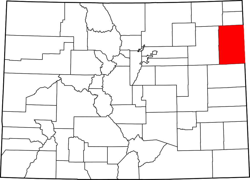
Yuma County covers 2,369 square miles in northeast Colorado. A part of the state’s Great Plains region, the county includes the lowest point in Colorado: 3,315 feet, along the Arikaree River at the Kansas border.
Yuma County covers 2,369 square miles in northeast Colorado. A part of the state’s Great Plains region, the county includes the lowest point in Colorado: 3,315 feet, along the Arikaree River at the Kansas border.