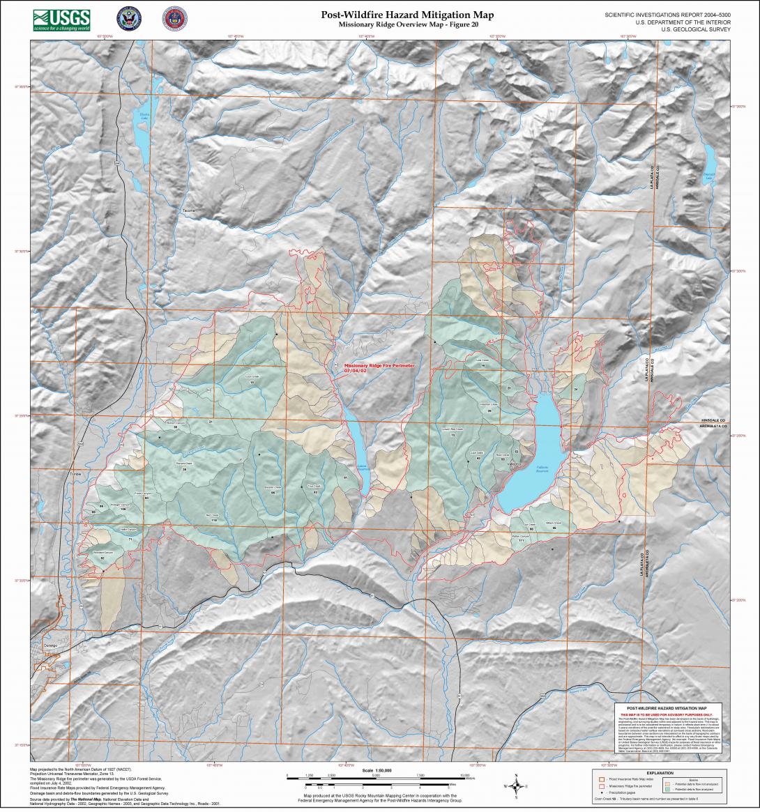
This map from the US Geological Survey shows the perimeter of the Missionary Ridge Fire, which burned near Durango from June 9 to July 15, 2002. The city limits of Durango appear in the map's lower left corner. Reforestation is already occurring in the burned area.